This circular walk takes you from Haslemere, into the South Downs, and up Black Down Hill to Temple of the Winds.
So the story goes, Lord Tennyson (an English poet from the 19th Century) used to walk around the area wrapped in his cloak, and would sit up at Temple of the Winds getting inspiration for his poetry.
I literally had no idea who he was, so had to look him up. Apparently he is a big deal poet. One of the best from England.
What is Temple of the Winds?
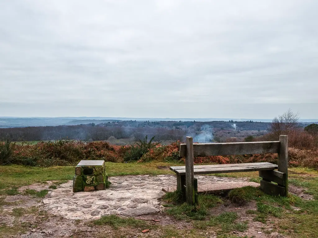
It’s a viewpoint at the top of Black Down hill, with a curved stone bench and arguably the best view across the South Downs.
Before doing the walk I had read numerous times about how it has the best view across the hills of the South Downs. And to be honest, I was a little sceptical. The photos I saw were alright, not mind blowing. I figured people just said that as clickbait.
Let me tell you. I was proved wrong by a mile. When I got up there I was lost for words, granted, I had no one with me to say any words to anyway. So who knows.
Photos do not do it justice in any way. I almost don’t want to share any photos of the view because they really aren’t comparable to what it’s like up there (I will show you the photos).
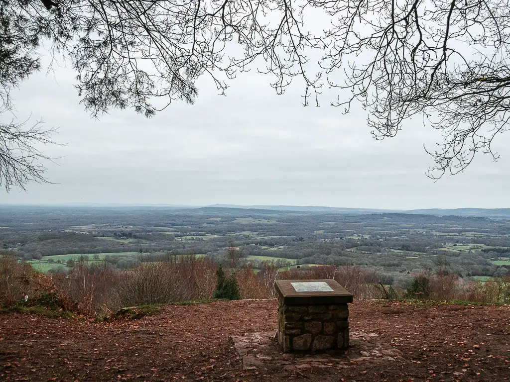
The views are beyond amazing, and I wouldn’t hesitate to say maybe the best I have seen on a walk down in this part of England (after the Seven Sisters Cliffs that is).
Better than Leith Hill and Box Hill which are the well known ones.
What was the Black Down Temple of the Winds walk like?
I absolutely loved this walk…apart from finding myself in a field of bulls. But that’s a story for later.
Starting in the cute quaint village of Haslemere, then into the woodland with makeshift wooden plank bridges and narrow off-piste trails. Some open fields surrounded by thick trees and the occasional enviable house poking out through them. Some small hills, one big hill, lots of mud. Walking around the top of Black Down hill, there are so many different spots for views of the South Downs all around, not just the Temple of the Winds viewpoint. Oh and plenty of benches dotted about, to sit and admire the views.
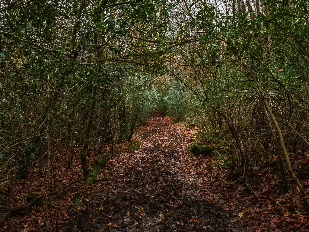
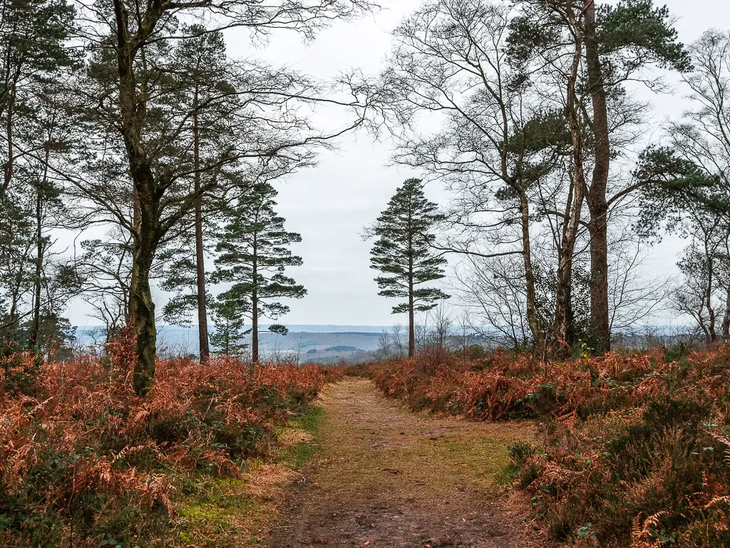
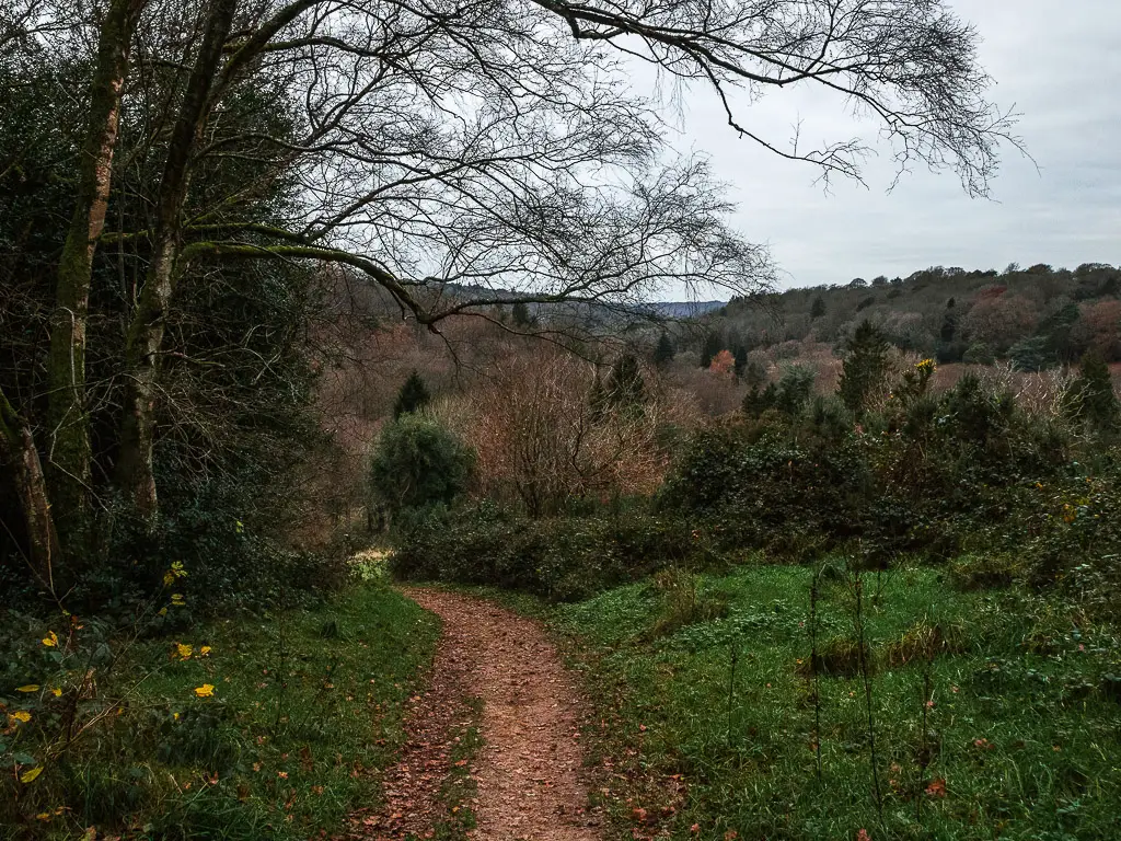
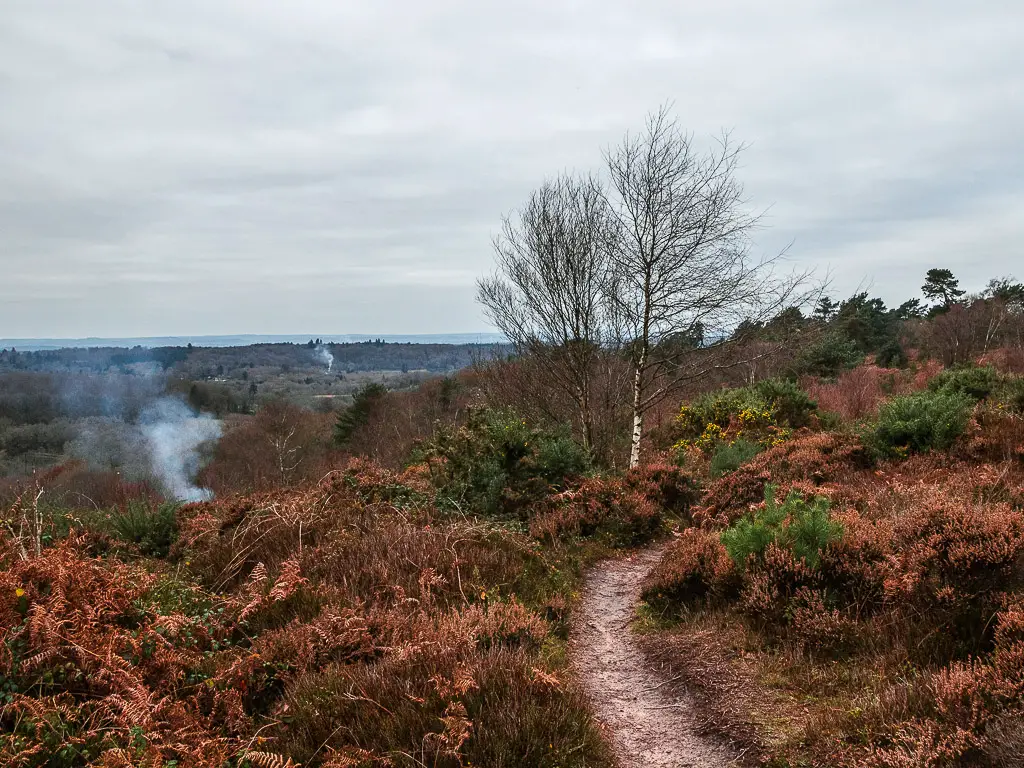
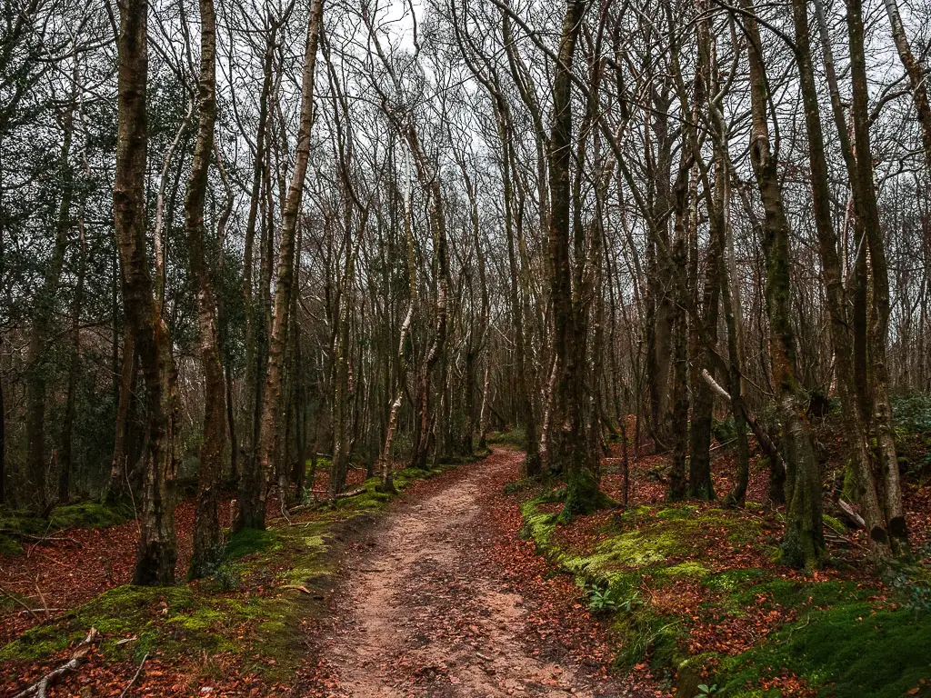
Fun fact: Black Down hill is the fourth highest hill in Southeast England. Not settling for being fourth, it is in fact the highest in the South Downs.
Another fun fact: For this walk you will go between two counties, with Haslemere being in Surrey, and Black Down and Temple of the Winds being in Sussex.
Logistics for this circular Black Down Temple of the Winds walk
- Start/Finish: Haslemere
- Alternate start/finish: Black Down car park. Which would actually make this a totally different walk. This is more if you want to walk up Black Down hill and to Temple of the Winds without doing a bigger hike. When looking up the walk online, this is the route that was talked about. It was too short for me, which is why I did something different.
- How to get there: There are direct trains to Haslemere from London Waterloo and Clapham Junction. Journey time 50min to 1 hour. If coming by car, there is a car park at the station.
- Distance: 8.2 miles
- Time: 3h 30min
- Terrain: Dirt trail, lots of mud, grass trail, some road.
- Elevation: With the ups and downs, you will walk up about 580m. The highest point is just under 280m.
- Tips/amenities: Your usually shops and pubs in Haslemere. On Black Down hill and around Temple of the Winds, there are plenty of benches to rest your legs, after the walk up.
- Time of year: I did this during winter.
Map for the circular Black Down Temple of the Winds walk
-More walking ideas/suggestions
will be at the end of the post-
A guide to the circular Black Down Temple of the Winds walk
This walk to Black Down hill and Temple of the Winds, starts from Haslemere station. When you exit, take a left, and follow the main road around and past the town. A word of advise, after leaving the station, walk on the other side of the road. The pavement on this side ends where there is a blind bend in the road.
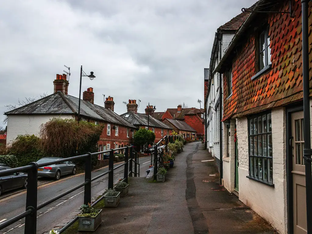
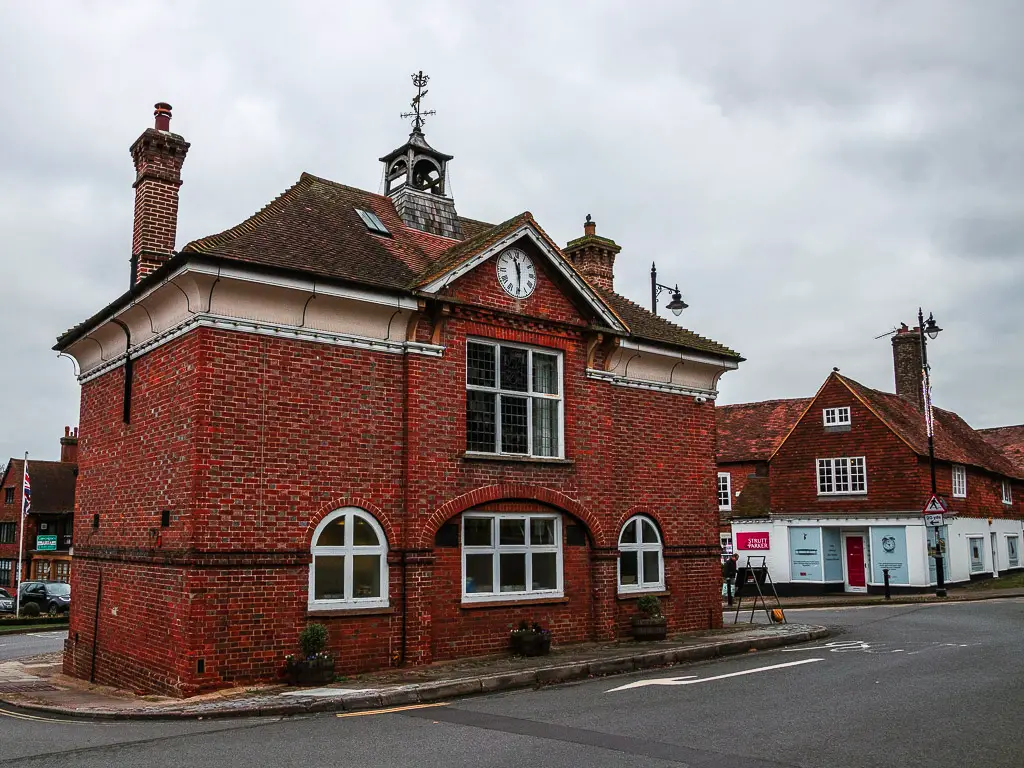
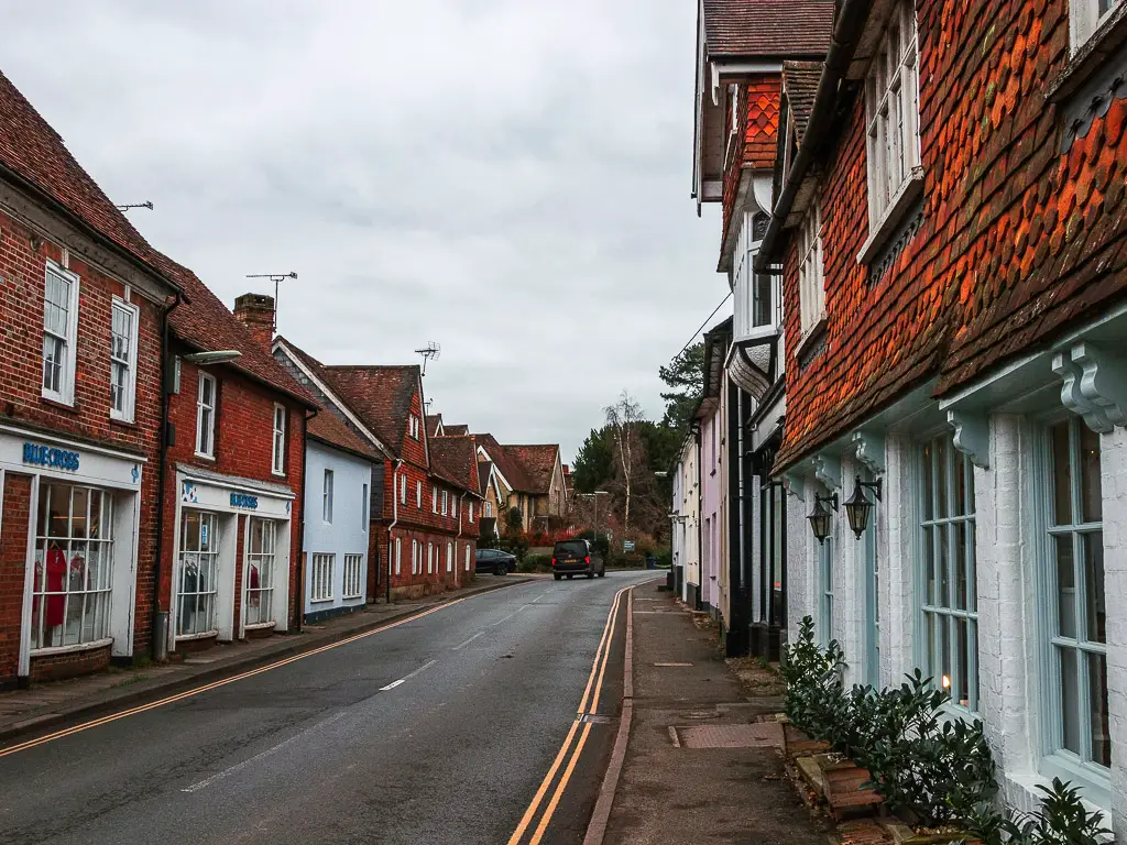
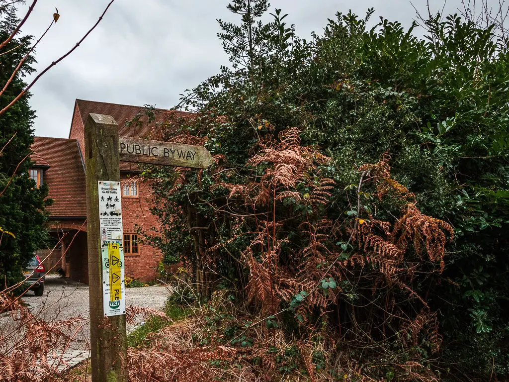
Just before the house in the photo below, there is a small trail leading uphill. Take it.
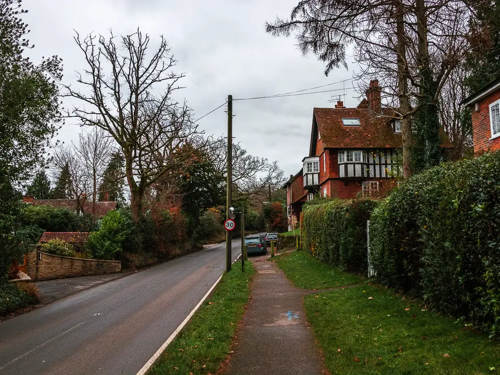
This section is quite narrow, a bit muddy and quite steep. It takes you up dirt trail, then steps, until you reach the road.
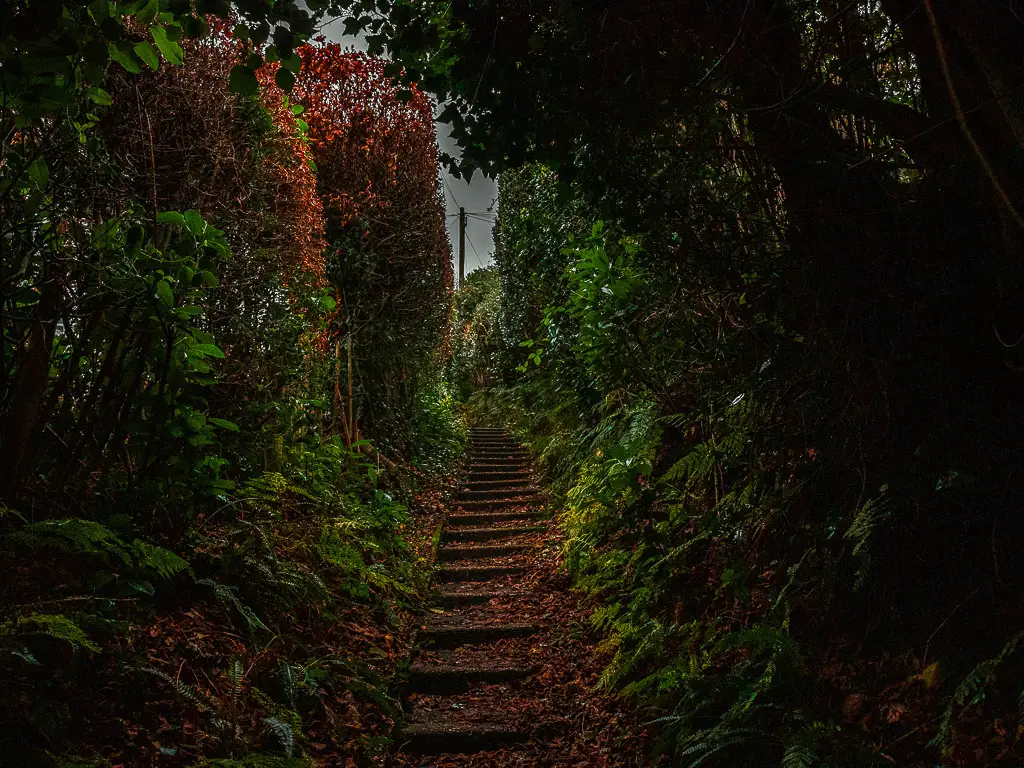
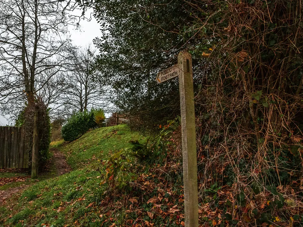
At the road, cross it to pick up the trail on the other side. When you reach the next road, the trail picks up again to the left, then first right. There is a signpost here to guide you.
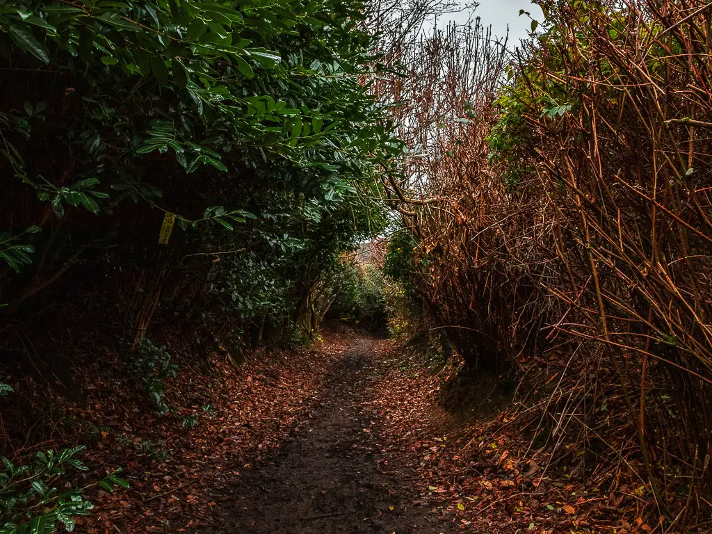
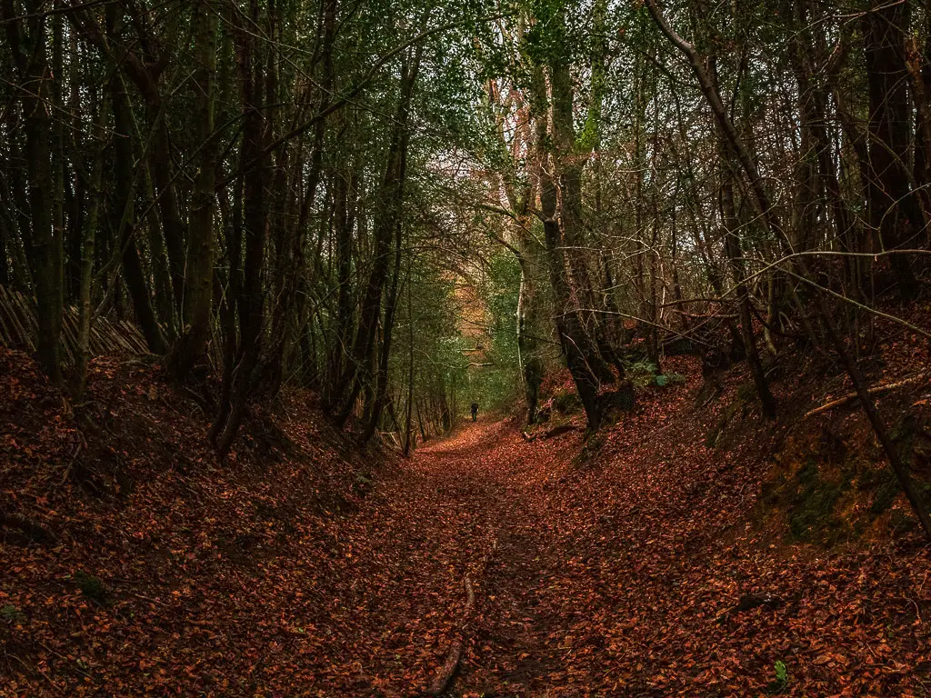
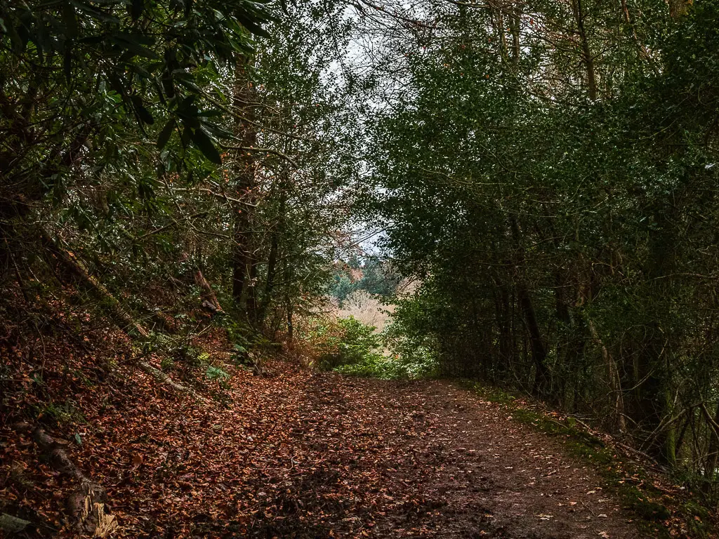
Walk downhill through the trees
The trail continues through more bushes, and then trees, as it begins to take you downhill.
Out of the trees, you will be on a sort of driveway type road. Continue straight down past some houses to get to the next road with a pond on the other side.
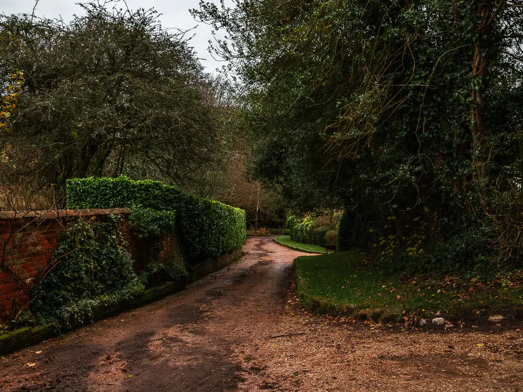
Ok, I have said the word road a lot so far. It’s not as bad as it sounds. These are all countryside type quiet roads.
Walk off-piste though the woods
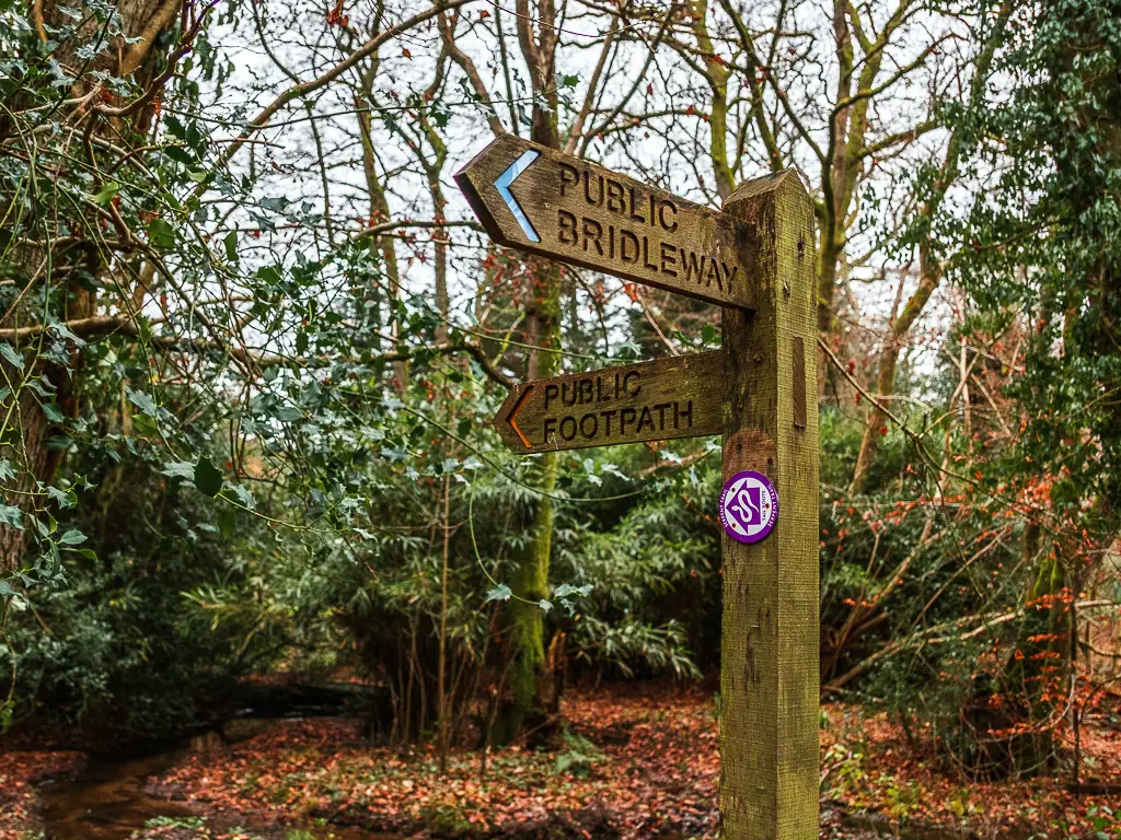
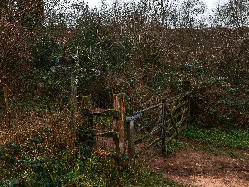
Now, this is where things get fun. If you turn left on the road, you would think to continue straight through the open gate. Don’t do that. Instead, you should see a wooden signpost just before it on the right. Follow that. It will take you into the trees and onto a very off-piste style trail.
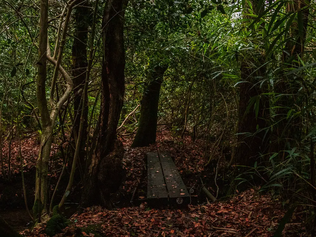
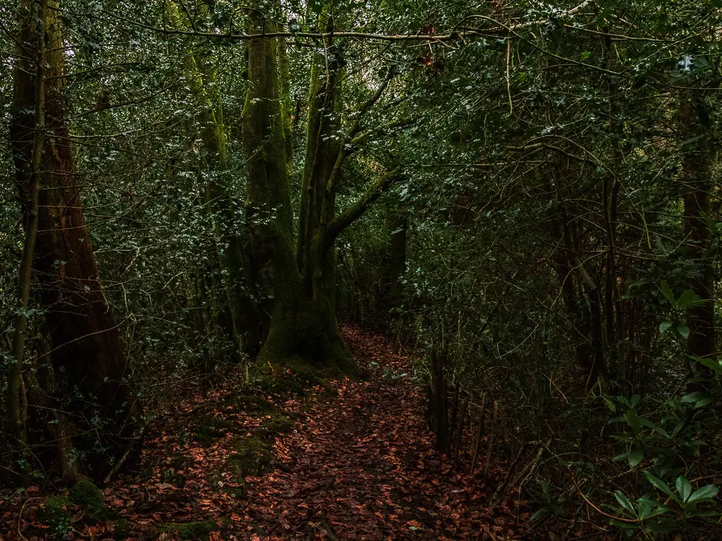
Keep going, and you will reach another wooden signpost, guiding you to the right and along a long wooden plank.
Note: This might be a bit slippy if it’s been raining. So careful.
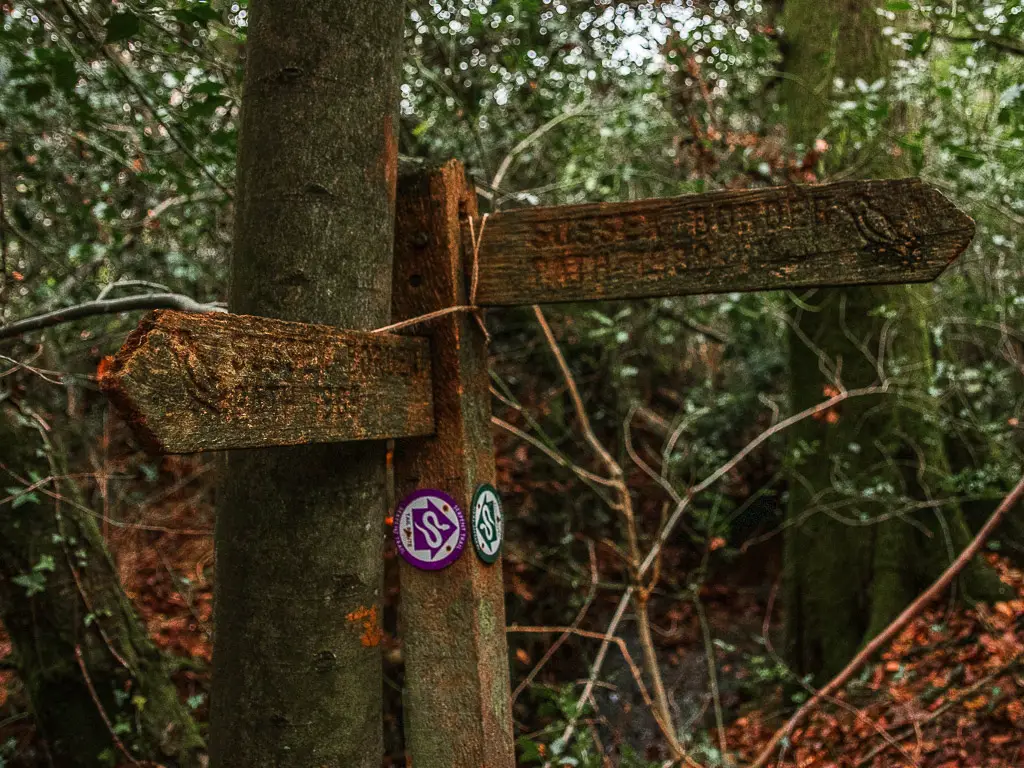
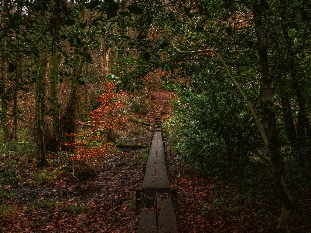
Once you reach the top, go left. Right follows the Serpent trail. This is not what we are doing today.
Note: The Serpent trail also takes you to Black Down hill and Temple of the Winds, it’s just a different walk route.
Walk further through the muddy woods
This is where the mud really started to shine. I passed a couple of people along here walking their dogs, and one woman exclaimed how muddy it was. Yes it was.
Despite the fact that I wear waterproof hiking boots, I can’t help but always do the mud dance.
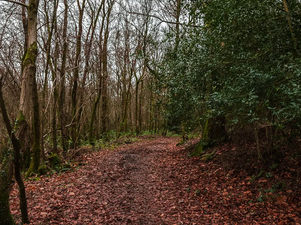
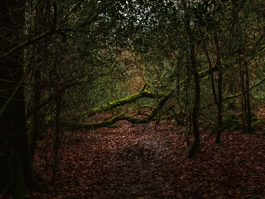
Anyway, keep going to reach the gate which takes you into an open field.
Walk through the field with the cows
At the entrance to this gate, it did warn of cattle in the field. Although I have a fear of cows in fields, I am getting better with it.
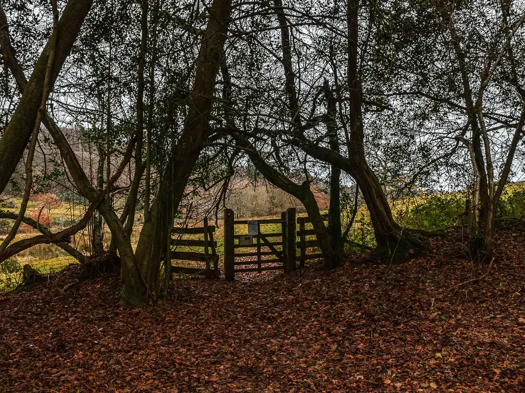
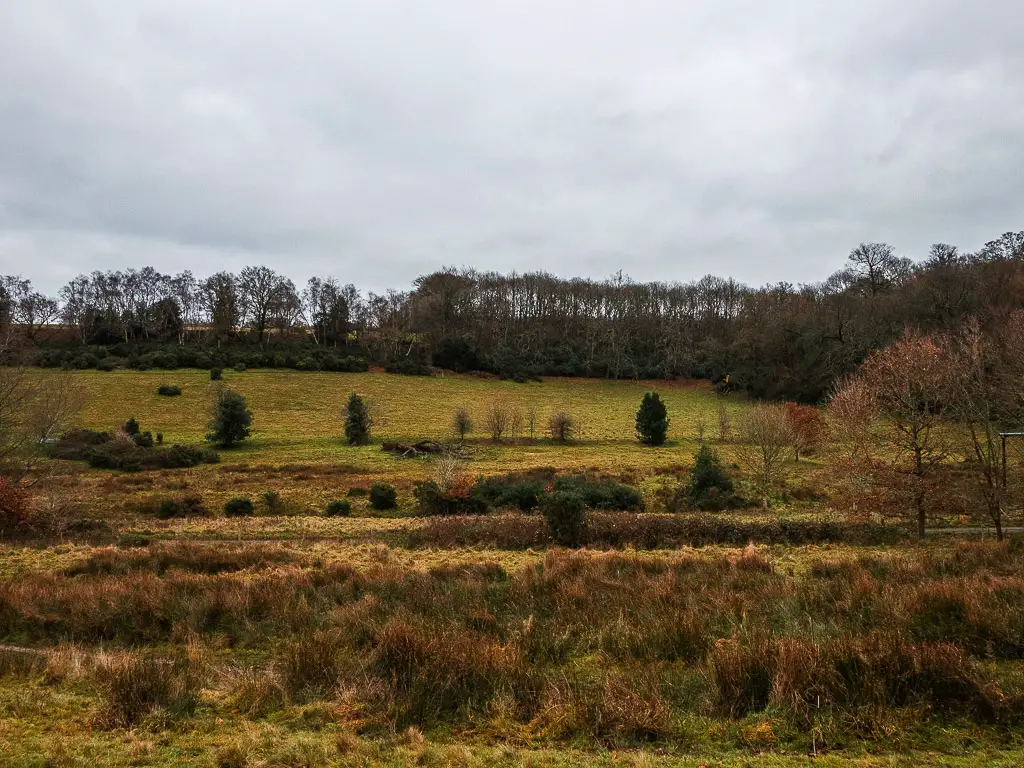
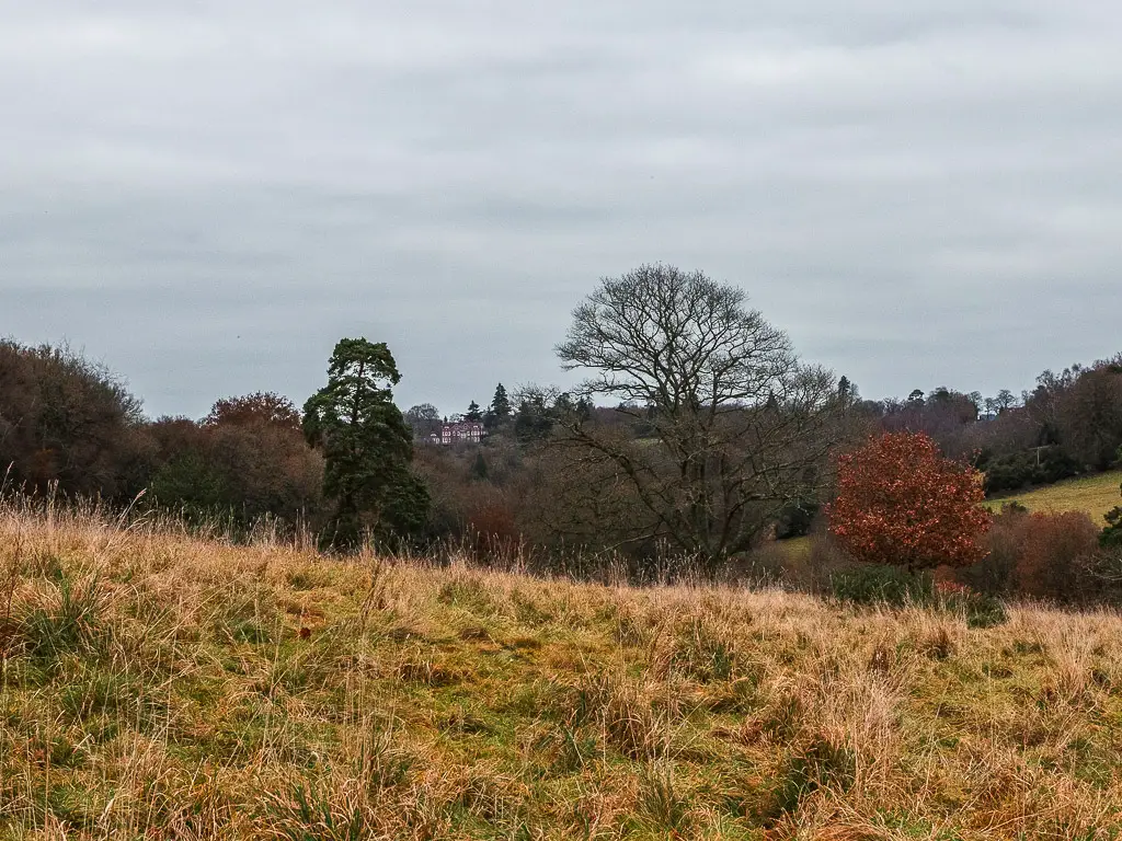
The field itself is lovely, forming a sort of valley with a mix of bushy and leafless trees dotted about.
As I got further into the field I spotted the cows up ahead. Resting right next to the trail as they always seem to be. I acted brave and continued along, but as I got closer I noticed some horns.
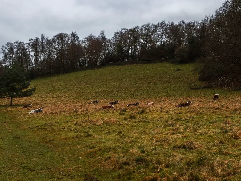
I proceeded with caution, to then realise that they all had horns.
I froze in the spot. Was I in a field full of bulls?
No way in hell was I walking past those beasts.
To the left, a bit further down was a fence. I proceeded to walk off trail into the overgrowth, so I could walk a bit nearer to the fence. That way, if they attacked, I could run and jump over it.
It was very cobwebby in the overgrowth. Once I was safely out of eyesight of the cow bulls, and able to go back up to the trail, I was covered in the sticky white stuff.
Leave the field to walk to the horses
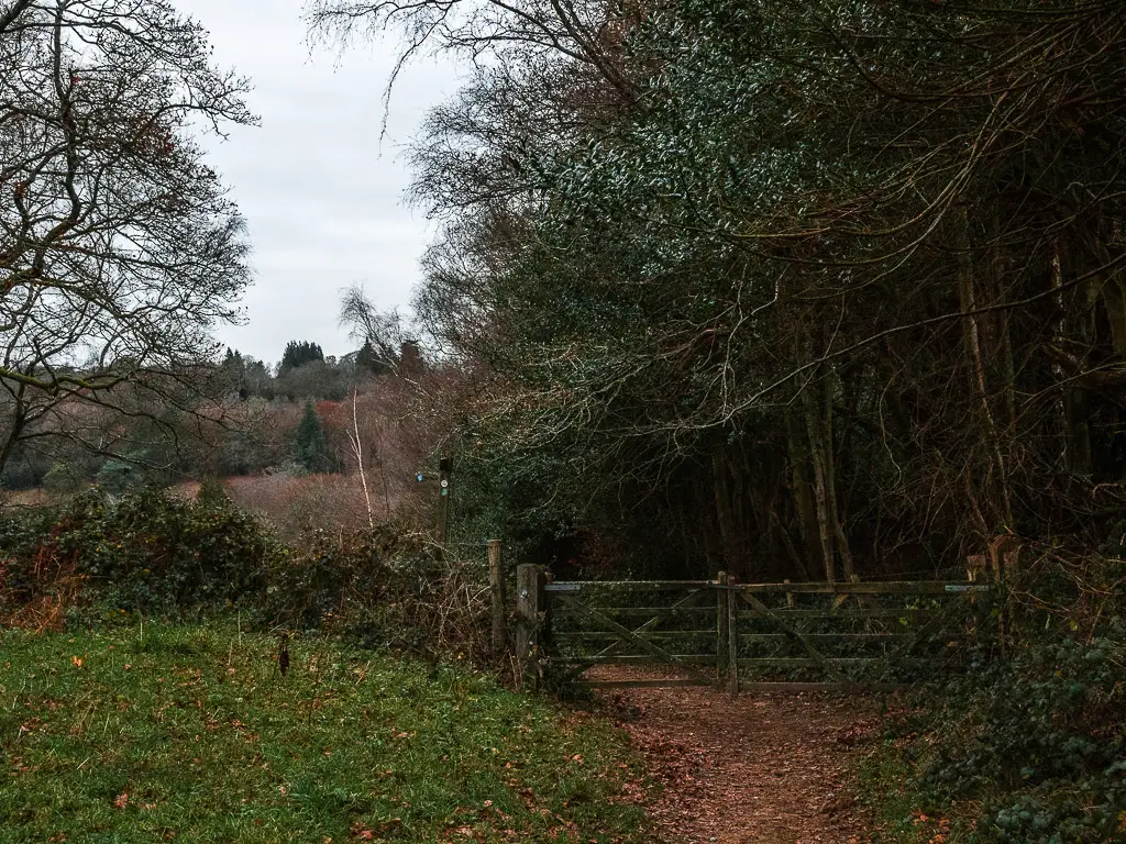
Out of the gate on the other side, you will walk past a cute brick house, then at the road, pick up the trail on the other side with the wooden signpost.
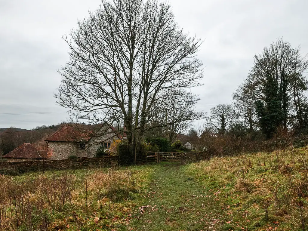
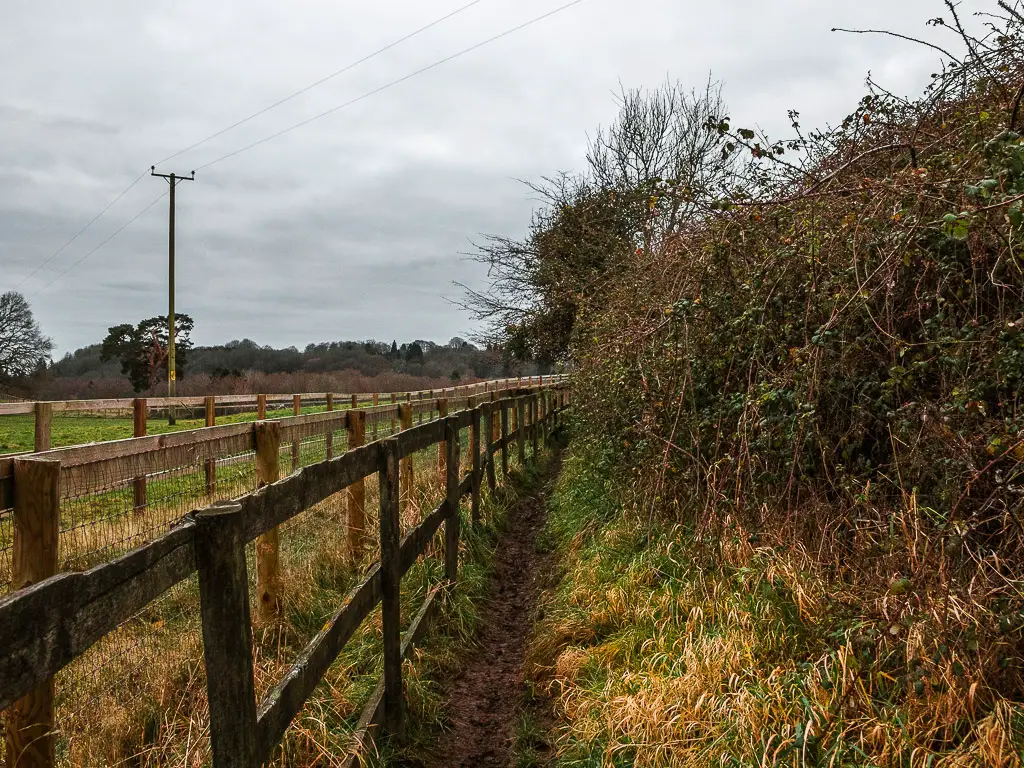
The next bit of the trail is super narrow between the fence and the bushes. It will lead you through a gate at the end with a horse field in front.
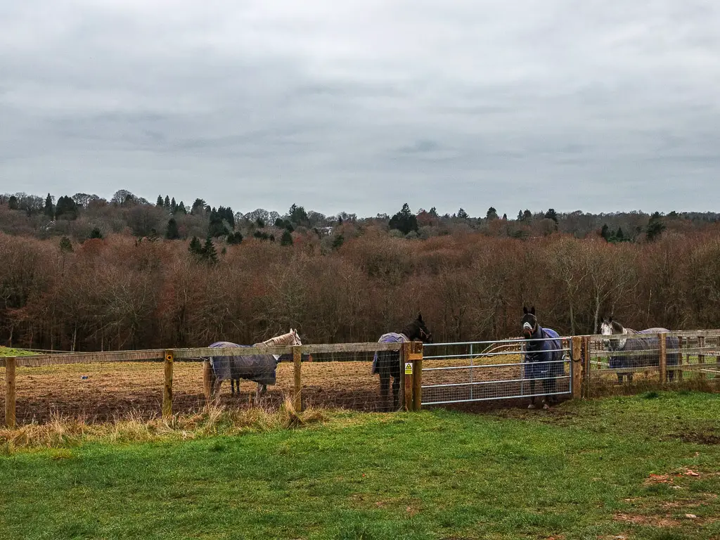
The trees on the other side of the horse field were pretty cool. A dense concentration of leafless trees, with bushy ones poking up through them.
At the horses, turn left to walk along the wide grassy trail.
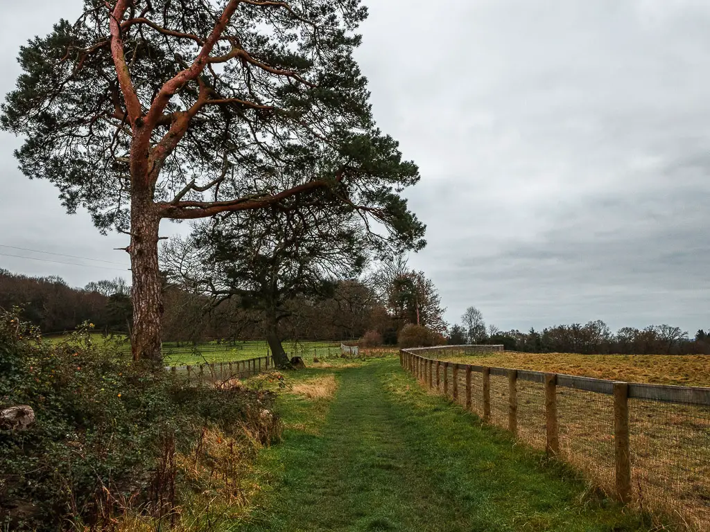
Follow the trail straight even though it’s not obvious
The next bit is a little confusing. When you reach the end, there will be a gate on the left and right. Neither of which are for public. I had another look at the map and wondered how I had found my self at a dead end. Well, according to the map I wasn’t. The trail continues straight. But how could this be? There is no more straight.
After some serious confusion and thinking about how to handle this, I realised the trail does go straight. You sort of zigzag through the fence straight ahead….It was one of those moments I had to laugh at myself.
Walk back into the woods and the very steep bit
Follow the trail as it takes you down hill, then left into the woods again. This next bit is nice and off-piste, as it takes you further down with a sharp bend at the wooden post, then one more very step bit, to reach the (very muddy) trail at the bottom.
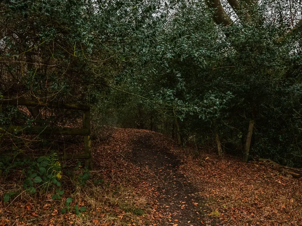
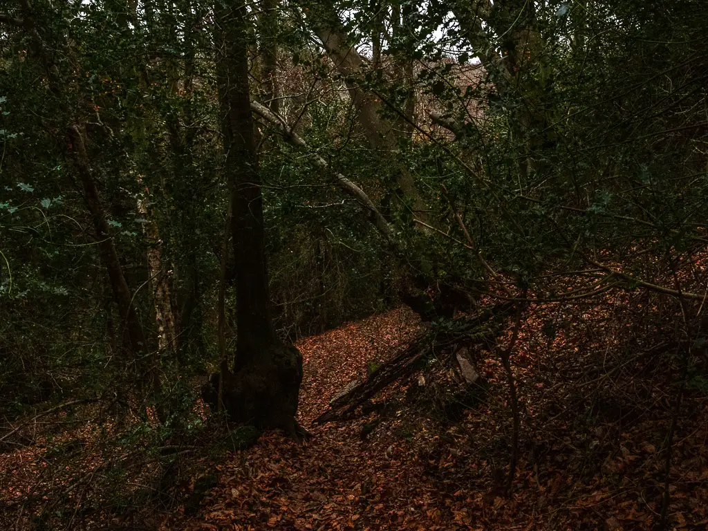
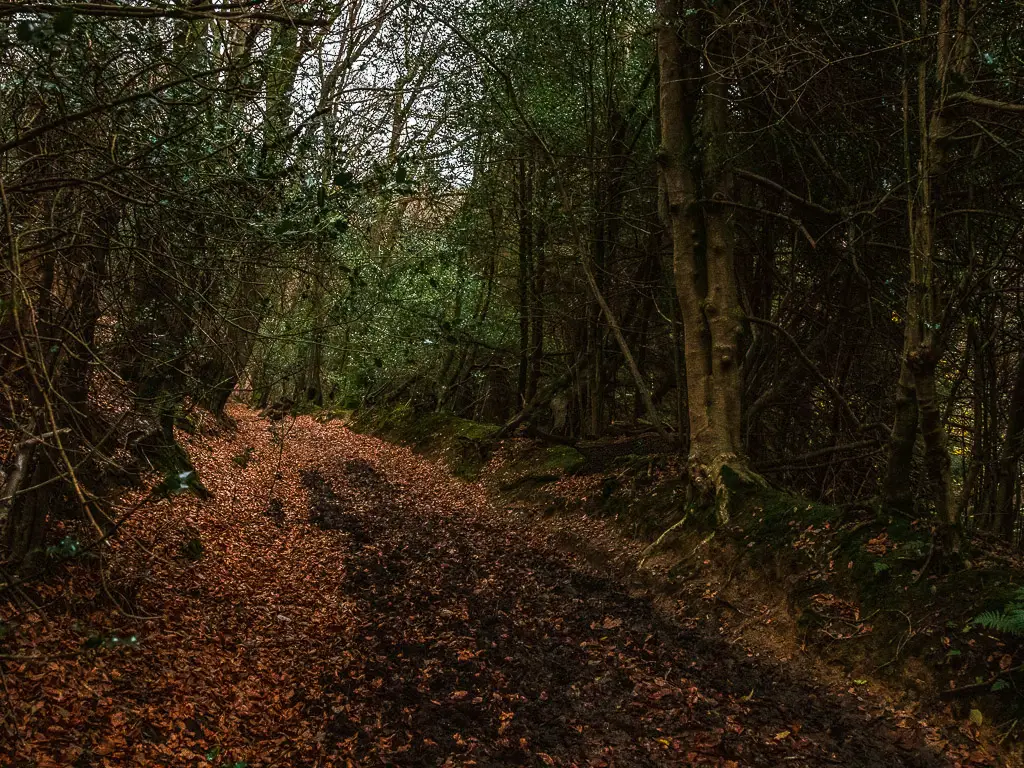
At the main trail, go left.
At the end of this muddy trail, go straight across the road and up a short steep hill, then turn right. There are a couple of wooden sign posts along this way to guide you.
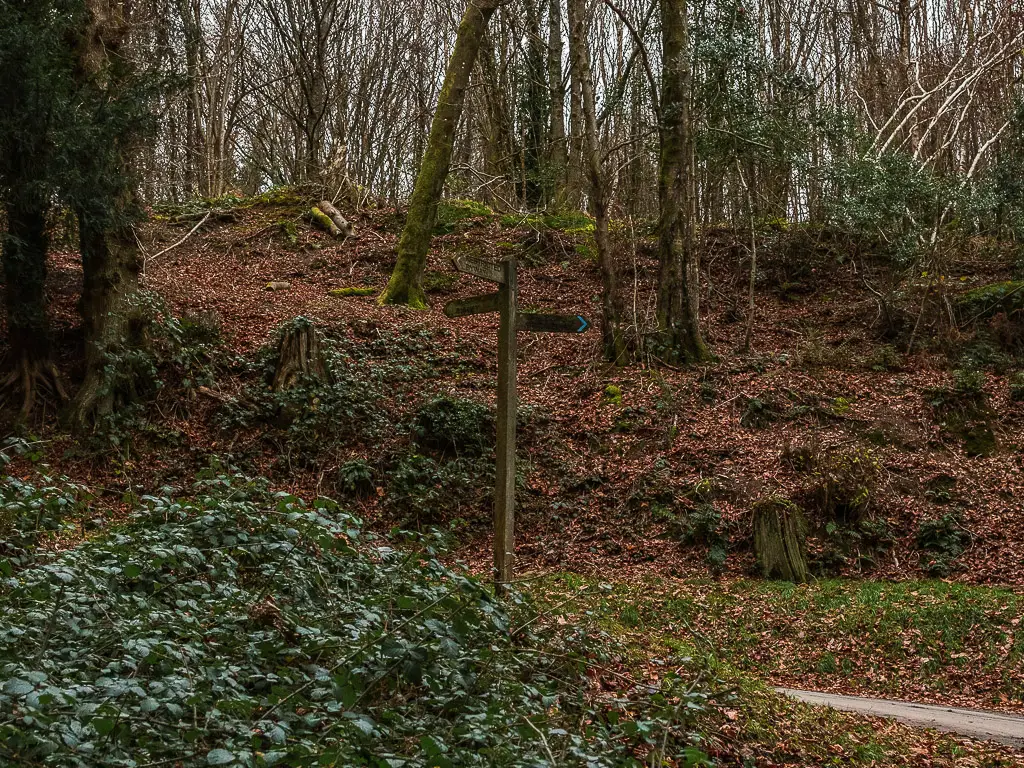
Walk out of the woods to the first far reaching view across the South Downs
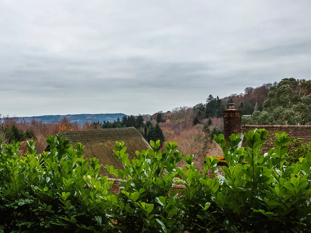
Next, walk along some more muddyness, towards the light and out of the woods. The trail becomes grassy as it takes you to the left, with a lovely view across the rooftops to the hills of the South Downs on the other side.
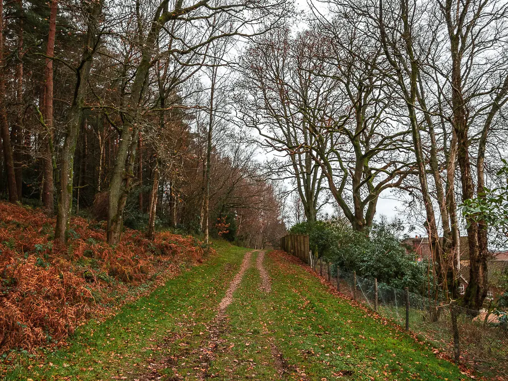
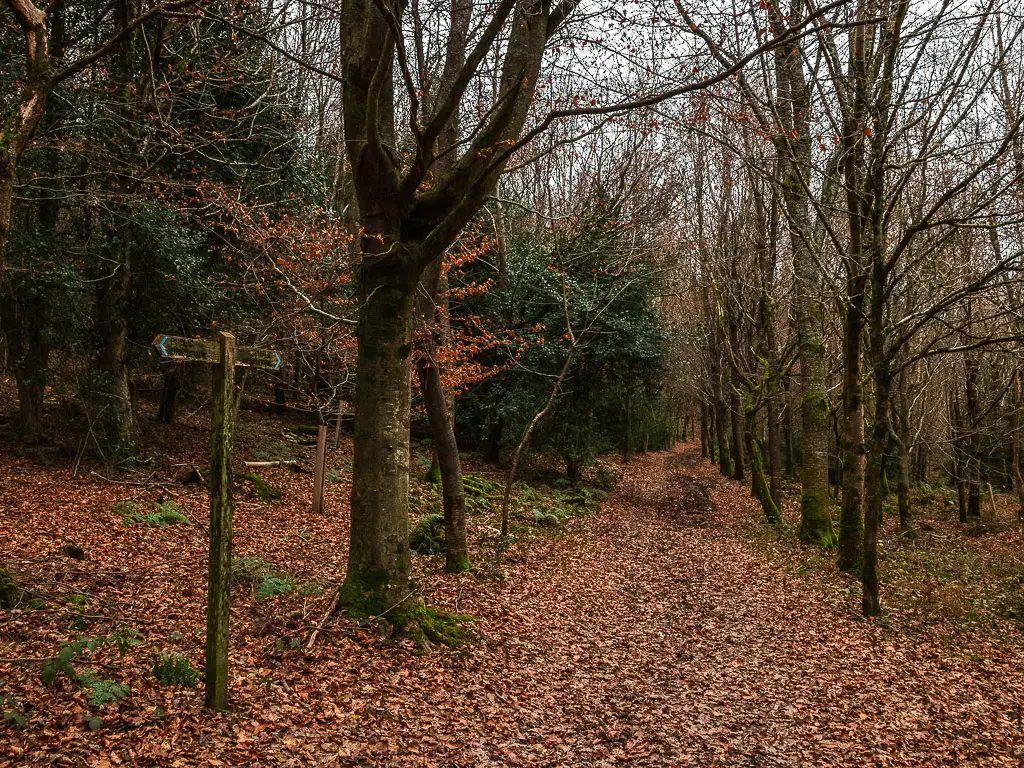
At the next signpost, continue straight, and then into some more woodland.
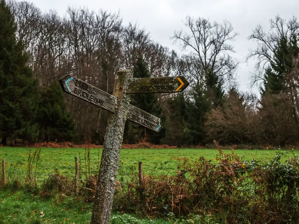
Then follow this signpost straight:
Then at this junction, take the left trail:
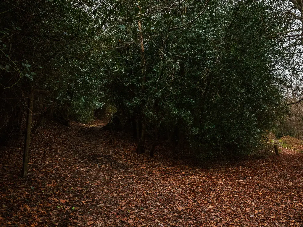
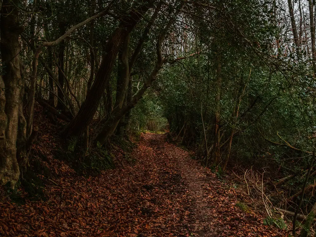
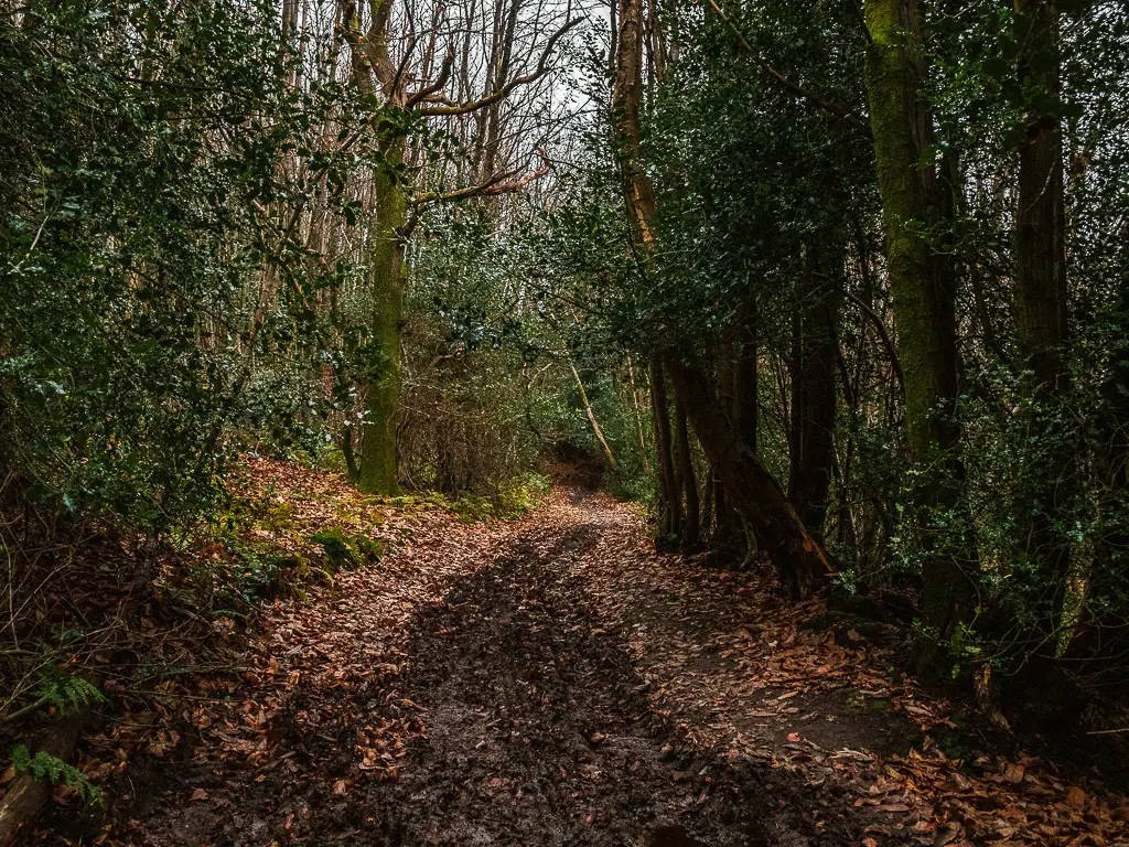
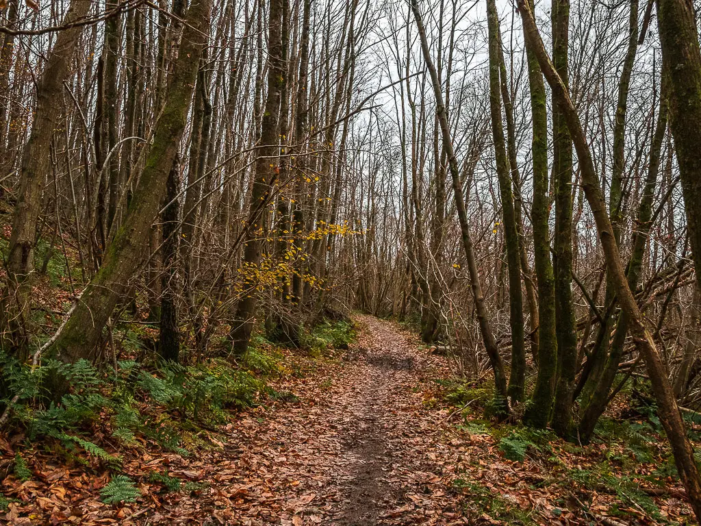
At the next junction, turn right, and this will lead you to a cute road bend.
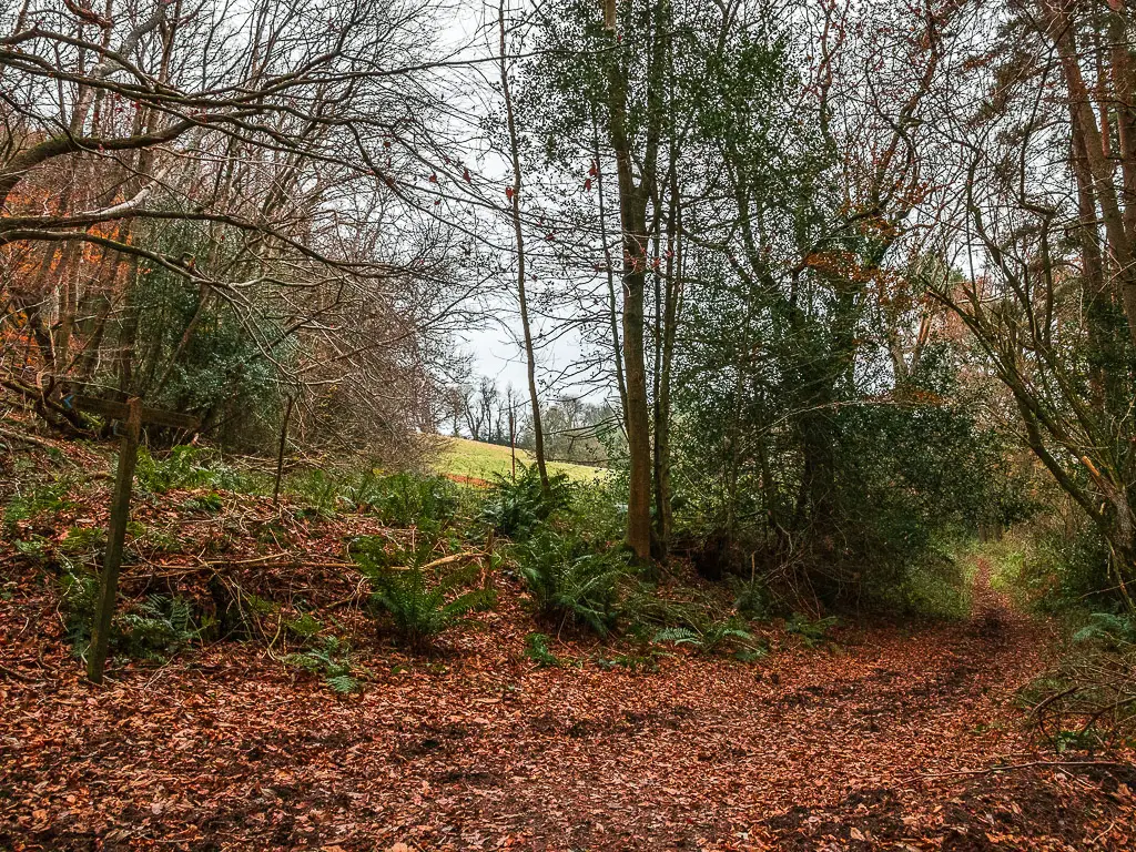
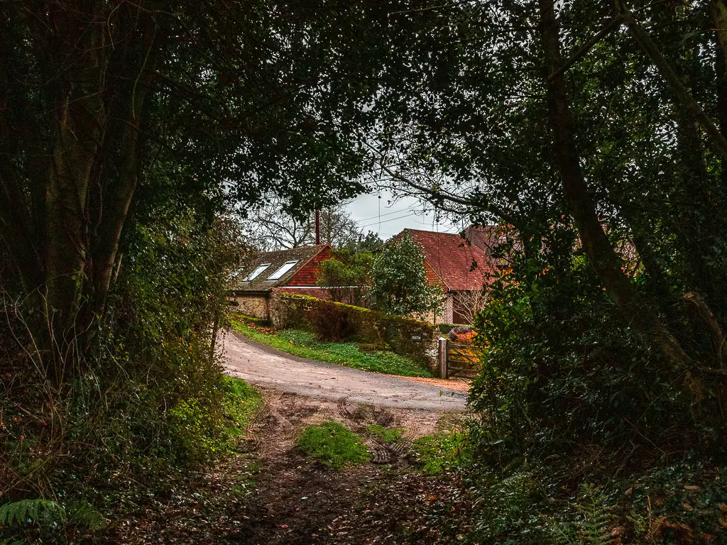
More views across the South Downs as you approach the final uphill walk to Black Down and Temple of the Winds
At the road, turn left to walk along the track. Along here, things will open up to the right for a lovely view across the hills. Whoever lives in the house here is very lucky with that view.
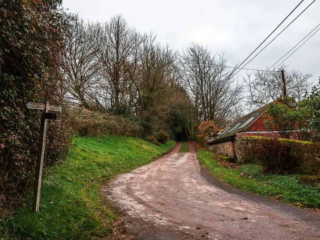
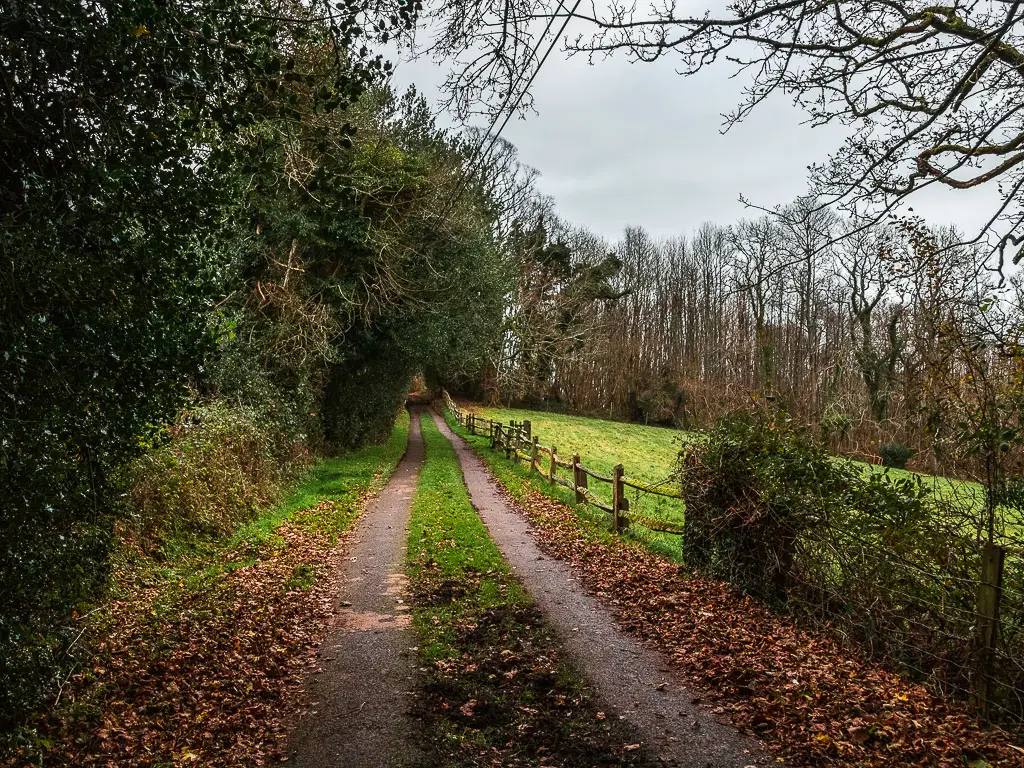
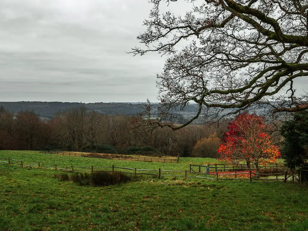
At this point in the walk, I knew I was close to Temple of the Winds, but I also knew I wasn’t that high. This could only mean one thing. A very steep bit was about to come….
This track will wind you around the the left and uphill to reach the road. Here you will get an even better view across the South Downs. A taste of what is about to come.
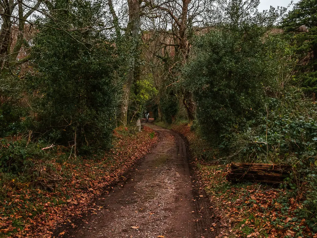
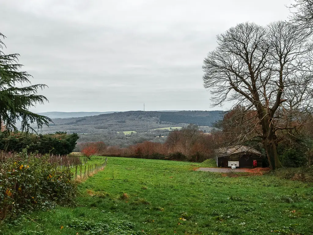
Walk up Black Down Hill to reach Temple of the Winds
OK, so here is the bit you have been waiting for. The star of the walk….and also the very steep uphill bit.
At this road, to the right and bit further along, is a trail leading uphill to the left. Walk up this hill, then at the National Trust sign, take the trail to the left.
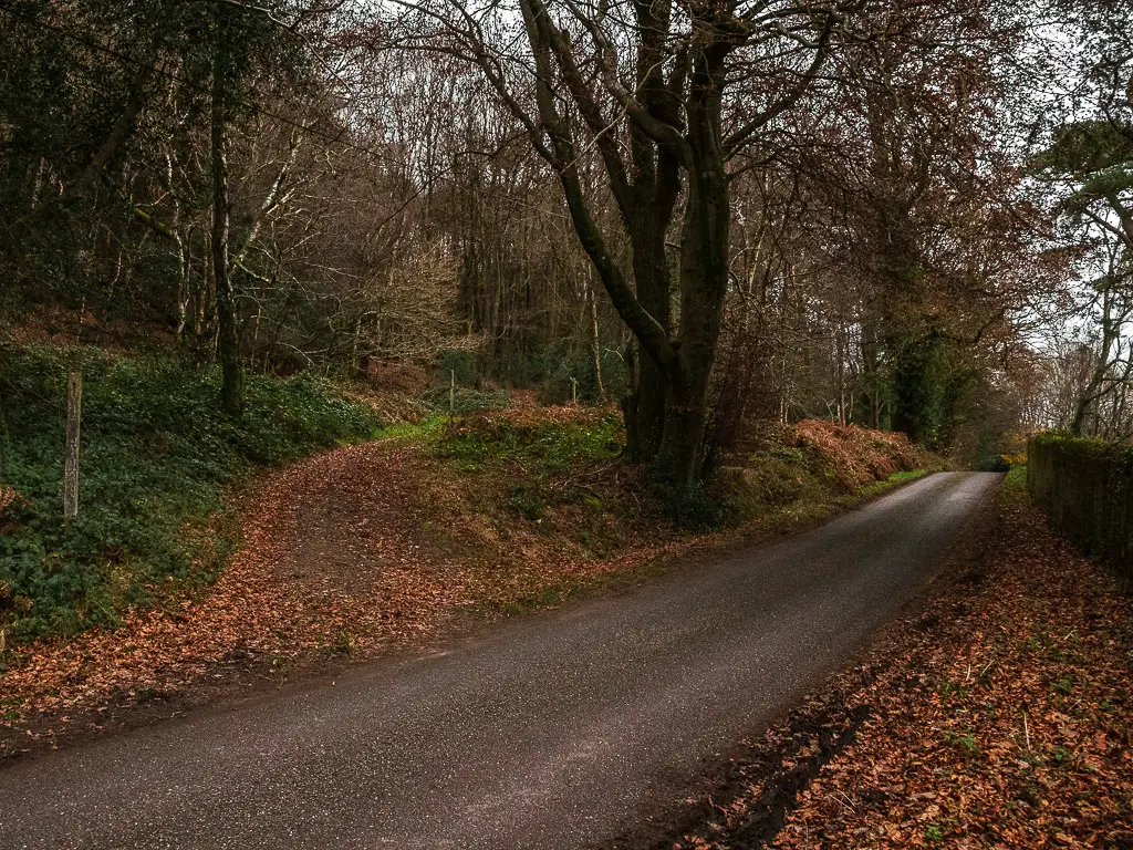
This is where the uphill slog begins.
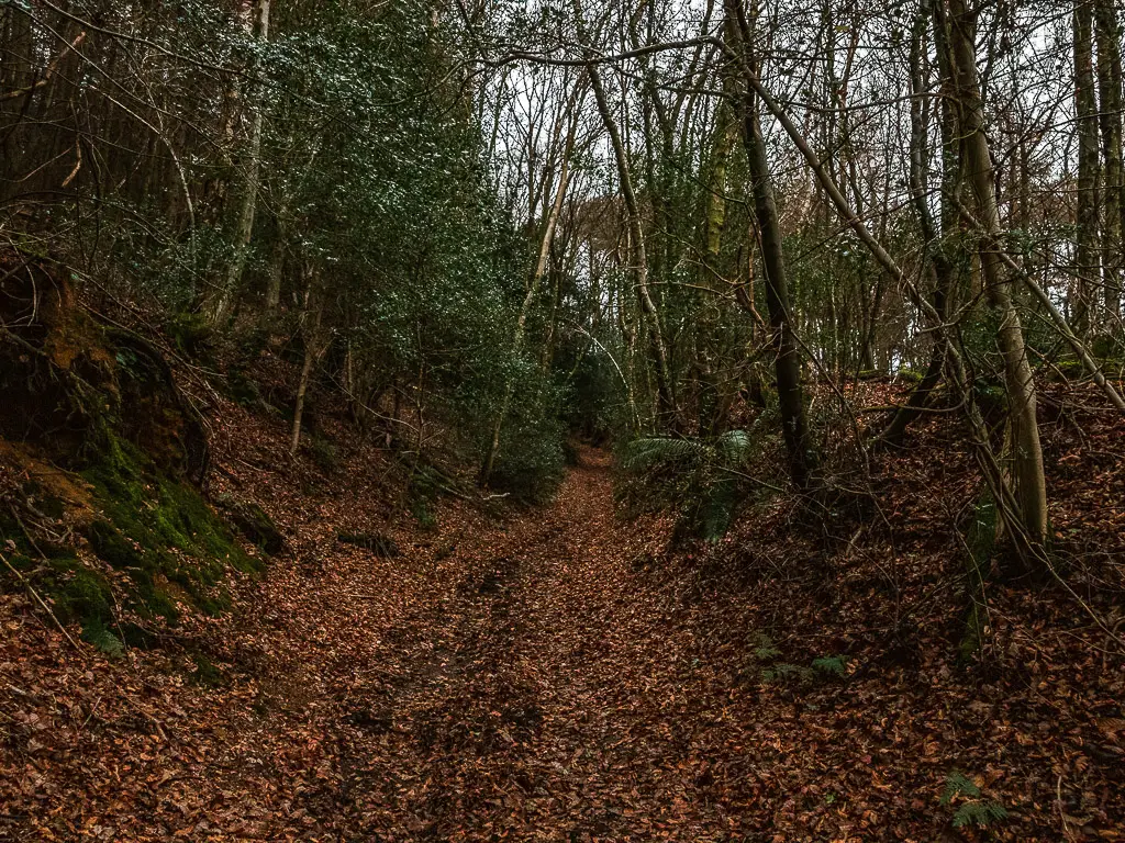
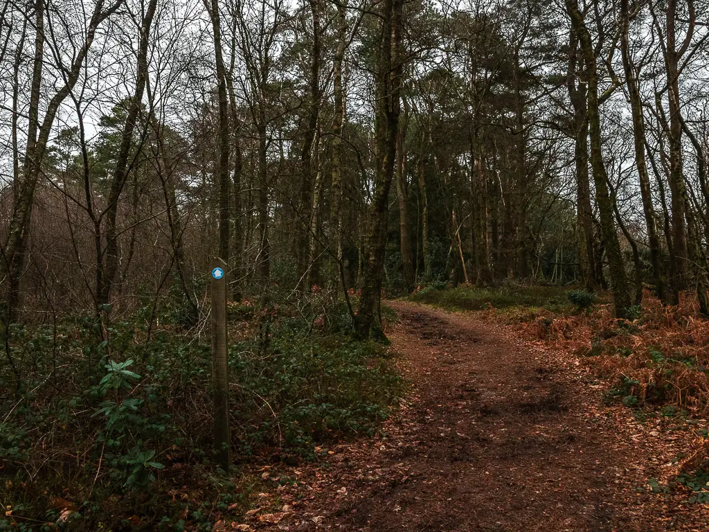
As you near the top, you will walk through a gate, then continue up a little more.
Walk to the first viewpoint bench at the top of Black Down Hill
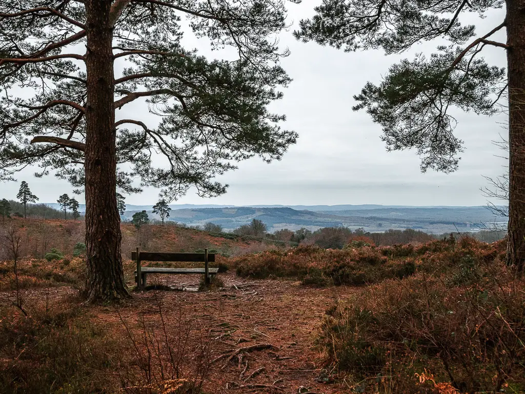
As you continue up, things become a bit less specific when it comes to trails. But you should see a wooden bench to the right.
Head on over there for a brilliant view across the South Downs.
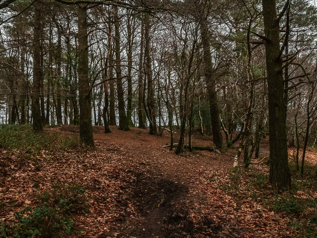
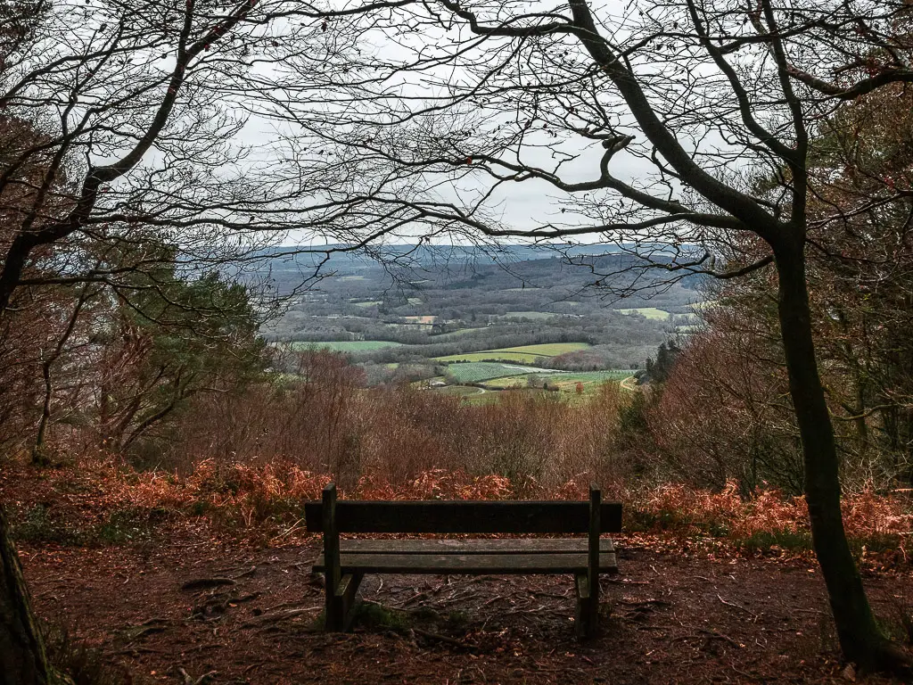
For a moment I actually thought this this was Temple of the Winds, although, I was a little confused as I was expecting a stone bench. It turned out, this is not it. You need to walk a little further to reach Temple of the Winds viewpoint.
But honestly, the view from this bench was spectacular, I was surprised this wasn’t the spot.
I soon discovered that there are so many points up here with an amazing view. This is one of the reasons I think this place wins for views compared to other more famous viewpoints. You just have so many options, so much space to find your own more private bit, rather than being tied to one small area.
Walk to Temple of the winds
Now, to continue on to Temple of the Winds, walk past the bench, keeping to the right trail. This will guide you around to the expected stone curved bench, and again, another perfect spot for an incredible view across the hills.
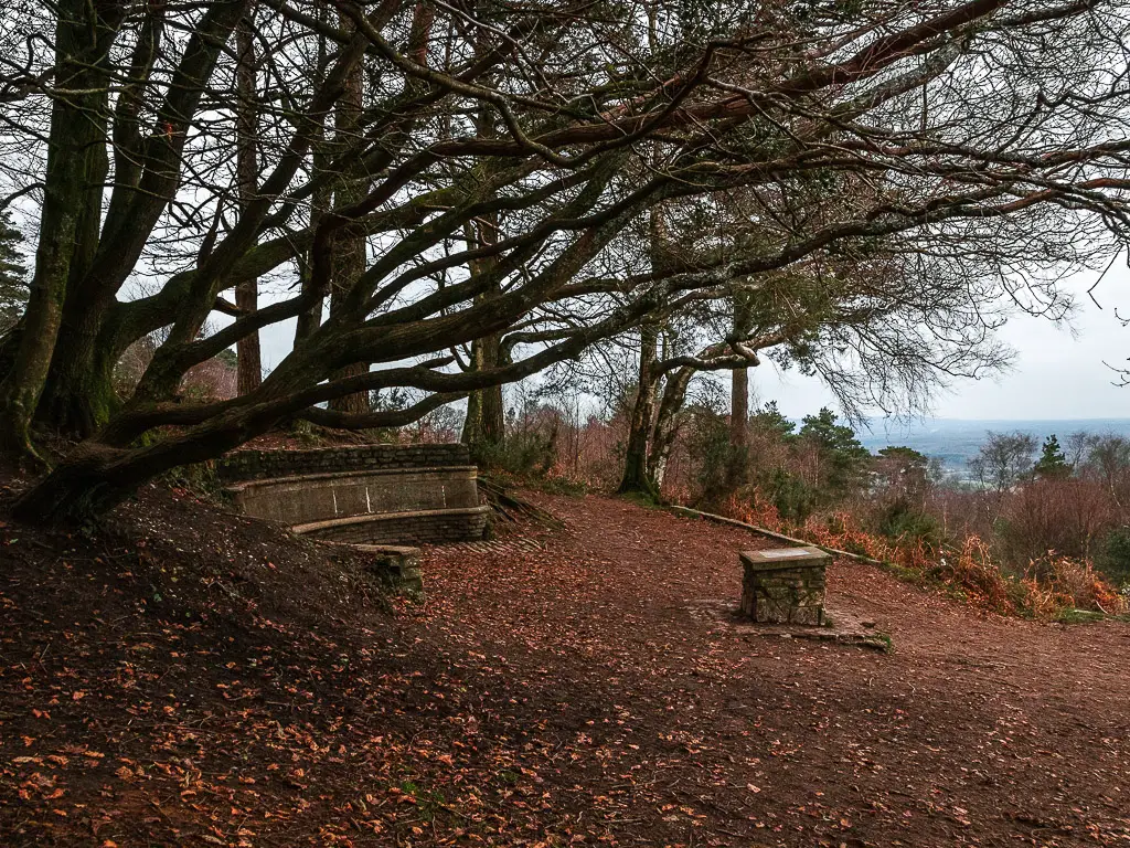

This was my cue to break for lunch. One guy and his dog passed by me, but otherwise I was completely alone to enjoy the view in peace. I did come here on a weekday, so I can’t comment on if it gets busy on weekends. But as I said, there are plenty of spots up here to admire the views, so you may be able to find some privacy.
Walk across the top of Black Down hill
To leave the Temple of the Winds viewpoint, walk up the trail straight behind it across the tree roots.
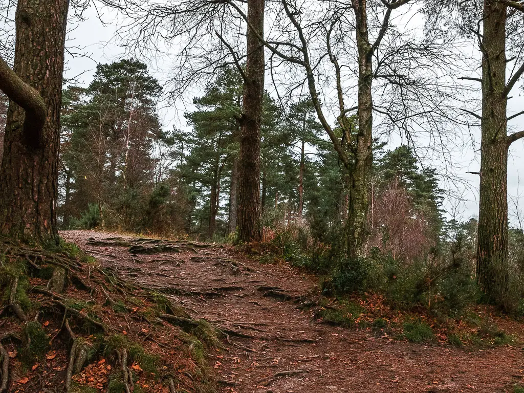
At the junction, either works, but I went right. This allowed me some more view beauty to the right.
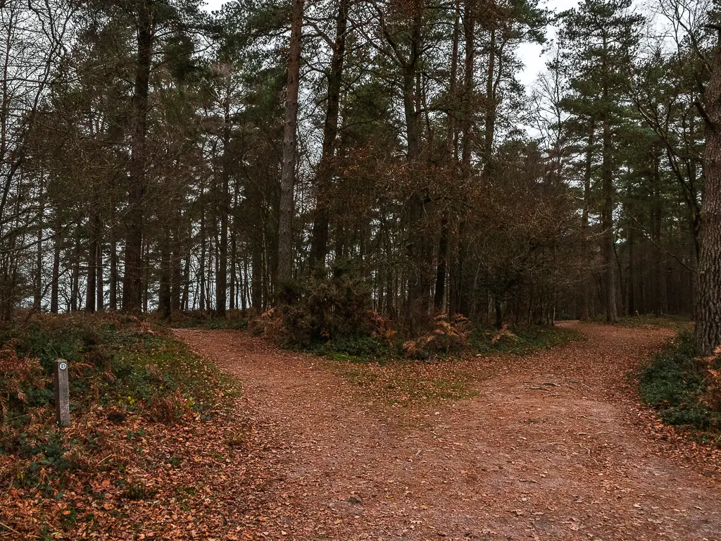
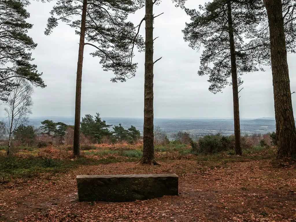
Wether you took the right or left trail, at the next junction, turn right, and follow this path through the trees.
When you reach the pond, turn onto the trail on the left. Note, I don’t know if this pond is an all year thing or just a winter rain thing. Just incase, there is also a trail signpost here.
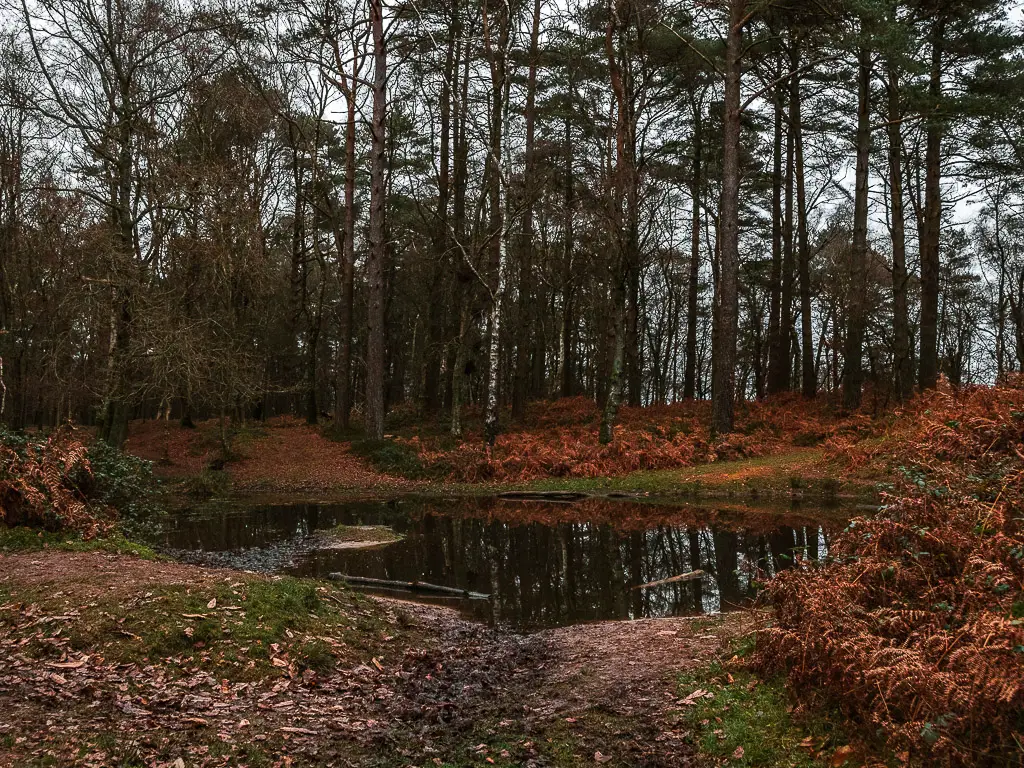
Walk a short way up this trail, and you will be greeted by another gorgeous view on the other side. If you follow the view, you will reach a slightly more maintained trail on the other side. When you reach it, turn right.
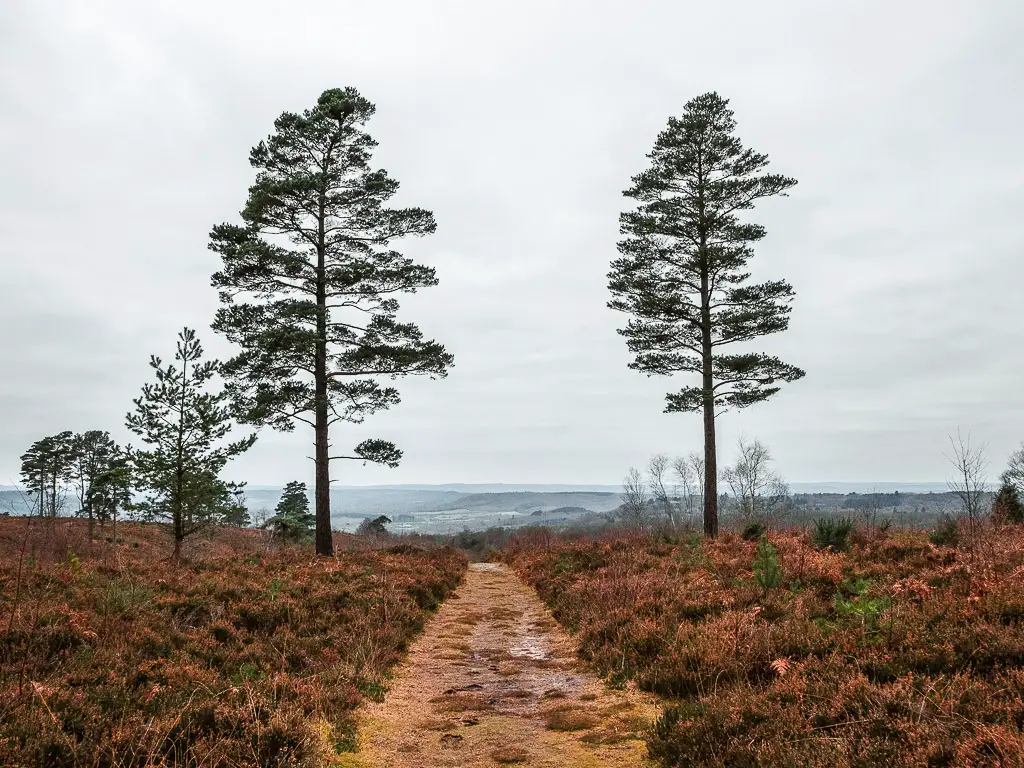
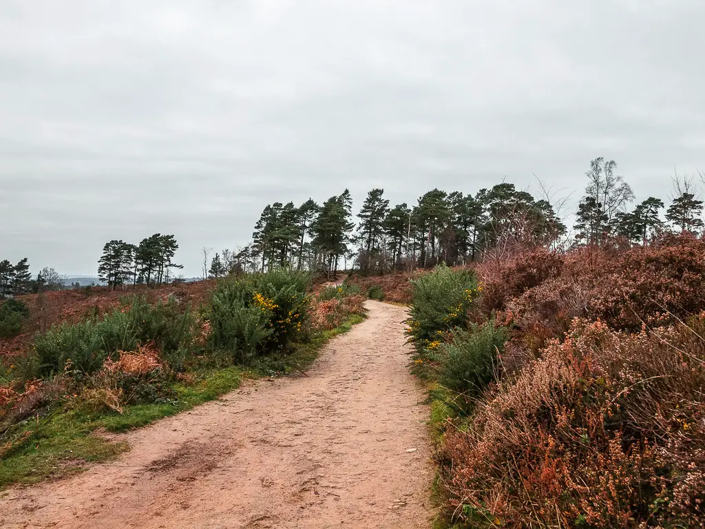
Walk to the Black Down western viewpoint
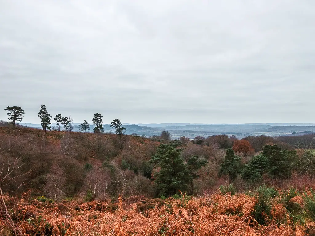
On the well maintained trail, you will be walking with a gorgeous view to the left, and a bit further along, another wooden viewpoint bench. Keep going, and you will reach yet another view point bench known as the Black Down Western Viewpoint.
Walk a bit off-piste from the Black Down viewpoint
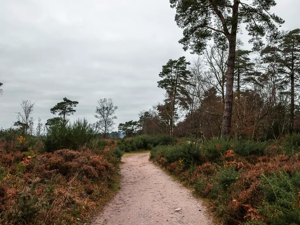
The walk to Black Down hill viewpoint was on a pleasant but simple path. I was ready for some off-piste again, so to leave this point, I took the less obvious trail.
Just in front of the bench, you should see a small almost hidden trail going slightly downhill. Take it.
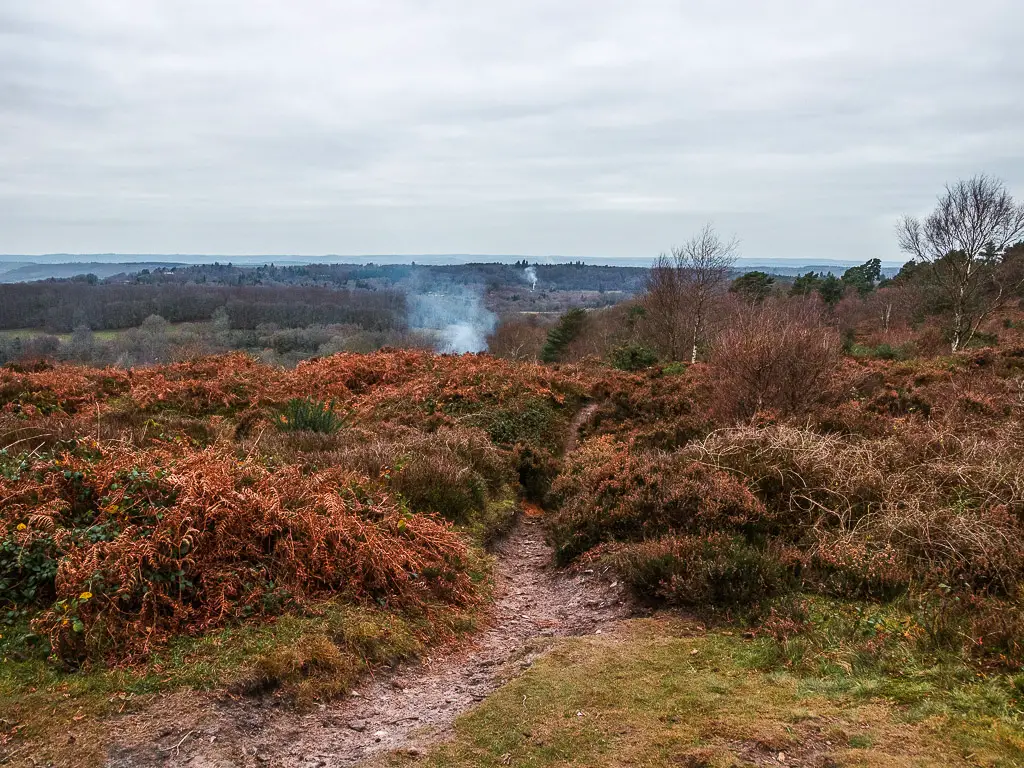

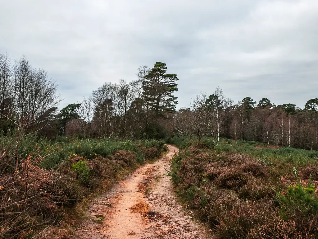
You will be walking along a very narrow trail amongst the heather.
When you reach the first main junction, take the left. Then at the next one, take the right and continue on the nice narrow dirt path.
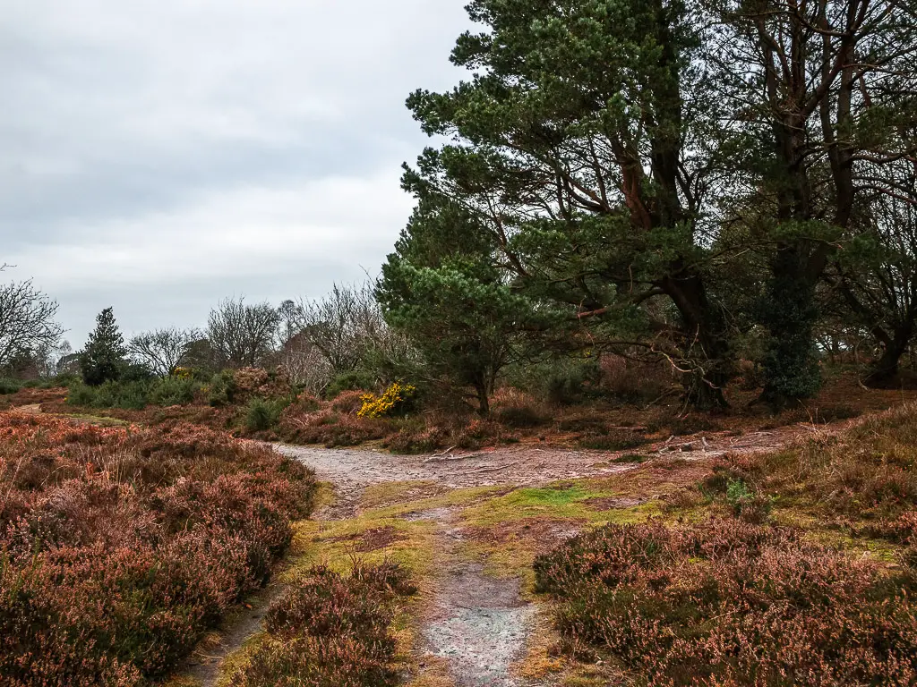
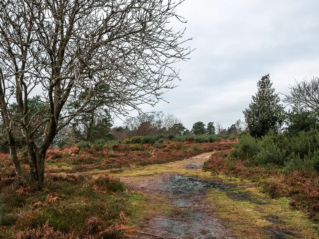
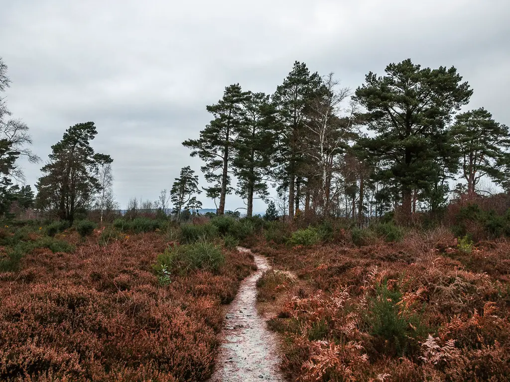
Walk back on the main trail
You will reach a t-junction at the main path. Go left, and continue walking past the heather and trees, and maybe a pond on the left.
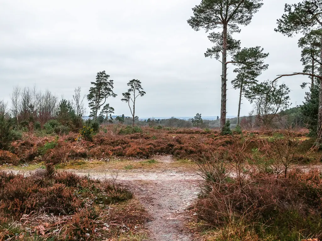
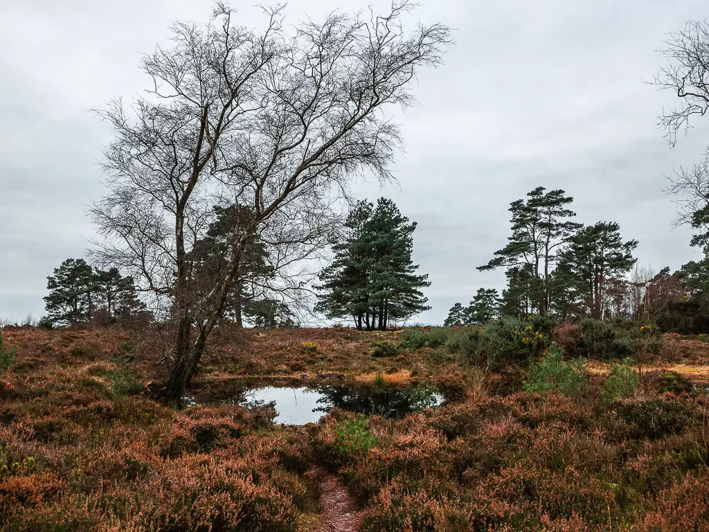
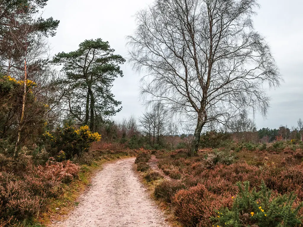
At the next main junction, take the right, and this will lead you along more trail to reach a gate. Go straight through the gate, and along more dirt trail to reach another junction.
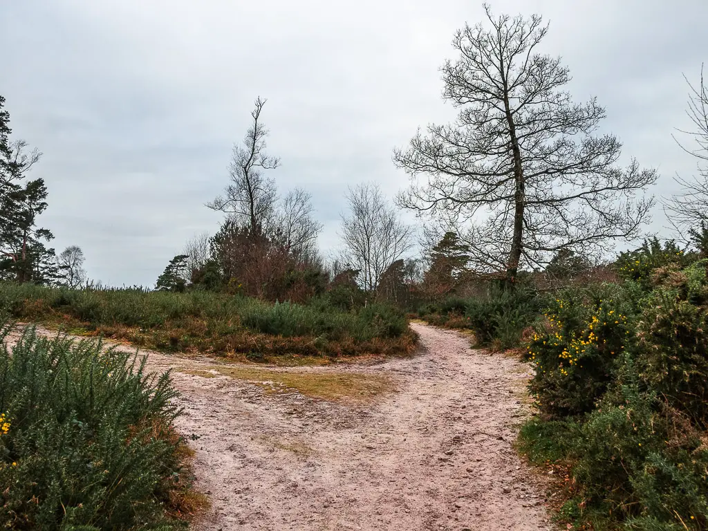
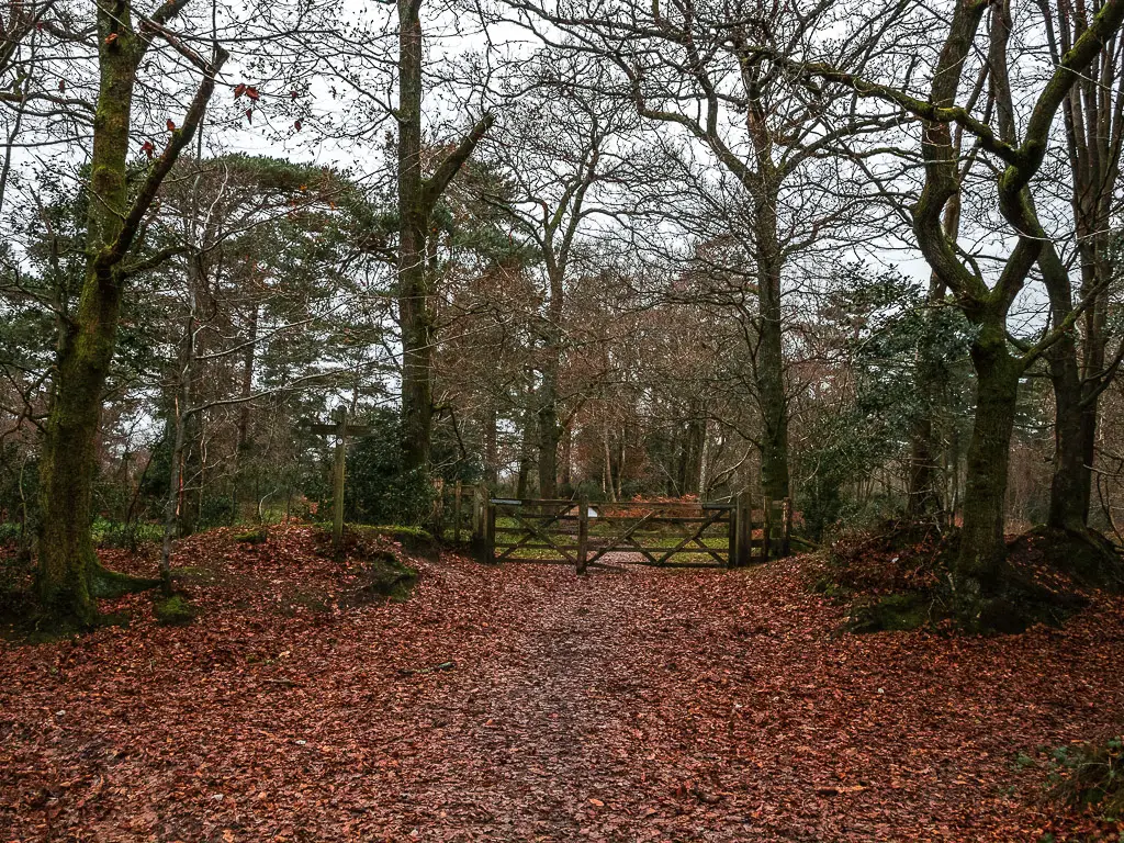
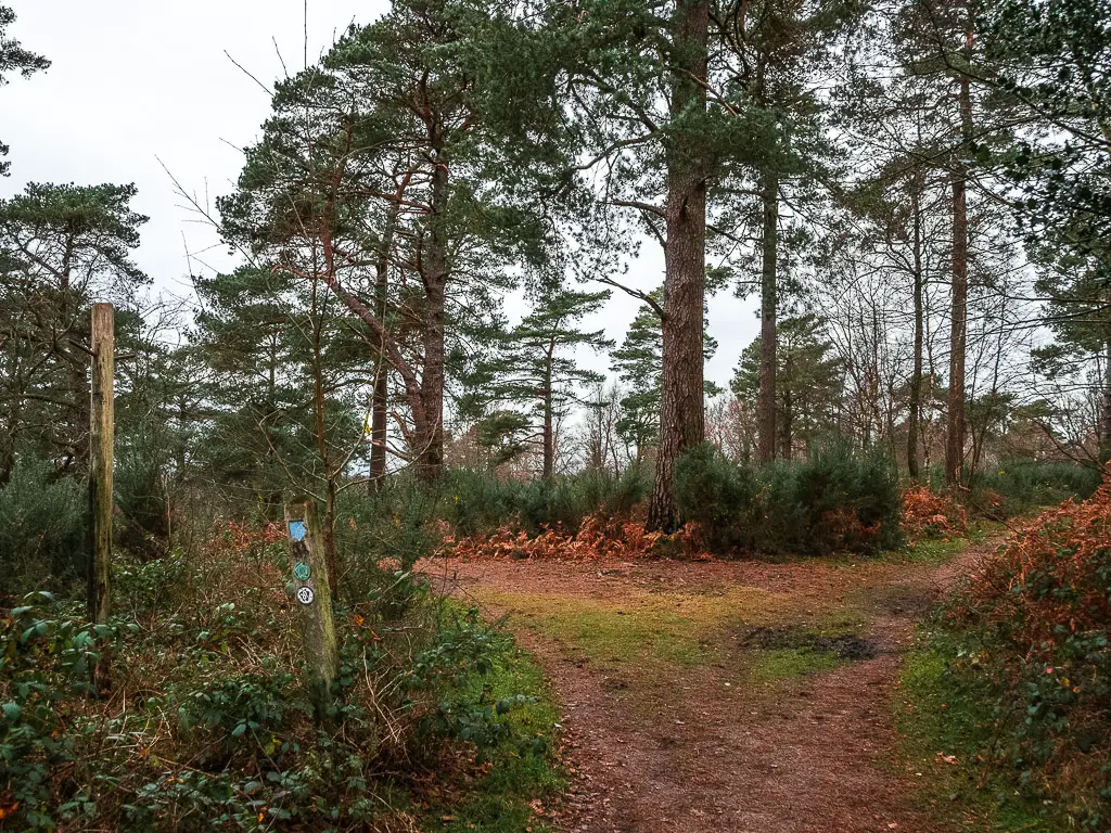
You could actually go either way here as both join up later on. The left looked more interesting, although, that is the Serpent Trail. I have planned to come and do the Serpent trail, so for that reason I decided to go right. You know, to mix things up.
Once I have done it, I will let you know which is better, left or right.
For now, right was very civilised. Slightly too civilised for me. But it was lovely nonetheless.
Walk down Black Down hill
Continuing along this trail, you will reach a gate (and the point where those two trail meet). Walk though it, and you will make a steep decline through the trees down Black Down hill.
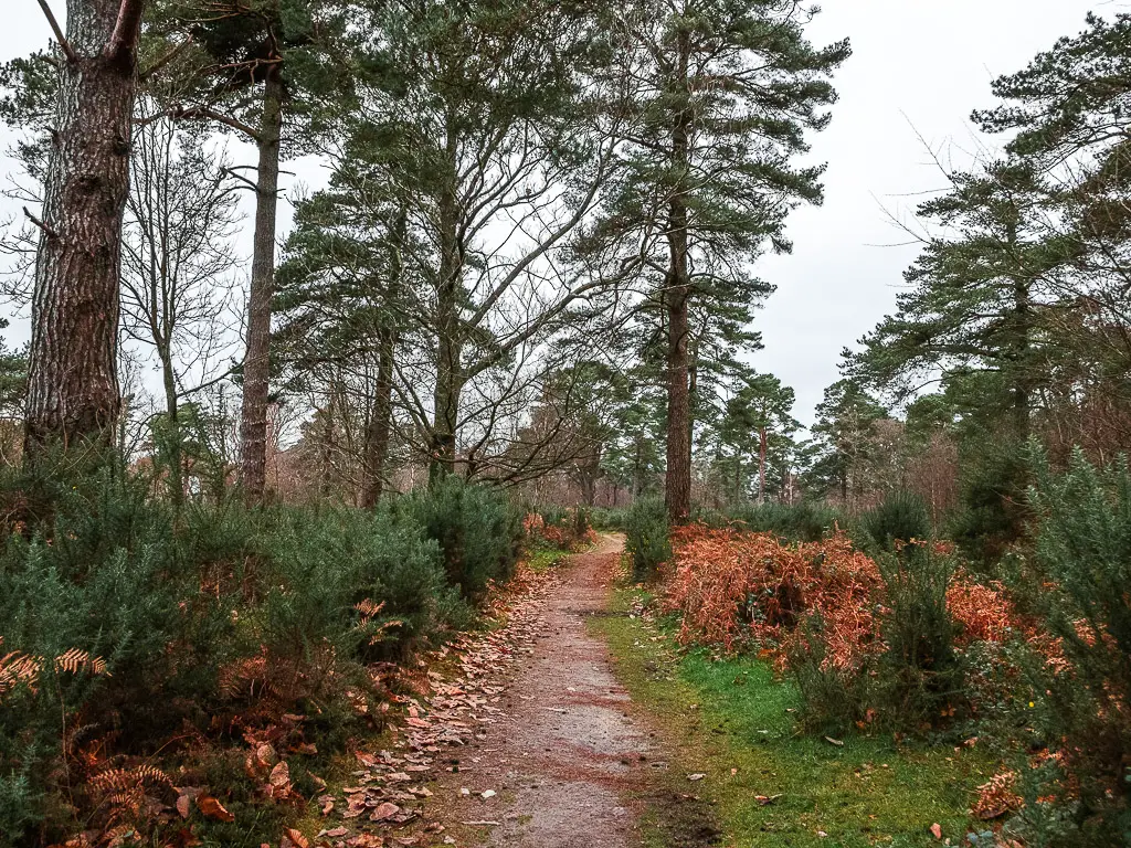
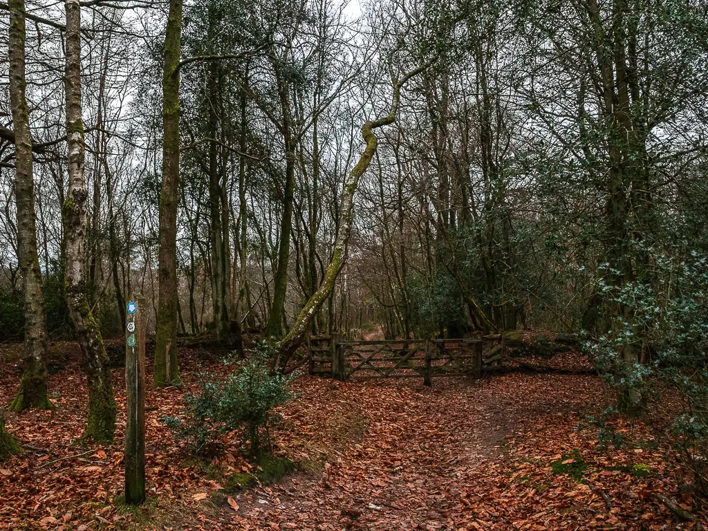
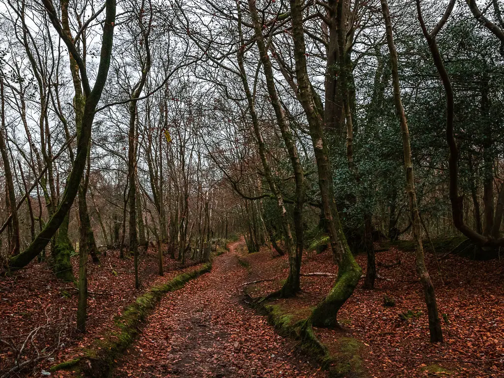
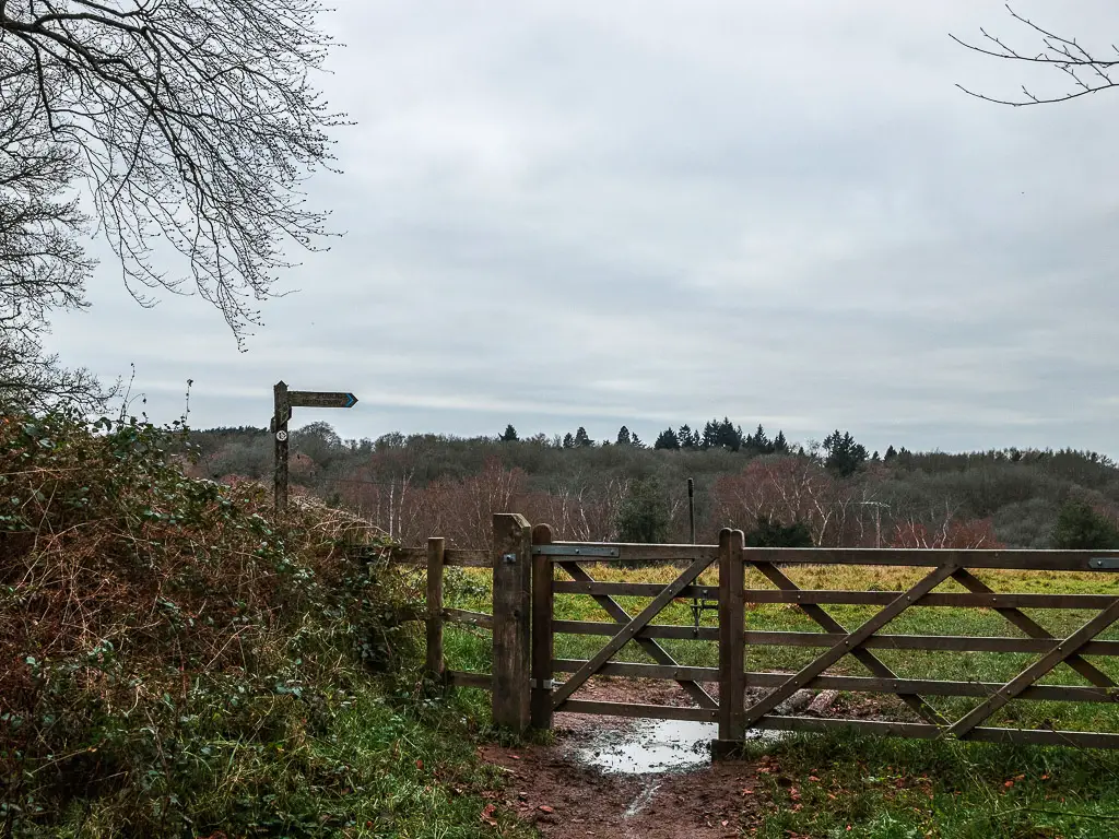
At the bottom, the trail curves to the left to take you through a gate and into a field.
Walk through the field
Here, there are a couple of options. Straight through the field follows the Serpent trail, along a lovely grassy path. Left goes along the perimeter and down.
I didn’t want to take the Serpent Trail, as I said, I would be back to do it another time. But it did look nice. I started to make my way along the other trail, but quickly changed my mind. The Serpent trail was just calling out to me.
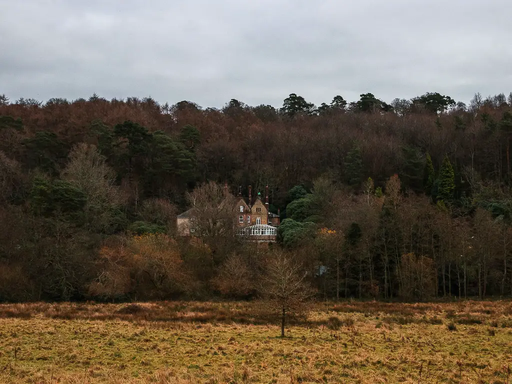
I loved the way it lead straight towards the bushy trees with a manor house poking through them.
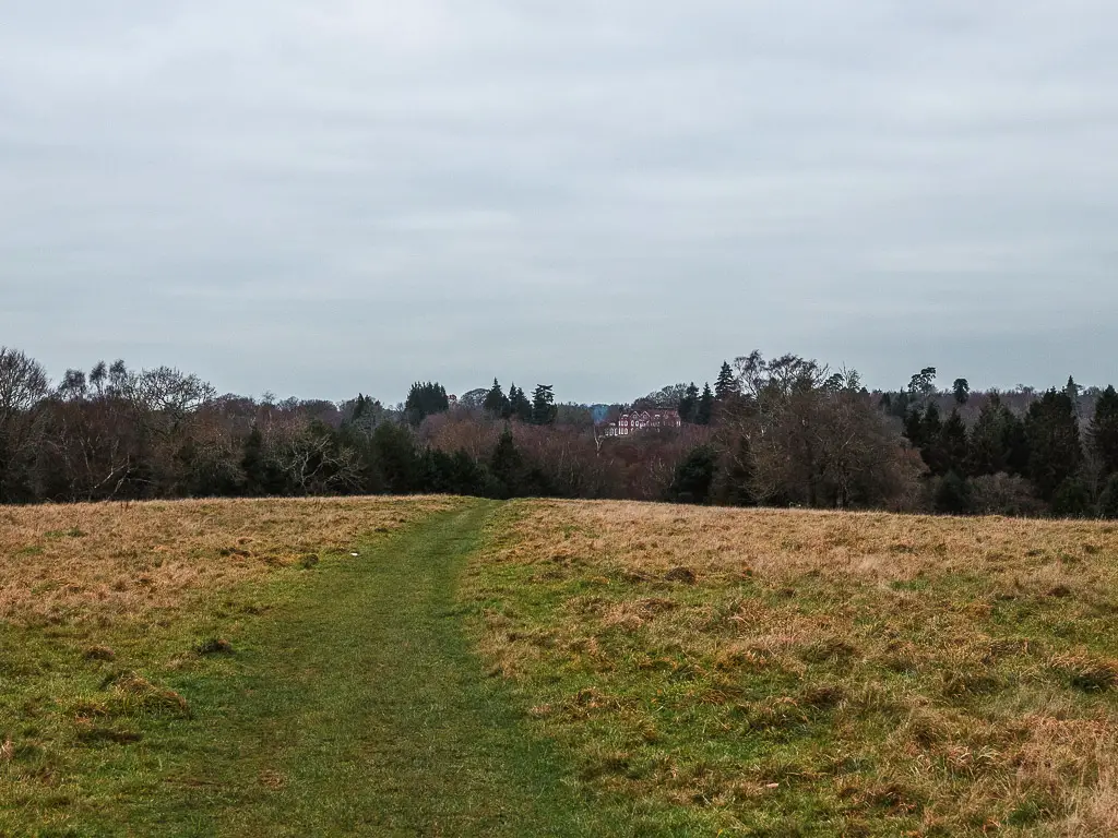
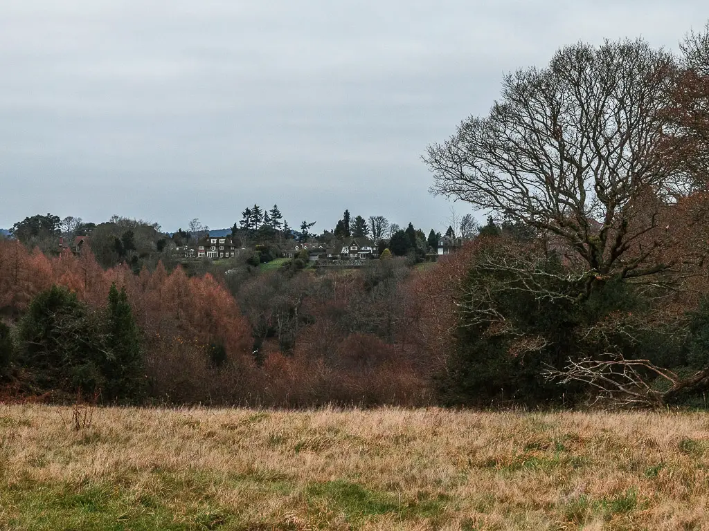
Following the nice grass trail, you will get some more views of lovely hill side tree bush houses.
At the end of the field, through the gate, go left. This will take you further downhill with a wonderful view of the bushy trees all around.
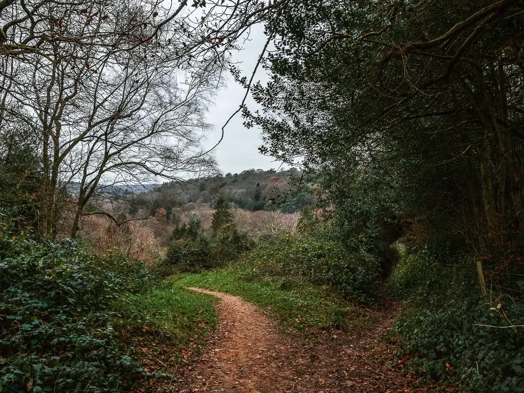
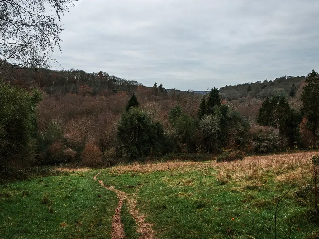
Walk to the road to pick up the trail back to Haslemere
At the bottom is another gate, go through it and follow the trail as it guides you around to the right and onto the road.
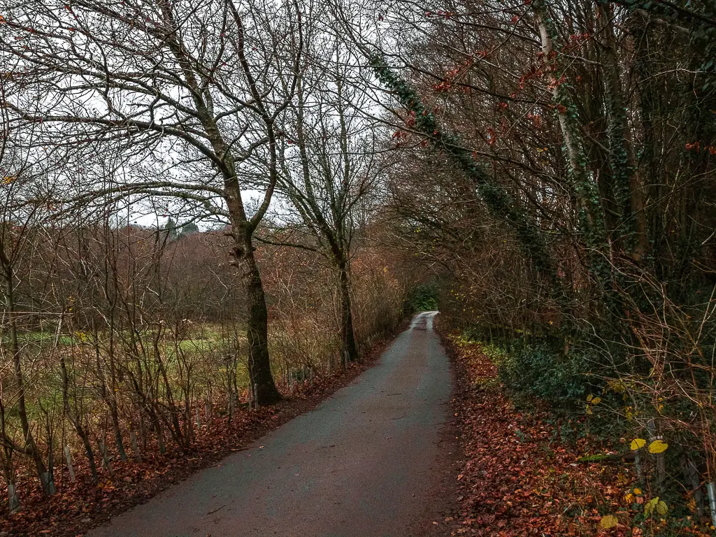
Follow this road, past another gorgeous enviable home, to reach the junction you were at earlier on in the walk. Remember, that bit where you took the first off-piste.
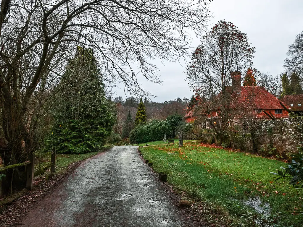
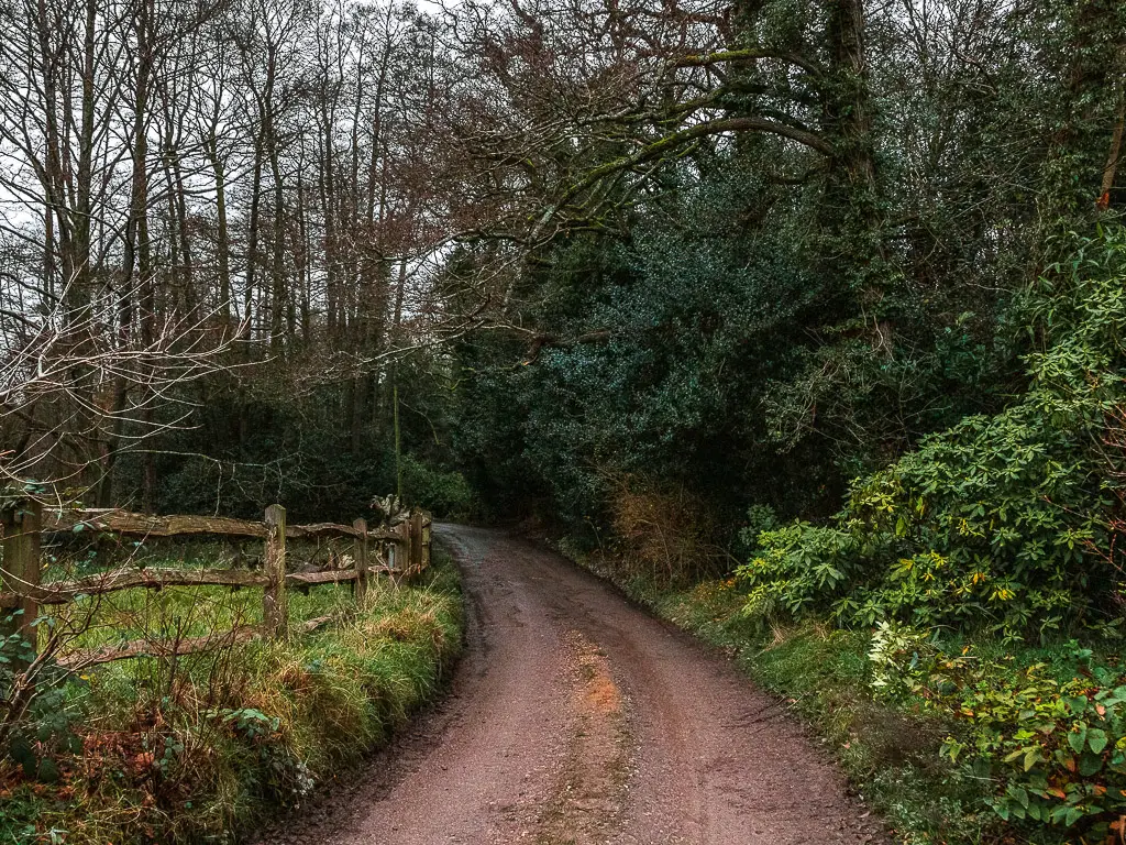
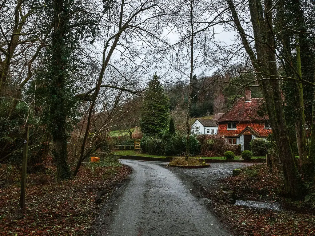
Turn right before the house in the photo above, and continue up the road to reach the trail. Note, there is a fork in the trail. You need to take the left one.
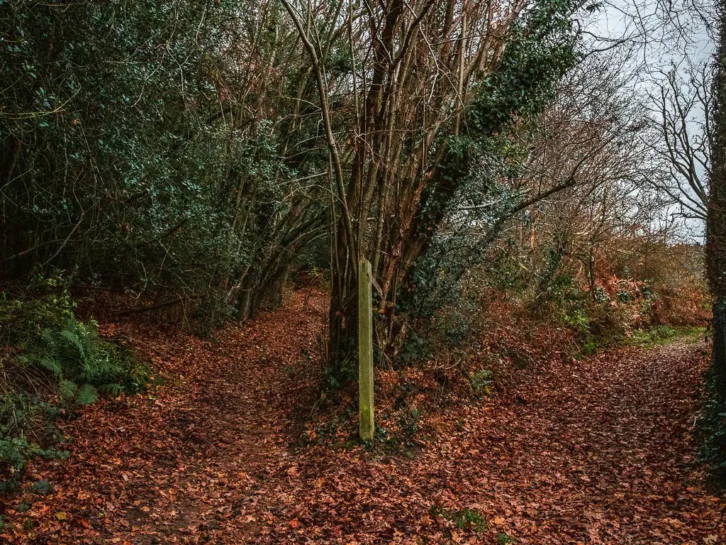
This is the trail you came down here on. Also, remember how it was downhill to get here. Well, you guessed it. Now you gotta walk up. Lots of up through the trees.
Basically just walk back the way you came….Incase you forgot, there are a couple of small road crossings, then for the final bit, you get to walk down the steps instead of up.
More walks nearby
Haslemere is a wonderful location, with direct quick access to walks in the Surrey Hills and South Downs.
Devils Punch bowl walk – 8miles. Just north of this walk, also starts from Haslemere. It’s one of those walks where nature defies belief. It also features Temple of the Four Winds, not to be confused with Temple of the Winds on this walk. It also features Gibbet Hill. The second highest hill in Surrey.
As I have mentioned a few times, you could try out the Serpent Trail – I will do it soon and let you know all about it.
Famous hill walks in South East England
Box Hill –A circular walk around Box Hill and the Stepping Stones 4 miles. It’s a long uphill slog to get to it, but of course, those views. This one is in the Surrey hills.
St Martha’s Hill – 11 miles. This one starts over in Guildford in the Surrey hills as well. Not as popular as Box Hill, but I think that’s just because it’s not as well known about. If I had to choose between the two, I would actually pick this one. This walk also features Newlands Corner which is a great viewpoint spot as well.
Leith Hill – You may have heard of it. It’s a pretty famous one down in South East England. With very far reaching views. On a clear day you can even see the London skyline. I haven’t written it up yet. I need to go do it again so I can provide accurate information.
For more walking ideas, you could check out the South Downs website.

4 comments
Thanks so much for the fantastic directions, it was really clear and we had a great walk!!
Thanks Sam! Im glad you enjoyed it 🙂
Thanks for the recommendation and the directions Zoe; that was a fantastic solo hike! Looking forward to repeating it in the autumn.
You are welcome. Glad I could help 😉