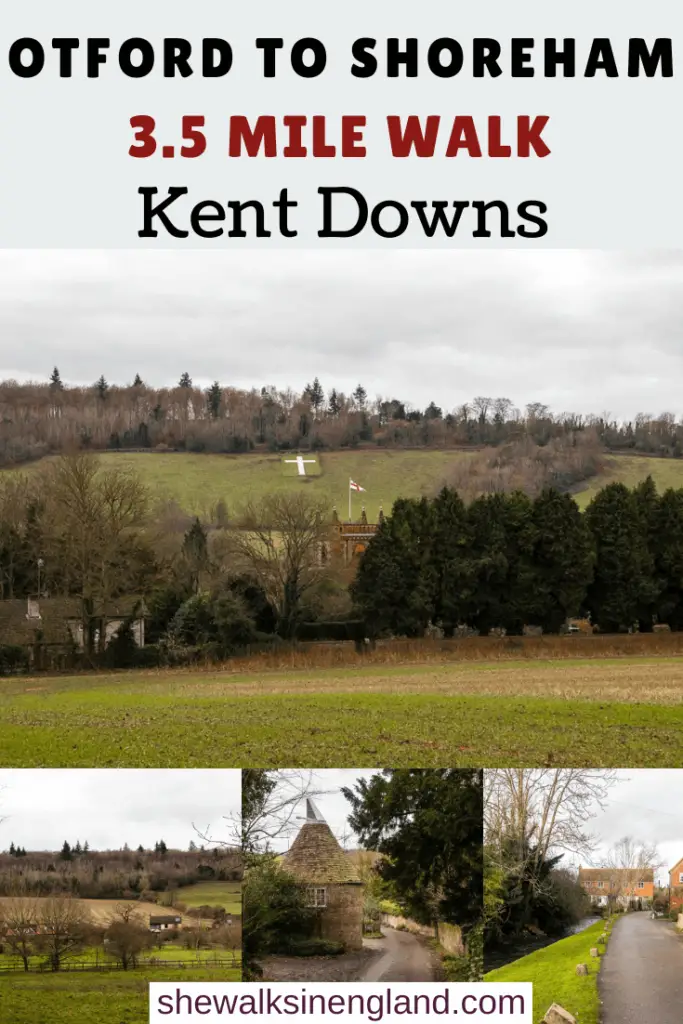
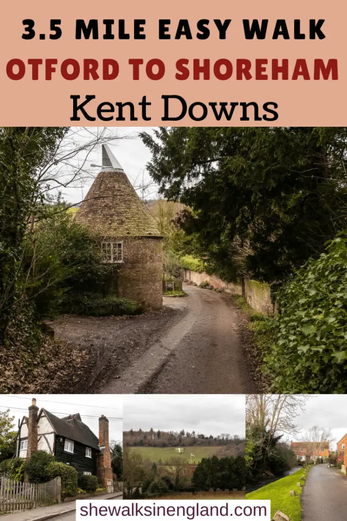
This walk from Otford to Shoreham takes you across the Darent Valley countryside, mostly flat with one hill, and an oast house (I love an oast house) along the way.
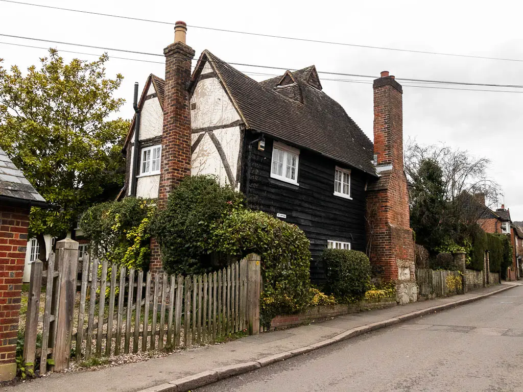
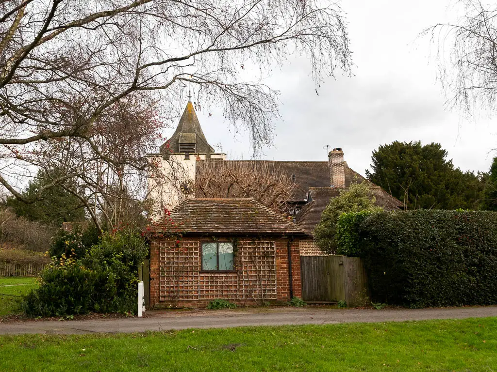
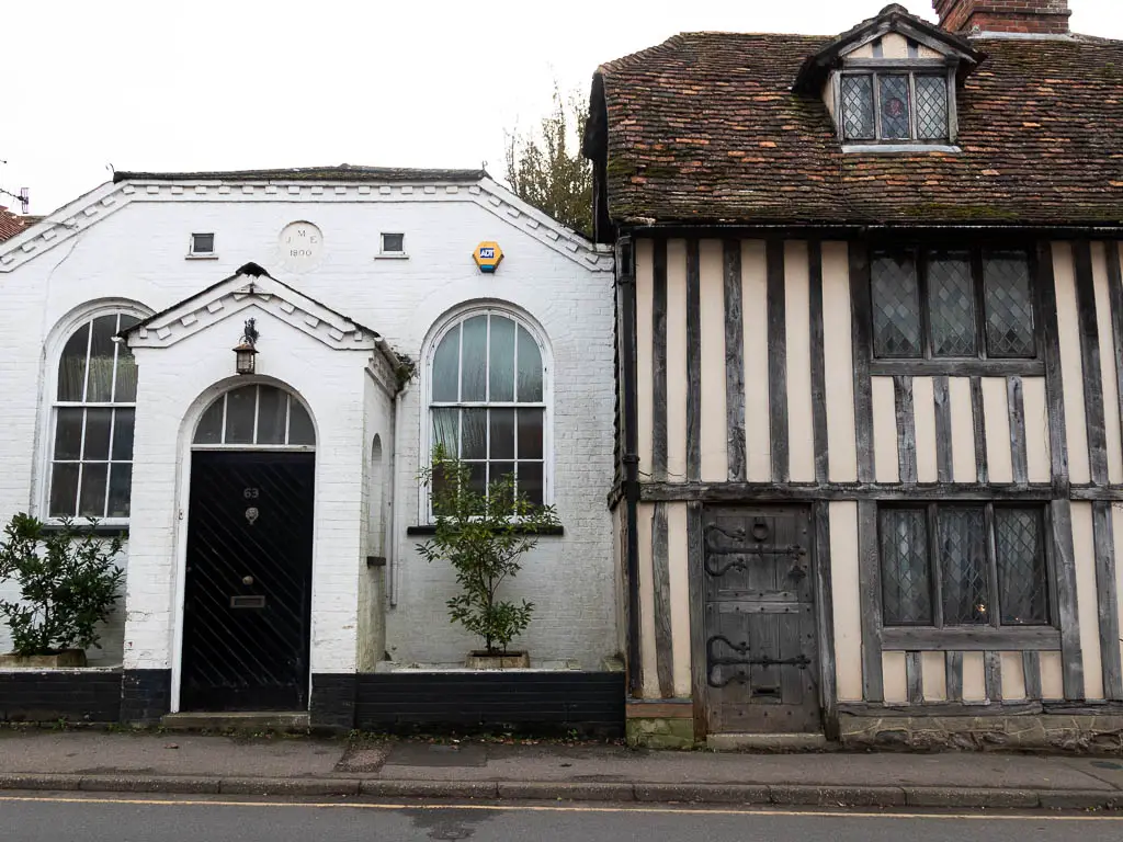
Otford and Shoreham are both medieval villages, with Otford being a Heritage village which basically means it preserves the history, traditions, and culture. Some buildings date back to the 14th century.
Otford has another unusual claim to fame. It is home to one of the largest scale models of the Solar System in the world. Apparently.
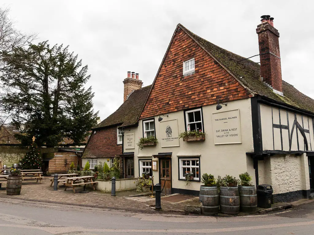
Shoreham is famous for Samuel Palmer, a 19th century English painter who lived there. It’s also where you will find the chalk hill cross. This is another lovely walk you can do around here.
What to expect
The walk takes you through Otford village first, it’s only brief, so feel free to have a wander around a bit longer, before heading onto the trail.
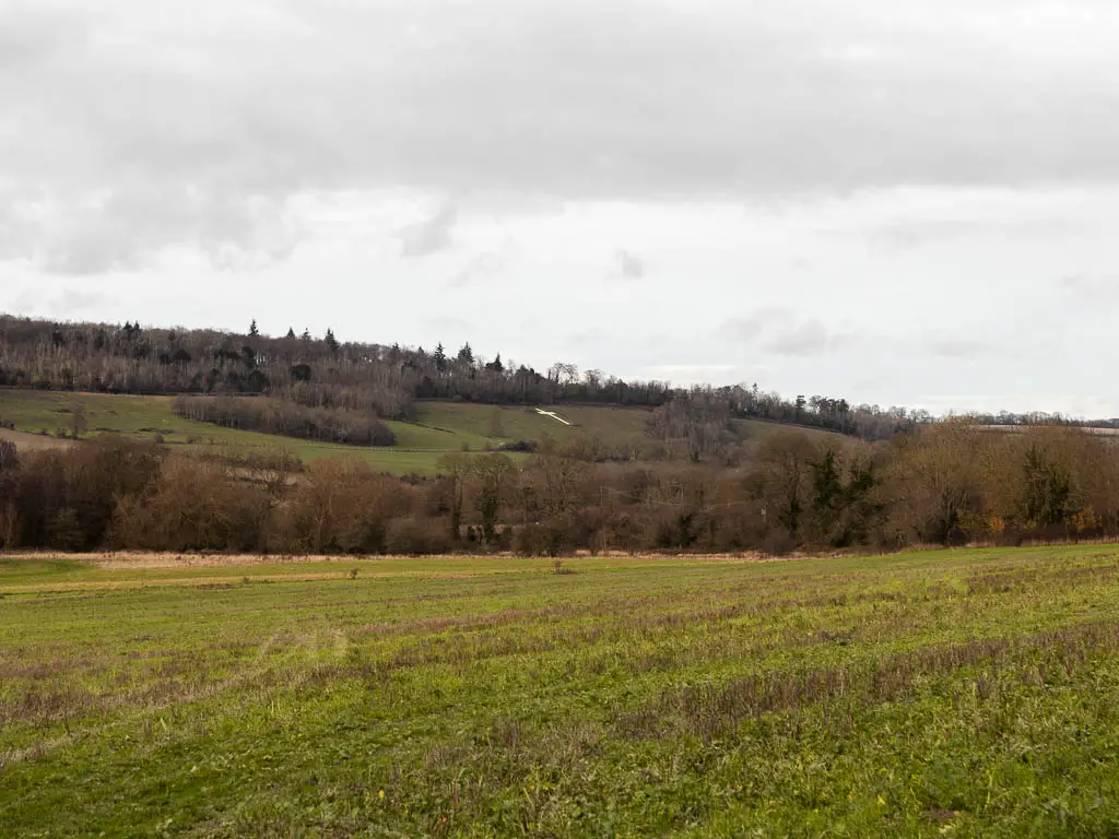
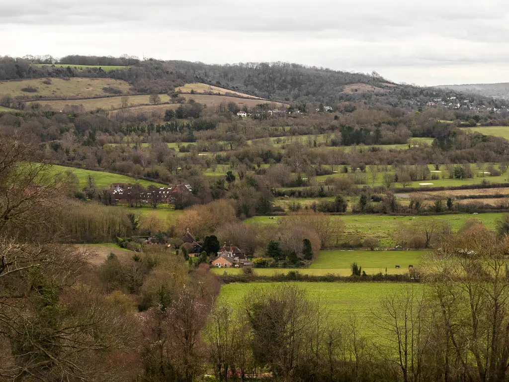
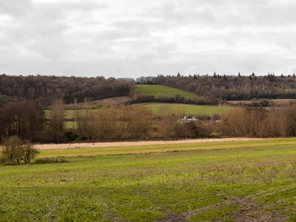
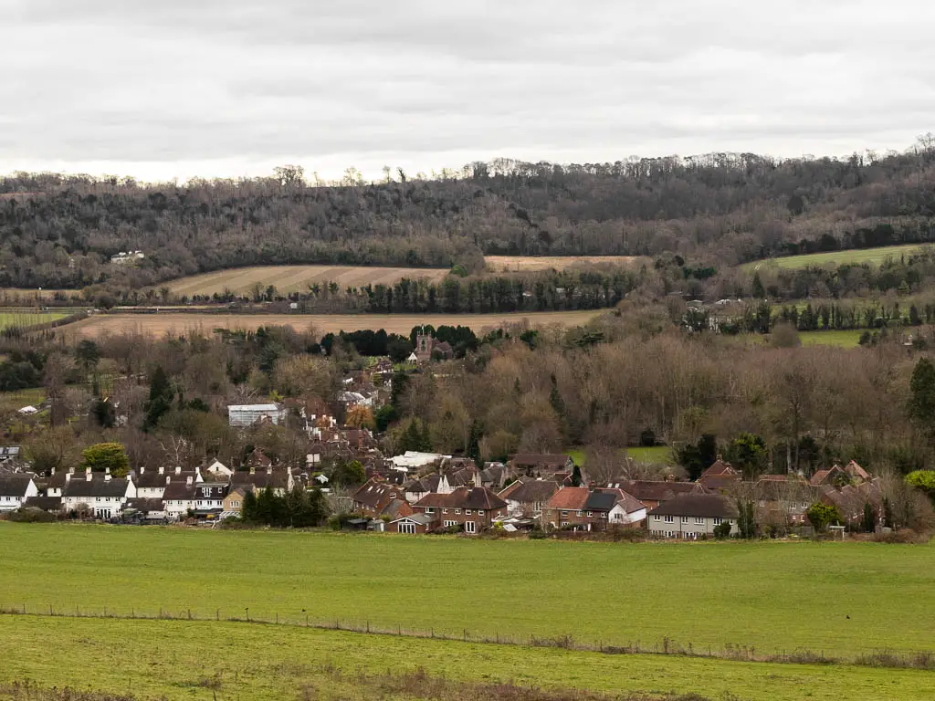
It’s super easy to navigate as you basically walk in a straight line across a series of fields, with a view to the chalk hill cross in the distance.
There is then a bit of woods alongside a golf course, before the route cruely takes you downhill, to then walk straight back up the big one.
It’s a big uphill, but once you make it, everything is easy the rest of the way. Following a nice level path, with a view down to Shoreham below. When you reach the cross, you make your way down to the village, where there are a few pubs waiting for you, or a nice tea room.
Logistics
- Start: Otford, Kent.
- Finish: Shoreham, Kent.
- How to get there: Both Shoreham and Otford have a train station. London Bridge to Otford, journey time 30min. To return from Shoreham it’s 35min with a change. See tips below for more info.
- Coming by car: There is a car park in Otford, pay and display. Then you can get a train between the two villages.
- Distance: 3.5 miles.
- Time: 1.5h.
- Difficulty: I would say this is an easy walk, despite the hill.
- Dog friendly: Yes
- Phone signal: A bit patchy in Shoreham, but otherwise, yes.
- Amenities: Public toilets in Otford station. Places to eat in both villages. See below.
- Time of year: I walked this in winter.
Tips
- I would wear hiking boots for this one.
- It can get a bit muddy in winter months.
- Now for the trains, I think you can get any of the trains back from Shoreham. The Otford return ticket says valid for all permitted routes (except the high speed service, which is irrelevant for this journey as we don’t go that way) between origin and destination station. And as Shoreham is between the origin and destination it would seem they are all valid. What does confuse this a little is one of the trains back from Shoreham takes you in the opposite direction to London passing by Otford first. So it makes me wonder if that train is valid.
Where to eat
As mentioned, both Shoreham and Otford have places to eat, but the ones in Shoreham are more highly rated.
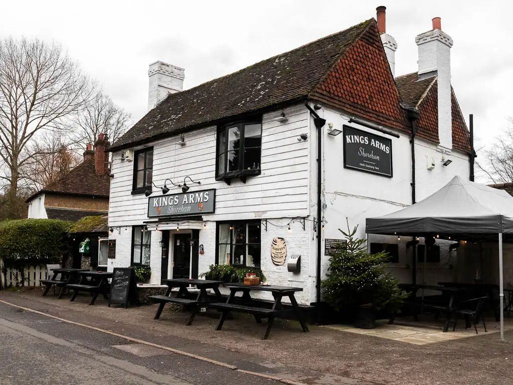
In Shoreham you have the Honey Pot Cafe and Tea Rooms, and The Mount Vineyard. For pubs you have The Kings Arms, The Crown, and The Samual Palmer. Each are dog friendly. There is also a village store.
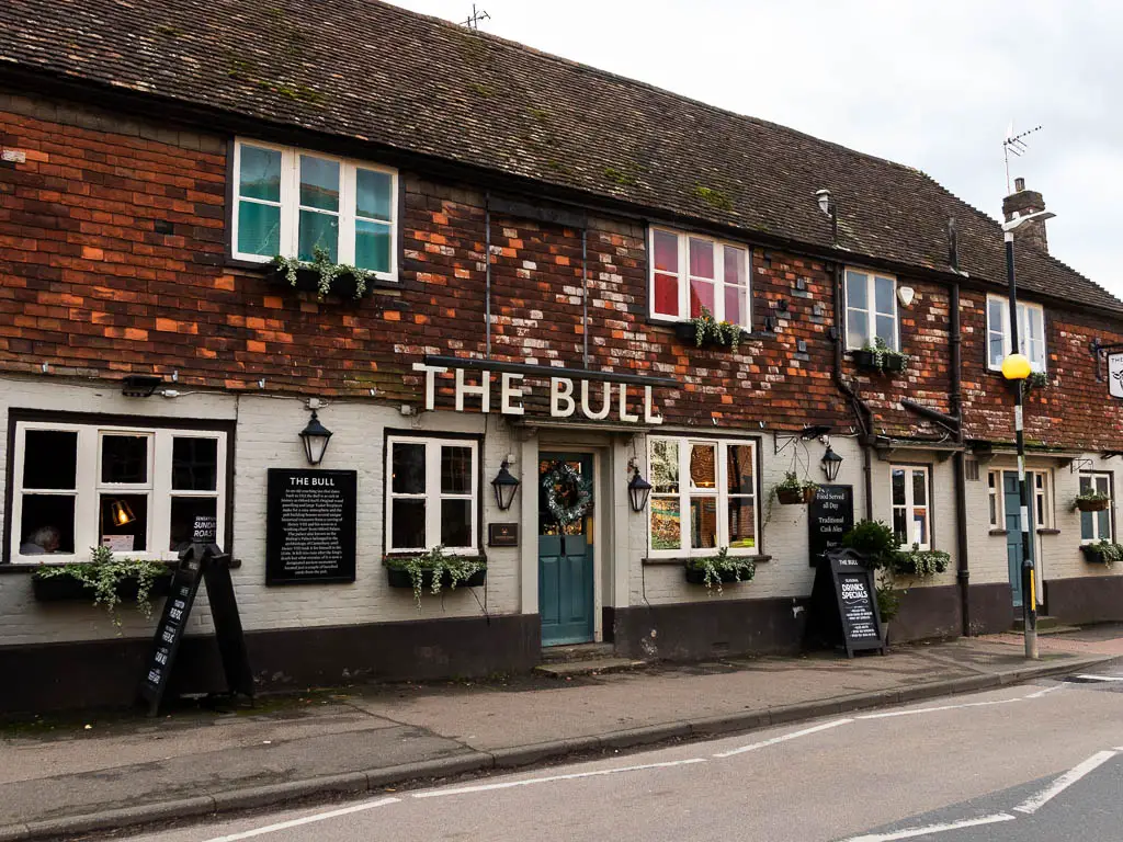
In Otford you have a few options, including Sally’s Cake Emporium, The Woodman Pub, The Bull Pub. Both pubs are dog friendly.
Map for the walk from Otford to Shoreham
Route Description: How to walk from Otford to Shoreham
Out of the station, head through the car park, and on the right about halfway along, you will find the path which takes you to the village.
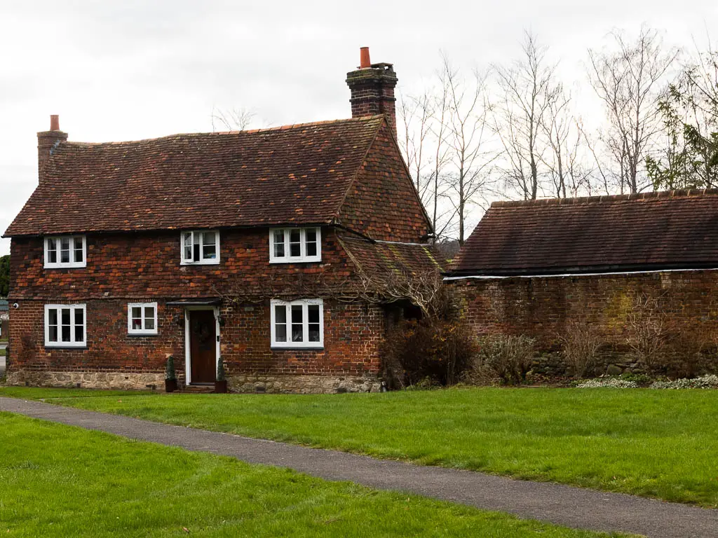
You are now going to walk straight through, but will pass lots of interesting buildings along the way, with information boards telling you about the history of what you are seeing.
Straight ahead you will see a roundabout with a pond. This is a grade II listed duck pond. It’s actually the only listed pond in the country.
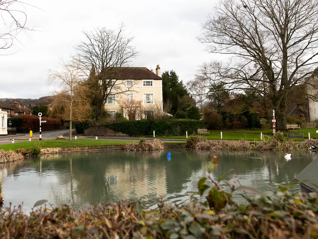
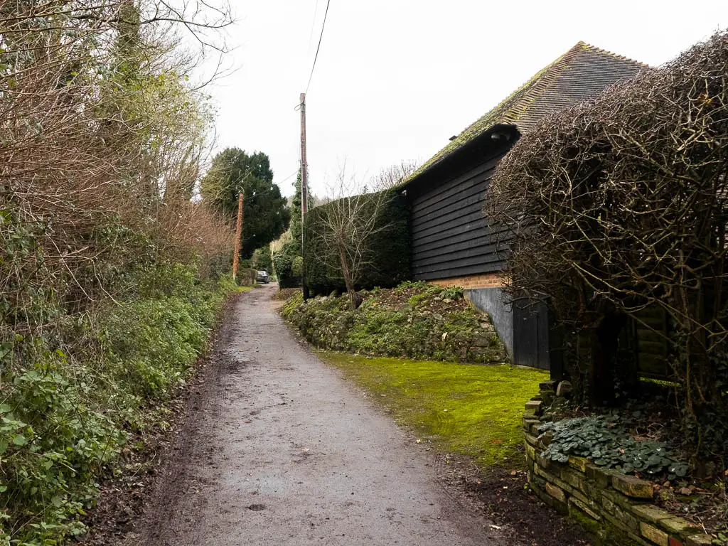
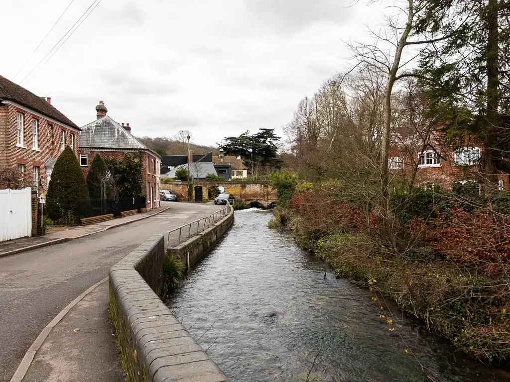
Continue straight across the roundabout, and stay on the main road, all the way to reach Pickmoss, which stands out with its Elizabethan facade. Turn right here, alongside the stream.
A short way along, take the trail to the right.
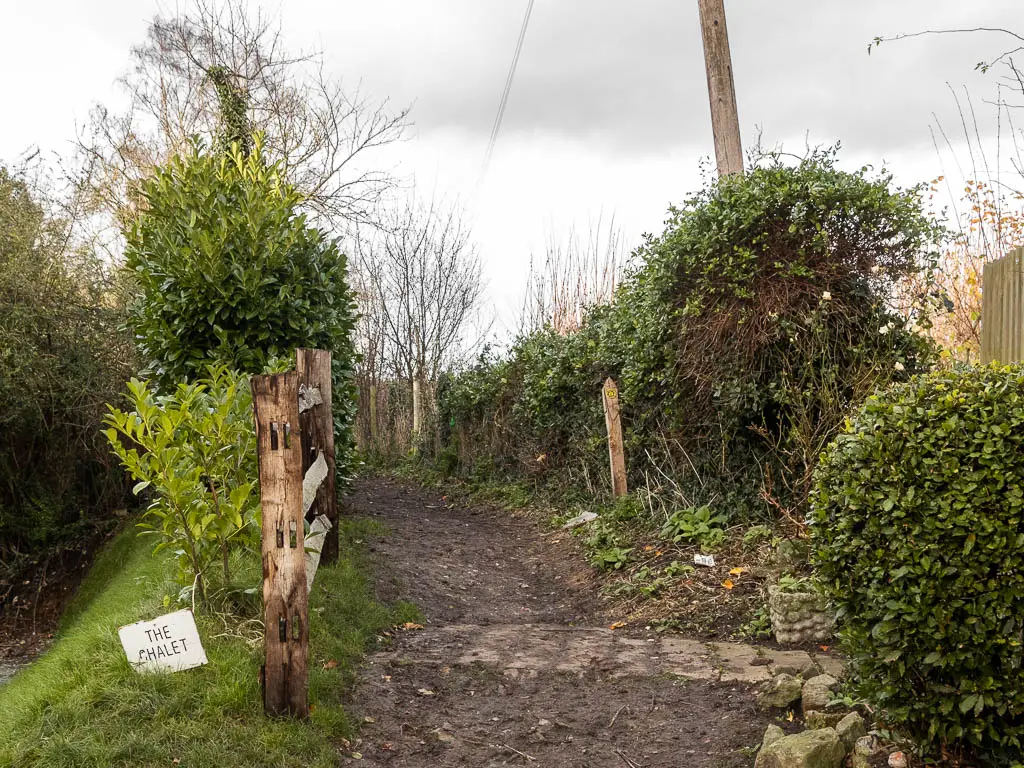
Walk from Otford to Shoreham
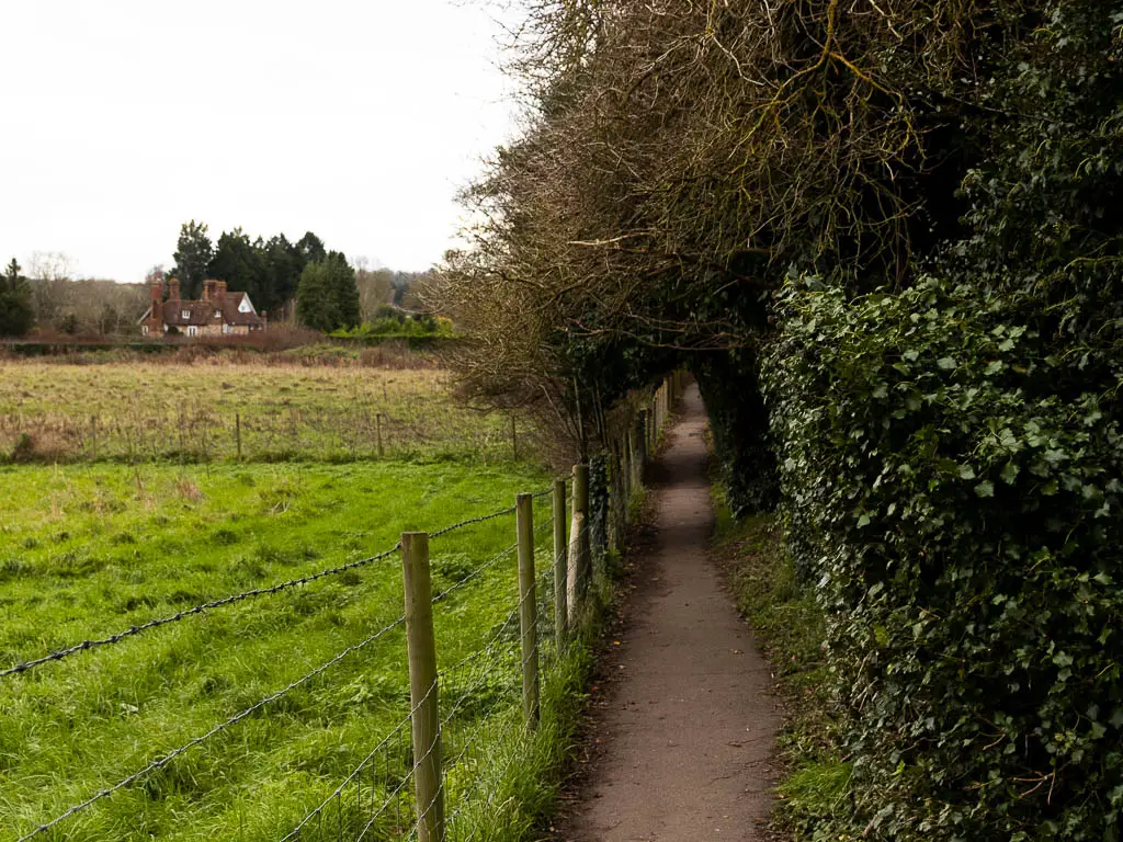
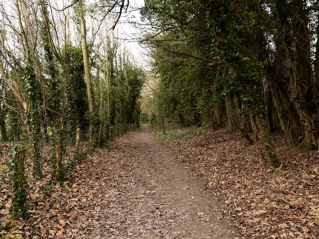
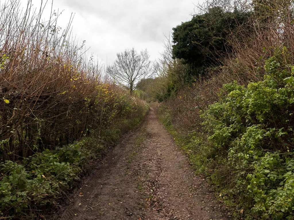
This trail starts off lined with bushes, to reach the field. Continue along the left edge of the field.
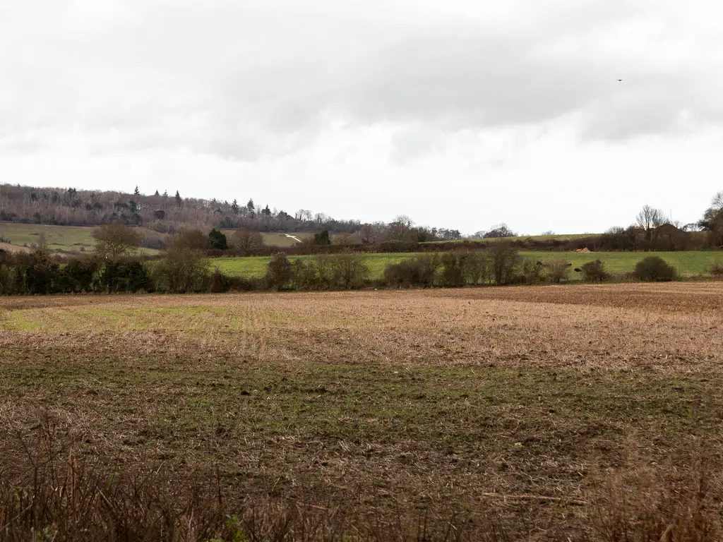
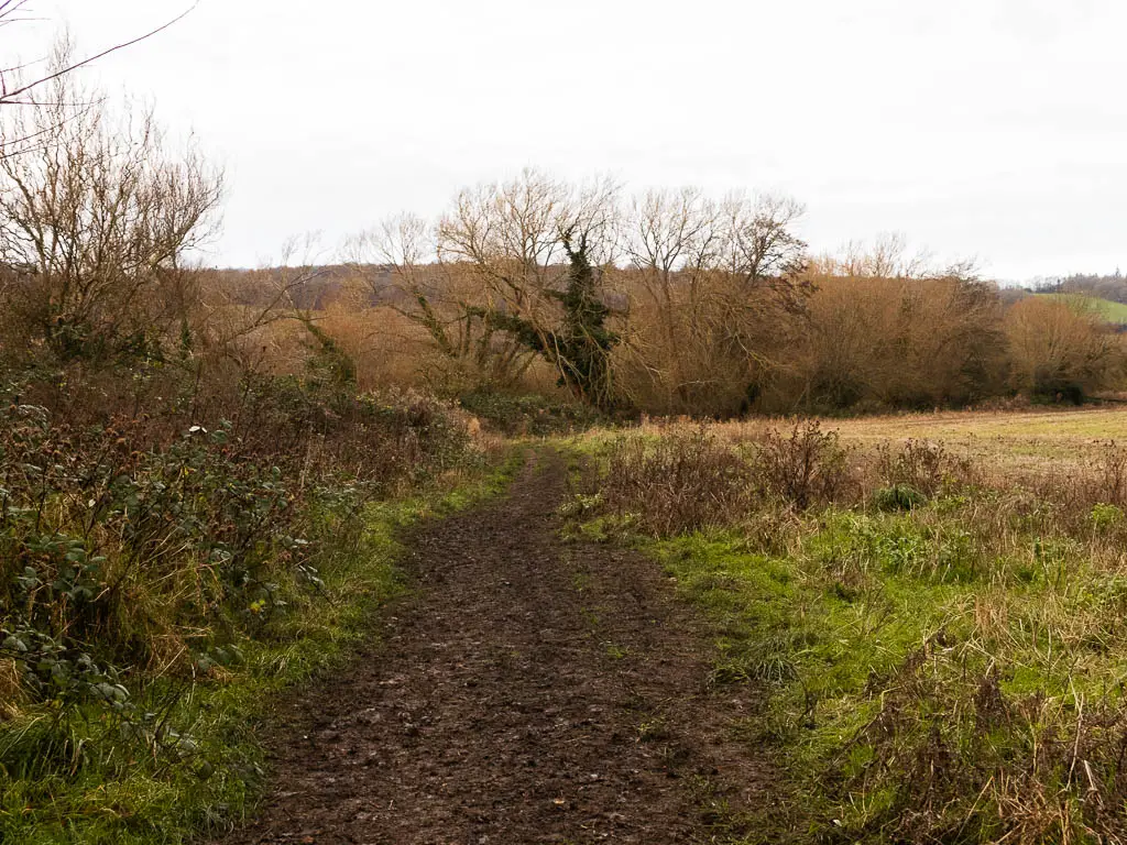
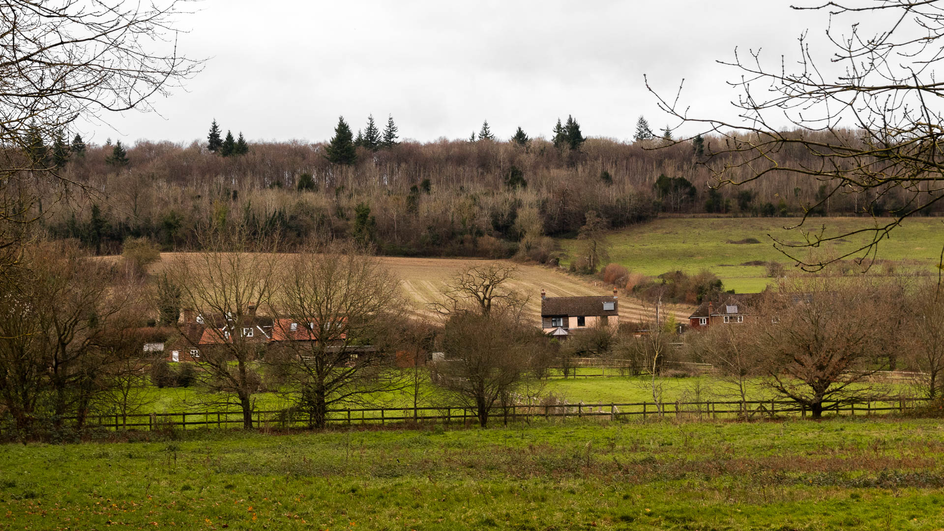
You will now walk in a straight line for the next mile-ish. Through some fields, and gates, with a view to the Shoreham Cross ahead in the distance, and then through some woods, with the golf course to your left.
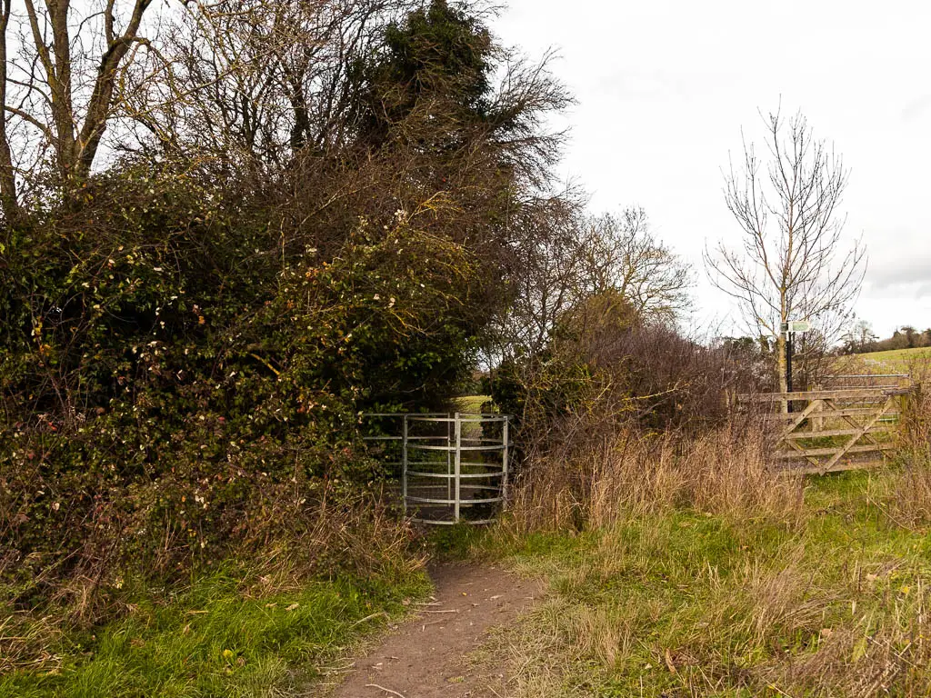
When you reach the road past the golf course, turn left on the road. There are actually two lefts. So make sure to take the road left and not the golf course left.
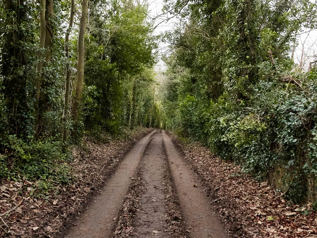
It’s a pleasant road, without much in the way of cars, and lined with trees. Unfortunately it takes you downhill. Which means an even bigger uphill soon.
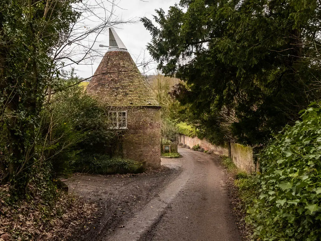
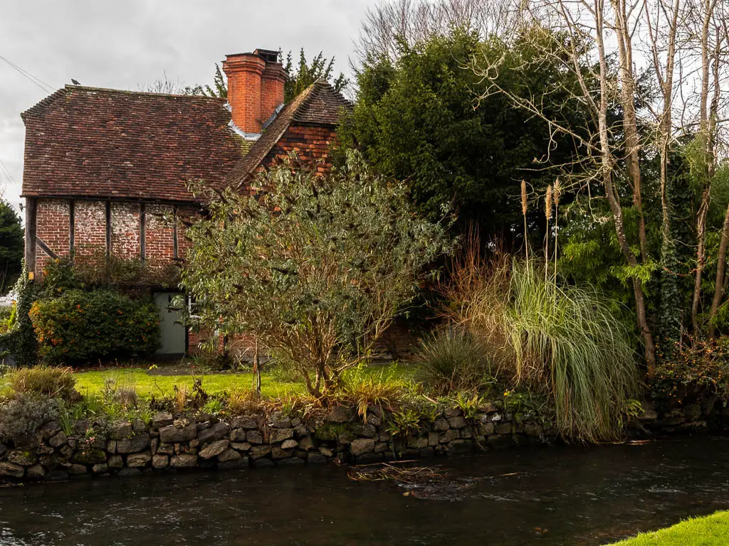
The good news is, at the bottom, you pass an oast house. Always a joy.
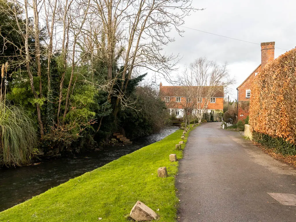
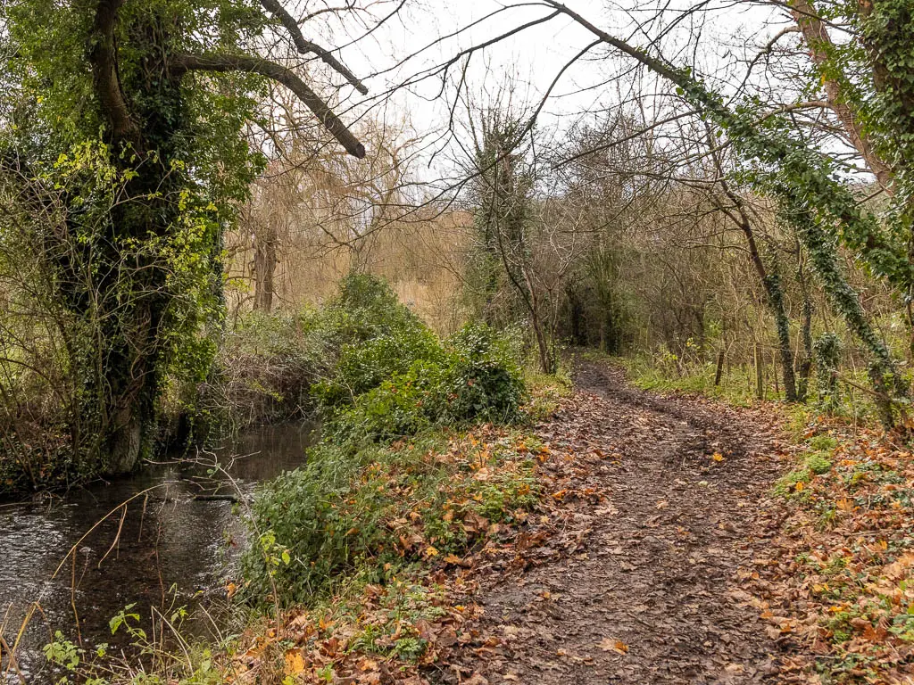
Following the road, you will be led onto a trail, and over a little bridge. Now follow the river.
After the river, you will be on residential road again, which is where the uphill begins.
When you reach the main road, cross straight over to pick up the trail slightly to the left.
And continue uphill some more.
When you reach the gate, go through onto the hill field. Now it’s one final steep uphill push to the top. Or at least almost to the top.
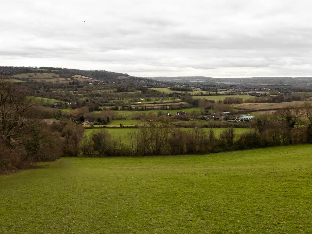
When you reach a bench, you can stop there. Make sure to look back at the views too.
Just before the bench is a gate to the right. Go through it.
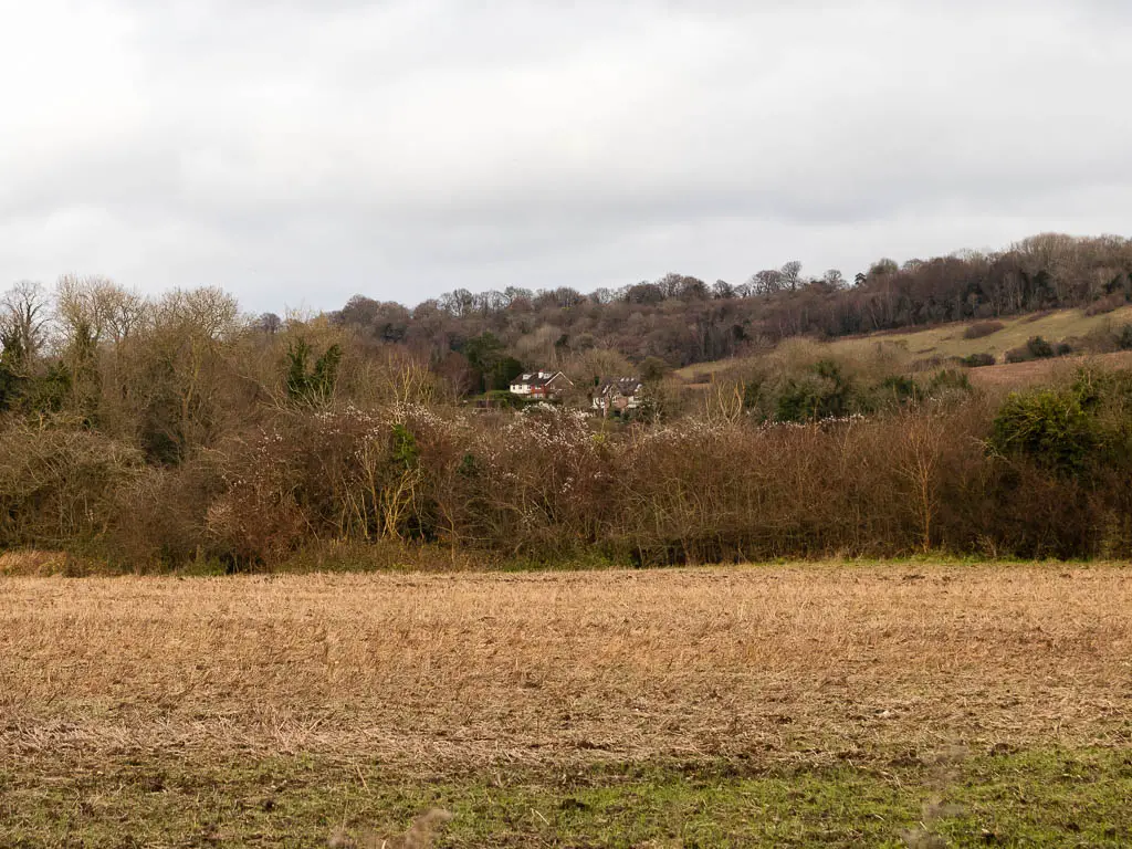
It’s all easy now, along a level trail and soon with a view down to Shoreham Village below.
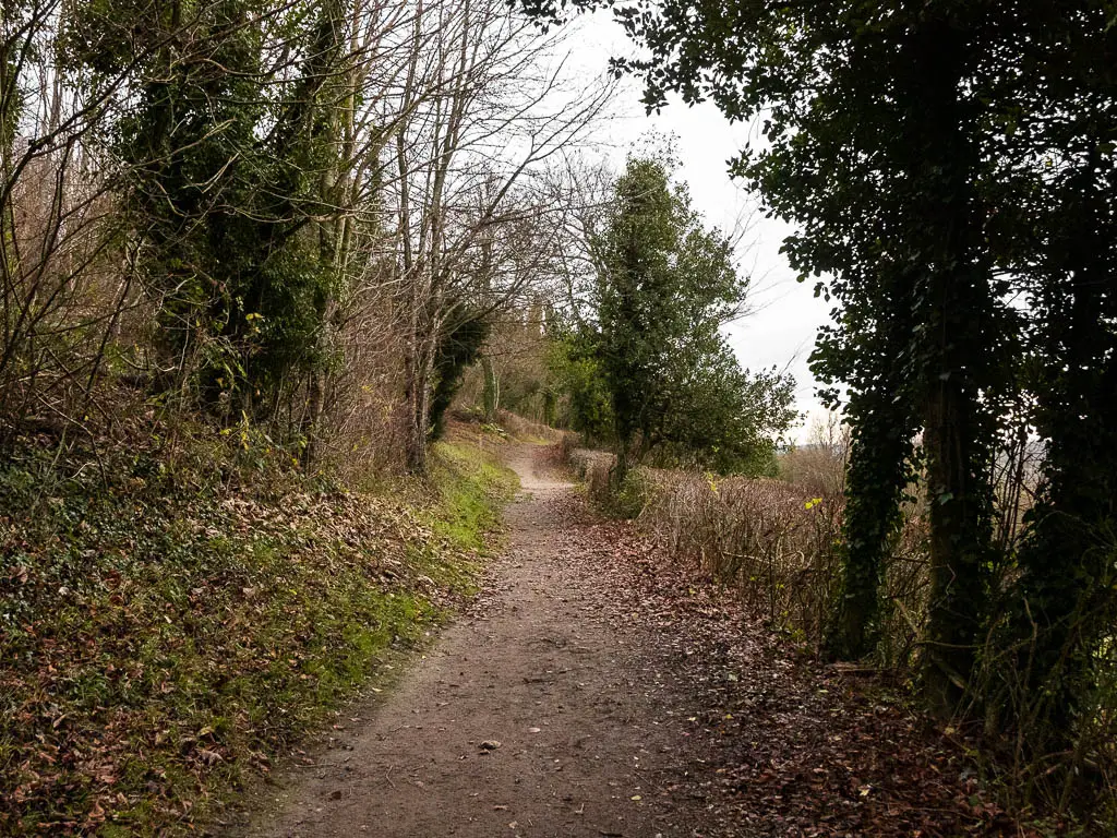
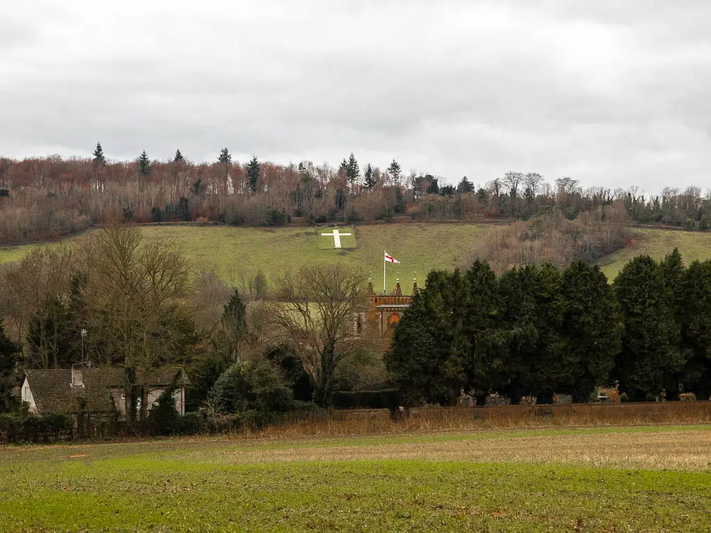
Keep going for about half a mile and you will reach an opening to the right with the cross just there.
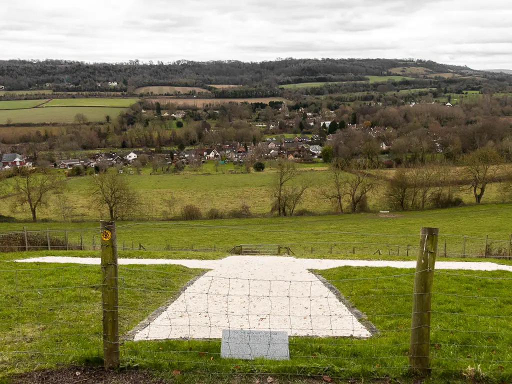
It dates back to the 1920’s, for those who lost their lives serving in WWI. You’ll get a better view of it a bit later though.
Walk to the village
You have two ways to get down to the village now.
Option 1: Continue down the hill passed the cross, in a diagonal. This will lead you to a gate. Through the gate you will be on a trail lined with hedges, and then alongside a green. Keep going and you will reach the road and village.
Option 2: Stay up here, following the trail. You get to enjoy the views for a bit longer up here. When you reach the road (not the track after the gate, keep going past this to reach the road). Then turn right to walk along the left edge of the field. When you reach the gate, go through it and it will take you all the way down to the village.
Walk to the station
After you have finished exploring the village (or a pub), to get to the station, follow the main road through the village and over the bridge.
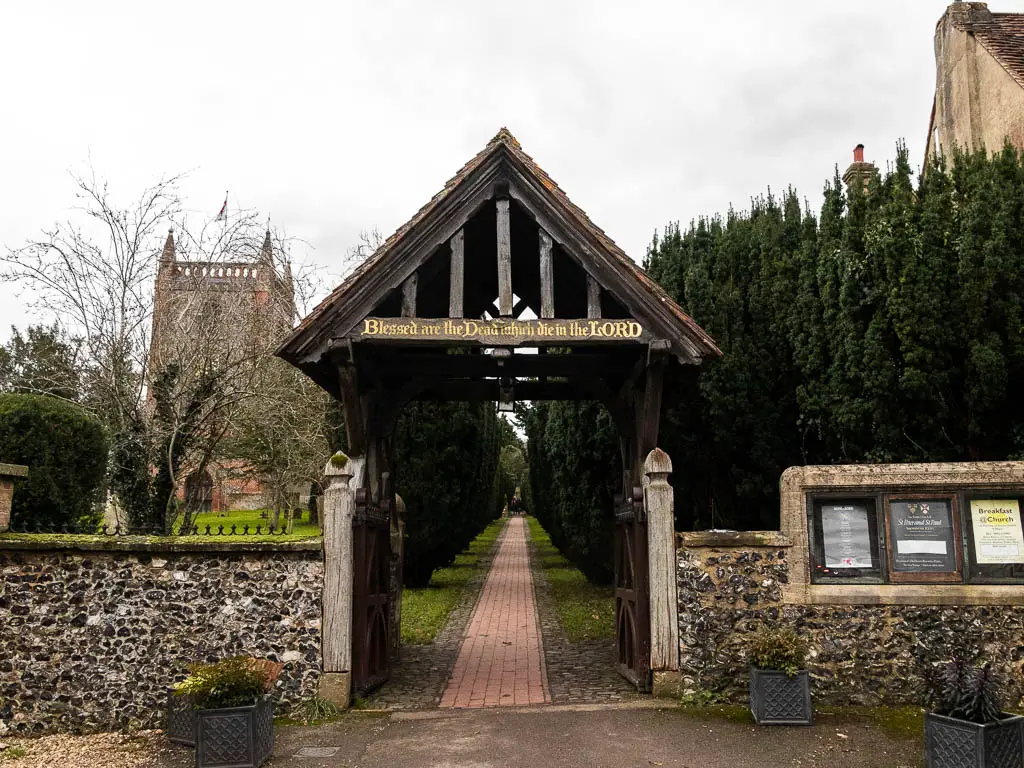
For directional purposes, when you arrived in the village off the hill, turn right on the road, then turn left after the Honey Pot Cafe and Tea rooms. Now follow this road, as it curves over the bridge, to reach the church.
Go through the arch and along the path lined with trees next to the church.
Through the black gate at the end, turn right, then follow the path as it then turns to the left. It’s along here you get the best view to the cross up the hill looking back.
When you reach the end, walk along the road, and just a few meters ahead are steps on the left. These will lead you up to the station.
Pin it for later: