It’s February, and the walk from Oxted to Otford was my first one of the year. It was my first walk in over a month. Why have I gone so long without going on any walks? The reality is, I couldn’t be bothered.
Maybe it’s because we have either been in a big storm or icy sub zero cold temperatures, and any day I didn’t have to go to work, I wanted to stay in the comfort of my home.
Saying that, the weather did change, and now it’s a rather mild 15 degree winter. And I still couldn’t be bothered. Maybe it’s a case of the January blues. The only time I was going outside was either to go to work (because I had to) or to go to Sainsburies which is 5min walk away. Even that was an effort.
I really had to force myself to go and do the walk from Oxted to Otford. I knew it would be good for me…and as an incentive, I downloaded a few podcasts before heading out
What to expect when walking from Oxted to Otford
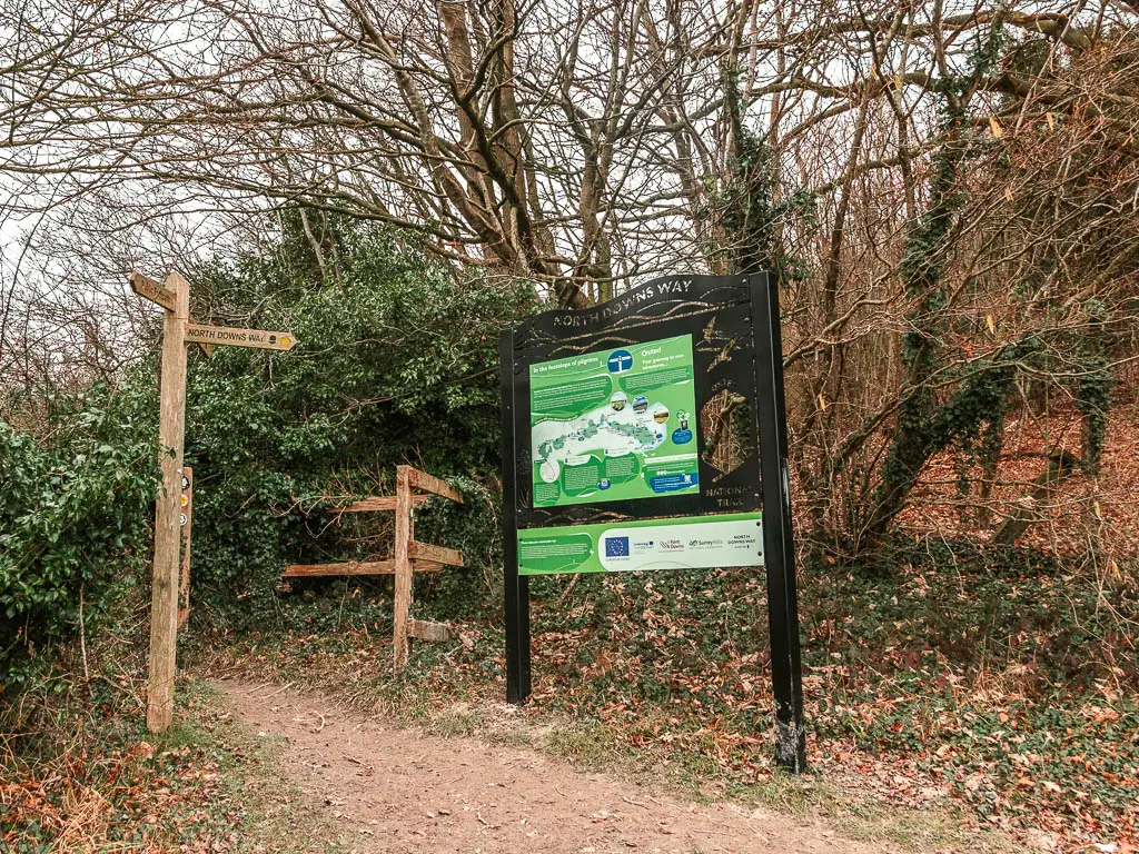
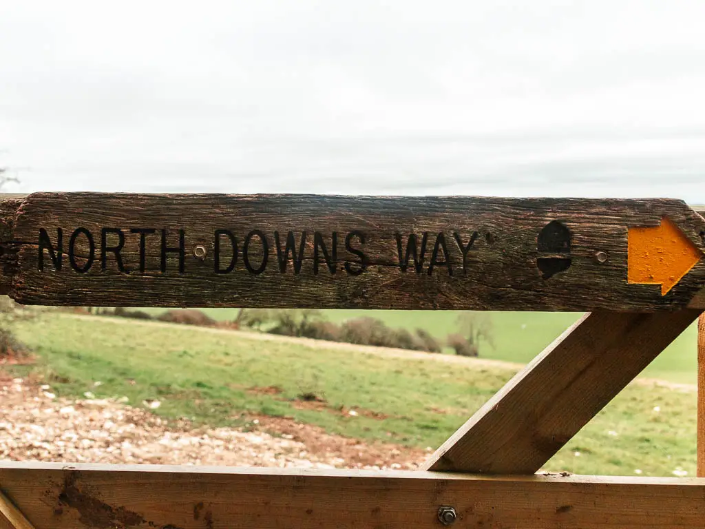
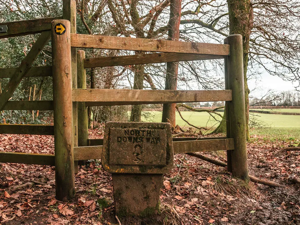
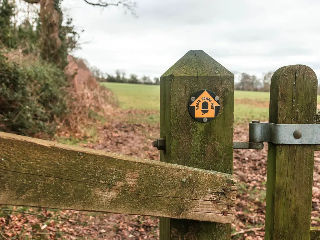
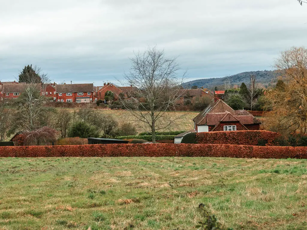
Oxted to Otford is section 5 of the North Downs Way (NDW). The whole walk is about 14 miles, about 12 of which is the NDW. Those extra miles are to get you from Oxted Station, back onto the trail.
This section of the NDW from Oxted to Otford is a milestone day for two reasons. First off, it’s the day you will cross over from the Surrey Hills AONB to the Kent Downs AONB. It is also the day you will cross over from the Western Hemisphere to the Eastern Hemisphere. I explain more about this when I describe the route later on.
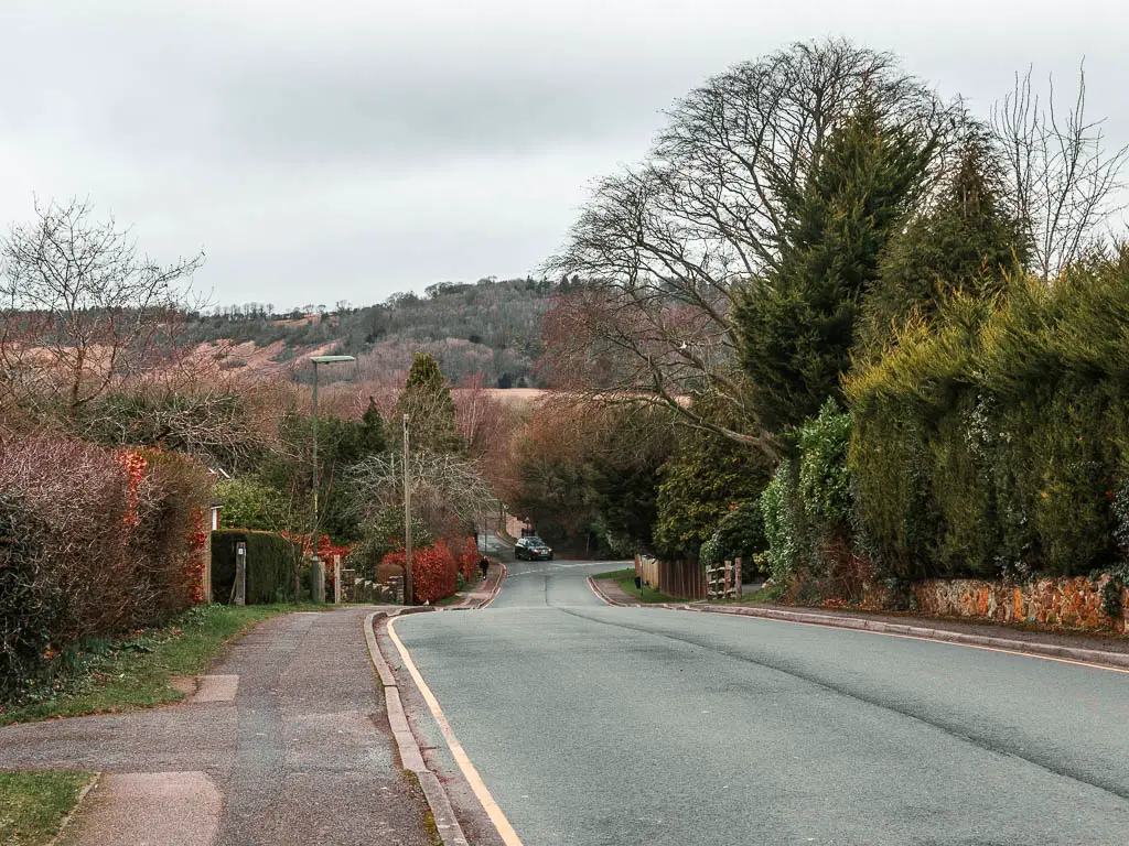
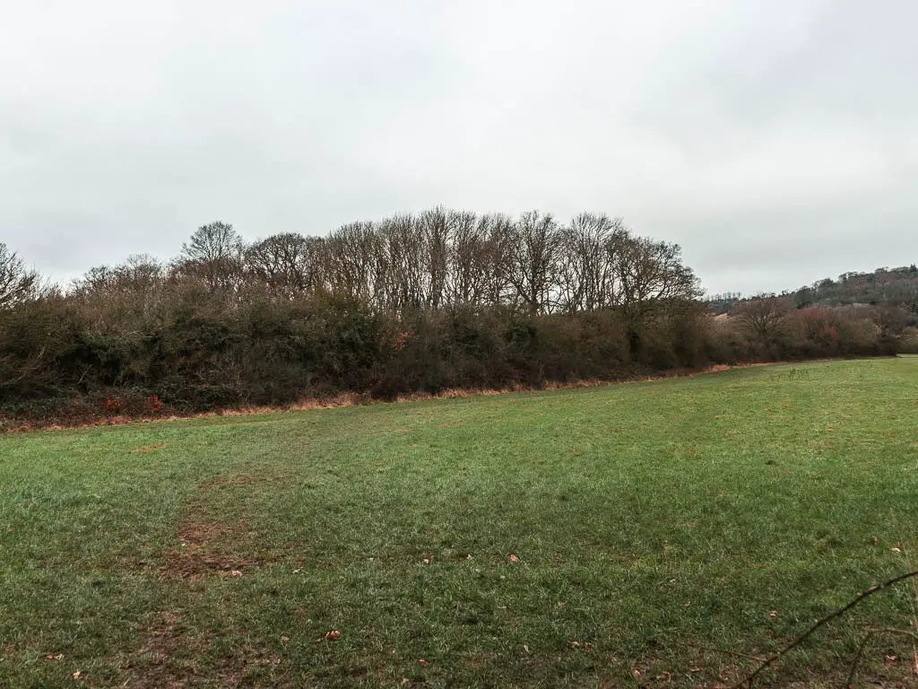
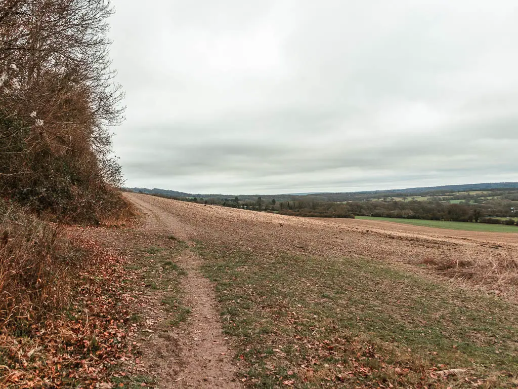
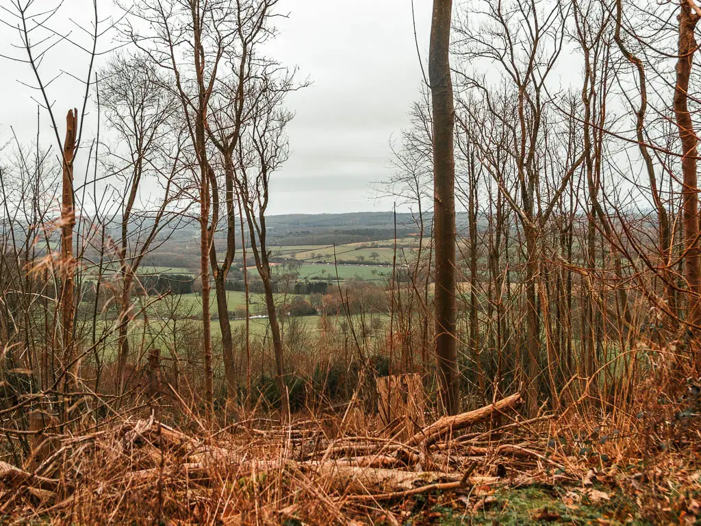
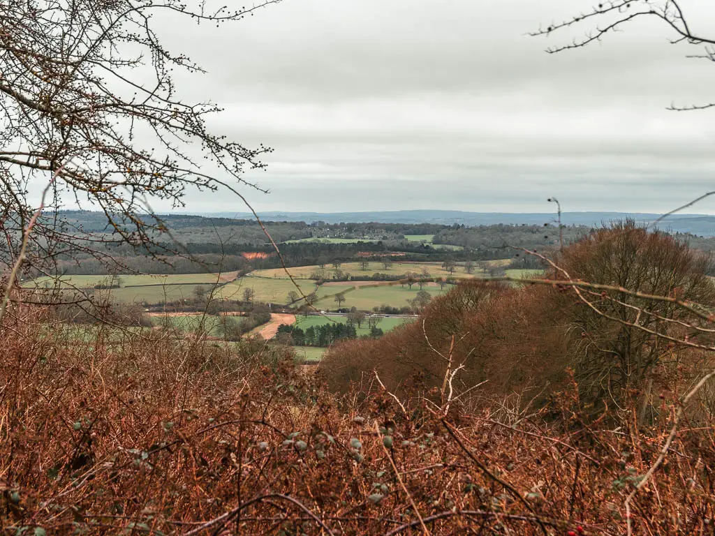
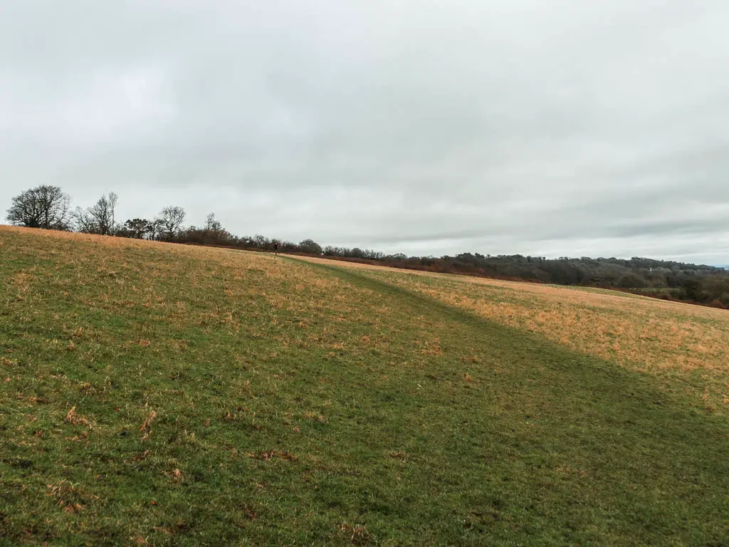
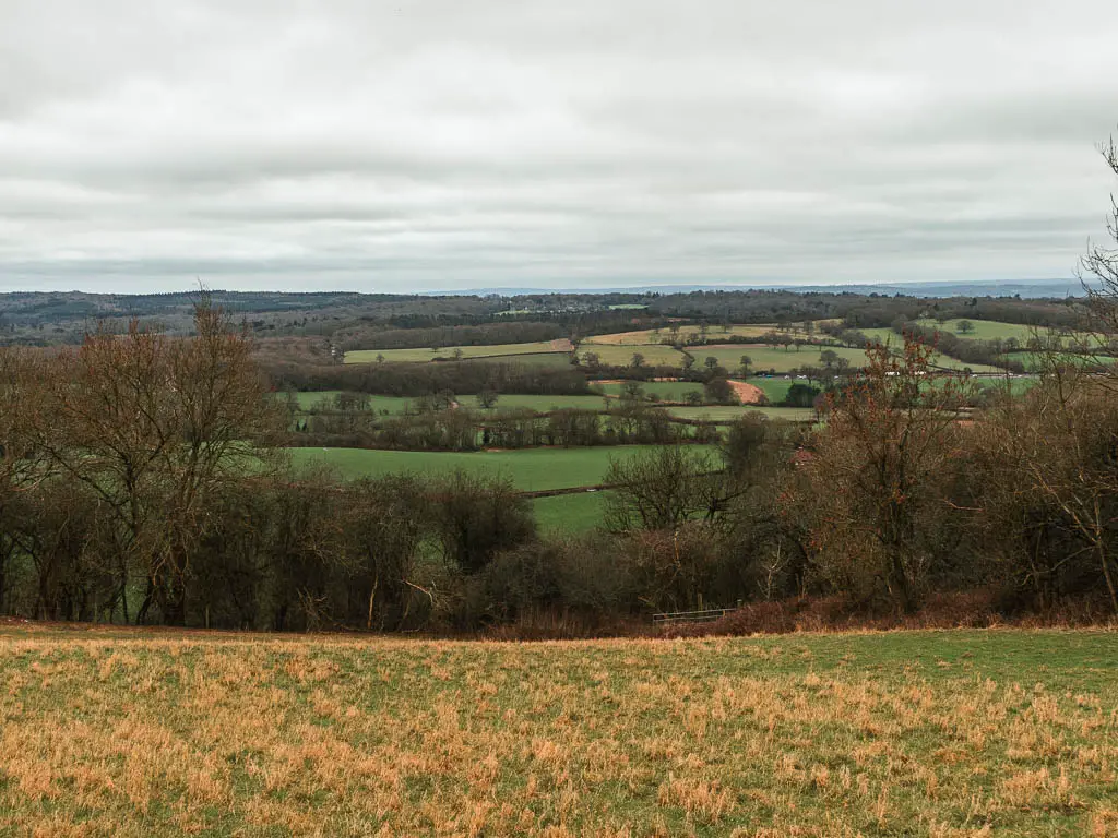
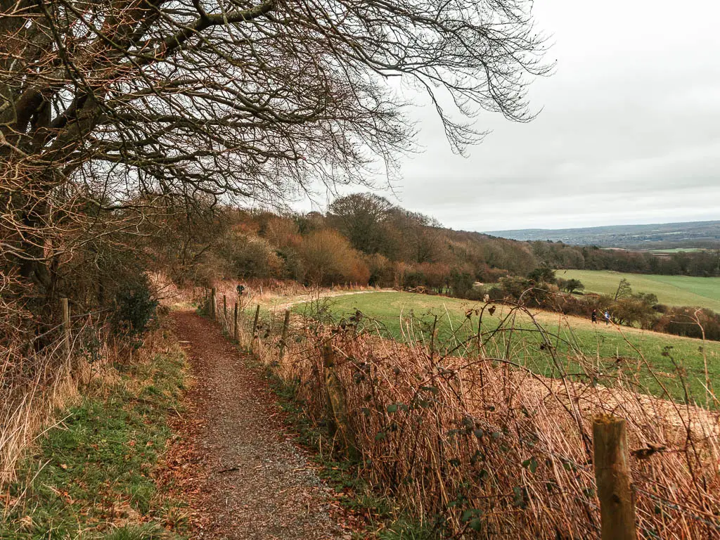
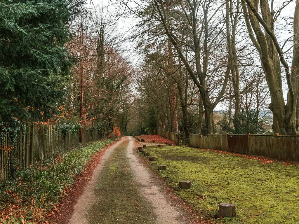
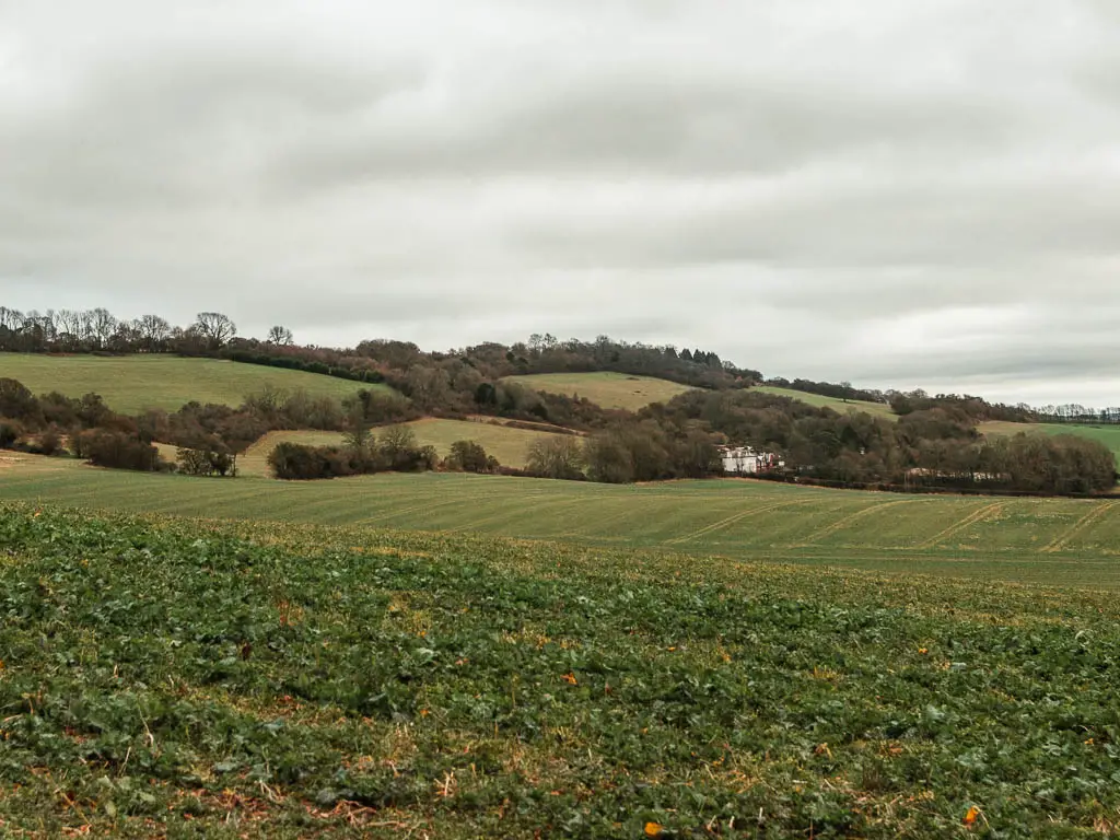
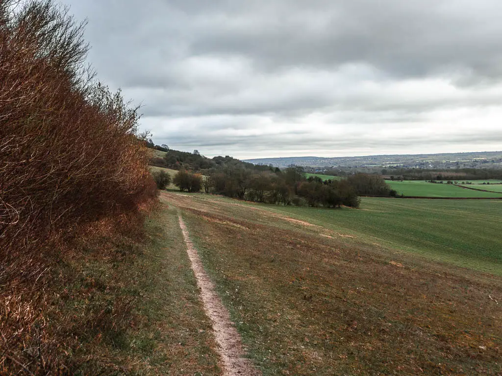
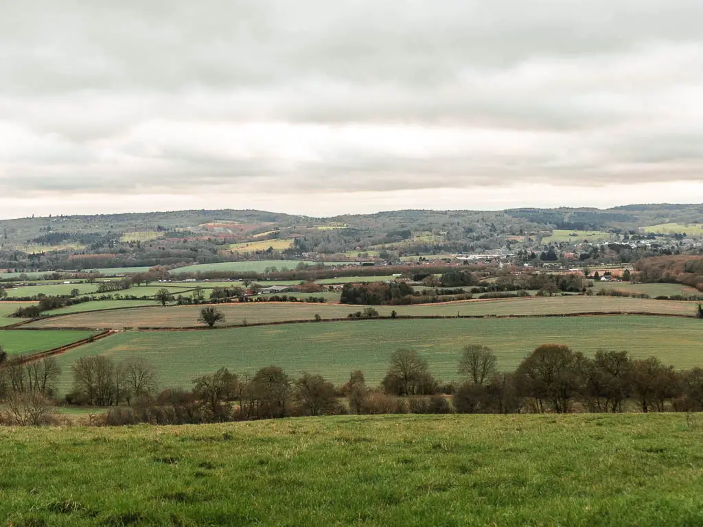
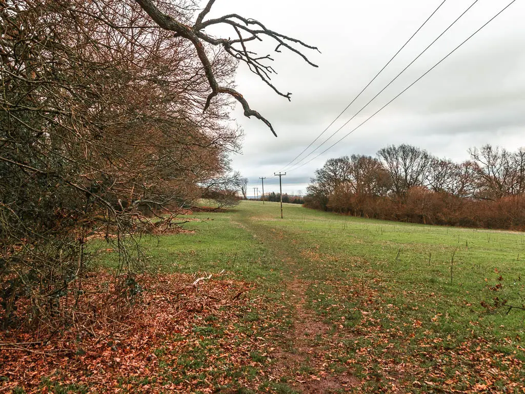
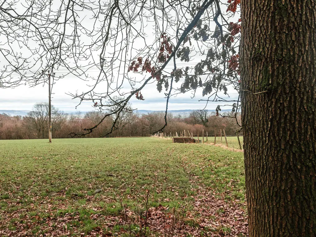
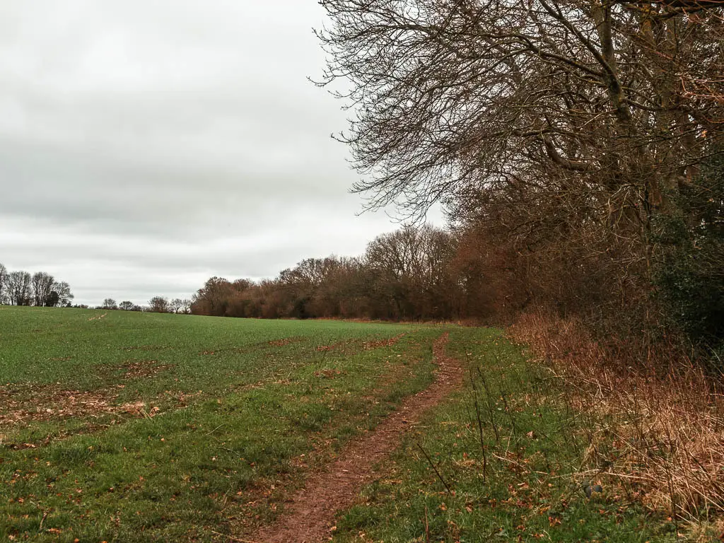
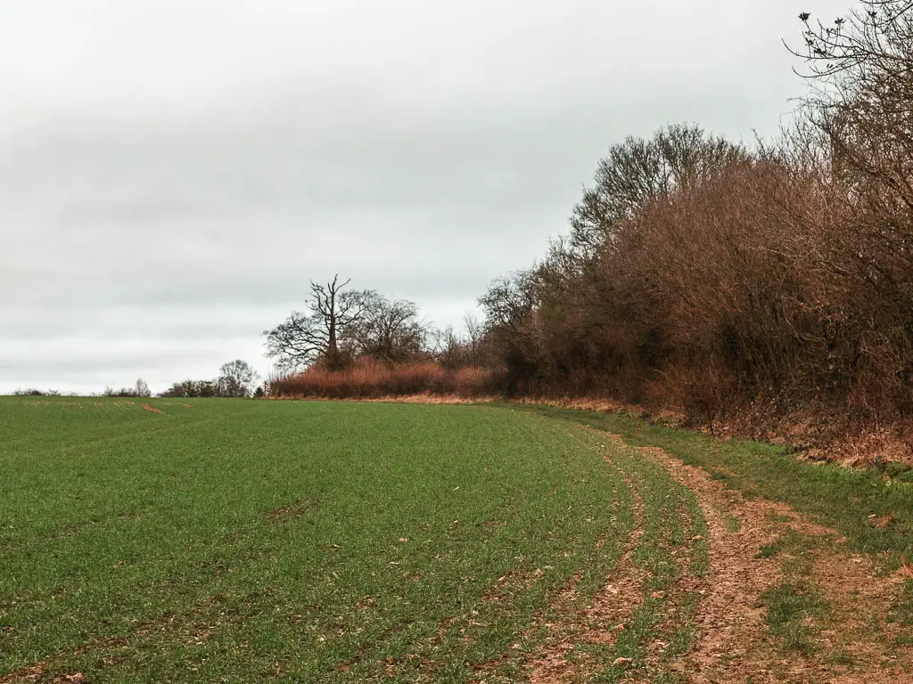
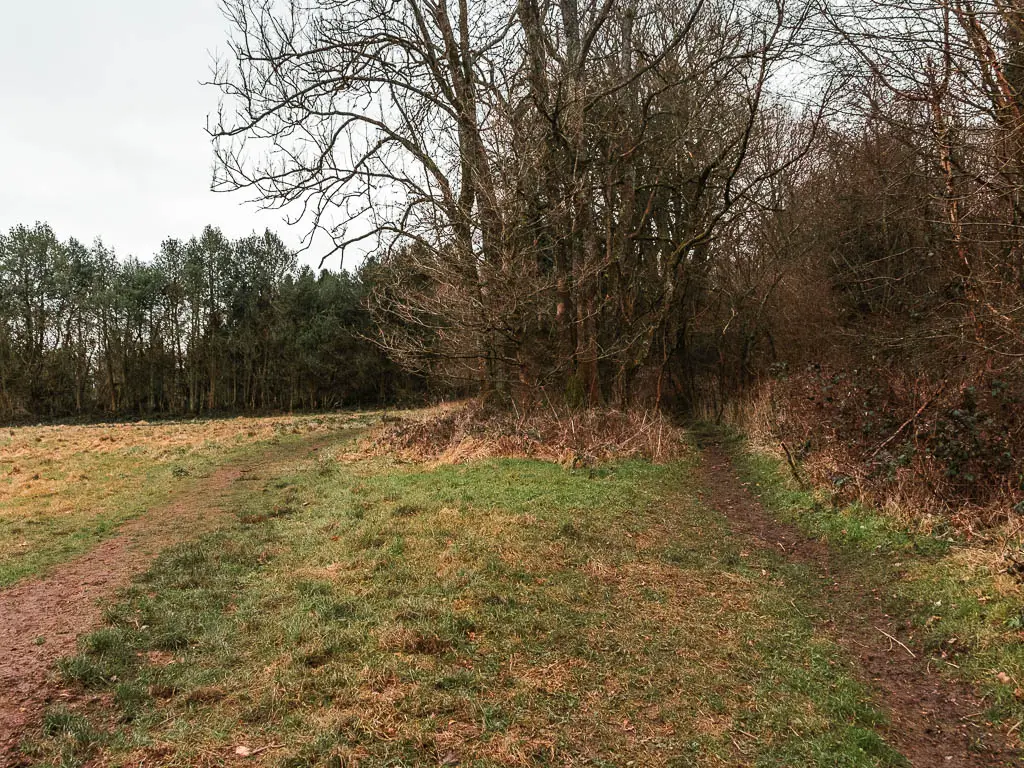
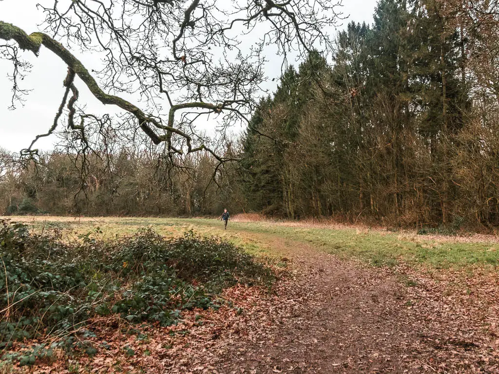
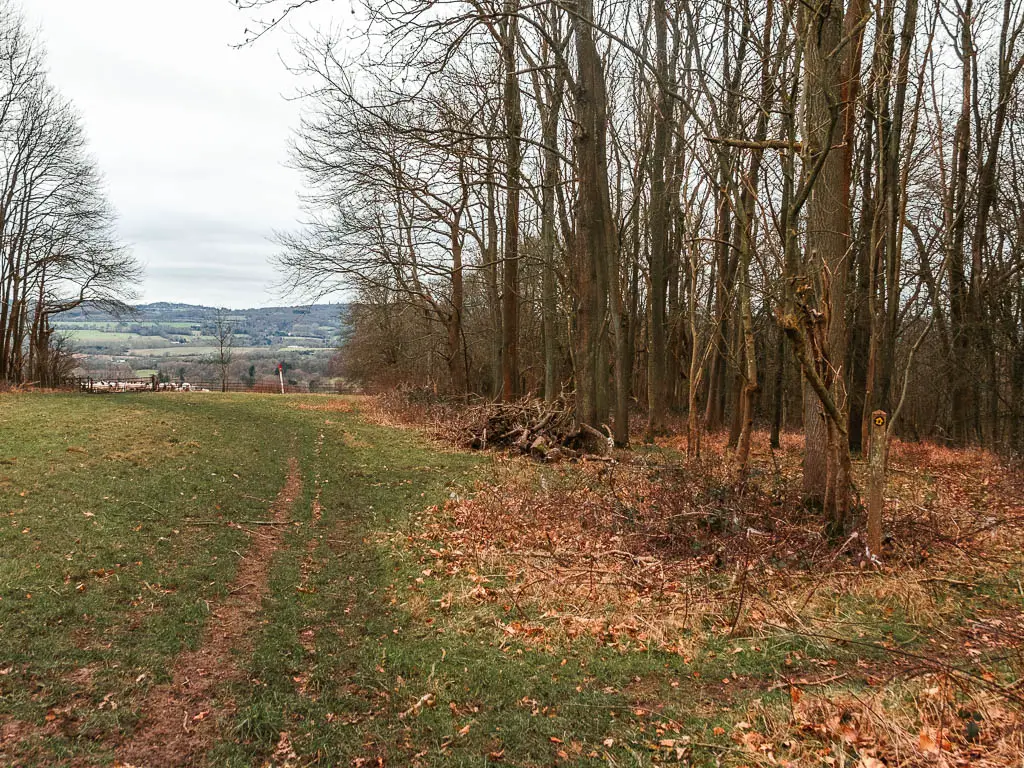
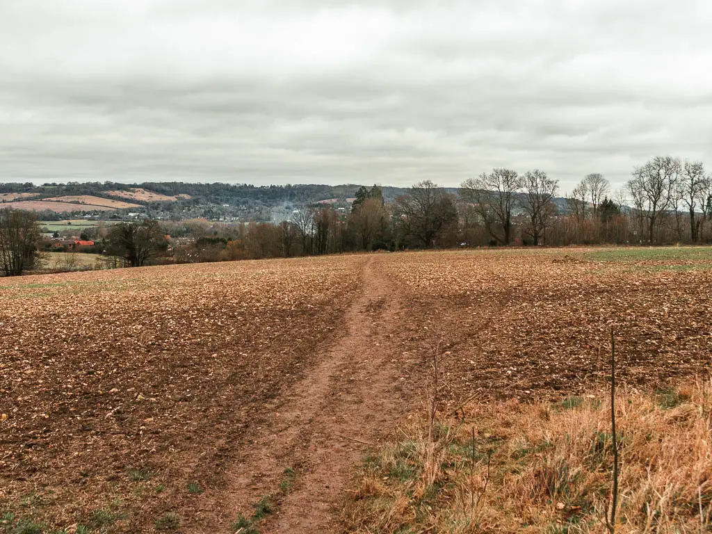
There are lots of views on this one. I think the most so far along the whole route since Farnham. It’s a while since I have done the previous sections, but from memory it definitely felt more view like.
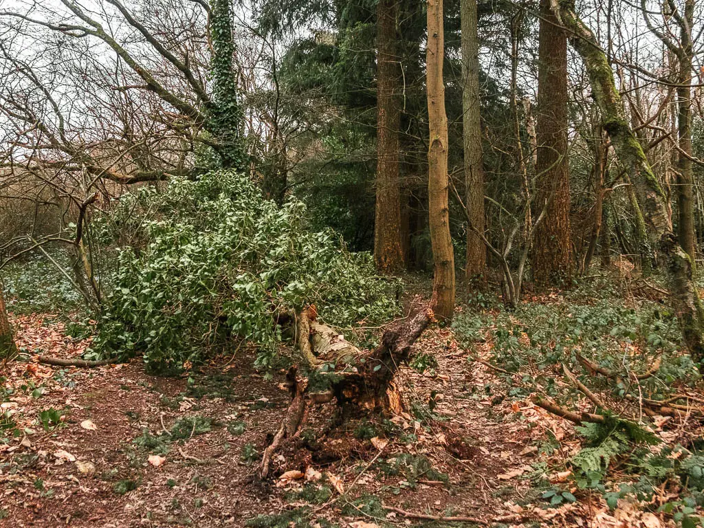
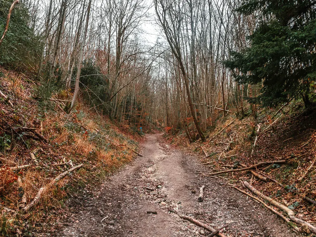
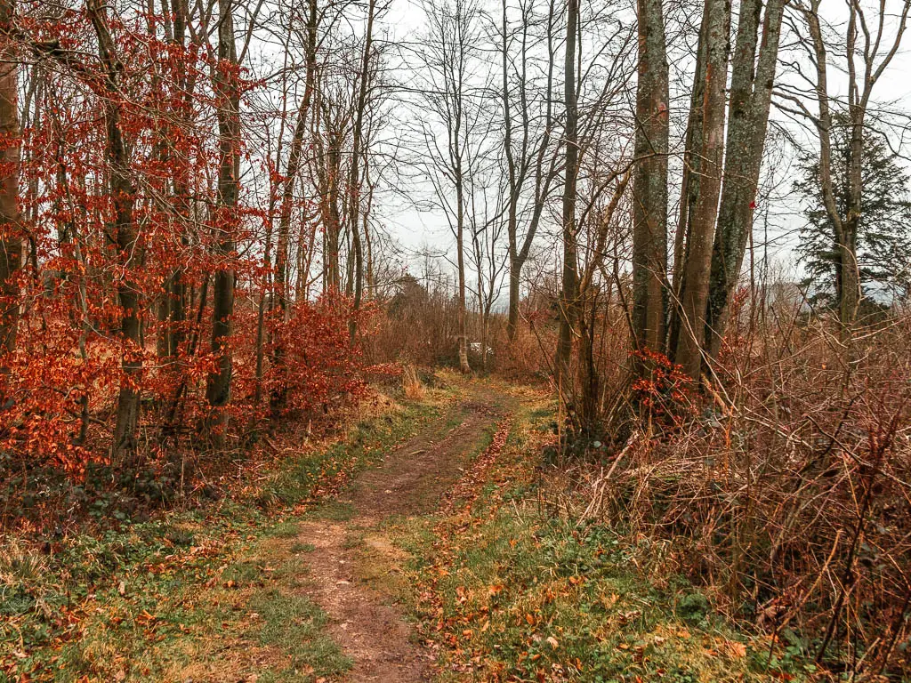
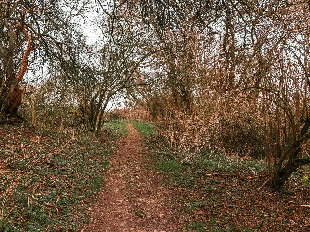
The views are broken up by sections of straggly woodland. The pattern goes something like this: Woods, views, woods, views, woods, views, a little bit of road, some fallen trees, more views.
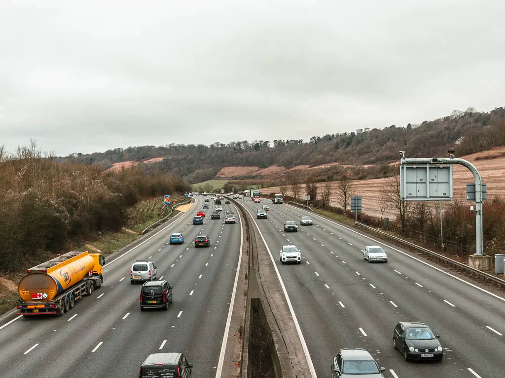
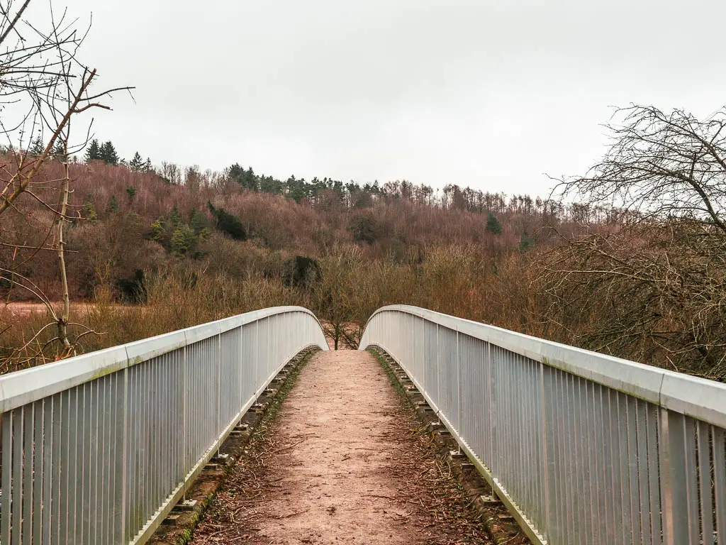
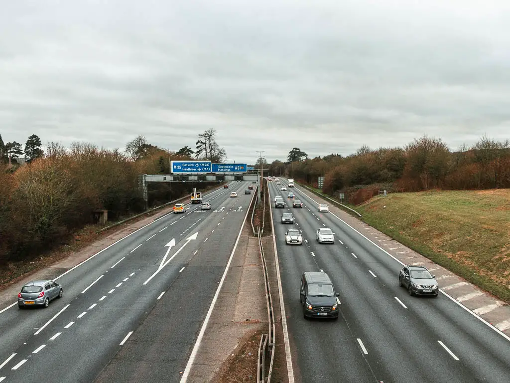
Just like the previous section Merstham to Oxted, you will be walking parallel to the M25 the whole way, although not quite as close. So it’s more of a faint noise in the background…Apart from the two times you have to cross over it (don’t worry, there are bridges).
Is the walk challenging?
I would say it’s moderate difficulty. Most of the route is level, however, there are some hills to walk up in between. The first one is near the start from Oxted to get onto the trail. Soon after that, there is a serious hill.
Then for the rest of the way, there are a few very short ones, and maybe some steps, before a big descent near the end to reach Otford. The length is what makes it a little tougher, rather than any hills.
Is the walk from Oxted to Otford easy to follow?
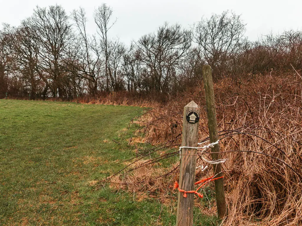
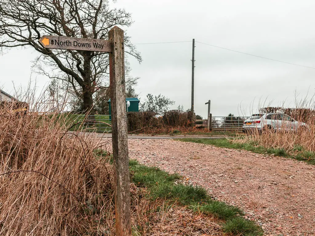
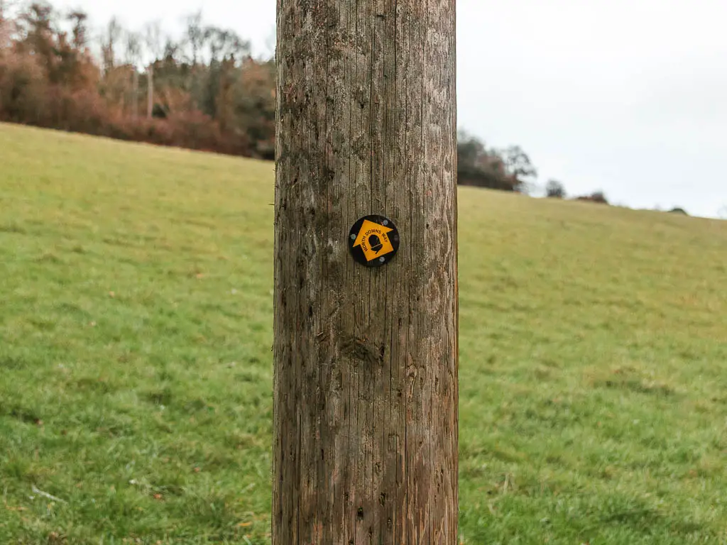
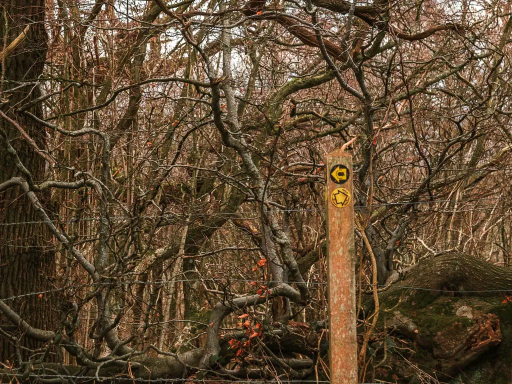
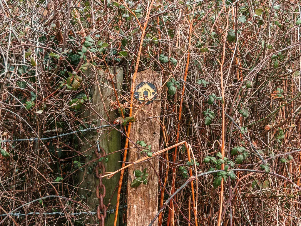
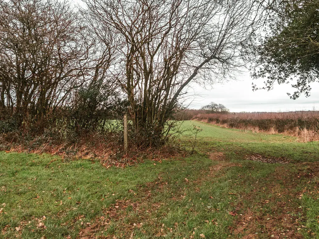
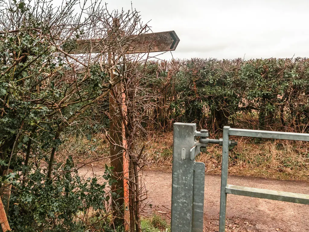
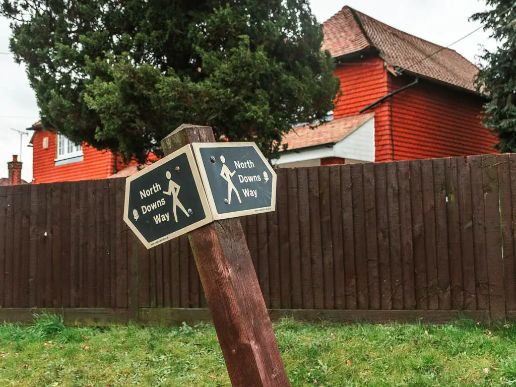
Yes and no. So far, this is the worst signposted section of the NDW. I found big stretches with no signage and multiple route options, leaving me guessing which way to go.
I had studied the route from Oxted to Otford before heading out, and although I couldn’t remember it step by step, I had a rough idea, which made my guessing a little easier. That and licking my finger and sticking it in the air.
It’s not all like this though, in fact most of the way is signposted. It gets very twisty and turny later on, and you are guided by lots of arrows. I found myself zoning out around here, just following the arrows. I was worried I wouldn’t be able to give you the exact step by step description for this bit, but I think I did a good job (pats myself on the back).
My thoughts on the walk
It may not sound like it, but I did enjoy the walk from Oxted to Otford, and I only listened to a podcast for some of it. I was also pleasantly surprised by Otford, knowing nothing about it before heading out on the walk. I will tell you a bit more at the end….
Logistics
- Start: Oxted station, Surrey. RH8 9EU.
- Finish: Otford station, Derwent Valley, Kent. TN14 5QY.
- Distance: 14 miles
- Time: 4h 45min
- Difficulty: Moderate due to the length
- Terrain: Dirt trail, mud, grass, some steps, road.
- Elevation: Some hills, then flat in between. Total elevation gain is 594m
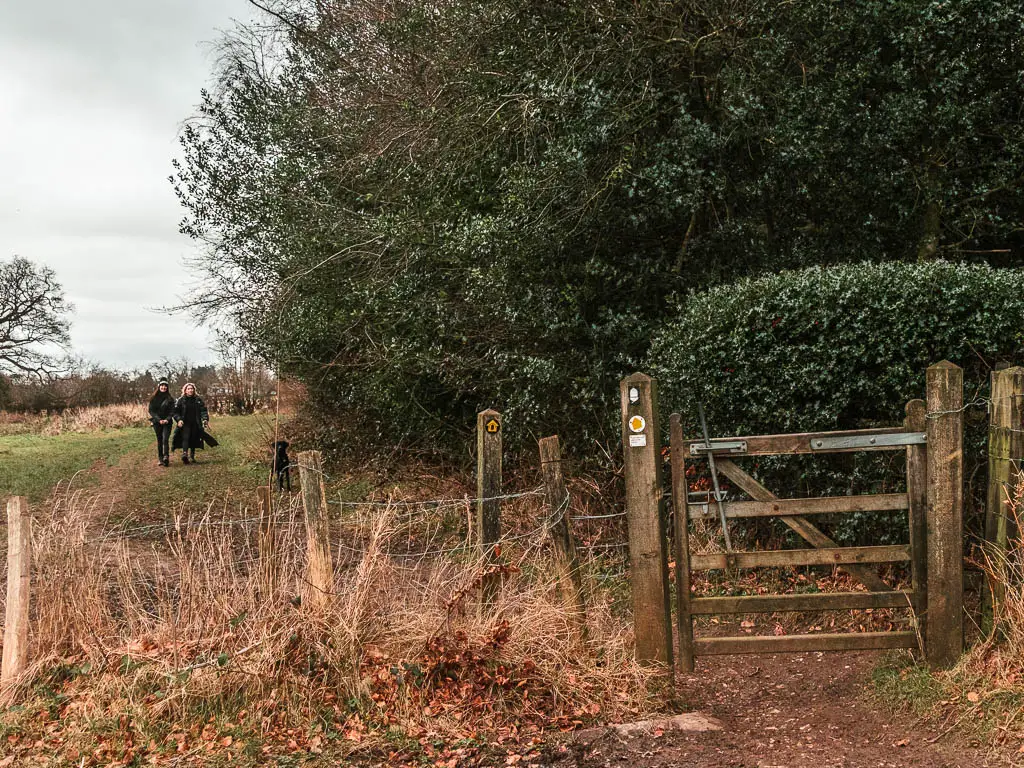
- Dog friendly: There is some livestock about. I only saw them towards the end, but some other fields look like animals could be in them sometimes. From what I recall, there was one stile. However, someone has cut a hole in the wire fence so doggies can fit through. There are quite a few country road crossings, then a chunk of road walking near the end.
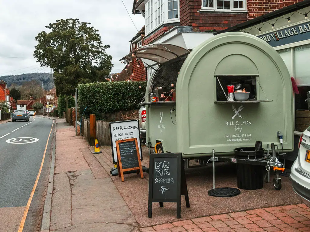
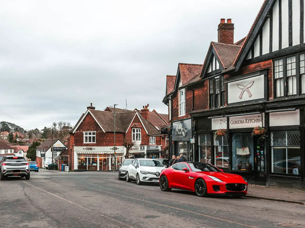
- Amenities: Public toilets at Oxted Station. Waitrose, Sainsbury’s, and cafes etc at Oxted. Cafes and a couple of pubs at Otford. A few miles before you reach Otford, you will pass by the Rose and Crown pub which is highly rated. There is car parking at both train stations, however, if you come by car, then don’t do the full route from Oxted to Otford. Instead, walk part way, then walk back to your car. There is no direct train line between the two stations and it will take you 1.5-2h to get from one to the other.
Map for the walk from Oxted to Otford
You can find my more detailed route map for the walk from Oxted to Otford on Alltrails.
Route description: How to walk from Oxted to Otford
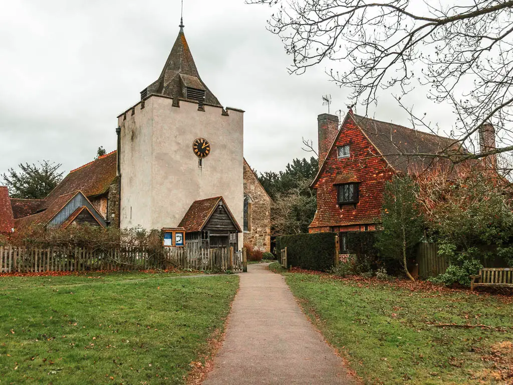
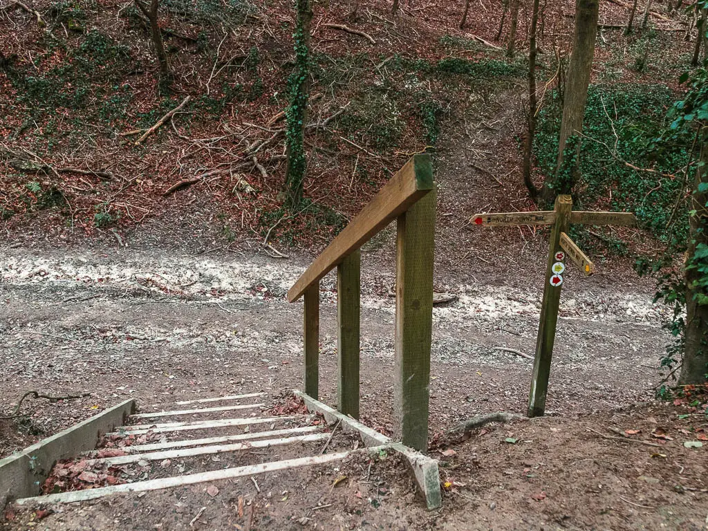
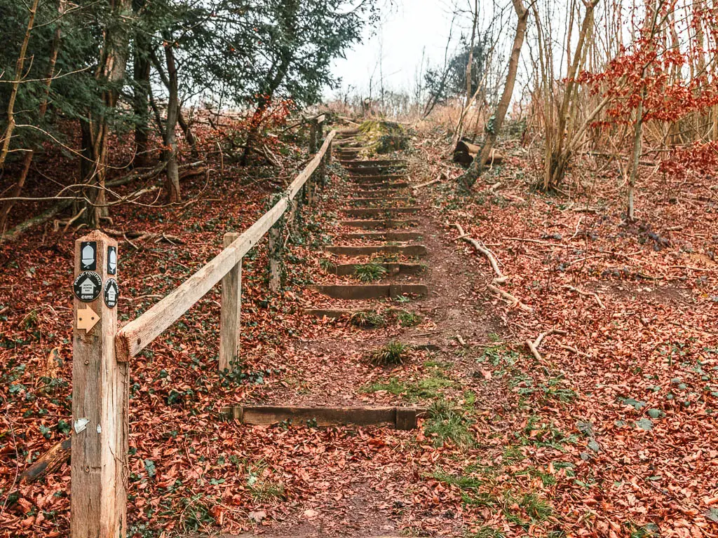
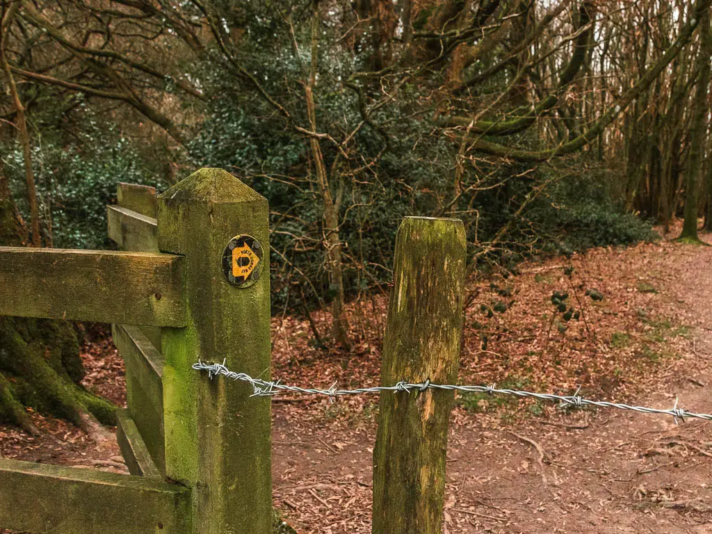
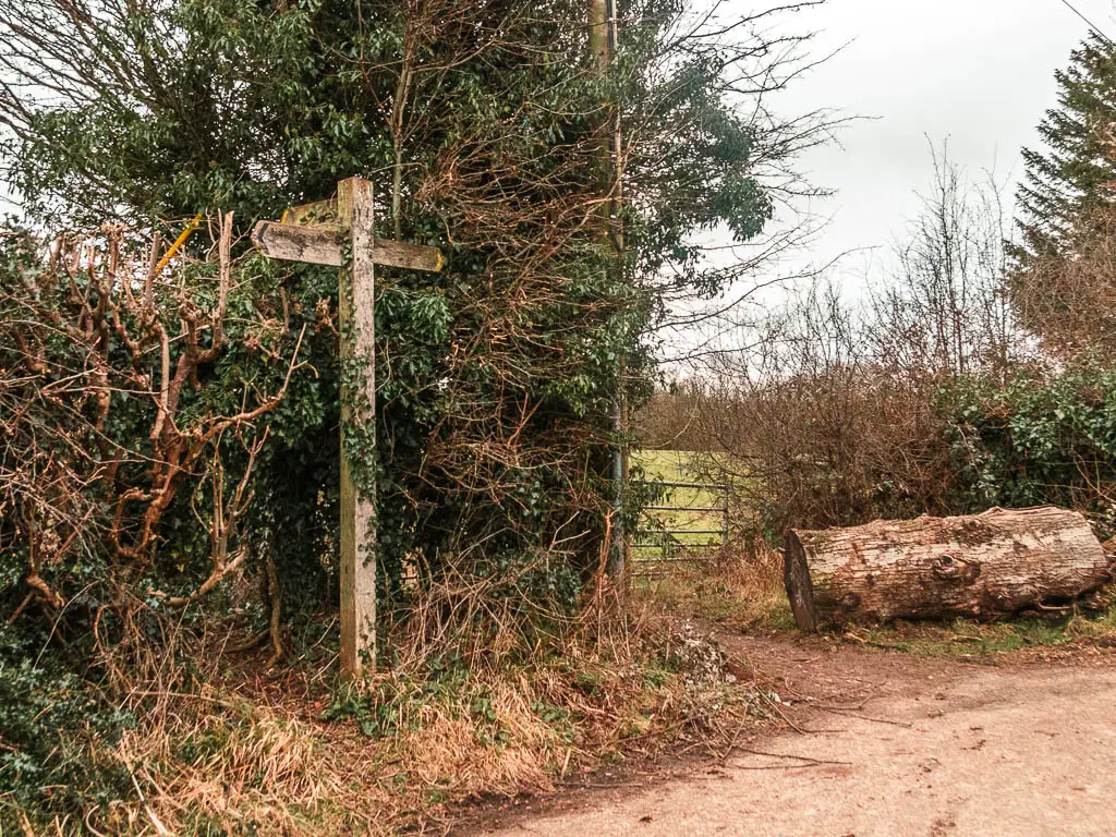
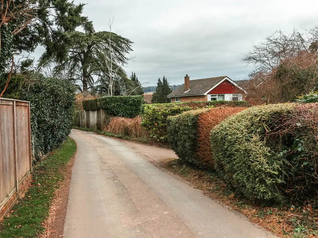
When you arrive at Oxted station, if you have come from the north (ie London), you want to exit on the same side as the platform. This will lead you to the high street area.
Take a left on the main road where there is a Sainsbury’s, and keep going to reach a small roundabout where you turn right.
Next walk along a residential street for a little, and take a left onto Park road.
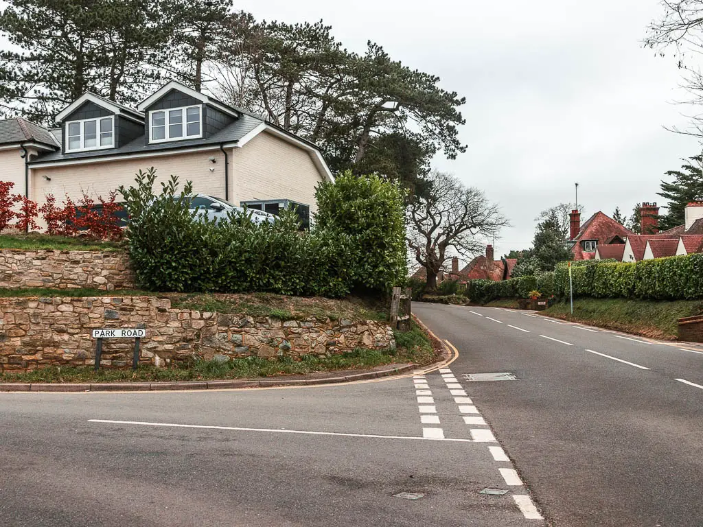
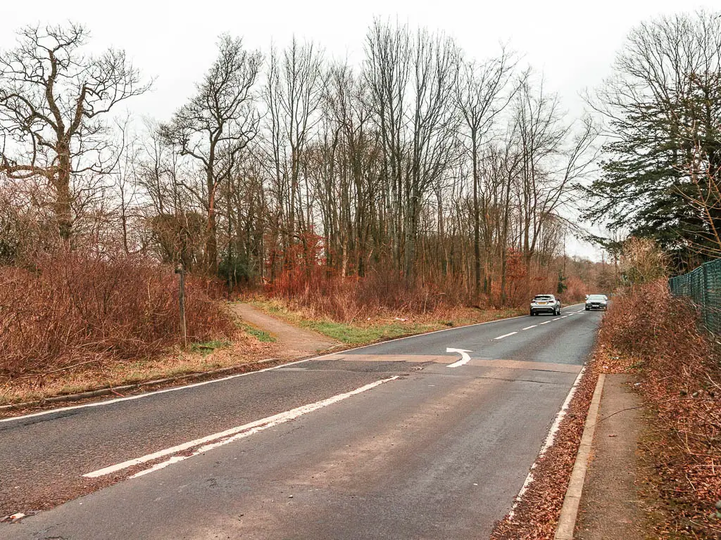
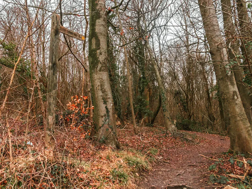
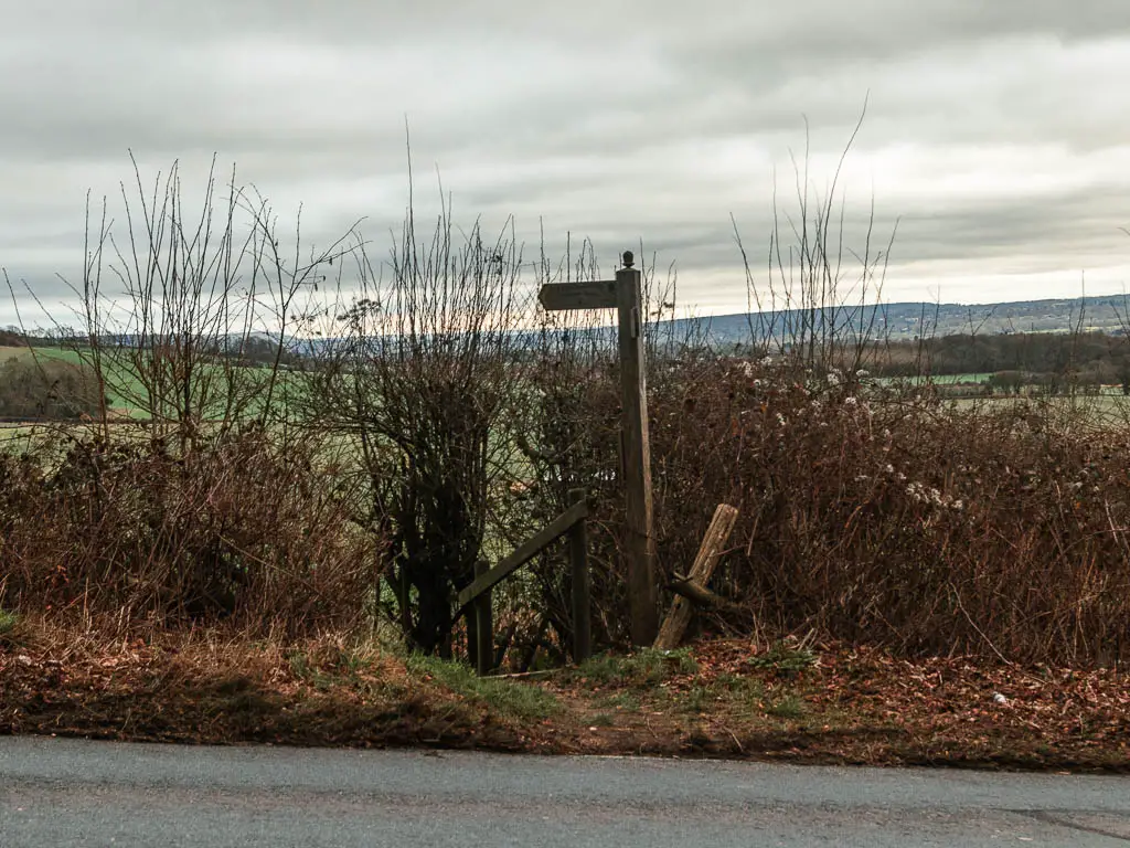
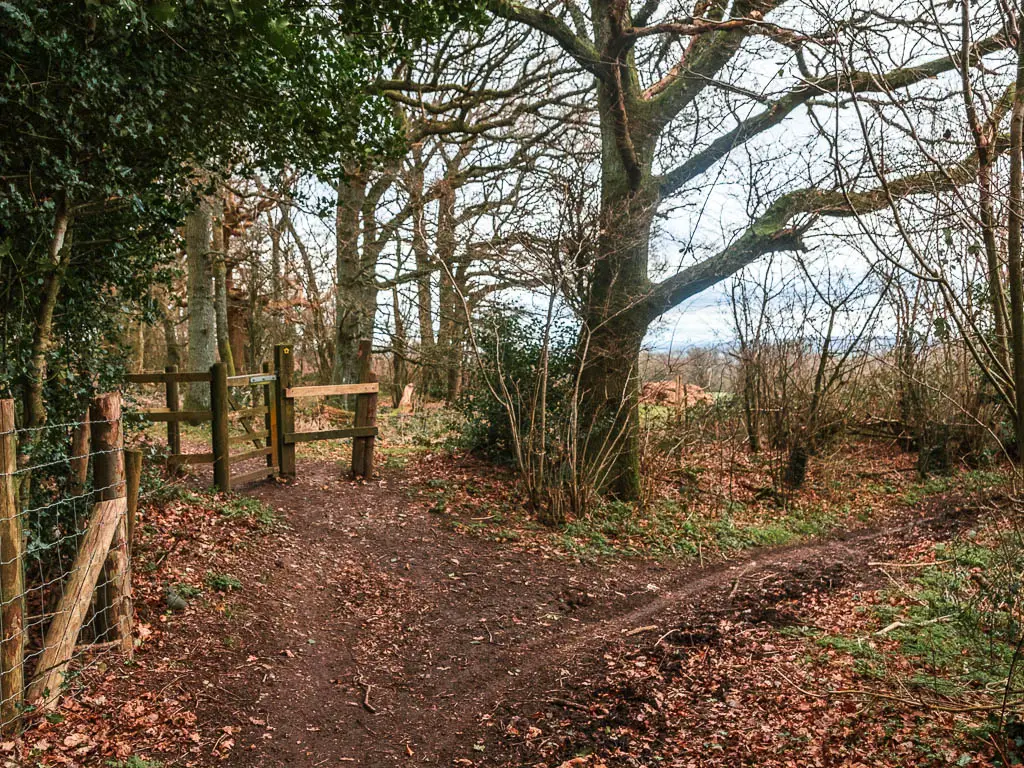
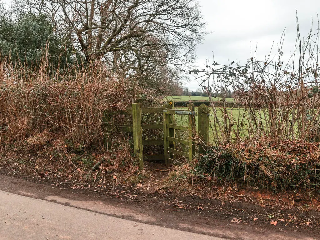
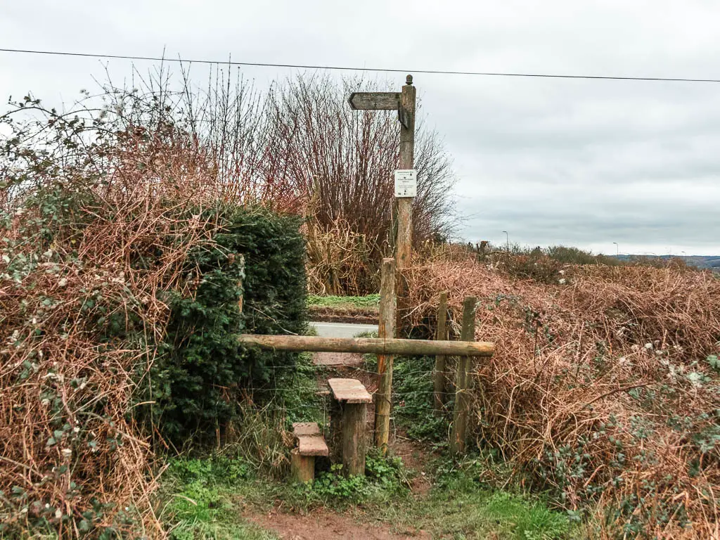
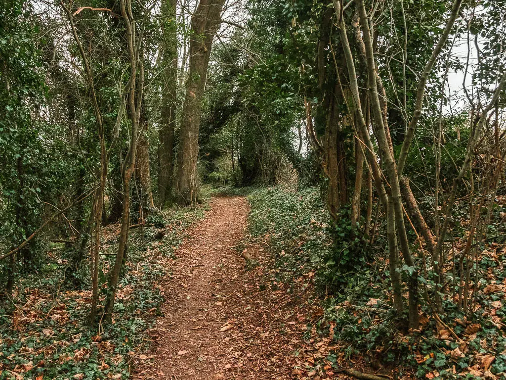
Walk to the end, and at the corner, there is a trail leading off it. Go along it.
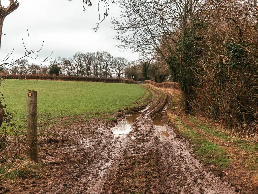
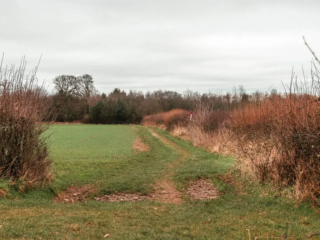
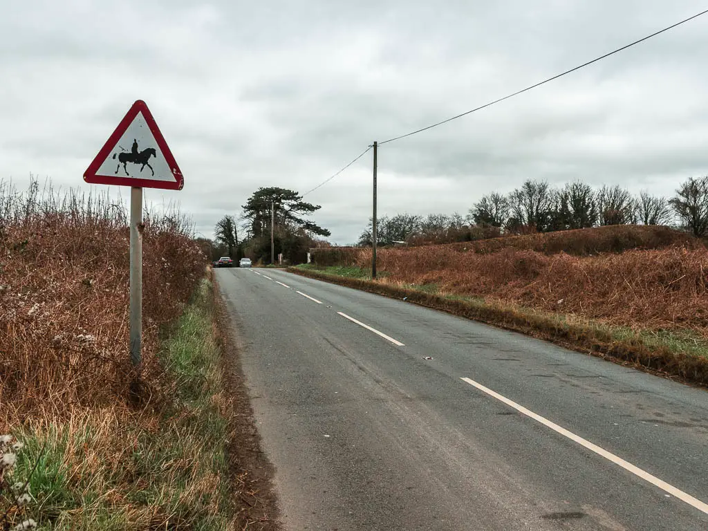
This will lead you to a field. Walk straight across the field, keeping left, to reach the bridge crossing over the M25.
When you reach the next field, you need to turn left. You can do this either in the field, or along the trail before the fence. I took the trail before the fence, which might be a little scratchy in summer when everything is more grown.
Both routes will lead you up the hill to reach the NDW.
Follow the NDW all the way to Otford
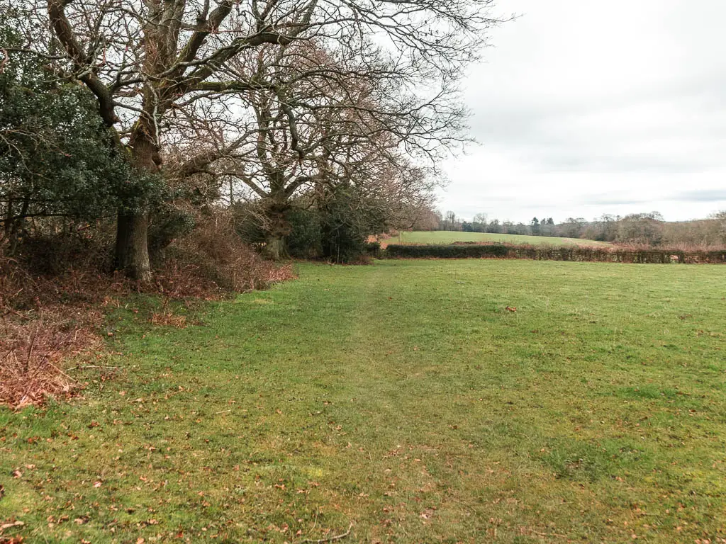
Now you are on the official trail, which takes you all the way to Otford station, some 12 miles away.
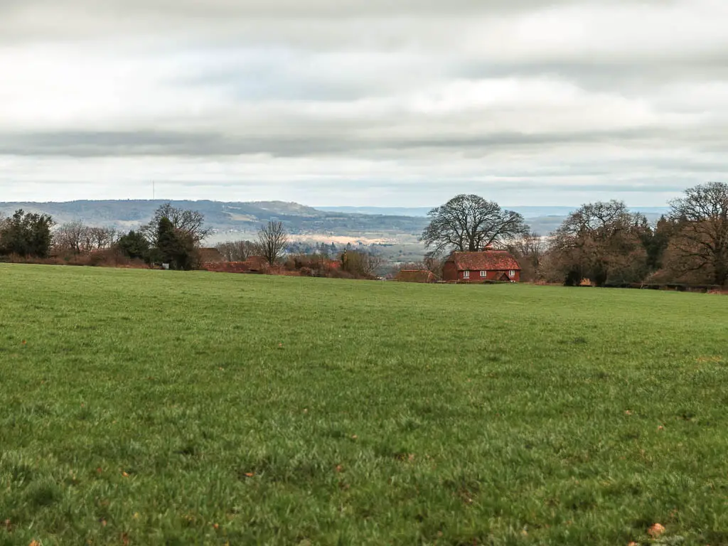
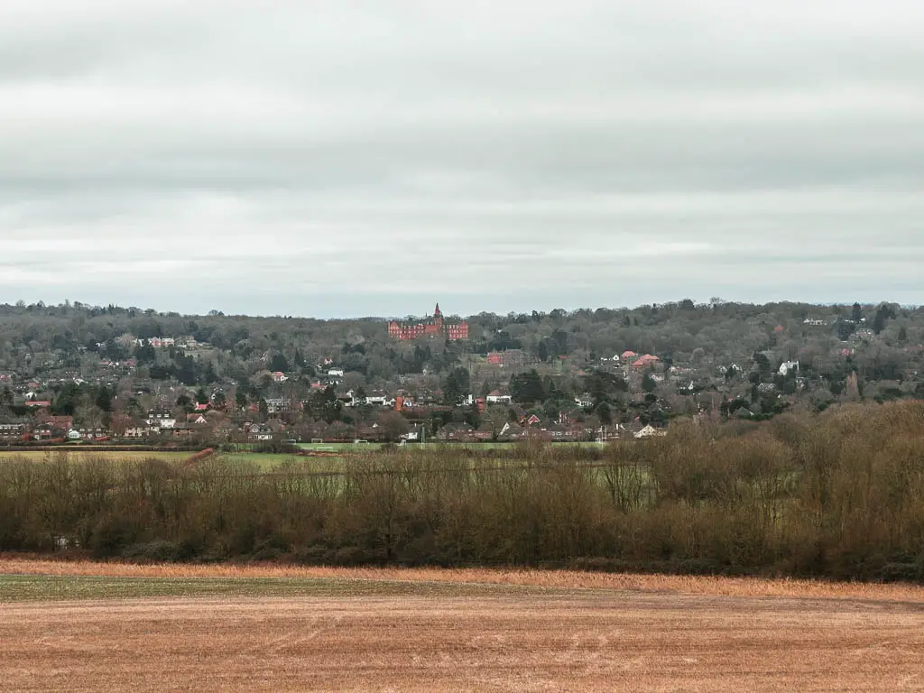
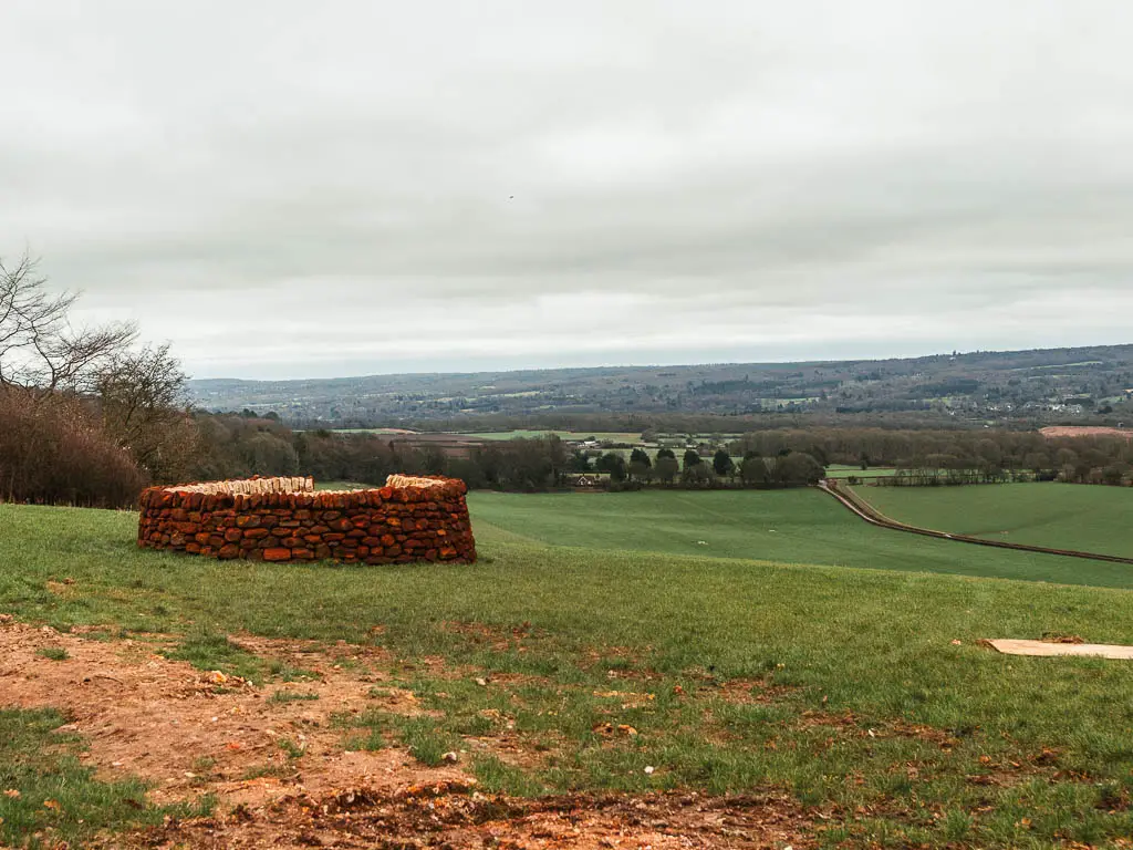
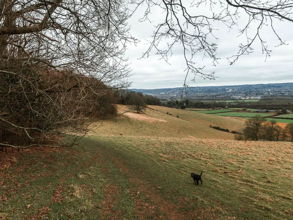
Up here, turn right, and walk along the top of the hill. It’s a great view from up here. I could see a big manor house type building, so naturally got out Google Maps and stood facing it to see what it was. I’m not 100% sure, but I think it’s a school. However, I stand to be corrected.
Something significant comes up next. I didn’t realise the significance of it until I got home and Googled it….
The Greenwich Meridian line
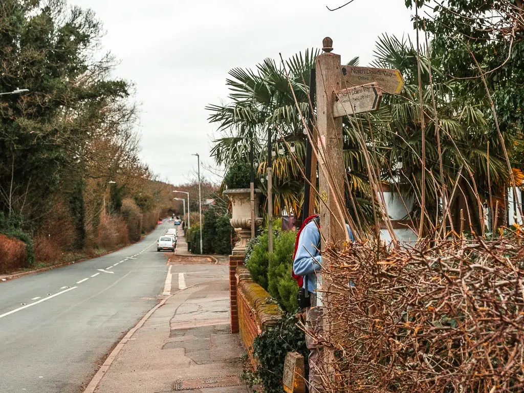
On this hill, you will reach a plaque which marks where the North Downs Way and Vanguard way cross the Greenwich Meridian line. You may already know what this is, and I feel a bit silly for not knowing, but if you don’t, let me tell you…
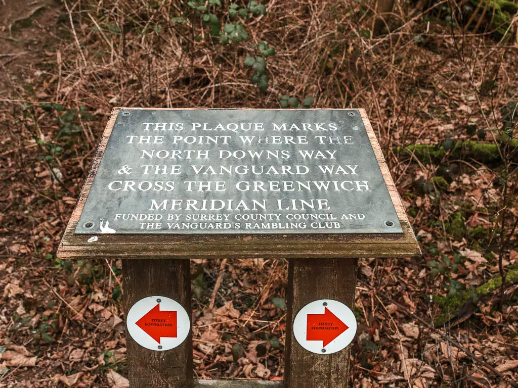
This is basically like the equator, but the other way. It’s the line which runs from the North Pole to the South Pole. This line indicates zero degrees longitude, and is the dividing point between the Eastern and Western Hemispheres.
I wish I had known this at the time. Then I would have stood with one foot in each half and taken a selfie.
The big hill and other hill
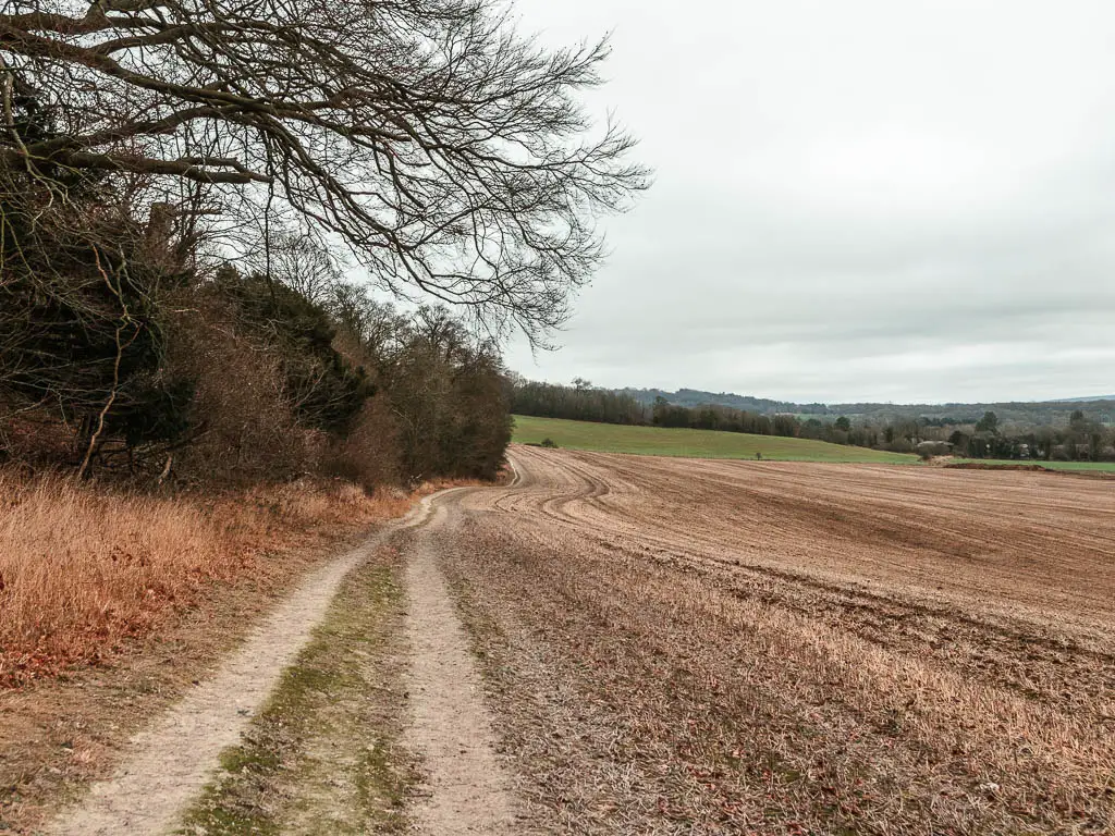
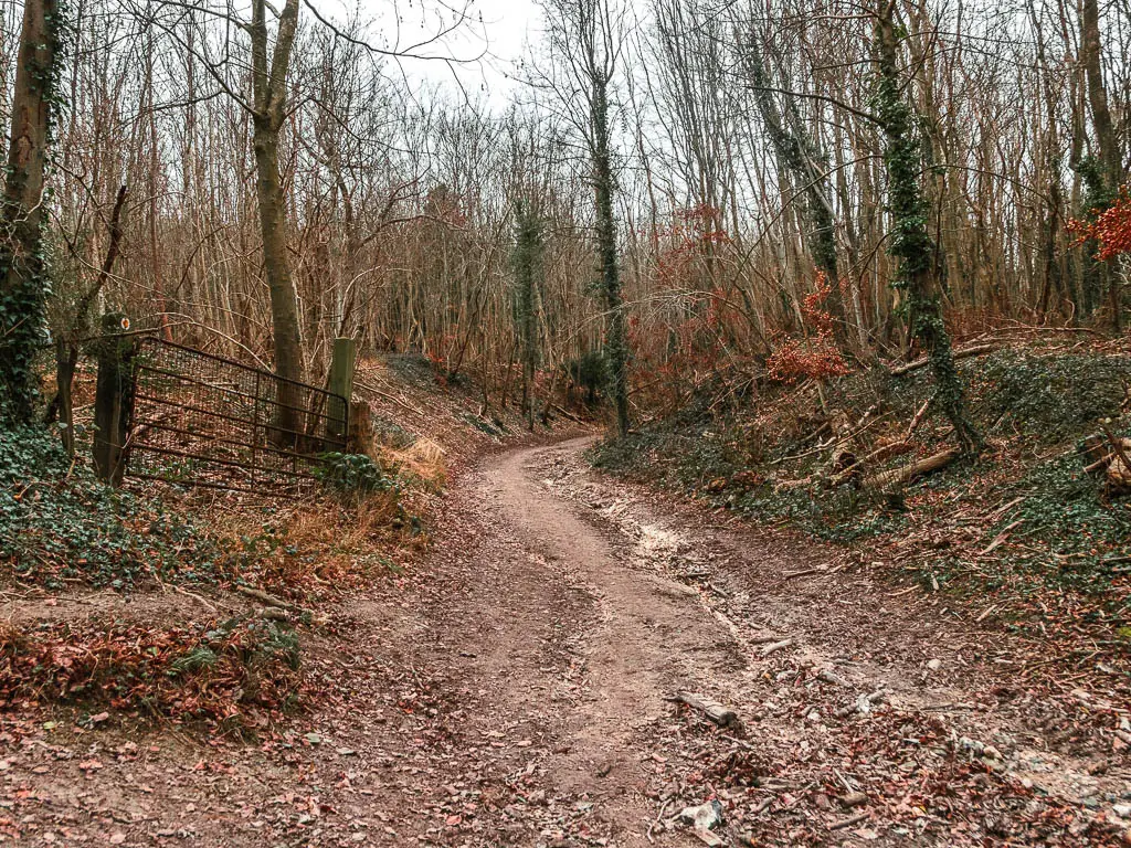
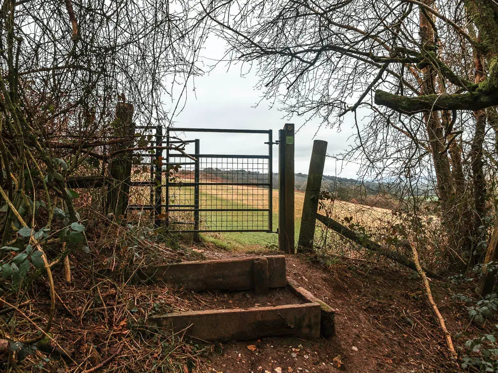
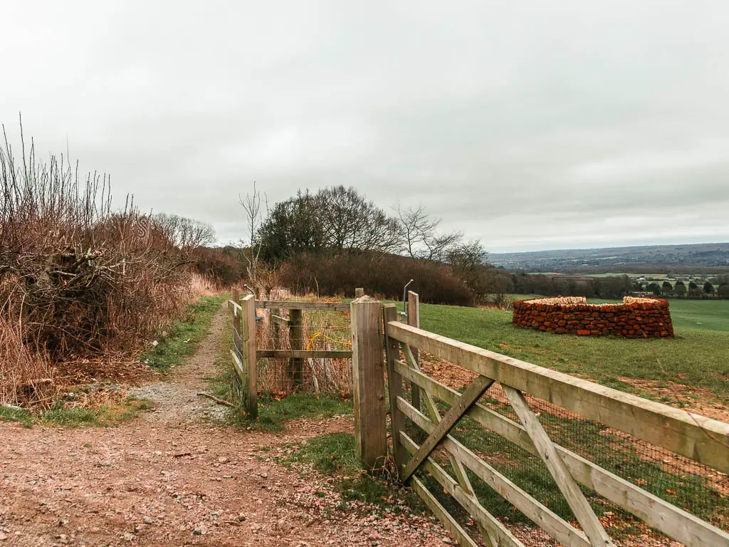
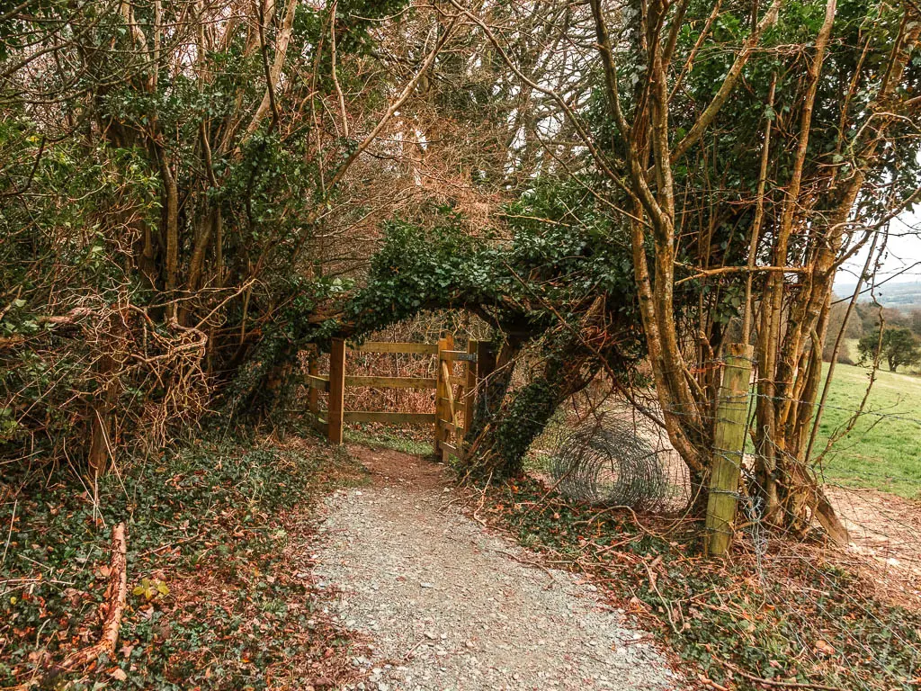
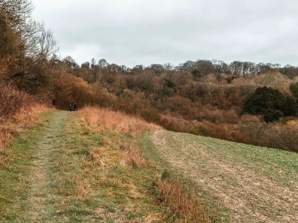
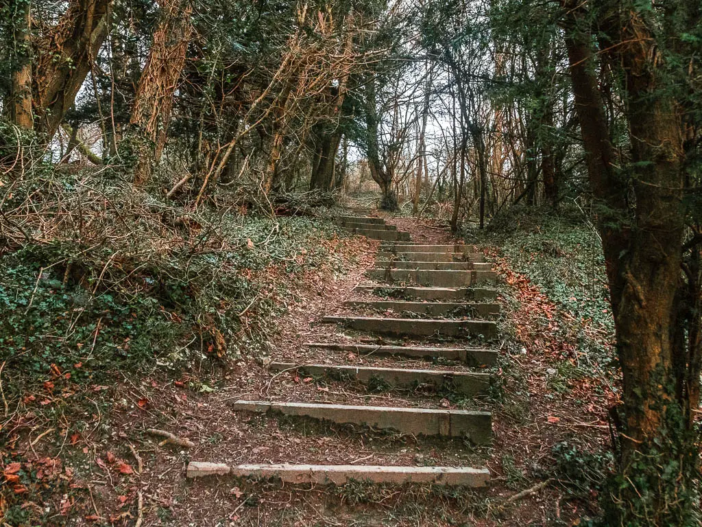
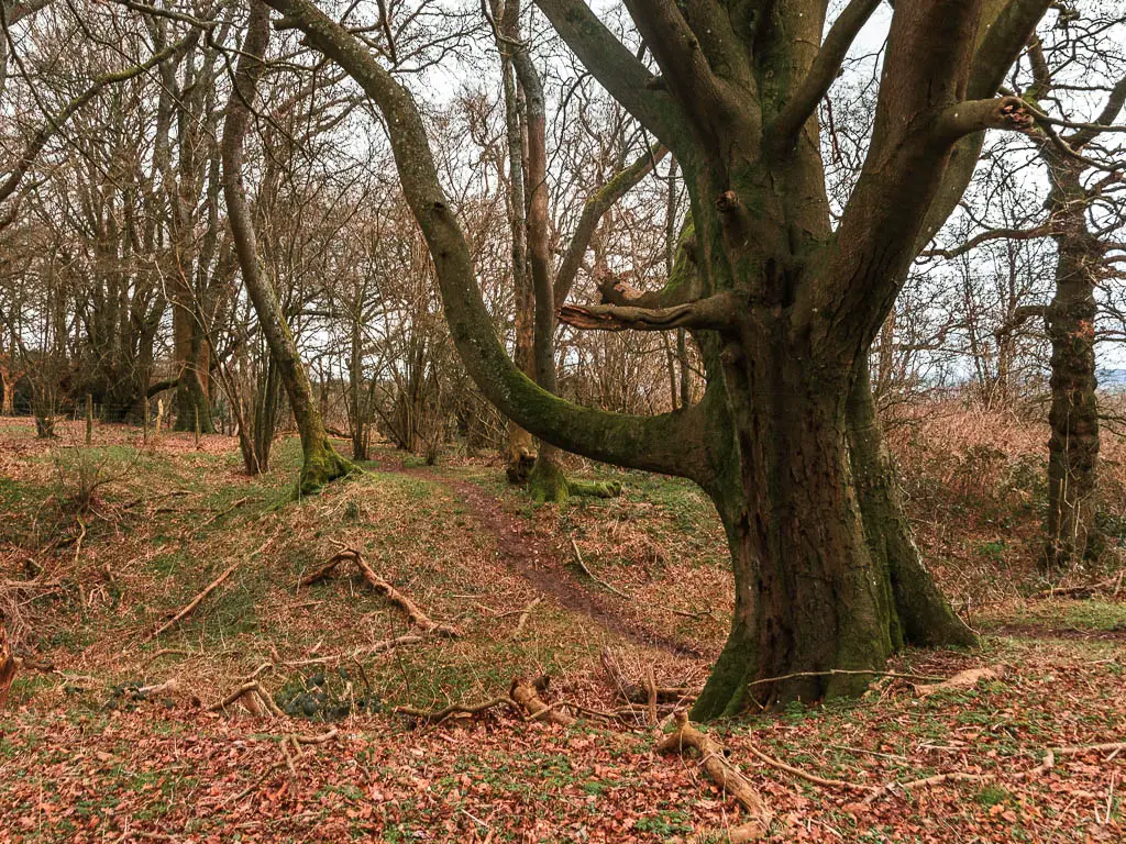
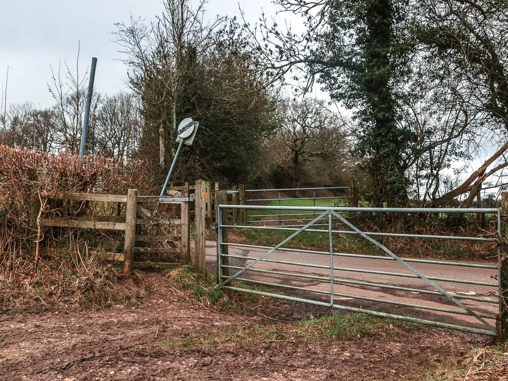
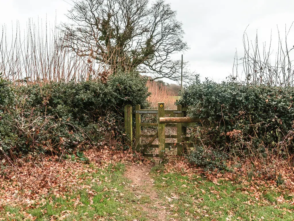
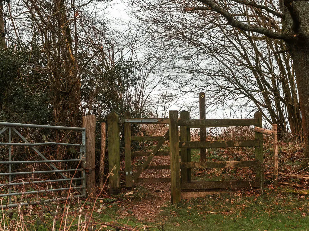
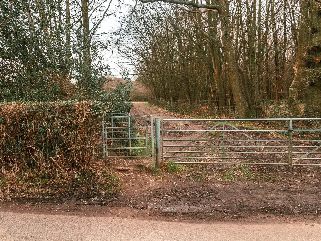
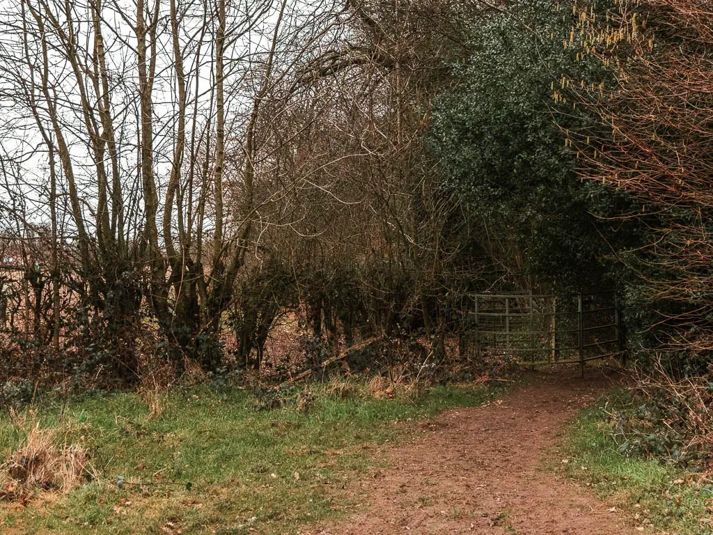
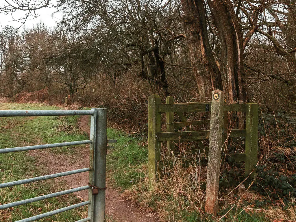
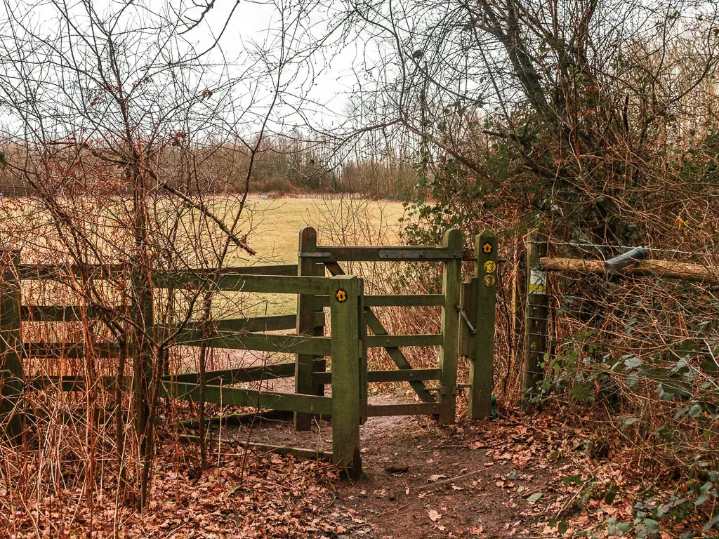
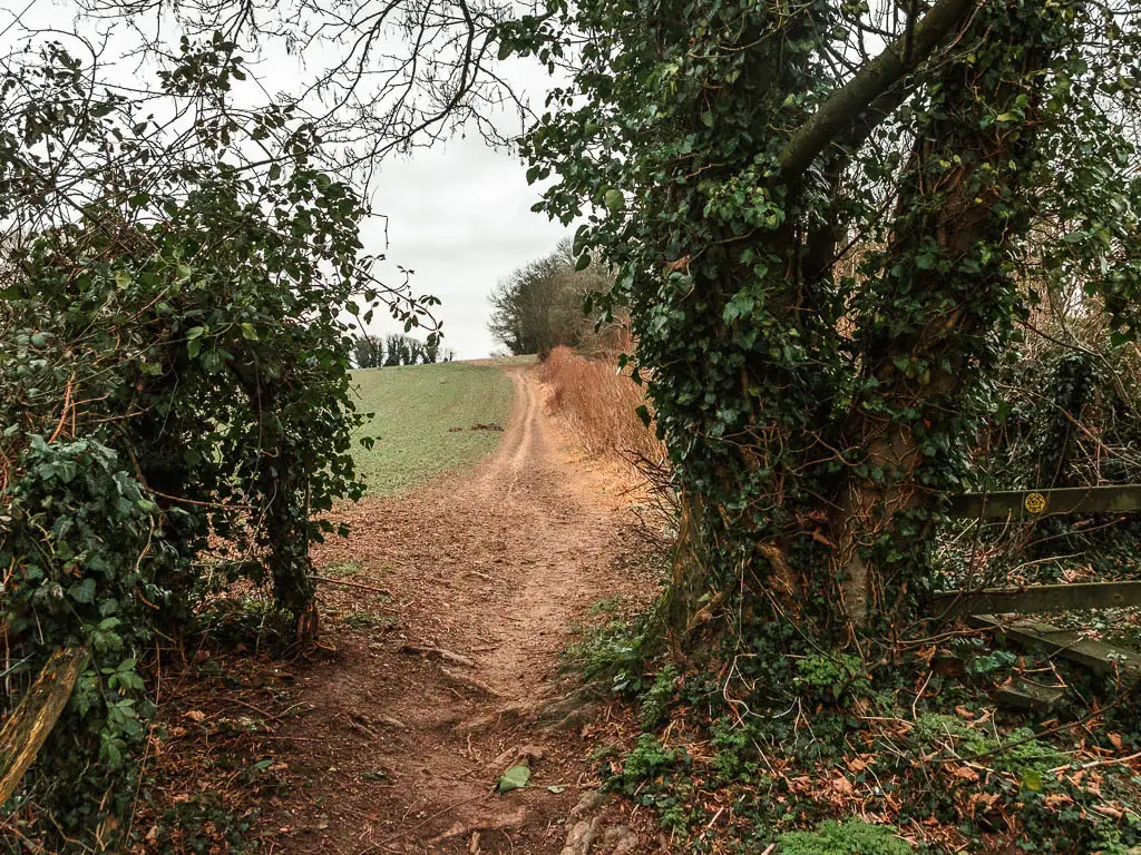
Continue along the top of the hill, then through a gate and another field, to reach some woods.
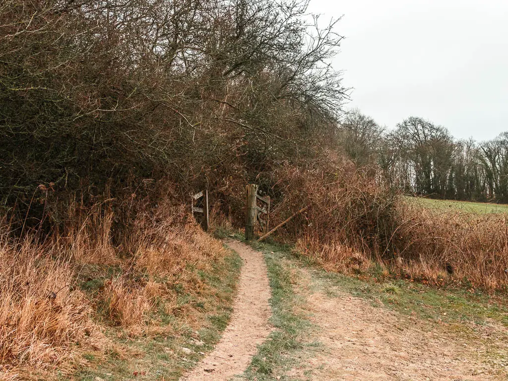
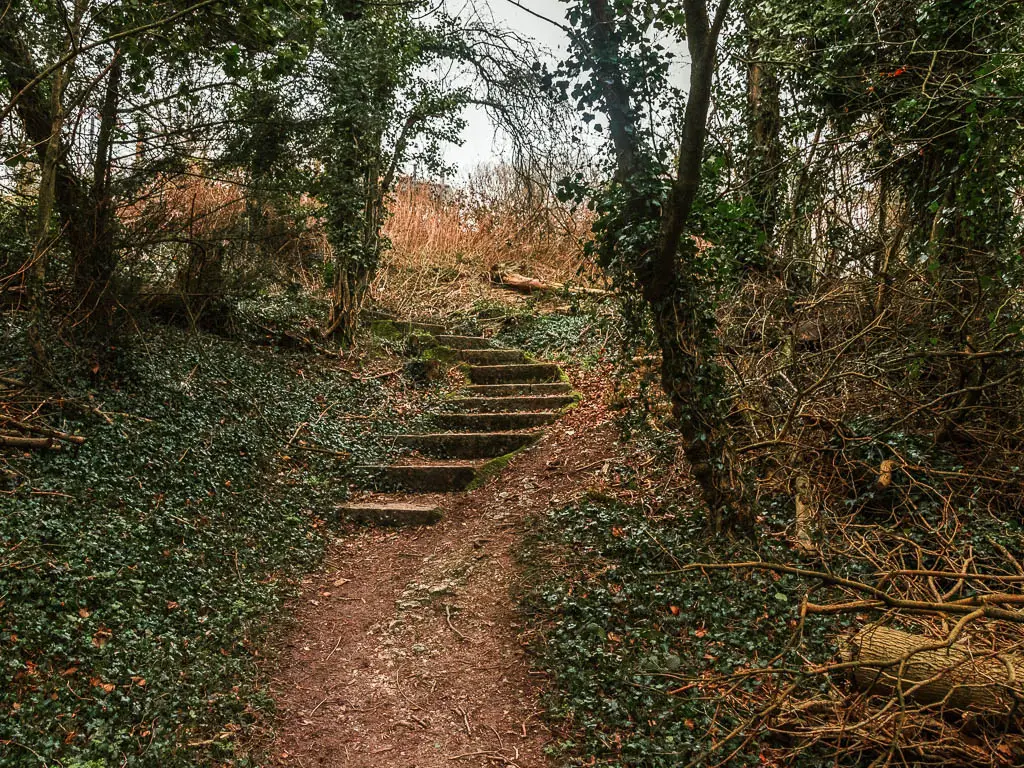
In the woods, go down the steps, then turn left to start the uphill. This is the biggest uphill on the walk between Oxted and Otford. It’s not Box Hill kind of big, so don’t panic.
When you reach the top at the road, you want to turn right. The arrow signage was missing when I was there, but inspecting the hole where the arrow should be, it indicates turning right.
Then a short way along the road, cross over it onto the trail again.
It’s easy now, just following the trail alongside the road. When you reach the steps, Then turn left up them for the next hill. This one is shorter.
When you reach the top, turn right.
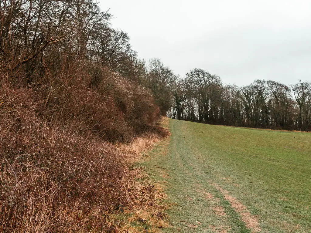
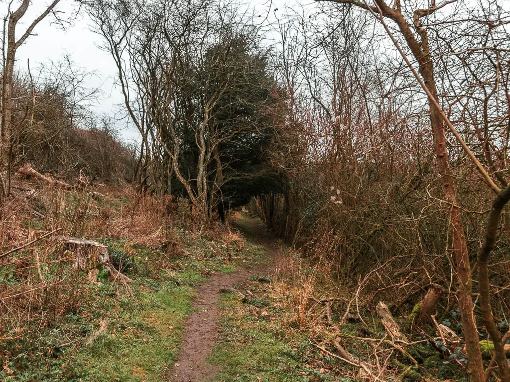
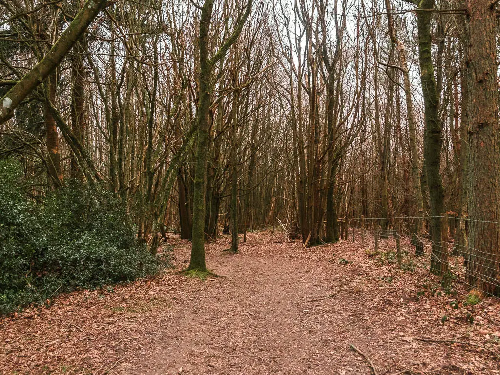
More woods and more views
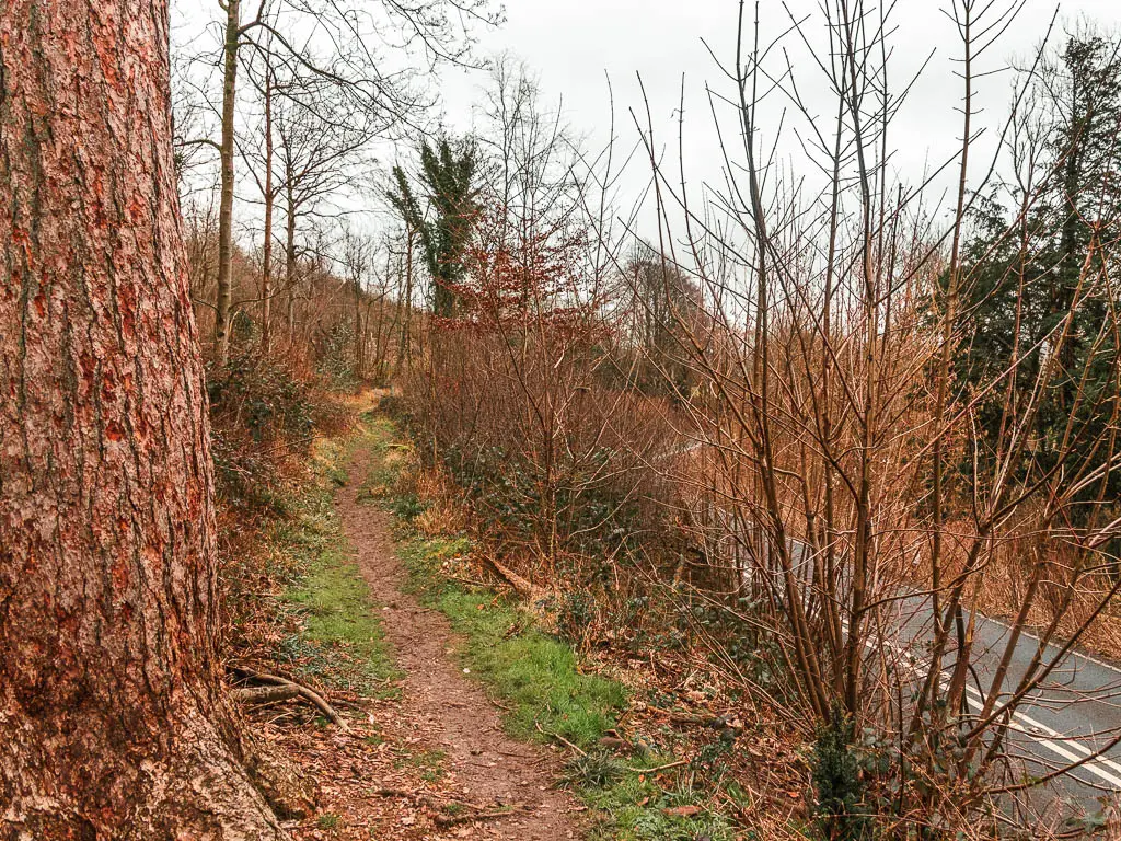
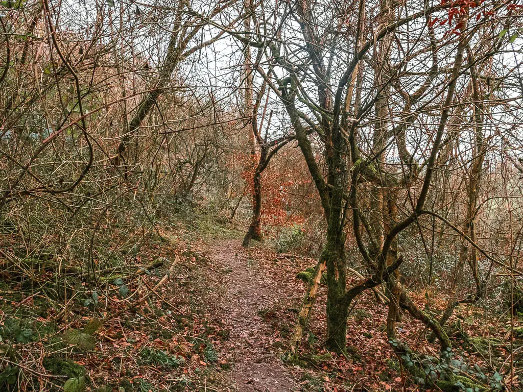
The trail now is narrow, with close trees, and peaks of views to the right. At the road, cross over to pick up the trail opposite to continue through the woods.
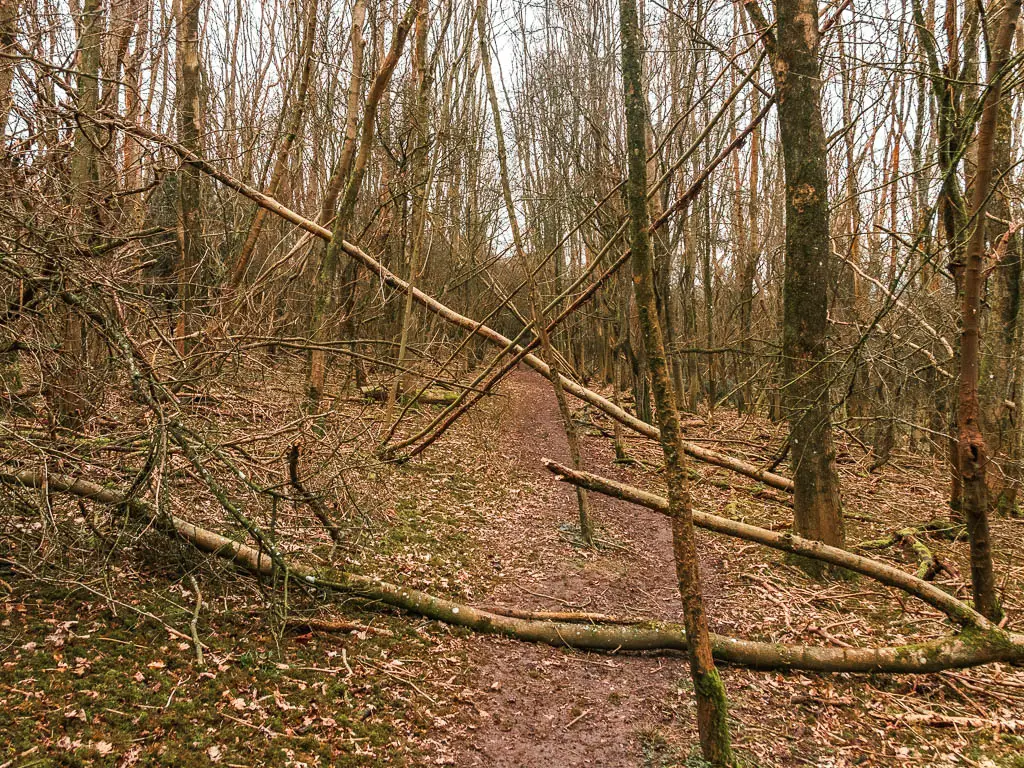
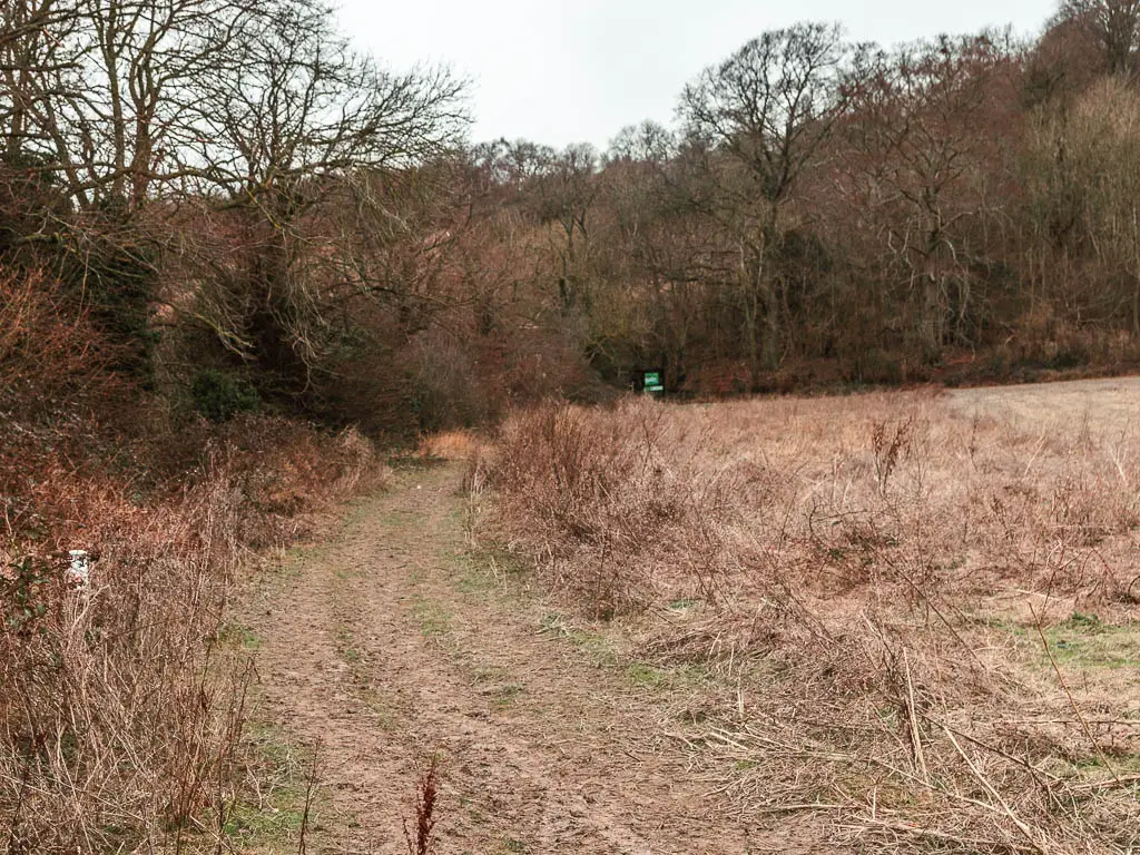
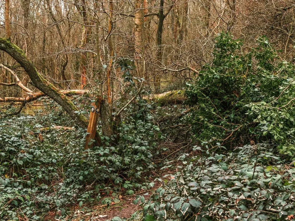
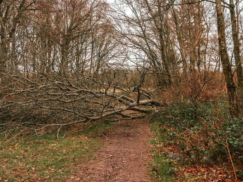
At the time of writing, there is a section along here where the path is blocked by fallen tree (or trees). It’s not too hard to navigate around though. Just keep following what looks like a path, as it does a bit of winding, to reach a gate to take you into the next field with views.
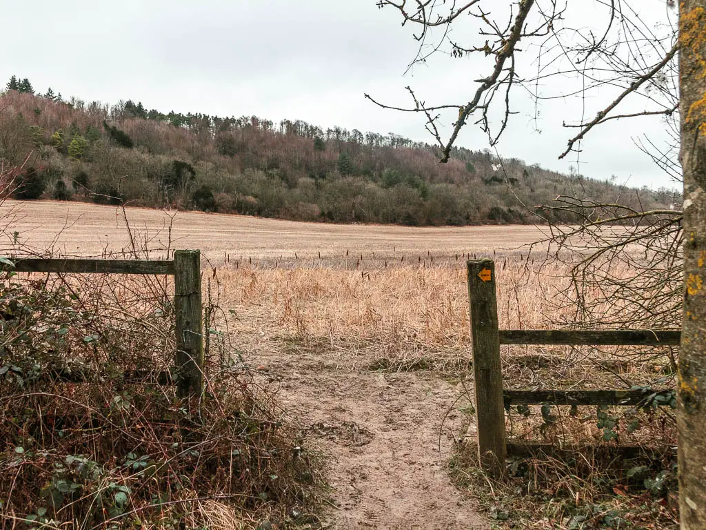
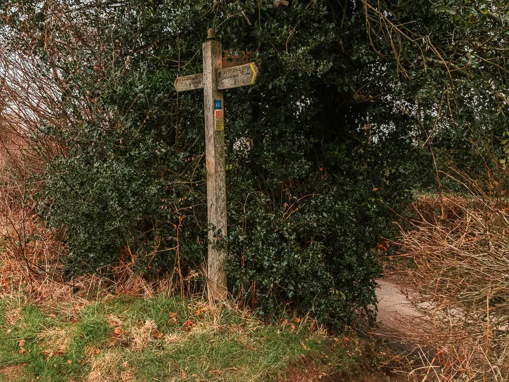
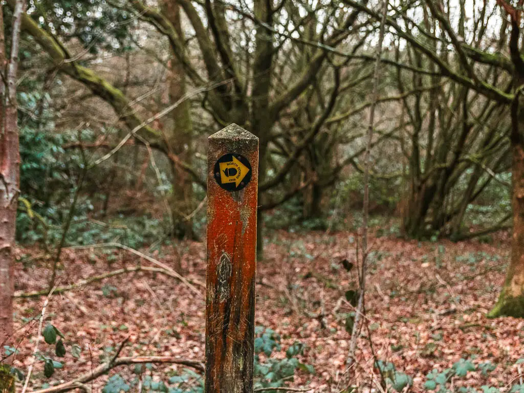
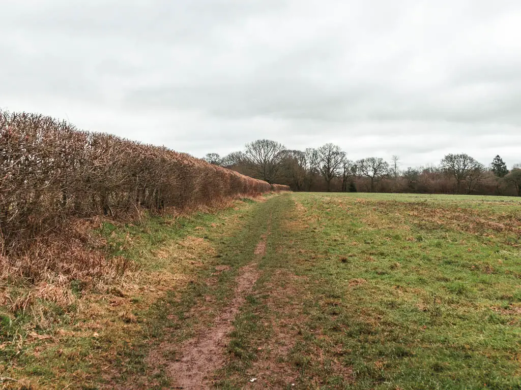
Walk to the other end of the field, where you should find some NDW signage. Follow this, keeping right, to then go through another gate onto a dirt trail lined with straggly trees.
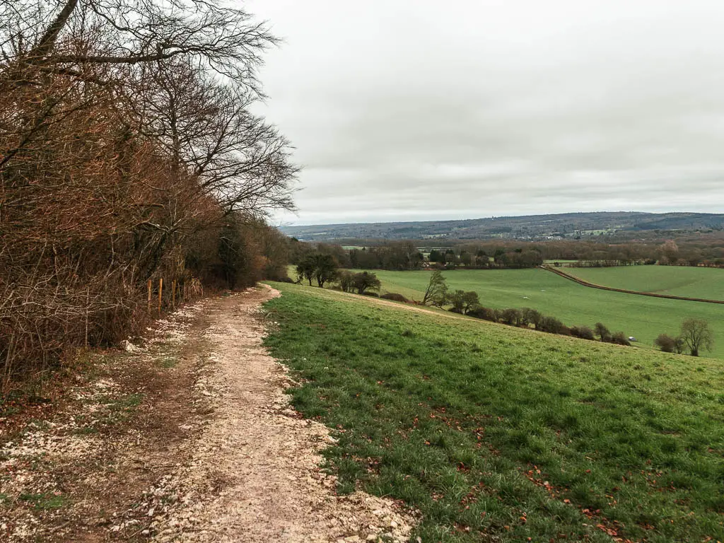
Once out of the trees, you will be on the edge of another field with wonderful views.
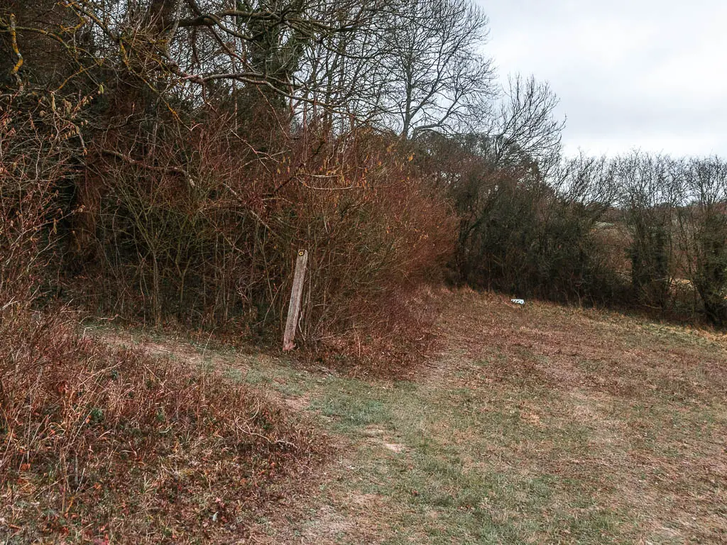
Missing signs
Walk around the top of the hill field, then when you reach the road, stay following the trail next to the field. The NDW sign was missing again.
The trail will now take you on a few curves, along the top of the hill with those wonderful views to the right.
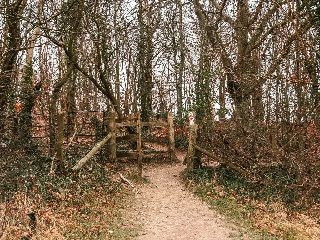
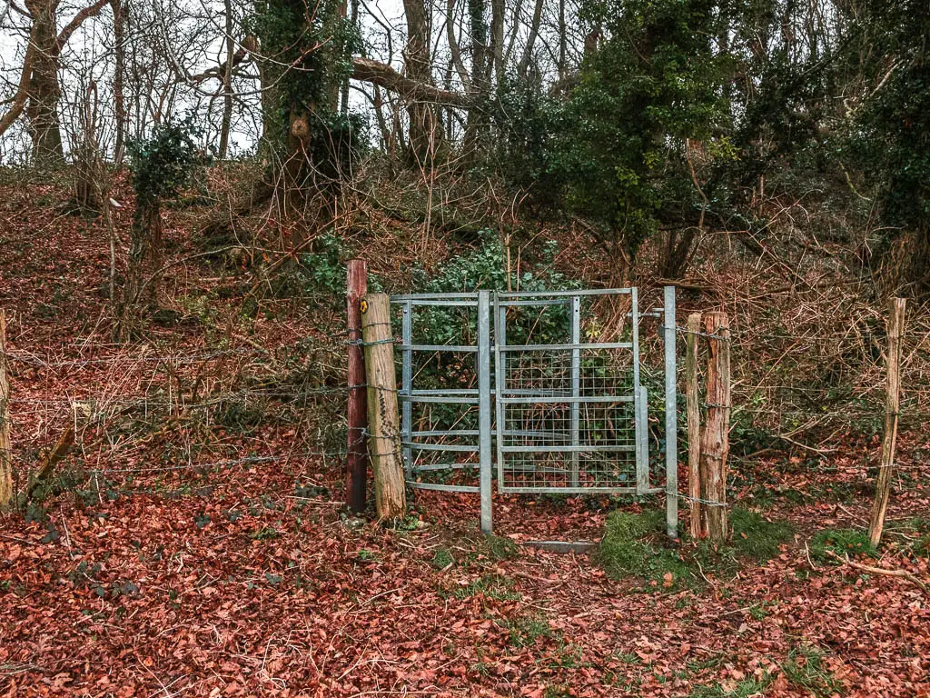
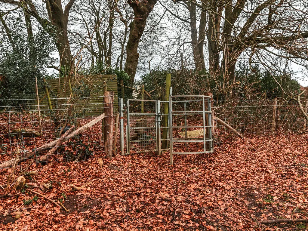
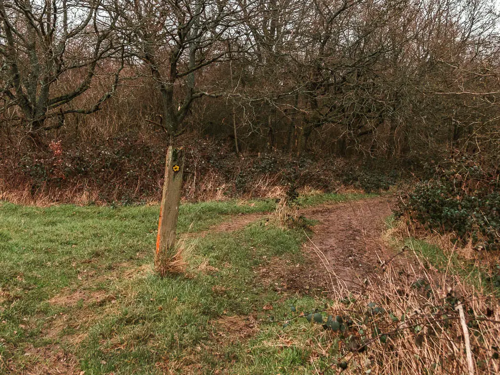
Somewhere along here, you need to turn left to walk through a wooden gate. There are no signs to tell you this. I wasn’t even sure this was correct, until I walked through and saw a sign on the other side.
Next you walk up some more steps to reach the road and big junction.
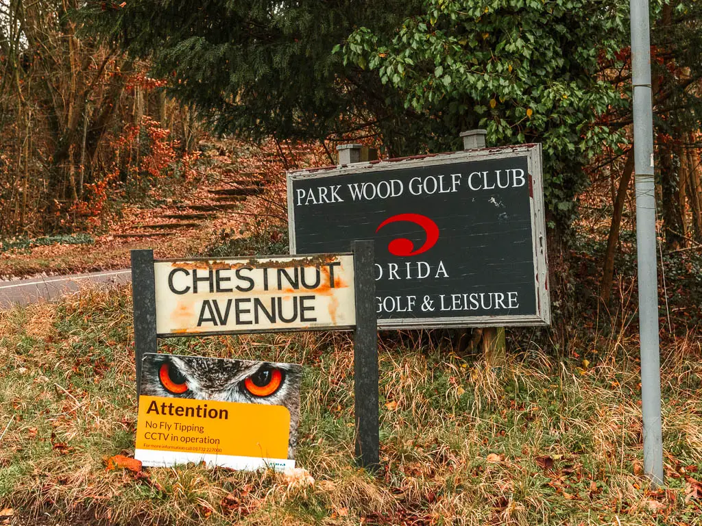
It’s not obvious, but at the junction you need to turn right onto Chestnut Avenue. It’s the one with the golf club sign. You won’t see the NDW signs until you walk over to this road.
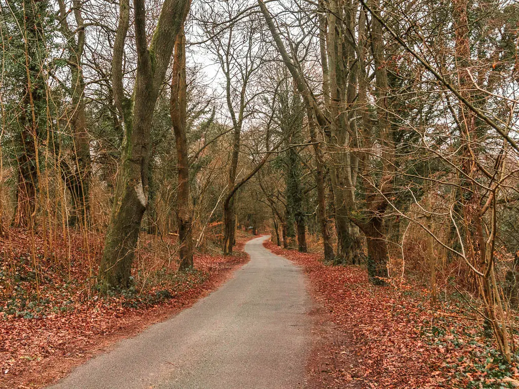
Road walking
Now it’s a lot of road. Not busy road. I actually don’t think a single car passed me on this bit.
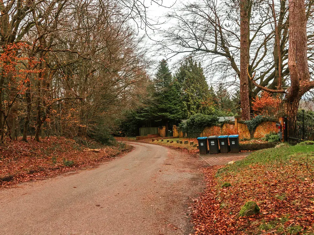
Keep going for some time, passing the golf club, then some houses where rich people probably live, to reach the road junction at the end.
At the junction, turn right to walk along the road as it curves left, taking you past some more houses.
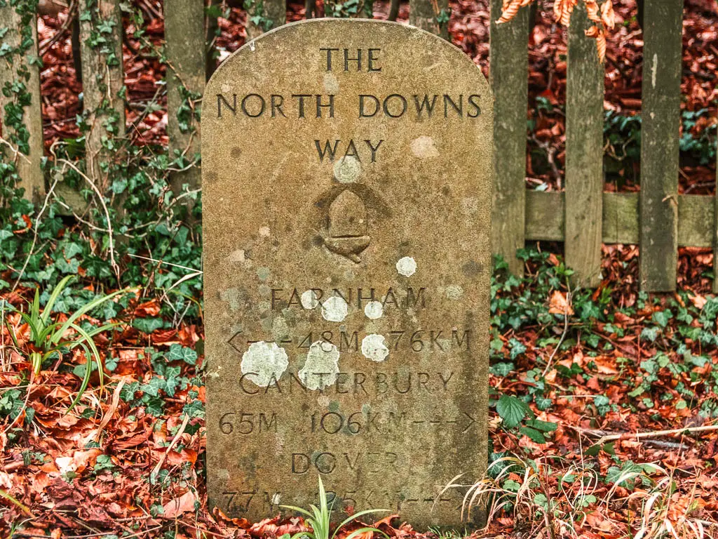
Along here you will pass a headstone sign telling you how far you have come and how far you have to go to reach the end of the NDW in Dover. I think this is the first one of these I have seen since Farnham. I was wondering when one would pop up.
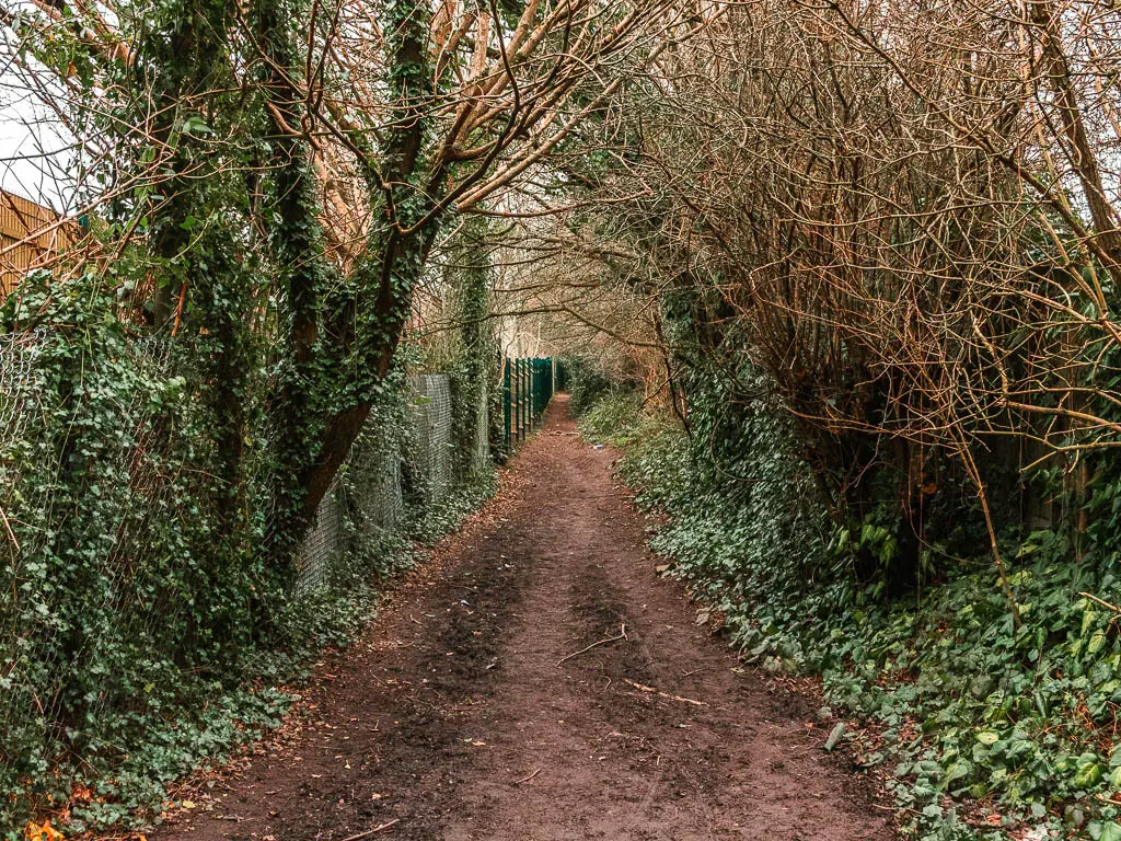
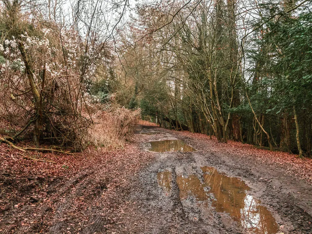
The road eventually becomes more dirt track like, and maybe a little muddy.
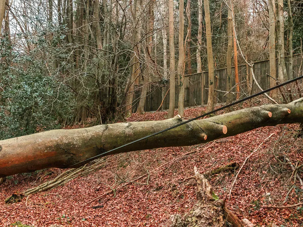
Danger tree
I came across another fallen tree along here. This one had caught a power line. I wondered whether the line was live and would electrocute me if I touched the tree. Just incase, I took my backpack off and chucked it under, then crawled after it giving myself extra clearance. Safety first.
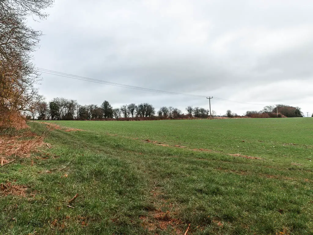
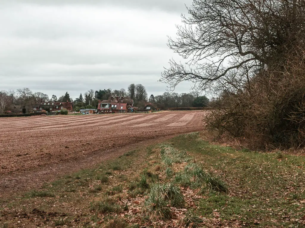
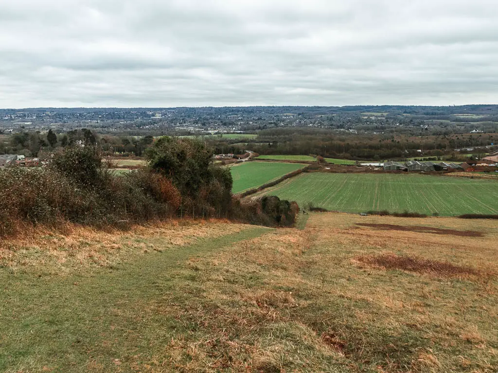
More fields and views
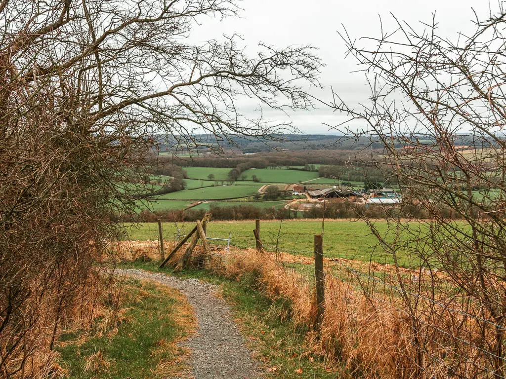
At the end of the road, cross over the next road to get onto the trail in the field opposite, then turn left to walk around the top of the hill with some lovely views.
As you are walking along the top, there will be a spilt. Take the left one which leads you to a gate and into the woods again.
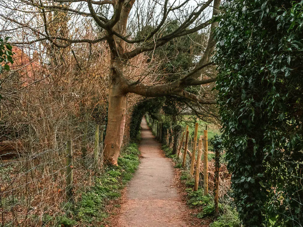
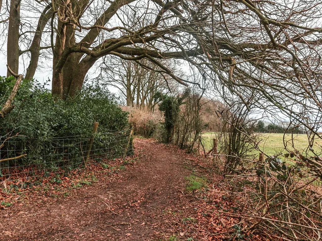
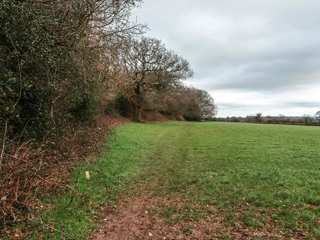
After a bit of walking along a narrow dirt trail through straggly woods, you will be back in the open with more views.
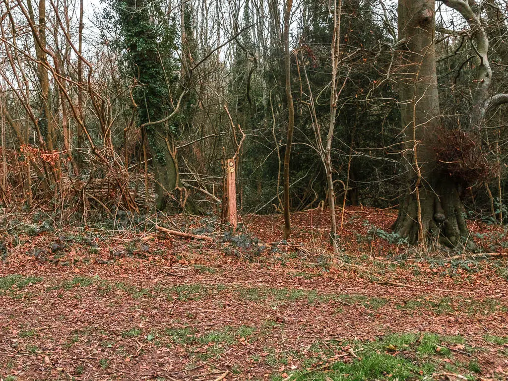
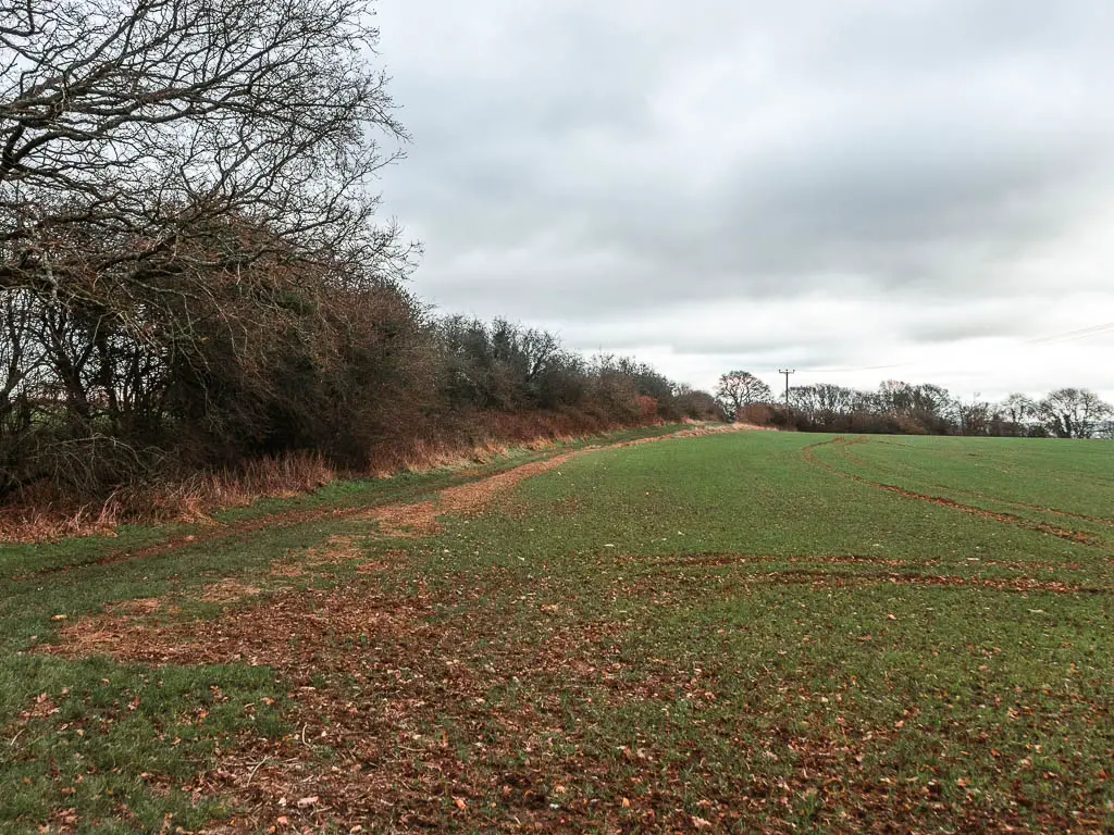
Walk along the top of this field, keeping an eye out for an opening on the left with a wooden stump trail sign. Then take the left to walk up some more steps.
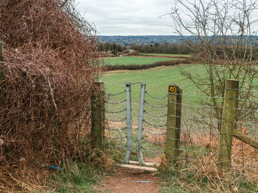
At the top of the steps you will reach a gate leading to a big field with a pylon. Walk to the top of this field, keeping left, then go through the metal gate at the top and turn right.
Woods, fields, woods, fields
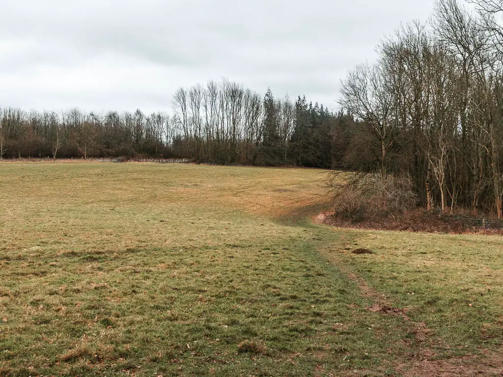
You will be back on a dirt trail through straggly woods again. When you reach the next junction, turn right. After a little bit more woods you will be in, you guessed it, a field with views again.
Walk along the top of the field all the way to the other side.
This is where I stopped for my snack break.
At the end of this field, go through the next gate, and a bit more woods, to reach the next field where you turn left.
Where are the signs?
This is where it gets a bit confusing. When you reach the top corner of this field, there are a few options with no signs. I looked on my map, and saw that there was only one trail. Right. So I decided that the correct way was right, along the top edge of the field.
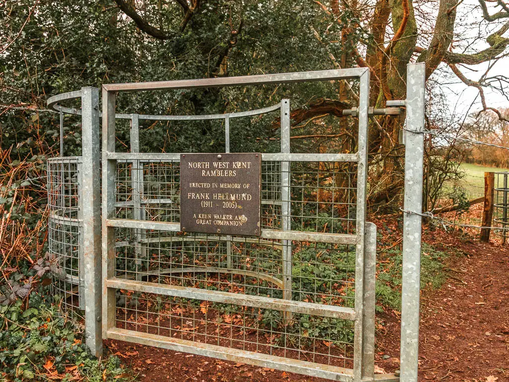
At the next corner, there is a metal gate on the left with a memorial plaque. I couldn’t see any NDW signs here either, which got me a bit worried. I felt like it must be the correct way, so went through it and kept going through the field, walking in line with the pylons.
Part way through this field there is a gate on the left. There were still no signs (not a good sign), but I decided to go through and turn right.
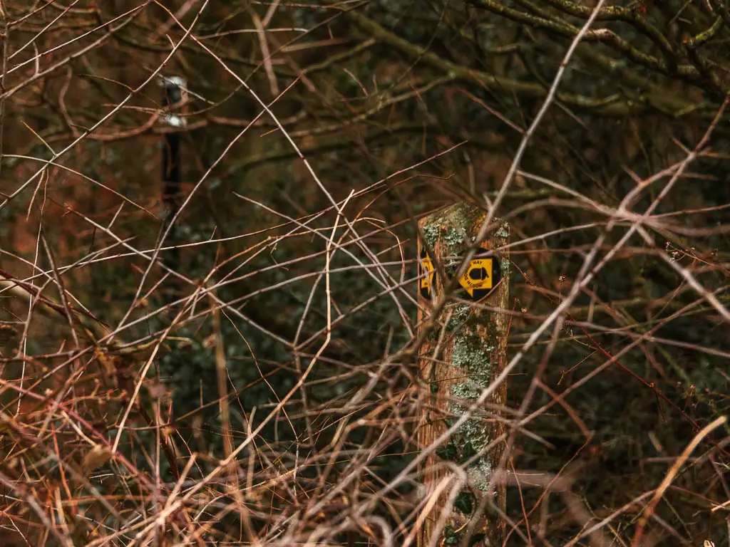
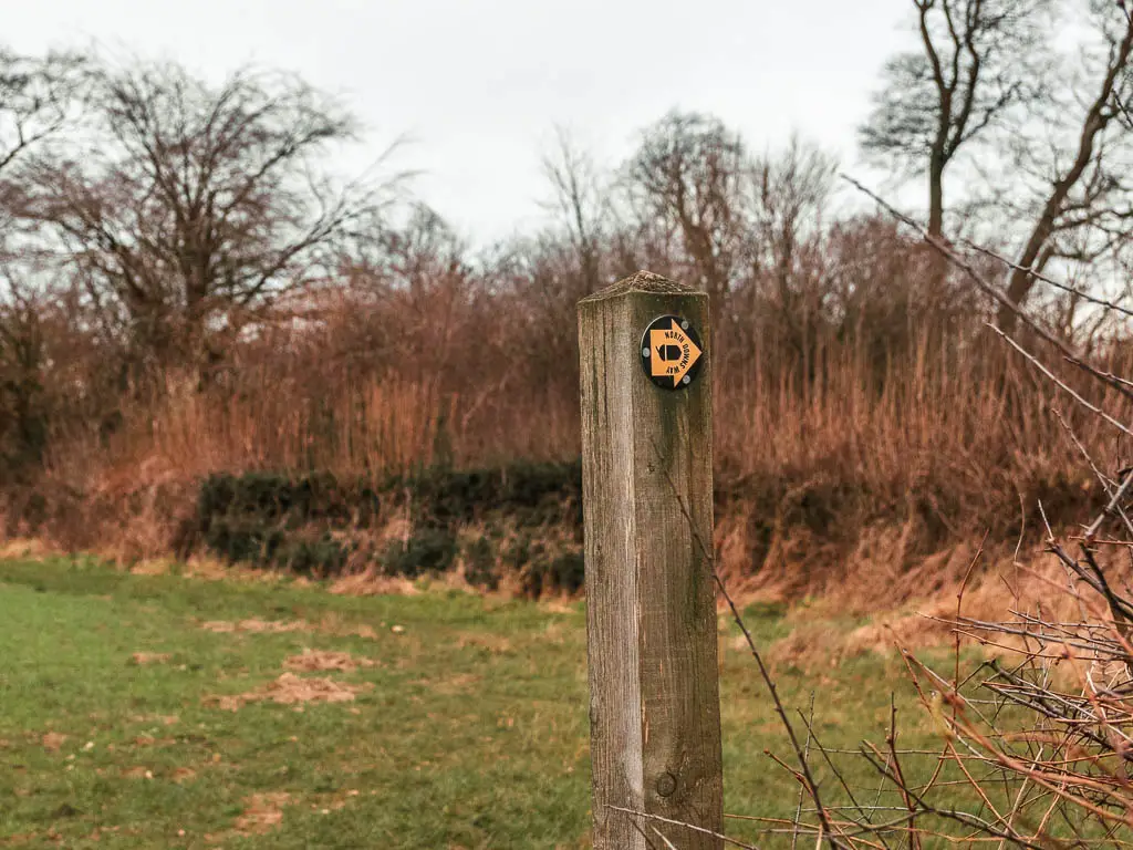
At the next corner, there is a gate to the left. I scooted on over to it to find some trail signs. Too many trail signs. The NDW was pointing in all directions. It was as if someone took the arrows from the previous junctions and stuck them all here. They were also in different colours. Not something I have seen before.
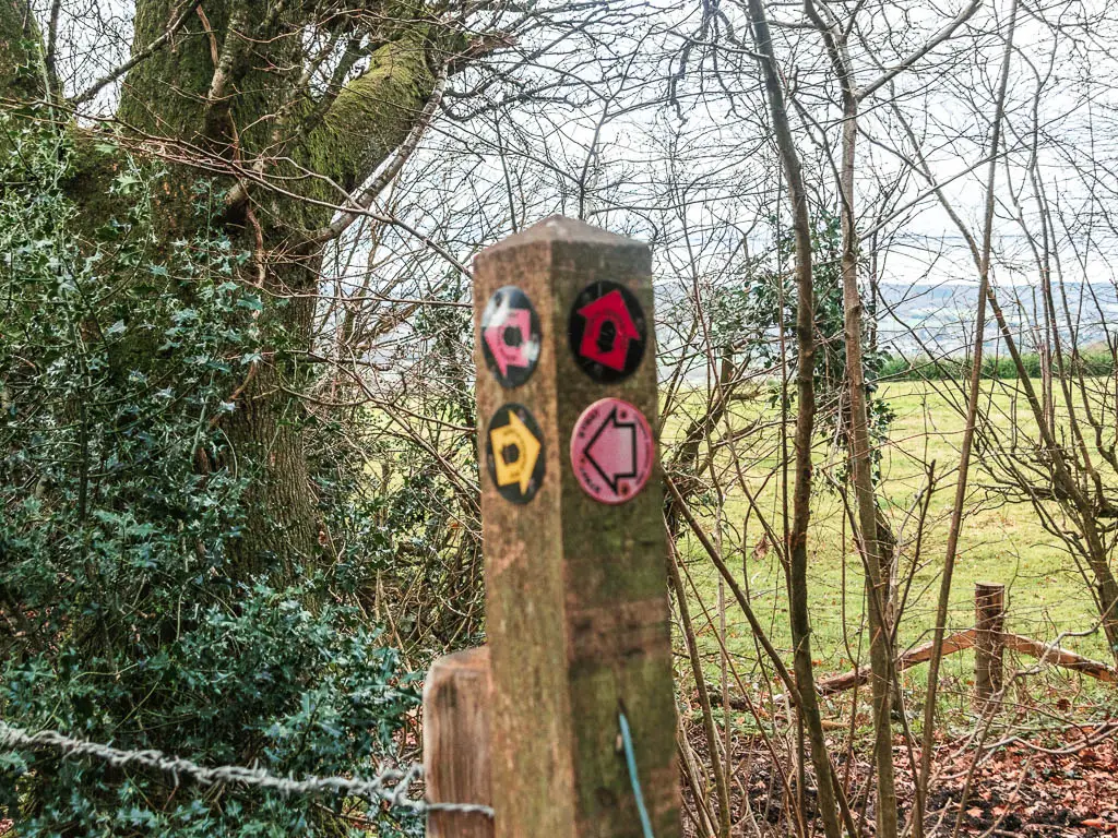
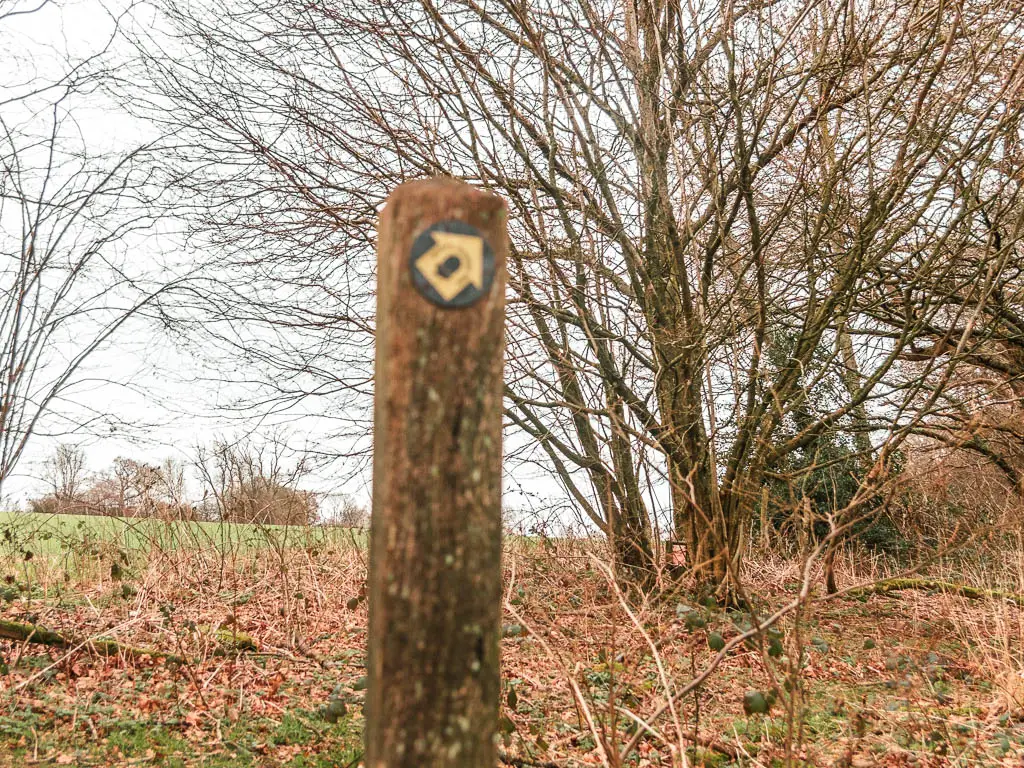
The yellow arrow is the one I was used to, so I chose that one (and you should too).
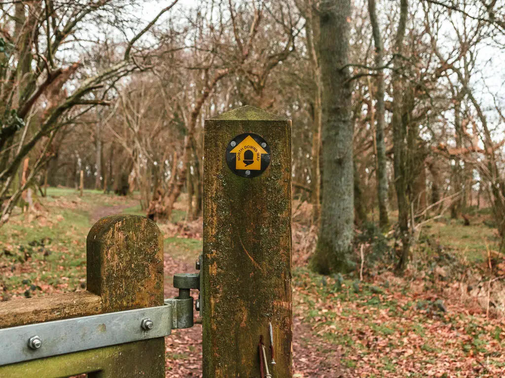
Through some more woods, on an undulating dirt trail, you will reach another wooden gate. This time with not just a yellow NDW arrow, but and stone NDW sign. This one can’t be lying.
All the arrows
Remember at the start, I told you I zoned out for a bit. Well that’s coming. For a good while now, there are yellow NDW arrows everywhere, guiding you on some twists and turns….
Through the wooden gate, turn right along the edge of the field. Then at the end, turn left.
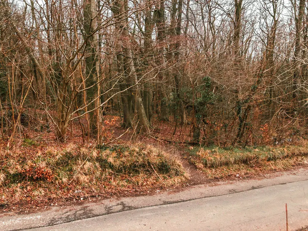
There is muddy section coming up, then a road to cross to reach the next field.
On the other side of this field, cross over another road and into the next field.
There are now a series of fields, and a couple of wooden gates with yellow arrows guiding you straight.
Then at the (I think) third gate, the arrow points slightly right. Follow it along the edge of the field, then when you reach the opening for the next field, don’t go into it, but turn left keeping along the edge of this field.
Partway along you will reach a yellow arrow pointing right to take you out of this field and into another.
Follow the edge of this field around, to reach the bigger sign which directs you right and onto the road.
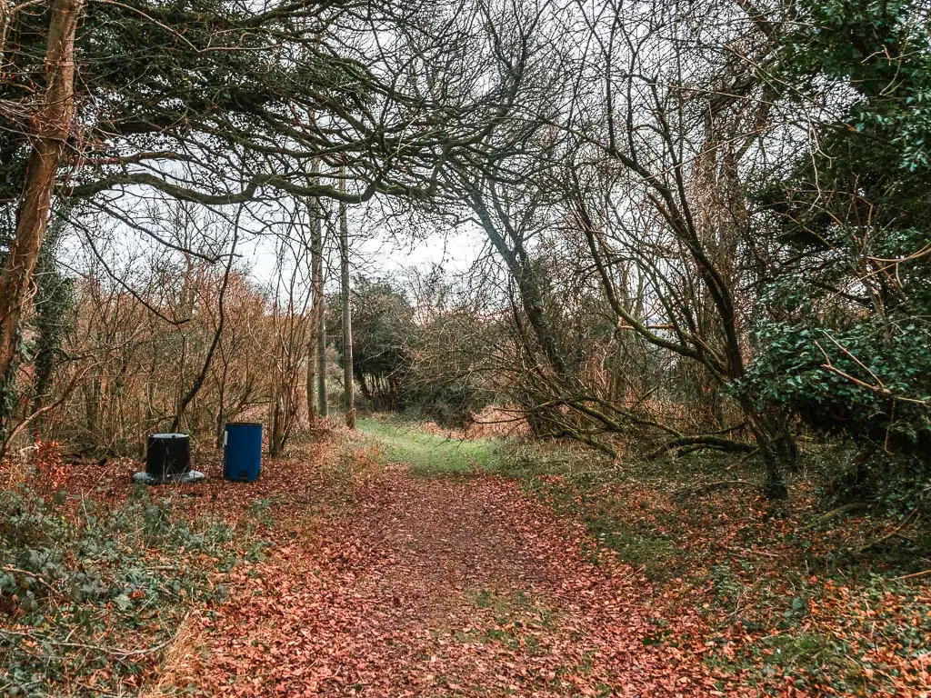
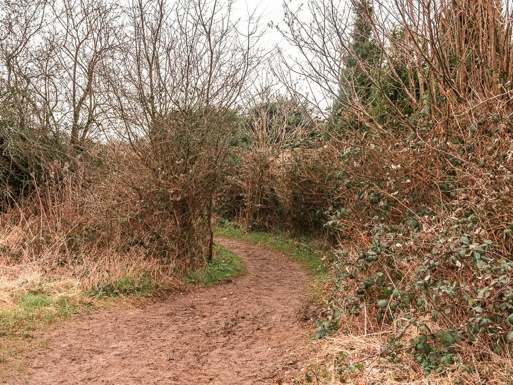
More woods, more fields
Cross over the road and straight along a wide dirt trail.
At the other end, go through the gate on the right to walk though some woods. I think there is a junction coming up where you turn right.
Then after a bit more woods, go through the metal gate into a field, and turn right to walk along the edge of it.
There is a trail split along here. Either is fine as they join up ahead.
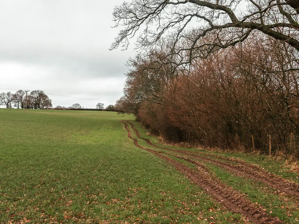
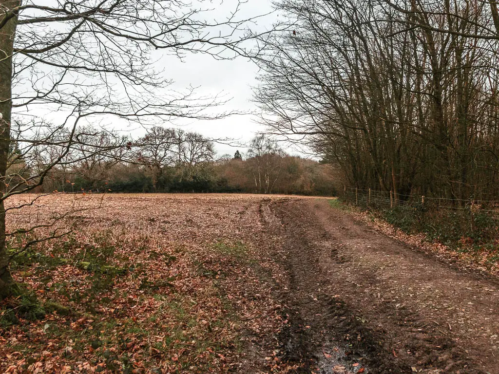
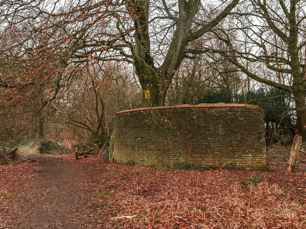
Continue past the ruins of something, and keep following the wide dirt trail as it curves around the field.
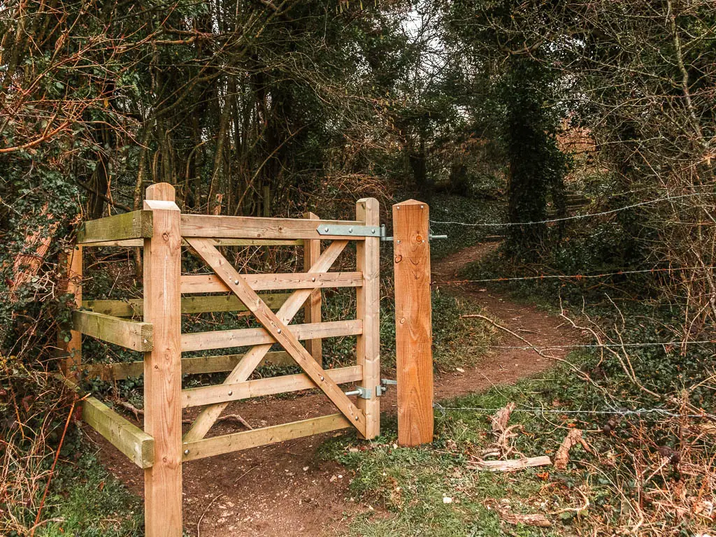
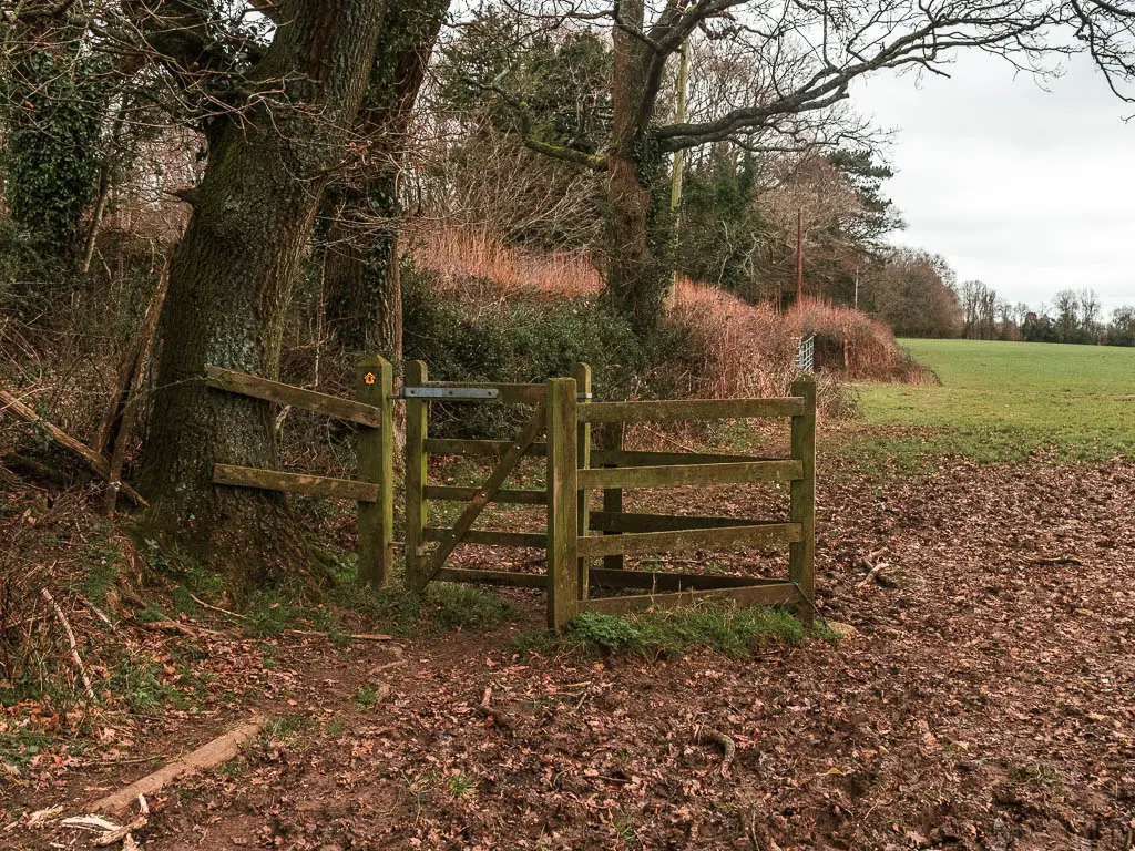
When you reach the wooden gate, go through it.
Keep following the trail, and then through a metal gate, to walk along the edge of a crop field with a house on the other end.
When you reach the corner, stay straight through the bushes (there is no sign here).
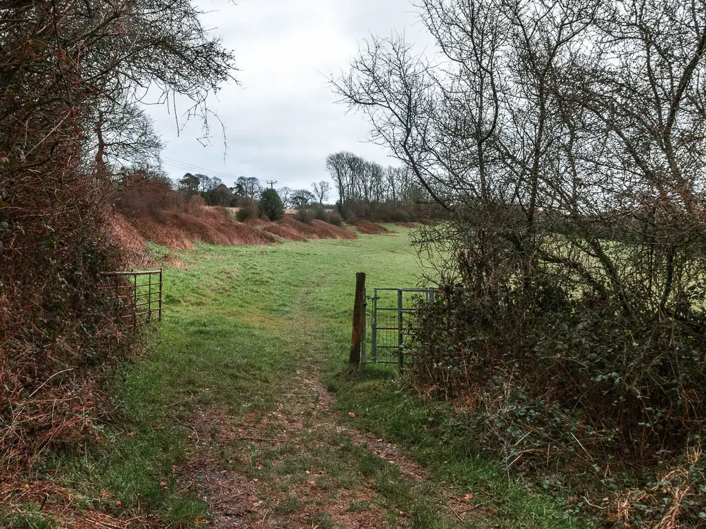
When you reach the road, turn right and walk a short way along it, then take a left to get into another field.
Continue straight along the edge of the field, then through the gate on the other side. A short way past the gate, there will be a right turn. Take it.
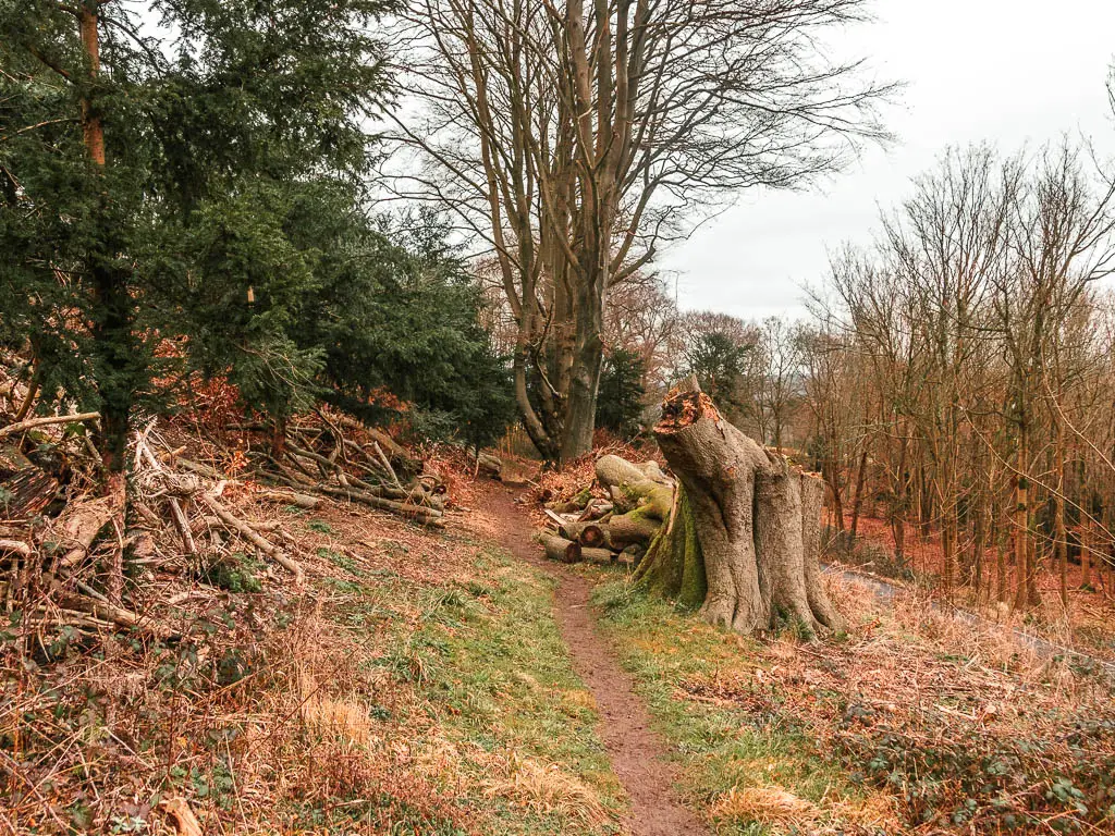
At the time of writing there is a big fallen tree along here. It looks impossible, but if you look to the left, there is a way to walk around it.
When you reach the next field, follow the trail you can see running down it.
I mistakingly turned right, which lead me downhill to reach a lovely view. Something didnt feel right. My senses told me I had gone the wrong way, which was a shame. Partly because the view was nice here and I wanted to walk down the hill. Partly because going back on myself meant walking back up the hill.
Anyway, follow the main trail you can see, and it will guide you down the hill then to the right. You will then be able to see a fence ahead with views in the distance. Go over to it. The NDW signs actually direct you on a weird detour to bring you back to that fence. It’s pointless, so don’t bother.
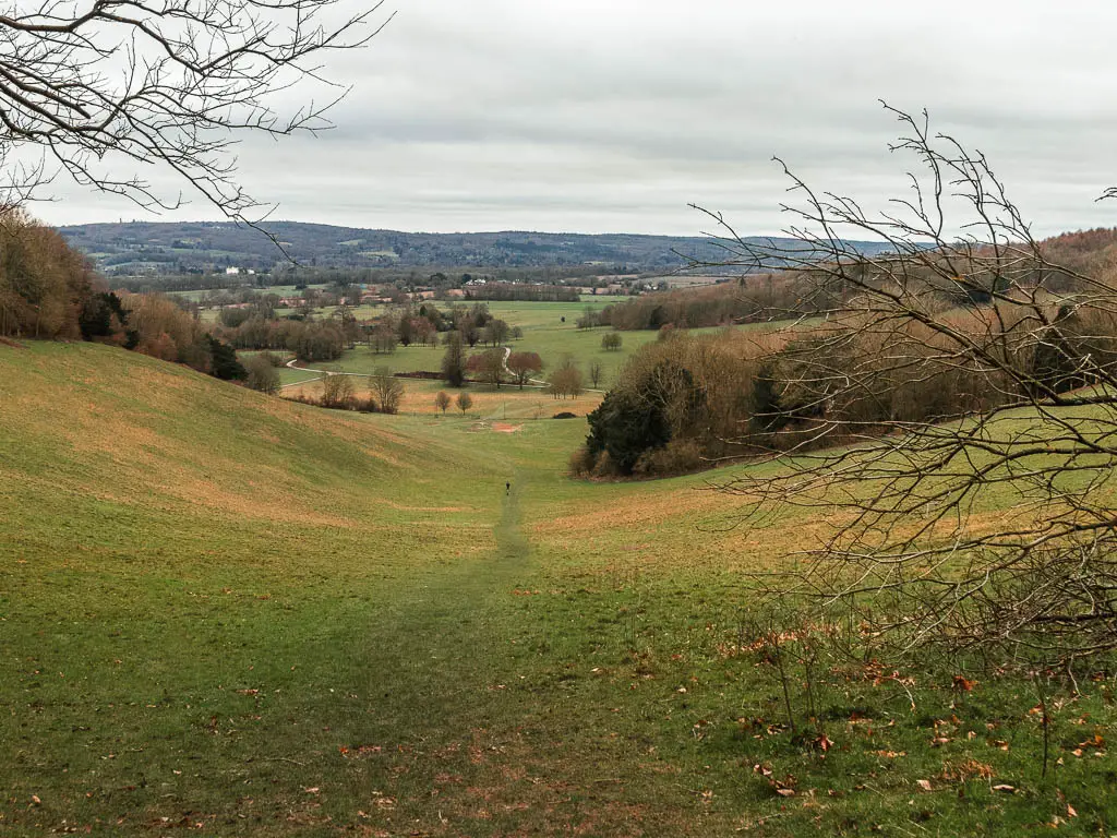
The big descent
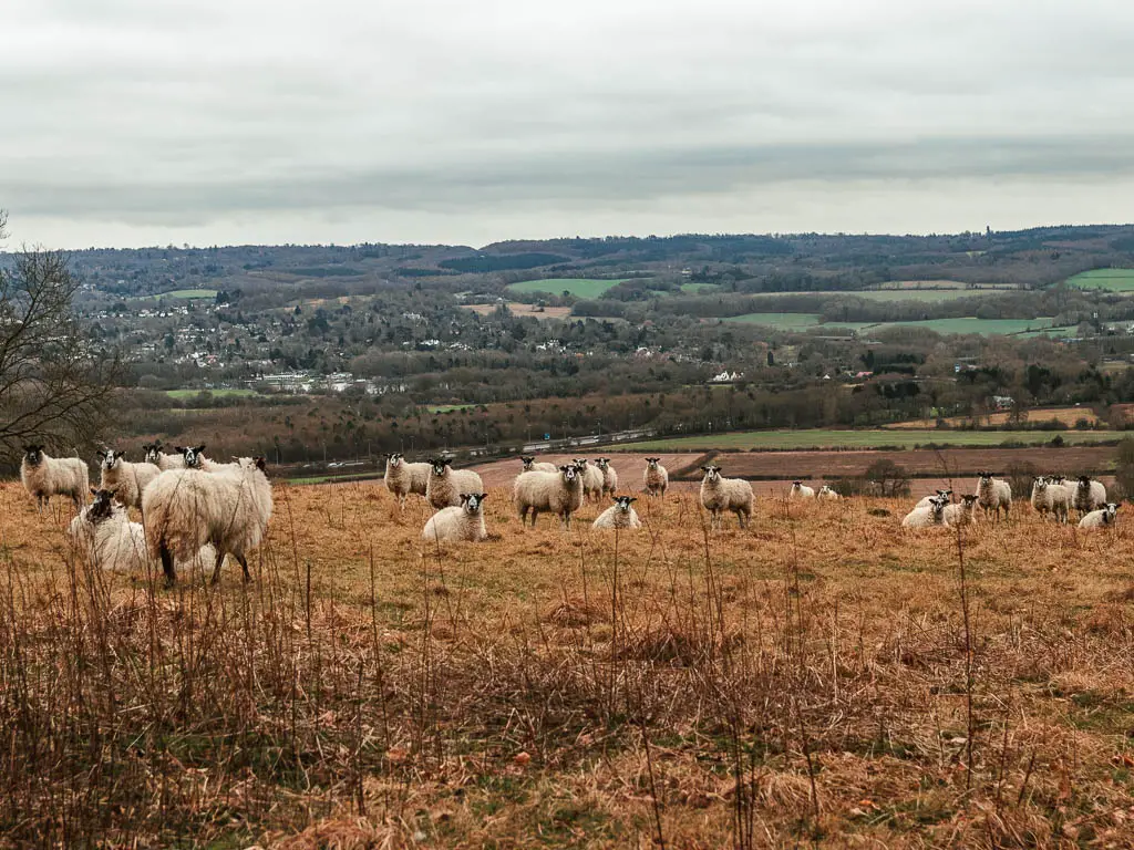
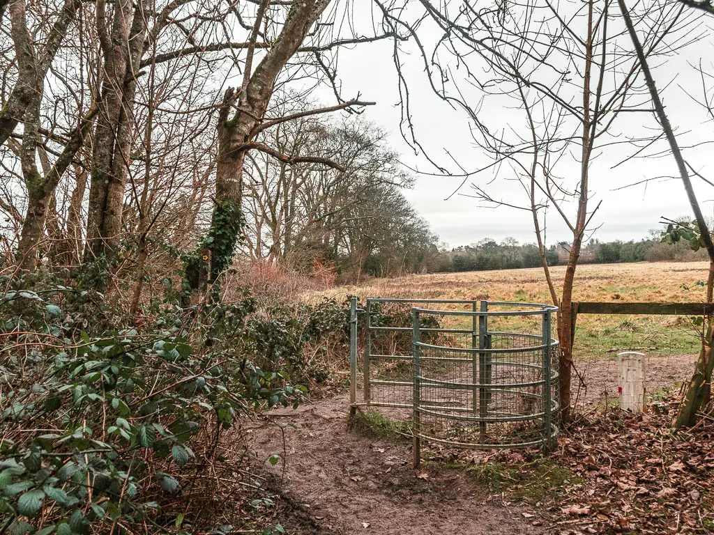
Go through gate at the fence, into a big hill field which may have lots of sheep.
Follow the wide grass path as it guides you down the hill and to the left.
This trail will gradually take you down the hill, with a few curves, and a type of stile I have never seen before.
This is the last big hill of the walk between Oxted and Oxford (there is one small one left). I knew I was nearing the end, so I do what I usually do at this point and check the train times from Otford, then checked how long Google Maps tells me it will take to get there. 1h20 min. I was shocked. I decide not to believe it and put my phone away (it turned out to be correct).
The roads and M25
When you reach the bottom, turn left onto the main road. There is no walkway here. So you need to be super careful. A bit further along, there is a pavement you can get onto.
Keep going and turn right onto the bridge over the M25.
After a bit of walking along the road, you will reach a junction with the Rose and Crown Pub on the left.
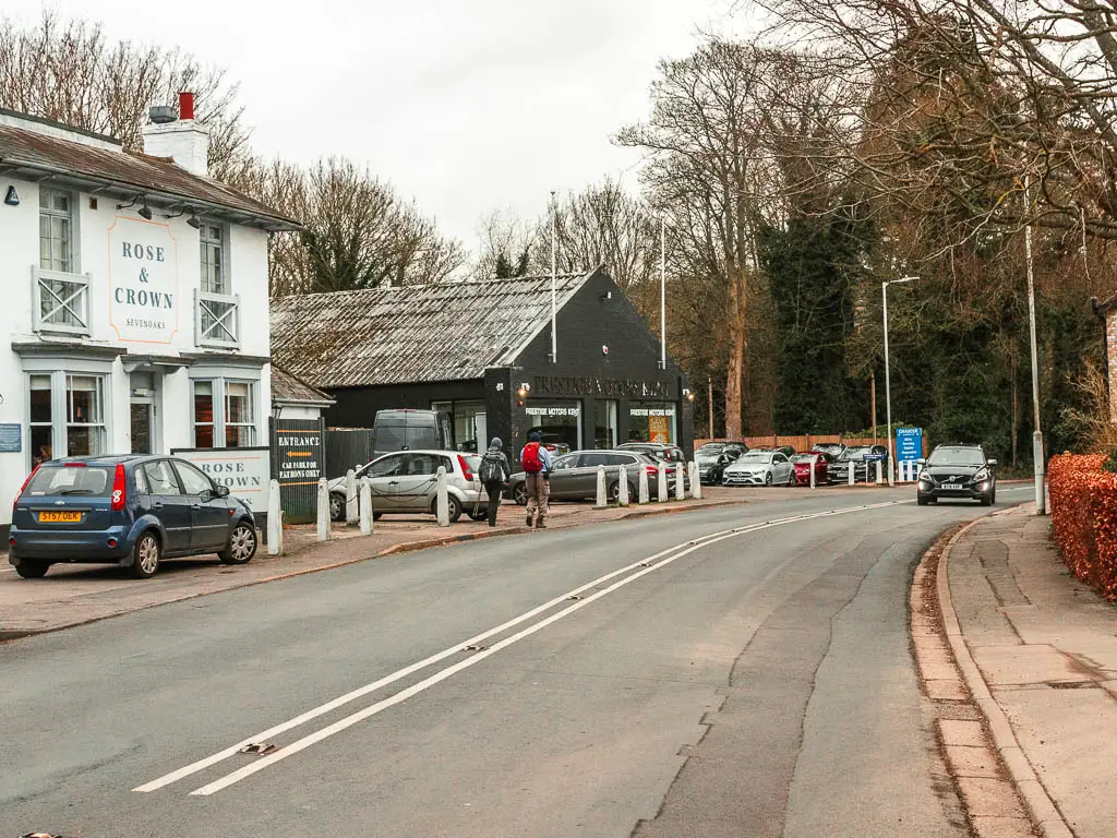
Turn left after the pub, and a short way along, there is a little trail on the right (which is signposted).
The final stretch of the walk between Oxted and Otford
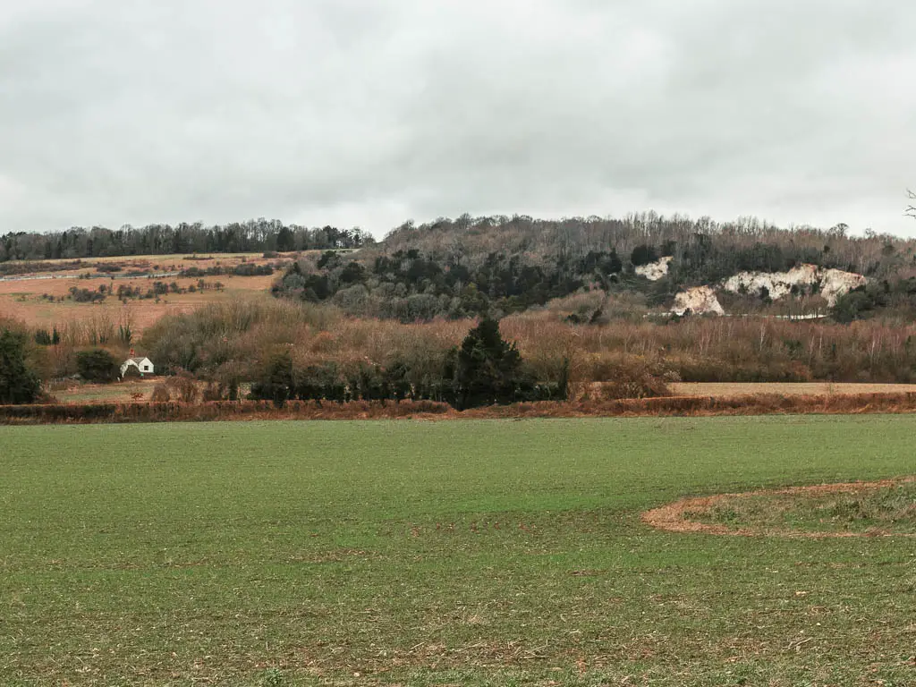
You will be on a narrow dirt trail, with a hotel with Asian stuff on the left. Keep going, and further along, the trail will lead you up a small hill. If you look to your left here, you will see some white chalk cliffs.
When you reach a trail split, I think you can take either. I chose the right through a little bit of woods.
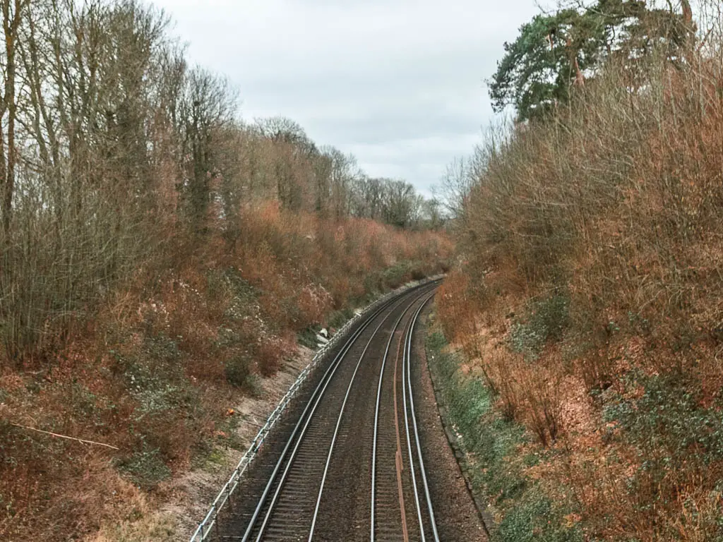
When you reach a crop field, walk straight across it, and over the railway line on the other side.
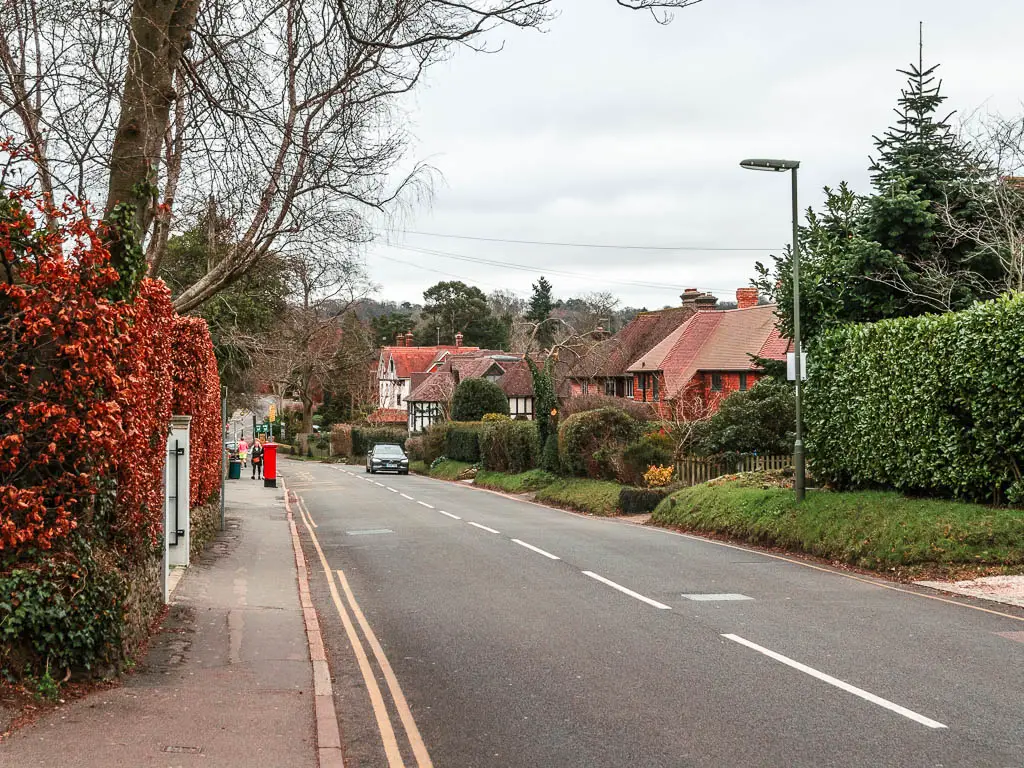
You will next be on a nice residential type road, passing by some houses and hedges as you make your way downhill some more.
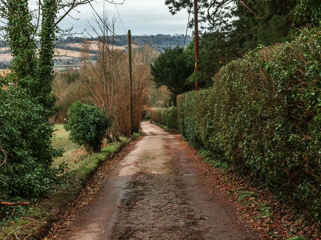
Follow the road as it curves a bit, passing by some more nice hedges, to reach the more ‘common’ residential road.
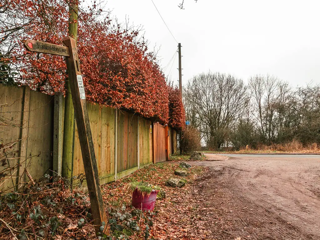
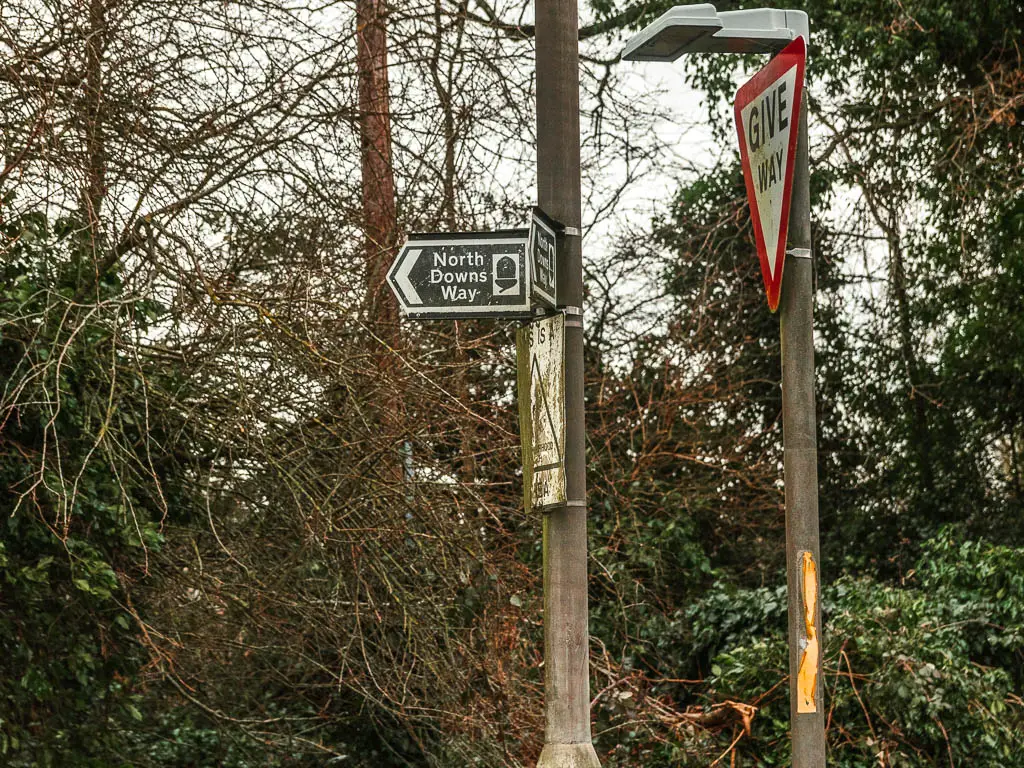
Stay straight, and you will soon reach the the main road. I hadn’t seen a NDW sign for a while, but one shows up here. Follow it to the right along the main road.
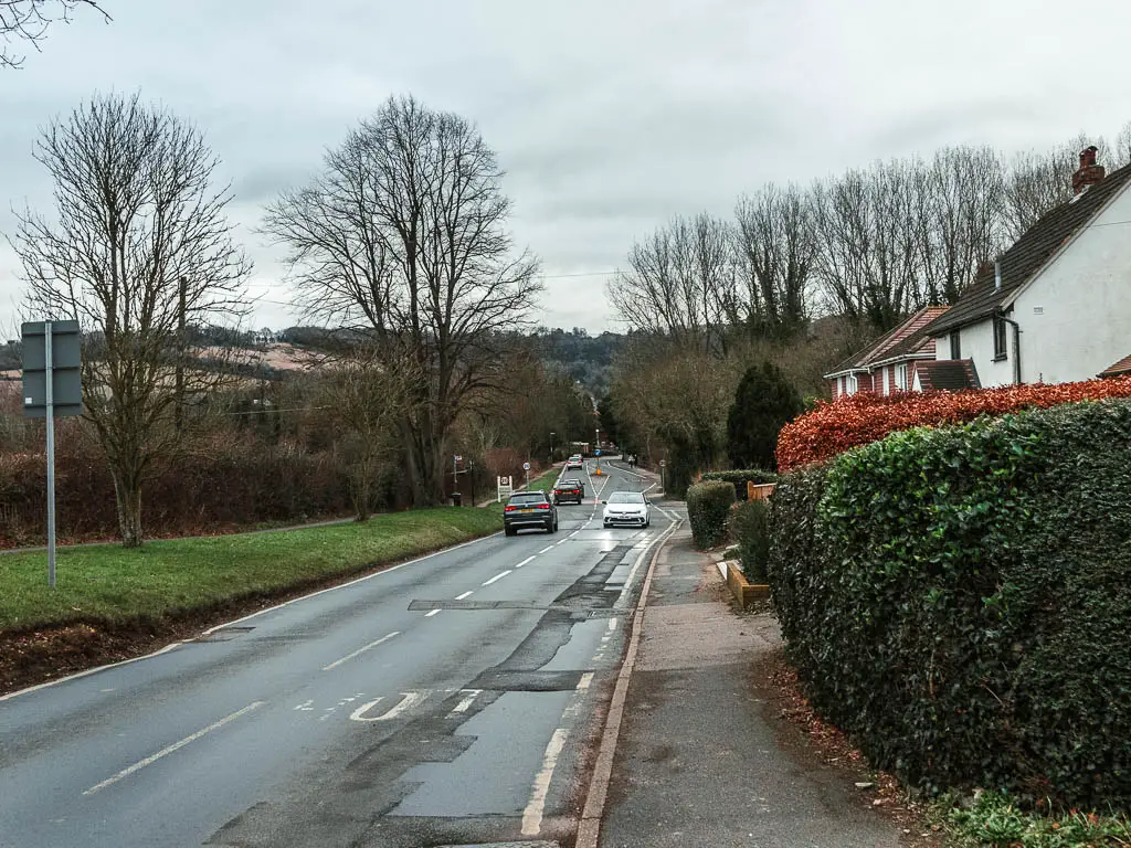
Now it’s very easy. Stay straight and you will be lead all the way to Otford.
Otford
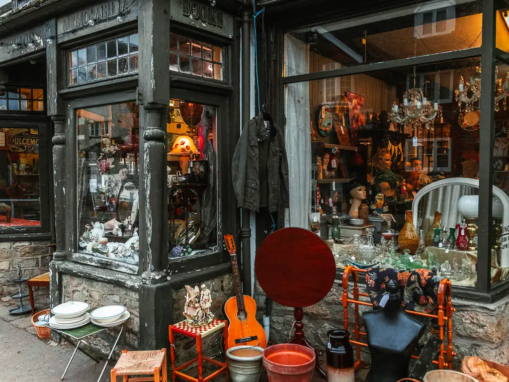
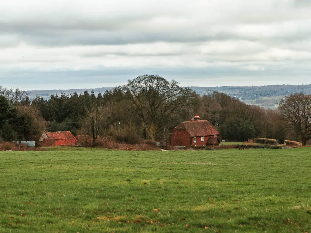
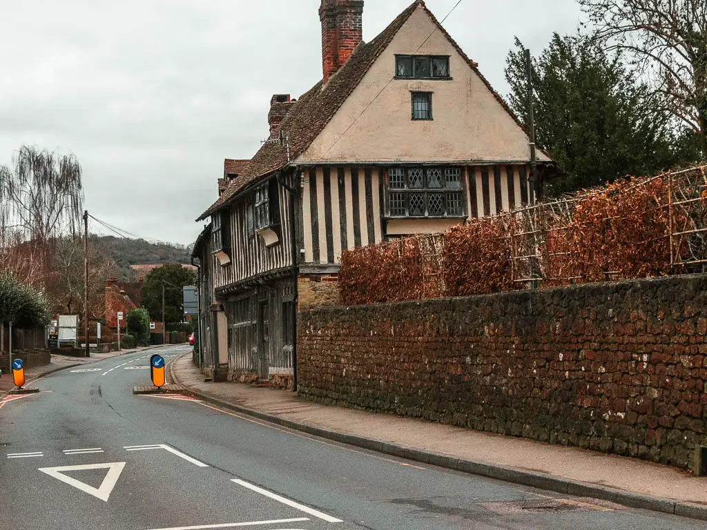
I didn’t know anything about Otford before I got here, but was pleasantly surprised by the quaintness and some medieval stuff.
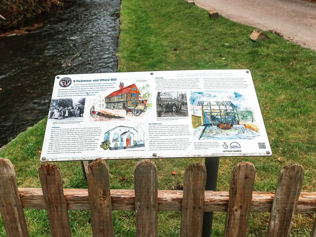
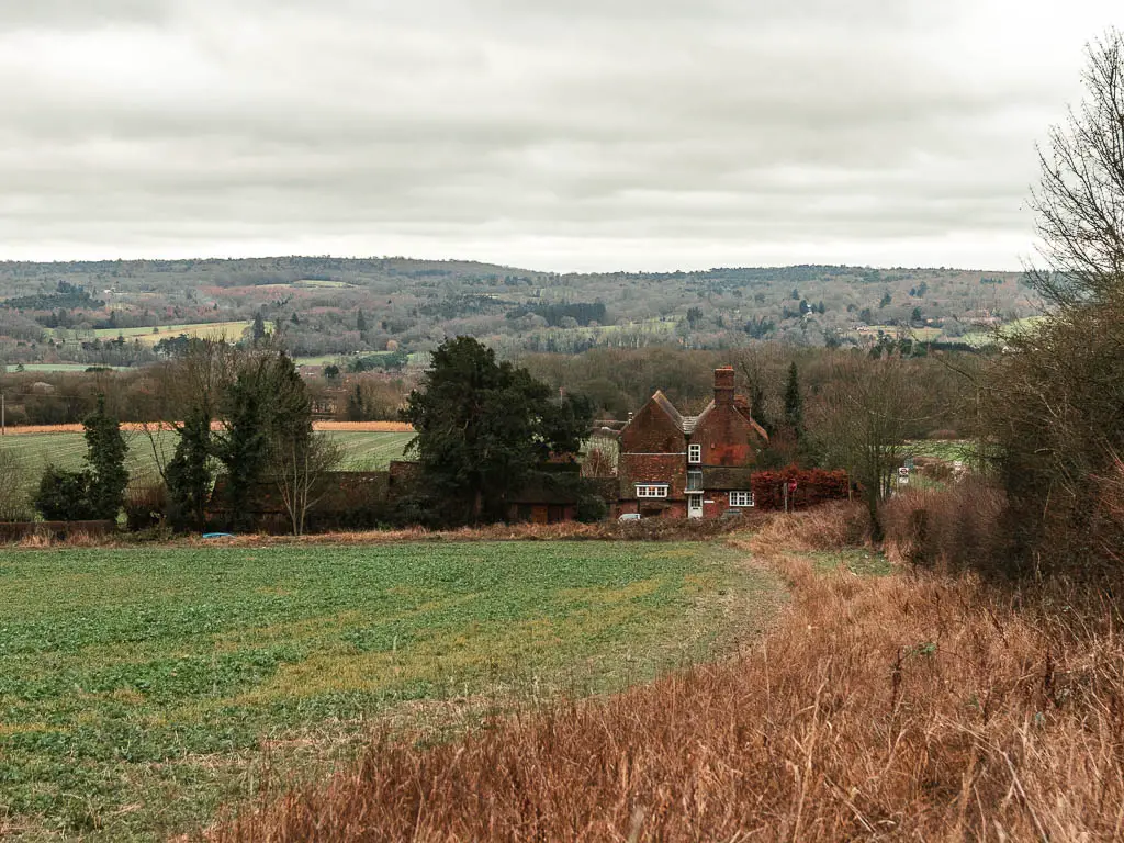
The photo below is Pickmoss, a Grade II listed 15th/16th century building.
Something which I didn’t see, but only read about after, is the worlds largest scale model of the solar system. It’s right here in Otford.
You will also find here the only listed duck pond in the whole of the country. You can find out more about the area on the Visit Otford website.
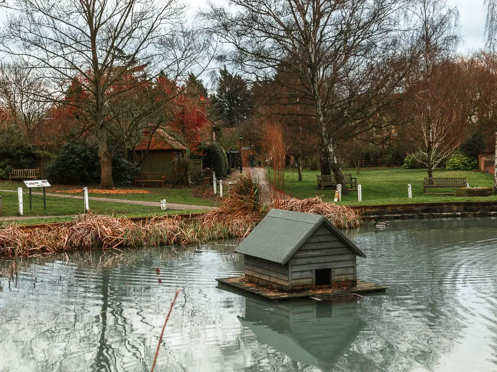
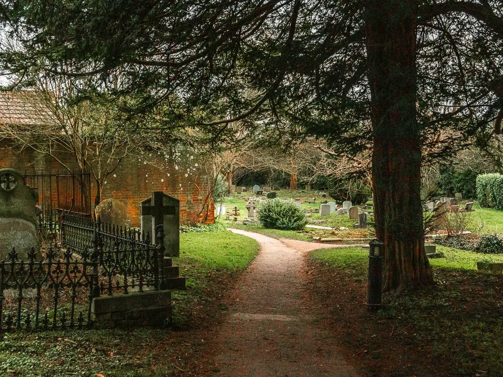
To get to the station, you can stay straight on the road. Or, to follow the official NDW, cross over the duck pond, and head into the church and graveyard. Follow the path through the graveyard, and the trail will soon lead you to Otford Station.