
I was really exited about today’s walk from Snape to Dunwich and Westleton for two reasons. One, I would be back at the sea. It’s been nearly two days since I’ve seen it. Ironic for a coast path walk. Plus it was very hot and I was desperate to get in the water. Two, I would see some heather. The heather isn’t part of the coast path walk, so I would be taking a detour to Westleton especially to see it. And trust me, it’s worth it.
What to expect on the walk from Snape to Dunwich and Westleton
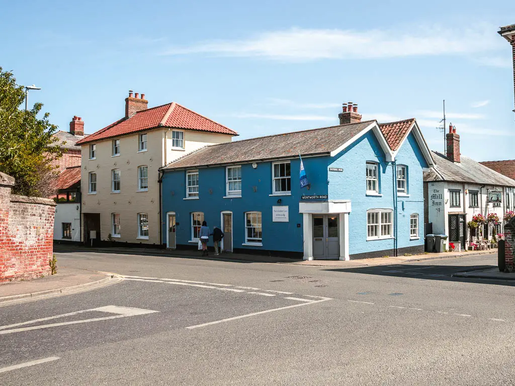
Out of Snape, it’s a bit of woodland, and bit of road to reach Aldeburgh. Here you have some lovely colourful houses along the coast. They are on the other end of the beach from where you arrive. I was too lazy to walk over there, but I know they are nice because I’ve seen pictures online. There is a smoked fish hut here which I highly recommend. It has the best hot smoked salmon I’ve ever had.
You then follow the coast, either on the shingle beach or grassy area next to it, to reach Thorpness which is a small seaside village.
Continuing on, it’s now either fully shingle beach, or hill top. I chose the hill top, which you walk through the village to get to.
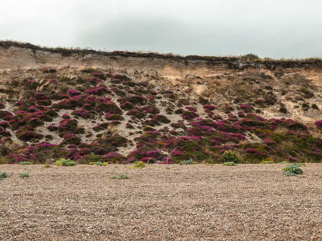
Eventually it’s back onto the beach where you remain for the rest of the walk to Dunwich. At first you can choose not to walk on the shingle, but eventually it wins. I must say though, by that point the scenery was wonderful. Walking below a cliff, with patches of purple heather in parts.
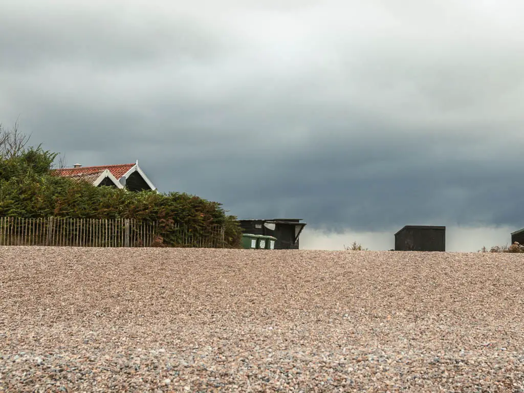
When you reach Dunwich, you only know you have arrived because it’s where the cliff ends, and there are some black huts.
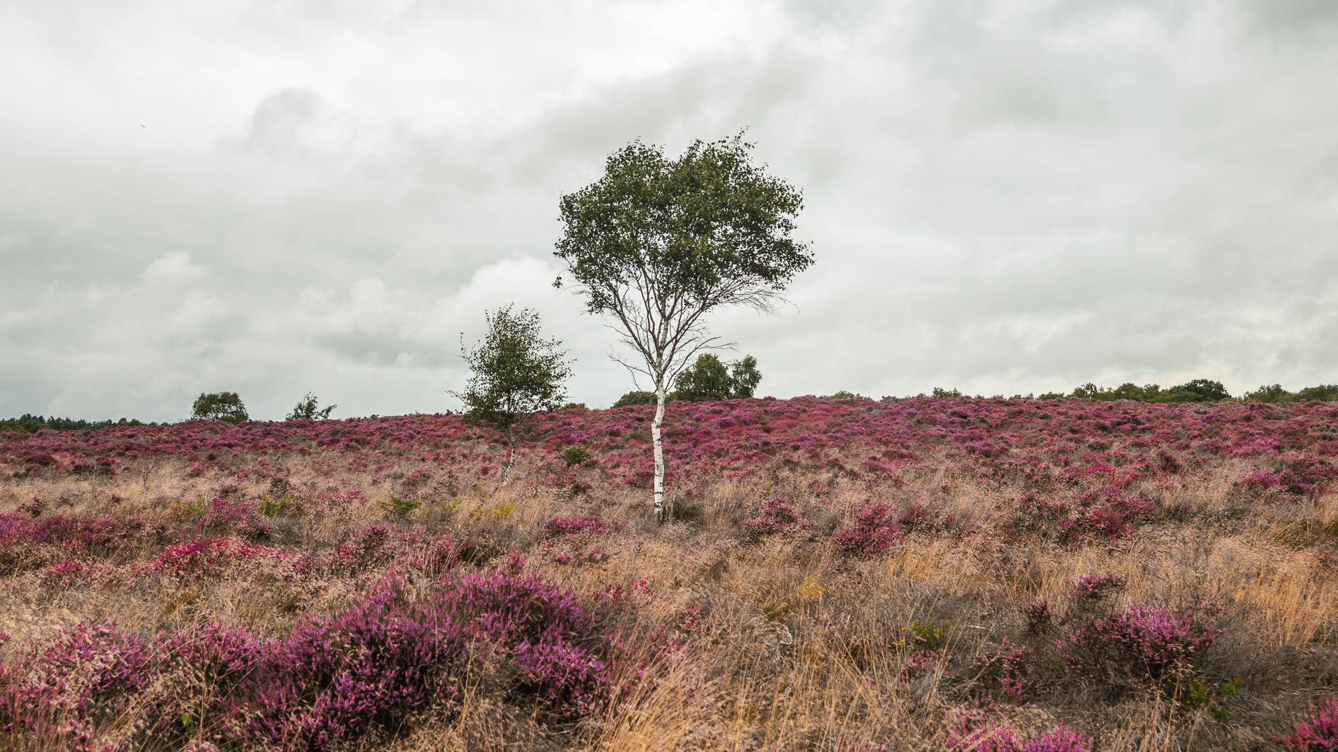
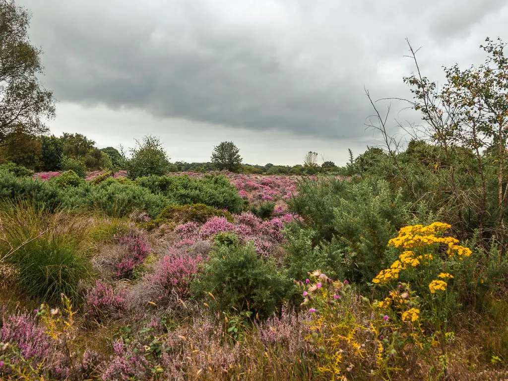
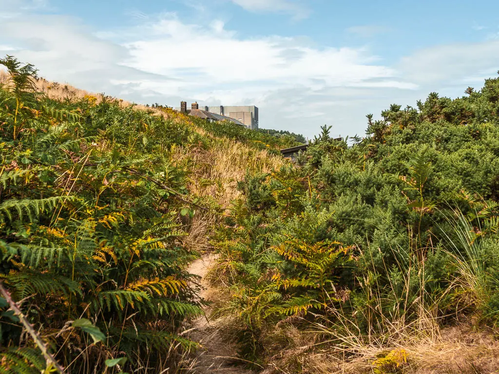
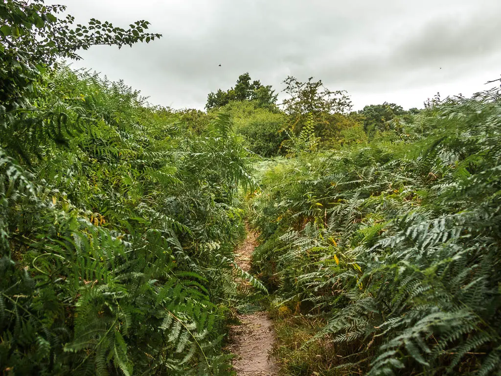
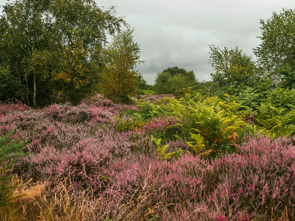
To get to Westleton, it’s on dirt trail first with masses of fern and some woodland to reach Westleton Heath, where the magic happens. A long walking path surrounded by masses of purple heather. Bare in mind, this is time of year dependant. I’d specifically chosen to do this walk in early August to catch the heather in bloom.
Logistics
- Start: Snape, Suffolk.
- Finish: Dunwich or Westleton, Suffolk.
- Distance: 15.5 Miles to Dunwich +3 miles to Westleton.
- Time: 5h (+1h to Westleton).
- Difficulty: Easy terrain, moderate due to length.
- Time of year: I walked from Snape to Dunwich in early August.
Read the previous day here: Orford to Snape Day 3
Amenities
In Snape there is Snape Maltings which has a deli and cafe.
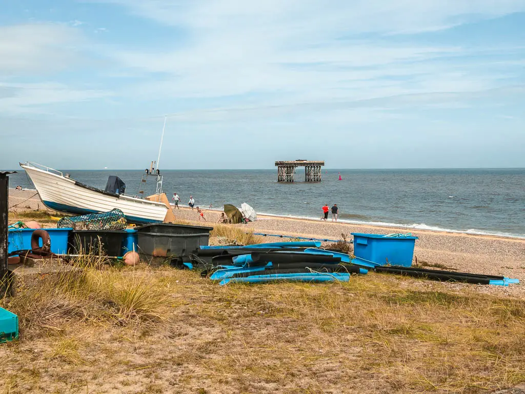
In Aldeburgh you have Ash Smoked fishes, which is a little shack by the beach, which sells smoked fish to go. I bought 2 salmon fillets and smoked salmon on bun, which were delicious. You also have the Aldeburgh fish and chips shop which is said to have the best fish and chips in the world.
In Dunwich is the Flora Tea rooms by the beach. In Westleton there is the Westleton Crown which has a pub, and a tea room.
Public transport
Nothing in Dunwich or Westleton. In Snape there is the Katch bus which runs to Wickham Market station.
Accommodation
In Snape is stayed in the Golden Key Inn. Very nice large room. Be aware that check in is until 3pm. Or when the pub opens again for the evening.
In Dunwich, when I was doing the walk, the cheapest was £600 per night. I’ve had another look since, and there are more affordable options. Just not when I did it. You have for example, the Ship. It’s a bed and breakfast pub.
I stayed in Westleton at the Westleton Crown. This was a gifted stay, but I highly recommend it. Food was fantastic, and room was very very nice. I even had my own little balcony.
Map for the walk from Snape to Dunwich
Map for the walk from Dunwich to Westleton
Route Description: How to walk from Snape to Dunwich and Westleton Heath
The coast path picks up again at Snape Maltings, next to the bridge.
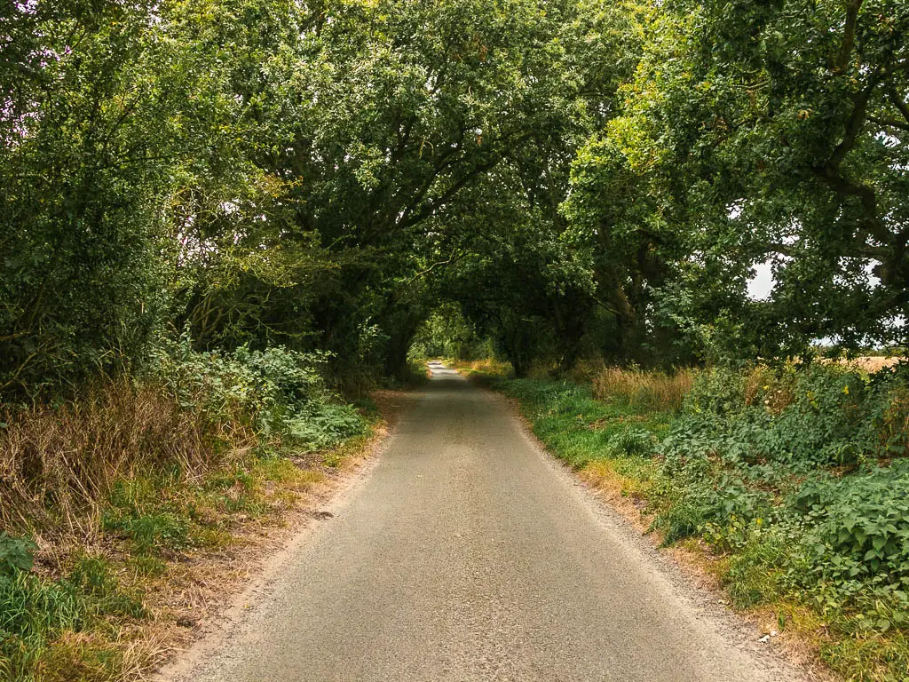
So I headed off, on a pleasant trail, and very soon was into the woods.
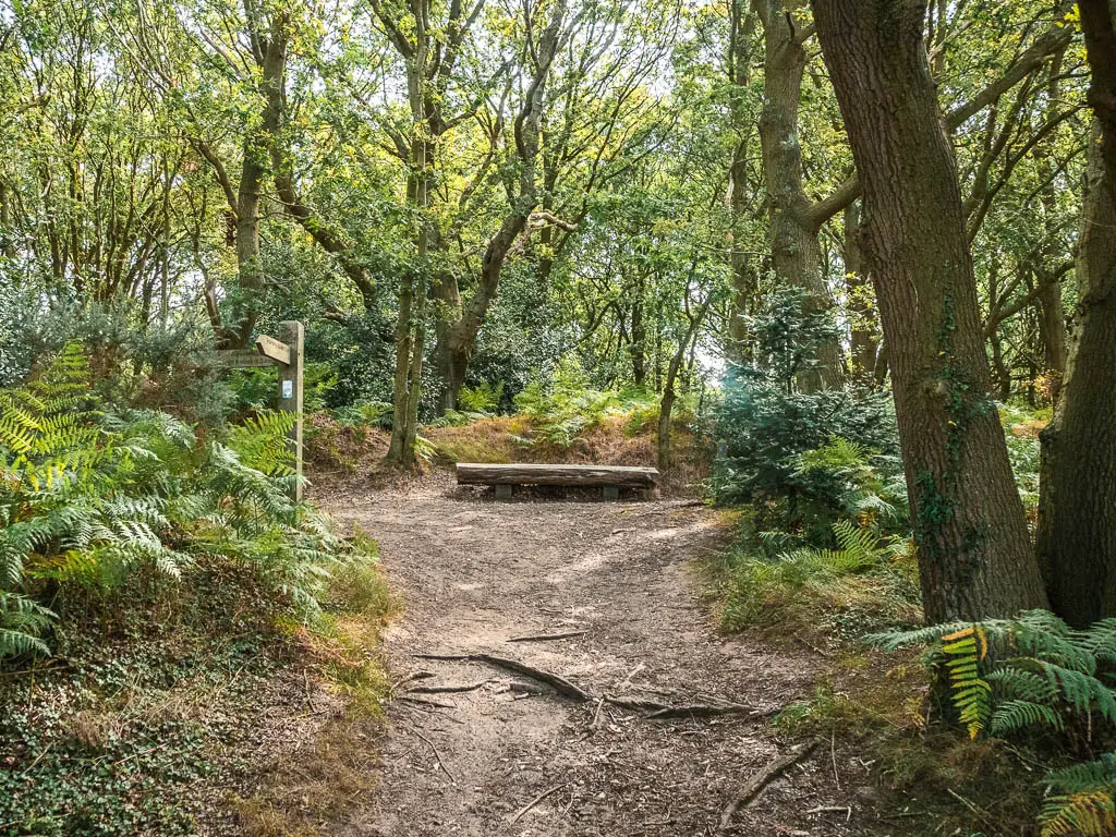
For a while now it’s woodland, which I was happy with, as the sun was already pretty fierce. However, upon arrival, a horsefly landed on my camera. I shooed it off, and continued the walk waving my arms around in an attempt to stop him coming back for me.
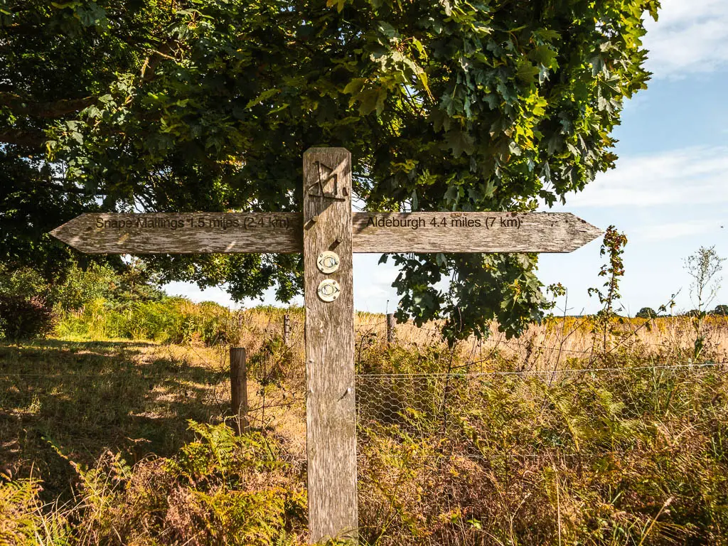
Out of the woods, take a right, then at the curve in the road, take the left onto the track. It’s easy navigating, following either the signs for Aldeburgh or the Suffolk Coast Path.
After a bit more woods, and out of woods, I took the right at the split, which led me to the road.
Unfortunately it’s now road the rest of the way to Aldebough. Fortunately it doesn’t go on for too long.
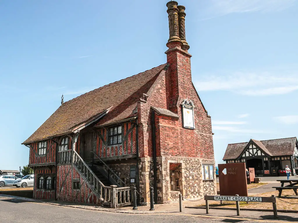
Aldeburgh
As I arrived, the first thing I noticed was the cute buildings. But they weren’t that important to me right now, and I headed straight for the beach for a swim.
In the water, I noticed some cute colourful buildings on the other end of the beach. So the plan was to head over there to check them out.
I didn’t make it far before I decided I couldn’t be bothered and went and bought some smoked fish instead.
I started out with the smoked salmon and cream cheese on bun, but then realised I was more hungry than that, so picked out a smoked salmon fillet as well. It was so delicious that I had to buy another, and put it into my empty thermos flask to keep it fresh for later.
Walk to Thorpness
The next village along is Thorpness. At first there is a nice path to follow, which made me very happy that I didnt have to walk on the shingle. This doesn’t last though.
Trudging across the shingle, I actually almost missed Thorpness. Lucky I checked my map when I did.
I popped in to wander down the streets with nice houses, then picked up what was a delicious coffee from The Kitchen, then headed back on my way. I completely forgot to take any photos. Sorry.
To get back onto the coast path, I wanted to avoid the shingle so walked through the village to find a different trail. It’s a good one, so I recommend it.
To get there, follow Church road, then at the end, turn right then left. Now just follow this all the way and you will reach the trail.
Follow the coast
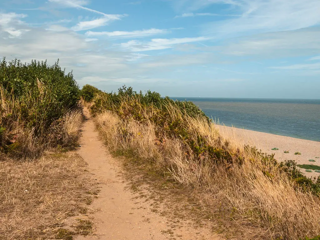
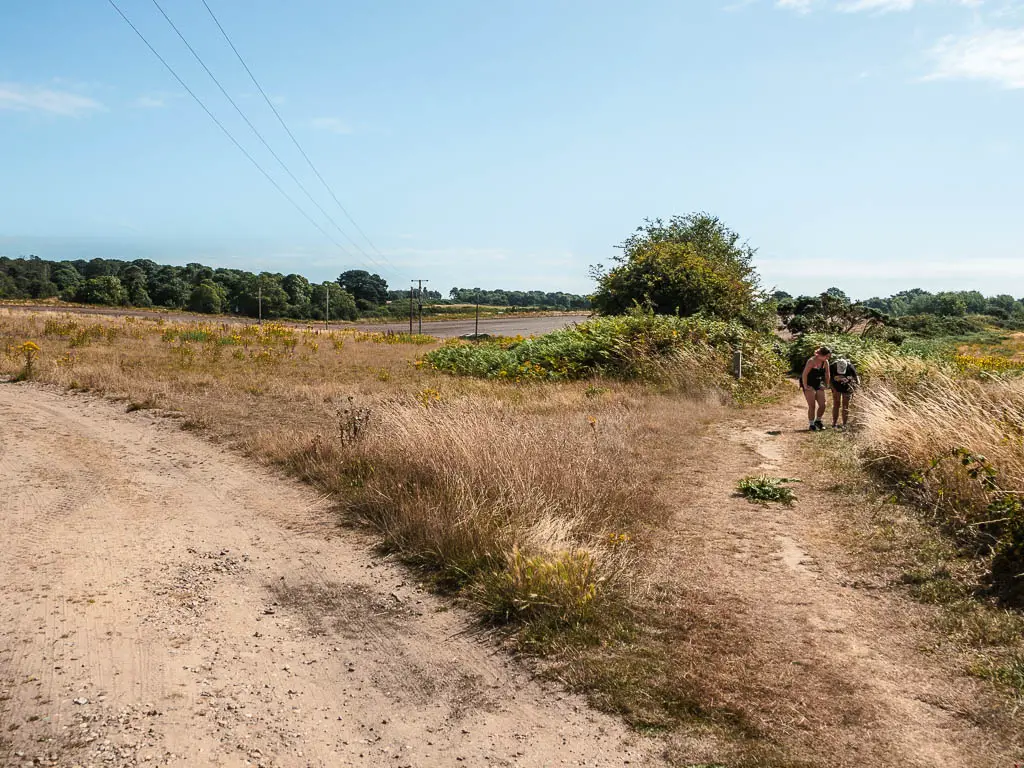
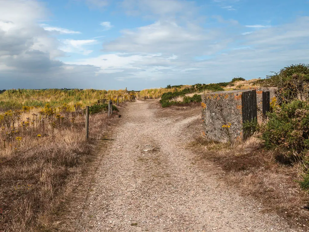
It starts out as a mix of open fields, and narrow passage between big bushes, then you will be led down a very enclosed bush tunnel space to reach the hill top trail.
It was particularly satisfying, seeing the shingle below and knowing I made the correct decision to come this way.
At some point you will walk under a bridge type thing which is basically under someone’s steps. It felt very dungeon like.
The trail will soon lead your back down to the beach. For a while, I stayed on the trail away from it. Avoiding shingle walking at all costs. This meant I had to deal with lots of tight bush spaces. Eventually I gave up and headed onto the beach. Which actually wasn’t bad. There is a non shingle trail you can walk on.
There is a section further along where I was presented with three options. Shingle beach, narrow navigating through scratchy bushes, or sandy trail. The sandy trail I felt was the lesser of three evils, so I took that.
Walk to Dunwich
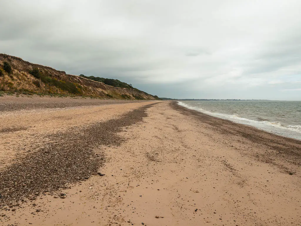
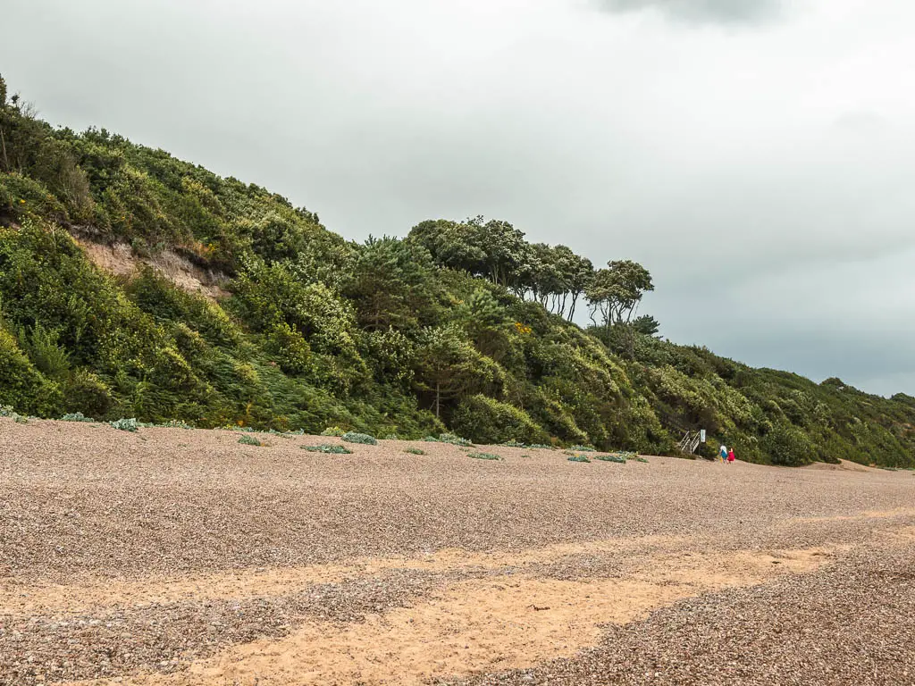
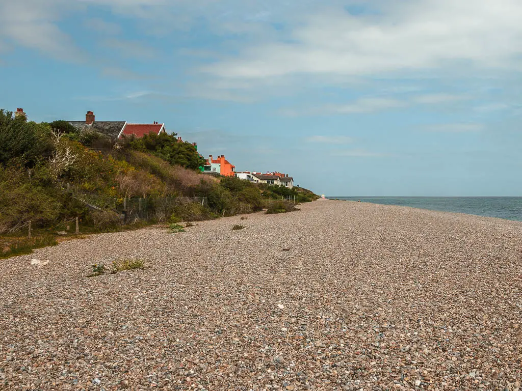
The shingle eventually won though, and I was led back onto it. It’s now a very very long stretch of shingle to reach Dunwich. If the tide is out, some hard sand is revealed. Lucky for me, the tide was out.
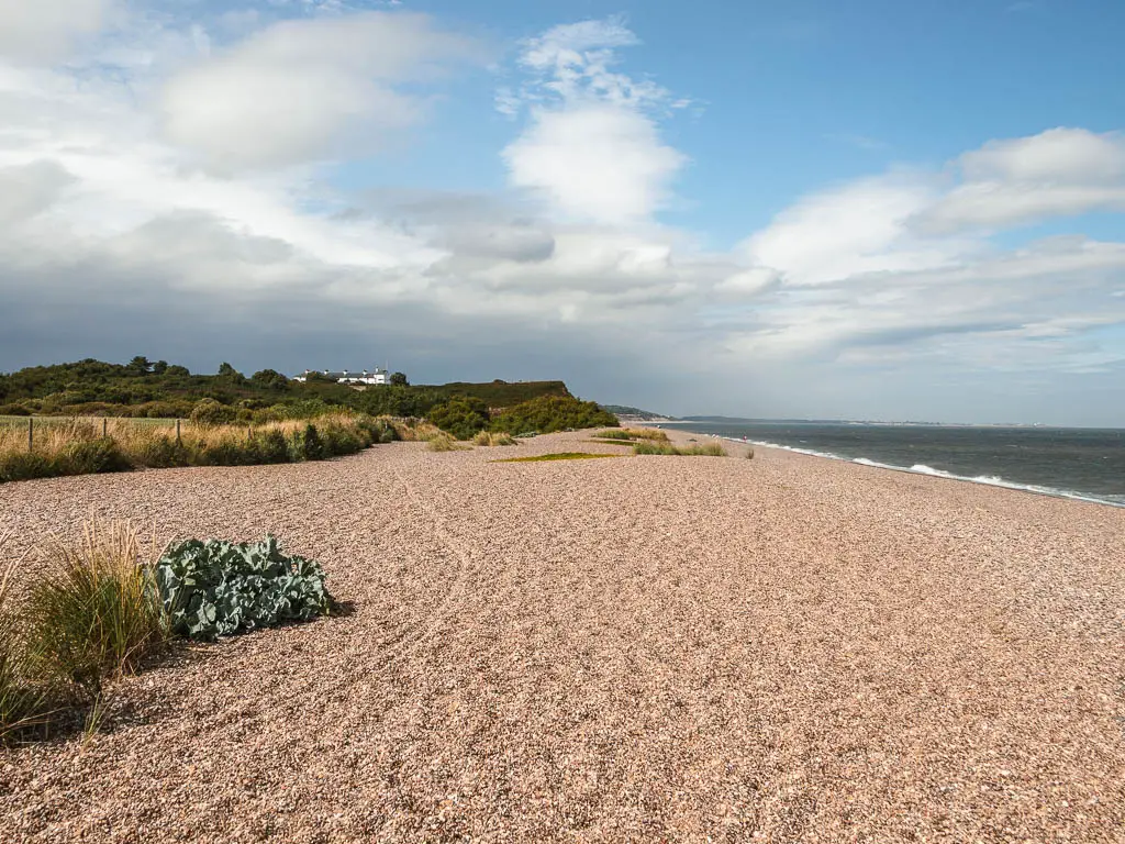
This section of the walk I found pretty breathtaking. Long long beach, with cliffs to the left, in parts covered in purple heather.
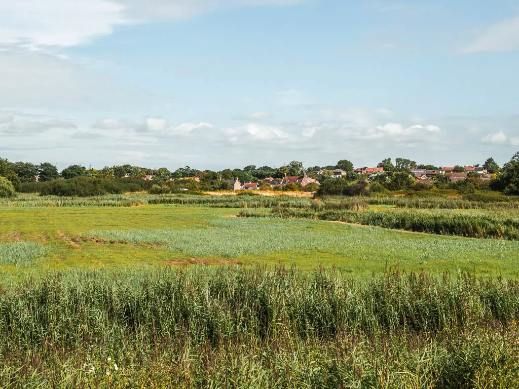
You will know you are in Dunwich when the cliffs end.
I would now be leaving the coast path to head to Westleton. Before doing that though, I took one more dip in the sea. It was quite rough here, so I stayed close to shore.
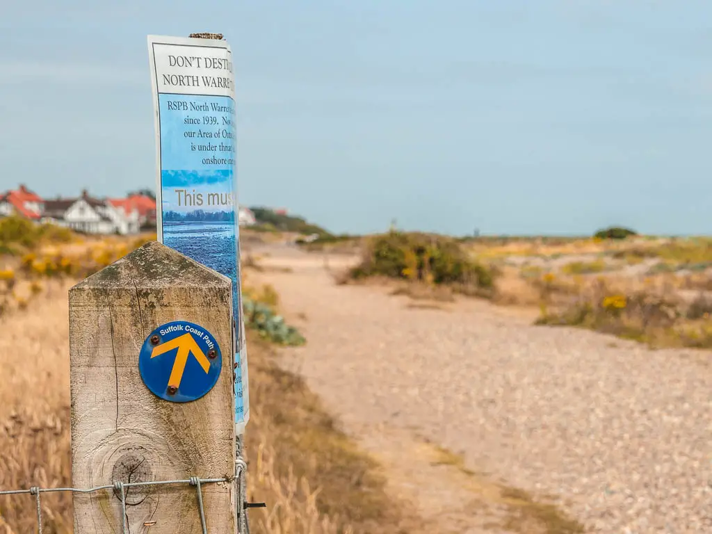
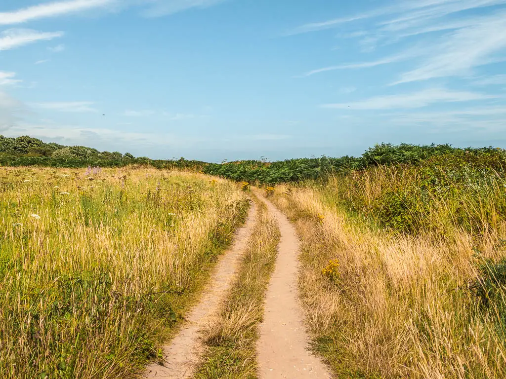
Walk to Westleton Heath
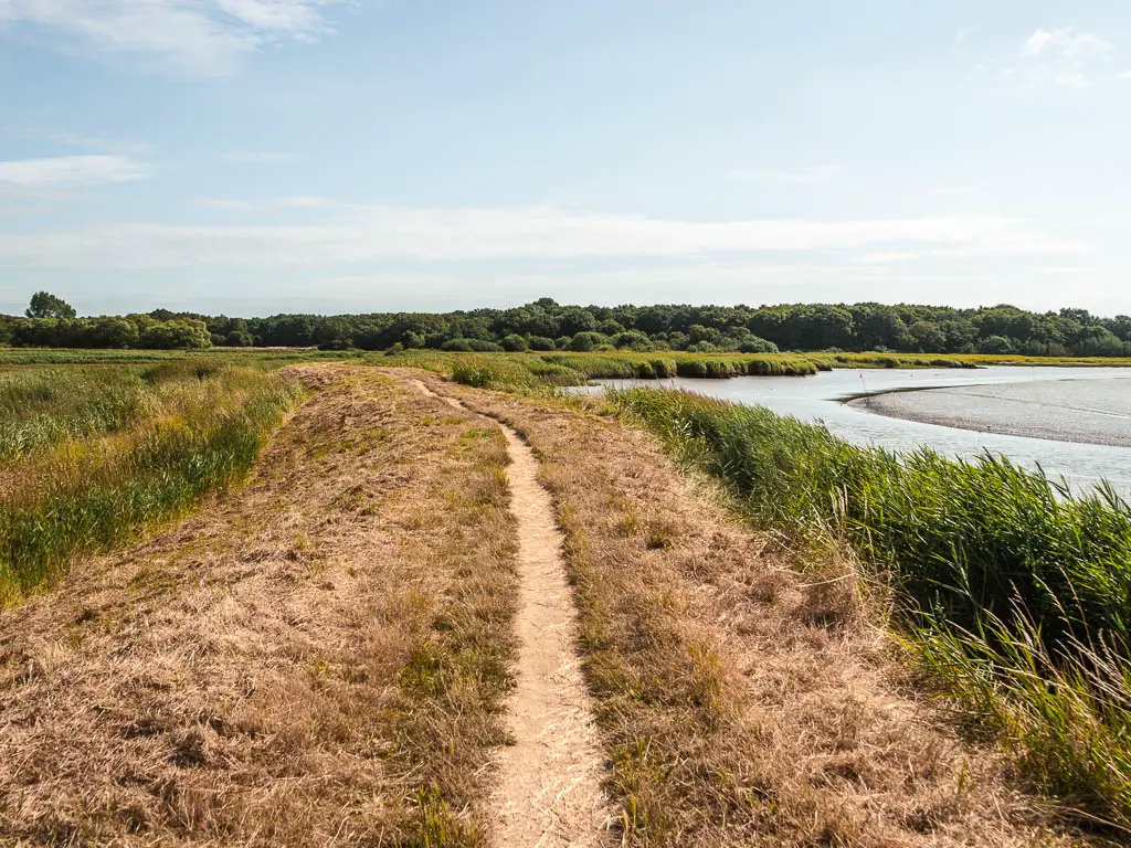
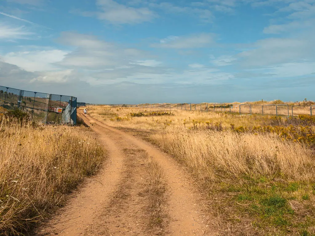
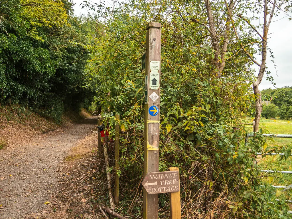
From the beach, head up the road road and walk around the cafe to the left. Follow the road, then turn right at the junction. You are now on Sandy Lane.
At the next junction, the is a trail ahead to the right. There is a Suffolk Coast path sign on it pointing right. This is for tomorrow. For Westleton Heath, stay straight.
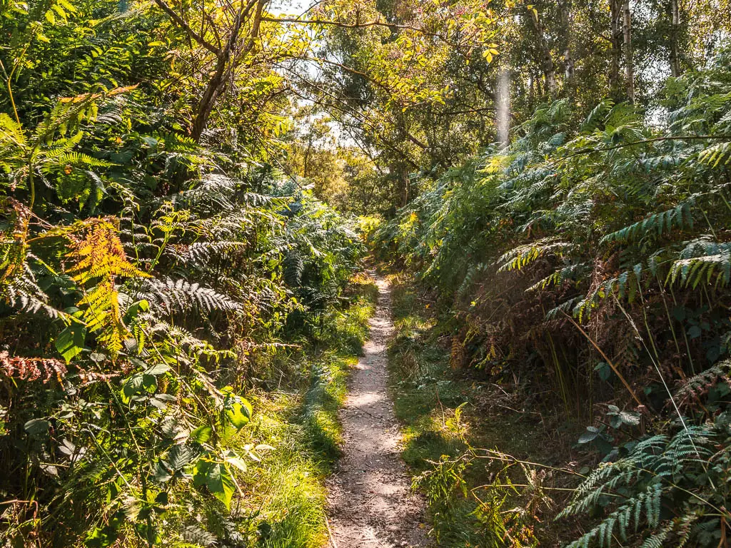
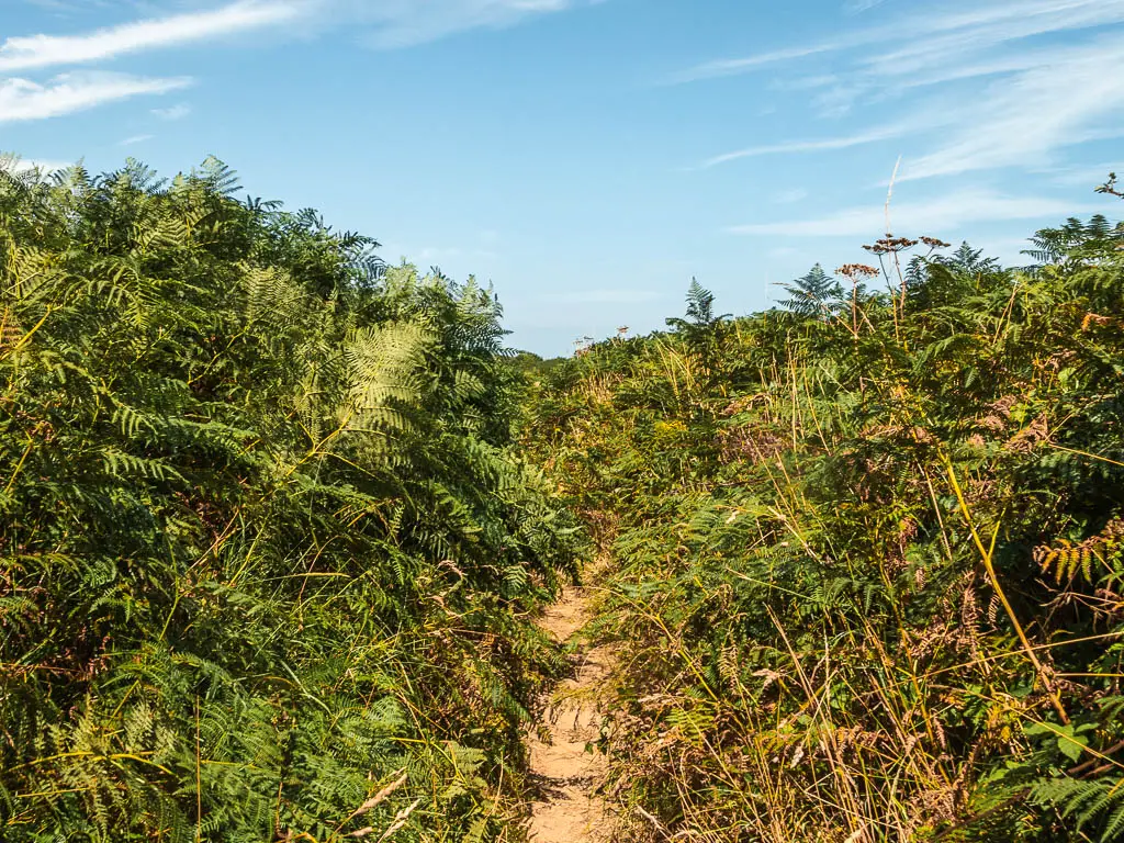
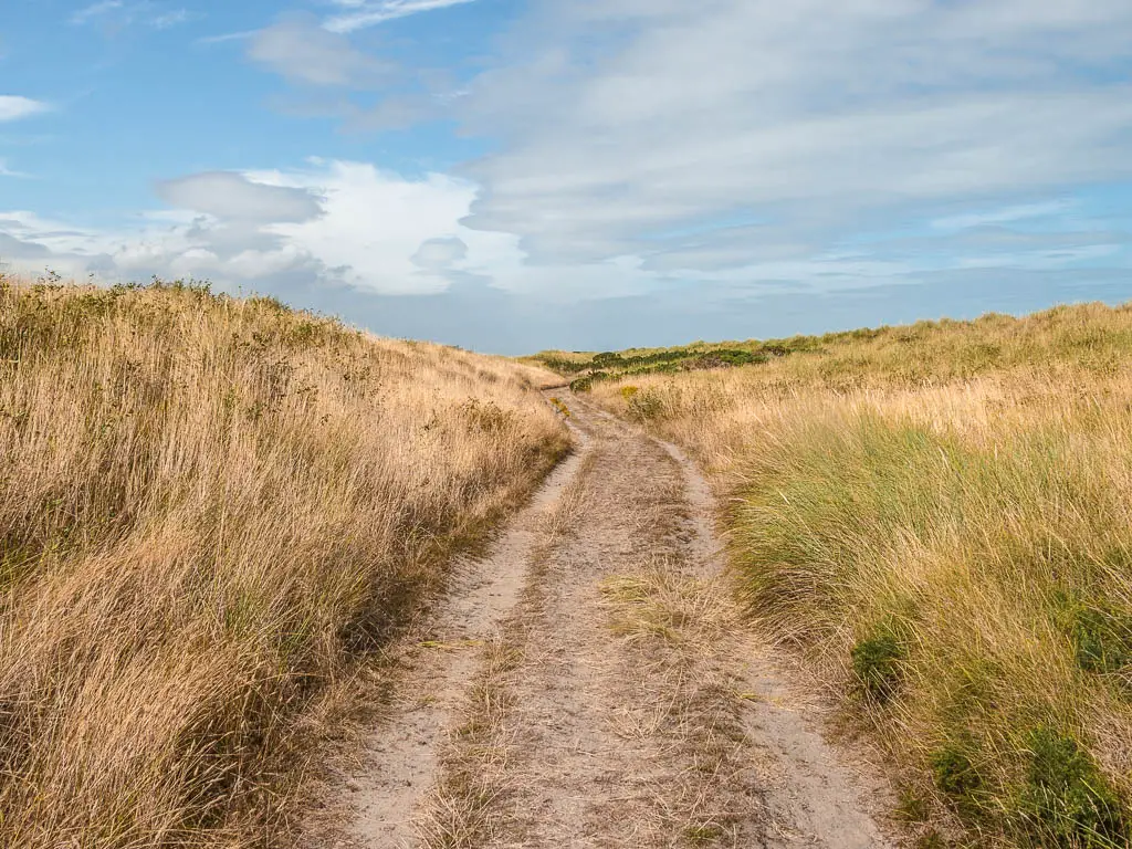
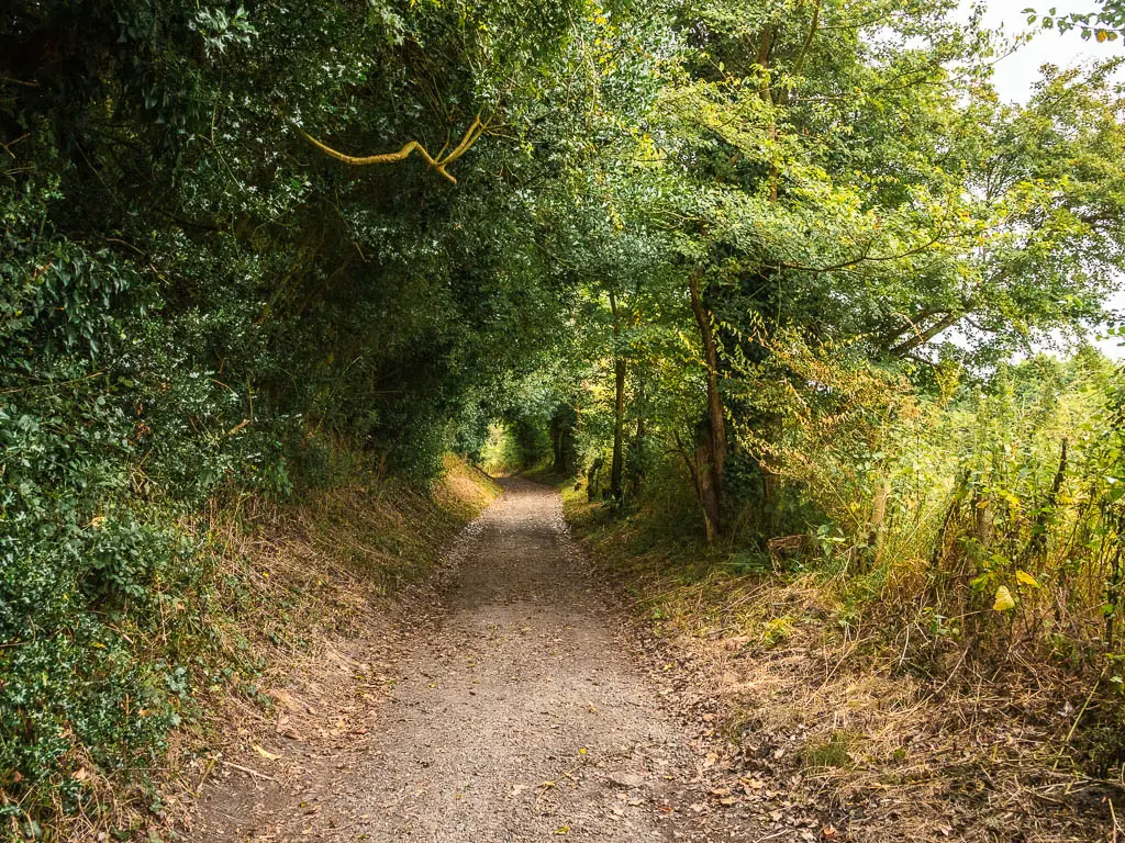
It’s now super simple, just following the trail, staying straight at any junction. It’s a mix of masses of fern and woodland, and felt very jungle like at times, before reaching Westleton Heath.
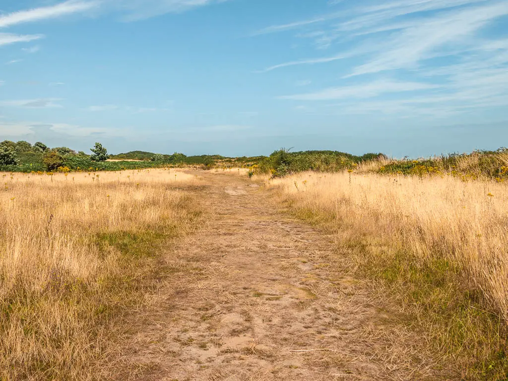
Then you have a long straight trail surrounded by all the purple goodness.
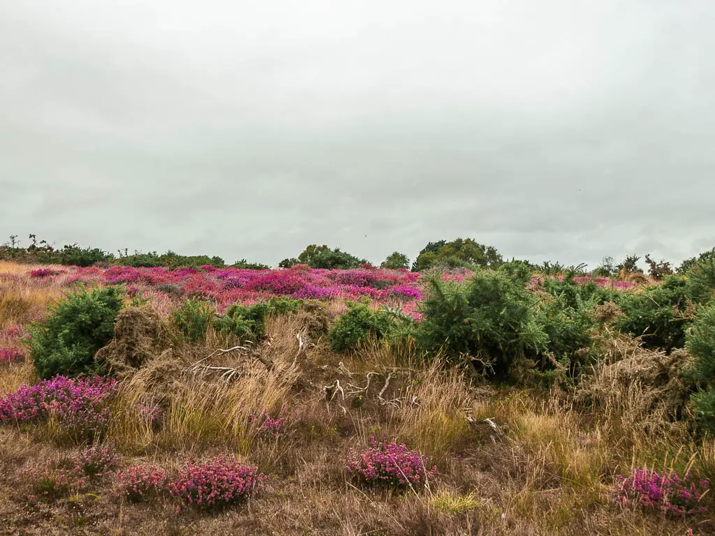
My feet were really feeling it by this point, but it’s been so many years since I’ve seen heather. This made it all worth it.
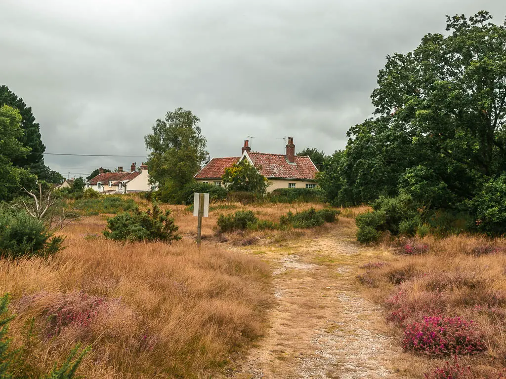
Walk to Westleton
When you reach the road, you have two options. A trail on the right side, next to it. Or the road.
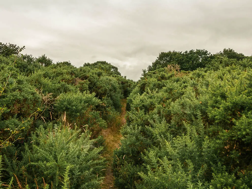
The trail looked dense and scratchy, so I chose the road. There is no pavement, but the road is long and straight so I could see any oncoming traffic. Partway along, there was an opening where I could see the trail and it didn’t look scratchy at all, plus there was more heather. So I got myself onto it.
This was false though, as a short way along the scratchyness started to happen so I got back onto the road.
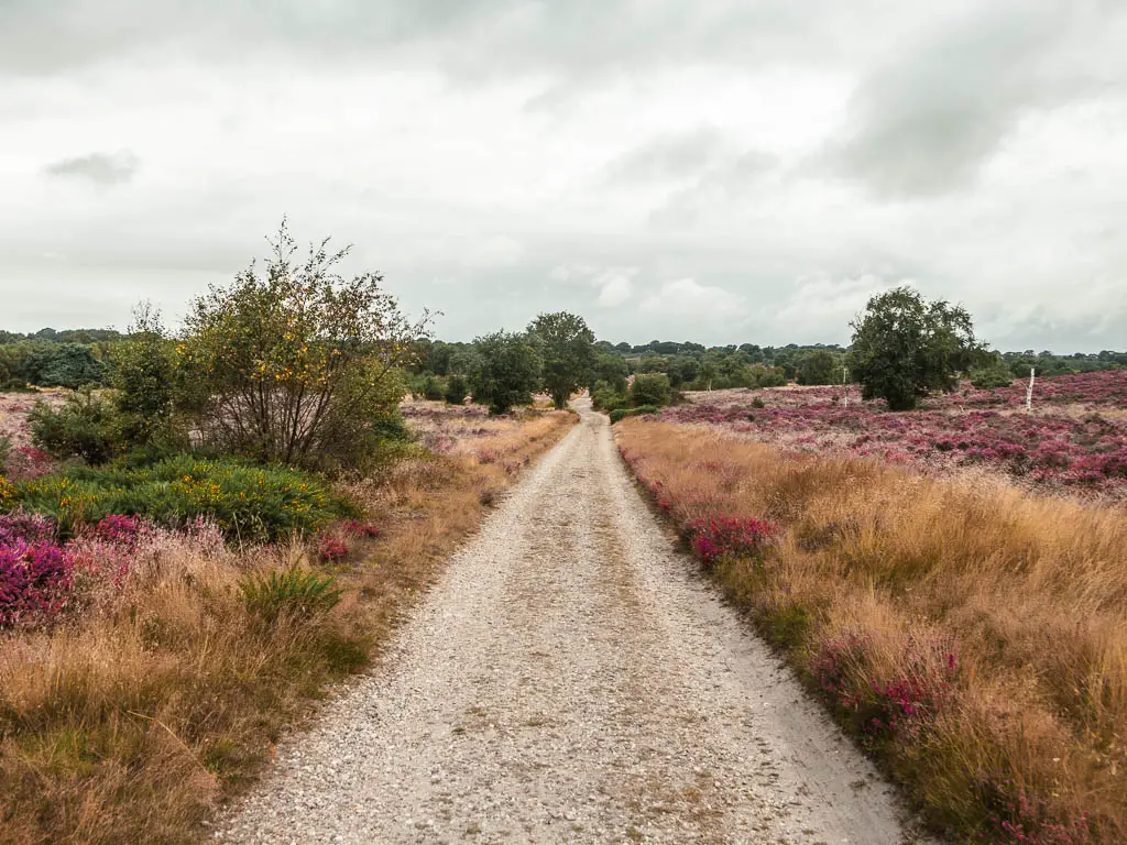
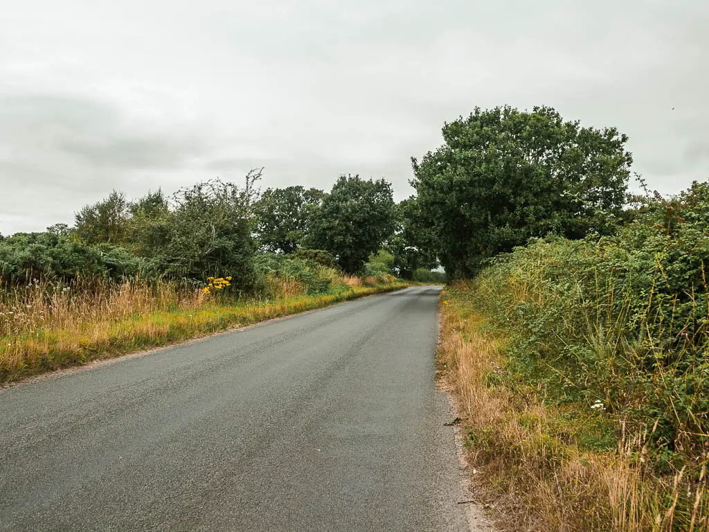
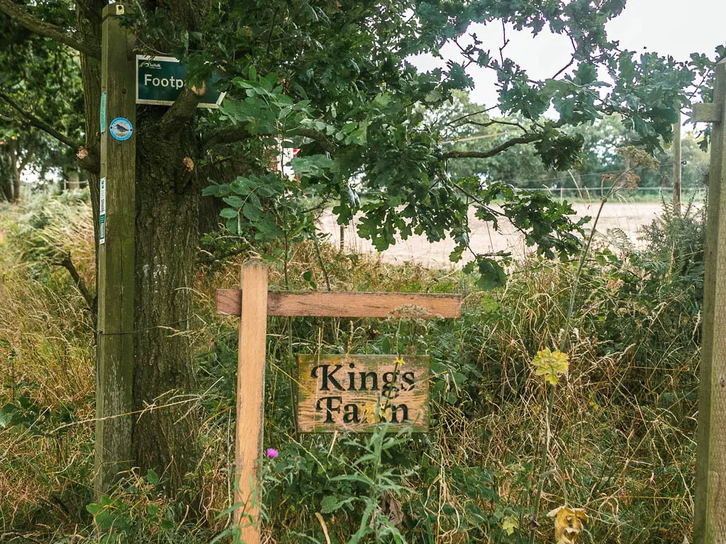
Up ahead, there is a side road on the left. Staying straight on the main road will lead to Westleton, but it looked more narrow and country lane type, so I decided to take the left. Left is a longer route, but it felt safer.
Further along you can take a path on the right with a Kings Farm Sign. This is a proper path with more heather that will lead you into Westleton.
Read next: Dunwich it Kessingland Day 5