At 21 miles, the walk from Sparsholt to Goring and Streatley is the longest section of the Ridgeway Trail. I knew it would be the longest day, but I didn’t realise it would be this long when I headed out, and I’m glad about that.
This post uses affiliate links. You can read the privacy policy or disclaimer for more info.
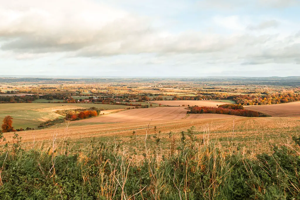
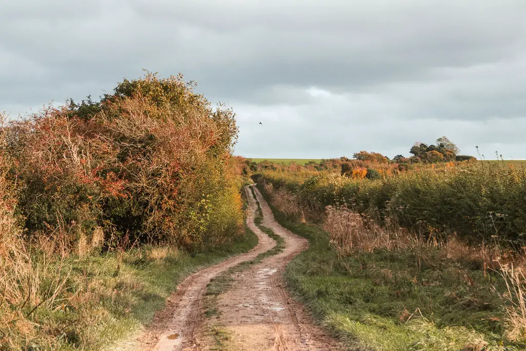
Despite the length, I actually didn’t find it too bad*. Probably because I zoned out for a lot of it….
*The last bit of the walk into Goring and Streatley wasn’t so great. I explain more in the route description further down.
What to expect when walking from Sparsholt to Goring and Streatley
I would say that today was characterised by long endless trails. You know the kind where they lead straight ahead, way into the distance, further than you can see.
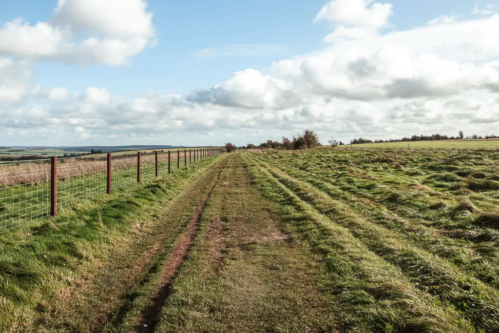
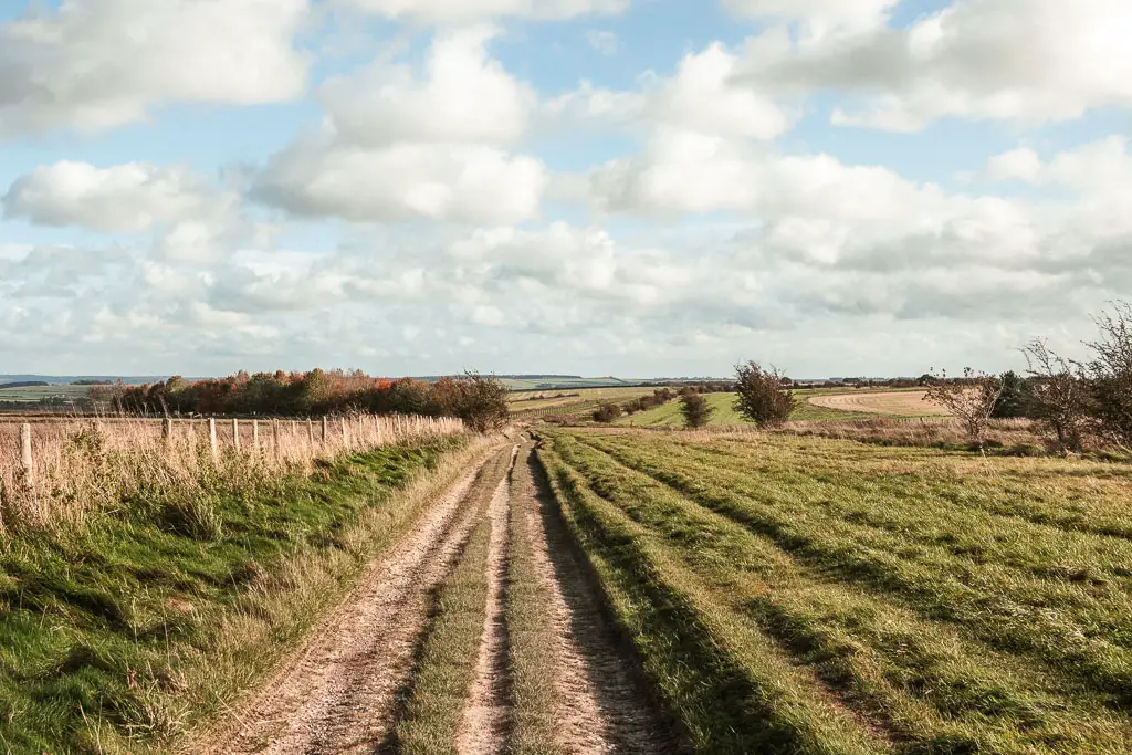
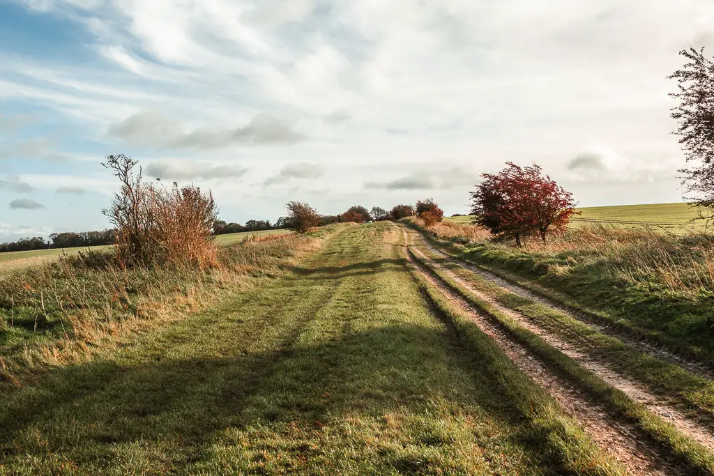
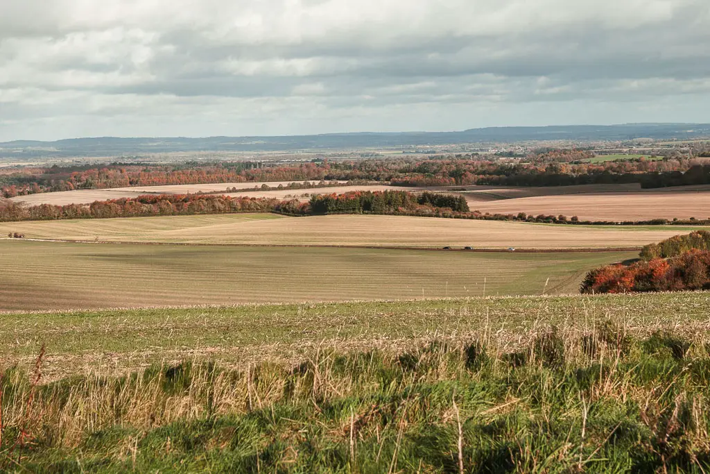
I must stress though, that although I zoned out, that’s not to say I didn’t enjoy it. In fact, I found today’s walk between Sparsholt and Goring to be the most beautiful. Vast sweeping views with undulating hills and impressive valleys.
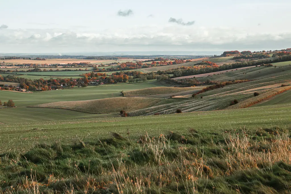
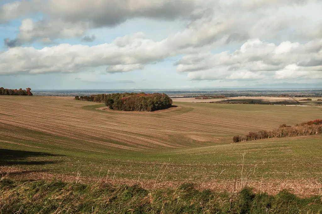
There is also a county crossing today, from Oxfordshire to Berkshire. It’s only a brief entry, as the Ridgeway takes you back into Oxfordshire on Day 4.
In contrast to the walk yesterday, there wasn’t as much hard ground nonsense. Ok, there was some, but it was a sensible amount.
There is also another big road crossing on this one. The A34. You go through a tunnel under it, so that’s not the issue. It’s more the noise, reminding you that you are not quite as remote as the rest of the walk would have you believe.
Map for the walk from Sparsholt to Streatley and Goring
You can find my more detailed map for the walking route from Sparsholt to Streatley and Goring on Alltrails. You can also download a GPX file from there.
Logistics
- Start: Sparsholt, Oxfordshire. OX12 9PL.
- Finish: Goring and Streatley Station, Berkshire RG8 0ES.
- Distance: 21 miles (20 if you stop in Streatley).
- Time: 7 hours
- Difficulty: Moderate due to the length
- Elevation gain: 572m
- Terrain: Grass, dirt trail, mud, road.
- Dog friendly: No stiles. No loose livestock. No dog friendly accommodation in Sparsholt.
- Amenities: The is nothing along the whole route between Sparsholt and Goring and Streatley, unless you detour. One restaurant in Streatley. Goring has more options with cafes, restaurants, Tesco, public toilets.
Public transport
Nothing in Sparsholt. Goring has a train station (Goring and Streatley station), with direct trains to London Paddington (or indirect with a change at Reading). Journey time 45min-1h.
Accommodation
There is a YHA in Streatley. It is the cheapest option along the whole Ridgeway, however, I didn’t spend the night, as it was still cheaper for me to get a train home. If you want something a bit more than a youth hostel, then there are a number of other options around Goring and Streatley.
In Sparsholt, I stayed at The Star Inn. It’s the only option there.
Tips and other things to know
- Once you reach the road, as you are approaching the end, it’s a chunky bit of walking to actually reach the centre of Streatley. Goring is the town next door, just over the bridge, where you will find the train station.
- If you are doing the walk between Sparsholt and Streatley and Goring in the darker months, leave early. It’s going to be a long day.
- Whilst there are some more sheltered sections, most of this route is quite exposed. So even if it’s summer, make sure to take a windproof jacket.
- There is no where to buy anything along the route, so if you spent the night in Sparsholt, you will have to have something packed ie freeze dried meal. Breakfast is available at the accommodation.
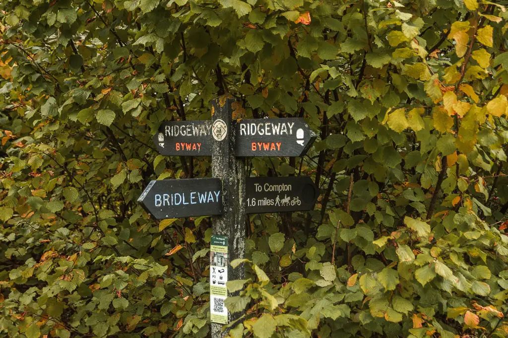
- Of the three days of walking so far, this one had the most missing signs. It was still very well signposted though.
Route description: How to walk from Sparsholt to Goring and Streatley
When I woke up today, I didn’t want to leave. Yesterday was tough on the feet, and I was now facing the longest walking day of the route. I so desperately wanted to spend another night. Take a day of rest. But alas, this place was too expensive for that, so I set off early instead.
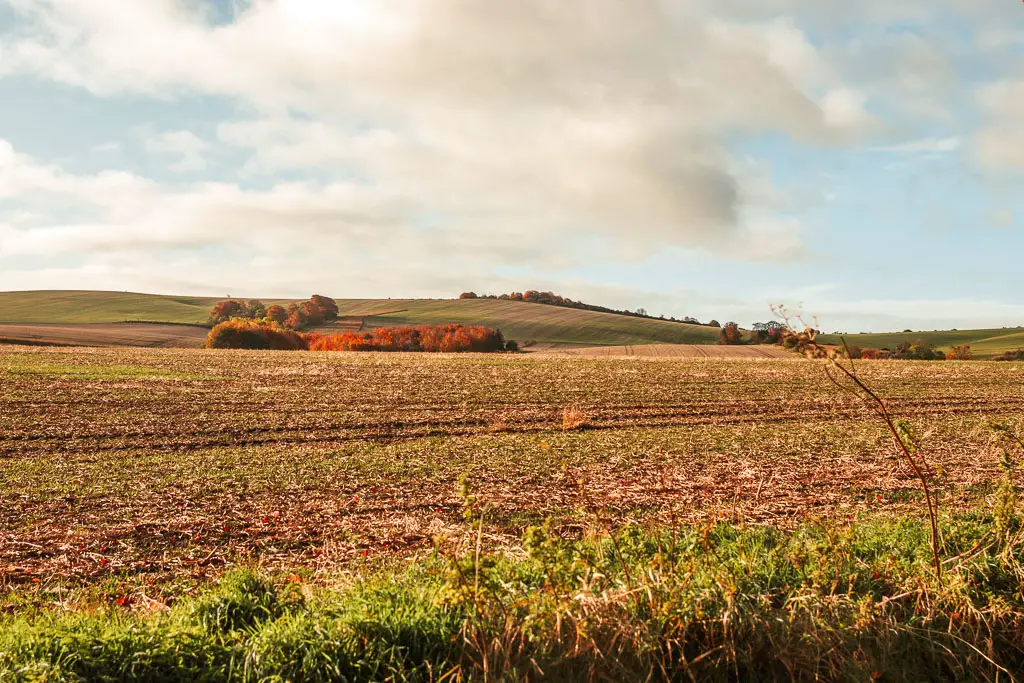
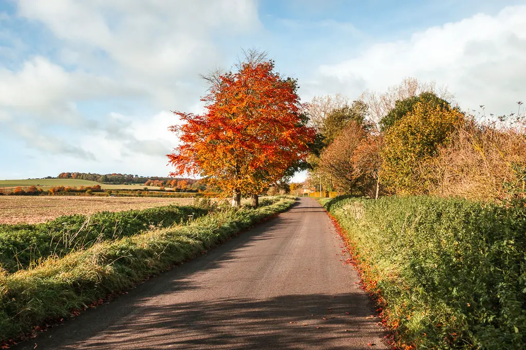
In contrast to yesterday, it was a glorious day. As I made my way back to where I left the Ridgeway, the sun was shining and creating a gorgeous glow across the hills.
Back onto the Ridgeway
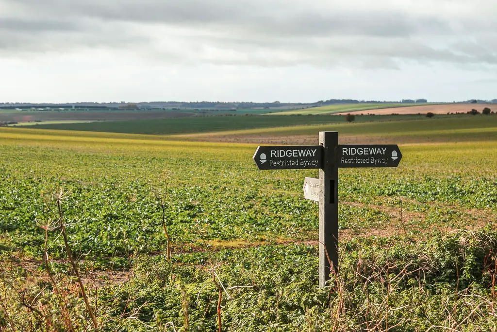
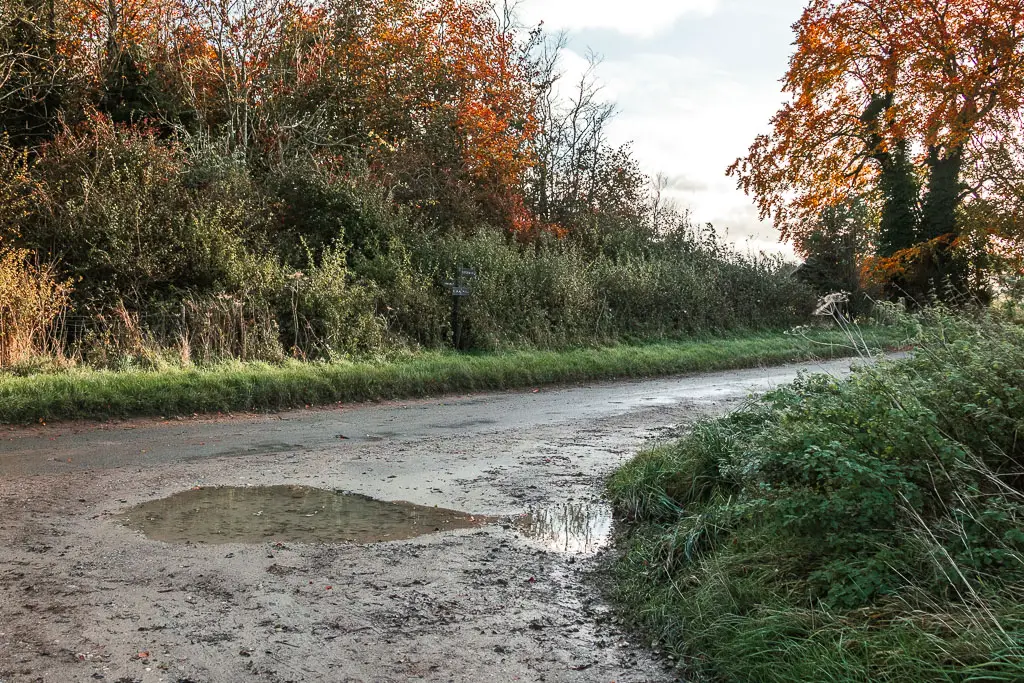
When you reach the Ridgeway, turn left and follow it up the hill. Keep on the main path which is first lined with trees and bushes, but then opens up for some glorious views.
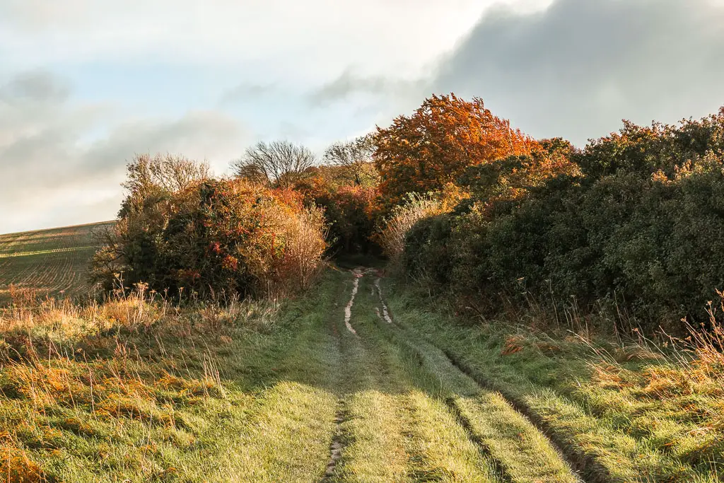

There is now a nice long grassy path, before you reach a gravelly road path where you continue straight.
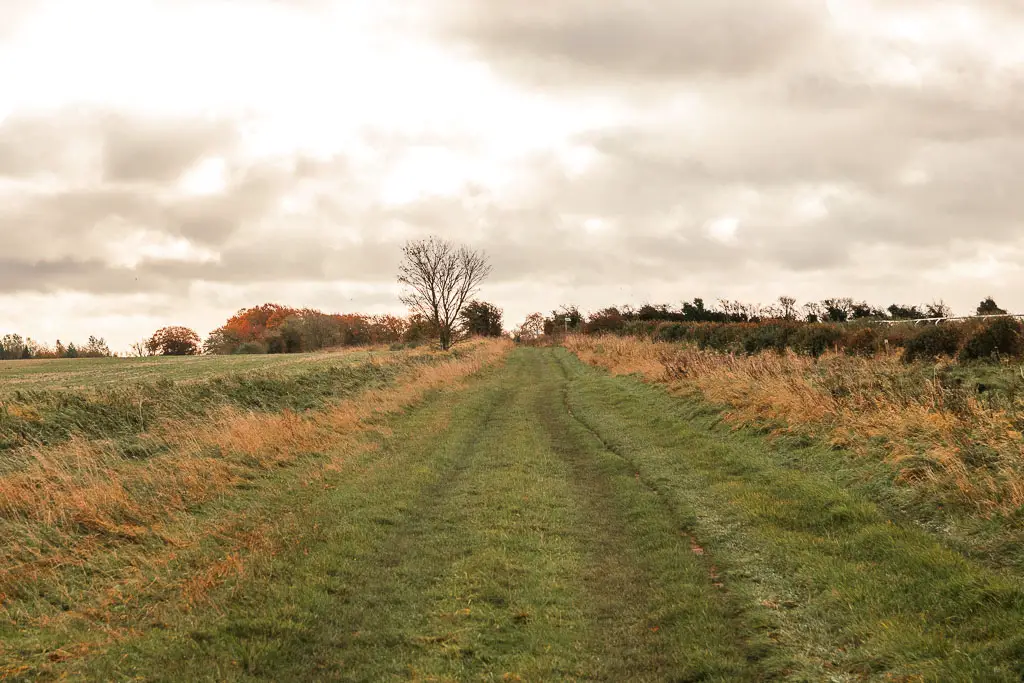
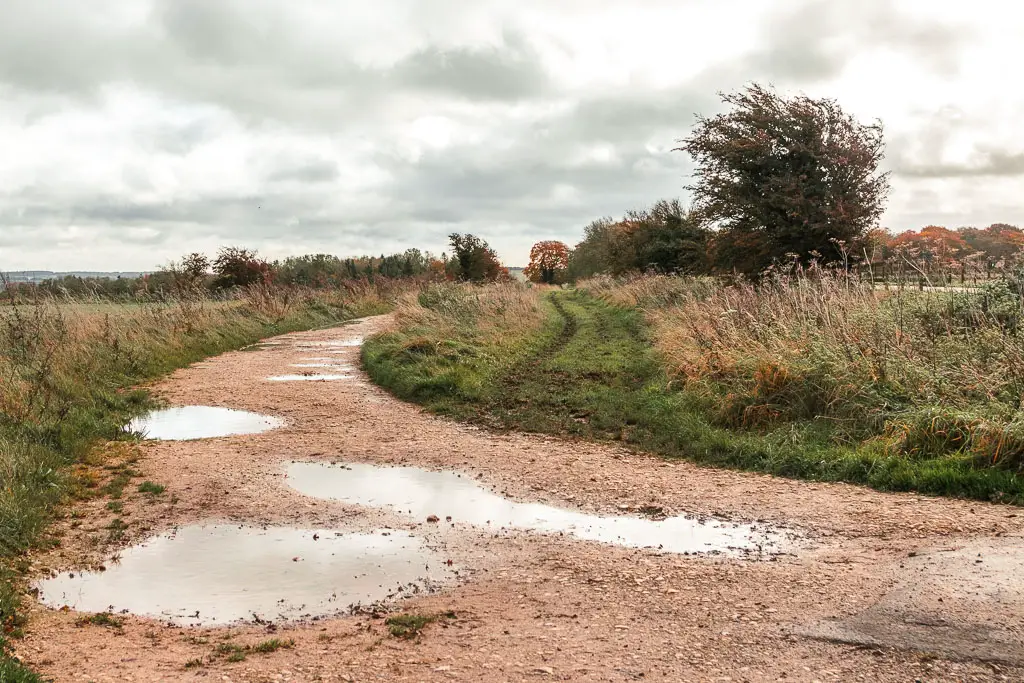
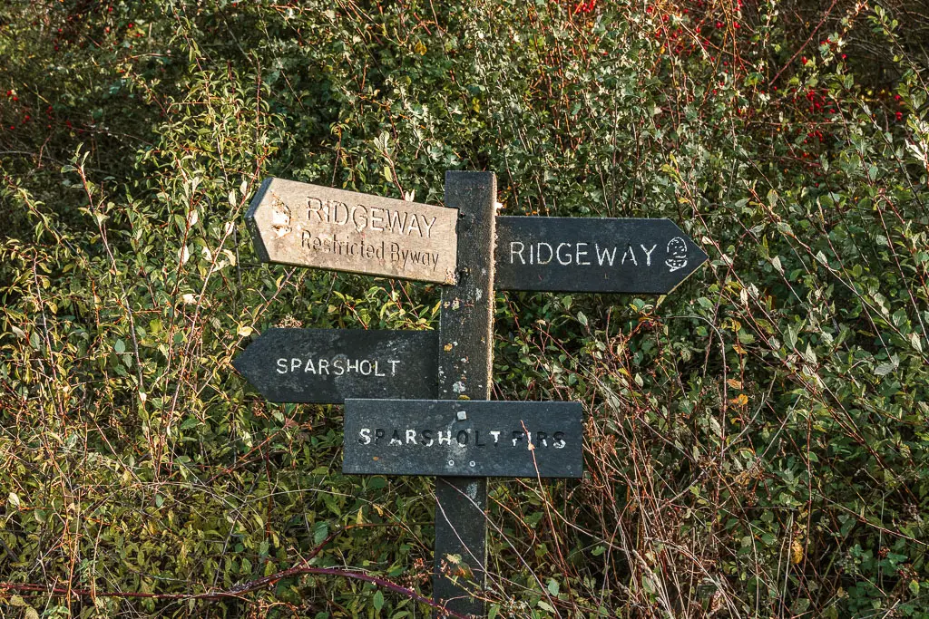
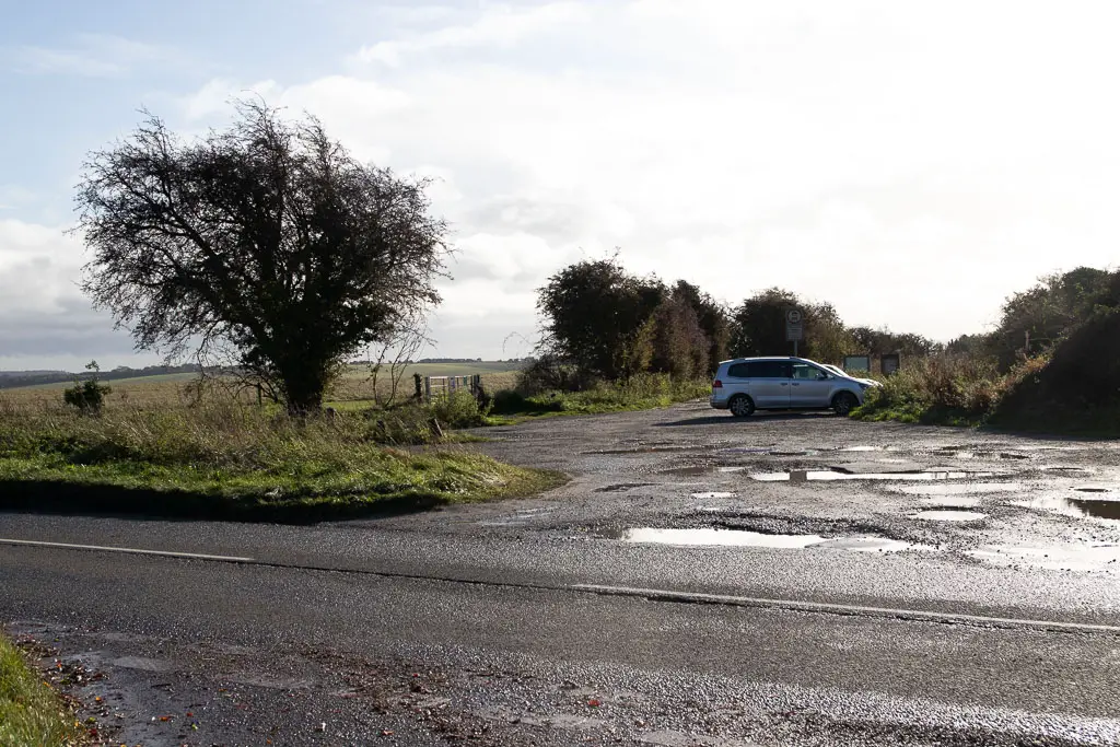
The next junction you will reach is Sparsholt Firs. Turn right here, then at the main road, cross over and through the car park on the other side.
Devil’s Punchbowl
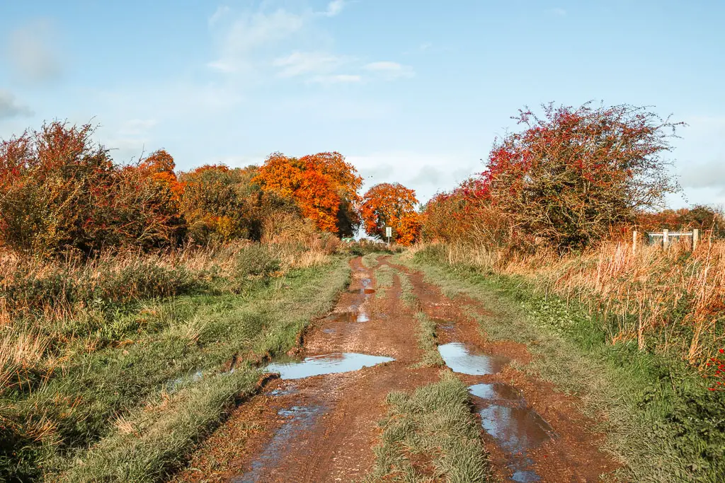
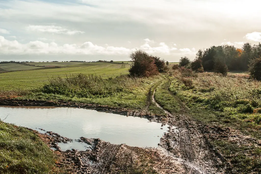
Keep going straight, on a path that has potential to be a bit muddy and wet, then when the trees disappear, you will get a proper view to your left.
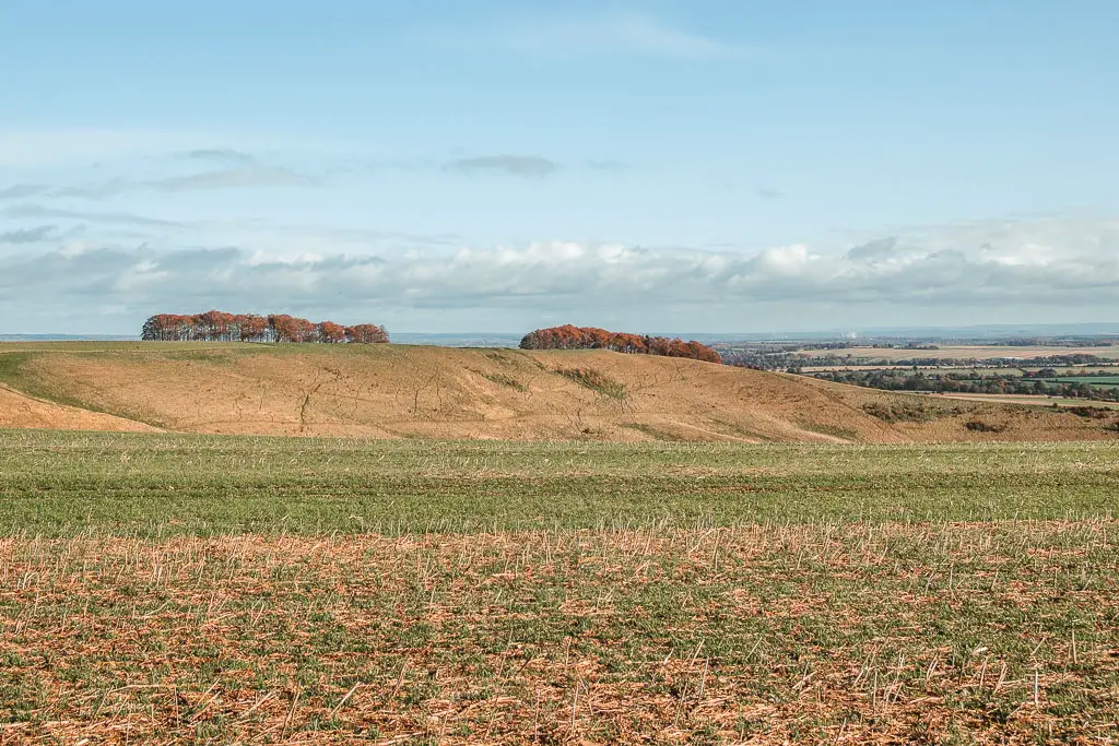
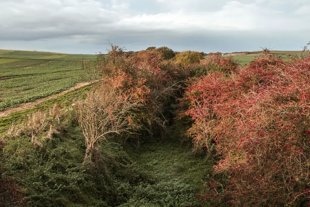
What you have here is a deep dry valley, known as Devil’s Punchbowl and Crowhole Bottom. It’s pretty cool, but I was glad I didn’t have to walk down into it (as that would mean walking back out).
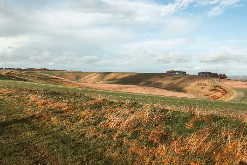
The trail continues straight ahead, grassy and soft, undulating into the distance. All the while with that wonderful view to your left.

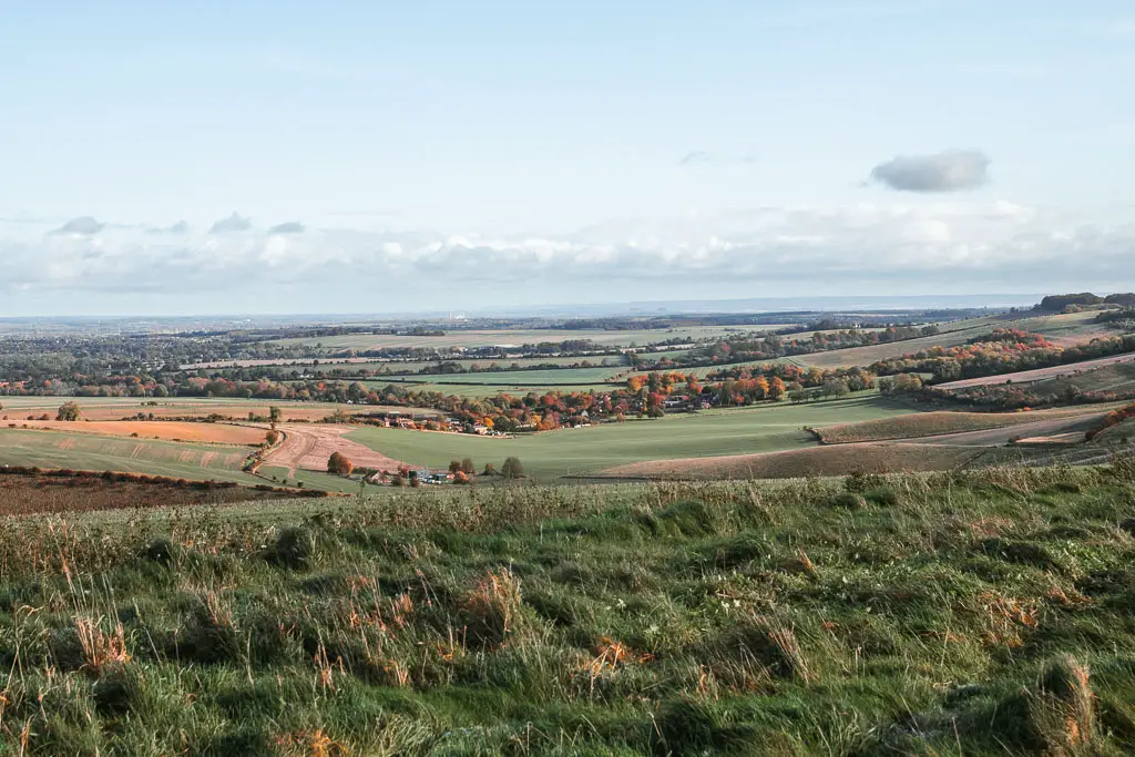
Keep going straight
You will then reach the trees, and transition back onto harder ground, which can be a little muddy in places. Keep going straight at all the junctions, in and out of the trees, until you reach the main road.
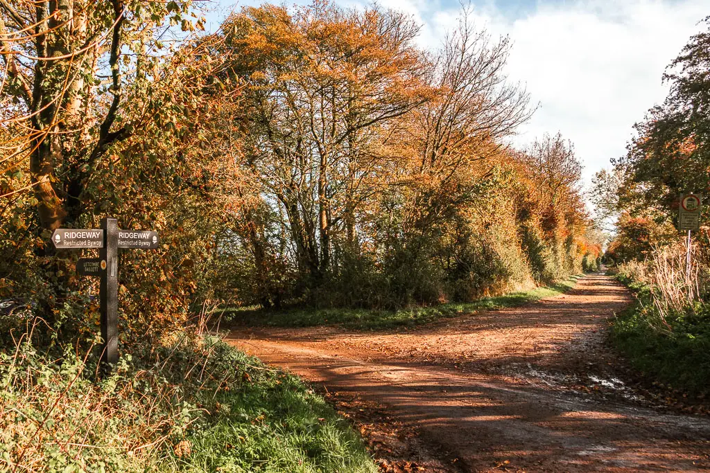
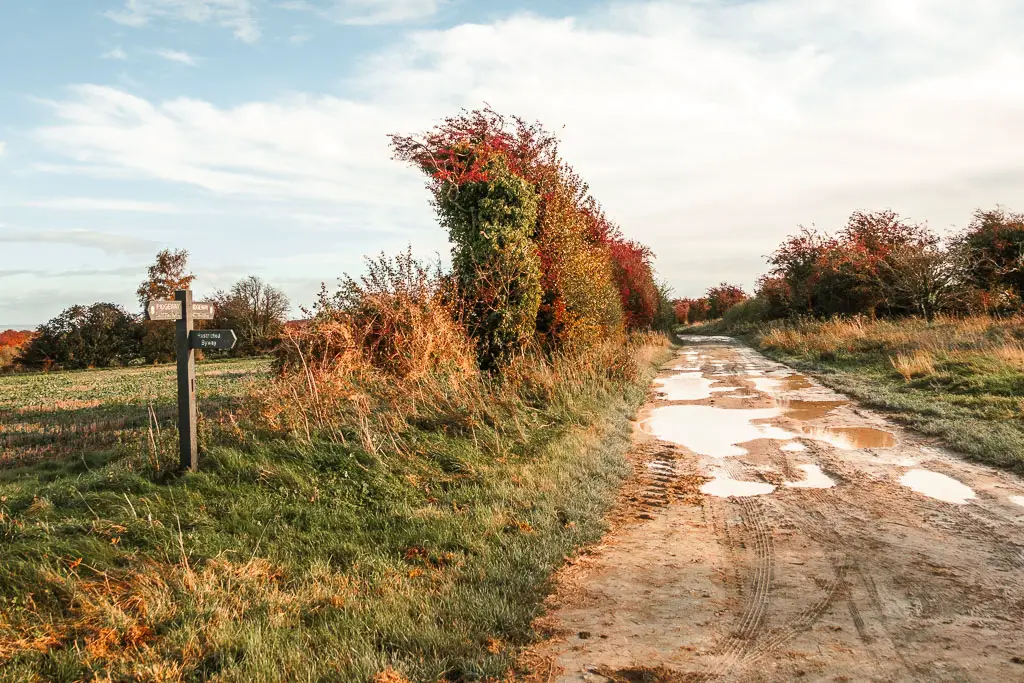
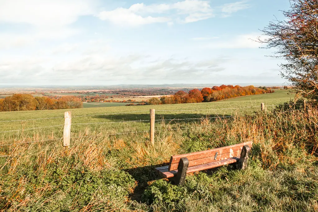
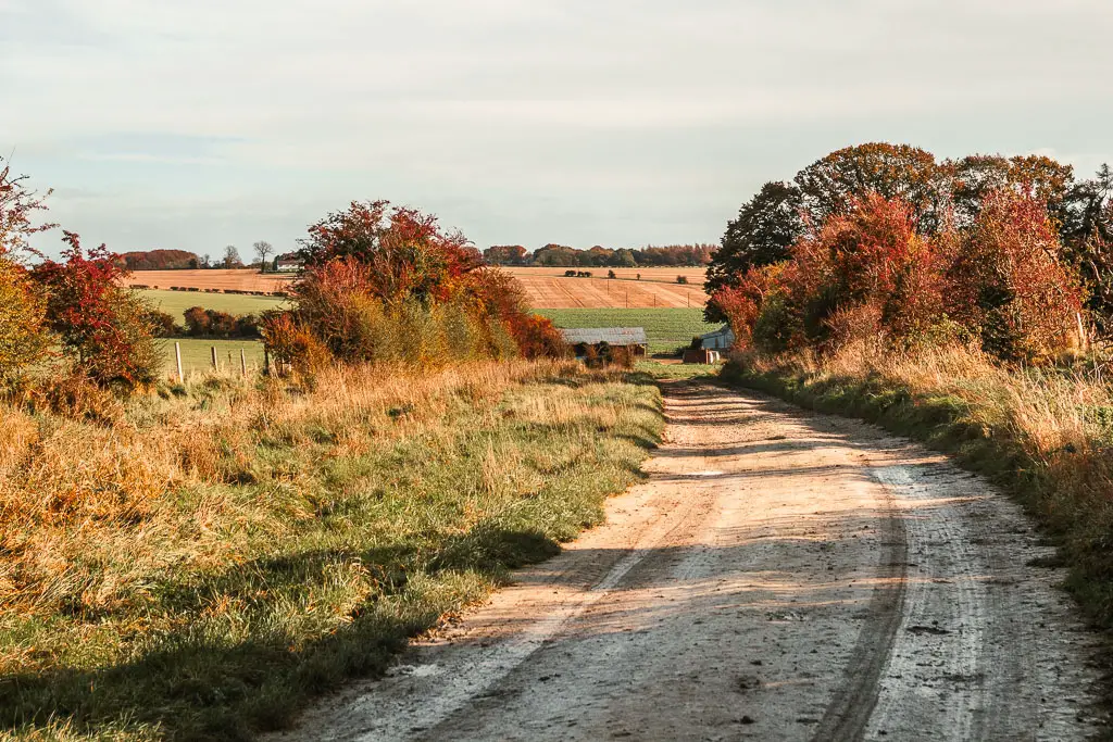
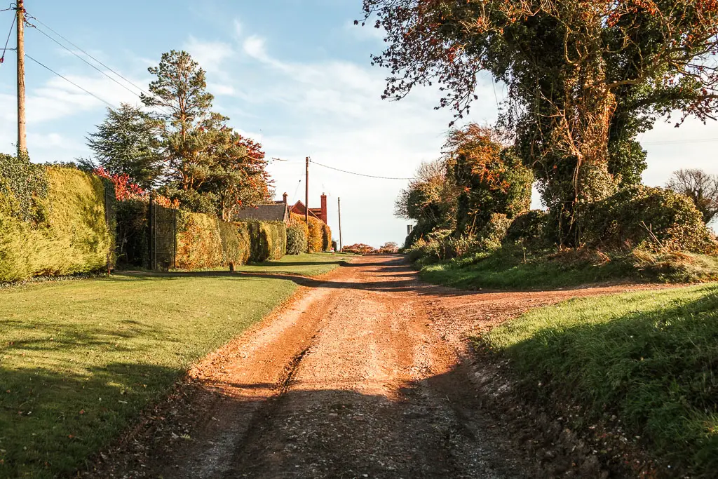
More trees and more views
If you are planning to break up the full Ridgeway into shorter days, if you turn left at the road, then left at the next side road, you will reach the Court Hill centre which has hostel style accommodation and camping.
Continuing on with the trail, turn right at the road, then take the first left with a sign for the ‘Whitehouse’.
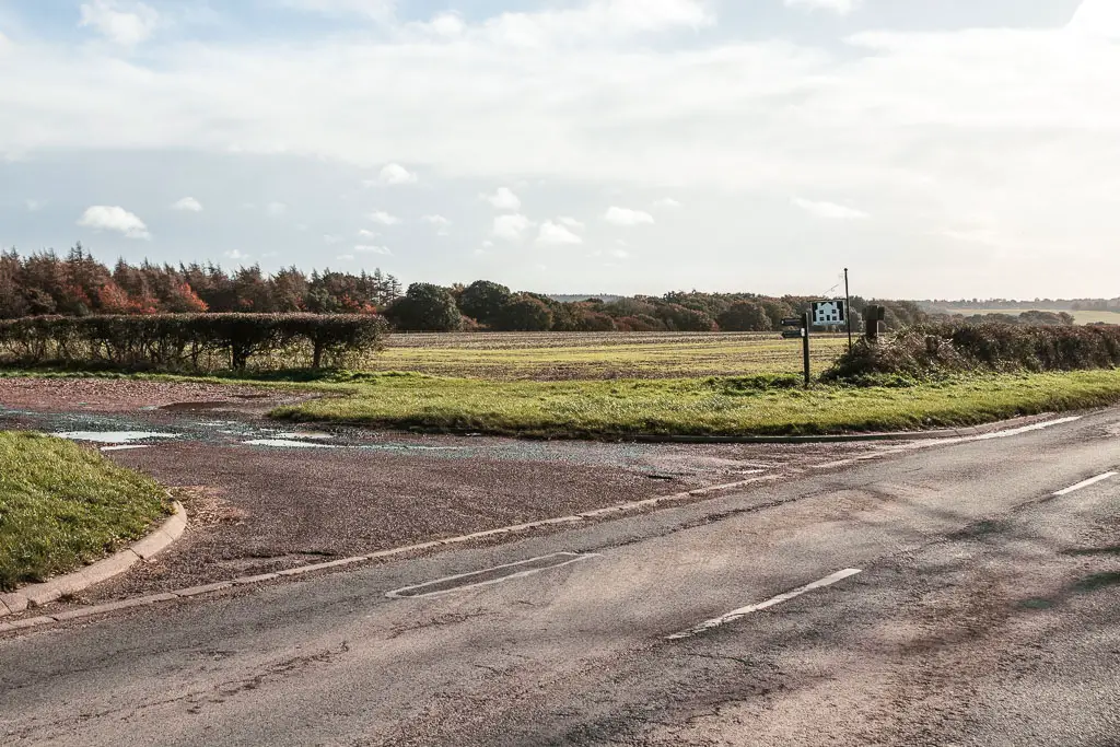
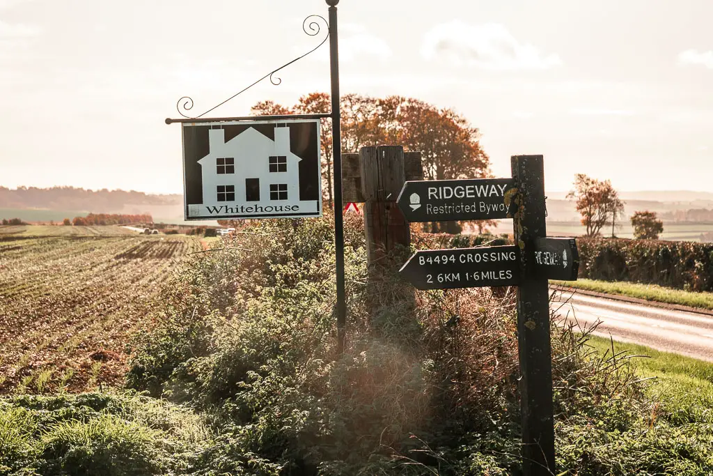
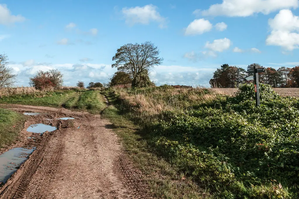
Continue on the dirt road, passing the Whitehouse Farm (I can confirm that the house is indeed white), then down the hill and through some trees to reach a junction.
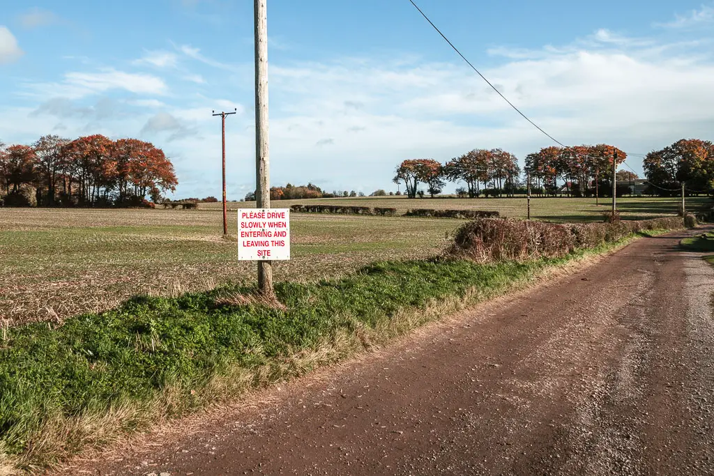
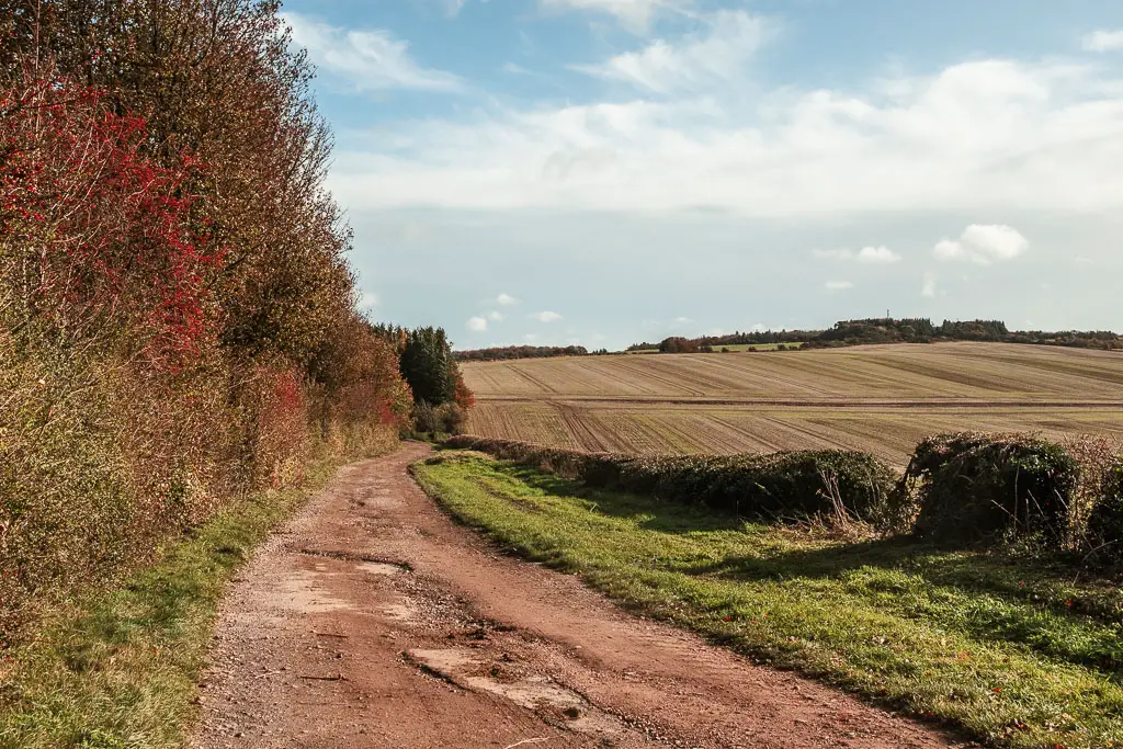
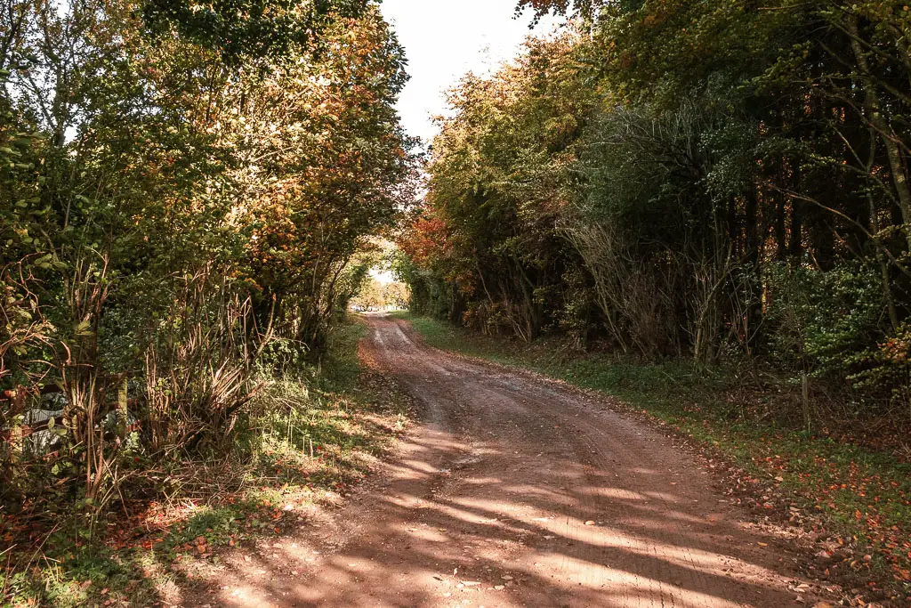
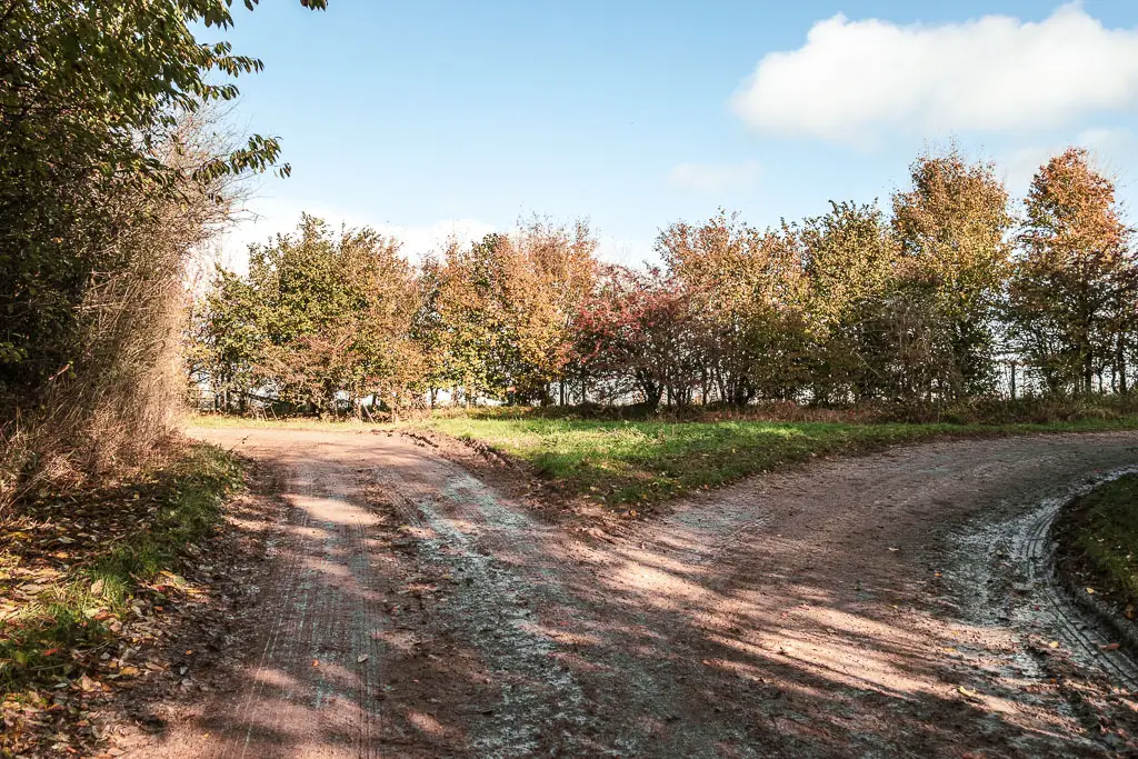
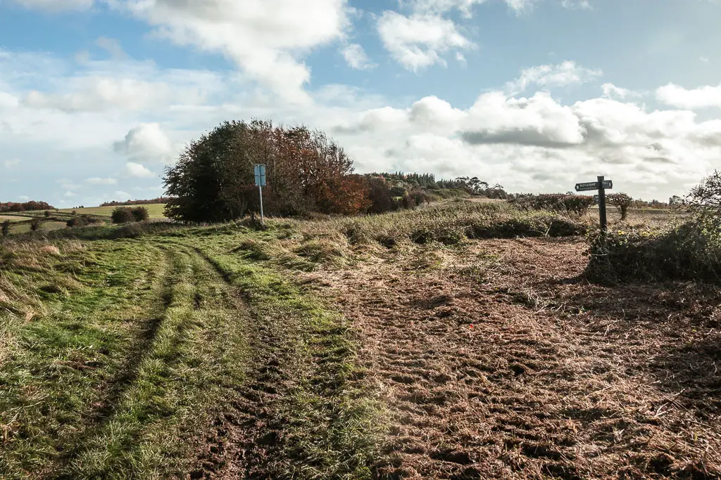
This is one of the junctions where there was no signage (or I just missed it). You want to turn right. This will lead you back out into the open with more views.
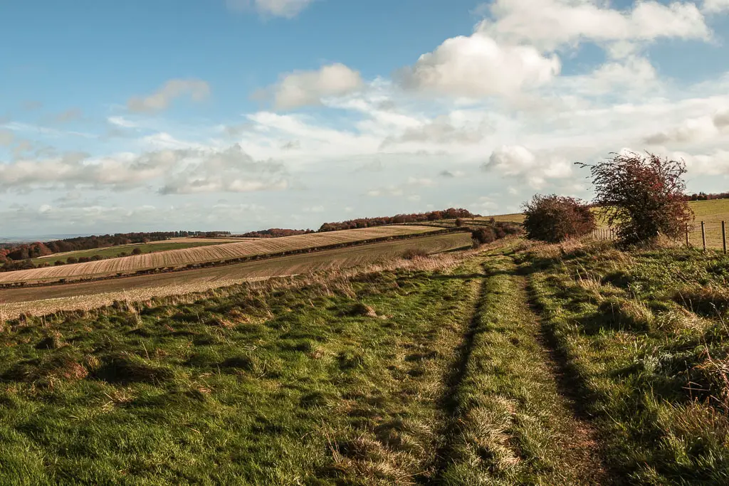
You will now be on a wide grassy path, which you keep following for some time, with those grand views to your left.
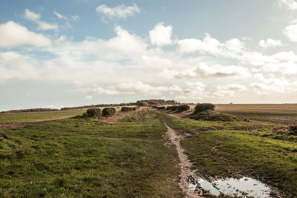

Walk to the Loyd Wantage Monument
The grass path then leads to harder path for a short distance, to reach the road. At the road, slightly to the right and opposite is a car park. Go through it, and then take the right trail next to the gate.
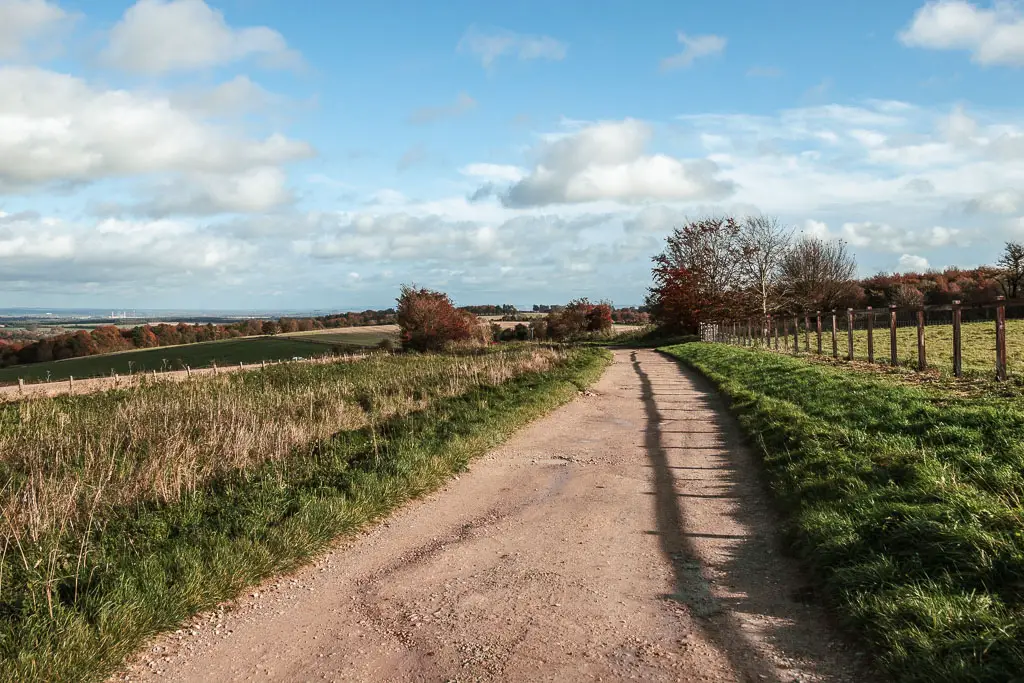
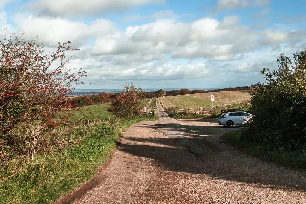
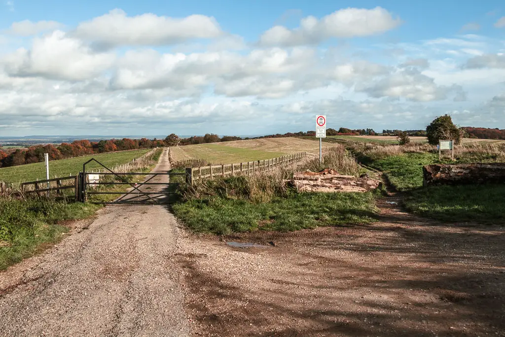
This will lead you to the monument of Robert Loyd Lindsay (later known as Lord Wantage of Lockinge). He was a colonel, and a founding member of the British Red Cross.
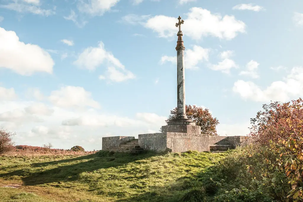
More straight and the halfway point in the walk between Sparsholt and Goring
Past the monument, keep following the path, then when you reach the junction at the trees, stay straight/a bit to the right (keeping the trees to your left).
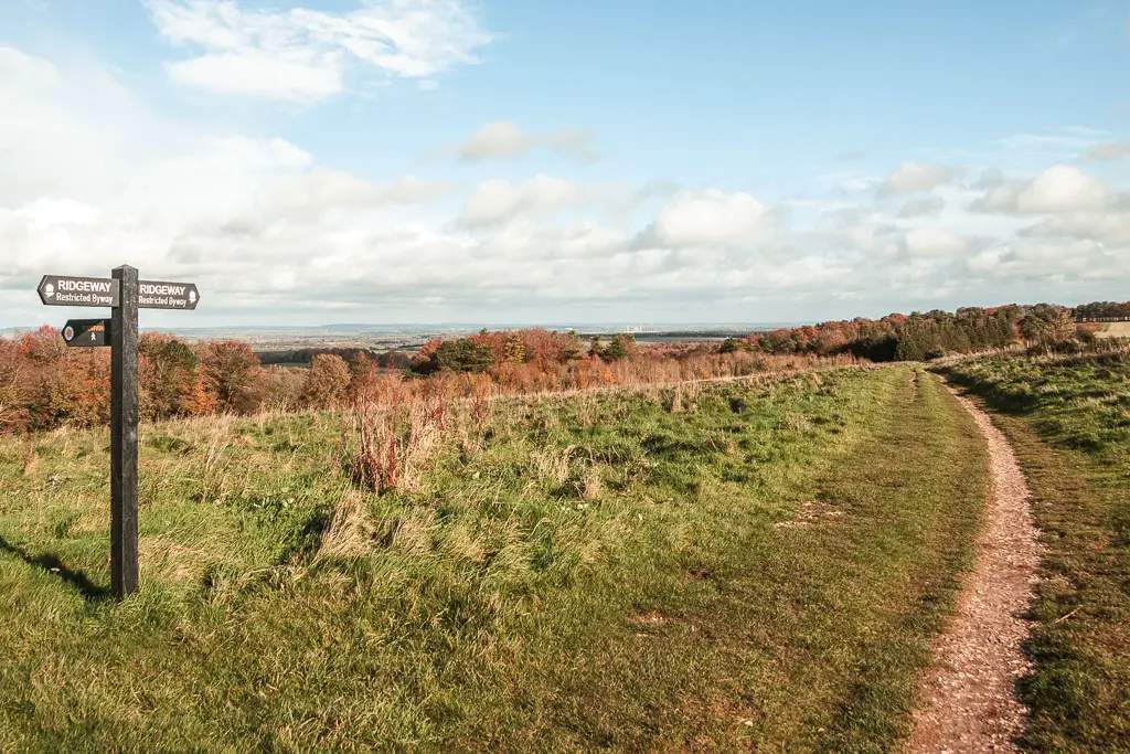
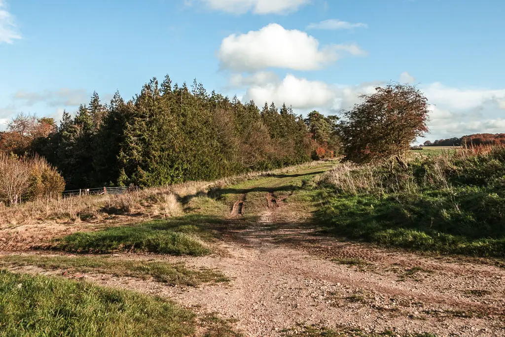
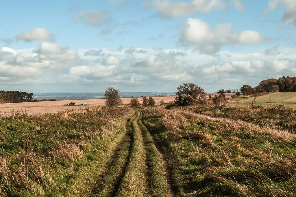
For a long time now, there are no major turns. You keep going straight at all the junctions.
The trail is mostly grassy, a little bit muddy, interspersed with a small amount of harder ground. Somewhere along here is the half way point in the walk.
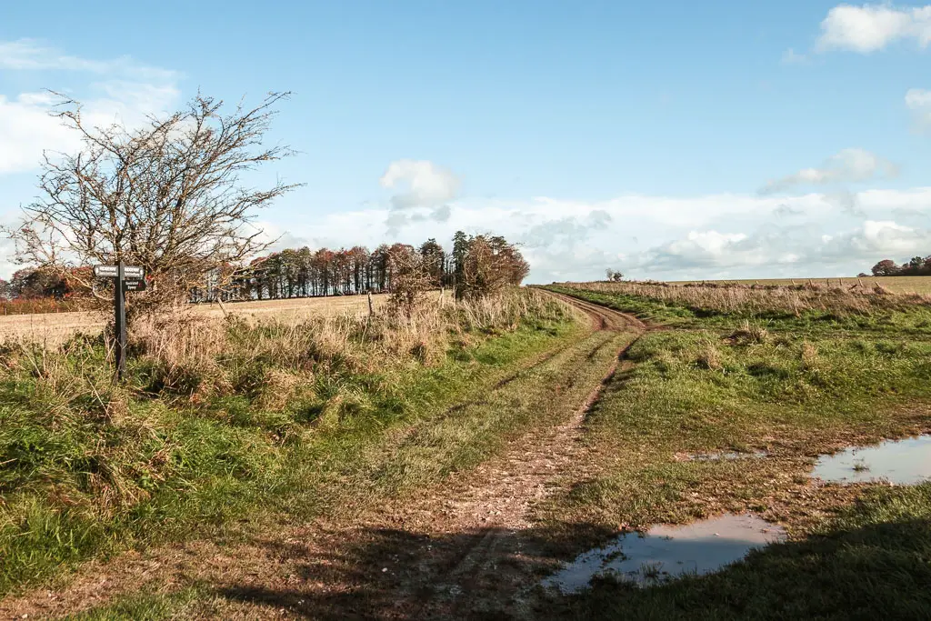
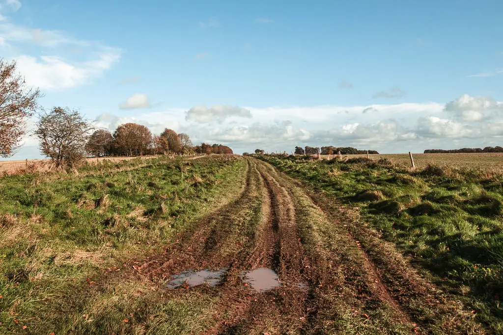
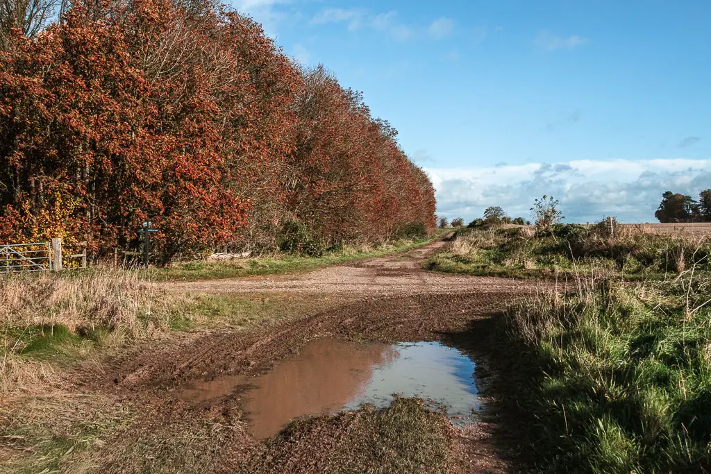
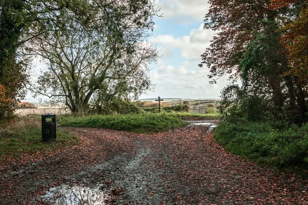
When you reach the road junction, go straight across and through the car park, then continue going straight some more.

Lunch and more straight
At all the junctions, stay straight, going from dirt trail, to grass, to dirt path, and grass again.
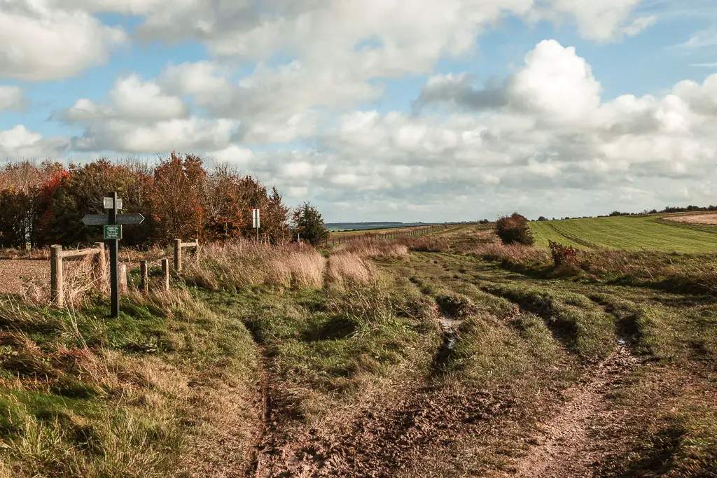

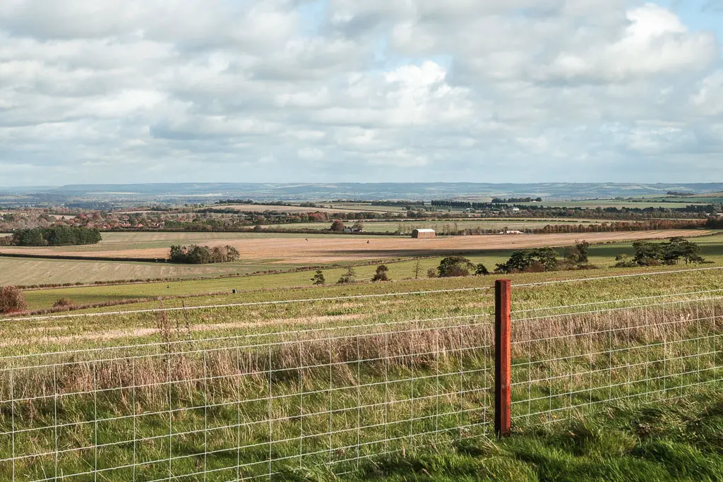
Somewhere along here, I realised I was hungry. But I was now quite exposed and the wind was showing itself. I decided to hold out for a sheltered spot. Only, there wasn’t any. I tested out a few of the small trees I passed, but nothing was suitable. This never ending trail, became more never ending.
When I reached the road, with a car park opposite, I rushed over perched behind a few of the cars, trying to find an angle where the wind wasn’t blowing me away. There wasn’t one.

Shame, as the views here are nice, so would have been a perfect place for a break. Looking ahead, I could see trees in the distance. I decided I would have lunch over there, so continued on.
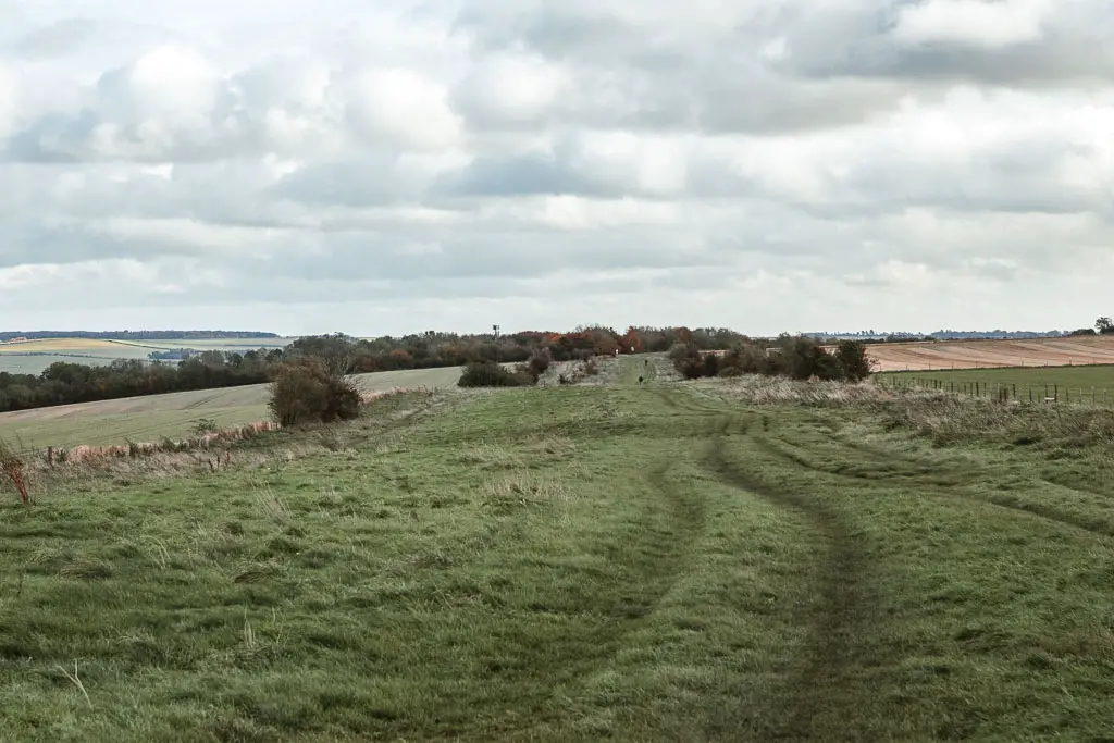
I passed a guy who asked me where I was heading. I said Streatley. He let out a gasp and proclaimed ‘that’s 6 miles away’.
I was both pleased and annoyed at this statement. On the one hand, 6 miles was nothing. It meant I had done the bulk of the walk, and was almost on the home stretch. On the other hand, I thought I only had 4 miles to go. I didn’t want to check who was right. I decided it was me, and continued on to find shelter for lunch.
Shelter and the A34
At the trees, you want to go onto the path straight through them and down the hill. By now the A34 noise is pretty loud. Not the ideal place to take a lunch break. The ground was also a little muddy and wet. But I was too hungry to care, so had my lunch standing up sheltered by the trees. Again.
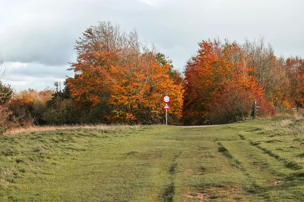
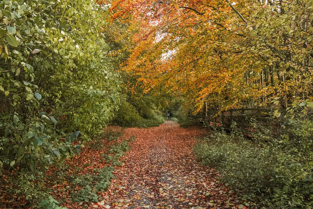
Further down the tree covered hill, you will reach the tunnel under the A34. I have been through a number of long creepy tunnels in my time, and was expecting something similar. However, this wasn’t like that at all. Nice and short, with a mural on the side.
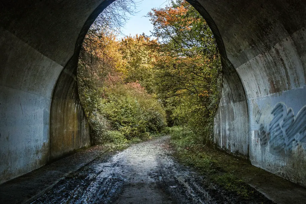
Out the other end, and up a short hill, follow the path as it curves to the left.
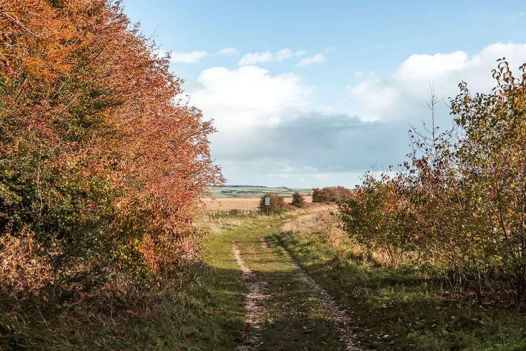
More of the same
It’s now more of the same, straight across all the junctions. Going from grass to dirt trail, to more grass, dirt road, and then road.
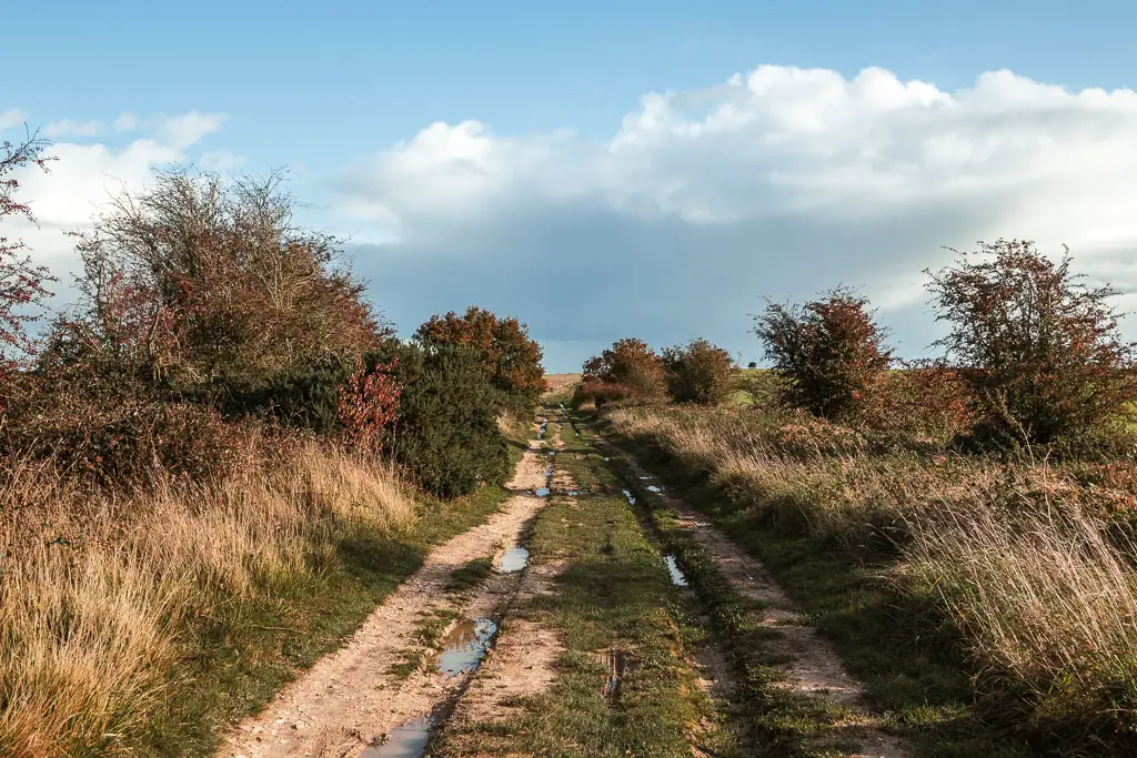
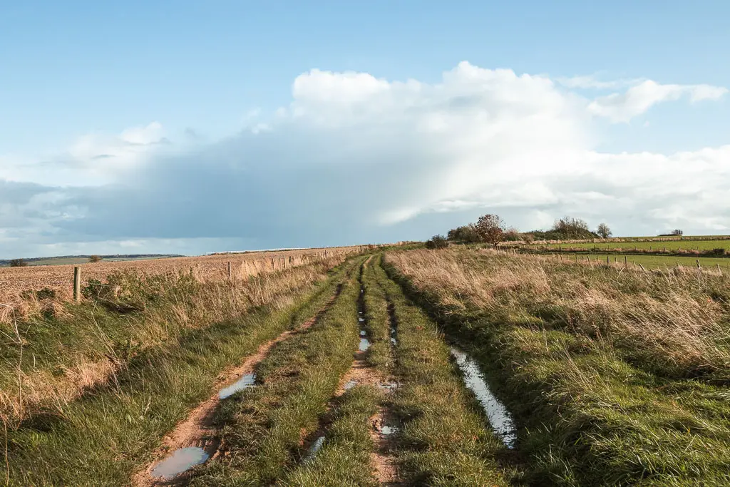
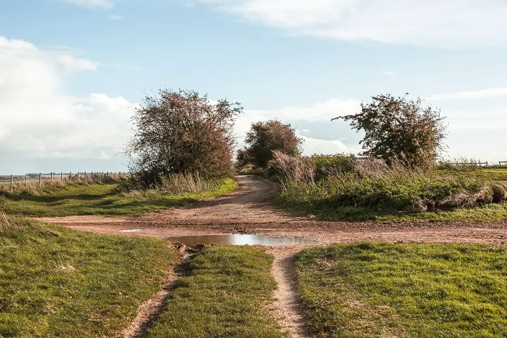
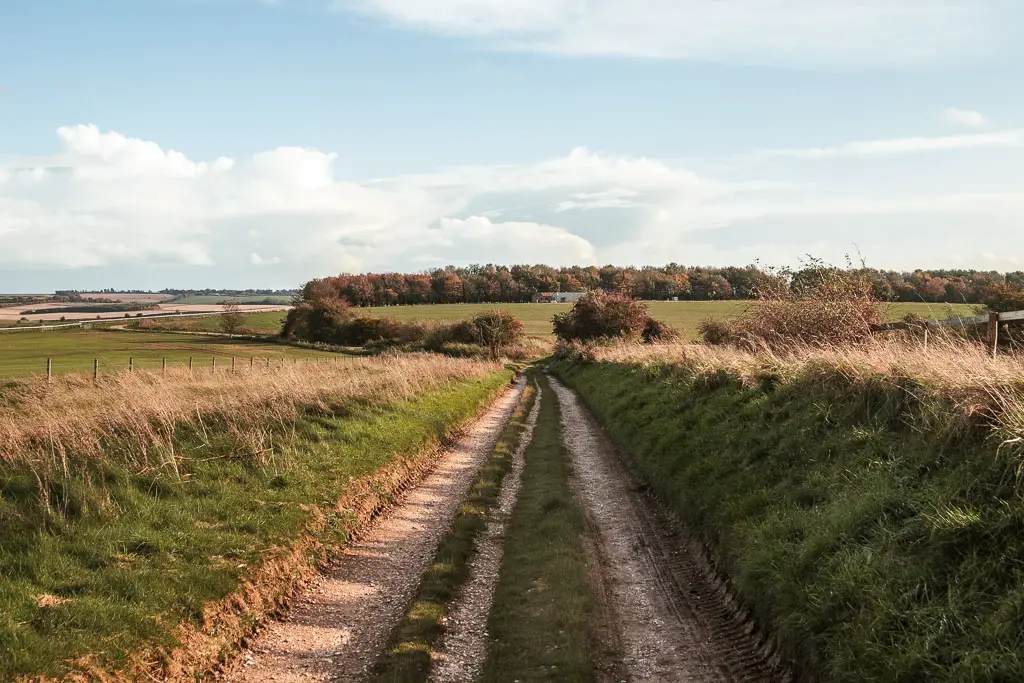
You will be surrounded by a mix of fields, views, and occasional trees. Then you will pass by a horse racing place.
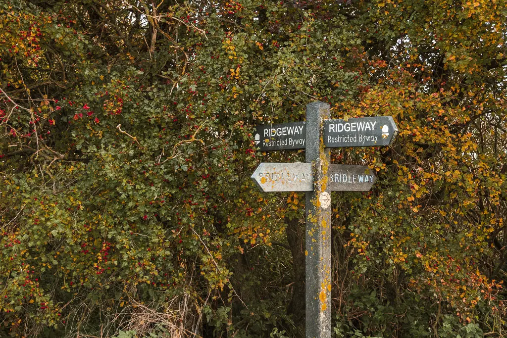
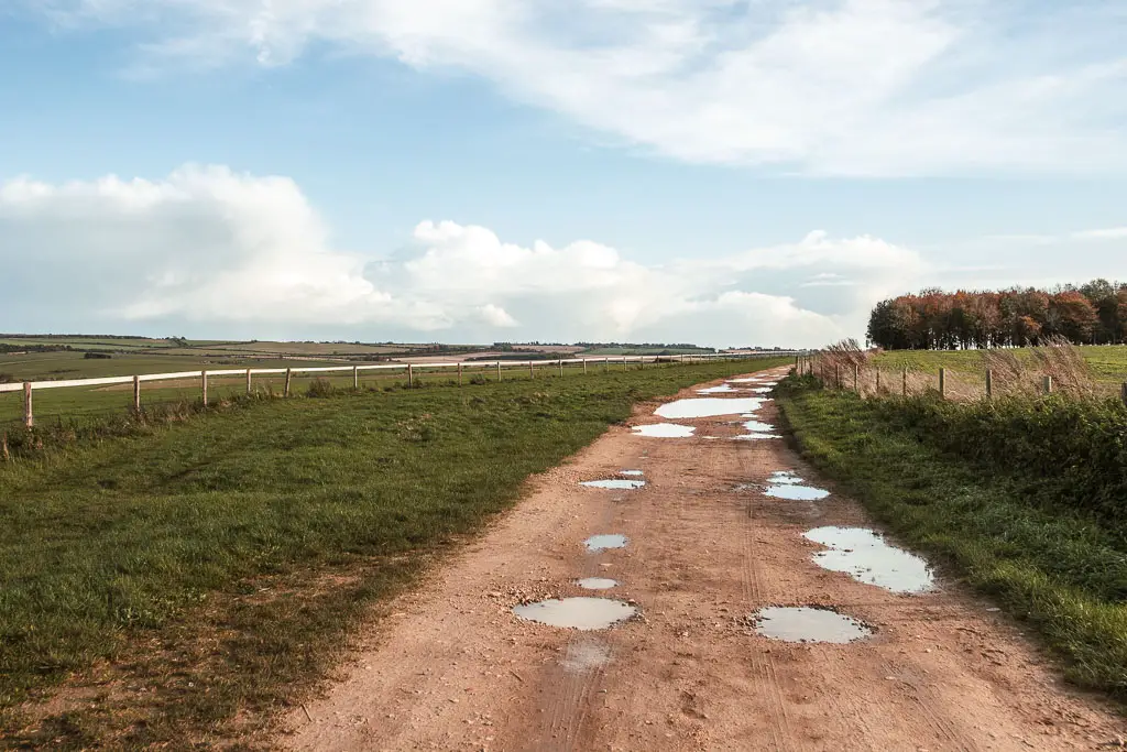
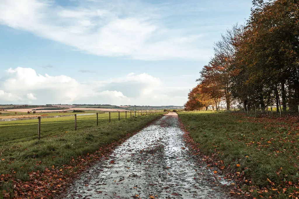
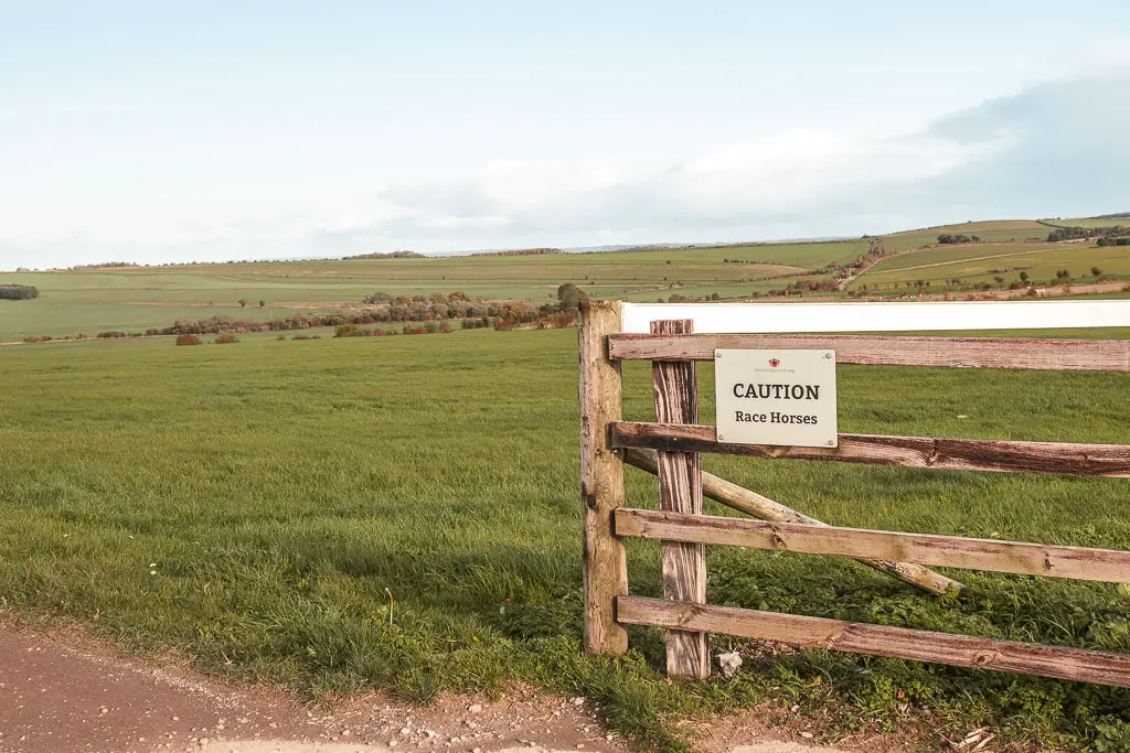
Past the horse racing area you will reach a junction, where for the first time in a while, you make a turn.
Turn left.
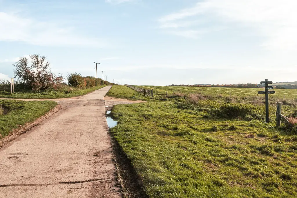
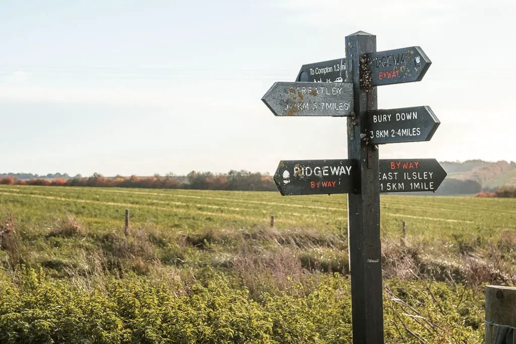
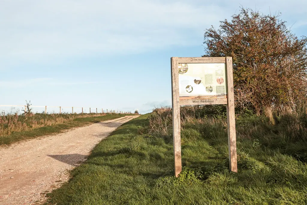
Follow the dirt trail, as it takes you gently downhill. It then levels out a little, before taking you back up.
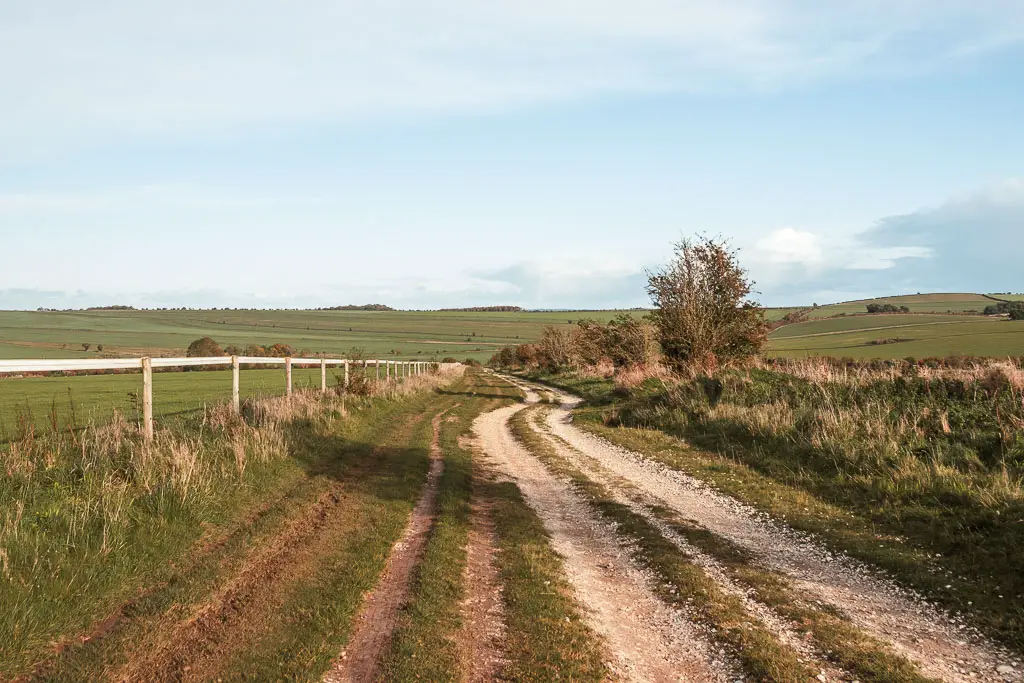
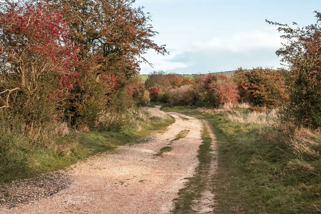
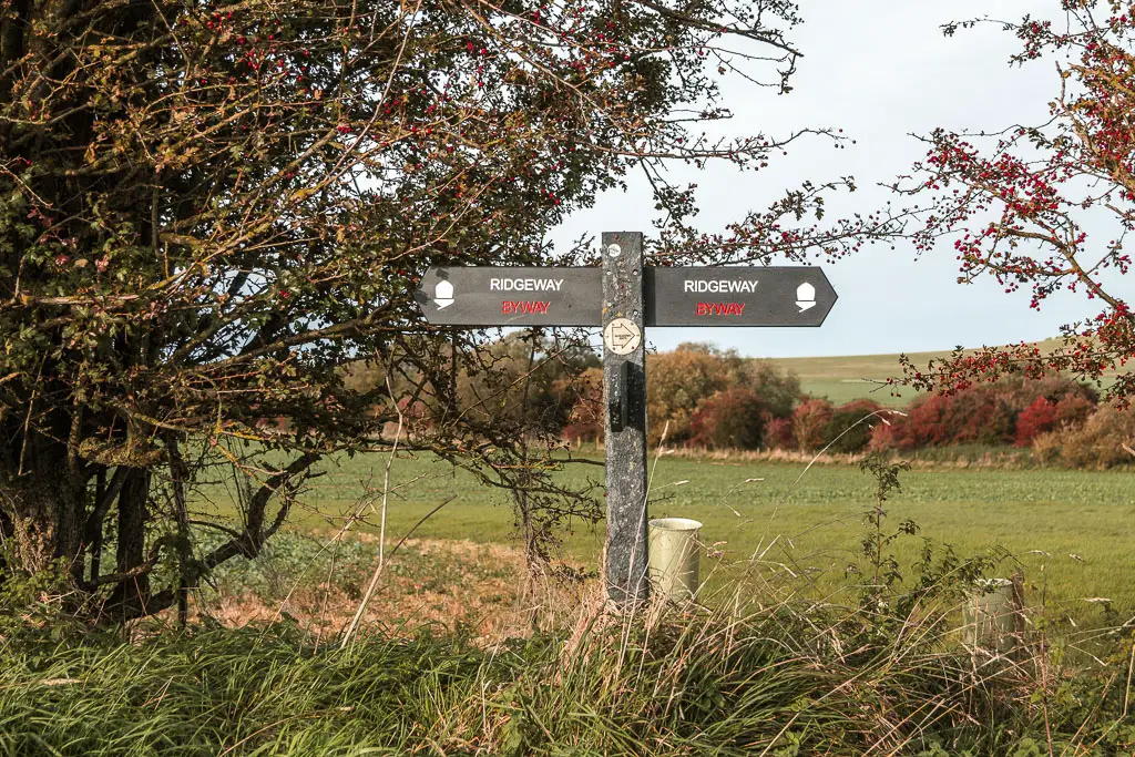
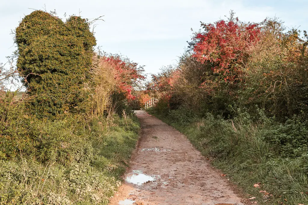
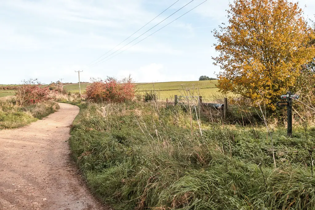
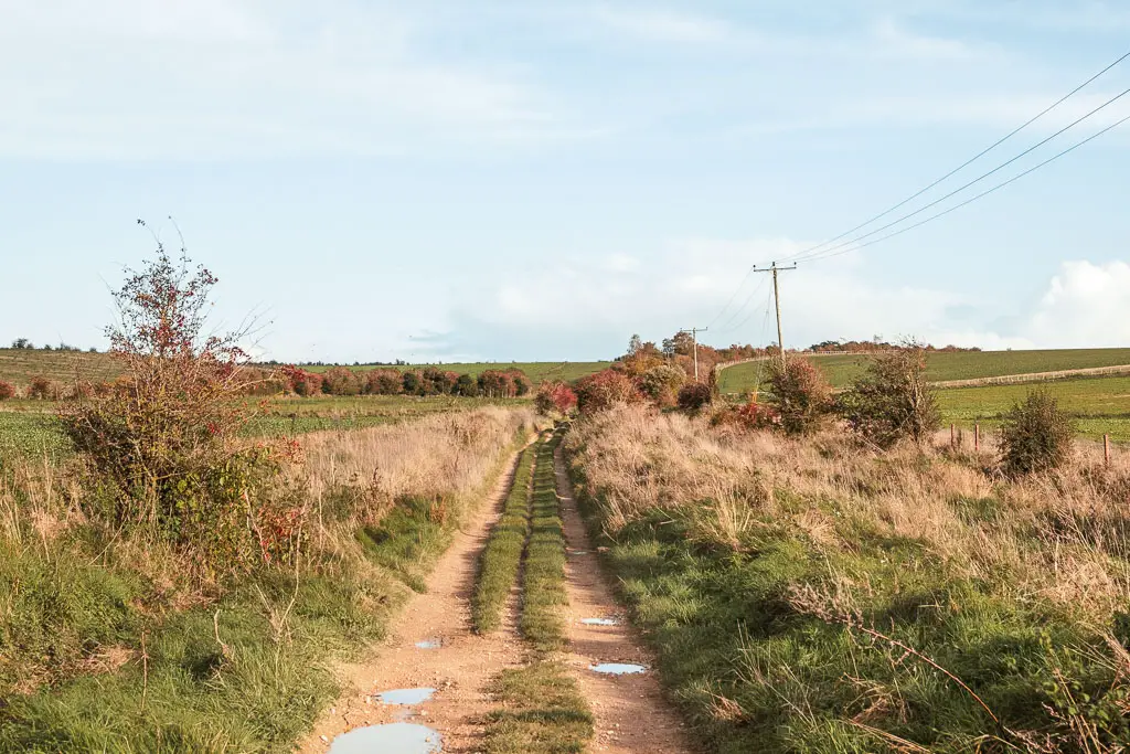
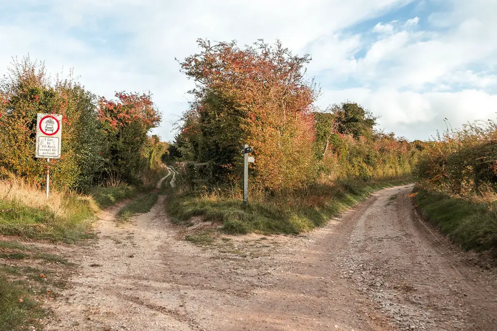
At the curved fork junction, take the right.
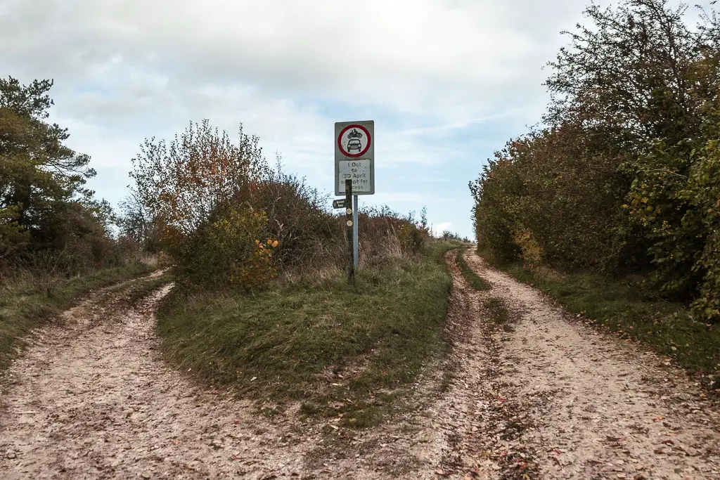
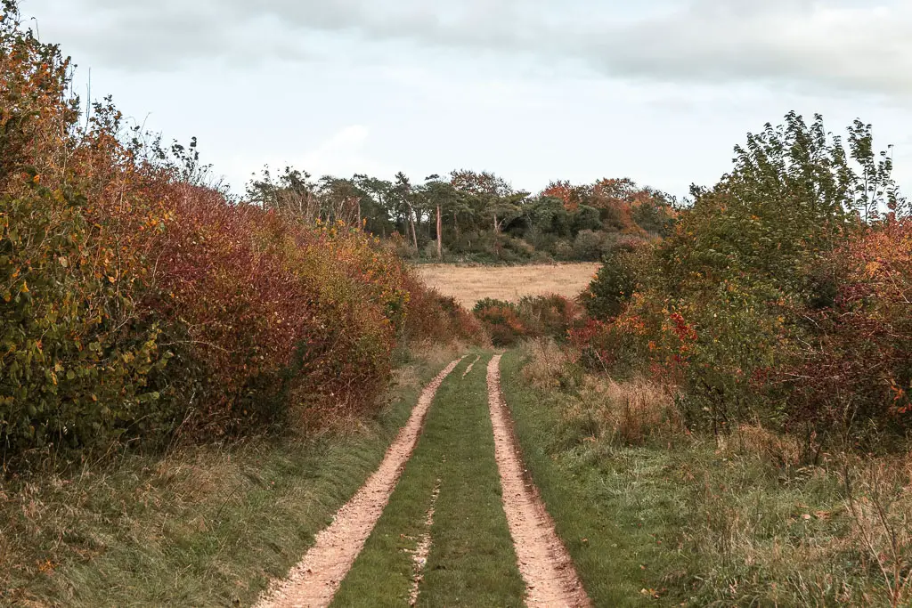
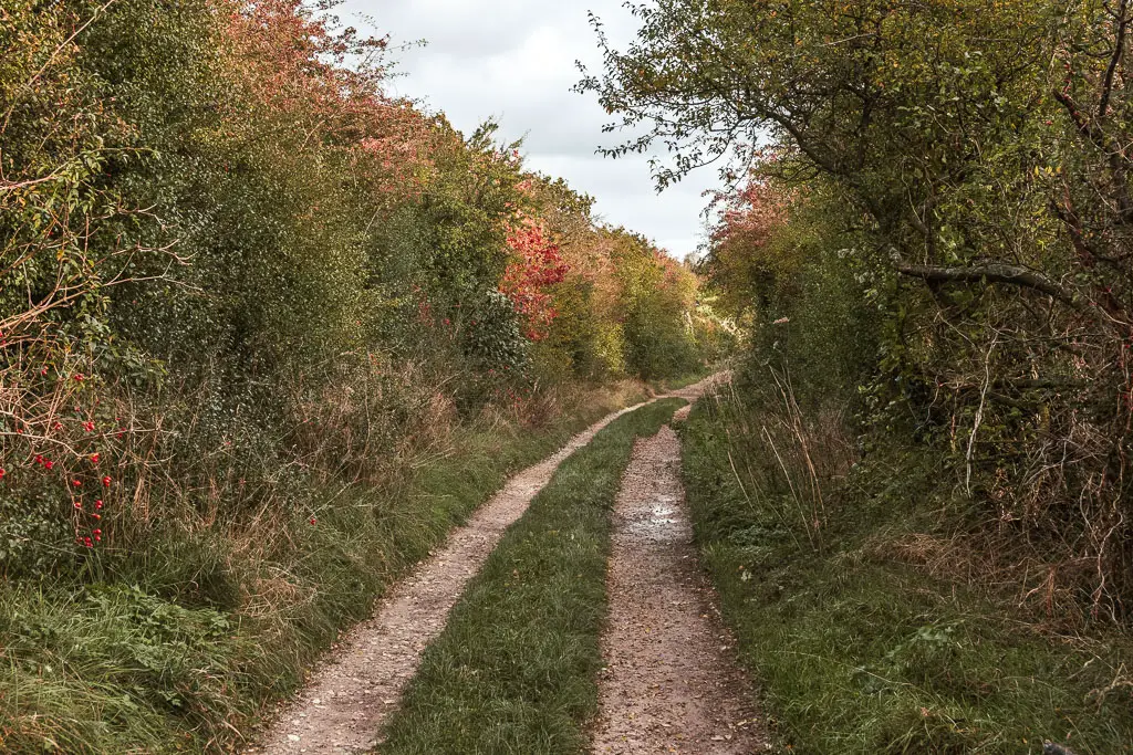
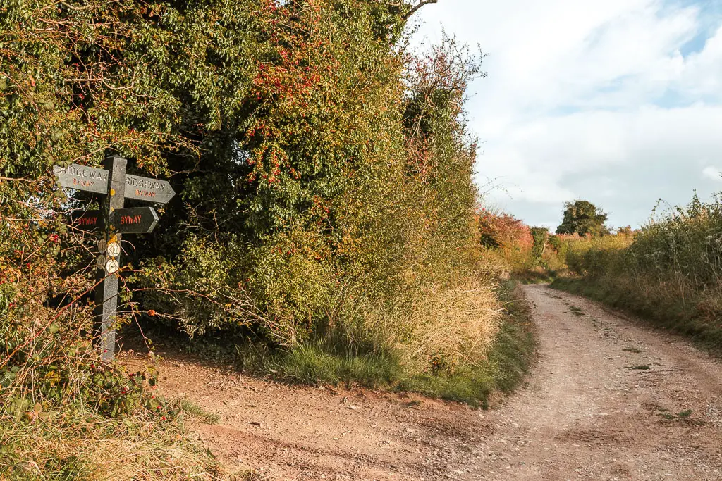
Keep following the main path straight, which at this point is mostly tree and bush lined. Then at the next fork, take the left.
Nearly there….sort of
Continuing on, you have one more small uphill, then when you reach the U bend, take the left.
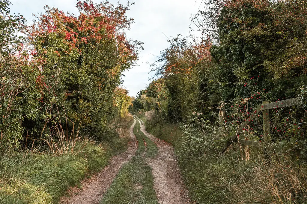
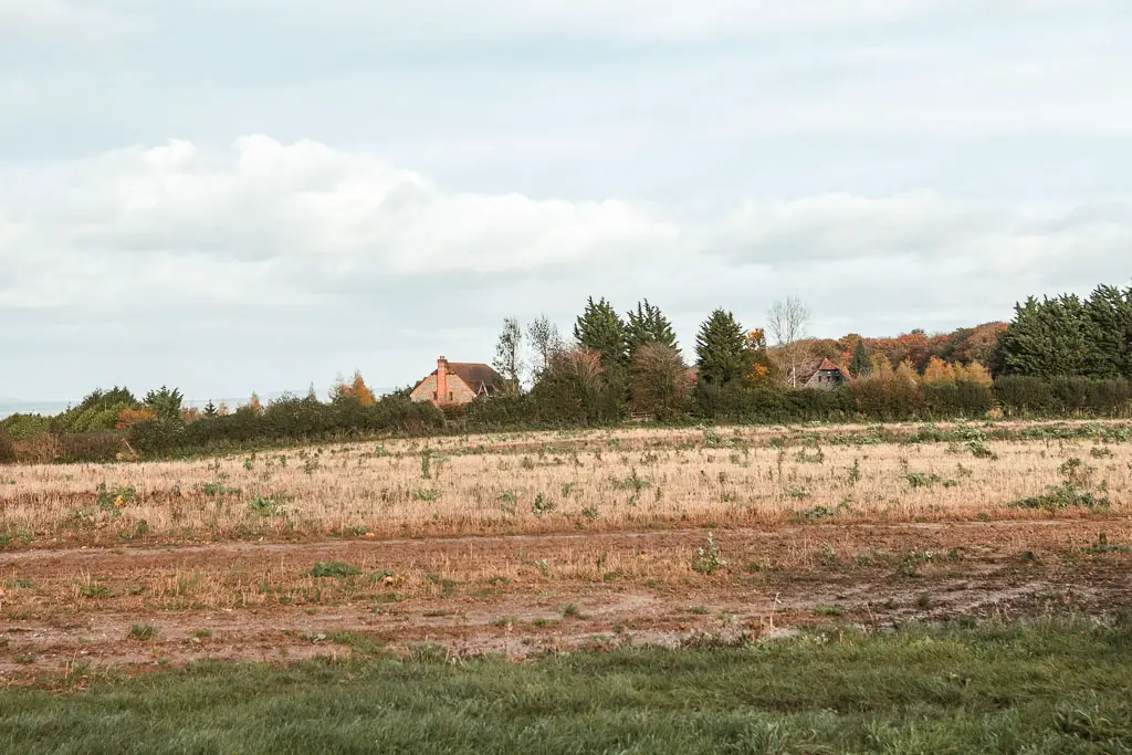
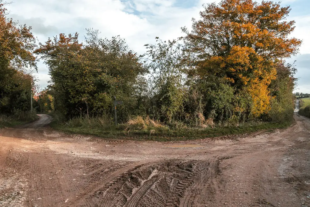
This will lead you onto a wide dirt road, with wonderful views across the hills to your right.
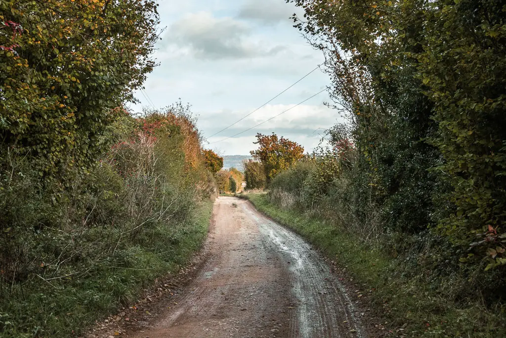
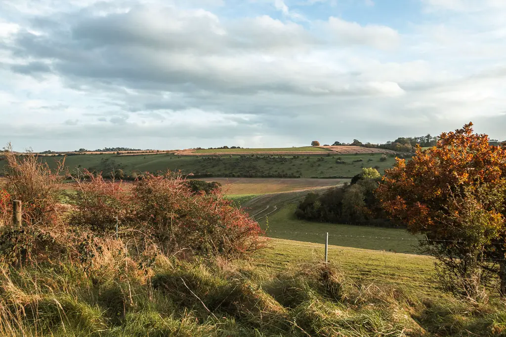
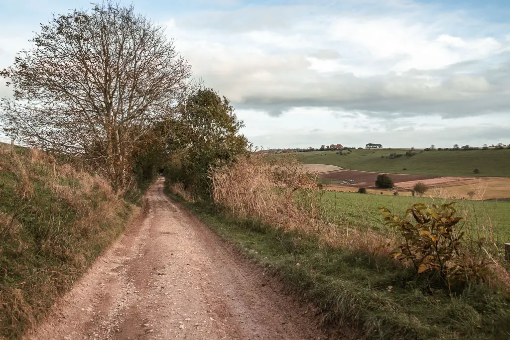
I knew I was nearing the end of the walk into Streatley and Goring, and would be on proper road soon, so I checked the train times. There would be a train in 40min. I checked Google maps which told me it would take me 40min to walk to the station. That was too close for my liking, so I picked up the pace.
The halfway point along the Ridgeway
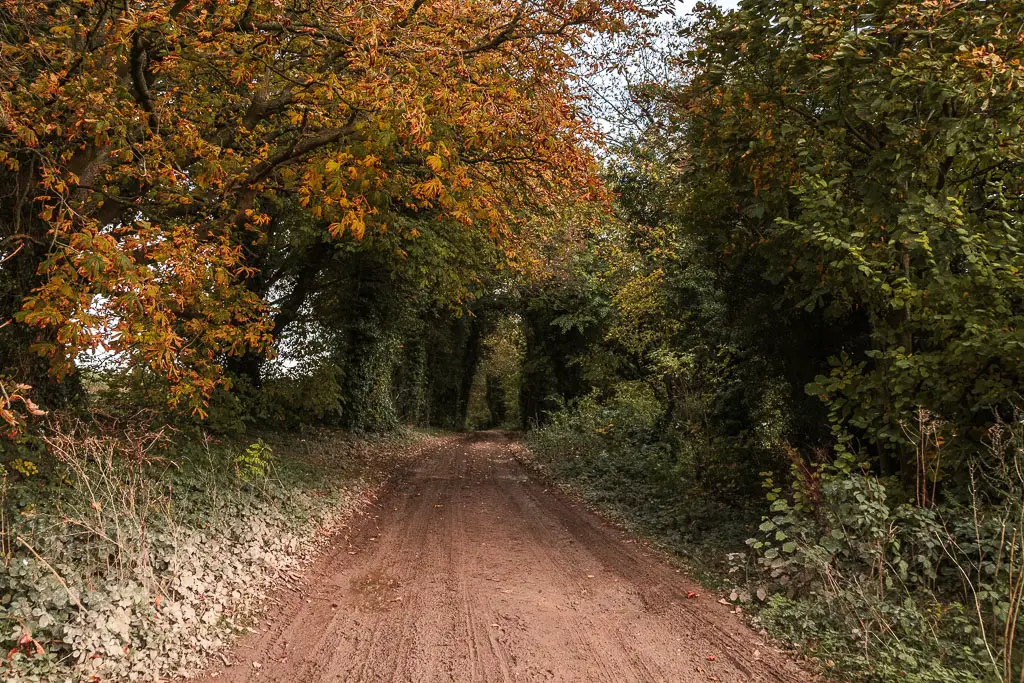
The path will lead down through some woods briefly. You will find some signage here telling you how far to reach Ivinghoe Beacon. This is the first one telling you this since the start at Overton Hill. I wondered why there weren’t more of these, then realised it says 44 miles. That’s about halfway. Makes sense to mark the key milestones.
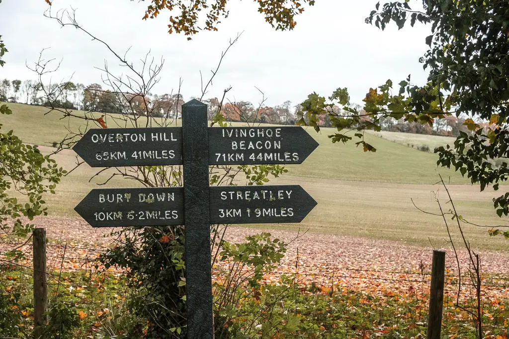
It also said Streatley was 2 miles away. That didn’t excite me so much, as I knew it would be roadside walking all the way there.
Walk to Streatley
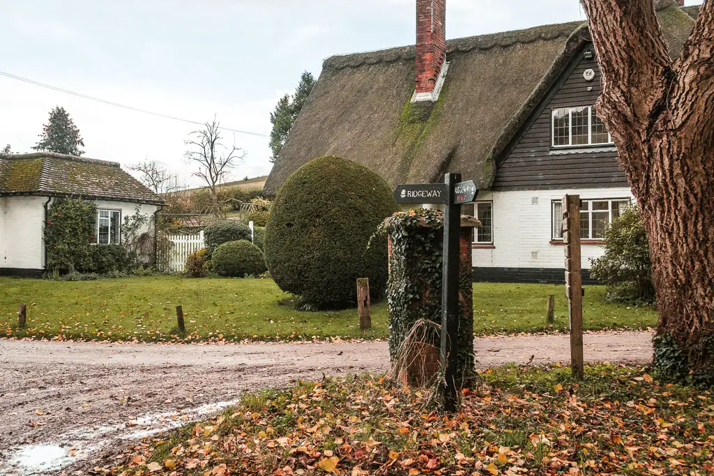
As you emerge from the woods, you will find some civilisation in the form of a quaint thatched roofed cottage. Turn left here, and just follow the road. There isn’t really a pavement or walking path here. So you will be on the road for a little bit, first lined with trees, and then another cluster of houses.
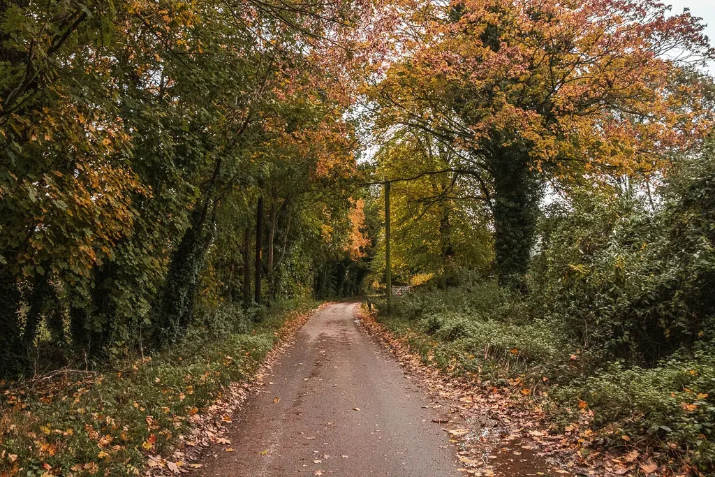
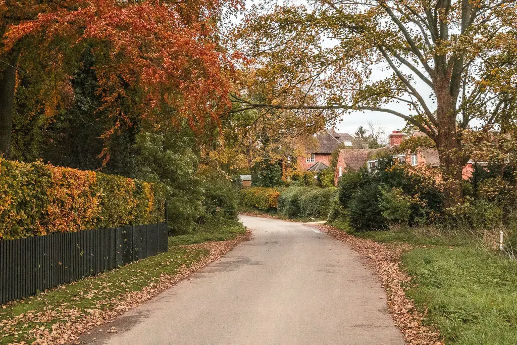
Once I had 20min to go until the train left, I checked my time again. I was still 20min walk away. I made up no time. If I missed that train, it was an hour wait until the next one. It then started raining. So I broke into a cross between a fast walk and a jog.
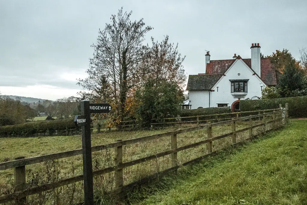
When you reach the main road, turn right, and keep going. You are now in Streatley.
Walk to Goring and Streatley station
I don’t have photos for the remainder of the walk. As at this point, the sun had set, and it was dark. The rain was also hammering down, and I was now running. I wasn’t about to spend an hour sitting in the rain, so I had to make that train.
The turning to get to Goring, is the second left turn after the big road sign. It’s at a big cross junction.
If you are spending the night here, stay straight at the big junction, and you will reach the YHA.
To get to Goring and the station, after the left turn, continue straight and over the bridge. Stay on the main road as it does gentle curve right then left.
There are a couple of ways to get to the station from here. I took a right at the chippy, going through the shopping sheltered area. Then stayed straight passed all the houses. At the T end, it’s left, and then straight all the way to the next road, where you cross straight over. This takes you to the railway tracks. The entrance to the station is on the right.
Final thoughts
Imagine this, after hiking for 20 miles (as well as nearly 30miles over the previous 2 days), you start running. Running on road, with hard hiking boots, and a heavy backpack…
Getting back home from the station was the hardest part. This is when the pain set in. The backpack had left me with bruised hips and a lump of swelling on my lower back. My feet were on fire with every step. I decided that I wouldn’t be back tomorrow. I needed a day to recover.
As it would turn out, the weather stopped me from returning to Goring and Streatley to continue walking along the Ridgeway. Heavy rain and thunderstorms. I kept an eye on the forecast for a break. After a week of waiting, I got fed up and found somewhere else to go hiking in the meantime….Then I got injured, and had to wait some more.
