This circular walk from Haslemere to Hindhead and Devil’s Punch Bowl, takes you across the Surrey Hills, mostly through woodland, past some historical points of interest, and up and down some hills with insane views as far reaching as the South Downs.
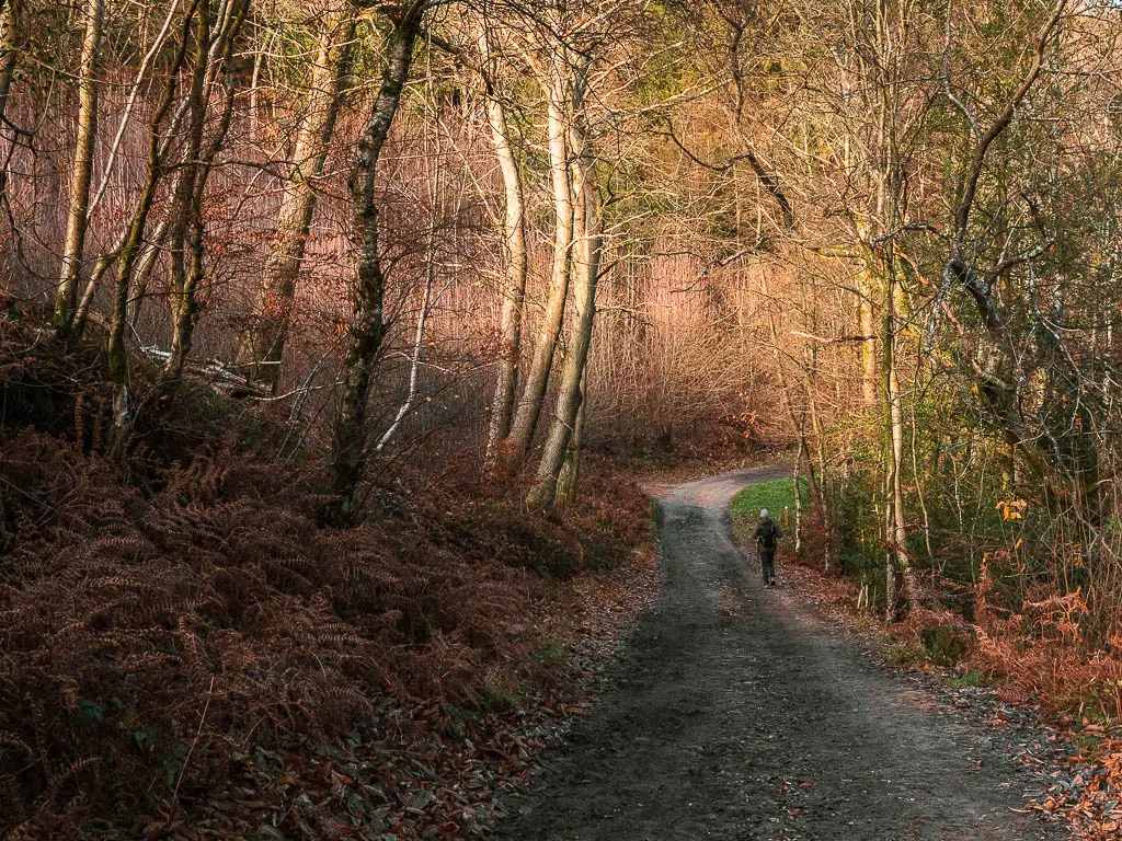
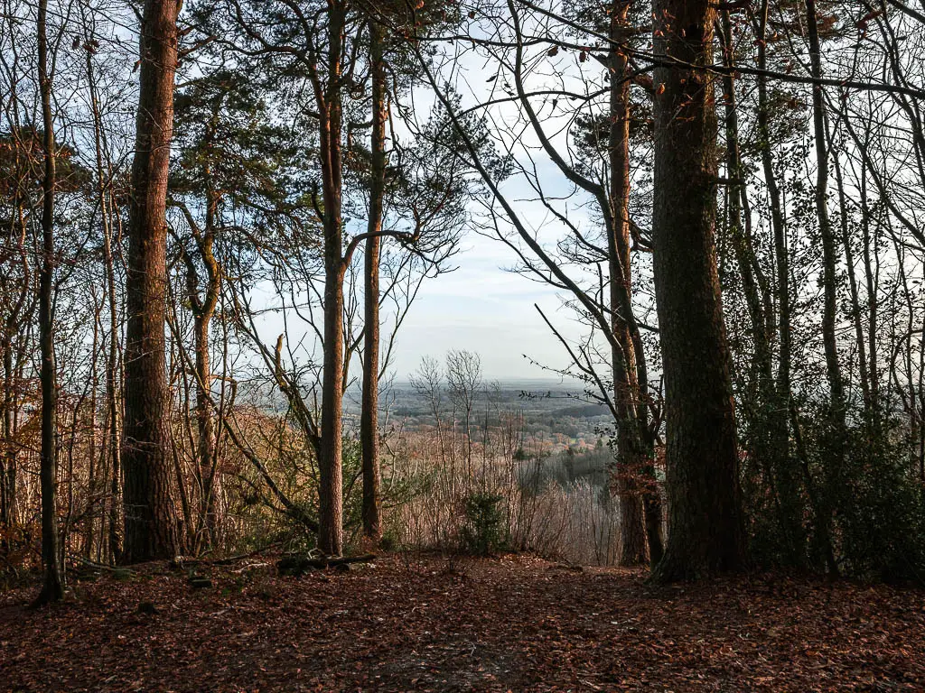
What I’m going to do in this guide, is give you a bit of an overview of what to expect on the walk to Devil’s Punch Bowl, with some useful tips, followed by full logistics and a map. Then I will go on to describe the full route directions with photos. At the end, I will provide suggestions for similar walks, or walks nearby you could try.
What to expect on the walk to Devil’s Punch Bowl
The first part of the walk from Haslemere was odd. Not odd in a bad way. Just not what I was expecting (I explain more later).
For the most part, it started off pretty easy on easy bridleway path. Then it got hilly.
Hilly, hilly, hilly. I had no idea of the steepness of some of the hills until I was faced with them. I rarely label a country walk in England as challenging. Maybe medium/challenging, but not pure challenging.
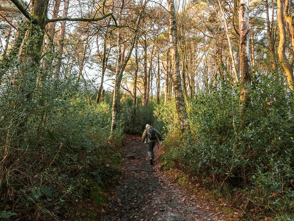
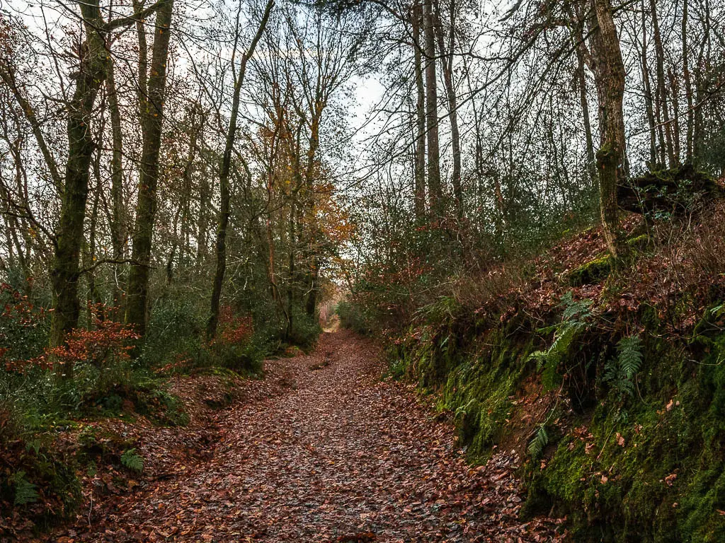
Because of those hills alone, I hereby declare this a challenging walk.
And I loved it.
It’s a bit over 3 miles to reach Devil’s Punch Bowl from Haslemere, then once you are there, you will walk along the top, and then down and through it. After this, you will walk through Hindhead Commons, as you make your walk back to Haslemere. The full circular route is just over 8 miles.
What is Devil’s Punch Bowl?
This is something you need to come see for yourself. Pictures just don’t do it justice. My mind was blown when I came here last year, and I knew I had to come back and make it into a walk.
It is essentially a deep crater in the earth, and has been described as a natural amphitheatre. The crater (bowl) is filled with all sorts of trees and an abundance of wildlife.
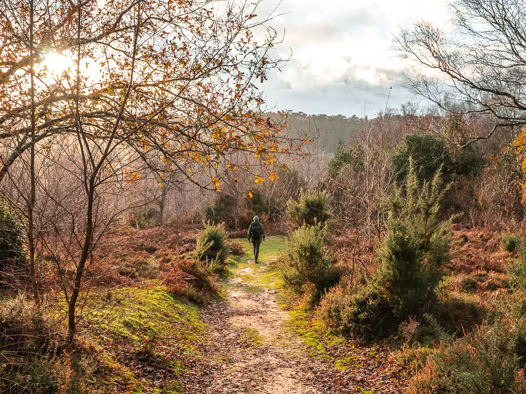
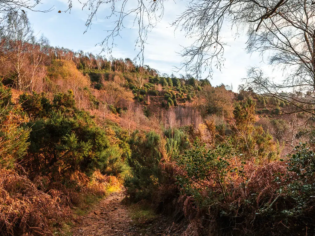
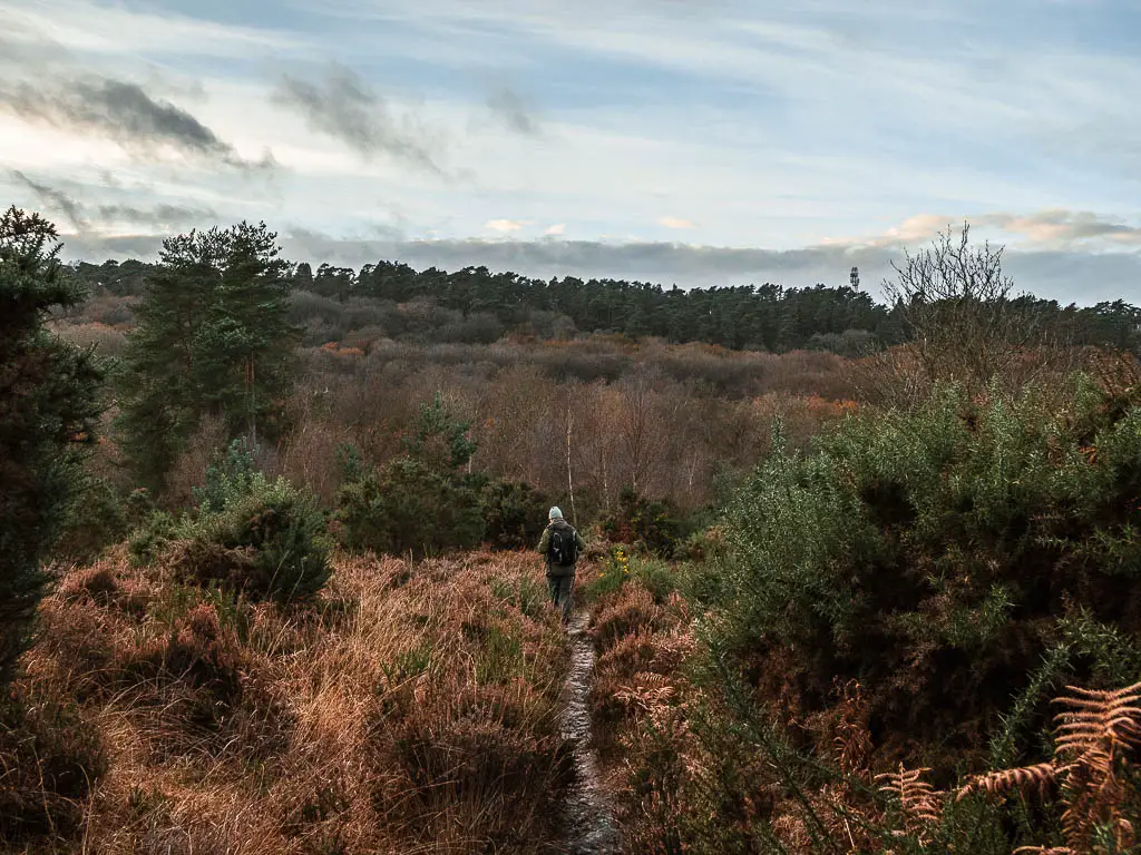
Fun fact: It is a place of Special Scientific Interest
When I started researching about Devil’s Punch Bowl in Surrey, I just knew there would be some story about how it was created by the devil. We do love a good devil story. In this instance there are a few devil theories. I’m going to give you the gist of them:
- The Devil was irritated by all the churches being built in Sussex, so he decided to flood it all by digging a channel through the South Downs. During his mission, he got disturbed by a cock crowing and leapt into Surrey. Where he landed created this massive crater, now known to us as the Devil’s Punch Bowl.
- To annoy the god Thor, he would scoop out bits of earth to throw at him. One of these scoops is the punch bowl. – This is the story I like.
Fancy another Devil story hike? You should try out this one to Devil’s Dyke.
What else will you see on the Hindhead Devil’s Punch Bowl walk
Temple of the Four Winds (more on this later), the Celtic/Gibbet Hill Cross.
You will also be on the second highest point in Surrey. On a clear day you can see the London skyline.
Oh, and some very enviable houses.
Tips for the Devil’s Punch Bowl circular walk
- It can get very muddy, so waterproof hiking boots would be wise. You would do better on the steep bits with hiking boots/shoes as well.
- The best part of the walk was the Devil’s Punch Bowl, Hindhead area. So don’t worry about missing out on the section from Haslemere if you want to come by car.
- It’s a popular place, so the best time to come would be early morning. Also try to avoid peak times such as school holidays, bank holidays, and sunny summer weekends.
Logistics
- Start/finish: Haslemere train station
- Alternative start/finish: You can skip the section from Haslemere, and just walk around the Devil’s Punch Bowl Hindhead Commons area. It’s the top section of the top loop on my map. You would need a car though (see below for parking).
- How to get there: There are direct trains from London Waterloo and Clapham Junction, which takes approx 50m-1h.
- Distance: 8.3 miles circular
- Time: 3h 30min
- Elevation: Highest point is about 272m . With the ups and downs you will gain about 545m.
- Difficulty: Challenging.
- Terrain: Dirt trail, bridleway, mud, grassy trail, 1 cute bridge, some road.
- Amenities: There are a few benches dotted about at the top. You know, to rest after the big climbs. There is a cafe and public toilets at the National Trust Visitor Centre, which is next to Devil’s Punch Bowl.
Parking for Devil’s Punch Bowl and Hindhead Commons
You can park in the Devils Punch Bowl National Trust Car park. You have to pay for it, but it’s free for National Trust members. Post code is GU26 6AB. If you want to start from Haslemere, the is a car park at the station, post code is GU27 2NY.
Haslemere to Hindhead and Devil’s Punch Bowl walk map
You can find my more detailed walking route map for Devil’s Punch Bowl on AllTrails here.
Route Description for the circular walk from Haslemere to Devil’s Punch Bowl
Out of Haslemere station, take a right to walk along the main road. Once through the bridge tunnel, take the first right to start the long walk uphill.
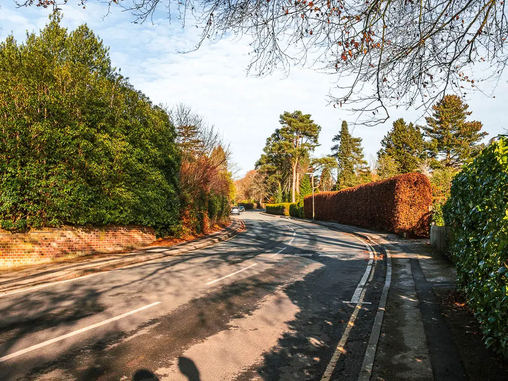
Note: I mentioned earlier that the first part of the walk to Devil’s Punch Bowl is easy. It is. I just didn’t count this bit.
It doesn’t feel like you are on the walk yet…Just making your way to the start of it.
This road goes on longer than you think it will, passing by some nice homes. Probably rich people homes.
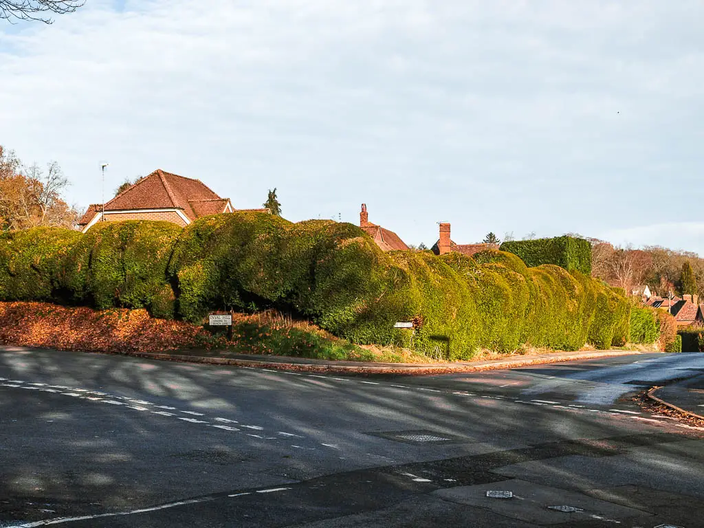
At the top, you will be greeted by a quirky hedge. Walk to the left of it.
Find the trail
Now, you need to be a bit careful here, as there is no pavement, and there are cars.
Where the road splits, you can take either. I would recommend the right one though, leading to the retirement village.
It’s called Wispers Lane. I like that.
We contemplated the left one. But not for long as it looked like death by car waiting to happen.
Plus, I wanted to walk on Wispers Lane.
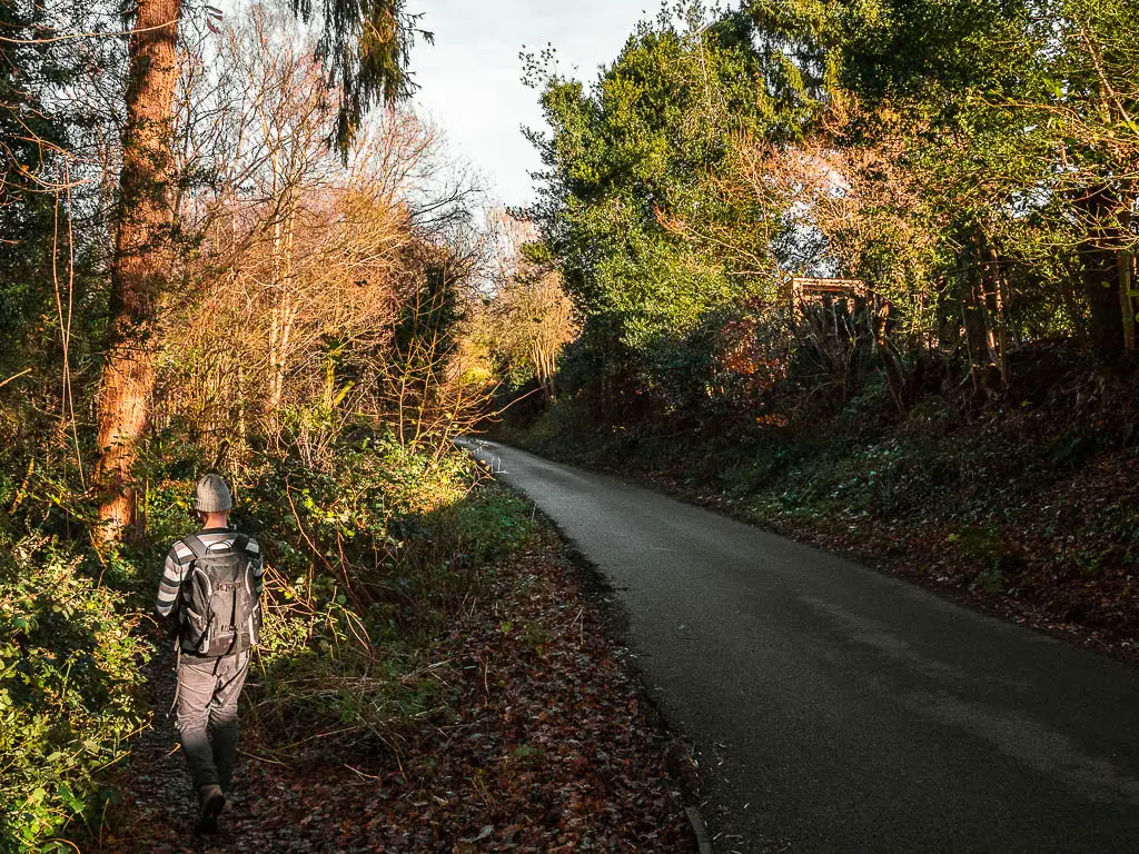
Slightly further along Wispers Lane, look out for a trail to the left which will take you alongside the road.
The strange but beautiful woodland
Now, this is where things got odd for me (well the second place, after that long road that never seemed to end).
Soon enough you will feel like you are walking through grand, dense woodland. You’d forget you are walking right next to a road. If you look to your left and squint, you won’t notice the houses on the other side of the woods, and will feel like you are deep in the forest.
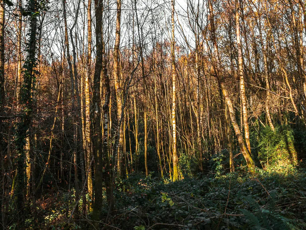
Some of the trees here are massive, with branches and roots twisted about. I definitely felt a sort of fairytale vibe.
Where the trail opened up briefly, we saw a couple of ropes hanging from the trees. You know, ropes for swinging on. Although, there was something off about these ropes, and a thought came through my head that these were not swinging ropes. Ollie thought the same thing.
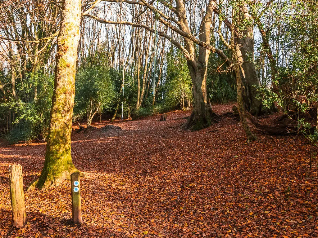
My gut didn’t feel good and that fairytale vibe quickly turned to gloom.
We quickly moved on.
Walk onto the main path
Ok, so you will reach a point where the trail splits at a tree. Remember this point. On the way back from Devil’s Punch Bowl, you will reach this point, then for the rest of the walk back to Haslemere, you take that right trail.
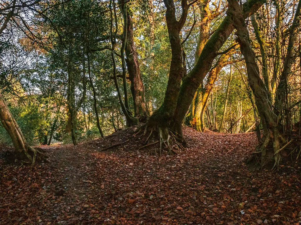
Right now, to make your way to Devil’s Punch Bowl, take the left. It will take you onto the road/path, which you continue straight on.
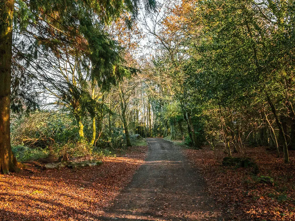
For reference, on my map, it’s where the two loops meet. You will now be on the top loop, which you walk anti-clockwise on.
There is a little open green area here. Ollie took this moment to sit for a snack.
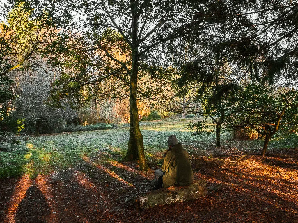
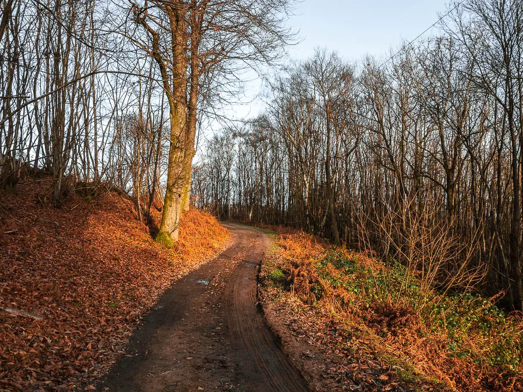
Go downhill along the road/path
Although this next chunk is a road, not a single car passed by us. I think that only people who live along here (of which there are few) drive this way.
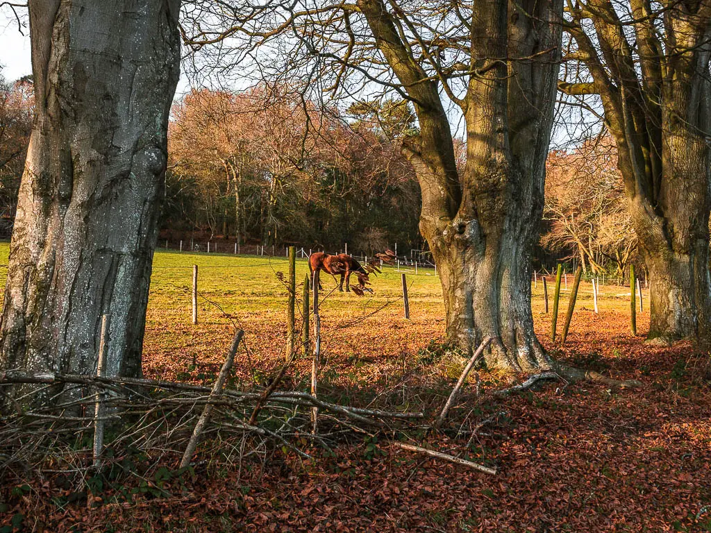
This bit of the walk felt very civilised. It is also very deceptive for what the walk will be like later near Devil’s Punch Bowl. I’m not always a fan of civilised on my walks, but I rather enjoyed this bit, surrounded by all the trees, with the occasional opening to the right of the views.
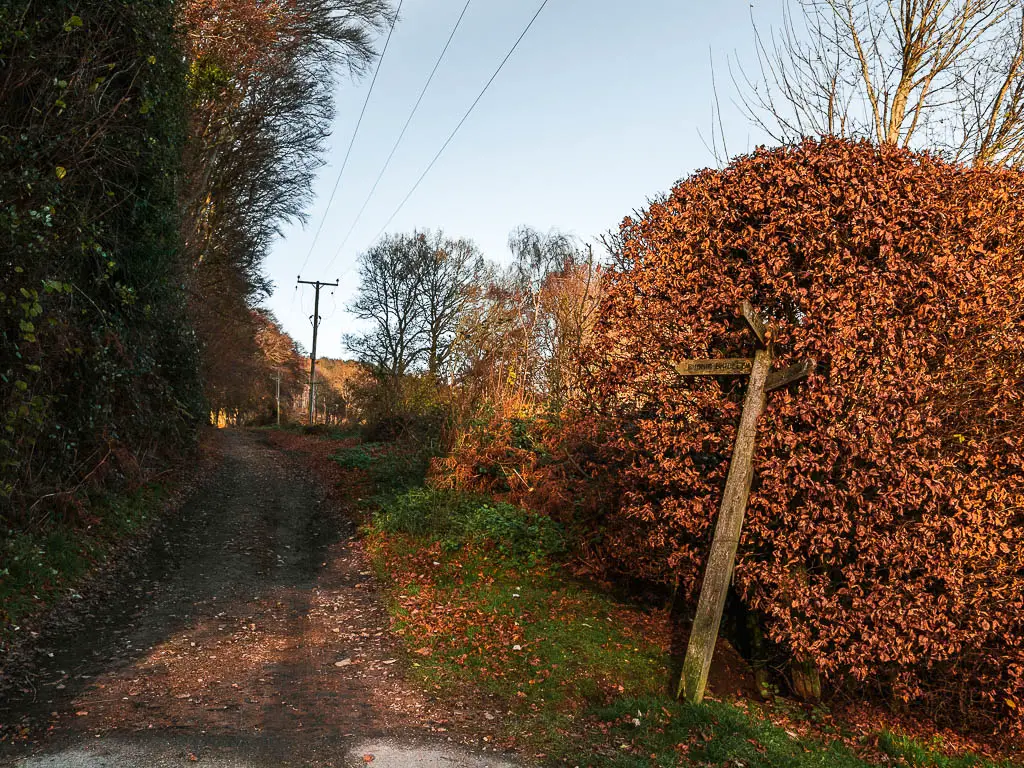
At the the multi trail signpost, continue straight.
The private land
This trail leads you to a gate with a sign saying private. We spent a moment trying to figure out what this meant.
Can we walk through it?
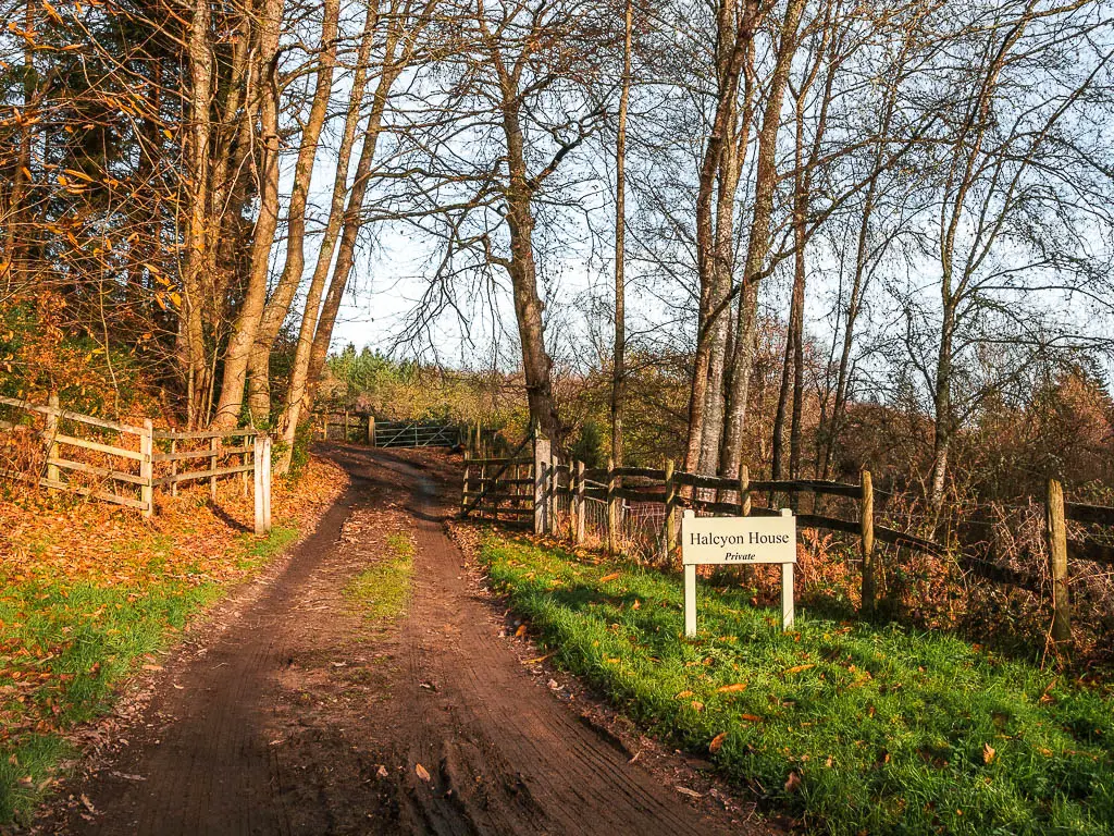
I wasn’t sure, and didn’t feel too comfortable with it. We tried a trail on the left. This was a dead end. The other option was a trail to the right, although this would mean walking in a big loop.
This private property thing didn’t sit right with me. I mean, what if they had a dog which attacked?
At my insistence, we started walking down along the trail to the right.
Not far down, I heard some voices coming from the ‘private property’. So I quickly ran back up to ask them.
I can confirm that yes, this is private property, but you are allowed to walk through it.
Cue me calling Ollie to come back to continue the walk through the private land.
My dream home
Oh my gosh. Whoever lives here has it made. The only downside is the walking trail running through, which takes away some of the privacy.
I didn’t want to photograph here due to it being someones private area so I will describe it to you.
Now, from want I have said so far, you are probably expecting some grand mansion or something. This is not that at all.
First off, we noticed through the trees a large green valley area, with a lake (I think man made) and small lake house type thing.
I commented about how lovely it would be to live there. Then further along the path we saw the main house, overlooking this valley. That’s when I realised that the little lake and lake house probably belongs to the main house. And the view from the main house…wow.
Living here, you would feel so secluded (except for the walking trail), in your own little valley.
Walk up to Hurt hill – the first big uphill of the walk (or second if you include the walk out of Haslemere)
Past the house, you will continue straight on dirt trail through more woodland.
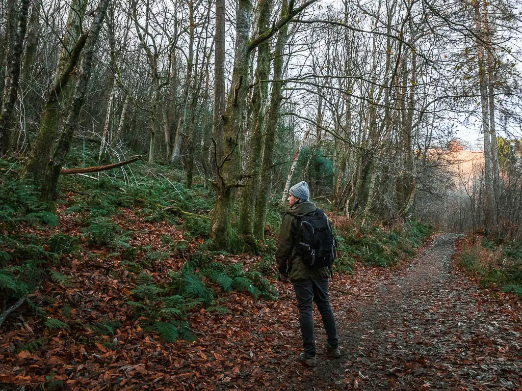
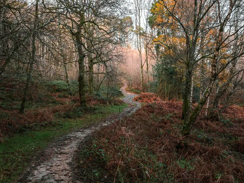
At the junction, take the left fork. (Note, there is another left trail just next to the junction. I don’t mean that one). See photo below for reference of the trail to take.
Now you go up.
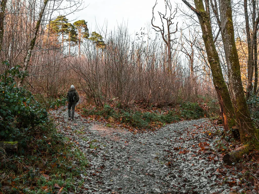
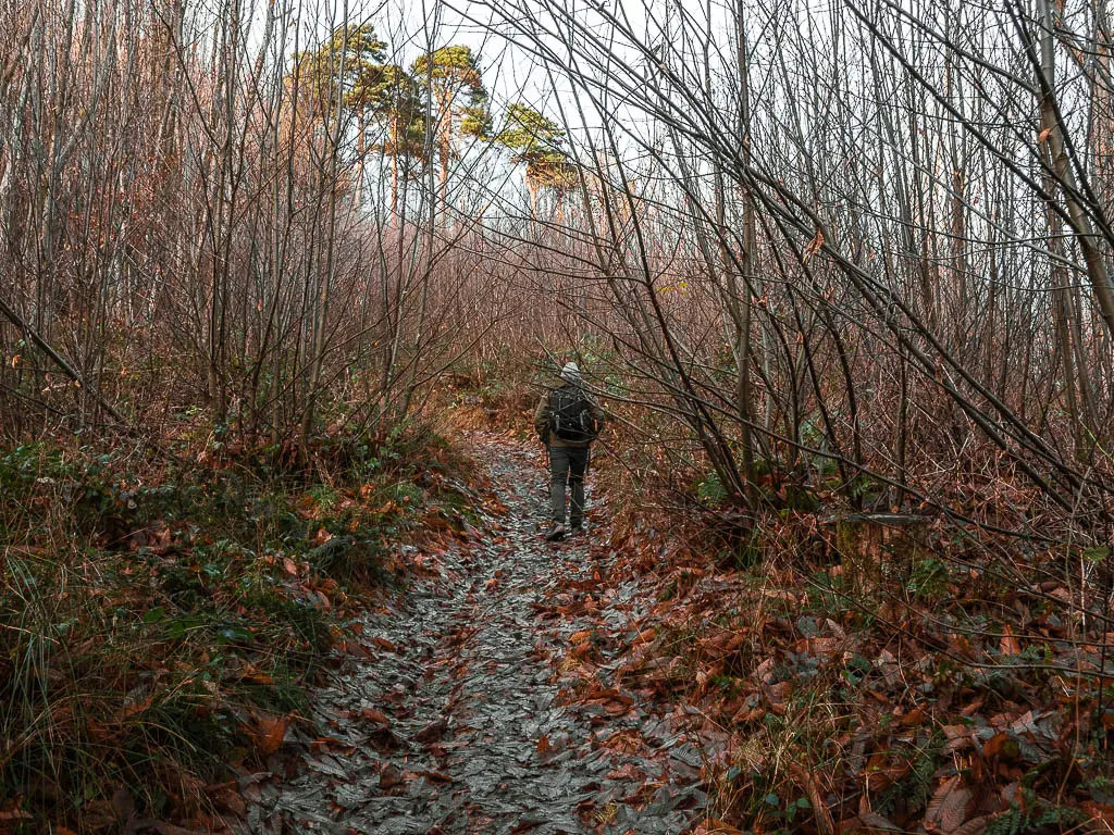
I wasn’t expecting this bit to be so steep. Also kind of slippy with all the autumn leaves on the ground. I think this is a mountain bike track. As such, be careful and watch out for any mountain bikes that come shooting down.
The top of Hurt Hill
The name of this hill is quite apt.
At the top, take a look around for an insane view, reaching as far as the hills of the South Downs.
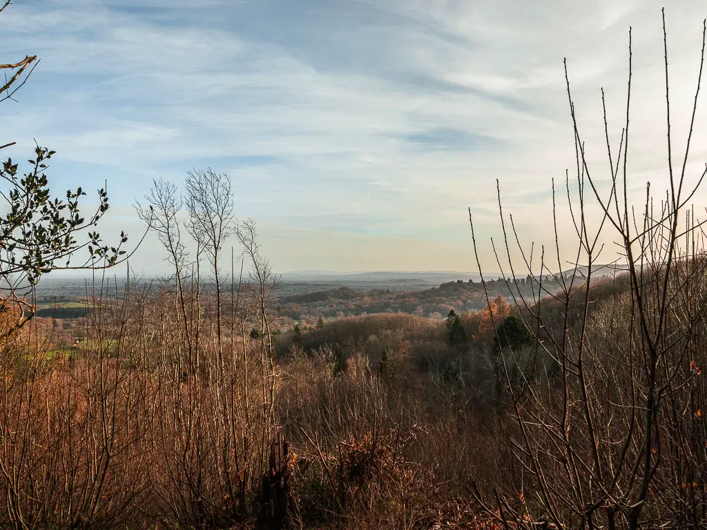
We decided that this was a good spot for a snack break. I think this might actually be my favourite view of the whole walk.
Head towards Temple of the Four winds
Technically you aren’t at the top yet, so, after admiring the view, you need to continue up a little more. When you reach the main trail, turn left(ish).
There is a bit of a junction here.
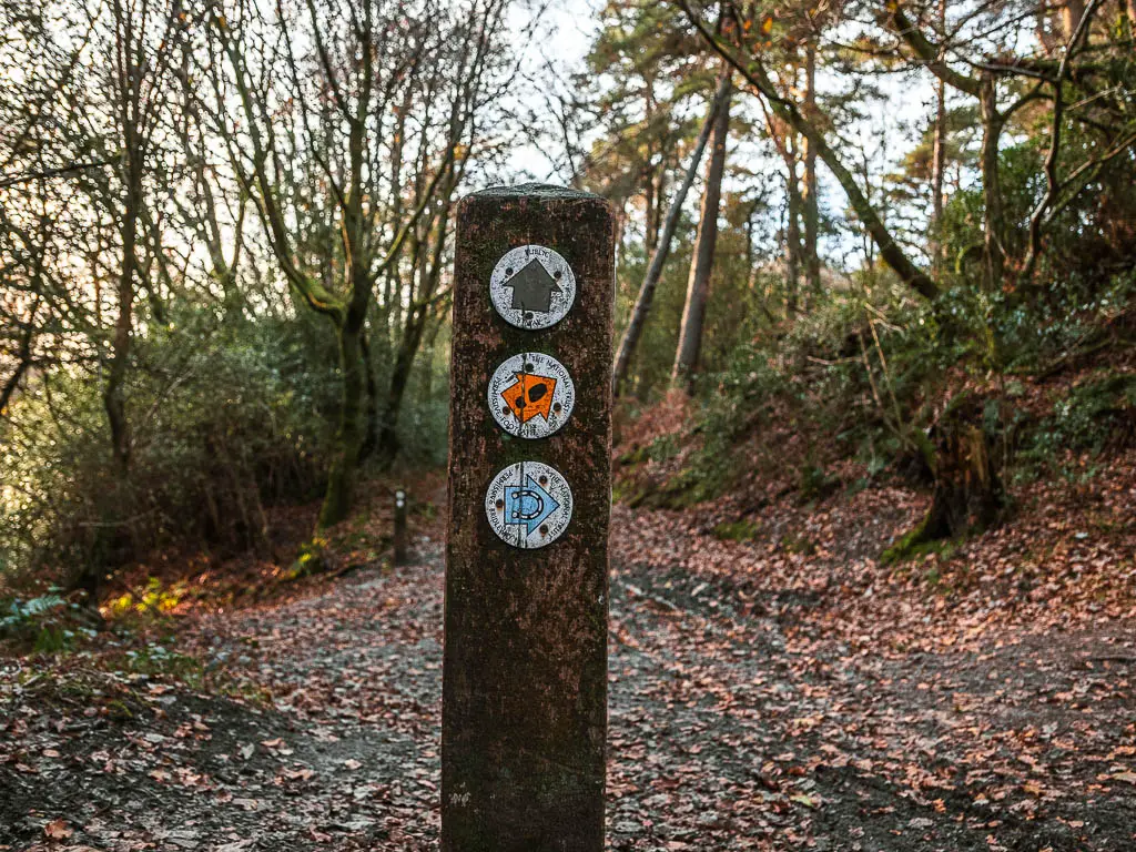
Once you have walked onto the trail, looking left, you will see this signpost:
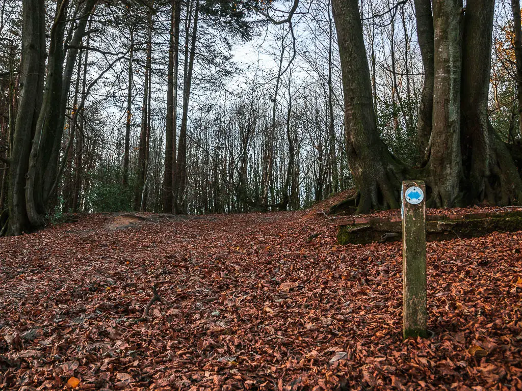
Don’t follow the blue arrows. Instead, walk straight past it.
This will lead you to Temple of the Four Winds.
Temple of the Four Winds
So, Ollie and I have been here before. We were looking for a temple. We had looked it up online and on Google Maps. When we reached said Temple, we were wandering around, wondering where the temple is.
This is it.
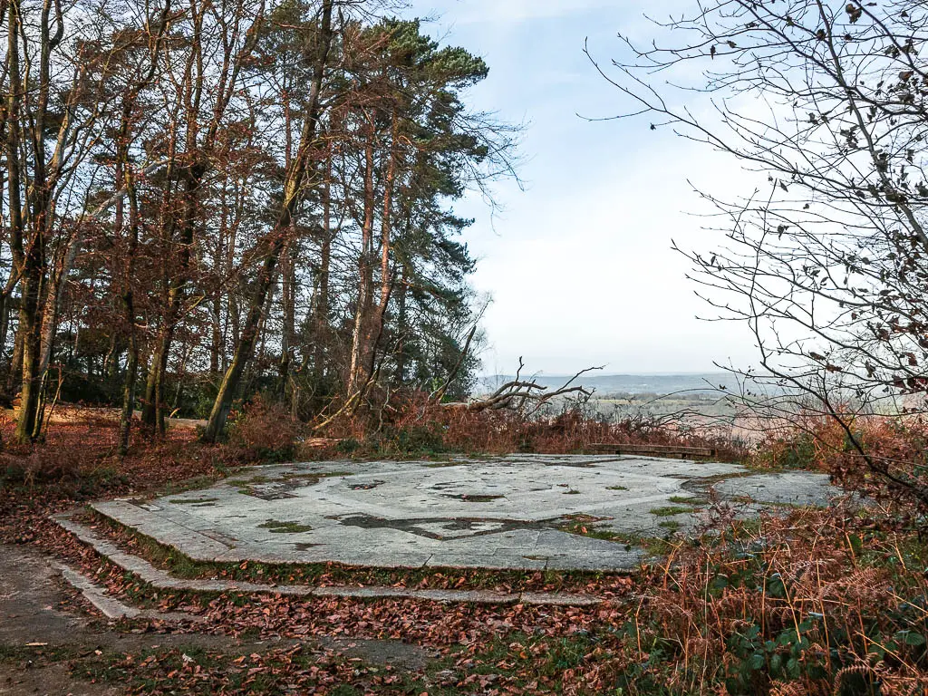
As it turns out, there is another Temple of the Four Winds up north somewhere. These are the temple photos we saw online. Not this.
What we have here is the base.
What my subsequent research told me is:
- It was actually a lodge, with the name Temple of the Four Winds.
- Built in 1910 by Viscount Pirrie.
- Due to vandalism and falling into disrepair and becoming a hazard, it had to be dismantled in 1966.
We do have a laugh sometimes at our Temple mistake….
The view from here is stunning though.
I have since found the other Temple of the Four winds. It’s up in Yorkshire, and you can see it on the Castle Howard walk.
Gibbet Hill
So, the next big/steep hill is coming up.
Continue on the trail past the ‘Temple’. Along here, things are a mix of level and small uphill.
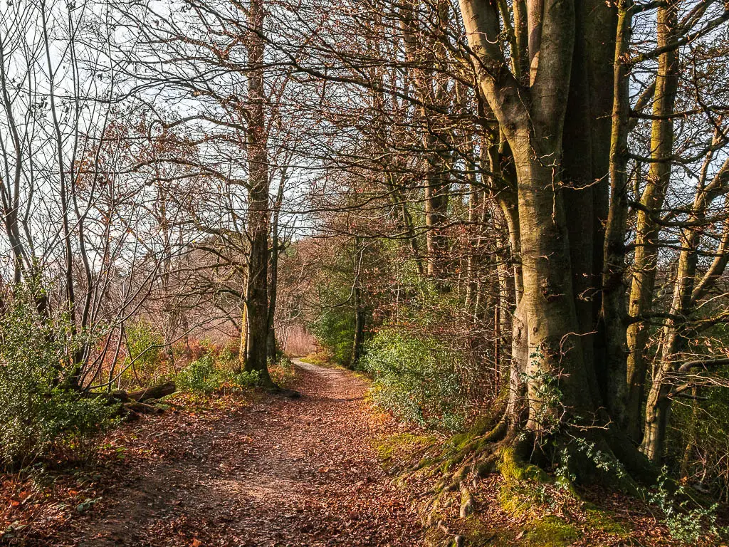
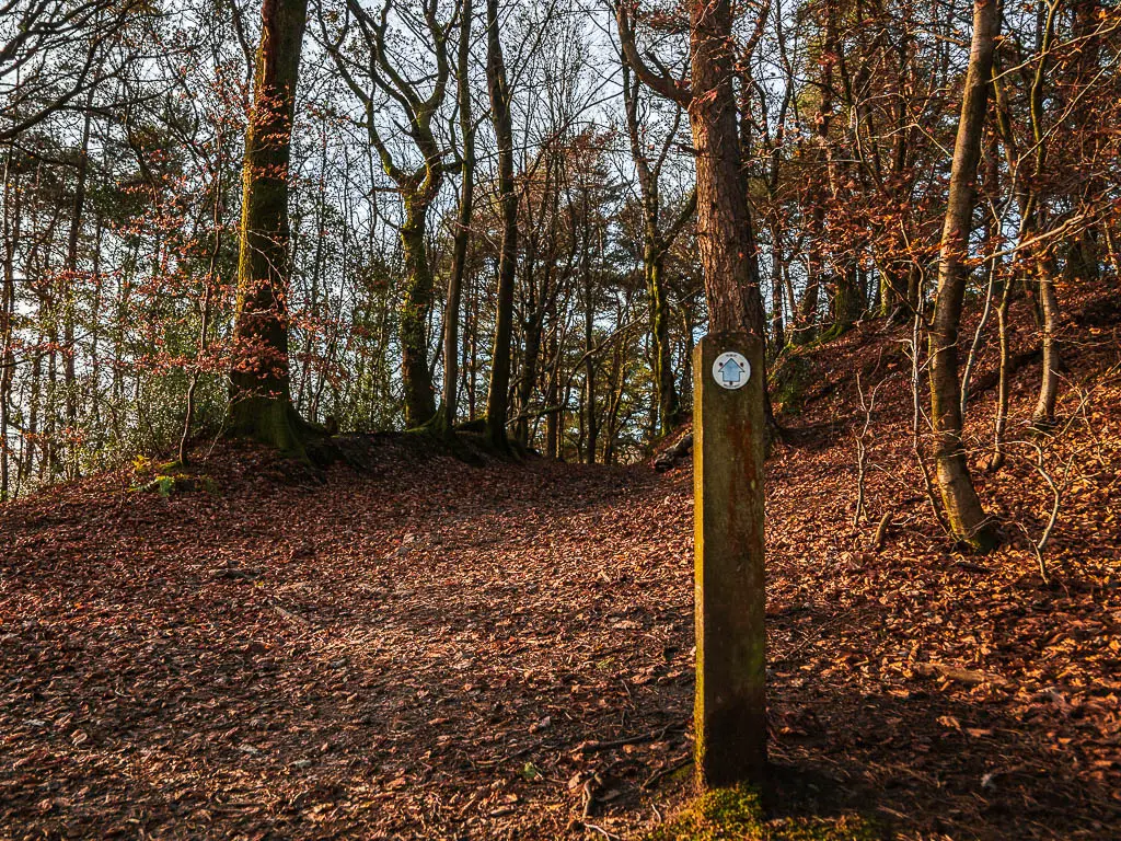
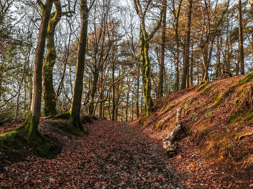
Stay on this main trail until you reach a big junction. There is a signpost here with lots of arrows. The trail you want is straight ahead from where you came from. For reference, there is a little sign at the start of the uphill trail saying ‘no cyclists’.
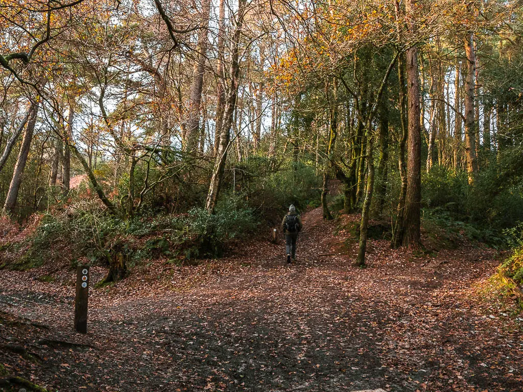
At this top of this trail, you will be at Gibbet Hill where there is a perfectly placed viewpoint bench.
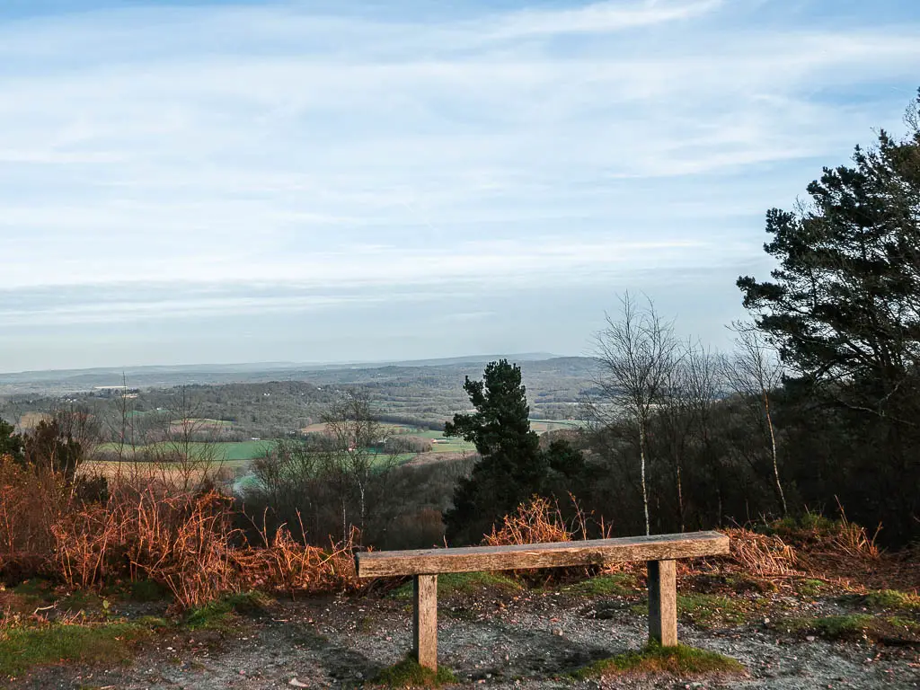
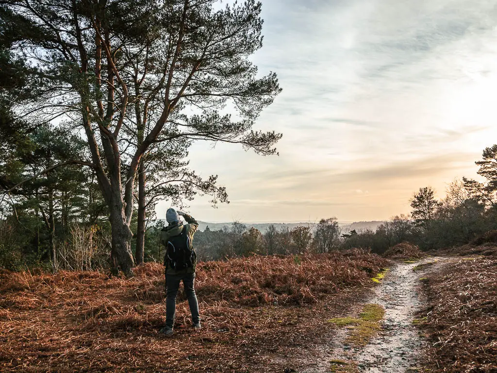
Fun fact: This is the second highest point in Surrey, and on a clear day, you can see as far as the London skyline (over 60km away).
It is up here you will find the Celtic Cross (also known as Gibbet Cross). It is a grade II listed building, and has a dark story…
There were a lot of fears and superstitions surrounding Gibbet Hill. A sailor was murdered up here in the 1700’s, and then the men that did it were hanged up here on the hill. In 1851, the Celtic Cross was erected as a way to banish peoples fears.
Walk to Devil’s Punch Bowl
Next, walk towards the Celtic Cross, and through the gate just past it. You will start to get a view to Devil’s Punch Bowl from here.
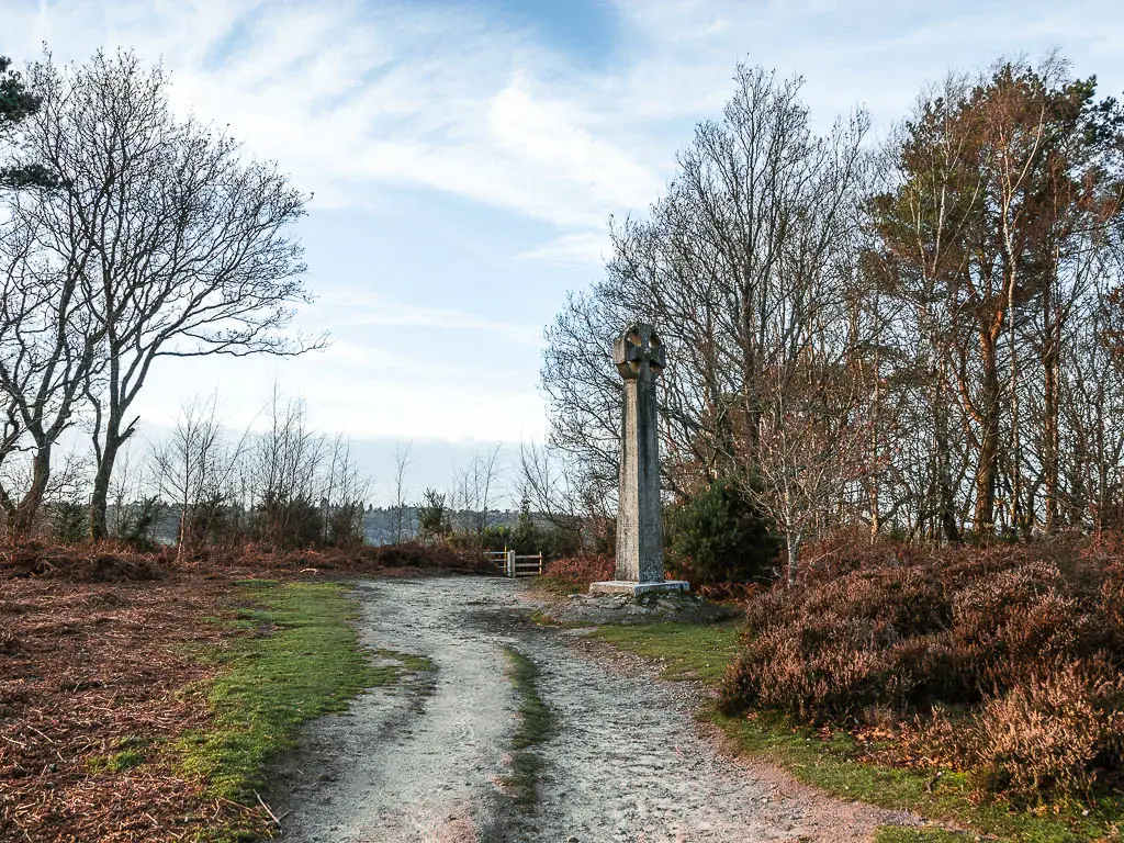
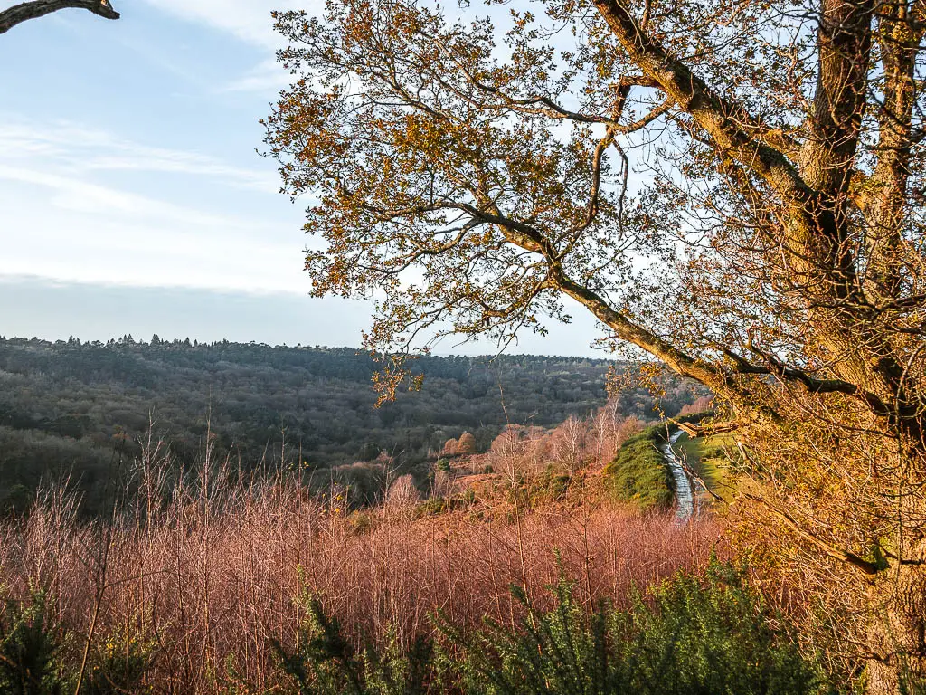
Walk down the trail to reach the road, then turn right. Walk along this road, and keep your eye out for a sort of hidden trail on the left, that will get you into Devil’s Punch Bowl.
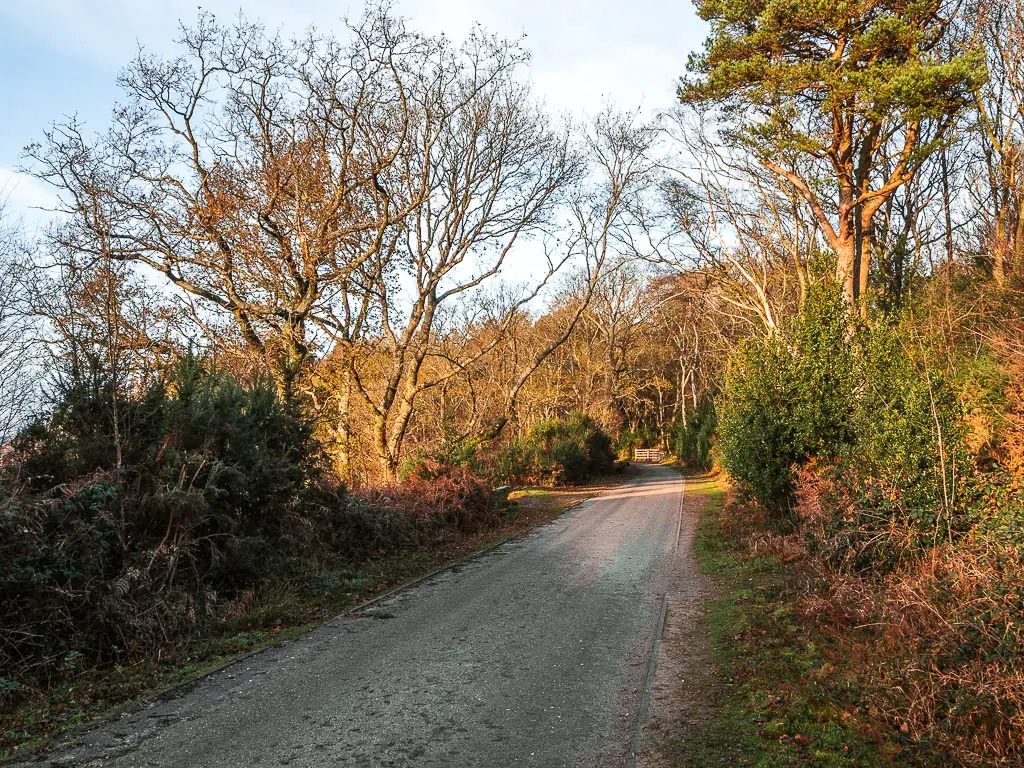
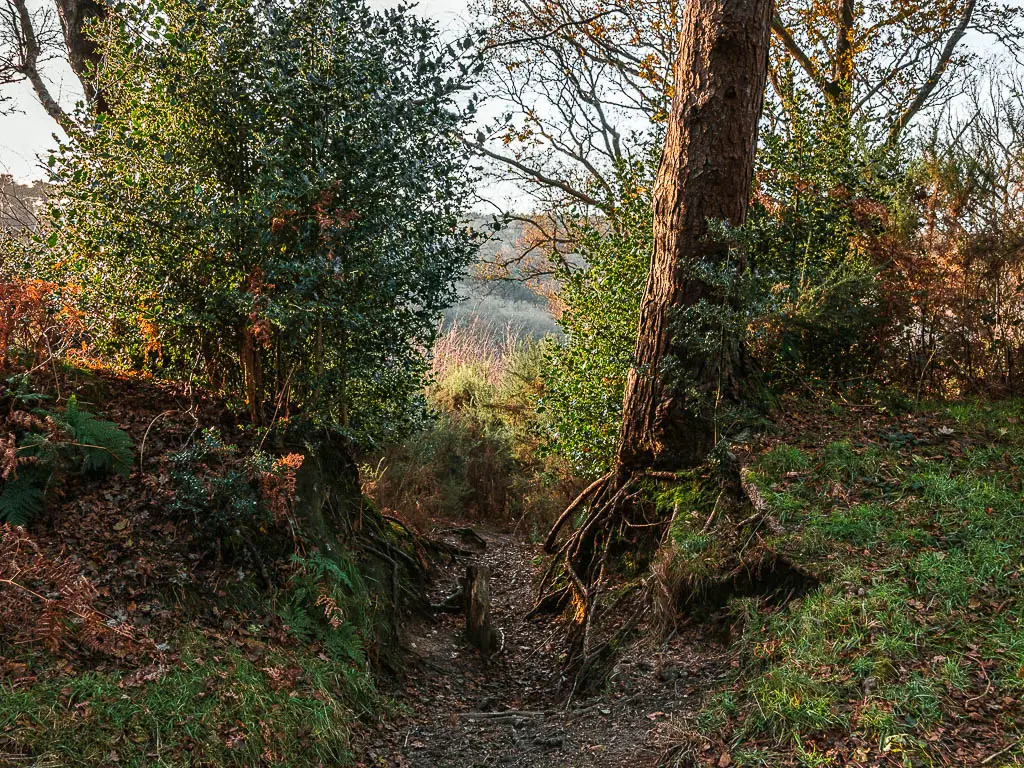
And voila. You are here.
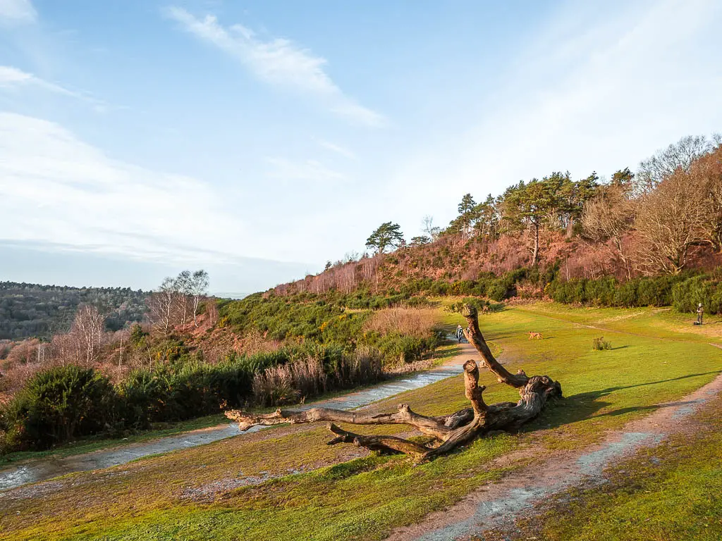
Ollie and I stopped here for lunch. Although, I was very aware at this point of how low the sun was, and that we didn’t have long before it would start to get dark. At my insistence, we kept our lunch break short. Looking at the time, I knew we wouldn’t make it back to Haslemere before it got dark, but we could at least get a could chunk of walk done before then if we powered on.
Walk down into the valley of Devil’s Punch Bowl
Continue by walking right along the trail (the crater of Devil’s Punch Bowl on your left). Your view into the valley is sort of obscured a bit along here, by all the bush hedge things.
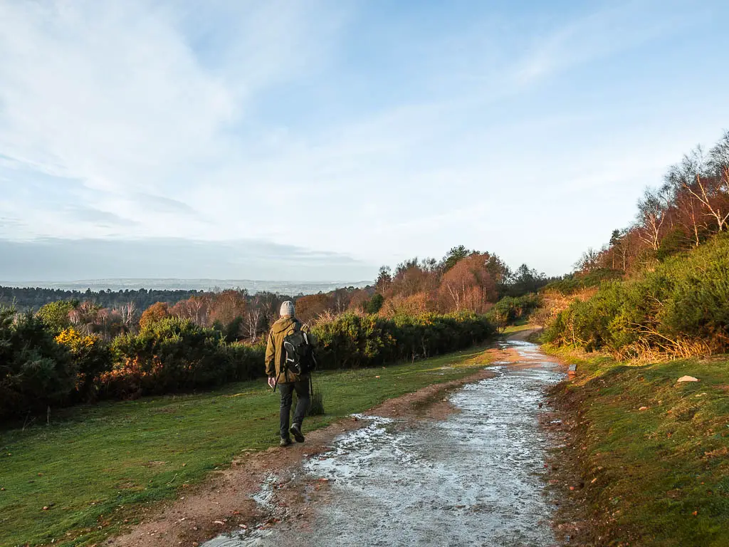
At the junction, take the left trail and continue making your way downhill. Then when you get to the road, instead, walk through the gate on the left.
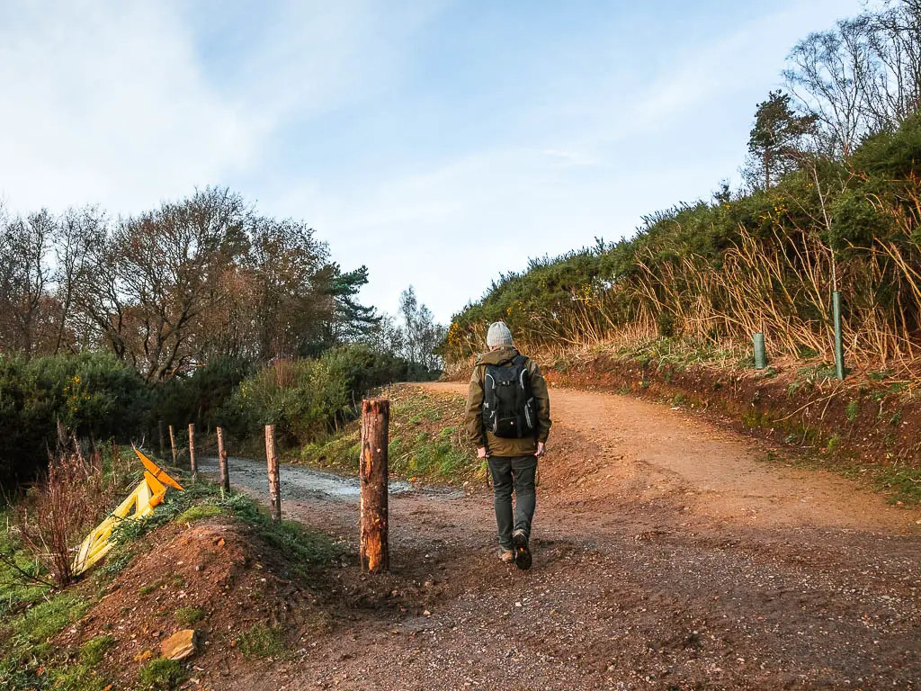
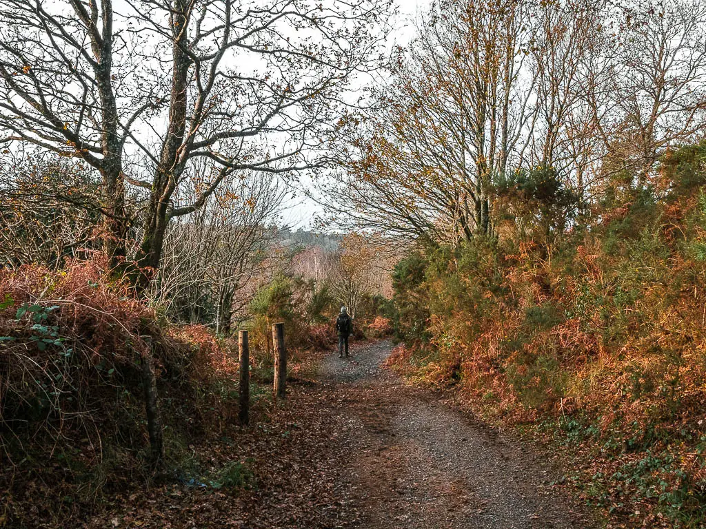
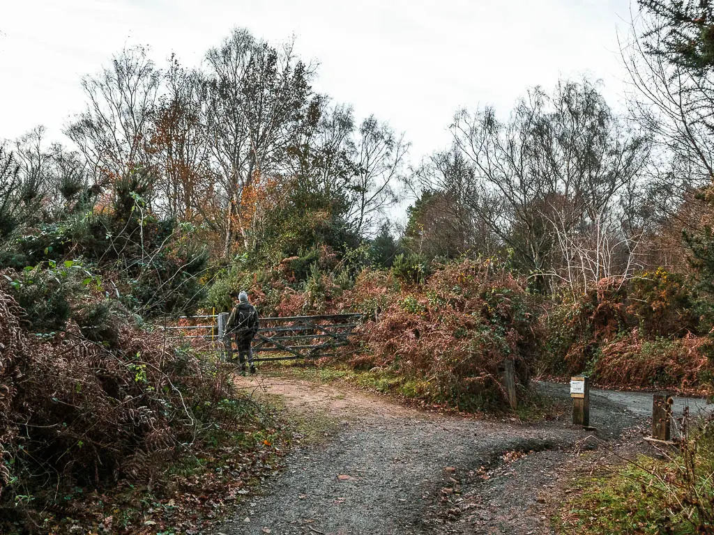
Walk through Devil’s Punch Bowl
This next bit of the walk is my favourite bit, as you descend further down into the crater of Devil’s Punch Bowl. It felt a bit like walking deep down into a hidden mysterious place, with the narrow winding trail, whilst being engulfed by all sorts of plants and woodland.
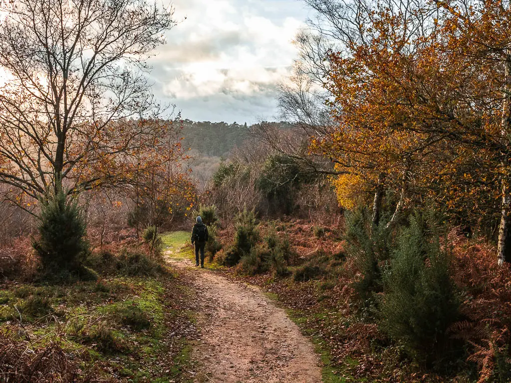
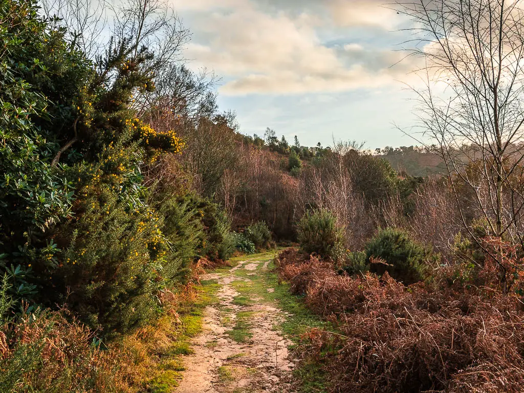
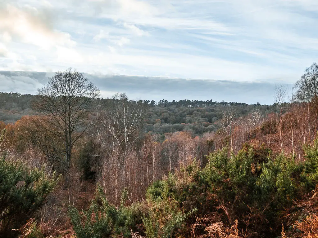
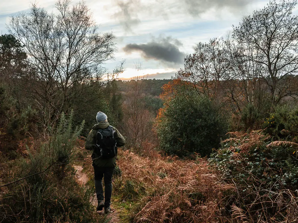
There is the occasional trail offshoot, but you mostly stick to the main trail. Keep an eye out for the orange arrows, and follow those.
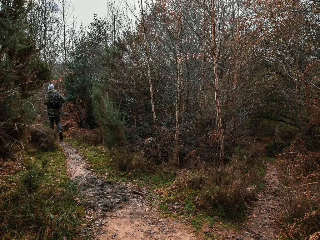
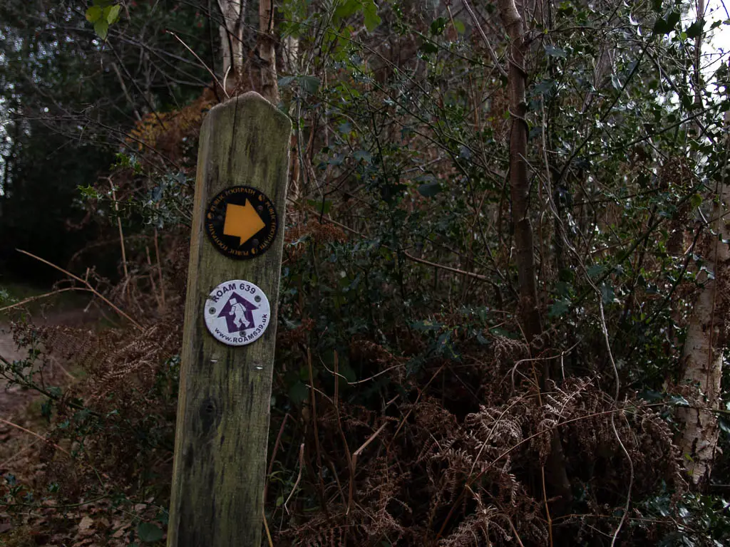
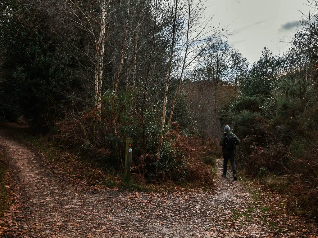
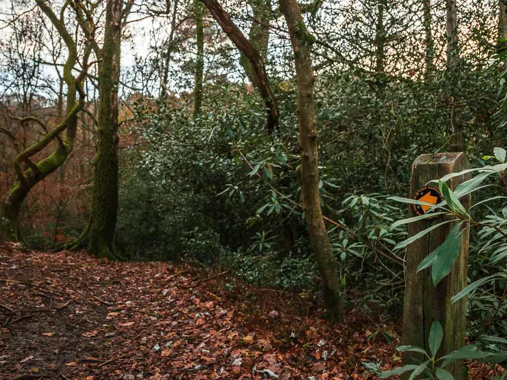
Next, there is one point where you will walk on what seems like off path. Look out for the orange arrow that points left off the trail (above photo).
For this next bit, you will feel like you are going the wrong way. At times the trail is not obvious at all and you need to just continue straight and trust that you are going in the correct direction.
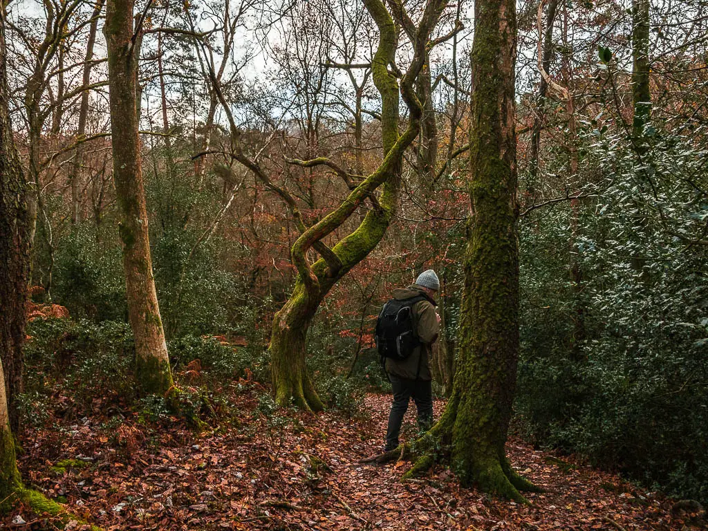
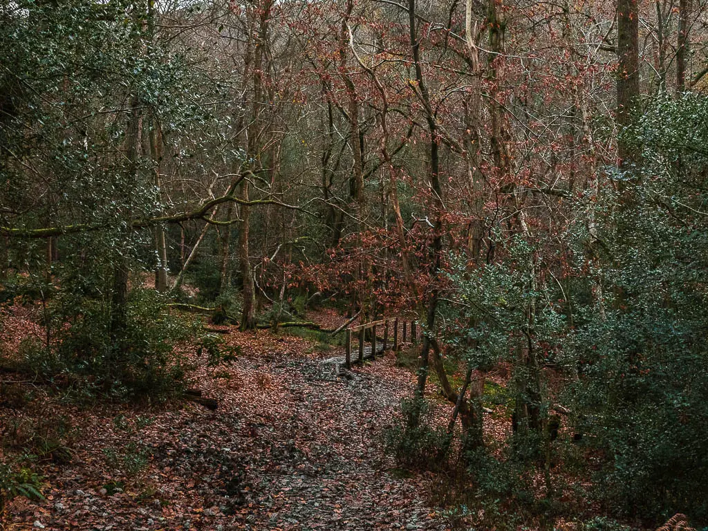
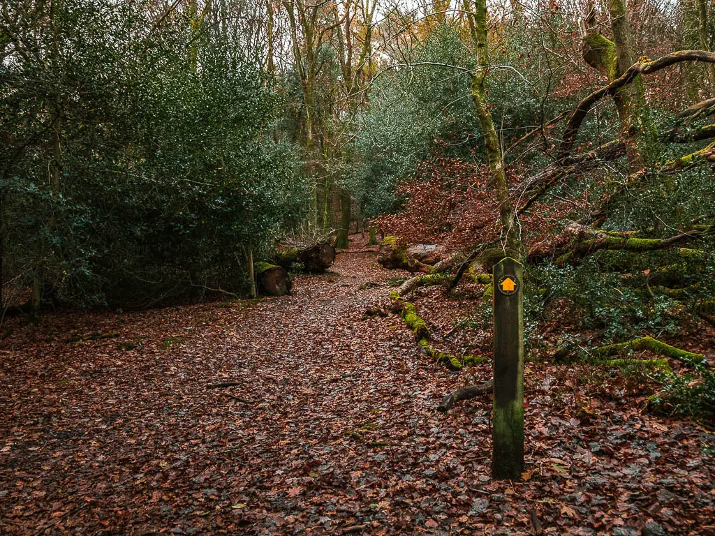
I did have moments of doubt, but the lovely little wooden bridge, and another stump sign with an orange arrow, let me know this was correct.
Walk uphill out of Devil’s Punch Bowl
The only way out of Devil’s Punch Bowl, is to walk up….
Following the almost invisible trail, you will start to make your way uphill. When you reach the stump sign with the orange arrow partway up the hill, follow it to the left where you will be on more obvious trail.
Now follow this to walk the rest of the way up.
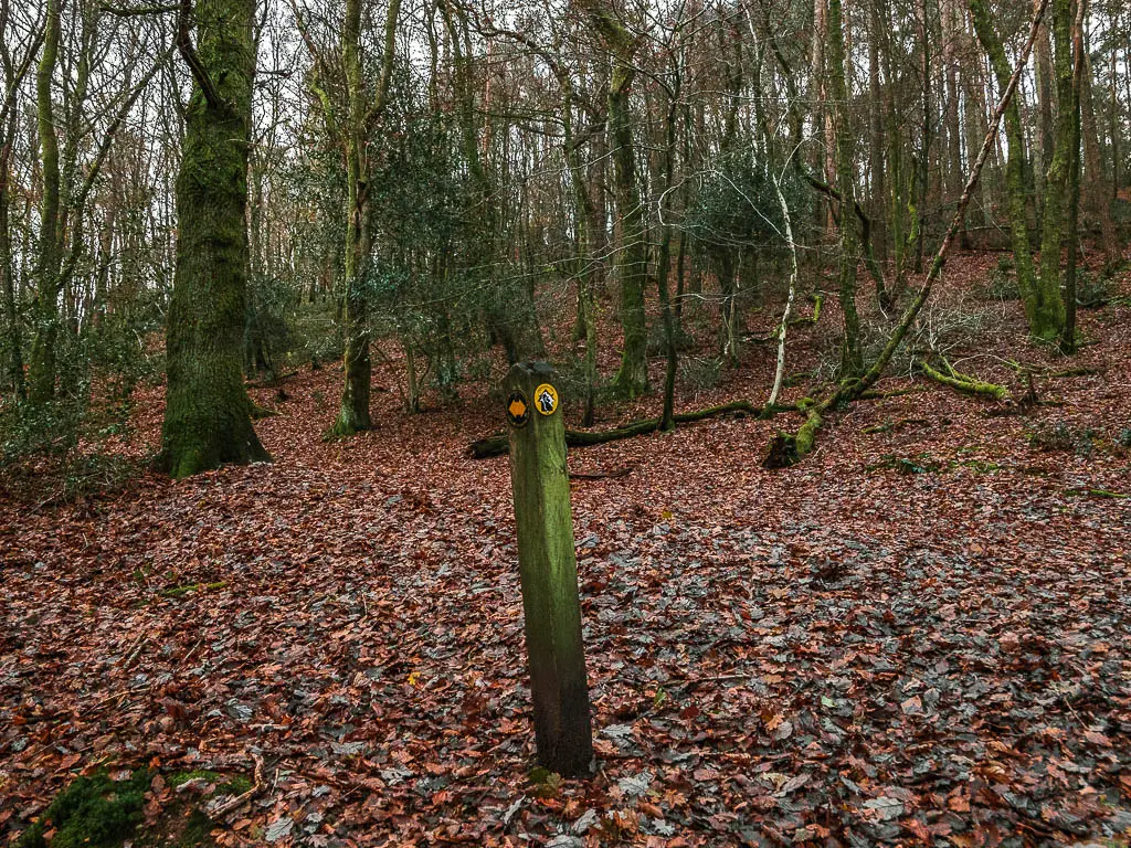
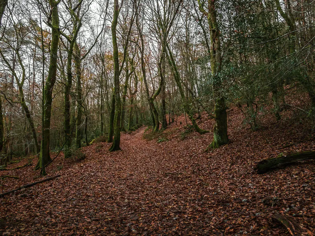
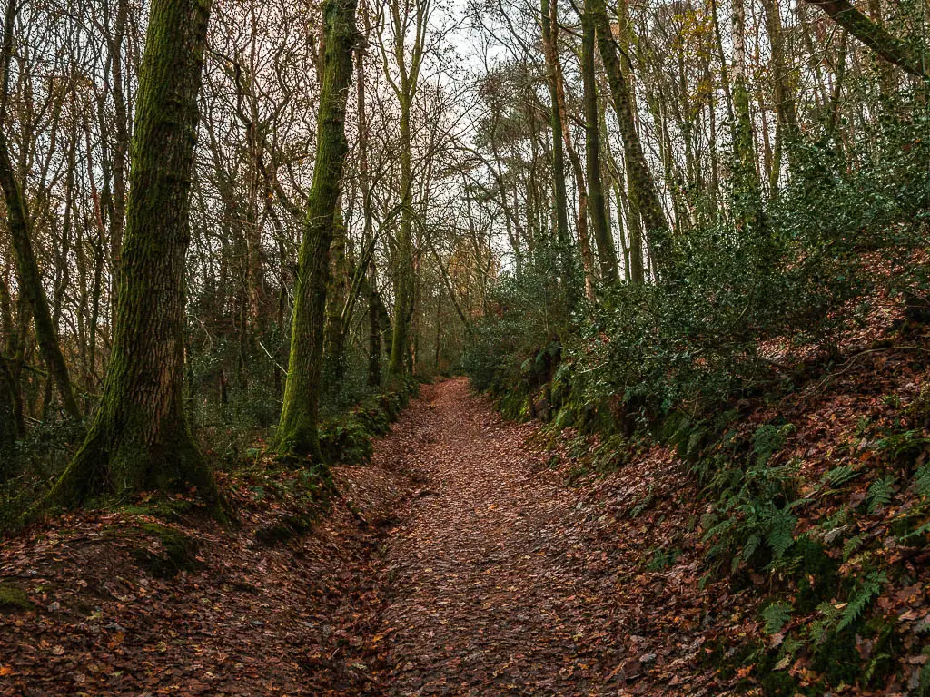
Walk to Devil’s Punch Bowl viewpoint
At the top you will have a lovely view to the left across the crater of Devil’s Punch Bowl and to the Surrey hills in the distance, and for an even better view, turn right at the top and walk towards the big open area. There is a car park there for reference.
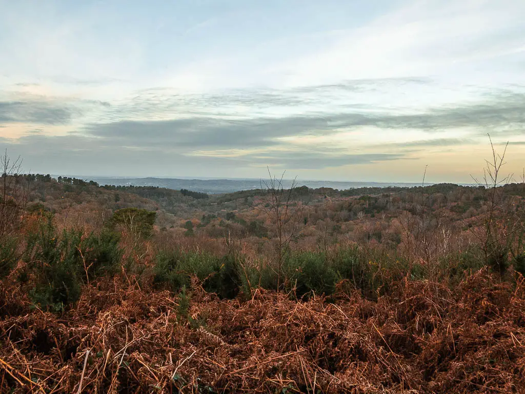
I have to point out again that the photos don’t do it justice at all.
Walk from Devil’s punch bowl through Hindhead Commons
Now, to continue the walk, it’s the second left trail when you got to the top of the hill out of Devil’s Punch Bowl. Not the one with the gate.
So, if you are standing at the top of the uphill trail, take a right and immediate left. See photo below with the people on it.
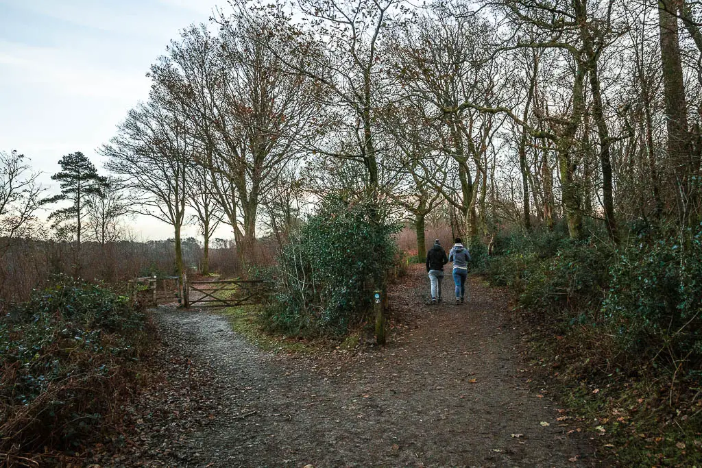
To keep it simple, this next chunk of walk is in a straight(ish) direction. There are some trail path crossings and you will walk through a gate with a Hindhead Common sign. There are some trail offshoots, but stick to the one that keeps you going in a similarish direction.
Like this bit here, the main trail turns left, but you want to keep going straight (ish). You will be guided by the blue arrow now.
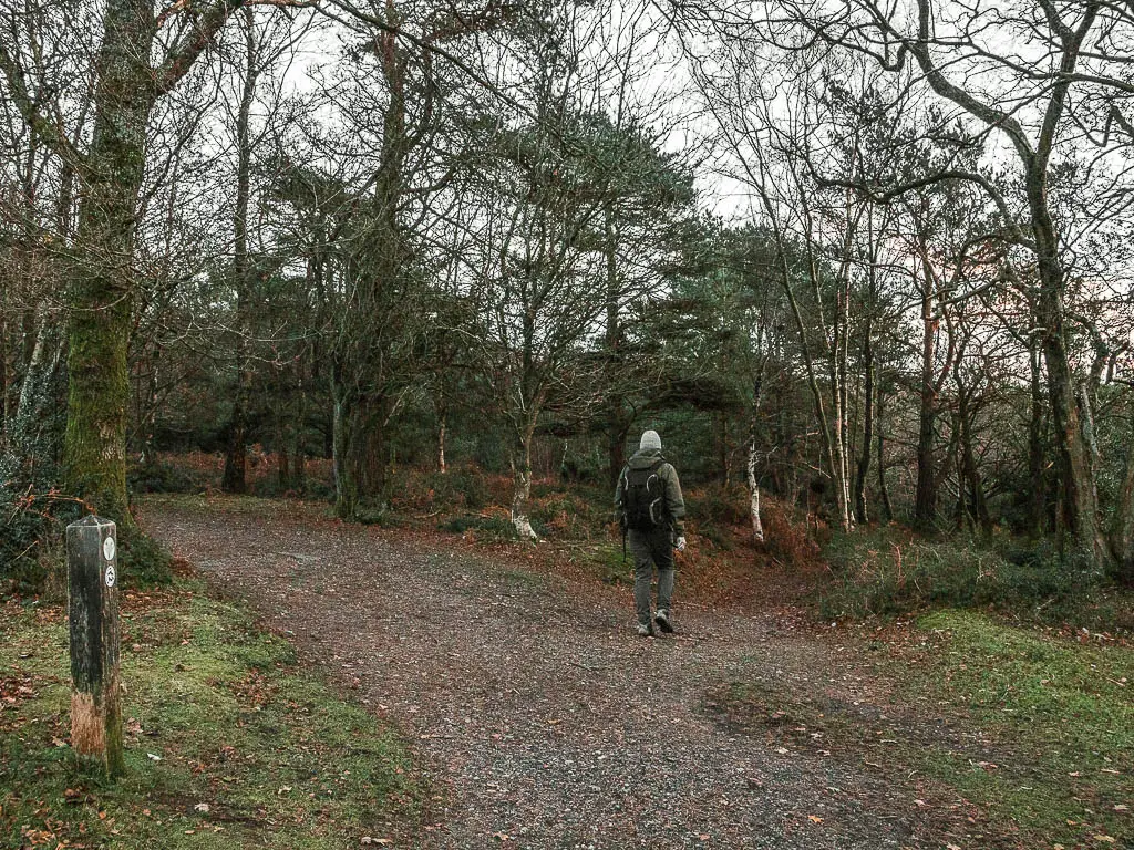
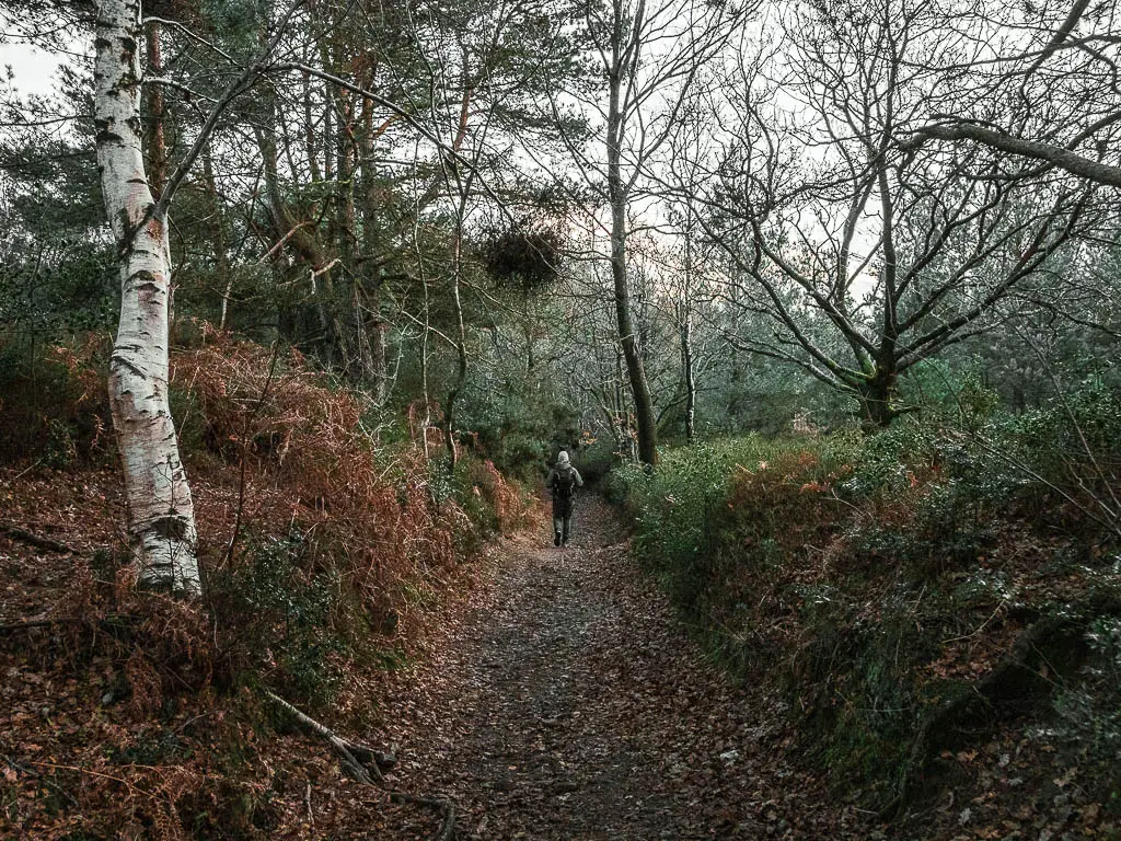
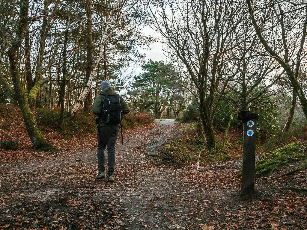
Once you reach the opening with a bench, you stop following the blue arrow. From memory (although I can’t be sure) we walked by another bench before we reached this one. So make sure you have the correct one.
The next big descent
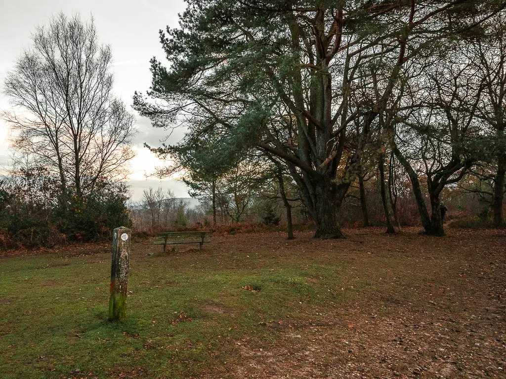
At this bench, there are two trails to the left of it. The bigger trail, and the small more hidden trail. Take the small more hidden trail.
As I led Ollie this way, (and once he realised what was happening), he immediately protested. I was taking him downhill. Steeply downhill. To be fair, he had trained legs the day before, and we had already done a solid few steep hills….and it was now getting dark.
The thing is, this is the most direct route to walk back to Haslemere. The alternative would be a big loop.
After a bit of convincing he followed me down.
Just to prepare you, this bit is very steep, potentially slippy, and if it’s getting dark, visibility will be poor.
Walk through the valley
At the bottom you will reach a bigger trail and wooden signpost. Follow it to the right.
I don’t have many photos going forwards because it was too dark by this point. So I will describe as best I can with the occasional photo.
Now, following this trail, it will lead you through a gate and across a road. The trail will bend to the left at a ‘private keep out’ sign.
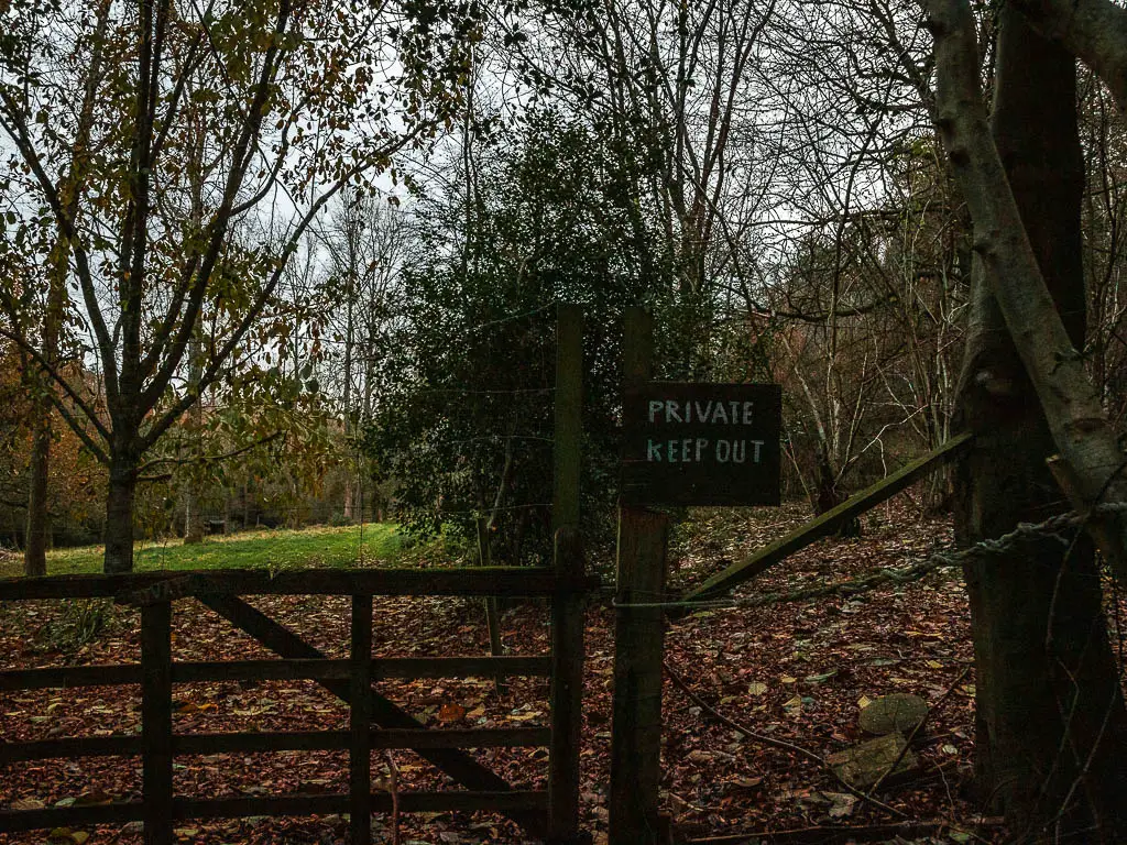
Keep following it, under all the trees, with a fence to your right.
The last big uphill
You will reach a cross signpost. I likened it to a death cross, leading you to the death hill.
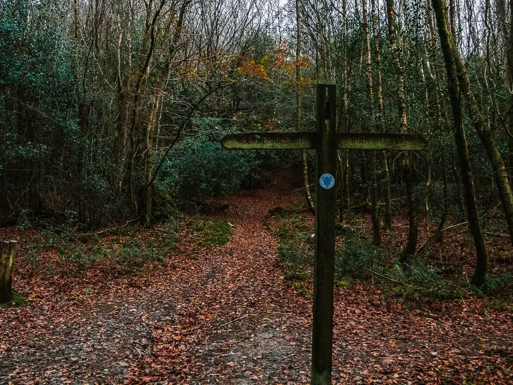
Continue straight past it to make your way steeply uphill for the last time.
At the top, the trail isn’t too obvious. Basically, you need to continue a bit straight and to the left, where you will find the main trail.
At this main trail, turn right.
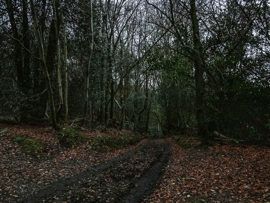
The haunted looking house
You will now walk downhill along this road/trail carved out between the trees.
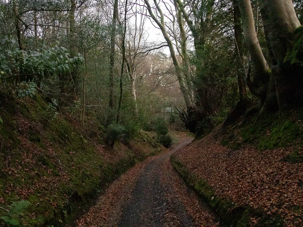
A bit further along (see photo), follow the road/trail as it curves to the right. Soon the trail will turn from dirt to road as you approach some houses.
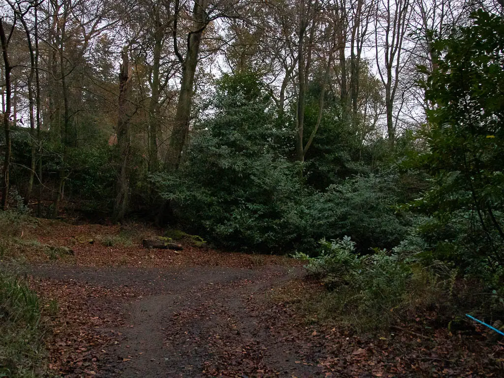
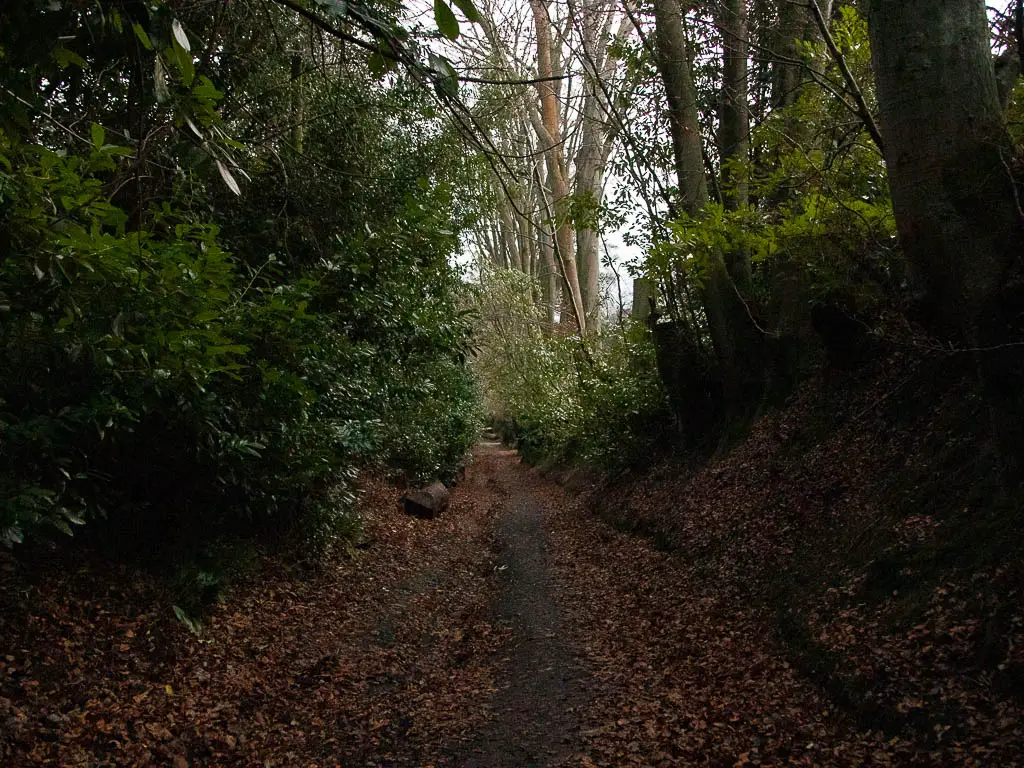
You will start to see through the trees to the left, a very ornate looking house.
As we got closer, there was sort of a haunted house vibe to it. I didn’t take any close up photos as I figured it was someones home. Although Ollie thinks it looked abandoned. I can see what he means, although the grounds were very well kept. Someone must live there right?
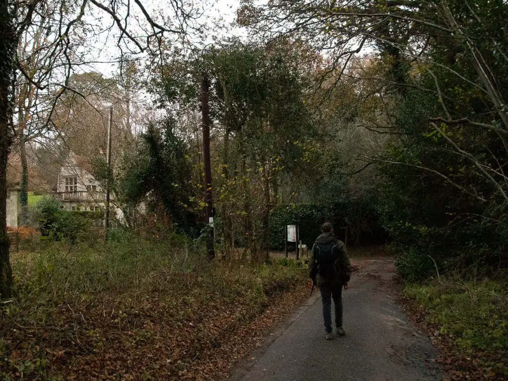
Either way, there was something really impressive about it. Haunted or not, I wouldn’t say no to it being my home.
Anyway, back to the trail…
At the haunted looking house road junction, walk up the road on the left, so the house is on your right.
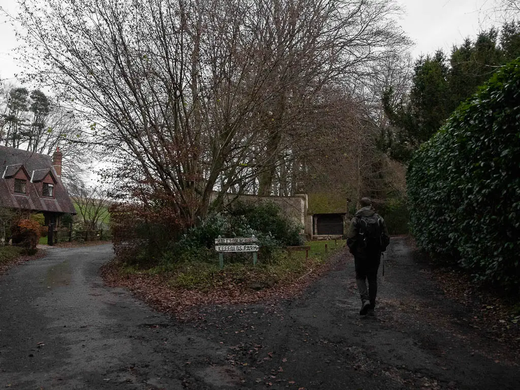
Ok, I lied. There is a bit of uphill here. But it’s nothing compared to the other hills so I don’t consider it a hill (relatively speaking).
A little further up the road, there is a trail on the left which seems to run alongside it. There wasn’t much activity here in terms of cars, so we stuck to the road.
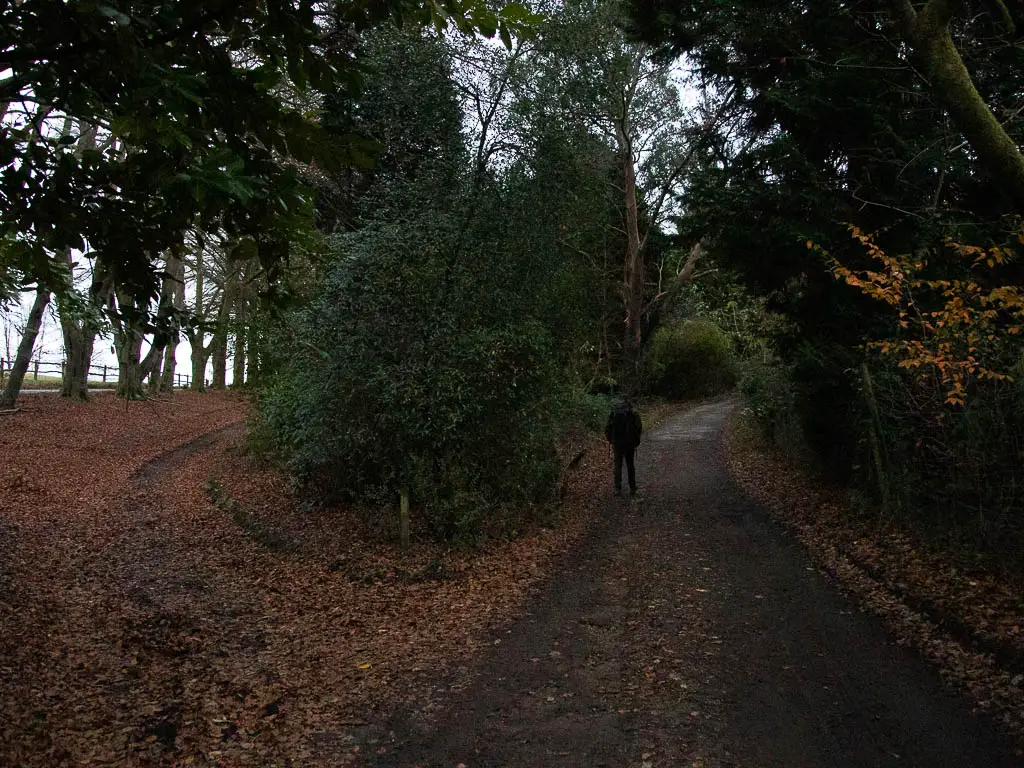
This road will soon lead you to the point I told you about earlier on to remember, for the walk back to Haslemere.
Walk back to Haslemere one of two ways:
You should recognise this point by the open green area with a sitting log. For reference, you are at the junction of the two loops on the map. There are two ways to walk back to Haslemere from here.
A) You could walk back the way you came, by turning right to walk through the trees.
B) Get onto the trail I showed you earlier.
We did B.
There was something about walking this way back that I didn’t like. After the amazing woodland we had been walking through all day, this bit of woodland felt a bit bland. There was also something about this bit of woodland which made me feel like someone could come and attack or abduct me. And I certainly wouldn’t have wanted to be here alone. To be fair, it was now full on dark. That probably had a big part to play in it. Then there is a big section of zigzagging along residential streets which was boring. I know the other route does have a long road to walk along. But I liked that road better.
Now, after having walked both ways, I actually preferred the way we came (option A). Ollie didn’t. He preferred the other way (option B)
If you come and do this walk, and walk back to Haslemere on option B, I’d be interested to know your thoughts on it. Anyway, back to the route…..
Go down through the woods to get to the residential area
Now, if you take option B, you need to follow the trail down through the woods.
You will reach an opening which can confuse things a bit. Here you will see a trail going right. You can take this trail I think. We didn’t. We took the trail that is sort of hidden. Although, maybe in daylight it’s less hidden. Anyway, you keep going straight down, and on the left, you will see the trail again.
When you reach the signpost, make a V turn to walk back. You will now be on a trail with a fence to your left.
When you reach the road. Continue in the direction of straight along it.
The homes, and over the railway
You continue straight for a while past the houses. Being December when we did this walk, we got a nice show of elaborate Christmas lights plastered across the facades.
After walking past the green, take the first left onto The Spinney. A little further along, there is a trail leading off the road on the right. This takes you between the houses alongside wooden fence.
When you reach the road, turn left to walk over the railway.
I always love taking railway photos from these bridge. Being that it was now night, it was too dark.
Walk back to Haslemere Station
Immediately over the bridge, there is a wooden gate to the right. Go though it to get back on the trail.
I think there are actually two trails here. I can’t remember, and I have no photo. The map says there are two though. If so, take the right one. This will lead you back to a residential road, where you continue in the direction of straight.
At the T-junction end, turn right, and at the next junction left. This will lead you back to the main road. Here you turn right, to walk back to Haslemere Station.
I told you the last bit was zigzaggy.
More walks near Devil’s Punch Bowl
Temple of the Winds, also starting from Haslemere, is a fantastic 8 mile circular walk. Not to be confused with ‘Temple of the Four Winds’. This is one of my favourites for views.
A classic is this great route up Box Hill. You get the big hill out of the way first for this one, whilst you are fresh with energy. You will also walk by the Olympic road.
This 11 mile route to St Martha’s hill has a few hills for you to tackle, each one with a great view. I highly recommend it. There is also some war history thrown in, and a hilltop church.
For more, you can check out my guide on all the walks I recommend in the Surrey Hills.
Pin it for later: Circular walk from Haslemere to Hindhead and Devil’s Punch Bowl
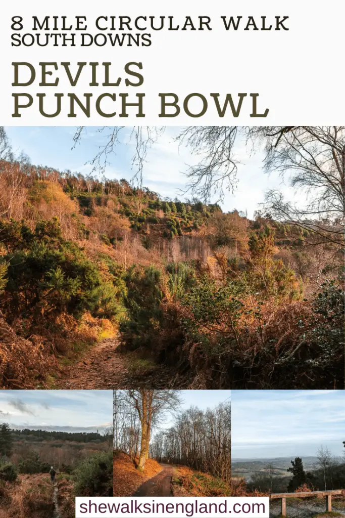
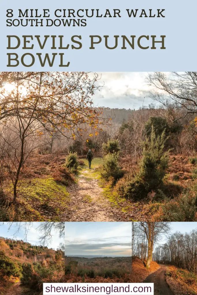
For more local walking ideas in Surrey, you could check out the National Trust website.

2 comments
Hi Zoe,
Thank you very much for this blog, it was very useful for our walk at Haslemere!
Ahh, amazing. This is great, and makes me so happy to hear 🙂