Here we go again. I first started my journey along the North Downs way back in the summer of 2019. Then I got distracted by other walks. In early 2020, I decided to give it a go again. I managed stage 1, Farnham to Guildford. Then it rained. Oh boy did it rain. I patiently watched the weather over Surrey. Waiting for it to stop so I could go out and walk stage 2 of the North Downs Way, Guildford to Westhumble.
If you regularly walk in the England countryside, you will at some point (but more likely many points) find yourself caught out in the rain. I have walked in the rain enough times to know I don’t like it and I will never purposefully do it.
Anyway, as I was saying, it rained non stop from January to March 2020….You know where I am going now?
Then we went into lockdown.
So that was that.
What happened next….
Once we came out of home prison, I didn’t resume my journey along the North Downs Way and walk from Guildford to to Westhumble.
Nope. I wanted to get as far away as possible from the South East. So I went to Greece, then Dorset, the Lake District, Devon, Somerset and Cornwall. I did throw in some walks here and there in the South East, but I had kind of forgotten about the North Downs Way and Guildford to Westhumble walk. Oh, and we also had some more lockdowns.
Resuming the North Downs Way
I forgot about it so much, that one day when I decided to resume the North Downs Way, I went straight to Westhumble to walk stage 3.
I arrived at Westhumble to a monsoon.
You know how I feel about walking in the rain.
I did actually stick it out and go for a lovely walk around Box Hill. But I wasn’t about to walk what was to be 10+ miles in the rain.
It wasn’t until a few days later that I realised I missed a stage. Stage 2. I was so sure that I already did the walk from Guildford to Westhumble, that I spent a good while searching through my files, photos and maps to come to the realisation that I had made it up in my head.
Re-resuming the North Downs Way – Guildford to Westhumble walk
New year, new me. Something like that. So here we are, January 1st, and it seems like a good resolution to make. Go out and and complete the North Downs Way.
If you have read my recent posts and are confused about the dates. Everything published in January prior to this, I did last year. I was just lazy and didn’t get them published.
I hereby declare that I will walk the length of the North Downs Way in January 2022. First stop, walk stage 2, Guildford to Westhumble….
What was the walk from Guildford to Westhumble like?
Ok, it wasn’t my favourite walk. There was a bit too much woodland for my liking. Now, it was very lovely woodland, however, being up high in the Surrey hill, I wanted more views. Don’t get me wrong, there are views, some fantastic ones in fact. Just not enough of them. But that’s just me and my taste. If you love woodland, then this might be just the walk for you. There are also a lot of war pillboxes on this walk which did help with the monotony.
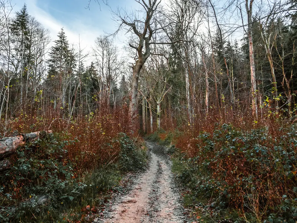
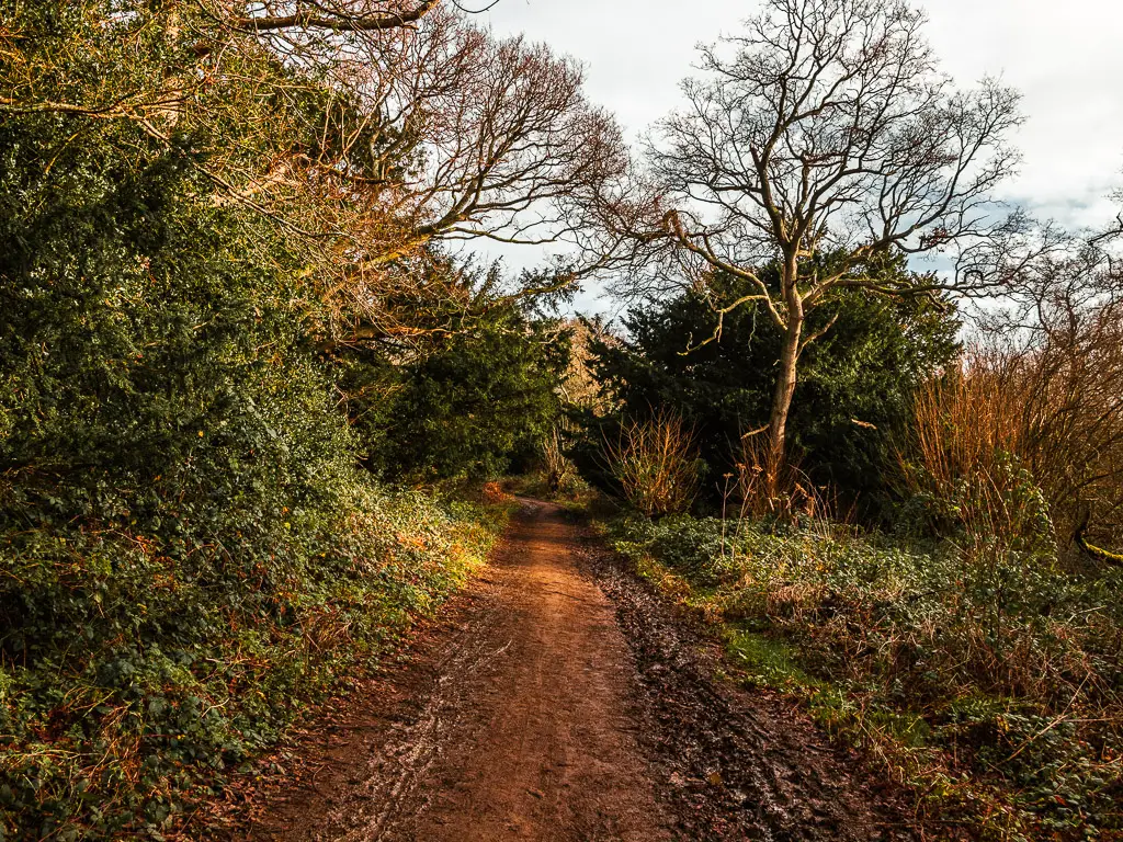
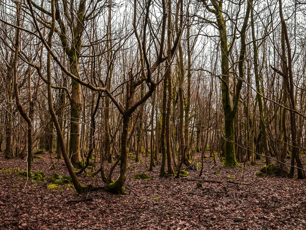
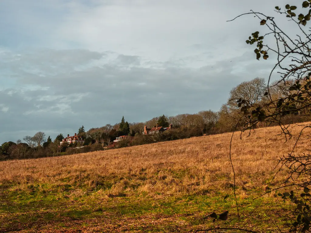
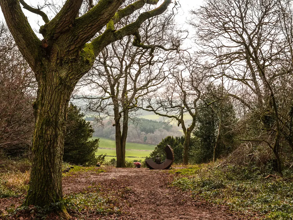
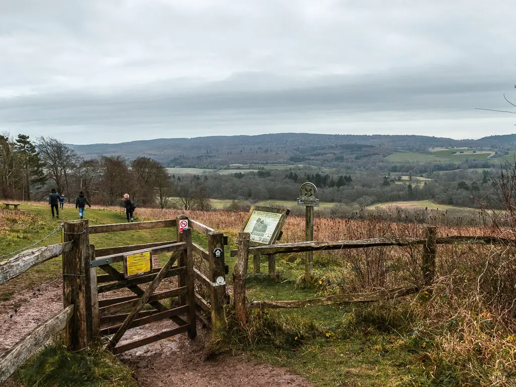
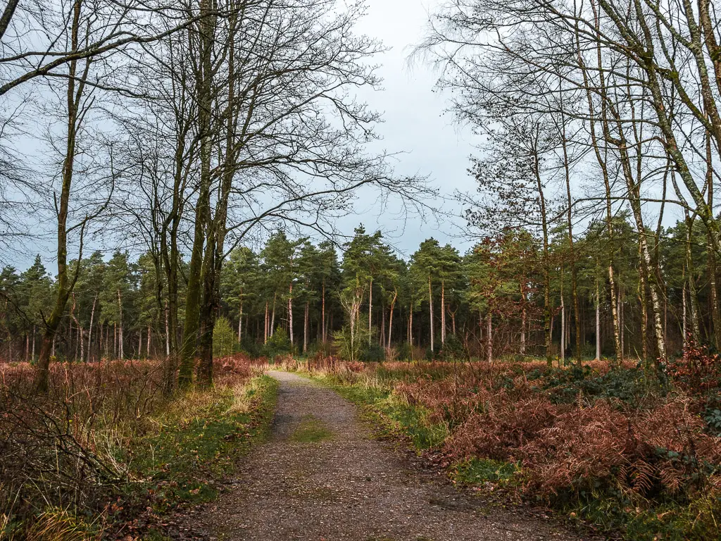
It was also very muddy. Being that it’s winter and had been raining a lot, might have had something to do with that.
I would say, do it if you are specifically wanting to walk the North Downs Way. However, if you want a nice country walk in the Surrey Hills, there are better ones. For example, this walk goes through St Martha’s Hill and Newlands Corner. Both are fantastic. I would recommend seeing them on a circular walk from Guildford. It’s a much nicer route in my opinion.
Read about the walk from Guildford to St Martha’s Hill and Newlands Corner here
Tips for following the North Downs Way stage 2
The route is 90% well signposted. The remaining 10% is terrible and confusing. If you reach a junction and there is no sign, you either can’t see it and have to look around, or (if you have had a good look and still can’t see it) it’s a safe bet to assume you continue going straight – most of the time.
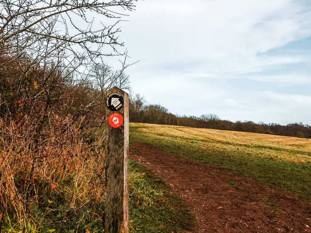
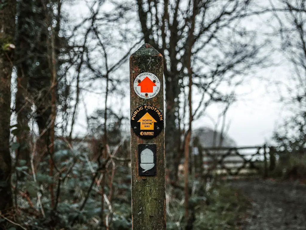
There are a few different signs to look out for. The wooden cross ones, the back discs with a white (sometimes yellow) arrow, or the back discs with white acorn.
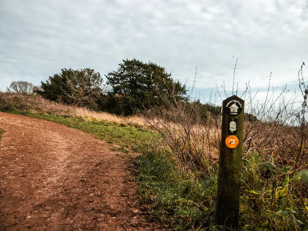
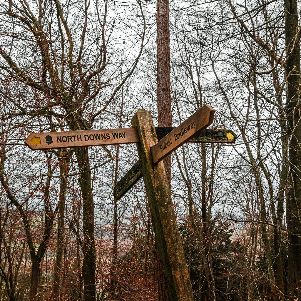
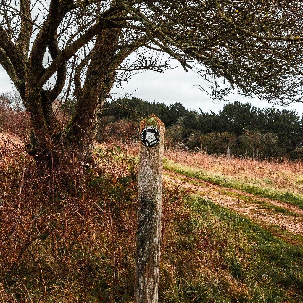
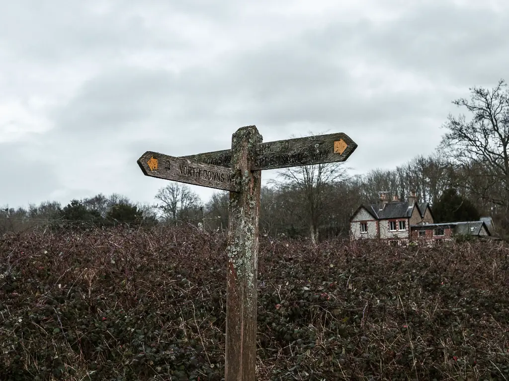
Because the route is so well signposted, I’m not going to be telling you about every twist and turn. The signs do it for you. I will instead be describing the walk, with lots of photos, and pointing out the occasional confusing bit off the trail….
At the time of writing, a couple of signposts are no longer standing and have been rested on a tree, pointing whichever way it landed.
Logistics
- Start: Guildford
- Finish: Westhumble
- How to get there: You need to buy a separate ticket for the outward and return journey. For Guildford, there are direct trains from London Waterloo and Clapham Junction. Journey time ranges from 30min to over an hour depending on the train. To return from Westhumble, there are direct trains London Waterloo and Clapham Junction (it takes a different route to the outward journey). Or direct to London Bridge. The journey times also vary on weekday vs weekend.
- Distance: 14.6 mile (everything I read online said about 13 miles. I can confirm, it is not)
- Time: 5 hours (not including lunch stop)
- Difficulty: Medium (or challenging due to the length)
- Elevation: Highest point is 232m. With the ups and downs, you will walk up a total of 660m.
- Terrain: Muddy
- Tips/Amenities: Once you leave Guildford, you are on your own. Then past Newlands Corner there are no benches for a long time.
- Points of interest: St Martha’s Church, Newlands Corner, woodland.
- Time of year: I did this during winter. Duh.
Map for the walk from Guildford to Westhumble – North Downs Way Stage 2
Click on the top box to open in your maps.
–More walking ideas and suggested routes will be at the end–
A Guide To The Walk From Guildford To Westhumble – North Downs Way Stage 2
After arriving in Guildford, to reach the North Downs Way, you need to walk along the River Wey. Walk as far as the bridge. It’s about 1 mile along.
I wanted to pick up the North Downs Way where I left off (2 years ago), so I walked along the road instead of the river. The river is obviously going to be a nicer walk, and it’s what I would recommend. I just needed to be official. You can see on my map where I started my tracker.
Walking along the road wasn’t too bad actually. There were some nice buildings and not many cars at all.
Then at the start of the North Downs Way trail, I quickly popped up the hill to see St Catherine’s Chapel.
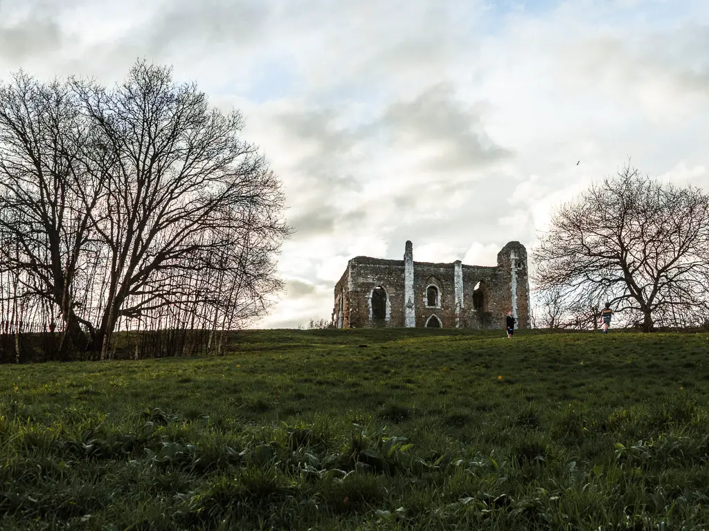
After the Chapel, and back on the main trail, it’s a short downhill to reach the bridge and the River Wey.
Walk from the River Wey to Chantry Wood
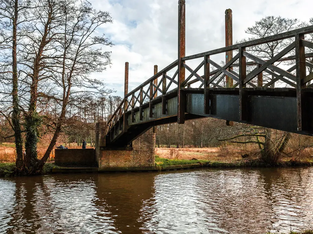
The North Downs Way trail continues over the bridge, then left and almost immediate right. (The exact logistics of this bit will depend on how you got to this point).
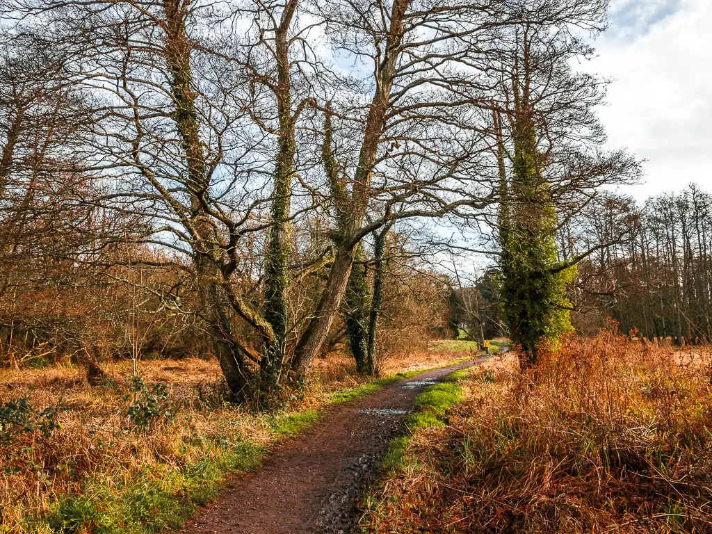
The trail then continues straight, first though trees, then open field, to reach the road.
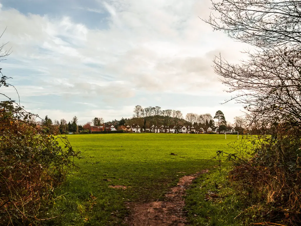
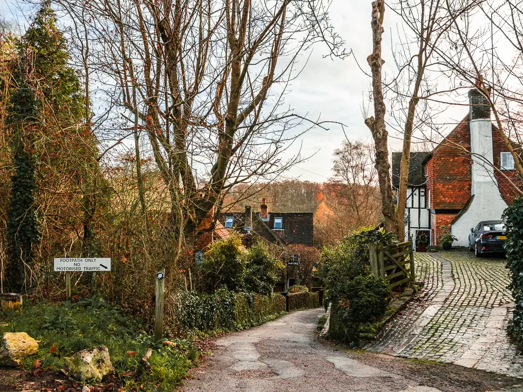
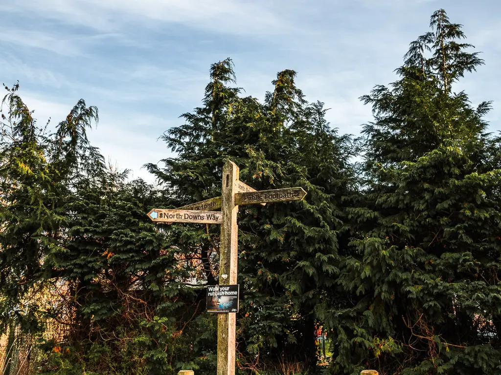
There are some trail signs here, both for the North Downs Way, and Chantry Wood. I basically followed them, across the road, and along a residential street to reach the next lot of signposts to a slip road on the right.
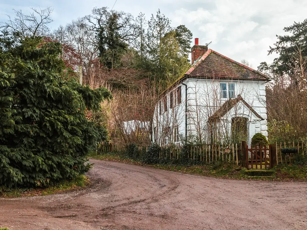
And then along the left side of the cute white house.
Walk through Chantry Woods
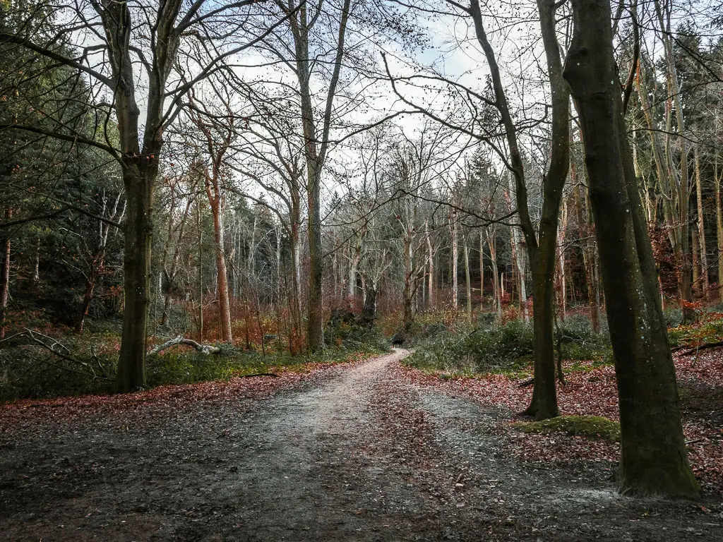
For the next while, the walk is along the inside perimeter of the woods. Kind of on a road. Some way in, I did noticed a trail running alongside it. I thought about walking on it, but I was too lazy to walk the couple of meters up the hill to get to it. Plus the road was quiet.
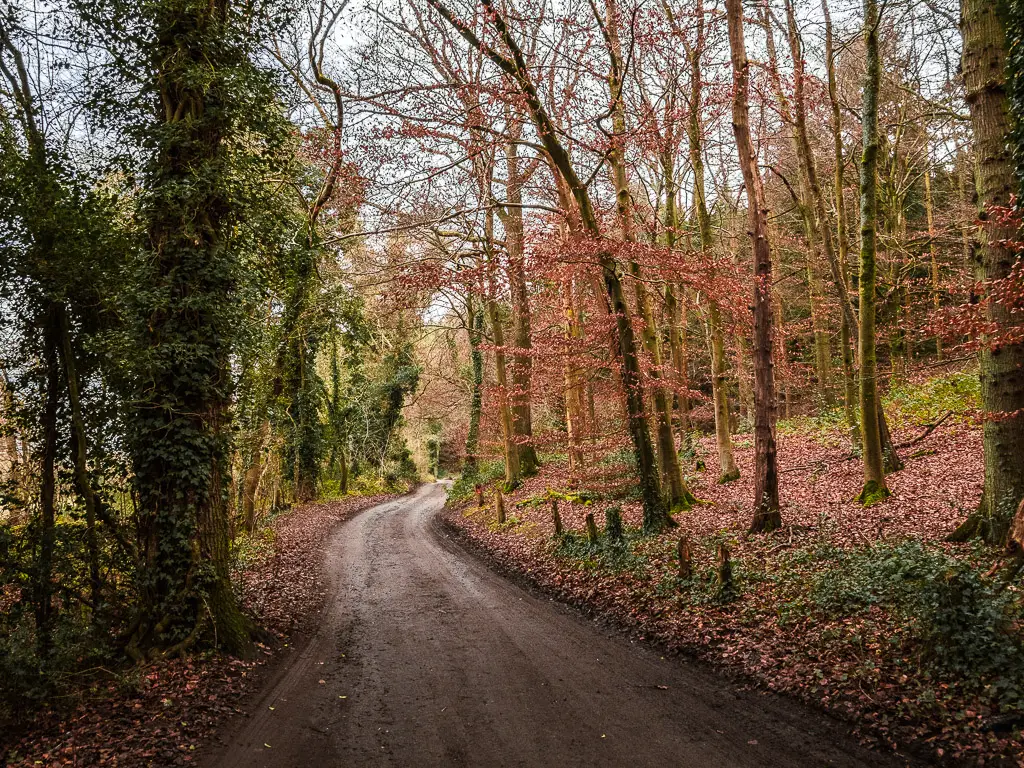
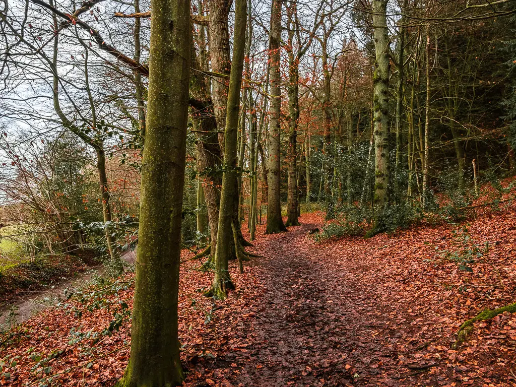
Eventually, a blind death bend ended up forcing me up to it. It seemed silly to risk my life for the sake of a 2 meter uphill walk.
I thought about the last time I was here. Back then, I was right in the middle of the woods. It was definitely nicer, although walking on the perimeter, I noticed how big the trees actually are. Massive.
Deja Vu
I did start to wonder if I was actually on the correct trail. Ollie and I had walked along this bit of the North Downs Way last summer, but I didn’t recognise anything. The woods weren’t familiar to me. Did I miss a turn? Did I fail so early on in the route? Although, to be fair, I was here in summer last time. The woods would of course look different. You know, leaves vs no leaves.
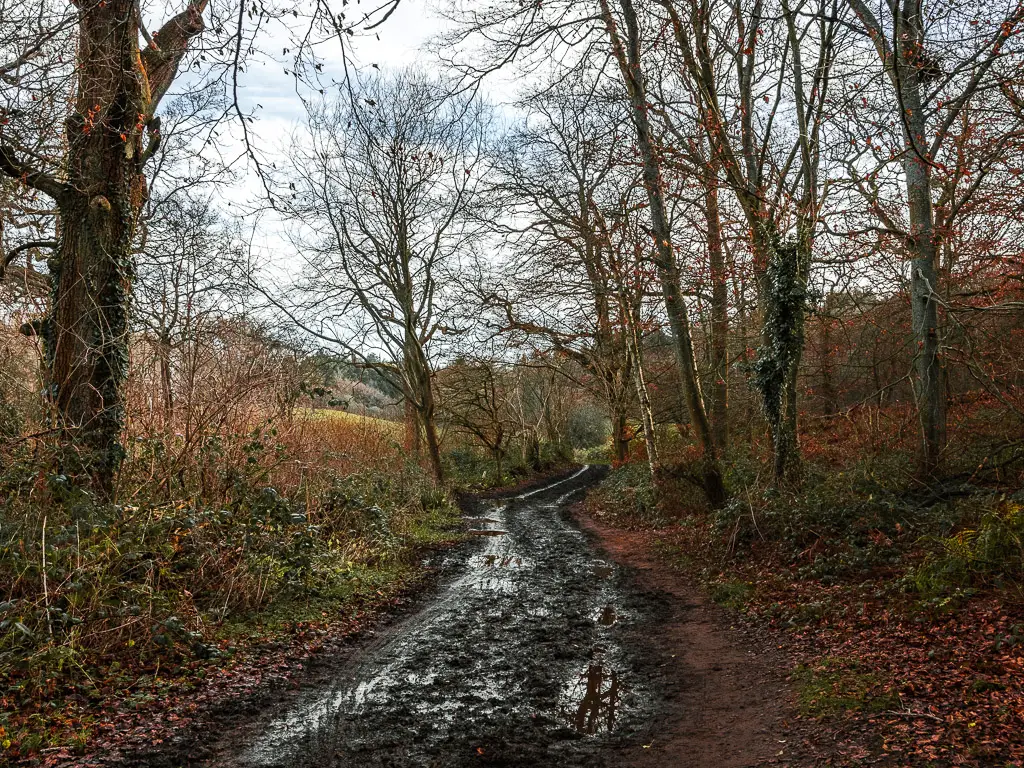
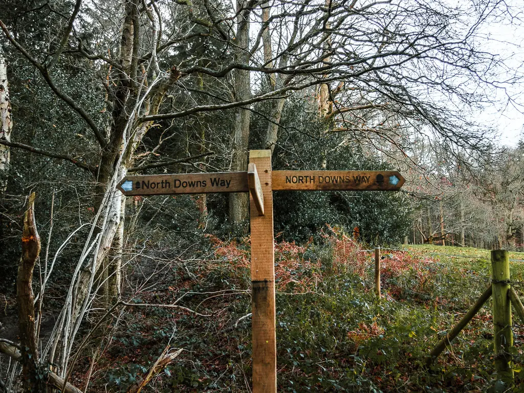
Things then opened up and the deja vu hit me. I definitely remembered this bit. All is good. And of course the giant North Downs Way sign added some reassurance.
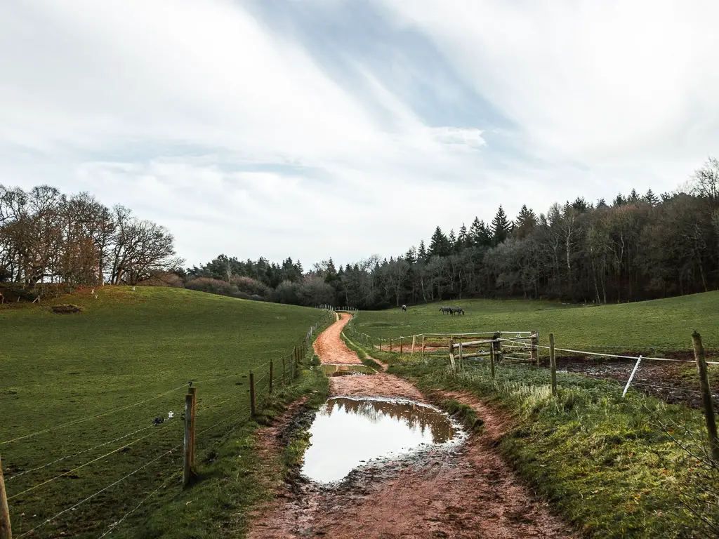
Walk to St Martha’s Hill and Church along the North Downs Way
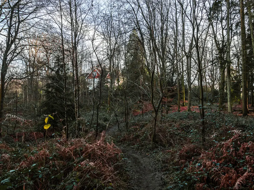
I new what was coming soon. A death road bend with a non existent pavement. Good old country roads. At the bend, it was a quick dash to the left and then right, and up the steep trail.
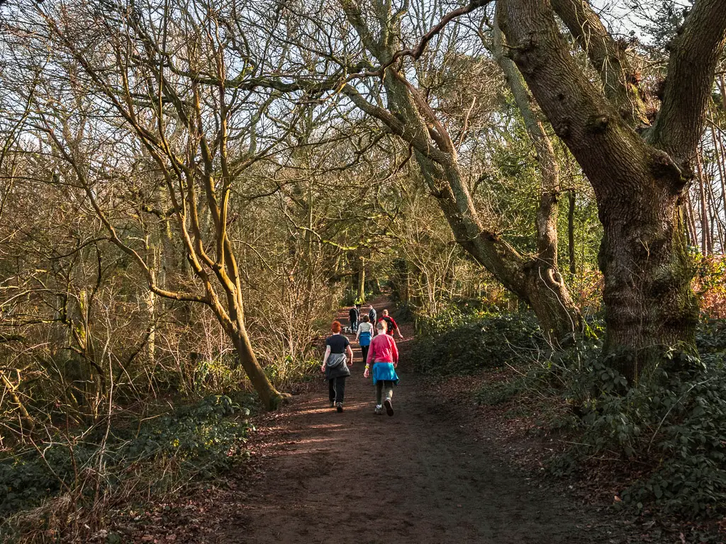
Up here is where I hit the traffic. The people traffic. All making their way up through the woods to St Martha’s Hill and church. I shouldn’t have expected anything less really. It was new years day, and the first day in a while it wasn’t raining.
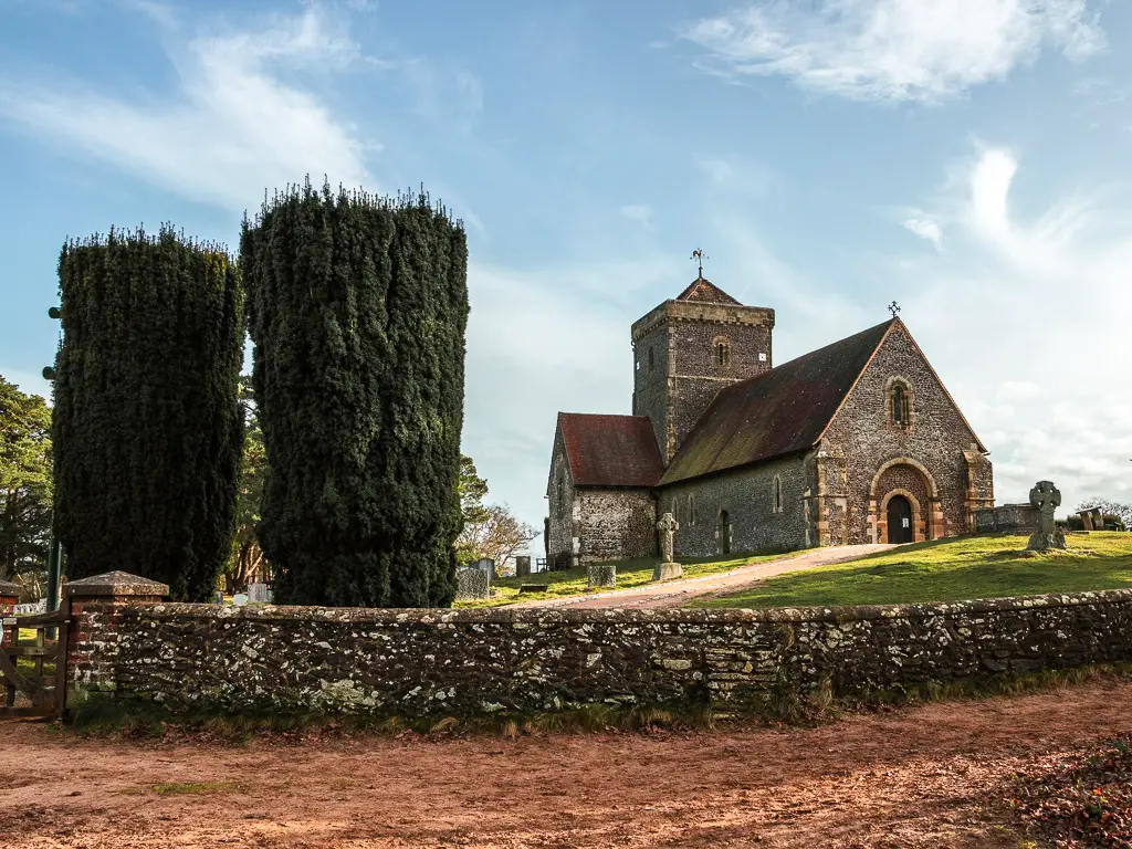
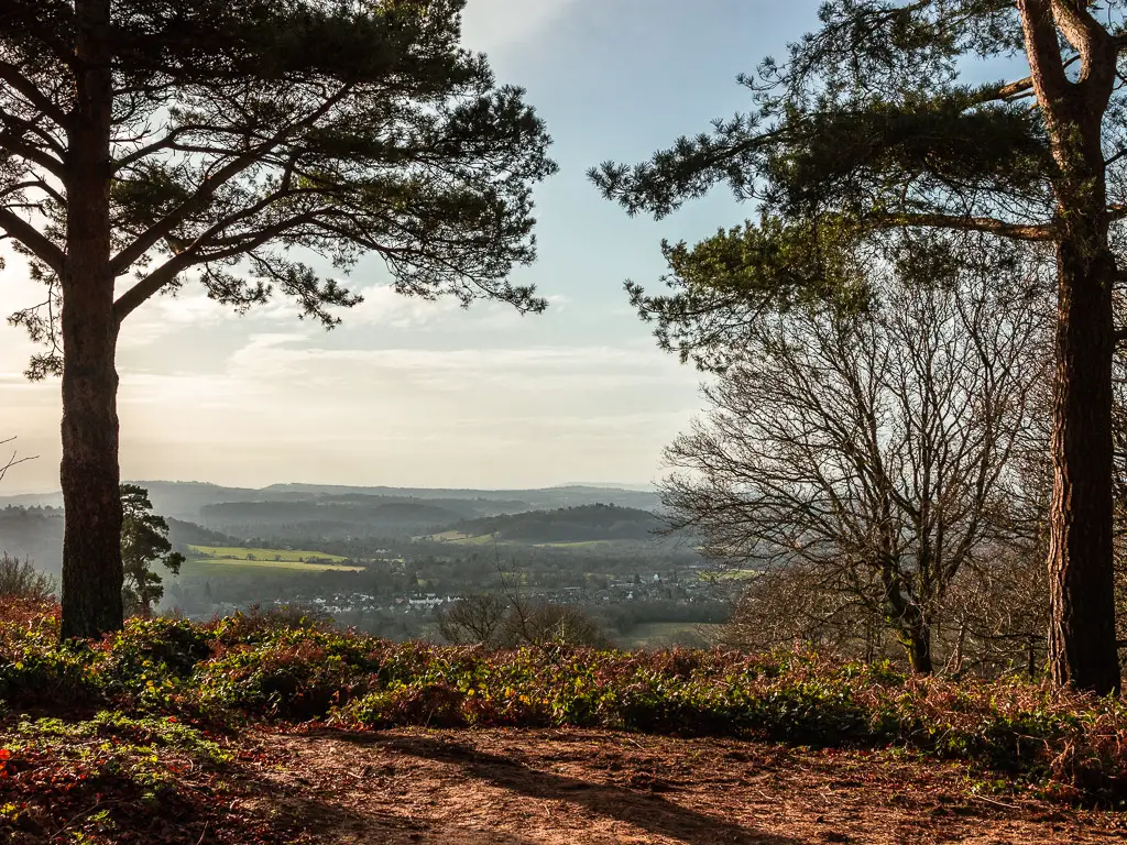
I didn’t stay long at the church. I have been up here a couple of times in the past year, plus it was quite busy. So after a quick view admiring, I continued along the sandy stretch, then made my way down the unusual steep slippy bit.
Somewhere along the way, the North Downs Way sign guided me away from the main trail, and down through some more woods to reach the road.
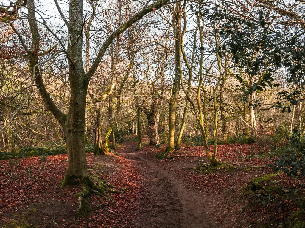
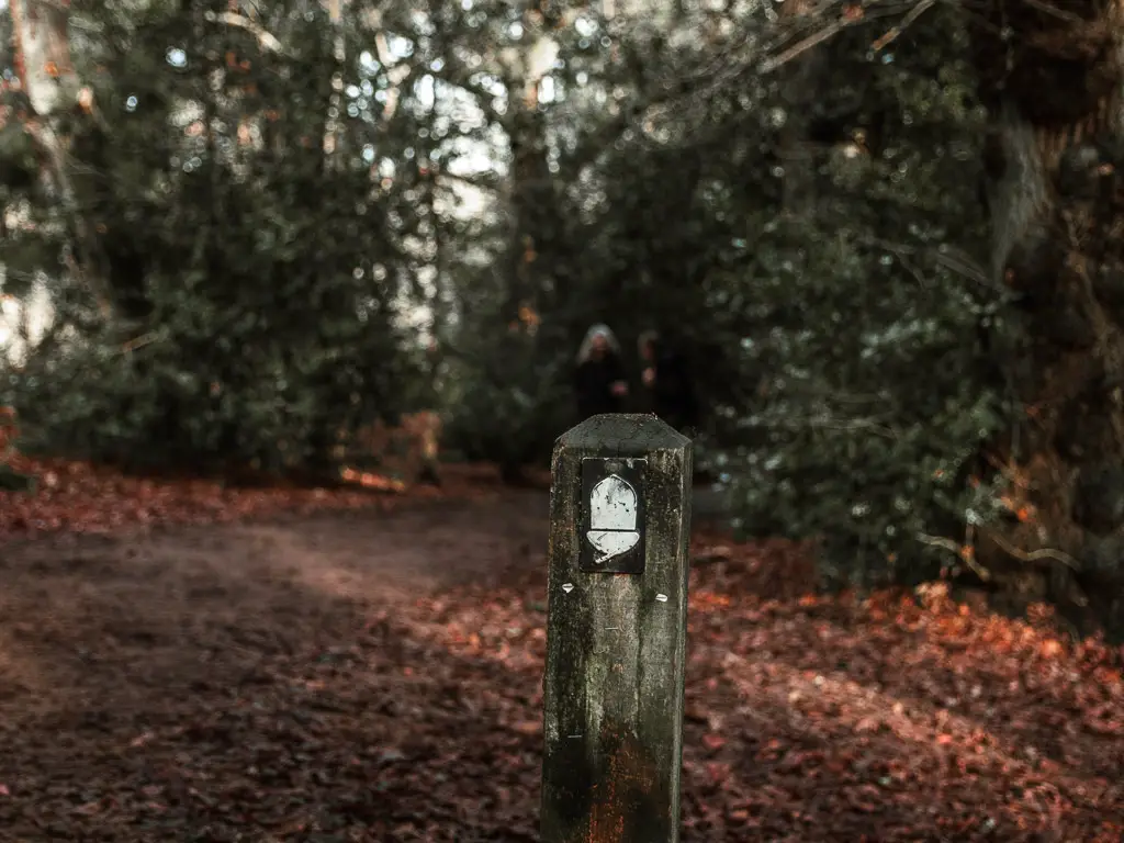
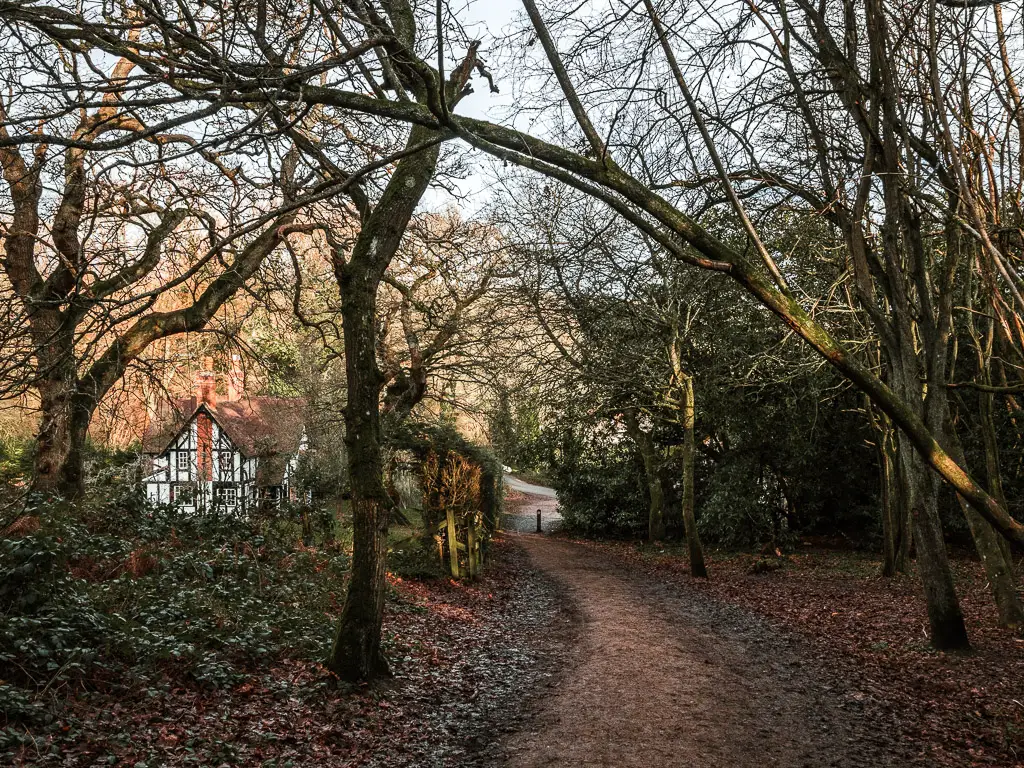
Walk to Newlands Corner
There is a nice view of Newlands Corner from the road. I was excited. Partly because the view from up there is great, partly because I was hungry and I felt like it would be a good spot for my lunch break.
From the road, the North Downs Way sign is to the left behind the nice looking house.
This next uphill is very narrow. Narrow enough that you hope no one will meet you on their way down.
I had no such luck today. Remember, it was new years day and sunny.
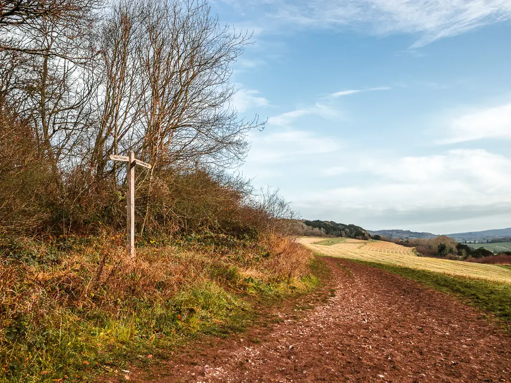
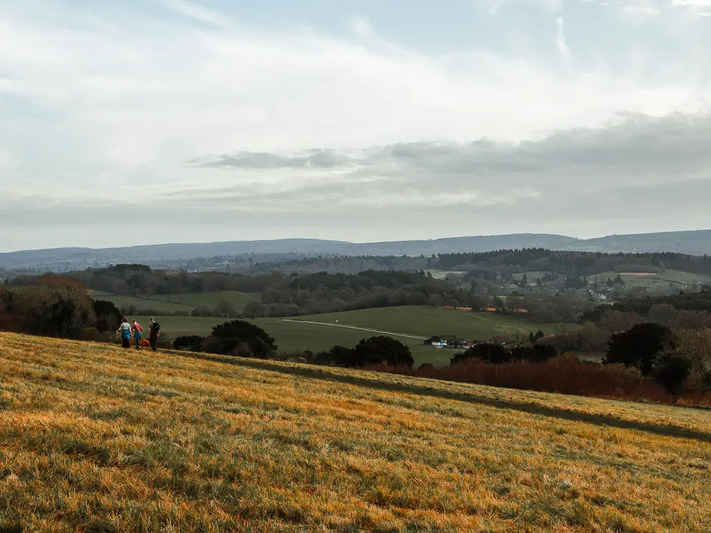
At the end, it’s down some steps and up along the trail on the other side. Then a bit more woods before finally reaching the opening of Newlands Corner.
‘Lunch break’
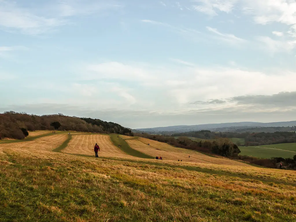
I knew there were some benches up here, but given how many people were about, figured I would find a nice spot on the grass. Well, surprisingly, the first bench I reached was free. All mine. I laid my claim and got out my phone to check my progress.
I discovered I was only 3 miles into what I thought would be a 13 mile walk (The walk from Guildford to Westhumble ended up being nearly 15, but I wasn’t to know that yet). It was too early for lunch. I could have a bit and ration myself, but I knew myself. Ration I would not. So I settled on a snack.
Continue the walk from Guildford to Westhumble
I continued on my way, only partially satisfied with my meal. I decided that I would stop for lunch around mile 7. That’s 4 more miles to go.
I continued following the grassy trail, passing by signs for the Dormouse trail. There was a concern in my head that I had gone wrong. I hadn’t passed by a North Downs Way sign for a while. Just the Dormouse trail. Was I now following the wrong trail?
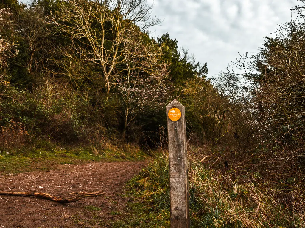
Worry not. The familiar black disc showed itself not too long after.
There is a good example coming up actually, where there is no signage, but you just keep going straight.
See here, there is a black disc sign taking you along the left trail. Well, after this, at the next junction, there is no sign. So you just go straight across to pick up the trail ahead.
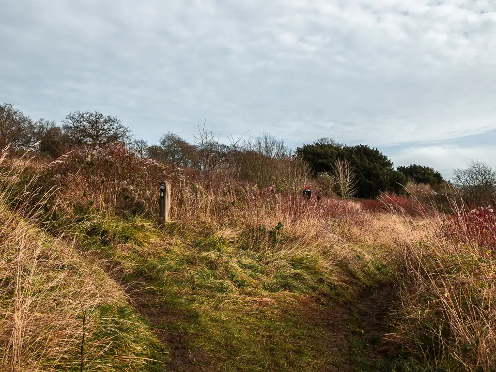
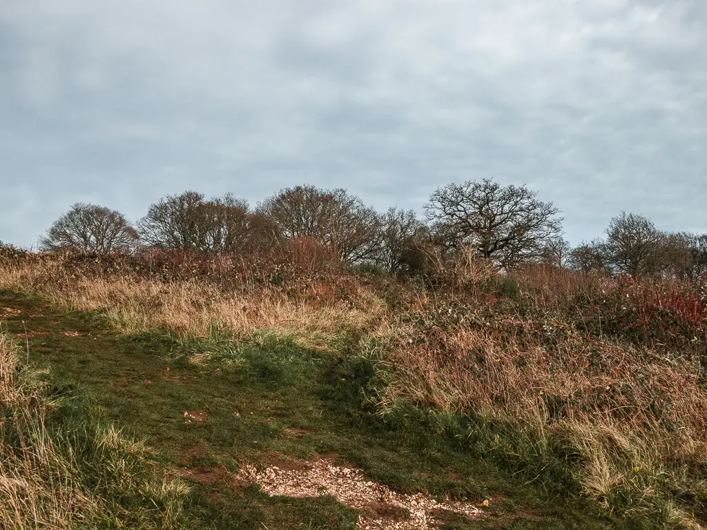
The noisy bit of the Guildford to Westhumble walk
The trail then hits the road, a busy road, and picks up on the other side. For a while it runs next to the road and there is a constant noise of cars whizzing by.
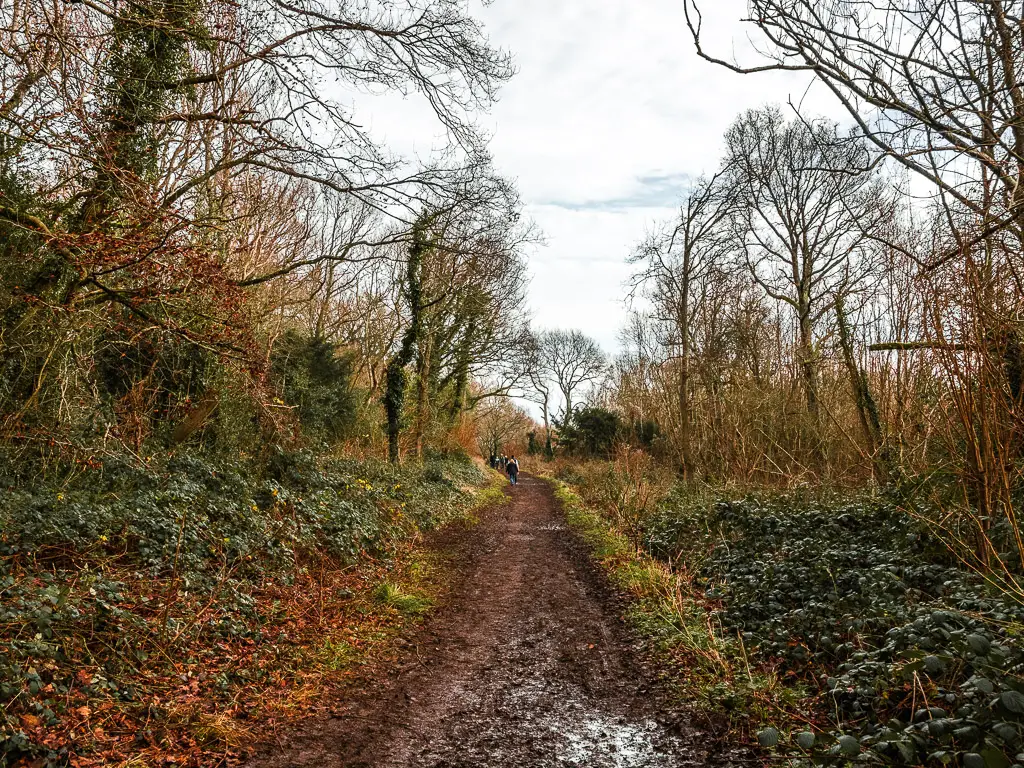
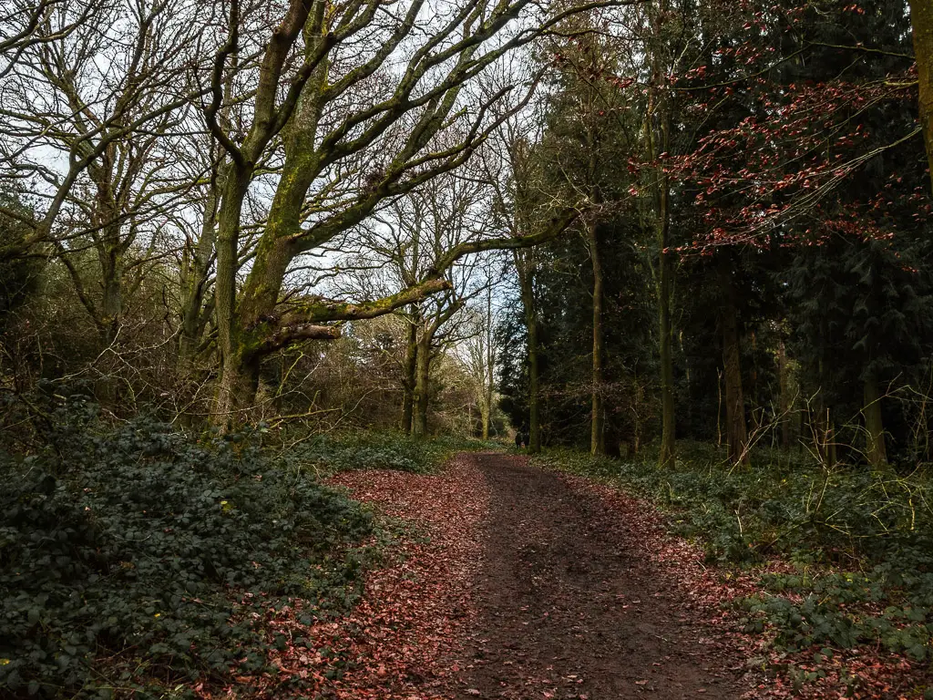
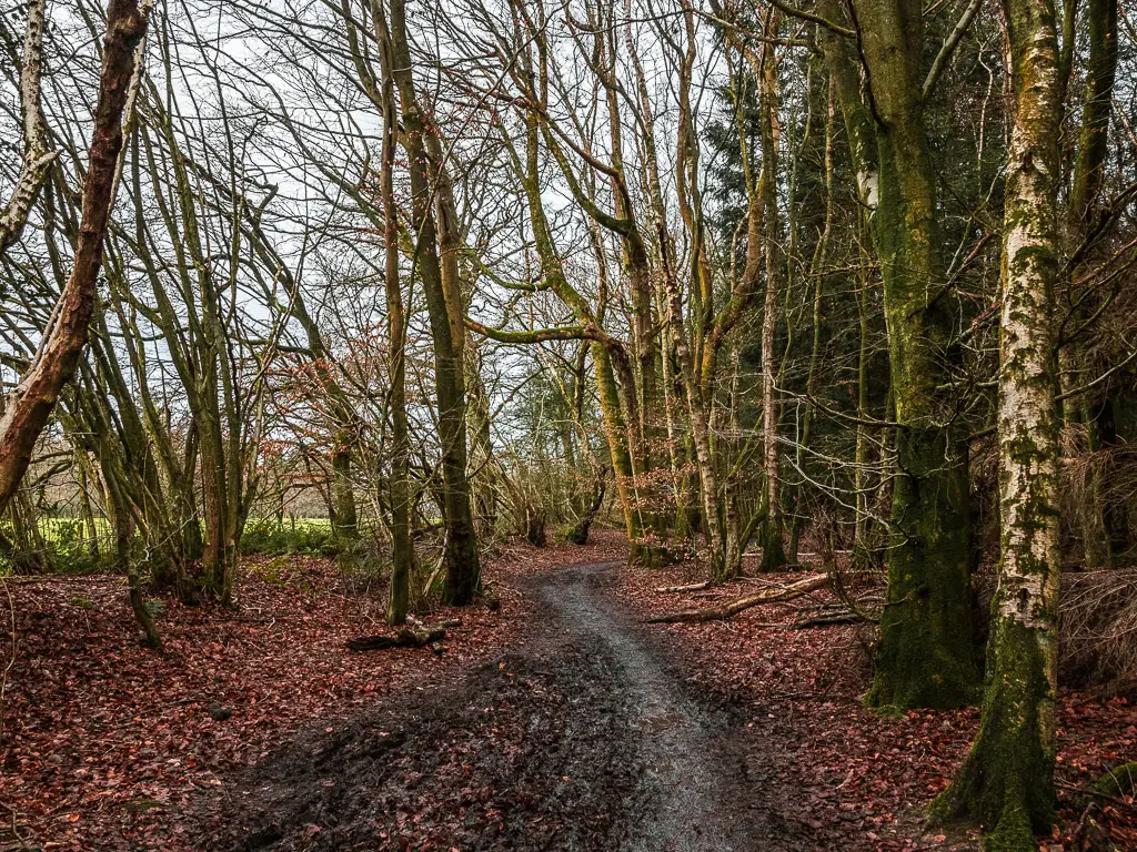
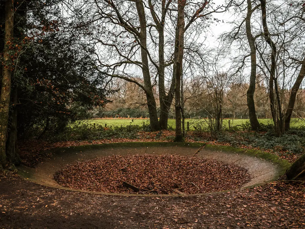
After a long and noisy stretch through the woodland, I came across this:
I don’t know what this is. Any ideas?
I also ran into a conundrum. The next North Downs Way sign pointed one way only. Back the way I had come. Which way next?
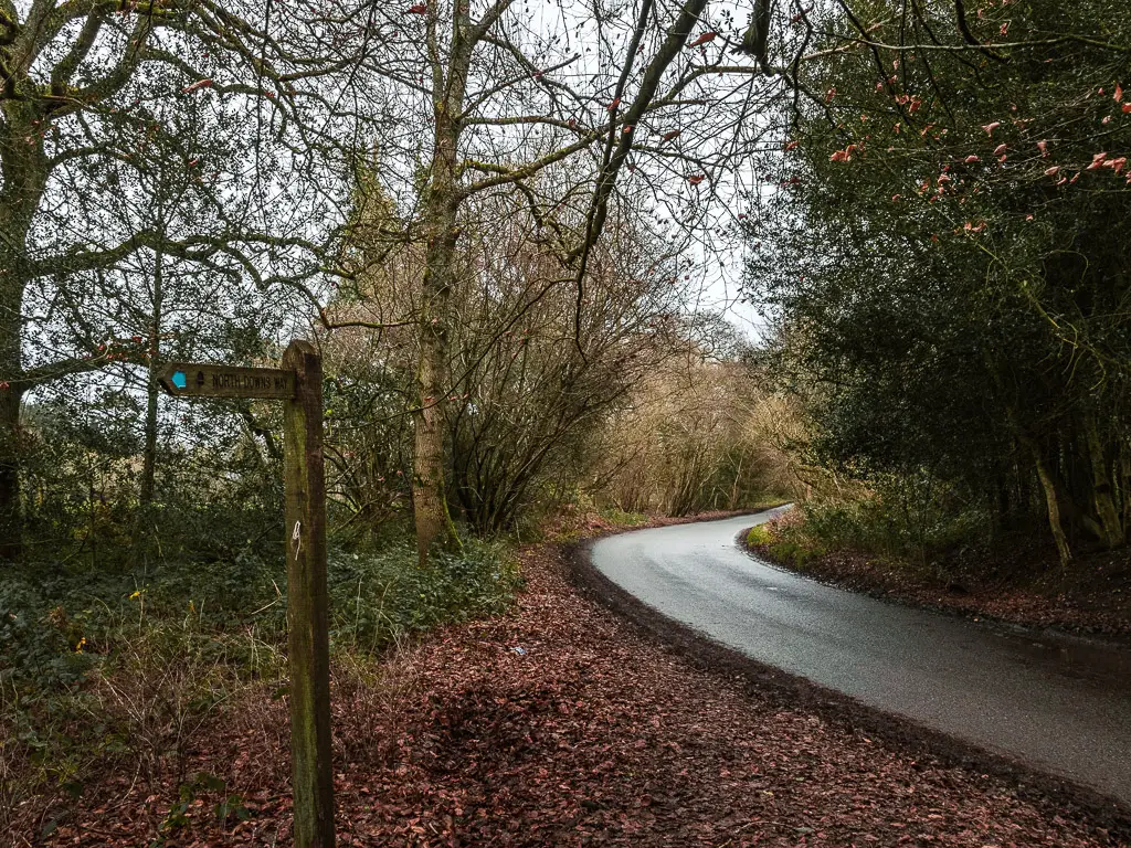
There seemed to be a trail straight across, so I hopped on over to it and landed in ankle deep mud. Something didn’t seem right here. My senses told me I needed to keep looking.
So look I did, and found the trail is further back on the road.
More woodland and another conundrum
After walking through another stretch of woodland, I reached a non signposted junction. Left went towards a farm house, right went in the wrong direction. So I figured it must be straight. I followed the generally rule that if there are no sign posts, just go straight. So I went straight and into the Netley Plantation.
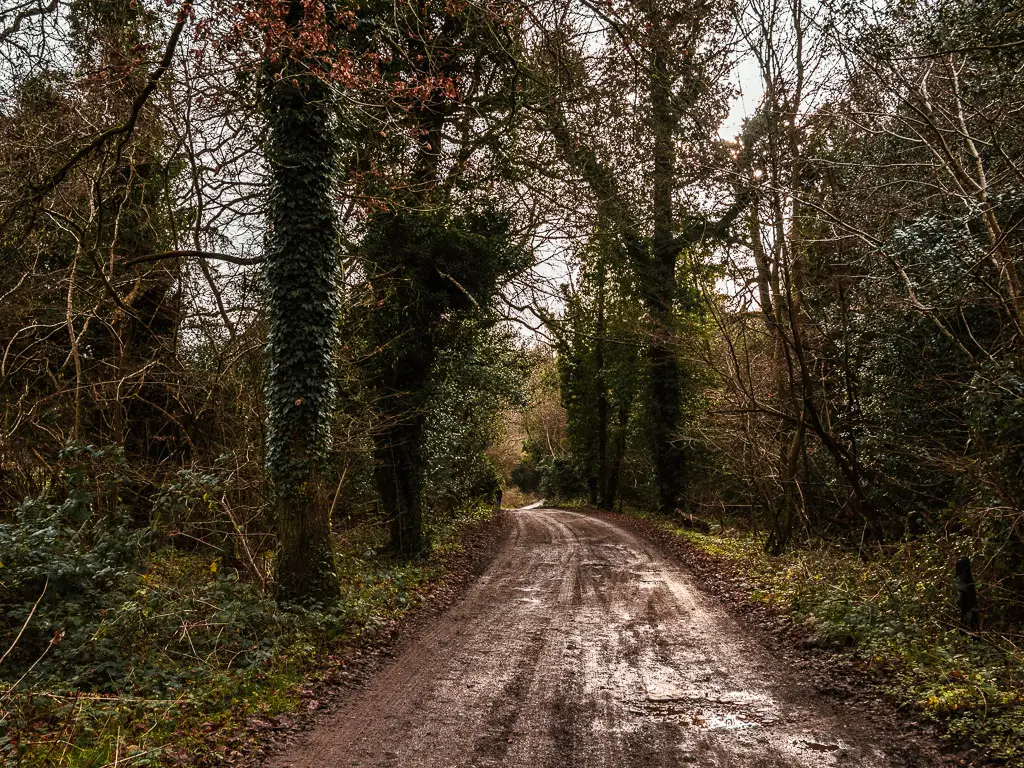
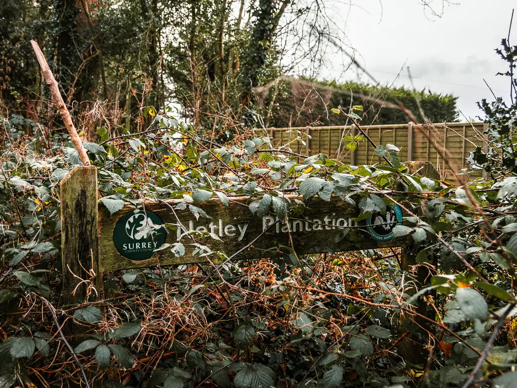
Netley. Is that just another way of saying nettles? Was I about to walk into a nettle planation? Was the thought running through my head. But that wasn’t the only thing I was thinking about. Something didn’t seem right. My senses told me I was going the wrong way.
So I checked my map, and sure enough I was.
Funny thing is, the map doesn’t say ‘North Downs Way’ on the North Downs Way trail…most of the time. This time it did. This time, it was telling me to walk towards the farm house. So off I went back, and past the farm and found my friend for today. The black North Downs Way disc.
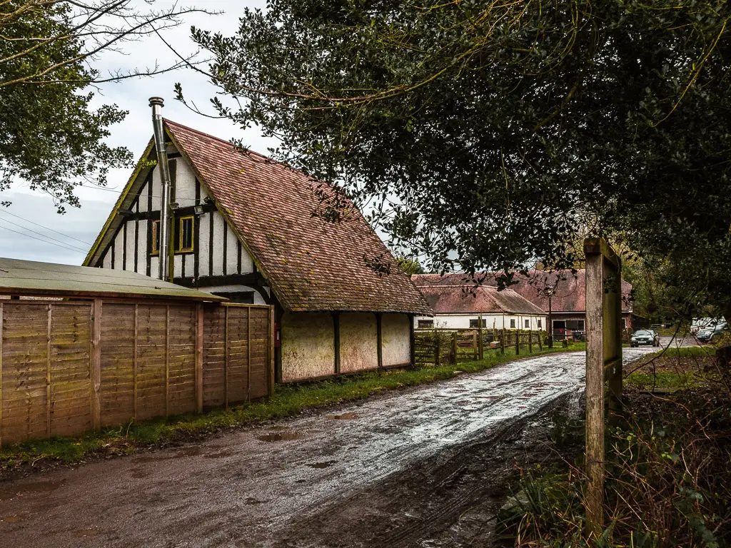
Woodland – The main feature of the Guildford to Westhumble walk route
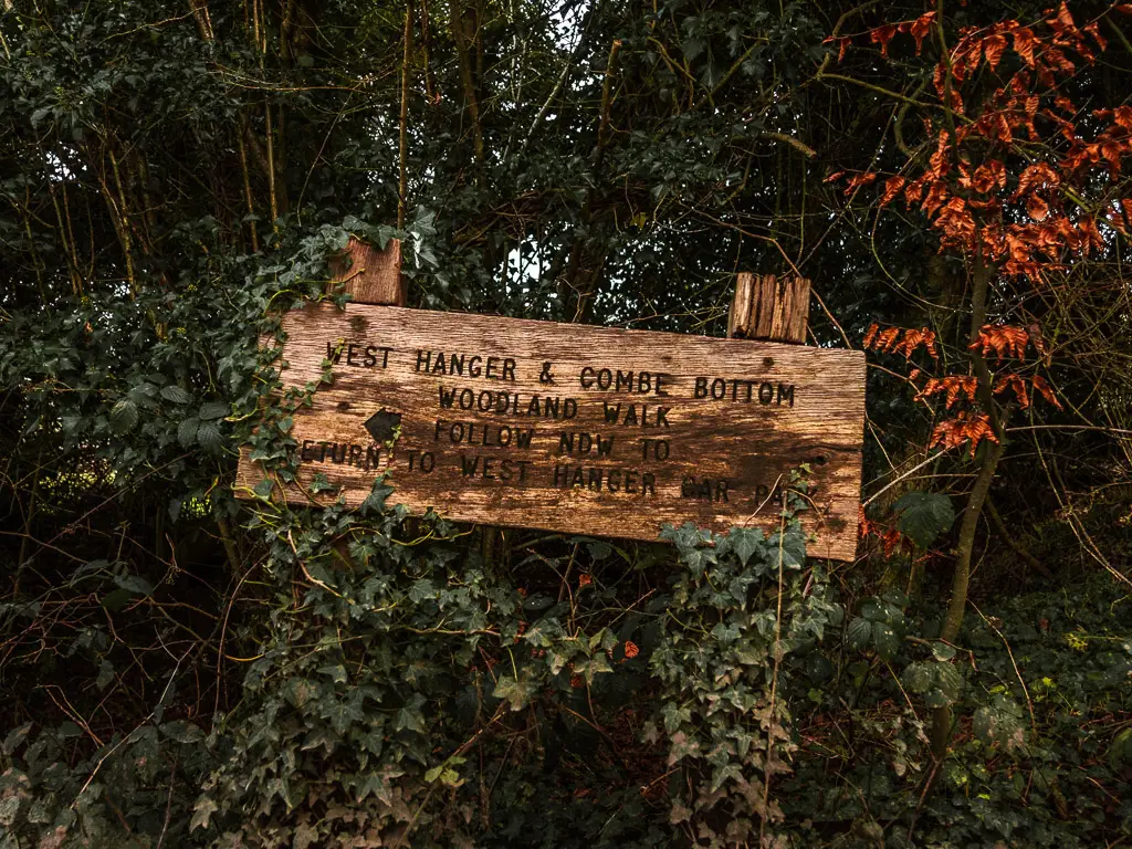
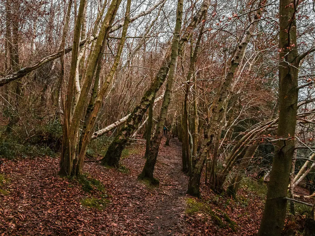
I have said it a few times. The woodland. There isn’t a whole lot to say really about what comes next. It’s all just woodland. After a while it all merges into one.
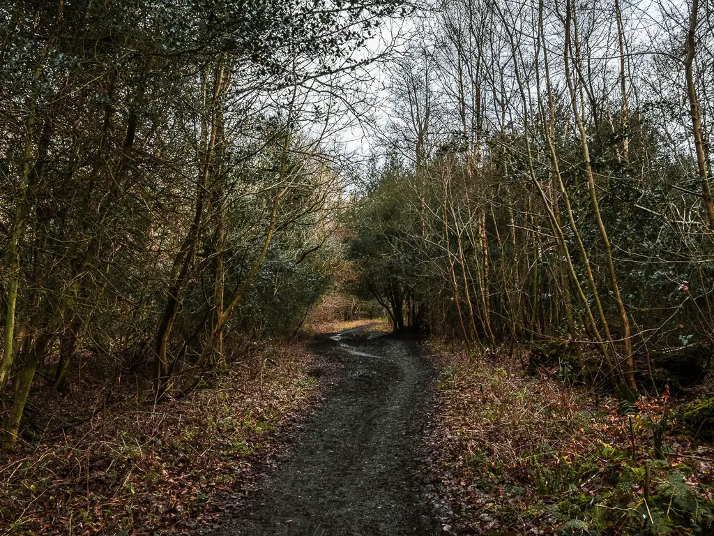
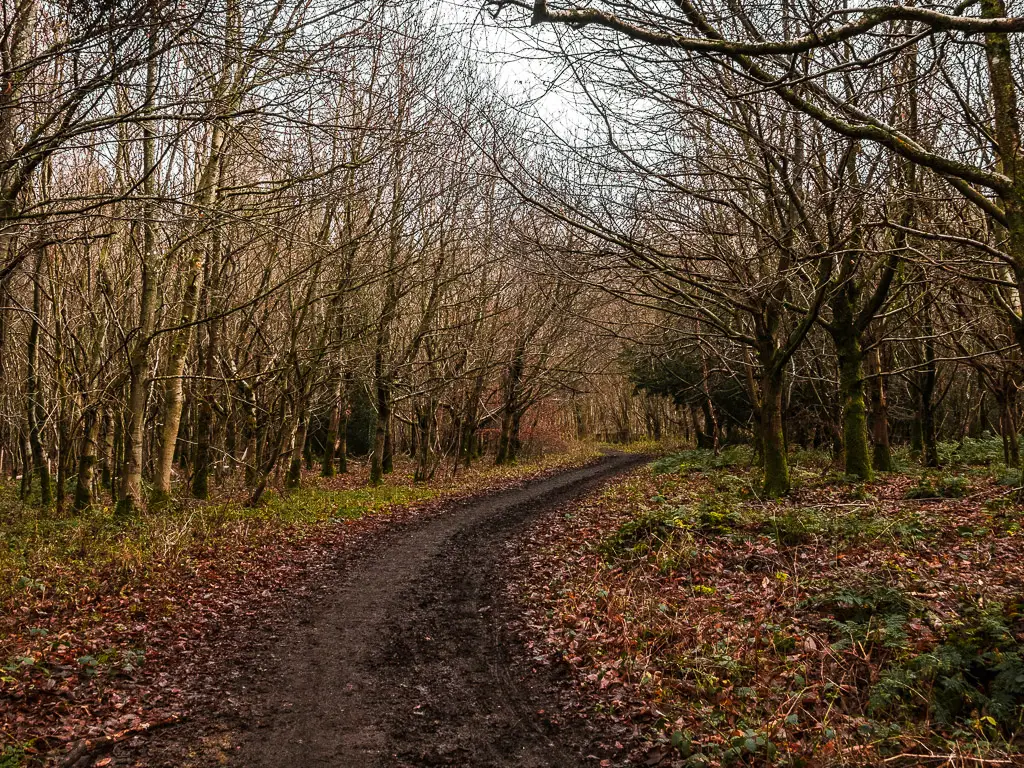
There are plenty of North Downs Way signs, sometimes pointing you off a different way. I also passed by another bunker type thing. Is this a war thing?
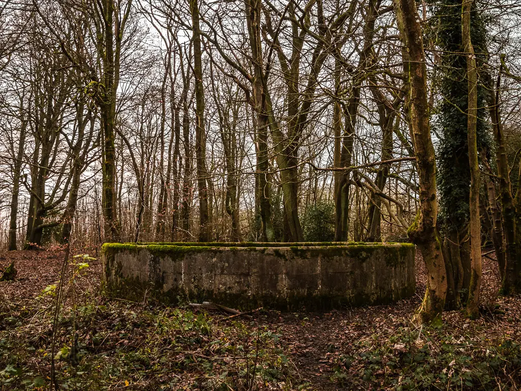
I would later discover, that this walk from Guildford to Westhumble features a lot of war things. More on that later.
The logs and the doggy
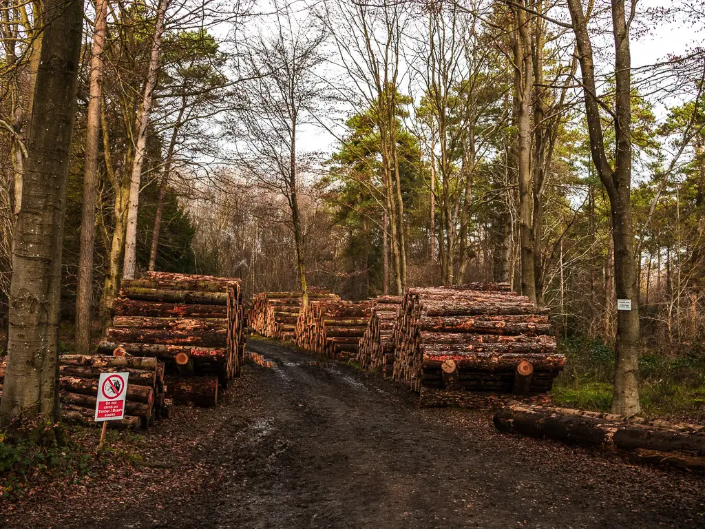
Lots more wood and a shooting sign later, I was quite happy to see the timber logs. It was a nice change to just woodland. A doggy also appeared, to brighten the mood. By this this point, I was very very hungry. I had been due my lunch break for a while. The thing is, I had not passed a single bench. I am not opposed to sitting on the floor, it’s just that there wasn’t even anywhere suitable to sit on the floor. It was all mud and wet.
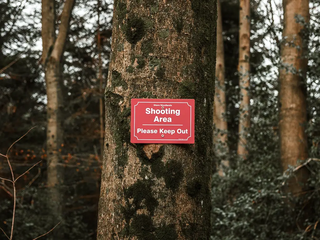
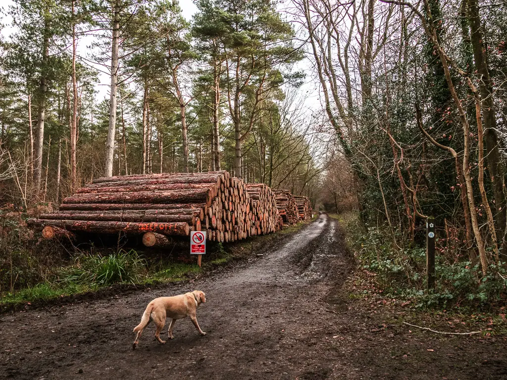
Actually I lie, I had passed by a bunch of picnic benches, but they were all in a car park on the road side. I wanted somewhere that I could enjoy my food in peace. Not sitting by the road. So I held off.
I was now regretting that decision. It was seeming more and more likely that that would have been my only sitting option left of the walk.
The viewpoint bench
I would like to point out, that for quite some time, I had passed by no one (except that one dog and his owner). This is important to know for this next bit.
So I arrived at my oasis. After a long stretch through woodland with no benches and lots of mud. I came across a bench, next to an opening in the woods, with a view out to the hills in the distance. This is me. A view. A bench. Exactly what I had been holding out for.
The thing is. It was occupied. No one for miles, and then the only bench and view was taken. I was a little bit salty, but also didn’t blame them. They found a good spot. They just got there before me.
I don’t have a photo for this bit. The sun was straight in my face, and subsequently, my camera. It didn’t come out good, and would ruin what is truly a beautiful spot.
The broken signpost
I continued on. Still very hungry. Maybe a little faint. My brain wasn’t quite ready to deal with the next bit….There came a North Downs Way sign, pointing to the right, off the main trail. Then a short way along, at the time of writing, the next sign was uprooted and resting on a tree. It was in this moment useless to me.
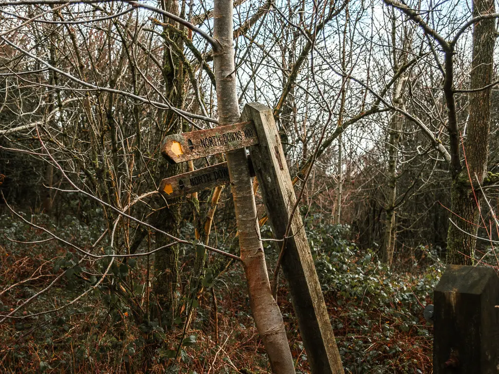
According to the sign, I should follow this little trail to the left. Only, that would take me straight back onto the trail I had just come off. Surely that couldn’t be correct. The other option was a small trail to the right. That seemed like the obvious choice. But what if someone had rested the sign this way on purpose? Rested it so that it points the way you should go.
I listened to my instinct and went right. Although, I didn’t completely trust my instinct right now. It was hungry and likely to make rash decisions.
The bench
This next bit of trail went downhill. So I doubly hoped it was correct.
There was actually another bench down here. I chose not to stop. My instinct told me I was getting out of the woods soon. Soon I would be on a hilltop field where I could sit on the grass. Sit on the grass and eat my food whilst admiring the view.
Remember, I was very hungry at this point and probably a bit delusional. Not capable of making smart decisions.
It paid off
At the bottom, at the wooden gate, I saw my friend. The black disc. I thanked god (I’m not religious) that I didn’t have to walk back up. Note the arrow points along the trail, not through the gate.
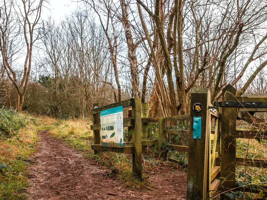
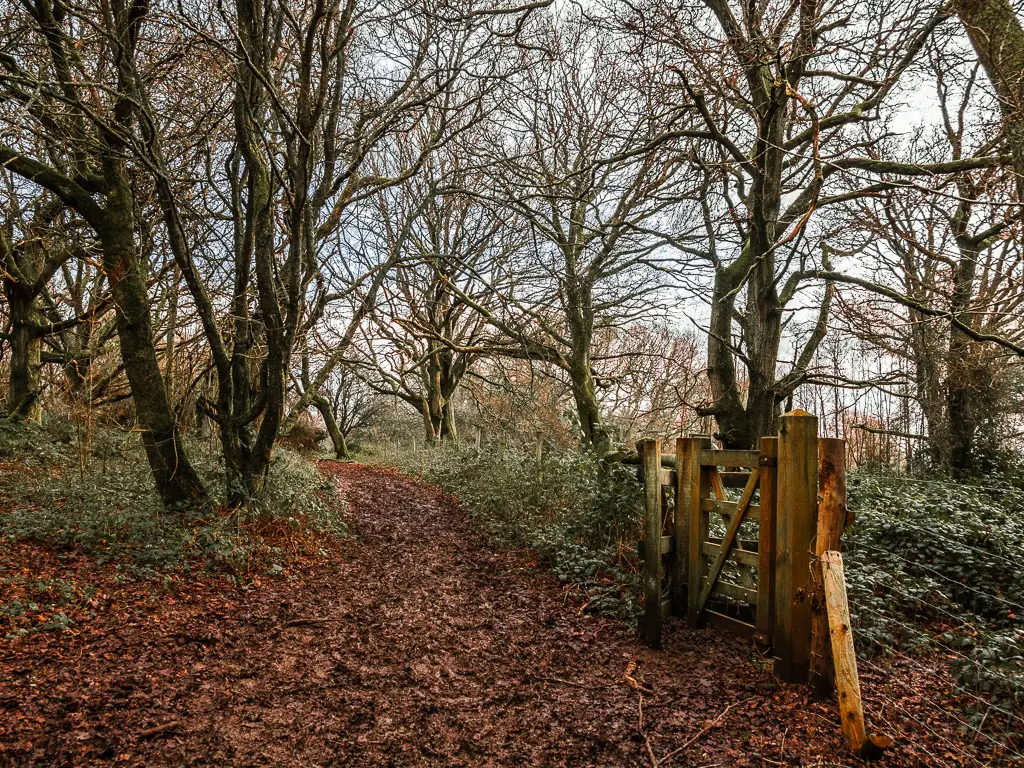
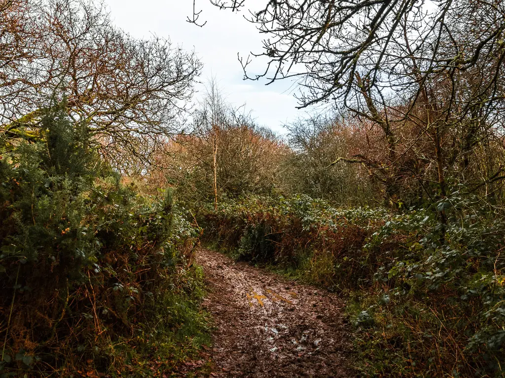
A lot of mud later, I reached the wooden gate to enter onto Blatchford Down.
Blatchford Down – Over half way on the walk from Guildford to Westhumble
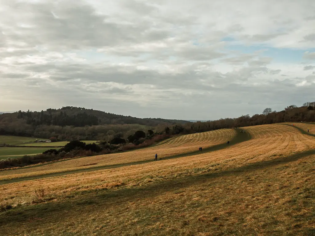
This was it. What I had been waiting for. Grass and a view.
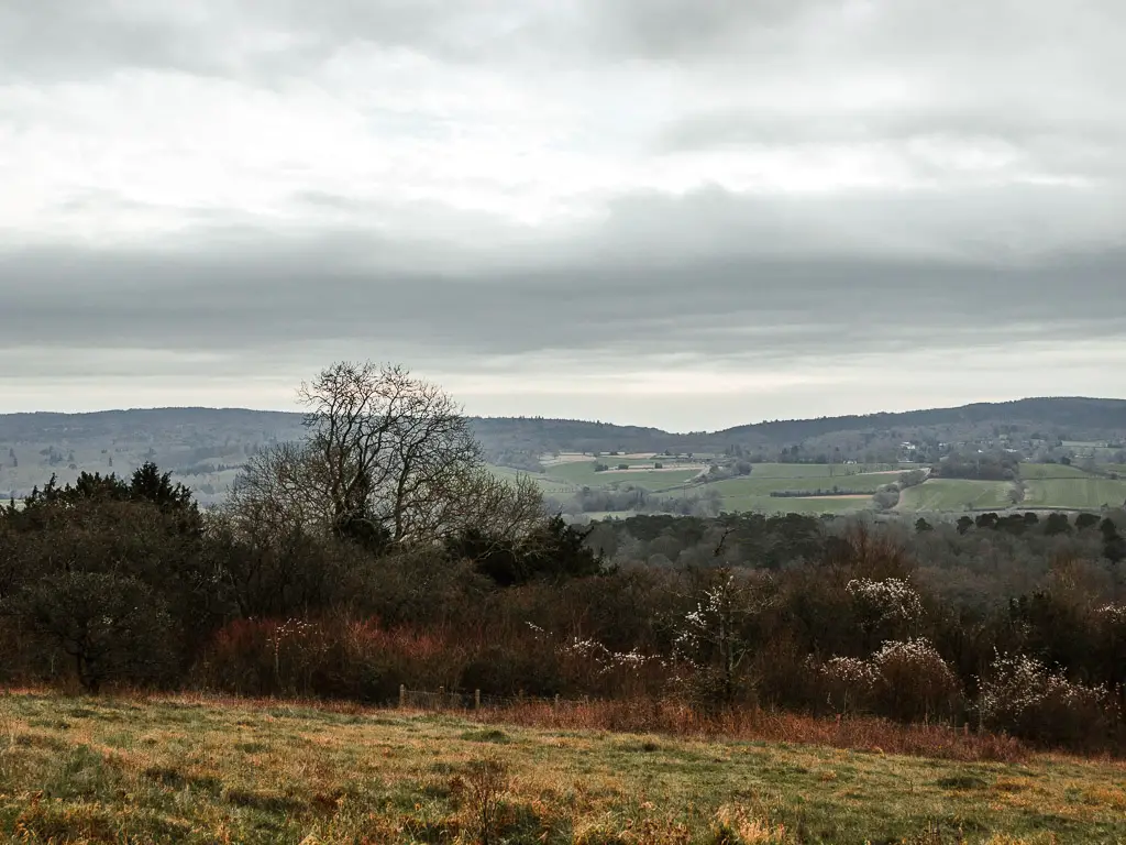
I plonked myself down and ate away, at just under the 9 mile mark. Apart from the view, I admired my legs. All covered in mud. A sign of a solid British country walk.
I also noticed something else. I don’t know if it was because I had been in the woods for so long so I was shielded from it, but the weather was changing. There was a suspicious wind, and the air felt like the rain was coming.
I thought I had about 4 miles left, so I didn’t stay here for long. If I hurried, I might be able to beat the rain.
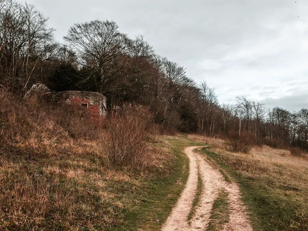
The war pillboxes
Following the trail, I came across the first pillbox of the walk between Guildford and Westhumble. Actually, you could argue it’s the second one. There was one just after leaving St Martha’s Church. Although it was on a different trail, and, if not paying much attention, easily missable.
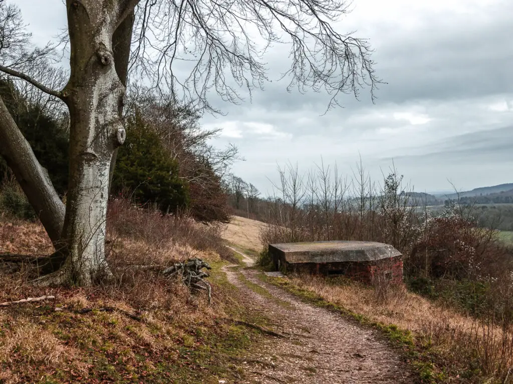
I didn’t realise there would be more after this, so was pleasantly surprised to come across another one a short moment later.
Back into the woods and another hidden sign
My precious views didn’t last for long, before heading back into the woodland, and back down to another road. This is another point of the walk where the sign seemed to be missing. It’s not. Here, it’s a right turn, then a left onto the trail on the other side.
More war pillboxes
Not too far along, I came across another pillbox. Things were getting exciting. And guess what. A little further through the woods, there came another.
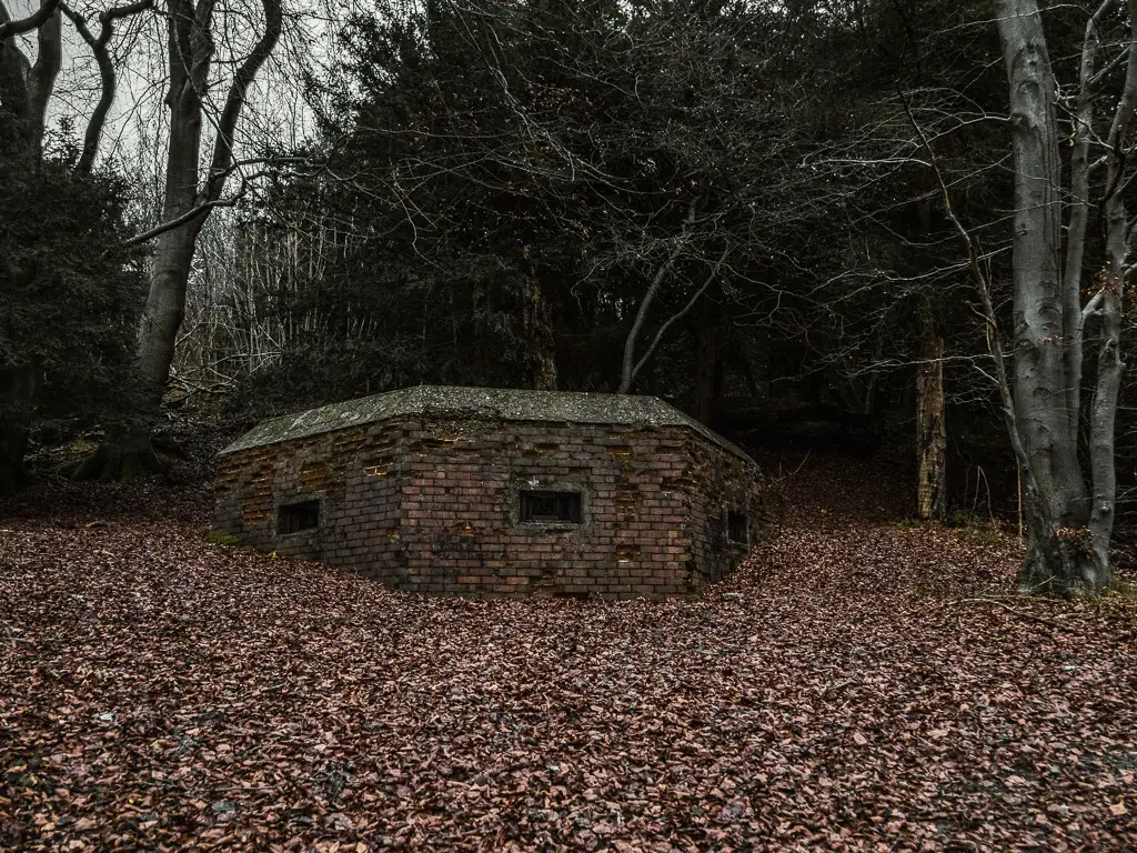
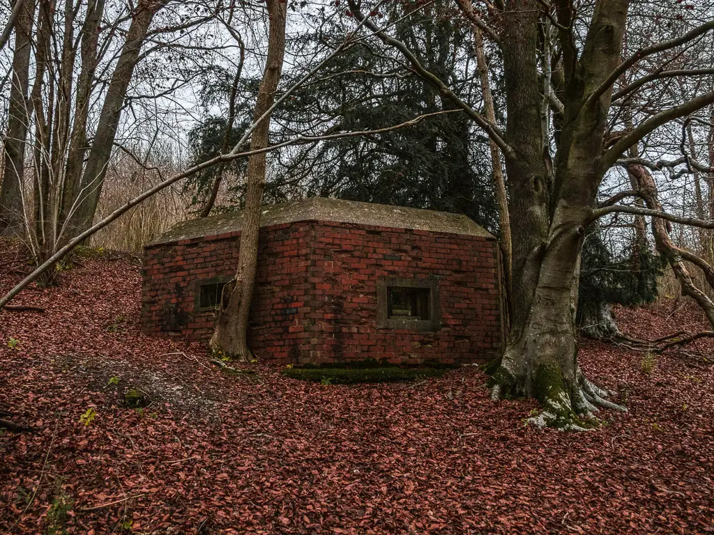
And then another.
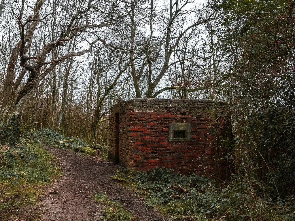
Then after more woods, you guessed it, another one. This one has a nice view.
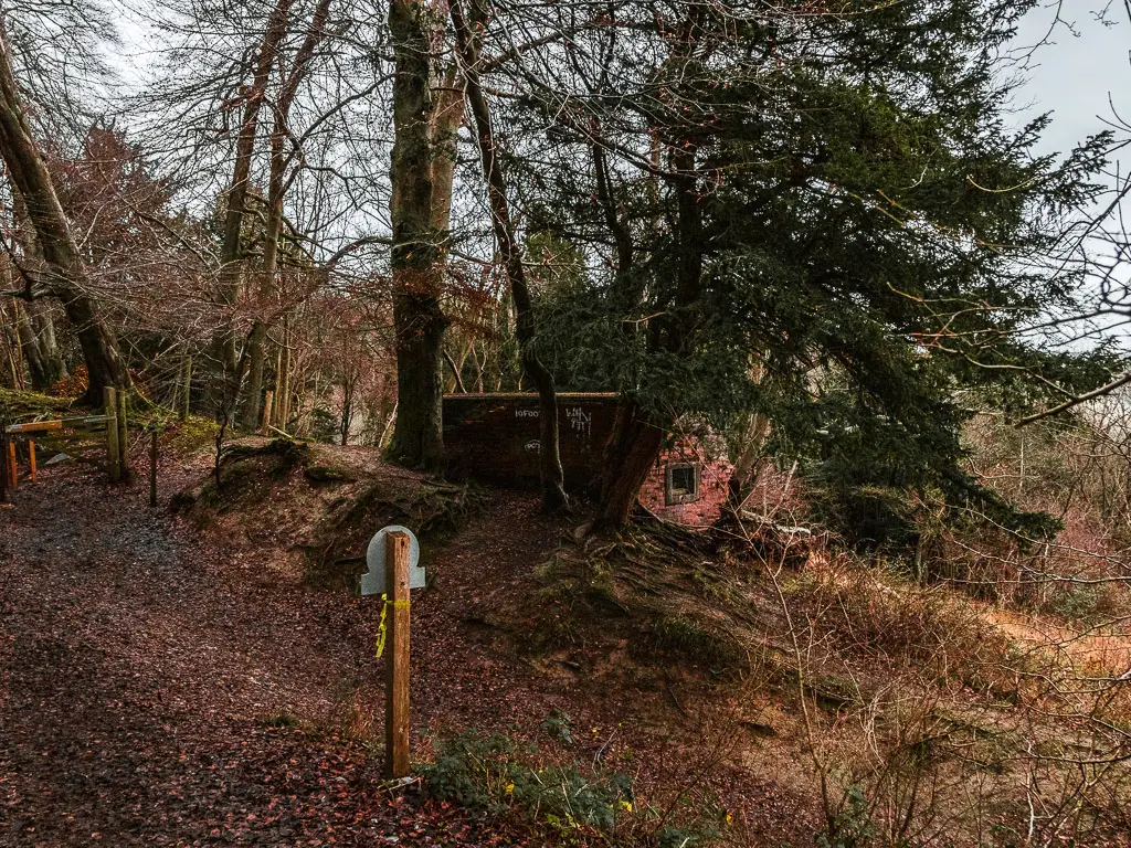
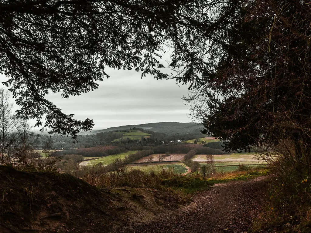
More woods
Taking a left behind the pillbox, the trail was interesting. On a sort of ridge with a steep drop. I thought about what if I fell down there. The trees wouldn’t stop my fall. They would act as obstacles to bounce off. Maybe it would mean I would reach the bottom at a slower speed. But I would be very bruised when I got there.
At this point I checked my tracker. And the time. It was 40min until the next hourly quick direct train home. All the other trains were not direct and took twice as long (there are usually more trains but….one word. Railworks). I wanted to make that train. And I truly believed I was near enough the end of the Guildford to Westhumble walk, that I would make it.
But just incase, I picked up the pace.
The broken sign….again
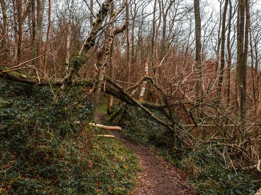
After lots more woods, lots more mud, and a few North Downs Way sign posts. I reached a broken one. Another uprooted sign post, resting on a tree.
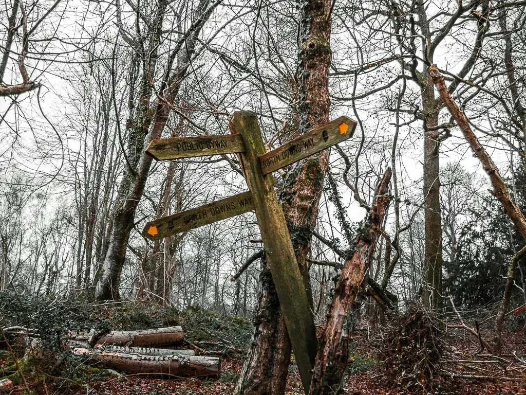
By my calculation, if I was to continue on the trail straight ahead, the direction arrows on the sign would be opposite each other. Not on an angle.
They were on an angle.
My senses told me I should go straight though. So I did. I didn’t notice until after that decision that my black disc friend was there all along. Telling me to go straight.
The rain
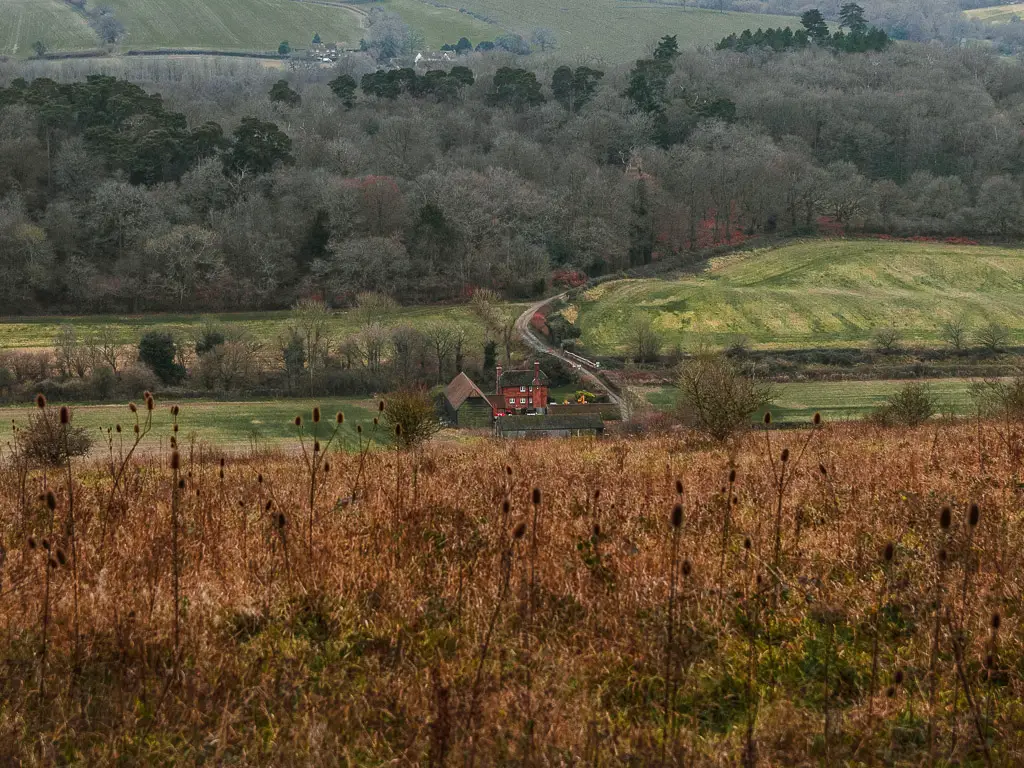
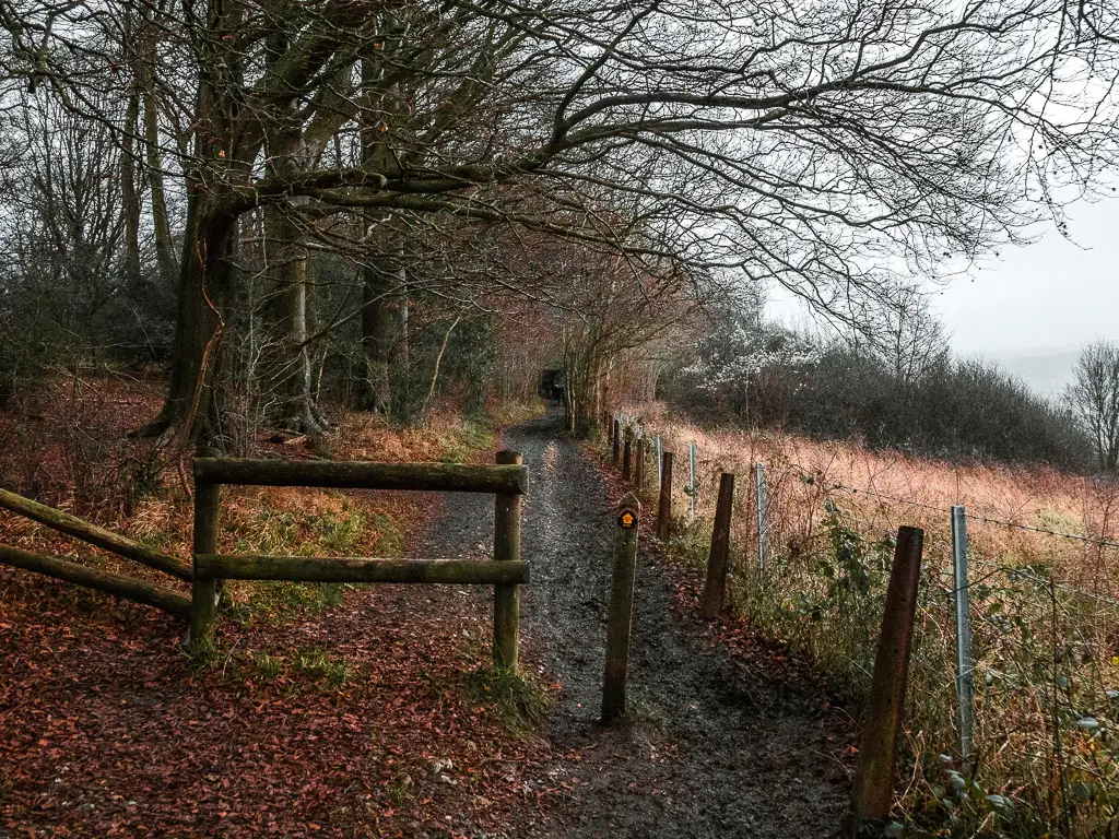
After some more woods later, I found myself out in the open, with a lovely view to the village below, and the rain. It wasn’t bad rain actually. But rather, misty rain. There was a nice moody vibe to it. It certainly wasn’t bad enough to get my rain jacket out (the rain jacket I take on on every walk in England just incase).
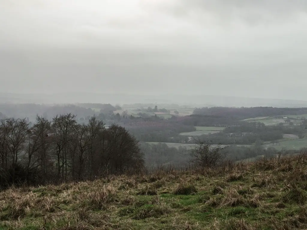
Just a note, in this field, there are a couple of grass trails. The North Downs Way is the right one.
Further along, when the trail split, I felt like I should continue along the main one. And I would have, had I not noticed a wooden signpost over to the left.
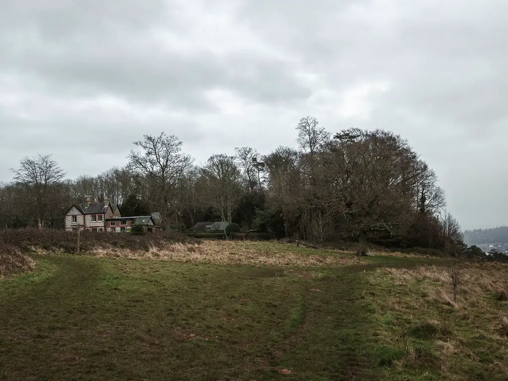
I went over to check it and discovered I nearly went the wrong way. The North Downs Way is left.
St Barnabas church
After another chunk of mud, across a road, and a short walk along a side road, I reached St Barnabas Church.
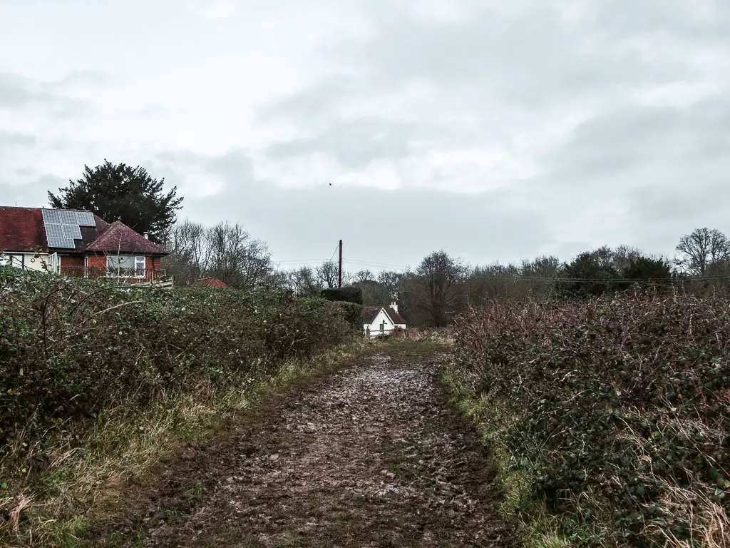
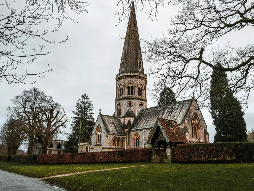
I checked the time. I had 15 min left until my train. At this point, I still firmly believed I would make it in time. So, apart from a quick moment to take a photo of the church, I kept powering on.
This next bit along the road (a quiet one at that) took a lot longer than I expected. But it wasn’t until I reached the signpost telling me to walk in the opposite direction to Westhumble train station, that I realised I wouldn’t make it to the train.
I felt both relief and annoyance at the same time. Annoyed that I would now be getting the long train journey, but relieved I could slow down.
My legs
Upon slowing down I realised how much pain I was in. So much so that I was hobbling. The speed and adrenaline of my fast walking had kept the pain away. Now it took over. Why was I hurting so bad? Probably something to do with the fact that for the whole week prior I had literally been sat on my arse the whole time. In fact, I only left my flat once to walk 10min to my parents for xmas dinner. I had done no exercise what so ever. It was truly a lazy week.
The gate
A little further down and along some random tarmac, I reached a big metal gate. It was odd. Like a gate to keep people out. Was I on the wrong or the right side I wondered?
Part of the gate mesh was ripped out, I wasn’t sure why, because the gate does open….I was very soon about to find out why.
As I pushed on the gate, I hit resistance. The gate did open, but there was blockage so that it only opened a small amount. No biggy. It’s big enough for people. But that’s it. It’s just big enough for people.
There was a couple about to come though the other way with their baby and pram. I told them I wasn’t sure that they would make it through. They agreed, and I left them.
I didn’t see them again, so I wondered if they squeezed the pram through the ripped out mesh bit. I hope they did. That would have been a bummer to get up there, only to be forced back down.
The vineyard and Box Hill
I started to get a view of a hill in the distance ahead. That looked like it must be box hill. The hill for the next stage of the walk, Box hill and Westhumble to Merstham. Something to look forward to…kind of.
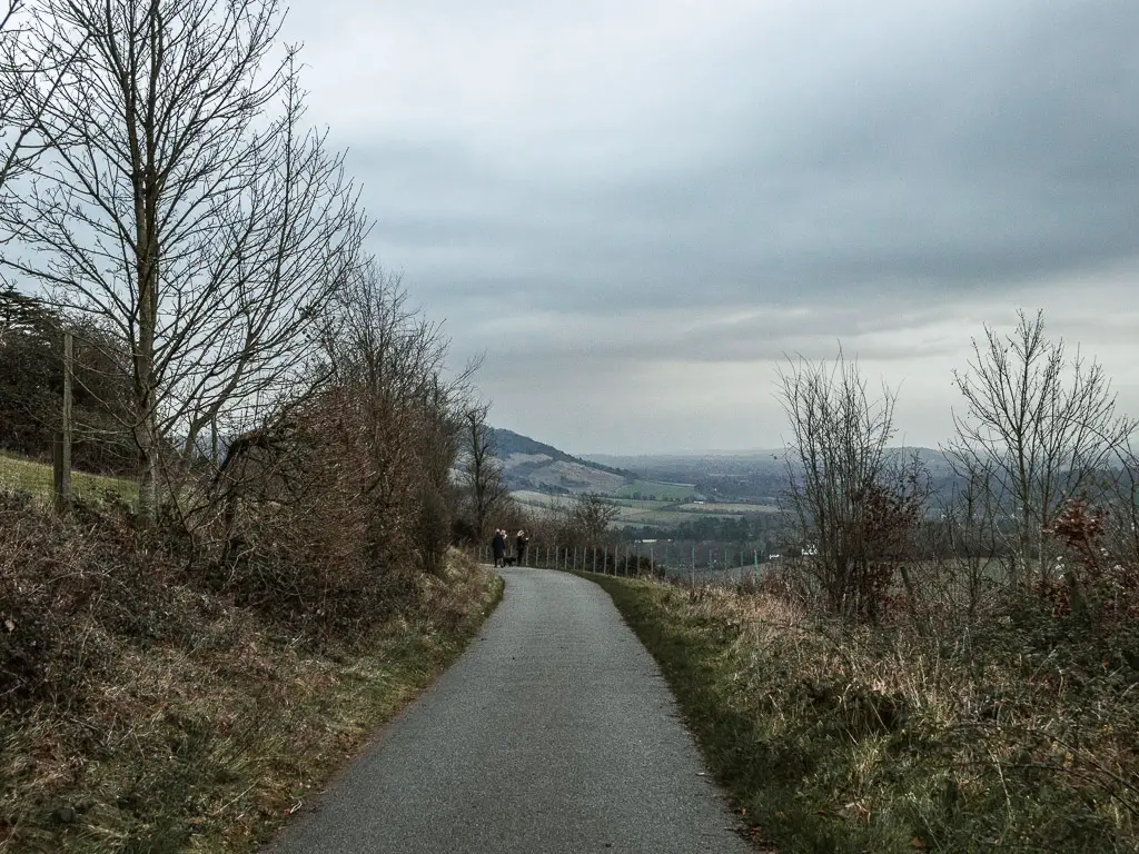
Along here, I passed by a strange plantation. I say strange, it wasn’t strange at all. I just hadn’t clocked what it was. It took me longer than it should have to realise it was a vineyard. It would be pretty cool to come back here when everything is growing. I made a mental note to myself to do just that.
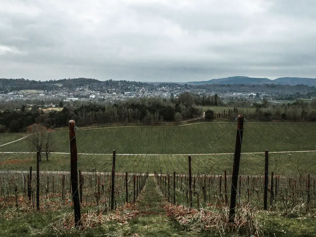
The popular trail
Things were lot busier along here than most of the walk from Guildford to Westhumble (apart from St Martha’s Hill and Newlands Corner of course). With Dorking visible down below, I knew this must be a popular route for locals to come walking up. If I was them I would.
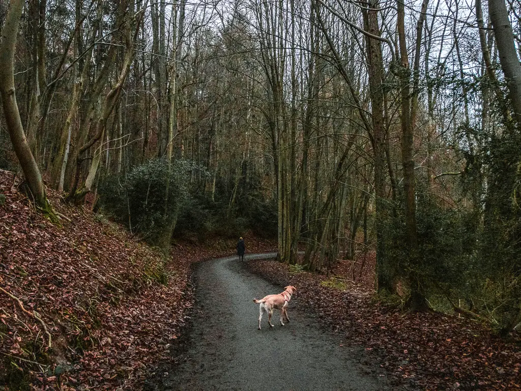
I followed the trail as it snaked its way down the hill…with all the crowds. I knew I would be coming off here soon, so kept my eye out for the next sign. This time it was my black disc friend. Interestingly, no one was going this way. This way was dirt and muddy. The other way was clean and dry.
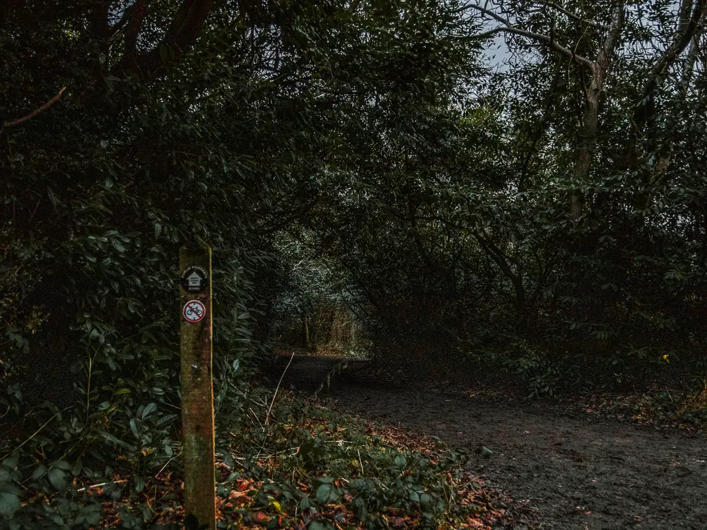
I wasn’t mad at all.
Walk to Westhumble station off trail
Now if you follow this trial straight, it will take you all the way to the main road. That is the official North Downs Way trail. I had noticed on the map, a trail leading off this one which would take me straight to Westhumble Station without having to walk along the road.
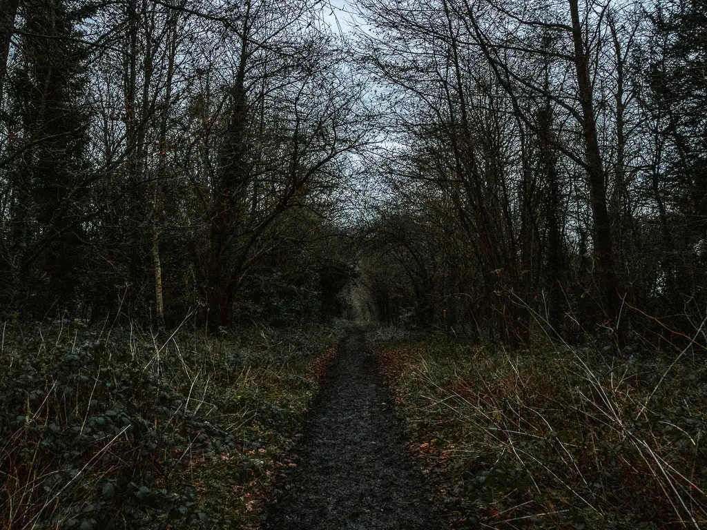
I have been to that road before. It’s very busy and very loud. I didn’t want to finish my Guildford to Westhumble walk this way. I was going to take the off trail.
The thing is, I wasn’t paying attention, and after walking straight for what seemed like a bit too long, I started to hear the road.
I checked my map to discover I had missed the off trail. At this point, I was far enough along that I might as well have continued. But no. This was not how my walk would end. So I backtracked to find the trail that I missed.
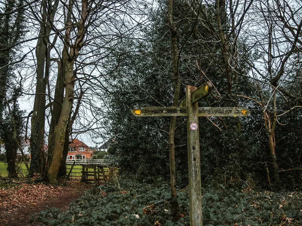
The final stretch of the walk from Guildford to Westhumble
If you do want to be officially for this last bit of the walk to Westhumble station, you would just keep on the North Downs Way trail to reach the road. At the road, turn left. Then at the next road, go left and this will lead you there.
But as I said, it’s a very loud busy road. Choose wisely.
Taking the off trail (like I did) you will go across a field, down the back of two lots of houses, then a right turn at the road, to reach the bridge over the railway track of Westhumble station.
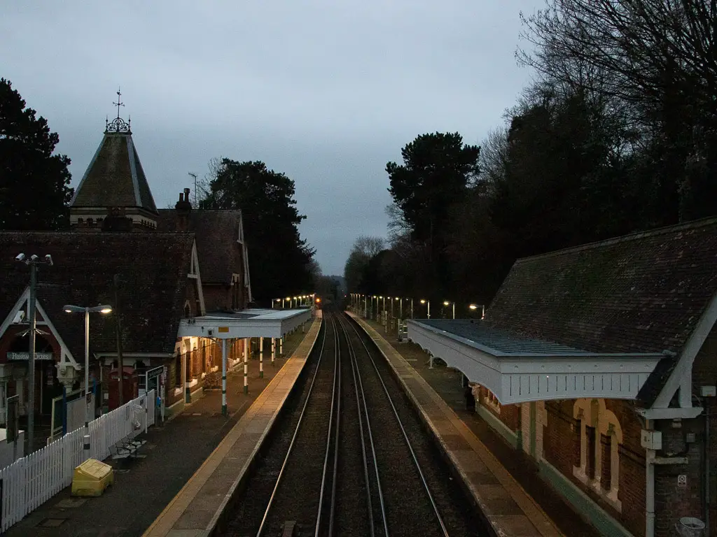
Once I got there I checked to time to see what train I would be getting. To my surprise, the direct quick train would be coming in 7 min. I’m not sure I have ever timed a walk so perfectly. I either just miss my train, or I realise in time that I will miss it if I don’t run. So run.
I also had to laugh at how over an hour ago I though I only had 10 min of walking left.
More walks near Guildford and Westhumble in the Surrey Hills
Farnham to Guilford is the stage of the North Downs Way before this one. Westhumble to Merstham, is the stage after.
The above mentioned ones follow a specific historic trail. That doesn’t mean they are the best walks. They are just classics. If you are not fussed about following an official route, I would suggest these walks:
I much preferred this walk which includes St Martha’s Hill and Newlands Corner. I think the route is much nicer and more varied. It also features the Chilworth gunpowder mills.
Box Hill is a classic around here, with a big (very big) hill. This circular route is only 4 miles, so the big hill doesn’t feel so bad.
Leith Hill is the second highest hill in South East England. Views as far as the London skyline on a clear day. I did it again recently for the website, but ended up walking half the route in the dark and had no idea where I was going so can’t really write about it. I will go and do it again.
For a more detailed round up, you can read about the walks around Guildford here. If you want to go slightly further afield, you can read my guide on walks in the Surrey Hills here.
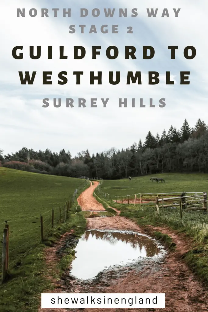
Pin it for later: Guildford to Westhumble walk – North Downs Way stage 2
For more walking ideas, you could check out the Surrey Hills website.
