The Forest Way is a 10 mile walking trail along an old railway line, in the East Sussex Countryside. It actually takes you through High Weal which is an AONB. I first heard about it from a patient at work, so had to go and give it a go. Note. Although I say walking trail, it’s actually part of the cycle network (route 21).
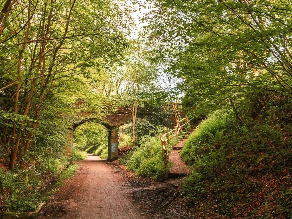
In this guide I’m first going to tell you a bit about what to expect when walking the Forest Way, options to shorten the walk, tips, and how to get there. I have provided a map, and full logistics, followed by a route description with lots of photos.
What to expect on the Forest Way walk
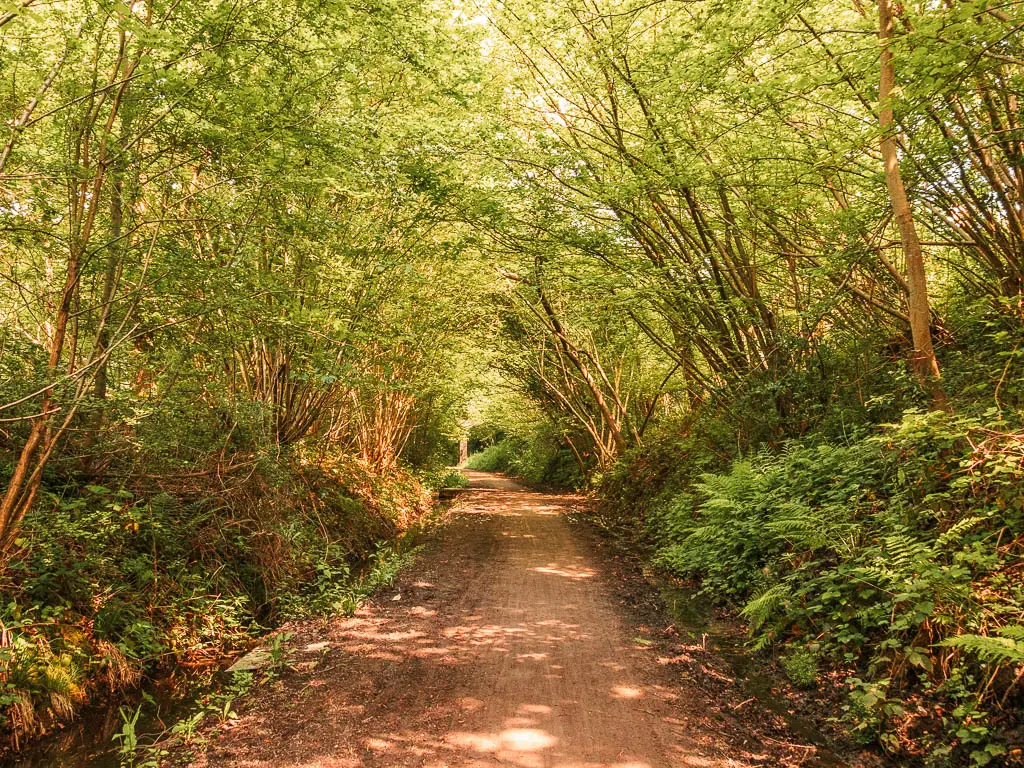
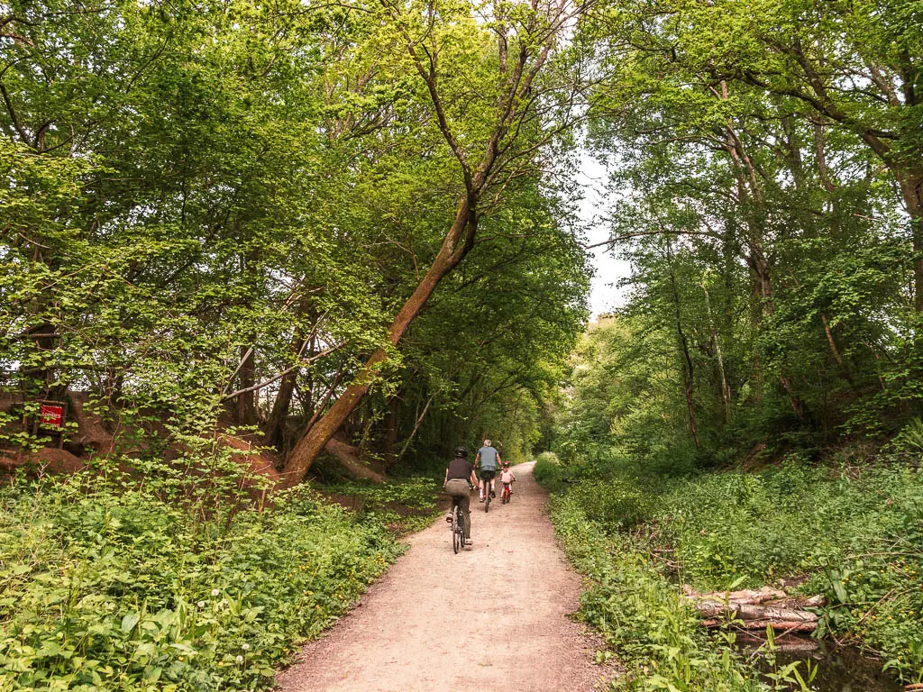
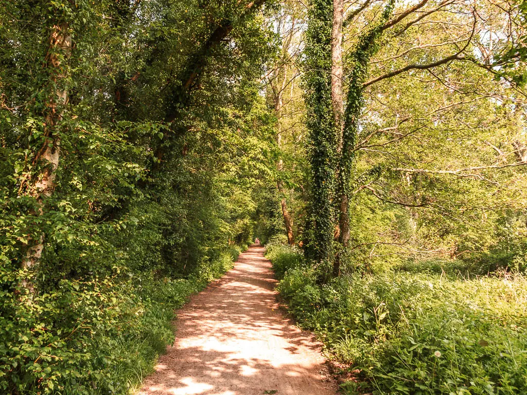
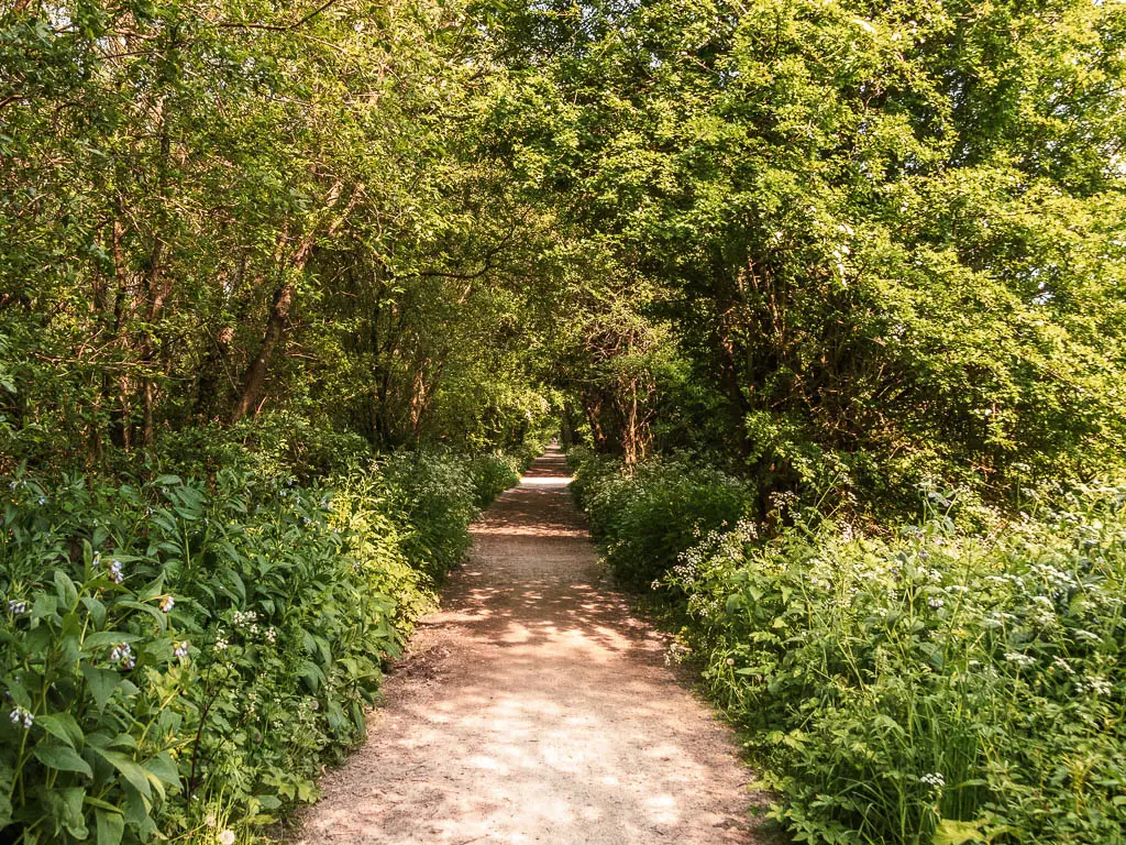
The whole walk along the Forest Way is just how it sounds…lined with trees, like a forest. I was worried it might be a little tedious or monotonous, but it was quite the opposite. I throughly enjoyed the walk, as the trees and their formations always seemed to change, and at various points there were lovely views through the gaps.
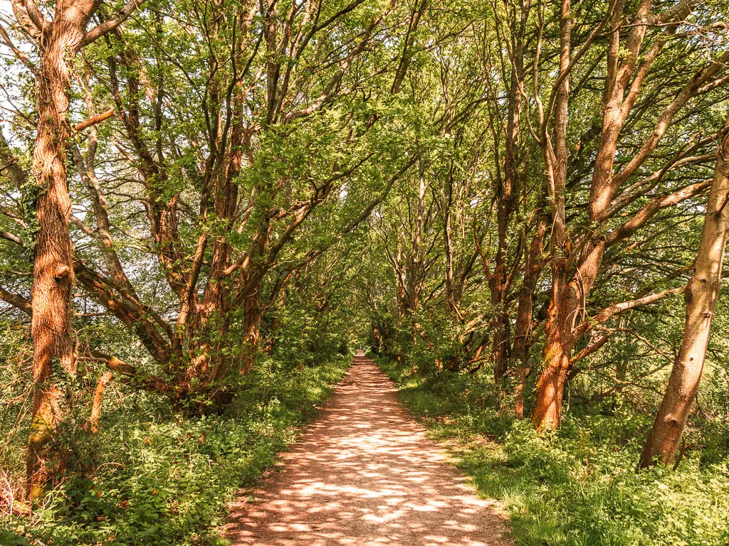
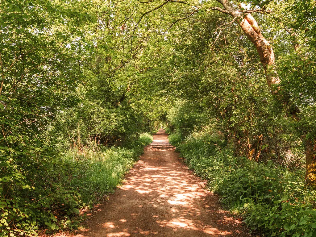
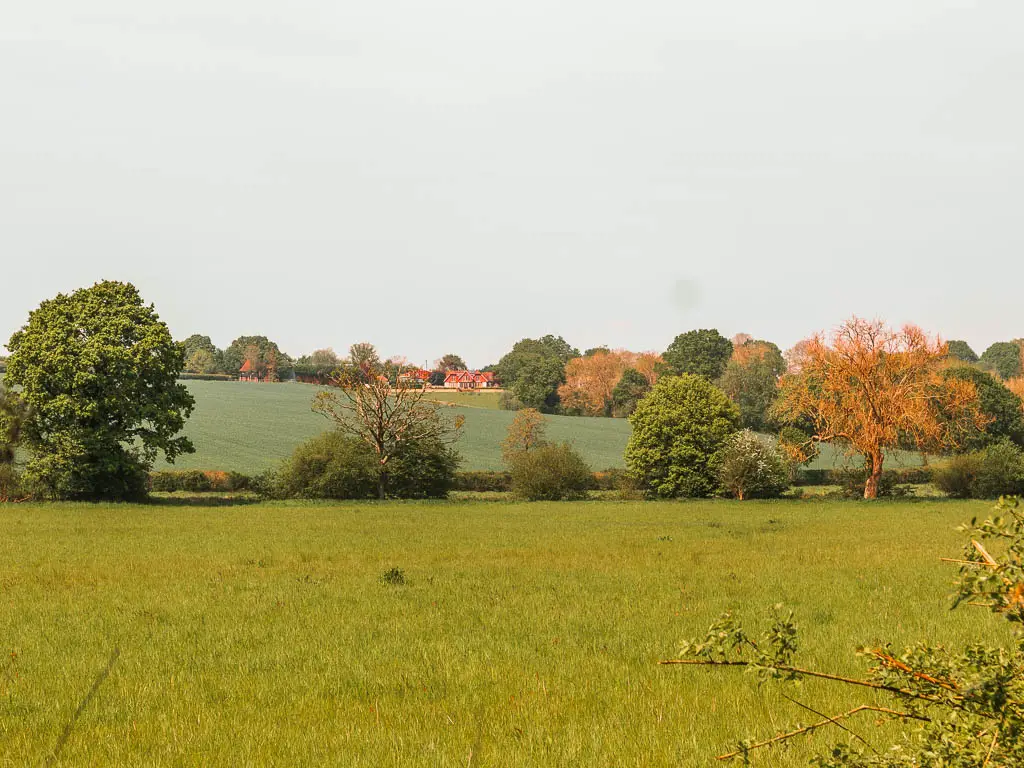
The further you go, the more wild it feels. At times, when I was surrounded by the thick tree tunnel with the sounds of birds chirping, it felt a little rainforest like.
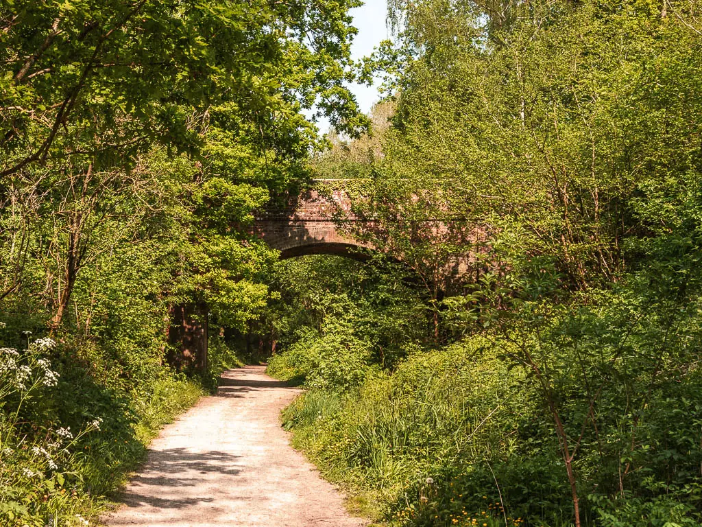
It’s also a perfect walk to do on a hot summers day, as you are sheltered by trees for most of it. It was 24 degrees when I did the walk, and the cool air was very welcome.
It’s an easy wide path, with the occasional road crossing, lots of scenic view benches, and optional village stops along the route.
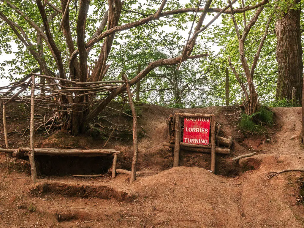
Hartfield (about 7 miles in) was home to A.A.Milne who wrote Winnie the Pooh. So there are a few Pooh bear things there, such as the Pooh Corner tea room. I didn’t know this when I did the walk, so I did not stop in Hartfield, and I’m a bit gutted about that. Groombridge at the end has a steam railway, I also didn’t go to look at it because I was power walking and trying to make a specific train back (which I didn’t make).
Forest Row
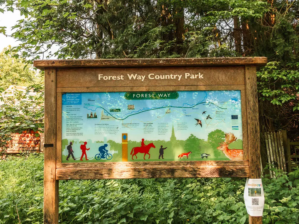
I would say that the Forest Way has two parts. The whole route, or Forest Row. Forest Row is the first village. If you want to keep the walk shorter, this is a popular way to do it. Walk to Forest Row, stop for lunch, then walk back. This would be about 6 miles round trip.
I have to say though, the trail gets better the further you go, so if you are up for it, I would recommend walking past Forest Row.
Fun Facts: Forest Row was the inspiration for a Sherlock Holmes short story. Some big famous people have also lived here, such as David Gilmore (Pink Floyd), and Jimmy Page (Led Zeppelin).
Cycling the Forest Way
The Forest Way is a popular cycle route, and even though I have now walked it, I do want to come back and cycle it. That would make it easier to take the detours to explore the villages.
You can hire bikes at Forest Row with a smartphone unlocking system. Basically just download the app, turn up, and pick up a bike. No booking required. You will find the bikes in the community centre car park. It’s opposite the fish and chips shop. Post code RH18 5DZ. You can find all the details on their website here.
How to get to the Forest Way
The Forest Way runs from East Grinstead to Groombridge. East Grinstead has a train station, and from there it’s about 1 mile walk through the town to reach the start of the trail.
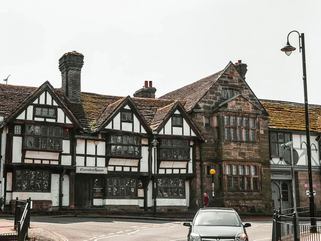
At Groombridge, it’s about 1 mile walk through the village to reach the bus stop, with buses (291) back to East Grinstead. There is a limited service on Sunday though. You can check the timetable here.
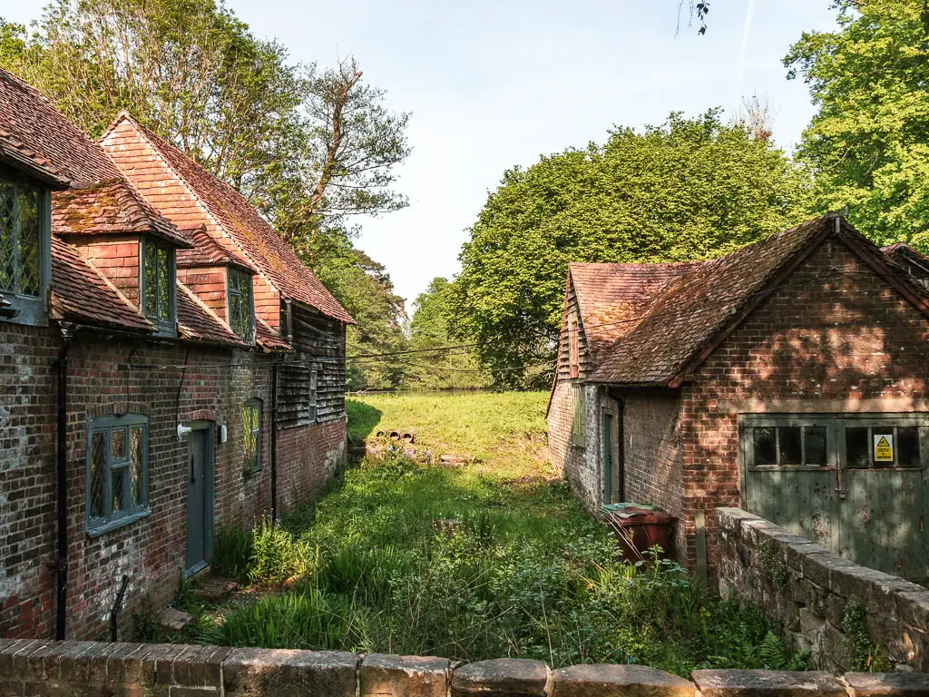
I didn’t get the bus, I instead decided to walk a couple of miles to Ashurst train station which I regretted. Get the bus.
Tips for walking the Forest Way
- Wear comfortable shoes/trainers. It’s hard ground the entire way.
- Stop at Hartfield (7 miles in) for Winnie the Pooh.
- Cycle it. If I was to do it again, I would walk to Forest Row, pick up a bike, then cycle the rest of the way. It will make it a lot easier to explore. into the villages. Otherwise it’s a very long walk.
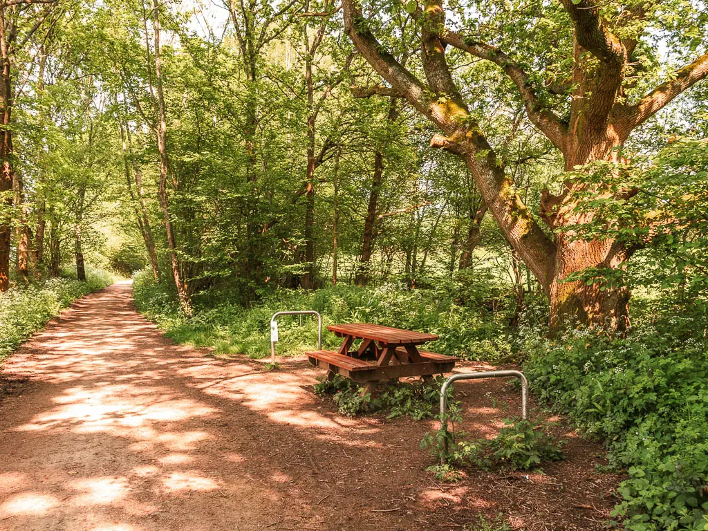
- Take a picnic/or snacks. There are picnics benches along the route, usually looking out to the views through the trees.
- Allow some time to also wander around East Grinstead. I will show you why in my route description below.
The Forest Way is a continuation of the Worth Way Trail, which is also an old railway line. I highly recommend trying that one as well.
Map for the Forest Way
Logistics
- Start: East Grinstead station, East Sussex.
- Finish: Groombridge, East Sussex.
- Distance: 11-12 miles (depending if you detouring one of the villages).
- Time: 4ish hours.
- Difficulty: Easy.
- Terrain: Wide bridleway path, road.
- Dog friendly: Yes.
- Amenities: Anything you might need in East Grinstead, Forest Row has a few places to eat. There is The Swan which is an alpine inspired eatery bar, and Hop Yard Brewing serving craft beers and food. Hartfield has Pooh Corner which is a country cottage tea room, and a mobile coffee truck (Little Bs Bakehouse) which looks rather cute. Groombridge has a couple of pubs (The Crown Inn and the Junction Inn), convenience store, and bakery.
Route Description: How to walk the Forest Way
Out of East Grinstead station, follow the signs to the town centre. When you reach the high street, turn right and keep going to the end where you will see some Medieval buildings. Turn left here.
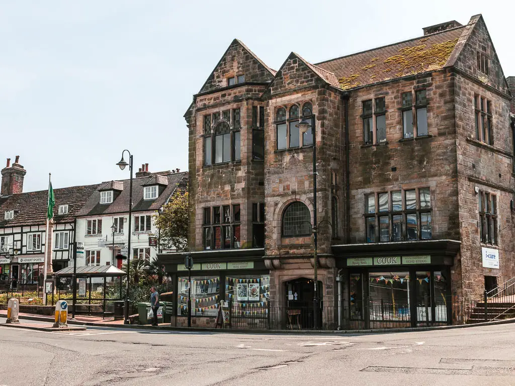
I had previously read that East Grinstead has one of the longest rows of Medieval houses in Britain, I wasn’t sure where they were located exactly, but arriving here now, I’m pretty sure this is it.
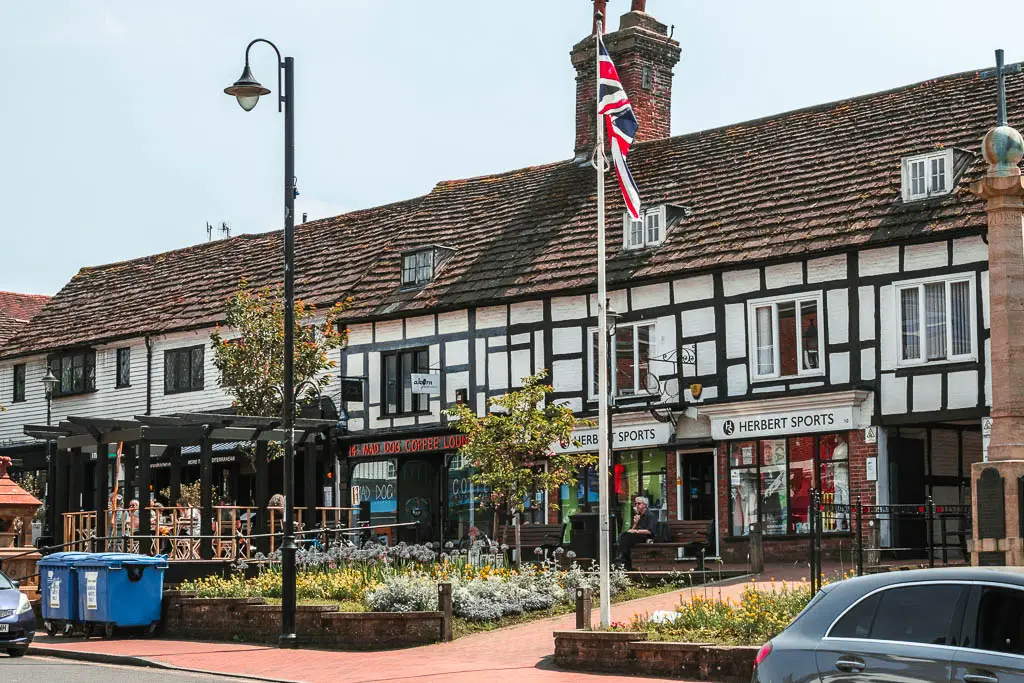
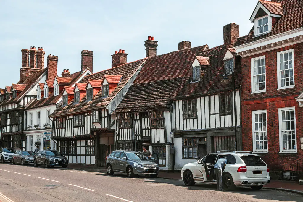
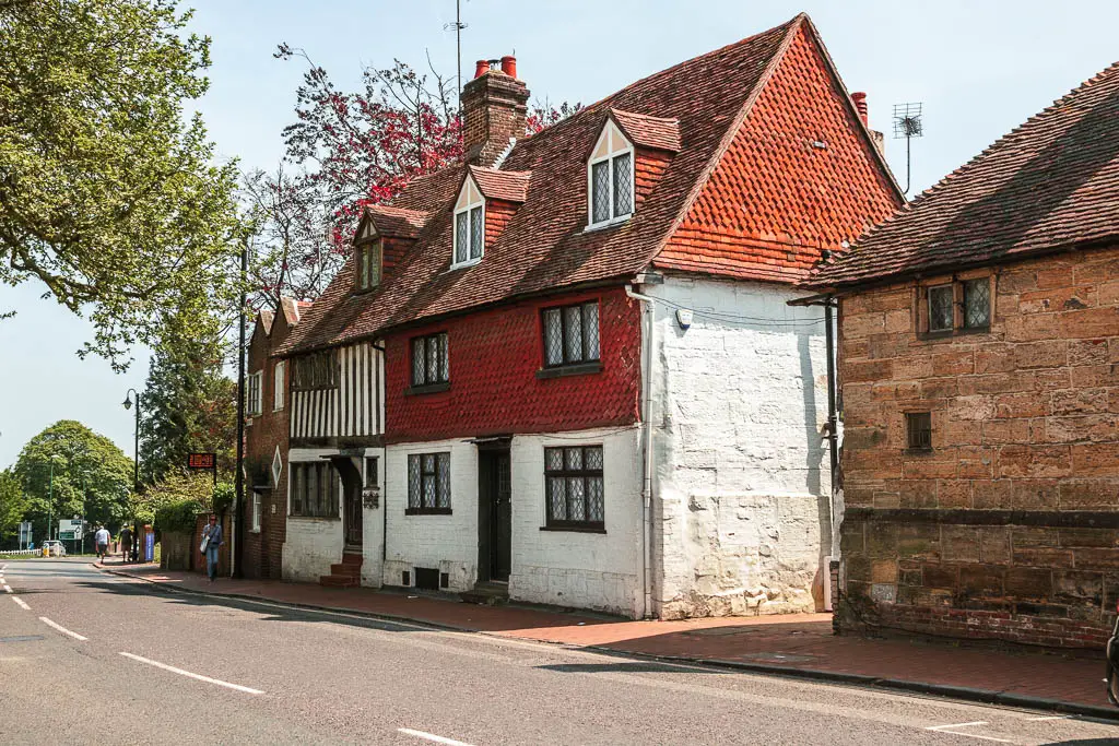
As you walk along the high street, it’s lined with them. So many. It made me want to stick around for a bit, but alas, I had left late for the walk and needed to make a specific train back, so I walked straight through.
You need to keep going, past the all the shops, and keep going some more down the road. Further than you think.
You will eventually see the Forest Way sign pointing to a trail on the right. Follow it.
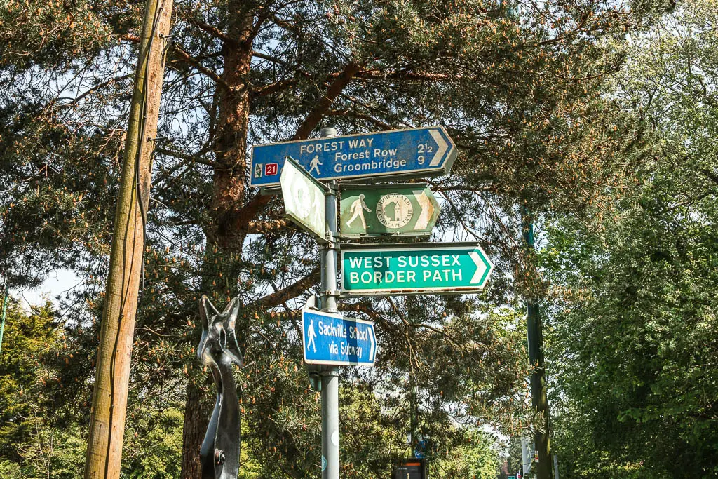
Walk the Forest Way to Forest Row
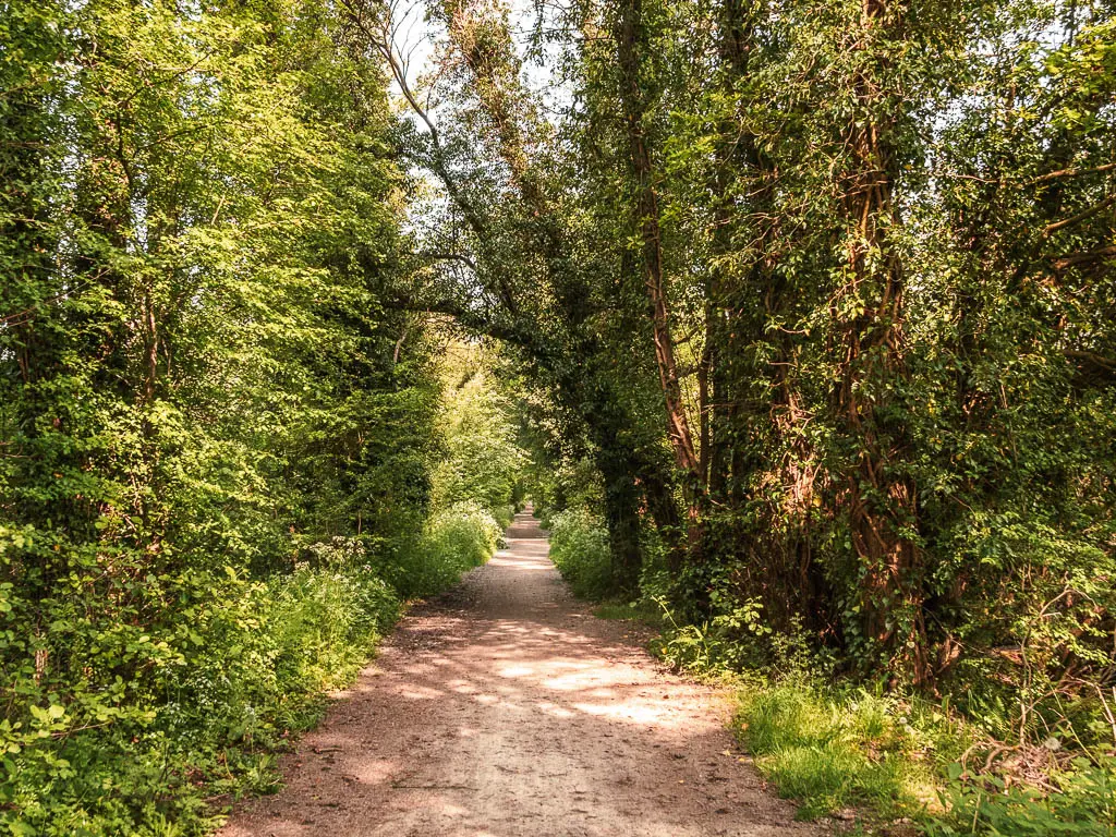
Now it’s as simple as following the trail. Early on there is a road crossing, but then it’s just pure woodland trail for a good while.
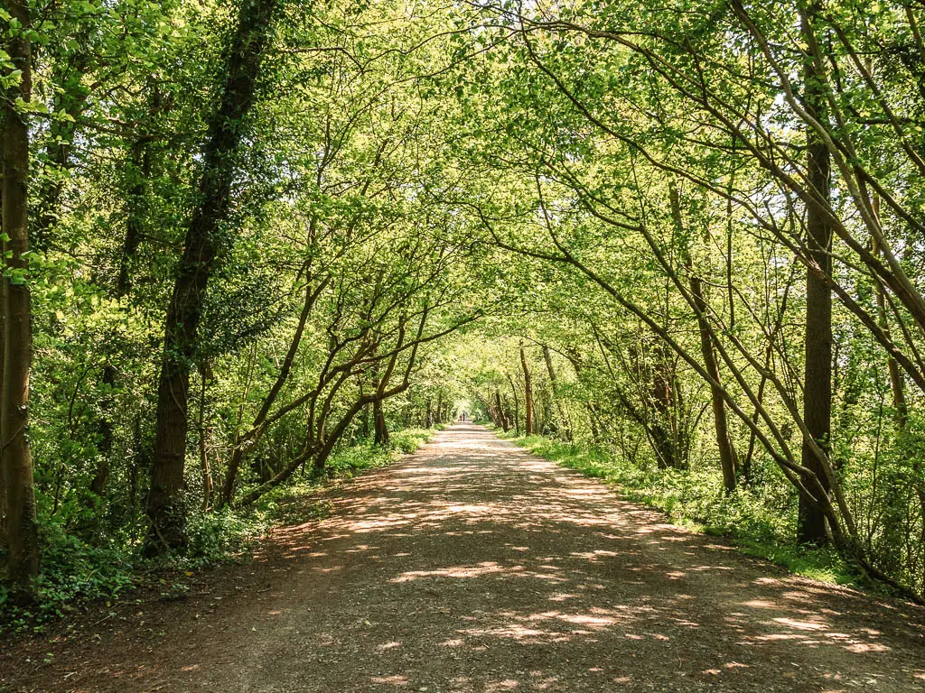
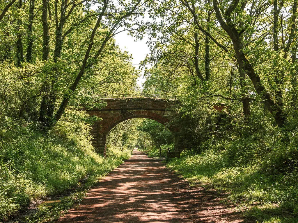
You will be able to see some views though the trees, and what surprised me was that for part of the walk, the trail was on a ridge, with being drops down the sides.
At some point I came across a little trail to the right up the bank. I decided to give it a go. Maybe there were some good views up there….
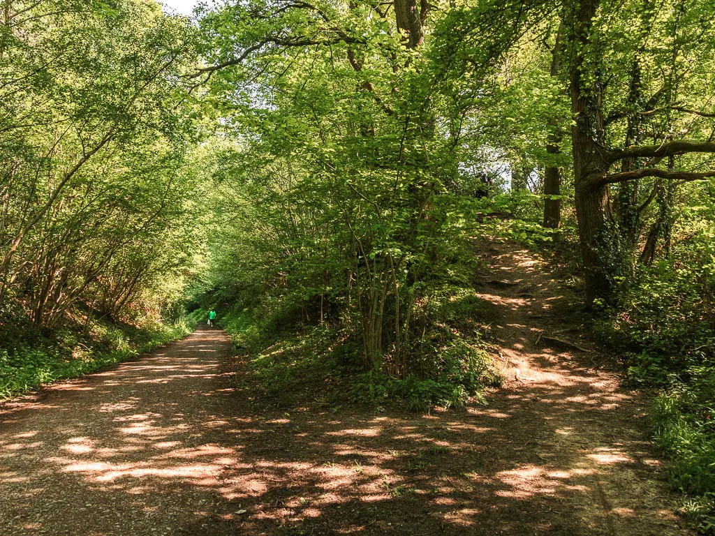
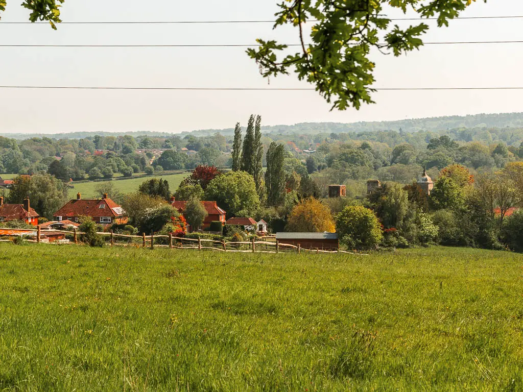
Not really. OK, yes there are, but not spectacular. Take this route if you fancy some variety, as the trail is quite different up there, otherwise, to keep it simple, stay on the main path.
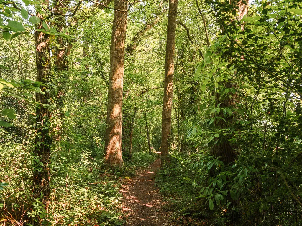
After a couple more road crossings and lots more trees, you will reach a main road. Turn right to walk into Forest Row (if you want to stop there).
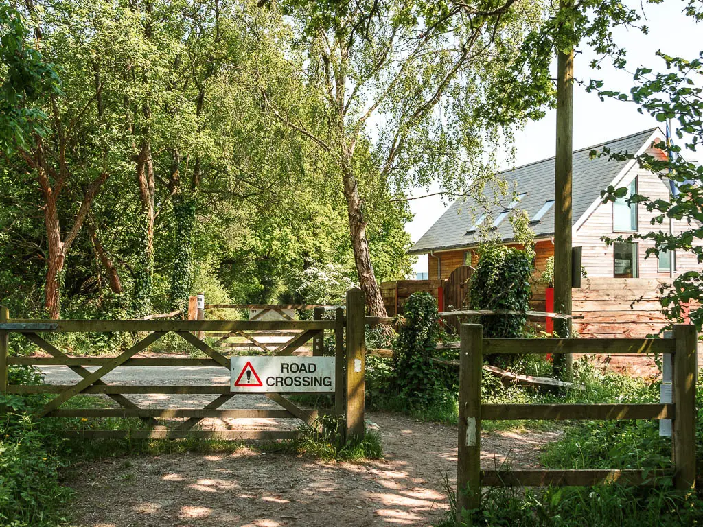
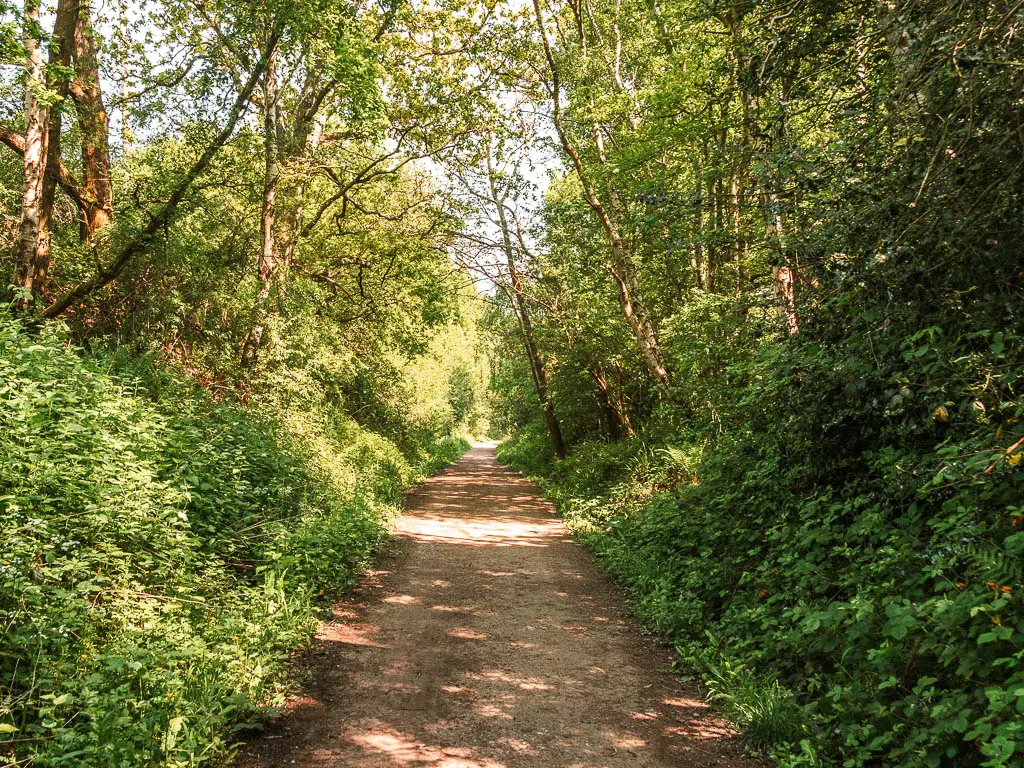
I initially decided I wasn’t going to Forest Row, so stayed on the trail….
But then curiosity got the better of me and I took the next turn to go look. It was a cute sign so I couldn’t not.
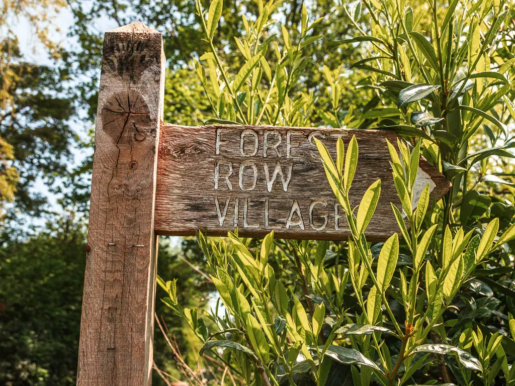
Detour to Forest Row
It was alright, some cute buildings. A quaint village hall, bustling food place, and a green which seemed to have a sort of car boot sale/market with 3 stalls. I mentioned earlier I was on a time constraint, so didn’t really have a proper explore. I took some photos but the sun was so incredible bright and harsh that they aren’t useable.
To get back to the Forest Way trail, I walked through the green onto the big obvious trail, then at the junction, turned left which soon got me back onto the main trail.
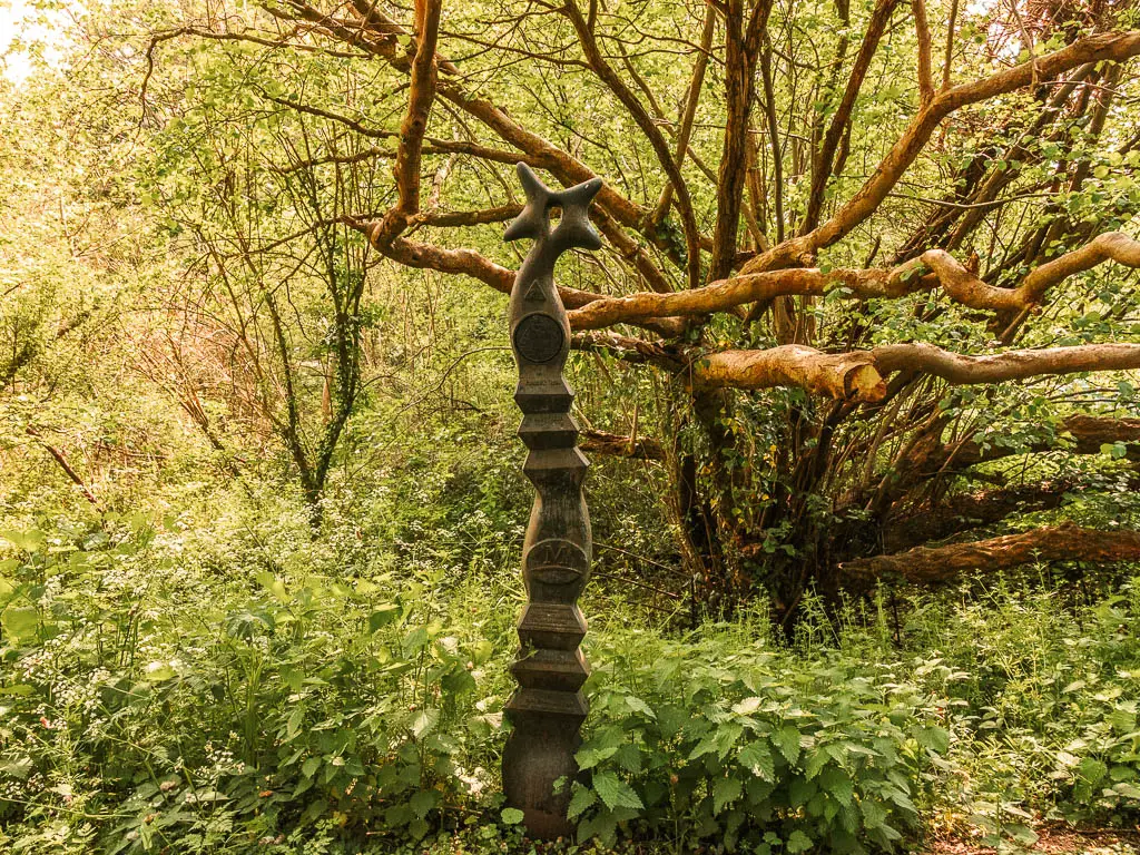
At this junction there is a sculpture thing. You will see these at various points along the trail. It is one of 1000 funded by the Royal Bank of Scotland, to mark the millennium and the creation of the cycle network.
Continue the walk along the Forest Way
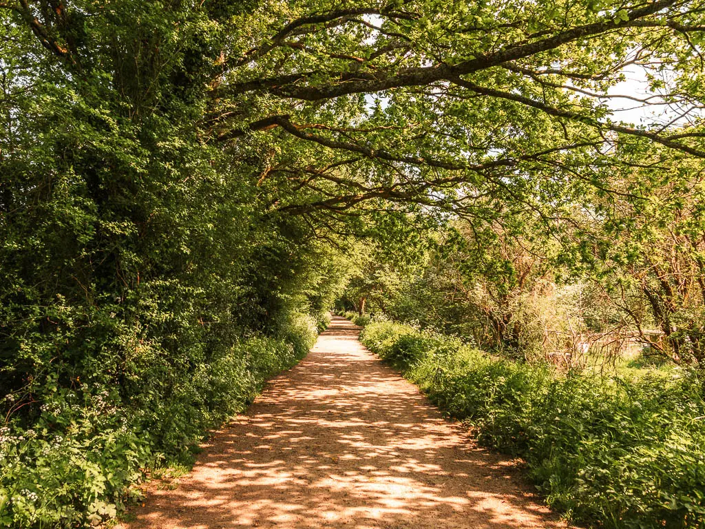
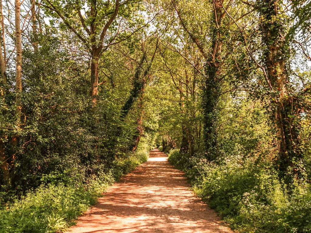
As I mentioned earlier, continuing past Forest Row, I feel the trail gets better. It is all still just one long wide straight path lined with trees, but I feel the trees change the most now. Sometimes tighter and more bush like, other times tall and big, changing the shape of the tree tunnel.
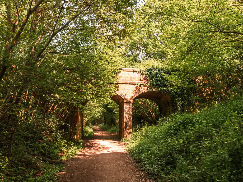
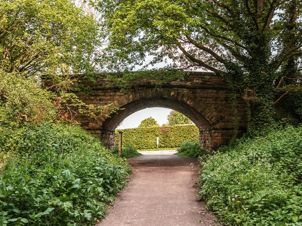
More bridges half hidden by nature.

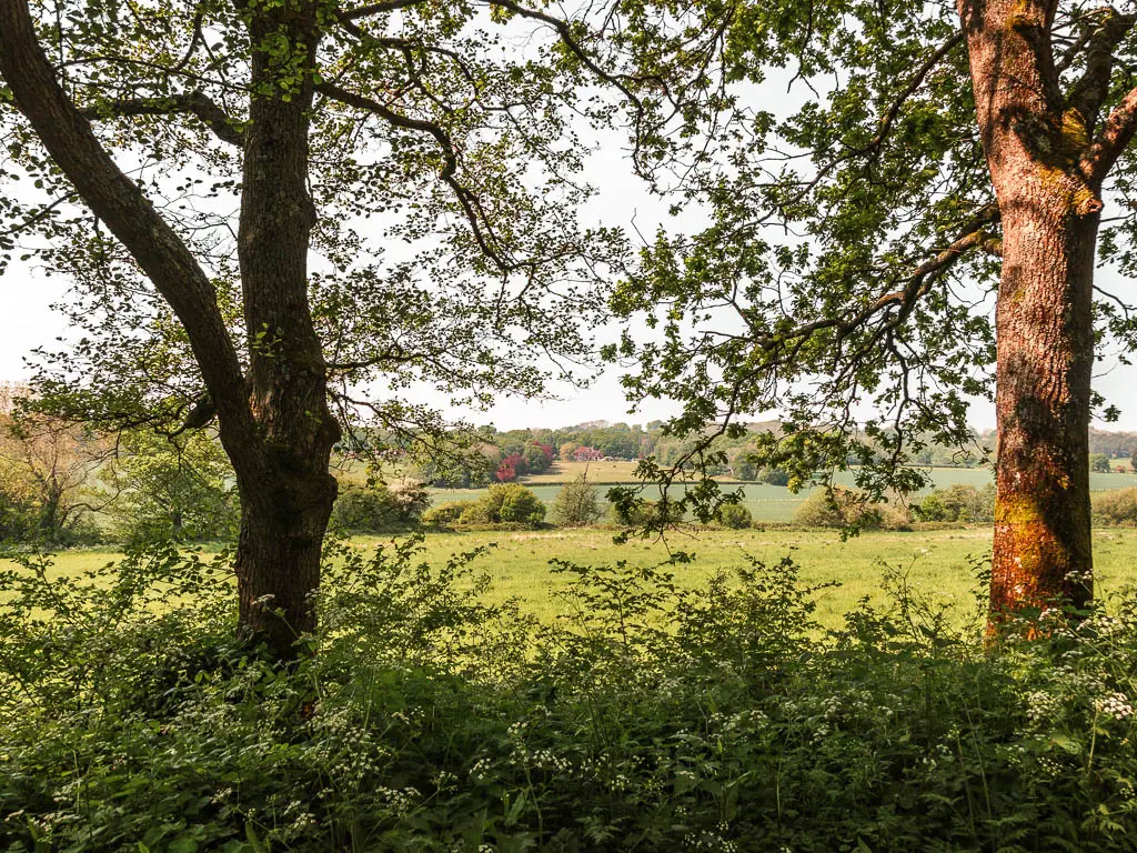
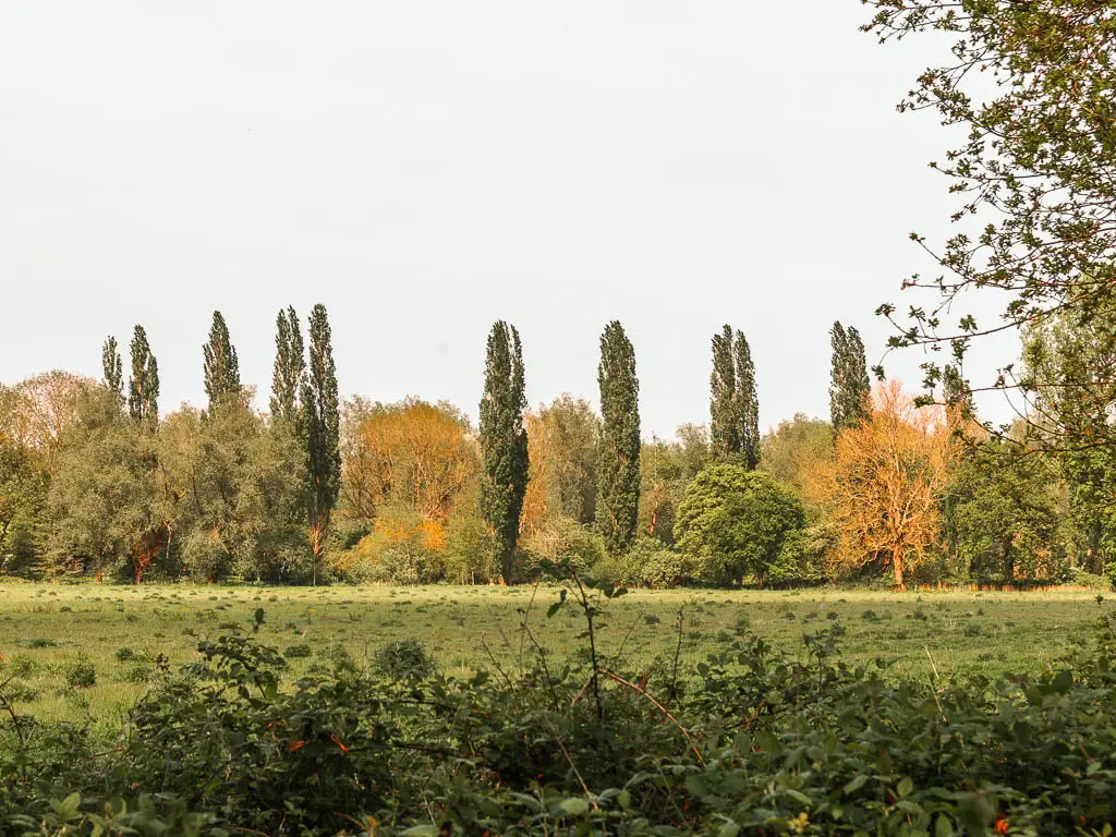
More views through the trees.
It felt very peaceful, as there was barley anyone else around. The occasional cyclist, and even less occasional walkers
It felt so away from everything that a couple having a picnic in one of the surrounding fields probably thought the same….she was topless.
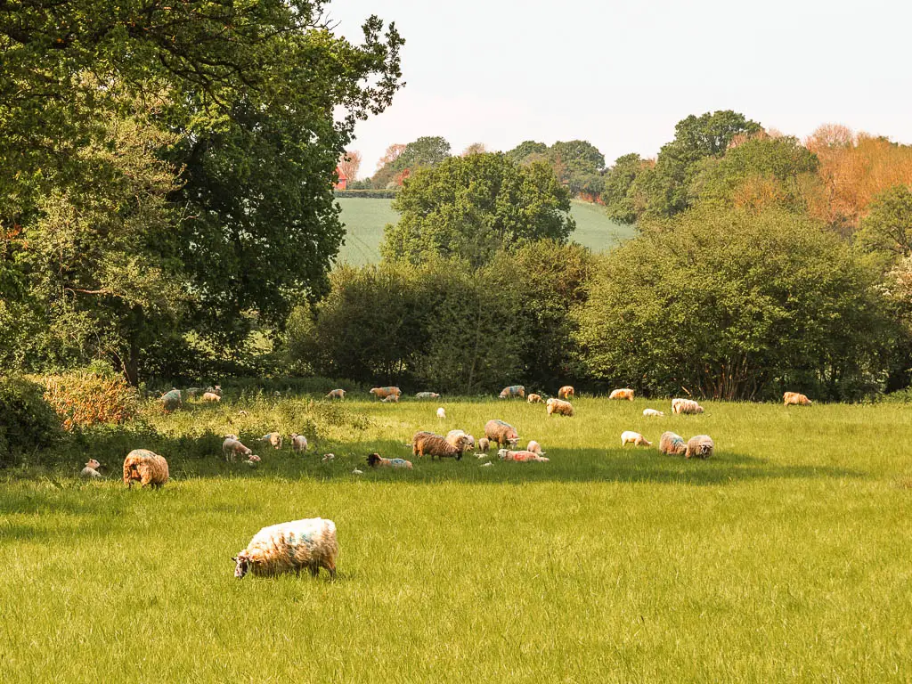
Although I was in a hurry, I took a moment to have my snack on a picnic bench looking towards a sheep field. One sheep didn’t seem happy with my presence as he came galloping towards me screeching sheep noises.
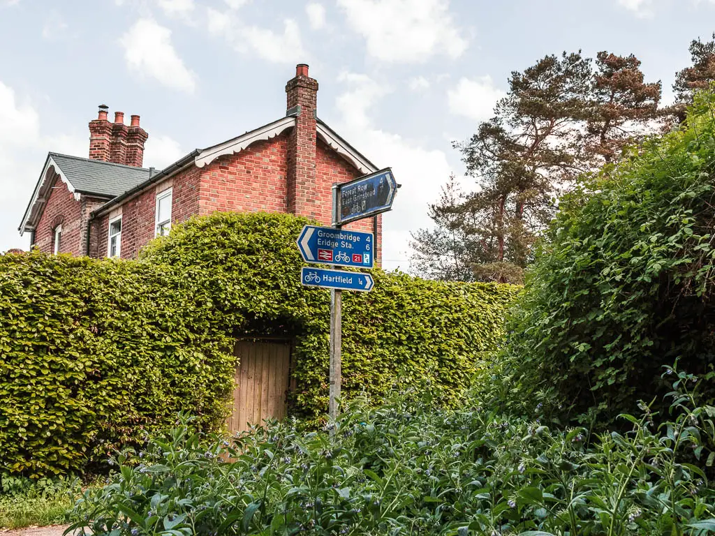
You will at some point reach the road with a sign pointing right to Hartfield. To stay on the trail, go left, then take the first right back onto the trail.
The final stretch of the Forest Way
This section is out in the open for a moment, which was a nice but brief change from the tree cover. I was actually quite happy it wasn’t too long to get back under the trees. It was a very hot day, which I had forgotten about being sheltered by the trees for so long.
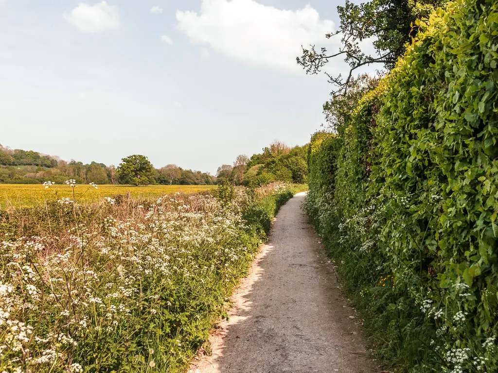
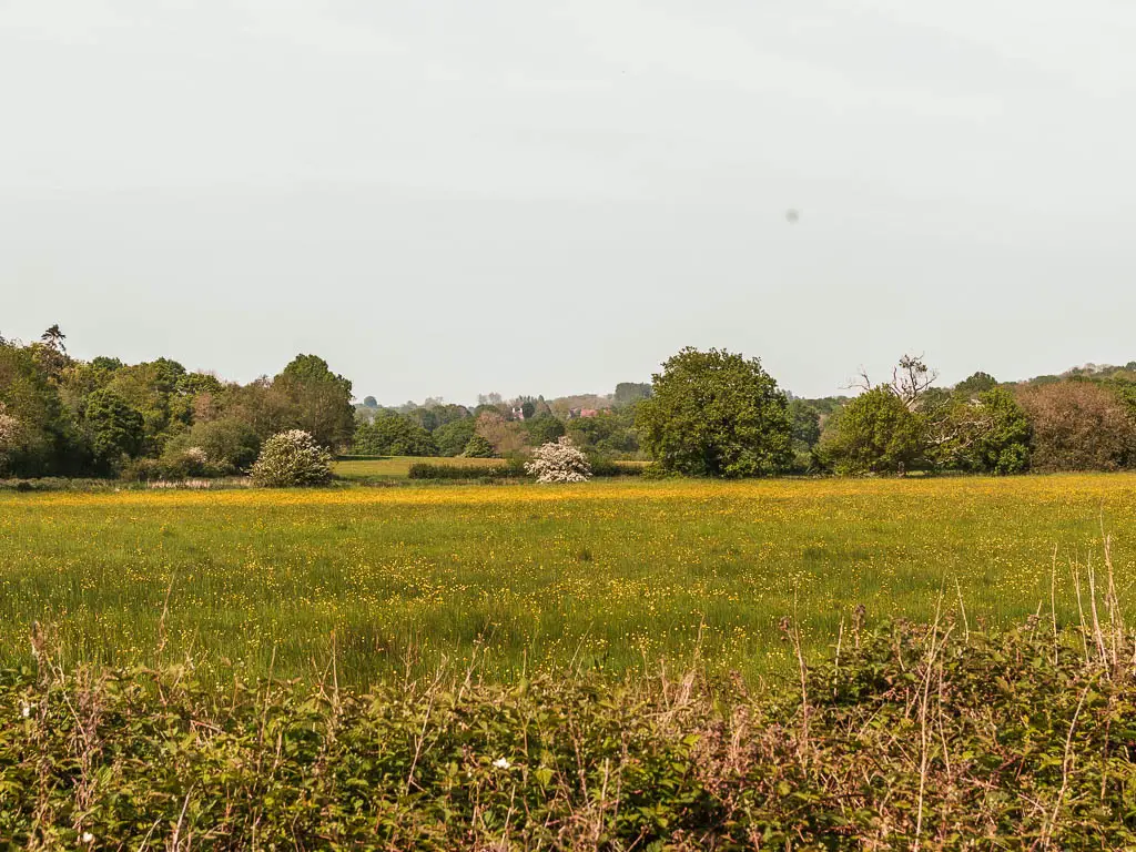
It’s now more of the same…trees. But this time with some new stuff. I think this is where the wild garlic is. I definitely passed a whole lot on the walk, the smell gives it away. But can’t remember exactly which part they were in.
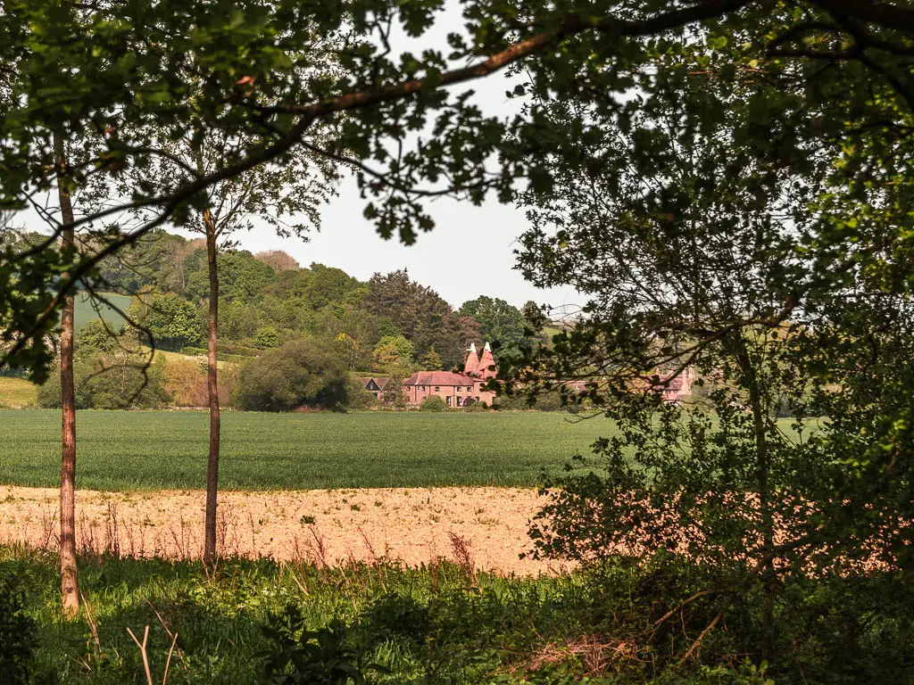
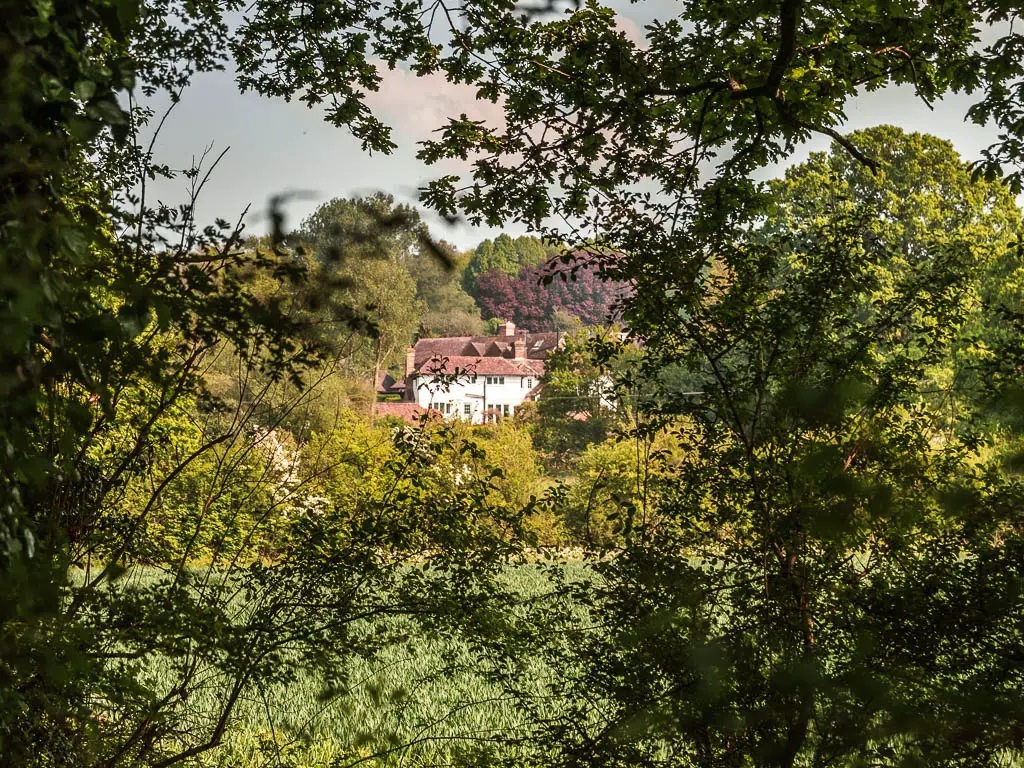
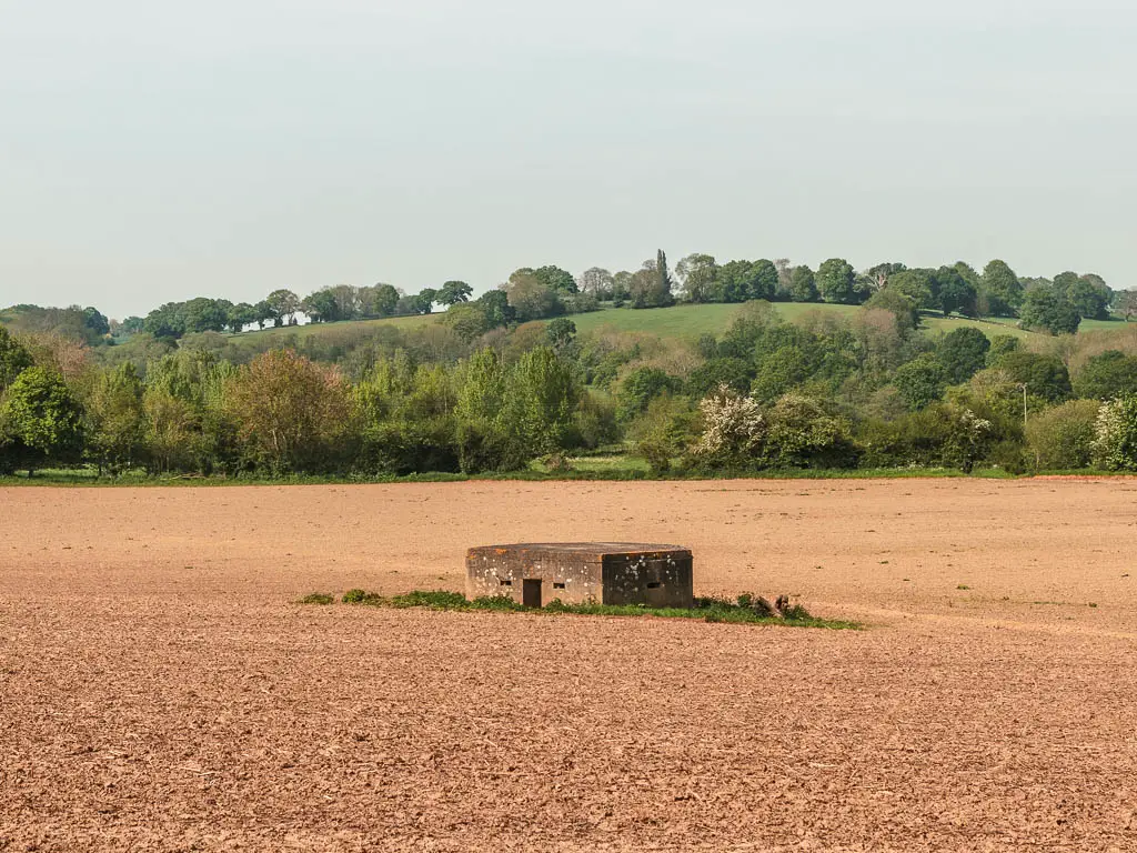
There is also a view to a pointy cone roof building, a pillbox, and more grand homes. It’s a bit more flowery through here as well.
Walk to Groombridge
When you reach the main road, cross straight over, and after a little bit more woodland, the trail takes you out in the open to reach the next road. The trees are finished now.
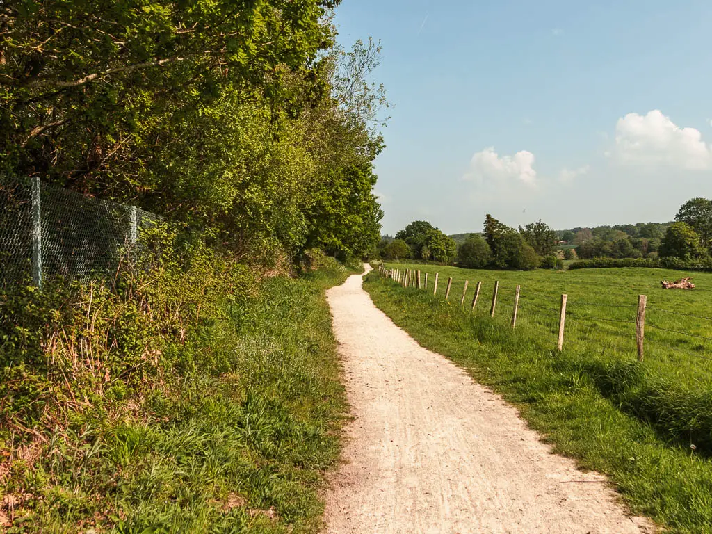
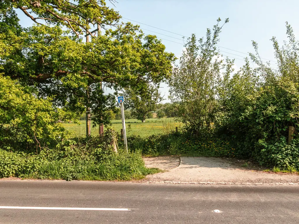
Cross this road, to pick up the trail opposite, and follow the pretty path as it winds along to the next road.
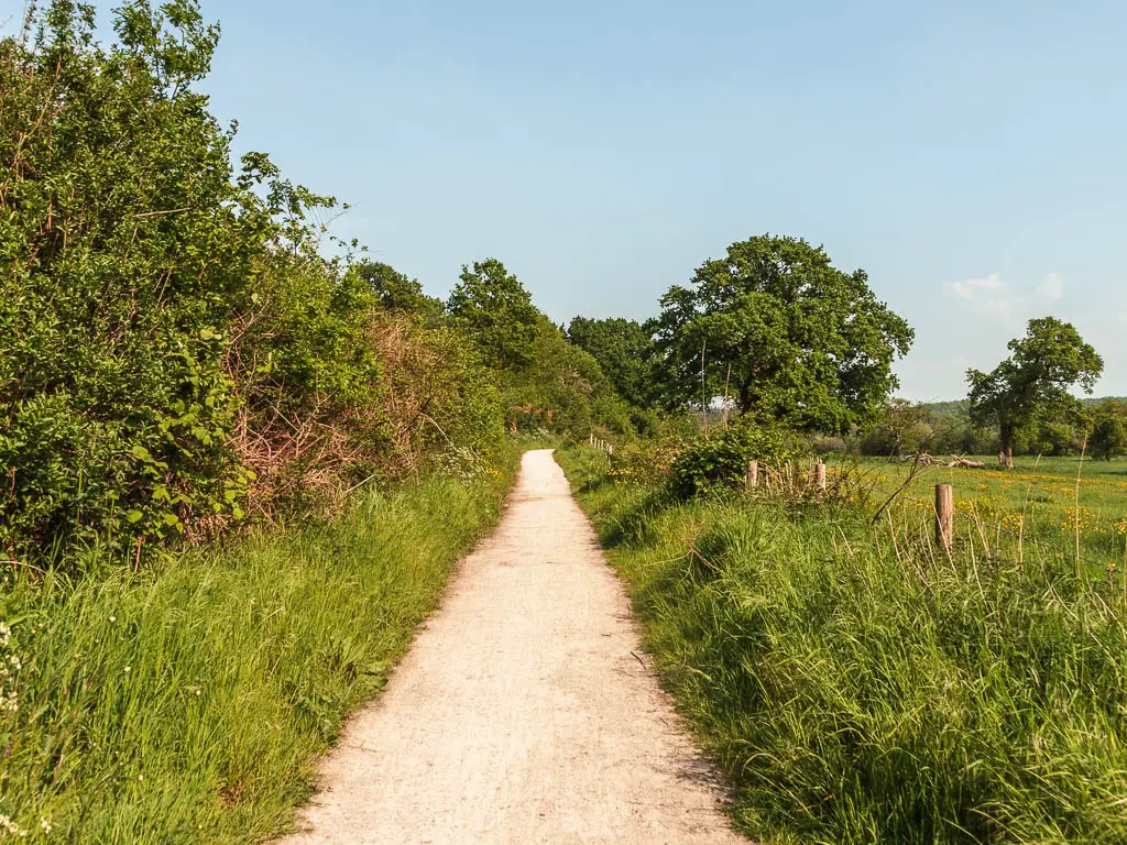
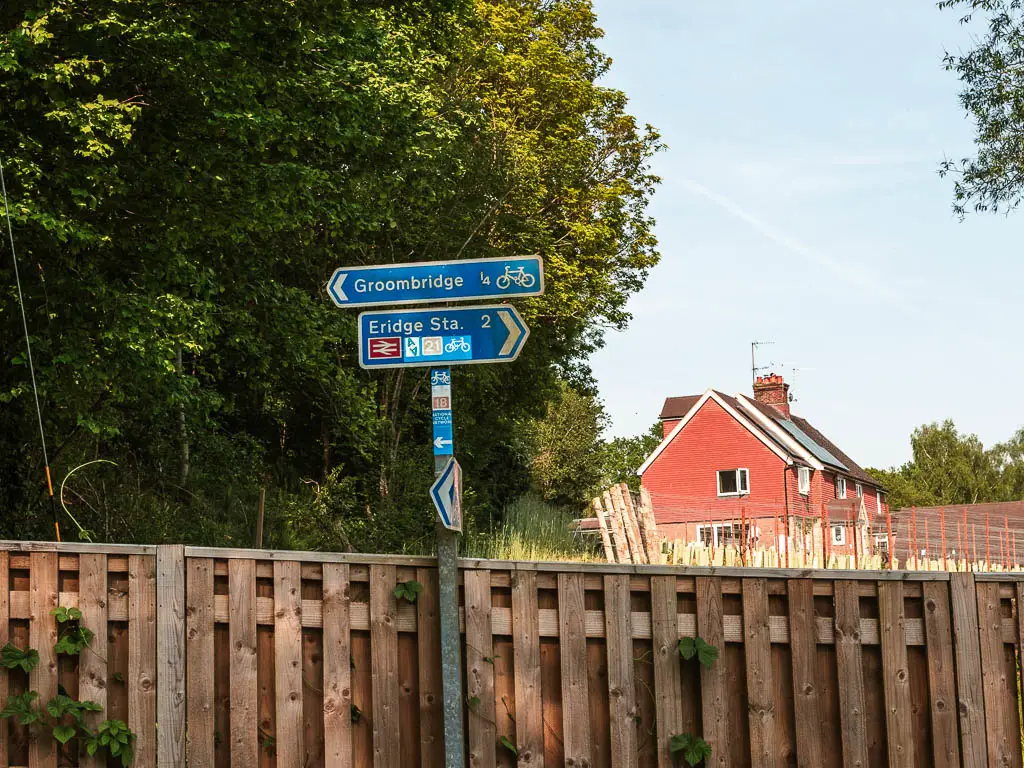
From here, follow the sign left to Groombridge. It’s a road without a pavement, but not a single car passed me. So don’t panic too much.
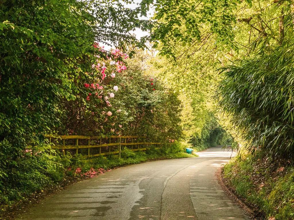
Keep following this road as it curves to the right, then left, passing by the church.
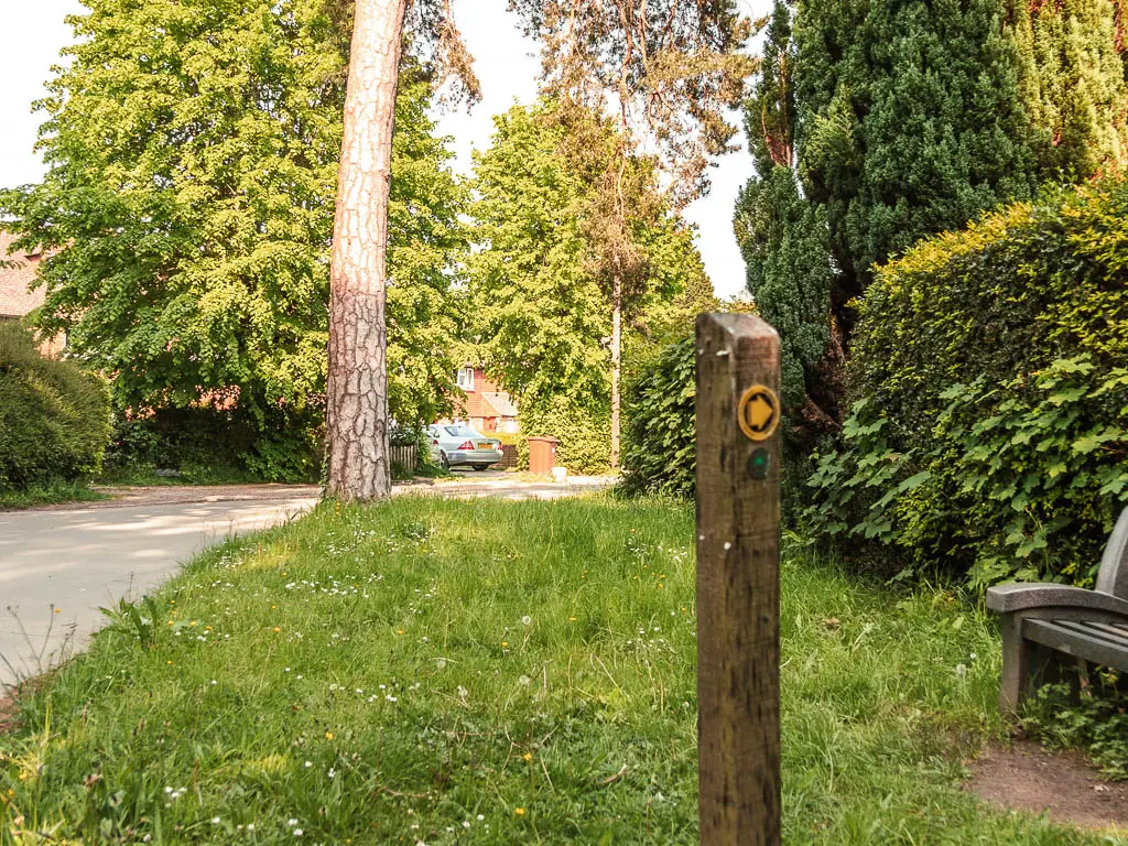
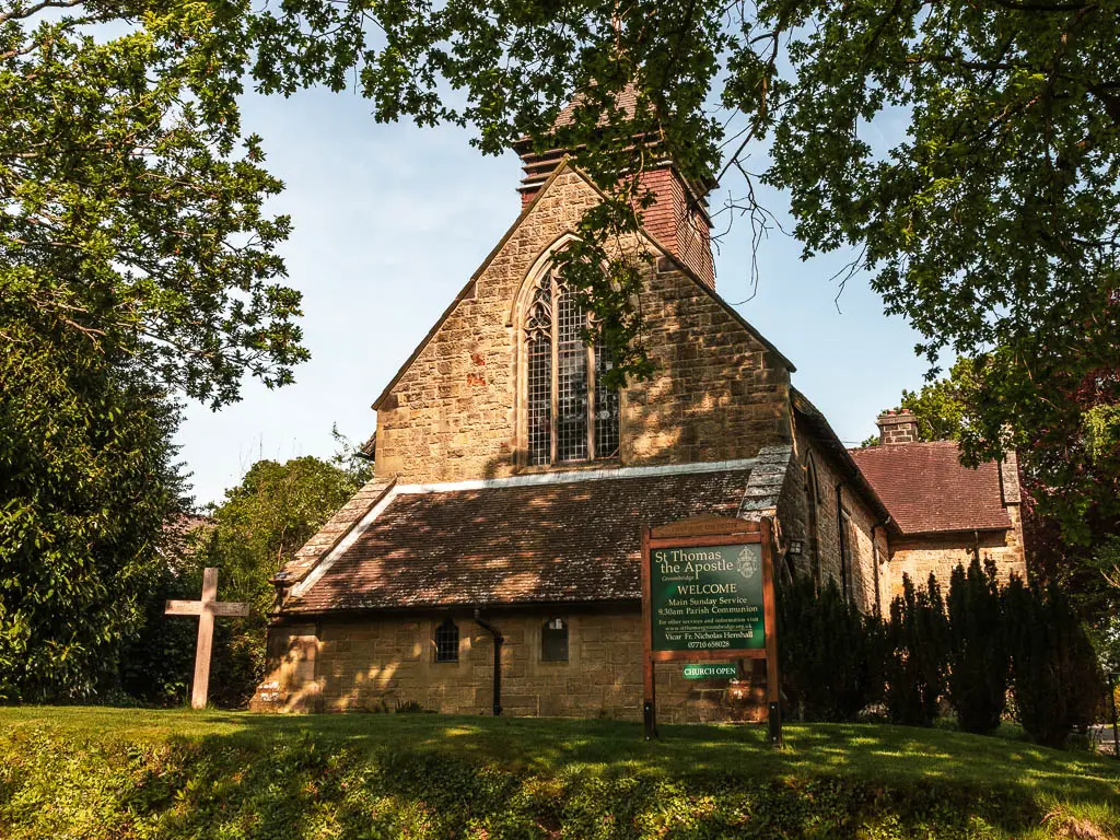
Now, there isn’t a whole lot in Groombridge. It seems it’s more about admiring the village in the pretty setting and being a bit envious of people who live here.
Oh yes, there is the steam railway. To get to it, take the first right after the church.
Remember my time schedule? I didn’t have the time to stop, so stayed straight, then took a left on the road at the end.
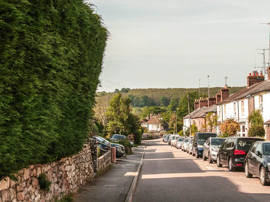
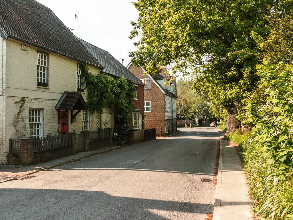
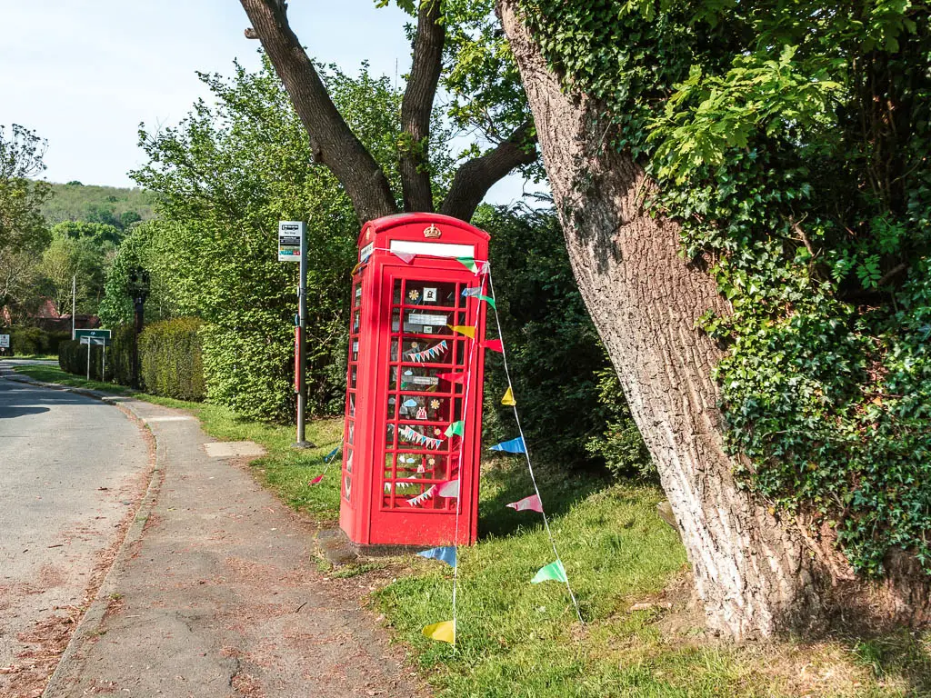
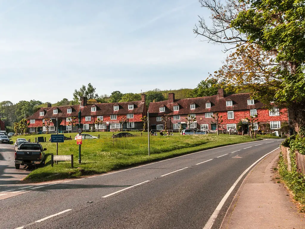
At the end of this road, turn right, and the bus stop is next to the red telephone box. To go to the pub, continue on, passed another church, to the row of buildings up the hill.
What happened next
I wish I had stopped, but I kept going to get to Ashurst station. This involved lots of mud (I was wearing white trainers), confusing woods having to crouch to navigate, non existent trails and having to go back on myself to find another way, falling into sharp bushes, and big fields exposed to the intense heat. Plus I missed the train and had to wait 45min for the next one.
Pin it for later: How to walk the Forest Way
