I made it. Today I would walk from Hemsby to Great Yarmouth, the final stretch of the Norfolk Coast Path…kind of.
The path officially ends in Hopton, a couple of miles south of Great Yarmouth, which I had intended to do. But at the last minute, standing in Great Yarmouth ready to continue on, I backed out….
What to expect when walking from Hemsby to Great Yarmouth
Just like the walk I did yesterday, the stretch of coast from Hemsby to Great Yarmouth can be fully done on beach. As long as it’s not high tide.
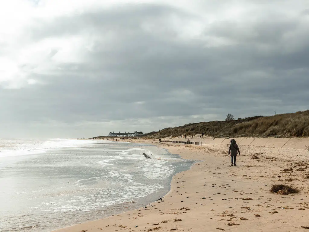
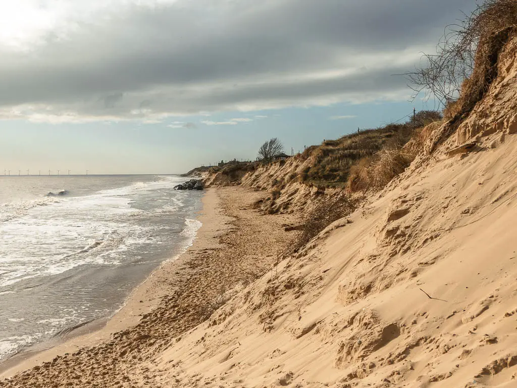
Sad for me, I set off right at high tide so had to navigate a bit of road. When I was able to get onto the beach, the sand was a bit too soft to be enjoyable. In fact, I didn’t enjoy todays walk at all.
The scenery was lovely, but I had a few things working against me. The sand was soft, which wasn’t the end of the world because there is an alternate path/trail for a lot of it. But it was very windy. 40mile an hour winds to be precise. Then there is Great Yarmouth.
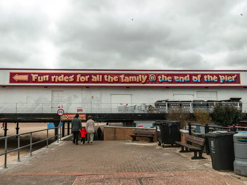
There is something about the place that felt lonely, forgotten. It left me feeling so depressed that I had to go home. More on that later.
I know I’m bashing it, but in the right conditions, I think it would be a lovely walk. And possible to do the whole thing just on beach.
Logistics
- Start: Hemsby, Norfolk NR29 4HS
- Finish: Great Yarmouth, Norfolk NR30 4LR
- Distance: 7 miles to reach Great Yarmouth (9 miles to walk through it and out the other side).
- Time: It took me about 3h to do the 9 miles
- Elevation: Flat
- Difficulty: Easy
- Terrain: Sand, grass, concrete
- Amenities: Hemsby has a local store. Along the route you would need to come off the beach, and into one of the villages. Scratby has a few places to eat and a nice looking tearoom (Tastebuds tea room), Casiter-on-Sea also has a bunch of places to eat. As you approach Great Yarmouth, on the promenade there are a few places to eat. Great Yarmouth is a big town so will have lots of options.
- Time of year: I walked from Hemsby to Great Yarmouth at the end of March.
- Dog friendly: Yes
Map for the walk from Hemsby to Great Yarmouth
Read about the previous day here: Mundesley to Hemsby Day 5 NCP
If you are planning to walk the whole coast, you can find all the info including accommodation, planning, and itineraries for a 5, 6, and 7 day walk on my main Norfolk Coastal Path walking guide.
How to get there
Great Yarmouth is on a train line, which runs to Norwich. The 1 Coastal Clipper goes through Hemsby (and runs between Winterton, Great Yarmouth, Hopton, and Lowestoft).
Tips
- Check the tide times before heading out. At high tide you can’t get onto the beach at Hemsby, and at the time of writing, the path next to it is closed.
- In Great Yarmouth, if you plan to continue on to Hopton, don’t follow the coast all the way to the end. It’s a dead end. You need to walk through the town and over one of the bridges over the River Yare. If you look on a map, you will see what I mean. I chose the second bridge and it was not nice. So maybe try the first.
Route Description: Walk from Hemsby to Great Yarmouth
I set off early today to walk from Hemsby to Hopton Great Yarmouth. I was hoping to finish in time to catch a midday train, so I could have some chill time back home before the next work week.
Sucks for me, when I reached Hemsby Beach, it was barely there. High tide. I’d forgotten about that. For the whole of the walk along the Norfolk Coast, I happened to time it (by accident) for low tide each day. Today my luck had run out.

I tried the alternate route, but it was closed off. My only option now was to wait, or take the road.
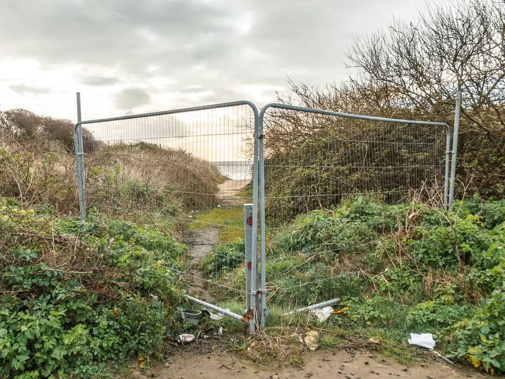
The coast guard then wandered by, so I asked him long before I could walk it…
In 1-2ish hours.
So decided to wait. Sat on a bench and had some of my premade coffee.
About 30min later I changed my mind, and decided to follow the roads to Newport. Kill some time whilst the tide was inching it’s way out.
Newport
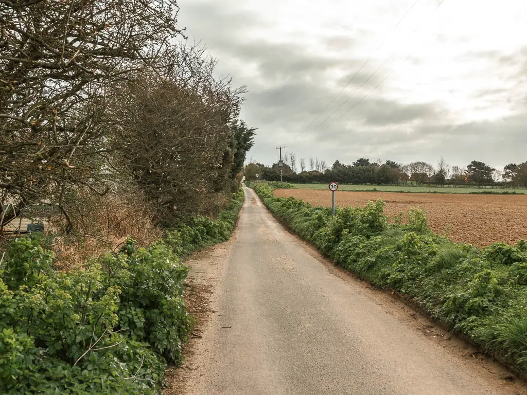
The walk wasn’t too bad actually. A little bit of main road, some residential, and some nice alleys.
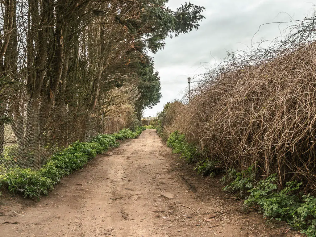
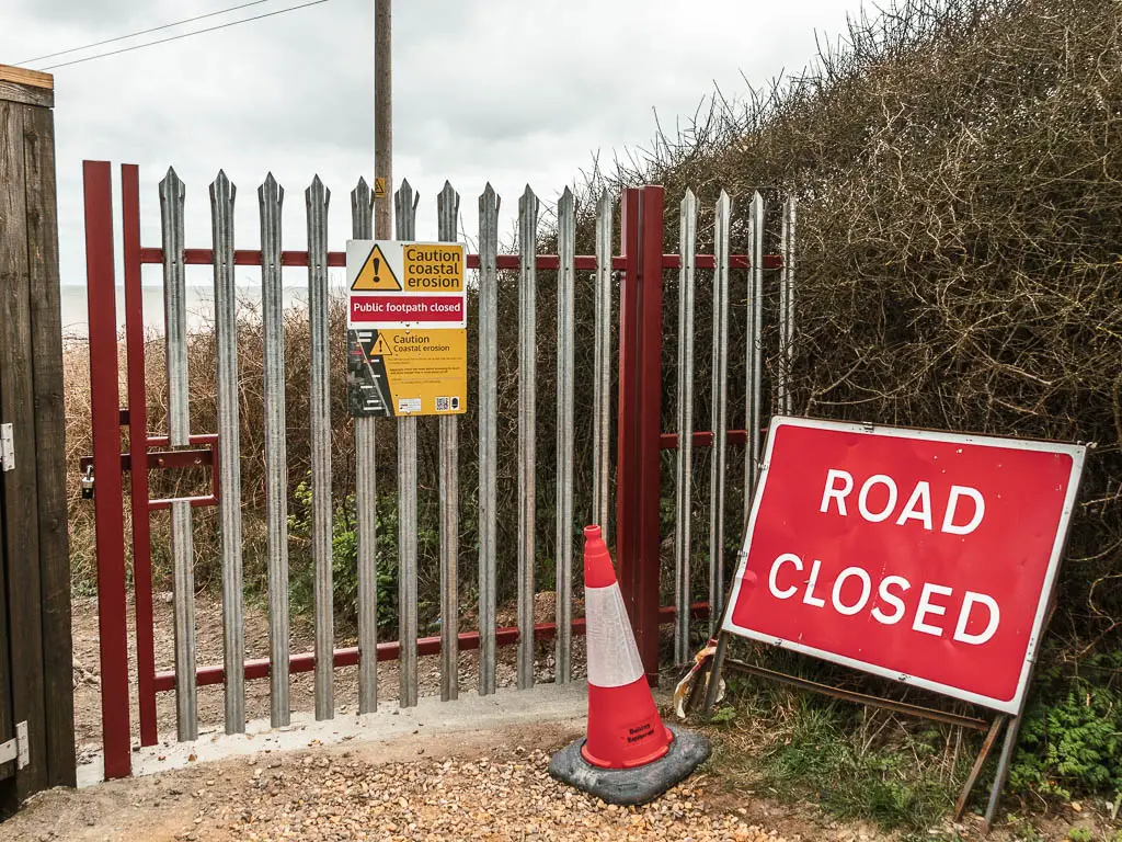
Then when I reach the path to take me down onto the beach in Newport, I discovered that was closed off too. Ofcourse.
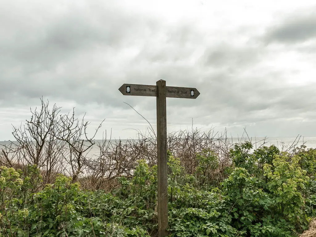
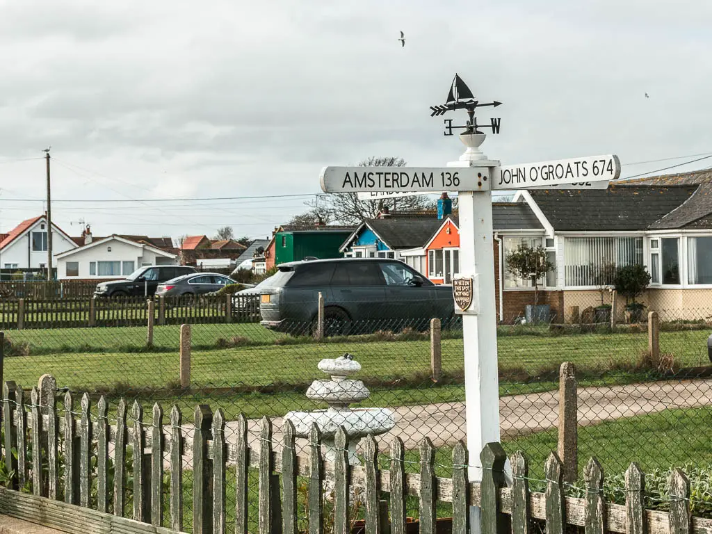
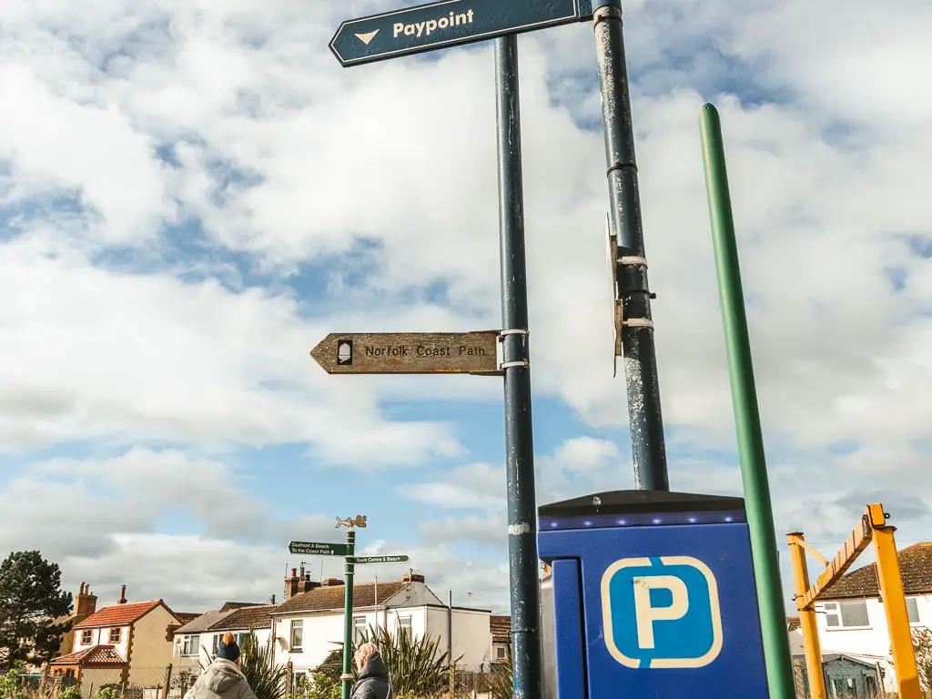
So I stayed on this path as it turned, to walk parallel to the coast. It is here that I came across a coast path sign. Turns out I was on the correct path anyway. My disappointment turned to smug. I wasn’t cheating after all. This was indeed the correct official way.
There isn’t an official looking path up here. It’s a bit of green, and residential road. As long as you keep walking parallel to the coastline you should be good.
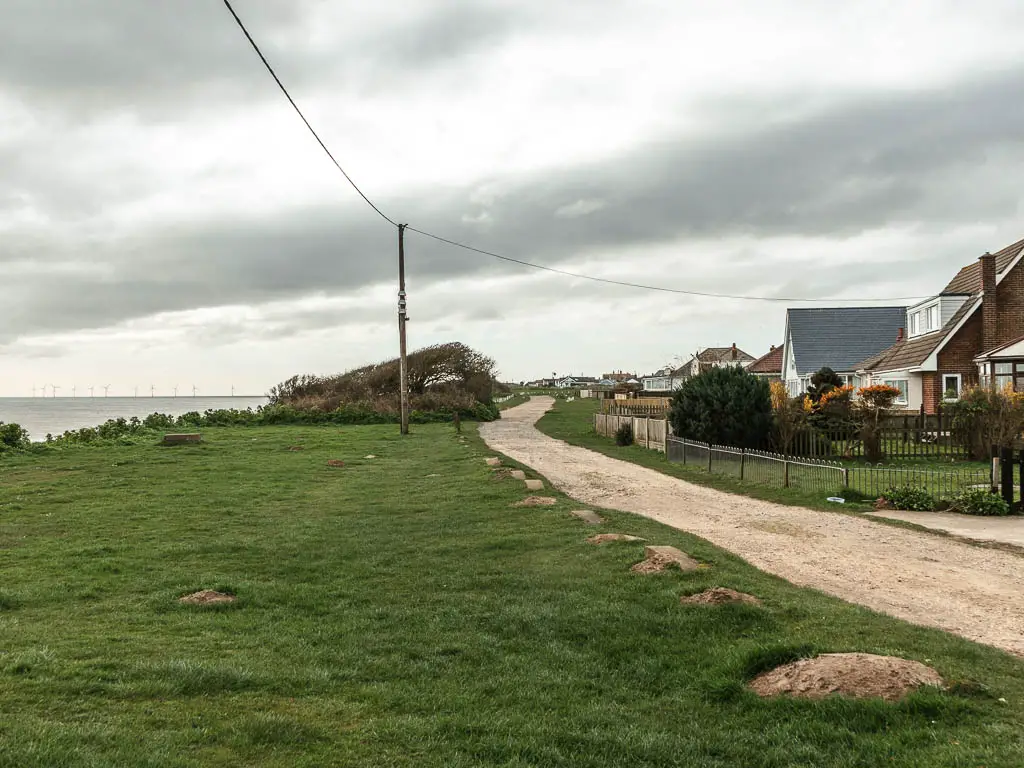
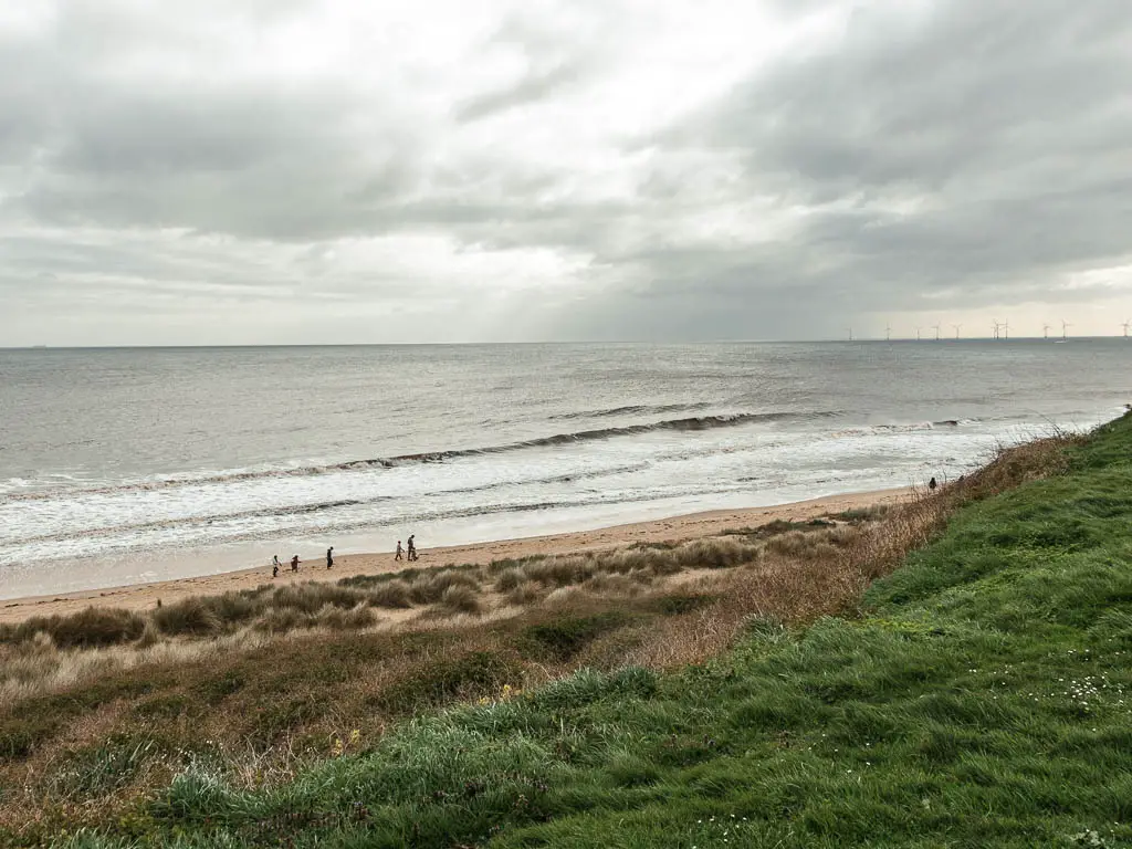
As I walked along the clifftop, I could see people walking down on the beach and wondered how the hell they got down there, and was a bit jealous.
The beach walk
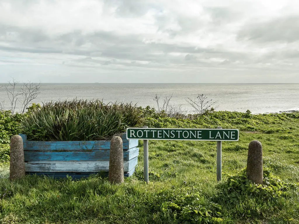
I eventually found the way down to the beach, on Rottenstone Lane. Although, once I got down there, it wasn’t quite what I had in mind.
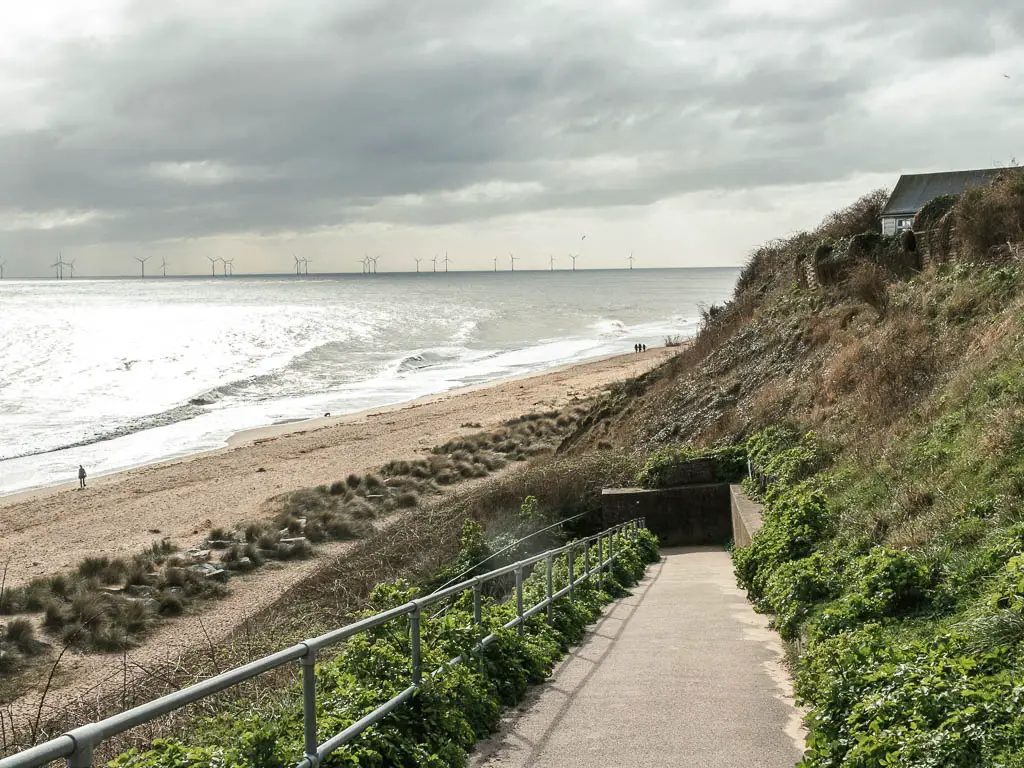
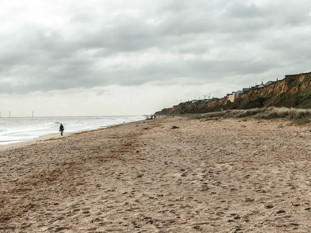
Soft sand.
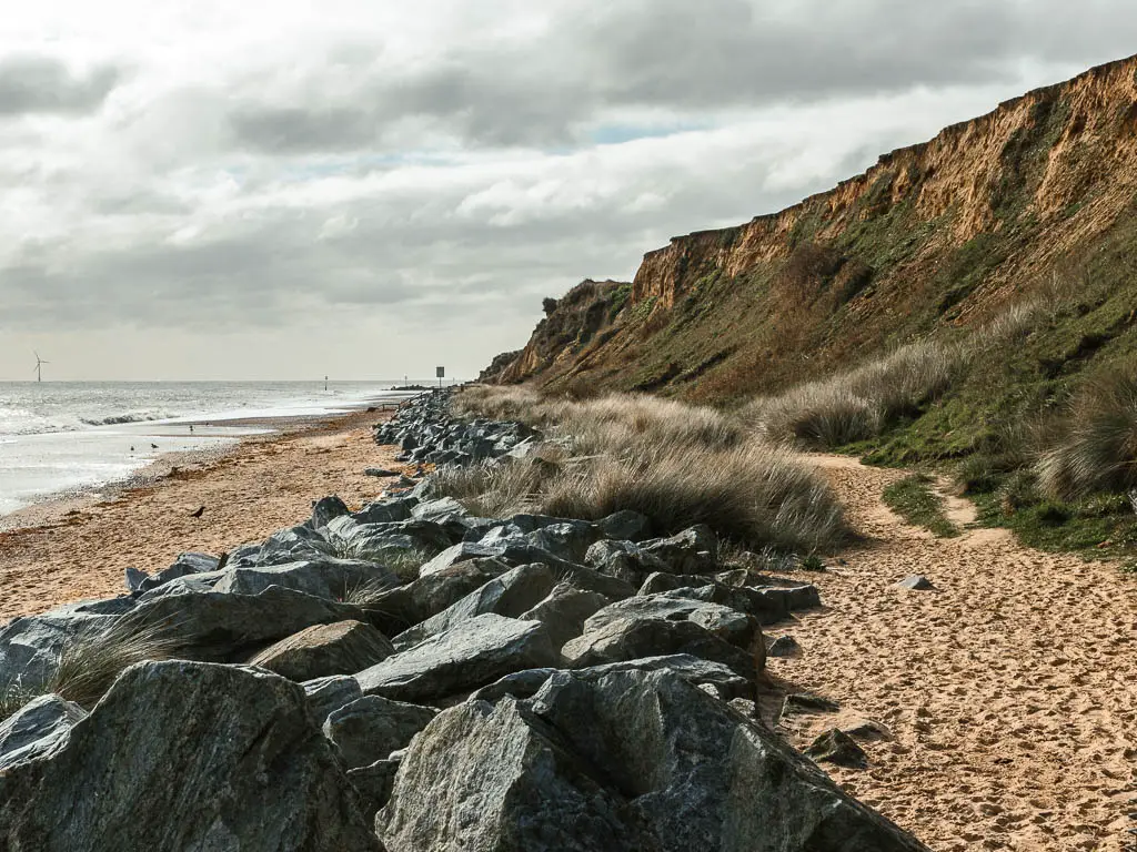
I tried right by the coastline line, but the sand was still a bit sinky. It was pretty though. With the cliffs and stuff.

Eventually I reached a point where the coast path sign directed me up off the beach. The tide was still too high, and I could see the next section of beach became blocked off. I wasn’t sad about this. That was enough sand for the moment. I would try again later.
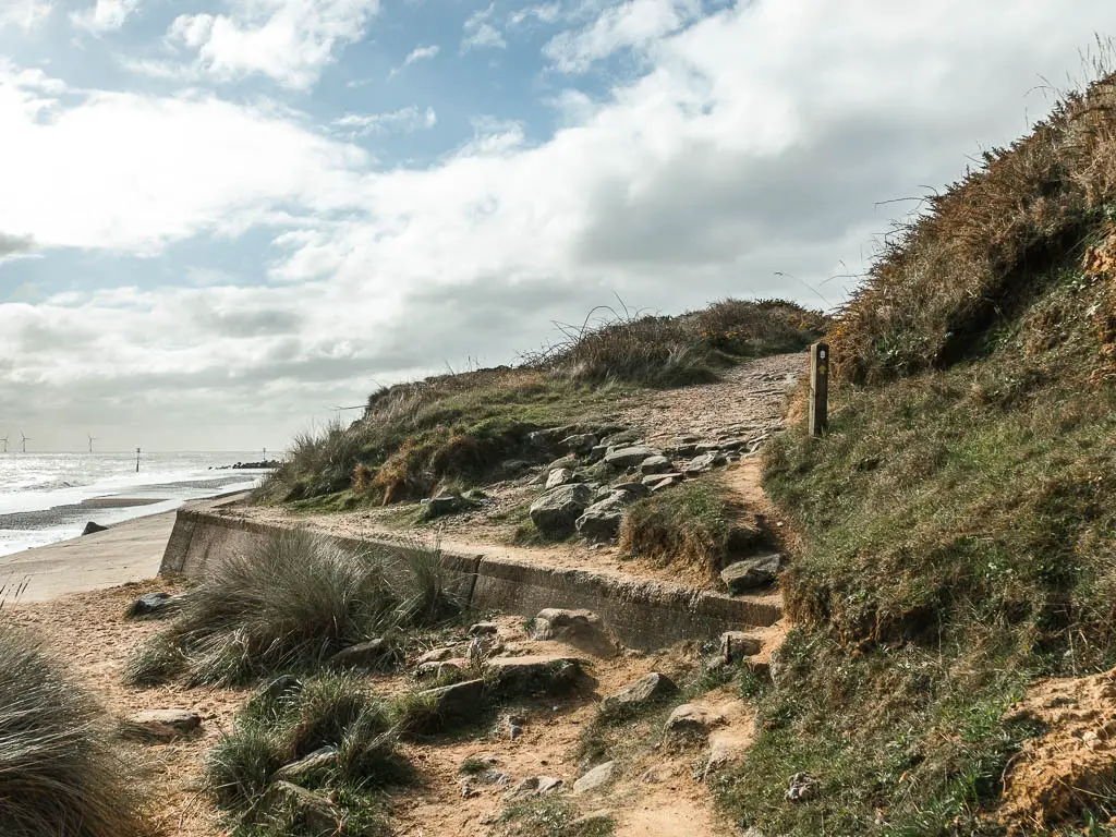
Caister-on-Sea
The path up here starts a bit gravely then turns to sand. Bloody sand. After a short while I noticed a nice hard path below. I had to get on it immediately, so scrambled down.
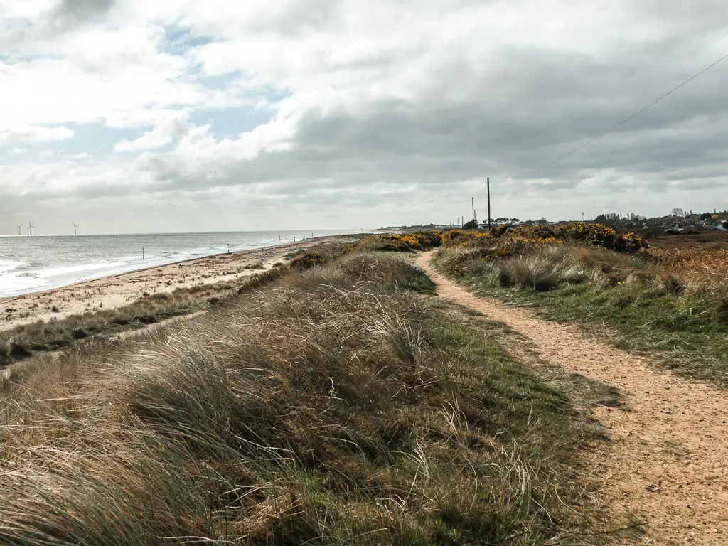
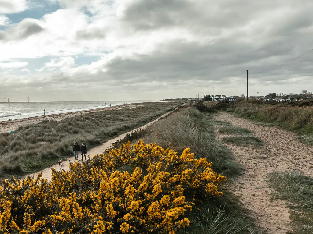
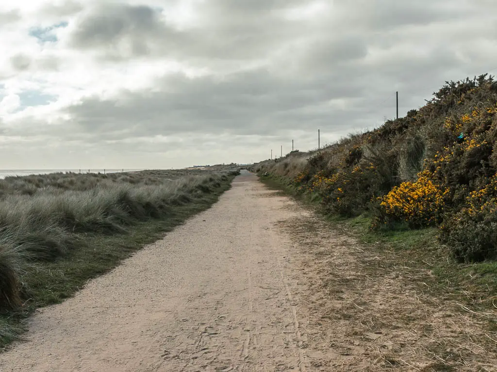
This was more like it. Usually I don’t like walking on hard stuff, but today it was welcome.
This path leads to Caister-on-Sea. Once I reached it, I knew I was on the home stretch to reach Great Yarmouth, so decided to try the beach again. Hoping the tide was far enough out now that the sand had gotten nice and hard.
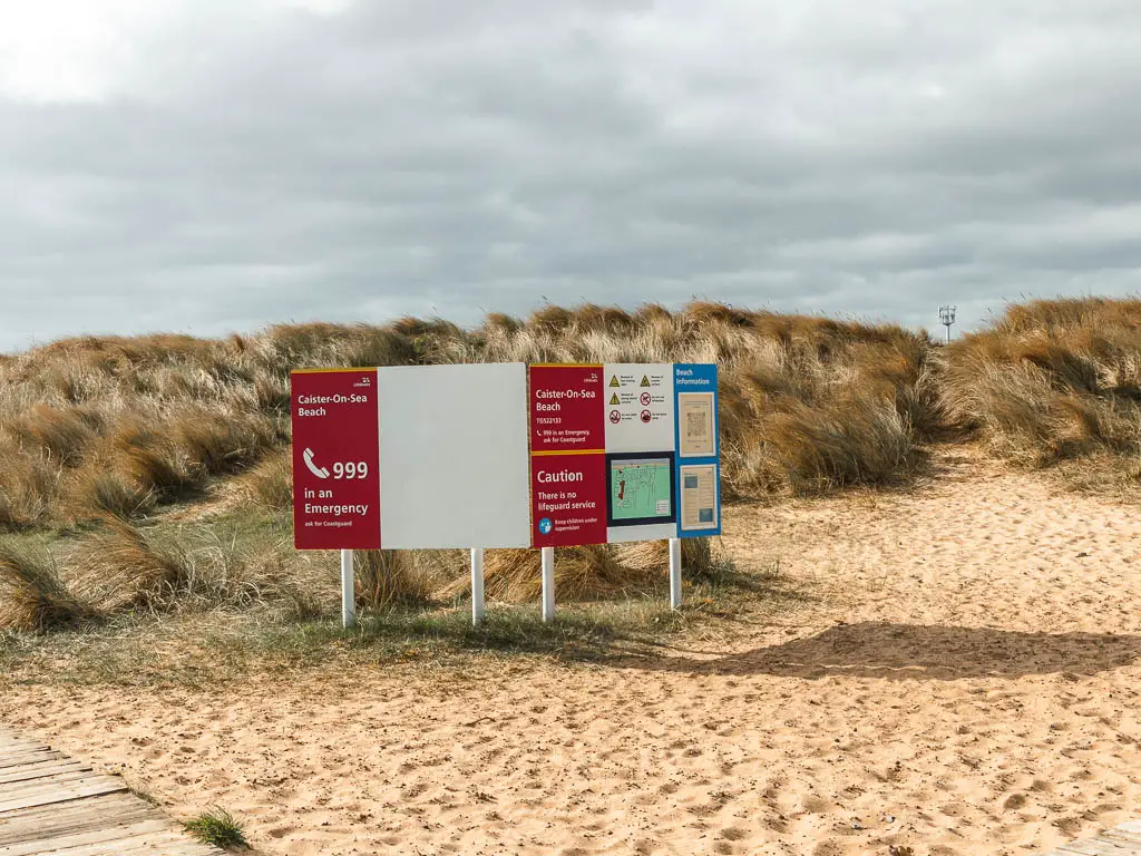
Unfortunately my feet still sank in, and the wind had really picked up. But I got to see some surfers. Silver lining, I’m not in the cold water.
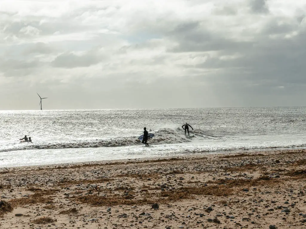
When the opportunity came, I gave up on the beach and headed back inland.
Thinking I was cheating, I was pleasantly surprised again to come across a coast path sign. Directing me through an unscenic car park, and into a big green area.
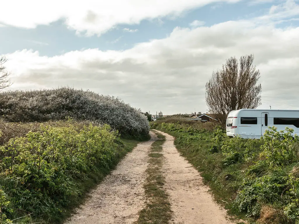
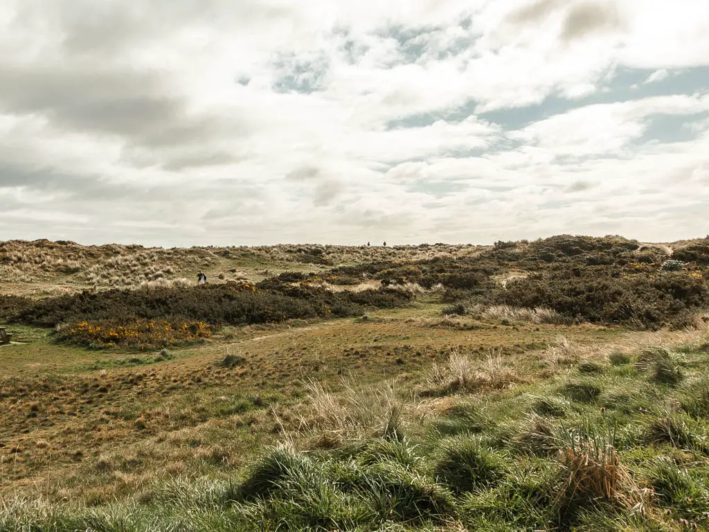
Walk towards Great Yarmouth
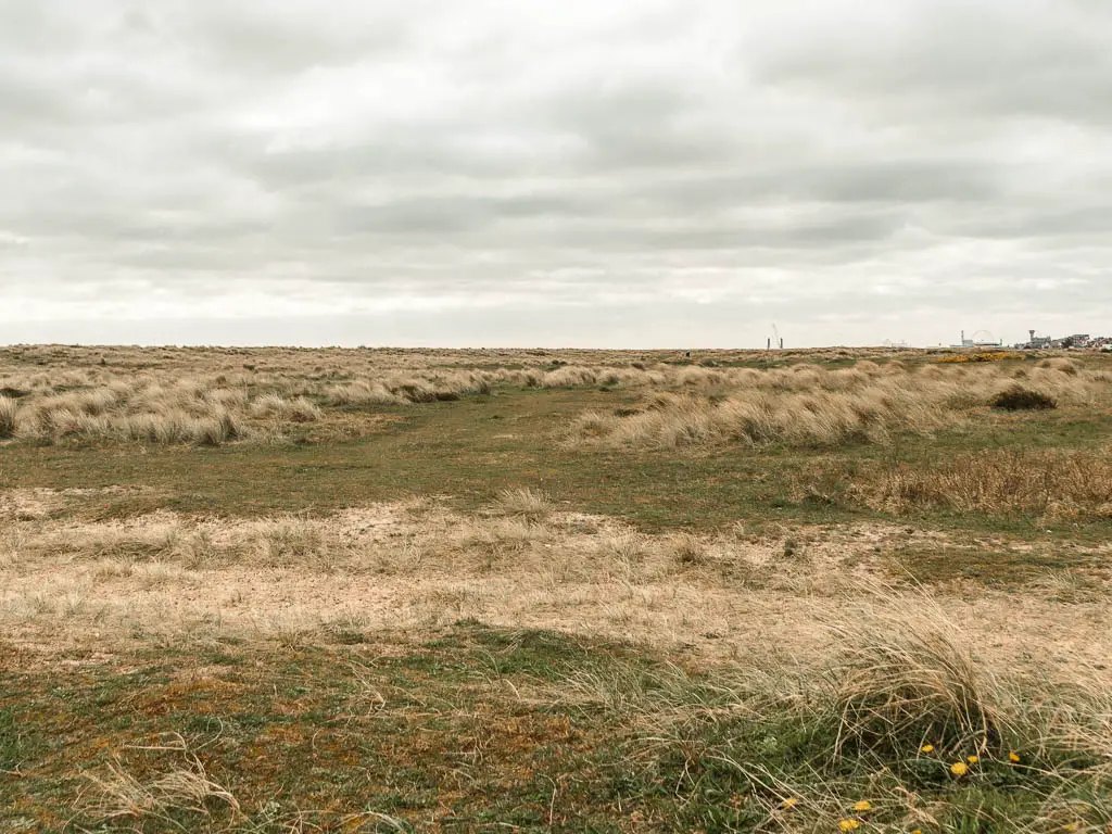
This big green leads all the way to Great Yarmouth. Soon I could see the big ferris wheel in the distance. I was so close…or so I thought.
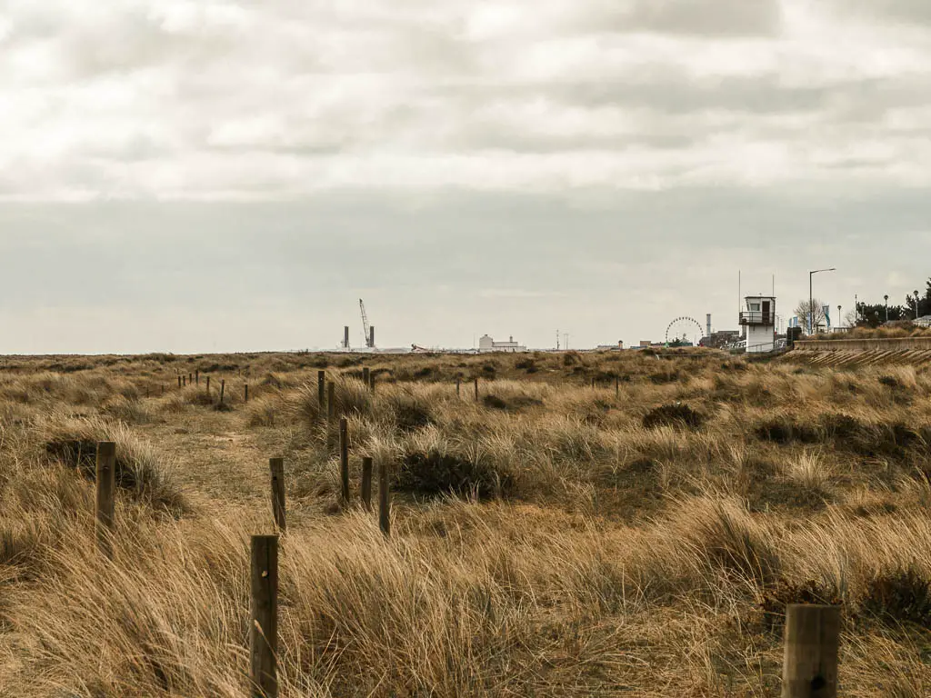
The wheel never seemed to get any closer. The wind was attacking me from all angles now.
At some point I decided to try the beach again, but discovered the wind was worse there, so backed off back into the green.
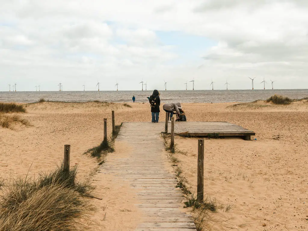
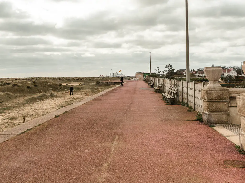
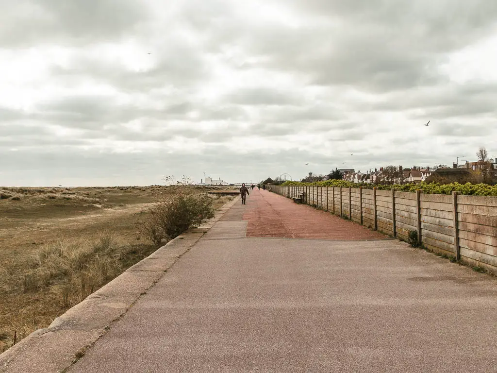
After what felt like an eternity, I reach the promenaded. This promenade also went on for a very long time.
Walk through Great Yarmouth
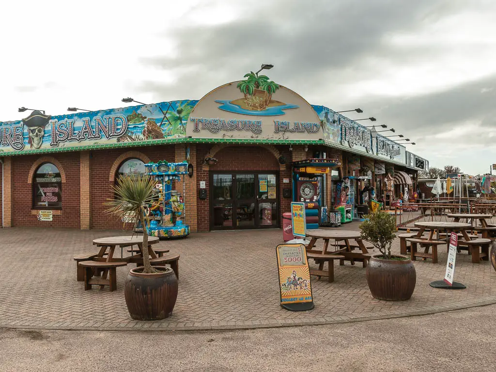
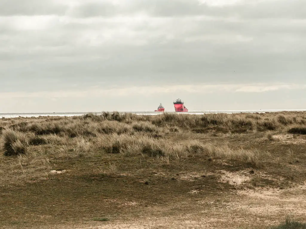
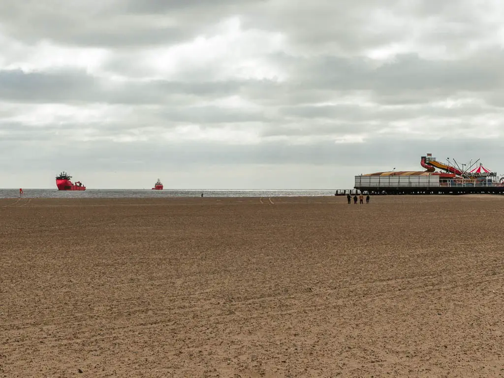
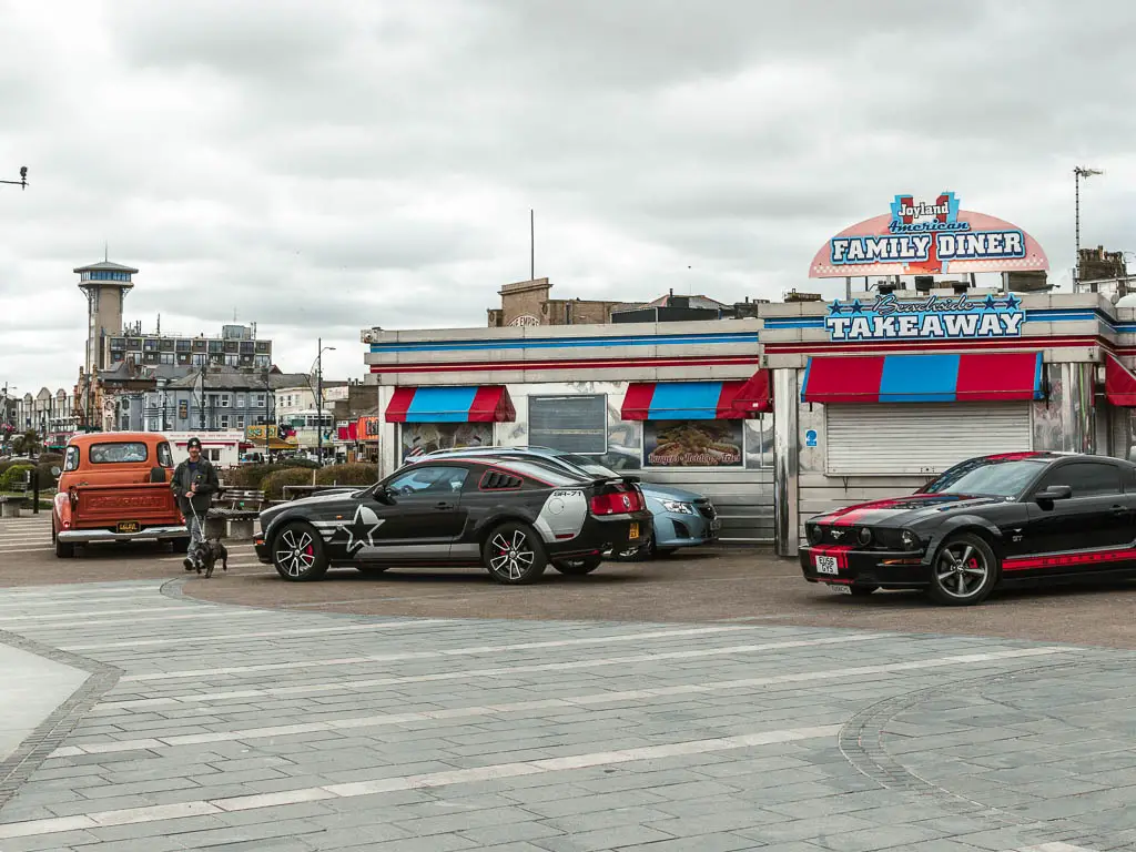
Once I finally reach the main seafront, I had gigantic beach to my left, and the bright colourful fairground stuff to my right. Something didn’t feel quite right though. There were a few people about, but it still felt pretty empty. It all felt sort of closed down. Run down. Forgotten about.

Note: At the big green thing, it’s around here you should turn in to walk through town to reach the first bridge. I unfortunately had decided to head for the second bridge.
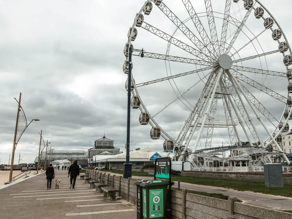
Staying on the promenade, passing by the ferris wheel, and an upside down house, once I reach the road I had planned to take me through the town, I discovered it was closed off. I was stuck. Stuck on the promenade.

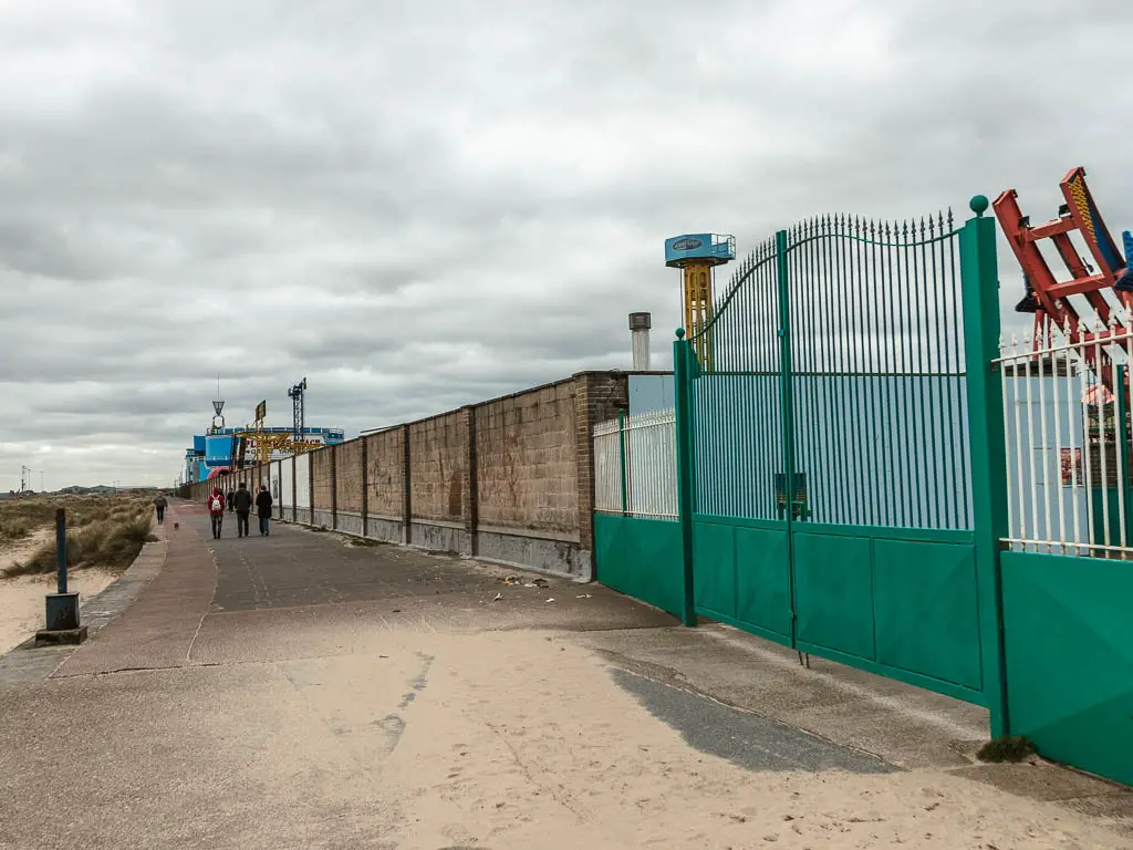
My feet were really hurting by now. A combination of walking 19 miles yesterday, and too much hard ground today. The wind was still attacking. Reaching Great Yarmouth hadn’t been this exciting milestone I thought it would be.
Once I finally reached another road to take me in, and followed the roads towards the bridge, I felt a sort of gloom. A bit industrial, very empty. I felt like I was somewhere that no one goes.
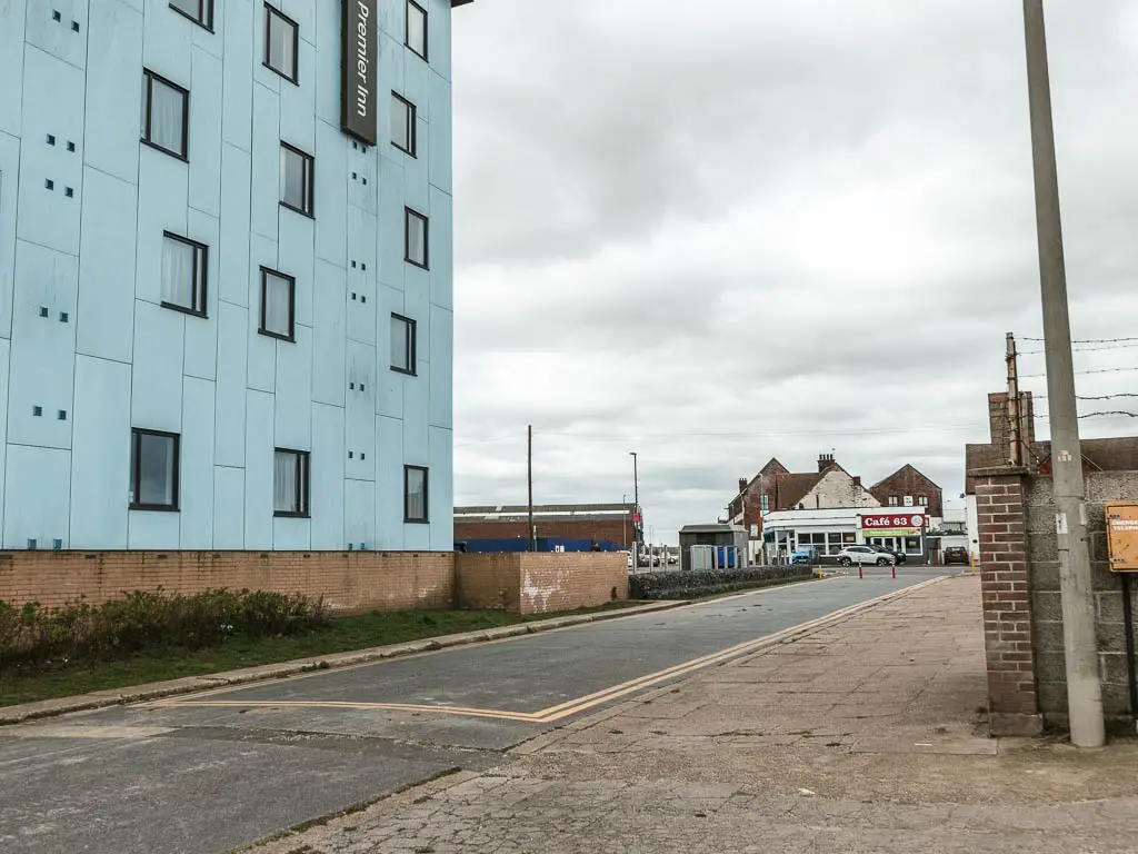
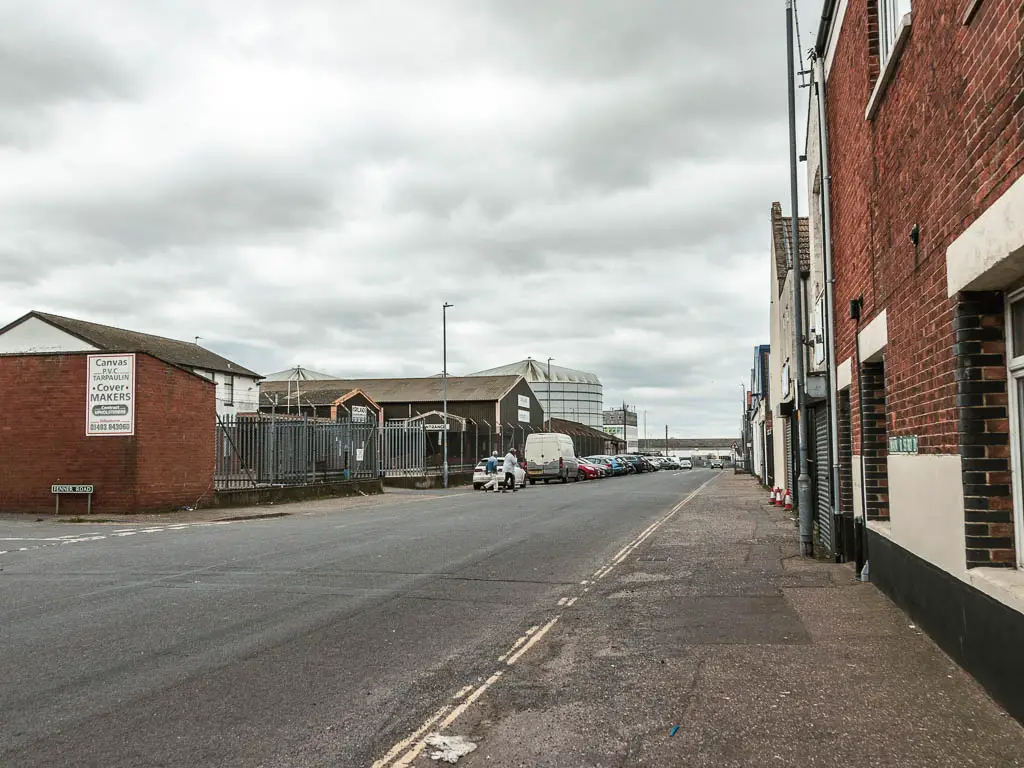
The bridge itself didn’t make me feel much better. Once over it, I had a look down along the river. The route to Hopton. It wasn’t enticing at all.
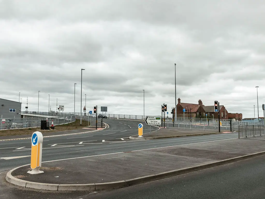
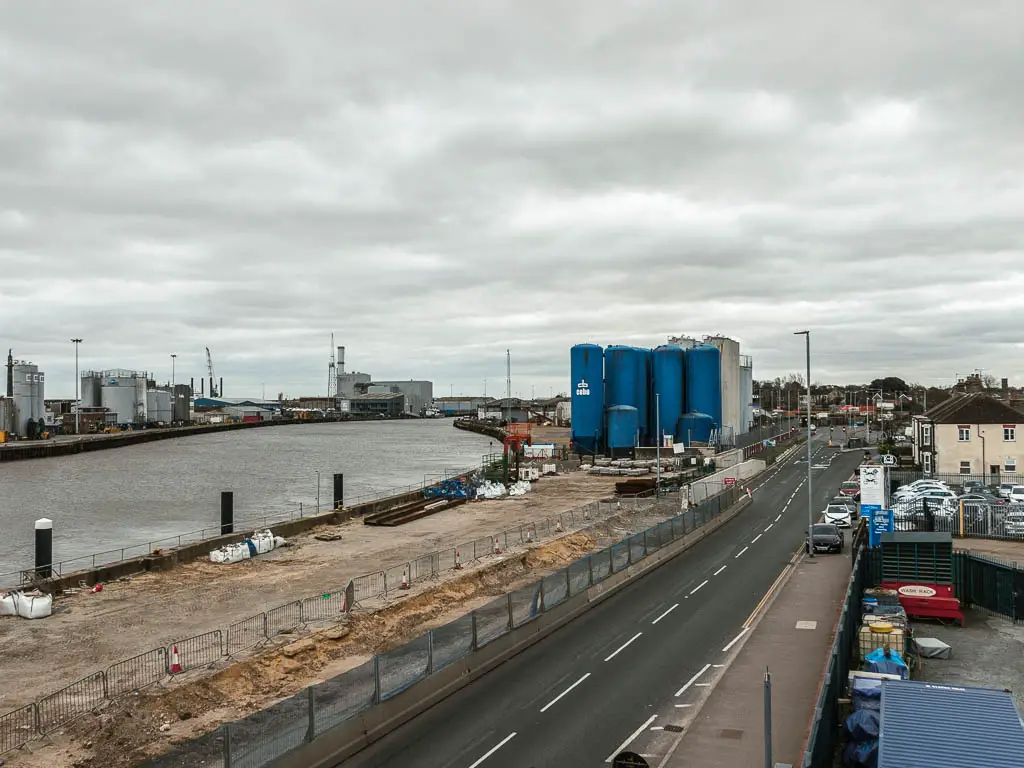
That’s when I made the decision to end the walk here. I was tired. My feet were hurting. My soul had been left somewhere on the promenade.
I wanted to get out of this place. It was time to go home.
