
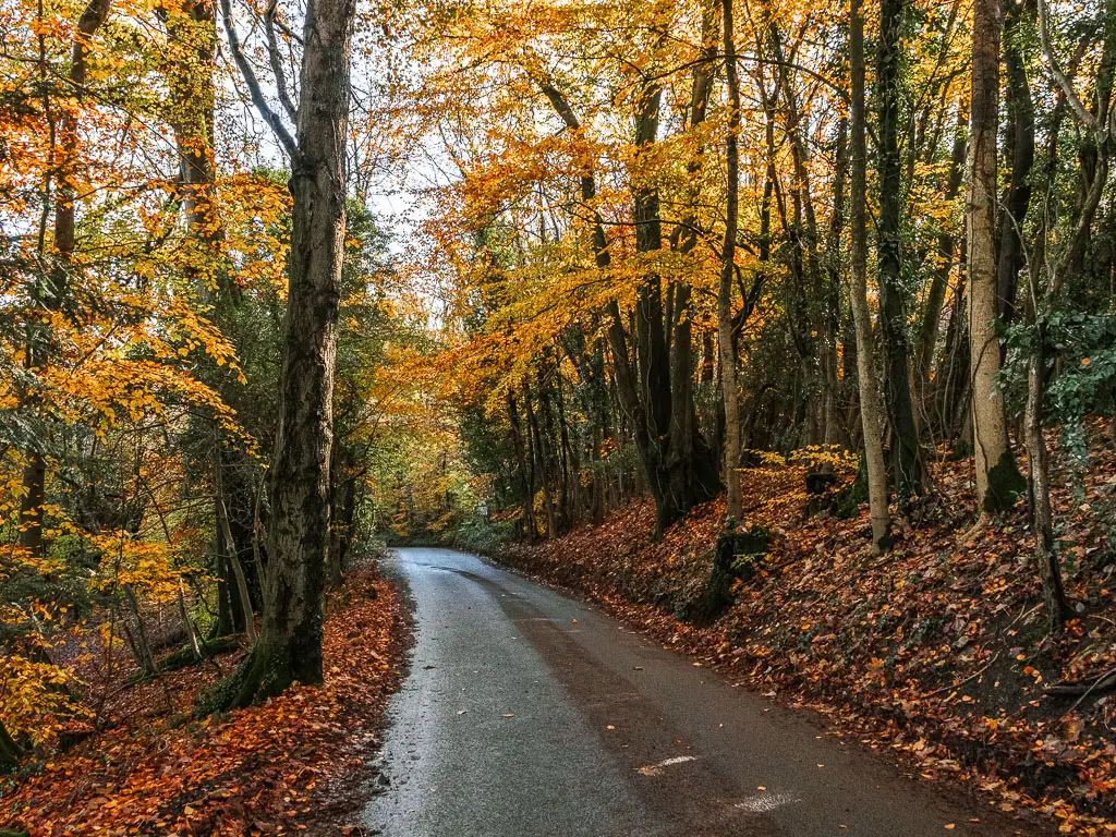
Two years later, I finally came back to do the walk from Merstham to Oxted. I had been avoiding it, as the last time I was on the North Downs Way, I injured myself and couldn’t hike for 3 months. It felt cursed. That and the fact that I knew the route today would be the worst part of the trail, as it hugs the M25 for most of the way…
What to expect when walking from Merstham to Oxted
I was actually pleasantly surprised with this one. It’s not the most beautiful walk I have been on, and certainly not the most peaceful, but I still enjoyed it. Could it be that my expectations were so low that it could only be good?
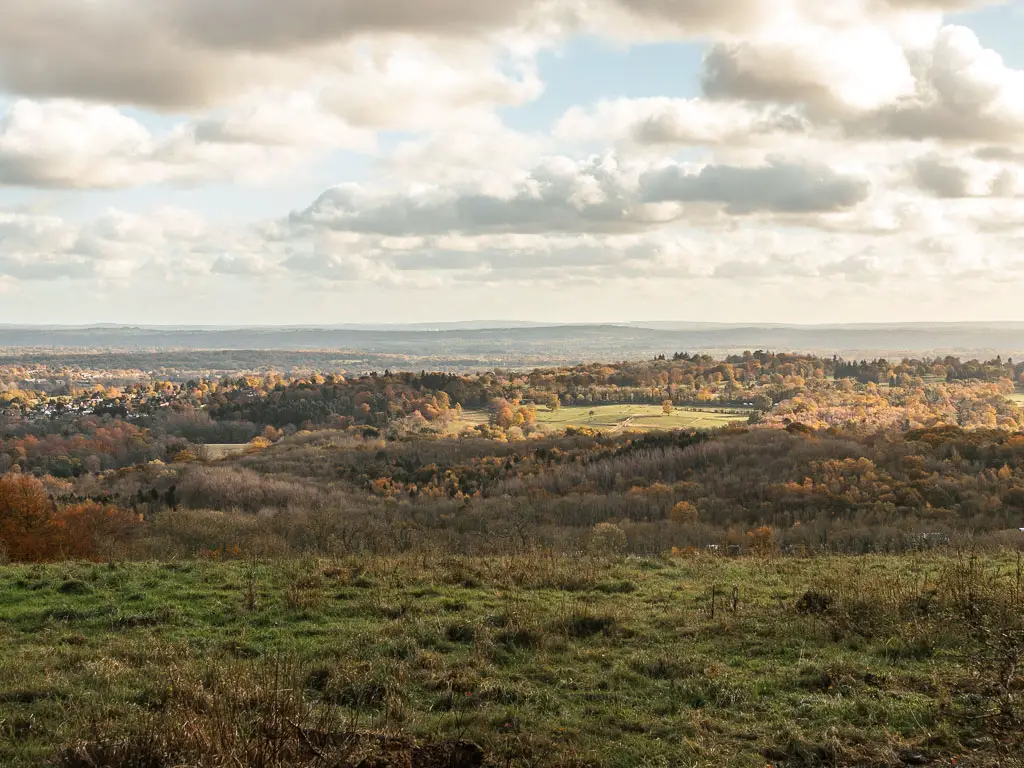
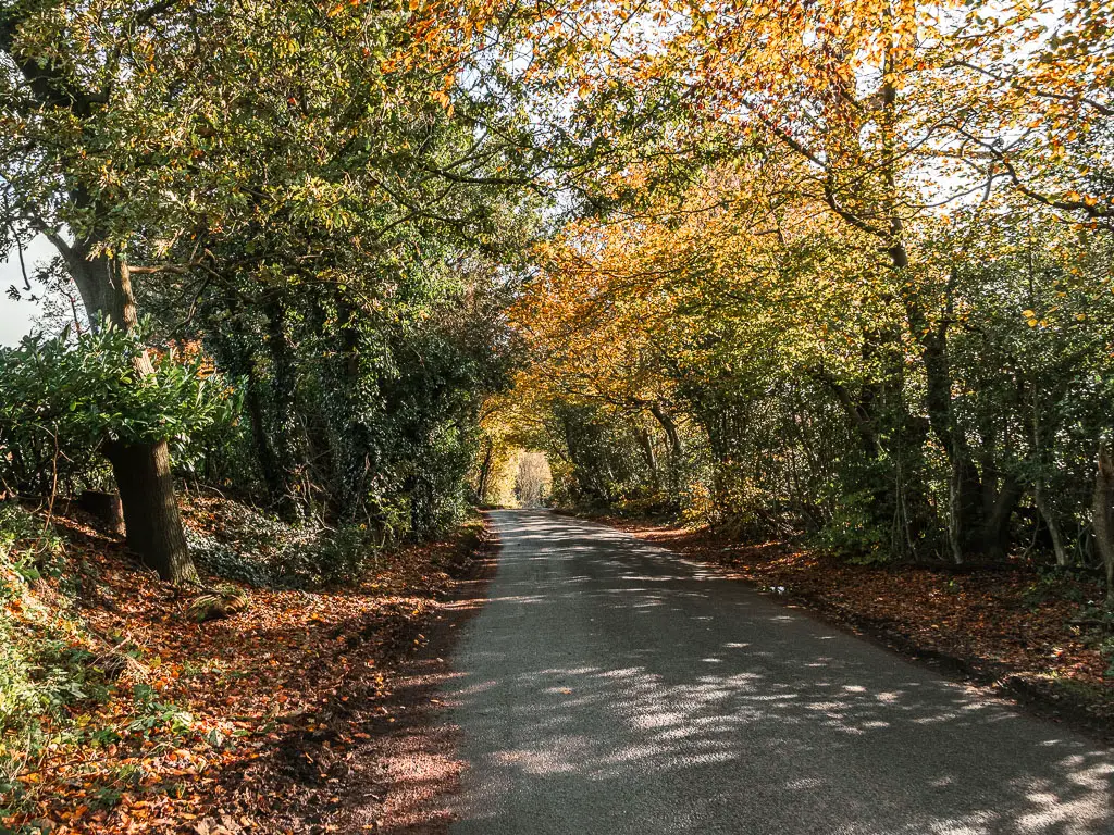
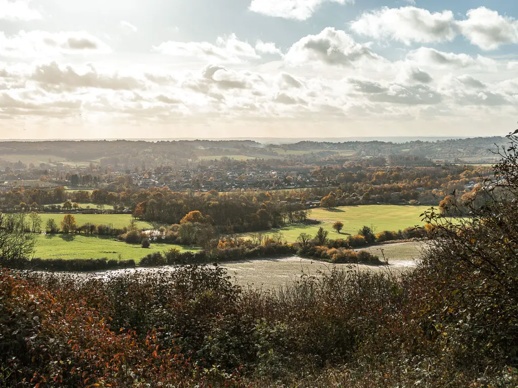
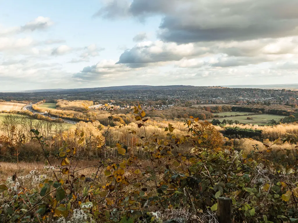
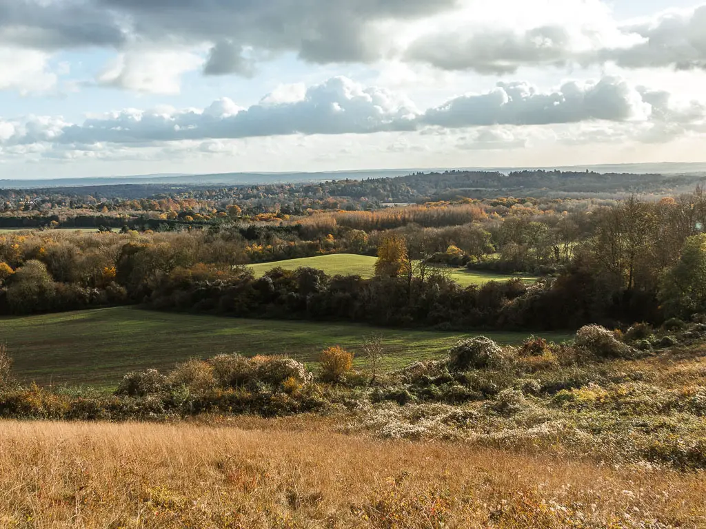
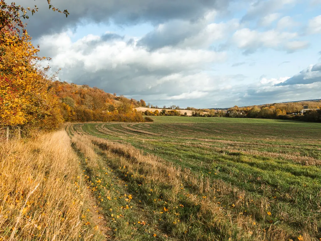
There are some wonderful far reaching views, a little bit of woodland, some gentle hills, a view to the London skyline, and horses.
At 9 miles, the walk between Merstham and Oxted isn’t too long*, and it’s so quick to get to from London that it doesn’t take up the whole day. So you can have a nice little countryside excursion, with enough time to get back and fill your day with other things (if you live in London or the south east that is).
*I must also note that I had recently come off a 3 day hike consisting of 11.5 miles, 16 miles, and 21 miles, whilst carrying a heavy backpack. So this felt easy in comparison.
It’s also extremely easy to follow, as it’s well signposted 99% of the way (a few missing signs, but I was able to figure it out without needing to refer to a map).
Logistics
- Start: Merstham train station, Surrey. RH1 3ED.
- Finish: Oxted train station, Surrey. RH8 9EU.
- Distance: 9 miles (8 miles along the NDW, and 1 mile off trail to reach Oxted Train Station)
- Time: 3h
- Difficulty: Easy
- Terrain: Dirt trail, mud, country road, grass
- Elevation gain: 572m
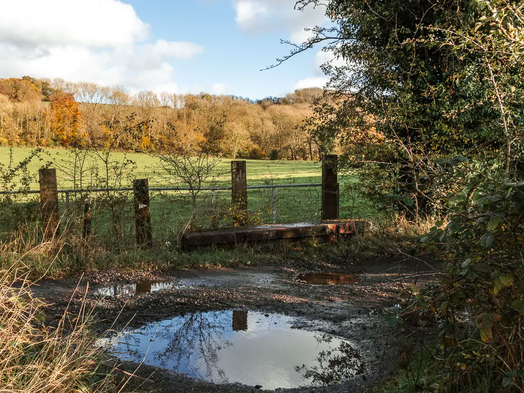
- Dog friendly: No stiles, no loose livestock seen. Some road crossings.
- Amenities: Both Merstham and Oxted Station have public toilets. There are no amenities on the walk between the two, however you will find pubs near each station if you would like to finish in one. There is a Waitrose on the other side of Oxted Station.
How to get there (public transport)
There are direct trains from London Victoria, Clapham Junction, St Pancras, Blackfriars, and London Bridge, to Merstham station and Oxted station. Journey time ranges from 30 min-50min depending on which station you choose in London. The routes are on Southern Railway or Thameslink.
Oxted and Merstham are on different train lines, so you will need to buy a single ticket for each journey.
Coming by car?
The walk between Merstham and Oxted is located in the Surrey Hills, south of London, right next to the M25. Both stations have a car park and cost about £7 for the day (or £2.25 on Sunday). There isn’t a direct train link between the two stations. You would have to do a change at East or South Croydon. Journey time 40-50min.
Map for the walk from Merstham to Oxted
You can find my more detailed route map for the walk from Merstham to Oxted on AllTrails. You can also download a GPX file from there.
Tips
- If you aren’t keen on the road noise, then maybe take some headphones and listen to a podcast or music….or bird sounds.
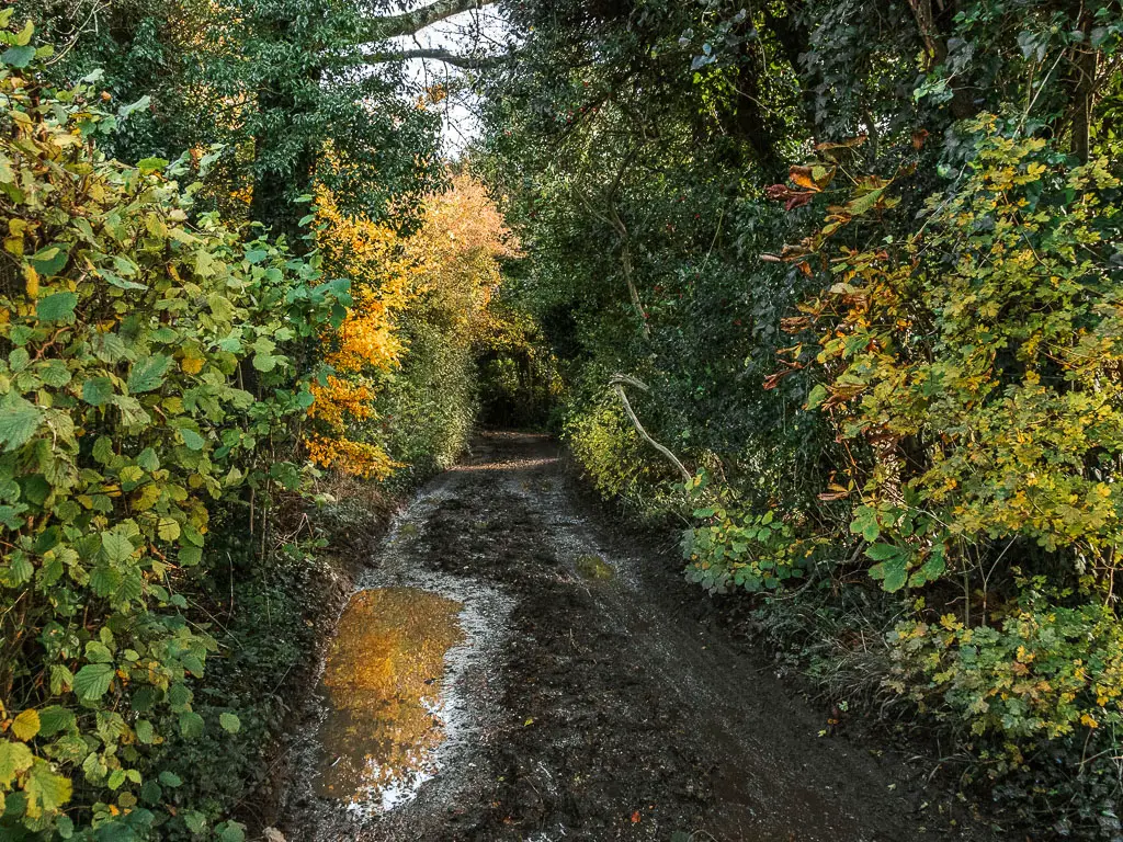
- If it’s been raining recently, it can be a little muddy in parts. I didn’t find it too bad through (we had just come out of very heavy rain).
- I recommend hiking boots, due to the terrain. Or better, hiking shoes/trail running type shoes if you have them. There is a bit of road walking, which can be tough in hiking boots.
- Read about Westhumble to Merstham stage 3 here.
- Read about Oxted to Otford stage 5 here.
For other walking ideas in the area, you can check out my guide on the best walks in the Surrey Hills here.
Route description: How to walk from Merstham to Oxted
So, I did cheat a little at the start. From Merstham station, rather than walking back to where I left the NDW, I took a back route. The official way would have me walking along road for about a mile. This way was mostly trail, so it made sense.
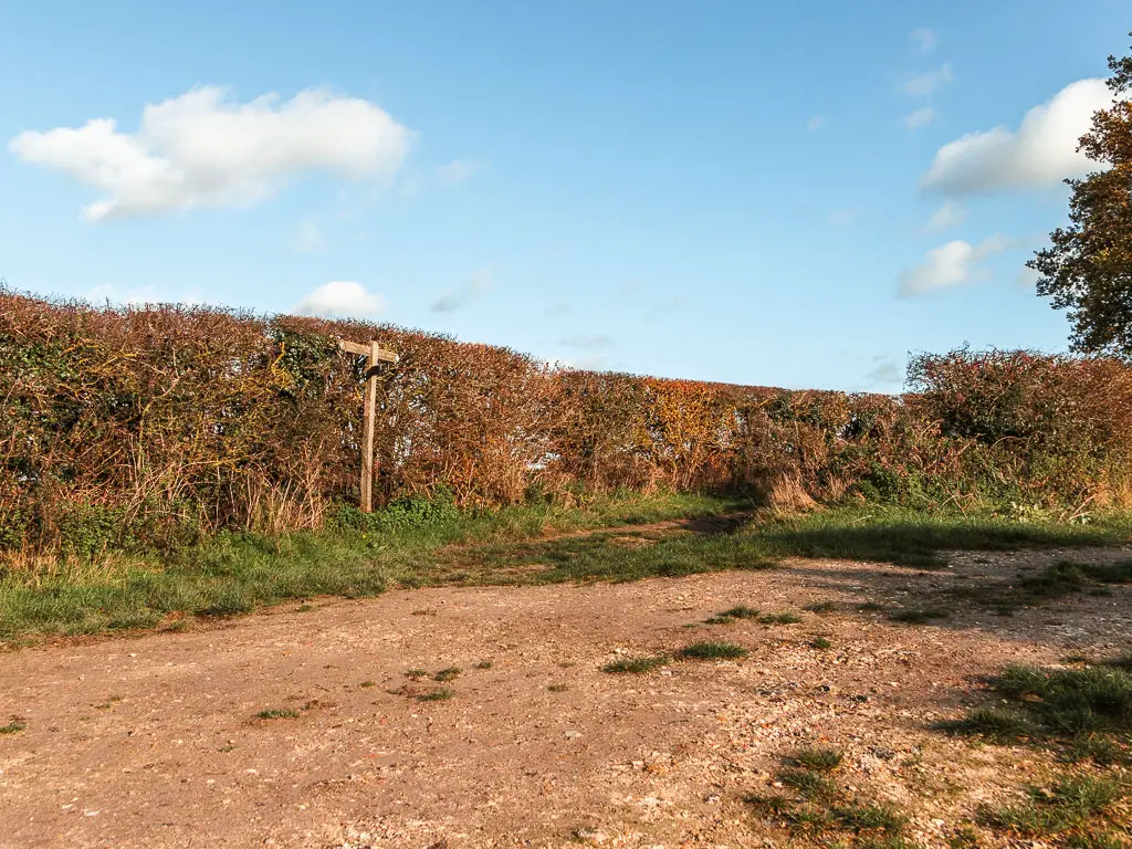
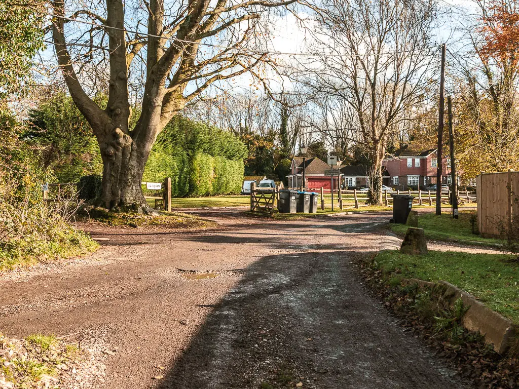
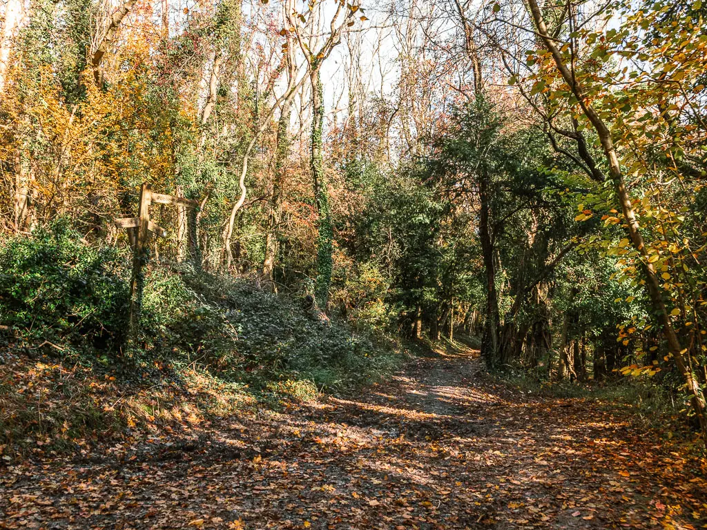
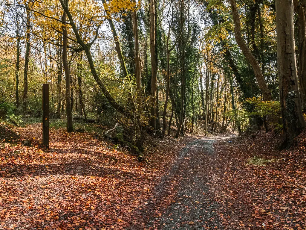
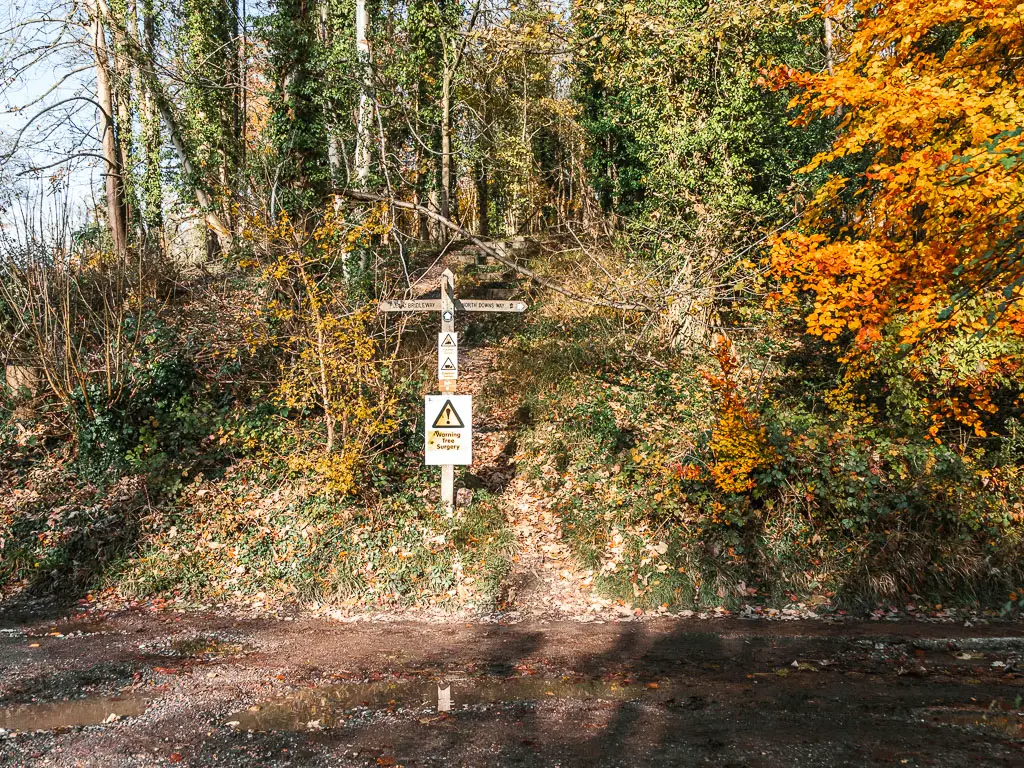
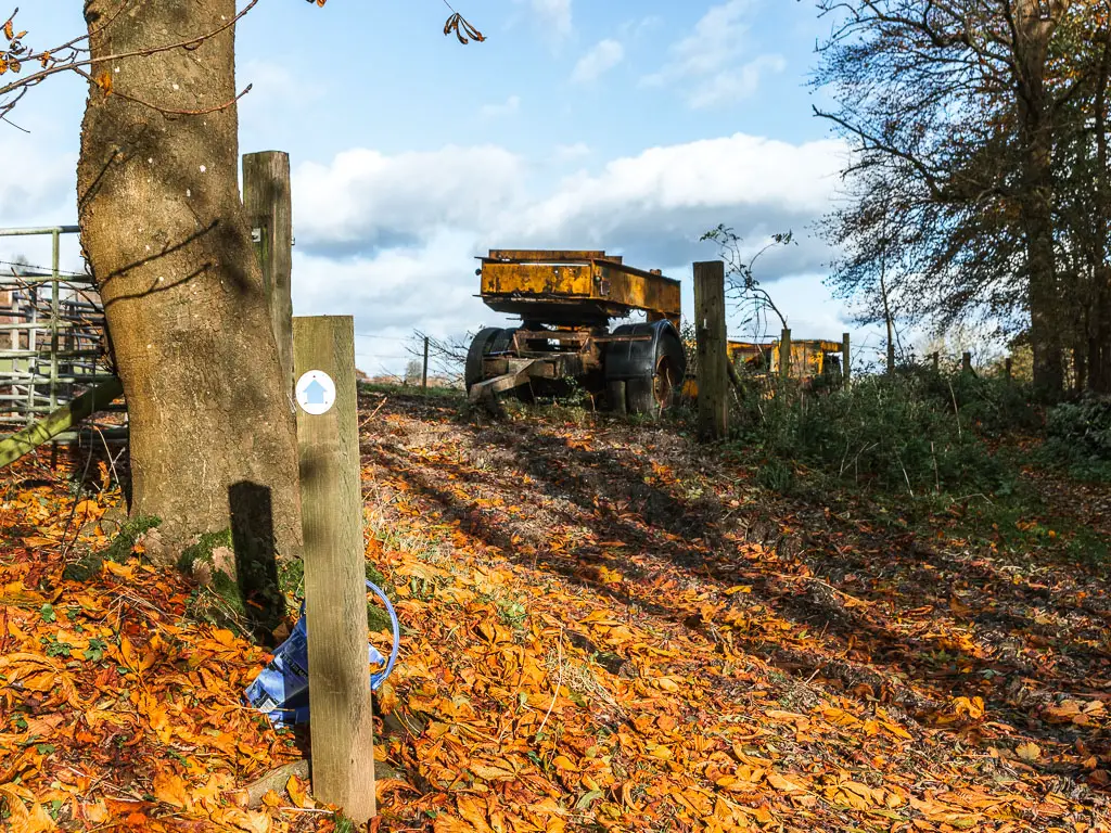
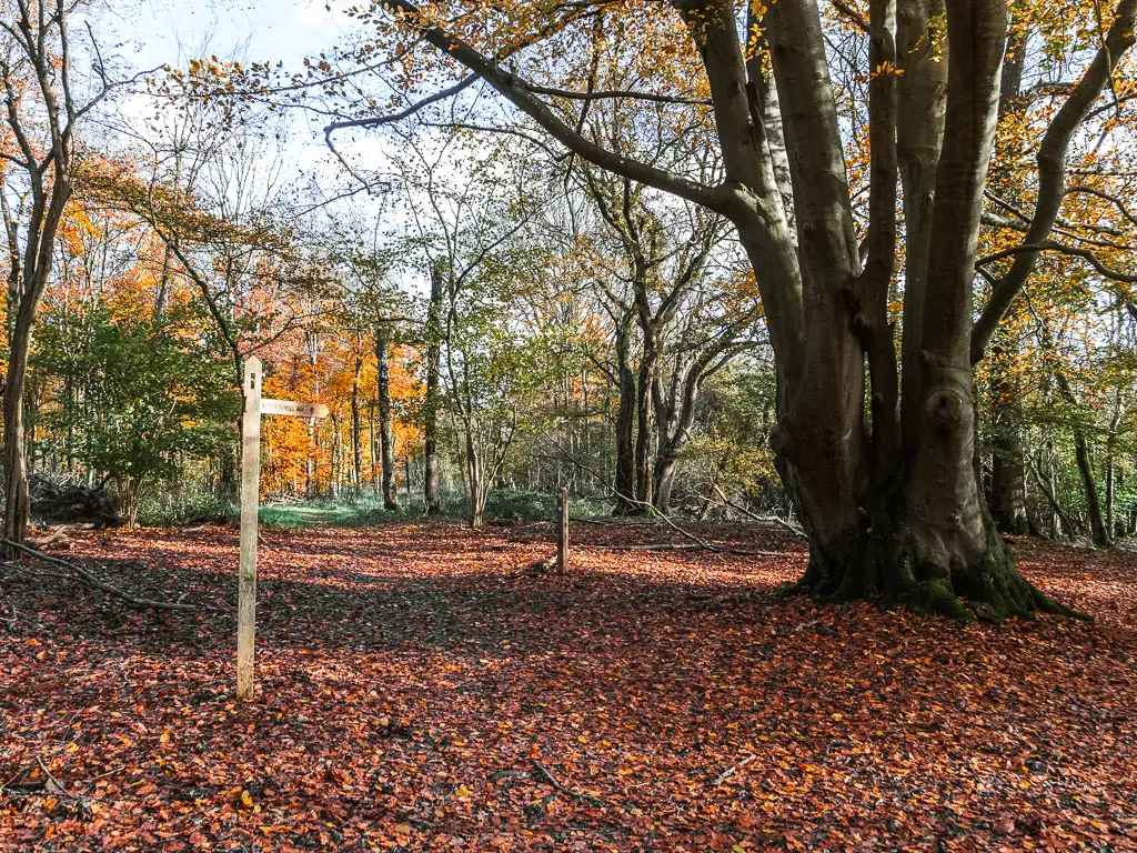
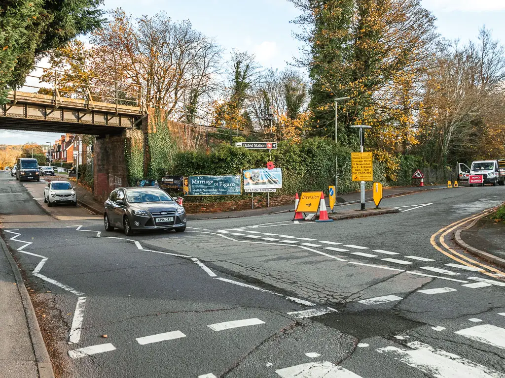
Following my route, if you arrived at Merstham Station in a southern direction, leave the platform and follow the path under the bridge to reach a green residential area.
You should see a totem pole and footpath sign on the green. Follow the direction of the sign.
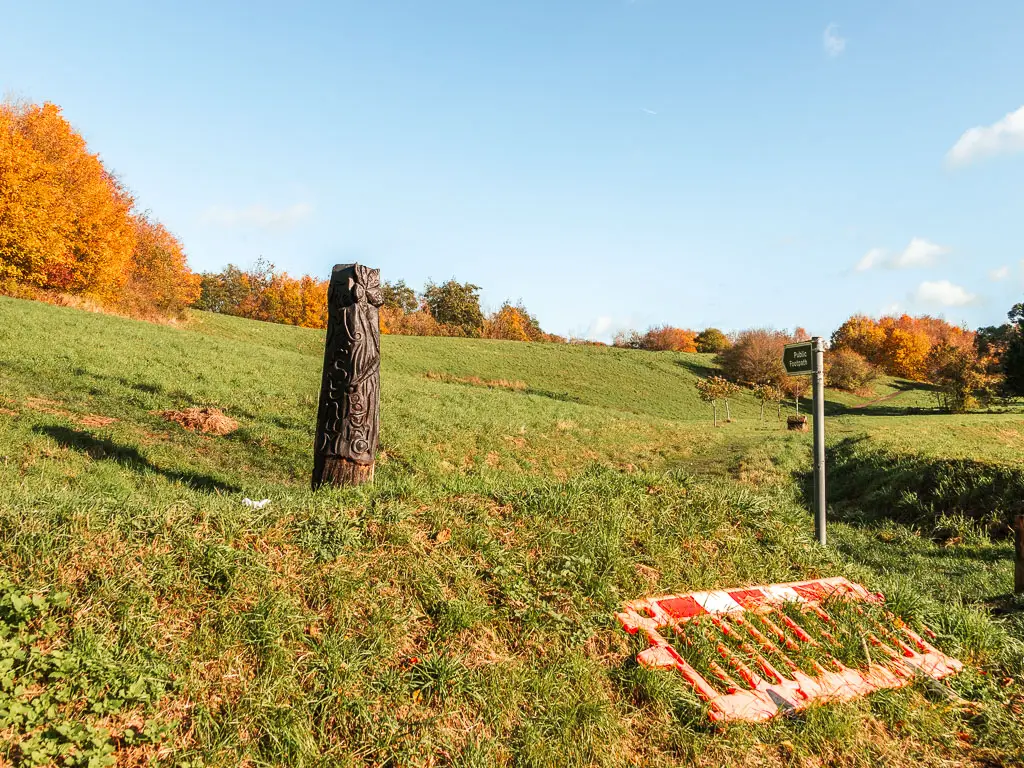
Now, this green I did find to be deceptively boggy. It was easy to step around though.
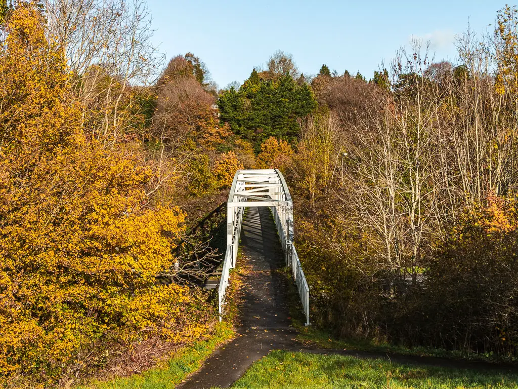
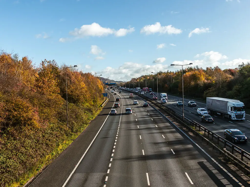
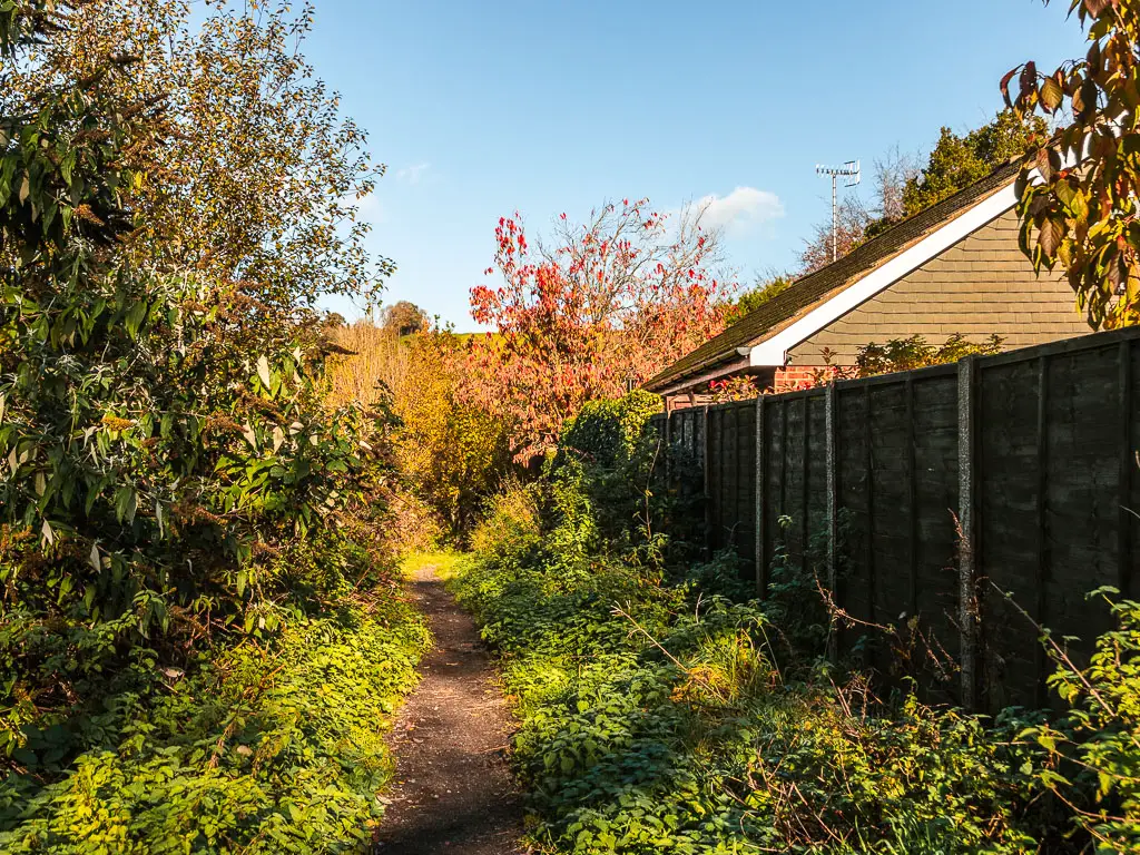
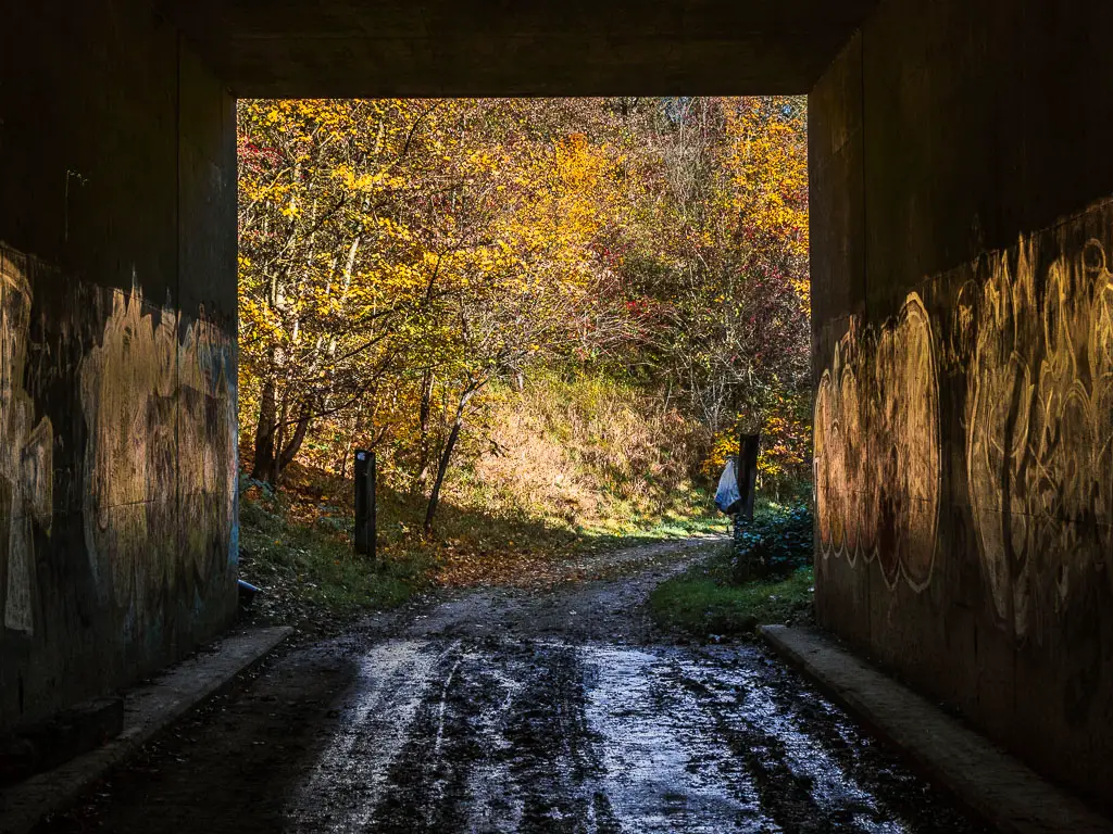
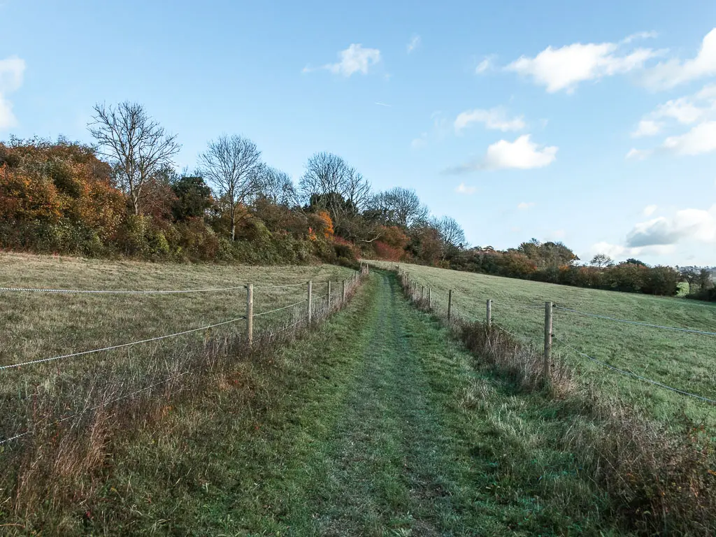
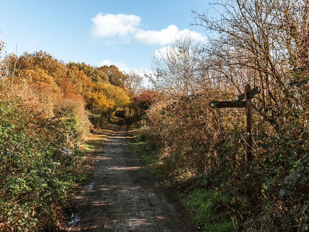
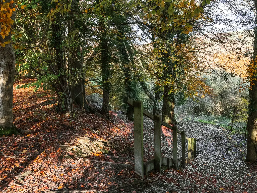
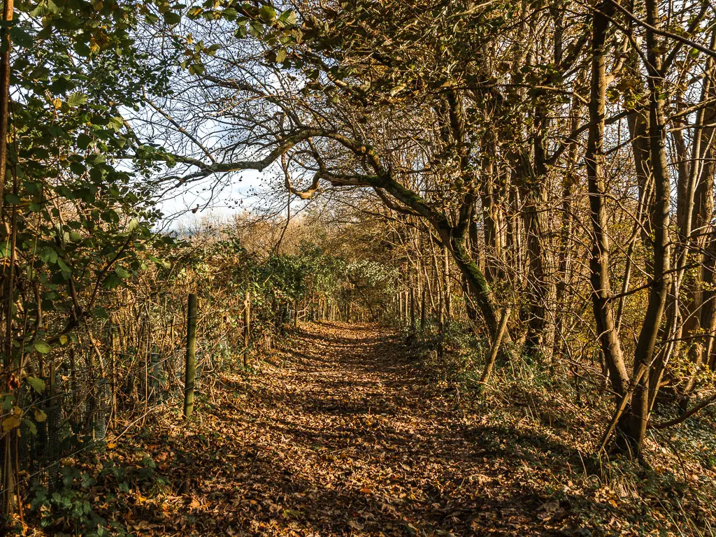
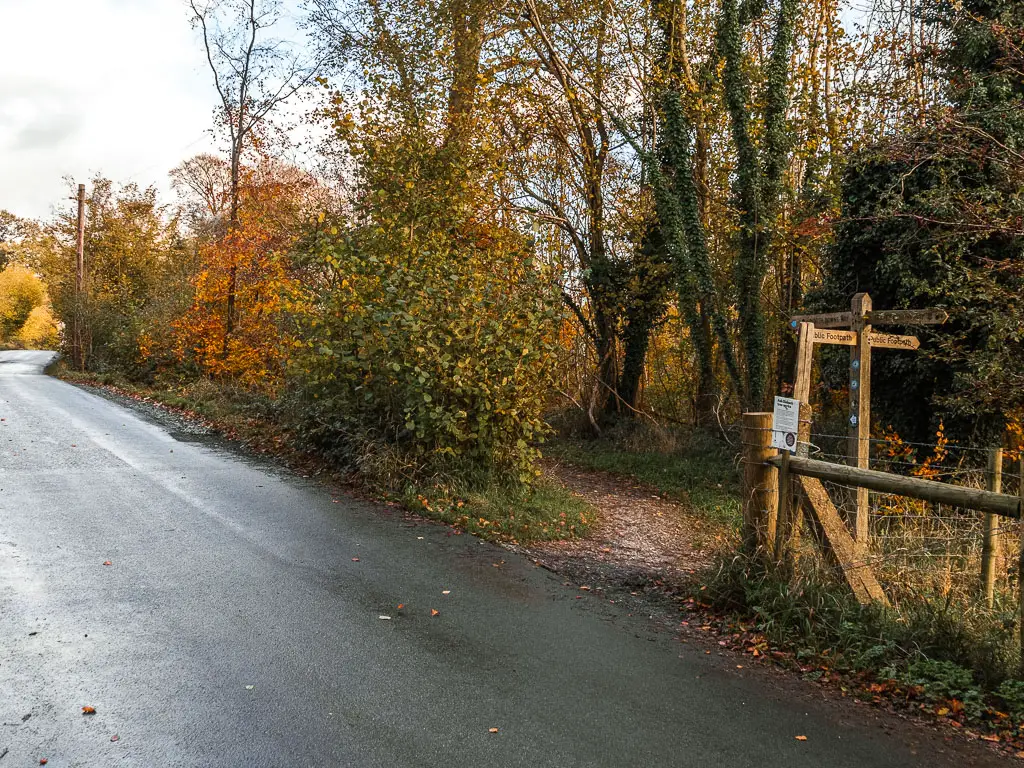
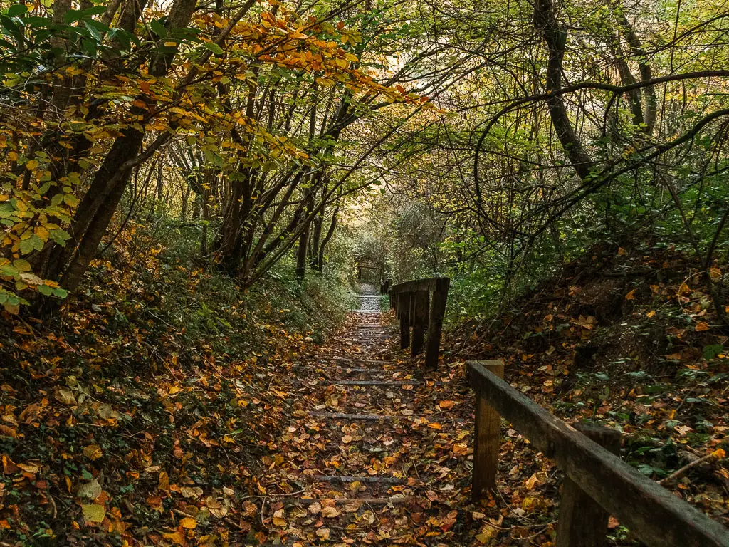
The first M25 crossing
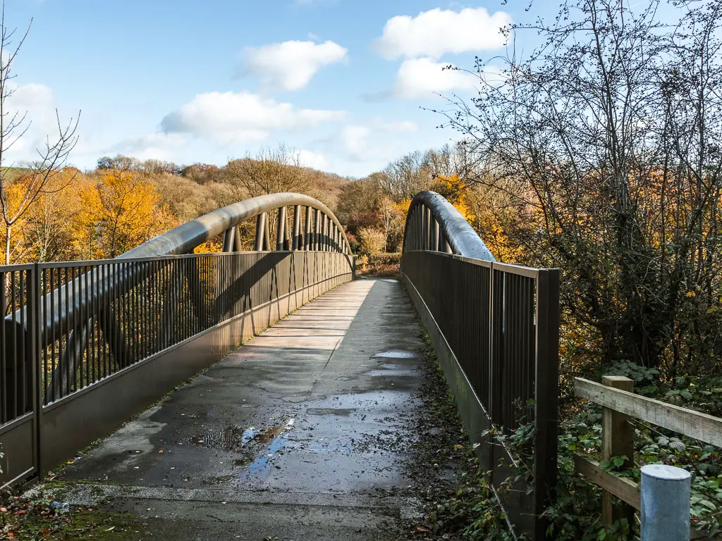
When you reach the path, you can follow it up in a zigzag, or just cut straight up the hill. Once at the top, you should see a white bridge over the M25. Go over it.
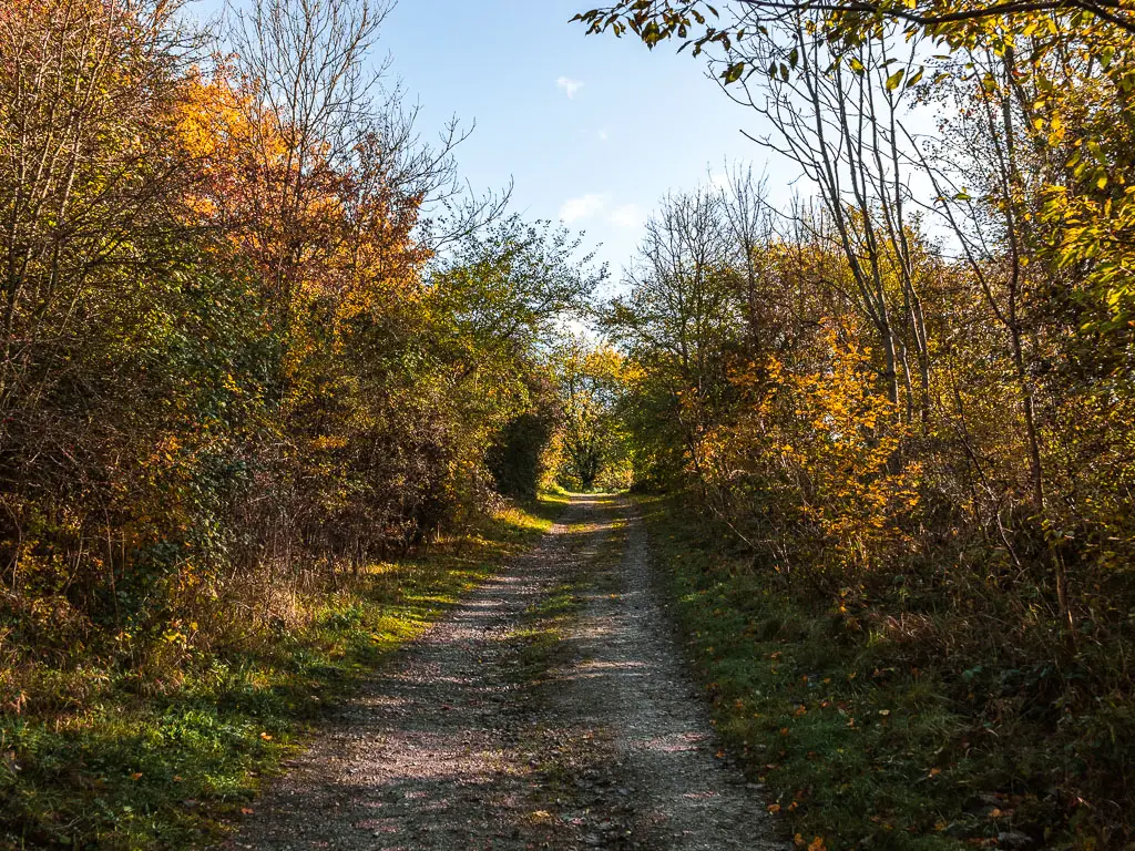
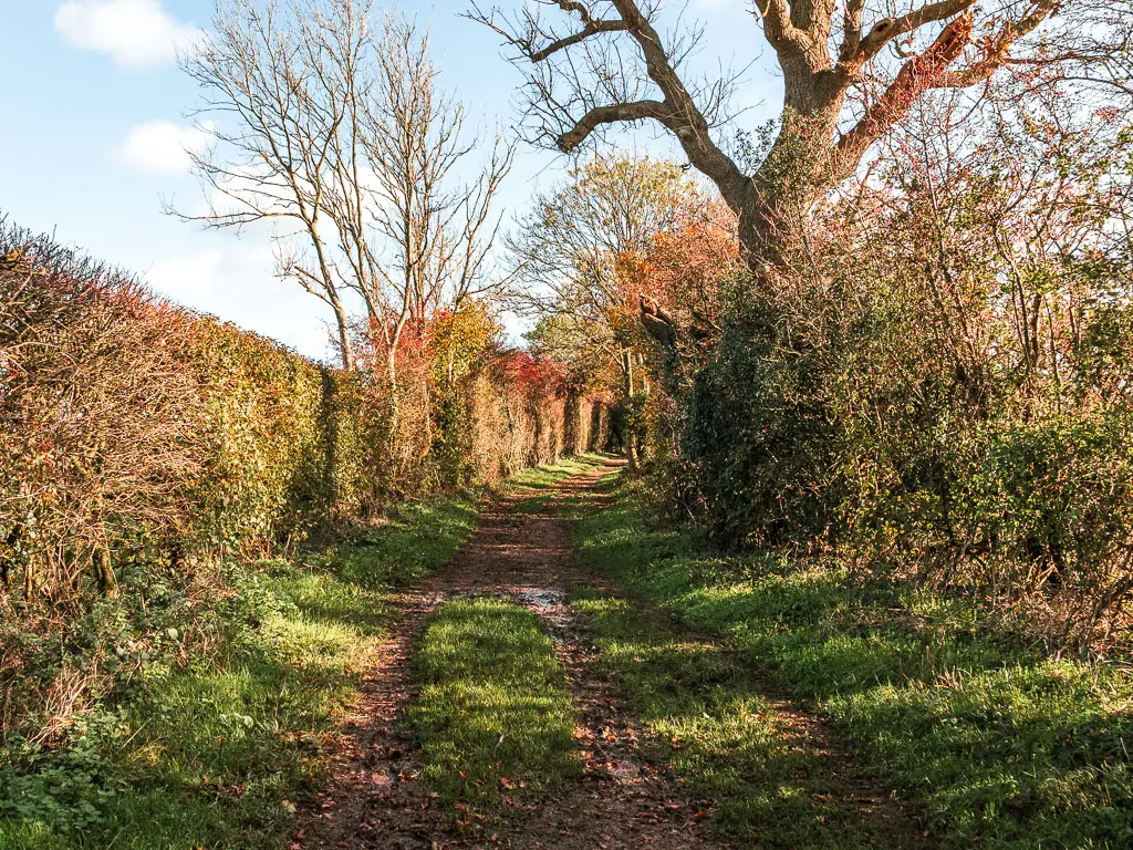
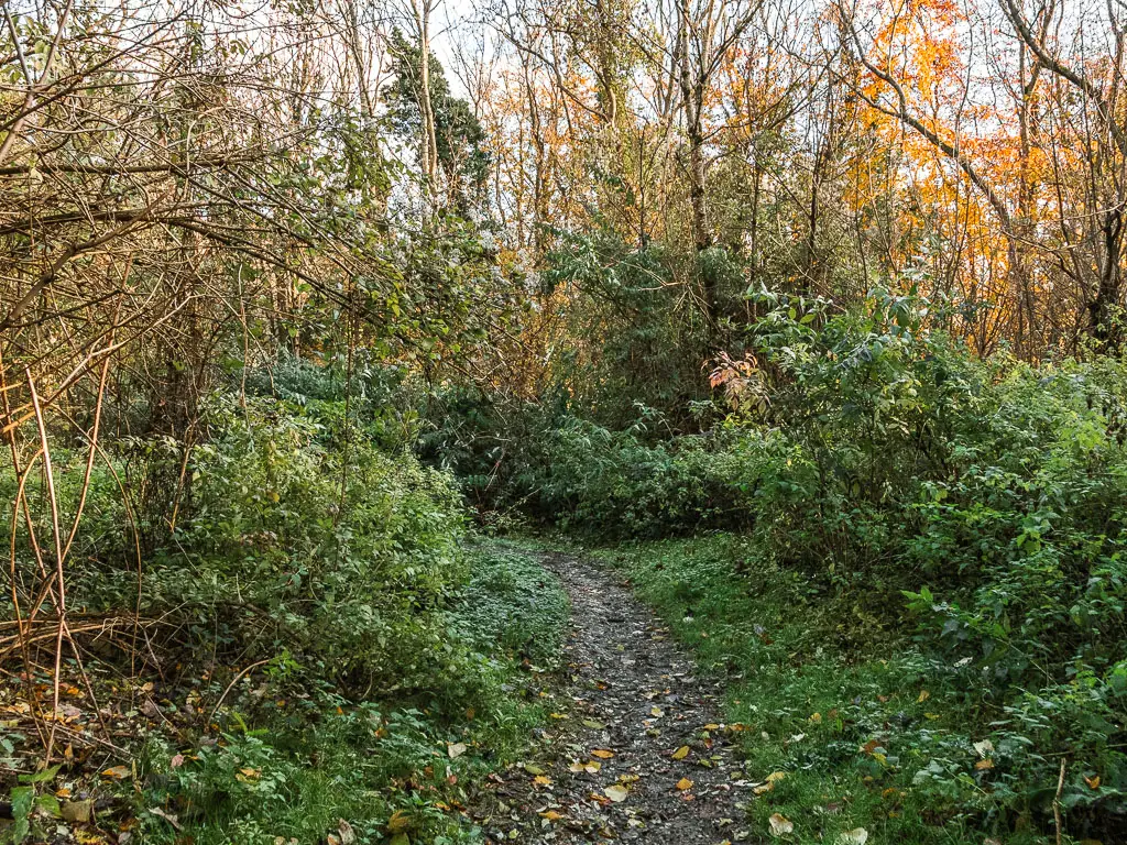
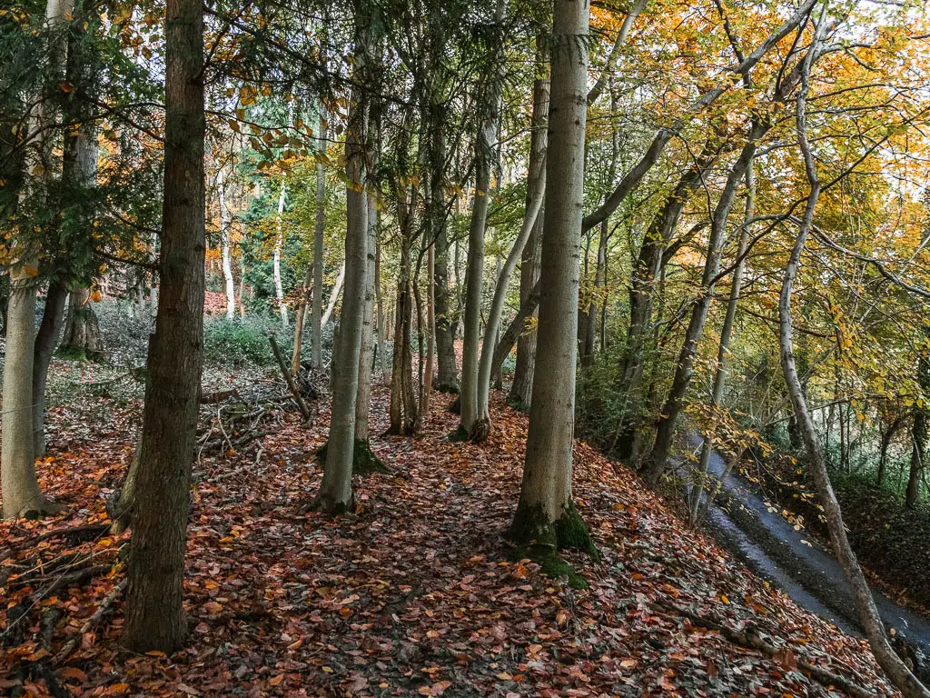
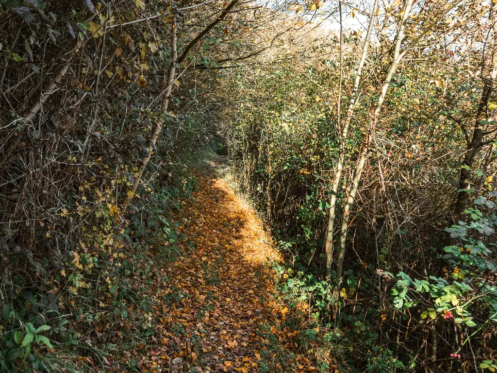
Once across, follow the trail. At first lined with trees, then on green briefly, and then along the trail through the bushes to the right.
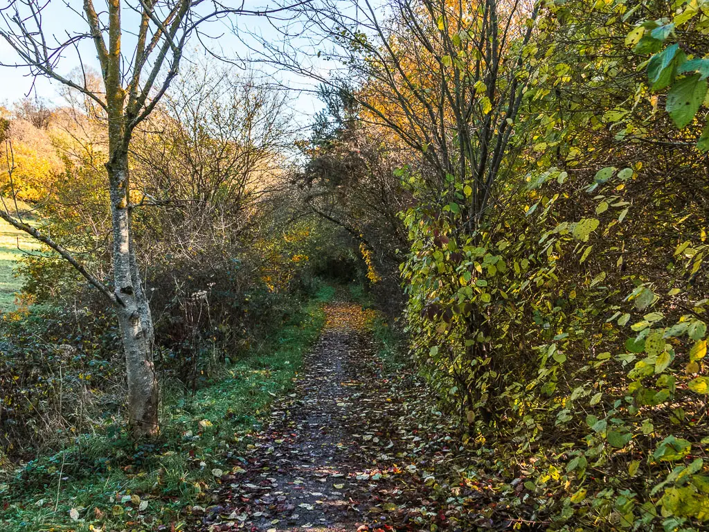
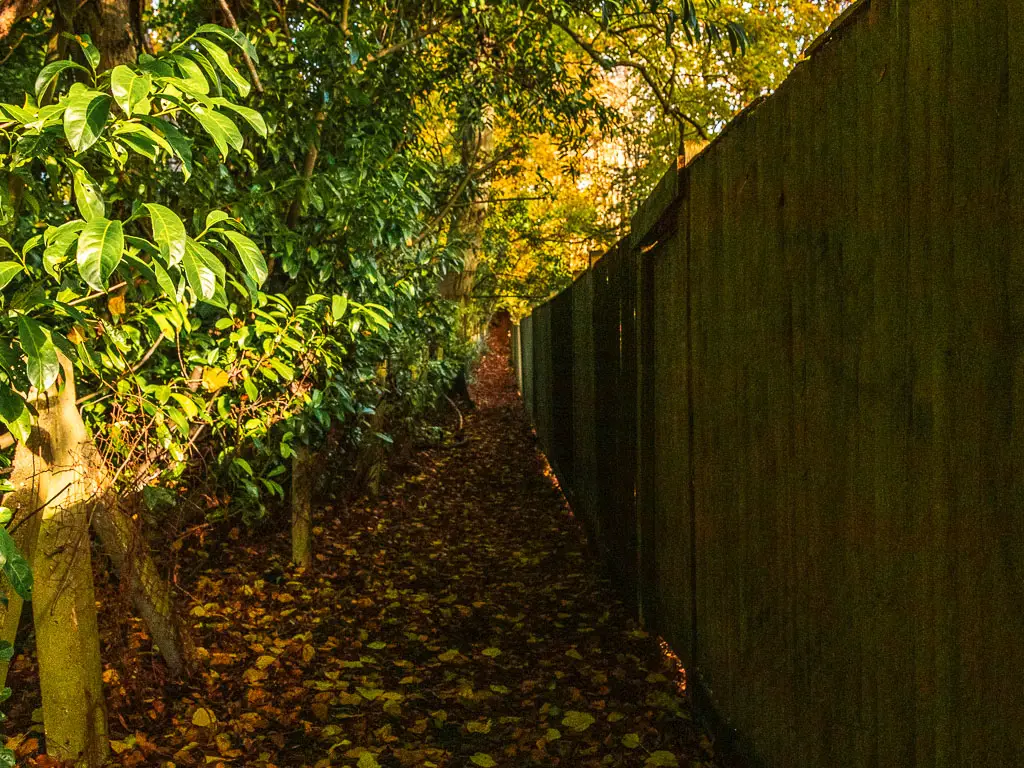
This will lead you to a narrow uphill trail with a big fence to the right. This fence lined path goes on for a little longer than you think, uphill most of the way. I did find it a little creepy, and was relieved when I finally saw the gate exit onto the road.
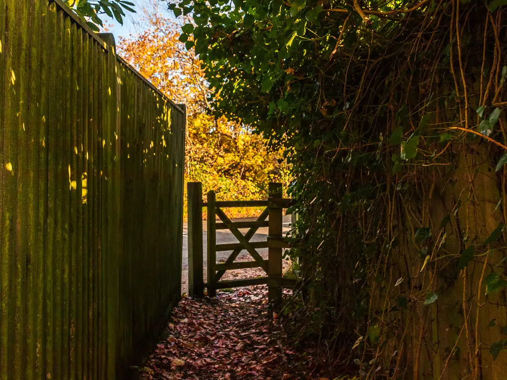
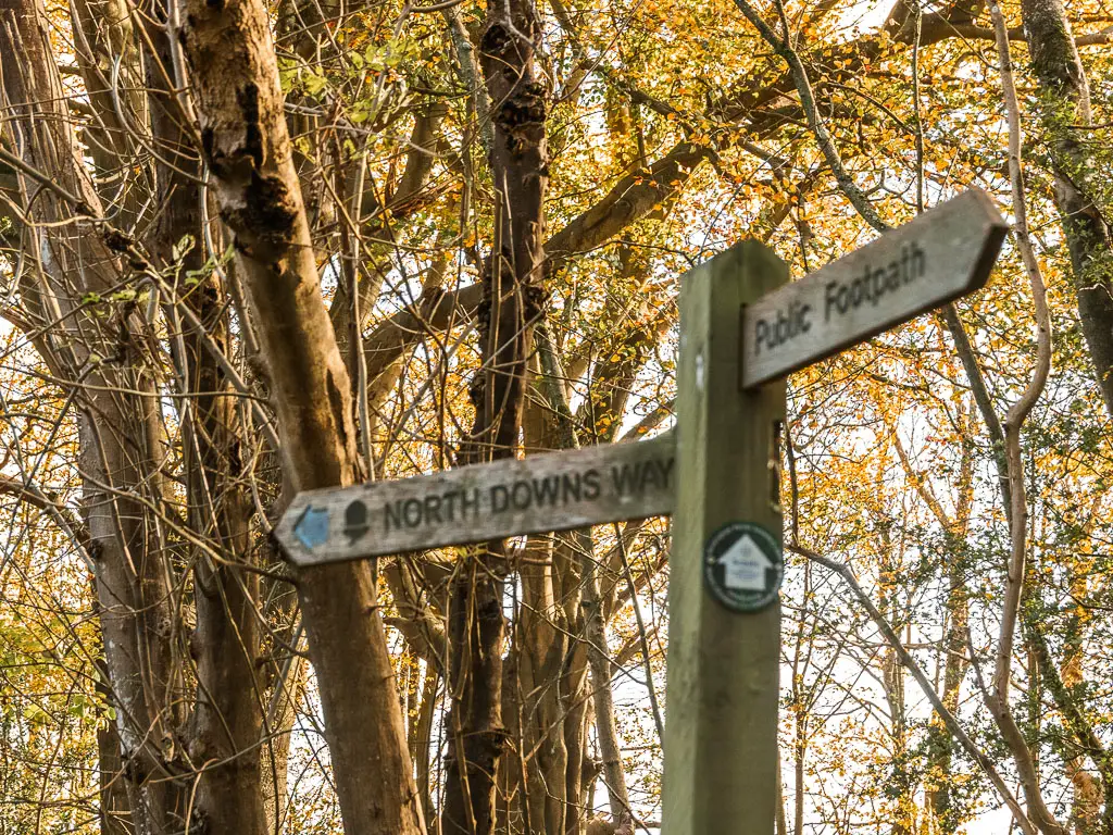
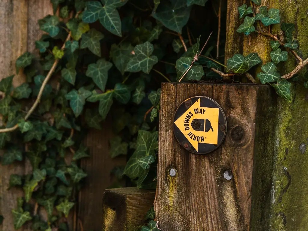
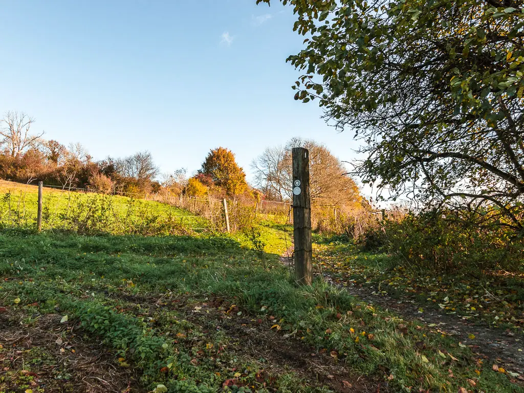
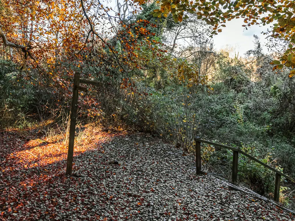
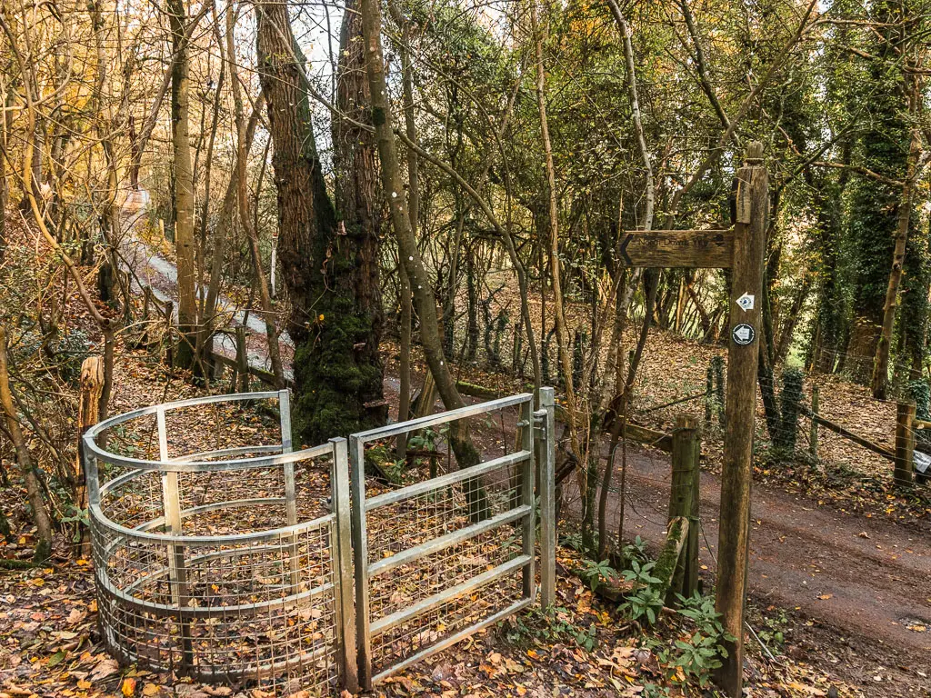
Finding the North Downs Way
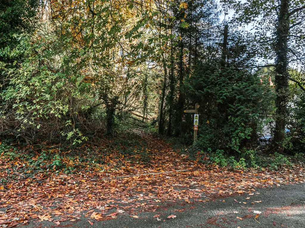
Through the gate, you should see the first North Downs Way sign. I was quite pleased, as I wasn’t entirely sure I was going the correct way.
At the road, turn right, then someway further along you should see a trail sign next to the house on the other side of the road. Go and follow that trail.
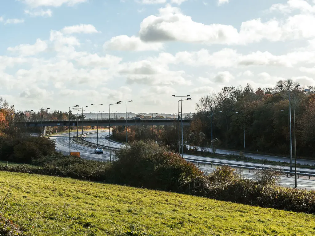
The second M25 crossing
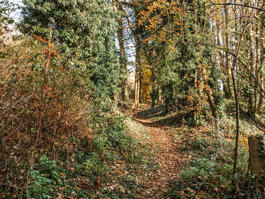
This will lead you through some woodland, then after you curve to the left, you will reach another NDW sign, pointing you right. This leads you, this time, under the M25.
The path will then take you uphill to the right, then at the little junction continue straight across and continue up the hill.
It’s quite noisy here, as you are practically on the motorway.
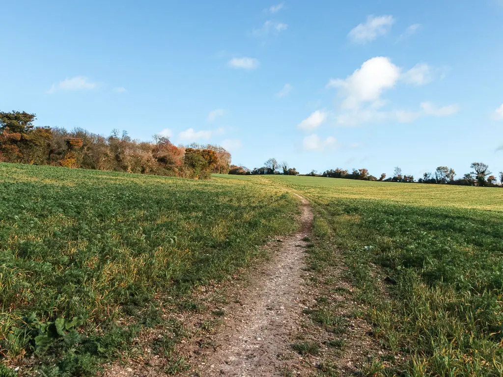
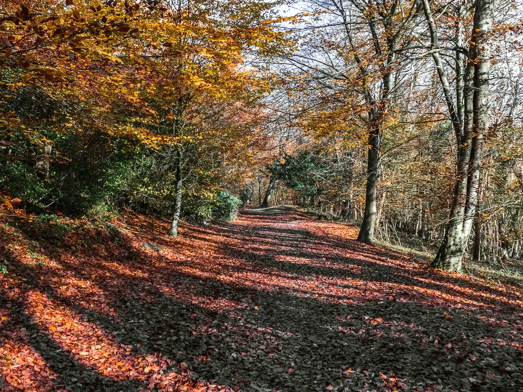
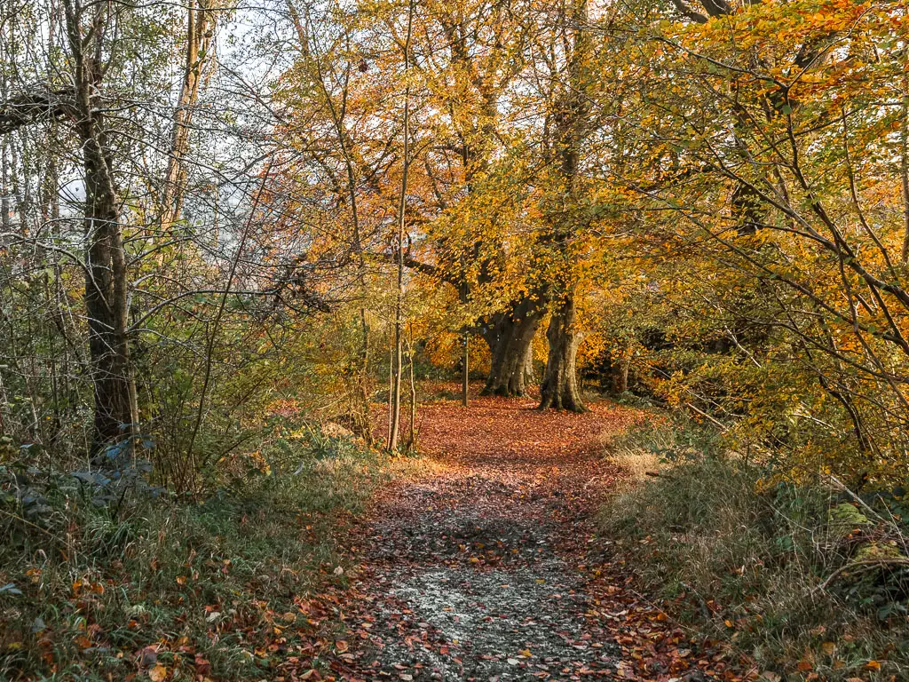
The first views on the walk between Merstham and Oxted
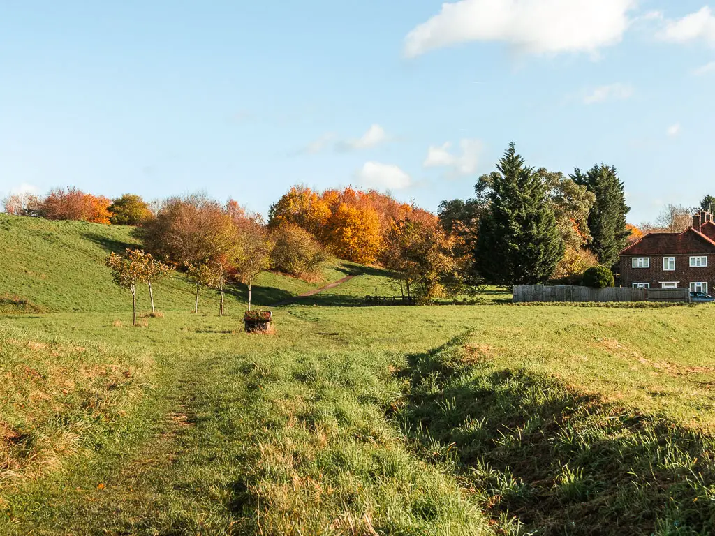
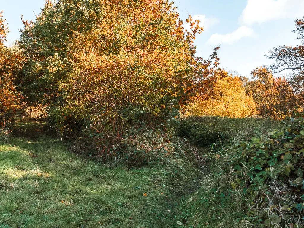
Continue going up, through some bushes and trees, then up across another field. It’s up here where you get some great views looking back down.
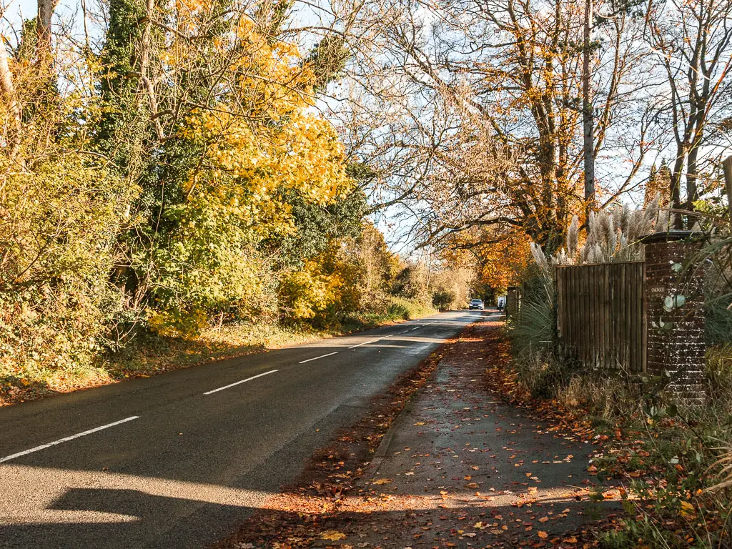
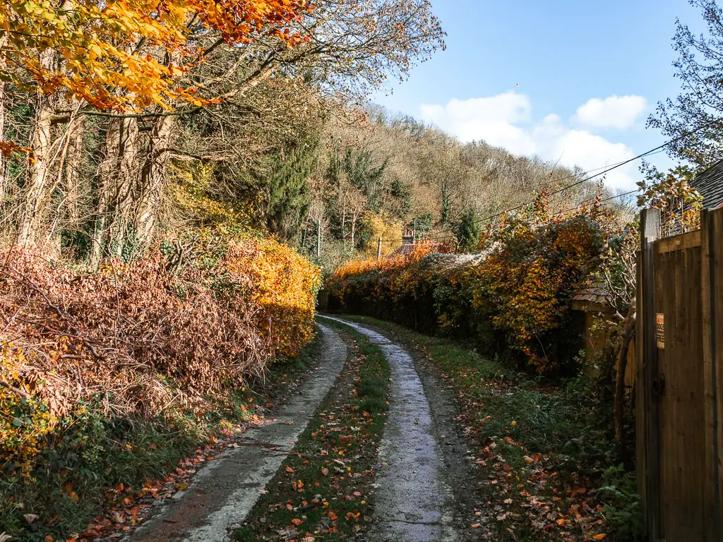
When you get to the top, follow the track to the right. The track will become a little more dirt and mud like, lined with trees and bushes, to reach the road.
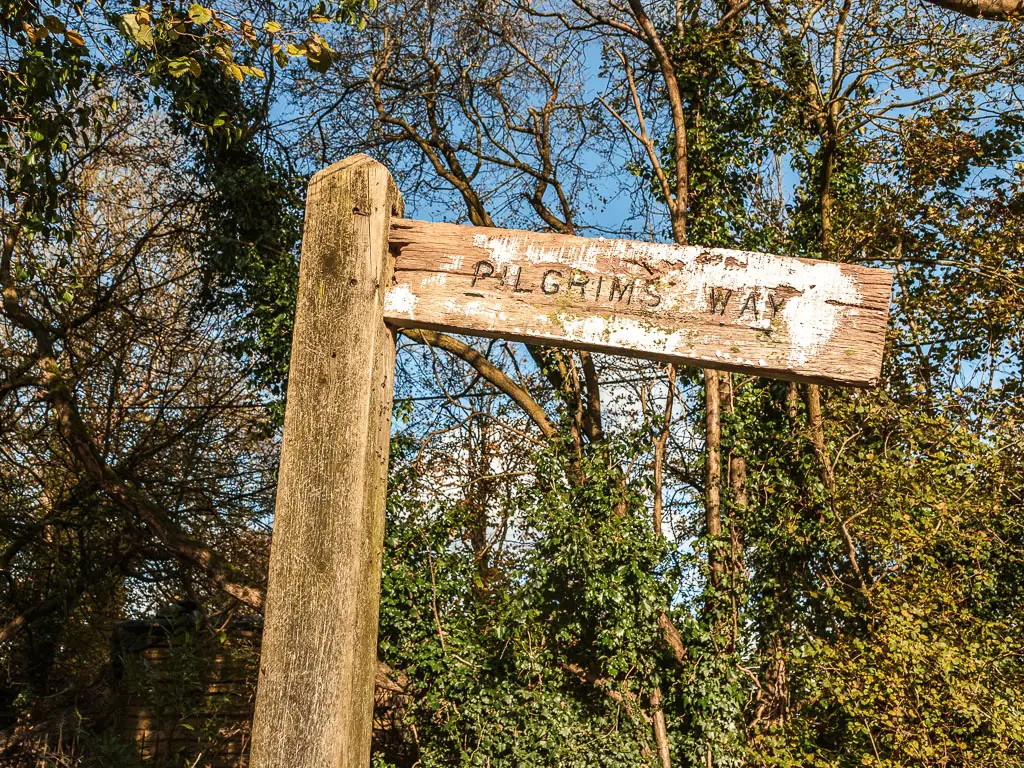
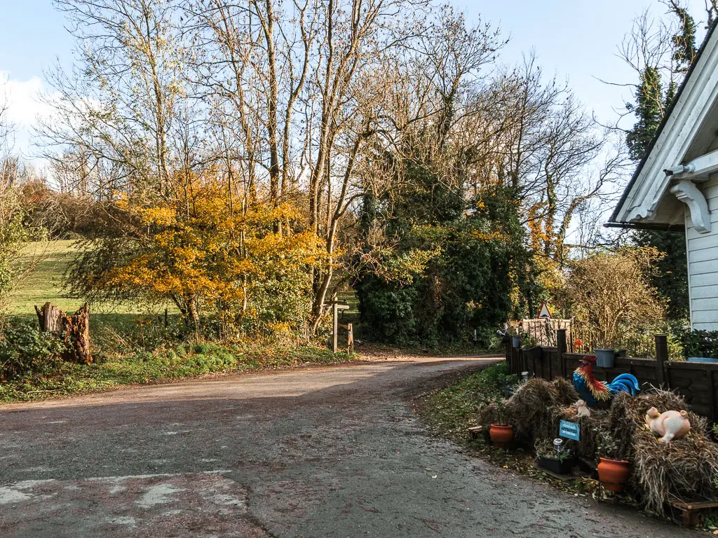
At the road, continue straight across, still on road, passing by a Pilgrims Way sign, and then curving a little to the right past some houses.
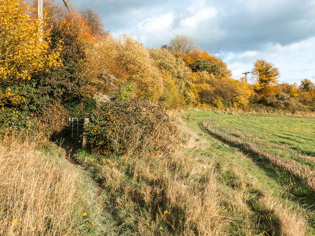
The horses
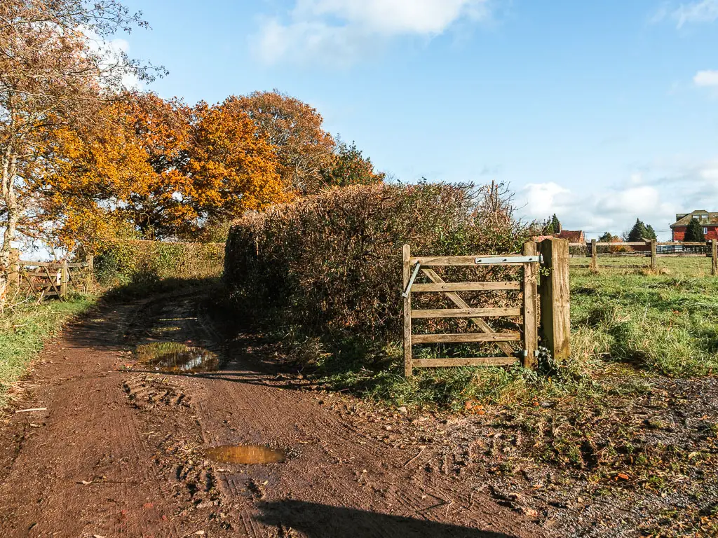
You will be on rugged road for a little, lined with bushes and trees, which then leads onto a muddy track past the stables sign.
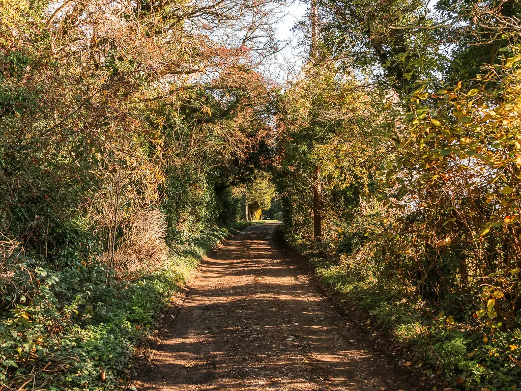
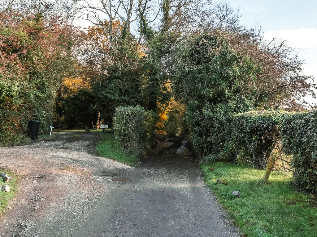
Stay on this track, passing by some turns, and you will soon reach the horsy area*
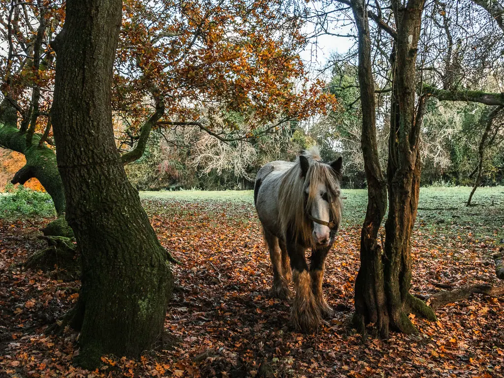
*I can’t guarantee there will be horses when you are there. They should be on the left though.
After enjoying the horses, continue on the bridleway track. There are a few NDW signs along here. If they are missing, then just make sure to stay on the main bridleway, ignoring any small trail turnings.
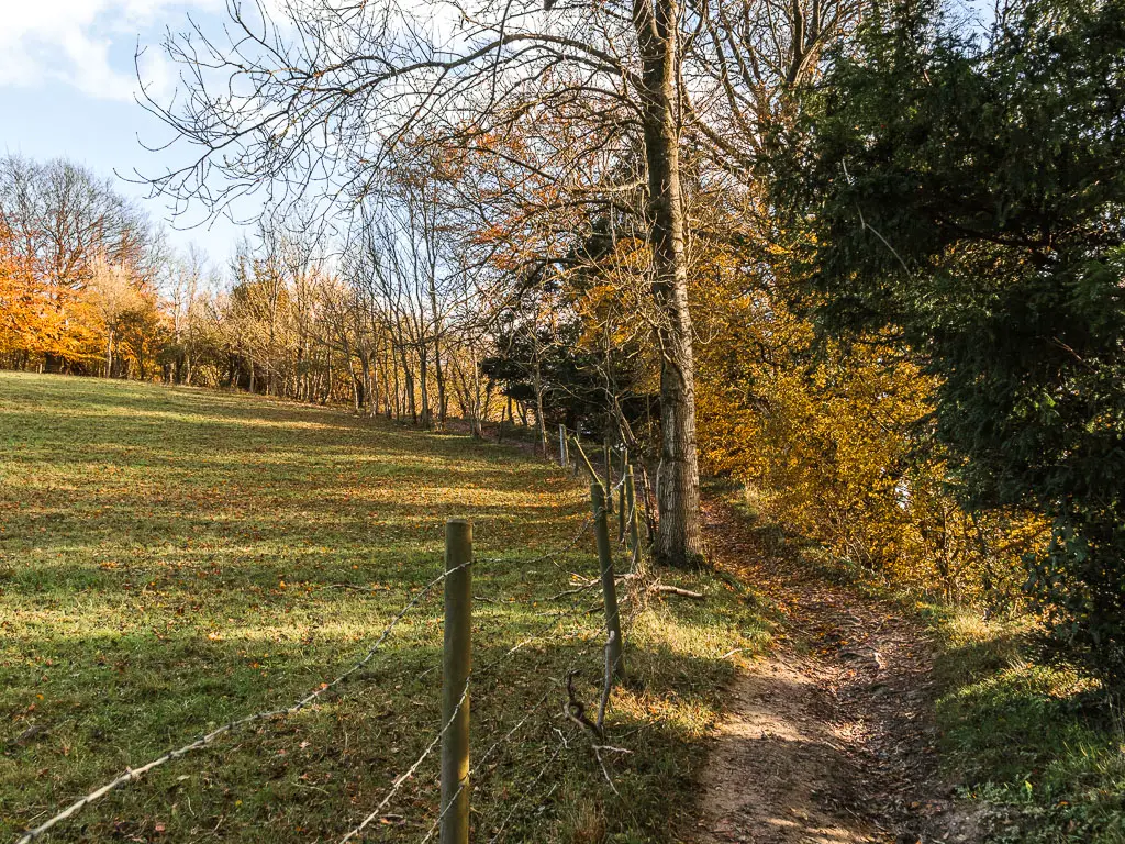
This will lead you out of the trees, and passed some more houses with horse fields.
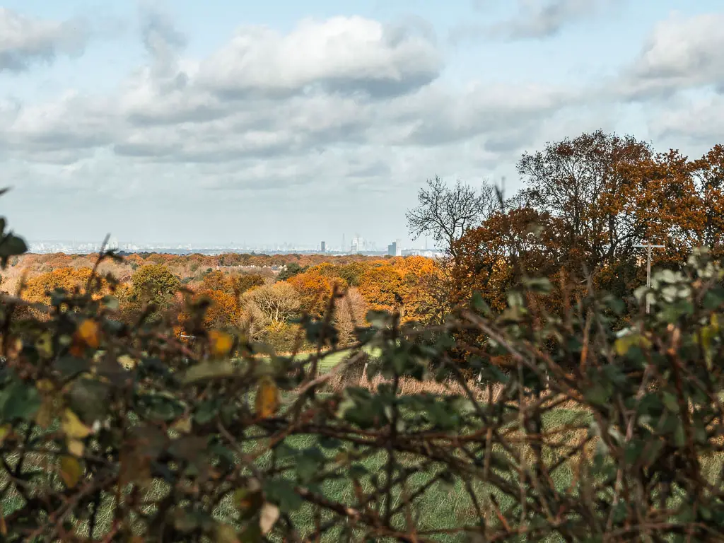
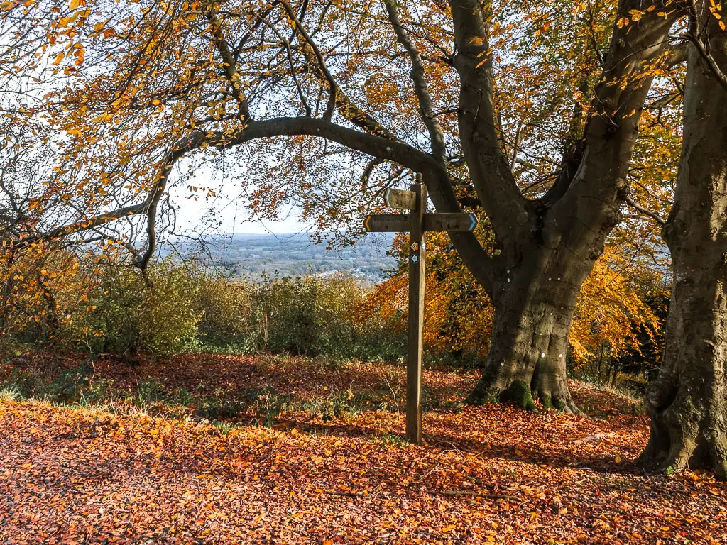
Views to London
When you reach the road corner, stay straight with the hedge to your left. Along here, you should be able to see the London Skyline to the left over the hedge.
At the next junction, with a big sign marking the gateway to the Surrey Hills, turn right.
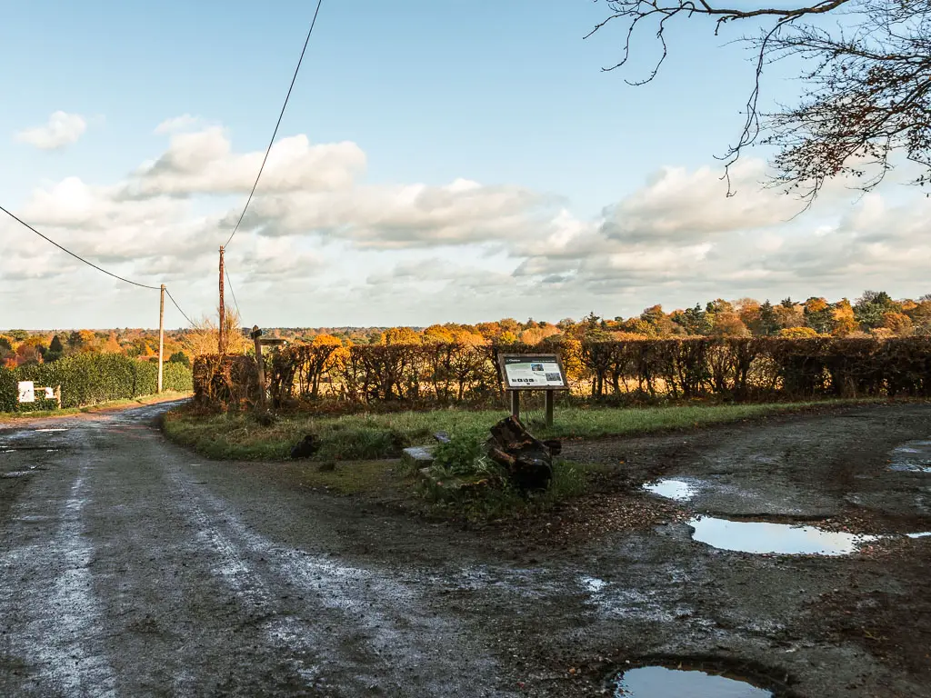
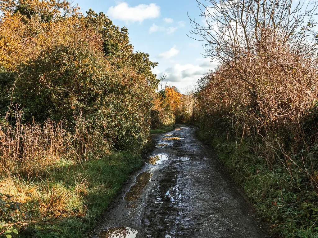
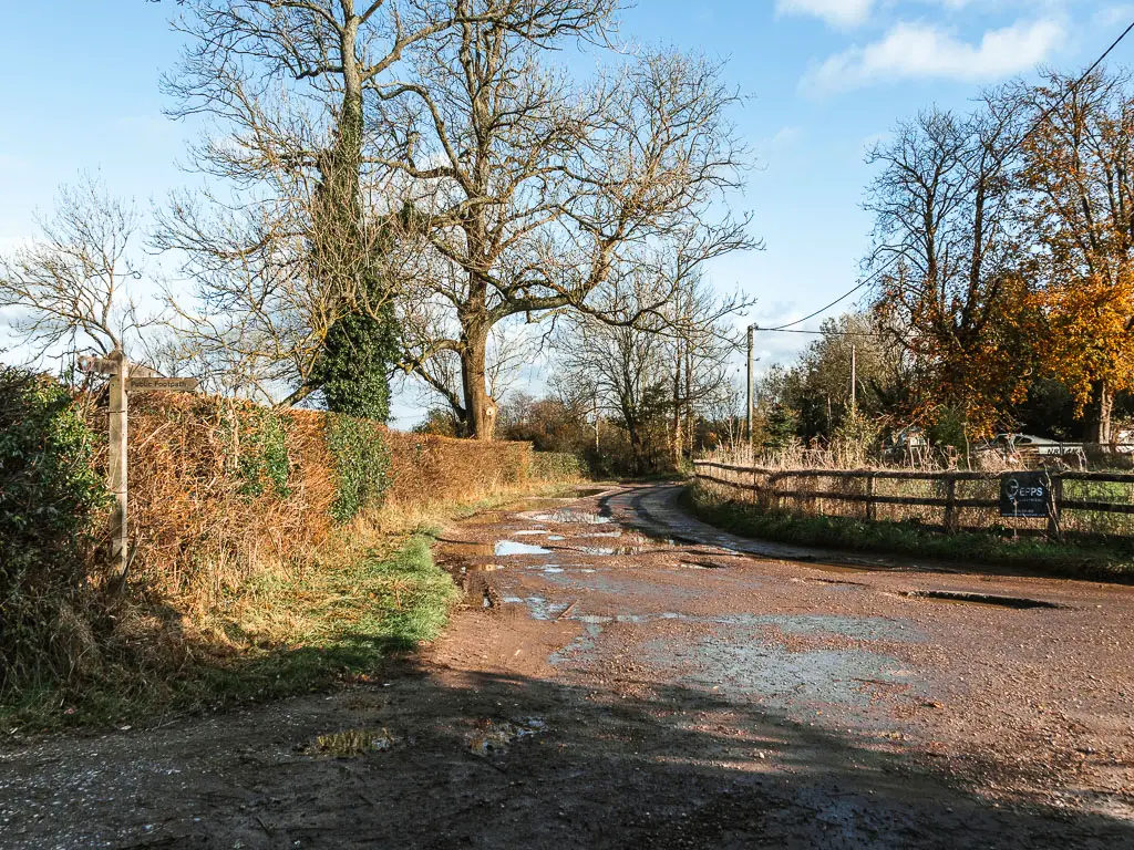
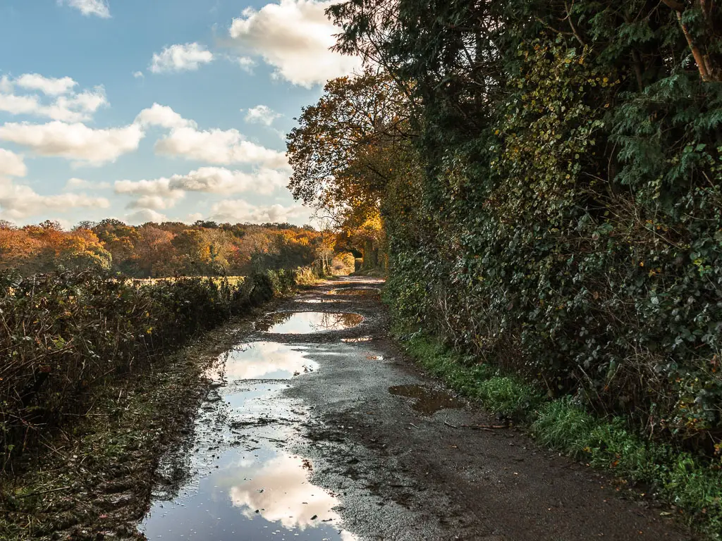
You will now be on a dirt road path, which could be very puddle filled after rain. Keep following it all the way to reach the road.
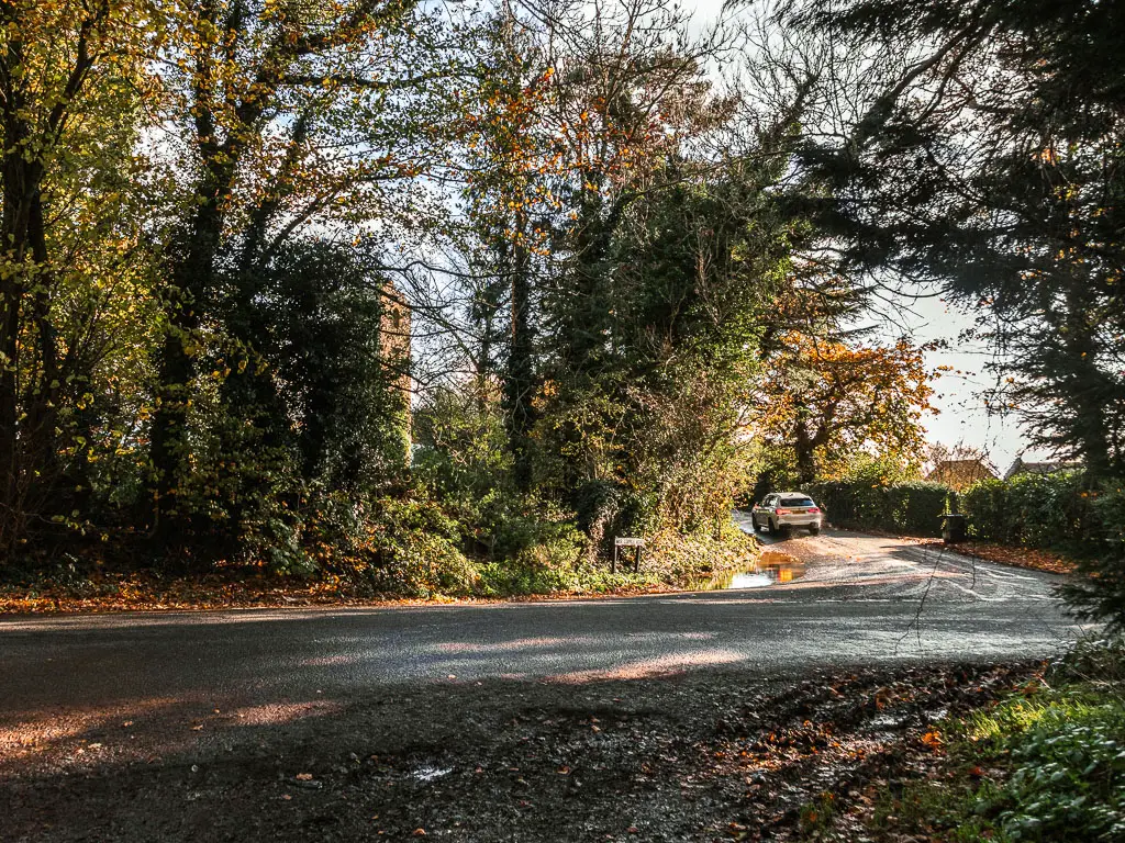
Whitehill Tower
From the road, you should be able to make out a tower through the trees ahead. What you want to do is cross the road, onto the road ahead, so you walk with the tower to your left. You will get a better view of it soon.
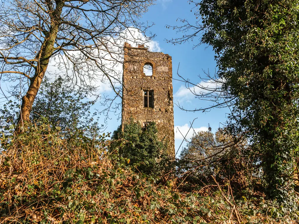
This is Whitehill Tower. It was built by someone called Jeremiah Long on 1862. Apparently you have a great view from the top, which would suggest you can climb up it. I wasn’t sure how to do this as it was behind what looked to be a private wall and gate. So I continued on.
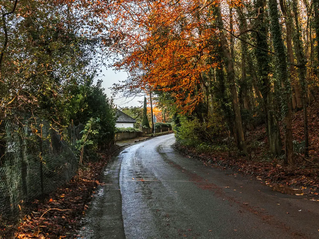
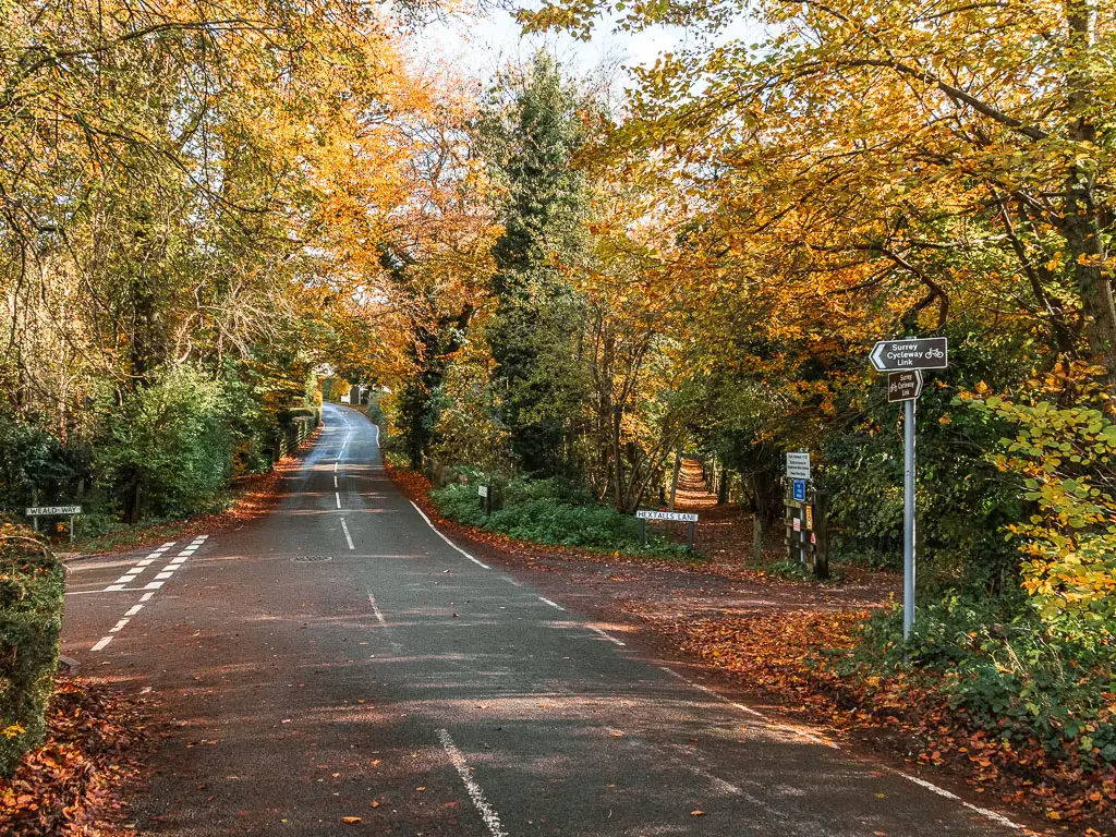
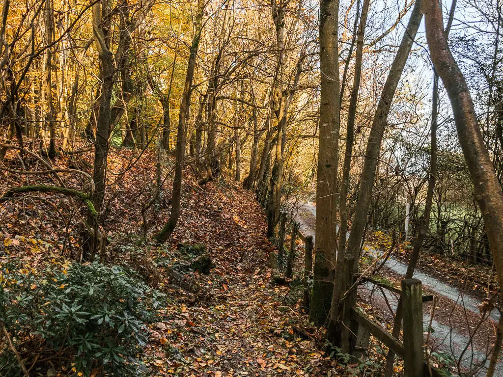
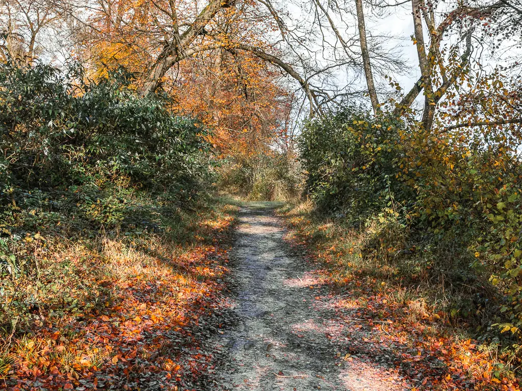
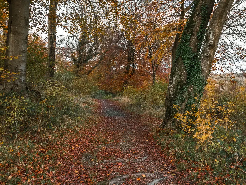
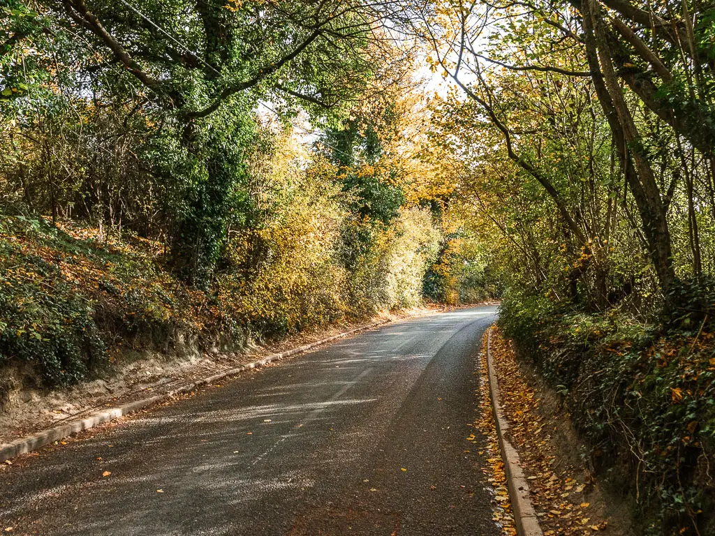
The road and the woods
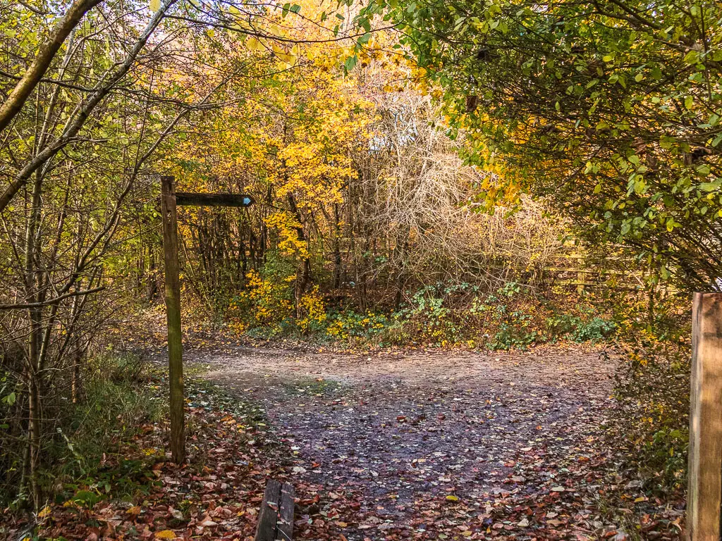
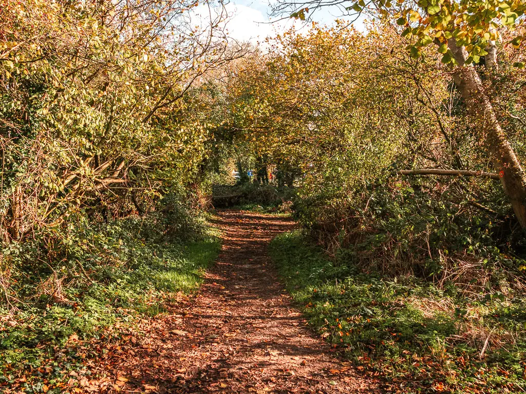
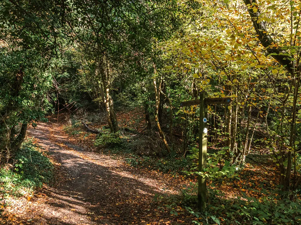
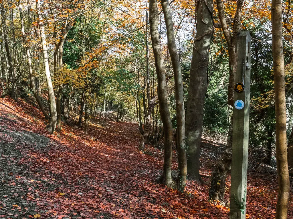
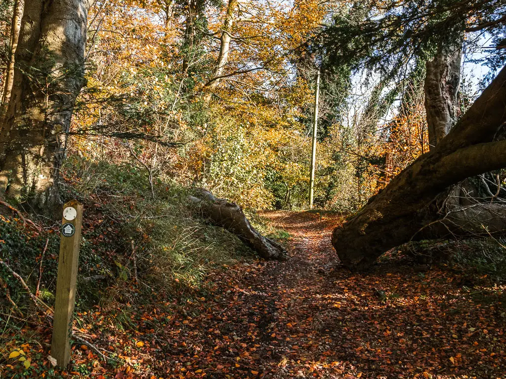
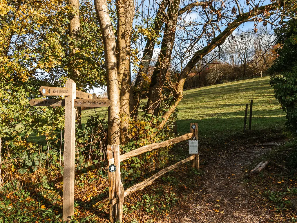
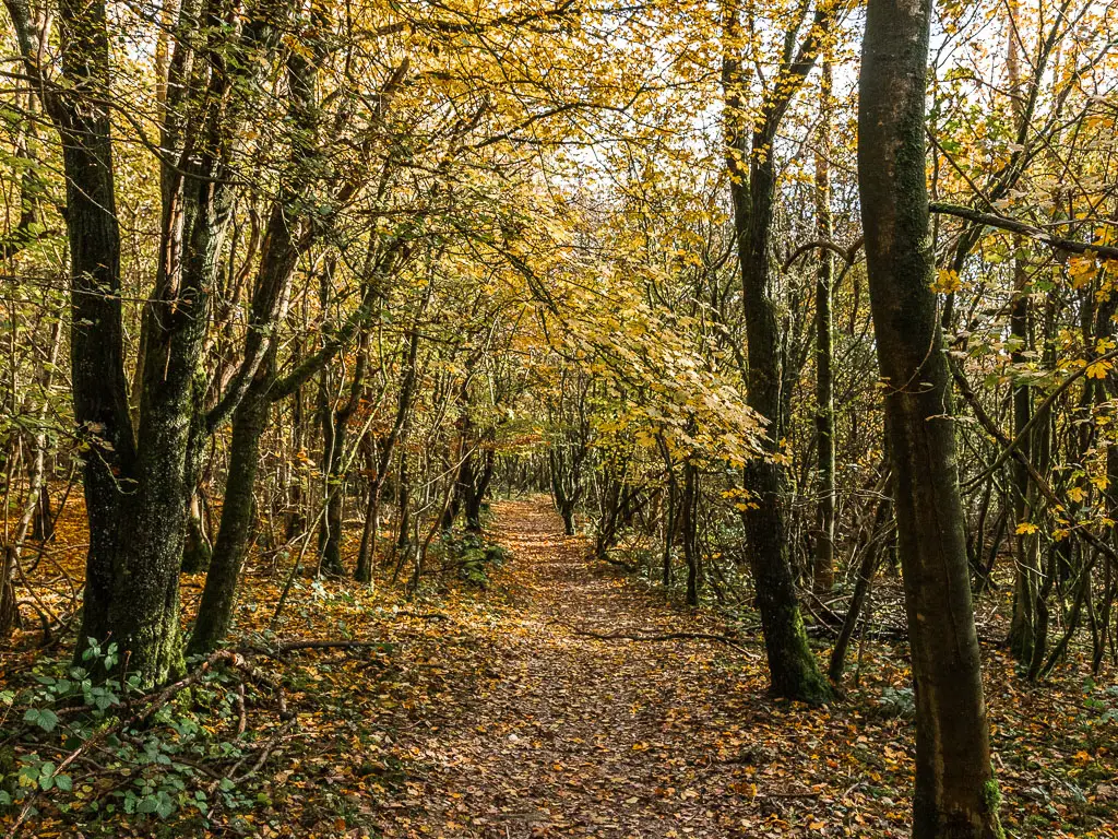
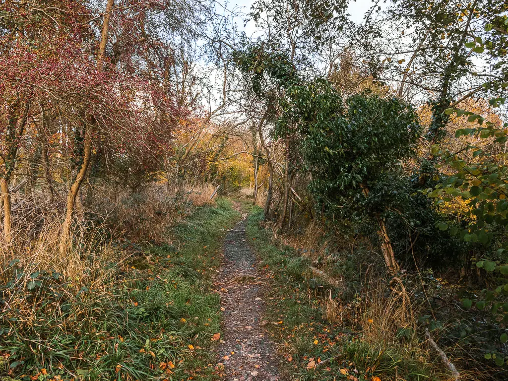
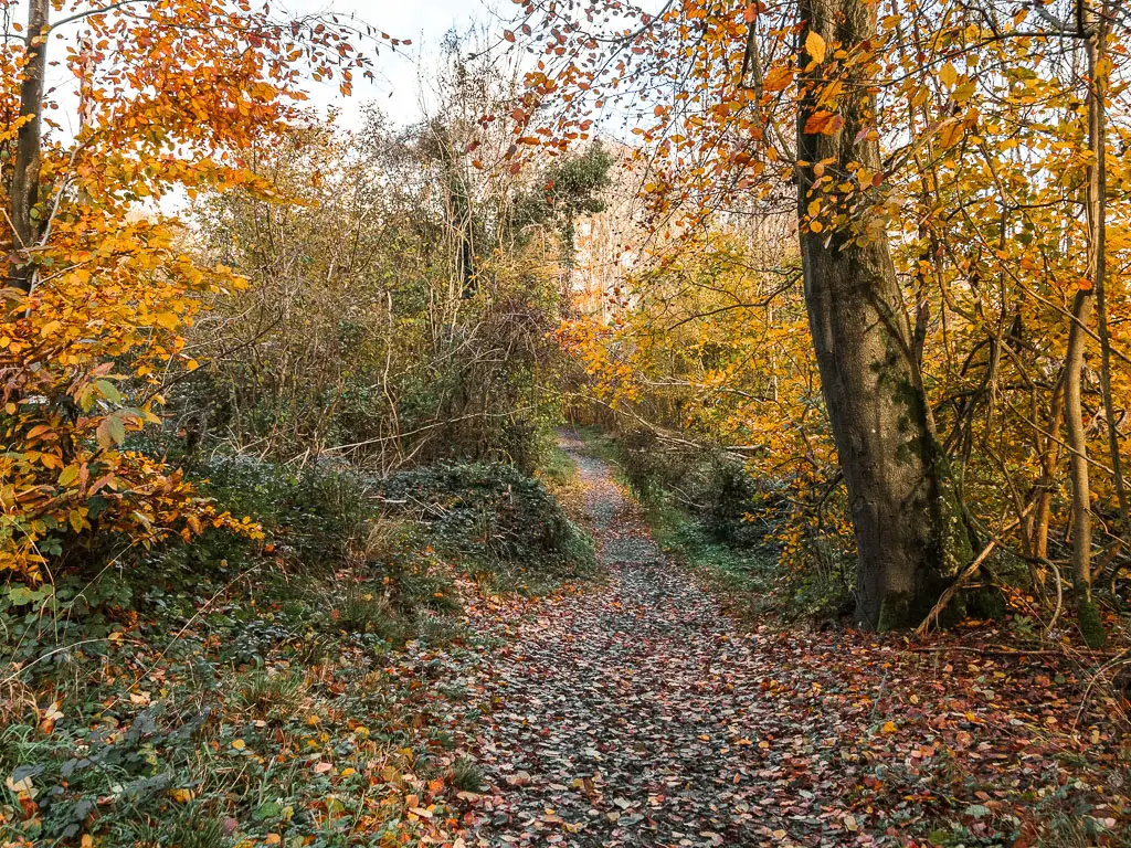
You will be walking on road now for about half a mile, passing by some houses, and lined with trees. When you reach the sign that says ‘Surrey Cycleway’ at the crossroad, take the trail on the right that leads straight ahead.
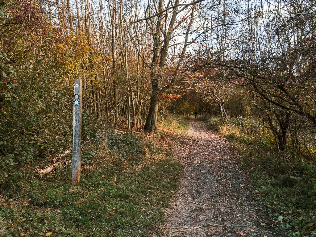
You will now be walking through some woodland. Stay on the main trail at the first two junctions with signposts (see photos below).
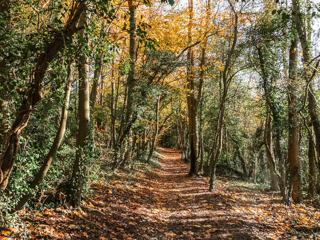
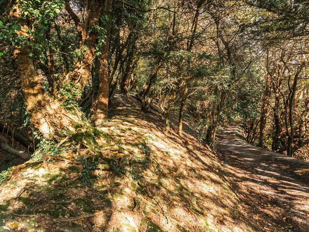
The trail becomes quite interesting. I’m not quite sure how to describe it.
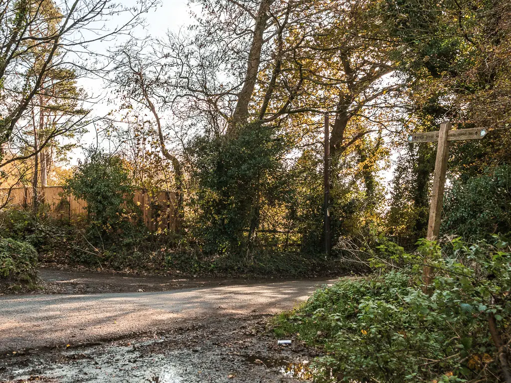
Then at the next point with trail offshoots, stay on the main one straight. This will lead you to the road. There are no NDW signs here telling you which way to go next (or I missed it).
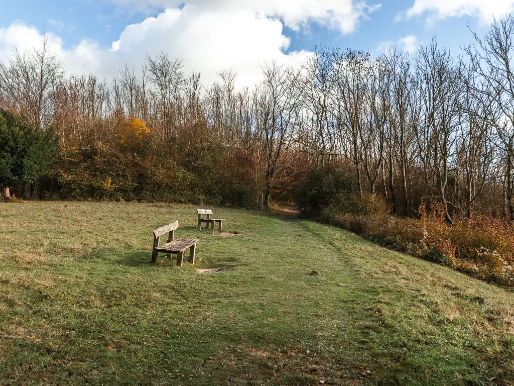
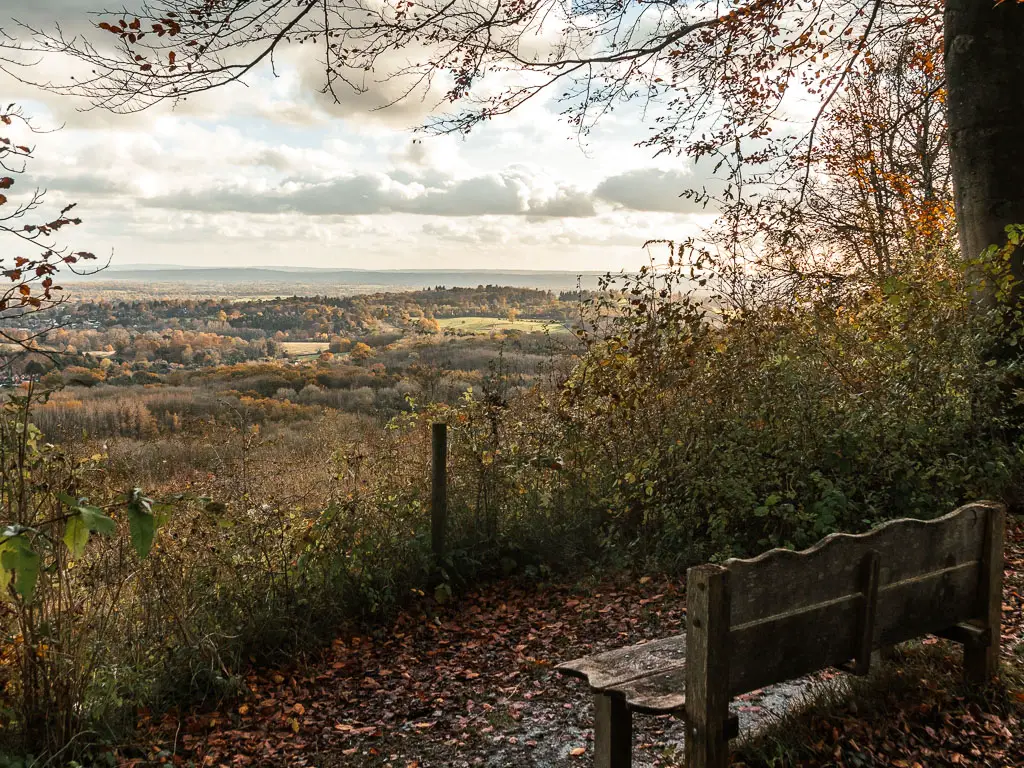
The halfway point in the walk between Merstham and Oxted
At the road, turn right and you will see a large green with benches, and a grand view across the Surrey hills. This is the halfway point in the walk from Merstham to Oxted.
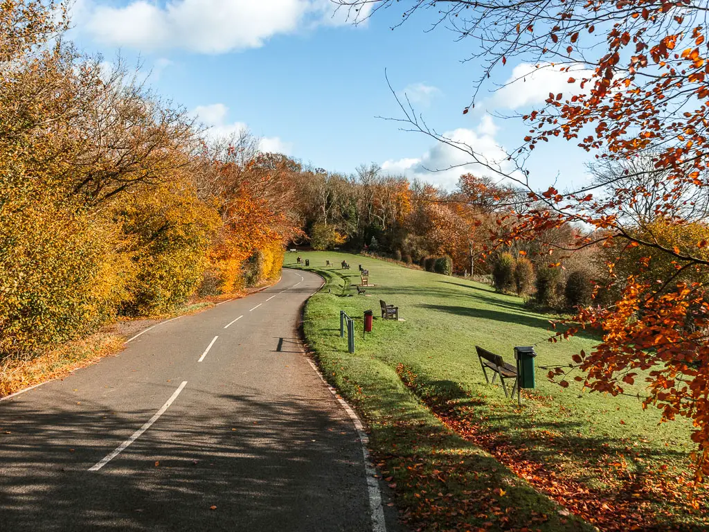
Walk to the other side of the green, and pick up the trail which leads to the right.
This will take you on a path through the trees passing by a few openings with viewpoint benches.
Passing by all the views with benches, I did wonder, as lovely as the views are, I’m not sure how relaxing it is with the noise of the M25 below.
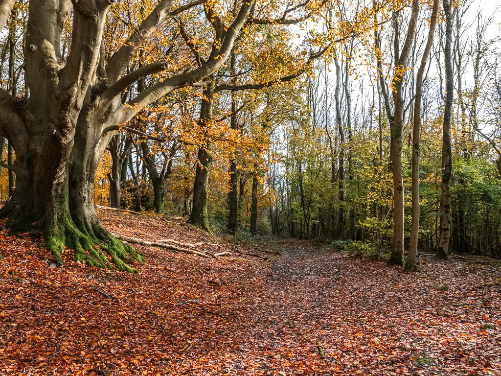
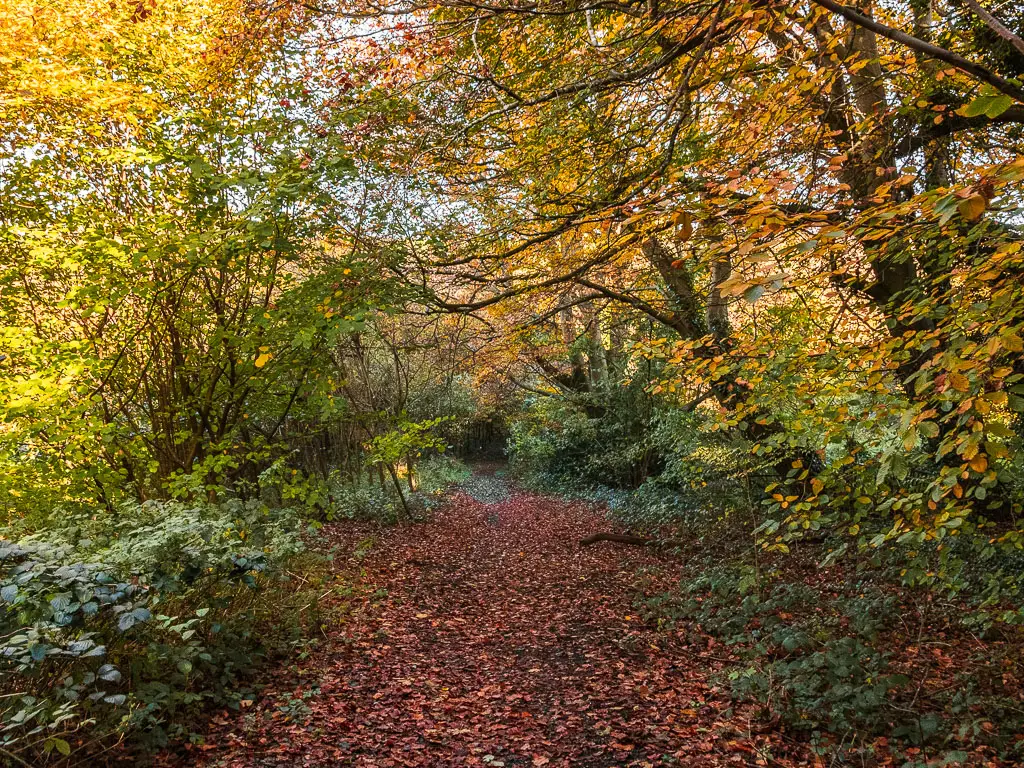
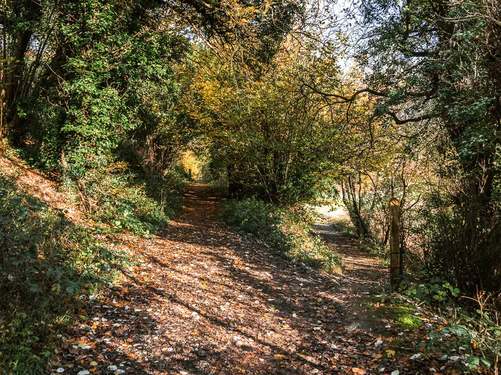
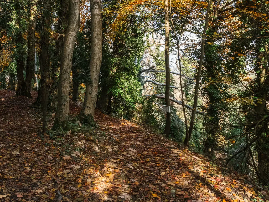
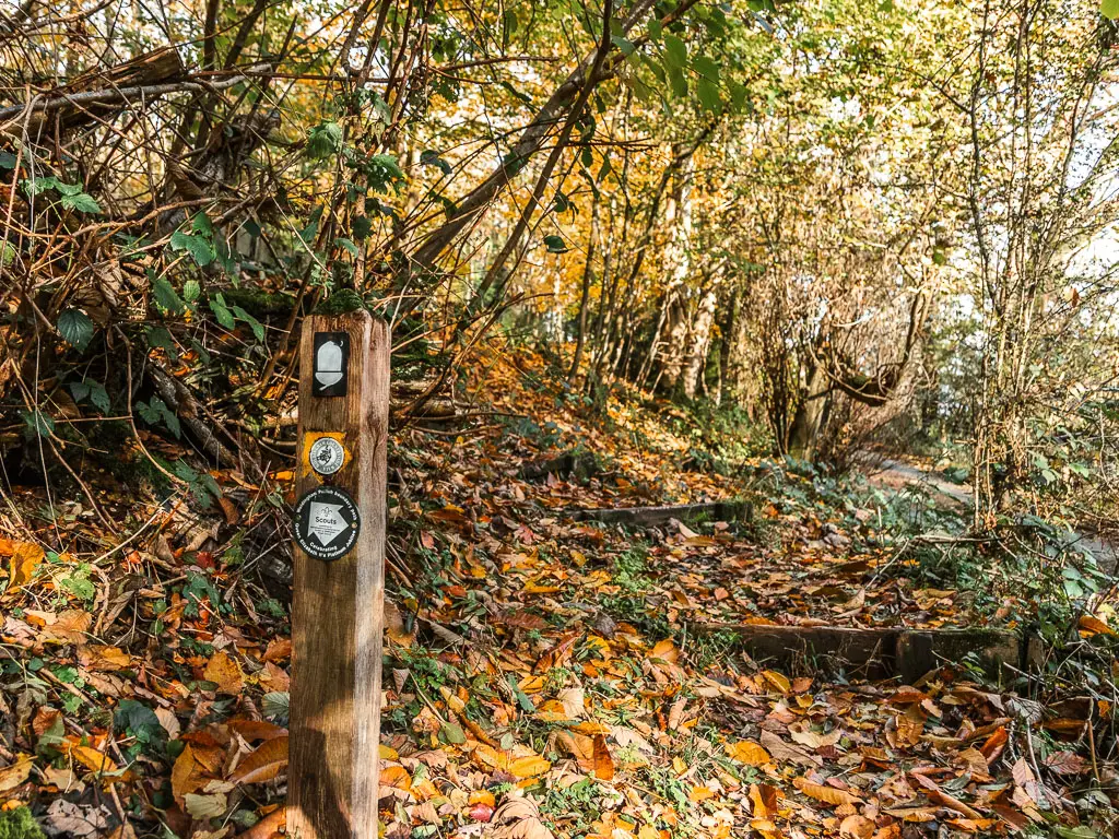
More woods
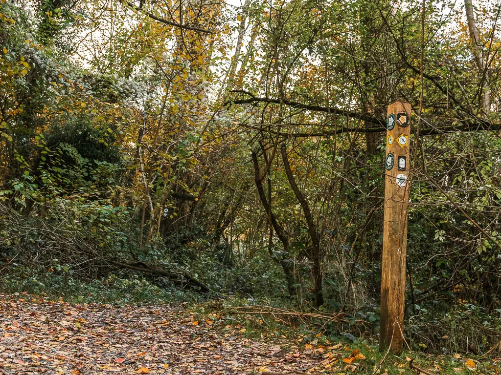
You will continue through the woods for a little. Staying on the main trail, past a wooden stump with a NDW sticker sign.
In the photo below, stay on the main path (not the left one).
At the next sign, take the steps down on the right.
The trail will lead you to another signpost, where you also take the right down some steps.
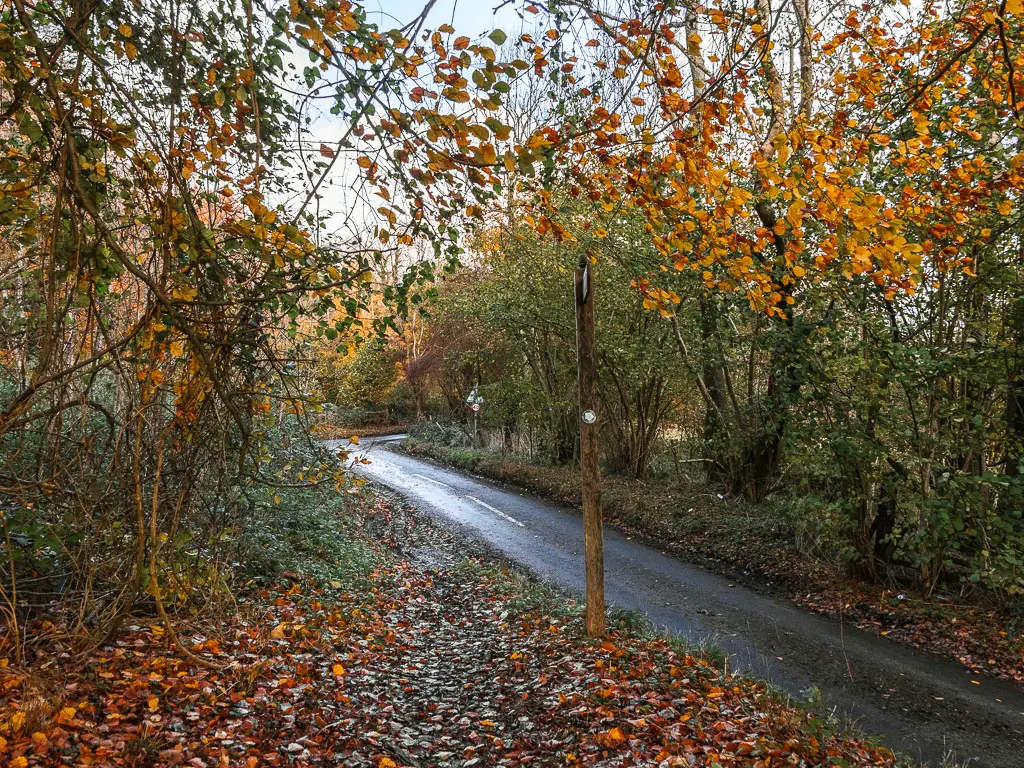
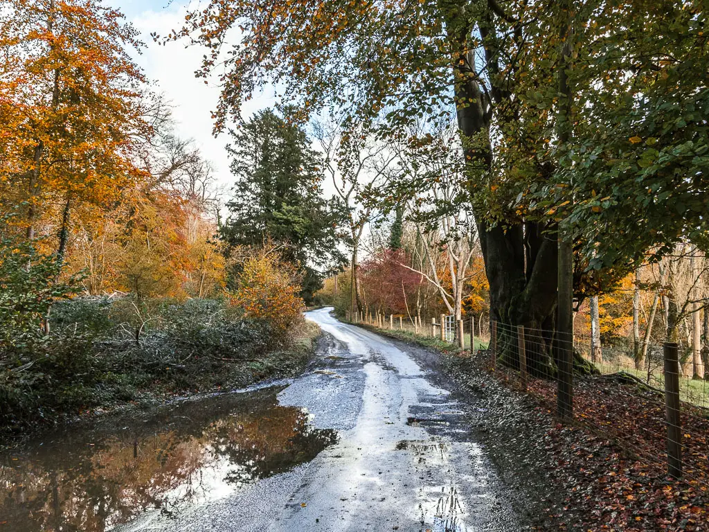
Some more roads
Keep following the trail to reach the road, where you turn right to walk across the bridge over the A22.
Follow the path, then at the junction, turn right.
Now, a short way along, look out for a wooden stump next to a small offshoot path on the left. Take it. This will lead you down to a road, with some buildings on the left.
Cross over the road to pick up the trail on the other side. This trail will take you back up a small hill, then at the next road, turn right.
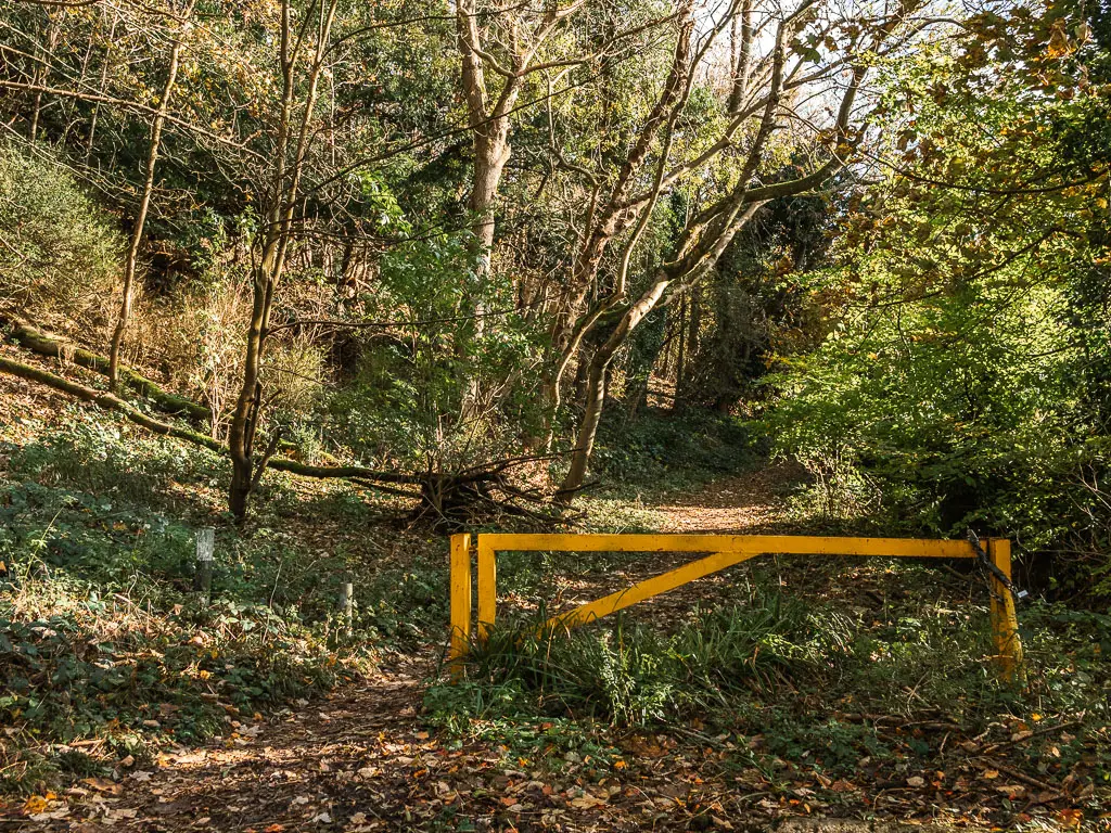
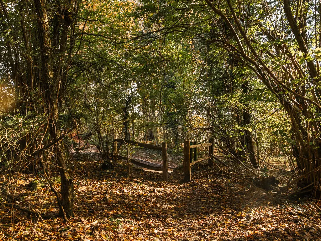
Follow this road, which will lead you to a yellow barrier and back onto a trail through some woods.
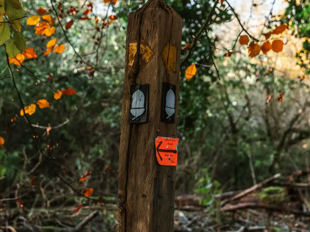
Continue along the trail, passing by a series of wooden stumps with NDW arrow stickers.
This will lead you to another road. I did say there is lots of road.
Straight ahead, you should see a wooden trail signpost. Cross over the road to take the trail next to the sign.
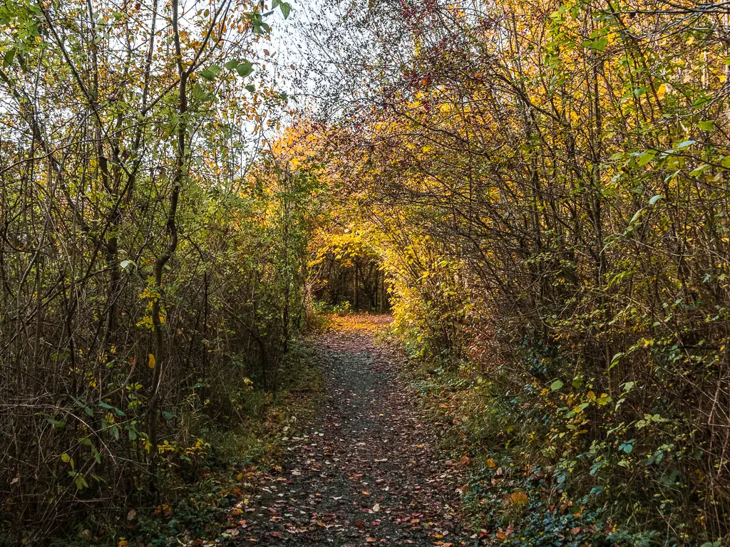
This will lead you around the edge of a hill field, and then into the woods again.
The view
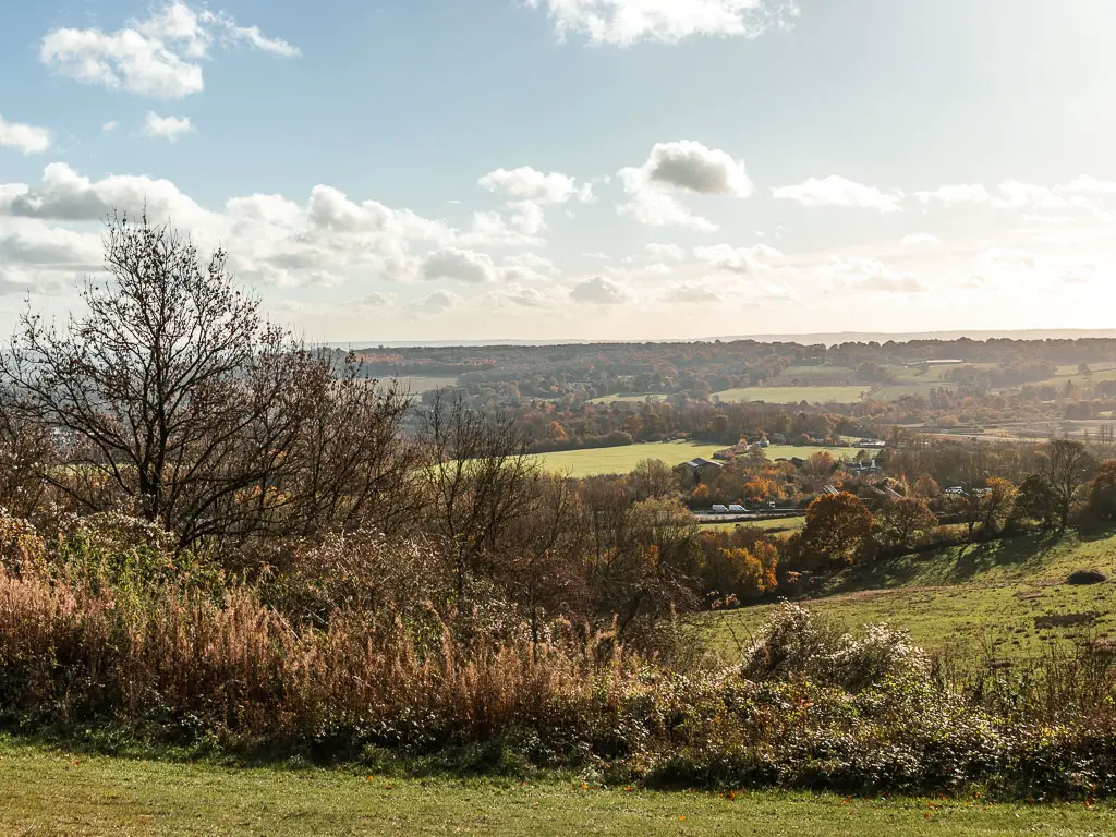
A short way along, you will be out in the open, with a really wonderful view and nicely placed benches.
At this point, it’s a while since the last good view. Savour it, as it will disappear again. However, towards the end you will be treated with probably my favourite views of the walk between Merstham and Oxted.
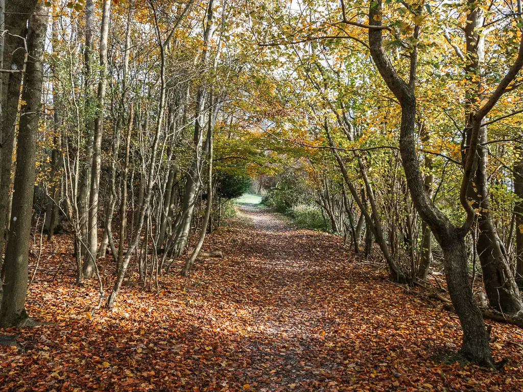
The last lot of woods
Continue on the trail into the woods again, passing by a couple of wooden stumps with NDW stickers. Then at the next main wooden signpost, continue past it, following the NDW arrow.
After a little bit more woodland, you will reach another road, which you go straight across to pick up the wide trail on the other side.
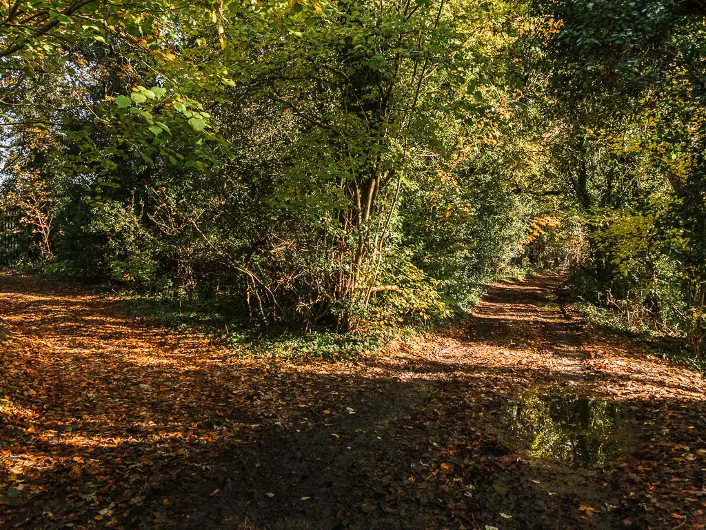
After more woods (it might not sound like it, but I was enjoying the woods, with all the crunchy autumn leaves on the ground), you will reach another road.
This one is odd. There is a gate, but I’m not sure of the purpose of it. You will know what I mean when you are there. Next you skirt along the left side of the road. At first, I wasn’t sure that I was on a proper path, but the good old wooden stump with arrow stickers showed up to reassure me.
The stump arrows will point you up a few steps, after which you continue walking parallel to the road, on a trail that is less obvious….or could it be that the autumn leaves obscured it.
You will soon be on, guess what? Another road. Continue straight along the road, then turn right at the junction.
Someway further along the road, you will see a wooden trail signpost on the right, pointing to a couple of trails. Follow the trail which goes parallel to the road.
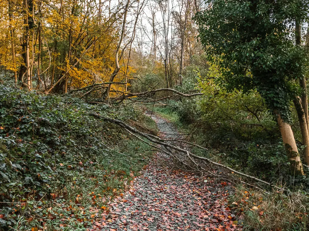
It was along here that I found my first tree obstacle. I had been wondering when one would show up. We had just come out of a big big storm, so I was expecting more.
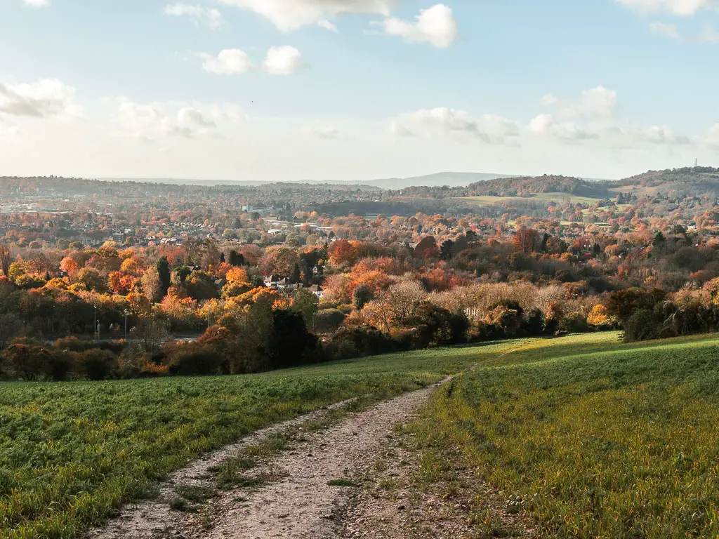
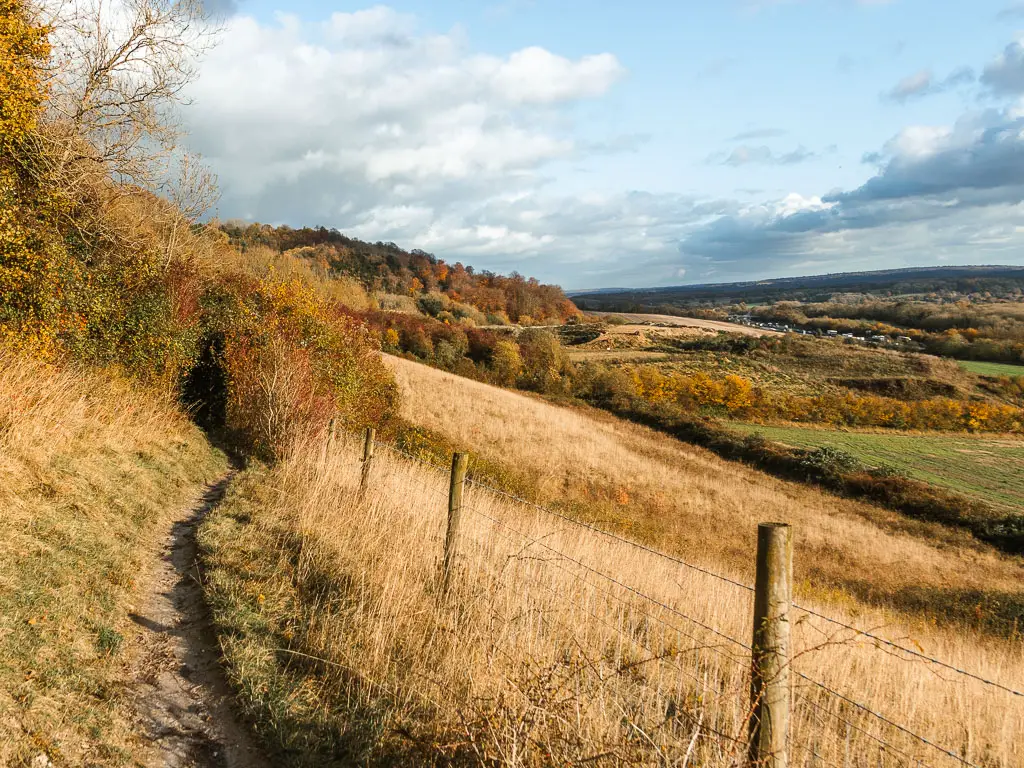
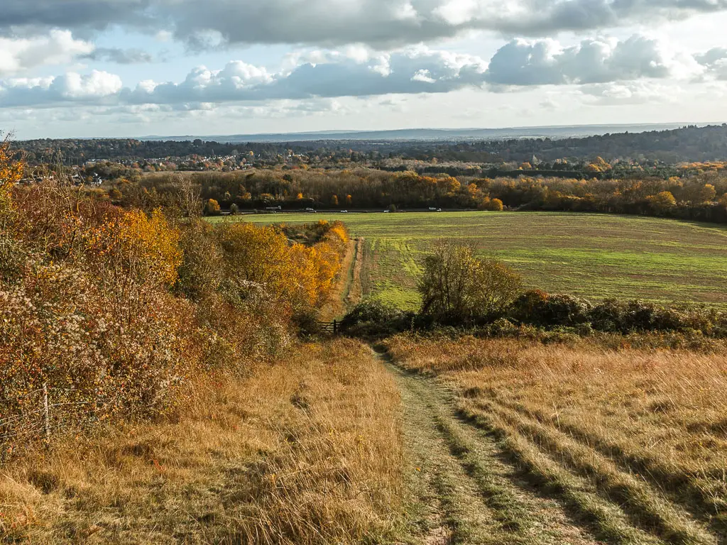
All the best views and my favourite part of the walk between Merstham and Oxted
Keep going, then at the trail split, turn right to walk down the hill.
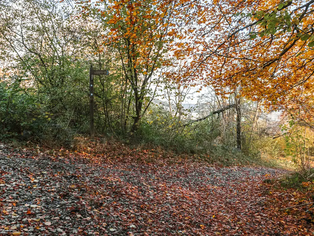
At the next junction with a trail signpost, turn left.
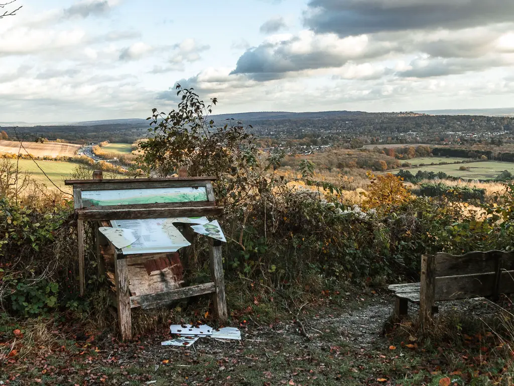
Further along you will reach a wonderful viewpoint (with a broken information board). I had a look down at the M25. Knowing I would have to cross it soon, I tried to figure out where that crossing would be. I couldn’t see anything, so had to just trust that the trail would do me right.
Back through the woods, and past another viewpoint with bench, you will reach a junction with a wooden stump sign and sticker. Follow the trail to the right and down a whole lot of steps.
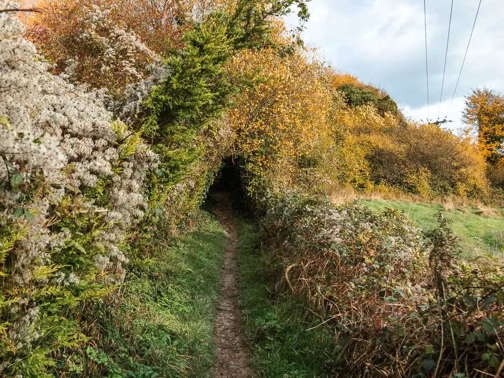
The trail will then become very narrow as it takes you to the left, leading you back out of the trees for all those good views again.
This next bit is my favourite part of the walk between Merstham and Oxted. The trail leads along the side of the hill, with a wonderful view to the undulating hills ahead. Woodland isn’t my favourite thing. This is more my vibe.
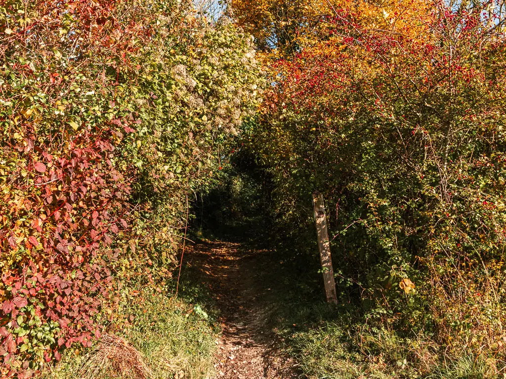
You will then be lead through an ‘adventurous’ bush tunnel where you will need to squat and walk.
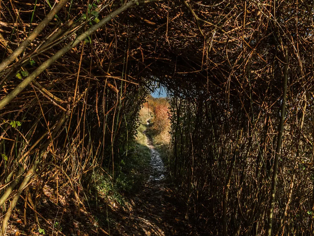
When you reach the gate, go through it and walk down the hill.
The final stretch of the walk between Merstham and Oxted
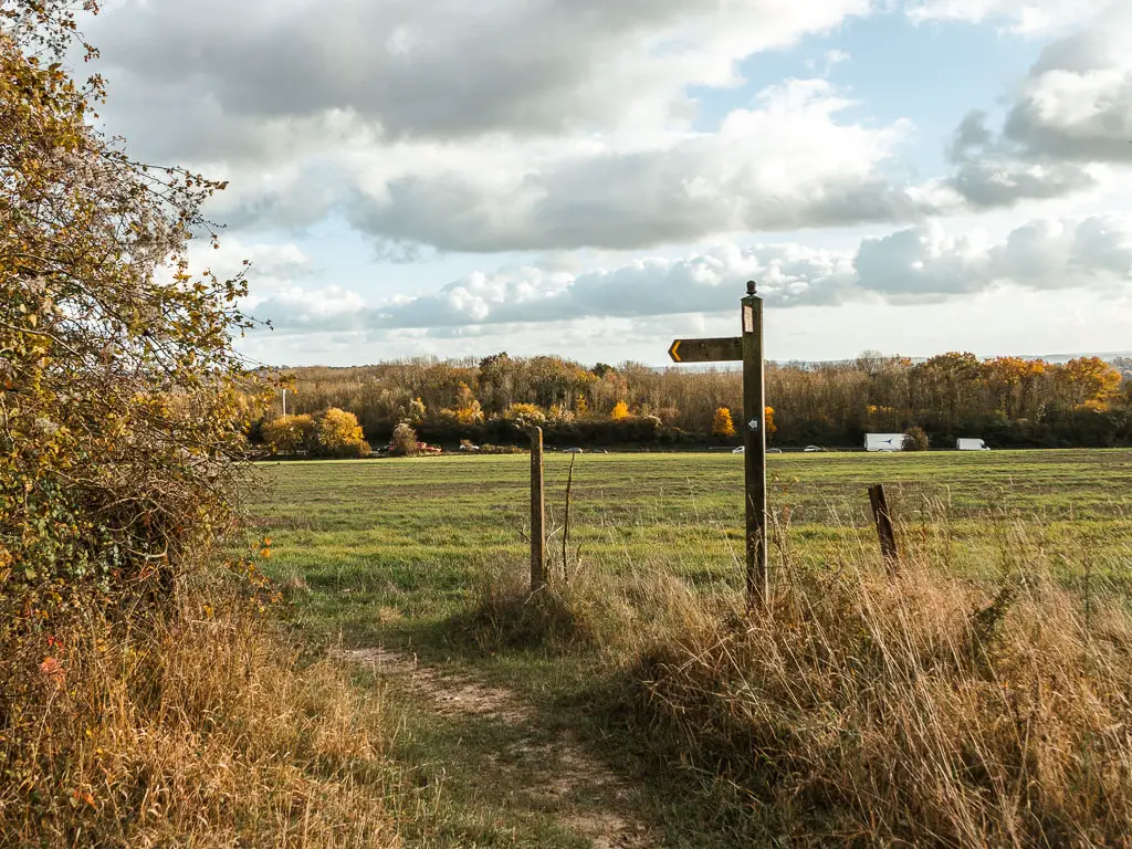
Continue down the hill, through a gate, and then turn left at the wooden signpost to walk along the edge of the field.
At this point I check the train times. I then checked google maps. Apparently my current pace would have me at Oxted station 3 minutes too late to catch the next train. If I missed that train, I’d have to wait an hour for the next one.
If I made it in time, I would be home and showered before the next one even arrived. So I started to run.
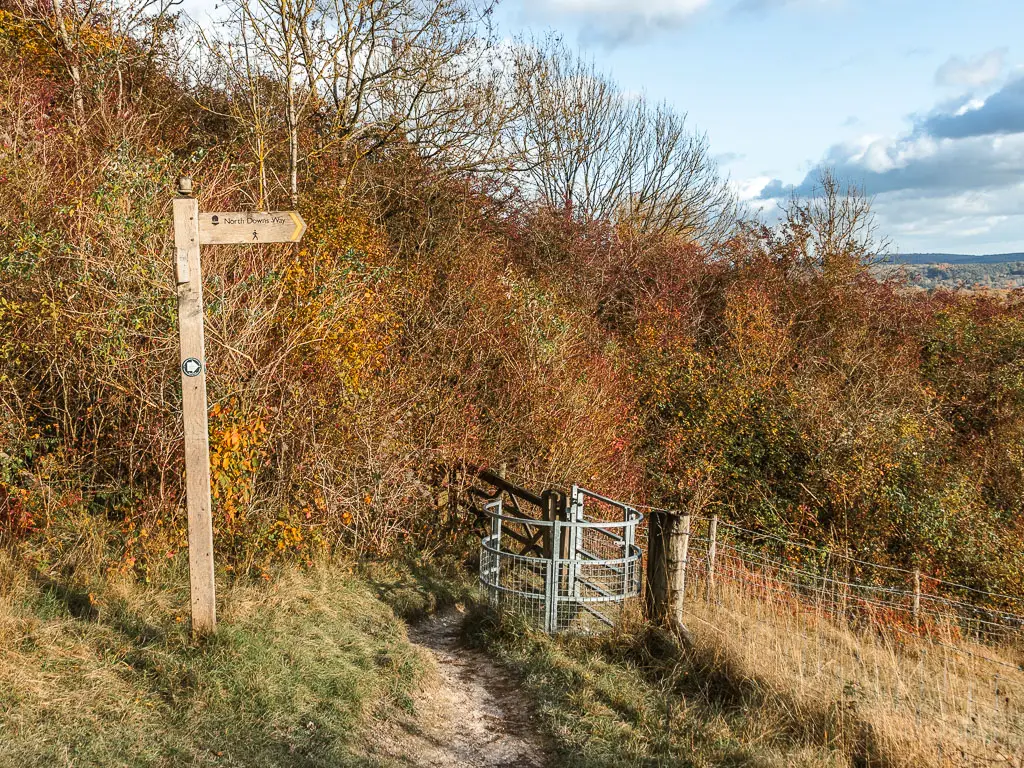
Near the end of this field, go through the gate to the left. Then at the road, turn right.
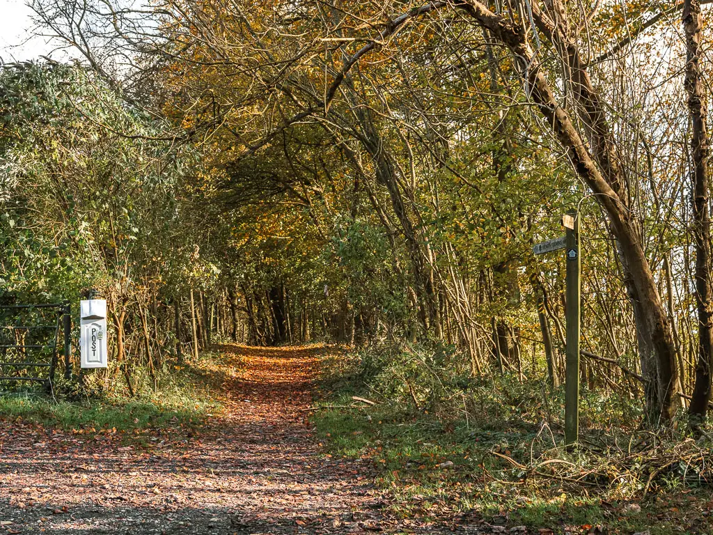
A short way along the road, you will see a trail and wooden signpost to the left. This is the NDW. So if you want to continue the trail, then follow it. If you want to walk to Oxted, then stay on the road.
The mystery of the M25 crossing is solved as you walk under the bridge below it. Then after this you will reach a residential area. Now it’s all the lefts…..
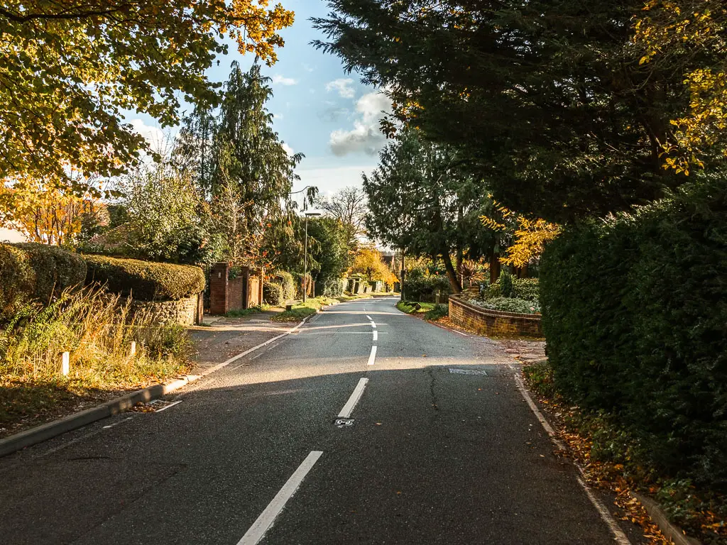
At the junction, turn left. At the next junction, turn left again. Then at the next junction, look left and you will see the Oxted Station sign.
Follow the Station approach road and you will reach it.
Read next: Stage 5 Oxted to Otford
2 comments
Hi Zoe. Happy New Year to you. Thanks for another great adventure. This one looks more twisty than many of the others. There seem to be more opportunities to take a very wrong turn — unlike your Dover-to-Deal trek, for example, which I faithfully undertook last September. Do you normally find your way using GPS or an ordinance survey map? Have you ever gotten truly, hopelessly and alarmingly lost (as in, “it’s growing dark and I have no idea where I am”)?
Hi Dan. Yes, more navigation is definitely needed! I usually use GPS on an app. I use AllTrails. You know what, I have never been that kind of lost. I have been out hiking where it’s gotten dark with some miles to go, and not being able to see anything because its so dark, so having to rely on my dot on the GPS on my phone to see where im going haha