This circular walk first takes you across the memorial bridge, then up to the summit of Box Hill, for a fantastic view down to the town of Dorking. You will then walk through the Box Hill woodland, before things open up for another great view across the Surrey Hills.
You will see the immaculate road built for the Olympics. Then after descending Box Hill, will finish the walk across the famous stepping stones.
What I’m going to do in this guide, is first give you an overview of the Box Hill circular walk. I will then provide full logistics, with a map of the walking route, followed by a detailed description of the full circular walk around Box Hill and across the Stepping Stones. There will be photos for every step of the way.
At the end, I have provided suggestions of other walks near Box Hill if you would like to explore something else. But first….
What to expect on the Box Hill Stepping Stones walk
It’s very very hilly. Well, there aren’t loads of hills, just two big ones with steep climbs…and lots of steps. I will tell you a bit more about them when I describe the Box Hill walking route further down. The hills are worth it though, as you will be rewarded with some of the best views from the top.
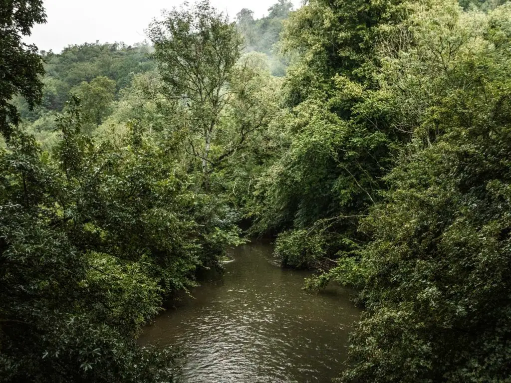
You will cross over the River Mole twice on this walk. One time using the bridge, the other time using the stepping stones.
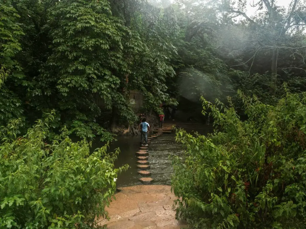
The walk across the stepping stones and up Box Hill is actually quite a famous one in this part of the country. Most people (if not all) who like to hike, know about it, and those that don’t, have probably heard about it. It’s one of the most well known hills in the North Downs, alongside the nearby Leith Hill.
There is also a very special road. It’s special because it was resurfaced for the Olympics and is perfectly smooth. Now a popular haunt for the cyclists.
Box Hill fun facts:
- It gets its names from the ancient box woodland on the top of the hill
- Box Hill was bought by a guy called Leopold Salomons in 1914 to protect it from development. He then donated it to the National Trust.
- The highest point is 224m, however, the famous viewpoint near the top of Box Hill is lower down at 172m. You will find Salomans memorial at the viewpoint.
- It is part of the North Downs Way long distance trail.
- The 2012 Olympics road cycling event came through here. It’s called zig zag road.
How to get to Box Hill
Box Hill is located just south of London, which makes it the perfect place to come for a day hike if you live in the city.
The local train station is Box Hill and Westhumble, which is where this walk starts from. You can get a direct train from London Victoria or London Waterloo, which takes between 35-50min depending on which train you get.
If coming by car, it’s south from London, just outside the M25. The nearest big town is Dorking. The nearest villages are Westhumble and Mickleham.
Do you have to pay to visit Box Hill?
You don’t have to pay to walk up Box Hill. All you need to pay for is your train ticket to get there, or for the car park if you drove.
Tips for the hike up Box Hill
- Waterproof hiking boots. This will help with grip on the hills. If it’s raining, there will be mud and big puddles. If you only have trainers, that’s fine. I just advise against going in the rain unless you are OK with very wet feet.
- As this is one of the most popular places to come for a walk in the Surrey Hills, it can get quite crowded on summer weekends. So I would avoid it during these times.
- When the River Mole levels are high, the stepping stones can disappear. So if you arrive and cannot see them, don’t panic that you have gone the wrong way. Just follow the river to reach the bridge.
- If you don’t want to do the full hike, Box Hill is actually a short walk from the railway station, so once you reach the summit, you can chill out there, then head back the way you came. The is a lot of green at the top, making it a great place to hang out with a picnic.
Parking for Box Hill
If you do decide to drive to Box Hill, there are a few car parking options. Firstly, there are two up near the Box Hill viewpoint. One is called Box Hill main car park (next to the visitor centre), the other is called Box Hill East car park. Post code: KT20 7LB. Both are National Trust, which is free if you have a National Trust membership, otherwise it’s PayByPhone parking. It costs £6 for the whole day, £4 for up to 4 hours (as of summer 2023). If you want to avoid the big monster hill climb, then these would be the better option.
If you want the torture (which I recommend) then I suggest parking at the bottom somewhere. There is a car park at the Box Hill and Westhumble train station, and another near the stepping stones. I can’t see it marked on Google Maps, but it’s located just off the A24. If you look up the location of the stepping stones, you should see a little road off the A24 near them. In my Box Hill walking route description below, I walk through this car park, so you can see roughly where it is.
If there are no spaces at any of these, then there is another one located just off the roundabout on the main road. Post code is RH5 6BX. There are various others dotted about, with access to hike up to Box Hill, but the ones I have mentioned are the best ones for this particular walking route.
My plan for today was not actually to do this particular walk….
I had instead set off with the idea that I would be walking section 3 of the North Downs way and walk from Box Hill and the stepping stones to Merstham.
About an hour earlier, I had checked the weather and saw that this area had no rain forecast, whereas in London, it was about to start raining. I grabbed my stuff and rushed to catch the next train down….
Once I arrived at Box Hill and Westhumble station, I found myself in the middle of a monsoon. Here is a video to show you:
I stood there thinking about my next move. Do I go back home, or wait it out and hope for the best? I checked the weather again, and apparently the rain would stop in about 30min, although, at this point I wasn’t sure I trusted the weather forecast anymore. The next train back into London wasn’t for 30min so I guess that decided that for me. I would wait.
Whilst the rain did lighten up, it didn’t stop. So I came up with a plan B. Do a different walk, something shorter. My original walk would have been 11miles. I didn’t fancy walking for 11 miles in the rain across the Surrey Hills.
So off I went. Although, I didn’t know exactly how far I would walk yet. I would just make my way to the Box Hill viewpoint and figure out the walk from there…
Logistics for the Box Hill circular walk
- Start/Finish: Box Hill and Westhumble train station, Surrey. If you have come by car, then I recommend starting at the car park near the stepping stones.
- How to get there using public transport: There are direct trains from London Victoria and London Waterloo, with a journey time of between 35-50min depending on the train.
- Distance: 4 miles circular route.
- Time: 2 hours.
- Elevation: You will walk uphill a total of 305m.
- Terrain: Dirt, mud, steps, grass, steps, steps, some road, lots of steps.
- Difficulty: Medium. The hills are a little challenging but the rest is easy.
- Amenities: There are some benches on the hike up Box Hill if you need a break. There is a cafe and public toilets at the National Trust visitor centre. This particular route doesn’t take you to them, but it’s near to the Box Hill viewpoint if you want to pop over. Near to the railway station, is the Stepping Stones pub.
- Time of year: I did the walk on a rubbish rainy summer.
Map for the Box Hill circular walk via the stepping stones
You can find my more detailed route map for the Box Hill circular walk on AllTrails.
route description: Box Hill circular Walk via The Stepping Stones
Starting from Box Hill station, head to the main road and turn right. Walk down it and past the stepping stones pub to reach the big road. Don’t worry, you don’t need to cross it. You can walk under it. The under road subway is to the left.
Once on the other side of the road, you will see a North Downs way signpost.
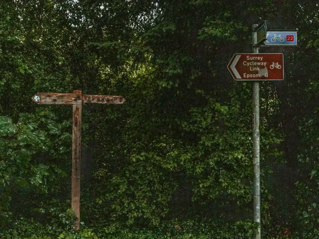
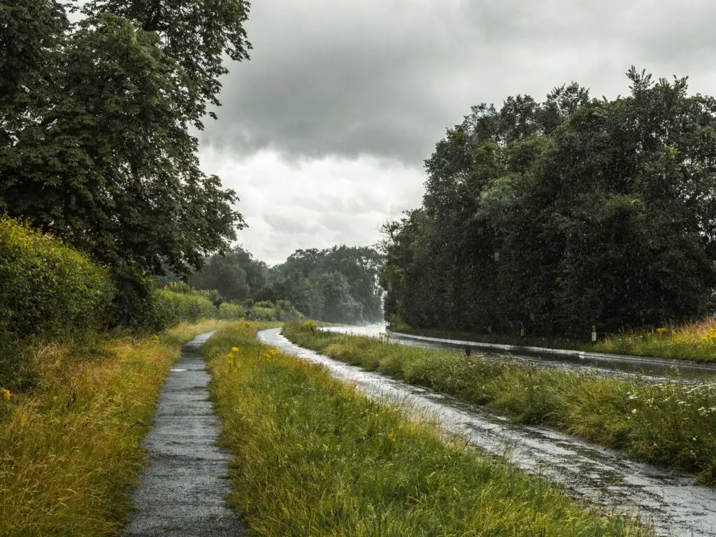
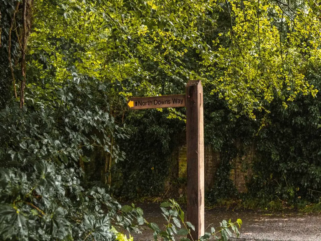
Follow it to the right. Further along this road you will reach another North Downs Way signpost pointing left through a car park and into the woods.
update: I’ve just been back to do the Box hill hike and seen there is another trail to reach it avoiding the road. The amount of times I’ve been here and never noticed it is a mystery to me. So instead of turning right, turn left, and the trail will be just there. Walk through the meadow and you will reach the bridge. You can skip the next section of this guide and pick up at the heading ‘hike up Box Hill’.
Memorial Bridge
Now, the bridge wasn’t in my plan. My plan was to walk straight to the stepping stones to cross over the River Mole. Except I took a wrong turn. If you want to go to the stepping stones, take the right trail from the car park. I took the left:
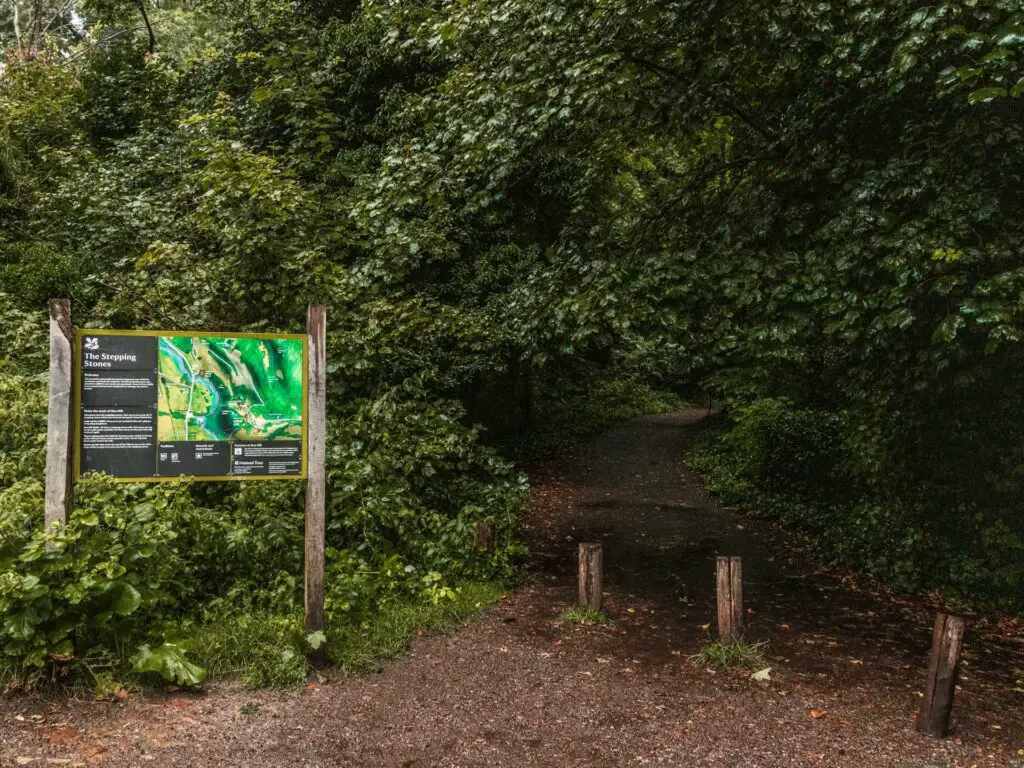
These trails meet later on so both will take you where you need to be. I ended up being quite happy with this mistake. The bridge was quite nice and featured a rope swing. Plus I could just catch the stepping stones on the walk back.
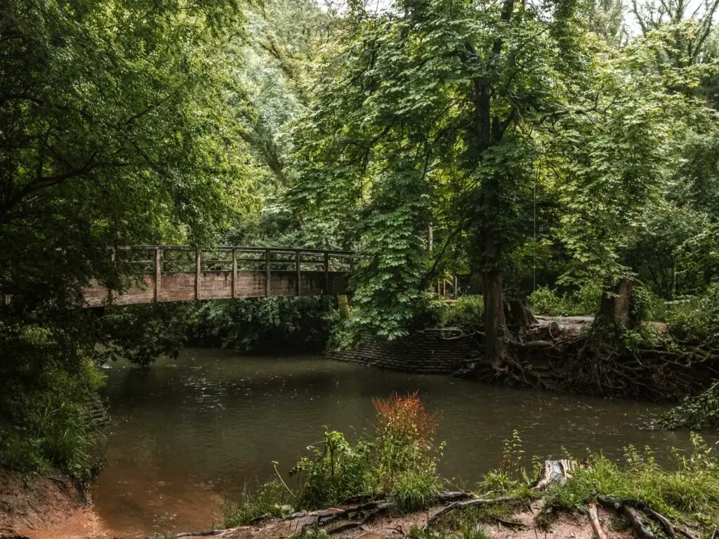
Hike up Box Hill
Across the bridge (if you went this way) continue following the main trail straight. This will lead you to a junction, with the right turn taking you to the stepping stones (this is where you go for the walk back). For now, follow the trail left which will lead you to Box Hill, or rather, those nasty steps your need to walk up.
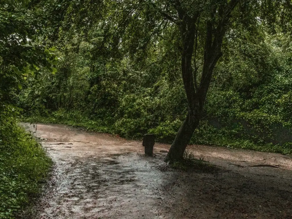
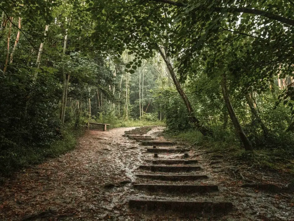
After a short while through the woods, you will reach the first of the steps. From here, you simply go up. The steps will end and you will think it’s over but then set steps return, getting steeper in the process. This little game goes on for a while. You will be walking uphill for a lot longer than you expected (well maybe not now that I have told you).
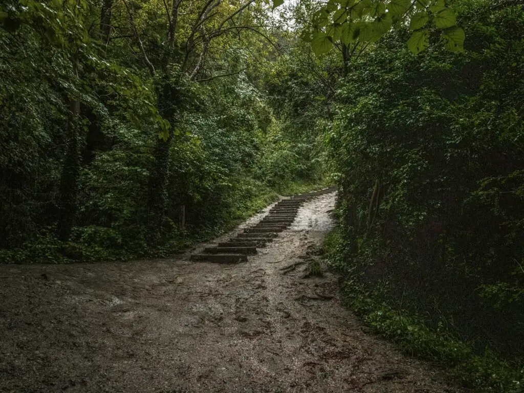
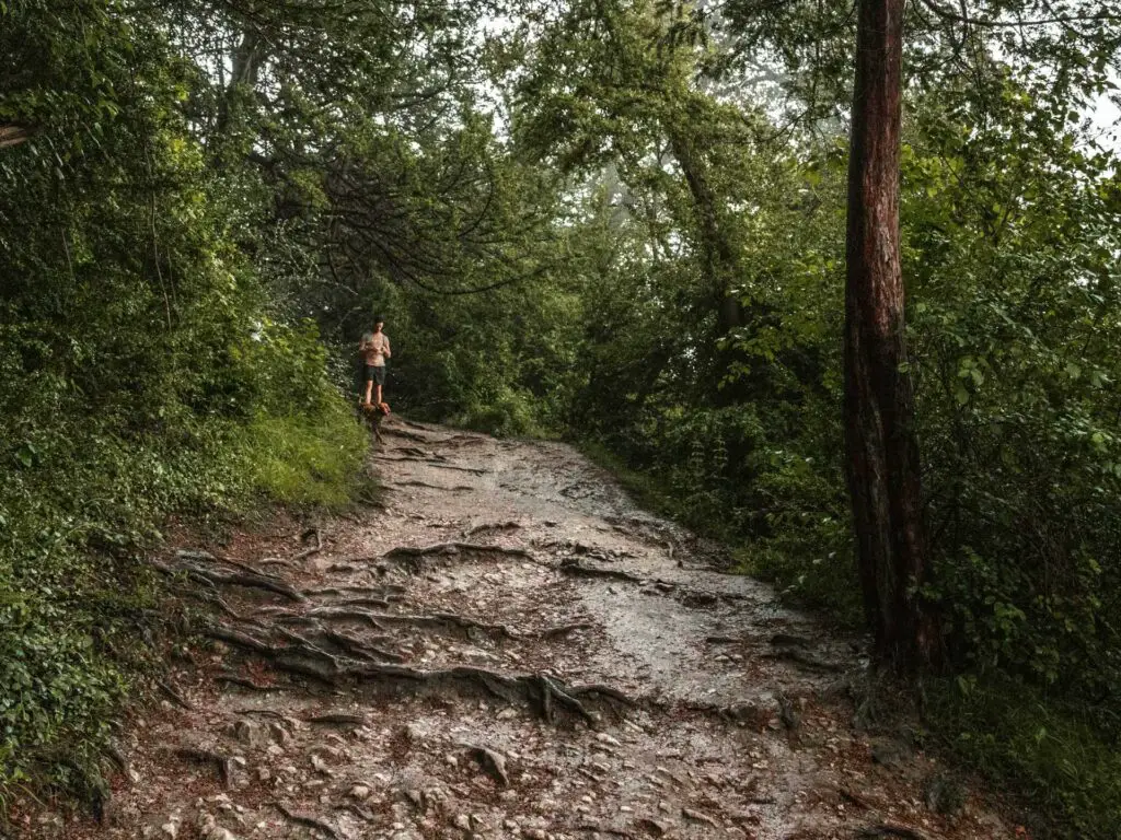
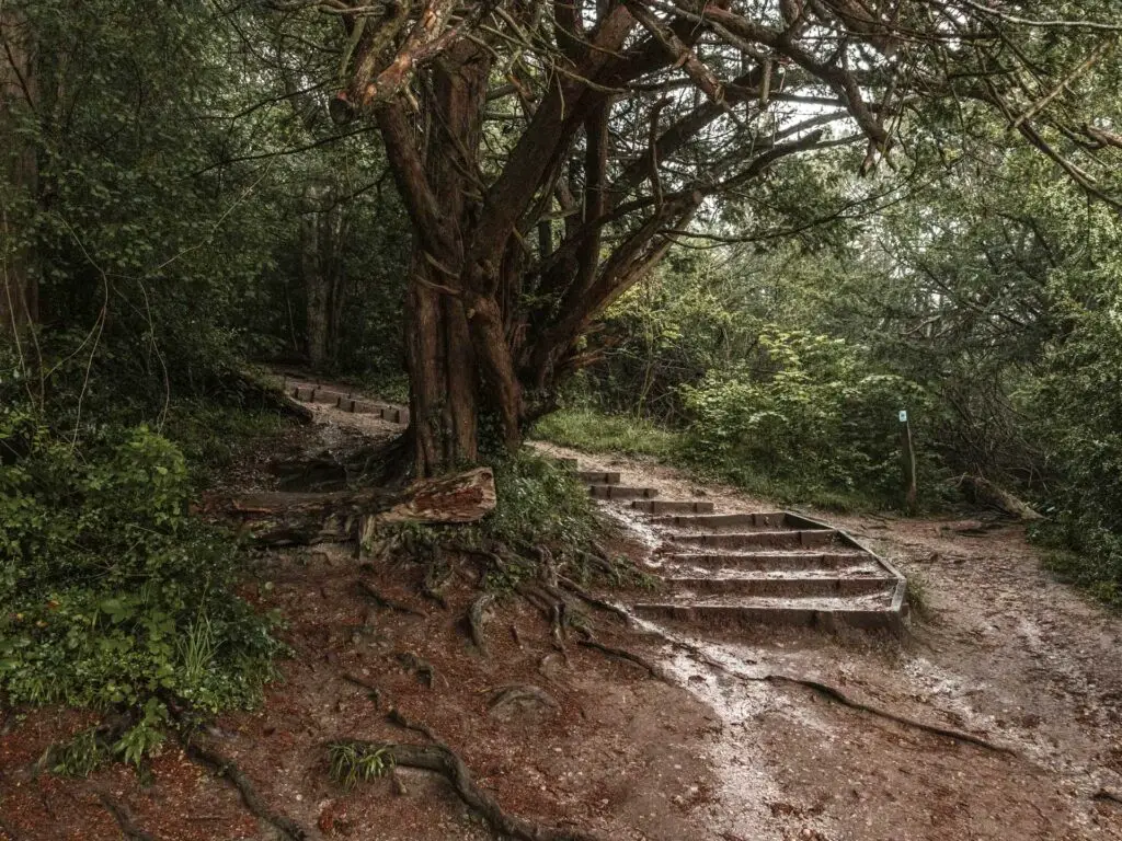
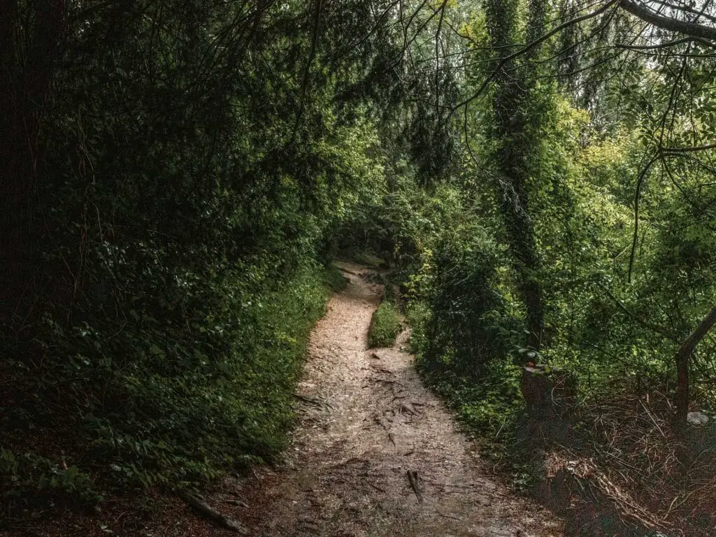
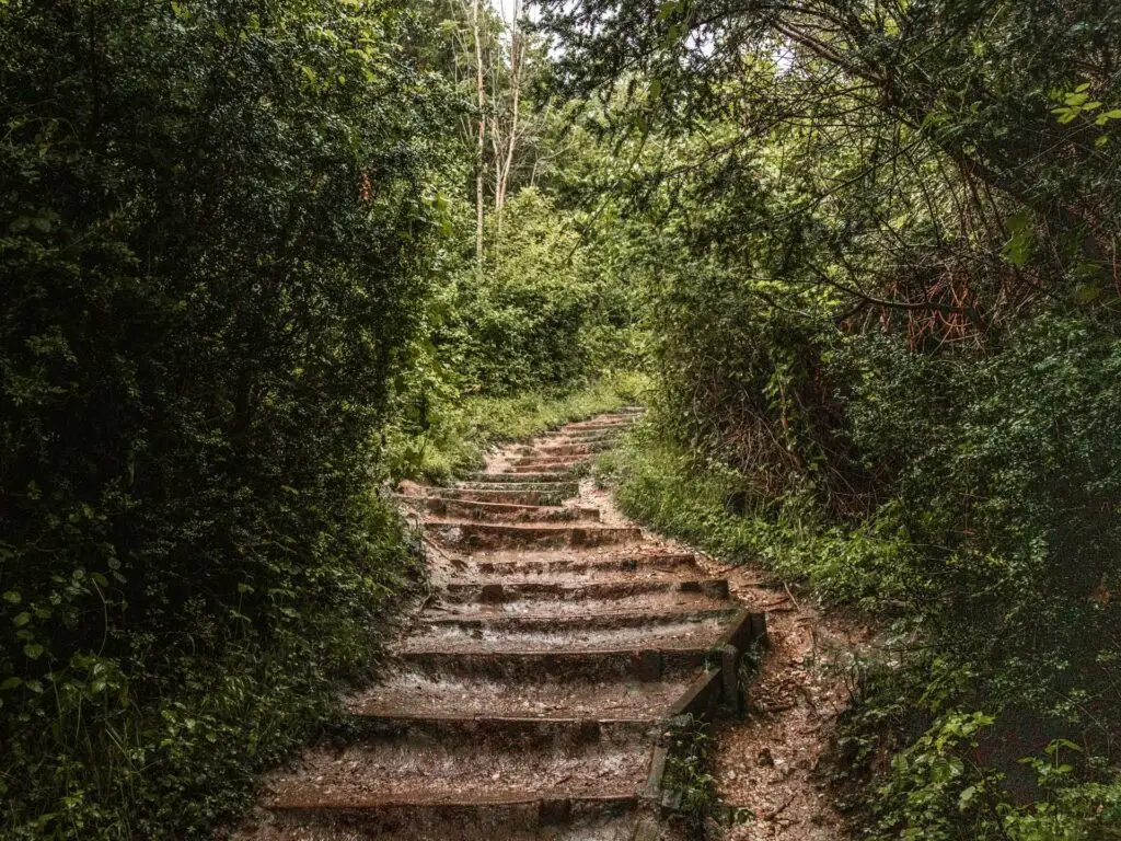
At one point I ran into a large group of walkers coming down. The steps here were wide enough for both of us so I continued up. I heard someone mumble ‘can you not just wait’
No I can’t just wait. There are hundreds of you.
Walk to Box Hill viewpoint
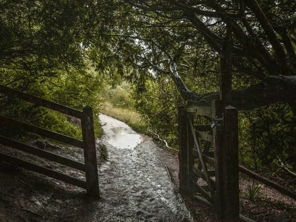
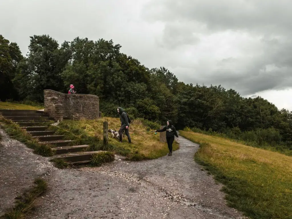
At the top you will reach gate on the right. Go through it for a lovely view down the valley. If you continue walking along the main path, up some more, you will reach the Box Hill viewpoint with a lovely far reaching view to the Surrey Hills and Dorking down below.
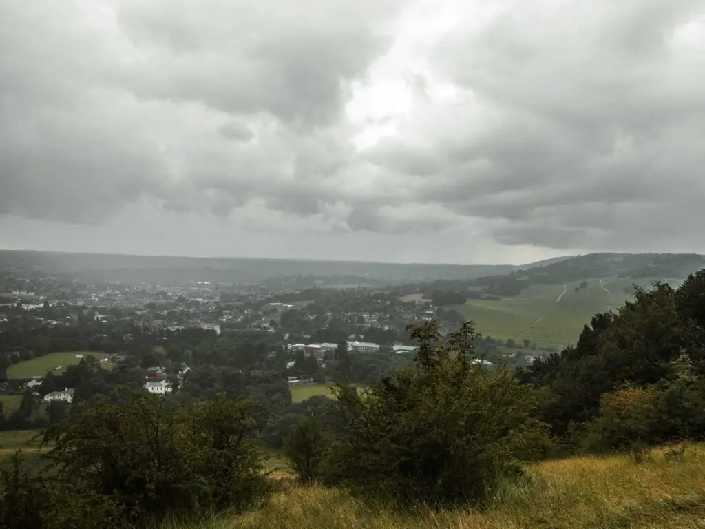
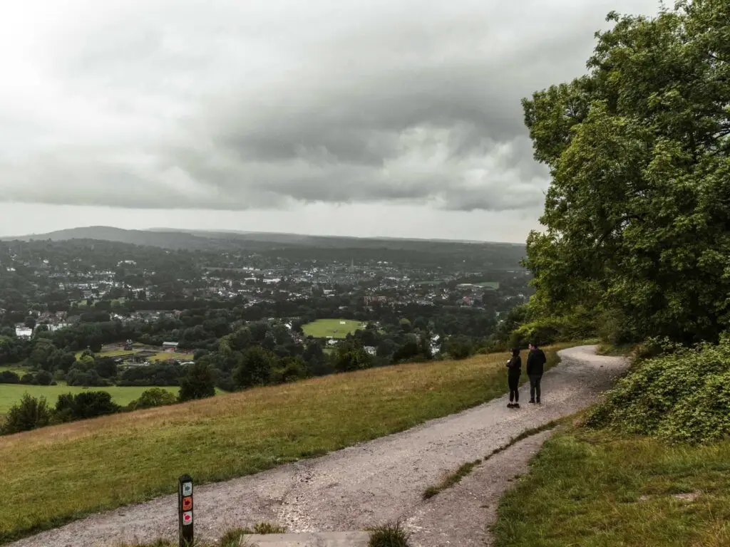
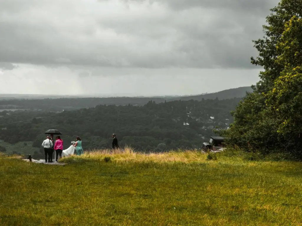
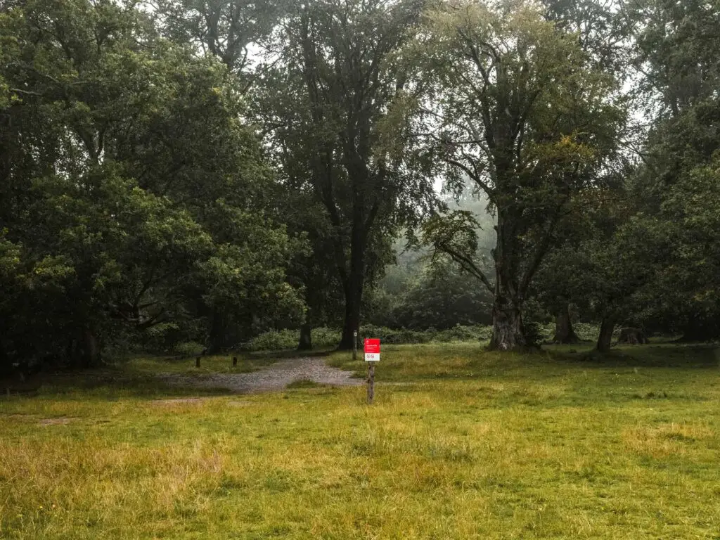
I stood here for a moment (under the trees due to the rain) and thought about my next move. I didn’t want to sit around as it was raining, and I didn’t want to turn back as it was too short a walk. So I continued up the hill, past a wedding shoot, across the Olympic road and into the Box Hill woods on the other side.
Follow the Box Hill trail
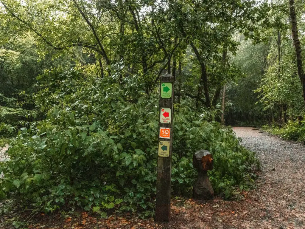
In the woods there is a wooden signpost pointing the way for the Box Hill walk. I decided to follow it and see where it would take me.
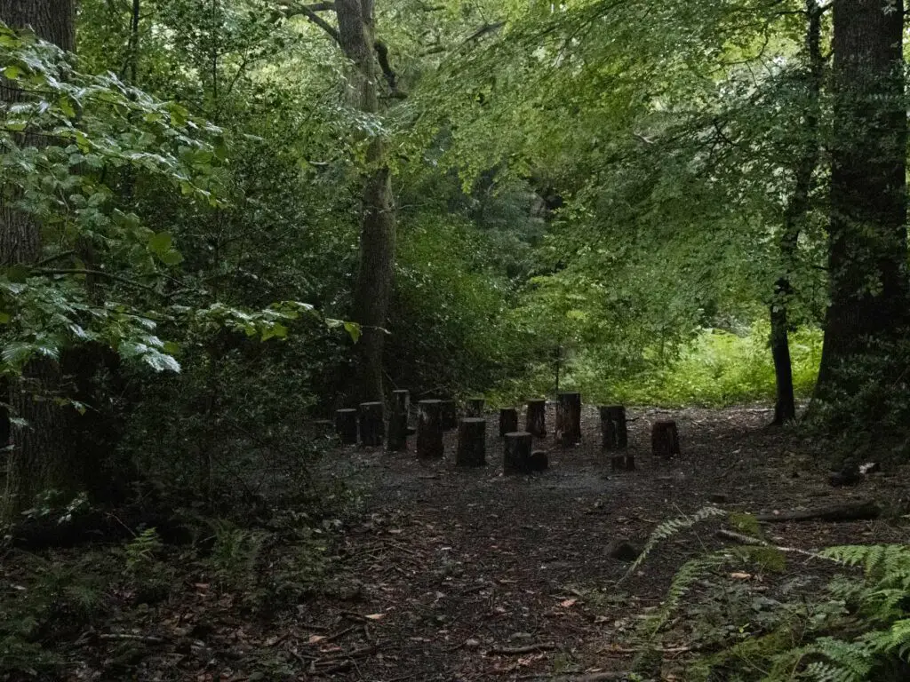
This next bit is through the woodland. Dotted around are wooden stump areas. I’m not sure what these are….for sitting maybe?
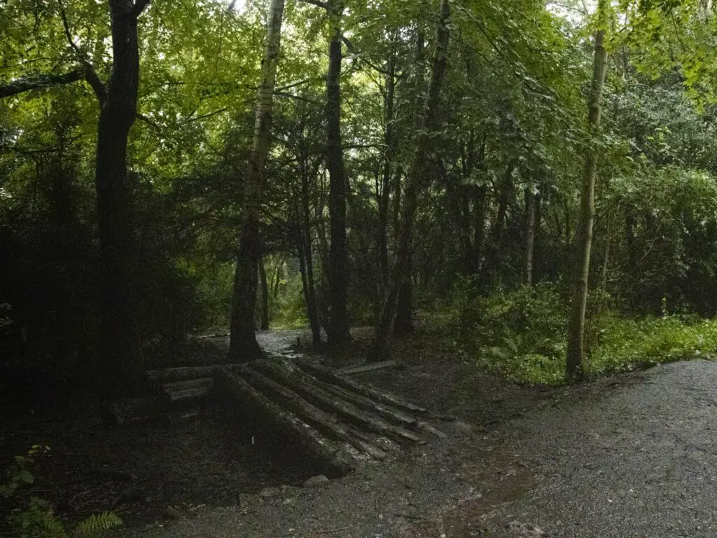
At some point along this main trail, I noticed a log bridge type thing to the left leading to a small trail. As I was starting to get bored in the woods, I thought this looked like a good idea.
It was.
Exit the woods for a gorgeous view of the Surrey Hills
This trail offshoot is a bit more off piste. Small with a bit more overgrowth. Sometimes you will need to crouch to get under the tree branches and push your way through some bush. It’s not too aggressive though. I have seen and experienced aggressive. This is not it.
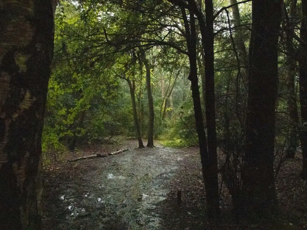
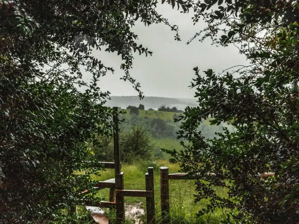
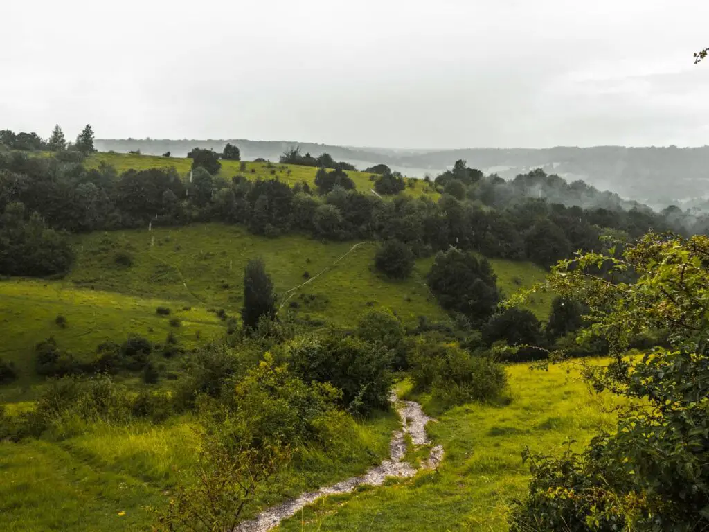
As you reach the end you will see an opening to the outside and a stunning view across the hills.
Go down and up the second big hill
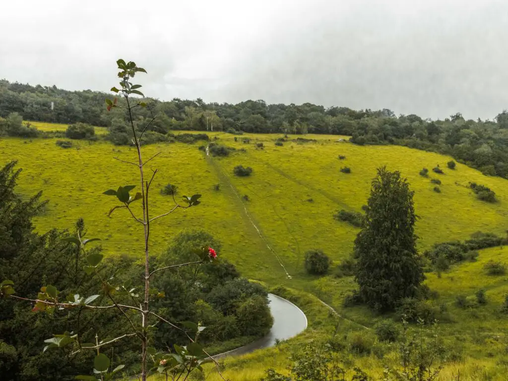
Out of the Box Hill woods and over the style, walk straight downhill and across the Olympic road. From here you get a cool view with a peak of that road as it curves around. You will see some trails on the hill on the other side. The one you will be taking is to the right.
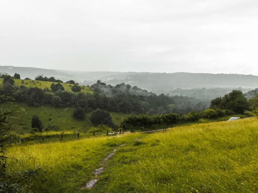
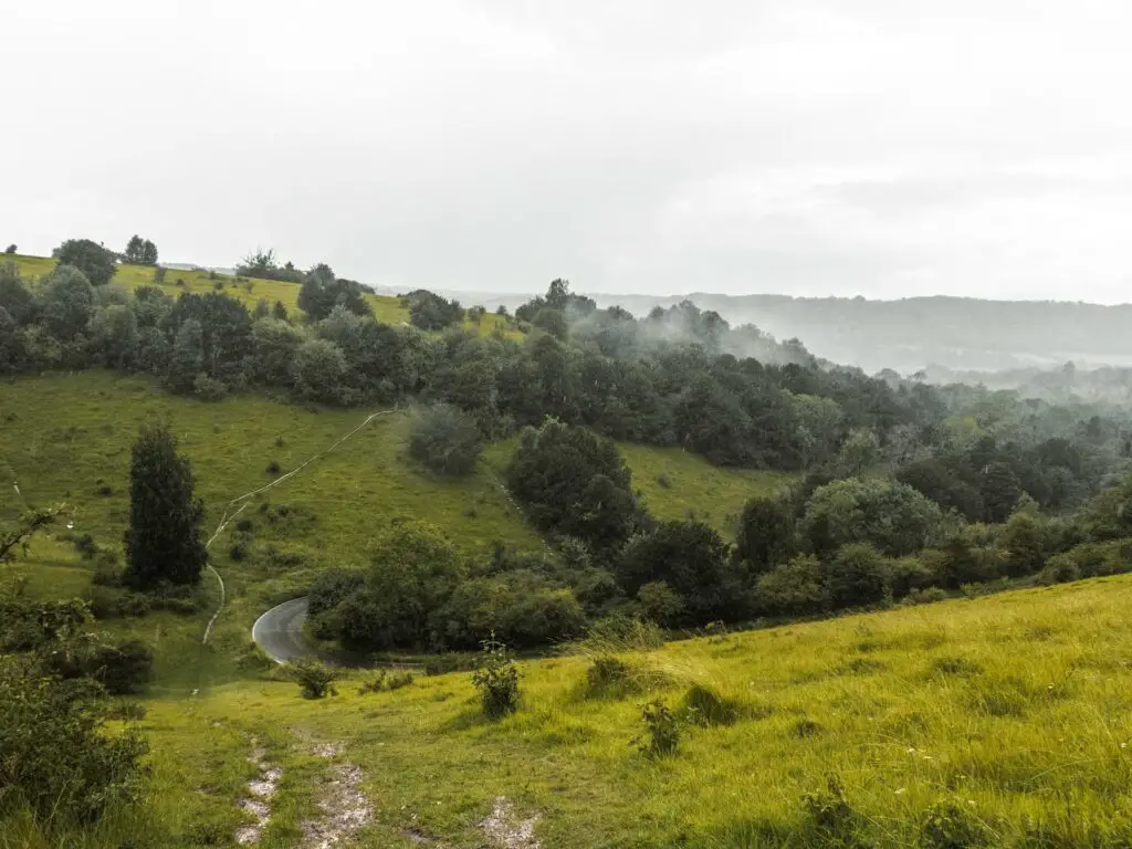
Walking down this bit is a little precarious. It’s steep and not very grippy (the rain probably contributed to the non grippyness). I ended up walking down this bit sideways. Then when my knees started to feel it, I switch to the other side.
Once you reach the bottom of the hill, and the curve in the road, stay on this main trail. You will walk uphill a little, then when it splits, take the right one and continue going up. This will lead you up and through some more trees.
The views on the other side
You will hit a main trail which takes you left or right. Instead, take the little trail straight across and up. There are two of these little trails. Either is fine I think. I took the left one.
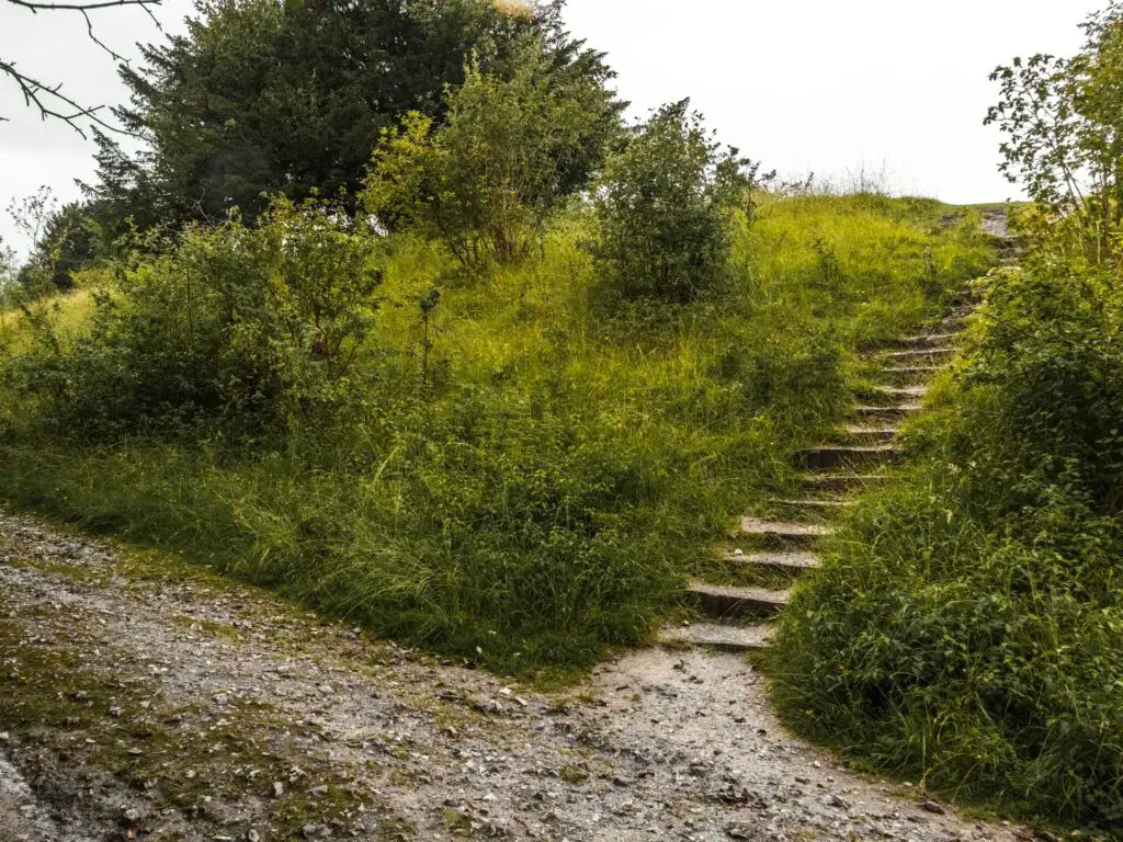
Continue going up the grass to reach the top where you will have a gorgeous view ahead and to the right of the Surrey Hills.
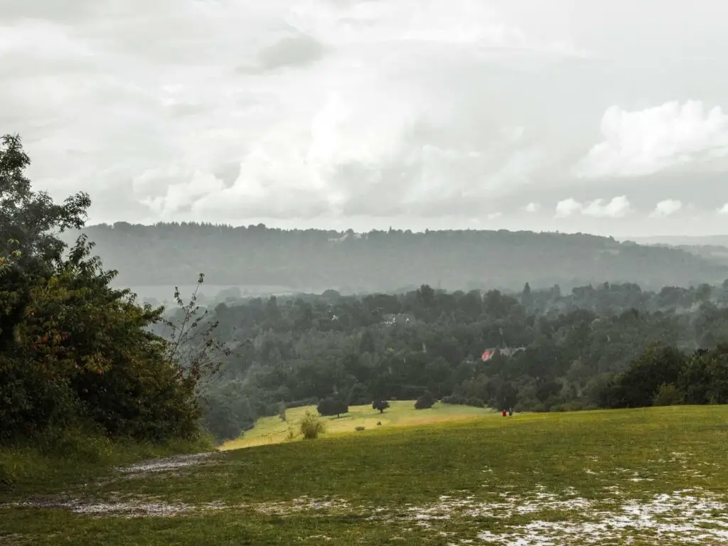
Everything about this spot was perfect…except the noise. The road noise was quite aggressive here. Shame.
The other memorial
There is a big white trail on this hill. Turn left to follow it up.
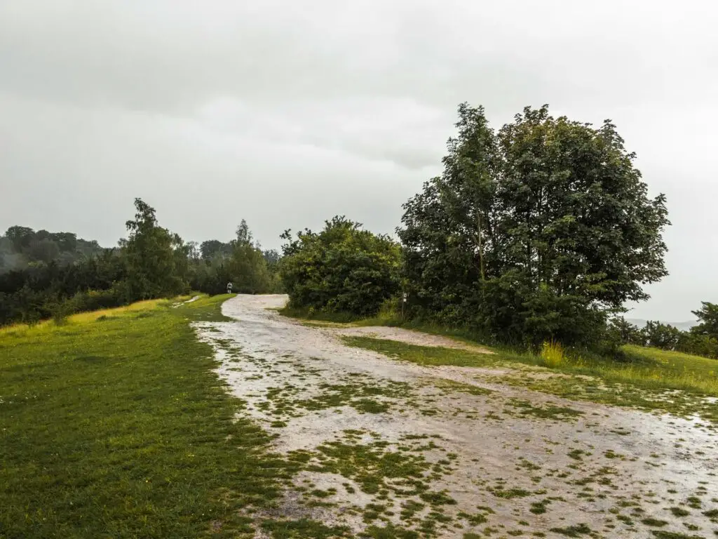
When you reach the junction, take the right trail. I chose to take the right because I saw something on the map I wanted to check out.
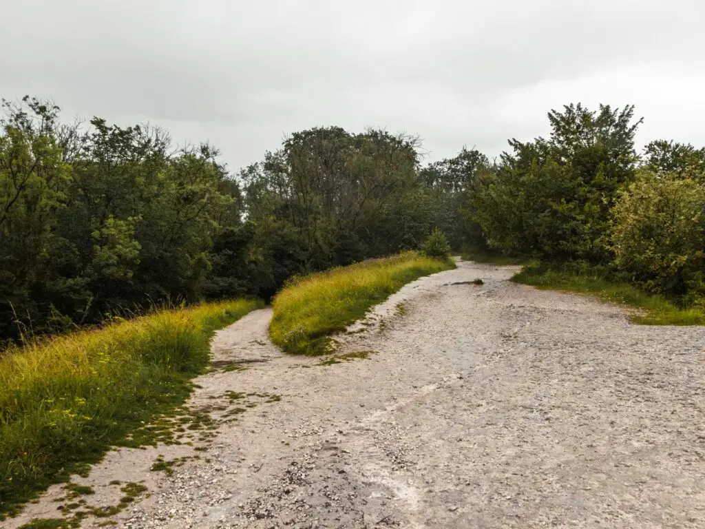
You will now make your way under woodland again. Make sure to keep to the main trail, as there are a few others leading off this one which will try to confuse you. Along here you will reach the memorial…….
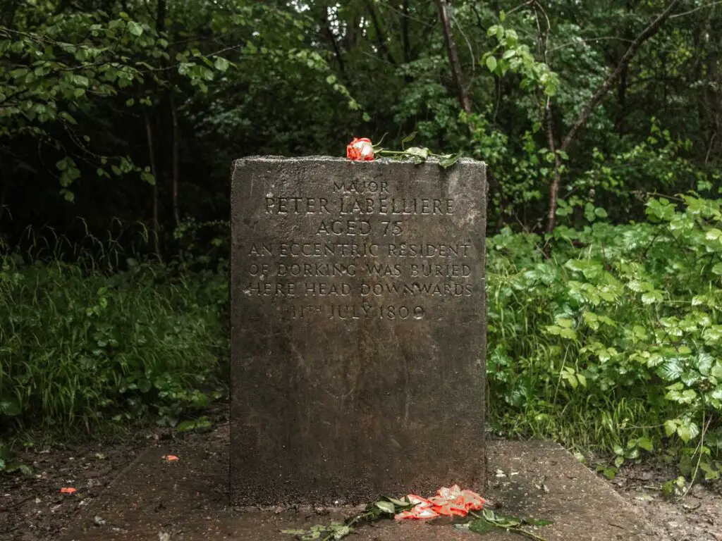
Major Peter Labelliere: A 75 year old eccentric resident of Dorking buried here, head downwards. 11th July 1800.
So, looking into this, apparently his name is spelt wrong, and he really died in June. Also, his body is a few meters away from the stone. Maybe this was all on purpose, you know, due to being eccentric and stuff.
Walk back to the steps to descend Box Hill
Continue along this trail to reach some woods. These are the woods you came through at the start of the walk up Box Hill. The woods with all the steps.
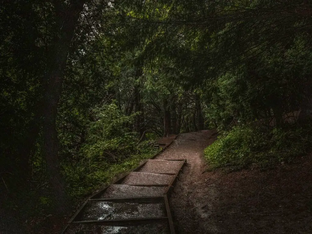
When you reach the steps, head down them, to descend off Box Hill. Keep going to reach the Stepping Stones/Memorial Bridge junction.
Walk across the Stepping stones
At the junction, follow the direction for the stepping stones.
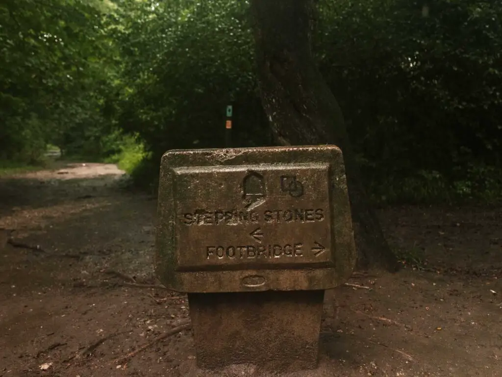

When you get to them, you may hit some traffic. People like to stand on them to take photos. Blocking the way. I thought that maybe because it was raining, I wouldn’t run into this issue. I was wrong. So I went and stood at the start of the stones and stared down the offender until she moved.
Although, I’m in no position to judge….Go take your stepping stone photo.
Note: If the river is high, usually after very heavy rainfall, the stepping stones will be under water. You can instead turn right and follow the river and you will reach the bridge.
Finish the walk
Passed the stepping stones, walk straight and up a little to walk along the main trail and back through the car park to the main road. Afterwards, turn right and walk back the way you came, to get to Box Hill station.
As I made my way along, back towards the railway station, I checked the train times. There was a train back to London in 7 minutes. The next train after that was an hour later. I checked Google maps, which told me it was a 10min walk to the station. Google Maps knows my walk pace which meant I needed to run.
So I ran.
Yes I know, I could have just hung out in the pub. But I didn’t want to. Being that it was very wet (remember it was raining the whole time), I wanted to get home and showered and cozy….
I made it to the train just in time.
More walks near box hill
Also starting from Box Hill and Westhumble Station, you could walk stage 3 of the North Downs Way, which takes you to Merstham. It also includes the hike up Box Hill and across the stepping stones….although, I think this Box Hill walk from today is better.
Heading in the other direction, you could try Stage 2 of the North Downs Way. This walk is between Guildford and Box Hill and Westhumble station.
Or if you head slightly further back, you have Farnham to Guildford, which is Stage 1 of the North Downs Way.
If you like hills, the circular St Martha’s Hill and Newlands Corner route has some of the most beautiful views. This one starts over in Guildford.
Devil’s Punch Bowl is another hilly one. It’s fantastic, and one of the most interesting areas I have walked in the Surrey Hills.
If you would like to see a more detailed side by side comparison, as well as a few others not mentioned above, you can read my Surrey Hills Walks guide here.
Pin it for later:
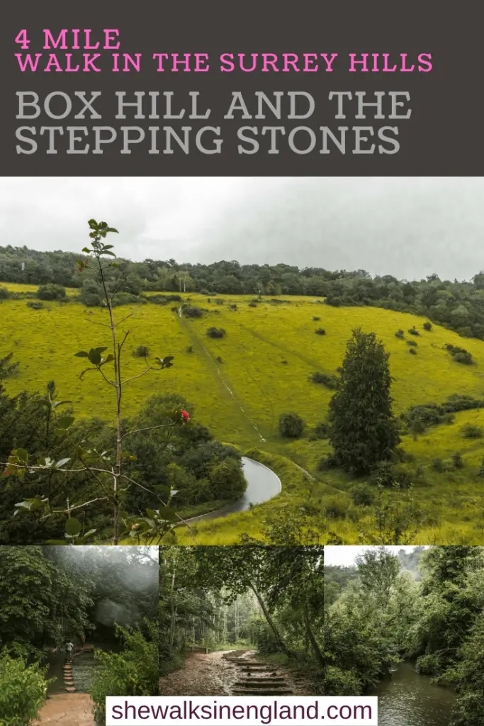
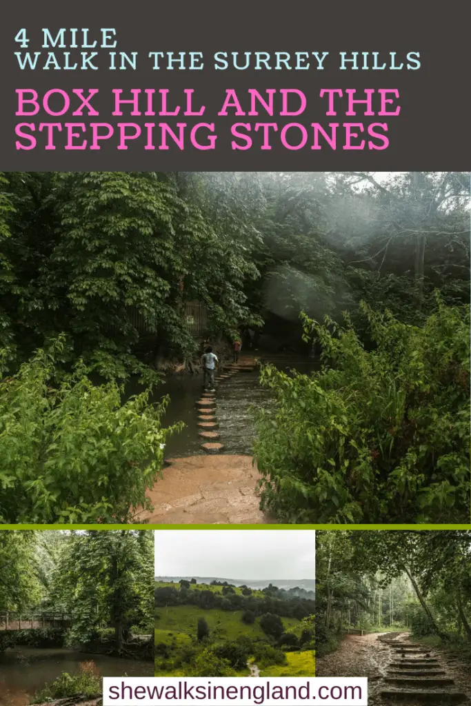
You can find more walks in the Surrey Hills on the National Trust website.

6 comments
Wow amazing photos! What camera did you use?
Hi Jed, Thanks! I use a canon 80D 🙂
Me and my girlfriend used this for our walk today – loved it, thanks very much!
Hi Robbie, that’s great! I’m glad you liked it :)!!!
Hi my name is Mahadhir Machamud and I love the UK. I live in Shadwell
Hi Mahadhir. I love the UK too 🙂