The walk from Avebury to Ogbourne St George, first takes you past what is said to be the largest prehistoric stone circle in the world. It is a World Heritage site, and part of the National Trust.
You will then walk through a few fields, passing by some more historic things before you reach Overtone Hill. The official start of the Ridgeway trail.
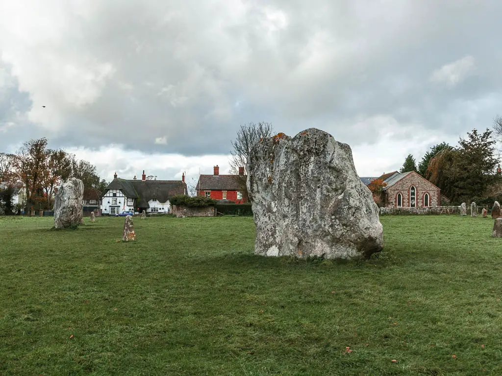
You can find out more about Avebury and it’s history on the English Heritage website. Don’t Worry, Avebury is completely free to visit.
In this guide, I’m going to first give you an overview of what to expect on the walk. Then I will go through logistics with public transport options and a map for the walking route. I will then go through, tips, accommodation, and then the full route description of the walk from Avebury to Ogbourne St George.
This post uses affiliate links. You can read the privacy policy or disclaimer for more info.
What to expect on the walk
From Overton Hill, the route is pretty easy. There are some minor hills, only one of which took my breath a little. The one up to Barbury Castle (more on this later).
The whole way to reach Ogbourne St George is very well signposted, and I never had to refer to a map (apart from trying to find the bus stop at the end. We will also get to this later).
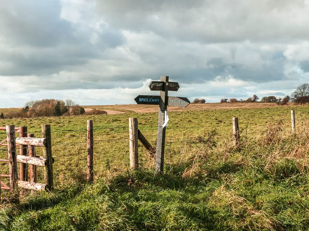
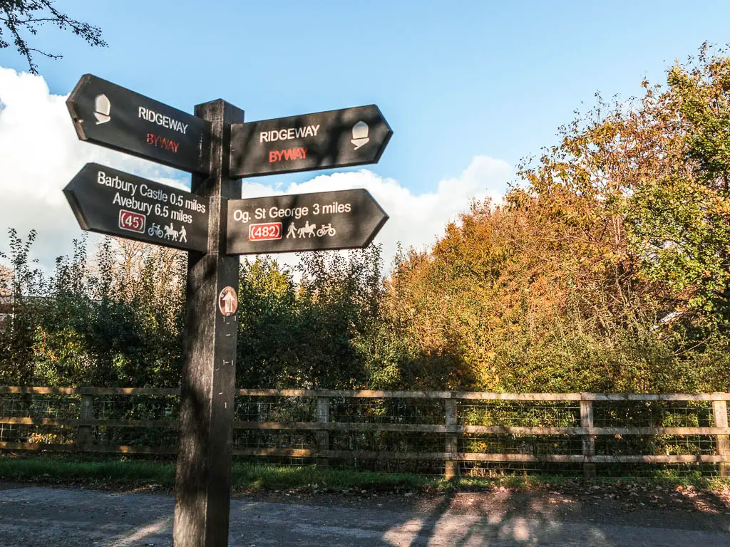
It wasn’t as muddy or wet as I was expecting, given that we had just come out of a big storm. That’s not to say it wasn’t muddy in parts, because it was. But nothing I couldn’t side step around.
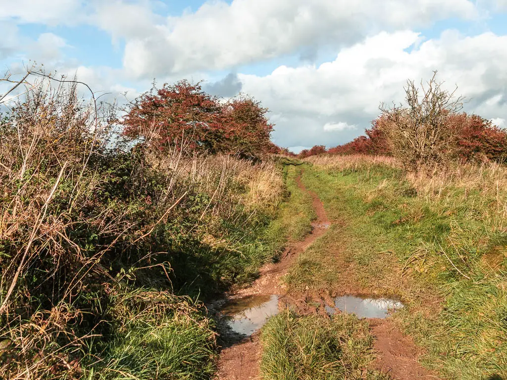
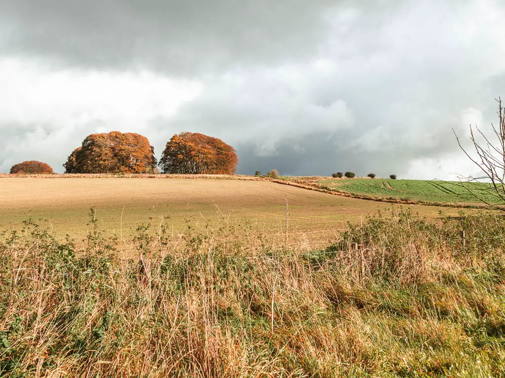
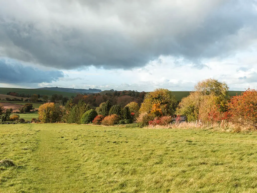
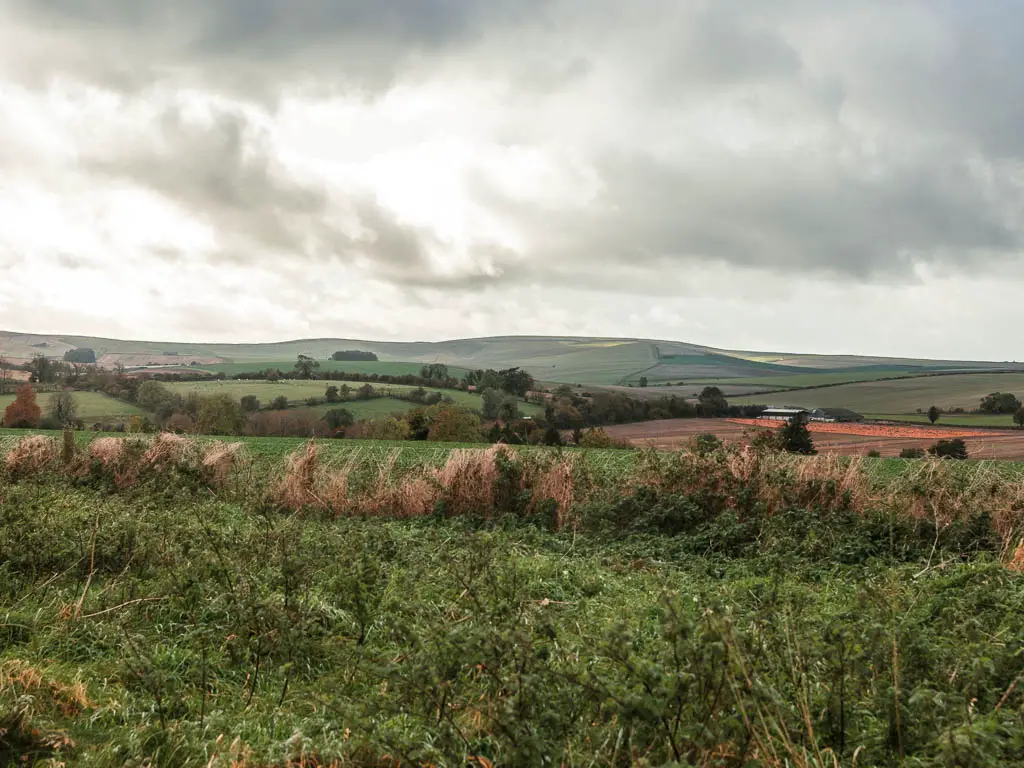
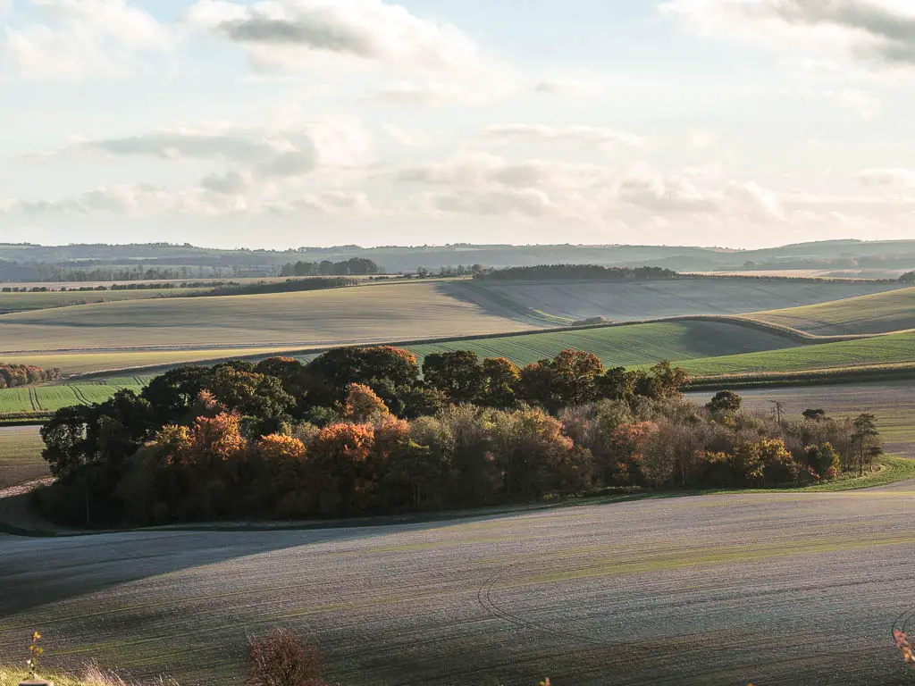
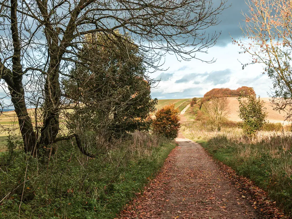
You get some wonderful far reaching views, as well long stretches with bushes and trees were you can’t see much. This didn’t bother me, as autumn was here, with all the nice colourful leaves.
Logistics
- Start: Avebury, Wiltshire. SN8 1RE.
- Finish: Ogbourne St George, Wiltshire. SN8 1SE.
- Distance: 12 miles
- Time: 4 hours
- Terrain: Dirt trail, grass, gravel, road.
- Elevation gain: 752 meters
- Dog friendly: No stiles. Some cows at the start of the walk out of Avebury. No loose livestock for the rest of the route. Dog friendly accommodation available.
- Amenities: The Red Lion Pub, coffee shop and cafe in Avebury. Public toilets after Barbury Castle, about 8 miles into the walk. A pub in Ogbourne St George (which wasn’t open when I arrived). If you end up going to Marlborough, which I explain more about a bit further down, you will have a variety of shops, cafes etc.
- Time of year: I did this walk in Autumn.
Map for the walk from Avebury to Ogbourne St George
You can find my more detailed route map for the walk from Avebury to Ogbourne St George on Alltrails. You can also download a GPX file there.
Public transport
Neither the start or finish is on a train line. To get to Avebury, you should get a train to Swindon, then catch the 49 bus which gets you to Avebury in 30min. From Ogbourne St George, the 80 and X5 goes to Swindon (30 min) and Marlbourgh (10min).
In Ogbourne St George, the bus stop is located on a busy road out of the village. To get to it, (referring to the end of my route description below), as you follow the road into Ogbourne St George, when you reach the T junction end, turn left. Go past the Inn, and under the bridge. Then take the left up the slip road. The bus stop is just at the top where it meets the main road. This one goes to Marlbourgh. If you want to go to swindon, you need the other side, but I wouldn’t cross this road…it’s very aggressive. So, instead of going up the slip road, there is a path on the left just before the bridge. Go up that.
Accommodation
If you are spending the night on the trail, Ogbourne St George has the Inn with the Well (you can compare pricing options here) and The Sanctuary which is a bed and breakfast. Both are dog friendly.
Marlborough has lots of options. I stayed in the Lamb Inn (you can also compare more pricing options here). It was nice enough, and is dog friendly. It’s basically a room above a pub, and was one of the cheaper options I could find. I did actually find something cheaper for about £50, also a pub. However, after reading the reviews and discovering it was a ‘party’ pub, I quickly abandoned that idea.
You can find more accommodation options in Marlborough on Booking here.
Tips for walking from Avebury to Ogbourne St George
- Spend some time exploring Avebury, and make sure you arrive early enough to do so. By the time I arrived, I only had 4 hours of daylight left, so went ahead and started the walk to Ogbourne St George straight away. I have been there before, so wasn’t too upset.
- If spending the night, if there is availability, stay in Ogbourne St George. The buses to get you out are infrequent. I had to wait over an hour for a bus that was late. By this point it was dark and cold.
- However, if you want more options, and a Waitrose, stay on Marlborough. This is particularly handy for picking up something for lunch for the next day of walking.
- If you are spending the night in a pub in Marlborough, as it’s a main town, just be aware that on a weekend it will be a little noisy.
- If you don’t plan to go to Marlborough, and are staying in Ogbourne St George, you will either need to have lunch already packed (such as a freeze dried meal), or you might have to walk a fair bit off trail on day 2 to find something. I will show you the options on my day 2 guide here.
Route Description: Avebury to Ogbourne St George walk
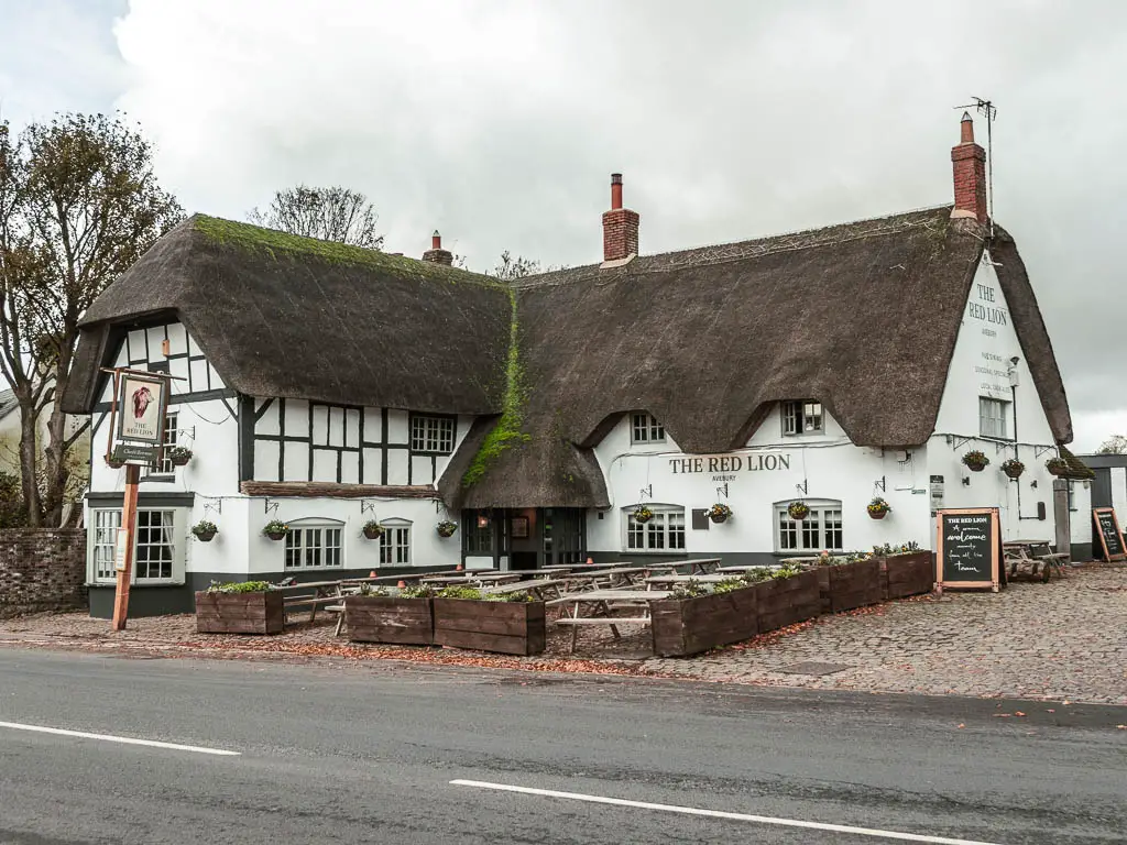
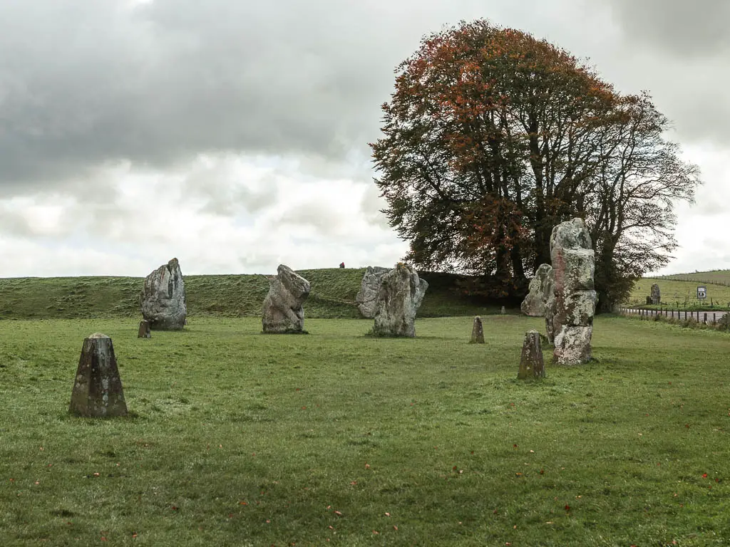
Upon arriving in Avebury, you want to go into the field opposite the Red Lion. This is where you will find a bunch of the big stones.
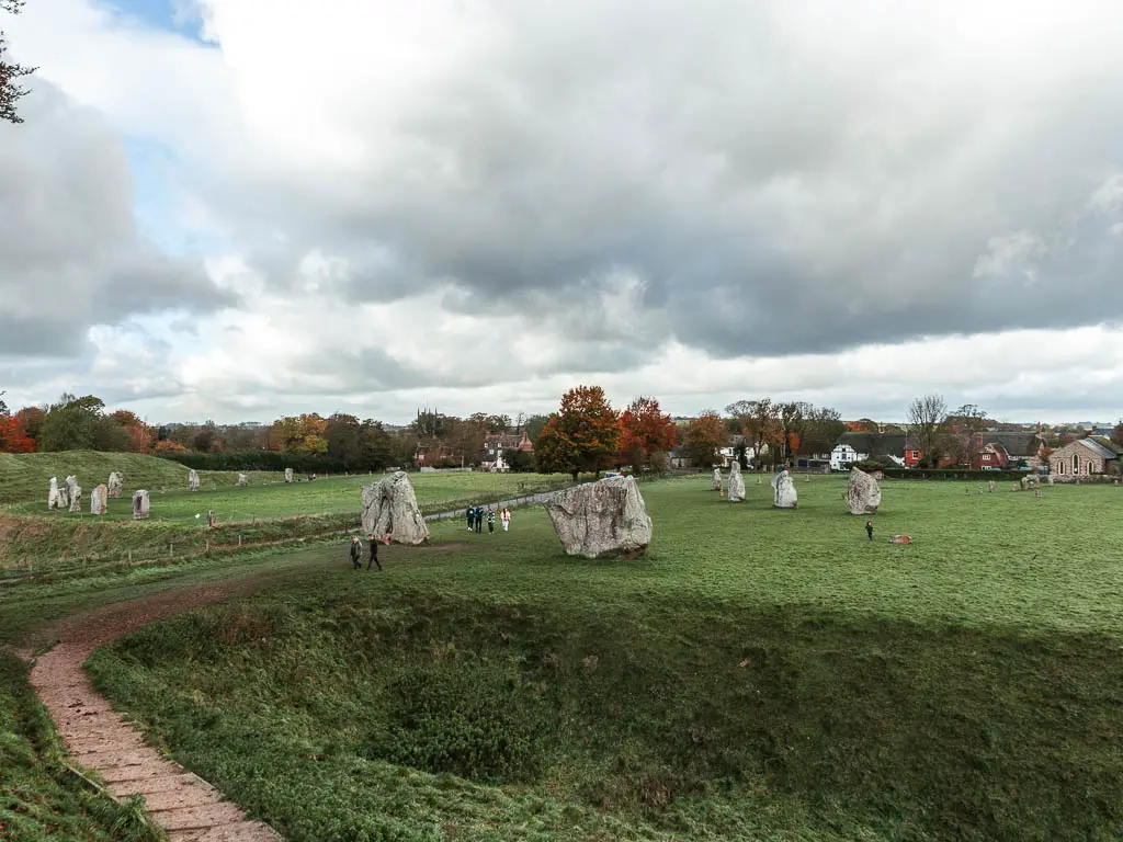
Now walk to the other side of the field, and up the little hill for a cool view of it all.
At this point, you have two options to get to Overton Hill and the start of the Ridgeway. The longer scenic way, which takes you passed Silbury Hill (the largest man made prehistoric mound in Europe), or the shorter way. Today would be my shortest walking day along the whole Ridgeway, and I wanted to keep it that way. So I chose the latter.
Walk from Avebury towards Overton Hill
From the little hilltop, look the other way (away from the stones) and to the right. You should see a gate leading to the road. You want to now go through that, cross the road, and into the field on the opposite side.
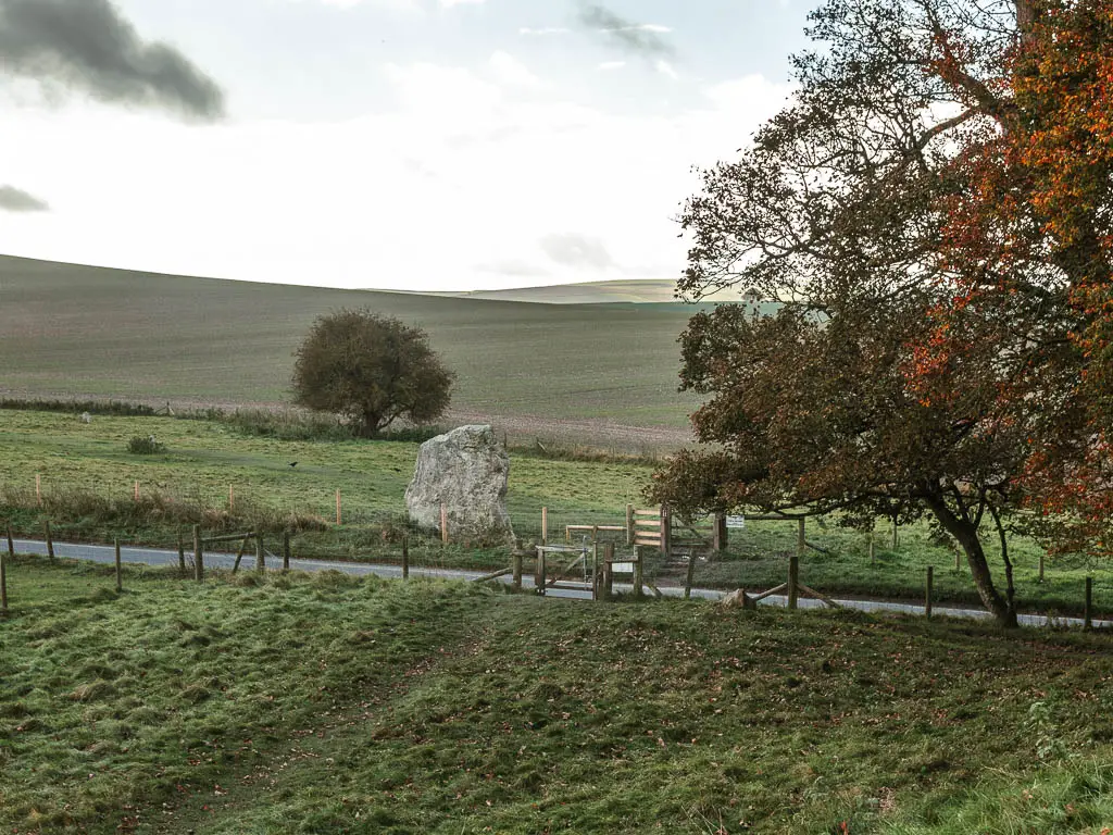
In here you should see a wide grass path, following the direction of the road. Follow this all the way. Although this is the less scenic route, the trail is lined with more stones which satisfied me enough.
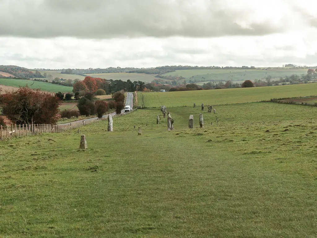
I actually hugged the fence for most of this field, on account of the cows. Ready to escape the ‘imminent threat’.
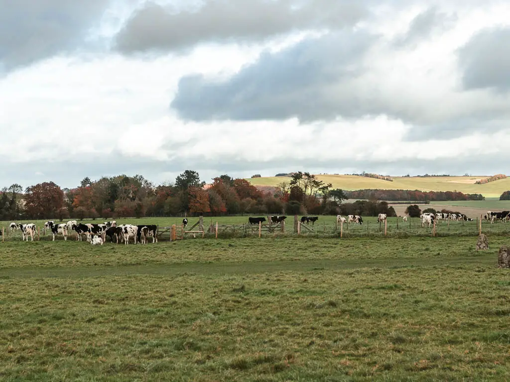
On the other end of the field, go through the gate and through the next field, still following the direction of the road.
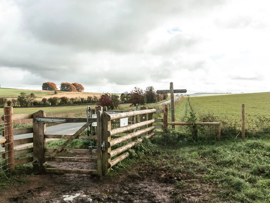
At the the next gate, this time you cross the road, and go through the gate in the opposite field. You should see a trail marking through the grass, taking you to the other side of the field, and then right. Follow it.
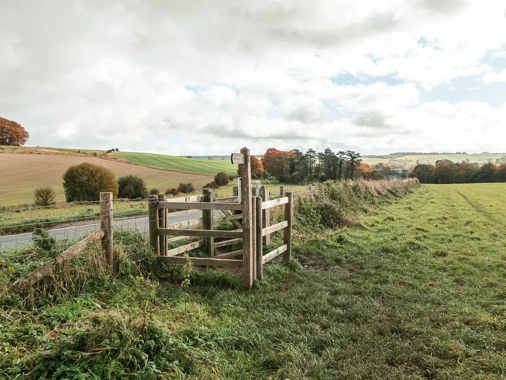
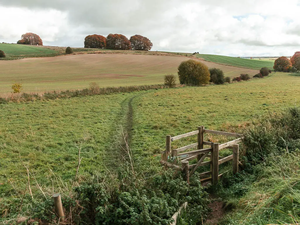
Through the next gate, you want to go left, then almost immediately right. You will be walking on a dirt trail, with bushes and trees to your right, and the Ridgeway up the hill to your left.
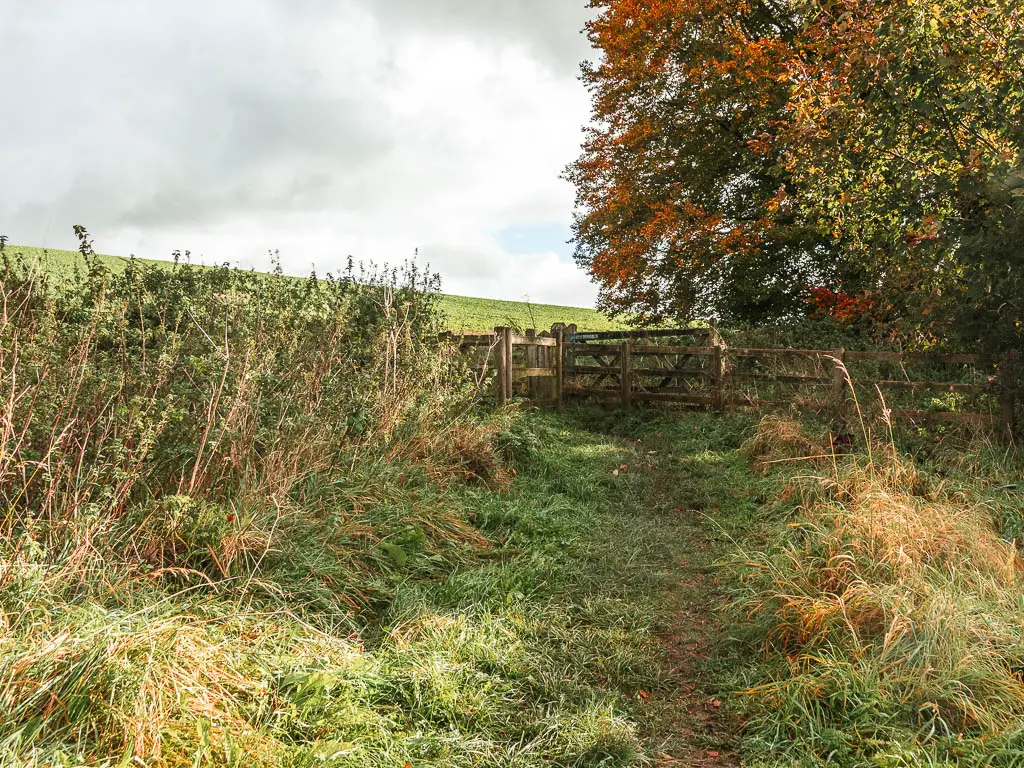
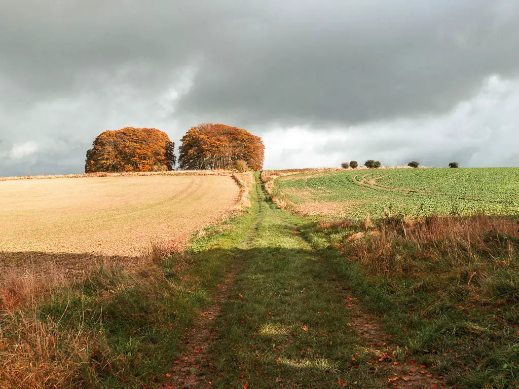
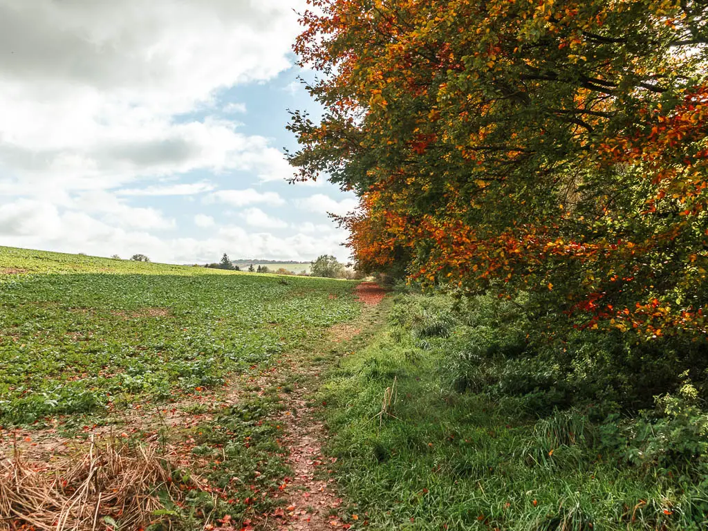
I’m not gonna lie, I was tempted to just go straight up to the Ridgeway. But that would be too easy. My conscience told me not to do it.
A short way along here, look out for the almost missable dirt offshoot path to the right, which takes you onto the road.
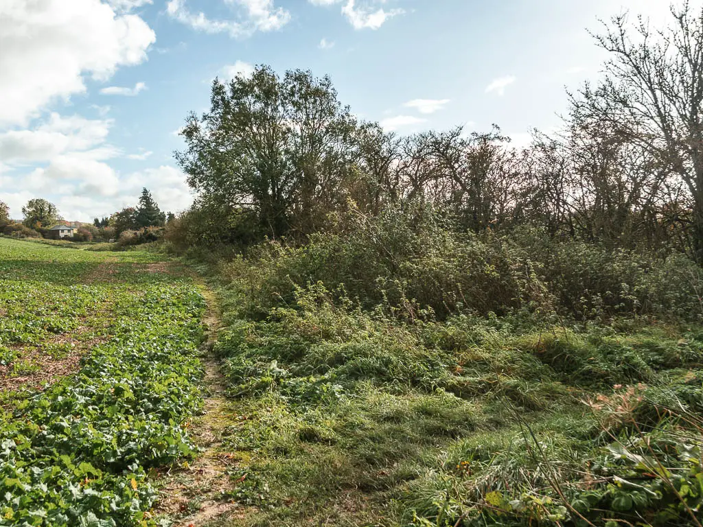
Walk to the Sanctuary
After crossing the road, I put my bag down to de-layer and rehydrate. My plan was to now follow the road which would lead me to the start at Overton Hill. Then a man appeared through the gate almost hidden by the bushes. He asked me if I was going to the Sanctuary. I said no. He told me I should.
I remembered reading about the Sanctuary, but couldn’t remember what it was. If the Sanctuary meant going through the gate, I figured it would be a nicer route than following the road. So I decided to give it a go.
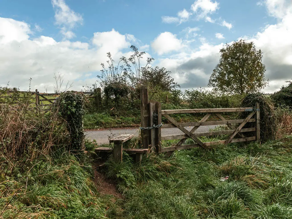
So through the gate, turn left and walk along the grass path to the other side of the field. (The grass path will lead you straight, then a little to the right to reach the gate).
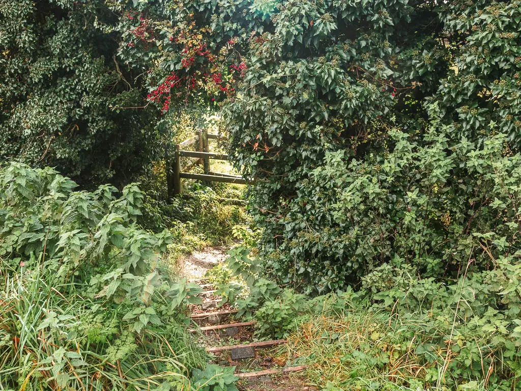
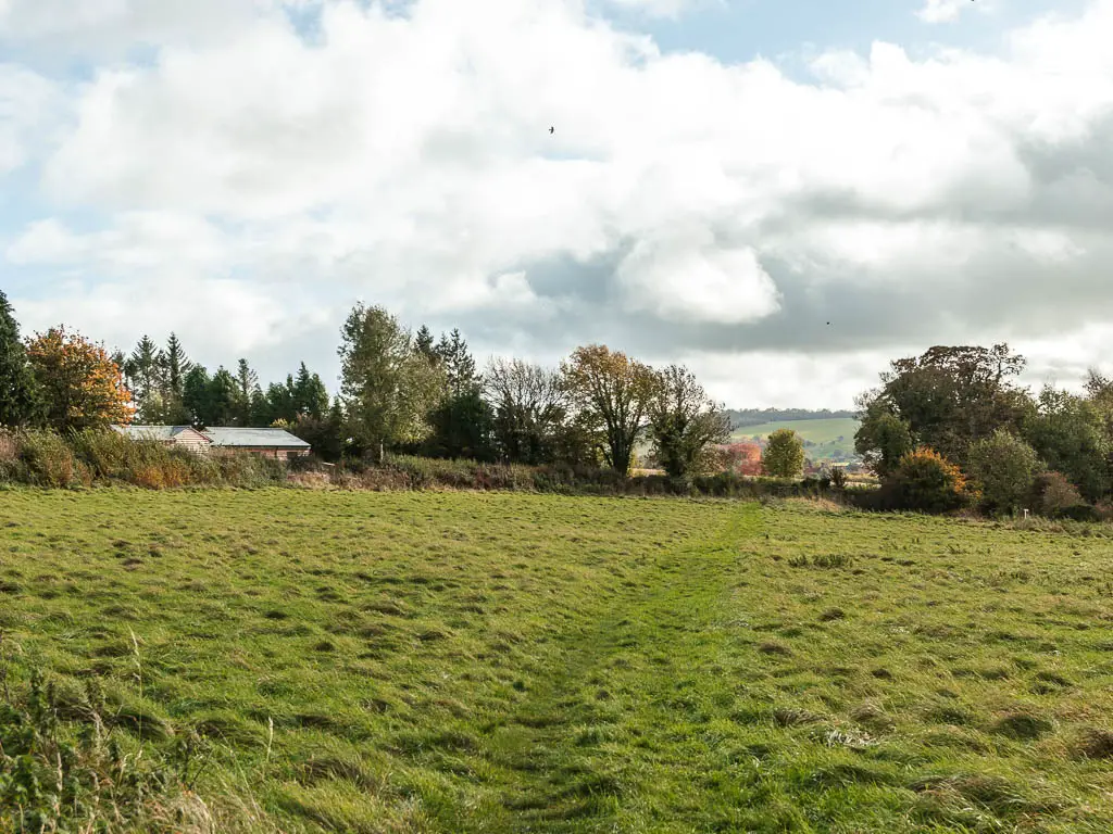
As I couldn’t remember what the Sanctuary was, I wasn’t sure what I was looking for. Nothing in this field struck me as Sanctuary like, so I went through the gate, across the road, and through the gate into the next field.
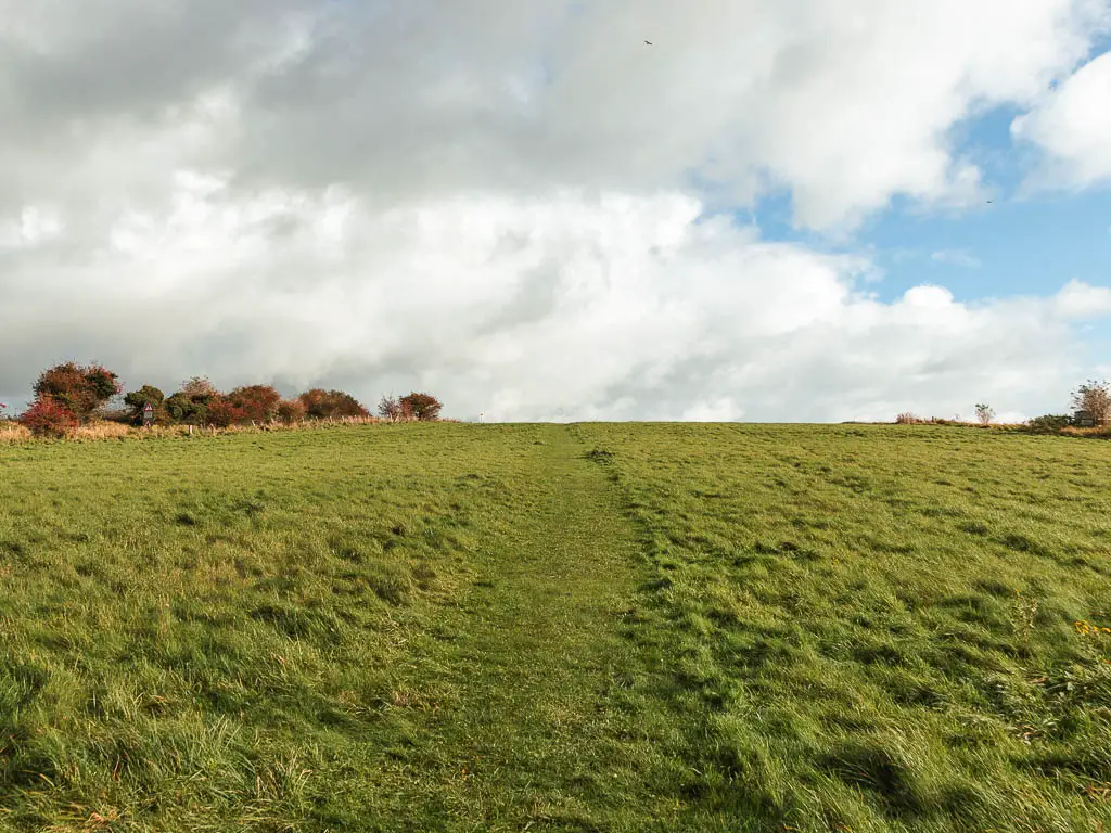
Continuing along the grass trail up the hill, looking around me for ‘the Sanctuary’, I was pleased I was still following the direction of the road. At least I wasn’t going too far off track.
It was then at the next gate at the top of the hill, that all became clear.
The Sanctuary
First of all, there is a sign on the gate informing you that you entering the Sanctuary. Through the gate you will see lots of concrete blocks strewn across the field. It was interesting, but I didn’t know what I was looking at. So I referred to my guide book and the information board on the other side.
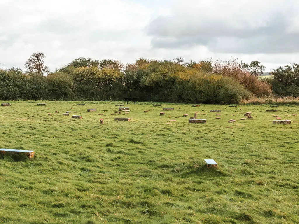
So, this area used to consist of large stones and timber posts forming circles, dating as far back as 3000BC. The purpose remains a mystery. At some point it was all destroyed, so these concrete blocks were put in their place.
Overton Hill and the start of the Ridgeway
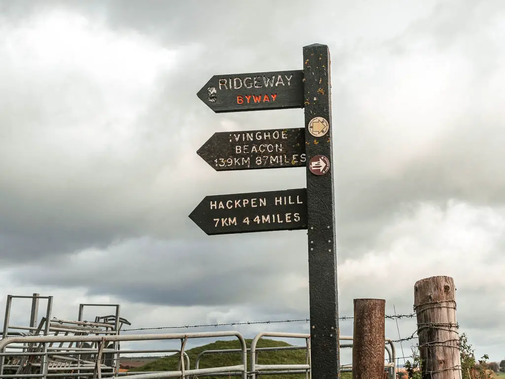
Go through the gate leading to the road, and opposite you should see a car parking area, and wooden trail signpost. This is the official start, with the sign telling you how far to reach the other end at Ivinghoe Beacon. Today however, I would just be walking to Ogbourne St George.
Walk to Hackpen Hill
The sign also tells you how far to reach Hackpen Hill. It seemingly says 44 miles. But 4.4 miles is more realistic.
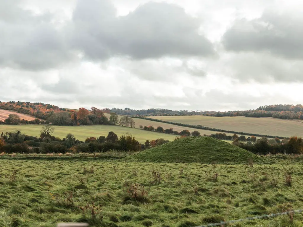
Now follow the sign through the car park and onto the trail. If you look to the right you will see some hill mounds. These are early Bronze Age burial mounds or round barrows.
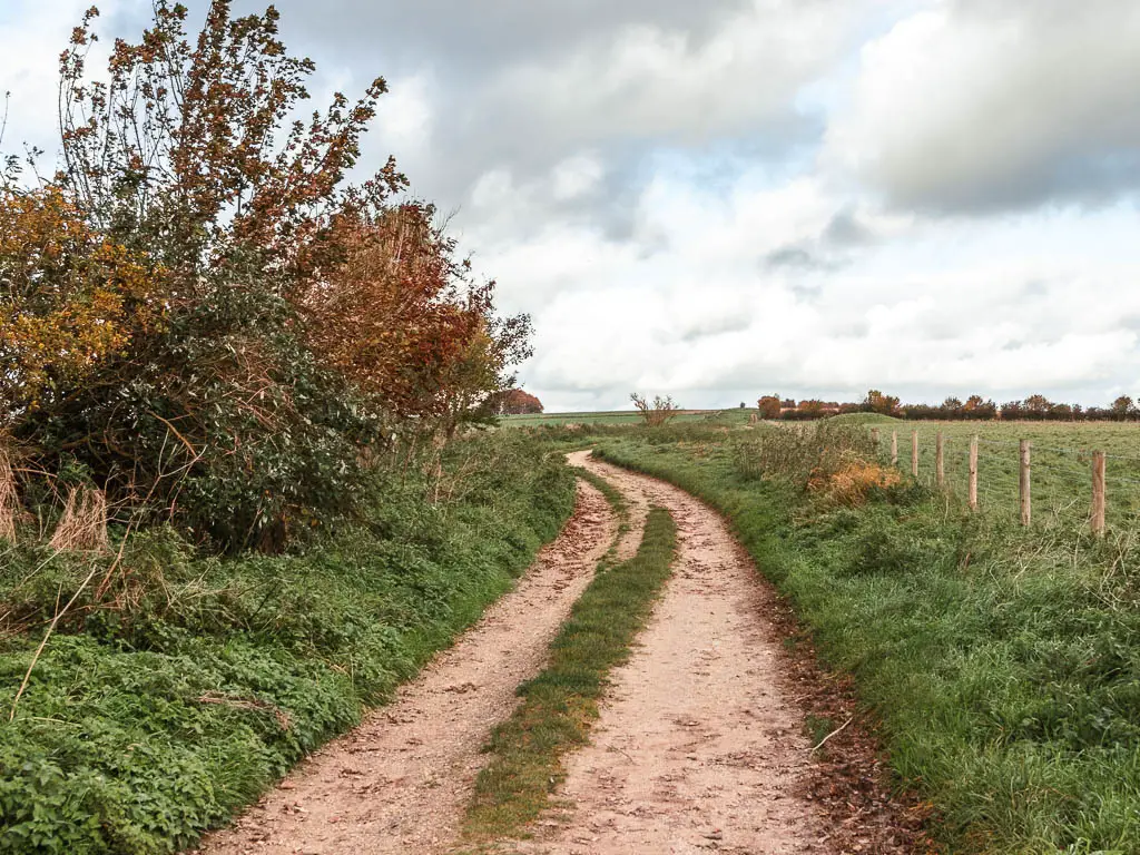
Further up this path, where the trail splits, stay straight. At this point I was pleasantly surprised. First of all, I was expecting a more aggressive hill to get up along the Ridgeway. Second was the grassy dirt trail (it starts off as dirt, but then becomes grass) . Having walked along part of the Ridgeway before, I knew it was a lot of hard ground. This was not. I knew it was coming through, so I savoured the softness.
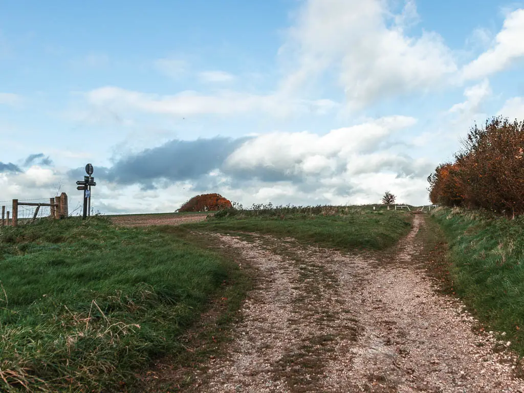
Someway further along, you will see a trail going left. (Don’t follow it though. Stay straight). This walking trail leads to Avebury. It is known as ‘herepath’ which means ‘army path’. It was an Anglo-Saxon army route.
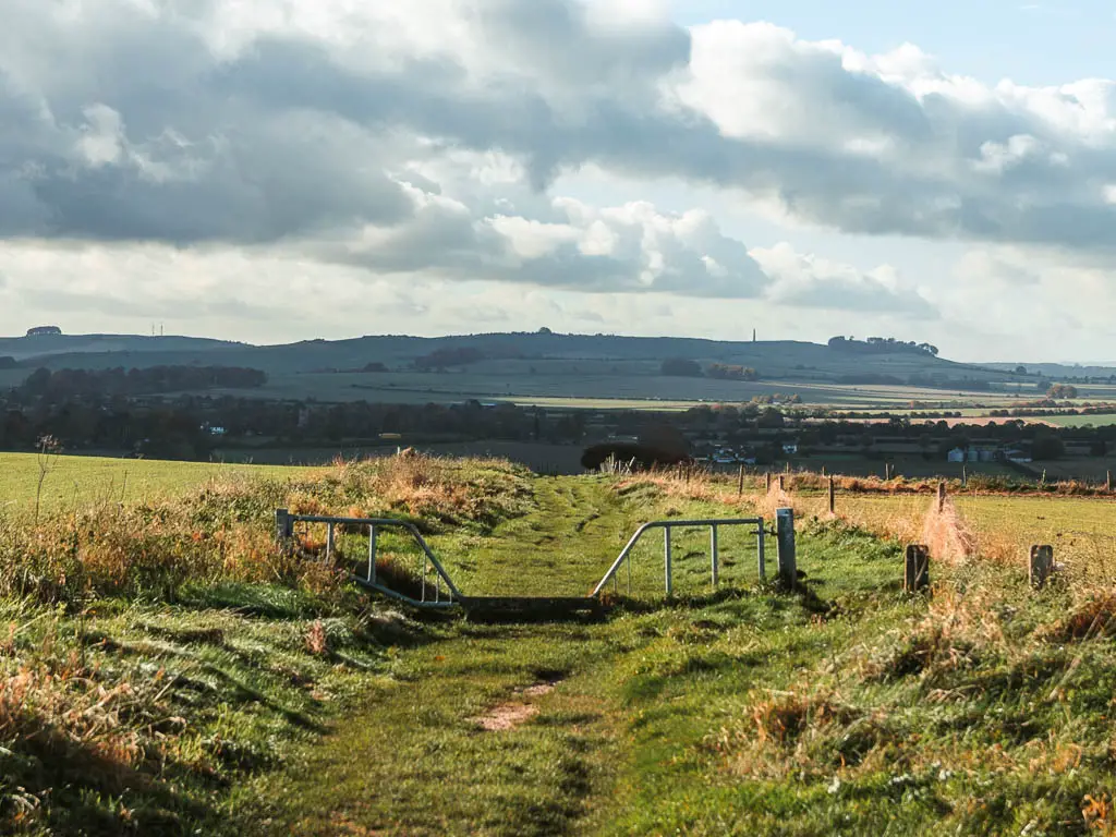
I have been here before, and one thing that struck me then and now, is how you can’t actually see any of the stones of Avebury from here. They are big enough, so you’d think something would be showing.
Thinking back to when I was here last, I shuddered. That’s one of the most aggressive hikes I have done, and I finished covered in scratches and welts. I was glad I wouldn’t have to relive that today.
Staying on the straight path, you will continue on the dirt grass trail, which I found to be only a little bit wet and muddy.
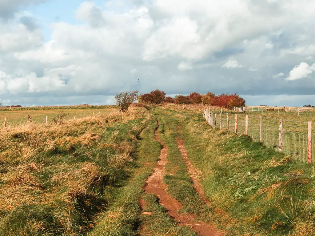
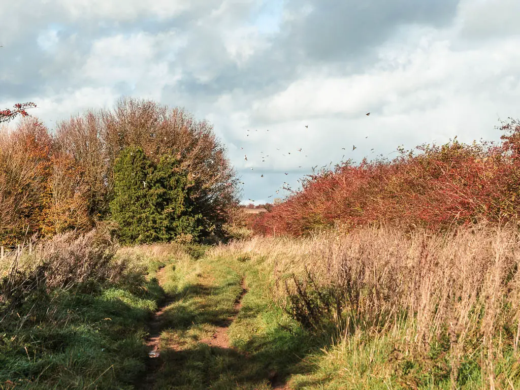
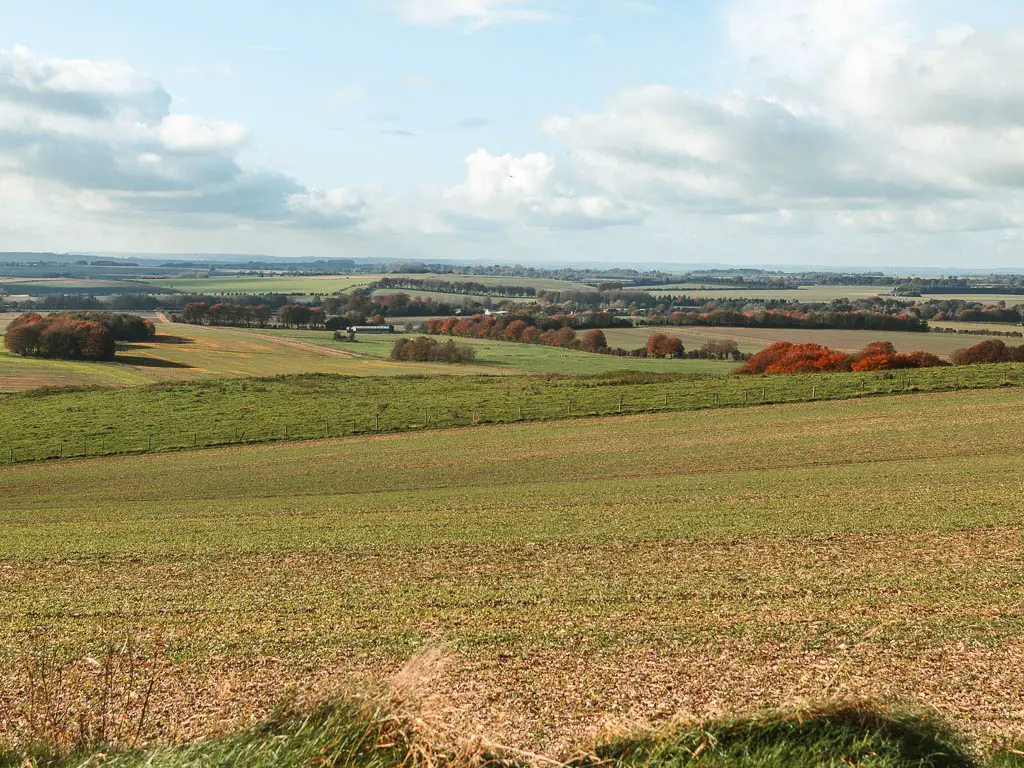
You will have a mix of lovely open views, occasionally broken up with trees and bushes, as the path gradually becomes more gravel and rock like. This is more what I was expecting.
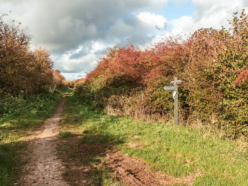
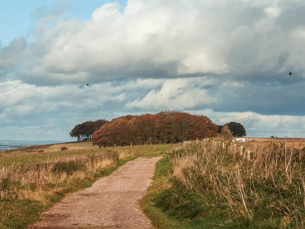
Hackpen Hill White Horse and the birds
When you reach the road, it is in this vicinity to the left where you have the Hackpen Horse (a chalk horse figure). You can’t see it from here. The best view is from the road below (you will see it when on the bus to Avebury). You can of course have a little detour to find it.
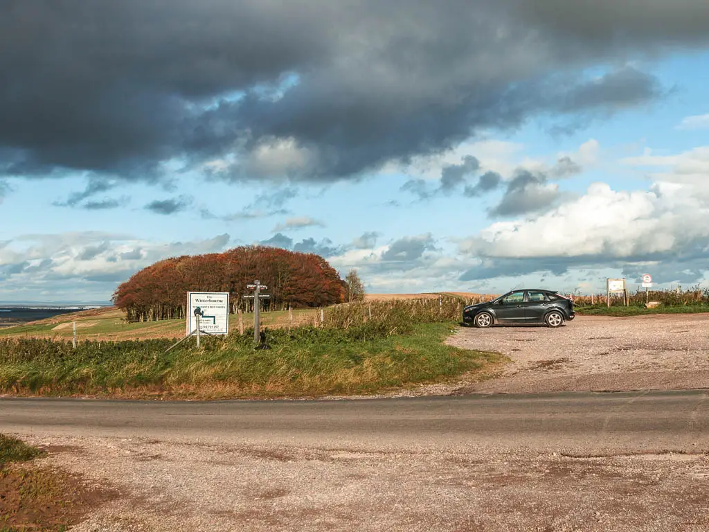
This one isn’t prehistoric. It was created in 1838 by Henry Eatwell to commemorate the coronation of Queen Victoria.
This is also where I saw my first big birds of the trip (they would continue to make an appearance along the next few days). I later found out that these are red kites, and are common along the route since a conservation started a decade or so ago.
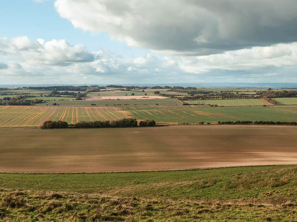
Walk to Barbury Castle and the half way point between Avebury and Ogbourne St George
Cross over the road and through the car parking area. Keep following the main path which will lead you towards a bunch of trees, then up a small hill. It then levels off for a bit, before taking you back downhill.
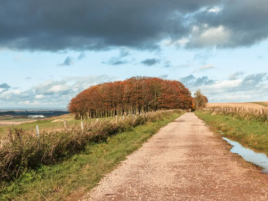
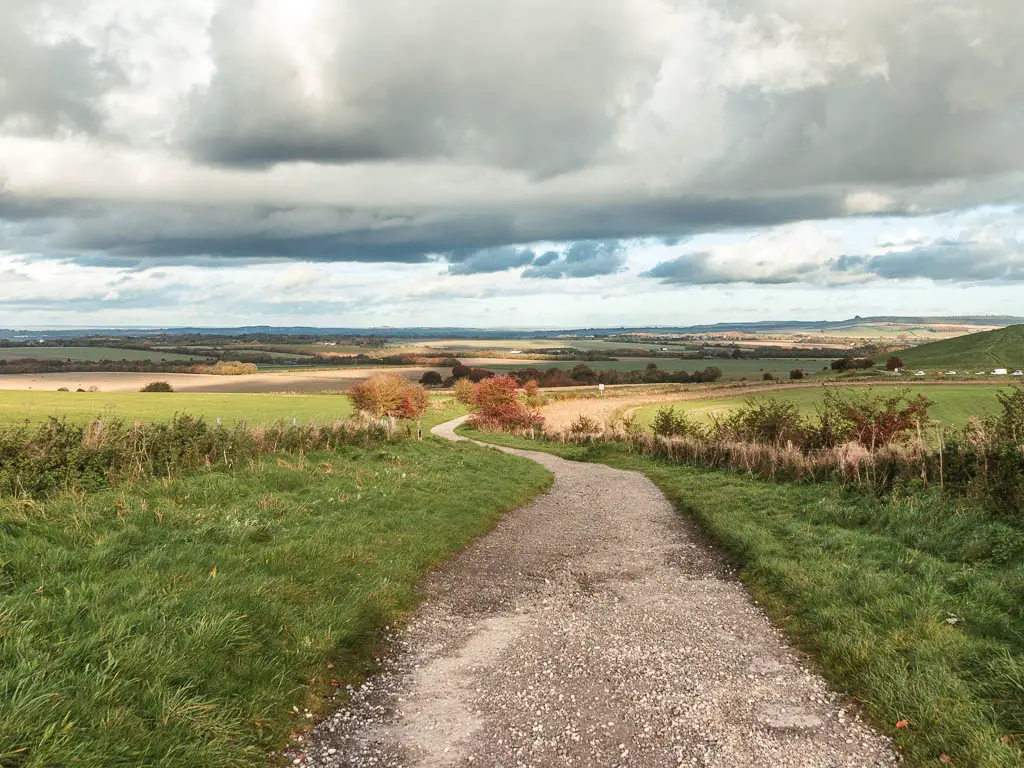
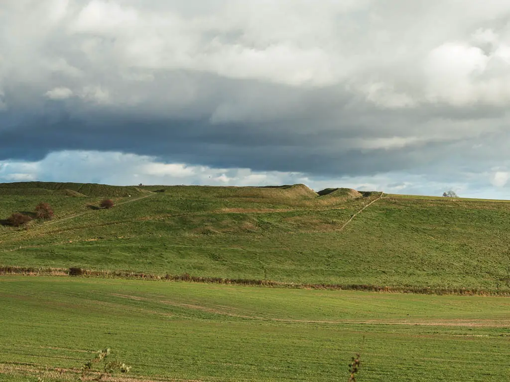
As you go down the hill, you should start to make out the ditches of Barbury Castle ahead up the hill to the right.
When you reach the road, you will be at the halfway point in the walk between Avebury and Ogbourne St George.
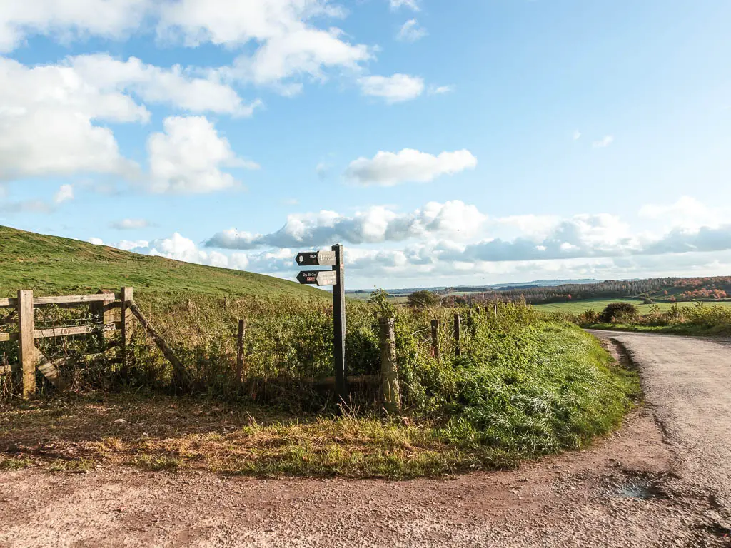
Turn right at the road, then a short way along on the left, look out for signage pointing you left through the gate. Barbury Castle is next. To reach it, follow the trail up the hill. This is the hill I mentioned earlier that was a bit puffy. I think it was more the heavy backpack that got me (or so I tell myself).
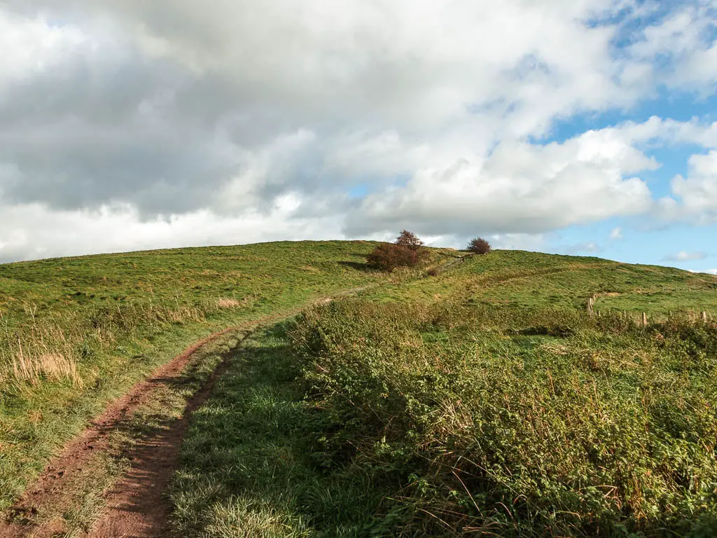
Barbury Castle
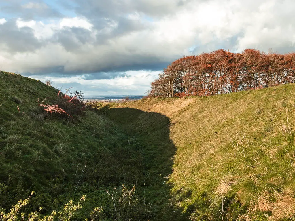
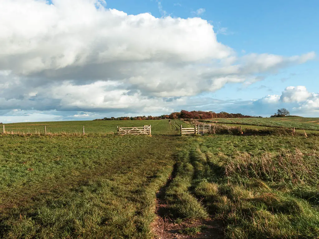
At the top you will be at Barbury Castle. So you are not disappointed, don’t expect to see a castle. What you have is a hill with big ditches around it. It is bloody impressive though, with wonderful views across the Marlborough Downs. Apparently you can sometimes see as far as the Cotswolds. I wasn’t really sure what I was looking at, so I will go with that.
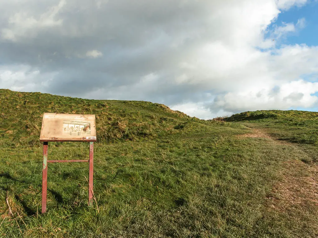
So what is Barbury Castle? Well, I’m glad you asked…It’s an Iron Age hill fort with double defensive ditches, dating back about 2500 years. There is archeological evidence that there was once buildings here, so maybe a village or military post.
It is thought that this is where Britons were defeated at the battle of Beranburgh in 556 AD.
You can have an explore around here, but to follow the route, continue through the middle and across the ditches on the other end.
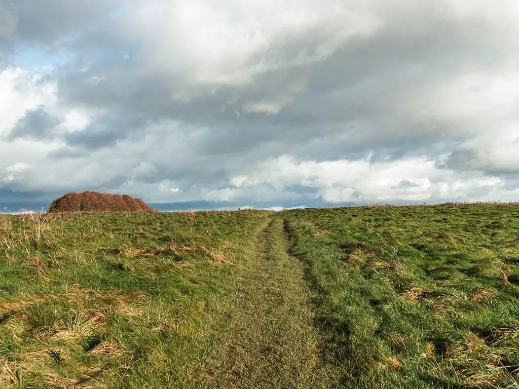
The new trail?
Now, if you look on a trail map, it will tell you that the Ridgeway goes to the left at the road before you walked up to Barbury Castle. For some reason, you don’t go that way. I wonder if this way is a new route which was created, as that other way takes you along a road for quite some time, so wouldn’t be much fun. I can’t find any info about it, so I’m going to go with that theory until I am told otherwise.
All you need to know is that the Ridgeway signs are still present up here.
Walk to Smeathe’s Ridge
Once past the ditches, keep following the dirt trail through the grass, and through a gate and across a field. At the end of the field, go through the next gate where you will have a car park, toilets, and viewpoint.
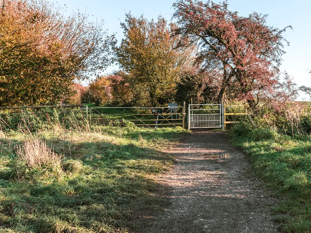
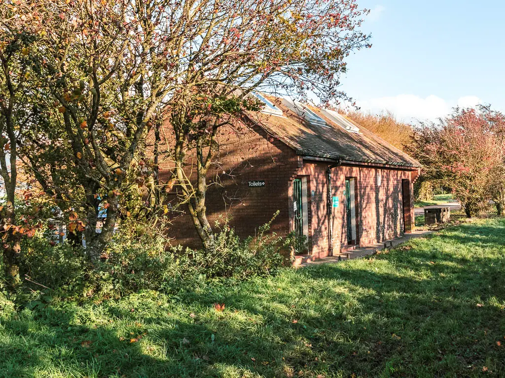
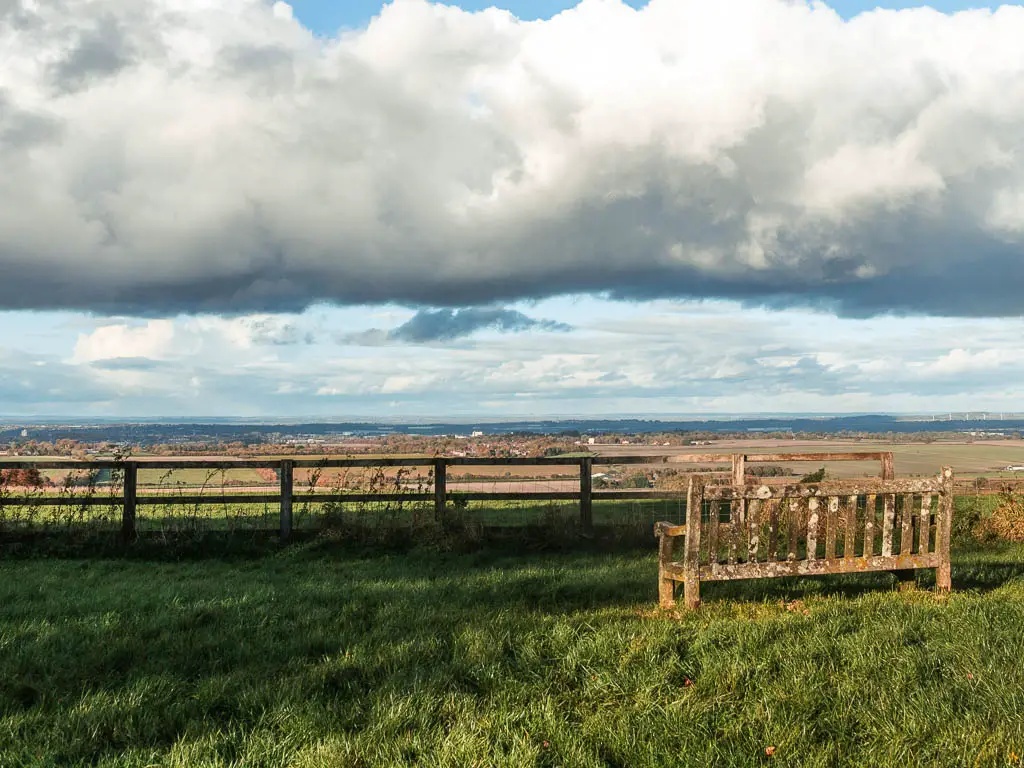
After you have enjoyed the view, go back to the toilets and stay straight (with the toilet to your left), and you will be led through some trees to reach the road. At the road turn right.
Walk along the road for a short while, to reach the trail signage pointing left into a field.
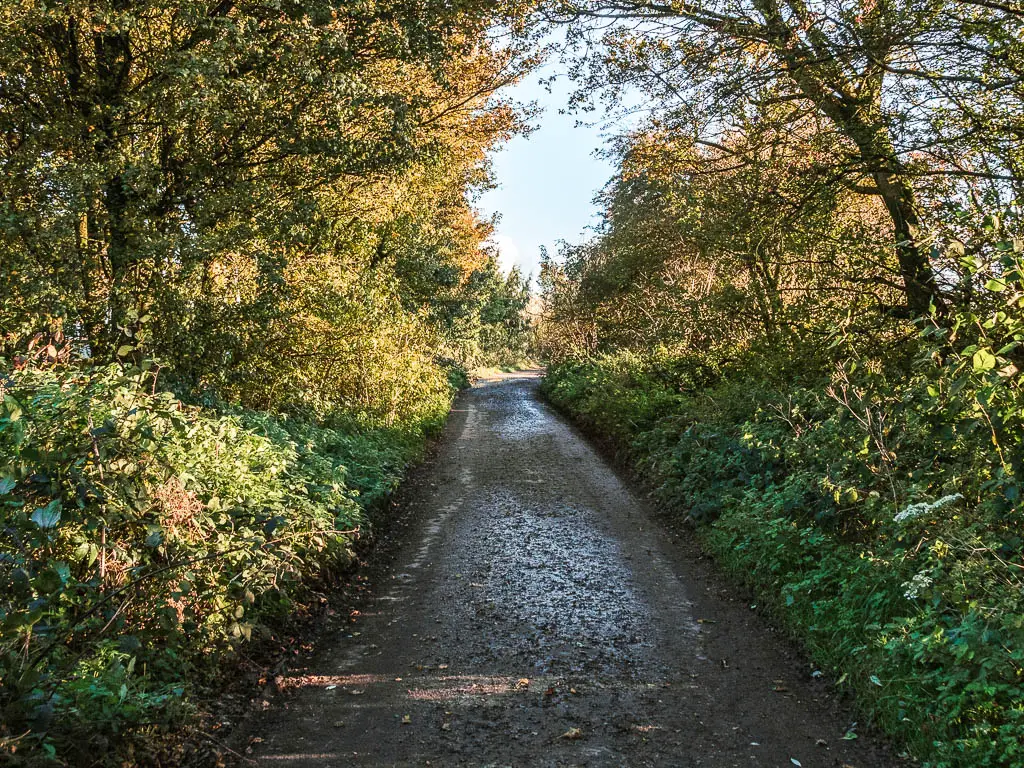
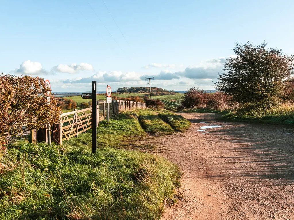
Through here, you will be on gravel road briefly. When it curves to the right, you want to stay straight and onto the grass. There should be a Ridgeway sign here.
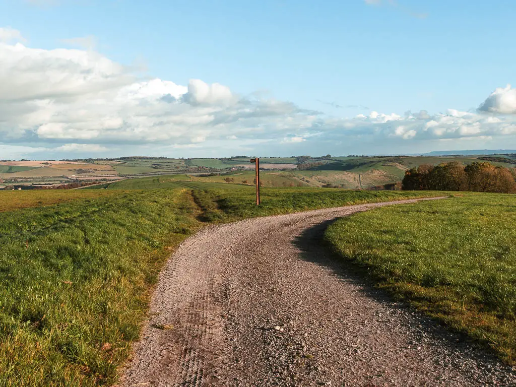
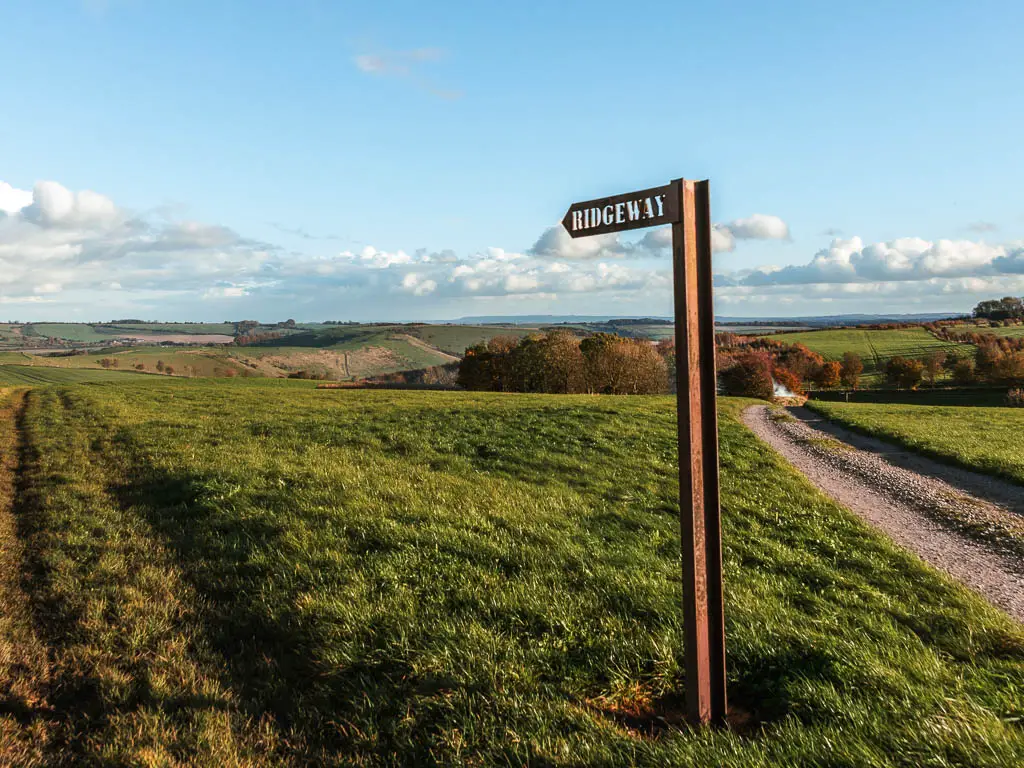
Now you will walk downhill surrounded by a vast expansion of fields. I really enjoyed this bit. It was very different to everything else, giving nice variety. In fact, ever since leaving Barbury Castle, it all felt different. Like I wasn’t on the official Ridgeway anymore, which supports my theory.
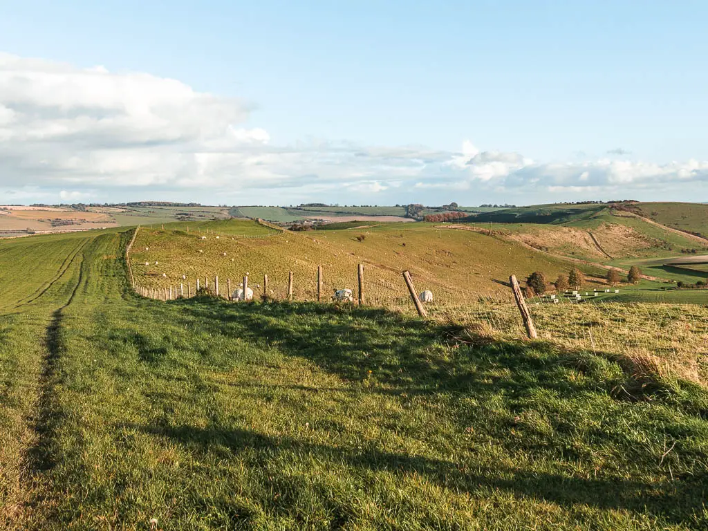
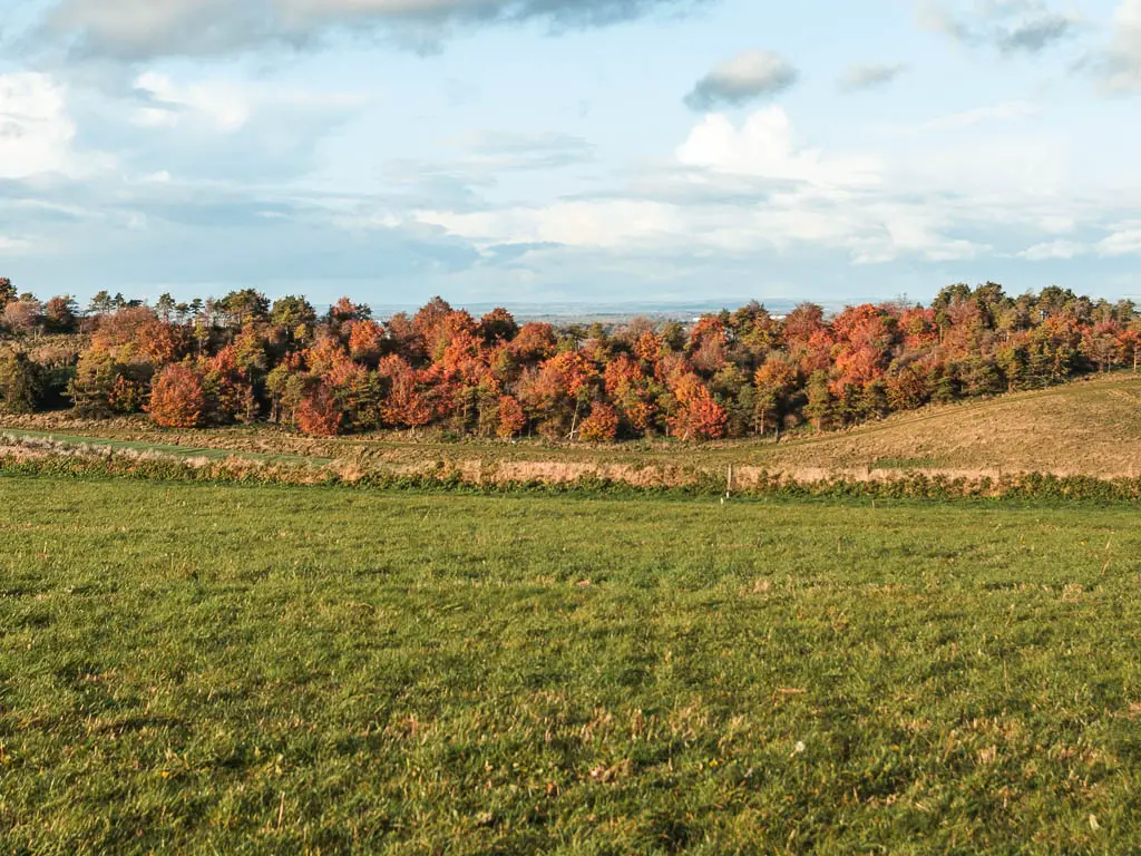
Keep going straight to the end, and through the gate of Herdswick Farm.
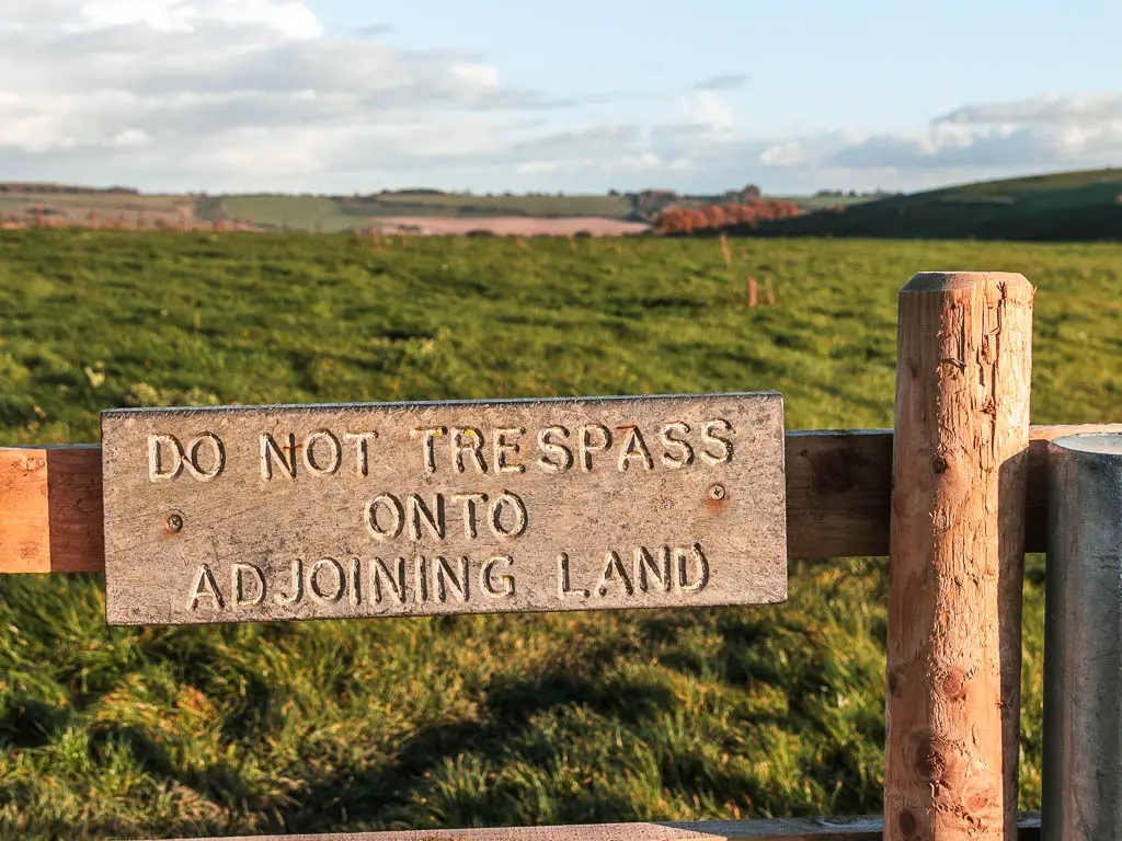
The final stretch of the walk from Avebury to Ogbourne St George
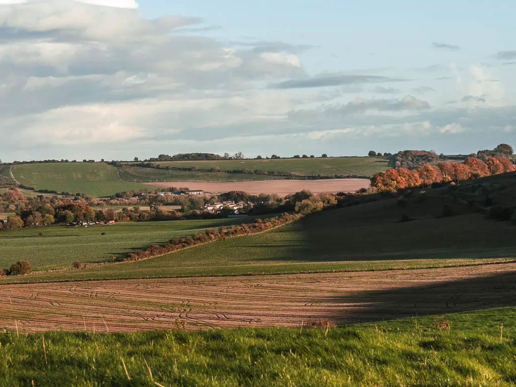
You are near the end now. Through the gate, keep to the right by the fence, until you reach the next sign. You will have a view of Ogbourne St George over to the left.
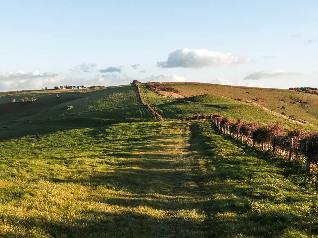
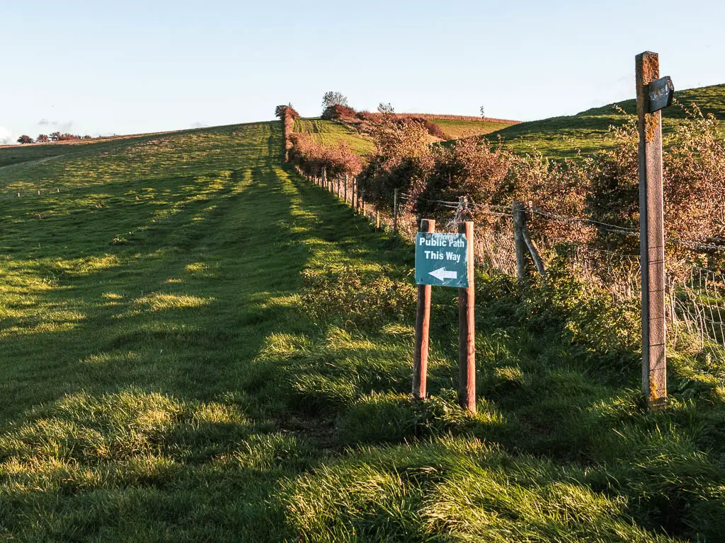
I didn’t see any Ridgeway sign here, but the other sign said to turn left. So I did.
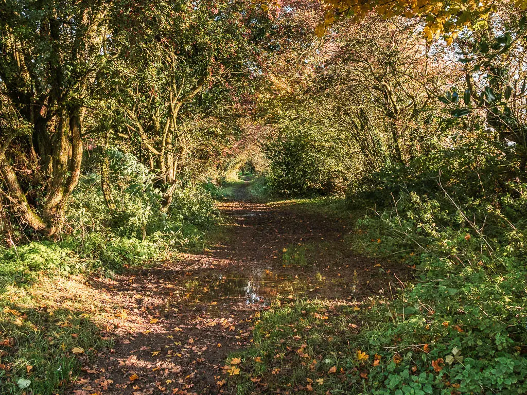
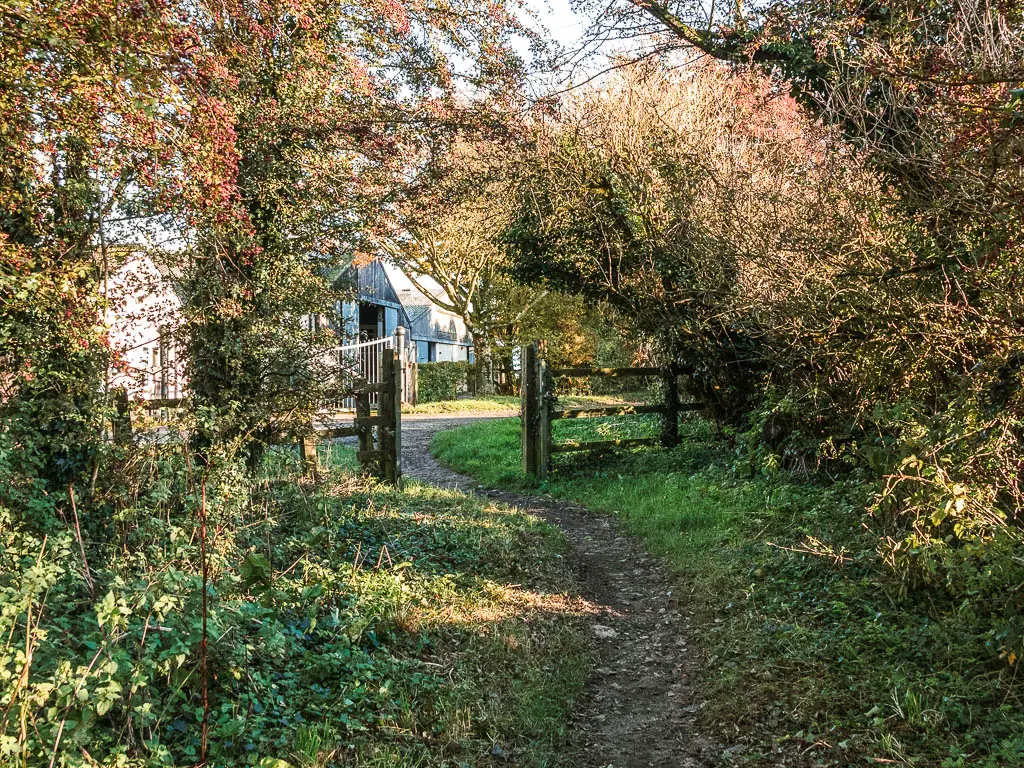
From here, you continue following the grassy path which takes you gradually downhill, and through a few more gates to reach the woods. Continue straight through the woods, to reach the road.
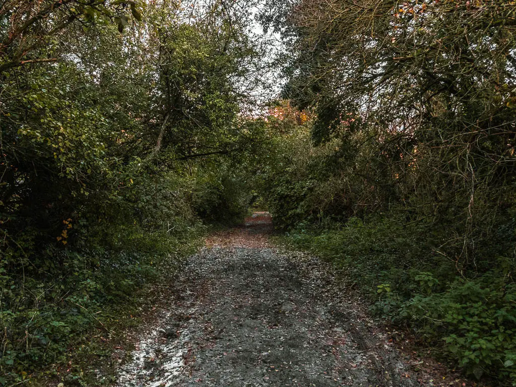
Walk to Ogbourne St George
At the road, turn right, then at the next bend, there is a Ridgeway sign directing you back onto a trail. If you are going to Ogbourne St George, don’t follow it, but instead stay on the road.
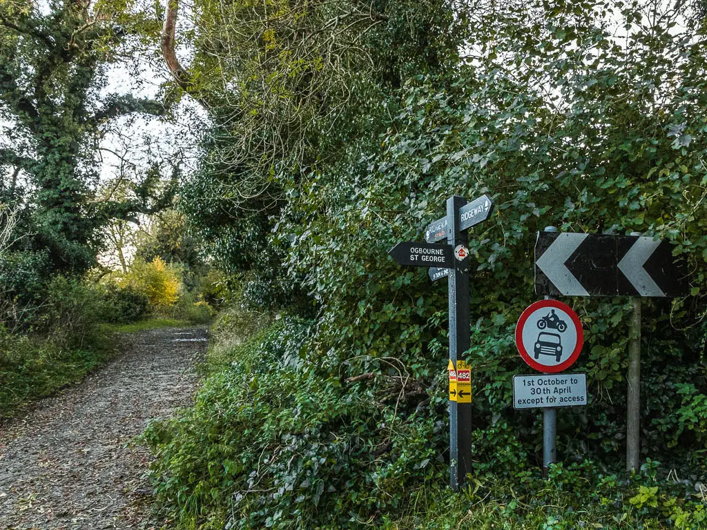
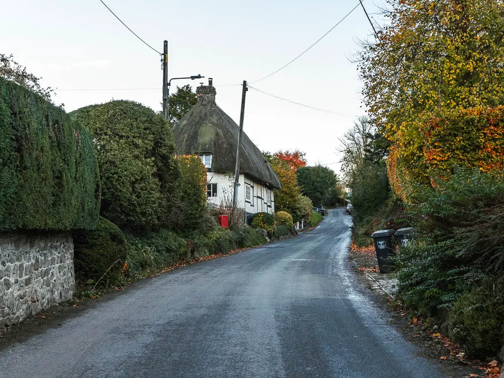
At this point I looked up the bus times and saw that I had over an hour before the next one. So I figured I would go and sit in the pub in the village.
To my dismay, it was closed. So my only option now was to go and wait for the bus….
The bus stop happens to sit right next to a very busy road with fast cars. And when I say bus stop, I mean a sign on the verge.
The sun had now set, and coldness had come. To distract myself from the cold and nerve wrackingly fast cars (exacerbated by the darkness, and wondering if any would hit me) I started stretching. I wasn’t sure how effective stretching cold muscles would now be, but my legs did feel good the next day, so it must have worked.
Read more: Day 2 – Ogbourne St George to Sparsholt
