This circular walk takes you from Balcombe station, around Ardingly reservoir, and under the Ouse Valley Viaduct before returning back to Balcombe.
Now, this was my second attempt at this walk. The first time I took a wrong turn after leaving Ardingly reservoir, and ended up walking in completely the wrong direction, thus missing out on the Ouse Valley Viaduct. By the time I realised my mistake, I was too far gone to go back. So I decided to go with it.
It actually turned out to be a lovely walk, with cool views of the viaduct in the distance. I was going to share it on here but ended up making some more wrong turns and I decided it wasn’t quite suitable to share to the public. Something about accidentally walking in places I shouldn’t have with signs warning of gunfire.
What to expect on the Ouse Valley Viaduct walk
It’s very lovely. Walking around the Ardingly reservoir, I felt such peace. The scenery was simply stunning. There were kayakers, stand up paddle boarders and boat people dotted about the water. Ollie and I made a note to come back here for some water fun some day.
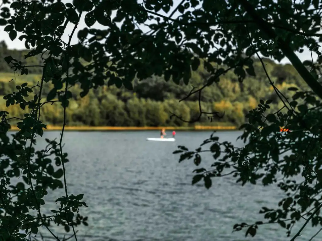
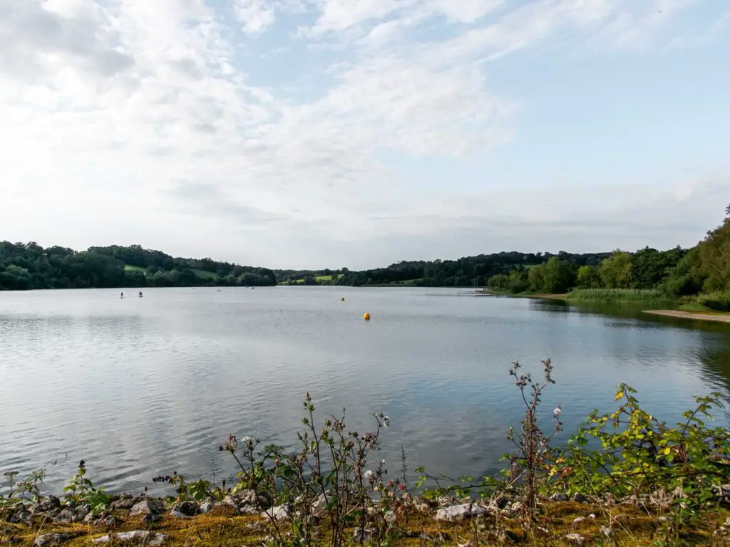
Along the trail there are benches here and there where you can sit and admire the reservoir view. After the reservoir, you will walk through many fields, sometimes with a view of the Ouse Valley Viaduct in the distance.
Upon reaching the viaduct, you can go and stand in it for that famous shot (you might have to wait your turn as it’s quite a popular one).
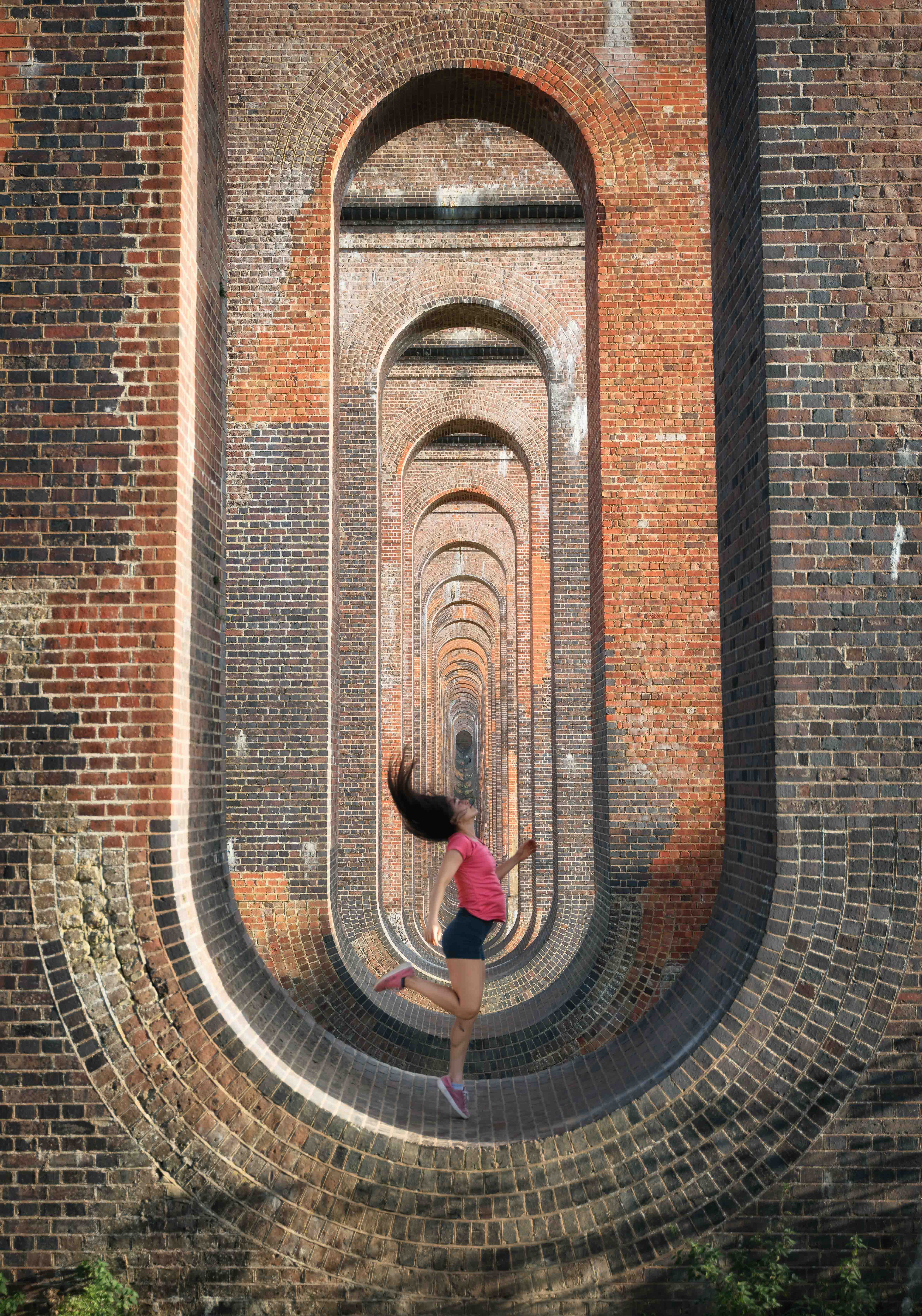
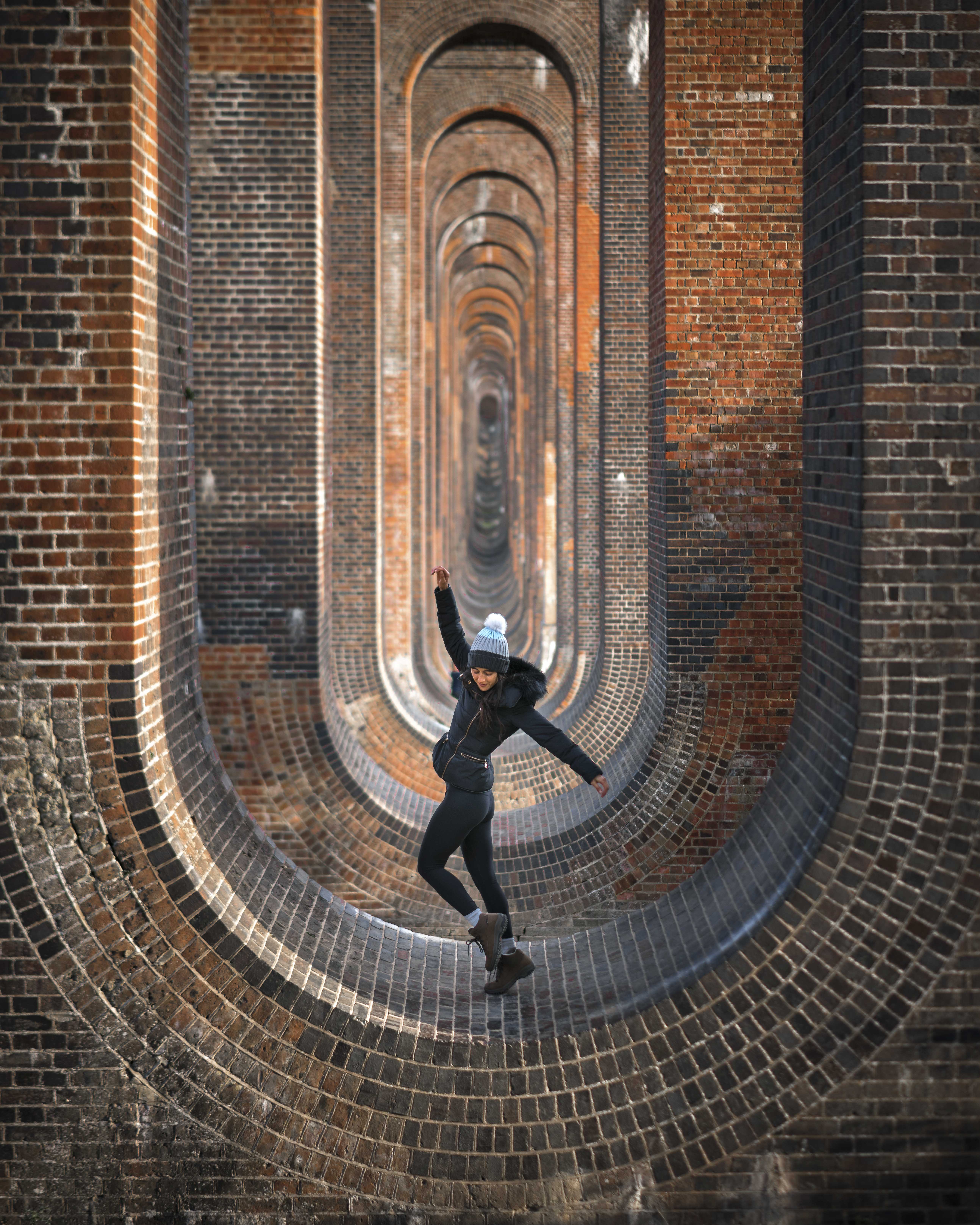
The left one is from this walk, the right one is from last year.
After the Ouse Valley Viaduct, the walk takes you through more fields and up some hills with more viaduct views looking back.
This second section of the walk from the Ouse Valley Viaduct back to Balcombe Station was much much less busy. In fact, I’m not sure I recall a single person along this bit.
Just sheep and pheasants.
What is the Ouse Valley Viaduct?
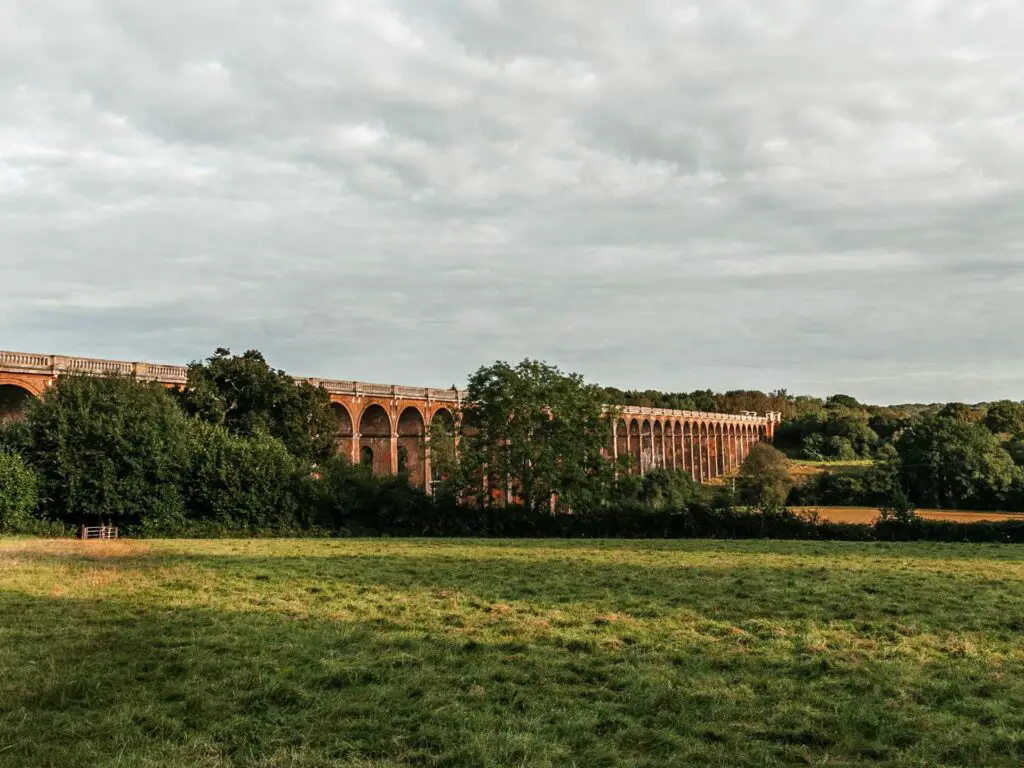
A very ornate railway bridge.
It was built in the 1840’s to connect London to Brighton. It’s made up of over 11 million bricks and has 37 arches. The bricks came from the Netherlands. It is a grade II listed structure.
Logistics for the circular walk to the Ouse Valley Viaduct
- Start: Balcombe train station
- Finish: Balcombe train station
- How to get there: There are direct trains from London St Pancras, London Bridge and Blackfriers which takes around 40min-1h depending on which station and which day. If you want to go from London Victoria Station it involves one change (usually at East Croyden) with a journey time of 45/50min. If coming by car, there is a car park at the station.
- Alternate walk: If you want to make this shorter and just walk to the Ouse Valley Viaduct and a bit of Ardingly Reservoir, you can actually park right by the Ardingly Reservoir Activity centre. You can then start the walk from there (I describe it in more detail below)
- Distance: 8.2 miles
- Time: 3h 20min
- Difficulty: Easy/medium (medium because there are a few hills).
- Terrain: Grassy fields, dirt tracks, some mud, a bit of road.
- Tips: Have a windproof jacket on hand, there are some exposed bits which, if the wind comes along, will not be fun.
- Amenities: There are lots of benches and bins around the reservoir. The Ardingly Activity Centre next to the reservoir has a cafe and opportunity to rent out water sports equipment. There is also a large car park located here.
Map for the Ouse Valley Viaduct circular walk
You can see my more detailed map on Alltrails here.
Further walking ideas will be at the bottom of the post. But first, let’s do this one…
Route Description: How to walk to the Ouse Valley Viaduct
The first time I came out on this walk, I came without the boy. We had had a disagreement about what walk we would be doing. I didn’t like his plan so came here alone. This time around, he came with.
Anyway, if you have arrived by train, leave Balcombe station at the east exit. It’s the side of platform 2 (I think). Once on the main road, you should see a red telephone box to the left. Take the path turning right after the telephone box.

Continue walking up, then when you reach the next road, turn right along the path and follow the road around. You will now walk to the very end of this road. This is a residential area but quite pretty to walk along.
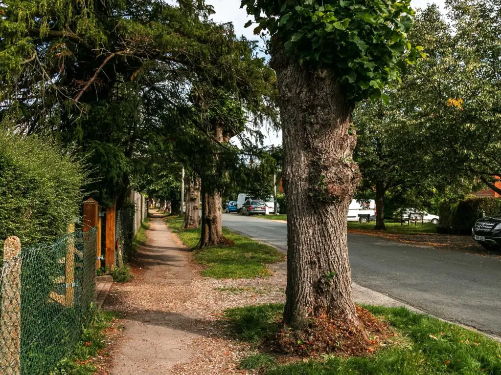
The first time I came here (in April) it started snowing at this point. Not much, but enough to be weirded out and wonder wether I had dressed warm enough. This time it was lovely and warm.
At the very end of this residential road, turn left on the main road and walk down hill. There is a hidden trail coming up. Just past a right turning road.

You should see a trail signpost, next to a dog poo bin.
The ‘bull’ field
Walk along this path to the gate at the end. The first time I came here, there was a bull in field sign at the gate. I was quietly pleased the boy was with me this time. So he could sacrifice himself for me.
This time there was no bull sign. Ah well. He would have to sacrifice himself another time.
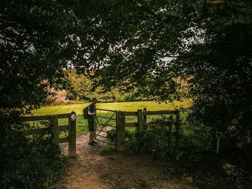
Once in the bull/non bull field, walk directly across it in the same direction but slightly on a right diagonal. You will be heading to a small wooden gate on the other side. There is a faint marking of a trail to guide you.

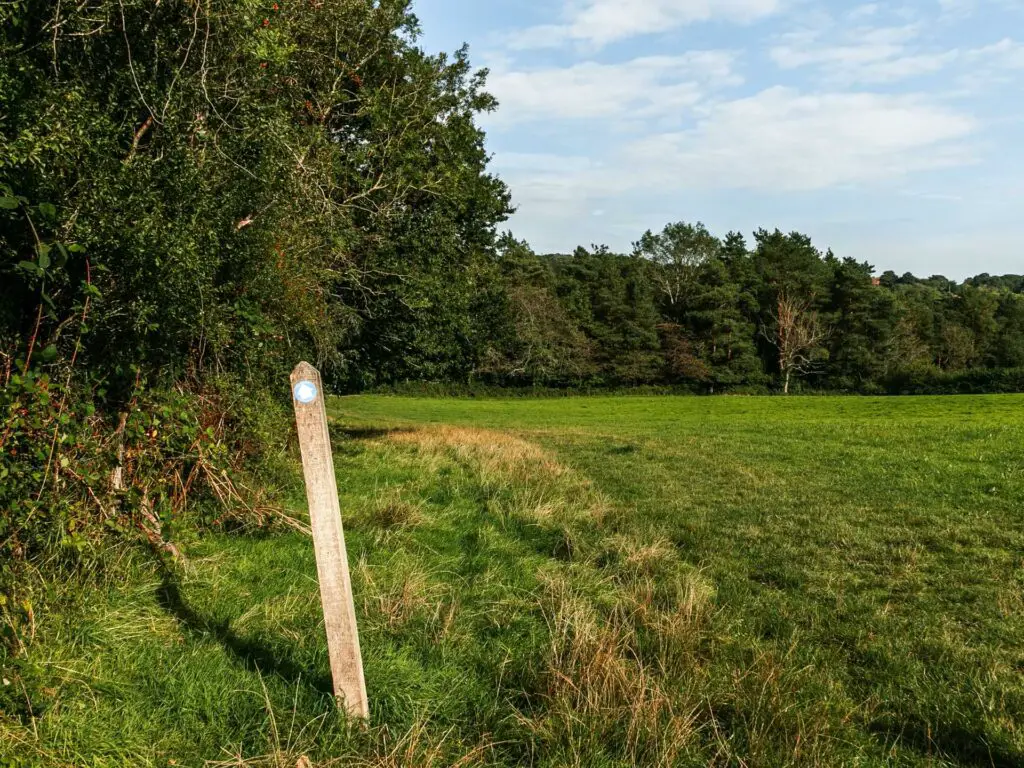
Walk down to the Ardingly reservoir
This little bit is quite lovely, walking down makeshift steps under the trees, to exit the other side into what I am going to describe prime real-estate territory.
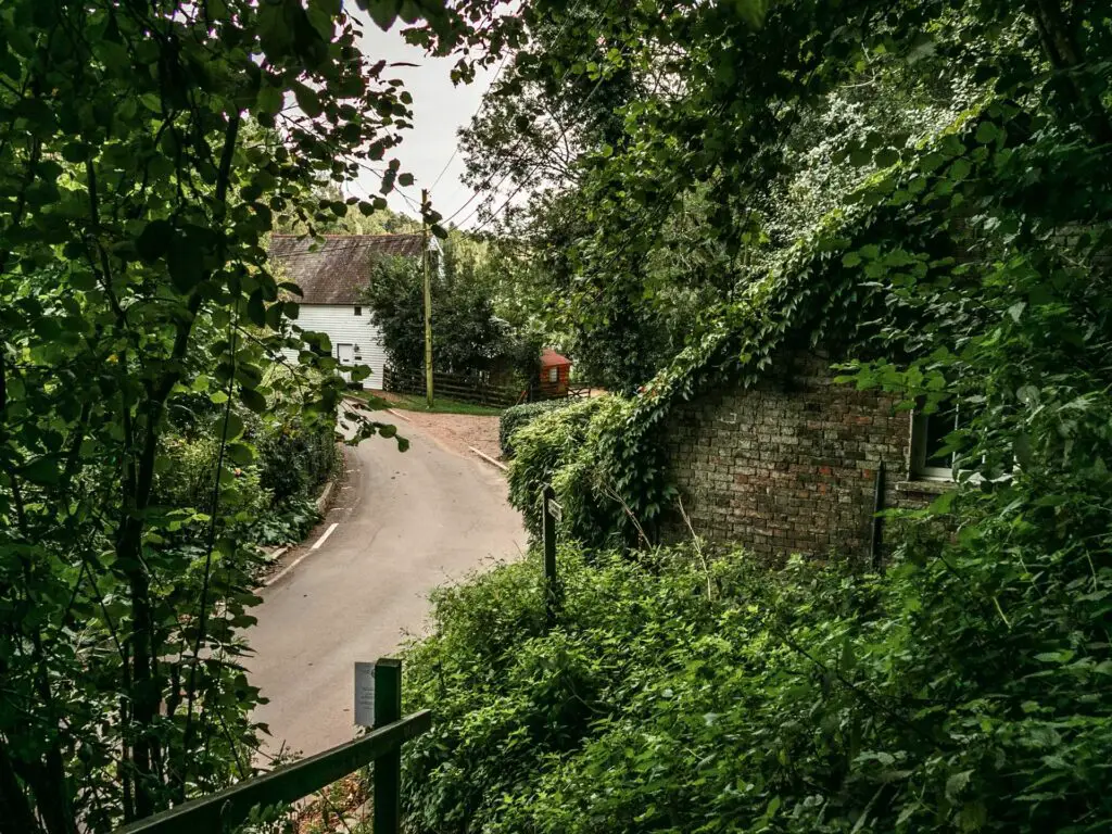
Down at the road and turning right, I noticed a house with a front garden leading right onto the Ardingly Reservoir. And a tree house. Who the hell lives here and can I be their friend?
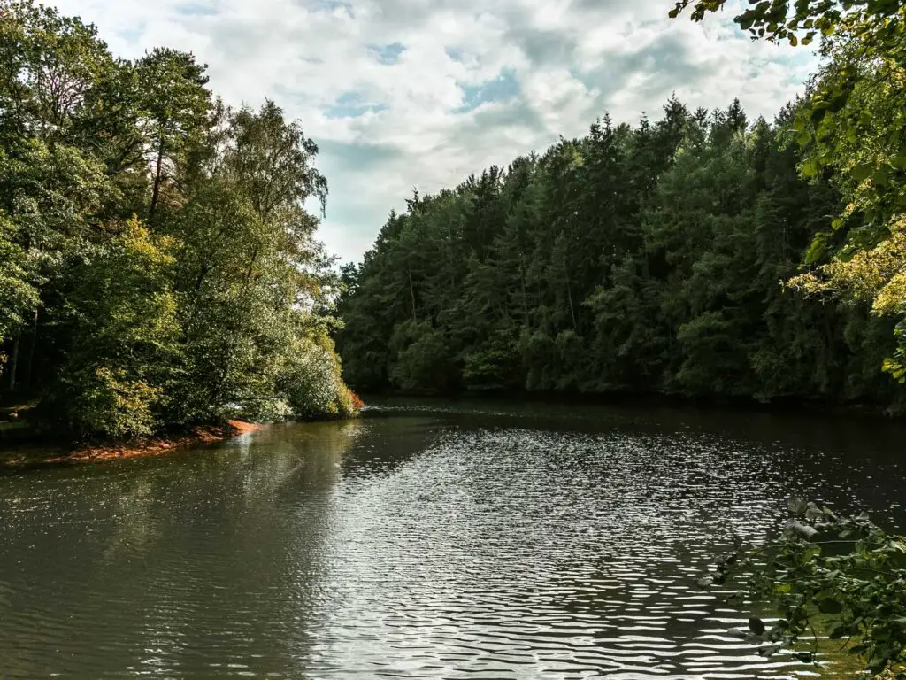
Walking over the bridge I heard some duck noises to the left. I had a look over that way and realised that these houses also had their own bit of reservoir, with ducks running around on their front lawn.
Actually, the ducks were quite flappy.
I hung around here for a bit, in awe of the beauty (and a bit jealous of the people that live here).
The Ardingly Reservoir path walk
Next, walk over the bridge and follow the road until you reach the gate and trail on the right, which will take you to the Ardingly Reservoir path.

From here it’s super easy. You just follow the path until you reach a bridge (about 1 mile).
The walk along the trail starts off under tree cover with glimpses of the Ardingly Reservoir to the right, before things open up for grand views across the water. The trail continues like this, a mix of tree cover and openness.

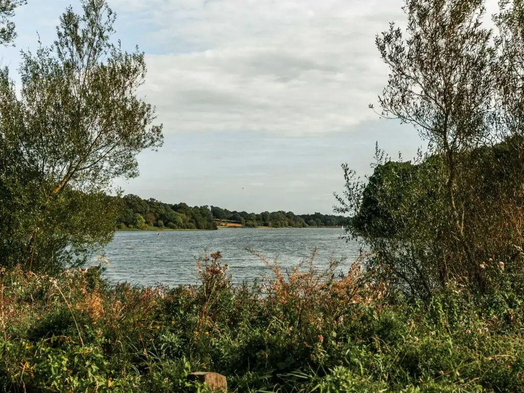

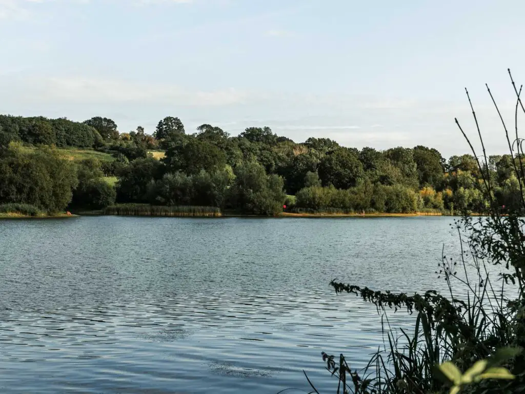
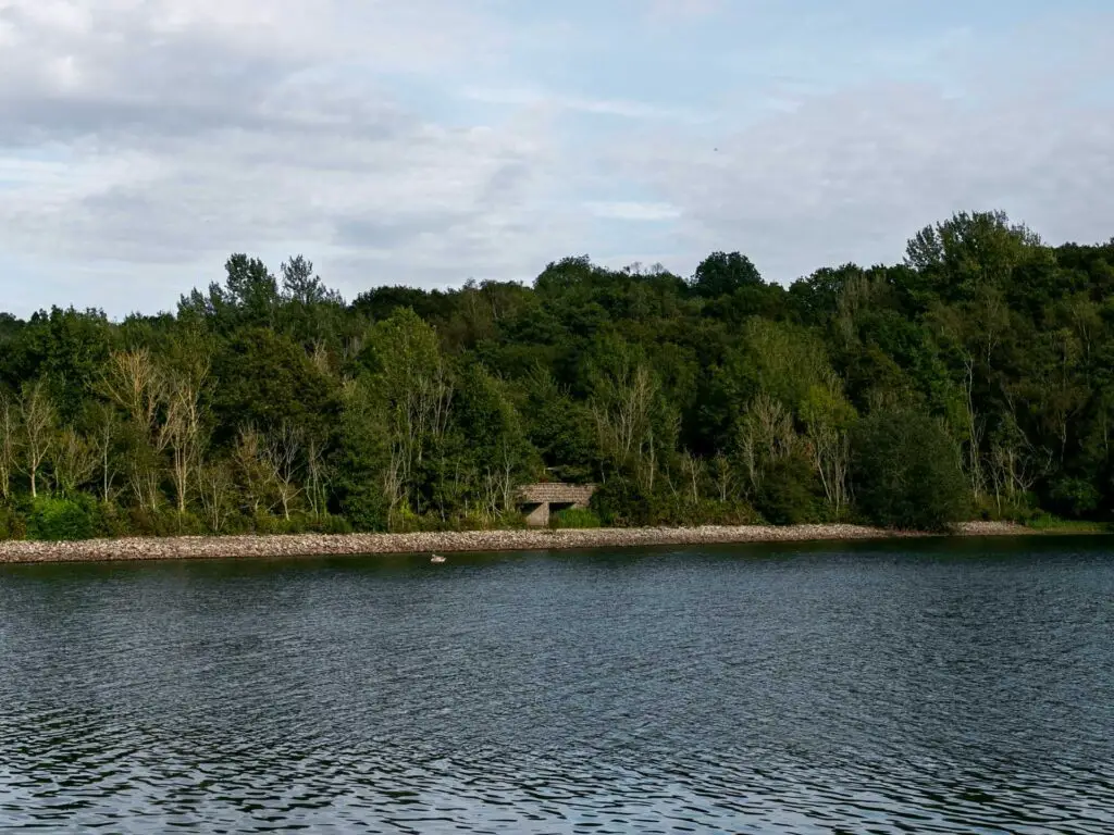
The first time I came here, this first section of the walk around Ardingly Reservoir up until the bridge, was super peaceful. I probably passed a handful of people. This time around it was a tad busier. Not too much though.
After the bridge, things are a bit different….
Walk over the bridge
When you reach the end of this part of the trail, there is a gate. Go through it, and then you need to make a right turn to walk over the bridge. There is a semi-hidden trail running alongside the road.
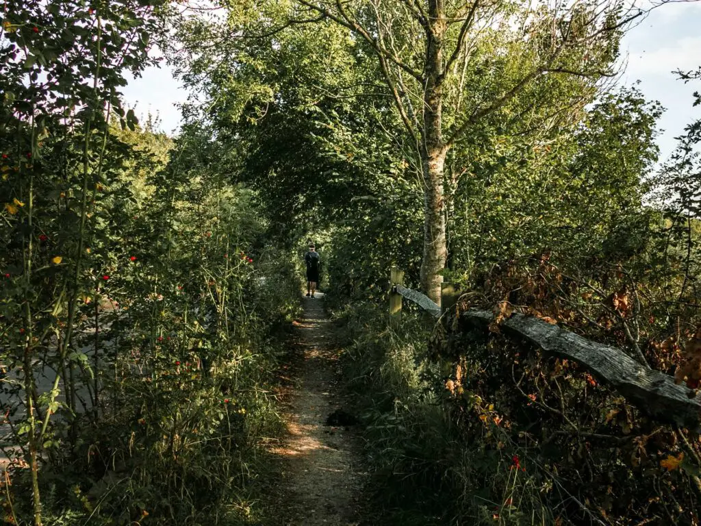
Once over the bridge things will be noticeably busier. Although, it is all still super pretty, just not quite as peaceful anymore.
I had wondered where everyone had come from and figured there must be a car park near by…Turns out there was.
Anyway, you continue the same as before, following the Ardingly Reservoir path.
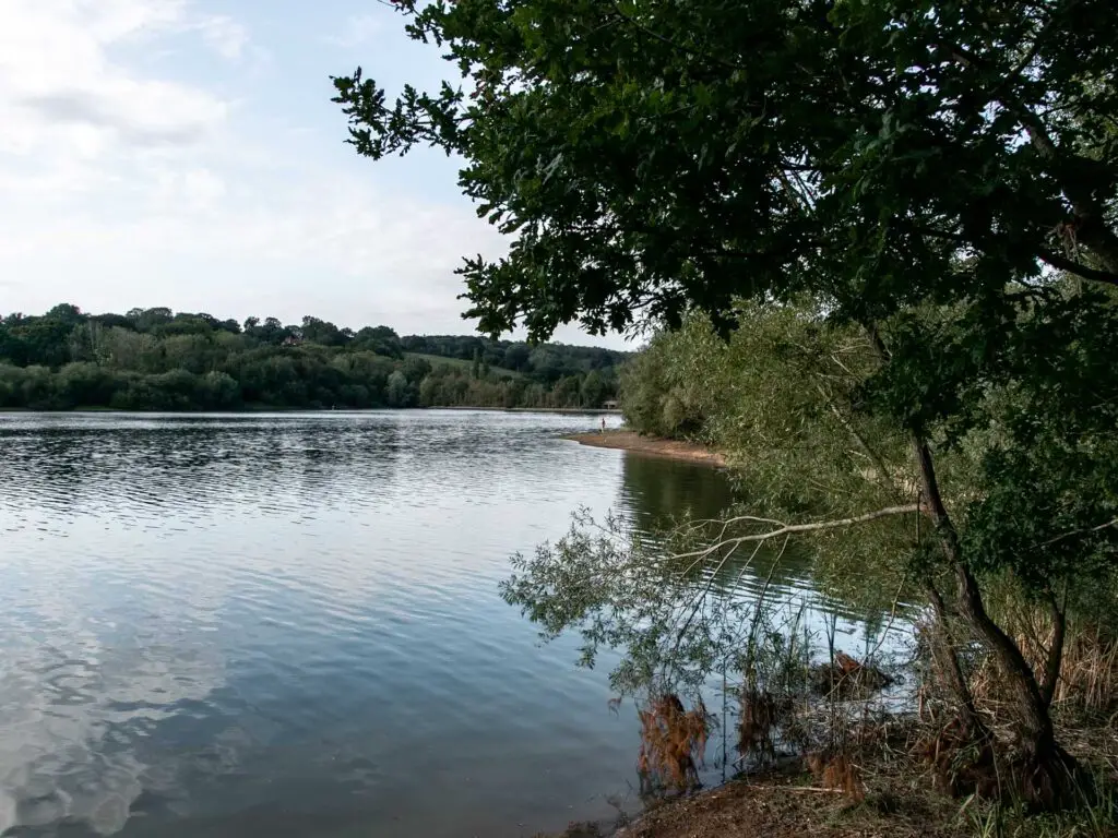
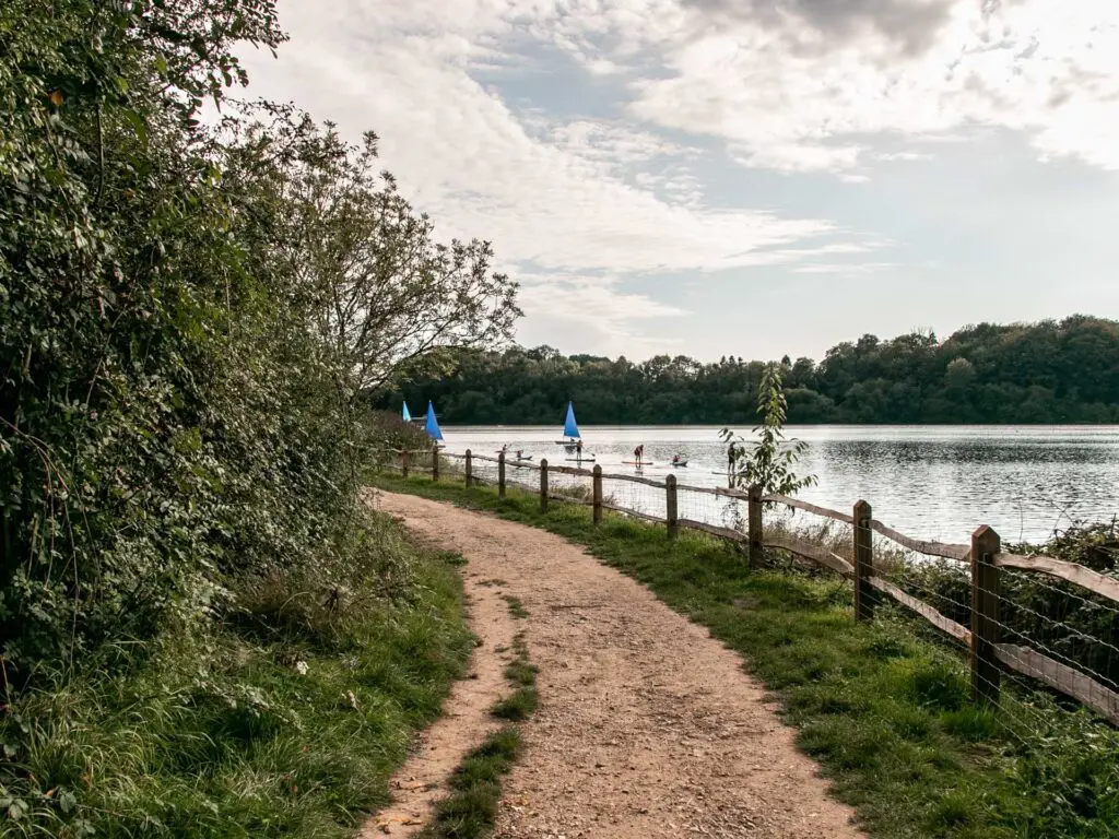
There are a few mud patches along here, which are easily avoidable by walking to the side or on a small side trail. These side trails just appear whenever a mud patch comes about. These mud patches must be a regular thing if new trails had been formed around them.
The wind, the car park and the boats
Along the walk, you should have noticed the Ardingly Activity Centre in the distance. That marks the end of the Ardingly Reservoir part of the walk. Just before you reach it, you will go through a gate, with the giant car park on the left.
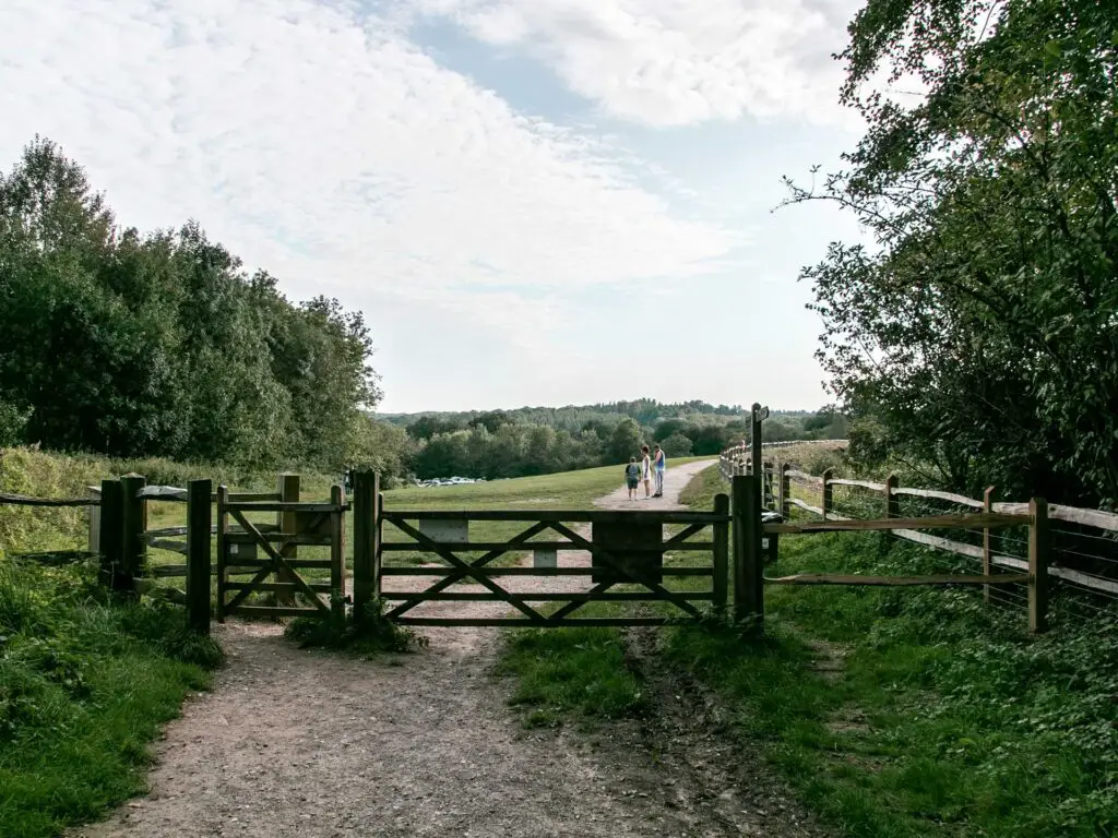
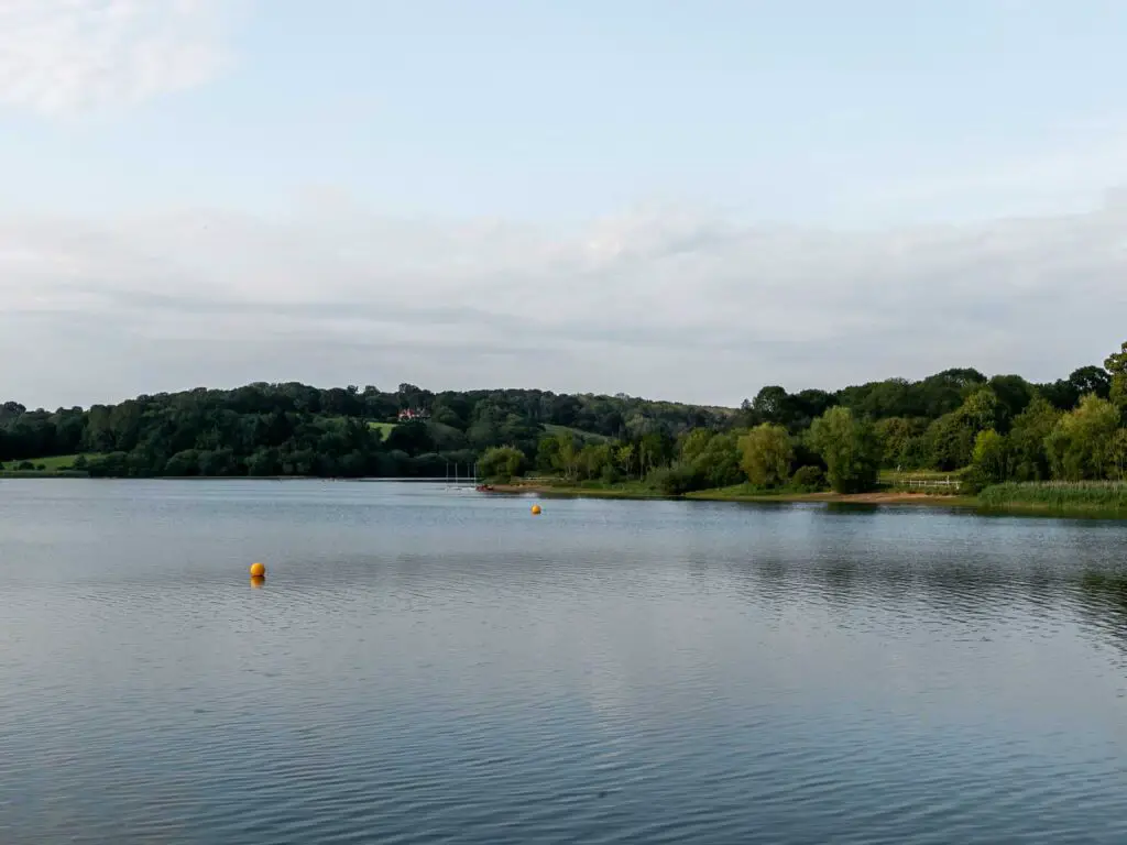
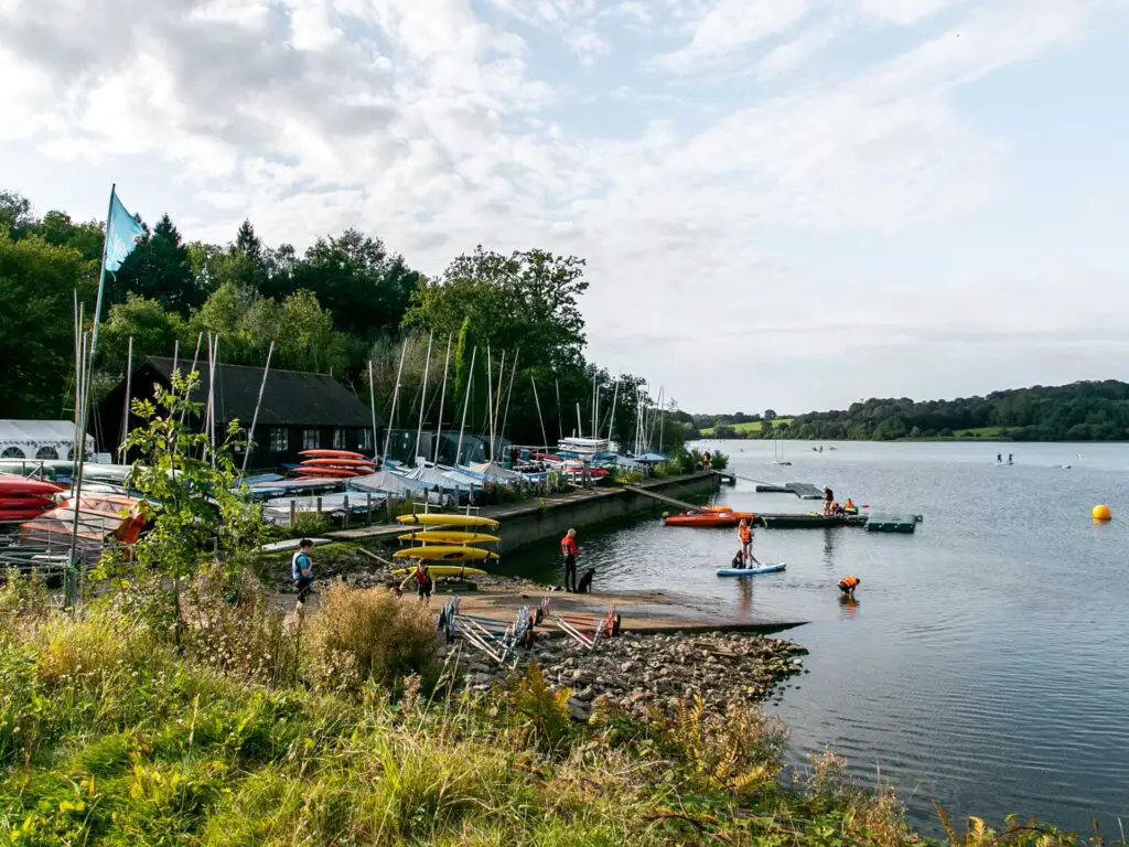
If it’s a cold/windy day, this is where you will feel it. The first time round, I got attacked by the wind.
Leaving the Ardingly Reservoir – Where to start if you are doing the shorter walk
This is where the car park is. So you can park up and start to walk from here.
As you walk past the boats you will see a road, and to the right of it, 2 trail splits. Left trail goes to the Ouse Valley Viaduct, right goes the other way.
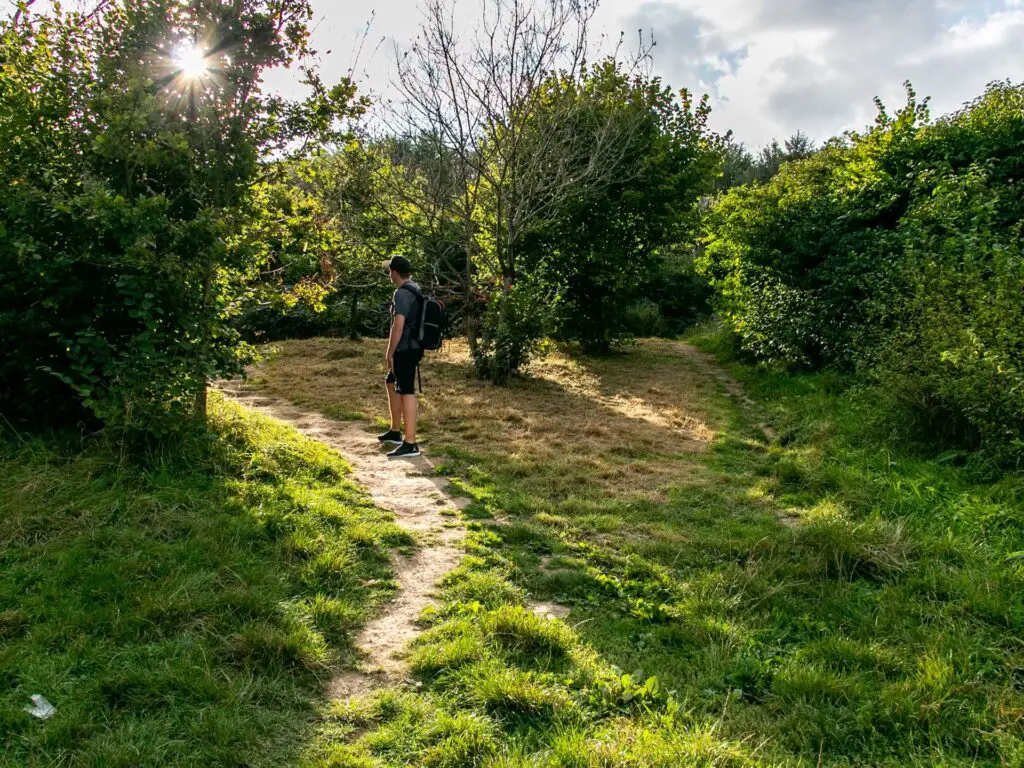
That first time I came and did this walk, this is where I turned right. So for a while, unknowingly, was walking away from the whole reason for this walk.
Now I knew better and took the left trail.
Walk towards the Ouse Valley Viaduct
Taking the left trail, it will lead you through a gate and along the edge of a field. Along here, there is a nice bush framed view on the left.
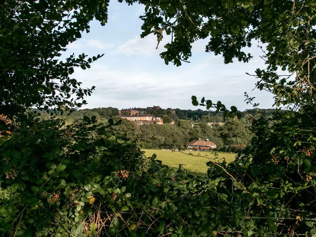
Keep going through a bush hedge to get into the next field.
First view of the Ouse Valley Viaduct
Once you walk into this field, you should get a view of the Ouse Valley Viaduct up ahead. Sorry, I don’t have a photo. Actually I do, but it’s rubbish.
Here is a photo of Ollie walking down the hill instead.
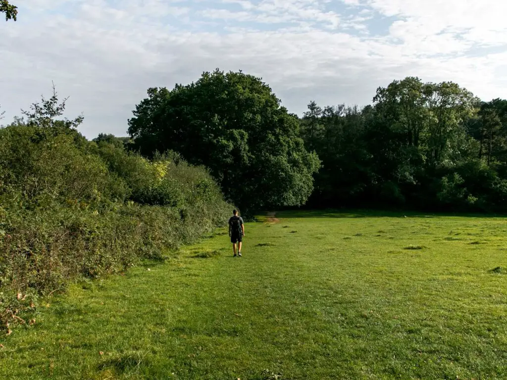
So, walk down this hill.
You will reach a bridge at the bottom. Go over it and continue along the grassy trail to another bridge on the other side of the field.
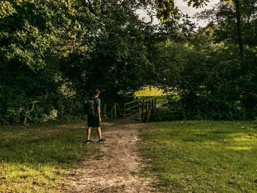
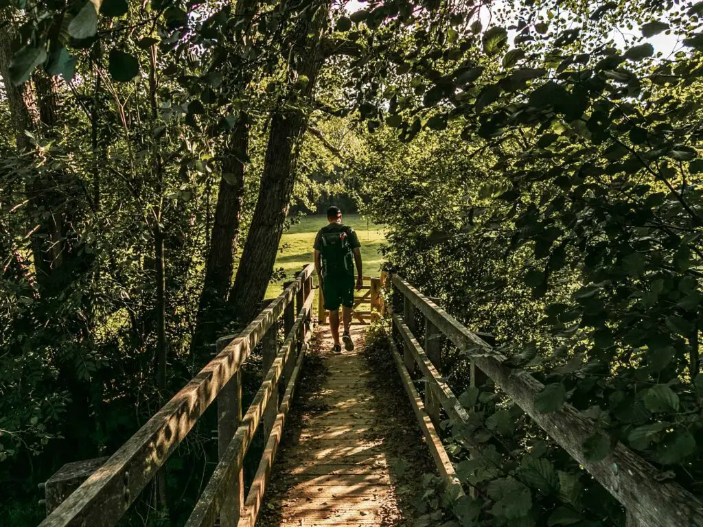
Over the second bridge, keep to the right. It will seem like you need to walk straight across the field, but this is incorrect.
Simply follow the trail that runs along the river, through a number of fields, and soon enough you will get a view of the viaduct up ahead.
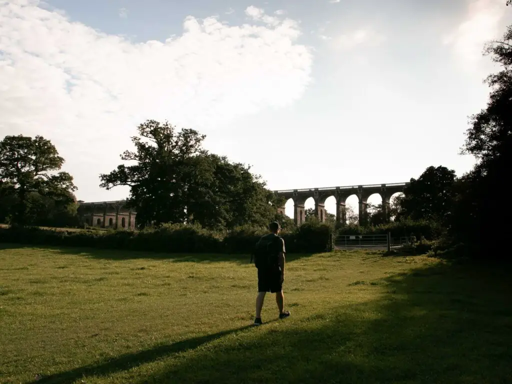
Oh, just to let you know, as it’s been happening already, I didn’t have many usable photos for the rest of the walk. The sun was straight up in our faces.
Walk to and under the Ouse Valley Viaduct
When you reach the road, turn right to walk along it. Just a warning, It’s quite a busy road with fast cars.
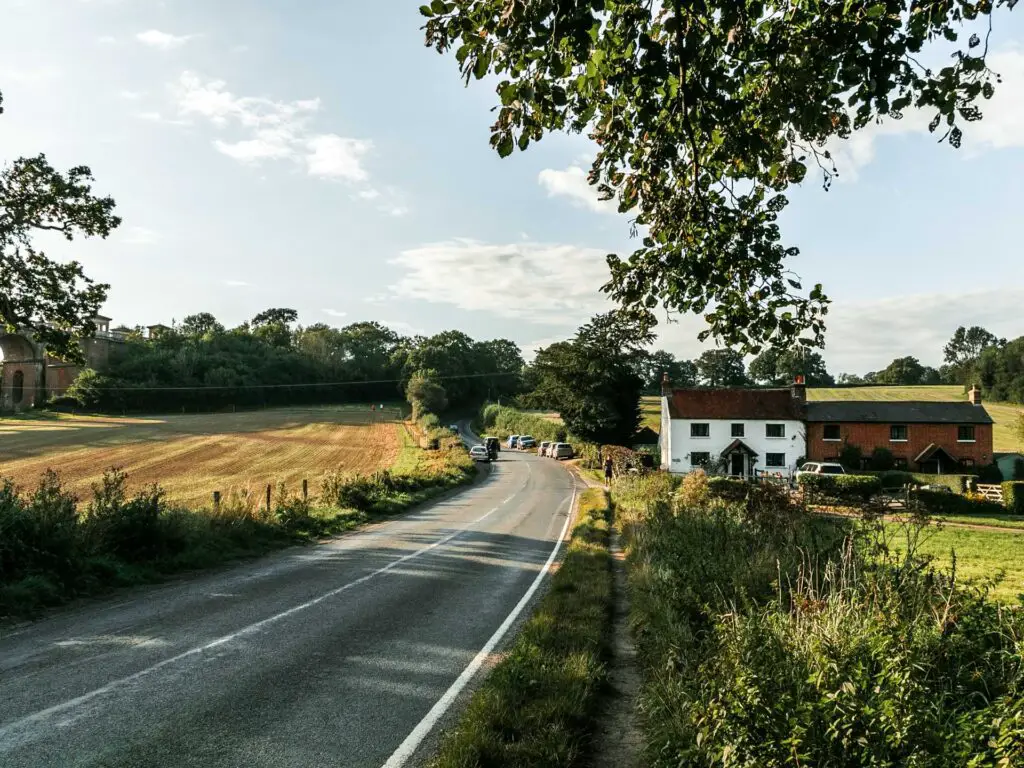
Keep going and you should see an entrance to the field on the left. There will probably be a bunch of cars parked opposite it. Kind of like a marker.
Once in the field, there is a fence keeping you on the trail to take you to the end of the viaduct. This fence is new. Too be honest, I was wondering why this fence wasn’t here before due to the amount of people that would walk straight on the field which looked like it was trying to grow things.

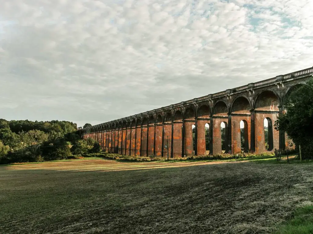
And voila. You can now take that famous photo. It actually wasn’t too busy today, just a couple of others. So we waited for them to take their photos so we could take ours 🙂
Leave the viaduct to walk back to Balcombe station
Behind the viaduct, to the side, the trail takes you through a gate and straight across another field. From this field you also get a lovely view back to the viaduct.

On the other side of the field is another gate leading onto a small road with a trail signpost.
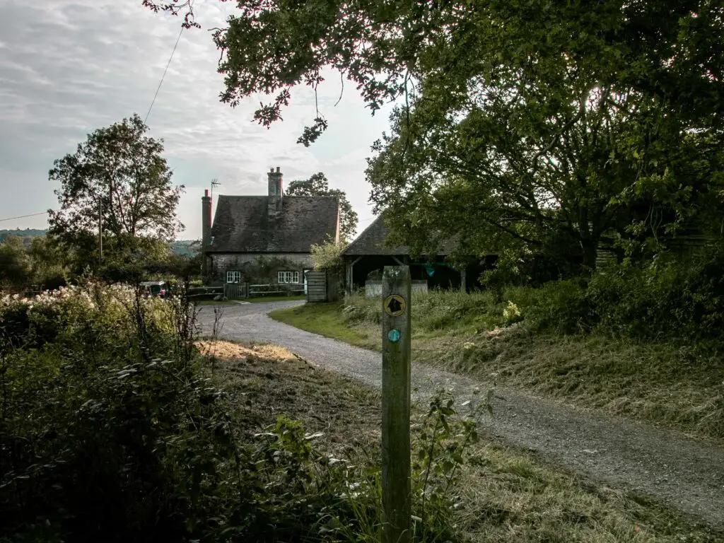
Follow the arrow towards that house. Keep on the path as it turns right, where you should see another trail post leading you into a field on the left.

The trail goes along the side of this field, with the hedge to your right, and at the other end, over a wooden stile.
More fields and cows
There may or may not be cows in this next field. The trail goes diagonally through the field…it meant we had to walk right by the cows. As usual, I kept my head down and powered through, hoping they wouldn’t notice me.
They didn’t.
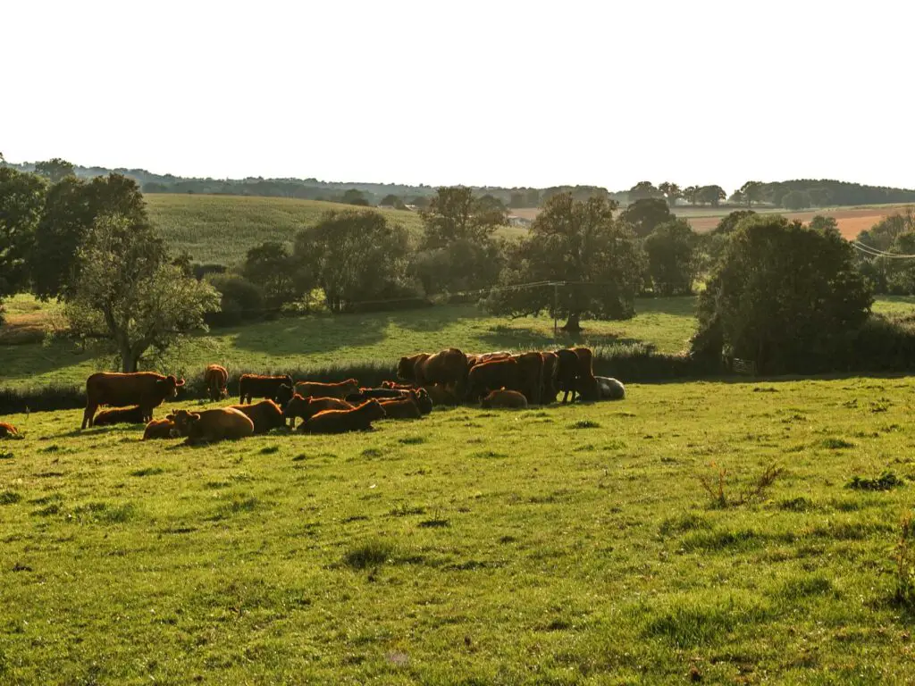
At the end of the cow field you will go through a gate into another field. Here the trail will take you to the right, however, you should be able to see the bridge on the other side of this field. Head towards that bridge..
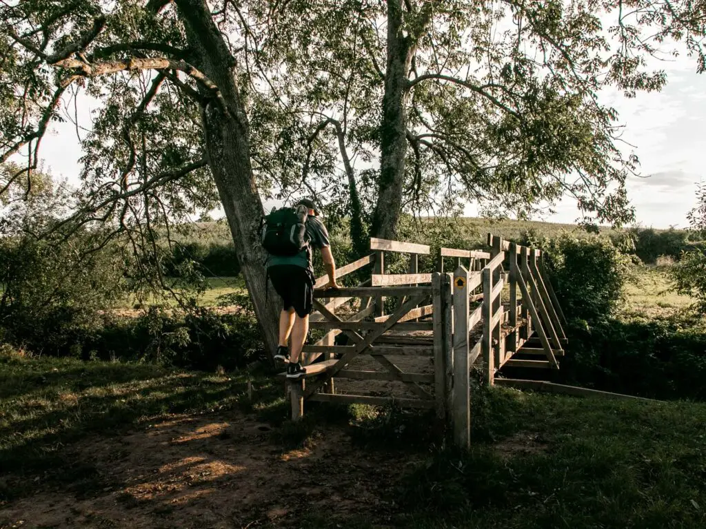
In this field you should be able to just about make out the trail (the shorter grass). It continues straight and slightly to the right.
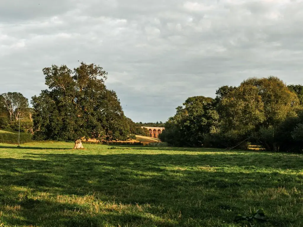
Looking back to the left you will get a nice little view of the Ouse Valley Viaduct.
On the other side of this field, by the hedge/big tree, you will walk by the trail post signage. Follow it so you are now walking with the big hedge bush thing on your left.

The cute hole in the hedge
Continue walking straight towards the hedge on the other side of the field. Once you get there, to the right there will be some wooden steps taking you up and through the hedge wall.
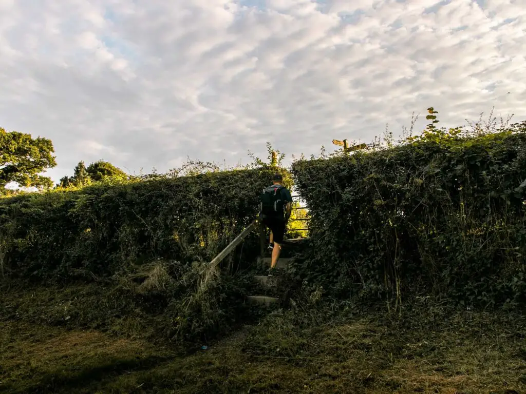
The path, the farm, the road and the rave
Up the steps, to the left is a farm building. You will go right.
There is a nice place to sit along here. Ollie and I had actually been here before, the first time we came to see the viaduct. We had a little wander and found ourselves in this spot. It is quite a lovely place to sit and admire the view and the farm.
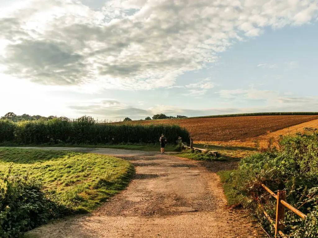
Today it was a little different though. The air was filled with the sound of rave. We don’t know where it was coming from. It sounded far away, but big. Like a festival big. It was enough to be a bit annoying. Living in the city, coming to the countryside is a nice escape from that stuff. Today, that stuff came along with us.
Ollie wanted to have a sit here. I overruled him and we kept on walking.
Anyway, stay on this path as it takes you past more farm stuff and through a gate until you reach the main road.

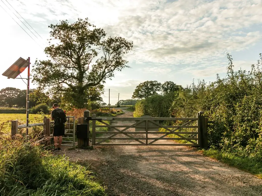
Cherry Lane
When you reach the main road, ahead to the left you will see some signage and a slip road. This is Cherry Lane. Go over there and walk up it.


Keep going up, under some tree cover, and keep a look out for the trail signage on the left. When you see the wooden sign, follow it to take you off the road and into a field.
The uphill
Now begins the long uphill. It isn’t too bad. Not even that steep. It’s just long. You kind of feel that when you reach the end of the current field that it will be the end of the uphill. Then you get there and the next field is more up.

Now you need to pay attention for this next bit. At the top of one of the fields, you will reach a small road and trail signpost. Take a left, and a few meters ahead, you need to go right though a bush hole of sorts. There are some almost hidden wooden steps here.
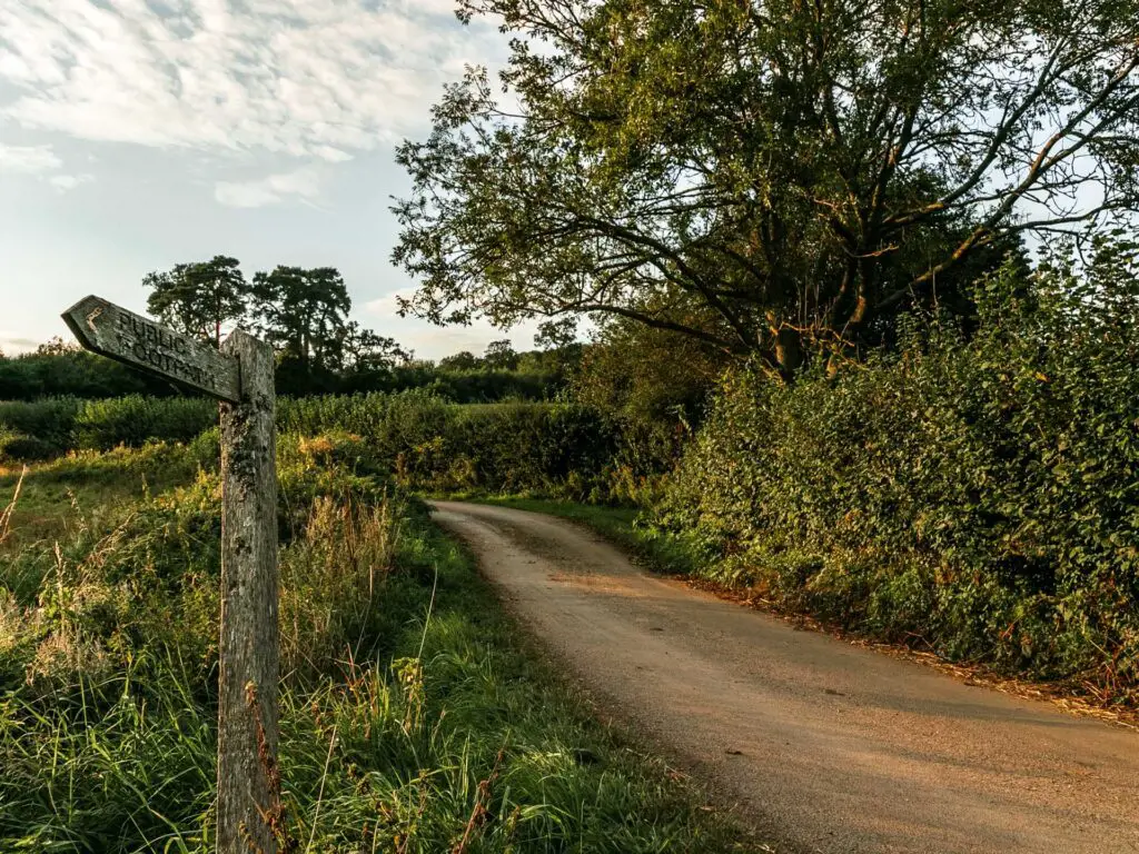

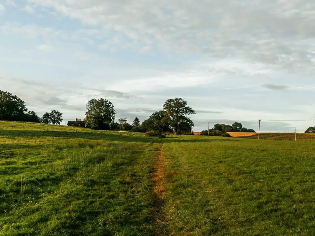
And then continue walking up some more.
The views and sheep signs
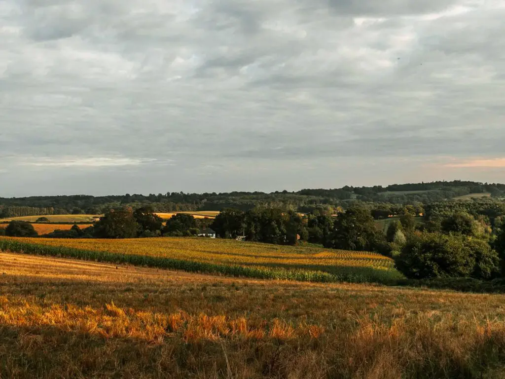
Now, up here is where you get some great views. Keep looking back….or get to the top and look back once. Whatever 😉
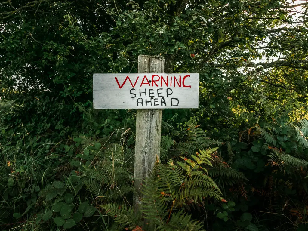
Walk just to the left of the big tree with the sheep sign. Next, through a wooden gate surrounded by bush. Then along the grass trail and over a stile through the trees.
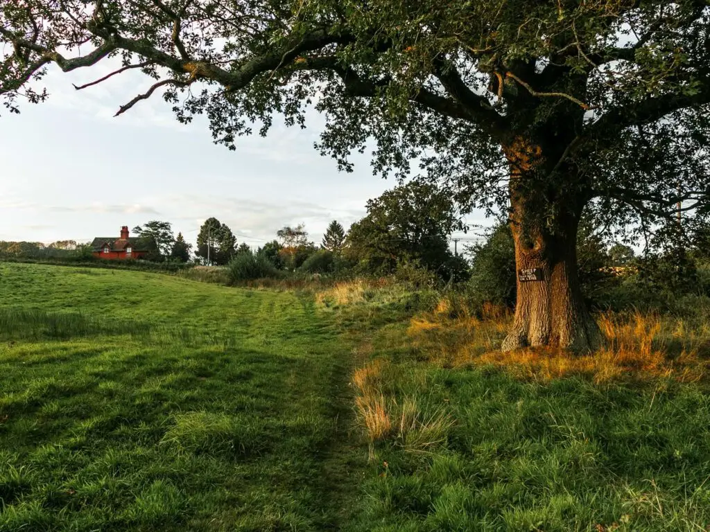


The trail will now take you to the left and up some more.


I did say there is a lot of up.
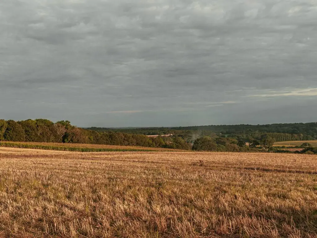
After all the up, we thought this would make a nice sit down spot. The view back from here was even better, with the sun starting to set and even another view to the Ouse Valley Viaduct.
The pheasants
We also started to notice a hell of a lot of pheasants. And I really mean a lot. Like hundreds. So much so that they distracted us and we went on to walk the wrong way.

Up at the top of this hill there is another trail post sign. You need to follow it walking to the right of the hedge/bush. We initially went left to follow the pheasants.

The woods
So, taking the correct path (as we later learnt and returned to), you will walk towards and into the woods. Here things can get a little confusing, so pay attention….
You will walk downhill through the woods to an opening.
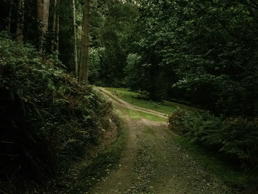
You would think to continue straight. This is not correct. Instead you walk to the right on what seems to be off trail (when I say right, I don’t mean the main trail leading back).
Not too long after, you will pass another trail signpost. If you don’t walk past the signpost you may have gone wrong.

The grassy trail will take you downhill, over a bridge and though a gate at the bottom.
The corn field and tiny trail
When we got into the next field, I noticed some corn cobs on the ground. I pictured in my head someone earlier in the day sitting here eating corn. I started to think about how I like corn….It took me a few moments to realises we were in a corn field.
The crop might be different when/if you come here, but whatever it is, walk to the left of it. You will do a sort of semi-circle in a clockwise direction. It will lead you to a stile leading onto a very small narrow trail to the left.

This one in the photo above. Walk along it until you reach the road.
Walk back to Balcombe Station 2 ways
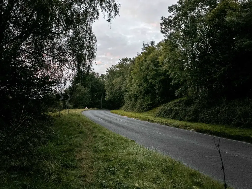
So at this point you have 2 options. If you turn left, you can walk all the way back to Balcombe station alongside the road. We had really enjoyed this walk and didn’t want to end it this way, with the cars. So we took option 2….
You still need to turn left, however, make a right turn at the next road. There is some more trail signage here to guide you.
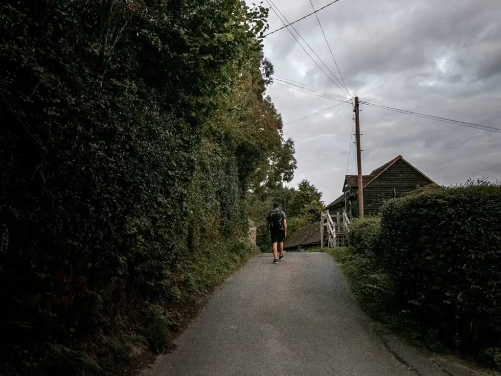
Follow the small road up and around, past some houses.
At the end (where there are probably cars parked), walk onto the grass on the right.
There is some more signage here and a wooden gate which looks like it belongs to a house, but it’s really just part of the trail. You need to go though this gate.

Walk over the railway, some more fields then then on to Balcombe station
This trail takes you to the railway line. We got there just in time to catch a train.
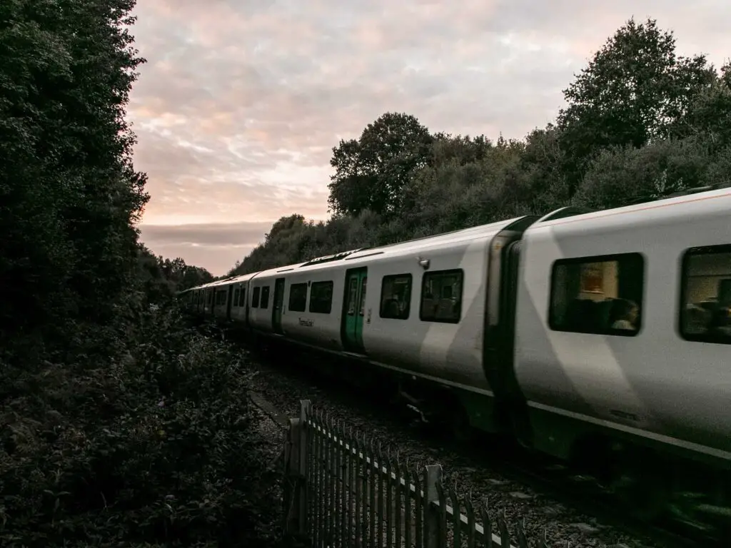
Something I like to do on railway bridges is take a picture from the top. So I was a little surprised to get up there and see such high walls stopping such behaviour. Maybe this is a jumping bridge?
I was able to get this from the steps though:
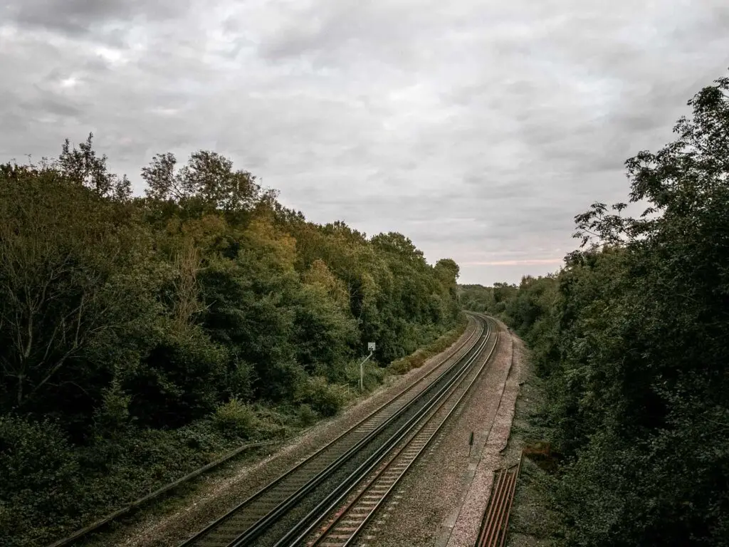
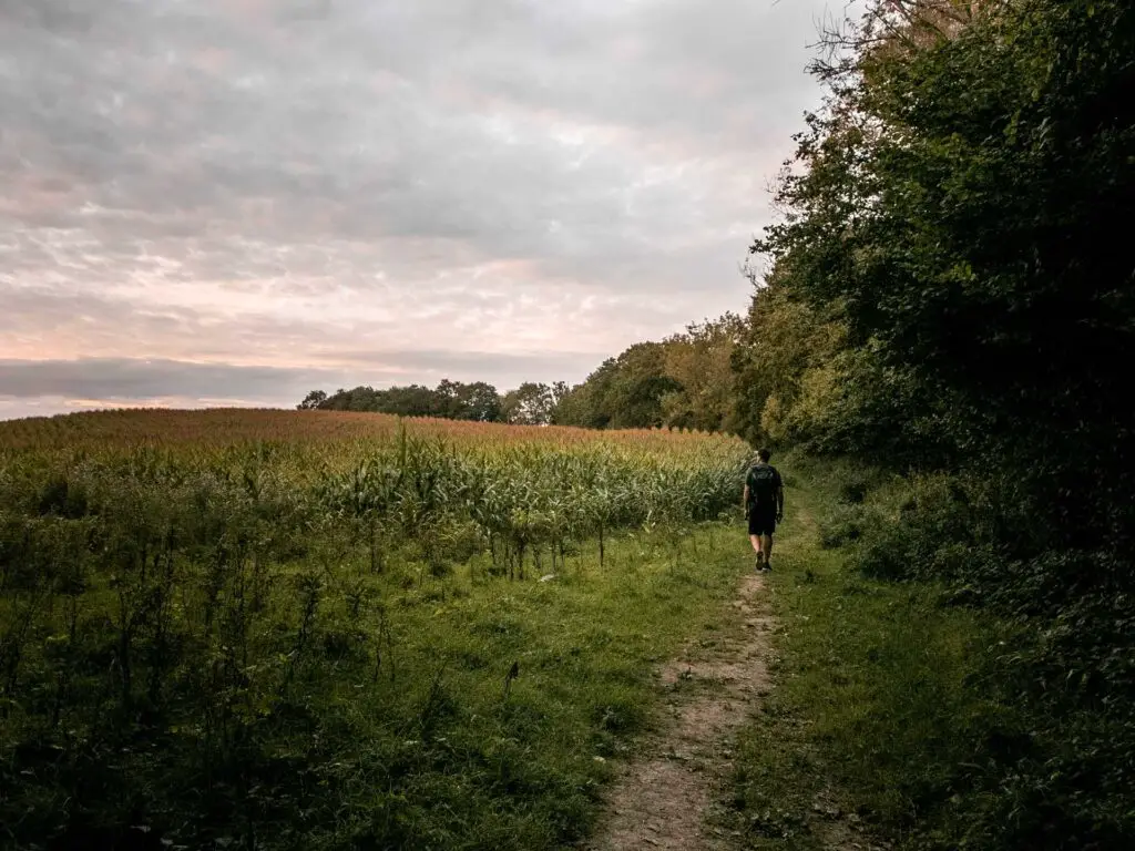
After the bridge, the trail will lead you though one field, then another, before reaching the backs of the houses. From here you can continue straight to reach the road, or, like we did, take a small left trail at the final signage…..We figured we might as well finish it off officially.

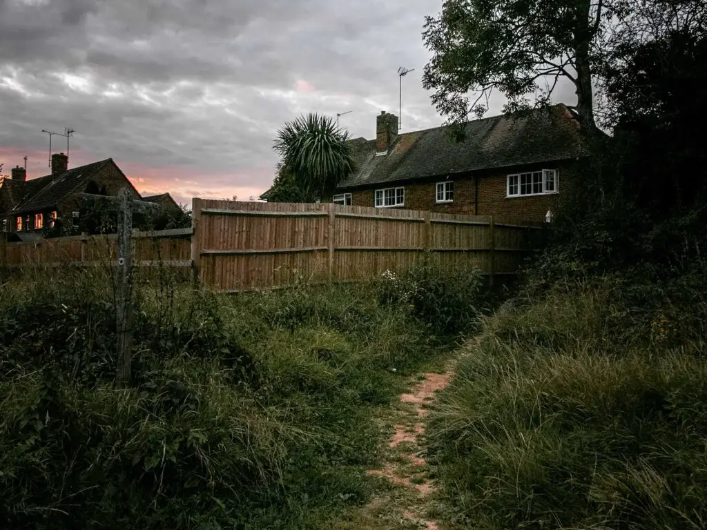
When you reach the road, you should know where you are. You are where you started. If you are still not sure, then at the road, walk left and follow the road down and around the the right.
Then there will be that path on the left which takes you back down to Balcombe Station.
More walks in/near the High Weald
You are not too far from Rye here. Actually, you are quite far. Well, it depends what you relate it too. It’s located on the other side of the Weald. If you haven’t been, you must! There is a great walk you can do from Hastings to Rye. About 8 miles, partially along the coast path, through the High Weald and finishing in Rye where there is plenty to admire.
Sticking with the Rye theme, you could do a 10 mile circular from Rye town to Rye Harbour and Camber Castle. You will get some cute sheds on this one.
For something shorter and easier you could try Rye to Camber Sands. This one is 6 miles and you won’t be too tired to explore Rye afterwards.
I have marked out a few more walks in High Weald, so watch this space…
Pin it for later: Circular walk from Balcombe to Ardingly reservoir and the Ouse Valley Viaduct


