
This walk from Burnham Overy Staithe to Blakeney, along the coast path, is less beach and more marsh. Although it’s a fairly long walk (nearly 15 miles), it’s quite easy in that it’s completely flat.
Although some parts of the walk were quite busy (I did the walk in the gap between xmas and new year), once I reached the marshes, they pretty much disappeared. If you like solitude, then this is a pretty good walk for it.
What to expect on the walk from Burnham Overy Staithe to Blakeney
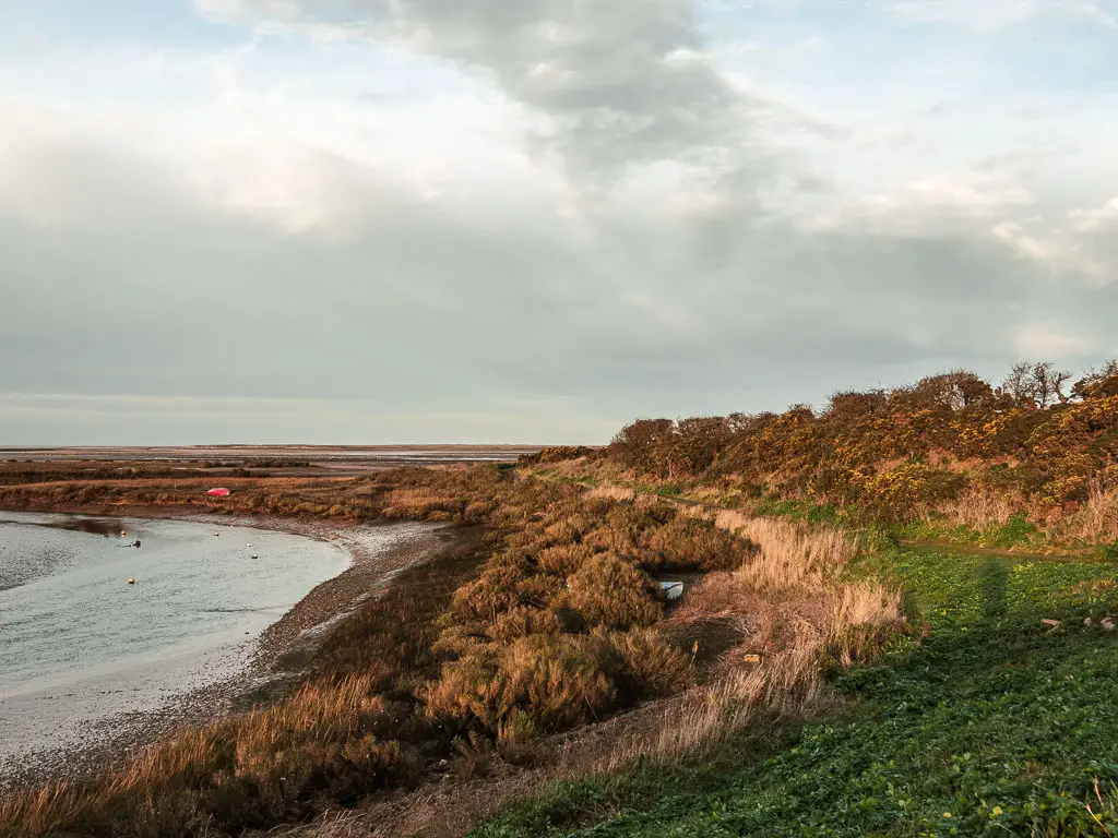
You do have beach, in fact, there is a very long stretch of big wide sandy beach near the start. The map tells me this is a naturist beach. I didn’t see any naked people. There were too many regular clothed people for that. If the tide is out, you can walk along this beach for quite some time.
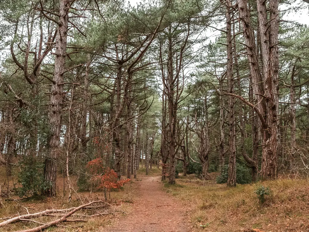
To follow the official coast path, you actually come off the beach and walk through woods which are quite mystical in parts.
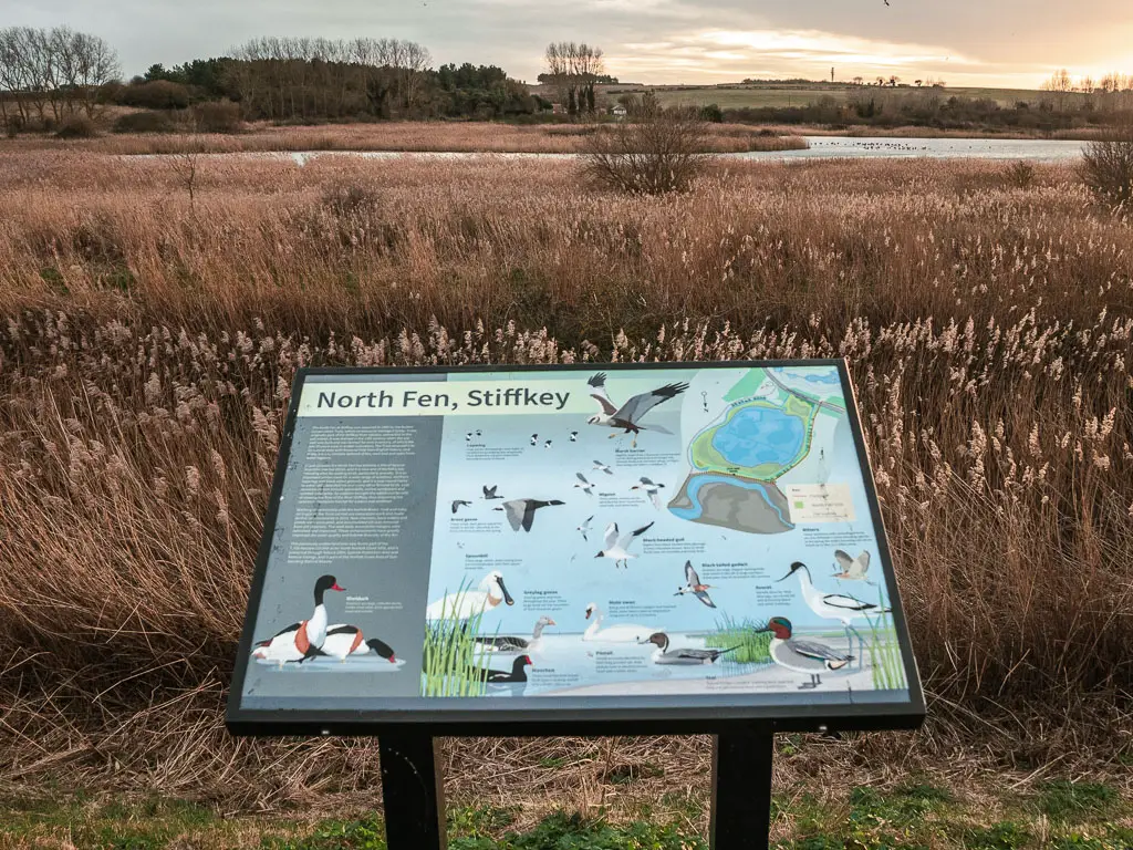
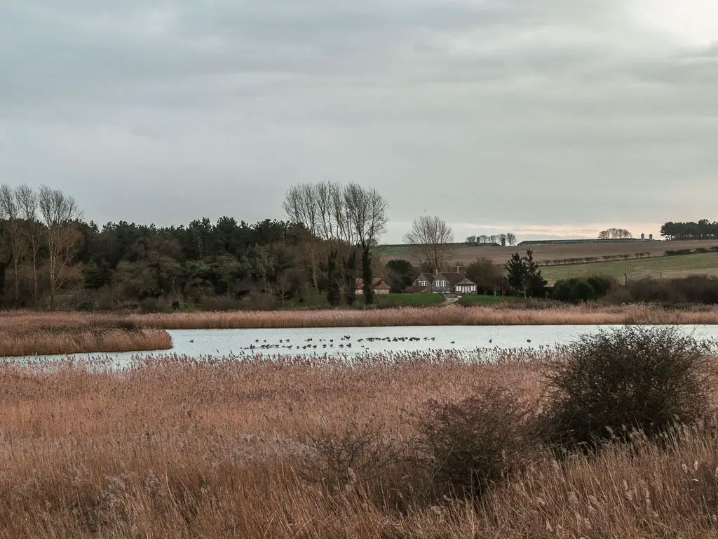
Once you do reach the marshes, you will remain in them for the rest off the walk to Blakeney. If you are into your birds, this seems like a good spot for it.
If you would like to see the previous section of the coast, you can read about it here.
To plan your walk along the whole coast, you can read my Norfolk Coast Path Walking guide here.
This post uses affiliate links. You can read the privacy policy or disclaimer for more info.
Logistics
- Start: Burnham Overy Staithe, Norfolk. Post code: PE31 8FF.
- Finish: Blakeney, Norfolk. Post code: NR25 7ND.
- Distance: 14.7 miles.
- Options to shorten the walk: Yes. Wells is the halfway point, which has a bus, so you can start or finish there.
- Time: 4h 45min.
- Difficulty: Easy (or moderate due to length).
- Terrain: Dirt, mud, sand, minimal road.
- Elevation: Flat.
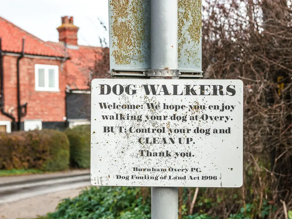
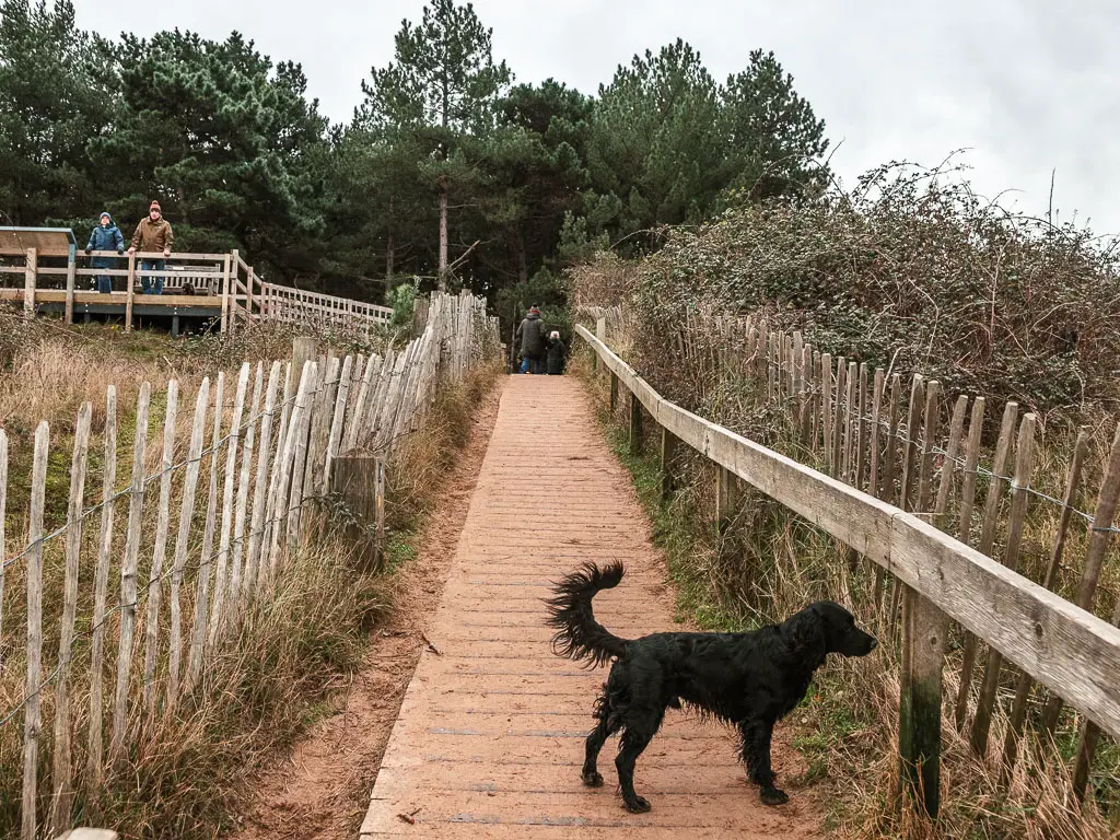
- Dog friendly: Yes (although under control in some areas).
Amenities
In Burnham Overy Staithe, you have the Coffee Pedlar which is a coffee shop on wheels. Sells fresh coffee and cakes, with homemade honey. I think this is seasonal. It wasn’t around when I did the walk in winter, but now looking online in summer it’s there. For food you have the Hero restaurant and Pub.
Part way into the walk between Burnham Overy Staithe and Blakeney, you will reach Wells-Next-the-Sea. This is a port town which will have more options. Pubs, cafes, bakeries, ice cream, etc. There are also public toilets, and a refreshments area at Wells-Next-the-Beach. If you fancy a chippie, a highly rated family run option is French’s Fish Shop. For a heart seafood dish, you could try the Wells Crab House seafood restaurant. Or for some good coffee you have Ground By Bringing the Outside in.
Towards the end, you walk through Morston Quay. It was empty when I was there, but I have read that there is a snack bar. Could be seasonal? Apparently there are public toilets there too. Otherwise, there isn’t anything else until you reach Blakeney, which has lots more options. For a good coffee you have the Folks Coffee Co. A lovely looking place is the Two Magpies Bakery. For proper food you have the White Horse Gastro Pub. There are also public toilets (at the car park).
Public transport
The 36 coastliner goes from Kings Lynn via Hunstanton to Burnham Overy Staithe and Wells-Next-the-Sea. It doesn’t go to Blakeney though. The CH1 Coasthopper goes from Cromer to Blakeney and Wells-Next-the-Sea.
As the two buses meet at Wells, you can swap over there if you need to.
I had a car, so I parked at Wells-Next-the-Sea, then got the 36 Coastliner bus to Burnham Overy Staithe (10minute journey), then once I finished the walk in Blakeney, I got the CH1 Coasthopper back to Wells to get my car.
Kings Lynn and Cromer are both on train lines.
Parking
There is a pay and display car park in Wells-Next-the-Sea, but I parked on the street for free. There are two car parks in Blakeney. Once you pay for, one is free. The free one is conveniently right next to the bus stop, next to the Blakeney Parish Council (post code: NR25 7PG). There are also public toilets there. In Burnham Overy Staithe you can probably park on a side street for free (I don’t know for sure, as I didn’t park there, but I imagine you can).
Accommodation
You have self catering cottages and bed and breakfast style accommodation options in Burnham Overy Staithe, Wells-next-the-Sea, and Blakeney. They are not the cheapest places to stay, which is why I stayed in Hunstanton. During low season you are looking at over £150 per night. During high season over £250. In Hunstanton I found something for £60.
If you would like to stay on the trail though, here are my suggestions:
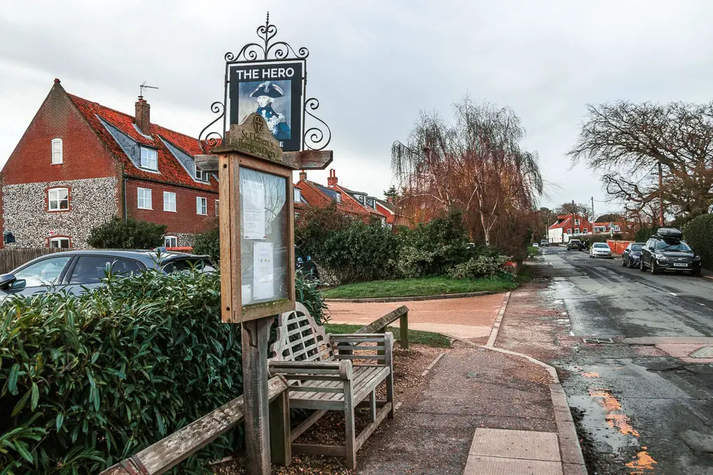
Burnham Overy Staithe: The Hero. This place looks really nice in the pictures, and if I wasn’t being cheap, I would stay here. It’s a dog friendly (for an extra fee) bed and breakfast pub. You can get lunch and dinner here too. It comes highly rated.
Wells-next-the-Sea: Globe Inn. Everything in Wells seems to be whole cottages, except the Globe Inn. It does look lovely though and is rated highly. It is a bed and breakfast style pub, with all the usuals you would expect. It is also dog friendly for an extra fee.
Blakeney: The White Horse. This is a very charming but luxurious looking bed and breakfast, with restaurant pub. This one is not dog friendly, but does have some great reviews. Particularly for the food. If you are coming with a dog, then the Manor Coastal Hotel is an option.
Map for the walk from Burnham Overy Staithe to Blakeney
Route description for the walk from Burnham Overy Staithe to Blakeney
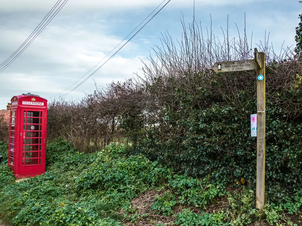
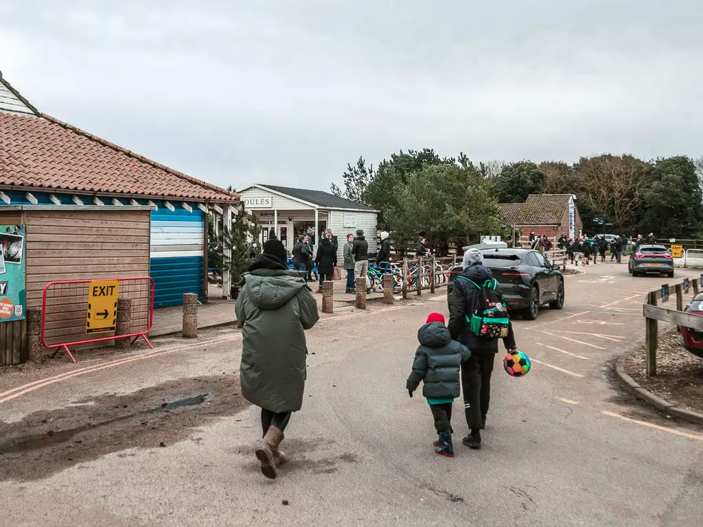
The start of the trail is just off the main road in Burnham Overy Staithe. If you stand by the bench/bus stop at the Hero pub (facing the road), cross over the road and turn left. Then take the road on the right with the red telephone box. There should be a trail sign here.
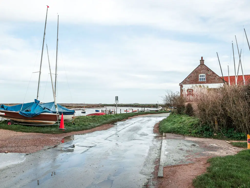
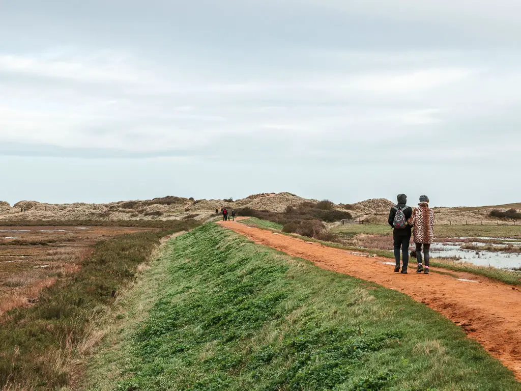
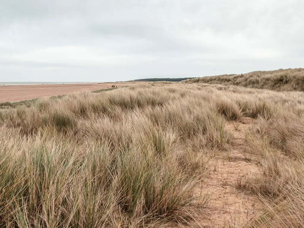
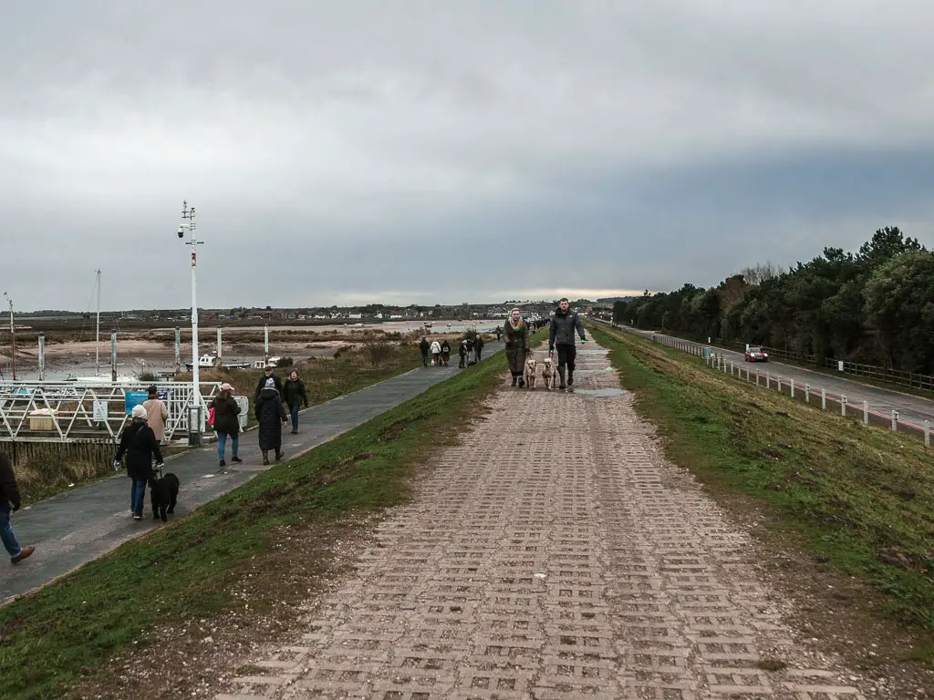
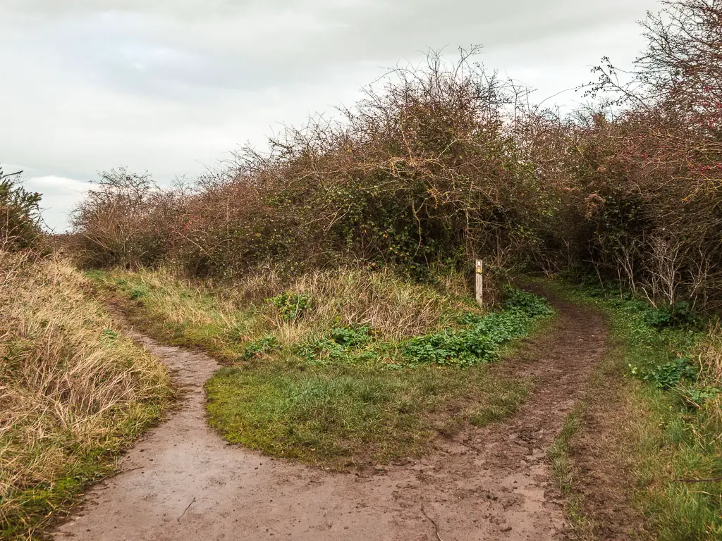
Follow this road around to reach the River Burn and harbour. Then keep going to reach the dirt trail and ridge, then walk along it.
I was surprised by how many people there were walking ahead of me on the ridge. Not what I would usually expect from a weekday hike.
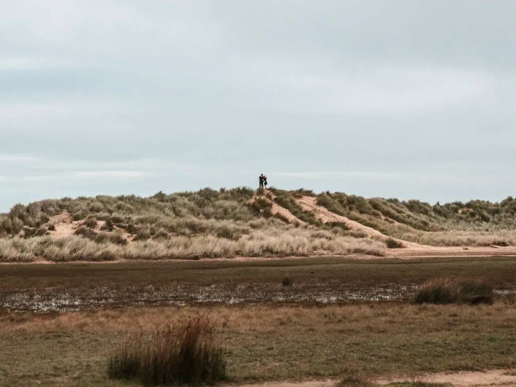
Keep going along the ridge, as it makes a few curves, and you will soon get a view to some sand dunes ahead. Then continue though the sand dunes, to reach the beach, and turn right.
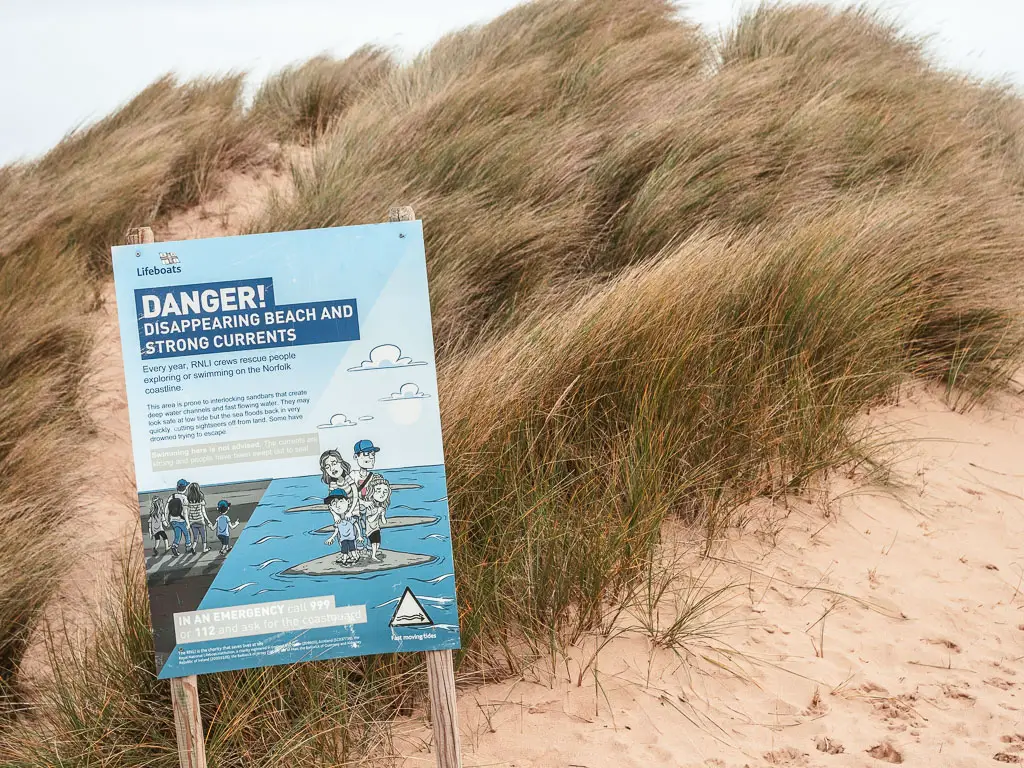
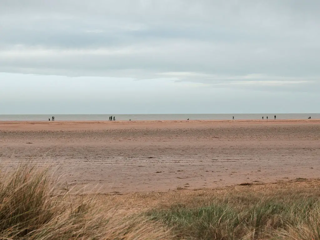
Walk along Holkham Beach
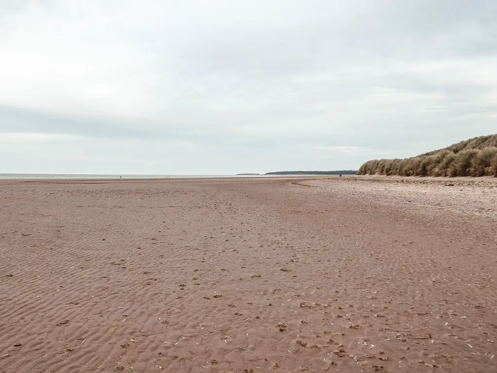
You now have a wonderful long stretch along this beach. When the tide is out, you can walk along it all the way to Wells-Next-the-Beach.
The official trail actually runs to the right of the beach, in the grassy section. I started out on the beach, then switched over. I was a bit paranoid I was going to miss an important turn and have a similar situation to yesterday’s walk. If you choose to walk along the beach, just make sure you stick close to the grassy bit, as further on there is a bit of bog.
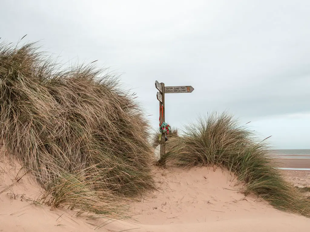
As you make your walk along the beach, you will soon reach some trees on the other side, with a walkway leading up to them.
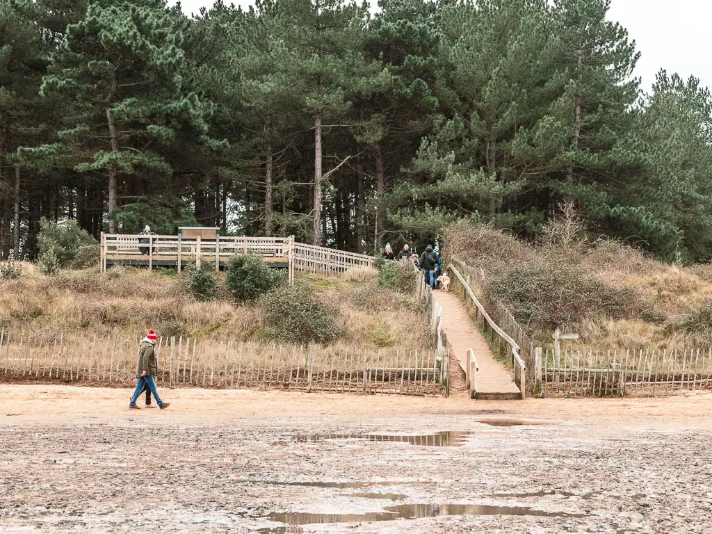
If the tide is out, you can stay following the beach around. The tide was out for me, but I decided to head up the walkway. This is the official trail. Because I missed a lot of the official trail yesterday, I wanted to try to be more official today.
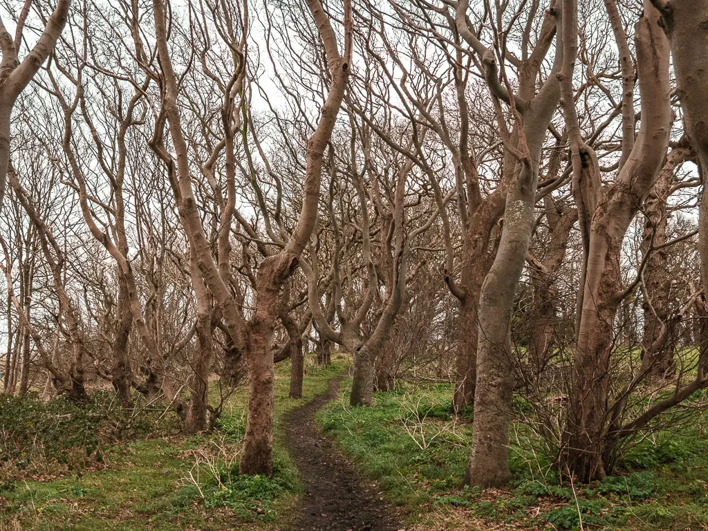
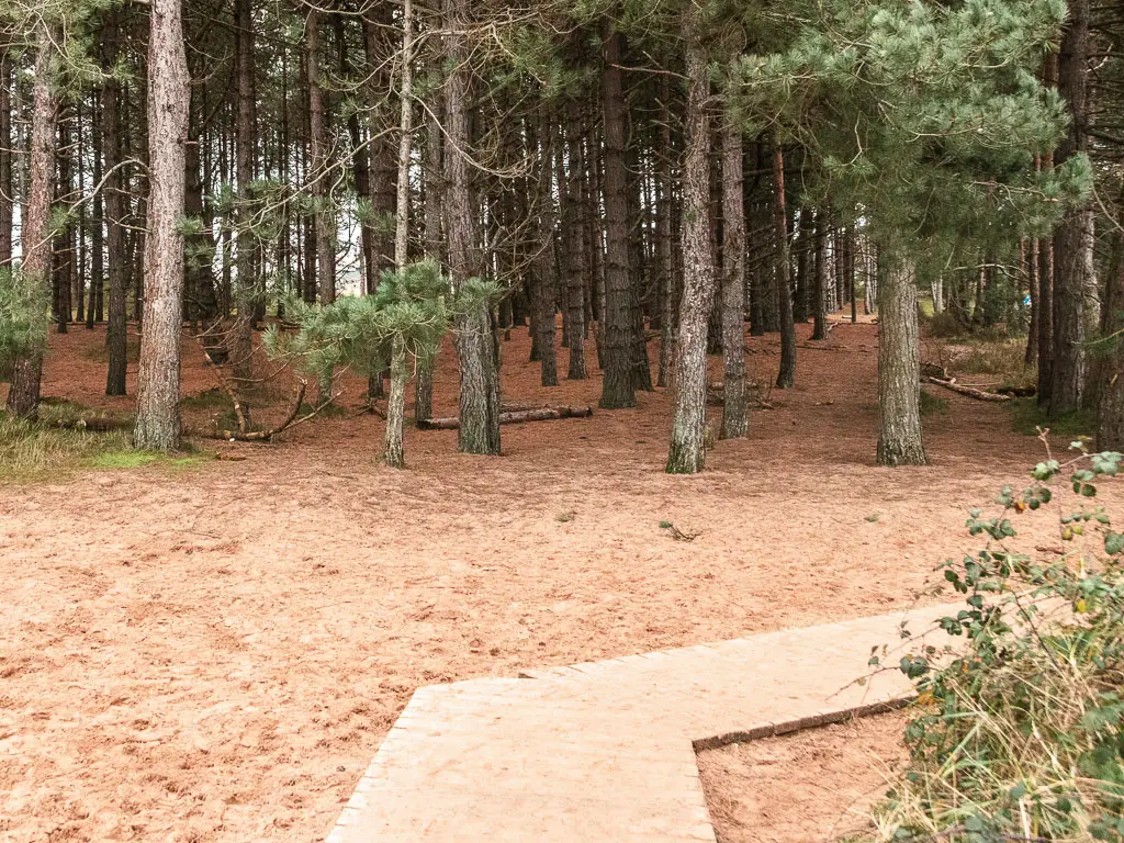
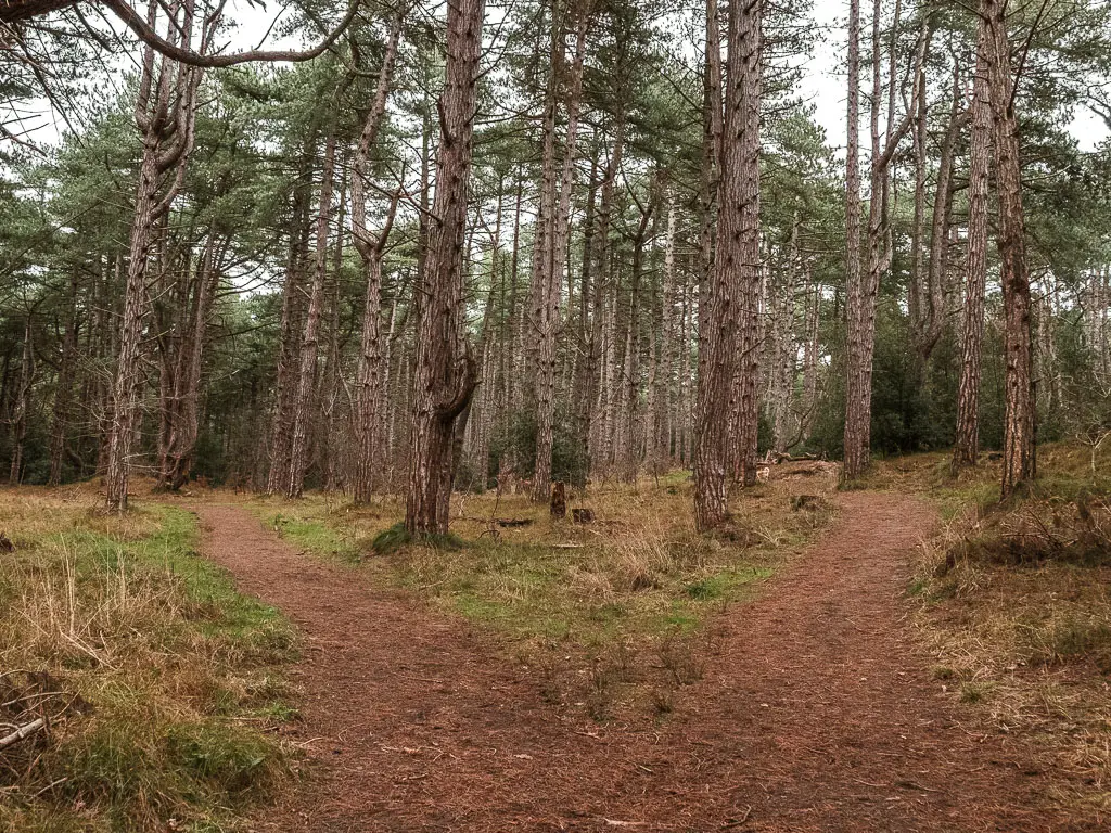
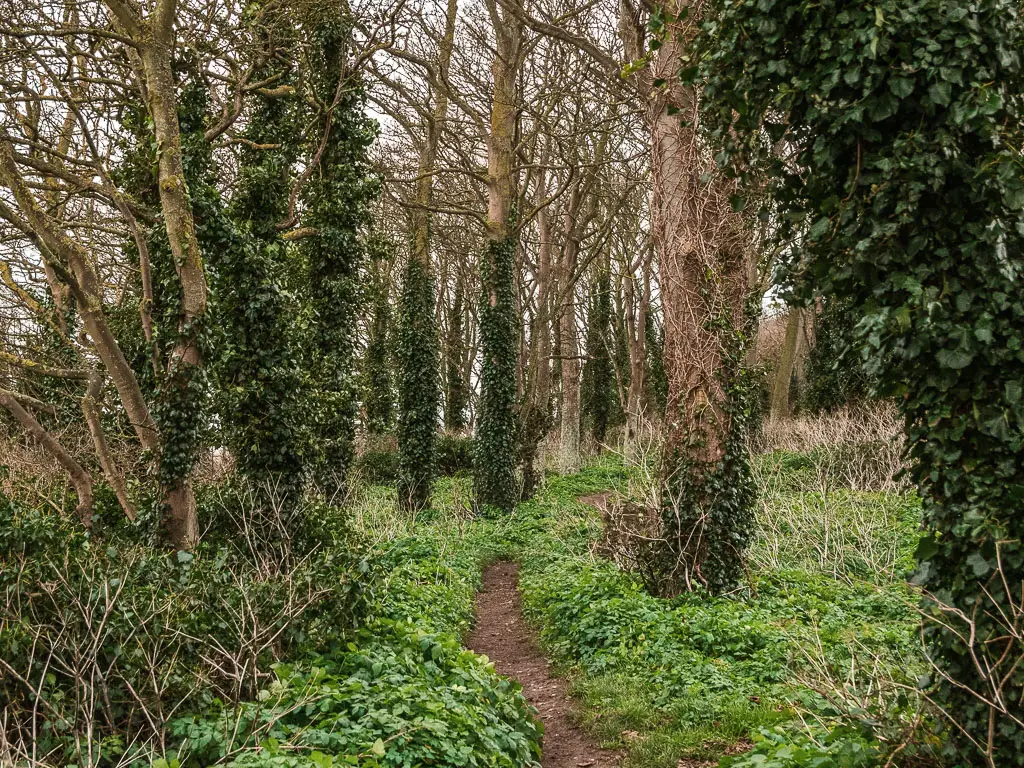
Walk through the woods
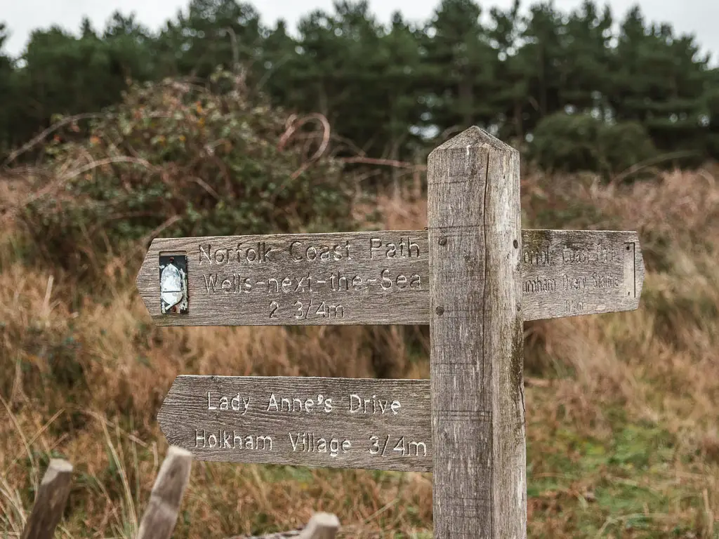
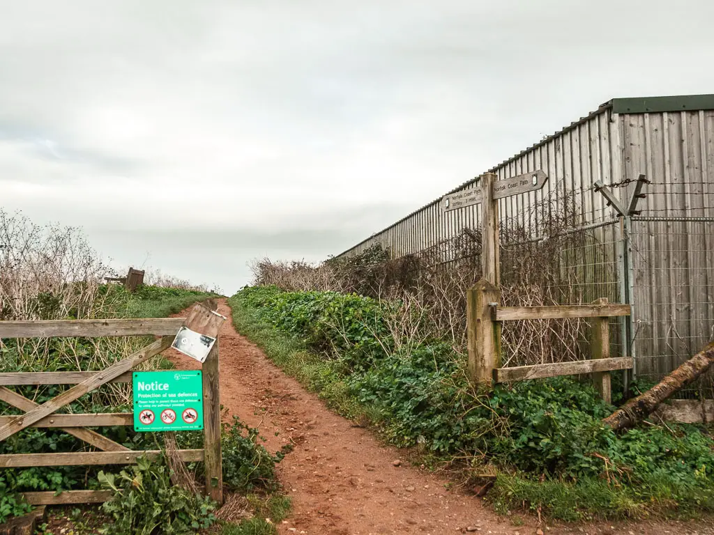
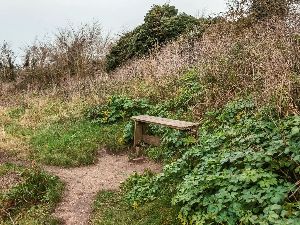
Up the walkway, the official trail becomes less clear. I could see a number of trails on my map, but there wasn’t a sign telling me which one was correct. So I decided to take a left off the walkway (see photo below).
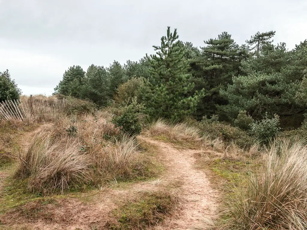
After this, I didn’t see any coast path signs for a long time, so this probably wasn’t the correct one. But I enjoyed it anyway.
It starts off sandy, then the trail becomes a mix of narrow and wide dirt through the woodland trees. Further on, the trees become mystical looking. It reminded me of some fairytale story book.

The trail does undulate a bit through here, so if you would prefer level walking, then stick to the beach.
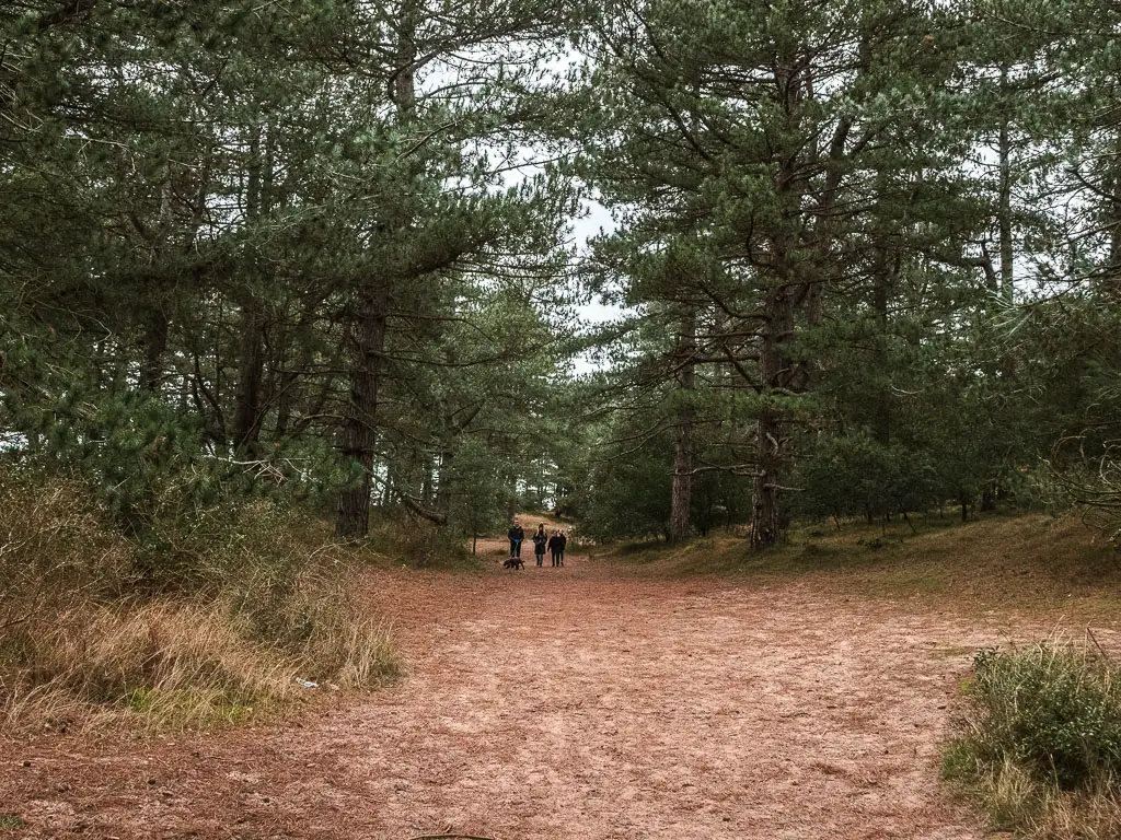
Occasional there is a trail junction, they all lead pretty much the same way, so you can take your pick. Just make sure you are still walking with the coastline to your left. I always picked the left trail to keep it simple.
Wells-Next-the-Beach
For a long time you can’t see the beach, however, as you approach Wells-Next-the-Beach, there are some openings if you want to head back onto it. I noticed some beaches huts, so had a peak. They didn’t entice me enough to walk back on the beach though. There were too many people for my liking.

If you stuck to the left trails, you will reach a walking path, which will lead you out of the woods and to a very large car park and refreshment area.
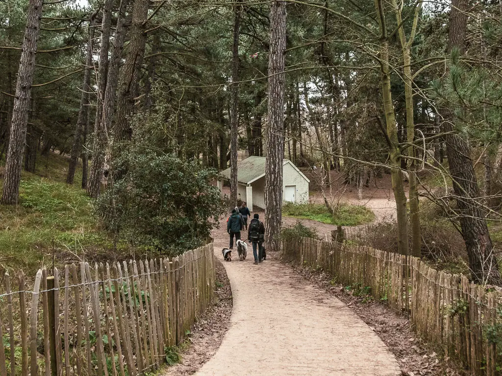
Keep going past the car park, and then food place, to reach a ridge on the other side.
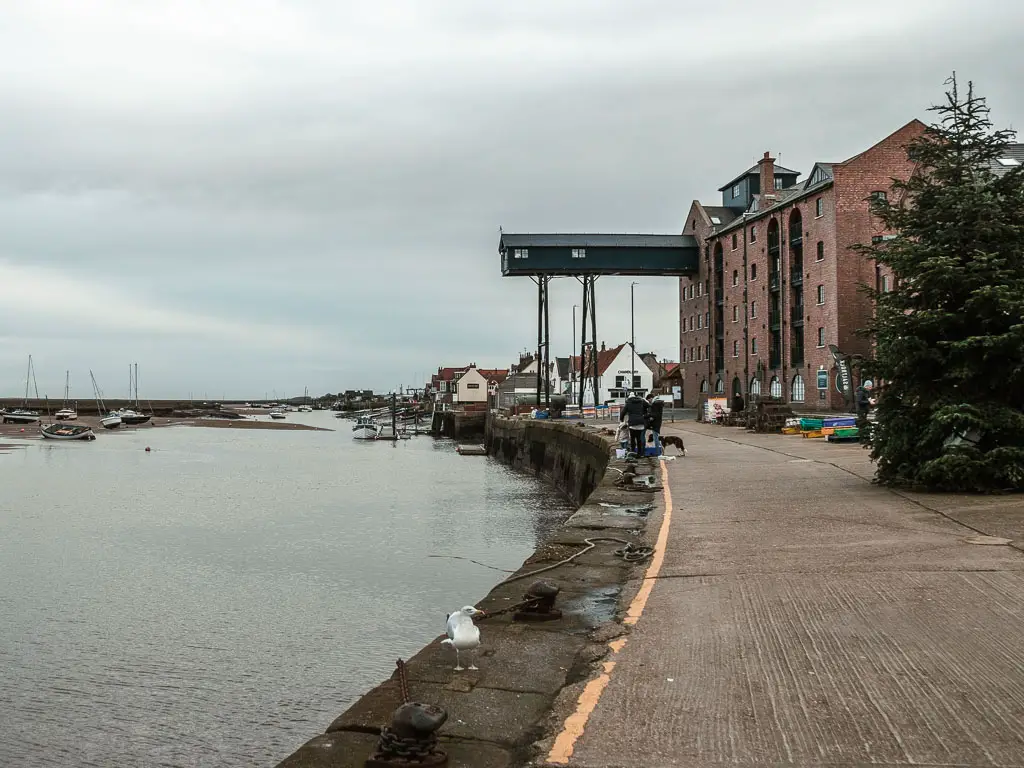
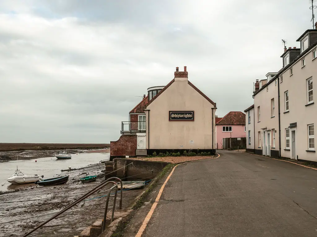
Wells-Next-the-Sea: Halfway on the walk between Burnham Overy Staithe and Blakeney
On the ridge, turn right, and this will lead you to Wells Next the Sea.

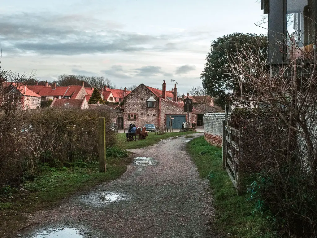
I didn’t explore the town*, as it was even busier here than the beach, so skirted around it sticking to the river side.
*Later on, after I finished the walk from Burnham Overy Staithe to Blakeney, I got the bus back to Wells and walked through. It’s very lovely, with lots of little shops and cafes. If you have the time, I would recommend having a wonder.
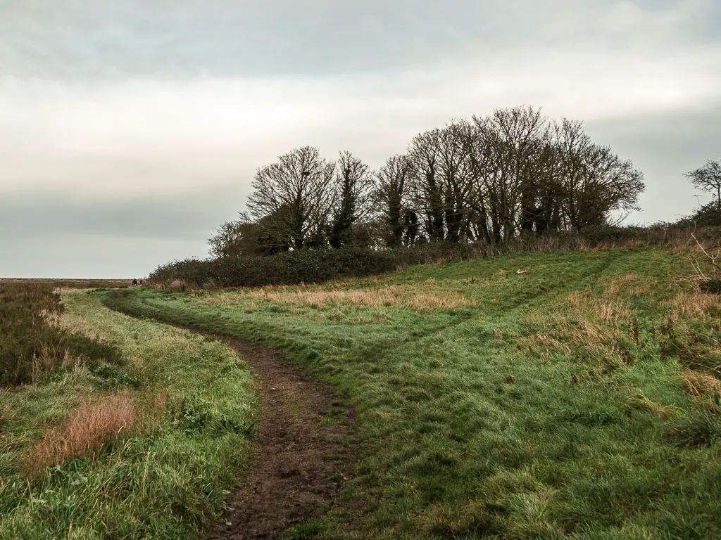
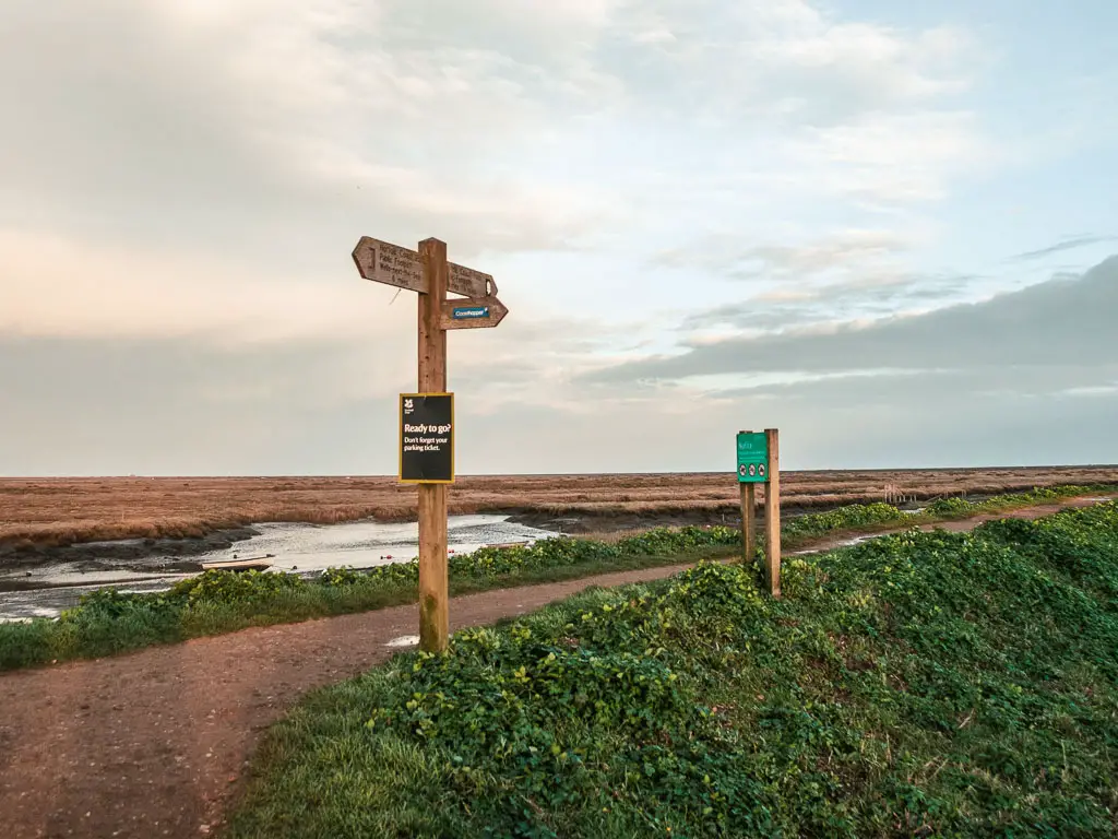
To get back onto the trail, just follow the river. I didn’t see any coast path signs for a bit, so figured that following the river was the best idea.

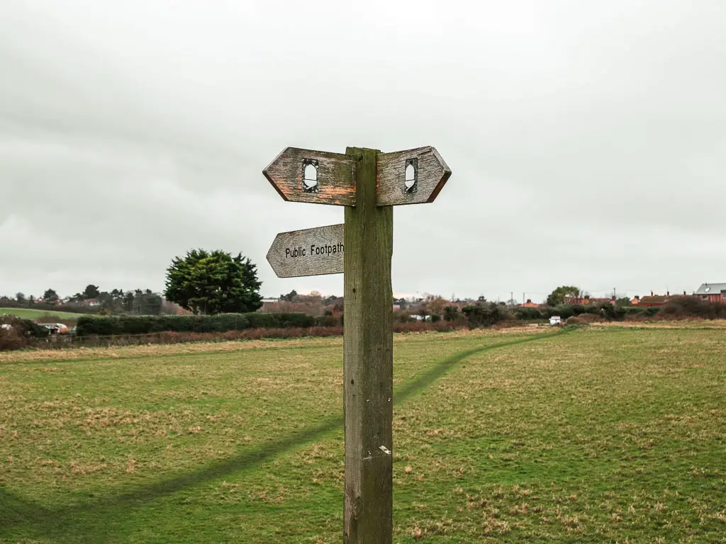
Eventually there is a sign, after passing a few turnings where a sign would have been useful. It will lead you back onto a dirt trail along a ridge.

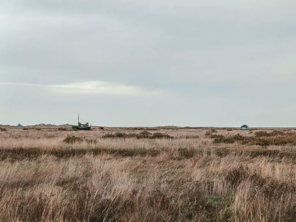
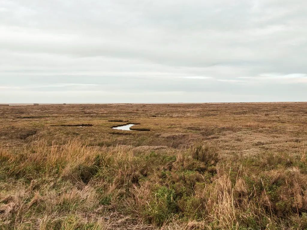
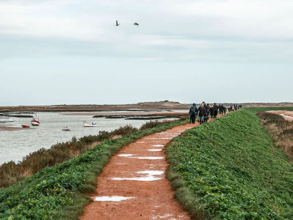
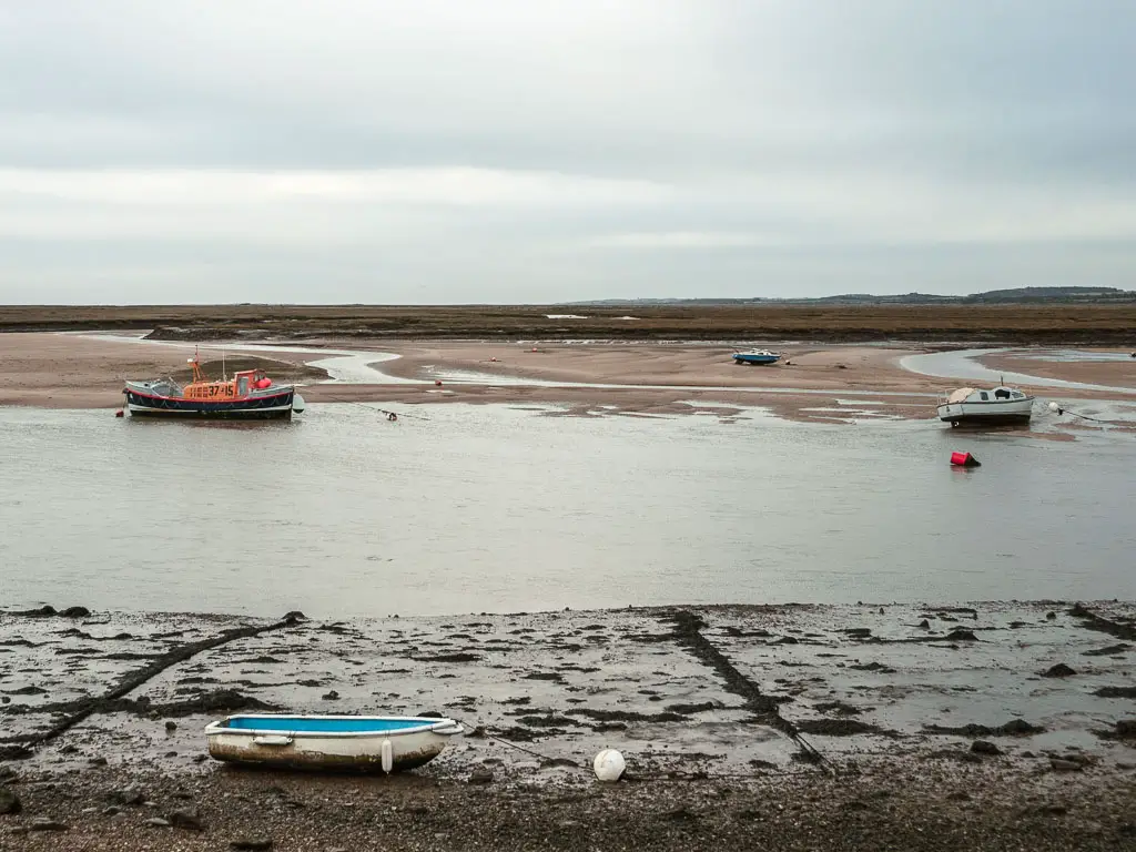
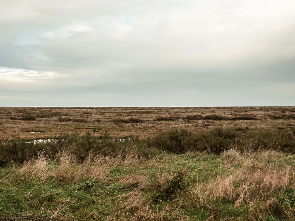
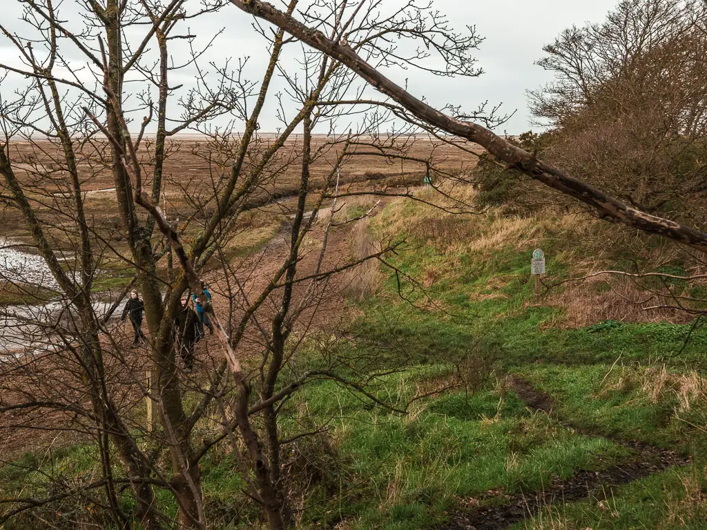
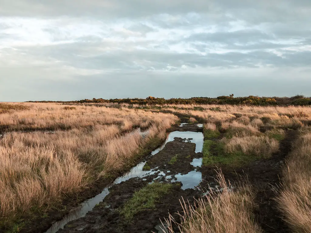
The Warham Salt Marshes
Follow the ridge path, and it will lead you through a little bush area where you might have to duck, and then onto a trail through the marshes. You will remain in the marshes now for the rest off the walk to Blakeney.


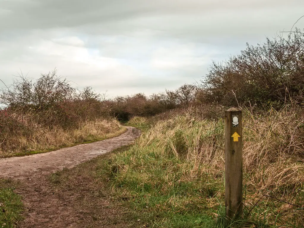
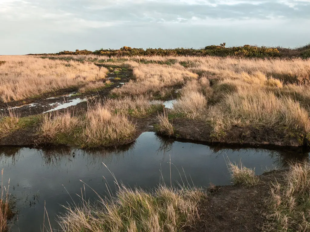
A bit later on there are a few junctions, but there are little acorn signs telling you which way to go.
It can get a little muddy further along, and at one point I popped up onto a trail through the woods to avoid a particularly muddy bit, before heading back down alongside the marshes.

It is very lovely along here, but I did zone out a bit, then listened to a podcast, then when that was finished zoned out some more.
There weren’t too many people about, unlike the beach earlier. Just the occasional birdwatchers.
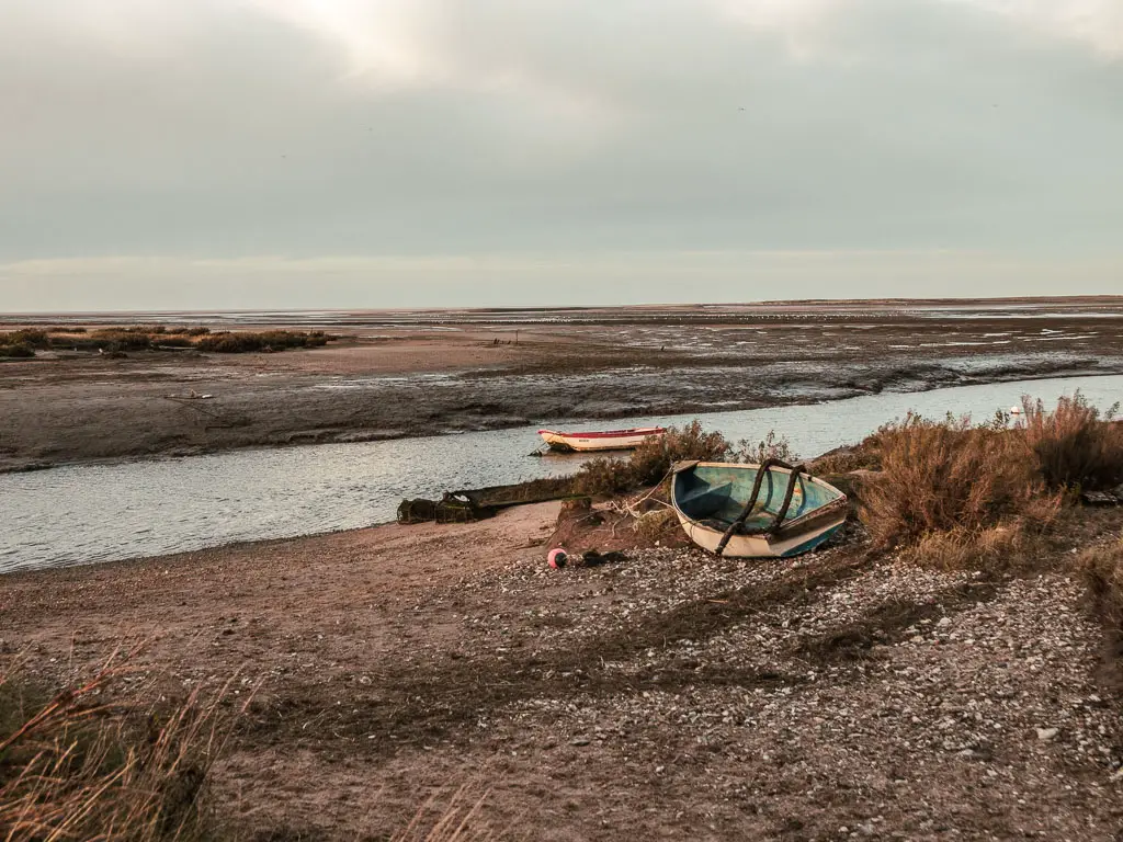
The Stiffkey Salt Marshes
The next marshes I found to be muddier, and at one point thought I was going to have to walk through a massive chunk of water, before noticing the trail that leads around it.

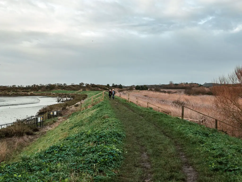


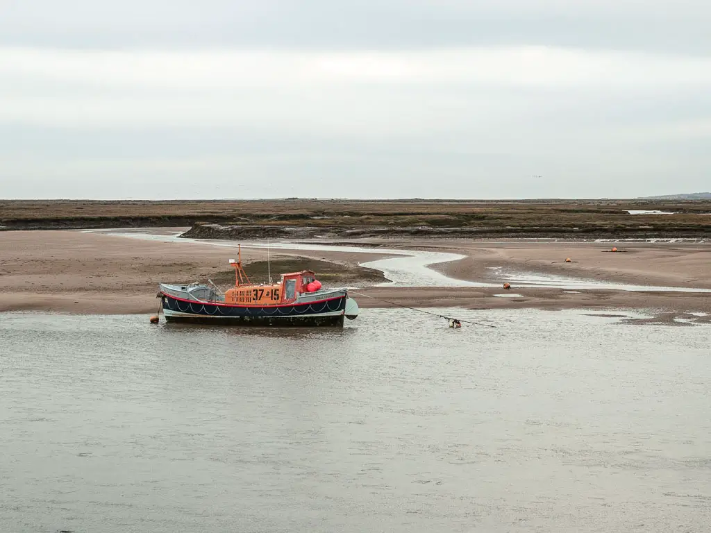
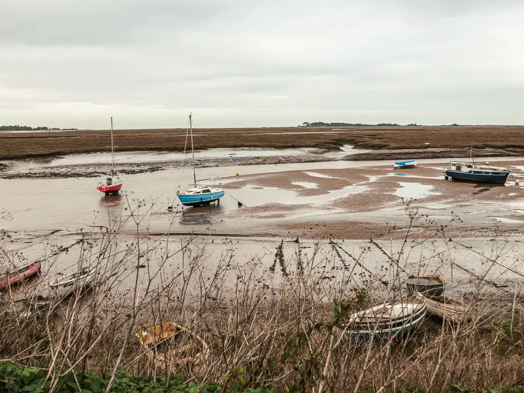
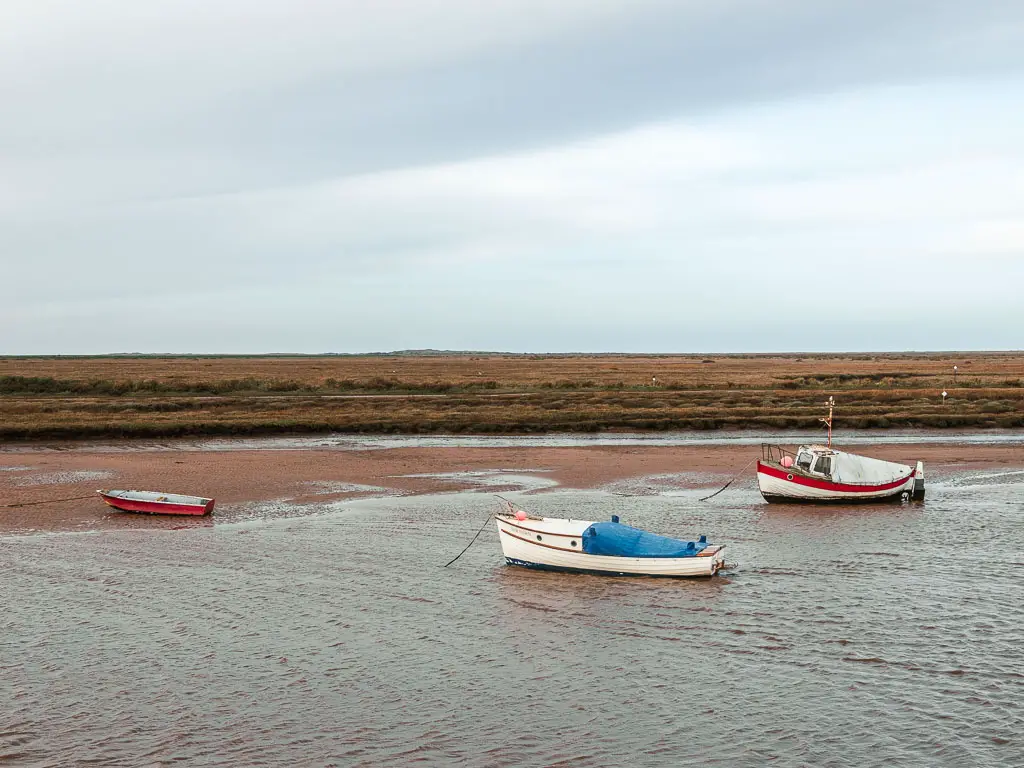
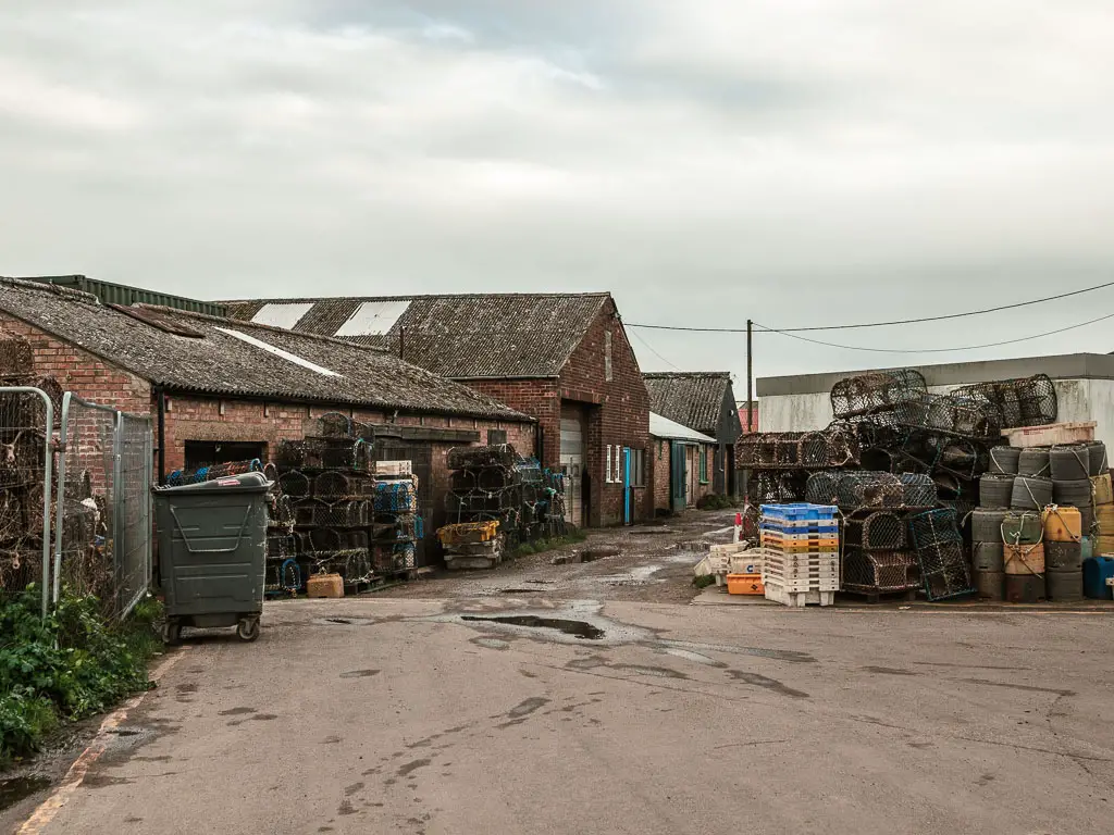
After a bit, you will be lead onto a ridge again, with a view to lots of boats in the distance.
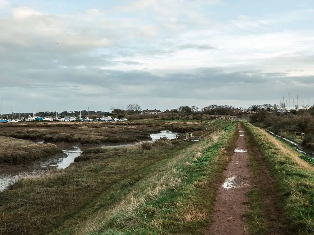

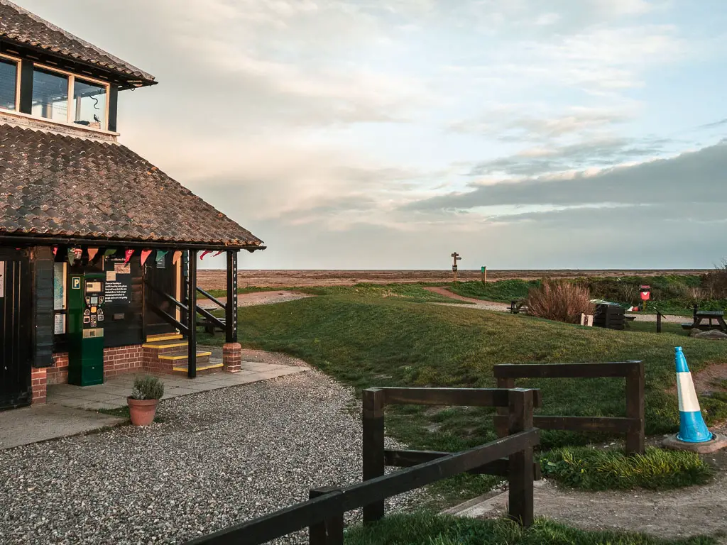
Head towards the boats, and then onto a road through them to reach the National Trust building with picnic tables.
I had a sit down here for a snack. My plan for today wasn’t actually to walk from Burnham Overy Staith to Blakeney. I was really planning to walk to Cley. But the sun was now starting to set, so I made an executive decision to finish the walk at the next village, which was Blakeney.
The final stretch of the walk from Burnham Overy Staithe to Blakeney
Past the National Trust building, the trail takes you onto a ridge again, with a view to Blakeney in the distance. Now head towards it.


For some time now, my big toe had been hurting. Hurting so much that I was limping. So it was just as well I would be finishing the walk soon.
Thinking ahead to tomorrow, and how I would deal with this, I wondered if taping it would help. I had some tape with me incase my other injury returned (which was feeling absolutely fine so far). I have never taped a big toe before, I wondered if it was the same principle as thumb taping. That I could do.
I decided that when I got back to my accommodation, I would do what any good trusted healthcare professional does and Google it. But first I would take my turmeric and slather it in volterol gel.
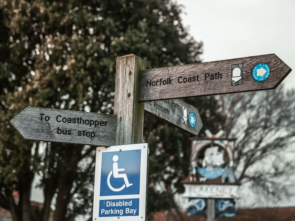
Anyway, once you reach Blakeney, you should see a big wooden signpost directing you to the bus stop (if you want to get the bus that is).
Read next: Day 3 Blakeney to Cromer
What happened yesterday: Day 1 Hunstanton to Burnham