I woke up today feeling rough. I felt so unwell last night I couldn’t even finish my dinner. I had picked up some food from Tesco, and got into bed to eat. At some point I put it to the side to have a moment of rest and fell asleep. I wanted to go home, but alas, I had paid for this trip so I was damn well going to finish it. The silver lining was that todays walk from Cricklade to Lechlade was only 11 miles.
This post uses affiliate links. You can read the privacy policy or disclaimer for more info.
What to expect on the walk from Cricklade to Lechlade
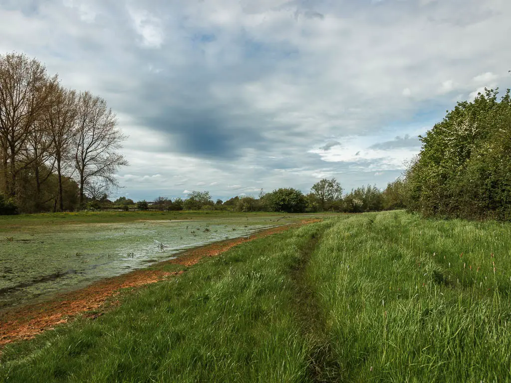
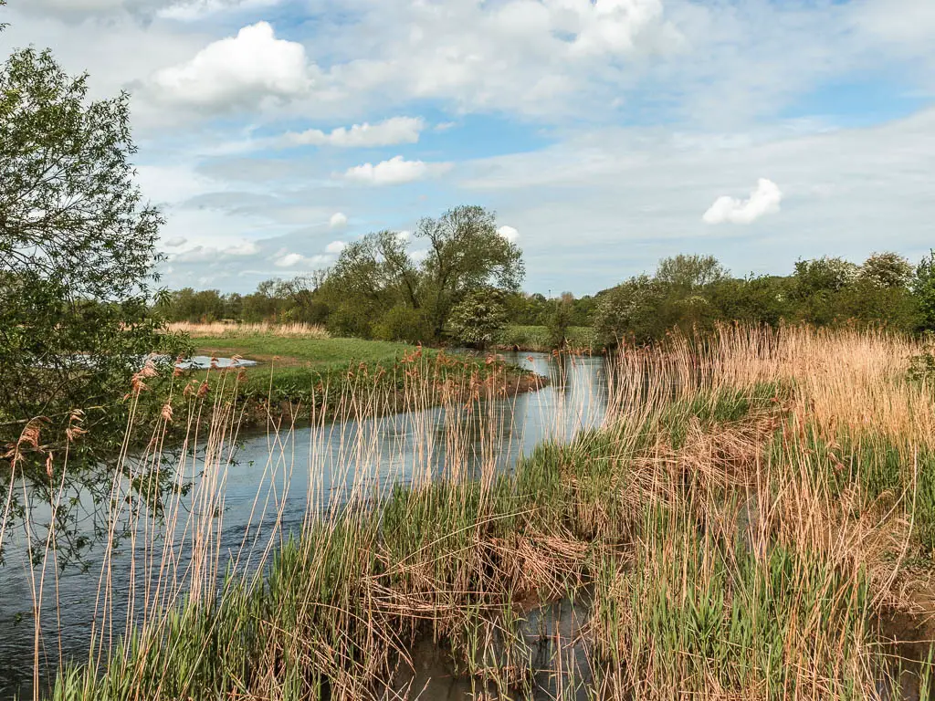
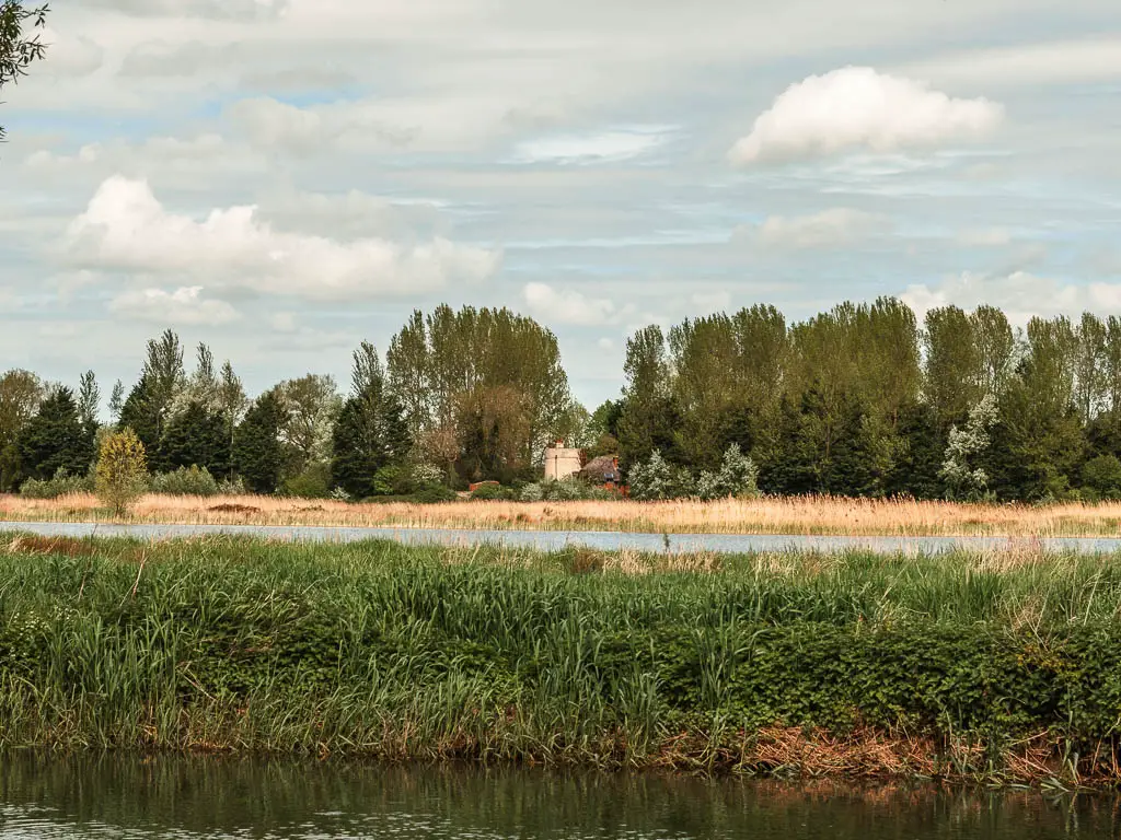
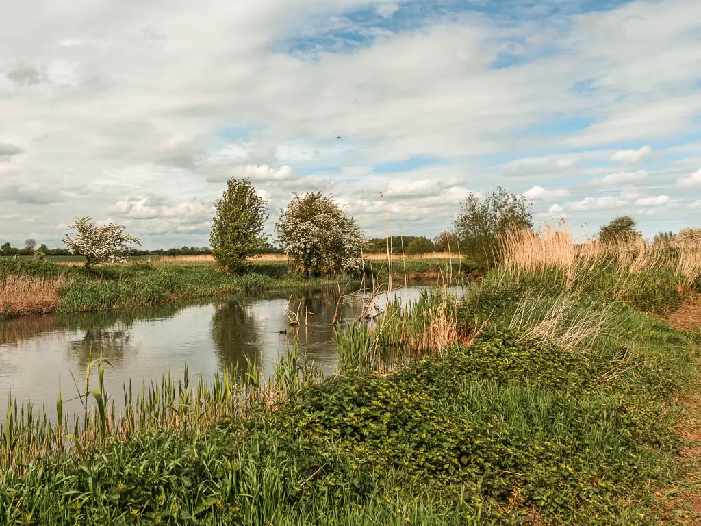
The walk from Cricklade to Lechlade I would say is characterised by lots of bog, marsh, and general wetness. The whole thing just felt very wild and remote. Today my boots would get soaked through (they are waterproof but have massive holes in them) and stay that way for the rest of the trip.
I would also get surrounded by cows who then proceeded to lick me and try to get into my backpack.
The walk is a bit twisty and turney, and at times without the river in sight. It’s pretty well signposted though….with one or two illegible signs.
Logistics for the walk from Cricklade to Lechlade
- Start: Cricklade, North Wiltshire. SN6 6AY
- Finish: Lechlade-on-Thames, Gloucestershire, GL7 3AQ.
- Distance: 11miles
- Time: 4h
- Difficulty: Easy
- Terrain: Bog, mud, more bog, grass, road.
- Dog friendly: Yes. No stiles, some loose cows, a bit of road.
- Time of year: I walked from Cricklade to Lechlade in early May
- Amenities: Tesco and a few places to eat in Cricklade (plus a boots which shuts at 2pm on Saturday). Lechlade has a Budgens, and a few options for food (pubs/restaurants/cafe/tea room).
You can read day 1 here: Source to Cricklade
Or Day 3 here: Lechlade to Newbridge
Public transport
Both Lechlade and Cricklade have buses to/from Swindon which has a train station. So it’s possible to do todays walk as a day trip.
Swindon-Cricklade is the 51 bus, with a journey time of about 25min, or the 53 bus with a journey time of about 40min.
Swindon-Lechlade is the 64 bus, with a journey time of about 40 min. This bus isn’t that frequent. At the time of writing there is only 1 in late afternoon for the finish (or one in the early morning if you are starting the walk from Lechlade).
Accommodation
In Cricklade I stayed in the cheapest I could find, which was the Vale Hotel. It cost me about £75. I liked it more than I thought I would and would stay again. It’s pet friendly. If you want to camp, there is the Elm Lea Campsite which is a few miles back off the trail.
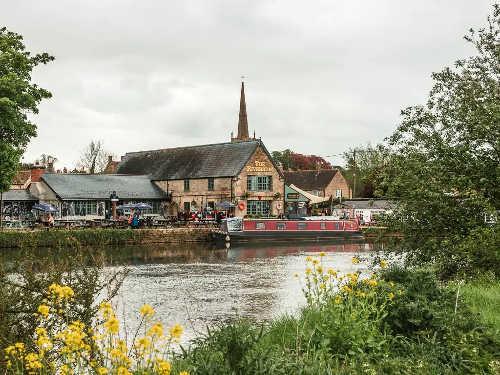
In Lechlade I stayed at the Riverside. It’s a pub restaurant with accommodation in separate barns. No complaints other than my private bathroom wasn’t actually in my room. Judging by how the place looks from the outside I was expecting a bit more from the inside. But it did the job. It cost about the same as the Vale.
For camping you have the Bridge House Campsite, with toilet and shower facilities. It’s located on this side of the bridge.
Map for the walk from Cricklade to Lechlade
Route Description: Walk from Cricklade to Lechlade-on-Thames
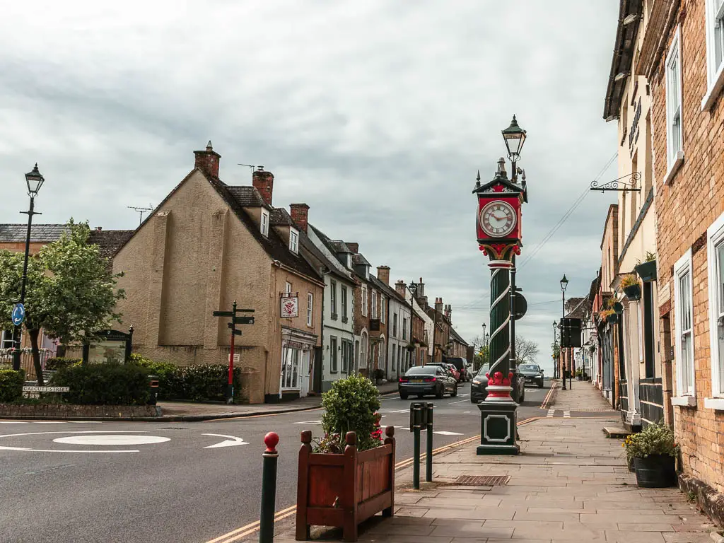
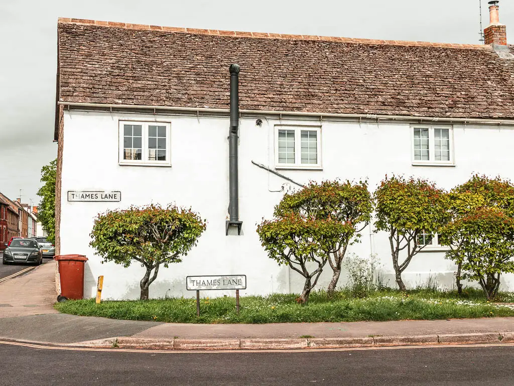
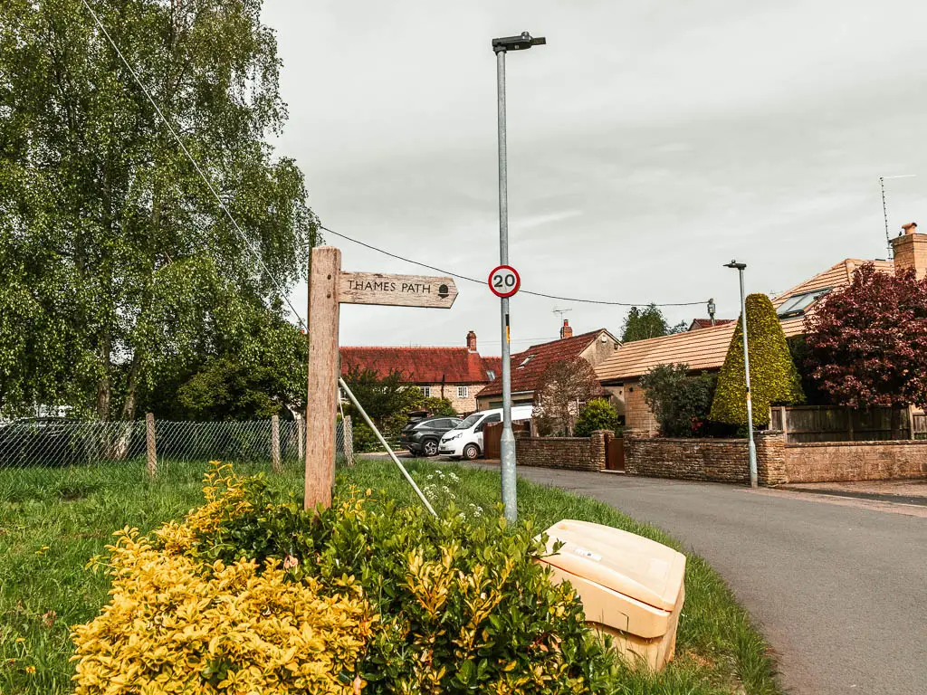
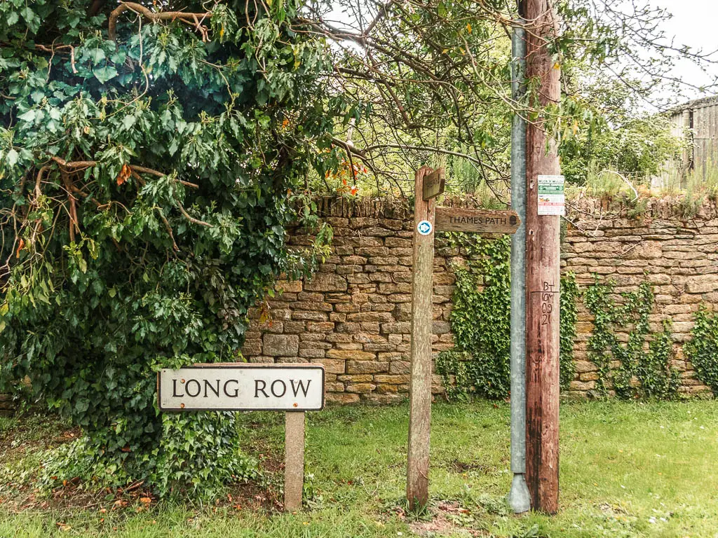
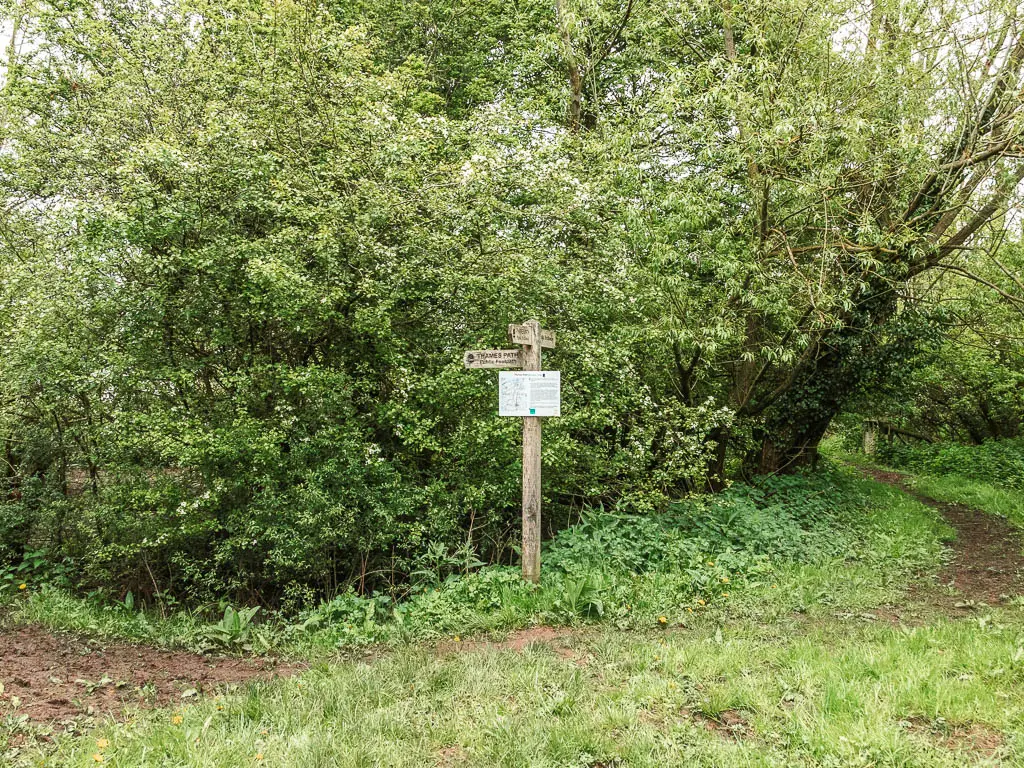
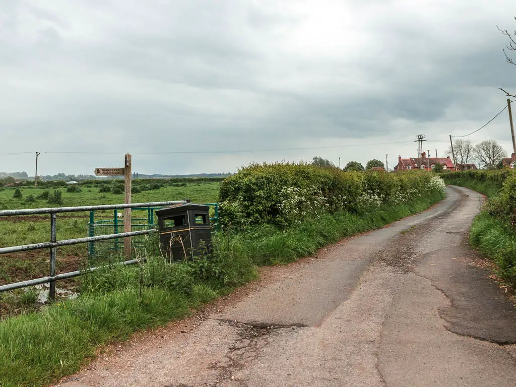
Starting from the main road in Cricklade, you want to take the side road opposite the big clock, and keep going to reach Thames Lane. Walk along Thames Lane, then some way further along you should reach a Thames Path sign pointing between some houses on the right.
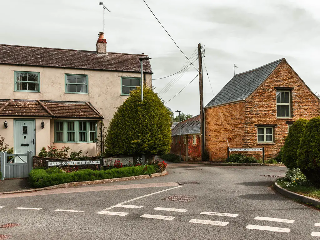
Then when you reach the green corner, follow the path which takes you through a wooden gate, then to the left, and you will reach the river (on your left).
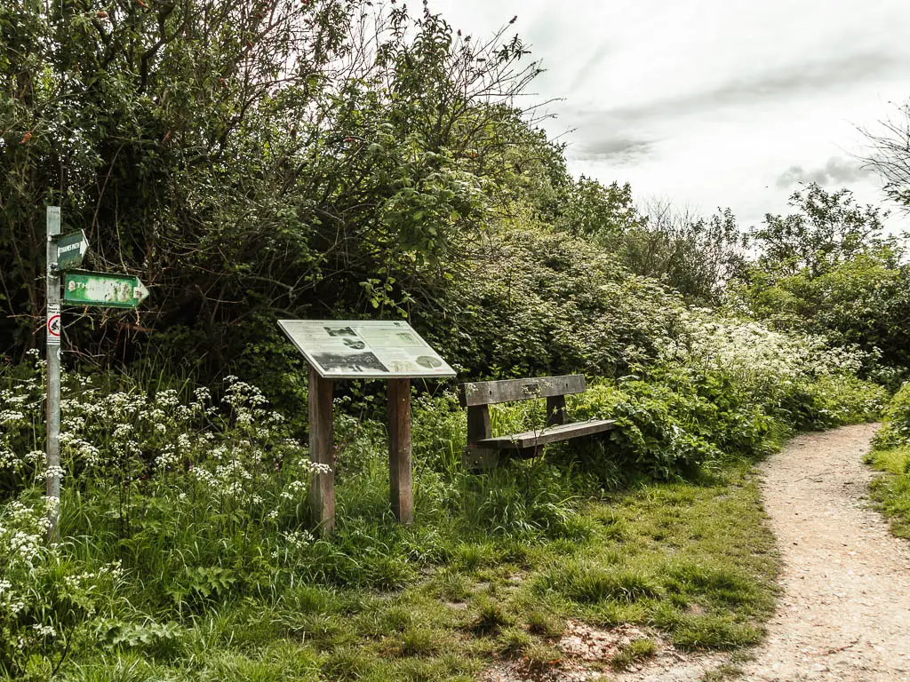
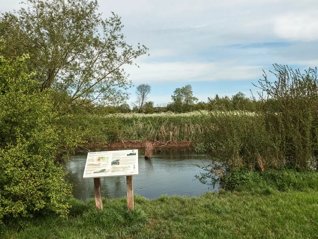
Now follow it.
Follow the river
You will now be walking through a big green with neatly cut grass and occasional picnic bench. This is as civilised as todays walk gets.
Follow the river as it curves to the left, and then walk under the bridge. It can be very muddy here. Particularly around the gate. The gate was full of puddle for me. I had to climb on the edge of the gate, open it, then swing myself around to avoid wet feet…with what was to come, I needn’t have bothered.
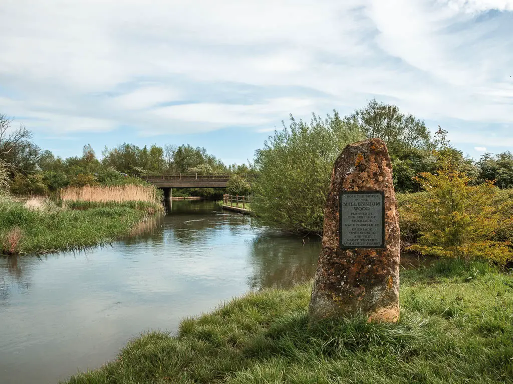
The wild
The landscape and trail start to become more wild now.
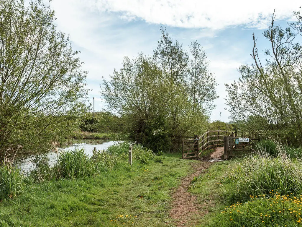
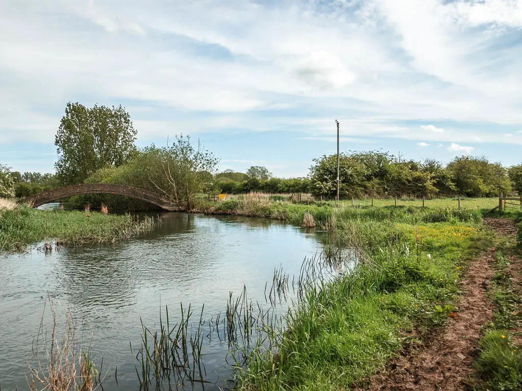
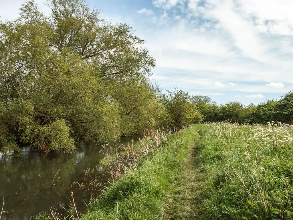
When you reach the second bridge, cross over it and turn right. A little further along, the grass is long and the river looked like a strip of deep bog. I wondered what it looks like after lots of rain. I imagined it encroaching on the trail.
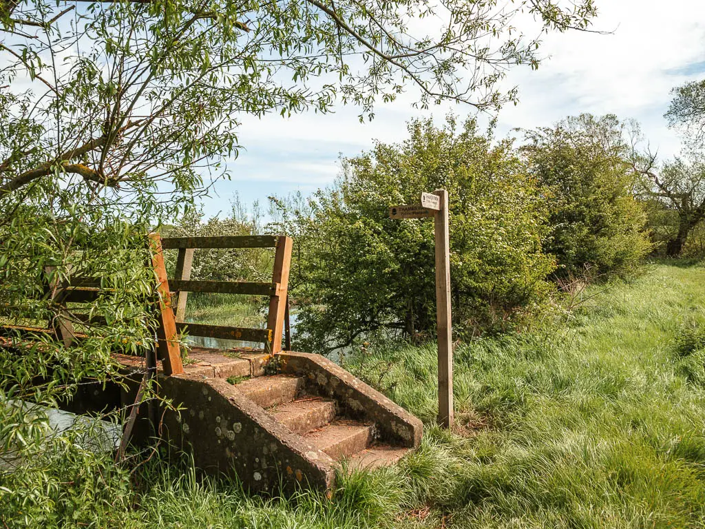
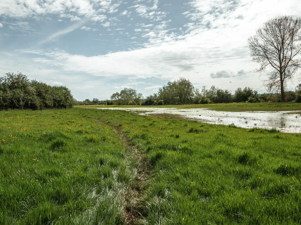
Through the gate, keep along the edge of the field along a rough outline of trail through the grass. The river might not be visible, but it will soon appear again.
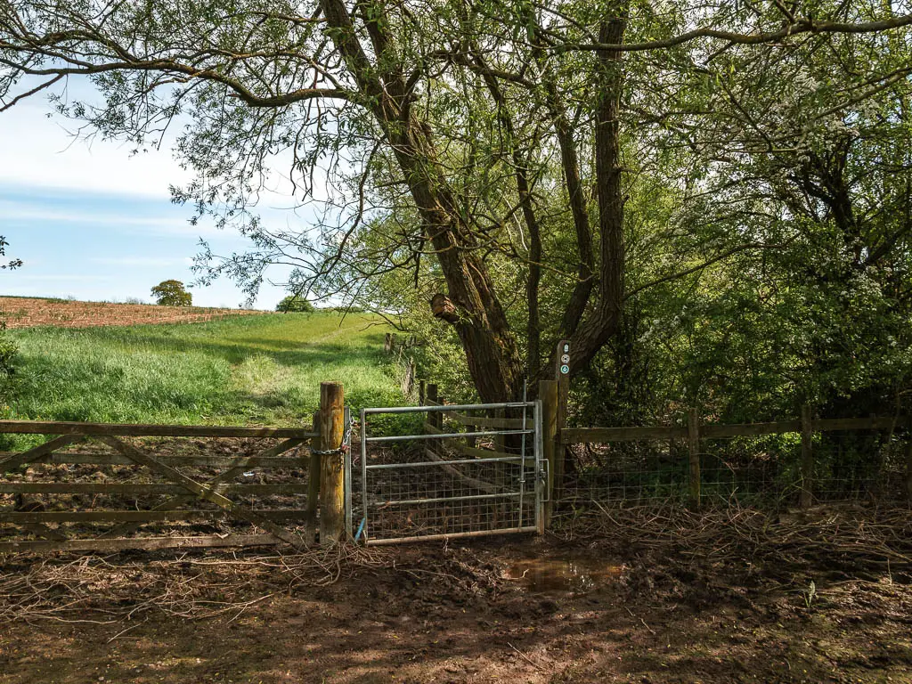
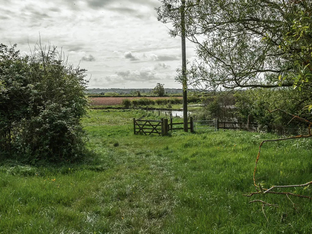
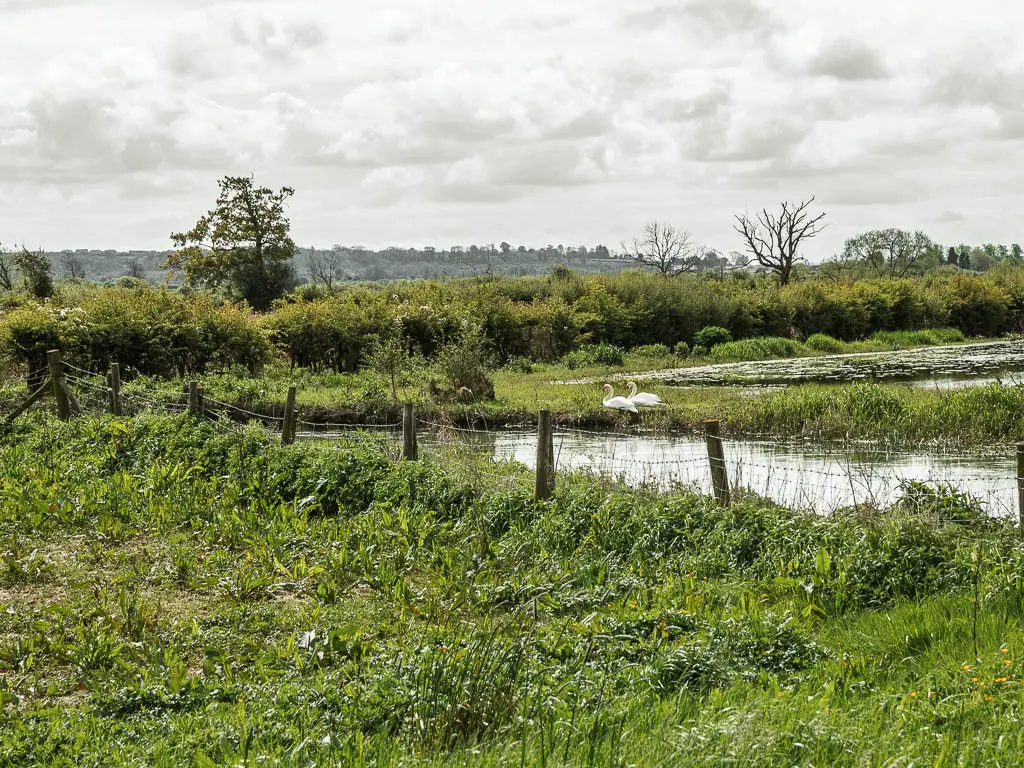
I got a real sense of remoteness along here, and a feeling like no ones ever comes this way…and no one would hear me scream. I checked my phone for signal just incase (I had signal).
The trail will continue through some more gates, to reach a bridge. Cross over it and turn left.
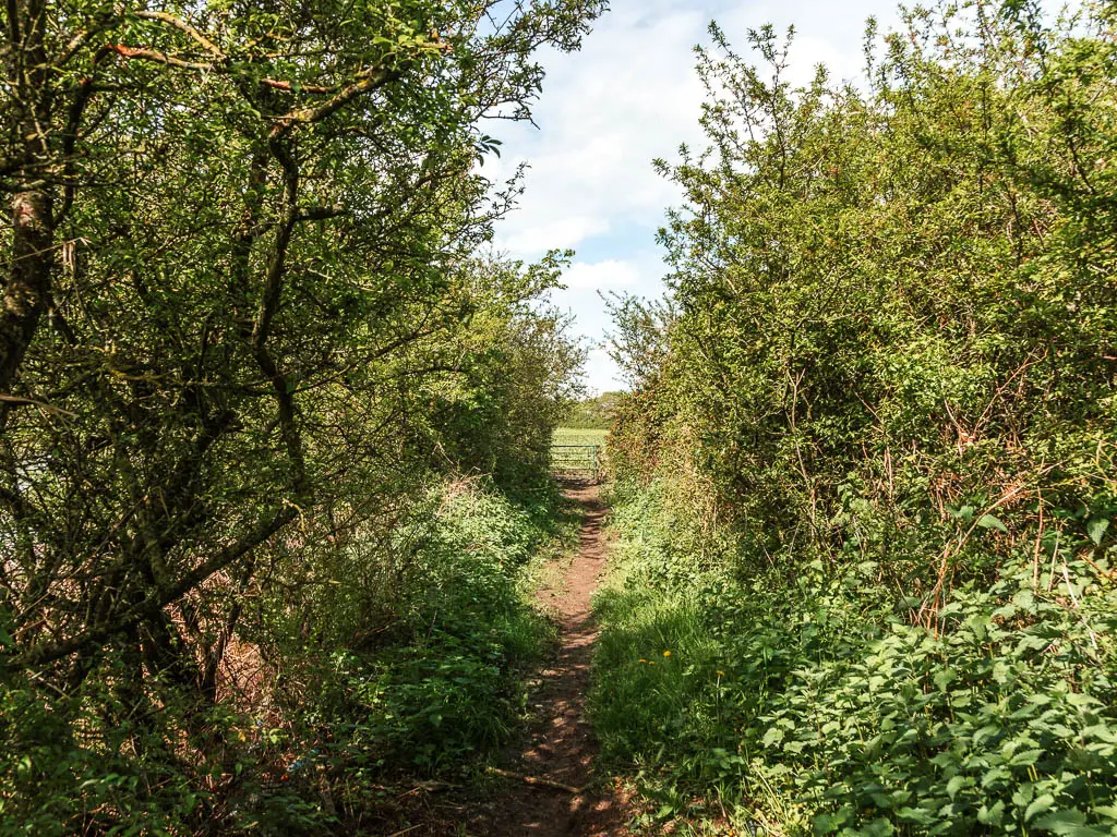
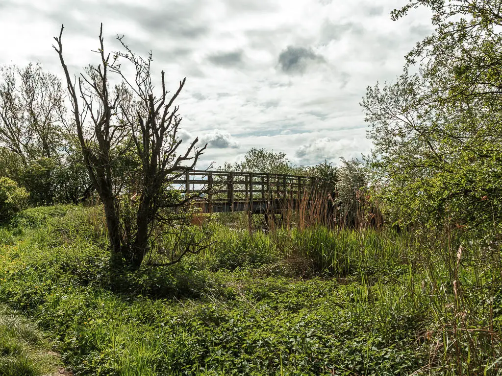
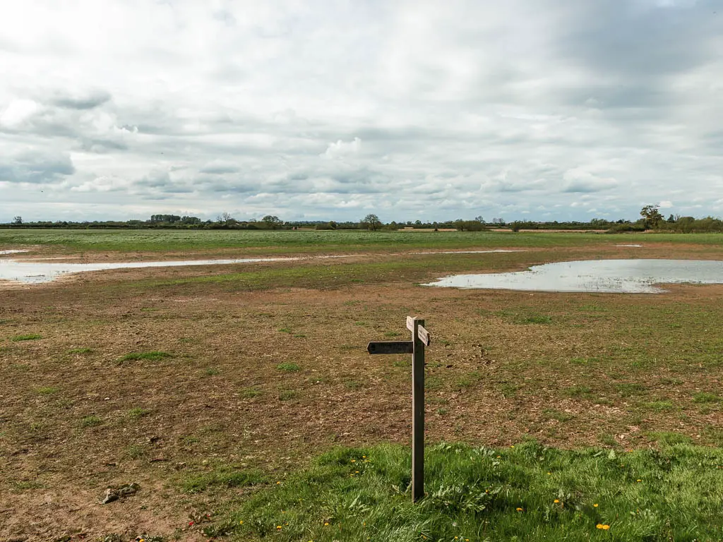
Follow the river some more
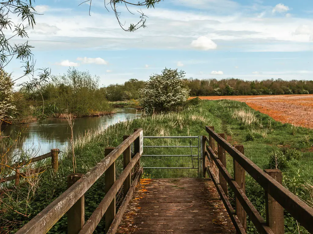
Follow the river, now on your left, to reach two gates. Go through and you can just follow the river for some time now.
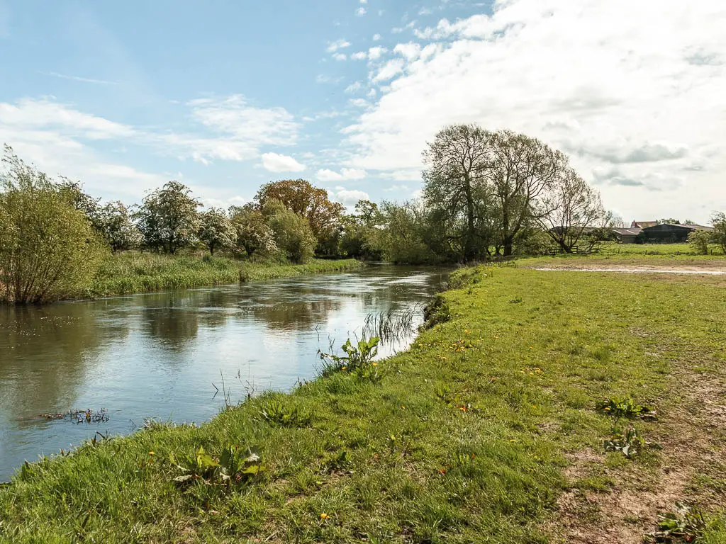
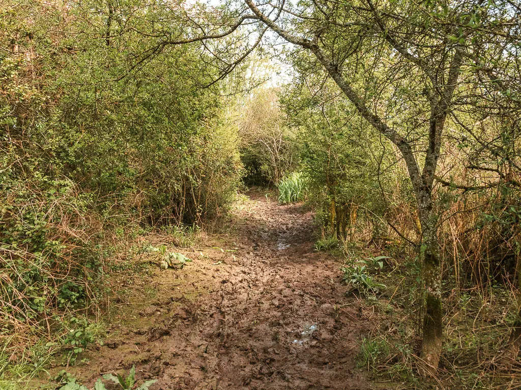
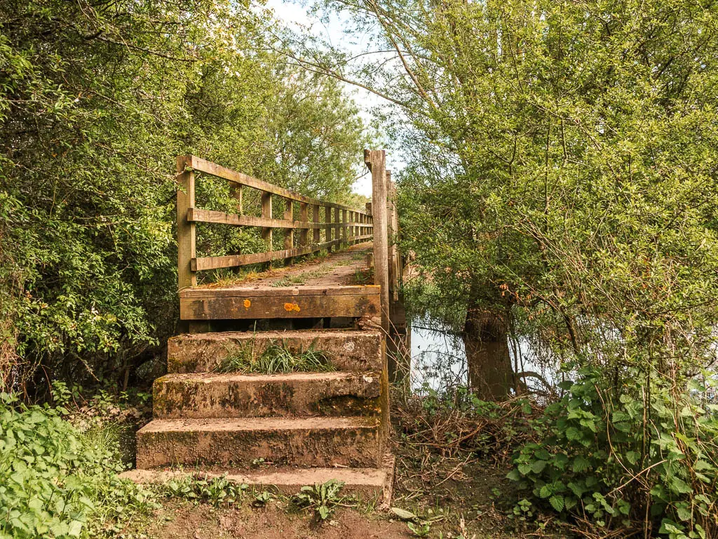
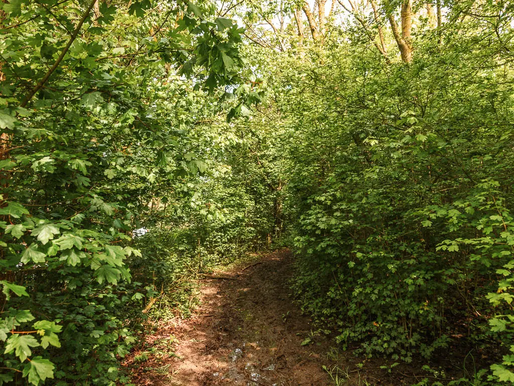
Through lots of fields, over some little wooden bridges, under trees, and along mud. Somewhere along here I noticed what looked like hoof prints. Maybe deer?
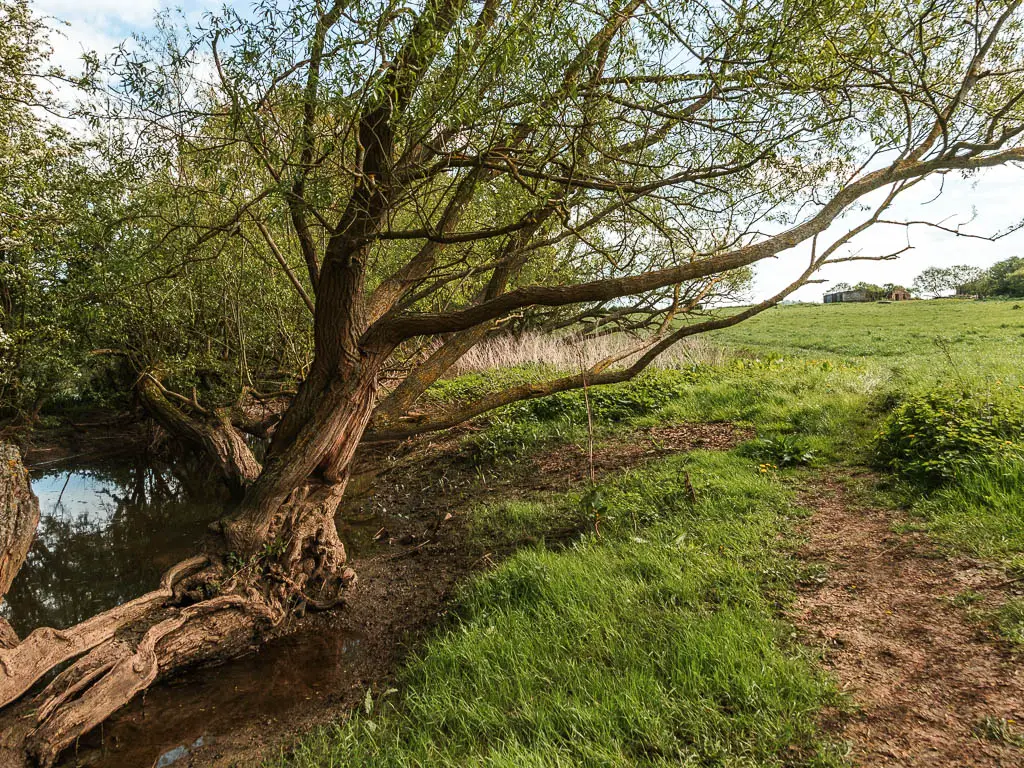
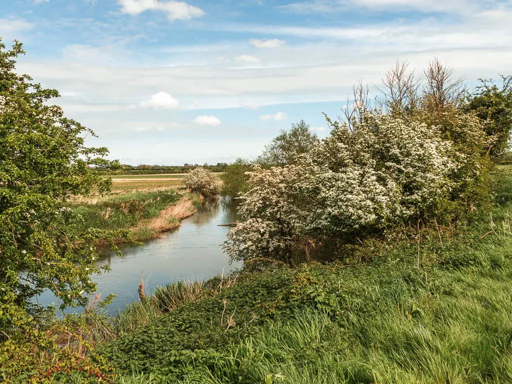
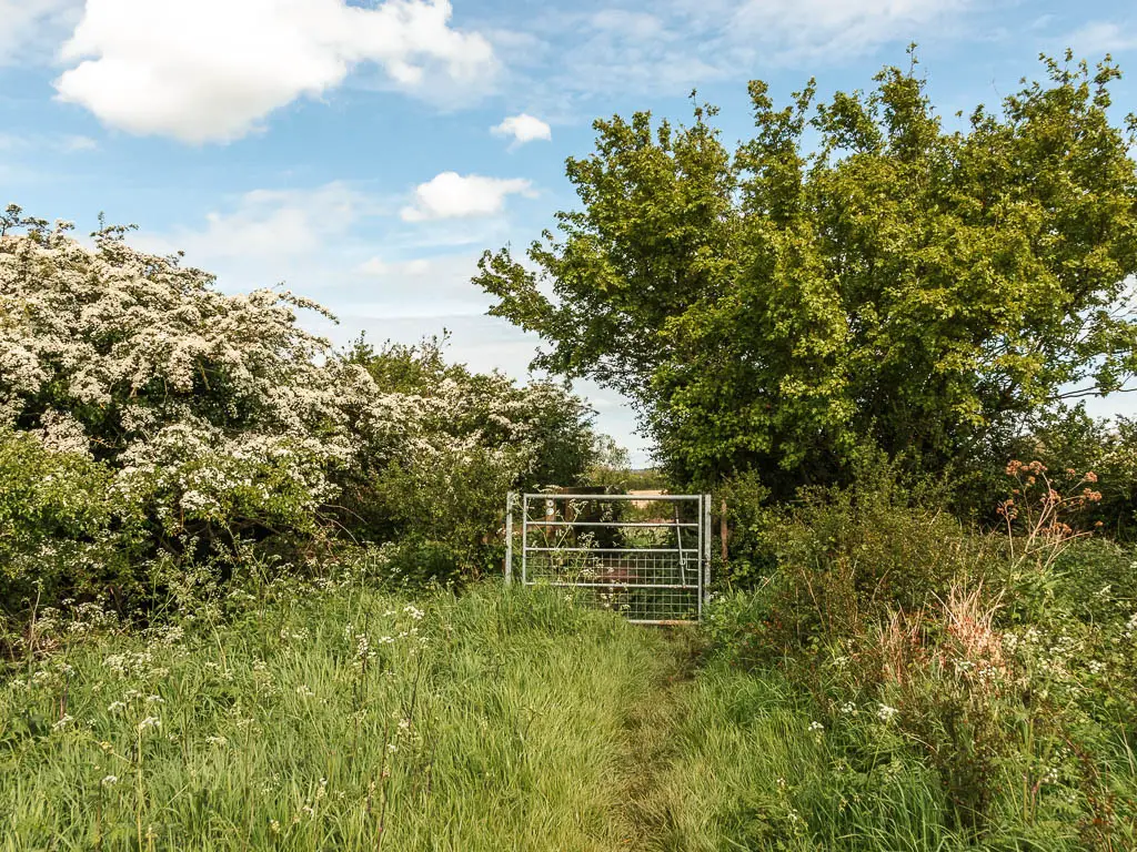
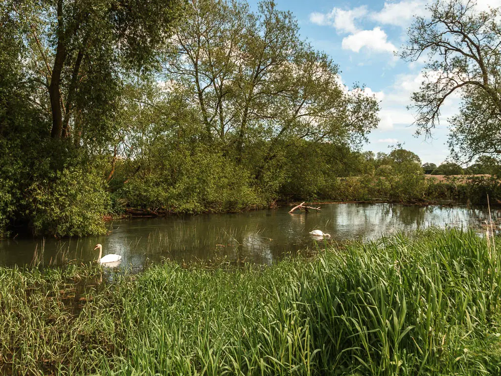
The flooded field
Somewhere deep into the route, there is a field that may or may not be flooded. Unfortunately for me, it was flooded.
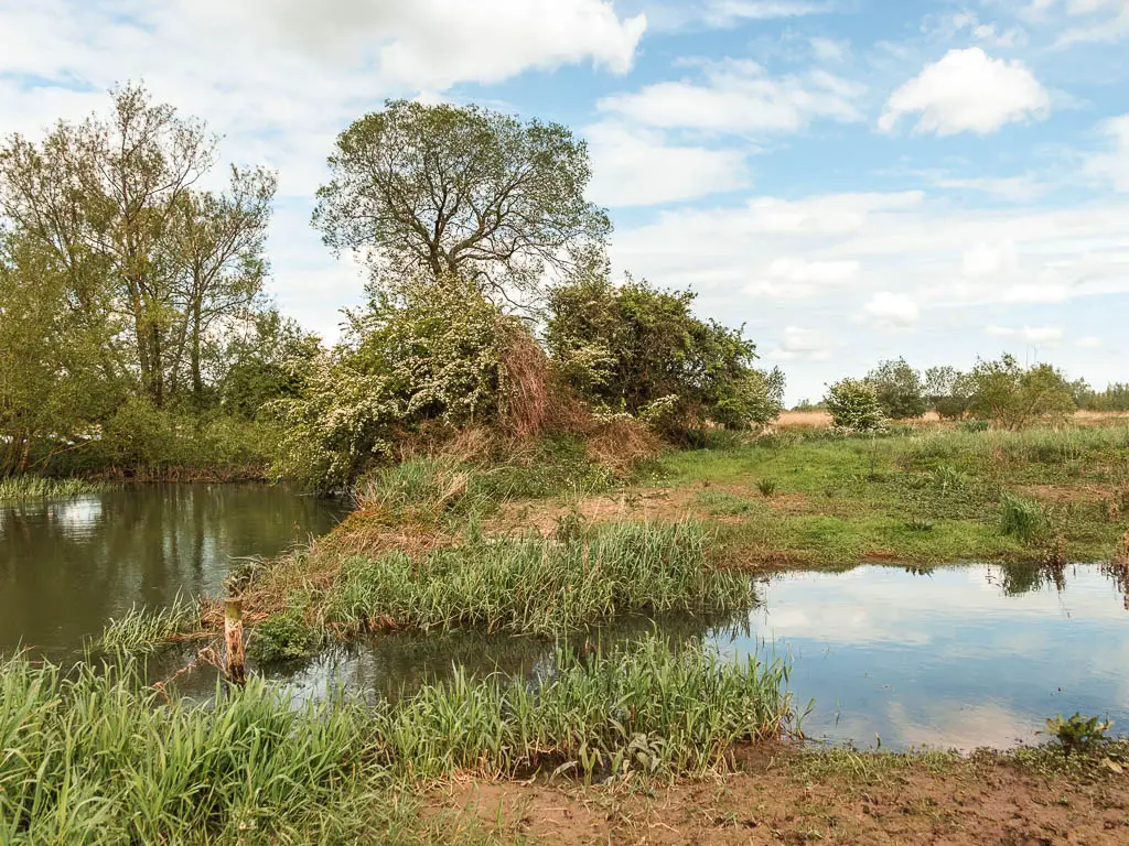
I checked my map for an alternate route, but there was none. I was too deep in for that. Someway or another I was getting across. Even if it meant walking through the water. But before I resorted to that, I skirted along the edge of it to find a more sensible place to cross. I found it, but it was still bog central. Only half my feet were submerged though.
Castle Eaton
After some more riverside walking, you will start to see some civilisation by way of holiday park buildings on the other side.
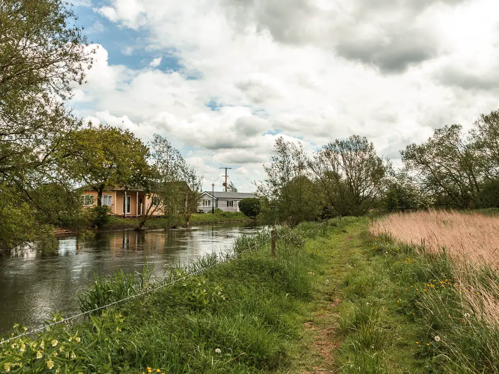
When you reach the end with a green bridge ahead and some houses, it’s a dead end. Maybe there was a sign further back directing me the other way? Anyway, if you end up here, just walk to the other side of the field and find the gate that leads you up to the road, and the village of Castle Eaton.
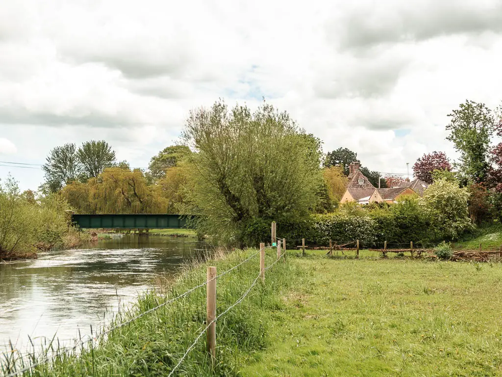
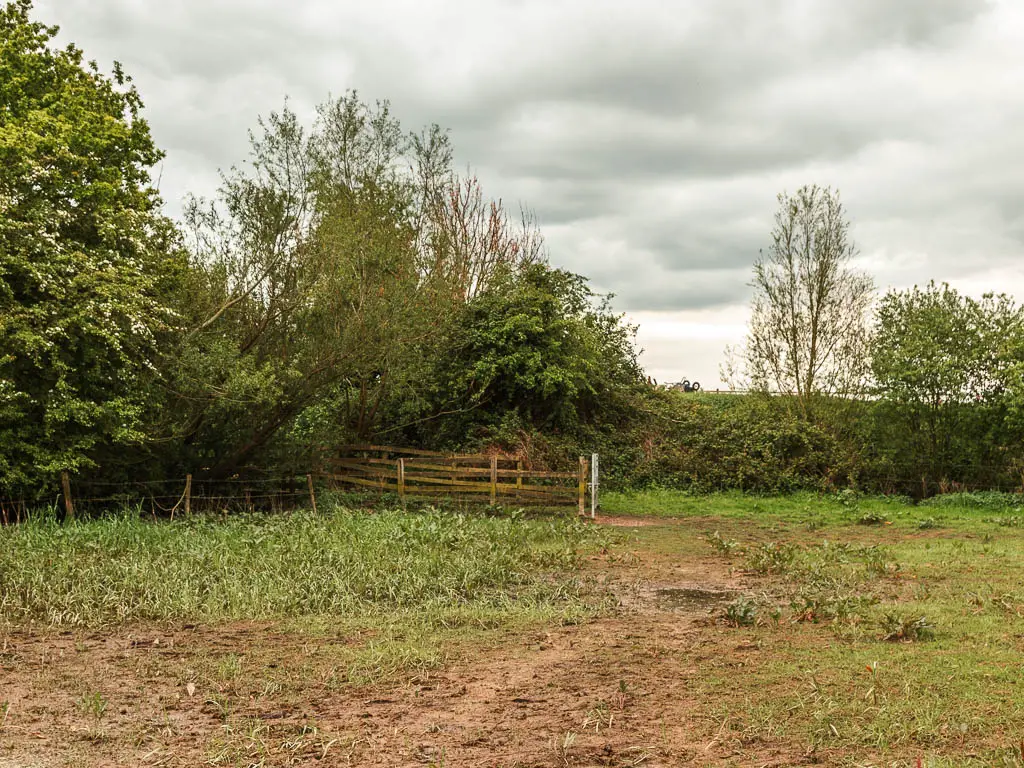
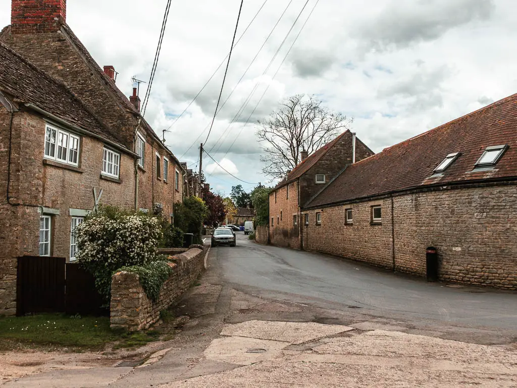
Follow the main road straight through. It’s a cute little village with a pub and not much else.
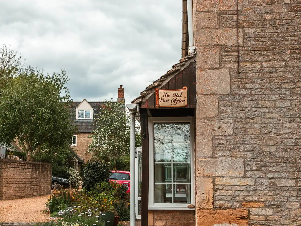
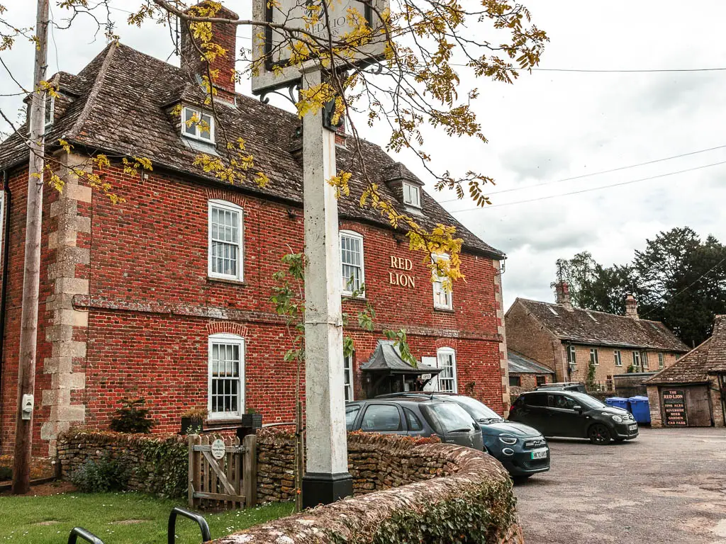
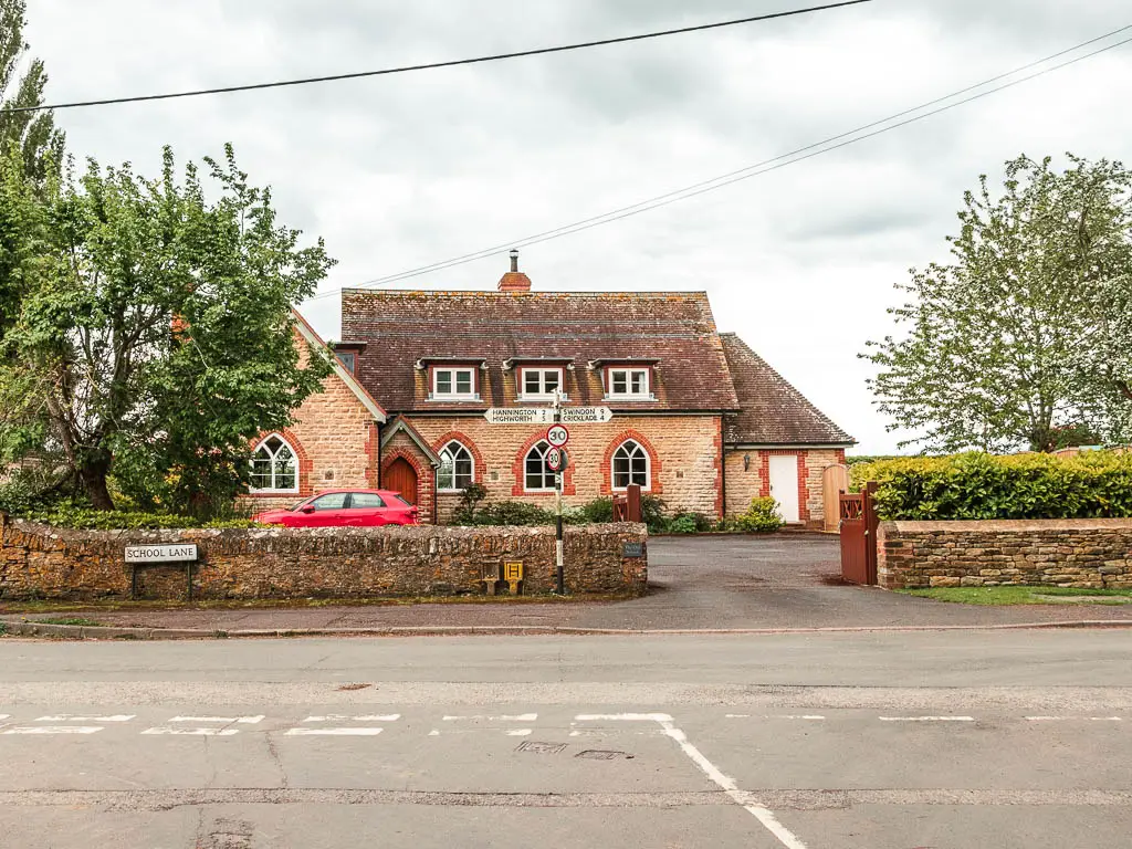
Follow the road as it curves to the right, then at the T-junction, turn left.
Lots of road
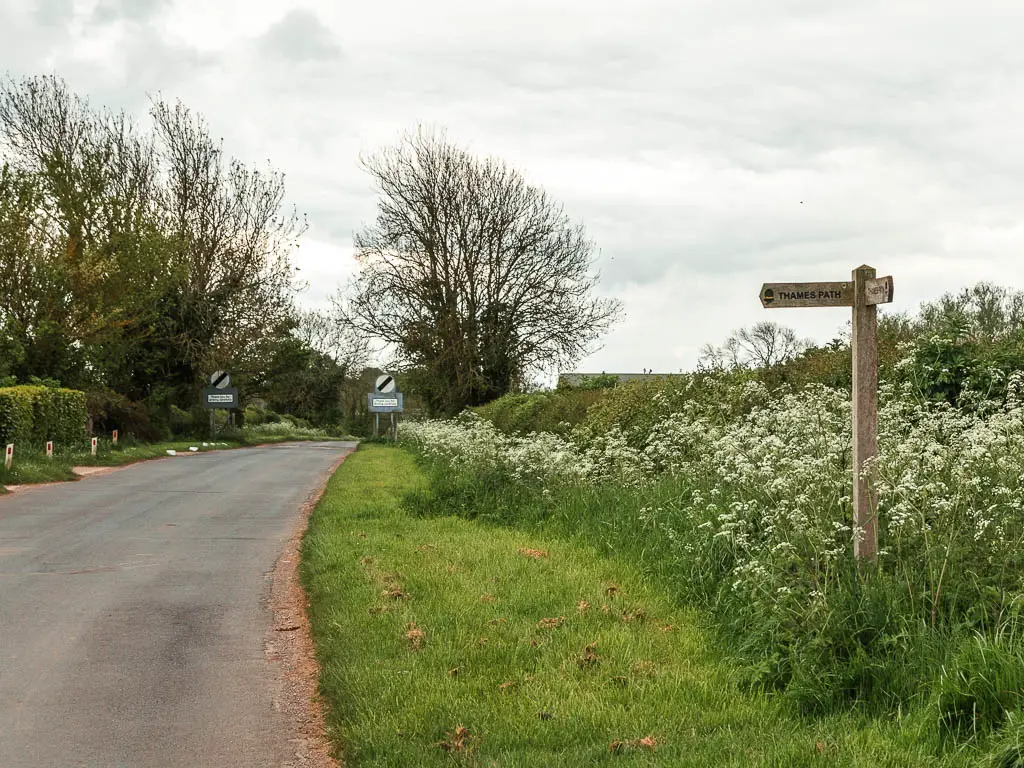
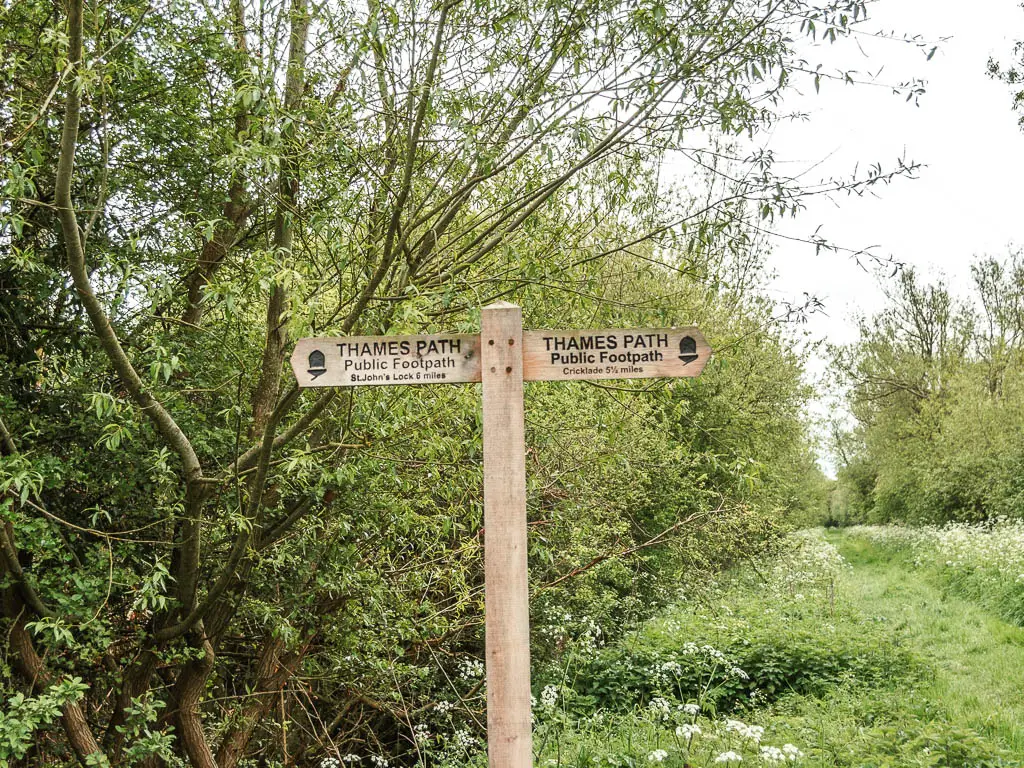
After some more road walking, you should reach a wooden Thames Path sign directing you along a little road on the left.
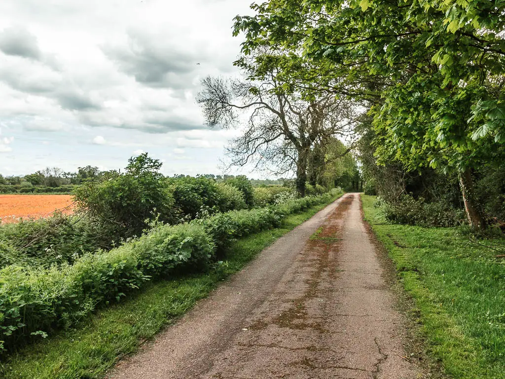
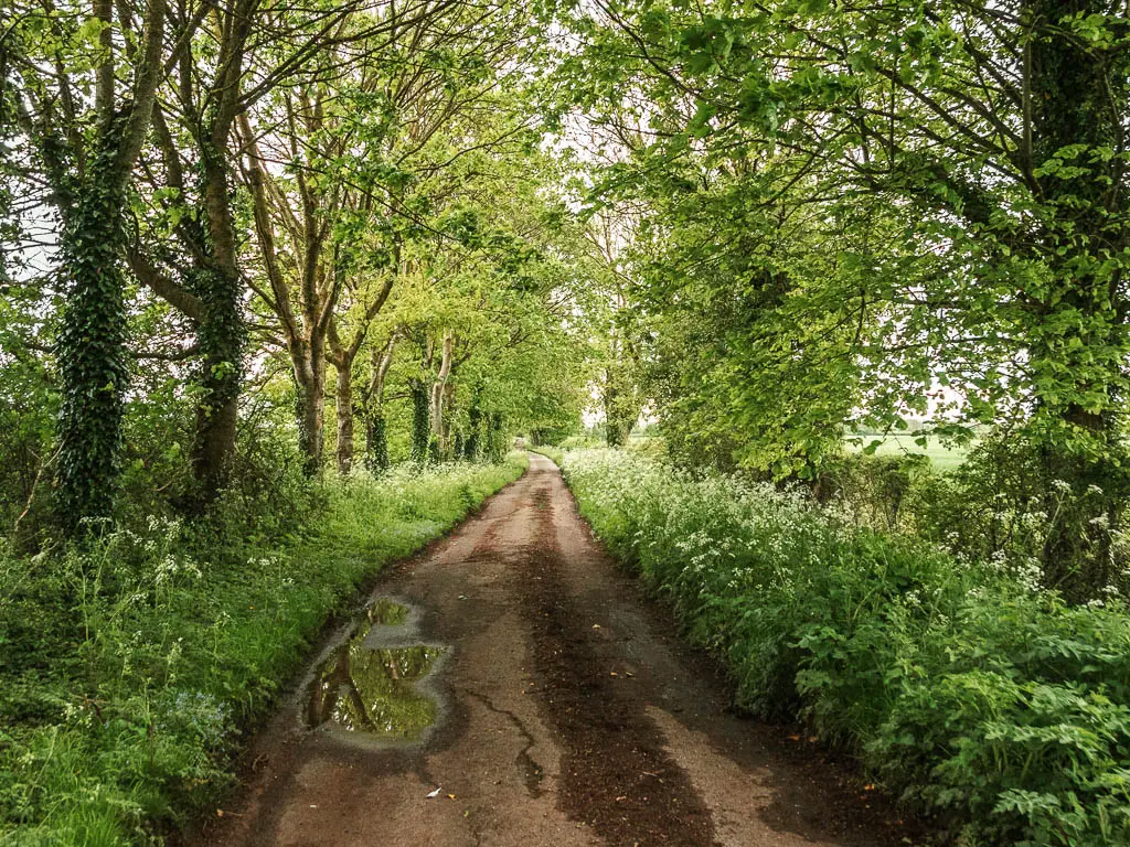
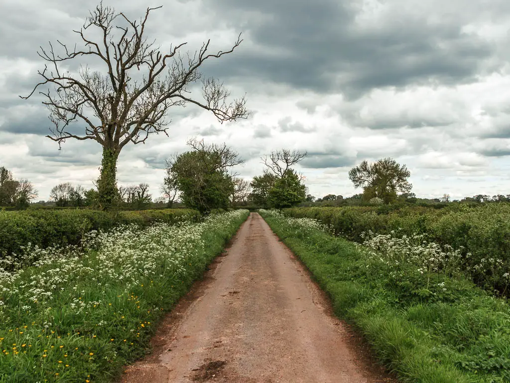
It’s a fair bit more road walking, which I found quite lovely actually. It was nice being on dry ground for a bit.
There are more signs coming up directing you back onto green and soon back along the river. River on your left.
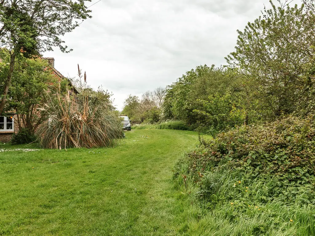
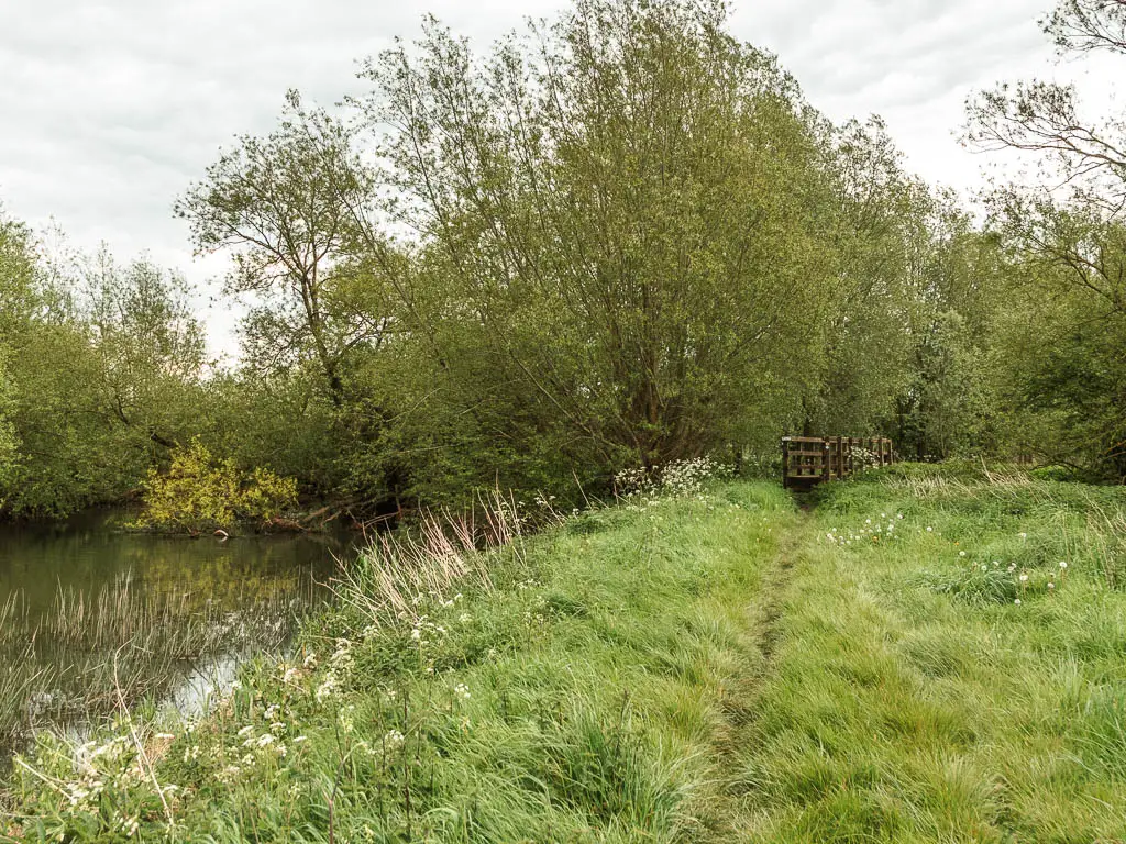
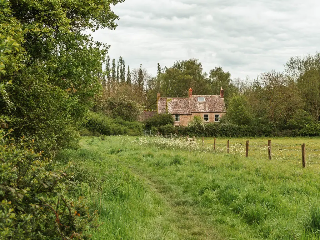
The river is short lived though, as the trail leaves it again when you reach the next road, where you turn right.
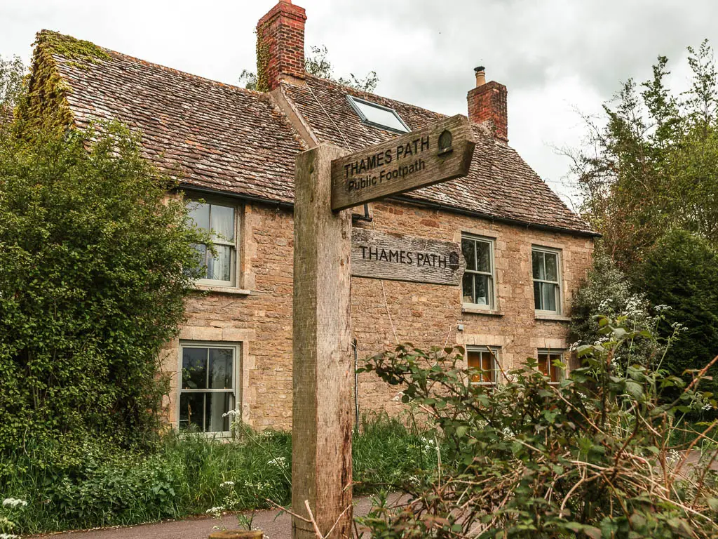
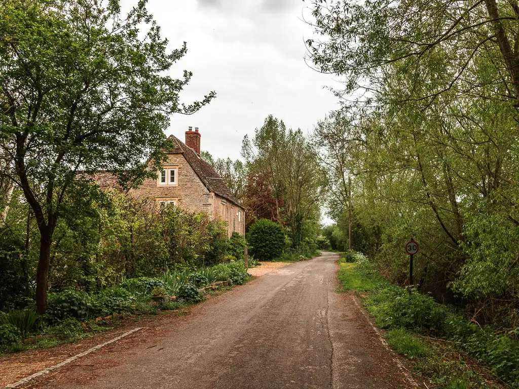
At the next road junction, the sign is almost illegible, but it’s telling you to turn left.
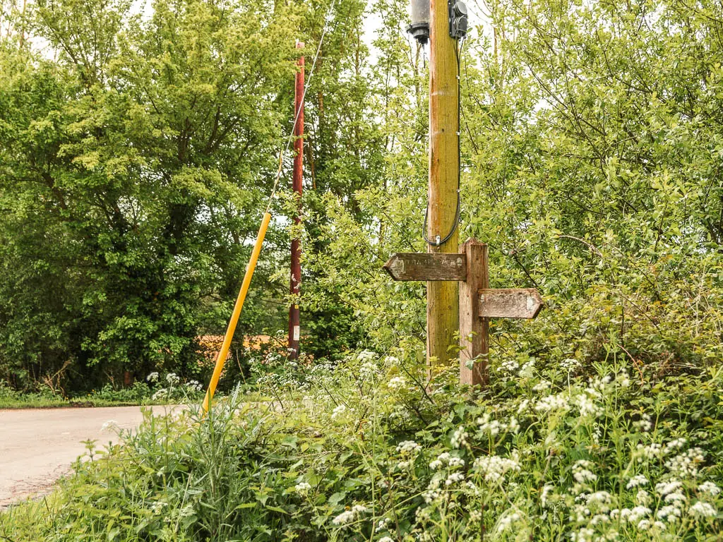
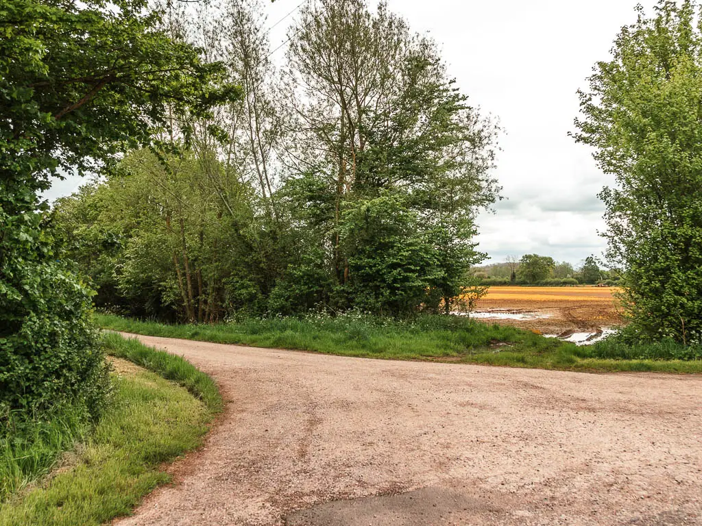
Then after more road, when you reach the junction, take the right.
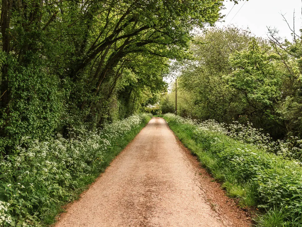
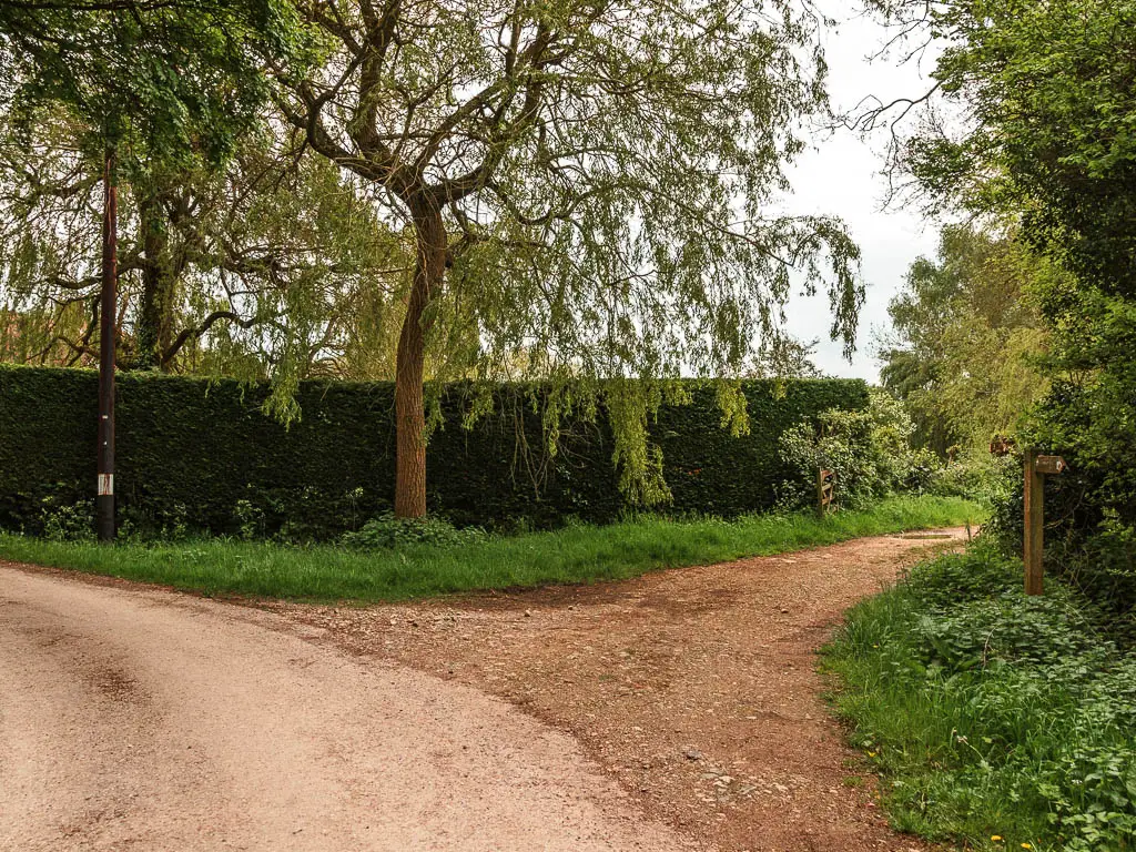
No more road
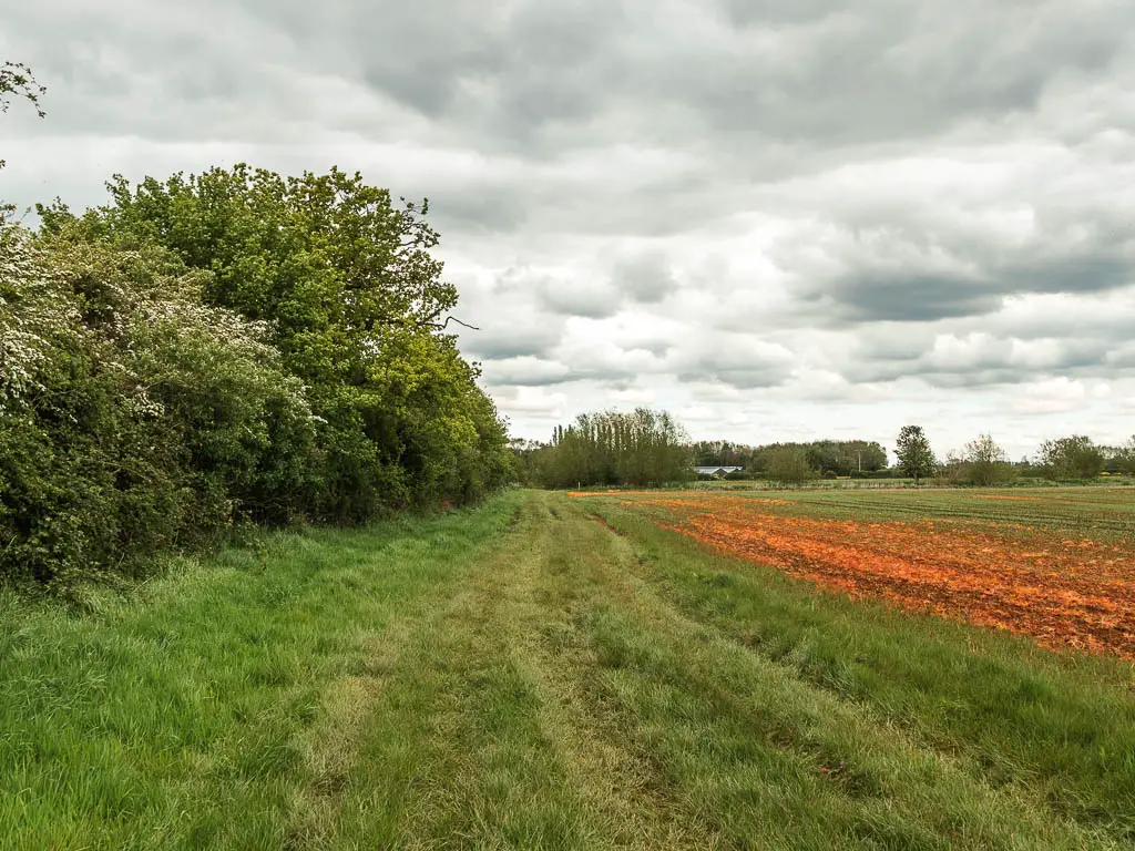
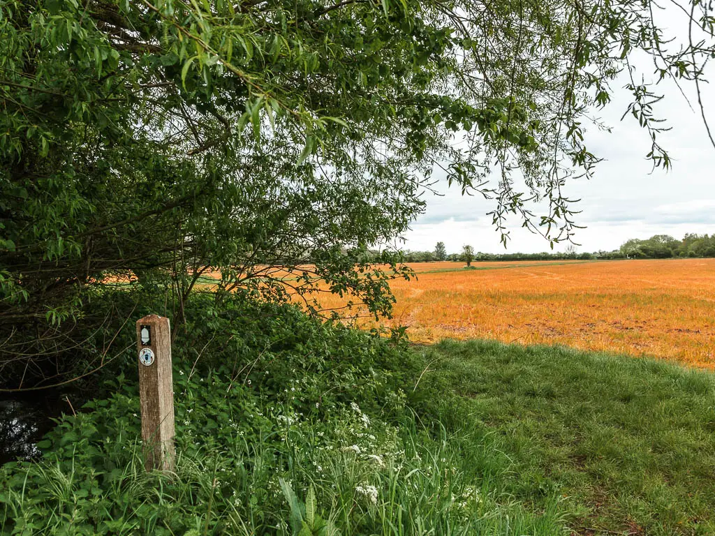
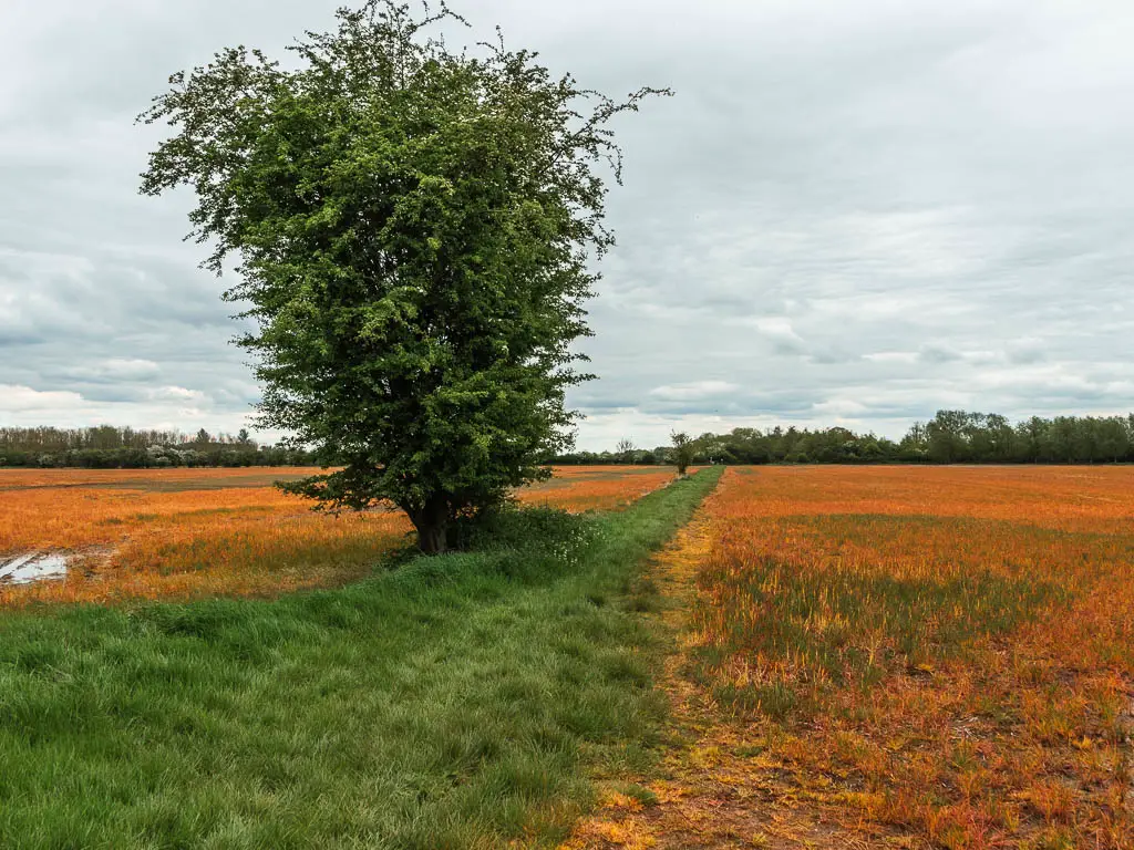
Follow the road some more, and at some point you will reach a crop field, where you take a left into it, and then follow the green strip of grass straight through the middle.
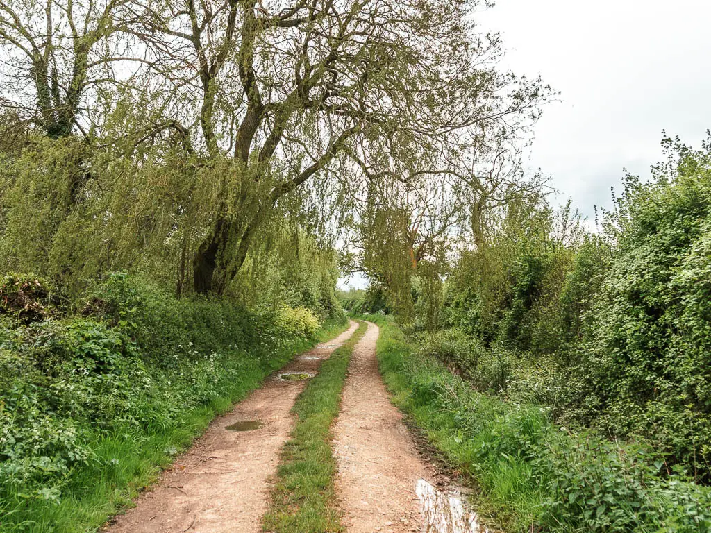
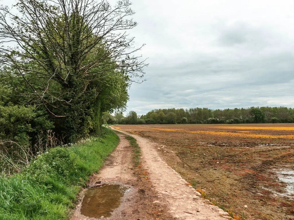
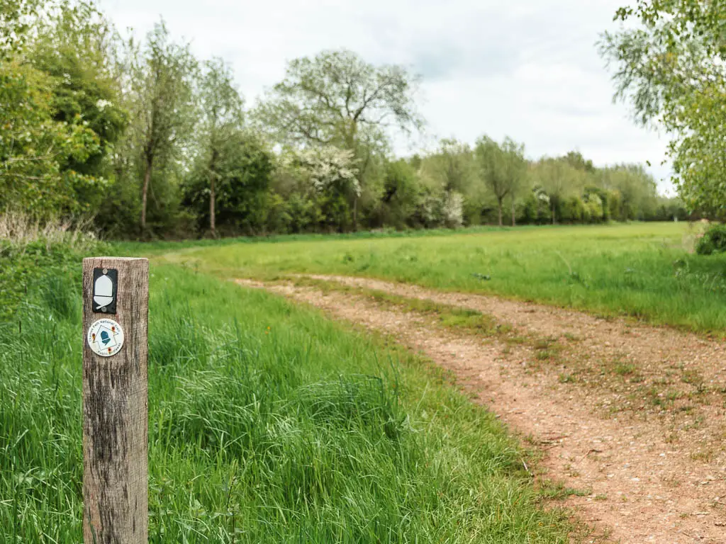
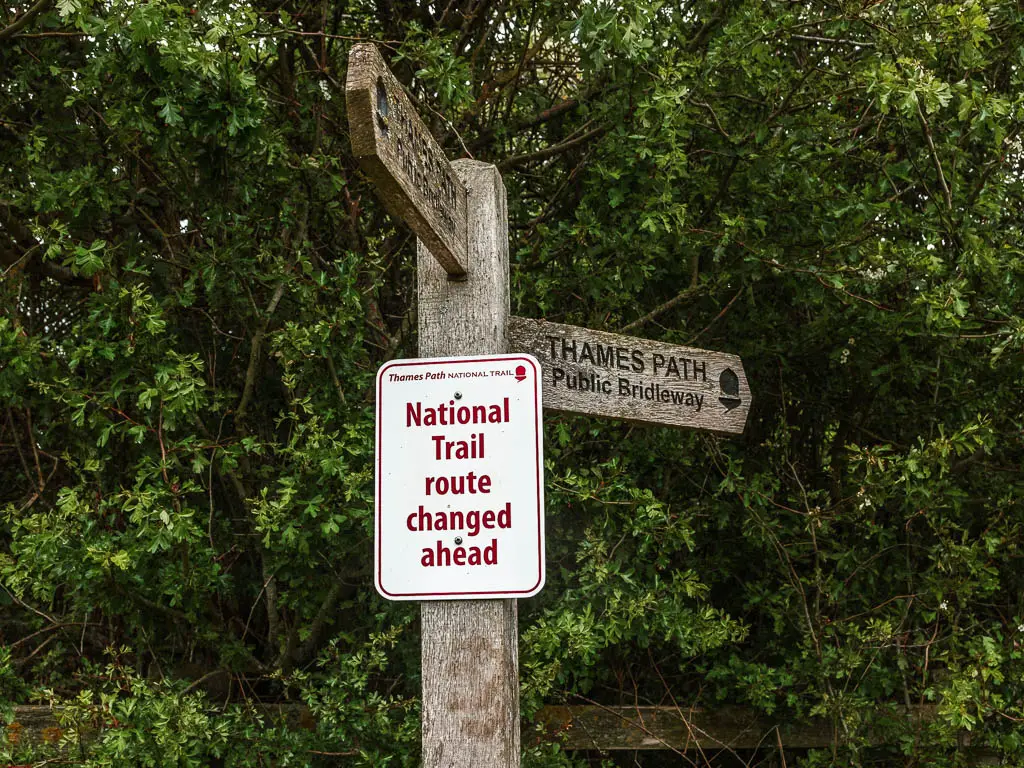
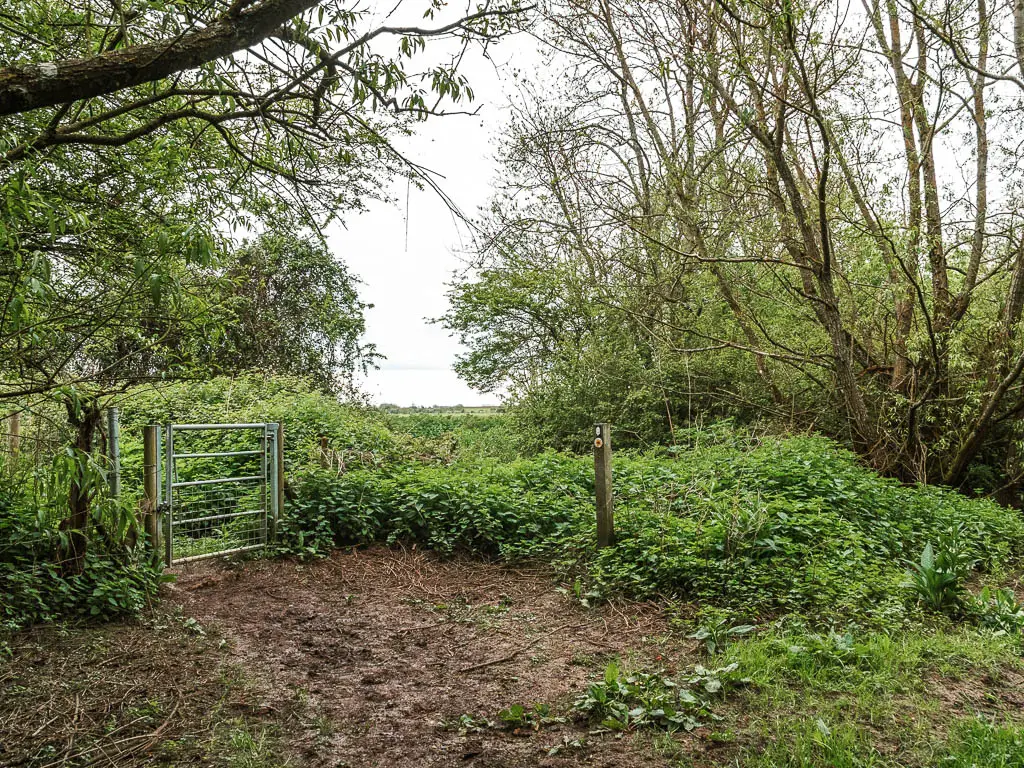
At the end, you will reach some signage. It says (or at least says when I was there) National Trail route change. I’m not sure what this meant, so just followed the signs, first along a wooden walkway, then lots of mud through the trees and bushes
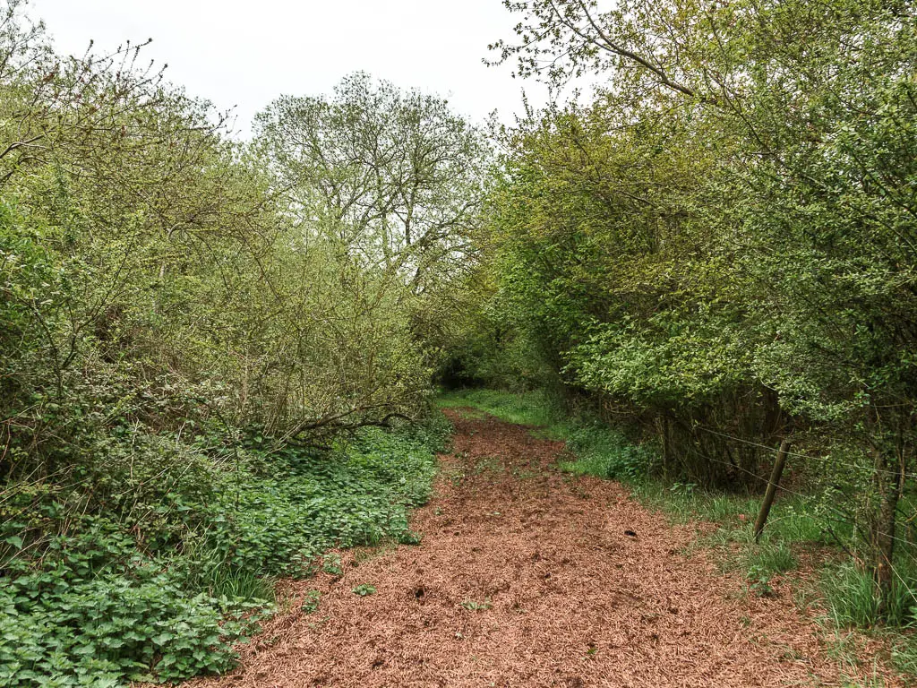
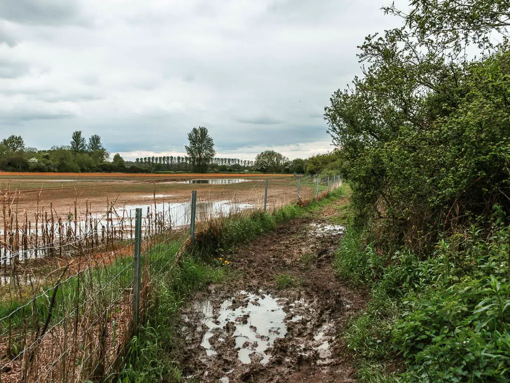
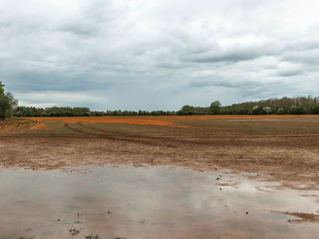
At the next corner, turn left, and through another gate along a trail with a big boggy field on the left. Looking at that field, I was glad I wasn’t in it.
The river is back
At the end of this bit of trail, at the gate, there is a sign warning you of the airfield coming up. I got excited I might see some planes…
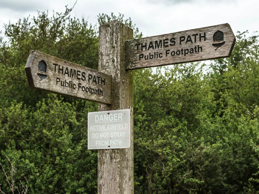
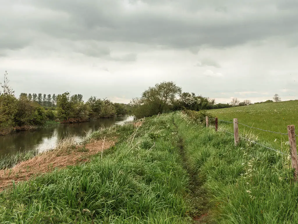
Entering that field, you will finally see the river again. Keep along the trail next to it (river should be on your left).
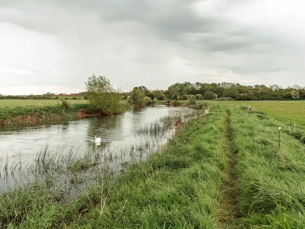
Looking across the field, the grass was very tall. Not something for planes. Maybe there was a strip somewhere in it? But yeah, no planes were about.
I quite enjoyed being along the river again, but I was more excited that I was nearing Lechlade. My body had had enough today.
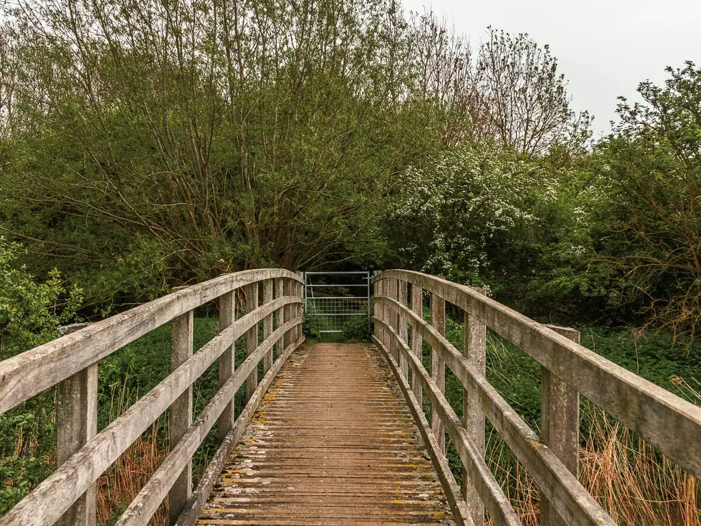
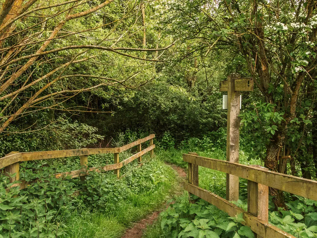
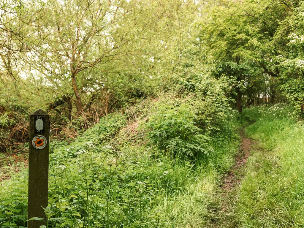
The trail will lead you over a wooden bridge, then through some woods, then back into the open again.
The fields
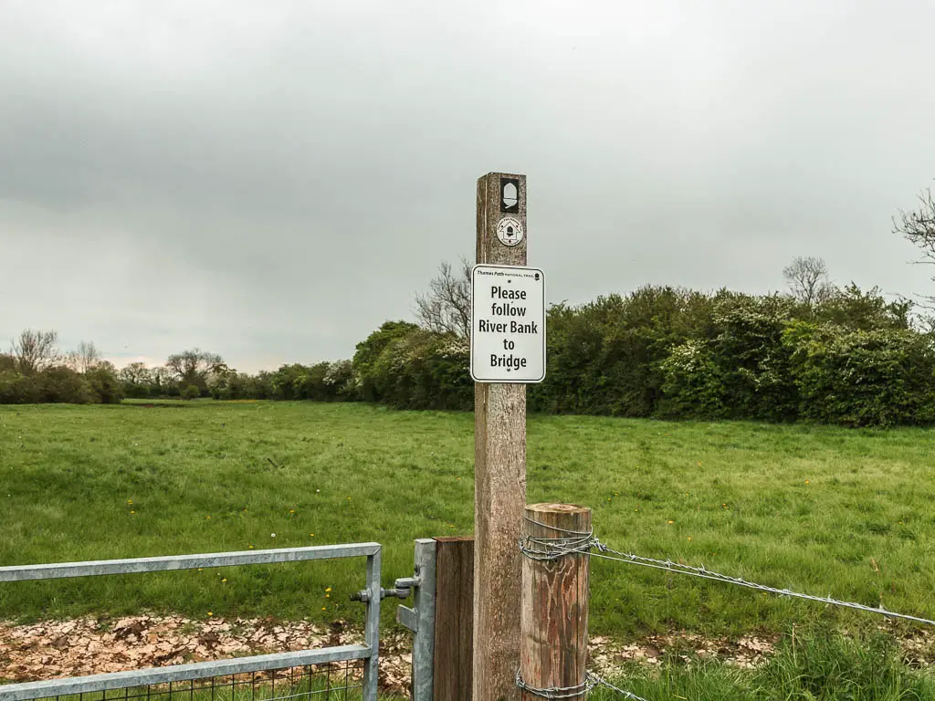
Do as the sign says and follow the river bank to the bridge, and then continue the same after.
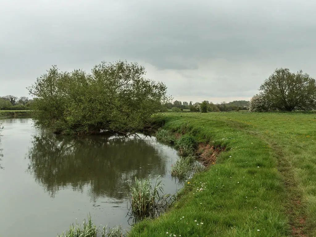
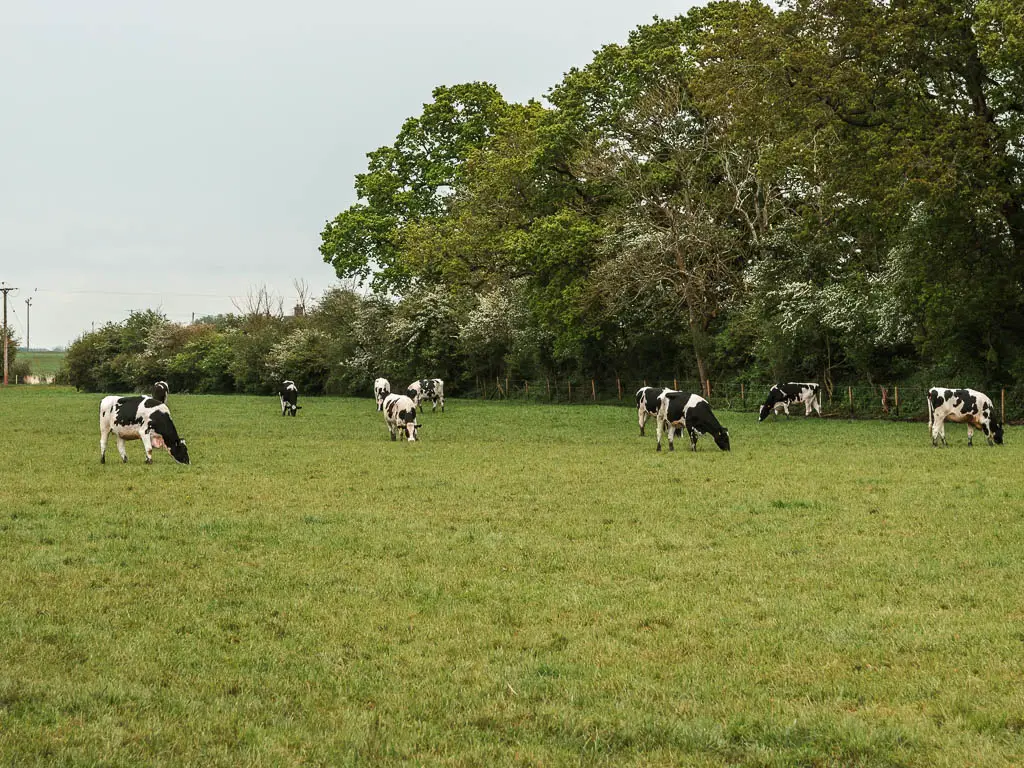
There were a lot of cows in the field. Munching away at the grass. I kept a close eye on them though. I thought about my escape plan. It would have to be the river. Do cows swim? I would cross that bridge if it ever came to that.
The trail will lead you through a gate, then up a strip of grass to reach the road with church opposite.
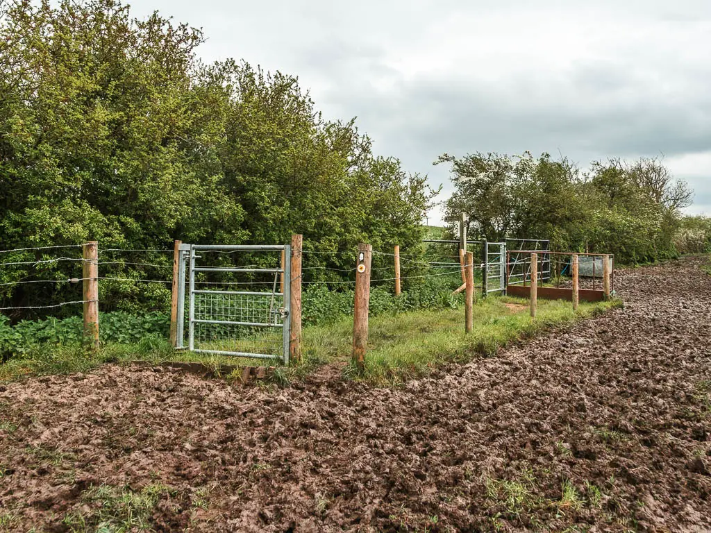
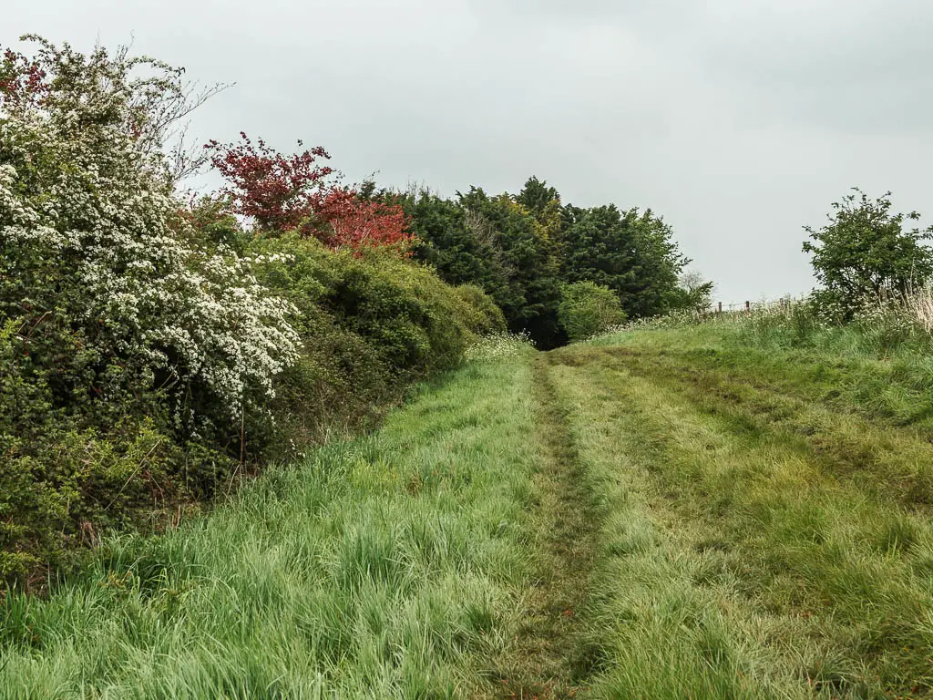
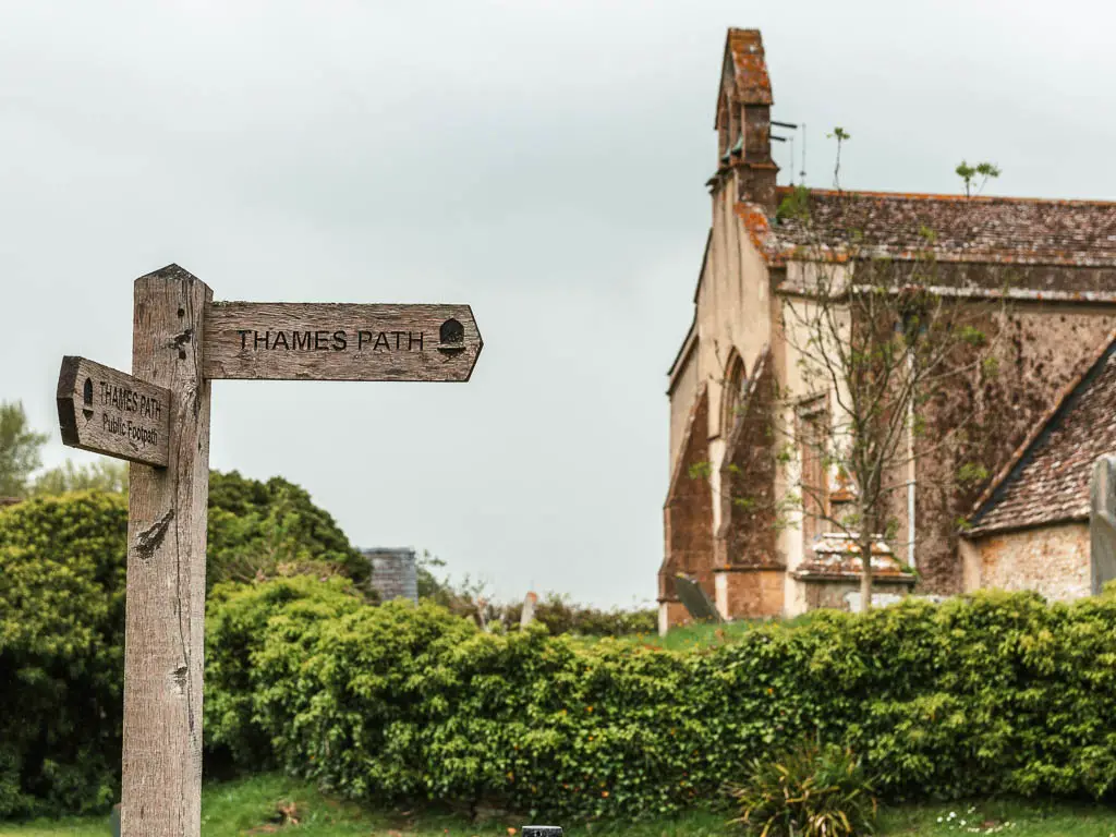
Turn right, then after a short bit of road walking, you should reach a sign directing you left back into a field.
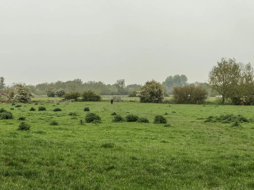
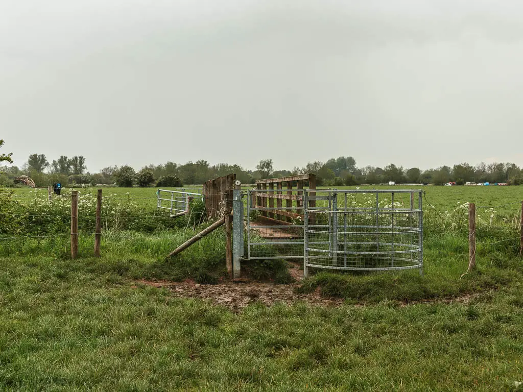
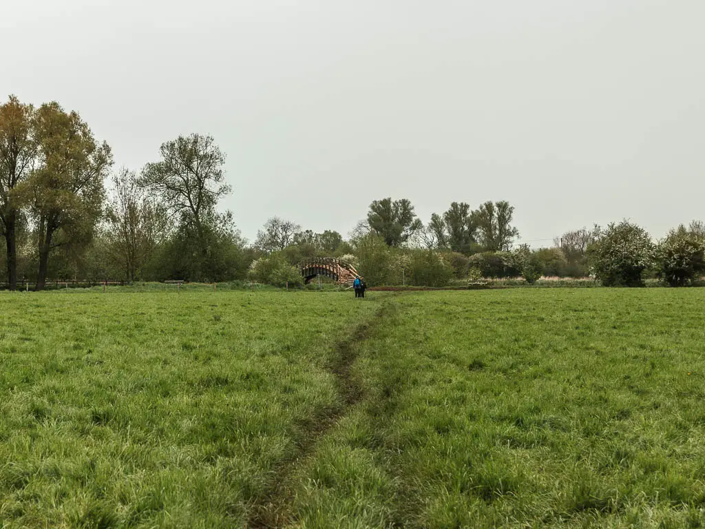
Now walk straight across to reach a bridge, then go straight some more to reach another bridge over the river. Don’t go over the second bridge. Instead turn right and walk with the river to your left.
The cows
You will start to see boats and longboats moored to the side as you approach Lechlade. But for me, the walk wasn’t quite over yet.
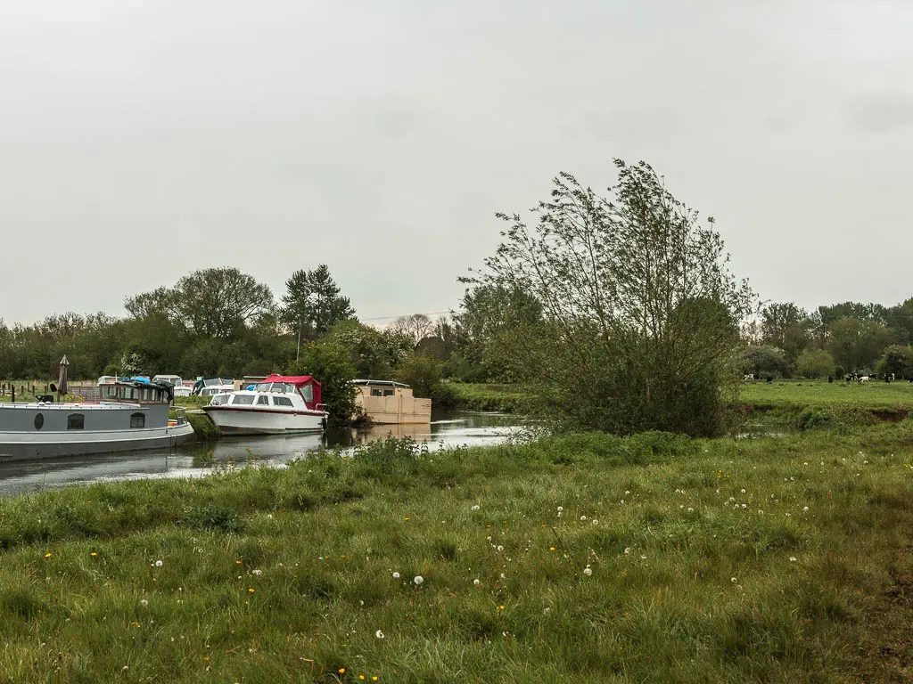
I could see some cows ahead, on the path. There was also a couple off other walkers. They were stood still, so I continued past them towards the cows thinking they would be up behind me. Power in numbers.
As I reached the cows I slowed down, so as not to make any sudden moves. They then proceeded to surround me. I looked back for the other walkers, but the were gone. They left. Now I had to fend for myself.
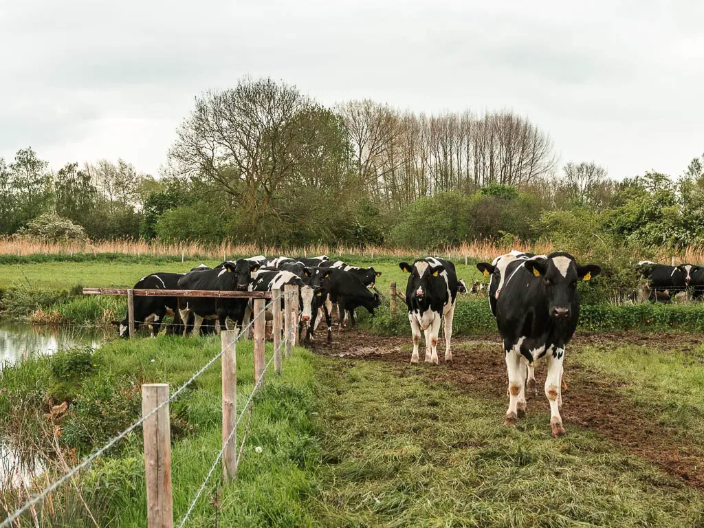
I stood still wondering how to get out of this, and thought back to a farmer telling me that cows are actually very friendly and if they come to you, it’s just because they think you have food. I kept telling myself that…
Then one cow started licking me. LICKING ME. He then decided to try and get into my backpack. I needed to move on. But the rest of the cows were fully blocking the path.
I continued on, sticking right on the edge of the river, convinced they would push me into it.
Except they didn’t. They parted, leaving me walking space. Maybe cows aren’t so bad after all.
Walk to Lechlade-on-Thames
Lechlade is just ahead, so keep going to reach the bridge. I stayed in the Riverside, which is the big building you will see just across the river.

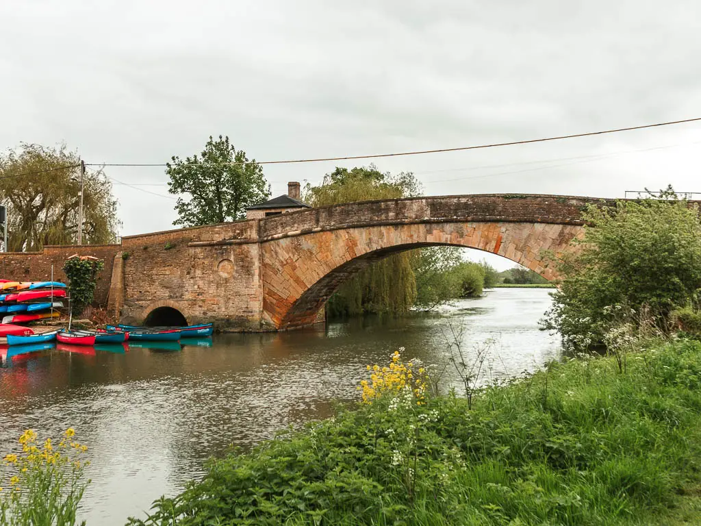
I still felt like death so wasn’t ready to sit in public at a table to eat my dinner, so after I washed and dried myself off (then put on my wet hiking boots because I didn’t have anything else) popped over to Budgens to get some food to eat in bed.
Read next: Day 3 Lechlade to Newbridge
