Todays walk takes you from the small historic town of Lechlade-on-Thames to Newbridge which is one of two oldest surviving bridges along the Thames. It’s from the 13th century.
I was actually dreading todays walk. At 16.5 miles it would be the longest so far on my journey along the Thames Path. I had a stinking cold. Plus, there was a big rain dump last night and I feared lots of bog and flooded fields….
What to expect when walking from Lechlade to Newbridge
The walk from Lechlade to Newbridge turned out to be the easiest. By this point, the river was now fully established so it was super easy to navigate. You just have to follow the river. And (apart from the end and one mistake in the middle) the terrain was actually quite nice. No bog. Mostly grassy and dirt trail. It felt quite civilised, in a rugged way.
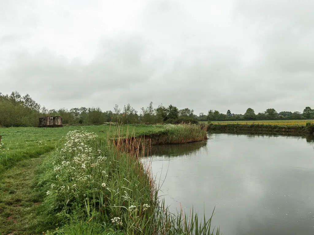
I also found this section to be the prettiest so far. It’s quite remote, but every so often there would be a pretty bridge, quaint buildings, locks (lots of locks today), and more war pillboxes than I can remember.
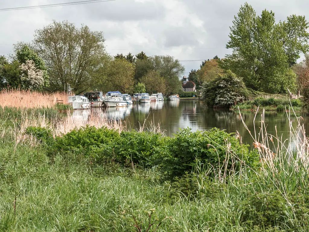
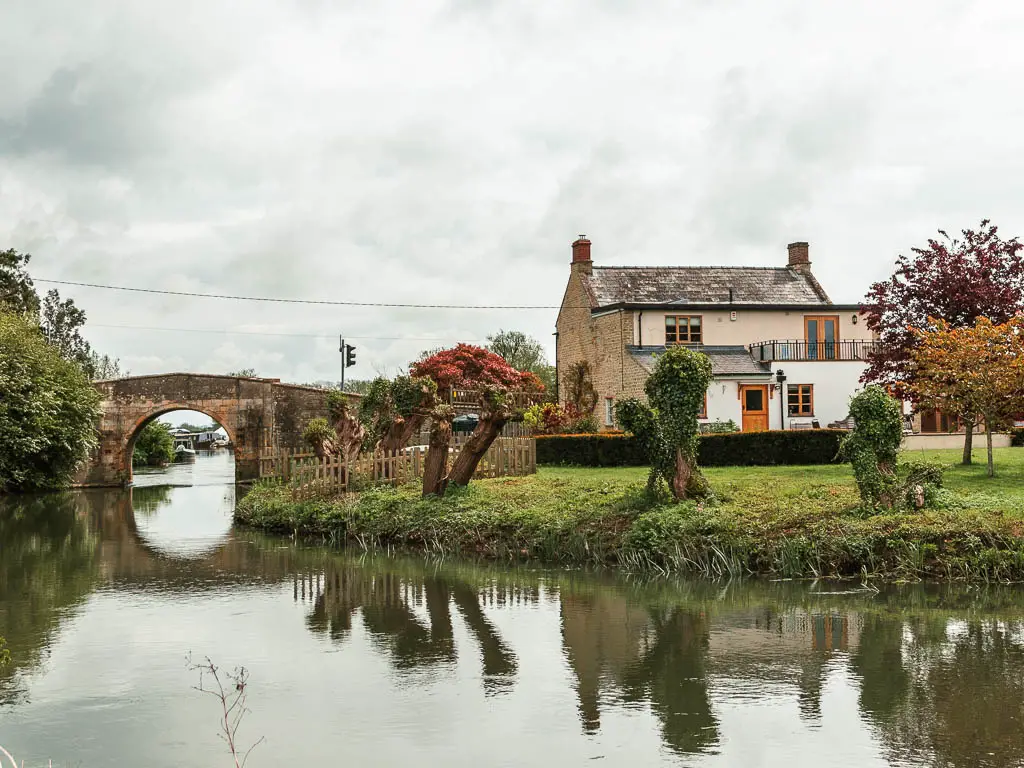
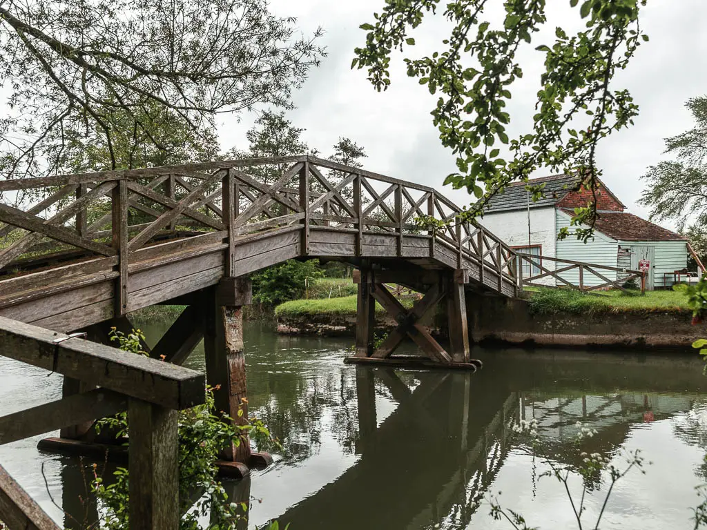
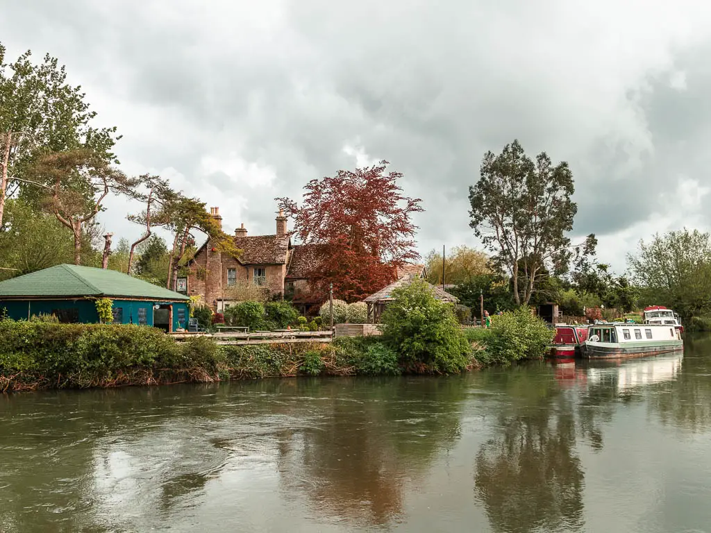
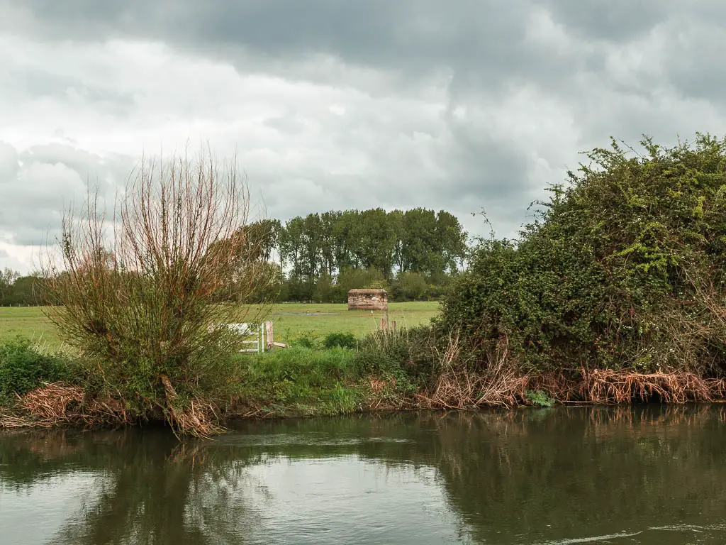
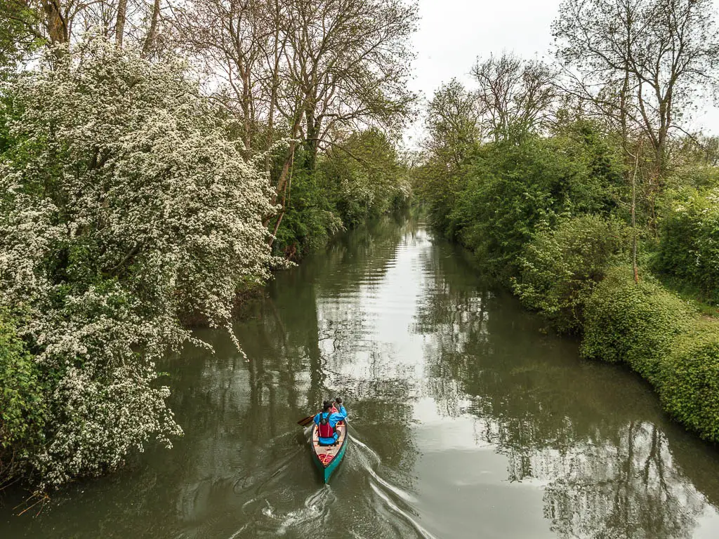
For the whole 16+ mile walk from Lechlade to Newbridge, I passed about 3 people on the trail, one kayaker, and one swimmer.
This post uses affiliate links. You can read the privacy policy or disclaimer for more info.
Logistics for the walk from Lechlade to Newbridge
- Start: Lechlade on Thames, Gloucestershire, GL7 3AQ.
- Finish: Newbridge, Witney, Oxfordshire, OX29 7QD.
- Distance: 16.5 miles
- Time: 5h 45min
- Difficulty: Easy
- Terrain: Mostly grass, a bit of mud, some dirt trail, lots of bridges.
- Dog friendly: Yes
- Public transport: Nothing in Newbridge. In Lechlade, the 64 bus gets you to Swindon where there is a train station. There are only about 4 a day though. If you are coming from Swindon to the start, the morning bus to Lechlade is at 9:05 am (at the time of writing).
- Time of year: I walked from Lechlade to Newbridge in early May.
- Amenities: Lechlade has a few places to eat (pubs/cafes/returants) and a Budgens. Newbridge has two places to eat. The Rose Revived and the Maybush pub. En route, 1 mile in is the Trout Inn. 6.5 miles in at Radcot Bridge is the Ye Old Swan pub. 10.5 miles in is the Trout at Tadpole Bridge.
Read yesterdays walk: Cricklade to Lechlade day 2
Accommodation
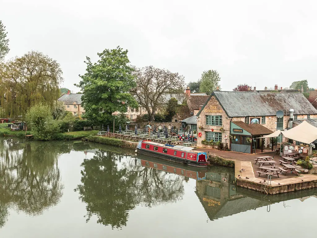
In Lechlade I stayed at The Riverside. It’s a pub with separate accommodation. It did the job, and the setting is lovely. For camping you can stay at the Bridge House campsite which is on the other side of the bridge.
In Newbridge I stayed at The Rose Revived. I picked it because it was the only option. This was my most expensive of the trip, but it was the nicest. It’s not pet friendly, so if you need that, then you could stop 6 miles back at the Trout at Tadpole Bridge. It’s a bed and breakfast with bar and restaurant, and very fancy looking. Or at the Barefoot Campsite about 2 miles past Newbridge.
Map for the walk from Lechlade to Newbridge
Route description: Walk from Lechlade-on-Thames to Newbridge
Now, I know I mentioned earlier that you can just follow the river the whole way. Well, there is one section later on that could be a little confusing, and there was one detour where the path was closed. I describe all below.
From Lechlade, the Thames Path is on the opposite side of the bridge to the Riverside pub. Although, for me today, the path was closed off. Not a great start. There is information telling you where to walk for the detour, but there aren’t many signs along the way.

If it’s closed when you are there, what you want to do is walk towards the town, and turn right.

Then walk on the path through the church. This is the Parish Church, built in the 1940’s.

At the little road, cross over, then go straight some more. It’s actually very pretty along here, so I forgave the path for making me detour.

At the main road, if you turn right, there is a sign directing you onto the road opposite. Walk along that for a bit, to reach another sign directing you onto a trail on the right.


Follow this all the way to the end and you will reach the River Thames where you turn left.

Walk along the river
The path now is grassy, the river is wide, very winding, and surrounded by fields. The first of many pillboxes comes up quite quickly.


Then soon after you will reach your first lock. Buscot Lock. Walk through it, going over the first bridge, but then staying on this side.


Next there is more grassy path, passing by more pillboxes, a cute bridge, some boats, and maybe pretty flowers (in spring).


At the dirt road, turn right keeping to the river, then back into the fields.


Some more pillboxes and grass path in fields later you will reach the next lock.


Radcot Bridge
Then, you guessed it, it’s more fields and pillboxes to reach Radcot Bridge. It’s a cute little village. I mean, I didn’t explore anywhere, but from what I could see from the path it looked cute.


At the bridge, pick up the path on the other side of the river….or stop at the Swan for a drink.


The next bridge is amusing. It’s weak, and large groups mustn’t walk over it. Fine for me.

It’s now more of the same to reach the next lock. Radcot Lock.


The winding river and the halfway point
At the next wooden bridge, stay on this side of the river.

Now the river really starts to wind, and I realised I didn’t need to wind with it. I felt quite chuffed, cutting corners but not really cheating because I’m still following the river.

It worked out quite well for a bit, that is until one of the fields I was cutting across decided to become boggy. I was deep in it and didn’t want to waste the time I saved by walking back, so soldiered on, feet now almost fully submerged in bog. There was no saving my wet feet now.
Somewhere along here is also the halfway point in the walk from Lechlade to Newbridge.


The road
At the next lock (Rushey Lock), the trail I found a little confusing. The sign directs you over the bridge and to a road, however, I could see on the map a riverside trail on this side. I debated which to take but decided to stay official. You could try out this side, but I don’t know what you will find. I’m learning from past mistakes where I make my own rules and regret it.

Now, following the sign over the bridge, the next one tells you to turn right, but that’s a dead end. Instead, curve around the left side of the building to reach the road.

The next sign tells you to walk through these woods next to the river. I attempted it, but it was way too rugged and there didn’t seem to be a path under there, so I just went back onto the road and followed that.
It’s a long road, but there is another pillbox along here which is nice.

The rain
At the next bridge, cross the road staying on this side of the river.


It was around here I experienced the first rain dump. It started pretty mild. Nothing that would warrant getting my rain jacket out. Then quite suddenly it went torrential. Too quickly for me to get my rain jacket out. As I was now already wet, I just went with it. I also don’t have many photos from this section as I was protecting my camera under my top.
Chimney Meadows Nature Reserve
You will next be walking through Chimney Meadows Nature Reserve. You will be able to tell you are somewhere different. It all seems a bit more green, if that’s even possible.


I made the mistake of deciding to have my lunch here. Quite late in the day. And no where to sit. Not even the ground, as that was all now wet. That’s not the mistake though. There are lots of insects in this area, flying about. Enough that there are even information boards telling you about all the insects.
I ate my food constantly swatting things away, and convinced I might accidentally eat some.
On a positive note, I happened to be under tree cover when the next rain dump came.


At the first bridge stay on this side. At the second bridge, cross over it then turn left.


At the third bridge, cross over and turn left.


It was along here that the third rain dump came, and this one would stay for almost the rest of the walk to Newbridge.
When I got home, the first thing everyone asked me who knew I was walking the Thames Path was ‘were you out walking in that rain’. Yes. Yes I was.
The fields, the woods, and the mud
Over that bridge it’s a little bit of walking through trees, and then in big grass fields like earlier. Again, not many photos due to the rain.

After the fields, the trail takes you on a path though lots of trees. That rain was enough to make this path very very muddy and full of puddles. There was no way around getting my feet completely submerged and sucked into the mud. But that’s ok because my feet were already wet.


Walk to Newbridge
Once I caught a glimpse of Newbridge in the distance I was relieved. Every part of me was wet, and remember, I still had that cold.

If you are staying in the Rose Revived, it’s over the bridge.
What happened next
After showering and putting my boots on the radiator to try, I lay down on my big bed to reflect. I started to feel bloated, then developed a pain in my left lower abdomen. It became so severe that I could barely move. I tried. But the pain was so intense and searing.
I couldn’t remember what side the appendix was on, but decided it must be that. It had burst and I was going to die. Then I googled it, and the appendix is on the other side so it couldn’t be that. Trapped wind? Maybe it was a cyst on my ovary that burst? I didn’t call for help yet incase I was being dramatic and waited. After about an hour of no improvement, I decided to try something. I inched myself off the bed, crawled to the bathroom, and pulled myself up onto the toilet. Then pushed.
After about 20min and a few bits of poo later, the pain resolved. It was trapped poo.
Read next: Newbridge to Oxford day 4

4 comments
I’m enjoying reading your Thames Path posts. It turns out that my wife and I walked it the same time you guys did, so we probably crossed paths somewhere. We started May 10 and didn’t get to the barrier until June 9 as we took several rest days along the way to explore Oxford, Windsor, Marlow and other places. I laughed reading about your getting soaked as we were soaking wet a couple of times and had to wring our socks out, in my “waterproof” shoes. The whole trip was one of the best vacations I’ve ever had. We even were able to see an England football friendly at Wembley and the Trooping of the Colour before we headed back to the States! But walking the path and meeting all the people and dogs on the way was the best part of all. Thank you.
Oh my gosh thats so funny, we could have crossed paths! Glad you are enjoying my posts. Its sounds like you really made the most of it and saw some cool things. Those are lovely towns too! Ive reached the thames barrier, and heading to the sea now. Although, I’m not enjoying this last bit and I got bitten by a horsefly which I took as a sign to take a break from it haha. I should finish after two more days of walking, but I’m heading off to walk the Suffolk coast path now, then will finish it when I get back.
I envy your job! Still reading your Thames posts when I’m able. It’s kind of like walking down memory lane. We decided not to go past the barrier and instead enjoy London. We did do a fun walk from Westminster to Tower Bridge on the north side. Quite different from the South Bank. Hope you had (or are still having) a fun trip on the Suffolk coast path. I do want to do more paths in England, but in the meantime my wife wants us to plan to just go chill on a beach or beaches in Greece. I look forward to following your other walking treks!
Haha, yes a chill on a beach in Greece is nice too. Yes, it’s quite interesting the different sides of the thames in London. Im quite familiar with that bit, as I used to work in the city of London. Suffolk is finished now! Loved it. I should be getting those guides up soonish 😉