Welcome to day one. This walk takes you from the Source of the Thames in the Cotswolds, to the town of Cricklade in North Wiltshire.
Now, apparently there is more than one source for the Thames. A few springs dotted about. This is the one we start from though.
This post uses affiliate links. You can read the privacy policy or disclaimer for more info.
What to expect on the walk from the Source to Cricklade
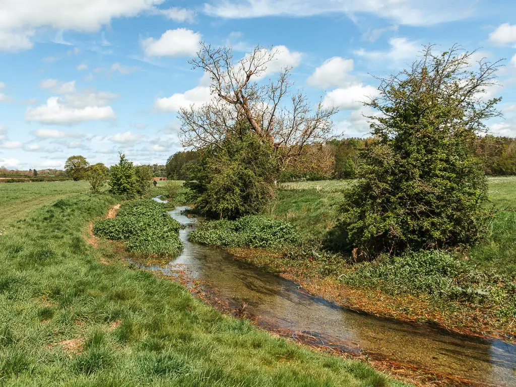
First thing to be aware of, is the river may or may not be dried up when you reach the source. It’s still pretty cool though. Wherever you do see the river for the first time, it will be a little stream. So clear and clean looking.
Of all the stages along the Thames Path, this one requires the most navigation as for chunks of it you wont see the river, or will have detours through villages. It’s mostly well signposted, but not always. Don’t worry, I describe the route step by step further down below.
Parts of this route are prone to flooding, and I did have to detour around one flooded field. Just something to be aware of.
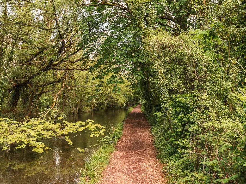
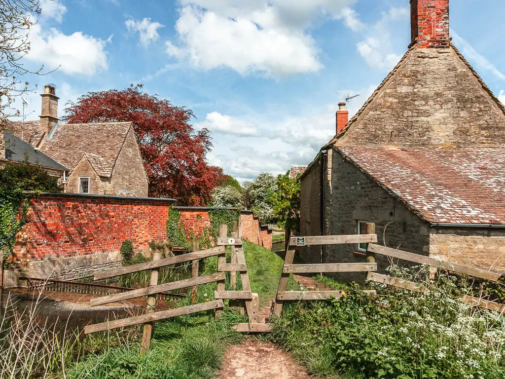
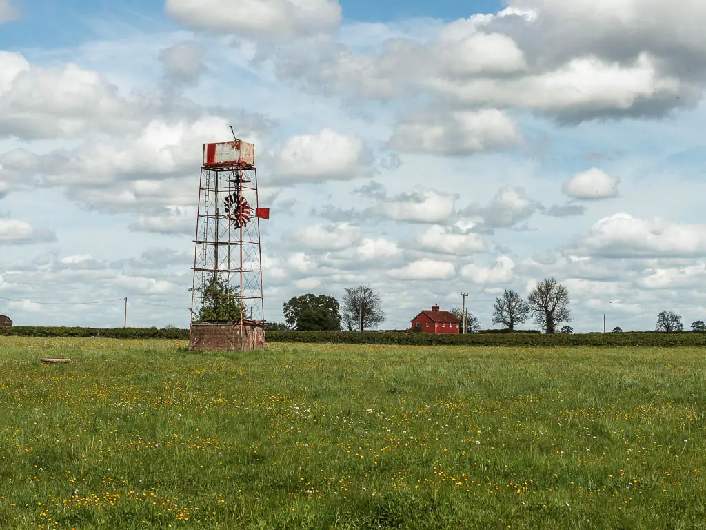
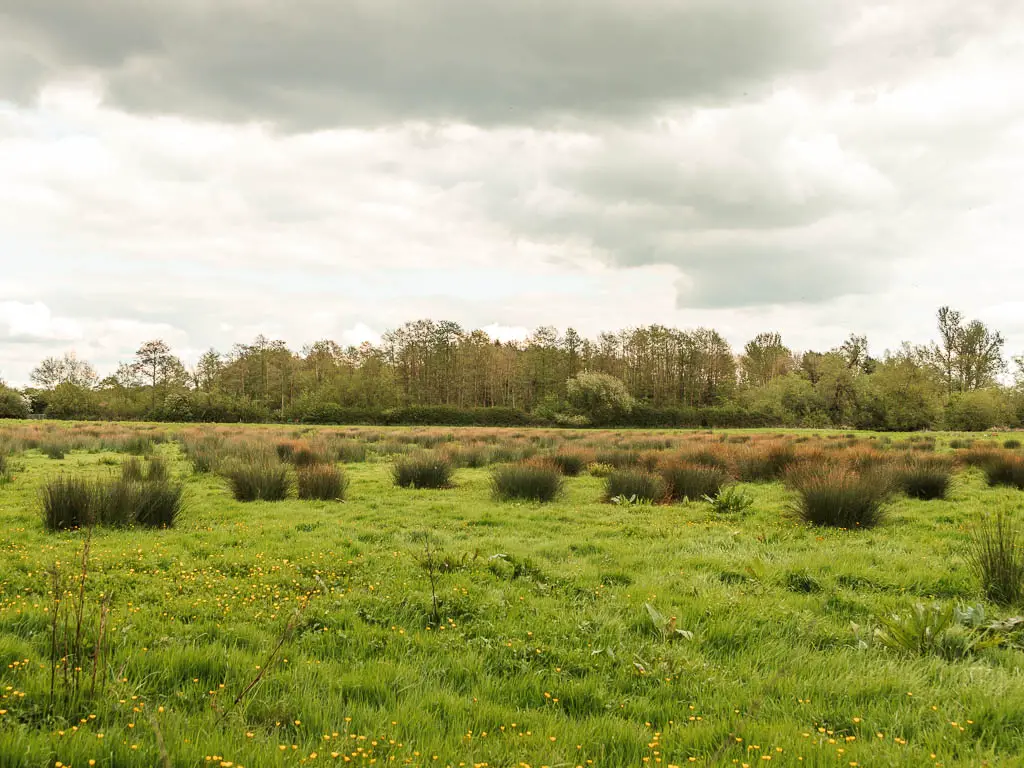
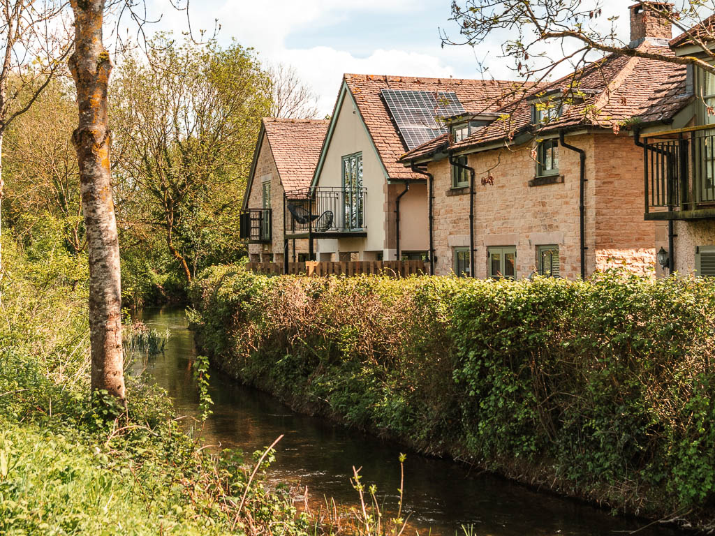
One thing I particularly liked about walking this section from the source to Cricklade, was the houses along the edge of the small gentle river. It all felt rather lovely. There is lots of remoteness as well. Fields and dirt trail. Proper countryside.
Logistics for the walk from Kemble to the source to Cricklade
- Start: Kemble Station, Cotswolds, Gloucestershire. GL7 6AW.
- Finish: Cricklade, North Wiltshire. SN6 6AY.
- Distance: 15 miles (the Thames Path is about 12 miles of this).
- Time: 5h
- Difficulty: Easy
- Terrain: Grass, dirt trail, mud, road.
- Dog Friendly: From the Source to Cricklade yes. From Kemble to the Source there are 2 stiles.
- Time of year: I walked from the source to Cricklade in early May.
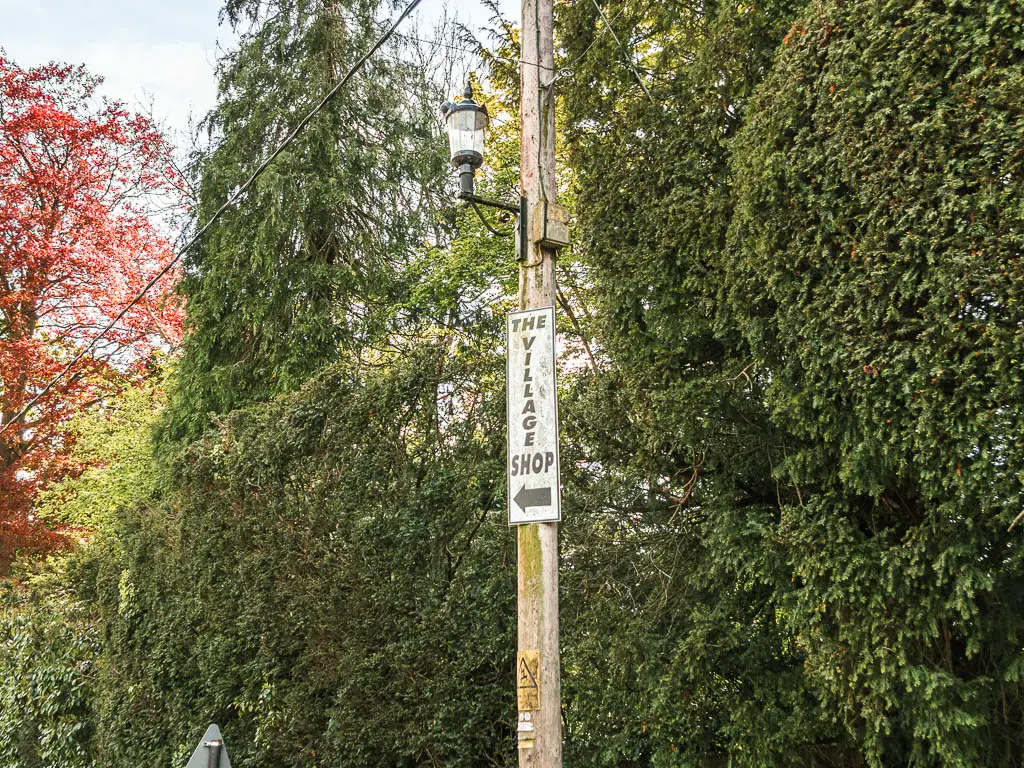
- Amenities: Cafe and car park at Kemble station. Cricklade has a few places to eat, a mini Tesco, and a Boots which closes at 2pm on Saturday. En route, Ashton Keynes (about 9 miles in) has a pub, the White Hart Inn, which has good reviews, and village shop.
Public Transport
It is quite possible to do this walk as a day trip, if you don’t mind getting a bus.
Kemble has a train station with direct trains from London Paddington. Journey time is just over an hour. From Cricklade you can get the 51 bus to Swindon (25min) or the 53 bus to Swindon (40min) which has a train station, also with direct trains to London Paddington. Journey time is just under an hour.
As they are on the same train line, if doing this as a day trip and coming from the London direction, you could buy a return ticket to Kemble, then use the same ticket to return from Swindon.
Accommodation
In Cricklade I stayed at the Vale hotel. It was the cheapest thing I could find, but I was quite happy with it. It’s a pub bed and breakfast, and was nicer than I was expecting. Also dog friendly.
If you plan to spend the night in Kemble before starting the walk, right near the source is the Thames Head Inn. It’s also a pub style bed and breakfast. This one is not pet friendly.
Nearest campsite is the Elm Lea Camping which is near the Cotswolds Water Park area towards Cricklade. It’s a bit off the trail
Tips for the walk
- Avoid after heavy rain. There is a lot of mud, and flood risk areas.
- If you don’t mind the extra load, some wellies in your backpack could be useful, then you wont have to detour if you encounter any flooding.
- Waterproof hiking boots recommended.
- Upon arriving at Kemble station, I would suggest arranging a taxi to take you to the source to start. Otherwise you end up walking 4 miles along the same stretch of river (2 to reach the source, then 2 back the way you came). It feels as bit like you are going back on yourself (which you kind of are).
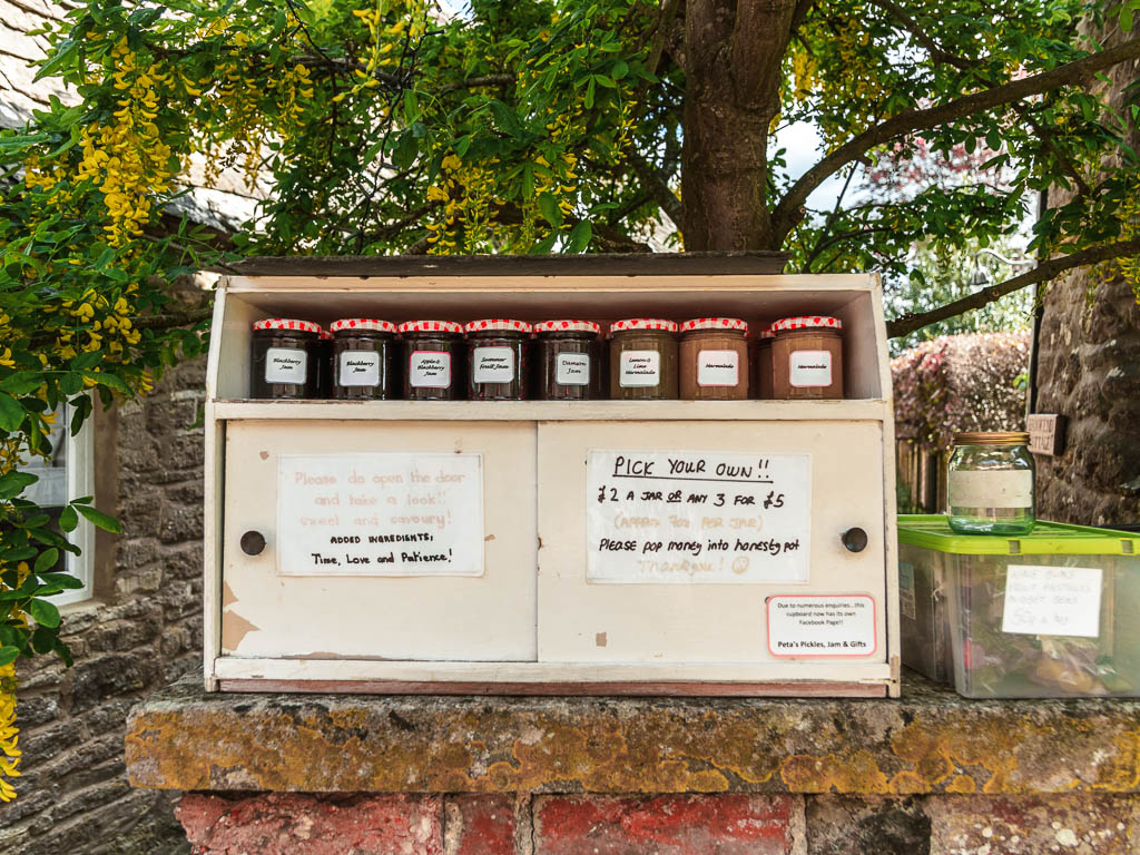
- Take some change if you fancy picking up some homemade jam on the side of the trail.
Map for the walk from Kemble to the Source to Cricklade
Route Description: Walk from the Source to Cricklade
If you are planning to walk to the source from Kemble station, then you need to first make sure you exit on the correct side. There are signs there telling you which way to go for the Thames. If you have arrived from east then you need to go over the bridge.
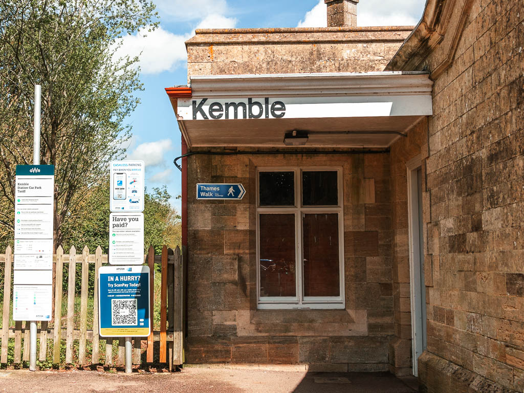
Out of the station, follow the road right to the end, then turn left. A little bit further along you will see a sign pointing right into a field. This is the first stile.
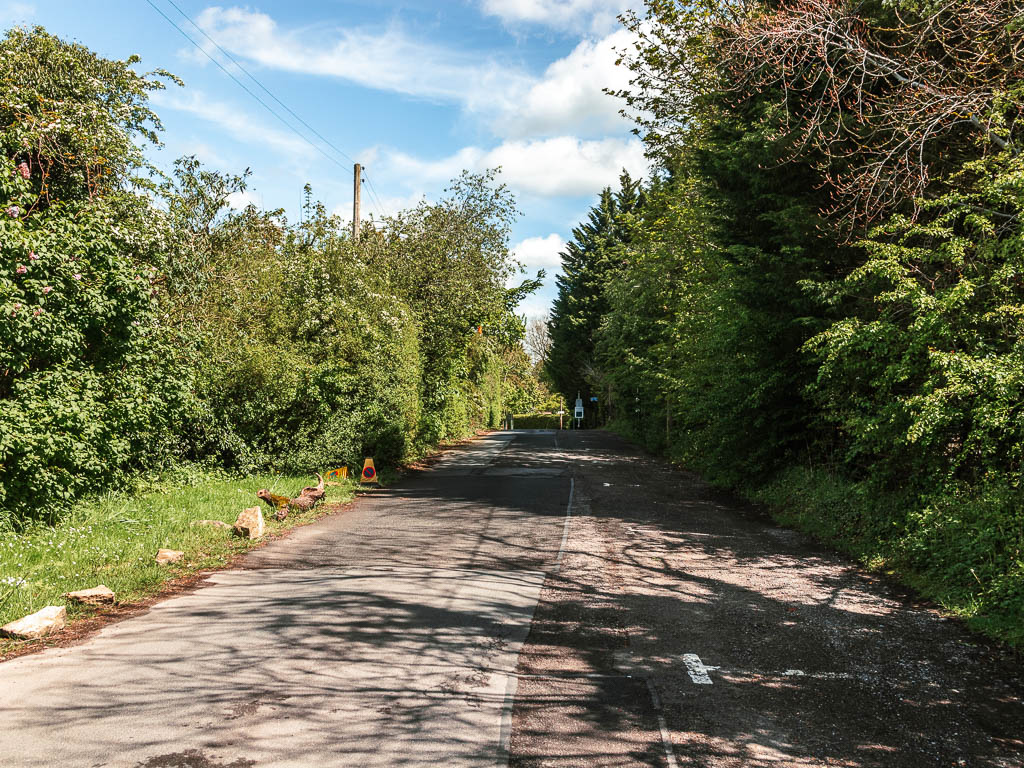
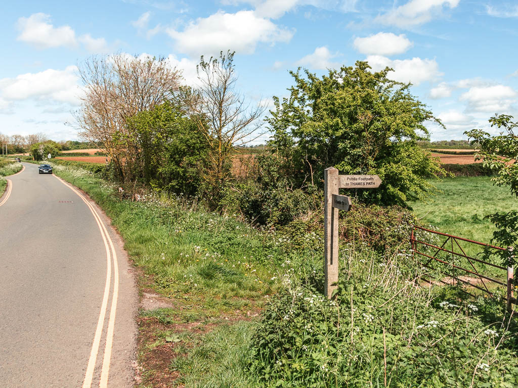
Keep going straight, over another stile, then straight some more, to reach the trail sign and junction. Right and left both take you along the Thames. To reach the source, turn left.
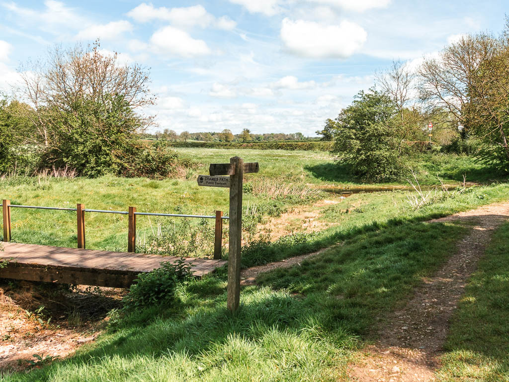
This is the River Thames. I felt a bit of goosebumps seeing it for the first time on my journey. What struck me was how clear the water was….it almost looked drinkable.

Walk to the Source
Keep going, with the river to your right, and then straight across a road end. The river may disappear a bit further along. There will still be a ditch though which I assume is where it runs when it’s not dried out.
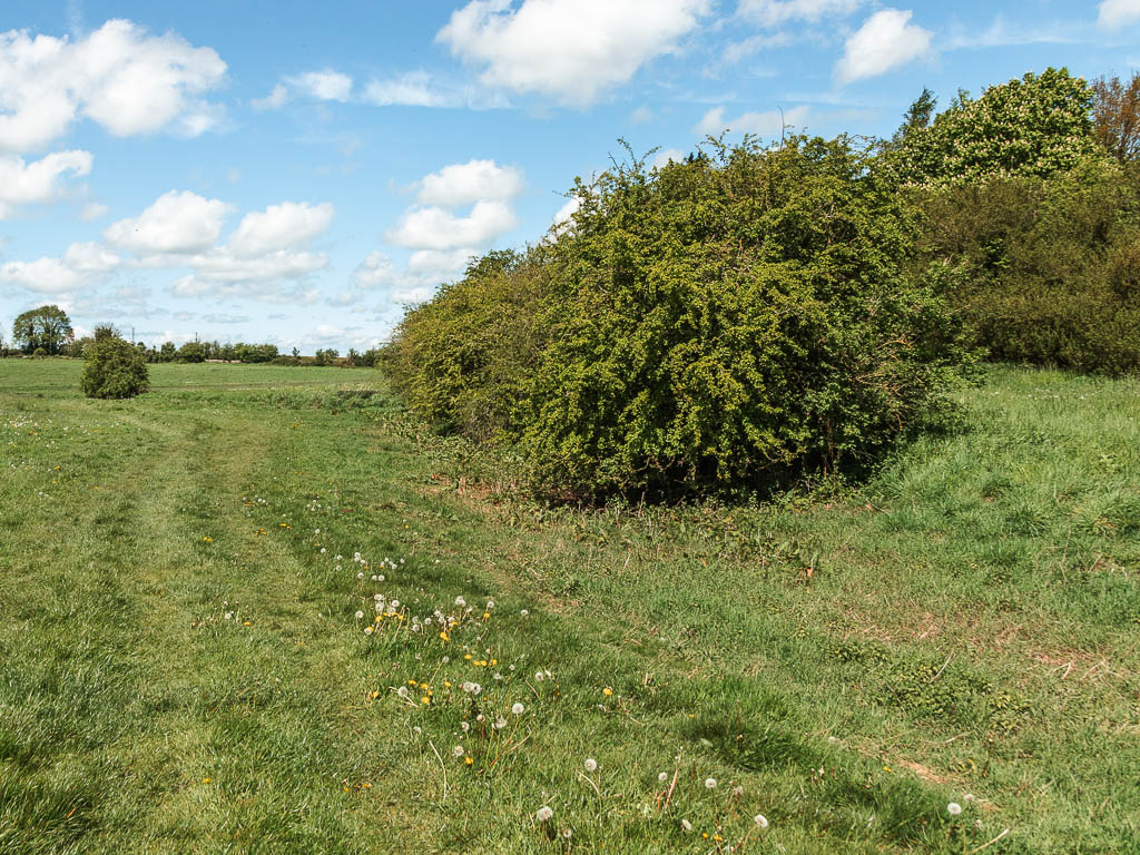
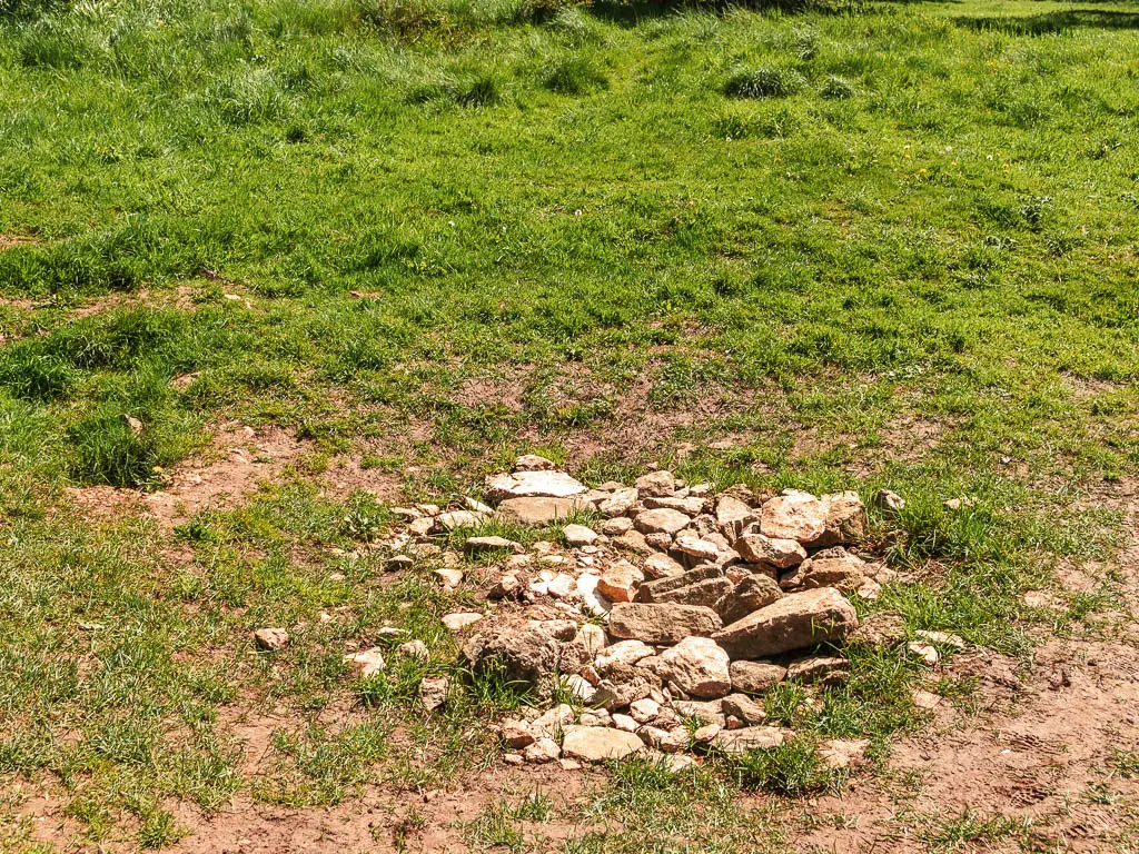
Now, if it is dried out, then you need to use your imagination a bit. You will reach a point in a field (see photo below), where you need to turn right. There is a faint trail here. This leads you to the road.
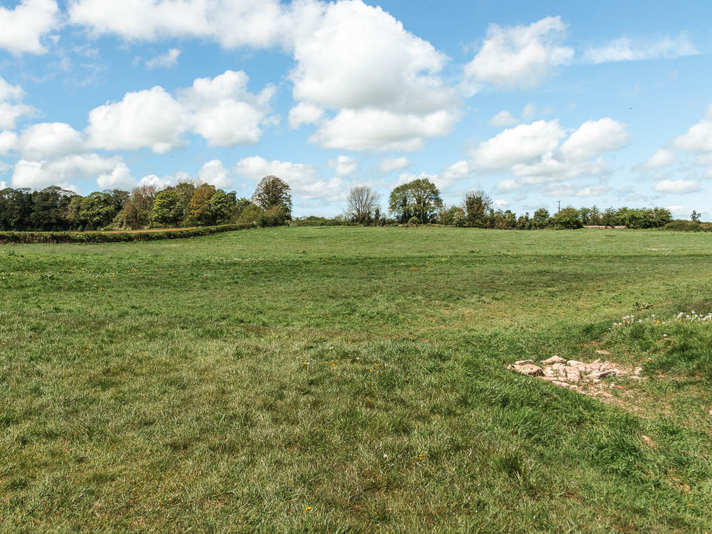
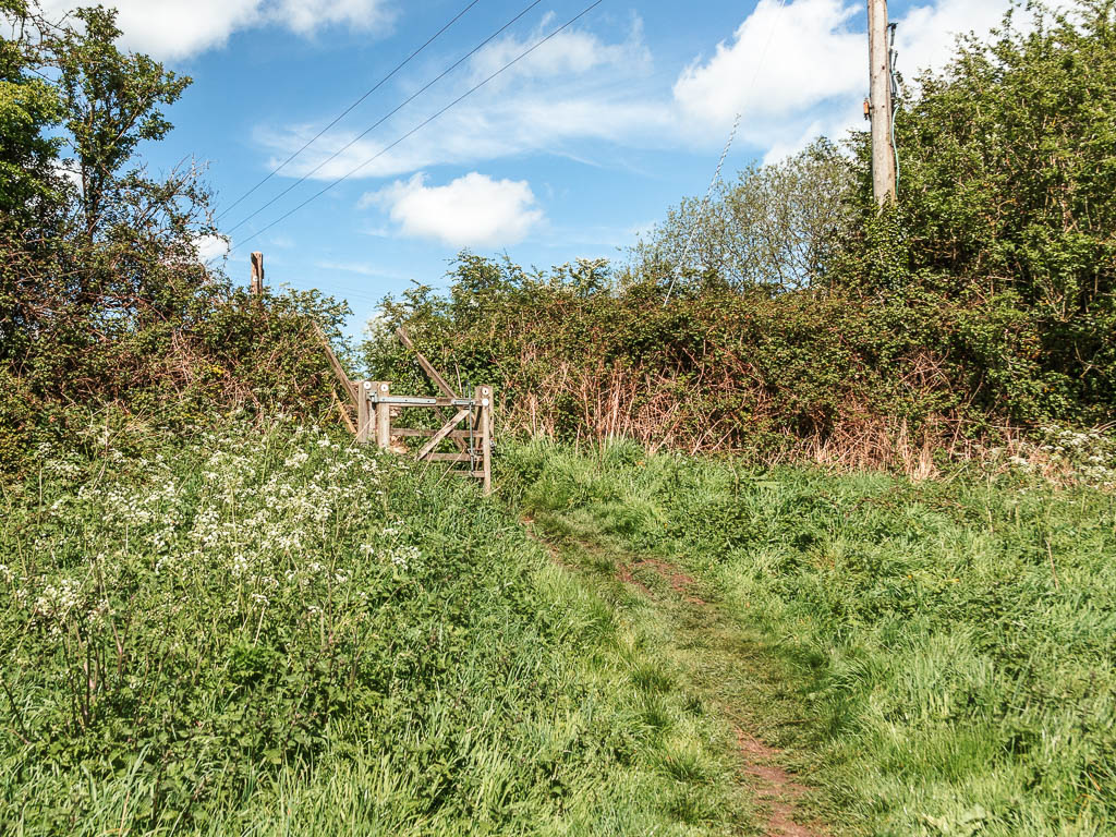
Cross over the road, and keep following the trail, which is more obvious now. Keep going straightish, through another gate, and straight some more.
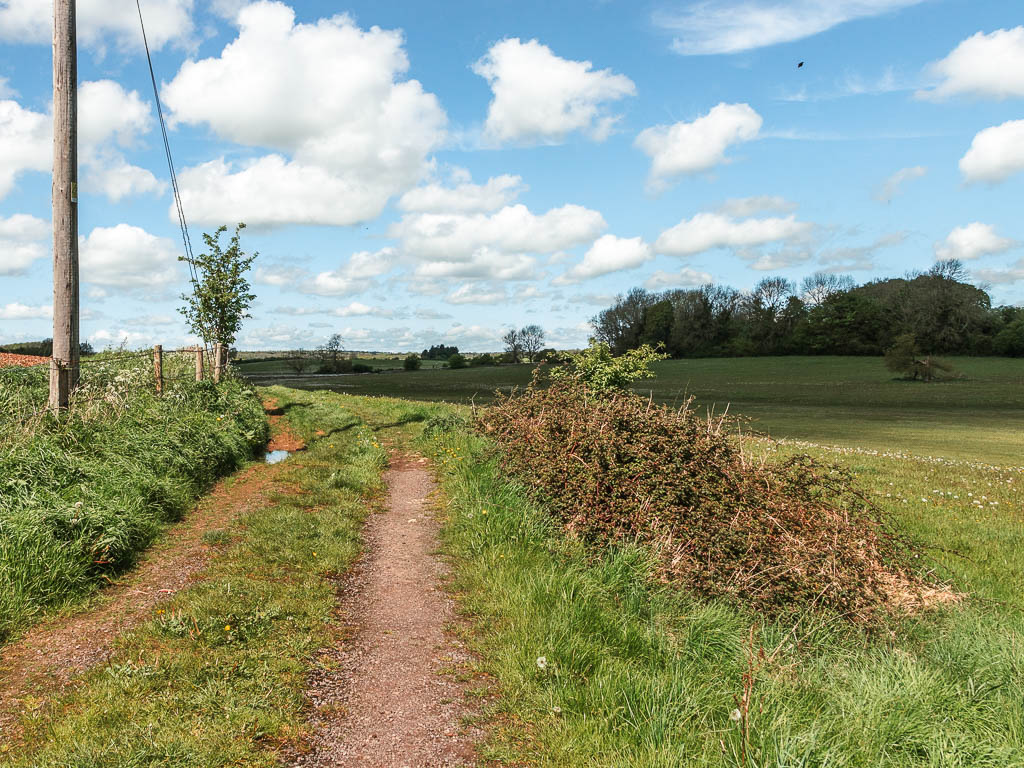
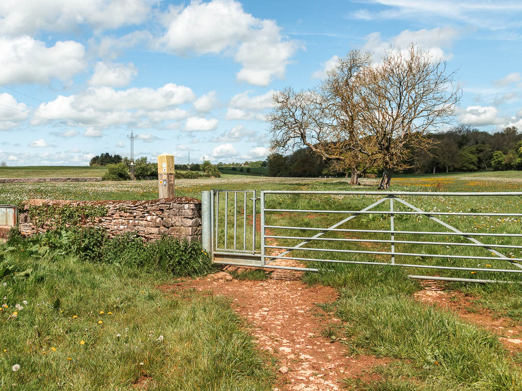
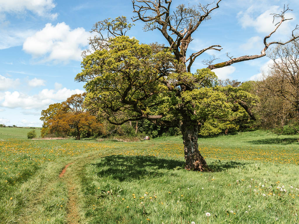
I must say, I was beginning to wonder if it was worth it, going to the source. Adding in another couple of miles to the walk which wasn’t needed. There hadn’t been river for a while now, so what was I heading to?
It was pretty through. With all the flowers.
Once I finally arrived, I was actually quite excited. No there wasn’t any river. But instead, some rocks in the ground (which I think is where it comes out of), and a big stone.
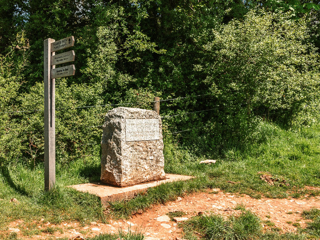

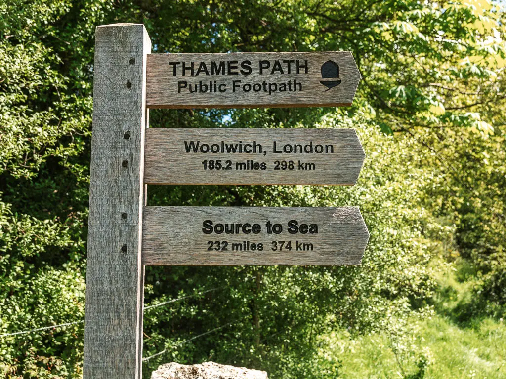
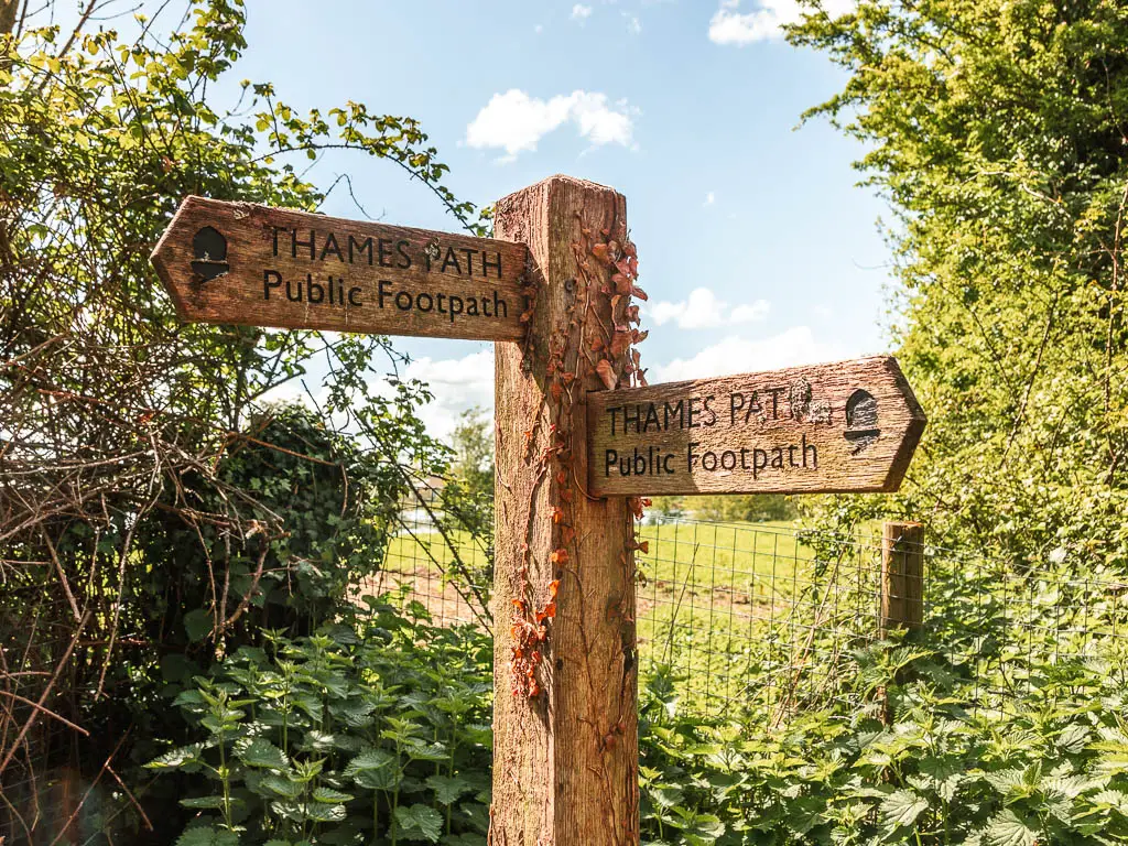
I felt a sense of beginning. This is where my journey starts. With the trail sign telling me it’s 240 miles to reach the sea.
Walk from the Source to Cricklade
Once you reach the source, now walk back the way you came. To reach the junction from earlier.
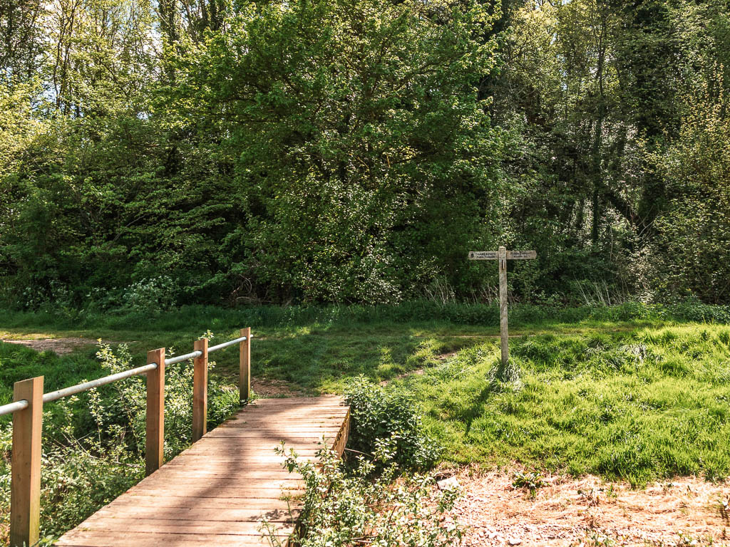
When you reach it, keep going, then cross over the road and pick the trail up again on the other side a bit to the right.
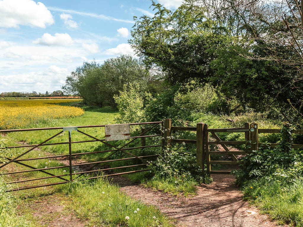
You will now be walking with the river to your right, a little under woods, then out in the open, then you need to turn back into the woods again. This turn isn’t signposted. Basically when you reach a fork, take the right so you leave the edge of the field.


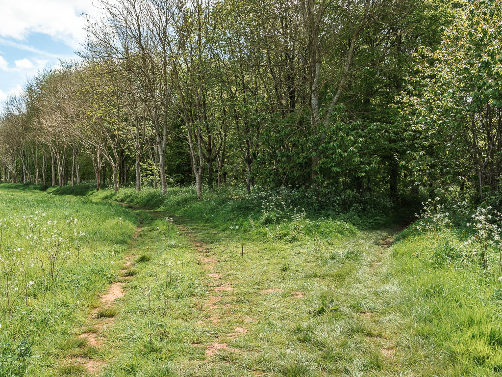
Now keep following the trail until you reach the road.
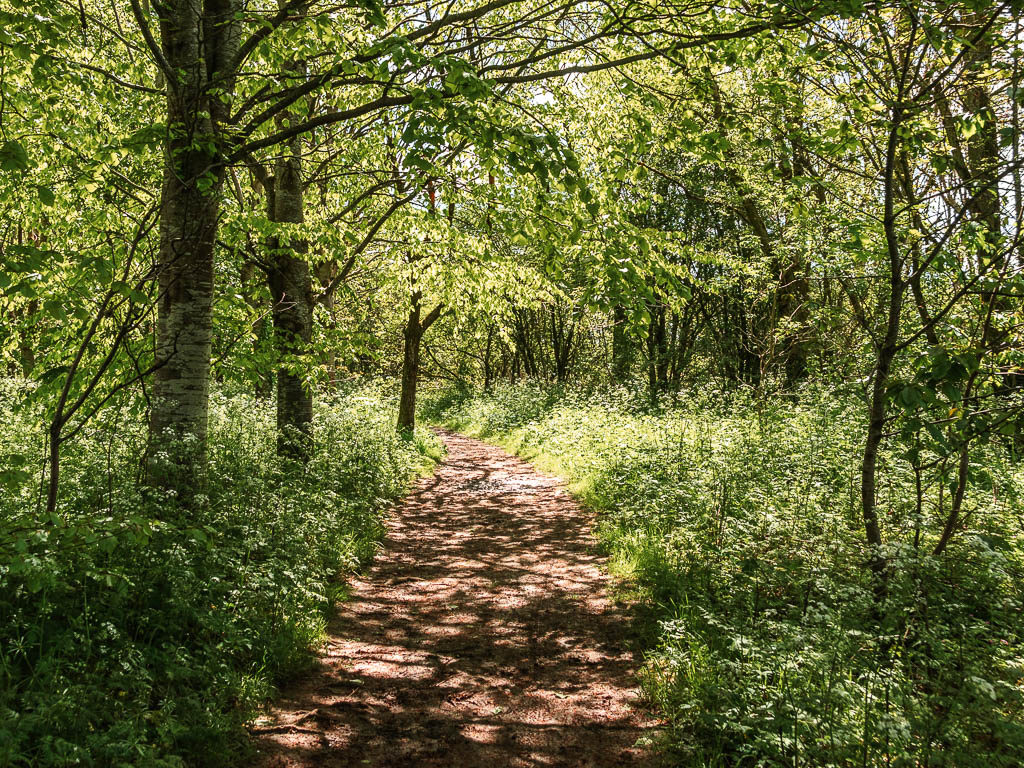
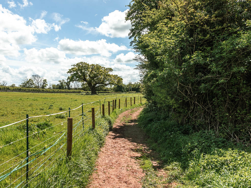
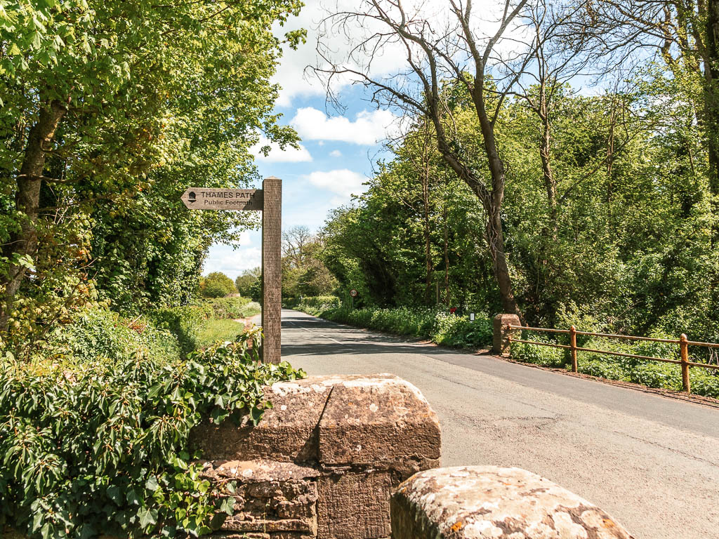
Turn left on the road, then a short way along turn right to pick up the trail again.
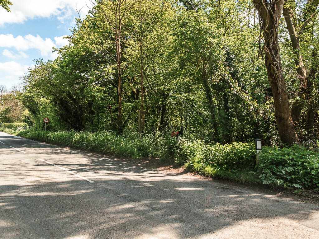
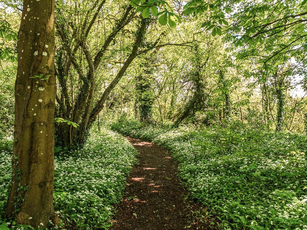
You might find wild garlic here. If you aren’t sure what wild garlic is, if it’s there, you will know. The smell is pretty strong.
When you reach the next road, turn right to walk through a quaint little village with stone and flint houses. Then take a right at the junction.
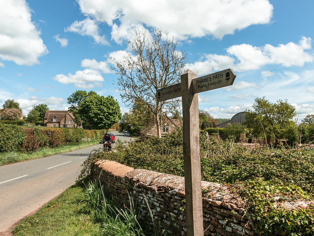
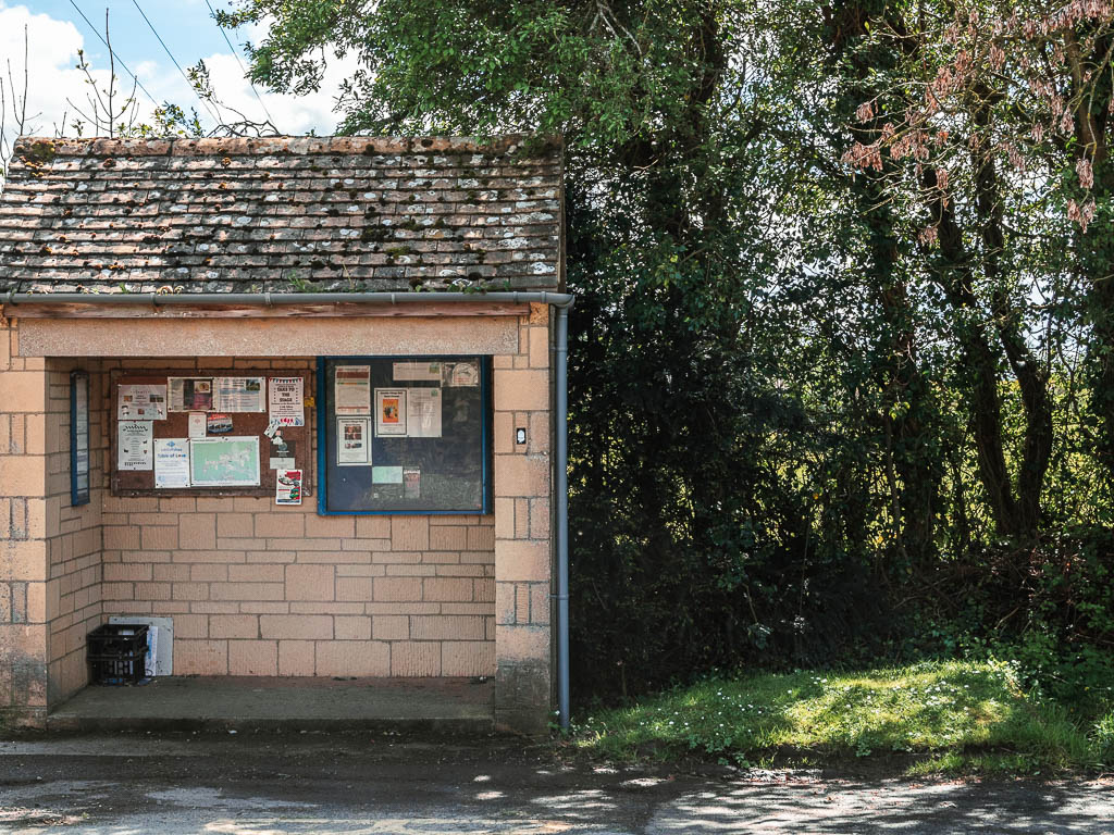
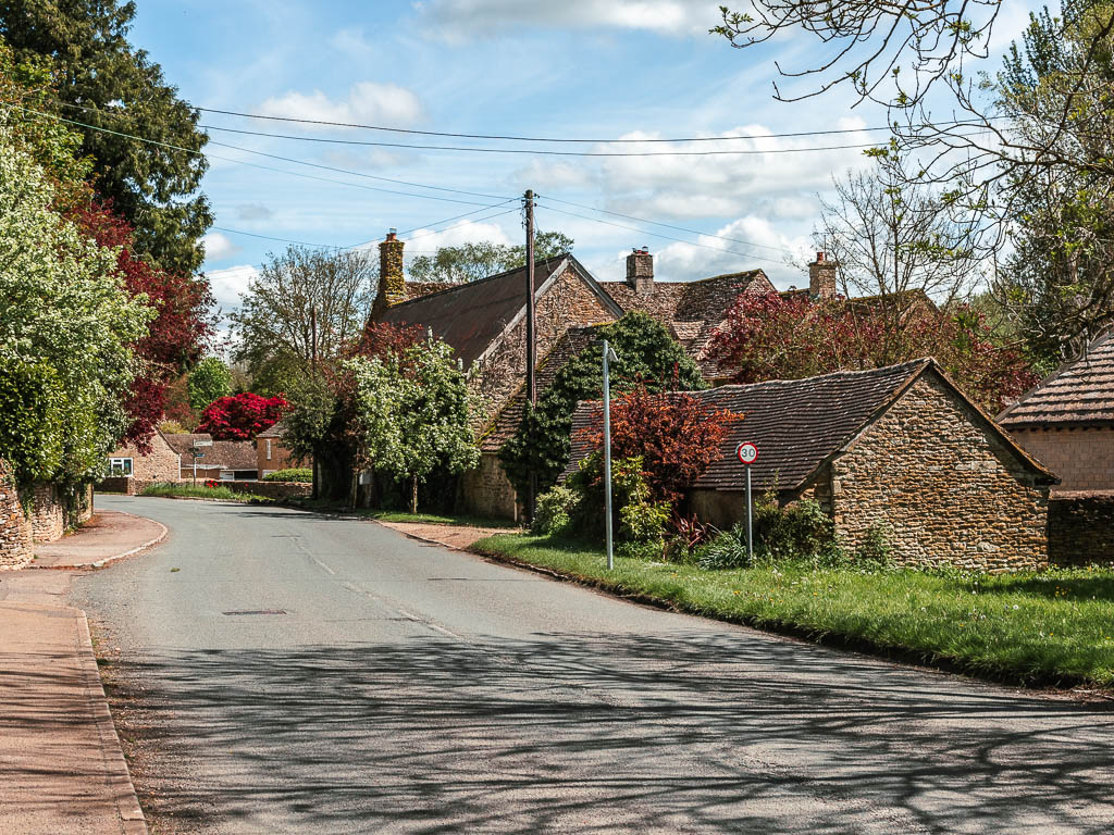
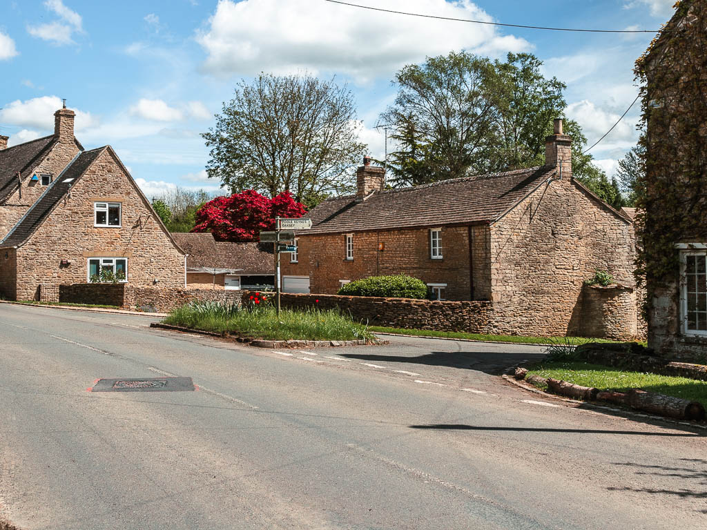
It’s a bit more road walking, then you need to keep an eye out for the river on the left. It’s very missable.
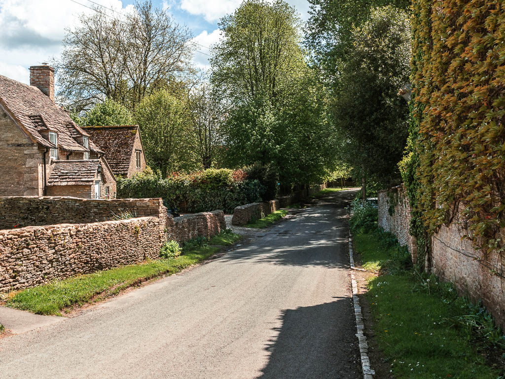
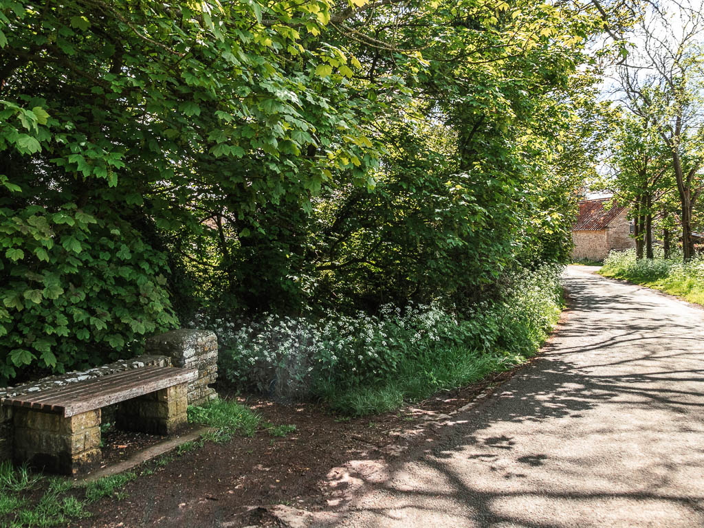
Follow the river
Get onto the trail again, so the river is now on your left, with enviable houses on the other side. This bit can be quite muddy.
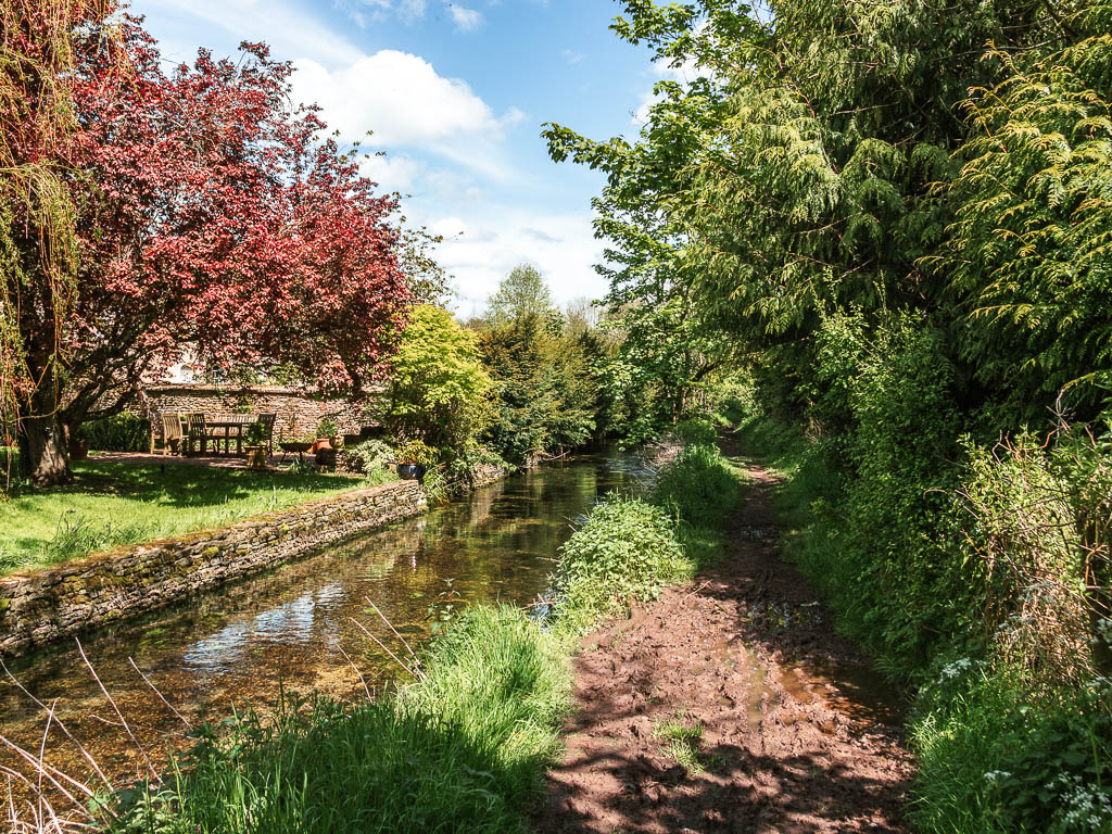
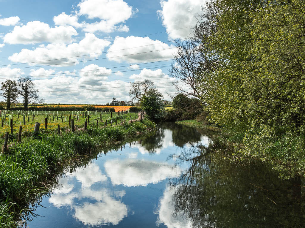
You now have a nice stretch following the river.
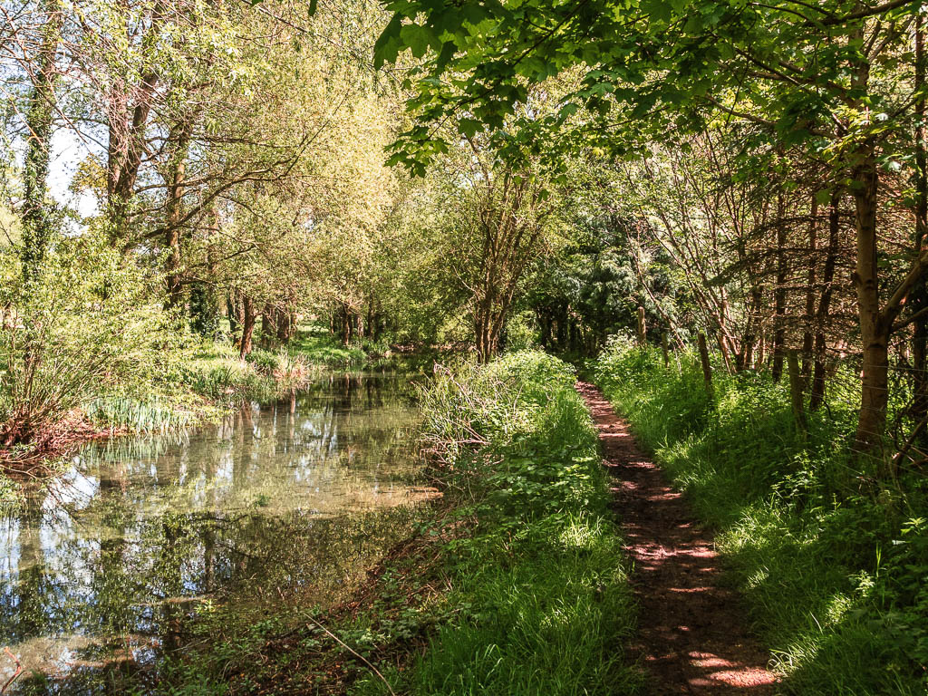
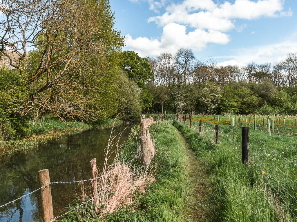
Lose the river
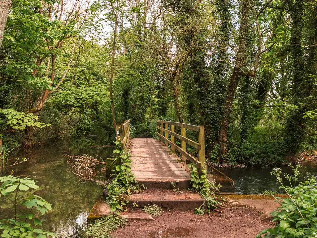
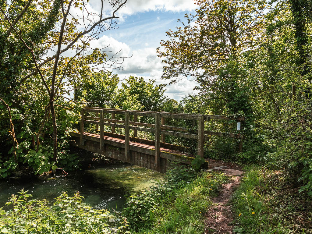
When you reach the gate in a field, go through it, then through a bit of woods, over a bridge, then along the edge of another field.
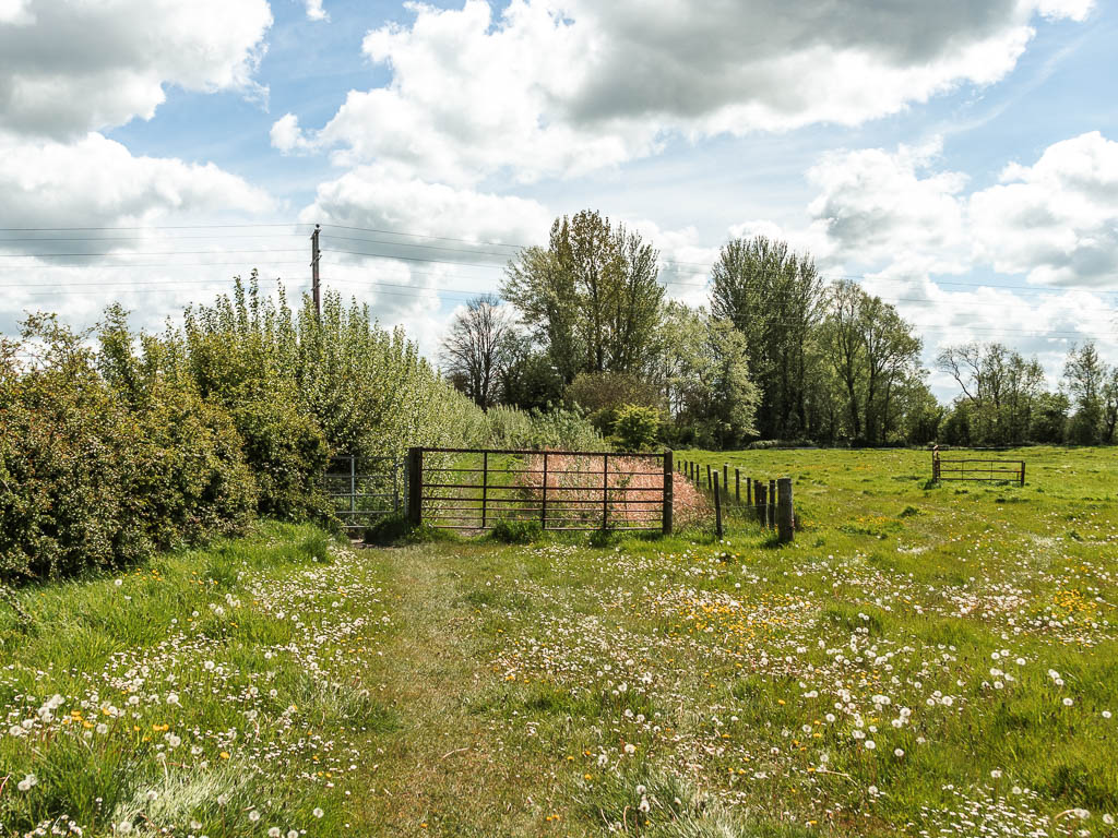

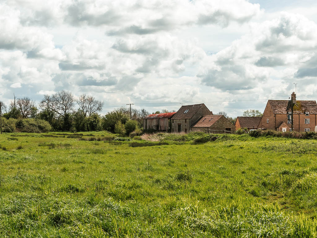
When you reach the corner of this field, it’s not signposted, but stay straight to go through a gate, then turn right. Now walk around the edge of this field towards those buildings you will see in the distance.
Find the river then lose it again
Stay in this field (as in, don’t go over any bridges you see). The river will be on your right now.
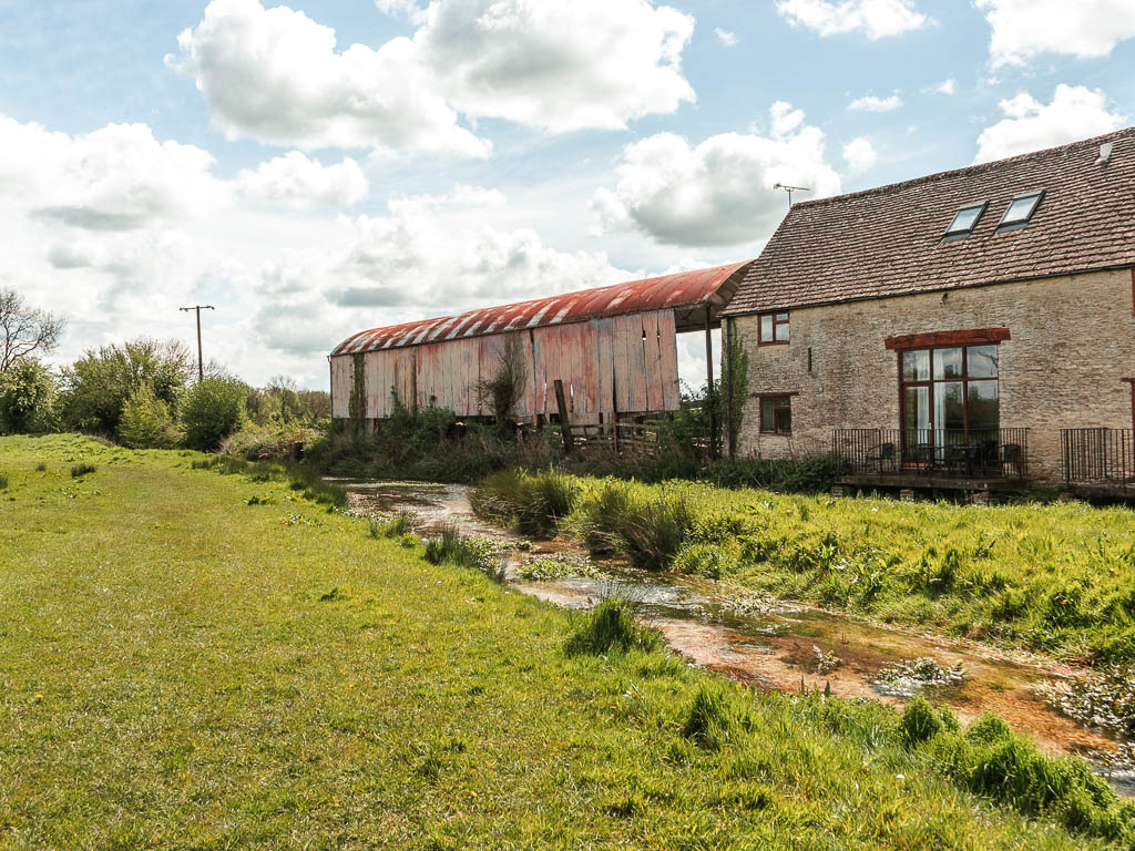
Past the buildings go through the gate, and keep going straight.
This is where I saw some horses and swans.
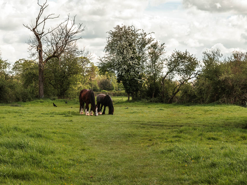
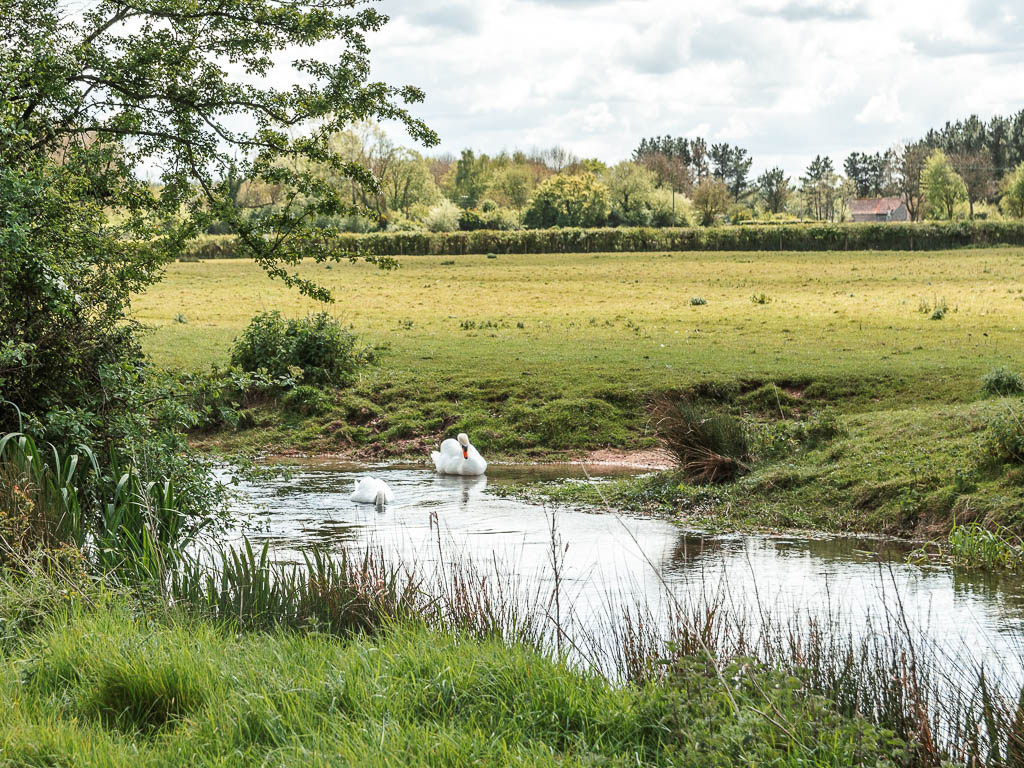
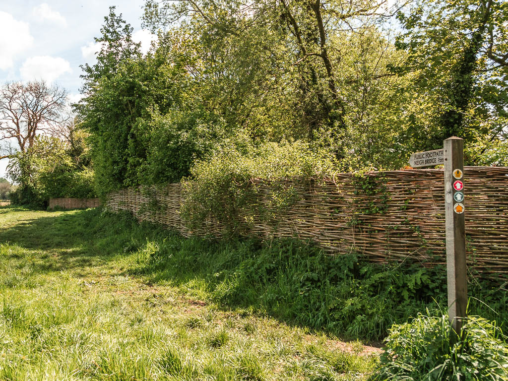
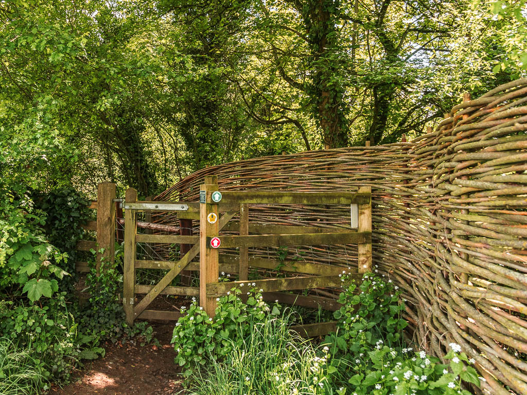
Keep going along the edge of the fields, then with a stick fence to your right. When you see a wooden gate next to the stick fence, go through it.
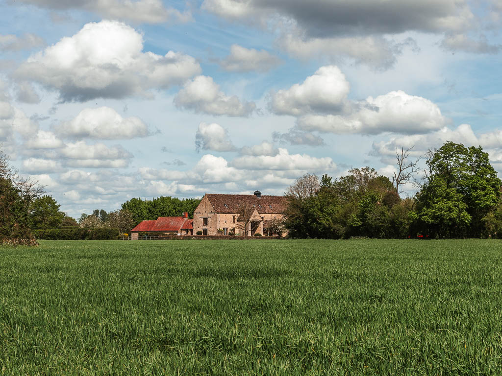
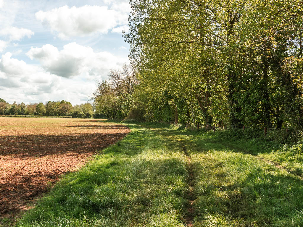
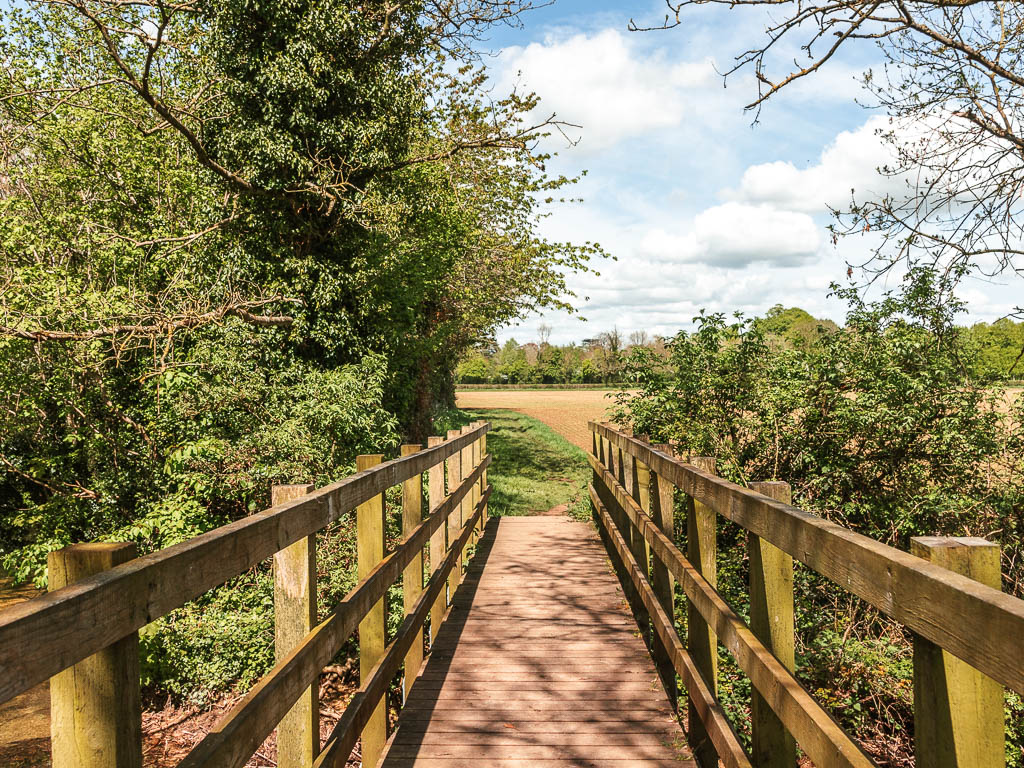
After another field, and over the bridge, turn left. This turn isn’t obvious (I initially went straight).
The halfway point in the walk from the Source to Cricklade
Keep going with the lake to your right, then when you reach the road, turn right, then turn left at the junction.
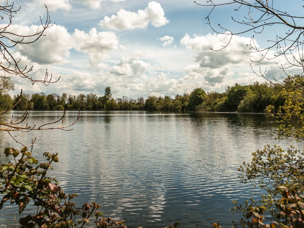
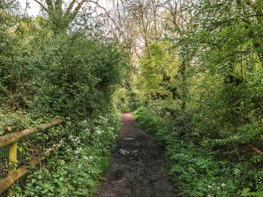
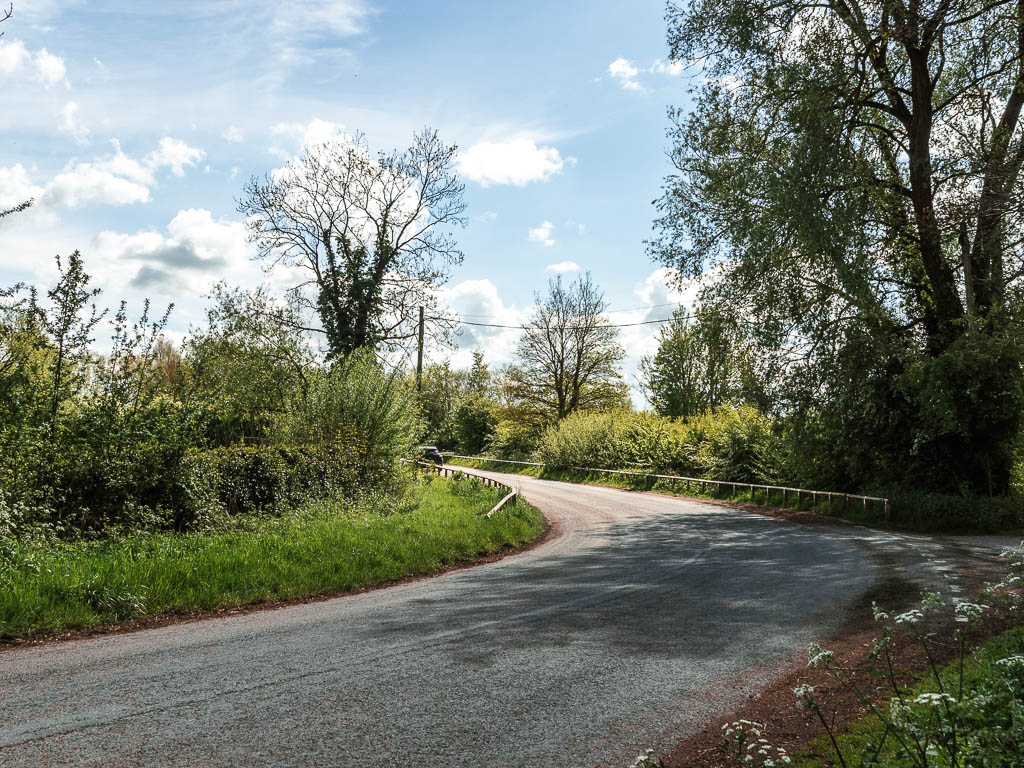
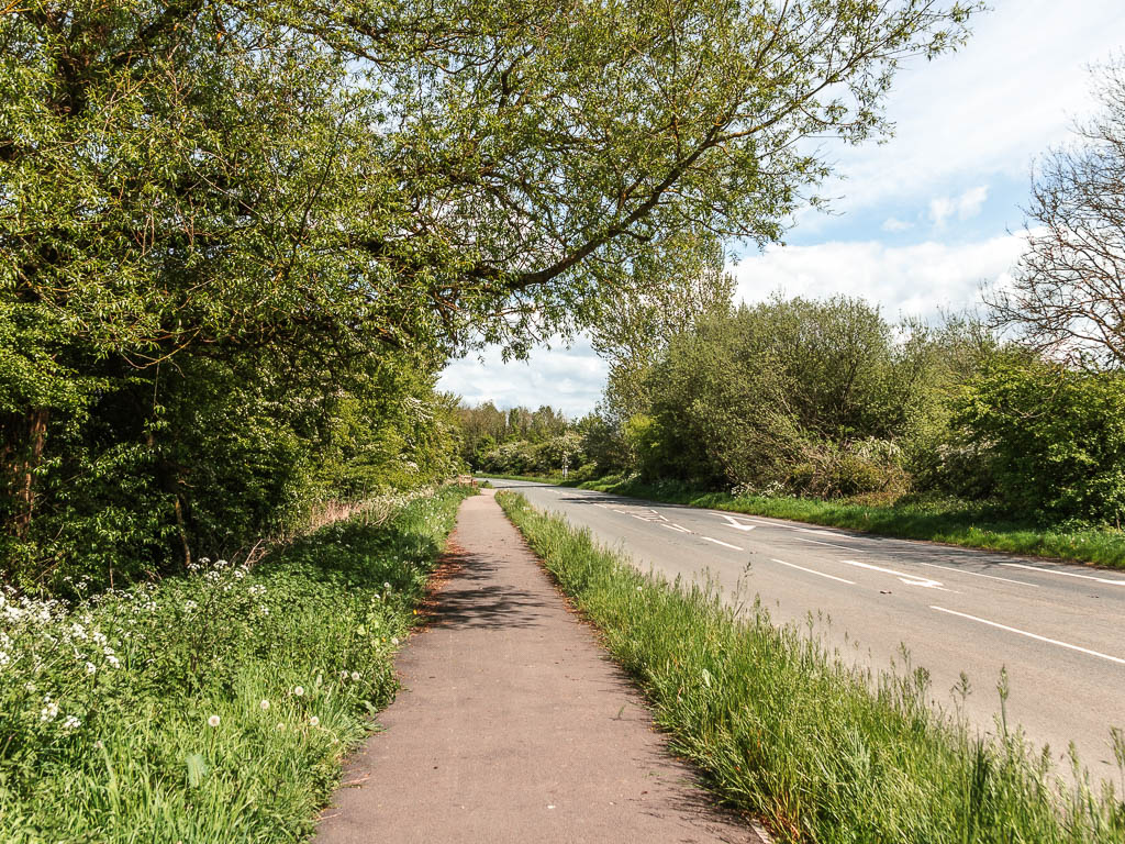
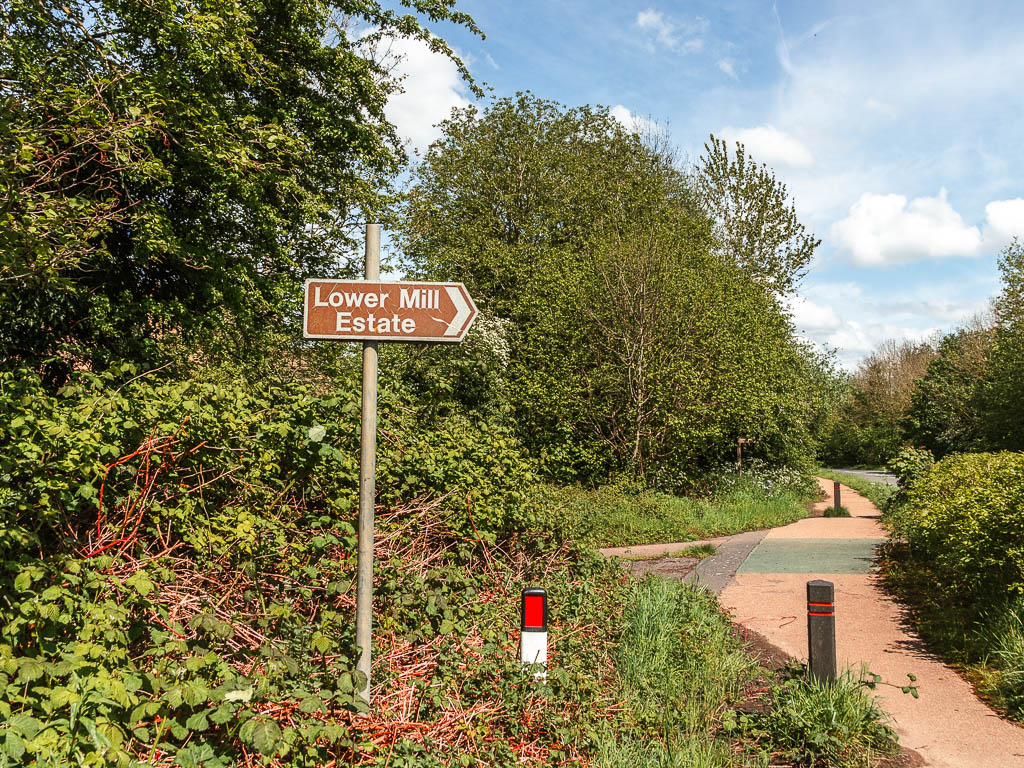
After a little roadside walking, turn right at the Lower Mill Estate, and then follow the road all the way through. Somewhere along here is the halfway point in the walk from the Source to Cricklade.
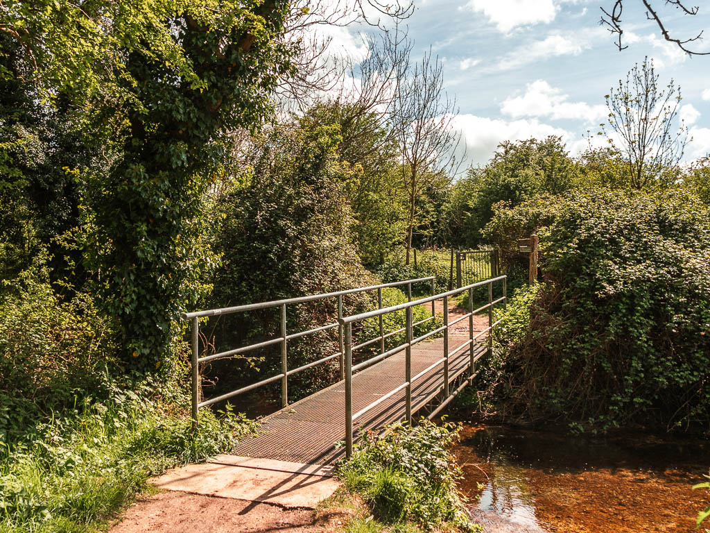
When you reach the bridge, go over it and turn left.

More river and lunch
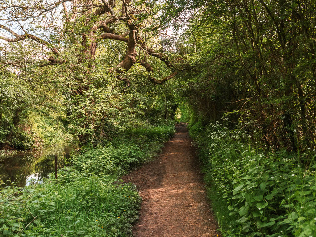
You now have another nice stretch of riverside walking. I found it quite peaceful and lovely along here, with all the birds chirping. I was also getting hungry and decided that the next bench I found would be my lunch spot….
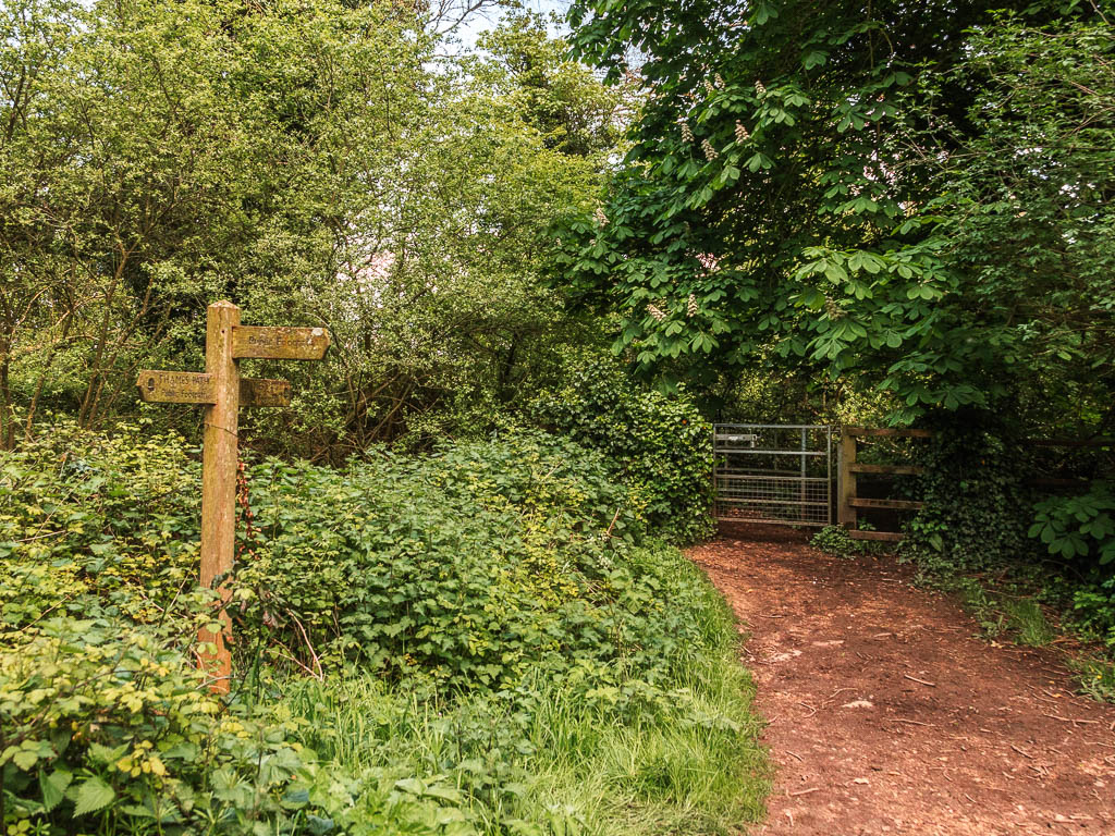

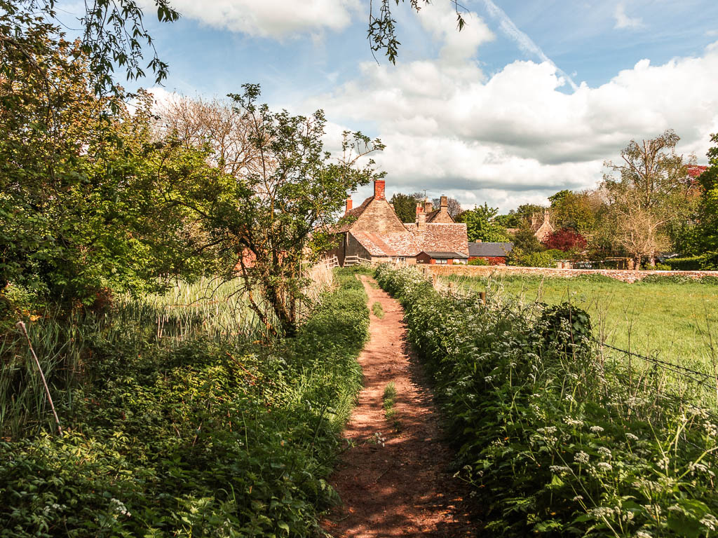
When you reach the road, cross over and keep going to reach a cute little village….Which has a bench. This did nicely. The homemade jam is along here too. I was gutted I didnt have any change. Who carries change now days? Probably for the best, not to add to my load.
Ashton Keynes
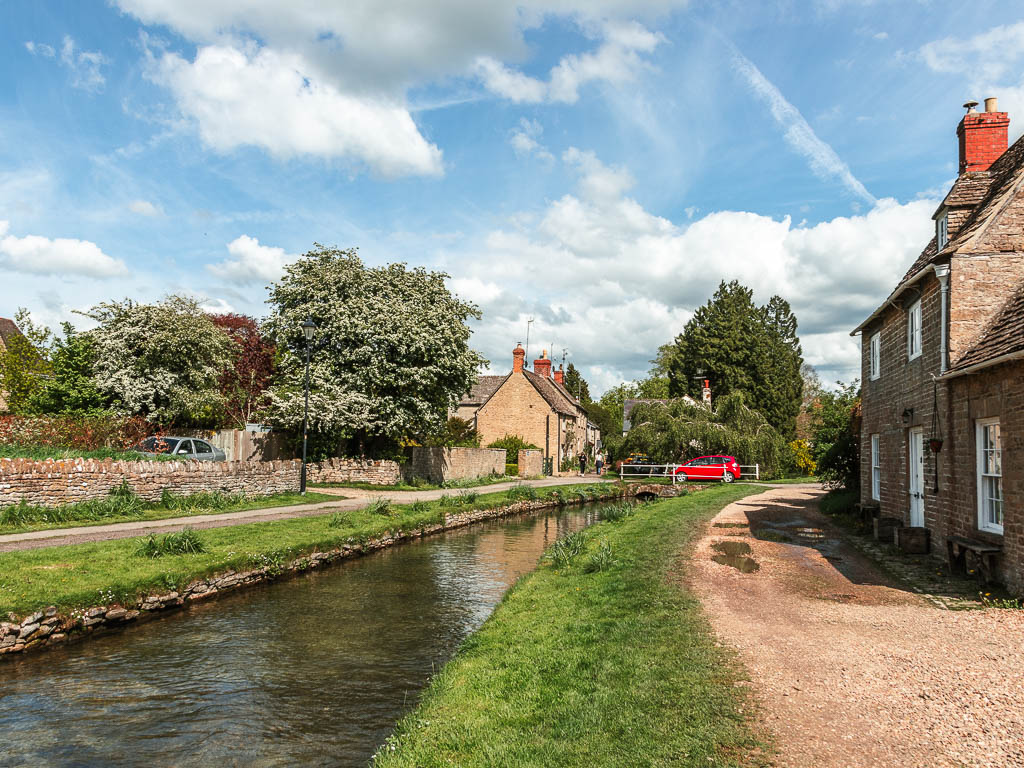
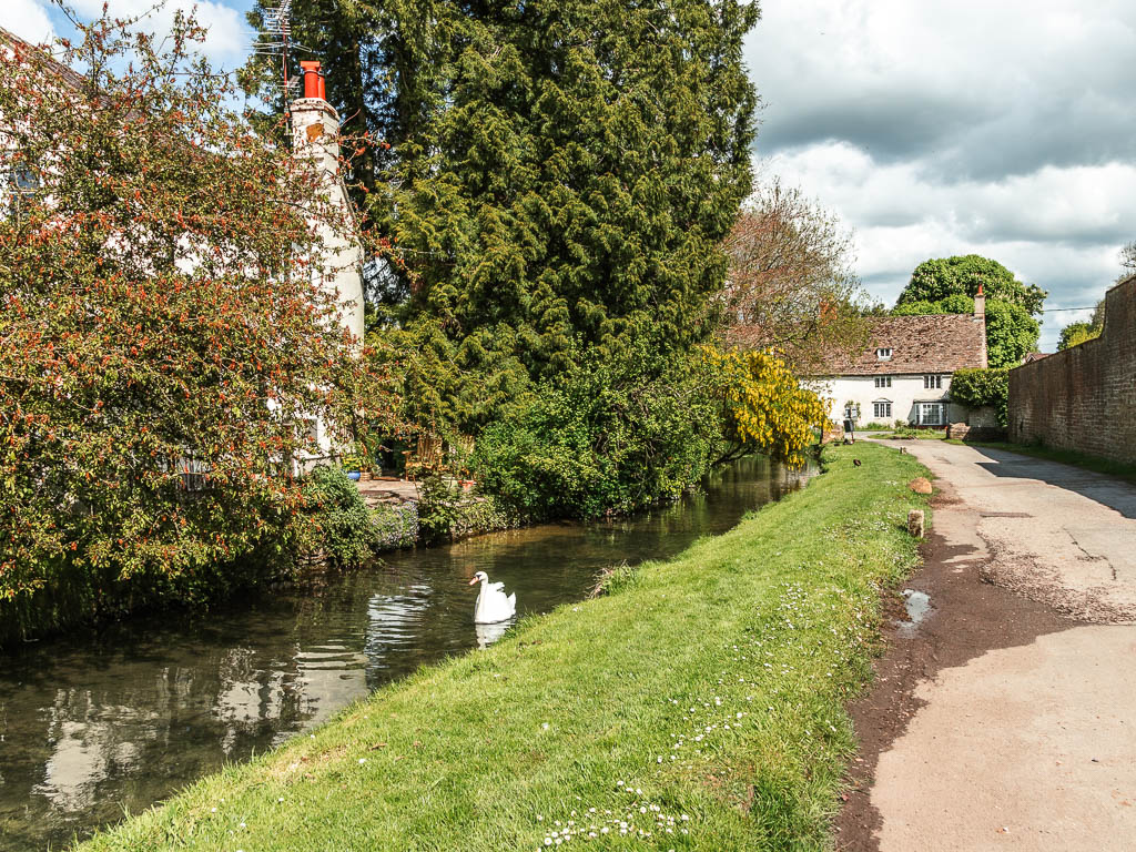
Follow the road through the housing area (there are two road, you take the right one). When you reach the main road, turn right, to walk through the village. The little river on the right is the Thames.
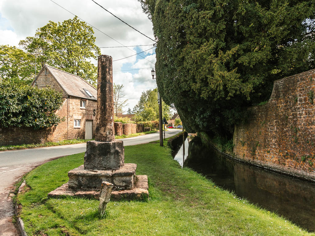
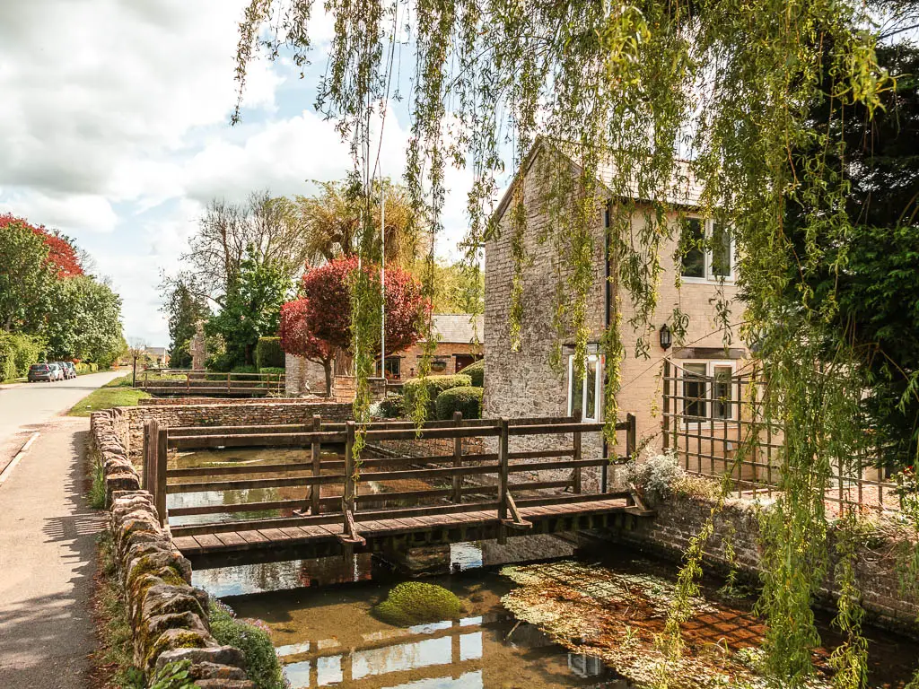
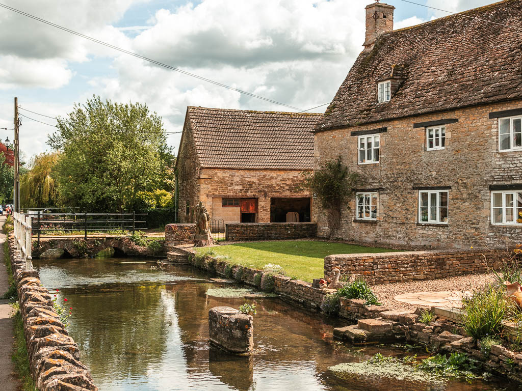
What I found quite special and quaint was how a bit further along, there were little bridges over it leading to people’s homes. How wonderful would that be to live there…although, I wonder what the flood risk is.

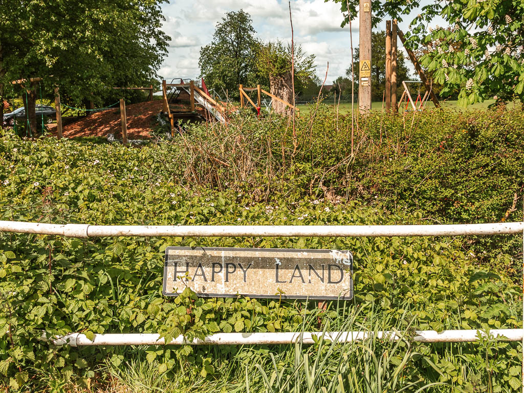
It’s a fair bit of walking along this main road, to reach the next turn. It’s signposted, but in case it’s not, you want to turn left onto Happy Land. Yes, this is the road name.
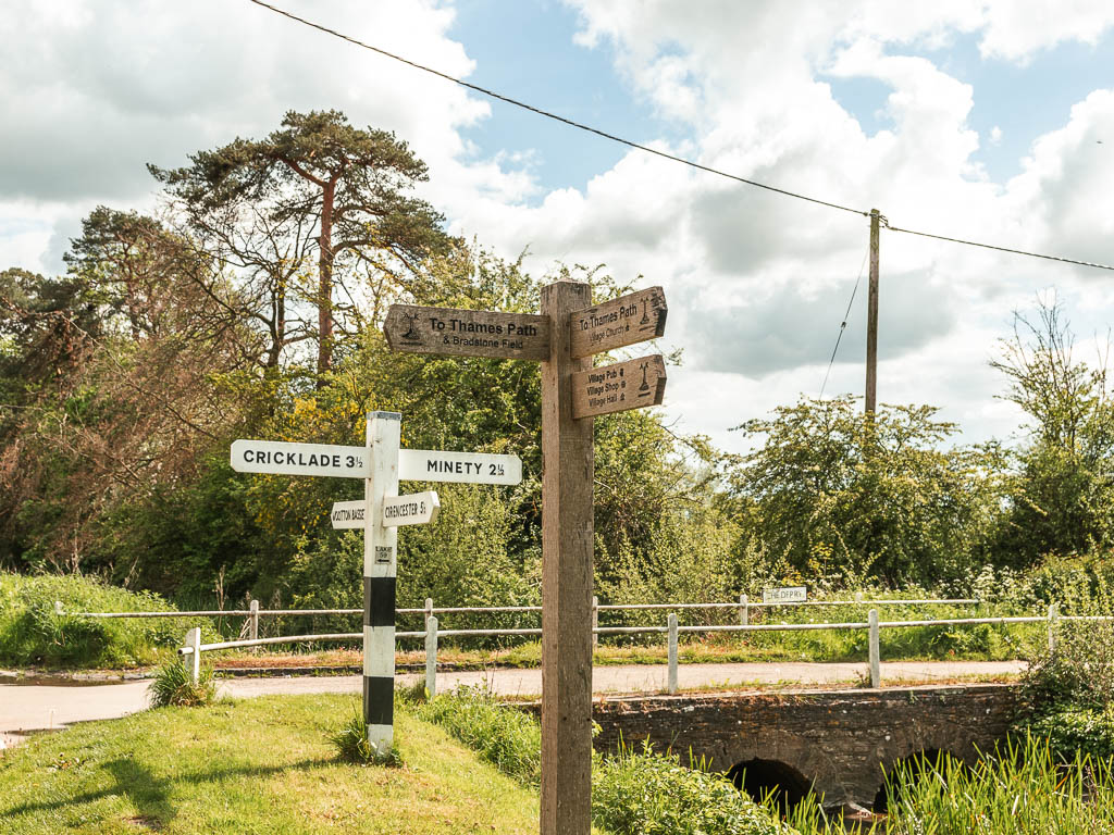
Keep going, then at the road bend, keep left.
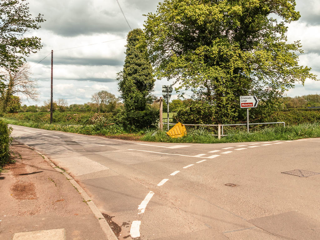
Keep going some more, to reach the next sign which directs you onto a path on the right (see photo below).
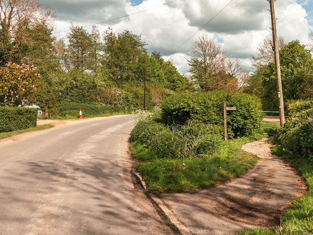
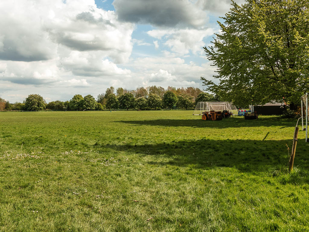
Cross over another road, and through the gate into a large field. I couldn’t see any signs telling you which way to go here, but you go straight across and through a gate on the other side.
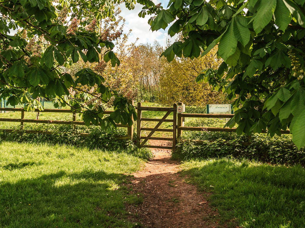
More lakes and lots of junctions
Through here, there is a fork which which isn’t signposted. Take the right (see photo below).
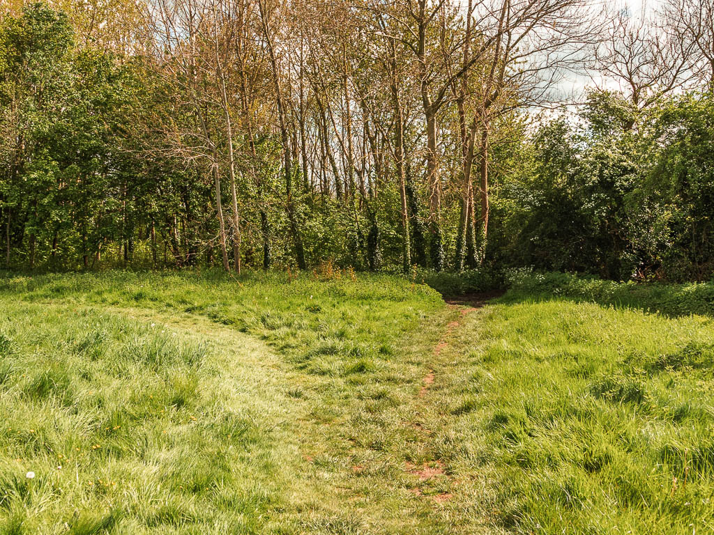
Now follow any acorn signs and you will soon be walking with a big lake to your left.
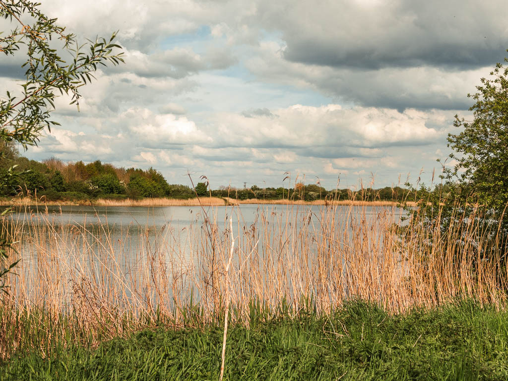
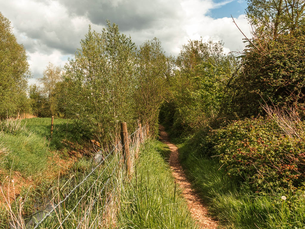
You are going to navigate around some lakes now. I zoned out a little here, but it was pretty well signposted….sort of. See photos below for the turns:
Turn left here.
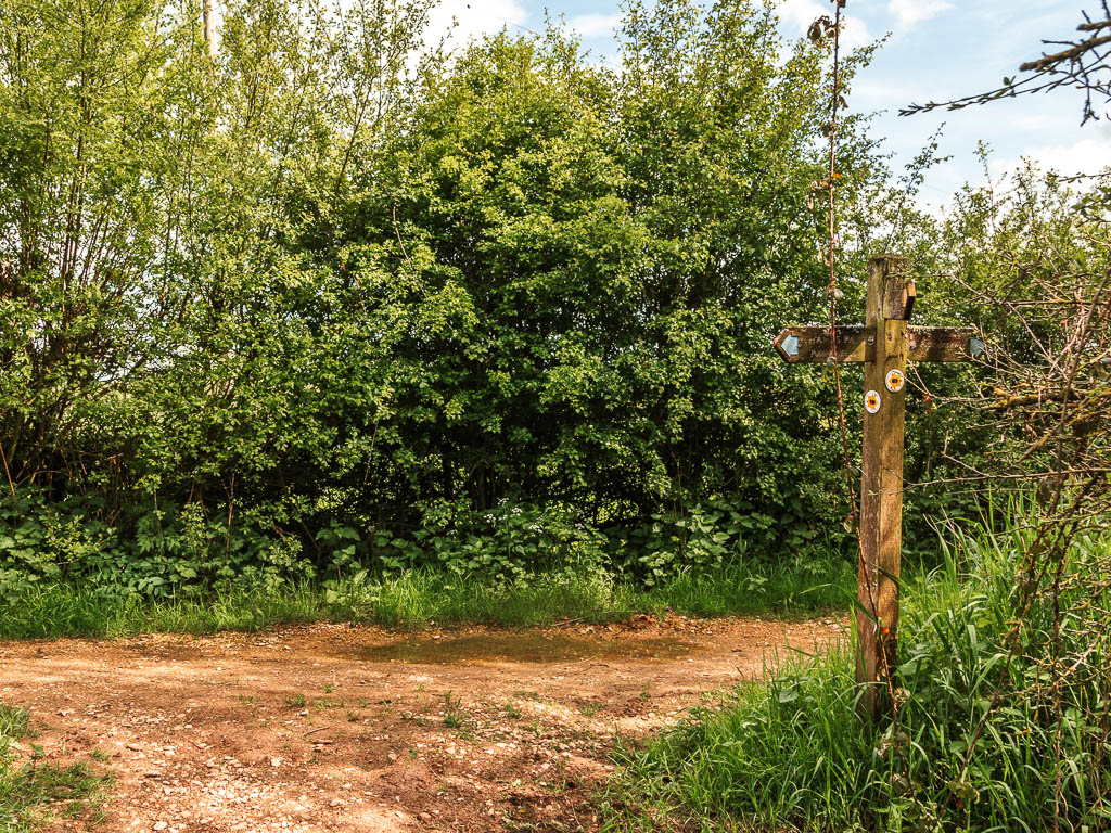
The next turn is less obvious. You need to turn right. There is a quicksand warning sign here, which surprised me. I thought quicksand was reserved for exotic places.
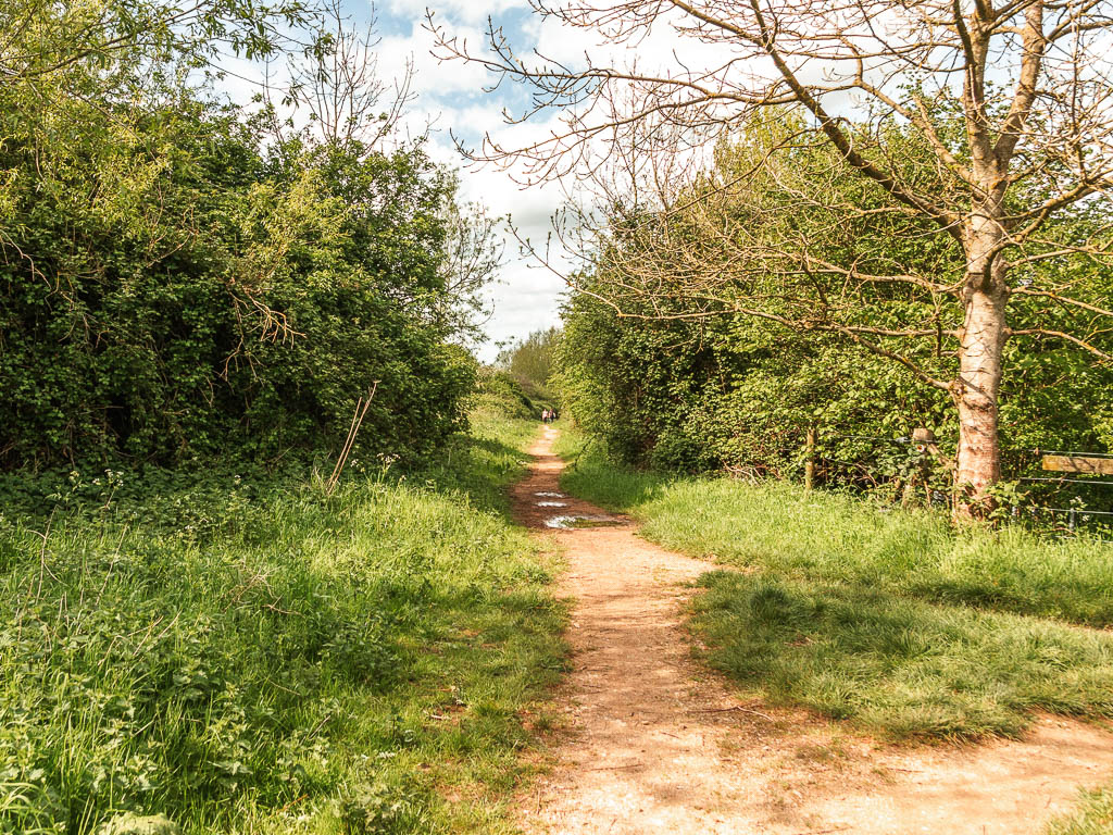
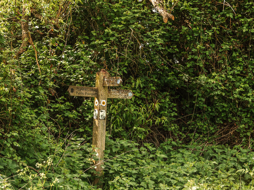
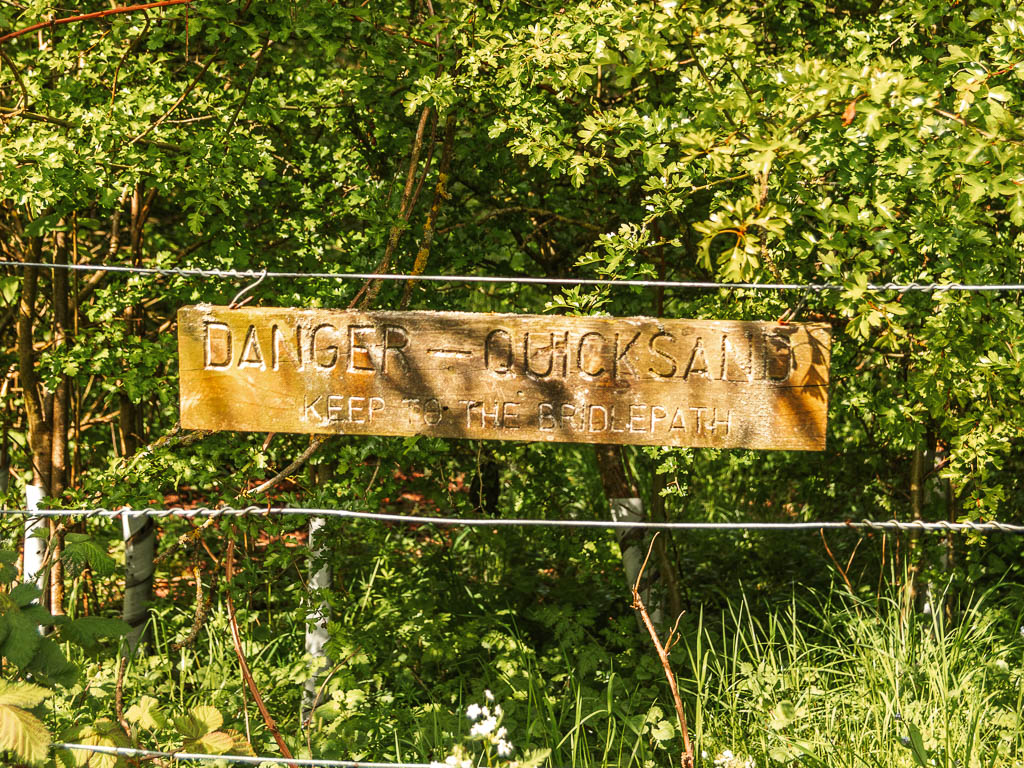
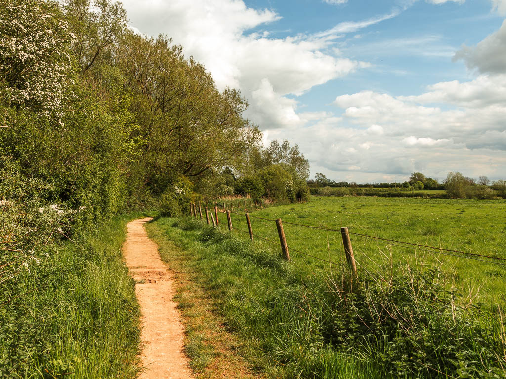
Keep following this same trail for a little way now, then at the big gate, don’t go through. Turn right instead.
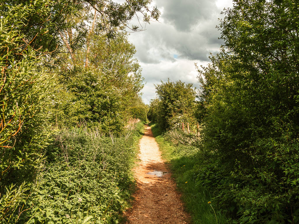
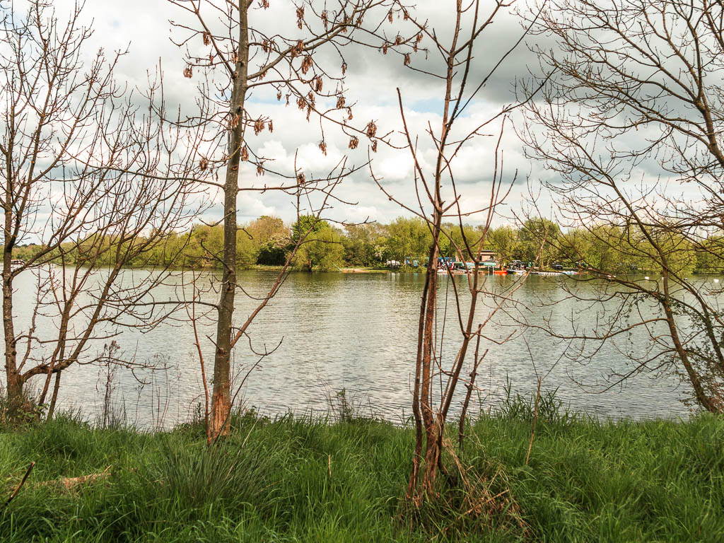
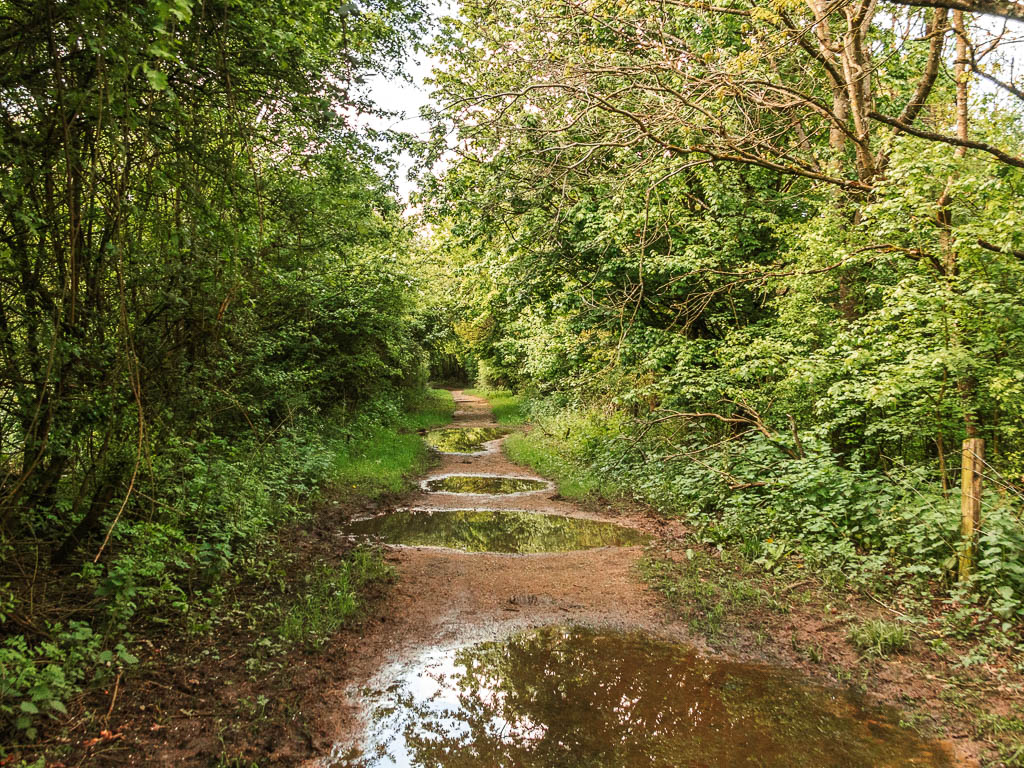
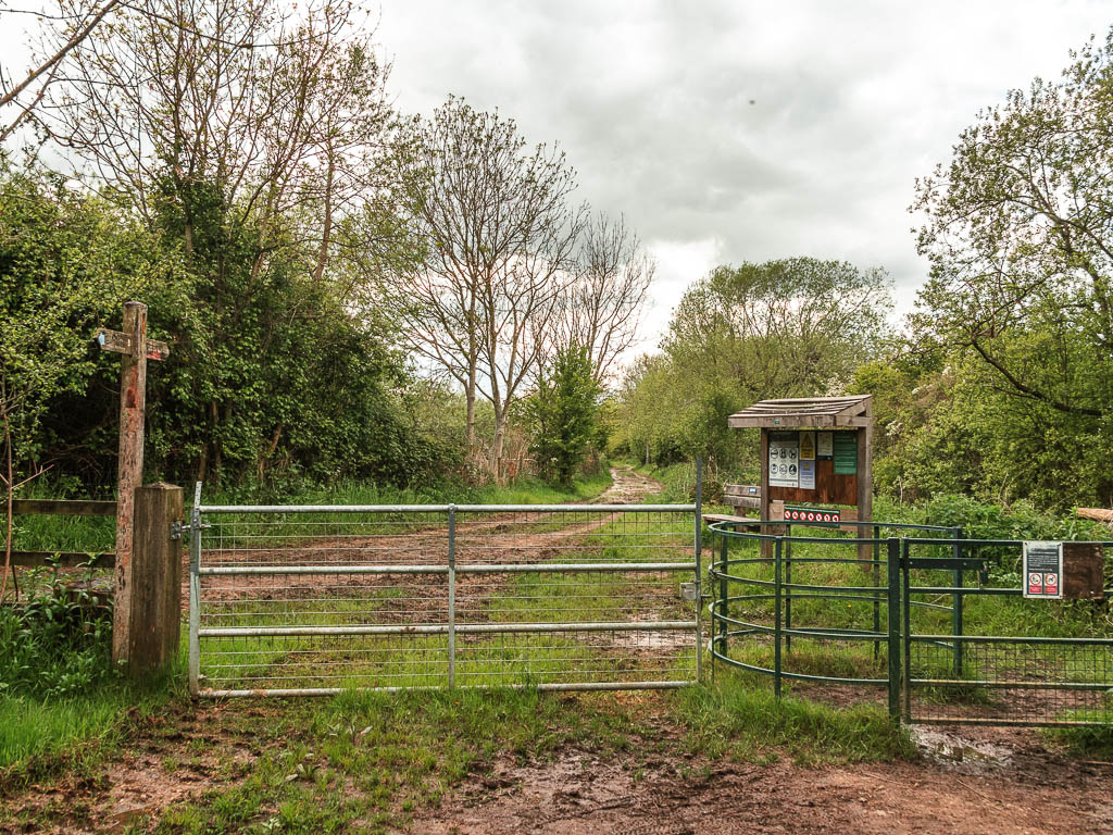
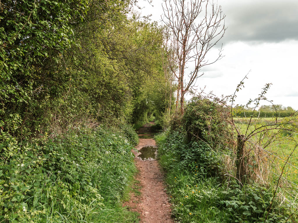
Turn left at the next t-junction:
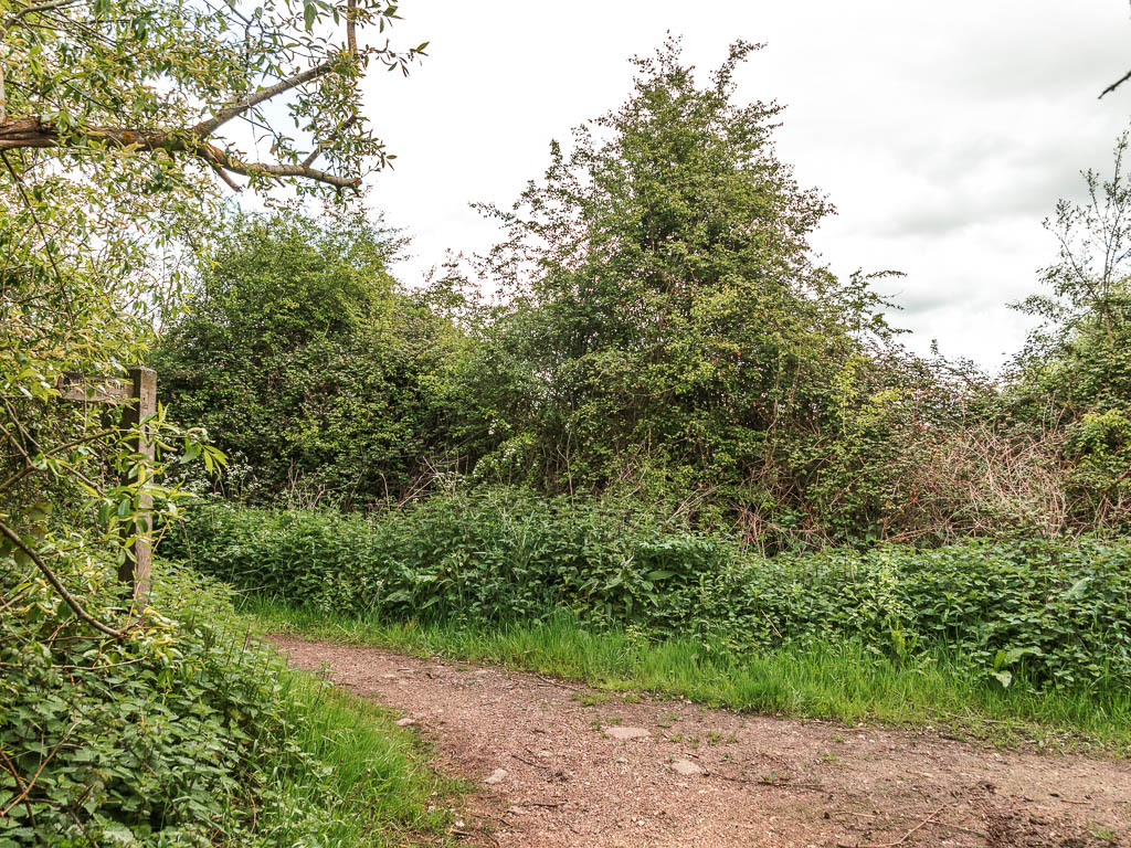
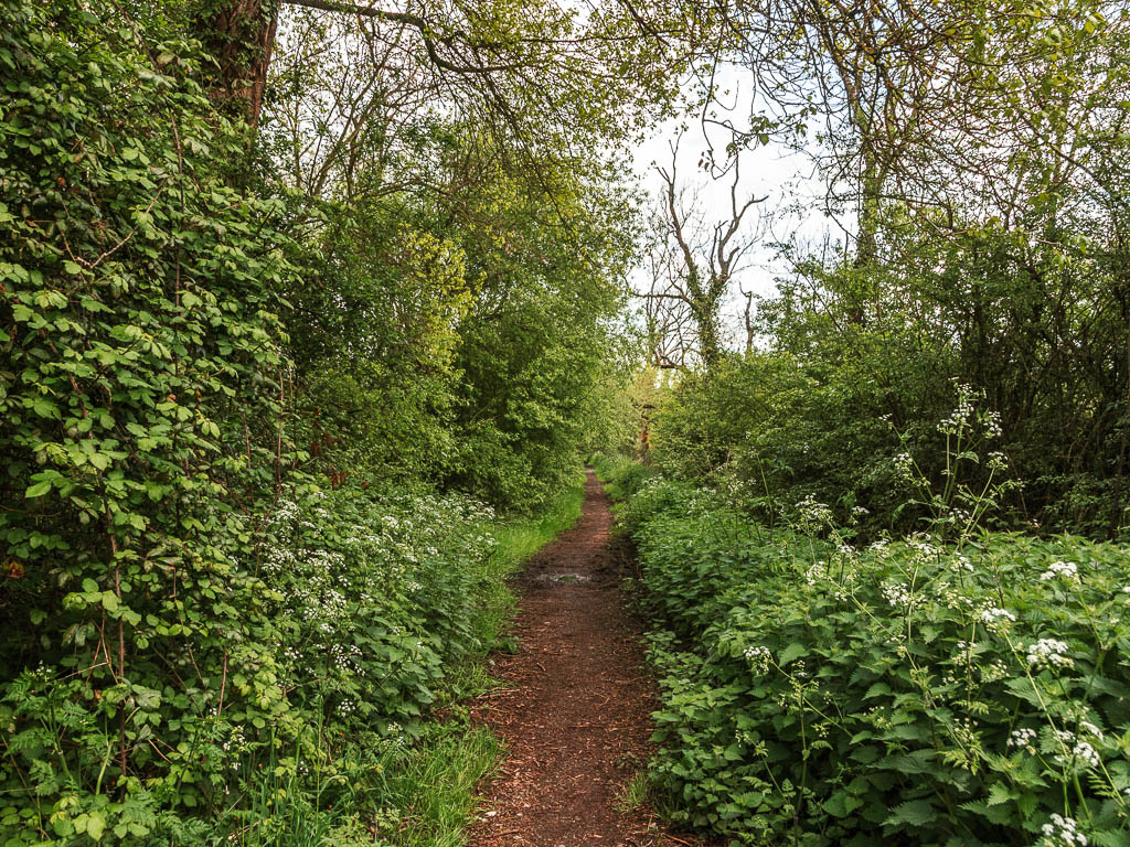
Then turn right at the next one with an information board. I went to have a look but saw a big image of an insect so backed away and hurried along the trail.
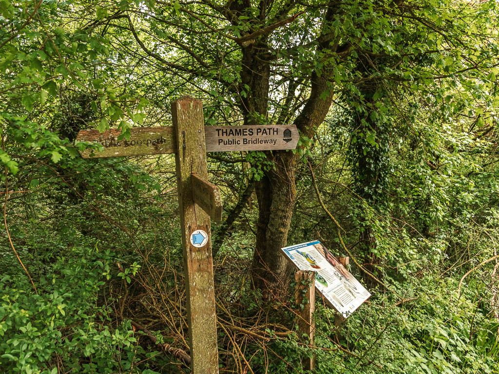
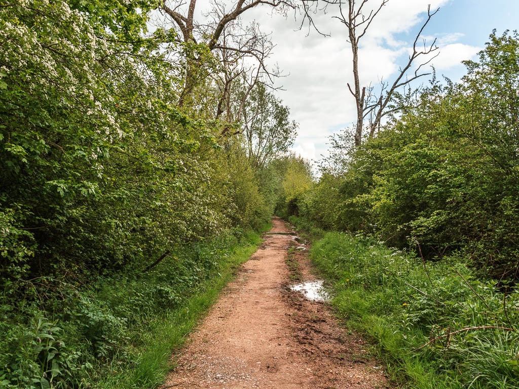
At the next junction, turn right. Now if you stay on this path, it will lead you all the way to Cricklade. This is important. This isn’t the officially route, but there is a field coming up which could be flooded, so this is the alternative option.
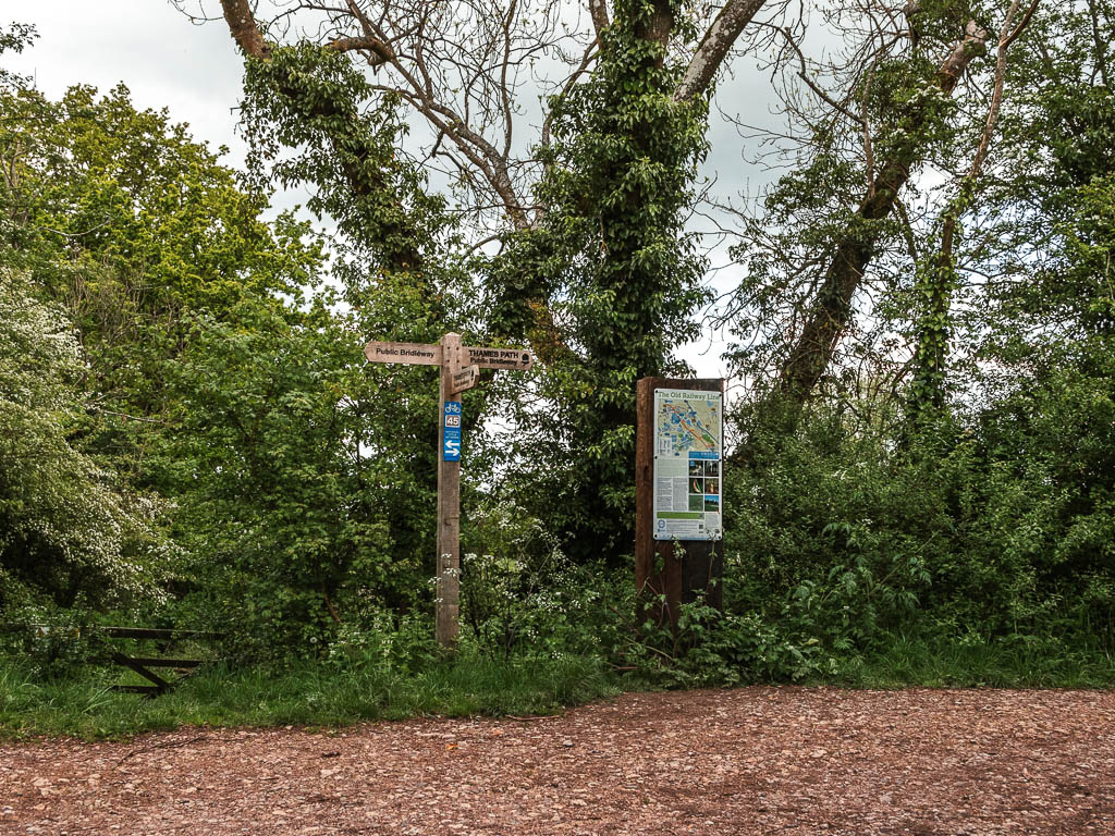
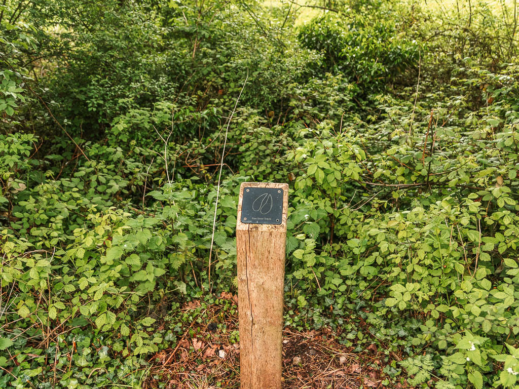
The flooded field
To follow the official path, turn left before the bridge and follow the river. Keep following it as it turns right.

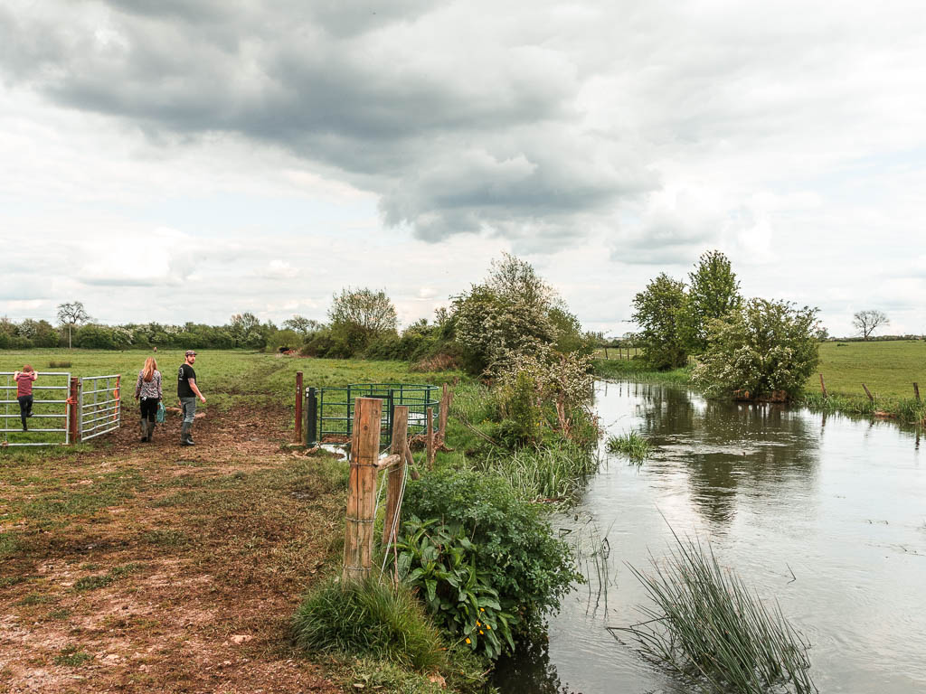
A guy here told me about some swans the other way. And that I should go check them out. I said no. I had now been walking about 14 miles and I was not about to walk a step further than I had to. I haven’t mentioned that a few miles back I started to feel unwell. I brushed it off as being tired. I didn’t know yet that it would get worse and I would spend the rest of the trip feeling like death.
Anyway, when I entered this field, something was different about it. The ground was boggy, with the river leaching into to. I kept going though. Cricklade was so close.
It was right on the other side that it became apparent I wasn’t getting through. It was full on flooded. There was no option but to turn back and take the other route. I was not happy. So much for not walking a step further than I had to.
Walk to Cricklade
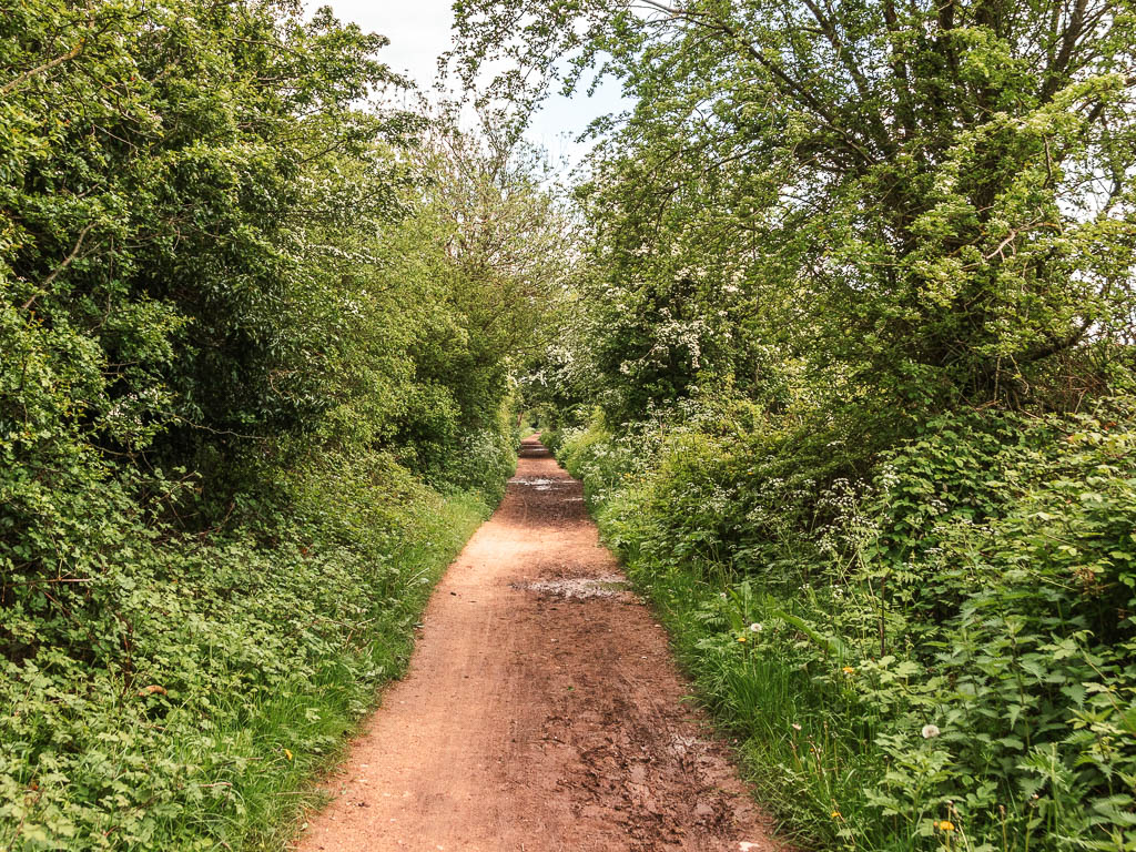
However, if you stay following this trail, it should lead you to Cricklade. If you have to take the other path, it’s nice and easy if that’s any consolation.
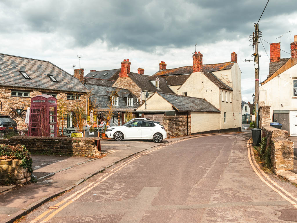
Once you reach the end, there is a bit of navigating to get into the town centre. First walk around the edge of the sports field, then take a left on W Mill Lane. At the junction, turn right, then take the first left onto Bath Road. Follow this to the end and you will reach the High Street. The Vale (where I stayed) is right on the corner which was handy.
Read day two: Cricklade to Lechlade
