
This walk takes you along the coast path from the very British seaside town of Cromer, to the Victorian village of Mundesley.
What I’m going to do in this guide, is first give you a little overview of the walk from Cromer to Mundesley. This is followed by logistics, including public transport, parking, accommodation information, and a walking route map. I will then go on to describe the route step by step with lots of photos.
This post uses affiliate links. You can read the privacy policy or disclaimer for more info.
What to expect on the walk from Comer to Mundesley
It’s a fairly easy walk, and is mostly flat. However, there are a couple of hills to get onto the cliffs, which is unexpected from the very flat Norfolk. You do get some nice cliff views, but there is a little more road walking than is desirable.

I have been making my way along the Norfolk Coast, and so far, this section of the walk from Cromer to Mundesley has the most road (if you exclude the un official road walking I did on day 1). For a good chunk, you aren’t actually on the coast.
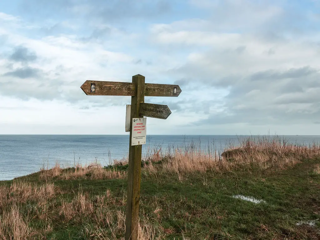
There is a little bit of beach walking, involving uncomfortable rocks. Some fun colourful beach huts. And some cliff edges which are crumbly (just don’t go too close).
My plan today was actually to walk all the way to Sea Palling, 17 miles down the coast. This didn’t happen. Due to injury, I was forced to stop the walk at Mundesley, which conveniently has a bus route back to Cromer. I will explain more soon….
Logistics for the walk from Cromer to Mundesley
- Start: Cromer, Norfolk. Post code:NR27 9AT.
- Finish: Mundesley, Norfolk. Post code:NR11 8BG.
- Distance: 8 miles
- Time: It took me 3h, but I was limping for a lot of it. So you could probably do it quicker.
- Difficulty: Easy
- Terrain: Concrete, rocks, road, grass.
- Elevation: A couple of steep hills. But they are over quick. Then flat everywhere else.
- Dog friendly: Yes (apart from the roads)
- Time of year: I walked from Cromer to Mundesley in winter.
Public Transport
This section of the coastal walking trail between Cromer and Mundesley is very easy to complete using public transport. Cromer is on a trainline, which runs to North Walsham and Norfolk. In Mundesley, the CH2 coasthopper will take you to both Cromer and North Walsham. The bus runs daily, except public holidays. Check the bus times here though for up to date information. Bus 34 also goes from Mundesley to North Walsham, but it’s useless as doesn’t run very frequently and doesn’t run on weekends.
Amenities
Public toilets and plenty of food options in Cromer, from pubs to cafes, fish and chips, and a big Morrisons. For some Cromer Crab to go you have the J Lee Crab Stall. Mundesley has some pubs, cafes, a chippy, and Spar. Just north outside the main village centre is a Tesco Express.
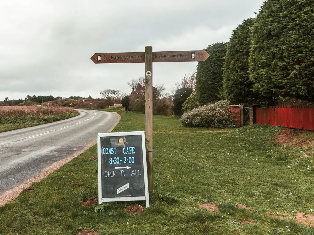
Along the route, about 2 miles in, you walk by Overstrand Village. This route doesn’t take you into it, but you can pop up if you need public toilets or refreshments from the cafe or convenience store. There is a cafe at the Trimingham caravan park about 6 miles in. Open 8:30 to 2.
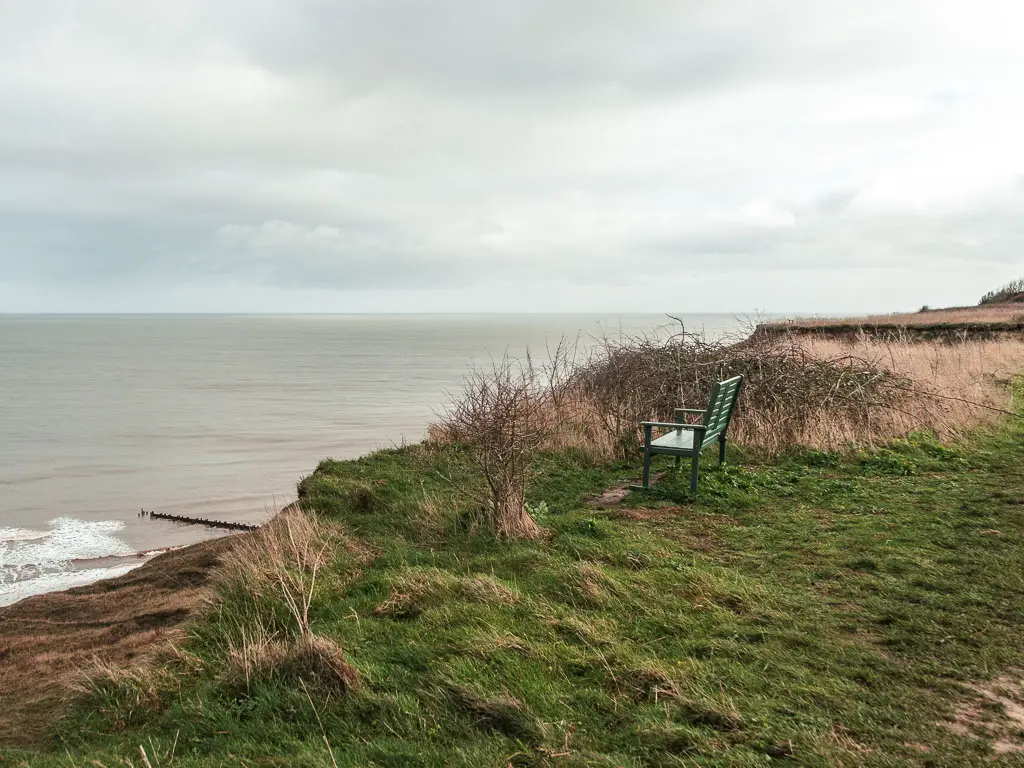
Along the walking route between Cromer and Mundesley, there are a few benches.
Parking in Comer and Mundesley
In Cromer you have car parks or free street parking in places. The car parks are pay and display using cash, contactless, text message, or app. Meadow Road car park, NR27 9DX. Cadogan Road car park, NR27 9HU. The cost is incremental up to 6h then 24h. As an example, at the time of writing it’s £6.30 for 5h.
Mundesley has a car park (Beach car park), or free street parking. Beach Car park is pay and display using contactless or app. Don’t know the price. Sorry.
Accommodation
If you are walking the whole coast and need somewhere to stay, Cromer has more options than Mundesley. As they are a bus ride away from each other, you have the option to catch it back to Cromer if there isn’t anything available (or within budget) in Mundesley.
One of the more budget options in Cromer is the Knoll Guest House. It has an exceptional rating, and is right in the centre near the beach. It’s also pet friendly at no extra charge. Another budget one is also the Sandcliff Guest House. It’s a pet friendly bed and breakfast. I also found a 1 bed apartment which is quite reasonably priced. A good thing about this place is it has a washer dryer, so you can pack less stuff if you are walking the whole coast.
One of the few budget options in Mundesley is the Ship Inn. It is a bed and breakfast style pub, and is pet friendly for an extra fee.
Map for the walk from Cromer to Mundesley
To see the previous section of the coast path, you read about yesterday walk here.
For planning of your walk along the whole coast, I have a guide on the Norfolk Coast Path walk here.
Route Description: Walk from Cromer to Mundesley
When I woke up today, and started walking, my ankle still felt a little sore, which struck me as odd. Maybe it’s not boot rub?
When I then put my boots on, and tried to walk, I was incapacitated. The pain was prettier severe. There was no way I could walk like this. I tried padding it which made it worse. It was when the boot touched the side of my ankle that the pain was so bad that I couldn’t put weight through the foot, so I stuffed some socks in the heel to raise my heel up enough that it wasn’t touching the side.
I was now walking in a makeshift high heeled boot. But was pain free. I had 17 miles to walk today, then 20 miles tomorrow. This probably wasn’t sustainable, but that would be a problem for later….
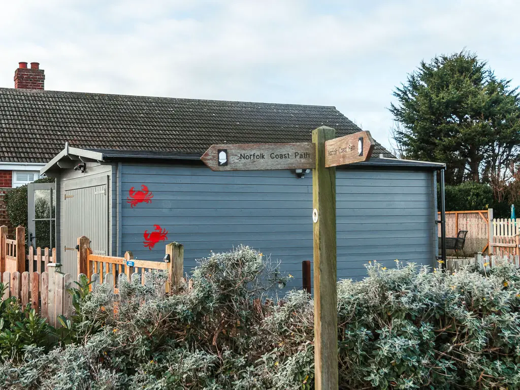
Start the walk from Comer to Mundesley
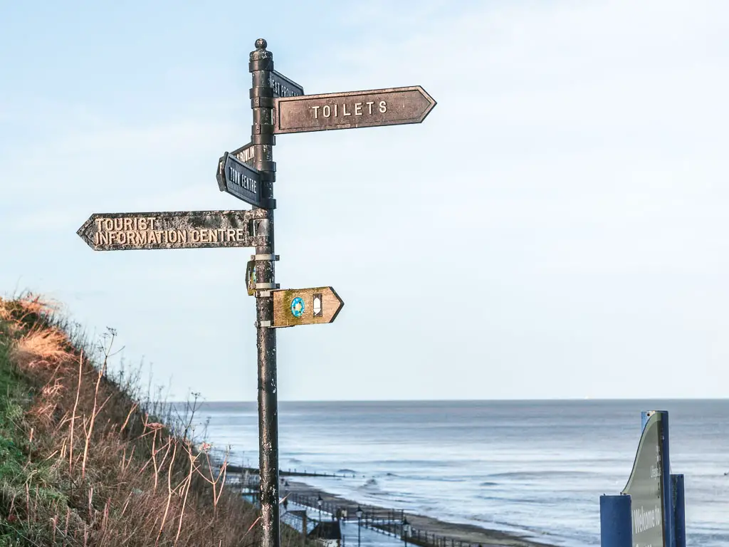
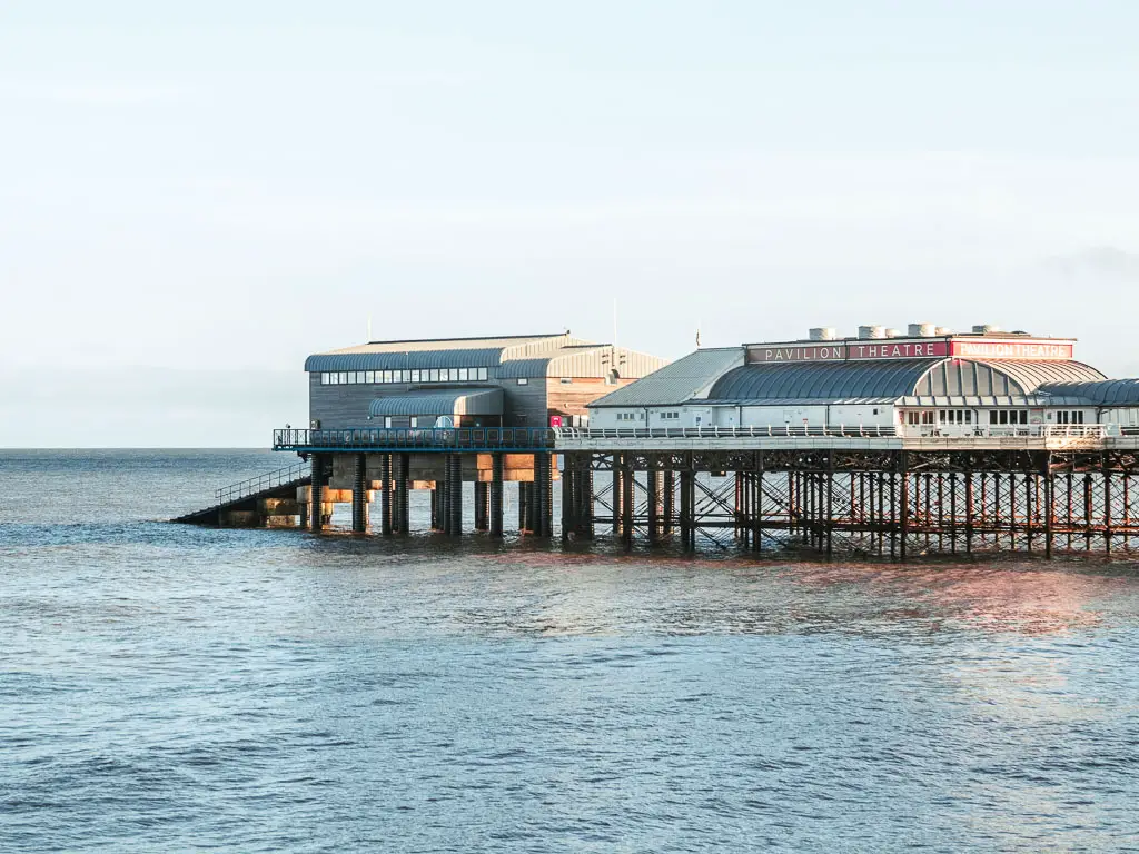
If you head down to the coast, near the Cromer Pier, you should see a coast path sign at the top of the stairs. Follow it down, and turn right.
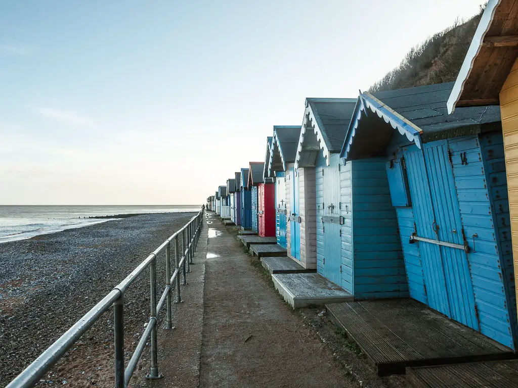
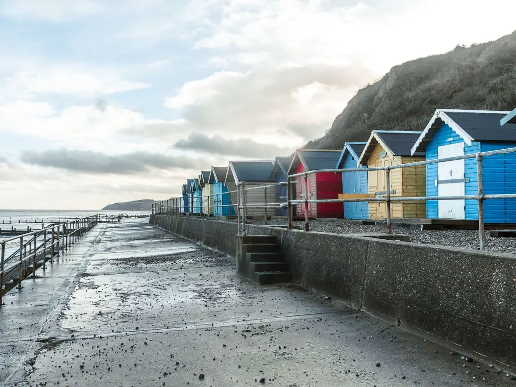
You will be on a concrete walkway, with the beach down to your left, and soon, some colourful beach huts to your right.
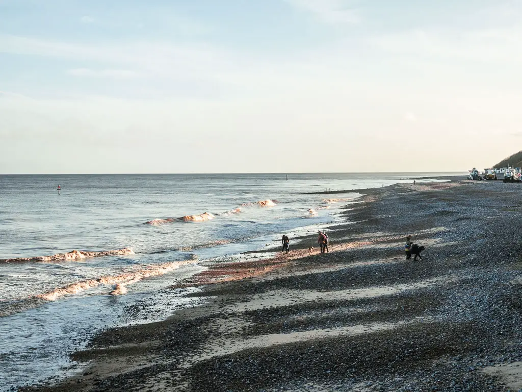
This bit out of Cromer is nice and easy, and I secretly hoped it would stay like this for the whole walk to Mundesley. Easy is what I needed today.
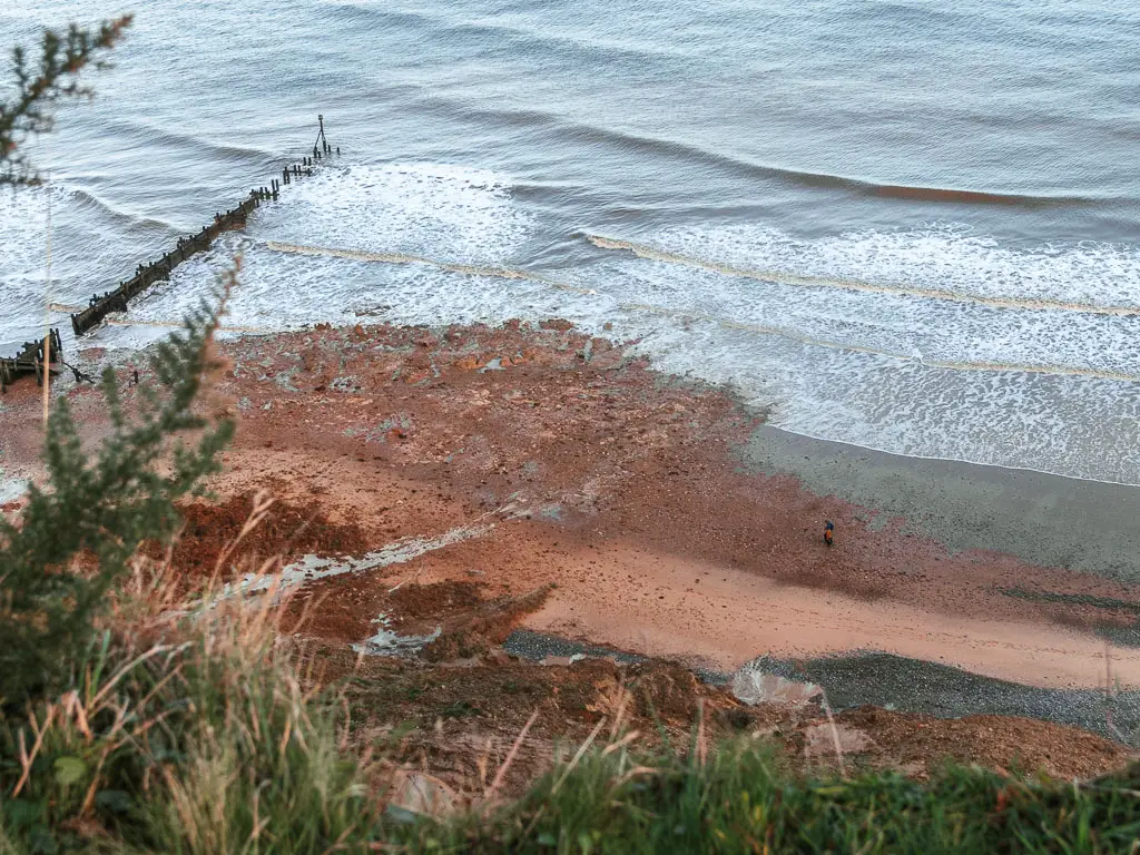
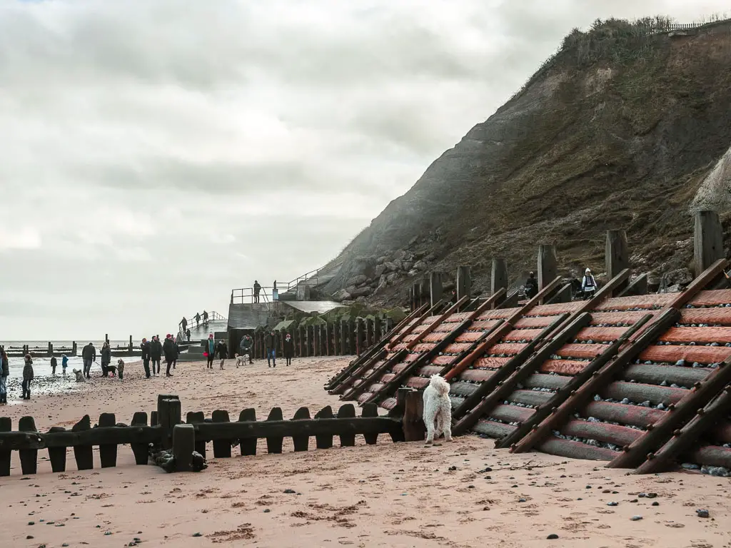
Unfortunately for me, the path soon leads onto the rocky beach.
At this point I had a choice. Walk on the rocks, soft sand, or slippy wooden plank wall. The slippy wall seemed most sensible, so I went with that…until I was forced off it.
It’s now a long stretch of rocks, with some sandy patches to give your feet a break.
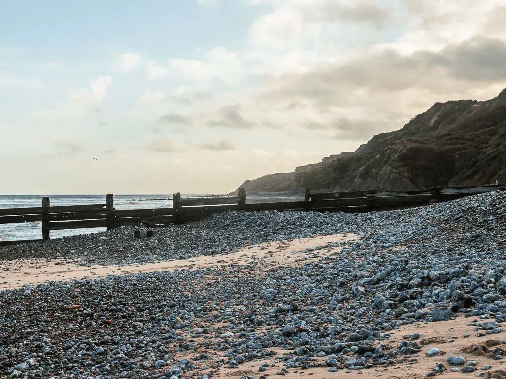
Some way, way in the distance, you will reach a concrete walkway again, with more beach hut goodness.
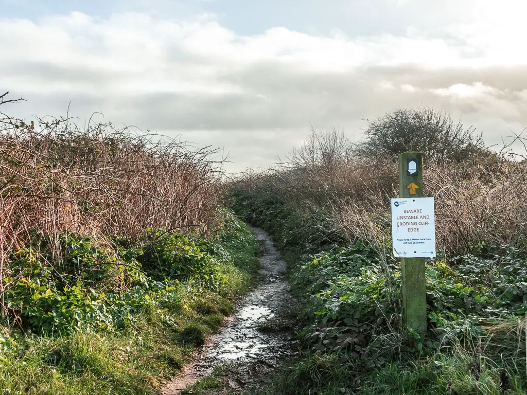
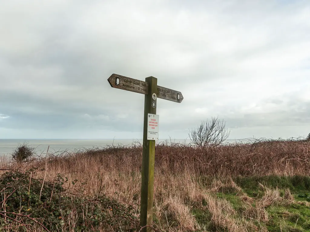
At this point, I was wondering if I was on the official coast path. I hadn’t seen any signs since the start of the walk at Cromer. For so much of the Norfolk Coast Path, the signs aren’t always obvious, and I have often found myself on the ‘unofficial path’. So I didn’t quite trust that this was correct….
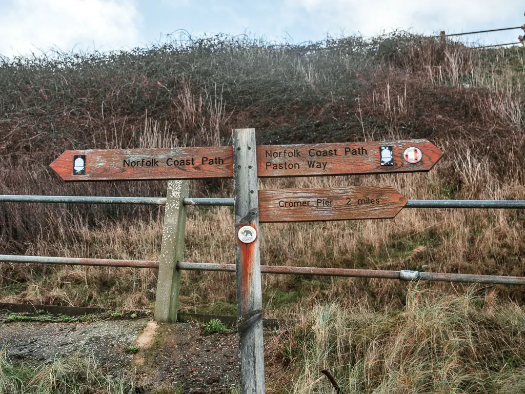
Then right on que, some signage appeared.
Walk up the hill
You will reach a point, where there is a road up the hill. I couldn’t see any signs telling me to go up there, so I proceeded towards the beach. Only, I could see massive rocks ahead, blocking the way.
I looked back on the road. A little harder this time. And that’s when I saw it. The little coast path acorn, further up, very unobvious. It’s like they want you to miss it.
Now, proceed up the hill to reach the houses at the top, where you turn left.
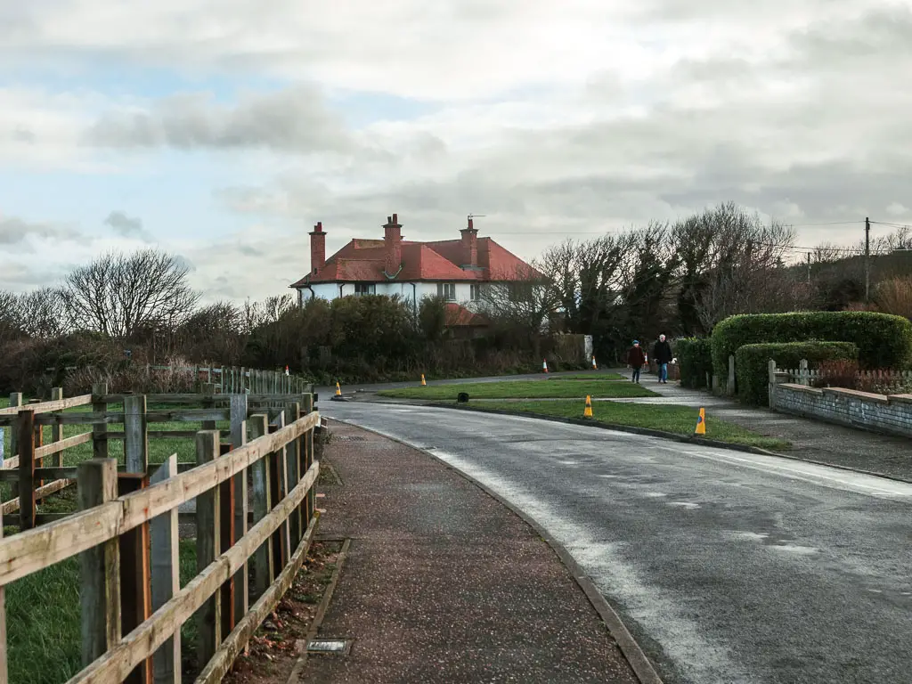
After uphills, you expect a good view, as a reward….This view was ok. Nothing special.
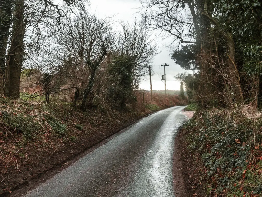
The roads
Continue walking along the road, then at the end, turn left for more road walking.
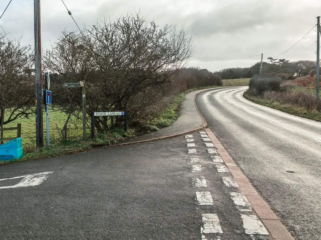
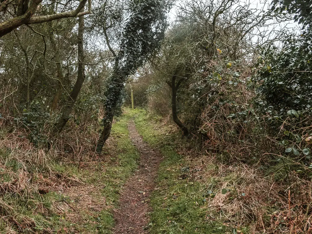
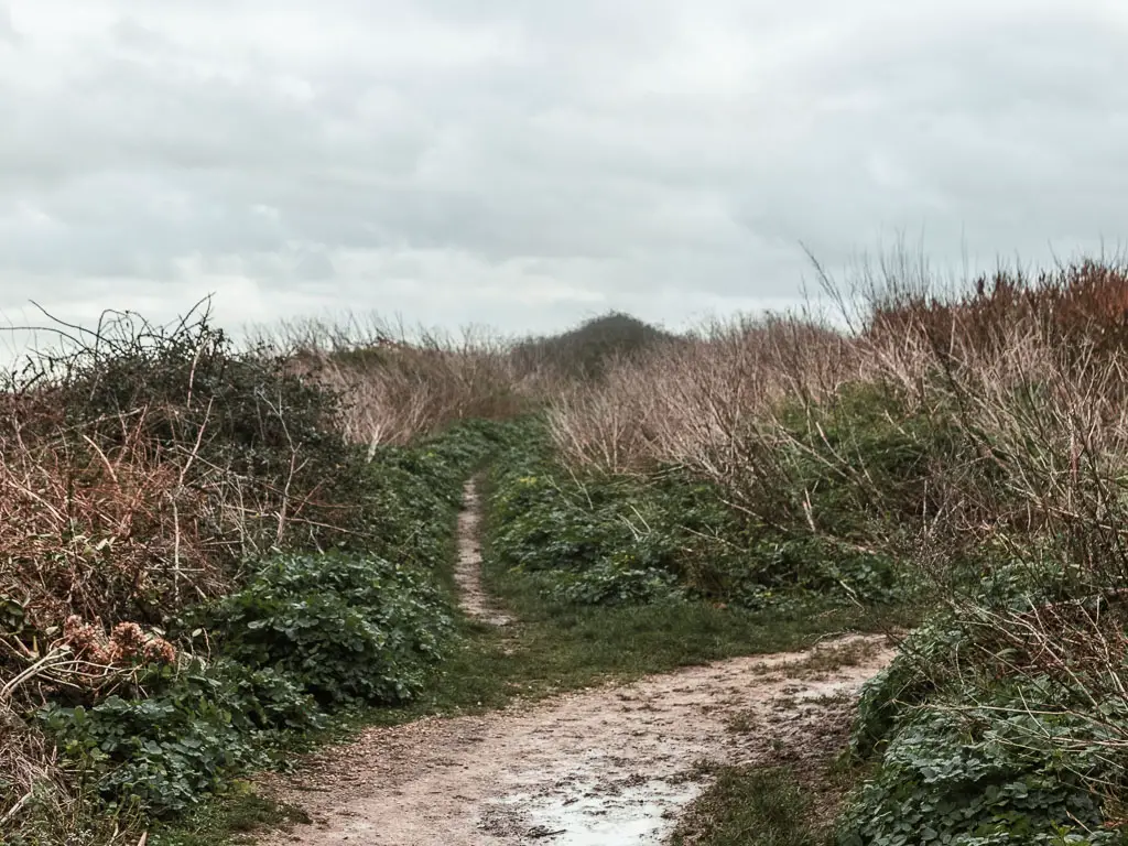
There will be a left turn further along, onto Tower Lane. After the turn, keep going past a few houses, and what feels like you are walking in private area, to reach the dirt trail.
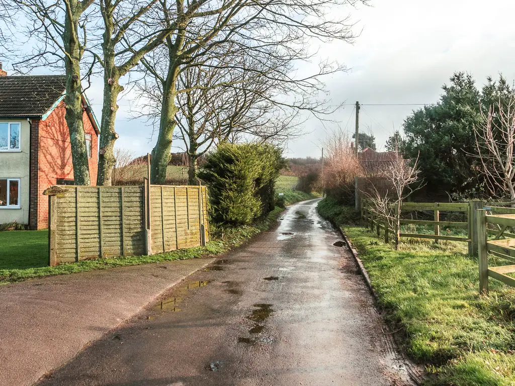
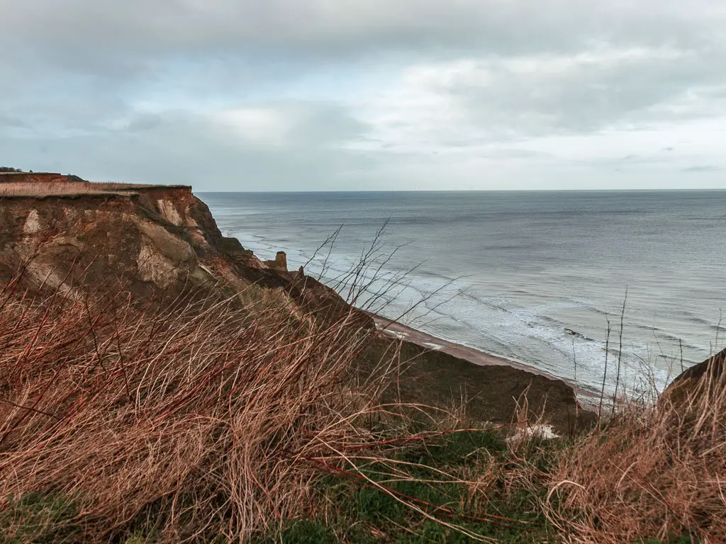
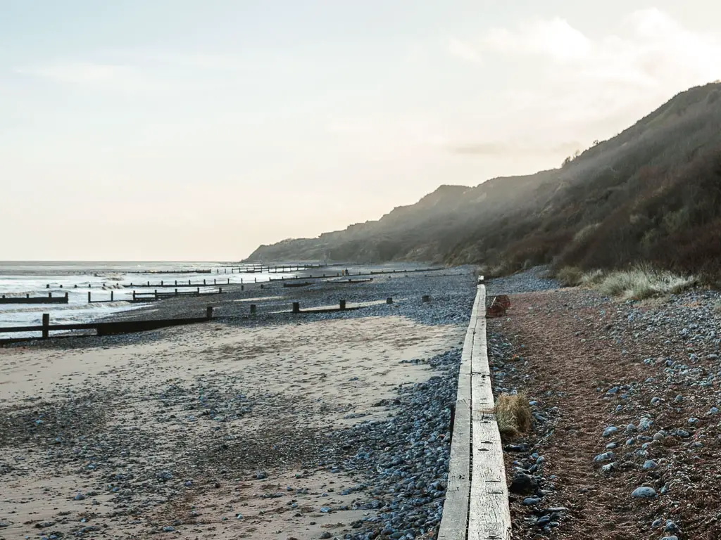
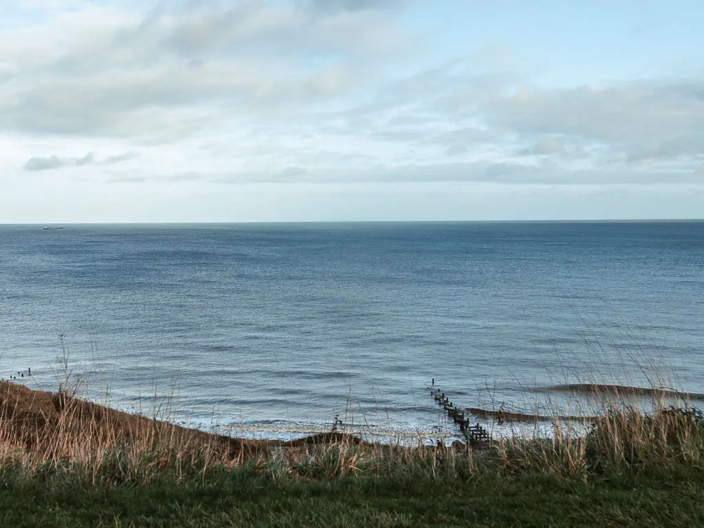
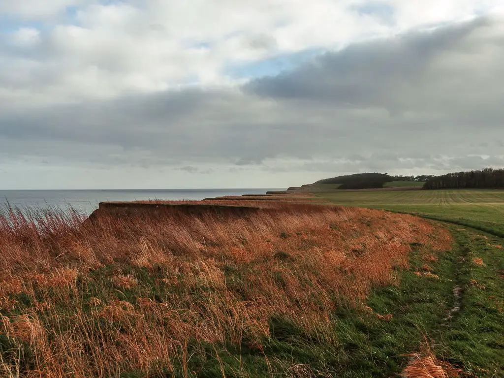
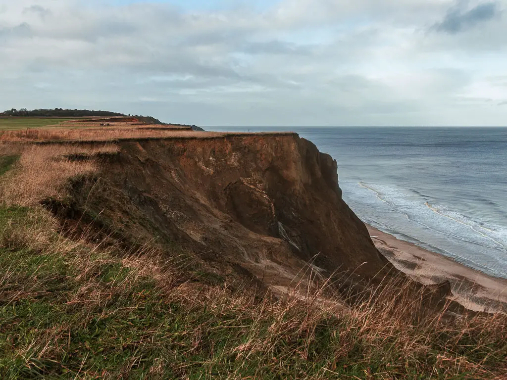
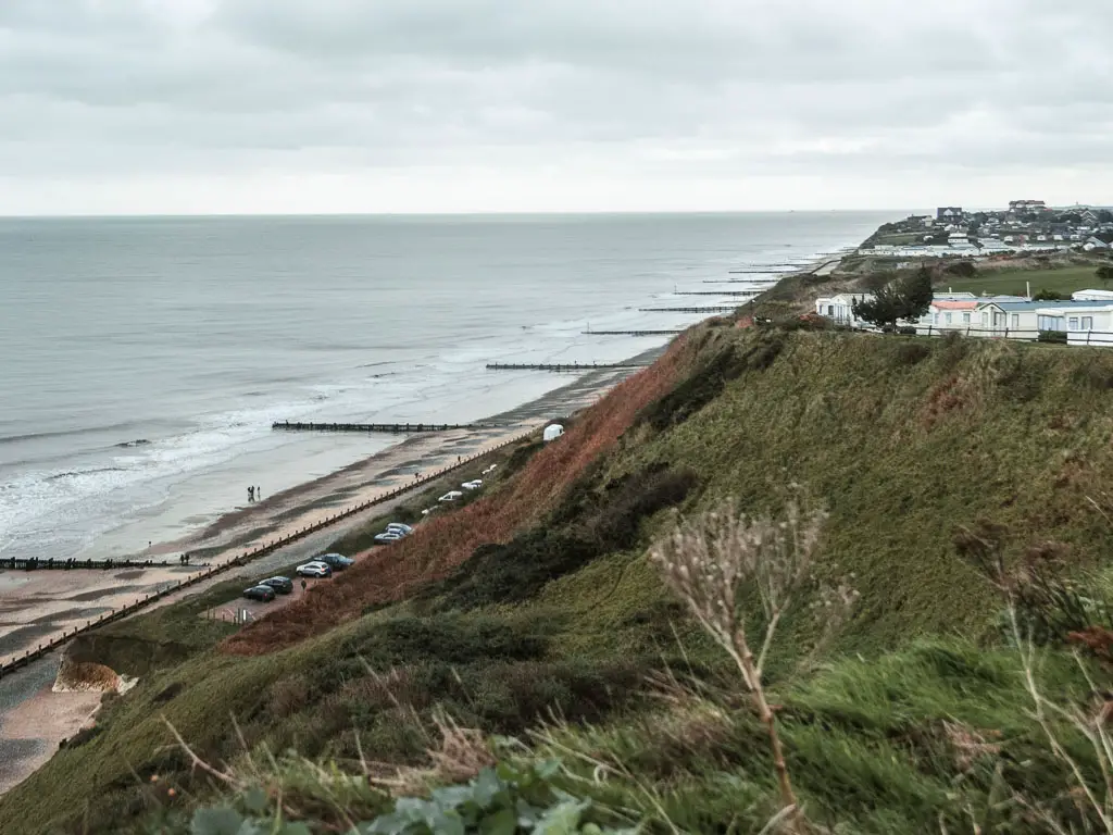
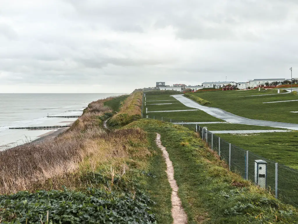
This will lead you back towards the coast, this time along the top of the cliffs. It’s a bit of an uphill here, but this time you do get a fantastic view looking back.
The cliffs
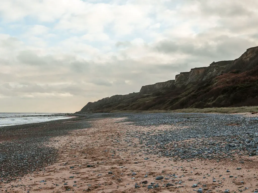
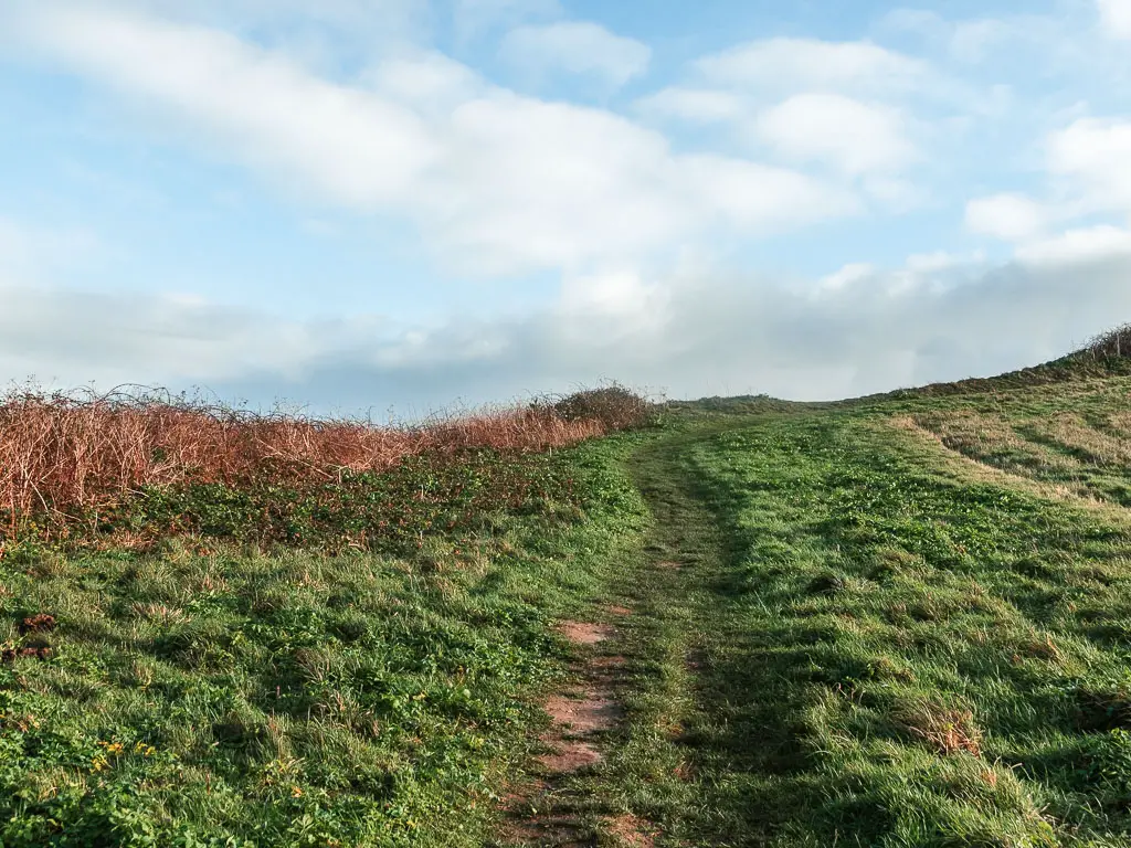
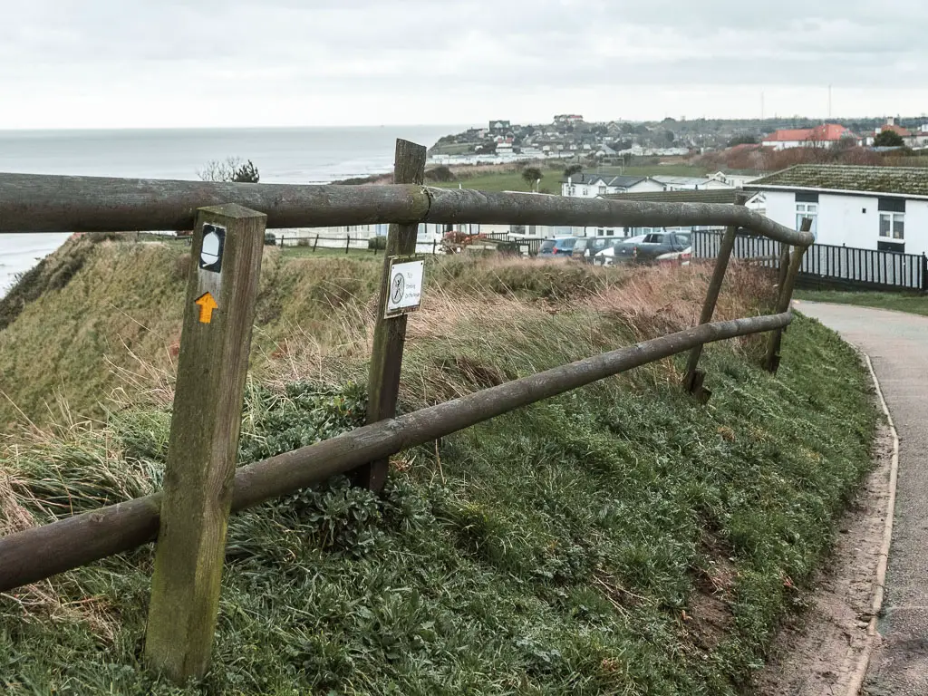
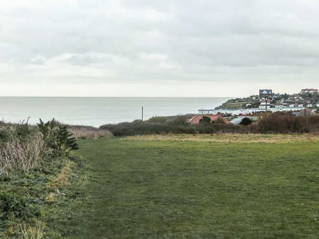
Now just simply follow the path along the cliff edge. The views along here are quite interesting. You can see along the top the way the cliffs go in and out. You mostly don’t see the cliffside though. Just a few times.
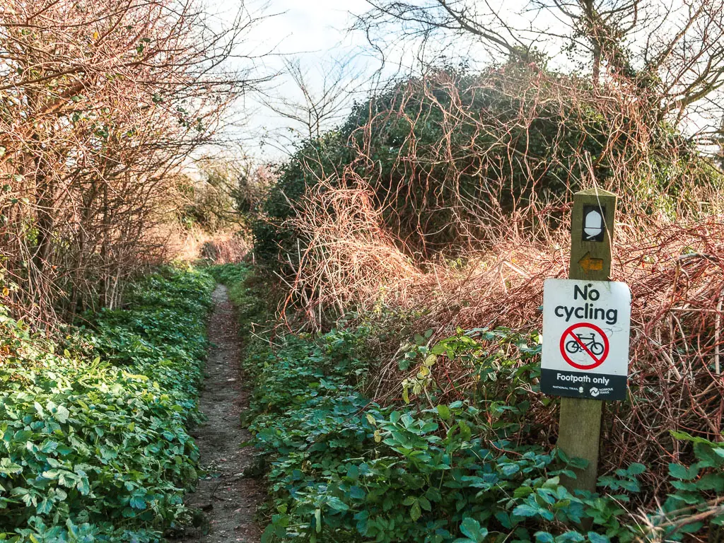
You will then be lead through a small bit of woods, with acorns guiding you though, and then into the village of Trimingham.
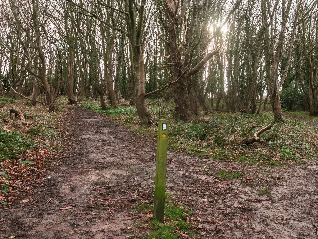
More road, less coast
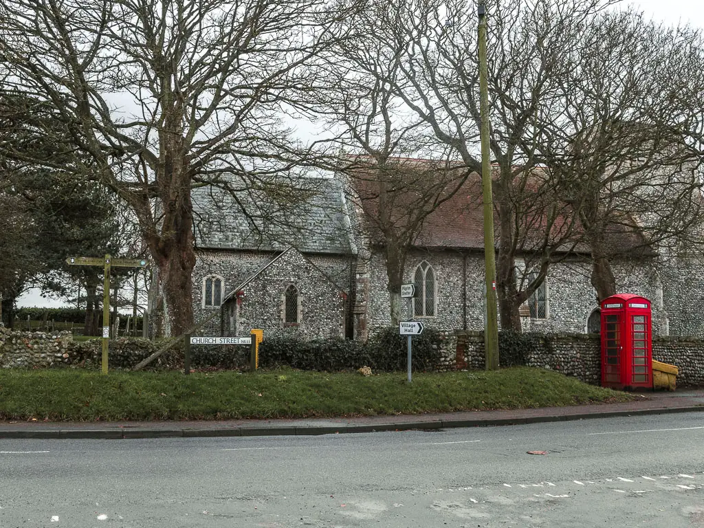
Follow the acorns to reach the main road with a church. Then turn left. There is a little bench here, which I decided to rest on and think.

My foot was really starting to hurt again. So much so that I was limping. I knew at this point I wasn’t going to make it. I had to stop the walk at Mundesley.
Not what I wanted. But it would have to do.
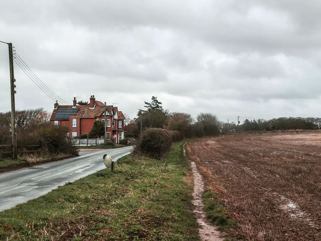
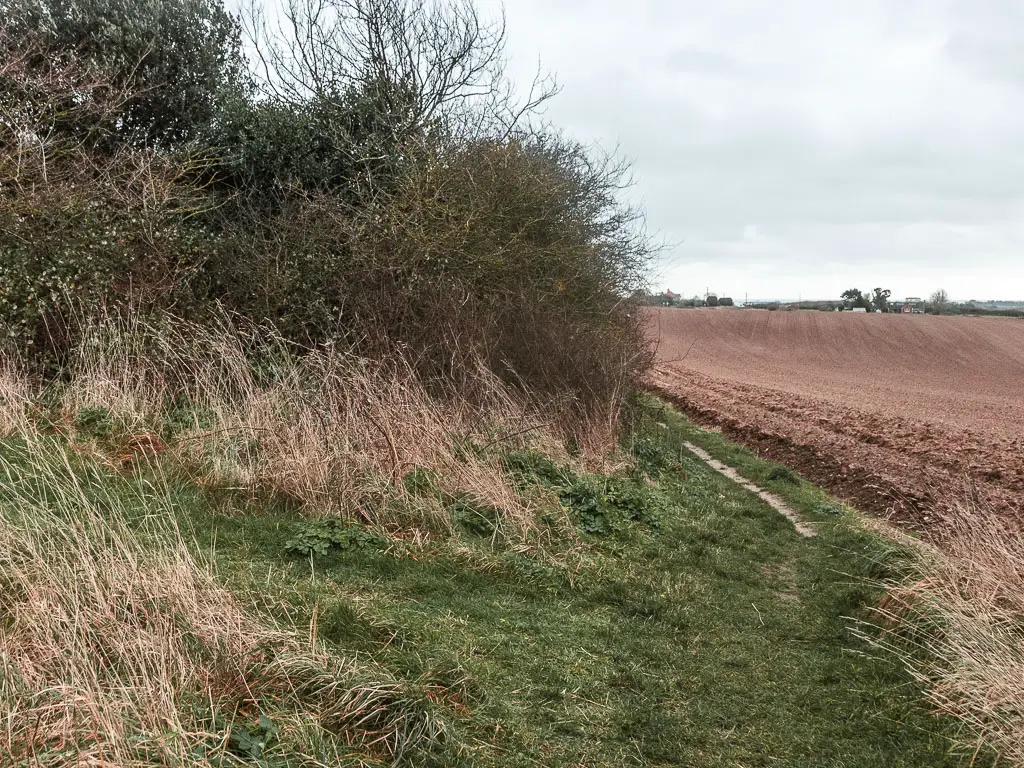
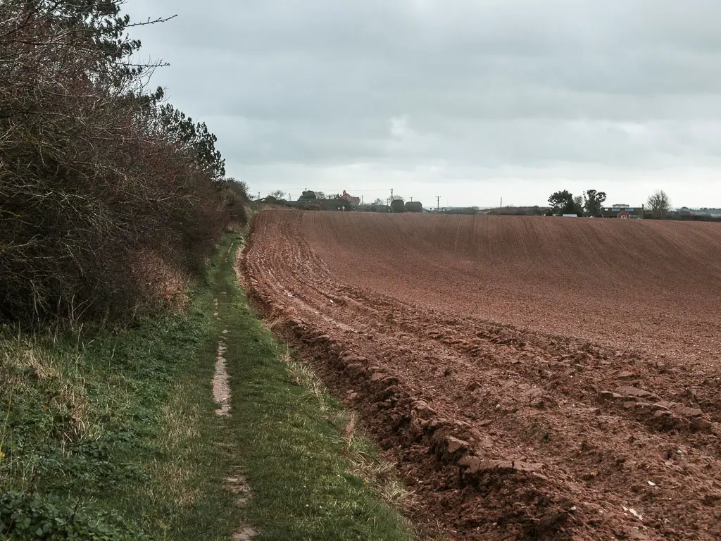
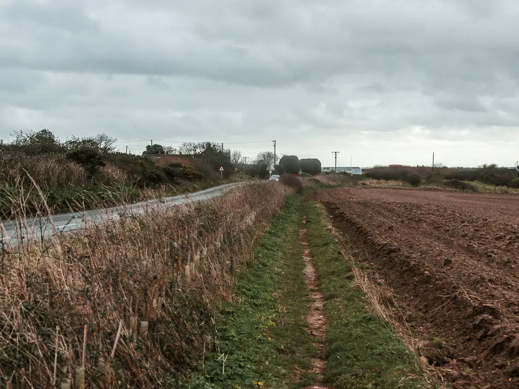
Continuing on the road, look out for the sign directing you onto the dirt trail between the road and crop field. It’s very ‘scenic’. Not quite what I had in mind for a coast path walk.
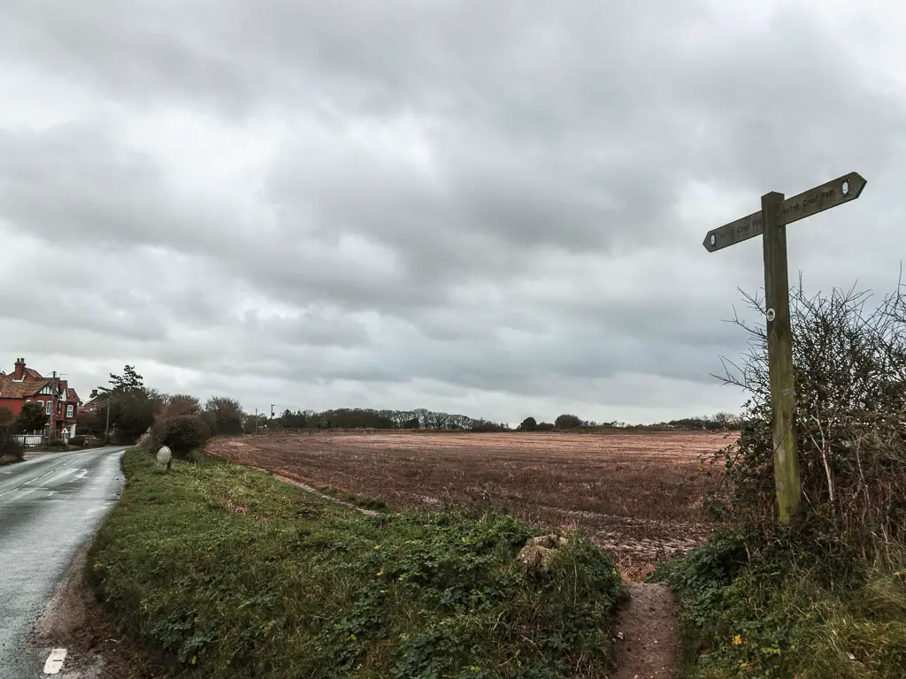
At the road junction, continue on the dirt trail, which will lead you to a bit of woods, and alongside a wooden fence.
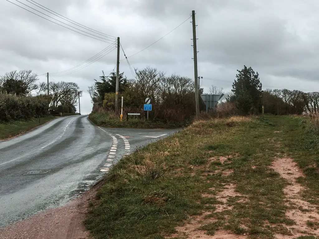
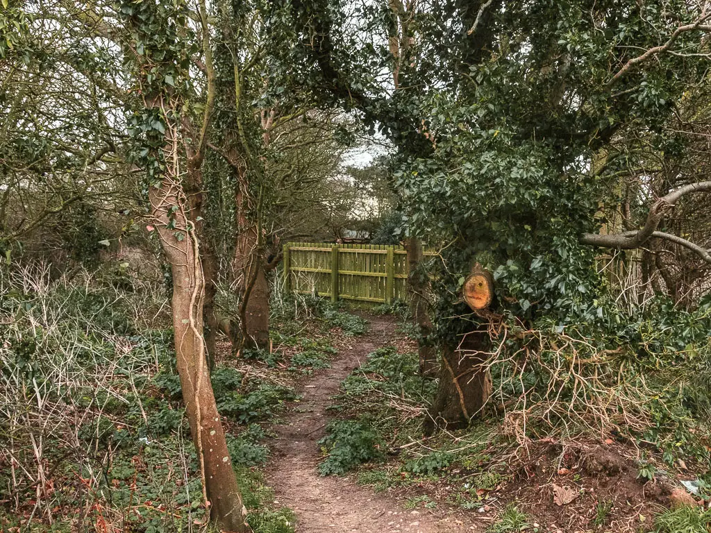
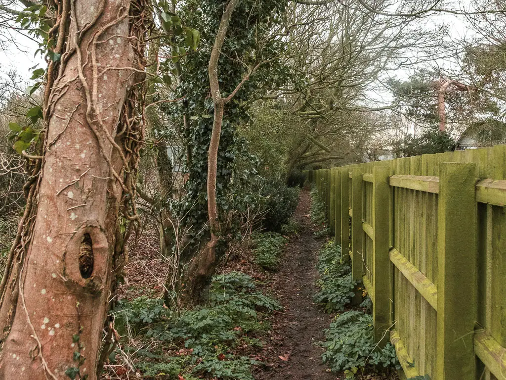
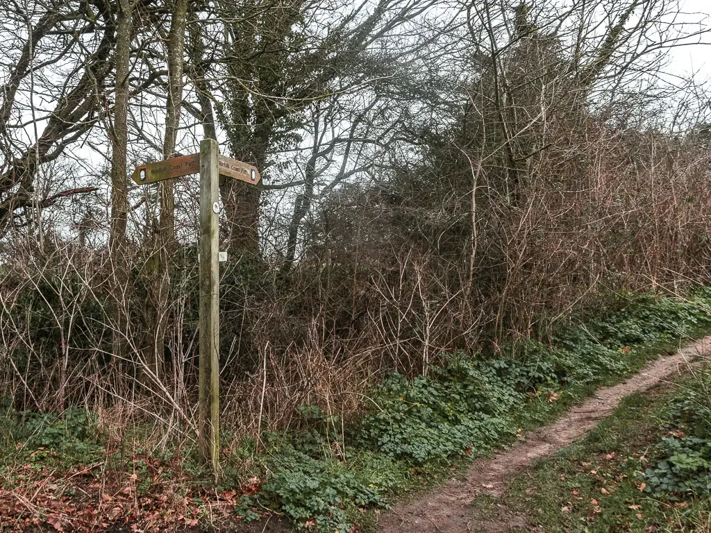
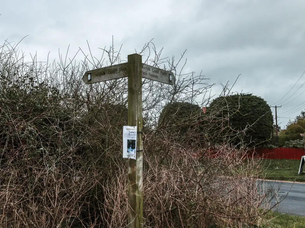
At the next road, turn right. Then a short way along there will be a dirt trail and Coast Path sign on the left. Follow it.
More fields, road, and holiday park(s)
This will lead you alongside another crop field, and then alongside the road again.
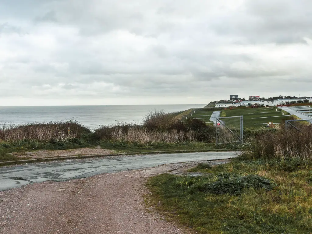
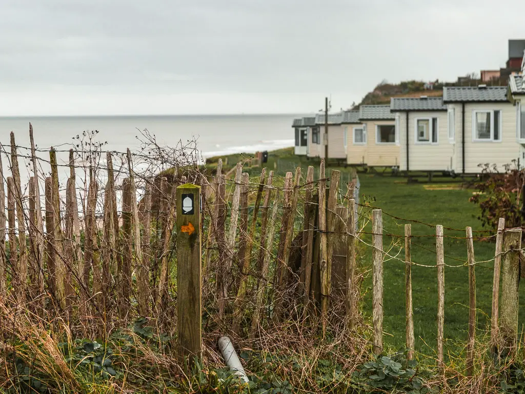
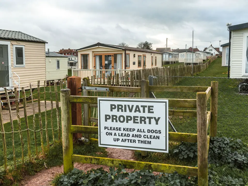
At the end, there will be a sign directing you across the road, towards a caravan park. At the entrance, keep to the road on the left, which will lead you back alongside the clifftop.
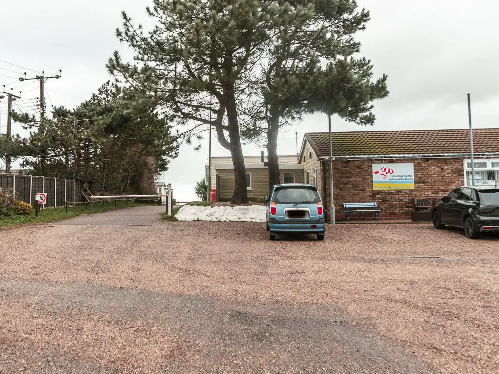
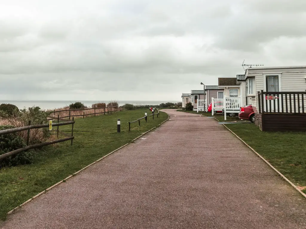
It’s actually quite well signposted along here. In fact, it’s been unusually well signposted for a while. So yeah, follow the signs which will lead you past the caravan park and back onto dirt (potentially muddy) trail.
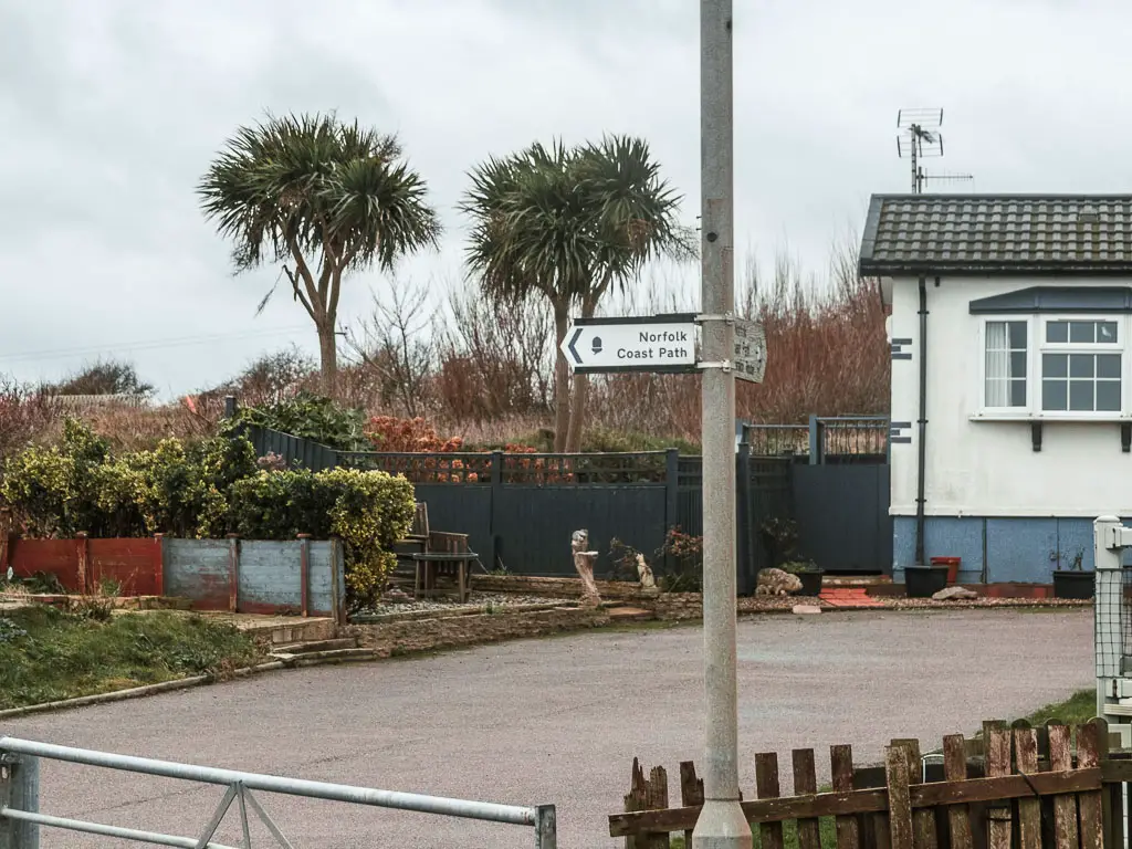
When you reach the green, keep left, then cross over the next road onto another dirt trail. Keep going all the way to reach the next holiday park.
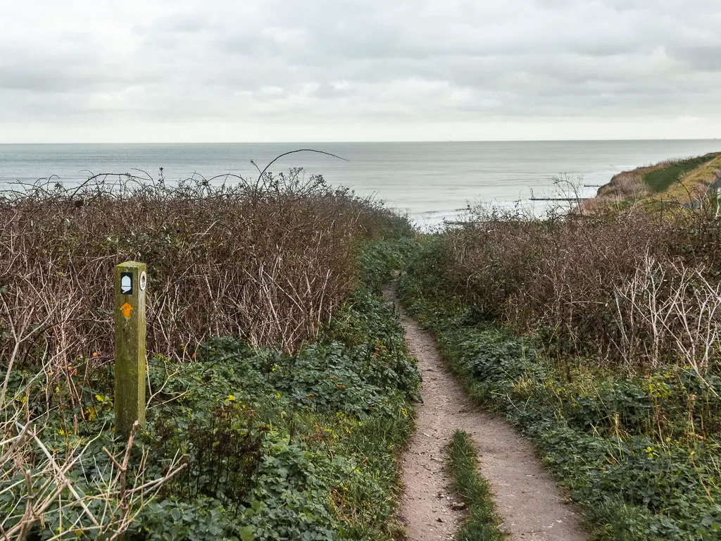
When you reach the fence at the end, follow the acorn sign to the right through the gate, and walk all the way to reach the road. Keep going right to the end, then turn left.
Road again
It’s now more road.
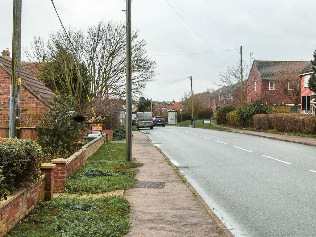
I was really struggling by now. As I walked past by a bus stop, which is the exact bus I would be catching from the centre of Mundesley, I was very tempted to call it a day. But I was so close. I just needed to walk a little more. So I kept going.
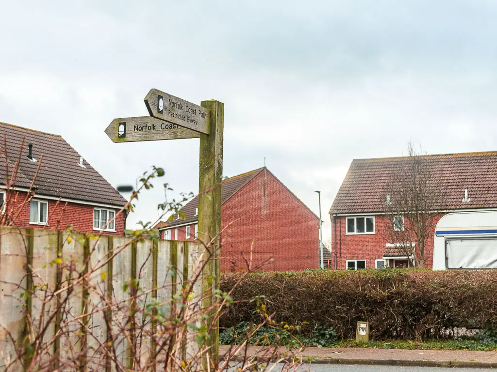
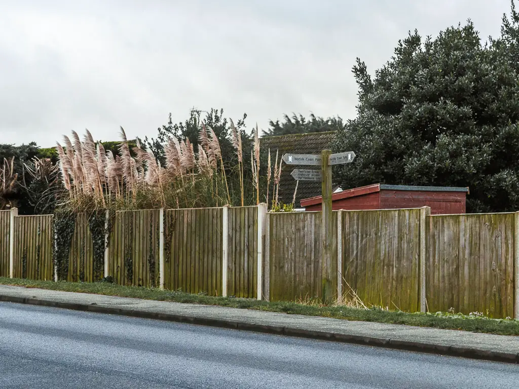
Now, someway further along there is a left turn you need to take. You wouldn’t have thought it, if there wasn’t a coast path sign. The sign is actually on the other side of the road, so keep an eye out for it.
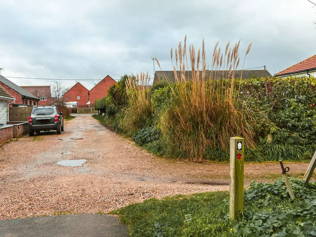
After the turn, you will be lead onto Sea View road, where you turn right, to walk through a residential area.
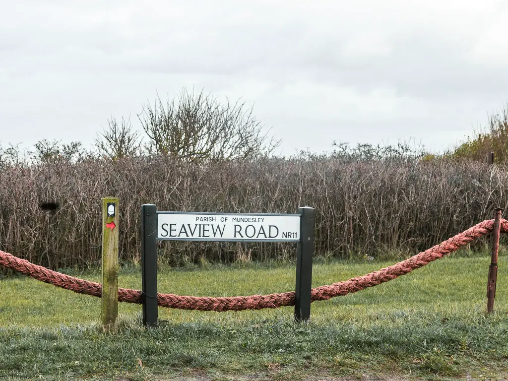
The end of the walk from Cromer into Mundesley
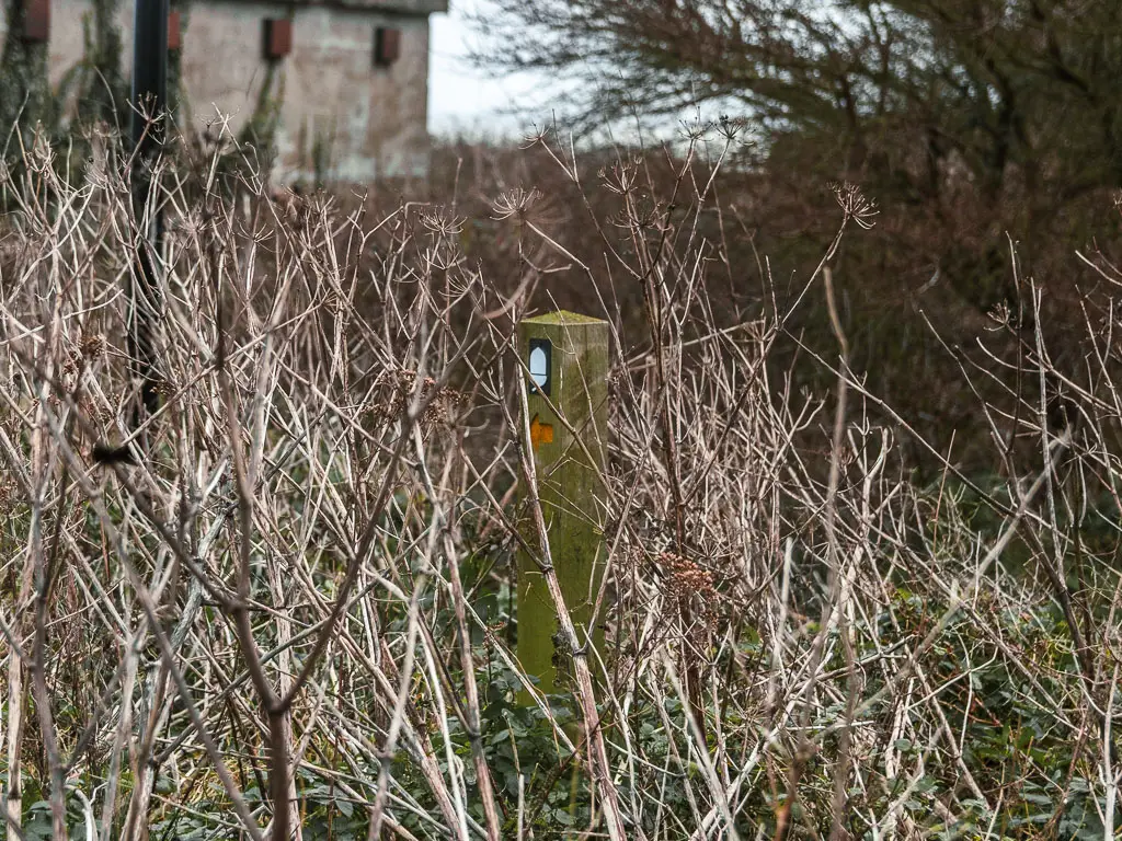
Keep going, then towards the end where the road curves, there is a path to the left. There is an acorn sign hidden in there bushes here.
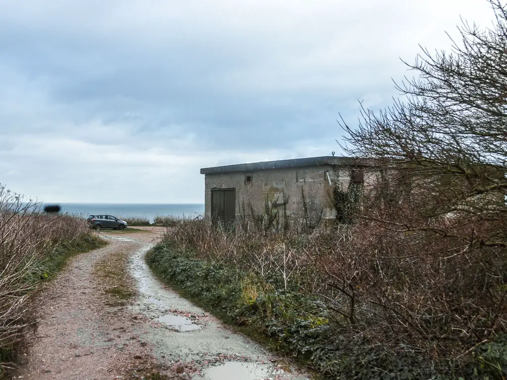
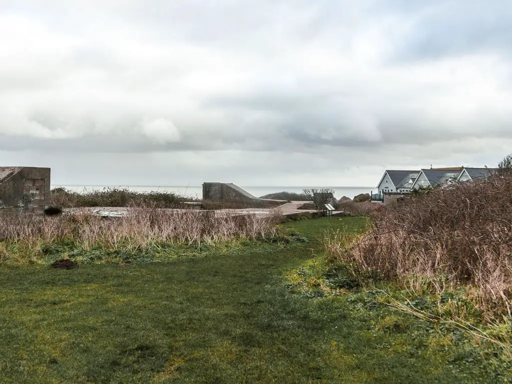
This will lead you past some ruins of the WWII emergency coastal battery. There are information boards here if you would like to know more about it. I was in too much pain to care, so just walked on by.
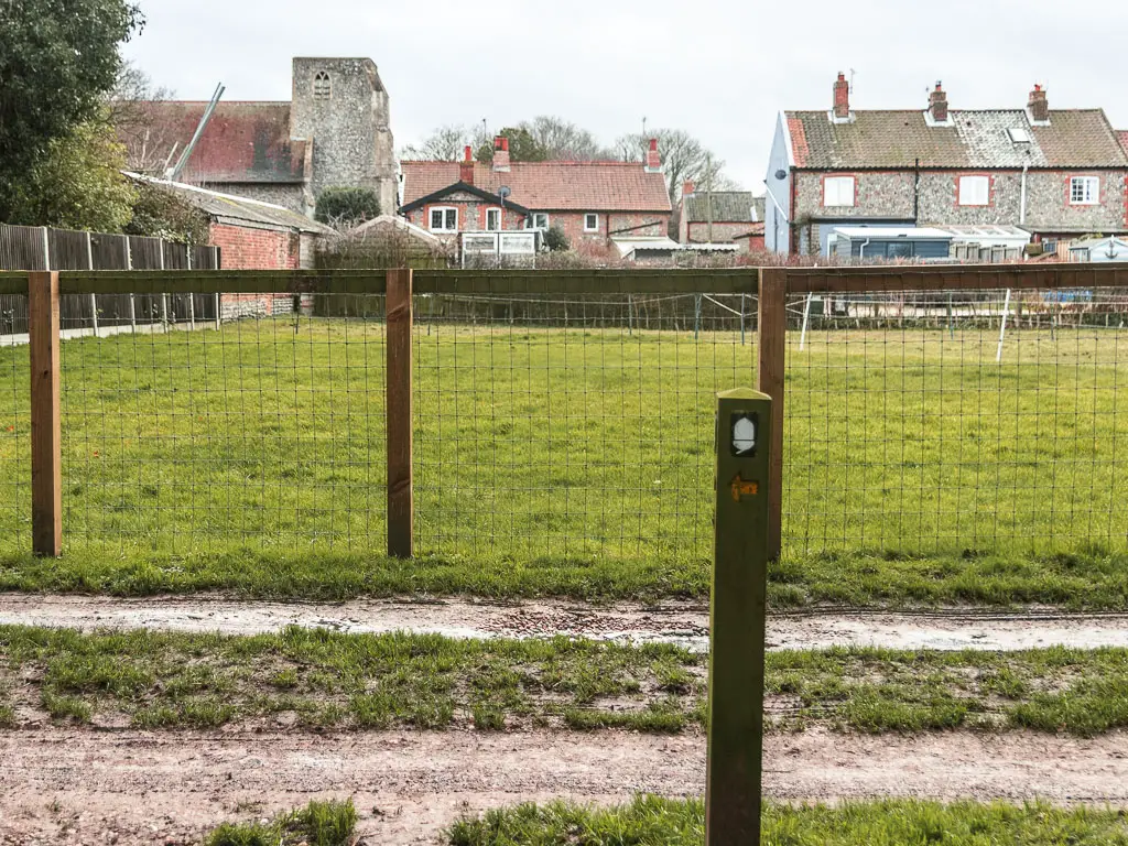
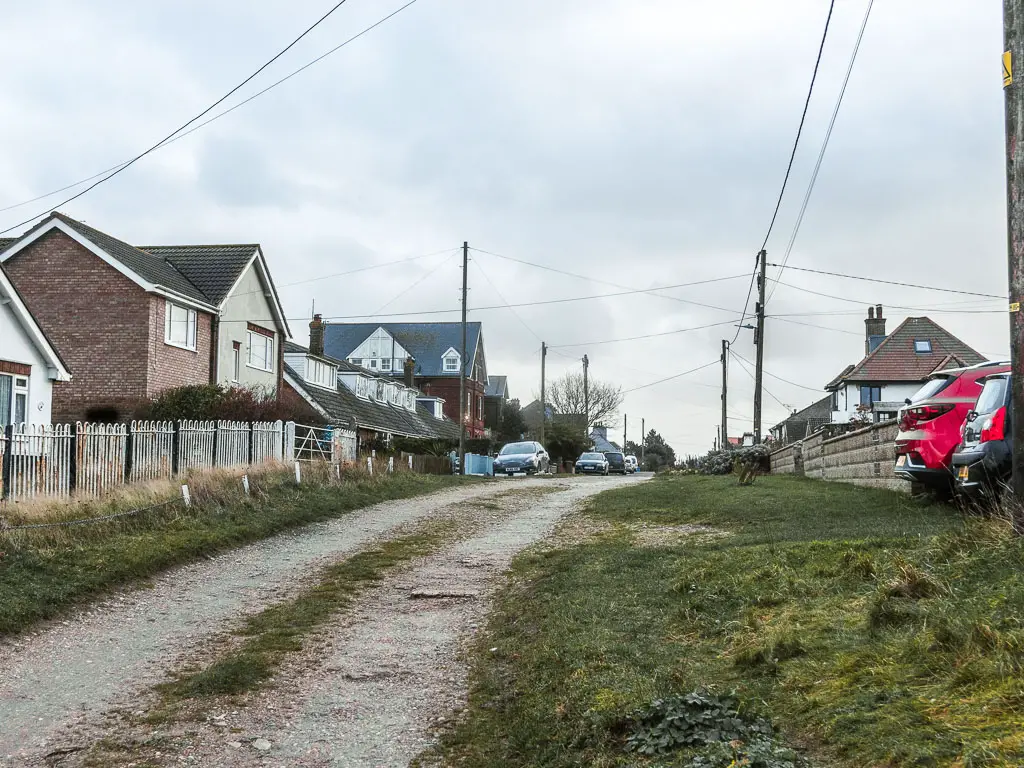
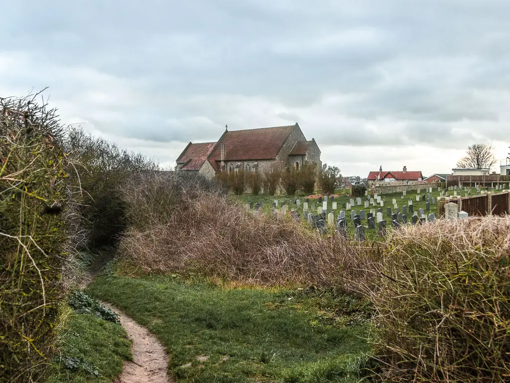
The grass will lead to a dirt trail alongside a church and graveyard, to reach a gravel car park. Walk diagonally across it to reach the road, and turn left.
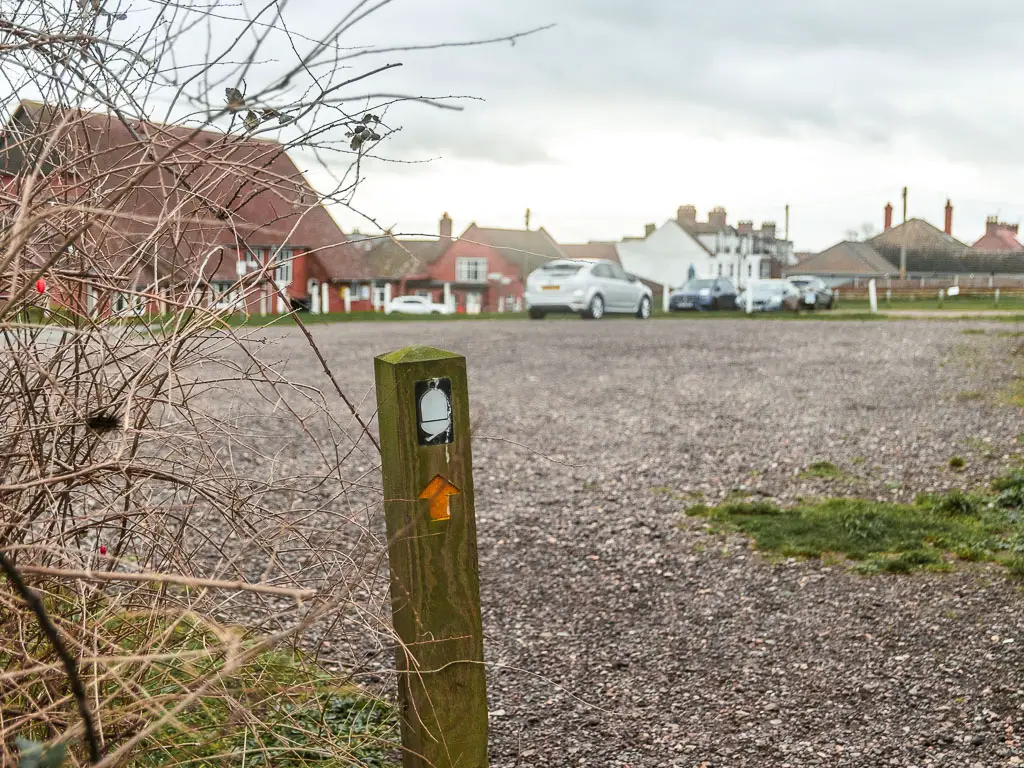
This will lead you into the centre of Mundesley.
If you would like to catch the bus from here, then take a right onto High Street. Aptly named as it is very un-high street like. Keep going and you will reach the bus stop.
Some months later I made it back to finish what I started. You can read about day 5 Mundesley to Hemsby here.
2 comments
Your photos are so beautiful.That alone made your blog nice to read! And seeing someone else’s world. Thank you.
Hi Aritha. Thank you so much. This makes me so happy to hear 🙂