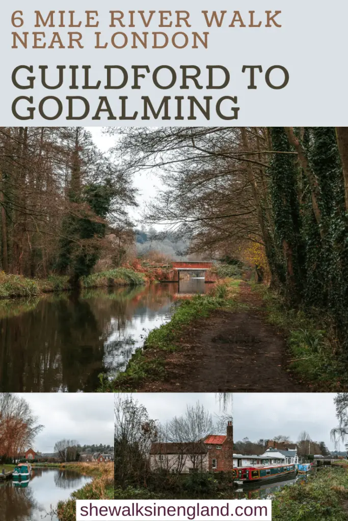
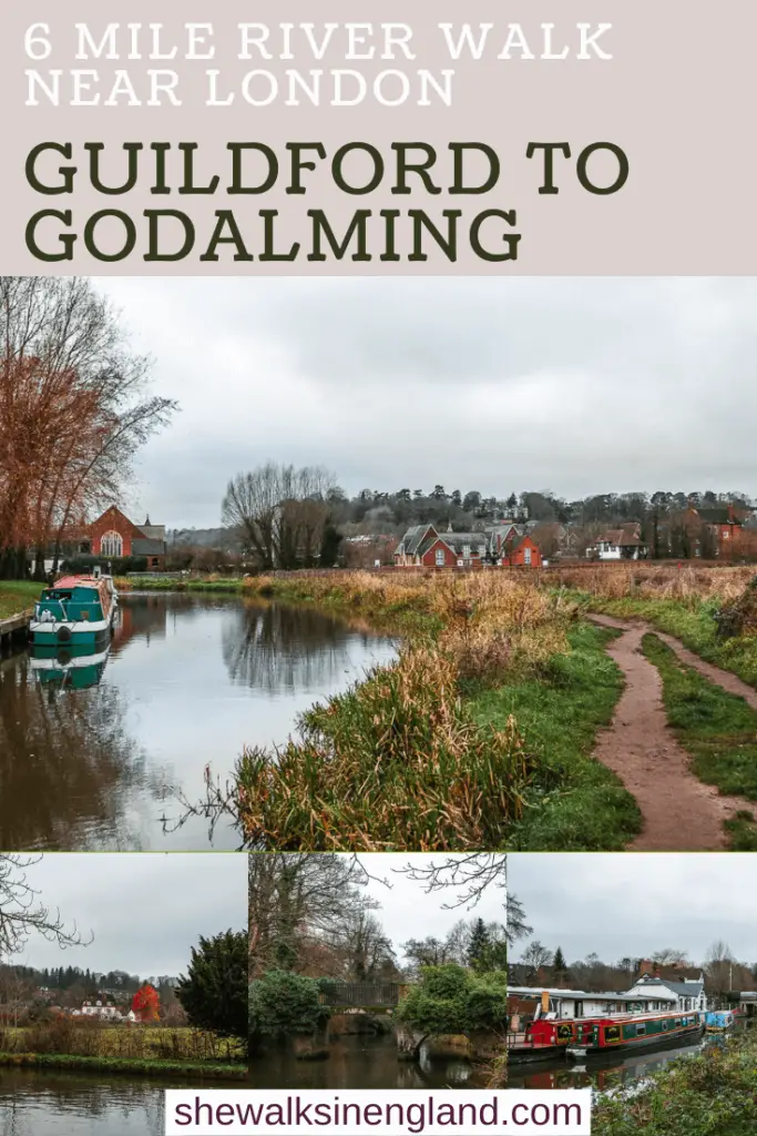
The walk from Guildford to Godalming along the River Wey is nice and simple. What I mean by that is, you don’t need a map to navigate your way and it’s not too long. Basically, it’s a lovely walk to do if you don’t have tonnes of energy and just want to switch off.
That’s kind of why I chose to do it on this day. I did a bigger hilly walk the day before to Temple of the Winds, so today was kind of like a rest day.
–Read about Temple of the winds here–
If you do want to make it longer though, the River Wey actually runs for 20miles. The rest of it being from Guildford to Weybridge. For me, that’s too long to walk straight along a river or canal. I’d get board. But if that’s your vibe, then I’m all for it.
What is the River Wey?
I’m glad you asked. The River Wey has some interesting history. It is the first river in Britain to be made navigable. That’s why you may hear it referred to as the Wey Navigation, or sometimes the Wey and Godalming navigation. To keep this an easy ready I will bullet point some of its history.
- The section between Weybridge and Guildford came first. 12 locks were build and ready for use in 1653. It became known as the Wey Navigation. About 100 years later, 4 locks were build between Guildford and Godalming, becoming the Godalming navigation.
- The River Wey, now navigable, was used to transport goods to and from London and the River Thames.
- Back then, the river wasn’t the peaceful escape from the city which it is today. It meant business. Crew urgently trying to get their goods to the city, to catch the London tides.
- Traditionally, each section had a lock keeper, who was in charge of maintaining water levels in their section. The job role evolved over time, and now is run by lengths men who manage water levels and vegetation along their length.
- In the 1800’s, when railways started to appear, trade moved away from the rivers. With less trade, meant less money. Less money meant that the navigations couldn’t be maintained. The Godalming Navigation was first to go, and by the early 1900’s was derelict. The rest of the Way navigation remained a working waterway until the late 1960’s.
- The Godalming and Wey navigations were then donated to the National Trust.
Things to know before you walk from Guildford to Godalming along the River Wey
Now there are a couple of things to make you aware of, before you walk along the river from Guildford to Godalming. On weekends, in the summer months, some parts of it can be quite busy. Particularly on the walk out of Guildford. It’s a popular river to play in. During heat waves, you will find kids jumping off the bridge, and people generally taking a dip to cool down from the heat. The banks of the river will be lined with people.
So unless you plan on taking a bit of a wild swim dip, I would suggest doing this in the cooler months.
Second, you are never that far from a road or railway. What I’m saying is, for much of the walk you will hear the sound of trains and cars. Some sections are pretty peaceful, for some it’s a faint background noise, and others it’s quite loud.
Logistics for the walk from Guildford to Godalming along the River Wey
- Start: Guildford
- Finish: Godalming
- How to get there: You can get a direct train from London Waterloo and Clapham Junction to Guildford in 30min-1h (there are fast and slow trains). You should buy a return ticket to Godalming, then get off one stop early at Guildford to start the walk along the River Wey.
- Distance: 5.7 miles
- Time: A bit over 2 hours
- Difficulty: Easy peasy
- Tips/Amenities: For almost the whole walk along the Wey Navigation, there are no benches. I was very acutely aware of this as I wanted to sit for a snack break and it was muddy. So I held out for a bench which never came. Or at least, didn’t come until near the end of the walk into Godalming. Don’t do it on a summer weekend. Wear hiking shoes…it’s real muddy.
- Time of year: I did this during winter.
Map for the walk from Guildford to Godalming along the River Wey
.
– More similar or nearby walking recommendations, will be at the end of the post –
A Guide To The Walk From Guildford To Godalming Along The River Wey
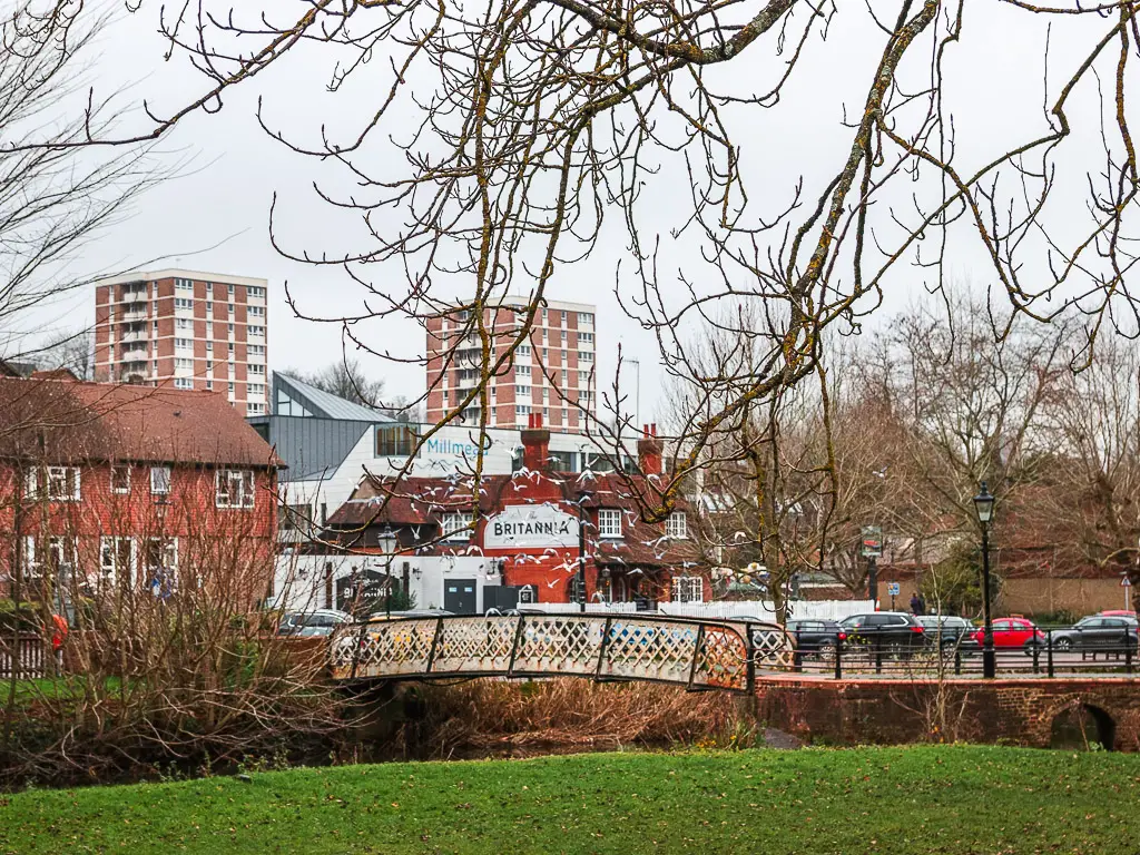
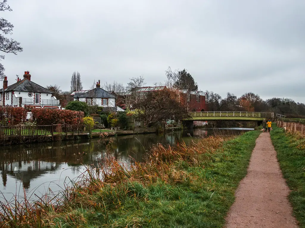
So, I said you don’t need any navigation skills for this walk. I really mean that, just not for this first bit. The beginning of the walk from Guildford is a bit confusing and stop/start.
Out of the station, you need to cross over the main road and find your way to the underpass, which will take you to the river. This sounds easy, but it’s not. It’s confusing as there are a few turns and options for turns.
If you end up not on the river, but instead on the main road, that’s totally fine. Look on google maps and make your way to the high street bridge. It’s next to the White House pub.
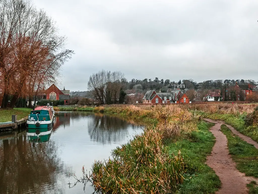
The start of the Godalming Navigation walk in Guildford
At the bridge, walk down to the river on the side next to the White House pub. Continue along and then through a car park and then cross the river at the next bridge.
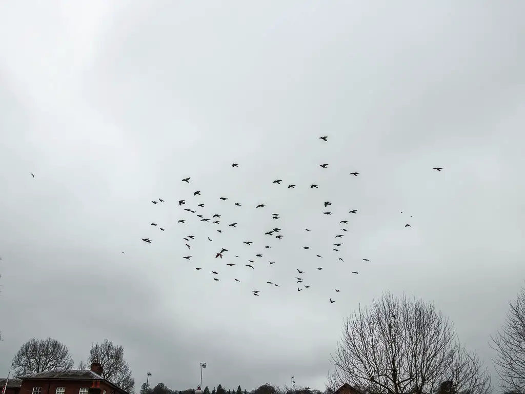
The pidgins were going a bit crazy here. Flying about in their flock. Coming to rest and then suddenly flocking again. I was convinced I would get pooped on….luckily I didn’t.
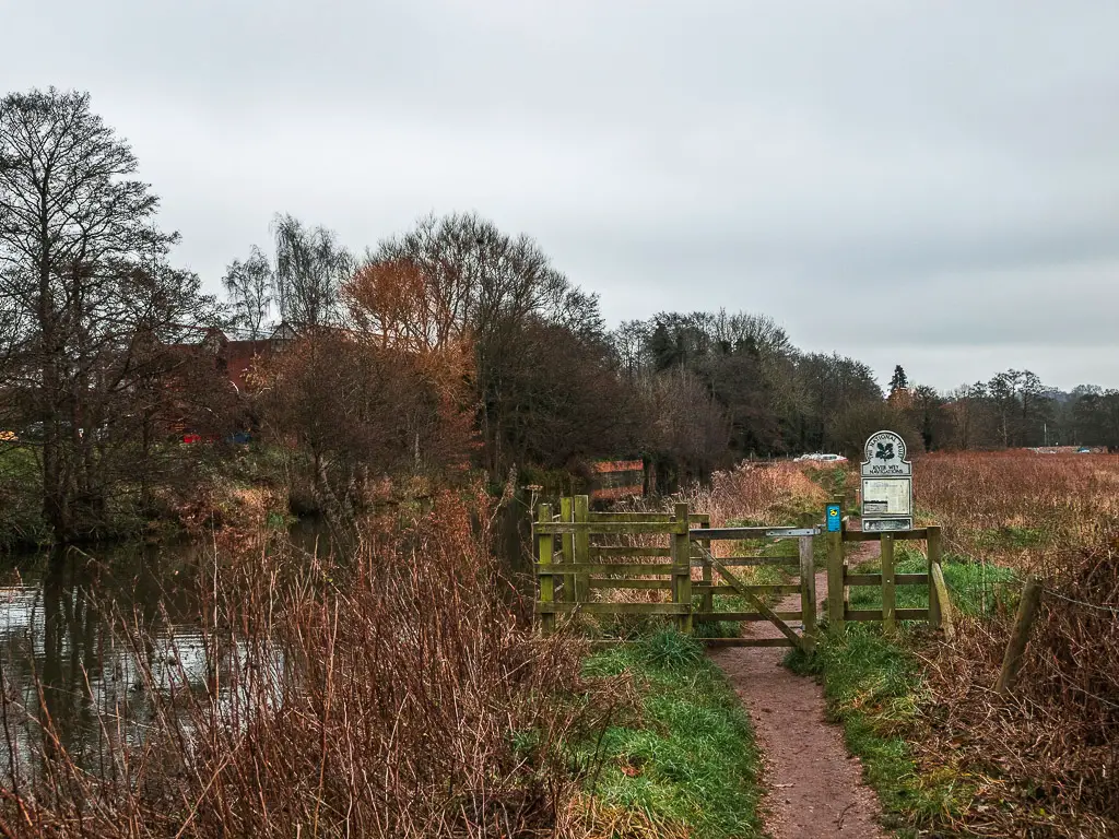
Now, there is a way to continue the walk along the river, kind of. It was closed when I was there. I’m not sure if this is a temporary thing, or if it’s permanently closed to the public. If it is indeed not accessible when you are there, you need to leave the river for a bit. To do this, go over the next bridge and keep going until you reach the main road.
At the main road turn right. This bit of road goes on for longer than is desirable and is very loud. Once past a car park, keep going past the bridge and into the green.
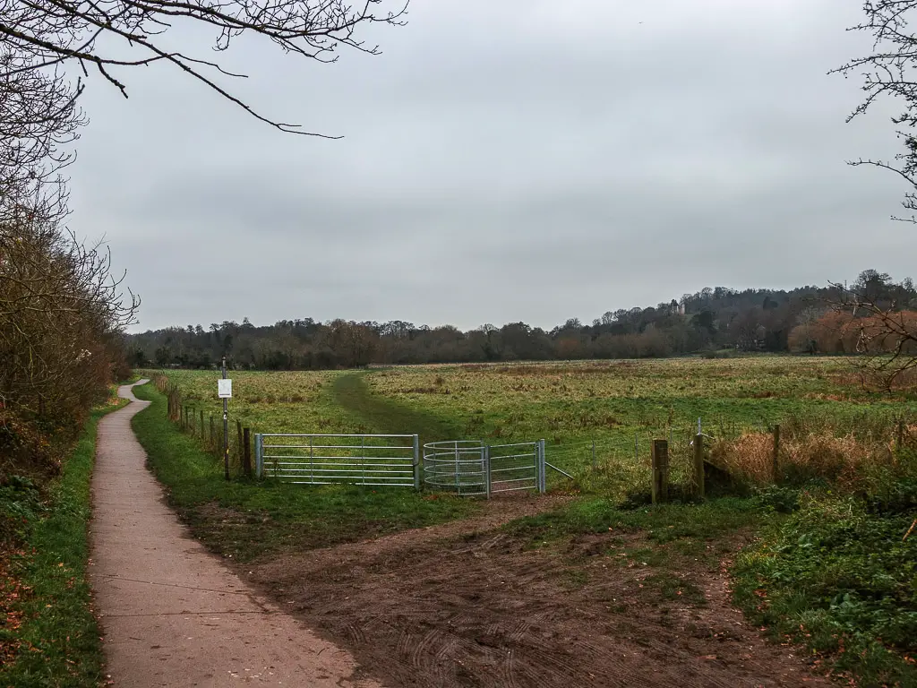
Here there are three trails. You want to take the nearest one to the river, and finally, you can walk away from the road.
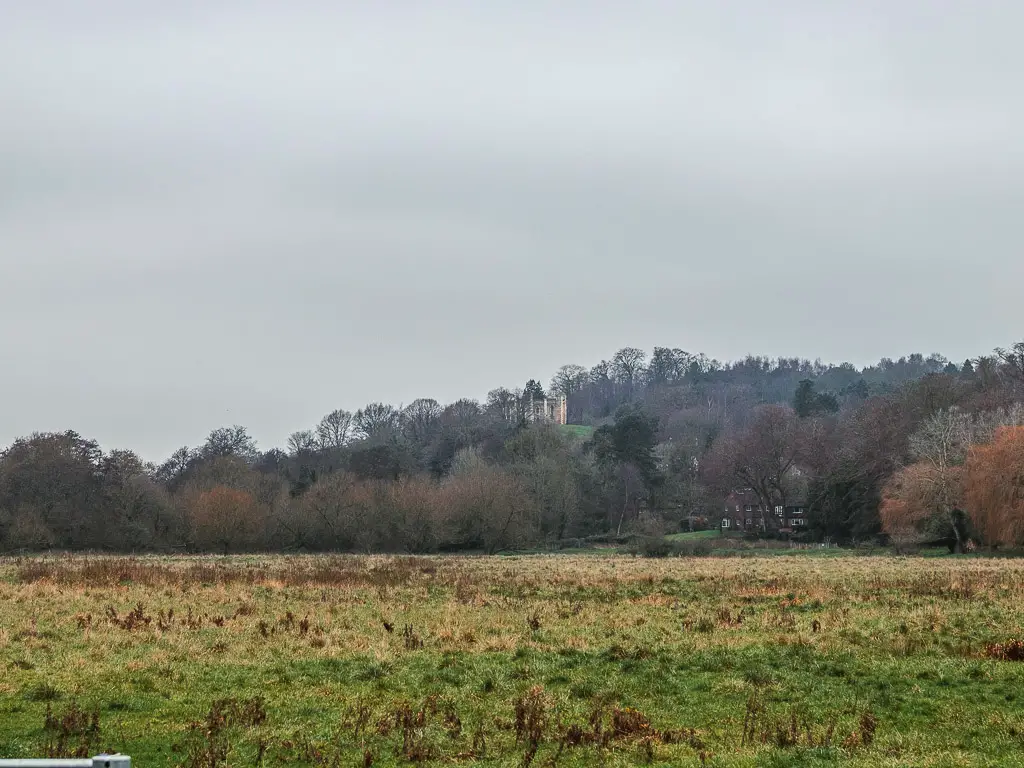
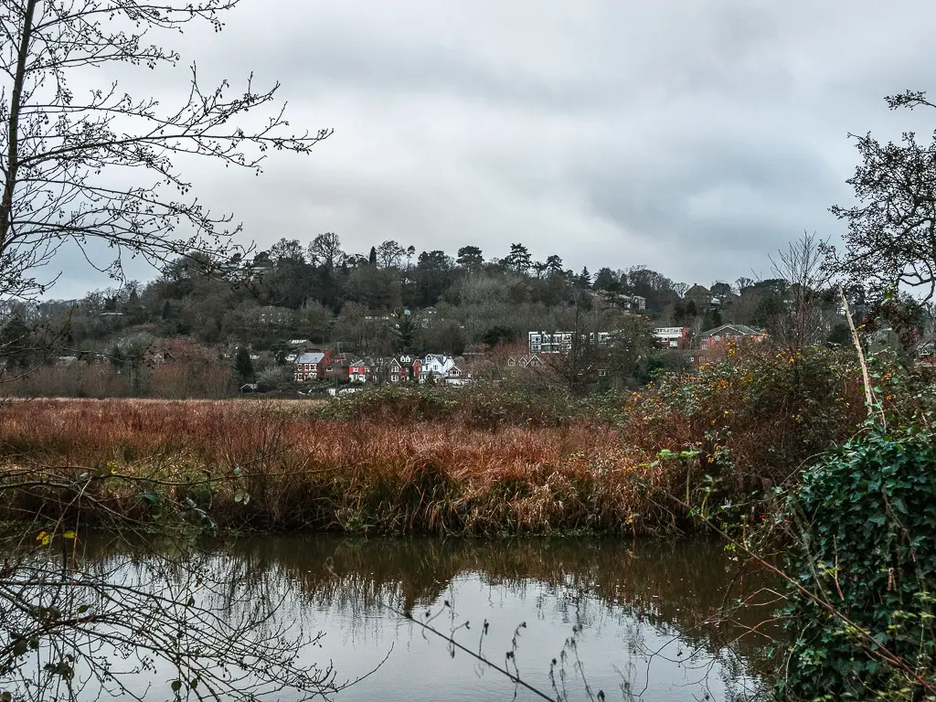
You will also get a view of what I think is St Catherine’s Chapel on a hill across the field.
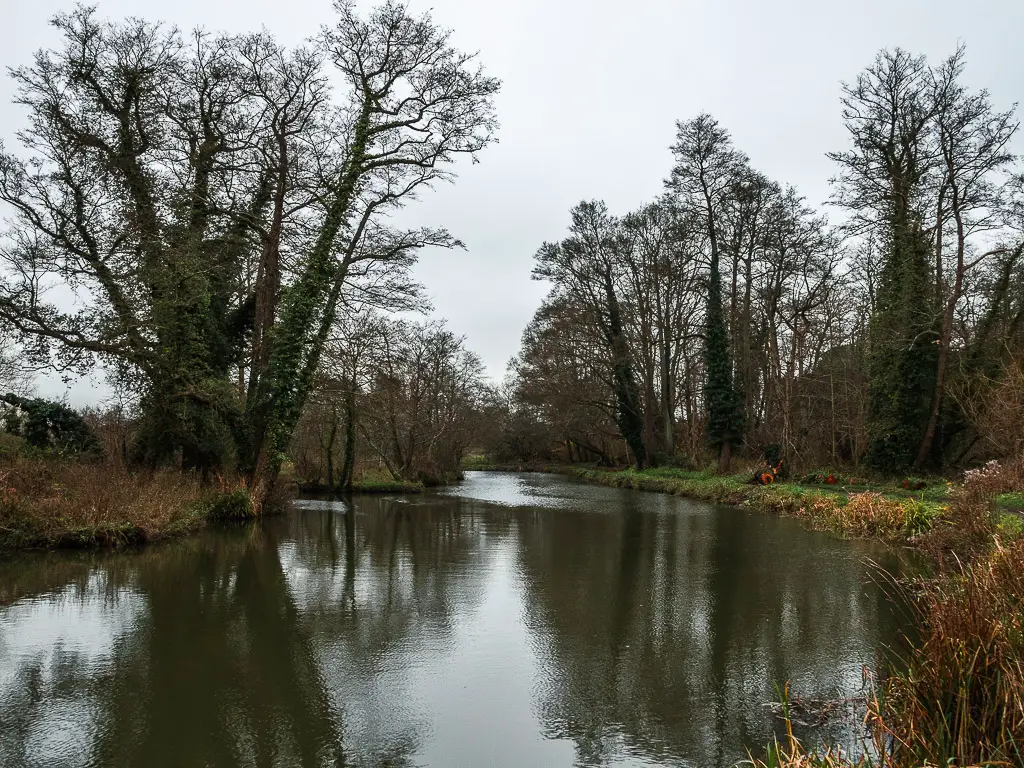
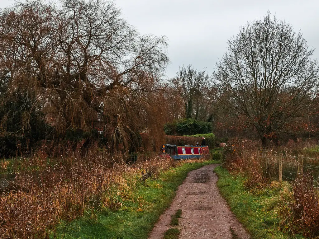
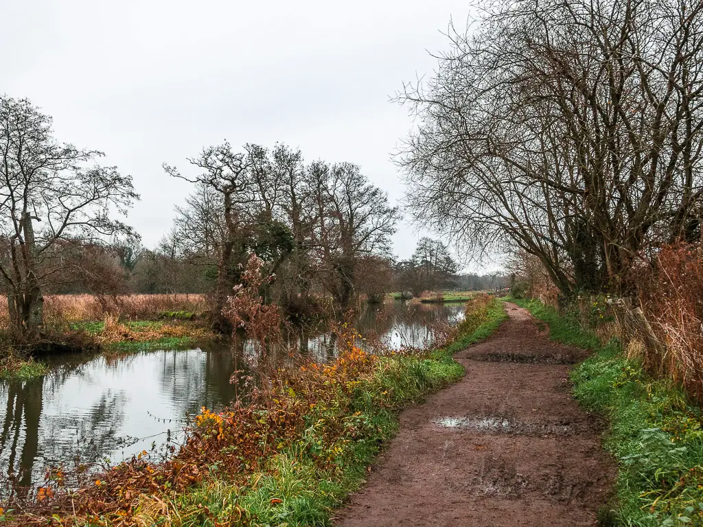
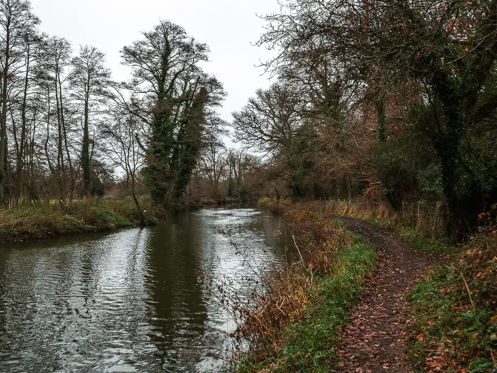
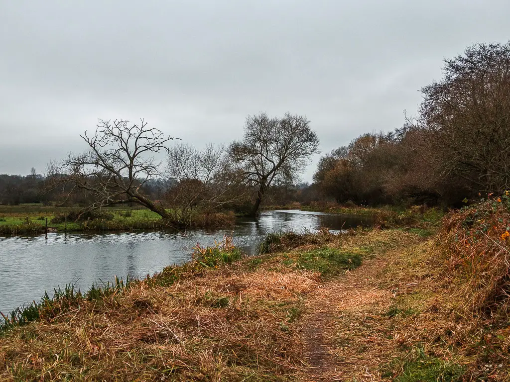
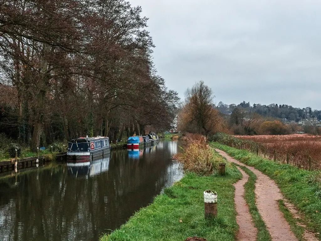
Walk along the River Wey from Guildford to the bridge and viewpoint
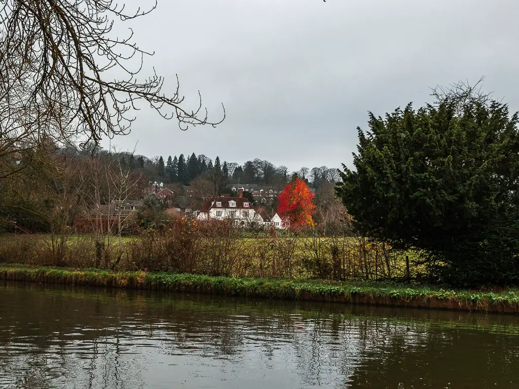
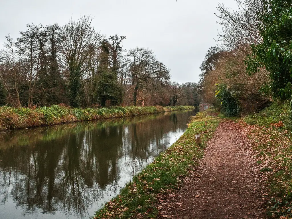
Ok, now you are properly on the River Wey, and the walk is all simple from here. This bit I found quite calming. It was nice to get away from the very busy road. You will walk under some trees with their hanging branches, with a view to some riverside houses on the other side.
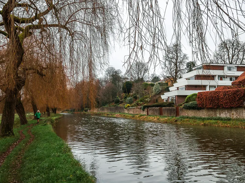
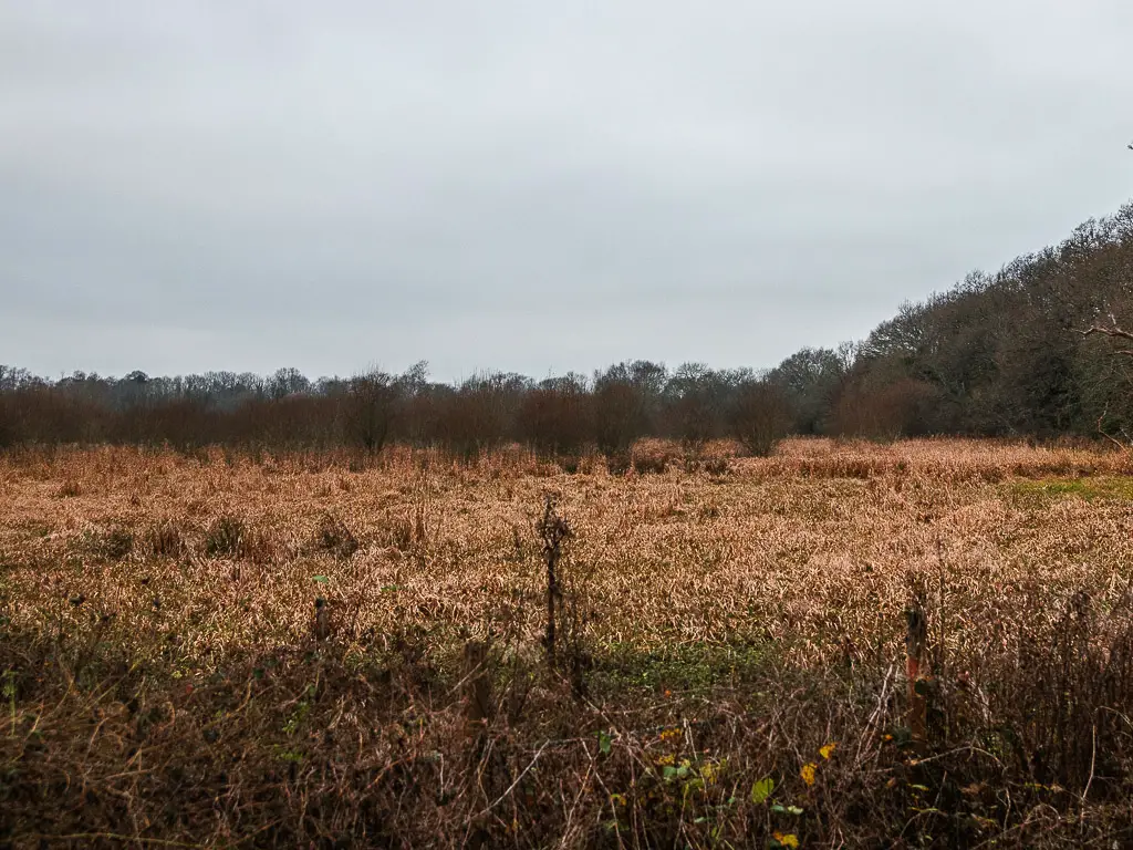
To the left of you is a big field. This used to be used for farming.
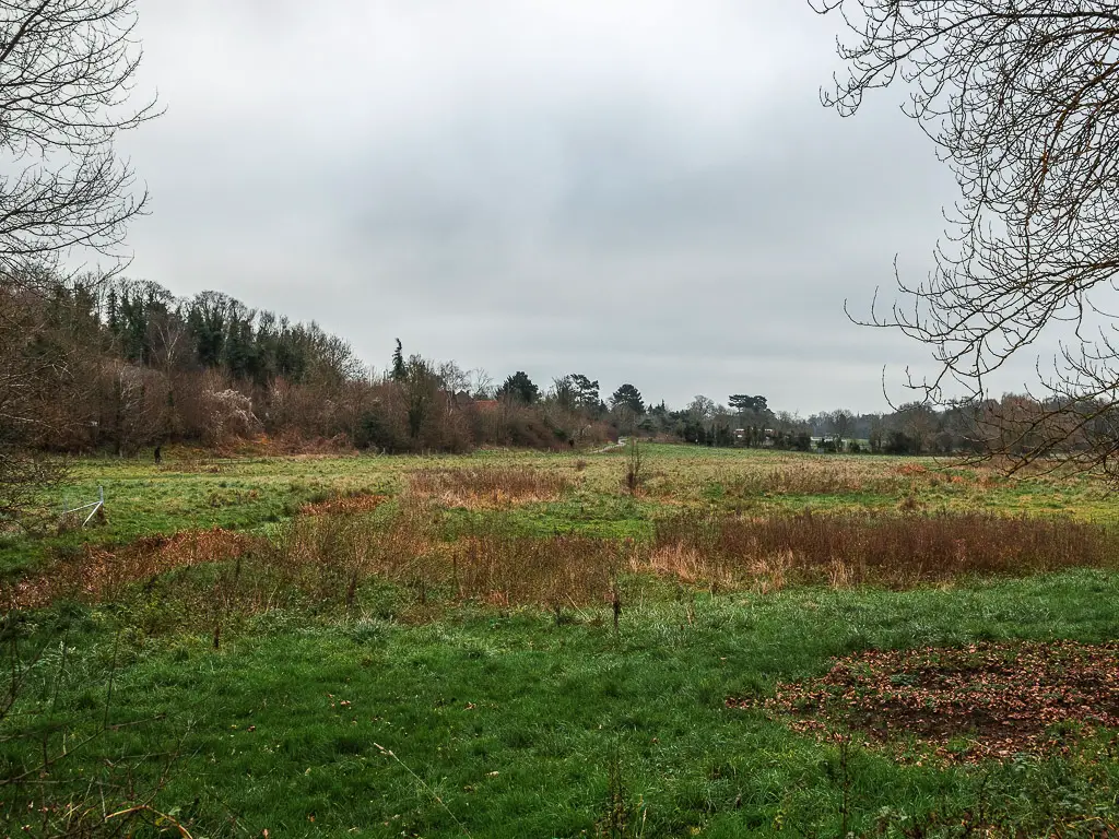
Fun Fact: During the winter months, they would raise the level of the River Wey to flood the field. It would help keep the grass warm during the winter. Then come spring, they would lower the water level to get the field ready for farming again.
Along here there is a gate which says ‘keep closed’. You will see the humour in it when you go 😉
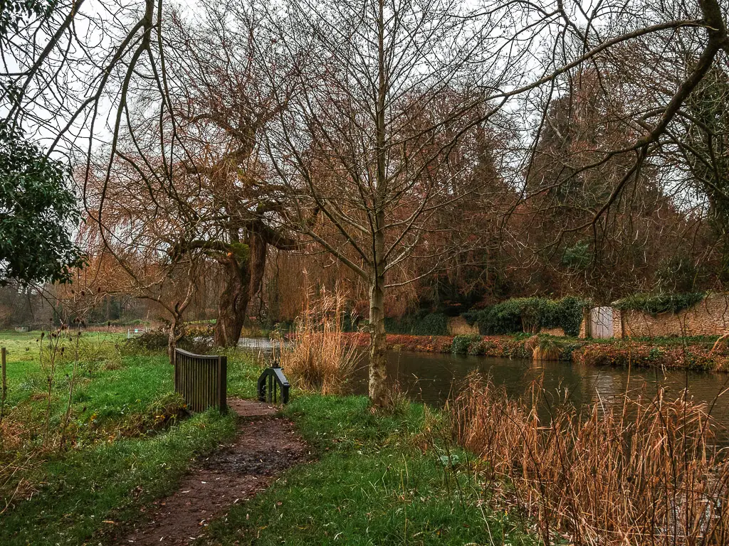
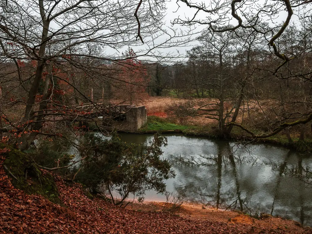
Past the field, and under some more trees, you will soon reach the bridge.
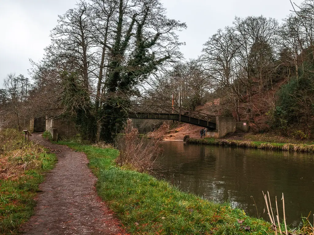
Walk up the hill for the views
Cross over the bridge, and you will see orange ground ahead to the right. Go up it. It’s fairly steep and rugged, and the ground becomes sand which can add to the slippiness. But once you are at the top, you get an amazing view across the trees to the hills in the distance. Even the railway view is pretty cool up here.
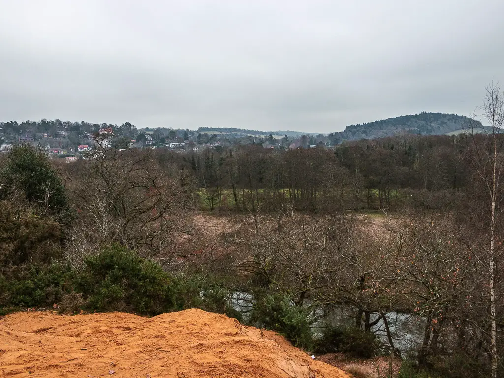
Now you don’t actually have to walk up this bit, it’s just for fun. As I said, it’s quite slippy and steep, so do this at your own risk.
If you did go up, make your way back down to continue the walk along the River Wey.
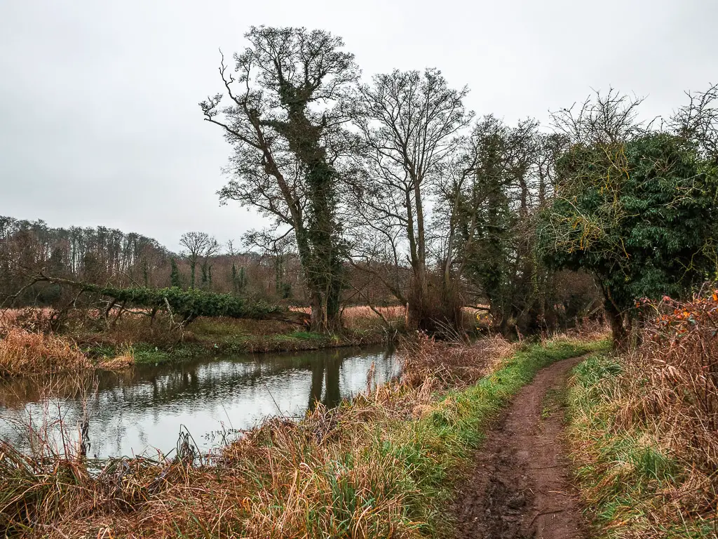
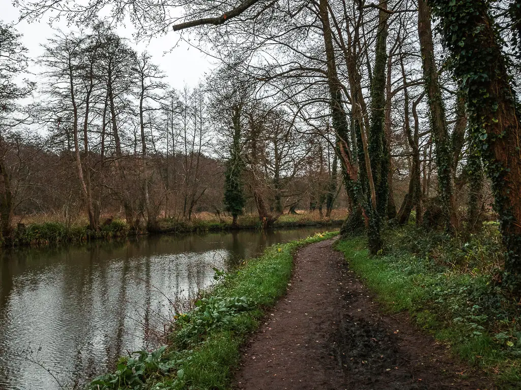
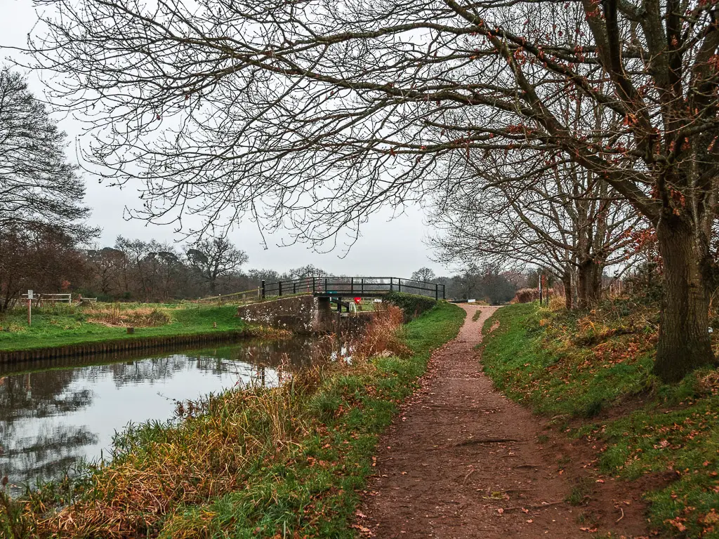
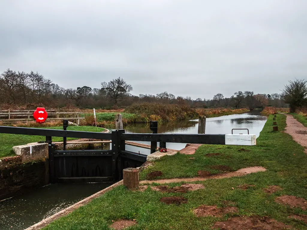
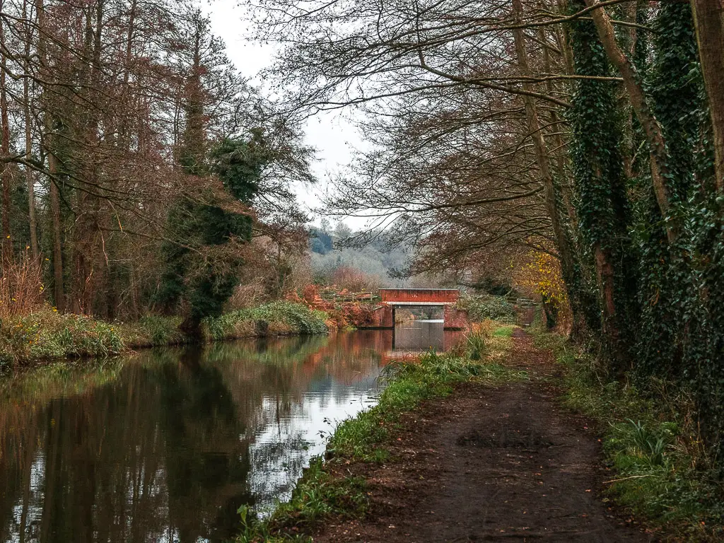
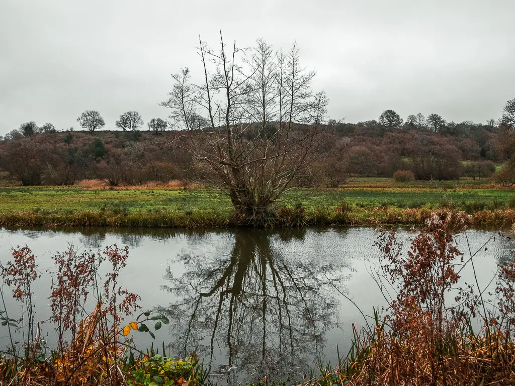
Walk along the river to St Catherine’s Lock
The next section of the walk along the River Wey is easy, along a wide dirt path. With a mix of under tree and open air walking. You will also walk past this roller thing.
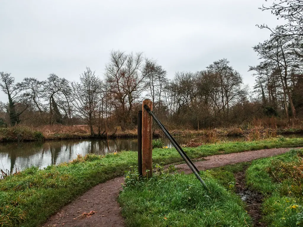
There are a few of these around on the Wey Navigation river bends. Back in the day, they were to help barge boats gets around the corners of the River.
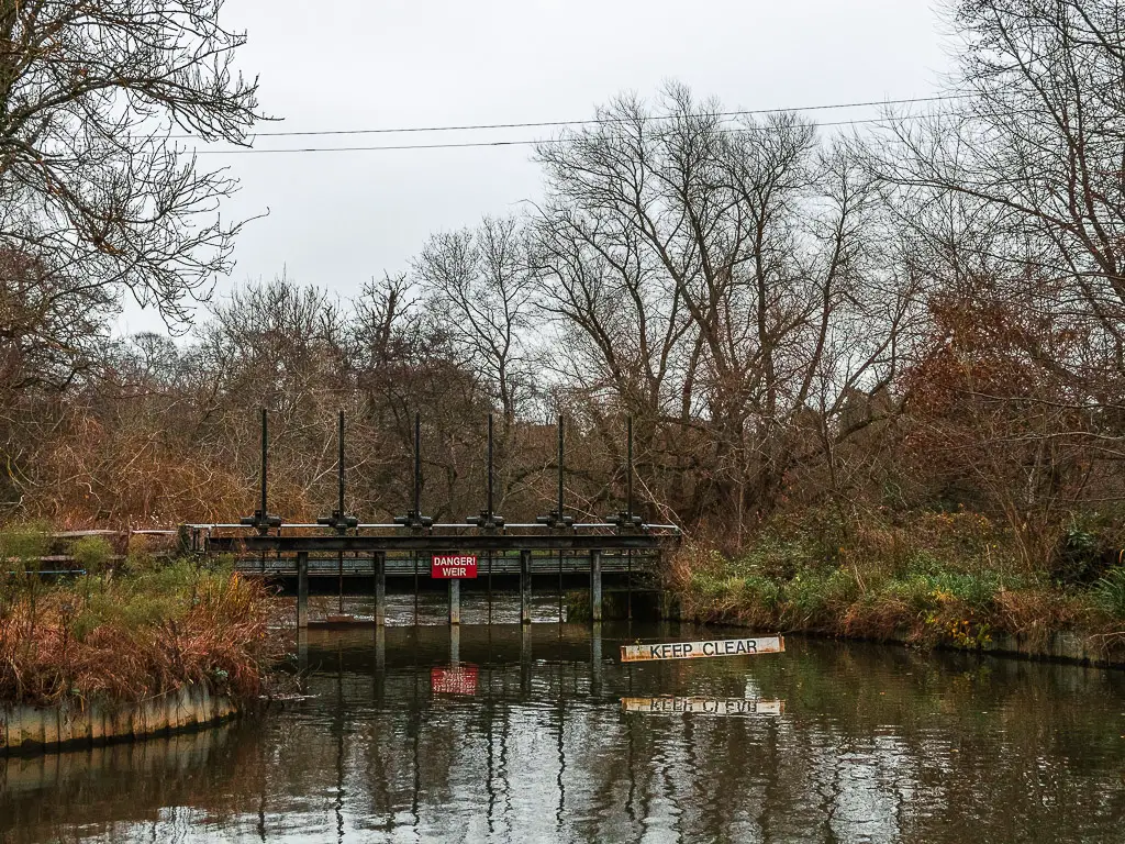
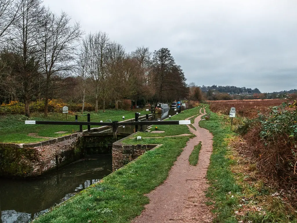
Keep going, and you will reach St Catherine’s Lock. Here you can see the difference in the water levels.
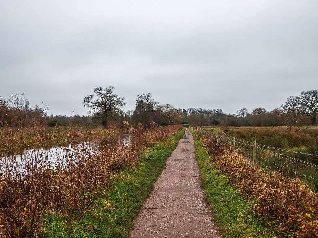
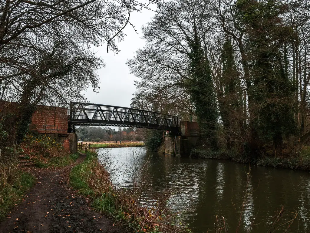
Walk from St Catherines Lock to the railway bridge and war pillbox
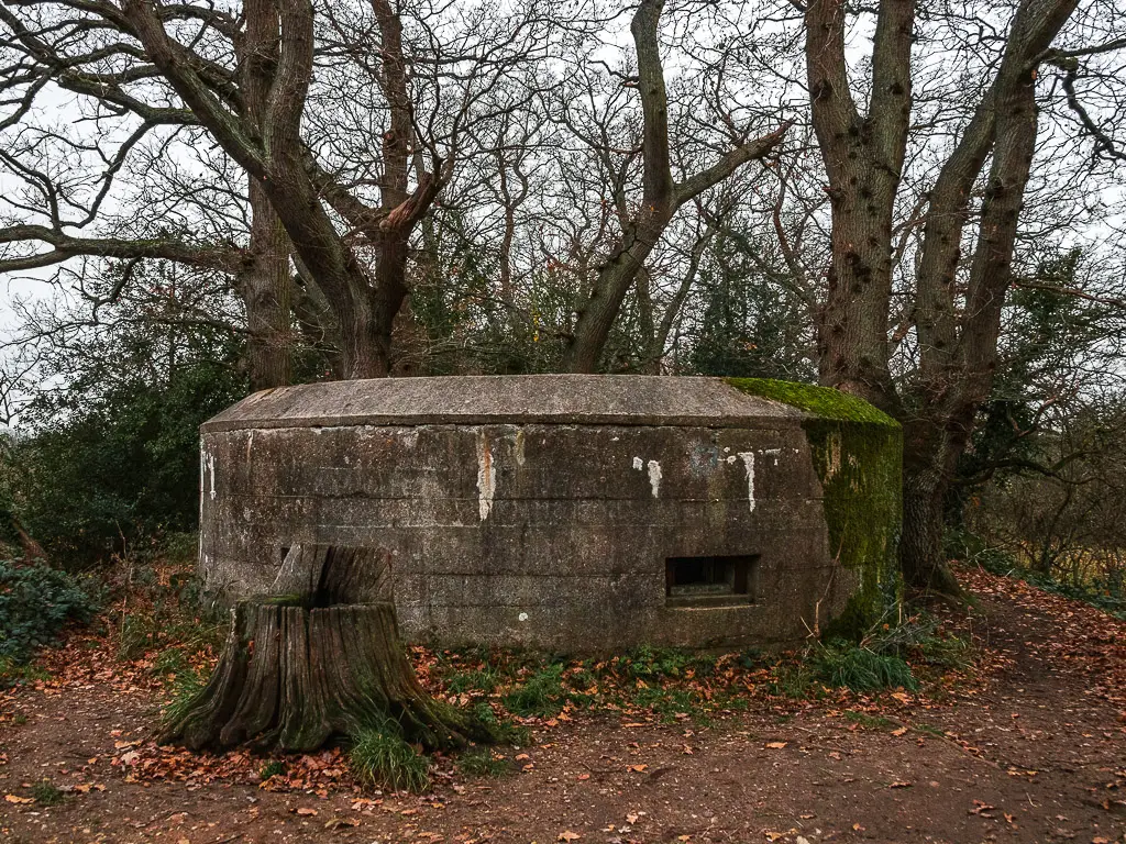
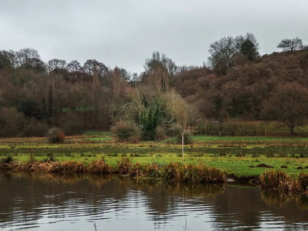
After St Catherines Lock, the route stays open air, with fields to the side. Then as you walk towards and under the railway bridge, it becomes more tree lined again.
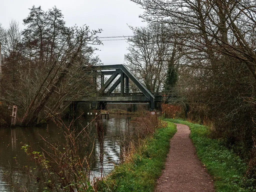
Now, just past the bridge, you will pass some steps to the right, leading up to a WWII pillbox.
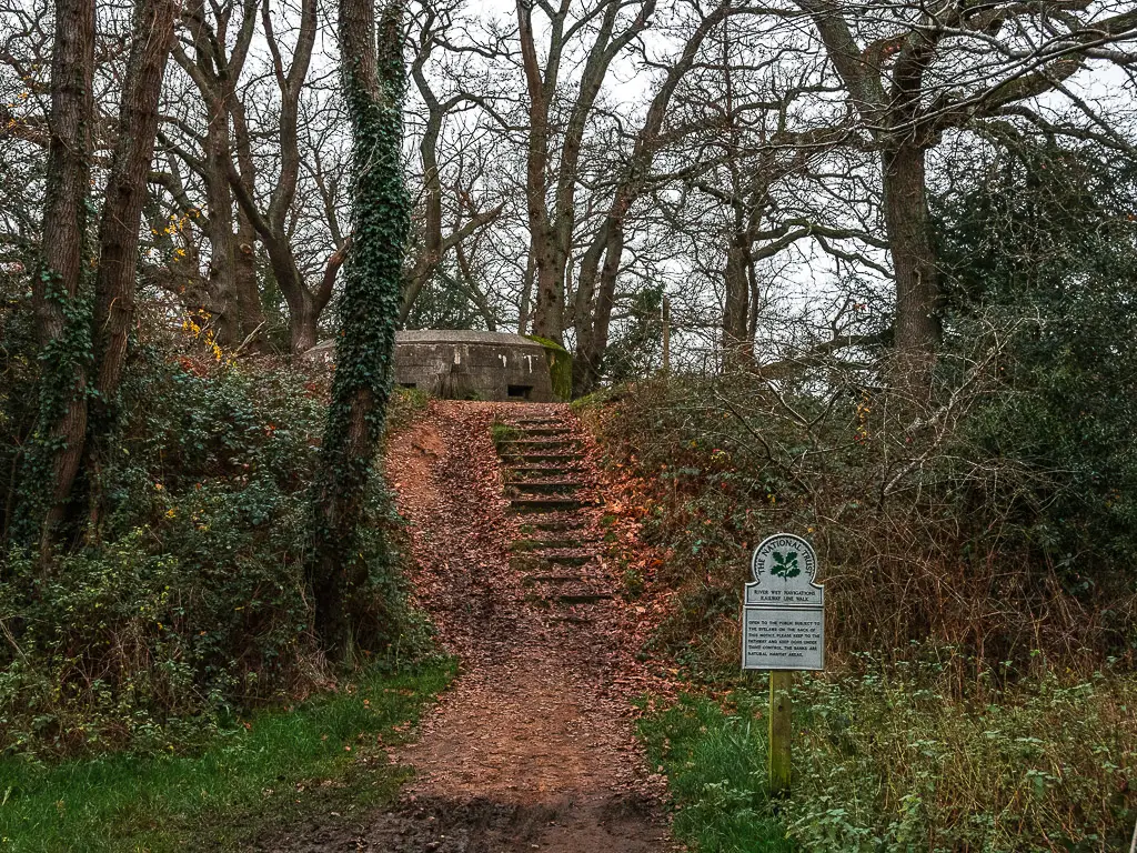
I wasn’t expecting this, so it was a nice surprise.
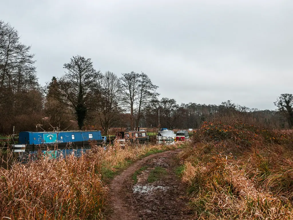
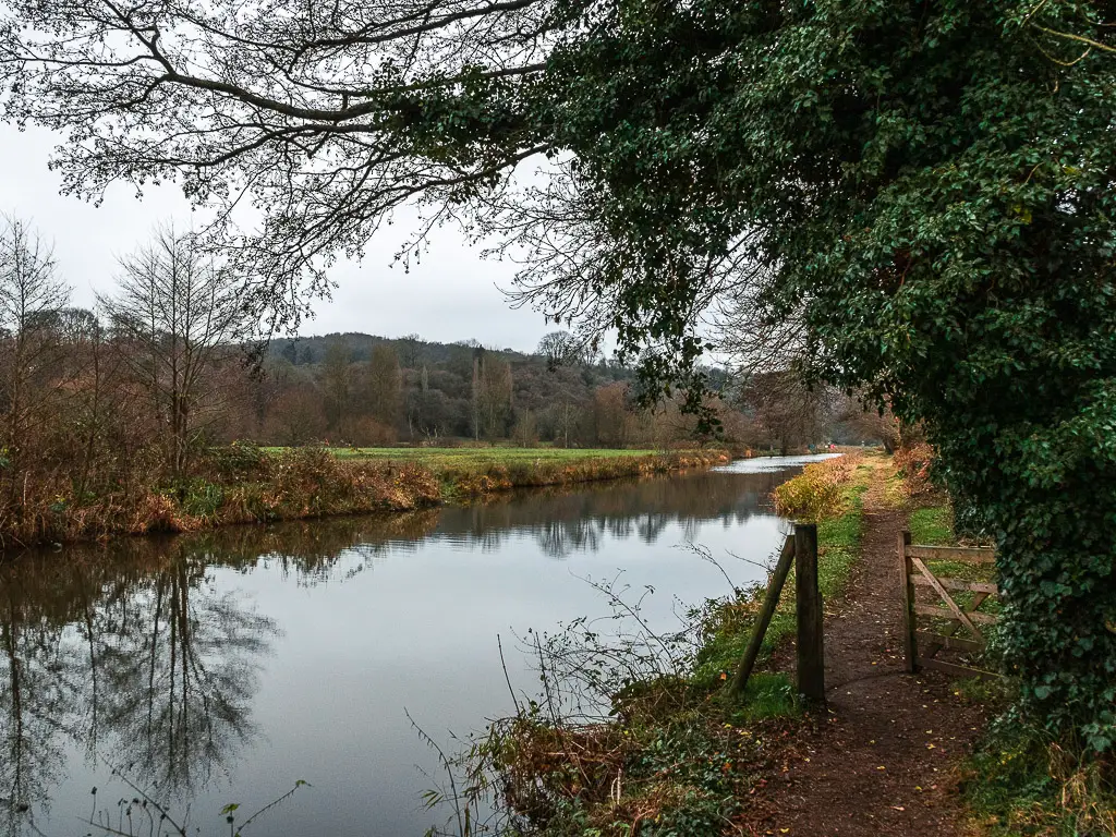
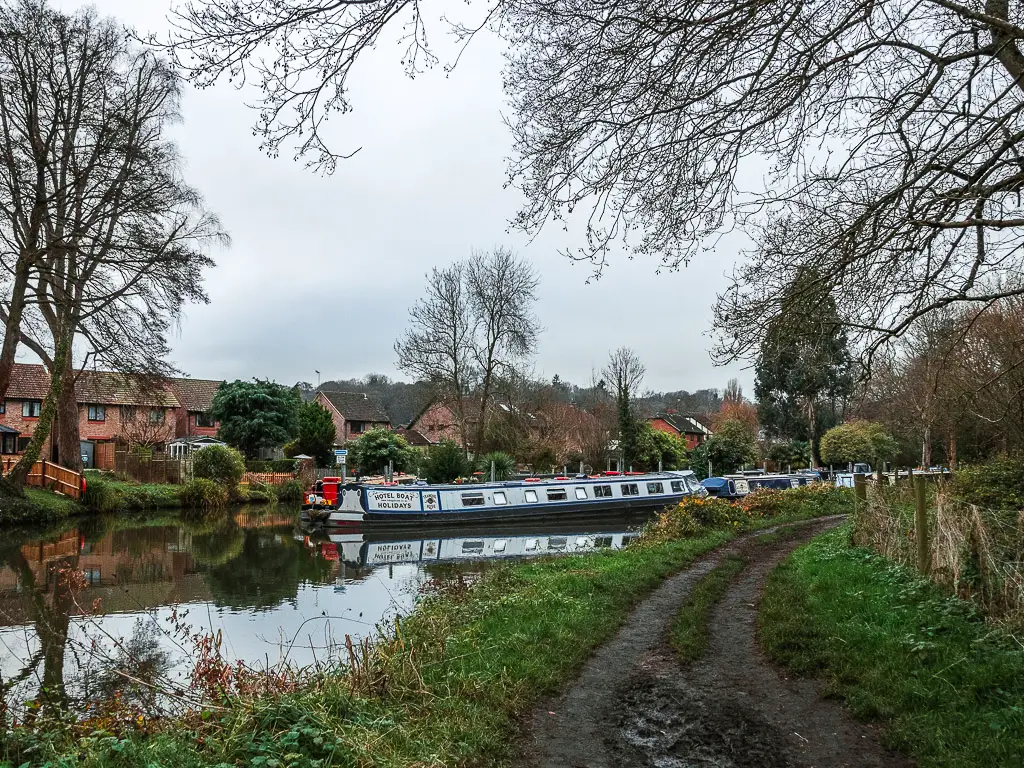
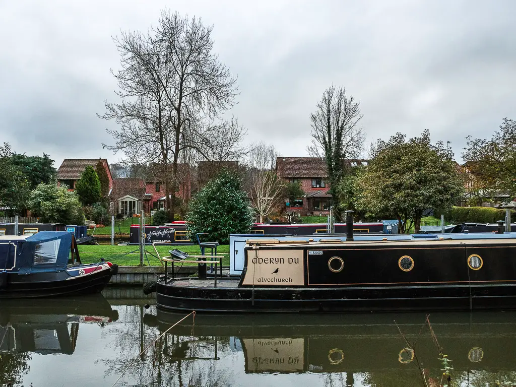
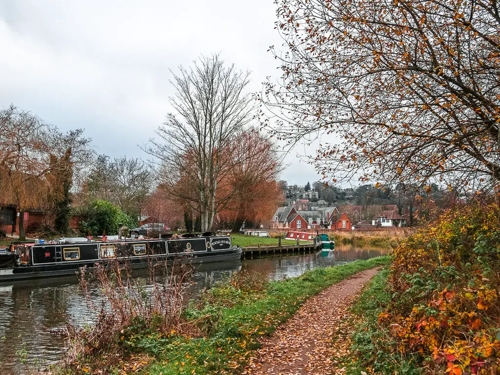
Walk along the river to Broadford Bridge and the barges
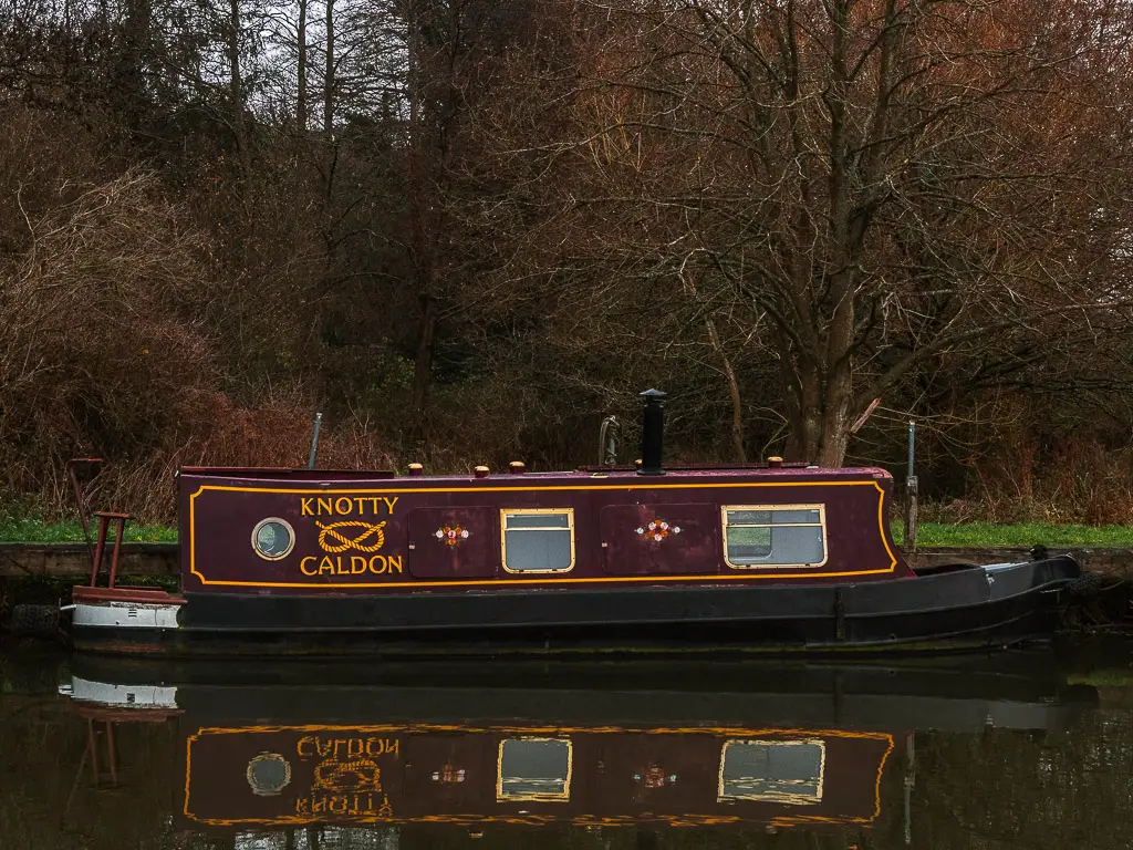
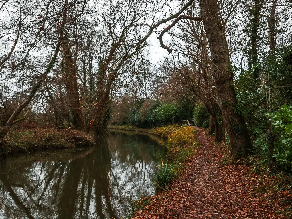
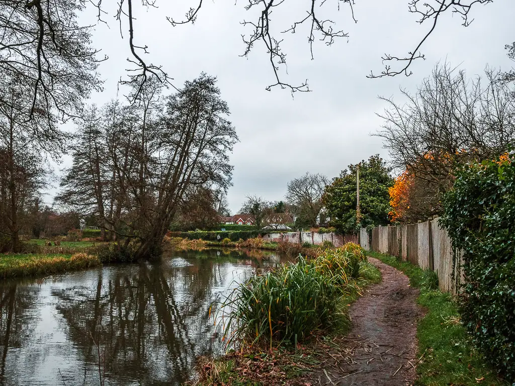
Keep walking along the river, and things go from tree cover, back to openness, as you pass some river side houses to reach Broadford Bridge.
This is a car crossing bridge, so once it’s safe to do so, cross over to join the trail on the other side, as it leads you to a nice collection of barges.
Walk to Instead Lock, past the Godalming Navigation river split
I found that, for this section of the walk, the car noise went on for a little longer than I would have liked. Because of the direction the road, the noise is pretty loud until you pass by and under the next bridge.
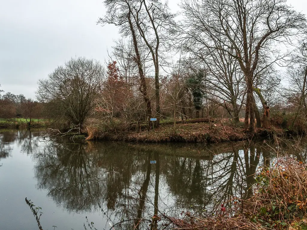
Under the bridge, the potentially muddy dirt path continues, and you will walk past a Wey Navigation river split. There is a sign here pointing which way boats and river traffic should go. Like for cars on roads.
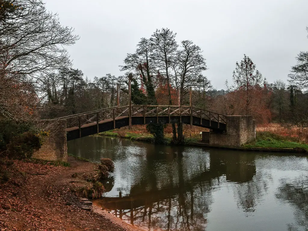
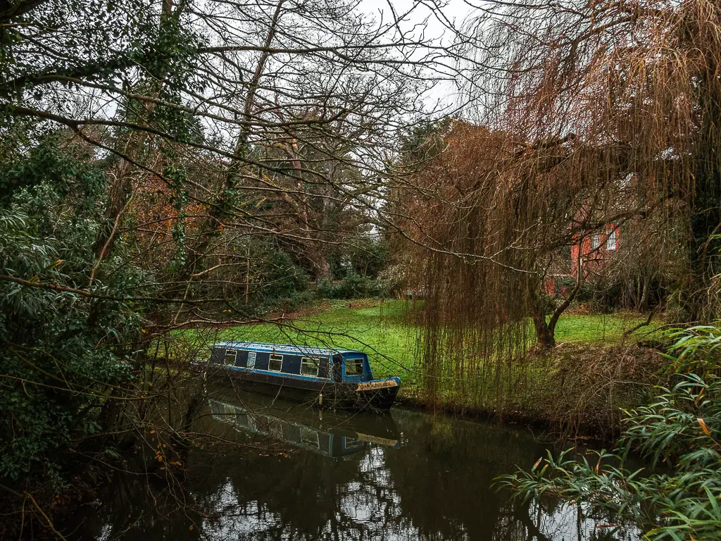
You will walk over cute wooden bridge, not to cross to the other side of the River Wey, but to cross a little offshoot coming onto the river.
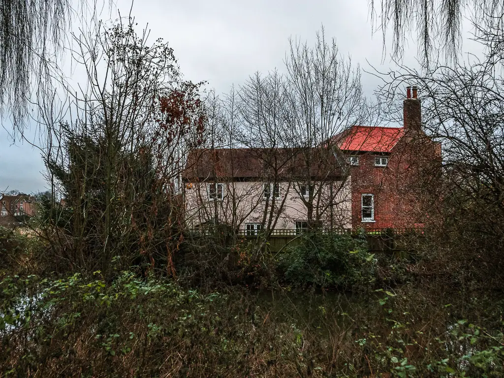
When on the bridge, there is a gap to the right, and you can see a hidden home with a lawn leading to their own bit of river. At this time, there was also a barge parked up, which I assume was their own personal toy.
Anyway, keep going and you will soon reach Instead Lock. You can see in my photos, water was being let through the lock.
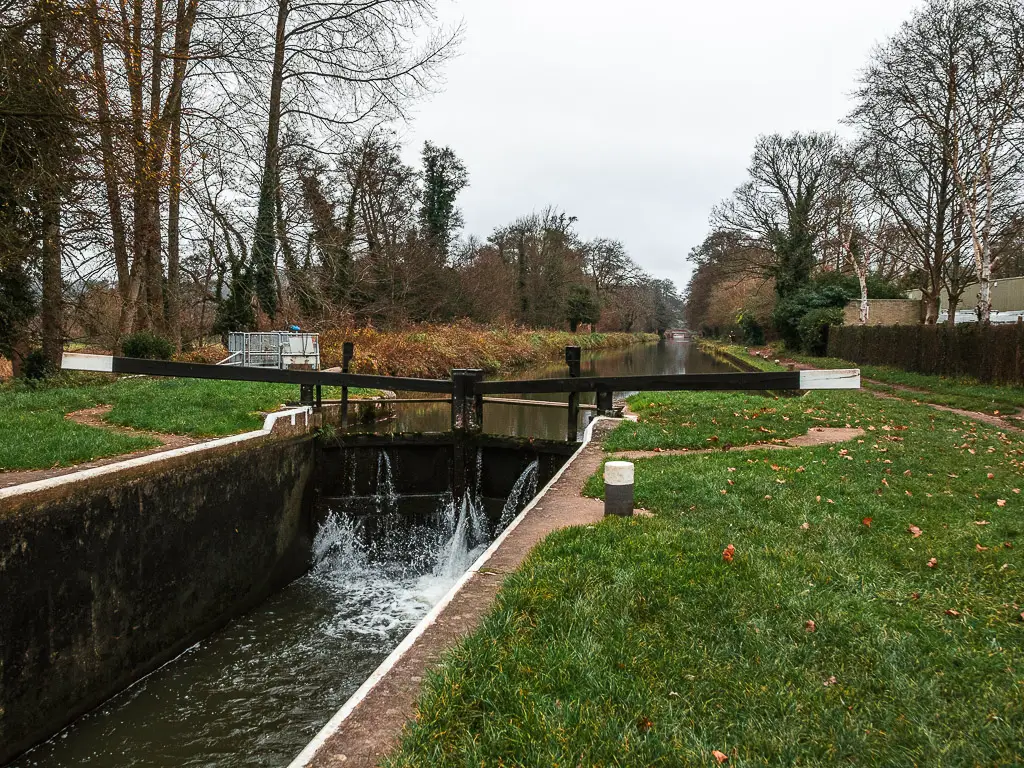
The lock at work.
It was pretty cool actually, as before getting there, I could hear the water gushing. Like I was heading towards a waterfall up ahead.
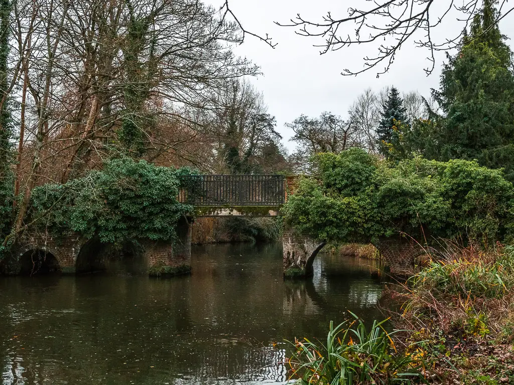
Walk to the cute bridge
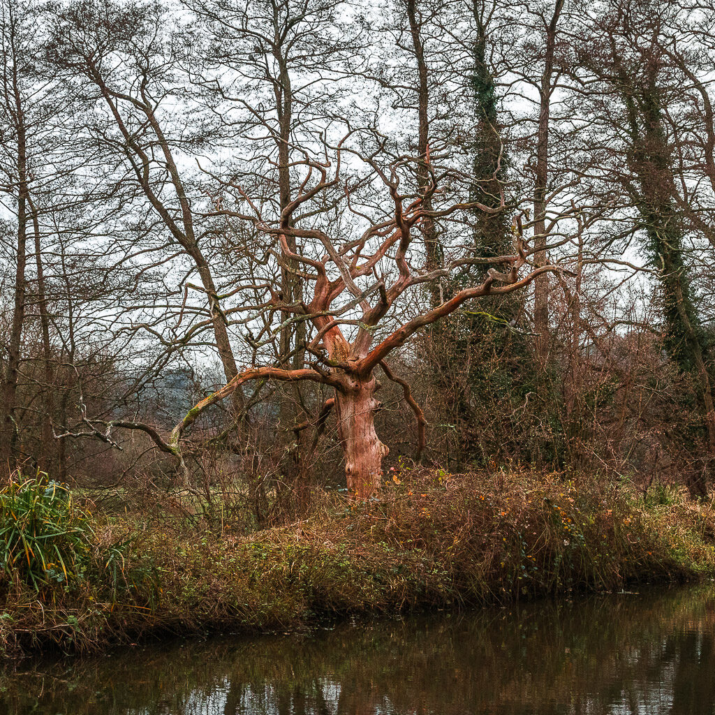
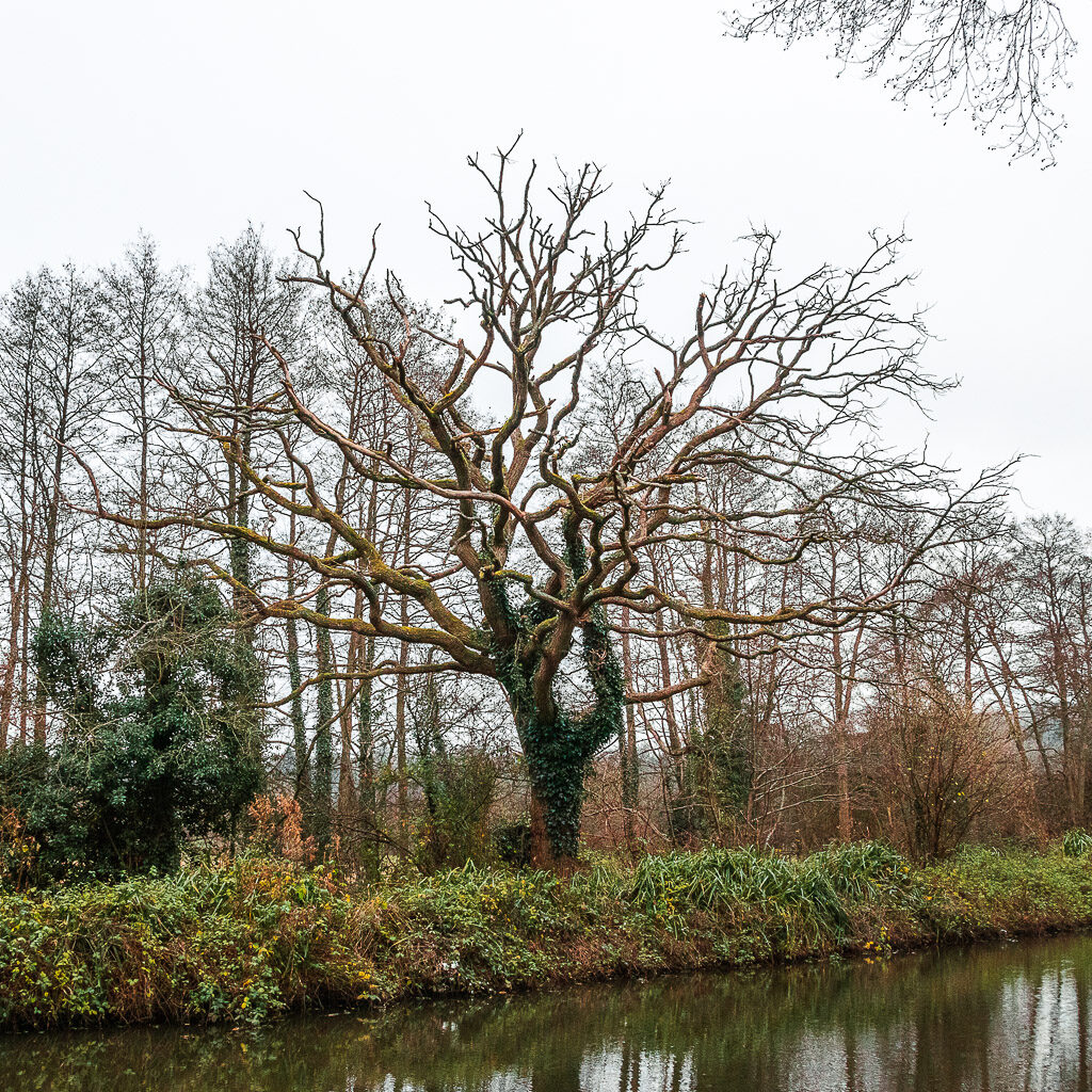
Walking from the partial open lock towards the cute bridge, the water looked really interesting. Like fuzzy glass. There were also some unique looking trees along this bit.
Walk to more barges and Catteshall Lock
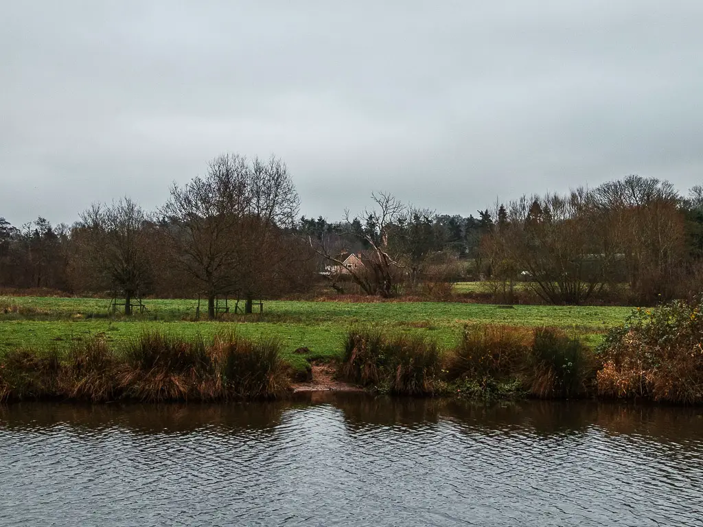
Over the cute bridge, and back to the river on the other side, things became a bit more open again. With a view to the tree covered hills, and a little secluded looking home in the distance.
From memory, this bit got particularly muddy.
You will then approach a section where the trail is lined with fence, and houses on the other side.
You will walk away from the houses, and past another cute bridge, before reaching another concentration of houses. This time with lots of barges.
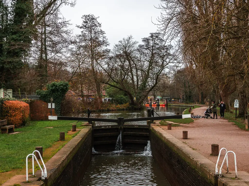
Just past the barges you will reach Cattashall Lock.
Walk along the River Wey to Godalming
At this point, I did get a sense that the Wey Navigation walk was nearly over. Across the field to the right were loads of houses. And on this side, once past some more barges, some houses appeared again….and then, the bright orange Sainsburies sign. It was also significantly louder along here. You know, with the roads and cars.
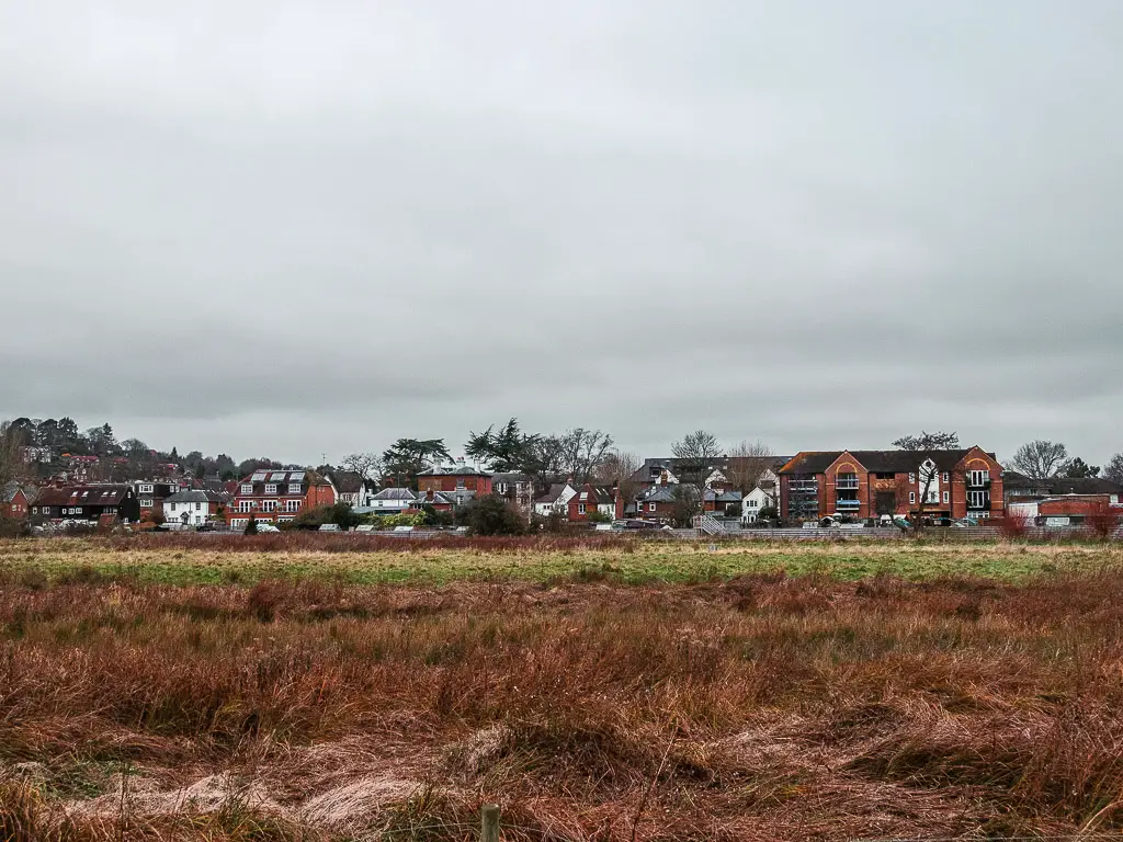
I have to say though, this last bit of the river walk into Godalming did surprise me a little. I had written the walk off as over, and now I just needed to get to the station. Well, it actually continues to be quite pretty.
And bonus, you can walk almost the whole way to Goldalming station along the river.
Walk the final stretch of the River Wey to Godalming Station
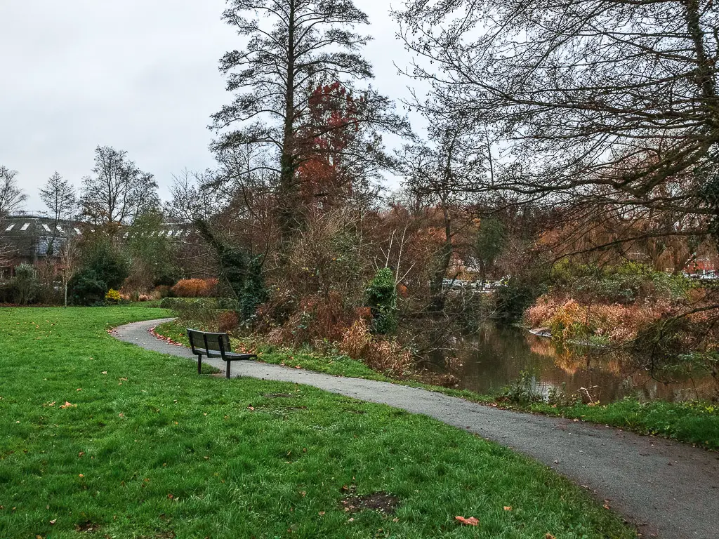
So, once you reach the bridge. The whole vibe of the trail changes. In fact, it becomes less trail, and more tidy path.
Go over the bridge, and pick up the path on the other side. This takes you along the river as it runs through a green…this is also where all the benches are.
The view across the river is actually quite pretty, with the houses.
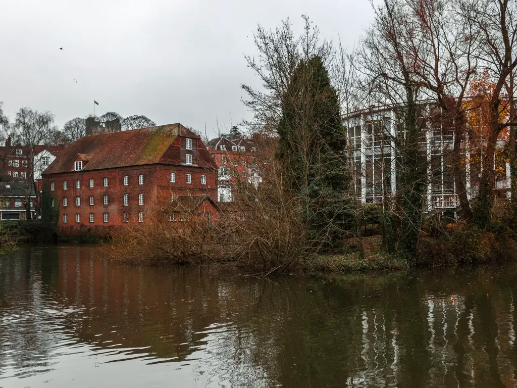
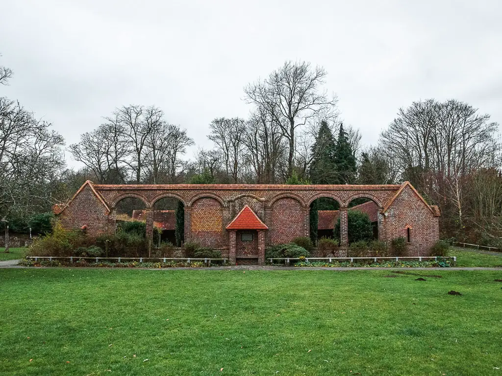
So, keep on the path as it winds you alongside the river, and past a graveyard and this other interesting building (of which I don’t know what it is).
When you reach the road, to the left and then right is a small trail leading behind some houses. Walk along this, then at the road on the other side, go left, and you should see the Godalming Station car park ahead.
The station itself is through the car park and up the stairs.
It was also at this point, when getting out my ticket, that I realised I had only bought a single, not a return ticket. Imagine this, the cost of 1 single is the same as a return. I was kicking myself that I ended up paying double the train fair that I needed to.
More walks near Guildford and Godalming
Being in Surrey, there are plenty of walks to do nearby in the Surrey Hills. If you want to stay in the Guildford area, you can check out my post about the best walks from Guidlford. Alternatively, if you want a quick glance at a few:
Guidlford to St Marthas Church walk – 11 miles. This walks takes you along the River Wey, as far as that bridge. Then you head to the hills. You have a few incredible viewpoints on this walk, and a little bit of history with the gunpowder mills.
Farnham to Guildford walk – 11 miles. Section 1 of the North Downs Way.
Guildford to Westhumble – 14.5 miles. Stage 2 of the North Downs Way.
Box hill and Stepping Stones walk – 4 miles. A little further away, (but not too far). If you like a big steep hill, this one is for you.
The above walks are all hilly. If you want something more similar to the River Wey walk, you could try these:
Amberley to Arundel – Further south in the South Downs. This walk takes you along the River Arun the whole way to Arundel, where you will get a glimpse of the impressive Arundel Castle.
Little Venice to Camden walk – 2.5 miles. This one is in London, and takes you along the Regents Canal. It takes you from our version of Venice, past lots of barge boats, and alongside Regents park. I wouldn’t travel to London just to do this walk. It’s more something to do if you are already there.
Regents Canal full walk – Also starting at Little Venice, except this one takes you along the full length of the canal, as far as the River Thames. (Coming soon.)
Rye to Camber Sands – 6 miles. This one follows a river down to the English Channel.
Pin it for later: Walk from Guildford to Godalming along the River Wey