This walk from Wendover takes you up 3 or 4 big hills (and some smaller ones). Coombe Hill, Beacon Hill, Whiteleaf Hill, then the optional walk up to Brush Hill. I say optional because if you have had enough hills by the time you reach Whiteleaf, there is an easy shortcut you can take if you are tired and don’t want to walk the extra hill.
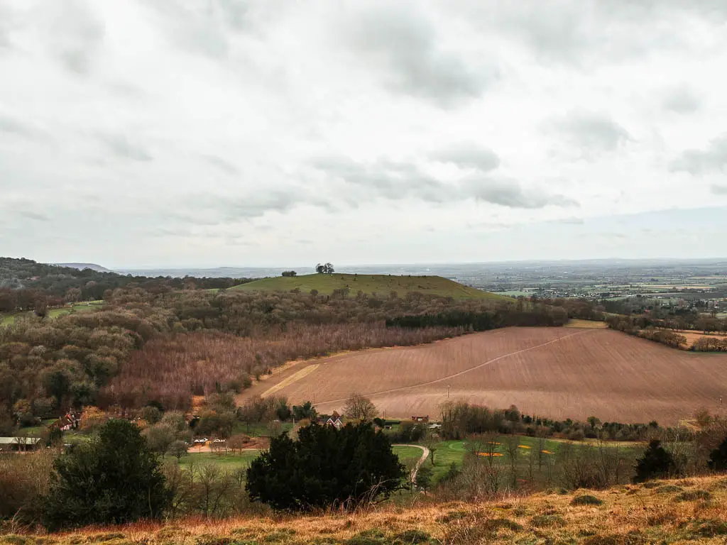
With all these hills you get bloody fantastic views. Views to rival Ivinghoe Beacon which is often considered the best place for views in the Chiltern Hills.
Further down in this guide, I go through the full logistics for the walk, with a map. Then I go on to describe the full route with photos.
The Whiteleaf Cross
I had hoped to see the Whiteleaf cross on this walk, however, upon reaching Whiteleaf Hill I realised that this is not the best place to see it. You can see it, you can even walk right up to it. But what you see is a fraction of it. You need to be far away to see the full show. This is why I added that extra walk to Brush Hill, hoping that I would get a glimpse of the Whiteleaf cross from there.
I did not.
It is now my mission to find the best Whiteleaf cross viewpoint. I will let you know when I find it.
Anyway, that’s why I say the walk up to Brush Hill is optional, as you need to walk back to Whiteleaf Hill to continue the walk. Despite not seeing the cross, that extra little bit of the walk was actually really nice, and if you are up for it, I would suggest to do it.
What happened to my leg? – For anyone who wants to know what happened after my last walk
(You can scroll further down for the Wendover walk description and logistics if you aren’t interested about my leg)
This is the first walk I have done in 5.5 weeks. If you have been following along, you may remember that I developed a pain in my lower leg. I won’t go into all the details here, but I talk about it more in the walk from Westhumble to Merstham.
Over the following 3 weeks I couldn’t walk any more than pottering around my flat without triggering it. Just walking to the local shop outside would cause some limping. I tried to go for a swim which involved a 2 minute walk and cycling for 1 mile to get there, and that triggered it.
Going on my first walk
After nearly 2 months, the pain had ceased, so I decided to test it out on this walk from Wendover, and had initially planned to just walk up to Coombe Hill and Beacon Hill. However, my leg felt great. No pain whatsoever. So when I reached the point where I would loop back to Wendover, I decided to keep going. Whiteleaf Hill was so close, I couldn’t come all this way and not walk to Whiteleaf Hill and see the cross. What was meant to be a 6 mile hike, turned into 13miles.
This turned out to be a mistake….
I will explain more when I describe the walk below.
Anything else?
Yes. I had a barbed wire incident. More on that later….
Logistics
- Start/Finish: Wendover station
- How to get there: There are direct trains from London Marylebone which take approximately 40min.
- Distance: 13 miles
- Shortened distance: 11.5 miles
- Time: 4h 50min
- Difficulty: Challenging
- Terrain: Mud, dirt trail, mud, some road, grass, more mud
- Elevation: Highest point 260m(ish). Total elevation gain 704m.
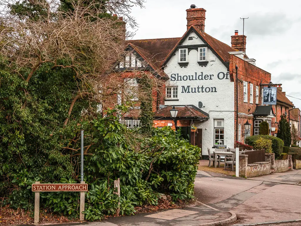
- Tips/amenities: As you may have gathered, it can get really muddy. So I would recommend waterproof hiking boots. There is a pub at the start/finish, then another one just before Whiteleaf Hill. There are numerous wooden viewpoint benches here and there.
Map
You can find my more detailed route map for the walk from Wendover to Combe Hill, Beacon Hill and Whiteleaf Hill on AllTrails here.
Route Description: walk from Wendover to Coombe Hill, Beacon Hill and Whiteleaf Hill
Walk from Wendover to Coombe Hill
First off, when you arrive at Wendover station, just outside, there is a bridge that takes you over the tracks to walk straight onto the trail. However, at the time of writing, this was closed. If when you get there it is still closed, then you need to walk a short bit along the road.
So out of the station, turn right to reach the main road, then right again and keep going.
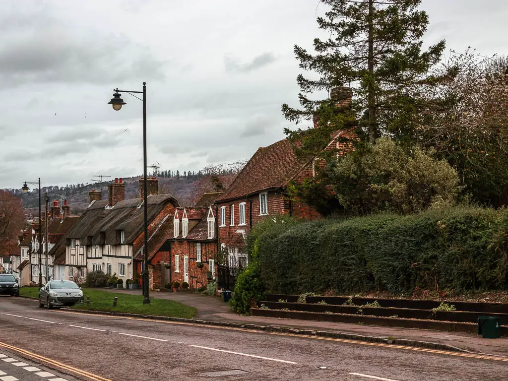
Somewhere not too far along, you should see a trail and signpost to the left. Go over to it to start the walk up to Bacombe Hill and Coombe Hill.
Update: This one is now closed due to the HS2 being built. So instead, follow the other trail along the edge of the field past the pylons. There is masses of construction going on here at the moment. Keep following the trail to reach the road. turn right here, then a short way up, look out for a trail on the right to take you up a field to the woods at the top. Keep going up and you will reach Bacombe Hill. Now skip the next paragraph and you can pick up the route description in the second paragraph.
Walk to the Bacombe Hill viewpoint
Up through the trees, you will reach a wooden gate on the right which takes you out of the woods. You want to go out of the woods to be able to see the views. Once there, keep going up to reach the top.
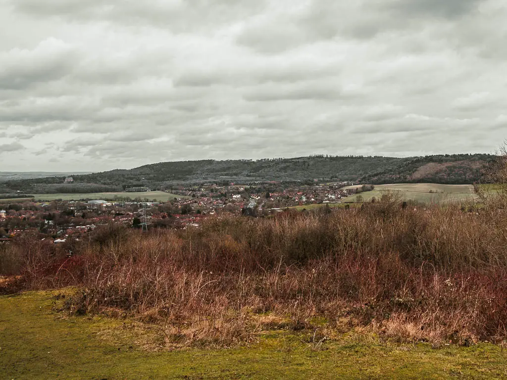
I actually thought this was it. The Coombe Hill Viewpoint. And I was very happy with it. You will get a great view down to Wendover and far beyond, way into the horizon. I didn’t realise at the time that this is Bacombe Hill, and things were about to get even better.
Walk to the Coombe Hill monument and viewpoint
I didn’t know there would be a monument, so it was a nice surprise. To get there, from this bit of hill, follow the grassy trail that runs behind it towards the trees. Keep going along the edge of the hill, with a lovely view to your right, and then through the gate and onto the narrow, potentially very muddle trail.
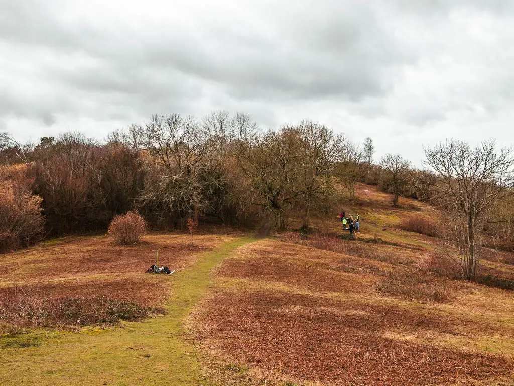
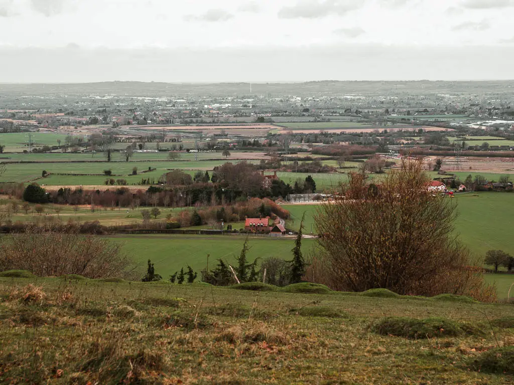
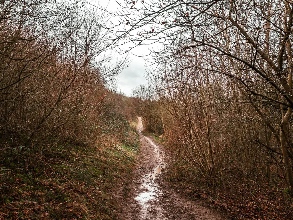
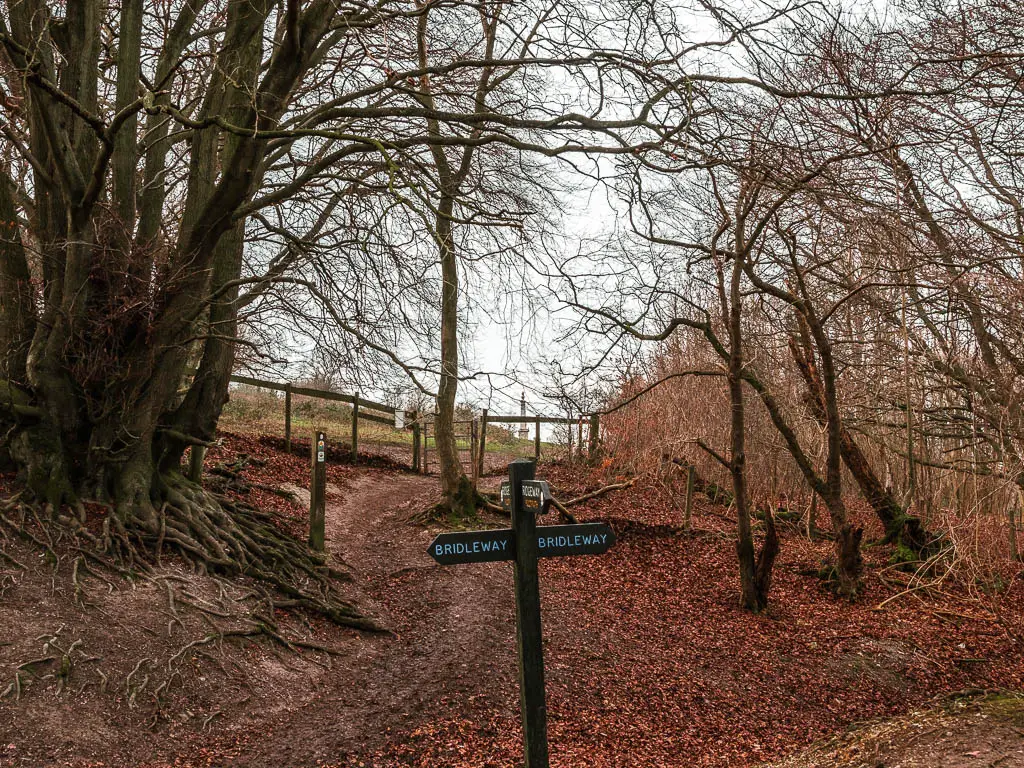
When you reach the trail crossroad with a wooden signpost, you should get a peak to the Coombe Hill monument through the trees. Go ahead and walk to it.
Coombe Hill Monument (Boer war memorial)
The Coombe Hill monument is a war memorial. It was erected in 1904 in memory of 148 men who died during the Second Boer War. Just like many landmarks, it had to be covered during the second world war to prevent enemy aircraft using it for navigation.
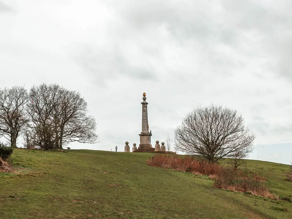
Fun Fact: It has been badly damaged twice by lightning strikes. It now has lightening conductors to prevent this happening again.
From here, the views were even better. I was blown away. These are the kind of views that photos don’t do justice.
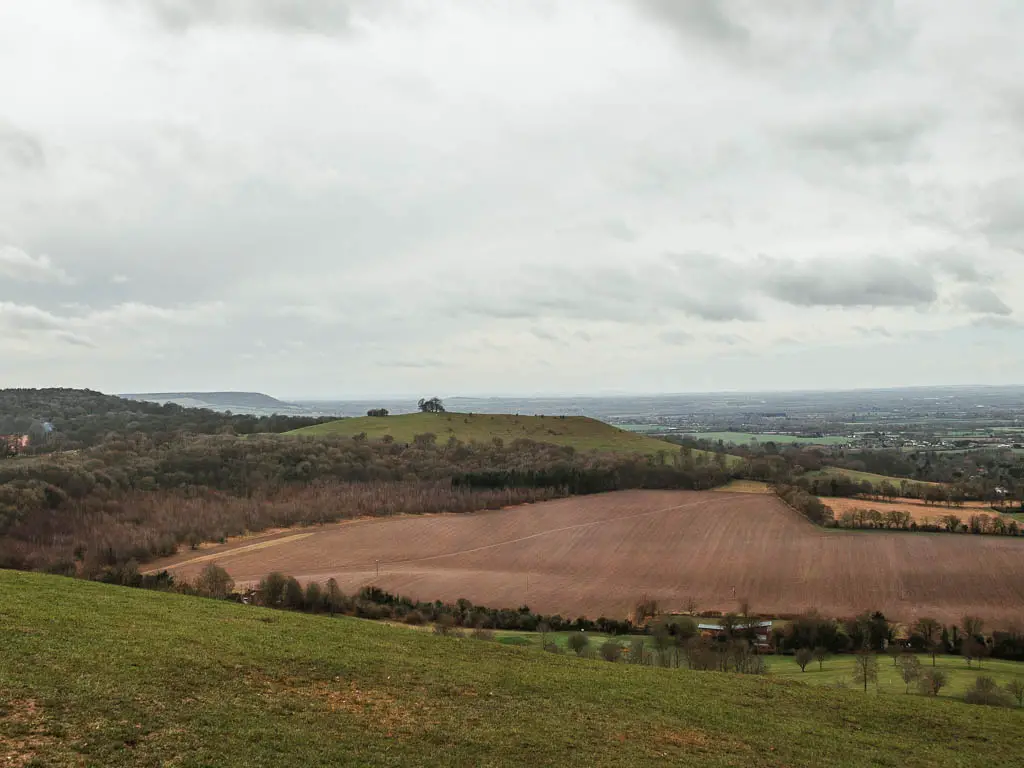
I could see on the other side an interesting looking hill, and thought about how cool it would be to walk up that. I checked my map to see if I could detour over there and was super excited when I realised it was already in the plan. That is Beacon Hill.
Walk down from Coombe Hill
To leave Coombe Hill, take the trail straight behind it, and when you reach the wooden signpost (see photo), take the trail you can see to the right of it.
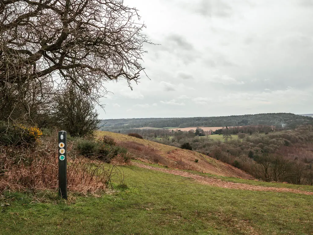
Keep walking along the narrow dirt trail as it runs across the hill, with a view of Beacon Hill to your right. You will also see a line through the field below it. You are going to be walking along that line soon.
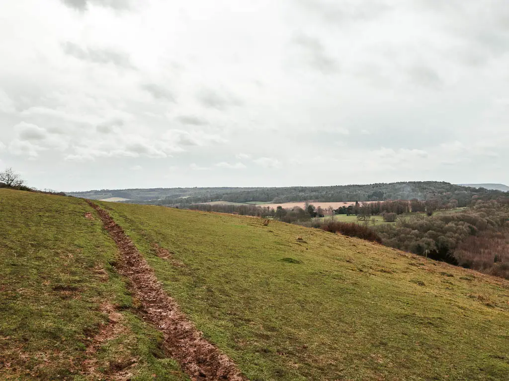
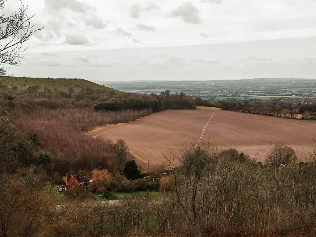
Now this next bit is important. When you reach the point where the trail curves to the left, you go right for the unexpected very steep decent. For reference, you will be walking with the fence to your left.
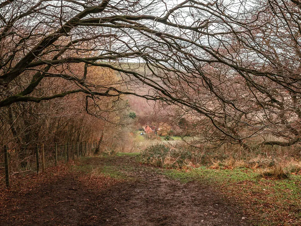
Now, when I say this bit is unexpectedly very steep. What I mean is that it’s so steep that I wouldn’t be surprised if people slip and unintentionally slide down here on a regular basis. Particular when it’s muddy.
Top tip: Rather than walk down on the main trail, go to the left of it so you are right by the fence. There is a bit more grass here for grip, some tree roots for steps, and if all that fails, you can grab onto the fence.
Walk from the bottom of Coombe Hill towards Beacon Hill
When you reach the road, turn right, and then pick up the trail again a bit further along on the left. This will take you across that field with a line that you saw just before the walk down off Coombe Hill.
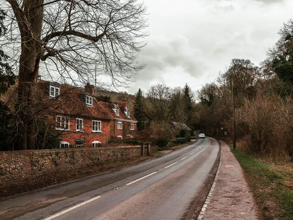
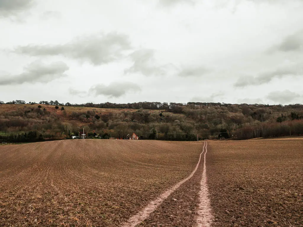
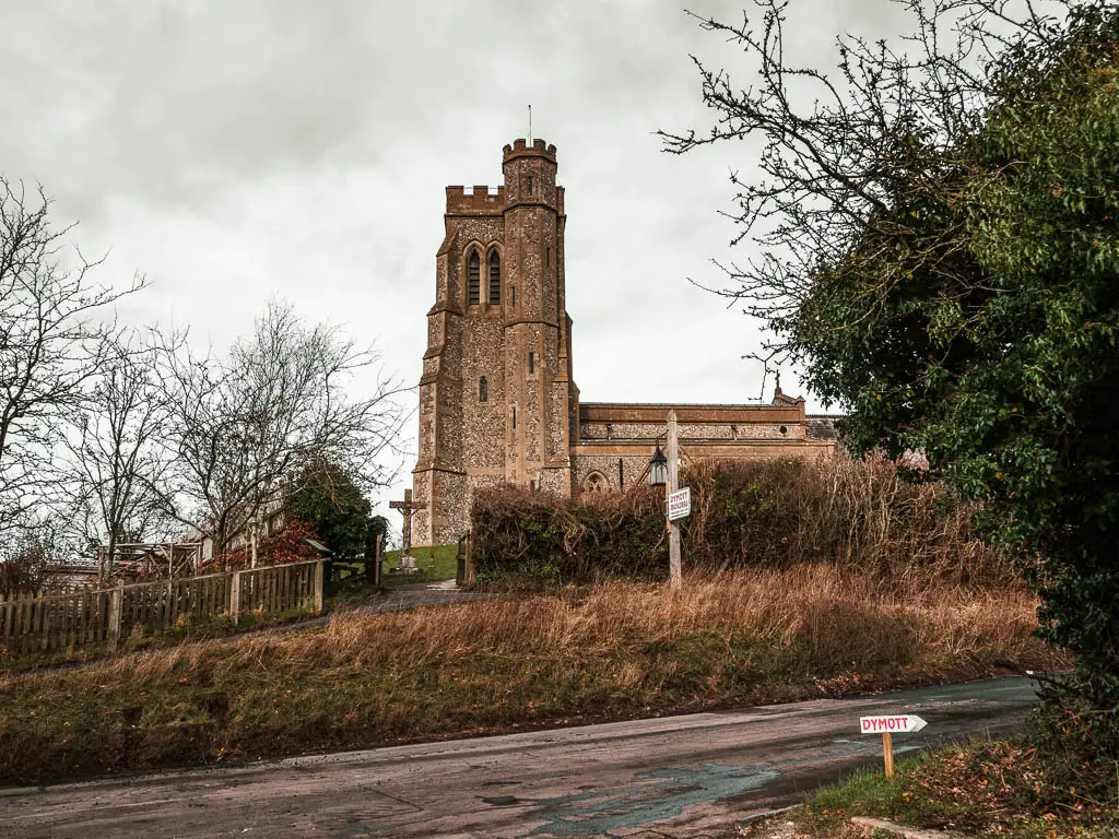
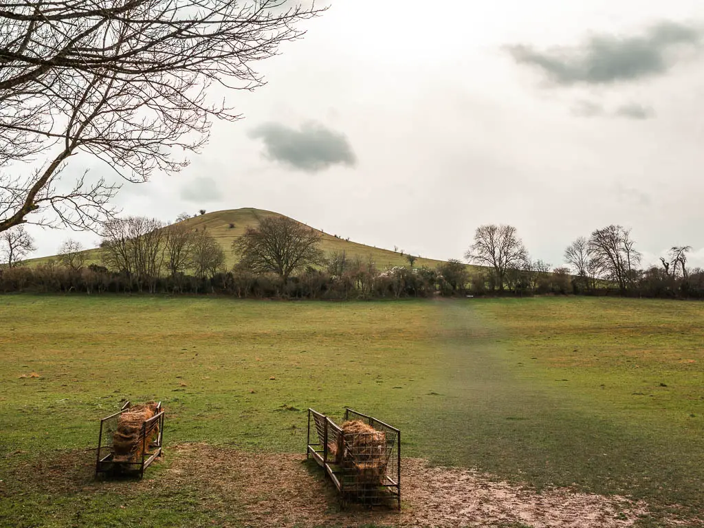
Once out of the field, turn right to walk along the tree road to reach the church. Once here, go left, then almost immediate left again. So you have essentially done a V. You will be able to see Beacon Hill from here, and now you head towards it…and good luck.
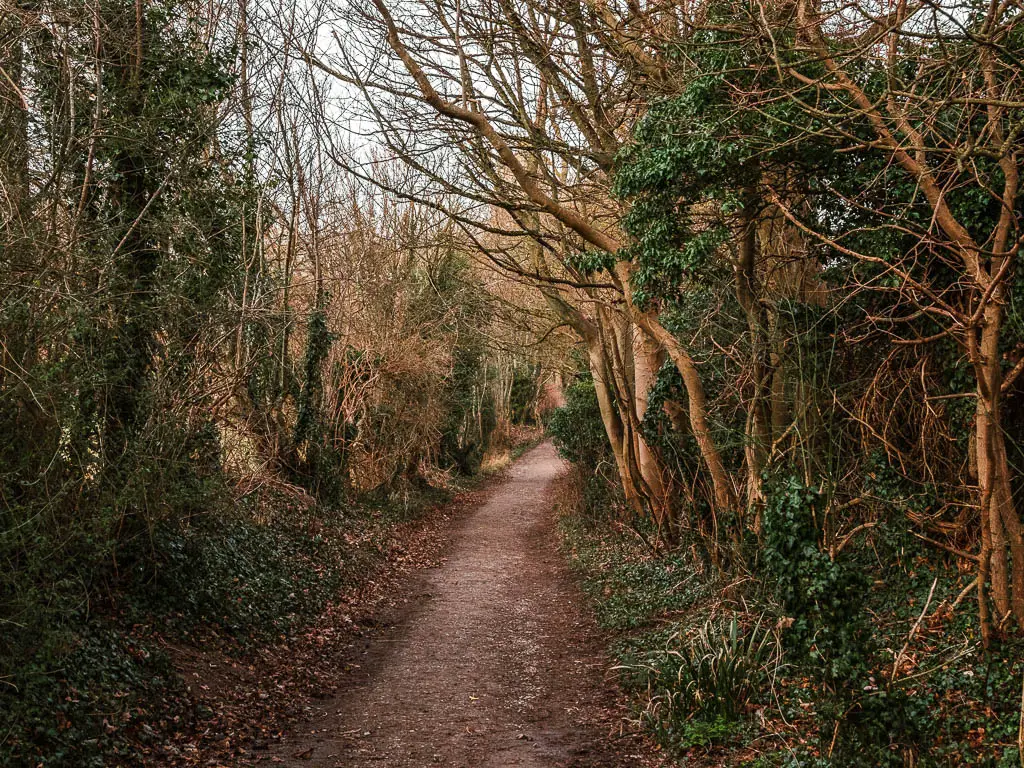
Walk up Beacon Hill
Once you have gone through the final gate before the summit of Beacon Hill, you will notice a trail that takes you around the right side of it. This is the trail you will want to be on to continue the walk towards Whiteleaf Hill. If you decide to walk to the top of Beacon Hill, you will need to then come back down to get onto this trail.
I do recommend going to the top though. You might as well, now that you are here. You will notice little ridge steps going up the hill. These will help. It is a slog though. Then once at the top you will again have some fantastic views of the surrounding hills, woodland, and way off into the horizon.
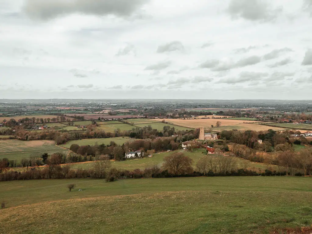
It is also very windy up there. Like, insanely windy. So windy that tears that were now streaming down my face were being blown off and into my camera viewfinder making it all blurry.
Walk down off Beacon Hill
Standing on top of Beacon Hill, and looking down, it looked way steeper than the way up. That mixed with the wind didn’t give me confidence that I would make it down alive. So I walked along the top, thinking I could pick up the trail that way, instead of going down. However, this is not possible. It’s a dead end.
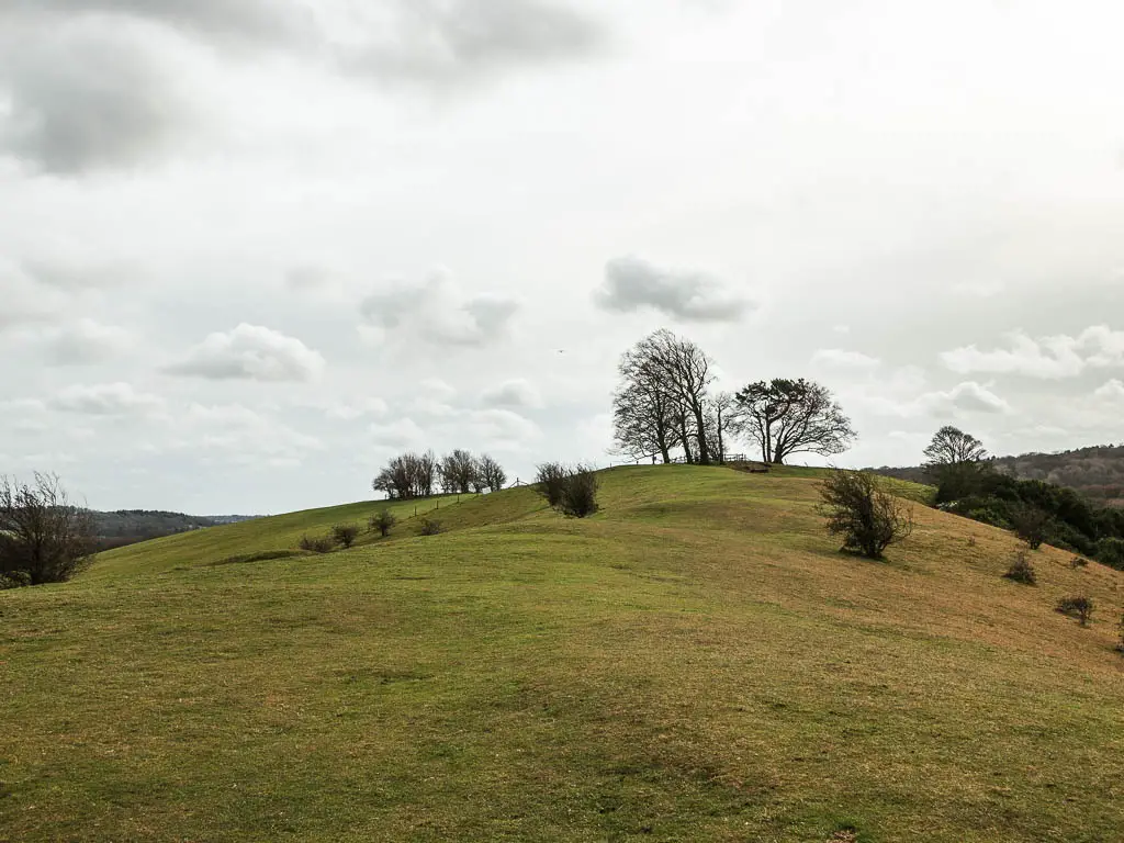
The only way down is the death way. Maybe I am being a little dramatic. I realised that those step grooves on the side of the hill are less about helping you get up, but more about helping you get down. Without those I’m pretty sure death would have happened.
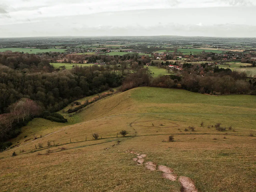
Walk from Beacon Hill towards Whiteleaf Hill
When back on that trail that runs around Beacon Hill, follow it to walk into the woods. The next little bit was quite impressive. It gave me a sort of rainforest with tree top walk vibes. The way the wooden steps peaked out thorough the trees.
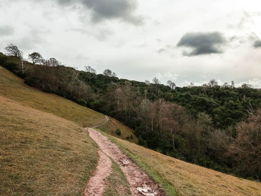
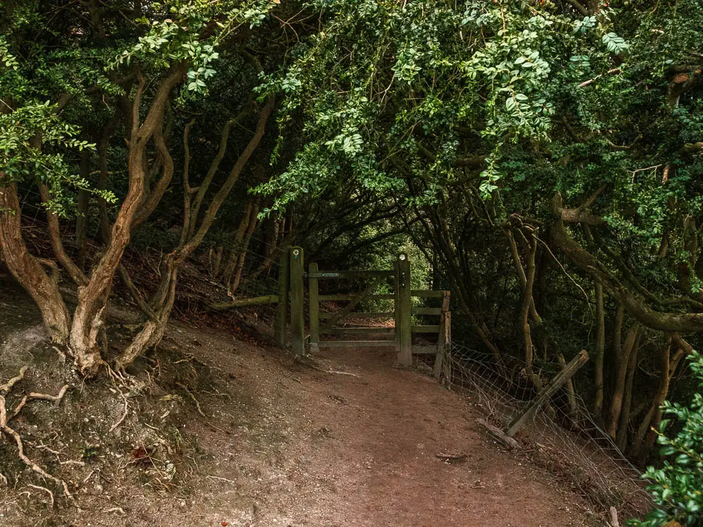
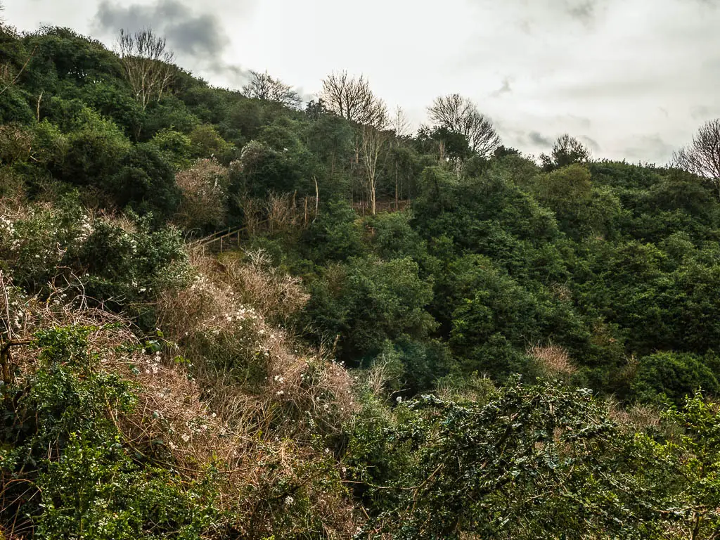
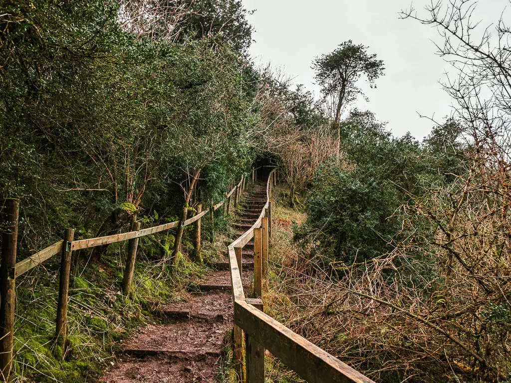
Walk up the steps, and then out of the woods and straight across the field to reach the road. Cross over it and through the next gate. Here you want to take the right trail. It will lead you to an interesting hill with lots of bumps.
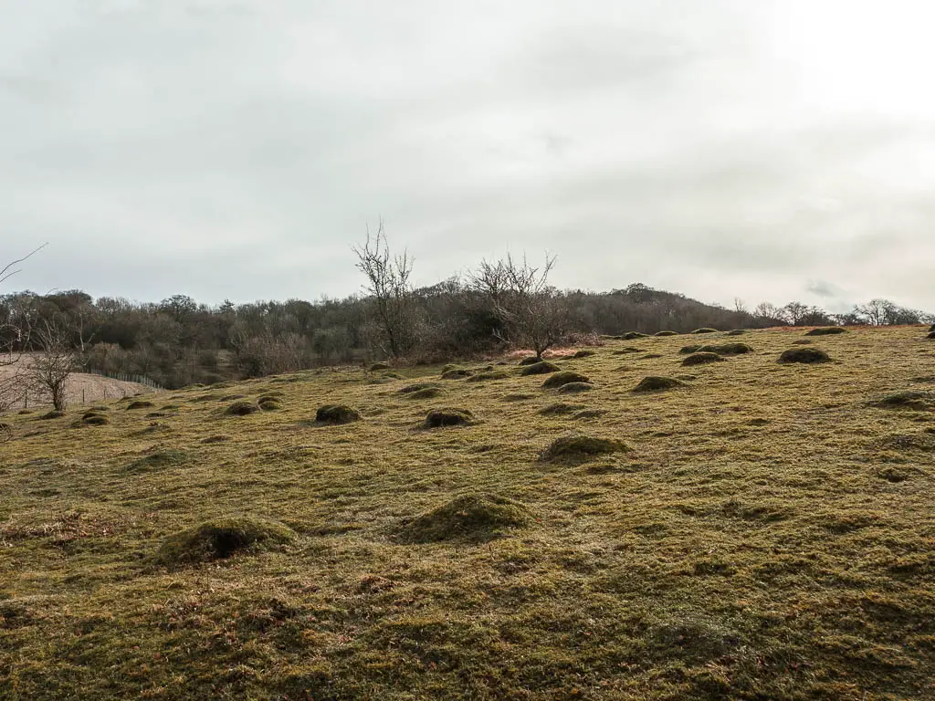
The point of no return
So this is where I had originally planned to loop around to walk back to Wendover. I sat down for a moment to think things through. My leg was feeling perfect, and I didn’t really want to walk back now. This was the first time I had been further than a few minutes walk from my flat in over a month. I wanted to savour every bit of it. I was loving the walk so far and wanted more. So this is where I decided it. I would not walk back to Wendover just yet. Whiteleaf Hill would be my next stop.
Follow the Ridgeway to walk to Whiteleaf Hill
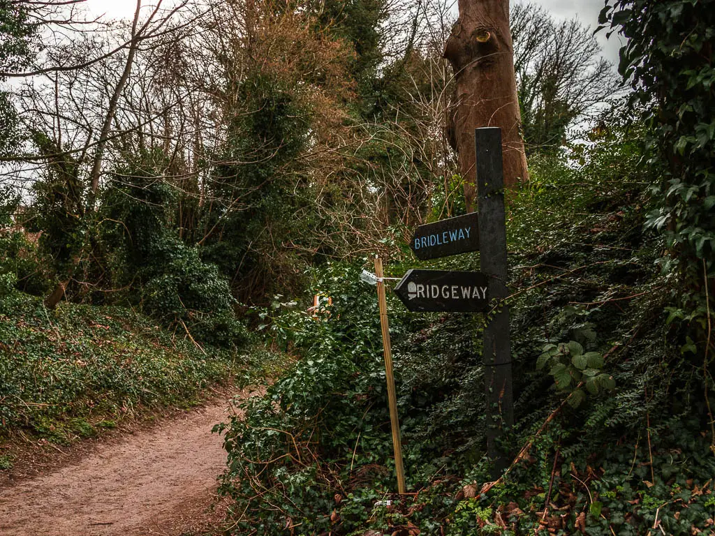
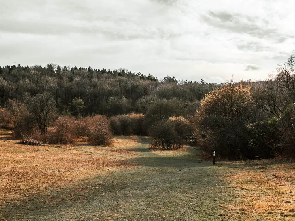
From this hill with bumps, you should see a grass trail running alongside the fence. Walk along it to the next signpost which should point you in the direction of the Ridgeway.
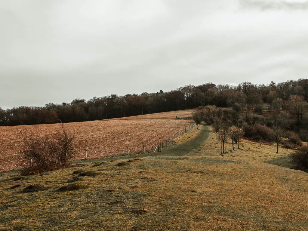
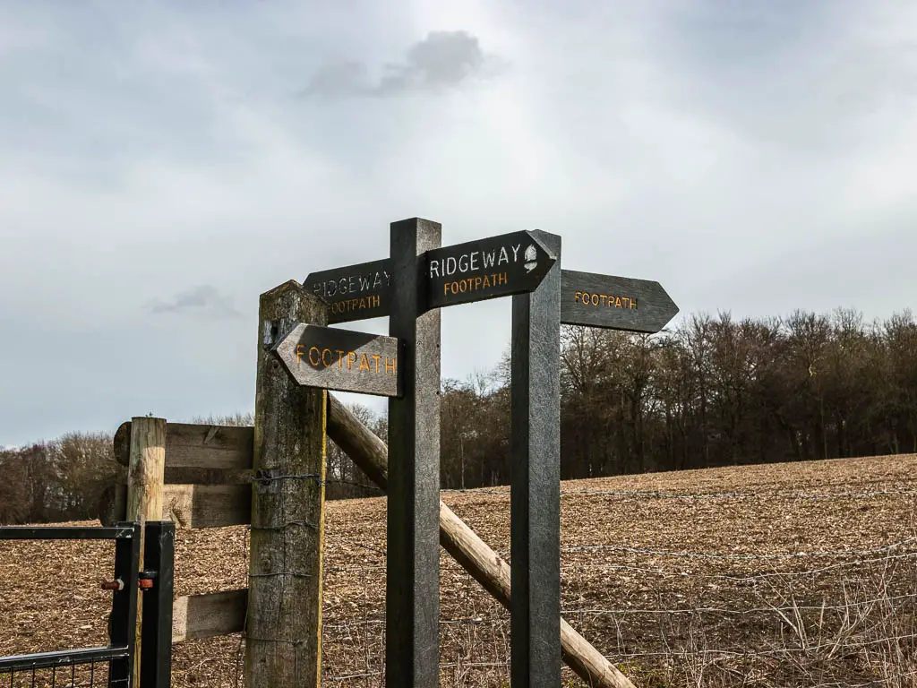
From this point, for the rest of the walk to Whiteleaf Hill, you will be following the Ridgeway trail. There are numerous junctions coming up, but rather than make this too wordy, I am going to say, just follow the Ridgeway. It’s very well signposted. I will show you some photos though, so you know what to expect.
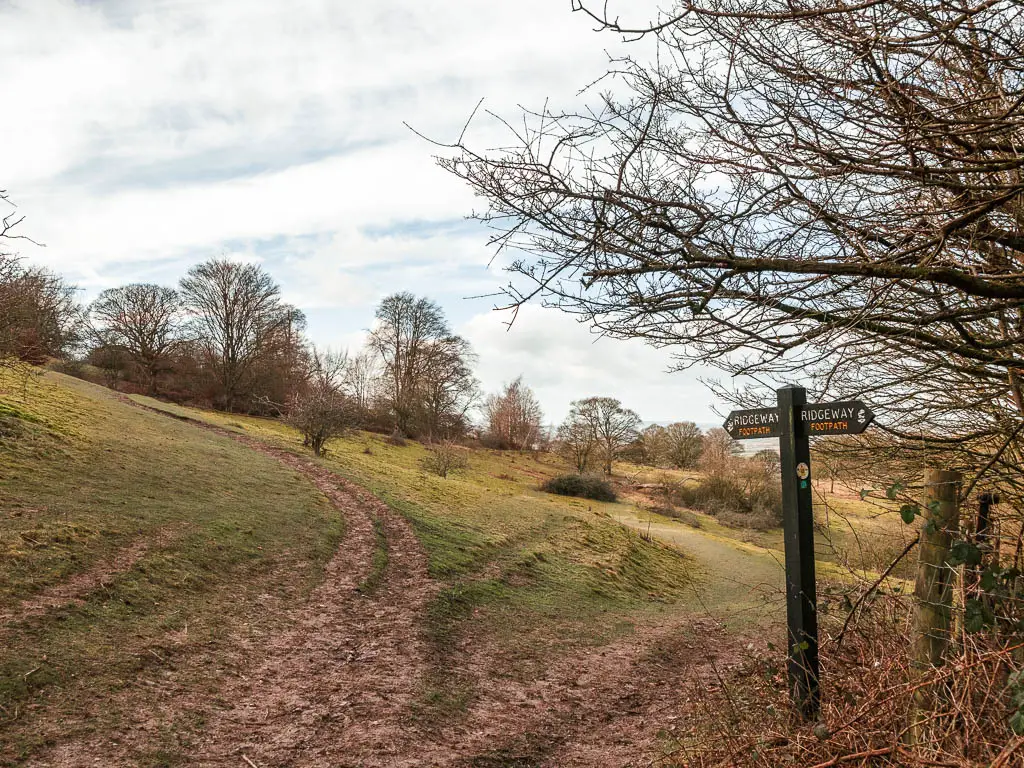
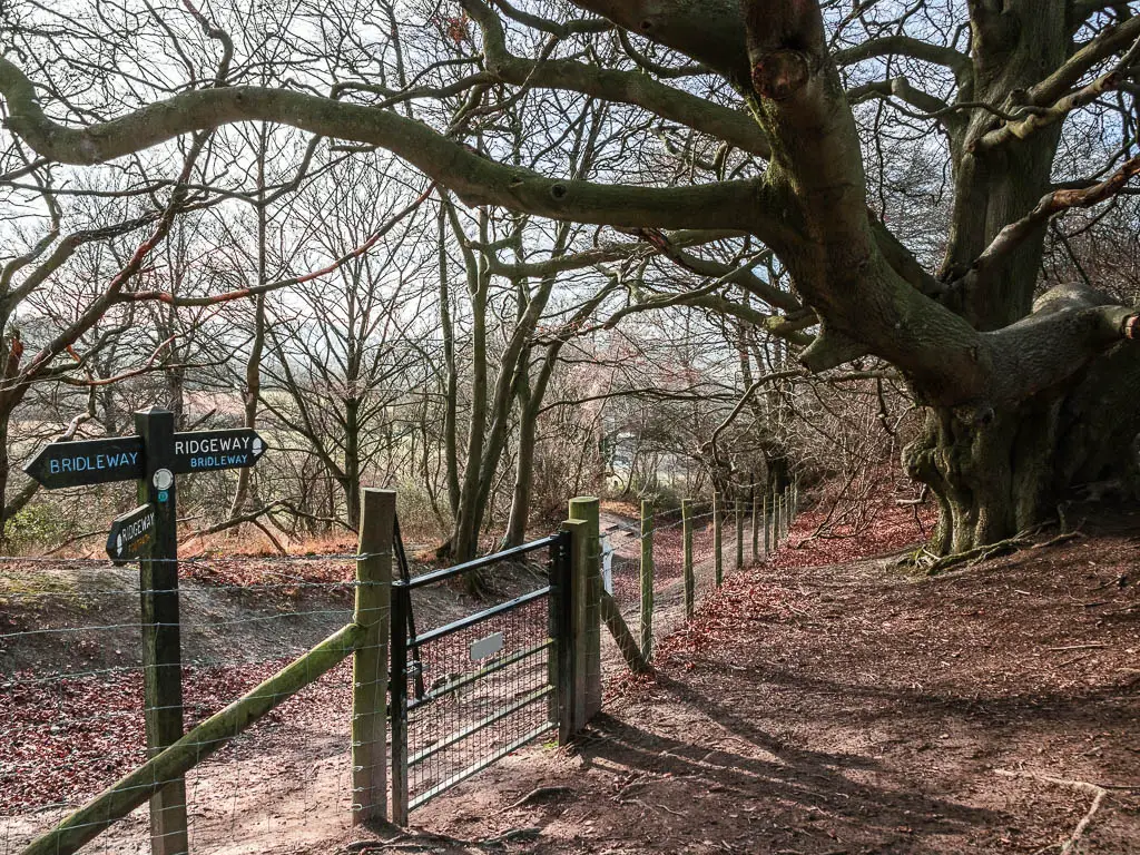
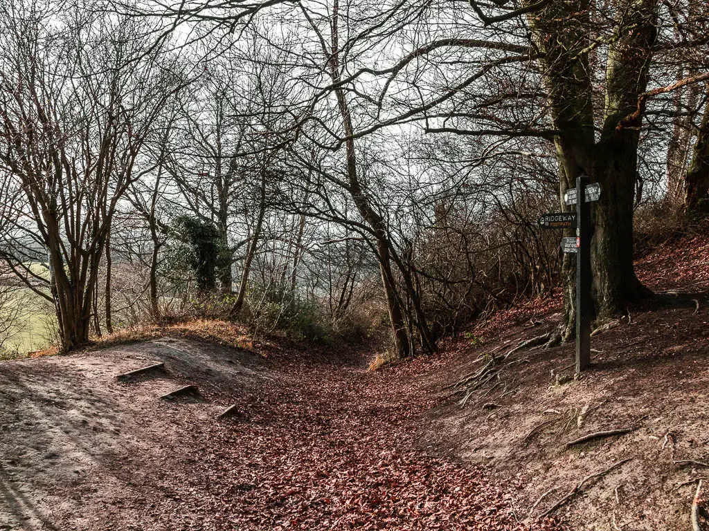
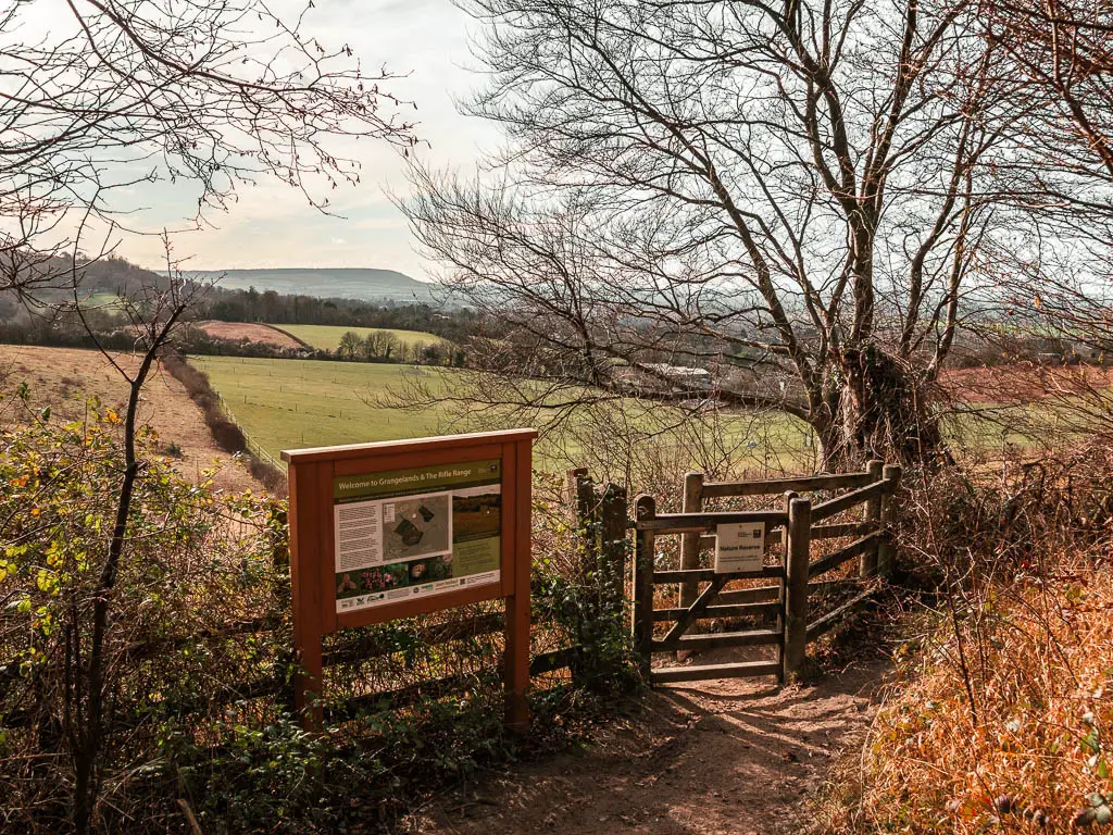
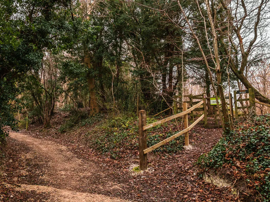
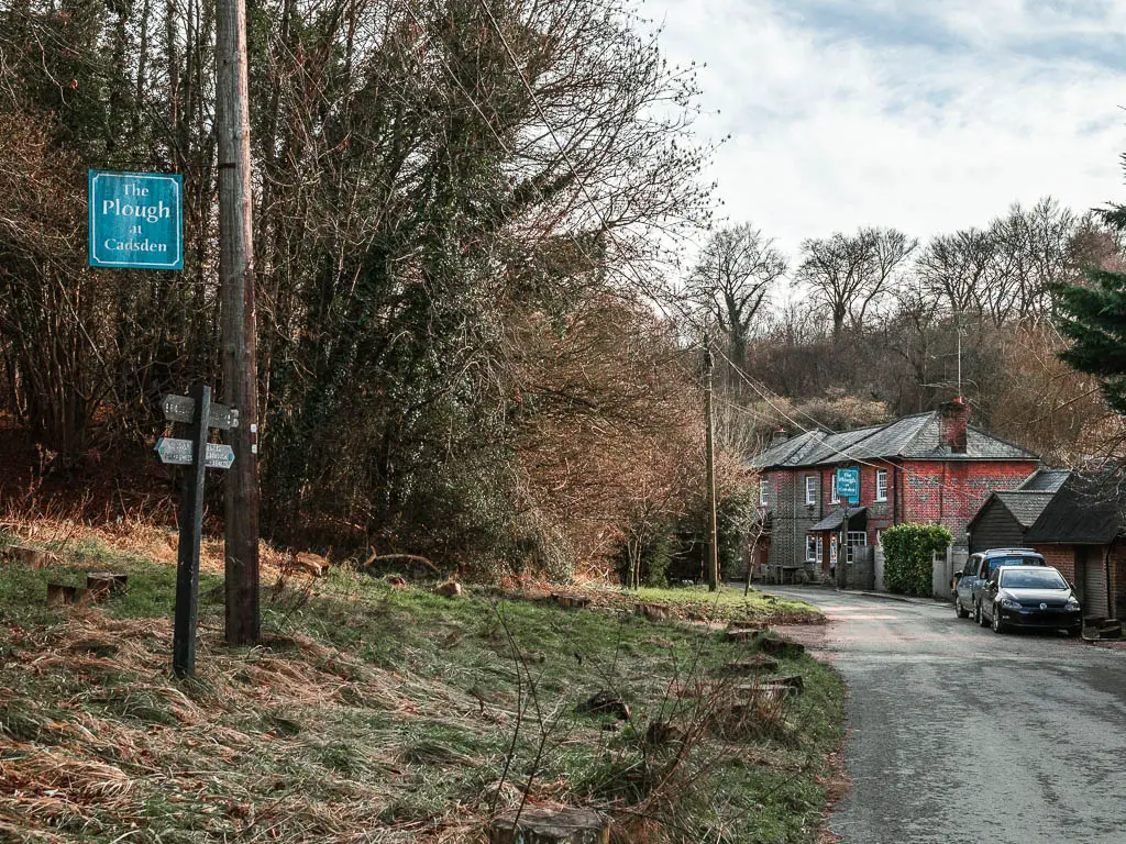
At this bit here (see photos below), I can’t recall how well it was signposted, so I will tell you. You see the trail spilt. You can take either, but if you take the left, a short way along you must take the gate to the right. These will get you to the road. At the road, walk towards the Plough Pub, and the Ridgeway trail will continue past it to the right.
Walk to Whiteleaf Hill and Whiteleaf cross
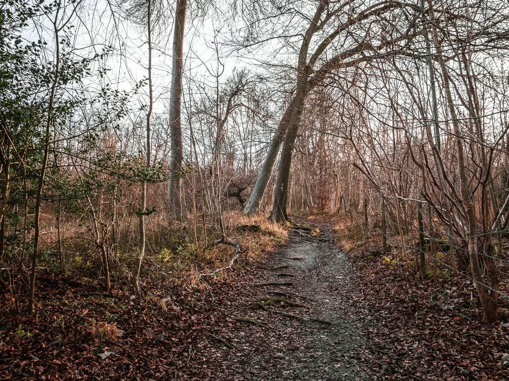
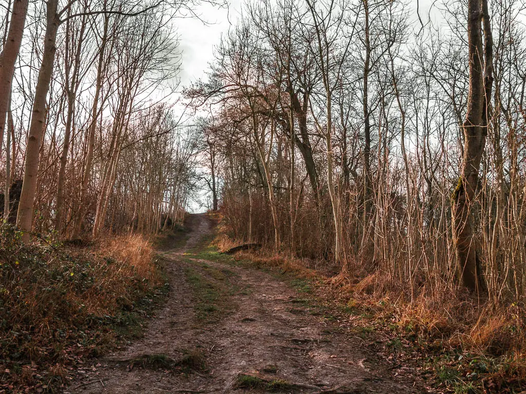
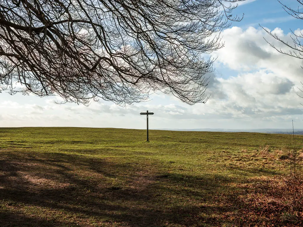
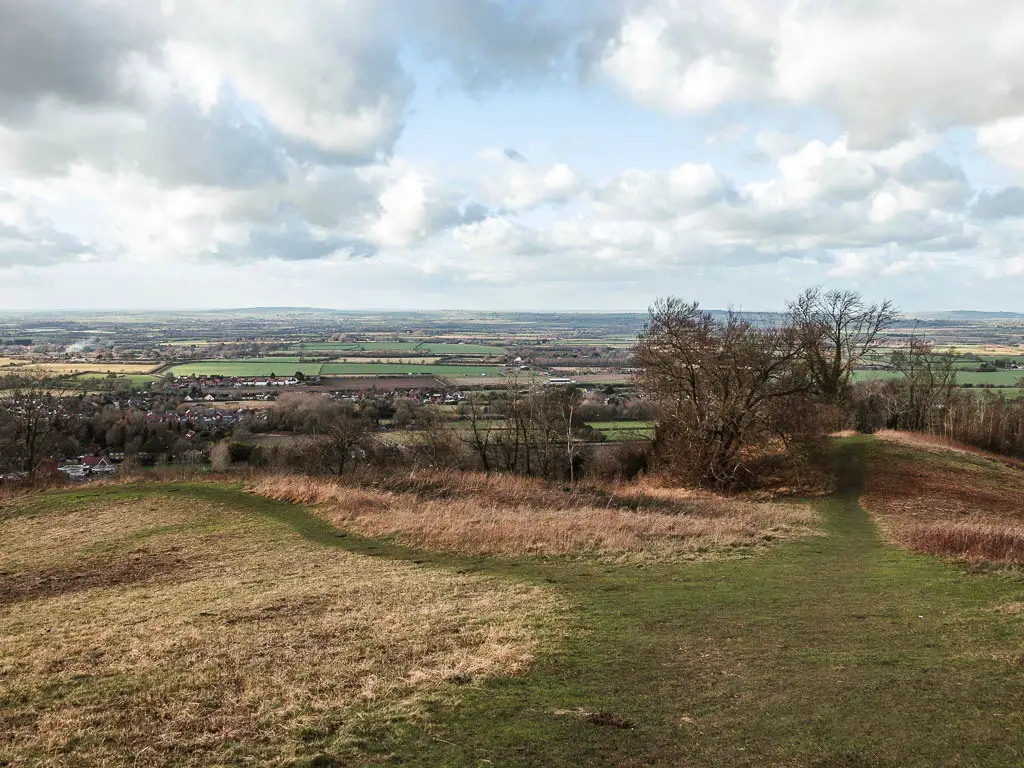
Past the pub and up through the woods, as you reach the top, you will find yourself on a mass green area with a lonely wooden trail signpost. This is Whiteleaf Hill. The view from up here is incredible. Another one that photos don’t do justice.
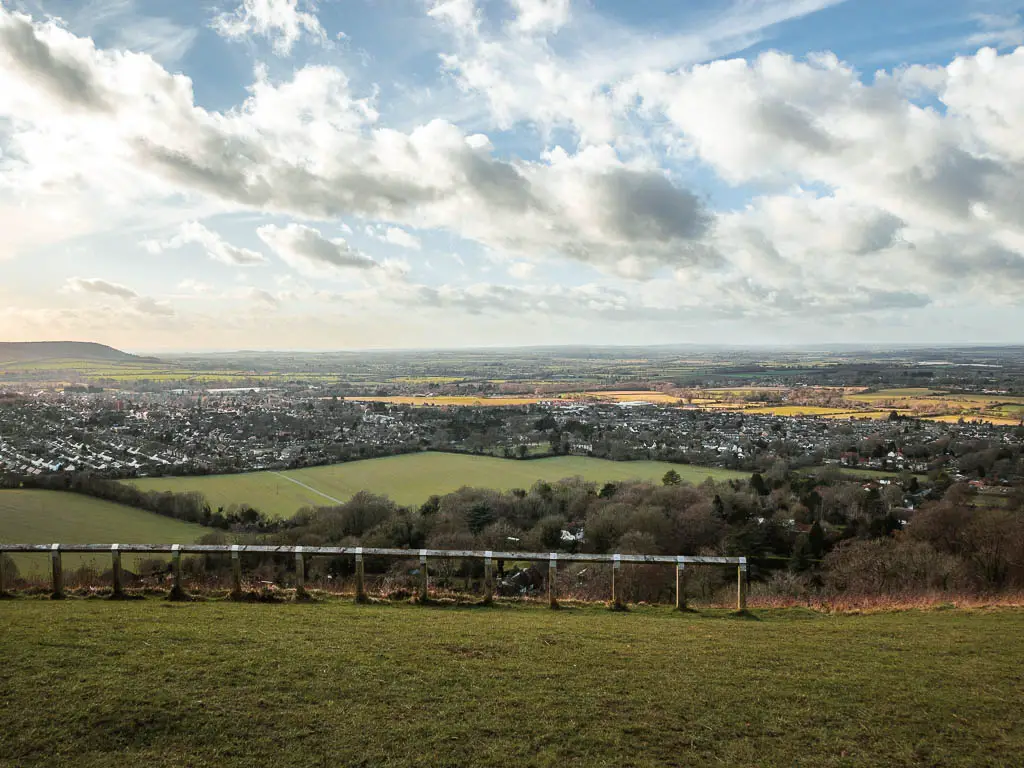
You will see a wooden ‘fence’, and just beyond that is the Whiteleaf cross. You can get to it by walking a bit down the hill to the right of the fence.
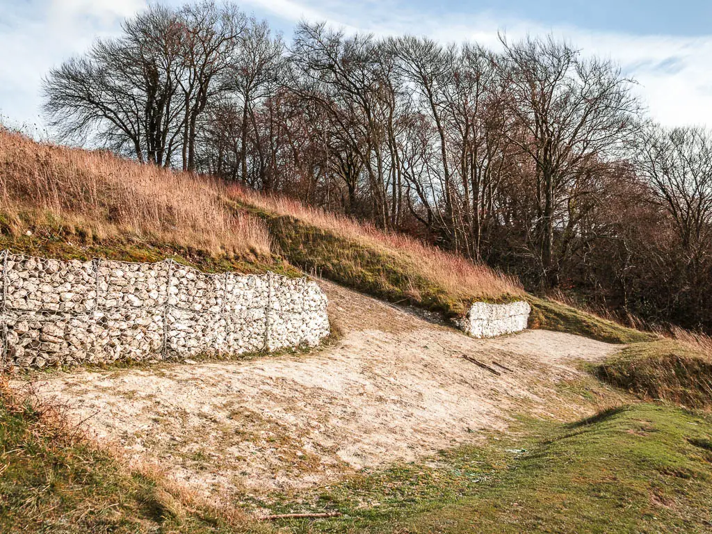
The map had a camera symbol for this spot. This is why I thought this would be the place to see the cross in all its glory. It is not. The view from up here is absolutely incredible…but it’s not of the cross. I actually decided I would leave it at that. Whiteleaf Hill is high, and I didn’t fancy walking down it to then have to walk back up….
But it nagged at me. I was so close.
Walk down Whiteleaf Hill or turn back to Wendover
Ok, so I decided I might as well do it. After all the hills so far, what’s another one? If you don’t fancy it, then you can pick up the trail nearby. If you are standing on the hill looking ahead, turn left and walk to the gate. Through there, it’s (I think) the third trail on the left. There is a signpost here for reference.
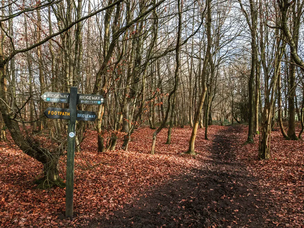
If you decide to do the extra loop, then when it comes back around, it will reach this bit. If you look at my map, you can see the loop.
I must say though, it ended up not being as bad (hill wise) as I thought. Walking down off Whiteleaf Hill was pretty steep, but you actually don’t go all the way to the bottom. Then from Brush Hill later on, you also don’t descend all the way to village level, but instead pop back across to Whiteleaf Hill.
I will show you.
Walk down Whiteleaf Hill and up to Brush Hill
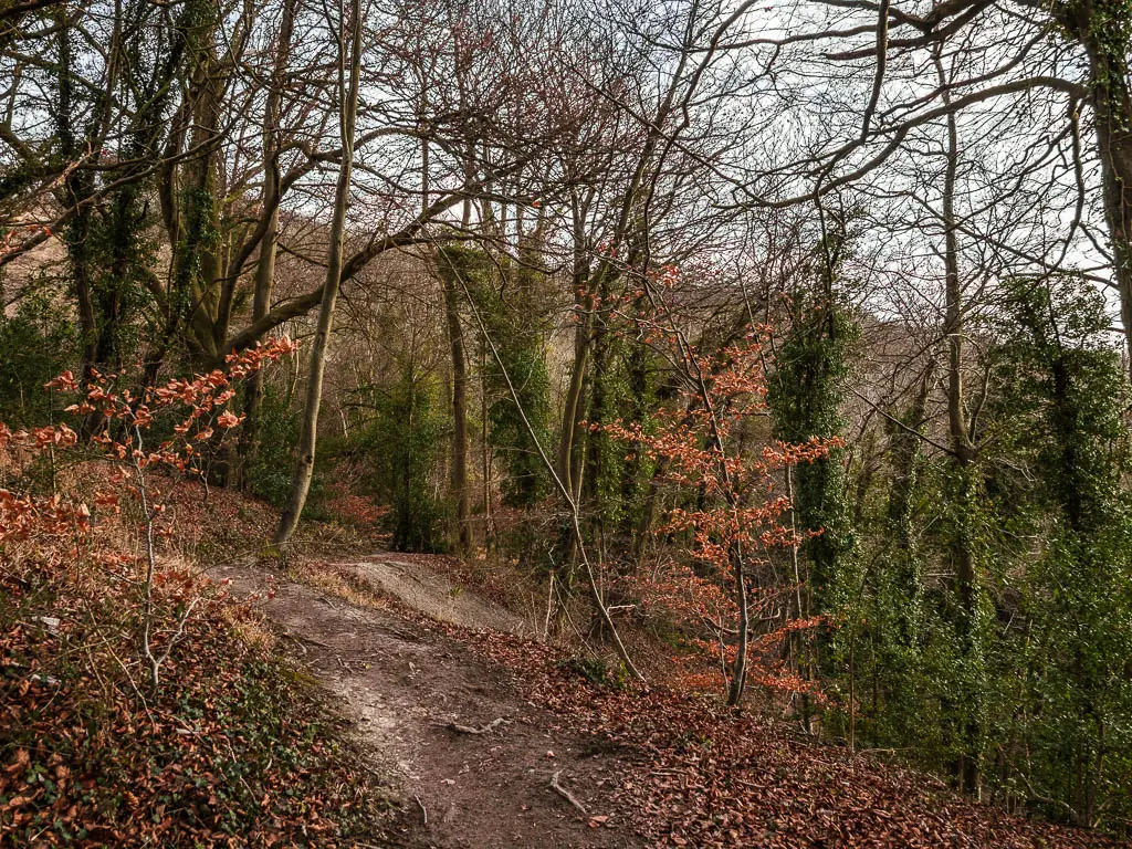
From the top, instead of going left (the shortcut way), go right along the grass trail, then take the left one where it splits. This is the steep bit down. But it doesn’t go on for too long, and is actually quite pretty when you walk through the trees. As you descend, when you hit the junction, go left which will take you to the road.
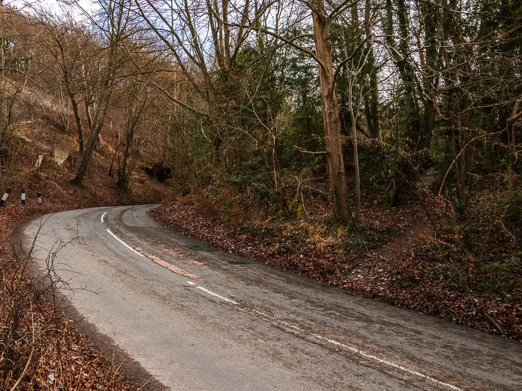
At the road, go straight across to the trail on the other side, and follow the trail past the Brush Hill information board. It’s quite nice and woody along here.
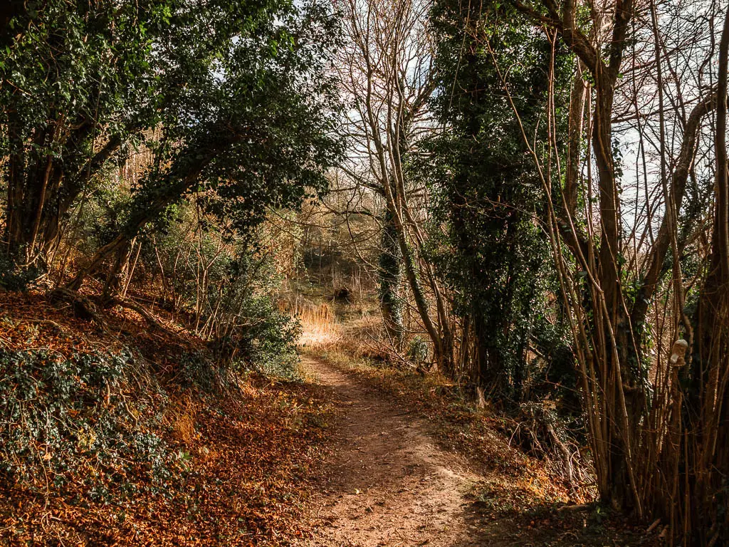
Keep going, then just before the trail goes to the right and downhill, take the trail that leads up to the left. Don’t worry too much if you miss it. You should be able to catch it a bit further along. Just look for the steps and go up.
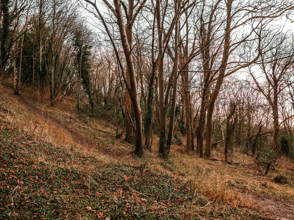
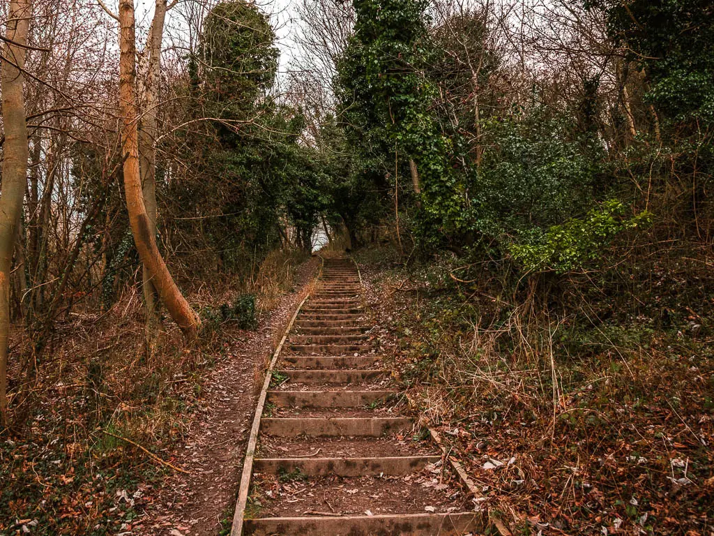
I was already at this point having my doubts that I would get to see the Whiteleaf Cross. So when I got to the top of Brush Hill, I wasn’t too disappointed when it wasn’t there. I do think this little detour was worth it though. It was a nice extra bit of woods and some steps, which are always fun. Plus more views.
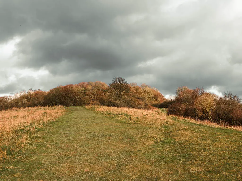
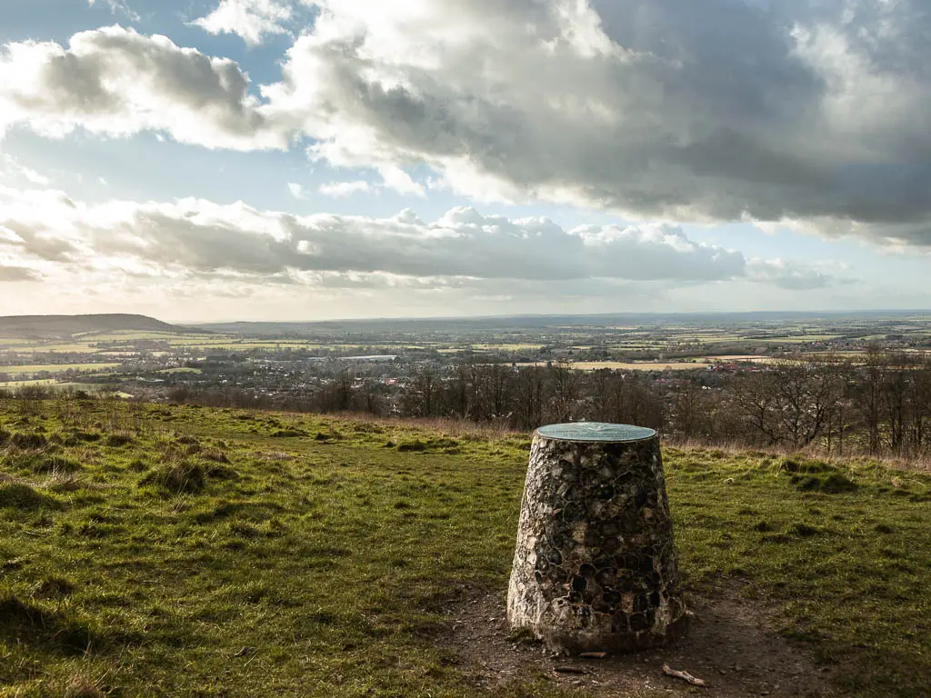
Walk back to Whiteleaf Hill
From the trig point, walk into the woods and through the gate on the left. Through here, walk on the left trail and it will take you down to the road, with Whiteleaf Hill car park on the other side.
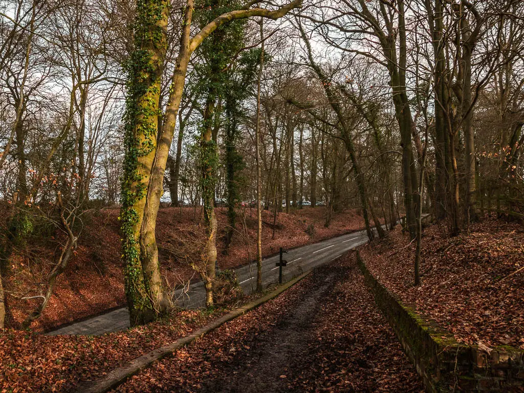
Go across and up to the car park, but don’t enter it, instead, turn left. This will take you onto a dirt path, and then onto the main trail.
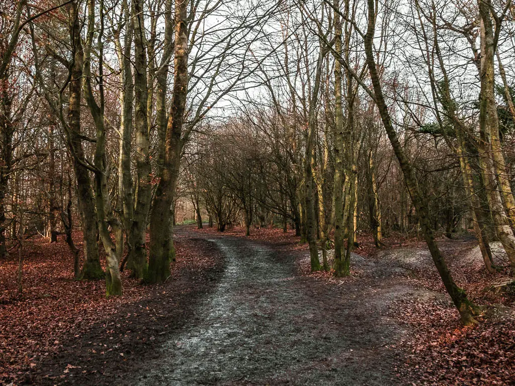
At this point, I was still expecting to have to walk up at some point. Walk up to Whiteleaf Hill. As it turned out, I was already on it. I hadn’t realised that I never descended that far. This main path takes you straight to it, without going up anymore. I was quite shocked and confused when I found myself at the hill top viewpoint again. That’s how I accidentally made a loop.
My leg
It was also around here that I started to feel my leg again. I felt a sort of dread. Things had been going so well. My enthusiasm had backfired. Did I regret making the walk longer? I wasn’t sure yet. Let’s see what happens.
Start the walk back to Wendover
I had walked straight passed the trail I needed to turn onto. So I backtracked a bit to find it. Basically, when you are on that main trail, look out for the right turn which looks like this:

Now follow it along to walk through the woods.
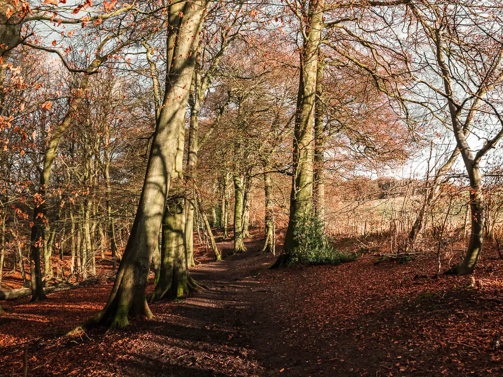
When you reach the first trail split, take the left one. Then at the next junction, go left again and follow the trail as it curves to the right and then left.
Confused yet? Me too.Let me show you with pictures:
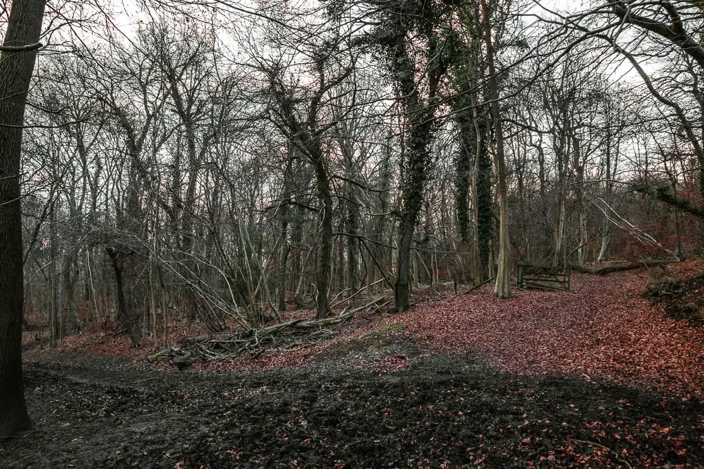
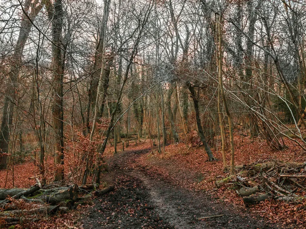
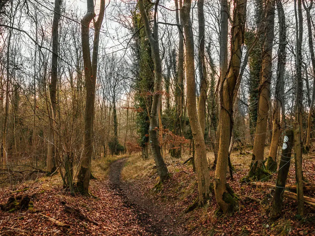
After this, keep on this trail all the way to the road.
Barbed wire attack
It was somewhere along here, on a particularly muddy bit, that I had my barbed wire encounter. I was on the edge of the mud, trying to avoid the middle bit of doom. I placed my foot down and was sucked into ankle deep mud. In response, I grabbed the fence to the left. It was a barbed wire fence. I impaled my finger. Luckily it was just a finger. I thought about my last barbed wire encounter on Brockenhurst to Lymington, and how I had decided after that to always carry some sort of first aid stuff with me on hikes. It was a learning experience. Well, I didn’t learn. I have still never carried any first aid with me on hikes. Will I learn this time? Probably not.
So I stuck my finger in my mouth and carried on.
Walk through Maple wood
At the road, you should see the trail across and to the left. Go over to it and up the steps. Keep walking a little further, then there will be a trail on the left to take you straight up.
From here, go up and just keep on going up. It’s only a little bit aggressive. Not too much.
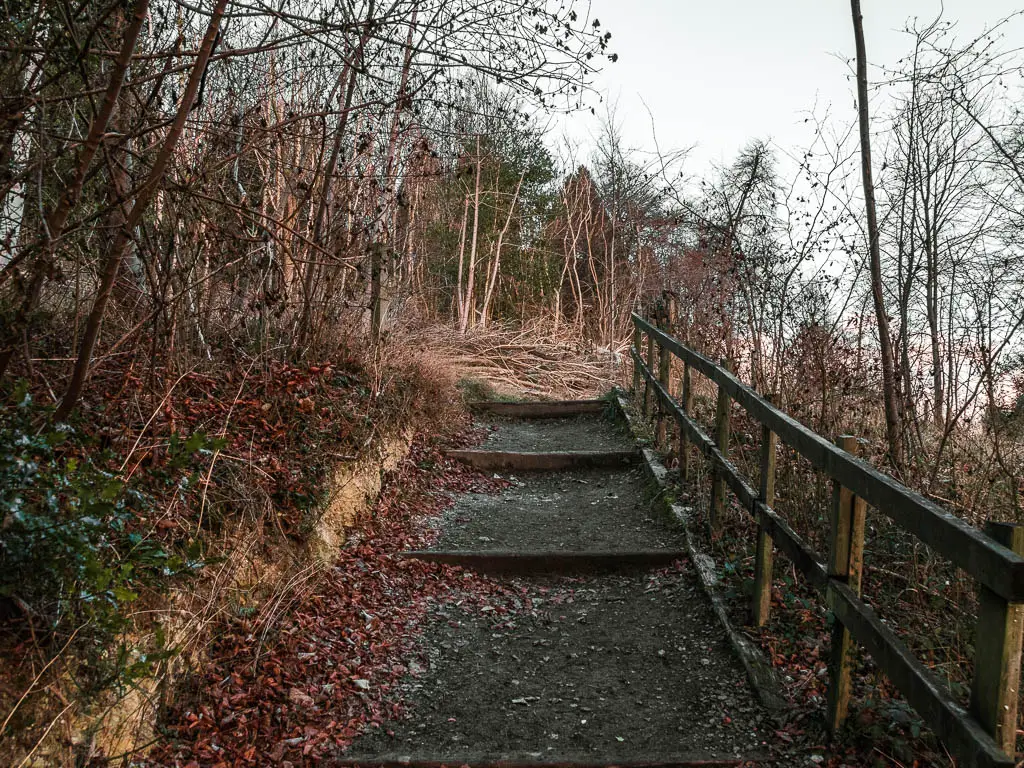
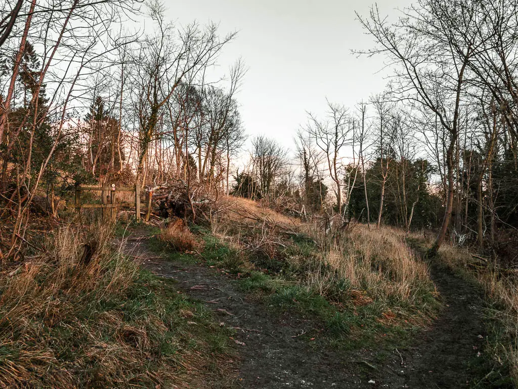
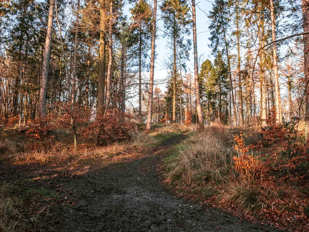
Keep on going until you reach the T junction end. From here, turn left onto the big path. This is a potential mud mess. I’m just warning you. Luckily there are no barbed wire fences near by.
The trail you want next is off this main one, on the right somewhere…and you will definitely miss it. You cannot see it unless you are walking on this trail in the other direction. What I’m saying is, keep a strong eye out, and sometimes look back to see if you missed it.
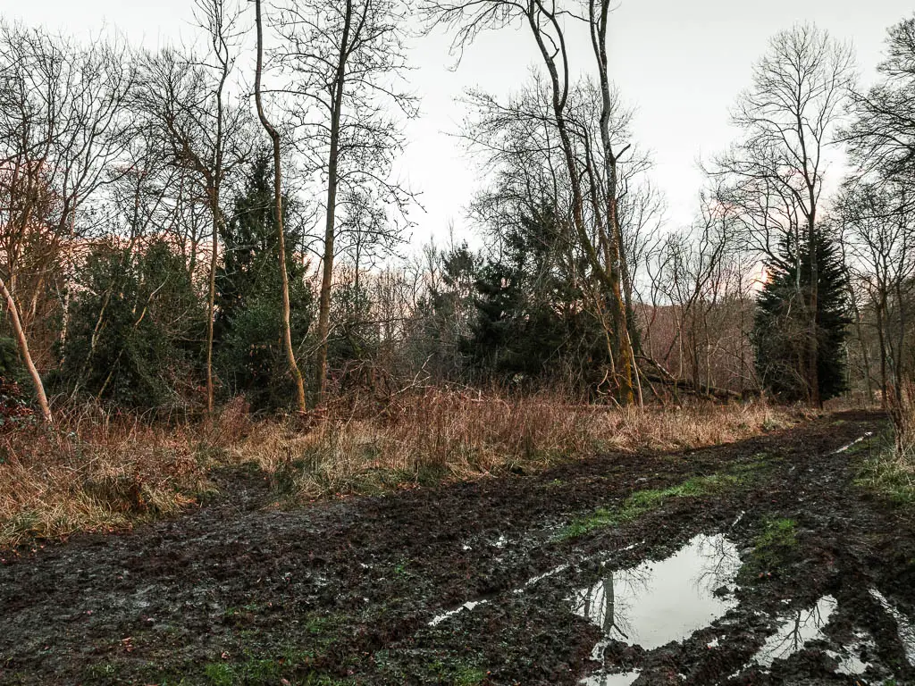
I did miss it, which unfortunately prolonged the mud.
Chequers Court
Stay on this trail all the way to reach an open field. You may have to navigate some fallen trees along the way.
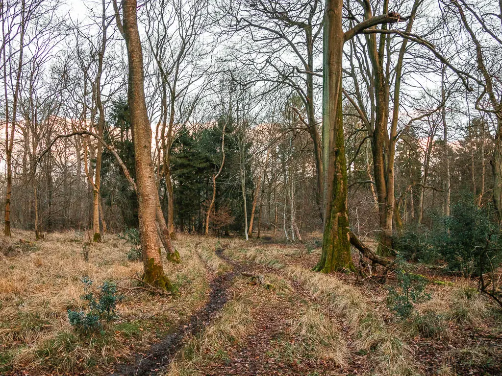
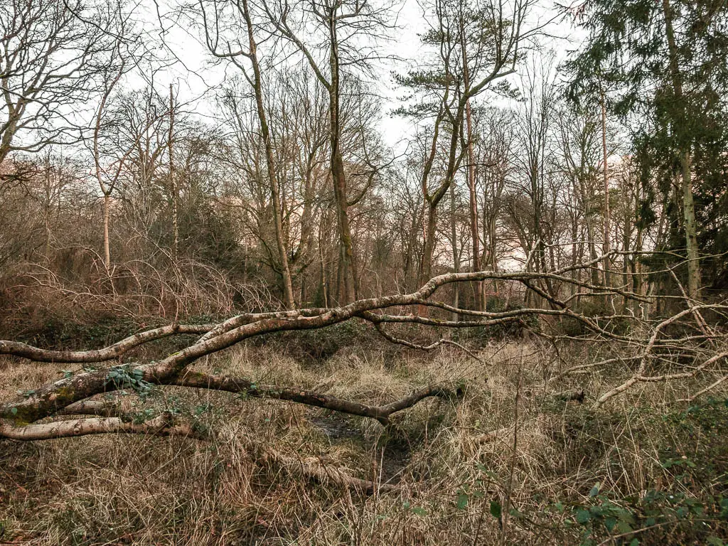
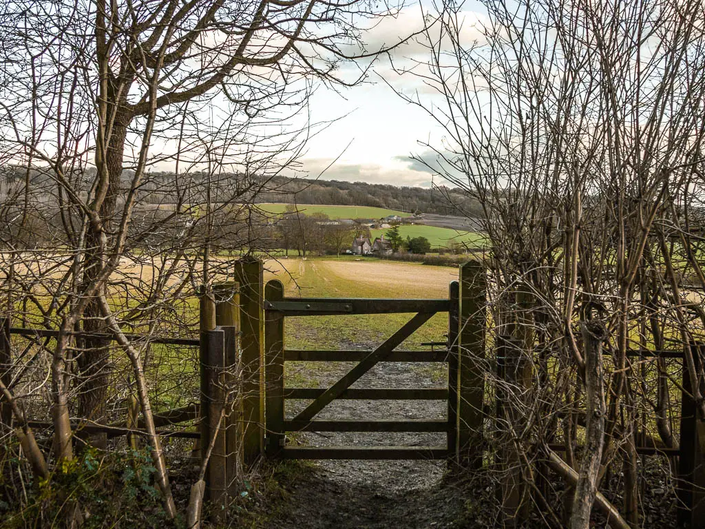
In the field, look to your left and you will see a massive manor house. This is Chequers Court. I was going to get a photo for here, but then I wondered if the government might came after me…so I left it out.
Fun Fact: Chequers Court is the country home of the Prime Minister.
There is definitely a sense of not being allowed to be in here. Signs forbidding you to walk off the trail. There are no fences or anything. Just the trail through the field. So, follow the trail and don’t step off it.
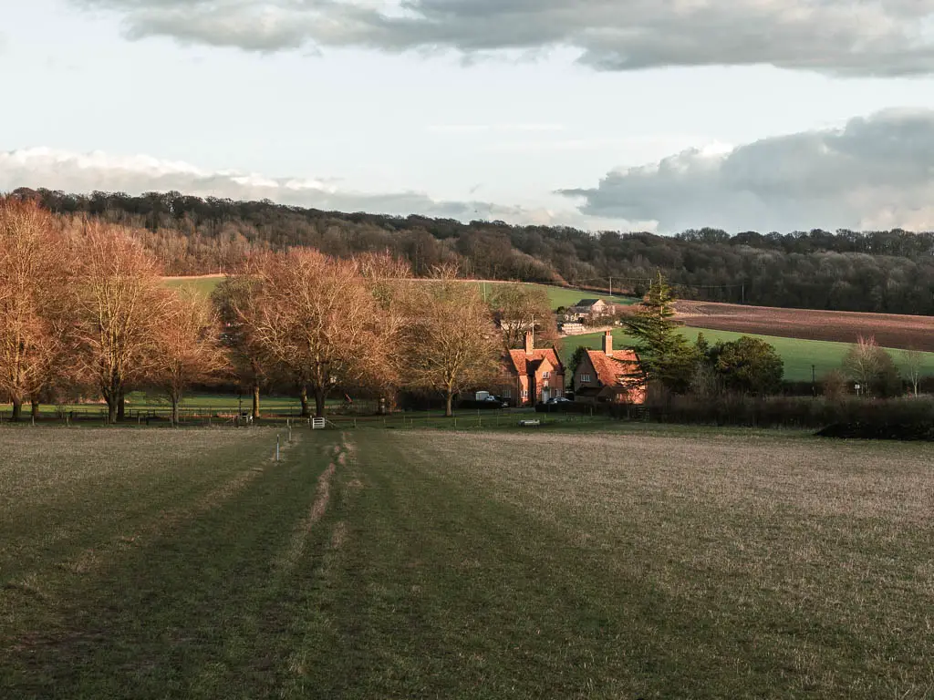
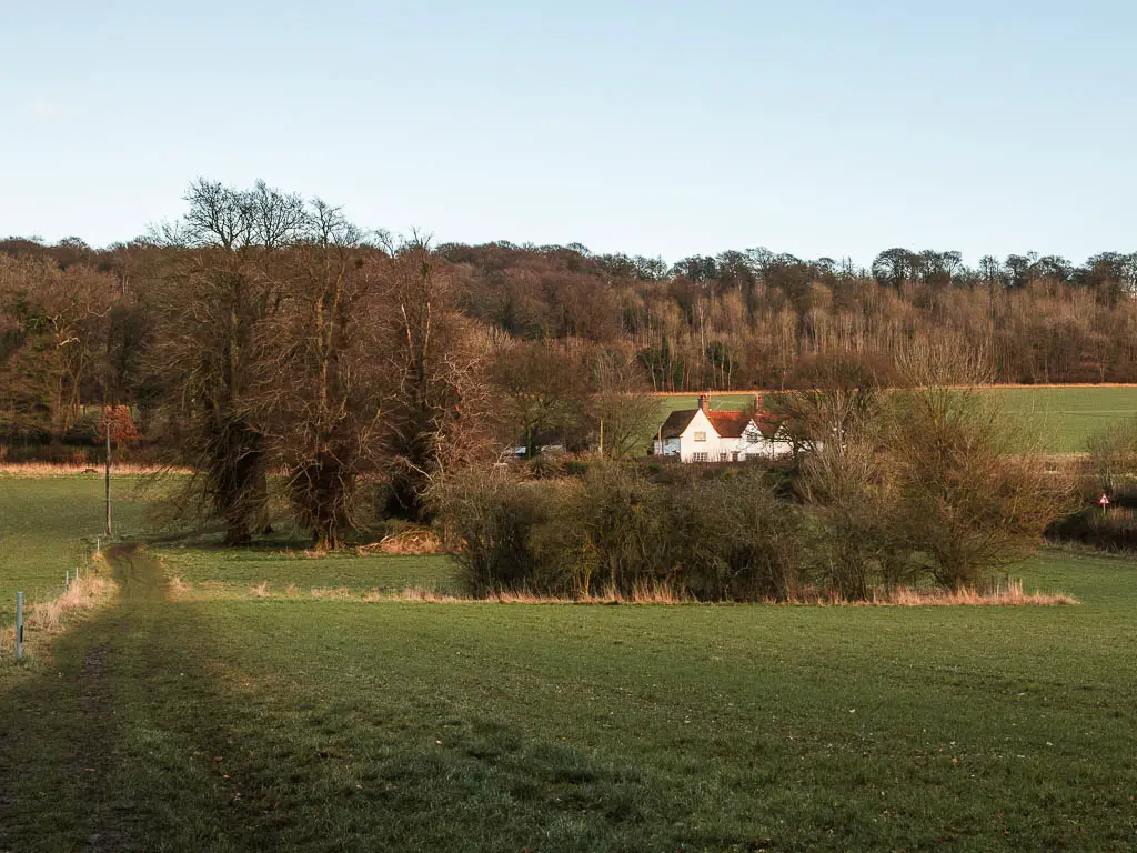
At the bottom, you need to go through a couple of gates, with lots of security cameras around, to get you into the next field. Then keep following the trail towards to cute white house, and then onto the road.
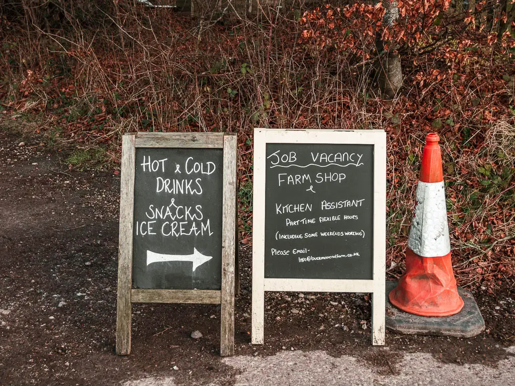
There is a little farm shop here if you fancy a bit more of a taste of the countryside.
Walk the final stretch to reach Wendover
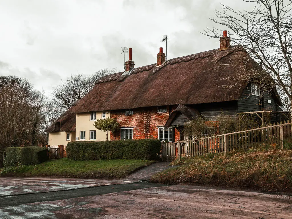
There is an offshoot road before the farm shop, which may or may not have some logs. Follow this road and onto the trail.
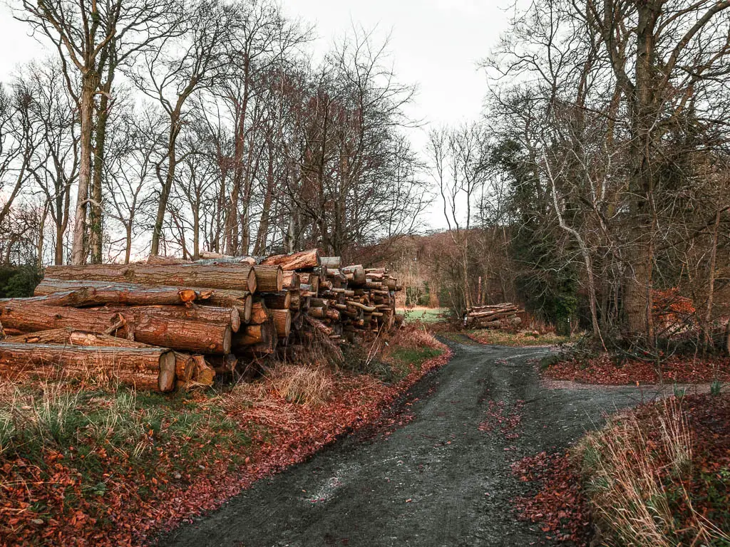
Now for the the next chunk of the walk back to Wendover, I wasn’t paying much attention. I was thinking about my leg. It was getting worse. Not as bad as last time, but there was still some walk left. After some more thought about if I regretted walking the extra bit, I decided I didn’t. Luckily the walk back towards Wendover had so far been pretty easy, so the leg situation didn’t get out of control. I had had a great day out, and some leg pain (and barbed wire impalation) didn’t take away from that.
Anyway, I have moved off the point. What I wanted to say is, I wasn’t paying attention to where I was walking, so I’m not sure I can give accurate directions going forwards (but I will try). I just sort of walked along the trails which seemed correct, and that took me in the general direction of where I wanted to go.
How I think you walk back to Wendover….
So initially you follow the Ridgeway Trail….
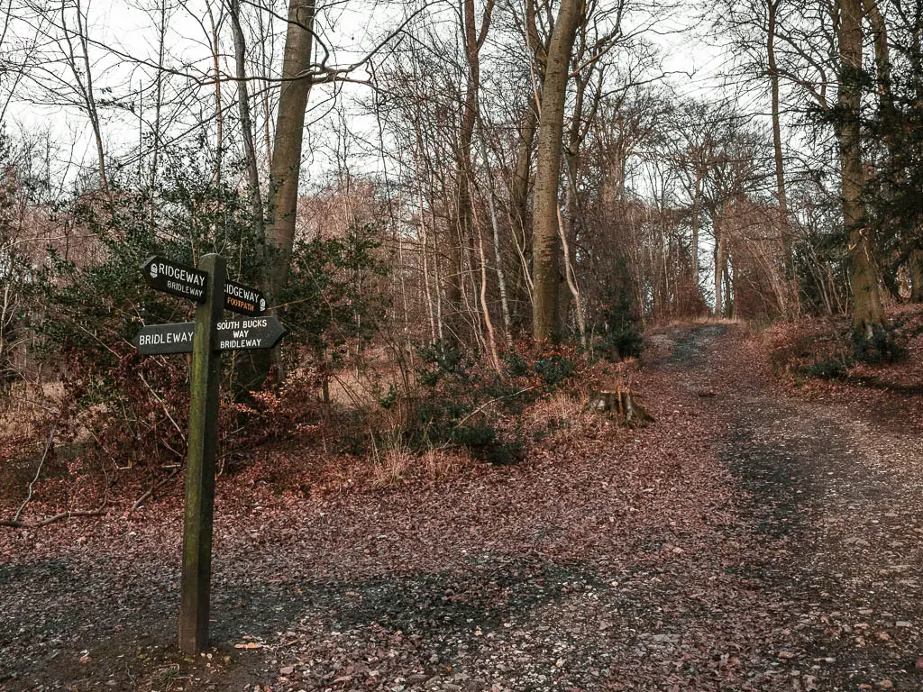
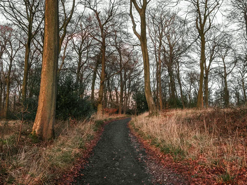
Then at the junction in the photo below, don’t follow the Ridgeway anymore. Just go straight, and keep following this trail for a little.
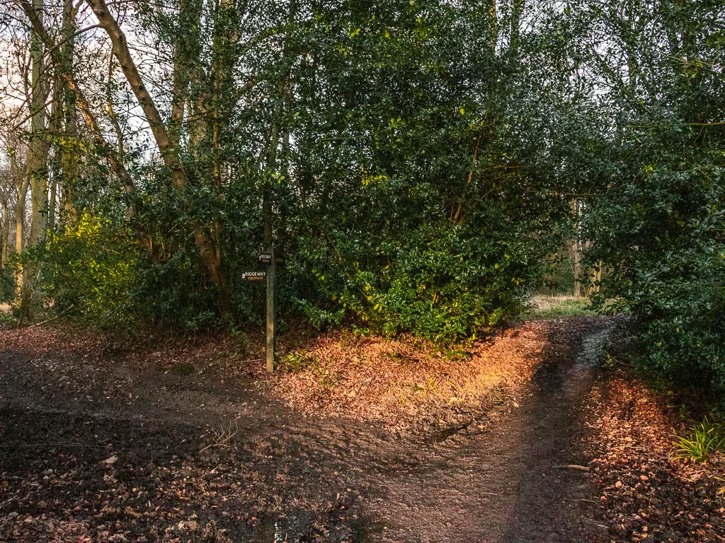
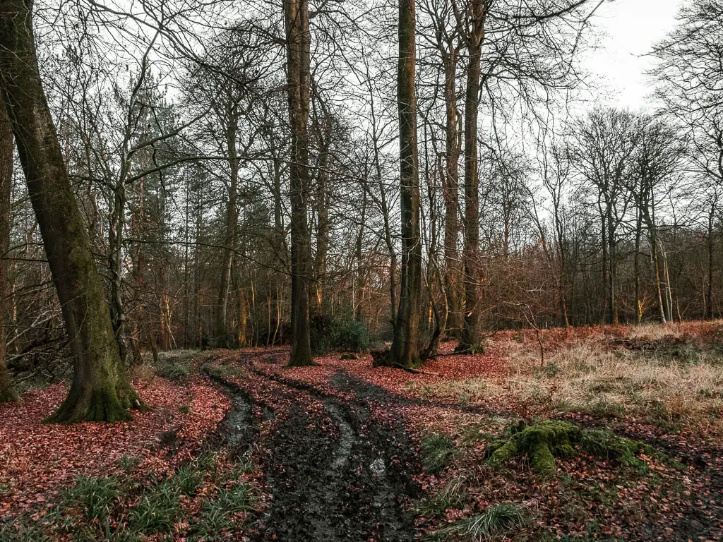
Tun off the trail at the junction in the photo below. Here, take the trail to the left and up. Stay following this trail until you reach the road.
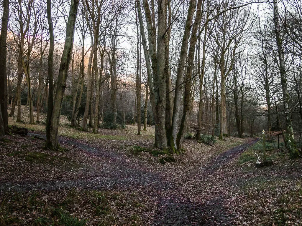
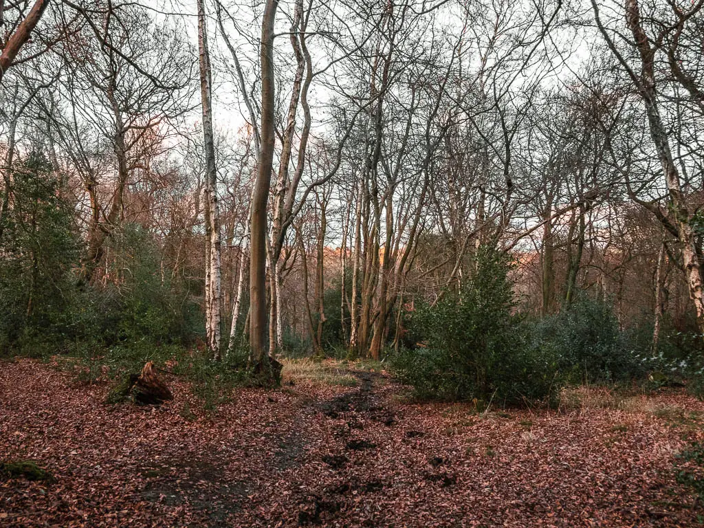
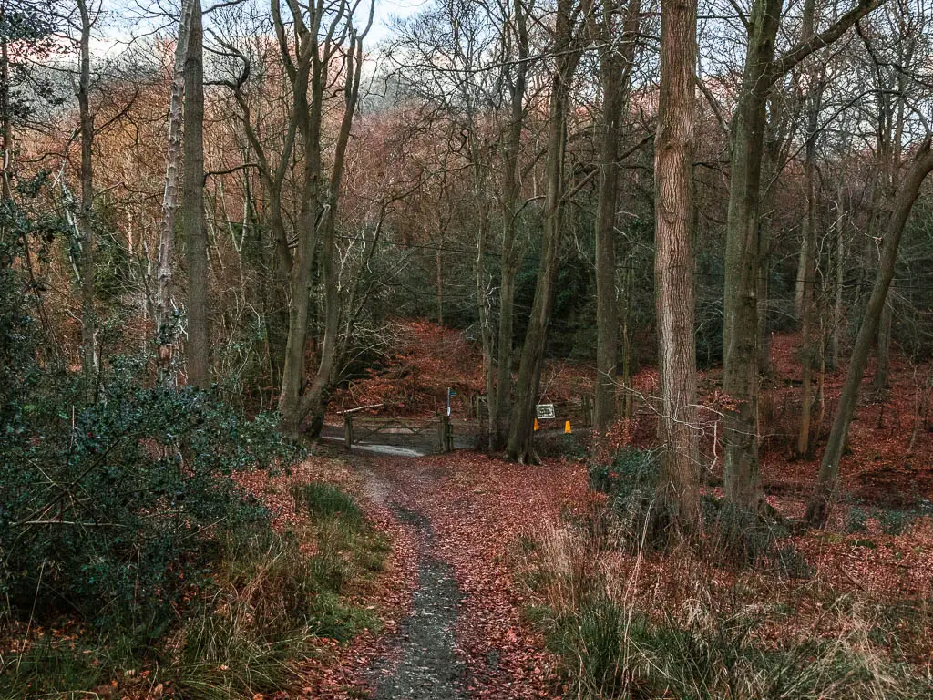
Through the gate (in the photo above), cross the road and through the next gate, then take the left trail.
From here, on my map I can see that I stayed on this trail for a while. There are a few curves in it here and there, but I essentially stayed on it, first in the woods and then out of the woods. At some point I hit a T junction, where I turned left.
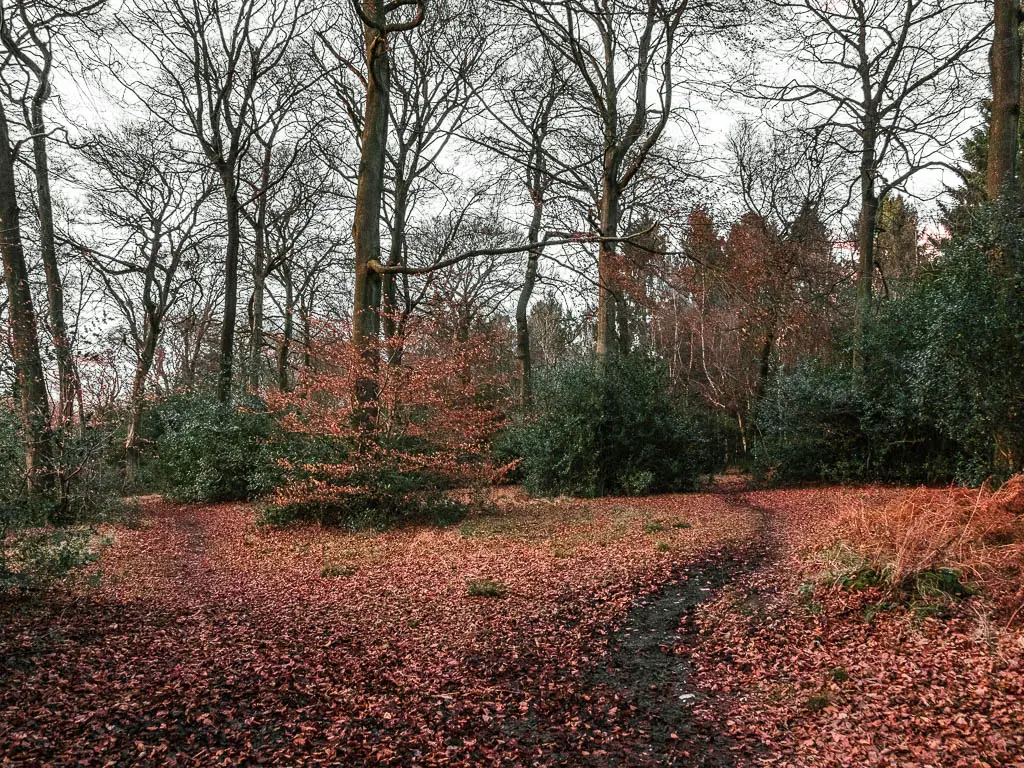
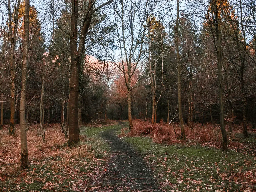
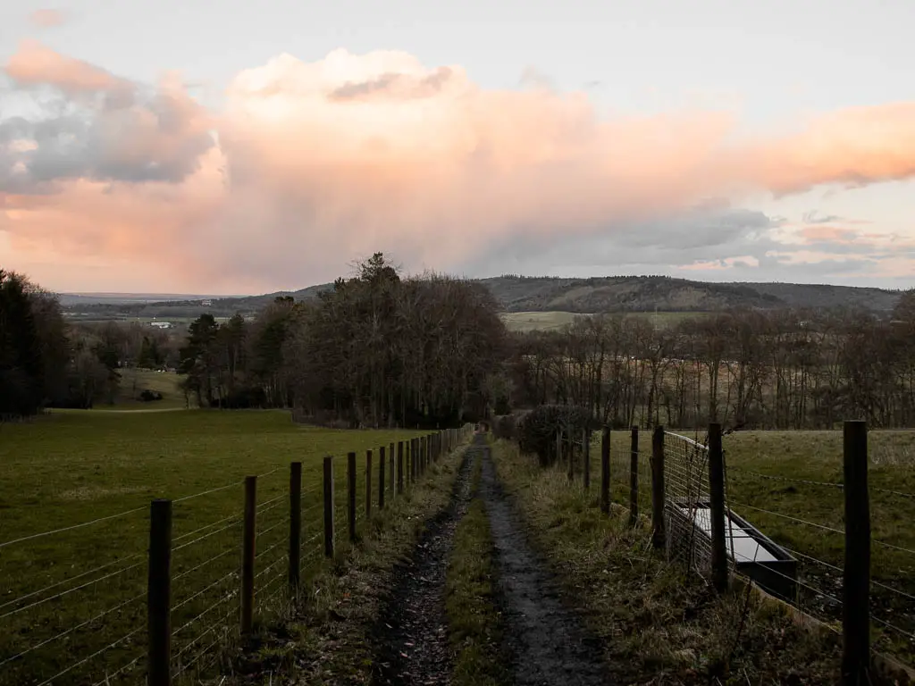
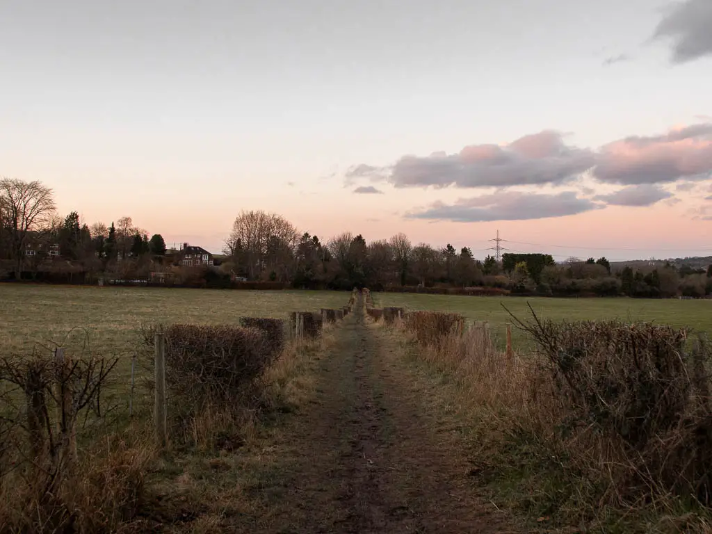
The bit I remember on the walk back into Wendover
Now I know where we are. If you have managed to figure out the previous bit, you will reach road. At the road, turn right, then look out for a trail a short way along on the left. Through there, go through the gate and follow the trail as it zigzags you around the telephone pylons and to the road.
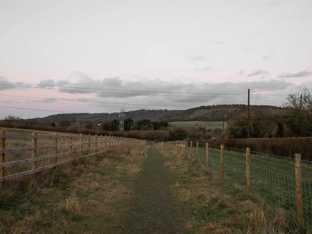
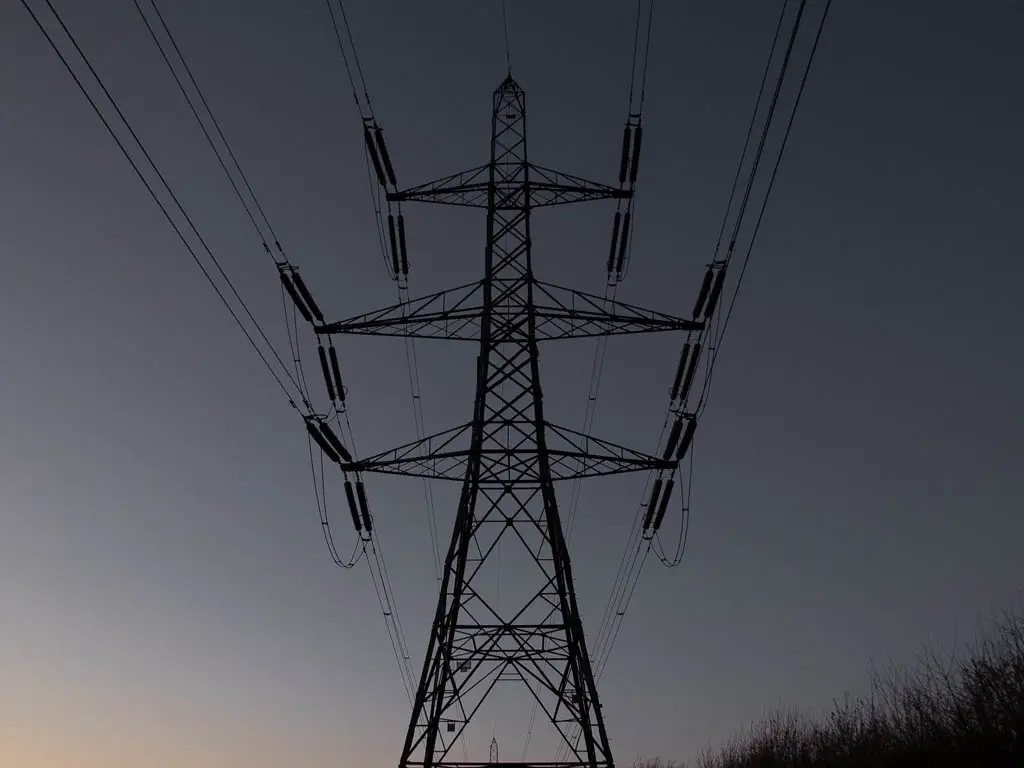
When you reach the road, you will see Wendover train station.
My train back to London was at 5:27. I arrived at the road at 5:23. I was proud of myself for making it in time to catch may train….
However, I could see a train in the station. My first thought was that, it is not my train. But I felt a little uneasy, so I checked. I looked in horror at my phone when I saw that the train back to London was not at 5:27. It was at 5:23. That’s my train. I immediately ran across the road to try to make it, but deep down knew it wouldn’t happen.
It left without me 🙁
Pin it for later: Wendover to Coombe Hill, Beacon Hill and Whiteleaf Hill circular walk
For more walk ideas and other things to do in the Chilterns, you can check out the Chilterns AONB website.
