Nidderdale AONB, is a large area of countryside in the heart of Yorkshire, with plenty of great walks for all abilities.
From enchanting woodland, to prehistoric rocks, a World Heritage Site, the most beautiful landscapes, wild moorland, nature reserves, and a lot of reservoirs, so you should be able to find a walk in Nidderdale to excite you.
This post uses affiliate links. You can read the privacy policy or disclaimer for more info.


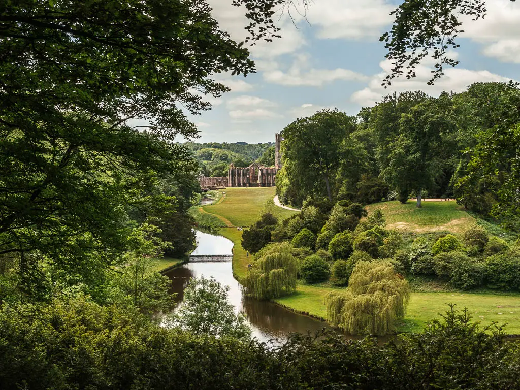
Bordering the Yorkshire Dales National Park, Nidderdale has been designated an AONB (Area of Outstanding Natural Beauty) since 1994.
Read more: Best walking routes in the Yorkshire Dales National Park
Quick Look at the Best walks around Nidderdale
An overview for each of these walks is further down the page. Or you can click on each one to take you straight to the full walk guide.
- Brigham Rocks and Moor – 2.5 miles
- Pateley Bridge circular – 9 miles
- Hackfall Wood circular – 4 miles
- Fountains Abbey – 6 miles
- Druids Temple circular – 5 miles
- Scar House Reservoir – 4.5 miles
- Fewston reservoir circular – 4 miles
- Swinsty Reservoir – 3 miles
- Thruscross Reservoir – 5 miles
Everyone of these walks in Nidderdale, I have done, and I have written a full detailed guide for each one. Which includes full logistics, a map, photos, step by step route descriptions, and useful tips. Some are very simple to follow, and some do have a bit more complicated navigation.
This guide covers short walks, long walks, easy and challenging walks, across the Nidderdale area. Including family and dog friendly routes. Some walks are along well maintained public footpaths, some on very rugged and muddy terrain. You can see exactly what each walk looks like on the full guide for each one.
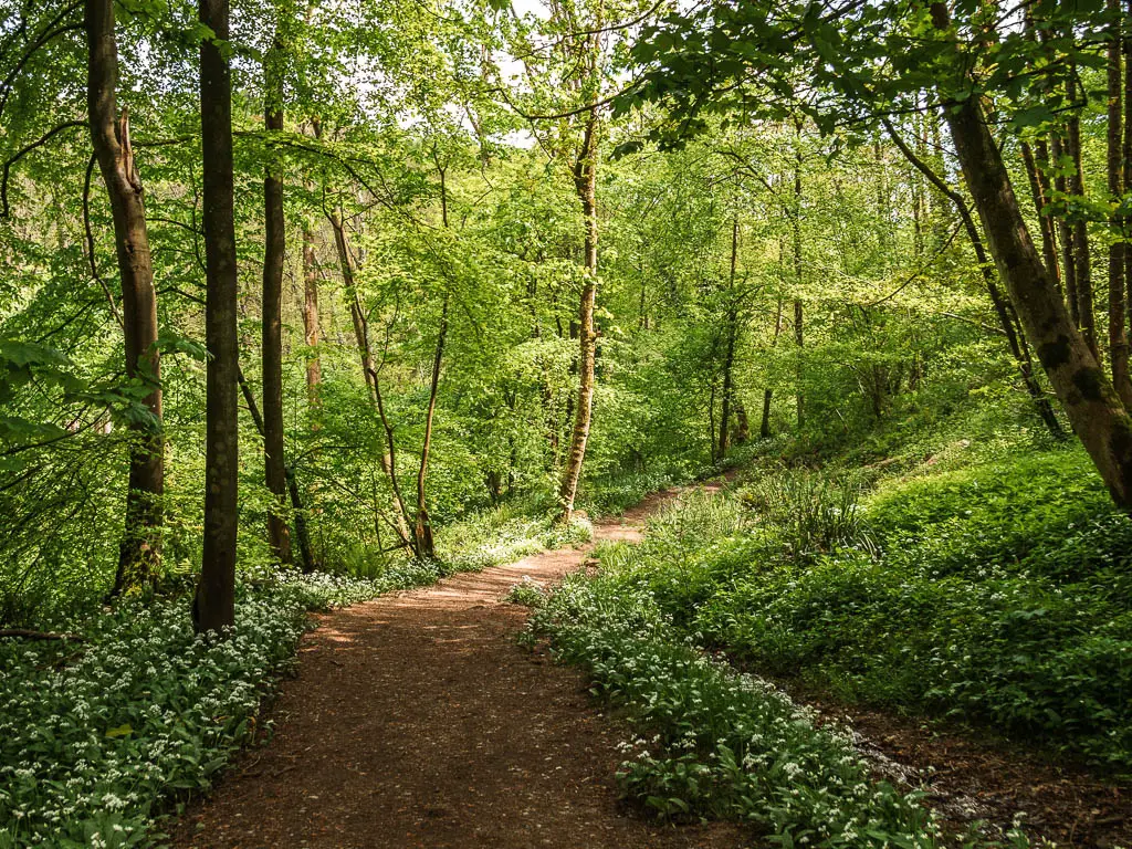

9 Best Walks in Nidderdale
1) Brimham Rocks and Moor
Start/Finish: Brimham National Trust car park Distance: 2.5 miles Time: 1h Difficulty: Easy

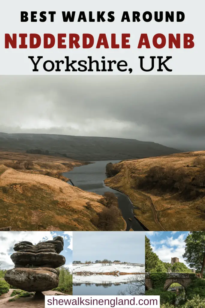
This is probably the most touristy of the walks in Nidderdale, as Brimham Rocks are quite famous.
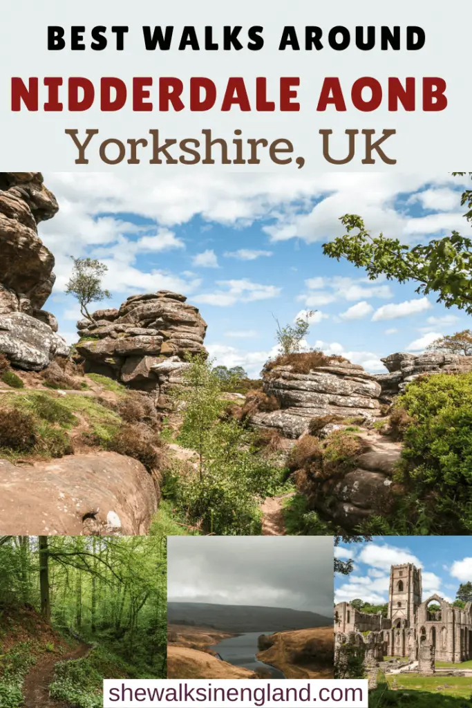
Despite being touristy, I was very impressed. The rock formations are pretty massive, and date back millions of years. The best part is, you don’t have to admire from afar. You can walk right through and on top of them.
This route takes you on an extra loop around the Brimham Moor, which I highly recommend, as you can escape the main crowds, and see even moor rocks, this time surrounded by heather.
Although this is one of the shorter walks in Nidderdale, it was definitely one of the highlights for me.
The nearest town to Brimham Rocks, is Pateley Bridge, so if you want to make the route longer, you could start the walk from there…..
Read more: Brimham Rocks circular walk
2) Pateley Bridge circular via Brimham Rocks
Start/Finish: Pateley Bridge Distance: 9 miles Time: 3h 15min Difficulty: Moderate
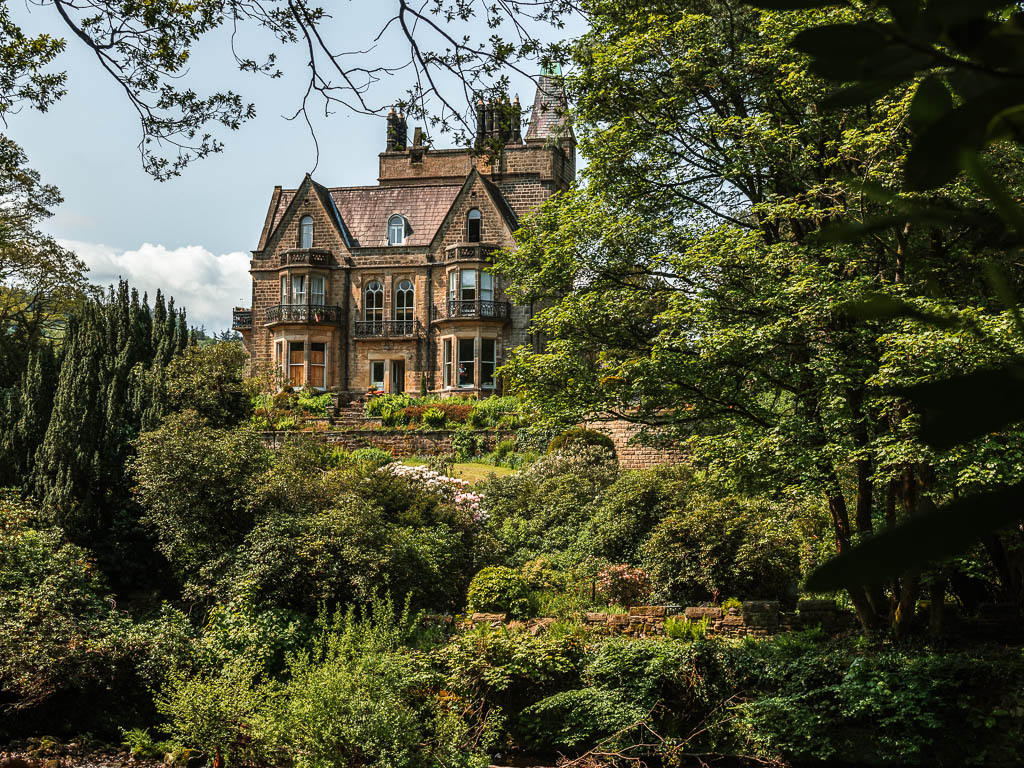
If you would like to see Brimham Rocks as part of a longer route (and without having to pay for parking), you might like this one.
The starting point for this walk, is the picturesque town of Pateley Bridge, which is the only town in Nidderdale, and has the oldest sweet shop in Britain. You will then walk along the river, through many fields, and past cute cottages, on a gradual uphill, to reach the Brimham Rocks, which is the highest point in the walk.
The route back is shorter, but involves a bit of an adventure, as you will need to cross a river on a fallen tree, to get back to the market town of Pateley Bridge.
This is the longest of these walks in Nidderdale, however, with Brixmham Rocks to break up the journey, it doesn’t feel that long. The route can get very muddy, so best to avoid it if it’s been raining.
Read more: Pateley Bridge circular
3) Hackfall Wood walk
Start/Finish: Hackfall car park Distance: 4 miles Time: 1h 40min Difficulty: Moderate
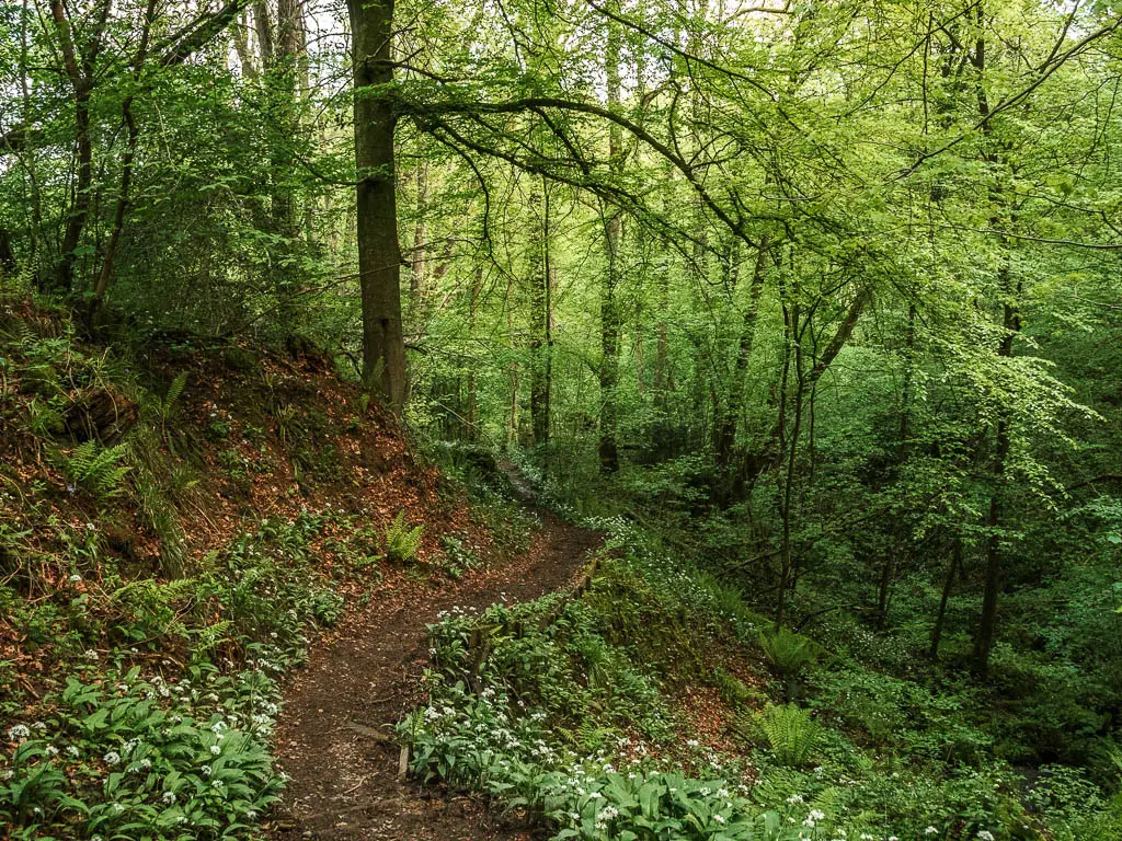
Of all the walks I did in Nidderdale, this one surprised me the most. I was expecting a regular old woodland walk. What I got was lushness, waterfalls, grottos and follies, with so many cute surprise stunning views. Although it’s an old woodland, it has be prettied up, by the same family that did the landscaping at Fountains Abbey. It really is a wonderful place, so I will definitely visit again.
Despite being a short walk, it is more challenging than you would expect. Featuring some very rugged and muddy terrain, as well as one big big hill.
It’s very near to Brimham Rocks, and I actually walked them both on the same day.
Read more: Hackfall Woods Walk
4) Fountains Abbey and Studley Royal circular
Start/Finish: Fountains Abbey National Trust car park Distance: 6 miles Time: 2h 15min Difficulty: Easy

This is the most civilised of the walks in Nidderdale. Taking you through the well kept grounds of Fountains Abbey and Studley Royal, with landscaping that influenced what we know today as the typical English Garden look.
You will then venture into the deer park, and through the valley of the seven bridges, before walking along the impressive tree lined drive with a view to Ripon Cathedral. You may even see some deer along the way.
This is one of the most fabulous walks you can do near the town of Ripley, and you may get to pick up some fresh farm eggs right at the end. Just remember to take some cash.
Read more: Fountains Abbey Studley Royal circular
5) Druid’s Temple Circular
Start/Finish: Swinton Bivouac Distance: 5 miles Time: 2h Difficulty: Easy
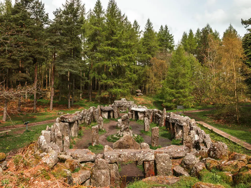
Druid’s Temple is a little deceptive, because it’s not actually a temple and it’s not as old as it would seem. Fashioned after historical sites like Stonehenge, it was built in the 19th Century as a way to create employment.
Located in the Upper Nidderdale, you can walk to it from the car park in a few minutes. However, I didn’t drive all that way just for a few minutes of walking, which is why I did this circular route, to make a bit more of a day of it.
I can’t say I enjoyed it much, which was more to do with some random anxiety I was suffering with. I would say it’s a good leg stretcher, across lots of fields. Druid’s Temple, I did enjoy though, and if I was to go back, I would just do the temple. It’s in a large woodland area with lots of trails to explore.
Read more: Druid’s Temple walk
Reservoir walks in Nidderdale
6) Scar House Reservoir circular
Start/Finish: Scar House Reservoir car park Distance: 4.4 miles Time: 1h 25min Difficulty: Easy
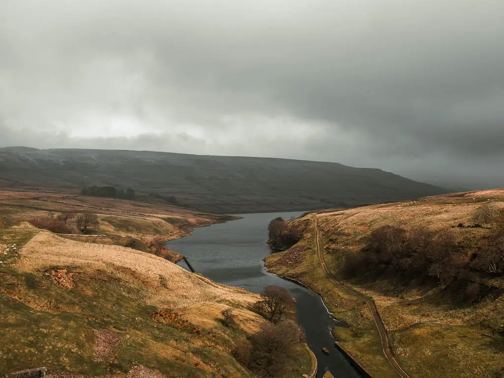
Sitting in the shadow of Little Whernside and Great Whernside of the Yorkshire Dales National Park, this reservoir is one of the most northern ones you can walk around in Upper Nidderdale AONB. It is also my favourite. Scar House feels very much like a tucked away little secret, feeding into the River Nidd, deep in the valley, and surrounded by the moors. With that in mind, I found this to be an incredibly peaceful walk, despite doing it on Easter weekend.
The walking trail around it is made up of two parts. Part rugged, part not rugged. I thought the rugged part was wonderful, undulating along the side of the reservoir, passing by the ruins of an old farming community. The not so rugged part is very pram friendly, if that’s your thing.
There is a lot of livestock grazing along this one, so dogs should be kept on a lead.
Read more: Scar House Reservoir walk
7) Fewston Reservoir circular
Start/Finish: Swinsty and Fewston Reservoir car park Distance: 4 miles Time: 1h 15min Difficulty: Easy

This is a lovely circular walk, taking you around the Fewston Reservoir, which is located in the southern end of Nidderdale AONB. It’s a very easy route, along a gentle undulating trail, mostly under tree cover, and a little out in the open.
There are no stiles or livestock, hence it’s a popular one for dog walkers. It’s actually connected to the Swinsty Reservoir, so if you want to make a bigger day out, you could connect them together.
Read more: Fewston Reservoir walk
8) Swinsty Reservoir circular
Start/Finish: Swinsty and Fewston Reservoir car park Distance: 3 miles Time: >1h Difficulty: Easy
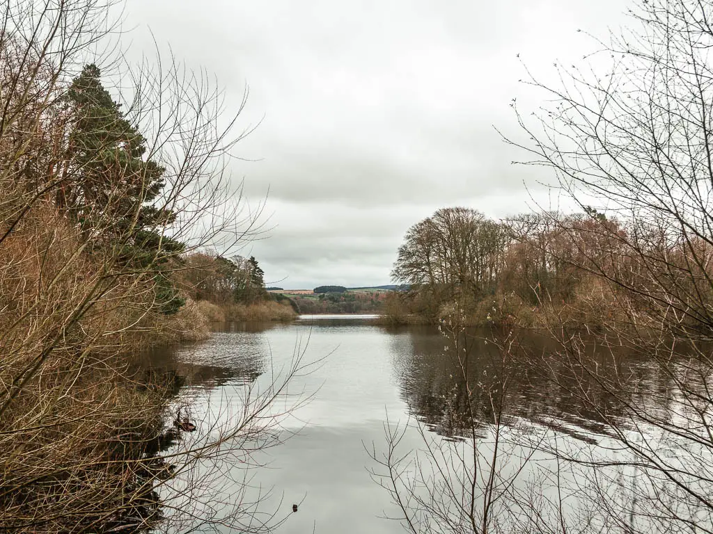
This is the smaller of the two reservoirs, and I would also say the trail is a bit less rugged. Maybe even a little prettier. There are slightly more moss covered stone walls, and more curving wooden railings. All in all, I would say this is a good walk for families.
The start point for this walk, is the same as for the Fewston Reservoir. So you could walk one, then decide after if you want to walk the other. Like a figure of 8.
Located in the Washburn Valley of Nidderdale, both reservoirs are owned by Yorkshire Water which are fed water from the Thruscross Reservoir….
Read more: Swinsty Reservoir walk
9) Thruscross Reservoir circular
Start/Finish: Thruscross car park Distance: 5 miles Time: 2h Difficulty: Easy
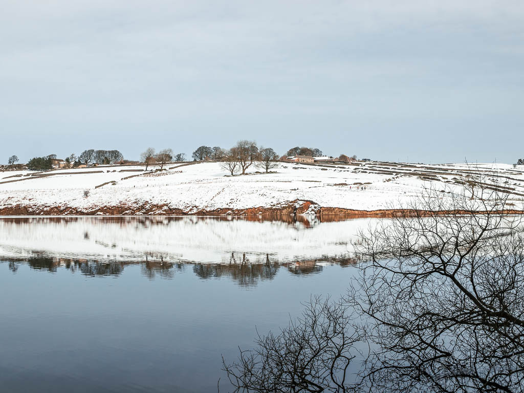
This is the highest of the reservoirs in the Washburn Valley, and feeds water into Swinsty, Fewston, and Lindley Reservoirs. This one was my favourite to walk out of all of them…kind of. I actually didn’t enjoy it, which was due to the snow. However, if I take the snow out of it, I found this one to be a lot more varied, as the route is part by the water, part across the moor. It’s also less popular than the Fewston and Swinsty, which means it’s less busy. Always a win.
Read more: Thruscross Reservoir walk
How to get to these walks in Nidderdale
The walk locations are scattered all over the Nidderdale Area, subsequently, the best way to get about in Nidderdale, is with a car. However, all bar two these walks do have public transport options, which I describe in more detail in each of the guides.
I must stress though, that apart from a couple of the walks, the bus options are very infrequent. Some of them run literally a few days of the year. I let you know which ones these are in the relevant guides.
DalesBus provides route timetables here. Or another one which runs through Nidderdale here.
The nearest main towns to Nidderdale, are Harrogate and Ripon, with Leeds City being just further south. Pateley Bridge is the only town within Nidderdale.
If you are staying nearby, and are looking to rent a car, check out Discover Cars, which offer great prices.
Pin it for later:
For more from Yorkshire, you can check out the Visit Yorkshire website.
