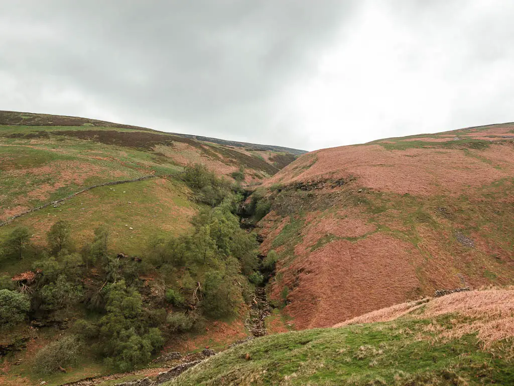
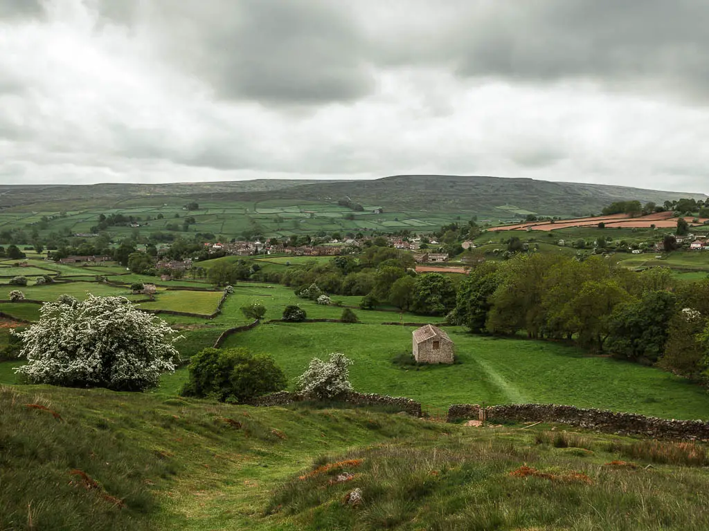
Located in the North of England, the Yorkshire Dales has become one of my favourite places to go for walks. Filled with deep valleys, green hills, wild moorland, and grand sweeping views. Gorges, caves, peaks, and limestone cliffs. Cute villages and hamlets, and quite possibly the highest concentration of waterfalls in England….
Now, I don’t know this as fact, but I have been all over England, and I have certainly never seen as many as I’ve seen when walking around the Yorkshire Dales.
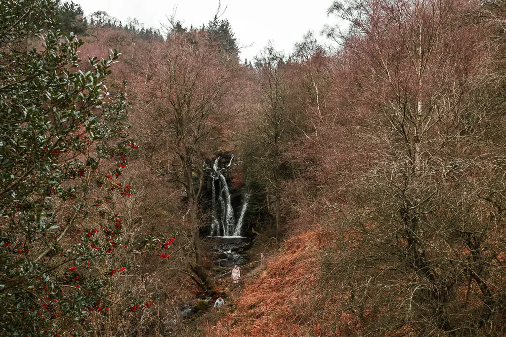
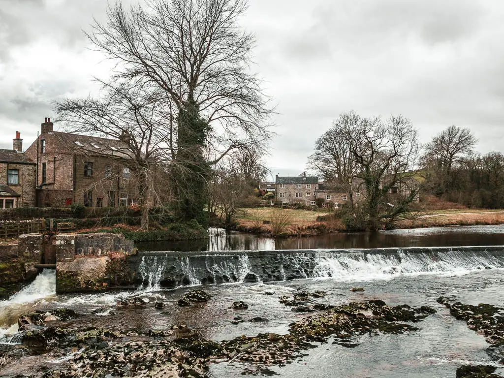
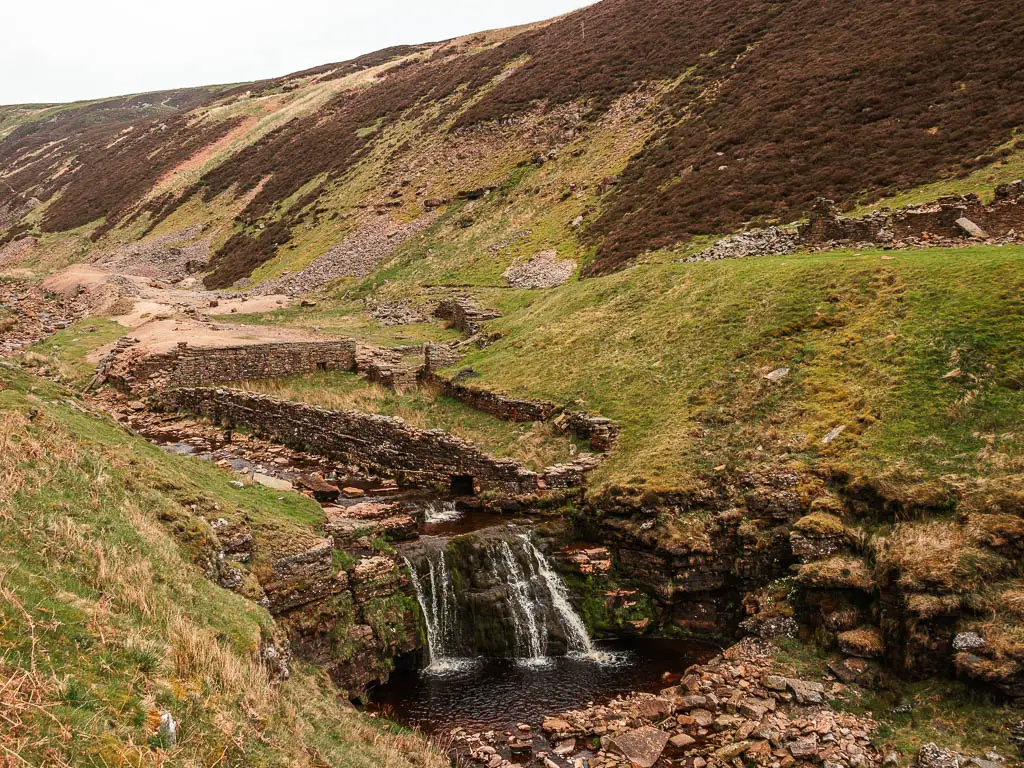
The first time I came to the Dales was about a decade ago, to walk the Yorkshire Three Peaks Challenge. It’s the kind of thing you do once, then never again. Then more recently, I moved up to Yorkshire for 6 weeks, and ended up staying 6 months. There was so much to see, I just didn’t want to leave.
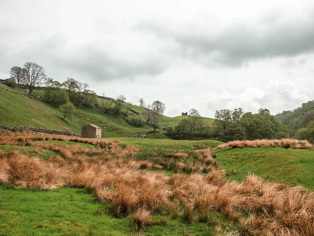
Everyone of the walks on here I have done, and I have written a comprehensive route description for. Which includes full logistics, a map, other useful information, and lots of photos. As a result, this should hopefully make it easier for you to follow. Everyone of these walks is also circular.
I have divided this guide up into four sections:
- Big hikes with the best views in the Yorkshire Dales
- Waterfall walks in the Yorkshire Dales
- Best river and reservoir walks in the Yorkshire Dales
- Easy walks in the Yorkshire Dales
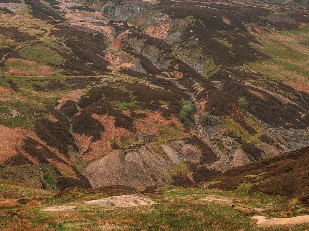
Directly connected to the Yorkshire Dales National Park, is Nidderdale AONB. You can read about all the walks I recommend in Nidderdale here.
Or if you head to North East Yorkshire, you could read about the walks I recommend in the North York Moors on this guide here.
I have talked enough now, let’s get onto it….
Big hikes with the best views in the Yorkshire Dales
These hikes in the Yorkshire Dales, feature both challenging or moderate climbs, to some of the highest peaks, with the most glorious views as a reward.
1) Simon’s Seat and the Valley of Desolation walk
Start/Finish: Barden Bridge Distance: 8.9 miles Time: 3h Difficulty: Moderate
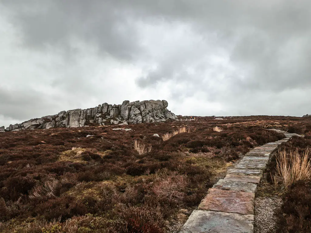
Before moving up to Yorkshire, one of my patients in London told me to look up the Simons Seat walk. So I did.
Firstly, you will walk up a steep climb, to reach the top at Simon’s Seat, where you will have incredible far reaching glorious views across the Dales.
Then you will descend through open moorland and the Valley of Desolation, where you have a surprise waterfall.
You will then finish off alongside the River Wharfe, with a view down to the Strid, which is said the be the deadliest strip of river in the world.
Although the waterfall isn’t the main part of this walk, it is one of my favourite ones in the Yorkshire Dales.
Read more: Simon’s Seat circular
2) Pen-y-Ghent hike
Start/Finish: Horton-in-Ribblesdale Distance: 6.3 miles Time: 2h10min Difficulty: Moderate
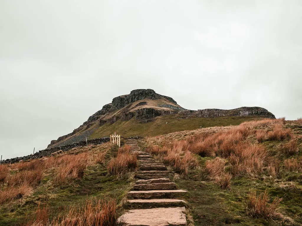
One of the Peaks of the Yorkshire Three Peaks Challenge, you can bet this walk has some great views across the Dales….you just need to make sure it’s a clear day. You can check out the conditions on the mountain forecast weather.
The main challenge of this walk, is the scramble to get to the top. It’s a steep climb, but once you have tackled that, the rest of the route is pretty easy. Just make sure to avoid it after heavy rain.
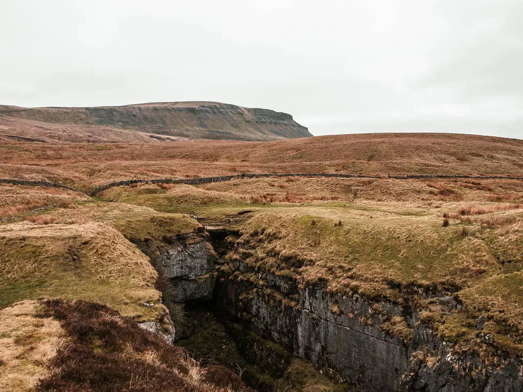
With a small detour, you can also visit Hull Pot, which is the largest natural hole in England.
It’s quite a well known peak in the Yorkshire Dales, as such, it’s not one of those walks where you can really get away from everyone. However, don’t let that deter you, as it’s well worth a go. I would happily do it again and again.
Read more: Pen-y-Ghent guide
3) Gunnerside Gill walk
Start/Finish: Gunnerside Distance: 7 miles Time: 2h 45min Difficulty: Moderate
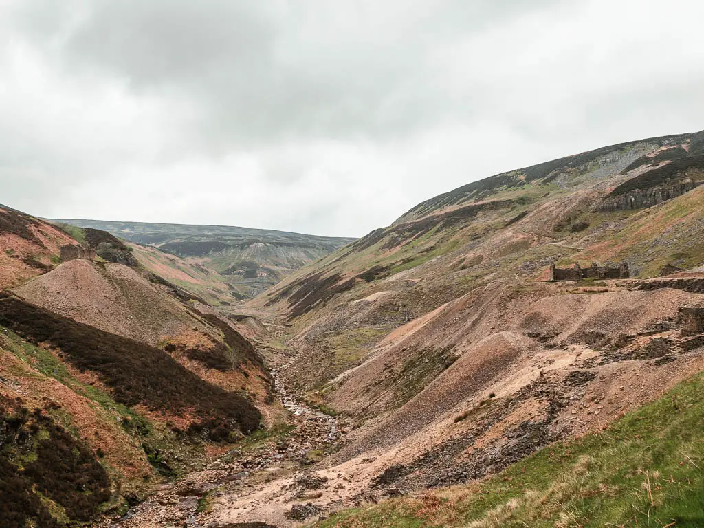
Gunnerside Gill is my favourite walk up here in Yorkshire. The whole landscape is just so unique, going from green lushness to brown and beige moorland hills. You really have some incredible views on this one.
The route takes you through the valley, alongside a beautiful rocky river. Then you will go up along the undulating hillside, passing by lots of mining buildings ruins. There are also a few waterfalls, dropping into pools of water, which are calling out to take a dip in.
It is located up in the very north of Yorkshire, in one of my favourite parts of Swaledale. I have discovered, that this is the place to go if you want peace and solitude. All the walks I have done in the Swaledale area of the Yorkshire Dales, have had very few people about. It’s quite remote, with absolutely no phone signal, and feels a bit like you have found somewhere secret, that the masses don’t know about.
Read more: Gunnerside Gill route guide
4) Fremington Edge walk
Start/Finish: Reeth Distance: 6.6 miles Time: 2h 30min Difficulty: Moderate
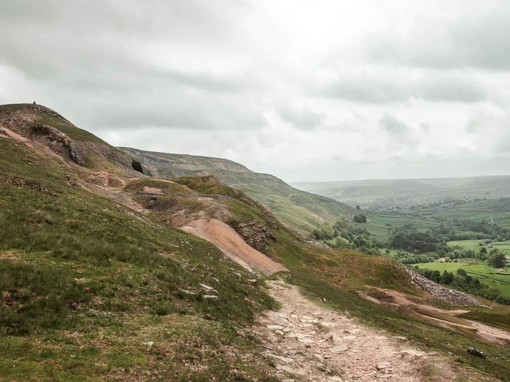
Sticking to Swaledale, this walk takes you high above the village of Reeth. After that, you traverse the hill top, with views all the way down and through the valley.
To get up to Fremington Edge, there is a solid, chunky uphill. I think it might be the toughest hill I have walked up here in the Yorkshire Dales. It is a steep climb for a long time. Longer than you would think. However, once up (and on the way up), the views looking back are stunning.
What I discovered, is walking along the official Fremington Edge Trail at the top of the moor, doesn’t give you the best views. Therefore, what you want to do, is take a trail slightly lower. So you can walk with miles of wonderful Yorkshire valley views….unless it’s heather season. Then you want to stay up on the proper edge.
As you loop back around, you will descend into the valley, where you will continue to have those wonderful Yorkshire views. This time less grand, but more pretty.
Read more: Fremington Edge route
Waterfall walks in the Yorkshire Dales
As the name suggests, these walks all feature waterfalls. From the largest single drop waterfall in England, to routes with a series of falls one after the other. These are not the only walks in the Yorkshire Dales Nationals Park where you will see waterfalls, but rather, the ones that feature them, or have a lot of them.
5) Hardraw Force walk
Start/Finish: Hawes Distance: 4 miles Time: 1h Difficulty: Easy
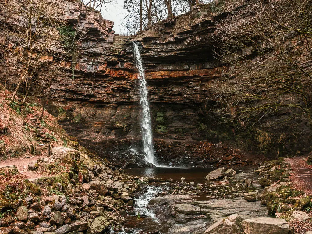
Hardraw Force is the largest single drop waterfall in England, but you do have to pay for the privilege to see it (we will get to that in a minute).
This circular route takes you on a gentle stroll alongside the river and through the fields, which I found to be incredible lovely. I felt as if I was walking in a painting. You will then reach Hardraw Force, which is the halfway mark.
Hardraw Force and the land around it is privately owned, which is where the fee comes from. The area is very well maintained and pretty, and looks like it would be a wonderful place for a family with young children to visit. This is not me. As such, whilst the waterfall is pretty cool, this is not a walk I would do again up here in the Dales. Well, I wouldn’t pay to see the waterfall again at least, everything else about the route I really loved.
Read more: Hardraw Force
6) Aysgarth Falls walk
Start/Finish: Aysgarth Falls visitors Centre Distance: 4.4 miles Time: 1h 40min Difficulty: Easy
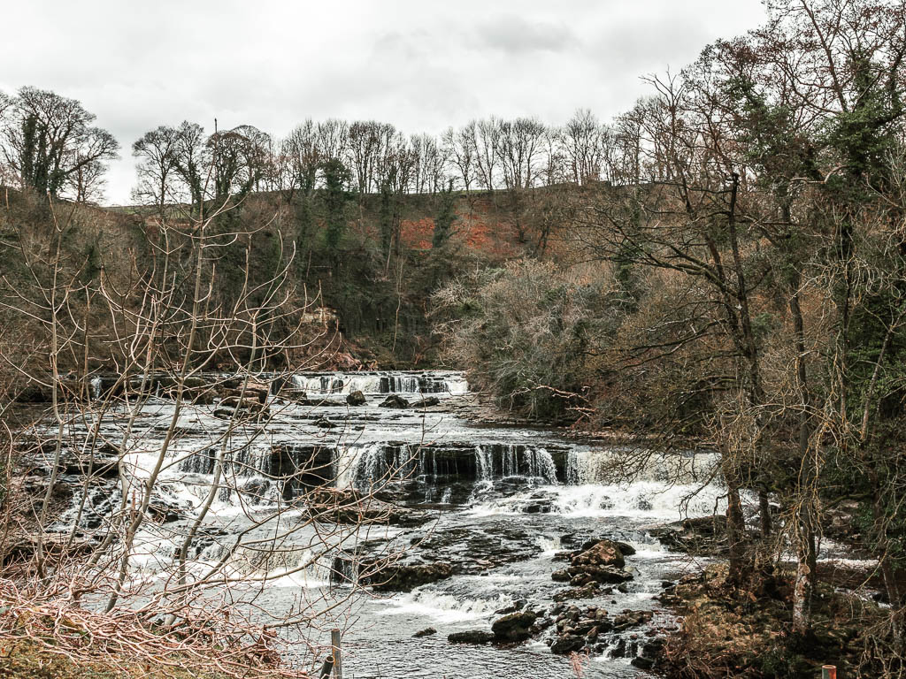
A short drive away from Hardraw Force, you will find the Aysgarth Falls. These ones are free to visit.
The Aysgarth Falls are a series of waterfalls along the River Ure (upper, middle, and lower). The trail around the Aysgarth Falls is a popular walk, as they are some of the most famous waterfalls in the Yorkshire Dales. In other words, it’s a little touristy. However, the route I took takes you past them and further along the river, to walk over some really cool stepping stones, before walking back along the falls on the other side. So you get to escape the madness a little.
I’m not a huge fan of touristy walks, but this route I did enjoy. Everyone seemed to just stick to the one area, so I got the rest of it to myself.
Read more: Aysgarth Falls trail
7) Malham Cove via Gordale Scar and Janet’s Foss trail
Start/Finish: Malham Distance: 5 miles Time: 1h 45min Difficulty: Easy
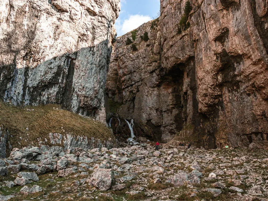
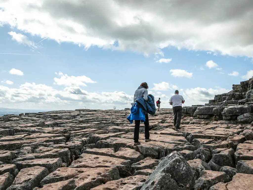
Malham Cove via Gordale Scar is one of the most famous walks in the Yorkshire Dales, and it’s not hard to see why. You will see two stunning waterfalls, walk under the looming cliffs of a limestone ravine, and across the top of a massive curved limestone cliff.
With such greatness, you would expect it to be a hard one, but it’s not at all. There is a hill to get get to the top of Malham Cove, but it’s not tough, and the rest of the route is along a well maintained trail. You get a lot of bang for your buck, despite it being an easy walk.
Bonus if you get here between late winter and late spring, as you might even get to see (and smell) some wild garlic.
As it is one of the more popular walks (as well as easy), it’s not the one to do in the Yorkshire Dales if you want solitude. Picture this, I did it on a weekday morning, and it was packed. It was so busy, that there was almost no where left to park.
Would I do it again? Yes. But only in the middle of winter, on a cold day, with maybe a bit of rain. Although, I have since been told that even then, you won’t be alone.
Read more: Malham Cove circular walk guide
8) Muker river and waterfall walk
Start/Finish: Muker, Swaledale Distance: 6 miles Time: 2h Difficulty: Easy (with moderate start)

This is a really lovely walk in the very northern part of the Yorkshire Dales. It first takes you up along the hillside from Muker, with a gorgeous view down into the valley and across Swaledale. You will then descend down to the River Swale, where you have a series of waterfalls for the route back. East Gill Force, Swinner Gill, and the optional Kisdon Force.
This is probably my favourite of the waterfall walks up here. Unlike the Malham Cove walk, I found it to be incredibly peaceful. Yes, the waterfall sections were slightly busy, but the rest of the route was not, particularly when walking up above the valley. It’s also important to note, I did this route on a sunny bank holiday weekend. However, the amount of people about, did not reflect this.
Read more: Muker river and waterfall walk guide
9) Settle Caves and Waterfall walk
Start/Finish: Settle Distance: 6.8 miles Time: 2h 40min Difficulty: Easy
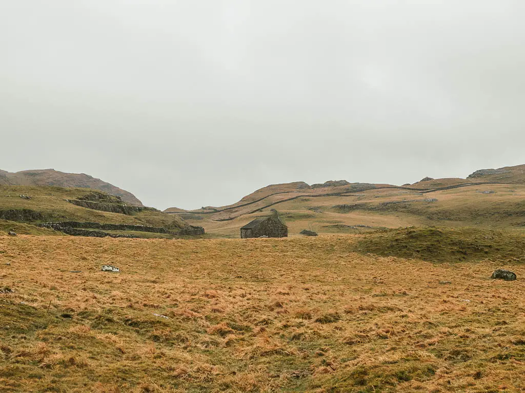
Whilst I have called this a waterfall walk, the waterfall was probably my least favourite part of it. Don’t let that put you off though as the walk is lovely regardless. You might even really like the waterfall. We all have our own tastes.
What I did love about this walk was the scenery. Walking across the undulating hills, past some caves, and beneath the impressive limestone cliffs of Attermire Scar.
Why didn’t I like the waterfall? You have to walk on road to get to it. Which made it feel like an unnecessary detour from the rest of the route. It felt like it just didn’t fit. On top of that, it was raining, so I was ready to get back to my car.
Read more: Settle Caves and Waterfall route guide
Best river and reservoir walks in the Dales
These walks in the Yorkshire Dales, all follow a river, or reservoir trail. As such, they are all pretty easy. Easy doesn’t mean boring though. You have some beautiful woodland, Abbey ruins, historic barns, stepping stones, and what is said to be the deadliest strip of river in the world.
10) Bolton Abbey via the Strid walk
Start/Finish: Barden Bridge Distance: 7 miles Time: 2h30min Difficulty: Easy
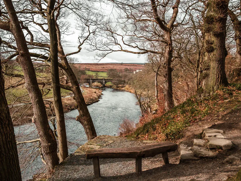
This walk in the southern end of the Yorkshire Dales follows the beautiful River Wharfe, with Bolton Abbey being the halfway point. After that, you will turn back to walk on the other side of the river. The trail is a mix of rugged winding undulations, and easy level path.
You will have the most gorgeous view down to the Strid, which is supposedly the deadliest Strip of river in the world. Who would have thought, that the Yorkshire Dales has this claim. When I mention this fact to people from Yorkshire, they look at me funny. Well, that’s what the statistics say. Apparently, everyone that has fallen in, has not come out alive.
Read more: Bolton Abbey and the Strid guide
11) Burnsall to Grassington trail
Start/Finish: Burnsall Distance: 7 miles Time: 2h20min Difficulty: Easy
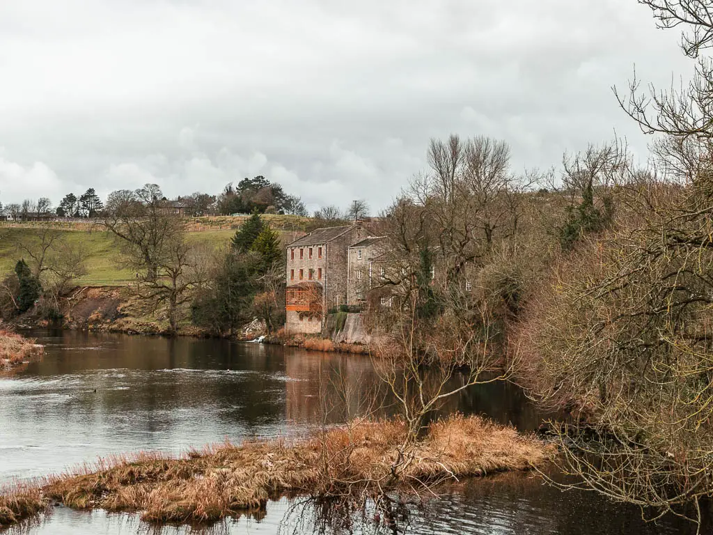
This walk to Grassington is one of the prettier walks in Yorkshire, taking you alongside a river, with two lots of stepping stones, a suspension bridge, lots of miniature gates, and great sweeping views across the Dales. You will also pass by the lovely Linton Falls, which is a serious of small waterfalls cascading over the rocks.
It’s a circular route, with Grassington being the halfway mark (although you could just walk one way if you wish). Grassington is a quintessentially British market town, where you can stop for some cake and tea. I thoroughly enjoyed this walk, and would happily do it many times.
Read more: Burnsall to Grassington route guide
12) Grimwith Reservoir walk
Start/Finish: New rd parking Distance: 4.3 miles Time: 1h 20min Difficulty: Easy
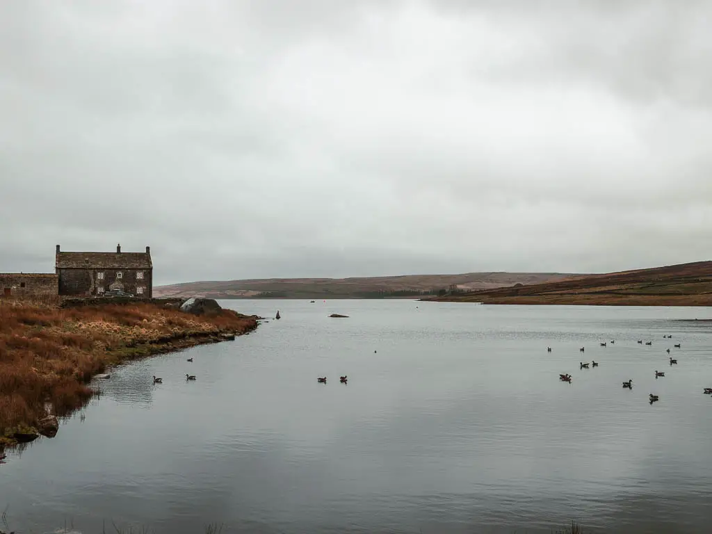
It was when I moved to Yorkshire that I started to really love and appreciate reservoir walks, and this is my favourite one, not just here in the dales, but ever. (actually I have two favourites, but this is one of them)
This is a short walk, and the trail around it is very easy and well maintained, but that’s not what I loved. What I loved was the scenery. Surrounded by the gentle hills of the moors, historic thatched roofed barns, and lots of birds floating on the water.
I found it to have sort of eerie but beautiful quality to it. Also, despite doing this walk on a weekend, it wasn’t busy at all, which I felt added to the mystique.
Read more: Grimwith Reservoir circular route
My other favourite reservoir is Wessenden, which is located in West Yorkshire, at the northern end of the Peak District. You can read more about it in my Peak District walking guide here.
Easy walks in the Yorkshire Dales
And to wrap up the best walks in Yorkshire Dales National Park, here are a couple of easy walks (because they didn’t fit into any other category). Featuring old lead mining ruins, a small village, pretty river, and many bridges. Both of these walks are located in North Yorkshire, in different parts of Swaledale. Which you know is my favourite.
13) Reeth Circular walk
Start/Finish: Reeth Distance: 2.8 miles Time: 1h Difficulty: Easy
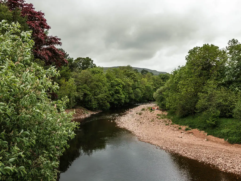
This is the shortest of these walks in the Yorkshire Dales. It’s a pretty little circular walk, taking you from the small village of Reeth, around the river, over a few bridges, and back. One of those bridges is a wobbly suspension bridge, which is kind of fun.
Located in Swaledale, you will have a backdrop of the big hill of Fremington Edge, and the surrounding undulating green hills.
There are numerous pub options in Reeth, and along the trail. So this would make a wonderful Sunday stroll after a pub lunch.
Read more: Reeth Circular route
14) Old Gang Smelt walk
Start/Finish: Surrender Bridge Distance: 5.8 miles Time: 1h 40min Difficulty: Easy
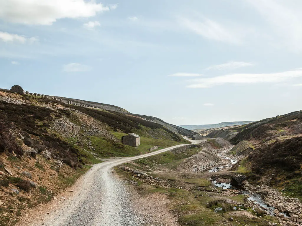
This walk takes you on a gravelly type path on a big circular around the moorland hills.
I have mixed feelings about this one. The first half I loved. The second half, not so much. Let’s start with the good stuff…
Firstly, the route takes you past a lot of ruins of old lead mining buildings. You will also pass by some cute bridges, surrounded by undulating wild moorland hills, and a lovely little river (or beck). Then when you circle back, it’s a long long way of nothingness. It’s actually a cycle route, and if I had a bike I would have enjoyed it a lot more.
If I was to do this walk again, I would walk out and back the same way, rather than the circular route. That in itself would be really lovely. The whole area feels super remote, and from the very start of the walk, you feel like you are in the middle of nowhere. When I did it on a very sunny weekend, there was barely anyone else around. Just the way I like it.
Read more: Old Gang Smelt walk
Getting around the Yorkshire Dales
There is public transport, in the way of buses and some trains, in some parts of the Dales. However, they are infrequent, and not always daily. Therefore, I would definitely recommend using a car. When I moved up here, I had initially planned on getting around using public transport. However, after extensive research, I realised how hard I was making my life, so rented a car.
Remember, I only thought I would be up here for 6 weeks, not 6 months. I kept the car for that time…..I should have just bought a damn car.
Anyway, if you need to rent one, then Discover Cars have good prices.
Note: This is best for shorter term rentals. As I was keeping mine for longer, I used a monthly car rental company.
If you do want to stick with public transport, then you can see the bus routes and timetables here. I have also detailed the public transport options, and linked to the timetables, in each of the guides.
Pin it for later: Best walks in the Yorkshire Dales National Park
For more information about things to do in the Dales, other than walks or hikes, you can check out the official Yorkshire Dales website here.
