I have to say, I was a little disappointed with the clifftop Cheddar Gorge walk. The walk itself is great and you get fantastic far reaching views down to Cheddar village, Cheddar Reservoir and far to Glastonbury Tor and beyond. Why was I disappointed? Well, I didn’t get the view I was expecting and hoping for.
You see, when you google Cheddar Gorge, there are tonnes of images looking down into the Gorge with the road snaking through. This is what I thought I would see.
But I didn’t.
For the whole route I was wondering when things would open up. When would I see that iconic image, only to finish the loop and feel a little bit cheated.
Once I finished, I had another look online to figure out what had happened. Well, now having done the walk, and seeing those images online again, I can see the vicinity the photos were taken from. I definitely would have had to have walked off the trail. Next time I’m in the area, I’m going to go and search for it.
When I go on to describe the walking route a bit further down, I will tell you where I think you need to go explore and see if you can find it yourself.
This post uses affiliate links. You can read the privacy policy or disclaimer for more info.
The best way to see Cheddar Gorge?
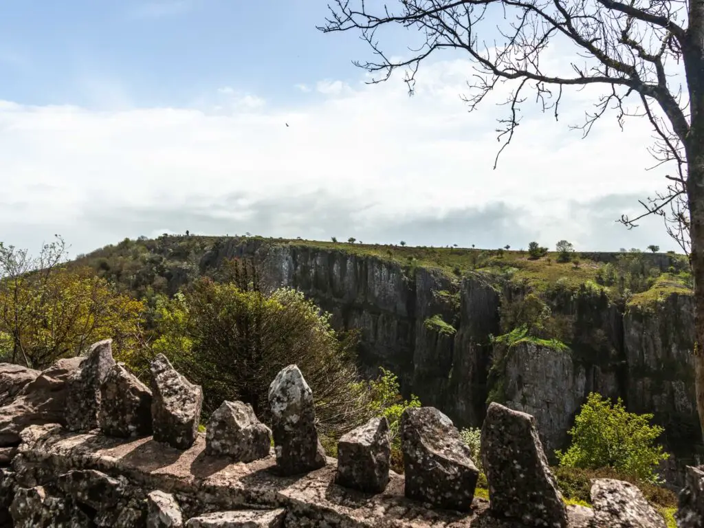
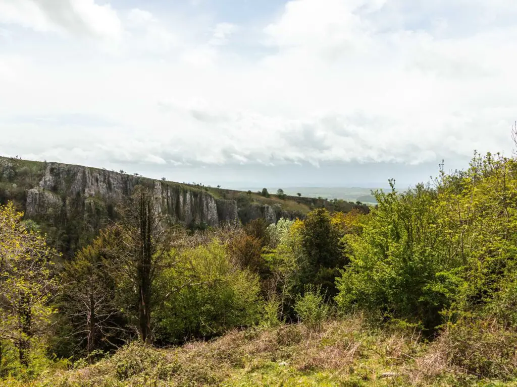
As I discovered, the best way to see it, is actually down on the road. On this walk, you barely see down into the Gorge at all. I mean, you see a little bit down into it, but not like when on the road.
When we drove through Cheddar Gorge earlier, I was blown away by the dramatic limestone cliffs and having to navigate through the narrow gaps on the winding road, with free roaming feral goats wandering about. Yes, the goats like to walk on the road.
Fun Fact: The National Trust own the north side of Cheddar Gorge. The south side is owned by the Marquess of Bath’s Longleat Estate.
Why I still recommend the Cheddar Gorge walk
As I said earlier, the clifftop Cheddar Gorge walk is still fantastic, with a height of about 140m, with insane far reaching views across the Somerset Levels, and a little bit of gorge view. It’s worth it for this itself. Just go into the walk with the right expectations.
What is Cheddar Gorge?
Located in the Mendip hills in Somerset, next to Cheddar village, Cheddar Gorge is the largest gorge in England. Made up of limestone cliffs, it is 3 miles long and over 400ft deep, with a road snaking its way through. It started forming during the last Ice Age, about one million years ago.
It has been named an Area of Outstanding Natural Beauty, and is a Site of Special Scientific Interest.
Cheddar Gorge is free to visit and walk along. You would only need to pay if you wanted to visit some other attractions, such as the caves. Jacobs ladder also has a fee, but this can be avoided….
If coming from London, you could join this guided tour which takes you from London to both Glastonbury and Cheddar Gorge. You will have free time to explore in each of these locations.
If you are feeling extra spenny, you could try this private Cheddar Cheese and Gorge tour from Bath, which includes free entry to the cheese factory.
You can read about more things to do in the area, and other tour options here.
What is Jacobs ladder?
Jacobs Ladder is basically steps (274 to be exact), that take you up one side of the Cheddar Gorge. On this walk, you will go down them. You need to pay to walk up them, which I think is a bit of a rip off, as you can just take another trail for free….or tackle them from the other direction.

I did this walk before things had fully opened up after the C word, so there was no fee to use the steps. Saying that, you don’t actually have to pay to walk down them at all. Only to walk up. With that in mind, you should do this walk clockwise so that you avoid the fee.
If things change, and it turns out that you would need to pay to walk down them, then simply take the other trail down instead (you will know what I mean when you are there). You can read a bit more about what others think on Tripadvisor.
How hard is the Cheddar Gorge walk?
The full Cheddar Gorge circular clifftop walk is moderate difficulty, with one really challenging bit. The challenge is one massive hill which I’m going to call the rock hill of death. I will explain a bit more about it later on. There are public footpaths along the cliff tops on both sides of the gorge.
If you take this hill out of the equation, it’s mostly easy, with some other moderate level hills. Think about it this way, to do the loop, you need to walk high up 2 times, and back down 2 times. Once at the top, the walking route is easy.
Tips for walking around Cheddar Gorge
- Hiking boots 100%.
- If doing the full circular route, walk in a clockwise direction. That way you will walk up and not down that massive hill I mentioned. Going downhill would be very slippy. Plus, if you go clockwise, you will walk down the 274 steps of Jacobs Ladder, not up.
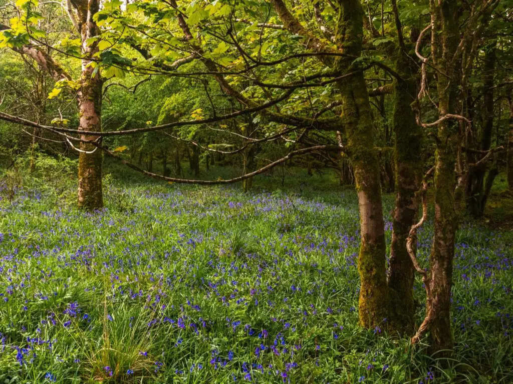
- The best time to do the walk would be spring/early summer to see the bluebells.
- Maybe don’t do the full circular walk after wet weather. That monster hill would be super slippy. Walking along the other side should be fine though.
- Go off trail to see the best view down into Cheddar Gorge (I explain later).
- Keep an eye out for the Peregrine Falcons, which are known to fly around here. There are estimated to be just 1500 pairs across the UK.
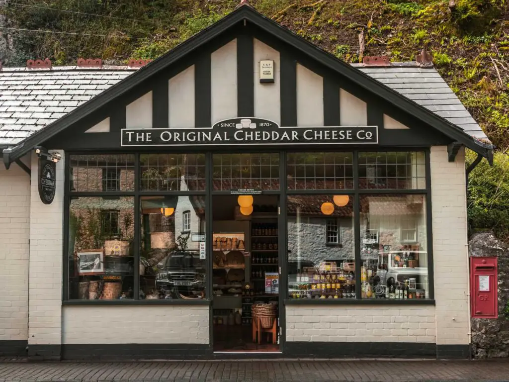
- Buy some cheese at the Original Cheddar Cheese Company. You will walk past it on this walk.
- Be careful when crossing the road on the north side of the gorge. Cars sometimes drive fast along here, and with those blind turns it can be a little risky.
- After the walk, stop off for some afternoon tea at the top rated Lion Rock Tea Rooms. It has been around since 1908 and has won awards. You can check out the reviews on Tripadvisor.
- After the walk, you could also visit one of the famous Cheddar Gorge Caves, such as Gough’s Cave and Cox’s Cave.
Logistics for the clifftop Cheddar Gorge walk
- Start/Finish: Black Rock car park (In the Mendips AONB). See parking information further down the page.
- Alternative starting point: If you don’t have a car, it makes more sense to start in Cheddar Village. This way you also get the massive death hill (more on that later) out of the way first.
- Public transport: There are no trains to Cheddar Gorge, but you can get the 126 bus, which runs between Weston-super-Mare and Wells. Weston-super-Mare has a train station, which you can get a direct train to from London Paddington in 2 hours. You can find more details about public transport, and timetables here.
- Distance: 3.5 miles
- Time: 1h 40min
- Type: Circular walk
- Difficulty: Moderate
- Terrain: Very rocky in parts, dirt and grass trail. A small bit of road. Some steps.
- Amenities: Shops, cafes, restaurants, and public toilets in Cheddar Village. nothing along the rest of the route.
- Time of year: We did this during May.
Map for the clifftop Cheddar Gorge circular walk
Click on the top box to open in your Google Maps.
Cheddar Gorge Parking
We parked by the Black Rock Car park (post code: BS40 7XU), which is the north side of the gorge (the other side to Cheddar Village). It’s lay-by style free parking (at the time of writing). You will also find a few other free roadside parking spots along the bottom of the gorge. Spaces are very limited though, and as this is a popular place, best get here early.
Alternatively, you can park in one of the car parks in Cheddar Village. These ones you will have to pay for. The nearest one to the start of the walk, is the Cheddar Gorge and Caves car park, post code BS27 3QE. Last time I checked, it costs £6 for the day. These are not National Trust car parks.
Route Description for the Cheddar Gorge clifftop walk
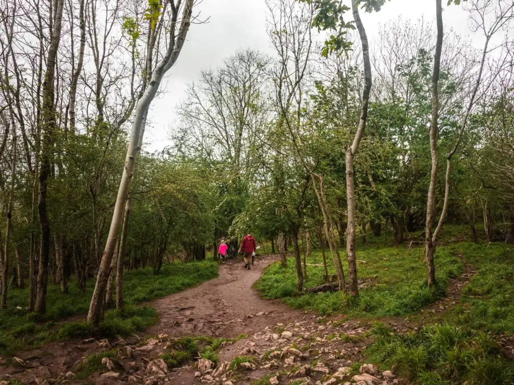
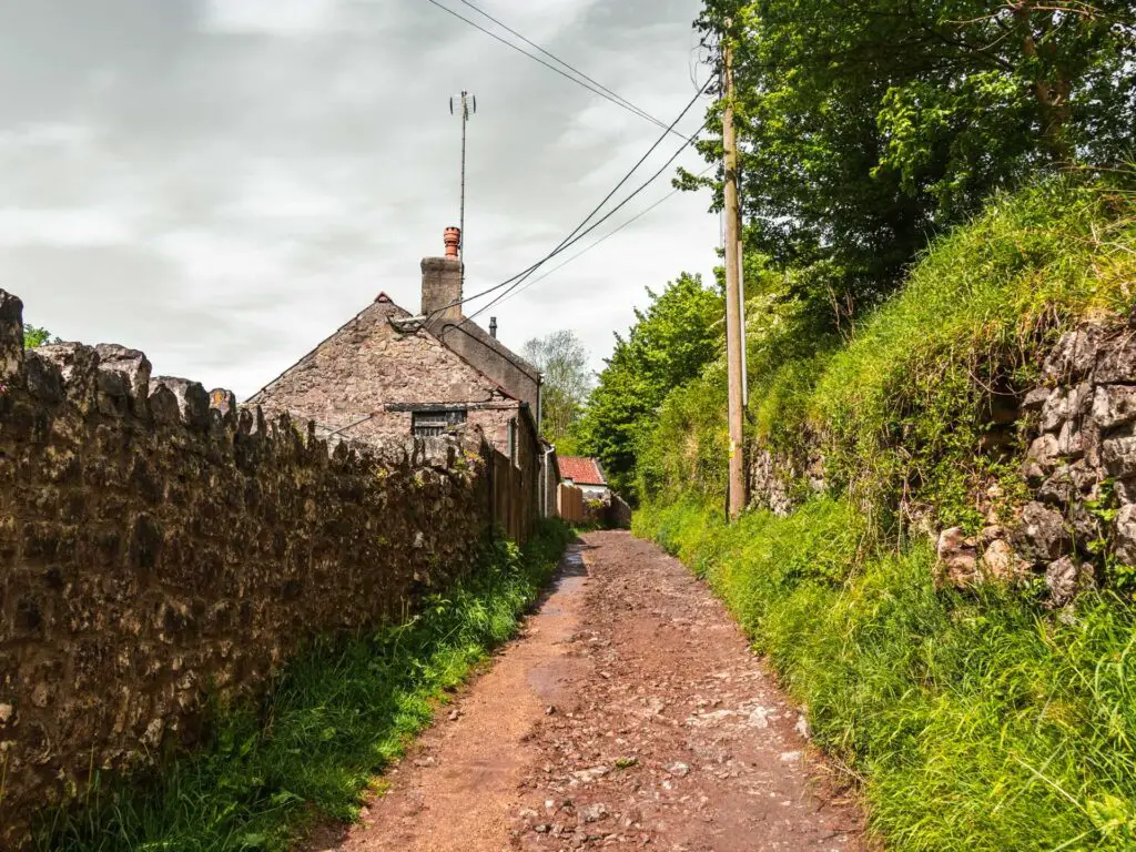
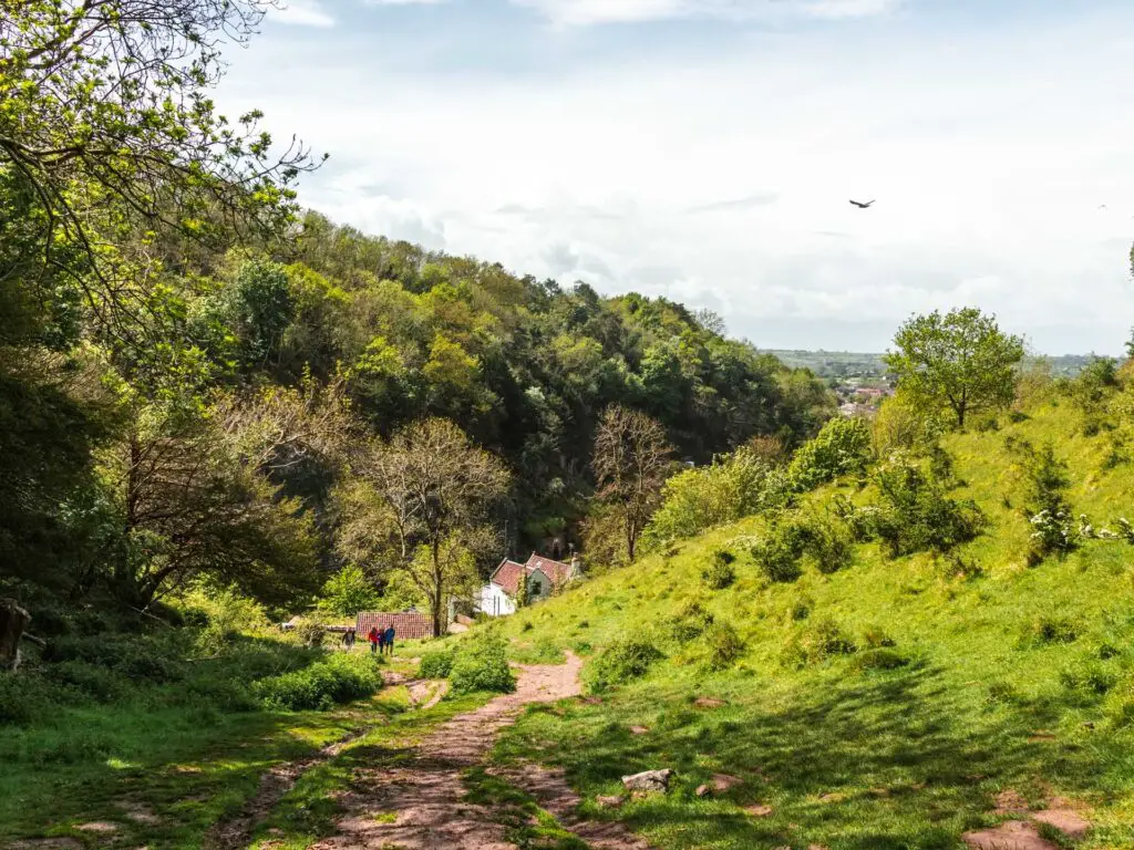
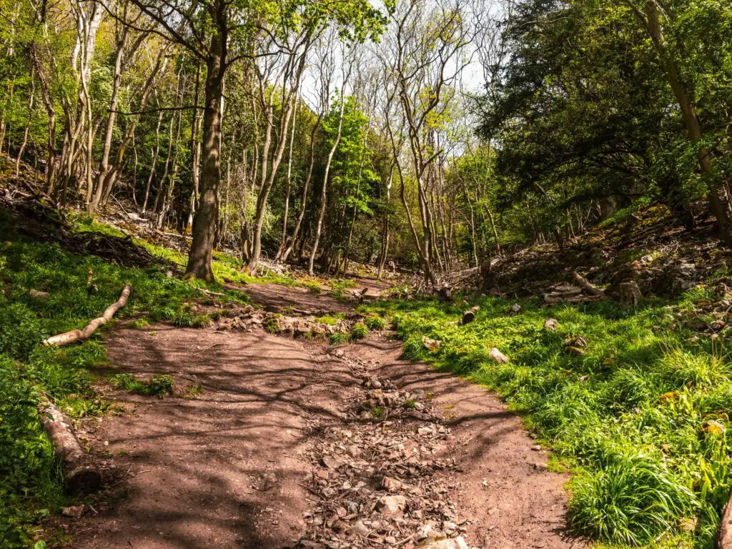
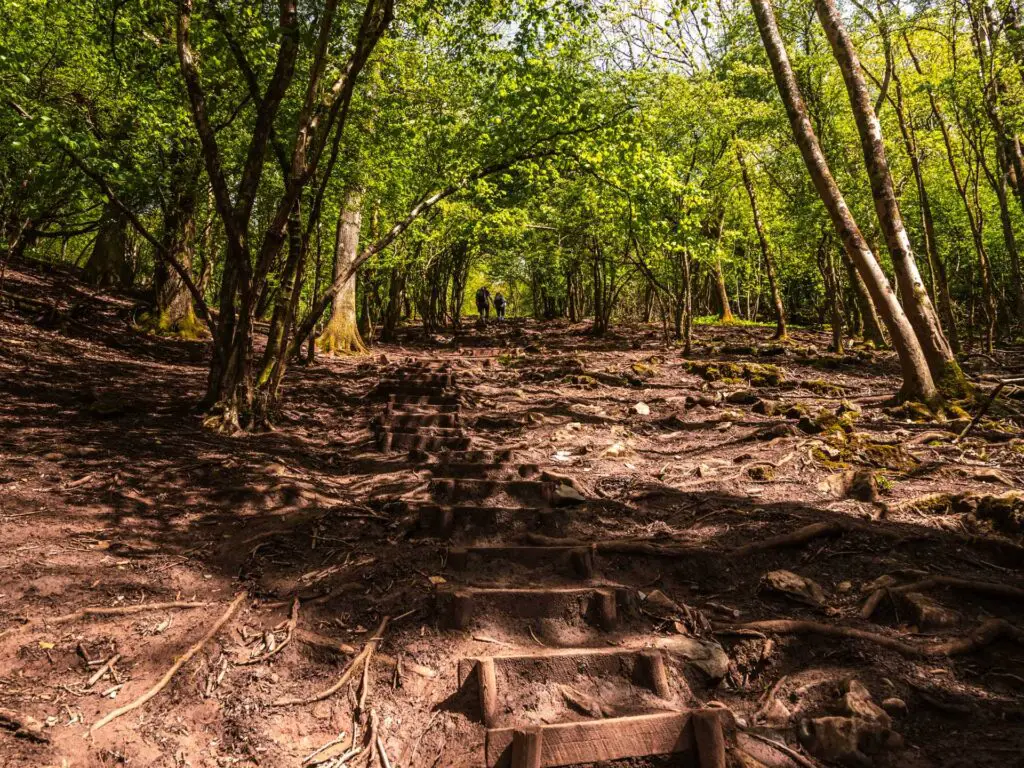
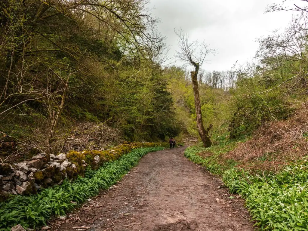
From the car park (Black Rock), you should see a rocky uphill trail. Go up it. This is the first steep ascent, warming you up for the big one later.
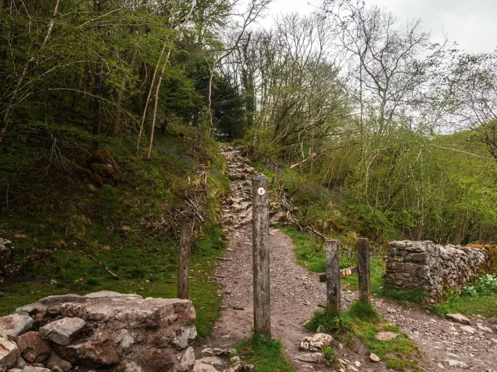
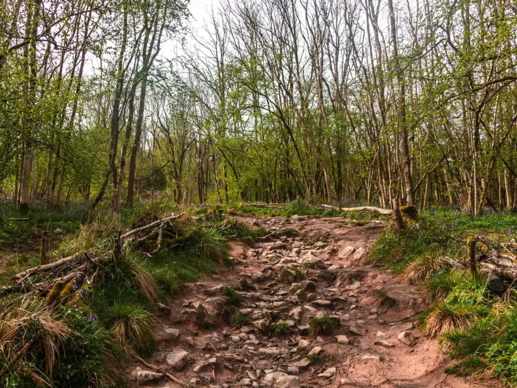
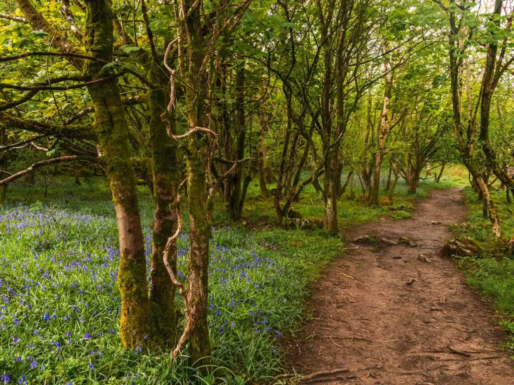
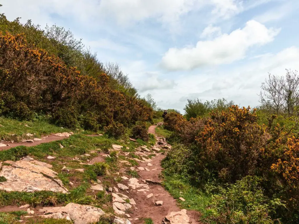
The trail winds its way uphill for a while, going from very rocky to normal dirt, to rocky, and so on. If you catch it at the right time of year, you will also see lots off bluebells.
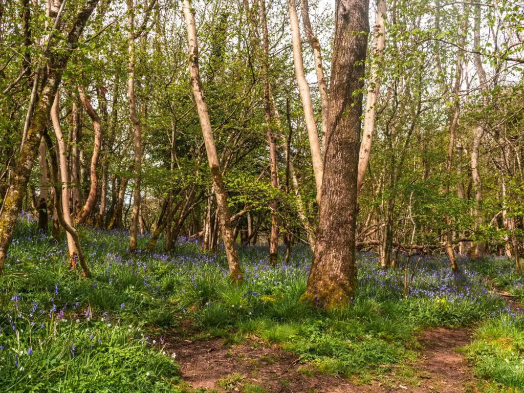
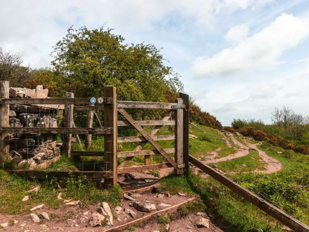
Once you go through the gate, things will level off for a bit. It’s a bit plain initially, then (if you timed it right) there will be more bluebell goodness.
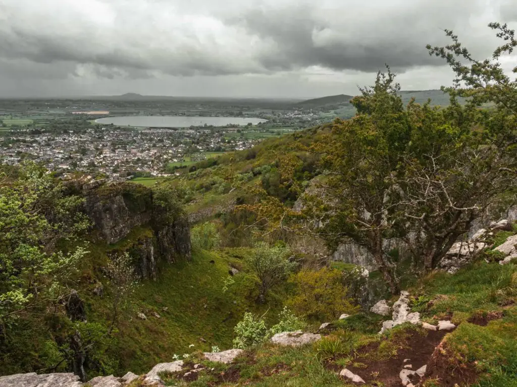
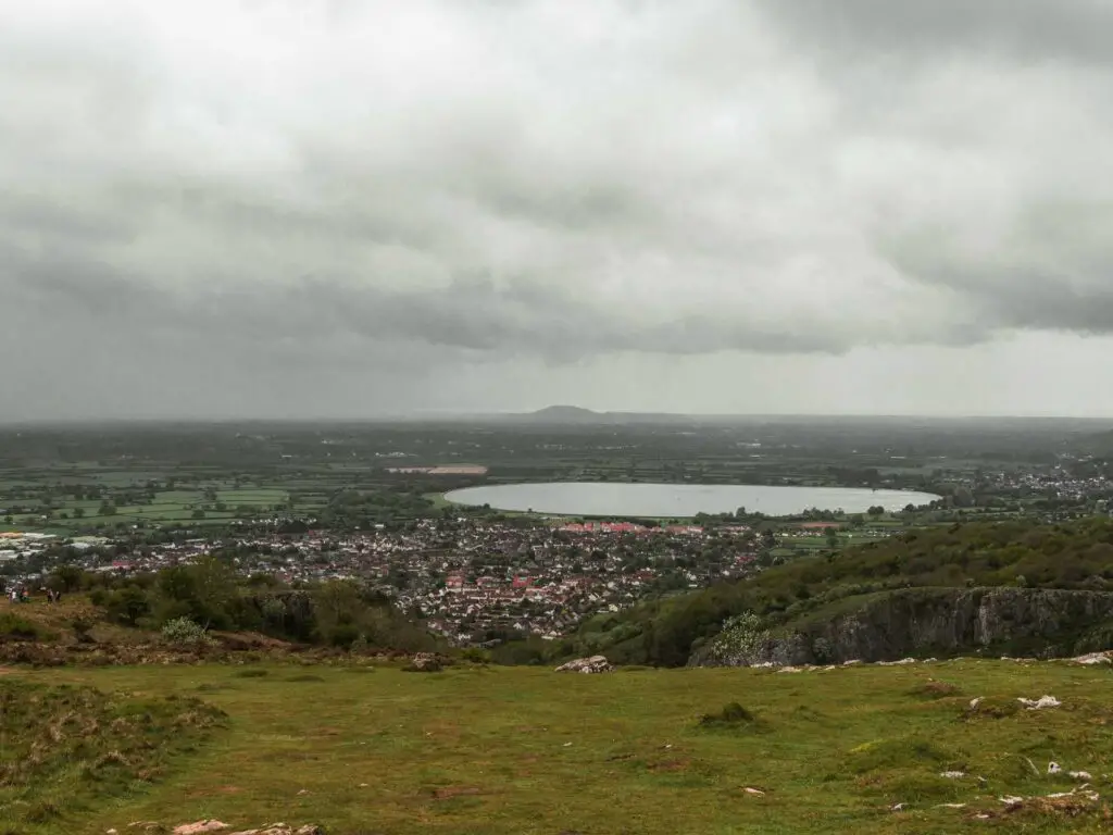
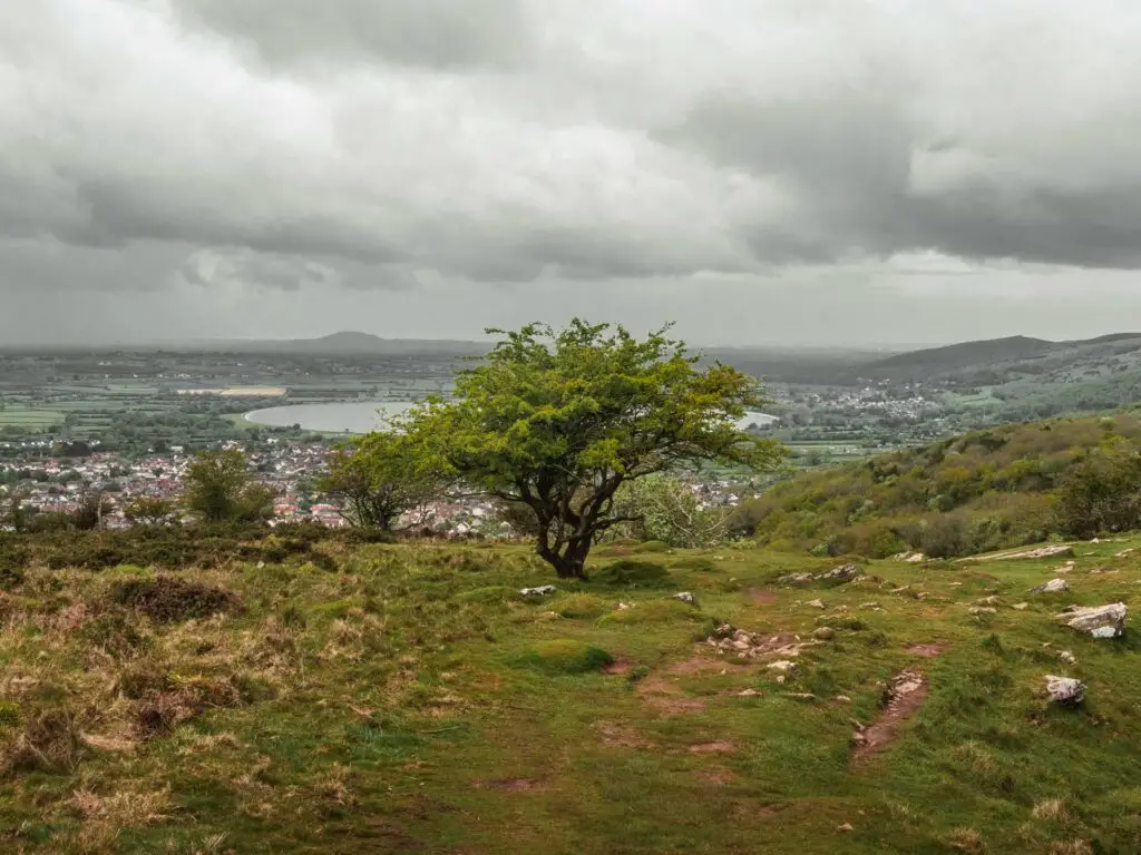
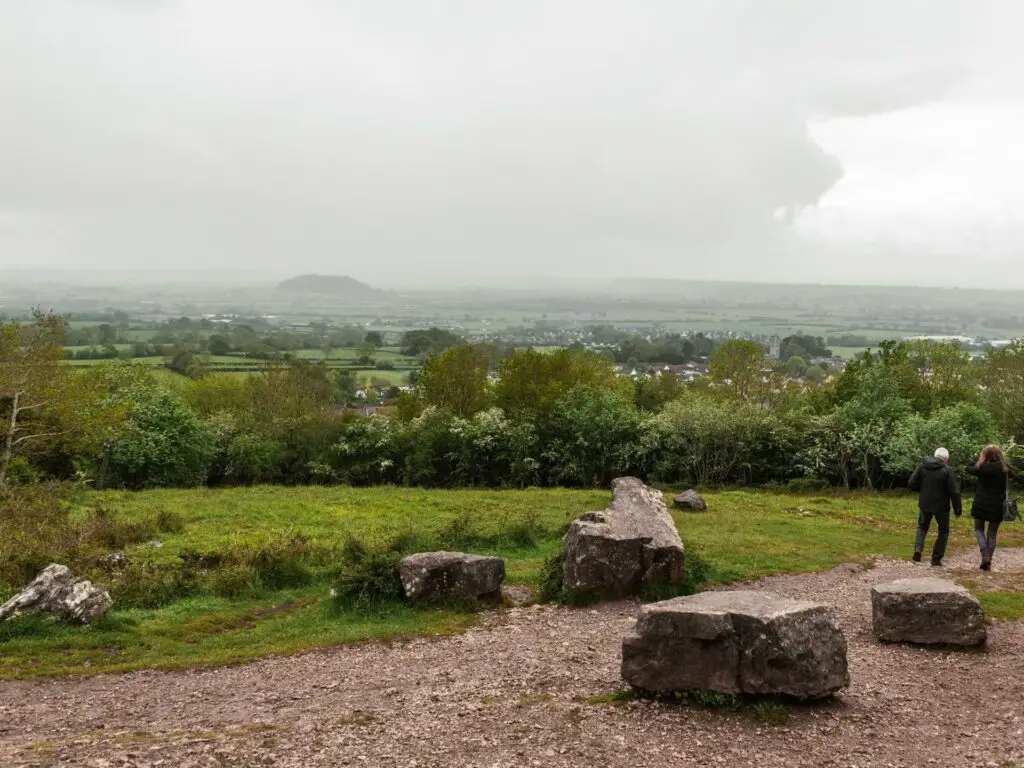
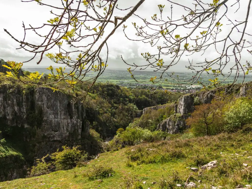
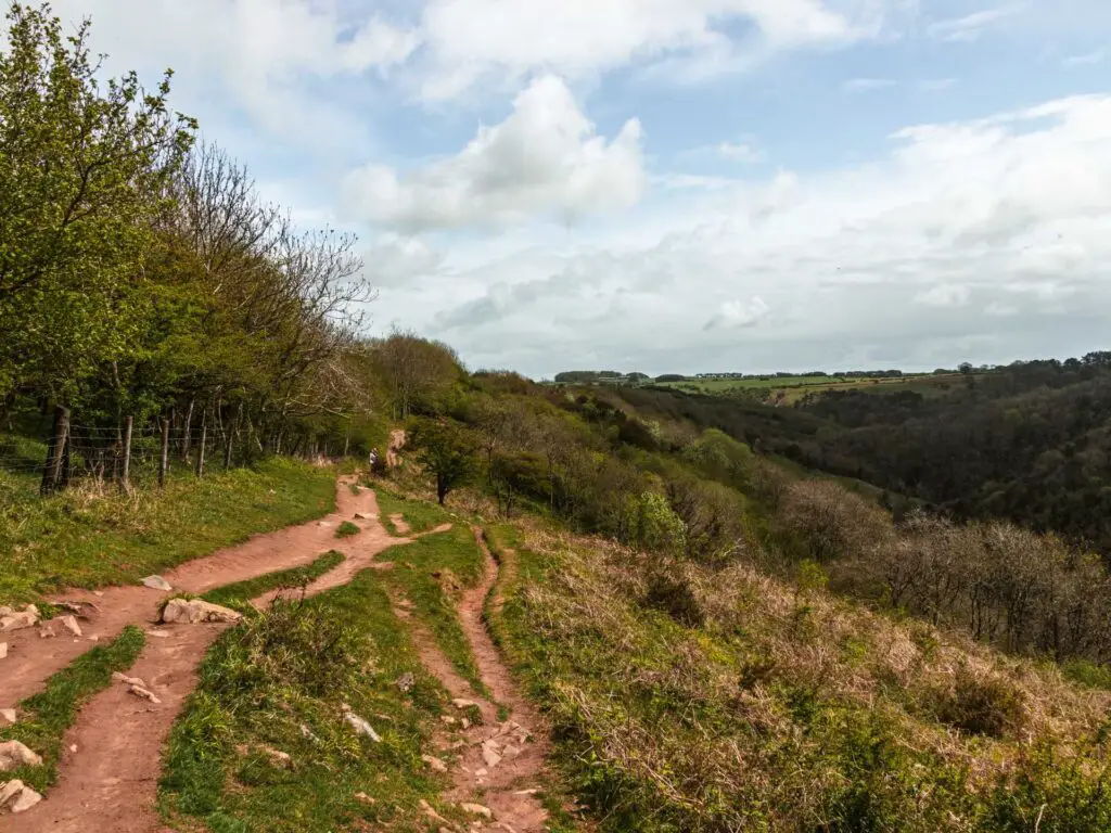
Once you go through the tall gate, there is a short uphill where things become super rocky again, and as you reach the top, you will be greeted by an insane view.
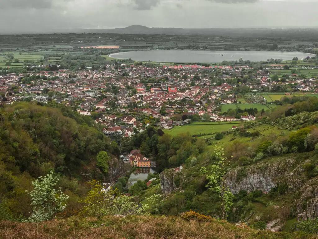
View to Cheddar reservoir and beyond
Ollie had been mumbling about this uphill. However, once he saw this view, he decided it was worth it. By the way, the view is way better than it looks in the photos.
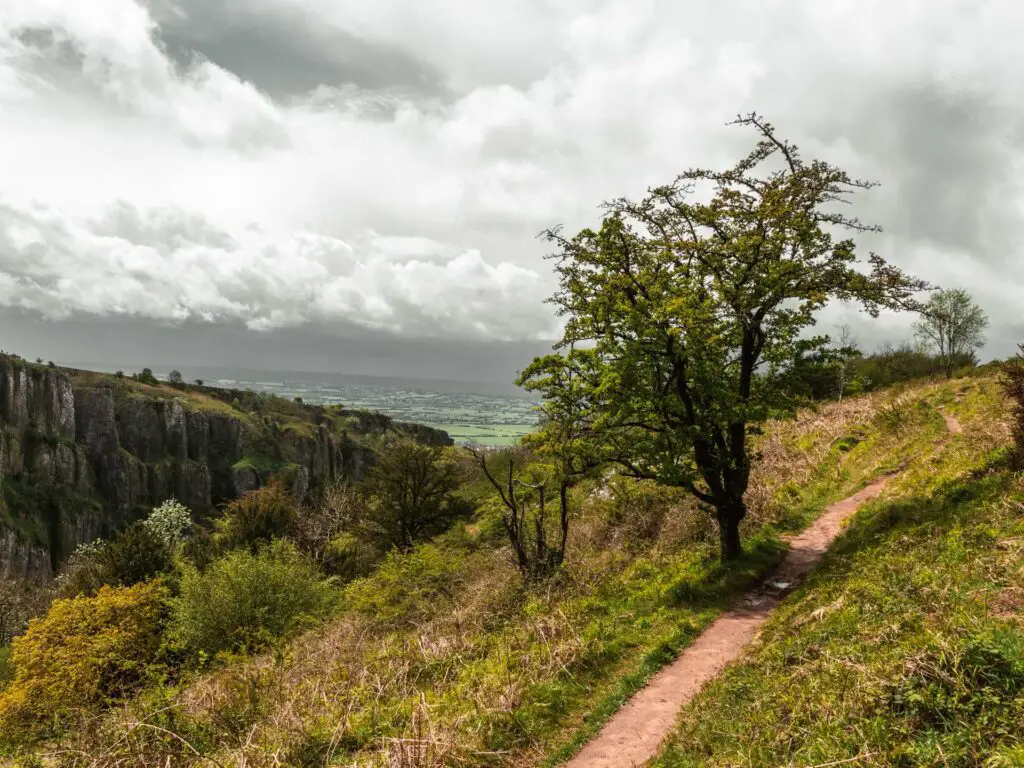
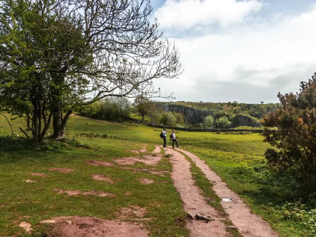
Walk across the clifftop
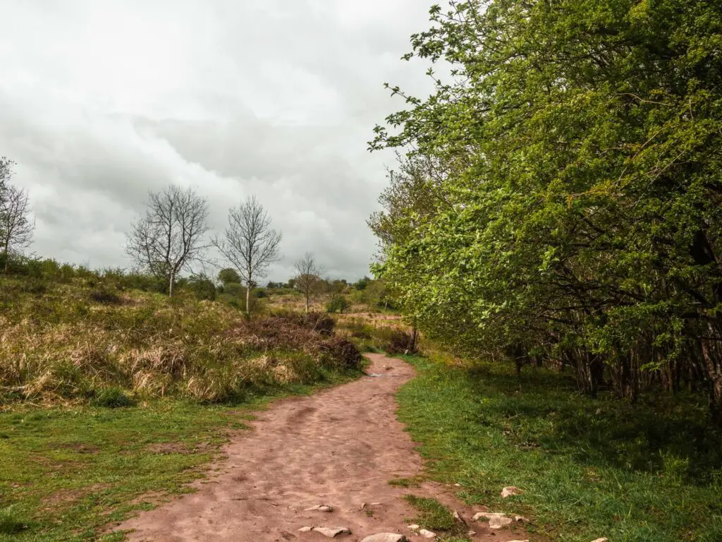
From here, you simply walk along this open green in the direction of the view. There are a couple of trail options along here. The dirt path trail, which is less close to the edge, or the grassy trail, right next to the edge.
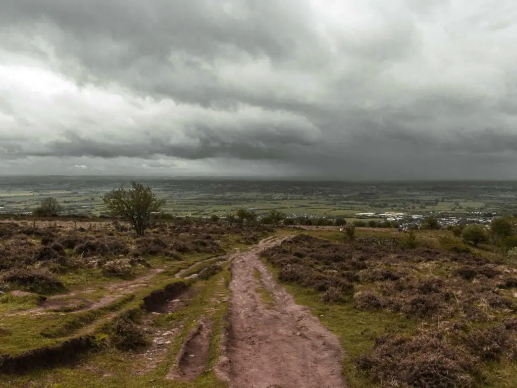
I obviously took the grassy edge trail, on the lookout for the view I wanted. Although, we already know I didn’t find it.
Find the viewpoint
One day, I will go back to find the viewpoint, then I will update it here. For now, once you get up to the top of the gorge, that view should be somewhere not too much further along to the right.
Good luck.
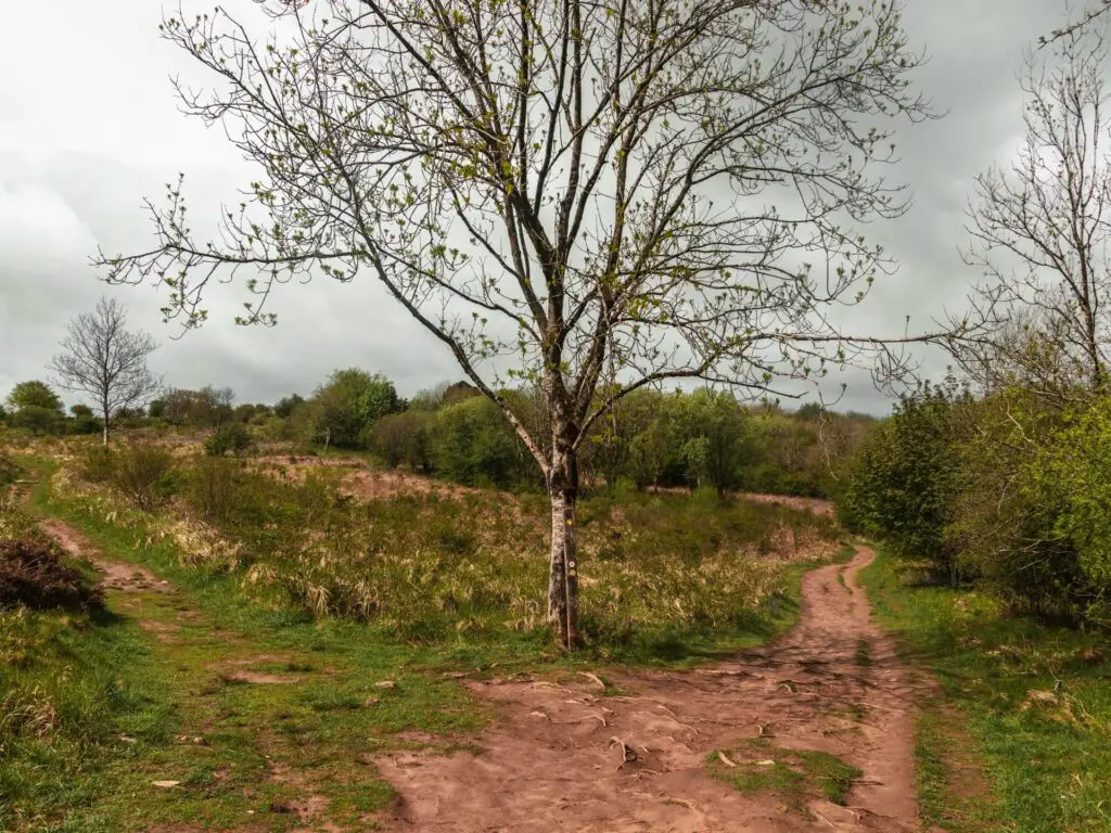
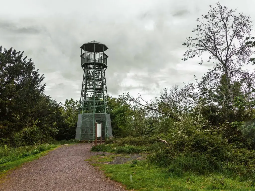
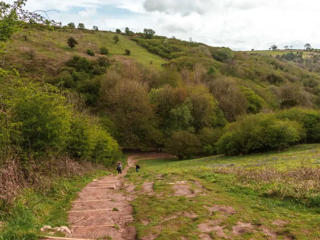
Walk to Jacobs Ladder and the lookout tower
Walking along the top of Cheddar Gorge, it will be level for a very short while before gently taking you downhill. If you took the grassy trail near the edge, it will eventually lead you back to the main dirt trail.
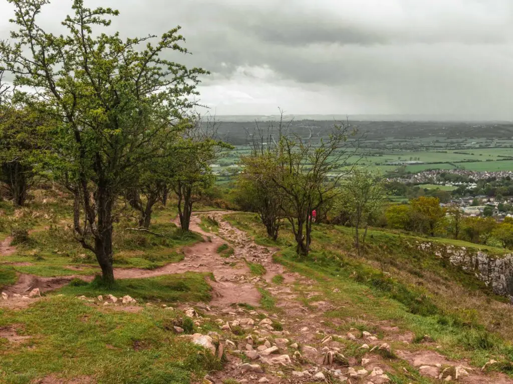
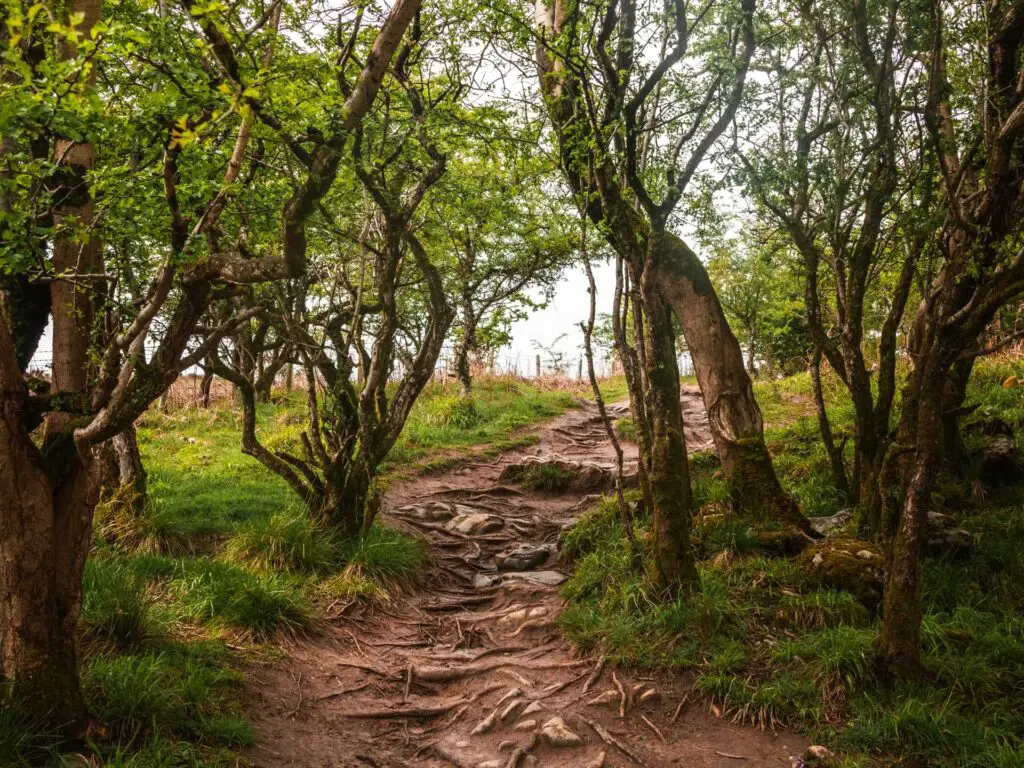
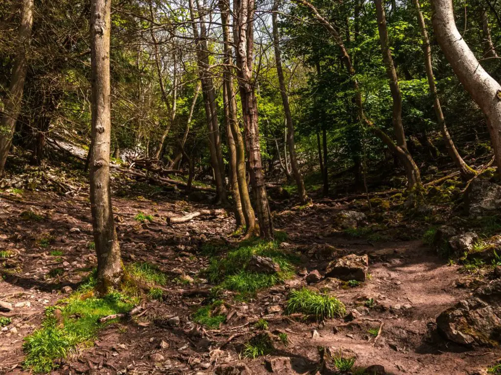
On the way down you will pass by some more rocks, and walk through the trees.
Once you reach the lookout tower, Jacobs Ladder steps will be just before it on the right. The tower was closed when we were there, although, I think you would have to pay to go up anyway. Part of the Jacob’s Ladder fee.
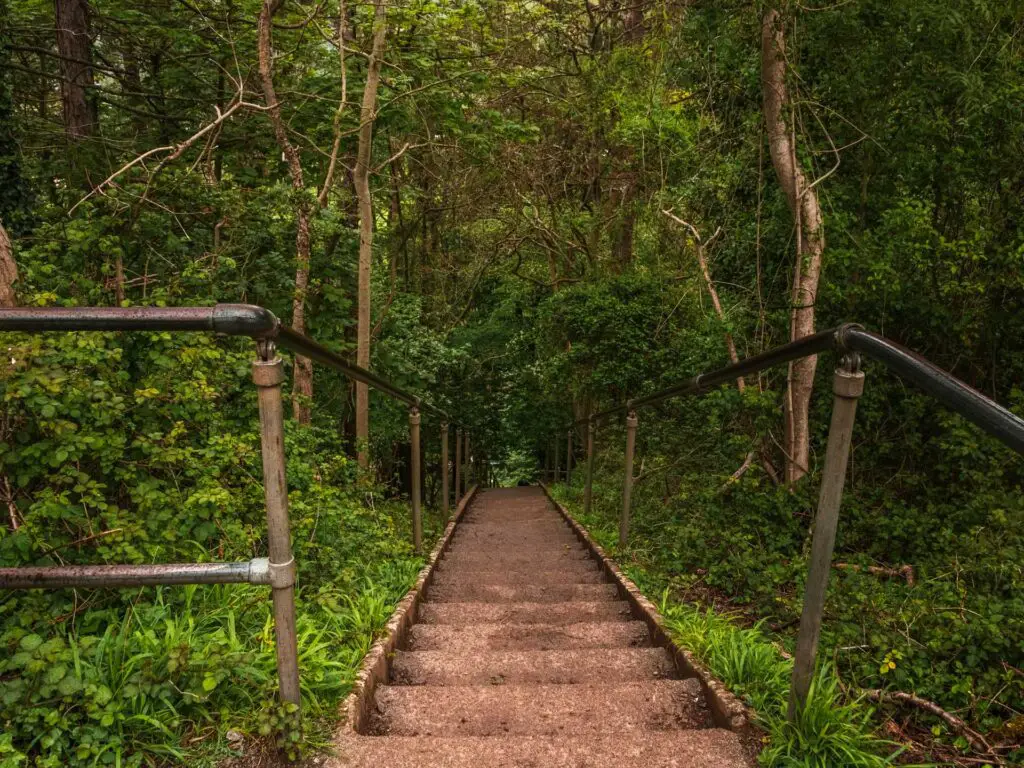
Anyway, from here, walk down the steps of Jacobs Ladder.
If you find you do indeed have to pay, then don’t (unless you want to). Instead, follow the walking trail down until you reach the road. Walk along the road, then take the right at the end, then the next right after that, which will take you to the bottom of the steps of Jacobs Ladder.
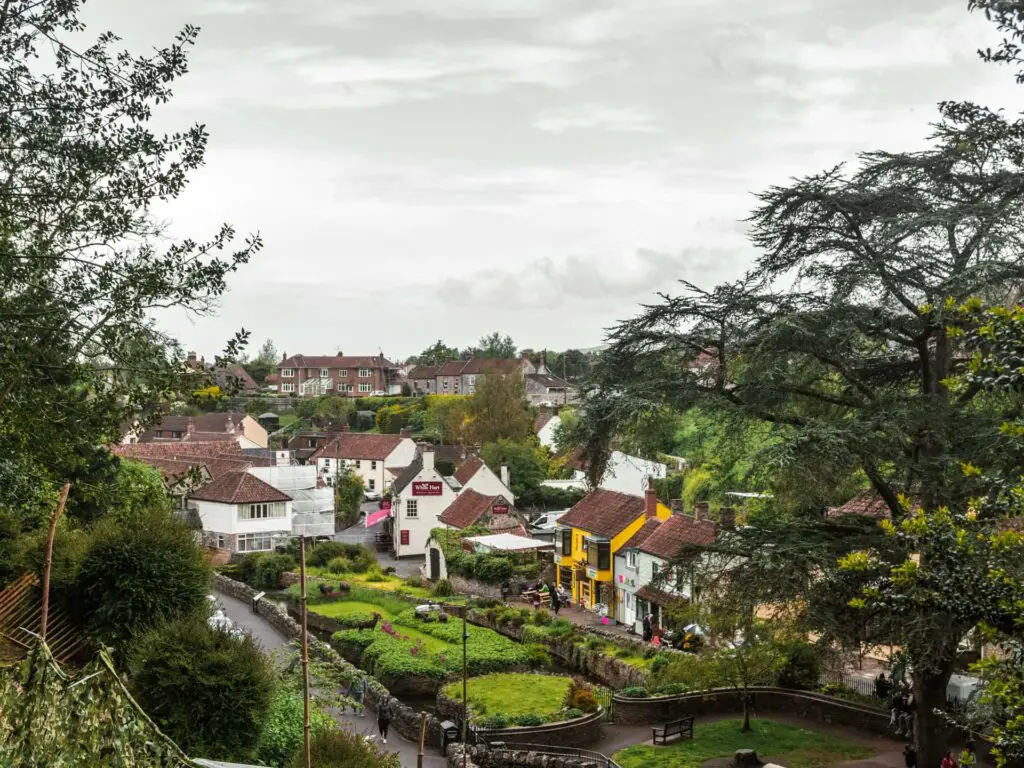
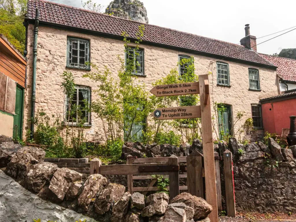
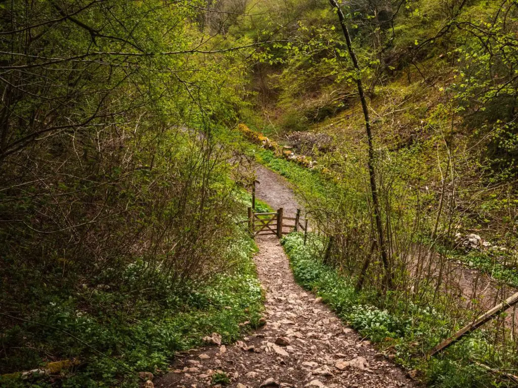
Walk through Cheddar Gorge Village
At the bottom of Jacobs Ladder, you have a couple of options. You can turn right and stay on the main road and walk past the Cheddar Cheese shop, then should see the wooden trail signpost on the left.
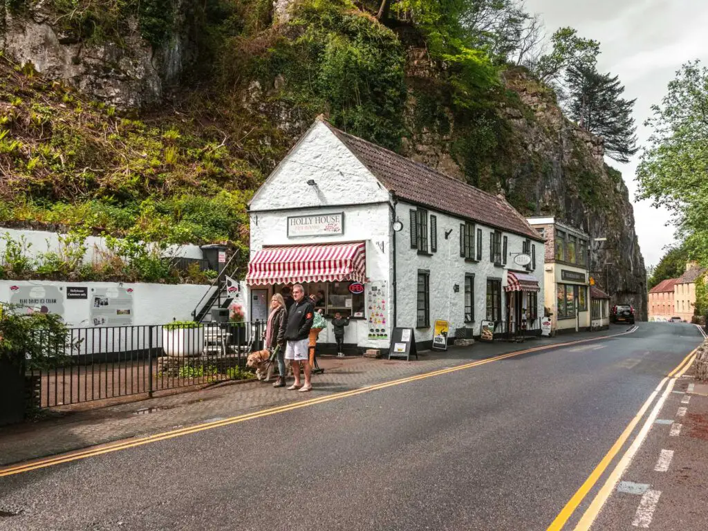
Alternatively, from the steps, walk directly across the road and a bit to the left. Follow the signs for the toilet.
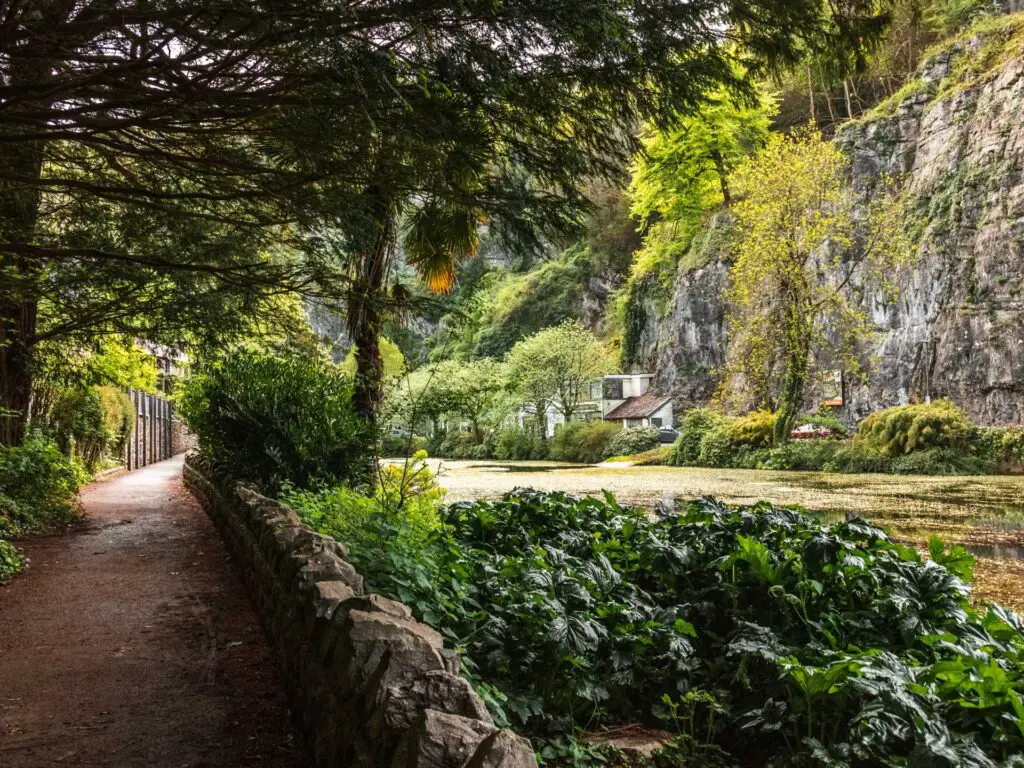
Just before the toilet, there is a path. Walk up it, and continue as it takes you around the pond (pond on your right). This will lead you to the trail signage directing you back and uphill. This is the way I went.
Rock hill of death
Ok, here it goes.
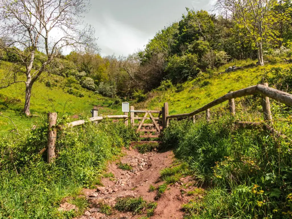
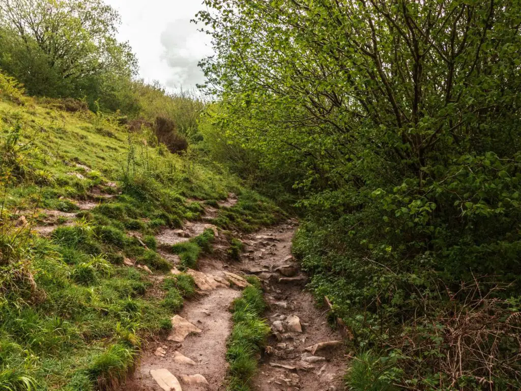
Following the signpost uphill, soon there will be some steps on the right taking you up to the grass hill. Keep going up to reach the trees.
Now it gets difficult.
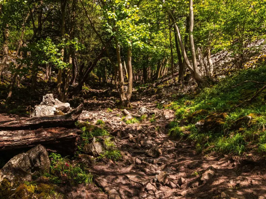
Walking up the rocky dirt ground, it isn’t so bad to begin with. Then it gets more rocky. More steep. And never ends.
You can only see up a certain distance, and you think that when you reach that point it will be over. Then you get there and it’s not over. There is more. This game goes on for a while, and when you think this must be it, that next bit must be the last of it, you get there and now can see further and realise you that you still have a hell of a long way to go.
Reaching the top
As you near the top there will be some steps before you exit the trees. Then you go a little bit further up and through the pretend gate. I thought to myself how this view better be up here. That death hill can’t be for nothing.
Walk along the top of Cheddar Gorge
From here, the trail leads you to the grass. You need to head towards the wall and then follow the trail along it.
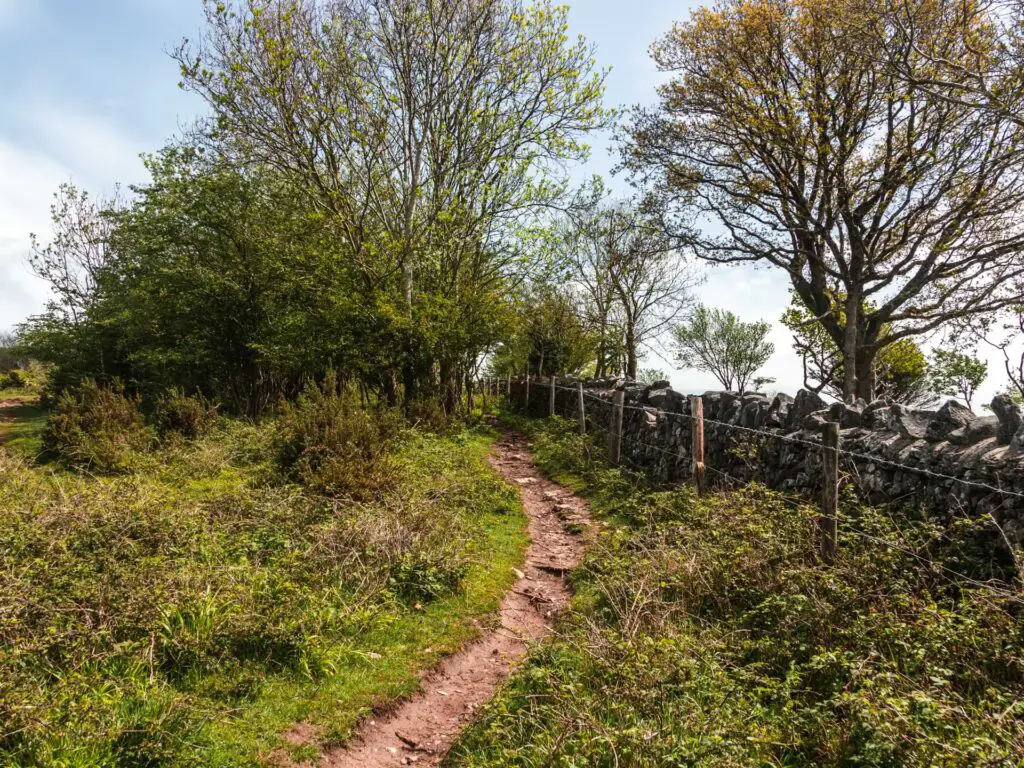
Now you will be walking back along the gorge clifftop.
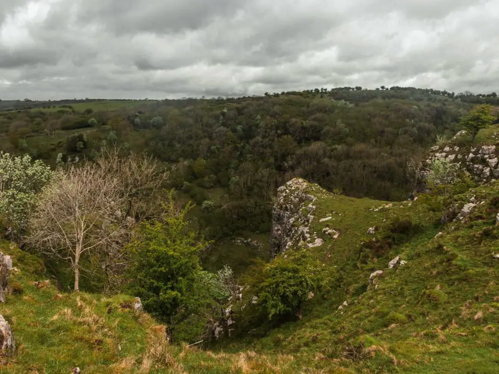
The detour
So I did something next. Something I wouldn’t actually recommended. A bit further along, there is a gate on the right, with a trail leading down. I stood there with a few people. We were all wondering the same thing. If we go down, will we get that view (they were also on the hunt for it like me).
I decided to go have a look, to then return and feedback to them.
So, through this gate, it’s downhill towards the edge of the gorge. It’s alright at first, then towards the end it’s a steep bit of open grass leading to a sheer drop down. Now, if I happened to slip, which was a very real possibility with the steepness of it and nothing grippy on the ground, there is nothing stopping me going over the edge.
Yes, there was a better view down there. Not the one I was looking for though.
I felt pretty uneasy standing there, so didn’t stay long. Honestly, it’s not worth it. The view here isn’t worth the risk of it.
Continue along the top of Cheddar Gorge
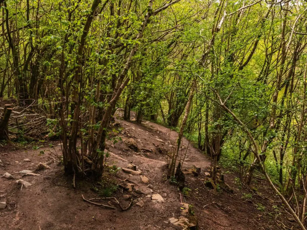
So, the main trail is marked at points with wooden stumps. It’s not too easy to get lost. The trail is a mix of narrow dirt and grass. You will go through some gates. There are even some bluebells a bit further along (not as good as the other side though).
Walk back down to finish the walk
Toward the end, the trail will take you downhill, and at the bottom of this bit, you will have two options.
When you hit the bottom trail, you can walk right and continue down with the wall on your left. Alternatively you can go through the gate. This is what I did.
Through the gate, it’s more downhill, this time in the trees. Then at the very bottom through the gate, turn right to walk back to the carpark and where you started.
Final thoughts
As I said at the beginning, it was actually a lovely walk, if not the walk I was expecting. Rocky dirt trails to give you that off piste feeling, far reaching views, bluebells, some woodland, a cute village. Just understand, that the name can be deceiving….
The clifftop Cheddar Gorge walk isn’t actually the best way to see Cheddar Gorge.
More walks near Cheddar Gorge
Later on this day we headed over to Ebbor Gorge. The walk is much shorter in length and involves some scrambling up the gorge. If you have the time, it’s worth a visit as it’s pretty near to Cheddar. For more walking guides, you could check out the Visit Somerset website.
You can see all the recommended activities around Cheddar and Somerset on Tripadvisor.
Pin the clifftop Cheddar Gorge walk for later