Dale Dike (also known as Dale Dyke) is a reservoir located in the north east area of the Peak District, with a walking trail all the way around. The walk around Dale Dike is just under 3 miles, so it’s on the smaller side of reservoir walks I have done, but it also might just be one of the most tranquil.
What I’m going to do in this guide, is give you a bit of an overview of what to expect on the walk around Dale Dike Reservoir, with full logistics, a map, useful tips, and step my step route description. But first, I want to tell you why I decided to walk this reservoir today….And why I’m so glad I did.
My plan today was actually to go up to Swaledale. I had walked there the weekend before and absolutely loved it. The problem is, it’s far. It would take me about 1.5h to get to, and I wasn’t in a mood for driving that far. I spent all morning working up the motivation to do it, then by the time it reached midday, I realised it wasn’t happening.
By this point I had no motivation to drive anywhere, but it was such a lovely day, I hated the thought of wasting it. I needed to go somewhere, so hopped on my map and had a look at what was nearby….
A day of reservoirs
That is when I came across Dale Dike Reservoir, (50 min drive away), but I also didn’t want to go that far for only a few miles walk. So I had a look around and realised there are actually a bunch of reservoirs all near each other, each only a few miles around.
I settled on four reservoirs. Yes. I fully intended to walk around four reservoirs today. I only made it to two. But those two were so lovely, so peaceful, that it was a day well spent.
The other reservoir I walked was Agden, which I did after Dale Dike.
What to expect on the walk around Dale Dike Reservoir
Heading to Dale Dike, on a very sunny Saturday afternoon, I was fully expecting it to be busy with other walkers. So I took my noise cancelling AirPods.
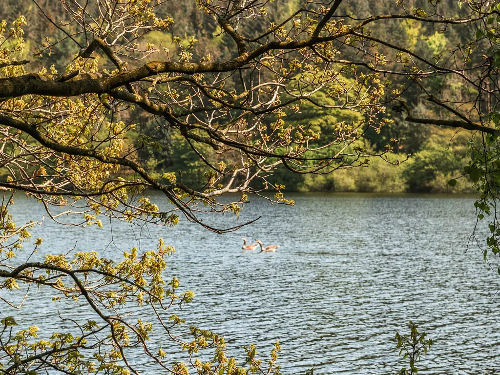
It turned out to be the complete opposite. For the whole way around, I passed less than a handful of people. With the sounds of the birds chirping, geese squawking, and occasional stream of water flowing down, the AirPods stayed firmly in my pocket.
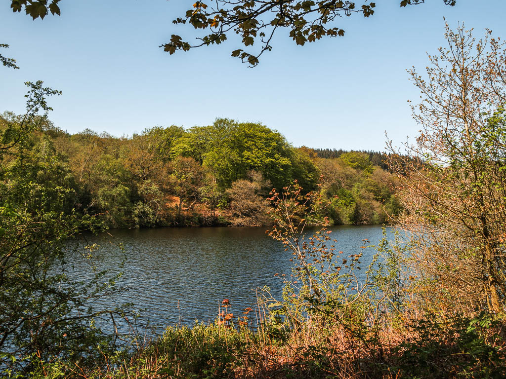
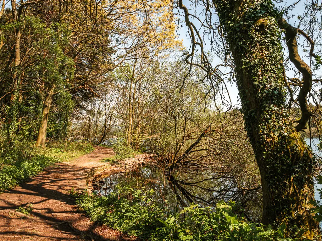
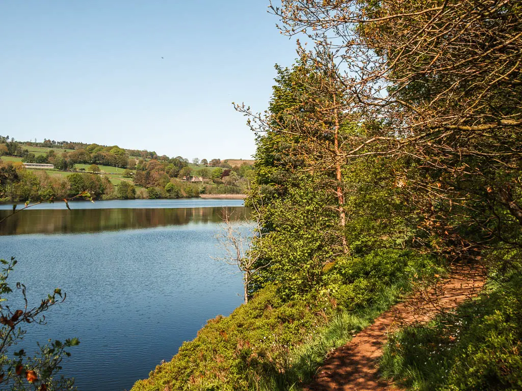
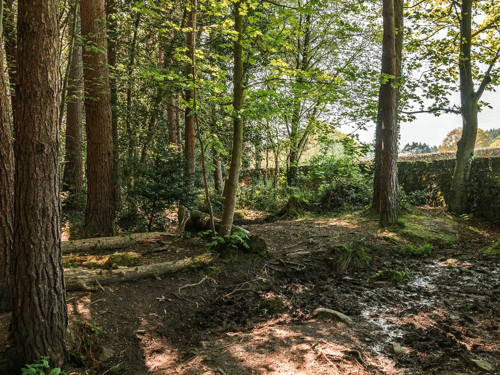
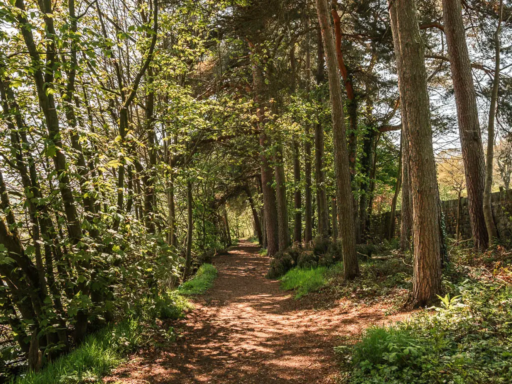
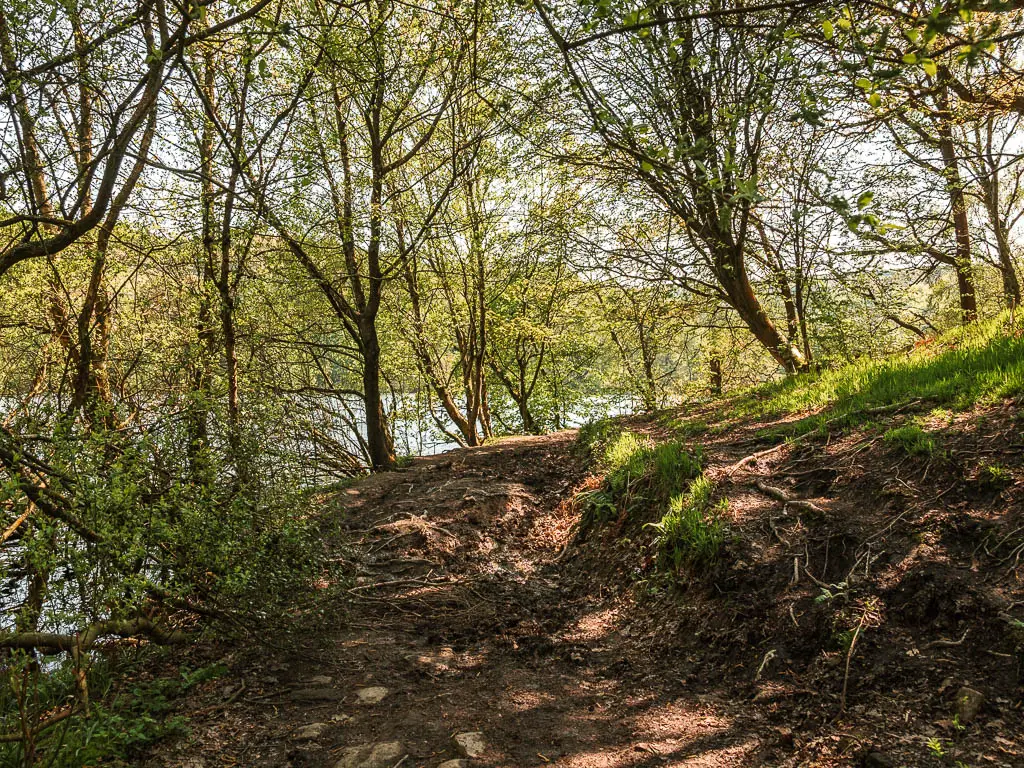
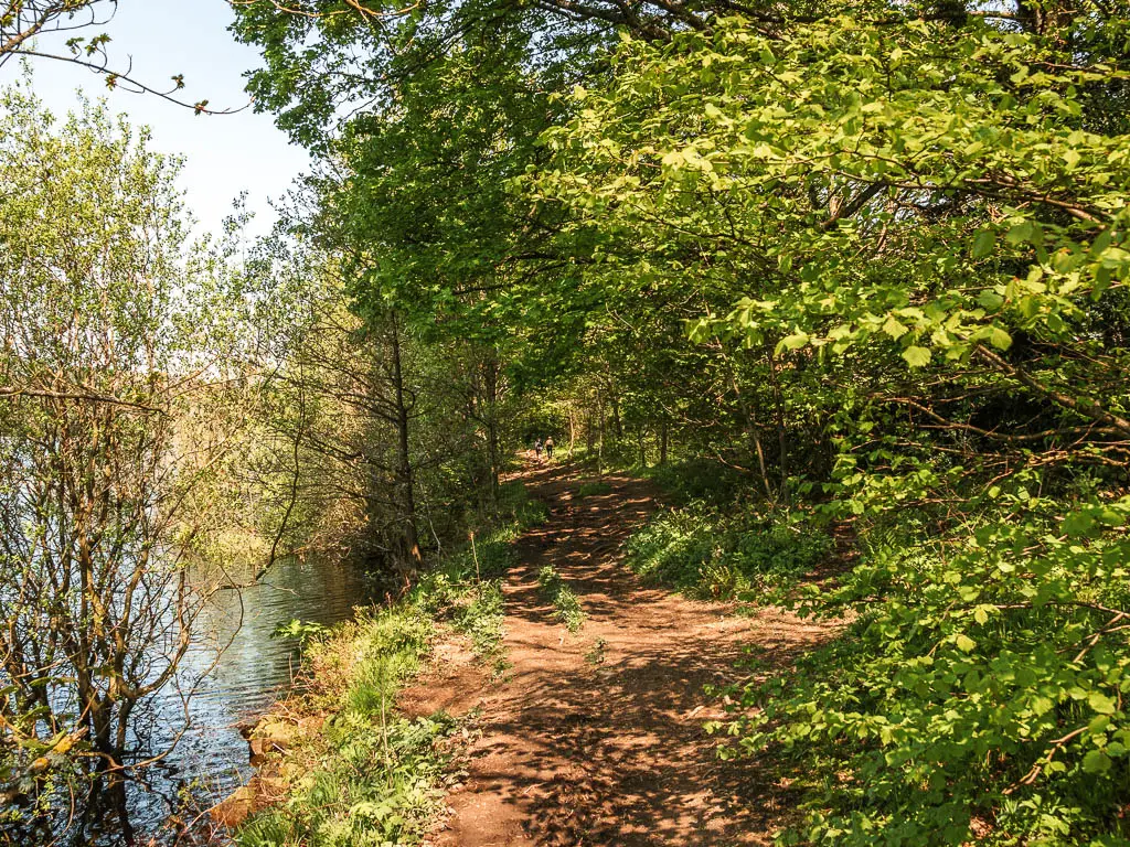
The route itself is very rugged, with dirt, mud and tree roots. You will be under tree cover for most of the way, with the occasional opening, and the reservoir by your side.
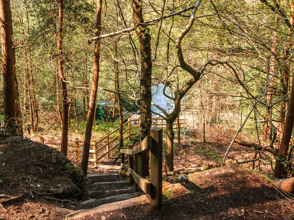
At the end (if you walk around Dale Dike Reservoir anticlockwise), there are steps. Nothing crazy though. You then have an uphill straight after.
Is the Dale Dike Reservoir dog friendly?
Yes. I didn’t pass many people on the walk around Dale Dike, but the few I did, had dogs off lead. There is no livestock or stiles.
Is it pram friendly?
No. Dale Dike Reservoir is not suitable for prams, what with the mud, tree roots, and steps.
Where to park to walk around Dale Dike Reservoir
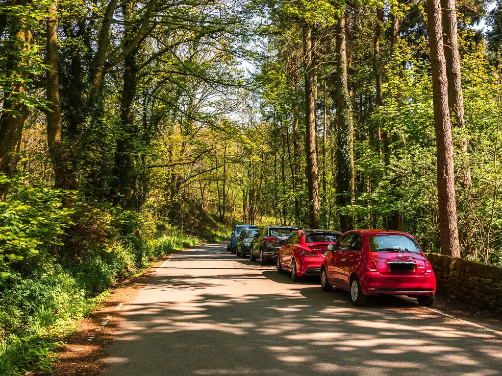
There is no official parking for Dale Dike Reservoir. You just park on the roadside, which is free. I parked on Dale Road, right at the start of the trail. If you look at my map below, you can see the exact spot.
Tips
- Wear hiking boots. The terrain is extremely rugged and a bit muddy.
- Do the route around Dale Dike Reservoir anticlockwise if you want to walk down the steps, instead of up.
- There is no phone signal, so look up what you need before you get there.
Logistics
- Start/Finish: Dale Road
- What is it: Located in the north east area of the Peak District, about 8 miles drive from Sheffield.
- Distance: 2.9 miles
- Time: 1h
- Difficulty: Easy
- Elevation: Flat for the bulk of the walk around Dale Dike Reservoir. A bit of a hill with steps at the end.
- Terrain: Rugged, tree roots, dirt, mud, some steps, gravel path
- Amenities: Nothing. Apart from one wooden bench.
- Time of year: I walked it in spring
Map for the circular walk around Dale Dike Reservoir
-More local reservoir walks I recommend, will be listed at the end-
route guide for the walk Dale Dike Reservoir walk
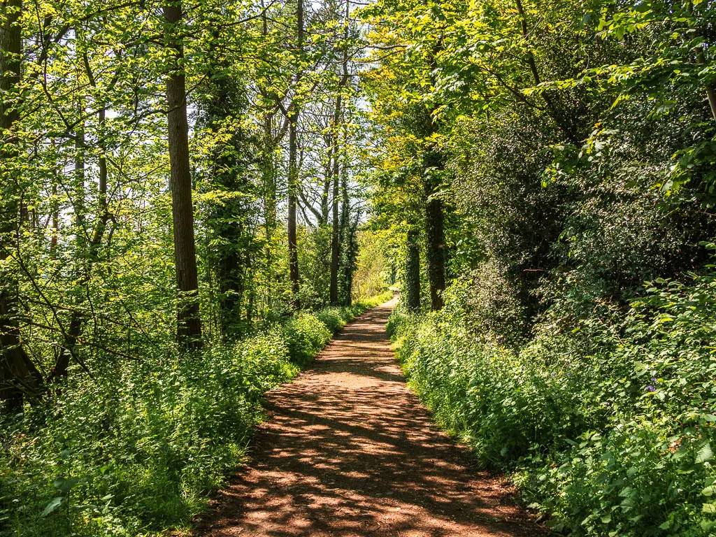
From the start, it’s level walking on a trail lined with trees. I found it so incredibly peaceful, so savoured it, as I was fully expecting things to liven up once I reached the reservoir.
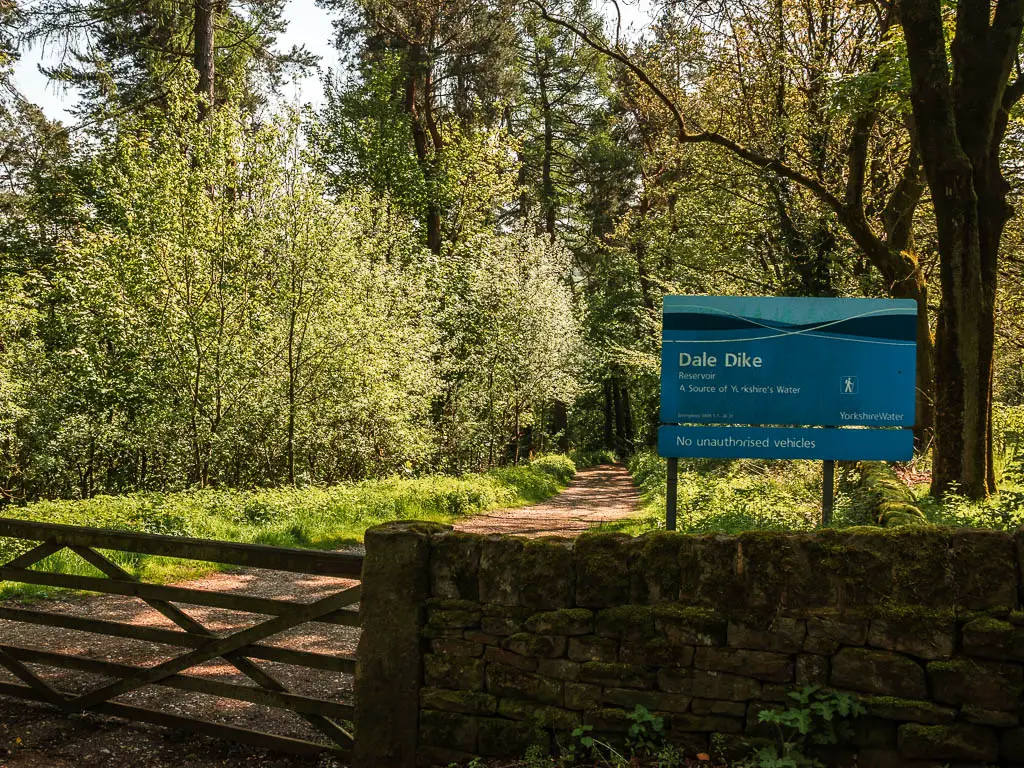
Along here, you will pass an information board giving you a bit of history of the reservoir.
The worst man made disaster in British history…
Construction for the Dale Dike Reservoir began in 1859, and by 1864 it was almost completely. On a stormy evening on 11th March 1864, someone was walking across the embankment of the dam and noticed a small crack. After alerting some people, Mr Gunson (the Sheffield Waterworks Engineer) arrived. Suddenly a gap about 30 feet wide opened up and water came gushing out.
The embankment sank, and 700 million gallons of water rain down the valley like an avalanche. Over 250 people lost their lives downstream, alongside massive destruction to buildings and bridges.
It became known as the Great Sheffield Flood, and is one of the worst man made disasters in British History.
The reservoir was rebuilt in 1875, this time much smaller, and there is a memorial stone somewhere.
This is the gist of what the information board told me.
Walk to Dale Dike Reservoir
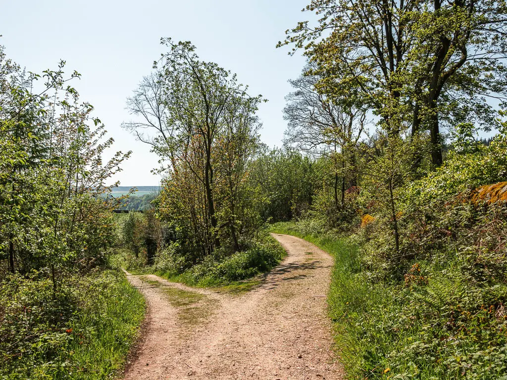
Keep walking along the trail, then when you reach the split, stay straight, which will lead you straight to the corner and dam of the Dale Dike Reservoir.
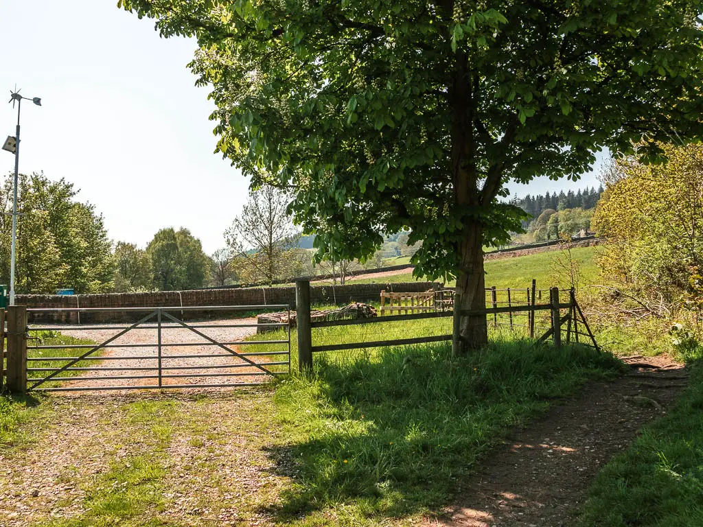
At the gate, keep right to go through the smaller gate.
At this point, you can walk along the dam, however, it’s a dead end, so you need to come back to here after.
This is where the memorial stone is as well.
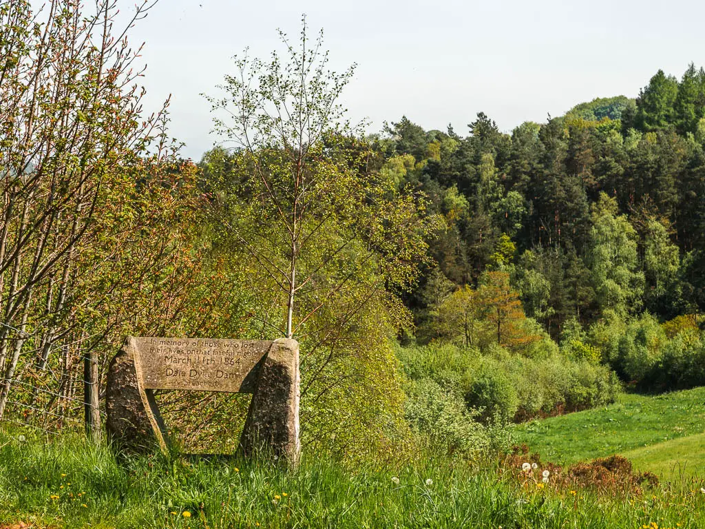
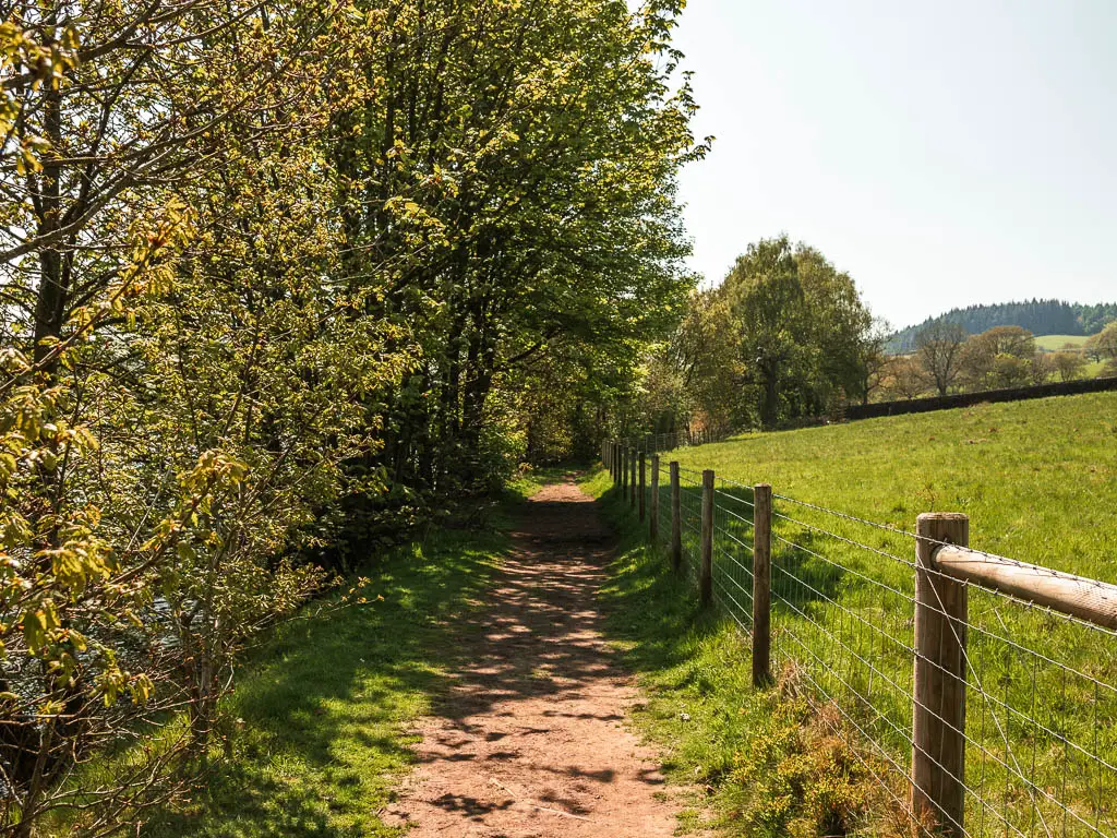
Keep going, and soon you will be led onto the trail on the side of the reservoir.
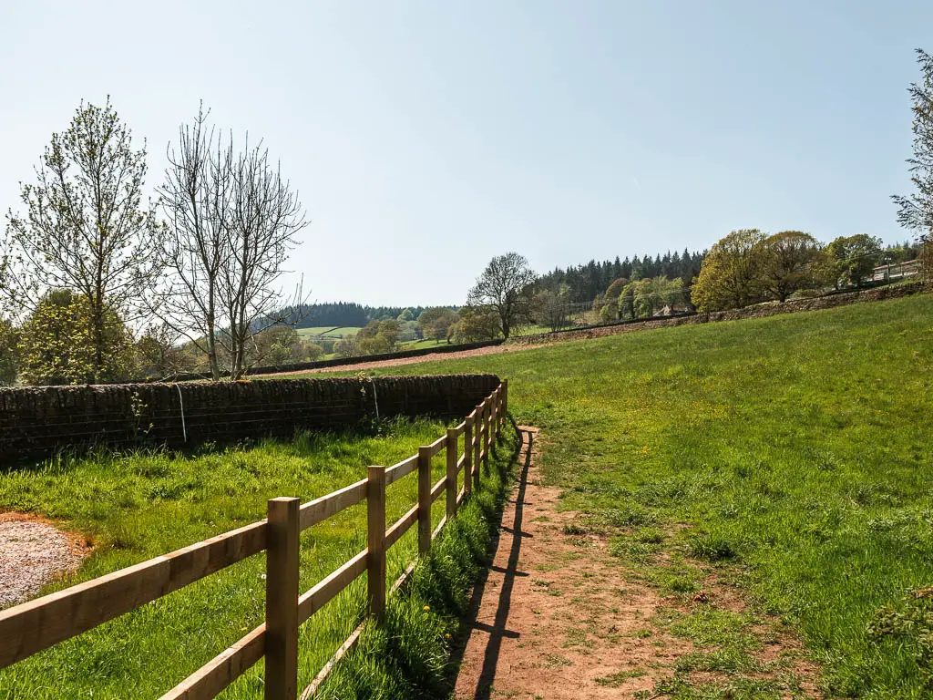
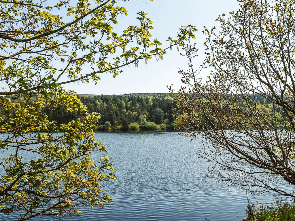
Walk around Dale Dike Reservoir
At this point, the route is pretty self explanatory until you reach the bridge on the other end. To my surprise, there was no one about. Well, there was. But only two.
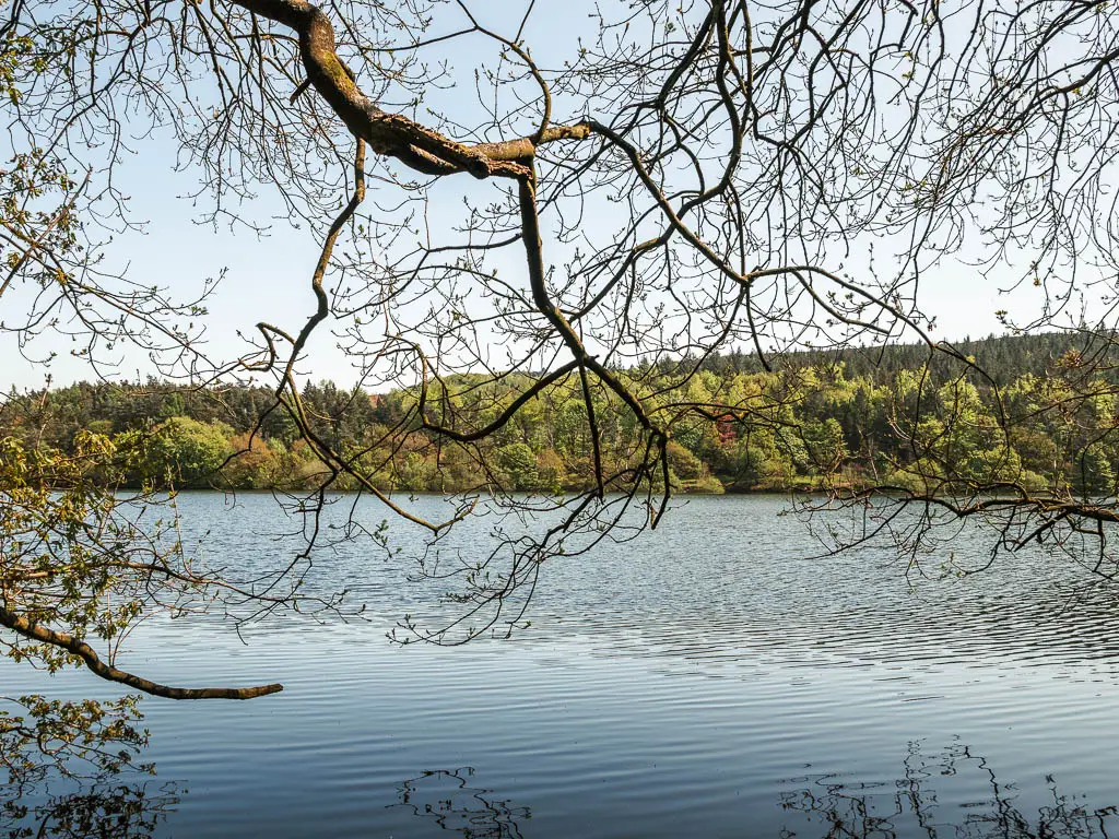
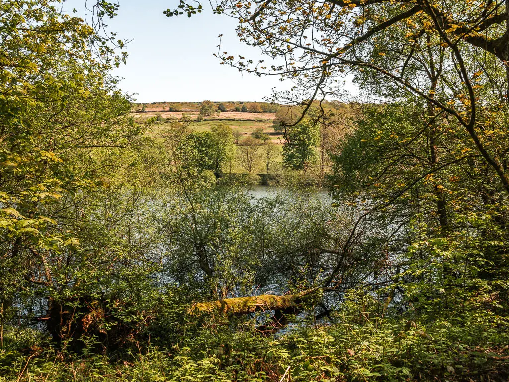
I walked fairly slowly along this section. Savouring every moment. I was not expecting such peace. Bluebells. Birds chirping. Geese bopping on the reservoir to my left. Luminous green fields to my right. The warm sun rays hitting me through the gaps in the trees.
The bridge
At the end of this side, you will reach a wooden bridge over the stream of water.
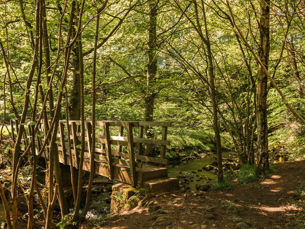
If you stay straight, there is another reservoir, but it looks to be a dead end on my map. I didn’t have a look, but feel free to wander over there.
To stay on the Dale Dike Reservoir, turn left over the bridge, and walk across the grass, to get back onto the dirt trail on the other side.
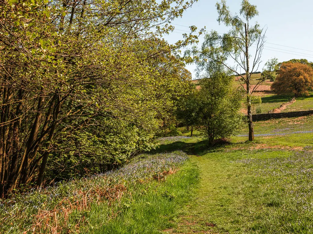
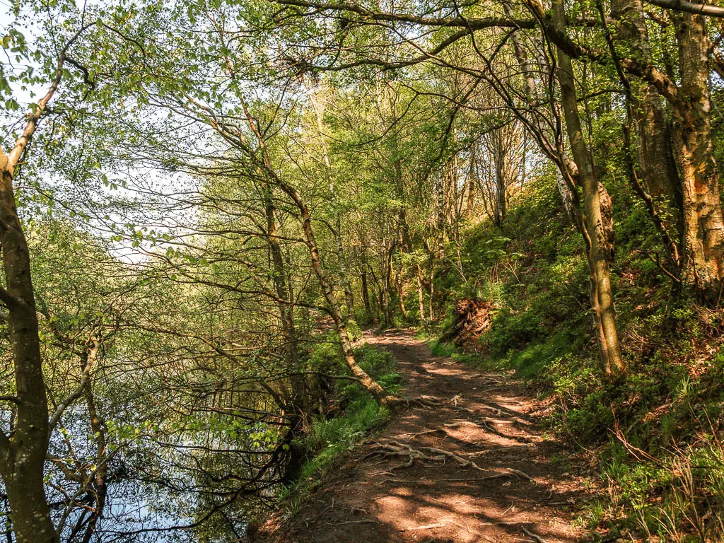
The other side
I found the trail on this side to be a little less rugged (but still rugged). You will also find the one and only bench along here.
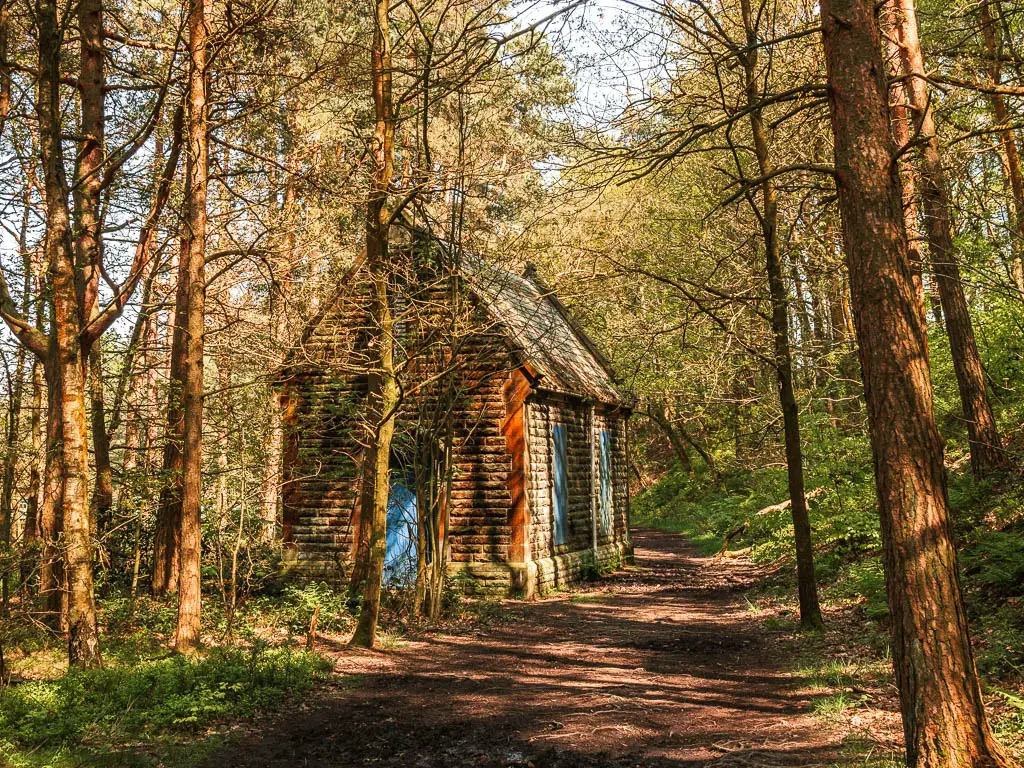
There are more grassy green areas than the other side, and a colourful hut. I have no idea what this hut is.
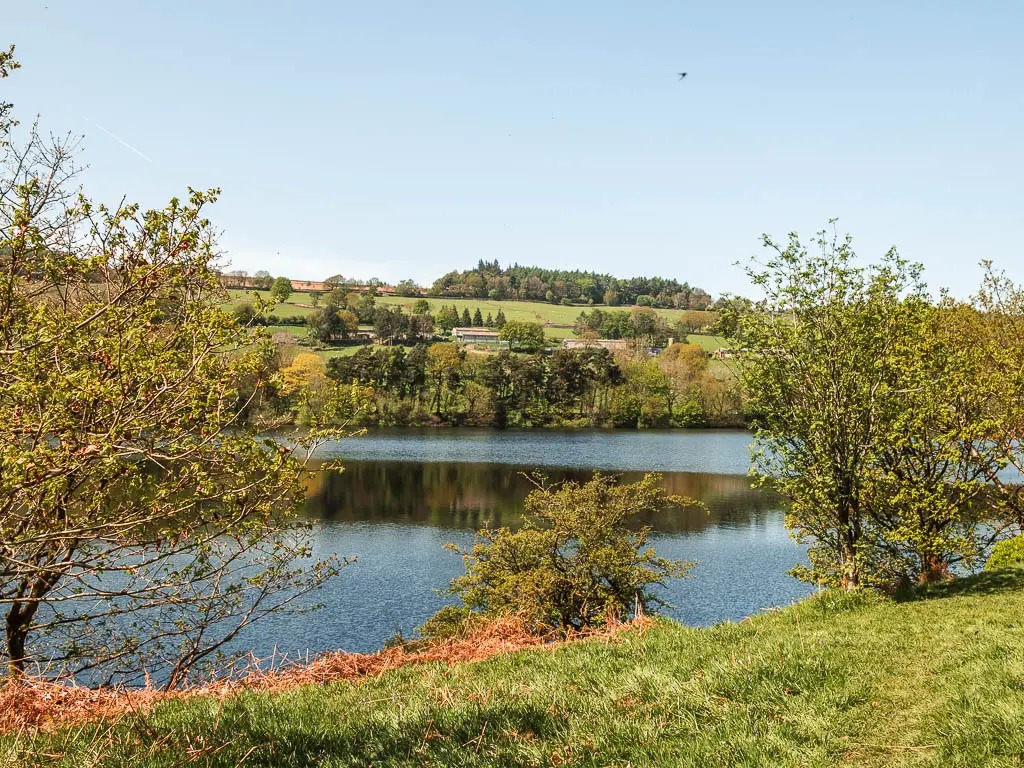
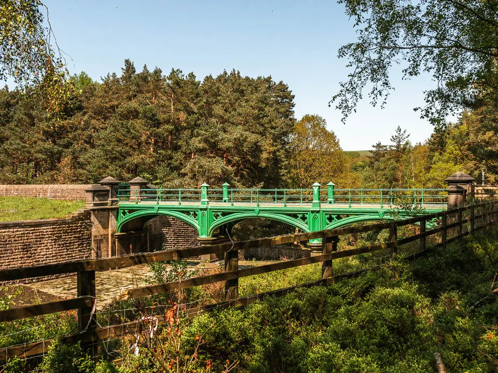
The end of the Dale Dike Reservoir is at the green bridge, which unfortunately you can’t walk across.
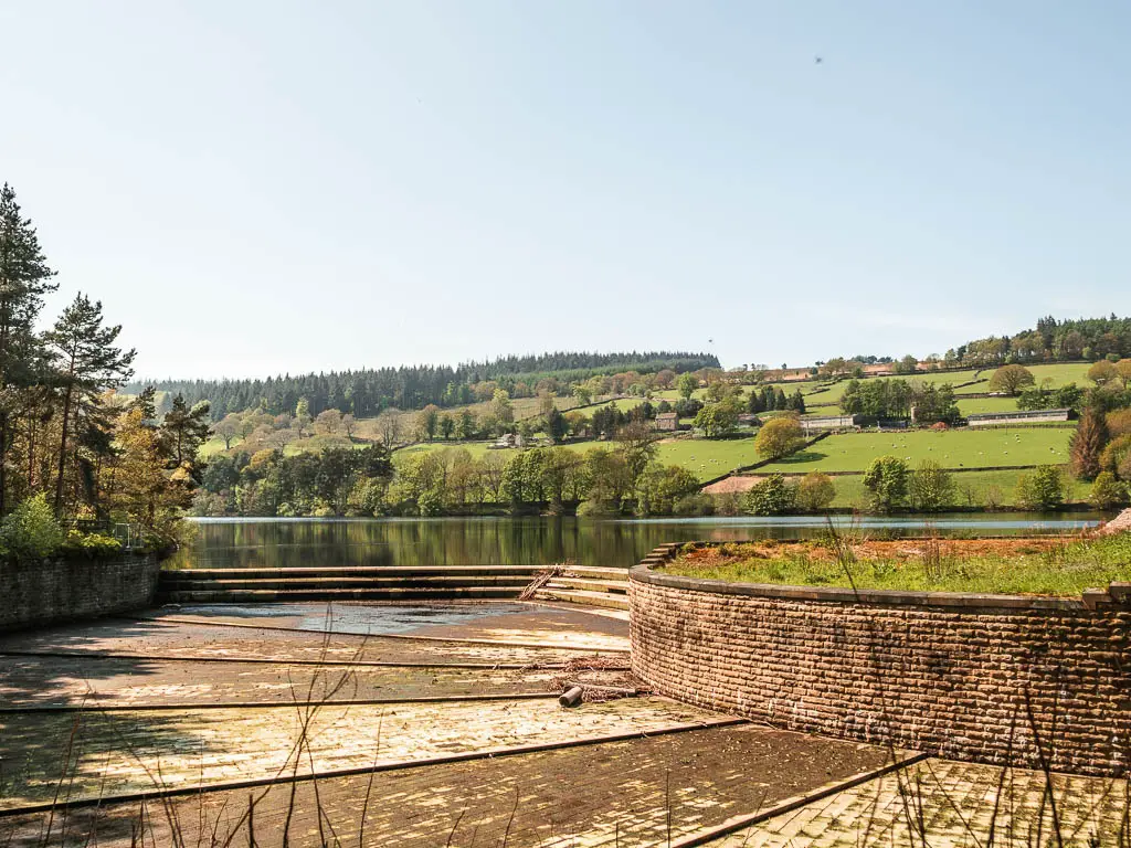
The woods, steps, and hill
To continue on the trail, follow the little arrow through the woodland area. At points, the trail isn’t so obvious, but you should be able to figure it out.
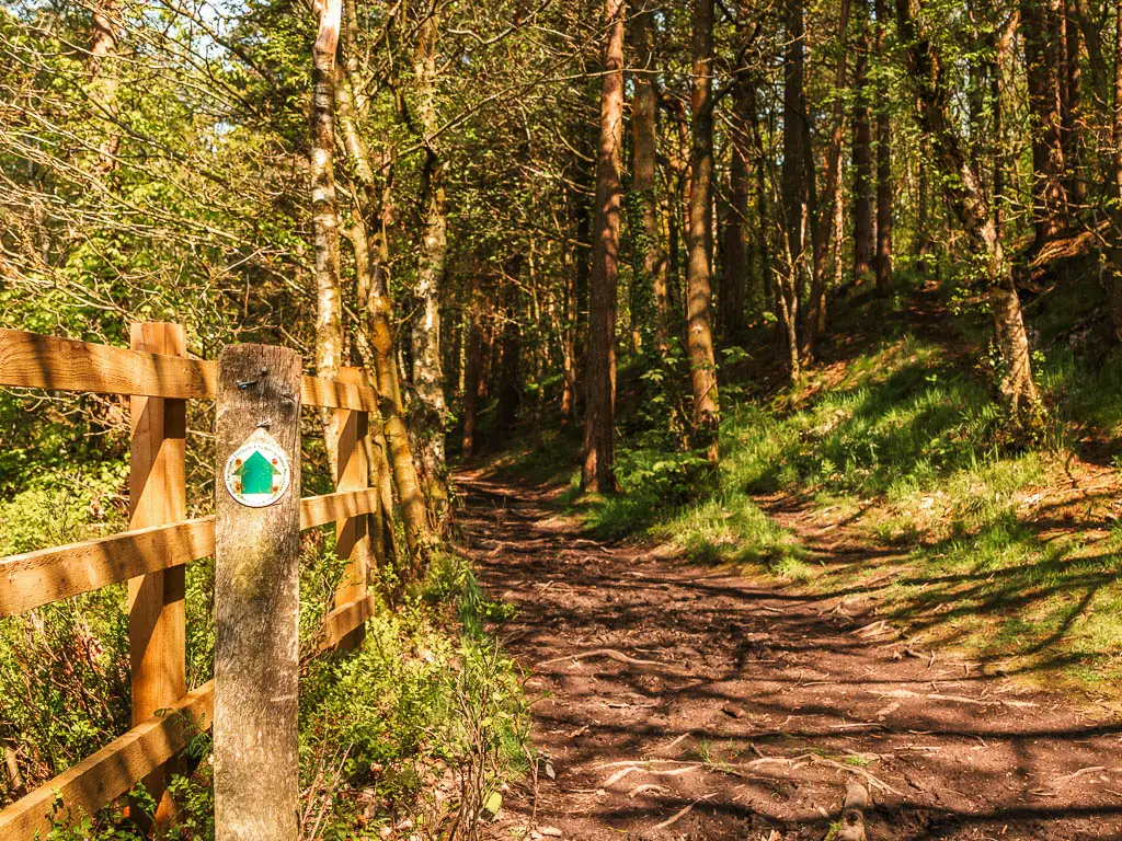
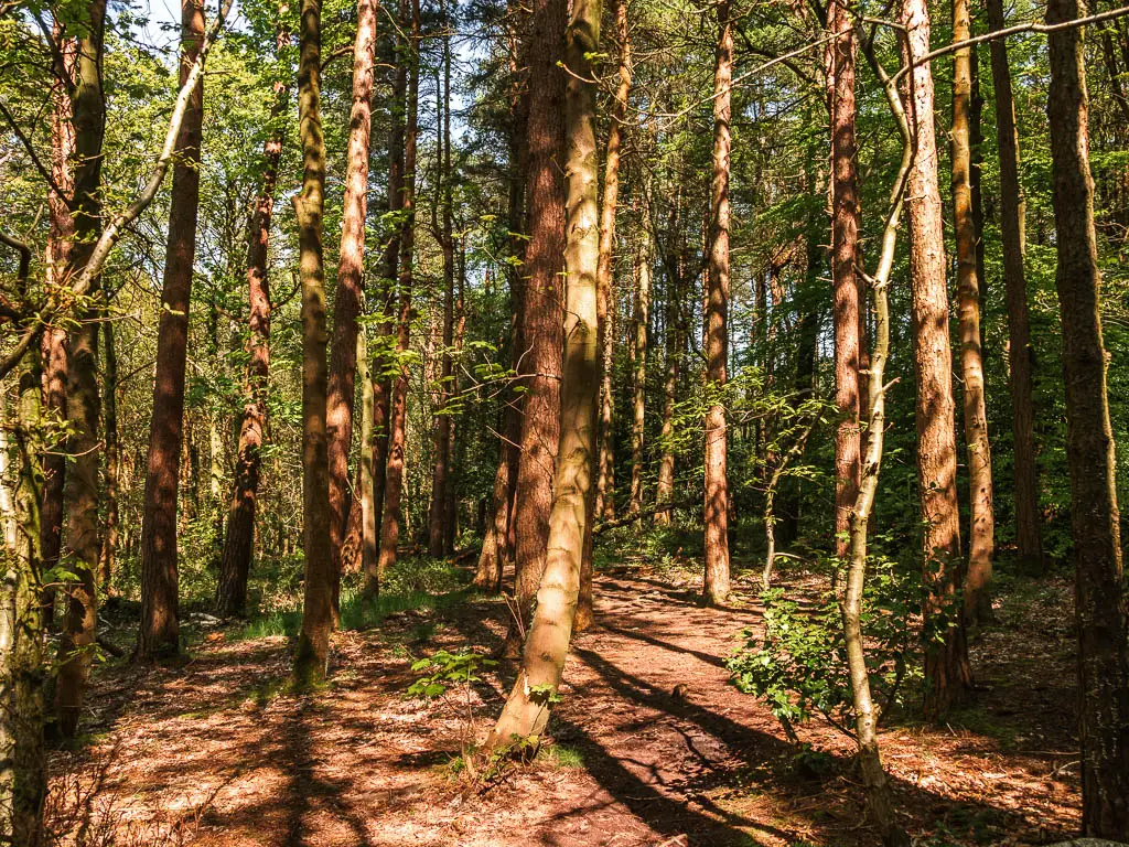
However, when you reach the split, take the left, to go down the first steps. Then a short way along, you will reach the next steps.
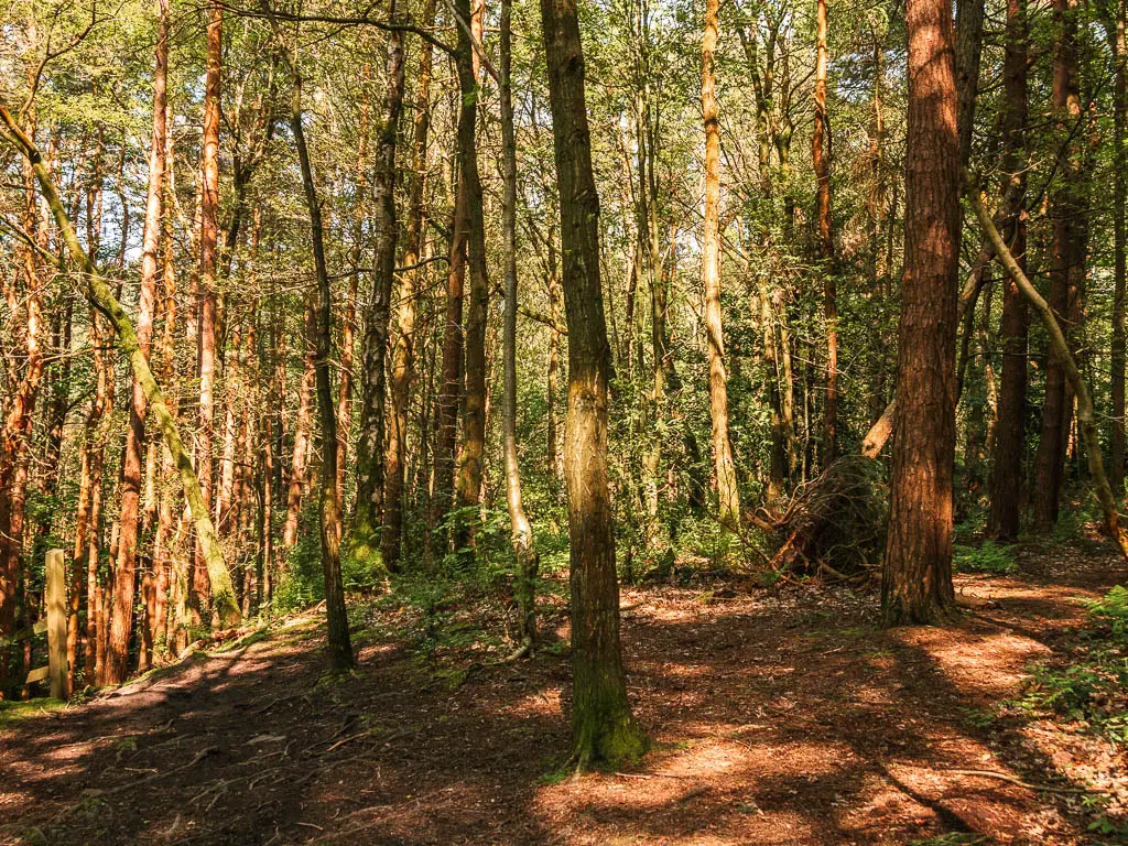
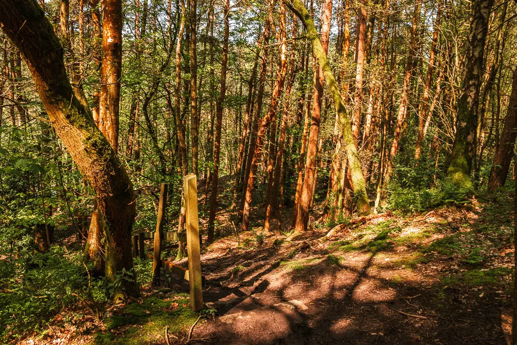

As I made my way down, I knew this meant I would have to go up again. I just hoped it wouldn’t be steps.
Across the opening at the bottom, the main trail takes you to the left, over a bridge, and then up the hill. Thankfully, no steps.

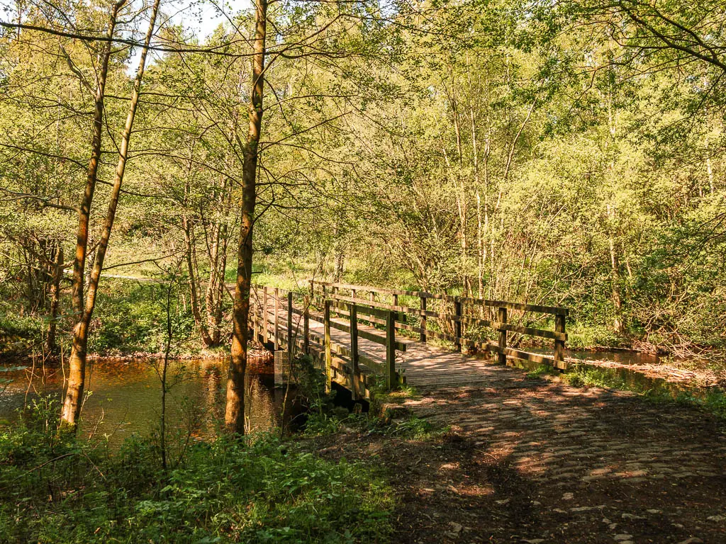
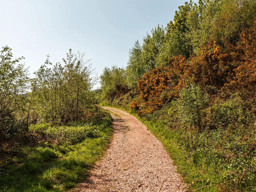
The uphill goes on for a bit, but I think it’s the lesser of two evils.
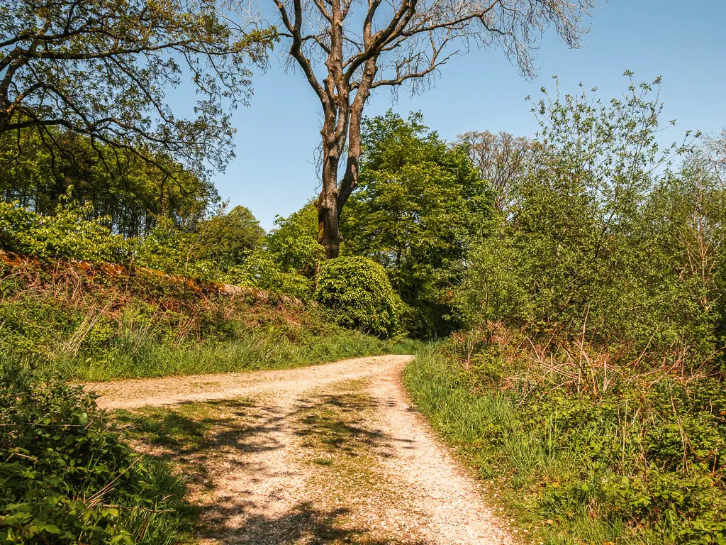
When you reach the top, continue to the right, and this will lead you back to the road.
Final Thoughts on the Dale Dike Reservoir walk
I think this trail would make a lovely date walk. You have the peace for some privacy, a little bit of ruggedness for the adventure, and it’s short enough that if you don’t like your date, it’s over quickly. If you do like your date, then you can draw it out, and have a sit on the one bench.
More local Reservoir walks
I mentioned that straight after this, I went over to Agden Reservoir. That one was just as rugged, maybe even more so. I found one side of the reservoir walk to be very peaceful, just like Dale Dike. The other side was a bit more congested. I did enjoy that reservoir, but it was let down a little by the road walking.
My favourite in the Peak District is Wessenden Reservoir. It’s different from typical reservoir walks in that you don’t follow a trail all the way around the edge. You go up and along the undulating hillside, with vast views of the surrounding moorland and valley. There are also a bunch of waterfalls, and one surprise star waterfall.
Nearby Wessenden, you have the more popular Dovestone Reservoir. Whilst it’s a bit busier, it does have an amazing backdrop of hills. The Dovestone section is pram friendly, but if you don’t have a pram (or wheels) you can venture a bit further around Yeaman Hay.
A very well known and popular reservoir out here is Ladybower. It’s twice as long to walk as Dale Dike, with one side being rugged, and the other being easy path. It is a gorgeous one, with a stunning backdrop of Derwent Edge looming above. If you want to go off-piste, you could also tie it in with this walk along Derwent Edge.
I came back to the area some time later, to try the Langsett Reservoir. It’s one of the others that was on my ambitious list today. The route is a bit longer, and has more variety with the moorland.
Further Afield
Dale Dike belongs to Yorkshire Water, who have a whole range of reservoirs you can walk around. My favourite three are Wessenden (as mentioned above), Scar House in Nidderdale AONB and Grimwith in the Yorkshire Dales.
Pin it for later: An easy walk around Dale Dike Reservoir
