Yesterday I moved to Yorkshire, and today I went to Derwent Edge in the Peak District, for my first walk….
In this guide, I’m going to give you an overview on what to expect on the Derwent Edge walk, followed by the full logistics, a map, and useful tips. Then I will give a step by step description of the walk, with photos, showing the route.
What was the Derwent Edge walk like?
It was wonderful (except when it rained…..And except the end). It feels like ages since I have been out hiking, and my legs definitely felt it by the end.
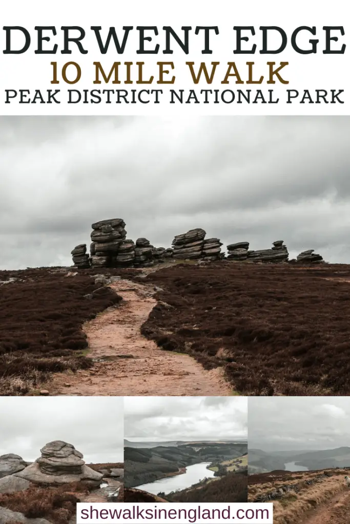
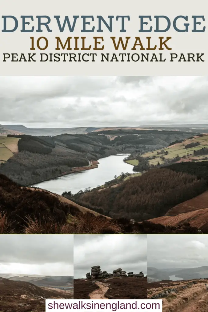
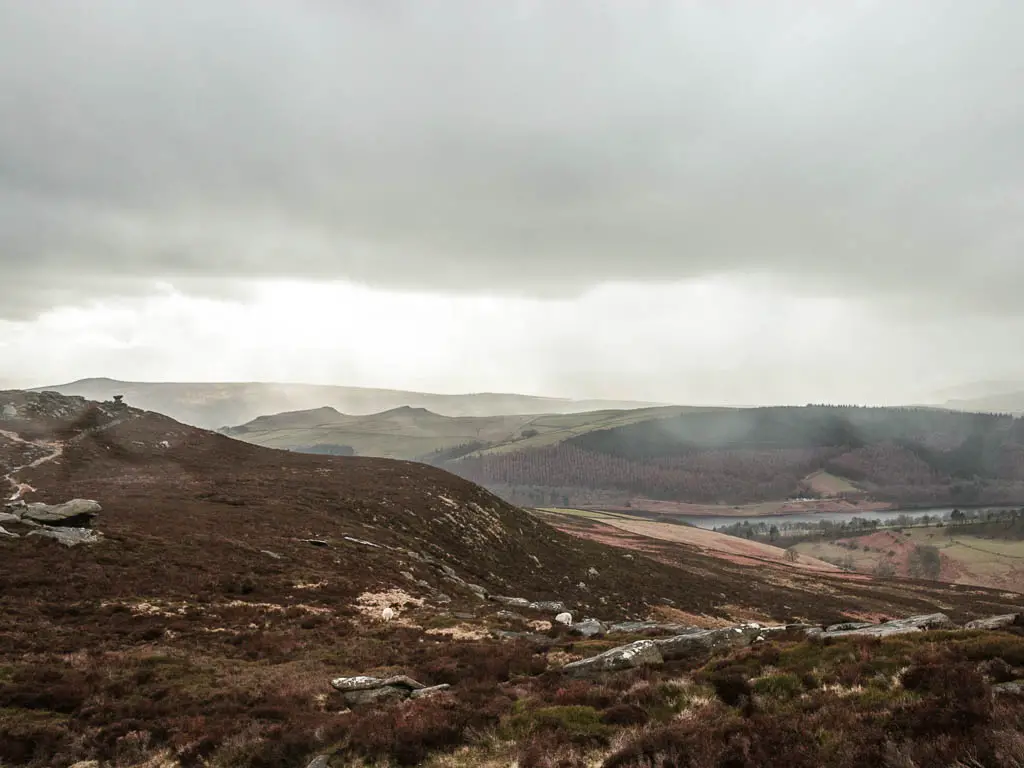
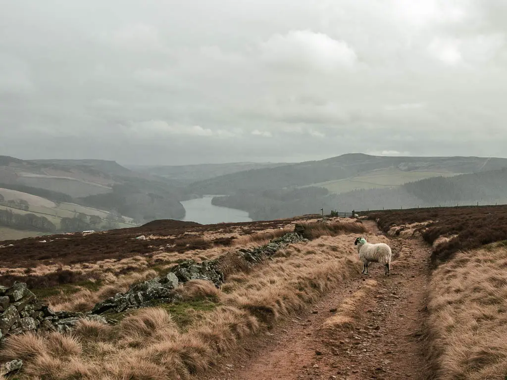
I followed a route which took me up and along Derwent Edge, passing by lots of tors, with a fantastic view down to the Ladybower and Derwent Reservoirs, before walking down and along the reservoir and back to the start.
Read more: Ladybower Reservoir walk
The terrain is a mix of dirt, lots of rocks, some mud, and a bit of grass. It was very windy up there, and the rain also decided to make an appearance. At that point, it wasn’t so fun. But I soldiered on.
How hard is the Derwent Edge walk?
I would say it’s a moderate, fairly hilly walk. Firstly, the walk up to Derwent Edge, which is more of a gradual incline, then there are some undulations when up there, on a well laid out trail.
After reaching Back Tor, it’s downhill to get to the reservoir, first quite gentle, then steep for the final bit.
The walk alongside the reservoir is very easy, on a well laid out path. At that point, it feels like the walk is mostly over…but it’s not. After the reservoir, to get back to the start, there are some surprise hills. I found these ones the toughest. Partly because I wasn’t expecting them, partly because by that point, I was tired and hungry (I will get to that later)
If you like rocks with reservoir views, then you must check out the Trinnacle Trail. It’s a really unique rocky outcrop, looking above the Dovestone Reservoir.
How long is the Derwent Edge walk?
The circular Derwent Edge walk is 10.5 miles. If you want to shorten the walk , you can skip out the reservoir, and just turn back once you reach Back Tor, and go back the way you came along Derwent Edge. That would make the walk 7.5 miles.
Where do you park to walk up Derwent Edge?
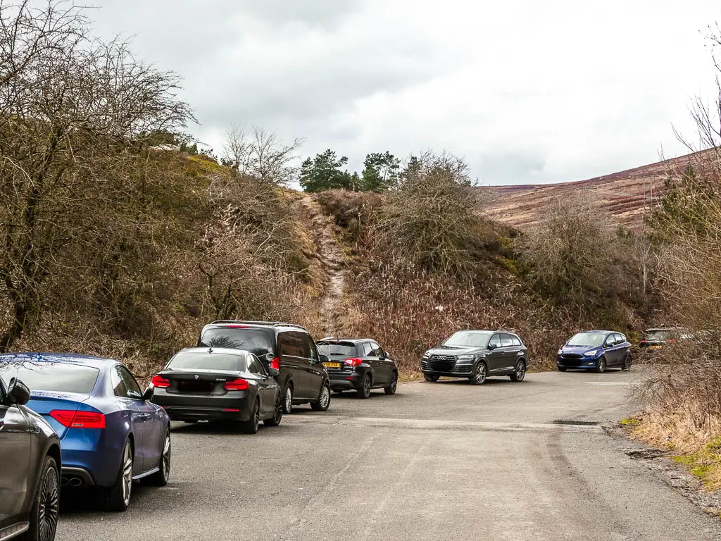
There is a free car park next to the main road (A57). It’s called Cutthroat Bridge car park, and is located just before you reach Derwent and Ladybower Reservoirs on the east side.
Are dogs allowed on Derwent Edge?
Absolutely. I saw a few people and their dogs walking along Derwent Edge. There are signs about though, warning to keep dogs on leads. There is some livestock about, although I didn’t see any until I came off Derwent Edge and walked in the moors below it.
Logistics
- Start/Finish: Cutthroat Bridge car park, Peak District National Park – See map below for exact location.
- Public Transport: Yes. The number 257 bus will get you here. It runs between Sheffield and Hope. You can start the walk by getting off at Cutthroat Bridge, which is right next to there parking.
- Distance: 10.5 miles
- Time: 3h40min
- Difficulty: Moderate. Easy walk along Derwent Edge. Moderate due to the length of the walk and the hills later on.
- Terrain: Dirt, mud, rocks, grass, paved stones.
- Amenities: Nothing other than the car park
- Dog friendly: Dogs are allowed, under control. Some livestock about. No stiles when walking along Derwent Edge. Two stiles later on. One of them is designed to lift up so dogs can get through. The other one is short.
- Time of year: I walked it in winter
Map for the Derwent Edge circular walk
You can find my more detailed Derwent Edge route map an AllTrails.
Read more: All the best walking trails in the Peak District
Tips for the Derwent Edge walk
- Wear hiking boots. It can get muddy, and slippy in some parts.
- Windproof jacket. It can get windy when walking along Derwent Edge.
- Take plenty of snacks and water (I decided to leave my lunch on the car to have after, and I regretted that).
-More walks similar to Derwent Edge will be listed at the end-
guide to the Derwent Edge Circular walk
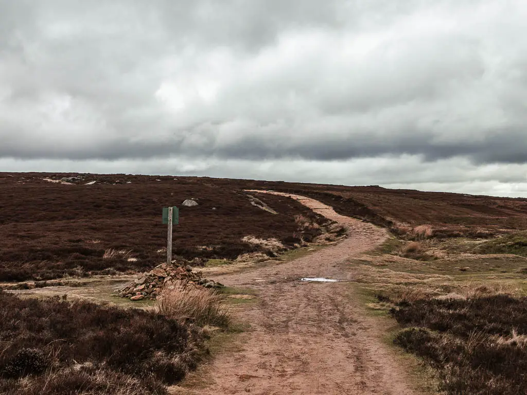
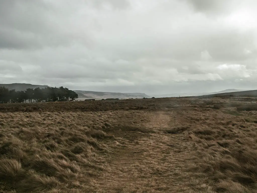
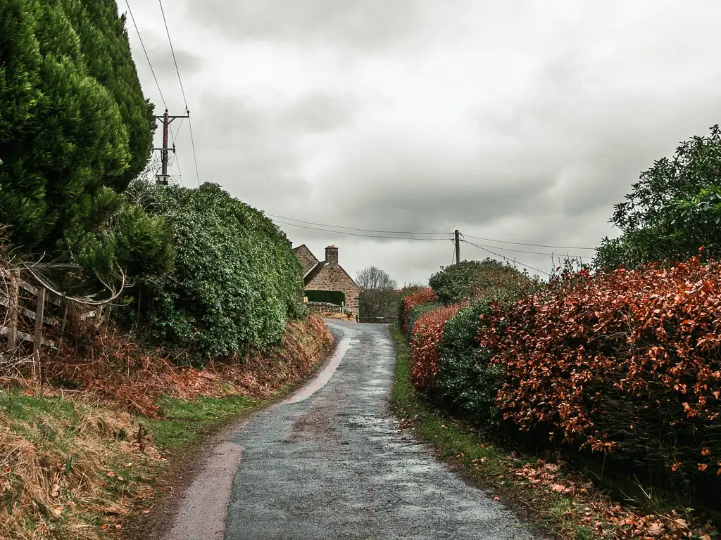
From the car park, you should see a dirt trail going up the bank ahead. You need to go up that. It can be very muddy, and I found it to be the slippiest part of the walk.
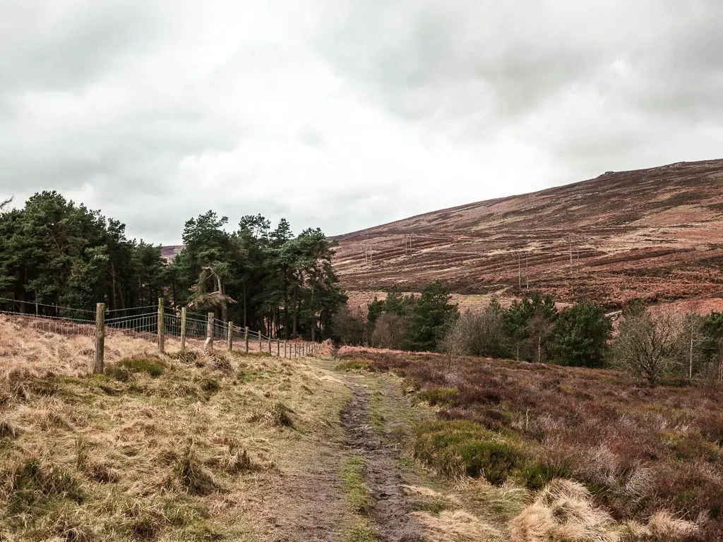
Once up, keep going straight, with the road to your right. This will lead you through some woods, then back down to the road again.
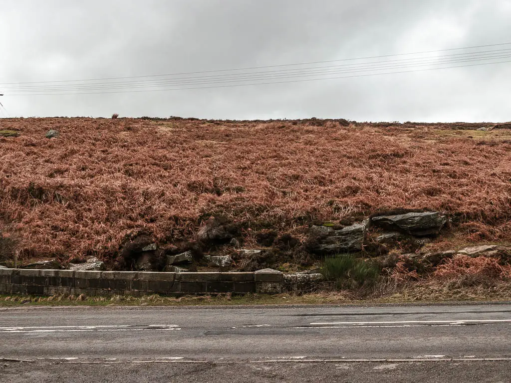
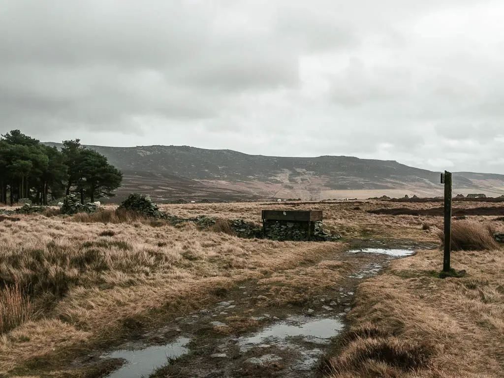
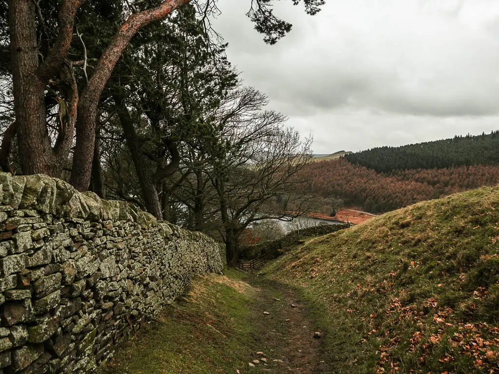
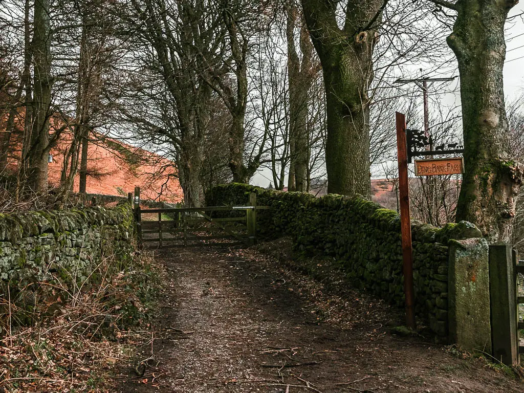
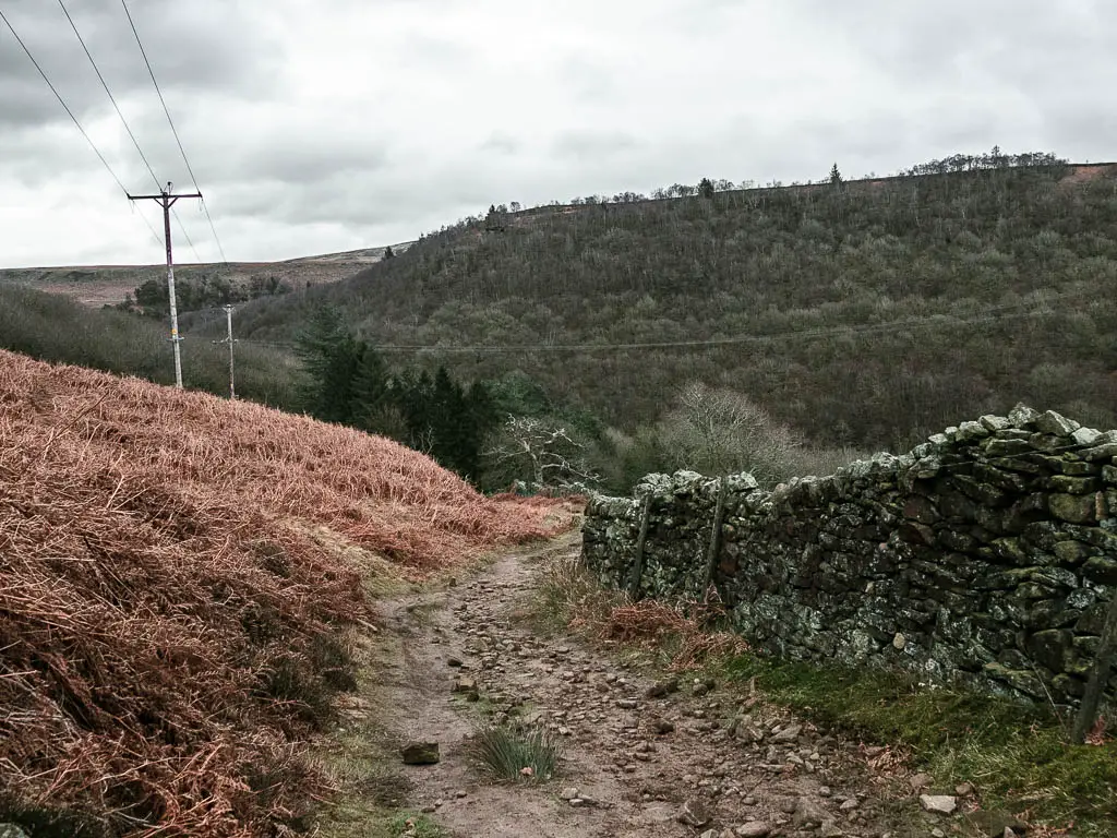
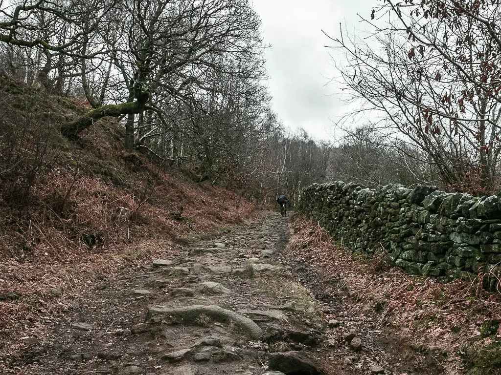
Look across the road and you will see a type of wall. The trail is on the other side of that. Be careful when crossing the road though. Cars go fast along here, and you can’t see that far in either direction.
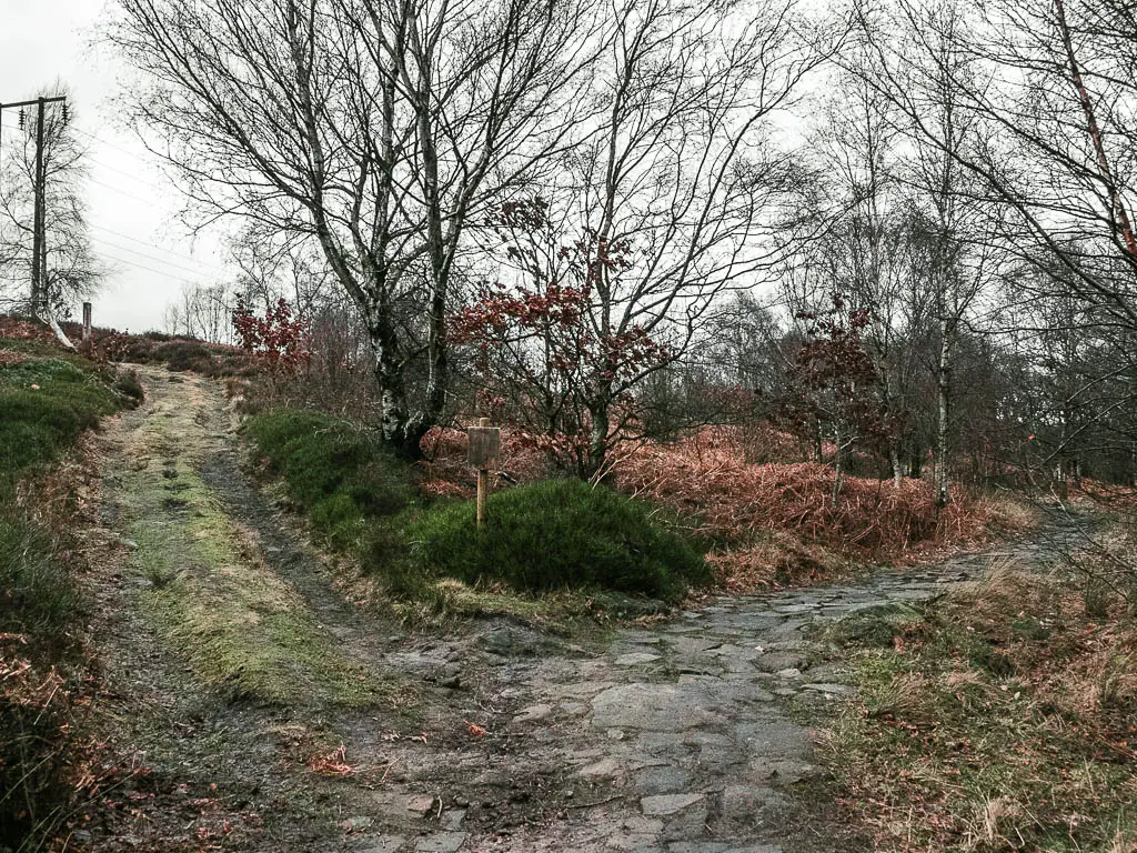
Once across and through the gate, the trail will start to take you uphill on some big rocks. When you reach a junction, keep going straight on this main trail, and further along it will curve to the left.
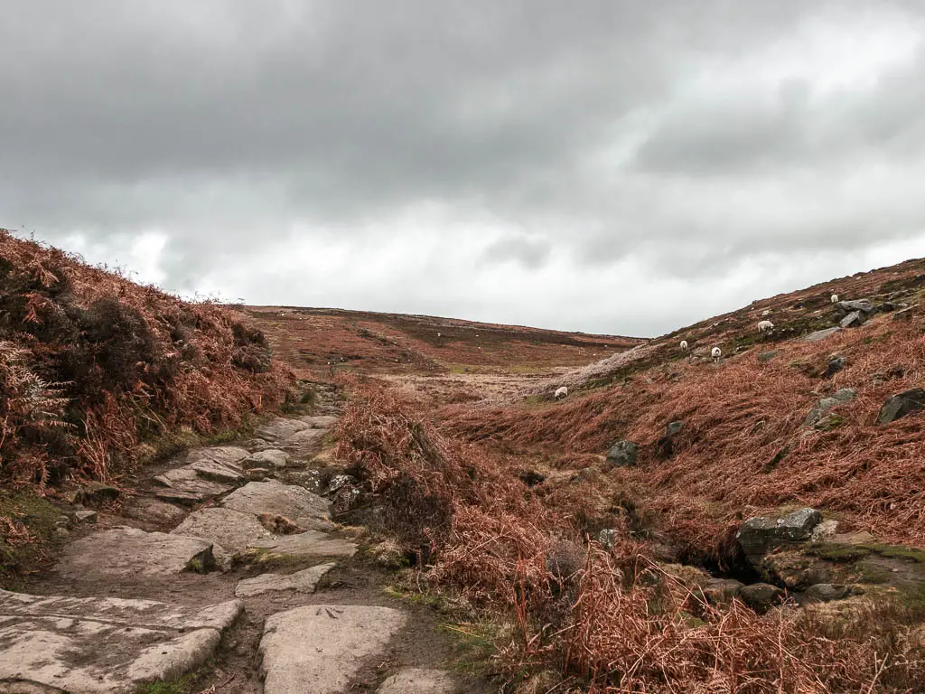
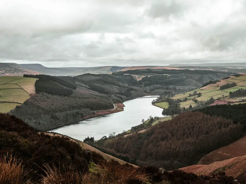
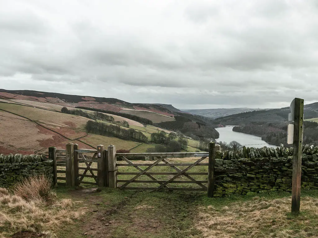
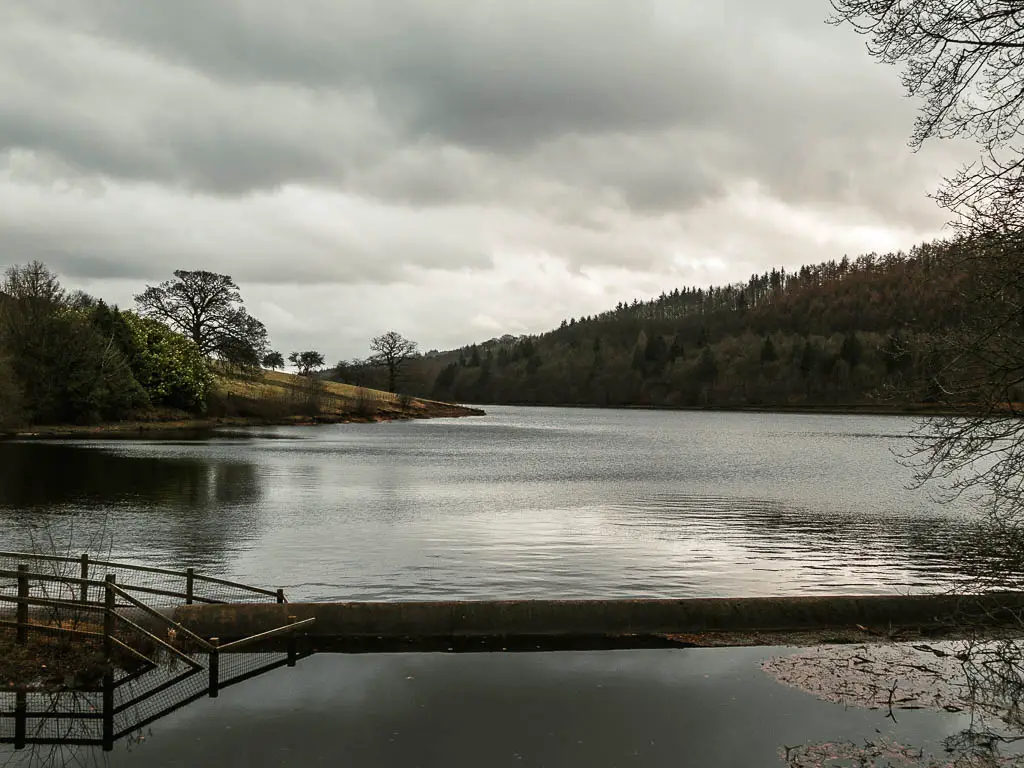
Continue straight to reach the reservoir viewpoint
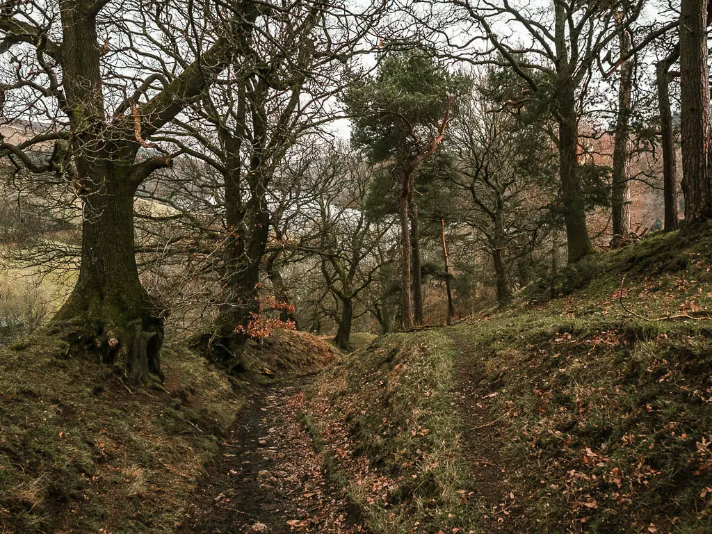
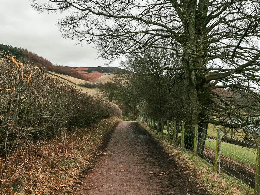
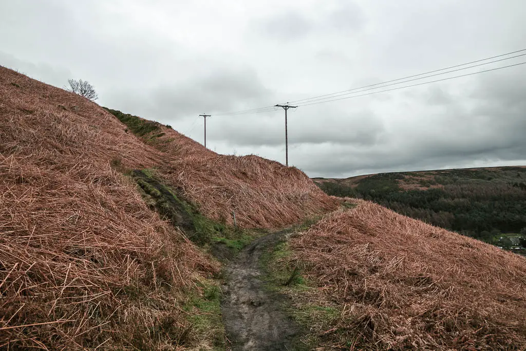
For some time now, you will be walking along this main path, on a gradual incline. The terrain is a mix of dirt, some mud, and lots of rocks, with some nice views to the surrounding hills.
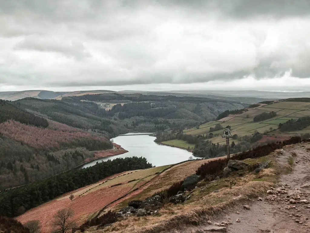
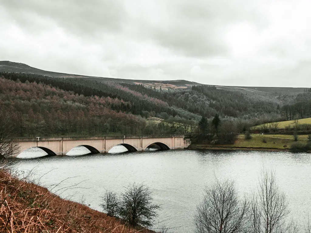
Keep going until you reach a wonderful view down to the reservoir. It was at this point that the wind really picked up. I didn’t yet know that it was about to get a lot worse….
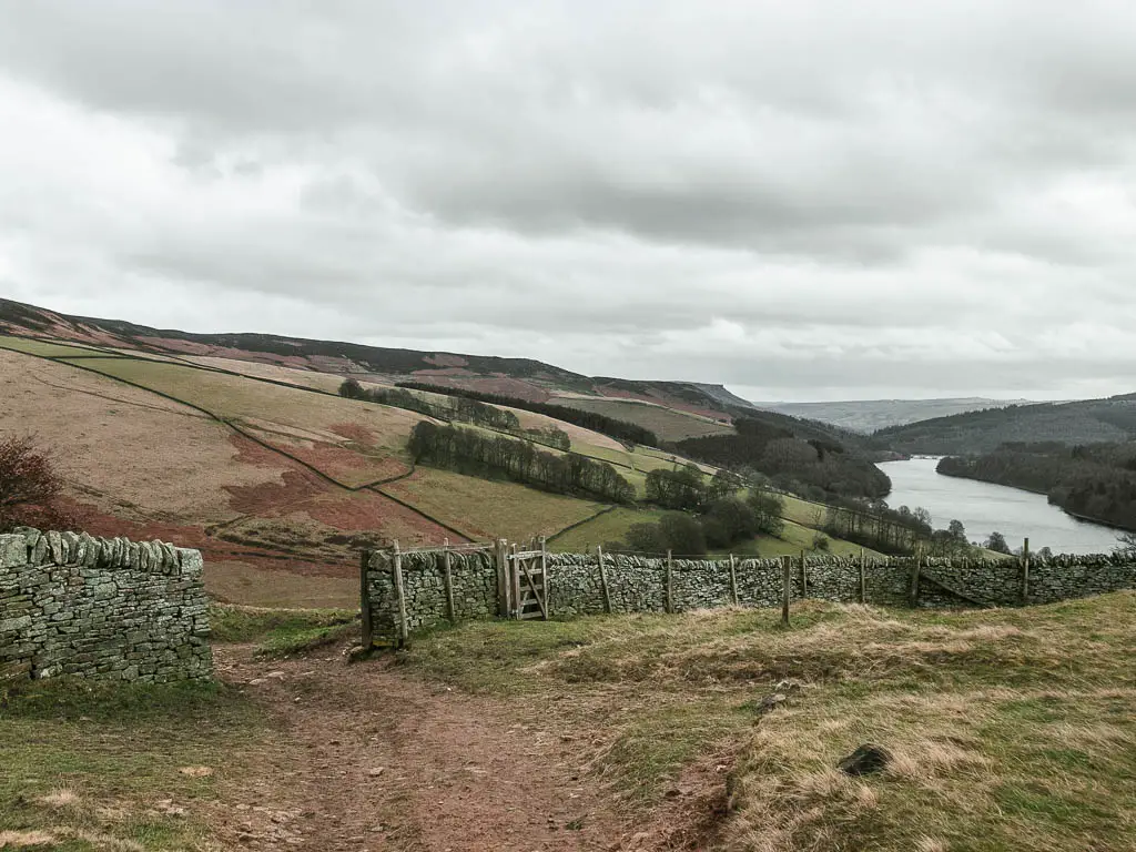
Walk up to Derwent Edge
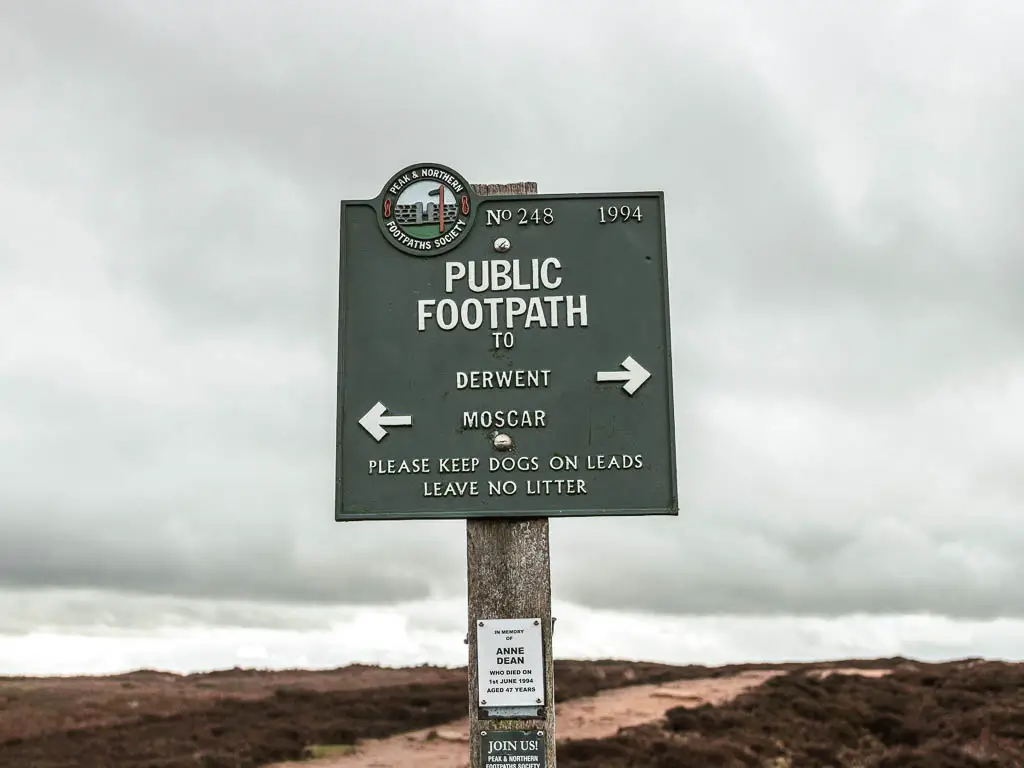
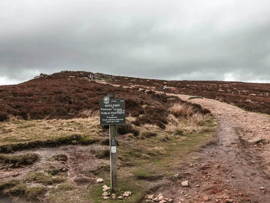
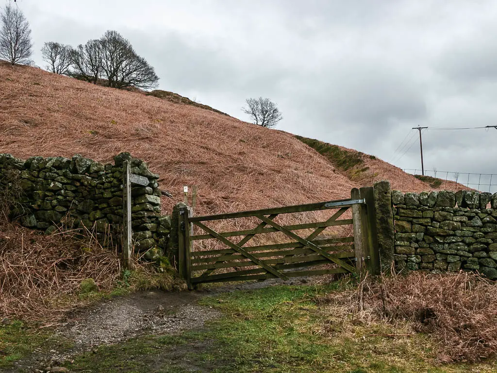
At this junction you should see a signpost, follow the direction to Derwent Edge, which is the right trail.
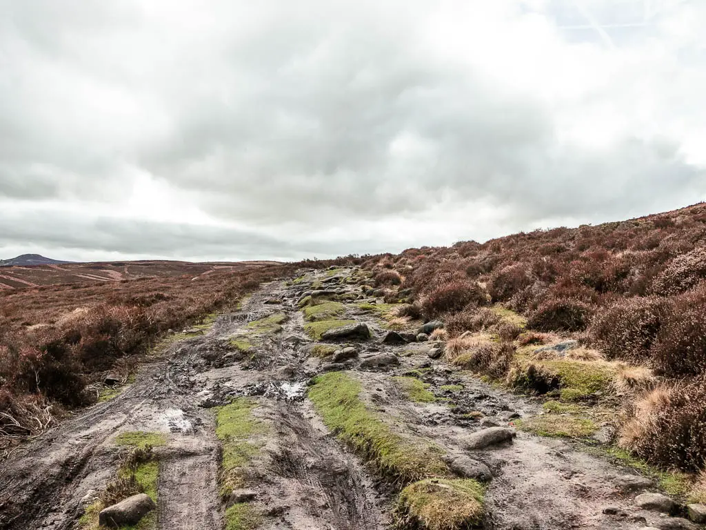
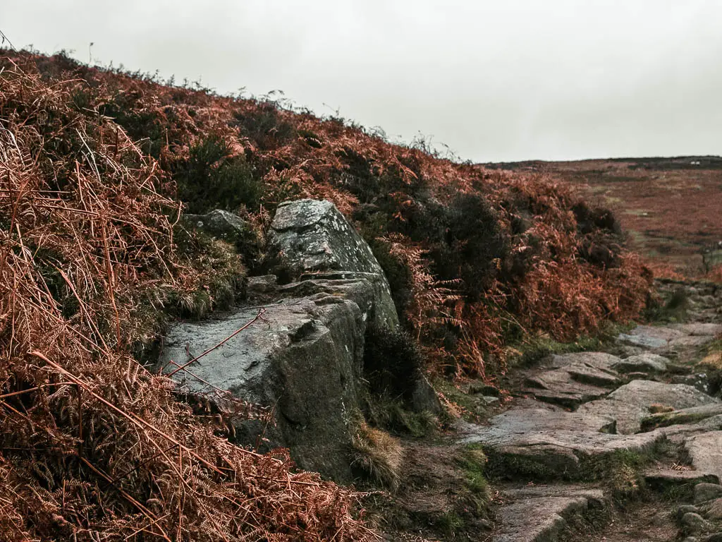
The trail now becomes steep (but short) to walk up onto Derwent Edge. As you near the top, the rocks get bigger, and the trail splits up a little, which can get confusing, but don’t worry too much. Just take any that keep you in the rough same direction, with the reservoir to your left.
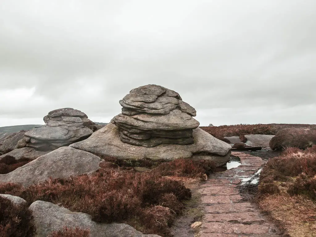
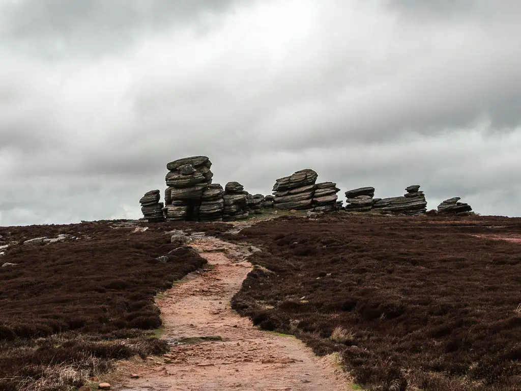
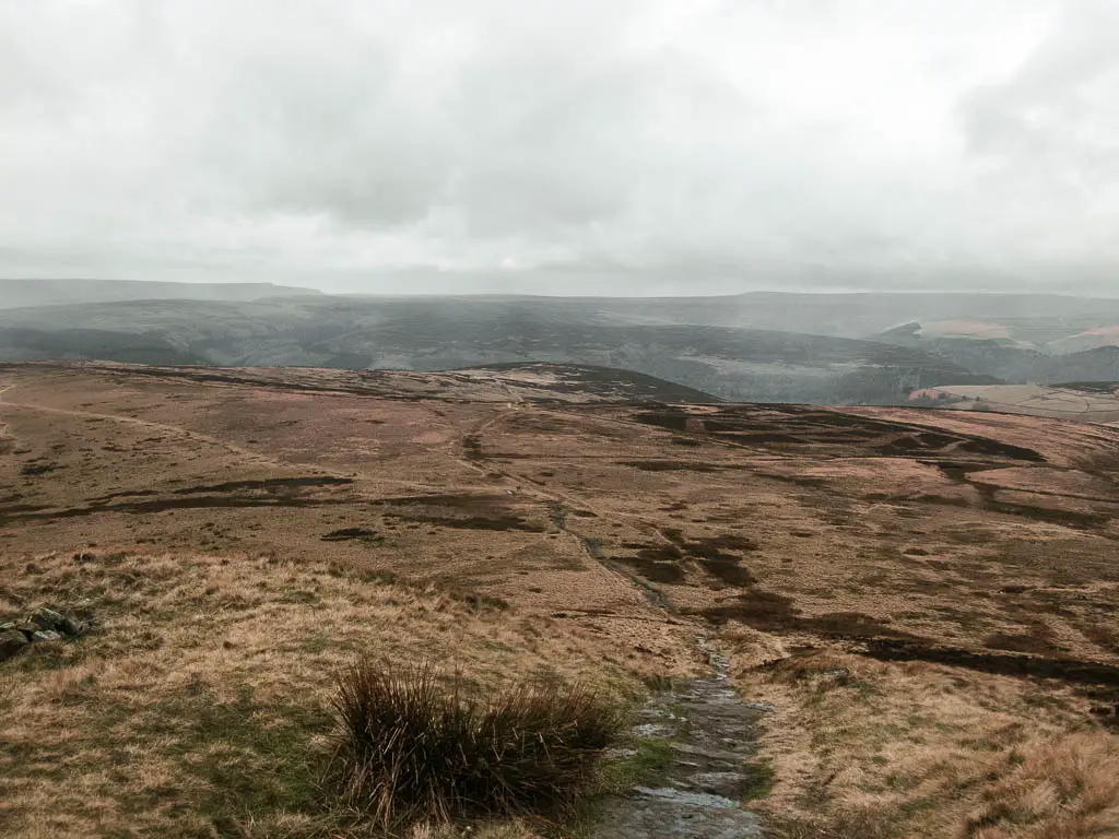
Walk along Derwent Edge, past the tors
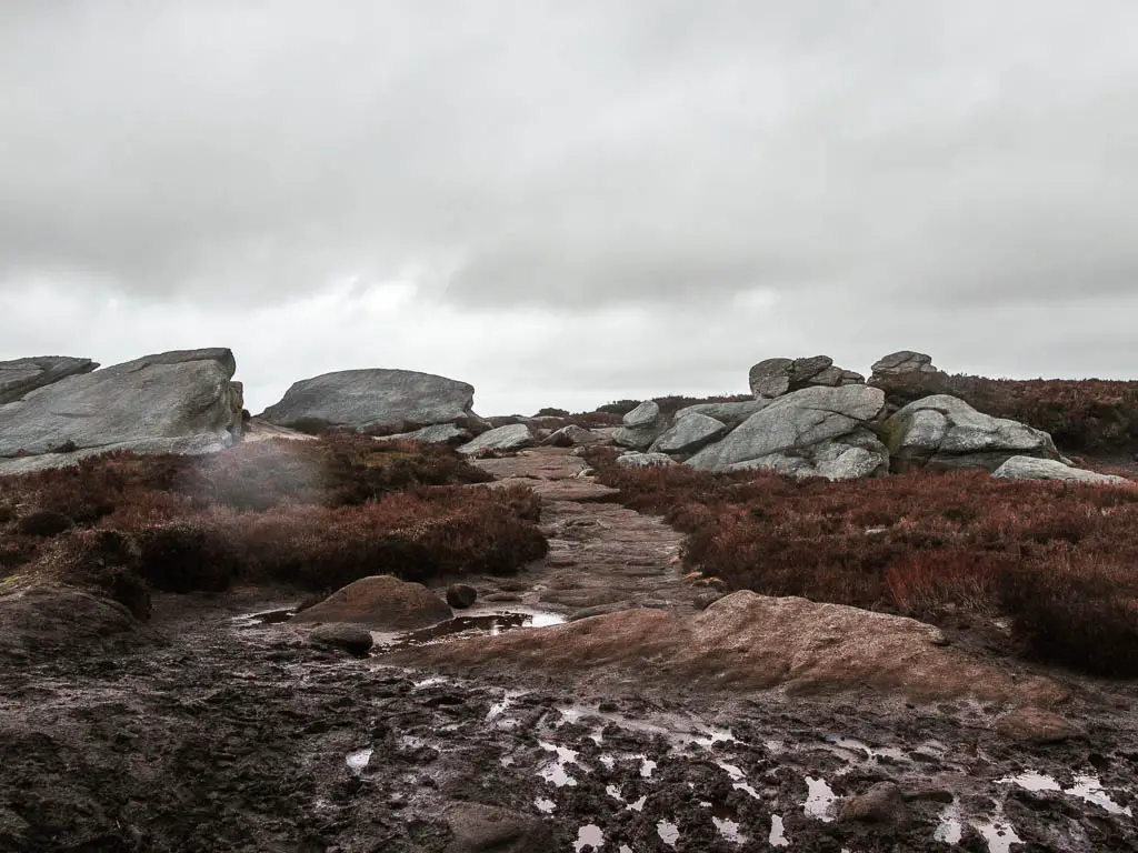
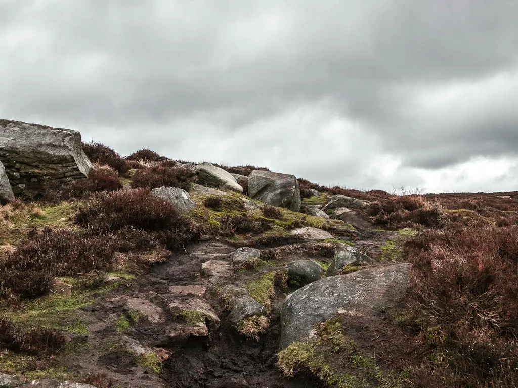
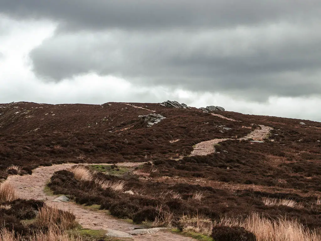
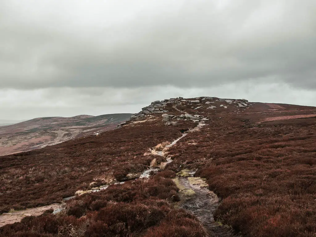
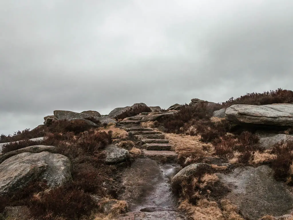
For the walk along Derwent Edge, the trail is pretty obvious, with the occasional rocks and steps thrown in, and you will walk past some impressive tors.
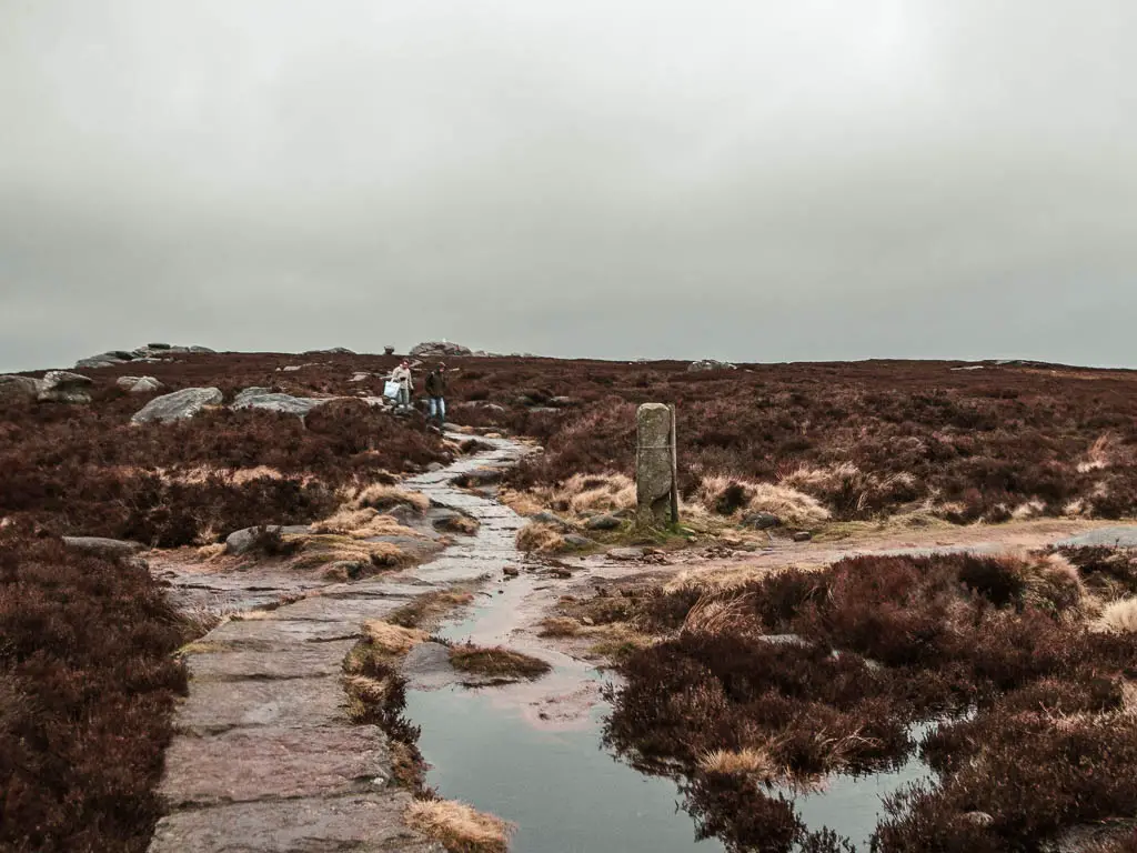
The only challenging bit I found, was where the trail was flooded and my only other option was to walk in the bog around it. Actually I lie, the other challenge was when it started to rain. So I was then battling a wind and sideways rain combo.
Read more: What to wear for hiking in cold weather
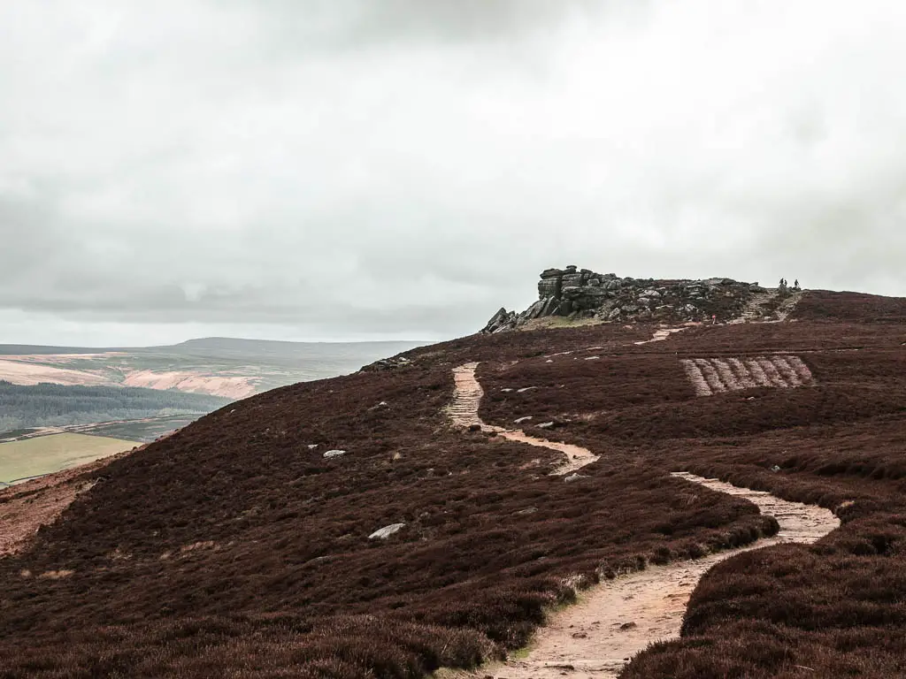
There are some junctions, but ignore those, and keep walking until you reach Back Tor. It’s the one with a white trig point on top.
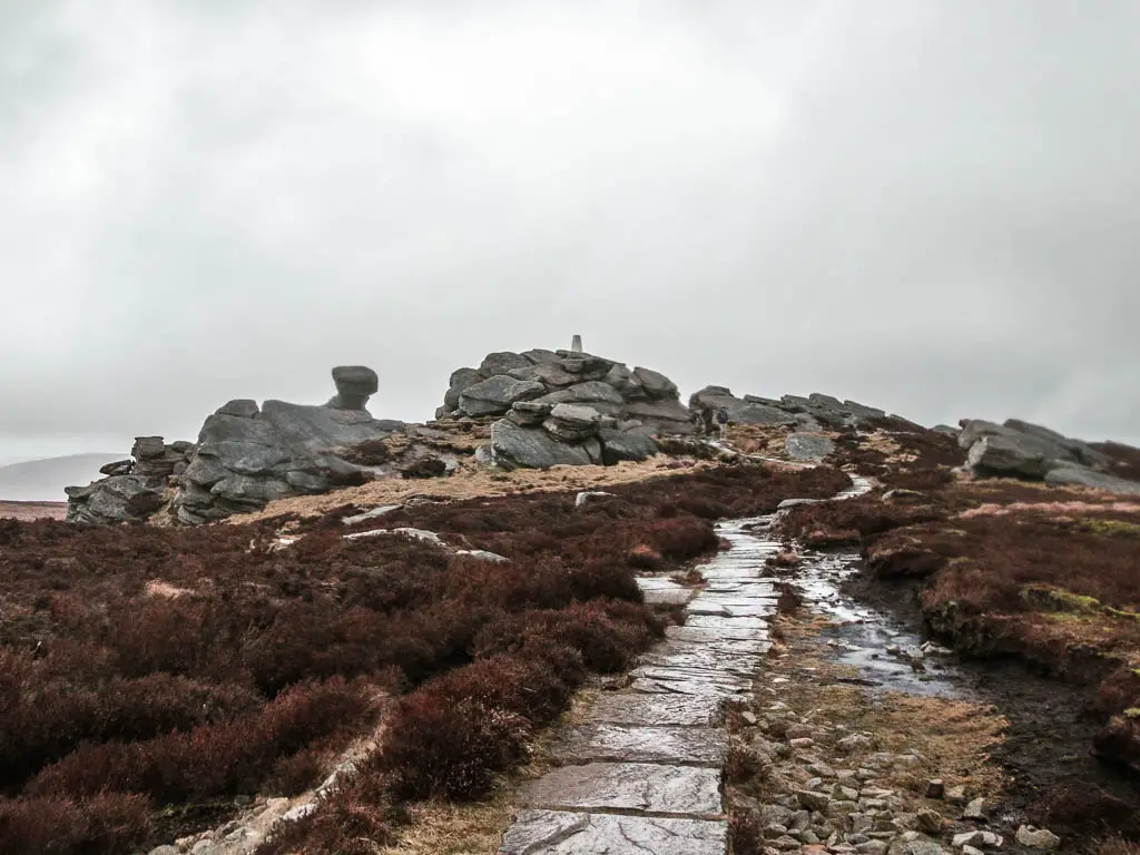
Once I reached it, I considered walking up to the trig point…but I didn’t consider it for long. At this point the rain and wind were wearing me down, and I was now eager to get off Derwent Edge.
Read more: Tips for hiking in the rain
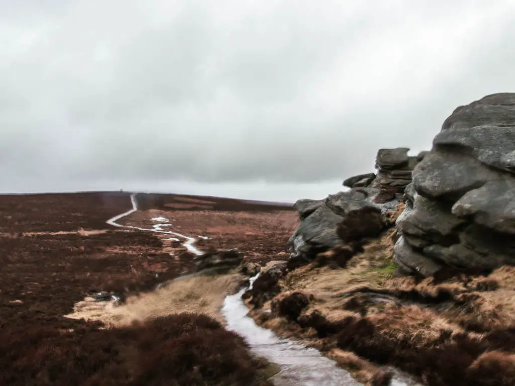
Walk down off Derwent Edge
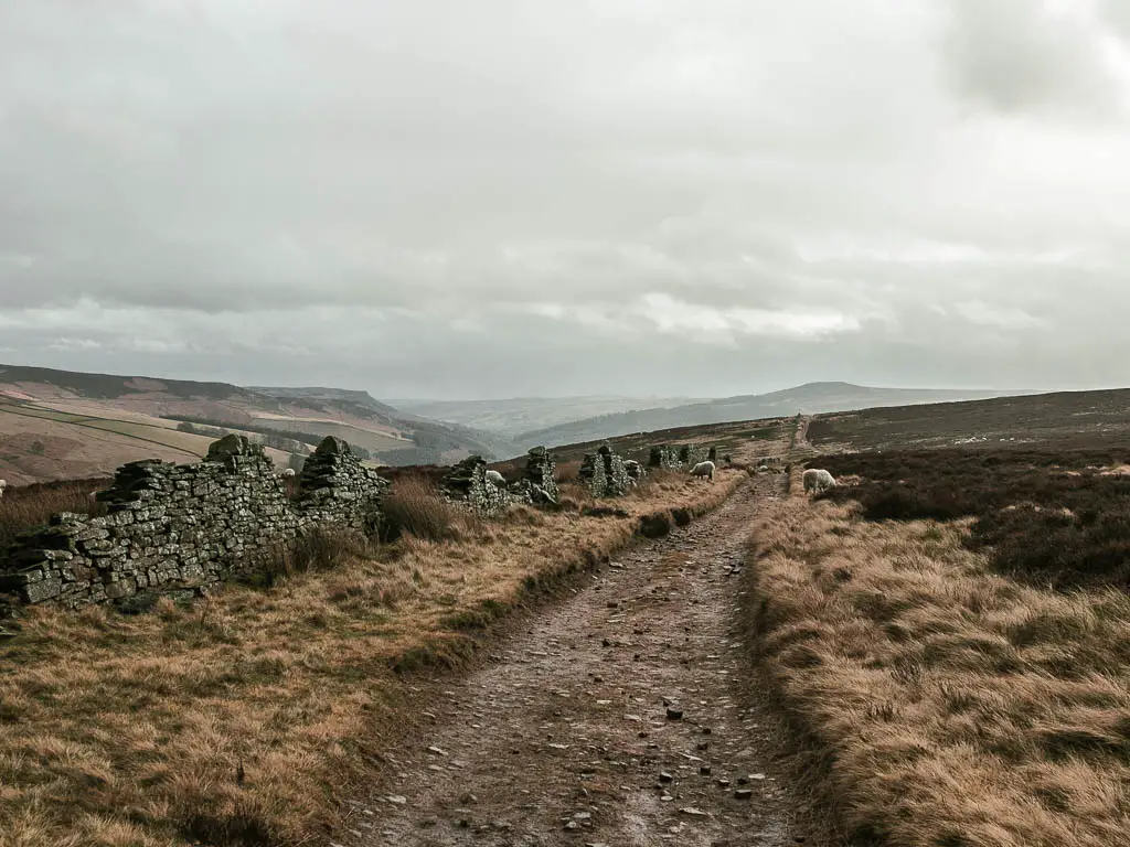
At Back Tor, you should see a trail to the left of it. Go along that. I was really battling with the wind and rain at this point. I could see my trail going far ahead in the distance, to the moors and hills. Engulfed by rain mist.
I did have some dread. A little annoyed at myself for not checking the weather before I headed out. I always check the weather. Always. However, in my excitement of arriving in Yorkshire the day before, I let my guard down.
Saying that, it probably wouldn’t have made much difference. At this time of year, even if the forecast says no rain, it will probably rain.
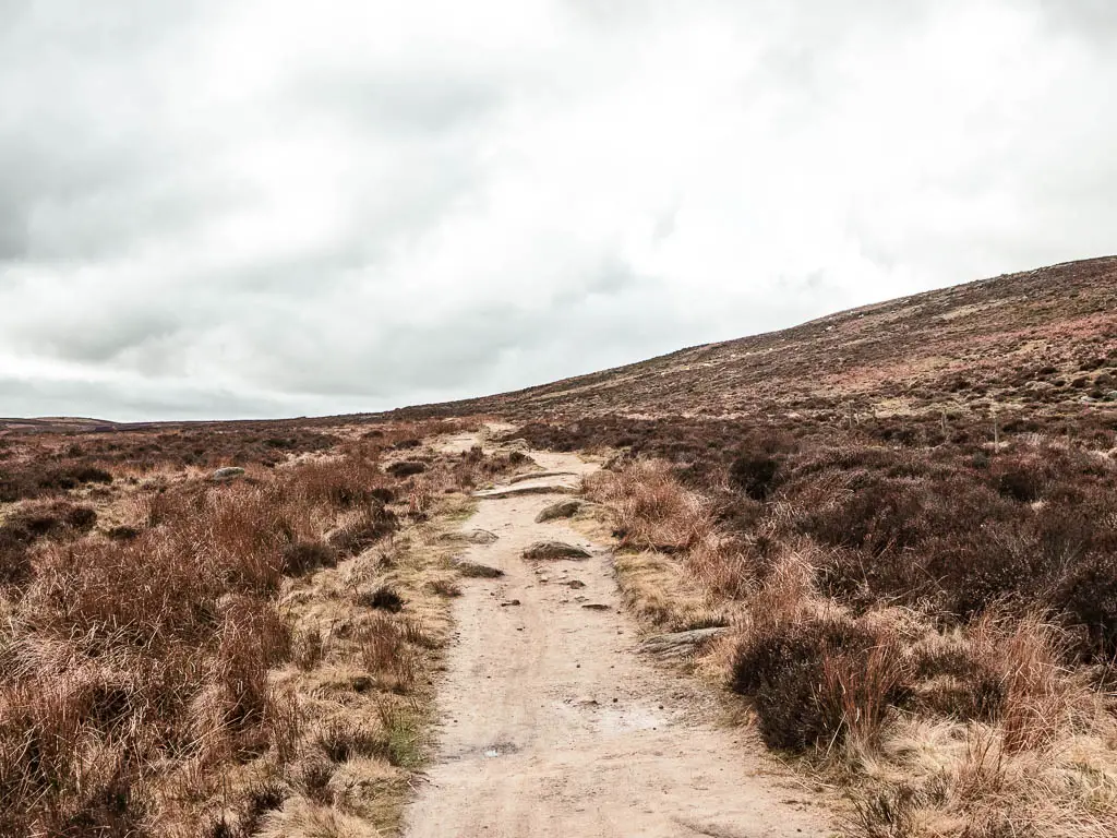
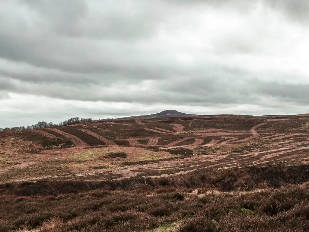
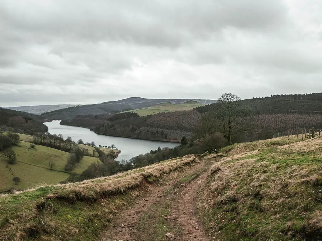
After a long trail, up and down a couple of small hills, you will reach a bigger descent, with a view to the vast moor landscape ahead. I felt a bit of relief, knowing I would be going down now. I was desperate to get down to lower ground.
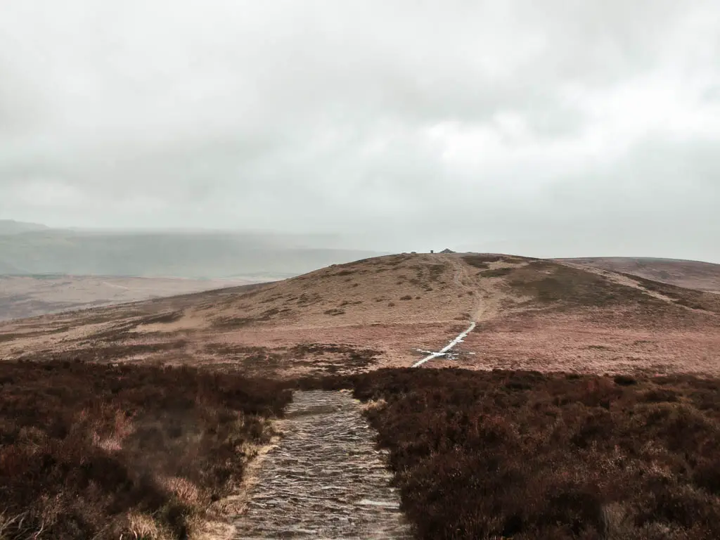
The trail down is a little muddy and maybe slippy, but to the side of it, you can walk on the grass which has better grip.
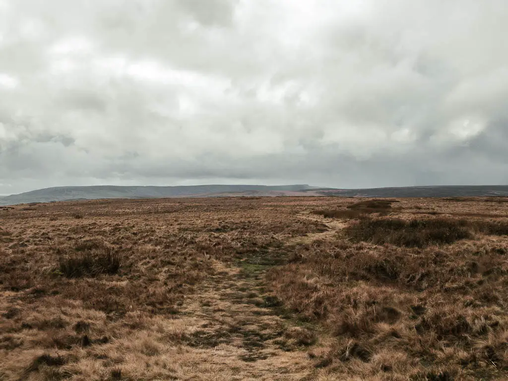
Walk through the moors
Once I got down to the moors below, everything changed. The wind calmed down. The sun started shining through. I felt such relief. But also started to feel a little dizzy. I hadn’t eaten yet. I had left my lunch in the car to have at the end. Don’t ask me why. But I had a banana with me. I had half. I needed to ration it.
Keep an eye out when walking through here for a trail split. Make sure to take the left one. Keep going, and when you reach some wall ruins, take the trail to the left. You should now see the reservoir straight ahead in the distance.
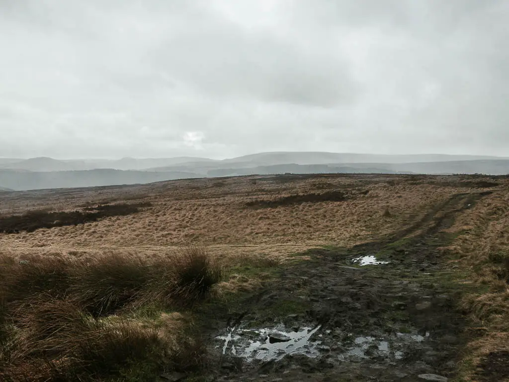
Keep following this grassy trail, which curves a little, then at the next junction, take the left (so the trees are now ahead and to the left of you).
Keep going and you will soon reach a gravel dirt trail alongside some more wall ruins.
Walk with Derwent Edge to your left
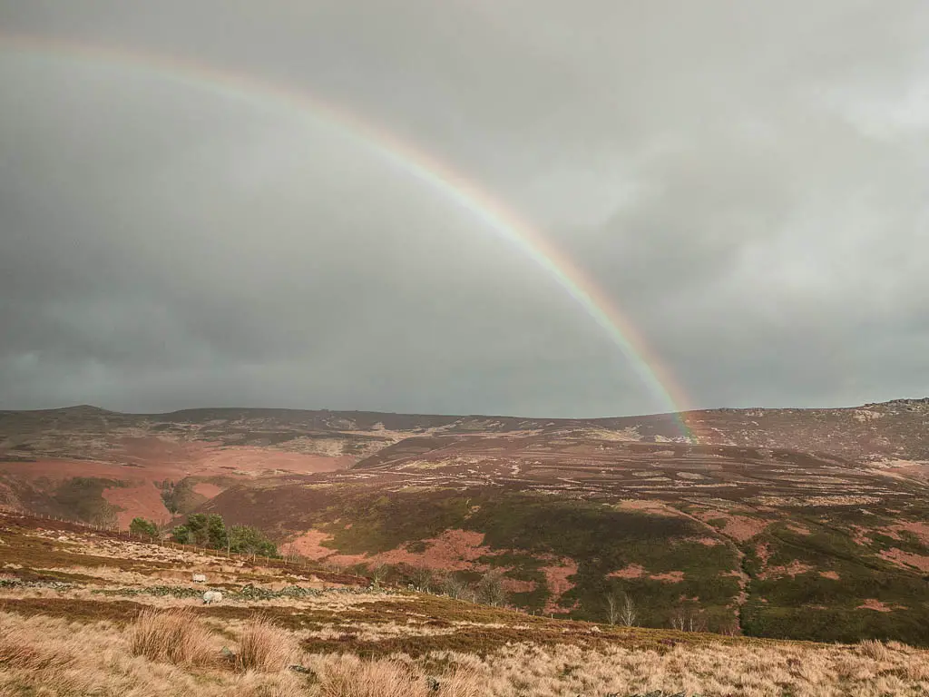
Follow this trail, with all the sheep, and Derwent Edge looming to your left. Looking up at Derwent Edge, I could see the darkness above it, and felt so glad I was not up there walking in it.
There was a nice rainbow though…..I had the second half of my banana.
Keep following this trail, first straight, then as it curves left, to lead you to a gate and into a big grass field.
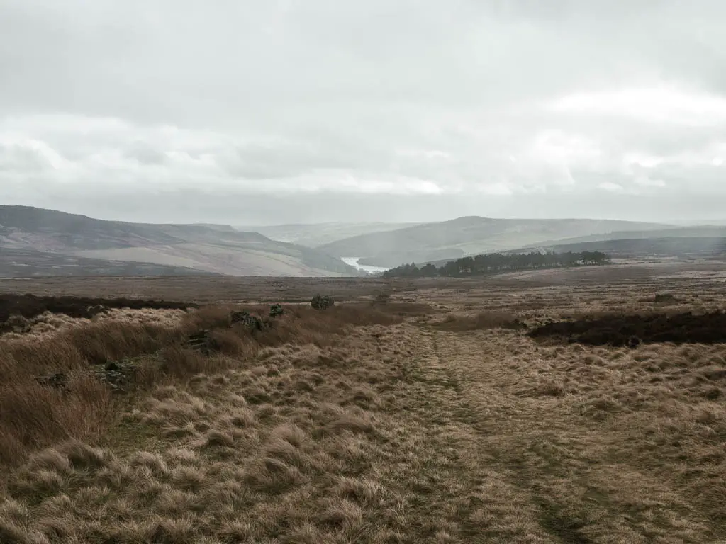
Walk to the reservoir
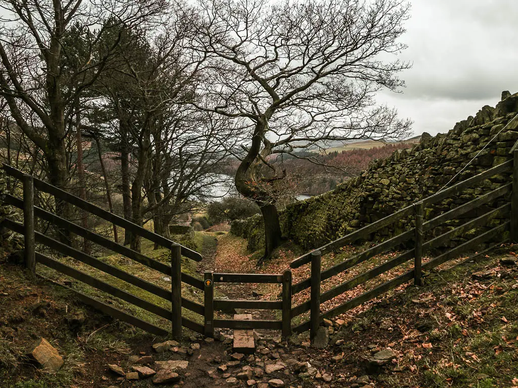
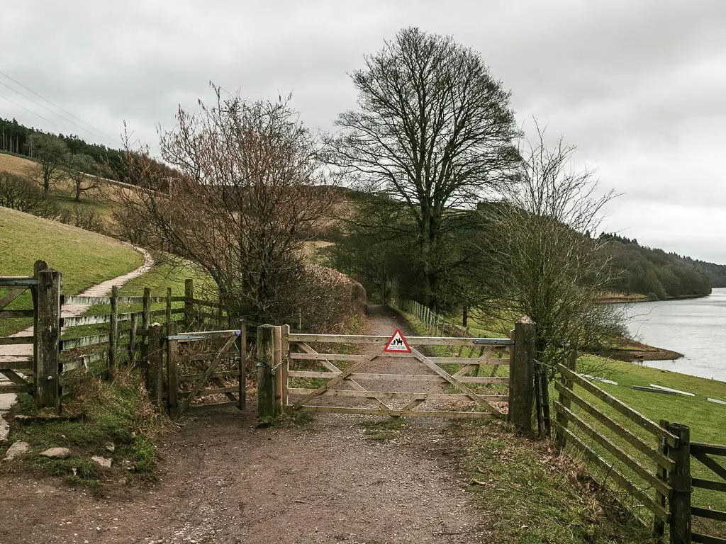
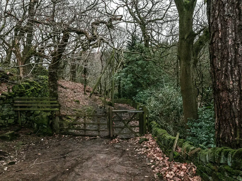
Keep going down towards the reservoir, through a stone wall, and along more trail, to reach a junction. At the junction, go through the big gate.
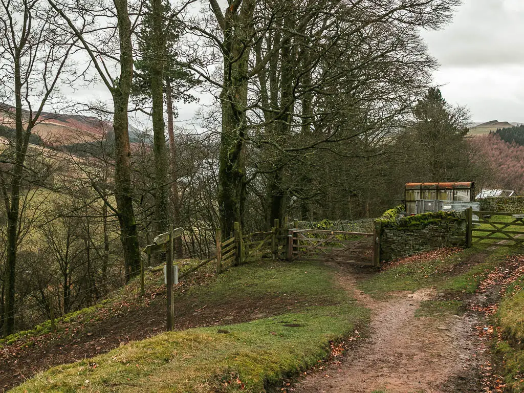
The trail becomes steeper here, and more rocky. Keep following it, over the stile, through another gate, under the woodland, and over another stile to reach the road.
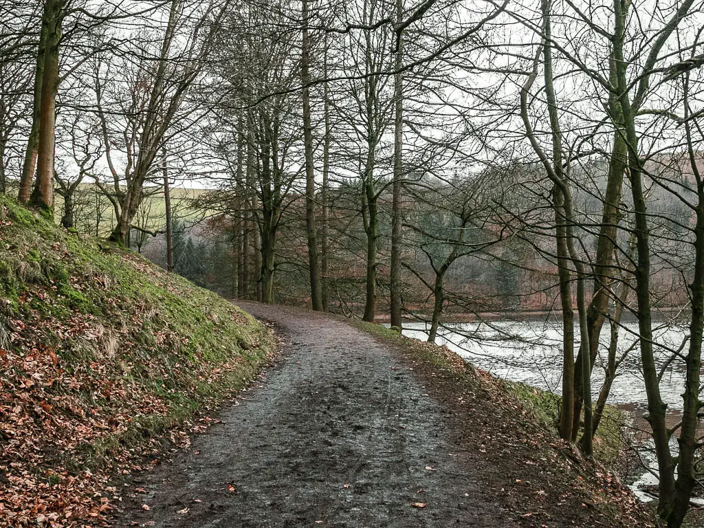
Walk alongside the reservoir
At the road, turn left. Keep going, over the bridge, and continue on the road with the reservoir to your right.
You will walk some way on this road (a nice road btw. More like a walking trail road), and when you reach this gate, go through it:
Keep going with the reservoir to your right. It’s a nice tail. Fairly level. Savour it, as things are going to get tough soon.
If you want more from the Ladybower Reservoir, you can find that here.
Walk up the hill
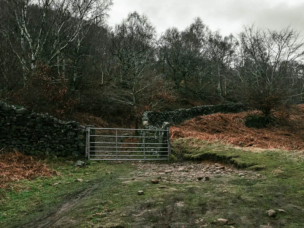
When you reach the road junction, take the left one uphill. Keeping going up, past the house, then take the trail off the road, with a big hedge to the right. Keep going, through one gate, then through the second gate.
Through the second gate, you will see a trail going up a steep hill. When I saw it, I was filled with dread. But don’t panic. This is not the trail thank god. As you go through the gate, you will see a second trail appear, which takes you along the side of the hill. I thought the walk would be finished now….But it is not. There is more.
The never ending finish
If you keep following it, the trail will then take you downhill, with a stone wall to your right. You will go through a gate, and then uphill again.
Somewhere up here there is a junction, you can take either, but I would stick to the main left trail, the right once is a marginally longer route.
Keep going up, through a metal gate, then up some more.
I was now feeling faint again. I had no more food, was out of water, and I so desperately wanted to get back to my car, where my lunch was waiting for me….It was now about 4:30pm.
I’d sort of zoned out by this point. Just focusing on putting one foot in front of the other.
I think it’s fairly easy to navigate the rest of the route. I wasn’t paying too much attention, so forgive me if there is a junction I haven’t told you about.
One I do remember is this one, where you need to take the right:
The final stretch of the Derwent Edge walk
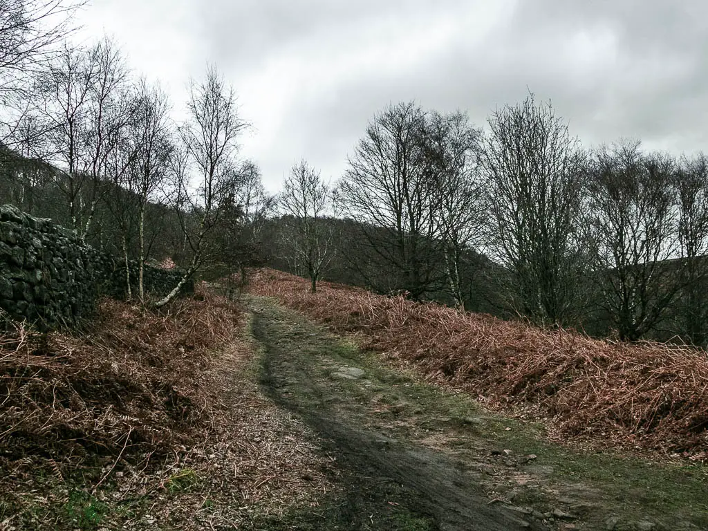
This should lead you out to the open, in the area you walked at the beginning, on the way to Derwent Edge.
Keep going and soon(ish) you should see the road below to the right where you crossed over at the start. You should know where you are now, and you can just make your way back to the car park.
There is one final surprise rock coming up. That you need to sort of climb down. In my faint state, I had to focus a bit harder on not falling off it.
After crossing the road and going up the trail on the other side, I noticed some other people heading the same way, in the direction of the car park, except, they were walking along the road. I wondered why they were taking the road, when there was a perfectly nice trail. Then I remembered the steep muddy bit I would need to go down….
More walks similar to Derwent Edge
If you like your edges, then just over the other side of the reservoir you have Bamford Edge, and a little further past there, you have Stanage Edge. I would say that Stanage Edge is my favourite in terms of landscape of all three.
I mentioned earlier, the Trinnacle Trail. That’s probably the most similar as you have both the rocks and reservoir, like with Derwent Edge. It is quite a popular one, so don’t expect it to be peaceful. I still recommend it though. You can read about how to walk to the Trinnacle here.
For secret mystical vibes, you should try out The Roaches via Lud’s Church. The Roaches is more similar to the edges, but Lud’s Church thrown in, takes it to the next level.
The Mam Tor Great Ridge is really cool to walk along, that one takes you from Mam Tor, and then down and through Cave Dale, which is one of my other favourite places out here.
If you would like more walking route ideas, then have a look at the best ones I recommend here.
For more things to see and do in the Peak District, then check out the Visit Peak District Website.
Pin it for later: A guide to the Derwent Edge circular walk