I set off early today. I had a train to catch. The walk from Newbridge to Oxford would round off this stage of walking. The remote stage of the Thames Path. My hiking boots had been on the radiator overnight and despite how soaked they got yesterday, they were nice and dry. It was a good start.
This post uses affiliate links. You can read the privacy policy or disclaimer for more info.
What to expect on the walk from Newbridge to Oxford
The walk from Newbridge to Oxford is fairly similar to yesterday, but still unique. What’s been interesting about the past 4 days of walking is that everyday has been different. The landscape slowly changing as you walk along.

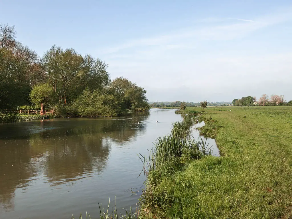
So, first off, the river runs through a lot of flat big fields (like yesterday). For most of the walk you just follow the river….
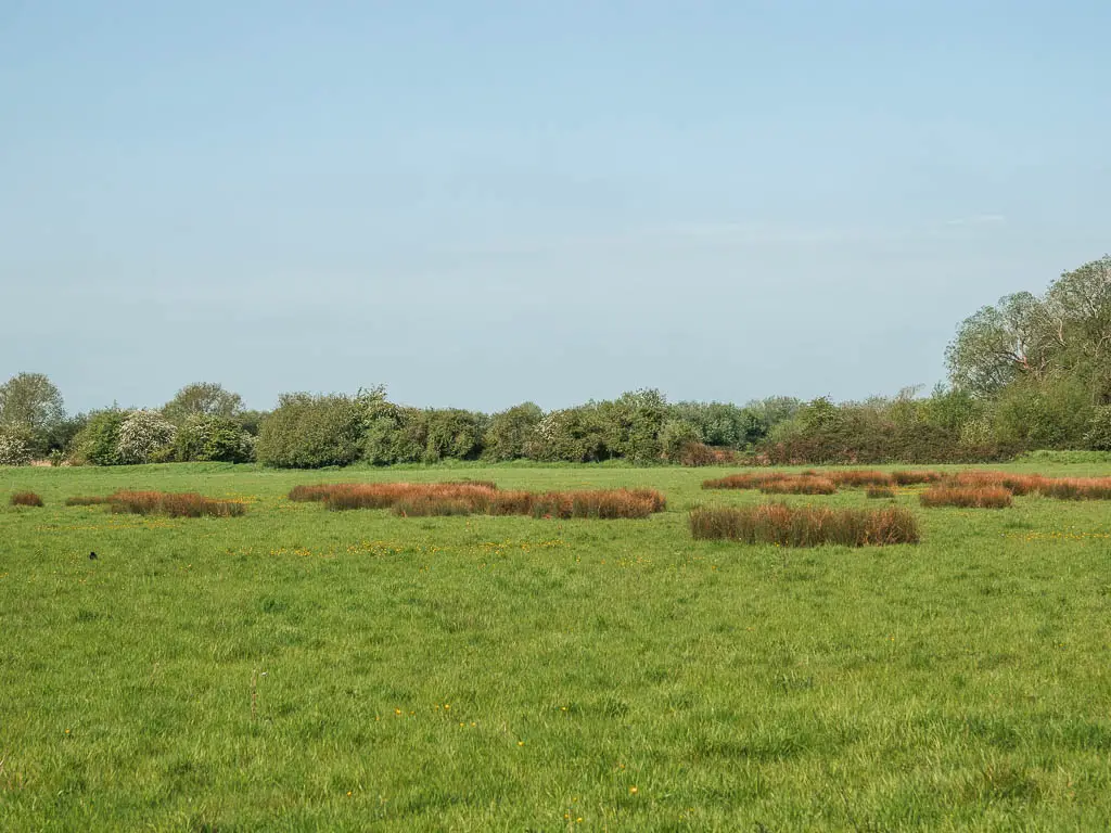
However, there is one big section where you leave the river and walk through what feels like endless fields. There was a lot of sheep. It made me realise I hadn’t seen sheep until now. Just cows.

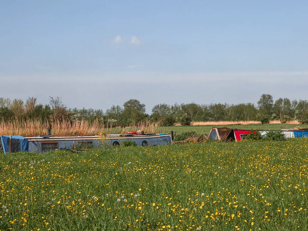
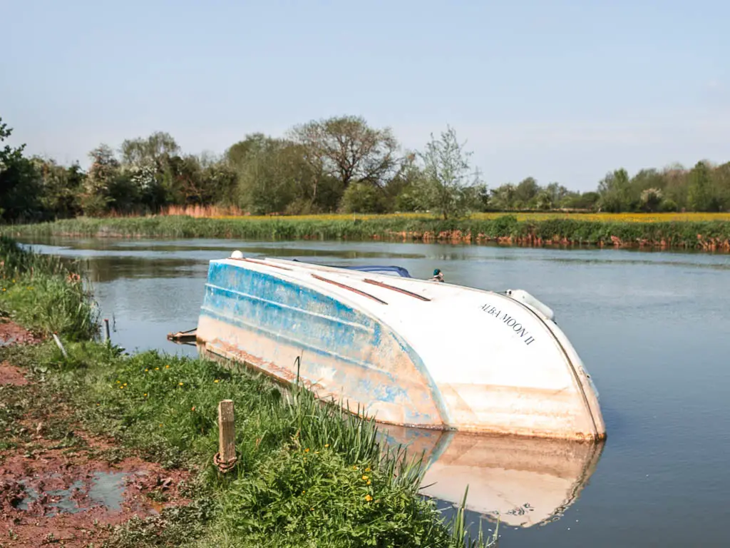
In the later half of the walk between Newbridge and Oxford, there are a lot of boats and barges moored to the side.
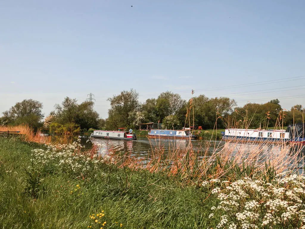
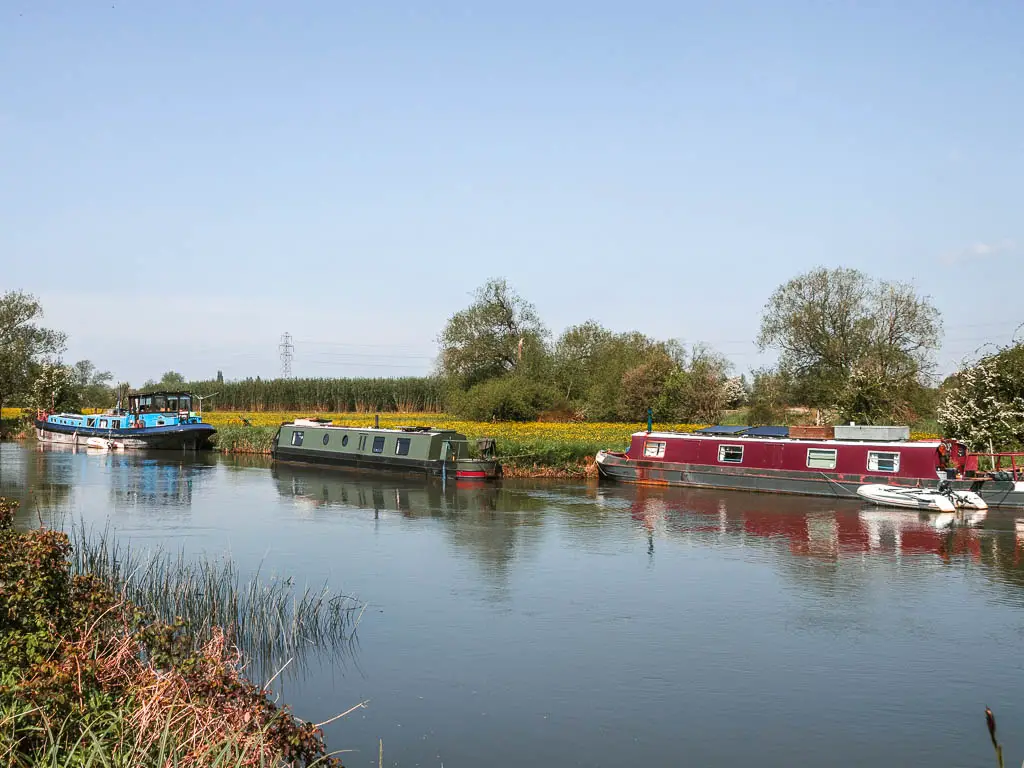
The big change for me though, was the last few miles. There was a vibe. Maybe it was that there were more boats. Maybe it was the sound of the road, or a slight shift in the landscape. But it felt like something was coming to an end. The end of the remote section of the Thames Path. I felt a little sad. Everything would be different after today.
Logistics for the walk from Newbridge to Oxford
- Start: Newbridge, Oxfordshire.
- Finish: Oxford, Oxfordshire.
- Distance: 14 miles
- Time: 5h
- Difficulty: Easy
- Terrain: Grass, dirt trail, road, mud.
- Dog friendly: Yes. But there are a lot of sheep about.
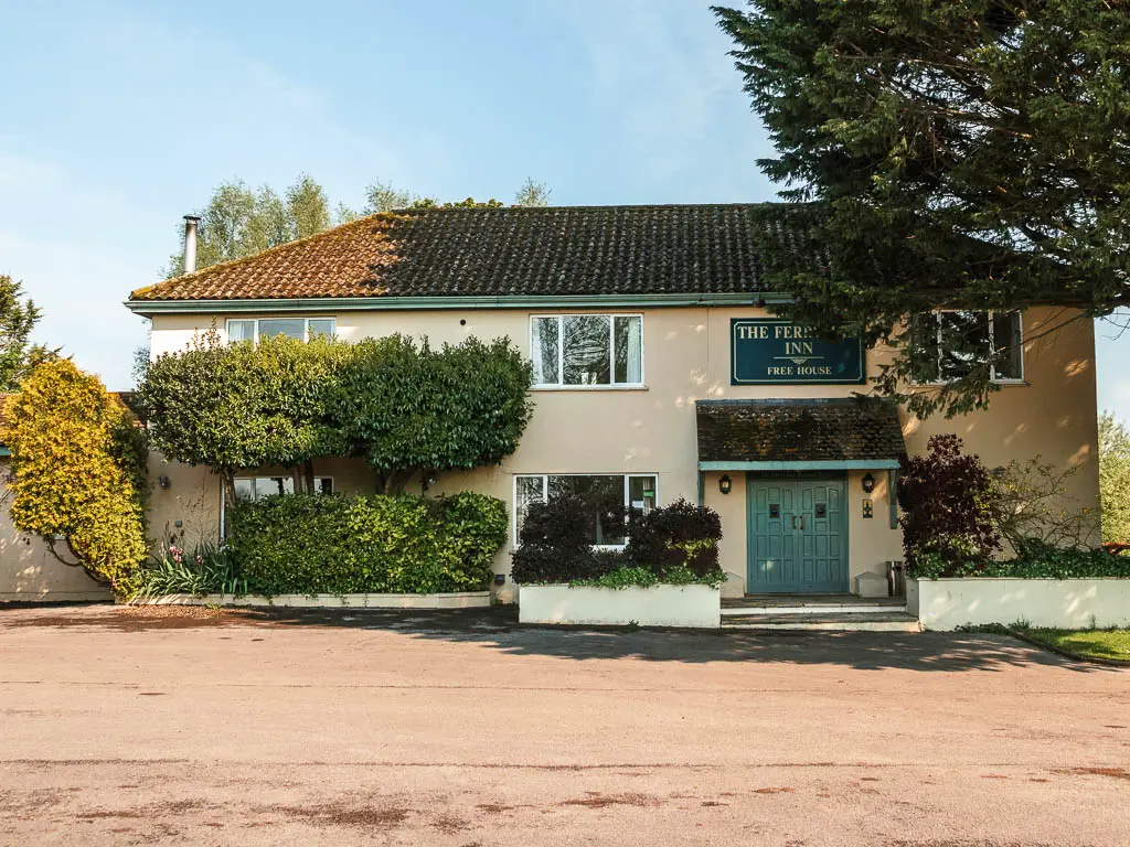
- Amenities: A couple of pubs in Newbridge. Anything you might need in Oxford. En route, there is the Ferry Inn 4 miles in. Public toilets at Eynsham Lock 8 miles in.
- Time of year: I walked from Newbridge to Oxford in early may.
- Public transport: Nothing in Newbridge. A train station in Oxford with direct trains to London Paddington (just over an hour), or London Marylebone (1h30min).
Read yesterdays walk: Lechlade to Newbridge
Accommodation
In Newbridge there is one option. The Rose Revived. It’s a pub accommodation bed and breakfast style. Not pet friendly. If you have come with a pet, you could stop 6 miles back at the Trout at Tadpole Bridge. It looks fancy. Or go more basic and stay at the Barefoot Campsite which is a little past Newbridge.
In Oxford there are tonnes to choose from. As I live in London, I went home (which was cheaper than staying the night here). They do have cheap options though. If you don’t mind sharing, you could stay at the Central Backpackers Youth Hostel. It’s also pet friendly. There really is a tonne of stuff to choose from, so if you want something more private, you can have a look at what’s available here. No local campsites.
Map for the walk from Newbridge to Oxford
Route Description: Walk from Newbridge to Oxford
Setting off early, the sun was shining, my feet were dry…but not for long. What do you get when you go hiking early in the English countryside? Dew. Lots of long grass and dew.
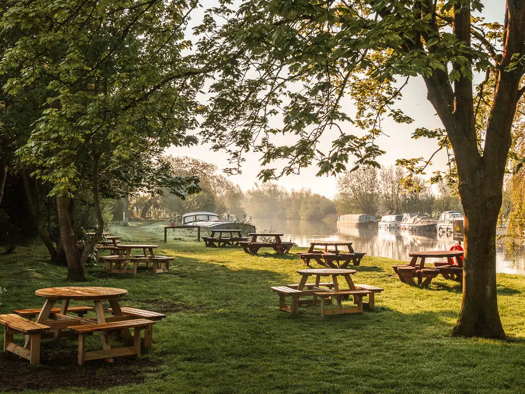
The path continues straight outside the Rose Revived where I was staying. I love this, just walking out the front door and getting straight into the hike. I don’t get that living in London.
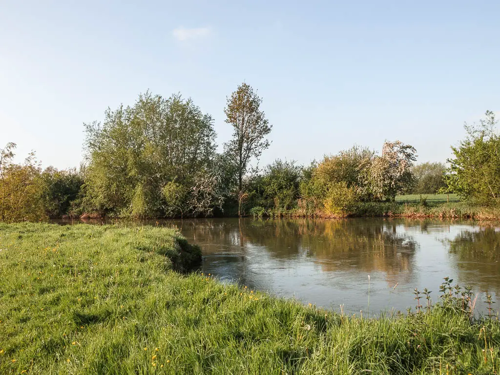
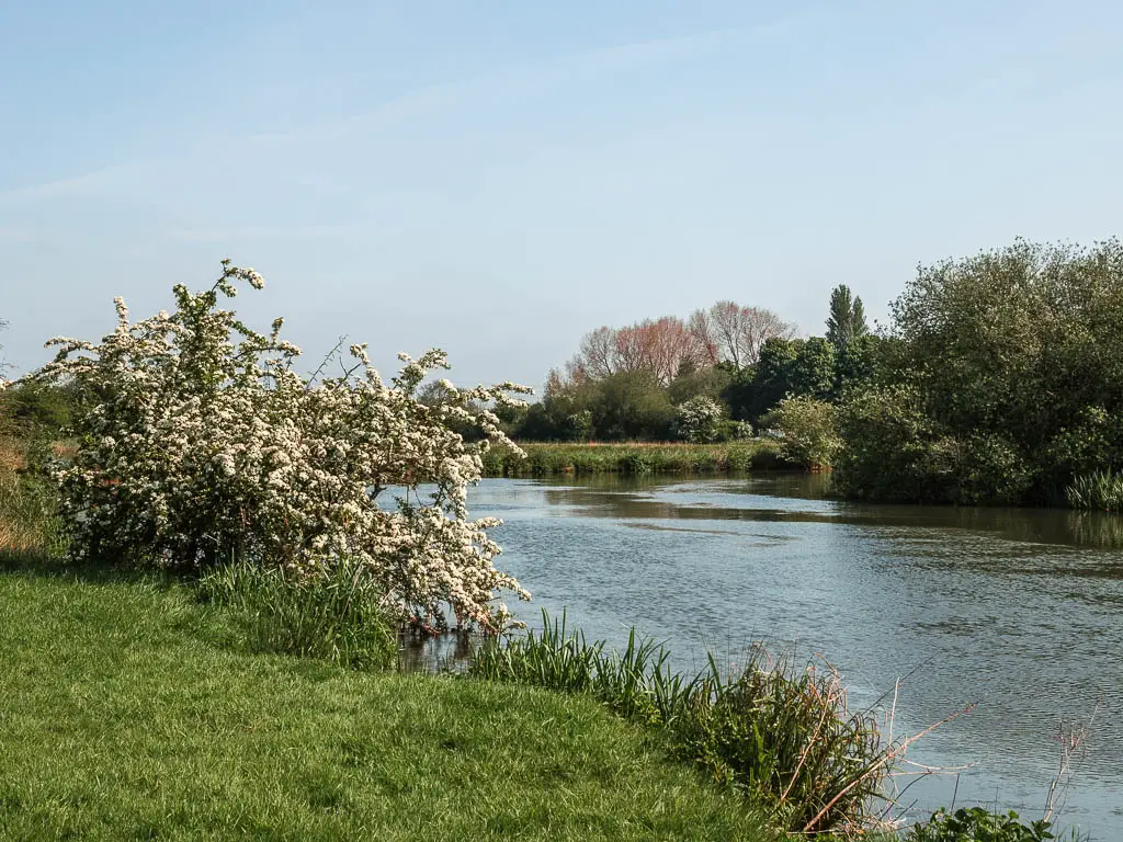
It’s easy to start. Flat large fields, with a trail running alongside the river (river to your right).

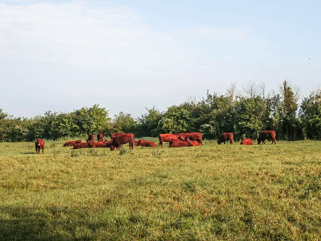
I passed a group of cows which I think were bulls….I kept close to the river.
There is a stile coming up, which is confusing. Down go over it. I think that is private land. Follow the path around the hedge instead. It’s then a dirt trail through trees to reach the next lot of fields.
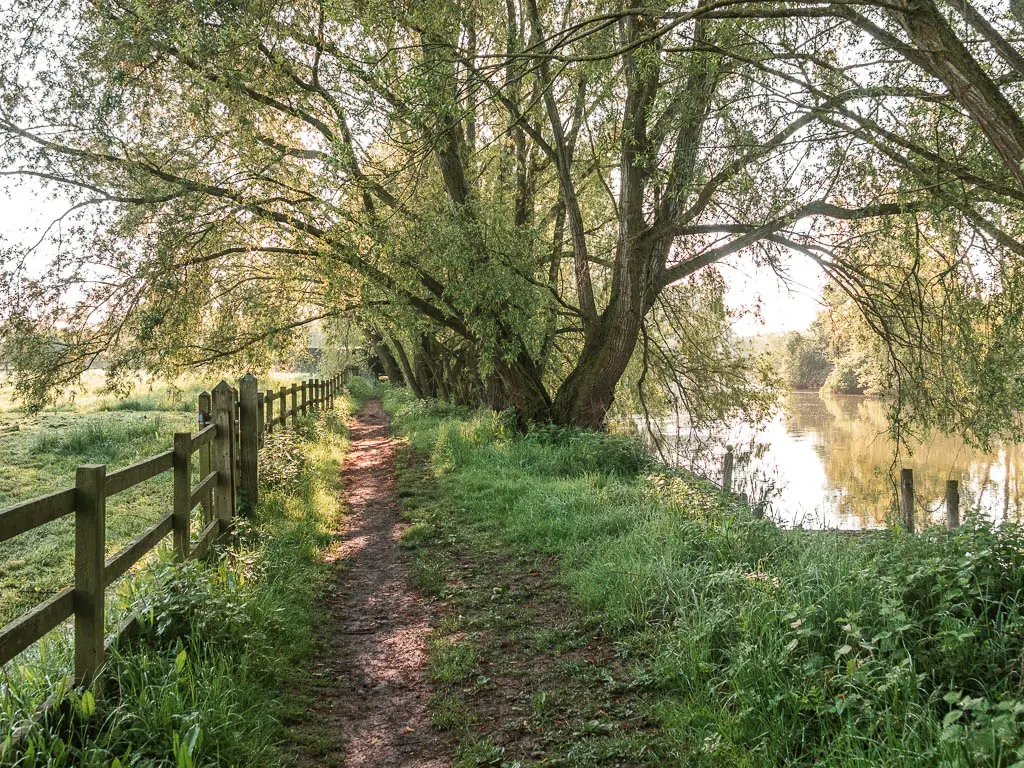

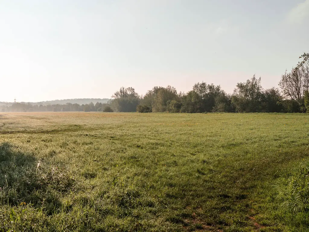
Lots of fields
Now it’s just lots of fields as you continue following the river, with a section of enviable houses on the other side, all the way to reach the first lock of today. Northmoor Lock.
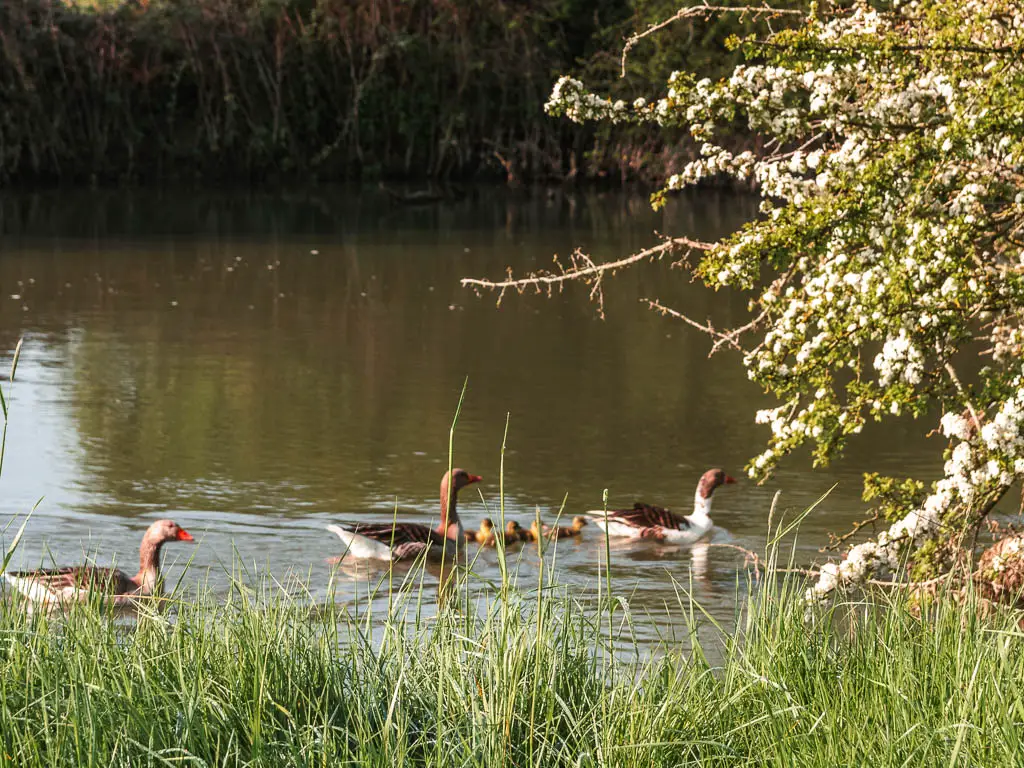
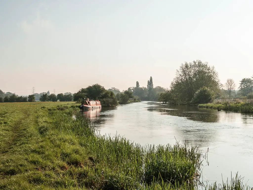
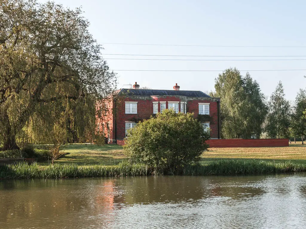
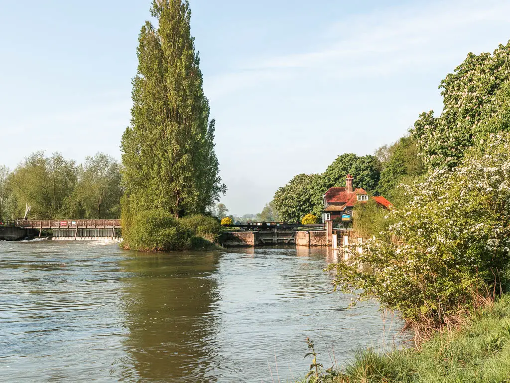
After the lock it’s more fields and lots of sheep, to reach an interesting signpost.
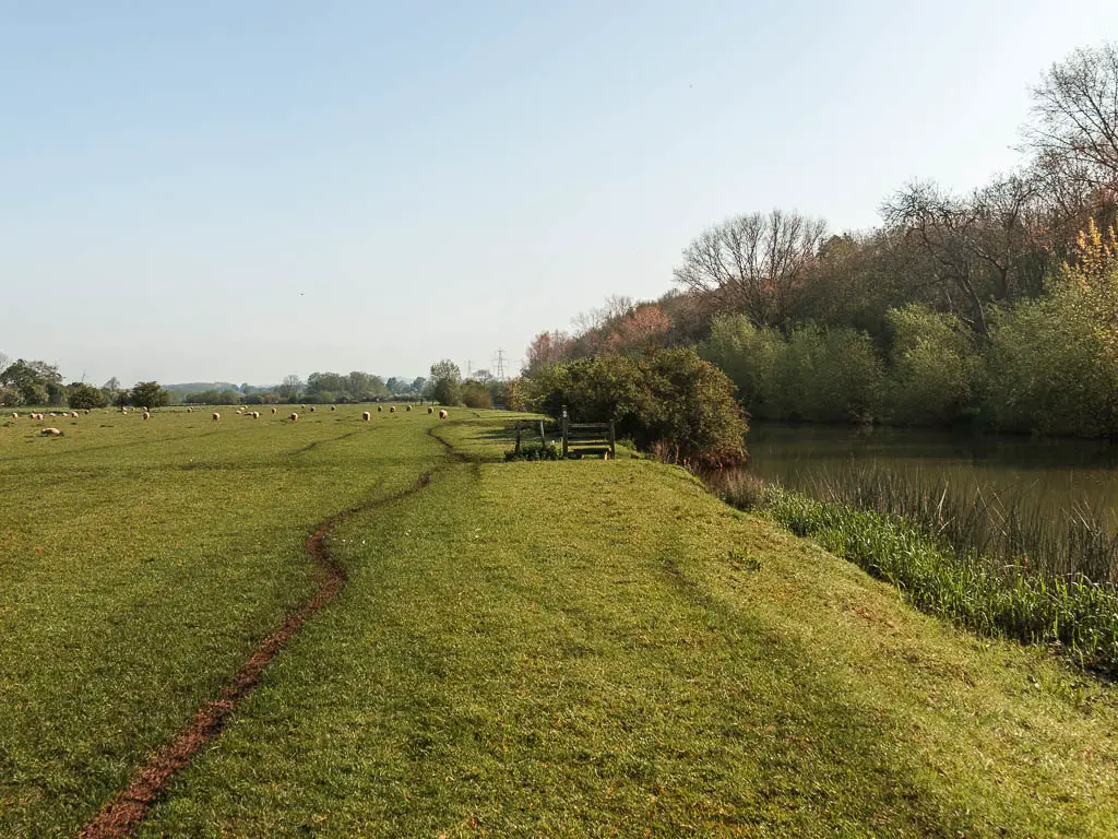
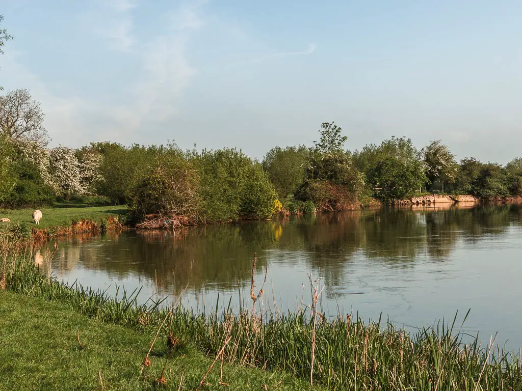
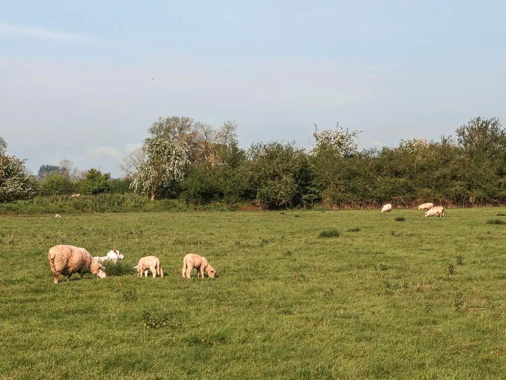
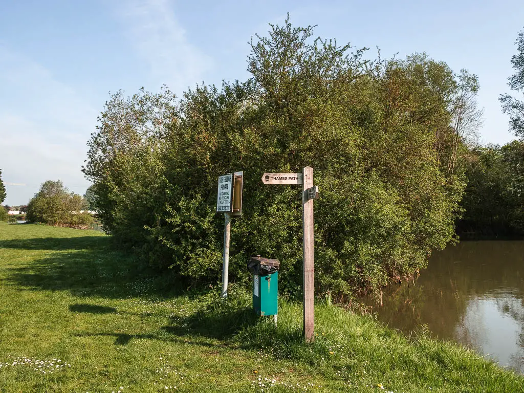
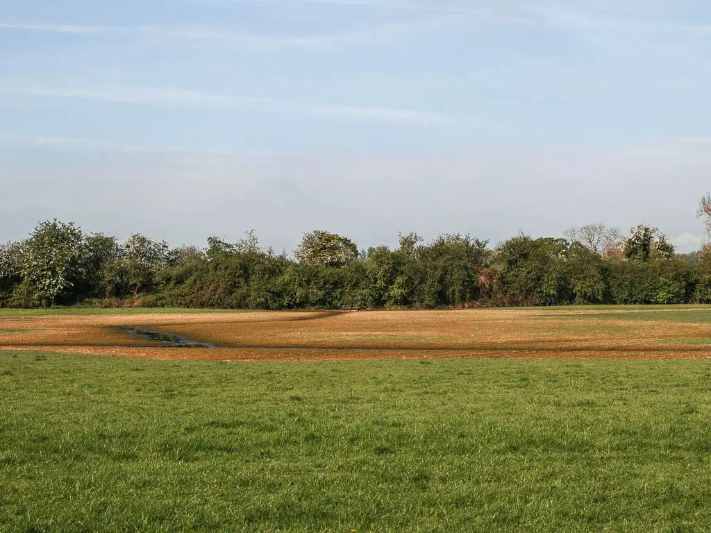
The signpost points you to nothing. Well, it points you across the boggy field to the bush at the end. Ignore that. Just continue to the pub.
The other thing about this sign is there are flood lines. One of the lines is way up high. I couldn’t tell if that was real or a joke. Could the river really get that high?

Follow the road
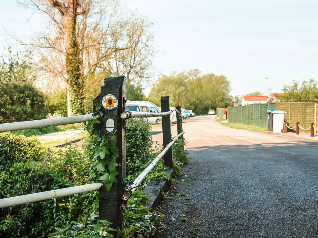
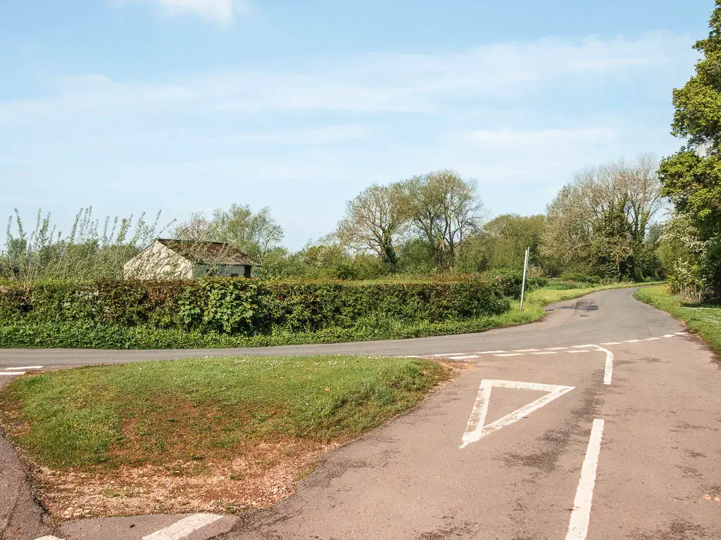
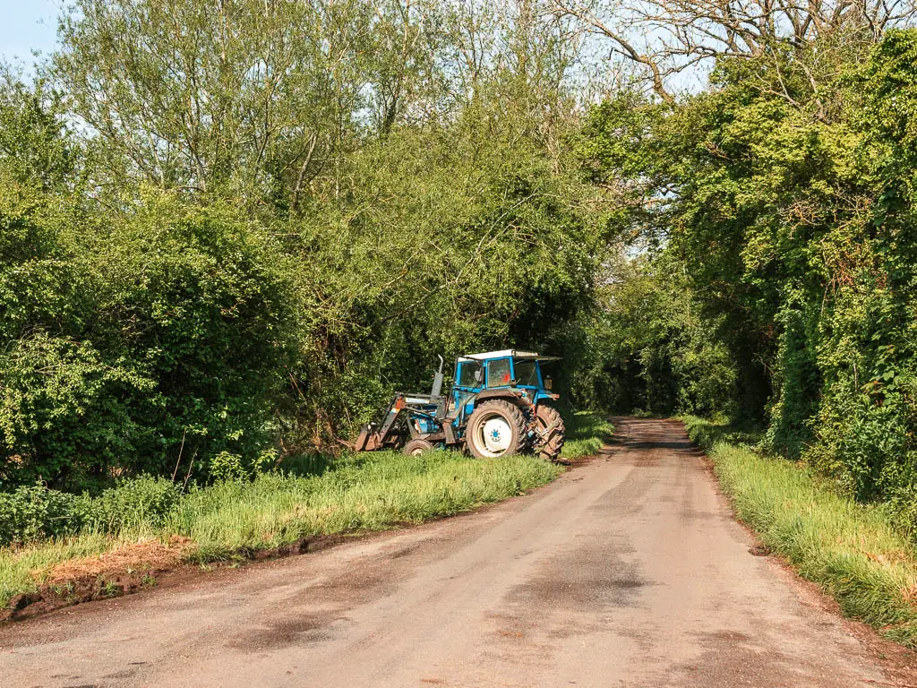
When you reach the end and the Ferryman Inn, turn left and follow the road. Keep going straight onto the main road, and someway further along there will be a trail sign on the right into a field.
Walk through all the fields
Keep going straight through field after field. I started to wonder if I would ever see the river again. Maybe it just felt like forever because it was so hot today.
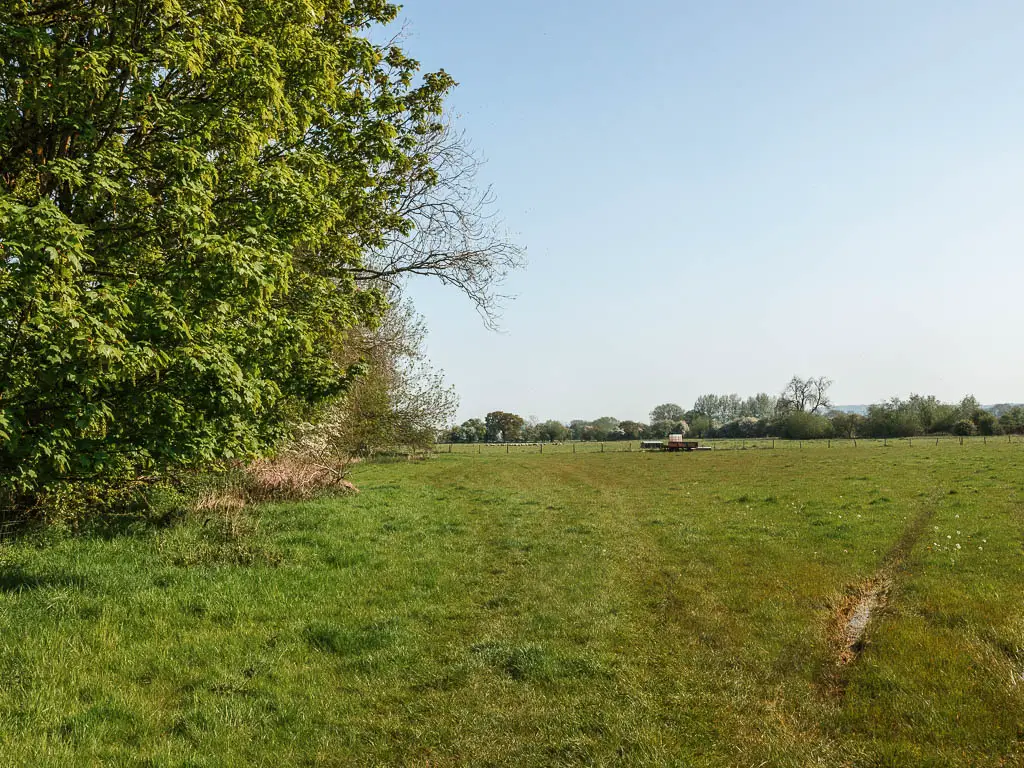
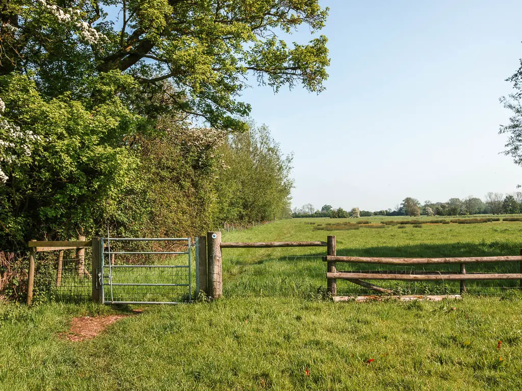
When you reach the road, turn right, and walk all the way to the end.
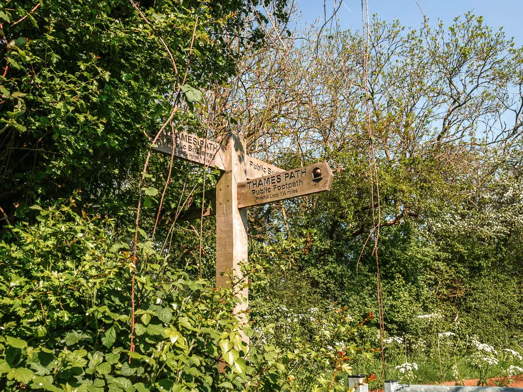
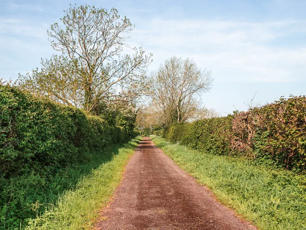
At the end, go through the gate and turn left into a field.
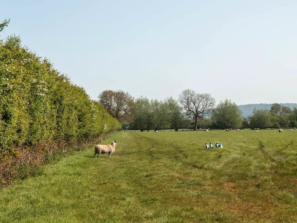
Keep going through more fields, gates, and fields, and you will eventually get back alongside the river (river to your right).
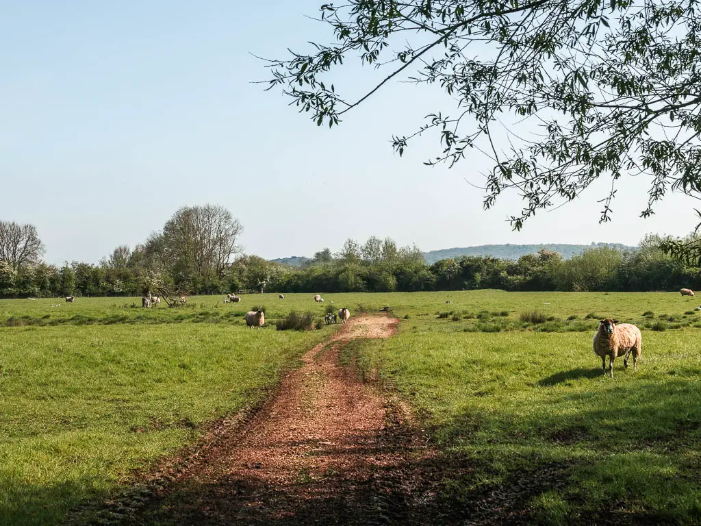
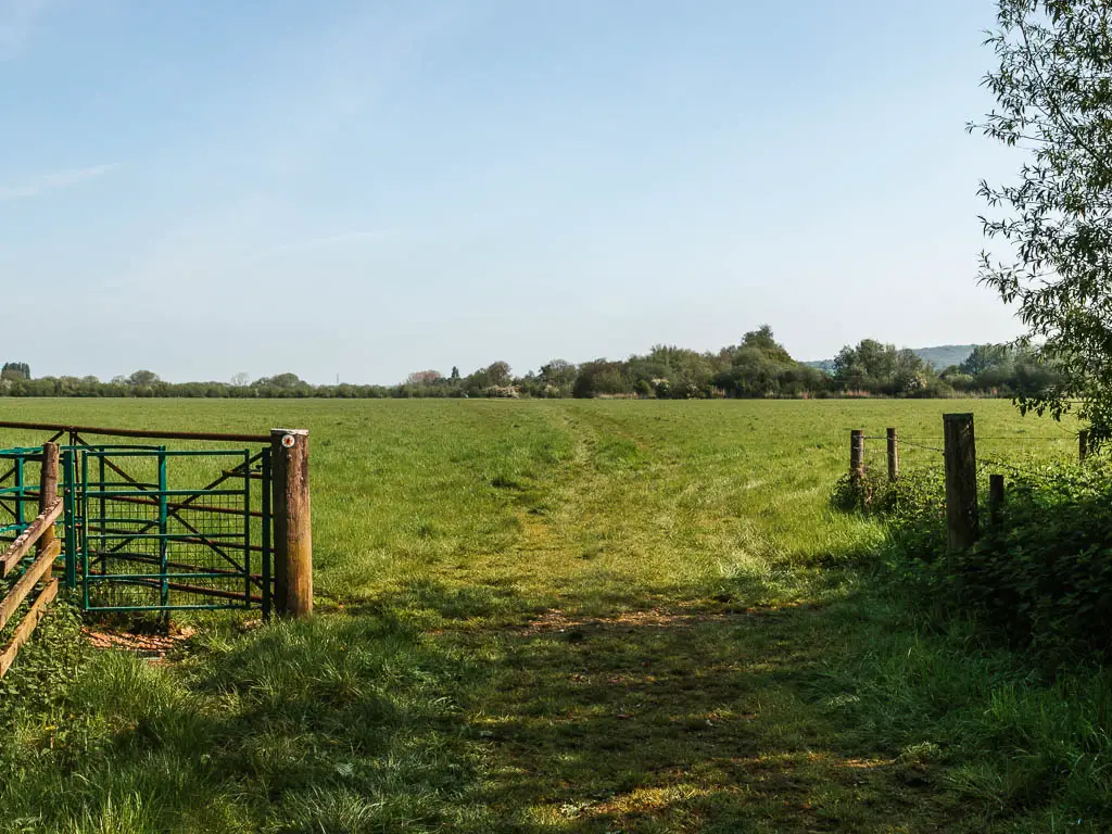
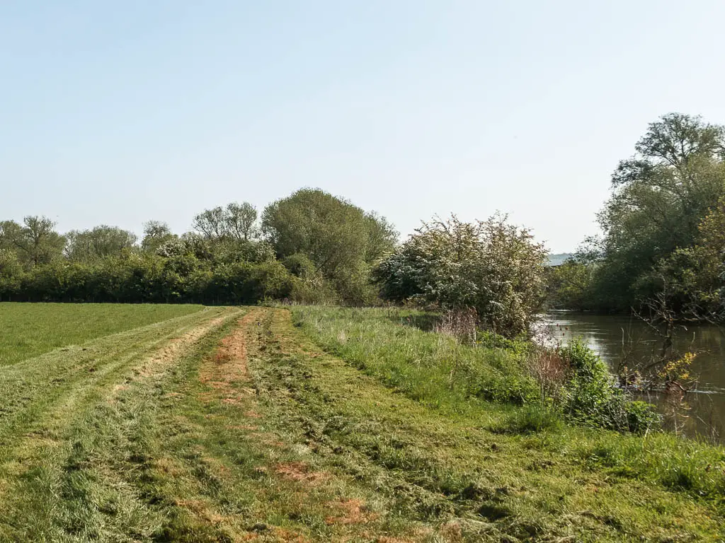
Some more fields and gates later, you will go over a lock bridge to reach Pinkhill Lock.
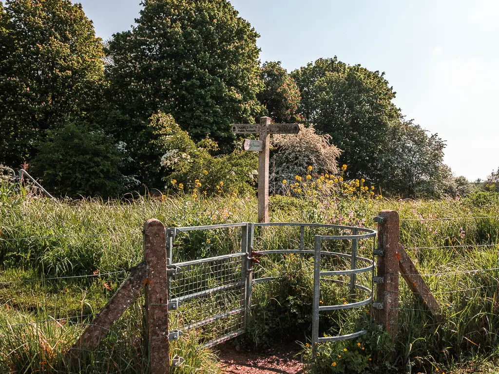
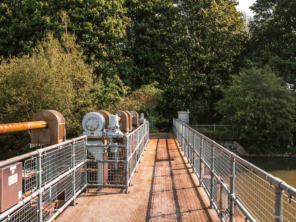

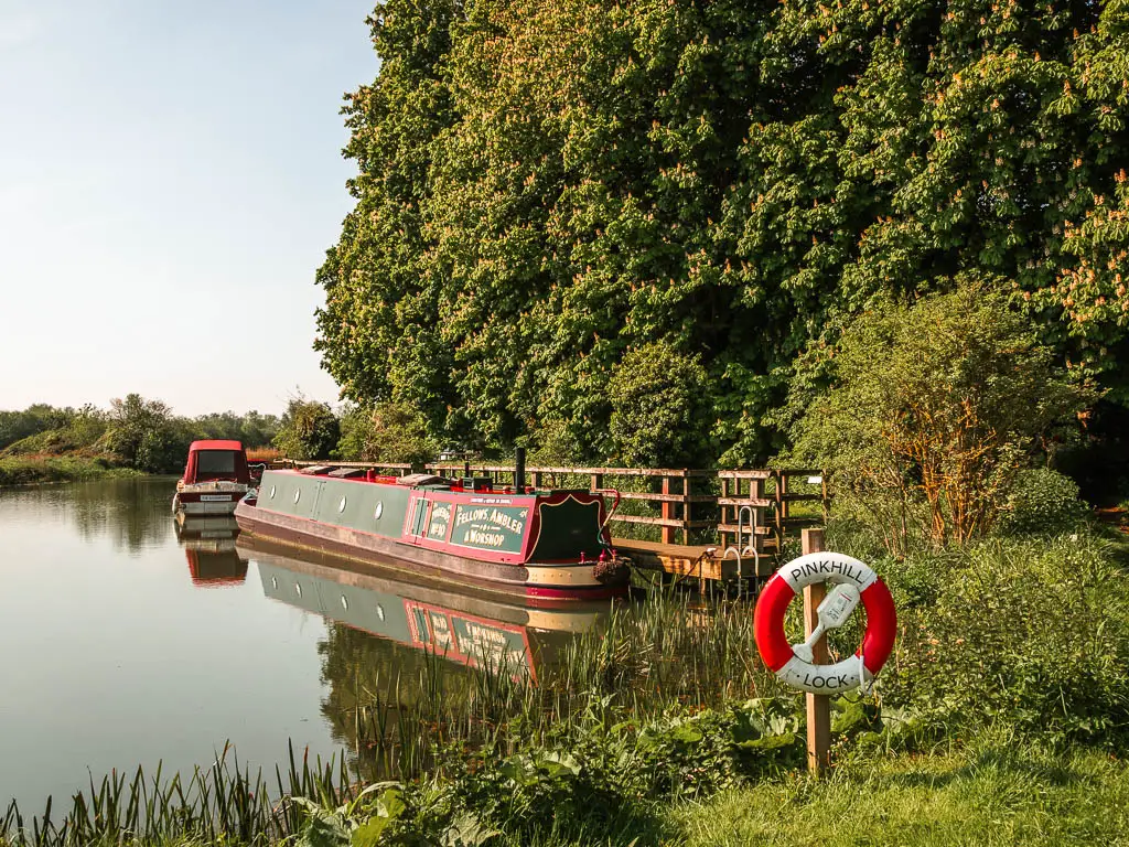
Go through the gate on the right, then turn left. River now on your left.
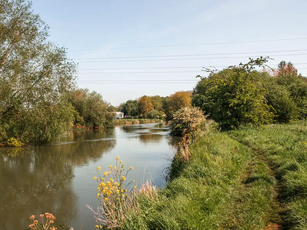
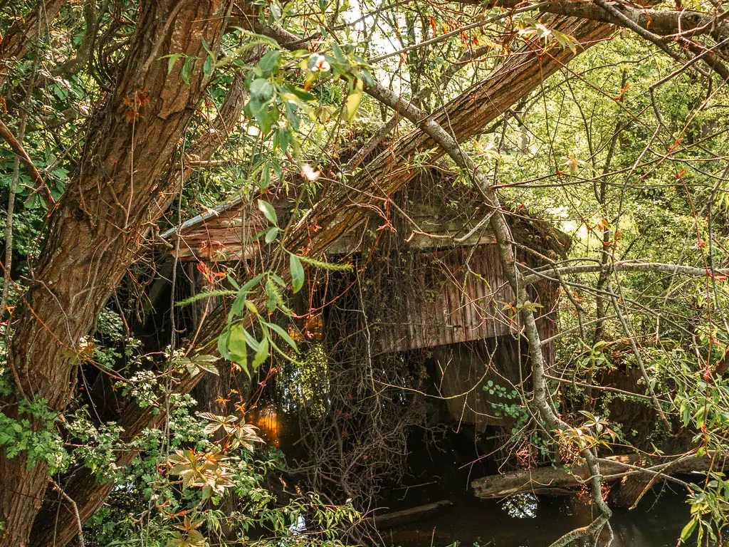
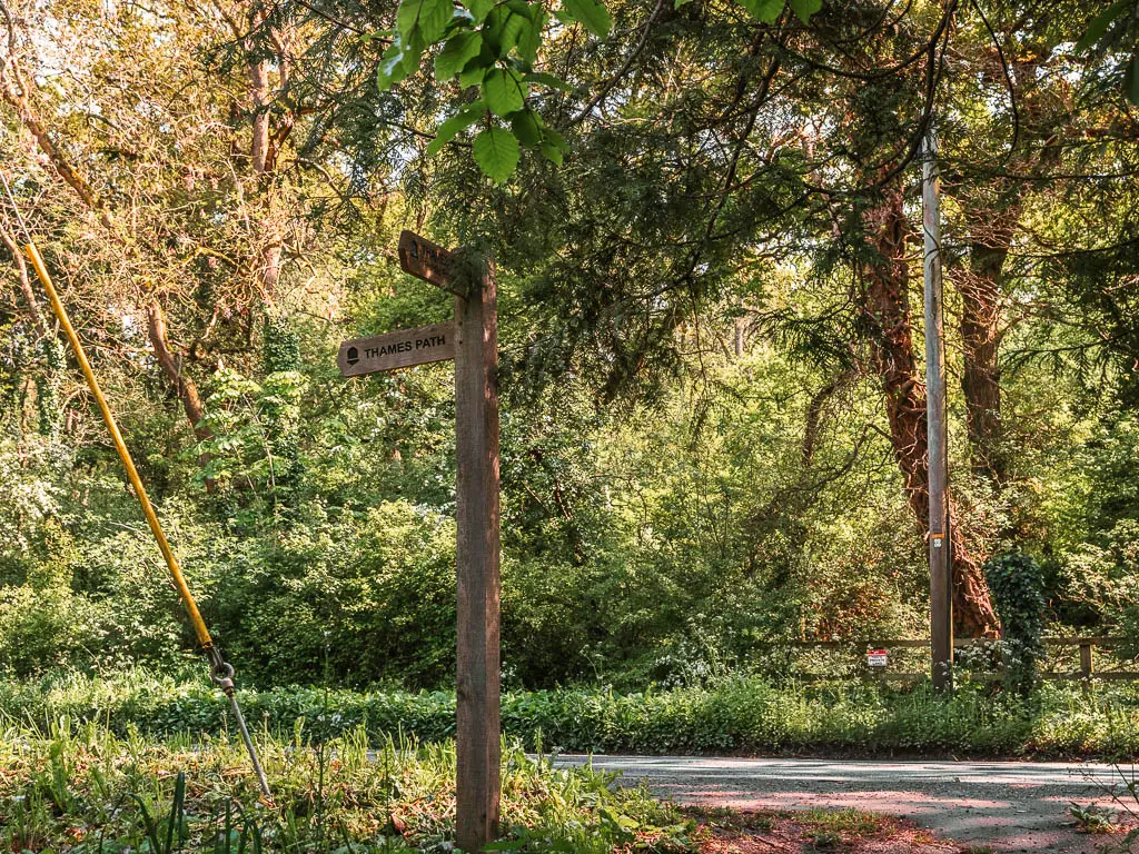
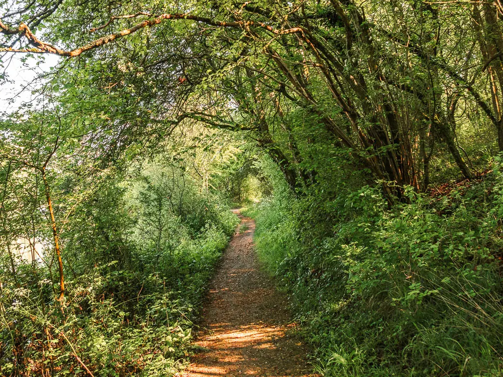
Keep going, past some boat shed ruins, through some trees, and a mud alley, to reach the road.

The halfway point in the walk between Newbridge and Oxford
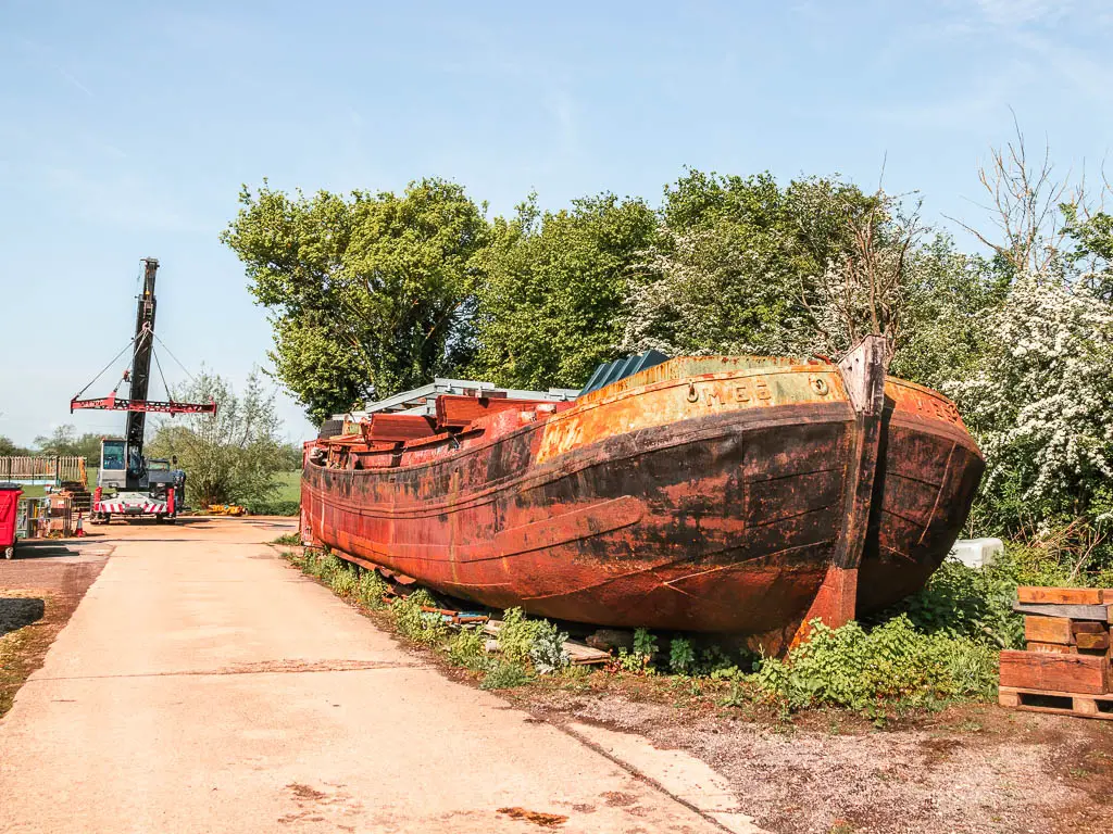
Turn left onto the road, and keep going past the house with clogs, then turn left onto the boat yard. Somewhere around here is also the halfway point in the walk between Newbridge and Oxford.
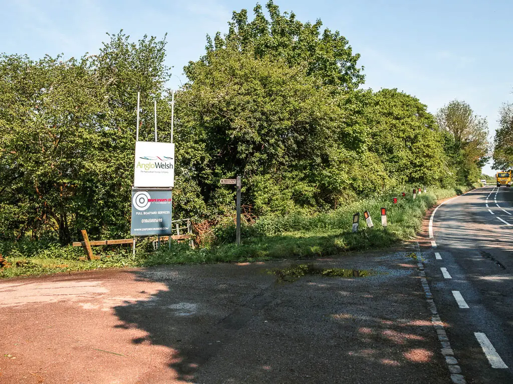
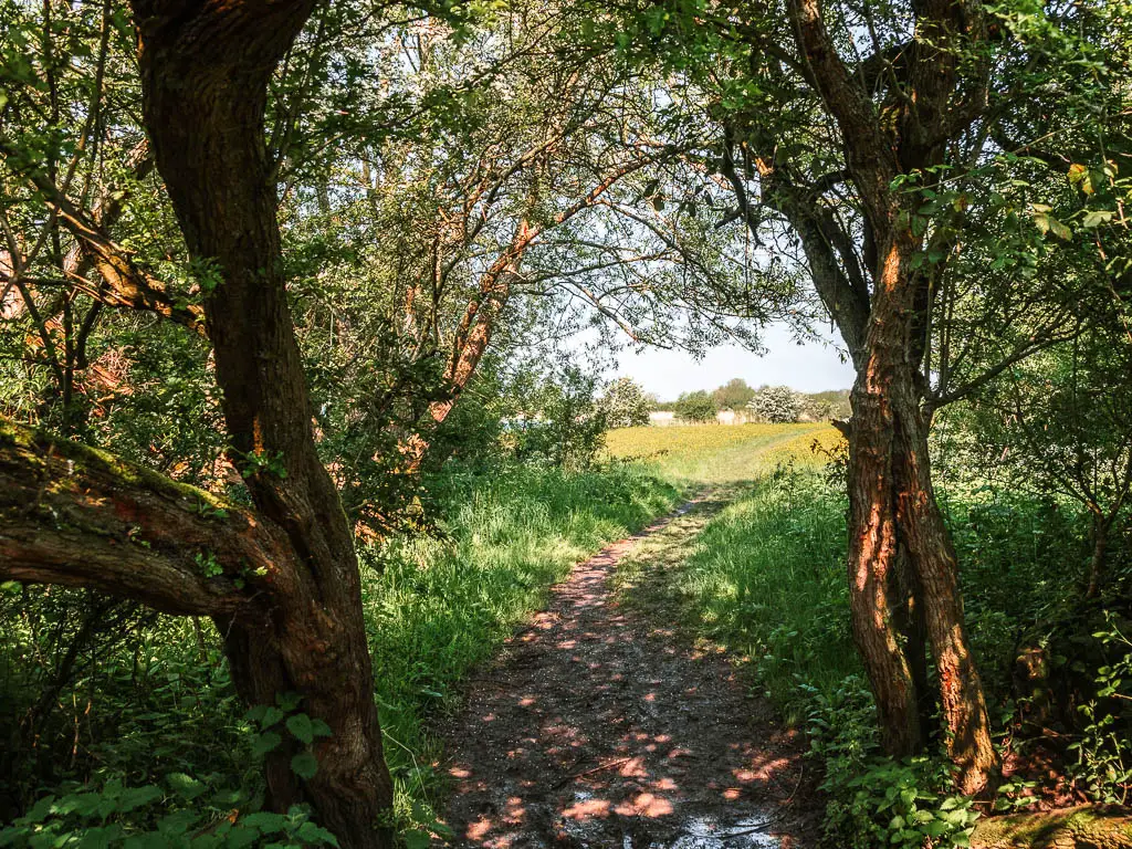
Go through the boat yard, and through a little gate on the right next to the river. Follow the path through the bushes and trees to reach the open fields.

The buttercup fields
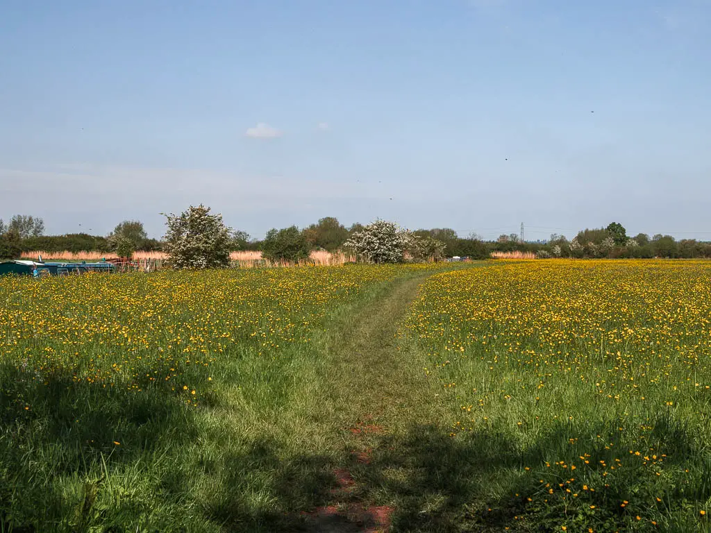
Now, this may be time of year dependant, but the next lot of fields are buttercup land. The whole thing felt super pretty, being surrounded by carpets of buttercups, with barges moored to the side of the river. There were a few people about on their boats. What a wonderful place to wake up.

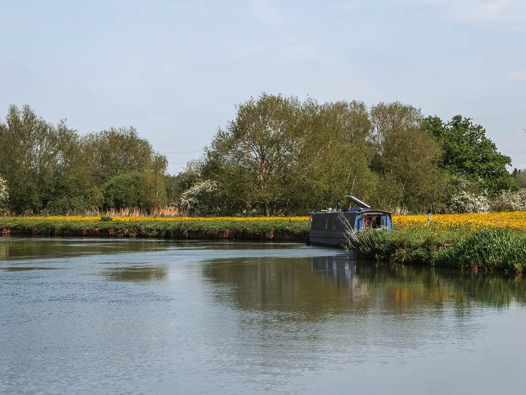
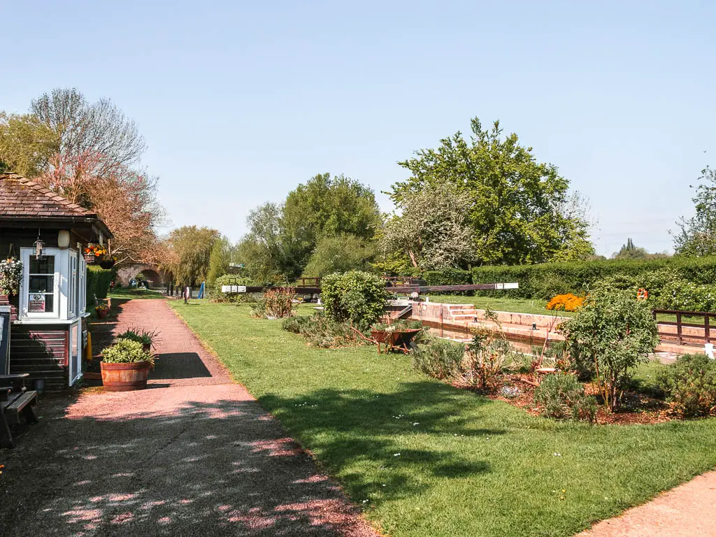
Past the fields, the trail becomes bit muddy, then takes you past a bridge to reach the lock. Eynsham Lock. This one has toilets.
Where the vibe changes
Past the lock, the trail is a little rugged and maybe muddy for a bit, before reaching the next lot of fields.
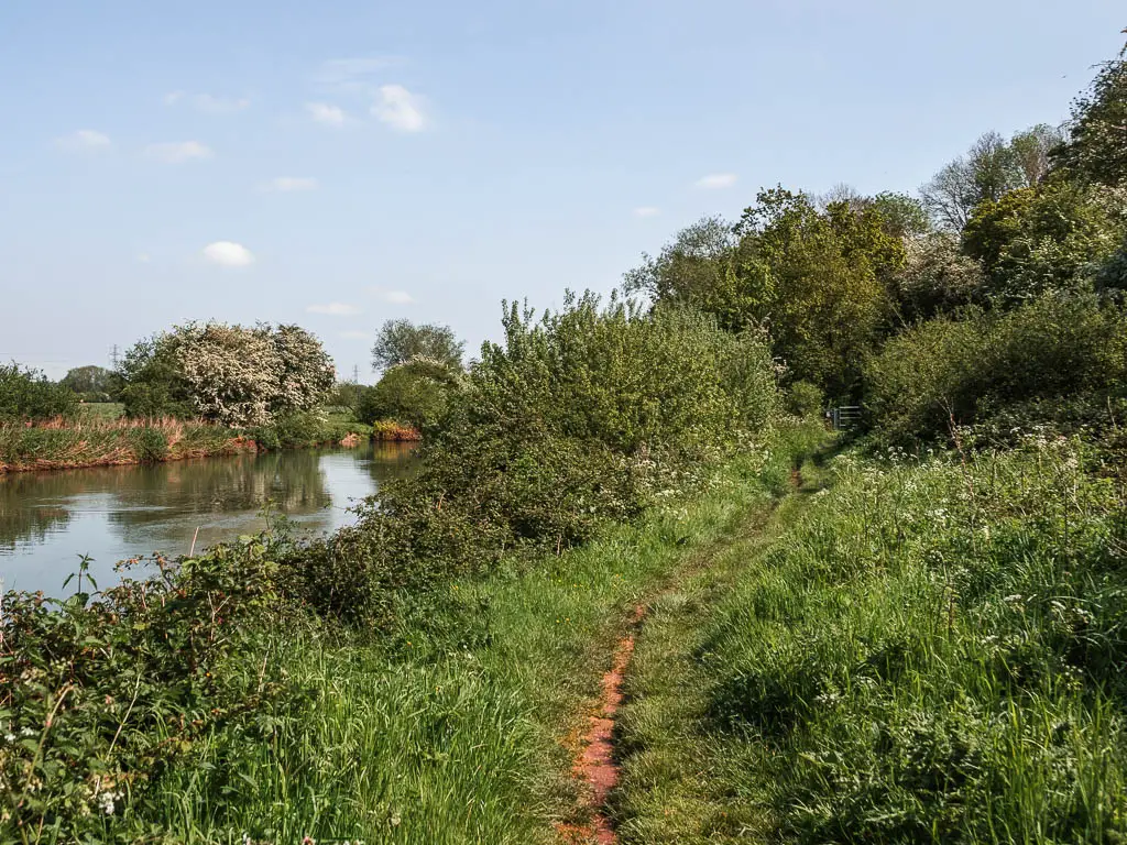
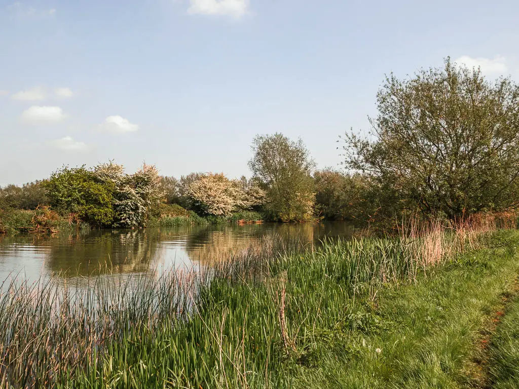
These fields have a wire type fencing keeping you on the edge. It felt very constricting. And a bit bland. I feel like this might be the first time there is wire keeping you in. Not that I would want to walk into the field, but unlike everything else so far, this place had rules. This is it. This is where the whole vibe changed.

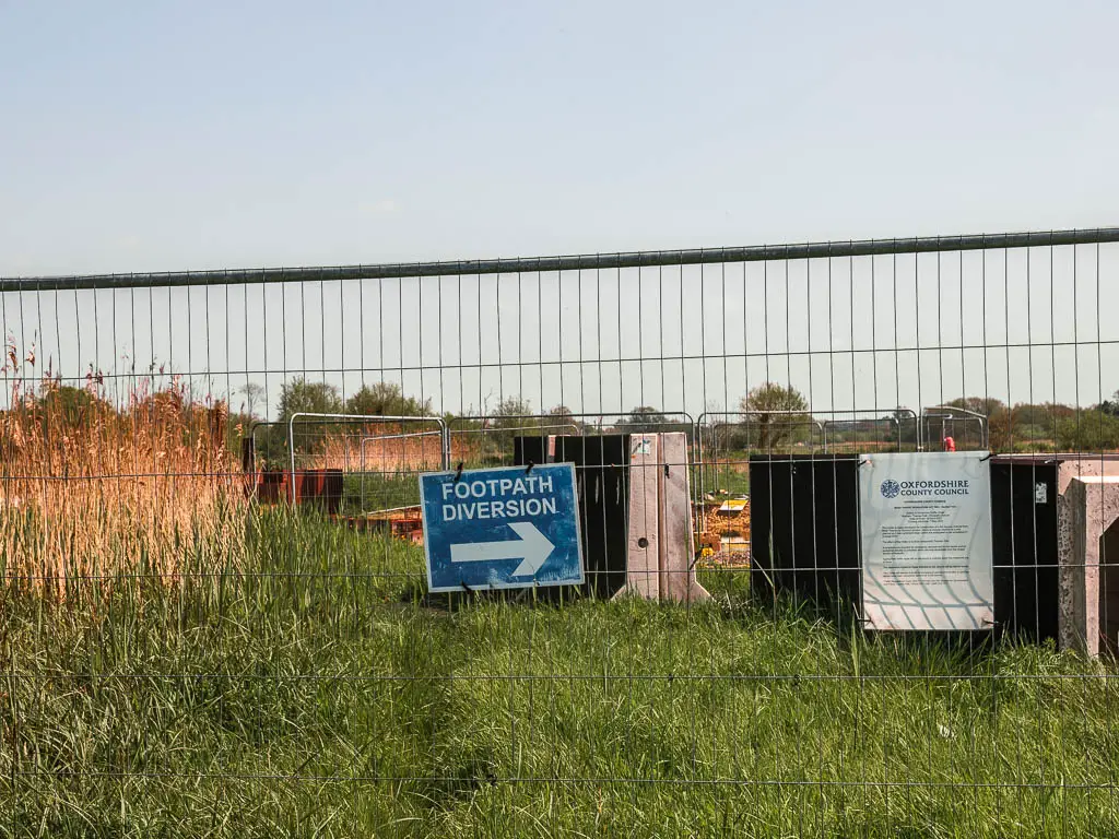
Especially further ahead where the path was blocked off and the detour had me walking through mud and deep puddles, with wire and fencing preventing me from walking around it. There was no avoiding deep foot submersion.
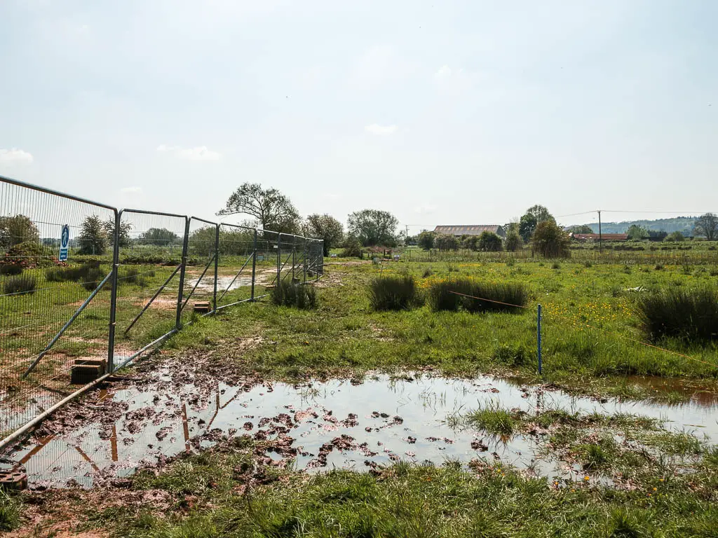
Once back along the river, things prettied up again, but the shift was still there. There was the constant hum of road. Occasional police sirens. I hadn’t heard road noise for the past 4 days.
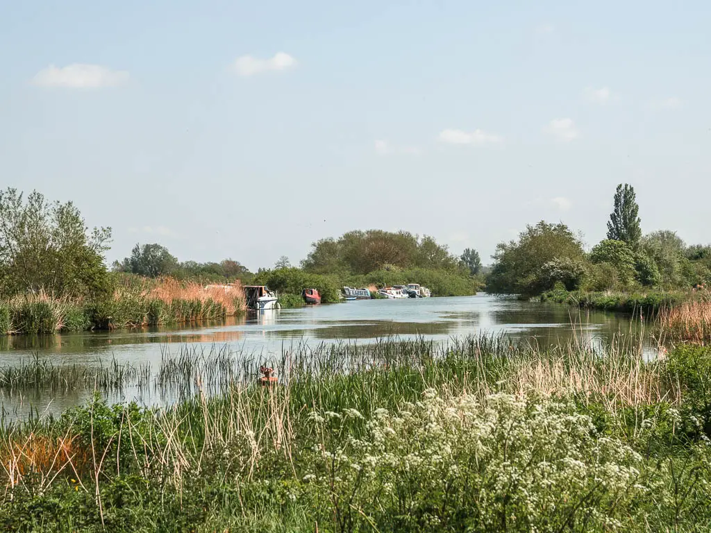
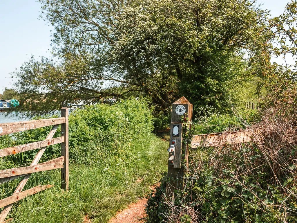
I was also in quite a bit of pain by this point. The socks I was wearing were too thick. My feet were squished. Squished and wet. I was done with the walk now. But I still had a bit to go,
Walk into Oxford
After the next lock, there is a proper path.
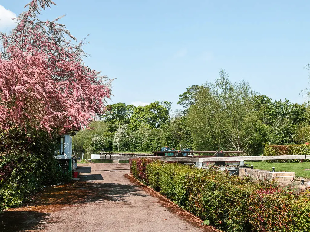
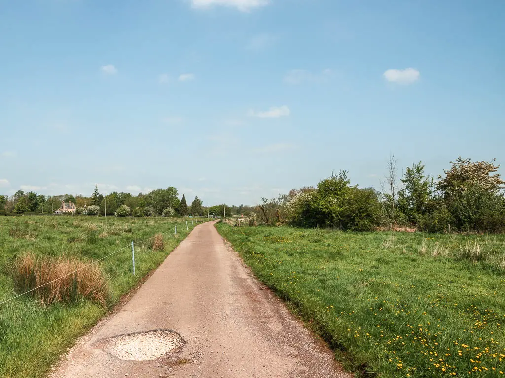
The river really winds here, but you can just stick to the path to avoid all the curves. It was a lose lose situation for me. The path was hard and made my feet hurt more. But curving with the river meant walking more steps. I chose the pain of the path. It was also very hot and exposed. I wasn’t wearing sunscreen. I would see the results of this later.
When you reach the A road bridge, walk under it.
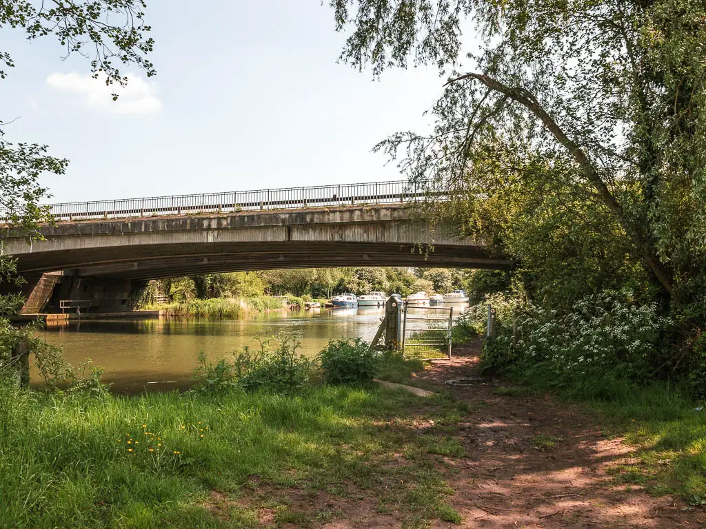
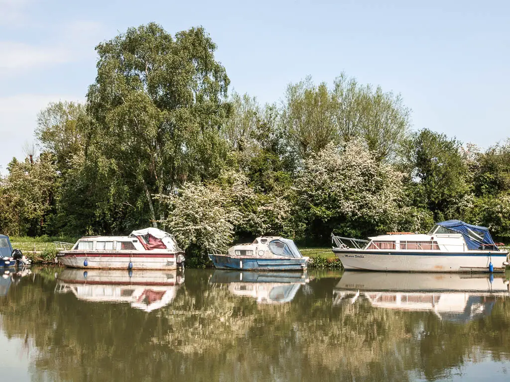
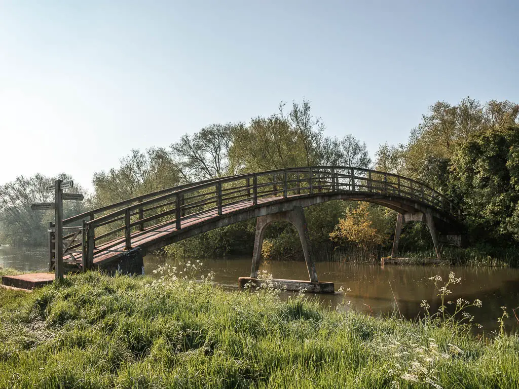
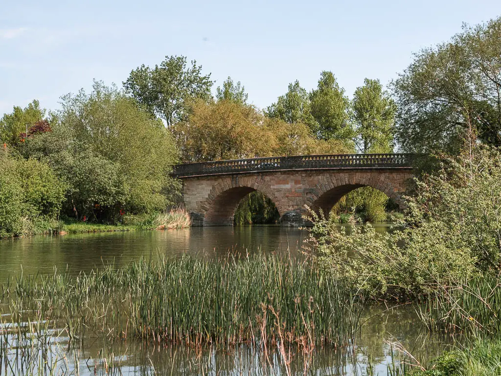
The path becomes a little rugged and maybe muddy again to reach a cute bridge. Walk up it and cross the road to the other side.
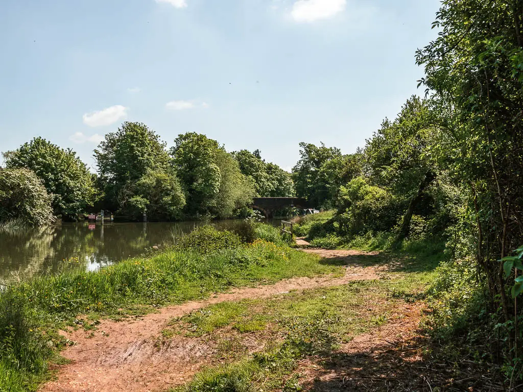
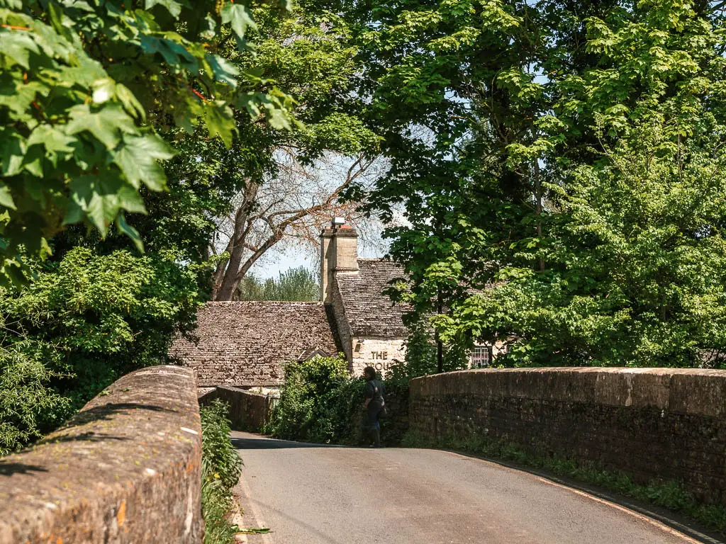
That path will now lead you past some ruins (Godstow Abbey), and probably other people. Civilisation really starts to pick up.
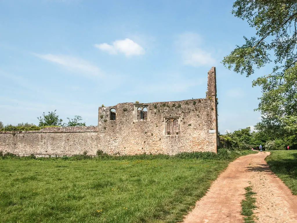
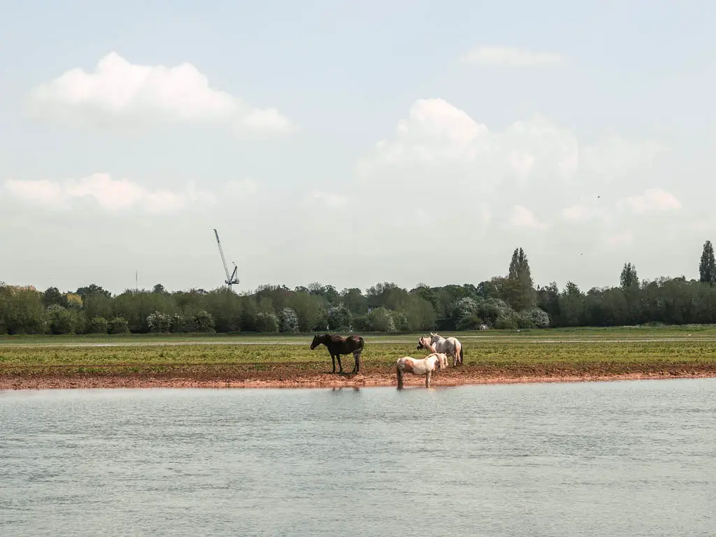
The river then runs through large sparse neatly cut grass fields, and then bushes and trees. Sometimes it’s grass, sometimes it’s path. Lots of runners about. Maybe this is the place to come for nature if you live in Oxford.
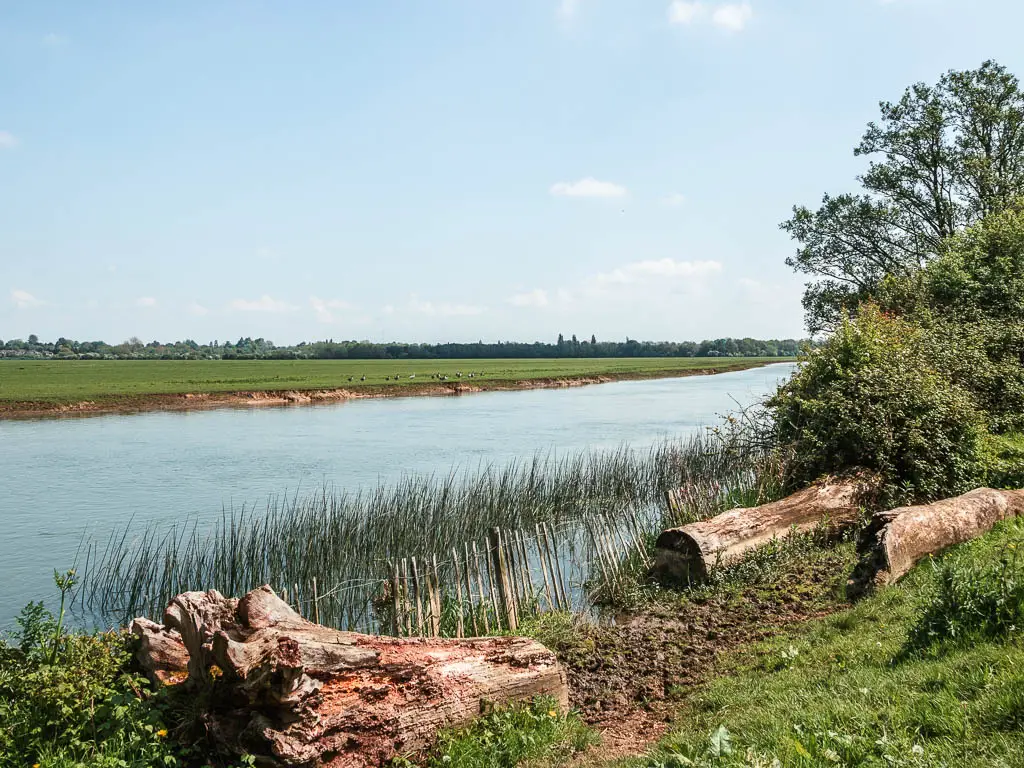
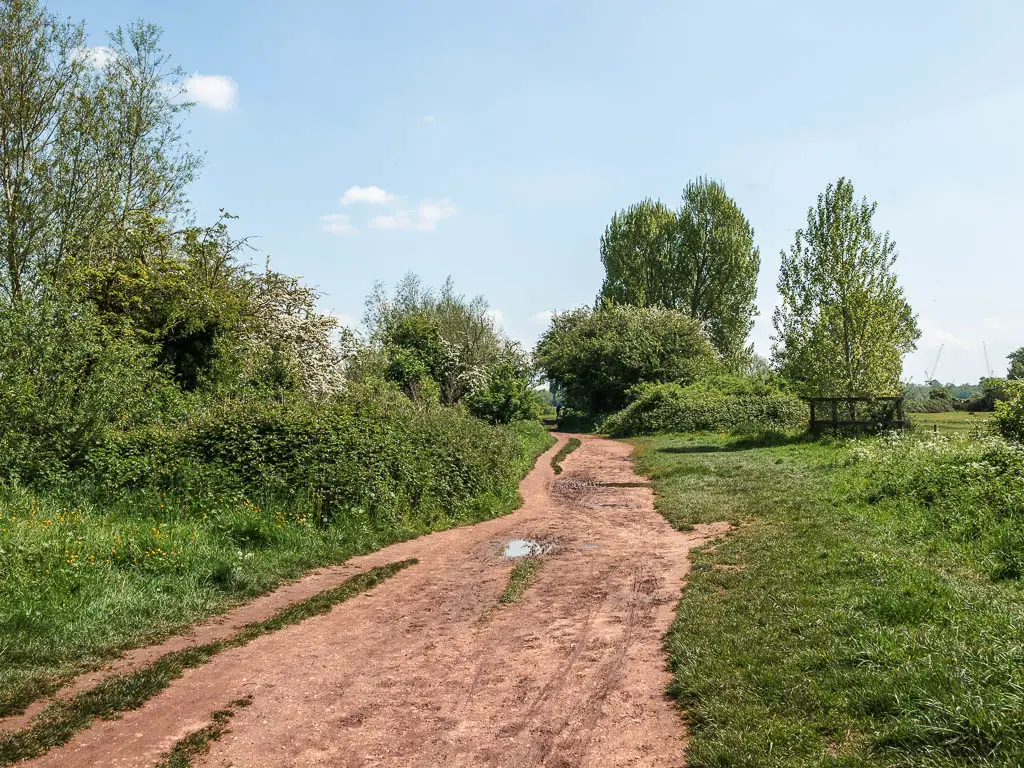
When you reach the bridge, cross over, then stay on this path (as in, don’t cross the next bridge).
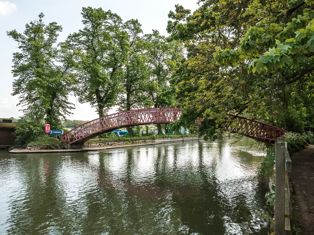
It all really pretties up along here. The way I expected Oxford to be.
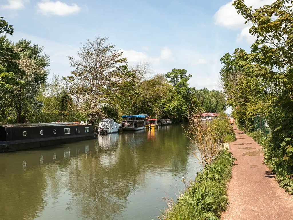
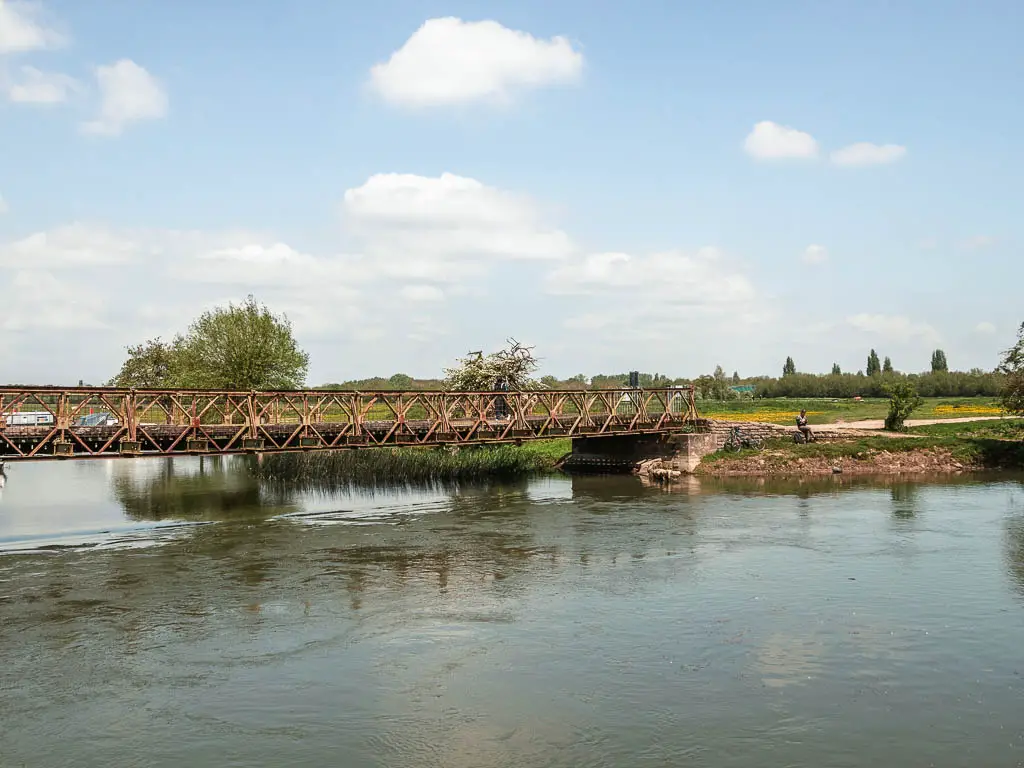

Walk to Oxford Station
To reach Oxford train station, turn left at these houses (photo below).
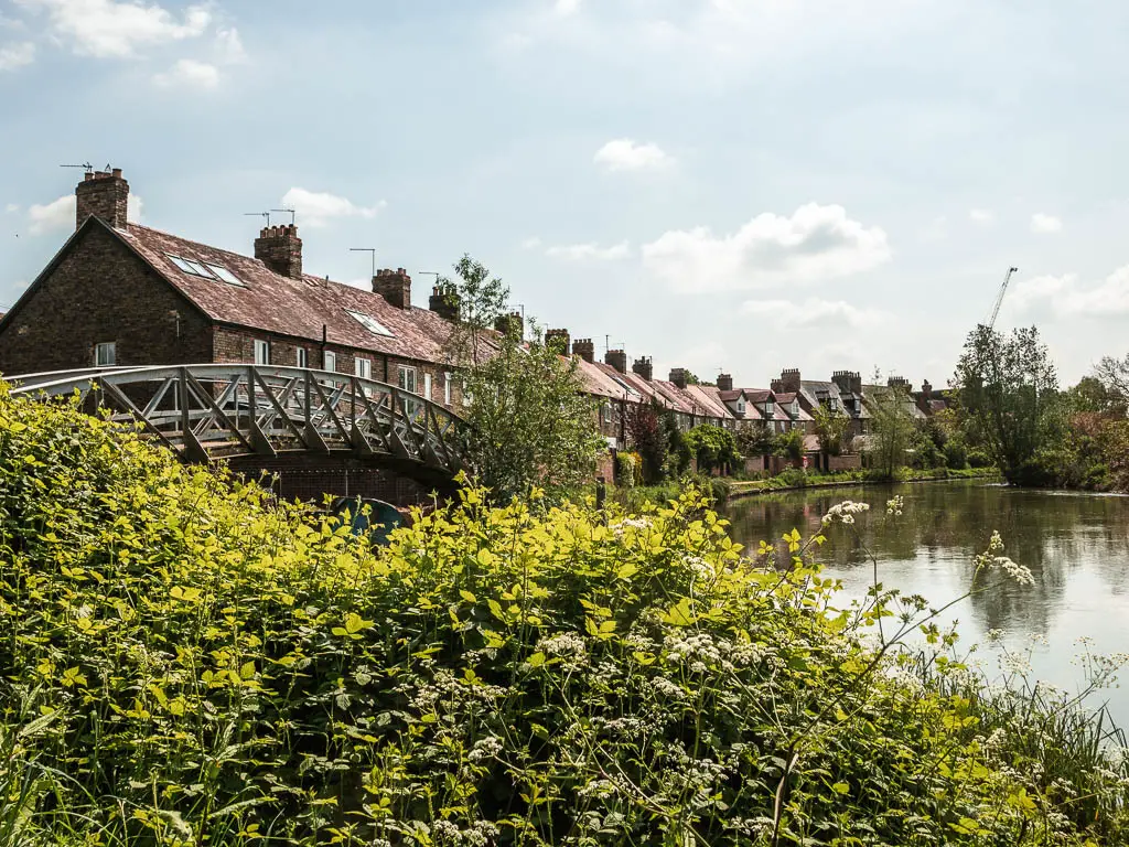
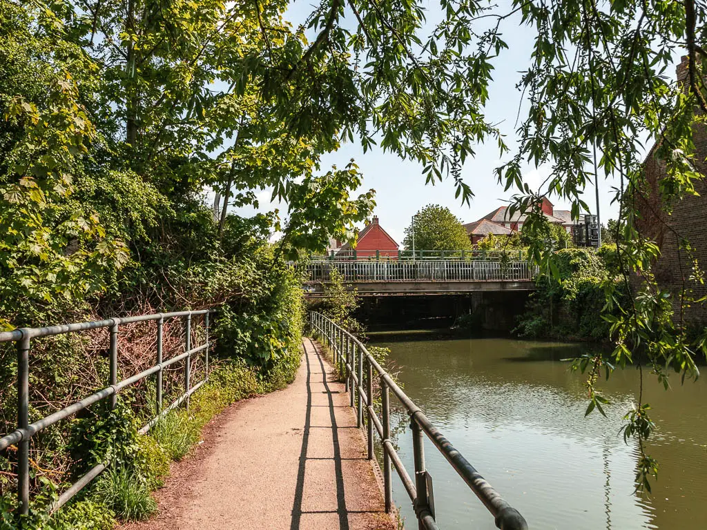
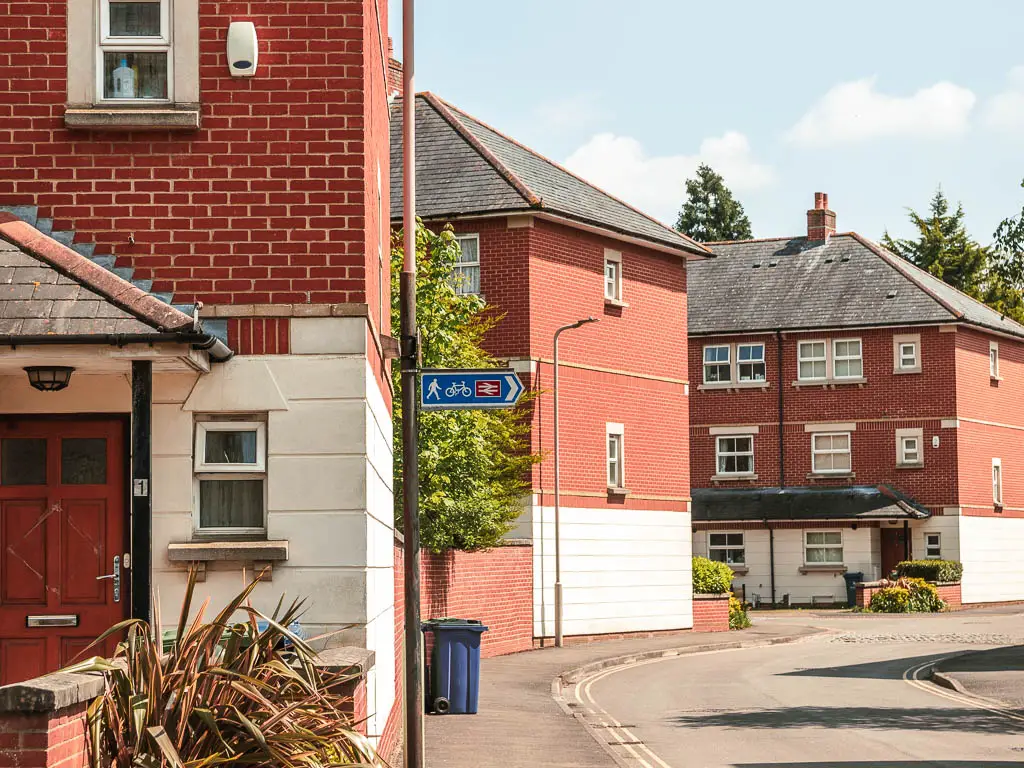
Follow the path under an impossible low bridge, I almost had to crouch, then take a right on the road. At this point you should start seeing train station signs. Follow these. It’s not far. Just a few minutes to get there.
Next
I was very happy to see an M&S at the station. M&S food always makes me happy. So I picked up some food and got on the train. Feet throbbing. One arm looking a little pink.
It was once I got home I really saw it. My whole right arm, right up to my t-shirt sleeve line, was very burnt. Just my right arm though. It’s too bad the river didn’t change direction.
Read next: Oxford to Abingdon Day 5 coming soon
