Gunver head was one of the things we specifically wanted to come and see in Cornwall. The nearby coastal town is Trevone, so I figured the bay would be a good start point for the walk. Walking to Stepper Point was never in the plan. Stepper Point came about because once past Gunver Head, we could see it in the distance.
So I figured, why not?
Stepper Point is just there, we might as well walk over to it. If you walk towards Stepper Point, you will also get a view of what is known as the doom bar (more on that in a minute).
What is Gunver Head?
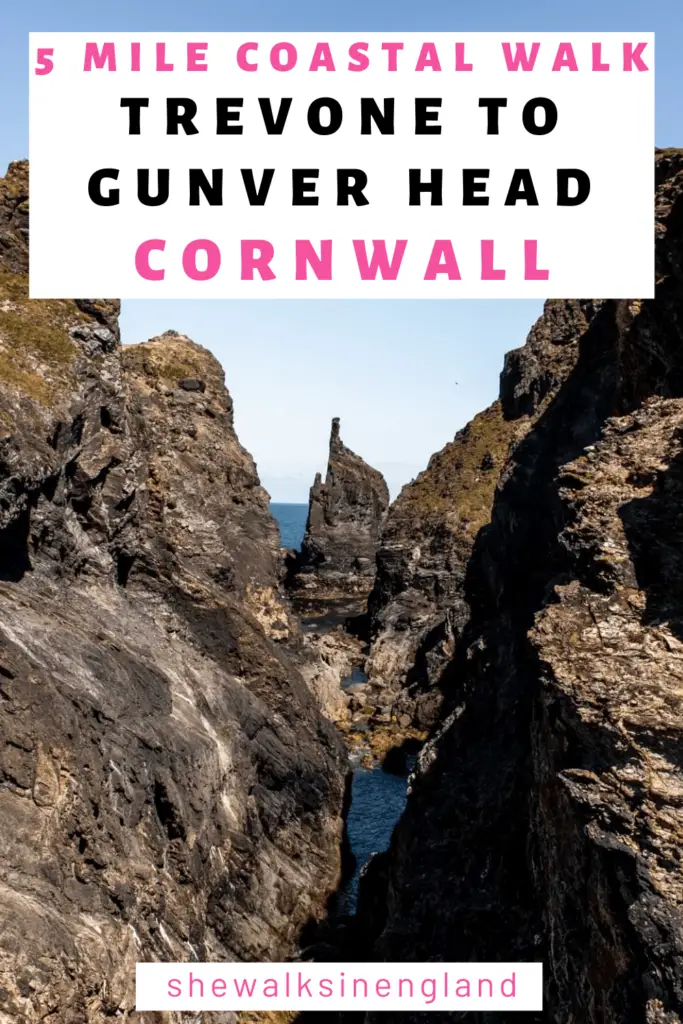
It’s a headland, where, if you stand in just the right spot, you will see a sort of flame shaped (or pointed finger) rock framed by the cliffside and another rock.

I have had a good search online and can’t really find much information on it. I feel like something like this would have some kind of story. Something to do with the devil or a giant. It seems most unusual, natural earth formations in England have something to do the the devil or giants. But alas, I came up short. If anyone knows more about Gunver Head or any history behind it, then I would love to know.
What is Stepper Point?
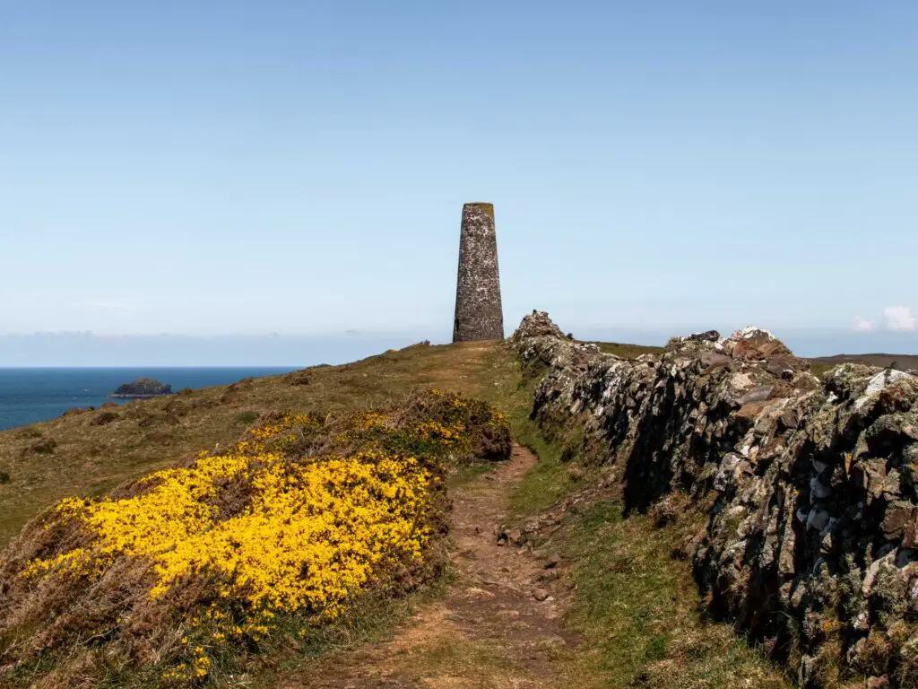
Another headland, with a 12m stone tower sitting on top.
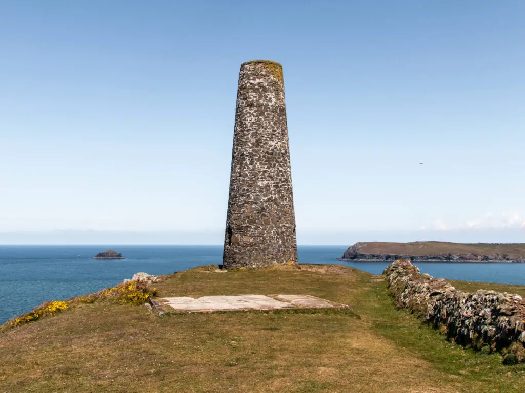
It reminded me of the Daymark we walked around near Dartmouth. I then learnt that this is also called the Daymark. That is when I realised, all towers like this are daymarks. The clue is in the name. Day-mark. What I learnt today is that they are used as beacons to help seafarers navigate during daylight. Apparently this one can be seen as far as 30 miles out at sea.
The Doom Bar
We weren’t expecting to see this. It sort of popped up in our view. It is basically a sandbar at the mouth of the River Camel.
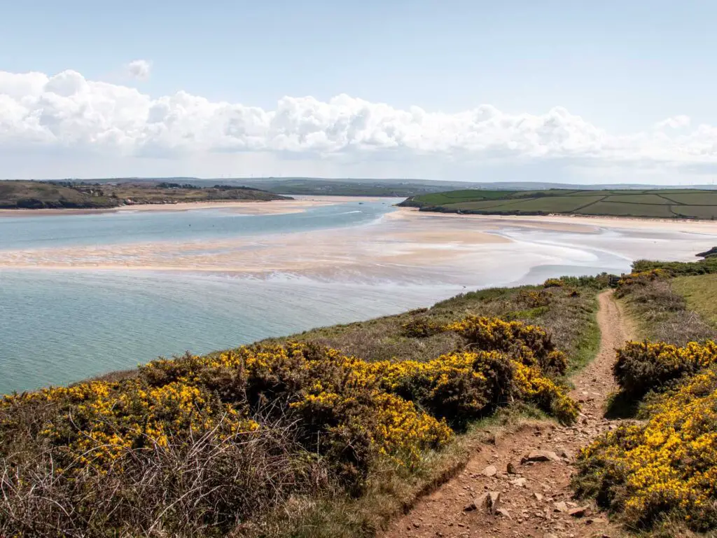
Now, whilst it’s beautiful to look at, I have learnt that it’s actually quite troublesome for ships and has caused hundreds to capsize or get stuck. There is actually a whole lot of story here, but as this blog post is not about that, I will keep it short. One thing I do want to tell you about though (because I couldn’t tell you anything about devils or giants earlier) is that this one has a mermaid story. Folklore says that the Doom Bar (or bar of doom) was created by the mermaid of Padstow. It was her dying curse after being shot.
What was the Trevone to Gunver Head and Stepper Point walk in Cornwall like?
Well, it’s a cliffy South West Coast path walk, so it’s always going to be good. There is one very steep up, some shorter steep bits, and the rest is gentle ups/downs and levelness. It can be a little rocky in places with very uneven ground which is why I recommend hiking boots/shoes for this one.
It’s mostly a linear walk, with one loop at the end.
If you would like to make the walk shorter, then I will give you ideas for where to cut it short and turn back.
If I was to do this walk again, I would actually do it a bit differently. Once I was at Stepper Point, I kind of wanted to go further and walk all the way to Padstow. But alas, the boy was waiting for me (I explain later). I probably will come back one day and do just that.
Logistics for the Trevone Bay, Gunver Head, Stepper point walk
- Start/Finish: Trevone Bay
- How to get there: Trevone Bay is located on the Trevose Head Heritage Coast in North Cornwall. The easiest way to get there is by car. Otherwise, the number 56 bus running between Newquey and Padstow is your best option. It doesn’t get you to the beach though. You would need to get off at Trevone Turn, then walk the rest of the way. I haven’t done the walk, but have read it takes 15minutes. When off the bus, just walk towards the sea.
- Distance: 5.5 miles/9km for the full walk
- Time: 2ish hours
- Elevation: With the ups and downs we gained a total of 193m
- Terrain: Dirt trails, grassy trails, rocky bits, some uneven ground
- Difficulty: Medium
- Amenities/Tips: Do it at low tide. The coves are particularly beautiful when the water is out. Wear good grip shoes, or hiking boots. At Trevone car park there is a beach shop and cafe.
Map for the Trevone Bay, Gunver Head, Stepper point walk
Click on the top box in Google Maps to open in your maps. Click on the Trail name in AllTrails to open in your app.
A guide to the Trevone Bay, Gunver Head, Stepper point walk
The start of the walk from Trevone Bay
So, starting this walk from Trevone Bay, on the north side of the beach you should see some steps and coast path signage. Go up the steps and walk along the trail with Trevone Bay to your left.

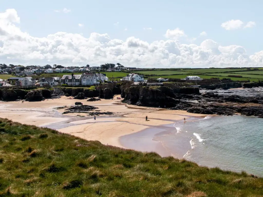
The trail goes from dirt to grass as you follow it around and up the hill, where you will be greeted by a gorgeous rugged cliffy view once at the top.

You see that big hill in the distance, well, before you get to that you will reach the flame like rock of Gunver Head. So this first bit is pretty short. That point will be the first place you can turn around to shorten the walk. Trust me, Gunver Head is awesome enough that you don’t need to do any more of the walk if you want to keep it short, but still get to see cool stuff.
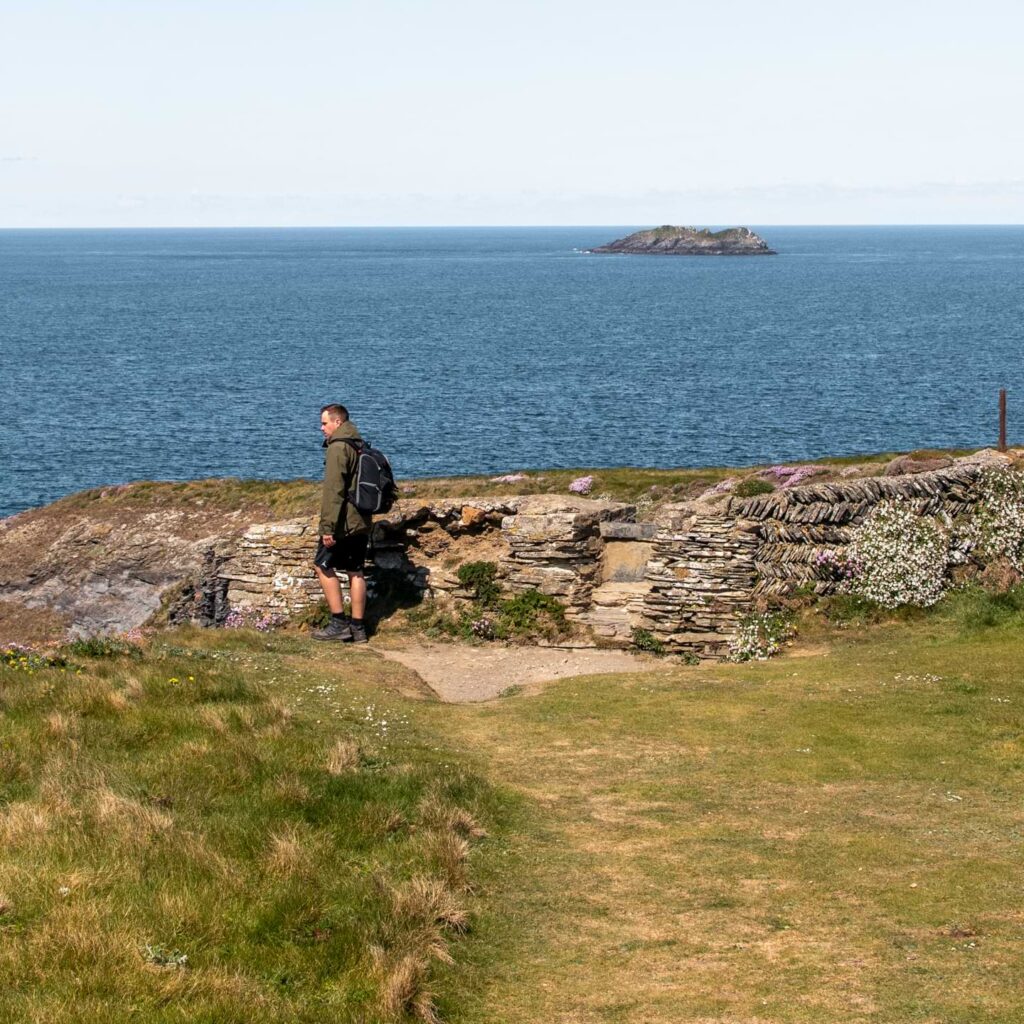
Continue over the hill and past what looks like some sort of ruin. Ollie and I decided this must be a wall ruin, and that small hole was for sheep to go through.

We are no historians and made this up, so please correct me if I’m wrong.
Small detour?
You will notice that past here, the trail splits up a little. It doesn’t matter too much which one you pick. Just as long as you eventually are heading for that big hill in the distance.
We took a left here around a cove of some sort. There is a little trail that leads you down into it if you want to check it out. We did. It was really cool but I have no good photo to show you. It’s only a short detour but worth it.


If you are following my map, you will notice how we walked off the main trail here. The little trails aren’t on the map.
Walk back onto the main trail to a picture perfect little cove
The main trail, you can’t miss. It’s a long stretch of wide grassy trail.

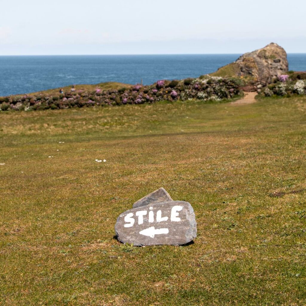
You will pass by rock signage pointing you towards an opening in the wall. Ollie was ahead of me, standing at the wall, I noticed he was looking back down the other way. I wondered what he was looking at…..
When I saw, my mind was blown.

A stunning little cove, with black rocks, sand, and turquoise water. Particularly pretty with the pink flowers. Looking on google maps, this might be Longcarrow Cove. Again, I apologise if I’m wrong.
Walk towards Gunver Head and Tregudda Gorge
After admiring the prettiest little cove, go through the wall, and a bit further ahead, you will get your first view of Gunver Head (you will get another view in a minute).

Next you will walk down into a couple of gorges (or one, split into two). The first one, is a rocky downhill. This is where good grip/hiking shoes will come in. The second one is steps.

Now after the steps and over a little stream, you will see a trail going straight up the big hill. You may notice that other people along this walk are going straight up.

Don’t do that.
You will miss out on something great.
Instead, go left and follow the trail to the end. It will undulate a little. Then once at the end, look right for this view.


Walk up the big hill for a view of Stepper Point
Now, if you don’t want to do the big hill, you should turn around now. You will have to go quite bit further up here (longer than you would think) to get the Stepper Point view.
If you want to continue, then go up. Again, there are a couple fo trails going up. Doesn’t matter which one you take.
When things start to level up, you won’t see much yet. You just need to go that little bit further before the coastline ahead comes into view.
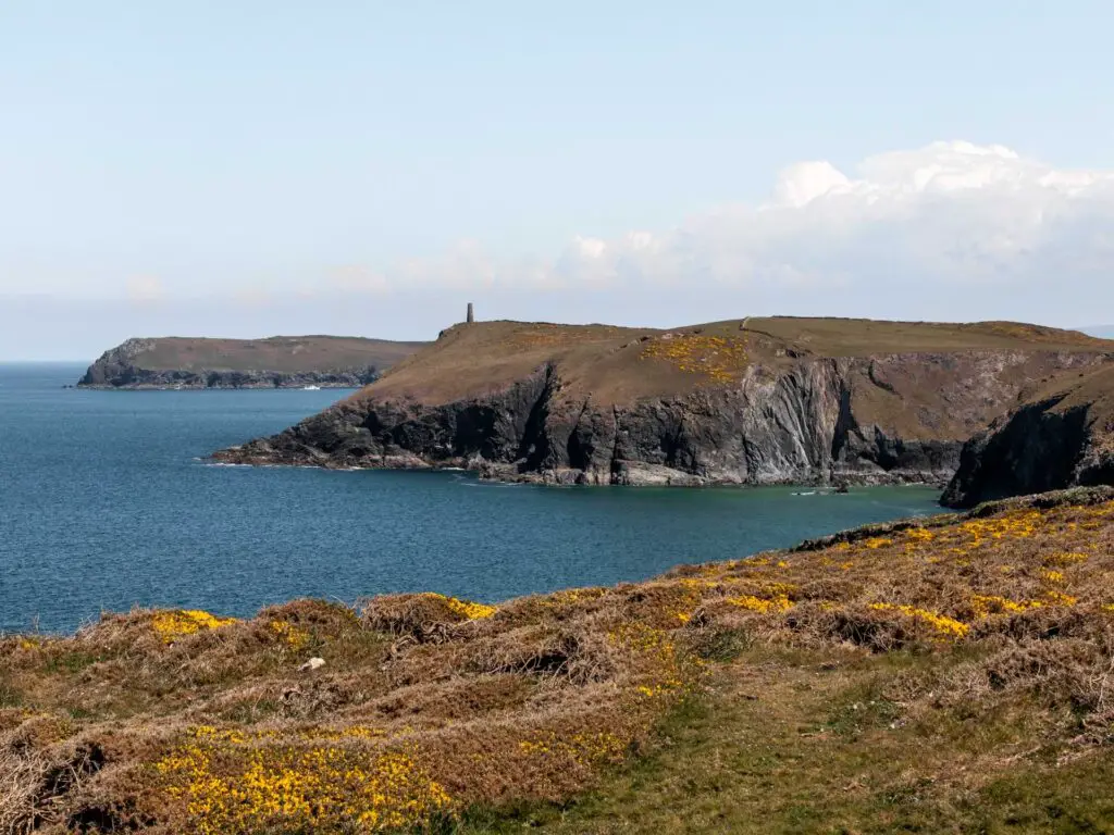
This is where Ollie and I saw the Stepper Point Daymark in the distance. I didn’t tell him yet, but I upon seeing it, I decided we (or I) were going to walk to it.
Walk along the South West Coast path, past coves and cows
Now, for the next section of the walk, it’s as simple just following the coast path. You will go along a moss covered brick wall, through gates, over brick stiles, along dirt, grassy and streaky trails. You might pass by some cows and see little boats gliding along the water.
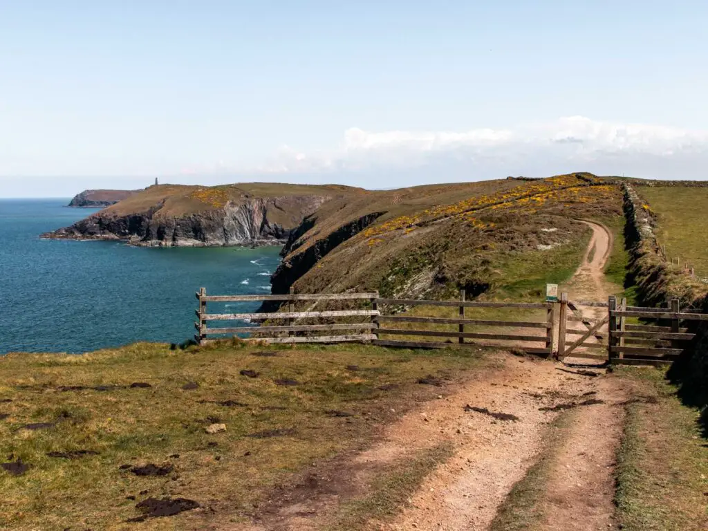

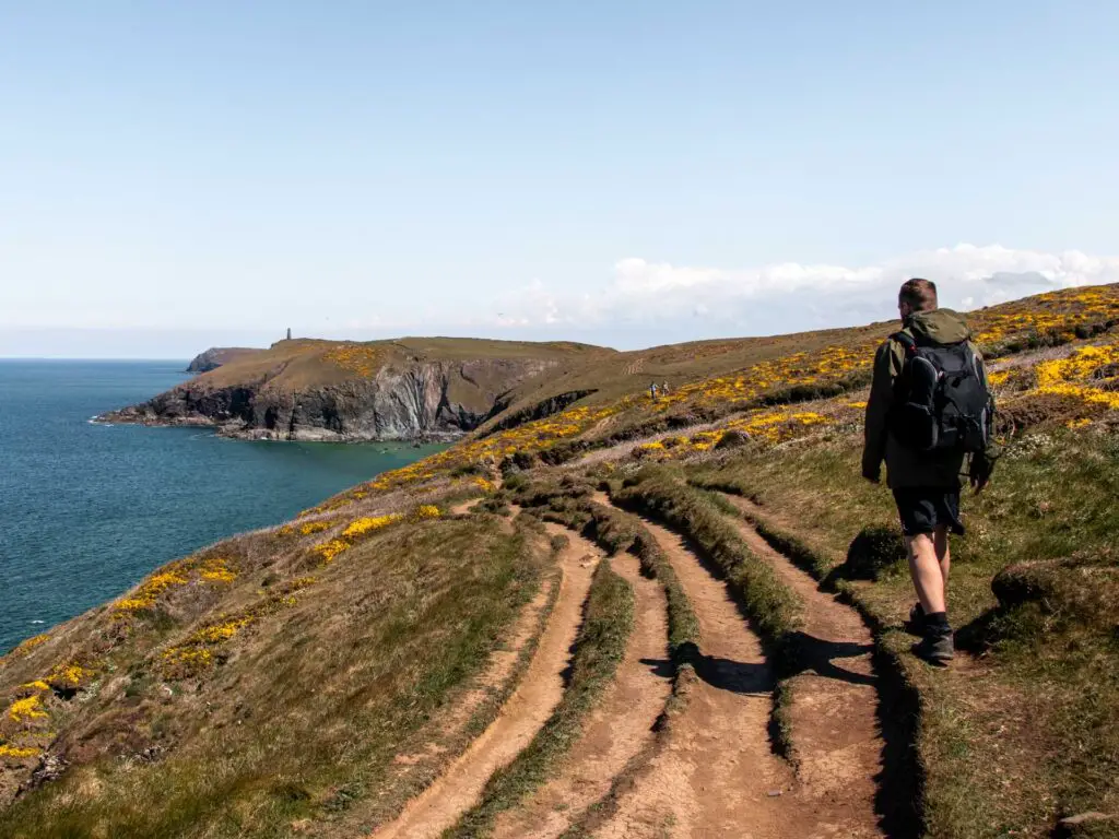

It was somewhere along here that Ollie thought we would be turning back. This is also where I told him we weren’t.
At the end you will pass by one more cove. It is here that the loop starts.
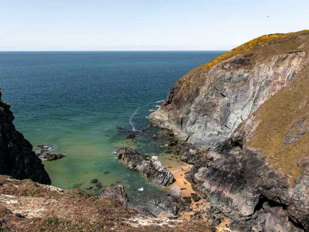
This is also another point to turn back if you don’t want to walk any further. Ollie decided to hang out here whilst I did the loop. That was a big mistake…because of what came next.
Walk up to Stepper Point
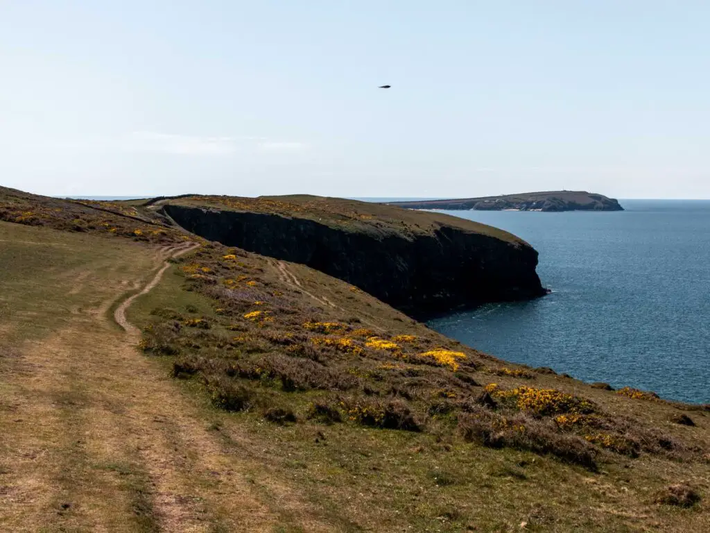
Next you walk around the cove (keeping it to your left) and follow the little trail through a brick wall at the end. Then walk up the hill alongside the wall. Make sure to look back here for the cliffy goodness view.


As you work your way up, the Daymark will start to come into view.
Just heads towards it.
Walk from Stepper Point to the Doom Bar – the loop
On the other side of Stepper Point, you will get a great view across the bay and along the coastline.

My plan from here was to do the small loop (you will see the trail if using AllTrails map. There is a big loop and small loop). However, seeing the coastline ahead of me, I desperately wanted to walk all the way to Padstow.
As Ollie was waiting for me, I decided to compromise and walk the big loop around Stepper Point….
I’m glad I did.
This next bit is fun. I would recommend that if you have come this far, to do the big loop.
Now, from here walk downhill on the other side of Stepper Point, alongside the brick wall. It’s quite rocky and uneven down this way. Again, a hiking boots kind of thing.


At the bottom, go through an opening in the wall and follow the coast path along the side of the hill.
You will see the coastwatch lookout station up above.
The Doom Bar
As you work your way around the peninsular, you will find yourself with a fantastic view of the Doom Bar (if the tide is low enough).
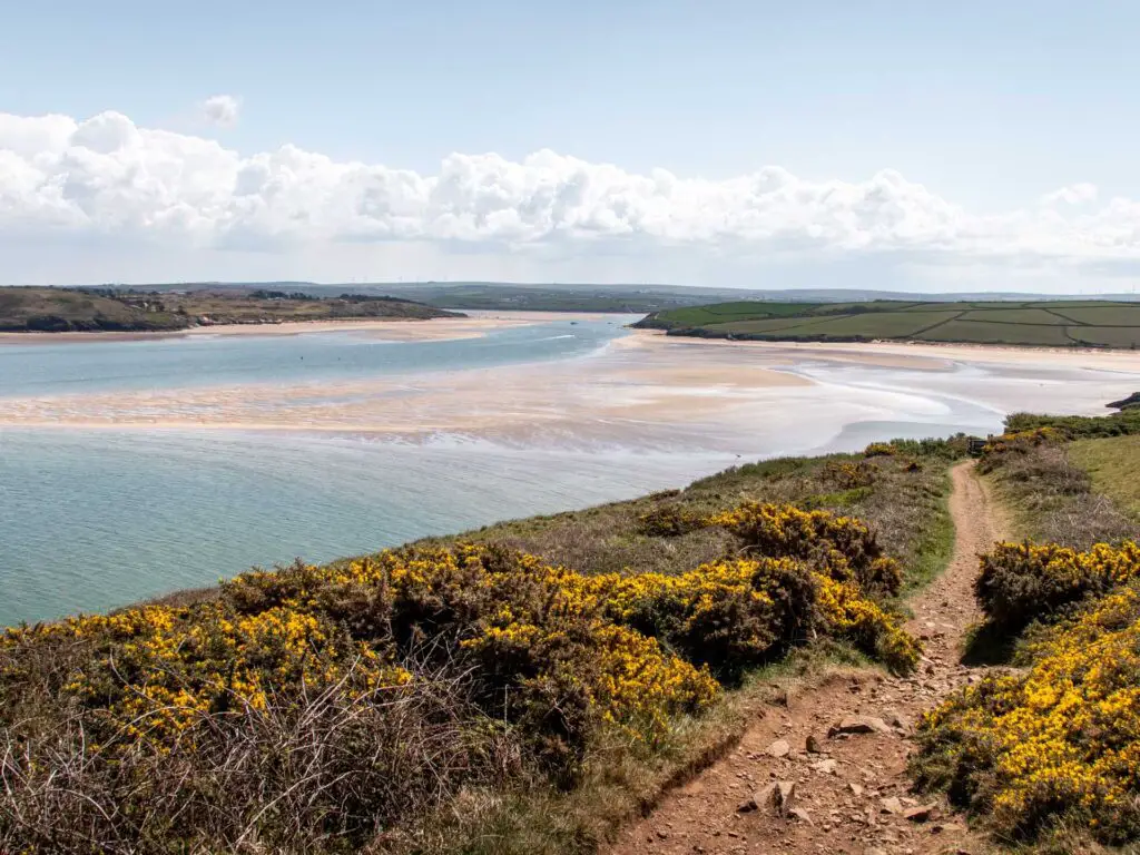
You actually get a view of it earlier on in the walk, but its not quite the same. This is where you should come for the good view.
Walk back to the start of the loop
You will walk downhill a bit, and when you reach the junction (there is a little wooden post here), take the right.


I must warn you, this next bit of the trail is wet. I started out trying to navigate it avoiding the wet bits (which is all of it), before realising I was wearing waterproof hiking boots and needn’t bother.
I am telling you this because it hadn’t rained here for a while, it’s actually been very very hot. So if this is wet now, then I imagine it will be quite aggressive after some rain.
The next bit is just a simple wide path switching between gravel and grassy.

Next you will need to do a sort of double gate shift to close the loop. Basically, you are walking alongside a wall and will need to get onto the other side of it. To do this, you go through a gate, then double back through another gate. You will know it when you see it.
And voila. You have closed the loop.
Walk back to Trevone
From here, just walk back along the coast path the way you came. I’m not always a huge fan of walks that take you back on yourself, however, cliffy coastline walks are an exception because you get to see the gorgeousness from a different perspective.
Other walks in North Cornwall
Porthcothan to Treyanon walk – 4.5 miles passing by an abundance of coves. This is one of my favourites. A short distance south from Trevone.
Bedruthan Steps walk – 6 miles. Featuring one of the most beautiful beaches in England. Can also join this one with the Porthcothan, Treyarnon route for a mega coastal walk.
Tintagel coastal walk to Bossiney – 7.4 miles. So far, my favourite walk in England. The landscape is Game of Thrones meets Jurassic Park. This one is further North in Cornwall.
For more walking ideas in Cornwall, you could check out the National Trails website.

