
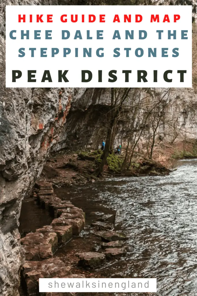
One of the most well known walks in the Peak District is through Chee Dale and along the stepping stones. So you know I had to give it a try….
In this guide I’m going to tell you a little bit about Chee Dale, what to expect on the walk, the best places to park, full logistical information and a route map, and some useful tips. Then I will give a step by step description of the walk route through Chee Dale and along the Stepping Stones, with photos for every step of the way. At the end I will provide my recommendations for similar walks you could try.
What is Chee Dale?
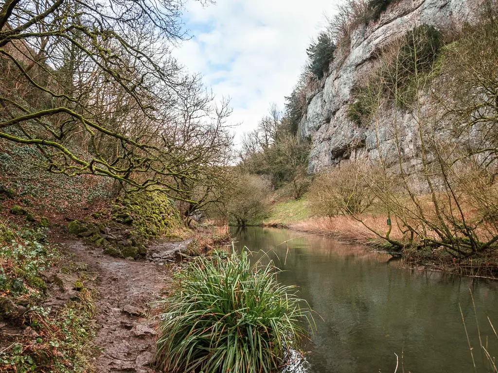
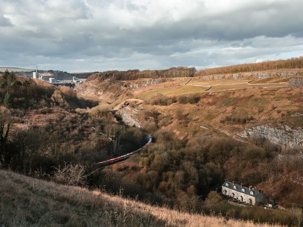
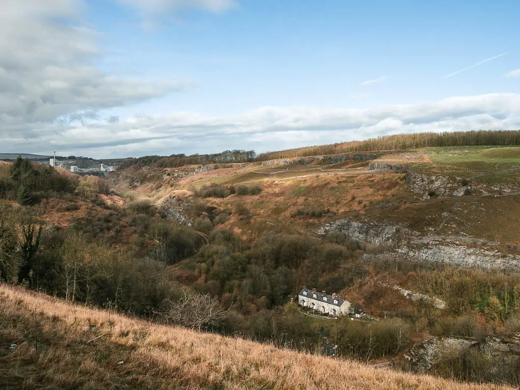
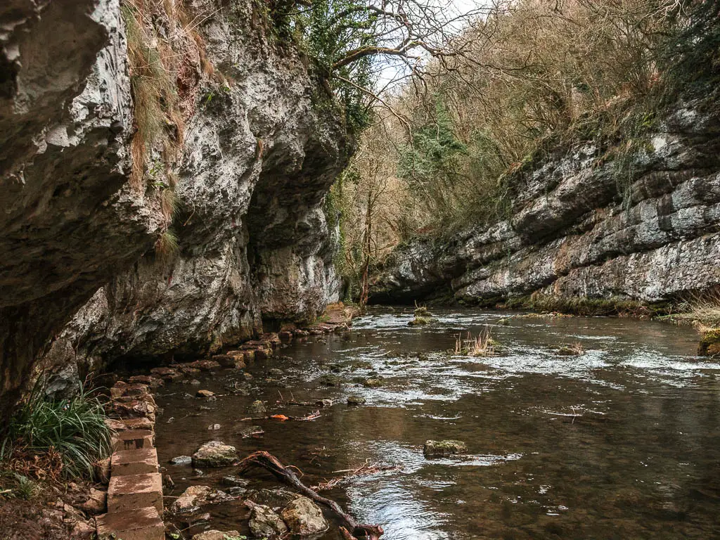
Chee Dale is a nature reserve in the Wye Valley. Made up of a 200ft deep limestone gorge, filled with woodland, an abundance of wildlife, with the river Wye meandering through.
There are actually two lots of stepping stones in Chee Dale, both taking you right along the side of the cliff face.
How Long is the Chee Dale Walk?
This walk is a 5mile circular route, first taking you through Chee Dale and along the famous stepping stones, before heading uphill and through the fields, with marvellous views down into the valley.
How do I get to Chee Dale Stepping Stones?
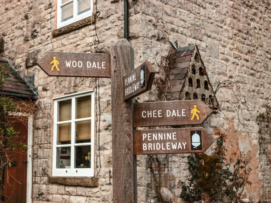
The two main ways to get to Chee Dale and the Stepping Stones are either from Millers Dale (approaching from the east), or a layby off the A6 (approaching from the west).
The route is pretty easy to follow from either direction, as you simply follow the river. Plus it’s very well signposted.
I chose to start from the A6 layby which I will explain next….
Parking for Chee Dale
There is a large layby off the A6, on the west side of Chee Dale which is free parking (it’s called Chee Dale layby on Google maps).
In Millers Dale, there is a car park which serves as a start point for a lot of walks in the area, including the Chee Dale Stepping Stones. It cost’s just under £5 for the day, and takes card payment.
If you want facilities, including toilets and cafe, then park in Millers Dale. If you are cheap like me, then park in the lay-by.
When you arrive, if both of these car parks are full, then you can park in the Wye Dale Car park, which is a little further back from the Chee Dale layby parking. You can access the river Wye easily from there.
How hard is the Chee Dale Stepping Stones walk?
I would call this a moderate walk. It’s not physically tiring (apart from a giant hill when you walk out of Chee Dale, if you do this circular route). It is quite technically challenging though.
I had read before heading out, that it can be very slippy on the rocks. I figured they meant the stepping stones. Turns out the stepping stones were the least slippy part. For a good chunk of the walk through Chee dale, it’s muddy and rocky, and you do really need to pay attention so as not to lose your footing. Your hands will probably have to get involved as well.
Logistics
- Start/finish: Chee Dale Layby (for this route)
- How to get there: Located in the Peak District National Park, roughly in the centre. Millers Dale is located off the A6 or A623. Post code for the lay-by I started in: SK17 8TD.
- Public Transport: Yes. Bus number 65 goes through Miller’s Dale between Tideswell, Linton and Buxton. Buxton is on a train line. The bus actually goes past my start point, so if you would like to follow my exact route, get off at either Blackwell Turn and start the walk from Beech Croft Farm, or get off at Topley Pike which is next to the Wyedale car park. From there, walk onto the river.
- Distance: 4.8 mile circular
- Time: 2h
- Difficulty: Moderate
- Terrain: Dirt, mud, rocks, big rocks, stepping stones, small amount of country road, grass fields.
- Amenities: Toilets and cafe at Millers Dale. I read that there is sometimes a burger van at the Chee Dale layby. Near the end of the walk at Beech Croft Farm, there is the Daisies coffee shop.
- Time of year: I walked this in winter
- Dog friendly: No stiles. Sheep in the fields in the latter half of the walk. Some steep rocky bits.
Tips for the Chee Dale stepping stones walk
- It’s a very popular walk. If you are coming on a weekend/summer then arrive early to get parking. I came on a weekday in winter, and it was still fairly busy.
- Wear hiking boots. You will regret it if you don’t.
- Stop at Daisies Coffee shop for cake and coffee. It’s conveniently located near the end of the walk if you start from the Chee Dale layby.
- Check the river level here before heading out. If it’s too high (ie after lots of rain), then the stepping stones will be submerged, and a whole lot of the route won’t be accessible.
- If starting from Millers Dale, there is no phone signal. So do what ever you need to do online before you get there.
Map for the Chee Dale walk via the Stepping Stones
You can find my more detailed Chee Dale Stepping Stones route map on AllTrails
Read more: Best hikes in the Peak District National Park
More similar walking ideas will be listed at the end
A guide to the Chee Dale walk via the Stepping Stones
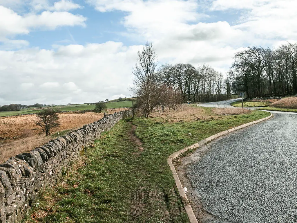
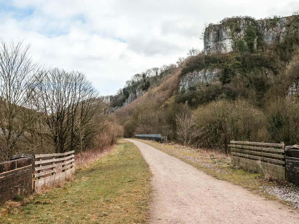
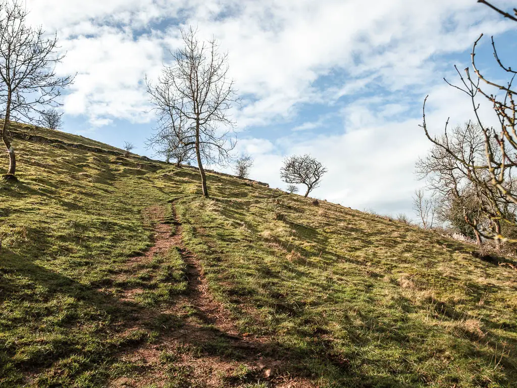
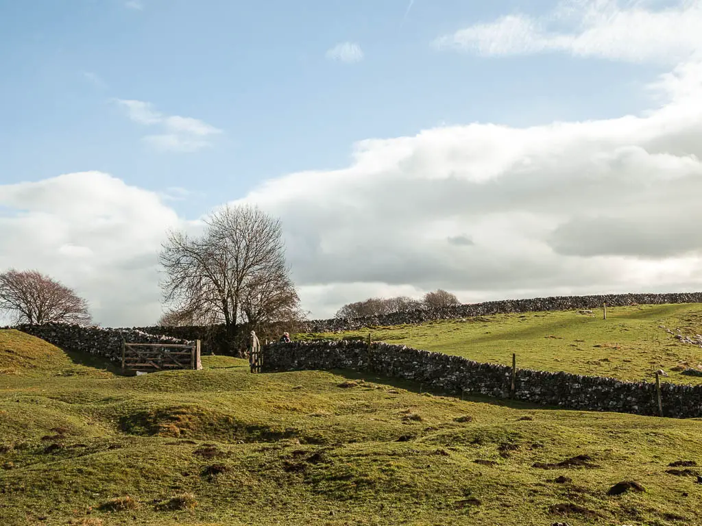
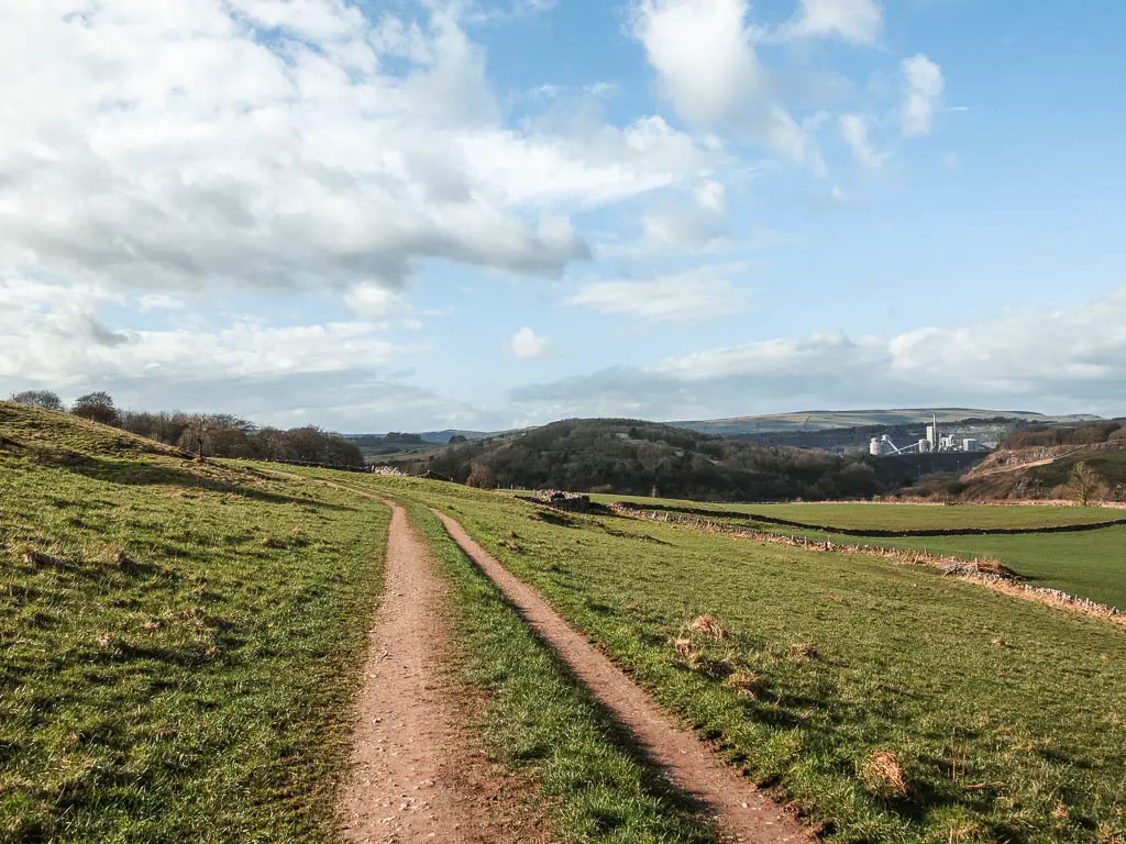
Starting from the layby, you will have a magnificent view down into the valley. It’s sort of wonderful but scary at the same time. Knowing that if you go down into it, at some point you will need to walk back up….But that’s a problem for later.
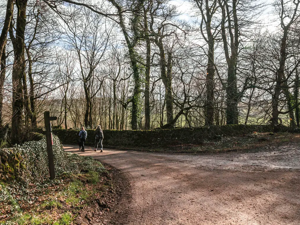
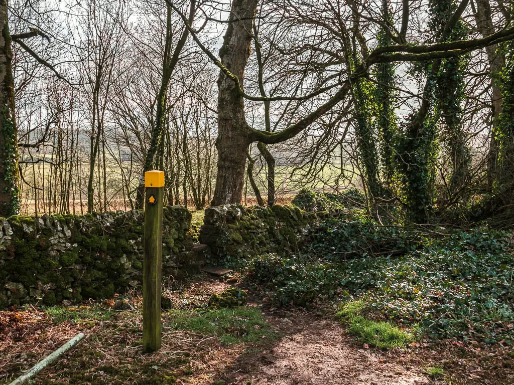
If you walk along the layby (south), you will see the entrance in the wall to get onto the trail. Follow this trail, which gets a little steep to reach, the bigger path, where you turn left.
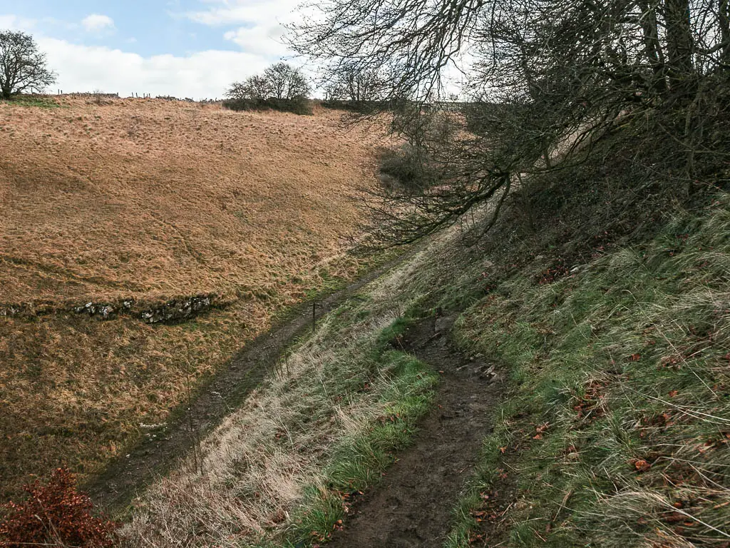
You will now be walking down through the hill valley on a path that is deceptively slippy. I slipped a little.
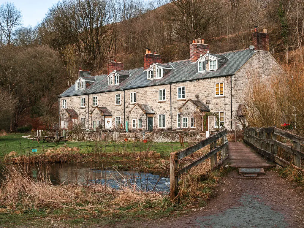
Near the bottom, go through the gate, then at the junction, turn right away from the road, towards the stone walled house.
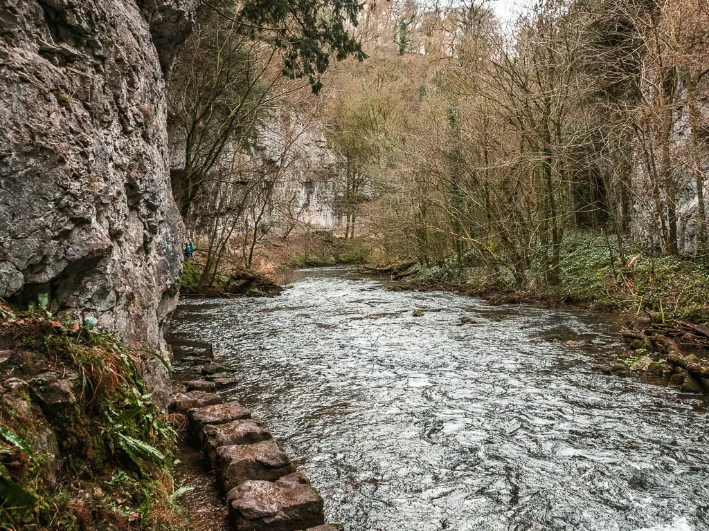
Walk along the river Wye towards Chee Dale
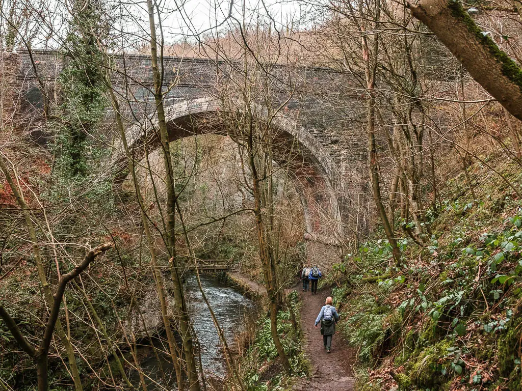
Go over the cute bridge, and turn right to walk alongside the River Wye. There is a sign here pointing the way to Chee Dale if you aren’t sure.
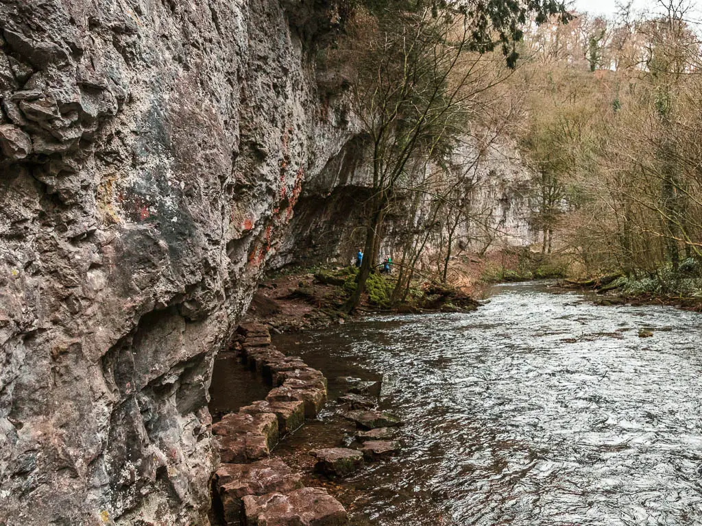
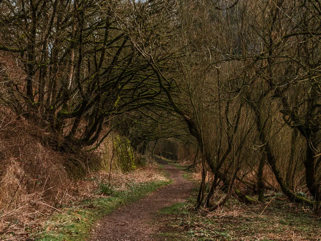
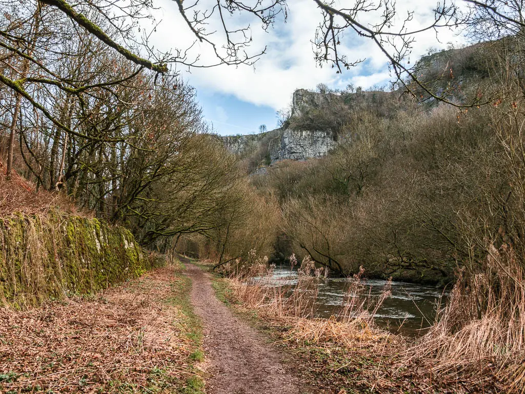
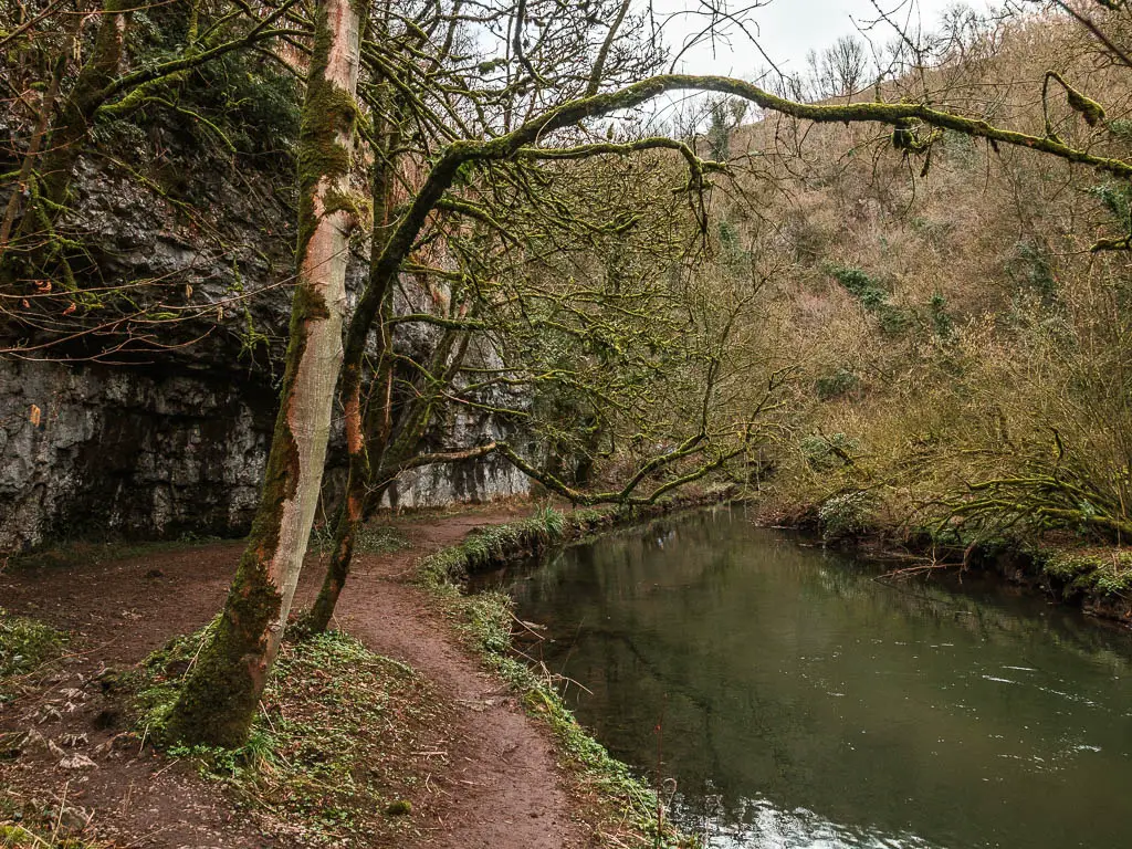
You will now be walking on a level dirt path lined with trees, and very soon you will be presented with the impressive limestone cliffside.
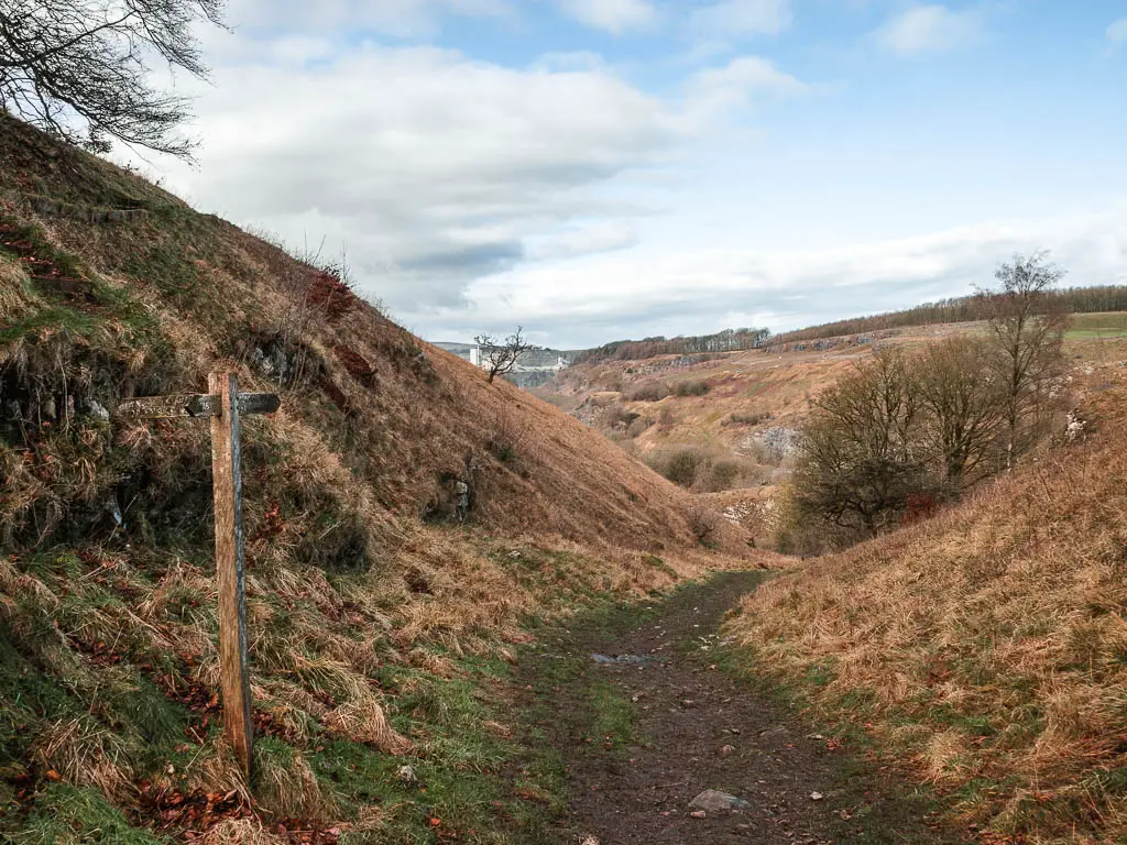
Take a detour onto the Monsal Trail
When you reach the junction, you would think to take the right trail to stay along the river Wye. Except, further along, at the time of writing, the trail is closed. I only discovered this once I got there. So had to go back to take the left turn at the junction. A warning sign would have been nice.
Saying that, the detour is actually quite nice, so you may as well take it instead of sticking to the river in hopes the trail has been opened again.
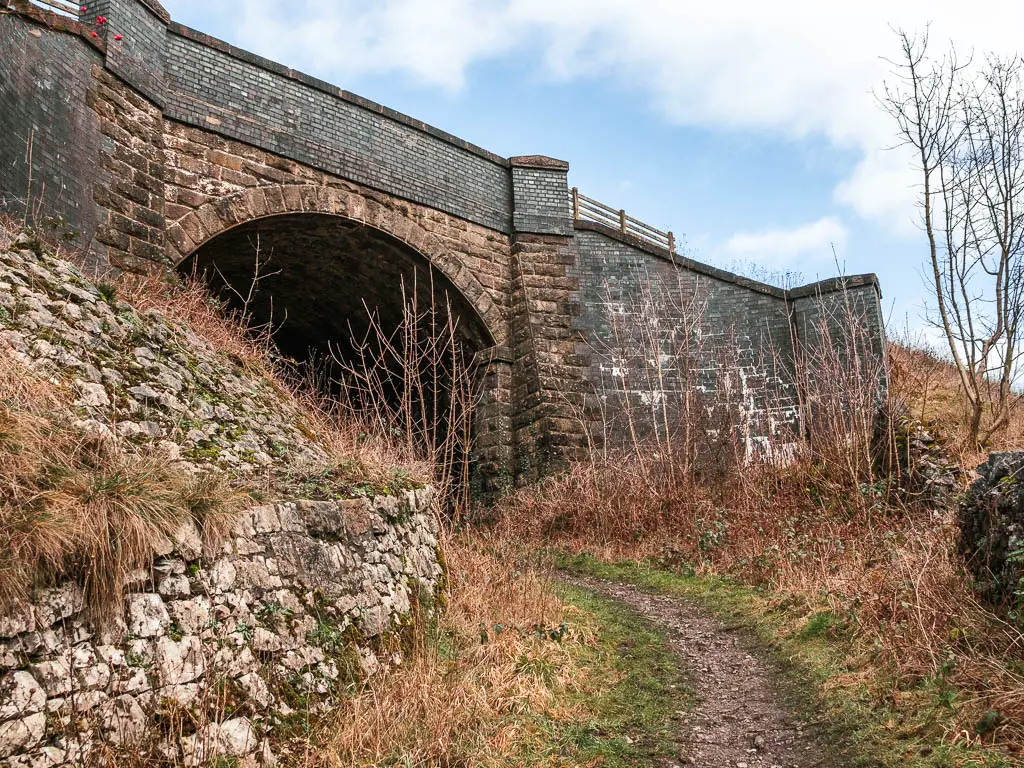
Taking the left trail, it will lead you uphill under the bridge, then follow it to the left to get onto the big main path which is the Monsal Trail.
The big cliffs do look cool up here.
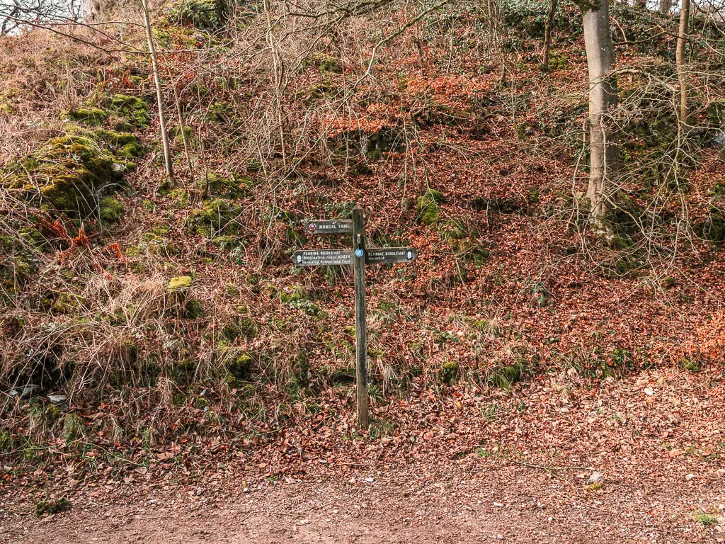
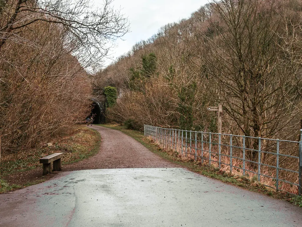
Walk back down to the Chee Dale trail
It’s a short walk along the path to reach the next bridge, where you will see a sign pointing left towards Chee Dale. Follow this, down some steep steps, then near the bottom you go right, then immediately left to get back alongside the river (river to your right).
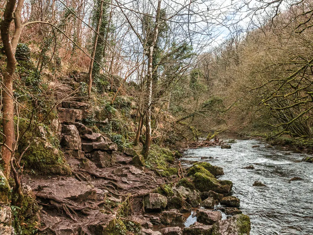
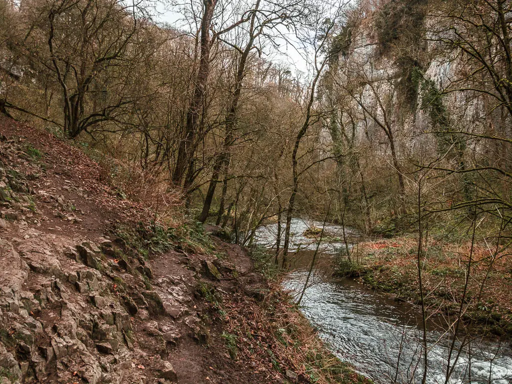
The trail along here is fairly narrow, and a bit muddy, and you will encounter your first section of slippy rocks.
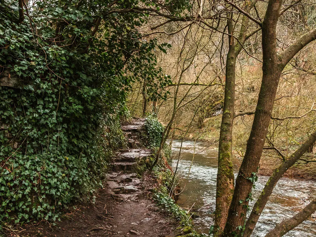
Then things start to open up, and you get a real sense that you are somewhere really special.
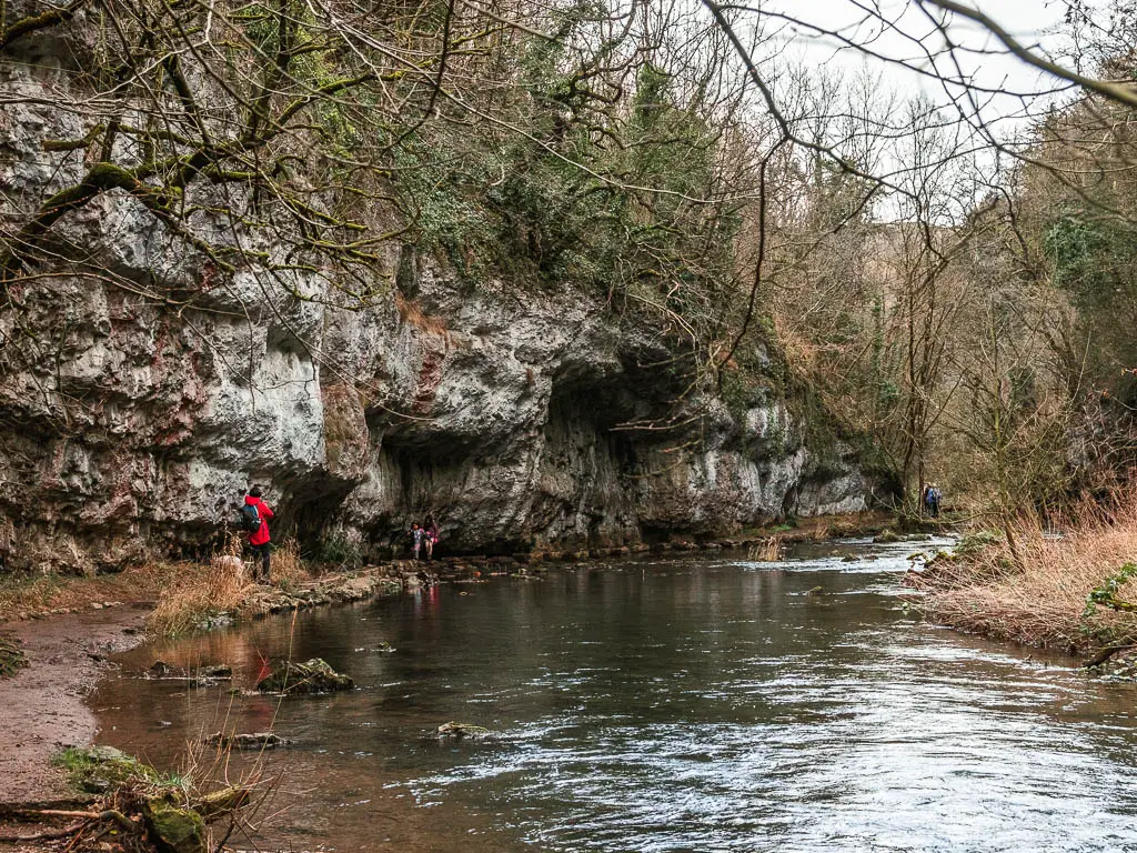
Walk along the Chee Dale Stepping Stones
Before you know it, you will reach the first of the stepping stones. They came a lot quicker than I was expecting.
This is also where I encountered my first people, and from this point, right up until I walked out of Chee Dale, they were a constant presence.
As I made my way to the stepping stones, I had to wait for some kids running up and down them to get off. Then as I took my turn walking across, one of them was running right up behind me, pretty much stepping on my heels.
I’m not gonna lie, I was a bit annoyed. Apart from feeling rushed, it was hard to take it all in and really enjoy this cool bit of the walk. My children tolerance level went down a little, and it was already pretty low.
Walk to the next Chee Dale Steeping Stones
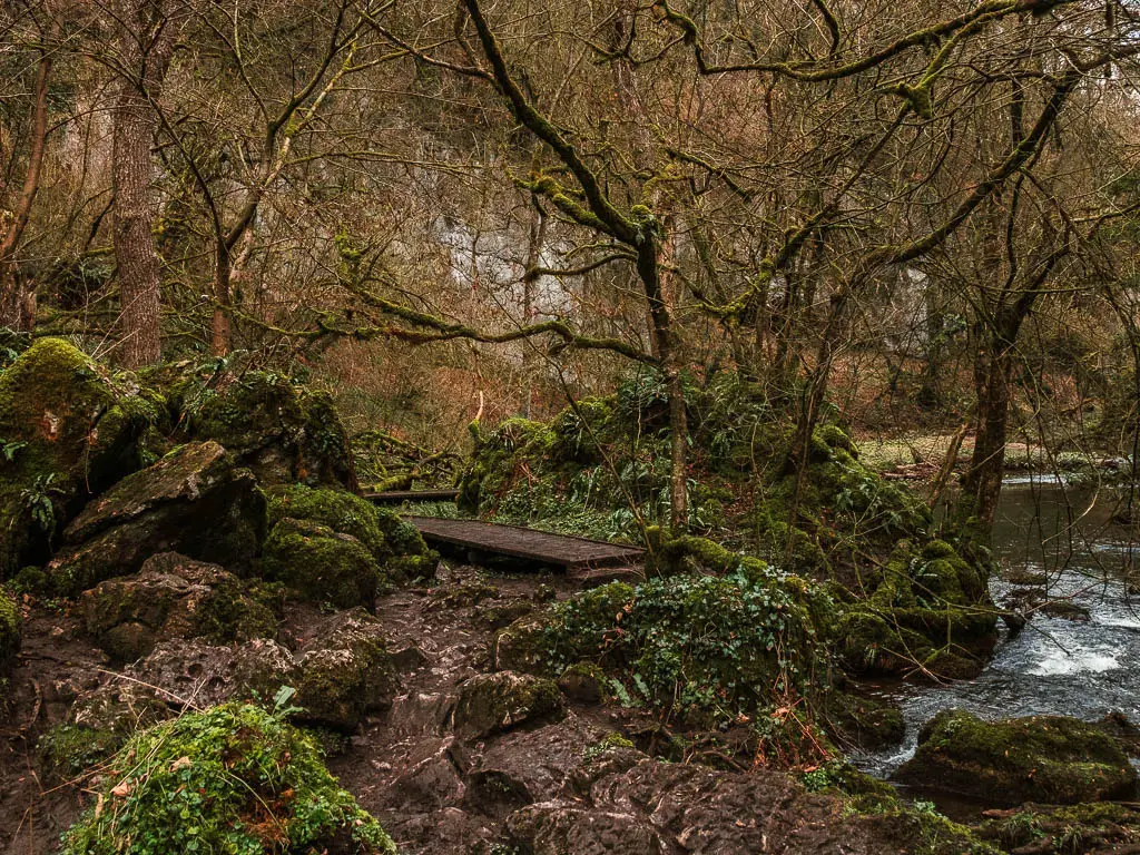
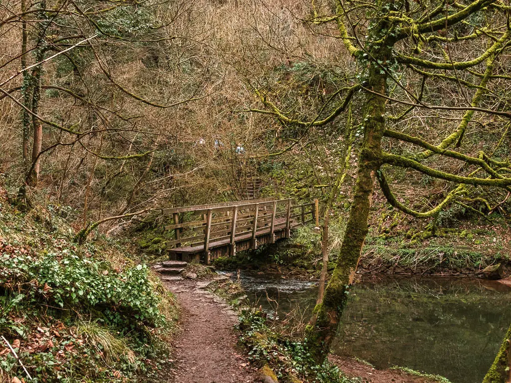
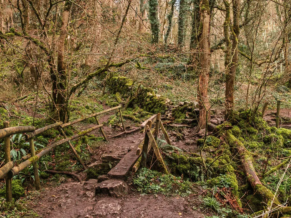
The next section of the walk is on dirt trail, to reach a little wooden bridge where you cross over the river.
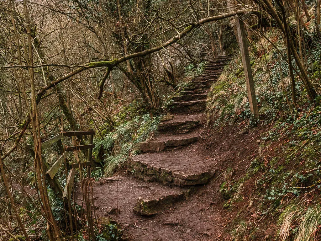
Next it’s up some rock steps, then at the junction partway up, make sure to take the left trail to walk back down and under the archway.
Once over the next wooden bridge, you will reach the second stepping stones. I was pleasantly surprised, as I wasn’t expecting them.
I was able to enjoy these ones more, due to no children present. However, with a group of people right behind me, I couldn’t stop for long.
The slippy part of the trail
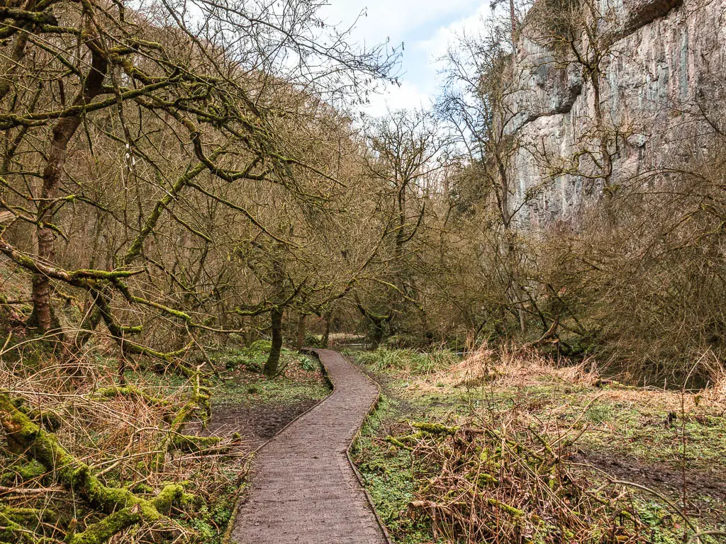
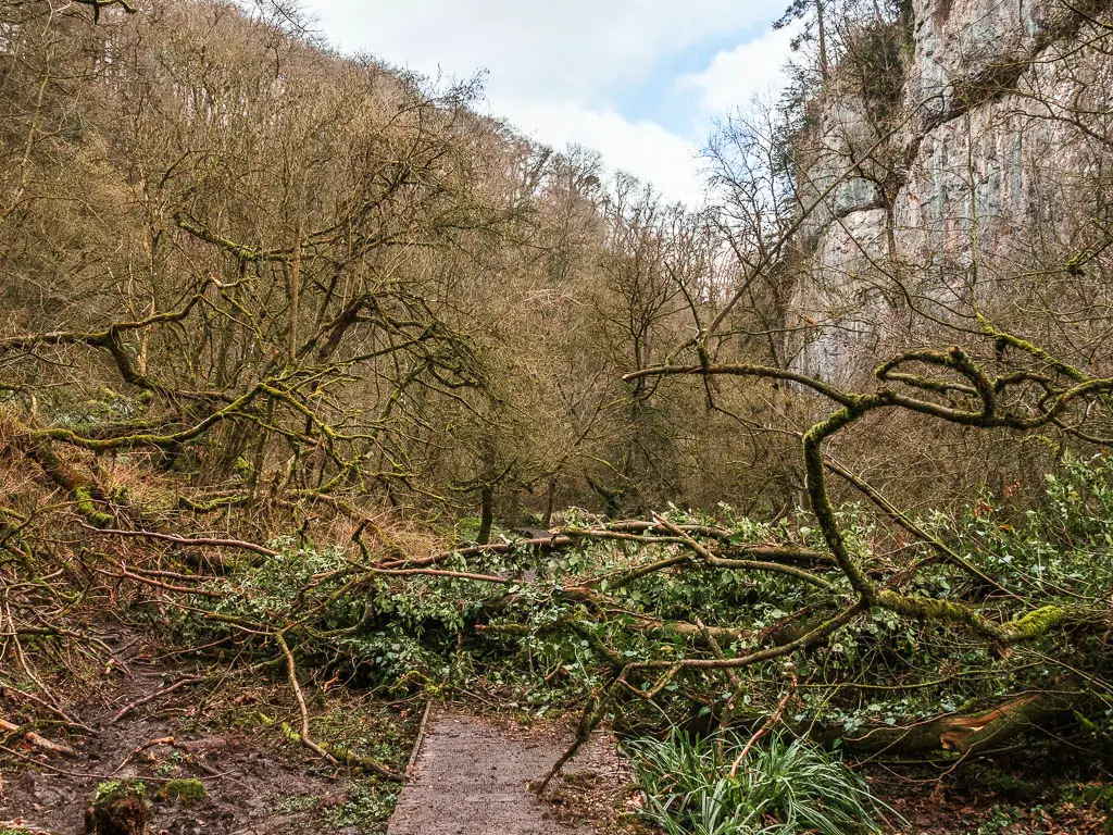
For the next section of the walk, you will have more slippy rock sections. Broken up with muddy trail, and easy plank walkways.
At the time of writing, there is a fallen tree along part of the walkway. Just climb over it. Then someway further along, you will have a steeper bit to walk up. Also slippy.
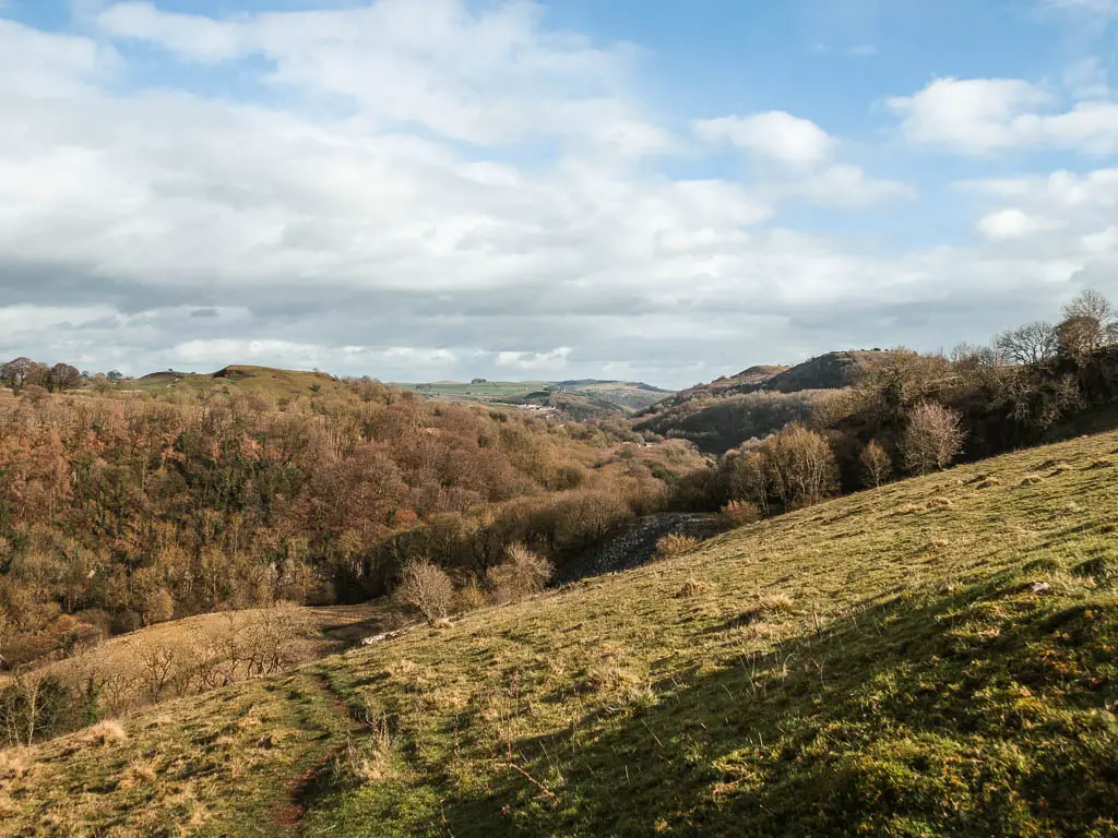
Once you reach the haggard bridge, take a right once over it, to now walk back through Chee Dale the other way along the River Wye.
Standing at the bridge and looking at where I had to go next, it did look like I was heading towards boggy marshland. I had a look at my map to check this was correct, and it told me it was, so I cautiously headed over in that direction. As I got closer, the trail did become more obvious….
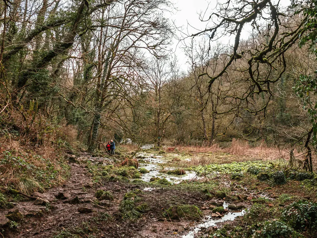
Along here, the trail is characterised by more mud and dirt, with more slippy rocks. It did look like this area might sometimes be under water. Particularly further along, where the trail levels out and you are out in the open.
My suspicion was confirmed when I passed a sign warning that this area is sometimes under water.
Walk up the hill
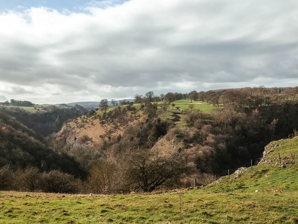
When you reach the bridge, go over it, and start to make your way up the hill. It’s a solid hill, and goes on much longer than you think it will. It is worth it though, for the views that come once you get higher up.
Once I reached the top, I realised I was quite far off my trail. I was too far right. So when walking up, try not to walk right too much.
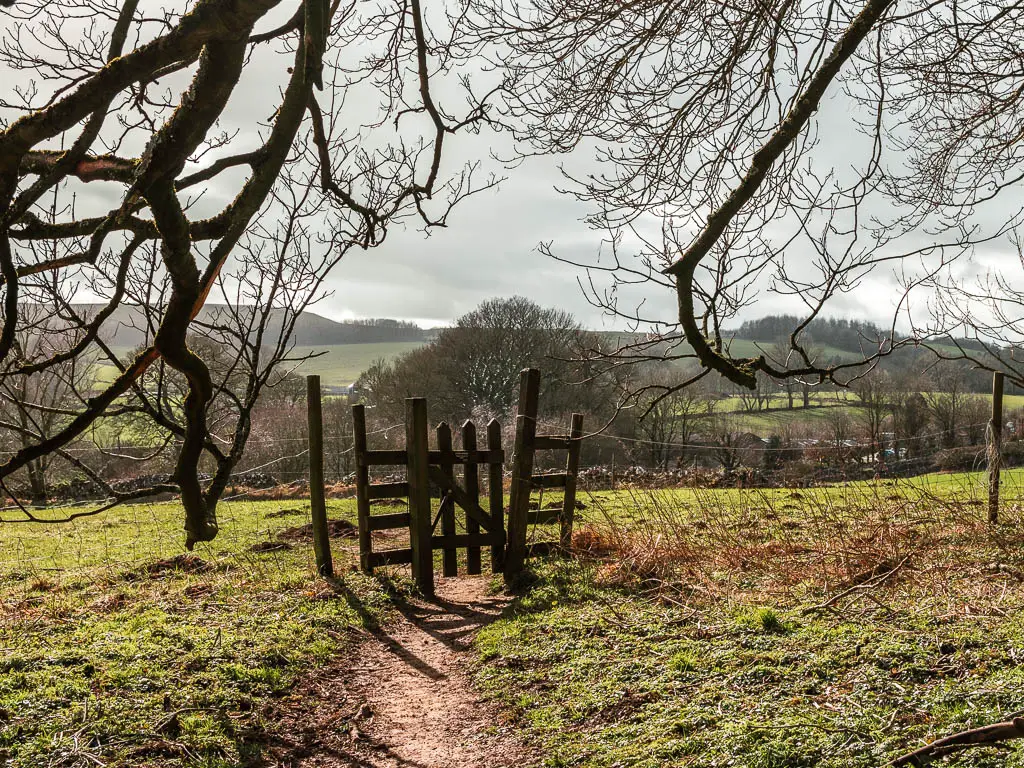
It doesn’t matter too much though, as once up the top, if you are too far to the right, once you hit the wall, go left, and follow it to reach the gate opening.
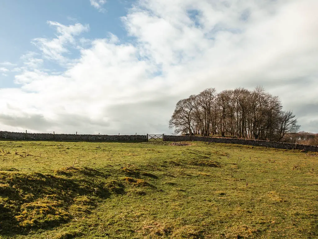
Walk through the fields and farm
As you continue the walk through the gate in the stone wall, you will have more lovely views, down into Chee Dale.
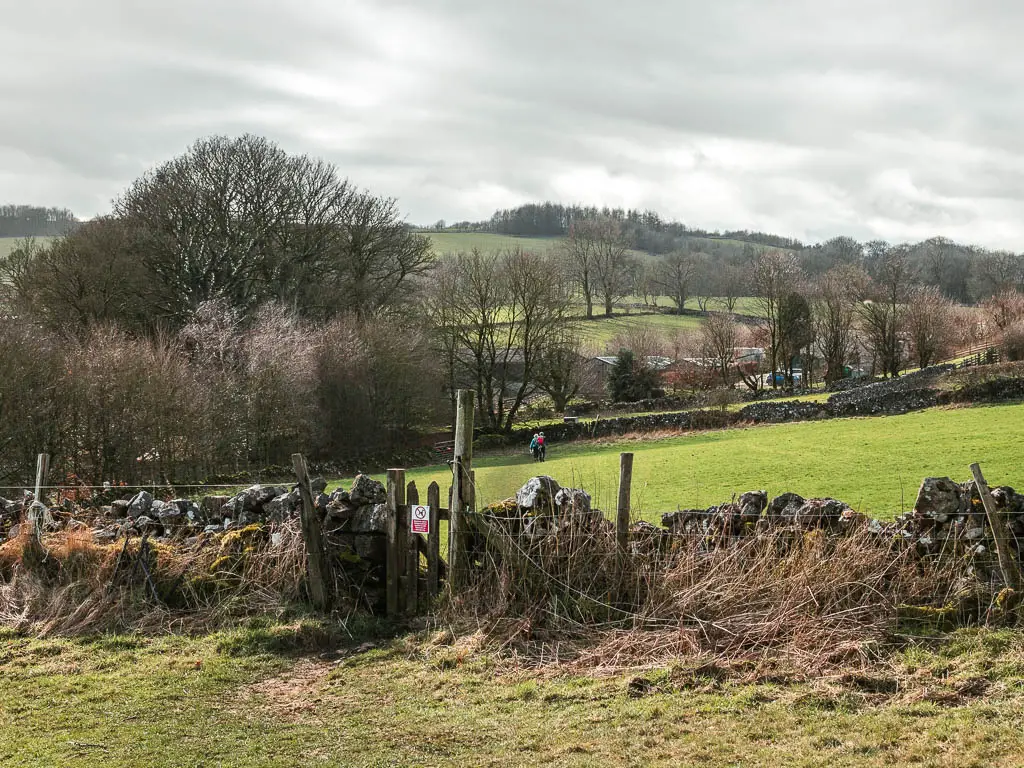
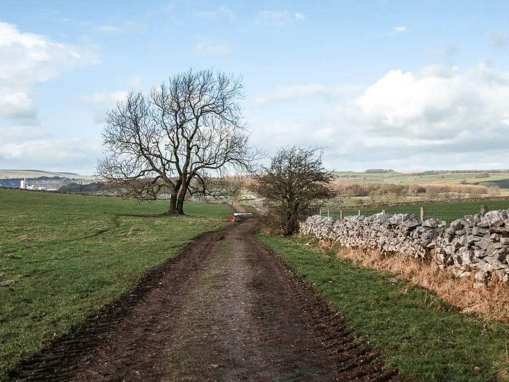
Follow the obvious grass trail to reach the next stone wall, where you go through a mini gate. You can see in the photo below, just head towards those trees in the distance.
Once you reach the end, follow the mud track to the right, and keep on this until you reach the farm buildings.
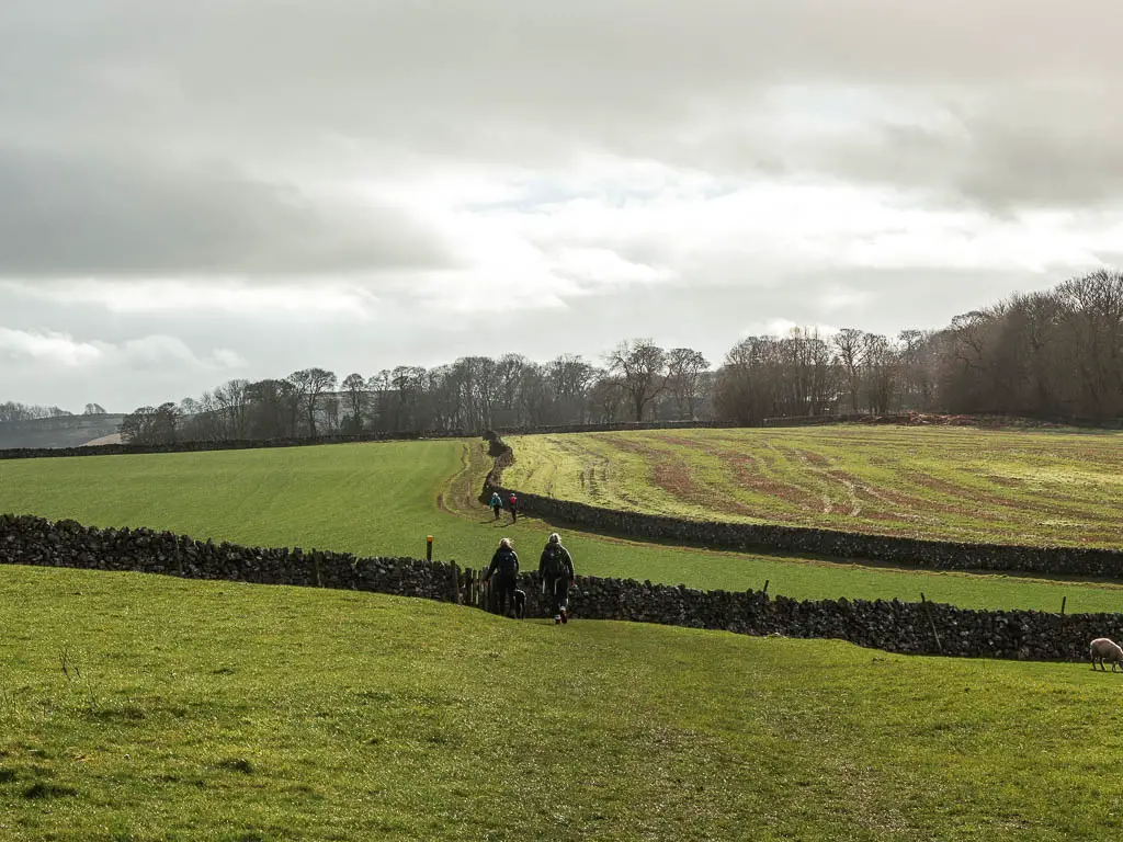
The next step is important. As you walk through to the other side of the farm, don’t take the road that leads away from it. There is a trail to the right (there is a signpost pointing there if you aren’t sure), which takes you through a gap in the stone wall, then a little further along, through a small gate and into a big field.
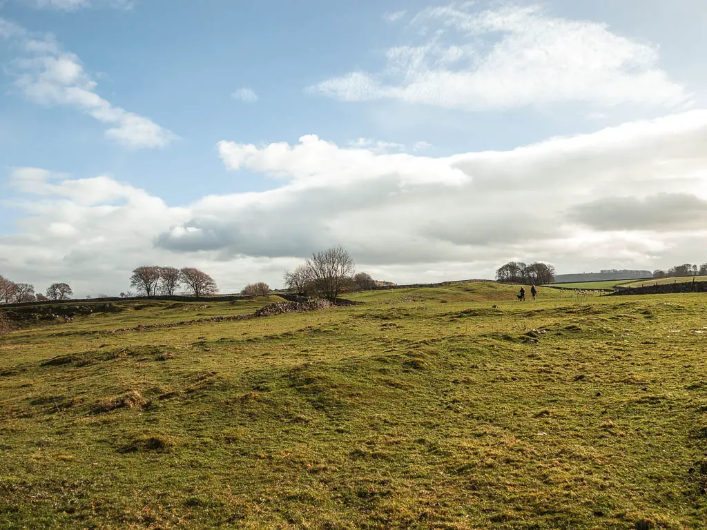
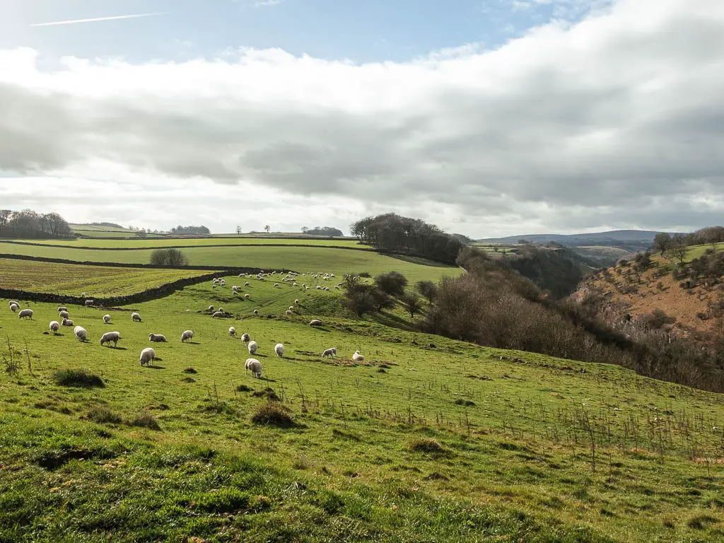
You will now walk sort of diagonally through a series of fields. Passing through small gates to reach the road. These fields do look like they could have livestock in at some point. I kept my eye out for the cows, which thankfully where not about.
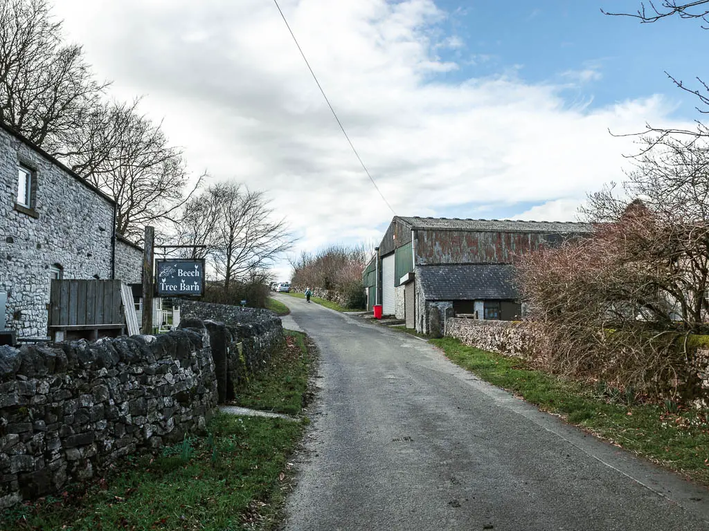
Walk past Beech Croft Farm and camping
At the road, turn right and keep going to reach Beech Croft Farm. Daisies Coffee shop is here if you want a post walk treat. The walk is nearly finished, so it’s the perfect time for it.
The final stretch of the walk
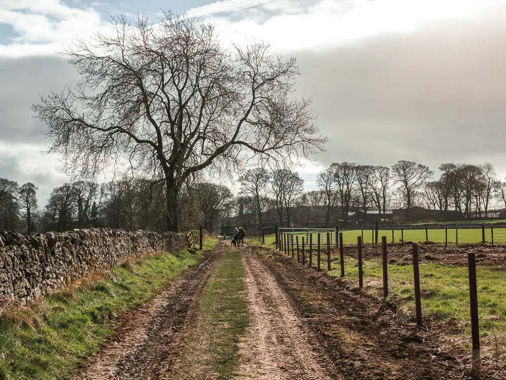
To finish the walk, a little further up the road from Beech Croft Farm, is a track off the right of the road, with a sign pointing to Chee Dale. Follow this.
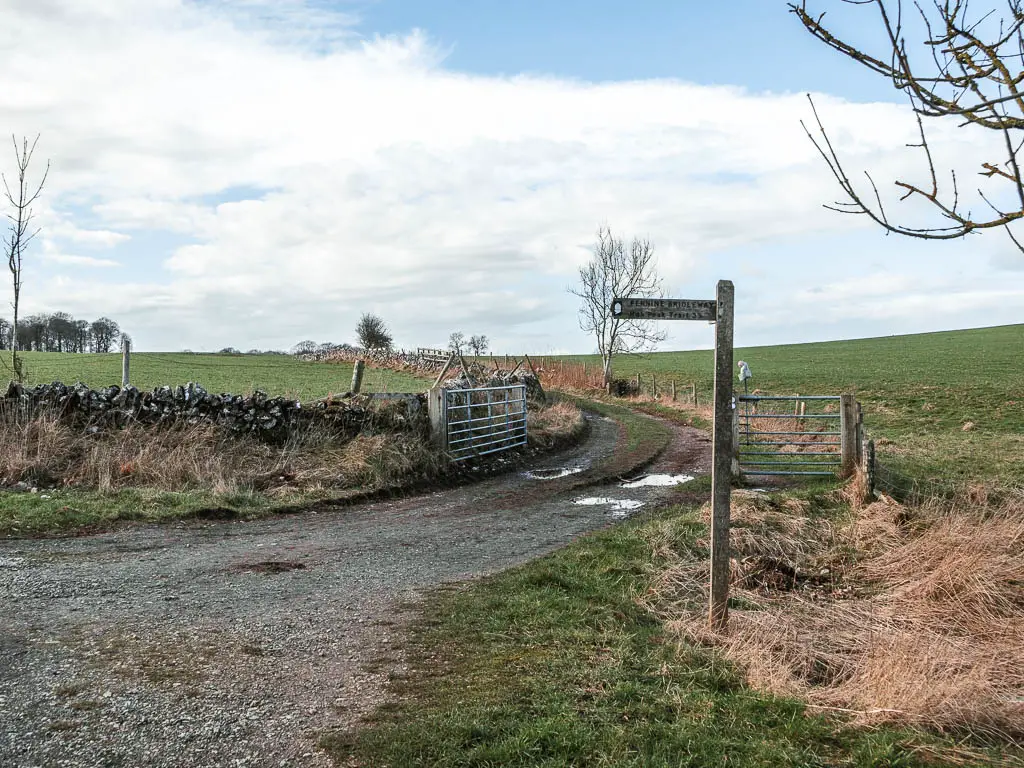
The next part is super easy to navigate. You just keep following the big dirt track, through a few fields, to reach the road.
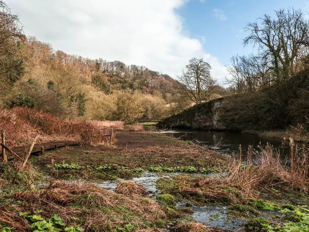
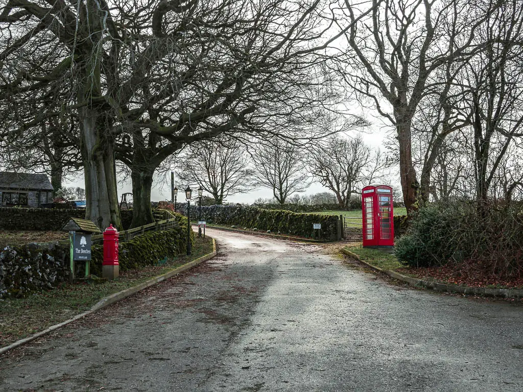
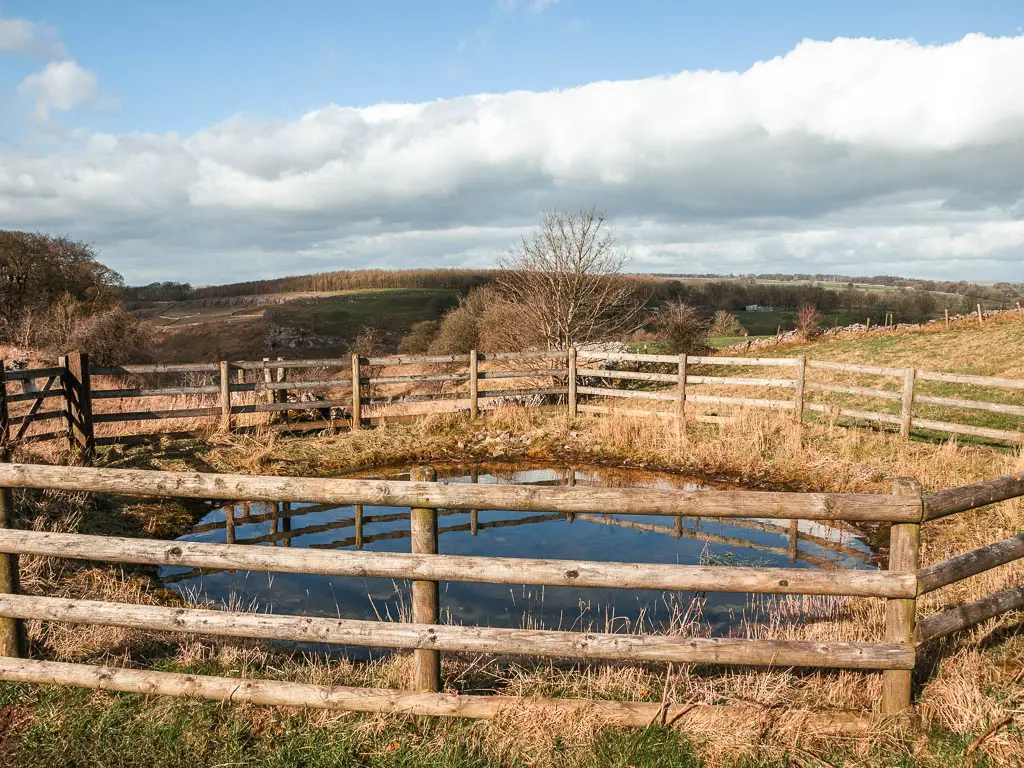
Don’t go right up to the road though. Just before the road, you will reach what is called the pond. I was fascinated by this fenced off pond. Why is there a fence around it?
Just past the pond, there is a gate and trail to the right. Walk along there and you will soon be walking along that valley trail from the start.
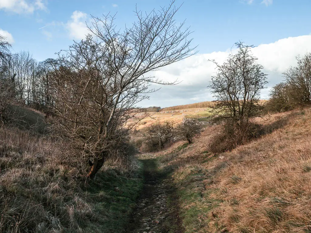
Unfortunately the trail takes you downhill, which means you need to walk back up to get to the layby. Make sure to not miss the turn.
More walks similar to Chee Dale
If you like walks that give you gorge valley vibes, then you have to try Lud’s Church or the route through Winnats Pass. Both are short walks. If you can only pick one, then pick Lud’s Church.
Cave Dale is another must see. You can walk it as part of the Mam Tor circular, which is a bit more challenging. Alternatively, if you want something quick and easy, you can access it directly from the village of Castleton.
For a similar length walk involving gorge and fantastic views, then head over to try this route through Padley Gorge.
If you would like to see a cave, then you should definitely try this one. Here I give you two route options to see it. the short easy way, and the longer way through the valley.
For more in the Peak District, then check out my guide on all the walks and hikes I recommend here.
Pin it for later: Chee Dale and the Stepping Stones walk guide

4 comments
Stunning photos
thanks mother
Great blog.
Thank you 🙂 🙂