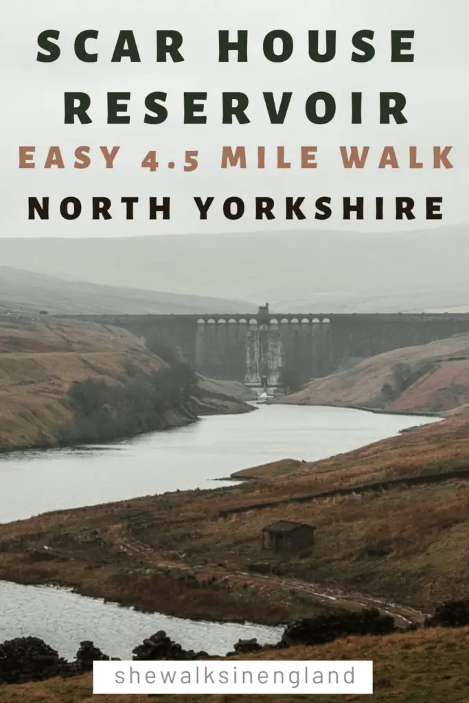
The first thing I thought, as I made my way to Scar House Reservoir for the walk, was how wonderfully remote and peaceful it is. I approached from the moors above, and descended down a nerve racking steep winding road, with the most incredible views ahead of me. I was literally gasping at the beauty. It was Easter weekend, yet, it felt like I was the only person in the world. I had passed no one for miles.
Turning onto the road for the entrance for the reservoir, it was another three miles to actually get to it. On a quiet road that cut through the middle of the valley.
Once I arrived though, I found all the people. It felt a little like we were all in on this hidden secret.
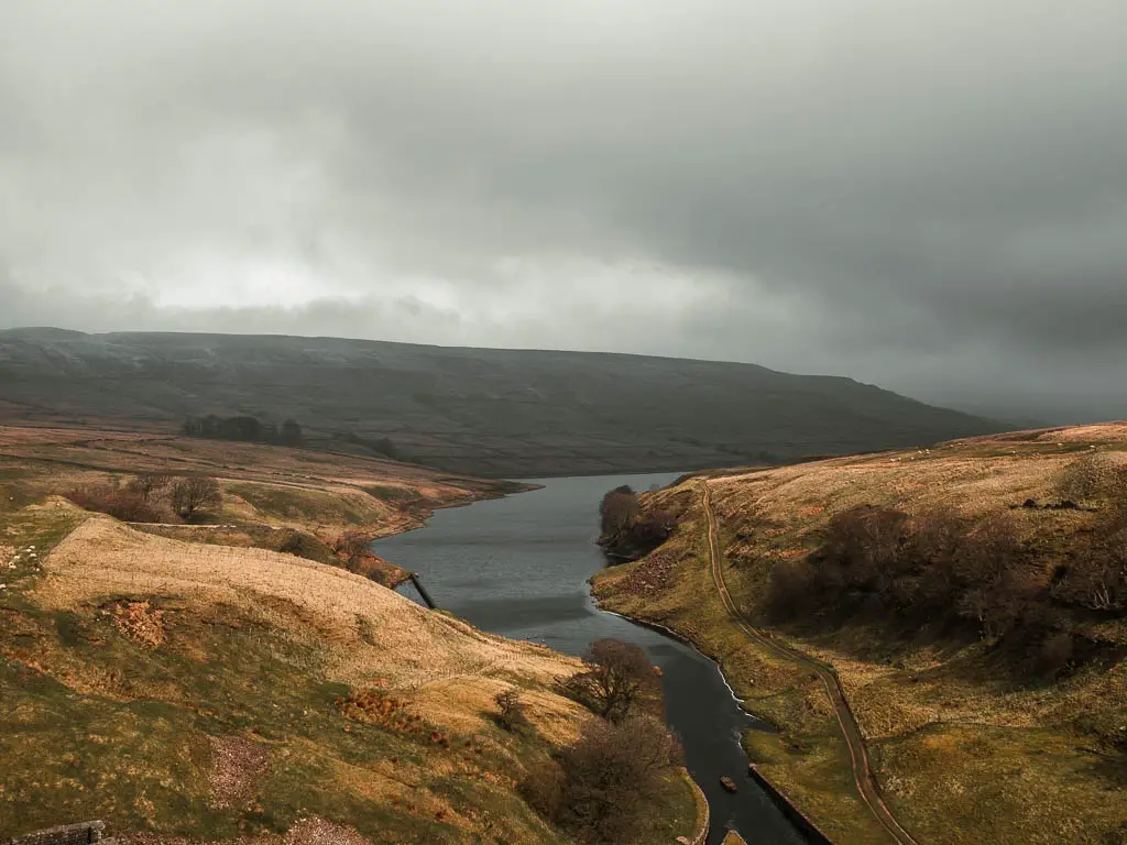
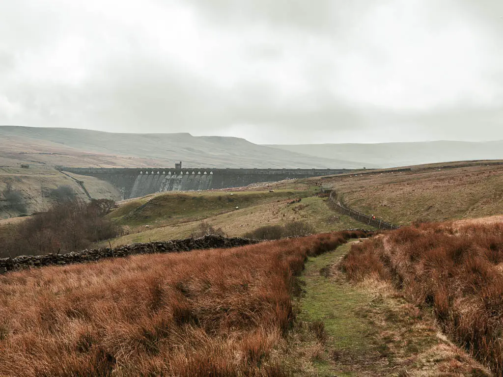
Scar House is now tied first as my favourite reservoir to walk around (Grimwith being the other).
I hadn’t planned to, but I have been slowly making my way around Yorkshire Water’s Reservoirs. I had already done four of them (and after the Scar House Reservoir, I went and walked another on the way home). So that now makes 6.
In this guide, I’m going to give you a bit of an overview of what to expect on the walk around the Scar House Reservoir, with logistics, a map, and some tips. Then I will go on to describe the route step by step with photos.
How long is the Scar House Reservoir walk?
The circular walk around the Scar House reservoir is just over 4 miles. Some people add in the Angram Reservoir (which is right next to it), which would bring the distance to just under 7 miles. However, I decided not to. I had read a lot online about how boggy the Angram route is, and that it’s the least nice bit when combining the two.
What to expect when walking around the Scar House Reservoir
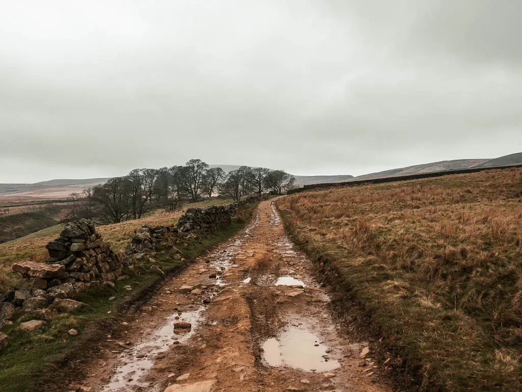
There is a path you can walk on, all the way around the Scar House Reservoir. Part rugged, part not so rugged. The rugged section I thought was wonderful. You have a really beautiful view across the water, to the moors rising up on the other side. You will pass by a bit of history, with the ruins of an abandoned farming community. As you cross over the dams, you get a dramatic view looking over on each of them.
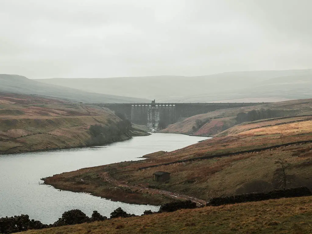

The not so rugged section is along a type of road, but it’s not bad at all. You will still be on the reservoir edge, with lovely views across the water. It’s not a public car road. The only thing that passed me on it was a tractor.
Is Scar House Reservoir pram friendly?
One side of the Scar House Reservoir is pram friendly, the other side is definitely not. As you approach the reservoir from the car park, stay on the same side and walk along there.


You can cross the bridge dams, and there are some nice views if you do, however, you won’t be able to go much further once on the other side.
If you want something family friendly, head over to the Swinsty Reservoir. It’s a bit shorter, and the path all the way around is not quite as rugged. If you want to stretch your legs a bit more, you could double it up with the Fewston Reservoir, which is right next to it.
Is the Scar House Reservoir walk dog friendly?
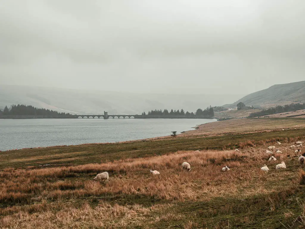
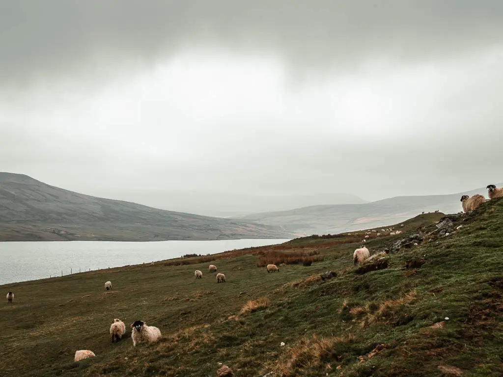
The Scar House Reservoir is a popular place for dog walkers, however, there is a lot of livestock about, so they must be kept on leads. There are dog poo bins. No Stiles.
Another popular one for dog walkers is the Thruscross Reservoir. This route takes you not only alongside the reservoir, but also across the moor.
Tips
- You could probably get away with trainers. The only bit that might be of concern, is as you approach the dam between the two reservoirs. This section is grassy and boggy. There were some puddles on other bits of the trail, but these a navigable.
- If you have come with a pram, as mentioned, just stick to one side. However, I would still recommend going onto the bridge dams to see the views.
- There is no phone signal, so do what ever you need to do online before you get there.
- Along the first bridge (dam), the wall is high, so only tall people can properly see over. However, they have thought of this, and there are a few points with steps so you can take a look.

Logistics
- Start/Finish: Scar House Reservoir car park
- Where is it: The Scar House Reservoir is located in Nidderdale AONB, just north of Pateley Bridge. Post code for the car park is HG3 5SW.
- Public Transport: Yes. But just on summer Sundays and Bank holidays in certain months. You can check out the bus timetable here.
- Distance: 4.4 miles
- Time: 1h 25min
- Difficulty: Easy
- Terrain: Rough and uneven dirt trail, rocks, grass, road
- Dog friendly: Yes. On lead.
- Pram friendly: One side is, the other side isn’t.
- Amenities: Public toilets and a cafe at the car park (I’m not entirely sure, but I have read that the cafe is just for weekends). At the time of writing, the car park is free. Picnic benches at the car park, and viewpoint benches along the route.
- Time of year: I walked it in early spring
Map for the Scar House Reservoir circular walk
My more detailed route map for the Scar House Reservoir circular walk can be found on AllTrails.
If you fancy something a bit different, you could try this route to Druid’s Temple. It’s like a mini Stonehenge, only not as old. It’s also located in Nidderdale.
For more local walking ideas, check out my best walks in Nidderdale guide here.
A guide to the walk around the Scar House Reservoir
From the car park, walk down towards the building, and follow the path through the grassy picnic bench area. At the road turn left.


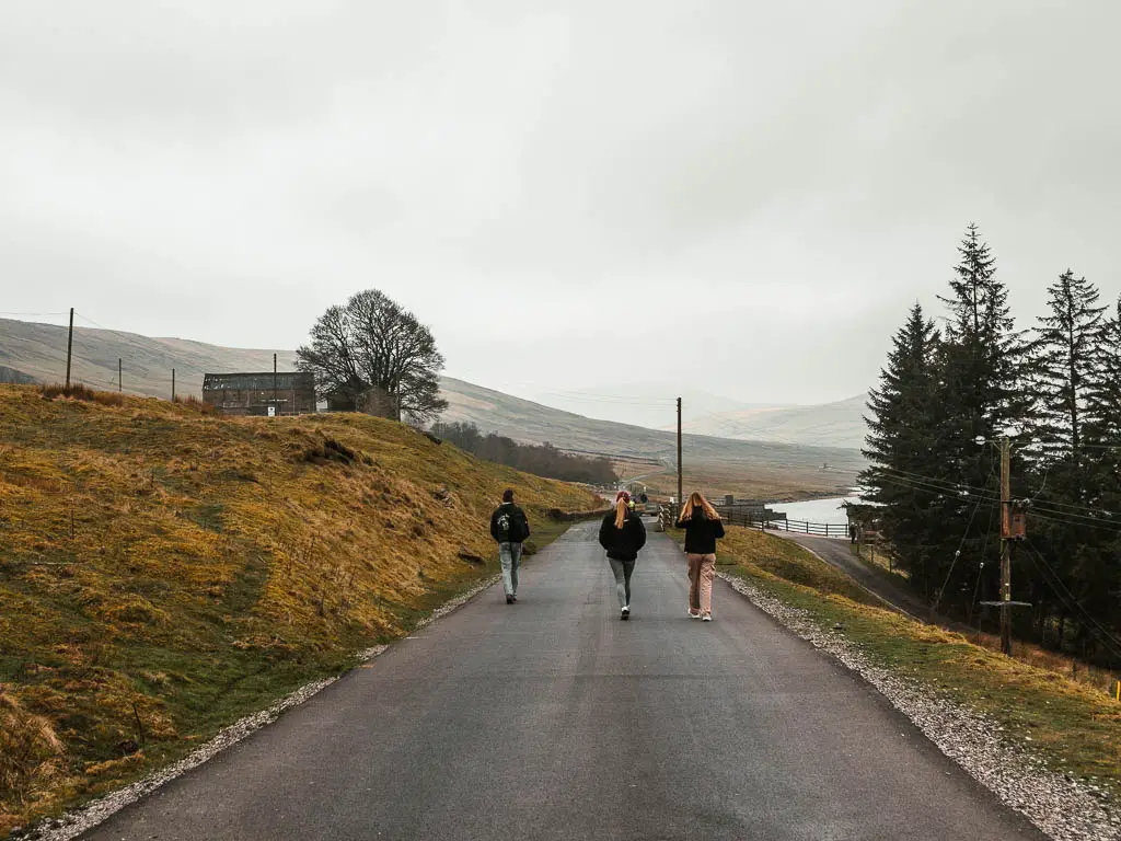
Now continue walking straight until you reach the Scar House Reservoir.
Once you reach the reservoir, you can choose which side you want to do first. If you aren’t with a pram, then I recommend going over the bridge dam to walk on the other side of the Scar House Reservoir. It’s a lot more scenic over there.


The dam
As you walk across the dam, when you see the little steps, go up them to look at the view. It’s pretty cool. A mass of trees, with the moor hills rising beyond.

On the other side, turn left.
There are two trails here. At the time of writing, the trail along the reservoir edge is closed. But that’s ok, because the other one is really good. So take it.

Walk along the rugged edge
This section of the trail along the Scar House Reservoir is nice and rugged, just the way I like my walks. First uphill, and then undulating, with lots of sheep grazing.

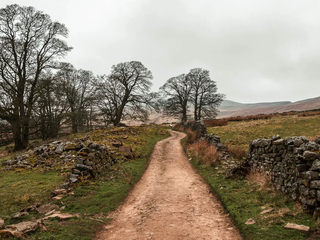
You will get a lovely view back to the dam, and there are a few stone wall ruins thrown in to add to the mood.

As you get further along, you will get a view to the Angram Dam in the distance.

Lodge
Once through the metal gate, you will reach Lodge. Not ‘the’ Lodge. Just Lodge.

Lodge was a small farming Hamlet, which was abandoned in the 1920’s. It is thought that life started here with a farm in the 13th century.
The original buildings are now gone, but what you can see are the ruins of the farms from the 1800’s.
This is a summary of what the information board told me.
Walk to the Angram Dam
Slightly further along, you will reach a junction. Turn left to continue walking alongside the Scar House Reservoir.
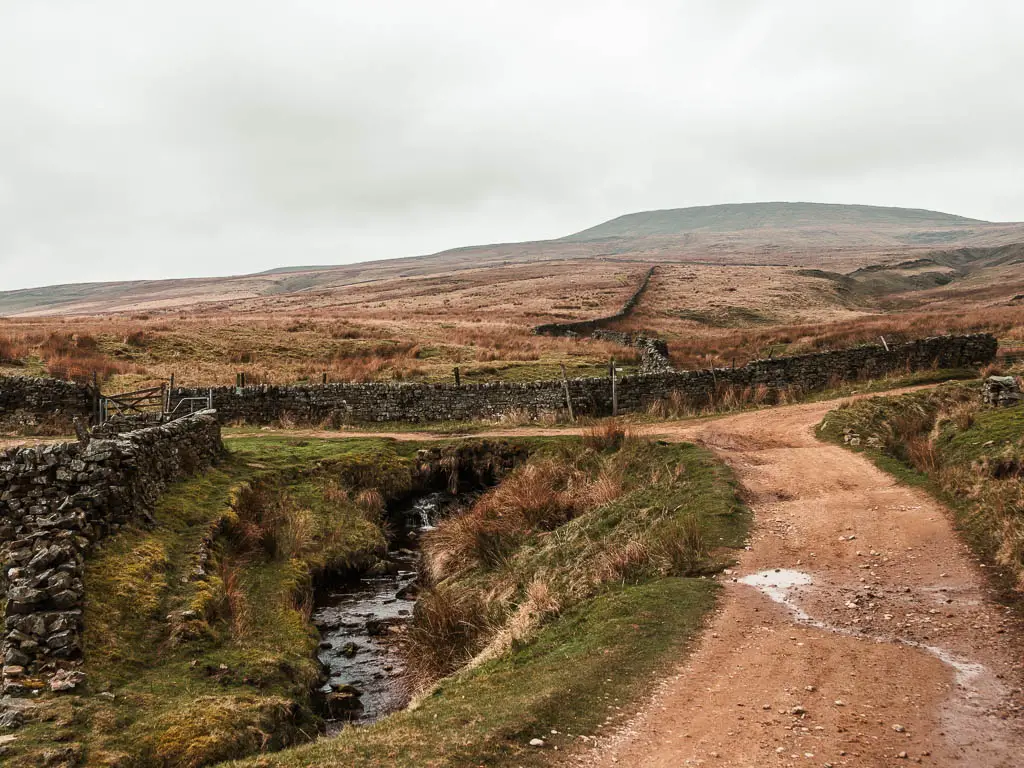
At the second lot of gates, take the one on the right (the other one is currently closed anyway). You will now walk along the grassy (and maybe boggy) section.

Keep following the grass trail, to reach the dam, where you cross over it.

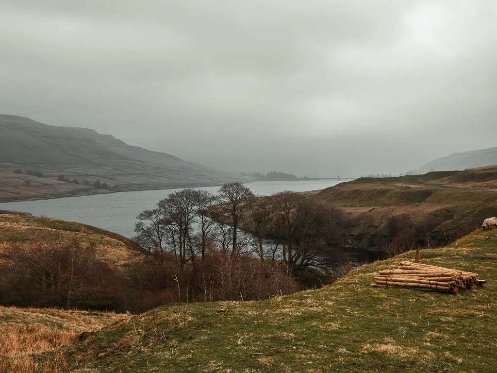

As you walk across, make sure to take a look to the left, across the Scar House Reservoir, for a really lovely dramatic view. The view to Angram on the right isn’t quite as dramatic.

Walk along the other side of the Scar House Reservoir
Over the dam, turn left to walk back along the other side of the reservoir.

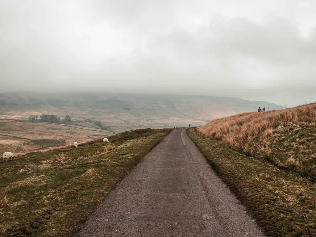
This is more of a road type path. Well maintained and easy. It’s a shorter distance than the other side, which is just as well because it’s not quite as exciting. It’s not bad though. I like when a walk finishes off a bit easier, as it gives me a chance to reflect on what I have just done.
In this instance, I had a lot of good stuff to think about.
Pin it for later: Scar House reservoir circular walk guide

