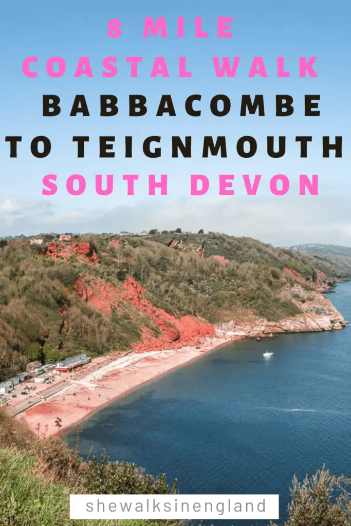
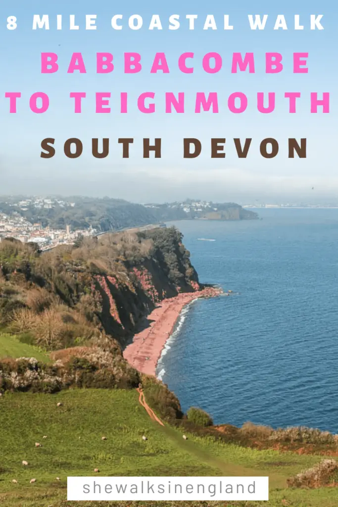
This coastal walk near Torquay in Devon, takes you north from Babbacombe, past lots of beach coves, and up to Shaldon, where you can catch a little boat across the water to Teignmouth.
It’s a very hilly walk. Comparable to the Kinsgwear to Brixham coastal walk. The difference is, it’s a bit shorter, and the hills are slightly less aggressive, so a bit more manageable.
Teignmouth is actually across the water from Shaldon, however, I decided to end the walk at Teignmouth for 2 reasons.
- Teignmouth has a train station.
- Catching a little boat is fun.
This post uses affiliate links. You can read the privacy policy or disclaimer for more info.
What to expect on the coastal walk from Babbacombe to Teignmouth
As mentioned, it’s very hilly. Also, if you want to venture to some of the little secluded coves, you need to walk off the coast path and down. They are dead ends, so you would then need to come back up again. You can decided along the way if you want to take those extra challenges.
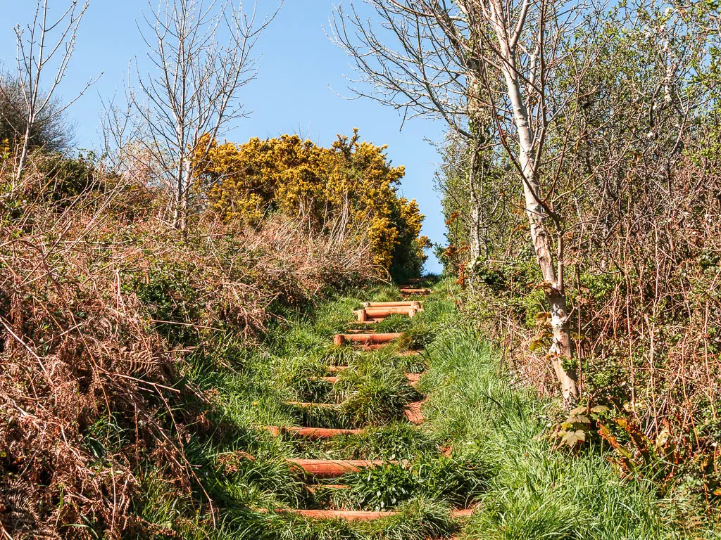
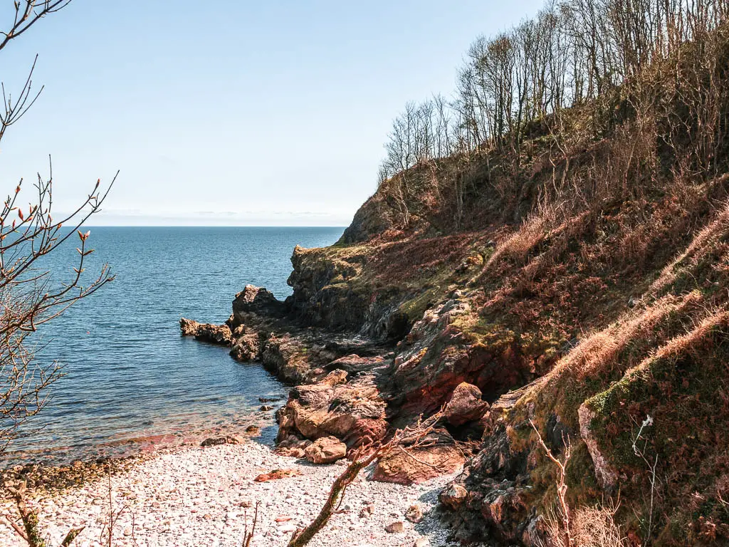
The walk is also mostly through woodland, there are some open areas, but the majority is woods. It does mean you don’t get as much views as you would think for a coastal walk, however, there are many points with openings to see the views, and a few big open areas, where you get all the view goodness. I even saw some seals.
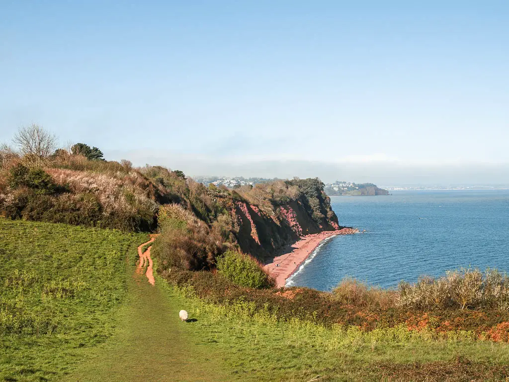
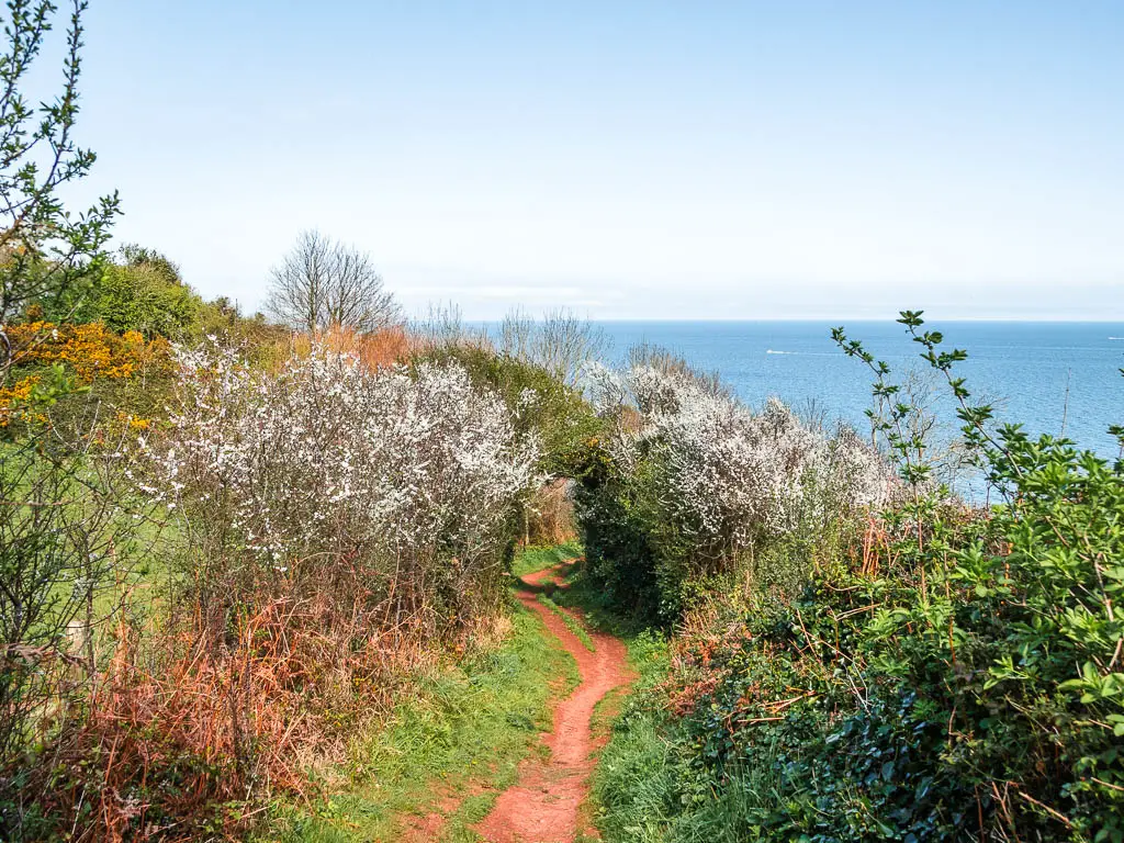
The little boat at the end is also a nice little addition.
Fun fact: The boat crossing between Shaldon and Teignmough, is Englands oldest passenger ferry.

Is the coastal walk from Babbacombe to Teignmouth easy to follow?
Pretty much. It’s a coastal path. There are a number of junctions, but they are all signposted. Just keep following the little acorns, yellow arrows, or the words ‘coast path’.
At Shaldon, to catch the boat across to Teignmouth, it’s somewhere along the beach. I walked straight past the pick up point looking for an official office of sorts. Turns out it doesn’t exist. Once suitably confused about where to go, I noticed a little boat pulling up to the beach further back with a bunch of people on it. That looked like it could be it, so I ran on over to catch it. At the time of writing, it cost £2 to cross (see tips for more details)
Logistics for the coastal walk from Babbacombe to Teignmouth
- Start: Babbacombe Downs
- Finish: Teignmouth
- How to get there: For Babbacombe, you can catch the number 22 bus from Torquay. It’s a short journey, maybe 10min. The 22 will also get you from Shaldon back to Torquay, but you’re looking at more like 45 min. Teignmouth has a train station on the Great Western Railway line. You catch a train back down to Torquay from there.
- Distance: 8 miles
- Time: 3h 30min
- Elevation: Highest point is 135m. With the ups and downs you will have walked up about 551m.
- Difficulty: Challenging
- Terrain: Dirt trail, grass, clay mud, a small bit of road
- Amenities: Babbacombe has a number of cafes/food places and supermarkets. Maidencombe Beach has a cafe. Shaldon has a few pubs and cafes and fish and chips. Teignmouth is a bigger town, so has everything.
- Option to shorten the walk: Yes. At Maidencombe, the halfway point, you could walk to the main road to catch the bus.
- Time of year: Spring
Tips for the coastal walk from Babbacombe to Teignmouth
- Take cash. The little boat from Shaldon to Teignmouth only takes cash. I learnt this the hard way. What is cash? The guy was nice though, and let me off.
- The little boat between Shaldon and Teignmouth runs from 10-6 daily, however this is subject to change based on weather and sea conditions etc. The crossing takes a couple of minutes.
- Wear good grip hiking boots/shoes. There is one section in particular which is very steep with slippy mud clay. I was wearing fantastic grip shoes and slipped a little. This section is one of those detours I mentioned, so you can skip it. I will show you which bit it is.
- Stop for food and drink in Shaldon before getting the boat over to Teignmouth. I noticed when I walked by that the Ferry Boat Inn looked pretty popular. I have since checked online and all the eateries along the beach have excellent ratings.
- Add to the adventure by joining a guided sea kayaking tour from Teignmouth.
Map for the coastal walk from Babbacombe to Teignmouth via Shaldon
More walking route ideas near Babbacombe and Teignmouth will be at the end
If you are staying near Torquay, and want to see the coastline from the other side, you could try this private boat tour which takes you to Babbacombe, all the way to Berry Head.
A guide to the coastal walk from Babbacombe to Teignmouth via Shaldon
I actually came out to do this walk the day before. Having just finished the Agatha Christie Walking Tour, I then jumped on a bus from Torquay to Babbacombe. I arrived to this:
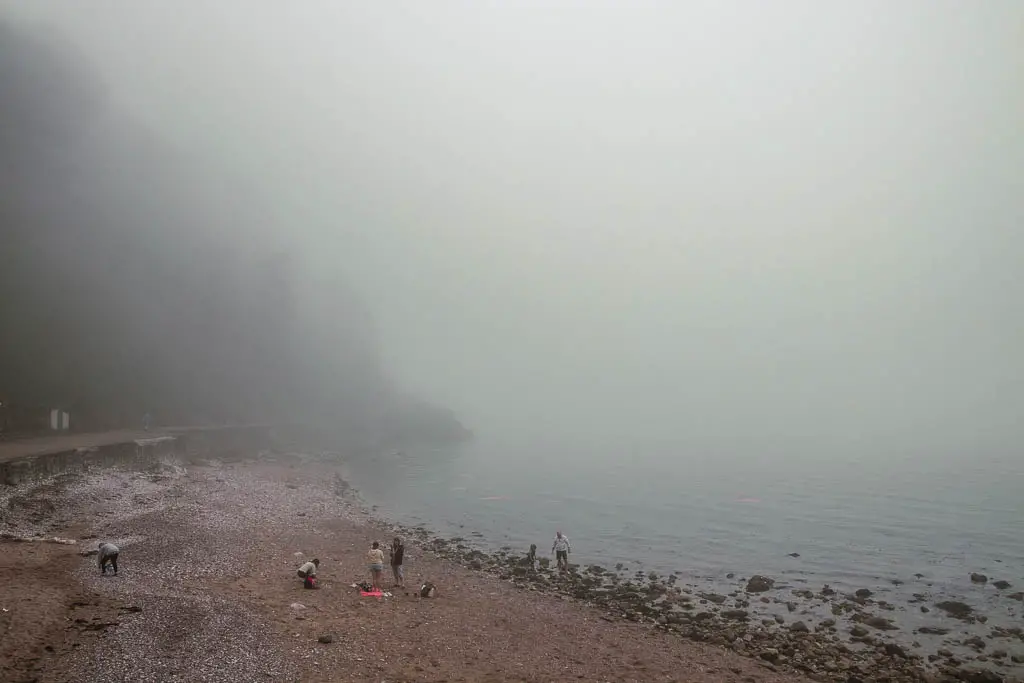
This would mean no views. I always want the views. So I left and went back to Torquay to walk to Cockington instead.
I came back today to try again. In Babbacombe, you need to walk down to reach the beach. The walk back up from Babbacombe Beach is very very steep and long. I had now done that uphill twice in the past week or so, and my leg was hurting. I chickened out and went to start the walk from Babbacombe Downs instead. Saying that, I was not sad at all, as the view from there is incredible
Leg update:
So, I spoke a bit in my Kingswear to Brixham walk guide about how my leg was starting to twinge again. For anyone not up to speed, in Layman’s terms, I have been suffering with tendon issues around my shin and ankle. I did that walk 3 days ago. Yesterday, when I set out for a day of walking, funny enough, that issue wasn’t too bad. What I had now was a new pain. This one was hamstring related. On the flats and downhill I’m fine. As soon as I go up, it lets itself be known. I discovered today, that walking uphill backwards didn’t hurt. So that’s what I did. I walked up the hills backwards. I will let you know how that went when I describe the walk below.
Start the walk to Teignmouth from Babbacombe Downs
When you arrive in Babbacombe, make your way to Babbacombe Downs. From here, you get a fantastic view along the coastline and down to Oddicombe Beach.
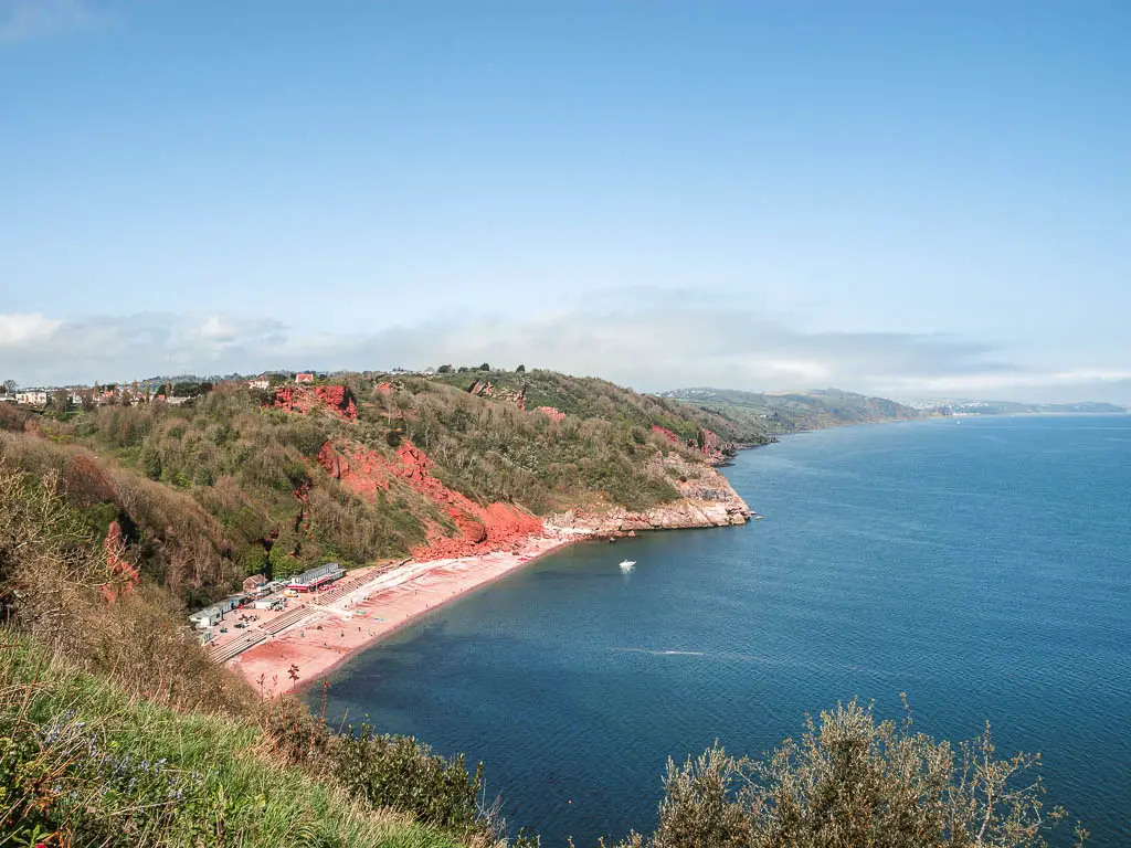
Walk through the green, and when you reach the road that goes downhill to Oddicombe Beach, stay up here on the road, and then take the next path on the right behind the railway cafe.
Of course, you can walk down to Oddicombe Beach, but you will need to walk back up again to get back on the trail.
Sticking to this trail, walk towards the Babbacombe Cliff Railway and then along the path to the left of it.
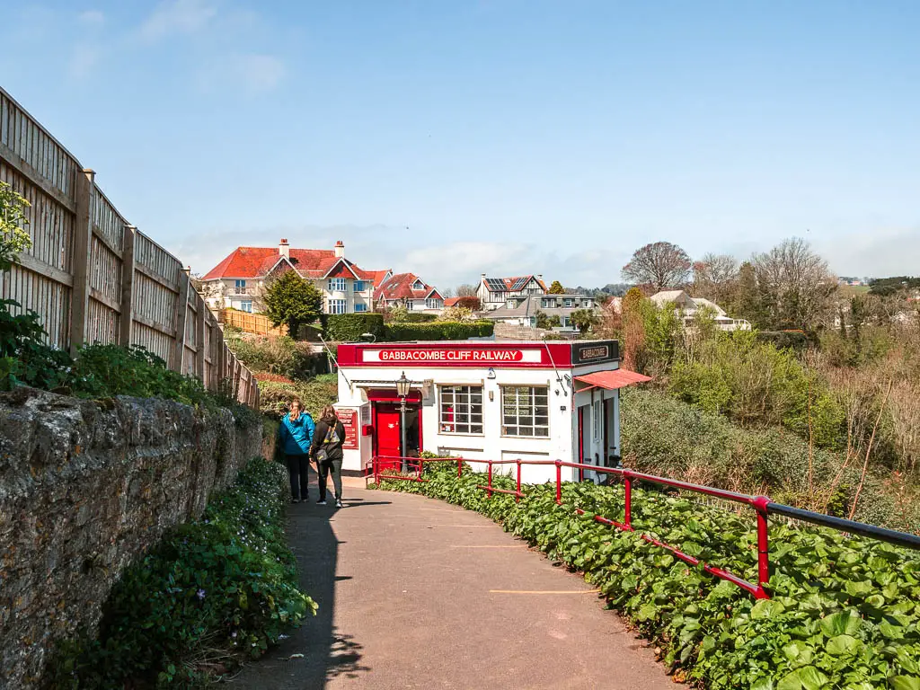
Walk on some roads to reach Petit Tor
This path leads to a residential road, and then onto the main road. Go through the car park ahead to the left, and walk past the Babbacombe Model Village to reach the road again.
Turn right on the road, and follow the path through the green. This will lead you to a roundabout where you should see a coast path sign pointing right.
Follow this right turn, and it will lead you along a long road, to reach a big green area. Ok, that’s enough road walking for now. You will also now be at a point where you can stay on the coast path or take a detour to a hidden cove.
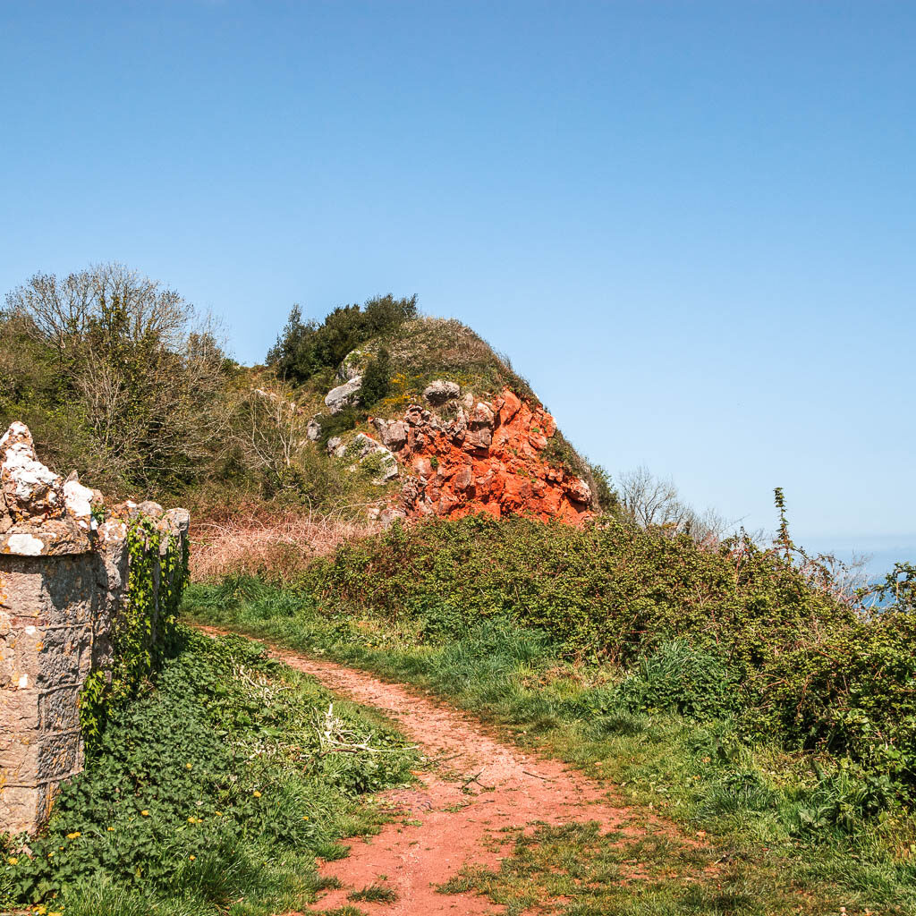
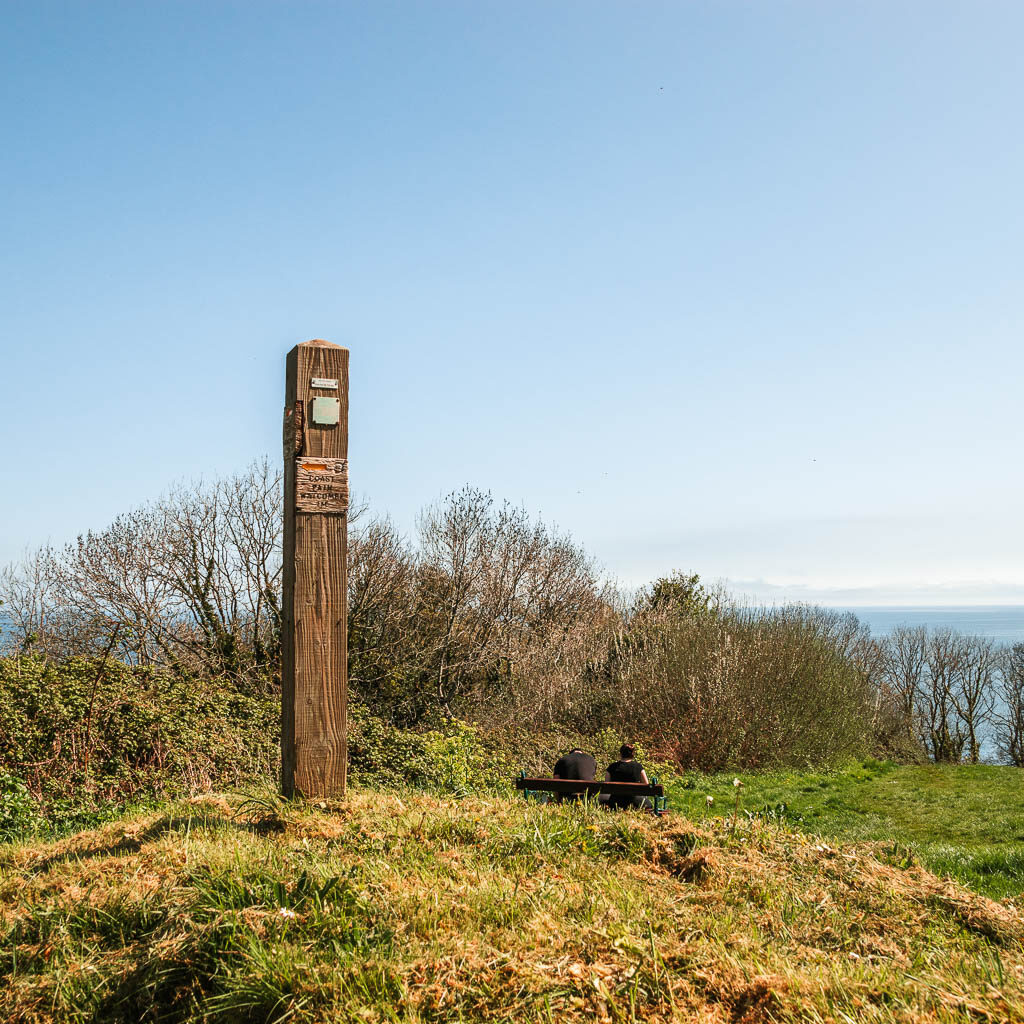
Walk to Petit Tor Beach
If you want to go and see the cove, walk straight downhill through the green. At the bottom of the first downhill, you will reach a lovely space with a viewpoint bench and a view back to Babbacombe.
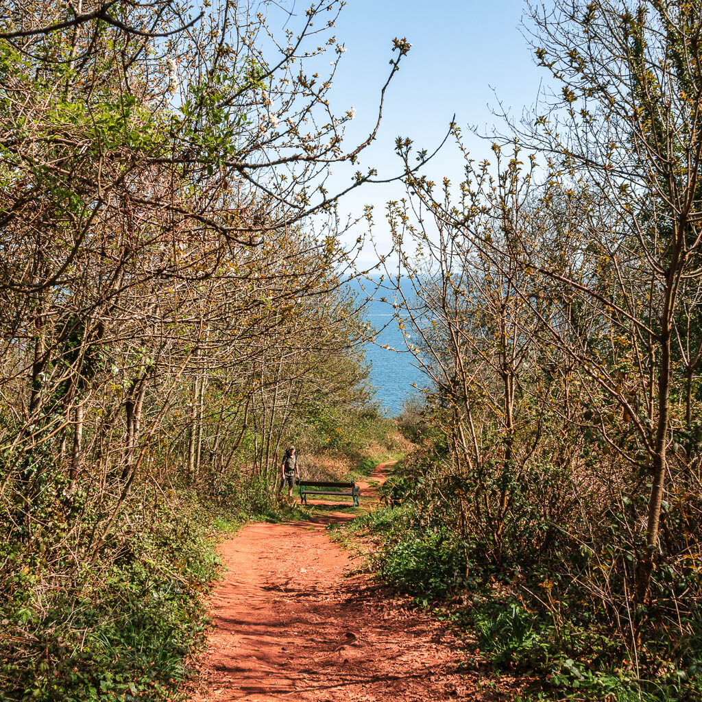
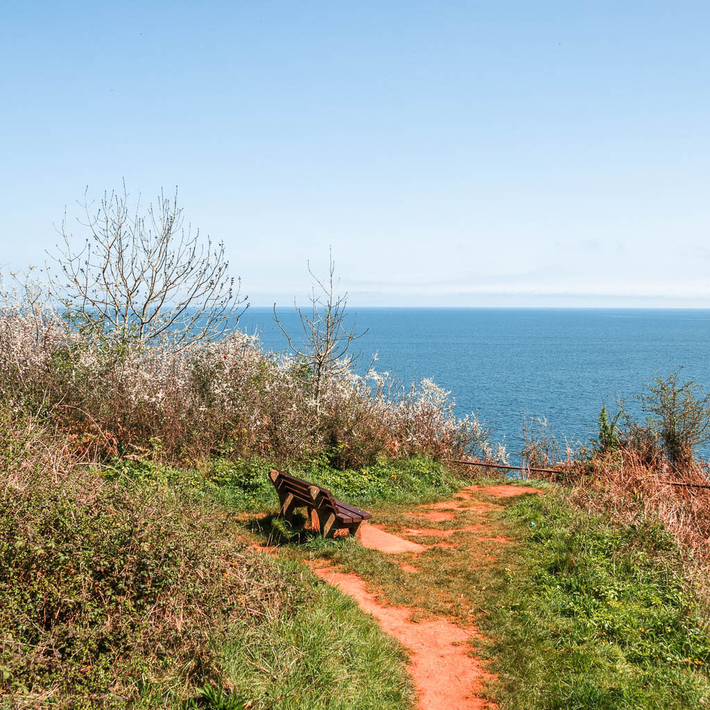
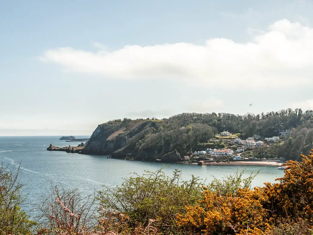
The next bit gets a bit hairy. To continue to Petit Tor Beach, turn left and follow the trail down. At first it’s quite simple through woods, and you will reach a point where you get a lovely view down to the beach cove through the trees.
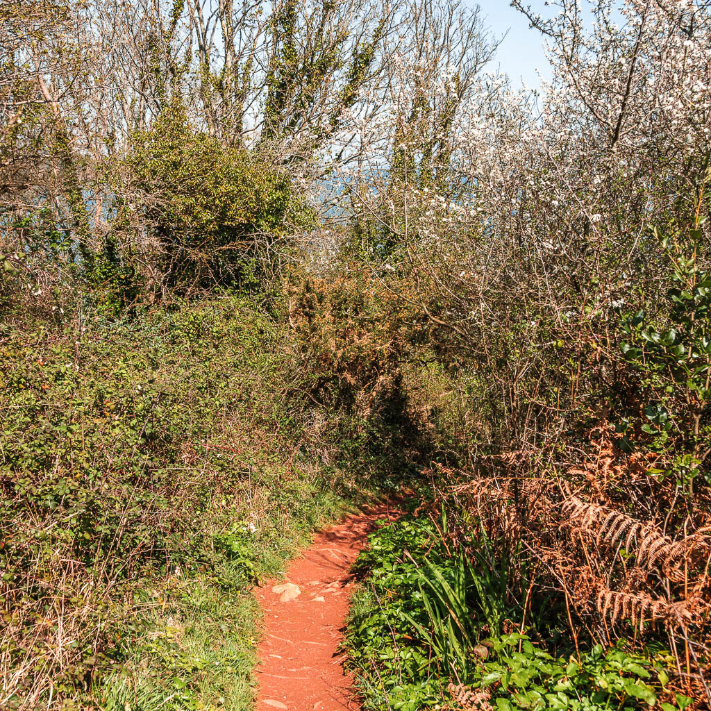
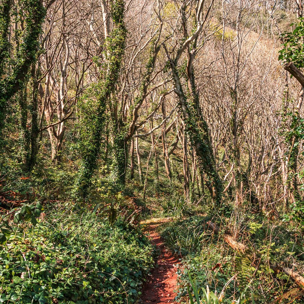
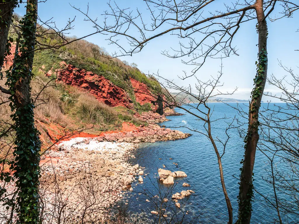
As you continue down, things get more rugged and the ground becomes quite slippy. I was practically going down on my bum. It was the safest way.
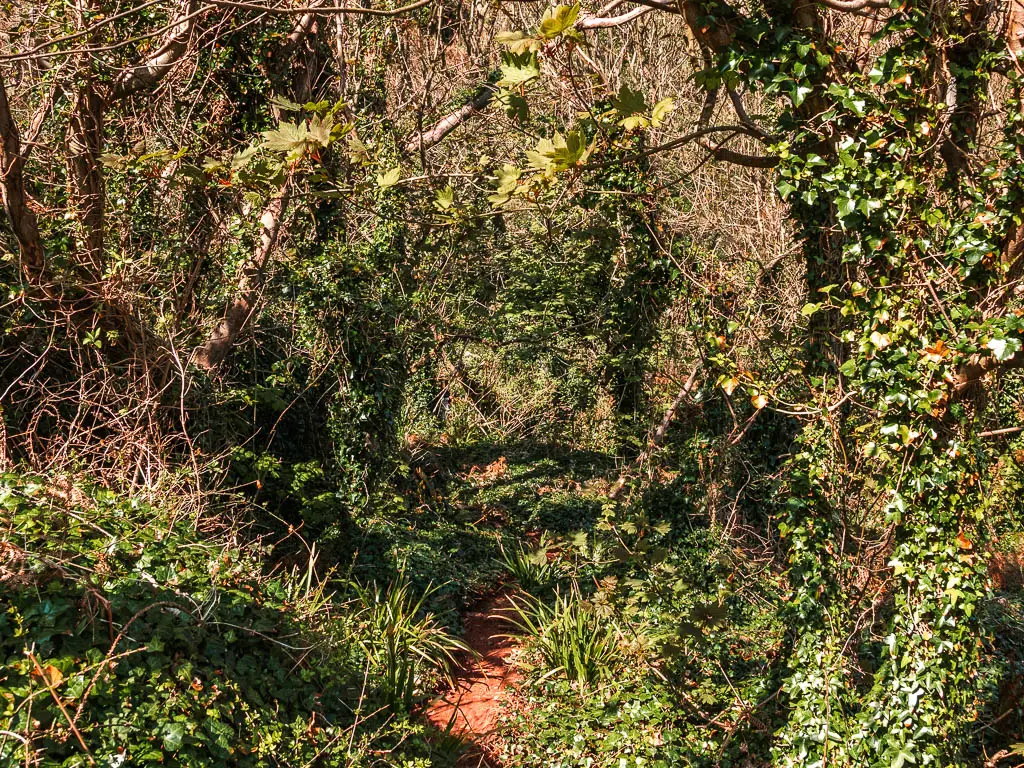
The problem I then encountered, was how to get back up. On my map, there is a trail somewhere down here to take me back up a different way, so I don’t have to go back on myself. I couldn’t find it, so ended up going back the way I came.
Follow the coast path signs to Watcombe
From the top of the green, follow the coast path right (it’s the direction of left from when you first entered the green).
There is a junction coming up where you would think to go right, but the coast path sign points left. So go left.
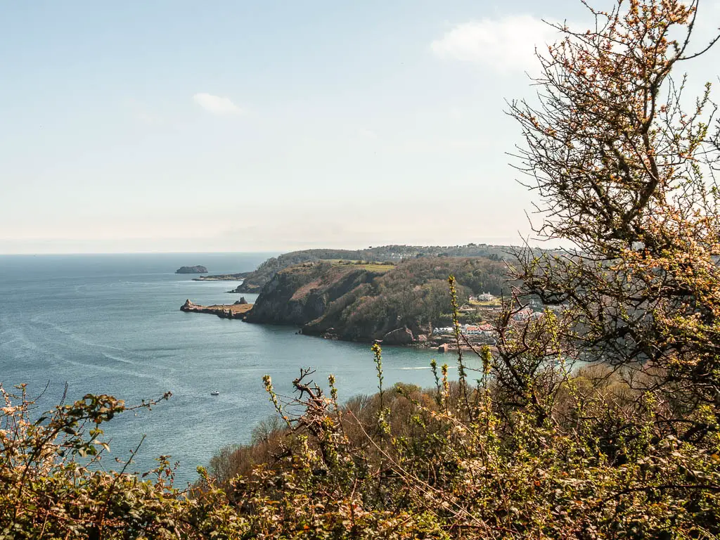
And then just keep following the signposts which should now be pointing to Watcombe. There will be some ups and downs, with the occasional view looking back along the coast.
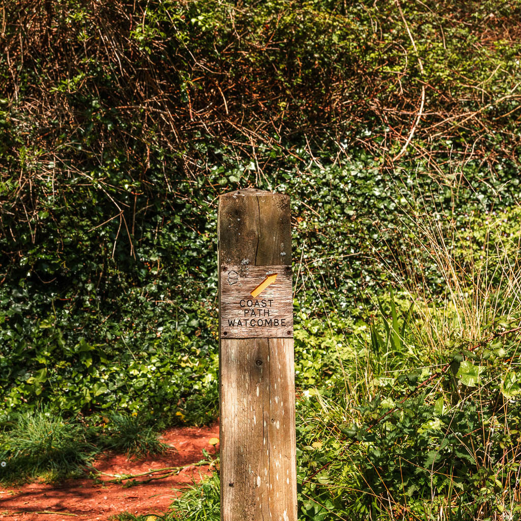
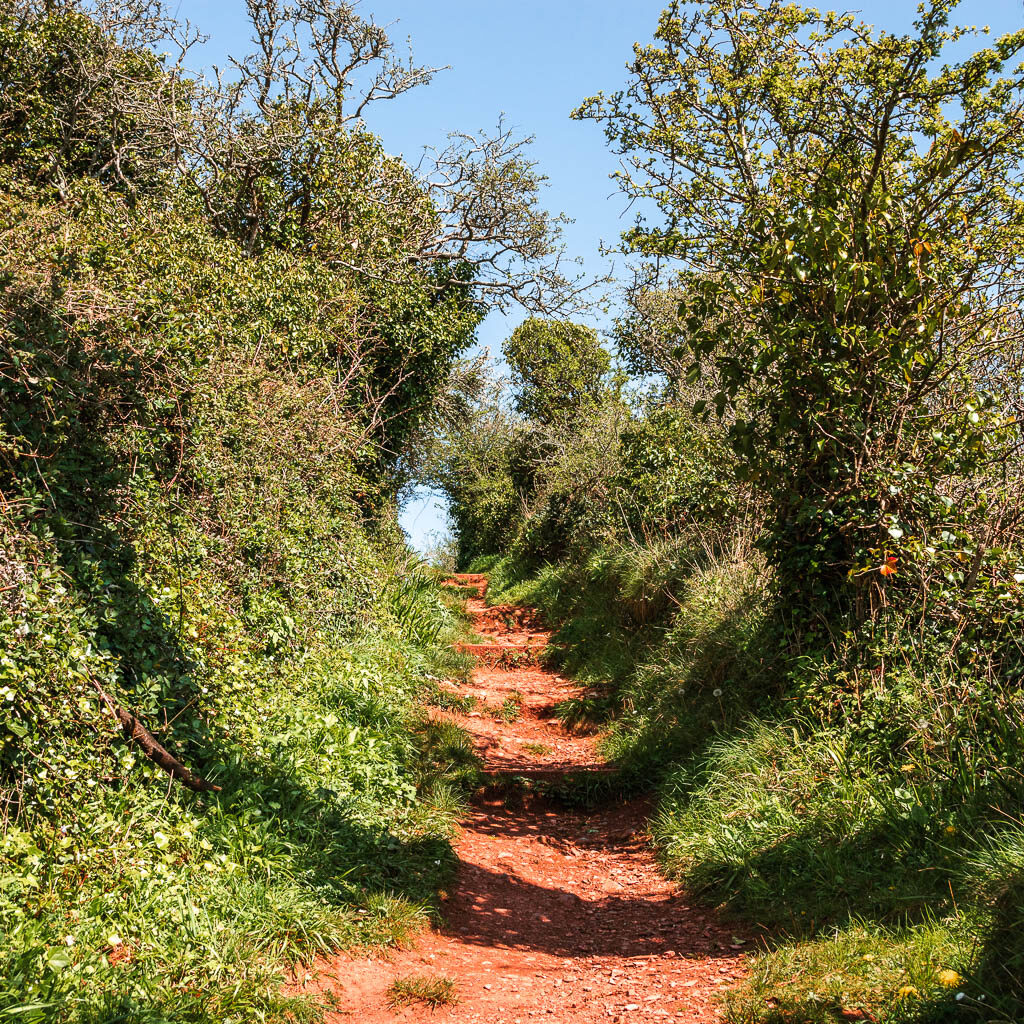
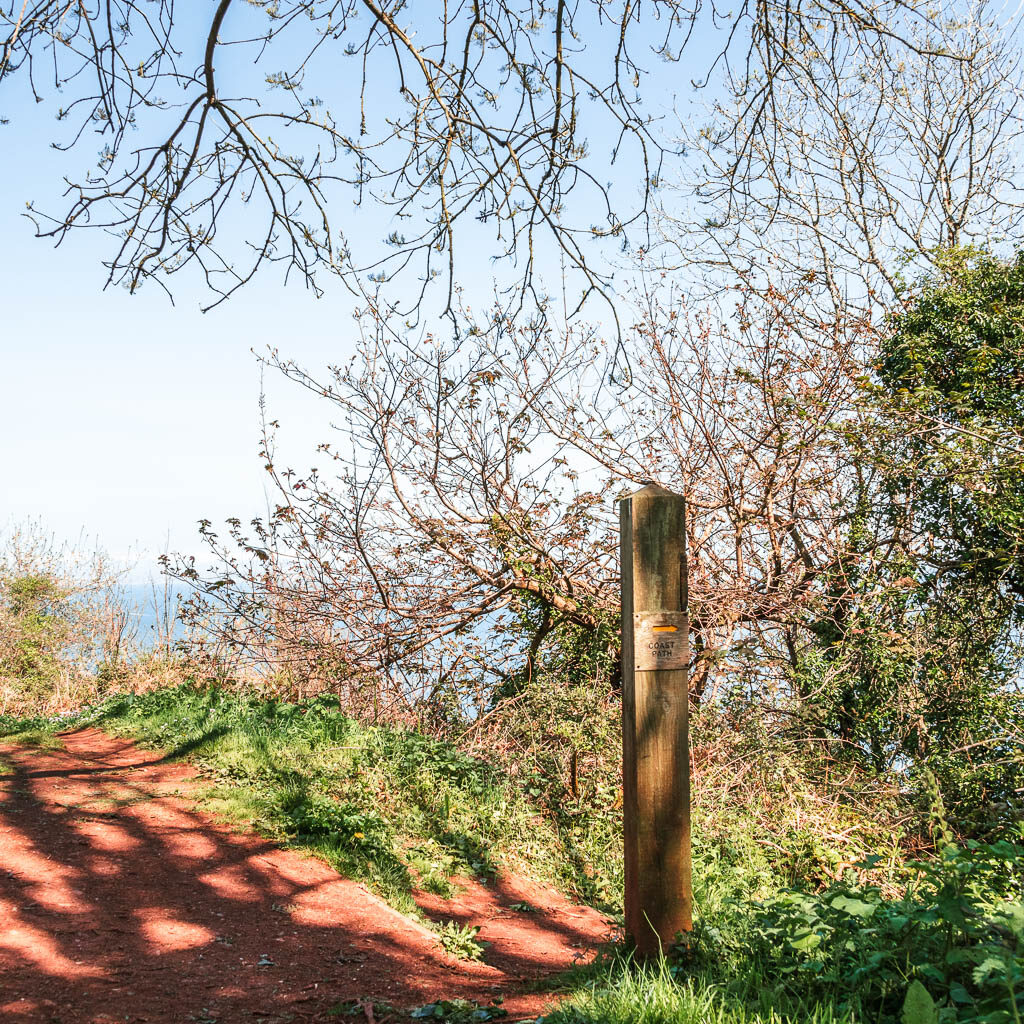
Here is one of the signs pointing you off the main trail, and down the hill:
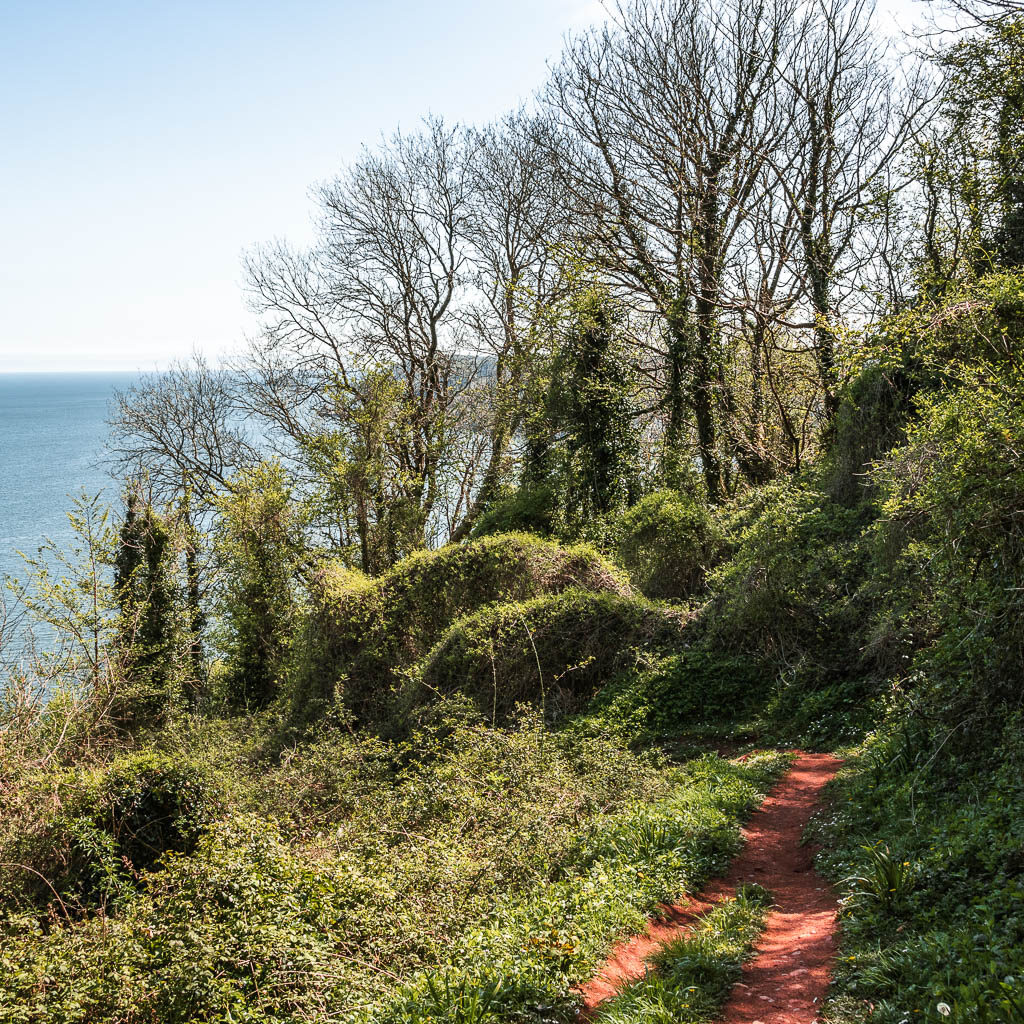
I can’t really remember the specifics of what happens next. Woodland tends to blend into one when there is lots of it. It’s basically woods and ups and downs.

When you reach a big T-junction, you can turn right if you want to walk down to Watcombe Beach. I started it, but part way in decided to turn back, as I needed to minimise the hills.
I hadn’t discovered backwards uphill walking yet.
For the main coast path, turn left and you should see a sign uphill ahead, directing you uphill to the right.
More woods, more hills and my leg
Continue through the woods, following the coast path signs as the trail takes you up and down with some steps thrown in.
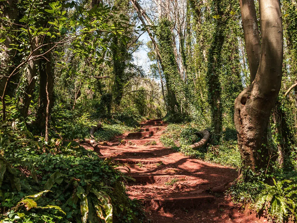
When I say my leg was hurting, it was bad enough that if I tried to push up through that leg (on slopes or steps), the pain was so severe that my leg would give out. My coping strategy at the moment was doing steps one at a time, leading with my other leg. The problem was, that leg was getting pretty tired doing all the work. On the hills I would use a technique where I kept my leg straight and swung it around, like a peg leg. It didn’t hurt as much if my leg was straight.
The rope swing
The trail will lead you to an open area in the woods, where you turn right.
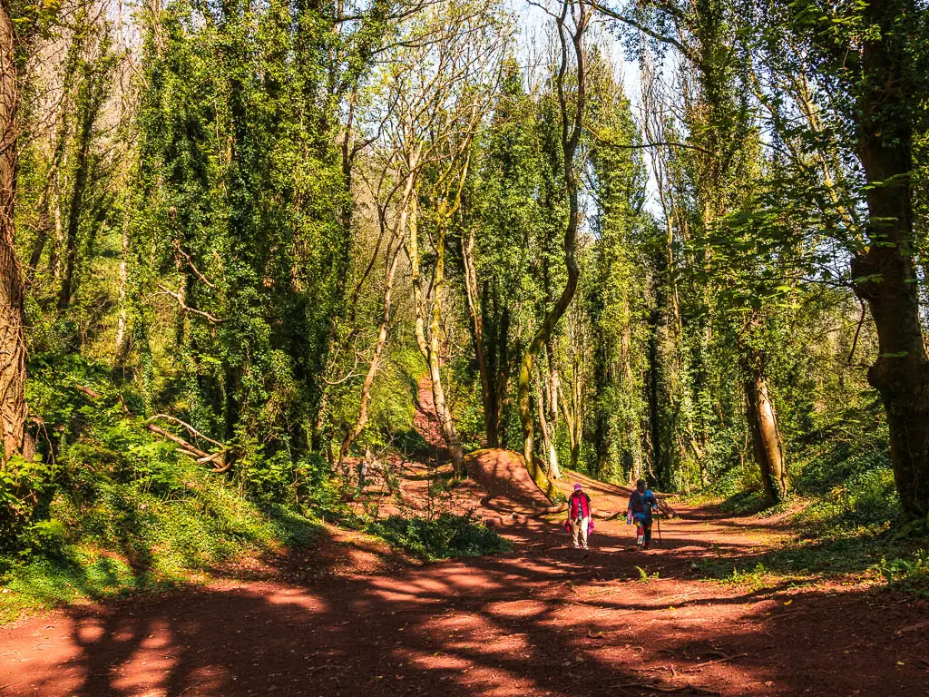
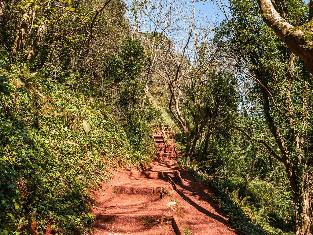
This leads to more steps up, and a rope swing. There were some kids playing on it. One kid swung out and started screaming that he nearly died. For reference, the rope swings off a ledge with a big drop. It made me feel a bit nauseous just thinking about it. You would probably die if you fell, or the rope broke.
Walk towards Maidencombe Beach
At the top, the trail will take you down steps again, and you will come out of the woods briefly as you continue downhill. Once down the hill, it’s back into the woods and up more steps etc….
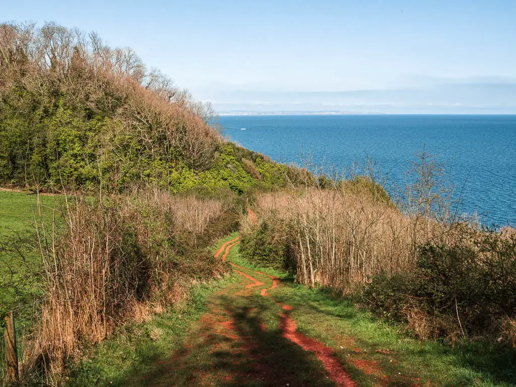
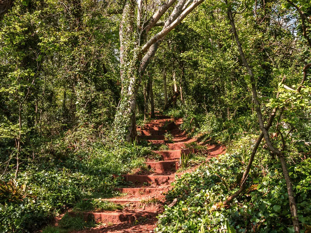
The signposts should now be saying Maidencombe, which is the next beach stop.
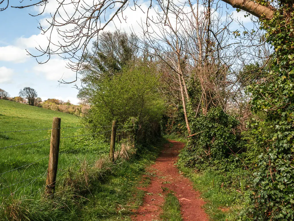
You will reach a point where you get a fantastic view to the left across a big field and to cliffy coastline in the distance. The coast path doesn’t go through this field though. It continues straight down and around the perimeter of it. I really wanted to walk through the field. The walk had been dominated by woodland thus far, and I wanted a change.

However, it would eat away at me if I didn’t follow the official coast path. So that’s what I did. I can tell you now though, that the next section of trail is not very interesting. You don’t have the views that you get from the field, so if you want to walk across the field, that is fine, as the trails meet further along.
The secret arch and seals
Ok, I have just said how uninteresting this next bit of trail is. That’s not completely true. Most of it is uninteresting, however, there are two things about it which might make you want to walk it.
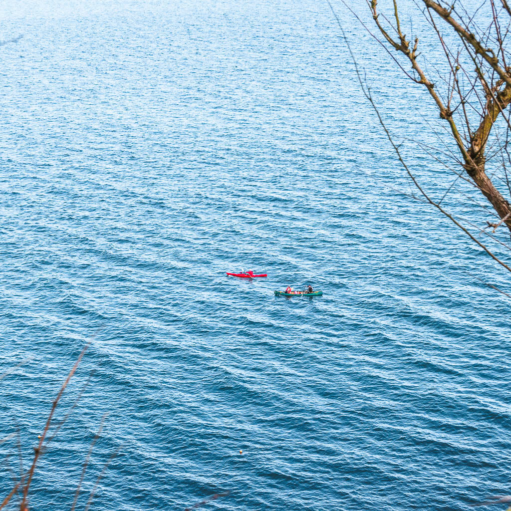
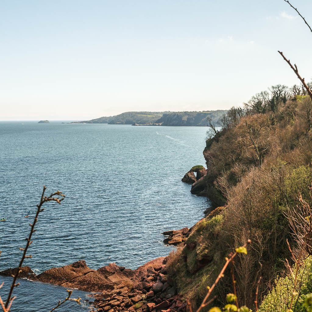
First off, I could hear people down below in the water. I found a little gap in the bushes to look down and saw the kayakers. Then I saw a ledge with some seals on it. I don’t have good quality photo of the seals. But seeing them defiantly made up for missing out from the views in that field. A little bit further along I found another gap in the bushes and looked though, and saw a cute arch. That sweetened the deal.
Maidencombe Beach – The halfway point in the coastal walk from Babbacombe to Teignmouth
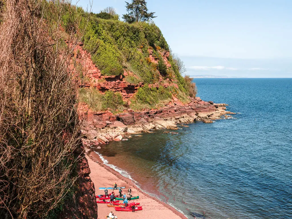
The trail will lead you to a road, with signs pointing downhill to the right for Maidencombe Beach and a Cafe. This beach seems to be where the kayakers are starting from.
Walk to the monster hills
Next, walk through the car park area and take a right next to the pink house. Along here you will be walking next to a neat hedge, and will get a view back to the hill you just came from.
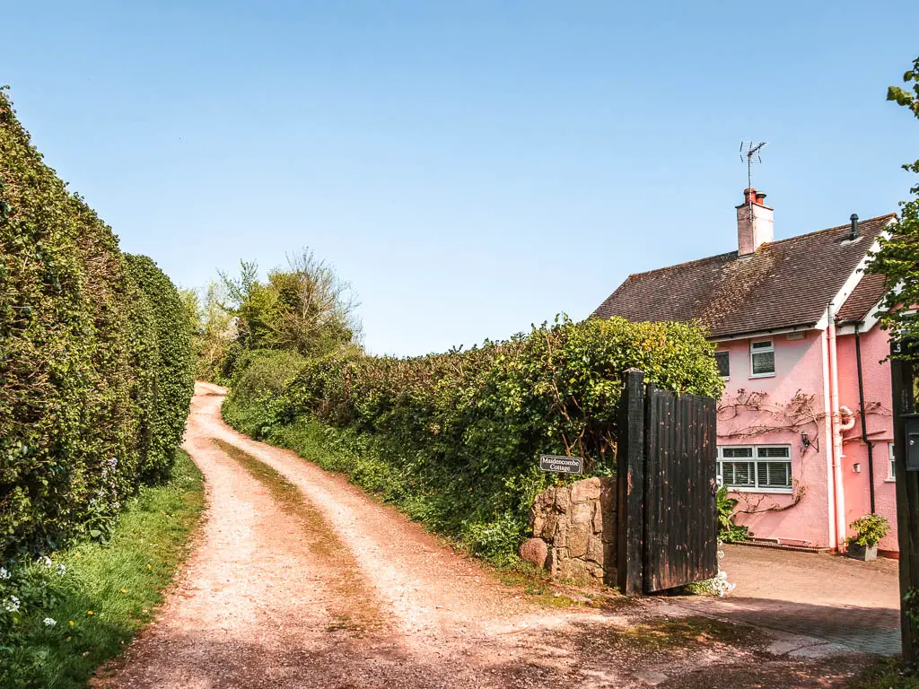
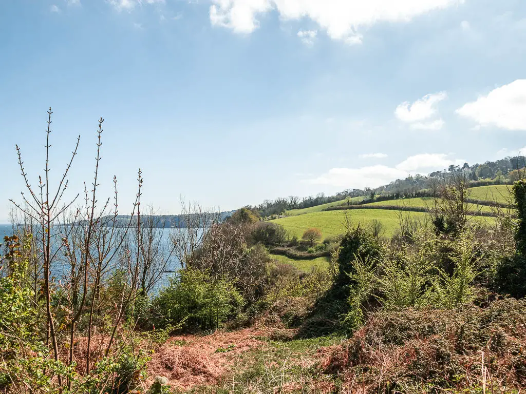
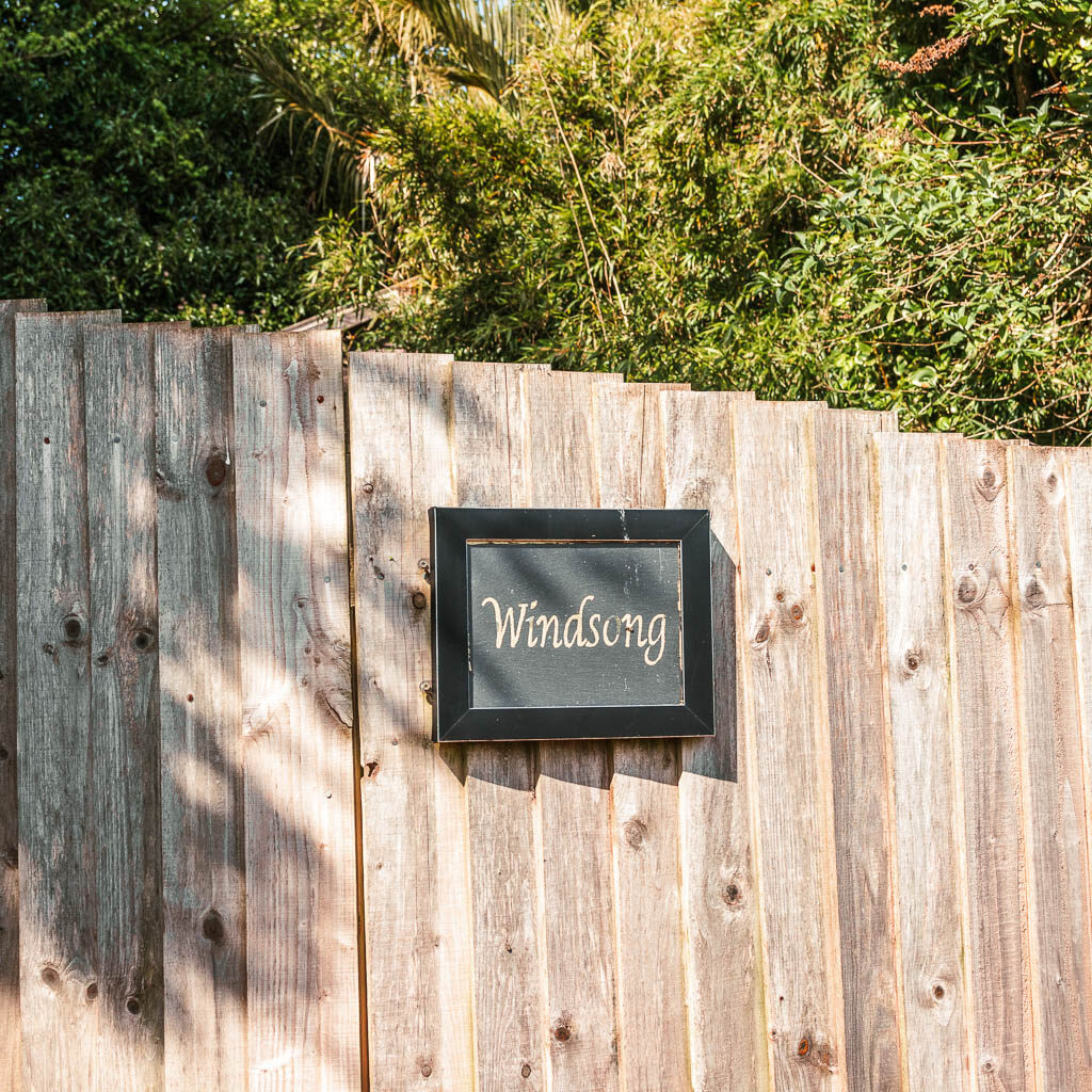
Somewhere further along, you will reach junction where you need to take a left next to the wooden fence which says Windsong.
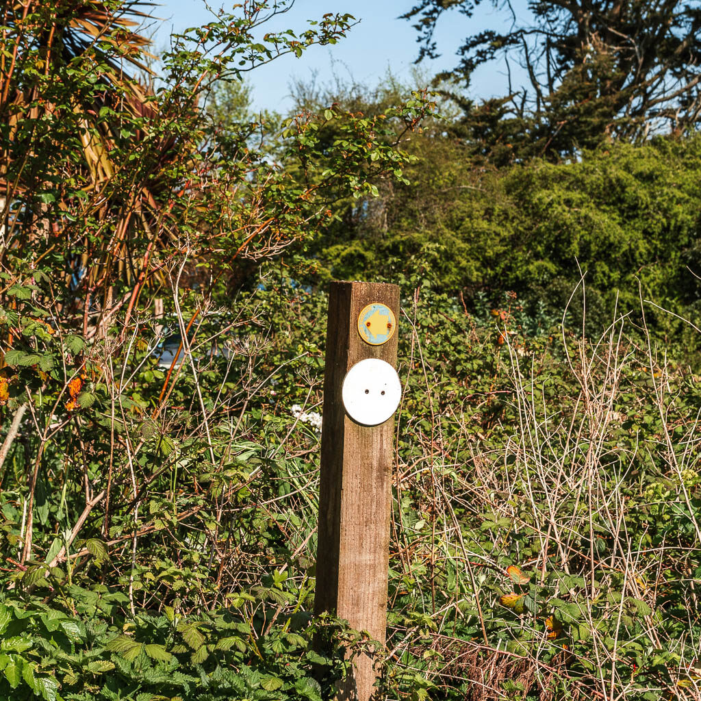
First you will be sort of enclosed, and then things will start to open up with a view to the hill ahead. That is the smaller hill. Warming you up for the big hill. Now follow the trail to reach the hill. Thinking back, there might have actually been two hills to reach the big one….You will have to wait to find out.
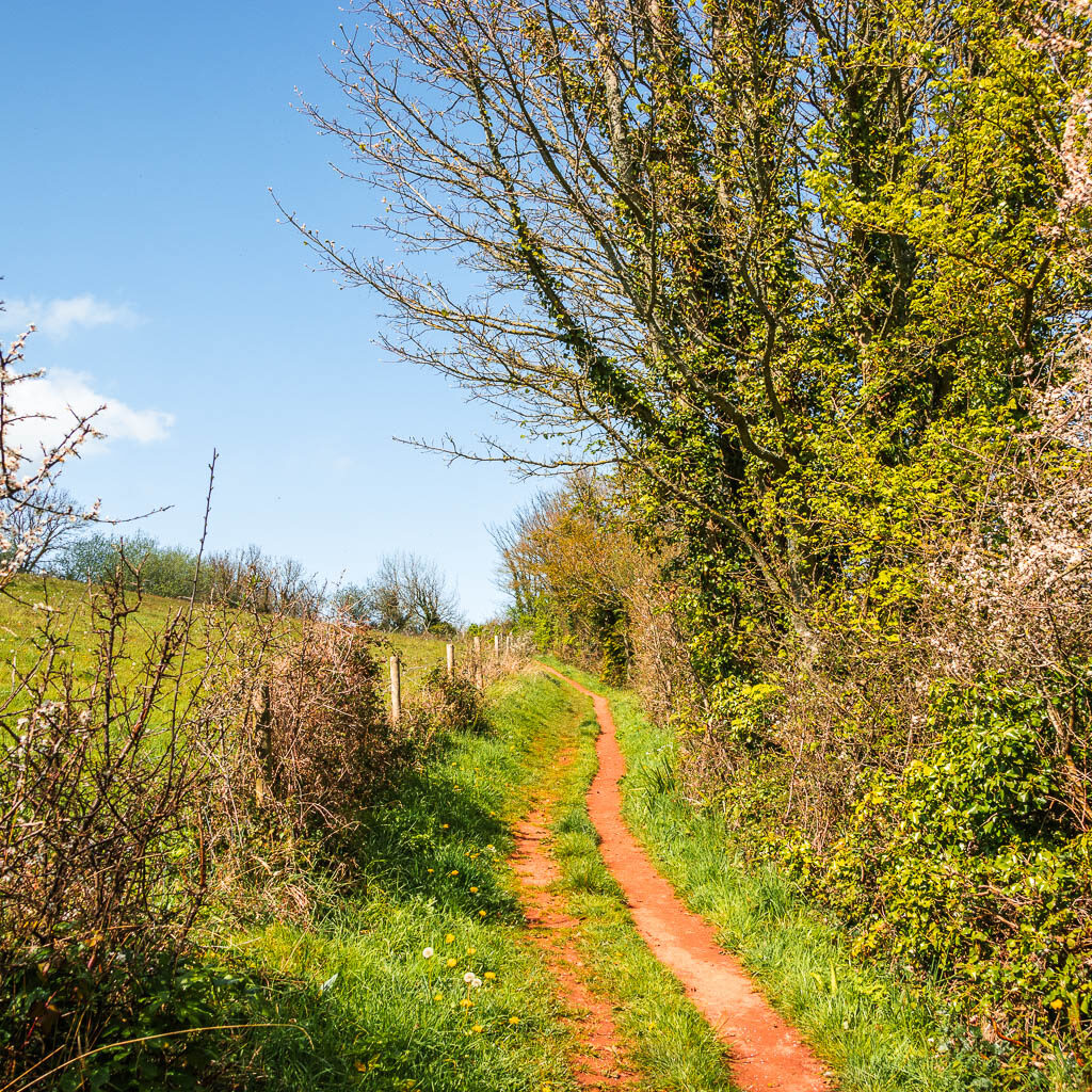
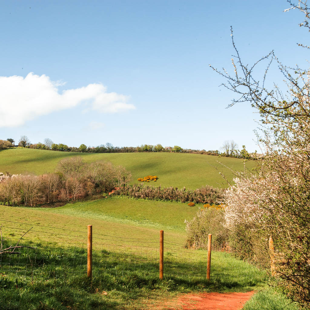
It was whilst making my way up that hill that my straight leg technique was no longer working. I needed to think of something else. This is where backwards uphill walking started.
The monster hill
After the big hill(s), it’s down again. Down nice and low so you can start at the bottom for the next hill. I was quite chuffed with myself at now having discovered backwards uphill walking.
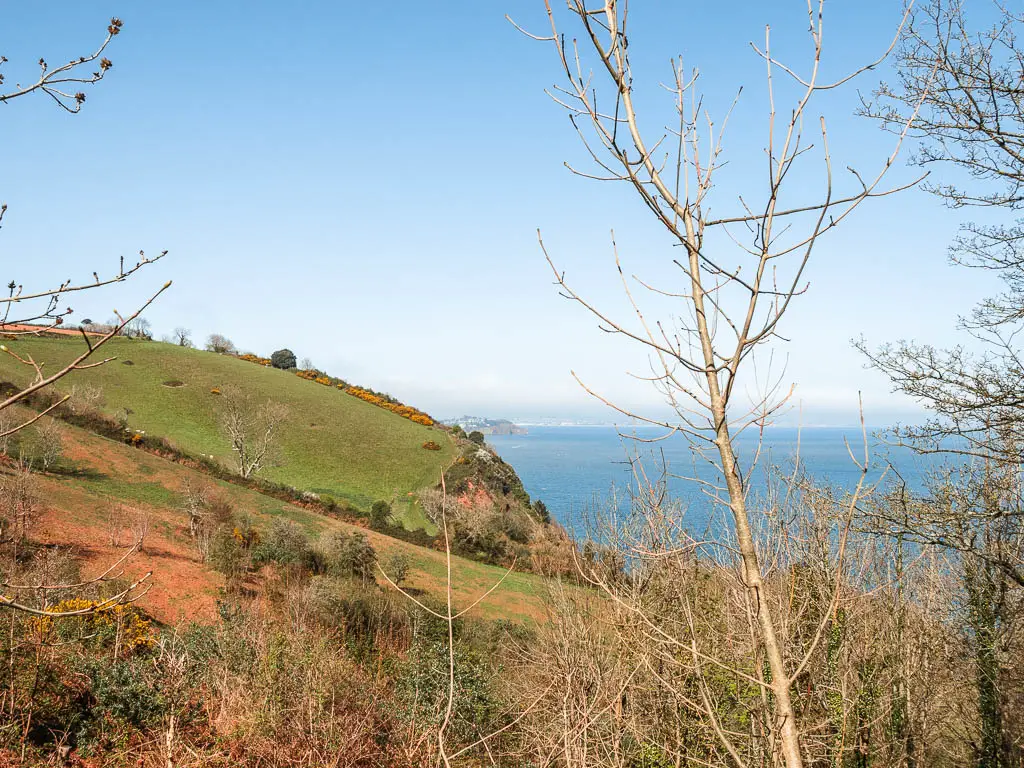
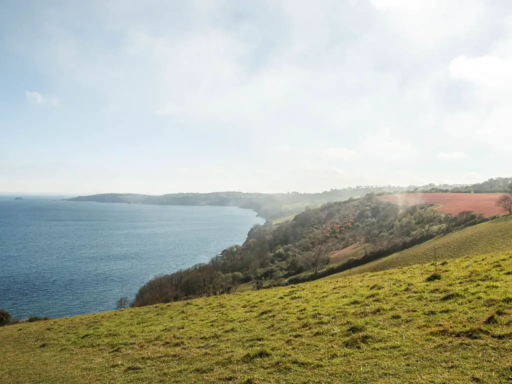
The monster hill is high, the highest point in the walk. Up top, I saw a mist lower down which gave a feeling of being up in the clouds. As I arrived up there, there were a few people sitting on the grass. I was half expecting a round of applause for making it up…and was a little disappointed when it didn’t come.
Walk to Ness Beach viewpoint
Once up top, the trail goes to the right and though a gait and then…it’s straight back down. After all that hard work going up, it’s all undone in an instant. I was cursing the South West Coast Path at this point.
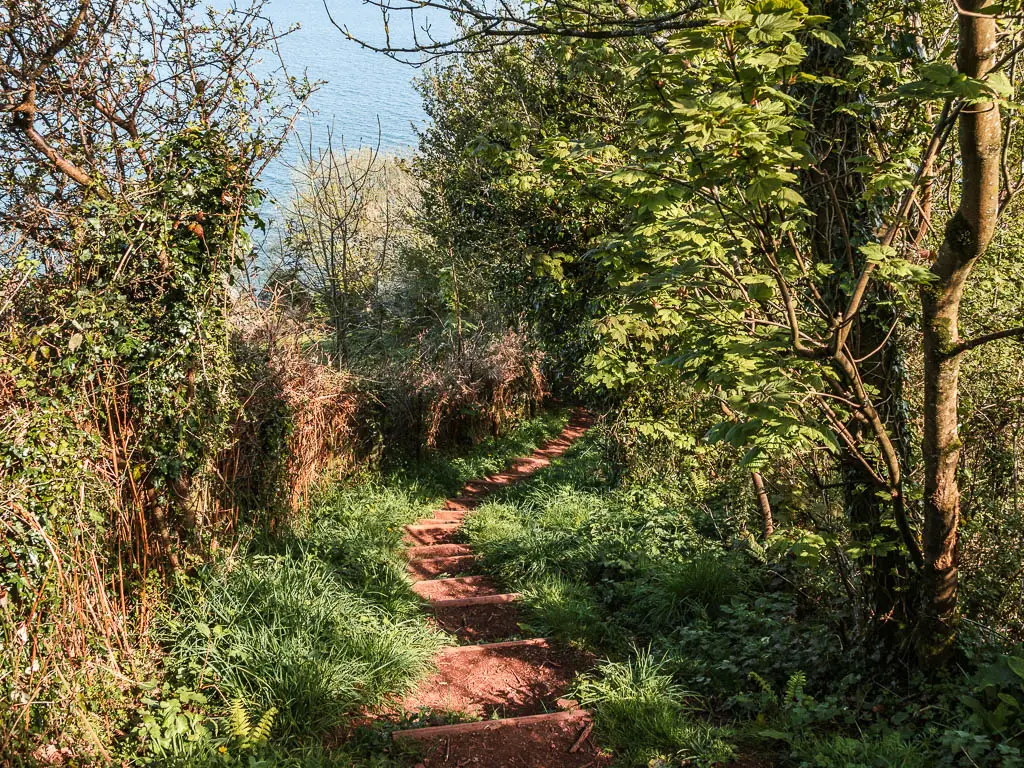
The trail will take you down and around passed a house being built. Maybe by the time you are here, it will be finished. I stood and looked at it for a moment, imagining that this was my home I was building. I made mental note to play the lottery when I got back.
Note: I forgot to play the lottery.
Keep going past the house to reach the road. At the road turn right, then a short way along, you should see a little trail to the right of the road.
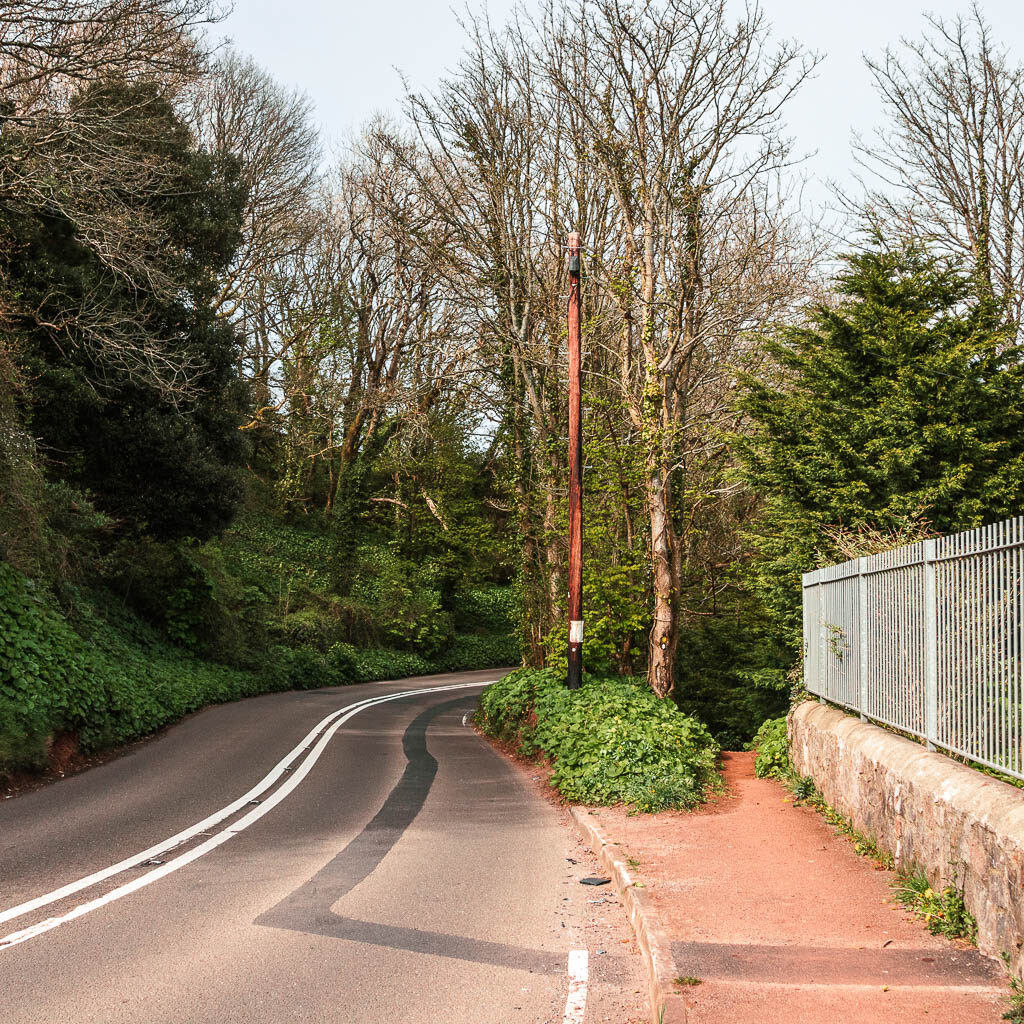
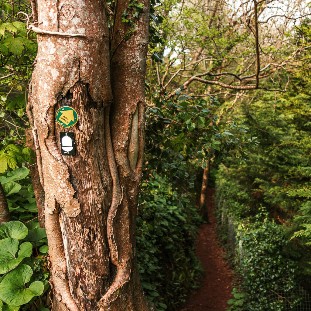
You will then come back onto the road briefly, but the trail is just ahead to the right again. This will lead you to a field for what are my favourite views from this walk….
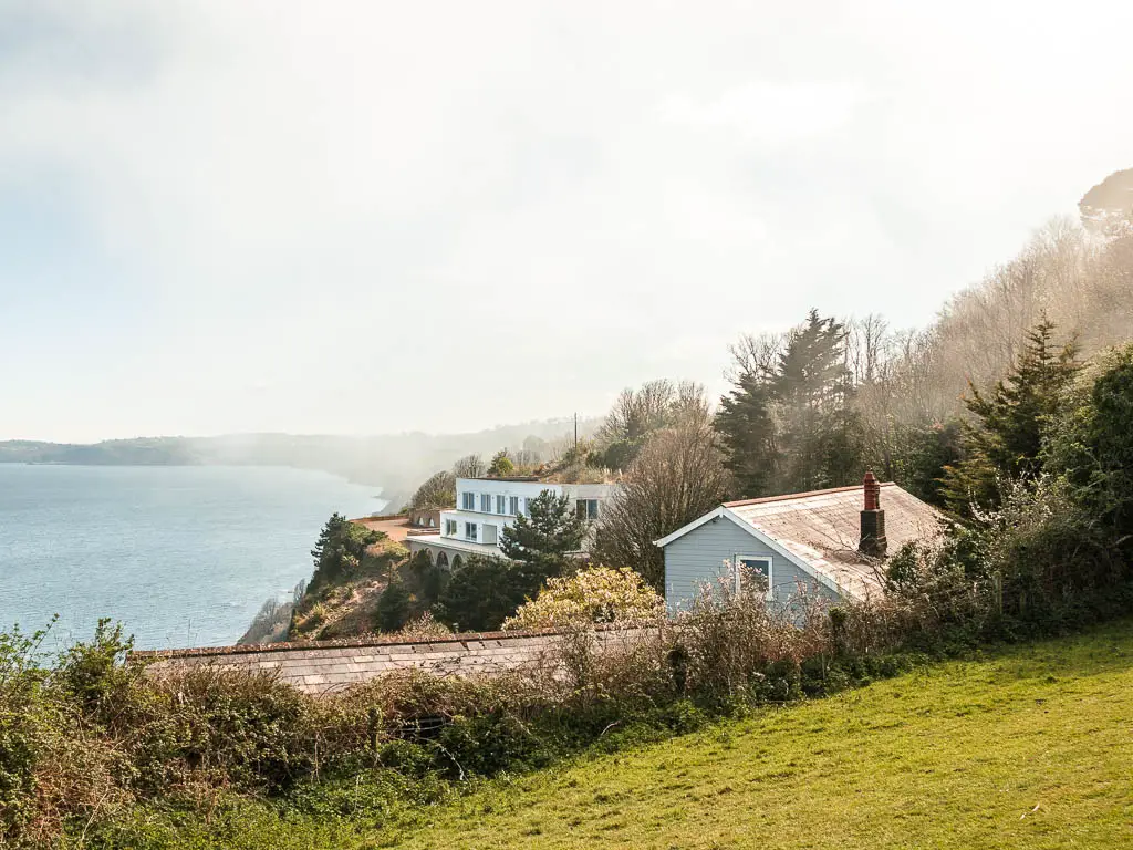
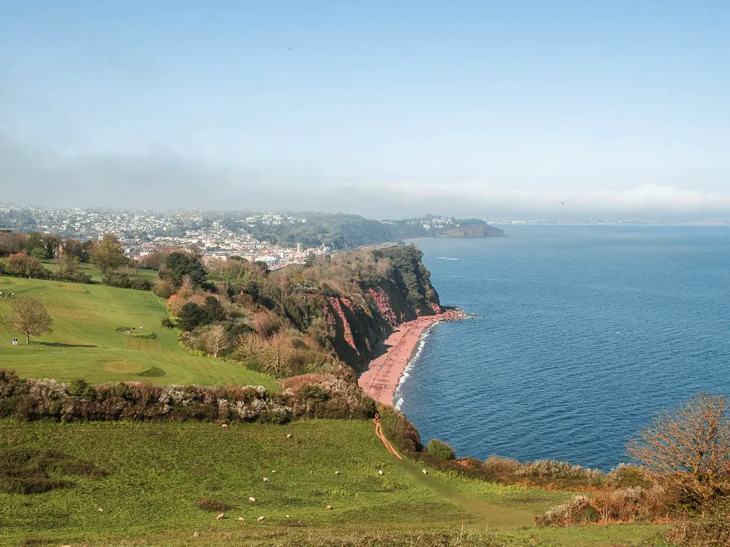
First in the field, to the right is a clifftop home which I was very jealous of. Then if you walk up and over the hill, you will gate a fantastic view down the other side to a long stretch of sand below the tall red cliff face. This is Ness Beach.
The final stretch of the coastal walk from Babbacombe to Teignmouth
I had a sit down on this hill looking at the view below. The last cliff of the walk. I thought about the last time I saw this cliff 2 weeks ago, from the other side when I did the walk from Teignmouth to Dawlish. I said I would come back and walk along it. And now I’m here.
For the next bit, once you walk down the hill you will go into woodland which is what makes up the majority of the rest of the walk into Shaldon.
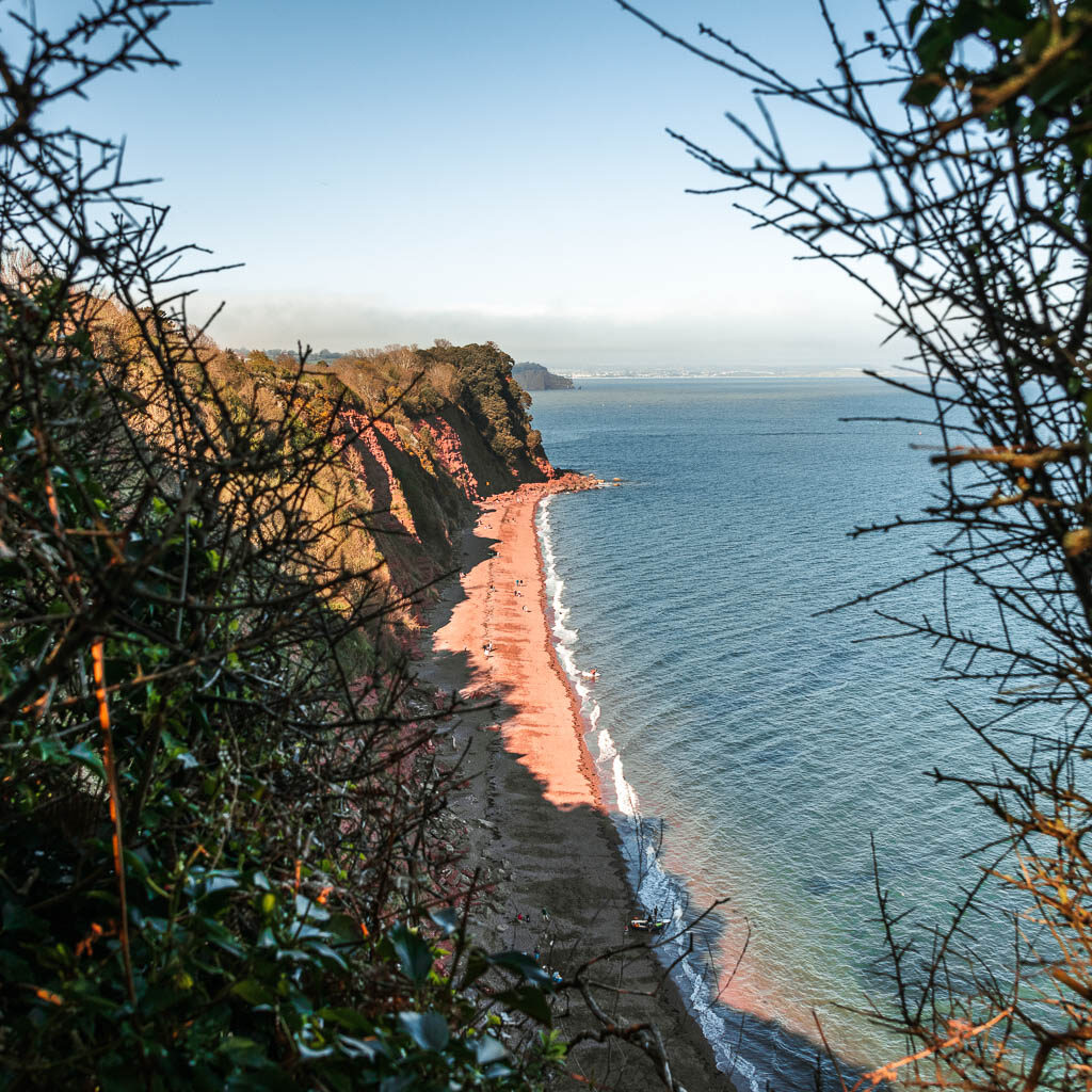
Keep an eye out for a small gap in the bushes to a view down to Ness Cove Beach.
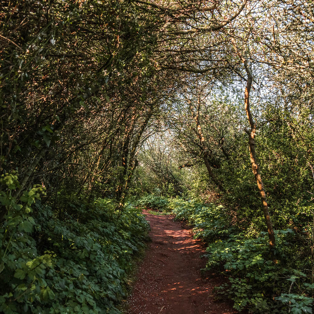
There is a junction coming up with a bench between the two paths. Both trails are fine, they join up later. I took the right one because there was a camera symbol on my map coming up. Camera symbol means good view…..
Well, it does take you to a viewpoint section and bench, however, the view was pretty average compared to anything seen on the rest of the walk between Babbacombe and Teignmouth. So I wouldn’t worry about missing out on this one. It’s so average, I didn’t bother taking a photo.
Walk into Shaldon
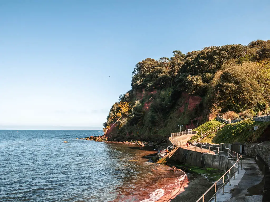
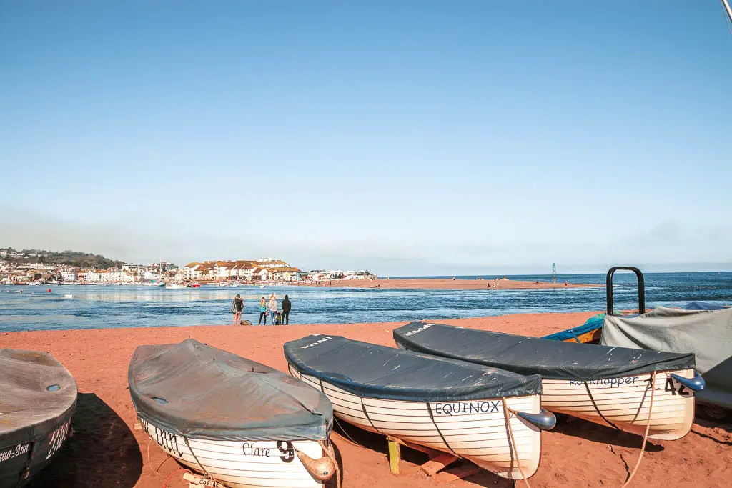
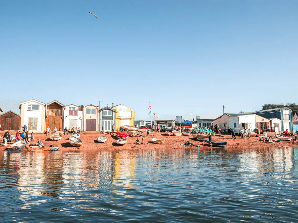
It’s then a downhill walk through the woods to reach the road. Turn right on the road to walk to Shaldon Beach. There are a number of places to eat along here, with a cool view across the water with all the boats, and over to Teignmouth.
More similar walks or routes near Babbacombe and Teignmouth
If you are staying in the Torquay area, then check out the best walks around Torquay. Alternatively, below is a quick look at a few walks.
Teignmouth to Dawlish walk – If you keep walking along the coast path, you will reach Dawlish. This is an easy walk walking along the railway line with a gorgeous red cliff backdrop.
Exmouth to Budleigh Salterton walk – Just across the water from Dawlish Warren, you will reach Exmouth. This is a really lovely relatively short and easy walk with more dramatic red cliffs.
Torquay to Babbacombe – This walk is one of my highlights for the area. It’s a fantastic coastal walk with fantastic views.
Kingswear to Brixham – I mentioned this one at the beginning. It’s very similar in terms of hills, but longer and harder. If you want a real challenge, then this is your walk.
Torquay to Cockington – If you want to mix things up, then this is a lovely walk to try. It’s very easy, and takes you inland to a super cute, quaint, chocolate box village.
Pin the coastal walk guide from Babbacombe to Teignmouth for later:
