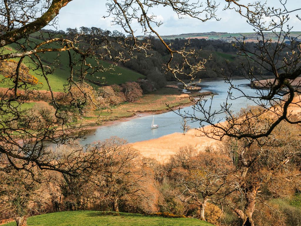
The Dart Valley Trail is a walking route between Totnes and Dartmouth, in south Devon. It follows the River Dart on mostly the south side, and a little on the north side.
What I’m going to do here, is tell you a little bit about the walk, suggested ways to split up the route, how to get to it, i.e public transport options, amenities, and map for the full Dart Valley Trail route.
This post uses affiliate links. You can read the privacy policy or disclaimer for more info.
How long is the Dart Valley Trail?
Well, I guess that’s up for debate. Having a look online, everyone says something different to me. I did it, and tracked it, and it was 17-18 miles.
What will you see?
Well there’s the obvious, the River Dart. Although you are following the river route, you won’t be next to it for the whole way. At Sharpham, you walk away, and then follow the river Harbourne for a bit, which is a branch of the River Dart.
There are lots of hills. Some very big ones. Woodland, meadows, little villages and pubs. The views are also pretty impressive.
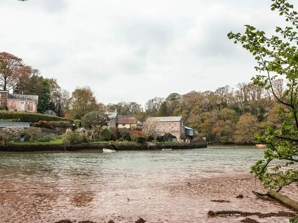
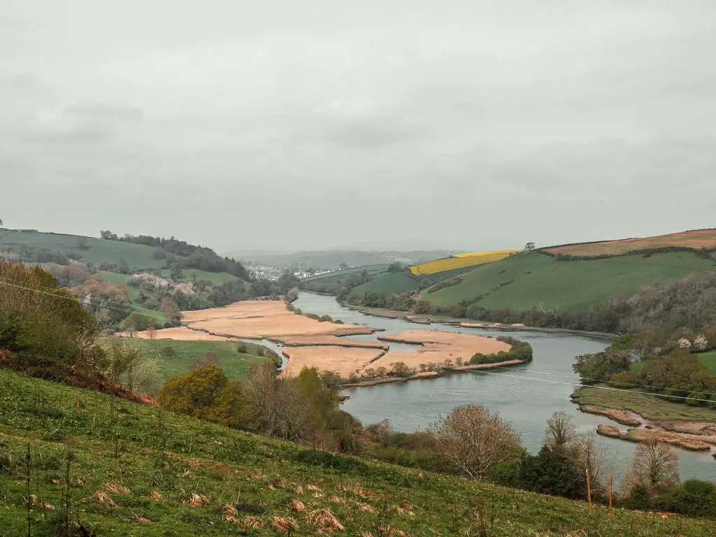
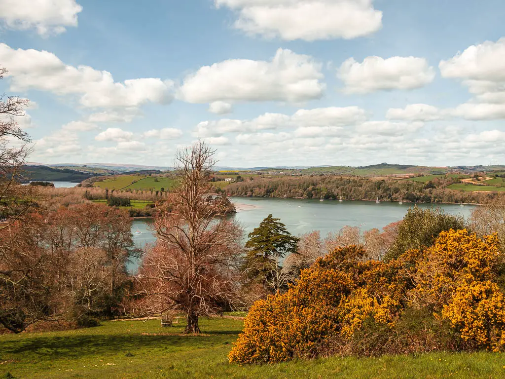
The sections that stand out to me are:
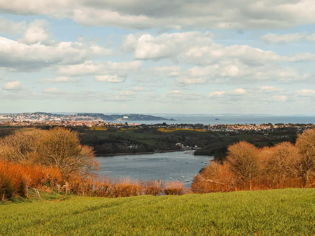
– A few miles into the walk out of Totnes, where you will have a gorgeous view of the River Dart, snaking through the valley.
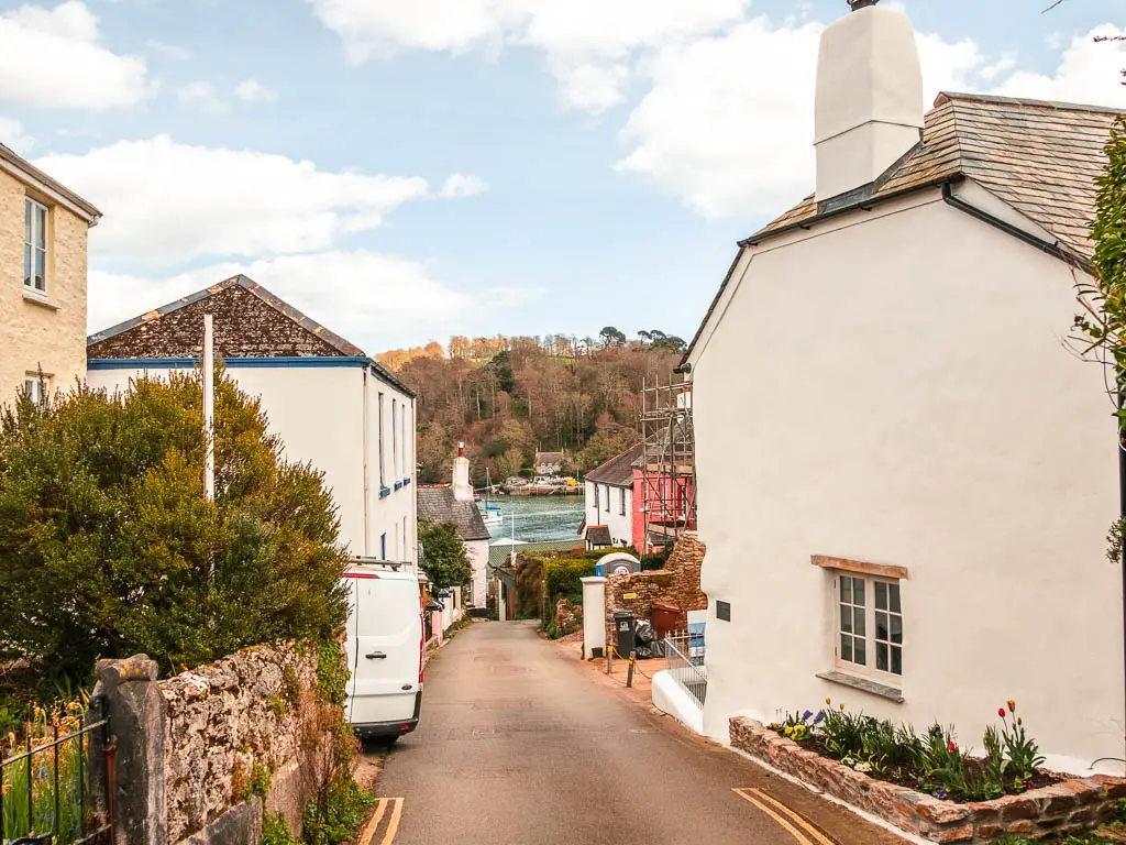
– Around Dittisham, where you will be walking amongst quaintness with views down to the river and all the little boats.
– From the hilltop at Greenway.
– At the top of the mammoth hill past Dittisham, where you can see all the way out to sea.
The Dart Valley Trail walk route
The Dart Valley Trail runs between Totnes and Dartmouth, and is split up at Greenway and Dittisham part way through. Let me be more specific:
It runs from Totnes to Dittisham on the south side of the River Dart. At Dittisham, it splits in two. Sticking to the south side of the river, the trail continues on to Dartmouth. For the other split, you cross over the river from Dittisham to Greenway, and the trail then continues on the north side of the river to reach Kingswear. At Kingswear, you can get a boat to take you across the river to Dartmouth.
Here is a map I drew with the main location points on the Dart Valley Trail, so you can get a visual of the logistics:
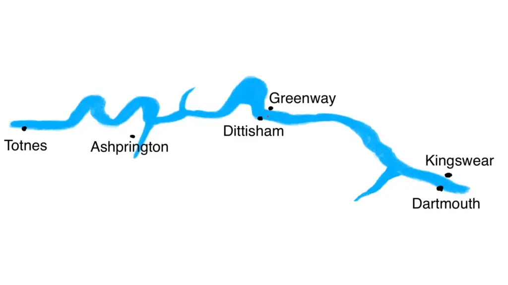
The full route includes two river crossings on a boat. It’s very easy, no booking required, and the boats are more regular than buses. I detail this a bit more in the guides.
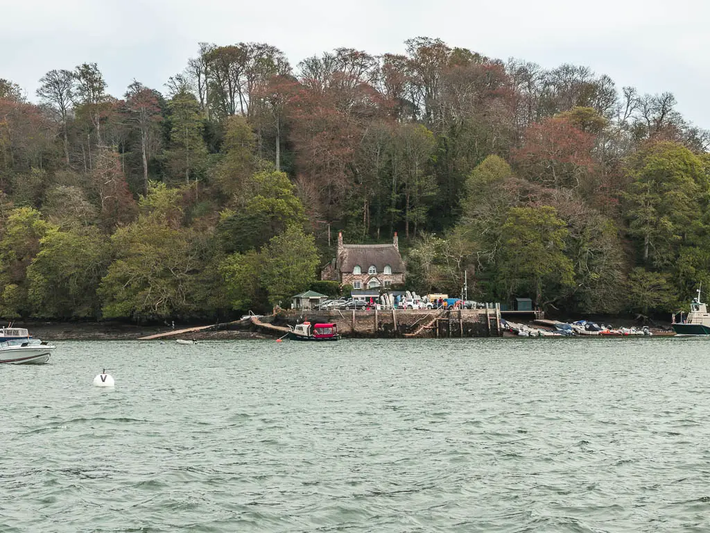
A particular highlight for me was the Greenway/Dittisham crossing. You ring a big bell, and a little boat comes and picks you up to take you to the other side.

One thing I must add: I see some mention online of the Dart Valley Trail starting in Dartington (which is a few miles back from Totnes). Having done this section, I don’t recall seeing any Dart Valley Trail signage, so I’m inclined to think that this section of the river isn’t officially part of the walking trail.
How Should I Split Up The Dart Valley Trail Walk?
I split the walk along the Dart Valley trail into two days, and have written up full guides for both. In these guides you will find logistics, lots of photos, a map and a detailed description of the route (see below for links to the guides). You could do it in one day, and at 17/18 miles it doesn’t seem like too much of a stretch…but it is. Trust me, it will be pretty tough, and I salute you if you do it.
- Day 1 – Totnes to Dittisham – 8.8 miles (Moderate/Challenging)
- Day 2 – Dartmouth to Dittisham circular – 9 miles (Challenging)
As you can see, each of these walks on their own is fairly challenging. So if you want to break it up into three days, I would suggest:
- Day 1 – Totnes to Dittisham – 8.8 miles (Moderate/Challenging)
- Day 2 – Kingswear to Dittisham via Greenway – North side of the river – 4.8 miles (Easy and mostly woodland)
- Day 3 – Dartmouth to Dittisham – South side of the river – 4.2 miles (Challenging and mostly hills)
You could break it down even further, over 4 days:
- Day 1 – Totnes to Sharpham/Ashprington – 2.8 miles one way (Easy)
- Day 2 – Ashprington to Dittisham – (Moderate/Challenging)
- Day 3 – Kingswear to Dittisham – North side of the river – 4.8 miles (Easy)
- Day 4 – Dartmouth to Dittisham – South side of the river – 4.2 miles (Challenging)
So, whilst some sections of the Dart Valley Trail are still challenging, they are much shorter, which makes the walk a bit easier. I guess by definition, you could even call them moderate difficulty walks now.
If you would like to extend the walk along the River Dart, you could include the walk to Dartington*
*I did this one as a big circular, but the first part of the walk is just along the river to reach Dartington. So this will show you what that section is like.
Dart Valley Trail map – 2 day split
These are the maps I tracked when I did the walks along the Dart Valley Trail:
Read the full guide for the Totnes to Dittisham walk here
Read the full guide for the Dartmouth to Dittisham circular here
Is the Dart Valley Trail easy to follow?
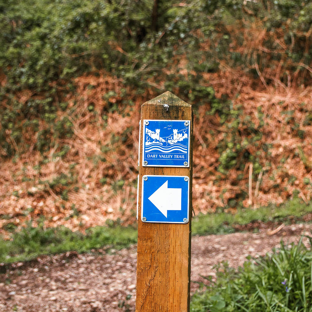
Most of the route is pretty well signposted. The exception is the section along the south side of the river between Dittisham and Dartmouth. I found this bit harder to navigate. Actually, the first time I tried it, I got lost. But never you worry, I describe the route step by step here.

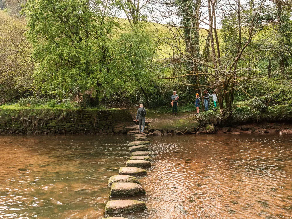
From Totnes to Dittisham, there are a couple of places where you have two route options based on the water levels. At low tide, you can follow the route over stepping stones, and later a bit along the river bed. At high tide, the route takes you on a diversion. I describe this a bit better on my Totnes to Dittisham guide.
What are my public transport options along the route?
When walking the Dart Valley Trail, you will find public transport at the start and finish of each section. So that would be Totnes, Dittisham and Dartmouth (and Ashprington – not on Sundays).
Now, Dittisham is a bit tricky. If you finish a section here, then (at the time of writing) the easiest option is a boat to Dartmouth. Operated by both Dittisham Ferries and Greenway Ferry.

If you are staying in Dartmouth, then perfect. If you are staying in Totnes, or anywhere in the opposite direction to Dartmouth, then not so much. See below for more details.
Public transport if you finish a walk in Dittisham
Once you reach Dittisham, you would either have to get a boat to Dartmouth, then catch a bus from there. Or you can walk about 30min away from the River Dart to find a bus stop. This is what I did. I wouldn’t recommend it, unless going to Dartmouth would be a real pain. There is the Greenway Halt train station, but it was closed, and at the time of writing still is. There is also the greenway Halt bus station which never seemed to have and departures. I checked on multiple days.
As such, if you have walked the Dart Valley Trail from Totnes to Dittisham, I would suggest just continuing the walk along the river to reach Dartmouth. If you do this, I would recommend crossing the river from Dittisham to Greenway, to finish the walk on the north side. The remainder of the route on the south side is very challenging. I mean, you can do it if you want, but you have been warned.
Public Transport for Dartmouth and Totnes
Totnes and Dartmouth are connect by the number 92 bus, so that’s easy. Be wary of Sundays though, as there are maybe 3 buses in the whole day. There is also a boat you can get between the two however, it doesn’t run daily and only goes a couple of times a day.
Totnes is on the Great Western Railway line, so it’s pretty easy to get to if you are not staying in the area.
What amenities are there along the Dart Valley Trail?
Both Totnes and Dartmouth have everything. In between, there are a few pub options, and some parking:
Amenities along the Totnes to Ashprington and Dittisham section:
- In Totnes I recommend fuelling up at the Curator coffee shop. It’s located at the bottom of the high street, opposite the bridge. They have the best coffee, a selection of cakes and some yummy food. My recommendation is the cappuccino with chocolate shavings.
- You then have the Durant Arms pub in Ashprington. I didn’t stop here, but it has good reviews.
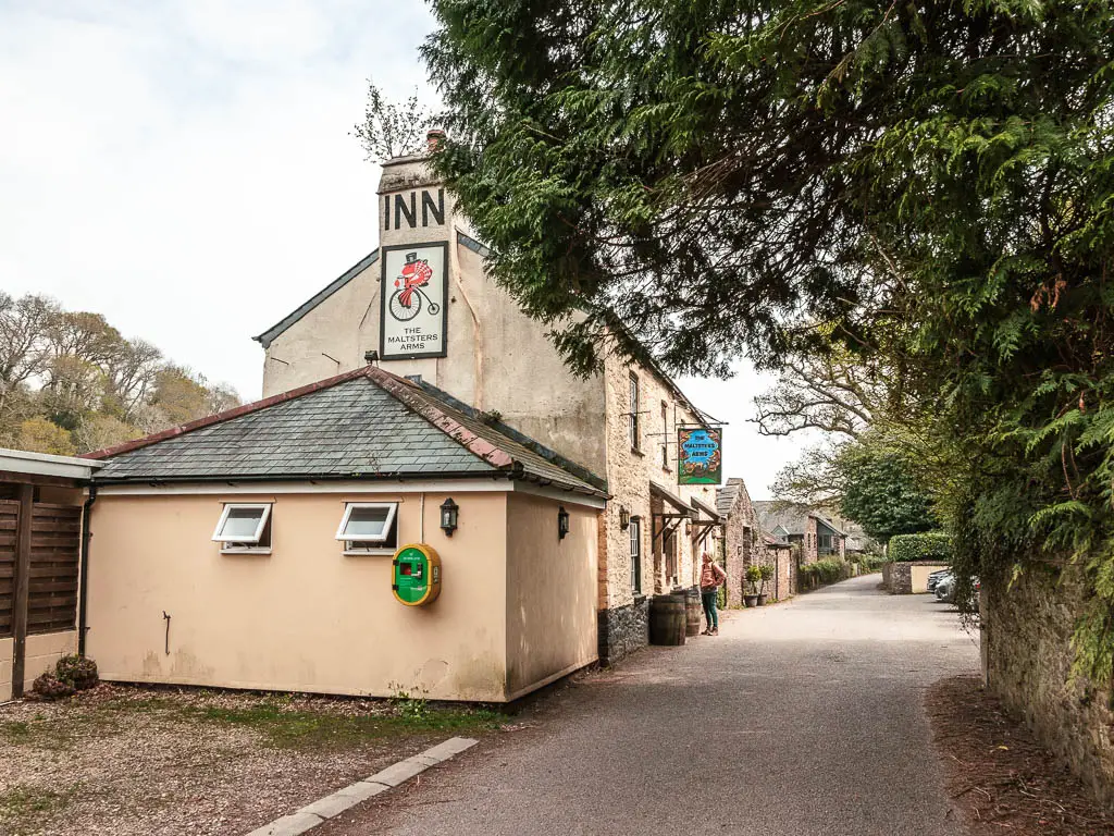
- A little further along you have The Maltsters Arms at Tuckenhay, right on the river, also with great reviews.
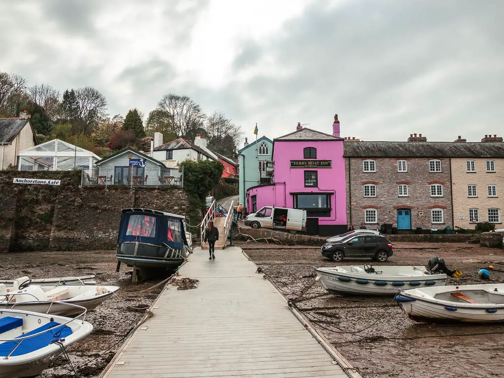
- In Dittisham, you have the top rated Ferry Boat Inn, right on the river side. There is also the Anchorstone Cafe, if pubs aren’t your thing.
- Both Dittisham and Totnes have public parking.
Amenities for Dartmouth to Dittisham via Greenway north side:
- Between Kingswear and Greenway, there are public toilets, car parking and a couple of pubs at Kingswear.
- At Greenway on the river, there is a car park and the Tarts on the Dart cafe. Nothing else in between. But it’s a short route, so you can hang on.
Amenities for Dartmouth to Dittisham south side:
- I mentioned above what’s in Dittisham.
- Dartmouth has everything.
- For the rest of the route, there is nothing.
Final thoughts on the walk along the Dart Valley Trail
If you have a couple of days to spare, then the full Dart Valley Trail is easily achievable. If you only want to do one section though, I would suggest the Dartmouth to Dittisham (via Greenway) circular. This is the best section, and is actually one of my favourite walks.
If you are staying near Totnes, and want to try something a bit different, you could do a guided canoe tour. It takes you on a gentle paddle with the tide, to some of the prettiest parts of the River Dart. It’s a half day tour, and groups are kept nice and small.
Pin the Dart Valley Trail walking guide for later:


