This is a relatively easy walk in Dorset, taking you from Wareham to Corfe Castle, following the Purbeck way.
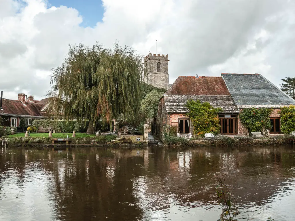
You will walk through Heathland filled with heather and marsh, and alongside the River Frome which is one of the most westerly chalk rivers in England. There is also a little bit of woodland thrown into the mix.
What to expect on the walk from Wareham to Corfe Castle
Following the Purbeck Way, the walk is about 7 miles in length. For the most part, it’s not that hilly (apart from a bit towards the end).
There is a bit of road walking, but it’s not too bad as it’s along quiet country roads. There are however some road crossings which are a little bit more chaotic.
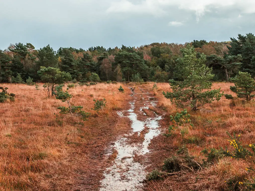
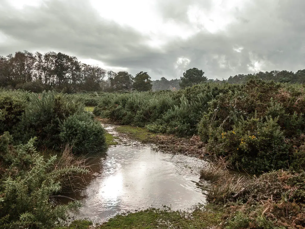
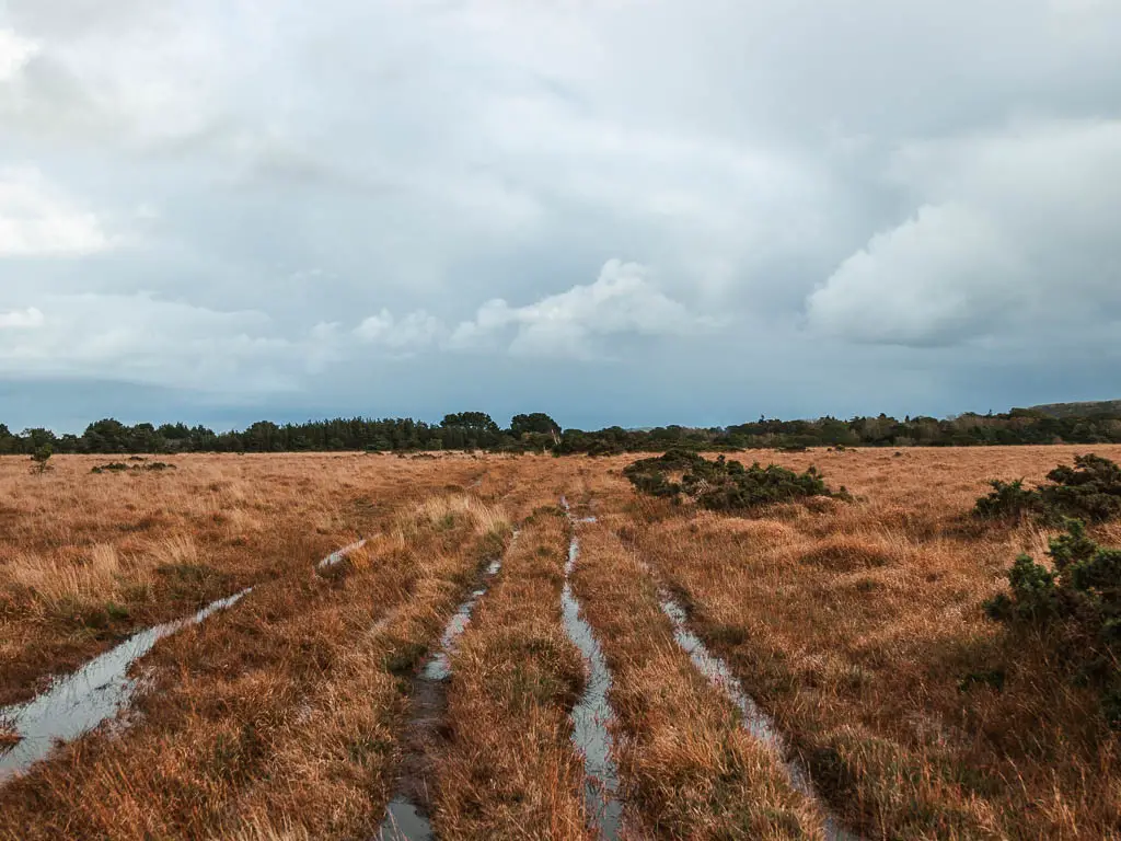
Although I say the route between Wareham and Corfe is easy, this is debatable if it’s been raining. You see, I arrived here in the middle of stormy weather. This meant navigating through some flooding, and very very wet boggy heathland. It’s doable, but might take you a bit longer to complete, and you will probably have wet feet by the end.
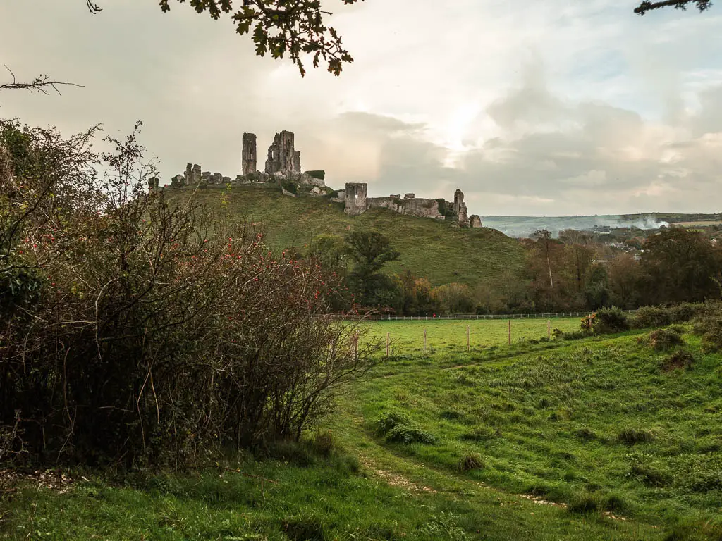
Also, Corfe Castle doesn’t appear until right at the end of the walk from Wareham. Although I was hoping to get a view to it sooner, when it does appear, it’s pretty cool.
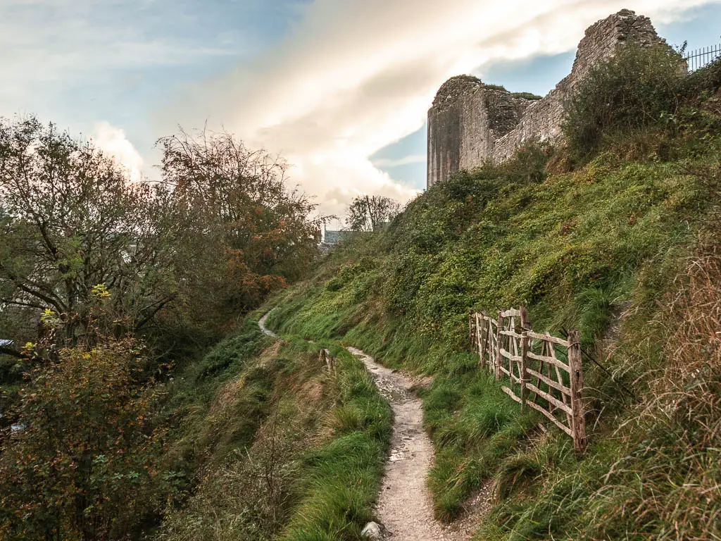
Overall, I wasn’t blown away by this walk, which probably had something to do with my wet feet. I think during dry weather, when the heather is in bloom, it would be wonderful though.
The Blue Pool
A bit over halfway into the walk from Warham to Corfe, you will pass by the Blue Pool. The area is a Nature Reserve. The Blue Pool is a lake, which is actually a flooded disused clay pit.
Due to the clay particles, in different light the water changes colour from vivid blue, to turquoise, and sometimes just plain.
I have always wanted to go here, but decided to give it a miss today. Mainly because there were lots of Halloween decorations about….and children.
There is an entrance fee, which at the time of writing is £7.50 for adults. You don’t need to book in advance, and it’s open all year round at varying times. Check for up to date details here.
Is the walk from Wareham to Corfe Castle easy to follow?
Although this is a marked trail (the Purbeck Way), and there is a lot of signage doing the right job of directing you, in some places it’s either missing or just directs you to nowhere. What I mean by this is, the arrow points you straight into a bush, in between two different walking directions. So you really have no idea which route to take.
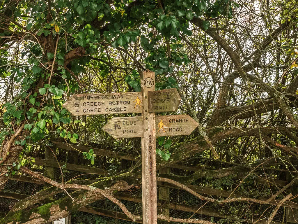
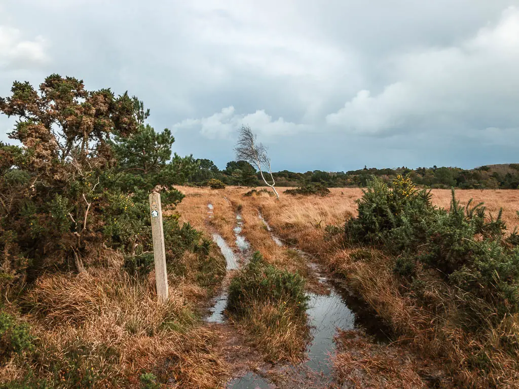
I often had to refer to the guide directions from the Dorset Council website, which aren’t very thorough and didn’t always help.
Logistics
- Start: Wareham, Dorset. BH20 4NS.
- Finish: Corfe Village, Dorset. BH20 5EZ.
- How to get there: Wareham is on the Great Western Railway line. It’s about 2h15min from London. The 40 Breezer bus runs between Corfe village, Wareham, and Swanage.
- Distance: 7 miles
- Time: 3h
- Difficulty: Easy (unless it’s been raining)
- Terrain: Road, grass, dirt trail, bog and marsh, some steps
- Dog friendly: No stiles. A field with lots of sheep and a lama.
- Amenities: Wareham has a bunch of stuff such as Sainsbury’s, places to eat, car park in the station and in town. Corfe has a village shop, a few pubs and cafe/tea rooms, public car park, and lots of bed and breakfast style accommodation. There is a tea room at the Blue Pool (you need to pay entrance to the Blue Pool though).
- Time of year: I did the Wareham to Corfe Castle walk during Autumn
Map for the walk from Wareham to Corfe Castle
You can find my more detailed route map for the walk between Wareham and Corfe Castle on Alltrails. There you can also download a GPX file.
Read about day 2 Corfe to Swanage here.
Read about day 3 Corfe to Chapman’s Pool here.
Tips for the walk
- Avoid walking to Corfe from Wareham after heavy rain. It can get impossibly boggy.
- Have a route map or guide with you, as the route isn’t always well signposted.
If you fancy checking out some other walks in the area, then I recommend this one to Old Harry Rocks.
Route Description: Wareham to Corfe Castle
If starting from Wareham Station, head to the road and turn right, following the sign to the town centre. Further along, there is a walking path forking to the right of the road. Go along it. Then when you reach the road again, turn right, and this will lead you into Wareham Town.
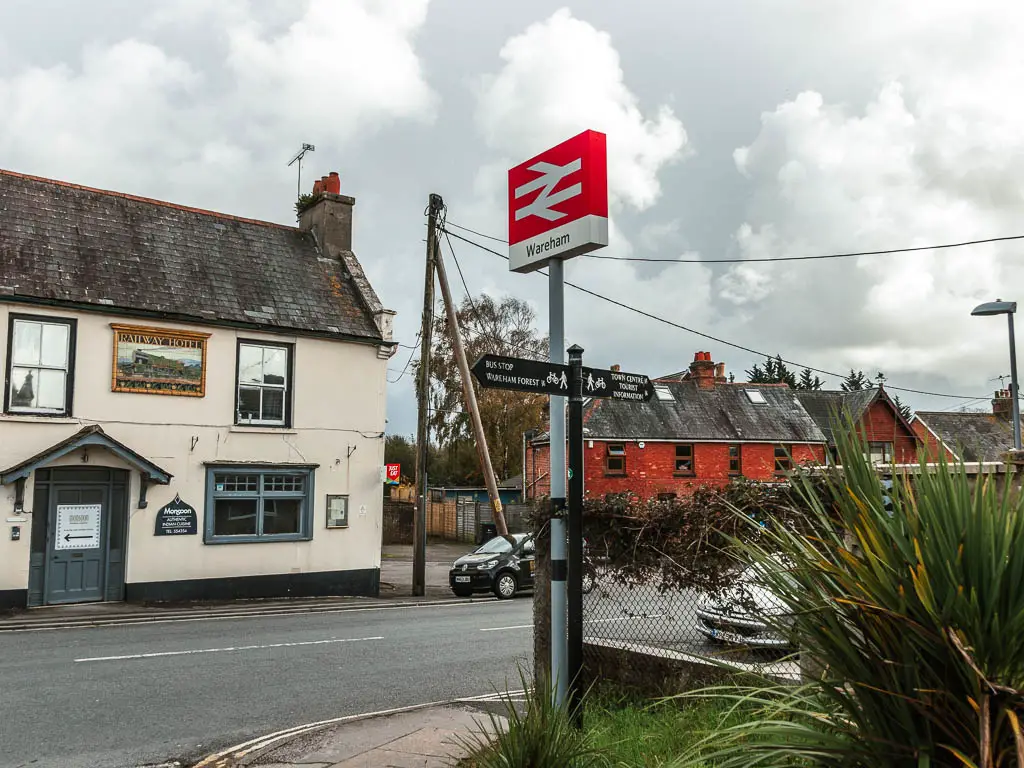
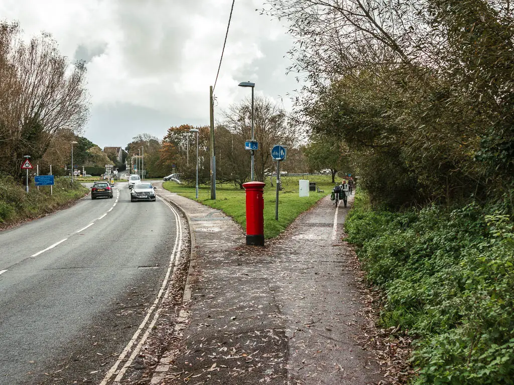
Keep going to reach the bridge. This is where the walking route from Wareham to Corfe Castle starts. Although, it’s not signposted yet.
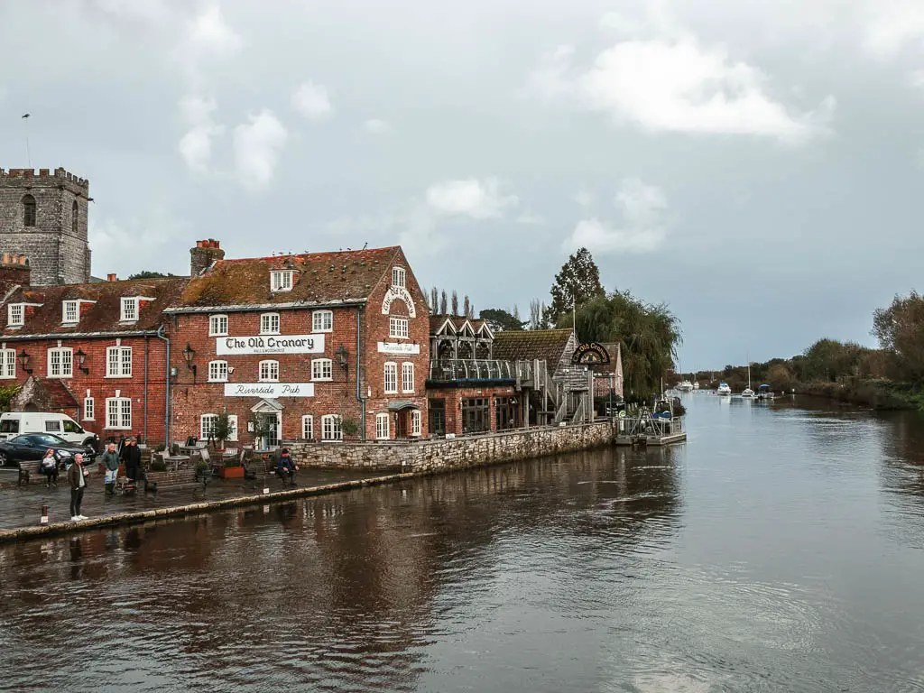
Walk alongside the River Frome
Cross over the bridge, and go through the gate on the left. This will lead you onto a riverside path which you follow for some time now.
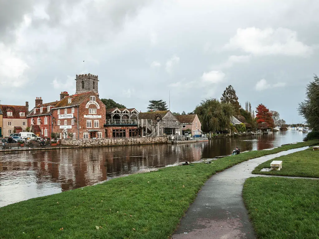
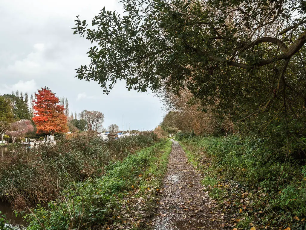
This is where I first got an idea of what was ahead of me. The path was nice and flooded. Luckily it was only a small section. It would later get much worse though.
This section alongside the river I thought was quite lovely. With all the little boats to my left, and marshland to my right. I needed a pee though. I had actually needed it on the train ride up here, but didn’t want to leave my bags unattended so held it in. I found a section of bush, not fully hidden from the boats, and did what I had to do, hoping there was no one in any of them.
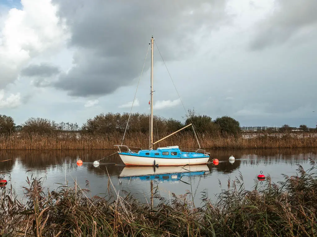
If you are into history, there are a few information boards along here, telling you stuff. I didn’t read them though. I knew the rain would be coming back, and wanted to cover as much ground as quickly as possible.
Follow the Purbeck way to Corfe Castle
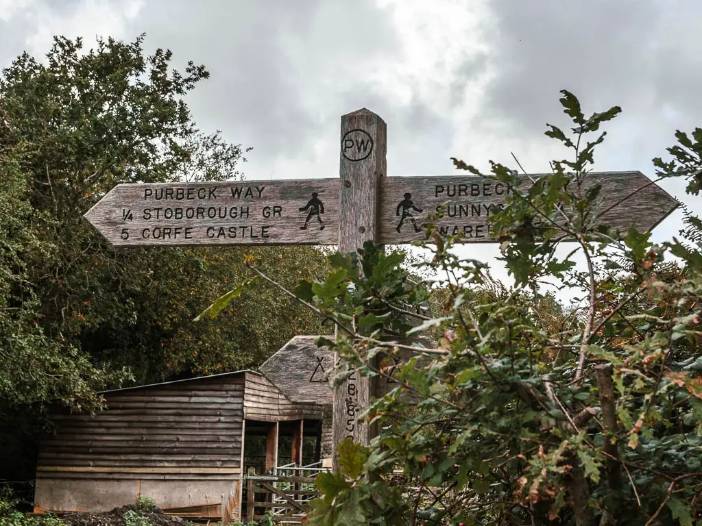
Past the Yacht Club, and car parking area, you will be on a gravelly road. Keep going to the end towards the house, then turn left. You should see a signpost pointing right for the Purbeck way towards Corfe Castle. This is the first sign. I was quite relieved to see it, as I wasn’t completely sure I was doing it right.
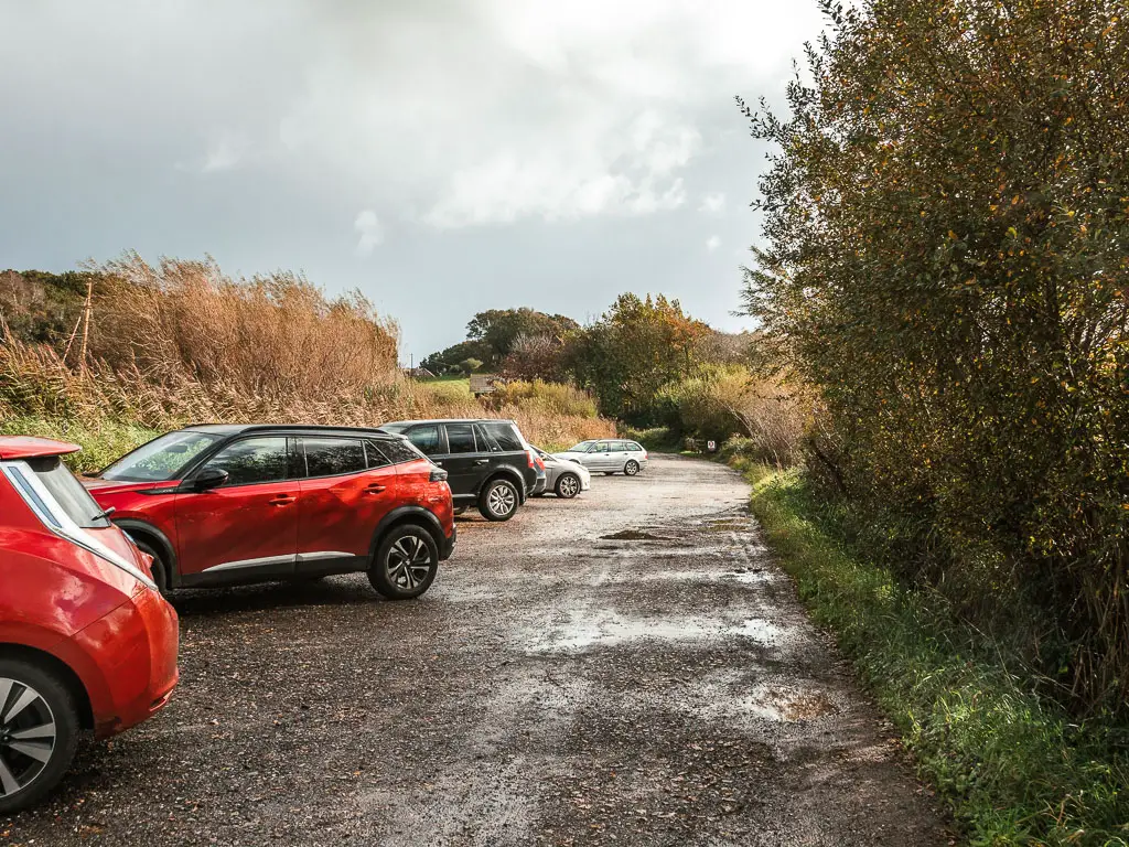
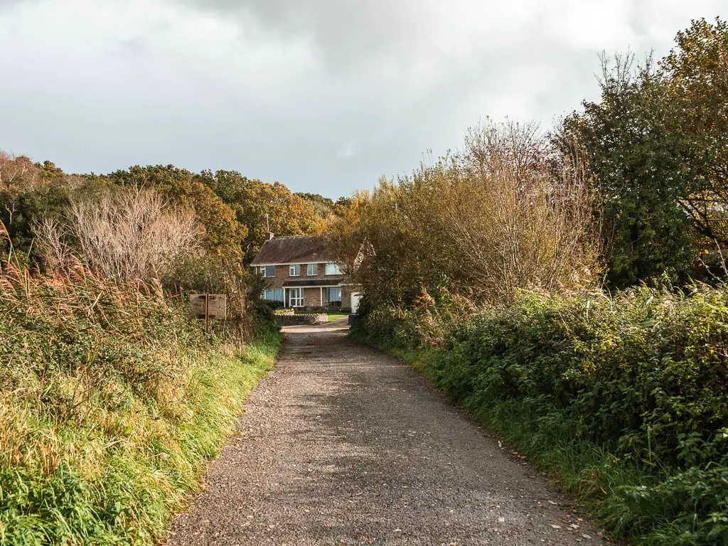
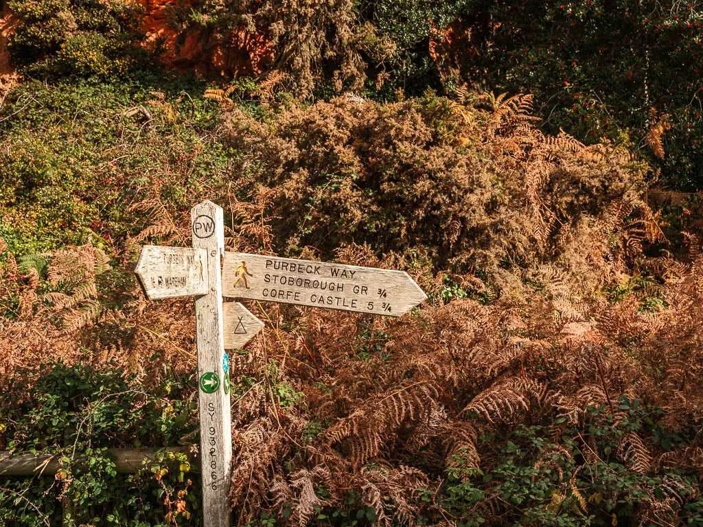
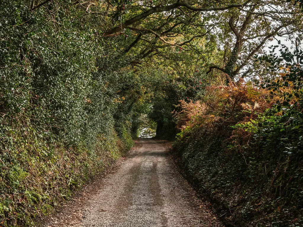
Follow the sign up the track, and through a tree tunnel to reach the next houses, where you turn right. This leads you to the main (but quiet) road. You should see another sign here pointing right to walk to Corfe Castle.
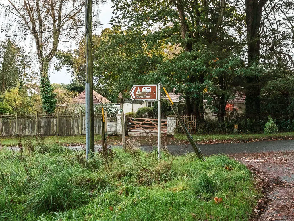
Keep going along the road, passing another sign (so far so good), to reach the main road junction. This is where it started to get tricky.
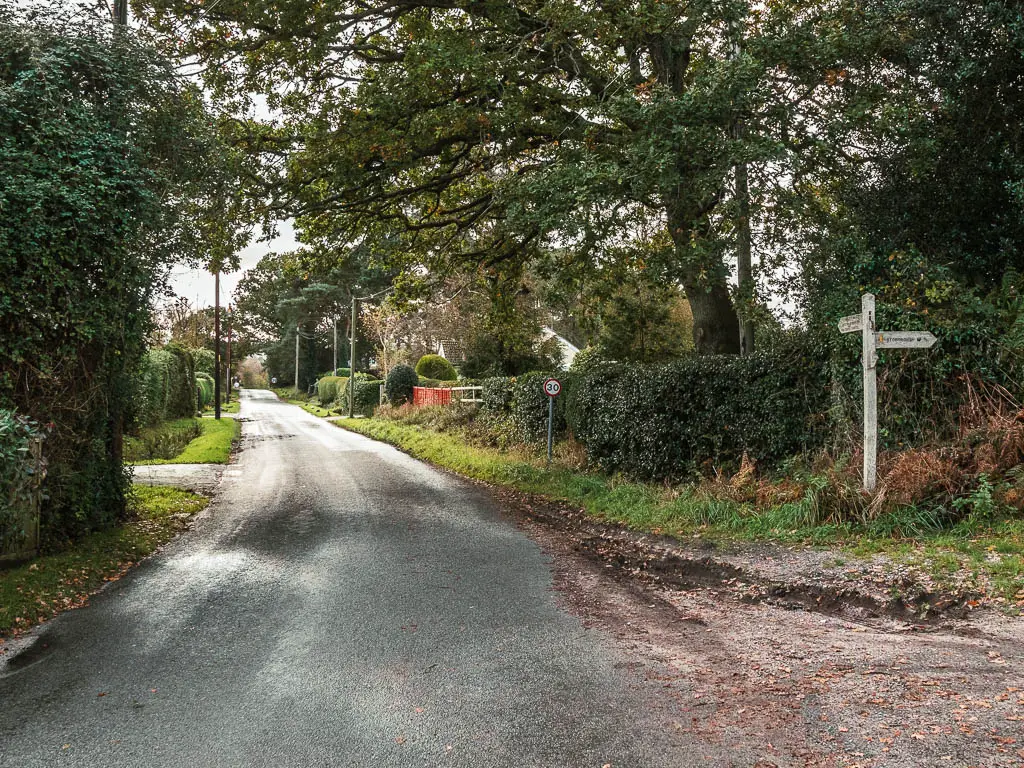
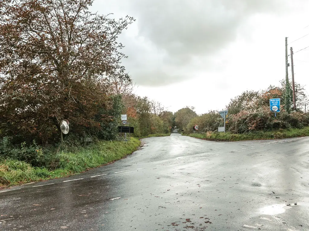
The useless signs
At the time of writing, there is no signage at this junction. Well, it is sort of there, but the arrows have been pulled out.
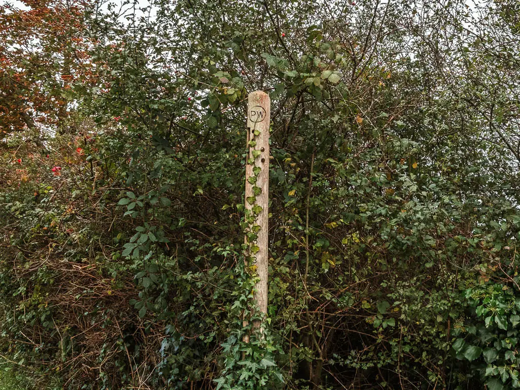
I inspected the angles of the holes and decided that it wanted me to go into the field and turn right.
I quickly checked the guide on the Dorset website, and it tells me to follow the road. I decided I liked the field better, so did that.
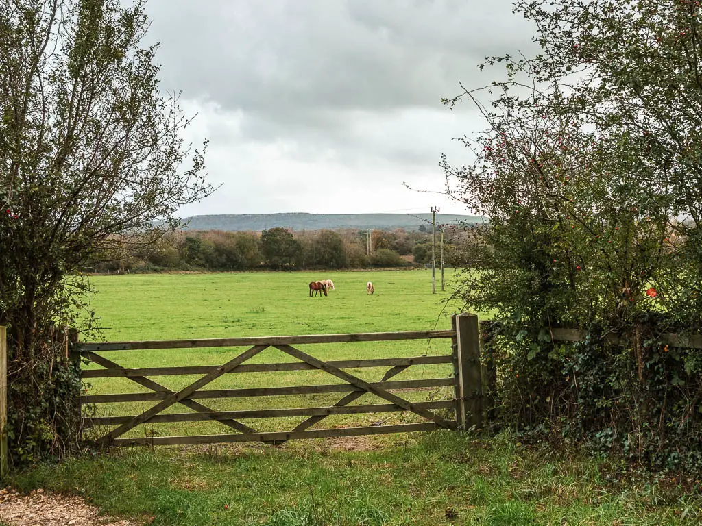
Through the field and the gate at the end is the next problem. There is the option to go left through Stoborough Heath, or straight on the road. The sign points to walk to Corfe Castle into a bush between the two, or back the way I came towards Wareham.
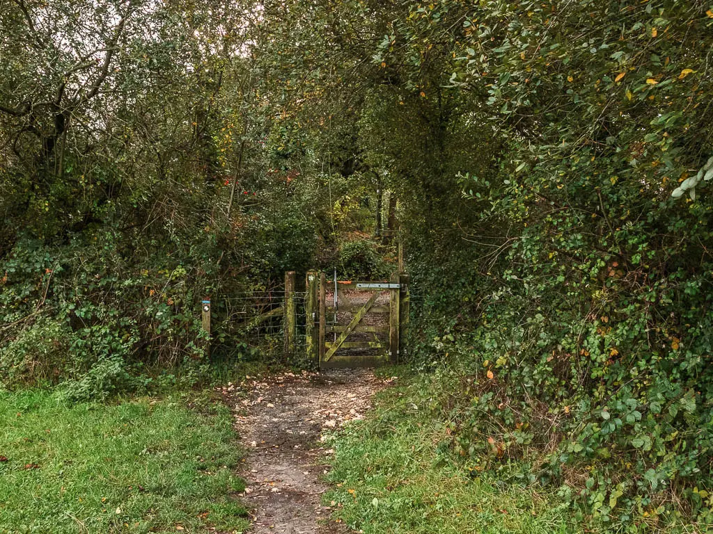
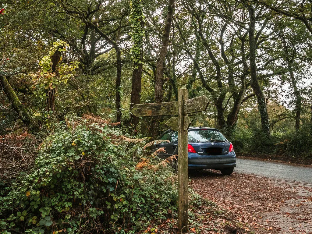
I checked online again, and it did say I would be walking through Stoborough Heath, but not yet.
I decided this time to do what it told me and stuck to the road. Glad I did, as more signs soon appeared letting me know I was going the correct way.
More road and a flooded trail
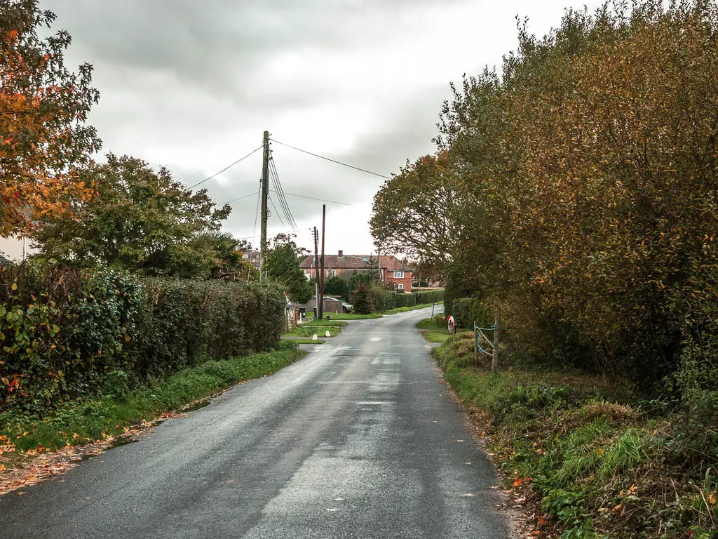
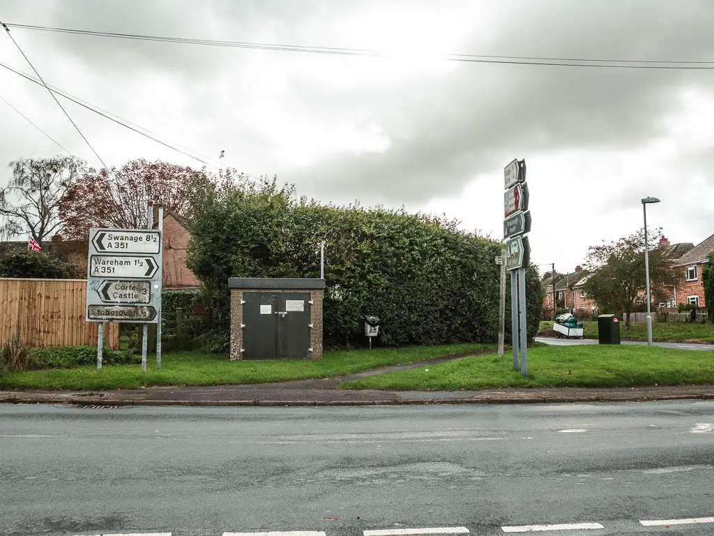
Keep following the road, then when you reach the big road junction, cross over it and along the residential road straight ahead.
Not too far along, you should see a grassy tree corner on the left, with a sign pointing along a trail. Follow it.
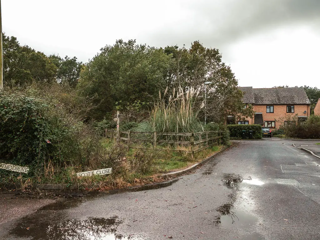
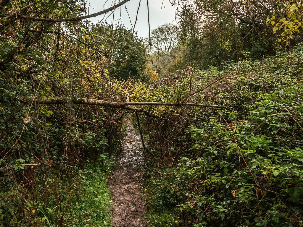
This bit of trail becomes very narrow. It was also flooded for me. The flooding was all a bit of fun at this point….
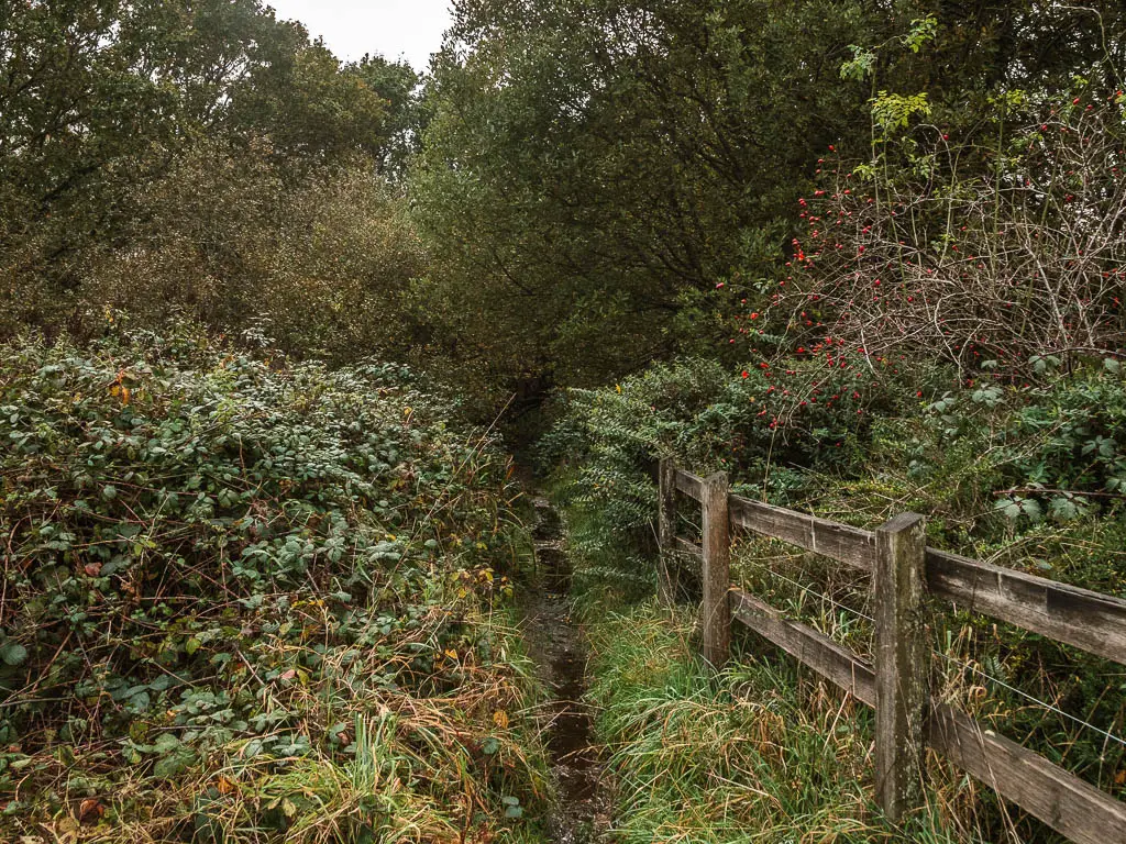
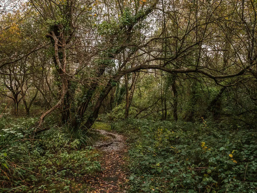
The trail then opens up, taking you under straggly trees to reach the road again. Cross the road, and go through the gait on the other side.
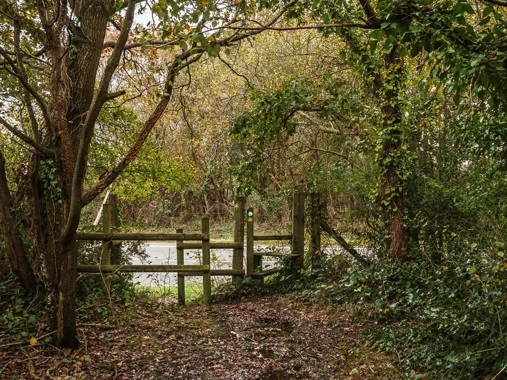
Through here, you should see a trail stump signpost ahead. Follow the arrow on it to the left.
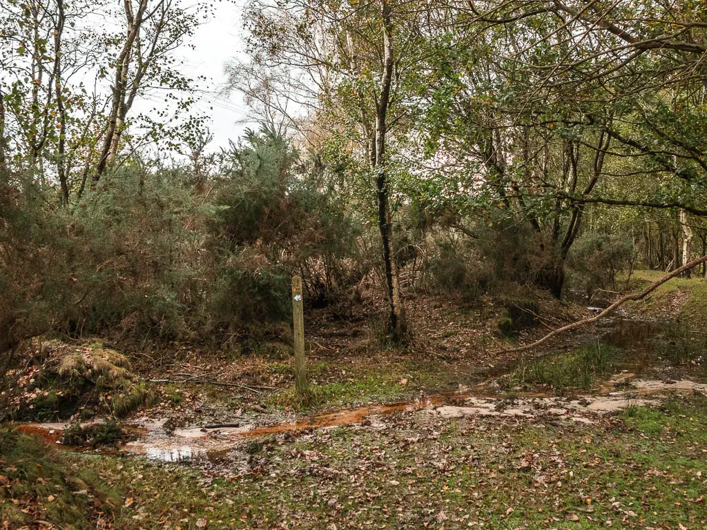
The boggy marsh
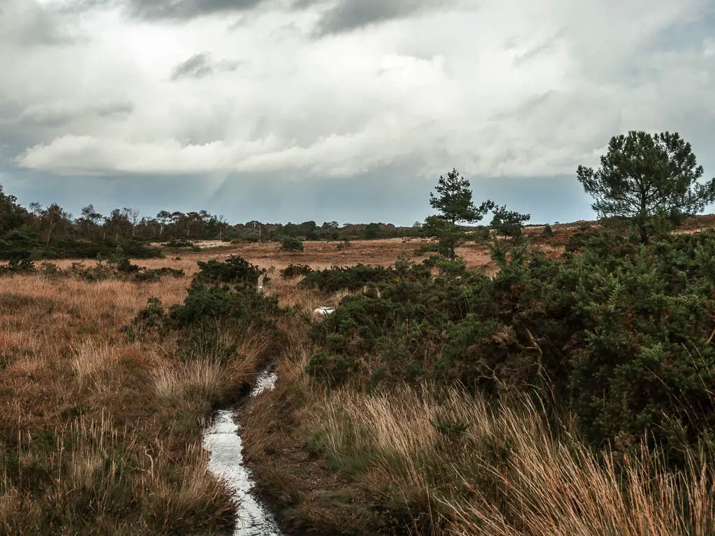
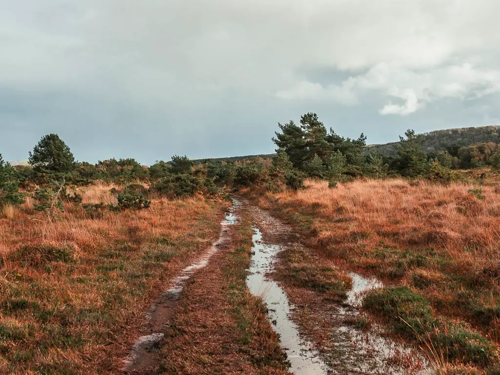
Upon turning left, I was presented with more flooded trail. Now it was starting to be less fun. I tried straddling it, which worked at first, but then there was no side to straddle on. It then became a case of placing my feet where they would be least submerged in water. This is where I realised my waterproof hiking boots have holes in them.
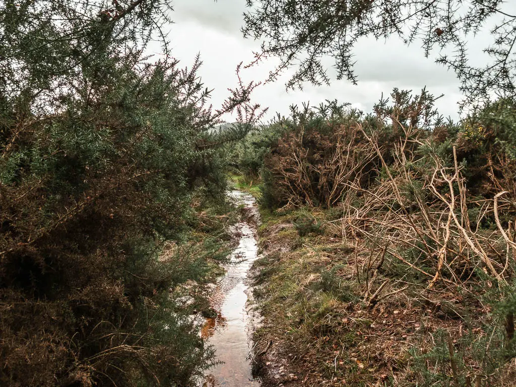
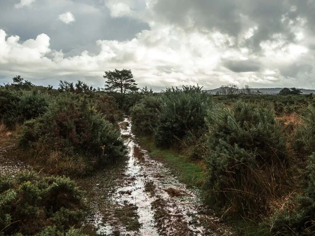
The narrow trail becomes wider, and soon you will be in more open bog territory.
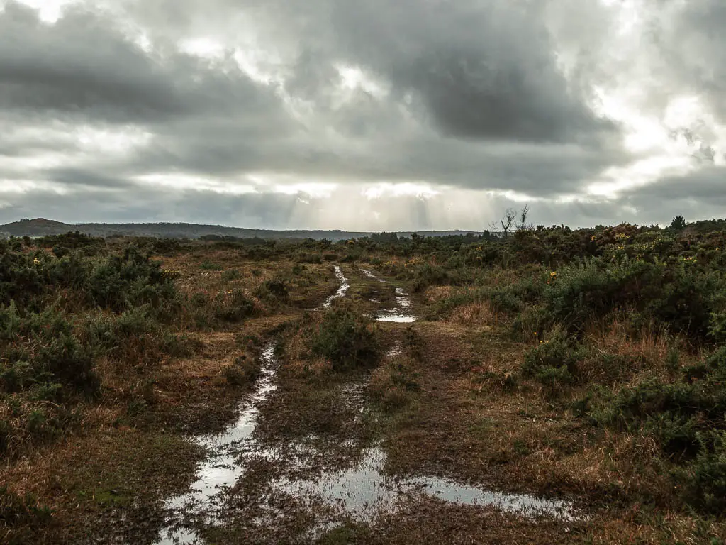
When you reach the junction with the trail signage, turn right, then a short way along at the next trail signage, turn left.
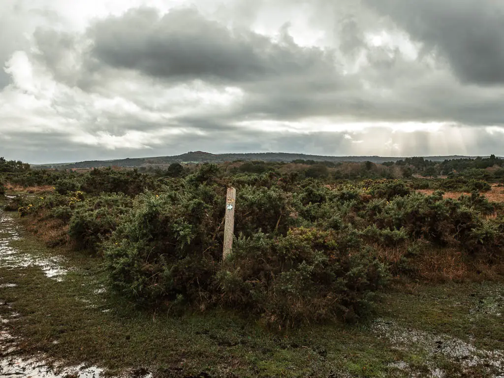
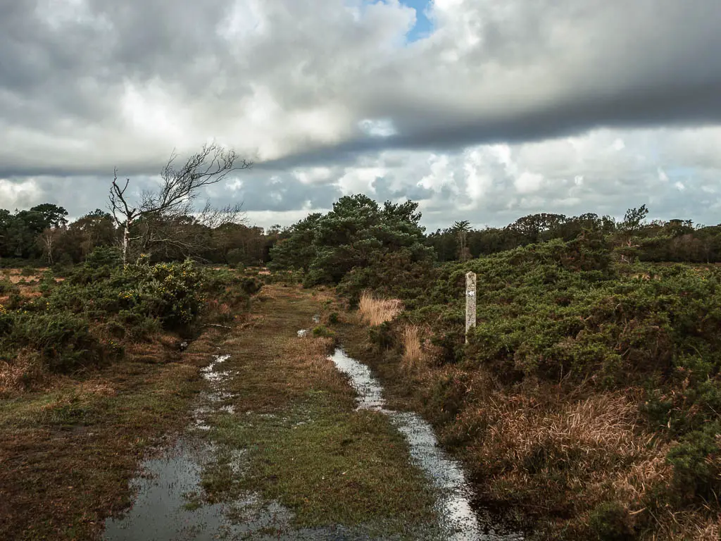
Now keep going to reach the trees in the distance.
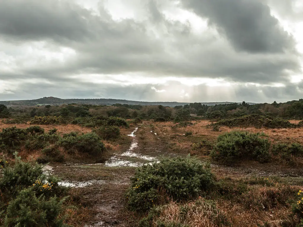
This section I found impossible. But at this point I had no choice. The boggy wet ground was doable, with a bit of jumping around. It was the big puddles that were the issue. With no way to get around them, my only option was to walk straight through. So I did.
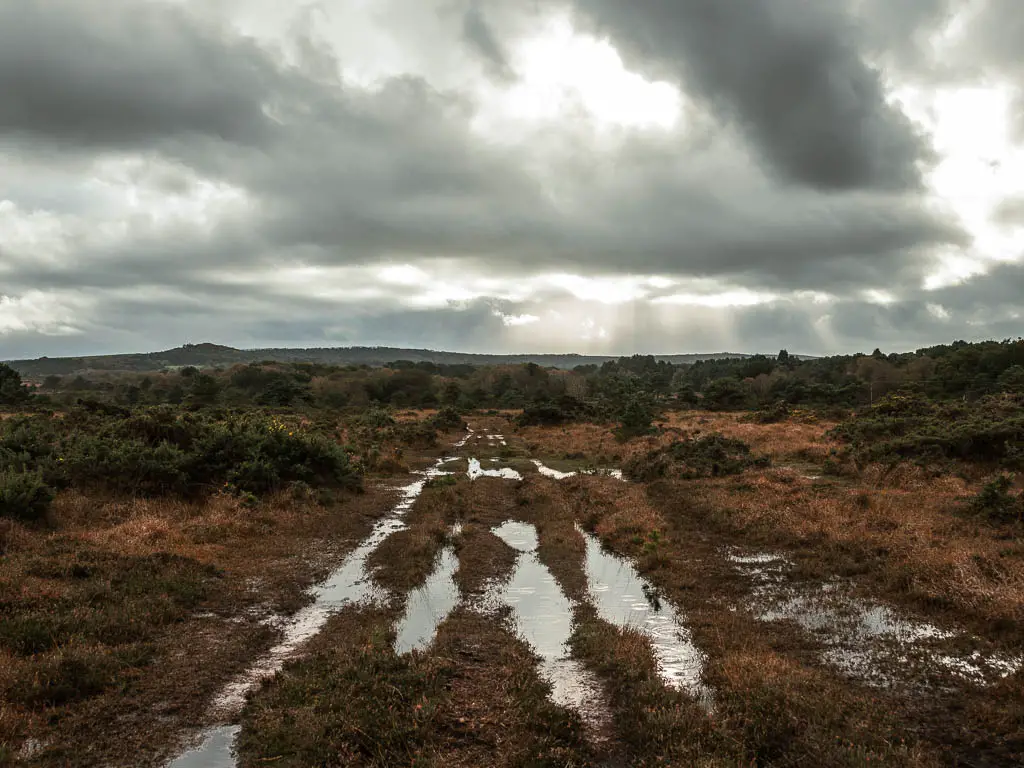
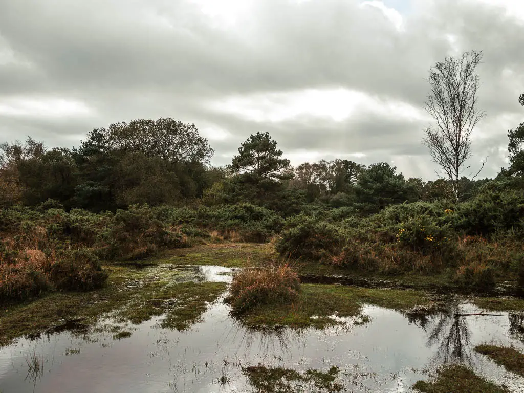
My boots would now remain wet for the rest of my time out here.
Dry land and the railway
As you approach the trees, the grassy path will lead between some hedges, and then across a more open space, and through the gate on the other side.
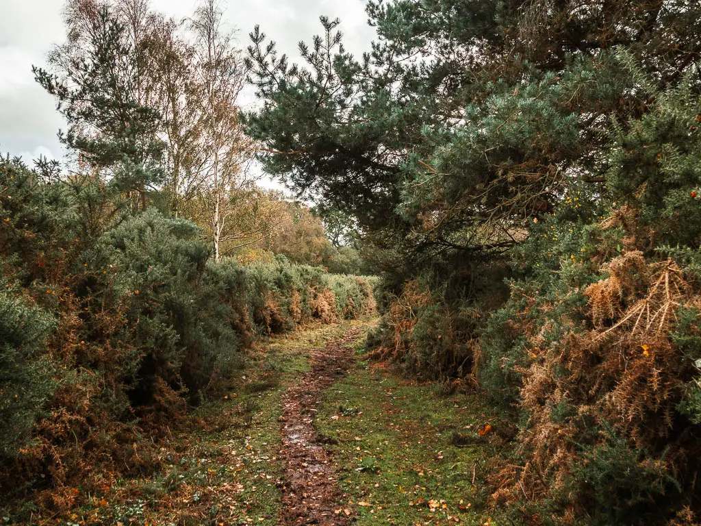
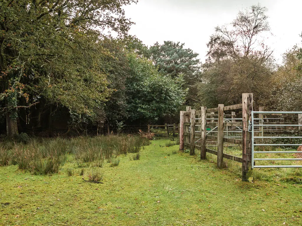
You will then reach a dirt type road/path. Follow it as it curves right then left, through lots of trees, to reach the next road.
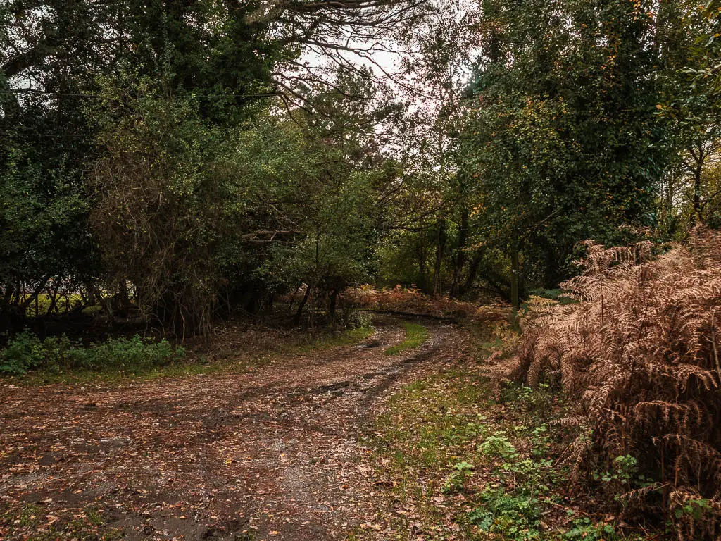
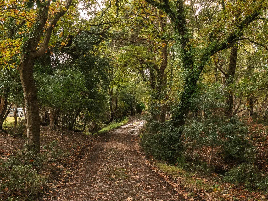
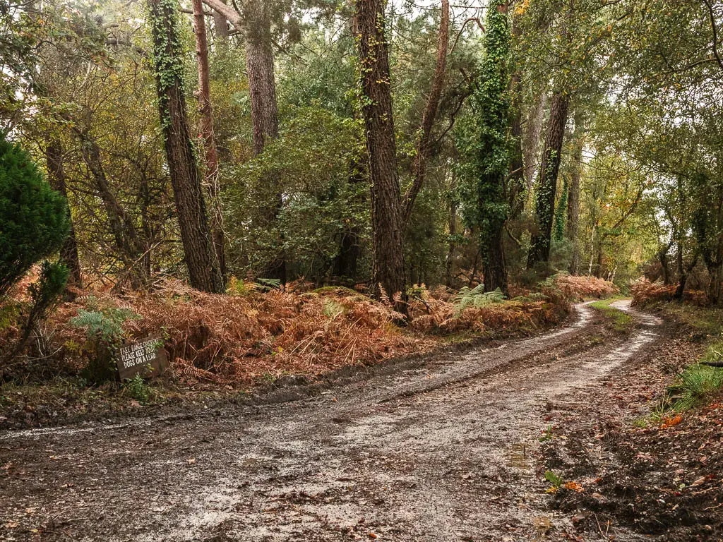
Turn right and keep going to reach the railway line. Make sure no trains are coming, then cross over it.
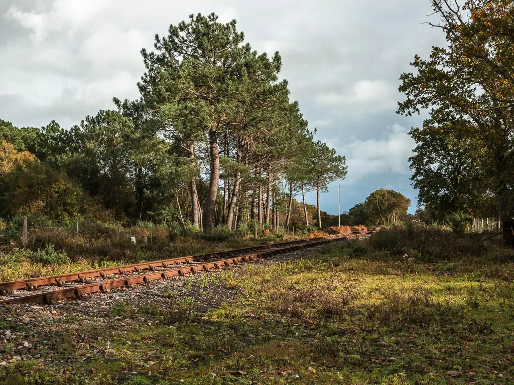
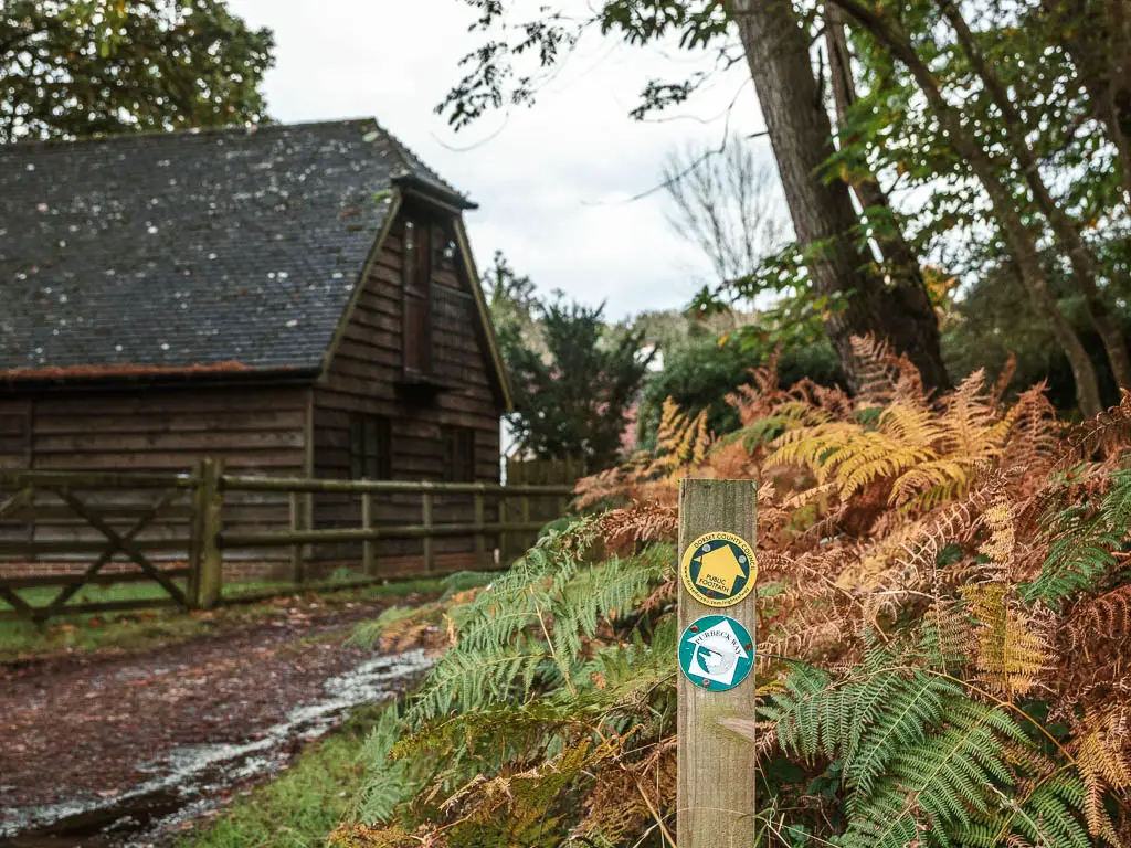
At the road ahead, follow it to the left. This will lead you to a junction with a shed. There is a trail stump here, with arrows pointing you along the path with the shed to your left. This will lead you to a gate leading to Creech Heath.
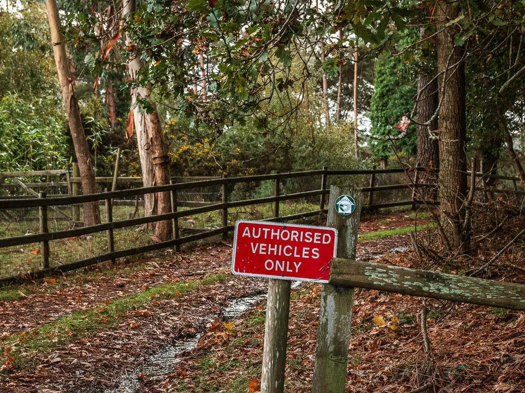
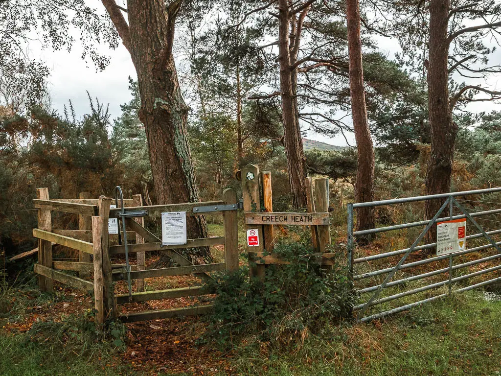
Creech Heath
This is the next boggy section of the walk between Wareham and Corfe Castle.
Through the gate you will be on a grass path, and then a short wooden walkway. Past here, it might be a little confusing. Look ahead and left and you should see some wooden things, which mark the trail. As you can see from my photo below, it was all bog.
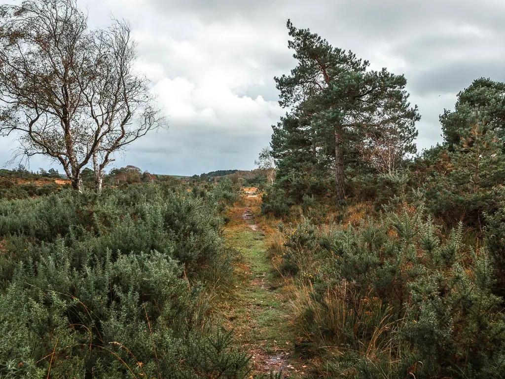
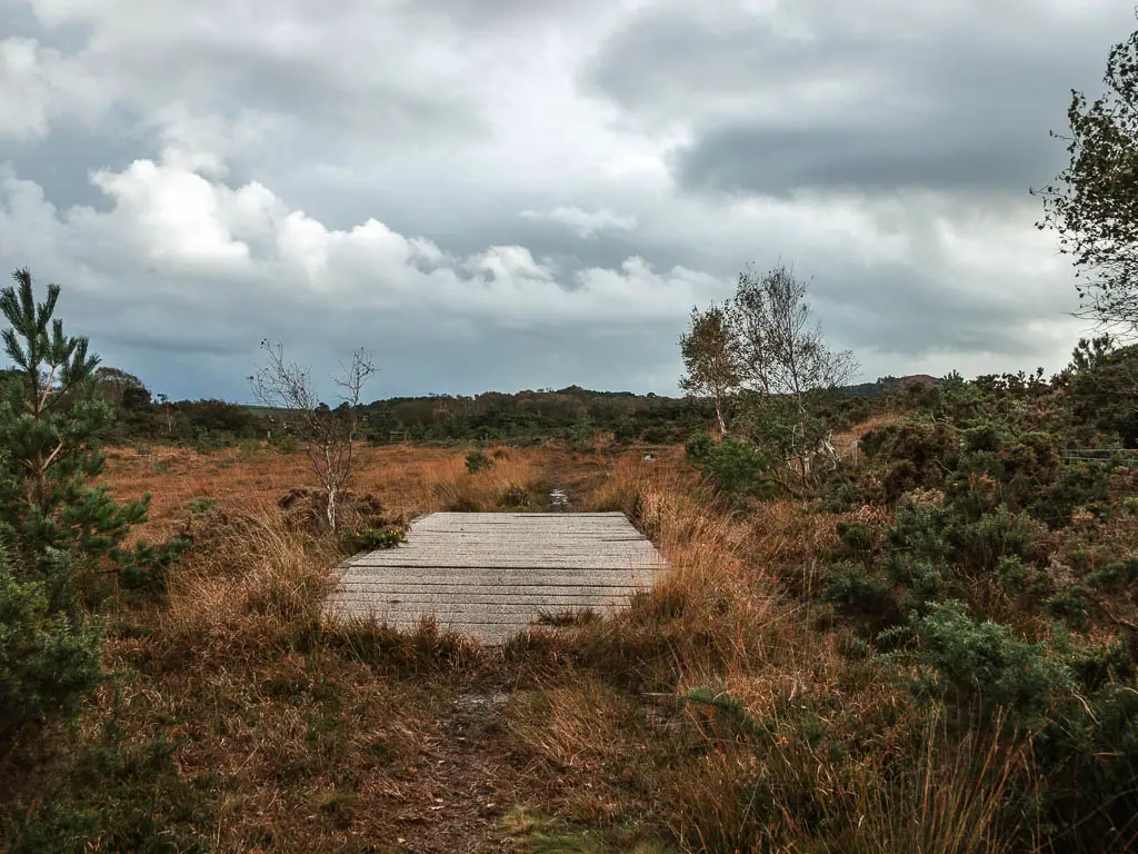
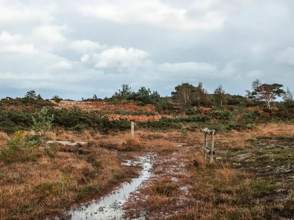
Follow it, and you should reach another wooden post with a trail sticker arrow, pointing you to the right to another short wooden walkway.
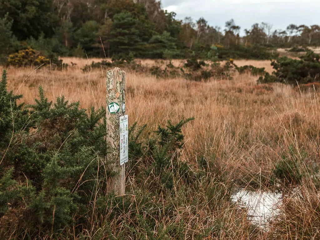
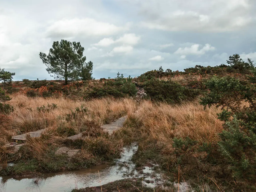
These are to elevate you from the bog and marsh. Too bad there aren’t more of them.
Keep following the track, and soon you will see a wall of trees ahead in the distance. Head towards them.

Walk to the Blue Pool and the halfway point in the walk
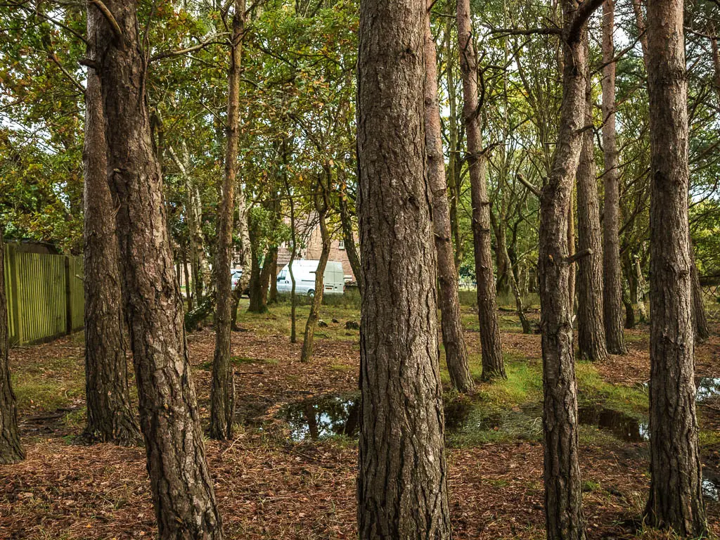
At the end, go through the gate, then straight through the small section of woods to the houses and road on the other side.
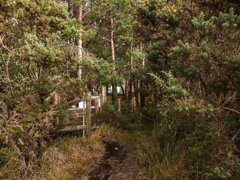
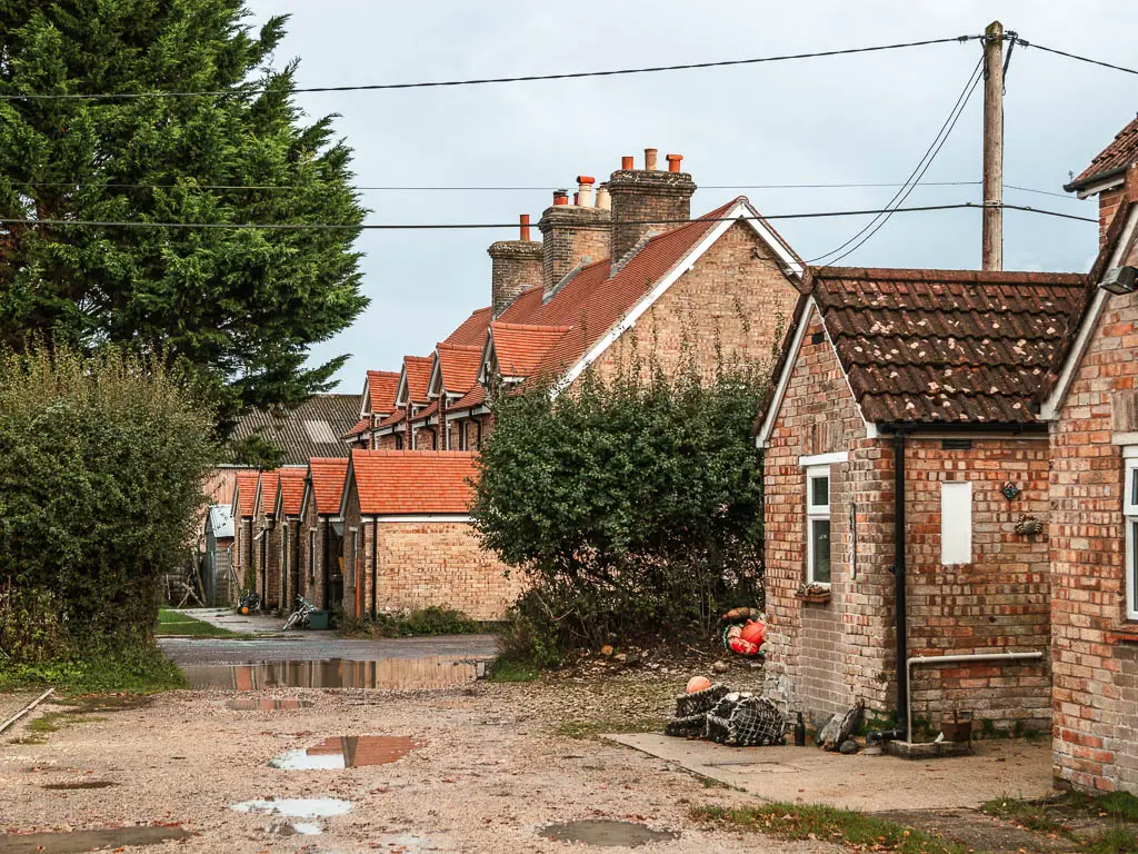
Walk through the little housing area, then at the main road, turn right. This is the halfway point in the walk from Wareham to Corfe Castle.
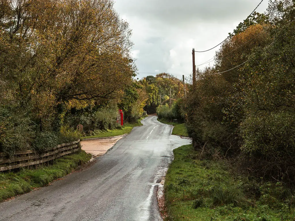
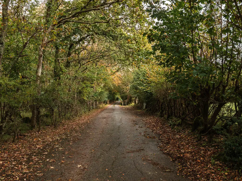
Stay following the road all the way to the entrance sign for the Blue Pool. Then follow it in.
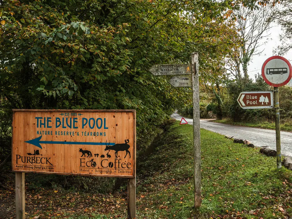
When you reach the Blue Pool car park, follow the path to the right, which will lead you to the entrance of the Blue Pool.
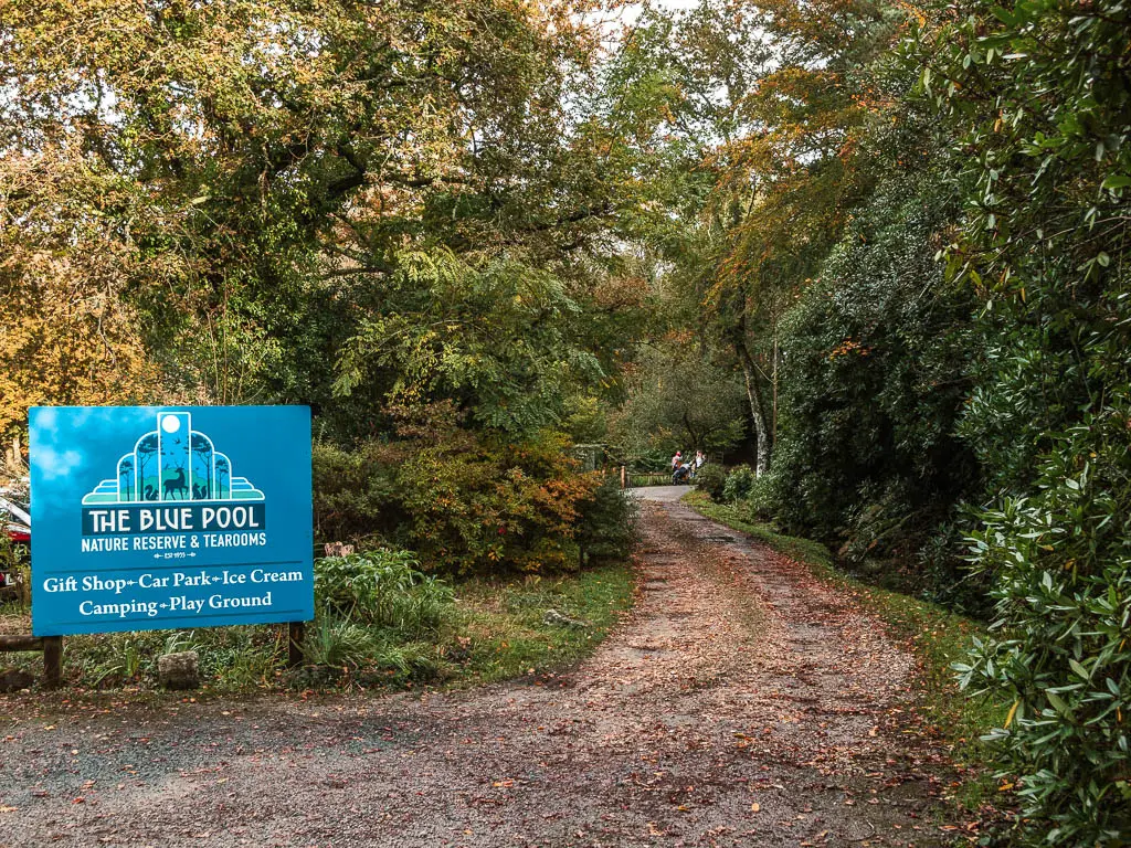
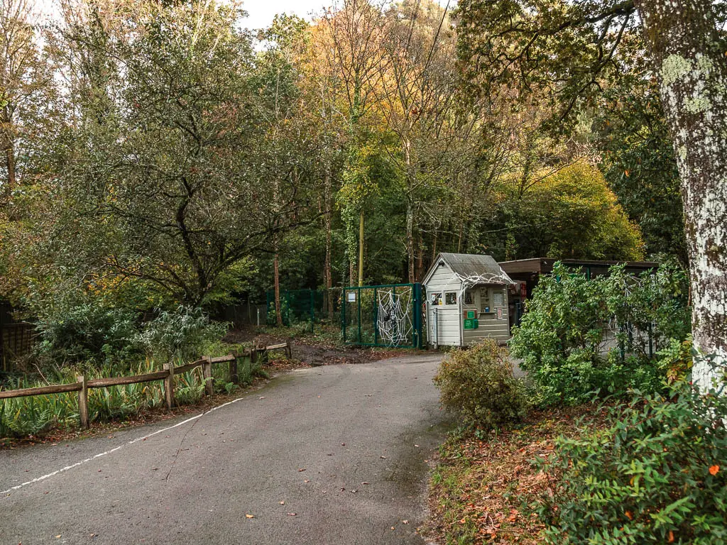
You can go in if you want, but to continue towards Corfe Castle, take the dirt path to the left of the entrance of the Blue Pool.
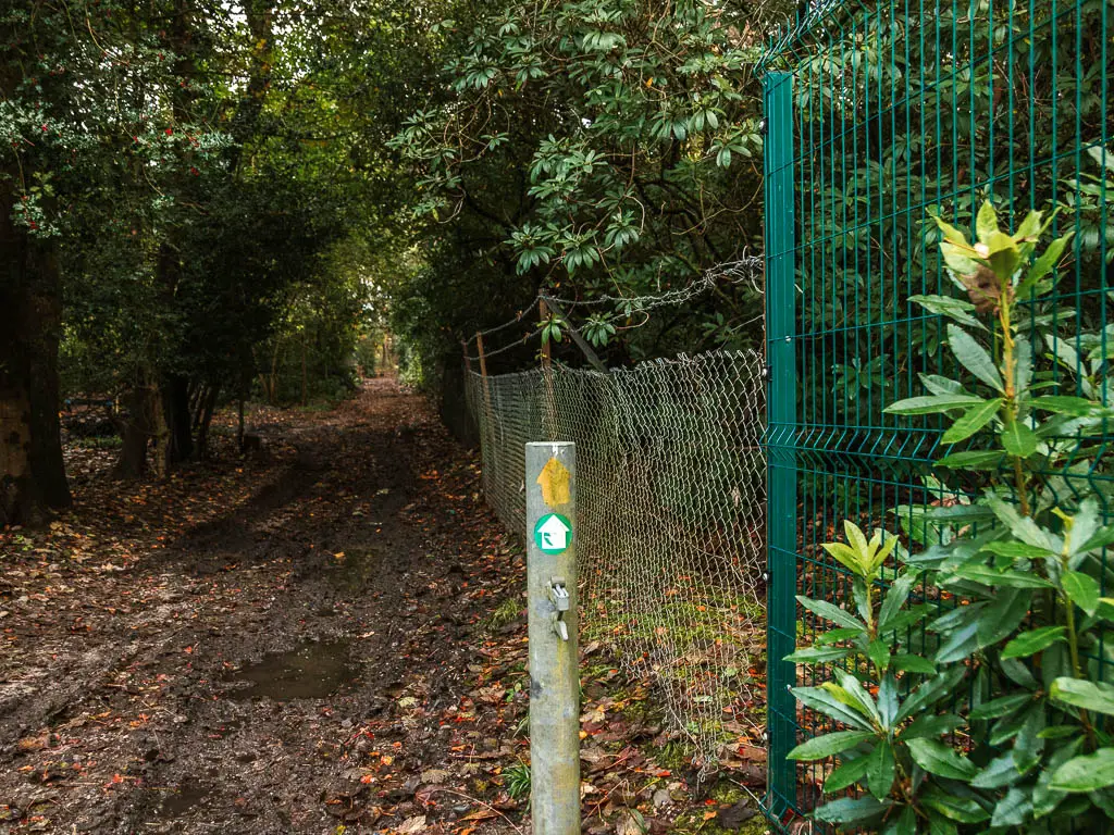
Keep going straight through the gate, and when you reach the headstone type signage, follow the yellow arrow to the right and through another gate, onto the next heath.
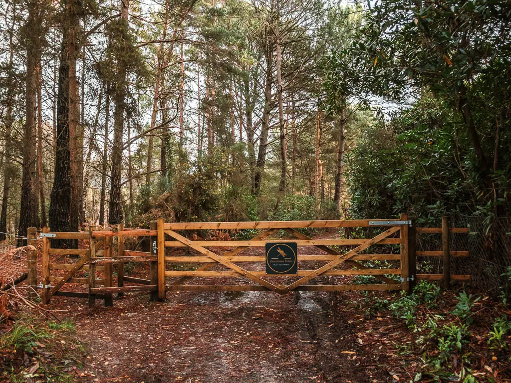
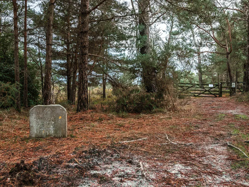
More boggy heathland
This is you third section of potential bog.
Follow the path through the gate, and at the fork with another headstone type signage, take the trail to the left.
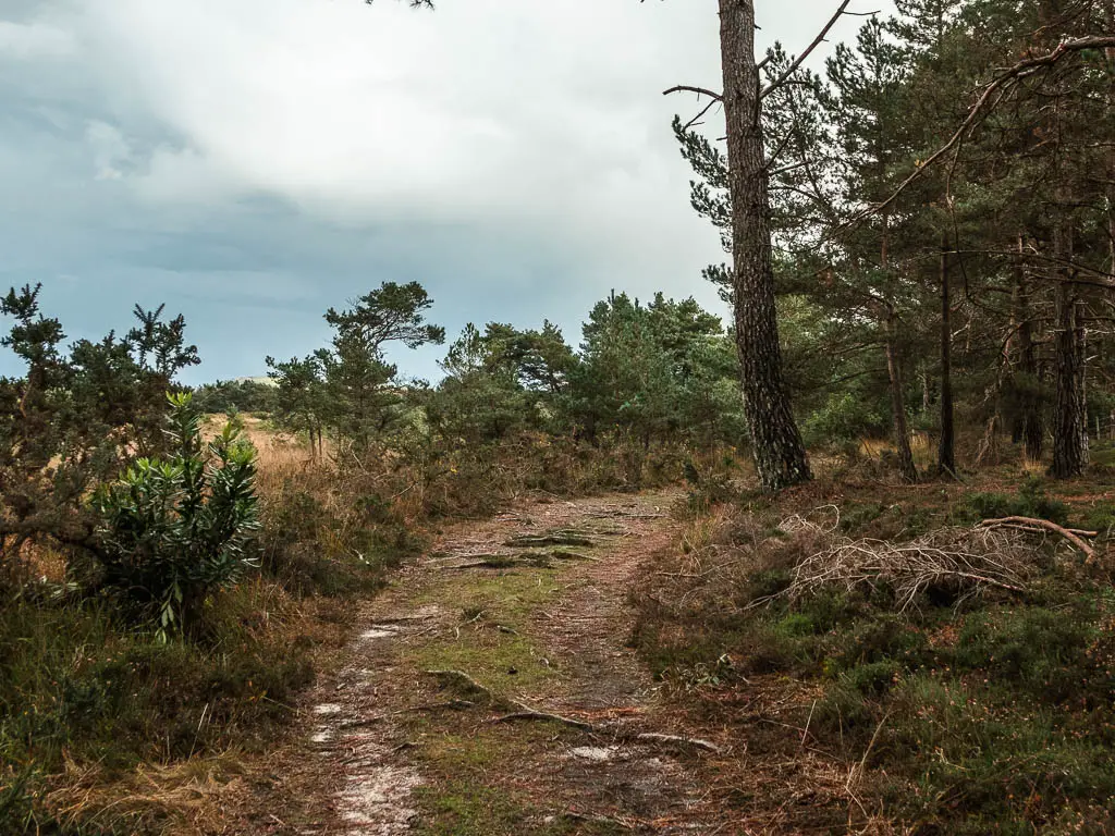
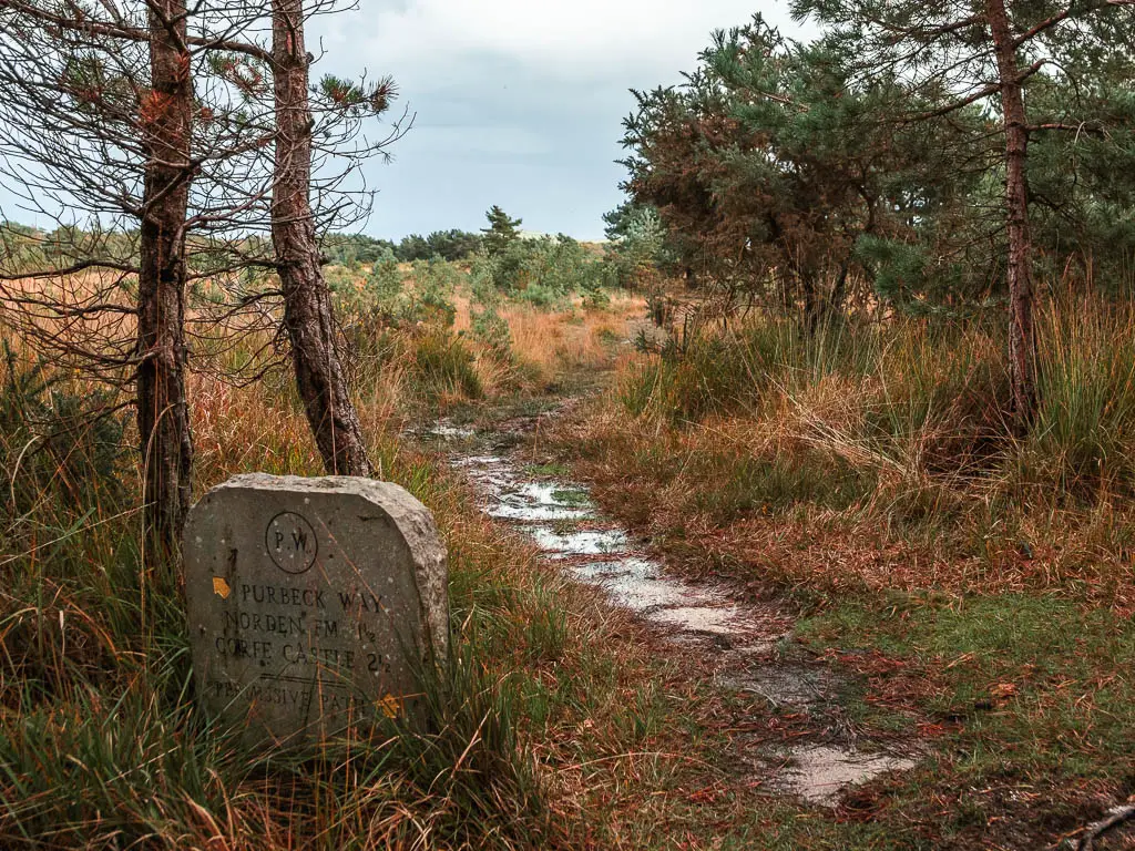
Now walk across the heath to the woods on the other side.
The woods
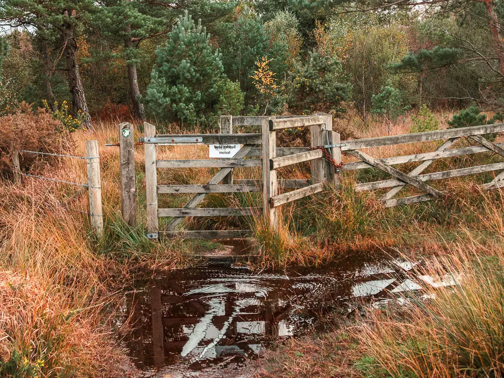
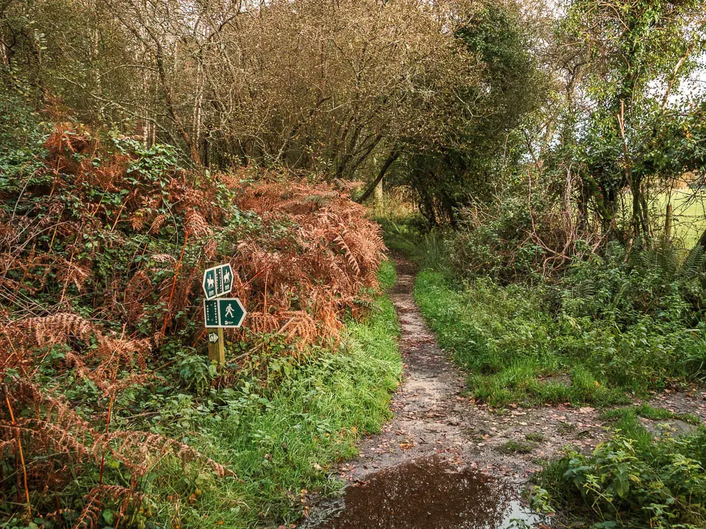
At the gate, there is an arrow pointing diagonal right. I wasn’t sure what it meant as there is only a path straight….I soon realised what it meant though.
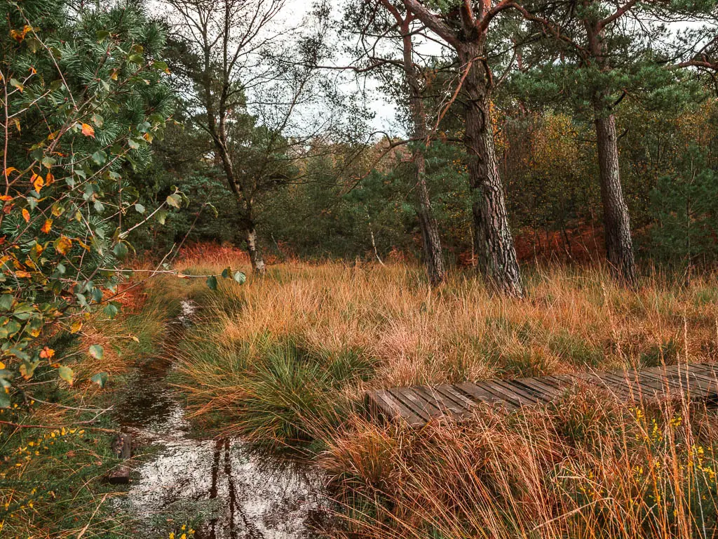
A short way along, there is a wooden walkway to the right. You need to walk along that.
You will then be led through some fern and woods, and along more ground bridge.
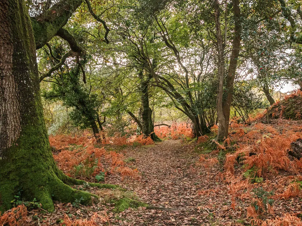
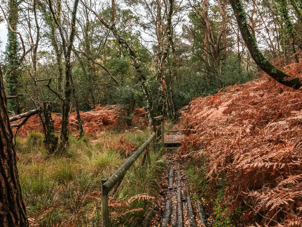
When you reach the junction with the big tree, turn left and over the next bridge.
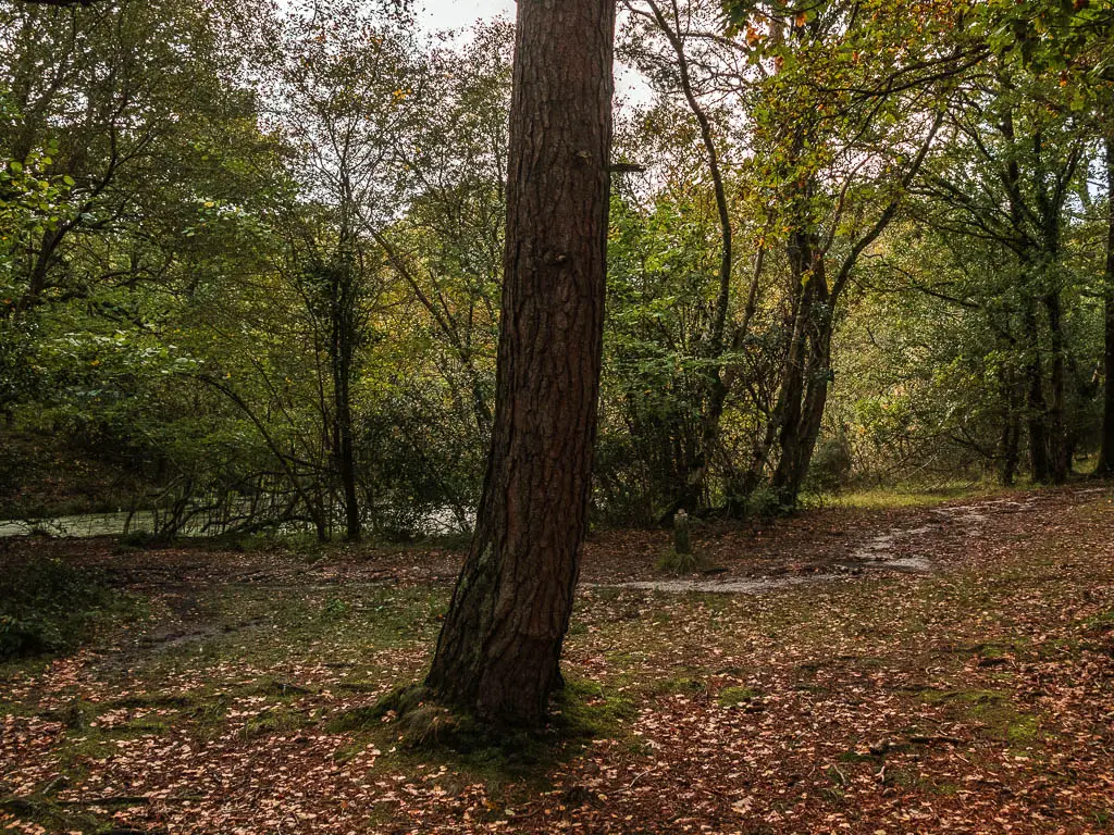
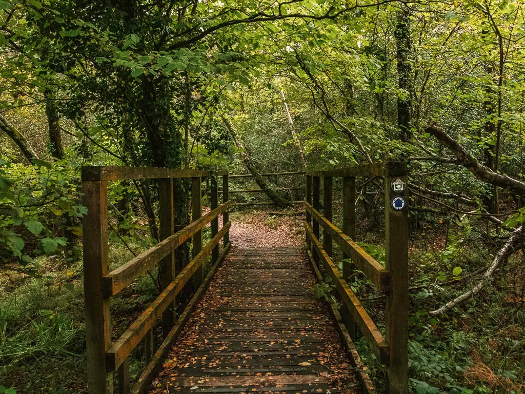
The path will then lead you to the left, then when you reach the field, walk so that it is on your right.
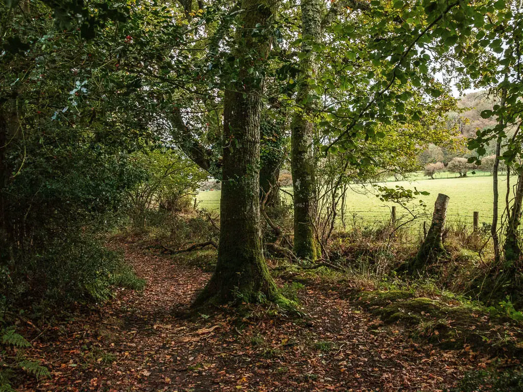
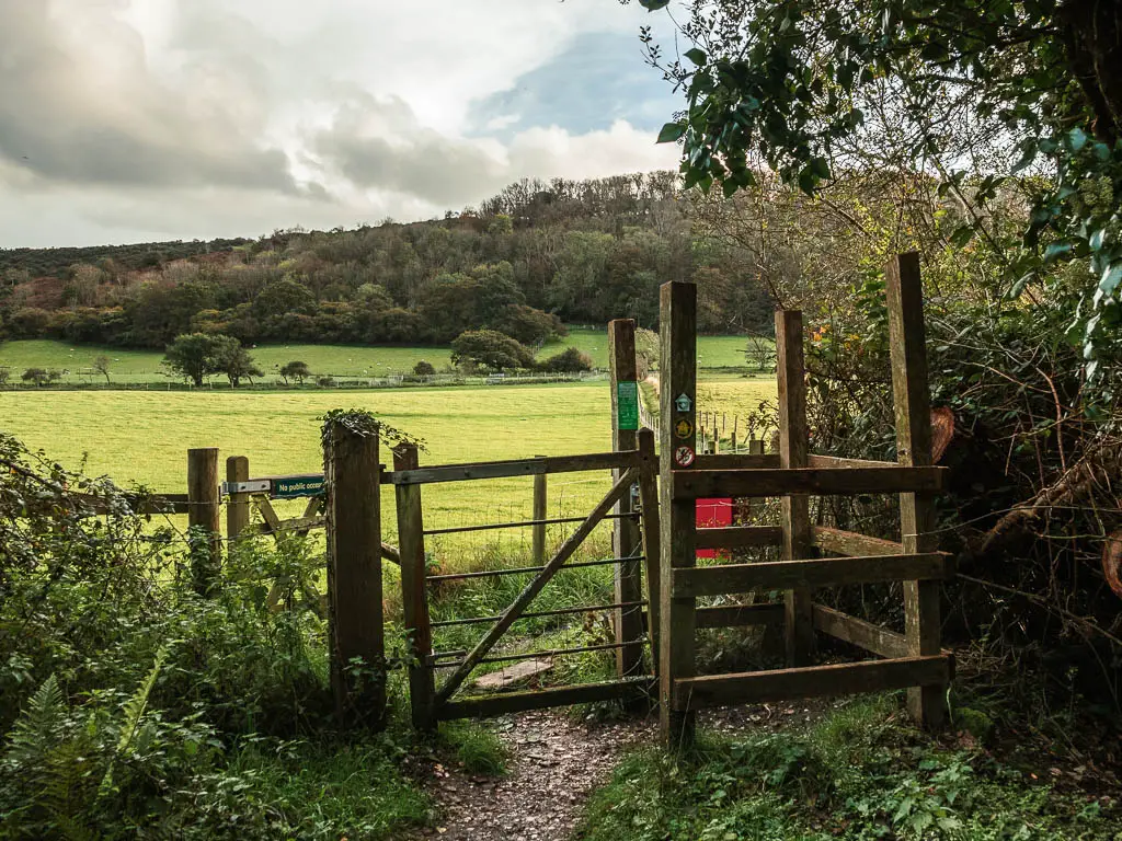
Keep going straight for a bit, then look out for the signage with a trail to the right. Follow it right and through a gate.
The hill
Through the gate you will be out in the open. Follow the path as it takes you right, and then left to start the walk up the hill.
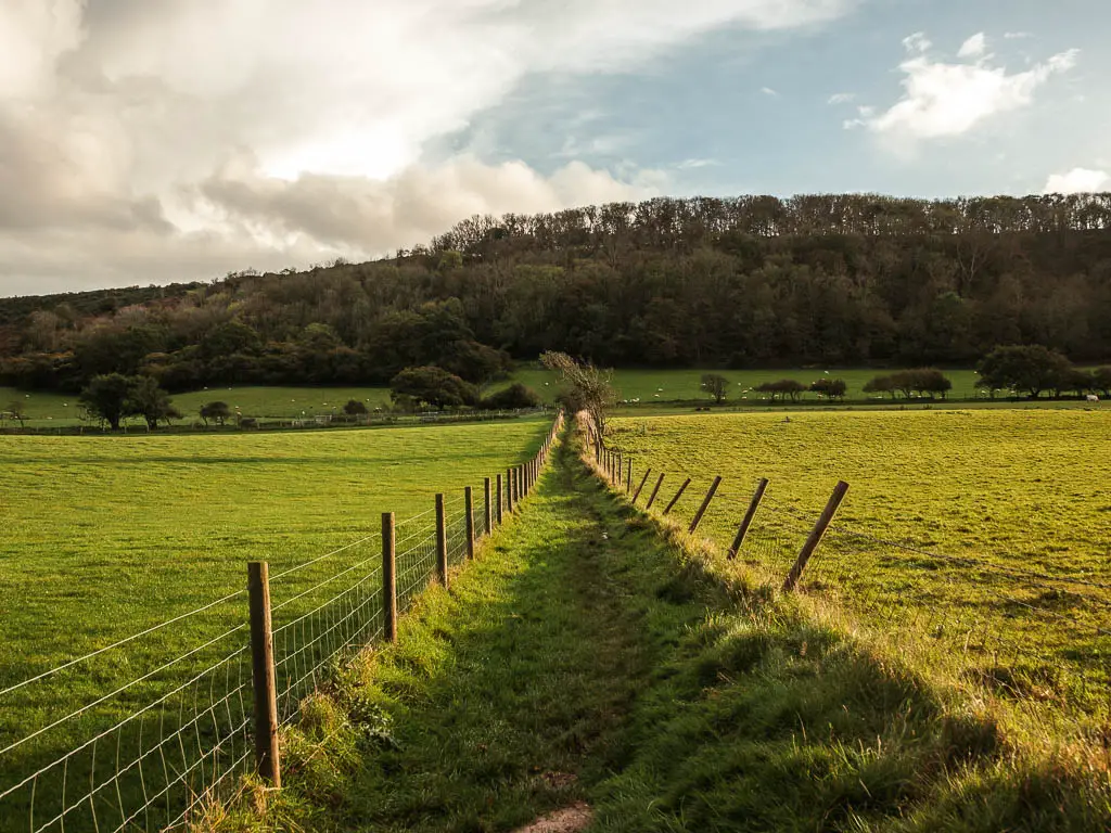
This bit took me by surprise. It looked like a nice easy grass path. However, hiding beneath the grass was the wettest, boggiest bit of the whole walk between Wareham and Corfe. My feet were already pretty wet by this point, so it didn’t matter too much. Although instinct had me hoping about to find the less wet bits.
When you reach the gate, go through it and keep going straight up to reach the next gate.
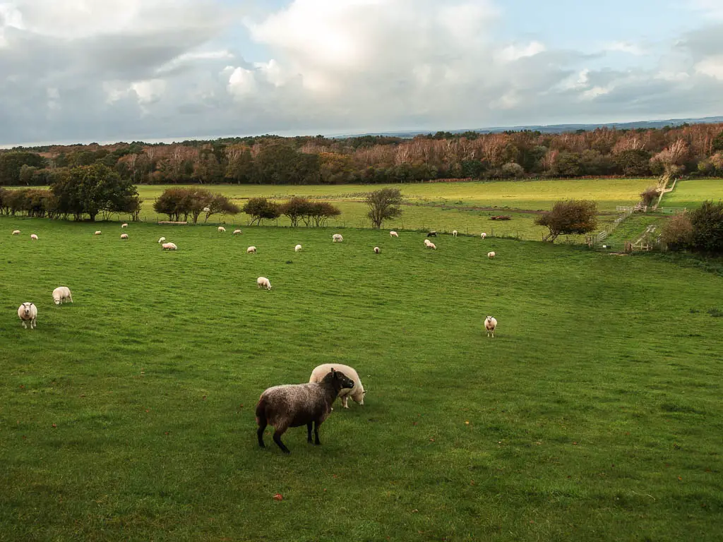
This is the field with all the sheep and lama (or alpaca).
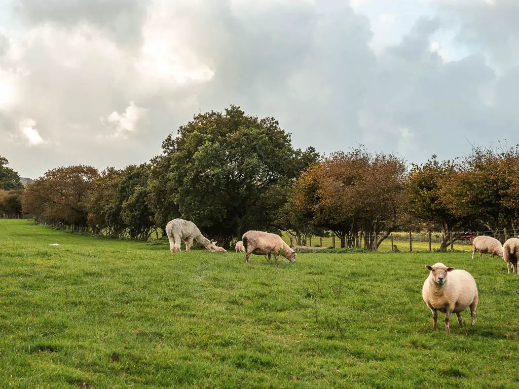
You now want to walk to the top left corner of this field. I wouldn’t say this hill was tough, but I was definitely feeling it due to my heavy backpack. I hadn’t packed light as I would be able to dump it all at my accommodation in Corfe for the next two days of walking the Purbeck Way
The final stretch of the walk from Wareham to Corfe Castle
At the top of the field, go through the gate, and follow the path ahead to the left.
This will lead you on a dirt path, surrounded by trees, and a hill to the right. I had hoped the trail would take me along the top of that hill, but it didn’t. The views would probably be better up there.
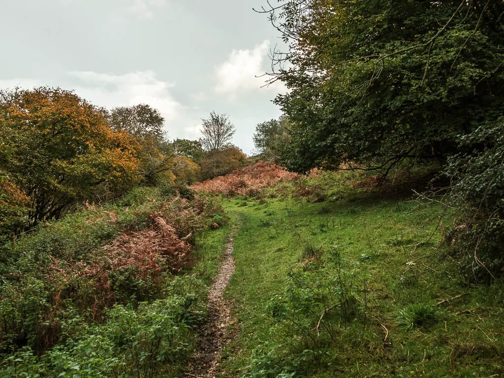
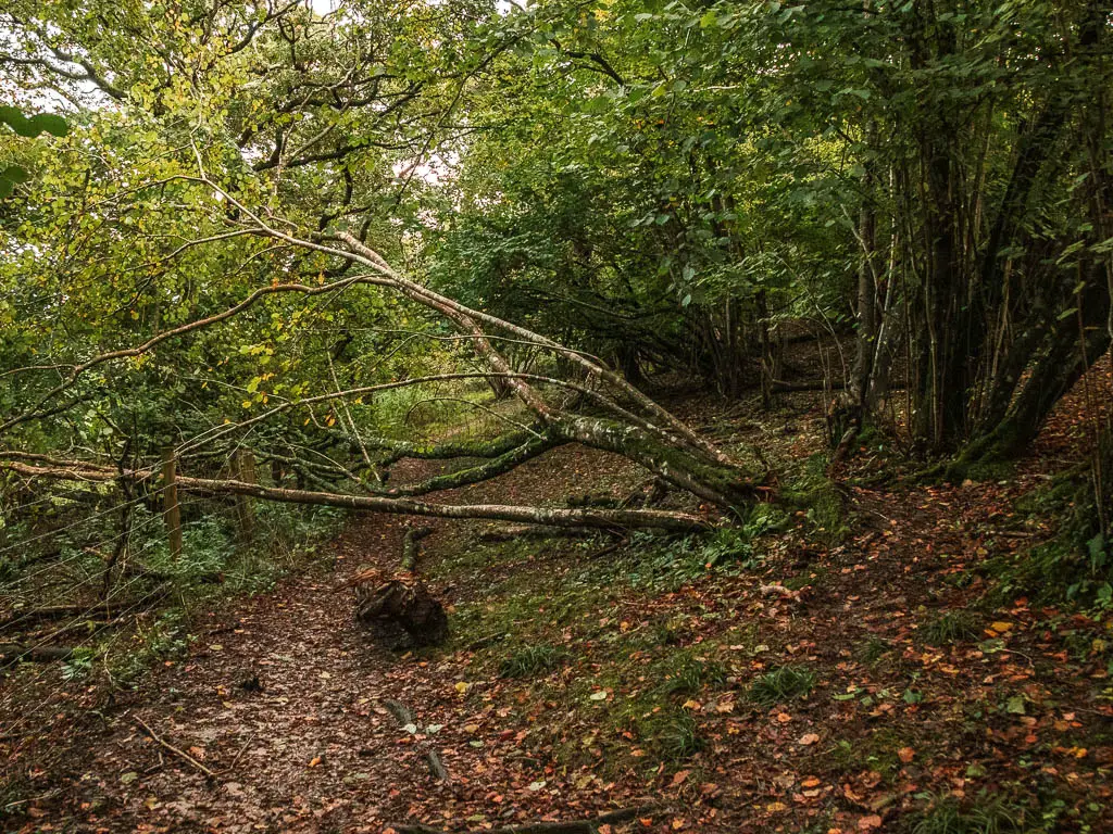
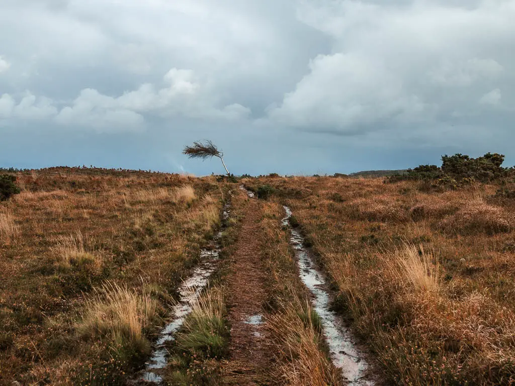
Keep going, passing by the occasional wooden stump with arrow signage, and a bent tree.
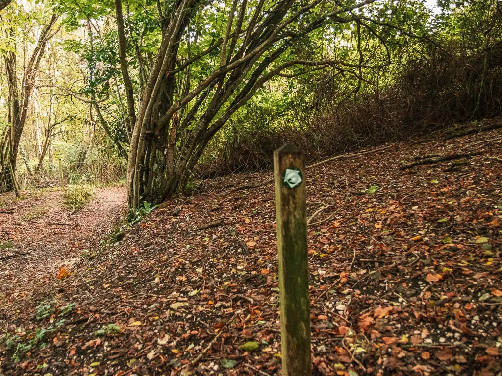
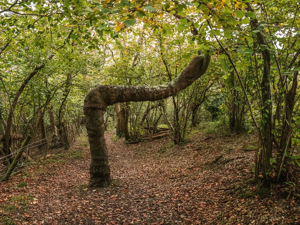
You will soon get an opening to the right, where you get your first view to Corfe Castle. I was tempted at this point to walk straight to it. But that’s not what you do.
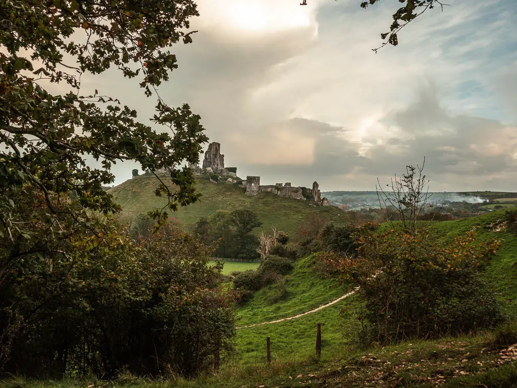
Keep going along the trail, following the arrows though the gate, then at the end with a proper signpost, follow the arrow pointing to Corfe Castle to the right.
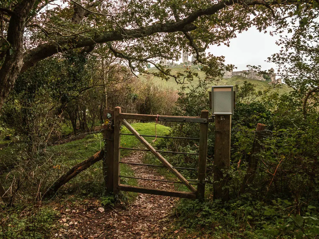
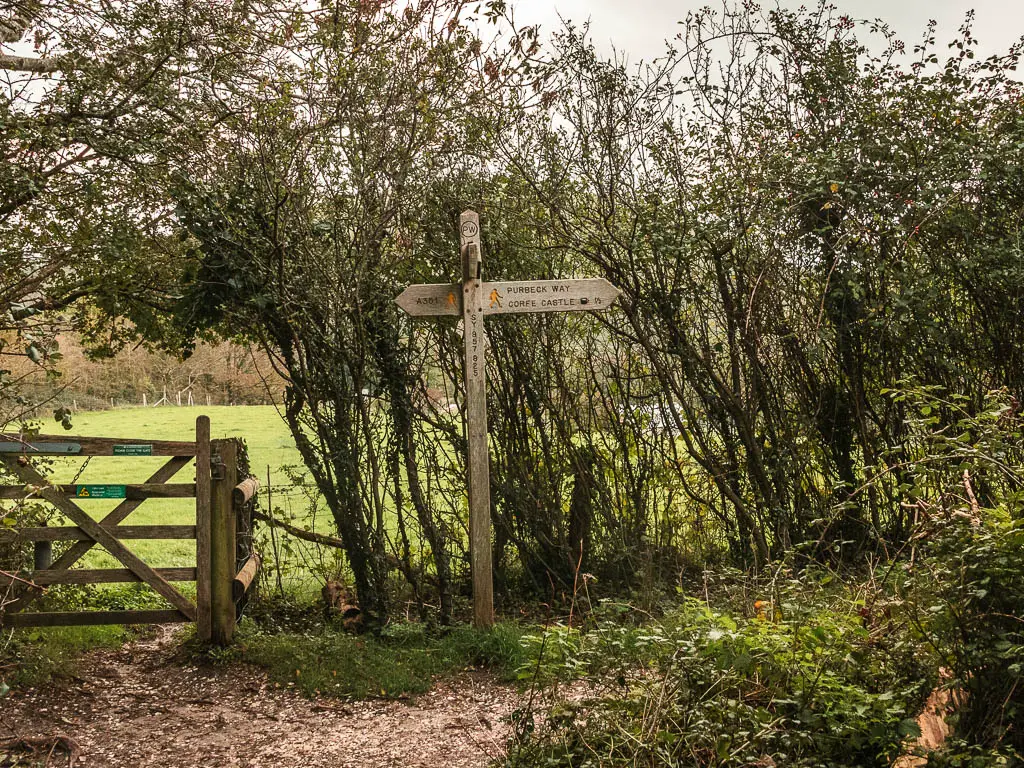
This will lead you on a narrow trail in the open, with an unobstructed view to Corfe Castle to the left.
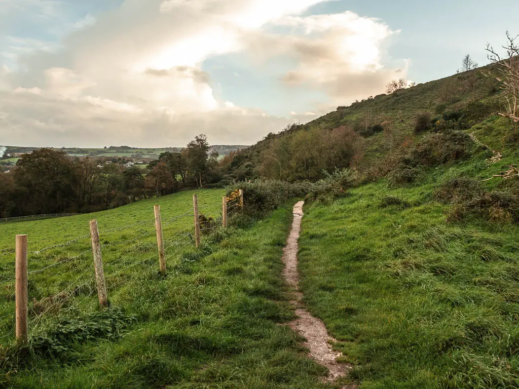
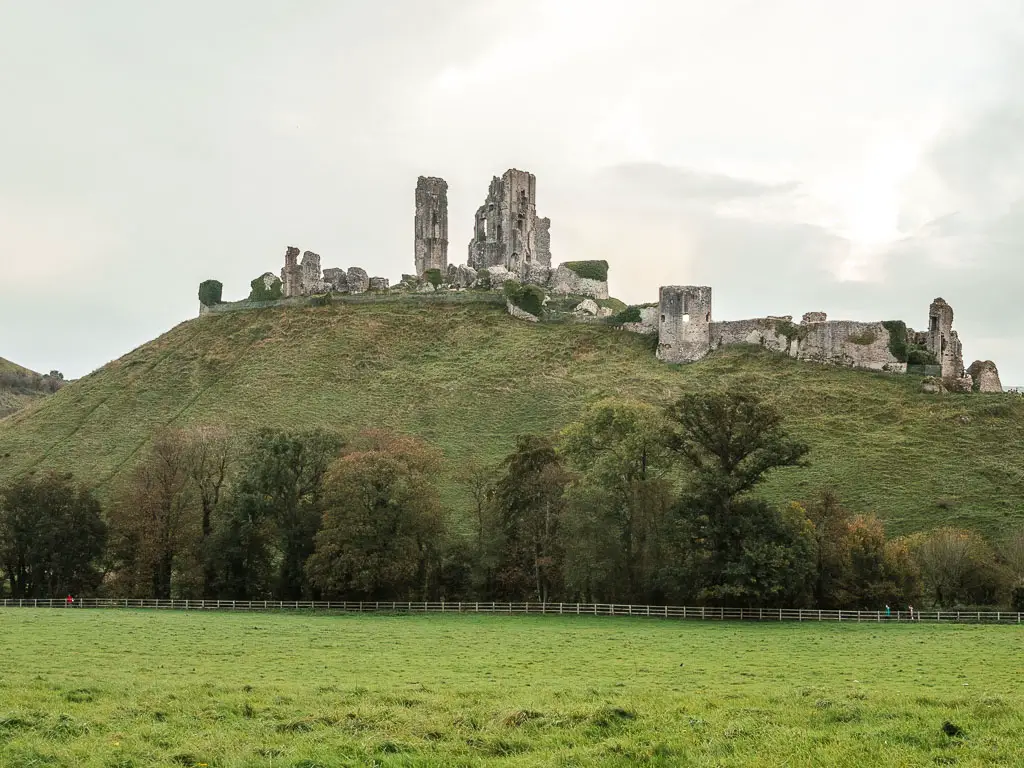
When you reach the field, go straight across to the gate on the other end. Through the gate, follow the path to the left. Now keep going all the way around the castle to reach the road.
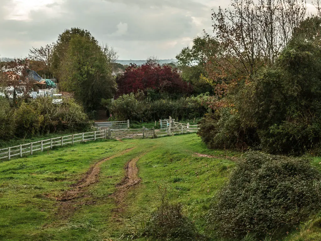
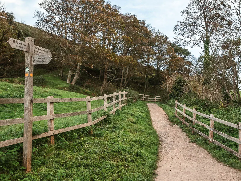
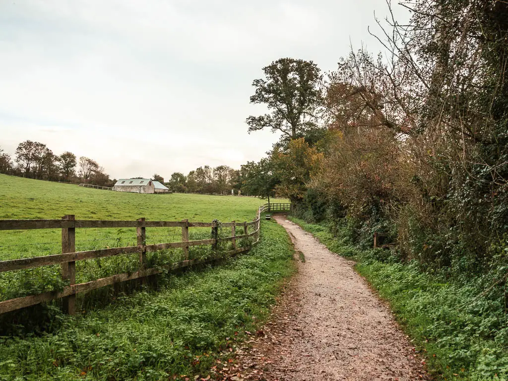
Corfe Castle and village
The National trust visitors centre is across the road if you want to go there, otherwise, turn right.
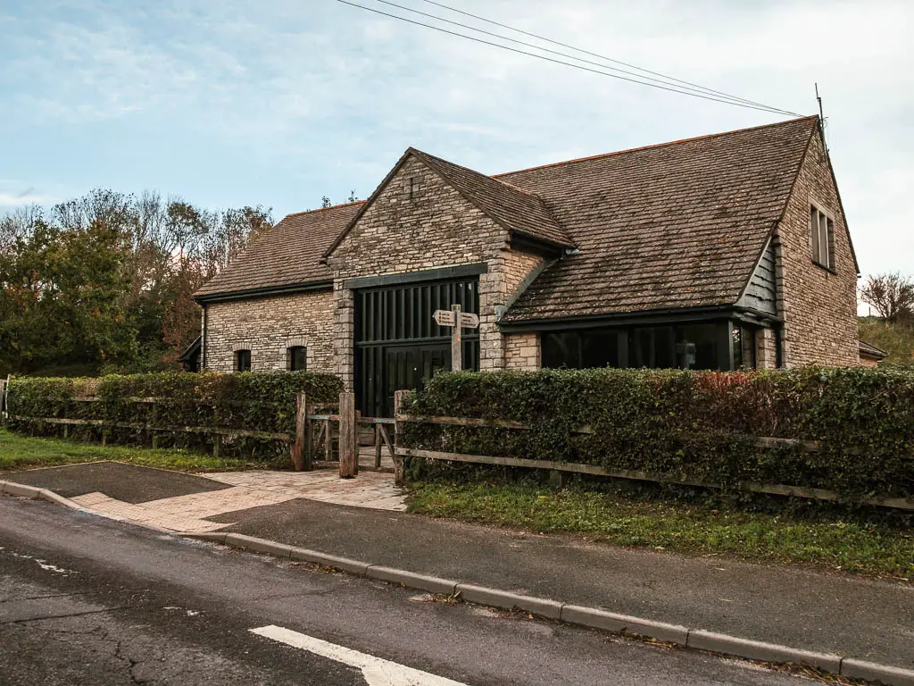
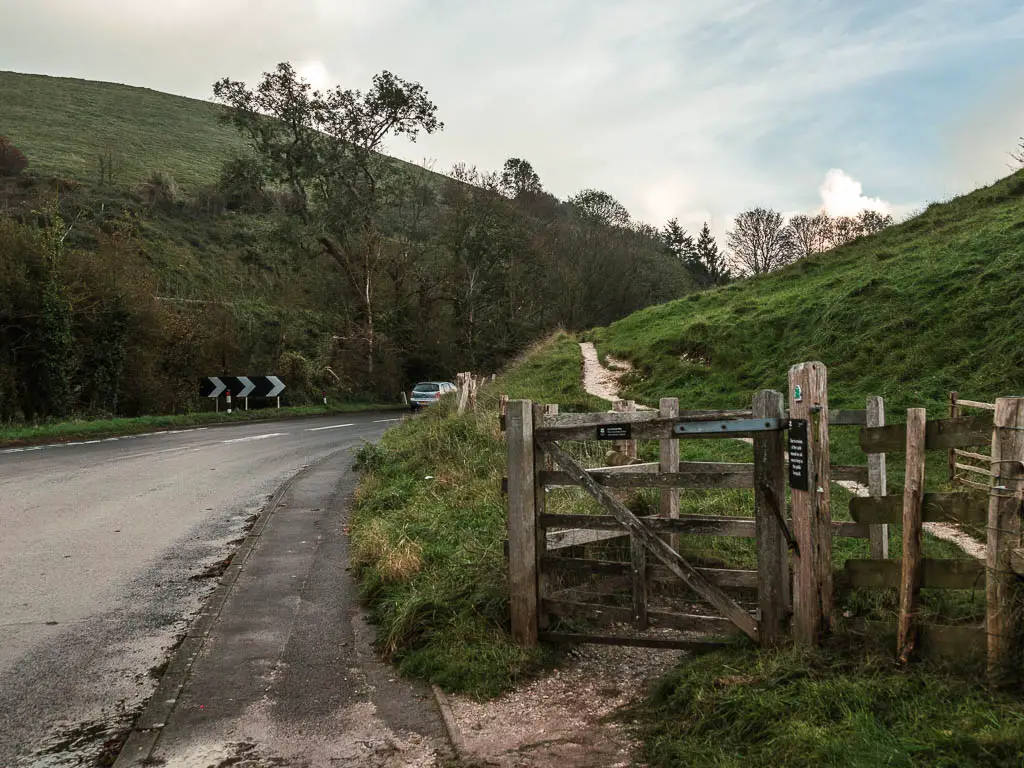
A short way along the road, you should see a path on the side of the hill on the right. Go along that, and this will lead you all the way up to Corfe Castle (with some steps). The entrance is here, although it was gated with no one about, so I’m not sure how you get in. I know that you do need to get a ticket at the visitors centre. Maybe someone from down there comes up and lets you in?
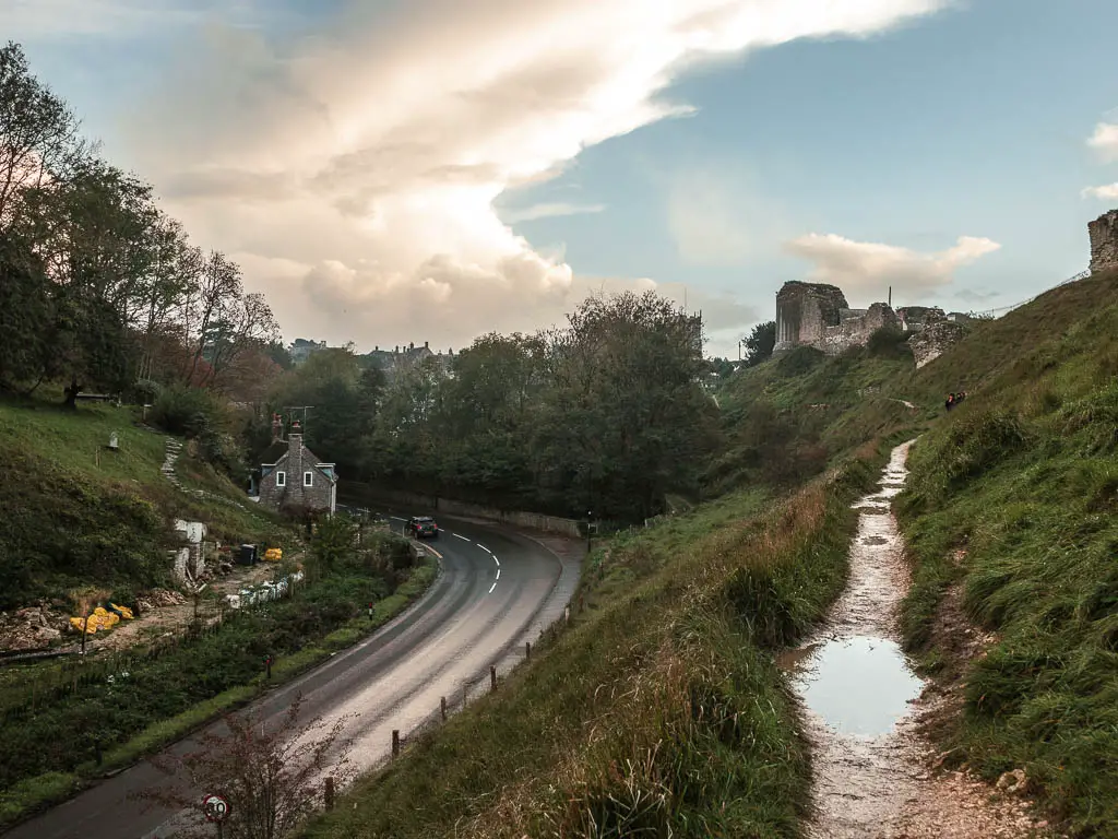
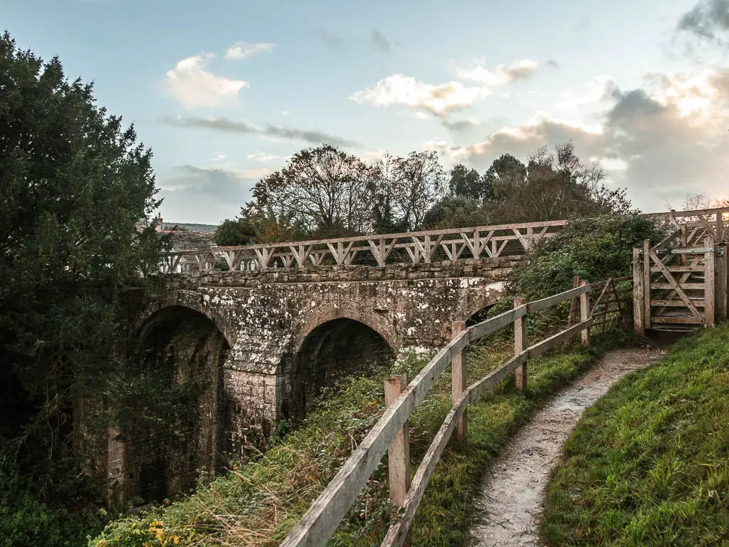
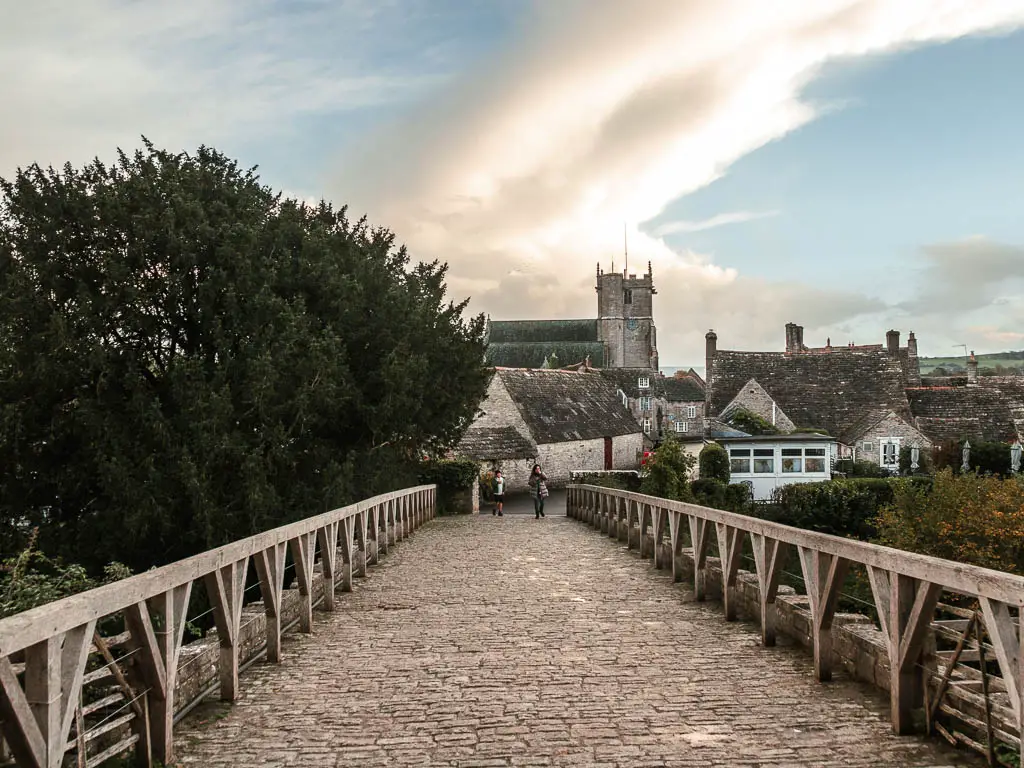
Anyway, once you reach the top, to go into Corfe village turn left and you have arrived.
Read next: Corfe to Swanage Day 2, or Corfe to Chapman’s Pool Day 3.
