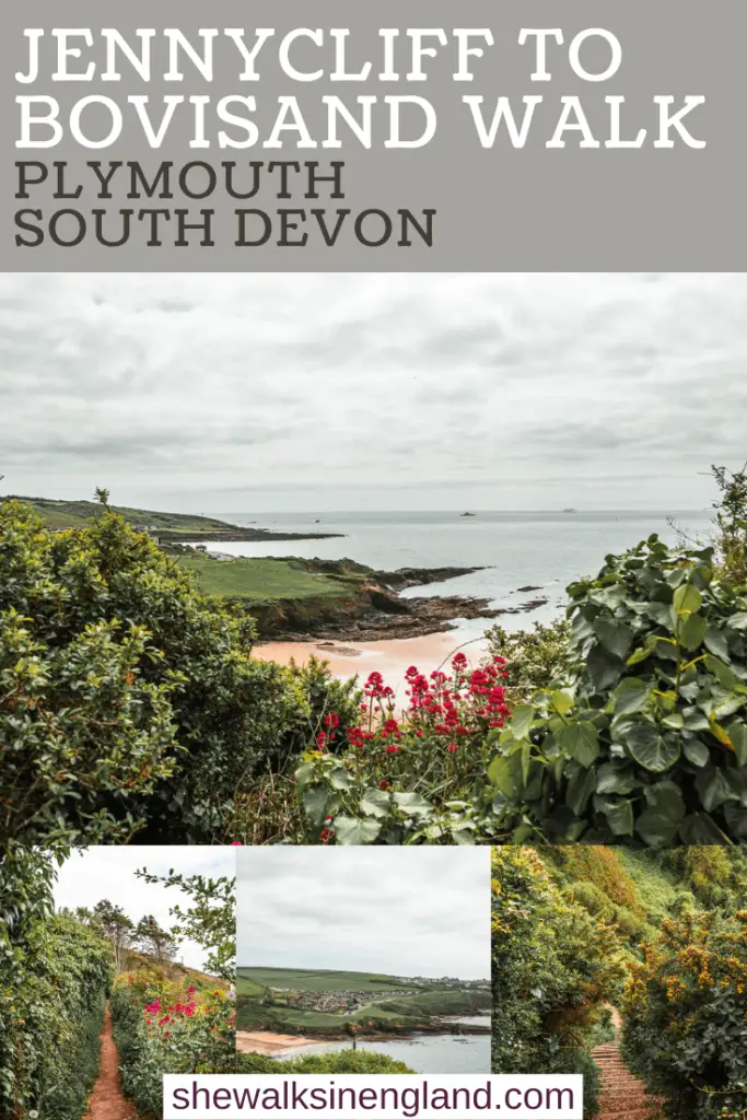
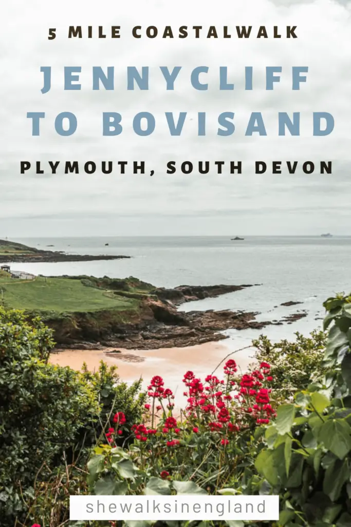
The coastal walk from Jennycliff to Bovisand wasn’t what I was expecting. It was better. When I had looked up photos of Jennycliff online, I wasn’t blown away. I’ve seen better. Bovisand looked quite nice though, so I figured that would be my favourite bit.
This post uses affiliate links. You can read the privacy policy or disclaimer for more info.
What made this walk from Jennycliff to Bovisand great was the trail itself, and there were some nice surprise views to top it off.
What to expect on the walk from Jennycliff to Bovisand
The majority of the route from Jennycliff to Bovisand is actually woodland, which isn’t what I was expecting from a coastal walk. Pretty woodland at that, with bluebells, wild garlic and fairytale type trees. The trail is mostly narrow and snakes through the cliffside woods, with ups and downs, a few steps, and peaks of view here and there. When you walk around the peninsular you get a lovely view to Bovisand on the other side.
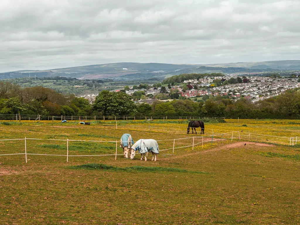
When you arrive at Bovisand, you have a few options for the rest of the walk. You can do what I did and do a circular to walk back, which is more woodland, a stream, fields with horses, and lots more pretty flowers*. You can keep going along the coast path to walk to Heybrook and Wembury. Or you might have an option to get the bus – see tips.
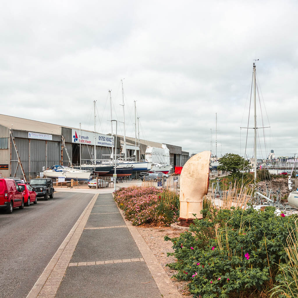
I started the walk from Mount Batten, which leads straight to Jennycliff and then on to Bovisand. It’s an easy place to start because you can get a bus there from Plymouth central.
*Flowers are time of year dependant.
Logistics for the circular Jennycliff to Bovisand coastal walk
- Start/Finish: Mount Batten
- How to get there: You can get the bus number 2 from central Plymouth to Mount Batten.
- Distance: 5 miles circular. About 3 miles just to walk the coastal path from Mount Batten and along Jennycliff to Bovisand.
- Time: Just under 2 hours for the full circular
- Difficulty: Easy
- Terrain: Some road, asphalt, dirt trail, grass, some steps.
- Elevation: Highest point is about 109m (not on Jennycliff), total elevation gain for the whole walk is 224m
- Option to shorten the walk: Maybe – see tips
- Dog friendly: No stiles but I saw a lot of signs warning of livestock or saying dogs must be kept on leads.
- Amenities: A few cafes and public toilets at the Mount Batten area, a cafe at Bovisand – you will pass it just before reaching the beach, on Jennycliff there is also a cafe and public toilets – but you don’t pass it on this trail. Car parking at Mount Batten and Jennycliff. Lots of benches en route.
Tips for the walk from Jennycliff to Bovisand
- If you want to shorten the walk and catch the bus back from Bovisand, the bus only runs for short stints from (at the time of writing) 29th May- 6th June, and then again from 17th July-5th Sept. Strange right?
- Another way to shorten it would be to just walk some of the Jennycliff section and not go all the way to Bovisand. You will walk back on the same trail though, rather than doing a loop. Just turn back when you feel you have done enough for your liking.
- If you want to keep this walk fully along the coast path (and cant get a bus back from Bovisand), you can continue on the coast path to Wembury, where there are more regular buses. It will make the walk much longer though.
- If you want to walk straight to Jennycliff and skip out Mount Batten, you won’t miss much. If you have got here by bus, when you get off, just walk to the west side of the peninsular, rather than the north side.
Map for the circular walk from Jennycliff to Bovisand
More coastal walk ideas near Jennycliff and Bovisand will be at the end
If you are based in Plymouth, then you could check out my guide on the best walks around Plymouth
A Guide To The Circular Walk From Jennycliff to Bovisand
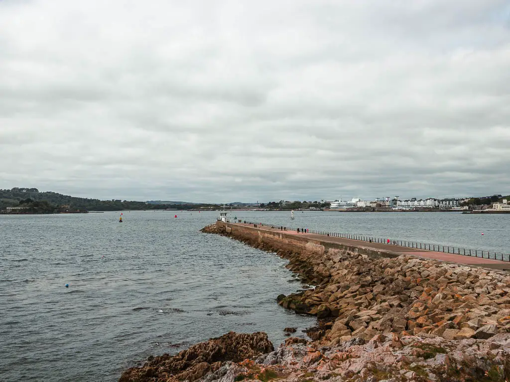
I got off the bus to Mount Batten one stop early, to go and join the coast path on the north side. From there I turned left to walk around the peninsular.
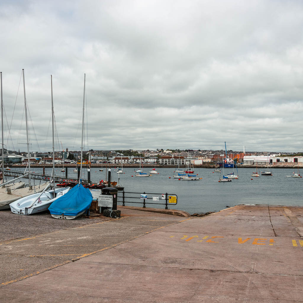
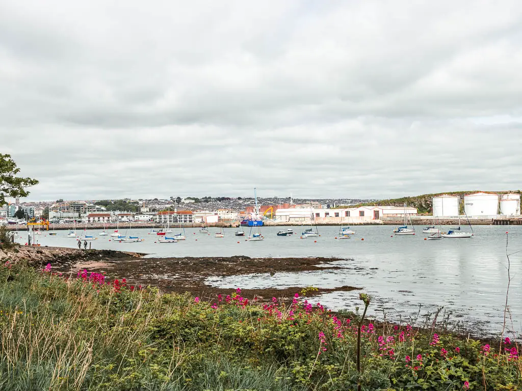
I wasn’t too crazy about this bit. It was ok, but I felt like the walk hadn’t really started yet. Things started to get more interesting after turning the corner to walk up the steps to the top, where there is a nice view across to Jennycliff, and back down to the pier. You also get to see Mount Batten better from up here.
Walk to Jennycliff
Next it’s straight back down to the right, to follow the trail around the car park and across the green.
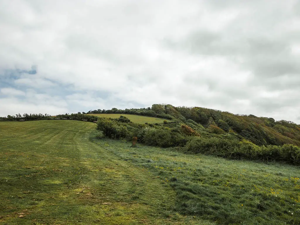
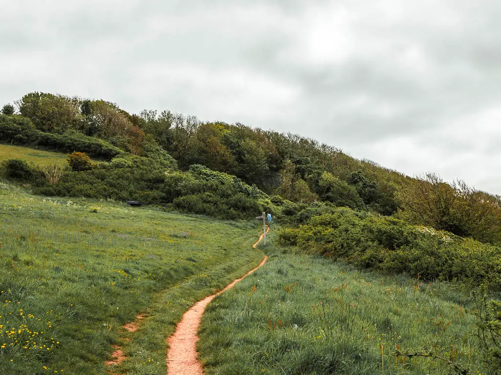
The trail coming next is very neat and lined with hedges. This will guide you up the hill to reach the first Jennycliff viewpoint with lots of benches.


Continue along the path along the top of the hill, and it will then take you down again to another big green area with lots more benches.
The benches are all perfectly lined up. It was an unusual sighting. There are just so many of them. Well, more than I’m used to seeing along the South West Coast Path. I realise none of these photos show the benches.
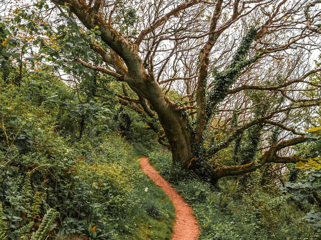
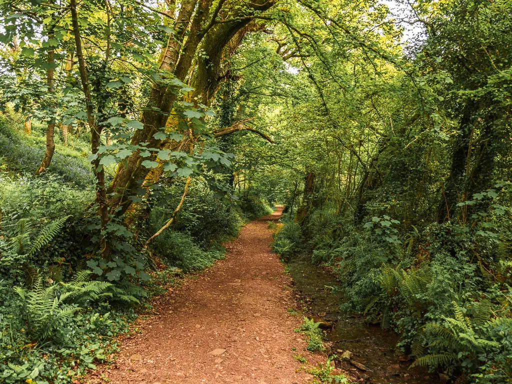
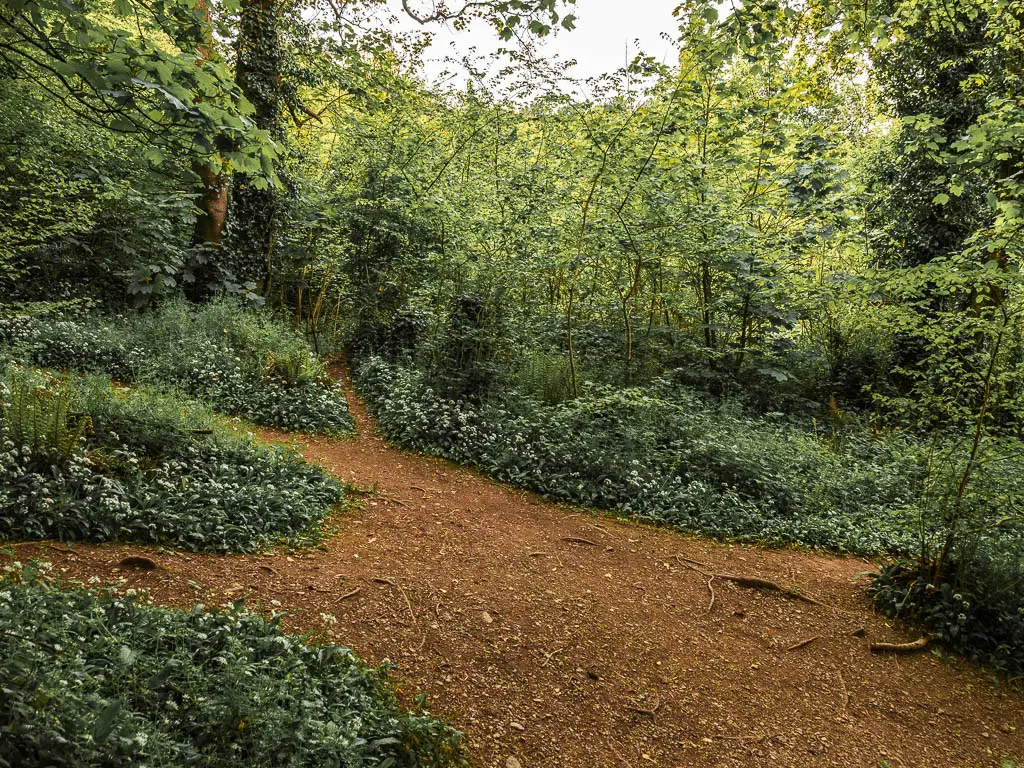
Walk along the woodland trail
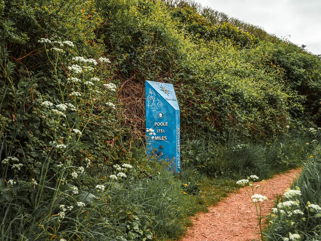
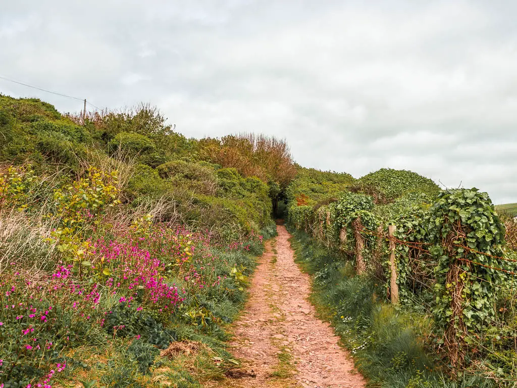
Walk straight across this field and up the hill again. The trail will guide you through the bushes next to another big coast path stone. A bit further along, you will come out of the bushes briefly, then back in again next to more South West Coast Path stuff.
This next part is where my mind was first blown along the Jennycliff to Bovisand walk…
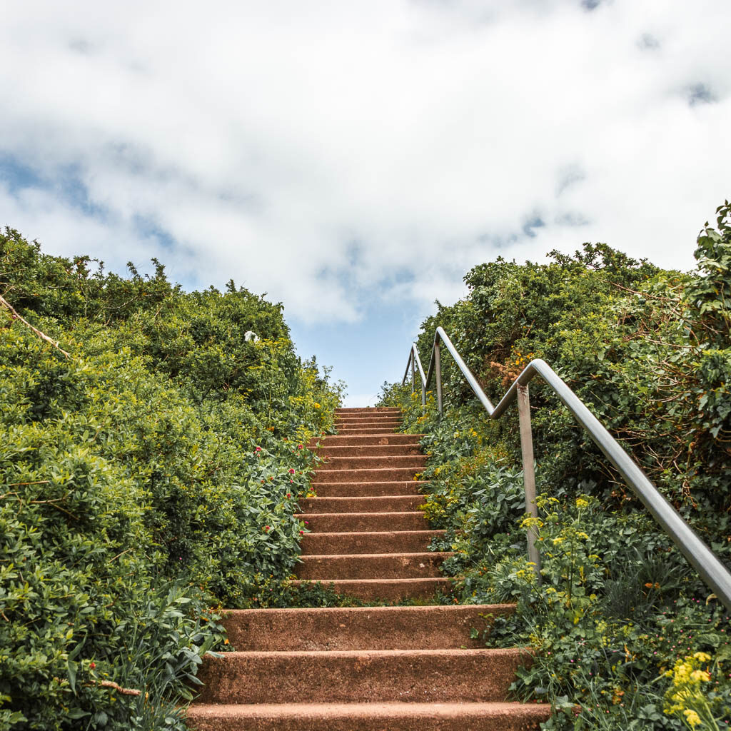
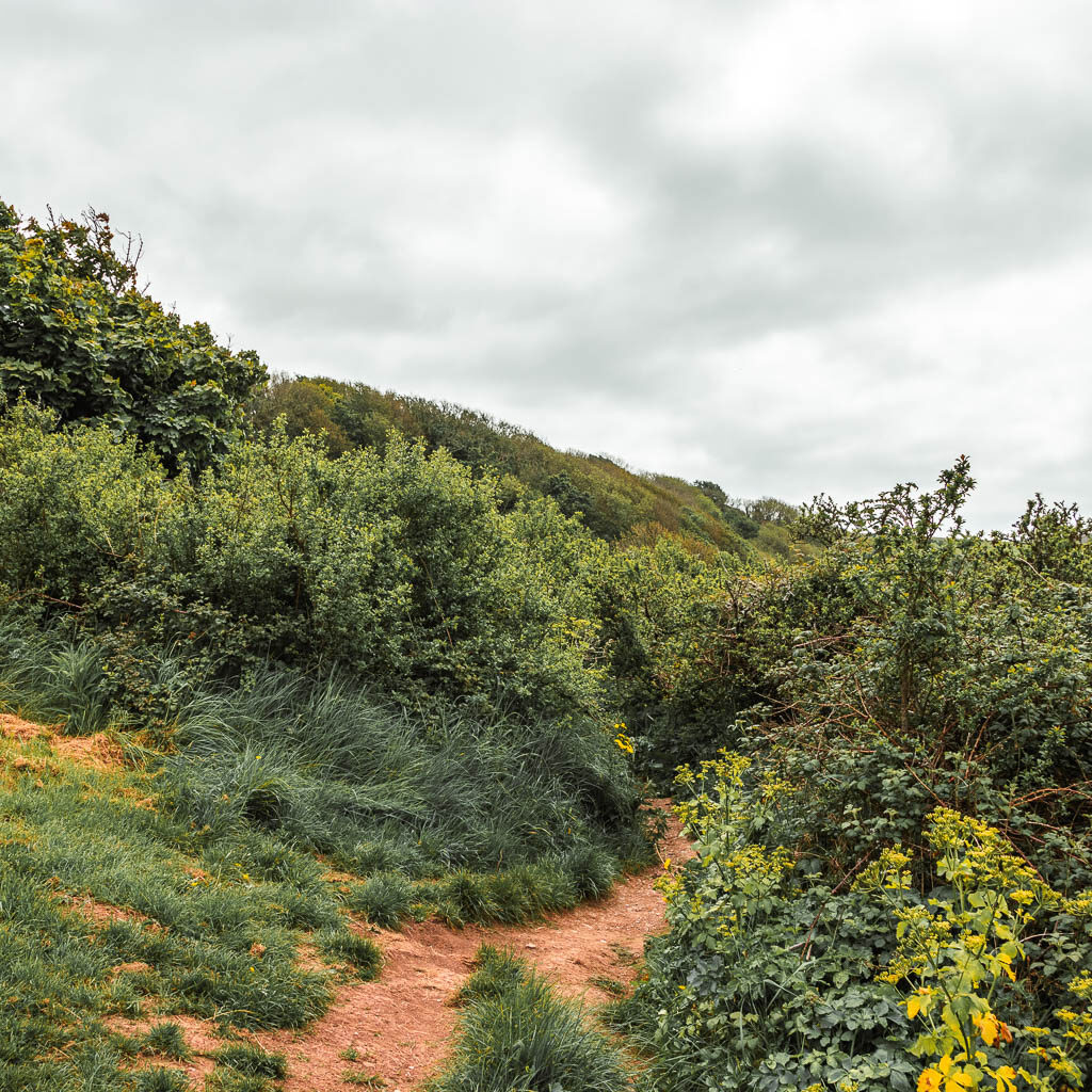
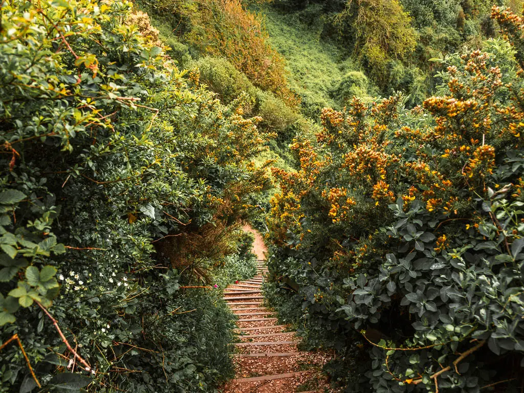
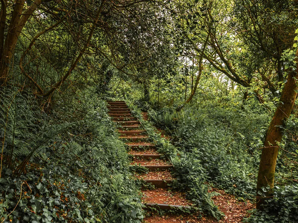
You will be hit with downhill steps, and as you make your way down, a lovely view to the tree and bush covered cliffside. Then in true South West Coast Path fashion, once at the bottom, there will be steps to take you back up again.
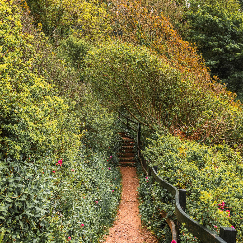
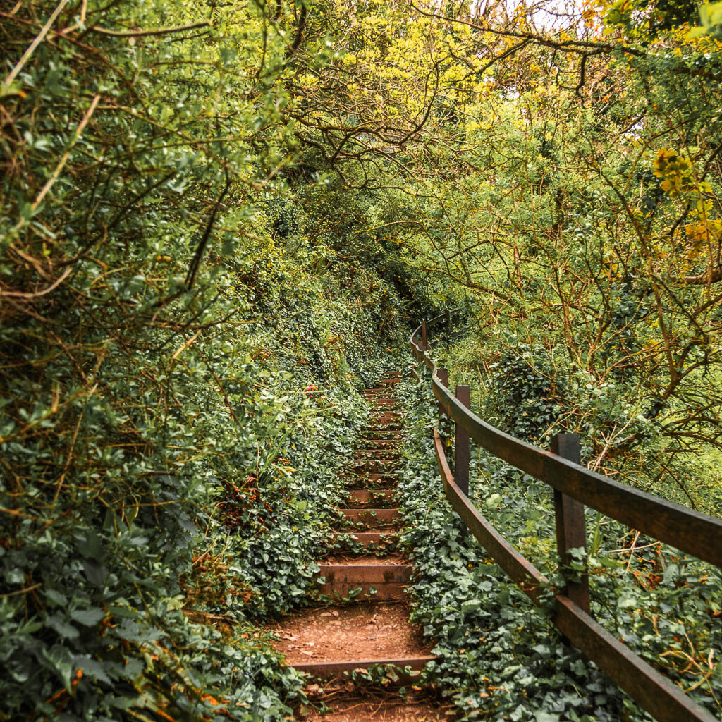
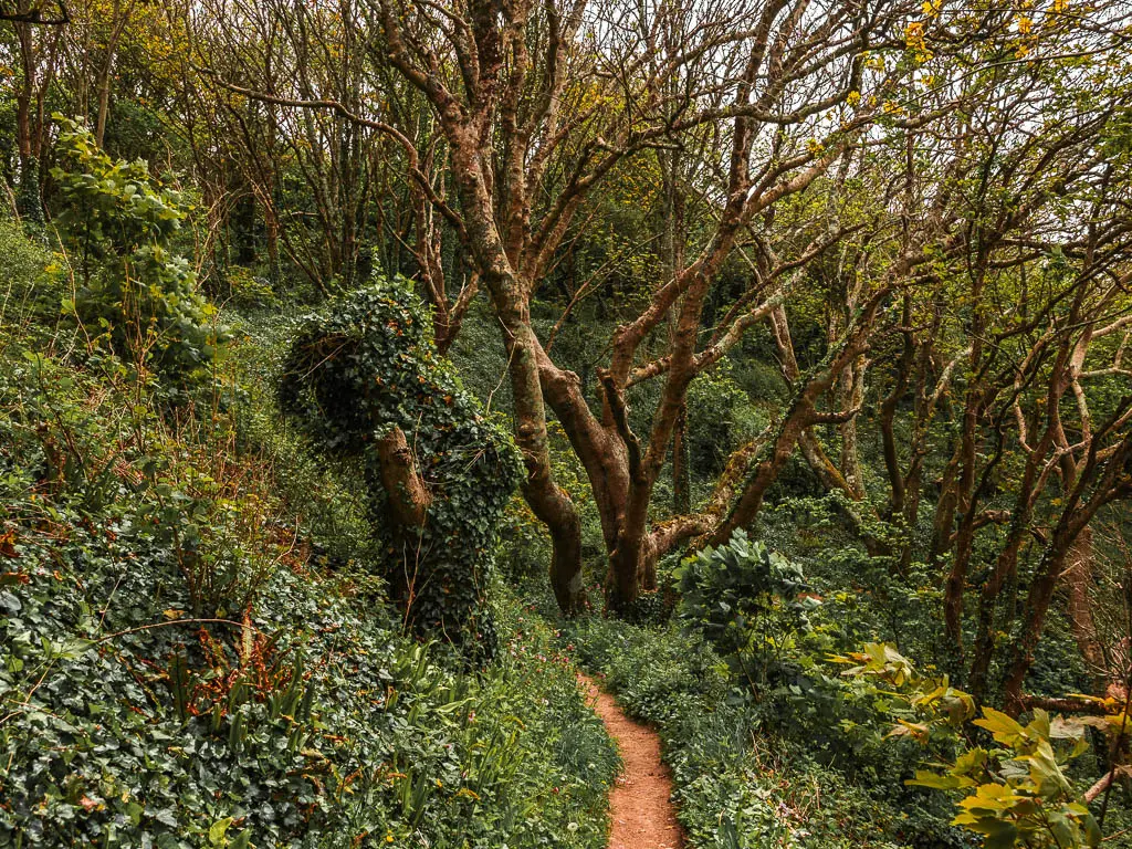
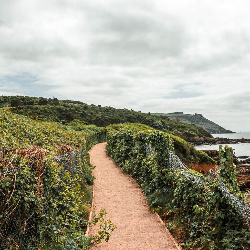
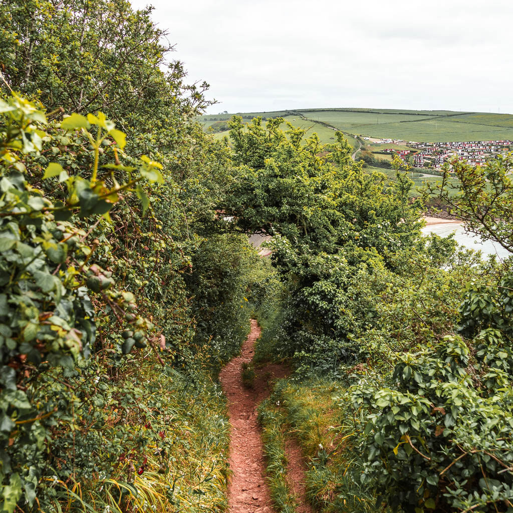
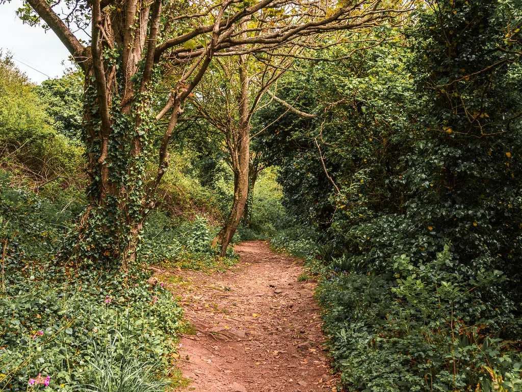
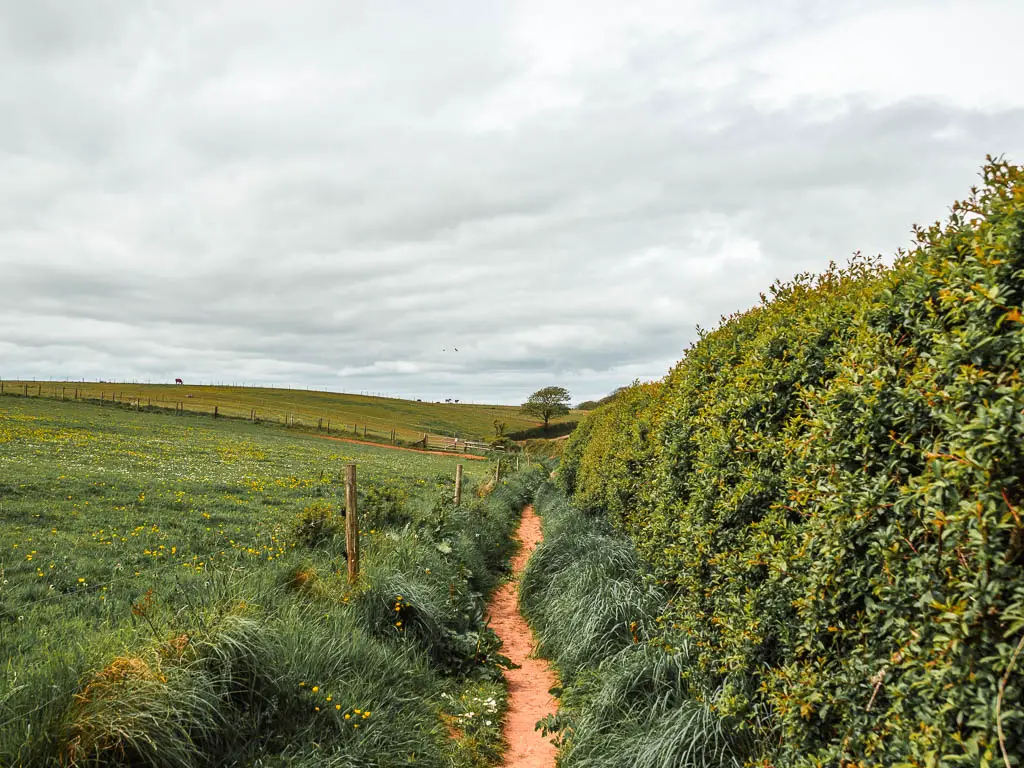
Now you will be fully in the woodland where you will remain for some time.
The trail is mostly level from here, with some small ups and downs and another set of steps. It’s a narrow dirt trail, uneven in parts.
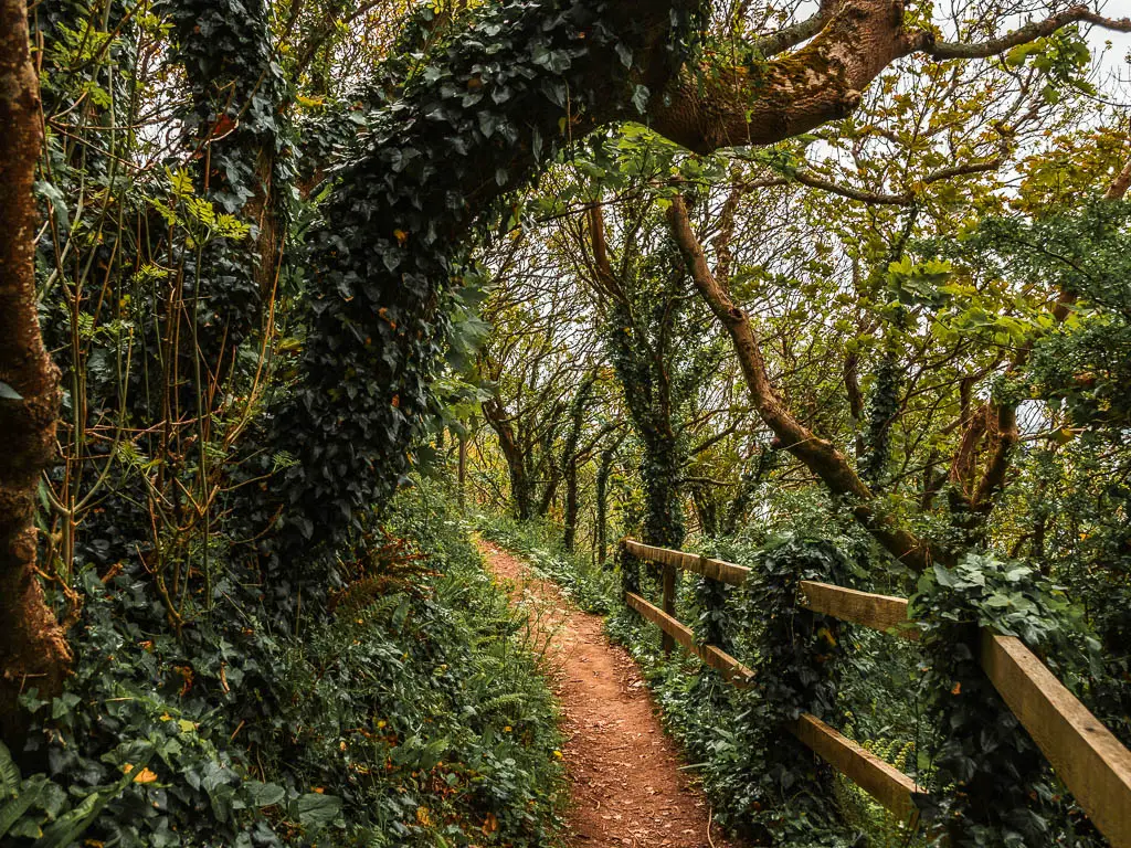
There will be some junctions, but keep going straight so the coastline is to your right.
I really enjoyed this part of the walk. It’s funny, because before I left London I was saying how tired I am of woodland, but the majority of the walks I have done for the past 6 weeks have been coast path, so it was nice to get some variety, and as I said, they were pretty woods.
I also thought to myself what a waste of sunscreen this was. I had lathered myself up before heading out. Turns out I didn’t need to.
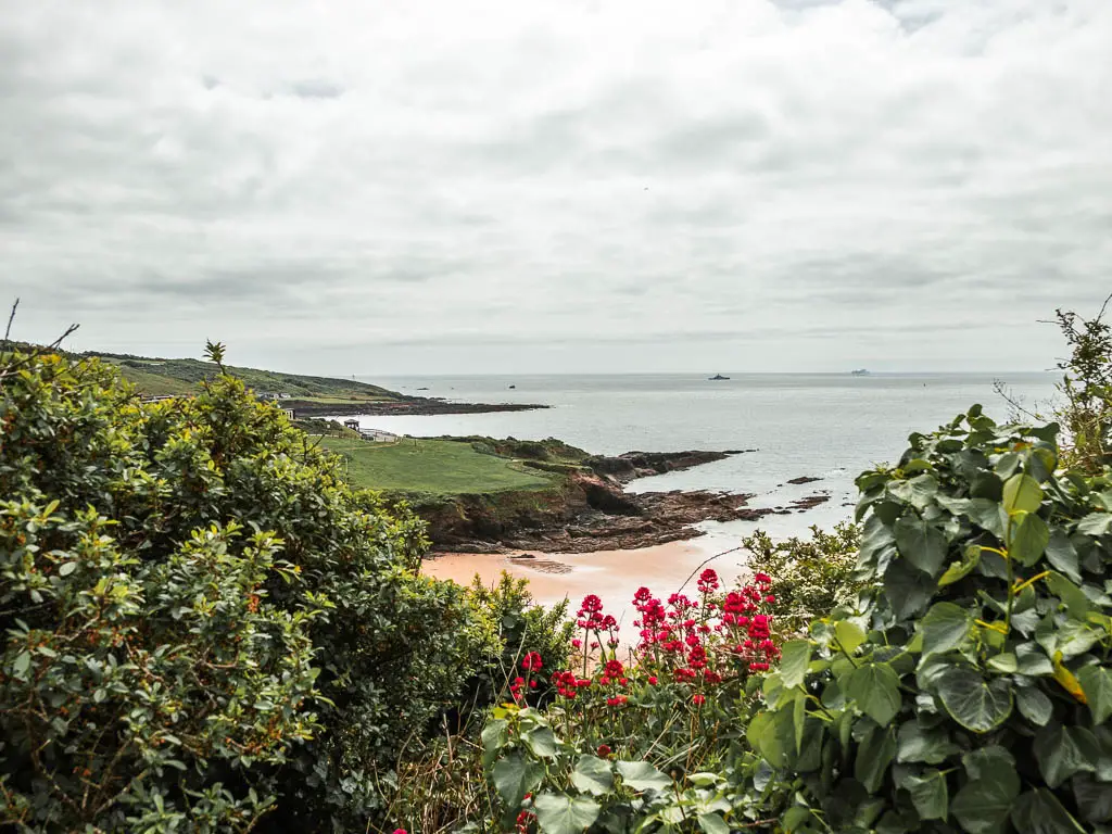
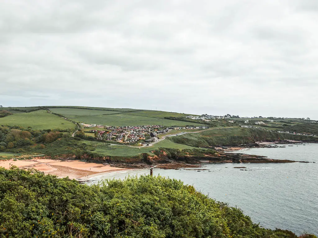
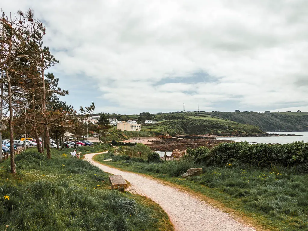
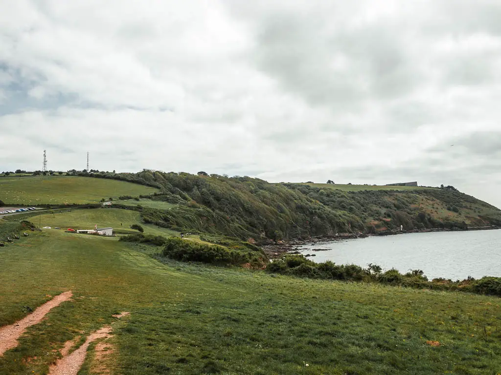
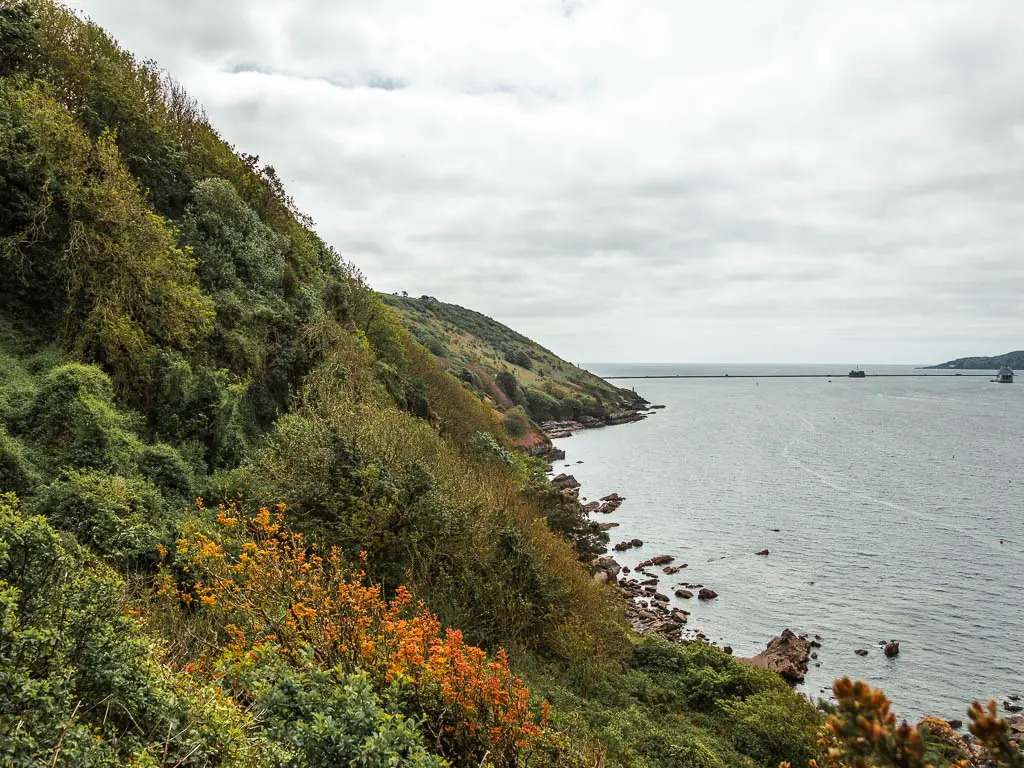
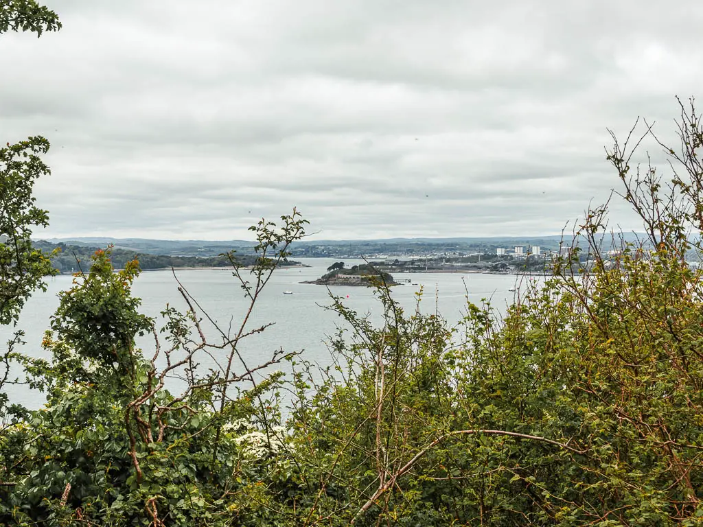
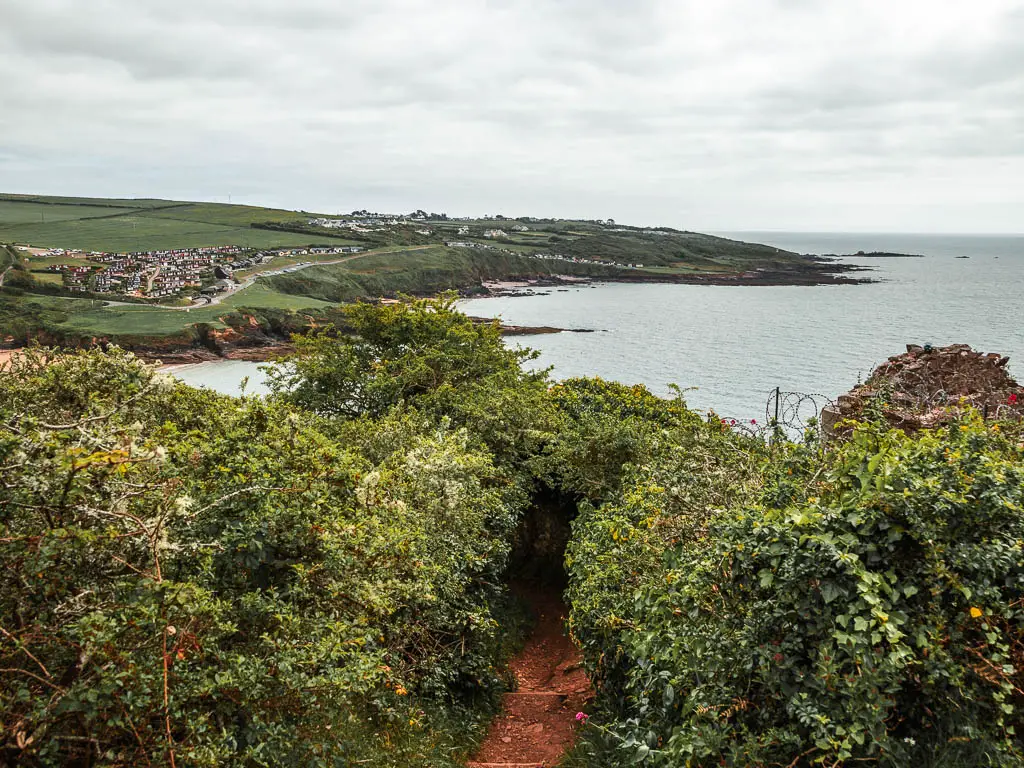
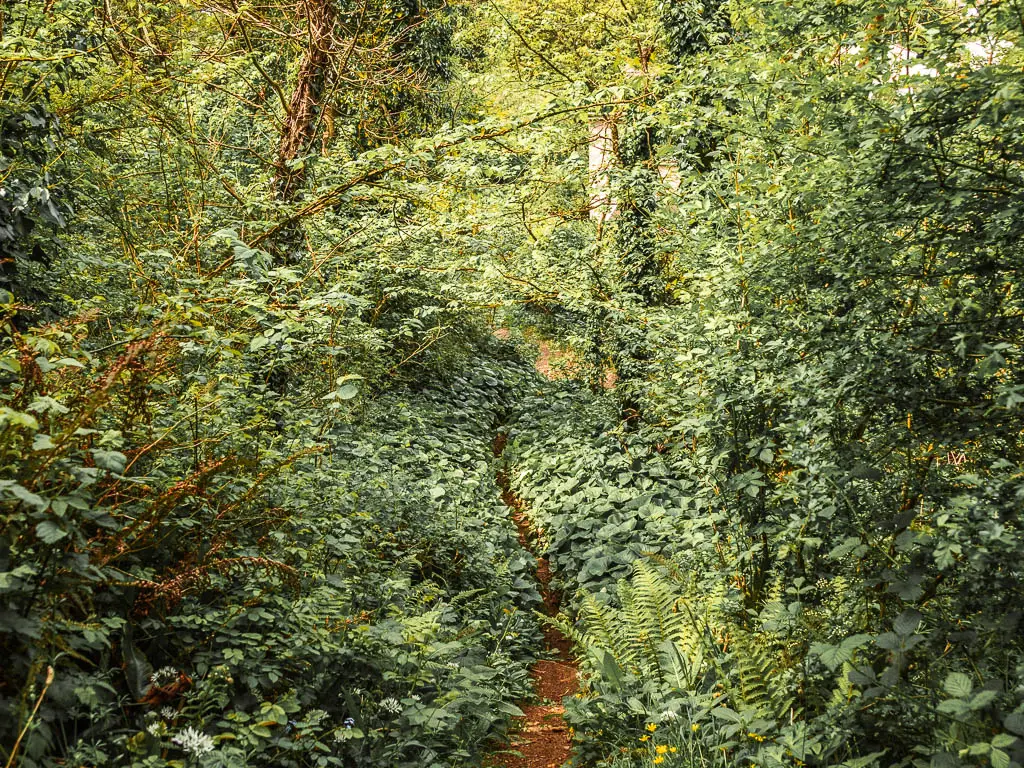
Walk out of the Jennycliff woods to a view of Bovisand
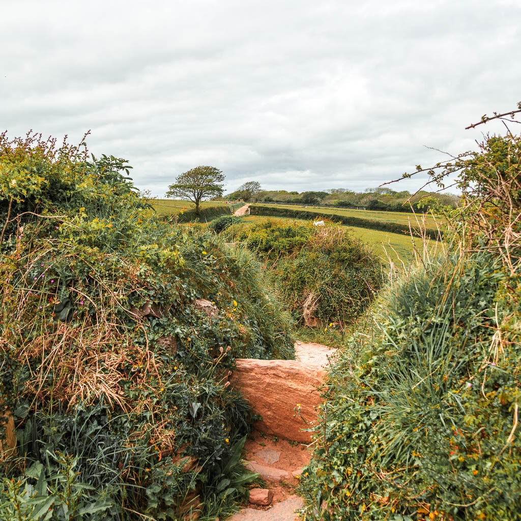
Some way further along, you will start to get peaks of view to the right, and will have moments out of the woods, then back in again. The woods will gradually get less and less.
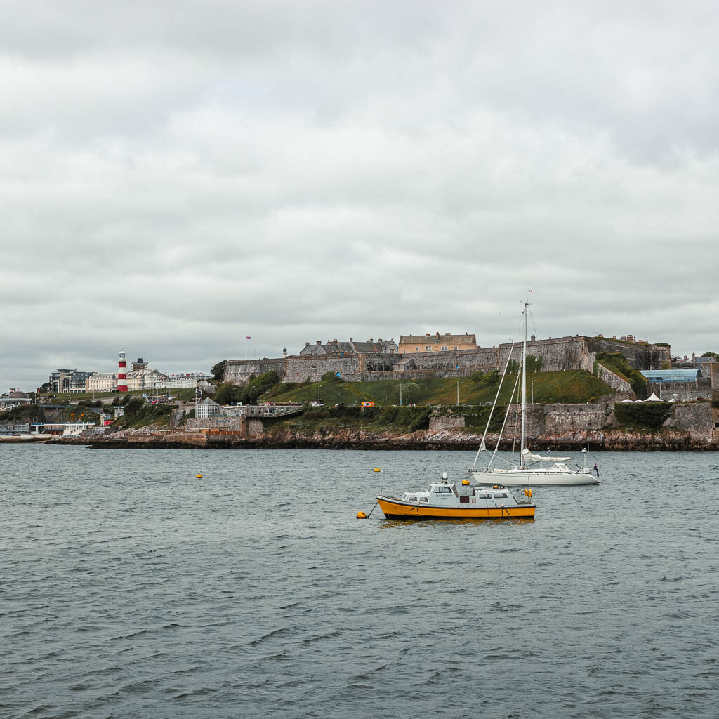
I saw this platform in the water. I was so confused. What is it for? Maybe a navy thing as the navy ship was parked up nearby. The navy ship(s) are a constant presence around here. I have seen it on all my walks around this area. I usually like to wave at it.
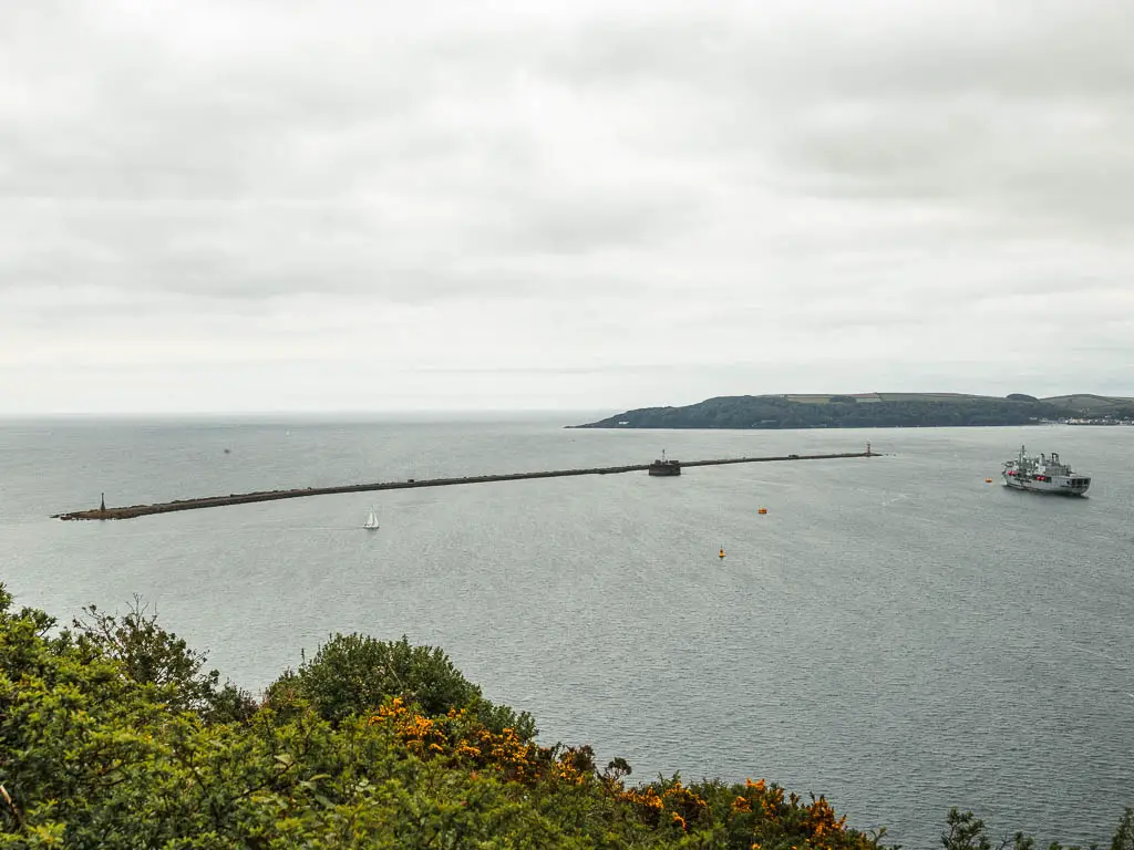
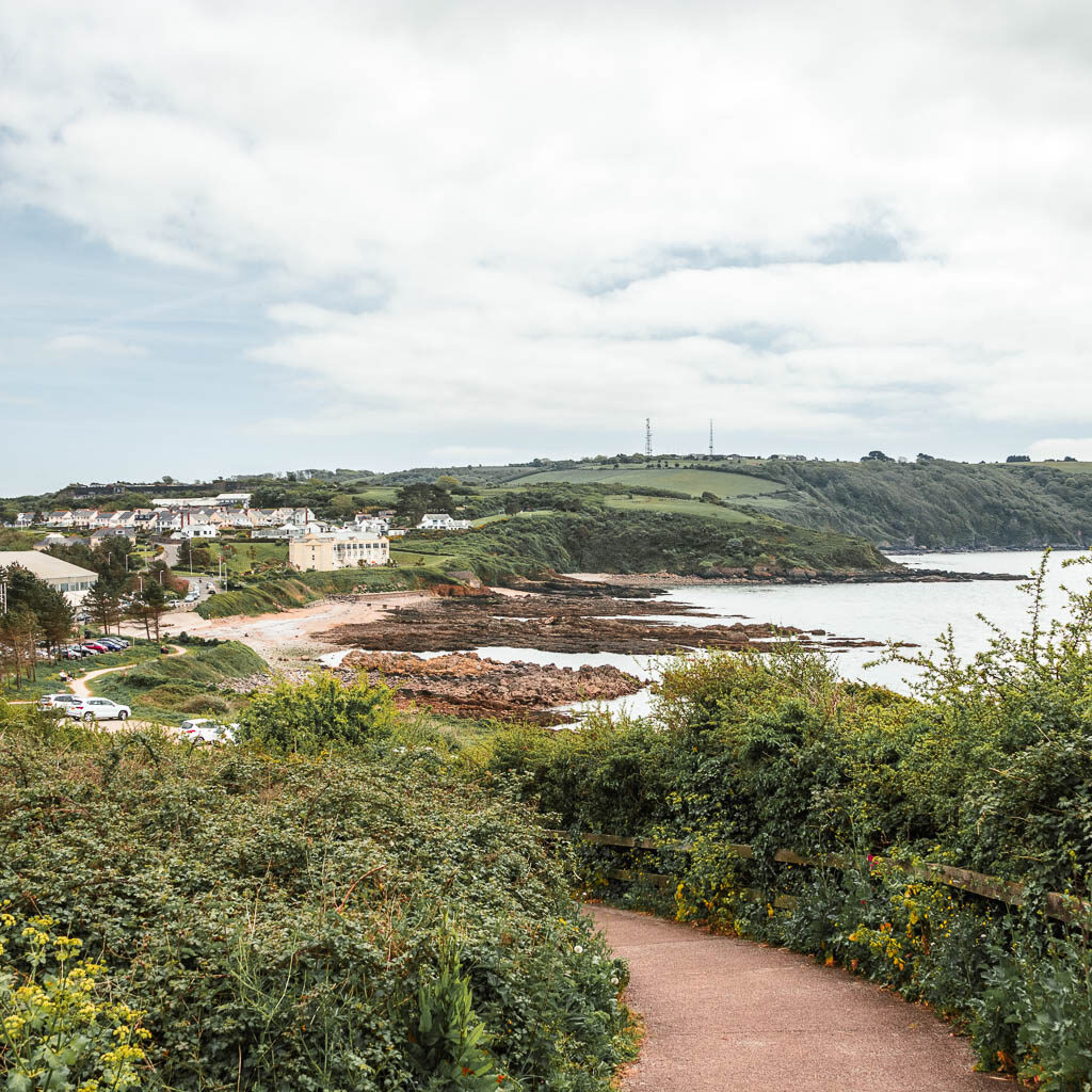
The trail will then start to take you downhill and down some steps, then as you walk around the peninsular of Jennycliff, you will get a view across to Bovisand.
Walk to Bovisand from Jennycliff
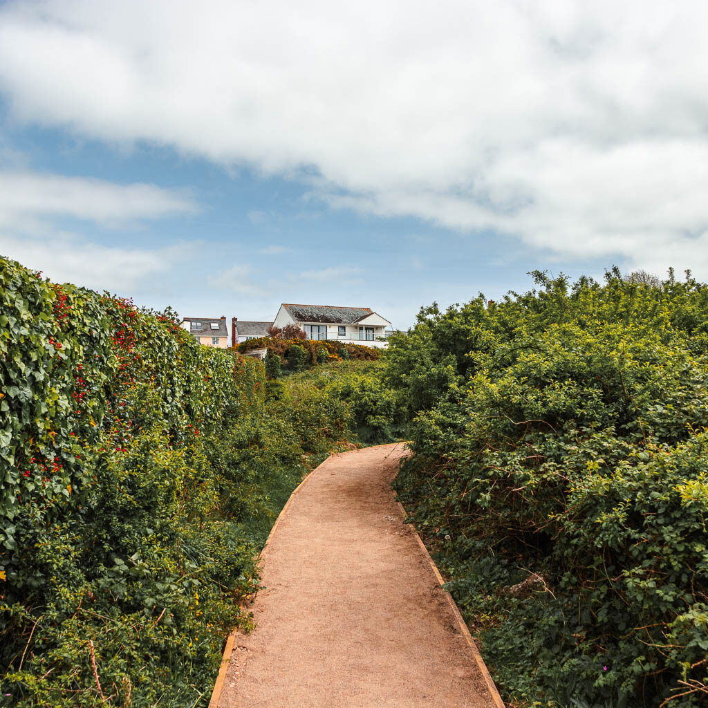
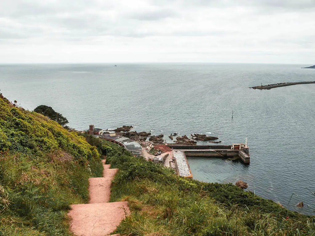
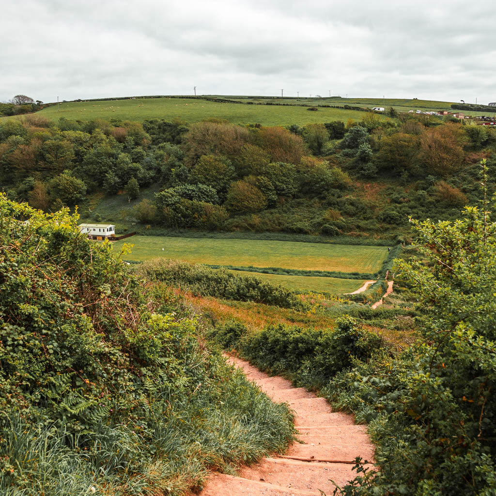
Continue to follow the trail around, and it gradually takes you downhill, with some undulations thrown in. I was quite intrigued by the community of houses on the other side of Bovisand Beach. They looked like containers homes. I liked the way they were colour palette coordinated.

When you reach the bottom, you should see a coast path sign. Follow it to the road, then at the split, take the right one, and then the path just to the right of that. This will take you to some more steps, where you can walk down to Bovisand Beach.
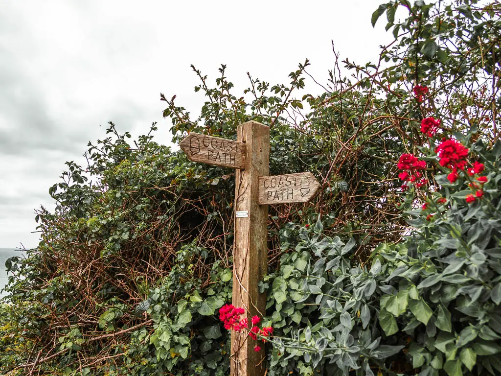
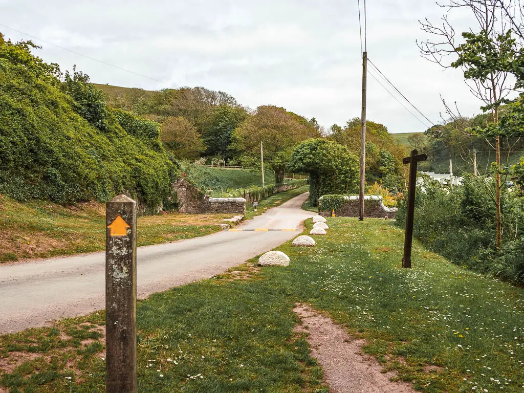
Continue the walk past Bovisand or circle back
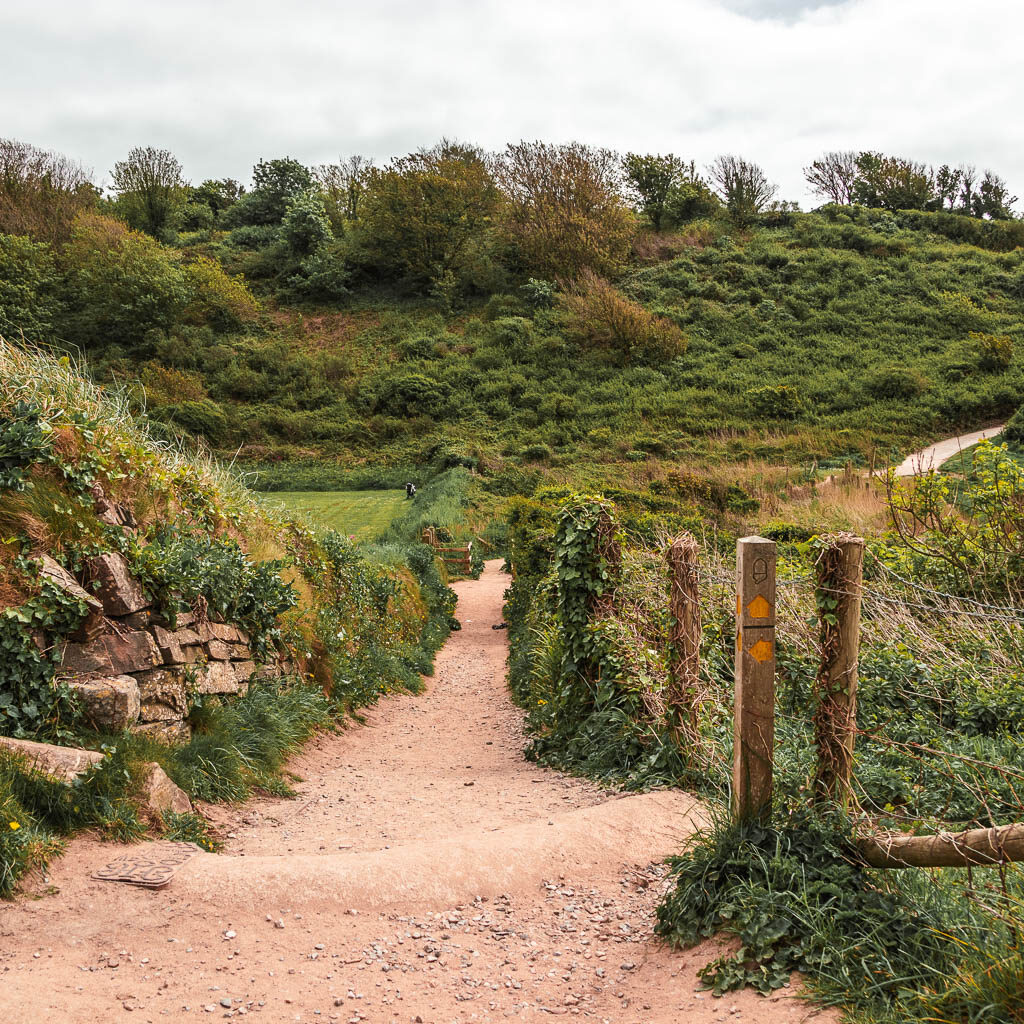
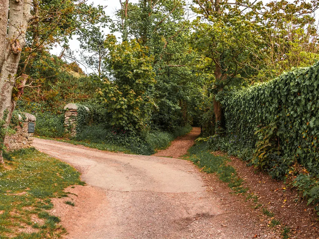
To continue the walk to Heybrook and Wembury, just go straight. If you want to circle back, turn left at the wooden post with the yellow arrow (the right photo above). This will lead you onto a rocky trail lined with bushes, and then into the woodland.
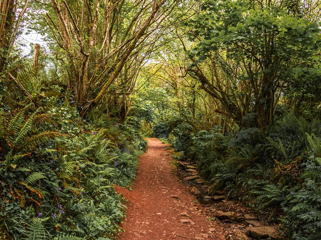
After a short bit of woodland walking, you will reach a road. Continue straight, and it will lead you onto the trail further along, and back into woodland.
I found this bit of woodland super lush and green, with lots of fern. Someway along I started to hear a stream of water. I wondered where it was, then it suddenly appeared next to me. If the time of year is right, you will also find bluebells along here.
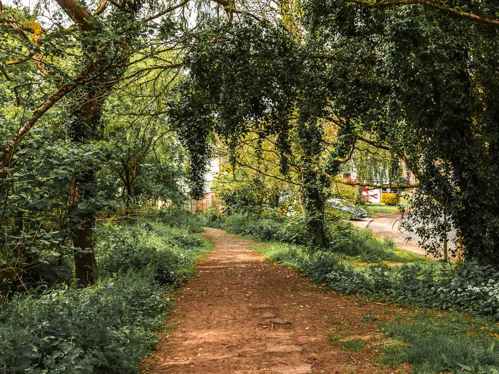
Walk out of the woods and past the fields
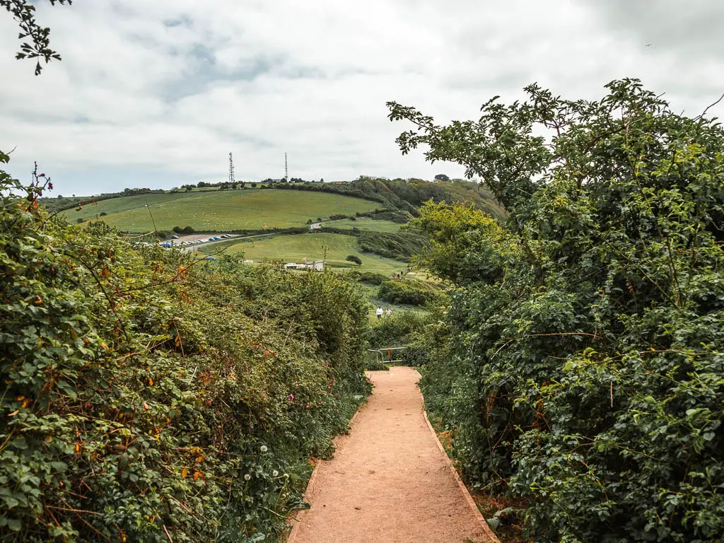
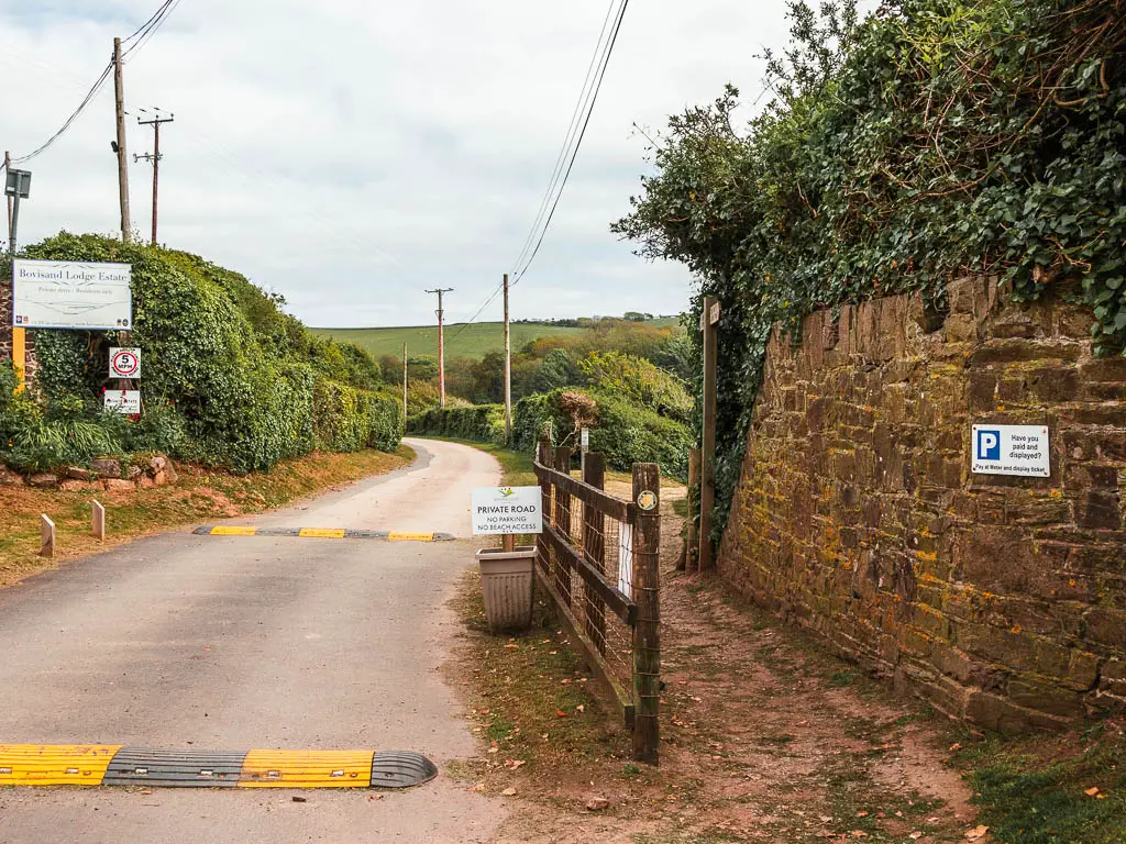
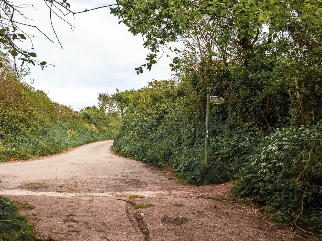
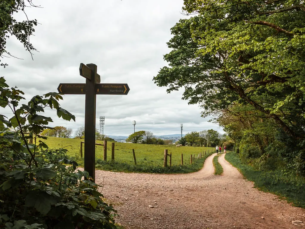
When you exit the woods, ignore the footpath sign that points right, but instead, go straight along the road. Further along you will start to get a view to the village of Staddiscombe ahead. Keep going straight along the road, but look out for the trail turning on the left. It’s up some steps, next to the house with a fox statue.
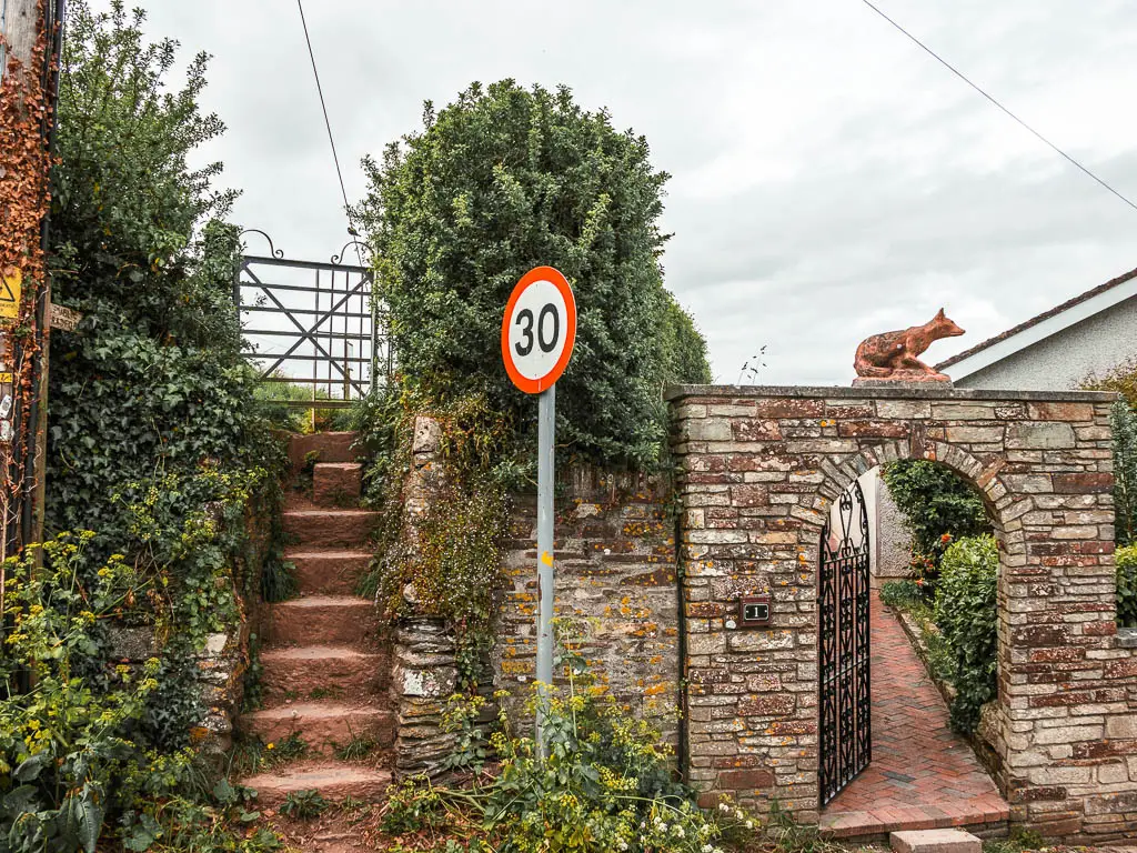
Now you will be walking next to a field, and then over the stone steps at the end, continue straight on the dirt road, in between lots of fields. These fields had all the horses in.
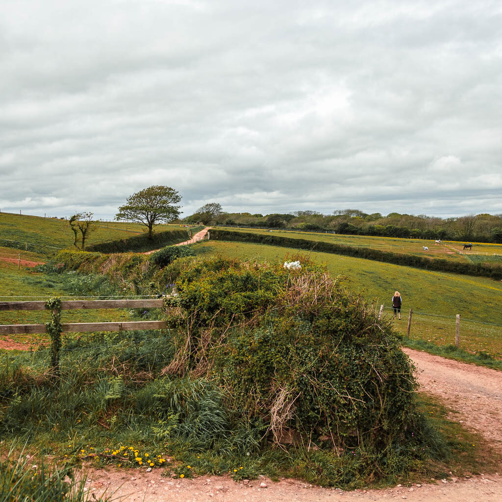
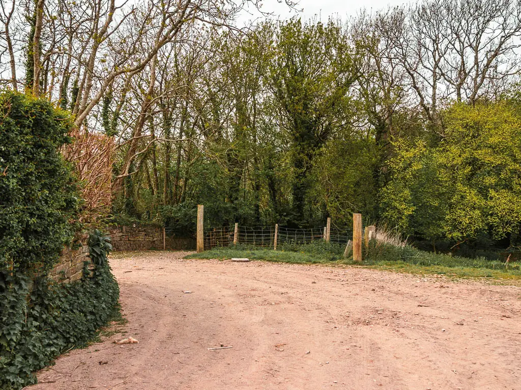
You will go through a number of metal gates, and when you reach the road bend with a wooden trail signpost, continue straight.
Where the road bends again ahead, the trail is still straight but just to the left.
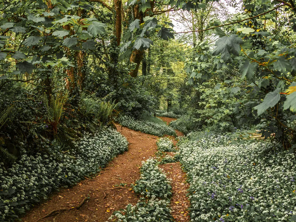
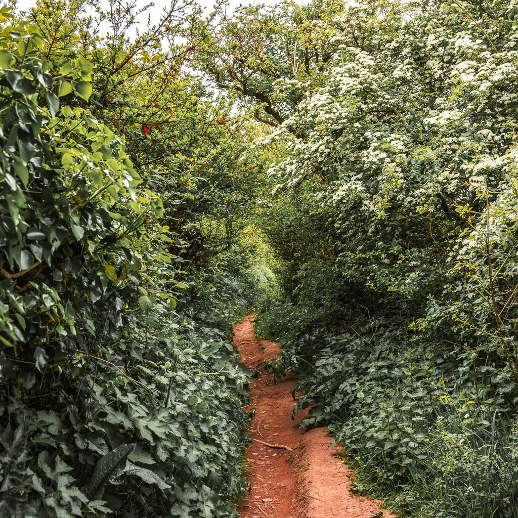
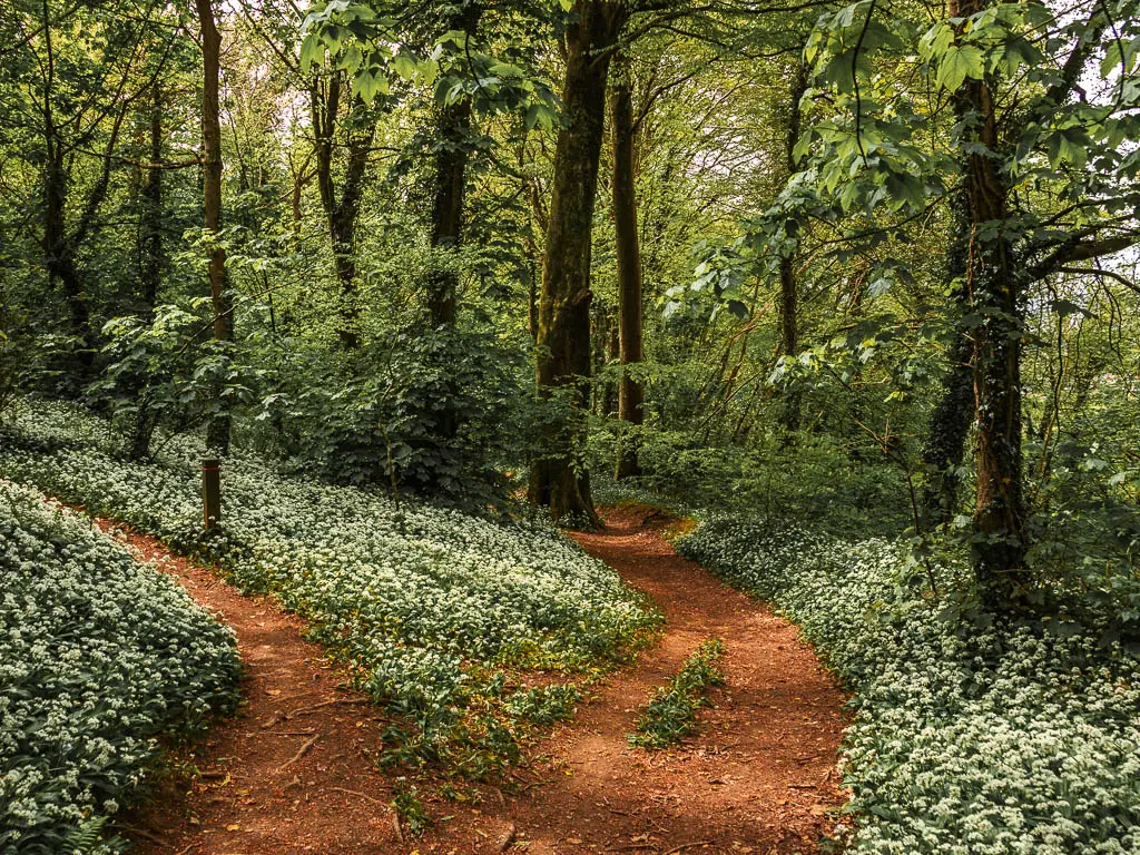
Walk through the wild garlic and bluebell woods
You will now be back in woodland. Continue down on the left trail, and (time of year dependant) it will be lined with all the wild garlic and bluebell goodness.
As you make you way down the trail, you should see straight ahead at the end, a wooden cross….Being all crucifix like.
At this point, my plan had been to turn right. That way I could follow trails, to lead me all the way back to the water edge. If you want to do that, turn right, then it’s the next left onto a zigzag trail. At the end go left, and then right. This should take you to the main road, where it’s a short right then left and this should take you all the way to the water. From there, turn left.
As you have probably figured, I didn’t go that way in the end….
The final stretch of the walk
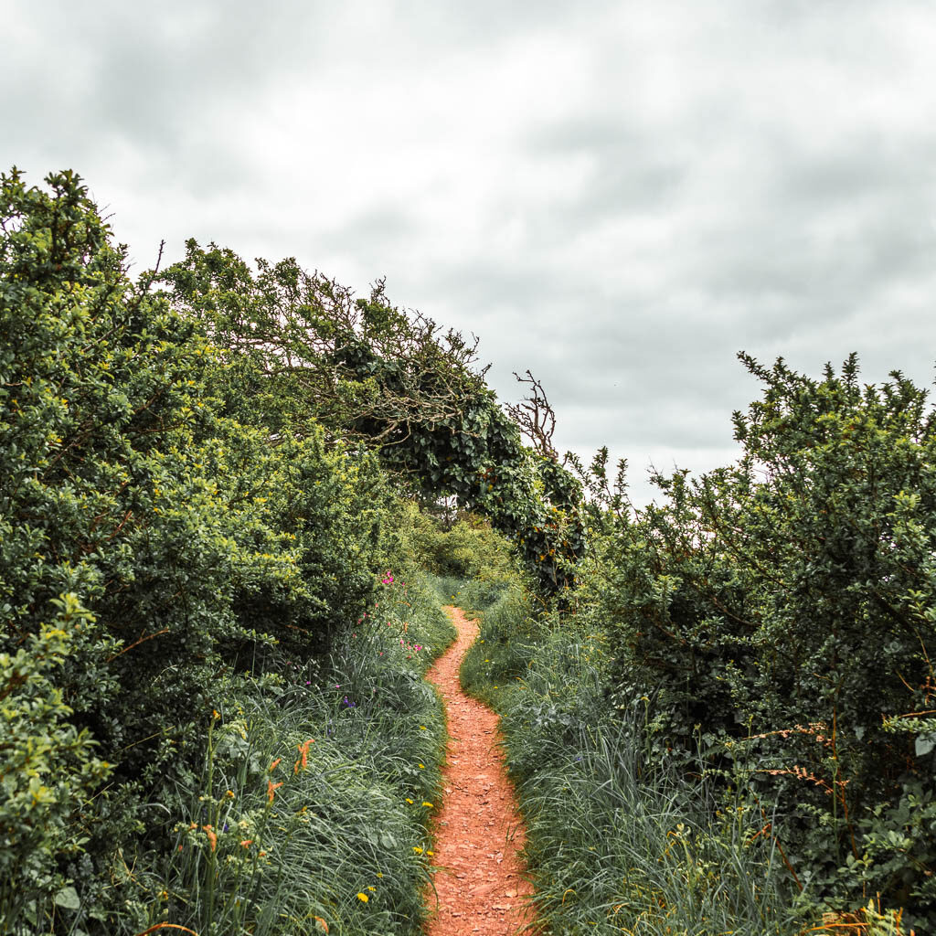
You see, the left trail looked a lot prettier. It was calling out to me with all the wild garlic and bluebells. I would still be able to get to the water edge this way, it would just involve a bit more road.
So here I turned left. There are a few forks coming up. I kept to the right one, which gradually took me downhill.
At the bigger junction, I took the right, to walk through the last bit of intense bushiness to reach the road.
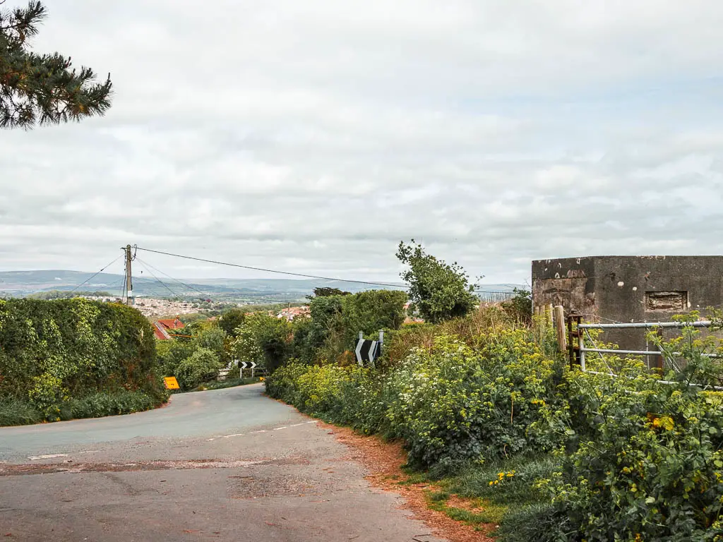
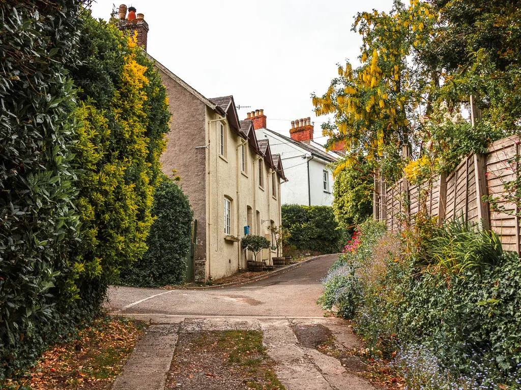
If you followed this route, then keep on the wide dirt trail with the road on your right, and this will lead you out and past some houses, and along to the main road.
Now, in this moment, I decided to end the walk here instead of walking back to Mount Batten. From what I saw for that very first bit of the walk, I wasn’t really excited about walking along that bit of water edge. With the bus stop just here, it was just too easy to jump on a bus to go back to Plymouth….
If you want to catch the bus from here, at the main road, turn right, and the bus stop is a little further along.
Or close off the loop
If you want to continue to walk to close the loop, still turn right on the road, and there should be a trail coming up on the left. Follow that, which should bring you onto a road again. Along that road, take the first right. Keep going and then along a trail at the end. When you hit the T-junction, turn left and you should be walking nearby the water (water on your right). The rest of the walk back along the water edge looks like it is pretty much on road, another reason why I didn’t fancy it.
More walk ideas near Jennycliff and Bovisand
Rame Head circular walk, located just across the water, is a lovely walk around a peninsular with chapel ruins and lots of ‘wild’ ponies. You can get a boat over there from Plymouth.
Mount Edgcumbe to Kingsand circular walk, is also just across the water, near Rame Head. Its a really lovely walk along the edge of Mount Edgcumbe Country Park and onto the cute village of Kingsand.
Noss Mayo walk, is slightly further along the coast path from Jennycliff and Bovisand. It’s a very easy going walk, and takes you on a circular along the coastline. The views on this one are stunning, and you can see all the way to Rame Head and Kingsand.
City centre comedy walking tour: This is a highly rated tour of Plymouth, guided by an award winning comedian. It’s a two hour tour, showcasing the highlights and hidden gems of the city.
For more walking route ideas in Devon, you could check out the Visit Devon website. Or if you would like to try out some other activities and tours, you can see what’s on offer on Viator.
Pin the Jennycliff to Bovisand coastal walk guide for later: