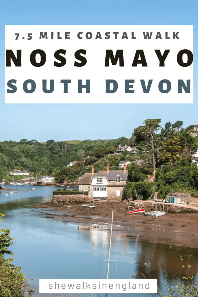
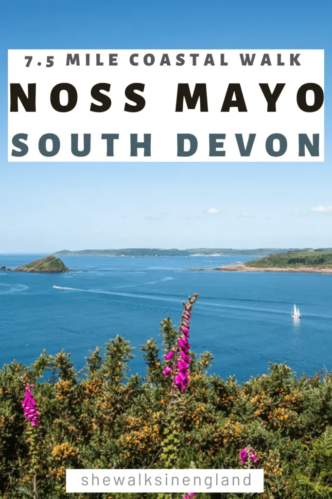
Ah, the Noss Mayo walk. This was my vary last walk before leaving Devon to head back home to London. My 40th walk in 2 a two month period, and what a way to finish. This is a coastal walk which takes you in a circular route from Noss Mayo, however, having now done it, I would actually recommend making it point to point. Let me explain.
Walk from Noss Mayo in a circular or linear route?
Whilst this is a coastal walk, in order to make it circular, the last little bit goes inland. The inland bit only makes up a small portion of the walk, but that small portion was not enjoyable. HOWEVER. There is an alternate route you can take, which I think would be better than what I did.
2 Options for the circular Noss Mayo walk
- I walked through a holiday park, and then to get out of it, is a long long steep uphill walk on road.
- There is an alternative to avoid the holiday park and steep uphill which I will show you when I describe the walk below. But there will still be some road walking.
- If you choose the circular, then the walk though Noss Mayo at the end will involve walking on very narrow country roads, where you need to squish to the side to let cars through. During high season this could get annoying.
- The only advantage to making this walk circular, is that you will get back to Noss Mayo quicker (assuming you walked the whole stretch of the coastline). So if you are tired or are under time constraints, this would be the most sensible option.
The linear, coastal Noss Mayo walk
- The best part of this walk is the coastline, and as I was walking away from Noss Mayo, I found myself looking back a lot. That’s where the best views were. That’s why I think it would be much nicer to walk back the way you came.
- It’s a very easy bit of coastline to walk. Minimal hills, easy path, so would be no problem to walk back on.
What was the Noss Mayo coastal walk like?
I covered a little bit of it above, but what I haven’t told you is how beautiful it is. Noss Mayo is a cute little settlement, and the walk first takes you alongside the Newton Creek and River Yealm.
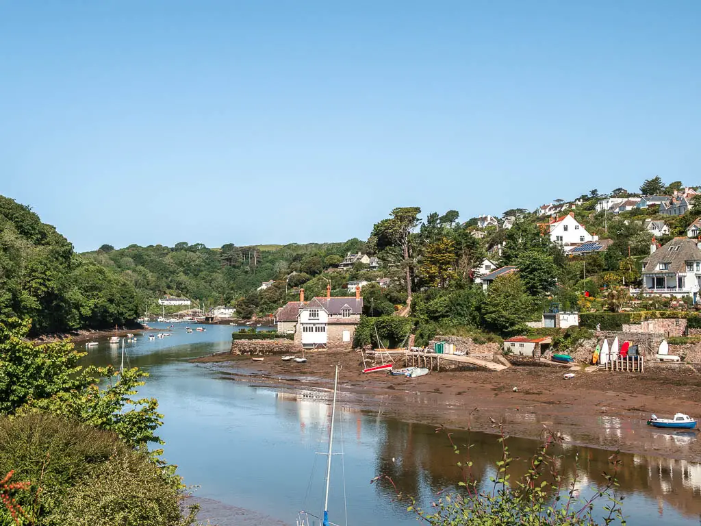
There is a lot of woodland for this first bit, with the occasional view, but the magic happens when you approach the coast path. That’s where the woodland ends, and you will have views down the river and out to sea.
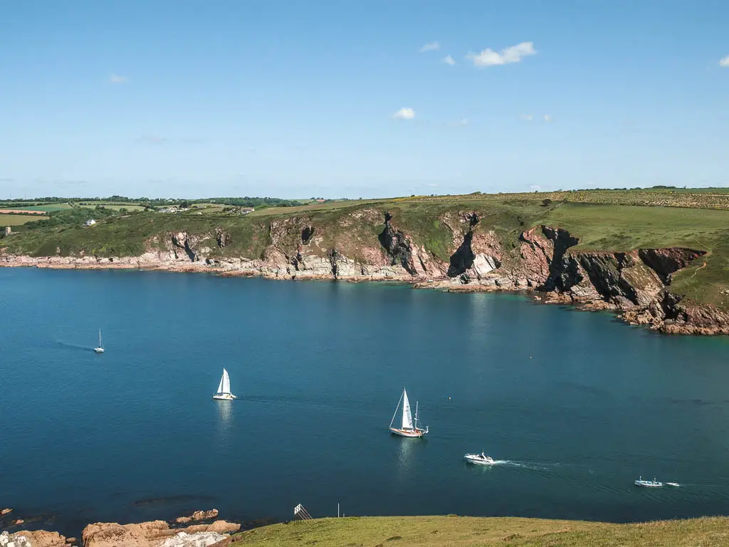
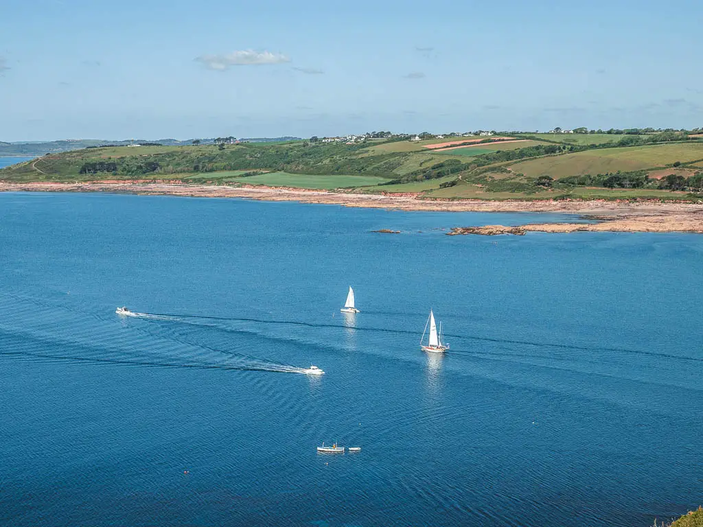
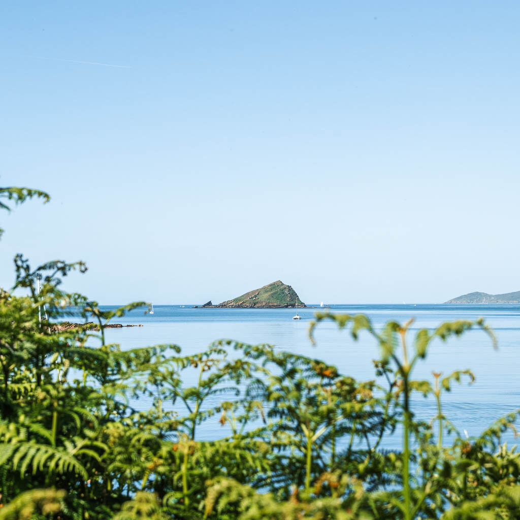
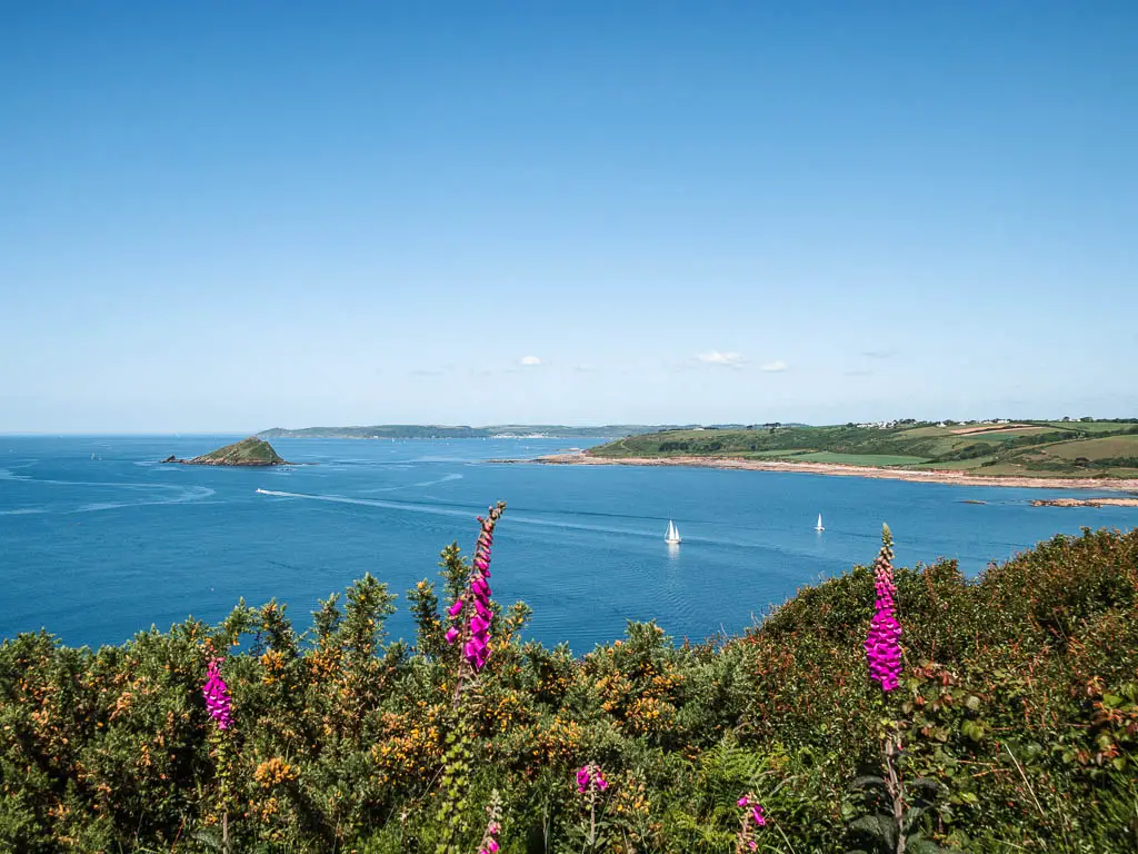
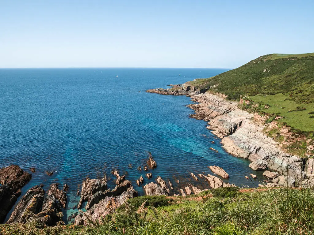
You will see as far away as the Rame Head Peninsular, and the bay of Kingsand. I’m not sure how to put into words how beautiful it was. Like, it literally took my breath away. The calmness of the water, with the little sailboats. Cliffs on the other side of the river. A sea rock.
You can check out the Rame Head Peninsular walk here
Once up onto the coast path, the rest of the coastal walk is pretty level on this easy trail, with a small section of grass, only changing if you make it circular at the end to walk back to Noss Mayo.
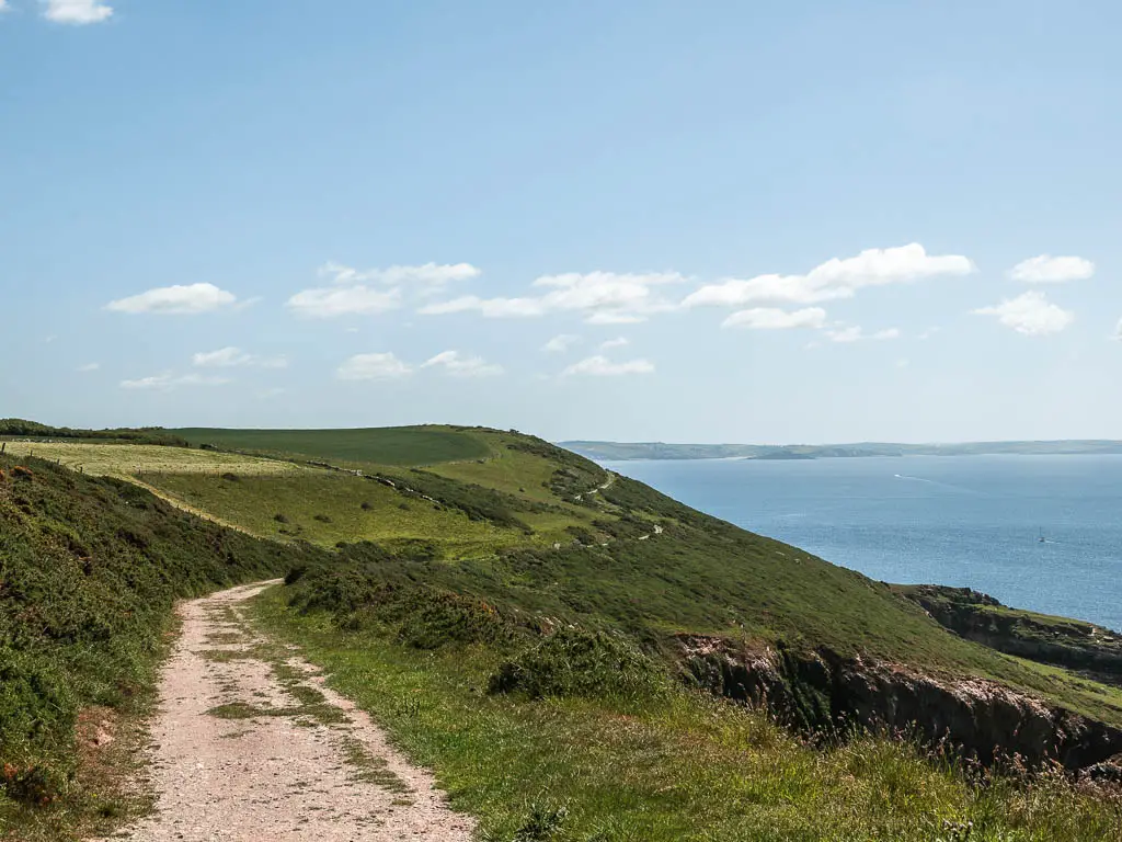
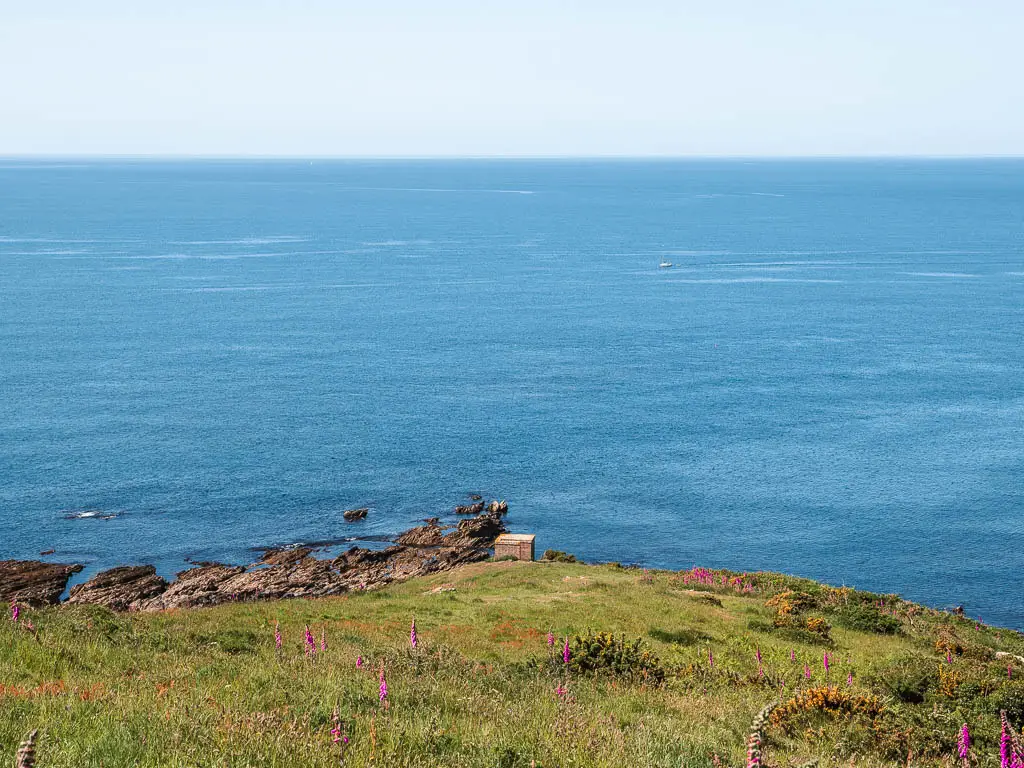
Along the route, there are a few detour sections. One takes you down to Cellar Beach (which I recommend), and the other takes you down to a grassy area by the cliffs. I did both, so I will show you.
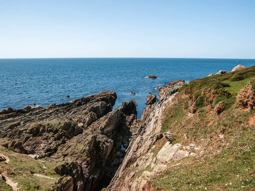
It’s that grassy area where you will need to decided whether to keep going (for the inland walk), or to turn back towards Noss Mayo.
Near the end of the coastal part of the walk, you will have views as far away as Hope Cove.
You can read about the Hope Cove walk here
Logistics for the Noss Mayo circular walk
- Start/Finish: Noss Mayo
- How to get there: Located in South Devon. By bus it’s a little tricky, but possible. Now, I don’t know if this is an all year round thing, or a seasonal thing, but when I was there, only 3 buses go in and out of Noss Mayo per day. Three from Plymouth, two of which go back to Plymouth, one goes to Yealmton – see tips for more details. It’s bus no 94 and takes about an hour. If you are coming by car, google it 🙂
- Distance: 7.5 miles
- Time: 2h 45min
- Difficulty: Easy
- Alternate route: If you are starting the walk in Noss Mayo, I will show you when I describe the walk below. If you have come by car, there is a much better option, which involves parking further out – see tips.
- Terrain: Gravel, dirt trail, grass, some road.
- Amenities: Very little. Noss Mayo has 2 pubs, public toilets and a temporary car park (see tips).
- Time of year: Spring
- Dog friendly: The first section is dog friendly in part. You will be on roads a little, but there are also some trails. There were a lot of dog walkers so it should be good. Once up on the coast path there is livestock about. No stiles.
Tips and things to know for the Noss Mayo walk
- I called the car park in Noss Mayo temporary, because I think it disappears when the tide comes in. It’s called a tidal car park.
- There is another car park further out, called Warren Car Park. You should be able to see it on google maps. It’s right by the coast path. If you park there, I would recommended that once you walk onto the coastal path, turn right to walk towards Noss Mayo. Then stop at one of the pubs (both of which have excellent reviews) before walking back along the coast path. This would make a lovely walk.
- During low tide, you can walk across the creek bed from Noss Mayo to Newton Ferris. There are more amenities over there. At high tide, you are stuck on this side.
- Public transport (bearing in mind, I don’t know if things change during high season. I will keep an eye on it and update here) If you are coming from Plymouth, then the last bus out of Noss Mayo, back to Plymouth is at 2:05pm. Which means your only viable option to get to Noss Mayo from Plymouth, is catching the 8:40am bus. The next busses out of Plymouth are at 1:10 and 5:40. But there won’t be a bus to get you back to Plymouth. You would instead have to get a bus to Yealmton and change for a Plymouth bus. The Yealmton bus is at 6:30pm.
Map for the Noss Mayo circular walk
More walk ideas that I recommend near Noss Mayo will be at the end
If you are based in Plymouth, then my guide on the best walks around Plymouth covers some more areas.
A Guide To The Circular Walk From Noss Mayo
If you have come by bus, then Noss Mayo is the end of the line. Off the bus, walk down the hill, and at the fork of the creek, go left. I actually went right initially because I wanted to have a look around. It was early and I wanted a coffee. I wasn’t sure what to expect in Noss Mayo, but it wasn’t this. There is nothing. Literally nothing. Two pubs, both of which aren’t open until 11am (remember, I had to get an early bus here). So there wasn’t much else to do except start the walk.
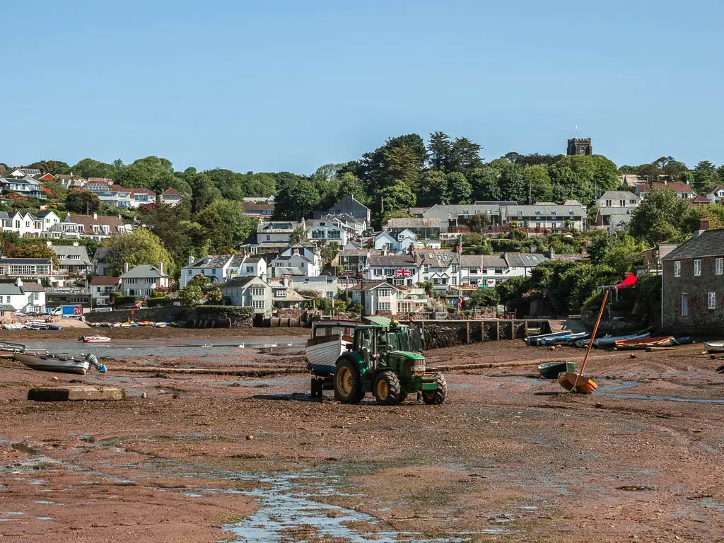
Walk out of Noss Mayo and along the creek and river
Now assuming you took the left fork. Keep following the road around. This little bit is super pretty. Savour it though, because the views are going to disappear for a while.
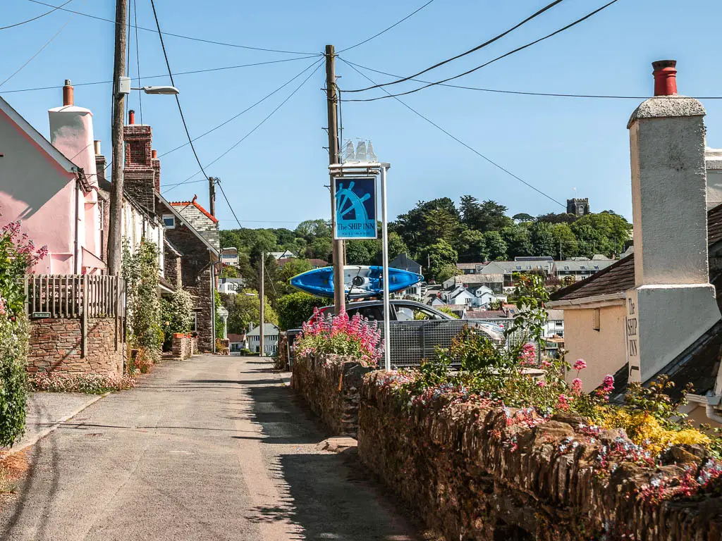
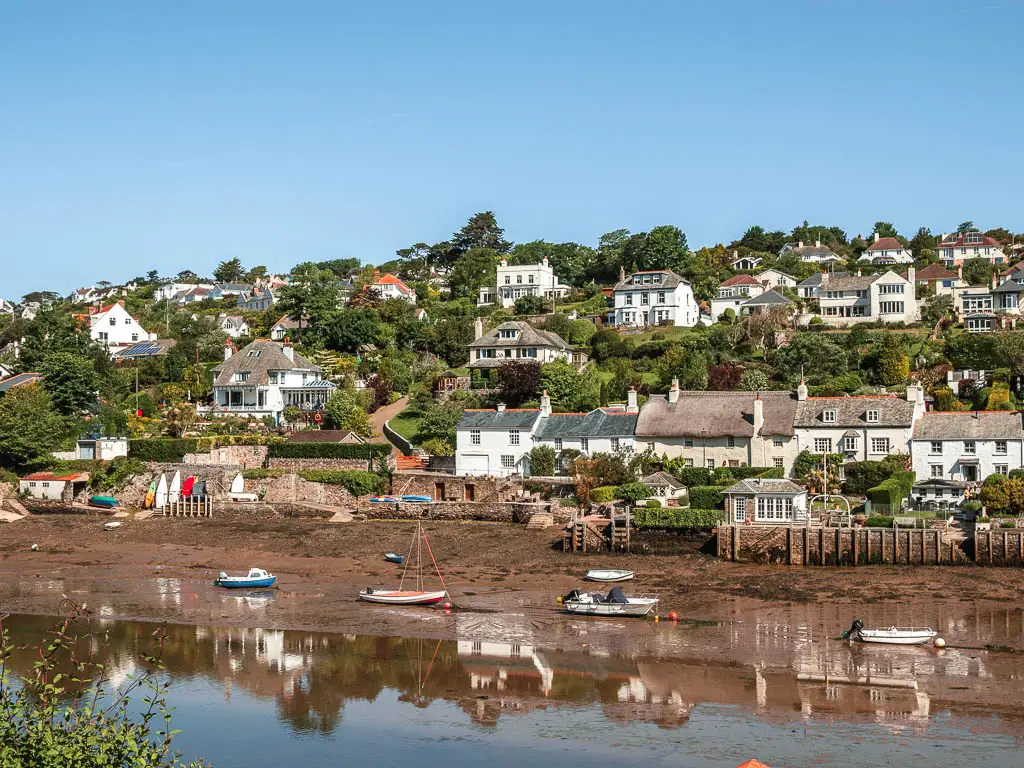
There was an Australian couple walking along here as well, and we got chatting. They were over here house sitting. House sitting, I have heard of this before. Sounds like a dream, to get to travel whilst looking after someones home like it was your own. I made a mental note to look into it when I got home.
The level road or woodland path…
There is a junction coming up, which is where the Australians and I went our separate ways. You will have the options to stay on this road, or take some steps up and under the trees on the left. They run parallel to each other and connect later on. So pick which ever. If you know me, you will have already figured out, I picked the left steps.
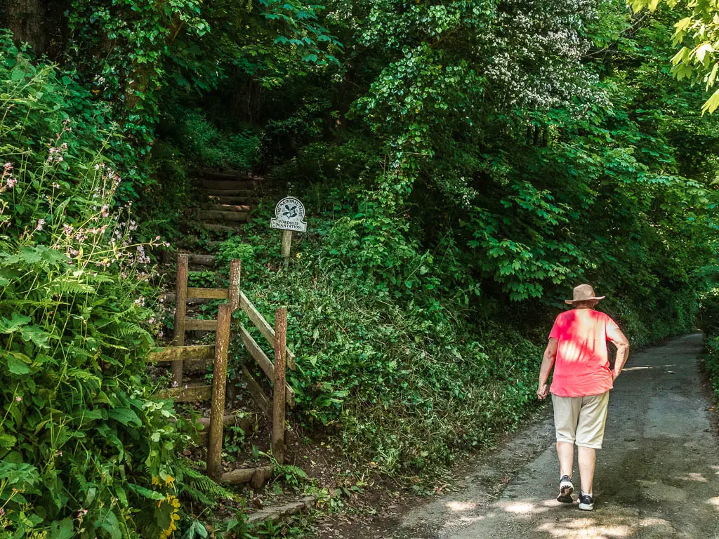
If you want to pick the road, don’t worry, it’s not a proper road. I think it’s more for residents, so it’s not very car heavy. Zero cars passed by when I was there.
If you picked the woodland trail, it’s up a few steps and then on dirt ground, following the same direction of the road.
There isn’t much in the way of views along here which made me a bit sad. The views, when I had them, were so lovely. I wanted more. Instead, there is the occasional partial view through the trees. I think it’s pretty much the same down on the road path.
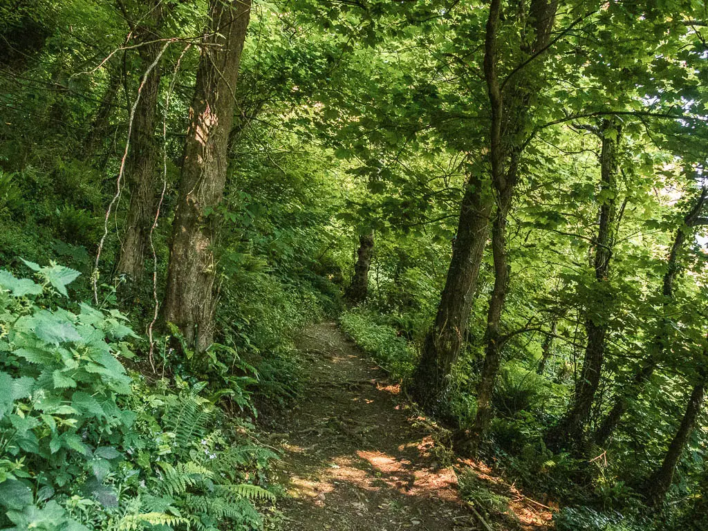
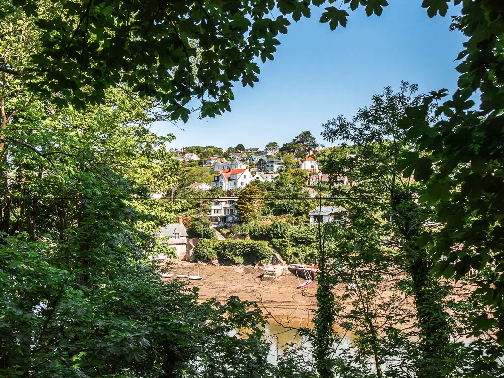
If you took the woodland trail, it will eventually lead you back down to the road where you continue straight. Then at the fork, go right.
Walk into more woodland
This will take you around a corner of sorts. But before that, you will see a white house ahead on the river edge. The kind you wish you lived in.
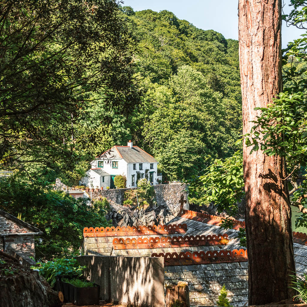
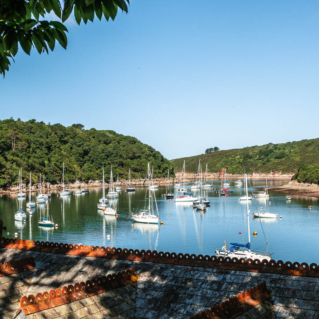
You will then reach a little split, with a cute coast path sign pointing along the right path. This will take you around the backs of some houses, and through a gate, and into the woods.
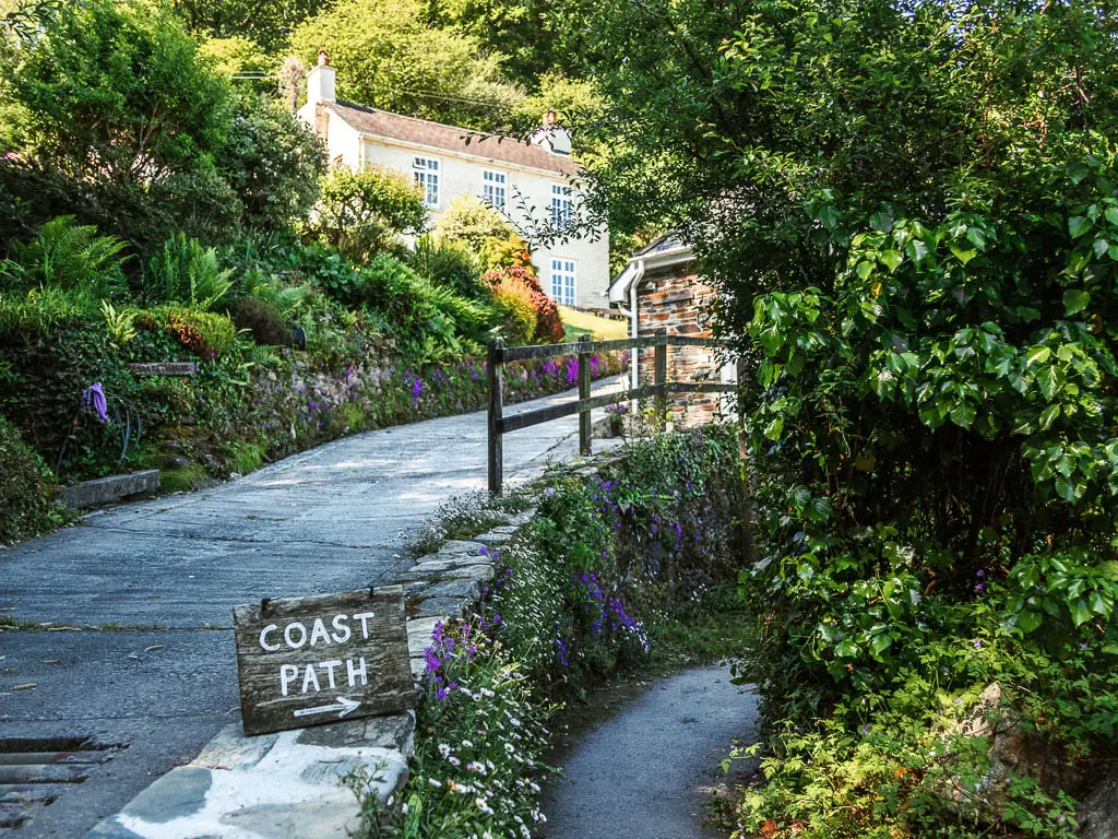
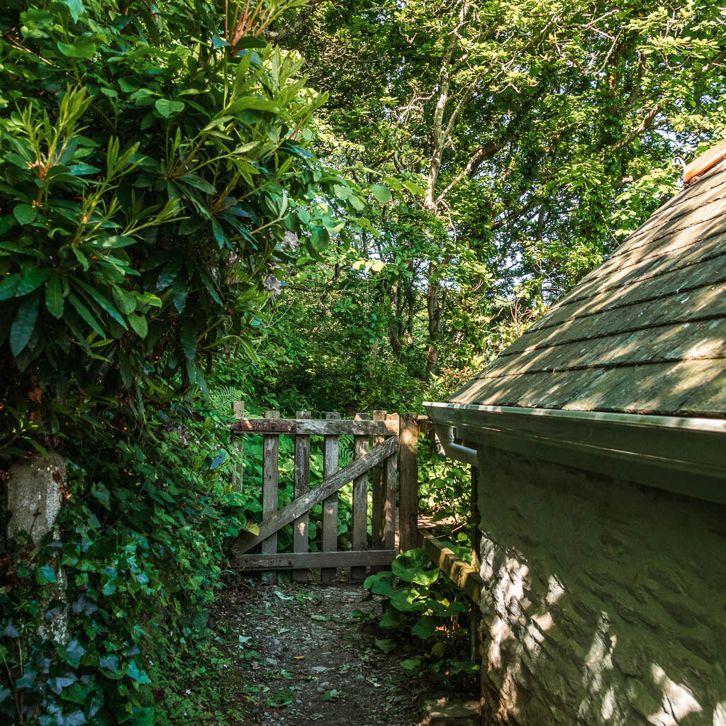
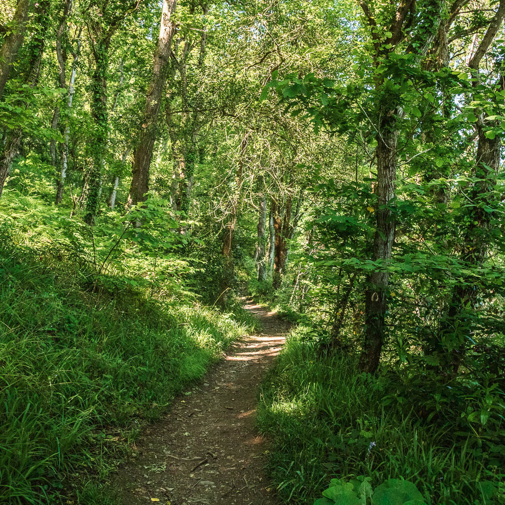
You will be on a dirt trail now, then someway further along, there are a few steps to take you back up to the road. Continue right, following the coast path acorn, and then you will have to decided if you want to take a beach cove detour.
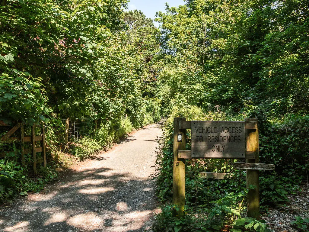
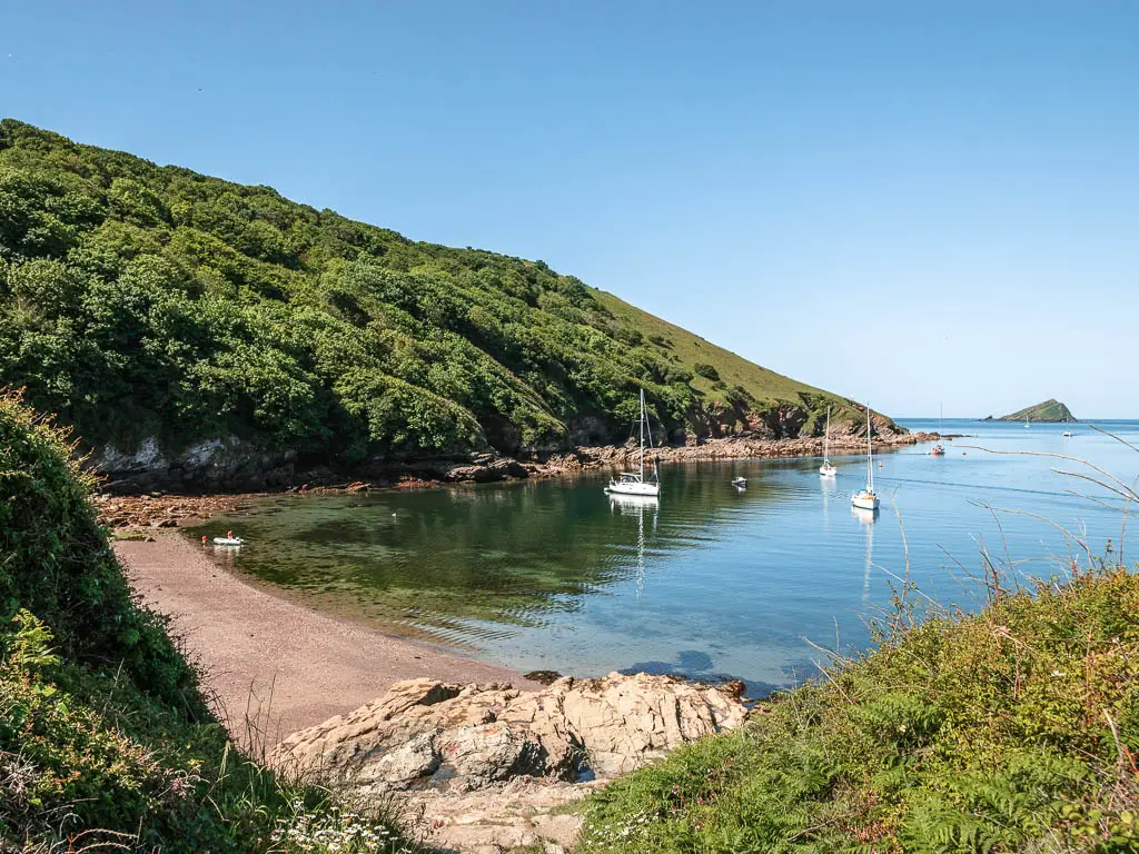
Cellar Beach
Along this road, look out for a trail with a stump signpost on the right.
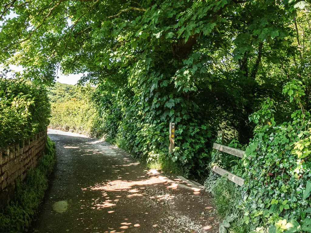
From here, it’s quite a long way down, with lots of steps. At first I was excited at what I might find down there. I was desperate for something non woodland. However, once I reached the steps, and the downhill seemed to be never ending, I thought about the fact that I would need to walk back up. By this point, I was far enough down that it was too late to change my mind, and I kept going. Slightly regretting my decision.
It was worth it though.
Walk back up to the path and towards more woods
Back up onto the main path, continue straight, and you will now be walking past some houses. Then a bit further along, you will have a view back to the cove and out to sea.
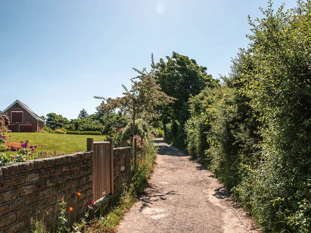
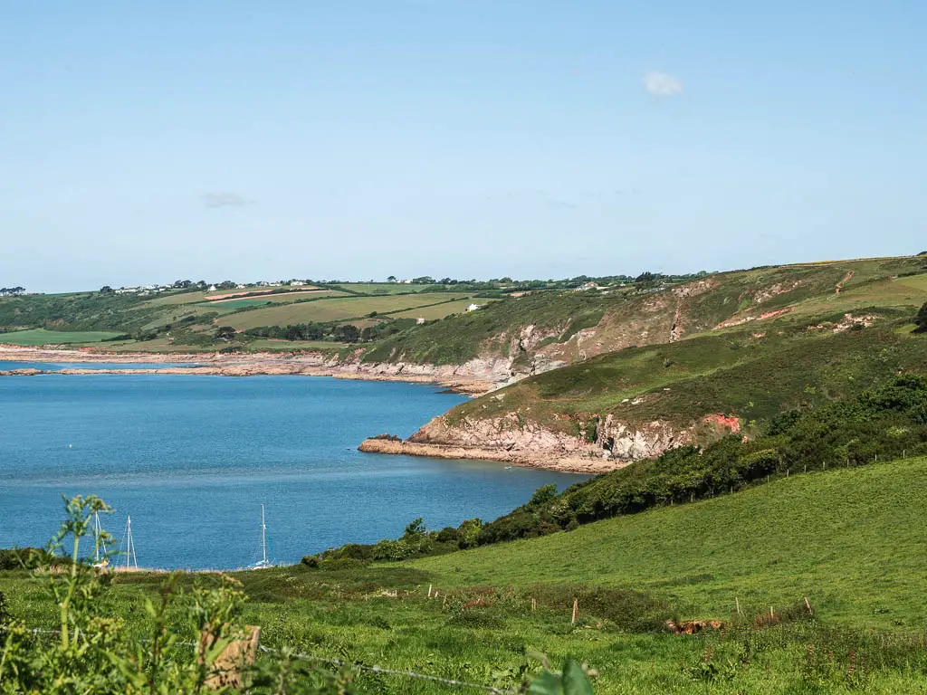
I could see that I would be heading into more woodland soon. At this point I had already resided to the fact that the Noss Mayo walk would be all woodland*. I had made my peace with it. So I savoured moments like this.
*I didn’t yet know what was to come.
The Warren
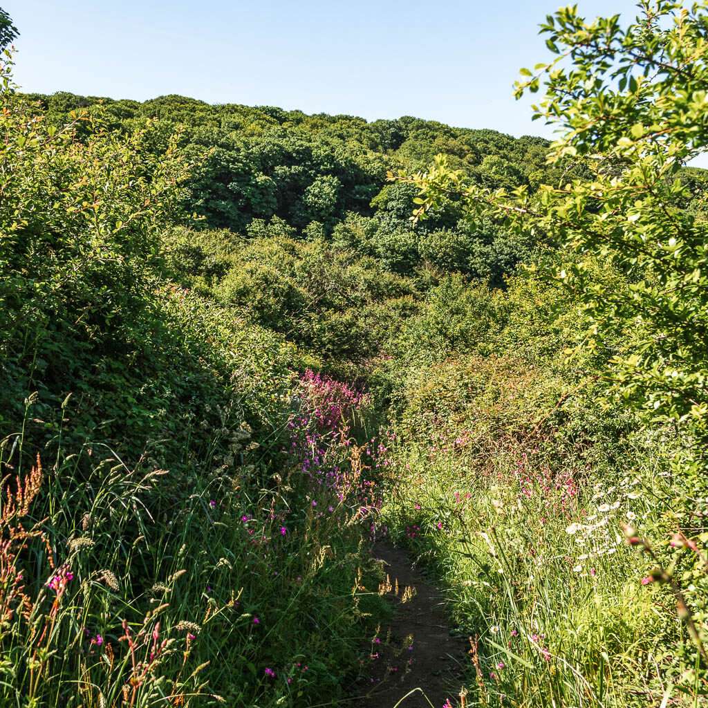
This road will lead you to a gate entrance to the Warren National Trust area. This is also where the first dog on lead sign pops up. The trail here starts off a bit more gravelly, and takes you back into woodland. It’s a fair stretch of woodland walking now, with some gaps through the trees to the cliffs on the other side.
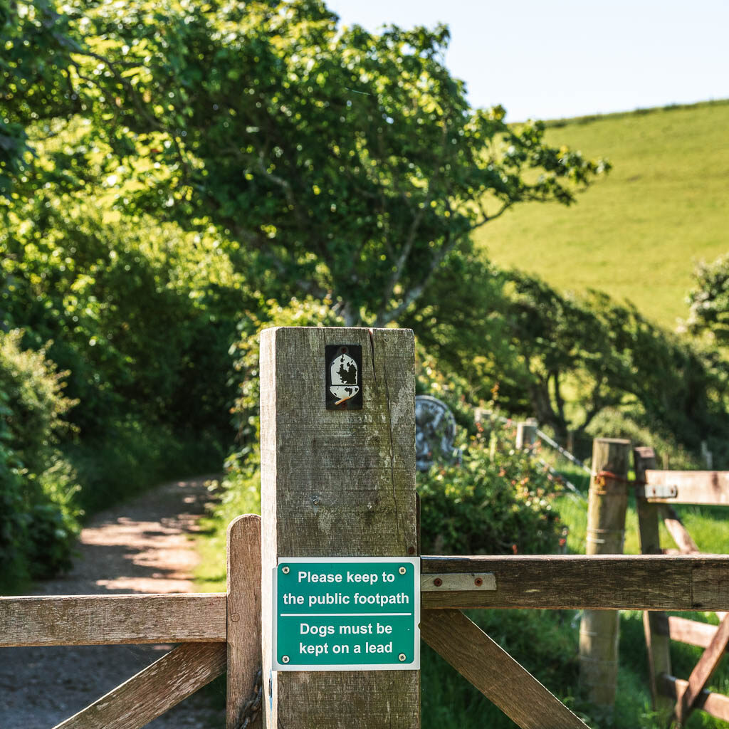
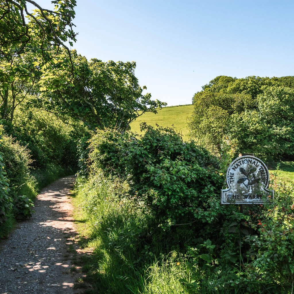
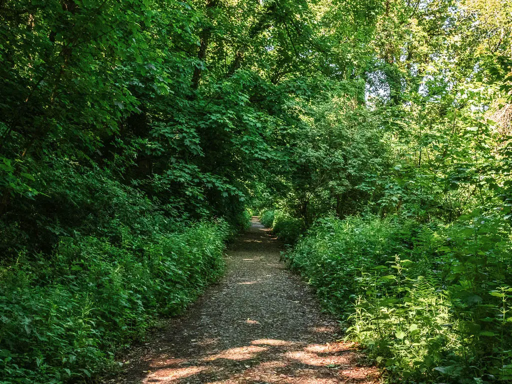
Further along you will see an opening ahead on the trail. Like the light at the end of the tunnel…..
The views
The trail will soon lead you through the gap, and fully out of the woodland, for the most beautiful views across the water.
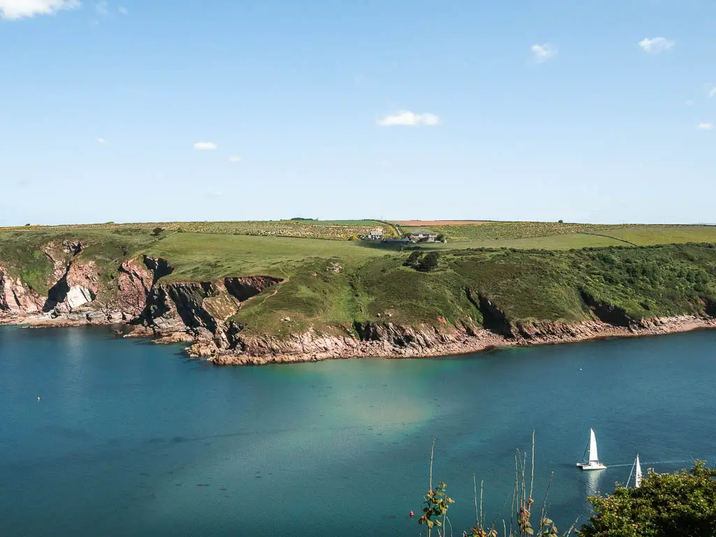
I mentioned earlier, that it literally took my breath away. I wonder if that was also in part because I wasn’t expecting it. That being said, it was truly beautiful. The way the water was so calm, with cliffs on the other side. I was surprised when I realised I could see as far away as the Rame Head Peninsular.
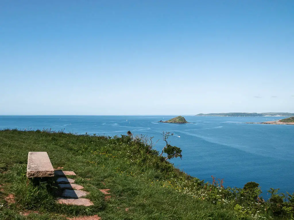
Read about the Rame Head Peninsular walk here
Walk along the Noss Mayo coastal path
The path you will now be on doesn’t change much for the rest of the coastal part of the walk. As you make your way around, you will soon get a view way further along the coastline. I don’t have much photos though, as the sun was quite harsh in that direction. I have lots of photos looking back though.
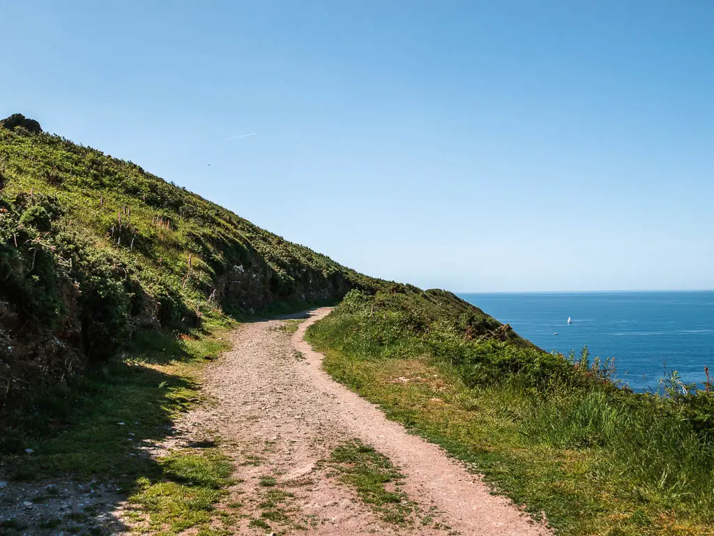
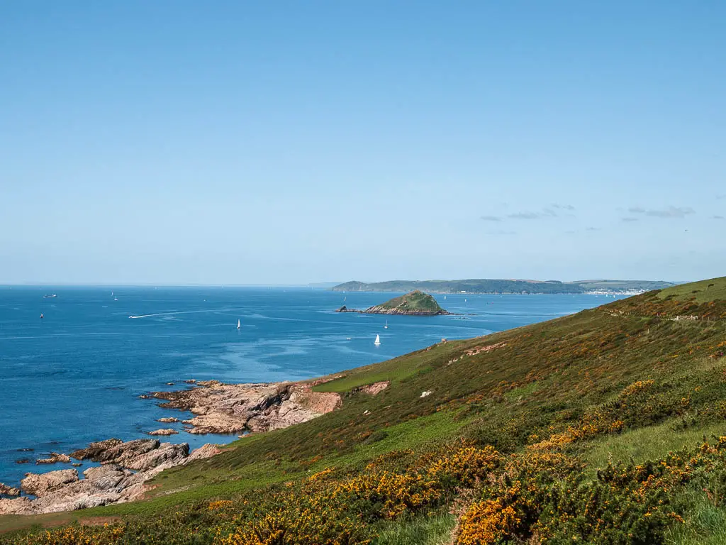
At some point you will walk through two gates next to a cottage. And then a bit further on, you should see some ruins on one of the hills in the distance.
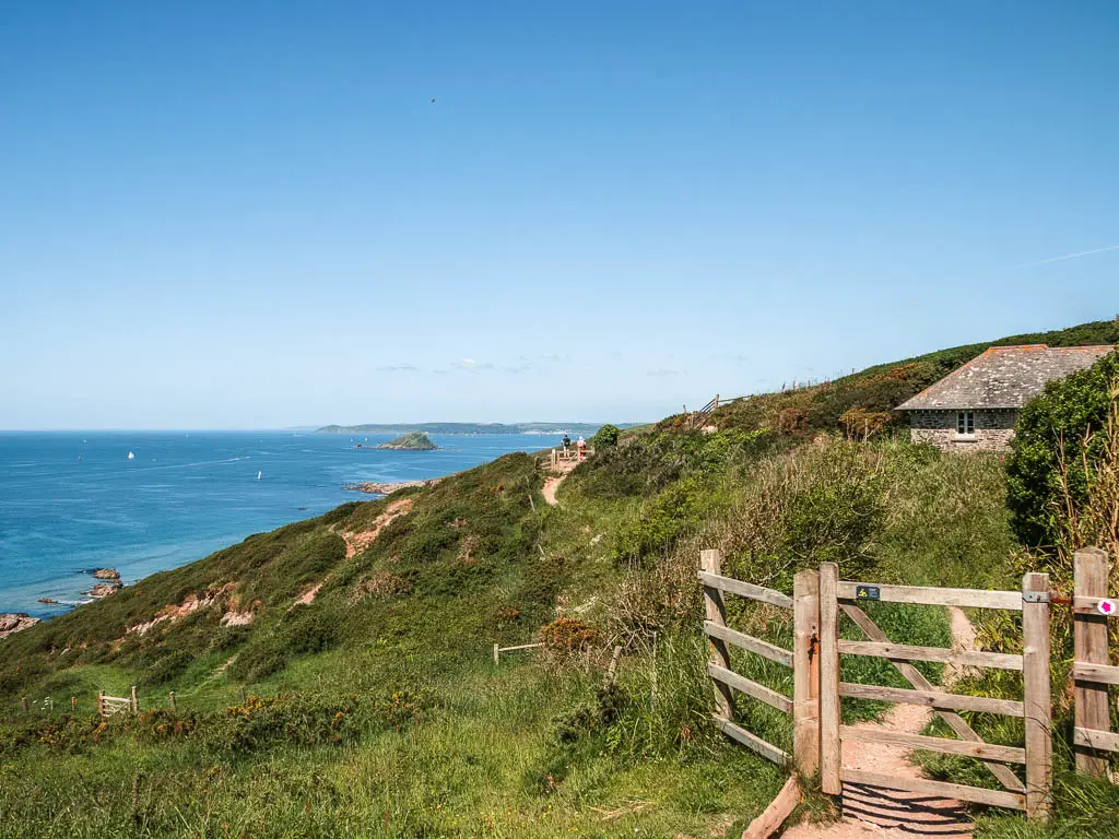
Keep going on the main path, until you reach the junction in the photo below:
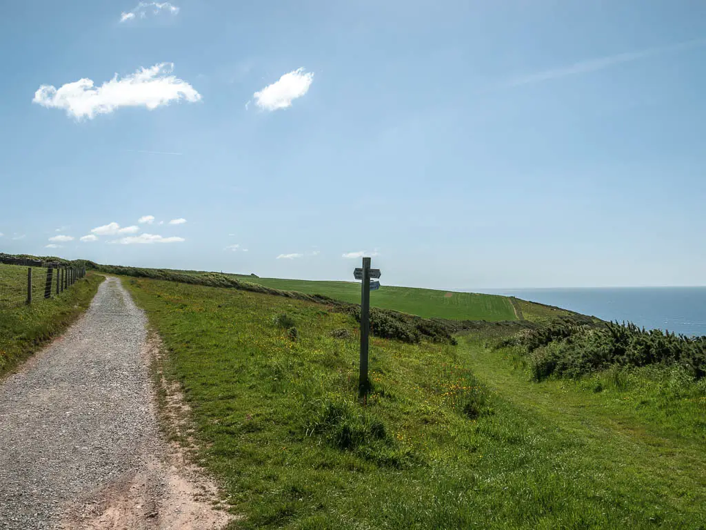
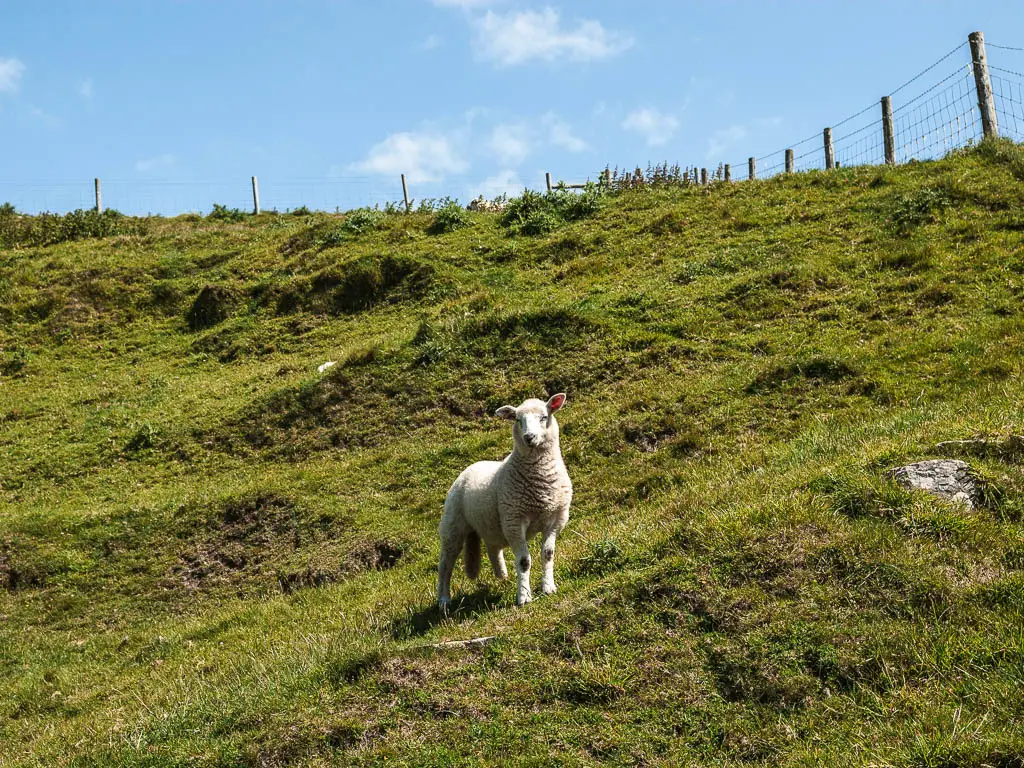
Now take the right, to walk slightly downhill on the grass trail. The path stays grassy for a bit as you go through another gate, and then the trail levels off. It was around here that I saw my first sheep. Probably because they like the grass, and the trail was now grassy.
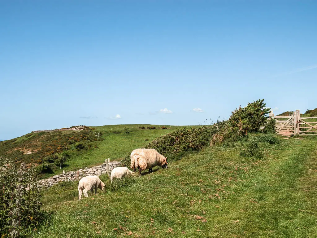
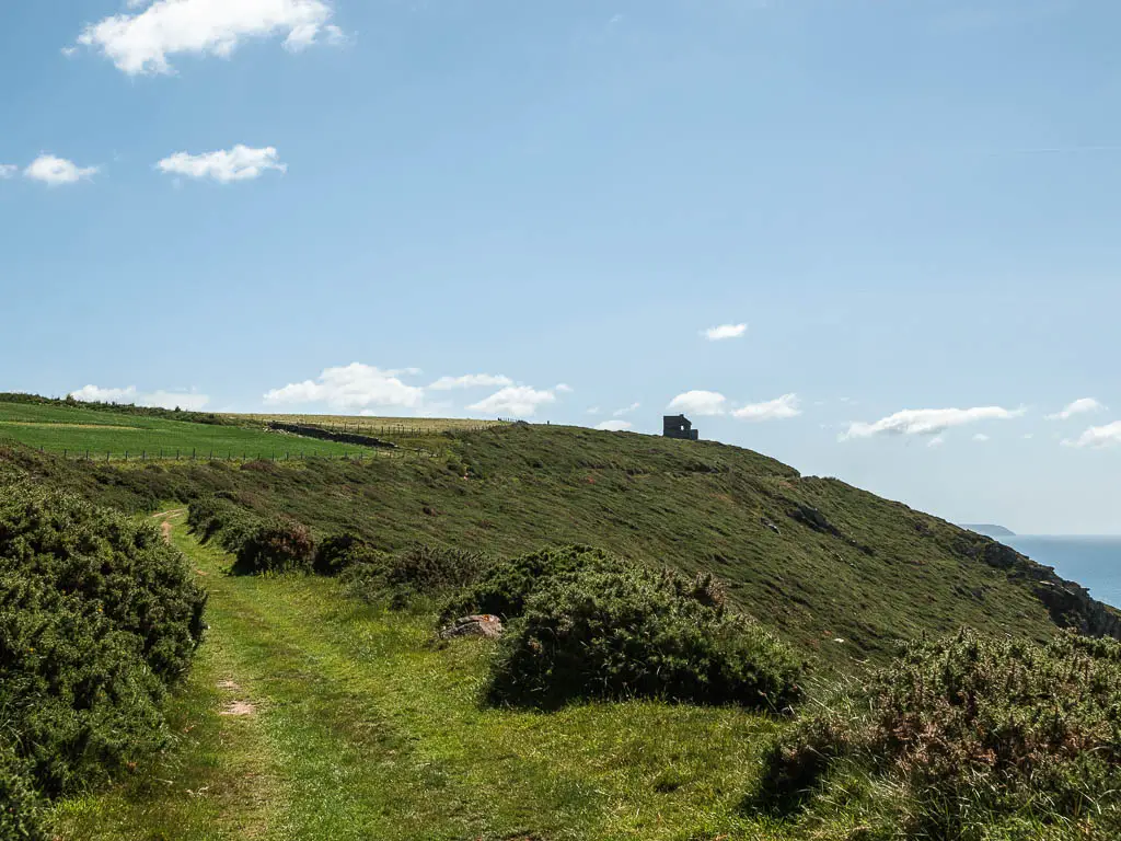
The grass trail then turns back to gravelly, and you will start to get those views to Hope Cove I mentioned earlier. I only know its Hope cove because I got Google maps out and stood facing it. Then with a bit of squinting (it’s very far away), I was able to recognise some of the rocks and cliffs over there as Hope Cove.
Read about the Hope Cove walk here
Keep going, as the trail goes back to grass for a bit, and then back to gravel, now keeping an eye out for a wooden stump signpost, nestled in some bushes on the right.
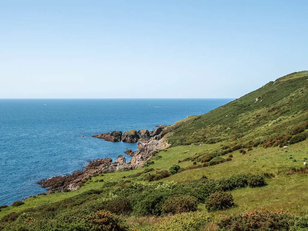
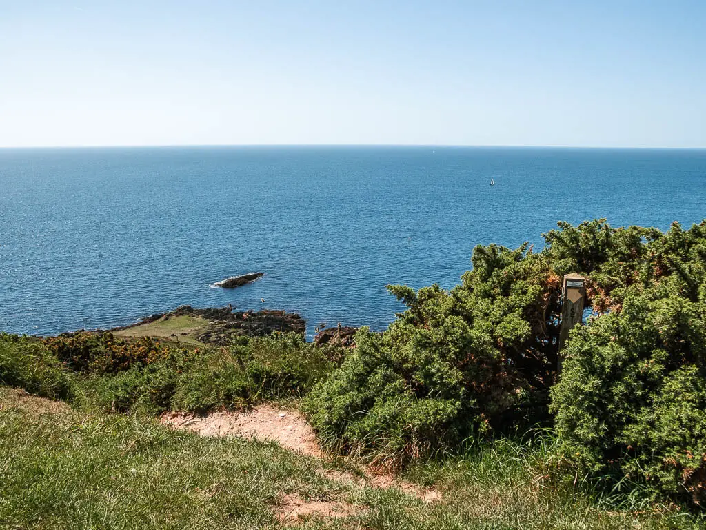
The second detour/deciding which way to walk back to Noss Mayo
- Option 1: Stay on this main path and continue straight. This will bypass the holiday park, but it will also take you in a circular walk back to Noss Mayo. I will show you soon the details.
- Option 2: Stay up here on the coastal path, and at some point turn around to walk back to Noss Mayo.
- Option 3: Walk the trail down to the right, explore down there, then come back up to this path, and then decide wether to continue straight to do the circular walk back to Noss Mayo, or turn back to make it linear.
- Option 4: Walk down the trail to the right. Stay down there, and follow the trail around to walk through the holiday park, and then back to Noss Mayo. This is what I did. I would not recommend it. I would suggest option 3. However, I will show you what it’s like. If you choose option 1, I will show you where we meet later.
Take the right detour, then walk to the holiday park
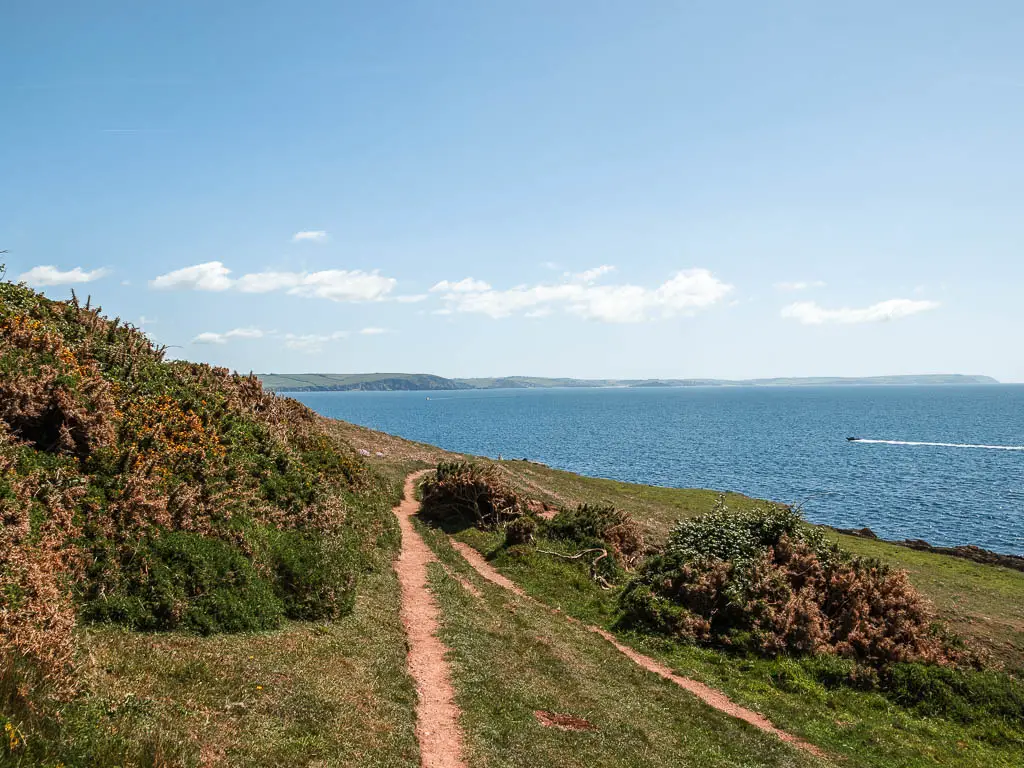
Taking the right, you will start off an a narrow trail, which becomes a bit overgrown with sharp things further down. Then you will reach the open area which is quite lovely, with some interesting rocks.
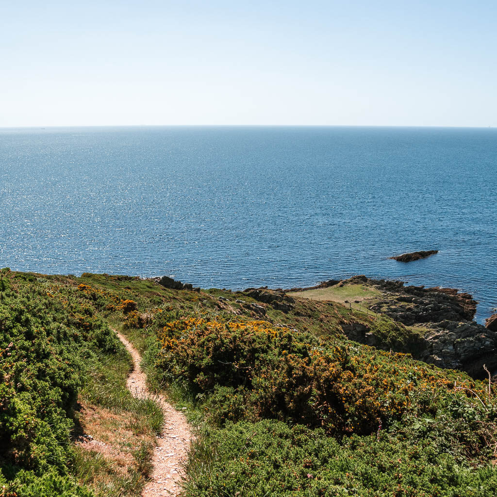
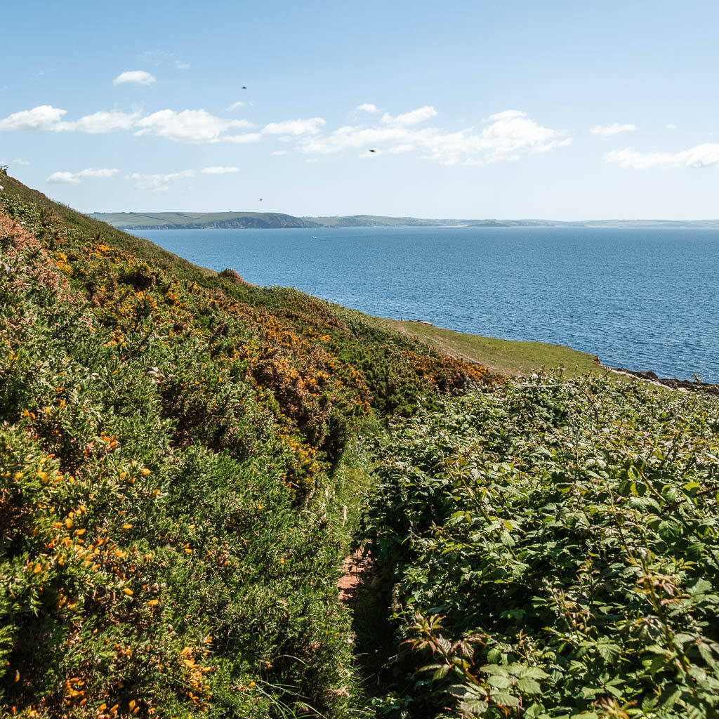

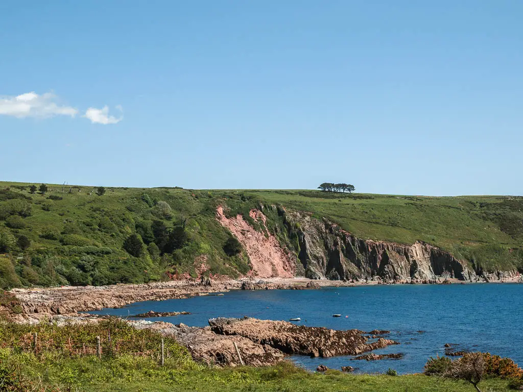
If you then follow the trail around, you will get a view to some cool cliffs on the other side.
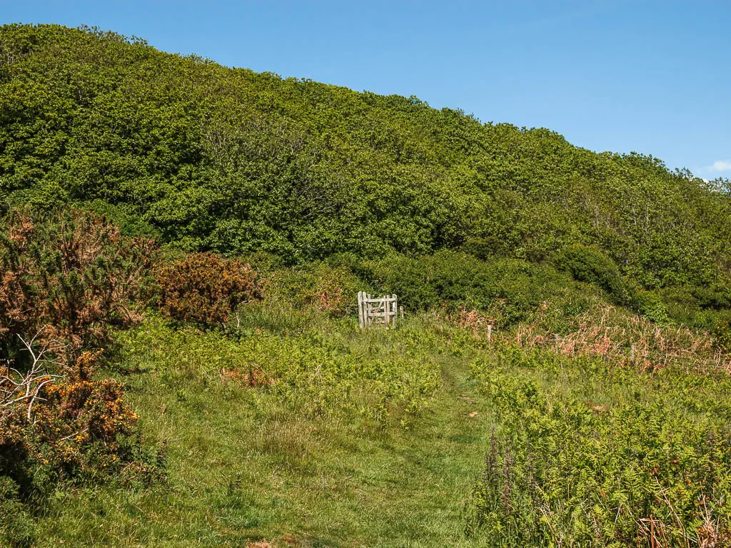
As I mentioned, my recommendations would be to go back up to the main path once you have finished down here. That is actually what I had intended to do. The thing is, on my map I could see a trail further around to take me back up. However, that trail didn’t materialise. All I found was this gate:
Which only gave me one route option. The holiday park route. Going through the gate, it’s into woodland for a bit. Then at the next junction a short way along, either will work. I took the left, kind of hoping a trail would pop up to take me back up to the main path. But alas, it didn’t. Next thing I knew, I was in the holiday park.
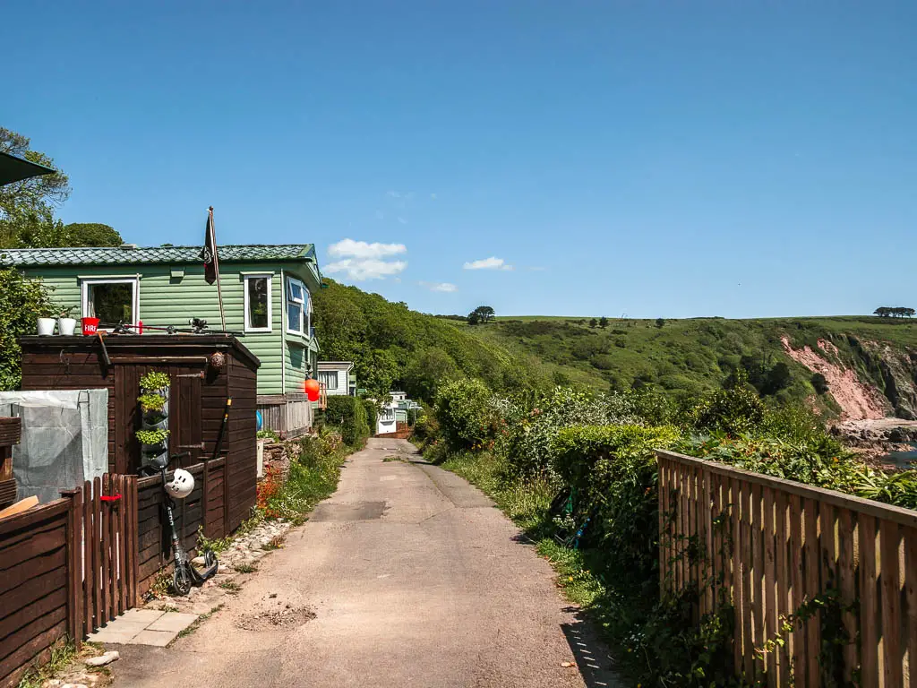
Walk through the holiday caravan park, and up the hill
If you have come the same way as me, keep following the road, past the church, then at the junction U junction bend with a red telephone box, take the left U, continuing straight. This will take you around and then away from the sea, for a ‘nice’ bit of steep uphill road.
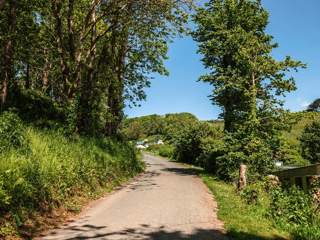
Keep going, past the red metal barrier, and you should reach a trail signpost pointing left for the Noss Mayo coastal walk. If you had stuck with the main trail, this should be where you end up.
Now, keep going up the hill, under the bush hedge tunnel thing, and continue going straight across the big junction. Things will have levelled off now.
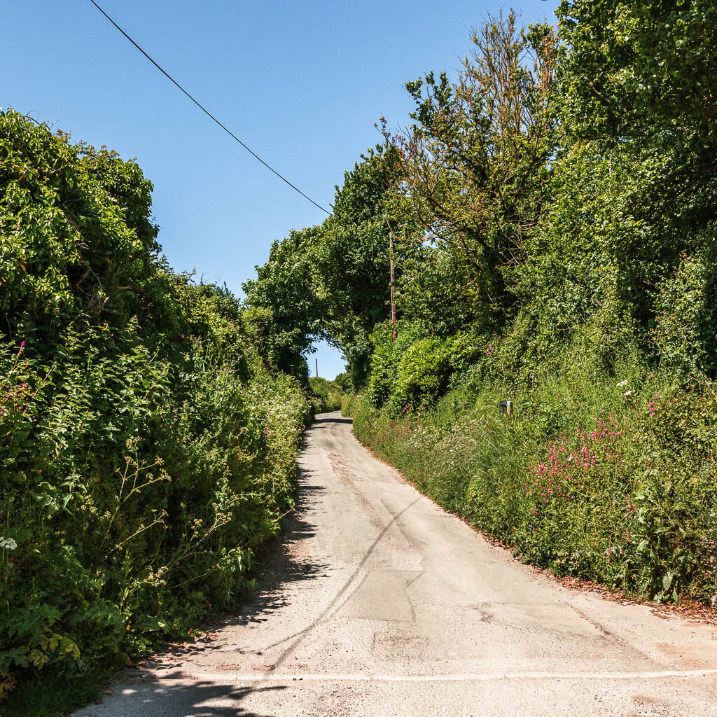
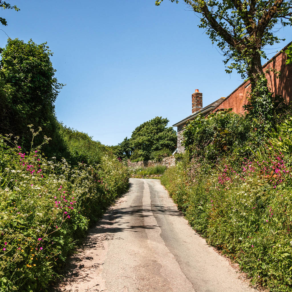
Further along the road, you will start to see an interesting building ahead to the left. This is a barn cottage. Before you reach it, there will be a trail signpost on the right to take you into the fields
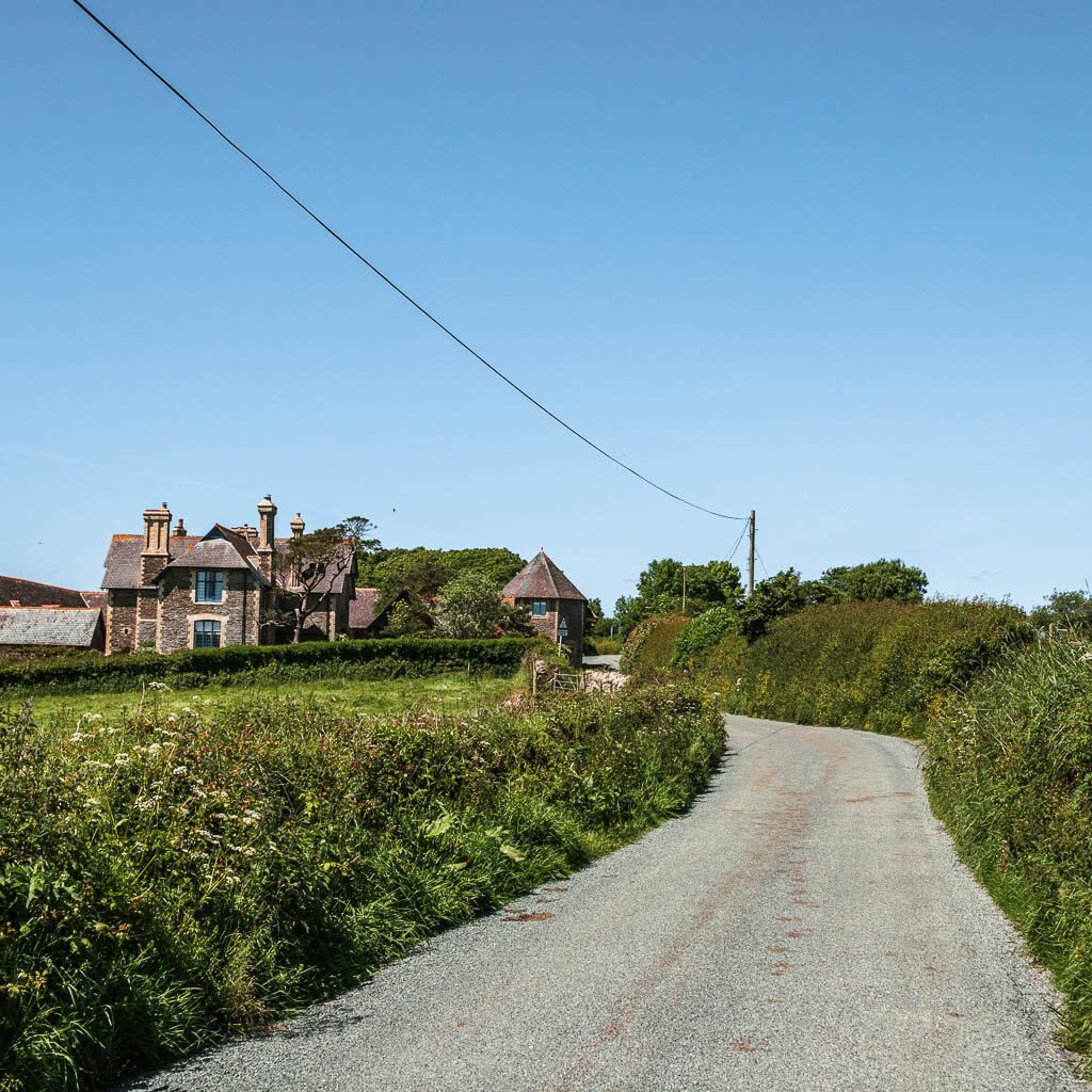
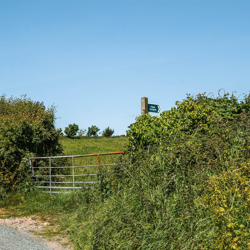
Walk through the fields to walk back to Noss Mayo
The road walking is over now…for a bit. In this field, it’s quite confusing. At least when I was there, there were no trail markings on the ground. You want to walk roughly straight and a bit left, to reach the gate on the other side.
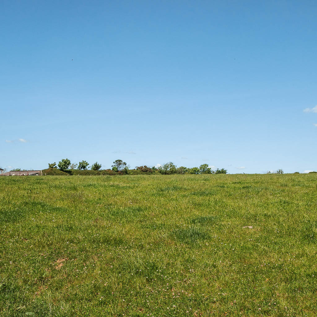
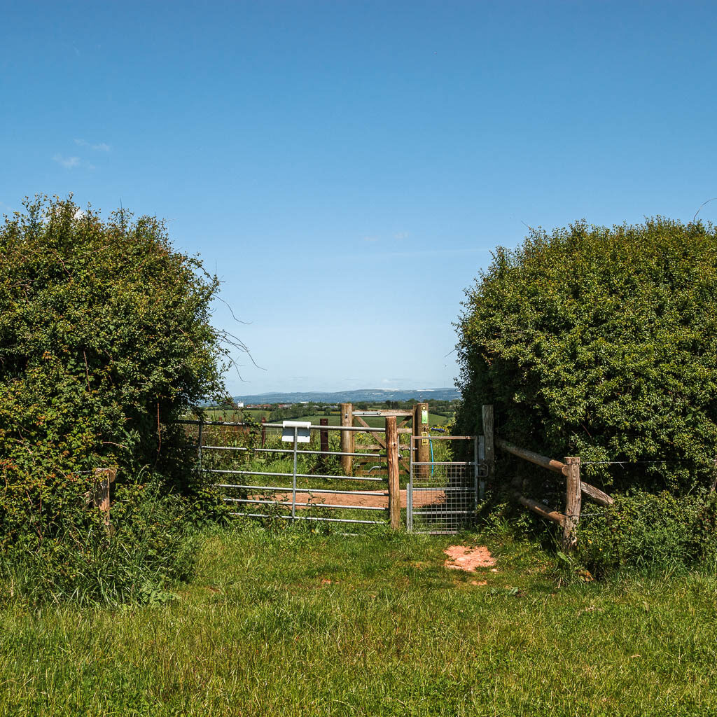
Through the gate, across the road and through another gate, you will be walking with a plantation of sorts to your left. It took me a moment to realise what this was. The forest I thought I would be walking through (as indicated on the map) was actually in it’s early stages of growth.
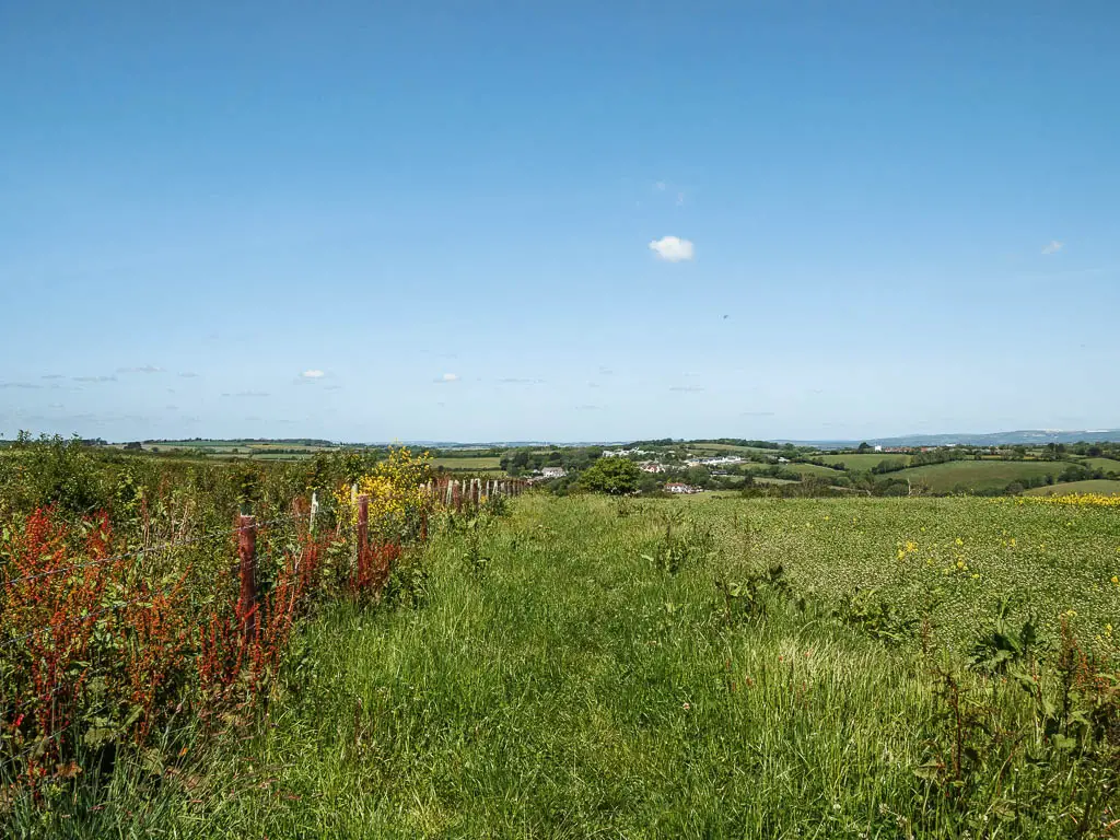
At the end, it’s through another gate, and down alongside the fence of another field. There will be two gates at the end of this field. You want to take the right one.
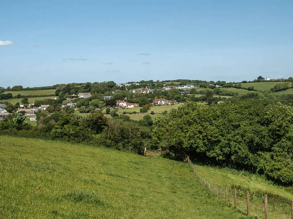
This will take you downhill further under tree cover to reach the road at the bottom.
Back in Noss Mayo
At the road, take the downhill left, then at the bottom of that bit off road, turn left again.
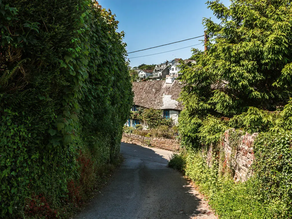
Although you are now back in Noss Mayo, there is still a little bit more to go. This is where the road gets a bit narrow, and you may have to squish to the side for cars. It’s also a bit uphill.
When you reach Junket Corner, take the right, and this should lead you back to the main cove area.
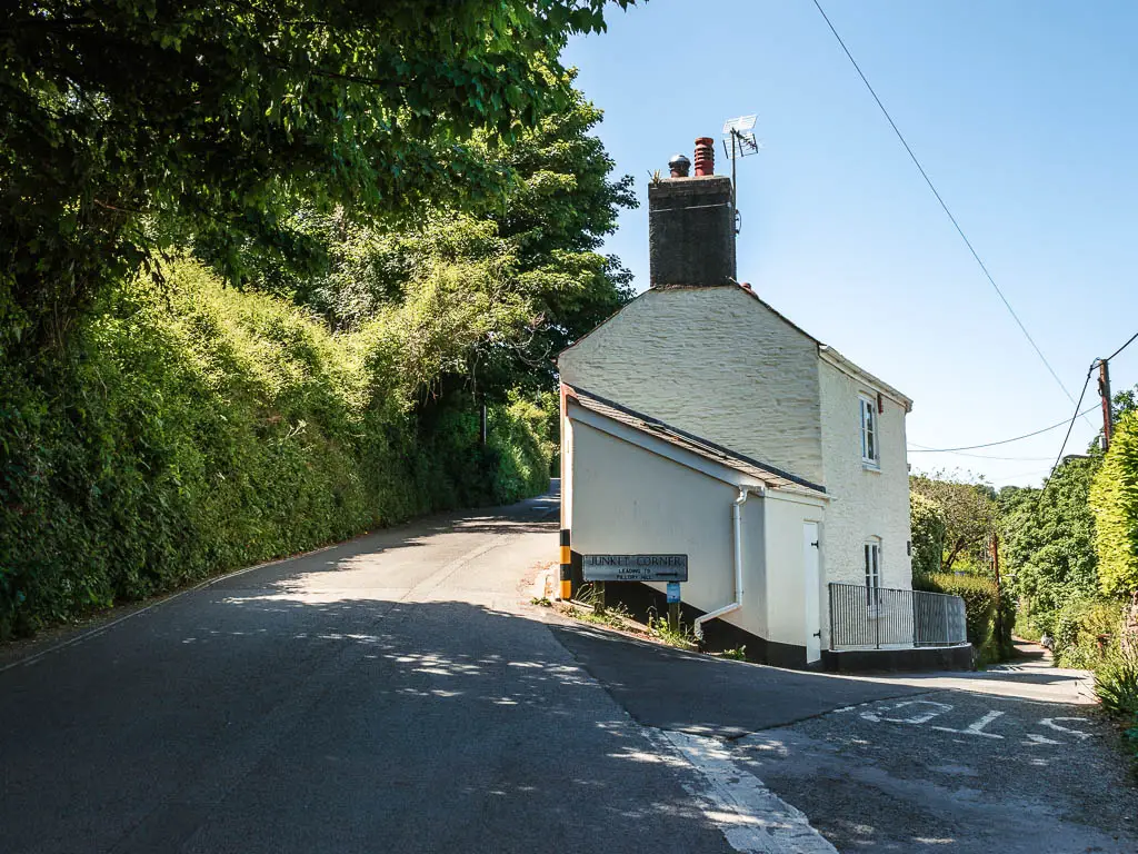
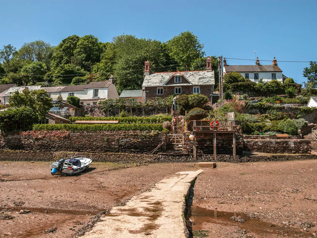
I was a little disappointed that the tide was still out when I got back. It would have been nice to see it both ways. Saying that, it did mean I could walk straight across to get to the pub I wanted to go to, without having to walk all the way around.
More walk ideas near Noss Mayo
Jennycliff Bovisand walk is slightly further along the coast, nearer to Plymouth. It’s a really lovely walk through cliffside woods, followed by the lovely beach cove of Bovisand. I liked it a lot more that I thought I would.
Rame Head Peninsular walk is easily reachable from Plymouth (it’s one of the views you could see on this walk). It’s a fairly easy walk, with ‘wild’ ponies.
Most Edgcumbe to Kingsand walk, located right next to the Rame Head Peninsular, is the easiest to get to from Plymouth. You can actually add it onto the Rame Head walk to make a mega hike.
Salcombe to Hope Cove walk is one of my favourite coastal walks of all time, and is one of the views from this Noss Mayo walk. Logistically, it is more tricky to get to from Plymouth without a car, but it is possible. You would need to get the number 3 from Plymouth to Kingsbridge, then change over for a bus to Salcombe.
If you would like more ideas for walks around Plymouth, including non coastal ones, then check out my guide on the best walks around Plymouth.
For more walk ideas in Devon, you could check out the Visit Devon website.
Pin it for later: Noss Mayo circular walk guide
