
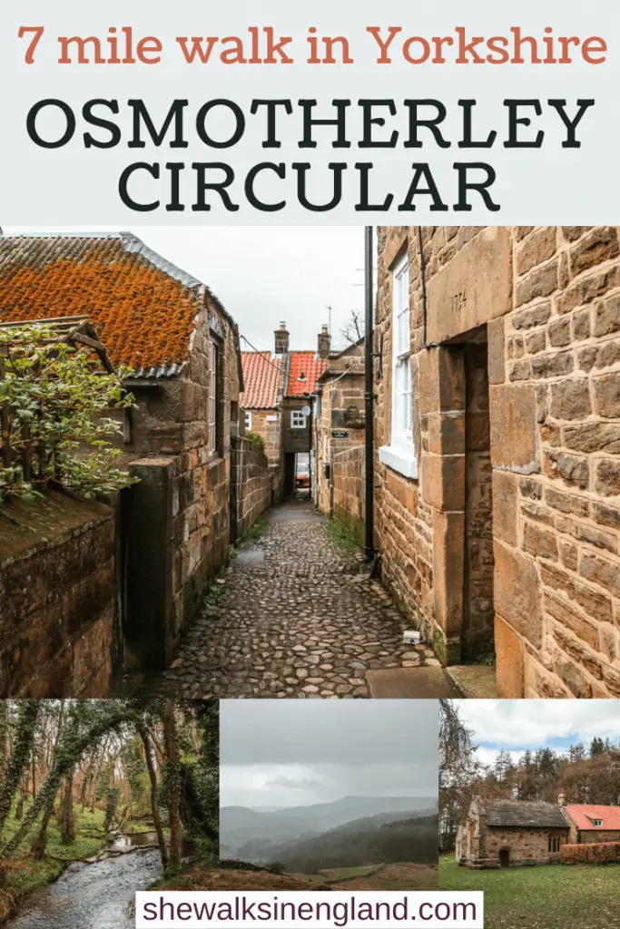
This walk takes you from the small attractive village of Osmotherley, up across the Scarth Wood Moor, before circling back around, with a view down to the Cod Beck Reservoir.
In this guide, I’m going to give you a bit of an overview of the circular walk from Osmotherley, with some tips, logistics, and a map. Then I will go on to describe the route step by step with lots of photos.
What to expect on the circular walk from Osmotherley
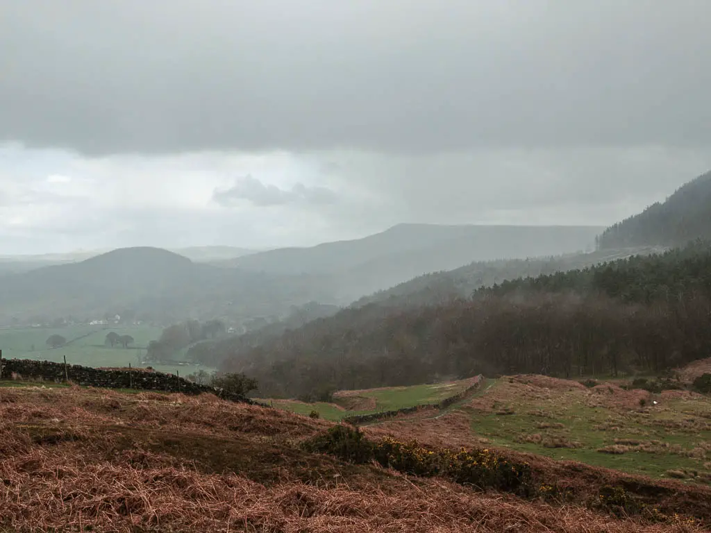
Vast vast impressive views….
This pocket of the North York Moors is fast becoming my favourite. First Roseberry Topping, then the Wainstones and now Osmotherley. If I was to move up north, this is the area I would settle.
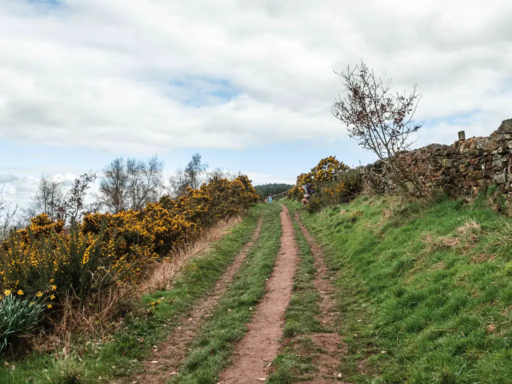
So, you start the walk going uphill out of Osmotherley, with a brief stop at Lady Chapel. You then go down, then up again to reach Scarth Wood Moor. This is where the magic happens.
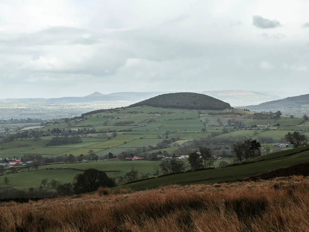
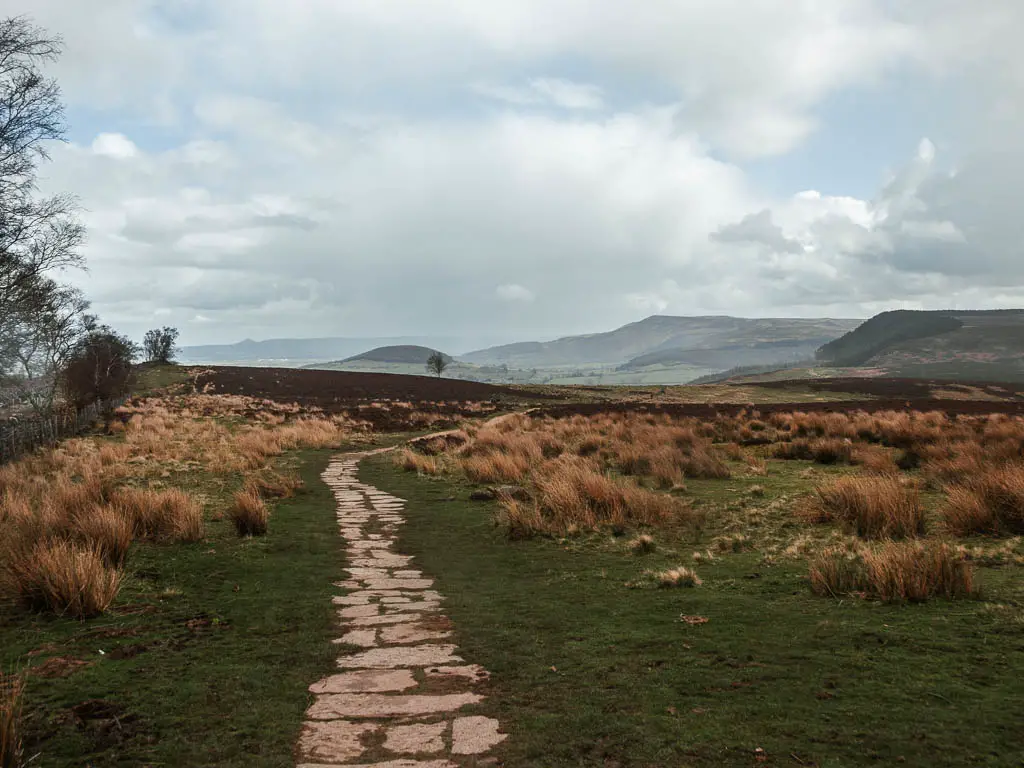
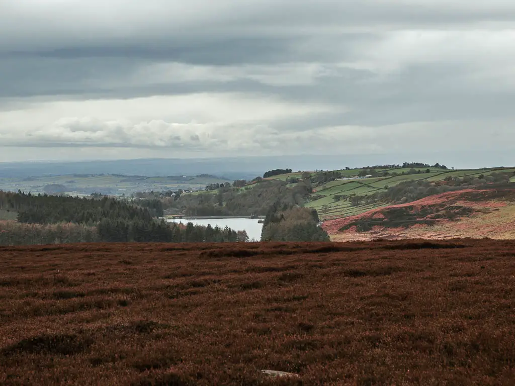
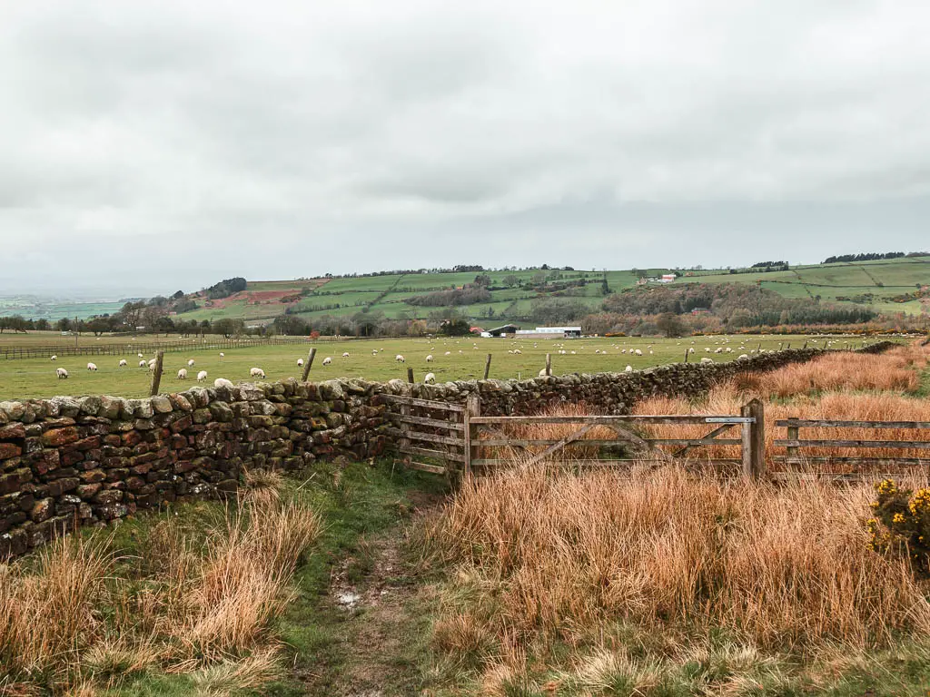
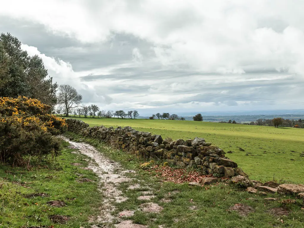
The views from Scarth Wood Moor are breathtaking. All the way along the edge if the hills. You can see across to Urra Moor (the highest moor), and over to Roseberry Topping.
I had no idea this walk from Osmotherley would take me to this. I only decided to come for a walk up here this morning, without knowing anything about it really.
If you like breathtaking views, you should check out the Hole of Horcum. The formation is so unique. I first saw it when I was driving past, on my way to a different walk, and it was really hard not to stare.
You will then go down then up again, for a view towards the Cod Beck Reservoir.
For the remainder of the walk back to Osmostherley, you have a choice between dry path and road, or dry path and boggy grass. I chose the boggy grass, and I wasn’t disappointed with it at all.
Oh, and if you take the boggy grass route, you will have one surprise hill at the end.
Is the walk dog friendly?
There are no stiles for this circular walk route from Osmotherley (actually there are some, but there are gate alternatives). I also didn’t see any livestock (that’s not to say there aren’t any). There were lots of dog walkers about, and the impression I got was, they are on lead across the moor, but can be off lead in the other areas.
Is the circular walk from Osmotherley hard?
I would rate this Osmortherley walk as moderate. The first uphill is quite gradual, the second one is a bit steeper, but not that long. The third hill is very steep, but also short. Then there is a surprise hill at the very end. Everything else in between is easy and gentle.
There is a mix of paved trail, gravel trail, mud, bog, wet grass, and a few steps.
Tips
- Hiking boots definitely. Don’t debate it.
- If I was to do this walk from Osmotherley again (which I would happily do), I would change my route back slightly, and walk via the Cod Beck Reservoir. I will show you how to do it when I describe the route below. I have not tried this route, so I don’t know if it’s better.
- Do the route clockwise like me. I think the views are better this way.
- At the end, have a bite to eat in one of the pubs in Osmotherley.
Logistics
- Start/Finish: Osmotherley
- Where is it: Osmotherley is located in the north western area of the North North Moors.
- Distance: 7 miles
- Time: 2h 30min
- Difficulty: Moderate
- Terrain: Paved trail, gravel trail, mud, bog and wet grass, small bit of road.
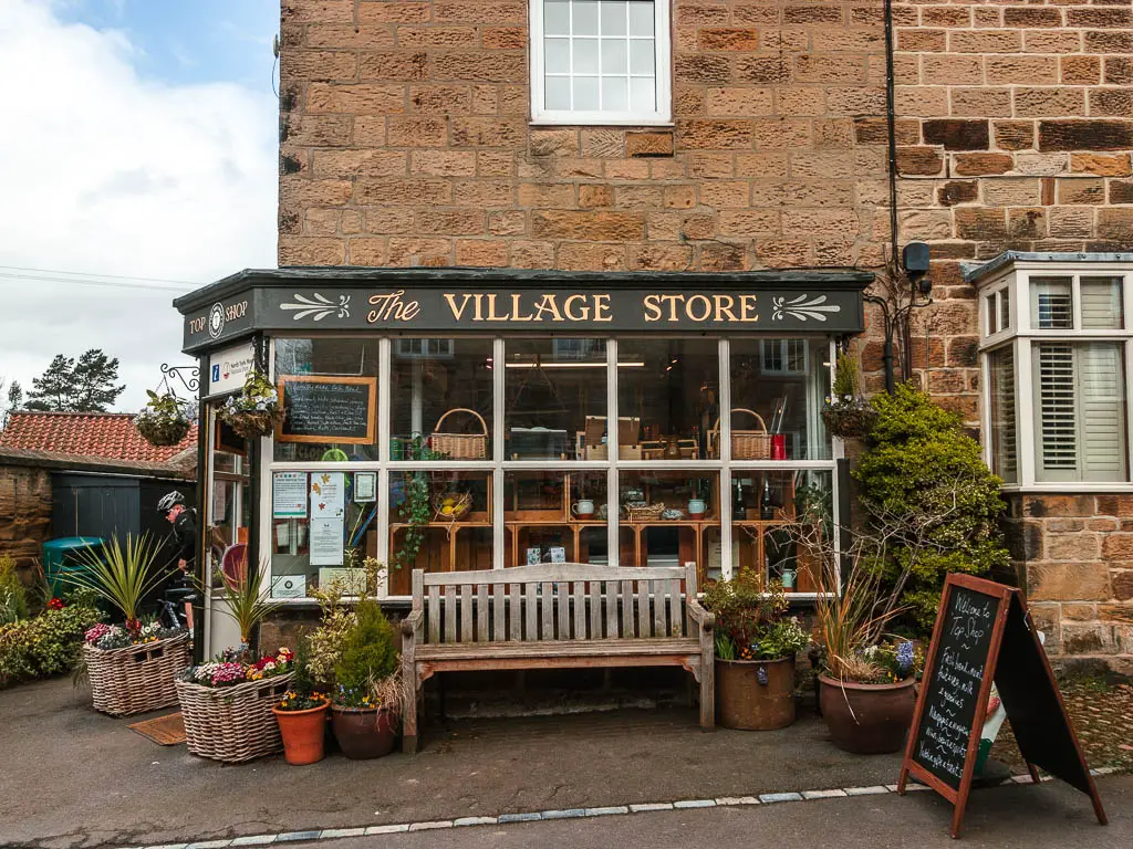
- Amenities: Osmotherley has three pubs, a cafe, and village shop.
- Time of year: I walked this in early spring
Parking in Osmotherley
There isn’t a public car park in Osmotherley, but you can park street side for free. If you have any issues parking, then there is a car park at the Cod Beck Reservoir. This walking route takes you past that car park, so you can start it from there.
Map for the Osmotherley circular walk via Scarth Wood Moor
You can find my more detailed route map for the Osmotherely circular walk on AllTrails
Read more: Best walks across the North York Moors National Park
A Guide to the Osmotherely circular walk
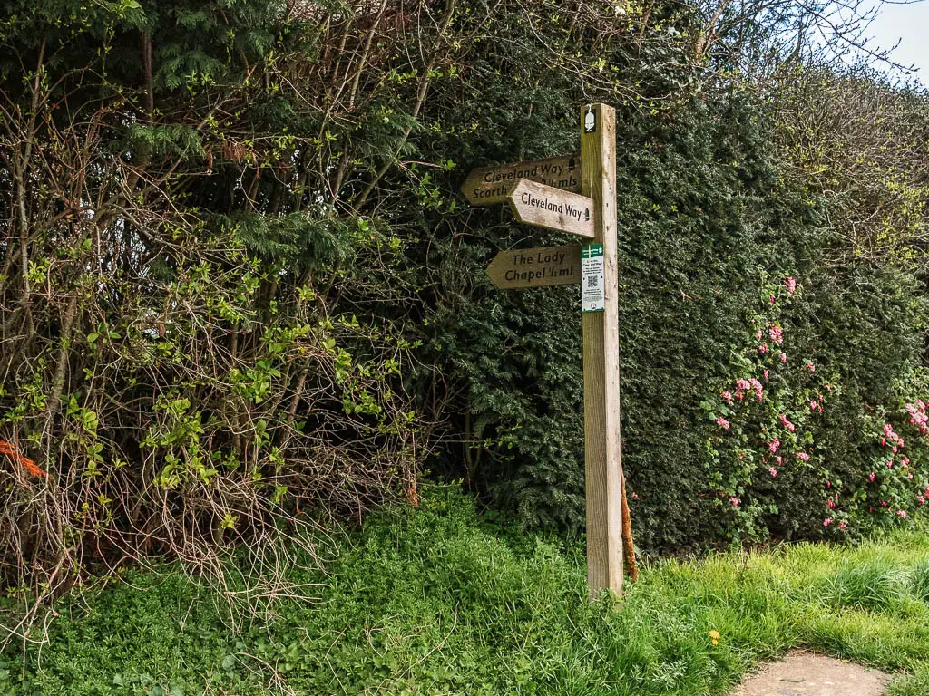
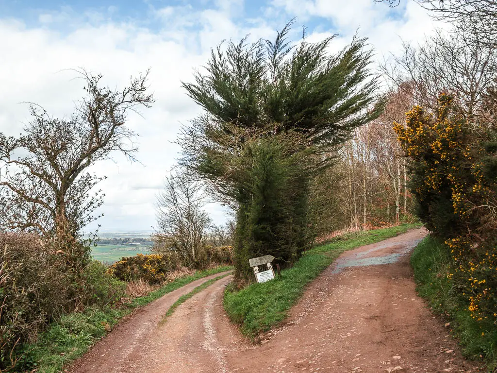
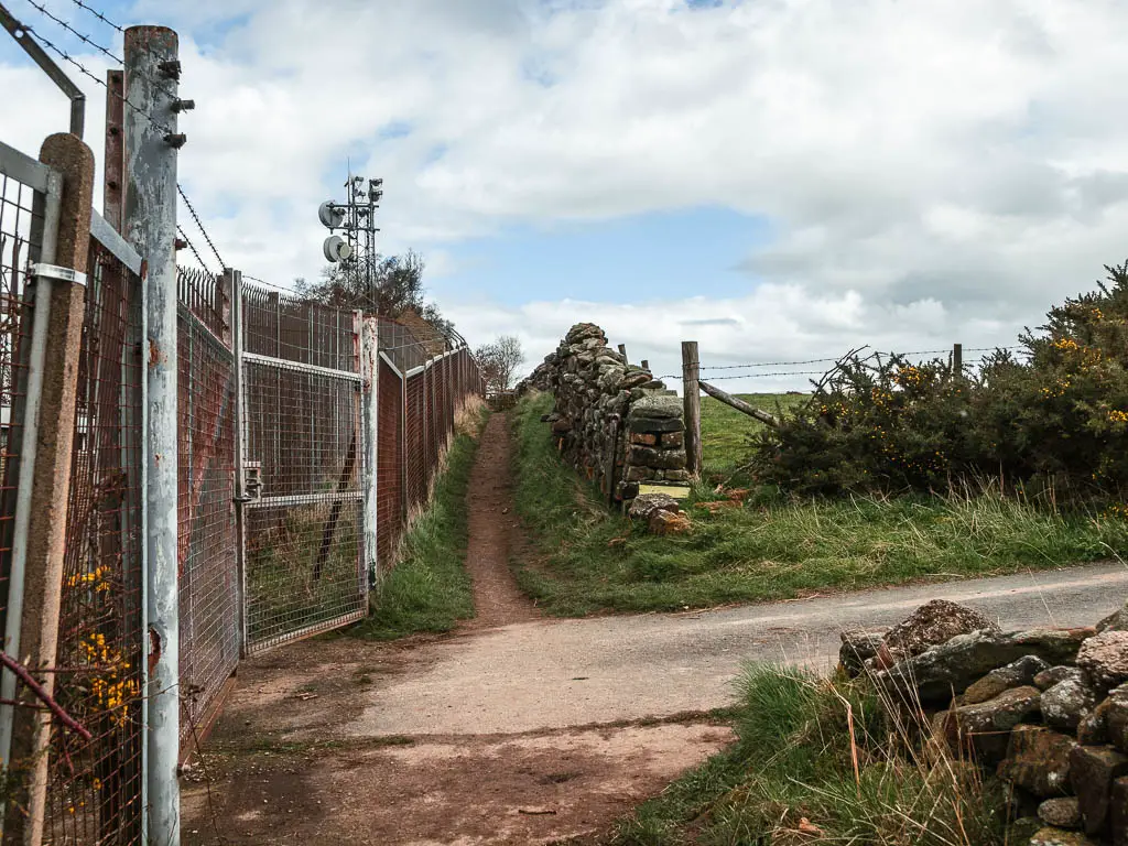
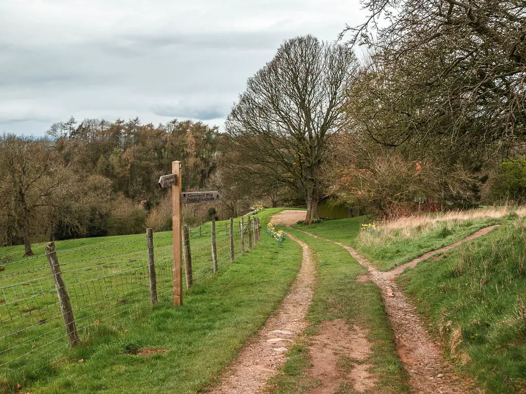
Starting from Osmotherley, walk up the road and past the village shop. Keep going until you reach the wooden trail signpost, and follow it left in the direction of the Cleveland Way.
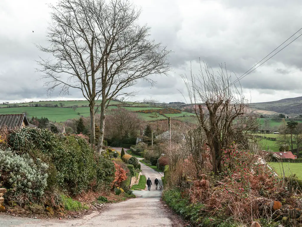
Along here, you will pass by some lovely (and enviable houses). As you continue uphill, you will start to get some lovely views (but the best are still to come).

The Lady Chapel
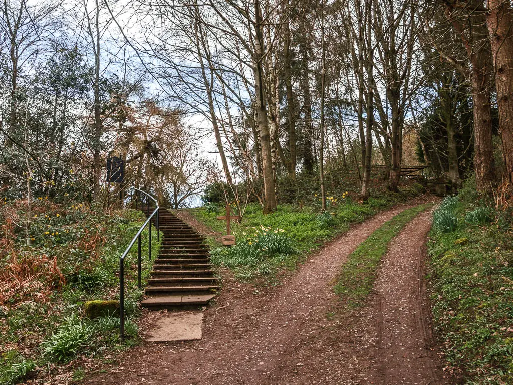
At the junction, take the right, which will lead you uphill some more and to some steps to reach the Lady Chapel.
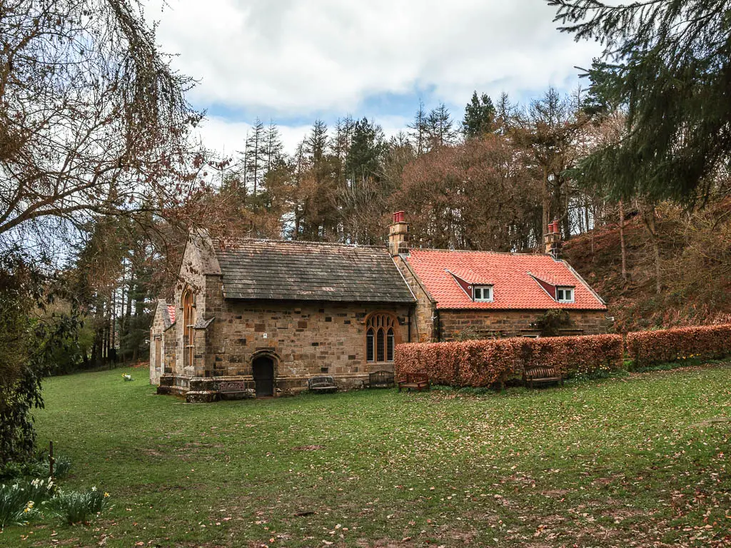
Fun fact: It is a shrine of Our Lady of Mount Grace
The origins of this chapel are unknown, but the foundations reveal it was built by the monks before the end of the 15th Century.
Leave the Chapel for the next hills
If you go straight past the chapel, you can reach the trail on the other side.
Through the gate at the end, turn right, continuing to follow the Cleveland Way. Form here you get a pretty good view of the main road below. I can’t figure out if it’s cool or annoying. You can certainly hear it.
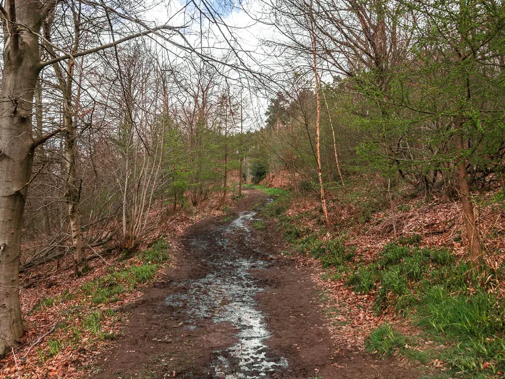
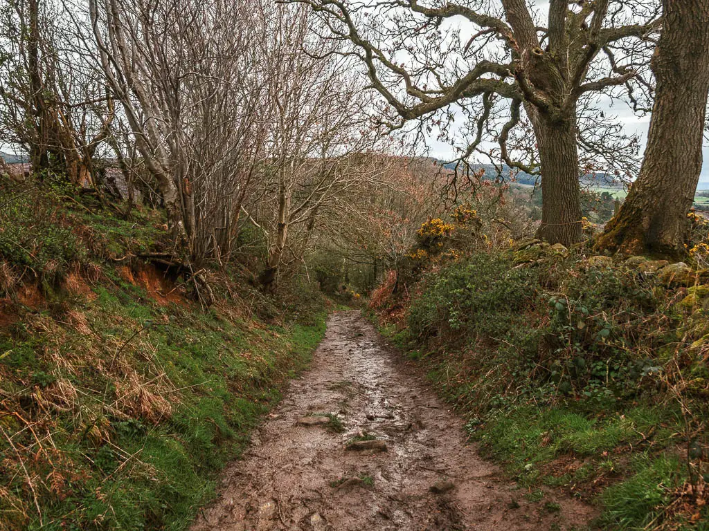
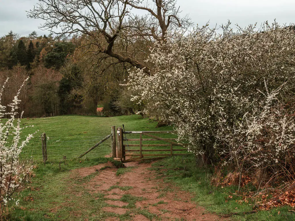
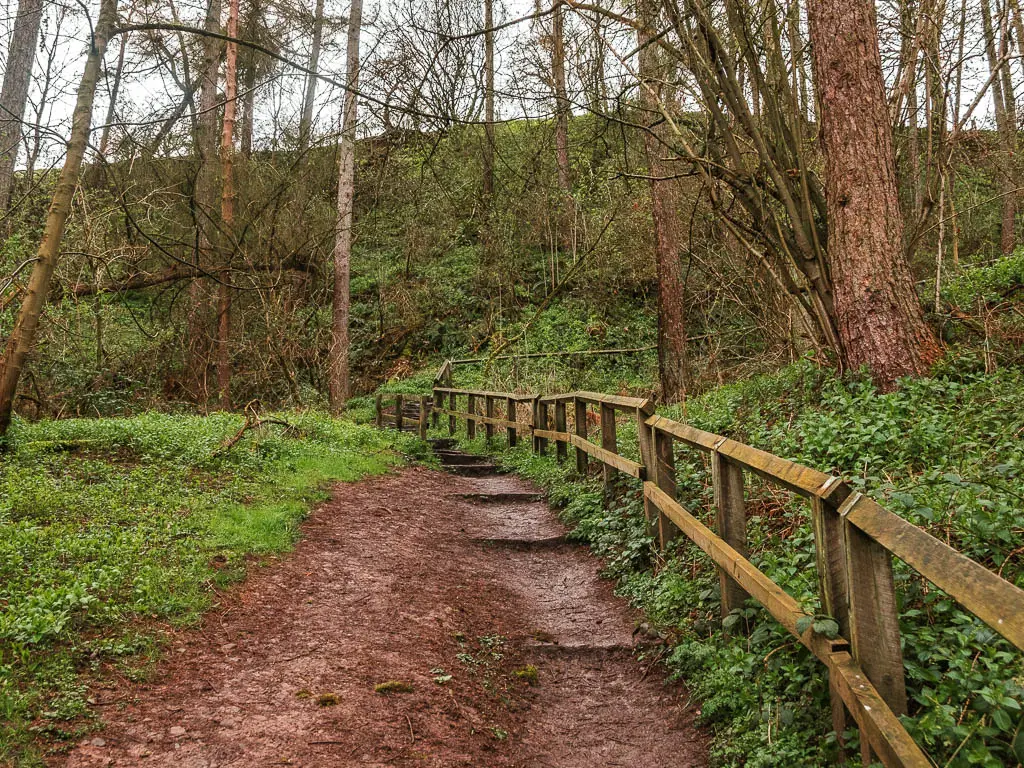
Keep following the Cleveland Way direction, through another gate, and down the hill (which is where I encountered my first proper mud).
At the bottom of the hill, go through the gate to the right, and follow the Cleveland Way signs to take you straight back uphill again….and along the second lot of mud.
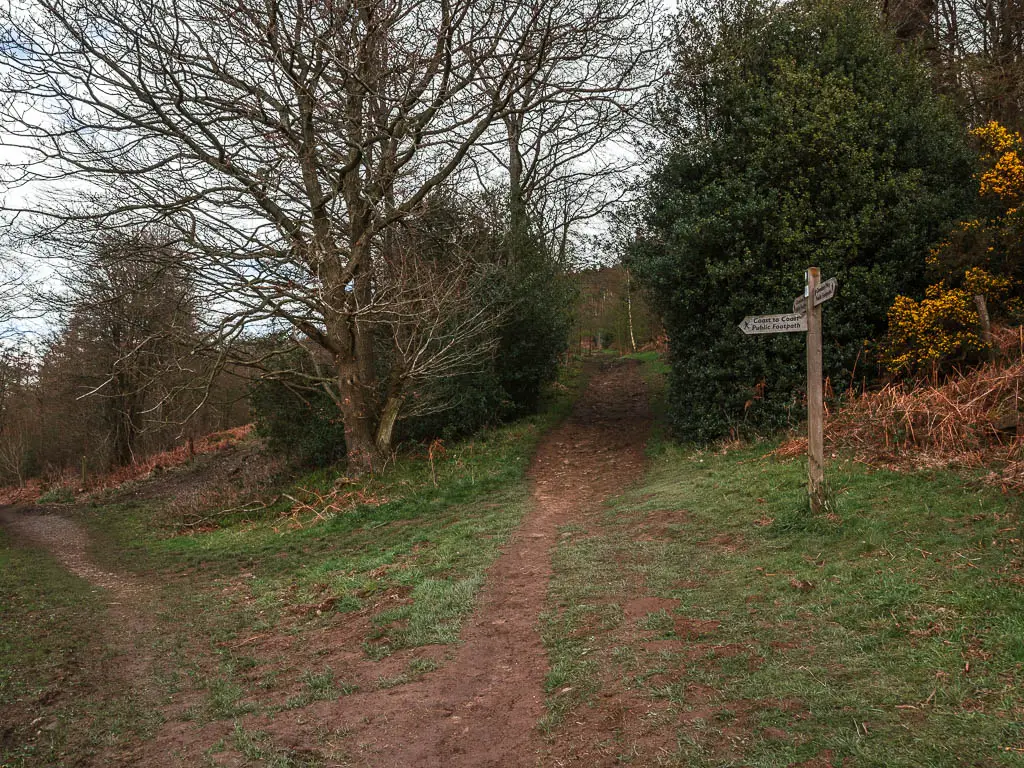
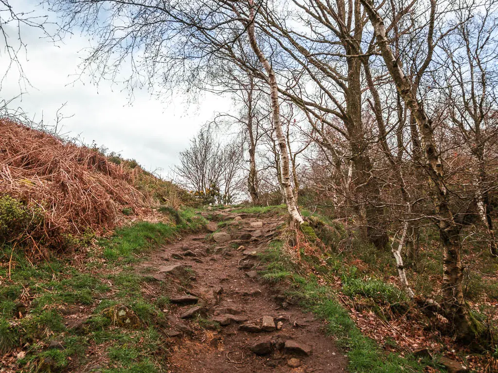
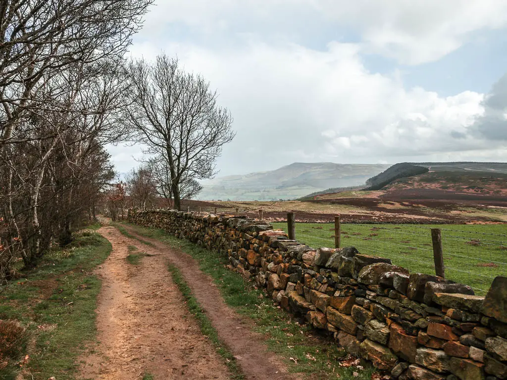
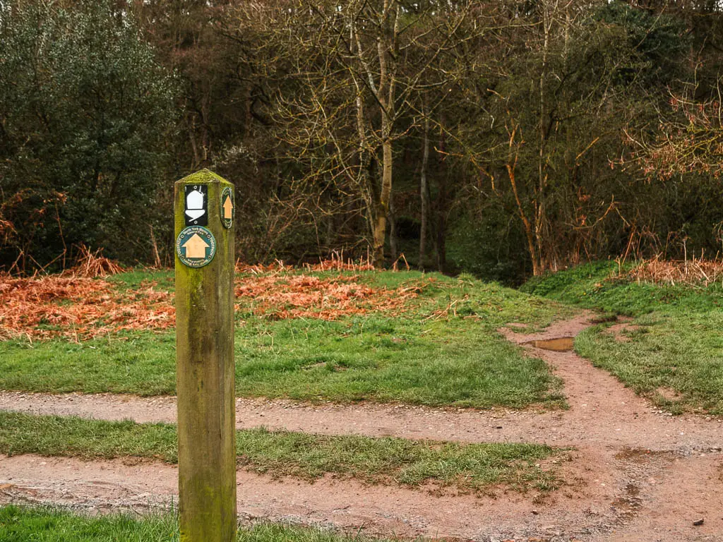
At the junction at the top, turn left, where it’s a little bit rugged to start, then levels out along a dirt trail.
So far, the walk out of Osmotherley had been giving me South East England vibes. Some hills, grass, a bit of trees….and the sound of the road.
The views
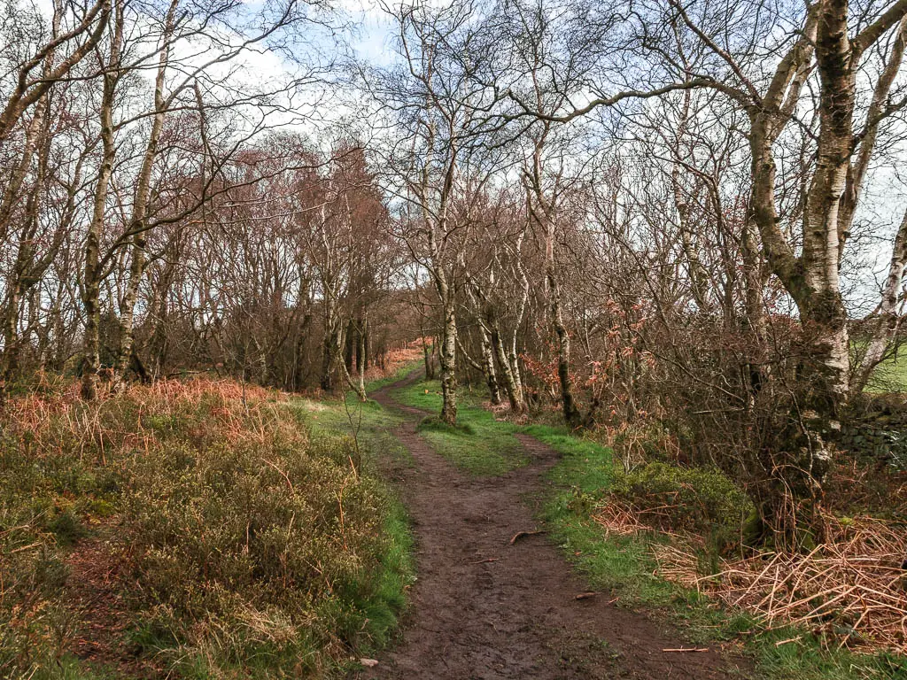
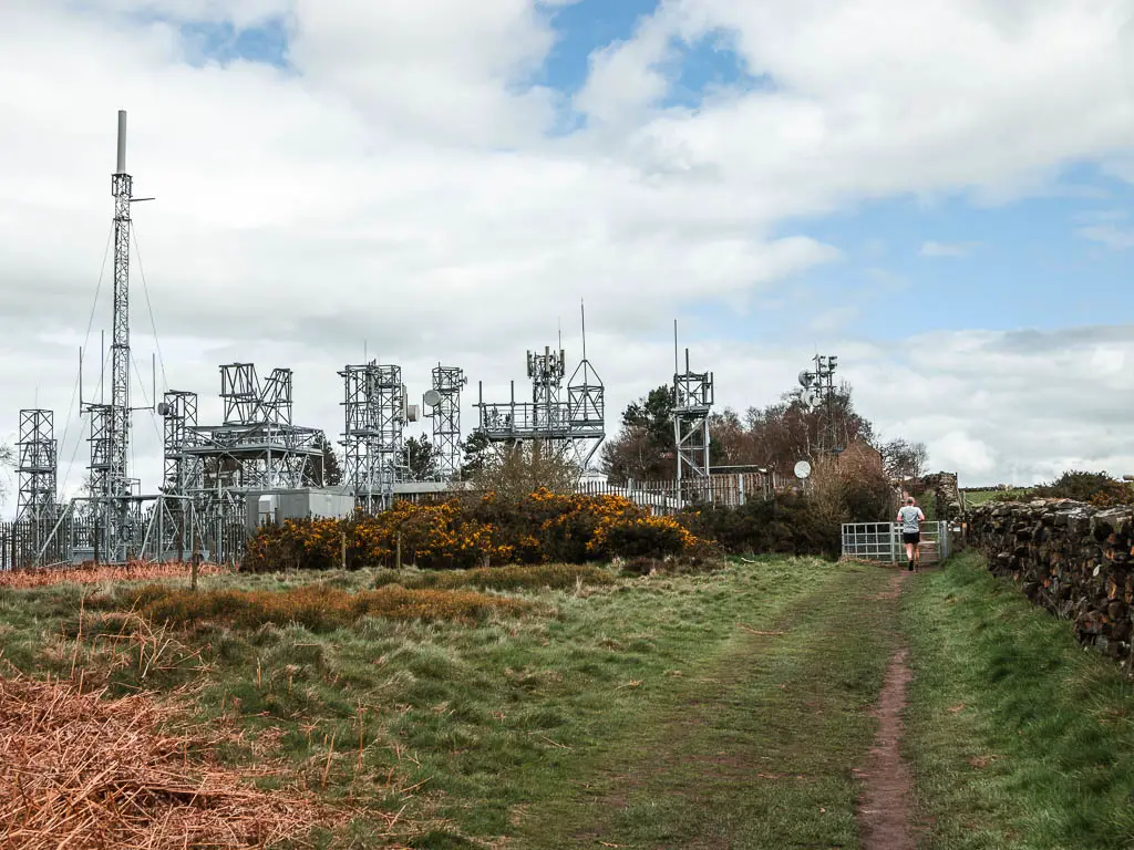
Keep along this dirt trail, which will take you past a metal structure of sorts. I’m not sure what this is for. Maybe electricity? Internet?
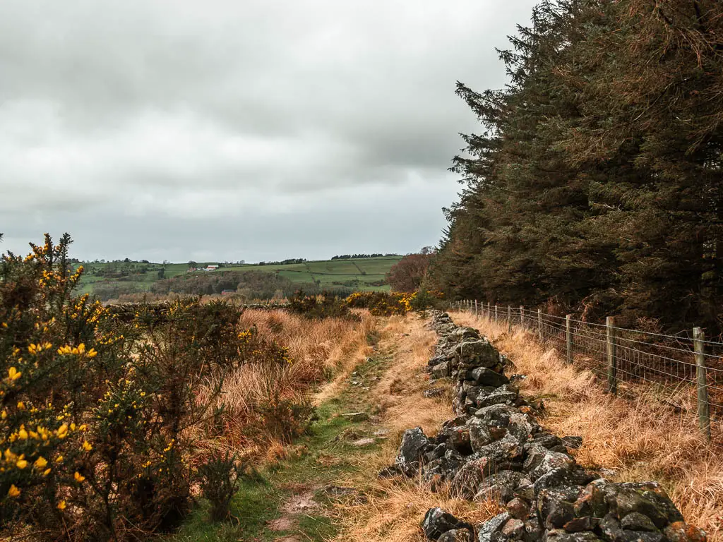
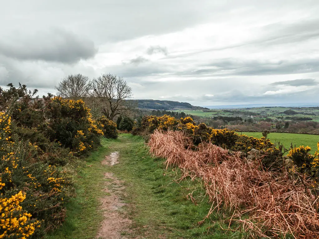
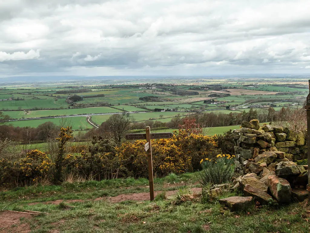
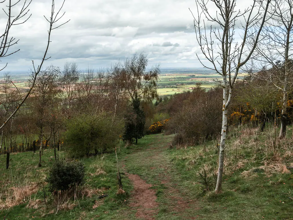
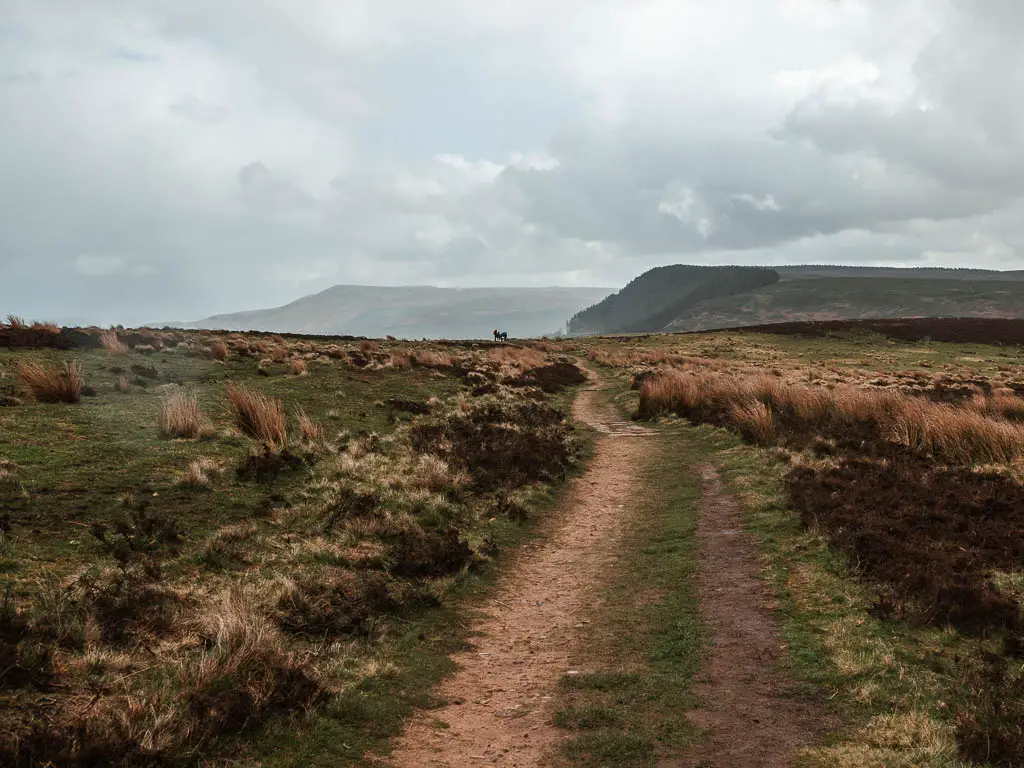
Keep on the trail past it, and a short way along you get you first proper good views. My excitement level started to rise around here. I wasn’t expecting these views. I still wasn’t sure exactly where the trail would be taking me. As I didn’t know if this would be my only place to see these views, I savoured the moment….
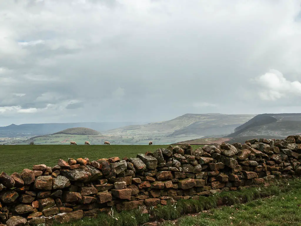
Walk across Scarth Wood Moor
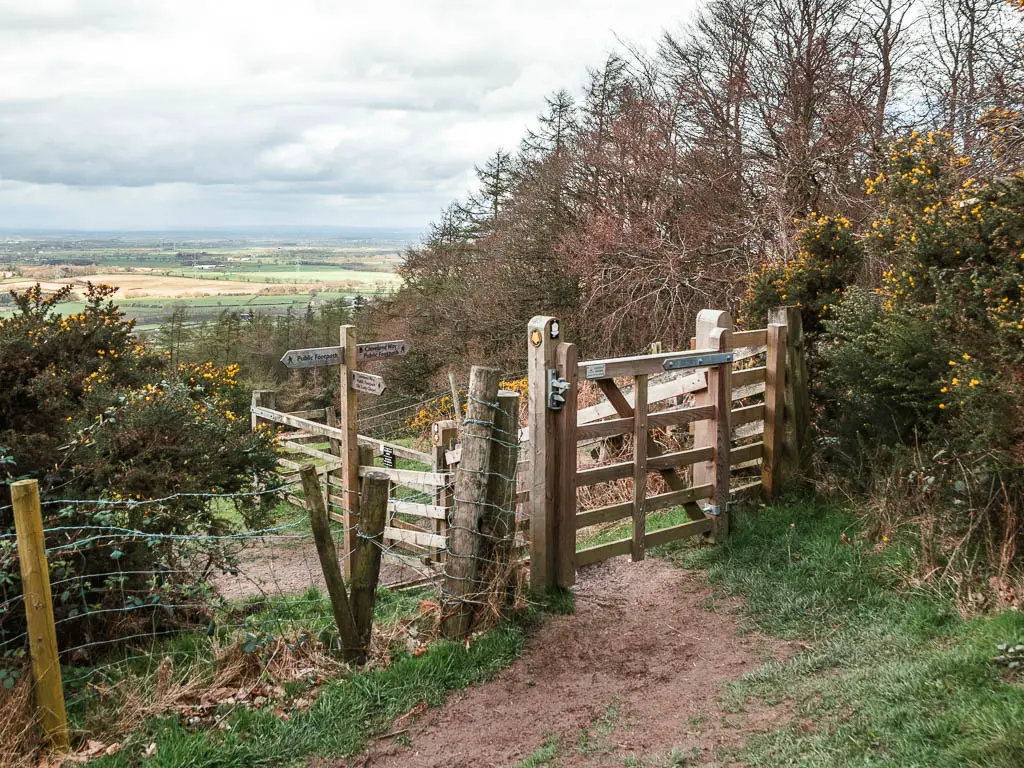
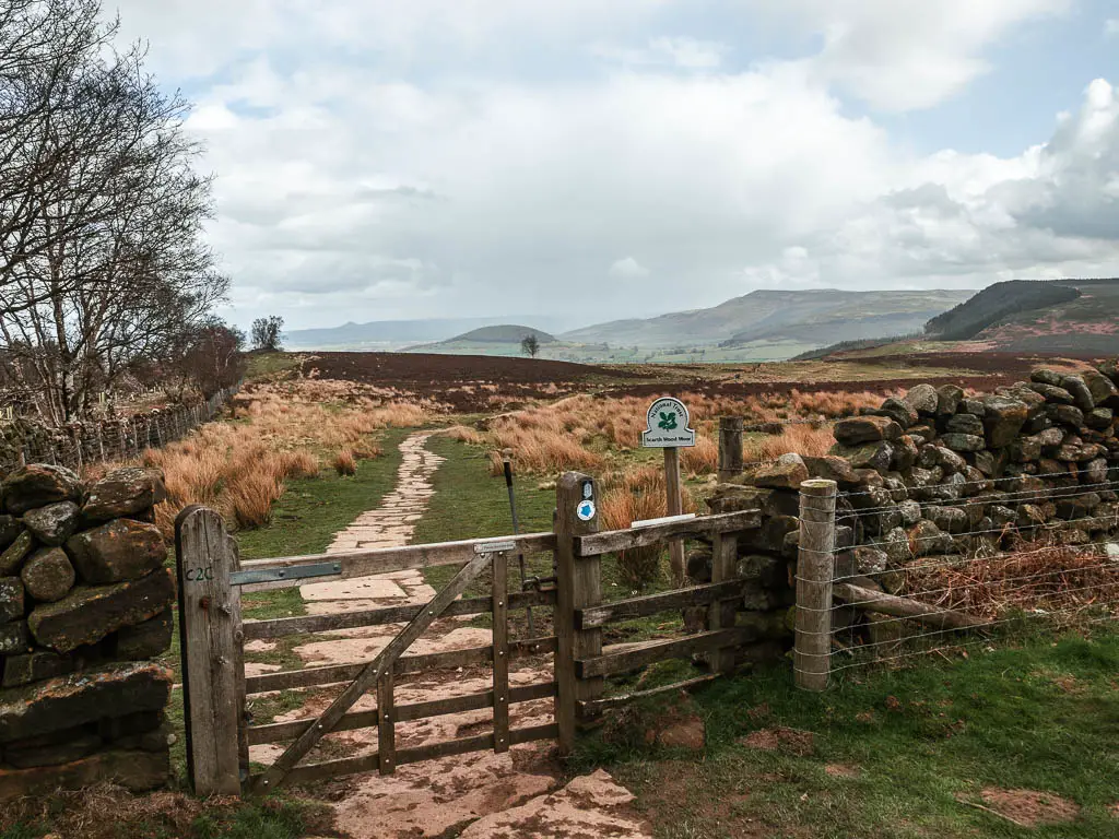
The trail will lead you through a couple of gates and onto Scarth Wood Moor, where the views really come alive. I could see all the way to places I had recently walked. Urra Moor (along the Wainstones Route) and Roseberry Topping. All dramatic looking behind the mist.
The Roseberry Topping circular is a lovely route that I highly recommend, taking you up to the leaning pointy peak. It’s also no where near as hard as it looks.
The Wainstones circular is one of my favourite routes, and takes you on a proper hike across the moors.
The rain
It was around here that it started to rain. I had checked the forecast before coming out, and it was due to properly rain at 2pm. It was about midday-ish. The rain was light, so I knew this was just a teaser before the proper stuff.
I toyed with the idea of getting my rain jacket on, then remembered the mess that happened on the Sutton Bank Route, and didn’t think any more about it and put it on. I then looked behind me and saw an aggressive dark cloud heading my way, so thought best to put my rain trousers on as well. This is significant, as I almost never put them on, they live in the bottom of my bag and I’m always too lazy to get them out, so just let my legs get wet (sometimes regretfully).
Read more on what to wear for hiking in wet and cold weather here.
What a good call that was, because that light drizzle turned to heavy downpour, with sideways rain. I felt quite pleased with myself.
(Also note, some of my next photos have rain drops on the lens. It was just too much to try and keep it dry).
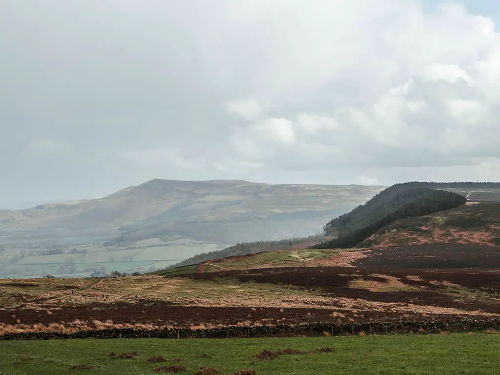
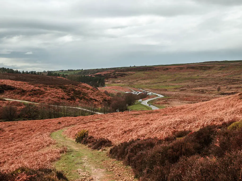
Take the next hill or stay on the road
Keep following the main trail, as it guides you down to the road. You have the option here to turn right along the road if you want to avoid the next hill, and keep going until just before the car park. This is the car park I mentioned earlier, that you can start the walk at if you can’t get anything in Osmotherley.
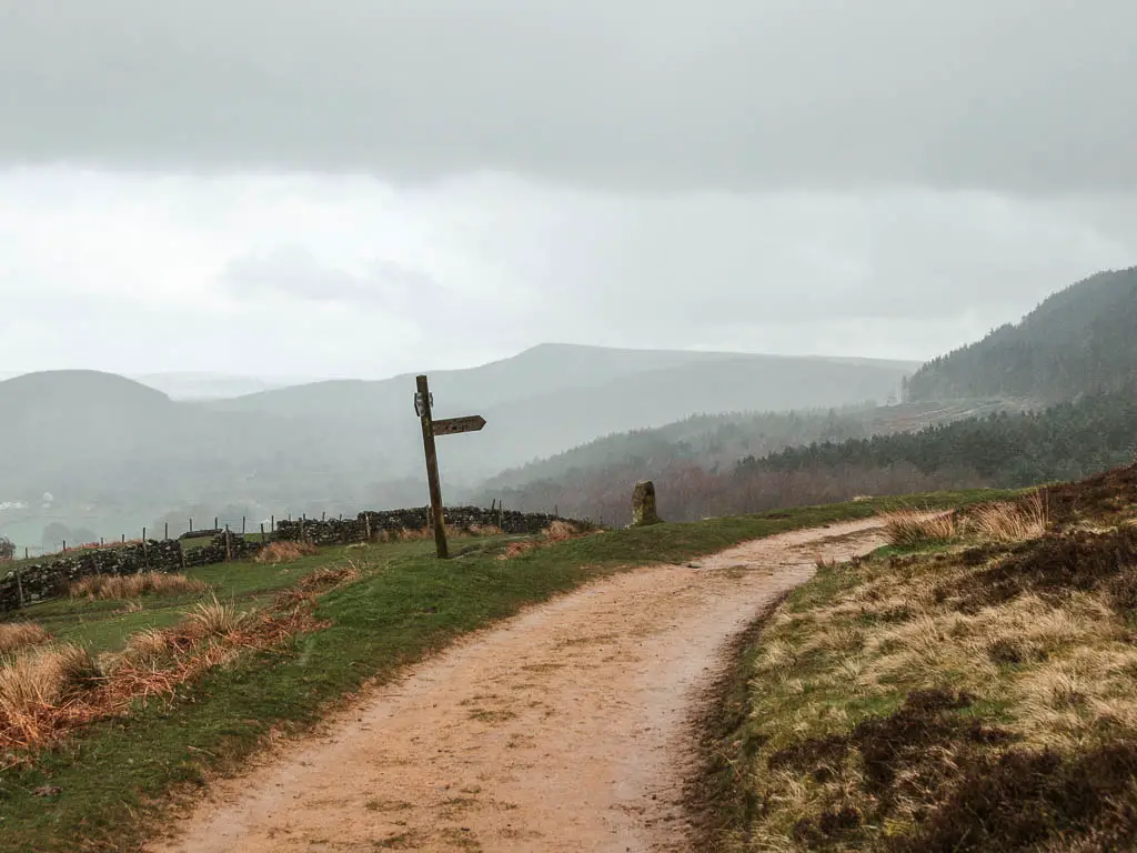
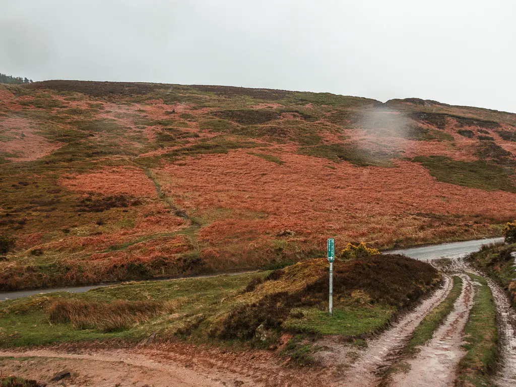
To take the hill route (which I recommend), pick up the barely visible trail straight across the road to go up.
This trail is nothing like the previous one. It’s just a tiny strip of dirt or grass, I didn’t find it too muddy or wet through.
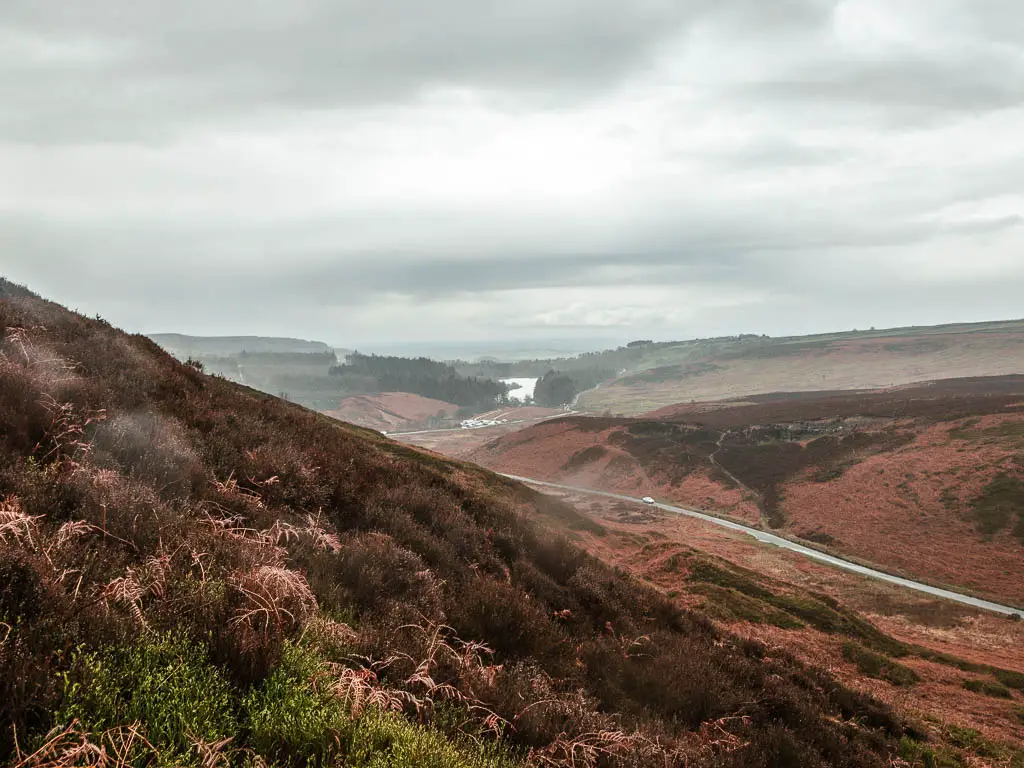
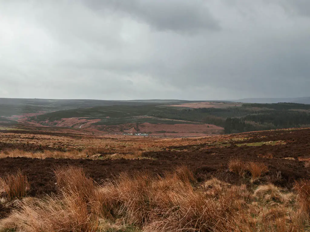
As you go up this hill, make sure to look back, and you will get a view to the Cod Beck Reservoir.
Keep going up, and for landmarks, as you near the top, you should see some trees to your left. The trail you want to be on, will take you to the right of the trees, along a narrow strip surrounded by heather. A little scratchy in parts.
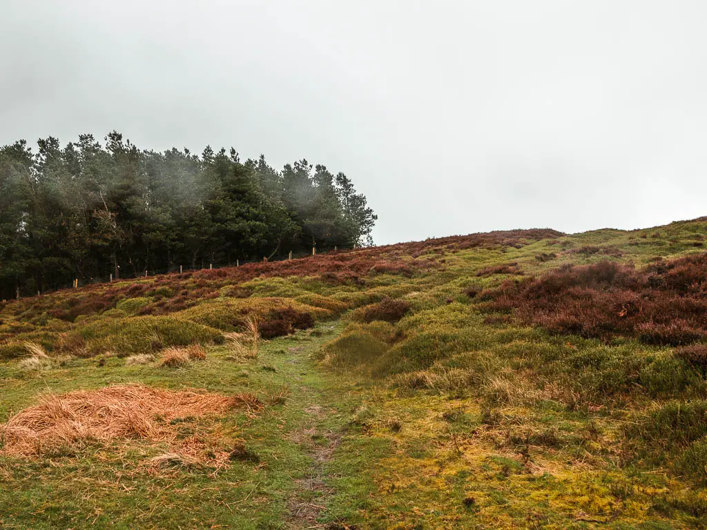

Once you reach the big path, turn right, which will lead you down and towards the road and car park.
Cod Beck Reservoir?
At the road, for this trail route, you turn left up the main path. An alternate route would be to go towards the car park and then along the Cod Beck Reservoir to walk back to Osmotherely.
I only suggest it because the next little bit of the walk, I didn’t find that interesting (it gets better after though).
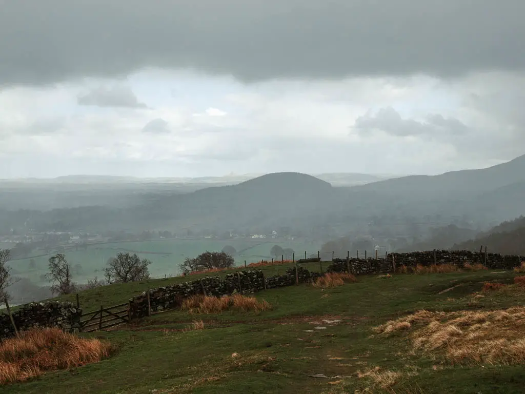
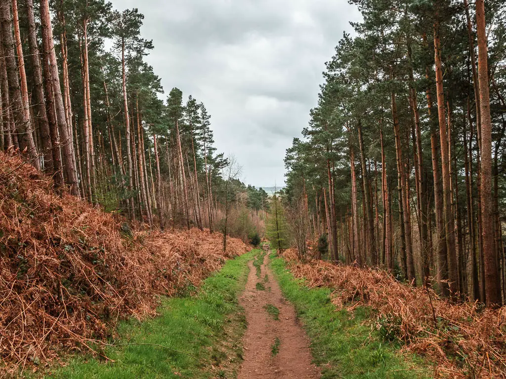
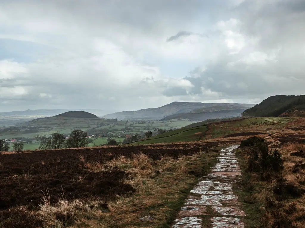
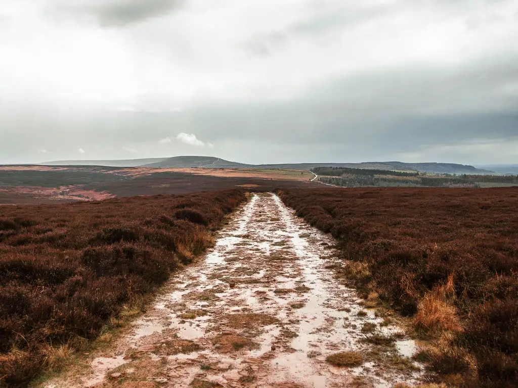
Walk the dry path back to Osmotherley?
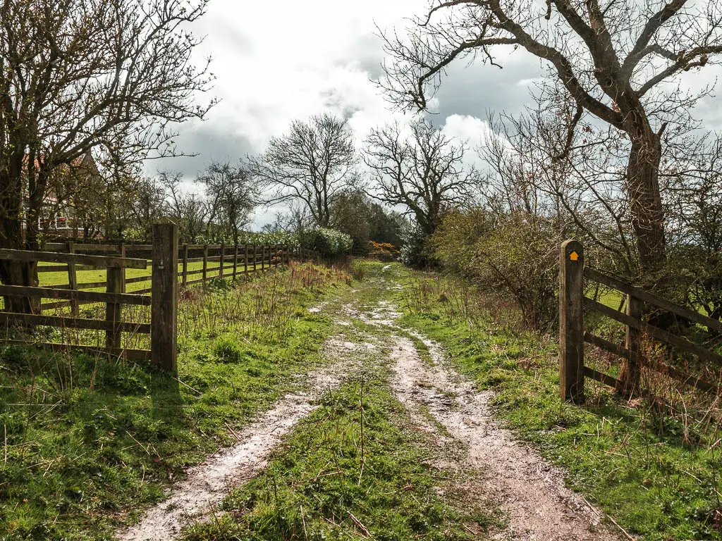
Up the main path, it’s a very small hill, then levels out. For the next while there isn’t a whole lot to look at. The trail looks like this:
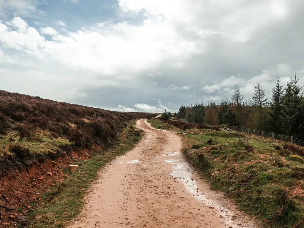

To walk back to Osmotherley, there is the option to walk all the way to the end of this path to reach the road. At the road turn right, then at the main road, turn right again and you will get back to the start.
I started to get board along this trail, so decided to change it up….
The grassy (and a bit boggy) walk route back to Osmotherley
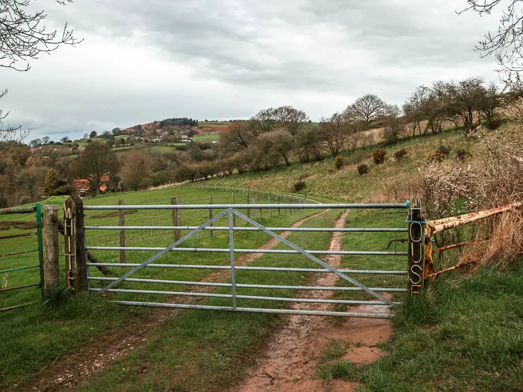
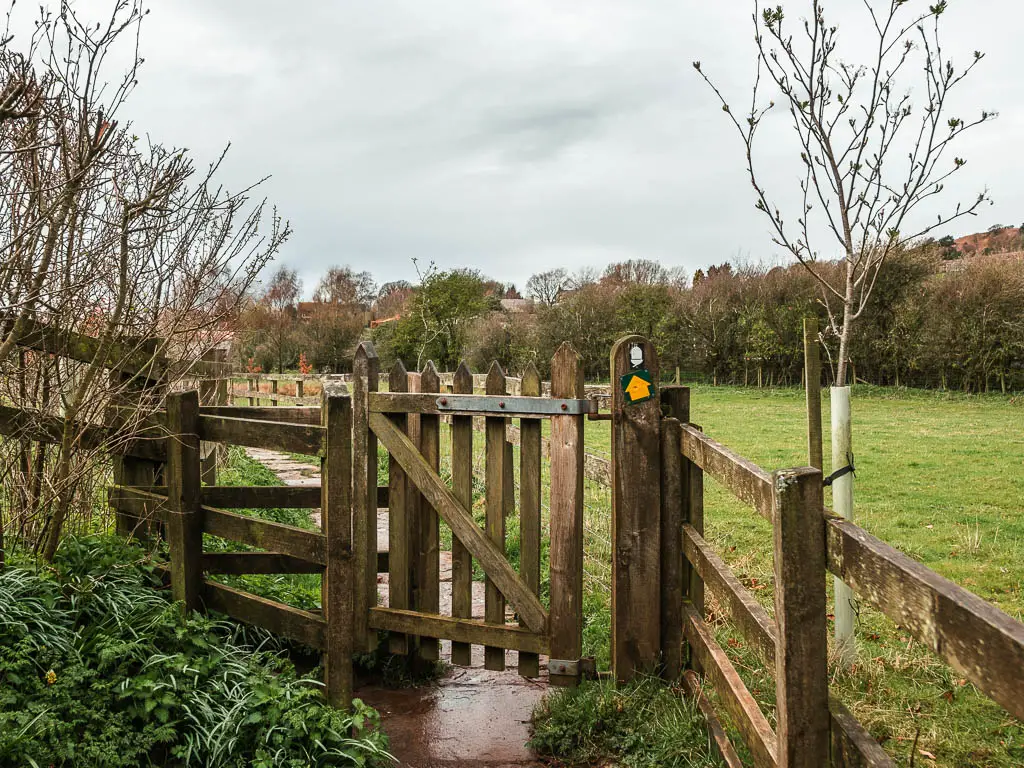
I turned right at this gate:
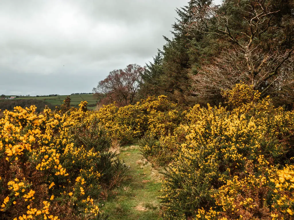
Through here, I felt immediately better. Grassy trail, rocks, masses of gorse….a little bit muddy.
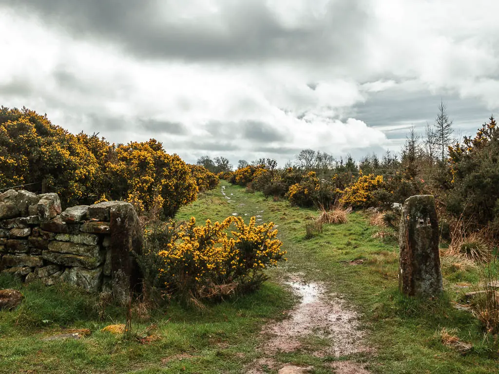
At the end, it’s a left turn to continue along more grass, a bit of mud, and now the bog. I didn’t mind at all. It was much more exciting than the path I had just come from.
Turn into ‘The White House’
You want to make sure you turn right through the metal gate towards the White House. It’s not obvious to go this way. There is no sign, and it looks private. I initially missed it and continued past the nice looking shed to reach the road at the end.
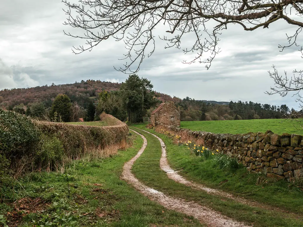
The funny thing is, as I had walked past the gate, I thought to myself, I’m glad I don’t have to go that way. There is a house at the end, and there might be a dog (for context, I had been chased by a dog recently and now I live in fear of dogs chasing me, you can read about that experience here).
When I got to the road, I saw a sign pointing to walk to Osmotherley back the way I had just come. I was highly confused. That’s when I realised which way I had to go. To the White House.
When I got back there, and followed the path towards the house, I was on high alert. My escape route would be over the barbed wire fence to the left.
Once I reached the trail sign, I followed it right and picked up my pace to get away from the house quickly. Luckily, on this occasion, I escaped being chased and attacked.
Go down the slippy hill and up the surprise hill
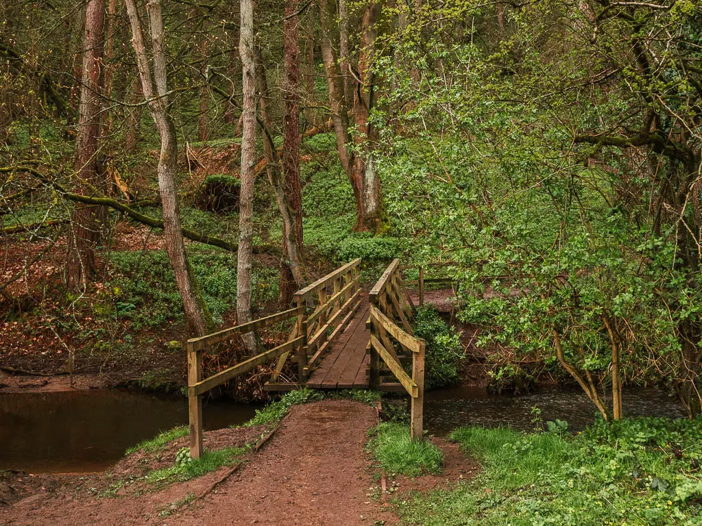
This trail will then lead you to a downhill along the grass, which was deceptively slippy. I had one of those moments, where I slipped, then in trying to catch myself slipped again, and again, and again. I’m surprised I managed to stay up.
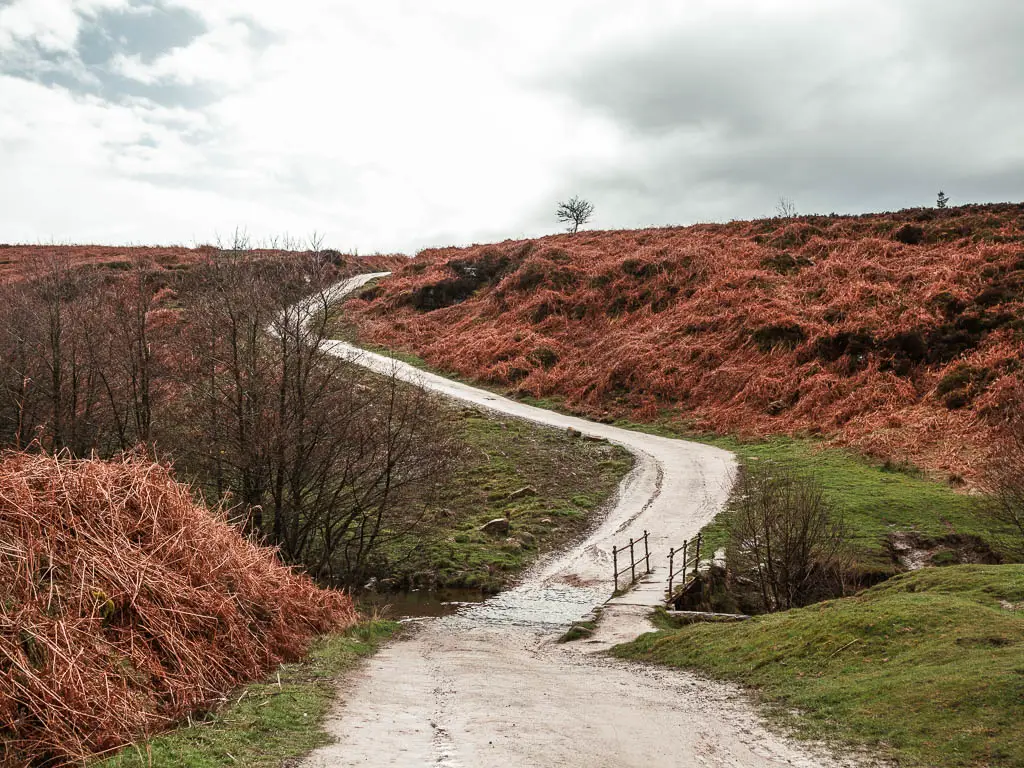
You will go through some gates, then at the road at the bottom, go straight across to reach the wooden bridge over Cod Beck.
You now have the surprise uphill. With steps. It is a short uphill, but still longer than you expect. It think it’s the steps that make it feel longer.
At the top and through the gate, you will be back on civilised path.

Walk back into Osmotherley
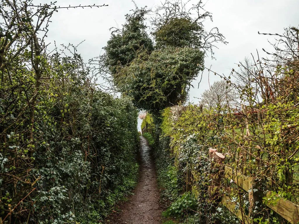
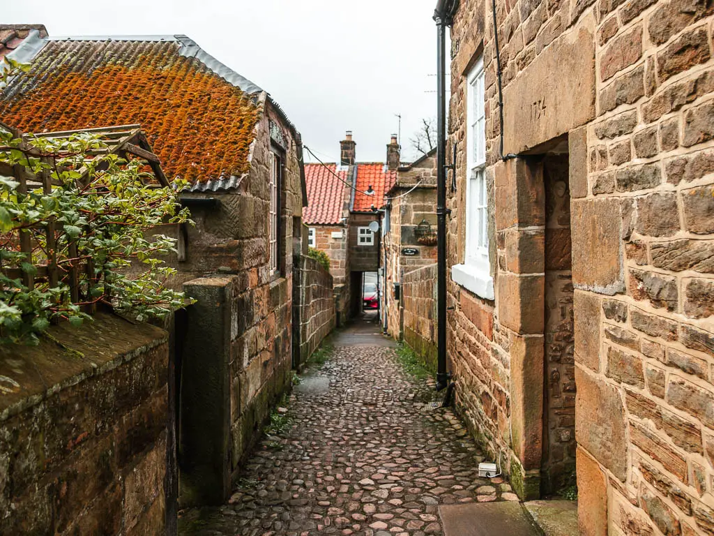
Follow this path, past the houses, then when you reach the road, there is a surprise. You would think to go left at the road. I did initially.
The surprise is the missable black and white acorn sign on the pillar straight in front. This marks the trail. You need your whits about you to spot it.
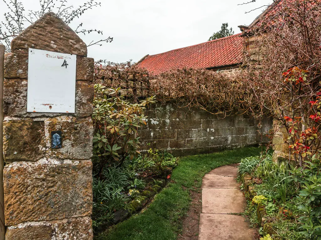
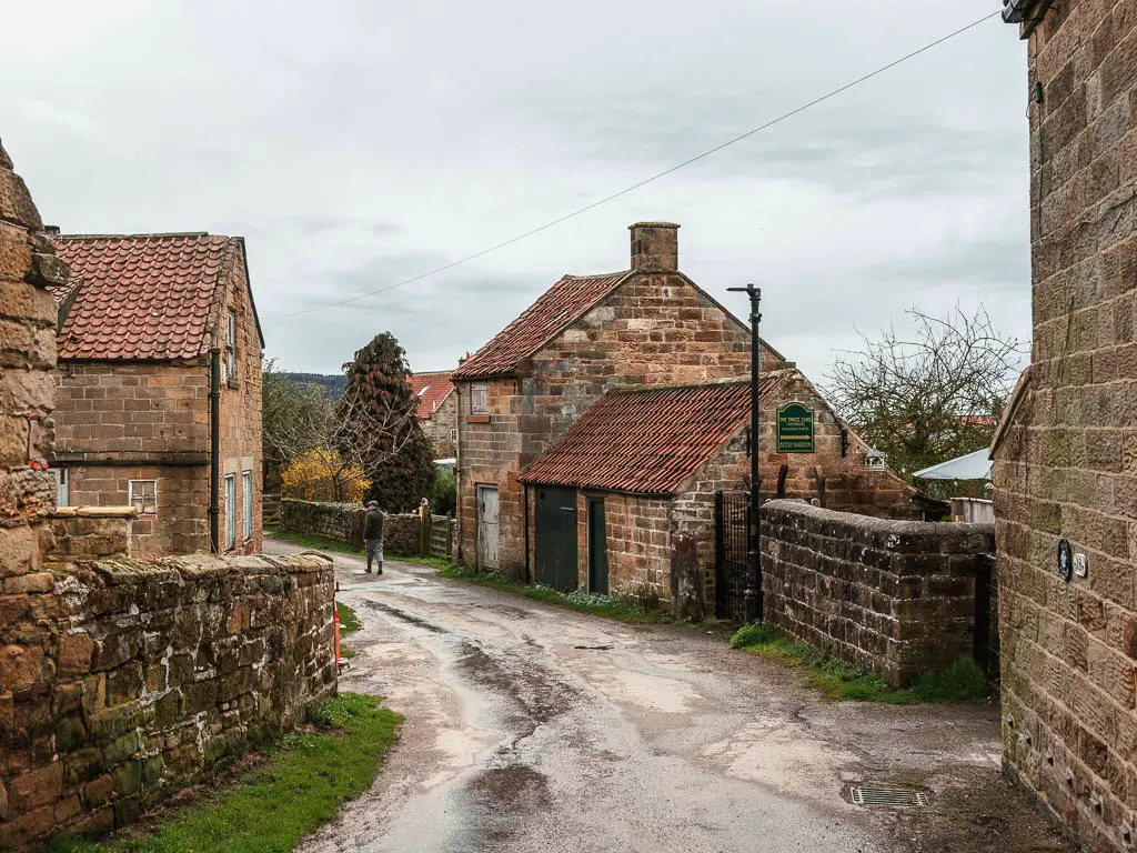
It felt like a treasure hunt, following it past what feels like you are in someones private home area. It will lead you to a tiny alley. The kind of alley that only those who know, know. This will lead you under a hole in the house, to reach the main square.
As soon as I got into my car, that 2pm rain came. And it came with force.
Pin it for later: Osmotherley circular walk

For more things to do and see in the area, you can check out the National Parks Website.