The walk from Southease to Seaford is rather unique in that for half the distance you can see your destination. Walking parallel to the sea, on top of the hills of the South Downs, then turning to walk towards the sea once you hit Alfriston. The walk totals about 14.6 miles, 10.6 miles of which is the South Downs Way (SDW). It is at Exceat where you leave the SDW and follow the Vanguard Way for the remainder of the walk.
This walk consists of one big hill at the start out of Southease, a
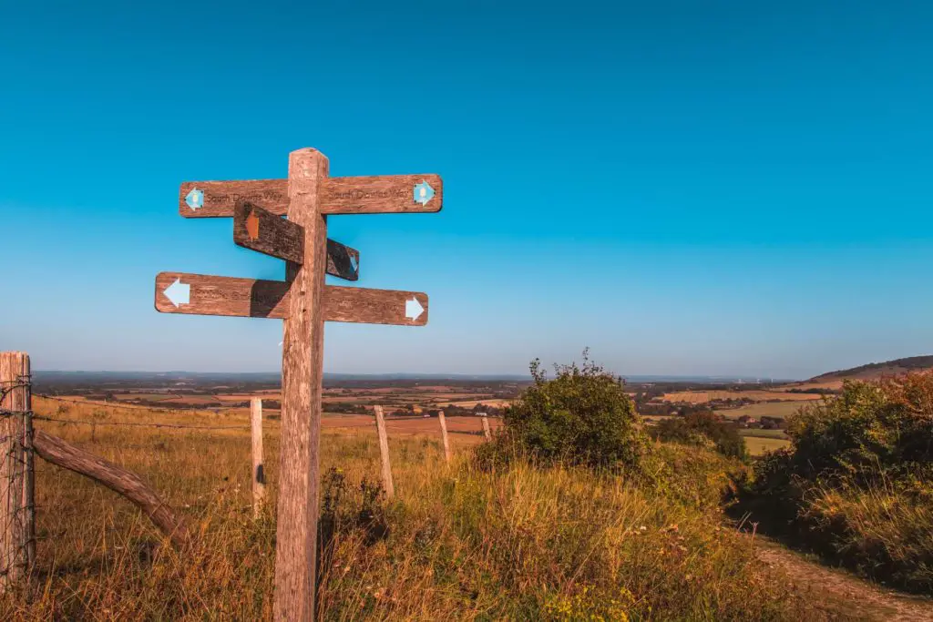
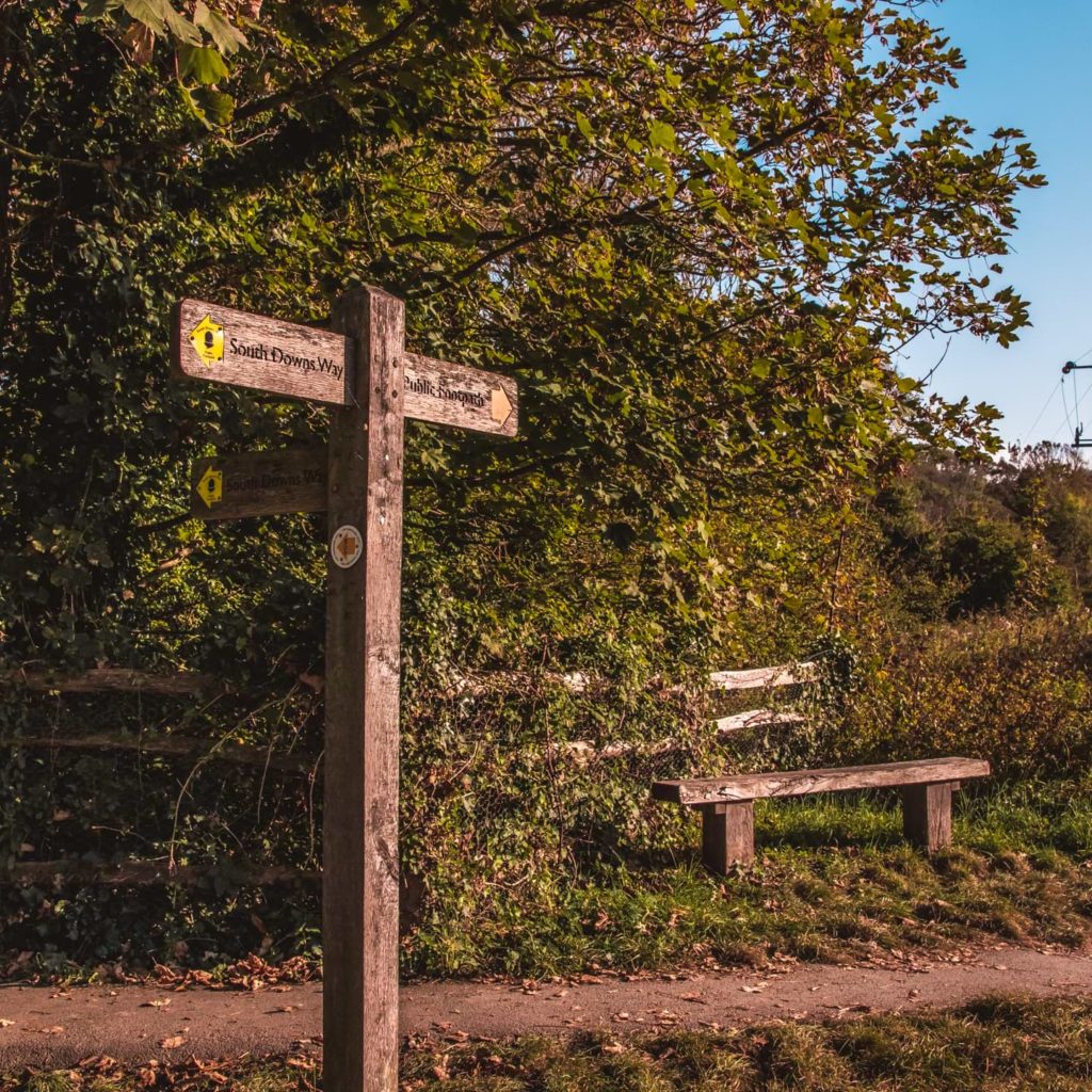
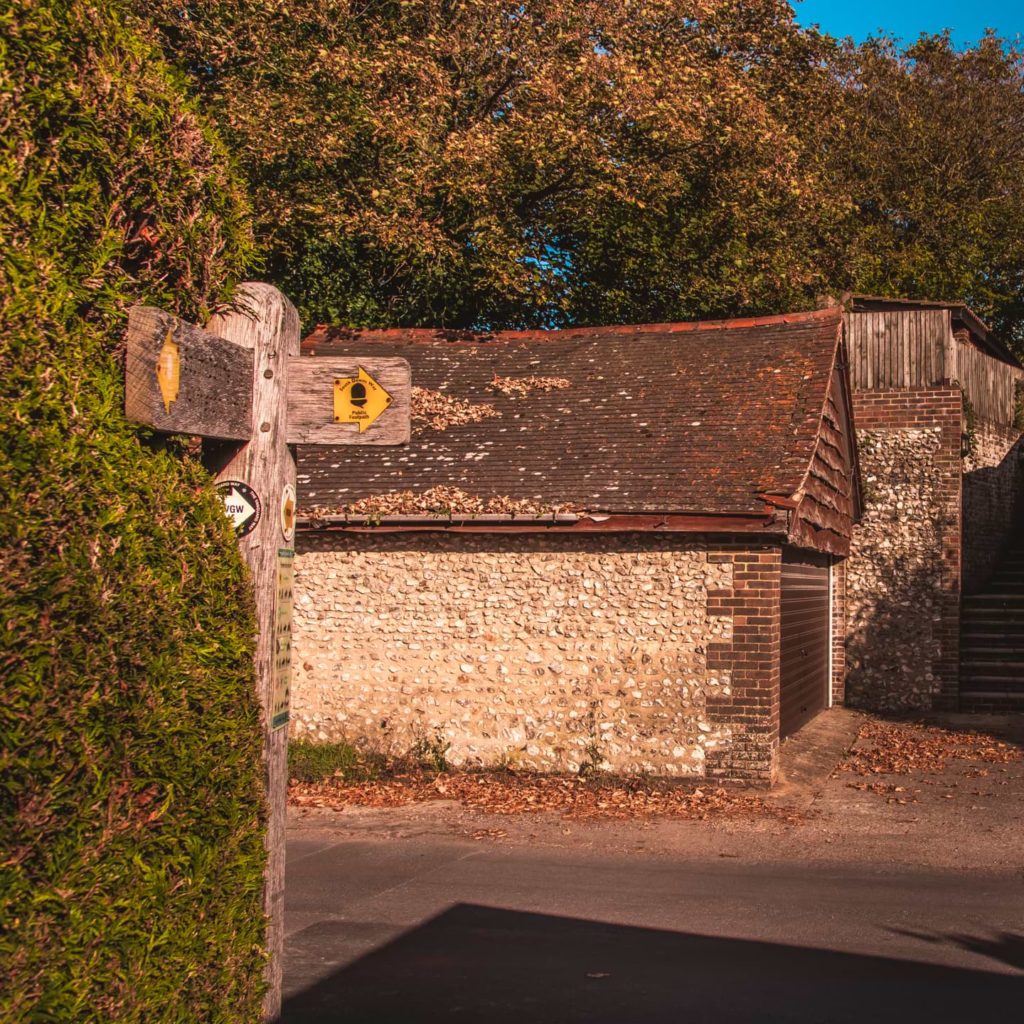
In general, I have found the South Downs Way to be very well signposted. However, there are a few parts on this walk where the signs are easy to miss, mostly around the Alfriston area. When I go on to describe the trail below, I will let you know where they are.
Options to lengthen or shorten the walk from Southease to Seaford
There is the option to make this a mega walk by continuing along the South Downs Way at Exceat, to walk along the Seven Sisters cliffs towards Eastbourne. Some people do. It’s roughly a 10 mile, very hilly walk from Exceat. I chose to take the easier option, and walk 4 miles to Seaford. If you instead decide to continue on to Eastbourne, then I salute you.
Also, if once you reach Exceat you are tired (or feeling lazy), you can catch a bus to Seaford.
My thoughts on the walk from Southease to Seaford
I have to say, I was slightly underwhelmed by the first half of the
It was mostly the first 4 miles that I found a bit boring. The first 4 miles are uphill, and whilst the views looking to the right and back were good, the ahead views were a little….bland.
Weather is also a factor
I suspect the elements had something to do with it as well. It was mega windy, and, as a good chunk of the walk is on hill top at full exposure, there was no escaping it. I could barely see with my eyes streaming with tears (from the wind. Not because I was crying). But also the sun. It was a lot brighter than I had expected. The sun was so bright and harsh that I couldn’t look directly at the sea because the reflection was blinding.
Sunglasses would probably have fixed that. Too bad I didn’t have any on me.
But its not all bad…
At the 4 mile mark, I started to enjoy the views a lot more. Probably had something to do with finding a bush to go for a wee. I had been desperate to go from nearly the beginning. There were a number of other people walking along this trail, and no where for me to hide.
Then about half way in, as the sun lowered in the sky, my surroundings started to come alive. All the
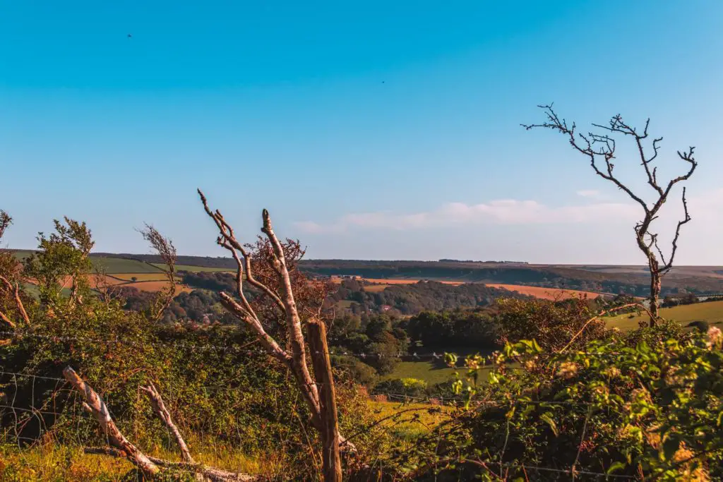
The wind is unavoidable, and I can get over the wind, but If I was to do this walk again I would pay attention to the sun. As this is a long walk, it’s almost unavoidable to not walk through midday sun, so rather, I would not go on a very sunny day.
Despite the bit at the beginning that I wasn’t so keen on, the rest of the walk made up for it. I would absolutely recommend this walk. You just gotta get over that hill first.
Second chances
At some point
Ok, I have talked enough. Now I’m going to tell you about the whole walk.
Full logistical information and
more walk ideas will be at the end.
Walking from Southease to Seaford via Alfriston
Often, to get to a walking trail involves a bit of navigation from the train station. Well, not on this one. The SDW trail literally goes over the rail tracks of Southease station. A nice easy way to start. Turning right out of the station, I was met with my first South Downs Way signage of the day.
Sign number two was nearly missed though. Not far from the station, it was stuck onto a wall on the right.
Make sure to look out for this wall, as it is here that you change direction.
The big uphill
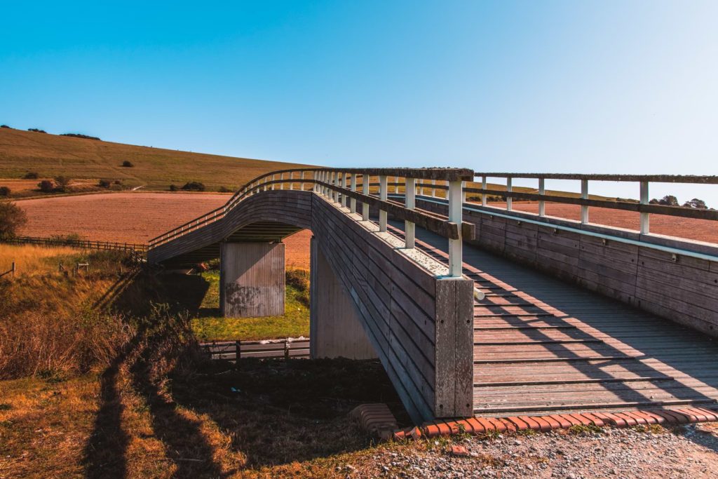
Following the trail, over the bridge towards the first uphill of the day, I reached a point just after some gates where there is a small trail going straight up the hill, and a slightly larger one continuing straight. The path straight ahead looked more official, and slightly less aggressive, so I took it.
It turns out you can take either as they both lead to the same place. The top.
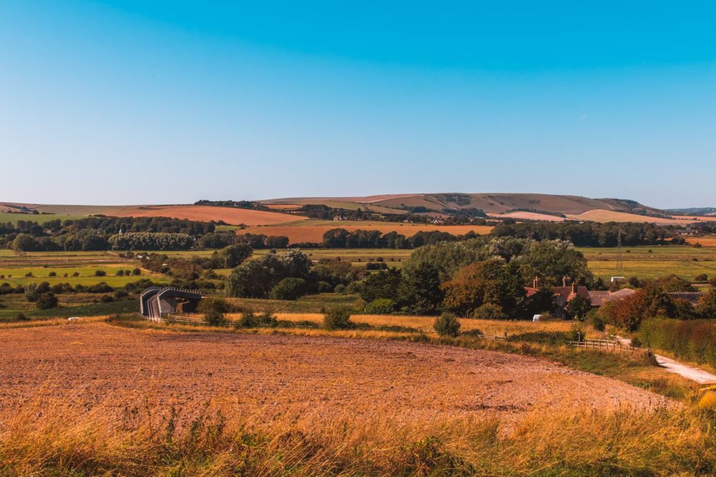
As I made my way up, I started to get sea views and the town of Newhaven to the right. If you catch it right, you may get to see ferries from France coming into port.
I didn’t.
(Sorry, no photos. Looking in that direction was looking directly at the sun)
If you take the route I took, then as the path curves around, make sure to walk with the fence to your right, with a view of the trees up ahead.
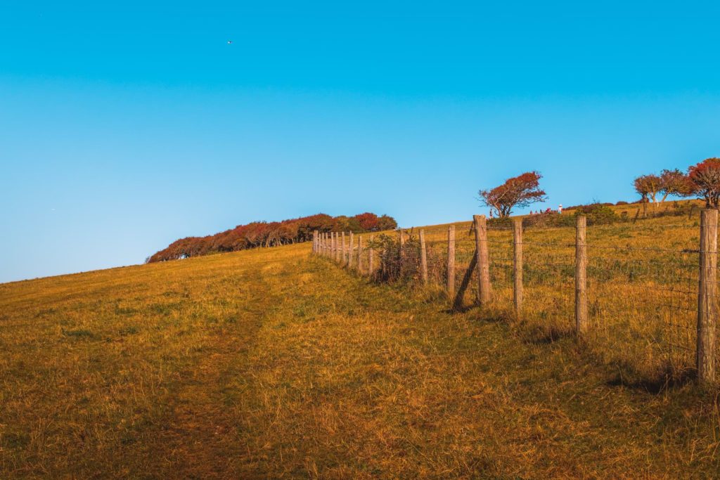
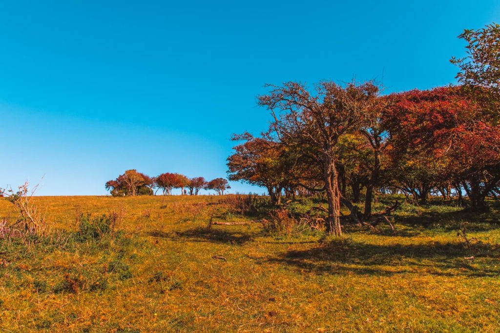
As the fence bends right, you will be bending with it. You don’t have to strictly stick to it, but rather just walk through the trees and gradually bare right towards the fence again.
The monster cow
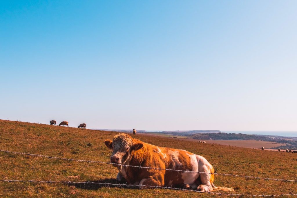
It was here that I saw what might just be the biggest cow I have ever seen in my life. I was quite happy that there was a fence separating me from the beast. The cow looked quite content just sitting there, but you never know.
(Thinking about the giant cow a lot, I later realised it was probably a bull. I had stereotyped all bulls to have horns, when actually, they don’t necessarily).
More Cows
Continuing up the hill, I could see a large group of cows sitting where I was heading. I also noticed the fence on my right became flattened. This image came into my head, of the cows trampling over it to get to the other side. I have always feel a bit safer from the cows when there is a fence between us….but now I’m not so sure.
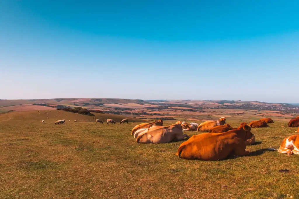
Luckily my path didn’t go through the cows, but exited the field just before them.
Continuing uphill
The walk continues on uphill with views of the villages down the valley to the left, and more hills and the sea to the right. This is where the wind really took
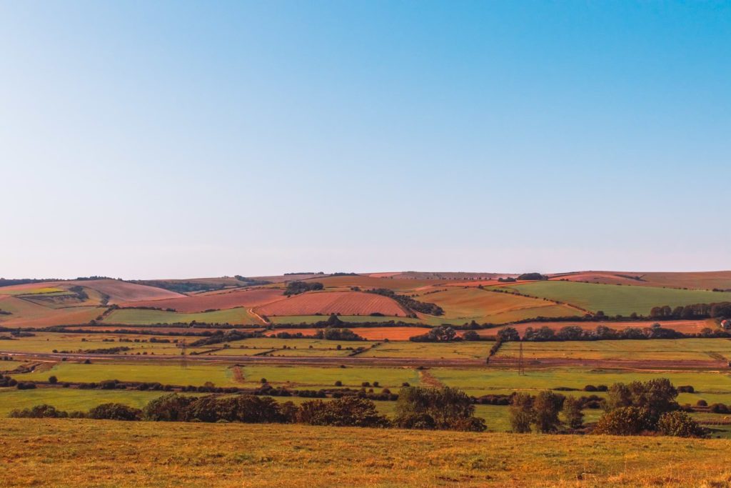
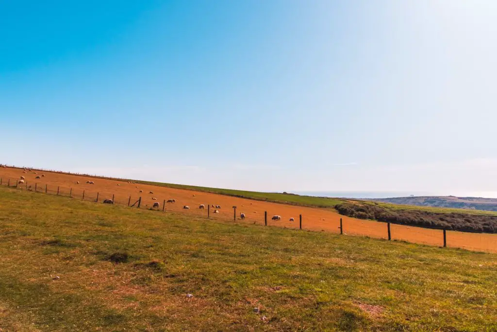
As this part of the walk is mostly uphill, the views ahead aren’t that exciting. Just plain fields with a few sheep dotted about. You can look to the right for sea views, but I
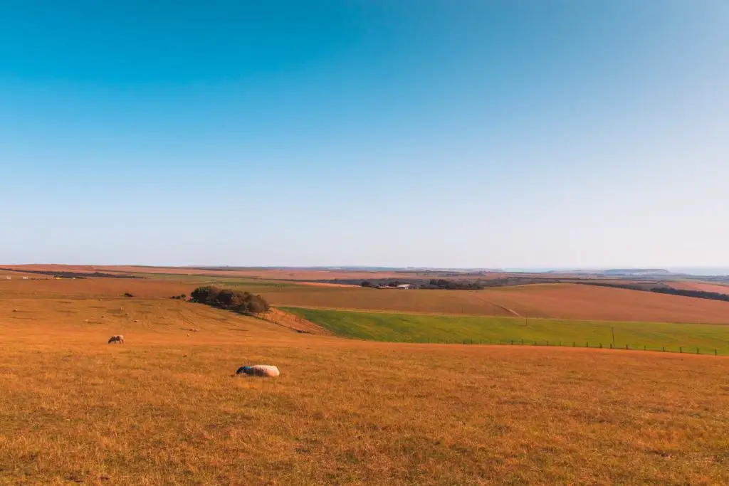
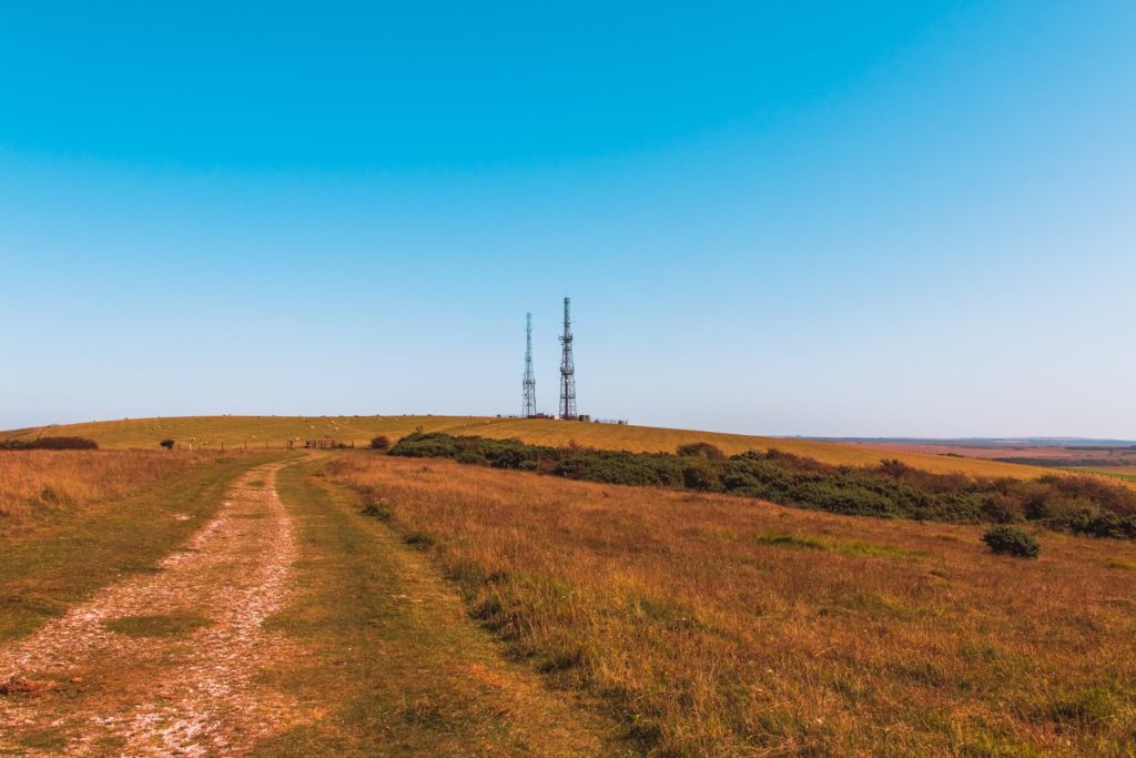
At some point, the radio masts
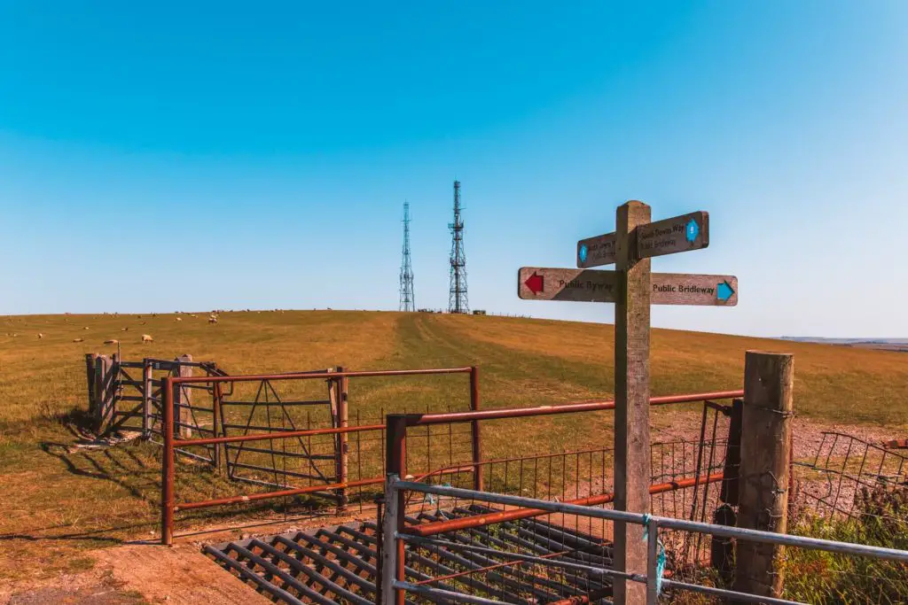
The views looking back were great though….
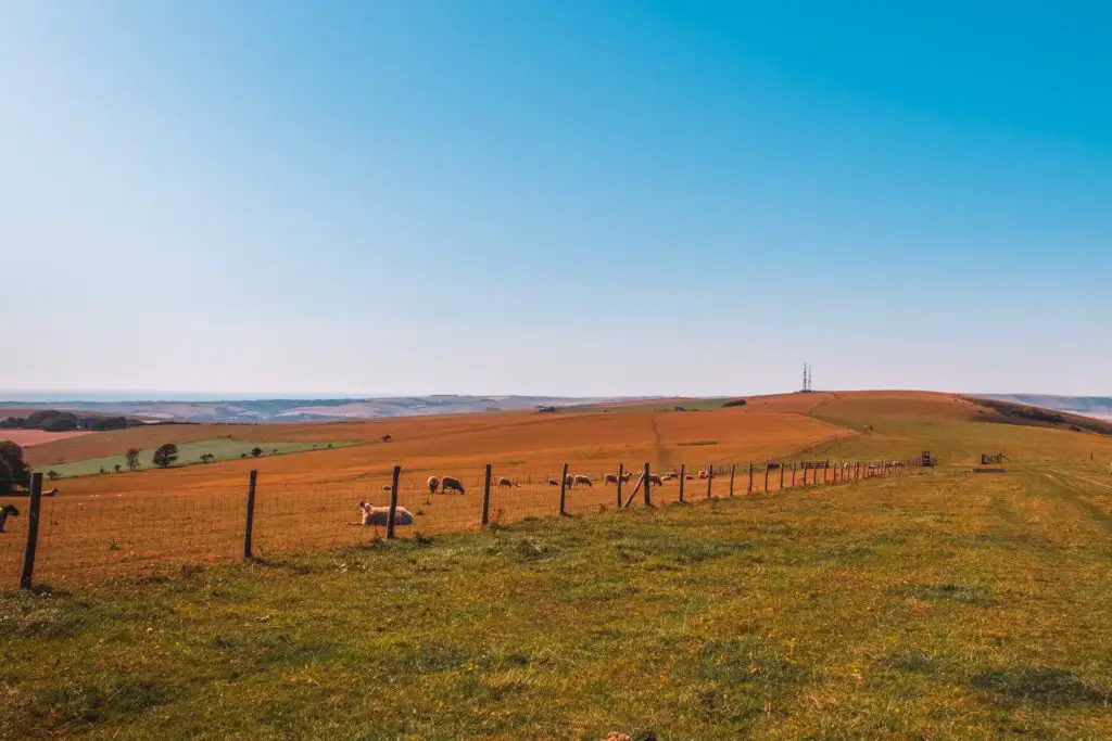
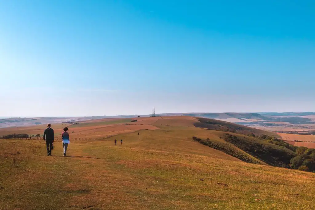
I did wonder whether I should have done this walk in the opposite direction, however once descending off the hill later on in the walk, the views ahead are best so actually, it evens out.
The highest point on the walk from Southease to Seaford – 4 miles.
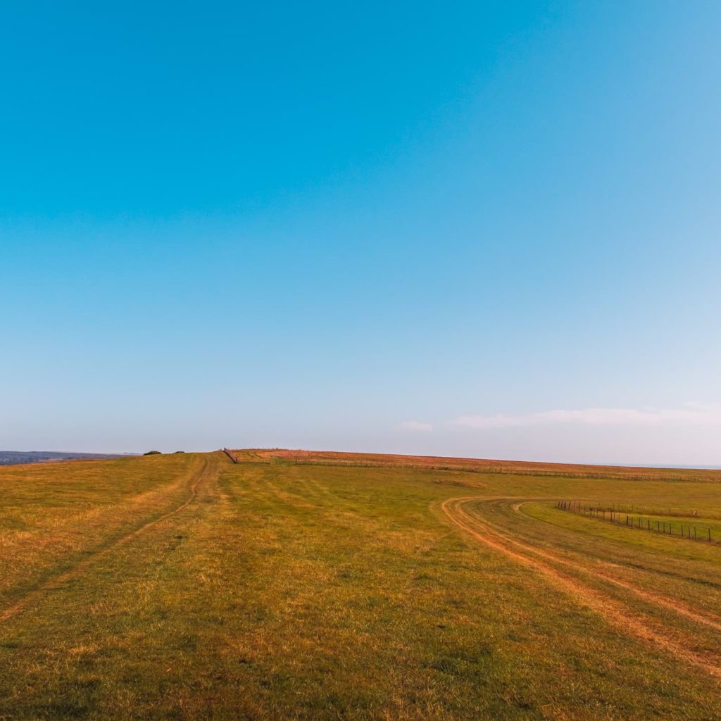
There is a momentary downhill, before walking up again to reach the highest point of the walk (718ft). It is from this point that the views ahead improved. No longer a plain wall of green, but instead rolling hills with a view of the squiggly trail in the distance.
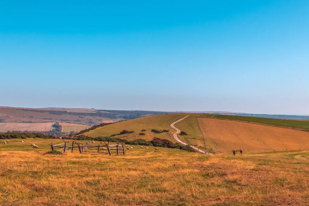
It is also just after here that I found a bush to wee behind.
The descent
The rest of the walk is mostly downhill, with some mini hills thrown in. But they are so mini, they don’t count.
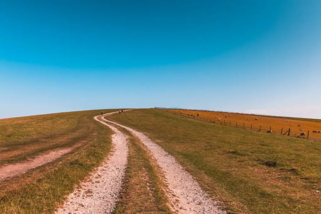
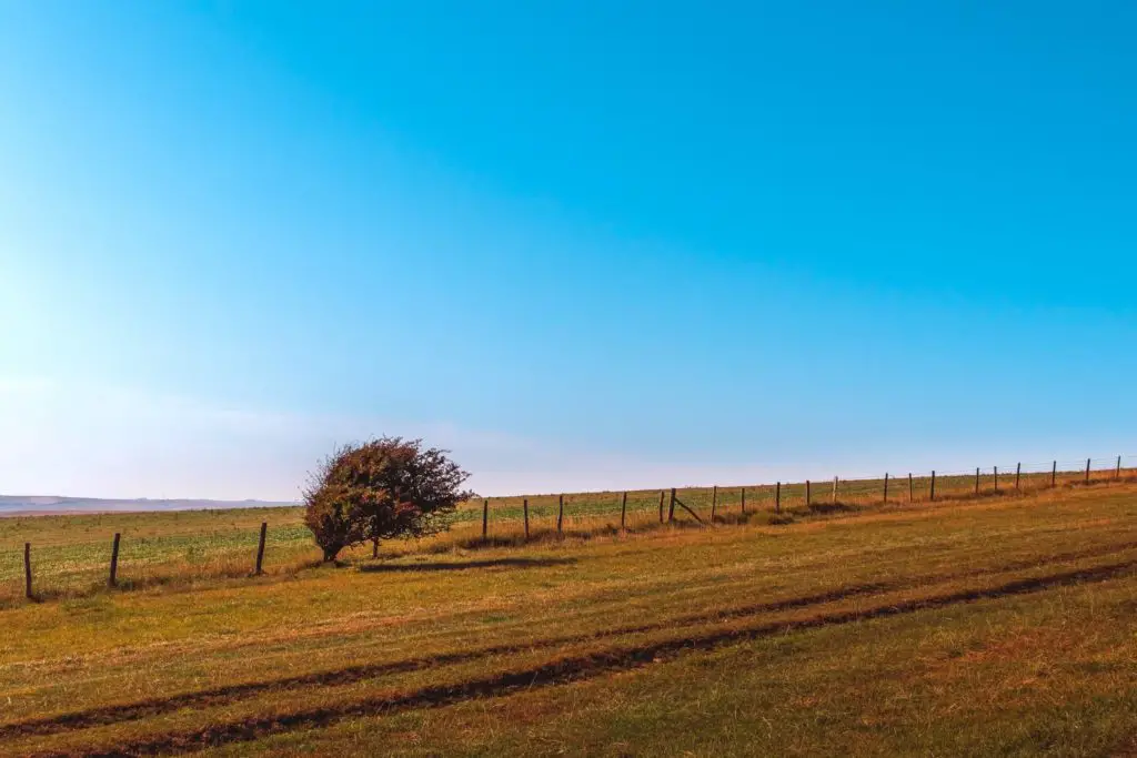
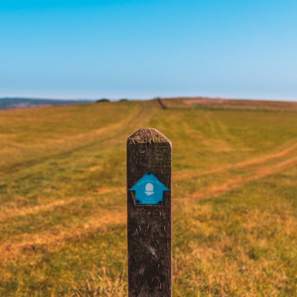
Continuing along the squiggle trail, past the car park, and at some point later, the trail splits. A small post told me to head along the left trail. So I did. A little further along there was more obvious signage.
The right trail actually takes you straight to Seaford. I am heading to Seaford (and so are you), but not this way. First, we must go to Alfriston
Reaching Alfriston – The half way mark – 7 miles.
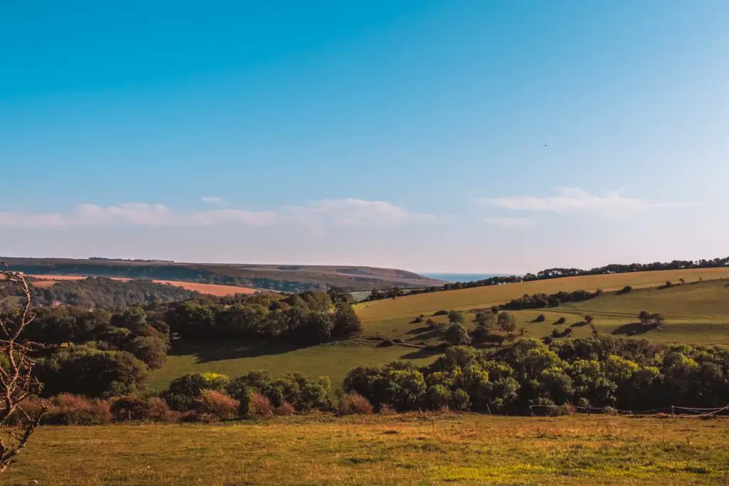
The village of Alfriston comes into view down in the valley.
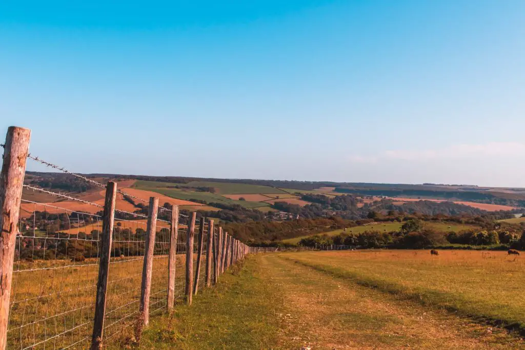
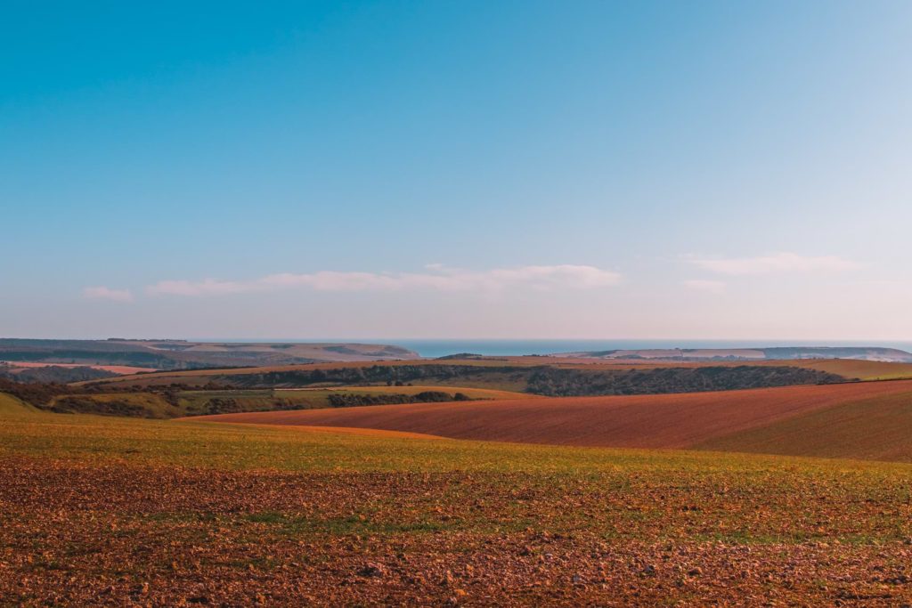
Then once through the gate at the bottom of the field, the trail leads through some tree cover. I was quite relieved when I got here. To finally have an escape from the wind and sun.
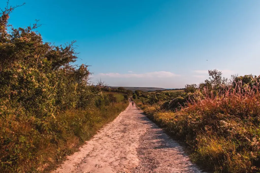
As I made my way down the trail, I could hear church bells in the distance. I wondered what it could be. It wasn’t Sunday so it can’t be that (if you have never walked in the English countryside before, on Sundays, the sound of church bells fill the air for Sunday mass). Maybe a wedding?
It was down in Alfriston that the route got a little confusing, so I will direct you.
At first, there is a signpost pointing the way.
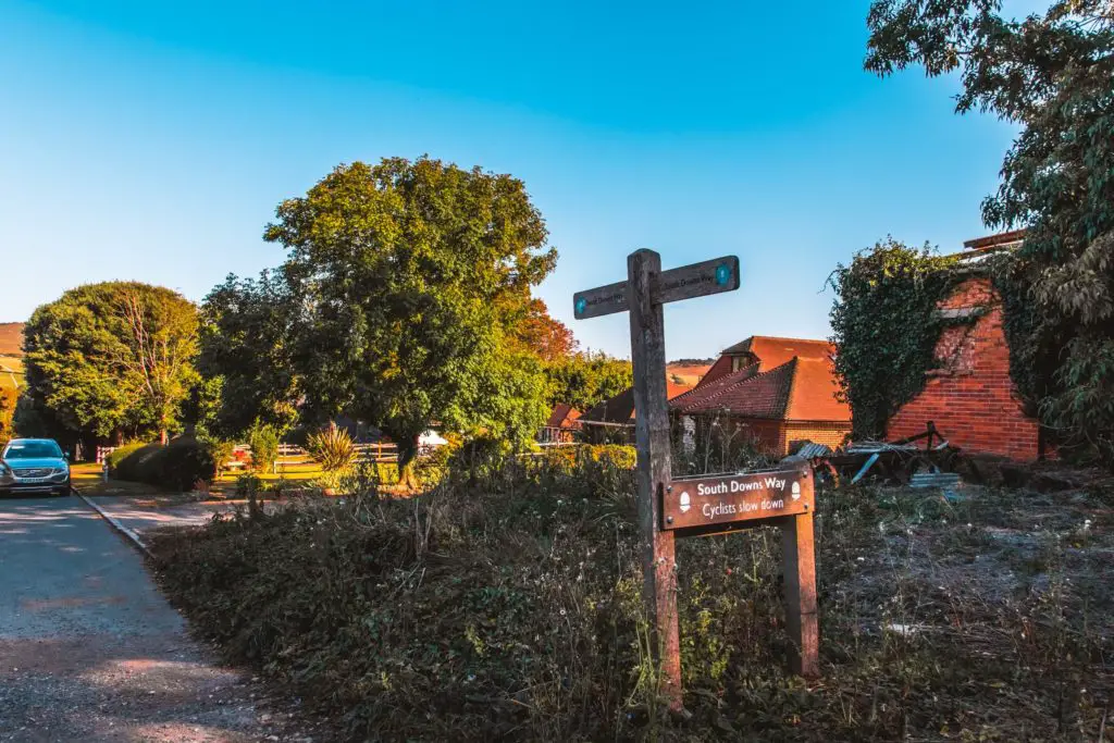
Then once you reach the end of the road, there is no direction (except signage pointing you back the way you came). I wonder whether there was signage which I couldn’t see. I mean, I have been pretty impressed at how so far every single junction has been signposted.
Ok, so anyway, take a right and then take the first alley to the left.
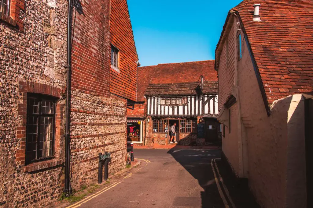
I can confirm the church bells were for a wedding.
As I walked down the alley, I was bombarded with smartly dressed
I actually stopped wearing heels a long time ago, and they ONLY come out for weddings. There came a point in my life where I stopped choosing style over comfort. I do still have lots of heels, I can’t bring myself to get rid of them yet. Partly because they look pretty in my wardrobe, and partly because once I do get rid of them, it will mean I have officially gone over to the other side.
I’m not quite ready to let go.
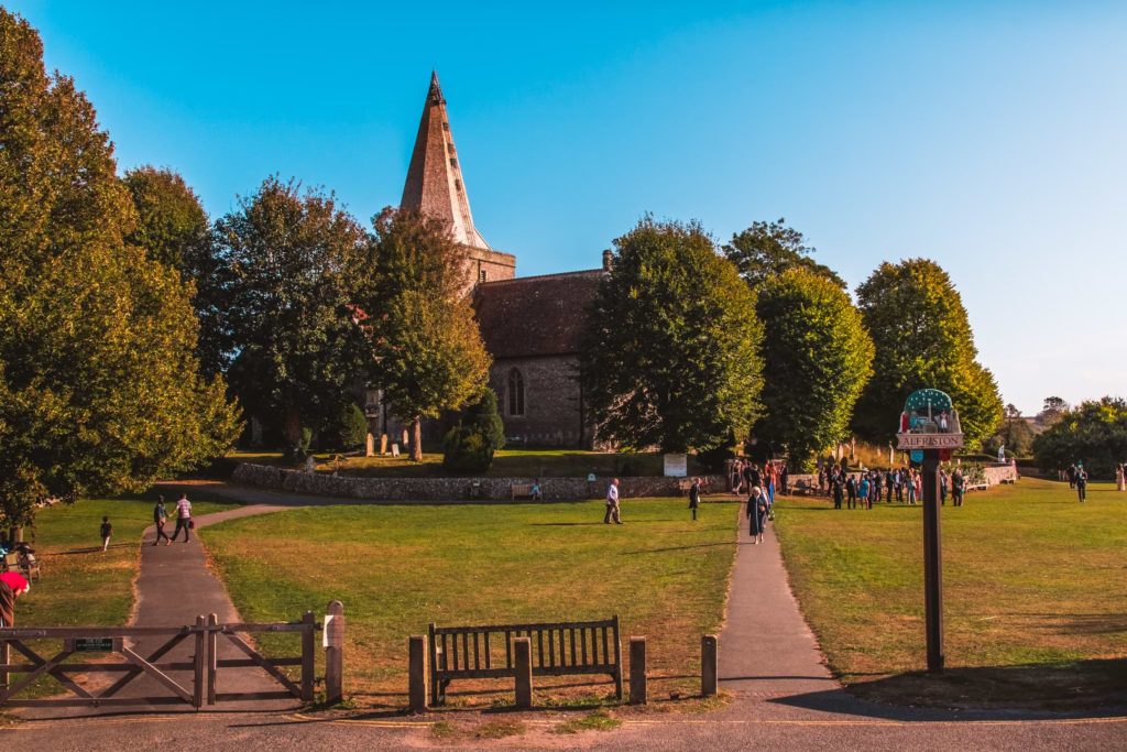
Out the other side you will see the church.
Don’t walk towards the church, but instead continue along the alley on the left and you will find SDW signage again.
Leaving Alfriston
The trail from Alfriston to Exceat is both the South Downs Way and Vanguard Way. Heading over the little bridge and turning right, I found myself walking though an open field with a little river, with some house and church cuteness.
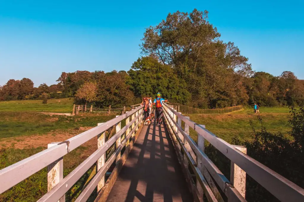
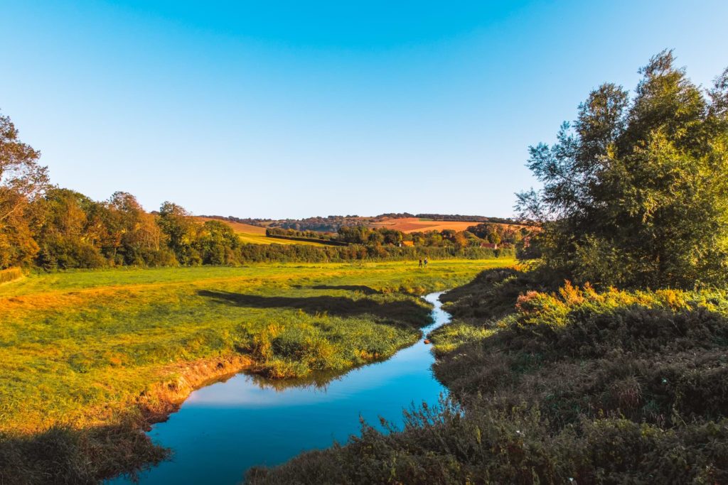
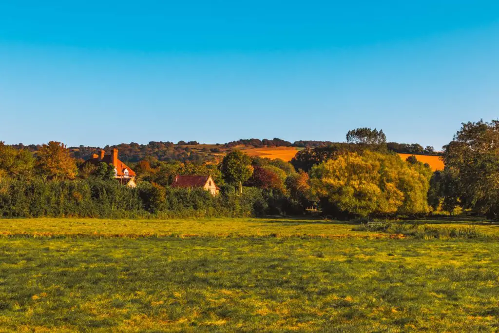
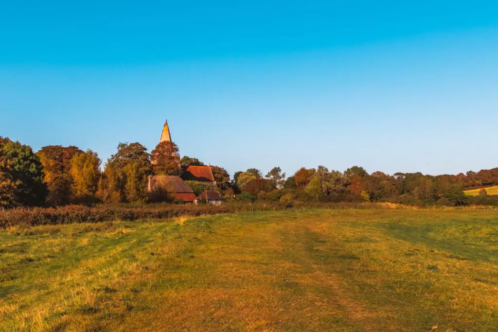
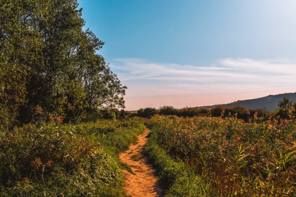
Through the gate on the other side and past some bush
When you reach the private road sign, don’t walk
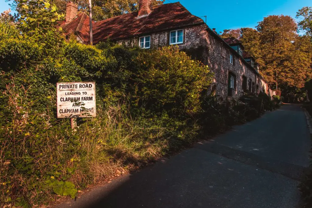
As it turns out, the signage was just to the right of where I was standing when I took this picture (pointing right). In my
Follow this trail uphill, then down again with some lovely views, to reach the woods.
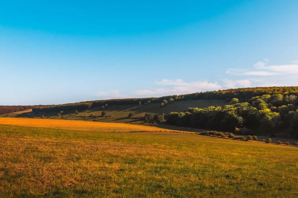
The woods
Taking a left in the woods, and after walking a bit further along, the steps appear. Ahhh, steps. This is the first of two stair climbs.
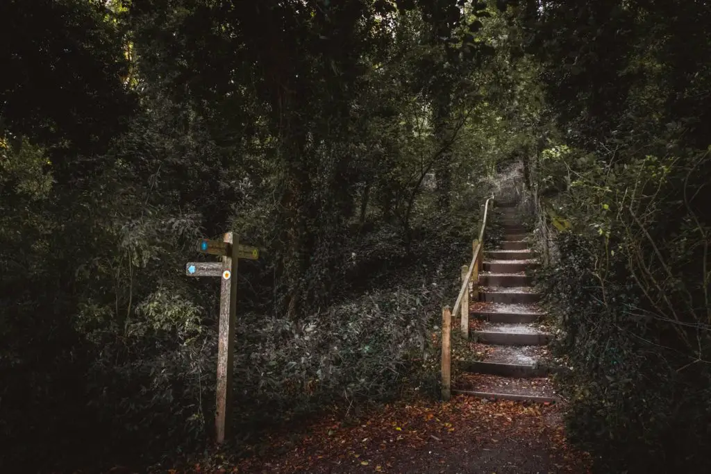
I have walked up many steps in my life. I even trained for a marathon which has lots of steps,
Ok, I am being a bit dramatic. It’s only a short stair climb. But still, I got rather breathy.
Leaving the steps behind, and walking along a trail enclosed by trees, next, an opening will provide you with two trail options. Which trail to take? Well, there is signage here, but it’s been slightly hidden in the bushes on the right. In case you don’t see it, it points right.
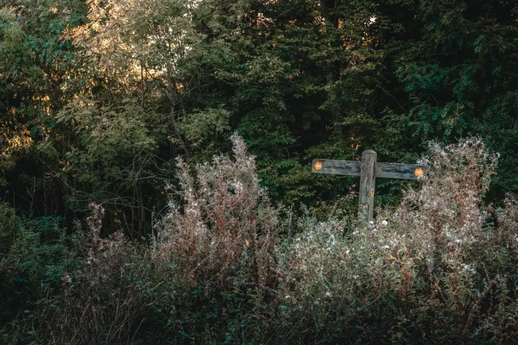
Walking under more tree goodness, the trail then turns out of the woods. Walking towards the next woods, I see my second stair climb.
This stair climb is a good one……
Reaching Exceat – 10.6 miles
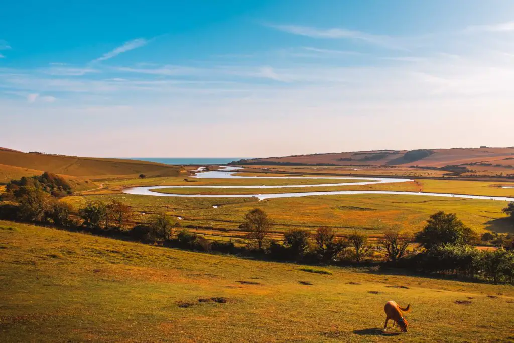
Reaching the top, I was rewarded (and you will be too) by a stunning view down into the Cuckmere Valley, and the winding snakelike Cuckmere River.
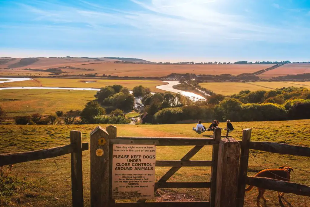
After heading down the hill, and over the road, I said goodbye to the South Downs Way trail.
Although, you don’t have to say goodbye, you can continue walking along it to take you over the Seven Sisters cliffs towards Eastbourne. It’s quite far though. The Seven Sisters Walk is amazing, but maybe best save that for another day. You can read more about it in my post about walking the Seven Sisters.
Cuckmere and The Vanguard Way
Turning right over the road, and past the carpark, the trail continued on alongside the road for a bit. Although, looking left at the gorgeous views, I could pretend it’s wasn’t there.
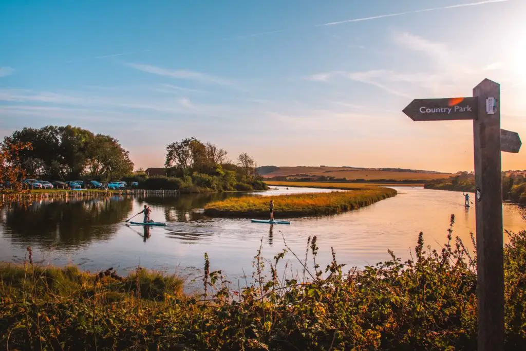
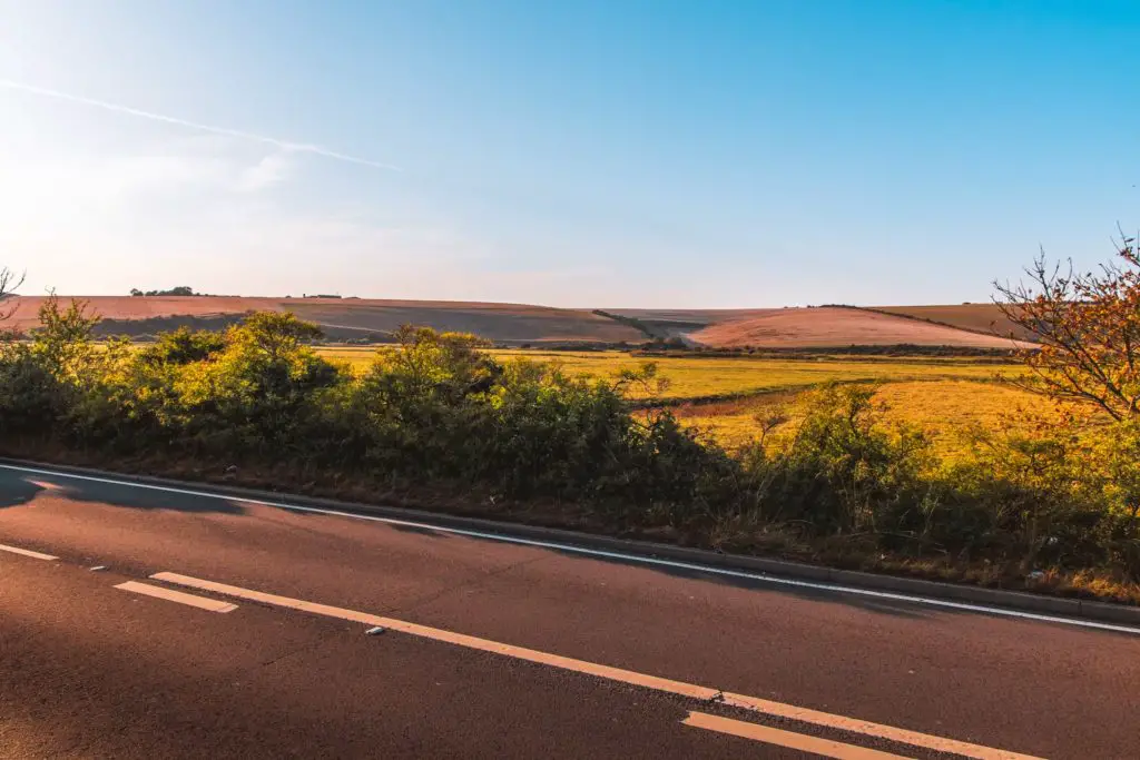
Once you reach the bridge you will have to navigate the cars. To cross the bridge you have to actually go onto the other side of the road, then once over it, cross back over and into the carpark.
Good luck.
At the other side of the car park and through the gate, then through the second gate, a bit further along is where I rejoined the Vanguard Way.
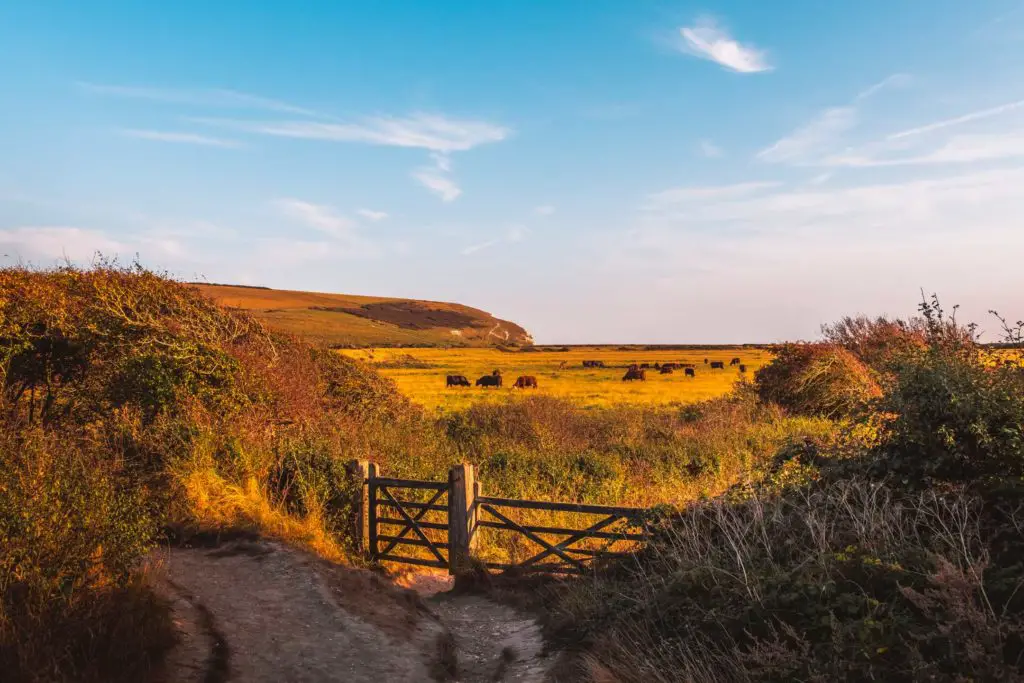
You do have the option of taking the left trail before the gate, as they both head where you are going, however, I have walked along the left trail many times. I have not taken the right trail before. Now seemed like a good time to do it.
More cows
The right trail was actually quite incredible. Walking next to the small river with cows drinking from it just on the other side.
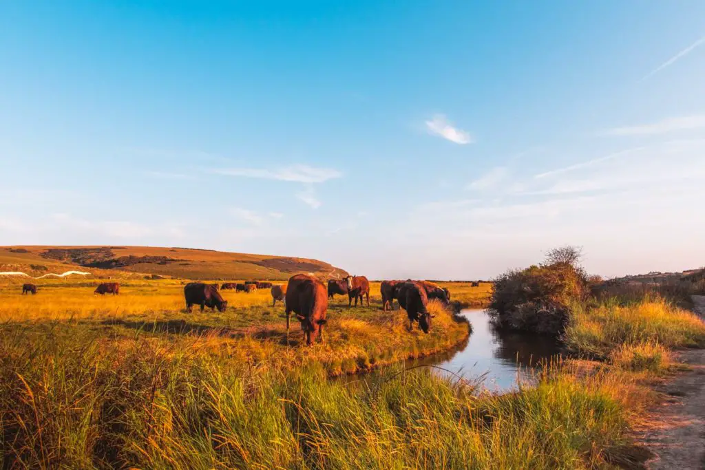
I not so sure about the cows in the right field though. They were quite vocal. Then a bit further along, a bunch of cows in the right field came running towards me, only to be stopped by the fence separating us. Making lots of moo noises in the process.
I remembered back to earlier in the walk when I saw that (what seemed to be) trampled down fence.
Hmmm. I moved along quickly just incase.
Cuckmere Haven
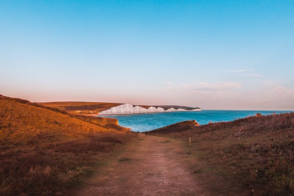
Up ahead, the first hill of the Seven Sisters cliffs came into view. Ah, my old friend. I thought about how much I love that walk, but also how glad I was that I didn’t have to walk up it today. From this angle, the steepness of that first hill was quite tiring to look at.
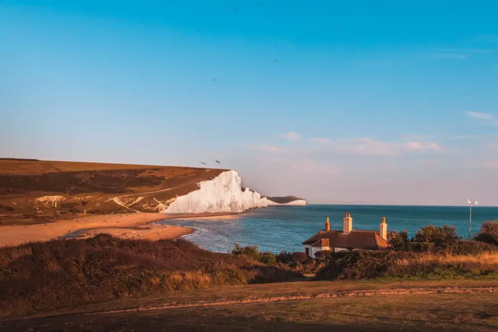
From here, I continued walking with the sea to my left, uphill, then down hill, then one final uphill to the golf course.
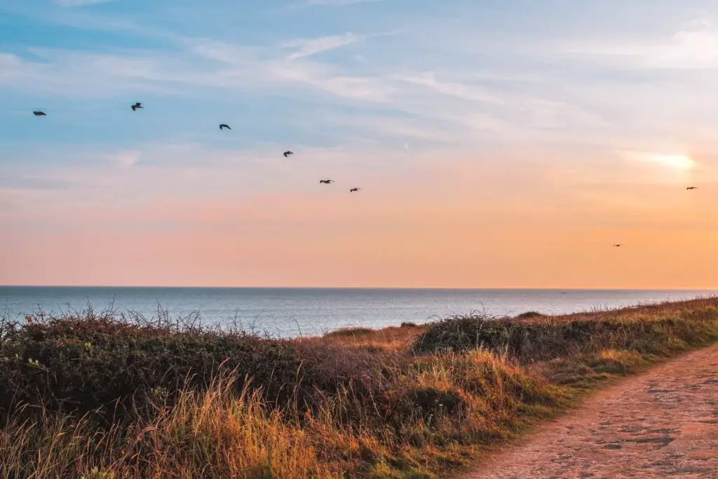
Reaching Seaford – The end of the walk
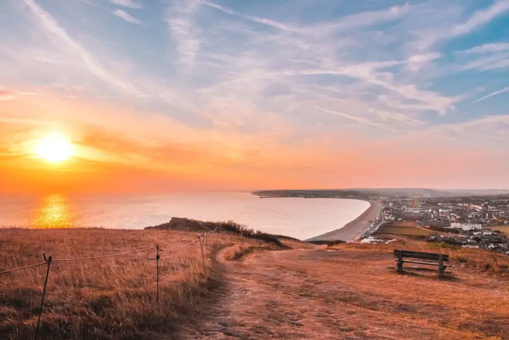
At the top, I was greeted by a spectacular sunset view over Seaford. I checked the train times and saw there was a train back to London in 20min.
Perfect timing, I thought.
I made my way down the hill, however, once at the bottom I
But I ran anyway.
The next part of the walk is along a path next to a shingle beach and cute beach huts. On my run, I quickly stopped for an iPhone photo of the beach huts so you can see them.
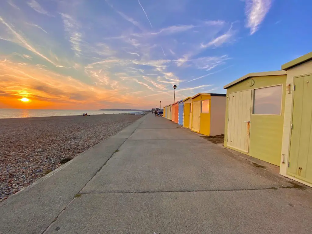
I made the train with 1 minute to spare.
Logistics for the walk from Southease to Seaford via Alfriston
Start: Southease Station
Finish: Seaford Station
How to get there: Southease and Seaford are on the same train line, which makes buying a ticket for this walk easy. From London Victoria, buy a return ticket to Seaford. You will have to change at Lewes, but from there, it’s only one stop to Southease (this train then continues on to Seaford).
Distance: 14.6 miles
Time: Allow about 6 hours.
Elevation gain: Highest point is 718ft. Total elevation gain is about 1785ft
Terrain: A mix of dirt, gravel, grassy trails and a little asphalt.
Difficulty: Medium (It is mostly easy with some hills but I’m grading it medium because its long).
Map
Click on the box in the corner to open the map and trail in your Google Maps.
Tips for the walk
Choose a day that isn’t mega sunny with no clouds…….Or take sunglasses.
If walking in a field with cows and their calv
More walks in the South Downs
I have mentioned a few times already, the walk along the Seven Sisters cliffs. It’s a good one. It
If you would like to see the Seven Sisters Cliffs without the massive trek, you could try the Birling Gap to Friston Forest circular walk.
Heading a bit further back along the trail, you could walk the section from Hassocks to Lewes. A lovely, mostly ridge walk, passing by Jack and Jill Windmills.
As you will have a view of Newhaven for a lot of this walk, I would like to also suggest the walk from Newhaven to Brighton. Not technically in the South Downs, but right next to it. It’s a pretty easy one, with the option to walk on an
You can find out more information about the South Downs Way on the National Trails website.


1 comment
Gorgeous photos and very tempting .#getbritainhiking