This
Now, I’ve called this a walk, but really it’s more like a hike. Very, very hilly. Well, the first section is anyway. So be prepared to sweat and burn those legs.
I did this walk as part of my mission to walk all of the England Coast Path. Technically I missed a bit when I turned inland at Pett Level, but it just made for a nicer walk this way, walking through Winchelsea. So I’m not disappointed in myself one bit….I might have to go back and walk that small section of the coast I missed though, lol.
Logistics for this walk, including an interactive map, and links to some other coastal walks will be at the end.
-Logistics for this walk, including an interactive map,
and links to some other coastal walks will be at the end-
The walk from Hastings to Rye
Hastings
Upon arriving in Hastings you will want to head towards East hill (it’s the big green area on google maps). For easiest navigation just head down to the seafront and turn left. After a short walk take the first left after the castle and you will start to walk through the more charming Hastings old town. You can see the hill up ahead from here so just head towards it. I do however recommend taking a bit of a stroll around the old town.

Interestingly, after going there I later discovered Hastings old town has been voted Britains best walking neighbourhood.
The quaint streets are crisscrossed by narrow passages known as twittens. You will find cute independent cafes, boutique shops, a thriving art scene, medieval houses, some dating back to 1450. I could talk a lot more about this but I will save it for another blog post.
East Hill
Now, to continue on with the hike, take the steps up to East hill. There is a lift but you won’t be taking the lift because you are hiking and that’s cheating. Once you get to the lift station you will get your first magnificent views looking over Hastings.
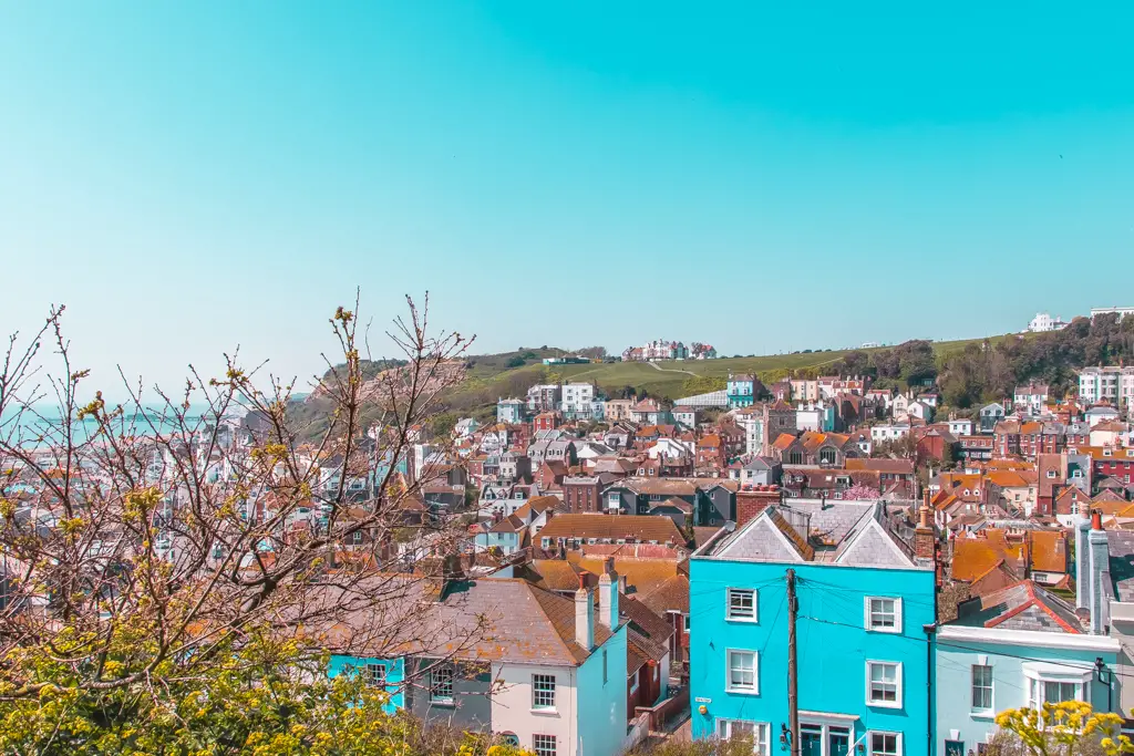
Now, take the steps to the right and you will soon reach a large open green space. From here you can enjoy more views over Hastings.
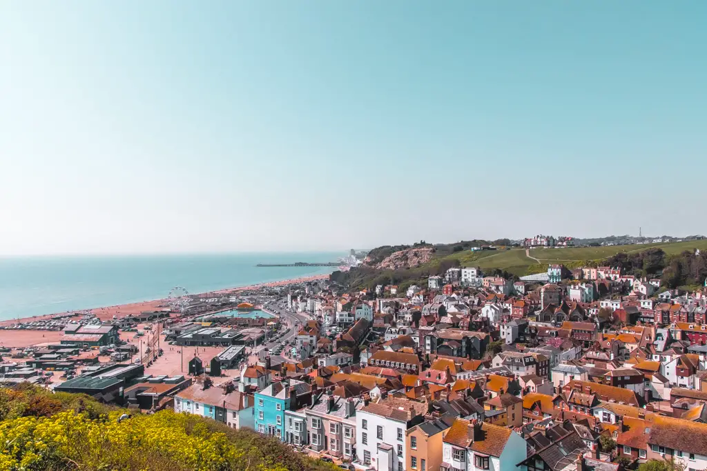
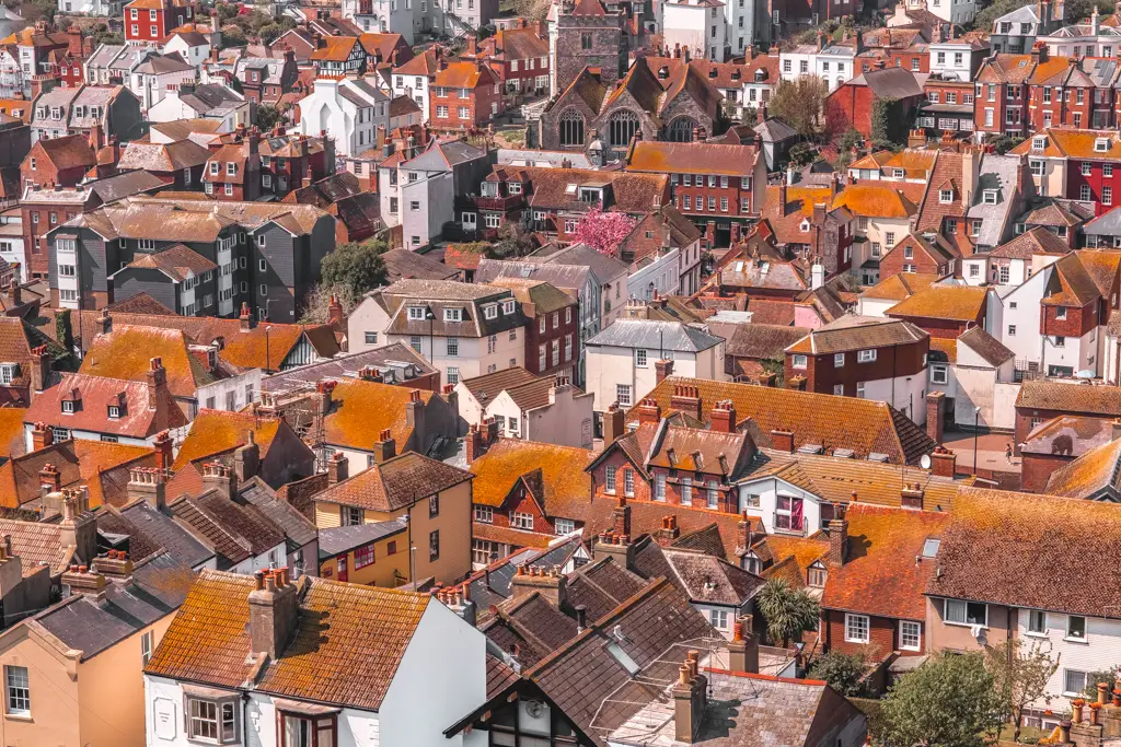
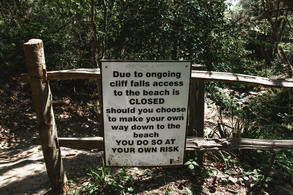
Walk across the green, keeping right and at the other end you will reach a gate which says ‘no entry, danger’ etc. So, from here, if you take the path going right that will be the danger area where the cliffs are unstable. If you continue on straight you will eventually find yourself walking through woodland.
Update: Ive just gone and walked from Hastings to Rye again and it’s all been fixed. Turn right when you enter the woods.
The woods
The following is from when I did the walk the first time. It’s now very easy to navigate. So you can ignore the next bit.
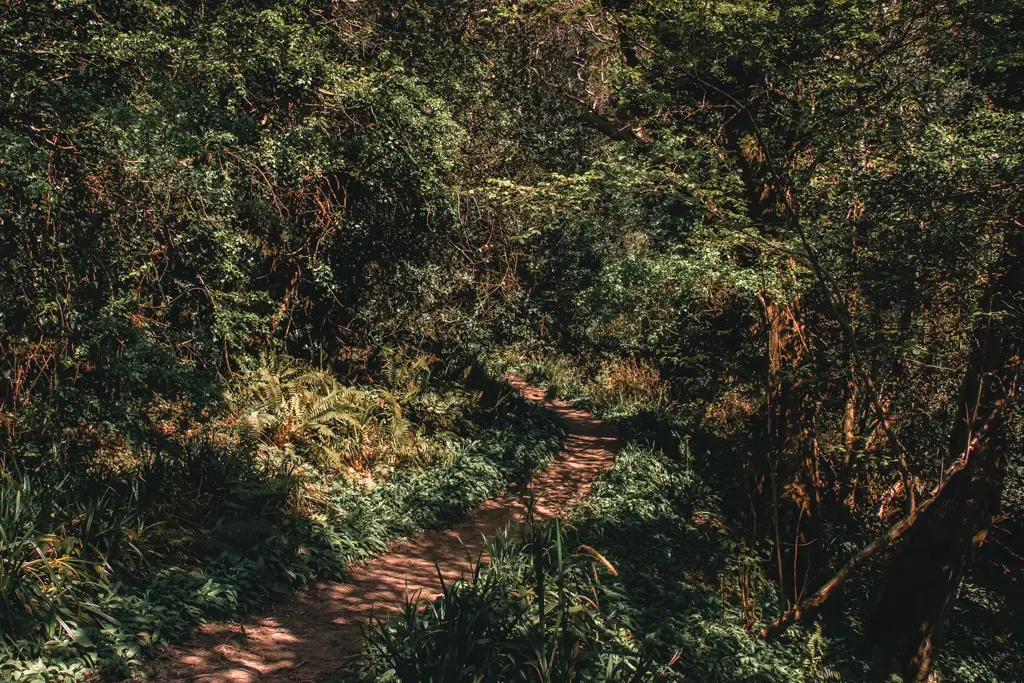
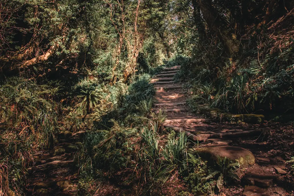
From this point on I cannot direct you. I got mega lost. There were many trails leading in different directions so I just picked whichever ones called out to me. Through forest, almost fairytale like surroundings, having to duck down sometimes to fit under the branches of the trees. The lighting getting darker as I went deeper under tree cover.
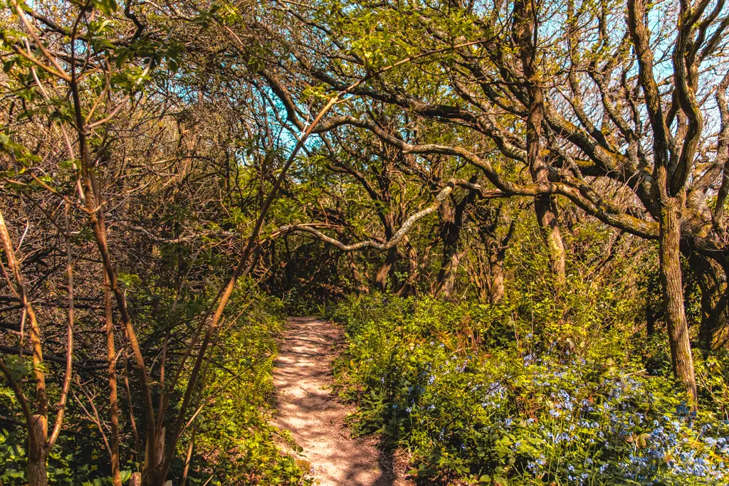
When I realised I had no idea in which direction I was now walking I got my phone out for navigation. Oops, I accidentally shut down my map and now had no signal so it wouldn’t load again.
Don’t judge me for using my phone and not a real map. I have no desire to carry a large map with me on my hikes because it’s just faff. It’s also unnecessary for a coastal hike because it
What to do?
That’s when I could hear a cow mooing in the distance. I knew if I headed towards the moo I would get to open field where I could then use the sun and wind for navigation…or my phone signal would return.
Back on the coastal path
Following the
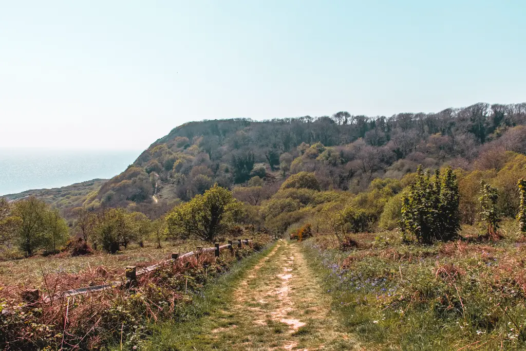
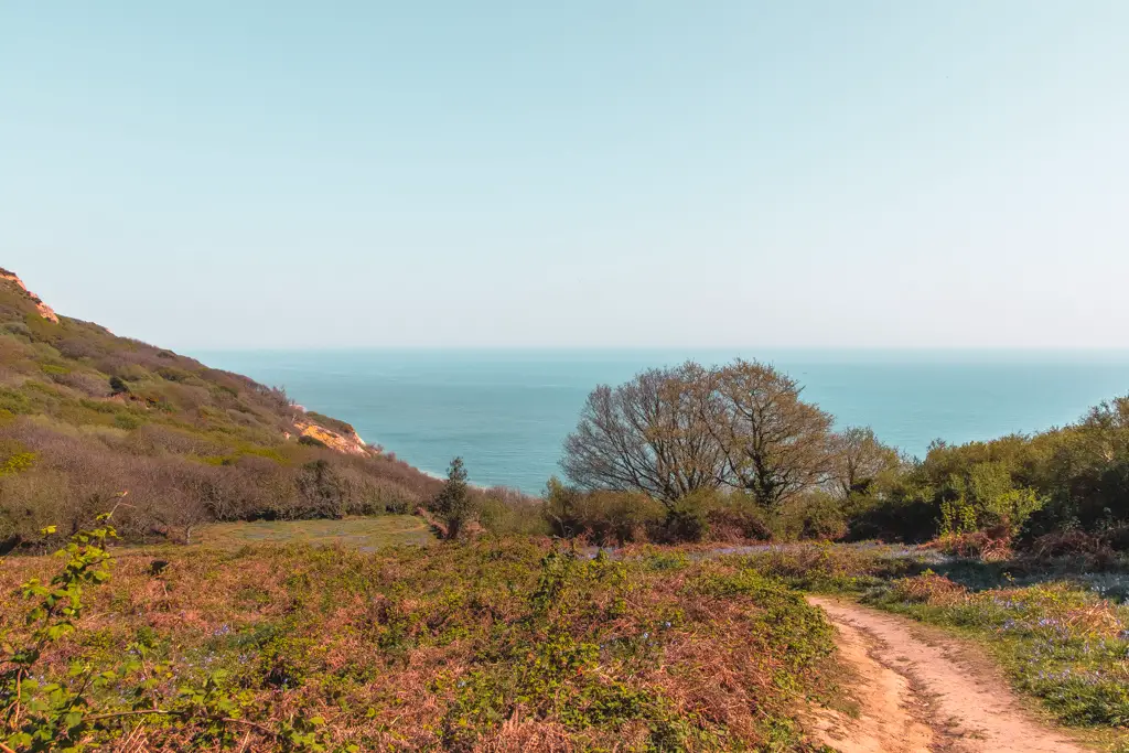
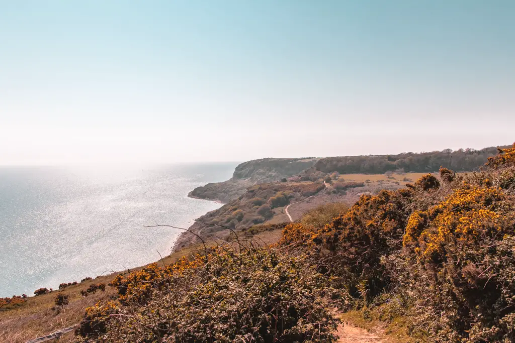
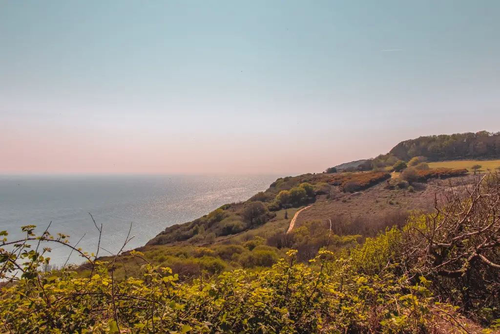
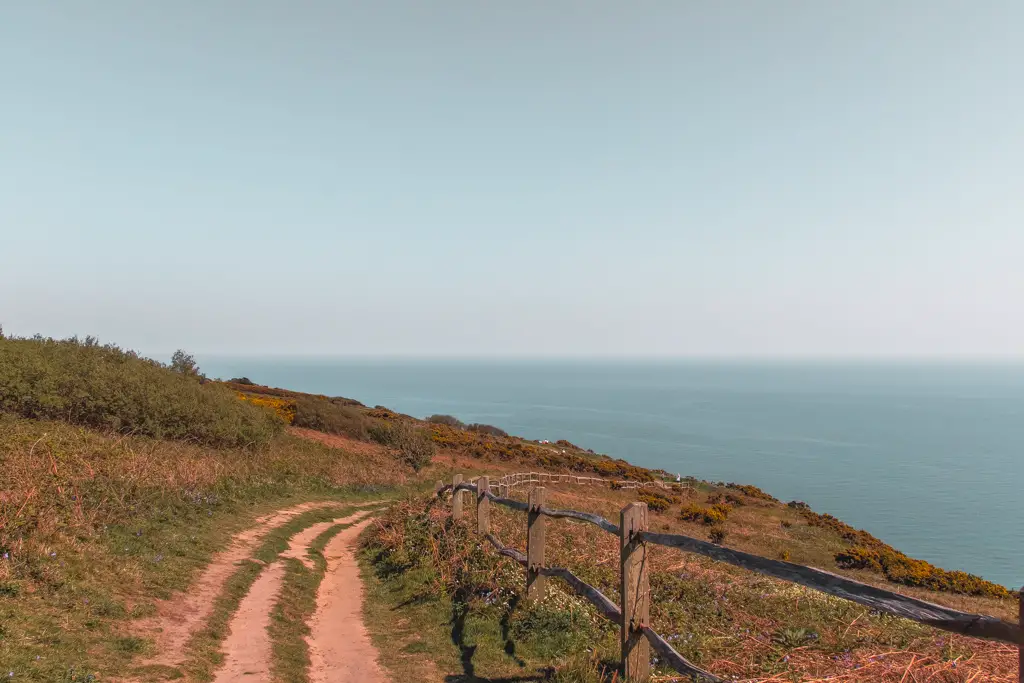
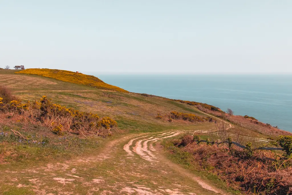
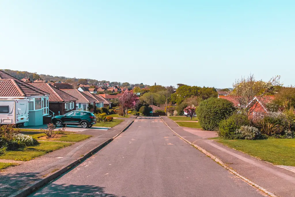
Continuing along you will walk up and down big hills quite a few more times before reaching the village of Fairlight Cove. The is no more uphill for a while as you now begin to slowly descend. Keep an eye out for the stumps with the Saxons Shore Way/National trail signs as you will be walking a bit on road before turning onto a dirt track again.
Pett Level
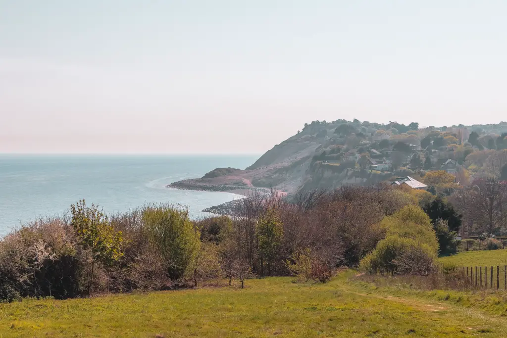
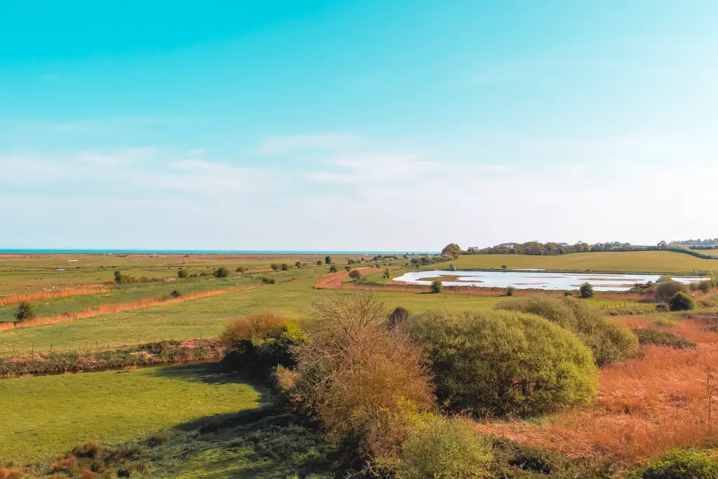
Next, you will get a glimpse of Pett Level beach as you slowly descend to it. The trail doesn’t go to the beach itself but rather along a canal running alongside the beach, before turning inland.
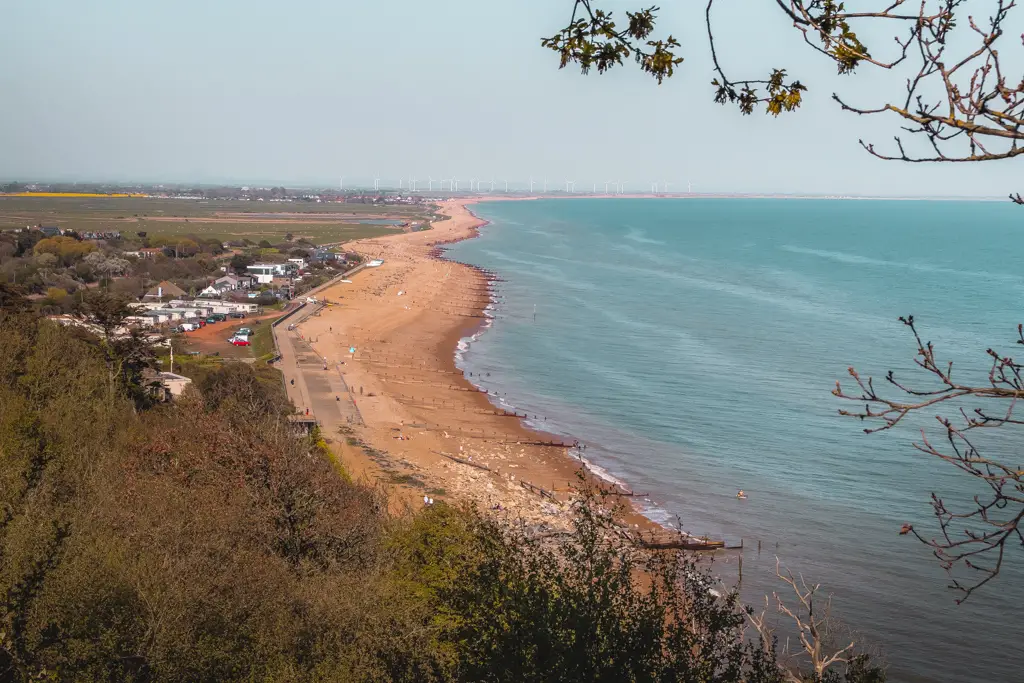
Once turning inland, you are no longer directed by the direction of the coastline, but there are wooden stumps at regular intervals marking the Saxons Shore Way trail. You will be guided along a path surrounded by fields with cows and sheep keeping the canal to your left.
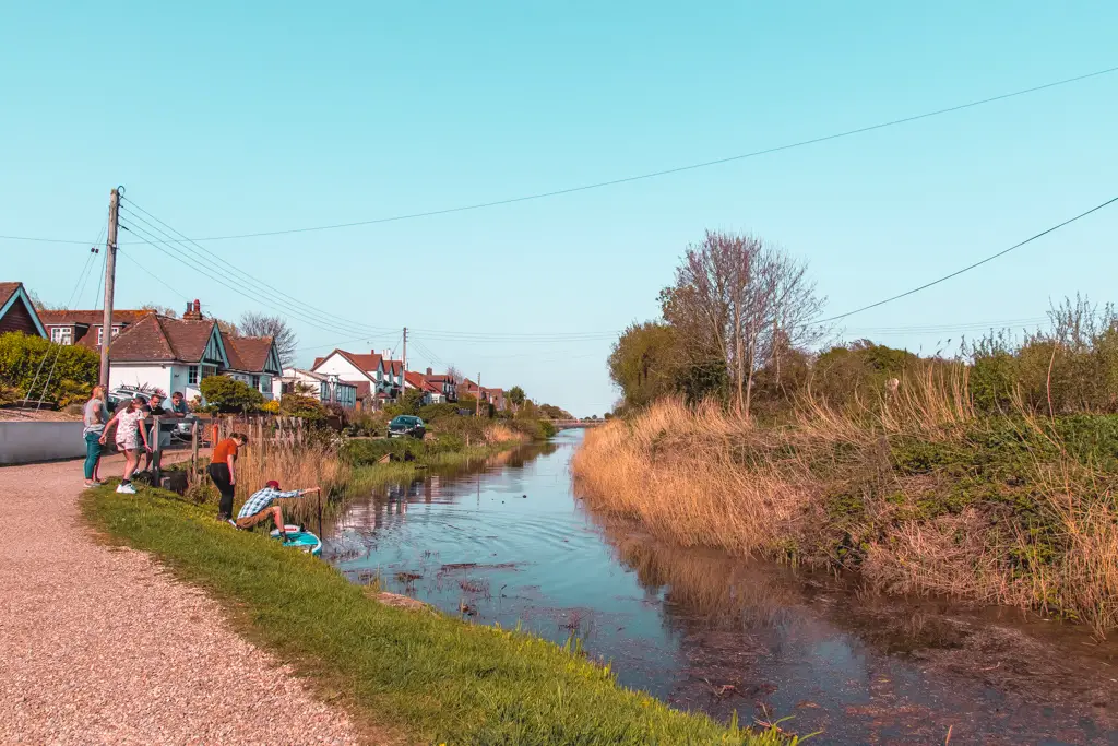
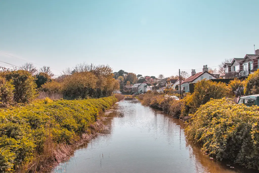
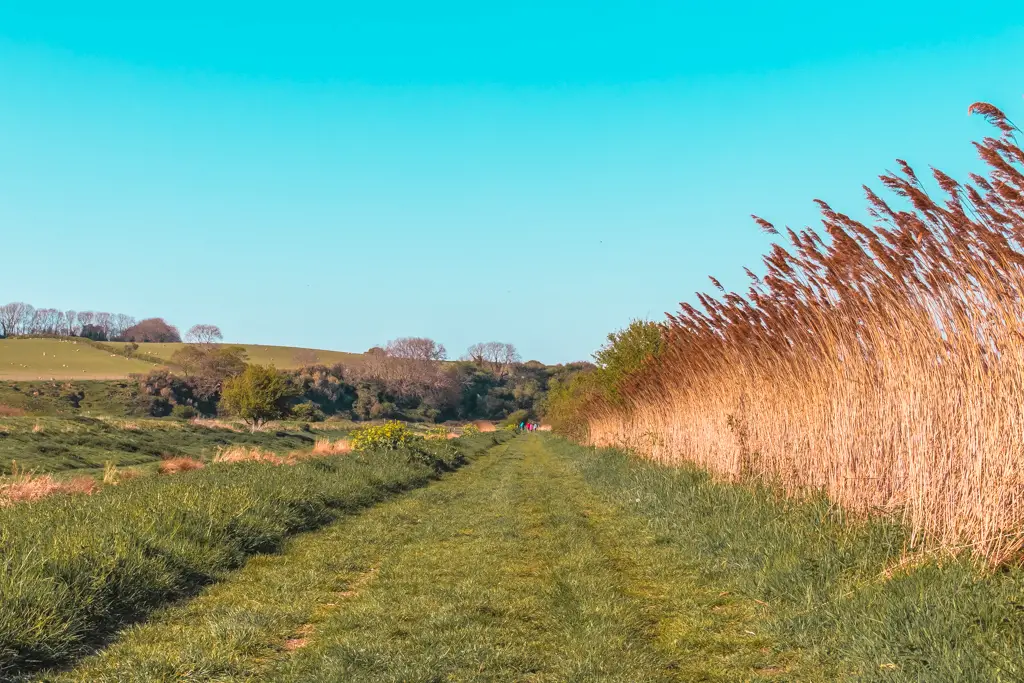
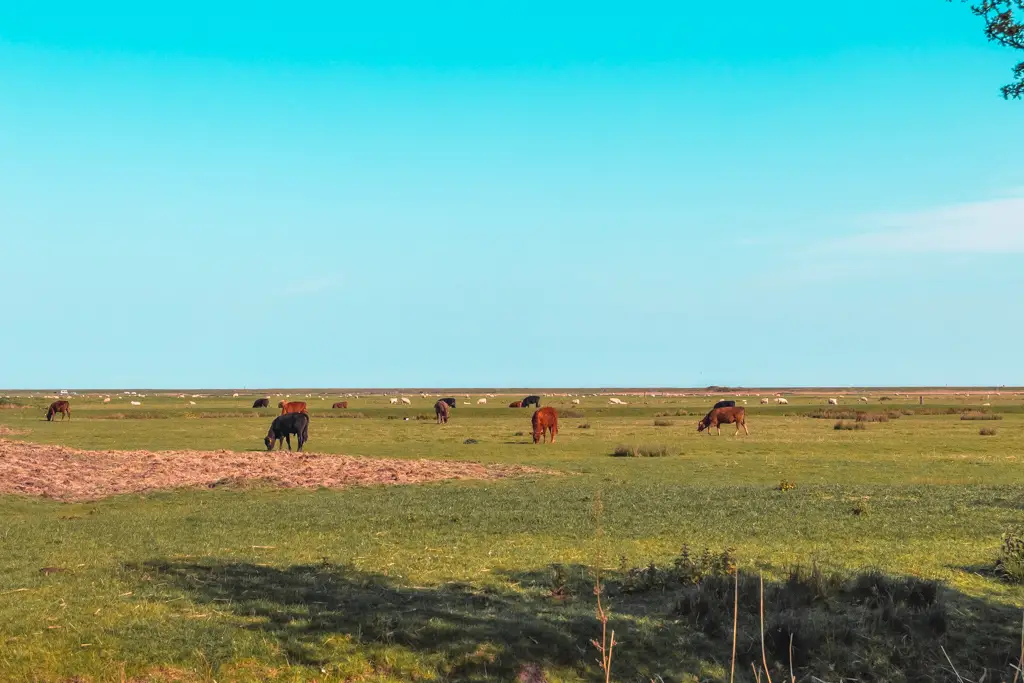
At the end, you cross the canal then head in the direction of your 2 o’clock to reach a very steep but very short uphill.
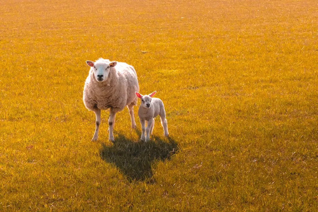
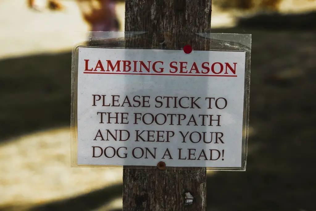
The lambs
OH MY GOD.
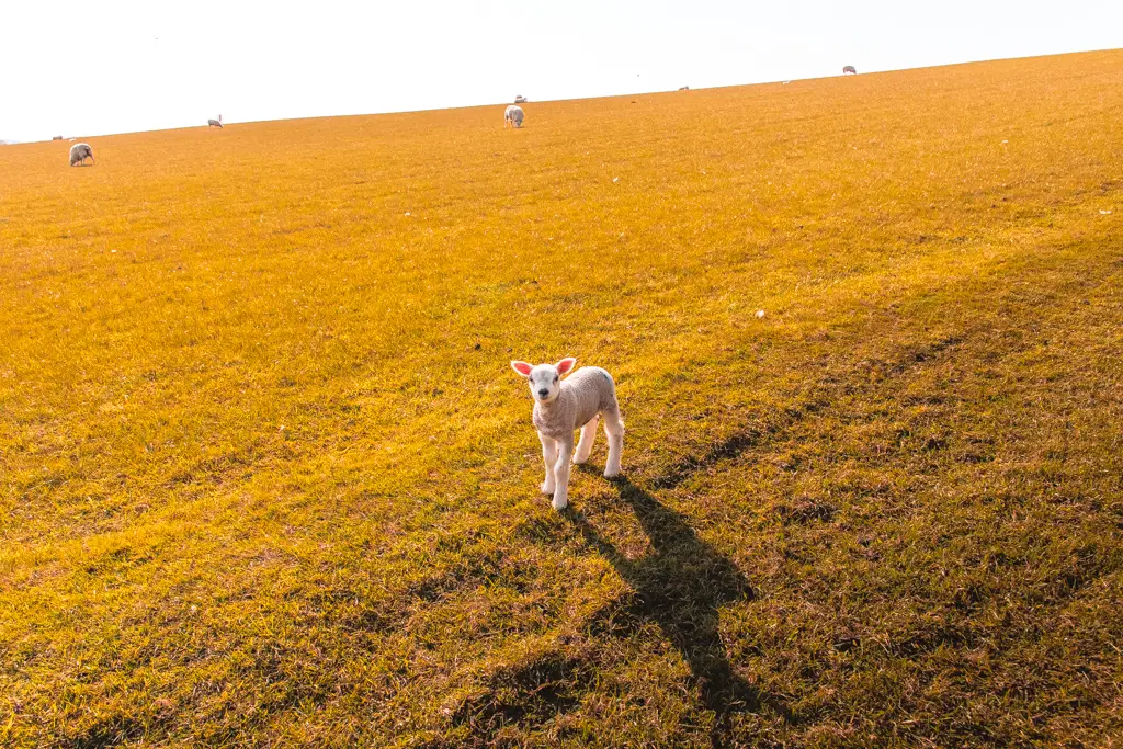
As I walk through a field I notice a cute lamb…..Then I
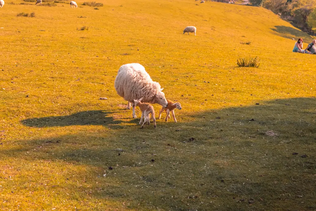
nb. I’ve been extra creative with the sheep edits. The grass was actually green and the sky was blue.
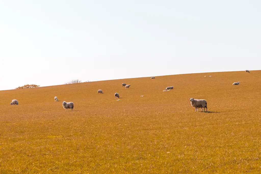
It gets better…
I came across a sheep that had literally just given birth to two lambs. You can see they still have the birth gunk all over them.
Winchelsea – the 11mile mark
Winchelsea is a small picturesque town just 2miles short of Rye, your destination. I’m going
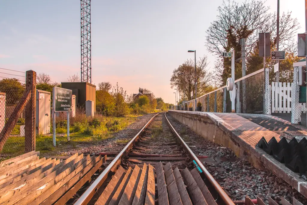
I just couldn’t resist getting that train. So I got it lol.
In all fairness, it was coming up to 6 pm, and once getting to Rye there wouldn’t be much time to explore there. Also, remember I had recently had hip surgery and I’m not supposed to walk this much yet.
Plus it was a cute train station. By cute, I mean it was just a train track that you have to walk on to get to the platform.
Anyway, I need that sense of completion, so I did return at a later date to Winchelsea so I could complete those last two miles lol.
Back to finish the walk from Hastings to Rye….3 months later
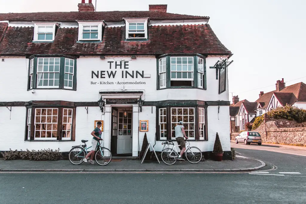
So, continuing on. Actually, let’s take a step back. I need to explain which way you walk when you get to Winchelsea. Once you reach the main road out of the field, turn right and follow the road as it curves round left. Follow this road to the end. You will pass this pub before the end.
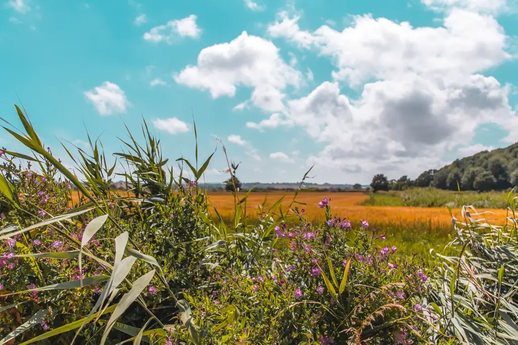
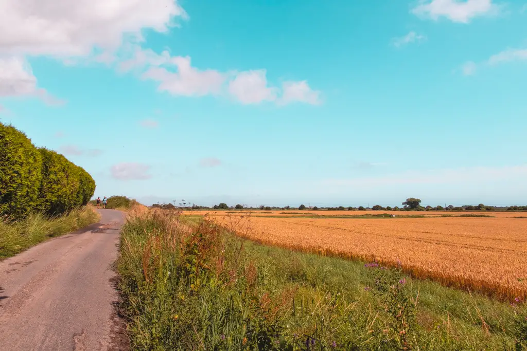
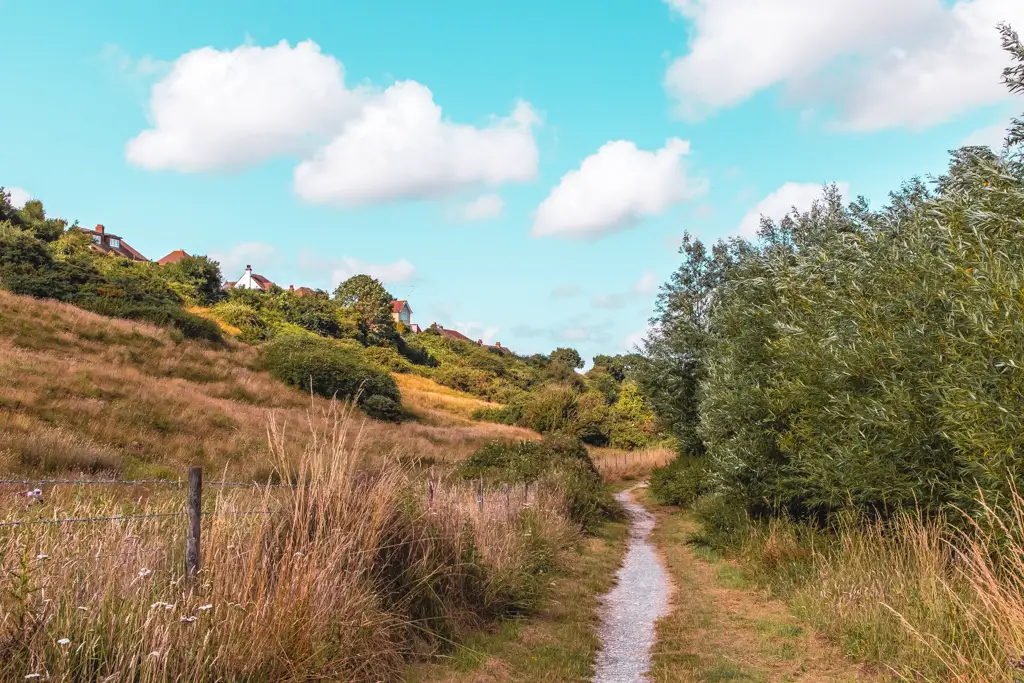
After a short walk, the road will bear left at a cute house. Don’t follow it. Instead, go straight ahead onto the trail below. Then just follow this till you reach the main road and you will reach Rye.
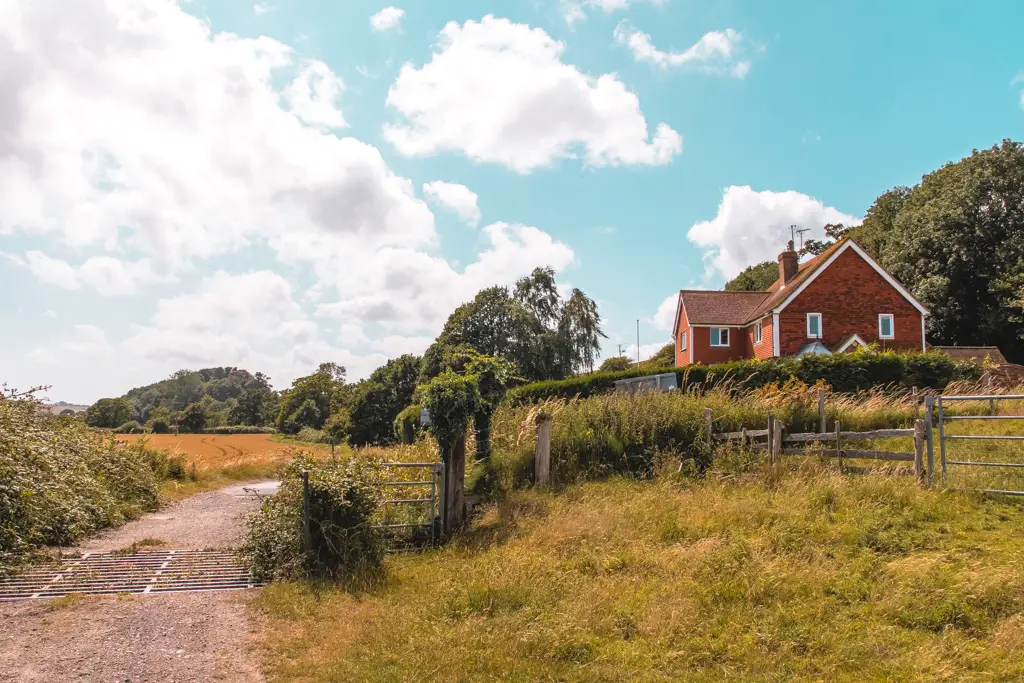
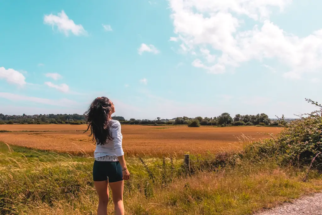
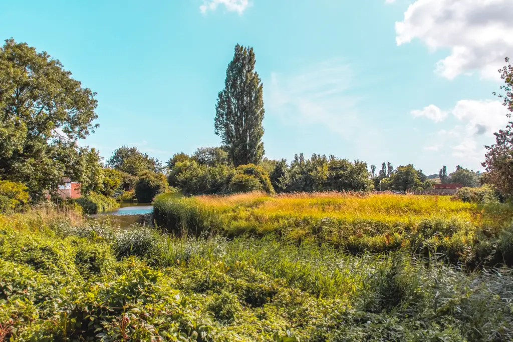
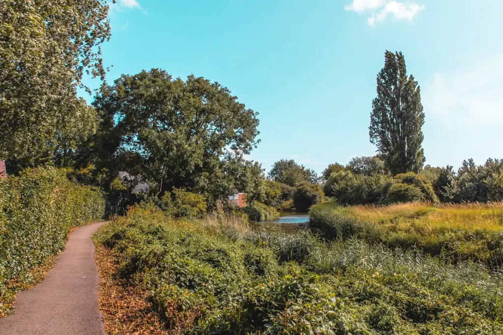
At the main road, turn right to walk to the town centre. You could follow the signs into town, however, I’m going to recommend one last little turn to you. When you walk over the bridge turn right onto the path that follows the river. This is a super pretty little section.
Rye
Welcome to Rye, with its cobblestone lanes and medieval half timbered houses.
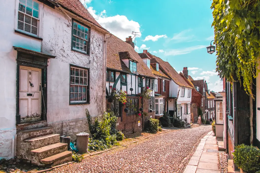
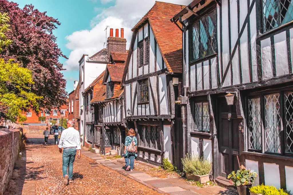
It is quite possibly the quaintest town I have been to in England…or maybe even ever. Secret passageways, tales of smugglers, home to poets and artists. There is so much to say about Rye that it deserves its own blog post. Maybe that’s one for the other website.
Logistics for the Hastings to Rye walk (hike)
- Start: Hastings
- Finish: Rye
- How to get there: Hastings has direct trains and indirect trains from London. Rye only has indirect. Now listen closely. For the cheapest travel you should buy a return ticket to Hastings, but you must buy the train that requires one change. Not the direct ticket. Let me explain. The direct train doesn’t go past Rye. The indirect train involves a change at Ashford International, and the next train you go on, takes you through Rye before getting to Hastings. Then to return, take the fast (indirect) train from Rye to London St Pancras. It’s about 1.5 hours out, then 1 hour (ish) back.
- Distance: 13 miles. There is the option to shorten it to 11miles by finishing in Winchelsea (the train In Winchelsea will take you to Rye).
- Elevation gain: 1,483 ft
- Time to complete: 5 hours.
- Terrain: Very hilly for the first half, with steps at the start and
a track the rest. For the second half, a mix of dirt tracks and asphalt on mostly flat ground (with some very small hills).dirt - Difficulty: Medium-Hard
Map – Walking from Hastings to Rye
Click on the little box in the corner to follow the trail.
Top tips
- Start this walk early. It’s a long slog for the whole walk, but Hastings and Rye are so charming you will also want time to spend at both places. I started at 1 pm which was way too late and left me little time for extras.
- Walk in the direction I did. The first half from Hastings is the tough part and it’s better to get that out of the way whilst you are fresh.
More coastal walks to try in South East England
If you want some more hills and a challenge, then I would recommend:
- Seven Sisters – 13 miles
- Dover to Deal – 10 miles
- Folkestone to Dover – 7 miles
Or alternatively, if you would like something less hilly, you could try:
- Newhaven to Brighton – 10 miles
- Margate to Ramsgate – 8 miles
- Ramsgate to Sandwich – 8ish miles
- Faversham to Whitstable (another section of the Saxon Shore Way) – 9.5 miles
- Rye Harbour to Camber Castle (Next door to this walk) – 10ish miles
- Rye to Camber Sands – 6 miles (3 miles one way)
If you want something that incorporates both cliffs and woodland, you could try:
- Birling Gap Friston Forest – 9ish miles
If you would like more information on walking trails in England you can check out the National trails website.
Pin it for later – A guide for the Hastings to Rye walk

10 comments
I love this Zoe, more realistic, practical and inviting that any walks or hikes around the coastal path guides /books I have read so far – Wheres next ?
thanks mother 🙂
Hey,
This was the most HELPFUL guide for this walk. I completed the full stretch today with thanks to you – it was a beautiful hike!
Keep us posted on any more 🙂
Amazing! I’m so glad I could help. I agree it’s beautiful. I have a few more posts coming soon!
Great post and thanks for all the images, it really gives a sense of the different types of terrain along the way. We’ve been umming and ahing about where to go for a long weekend and Hastings has just landed a spot for a night based on this.
Oh gosh, no pressure then haha. I’m glad I was able to help. Hastings is lovely and I really enjoyed this hike. Hope you enjoy!!!
Hey! I just completed this hike, mostly based on your guide, which was – as always – very helpful. I did some parts differently, let me summarize my impressions in case others are interested.
From the train station I first climbed to the West Hill (Castle Hill Rd) and descended to the old town from there (instead of going directly to the shore from the station). The disadvantage of this is that it adds one extra hill to climb, but on the positive side, you get nice views of Hastings Castle and the Old Town from the other direction.
After the East Hill, I took the “danger” route. It is indeed unmaintained and uneven, but I would say that unless you have some physical condition, it’s not a tough one. It is also quite short. However, I would definitely advise against it in rainy/slippery weather.
At Pett Level Beach I did not turn inland, but continued on the shore until Winchelsea beach. This part was quite monotonous, but then turning inlands at Winchelsea beach I could pass by Camber Castle. It is closed currently, but it was nice from the outside too. There were also plenty of cows and sheep on this path.
Finally, as you also noted, I’d advise everyone to calculate some time to stroll around in Rye, it’s a lovely town.
ooooh yes, thanks for these suggestions Akos 🙂
Fascinating read … brought the walk and surrounding area to life. Can relate to the loss of mobile phone signal too!
Thank you.
Haha, thanks Jim!I wouldn’t consider myself good at writing in any way so this is lovely to hear 🙂