I had already walked from Kingsand to Cremyll via Mount Edgcumbe a week or so ago. It was after doing the Rame Head walk. I figured that I would walk to Cremyll and get the boat back to Plymouth instead of the bus. I was so impressed by the route, that I wanted to come back and track it to write about for the website.
This time I did do it a bit differently. I walked in the other direction and made it circular, starting the walk from Cremyll, then walking along the edge of Mount Edgcumbe country park, and on to Kingsand. Then I circled back across the park, and along the other side to get back to Cremyll.
This post uses affiliate links. You can read the privacy policy or disclaimer for more info.
What to expect on the walk between Cremyll, Mount Edgcumbe and Kingsand
The first part of the walk from Cremyll follows the coast path. You will walk along the edge of Mount Edgcumbe country park, and along super pretty flower lined trails.
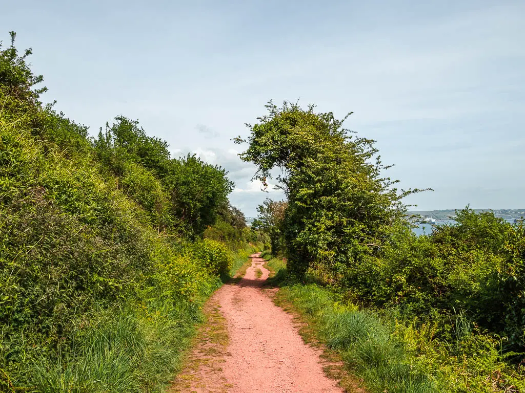
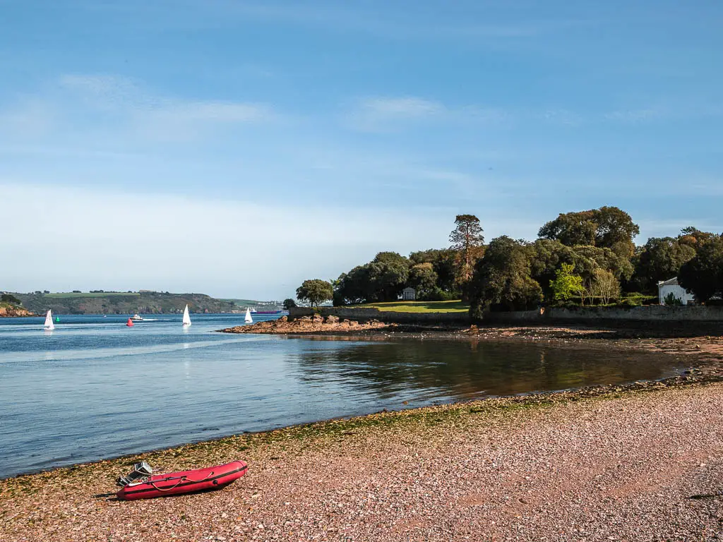
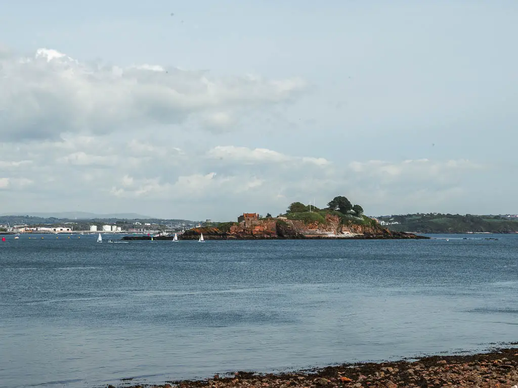
A good chunk of this first part of the walk between Cremyll, Mount Edgecumbe and Kingsand is woodland, with some views out to the sea, Drake’s island, and a navy boat.
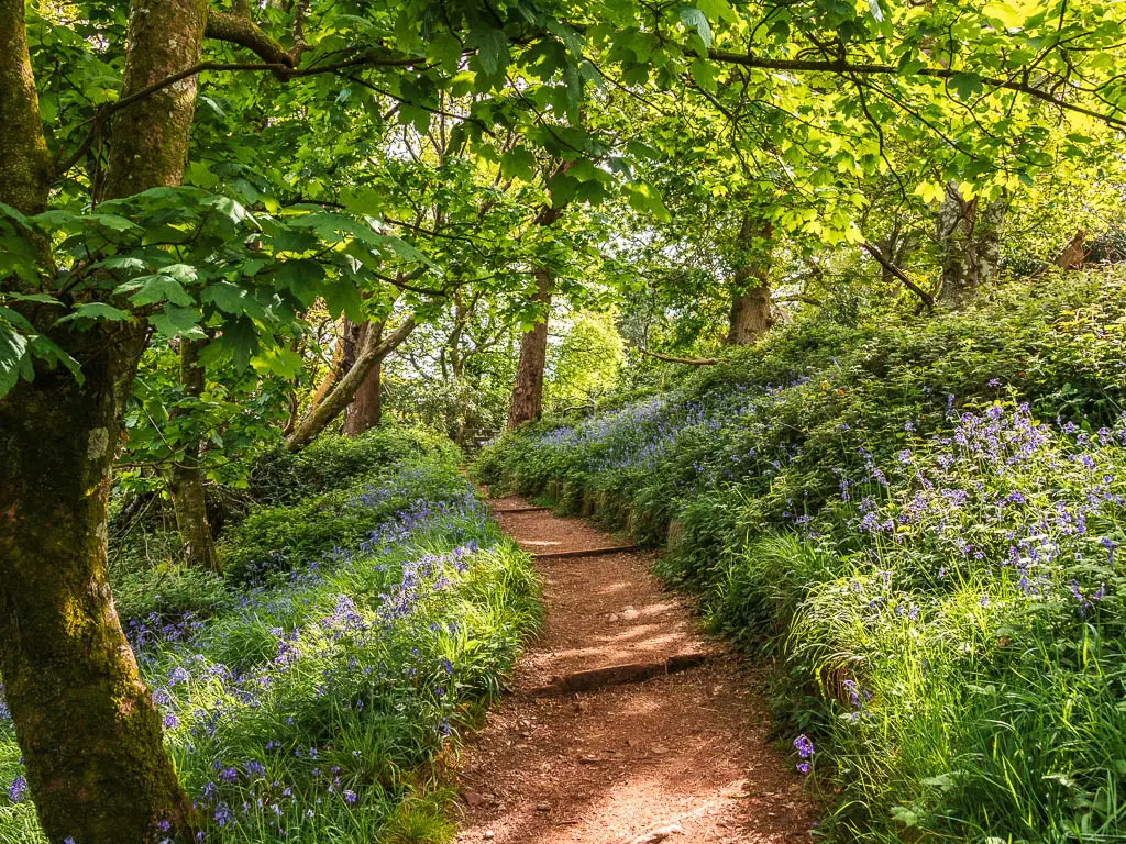
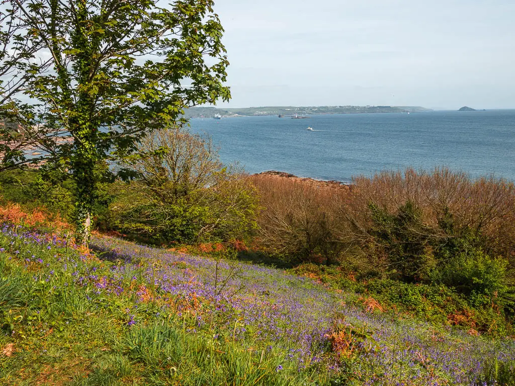
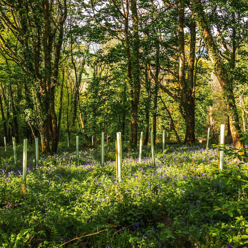
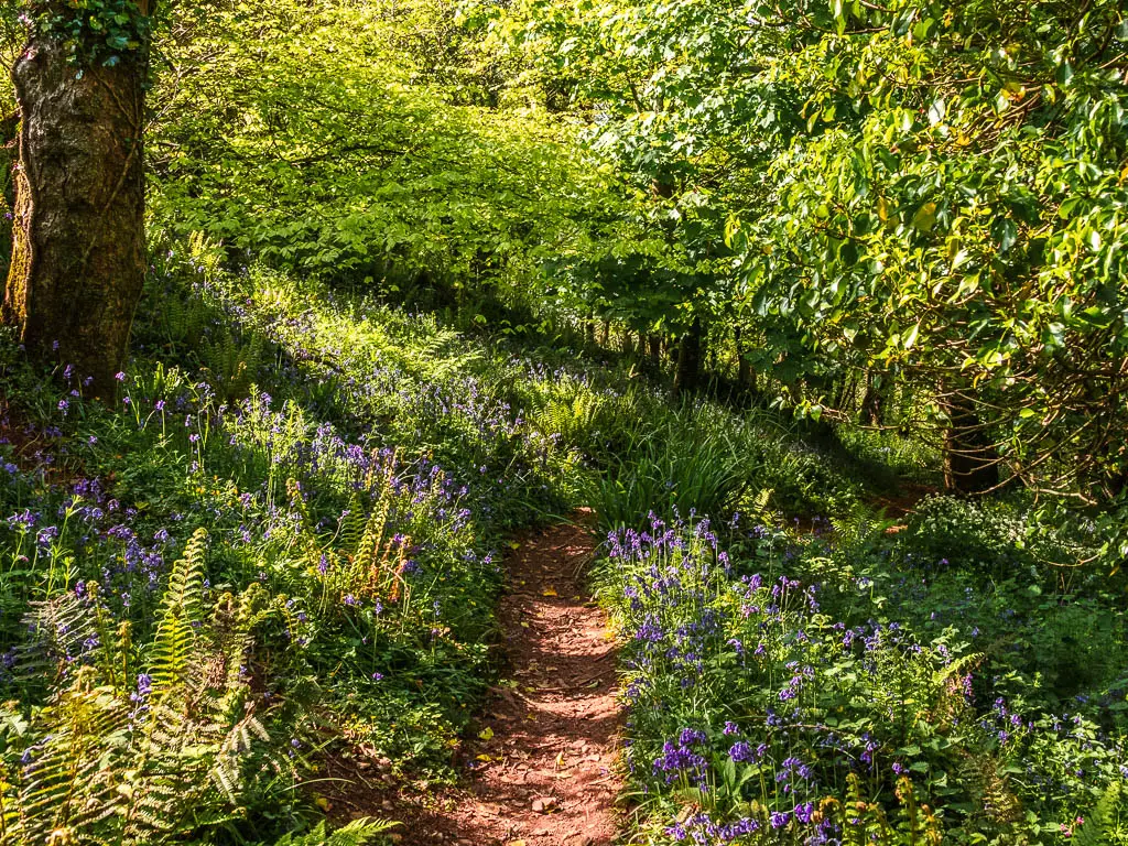
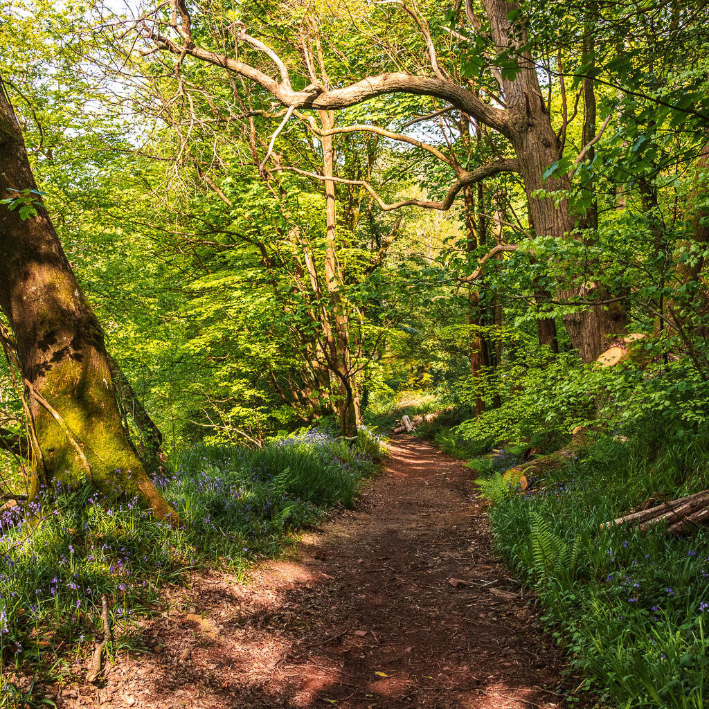
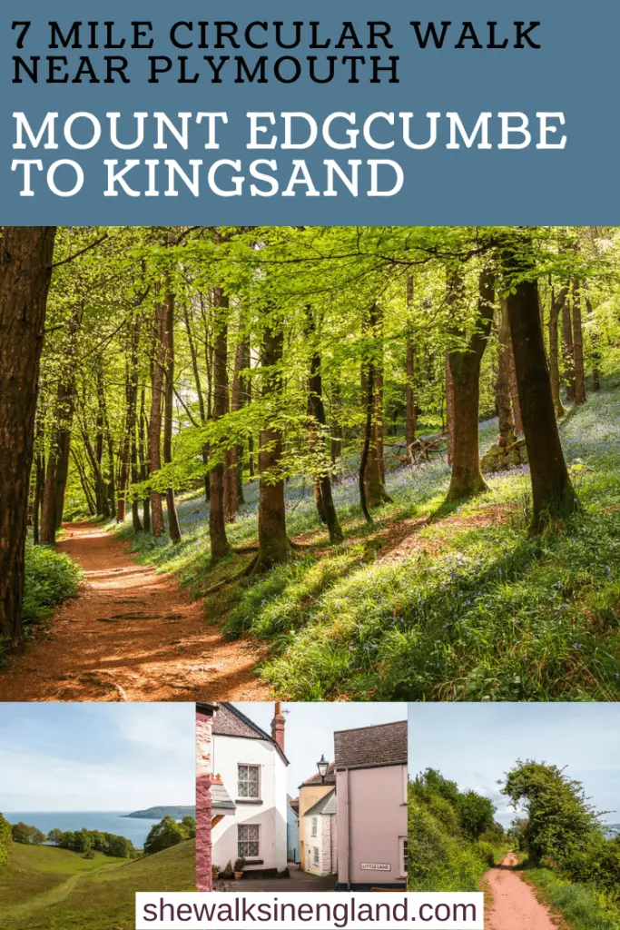
Part of the woodland features something which I wasn’t expecting. One of the reasons I had to come back….the bluebells. So many bluebells.
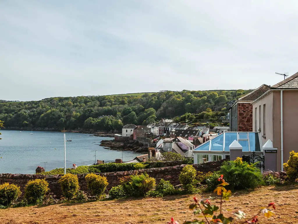
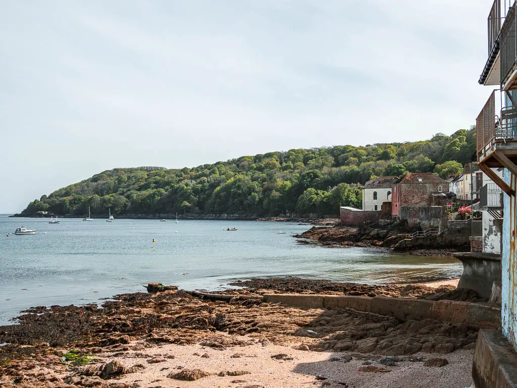
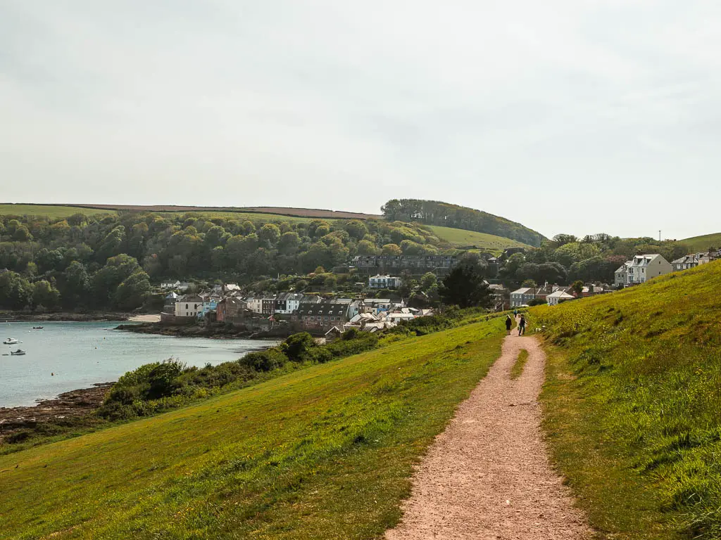
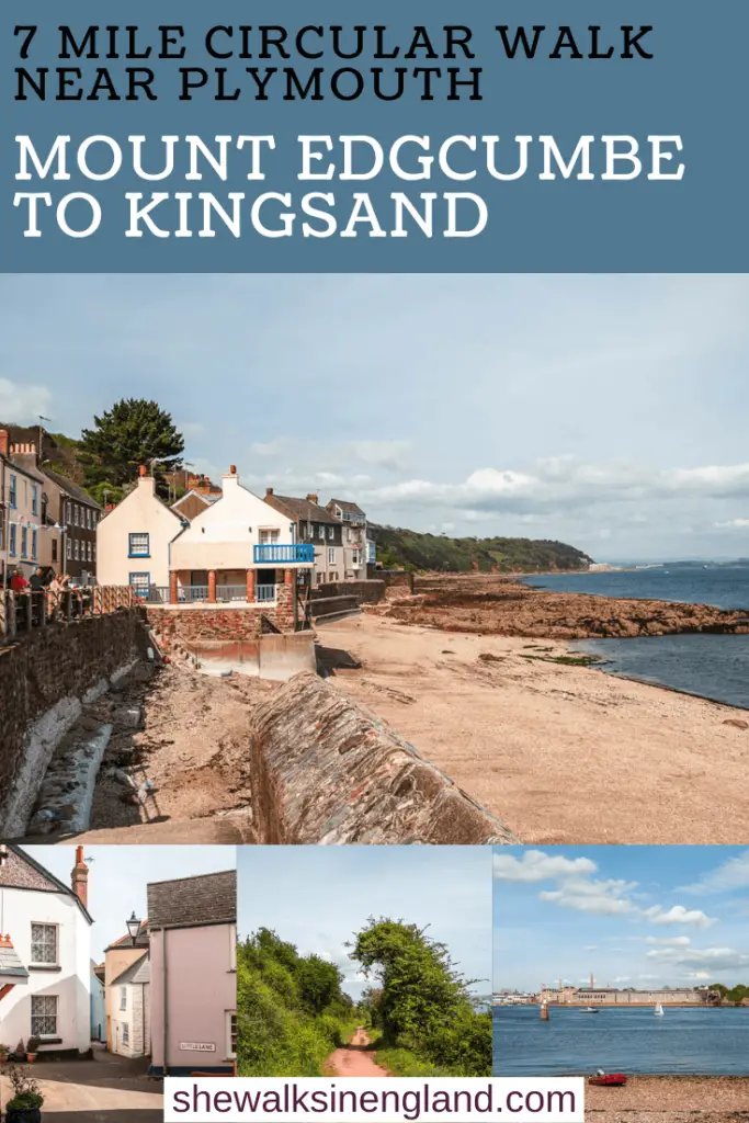
As you get nearer to Kingsand, it’s less woodland and more open with views. You will have a fantastic view over to Kingsand, which I’m sad that my photos don’t do justice. The sun was directly in front so the photos are a bit poo.
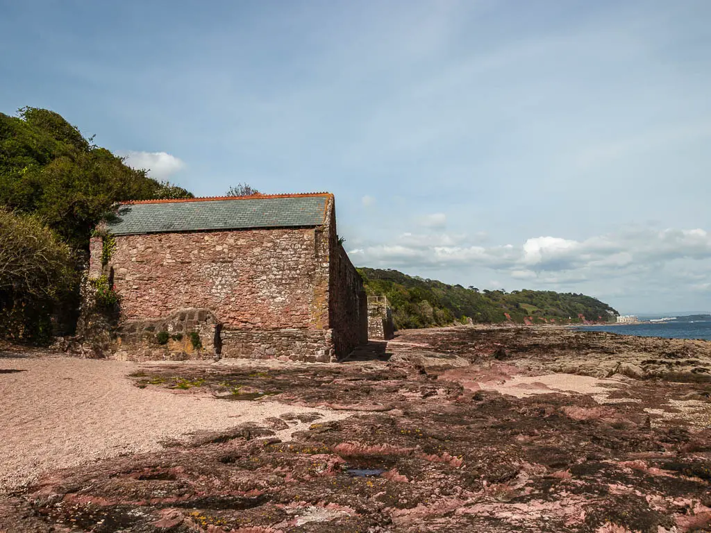
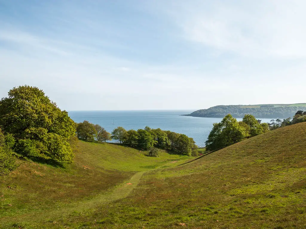
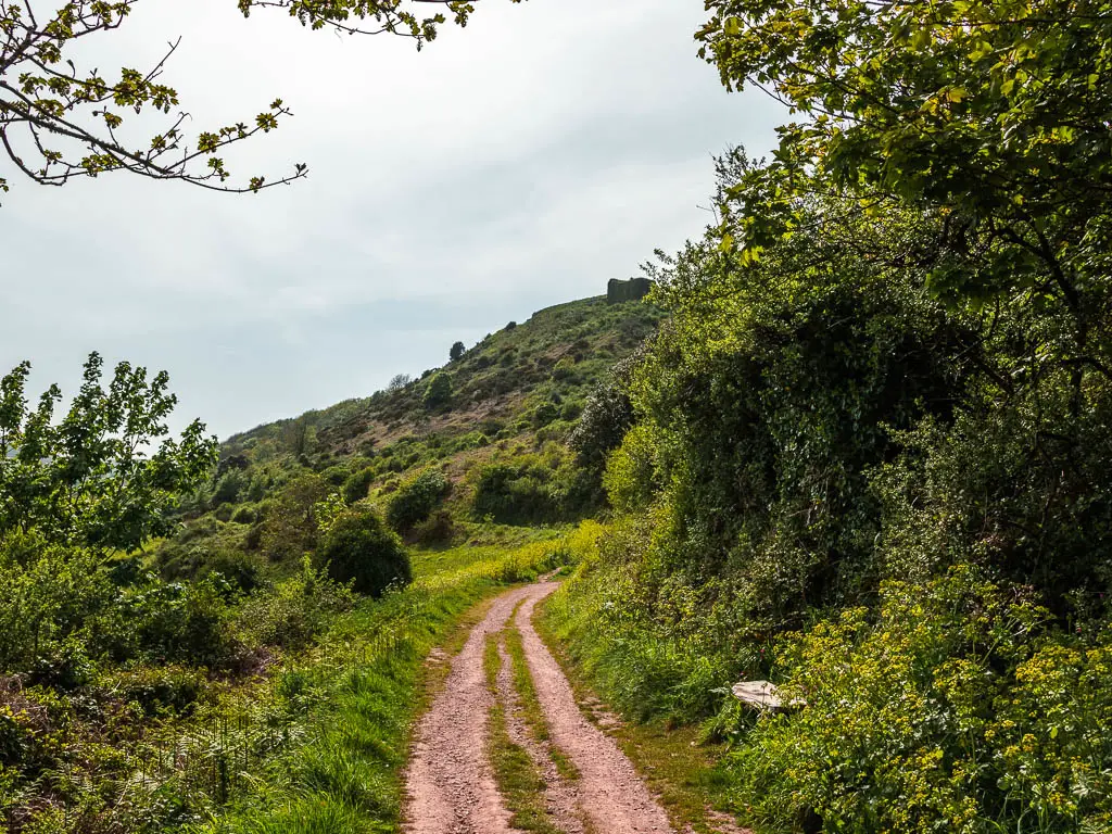
For the walk back from Kingsand to Cremyll, you will start off on really cool rocky ground, and then walk up a big hill for fantastic fear reaching views. You will walk across and over to the other side, where there is more woodland, and lots more bluebells.
Logistics for the Cremyll and Mount Edgcumbe to Kingsand circular walk
- Start/Finish: Cremyll pier. Post code: PL10 1HX.
- How to get there: There are regular ferry boats between Plymouth and Cremyll, journey time 8min. Bus number 70 runs between Plymouth, Kingsand and Cremyll. Plymouth to Cremyll by bus is long, about 1h30, which is why the boat is better.
- Distance: 7 miles
- Time: 2h 20min
- Terrain: Dirt trail, gravel, rocks, grass, some steps, a small bit of road and asphalt
- Difficulty: Easy
- Options to shorten the walk: Yes – see tips
- Dog friendly: Dogs are allowed on the ferry. No stiles.
- Amenities: Cremyll has a pub – The Edgcumbe Arms. Kingsand has a few pubs, a bakery and Spa shop. Mount Edgcumbe Country Park has a restaurant, garden cafe and public toilets. There is also a car park at both Cremyll and Kingsand.
- Time of year: Spring
Tips for the walk between Cremyll, Mount Edgcumbe and Kingsand
- Some parts look like they would be muddy if it’s been raining. If that’s the case, think about your footwear choice.
- If you want to shorten the walk, you have the option to get a bus back to Plymouth (or Cremyll) from Kingsand. If that’s what you plan to do, then take the trail that I walked out on. That’s the better one of the two.
- Mount Edgcumbe is a manor house and country park and gardens. I only scratched the surface, so feel free to explore the area more and visit the manor house.
- When in Kingsand, pop over to Cawsand. It’s the twin village to Kingsand, and is a cute little cove where you can also do water sports.
- Do the walk in spring for all the flower and bluebell goodness.
- The Cremyll Plymouth ferry runs every 30min, and costs £2 one way for adults.
- There is a section of the walk over at Kingsand which I have a feeling might be under water at high tide. I don’t know for sure, but to be safe, try to avoid high tide for the walk. I will show you the section I mean when I describe the walk below. You can check the tide times here.
If you would like to try out some other activities around Plymouth, Viator has a range of guided or self-guided tours you can choose from.
Map for the Cremyll and Mount Edgcumbe to Kingsand circular walk
More walk ideas near Cremyll and Kingsand will be at the end
If you fancy trying something a bit different, you could join this comedy walking tour of Plymouth. You are guided by an award winning comedian, who shows you around all the highlights and hidden gems.
A Guide To The Mount Edgcumbe To Kingsand Circular Walk
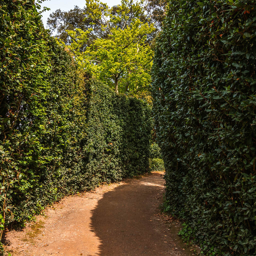
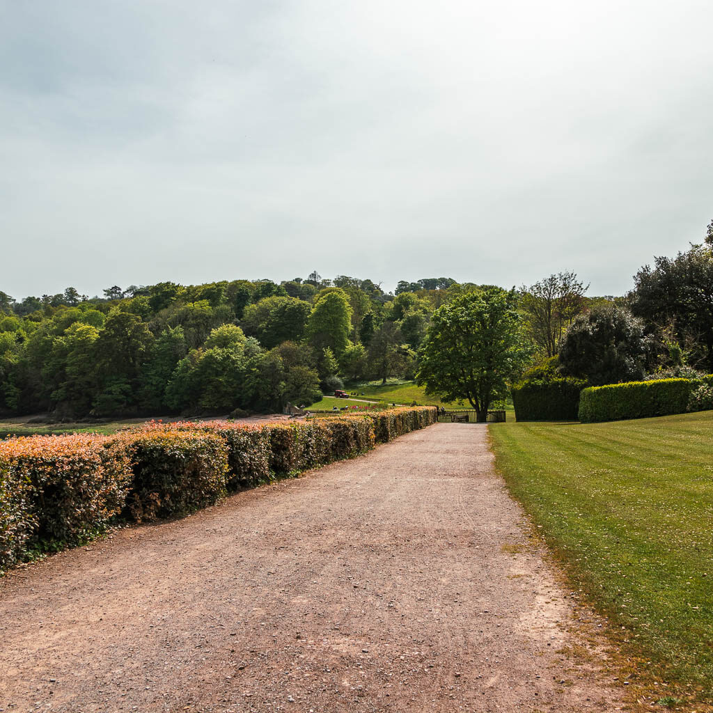
Off the boat, walk towards the entrance to Mount Edgcumbe. It’s quite obvious. When you enter the grounds, turn left and walk under the arch of the building ahead. Continue on the path with the cafe and wisteria on your left, and fountain on your right, to reach the trail lined with tall hedges.
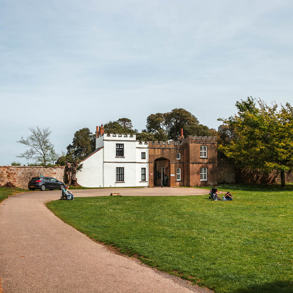
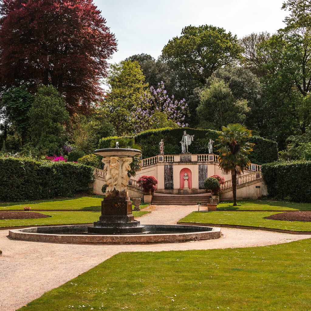
Past the hedges you will be on a big wide gravel type path, with views to the sea to your left. You can see Drake’s Island from here, and probably a Navy ship.
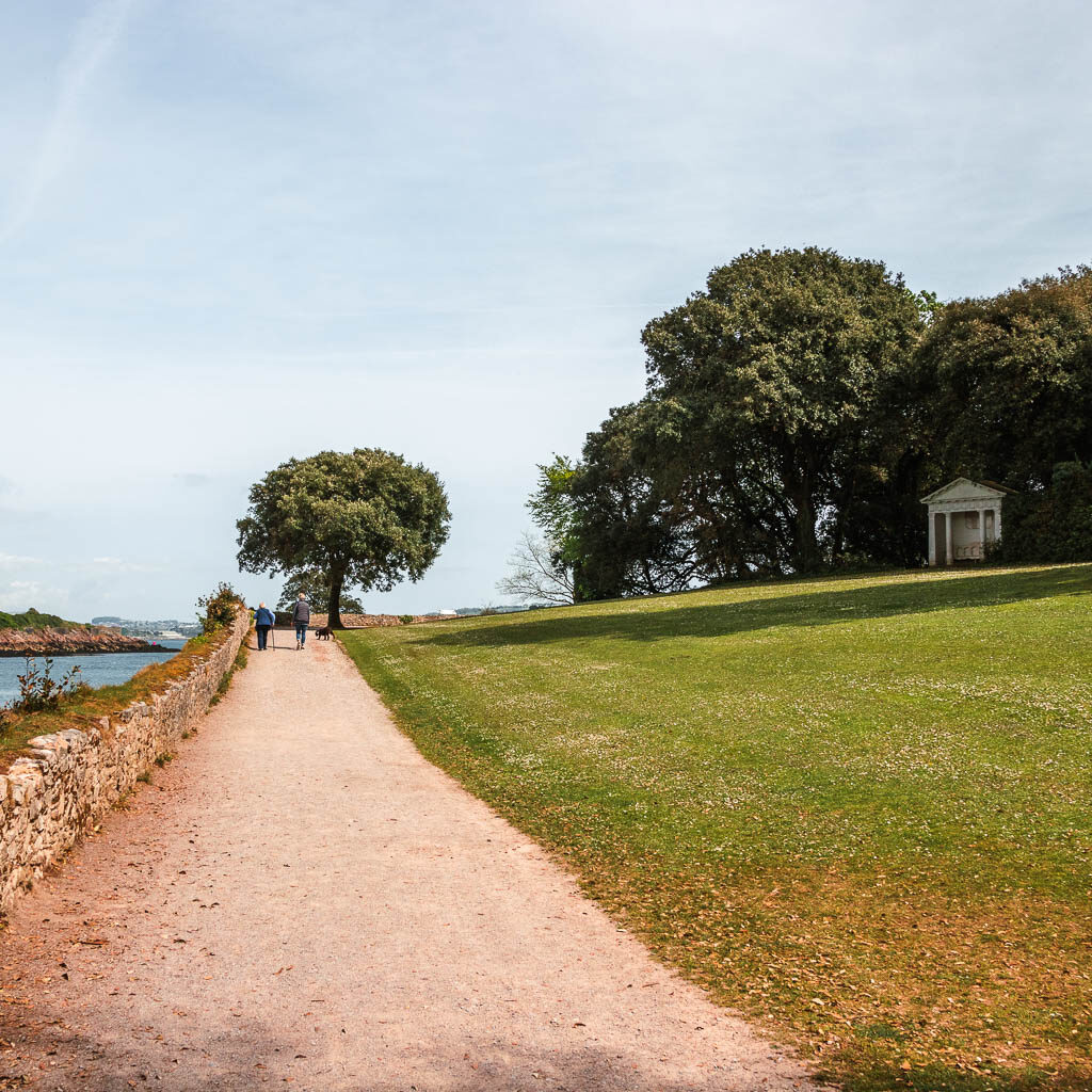
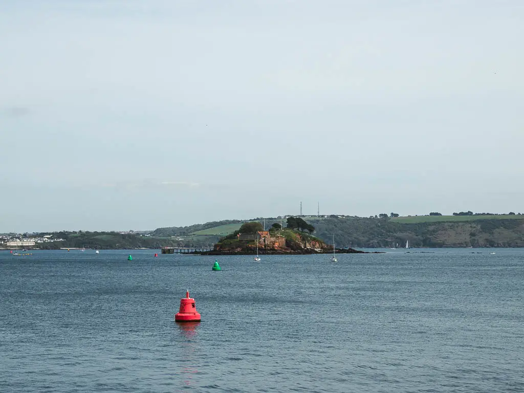
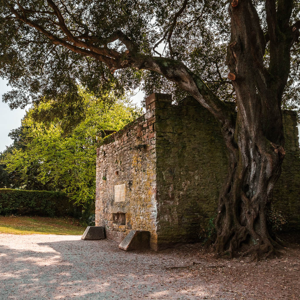
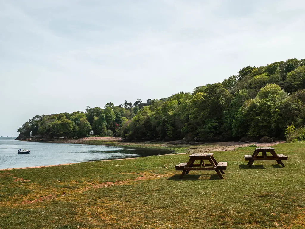
Now stay on this trail and follow it around, past the ruins and then a green area with picnic benches.
The flowers
Past the green, follow the trail up to the left and under the trees, and along a trail lined with lots of pretty flowers. There is a sign saying that these flowers are National Camelia. The thing is, they looked like white bluebells to me.
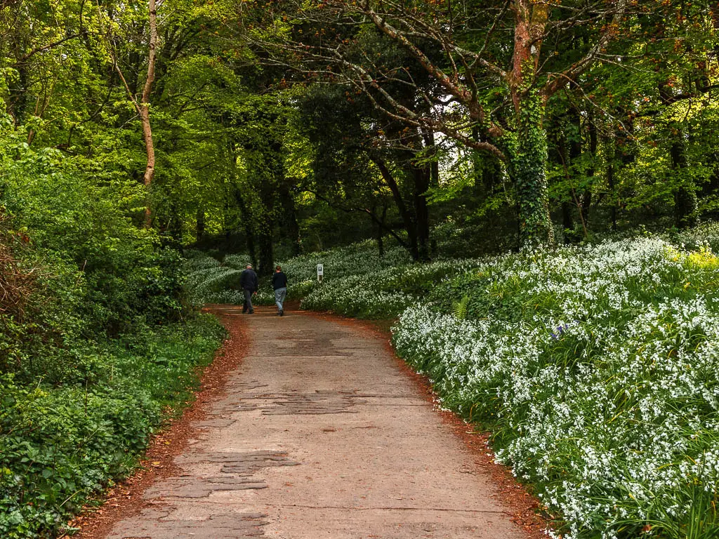
Continue on this trail, as it then leads you down and out of the woods.
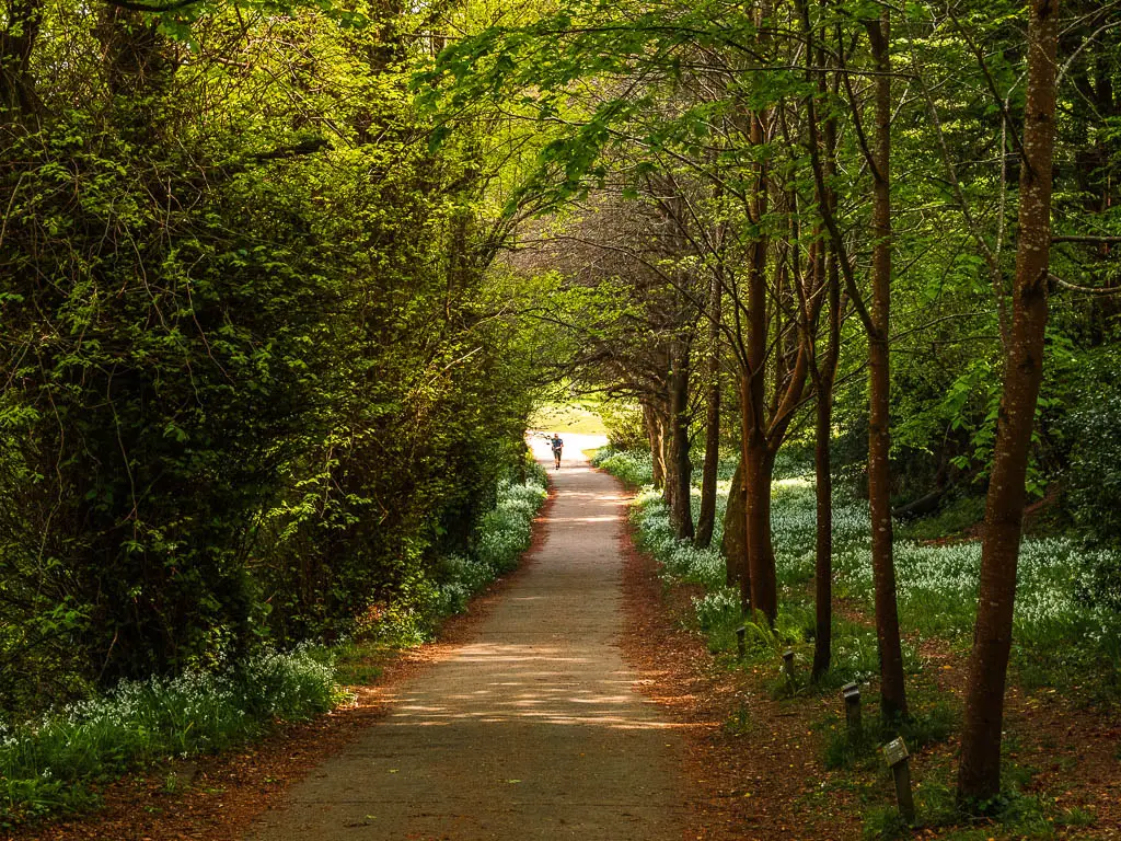
Out of the woods and into the woods
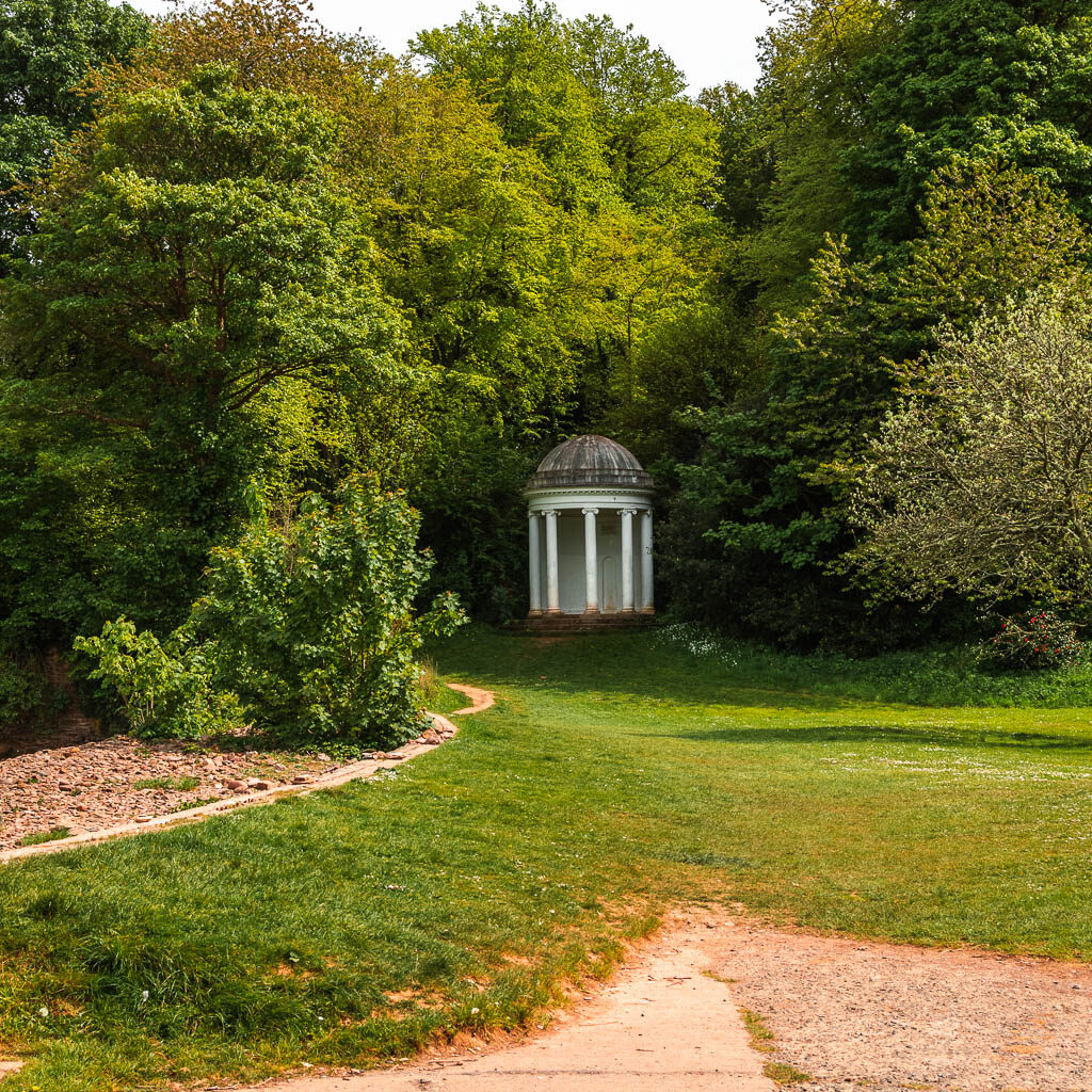
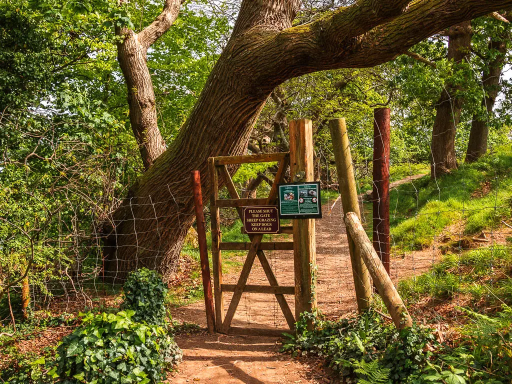
You should see a white structure ahead, I can’t for the life of me remember what these are called. Anyway, walk towards it, and then onto the dirt trail to the left of it. Follow the dirt trail up, and a bit further along, it will lead your through a big gate and along the side of a field.
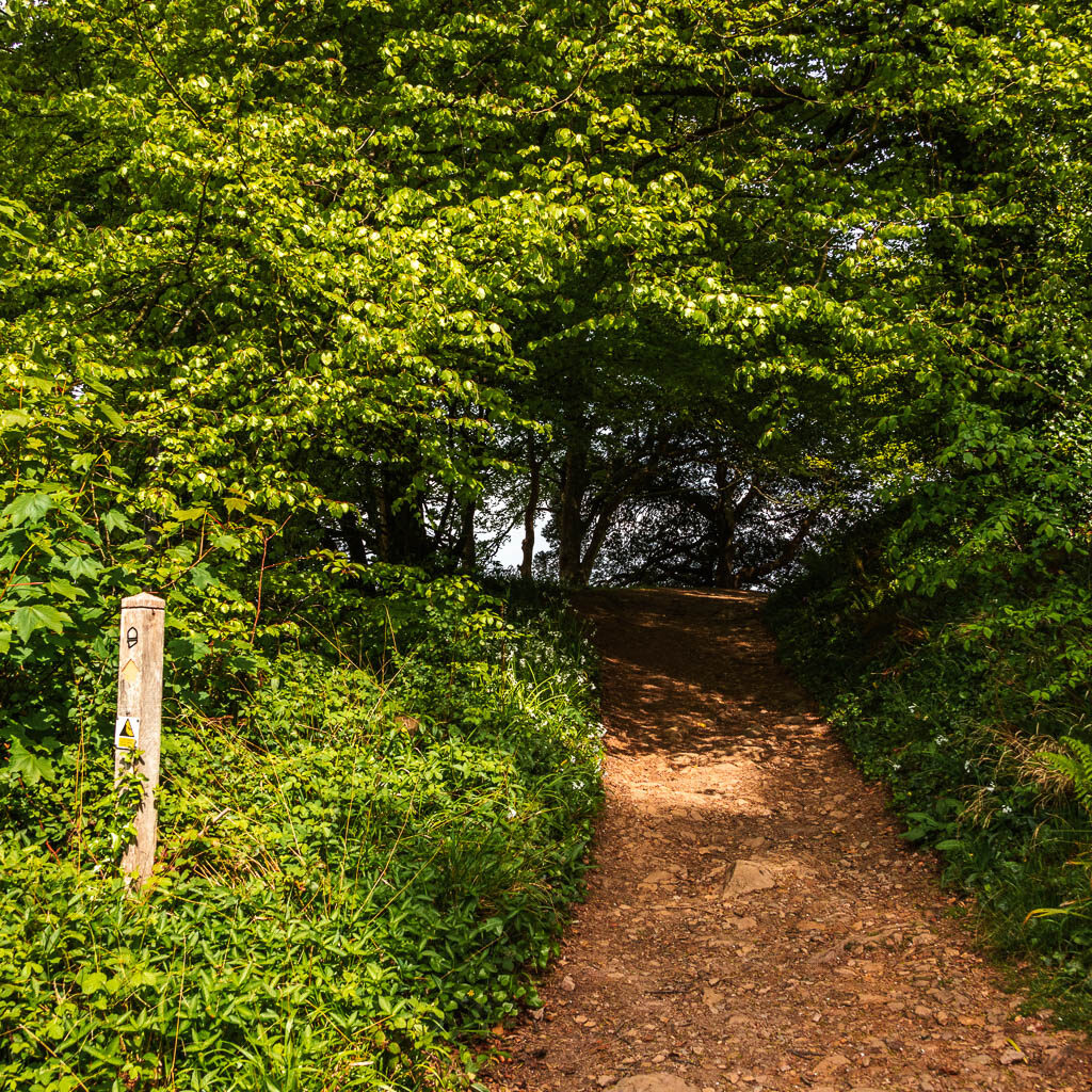
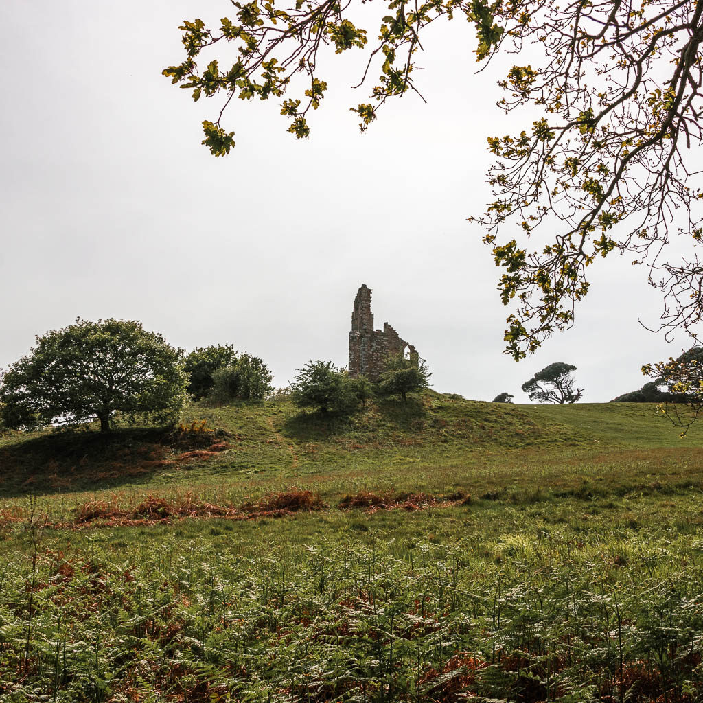
You should see some ruins to your right. Keep on this trail and it will lead you into some more woods.
The bluebells
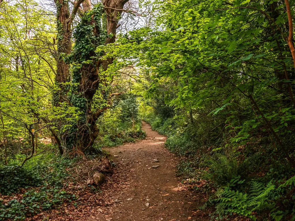
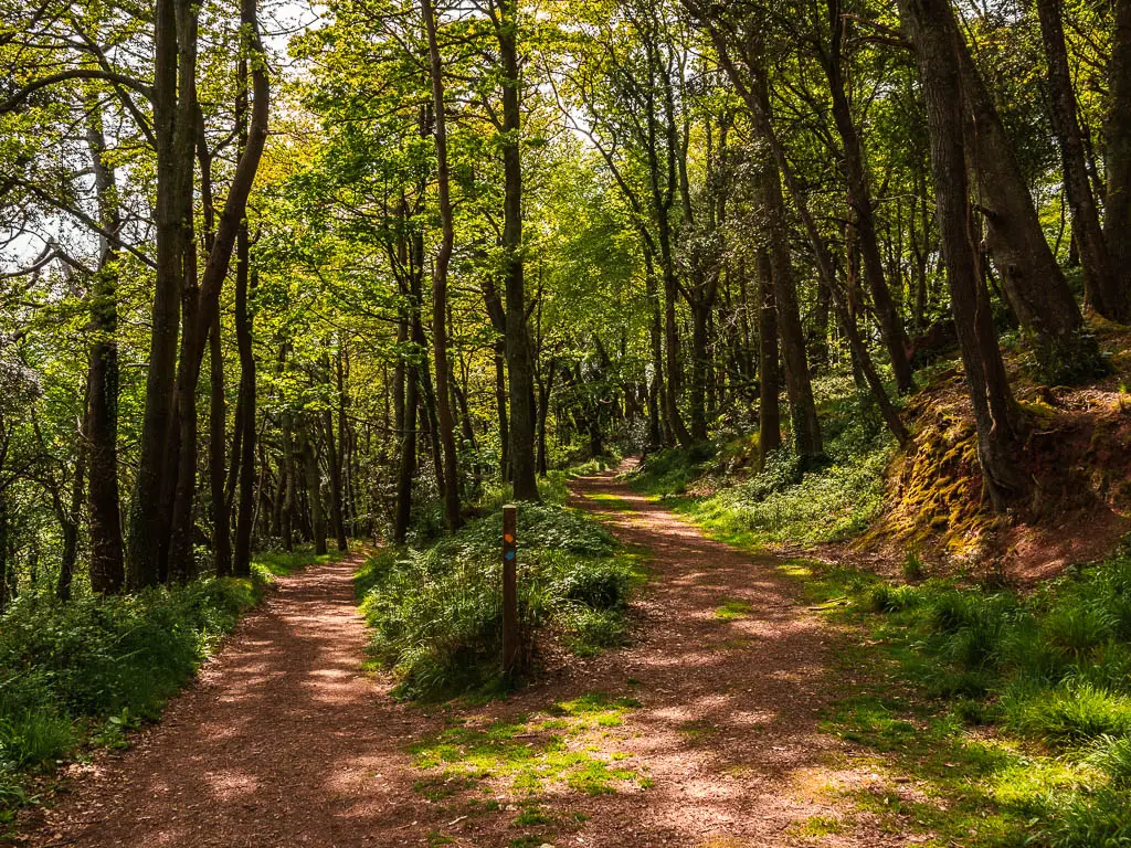
Continue through the woods on a wide-ish dirt path, and you will exit briefly to walk past a Tudor looking house, before entering the woods again. If it’s the right time of year, this is where you will get all the bluebell goodness. It’s like a bluebell carpet. My photos don’t really do it justice.
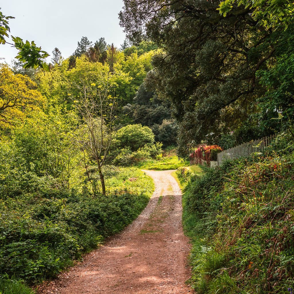
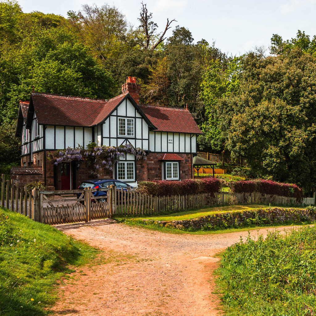
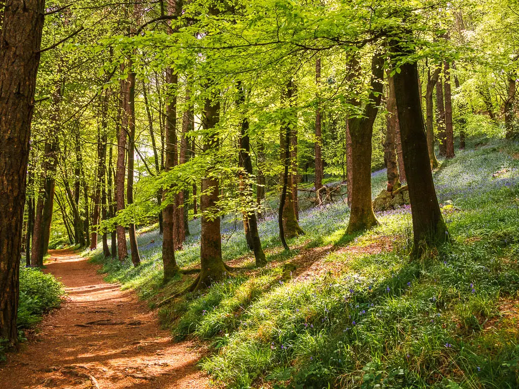
Follow this trail, as it does a hairpin bend, and then takes you to some steps.
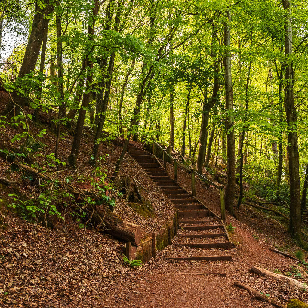
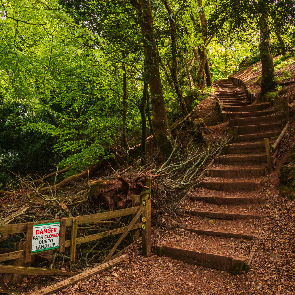
Next to the second steps, there is usually a path, but it had been closed due to landslide. I think that way is the official coast path way. Anyway, you go up the steps. At the top you will have some more bluebells to send you off.
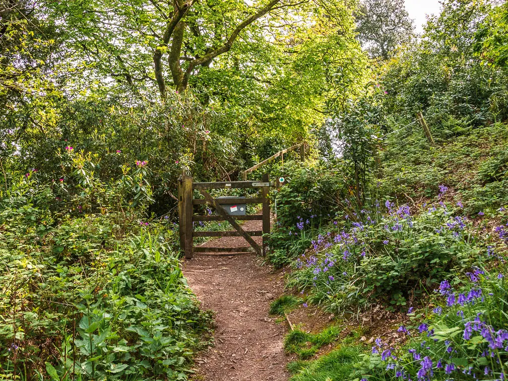
More woods, some views
Through the gate, you should have some views coming up, to a strip of land with a lighthouse, and maybe the Navy ship again.
Past the next structure, you will have some downhill.
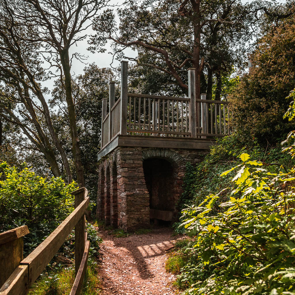
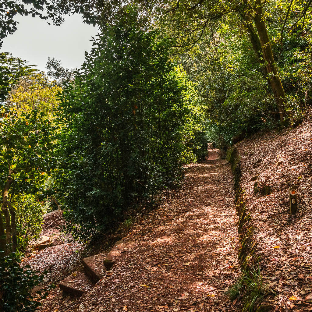
It’s interesting down here. There are all these random steps. It felt a little secret garden vibes. For this walk though, stick to the main trail. You might have a tree obstacle coming up to climb over. There is also a trail split coming, either way is fine I think. I took the right one, and down a short steep bit. Here there will be the trail that had a landslide on the left. You go right.
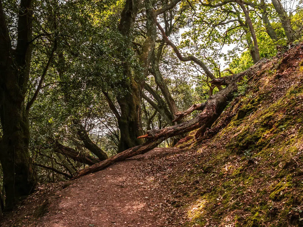
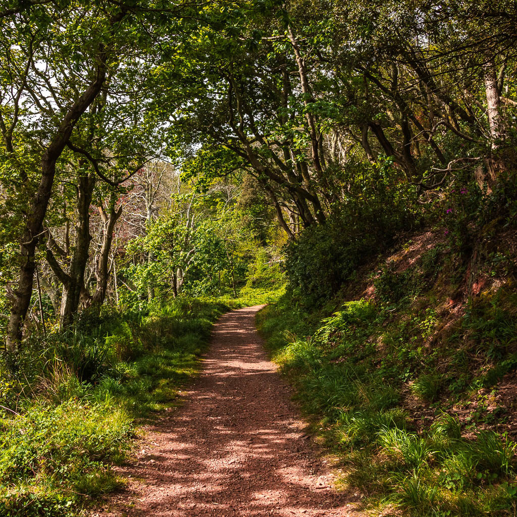
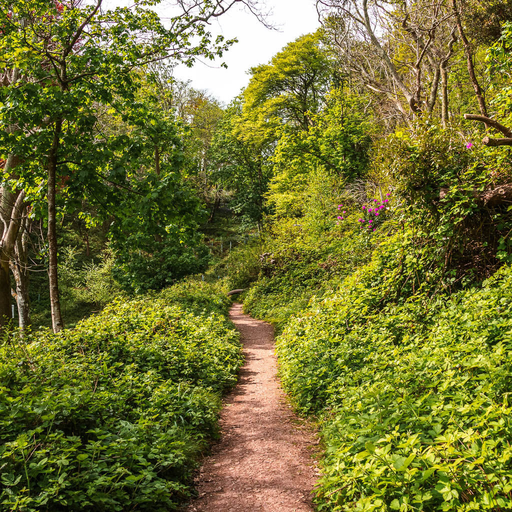
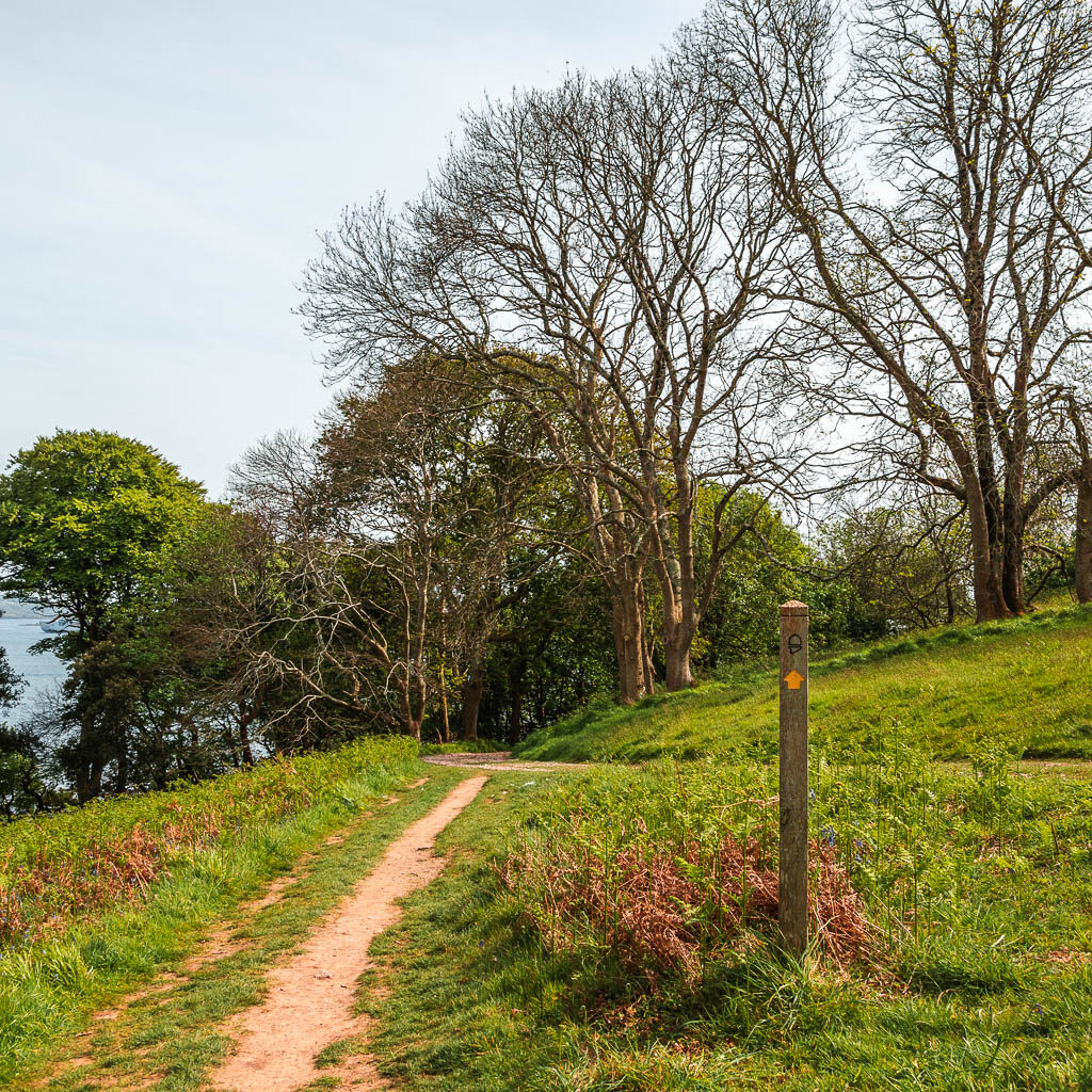
It’s now some more walking surrounded by trees and bushes and passing by another structure. Then at the trail split with the yellow and blue arrow, follow the yellow arrow to the left.
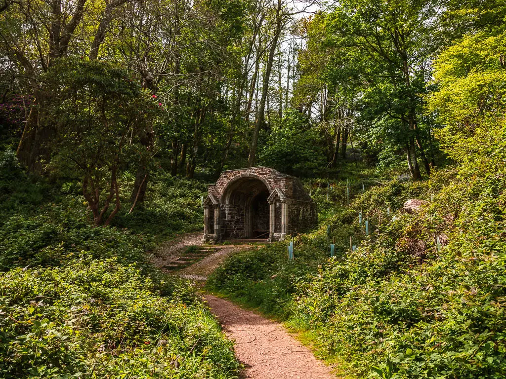
Walk out of the woods to the first view to Kingsand
The trail will lead you through a gate and out of the woods, where you should get a lovely view over to Kingsand. This is where I’m sad that my photos were hindered by the sun. It looked really good in person.
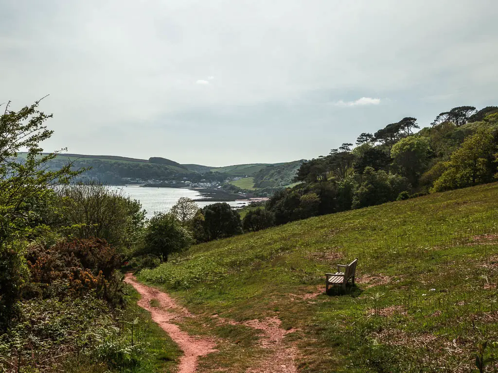
Follow the trail down the hill, then at the road, turn right, and take the next left to walk along the top of another field.
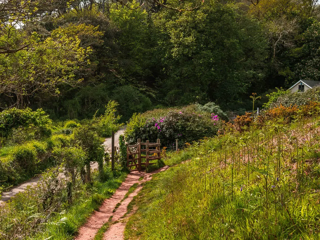
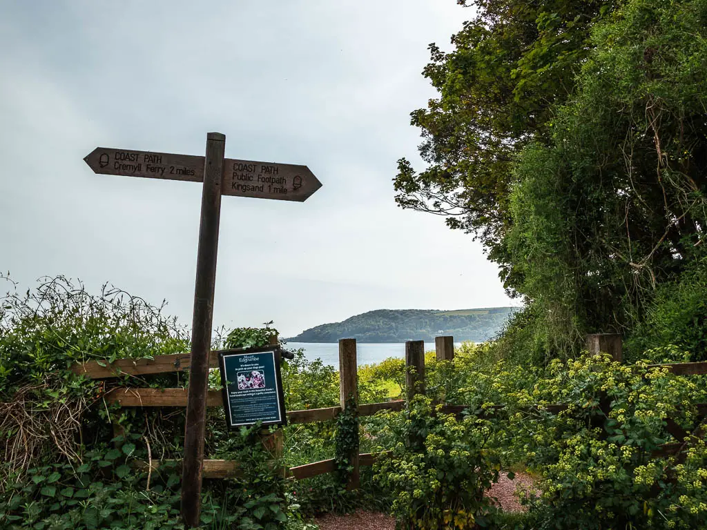
This is a nice trail, lined with bushes and tall grass, and a bit further along, another great view towards Kingsand. You might even get some more bluebells in the fields down to the left.
Walk to Kingsand
There is a point coming up where you could take a left trail leading downhill. I suggest not taking it, as this walk takes you on it after Kingsand, for the walk back through Mount Edgcumbe Park to Cremyll. So stay walking along this main trail, and it will lead you all the way to Kingsand.
Leave Kinsgand to walk back through Mount Edgcumbe to Cremyll
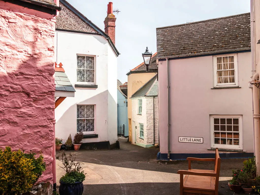
Now some fun stuff comes. To walk back, you will be walking on some rocks. You can get there from the beach, but I decided to walk along the streets to see some more of the cute buildings of Kingsand.
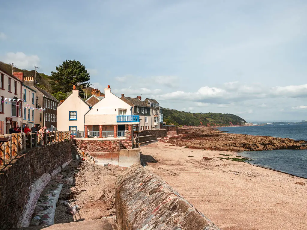
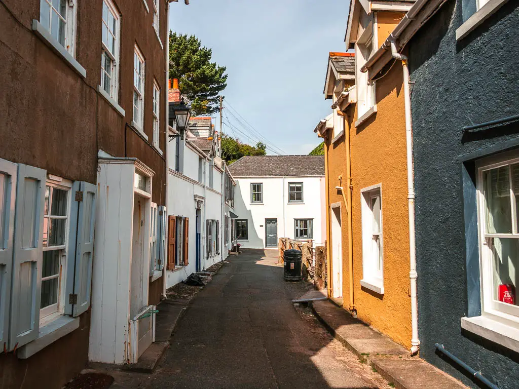
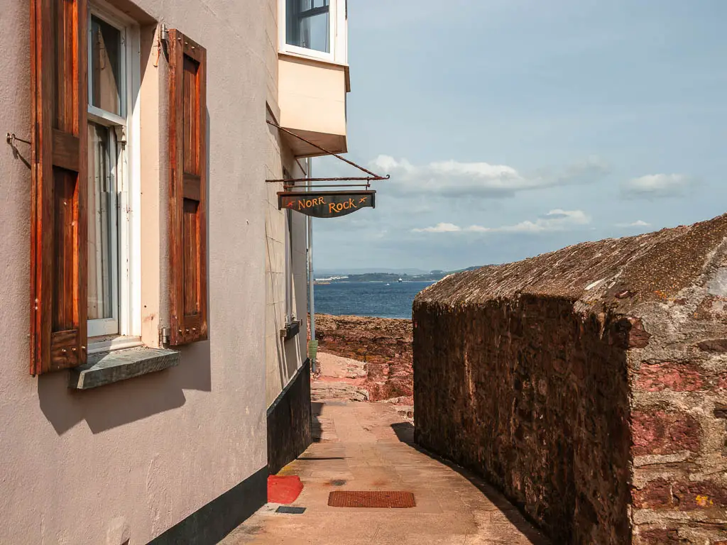
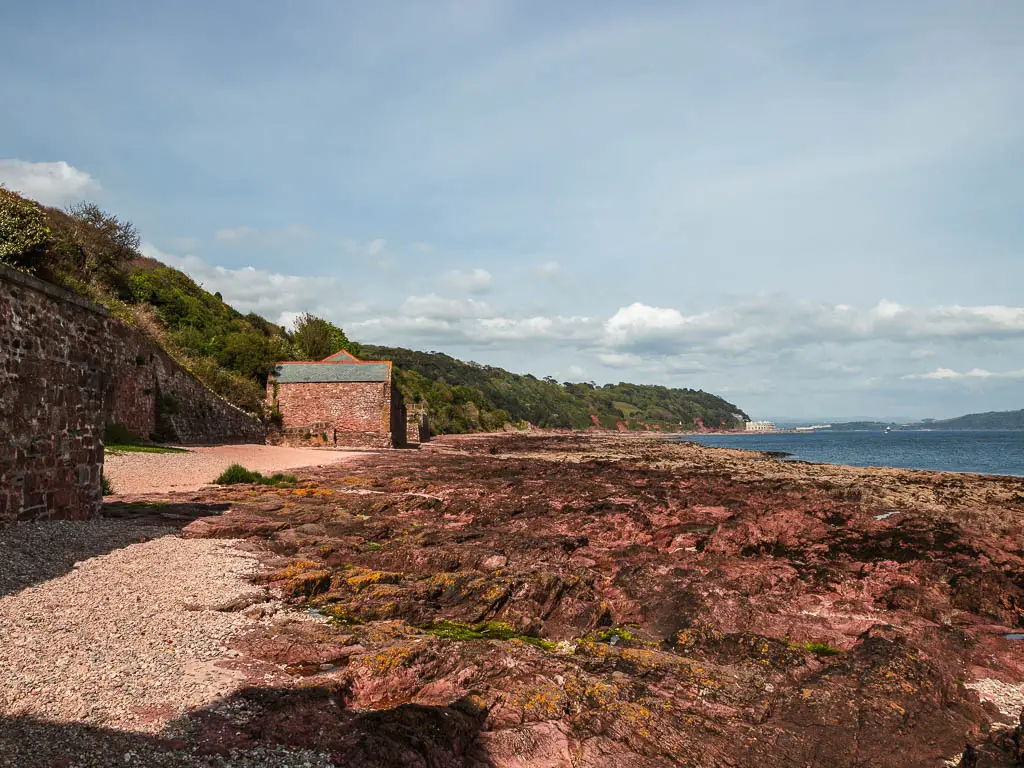
Note: I don’t know what this rock situation is like during high tide. Are they underwater? They looked like they could be. To be safe, maybe bare that in mind, and don’t do this walk at high tide.
Anyway, now walk along those rocks towards the green stuff.
Walk up the hill and partially back the way you came
When you reach the end of the rocks, take the little slither trail up, and then the left trail, to continue up some more. This will take you along the bottom of a hill.
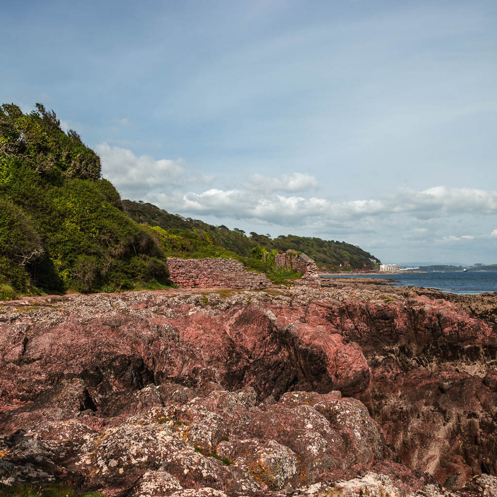
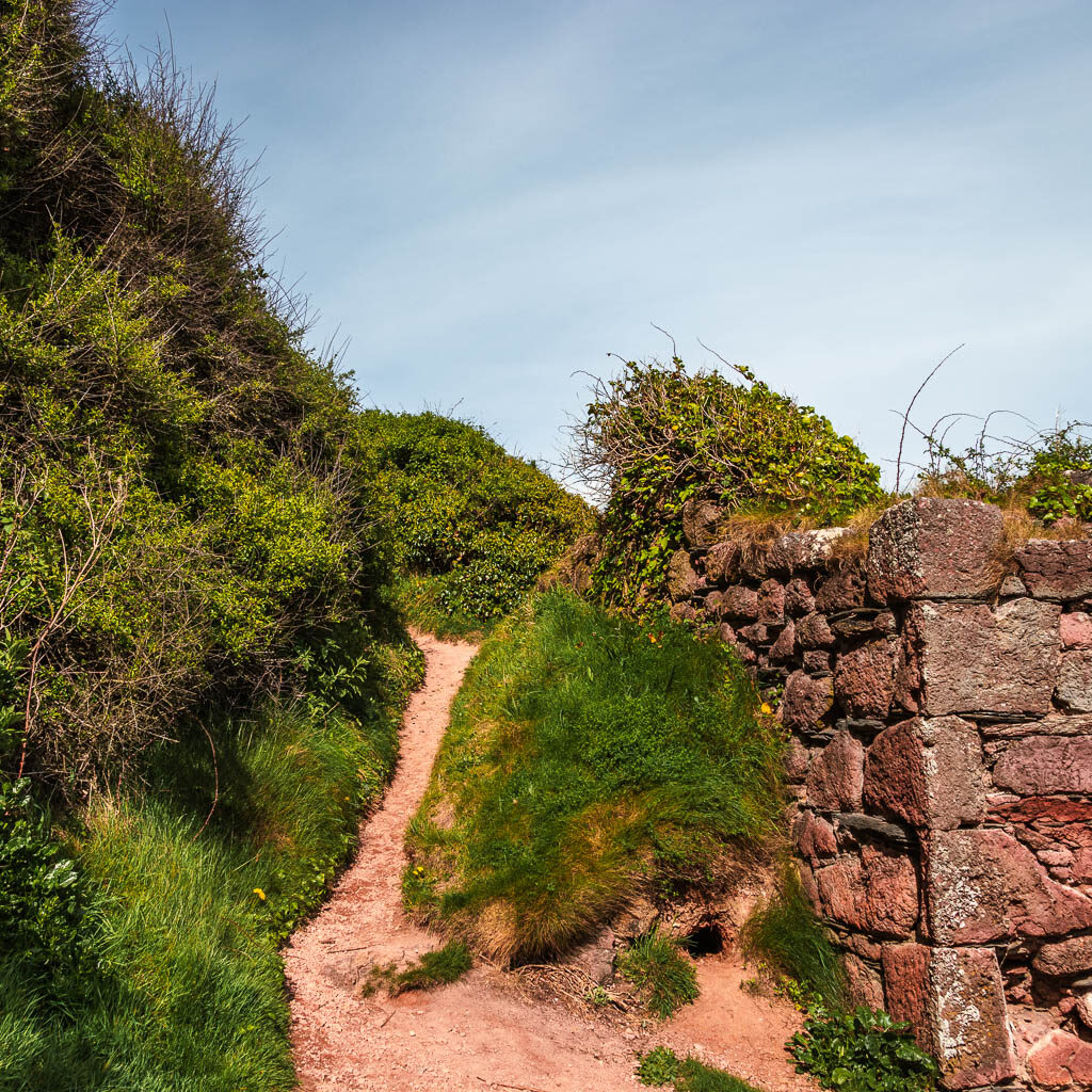
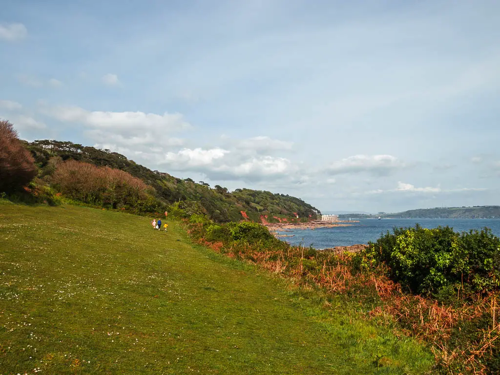
At the end, go uphill and through the bushes with another slither trail. Stay on this trail along the bottom, and further along it will take you uphill and back to the bigger trail you walked here on.
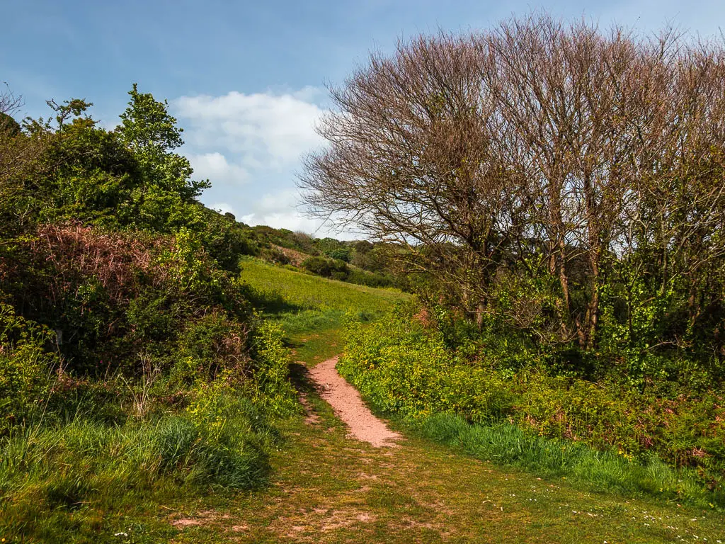
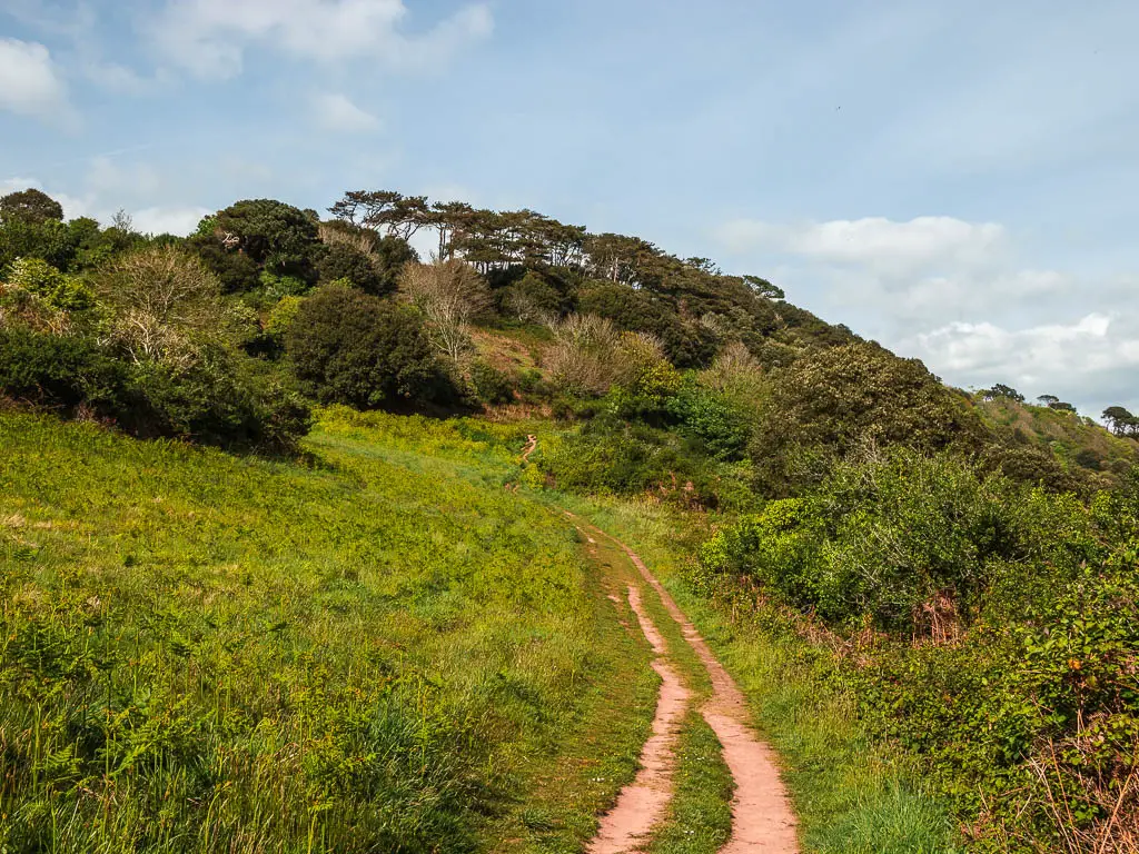
Now walk back the way you came on the bigger trail, back to that road, and then back onto that hill through the gate again. This is where things now get switched up.
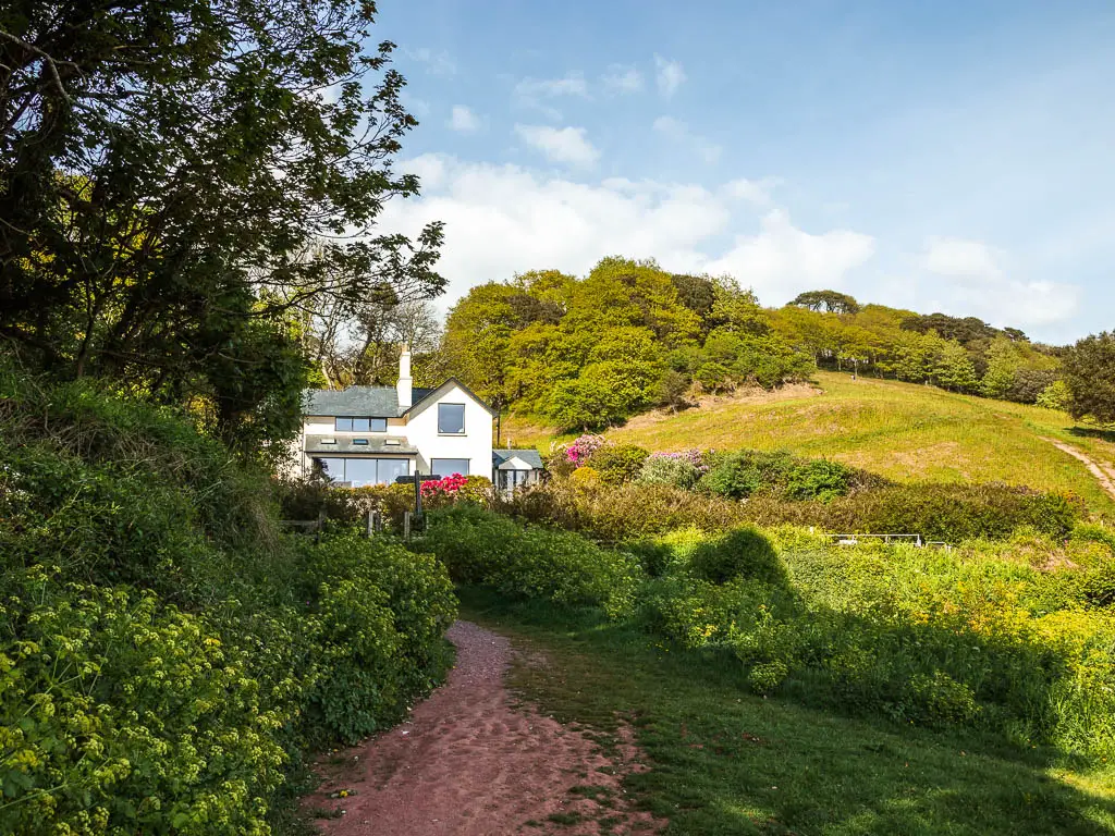
Walk up the big hill
You should see a trail going up the big hill. Go up it. You will start to get a nice view back from up here. But it gets better soon.
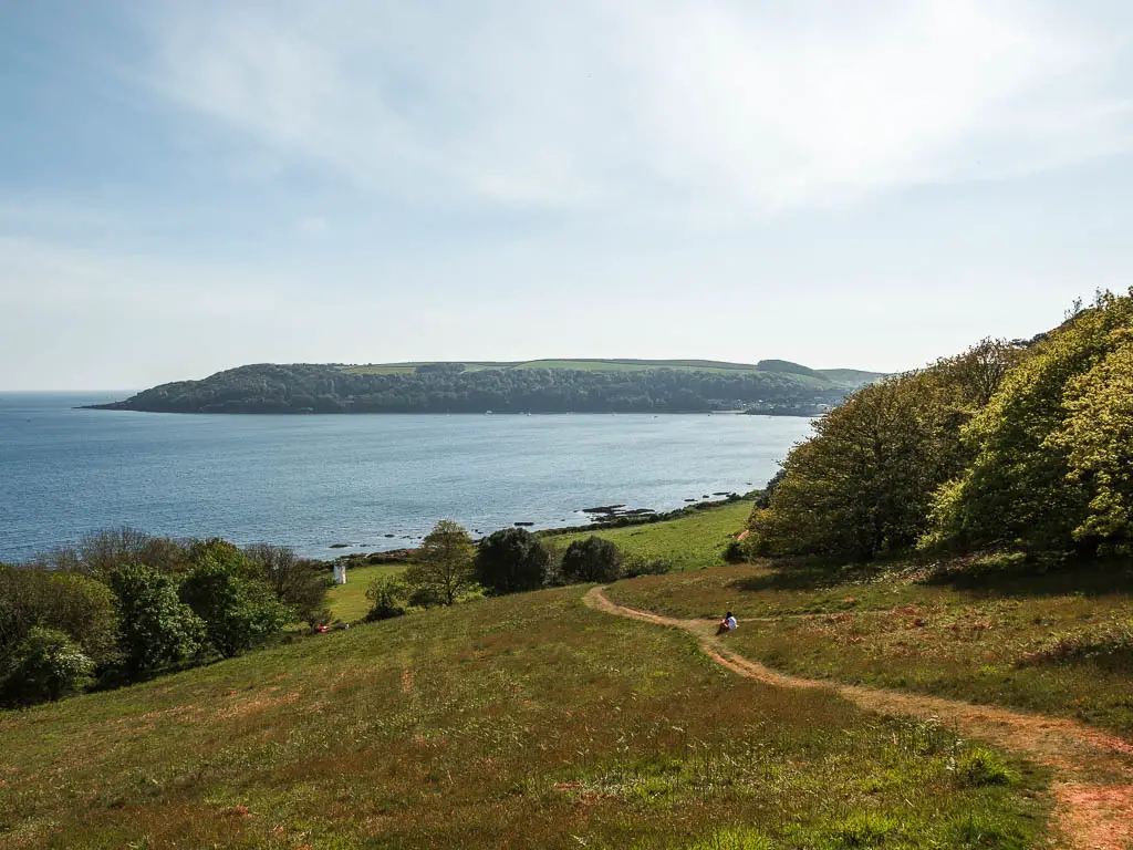
Some way up it splits in two. I took the right one, although the left might work. Anyway, if you take the right like me, when you reach the top, with a gate on the right, go left instead.
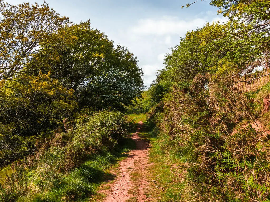
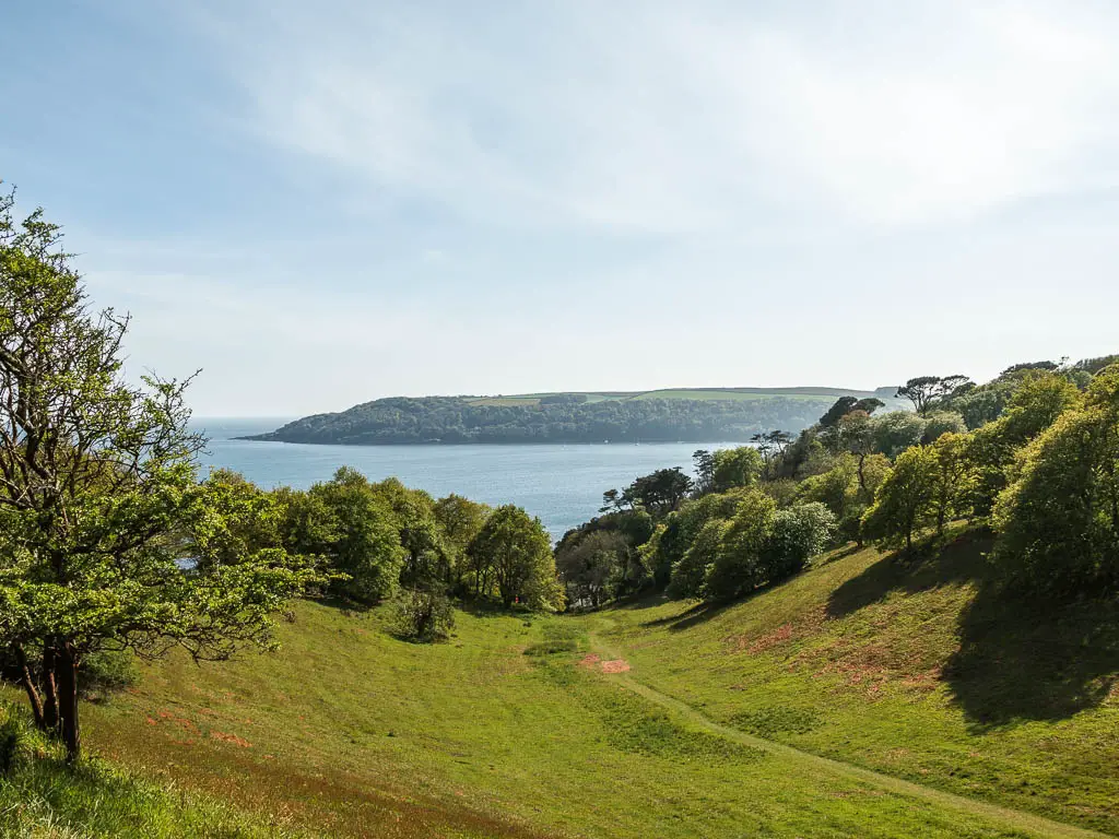
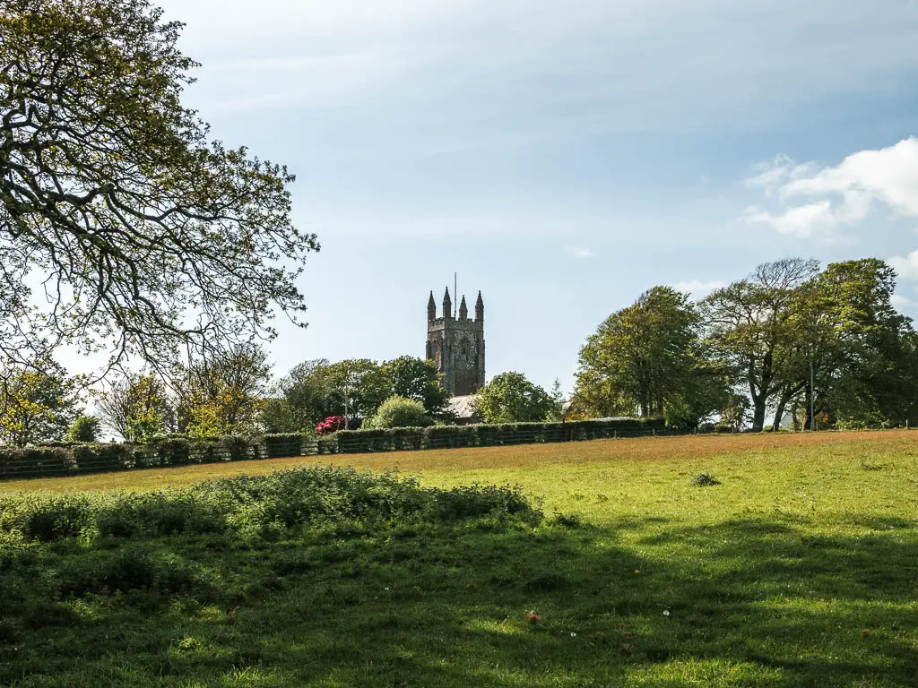
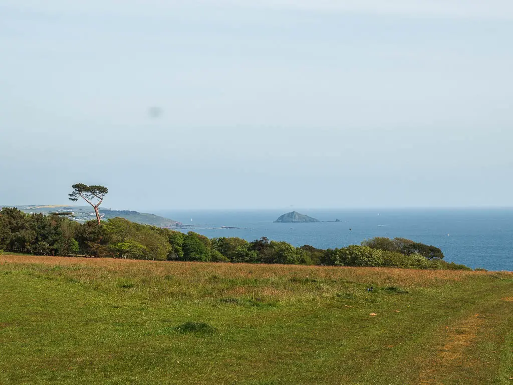
Now follow this dirt trail as it takes you around the valley, with a really lovely view back down. Continue following the trail as it turns to grass, and it will lead you up over the top of the hill towards a church.
Walk past the church and into more woods and more bluebells
Go through the wooden gate at the top, continue straight, then turn left and through another gate as you circle around the church. A short way further along, you should see a wooden trail signpost pointing to the right down the hill towards the woods. Follow it.
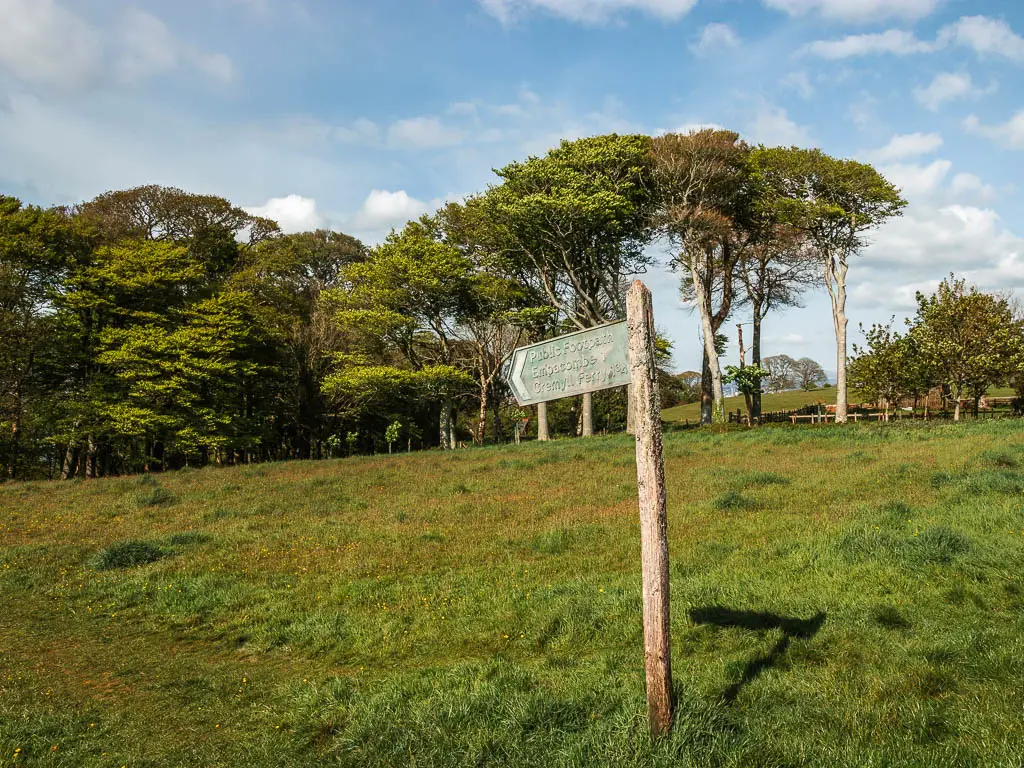
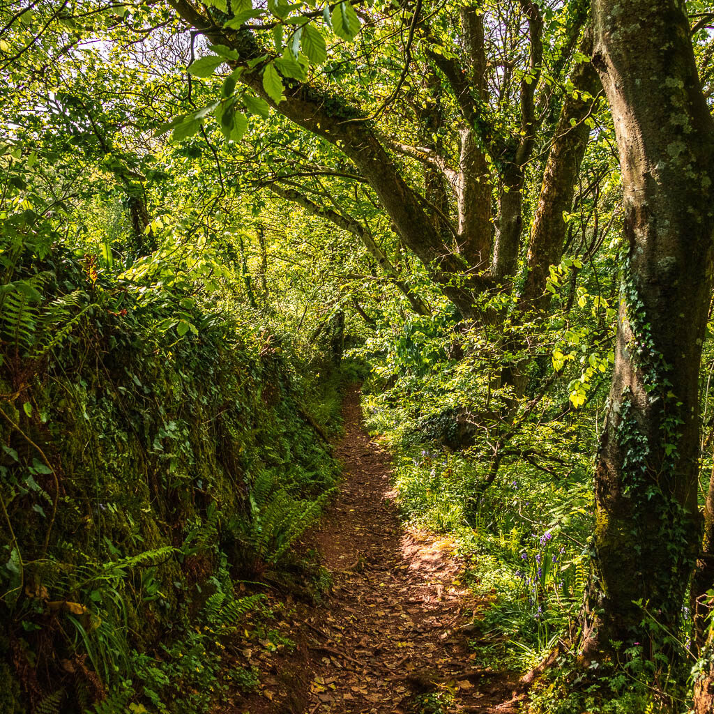
At the trees, you will go through another gate, and cross over the road to pick up the trail on the other side. You will now be on a dirt trail with a wall thing on your left. Continue down along it, maybe passing more bluebells.
The rope
At the junction at the end, you want to do a right left. What I mean is, turn right, then take the left trail off the bigger trail. This will lead you downhill some more, next to a rope railing type thing. Like in an adventure course.
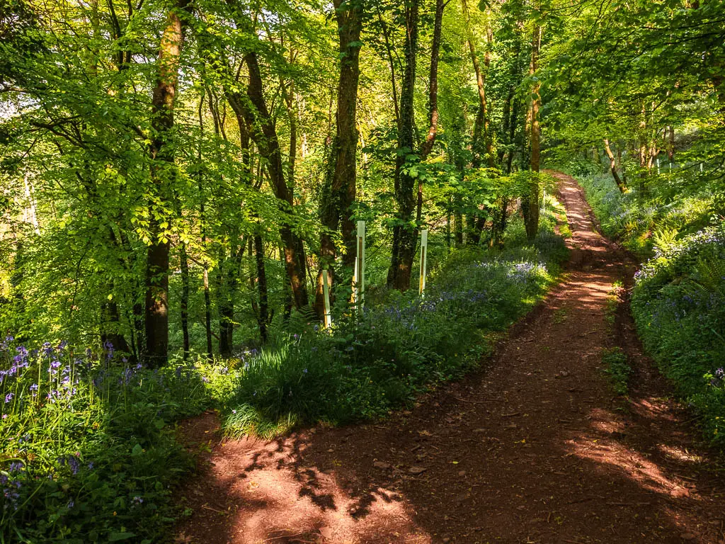
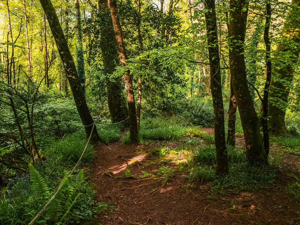
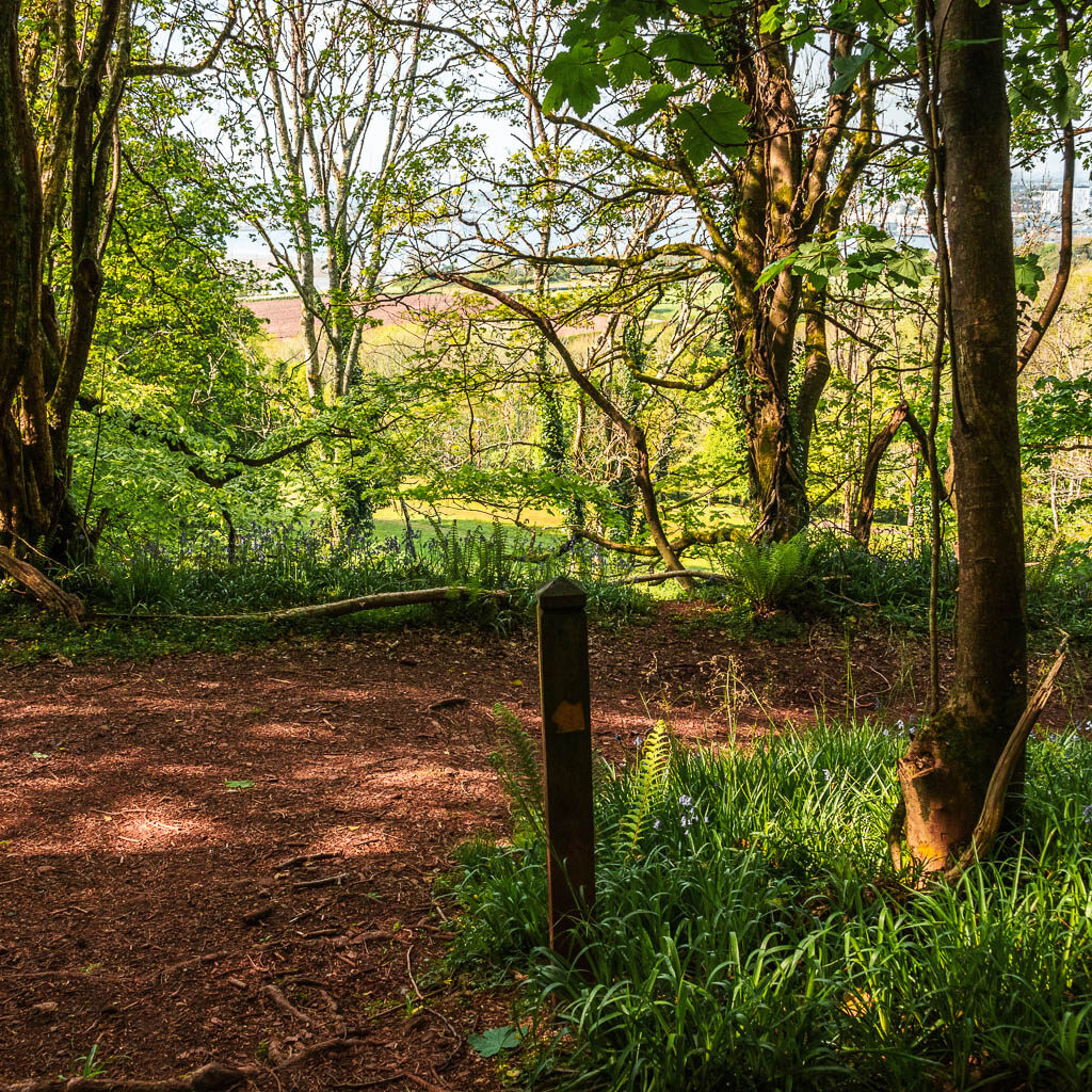
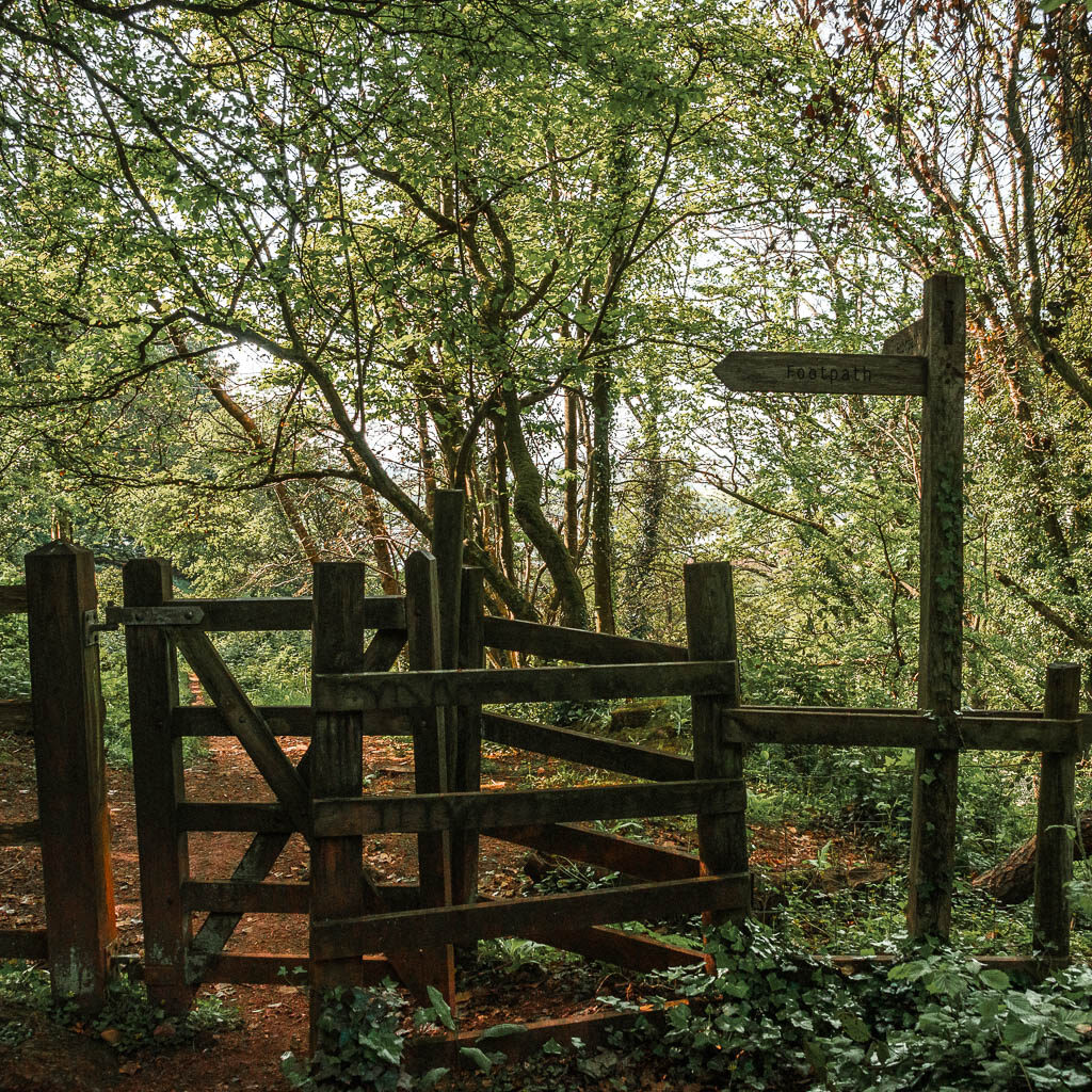
At the next junction, follow the yellow arrow pointing right, then a bit further along take the left through the gate. Through here, stay on the right trail, and it will lead you out of the woods and into a field.
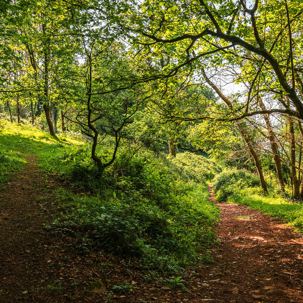
The fields
Continue straight across this field, with a view out to the water, then at the path at the end, turn left to walk through a metal gate onto the road.
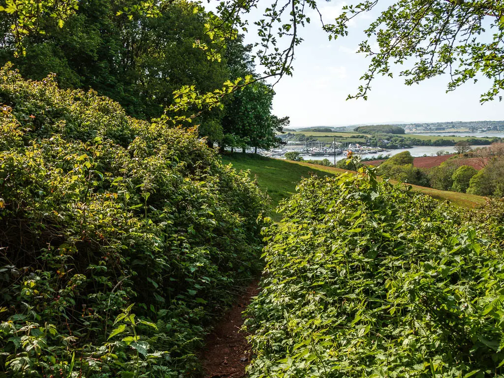
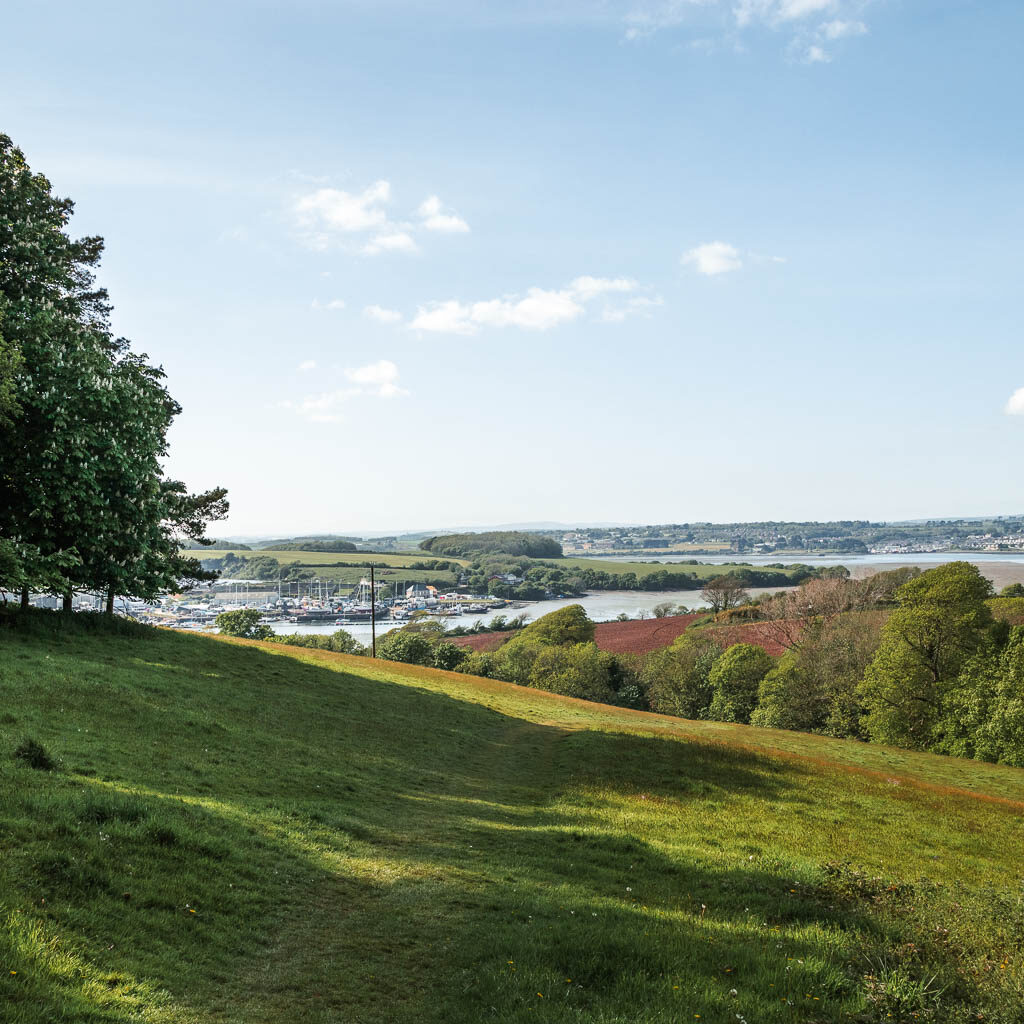
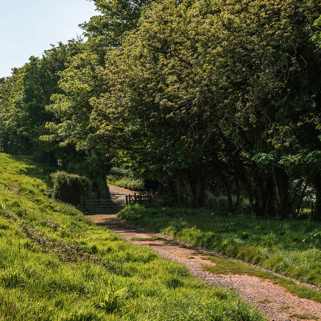
Directly across this road is a trail signpost by the stone steps. Go over them, and follow the trail to the right, where it will then take you along the bottom of a crop field. You will get some nice peaks of view to the water from here.
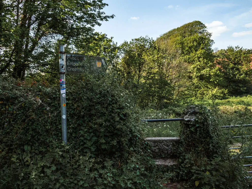
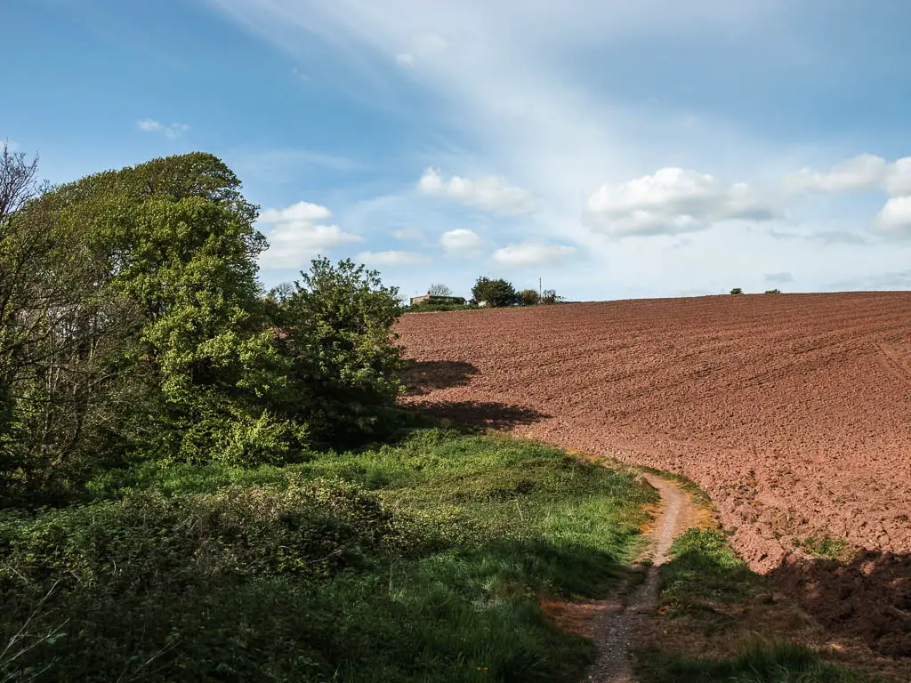
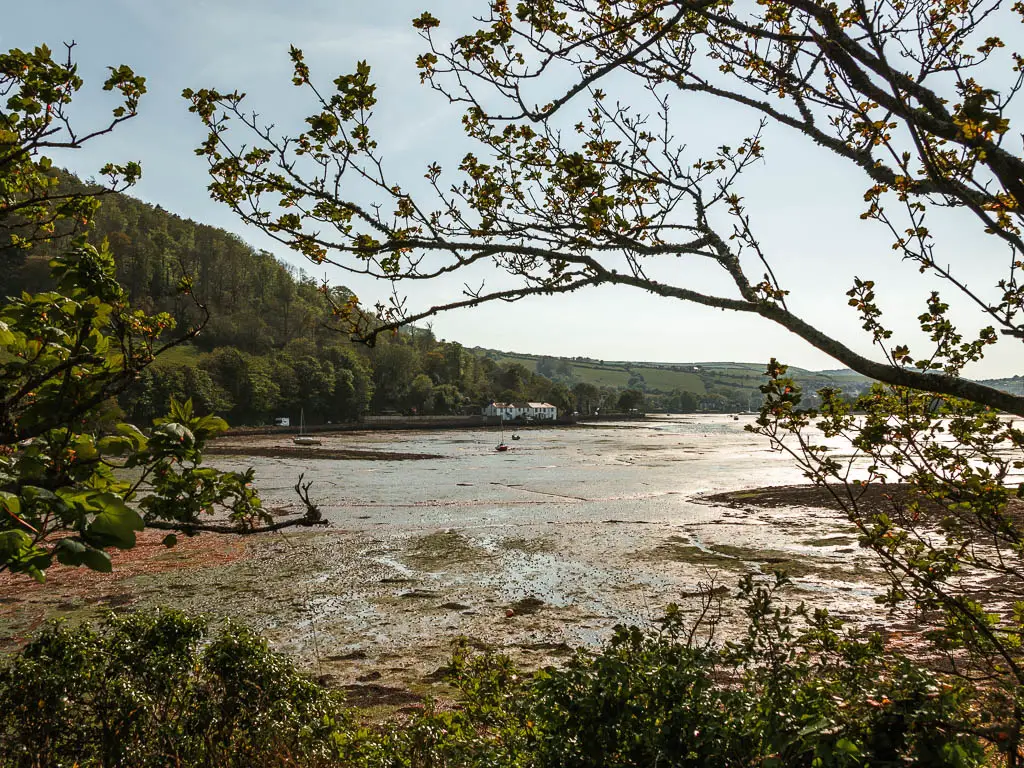
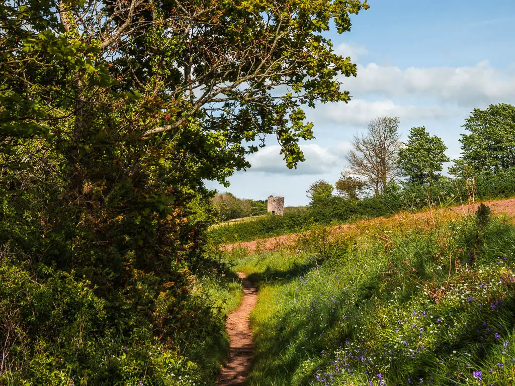
This whole next section wasn’t what I was expecting. I thought the walk would be more open next to the water, for the views. But the water is actually obscured by trees and stuff for most of the walk back to Cremyll.
The pretty homes, castle and Empacombe Harbour
The trail will lead you to an area with a pink house and a castle looking place. I’m not sure what this is. Someone’s home?
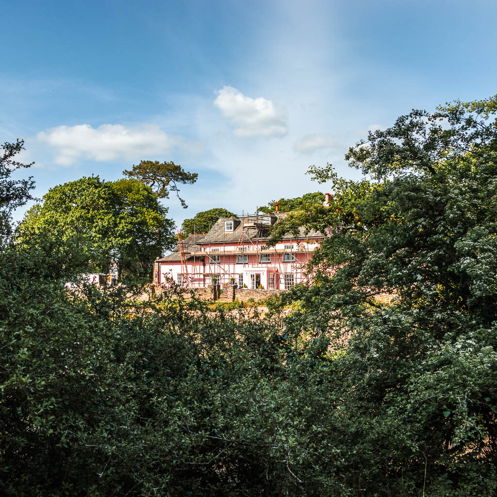
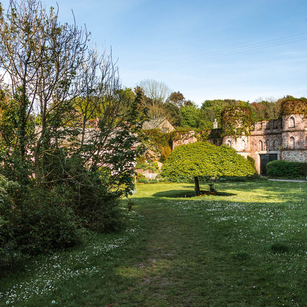
Next you walk across the neat grass around the harbour. I felt a little like I didn’t belong here. Like this was a private area or something. I had this feeling someone was going to pop out to tell me to get off their land. Then I spotted the flower pot with a coast path sign. Ahah, this is my ticket. No one can make me leave now.
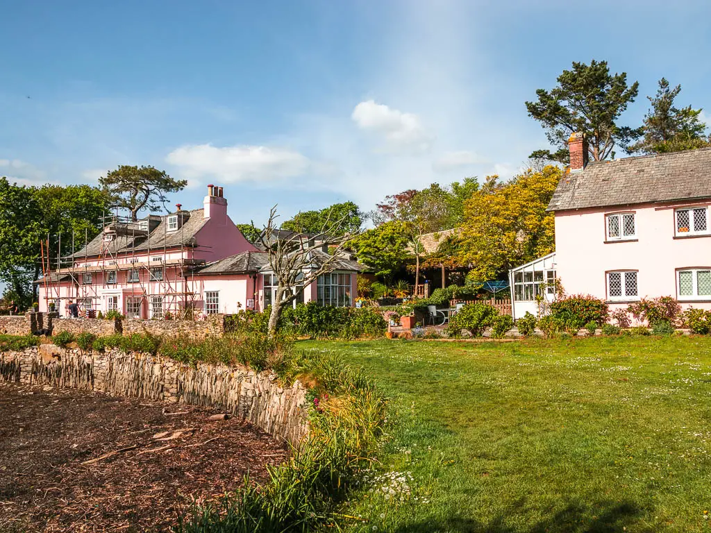
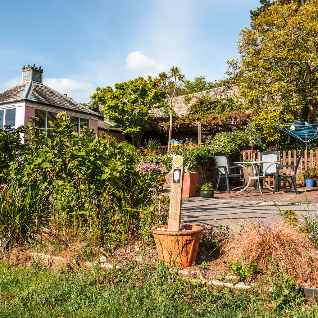
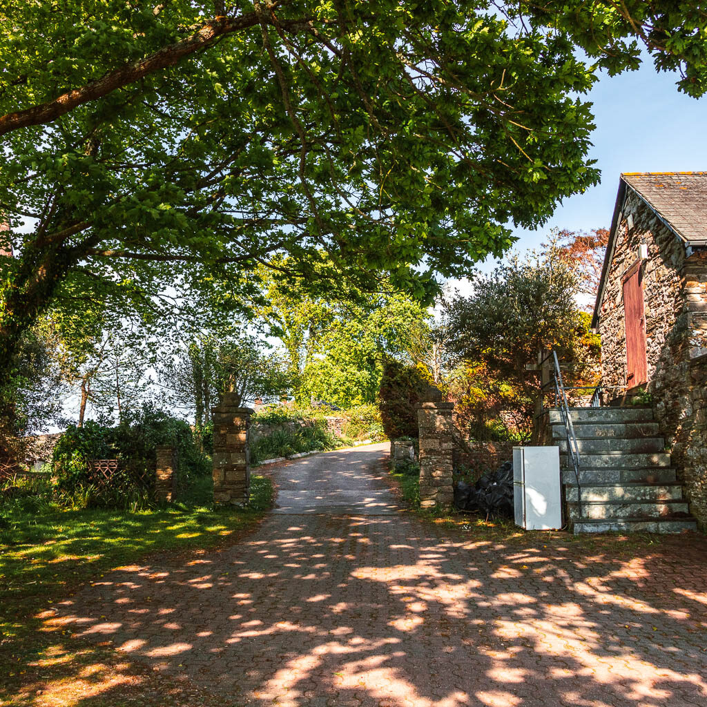
Follow the coast path sign along the grass to the left, then you make a right onto what looks to be someones driveway. Don’t worry, keep going, and this will eventually lead you onto a more reassuring trail.
The abandoned buildings and the final stretch of the Cremyll, Mount Edgcumbe, Kingsand circular walk
Continue along this trail passing more bushes, trees and tall grass, and it will lead you past some abandoned buildings with graffiti. I felt a little uneasy here, so rushed through this bit.
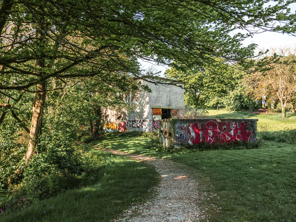
Past the graffiti buildings, the trail will take you along the side of a field, and then under more trees.
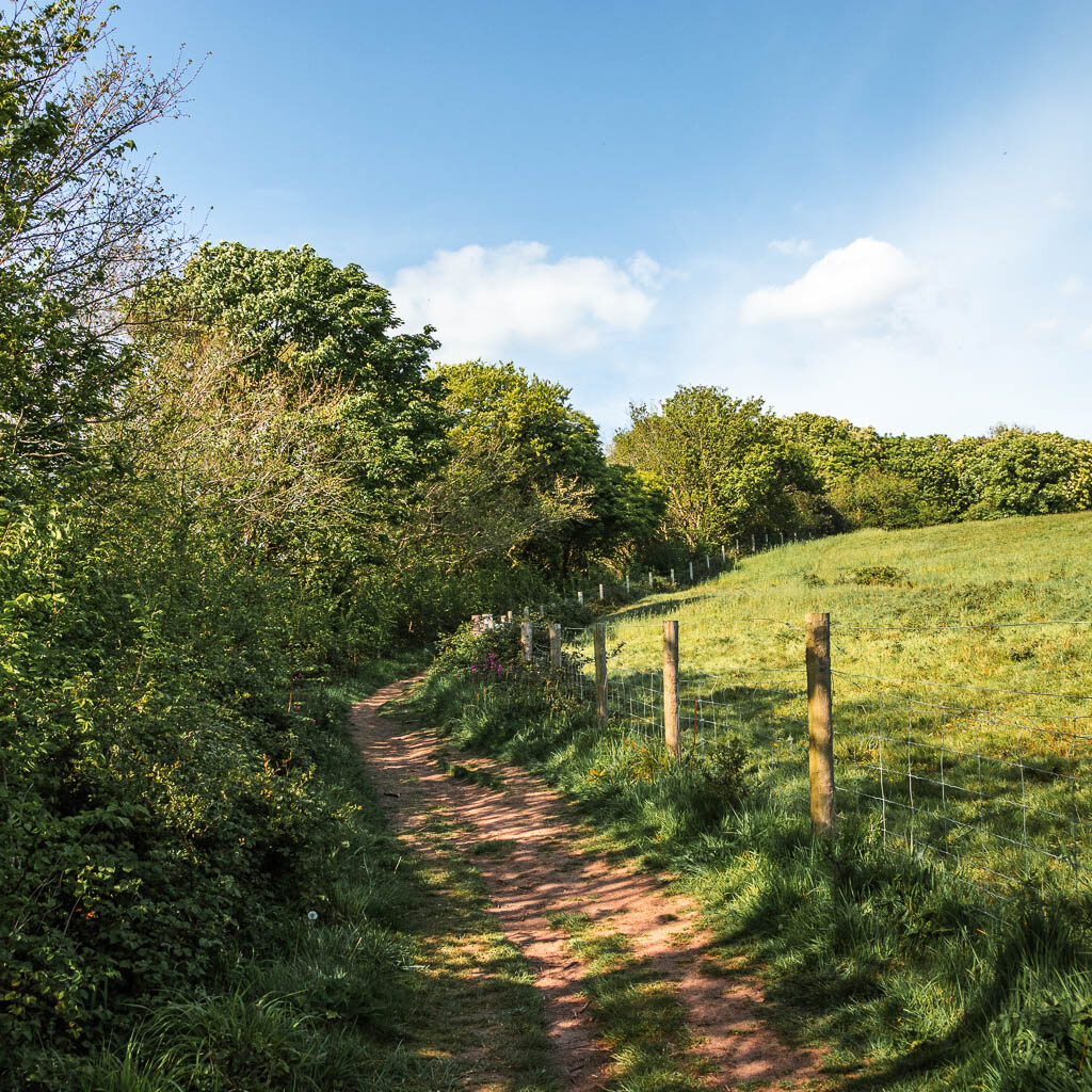
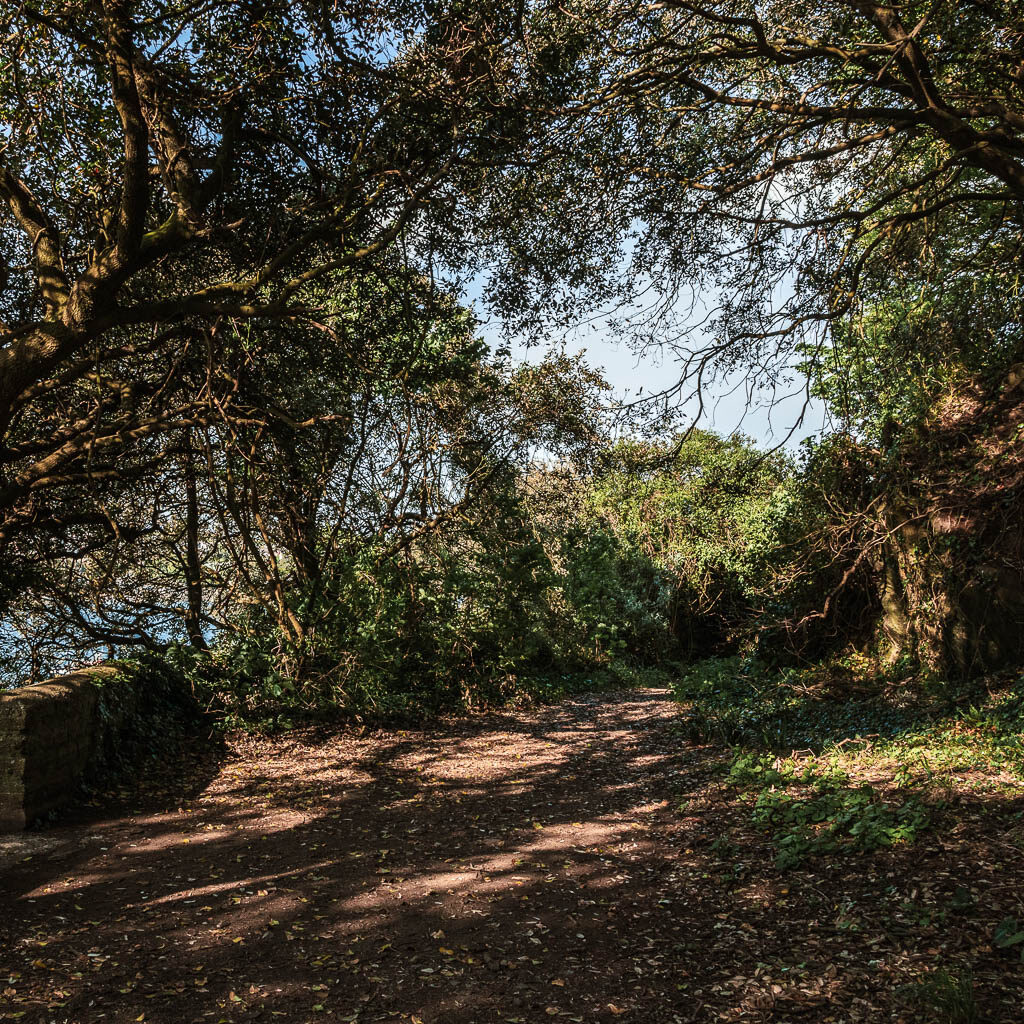
When you reach the road junction area at the end (with some houses), go left. Then at the next junction, go right. This will lead you to some more houses. You can go left or right here. Both will lead you back to Cremyll Pier. I took the right.
More walk ideas near Mount Edgcumbe and Kingsand
If you are based in Plymouth, then you could check out by guide on the best walks from Plymouth. Or see below for a few that I recommend nearby.
Rame Head walk is a lovely walk starting from Kingsand, and takes you around the Rame Head Peninsular. You could add it as an extension to this walk if you want to go further. You will most likely spot some ‘wild’ ponies on this walk too.
Jennycliff is just across the water on the Plymouth side. You could try this walk which takes you through the woodland cliffs and onto the the Lovely Bovisand Beach.
Noss Mayo walk, also over on the Plymouth side, is an easy walk, but with fantastic views. You can actually see Kingsand from it.
Looe to Polperro walk, slightly further south along the coast. This is a fantastic walk between a cute town and even cuter village. It’s worth a trip if you are in the area.
Fowey to Polperro walk gets you to the lovely Polperro from the other direction. If you want something more challenging, then this is a goodie.
Pin it for later: Cremyll and Mount Edgcumbe to Kingsand circular walk

2 comments
A printable route/directions for these walks would be helpful
Hi Peter, thanks for the suggestion :). this is something I have thought about doing. I will have a look into how to do it, and hopefully get it up and running. It might take a bit of time though.