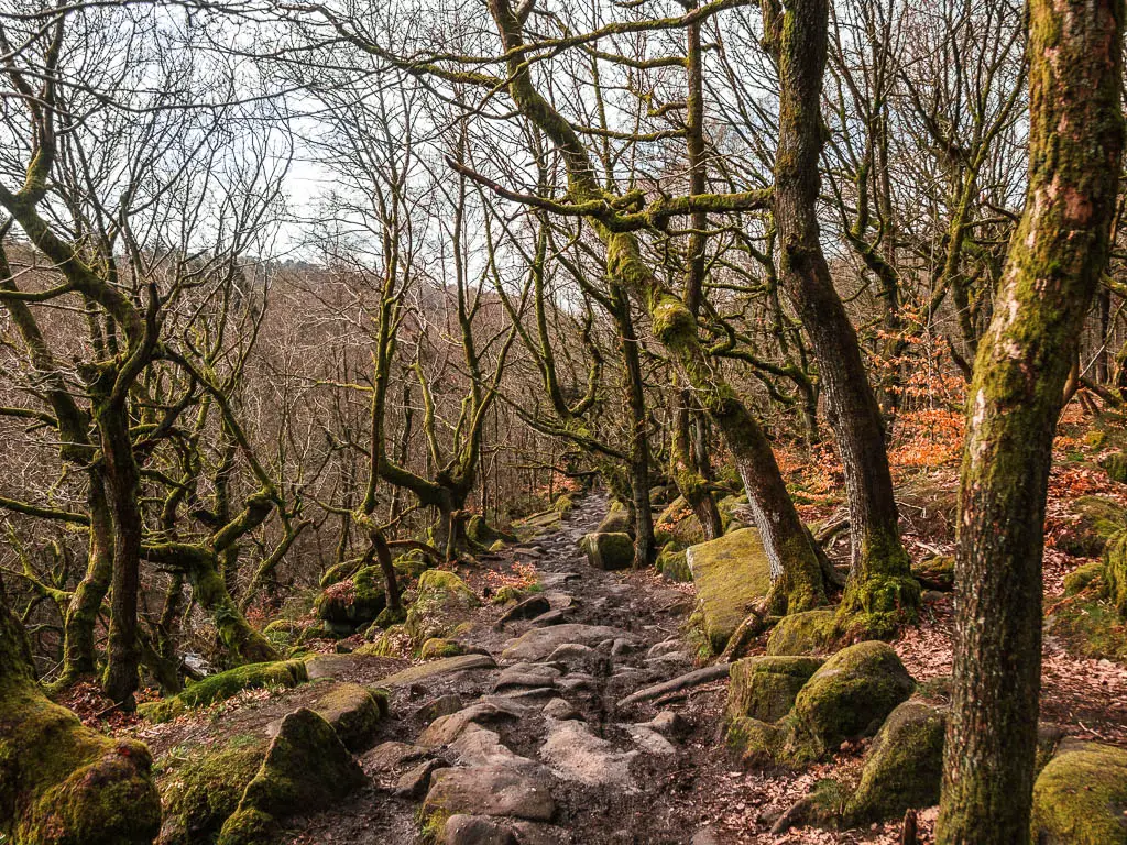
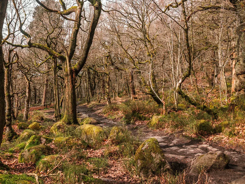
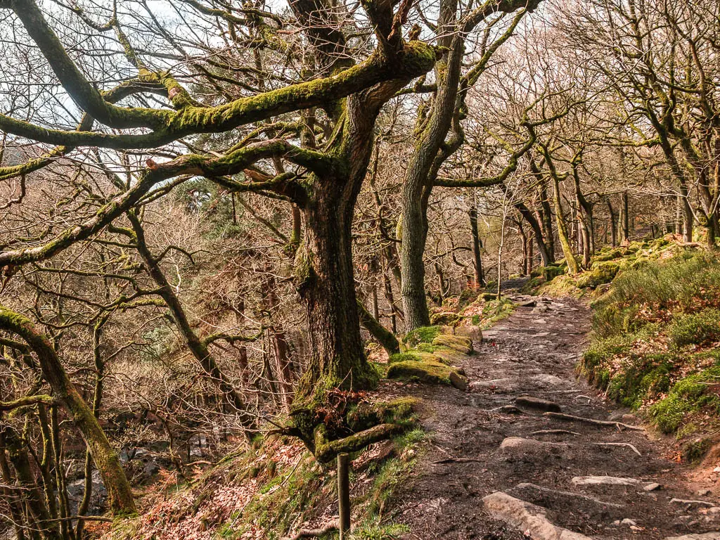
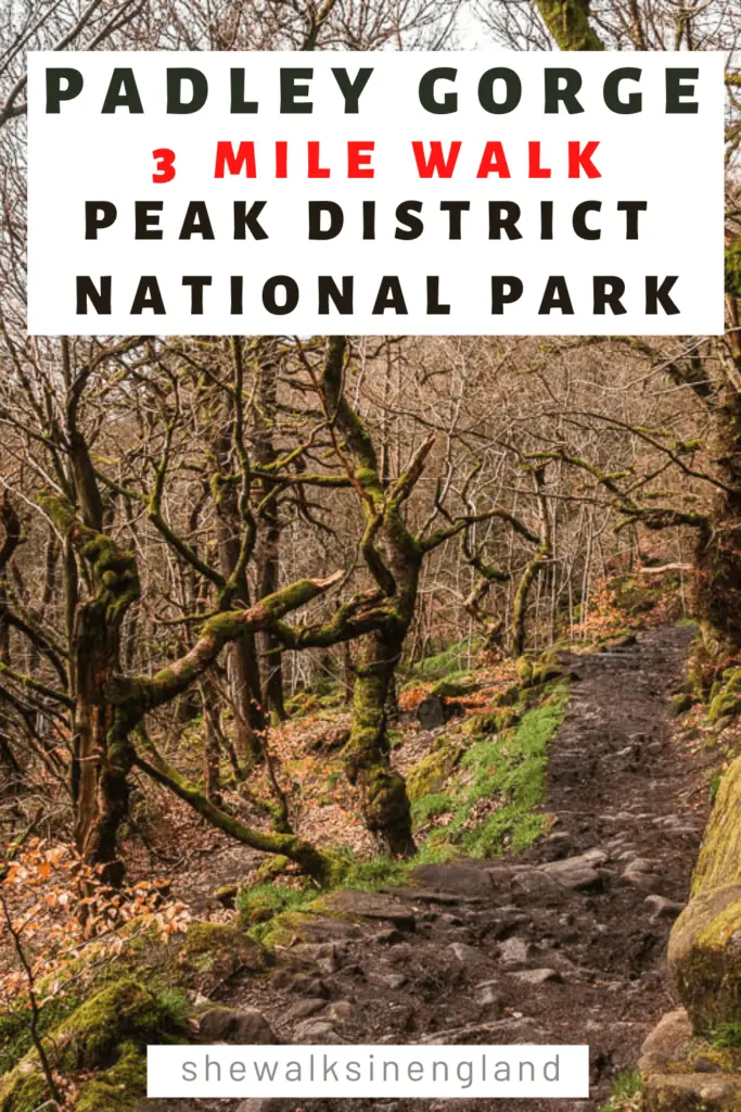
Padley Gorge is a deep and narrow valley of mystical woodland with moss covered boulders, and this walk takes you right through it.
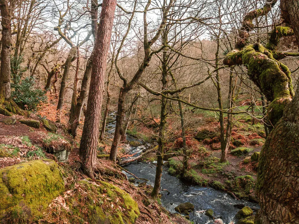
Along the trail, you will pass by a waterfall plunging down into the Burbage Brook, and then you leave Padley Gorge to walk through a mass of silver birch trees, and then under and over the clifftop to a surprise view.
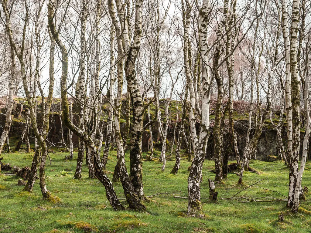
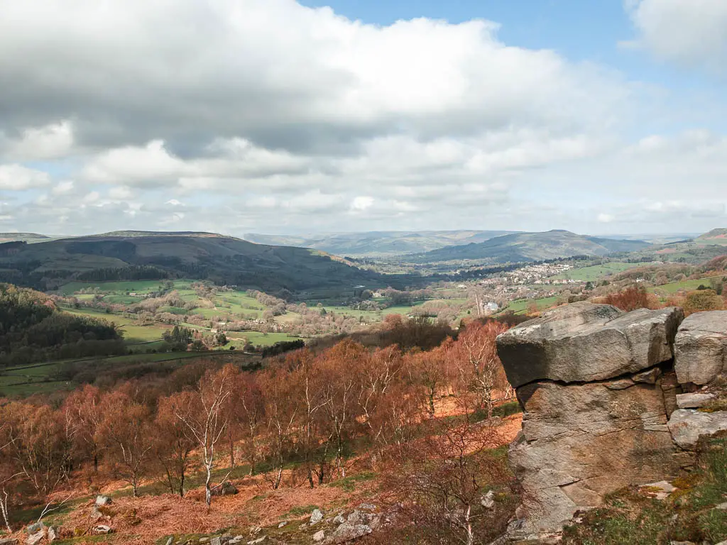
To finish off, you will go up along Millstone Edge, and through the tors, with views across to Stanage Edge and Higger Tor.
In this guide I’m going to first give you an overview of the what to expect when walking through Padley Gorge, with full logistics, a map and useful tips. Then I will go on to describe the circular route step by step with lots of photos. At the end, I will provide links to other similar gorge walks nearby.
Is Padley Gorge free to visit?
Absolutely. You can visit Padley Gorge without paying a thing. Not even parking. Anything that is free gets my vote.
How long is the walk around Padley Gorge?
This full circular walk through Padley Gorge and up to the tors, is just over 3 miles long. It’s fairly muddy in places, and a little bit rocky.
If you decide to stick to the trail just through Padley Gorge, it’s less than a mile (one way), and there are no hills. I will also show you how to do the shorter route when I describe the walk further below.
However, the full circular route is not challenging at all, and the views you get on it are worth it.
On this walk, you get a view all the way to Stanage Edge, which I highly recommend you visit. You can read a bit more about it here.
Is the walk dog friendly?
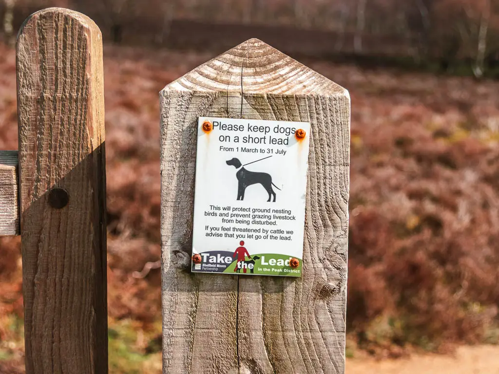
Padley Gorge is part of the Longshaw Estate, and dogs must be kept on a lead when walking in it. Once you cross the road to walk up to the tors, dogs must be kept on lead from 1st March – 31st July due to ground nesting birds. There are no stiles. I did pass some cattle as I made my way out of the gorge.
Padley Gorge parking
There are a few different places you can park to walk through Padley Gorge. I parked in the marked roadside parking bay on the B6297, which is free. It’s not marked on Google Maps, however, the Padley Gorge ice cream van is marked on the map. It resides in the parking bay. It’s the perfect location to start the walk, as it’s right next to the trail into Padley Gorge. The post code is S11 7TZ.
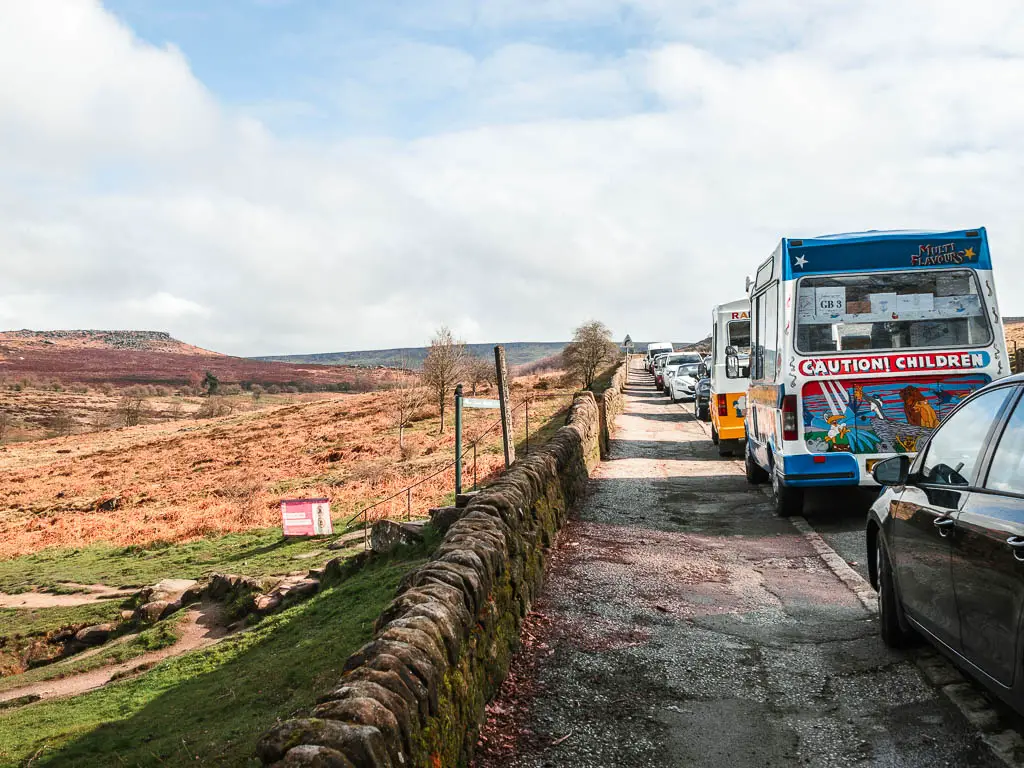
The area can get very busy, and I got the last space here at about 10am. So, if you can’t get a space….
Other parking options:
- Surprise View Car Park. Post code S32 2JA. You have to pay for this one. At the time of writing, it’s £4 for 4 hours, £2.50 for 2h. Although I did this walk in under 2h, I would recommend allowing more time, as I didn’t stop for any breaks. This route goes past the car park.
- National Trust Lonshaw Estate Woodcroft car park. This is pay and display. I don’t know the cost, but it’s free for National Trust Members. This car park is a little further away from the start of the trail into Padley Gorge. Not too far away though.
- On the road leading up to the National Trust Car park (if approaching from the north), there is more free roadside parking bays. This is where I had planned to park, but when I arrived, all spaces were taken.
Logistics
- Start/Finish: Roadside parking on the B6297. On google maps, it’s the same location as the Padley Gorge ice cream van.
- Where is it: Padley Gorge is located in the Peak District National Park, next to the village of Grindleford.
- Public transport: Yes. The nearest station to Padley Gorge is Grindleford. It’s actually right next to the gorge, so is a perfect place to start this walk. If you want to start with Padley Gorge, then follow the trail anticlockwise. To finish with the gorge, go clockwise (the way I walked). I will show you where you join onto this trail when I describe the route below.
- Distance: Just over 3miles
- Time: 1.5h (only taking short photo stops)
- Terrain: Dirt trail, rocks, mud, two road crossings.
- Difficulty: Easy
- Time of year: I walked it in early spring
- Amenities: Ice cream van where I parked (actually, there were two). Grindleford Station has a cafe. Cafe and toilets at Longshore Lodge (if you parked at Woodcroft car park). The Fox House pub, which is near the other free street side parking.
Map for the circular Padley Gorge Walk
You can find my more detailed route map for the Padley Gorge circular walk on AllTrails.
Tips for walking Padley Gorge
- I would suggest hiking boots due to the mud and rocks.
- Come early to get the free parking.
- Don’t just stick to the trail through Padley Gorge, as there is so much gorgeous stuff around it (which this circular walk takes you to).
- If you do want to just stay around the Padley Gorge area, I will show you where to turn to walk back along the other side.
Want more from the Peak District? You can see all the walks I recommend here.
A guide to the circular Padley Gorge Walk
If starting from the same place as me, you should see a gate through the stone wall. On the other side, there are two trails. You want to take the left trail which leads to the woods and into Padley Gorge.
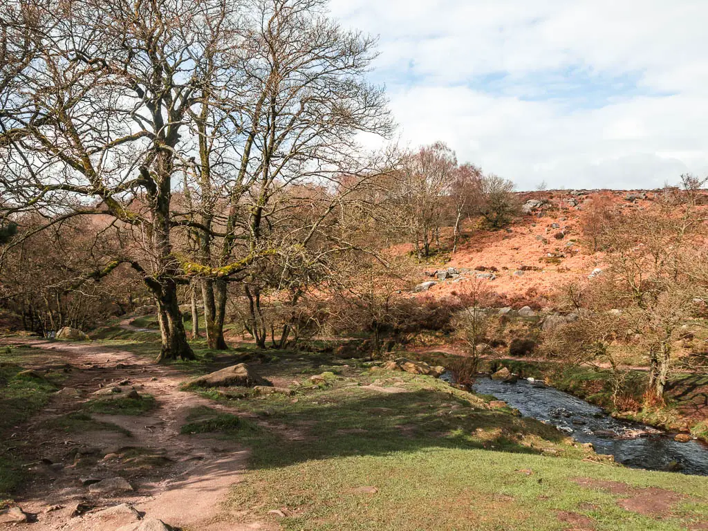
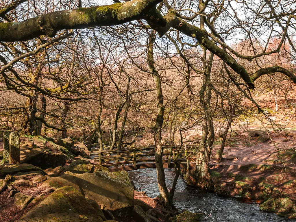
A short way along, under the trees, cross over the bridge, and continue to the left.
Walk through Padley Gorge
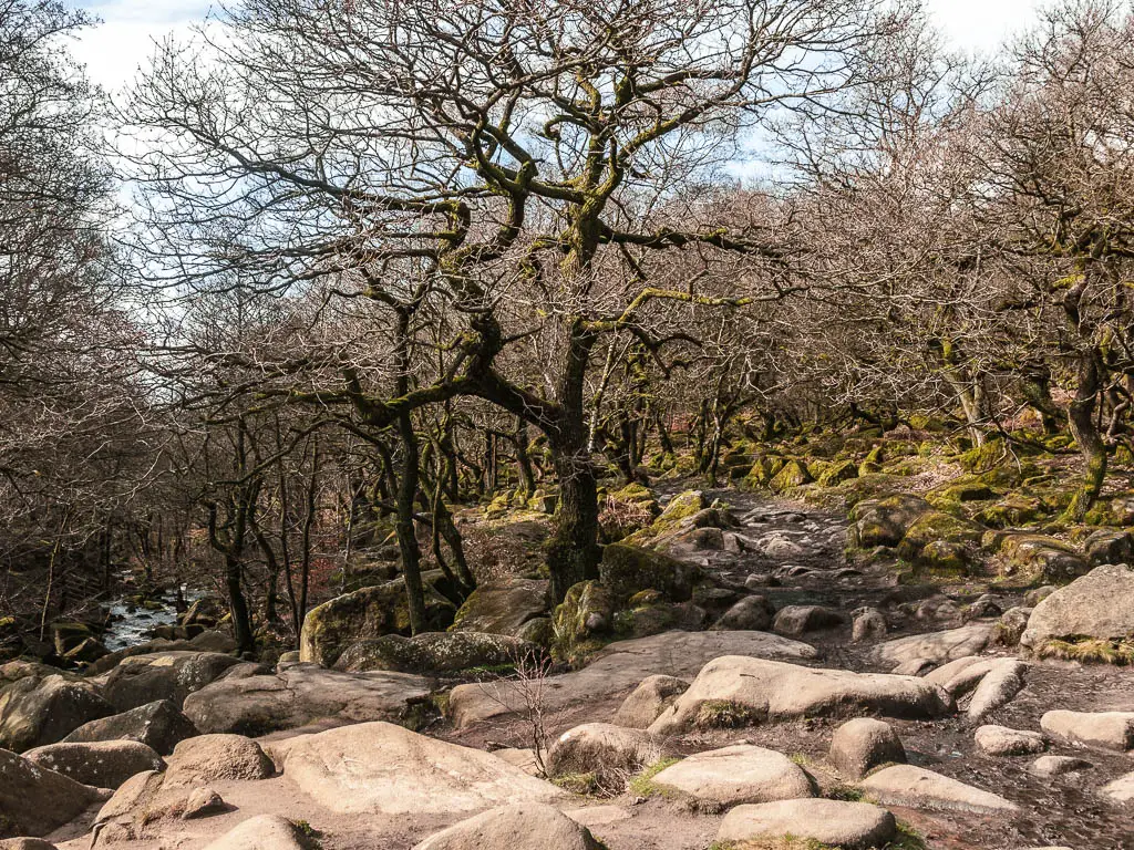
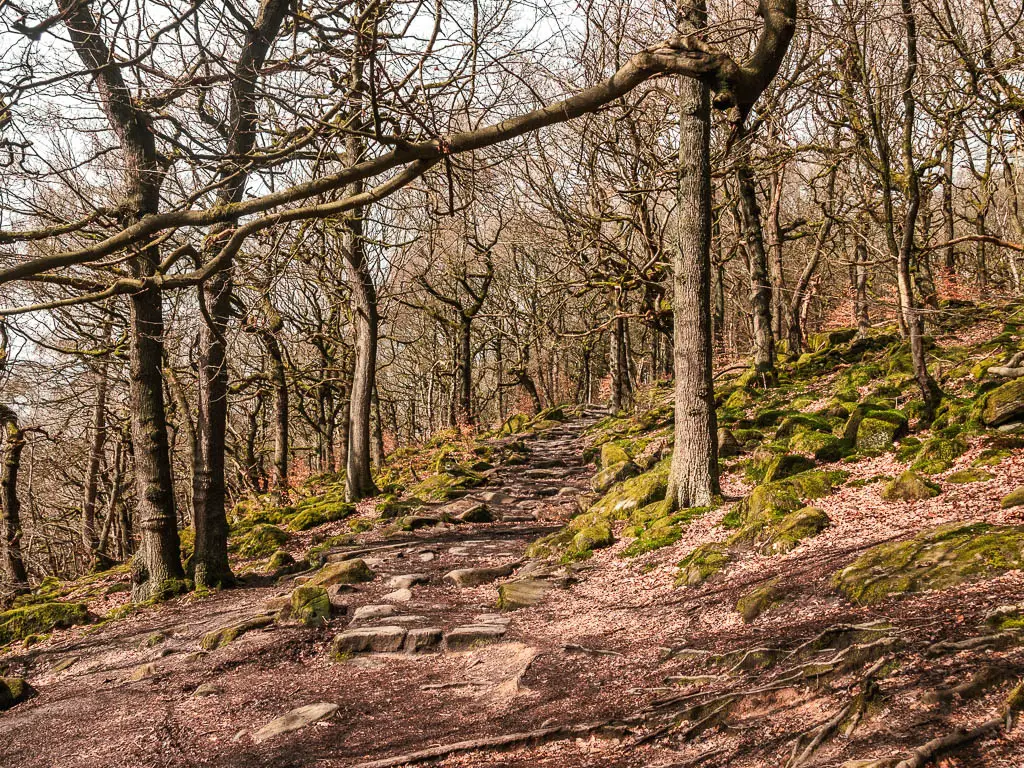
You will be immediately faced with a mass of straggly trees and moss covered boulders. It reminded me a little of Wistmans Wood in Dartmoor. The whole place is just so mystical.
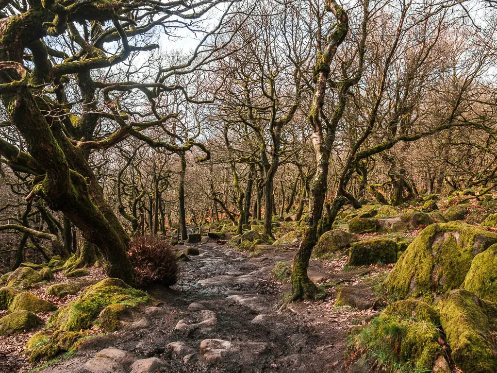
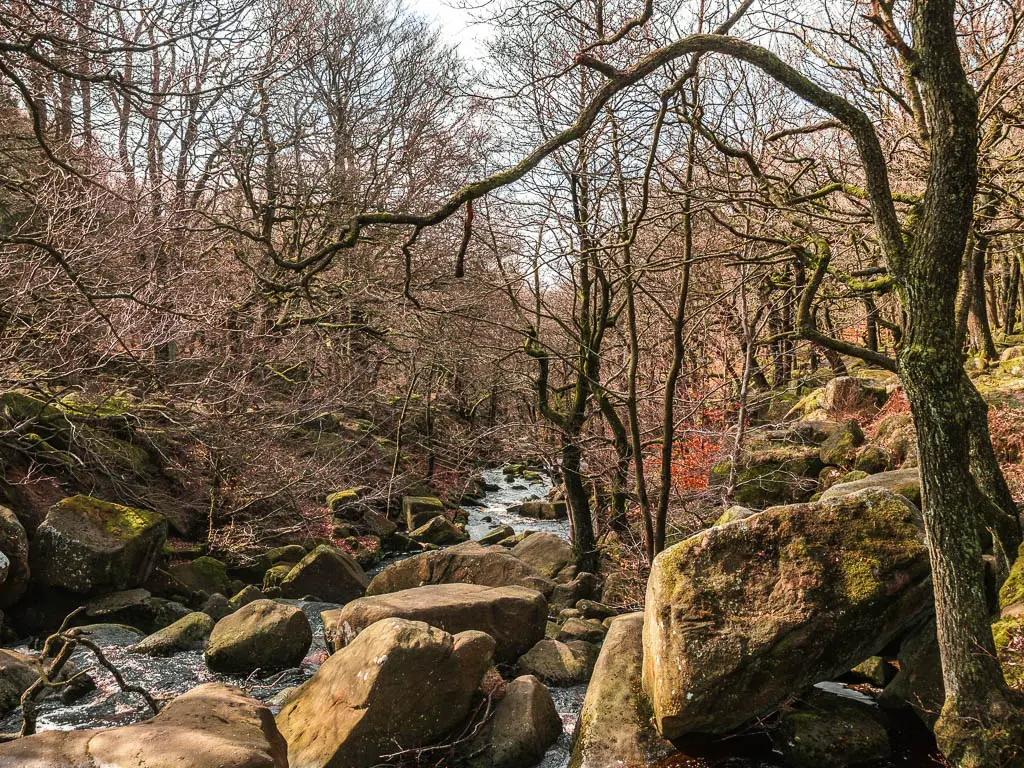
For the next while, the trail is easy to follow through Padley Gorge. With the sound of the Burbage Brook (a type of river) flowing below to the left.
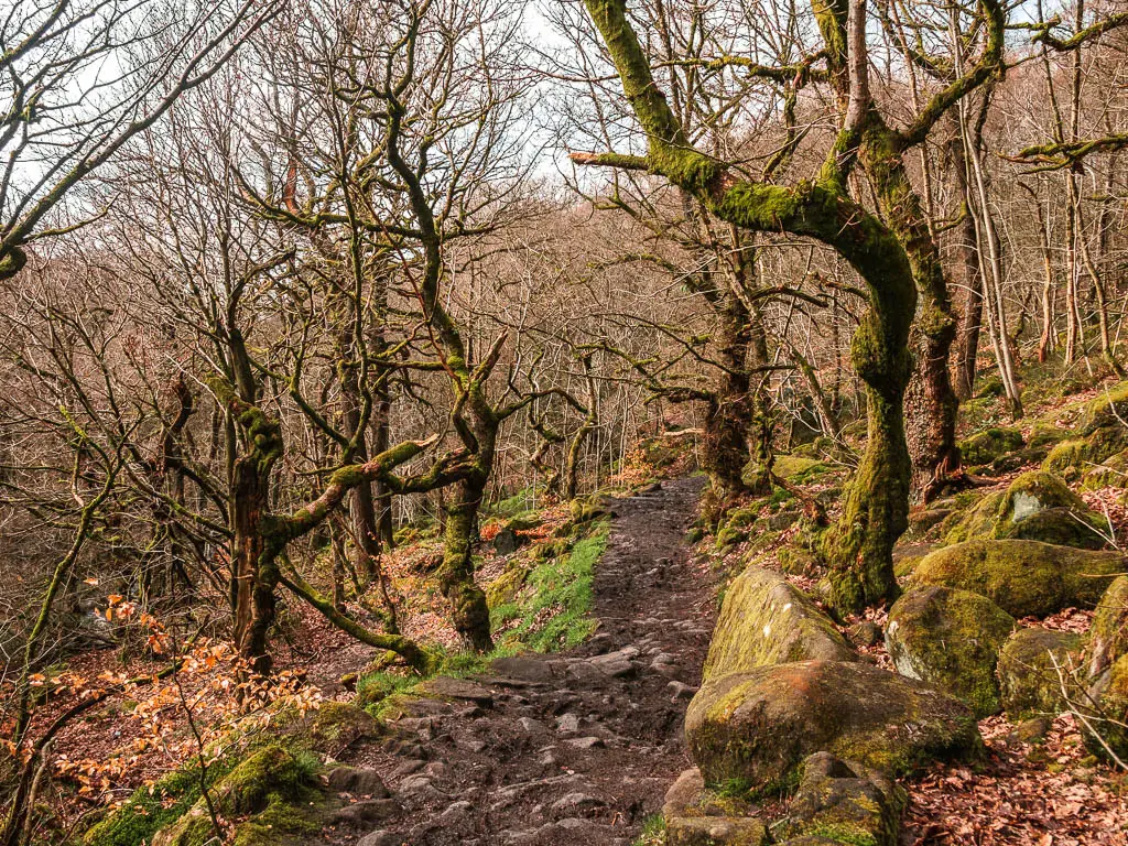
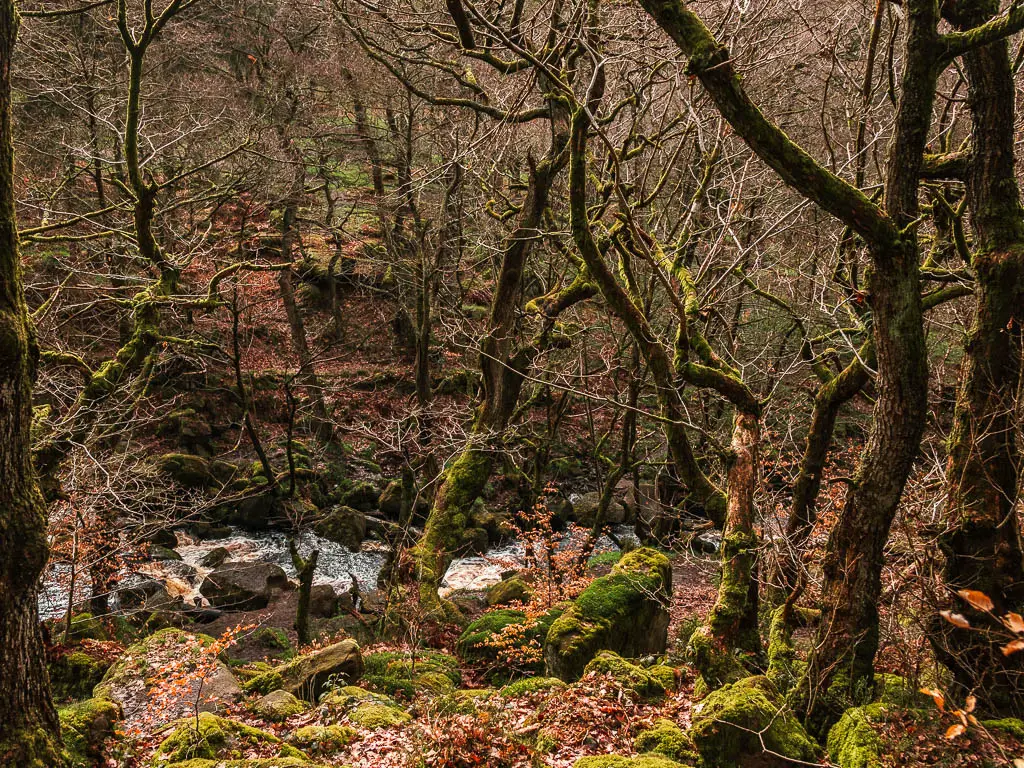
It felt incredibly peaceful walking through here, and to my surprise, there was barely anyone about. After all the cars I passed parked on the roadside, I was expecting a mass of people everywhere. I was actually a little confused as to where they all where.
In total, I passed about 3 solo people, and one group of scouts, when walking through Padley Gorge.
Some way along, you will pass by the waterfall, which I was not expecting. It was a nice surprise.
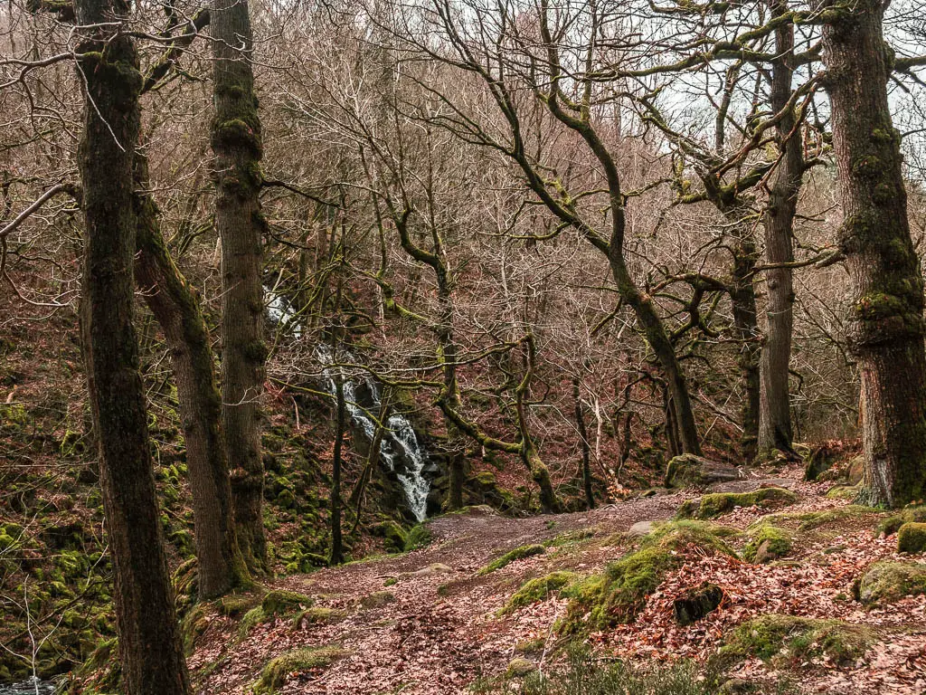
A bit passed the waterfall, is a junction. You can take either as they join together ahead.
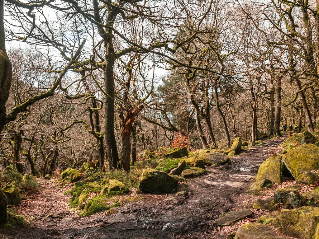
The next lot of junctions are where you need to decide if you want to continue on this trail, or turn back. It is also where you will arrive if coming from the station….
Option 1 to Turn back
You have two options to walk back. The first one is coming up. When you reach the point where the trail goes uphill. If you want to walk back through Padley Gorge on the trail on the other side of the Brook, don’t go up the hill. There should be a trail somewhere here to the left. This should lead you down to a bridge to cross over to the other side.
If coming from the station
I would expect that there are signs to lead you into Padley Gorge from the Station. I can see that there are a few trails on the map. Make sure to pick the one that takes you alongside the Brook. When you see a bridge, go over it, and then up the hill. When you reach the next junction, right will take you through Padley Gorge (the way I have just walked), left and up the hill will join you onto the full circular route I’m currently describing.
Leave Padley Gorge to follow my route and option 2 to walk back
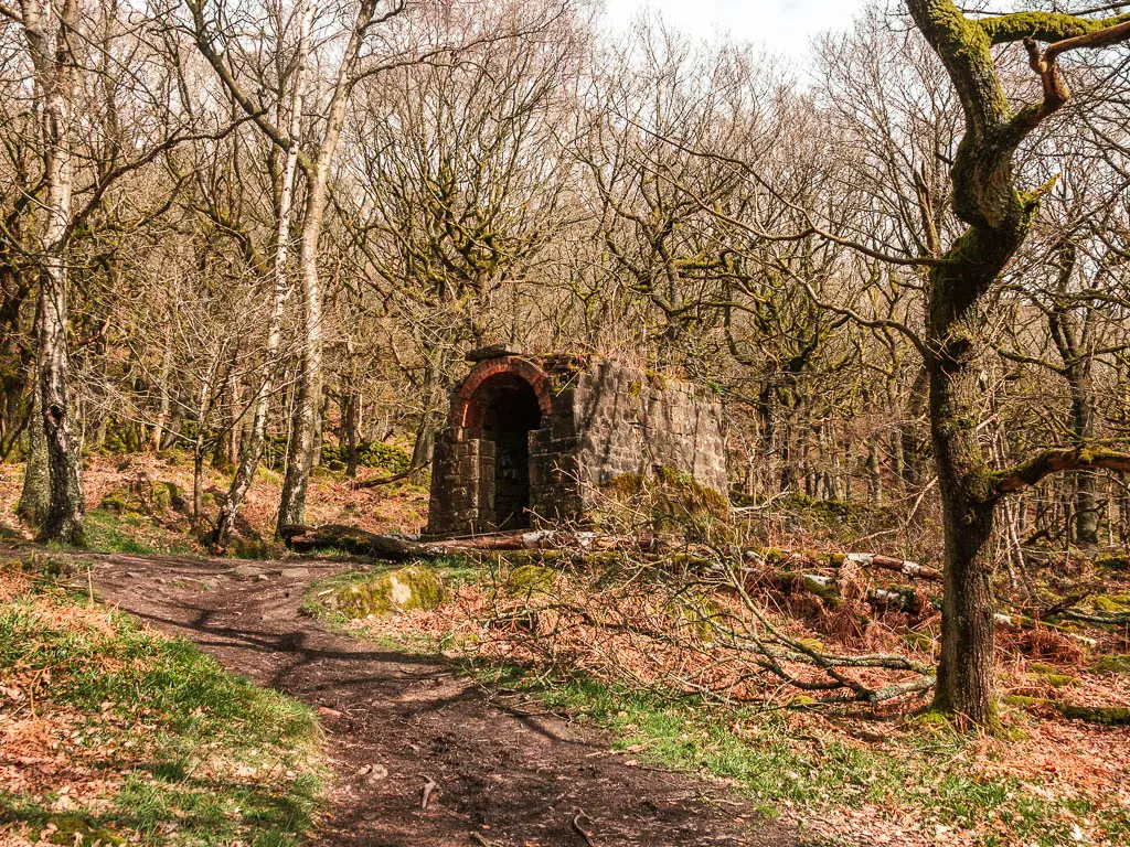
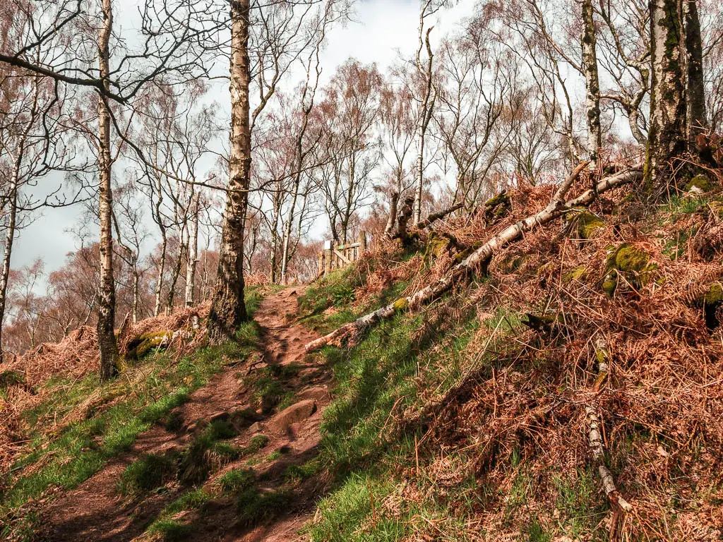
At the point where the trail goes uphill, go up it, then when it levels out, instead of following the main trail to the left, take the right up the hill and past the bunker thing.
As you near the top, you will see a wooden gate ahead.

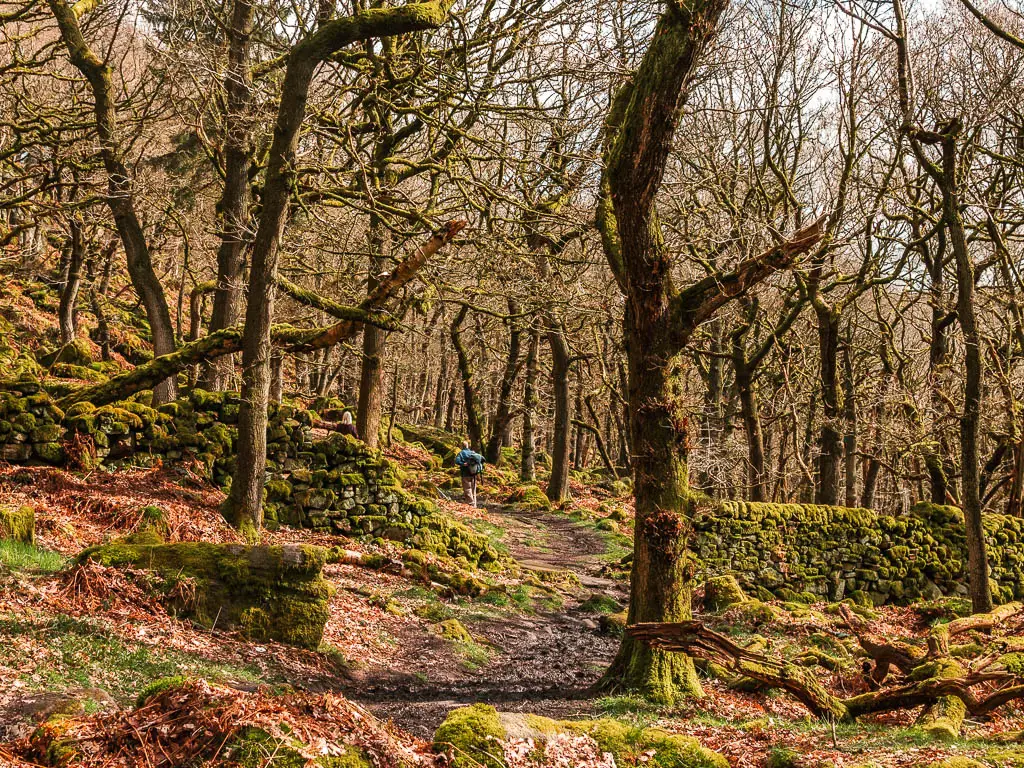
To walk back to the start from here, turn right (before the gate), and the trail will lead you through a hole in the moss covered stone wall, and through the woods.
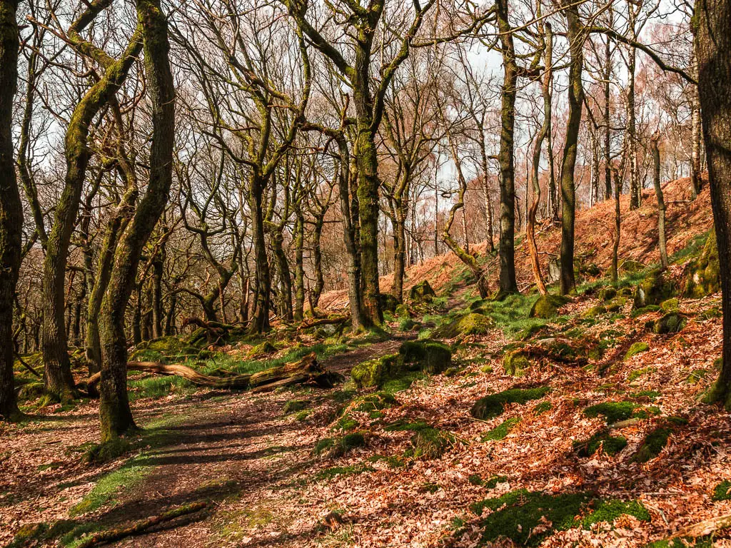
To continue on with this full circular trail, turn left before the gate. You will first walk along level dirt ground, then there is a short but steep uphill and through a gate.
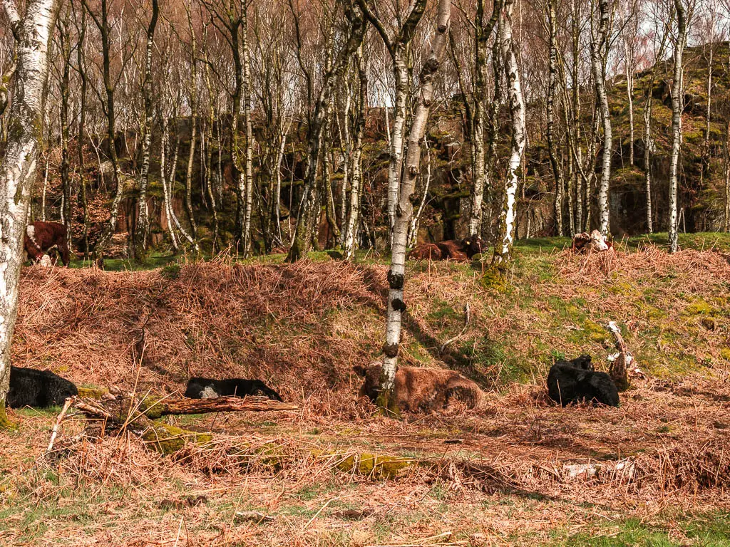
The cows
When I reached the gate, I suddenly saw all the cows on the other side. It’s been a while since I have seen cows in fields (if you know, you know). Luckily, the trail I wanted goes to the left and away from the beasts.
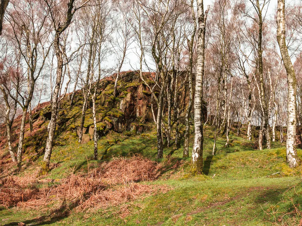
The cliffs and silver trees
I wasn’t sure what to expect up here. I was heading towards ‘surprise view’, and I chose this route to get there because I could see what looked to be a small lake or pond on the map, and wanted to have a look.
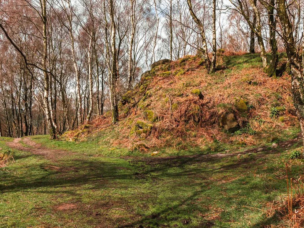
The first thing I saw was mini cliffs. So far so good.
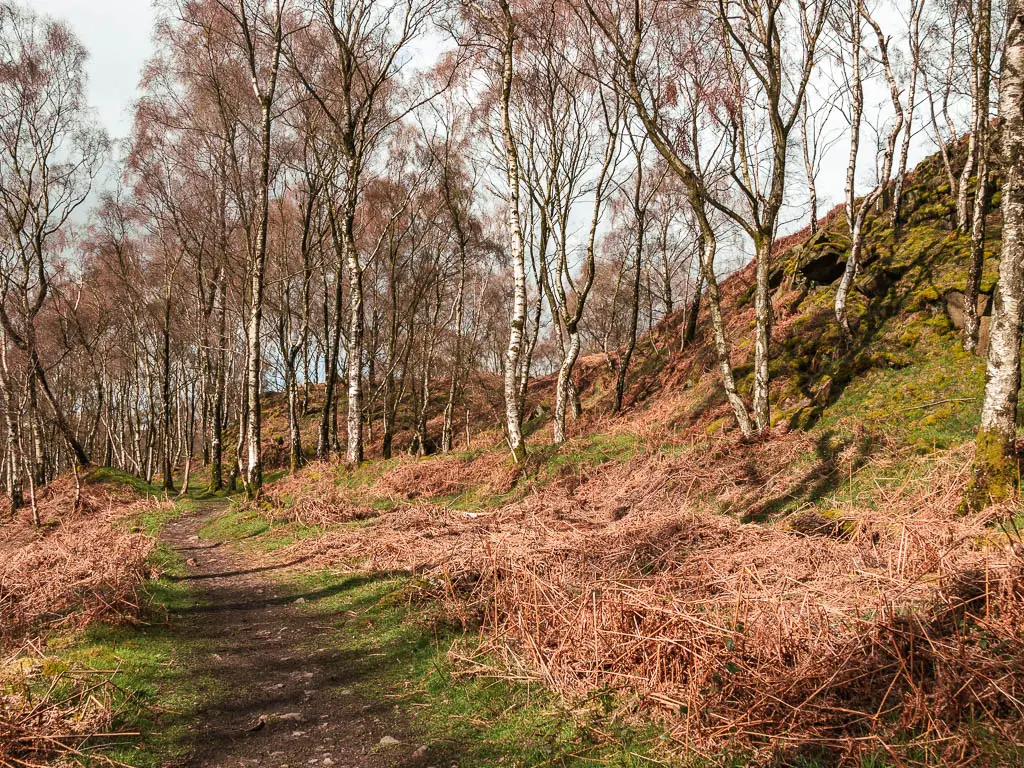
Past the cliff, where the main trail curves around, take the right trail which is steep and rocky, but very short.
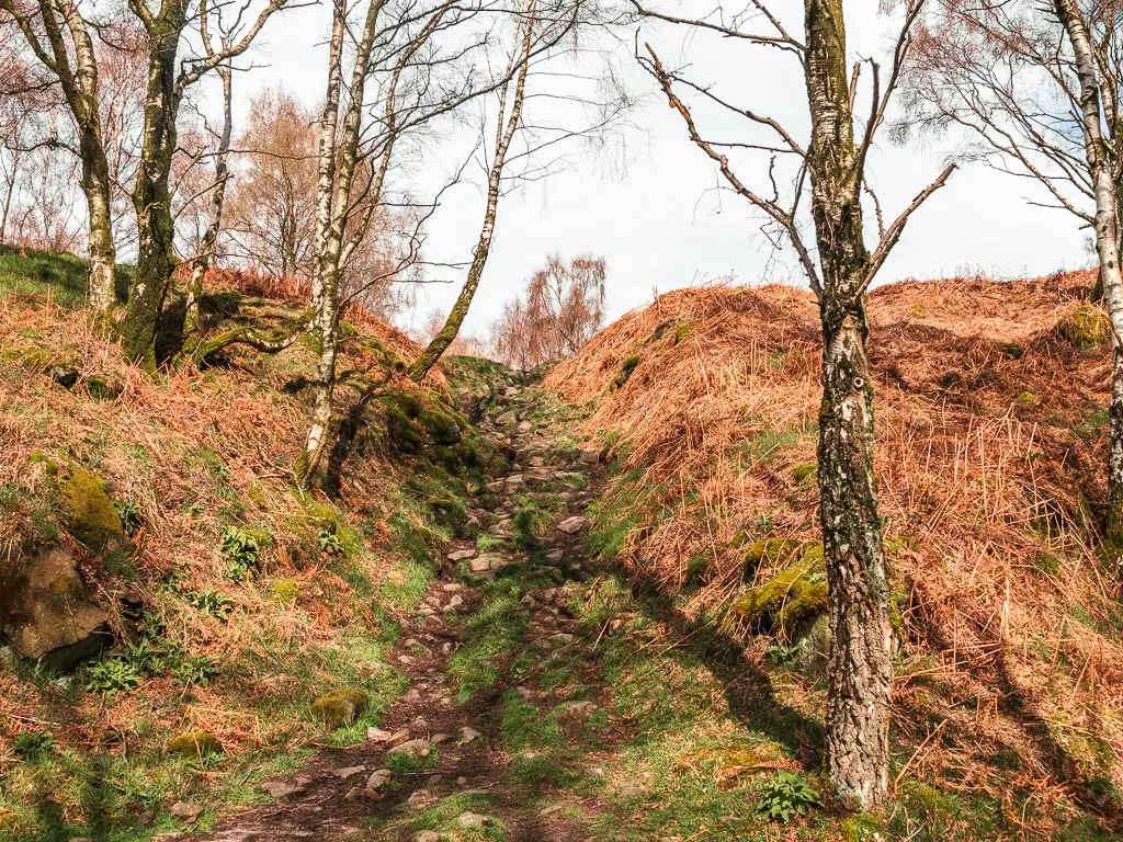
Once up the steep bit, keep going up and you will find yourself in a mass of white. The silver birch trees.
I was so impressed. I haven’t seen anything like this before.
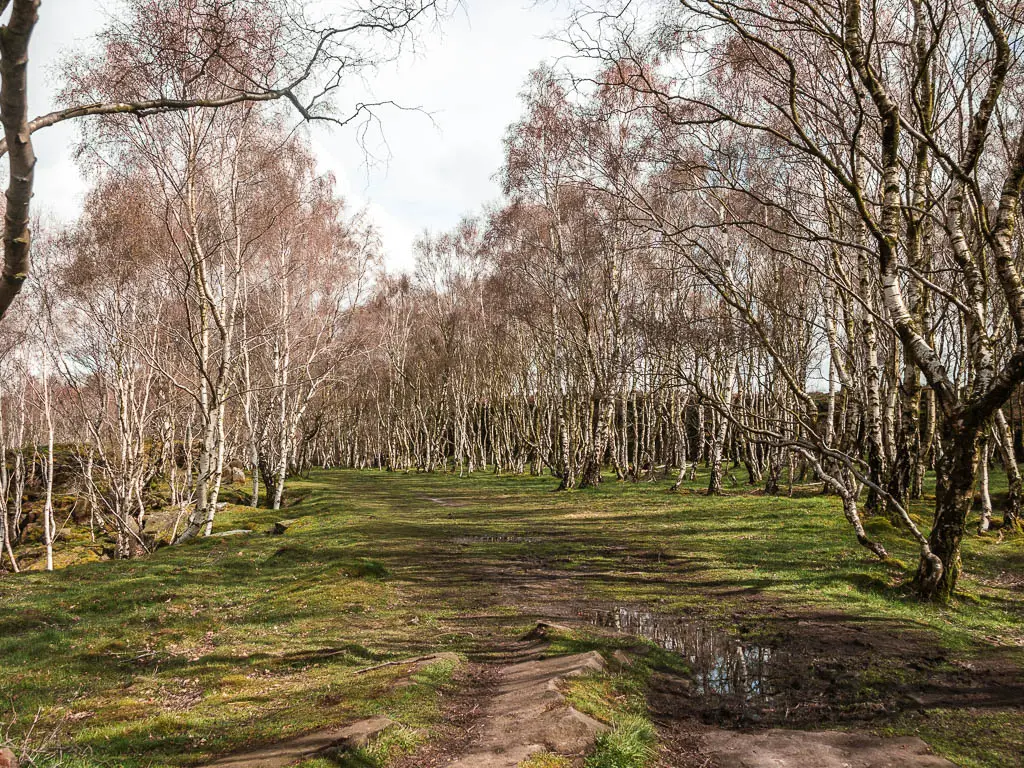
It’s really hard to describe the area, but you are enclosed by some cliffs to the right, and will have a drop down some cliffs further right and also to the left. The whole place just felt so surreal.
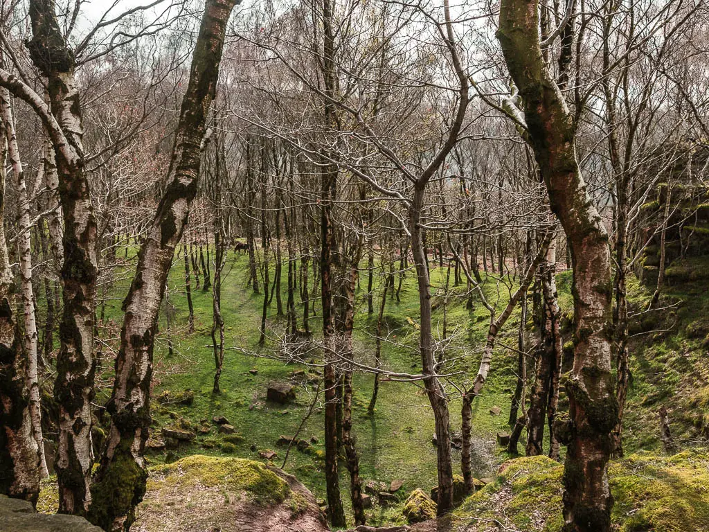
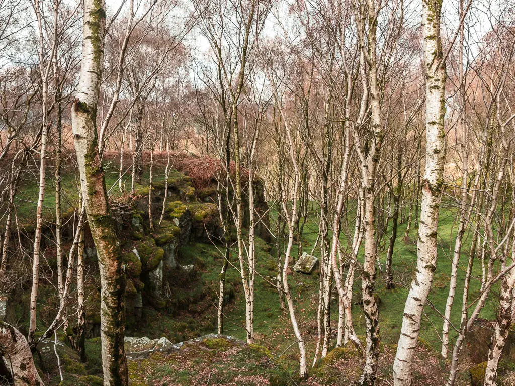
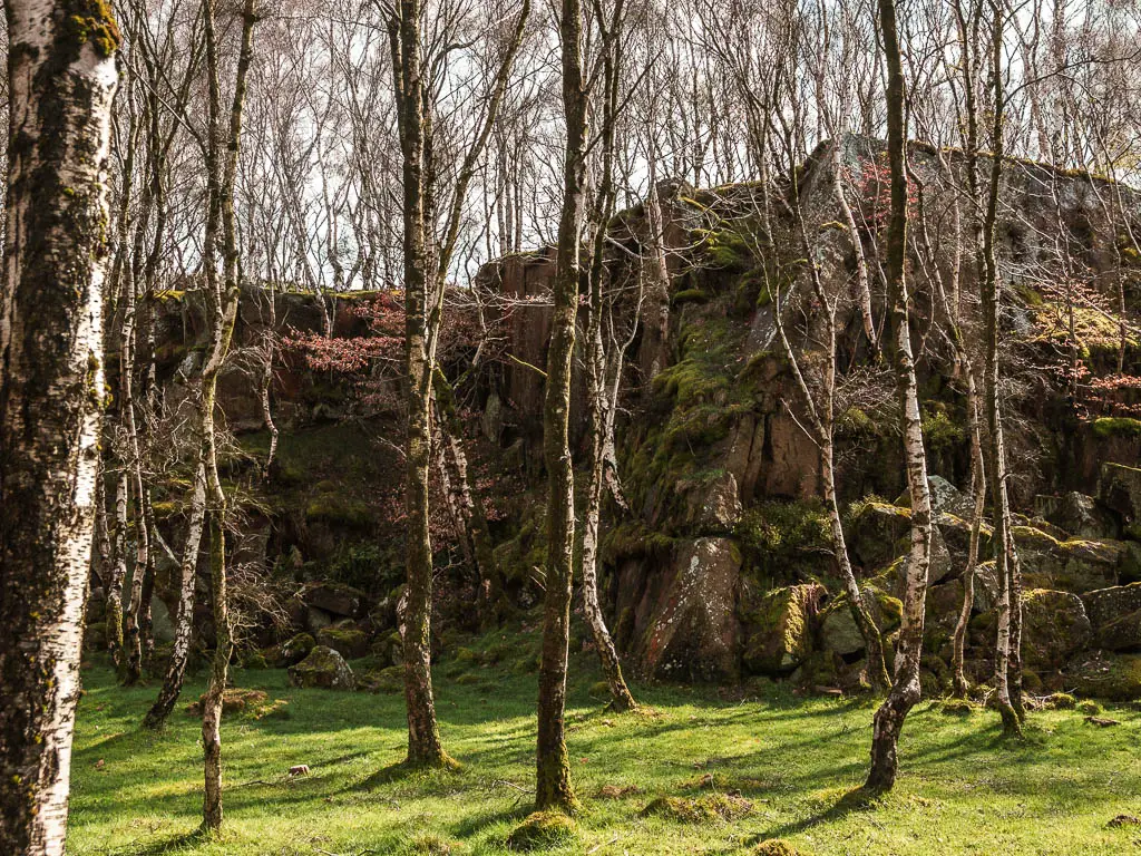
Continue on the main grass path through the trees, then when you see a dirt trail leading up the bank, don’t take it, but instead follow the grass path to the right of it. This will soon lead you onto a more obvious trail.
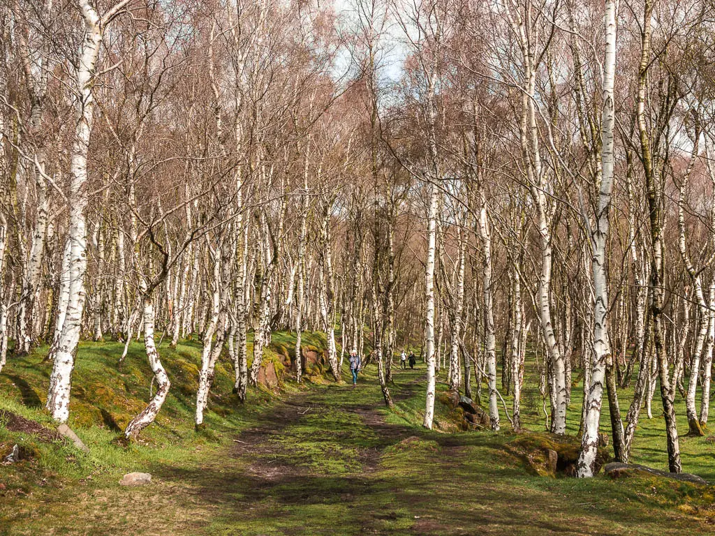
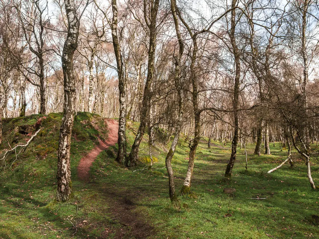
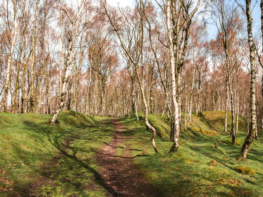
You will see that there is a view through the trees to the left, but don’t worry about that. The best is still to come.
The big cliffs and the pond
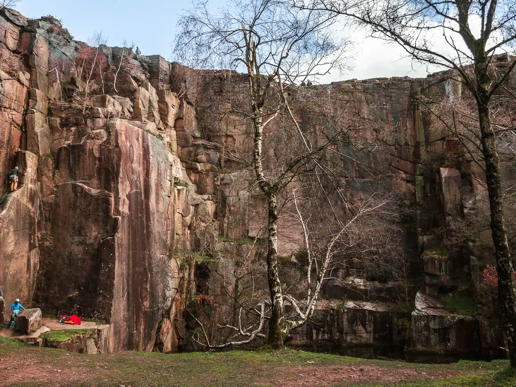
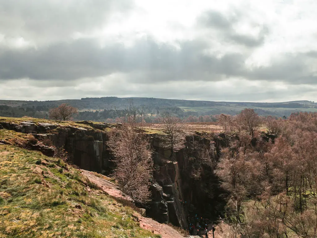
Not too far along you will reach the big cliffs. I abandoned my map and walked straight over to them. I was mesmerised.
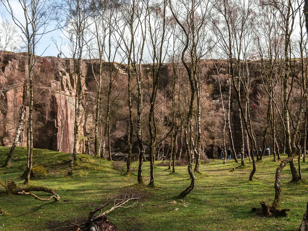
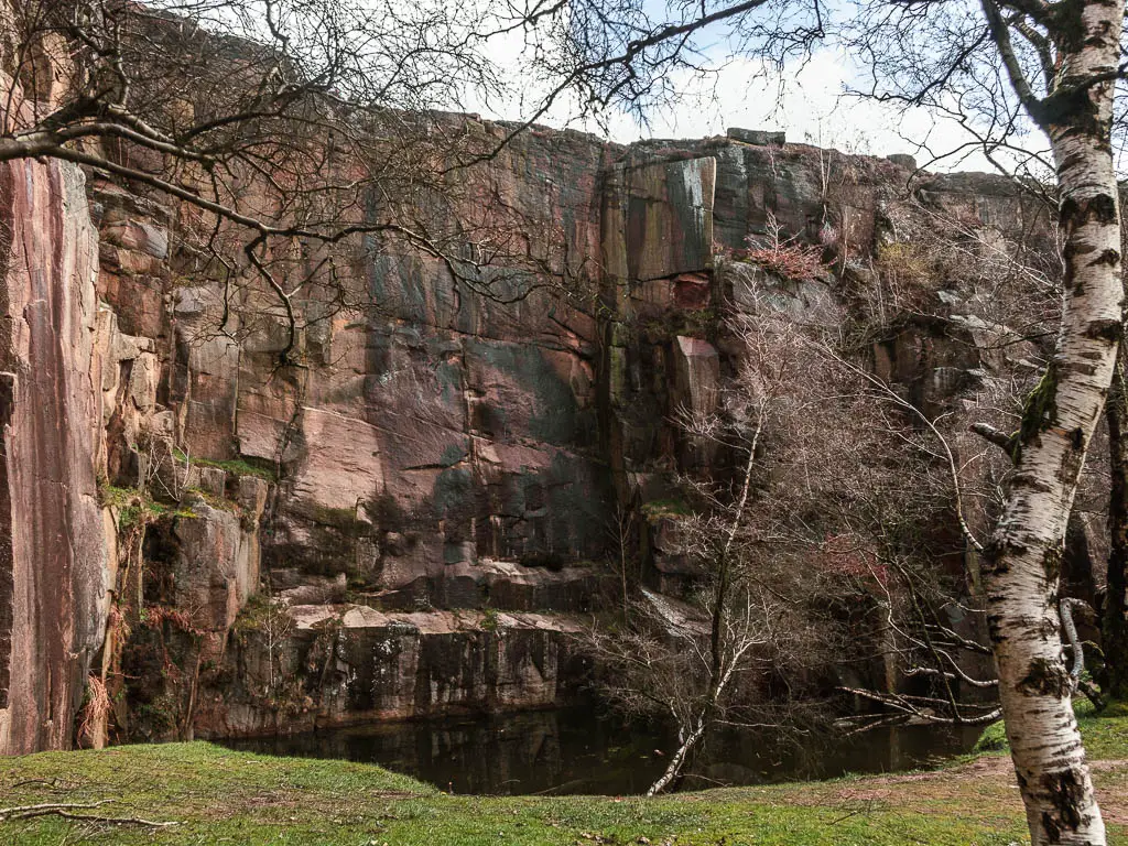
That’s when I saw a pond type thing below them, and realised that this was the pond I was heading to. I was so glad I had decided to head to the pond, as what I ended up getting was so much better.
Walk to the top and surprise view
Still not paying attention to my map, I could see a rugged trail leading to the left and up the cliff, so decided to go take a look.
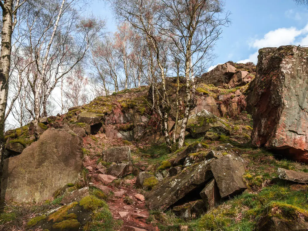
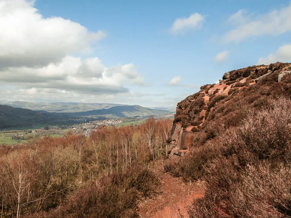
Up the top you get a wonderful view down the cliff and over the tree tops to the hills and valleys of the Peak District in the distance…but the views still get better.
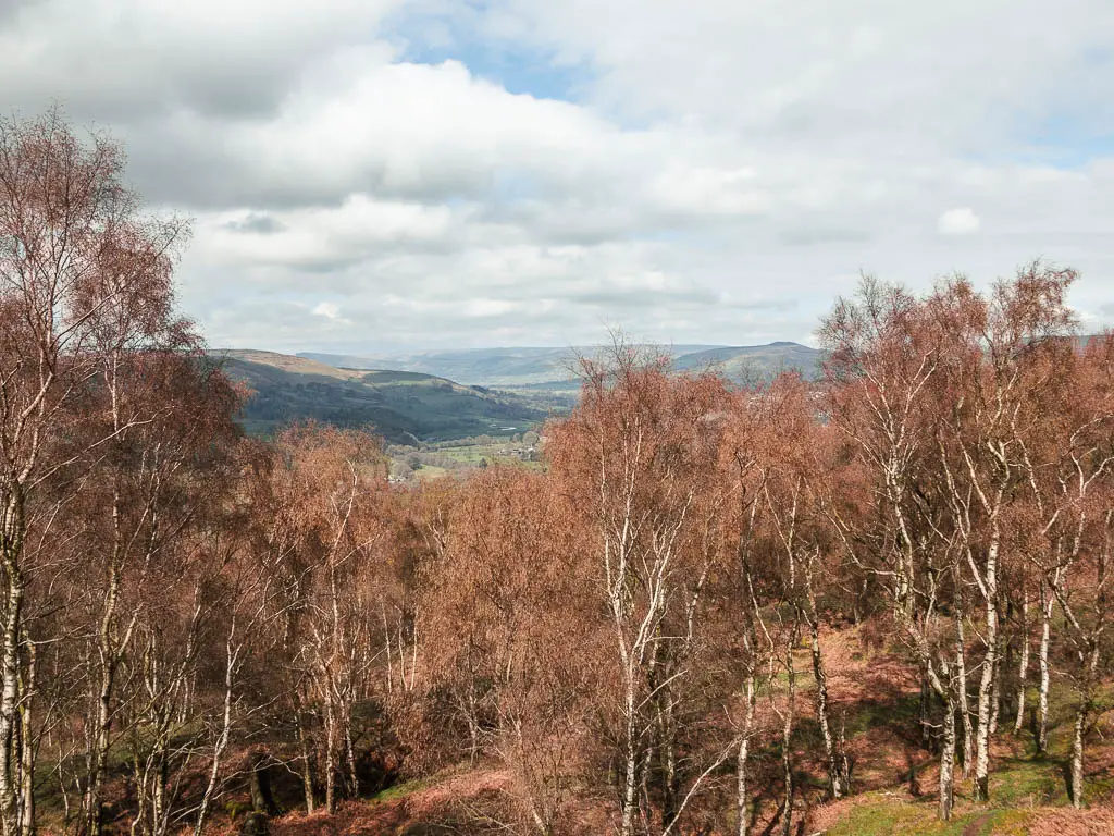
I now looked at my map, and could see the trail I wanted to be on was over through the wooden gate behind. So off I went.
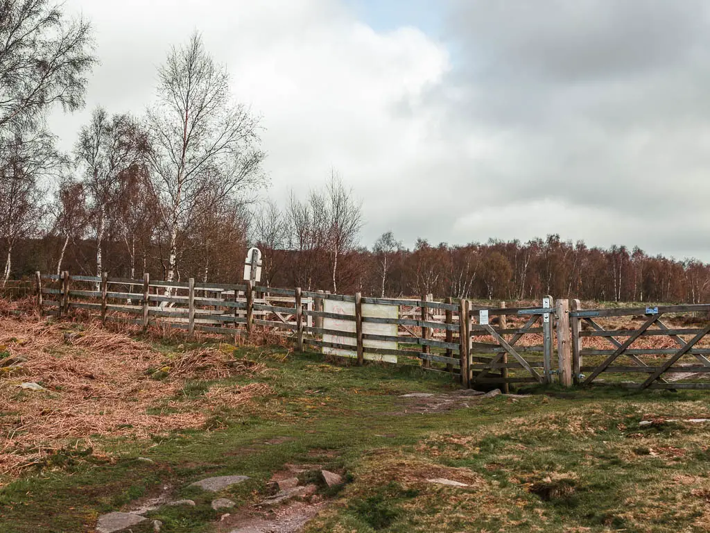
This will lead you to the road, but don’t cross over it yet. Turn left and you will reach Surprise View.
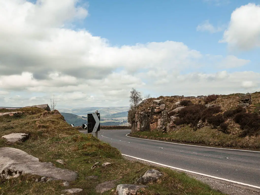

But wait, there are still more views to come. I had never imagined that in choosing to walk through Padley Gorge I would get so many views.
The moor
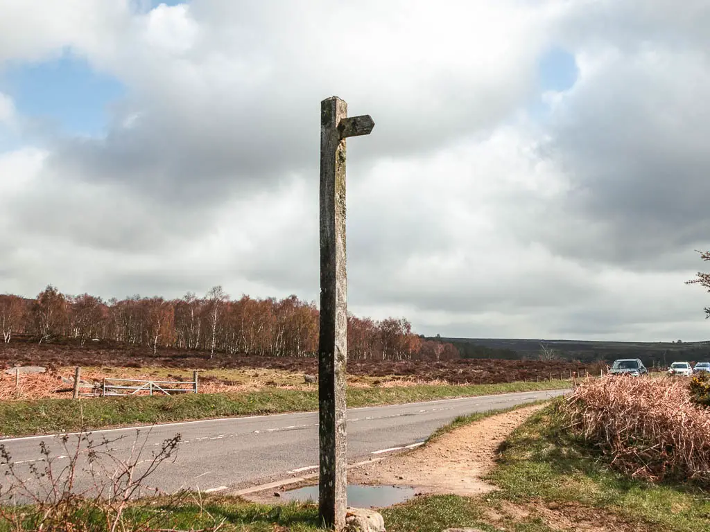
At the road, where there is a trail signpost, cross over, and the trail is directly opposite. You need to be careful here, as there is a blind corner so you can’t see if a car is coming.
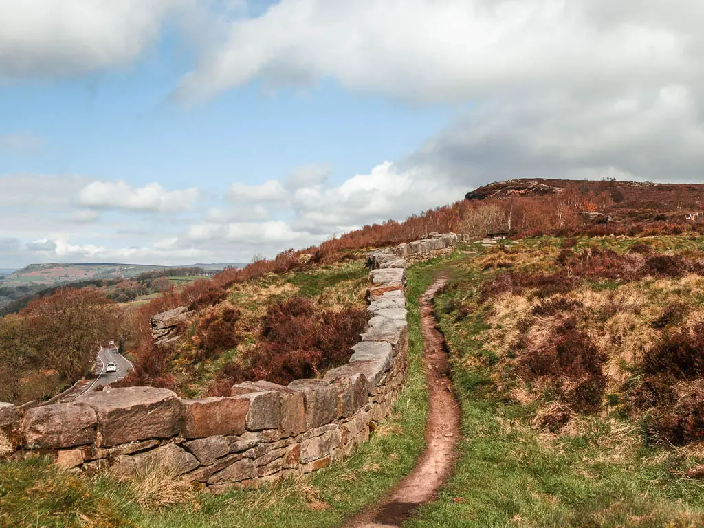
Continue on the dirt trail alongside the stone wall, parallel to the road. Then at the main trail, turn right. This will lead you through a gate, where you then turn left.
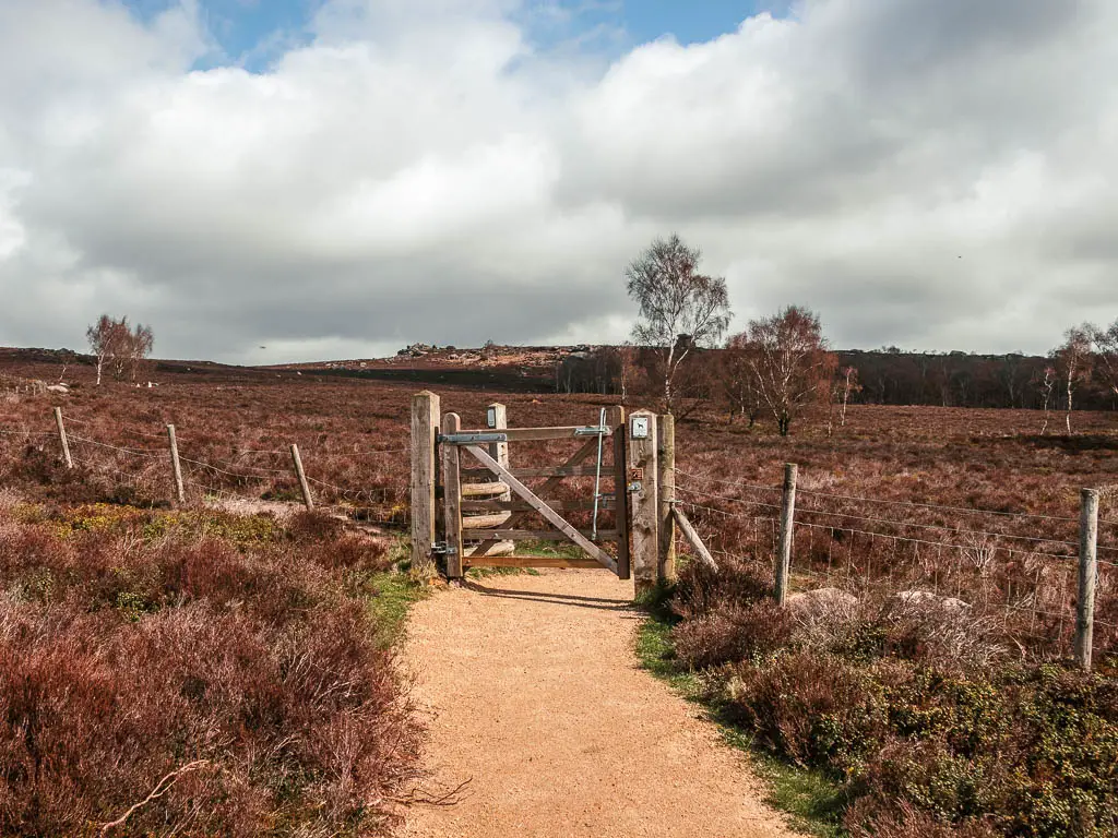
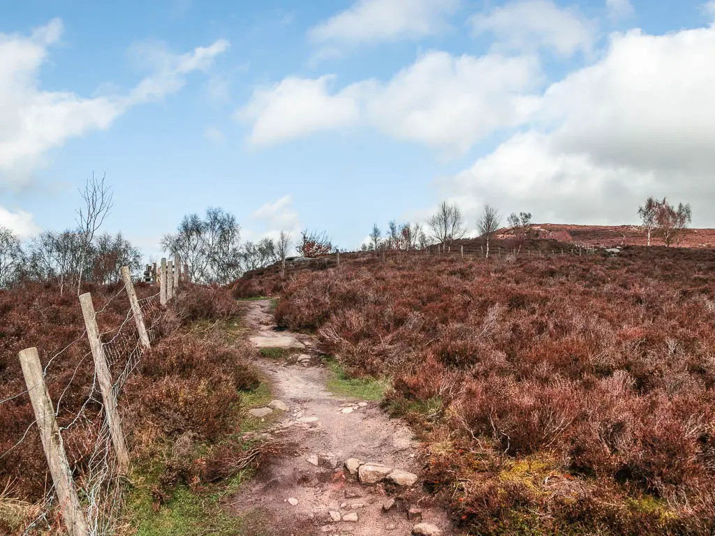
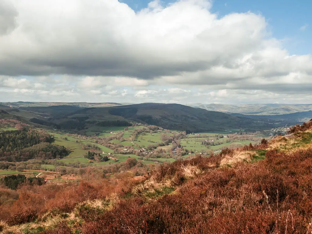
It’s now uphill some more, along a fairly rocky dirt trail surround by heather moorland, and you will continue to get more marvellous views across the Peak District on the way up.
The tors
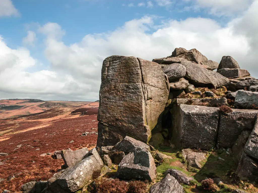
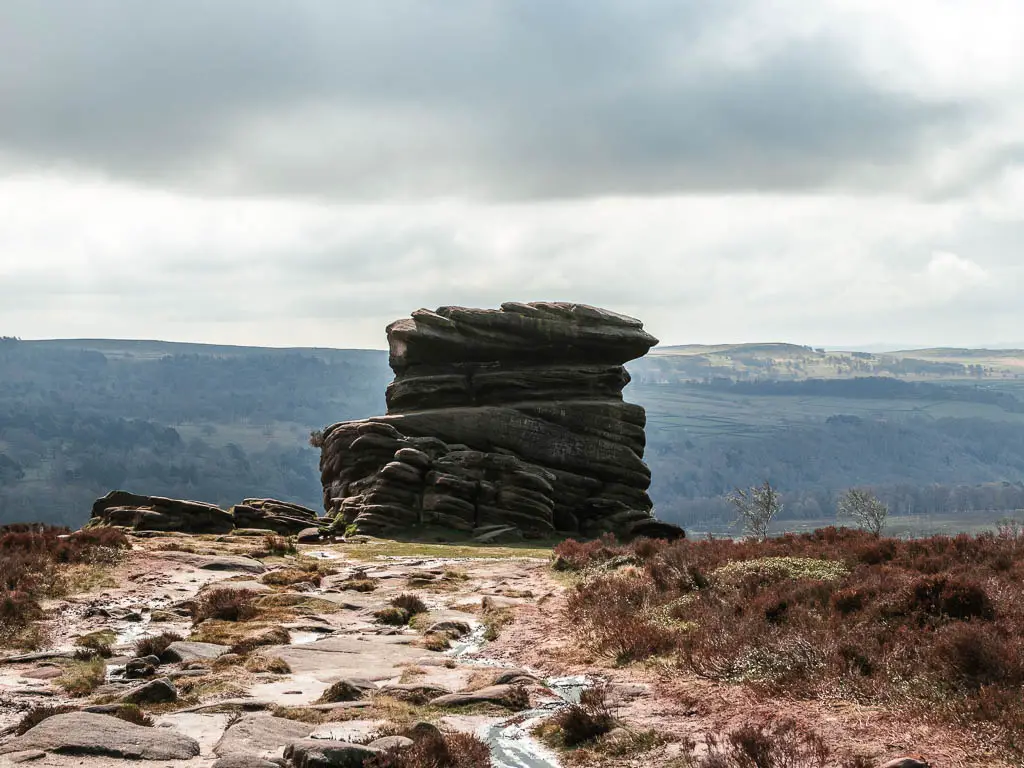
Soon you will start to see a big mass of rocks ahead to the right. This is Over Owl Tor. Owl Tor is further down. I see they got creative with the name.
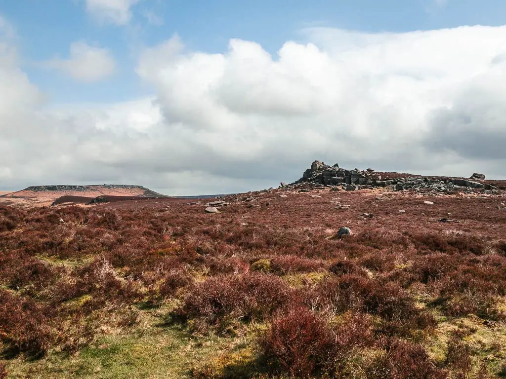
You will also have a view up here of Stanage Edge, Bamford Edge, and Higger Tor in the distance.
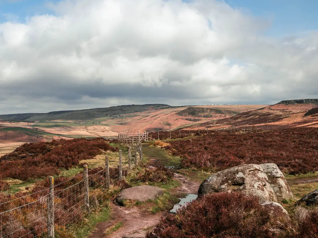
Stanage Edge is my favourite Edge to walk along. The landscape along the top is so unique. You can also walk it as part of the Bamford Edge route, which you can find out more about here.
When you reach a trail that takes you to the right, towards Over Owl Tor, follow it. Just a warning, there is a section along here that is a big mass of wet and bog. Good luck with that.
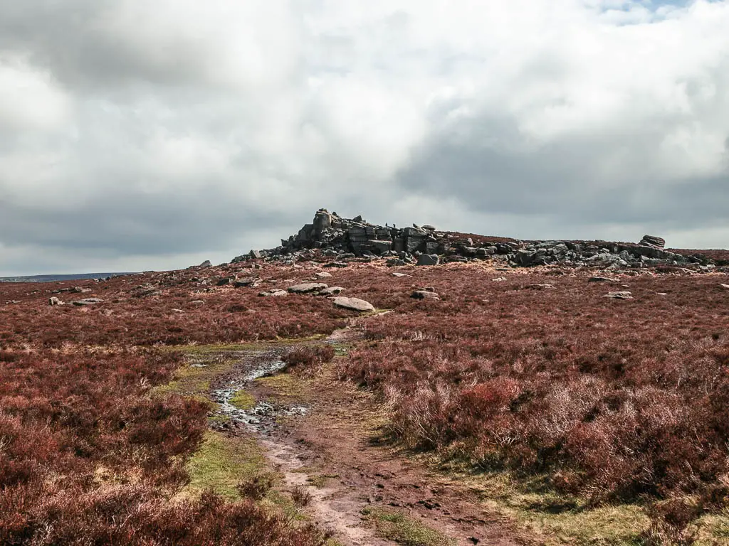
Once I reached the tor, I had a little wander around, and took in more of the views before heading down.
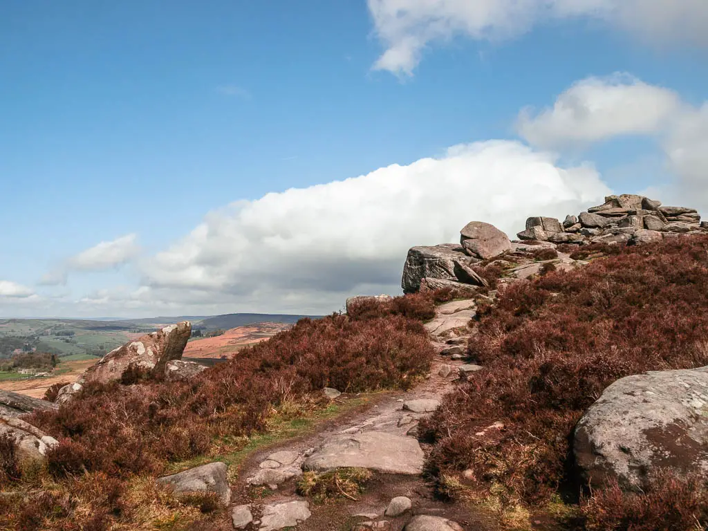
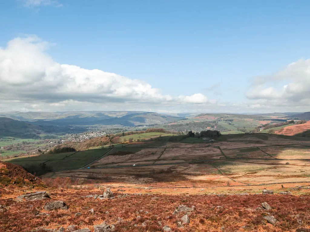
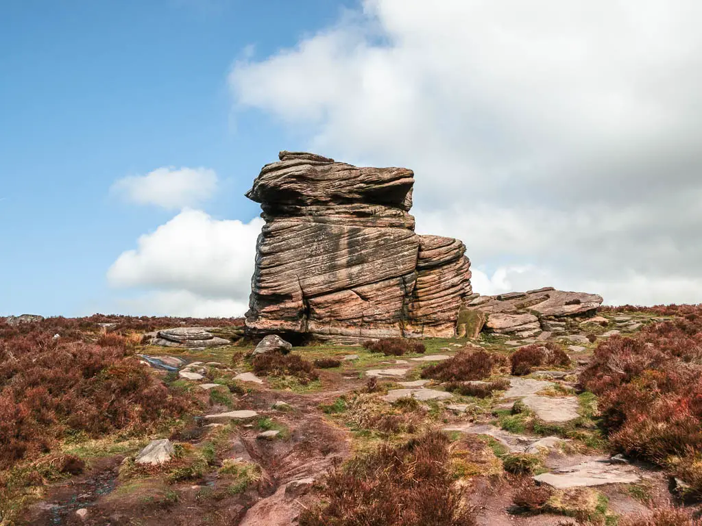
The direction down is passed the tor that looks a bit like the poo emoji. You will then pass by another big tor which I think is called Mother Cap.
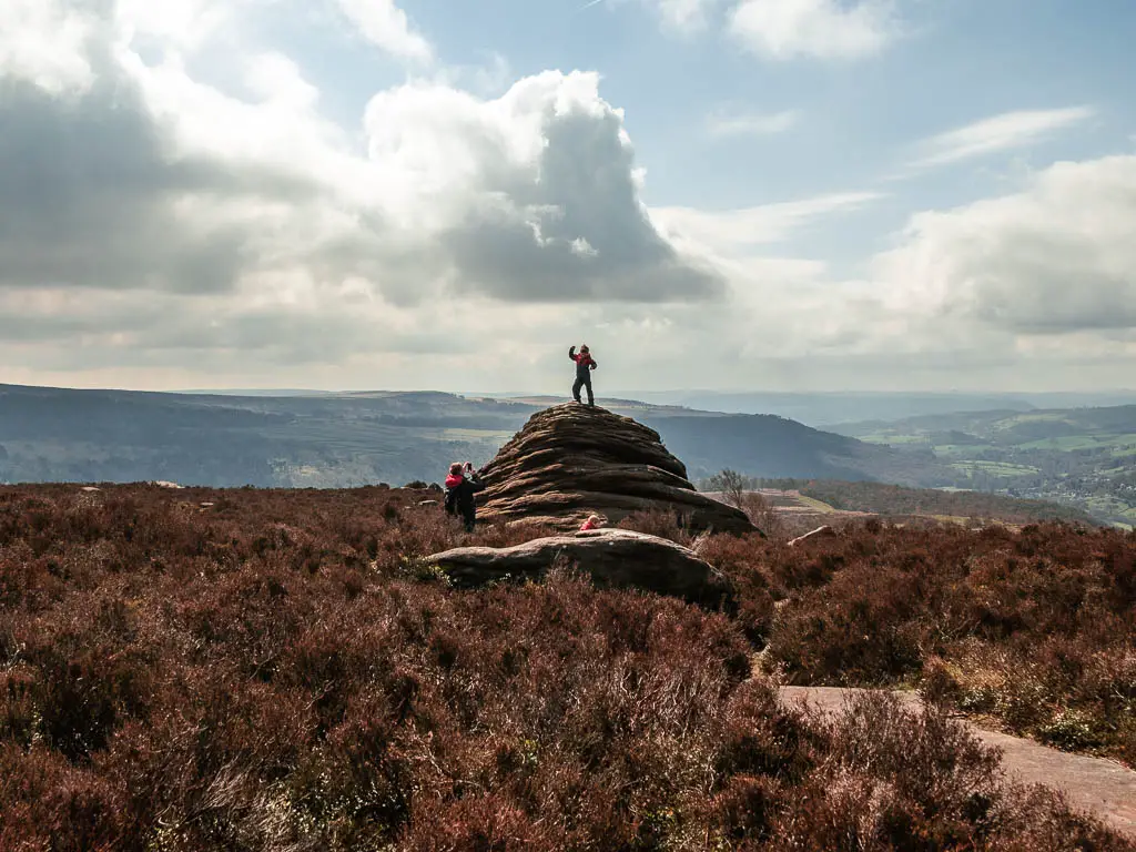
Walk back towards Padley Gorge and one last tor
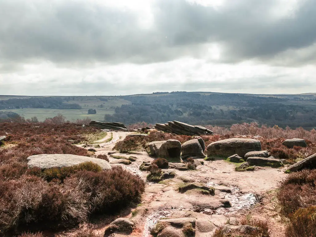
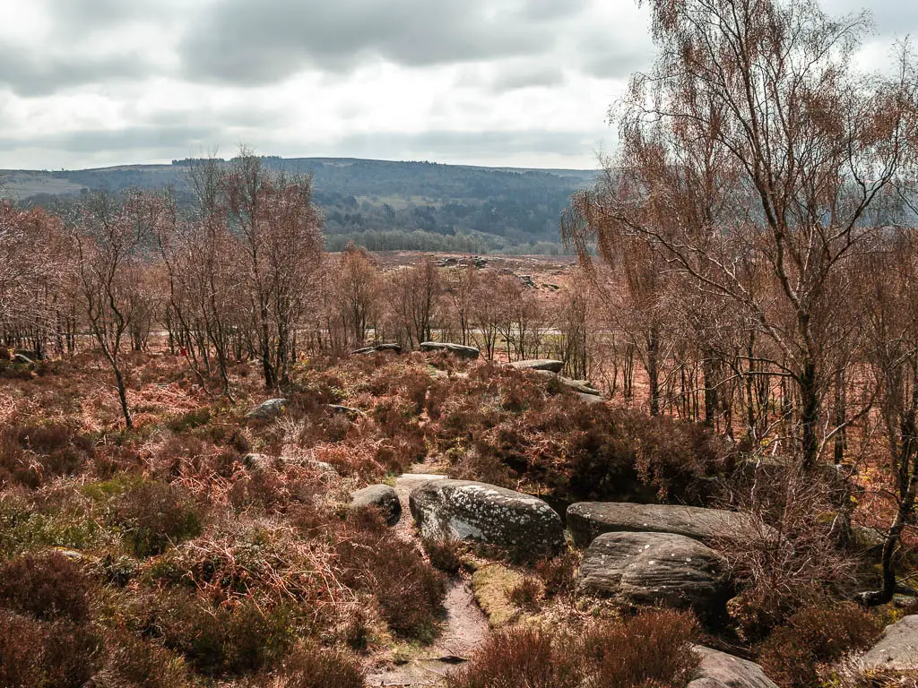
For the rest of the way down, it can get a little confusing. You are basically heading down to the road, so make your way down there whichever way you can.
You might find yourself on an obvious path which takes you to Surprise View car park, which is next to the road. I stayed up top and navigated through the rocks to get down to the road.
If you find yourself at the car park, turn left at the road.
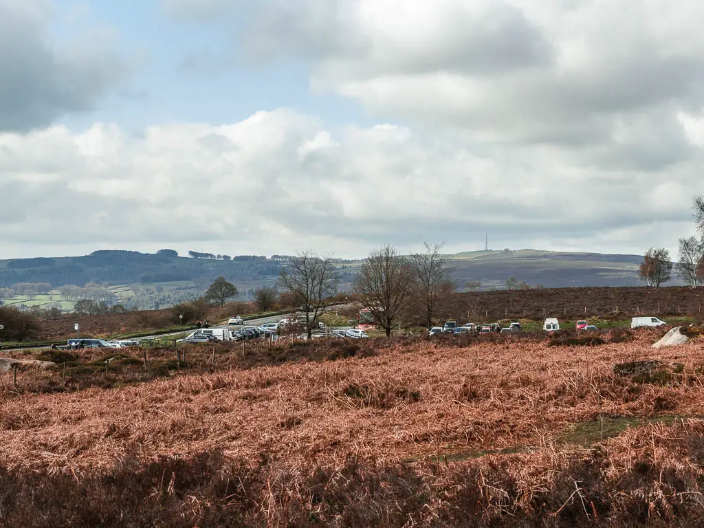
On the other side of the road you should see a mass of rocks. This is Owl Tor. Cross over and make your way over to it.
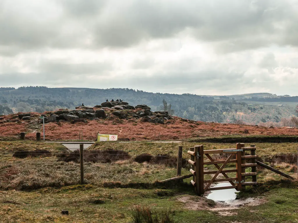
I have to say, I wasn’t so impressed. I mean, the tor itself is cool. But everything I had seen before was better. The view from here doesn’t compare. Plus, it’s right next to a busy road so is quite noisy.
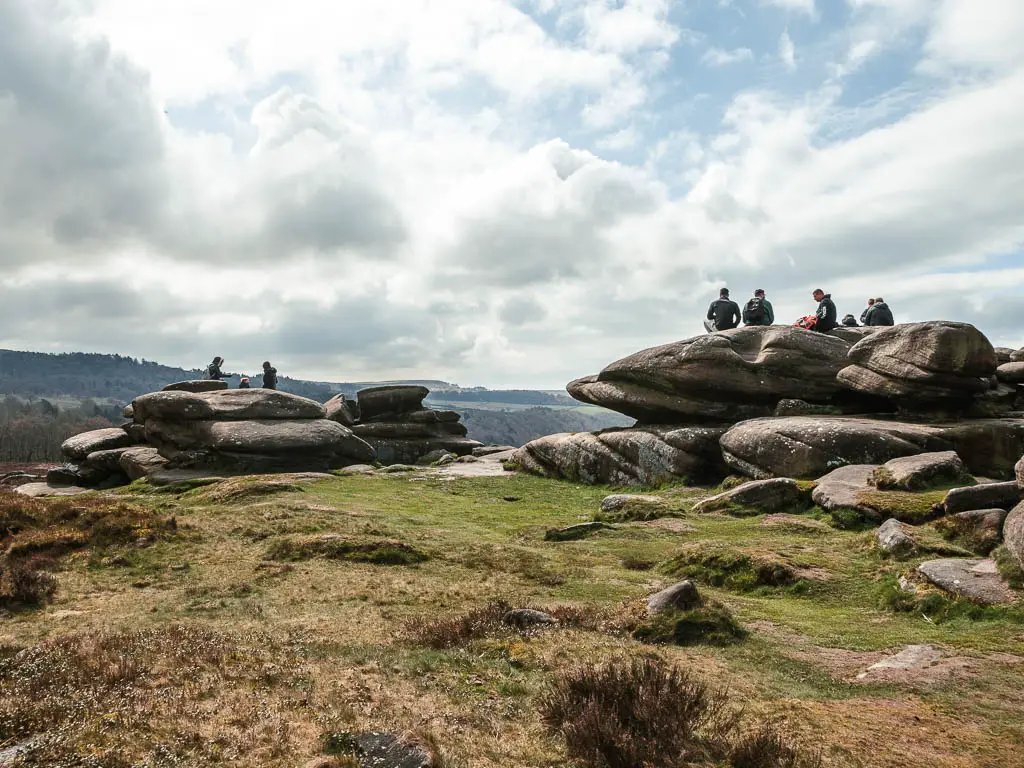
From Owl Tor, you should be able to see the road from the start. I knew it was the road because I could see the ice cream van.
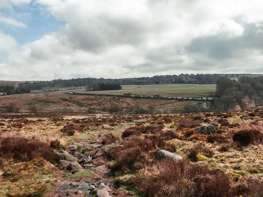
You should be able to find you way back from here. Just head towards the ice cream van. Oh, and one last thing, this last bit of trail is very very rugged and rocky.
More walks similar to Padley Gorge
If you like Padley Gorge, then for more gorge vibes you should try out this route to Lud’s Church, which takes you on a circular walk through the woods. That’s a very short and easy one, but if you want to make it longer, with great views like on this route, you can do the Roaches which includes it.
Chee Dale is a must see. It’s somewhat similar to the walk through Padley Gorge, with the cliffs, river, rocks, and just general gorge vibes. On this one you also have some fun stepping stones.
I highly recommend Cave Dale. It’s actually a dry limestone valley, as opposed to a gorge. But it’s fantastic, and very very impressive. I have done it as part of a longer trail which includes Mam Tor, another must see place out here. Right next to it is also Winnats Pass, which you might have heard of. You can do this route which takes you right through it.
I really recommended this walk through the Manifold Valley, which isn’t so much a gorge, but it has an impressive cave. A cave that bears sued to live in.
Pin it for later:
For more things to do in the area, you can check out the Visit Peak District website.

2 comments
Hi Zoe! I loved your article! I’m still discovering the Peak District, as I’m relatively new to UK. Do you think it is a safe for me to go by myself, a solo hiking?
Hi Julia. Thank you, and Definitely! The Peak District is perfect for that. So many amazing hikes which aren’t too remote, and a lot of great ones aren’t that long. You don’t have to hike far to get to some cool places.