This coastal walk takes you from the sand dunes of Par, past the small village of Polkerris, around the Gribbin Head Daymark, and on to the cute port town of Fowey. You will be following the South West Coast Path, and will pass by many little beach coves along the way.
This post uses affiliate links. You can read the privacy policy or disclaimer for more info.
What to expect on the walk from Par to Fowey via Gribbin Head
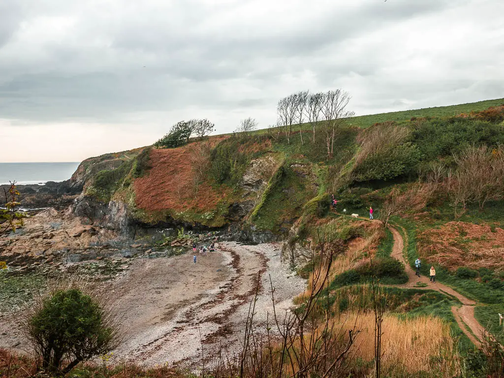
It’s a wonderful walk just like any good bit of South West Coast Path. The section of the walk between Par and Polkerris has a few hills mixed with flats. Out of Polkerris, there is a big hill, and then it’s mostly level walking to reach Gribbin Head (with the odd hill and steps). The most challenging part of the walk is from Gribbin Head to Fowey. At first it’s a nice long downhill to trick you into thinking the rest of the walk will be easy. You will then you have some aggressive ups and downs for the remainder of the walk to Fowey.
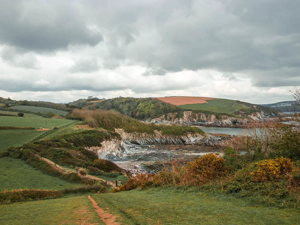
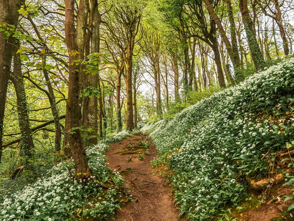
Along the way you will walk on paths lined with wild garlic (time of year dependent), have opportunity to take a dip in the sea at the beach coves, and you will a see a view as far way as the Eden Project.
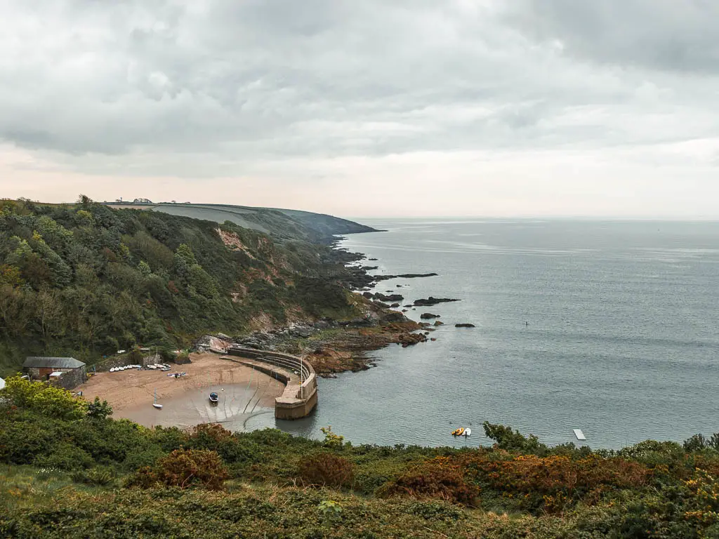
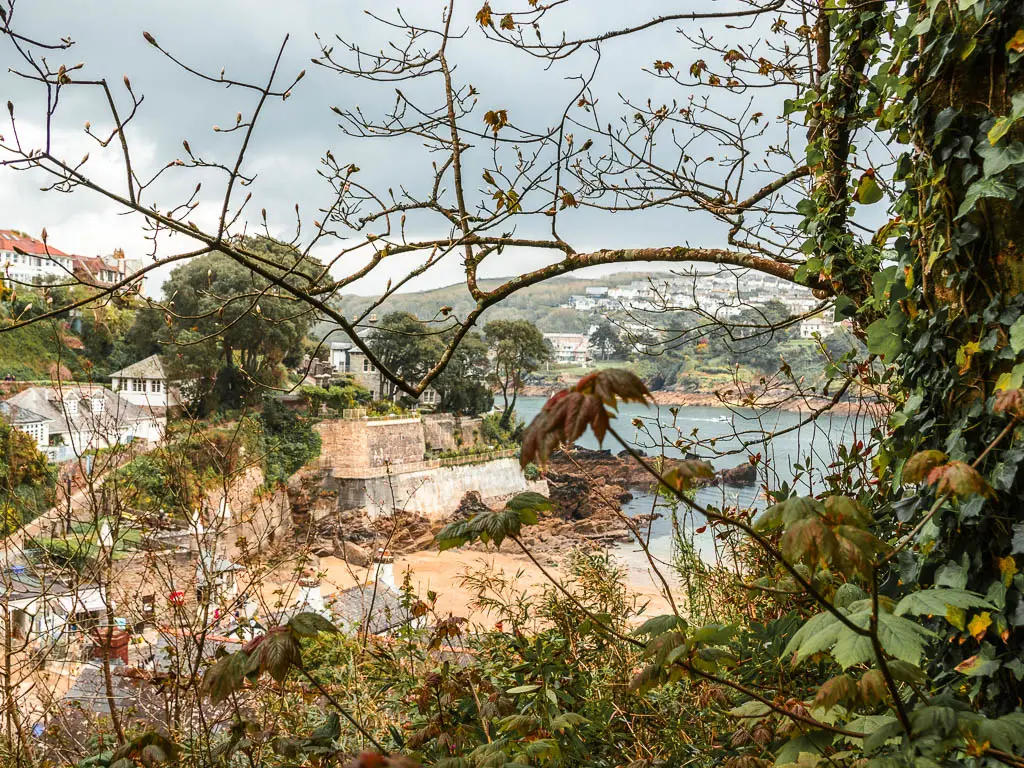
I would say the best views of the walk are the section between Gribbin Head and Fowey, the previous section is still great, but this section is even greater.
What is Gribbin Head?
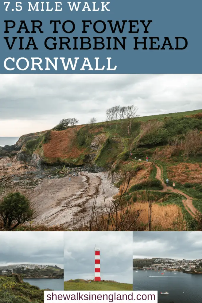
Gribbin Head is a headland with a red and white striped daymark. The Gribbin Head Daymark is 26 meters tall with 109 steps, which can can walk up…and then be super high. At the time of writing it is not open to visitors because of the c word. Although, I thought we were done with that by now.
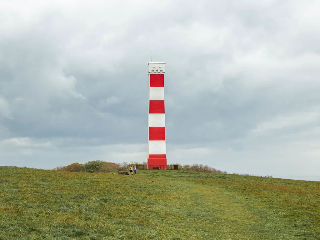
Daymarks are like lighthouses, but not. They are used as waymarks for sailors. This one was built in 1832, so that sailors would be guided into the nice deep waters of Fowey, instead of accidentally going to the shallow waters of St Austell Bay.
Logistics for the coastal walk from Par to Fowey via Gribbin Head
- Start: Par
- Finish: Fowey
- How to get there: Located in East Cornwall. Par has a train station on the Great Western Railway line. From Fowey, you can catch the number 24 bus to get back to Par.
- Distance: 7.5 miles
- Time: Just under 3h
- Elevation: Highest point is about 73m, with the ups and downs you will gain about 284m.
- Difficulty: The majority of it is easy, with a few medium bits. Whilst there are some steep hills and challanges, they make up a small amount of the walk, and are short lived.
- Terrain: Dirt trail, grass, steps, some road.
- Time of year: Spring
- Dog friendly: Some of it. No stiles, but there are some fields with livestock. Polkaris beach has dog restrictions.
- Amenities: Par has a few places to eat, some pubs, restaurants, fish and chips etc. There is also a small spa and co-op. Funny that, I didn’t see any of these eating places when I was there, it felt like there was nothing about. I only now know they exist because of google maps research. Apparently there is also a coffee place on the beach. I definitely didn’t see that. Fowey has a lot more options. There is also car parking at both locations. Polkerris (about 2.5 miles in) has a pub and public toilets.
Tips for the coastal walk from Par to Fowey
- If you are staying in Fowey, then it might be nice to catch a bus over to Par, and then walk home.
- Following on from the above tip, definitely walk it in the same direction as me, from Par to Fowey. Fowey is a much cuter place to finish.
- If you are flexible, come in spring. That way you will get all the wild garlic goodness.
- If you are staying in Fowey, then you might be tempted to just walk to Gribbin Head and back. Which you can do, and it will be lovely, but you will miss out on Polkerris. If it’s wild garlic season, then you absolutely must go there to see it.
- This guide takes you to Fowey, but if you would like to to explore more of the village once you are there, this guided walking tour will show you all the best spots, whilst learning about the history of the area. There is also a dusk walking tour.
Map for the coastal walk from Par to Fowey via Gribbin Head
More walk ideas near Par and Fowey will be at the end
Route Description for the Coastal Walk from Par to Fowey via Gribbin Head
If you are starting the walk from Par station, then it’s about a 10min walk to get to the beach. The most scenic route is to take a right, straight out of the station, so you will be walking alongside the railway tracks. Then a short way along, you can go left into the park. From here, follow the path all the way to the end.
Out of the park and at the road, turn right, then take an alley on the left. At the next road, go left, then take the next alley on the right.
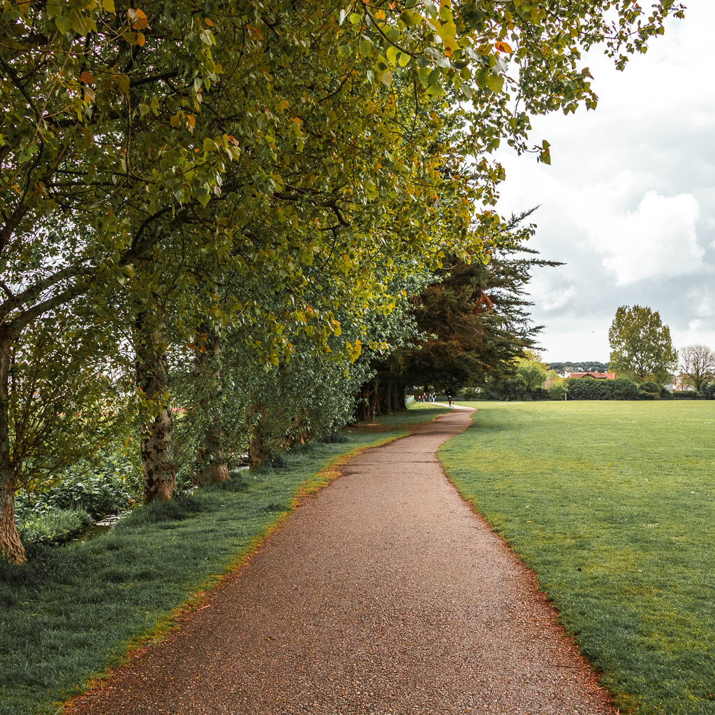
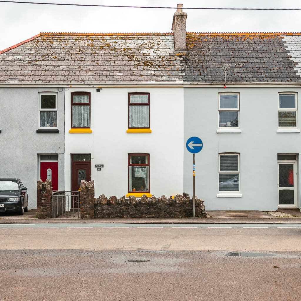
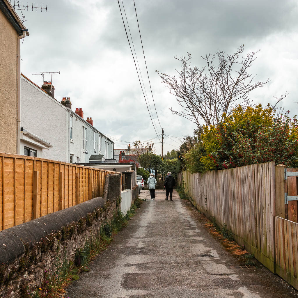
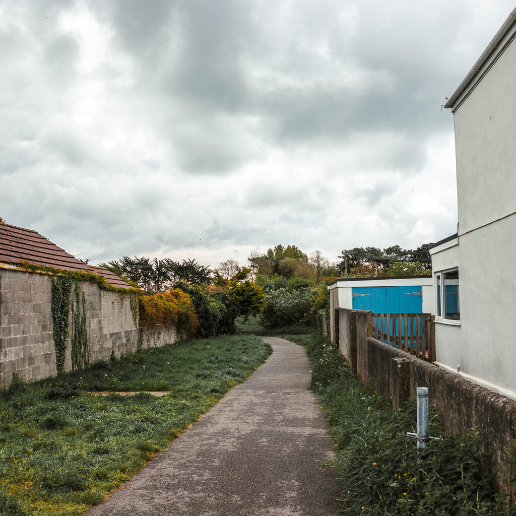
Basically, it’s a right, left, left right.
This will take you on a path next to a sort of river. At the next road, walk straight across and into the woodland on the other side.
Walk through the woods to reach Par Beach
You will be presented here with the South West Coast Path acorn sticker. Follow it. At the next junction, take the path by the tree with the bench, and follow it up and to the right.
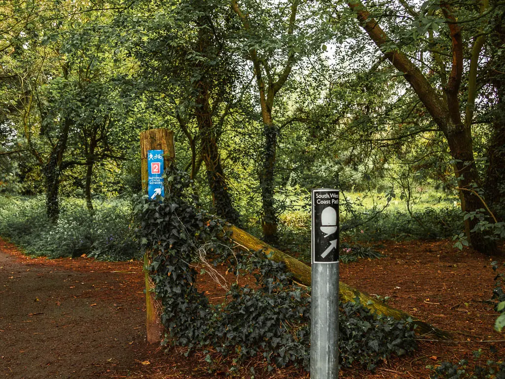
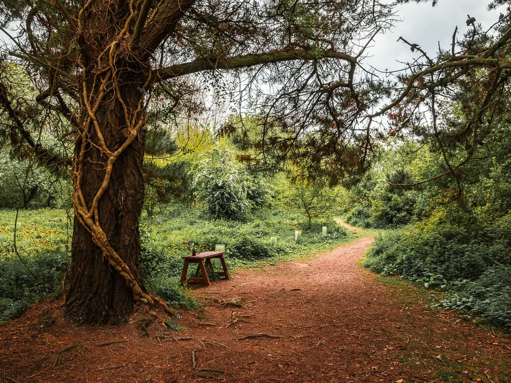
There were a lot of birds squawking when I was here. There was also the sound of industrial generators in the distance. It all felt quite ominous. I knew it was due to rain later today. It felt like the birds were giving me a warning sign that the rain would be here sooner.
The generator noise wasn’t new to me though, I had heard it when I walked here before, so I knew what was coming….
Past the tree and bench, stay on the main trail, as it then curves you to the left. At the junction at the end you can go left or right. Last time I was here when I walked from Charleston to Par, I took the right. So today I went left. This leads to a road, with a view to the industrial buildings to the right. That’s were the noise was coming from.
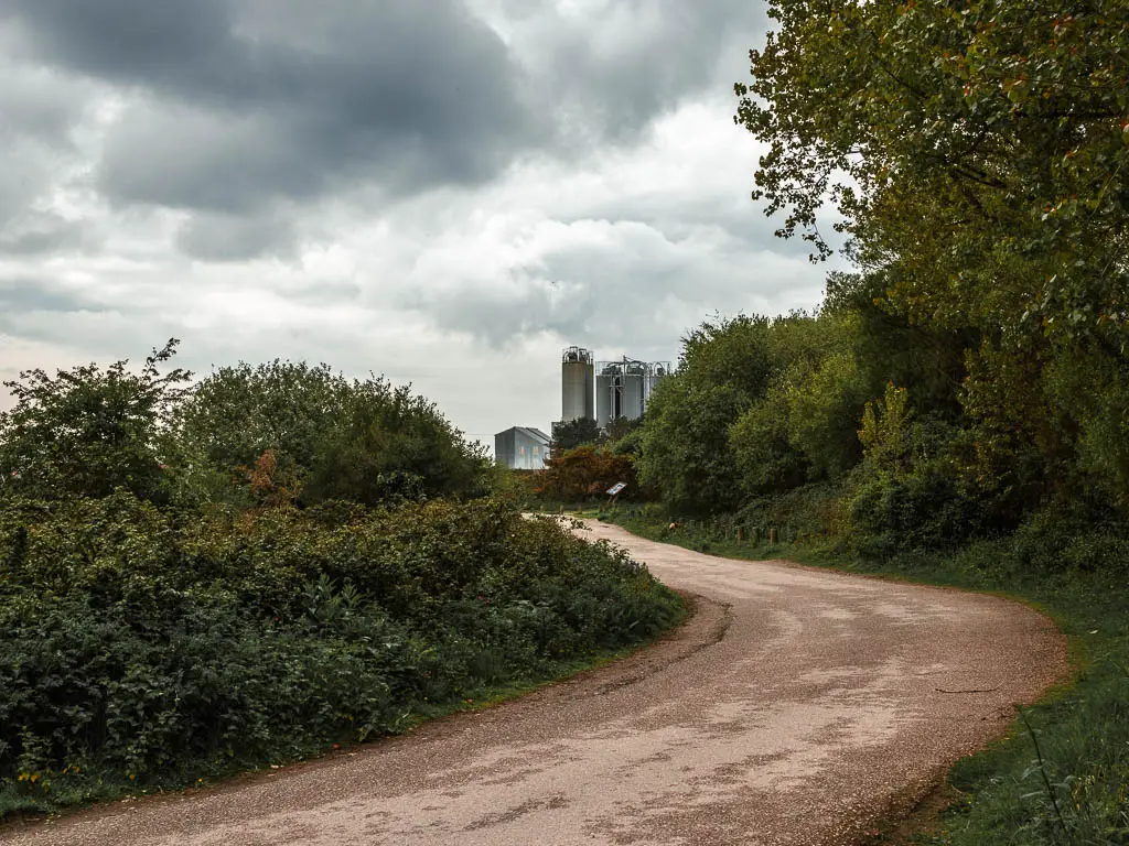
I have looked it up. They produce minerals there.
The beach is next to the industrial building, so just head towards it.
Walk from Par Beach to Polkerris
The first thing you will get to at Par Sands Beach is the grass and small sand dunes, then the beach part is on the other side. The big cliff you will see to the left and ahead, is where you will be walking next.
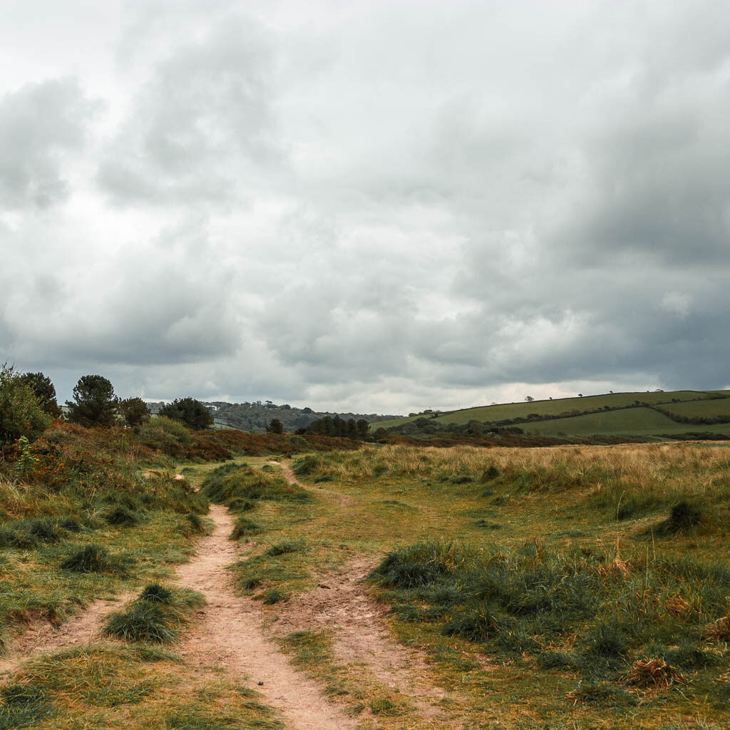
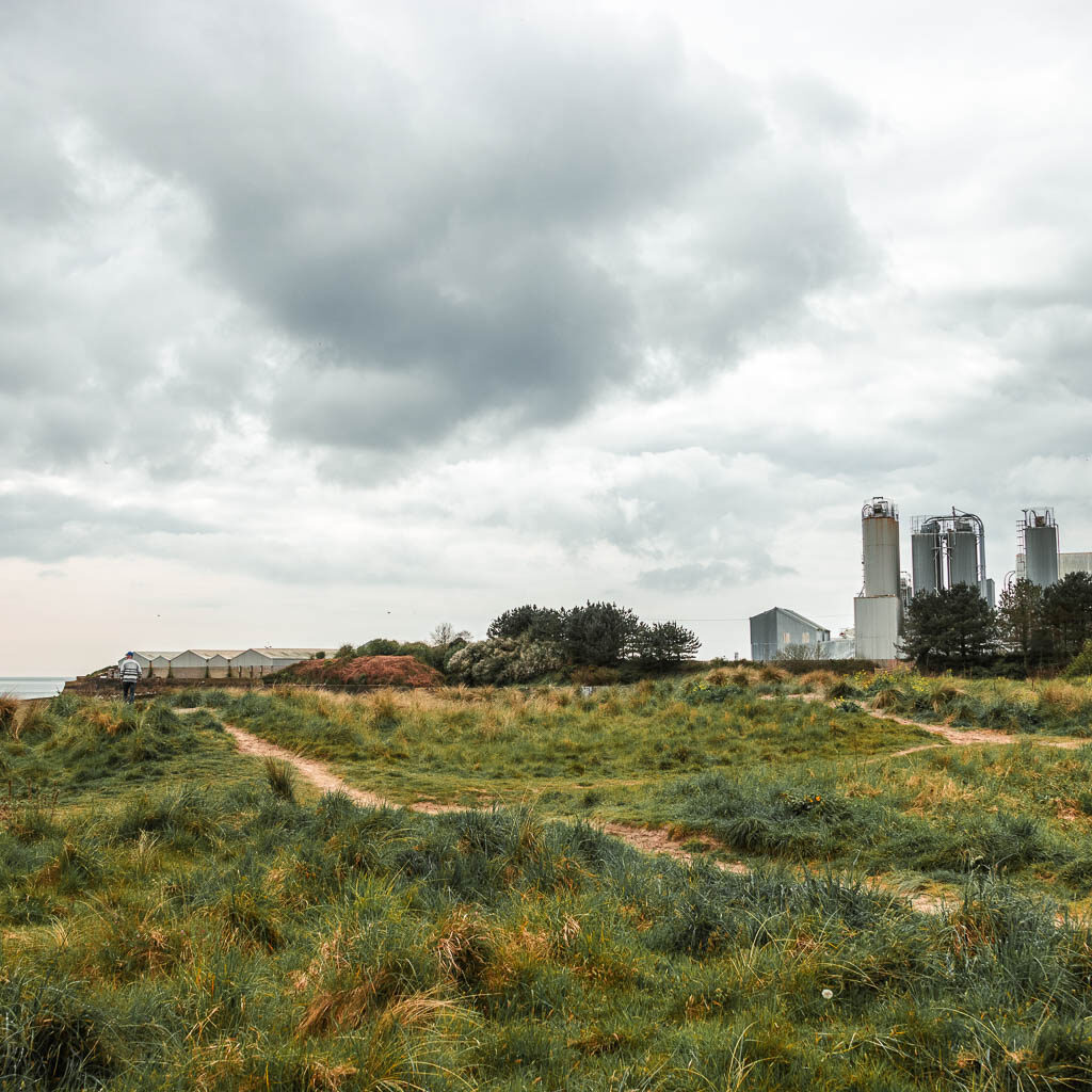
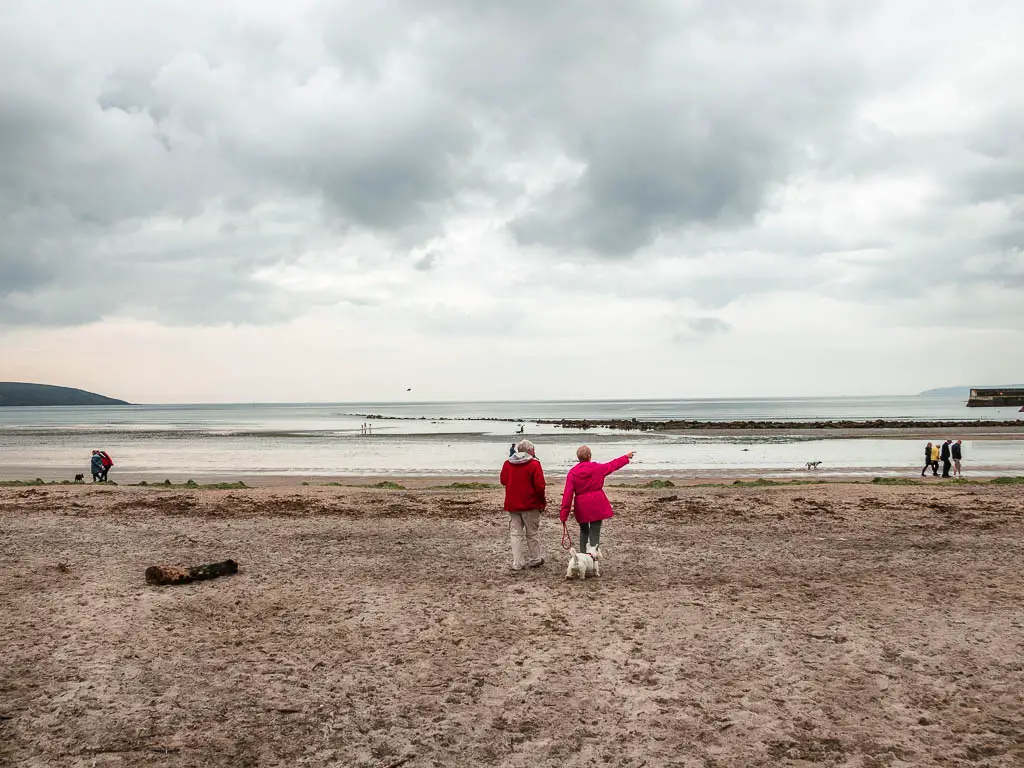
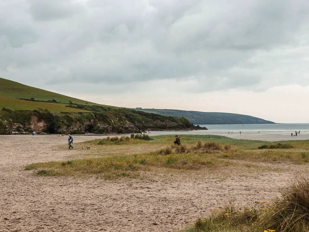
Now, walk to the other end of the beach and you will find a trail just under the cliff. Follow it away from the beach, to reach the small wooden bridge, and steps to take you up onto the cliff.
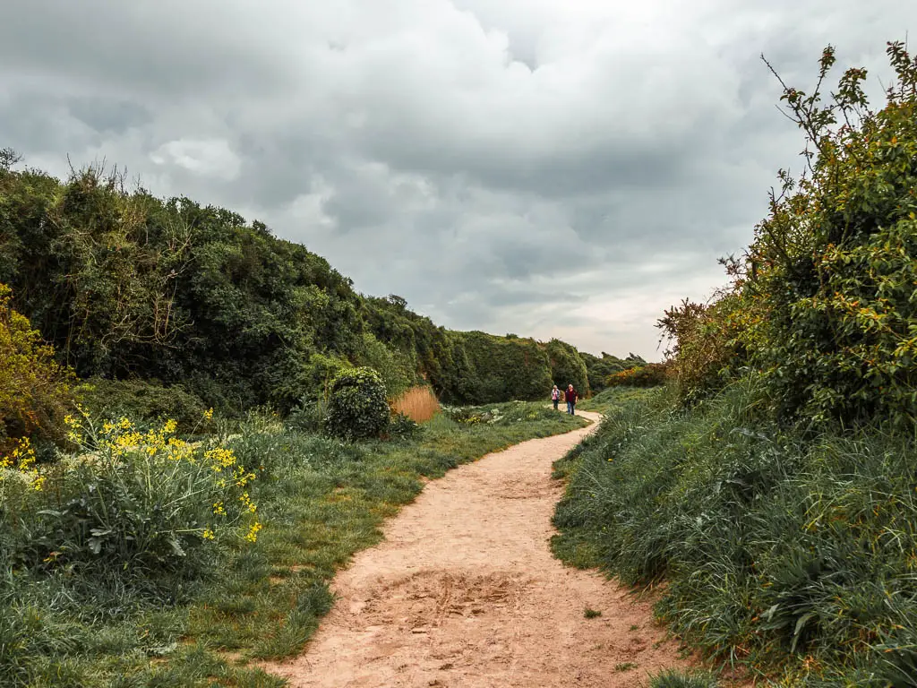
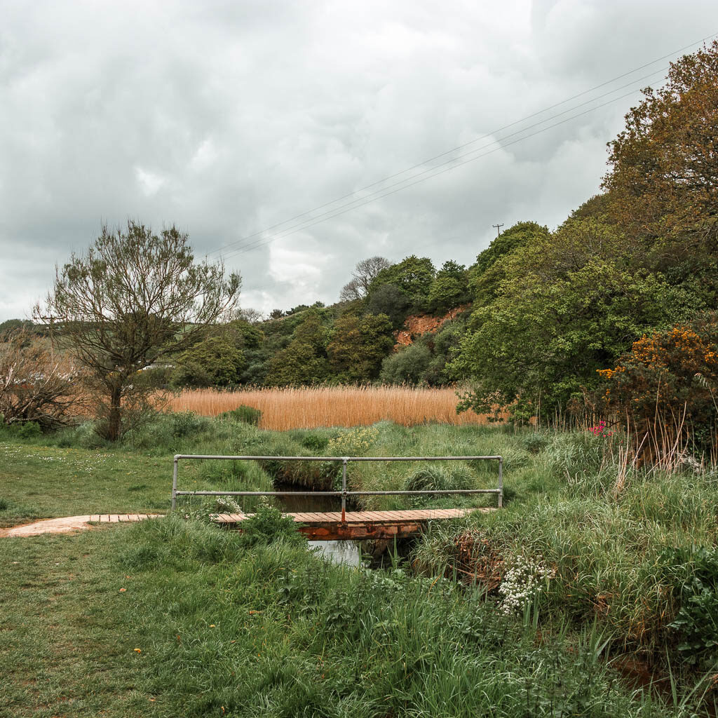
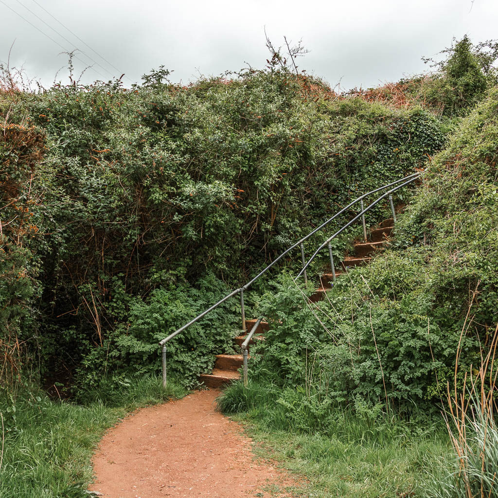
Once up the steps, it’s level walking for a while, with some nice views back down to the beach. The way the tide was out, and how the sun was shining, it reminded me of people walking across salt flats.
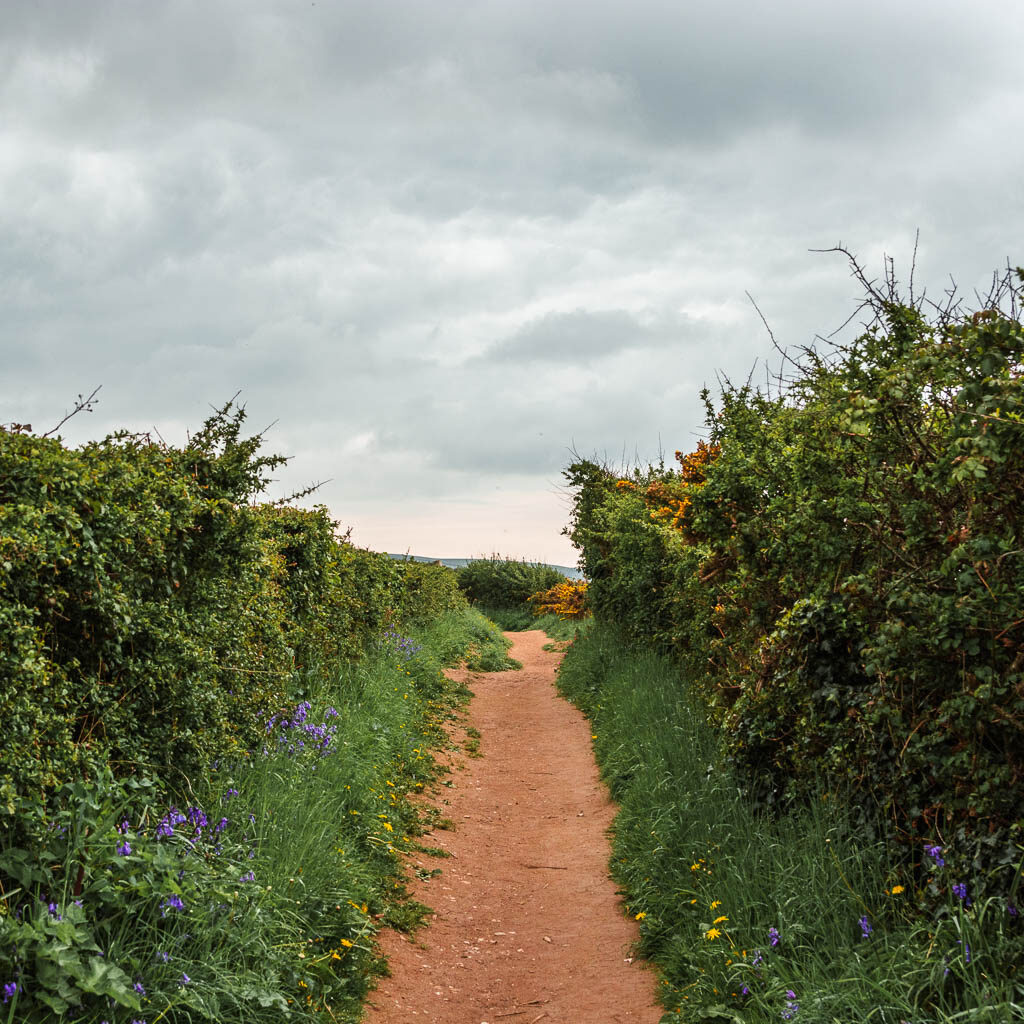
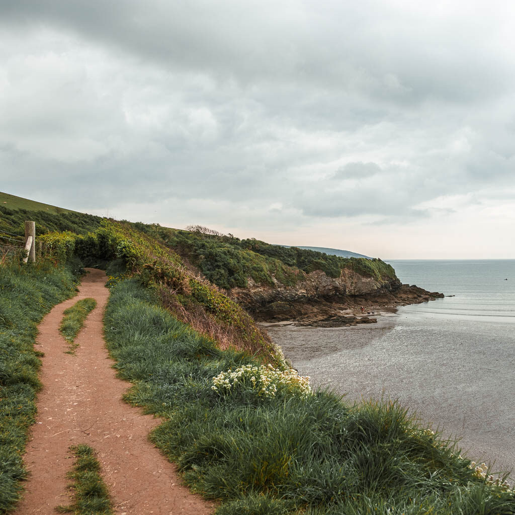
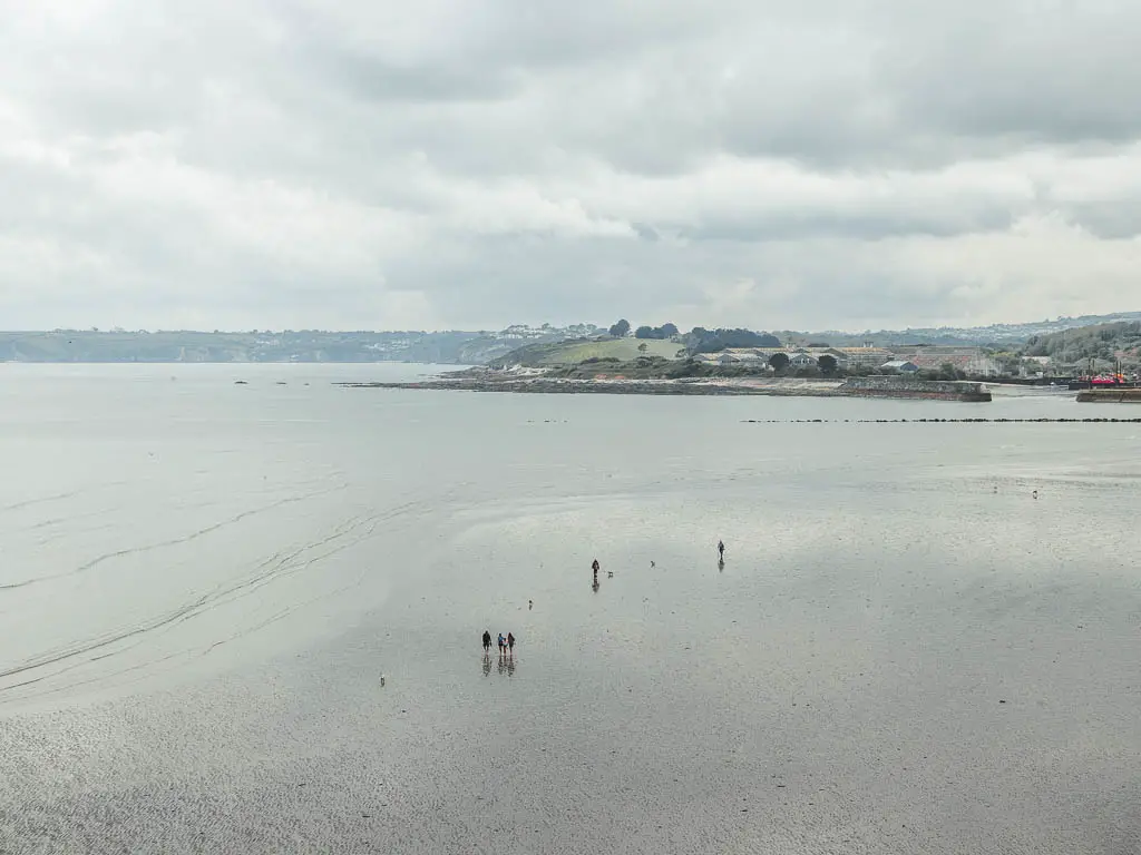
When you reach the cliff corner, it’s a short uphill, and then continue right along the cliff edge. A little way further along, the trail will split. Here you take the left uphill again.
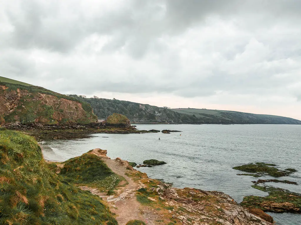
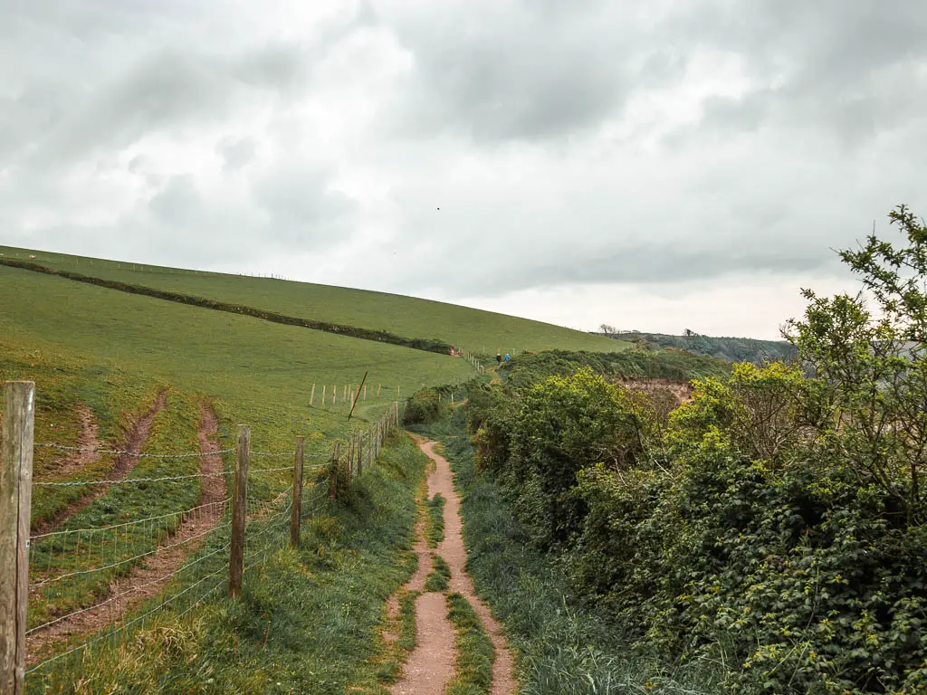
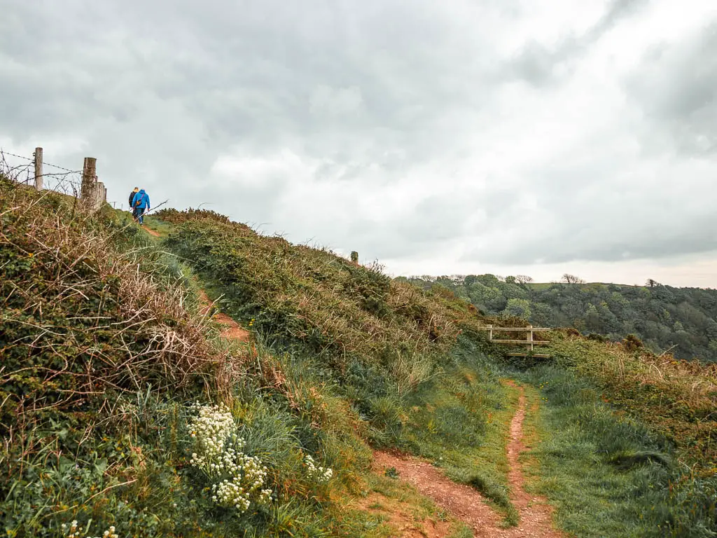
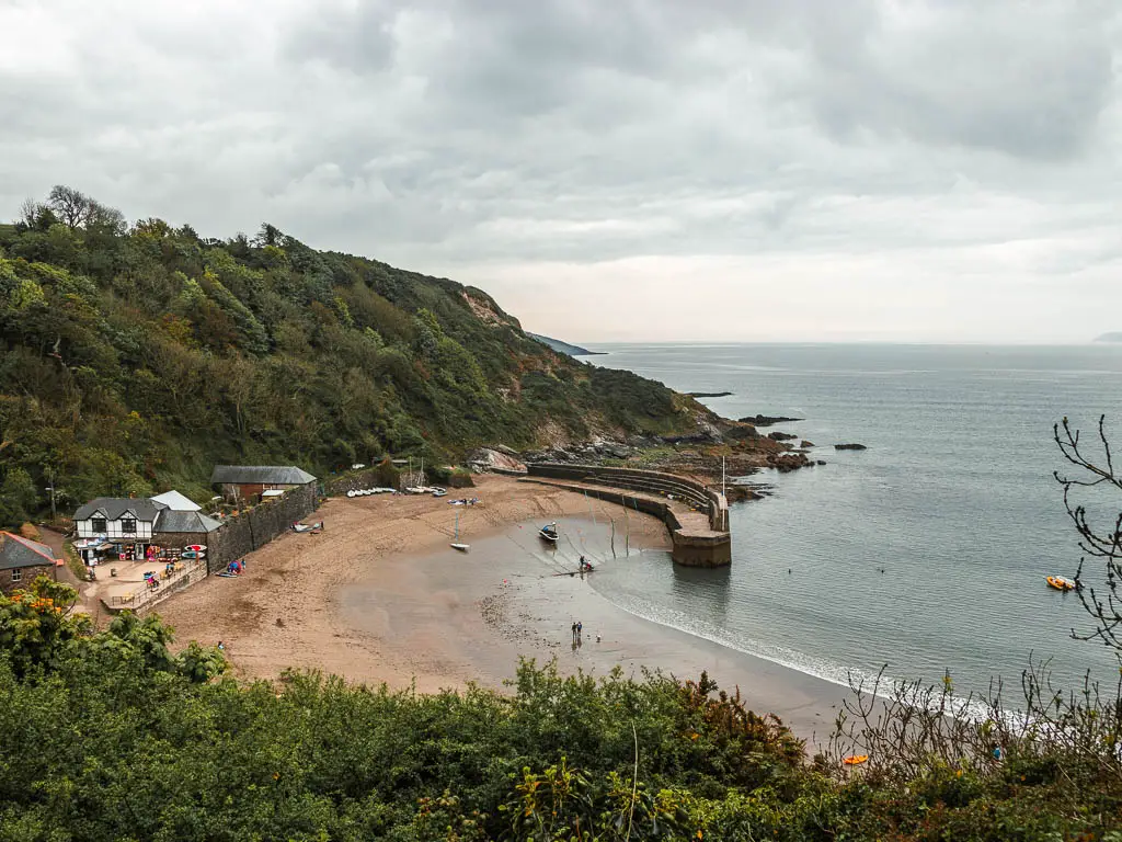
Up the hill, you will start to get a view down to Polkerris. When I first caught eyes on it, I got amphitheatre vibes.
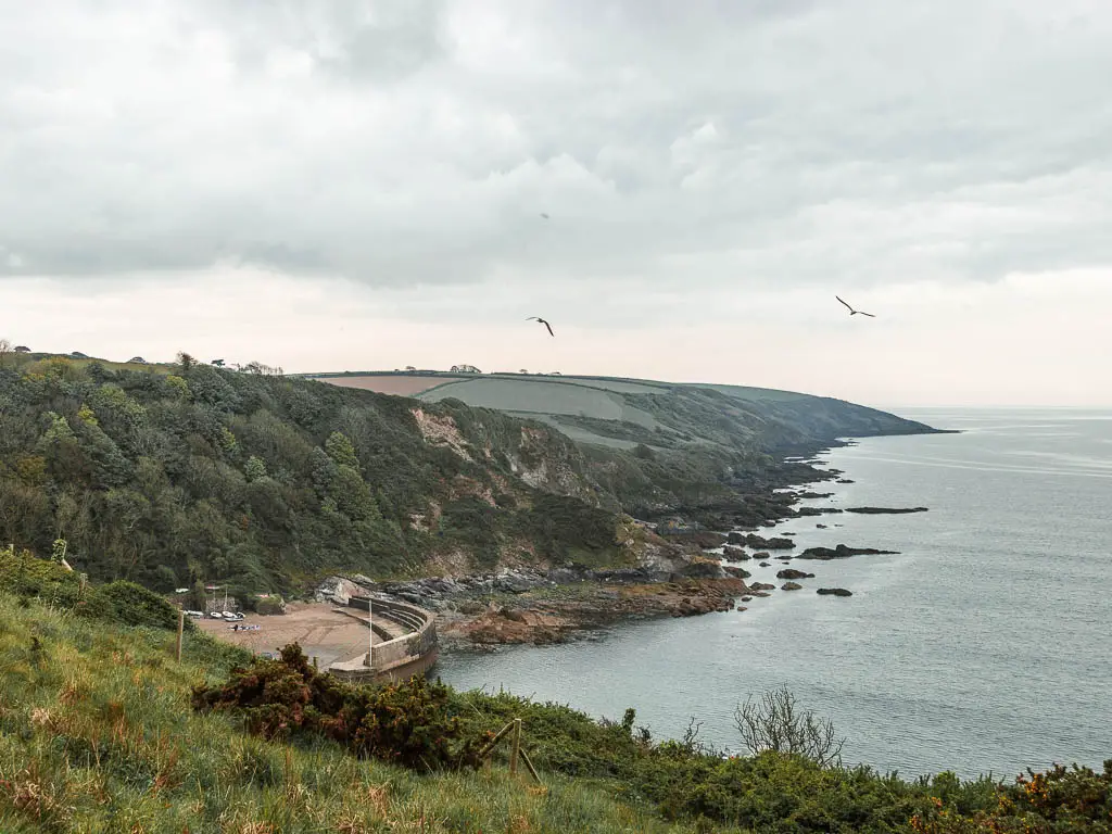
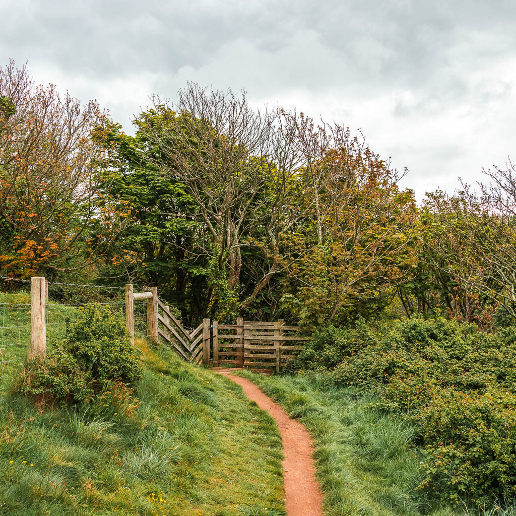
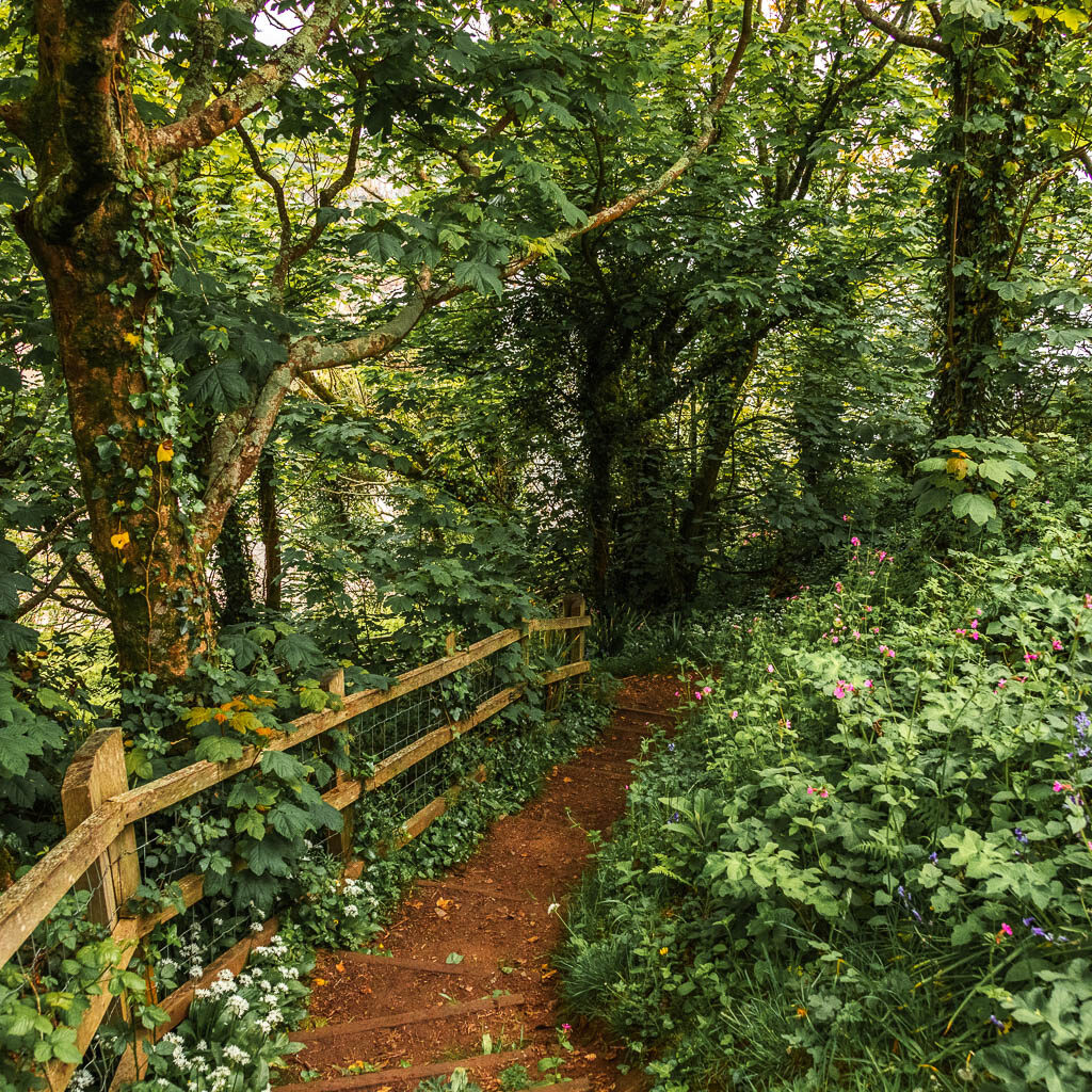
The trail will then take you into some woods and down some steps to reach Polkaris and the ‘amphitheatre’.
Walk from Polkerris to the wild garlic
In Polkerris, go onto the beach, and on the other side, go up the slope next to the Tudor looking building, to pick up the trail next to the toilet sign.
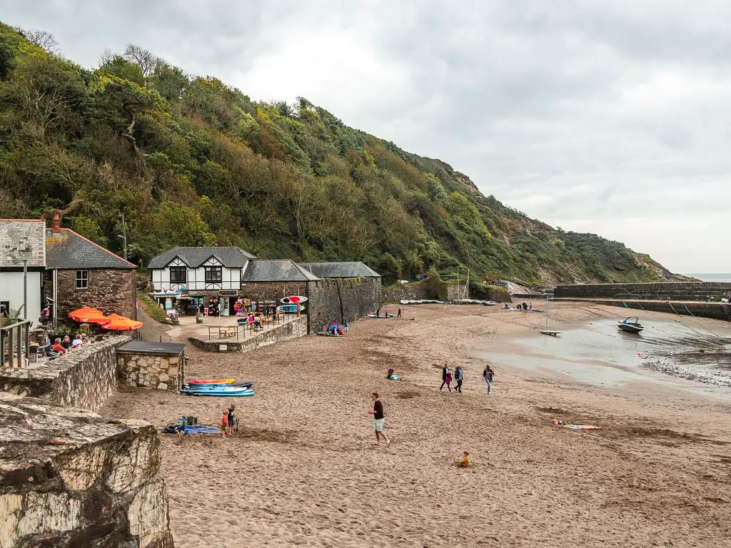
Now this bit is very important. There will be a trail ahead and some sudden steps to the right. The correct way is the steps. When I saw them, without checking my map, I decided they were not correct, so I took the trail ahead instead.
Here I was met with a real intense smell and was surrounded by greenery and an abundance of white flowers.
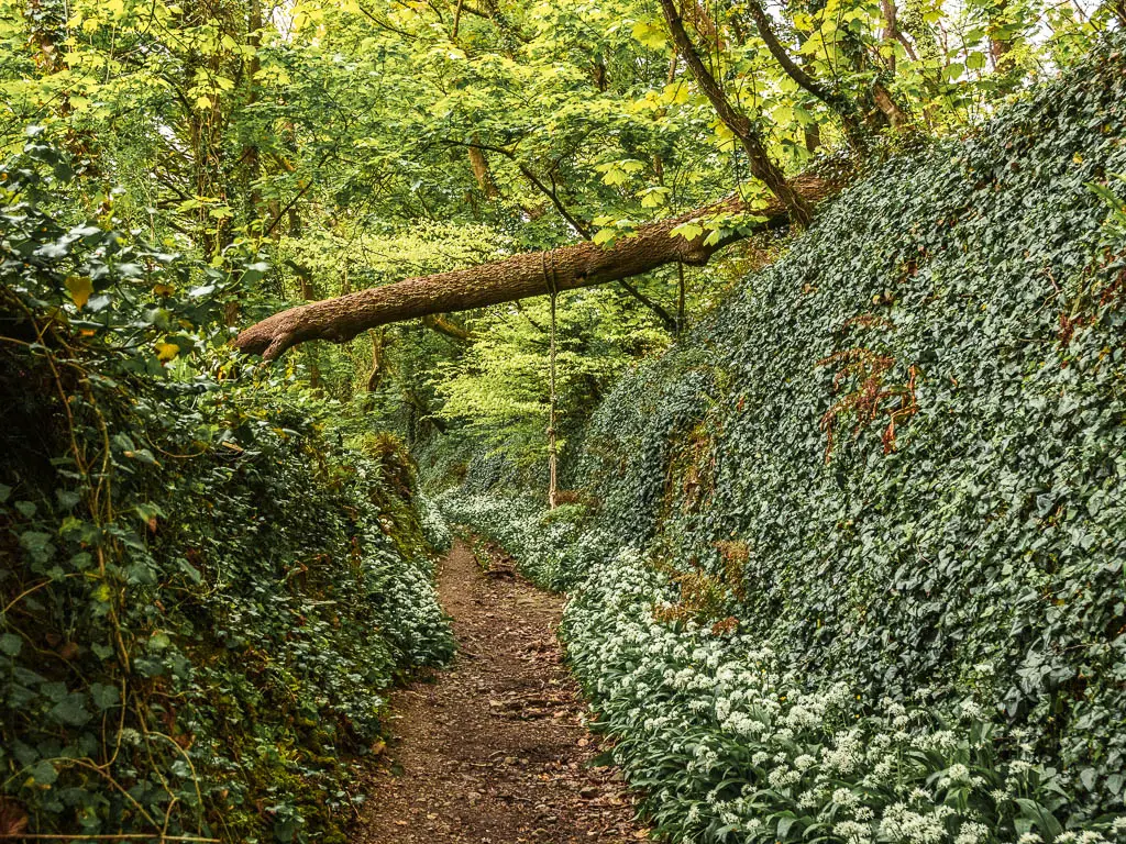
At the time, I didn’t know this was wild garlic. I was intrigued. It was all just so pretty and intense smelling. After a bit of uphill walking, something didn’t feel right. It was then that I checked my map and realised I was supposed to go up those steps. Usually I would be annoyed at having walked uphill for no reason. Or even worse, walking downhill to realised you went wrong and need to walk back up. I wasn’t annoyed today. I had quite enjoyed walking amongst the strong smelling white flowers (AKA wild garlic).
Walk up the steps
After going back to walk up the steps, I was sad to leave the white stuff, however, I was pleasantly surprised to find that not only were they also up the steps, they were even better up there.
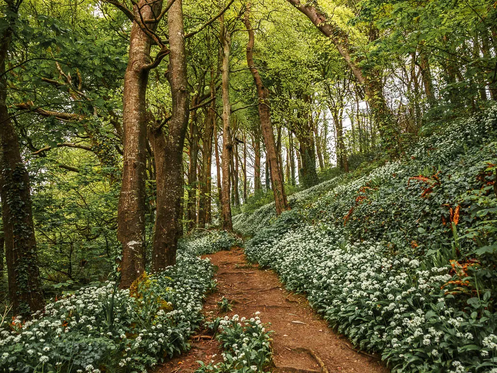
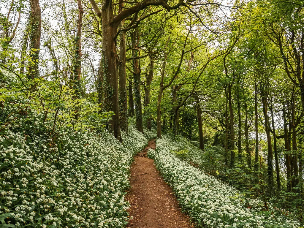
This trail then does a zigzag up the hill, passing by a couple of South West Coast Path acorns, and then exits into a big field.
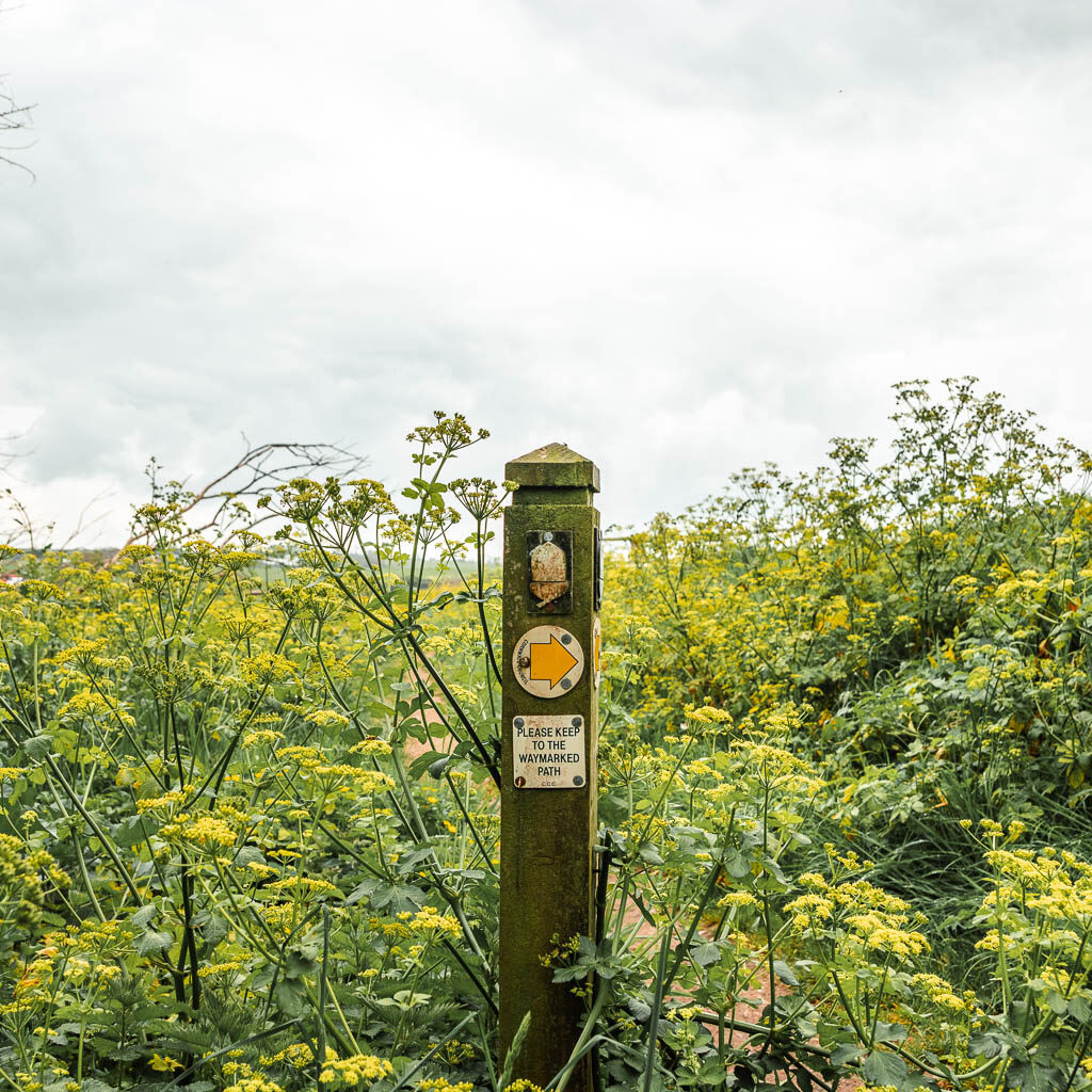
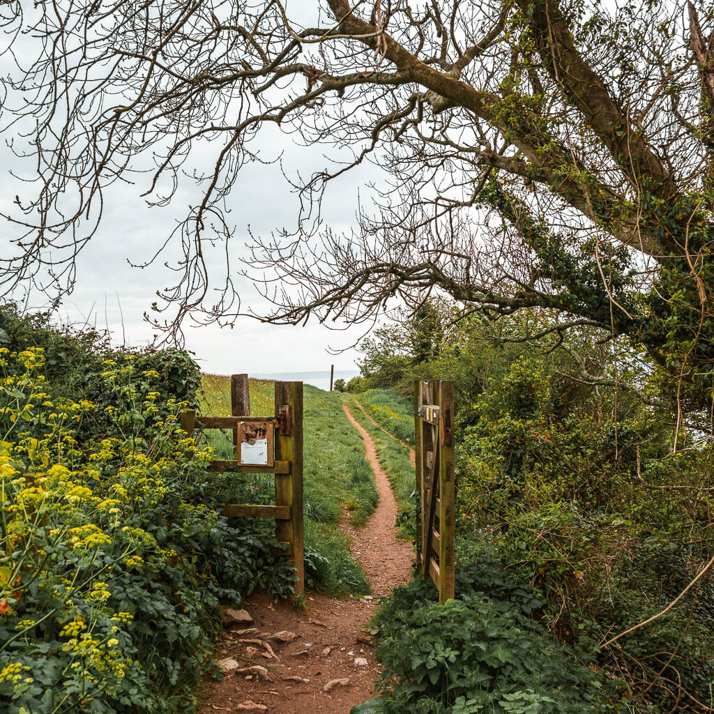
Walk from Polkerris towards Gribbin Head
The trail then goes over the hill, to join the cliff edge again. For the next while, the trail is mostly level with some undulations, and the occasional small slightly steeper bits and some steps.
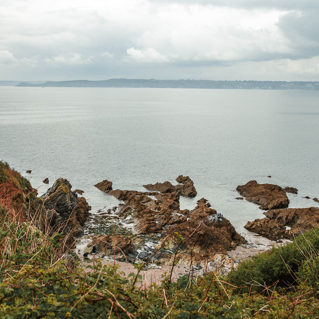
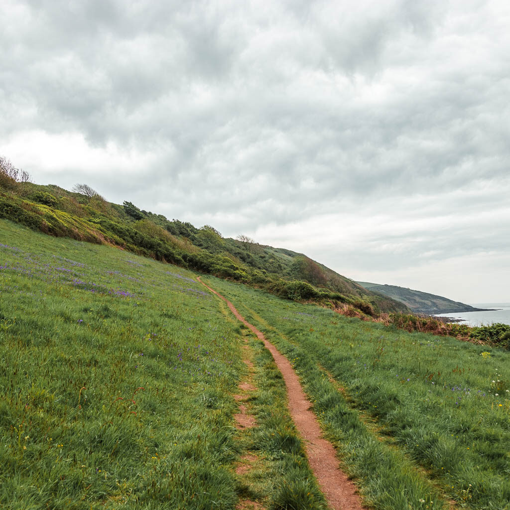
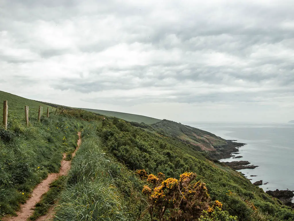
At one point when I looked back at the view, I could see a pyramid shaped mound. Curious, I stood facing it and got google maps out. What was I looking at? I wasn’t sure, but according to google maps, I was looking straight towards the Eden Project. Was I looking at the Eden Project?
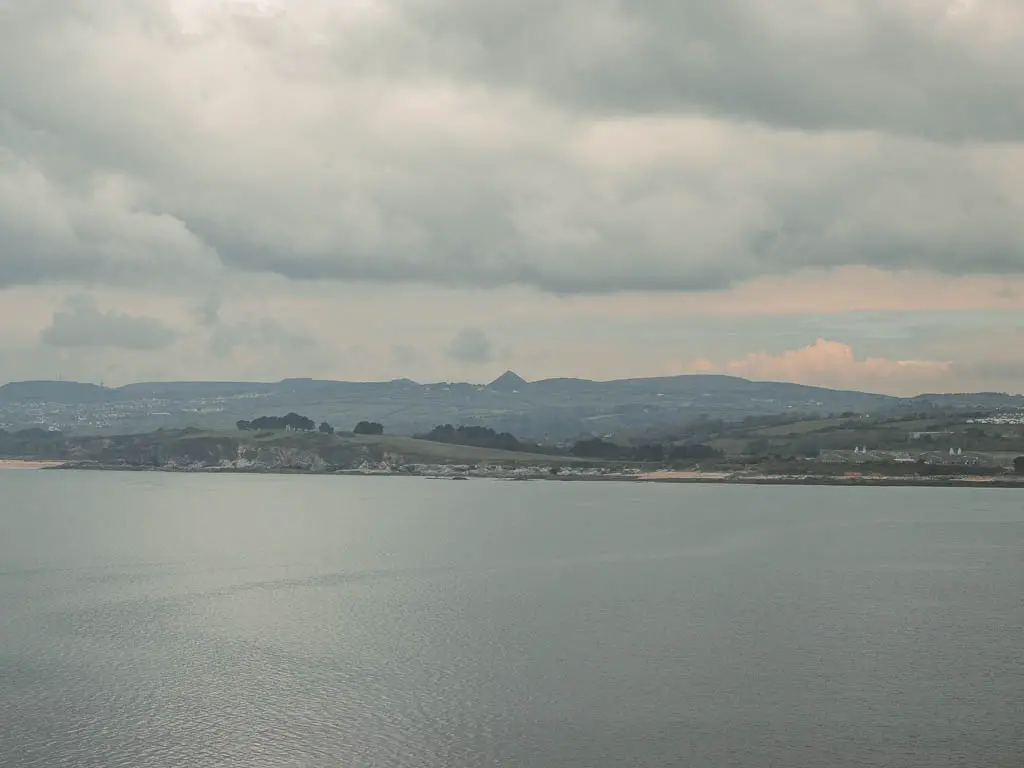
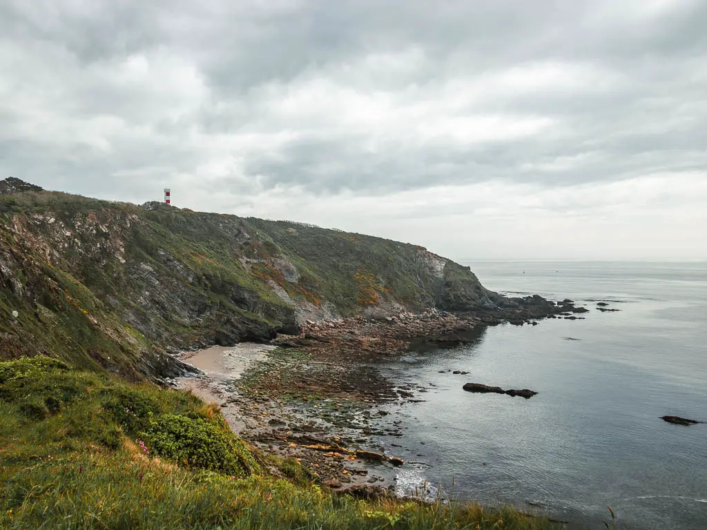
Continue following the trail for some time, and just after a cliff corner with a little cove, you will start to get a view to the Gribbin Head Daymark.
Walk to the Gribbin Head Daymark
You will walk up a small hill next, where you will start to get a view along the coastline on the other side.
A bit further along the trail, you will be presented with a trail split. The left grassy trail looked pretty, and it called out to me, but as I was sticking to the coast path, I took the right dirt trail. This leads you to the gate and entrance to the Gribbin Head Daymark area.
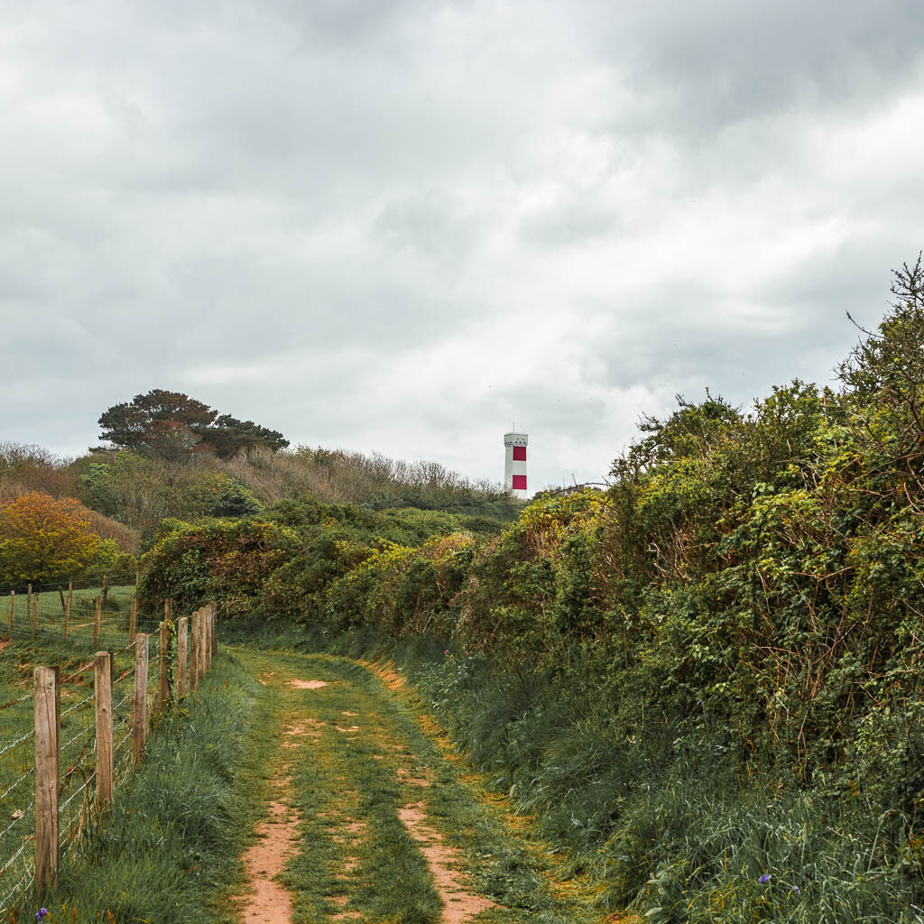
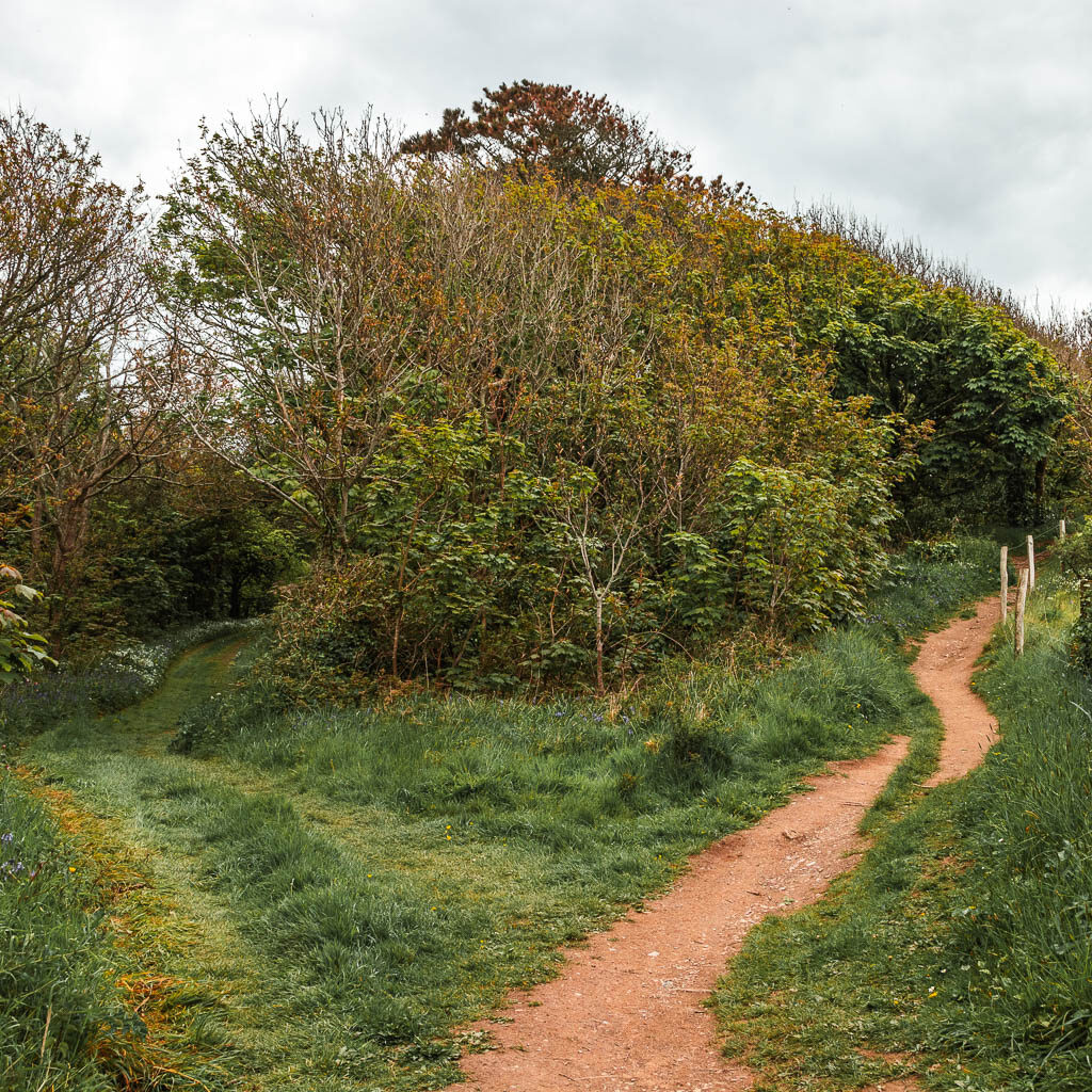
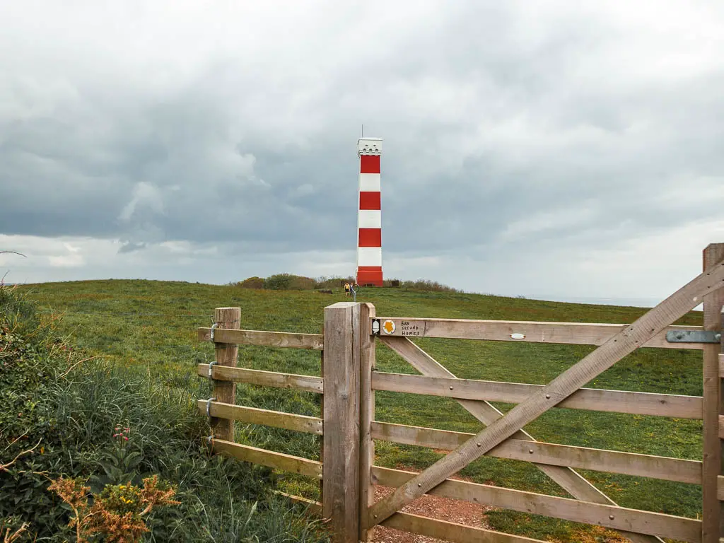
For the coast path trail, walk through the gate towards the Gribbin Head Daymark, and turn left just past it to start the walk to Fowey.
Walk from Gribbin Head to Fowey
I knew that Fowey was on the other side of that peninsula ahead and I had this sense of the walk being on the final easy stretch to get there. Yes this is the final stretch….but it’s not easy.
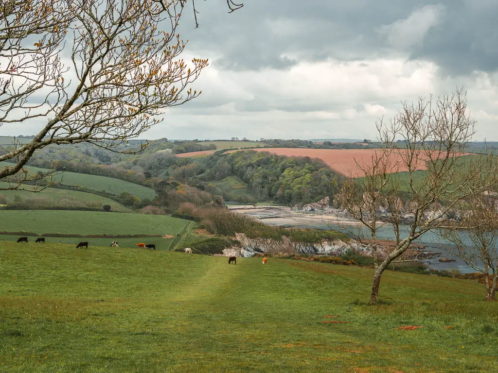
For starters, as I started to make my way downhill, there was a group of cows ahead on the trail. I took this moment to sit down for my snack break. I figured I would wait it out until either they moved, or more people come by. You know, power in numbers.
So I waited and watched (and ate).
Sure enough, they did eventually move, and some more people arrived. Double protection. It was now time for me to make my move.
The hills and the coves
It’s a nice downhill to reach the bottom, with a gorgeous view of Poldrimouth cove. As I made my way around the cove, it suddenly dawned on me, I would now need to walk back up. I also thought that this would be the last up. It is not.
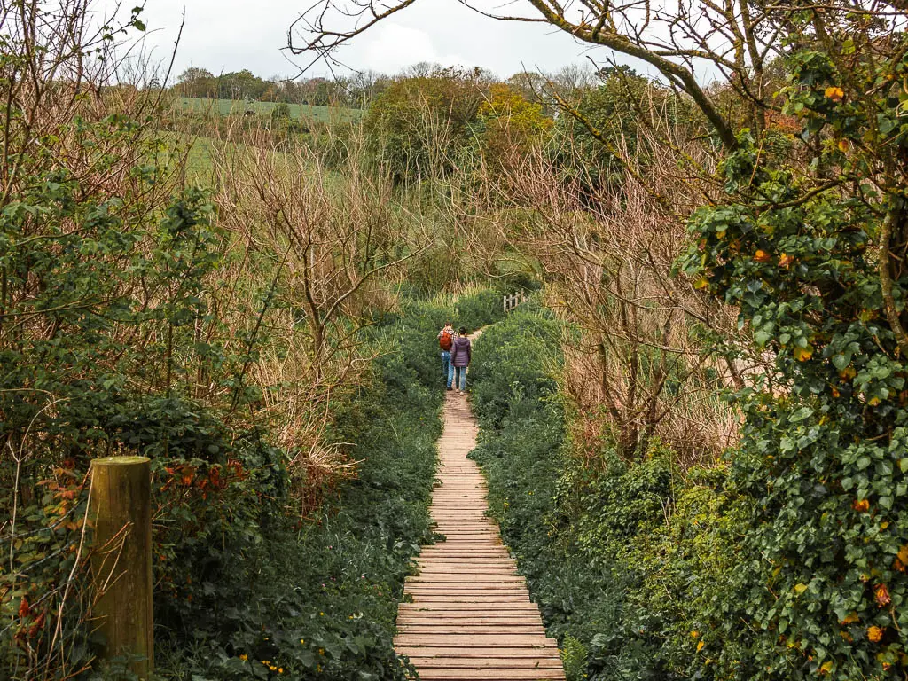
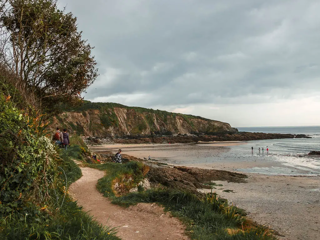
It was around Polridmouth that things started to become a little busier with people. I had forgotten about people. The section of the walk from Par to Gribbin Head had been pretty quiet. Bar it being slightly busier around Polkaris, but not too much. As I was nearing Fowey, I just knew that the remainder of the walk would get even busier….
Indeed, you will now see people in most of my next photos.
The trail then goes over some stepping stones, and uphill on the other side and into a field.
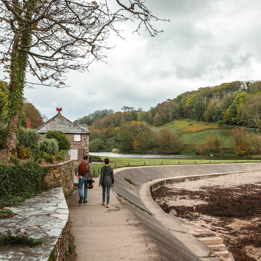
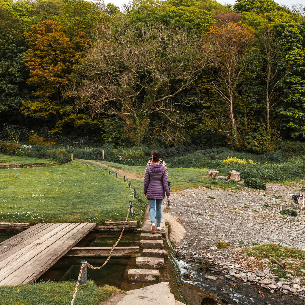
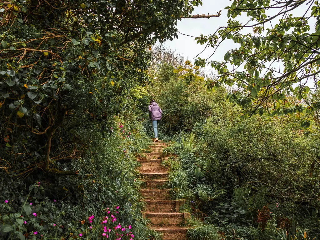
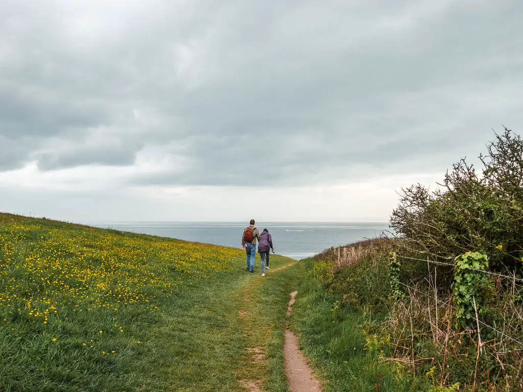
Next it’s down a bit over the hill field, and along the side. Around the peninsula, you will then be taken downhill again to walk around another little beach cove.
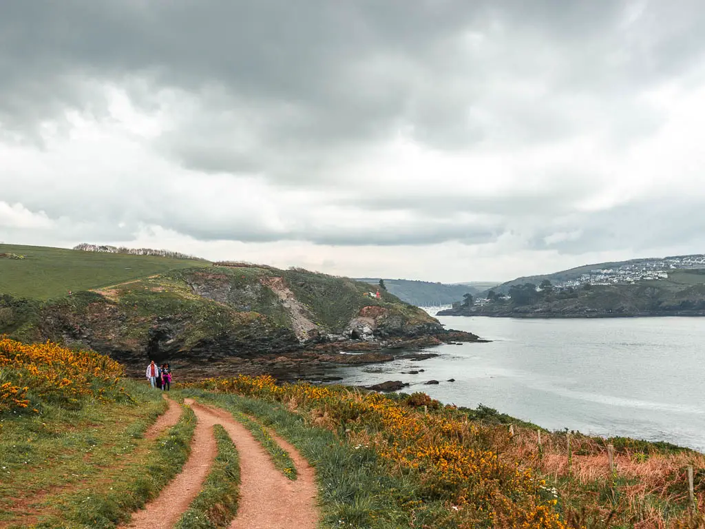
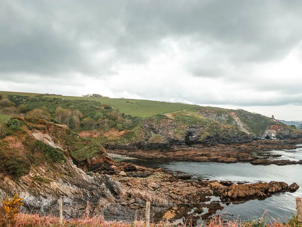
After this, it’s a steep up, and then in true South West Coast Path fashion, it takes you straight back down. I got a sense of deja vu. There is probably another up straight after….
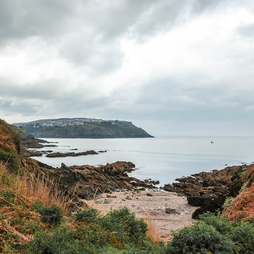
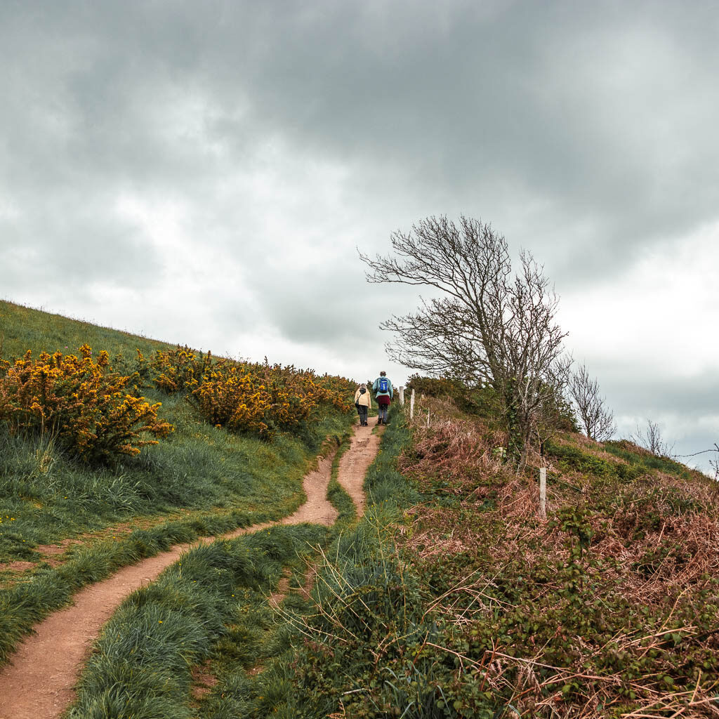
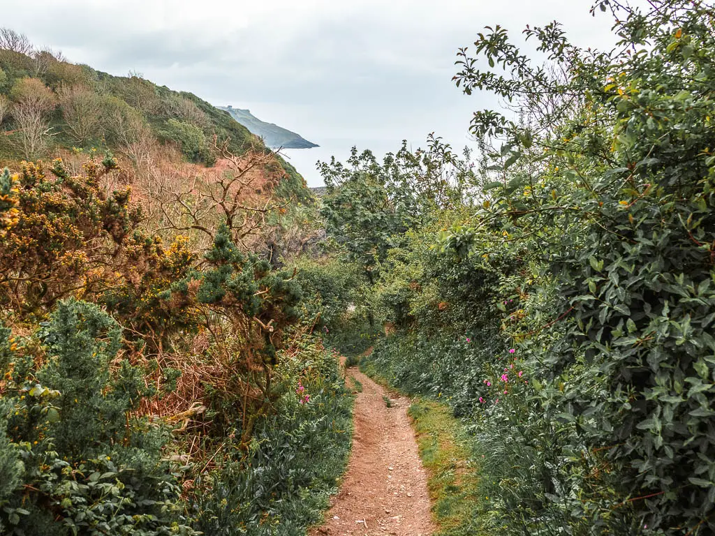
There is indeed.
You can see it waiting for you as you walk around the cove.
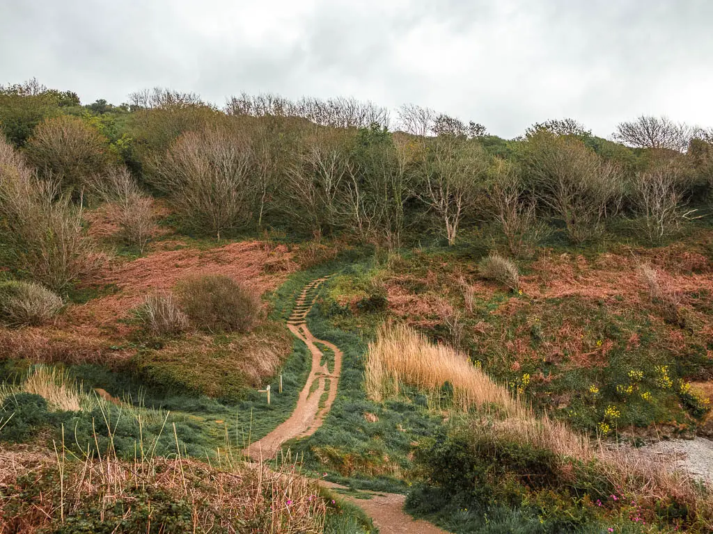
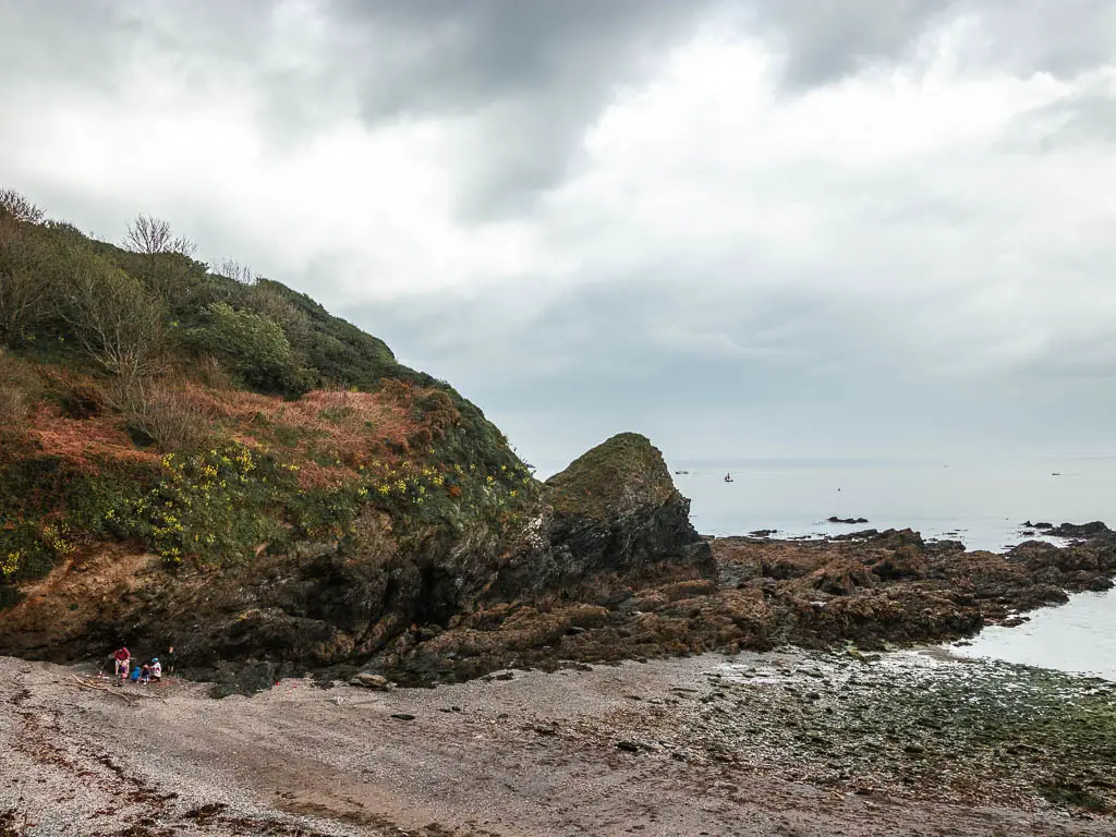
This up takes you across another field with more up, and you will soon start to get a view to Polruan on the hill on the other side.
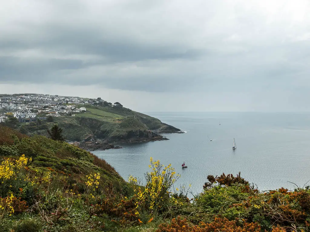
The final stretch of the Par to Fowey coastal walk
The trail then leads through a gate and into Covington Woods. As you make you way down, keep an eye out for the wooden South West Coast Path sign on a hairpin bend.
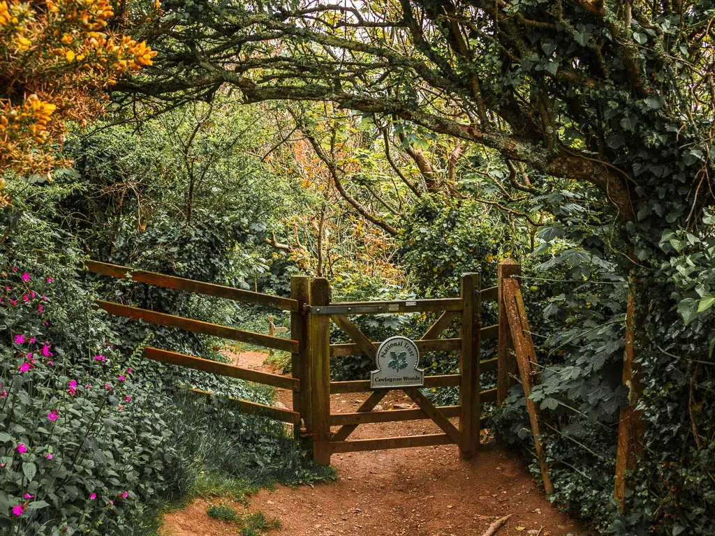
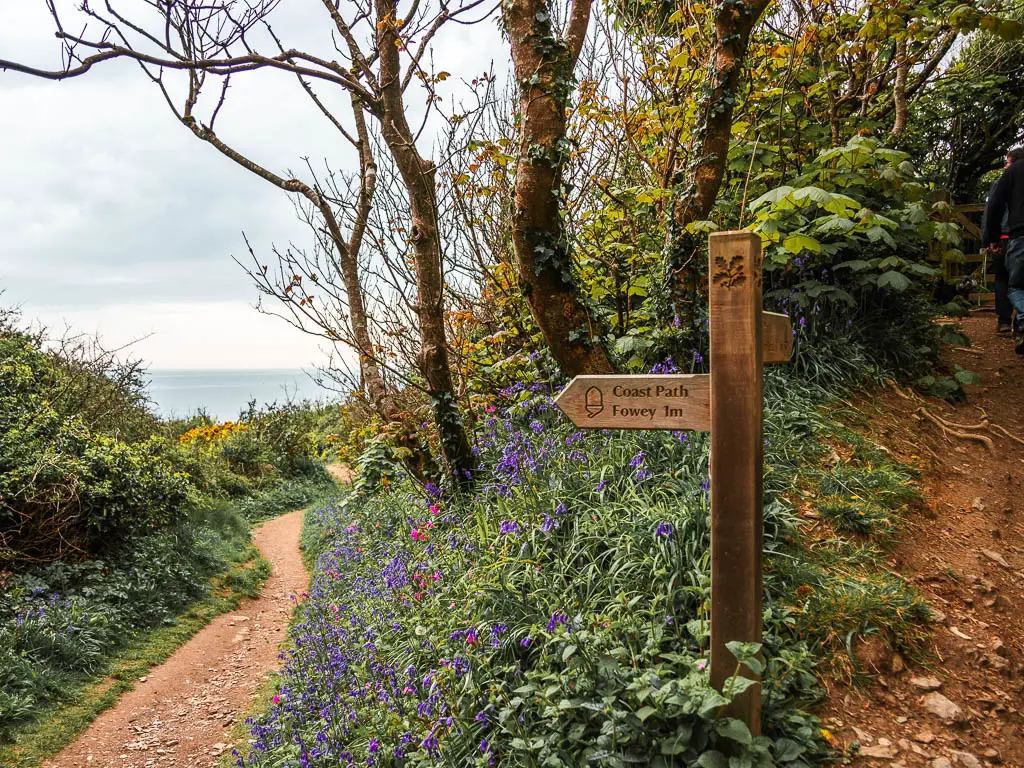
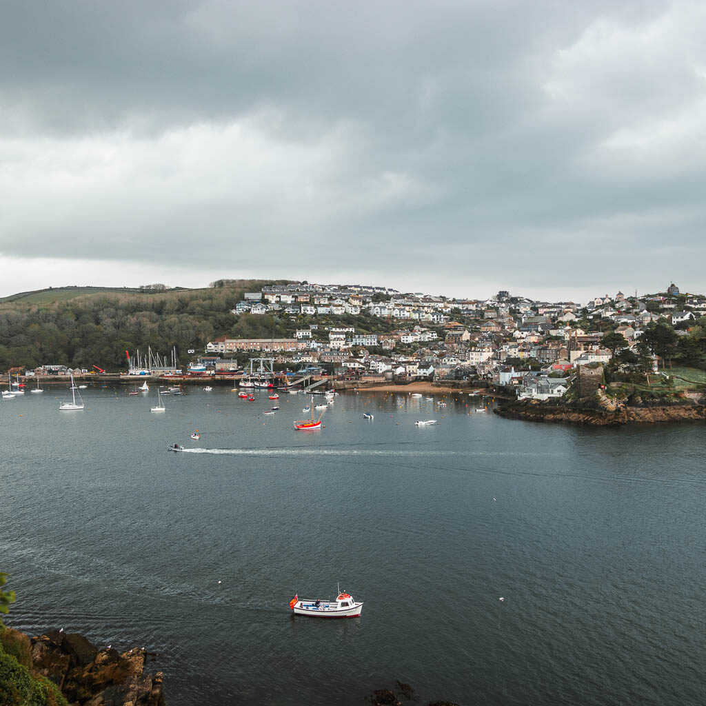
You will make your way out through an opening of the woods, where you will have a fantastic view into Fowey and across to Polruan.
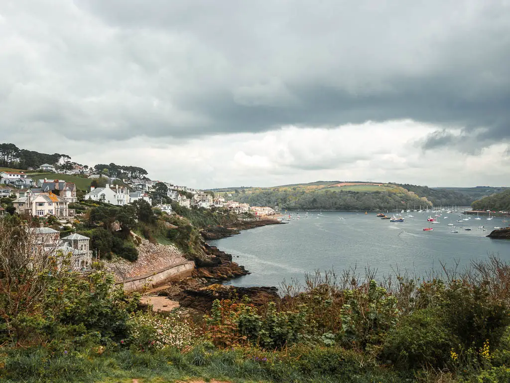
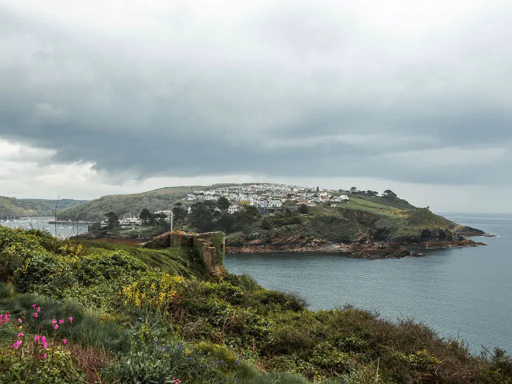
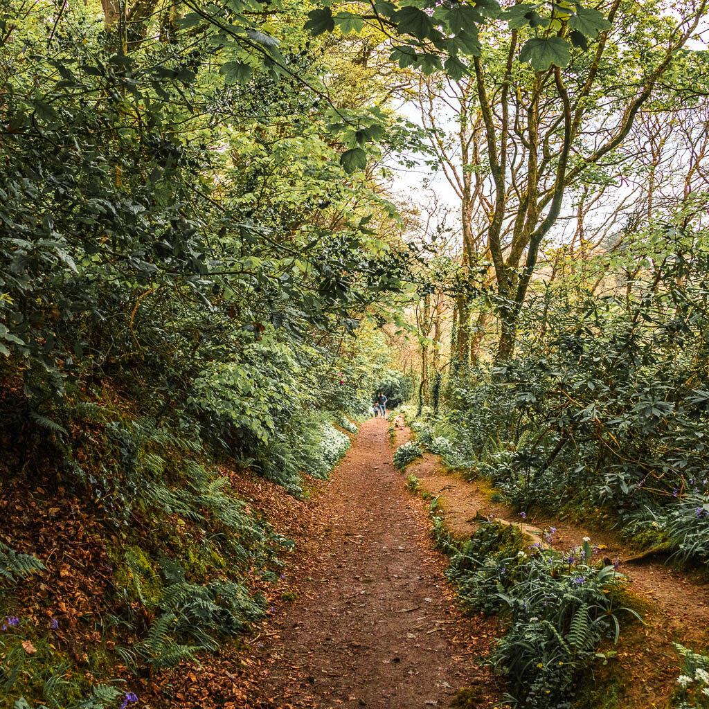
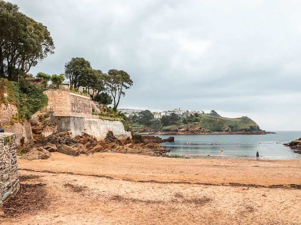
Next, follow the trail into the woods again, and there will be a couple of junctions coming up to take you to Readymoney beach. You can go that way if you want. I stuck to the main trail, which also goes down to the beach anyway.
If you go the same way as me, then when the main trail splits in two, take the right one and follow it all the way down, following the sign to the beach and Fowey.
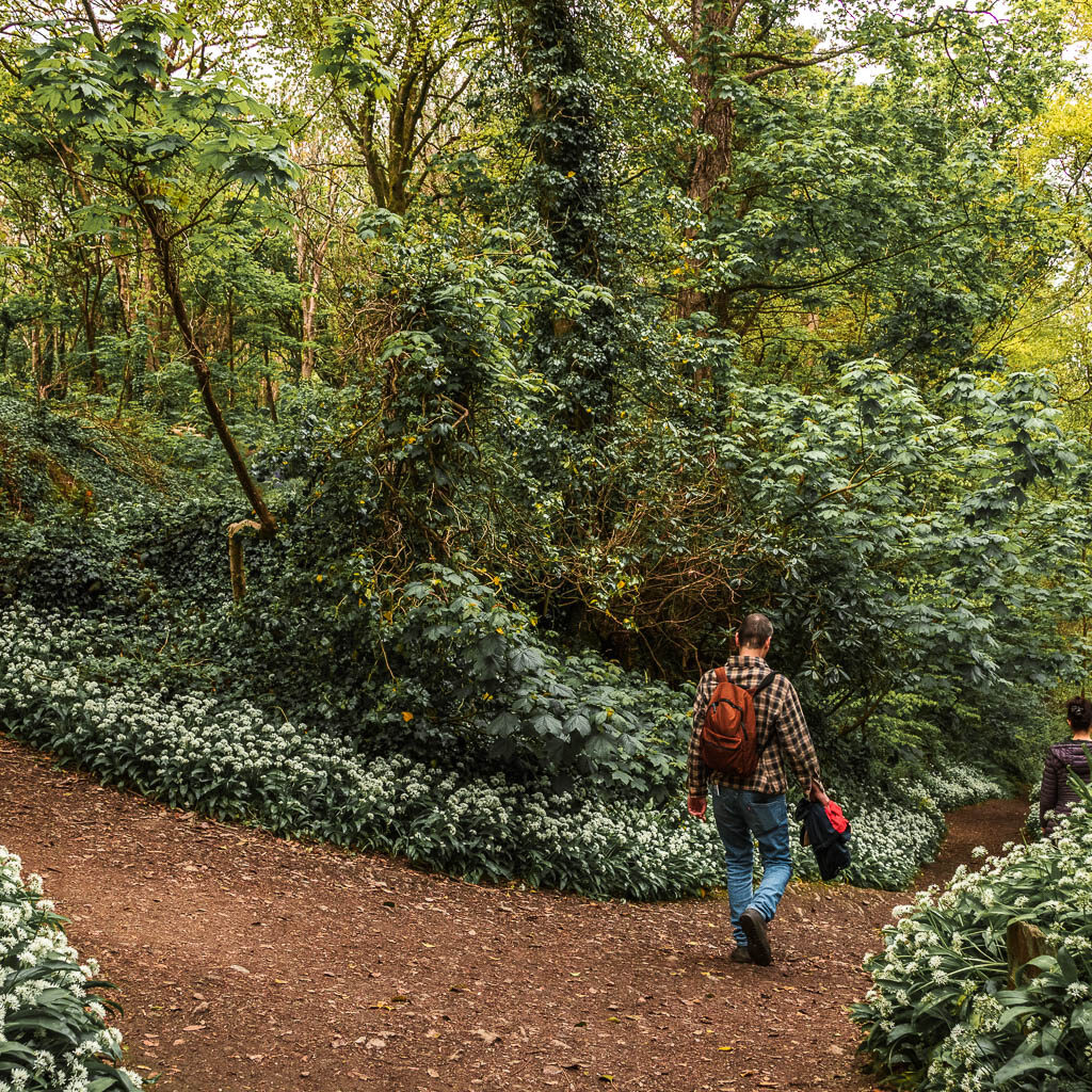
Walk to Fowey centre
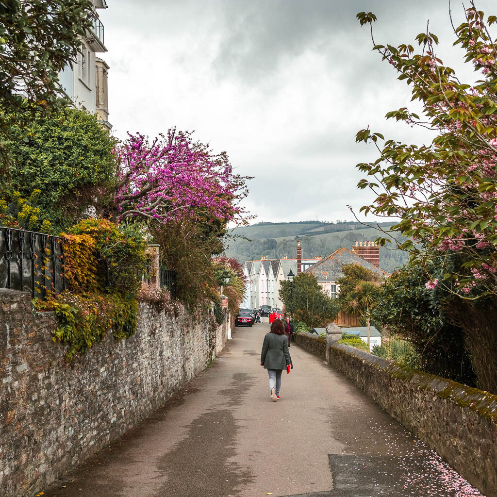
From the beach, walk onto the road and this will lead you all the way to Fowey Centre. For some time, you will just be walking past some houses, with some views to the right, and then way on the other end you will reach the main centre area.
More coastal walk ideas near Par and Fowey
Looe to Polperro – This one is high up there on my list of favourite walks. It’s a lovely trail along the side of the cliff hills with a magical opening to Polperro at the end.
Fowey to Polperro – This is longer and more challenging than the walk from Looe to Polperro. It will take you around some fantastic bay areas, including Lantic Bay which has to be one of the best bay views I have seen on a walk.
Charlestown to Par – This is a very short walk, and average in comparison to the others. It’s a nice little one to do if you are already in Charleston, but I wouldn’t travel all the way here just for it.
If you would like a guided walking tour, you could join this one in Fowey, where you will learn all the history about the area. Your local guide will also tell you all about the best places to eat, and other things to see in the area. You also have the option of doing the walking tour at dusk.
For more walk ideas in Cornwall, you could check out the National Trust website.
Pin the Par to Fowey via Gribbin Head walking guide for later:

2 comments
Wow, I enjoyed this so much. I walked the other way from Fowey westwards in 1983 and it brought back so many happy memories. Please check the spellings, though. It is Polridmouth (pronounced Pridmuff) and Polkerris (no “A”). The walk into Polkerris is easier as it is downhill that way round. The path down into Polridmouth can be slippery.
Hello Charles! oh gosh, thanks for the heads up on the spellings, Ive just had a read through and thats I bit embarrassing. fixed them now! I didn’t know thats how it’s pronounced either, thats really interesting. I miss it over there, I might try walking the other way next time as you suggest!