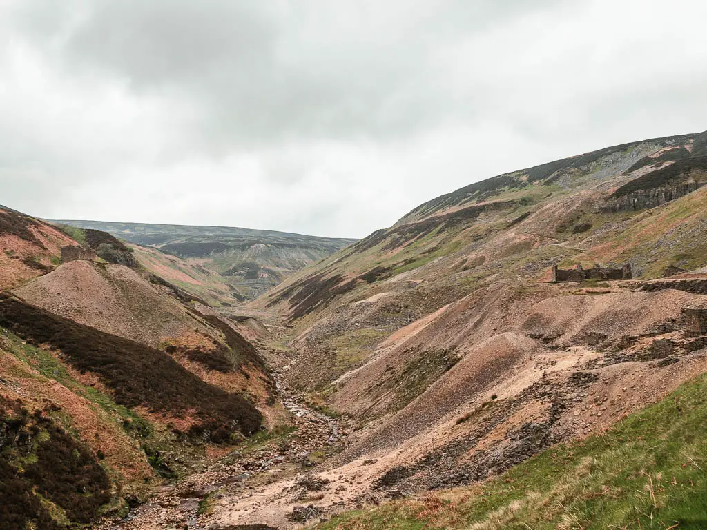
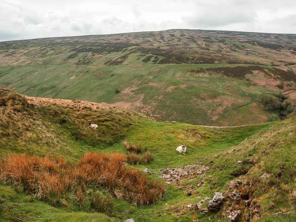
Gunnerside Gill is a valley in the Swaledale area of the Yorkshire Dales, and is stunning to walk through. It it without a doubt one of the most beautiful places I have walked in England.
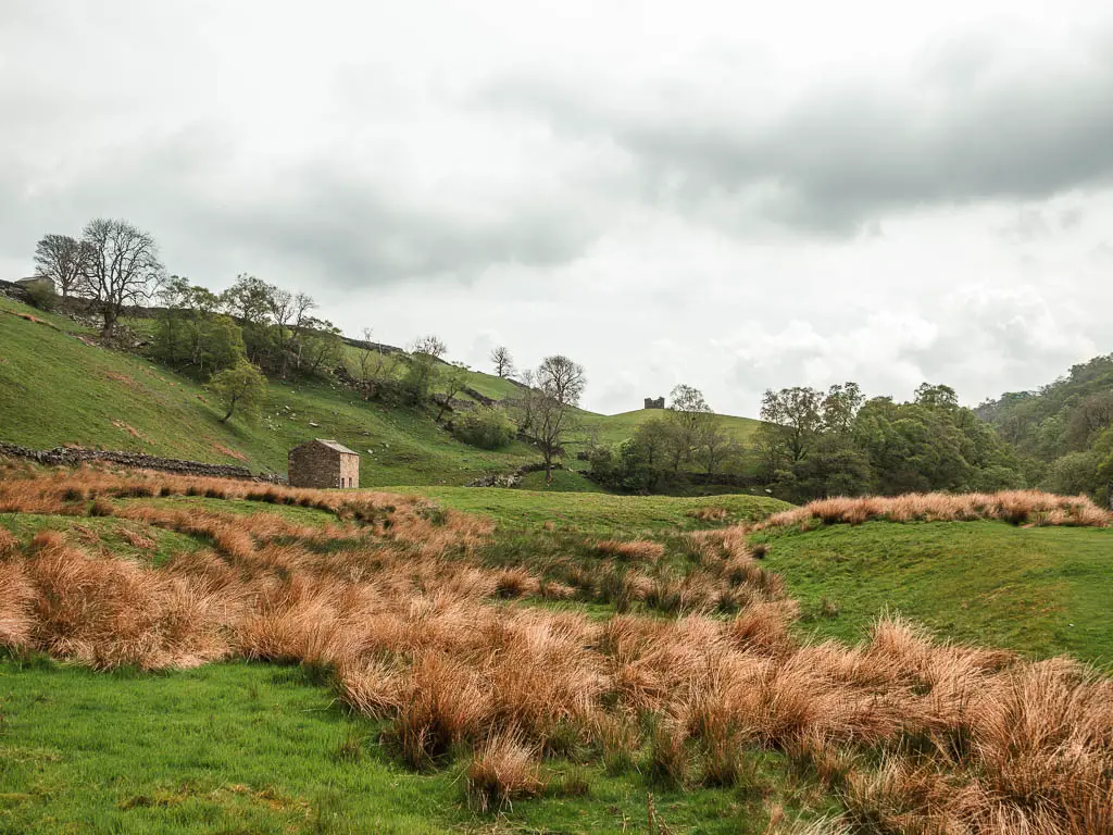
I am actually in awe of Swaledale.
My first walk up here was this circular from Muker a week before, which I was so blown away by, that I decided to come back to try Gunnerside Gill.
And it was even better.
What I’m going to do in this guide, is first give you an overview of the walk through Gunnerside Gill, with full logistics, a map and useful tips. I will then go on to describe the route step by step with lots of photos, so you can see what it’s like.
What to expect on the Gunnerside Gill walk
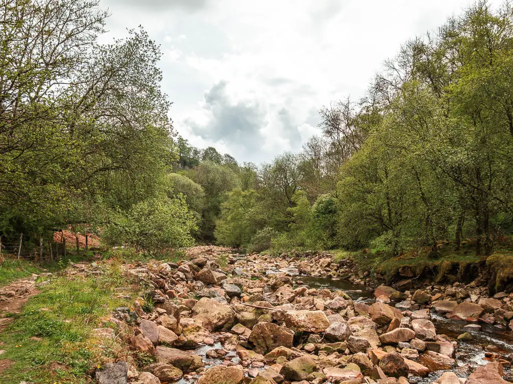
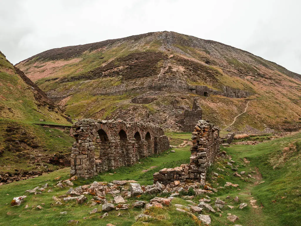
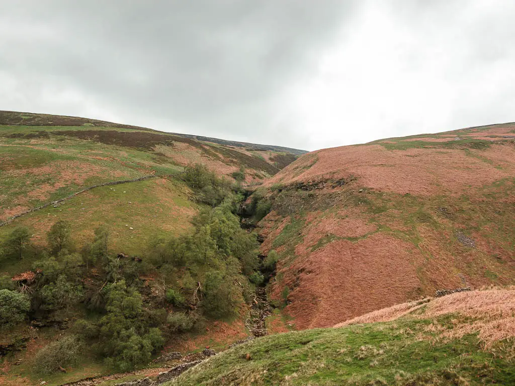
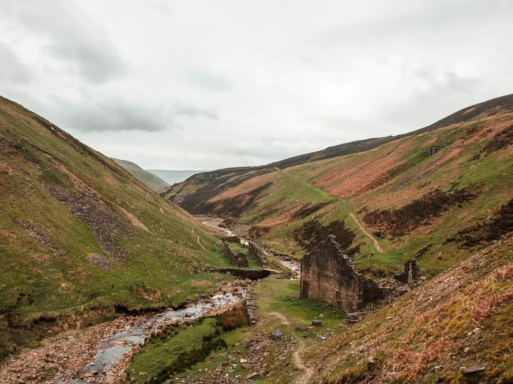
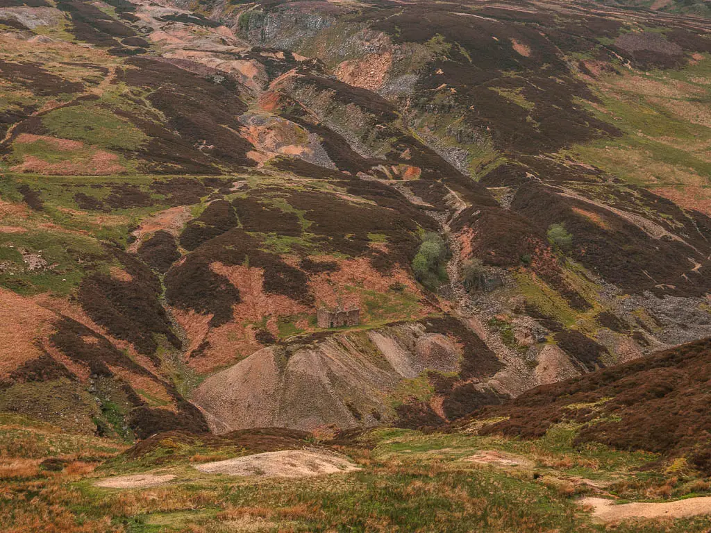
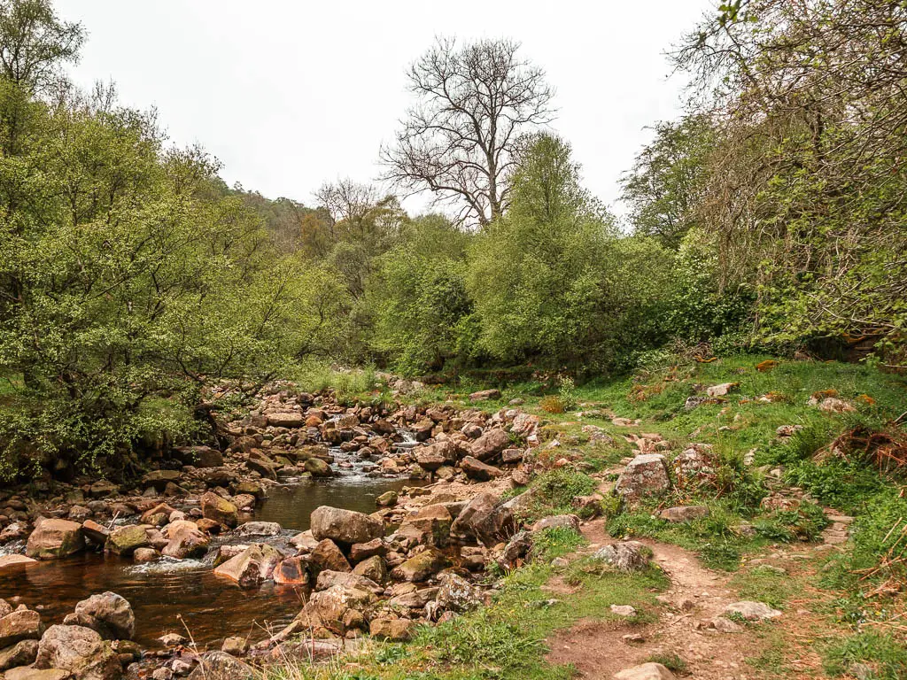
For the first half of this walk, you will be following the excessively (but beautiful) rocky Gunnerside Beck. You will also walk along the curvy undulating hillside, with the most wonderful view through the valley of Gunnerside Gill, passing my many lead mining ruins, and waterfalls with dipping pools.
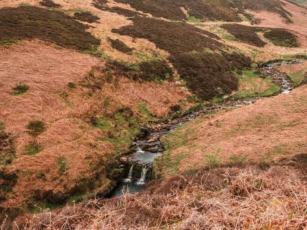
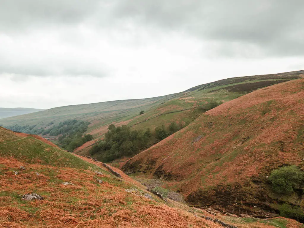
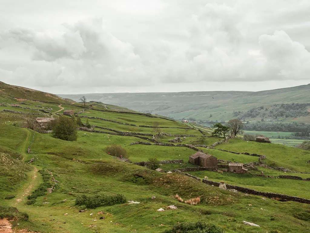
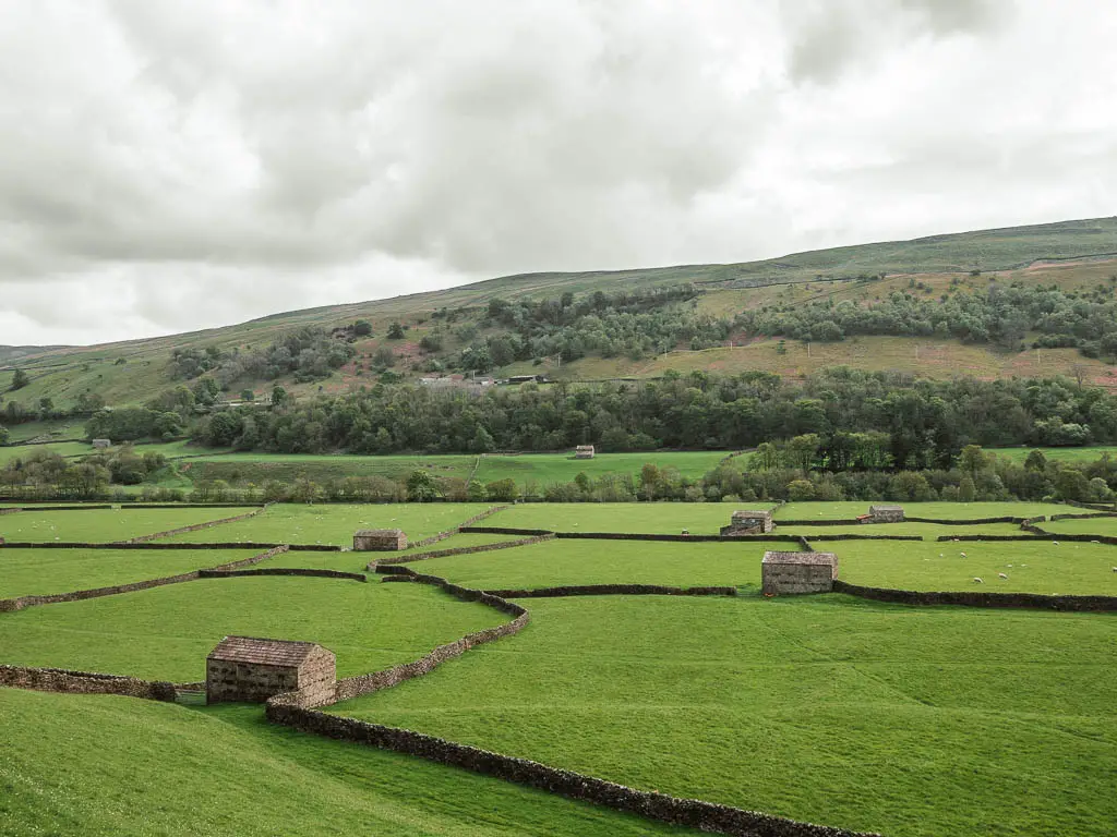
The walk back takes you higher up above Gunnerside Gill, and finishes off with some quintessential, and maybe a bit stereotypical, Yorkshire living views.
How long is the Gunnerside Gill walk?
The route I followed through Gunnerside Gill and back is 7 miles. You can tailor the walk to suit your preference though. There is one main trail through the bottom of the valley, but there will be opportunities along the way to take another trail back. I will show you these when I describe the route below.
Is the walk challenging?
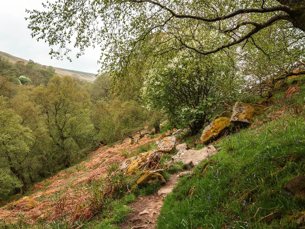
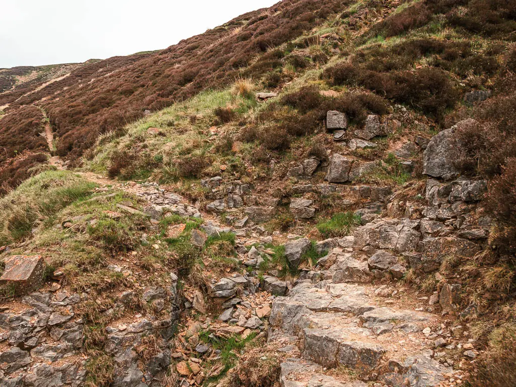
I would rate the Gunnerside Gill walk as moderate. Most of it is fairly easy, but there are some hills, a lot of undulations, rugged terrain, and some very thin trails with steep drops
Is the walk dog friendly?
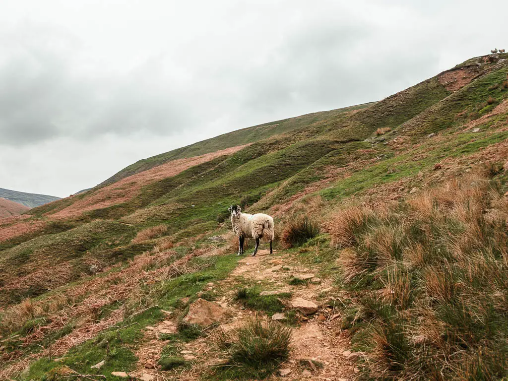
You can walk your dog through Gunnerside Gill, but there are a few things to be aware of. First off, there are some stiles, but they all have a dog sized holes in the fence. There is livestock (sheep) about, but these don’t appear until a bit further in. I did see a sign warning of adders, and endangers birds breeding.
Parking in Gunnerside
I have been informed there is a car park just over the bridge, with an honesty box for payment. I missed it, but you can also just park on the roadside, which is free. This is what it did, I parked along the road before the bridge.
Tips for walking Gunnerside Gill
- I recommend hiking boots due to the rocks.
- If you like taking dips in wild locations, take some swimwear/a towel. There are a number of waterfalls dropping into pools.
- Once you reach the other end of Gunnerside Gill, I might suggest walking back the way you came for the first part (I will show you what I mean when I describe the route below). Taking the circular route, I found the first part back confusing, trying to navigate the heather.
- Following on from the above point, the walk along the bottom of Gunnerside Gill was way way better than the walk back higher up. If I was to do it again, I would walk the whole way back the way I came. That way I could enjoy the stunning views from the other direction.
- There is no phone signal, so look up what you need to look up before you get there.
Logistics
- Start/Finish: Gunnerside
- Where is it: Gunnerside Gill is located in Swaledale, in the very north of the Yorkshire Dales National Park. Post code for the area is DL11 6LE.
- Public transport: The 831 bus runs through Gunnerside Gill, between Middlesborough, Richmond, Reeth, and Hawes. Very very infrequently. Bus 30 runs Mon-Sat from Catterick to Keld via Reeth. There are only a few a day. You can see the timetable here.
- Distance: 7 miles
- Time: 2h 45min
- Difficulty: Moderate
- Terrain: Grass, dirt trail, rocks, tree roots, stones over the river, gravel, road. A little bit of mud.
- Elevation: The trail undulates a lot, mixed in with sections of flat, and a few little hills.
- Amenities: Gunnerside has public toilets and one pub, the Kings Head. There is nothing for the whole route through Gunnerside Gill.
- Time of year: I did it in spring
Map for the Gunnerside Gill walk
You can find my more detailed route map for the Gunnerside Gill walk on Alltrails.
Read more: Best walks in the Yorkshire Dales National Park
Route description for the walk through Gunnerside Gill
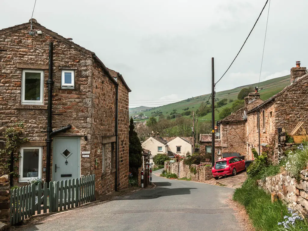
Starting in Gunnerside, walk through the village and turn up this road here:
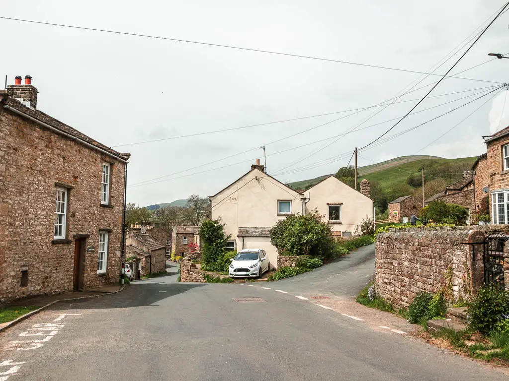
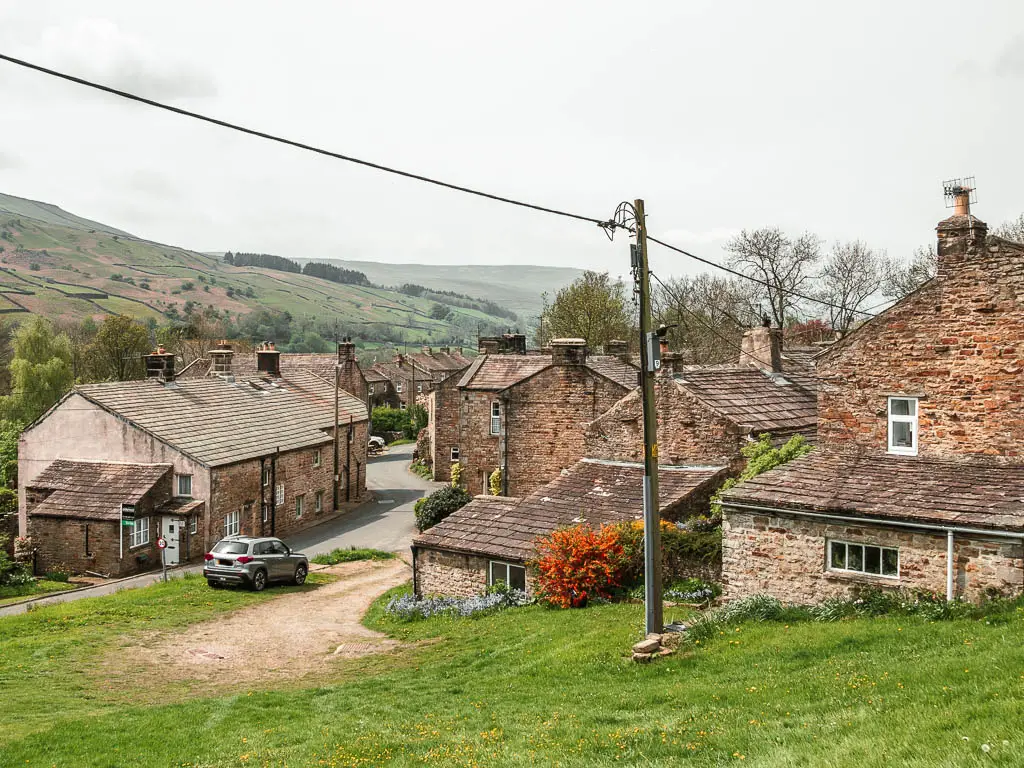
Further up, you will reach the trail signpost. Follow it straight, through a tiny gap in the houses.
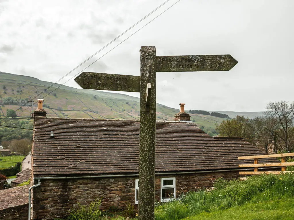
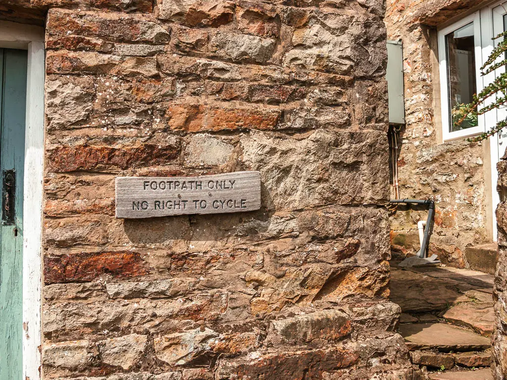
Next, continue on the little grass ridge, towards the cottage and gate on the other side. Then through the gate, turn right to go through the next gate, then follow the path left.
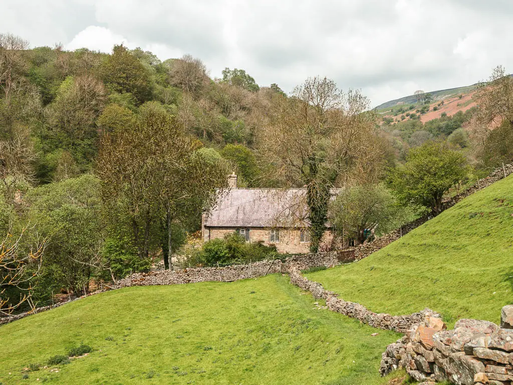
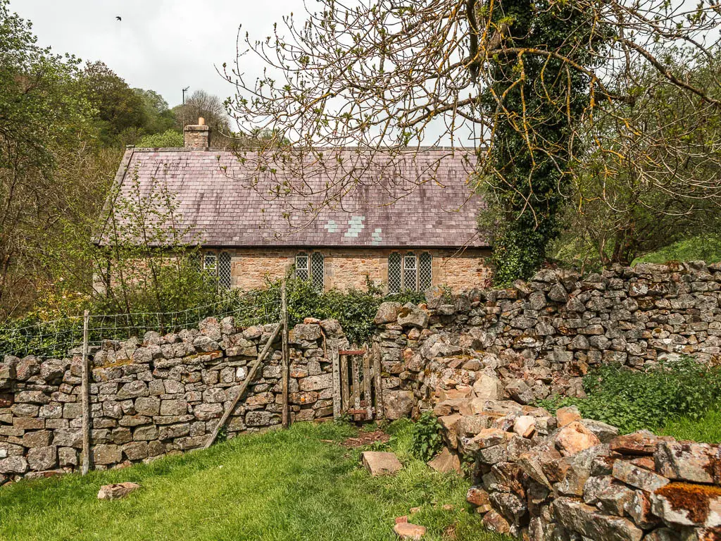
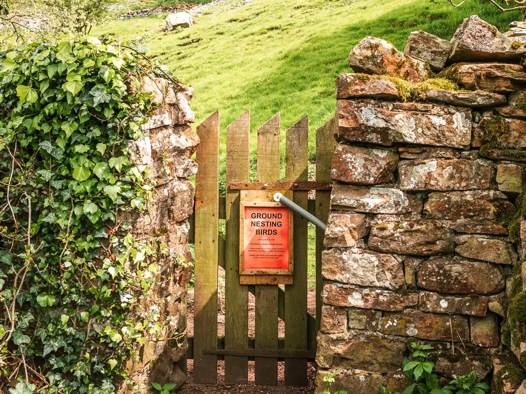
Soon you will walk alongside the beck (AKA river), which will guide you all the way through Gunnerside Gill. When I first saw the beck, I was mesmerised. It was just so rocky, carving its way through the ground.
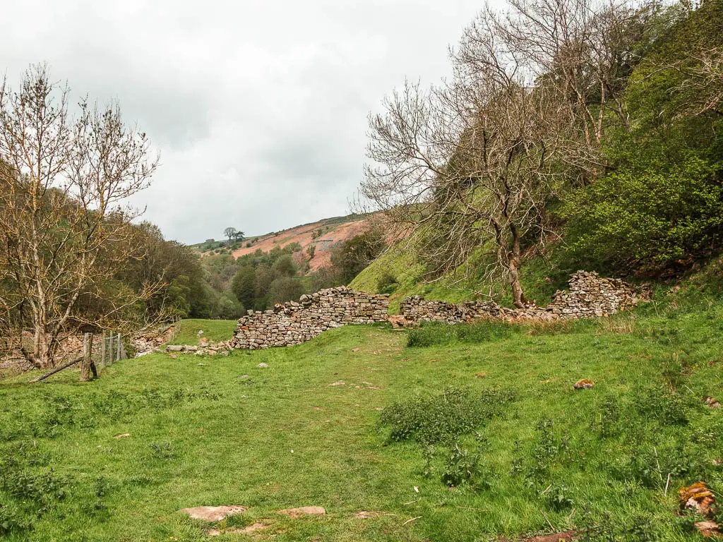
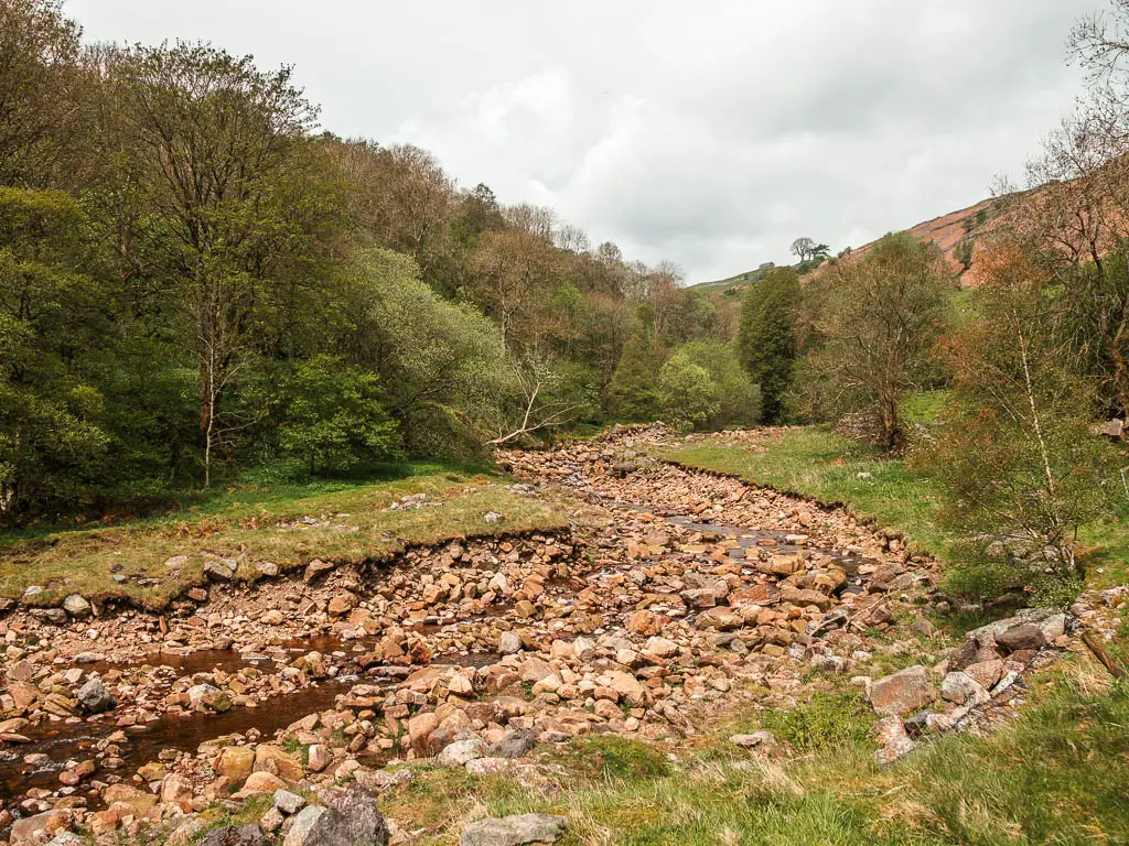
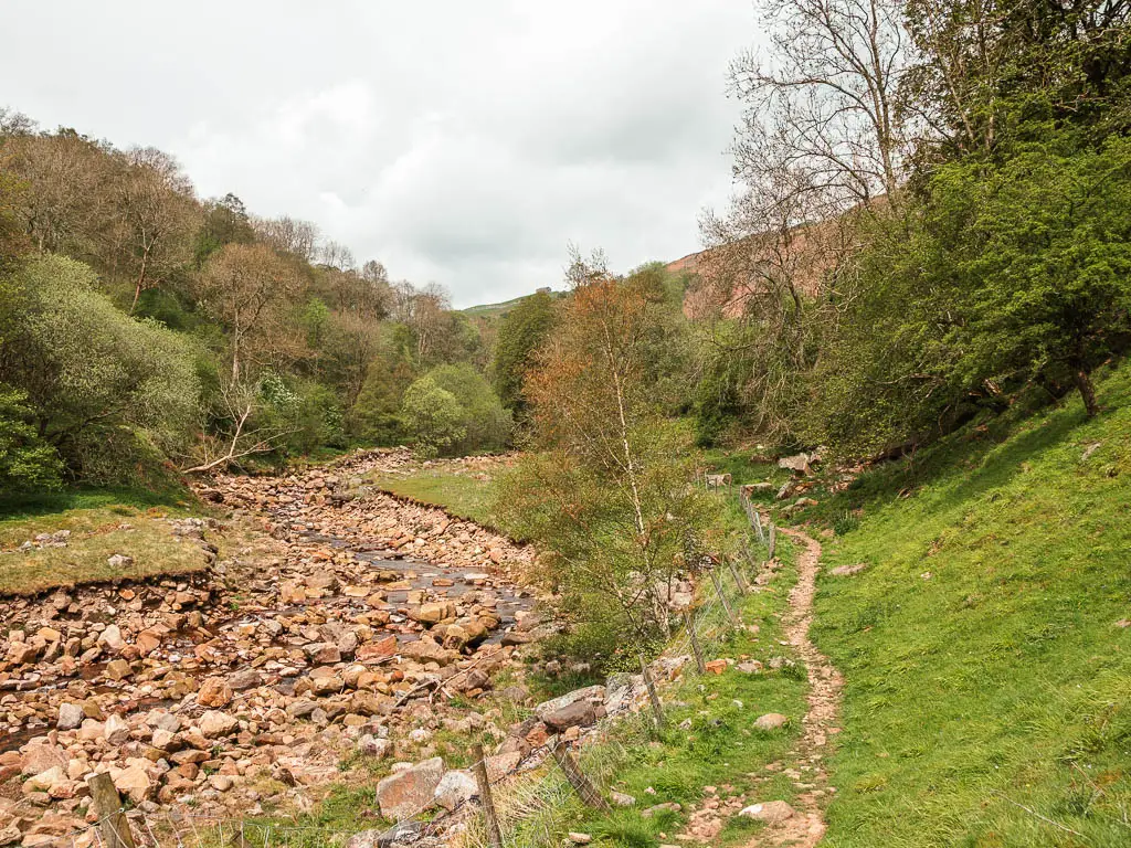
The beck will then disappear for a moment, but just keep following the rocks around the corner, and then through the little gate into the woods.
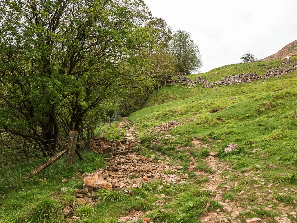
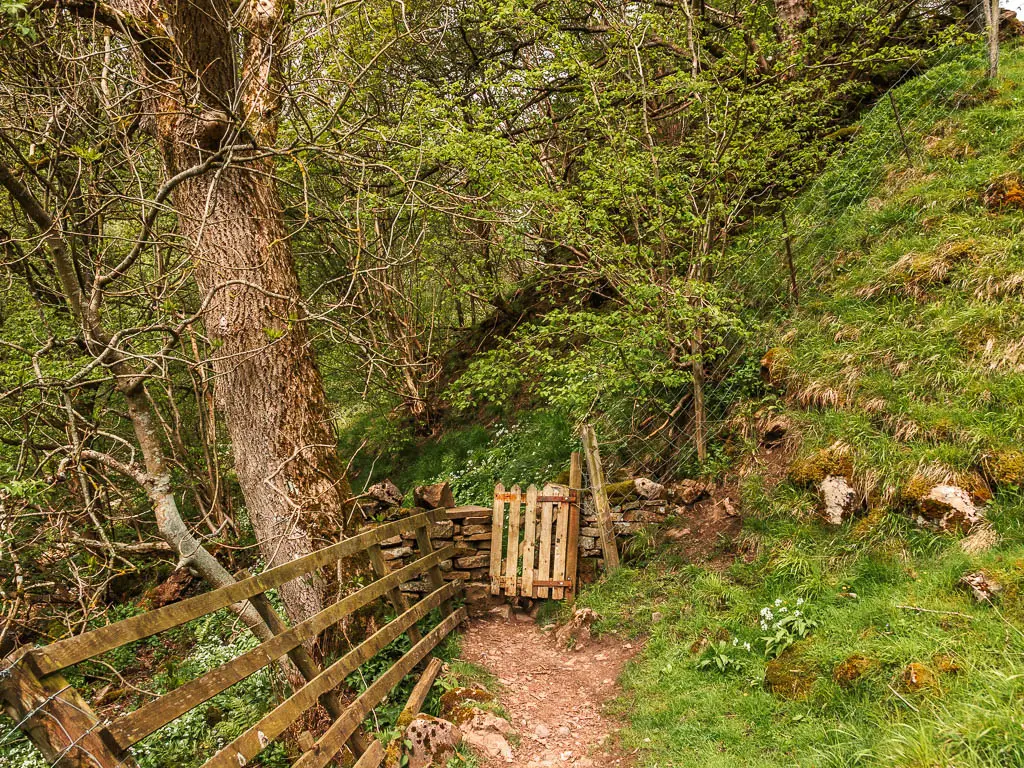
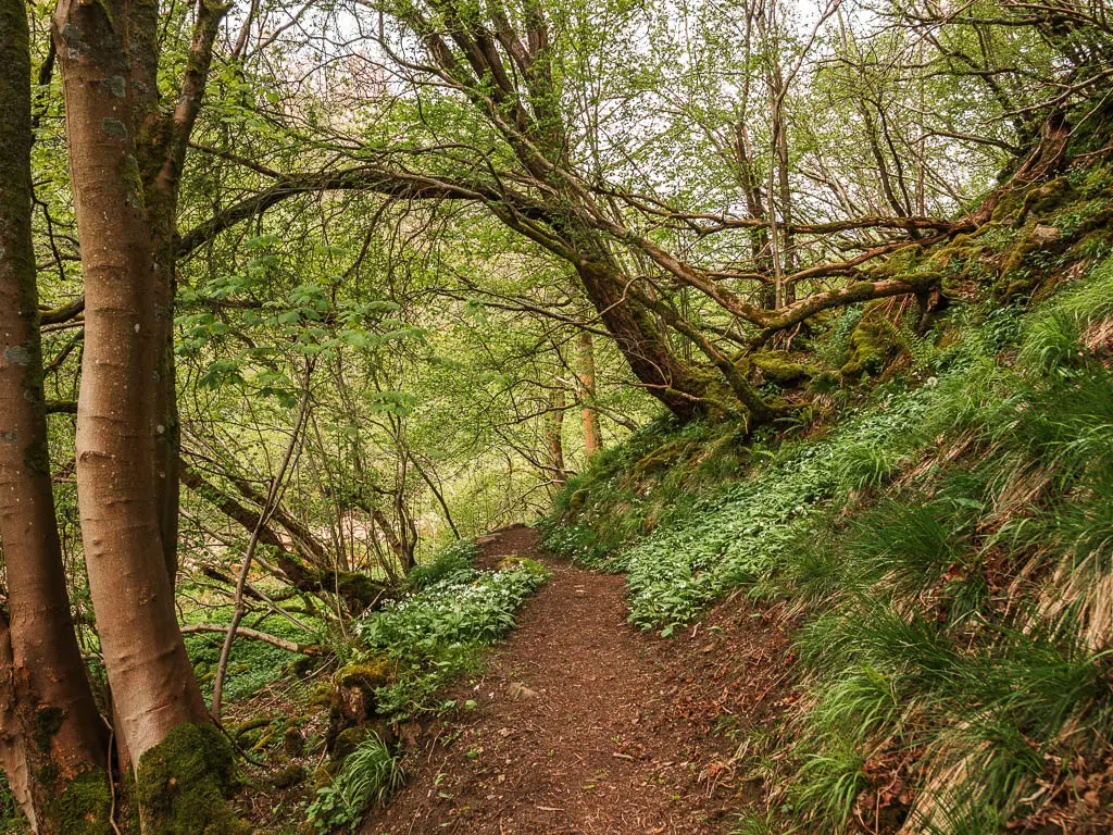
Gunnerside Beck and the woods
A short way along, you will be back alongside the insanely rocky beck. It just gets better and better. I wondered if when the water level is higher, you see all these rocks. These rocks just made it so unique.
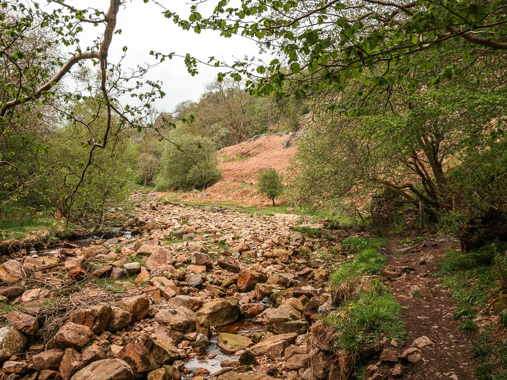
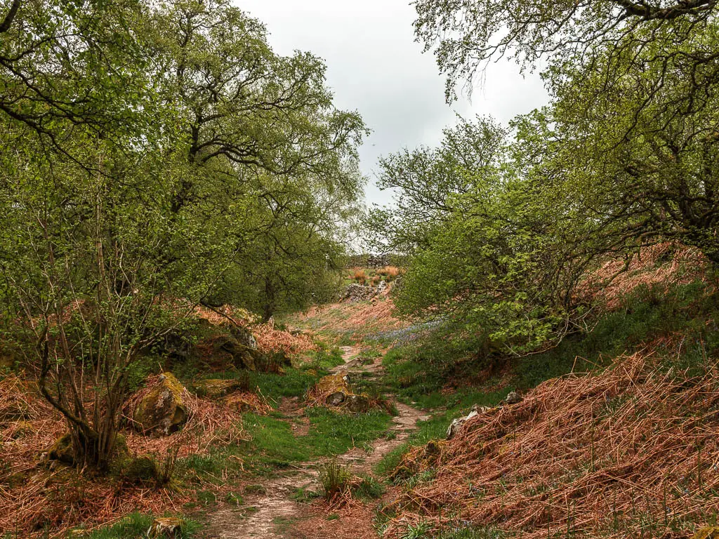
After a little bit or rock walking, with some dirt trail thrown in, under the fairytale like greenery, you will reach a gate and steps to the right. Go that way.
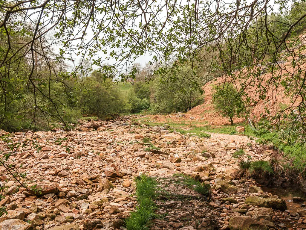
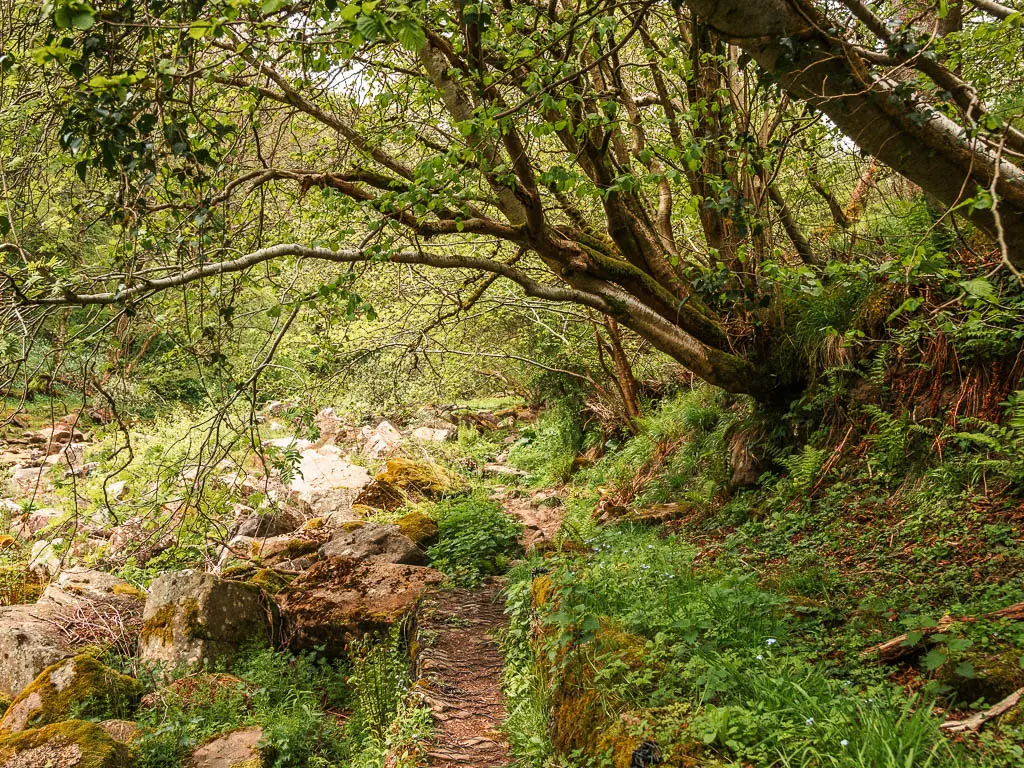
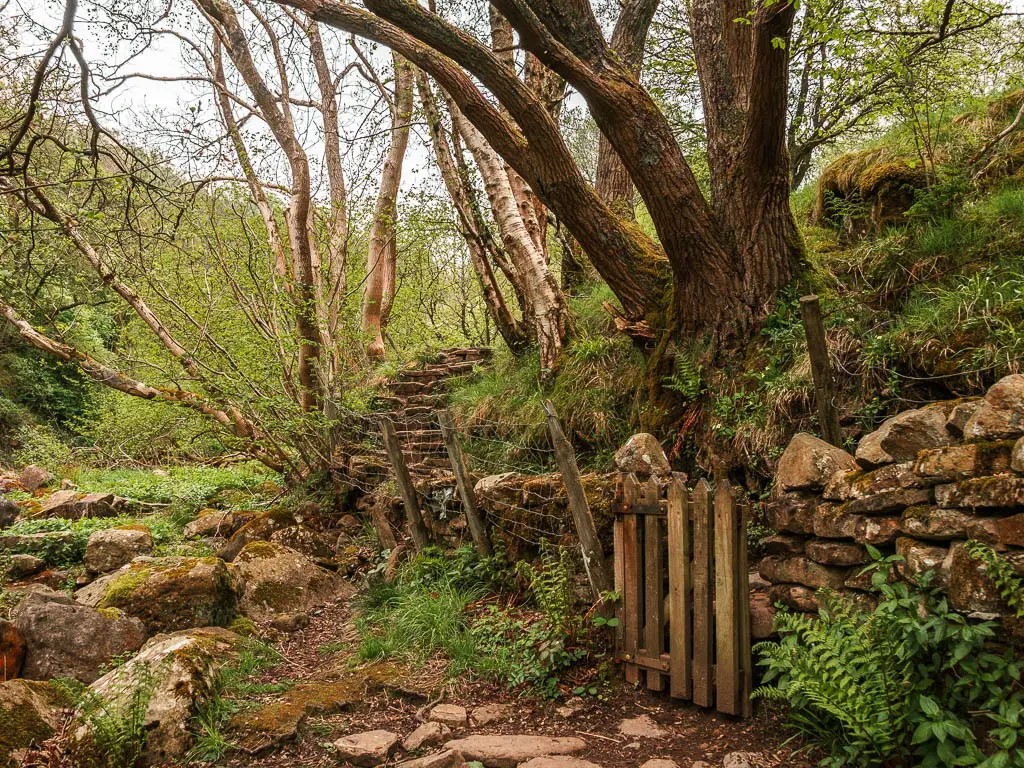
The trail now undulates for some time, along narrow dirt trail, with a few trees roots, and a steep drop to the side.
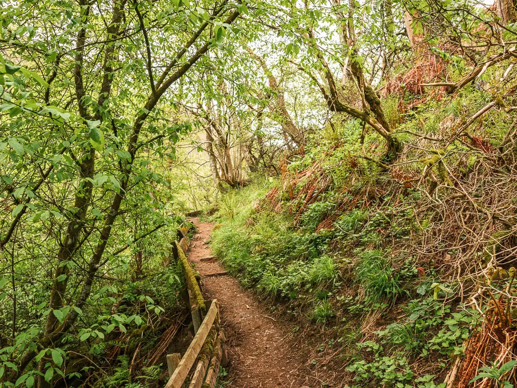
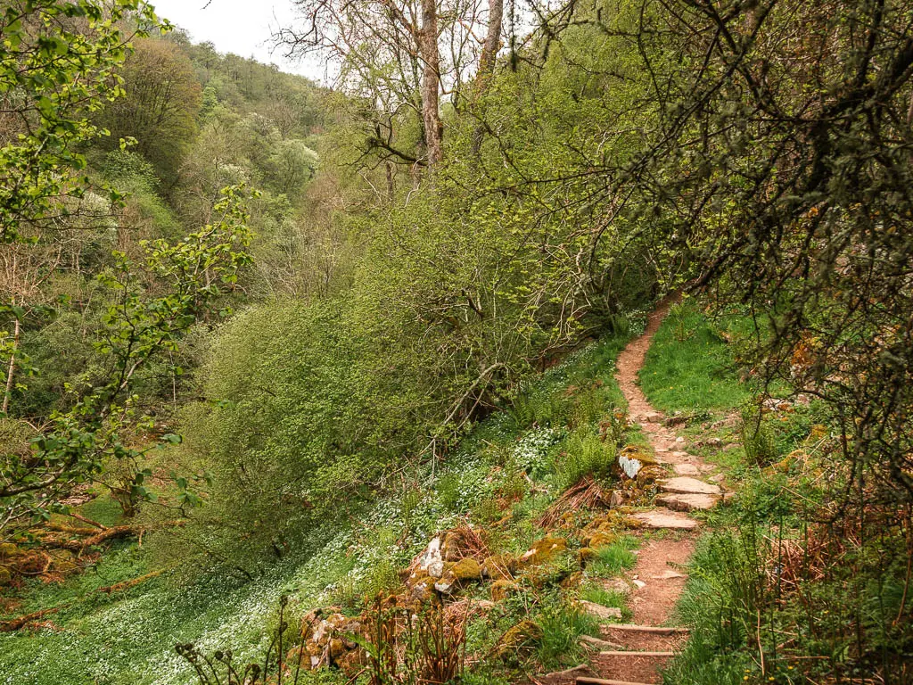
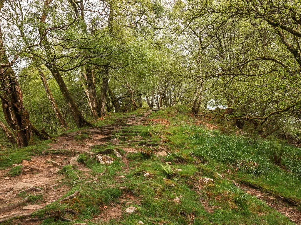
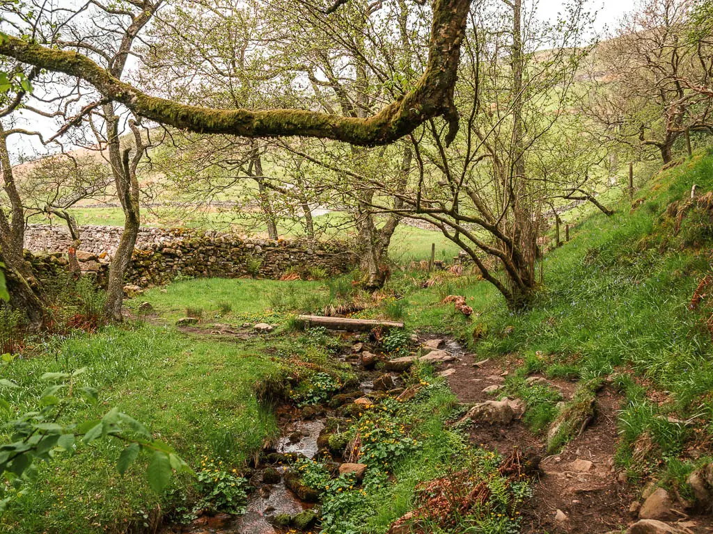
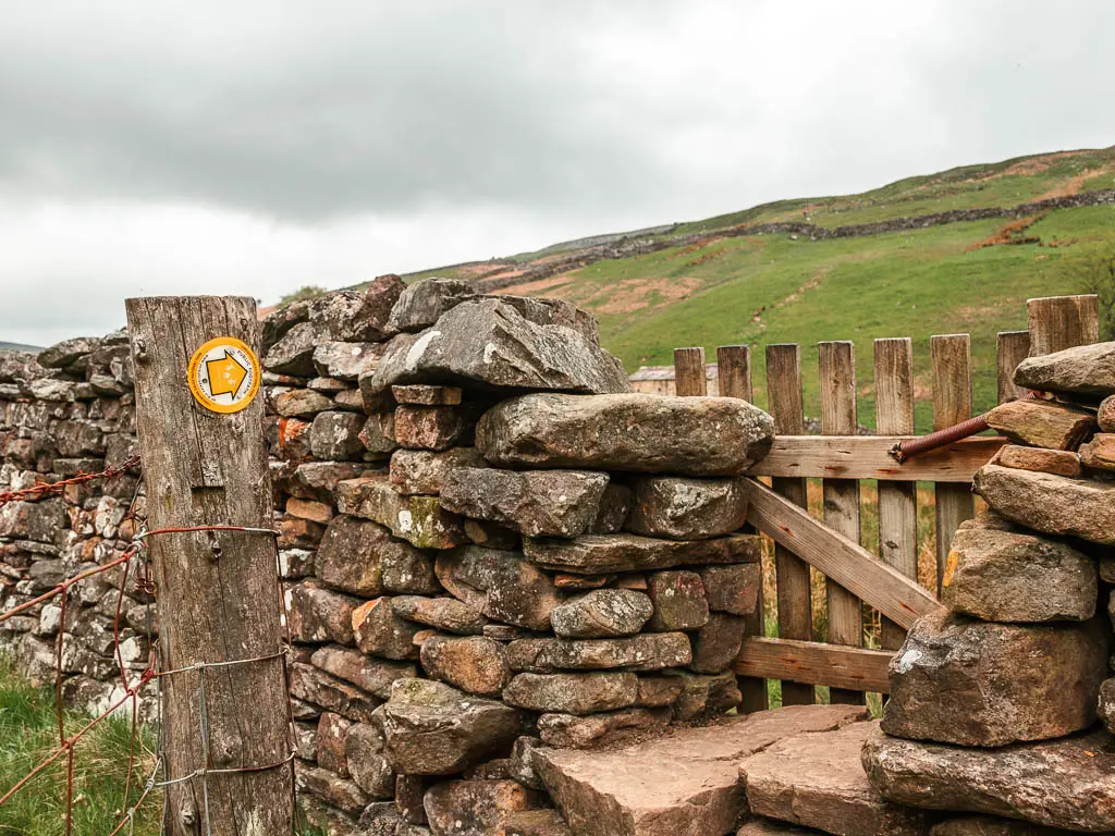
When you reach the end, there is a little piece of wood bridge to cross over. Then follow the yellow arrows through the walls (there are two) where you will now be out in the open.
The first ruins
Through the second wall, turn left. Follow this wall, along the edge of the fields, over some stepping stones, and through a gap in a stone wall.
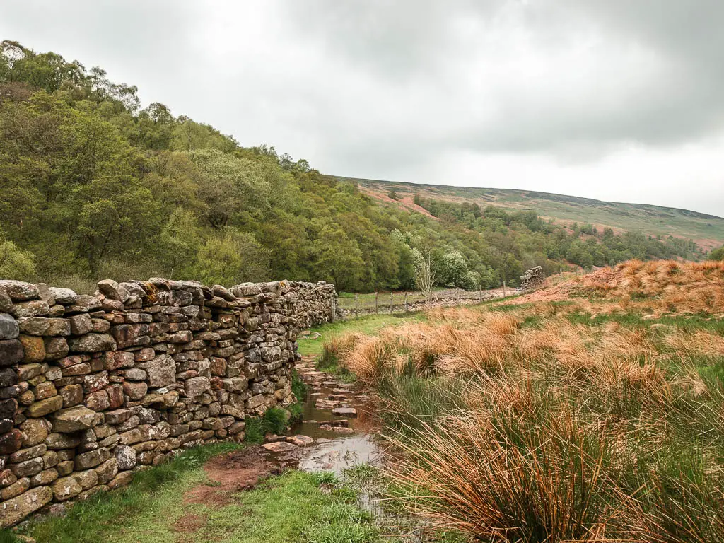
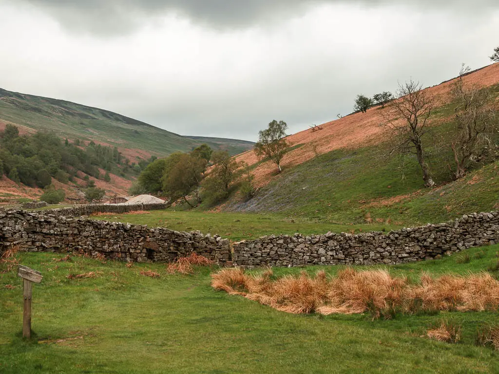
Continuing straight, you should be led to a little gate to go through the stone wall again. There are some yellow arrows here, which will lead you to the first of the mine ruins.
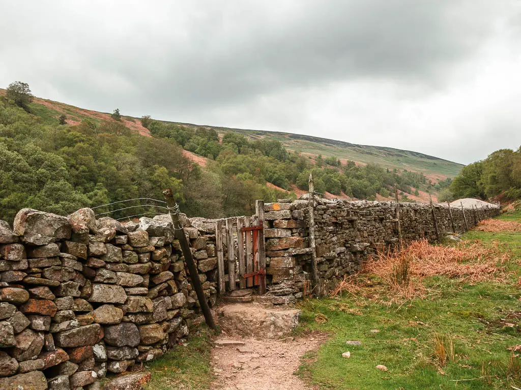
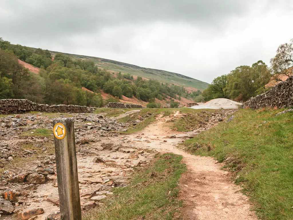
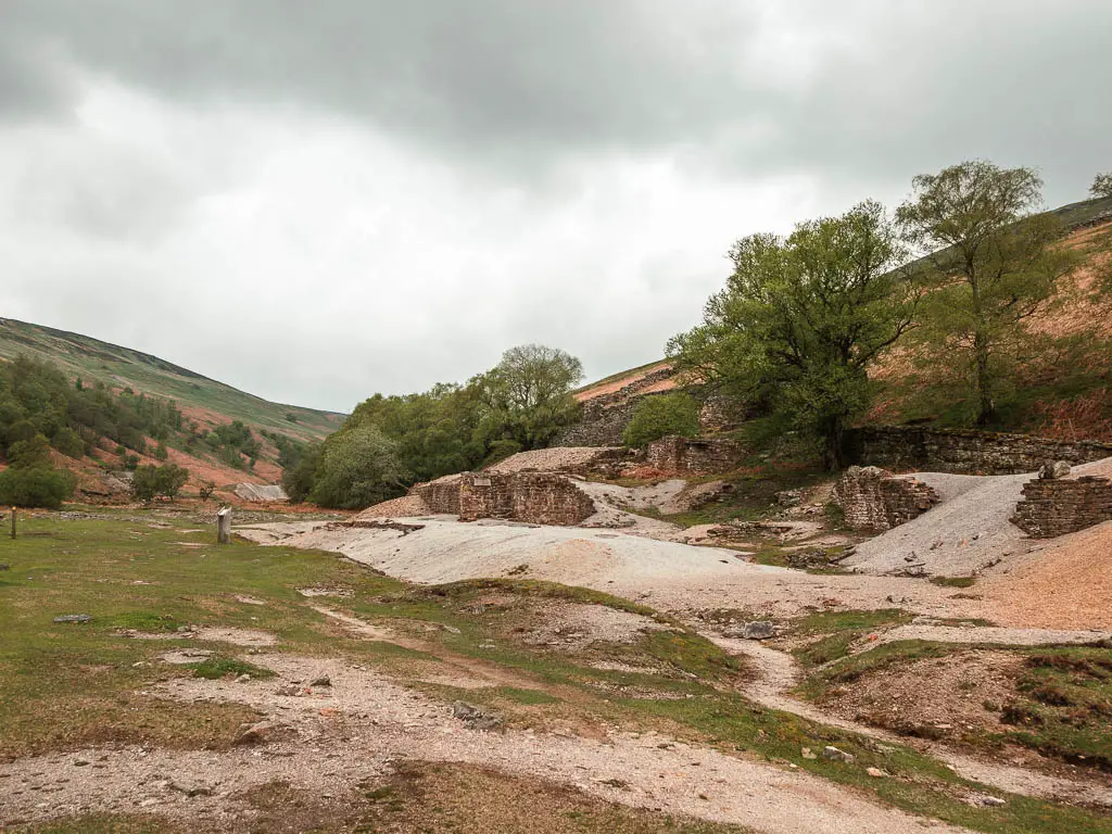
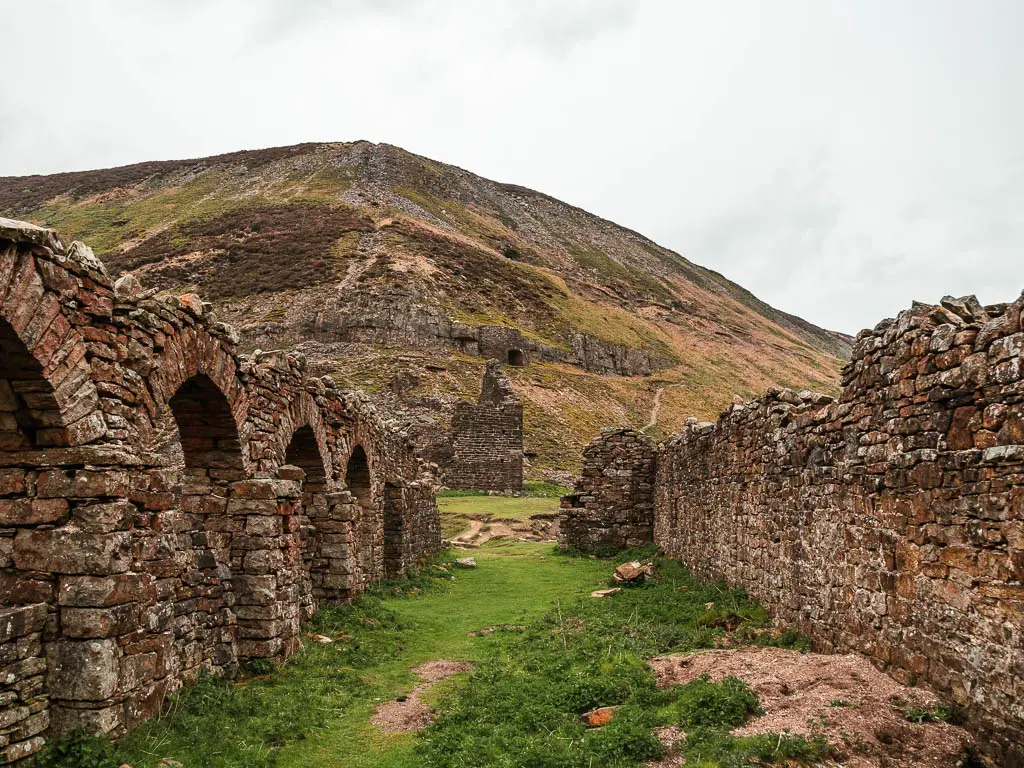
This is Sir Frances Dressing floor. This is where lead ore, galena was crushed and sorted.
Some more little ruins
Continue past, with the wonderful rocky beck to your left, and then over the stile with a dog hole cut out of the fence, and up the grass trail on the hill ahead.
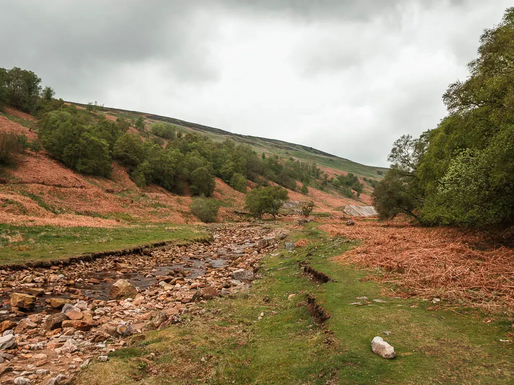
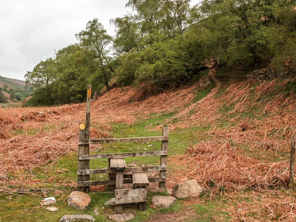
Don’t worry, the hill is short. However, it leads you onto a narrow dirt trail, with some tree roots and a steep drop.
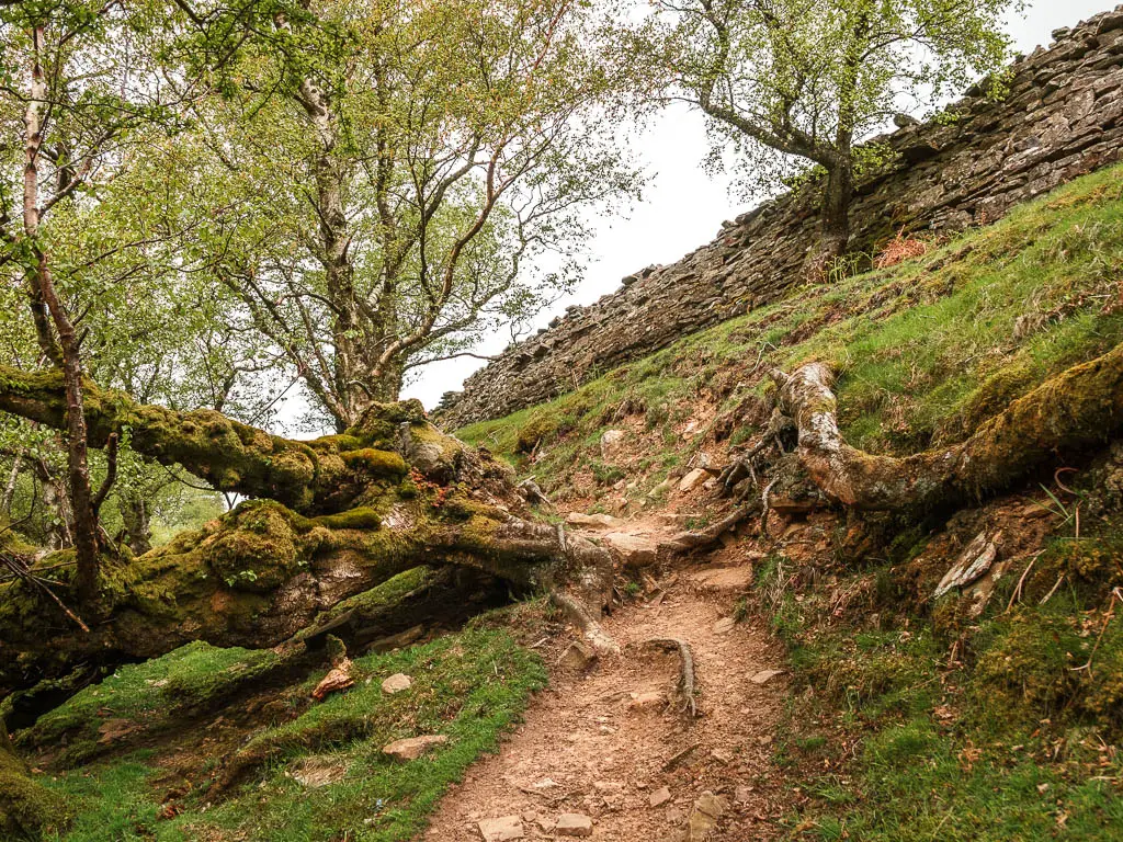
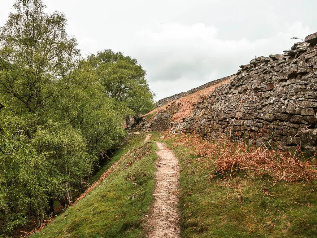
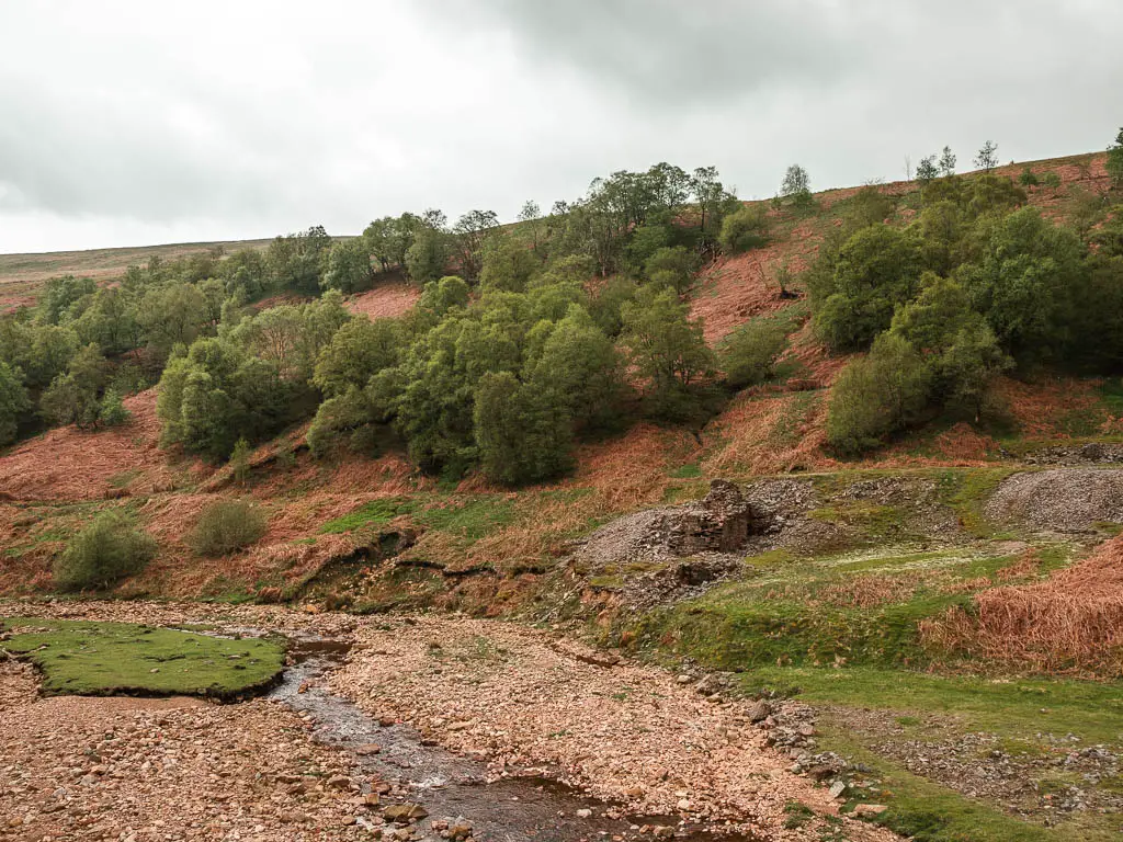
Across the next stile with a dog hole cut out, you will get a view to some more ruins ahead. The ruins so far are just a taster of the big ones to come.
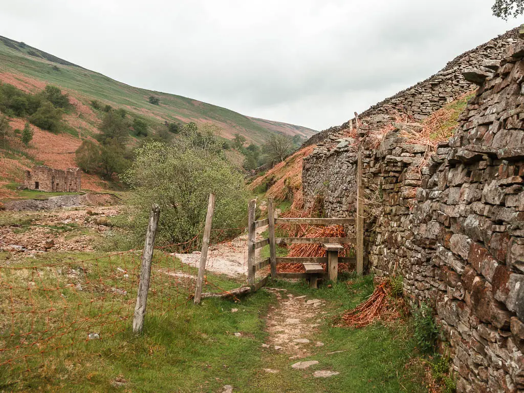
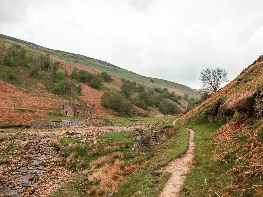
This trail will then lead you up through a stone wall, then up some more, now along a grass trail that you almost can’t see.
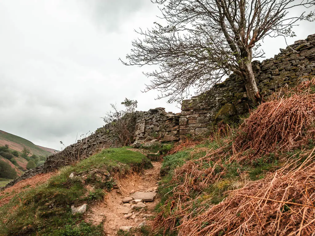
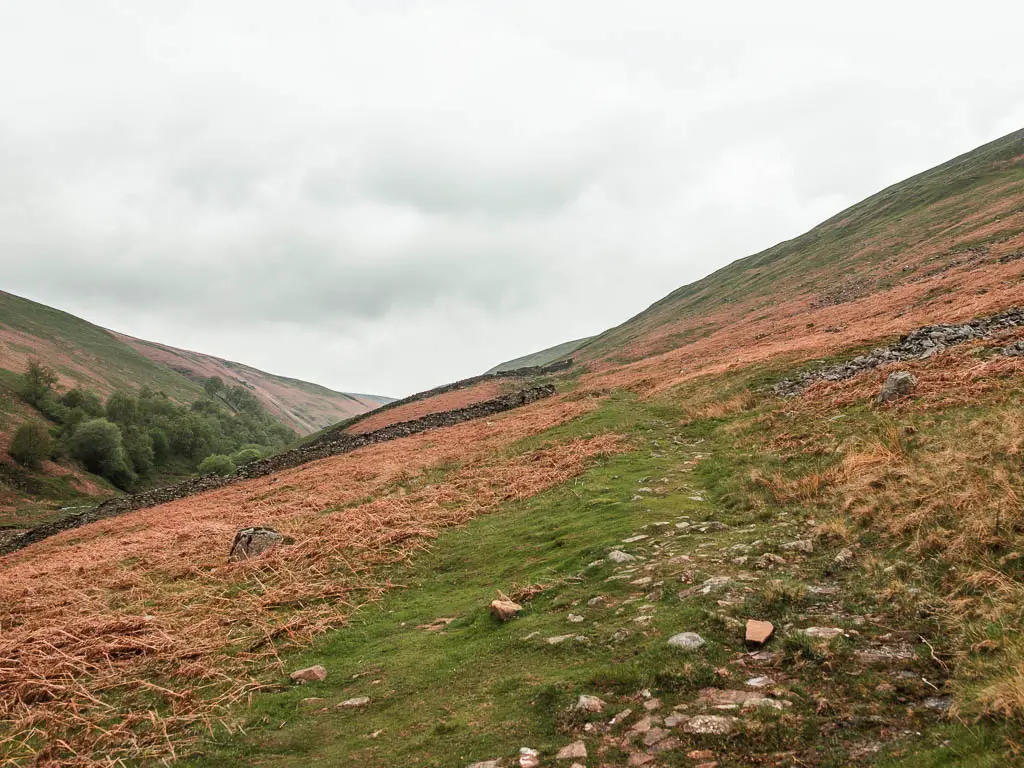
Keep going until you reach the stone wall, then walk alongside it (wall to your left).
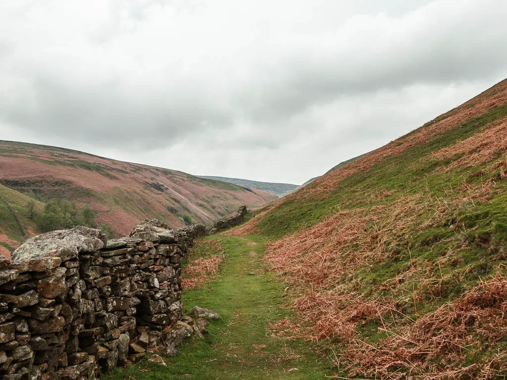
Walk along the Gunnerside Gill hillside
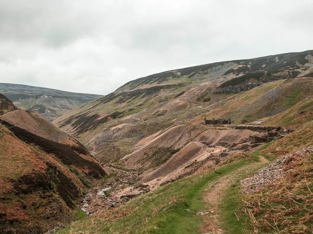
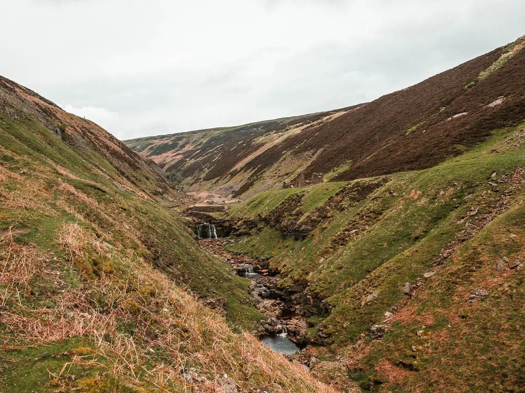
For some time now, the trail is level (with undulations), as it guides you along the hillside. As you walk along here, the views are spectacular, looking down along the valley of Gunnerside Gill both ways. With gorges cut into the hills, and undulating hills surrounding you.

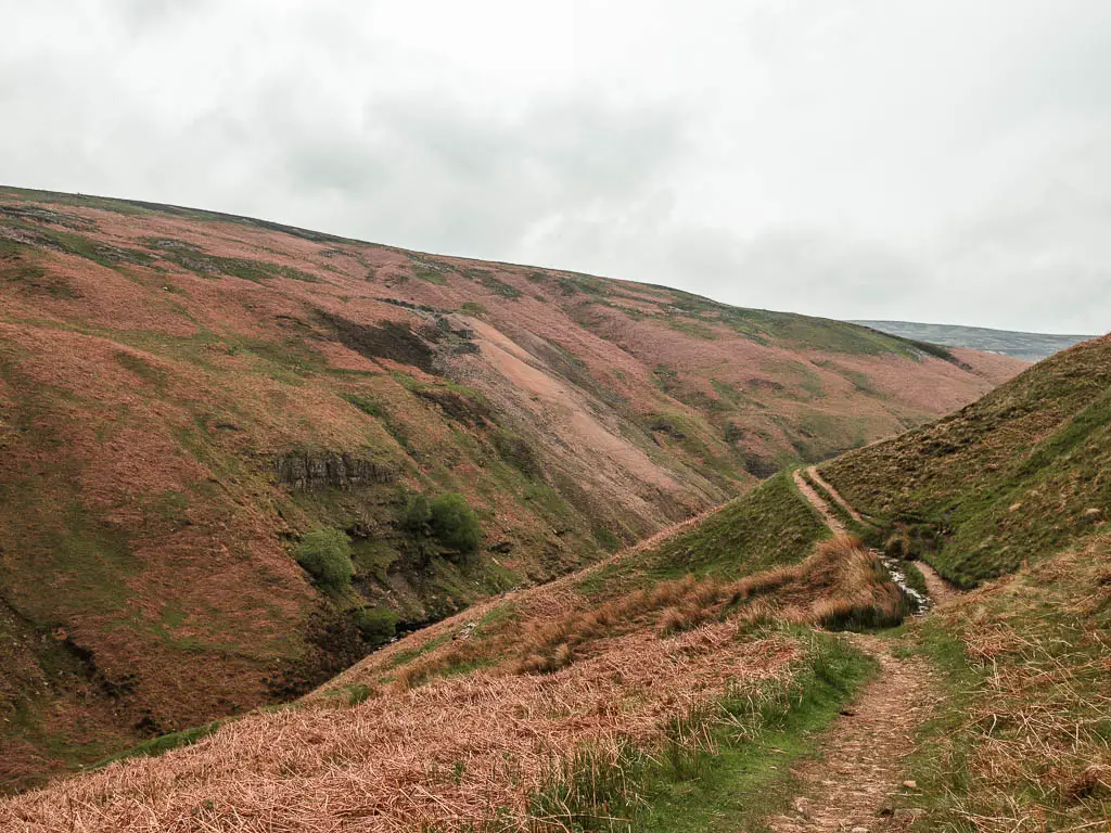

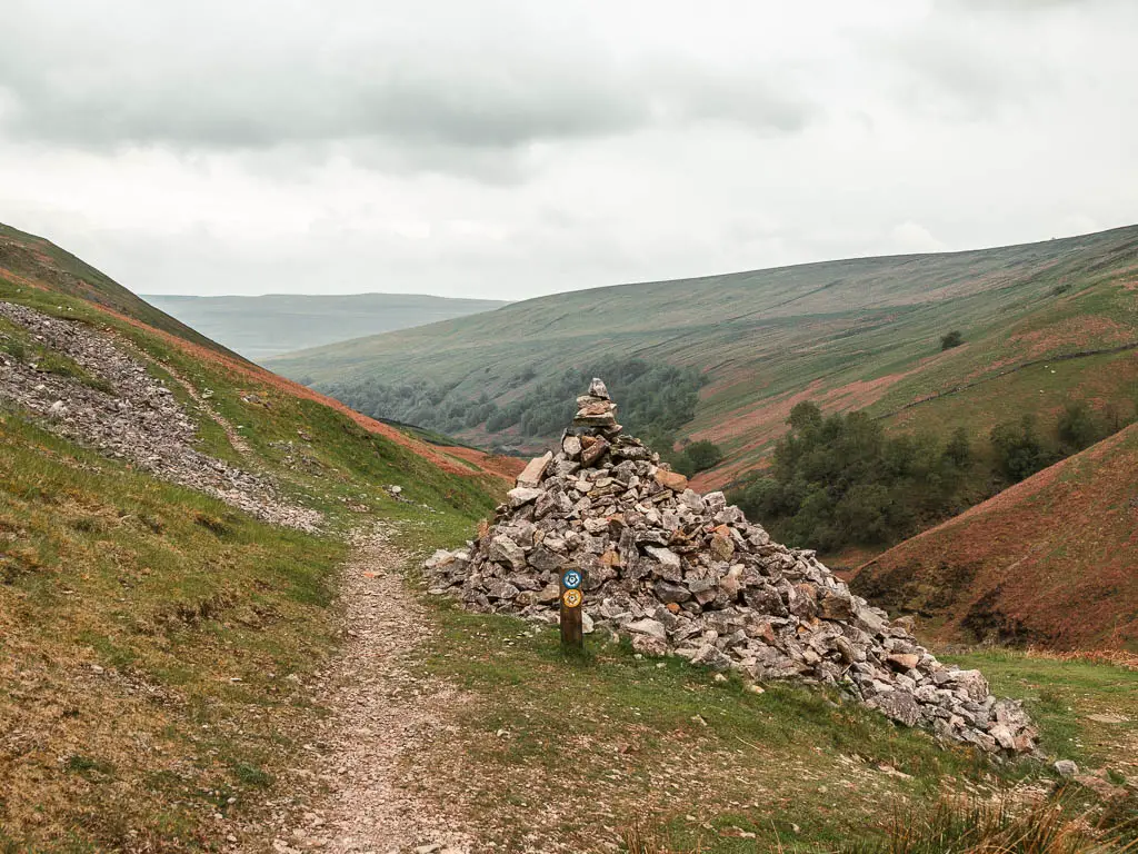
When you reach the junction, turn left (the photo below is looking back the other way). This is one of the ways you can walk back. But don’t walk back yet, the best is still to come.
Bunting mine
As you continue along the hillside, you will soon get a view to the ruins of Bunting Mine ahead. Looking over to it, perched on the little hill, it reminded me of castle ruins. I imagined this being the location of my house, looking down over my own valley.
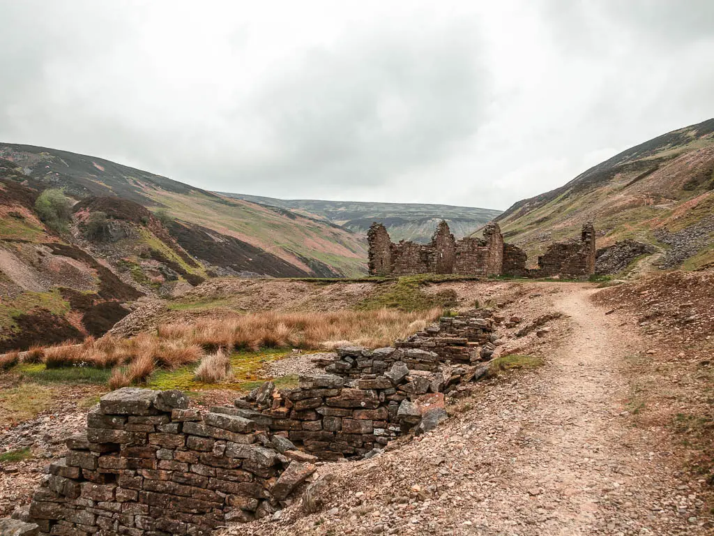
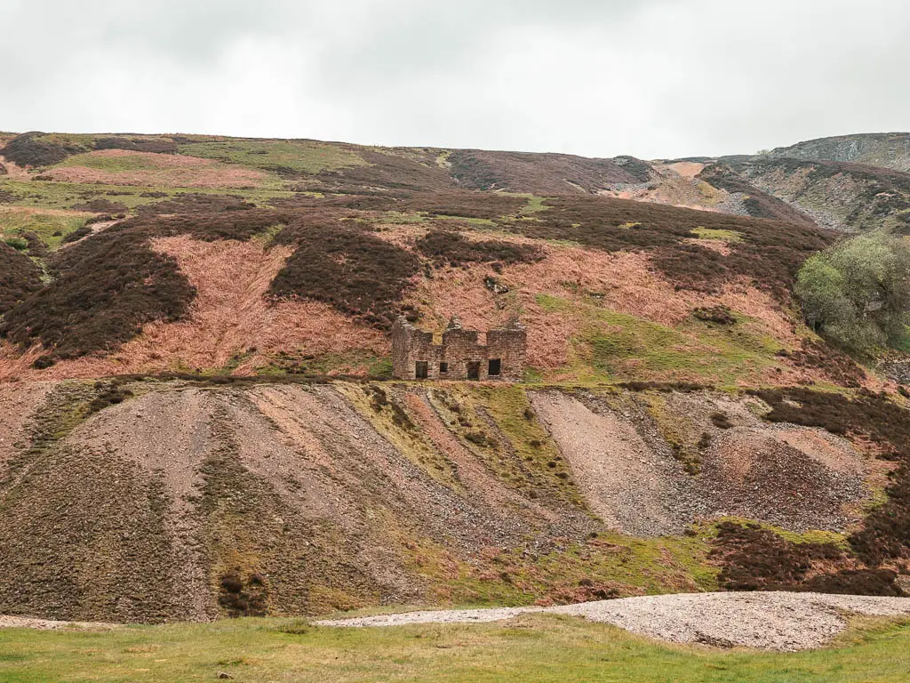
When you reach the mine ruins, continue past to reach the junction with a trail signpost.
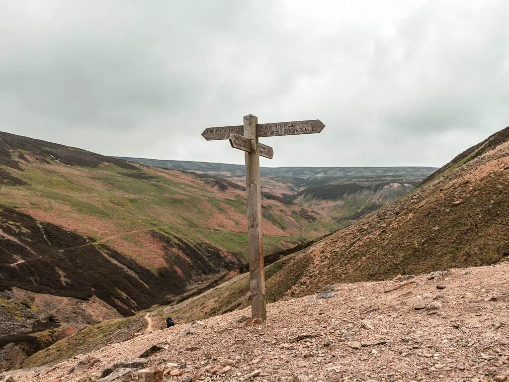
I had a look at my map, and I could have gone a number of ways. The trail to the right along the hillside looked steep, slanty, and slippy, so I took the one along the bottom of the hill to the left. Having now done it, definitely take the left.
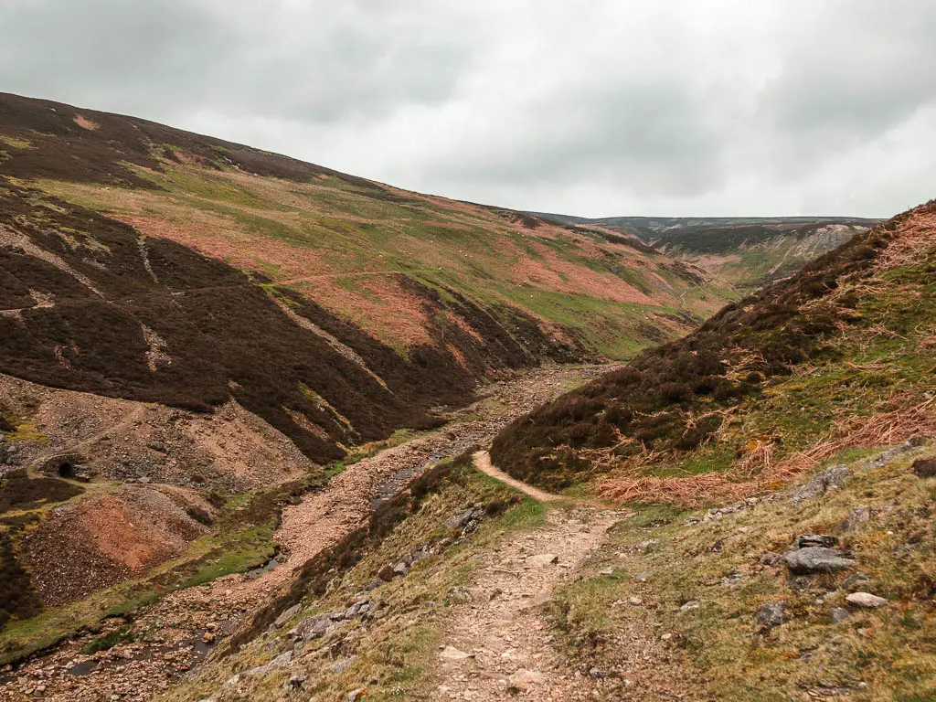
Waterfalls and ruins
The left trail will take you back down alongside the Gunnerside Beck. One thing about this walk through Gunnerside Gill, is that with all the curviness of the hills, you never know what is around the corner. I was constantly surprised, in a good way.
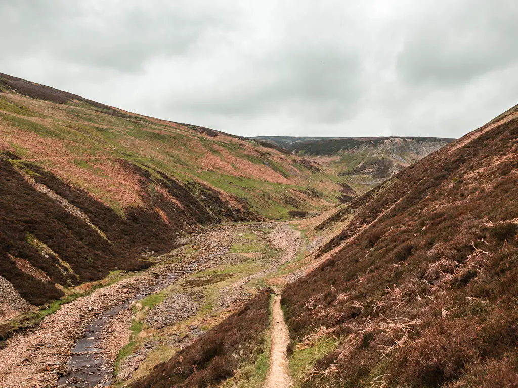
The next gem on this walk is the ruins of Blakethwaite Smelting Mill. It’s also here that you will find the first mini waterfall.
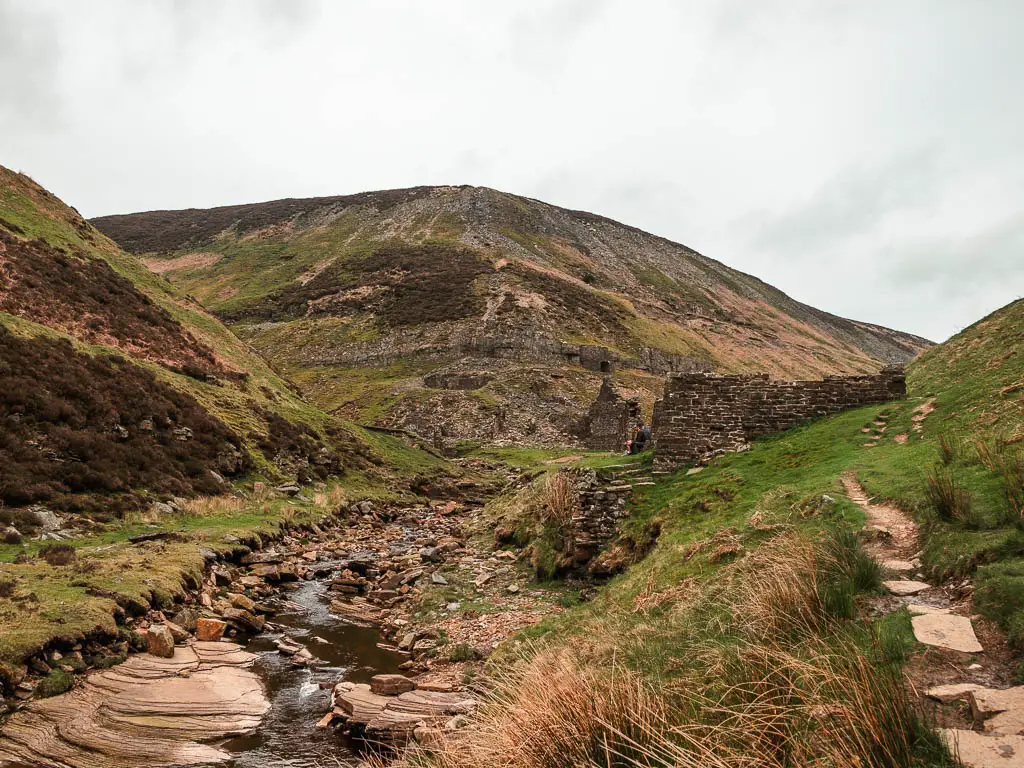
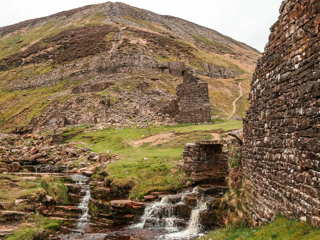
If you don’t like heights, or are a bit clumsy, this might be a good point to turn back. You see that trail up the hill past the ruin. That’s the next bit. The trail is very narrow, with a steep drop.
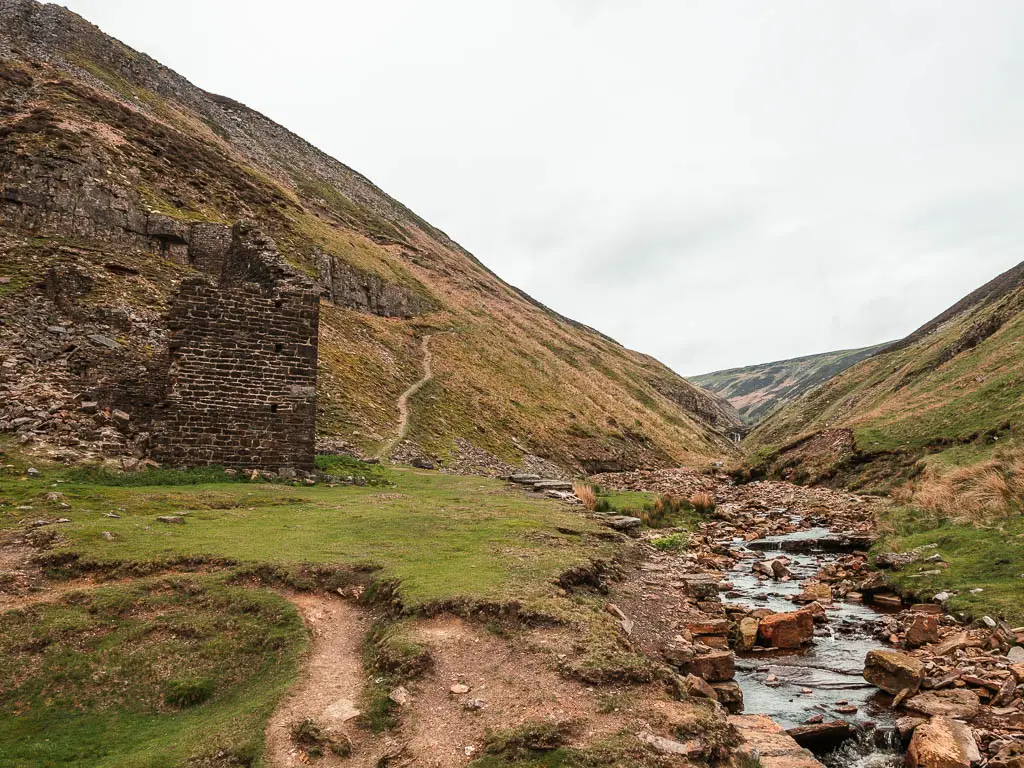
It does lead you to something wonderful though….
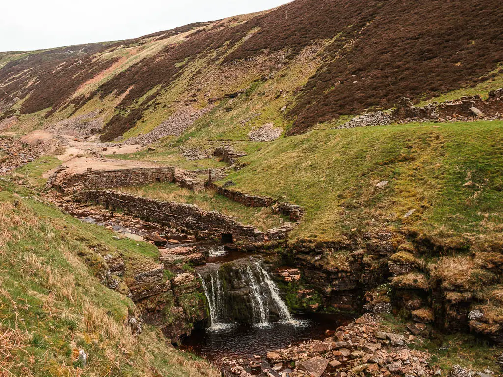
This is also where you want to cross over the water, which involves picking whichever rocks look the safest.
The final bit through the valley
The trail now starts to take you uphill, with a view to the rocky cliff on the other side. You will get a view down to some more waterfalls, including ones with dipping pools. Looking back, you will have a lovely view of the Gunnerside Beck flowing through the valley.
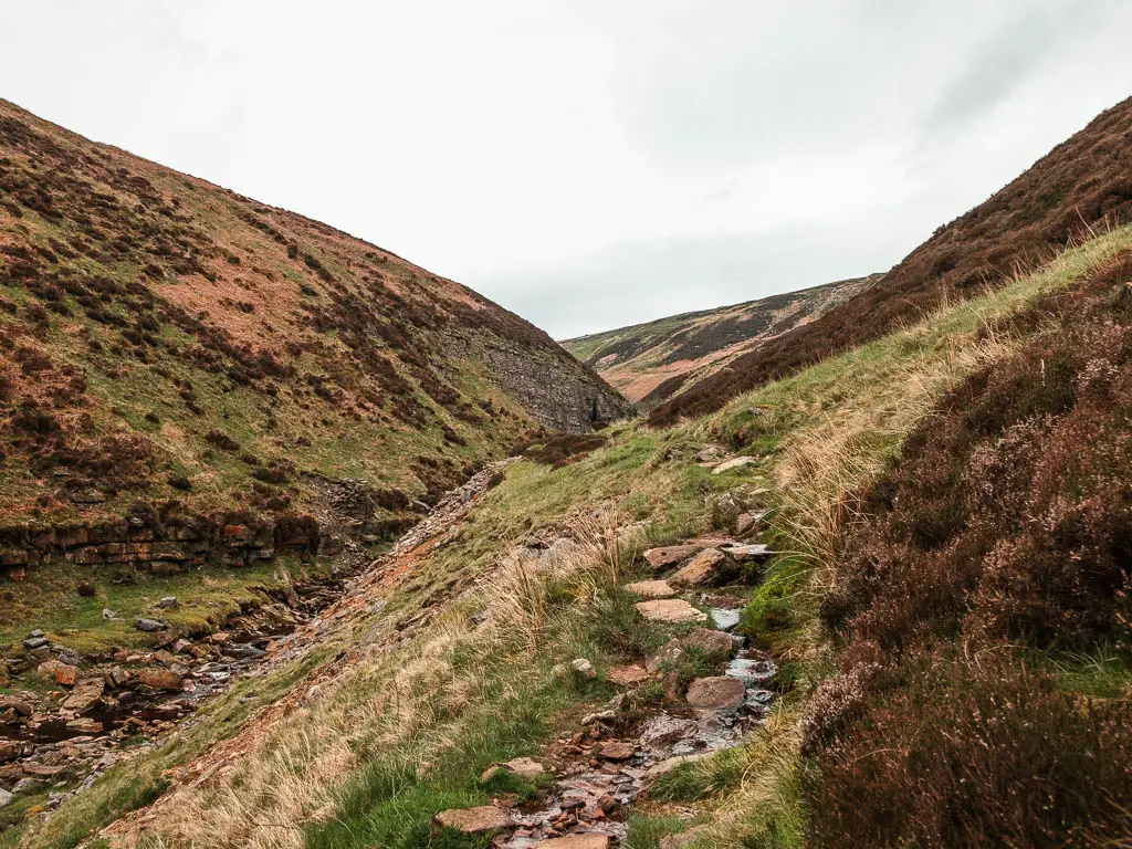
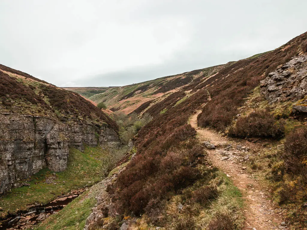
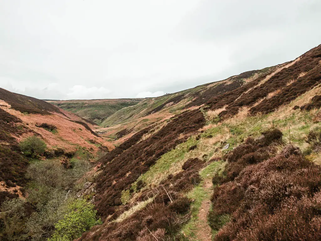
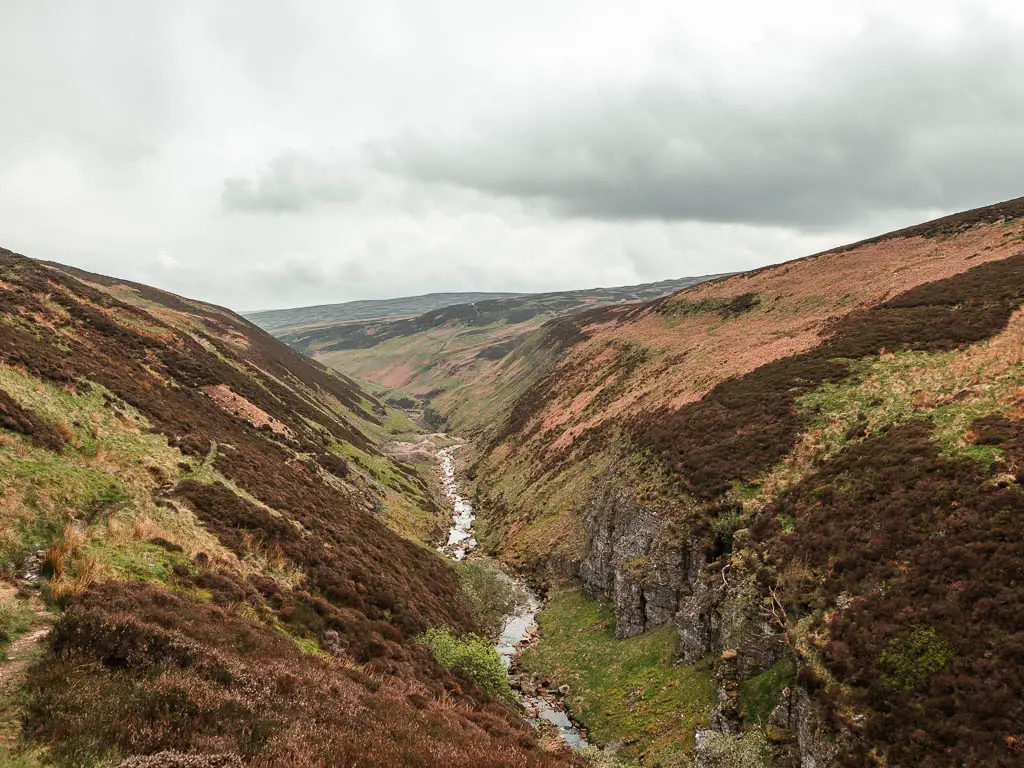
This is the point at which I would turn back to walk through Gunnerside Gill. As I didn’t do that, I will continue to show you what comes next.
Make your way to the top of the hill
There is a little grass junction coming up, where you want to take the right. See photo below.
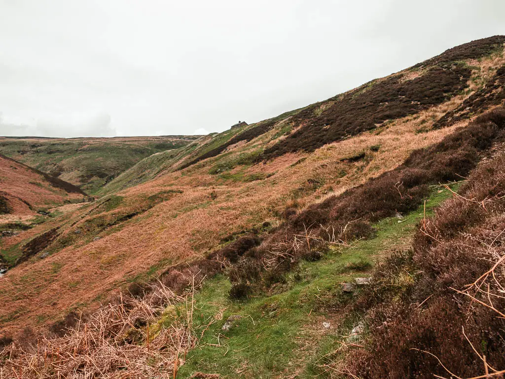
This will take you uphill a bit more, then curve you around to head back.
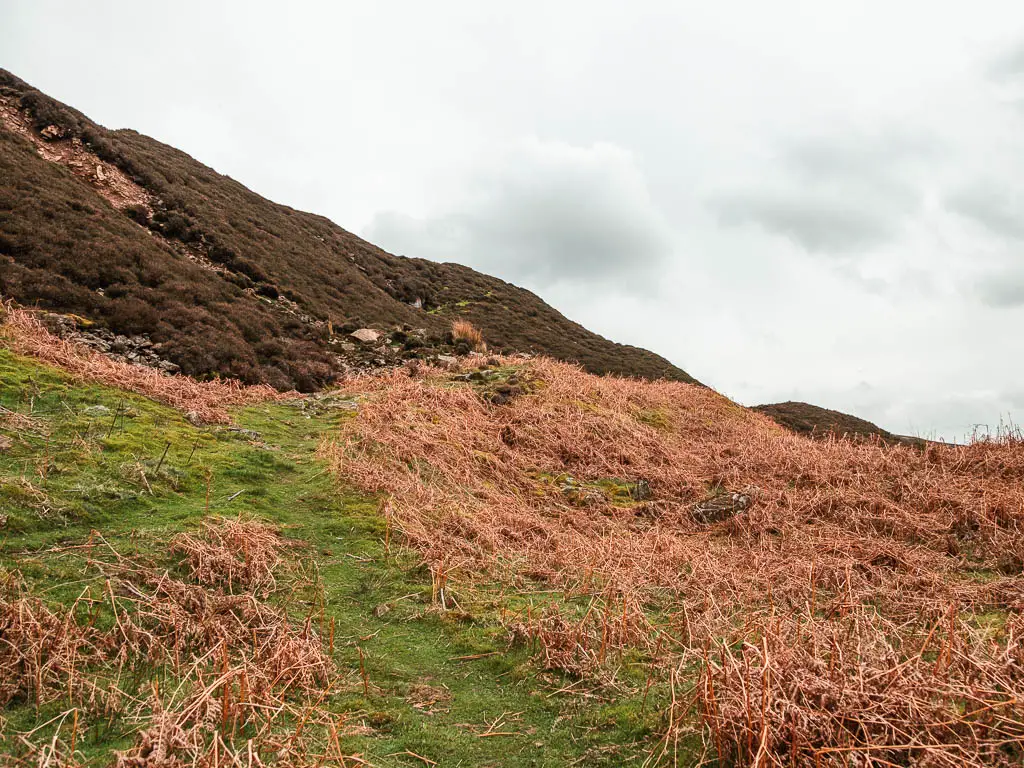
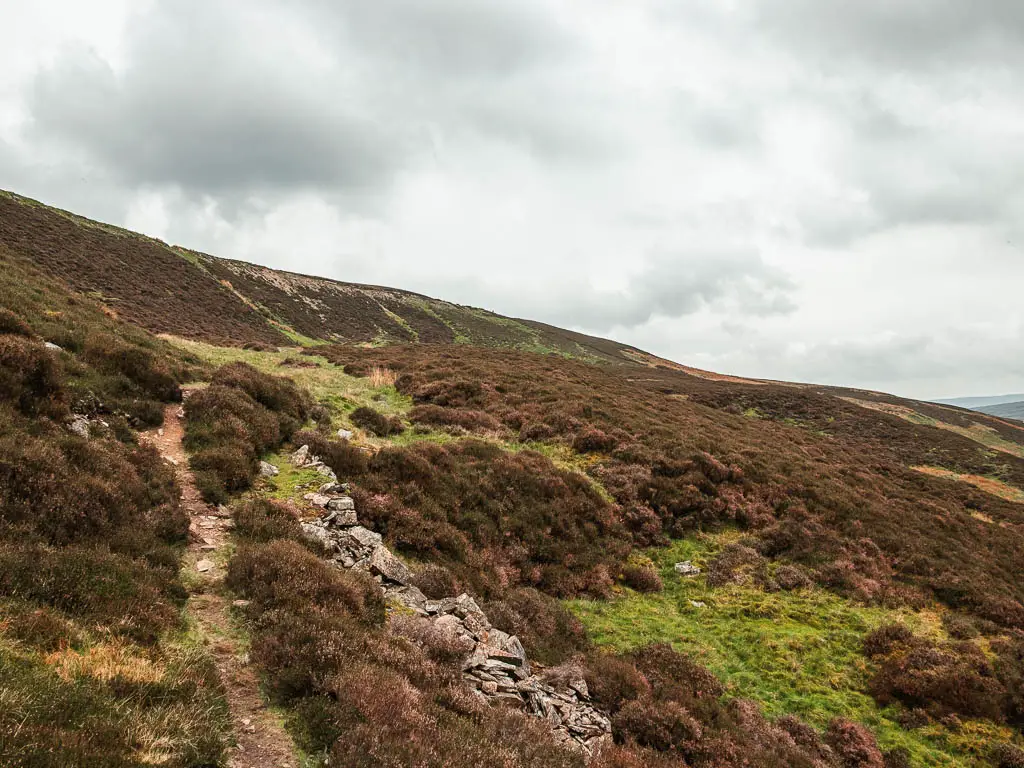
You need to somehow make your way up to the very top. My suggestion would be to take one of those green strips you can see ahead.
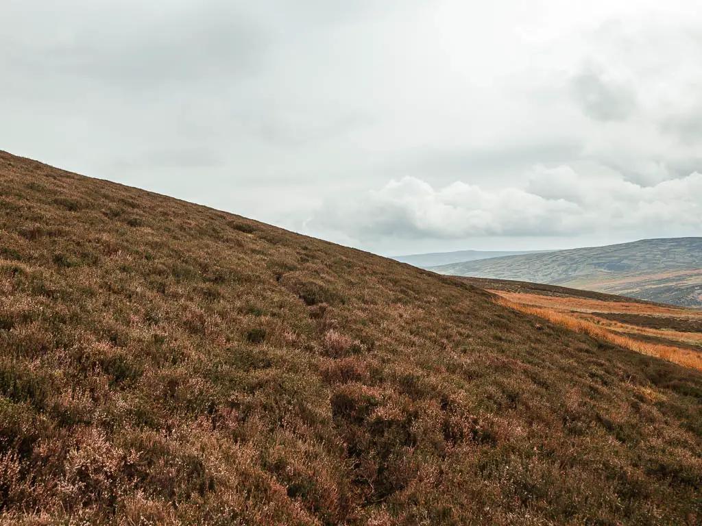
I did not do this, but instead followed the trail on the map, which lead me to an area where the trail was not apparent, and I did a lot of back and forth trying to find the way up, that didn’t involve stomping up the heather.
I eventually found the trail, complete engrossed by heather. It looks like this:
Walk the long gravel road above Gunnerside Gill
When you find this road, turn right onto it:
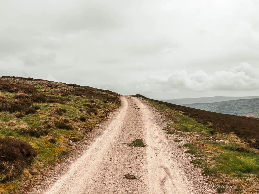
One thing I didn’t mention, is how when on the walk through the valley of Gunnerside Gill, there was the constant sound of river and waterfalls. Up here, everything was silent. The landscape was bleak. Down below I was nice and warm. Up here I was cold. I couldn’t wait to get back down into the valley.
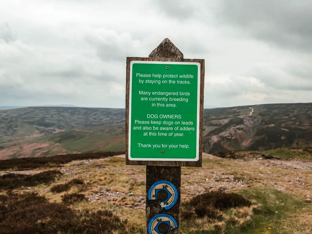
The next lot of navigation is a little confusing, so pay attention. When you reach the trail signpost, you can turn right if you want. This is what I was going to do, however, when I saw the sign warning of adders, I left and decided to take the next turning…whilst thinking about all the adders that were probably lurking during my heather navigation earlier.
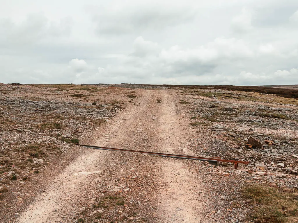
The next turning is not obvious. For reference, when you see this on the ground (first photo below), the right turn is a little further ahead:
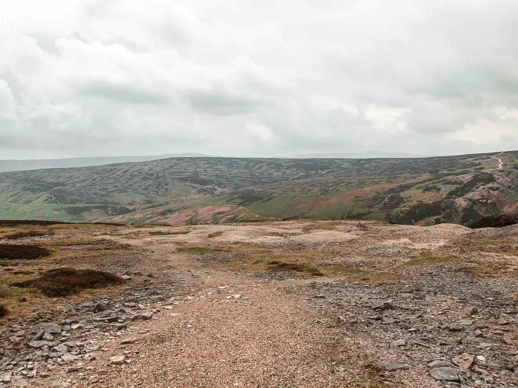
Walk back down and along the Gunnerside Gill hillside
Walk down the gravel non obvious path, vearing to the left, looking out for the little strip of grass trail on the left:
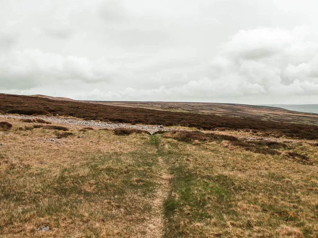
Follow this strip, which will lead you through some heather, then along grass again.
You should hopefully soon see some ruins ahead to the right. This is where you are heading. There is a whole junction of non obvious trails coming up. Pick the ones that look like they will take you to those ruins.
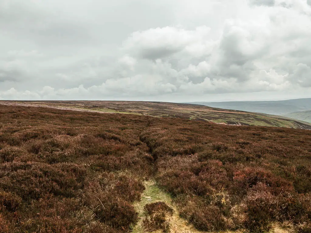
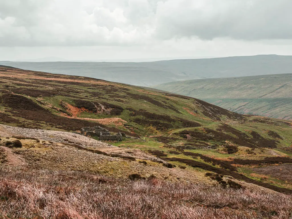
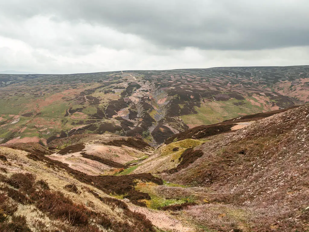
Past the ruins, the trail is more obvious. You don’t need to navigate too much anymore. Just follow this trail which switches up between grass, dirt, and gravel.
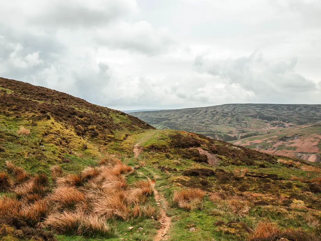
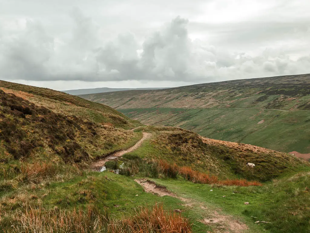
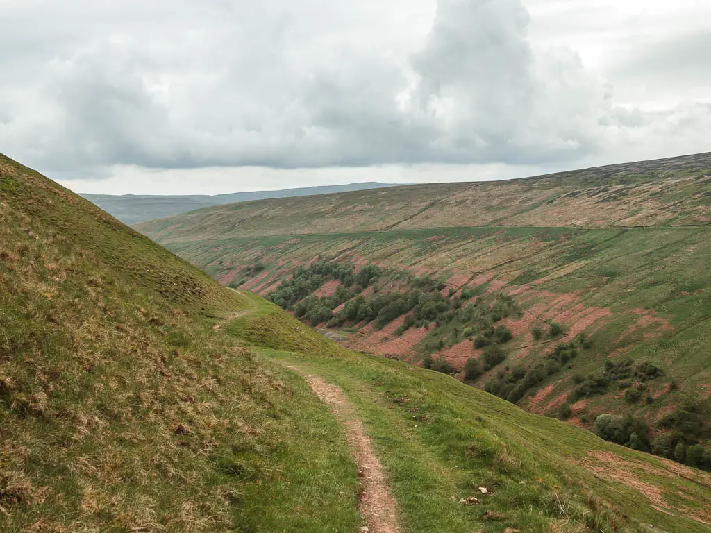
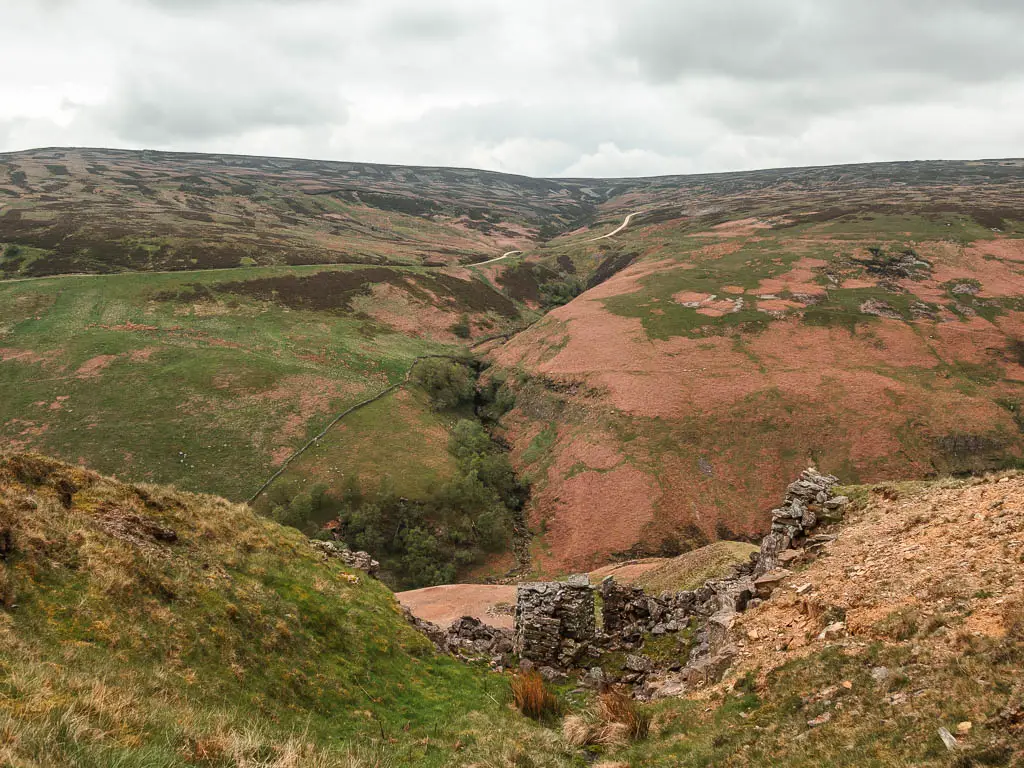
You will now be walking back through Gunnerside Gill, this time a little higher up.
I did enjoy walking along this bit, and in another situation I would have been fully satisfied. However, I still think lower down is better. What was cool though, was recognising some of the ruins and gorges I had seen earlier on the way out.
Walk back to Gunnerside
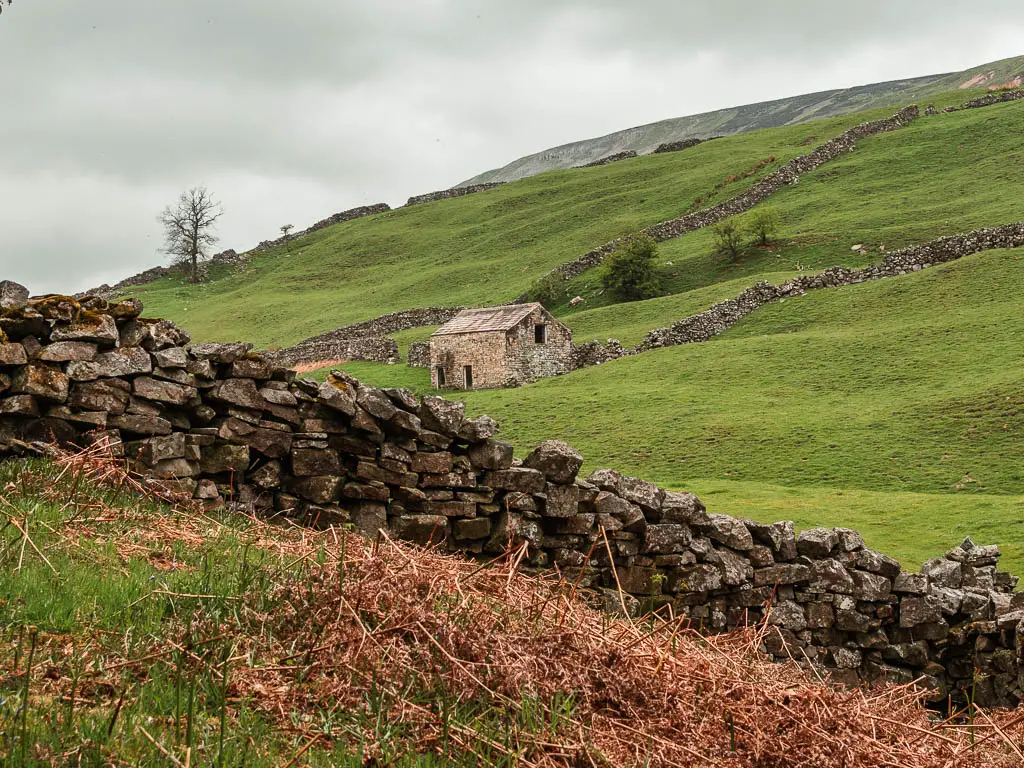
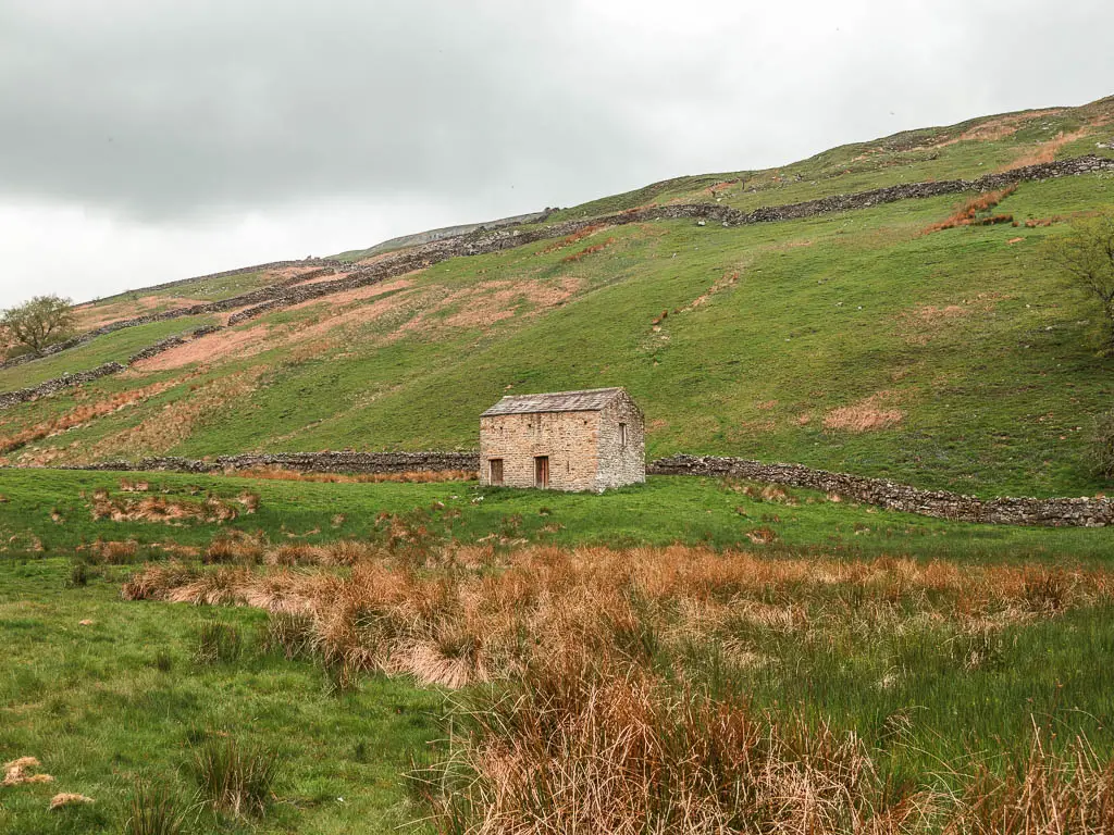
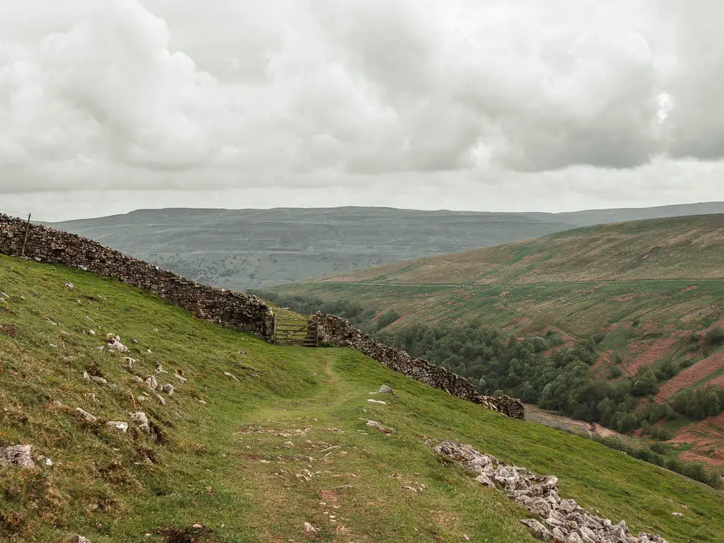
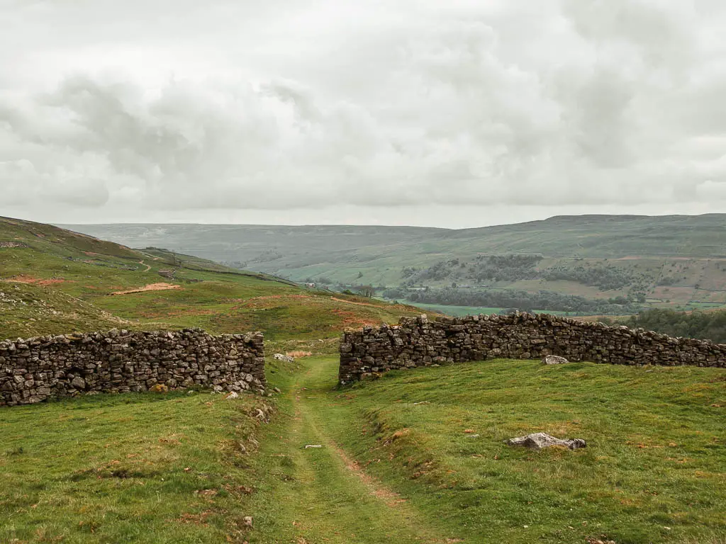
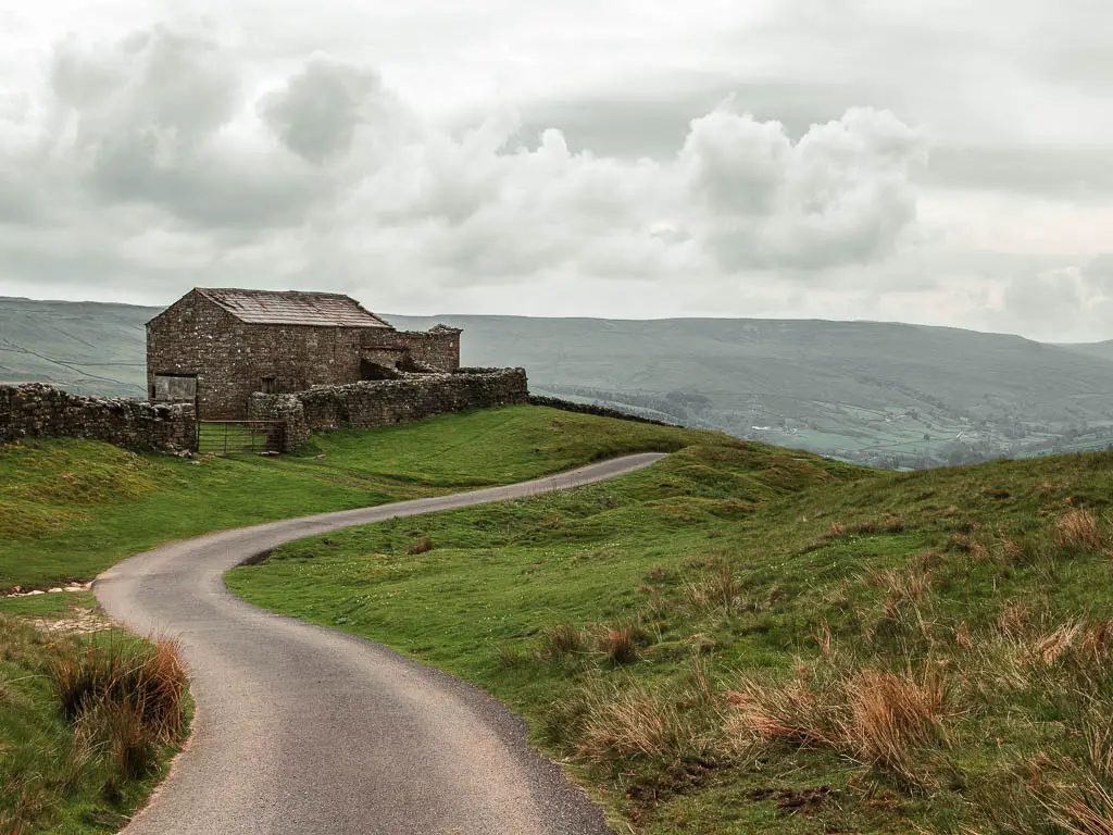
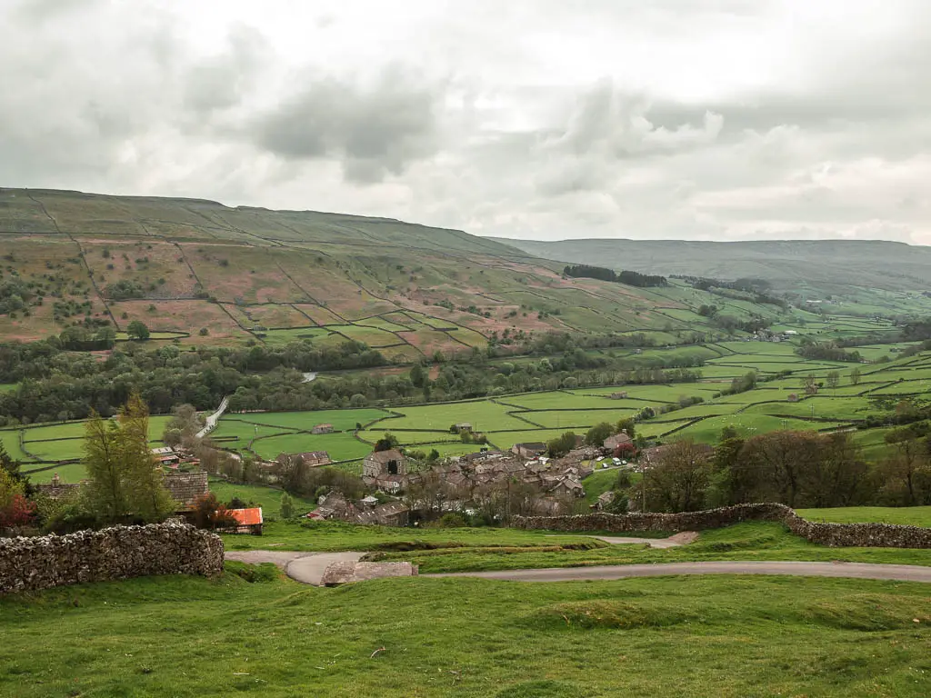
When the trail fully turns to grass fields, you will know you are nearing the end(ish). First there are some stone walls to walk through, and then you will get a lovely view down to the little stone sheds and cottages dotted across the undulating hillside ahead. This is what I always imagined Yorkshire looked like.
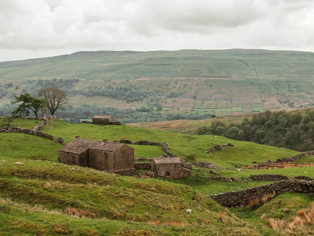
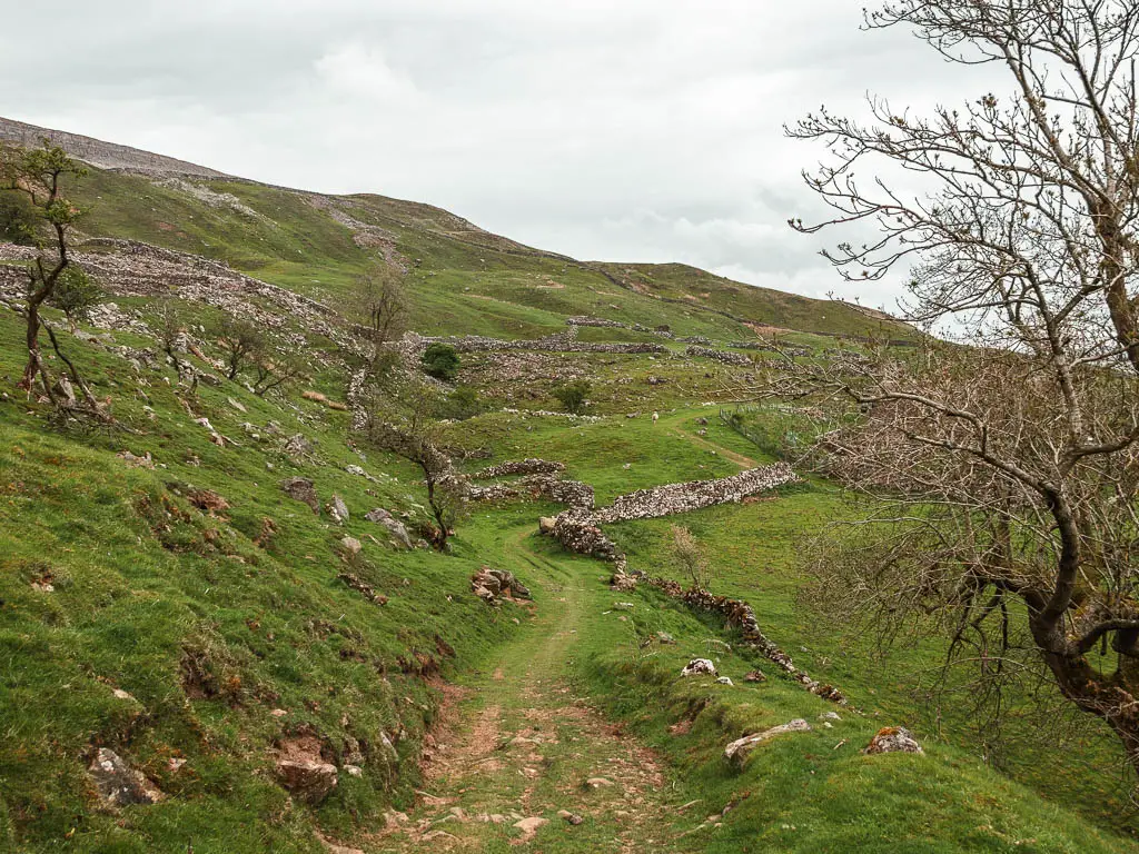
Keep going along the grass trail, which turns to track type road past the cottage. Keep going, all the way to reach the gate on the right (the last photo).
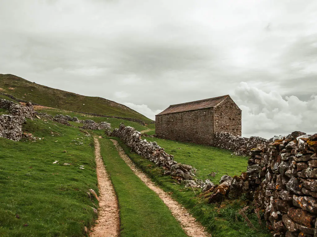
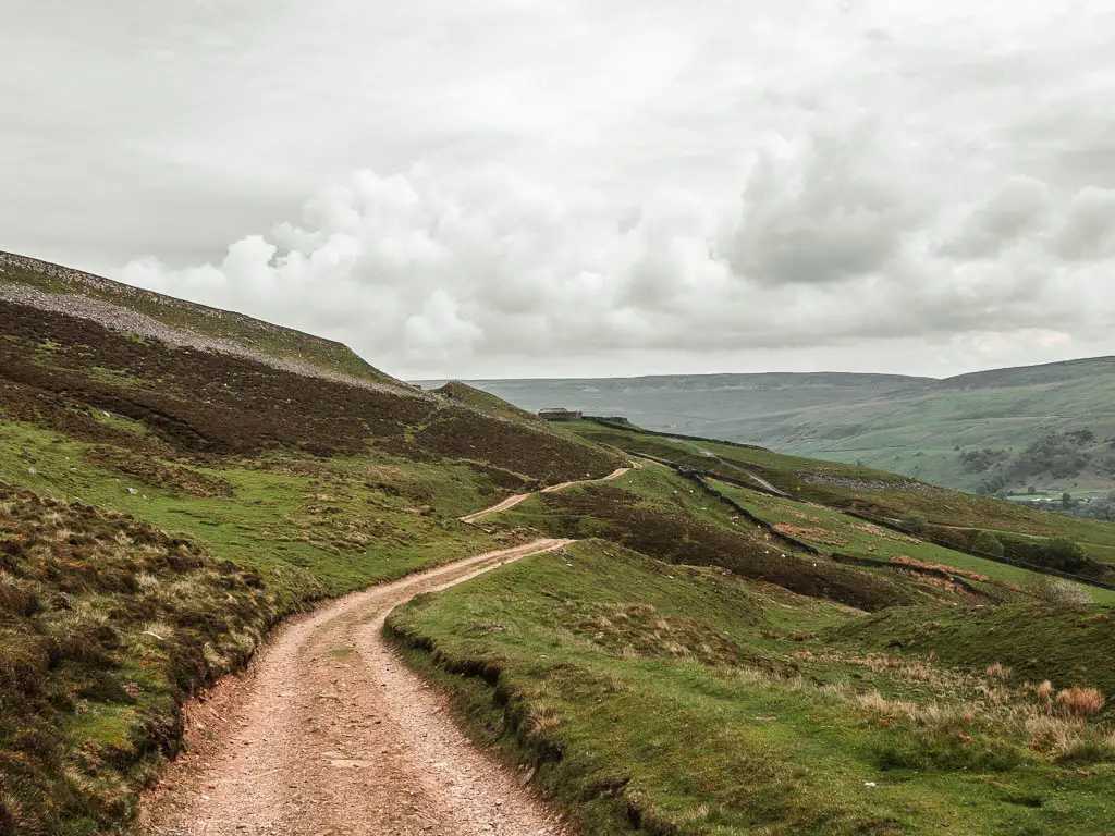
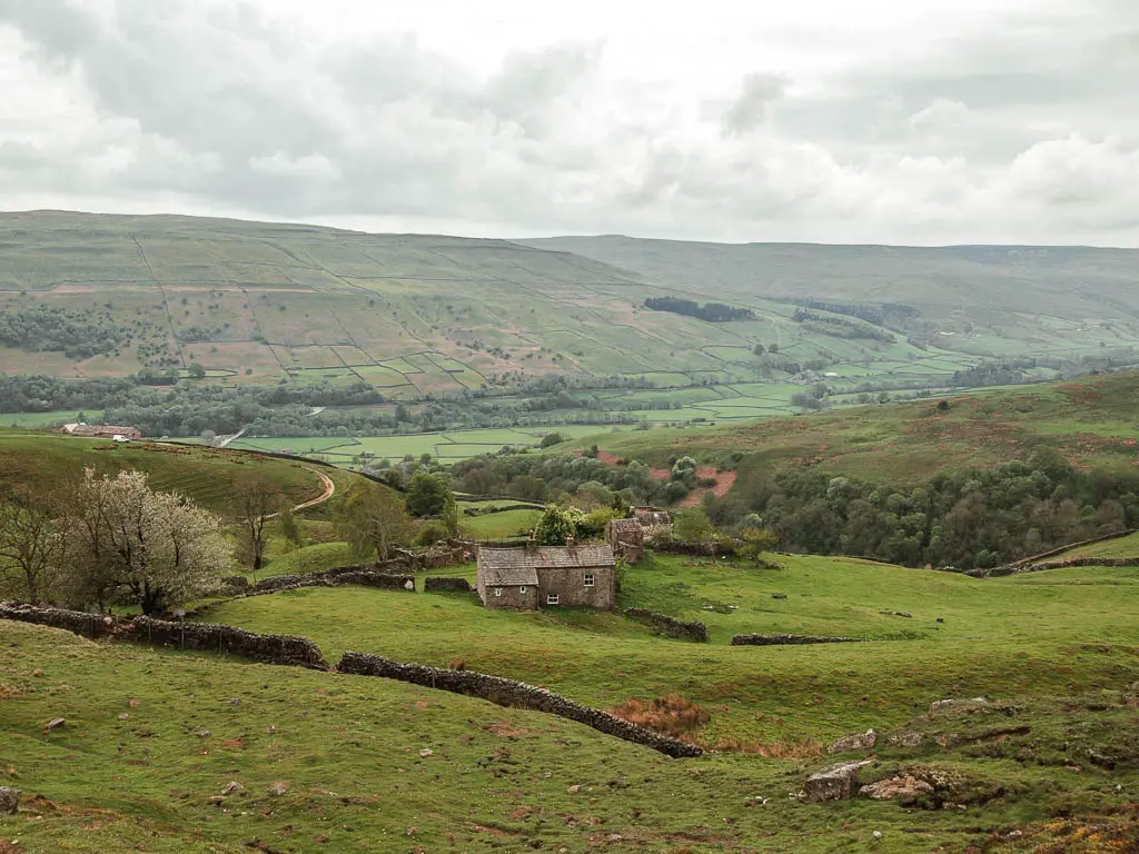
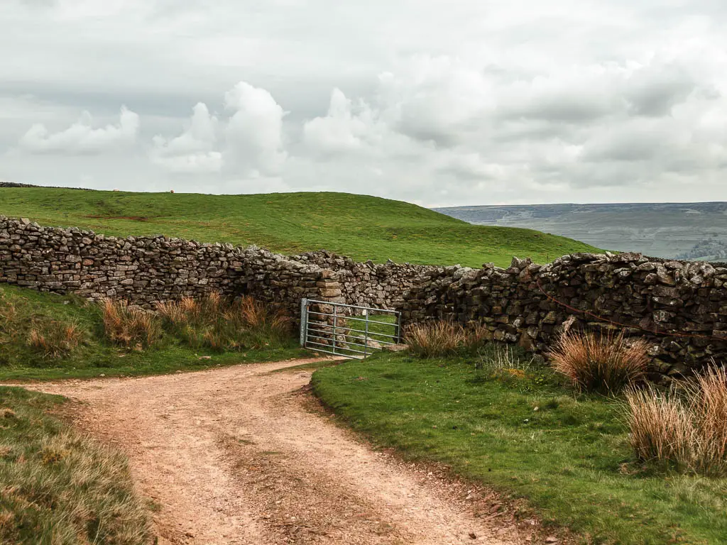
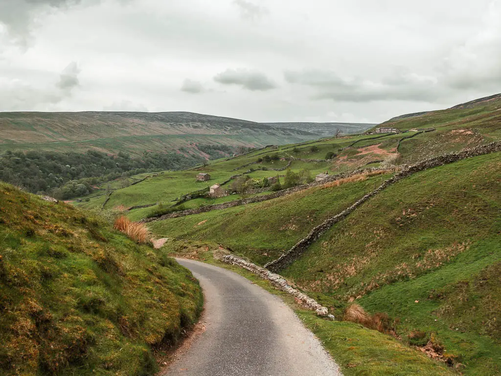
This will lead you onto the road, which winds you all the way back down to Gunnerside.
More walks near Gunnerside Gill
If you like mine ruins, then you will find a whole lot more on the Old Gang Smelt walk. The first half of that walk I loved, the second half not so much. You can read a bit more about it in that guide, which I will get up soon.
This Muker circular walk, is a wonderful one. It takes you high above the valley, with gorgeous valley views, and then alongside the river, passing by a number of waterfalls.
Another one with wonderful valley views, is this route along Fremington Edge. It’s located in Reeth, which is just down the road. That’s a good old long hike, however, if you would prefer something short and easy, you might like this circular Reeth and swing bridge route.
Not too far from here, you could do some waterfall walks. This one around the Aystgath Falls is quite lovely, and has some fun stepping stones. This walk to Hardraw Force, showcases the largest single drop waterfall in England. These are both super easy, family friendly walks.
Not actually near Gunnerside, but further south in the Yorkshire Dales, I want to recommend this Simon’s Seat route. If you like Gunnerside Gill, then I think you will like that walk too.
Pin it for later: Gunnerside Gill Walking Guide
