The Yorkshire Dales is known for waterfalls, and the Aysgarth Falls are some of the most well known ones, so naturally I had to do a walk that involved them.
At the visitors centre, there are free maps that show you how to get to the Aysgarth falls, and it even marks out an additional circular route for you to do, I think through the woods. I of course did not do this, but instead chose to take a route along the river and back on the other side.
And I’m so glad I did.
What I’m going to do in this guide, is give you a bit of an overview of what to expect when visiting the Aysgarth falls. Then I will provide full logistics and a map for the circular route, along with some useful tips. I will then give a step by step description of how to walk to the Aysgarth falls, followed but the full circular route, along with lots of photos.
Why do the circular walk along the river?
I didn’t know what I had in store, as I couldn’t find any information about this particular route online. All I could find was suggestions to walk through the woods or to Castle Bolton.
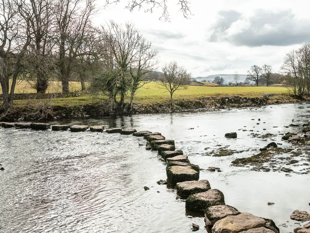
What I got on this walk was the stepping stones. Giant stepping stones. I didn’t know they were coming until I was nearly there and a sign told me they were coming.
I also got peace. You see, the Aysgarth falls are very popular, and if you walk straight to them from the car park, you will not be alone.
Once I got out of the madness, I felt like I was back in nature. Then coming back along the river on the other side, I got to see the Aysgarth falls again, but now everyone was on the other side of the river. I had this side to myself.
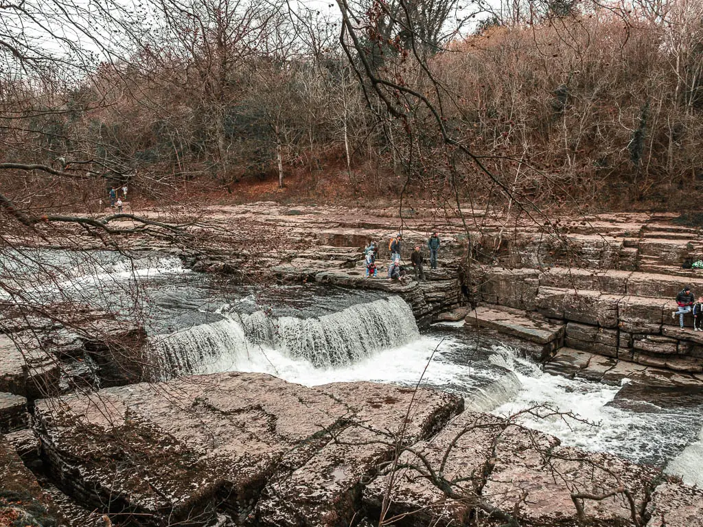
What is Aysgarth falls?
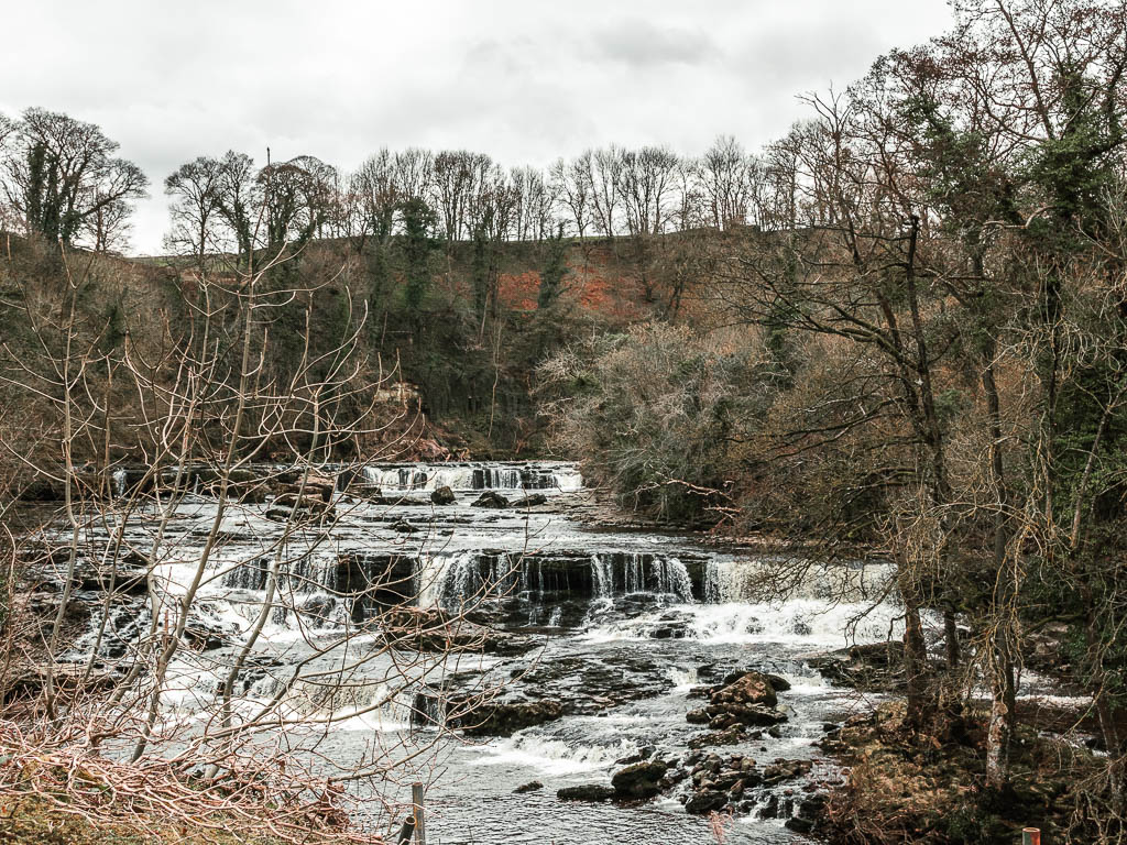
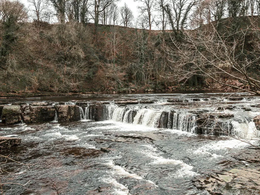
Aysgarth falls are a series of three waterfalls, upper, middle, and lower, along the River Ure. Apparently they have been a tourist attraction for over 200 years.
Fun fact: They have featured in the recent Robin Hood movie.
How long is the walk at Aysgarth falls?
From the main car park, you can walk to Aysgarth falls in a couple of minutes. To walk to all three sections of the falls will take maybe 20min or so. For this full circular route, allow about 2h.
Do you have to pay for Aysgarth falls?
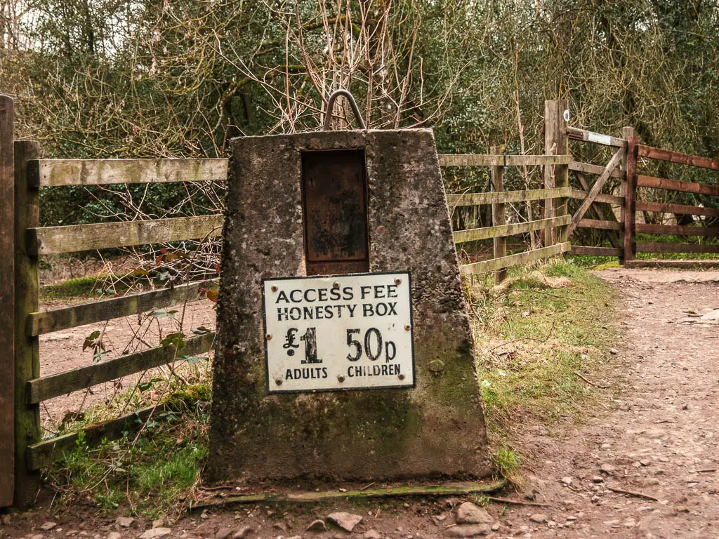
All you have to pay for is the car park. To see the Aysgarth falls themselves, is free. There is an honesty box, suggesting you pay £1 per adult, and 50p per child to see the upper falls….but who is really that ‘honest’? I’m not. I didn’t see any other ‘honest’ people either.
Is Aysgarth falls an easy walk?
To walk to all the Aysgarth Falls is very very easy. There are easy dirt paths alongside the falls, then some field walking, and easy stepping stones, and some tree roots if you go further afield. Just be aware, that if you want to get closer up to the middle and lower falls, there are some steps.
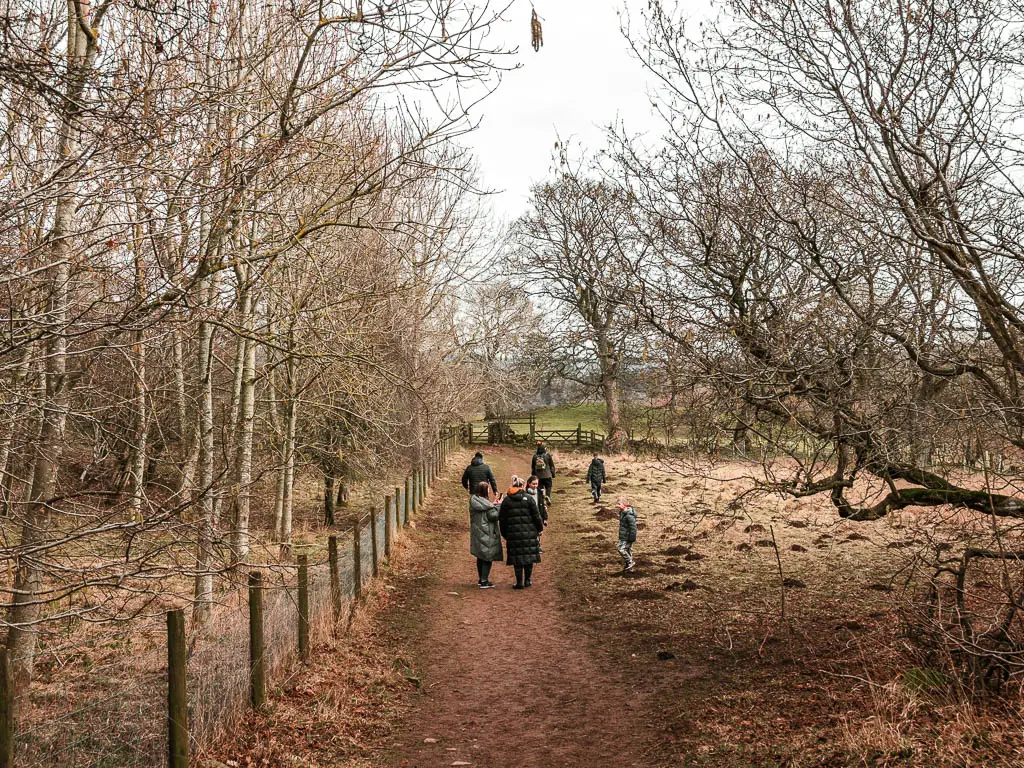
I would say this is a very family friendly walk.
Logistics
- Start/Finish: Aysgarth falls National Park Visitors Centre. Post code: DL8 3TH.
- Public transport: Yes. 856 and 875 buses pass through Aysgarth, from Northallerton to Hawes, and from York via Leeds to Hawes.
- Distance: 230 meters to get to the middle falls from the car park. 830 meters to get to the lower falls. The upper falls are less than half a mile in the other direction from the car park. To do this full circular route is 4.4 miles.
- Time: 1h40min for this circular route. Allow longer for stops. It was cold, so I kept walking.
- Difficulty: Easy
- Terrain: Dirt trail, a few steps, grass, stepping stones.
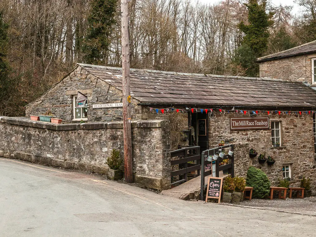
- Amenities: Just over the bridge, there is the highly rated Mill Race Teashop (dog friendly). Public toilets and a cafe at the National Park Visitor Centre. Picnic tables near the upper falls.
- Dog friendly: Yes, dogs are welcome. Just be aware that if you do the cull circular route, then later on, there is some livestock about, one stile, and those stepping stones. Dogs must be kept on leads.
- Time of year: I did the Aysgarth Falls walk in winter
Parking for Aysgarth falls
You can park at the Aysgarth falls National Park Visitors Centre, which gives you direct access to the falls. At the time of writing, it costs £3.50 for 2 hours. It said it costs £3, but that’s a lie. For more hours, it said it costs £5, but I will now assume it costs more than that.
Alternatively, just up the hill, on the other side of the river, there is a cafe and large pay and display car park.
At the very top of the road (on the south side of the river), it looked like there is free street side parking. I would usually go for this option, except I needed the toilet urgently, so went straight for the visitors centre parking. If you choose this option, just note, it’s a steep way down to the falls. Going down isn’t so much the issue, it would be having to go back up again.
Aysgarth falls circular walk via the stepping stones map
You can find my more detailed route map for the Aysgarth falls circular walk on AllTrails.
Tips for visiting the Aysgarth falls
- Don’t just stick to the area near the car park. Even if you don’t want to do this circular route, then at least go have a wander across some of the fields, with a view to Castle Bolton in the distance. It’s quite peaceful and beautiful.
- Take cash for the car park. The machine says it takes contactless payment, but I tried 4 different cards, and all of them were declined.
- If you plan to just walk around the Aysgarth falls, trainers will be fine. For the full circular route, you could probably get away with trainers, but I would still recommend some form of hiking boot, as there are some muddy patches…unless it’s summer and hasn’t rained for a while.
- Stop at the Mill Race teashop for some cake and coffee at the end. It has some great reviews. I didn’t stop, as I had elsewhere to be.
-If you like walks to waterfalls, I will list a whole bunch at the end. The Yorkshire Dales is full of them-
Or if you would like to try out some other types of walks, then I have a lot more to choose from on my Best Yorkshire Dales hikes guide here.
A guide to the Aysgarth falls circular walk via the stepping stones
Starting from the visitors centre car park, there are signs about directing you straight to the falls. If you would like, you can also pick up a free map just outside the visitors centre.
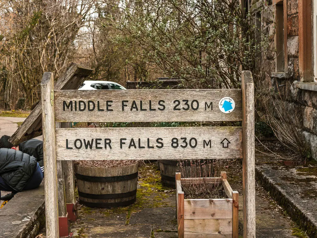
For this walk, you want to head towards the middle and lower falls first. To do so, go back out of the car park, and follow the path down the road, then cross over it, and through the gate.
At the wooden trail signpost, follow the direction for the lower and middle falls.
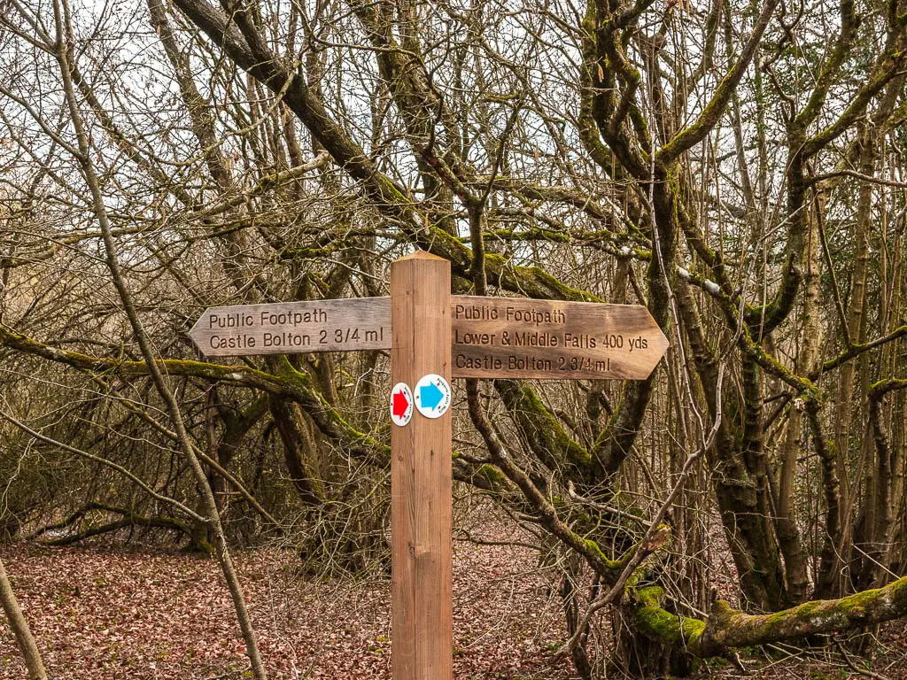
Walk to the middle falls
A short way along, through the woods, there will be steps on your right to take you down to the middle falls. If you don’t want to do the steps, you can still see them from up here.
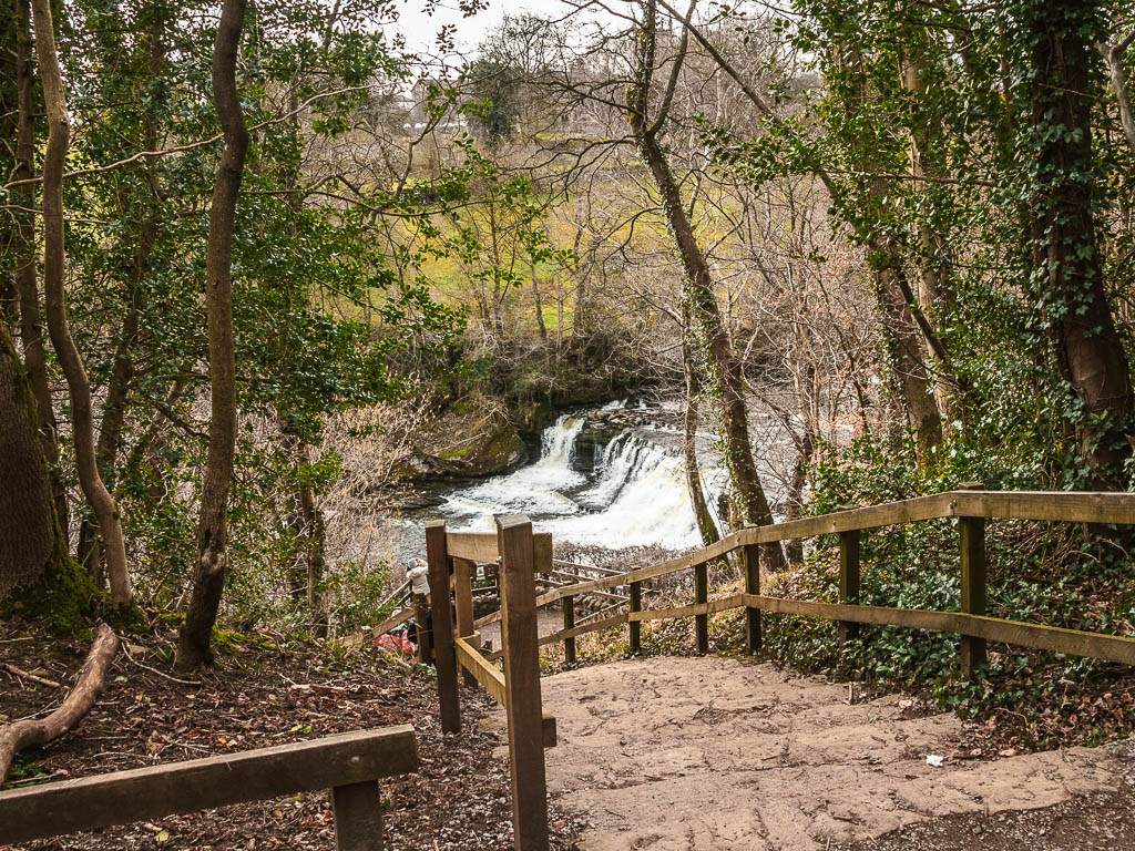
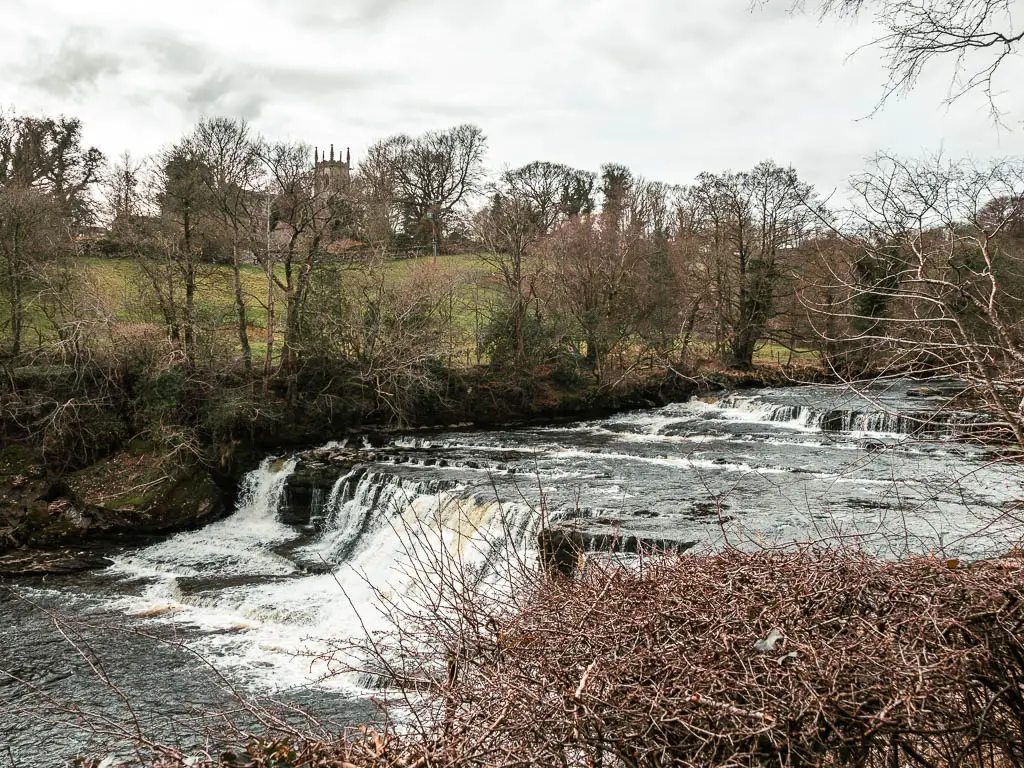
Walk to the lower falls
Go back up the steps (if you went down) and continue walking through the woods.
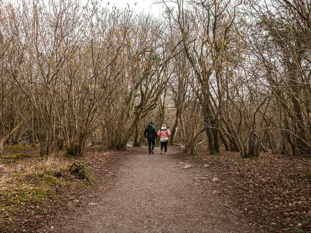
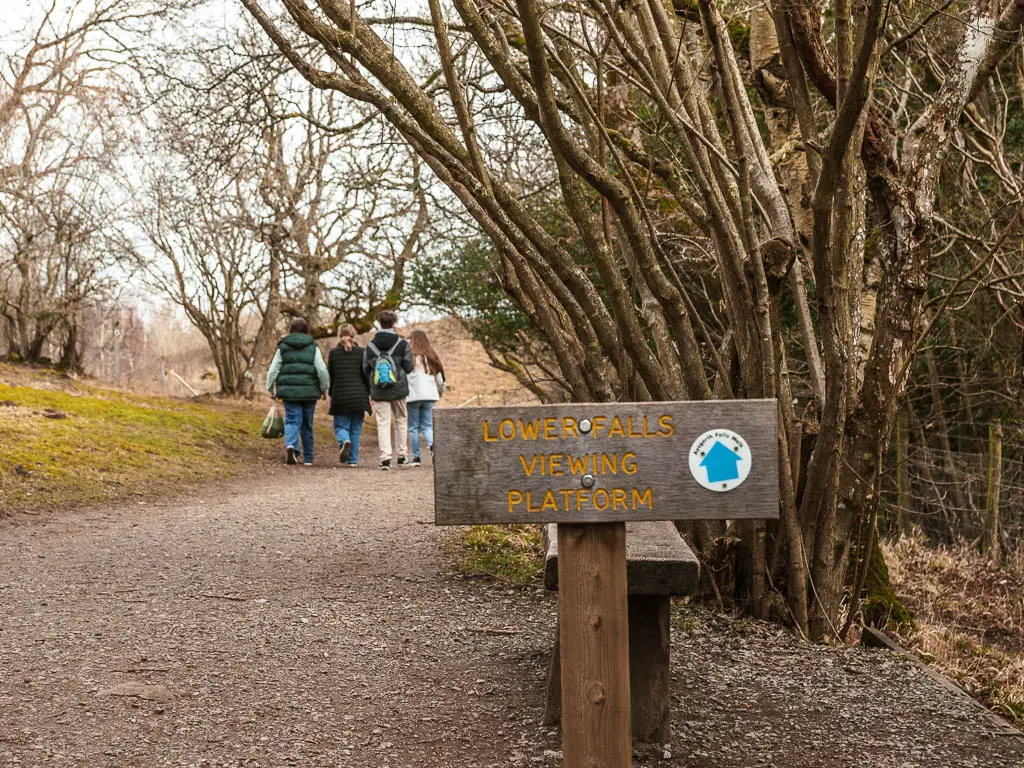
When you reach the sign for the lower falls viewing platform, instead of following it straight, turn right, through more woodland and down some steps, to reach the rock surface and the lower falls.
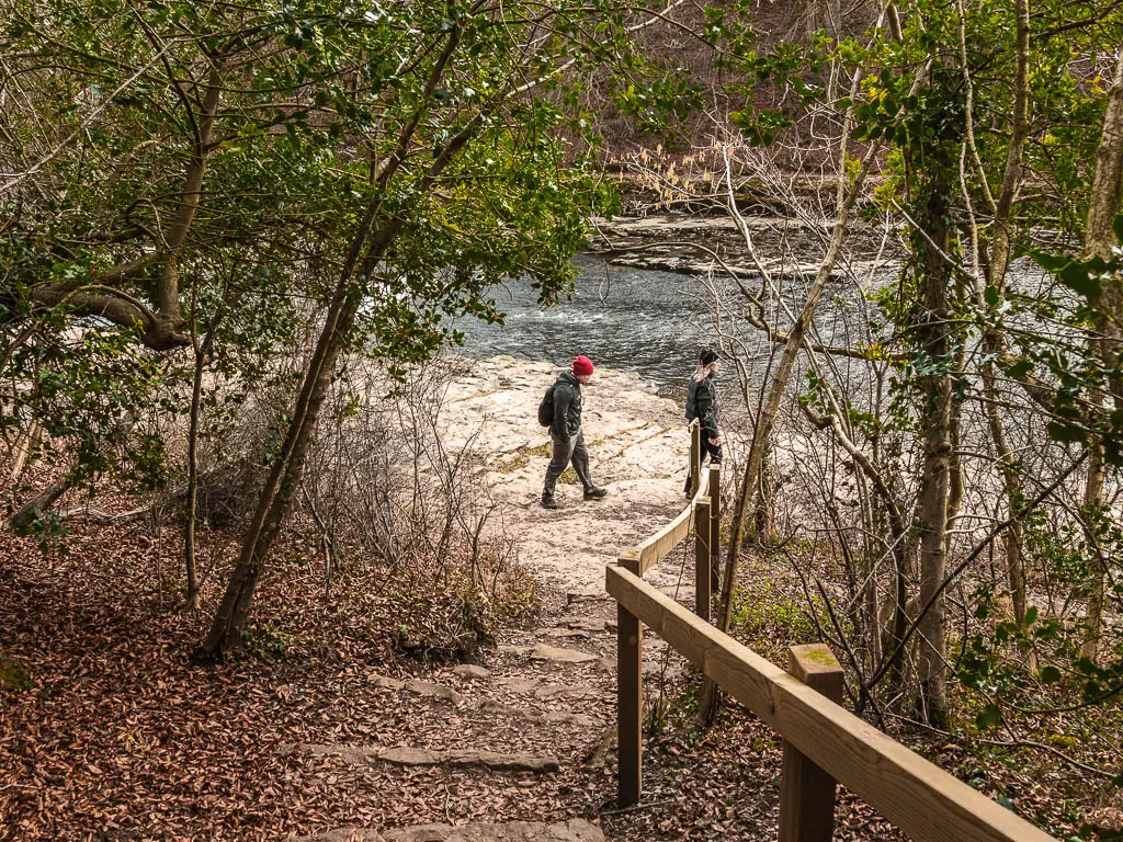
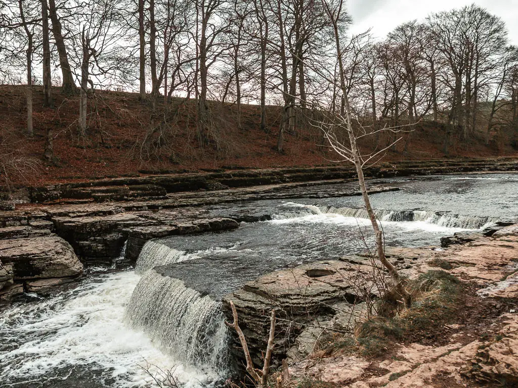
If you walk along the rock surface (to the left), it will lead you to a trail back up, but also to the viewpoint. You do get a better angle from the viewpoint.
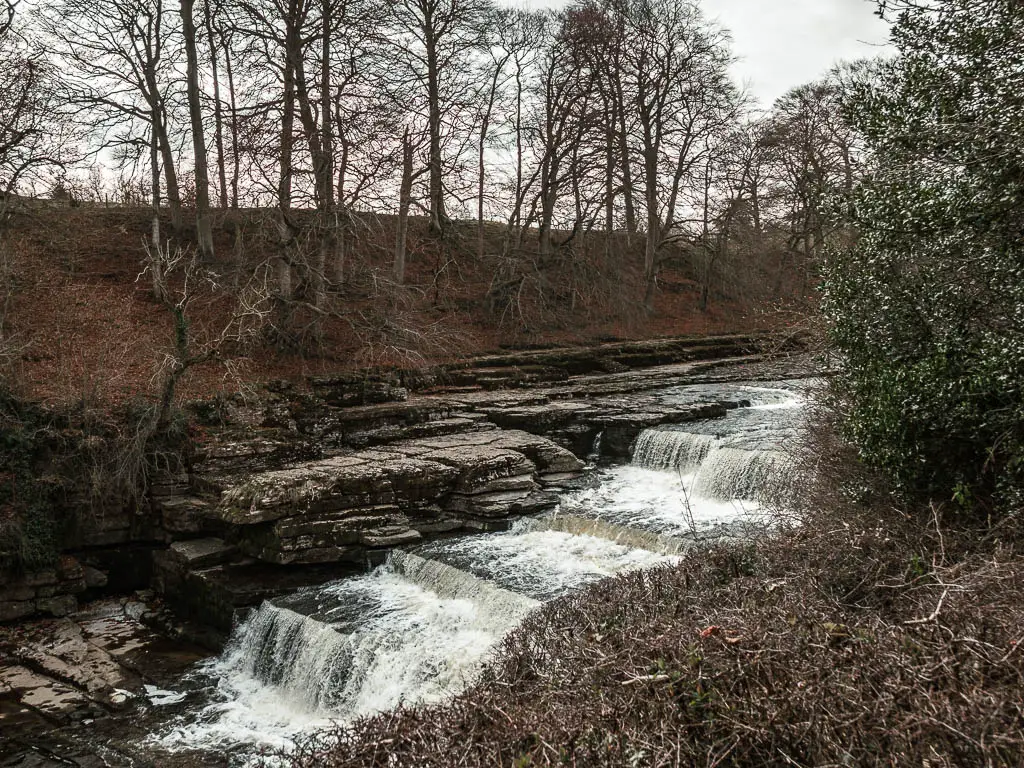
This is the end of the Aysgarth falls, so if you just want to stick to this area, then to reach the upper falls, walk back in the other direction, then at the road, continue straight and you will find them.
To continue on with the circular walk route, follow me….
Leave the Aysgarth falls to walk through the fields
Continuing past the viewpoint, and up a few steps, when you reach the junction, continue straight.
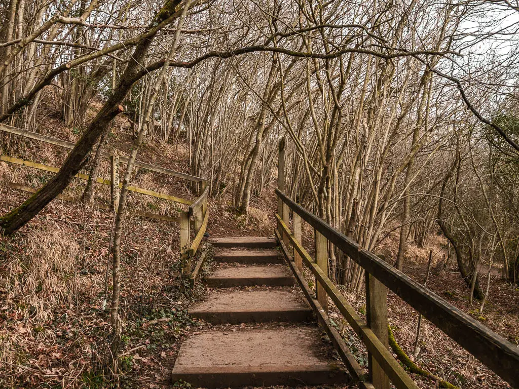
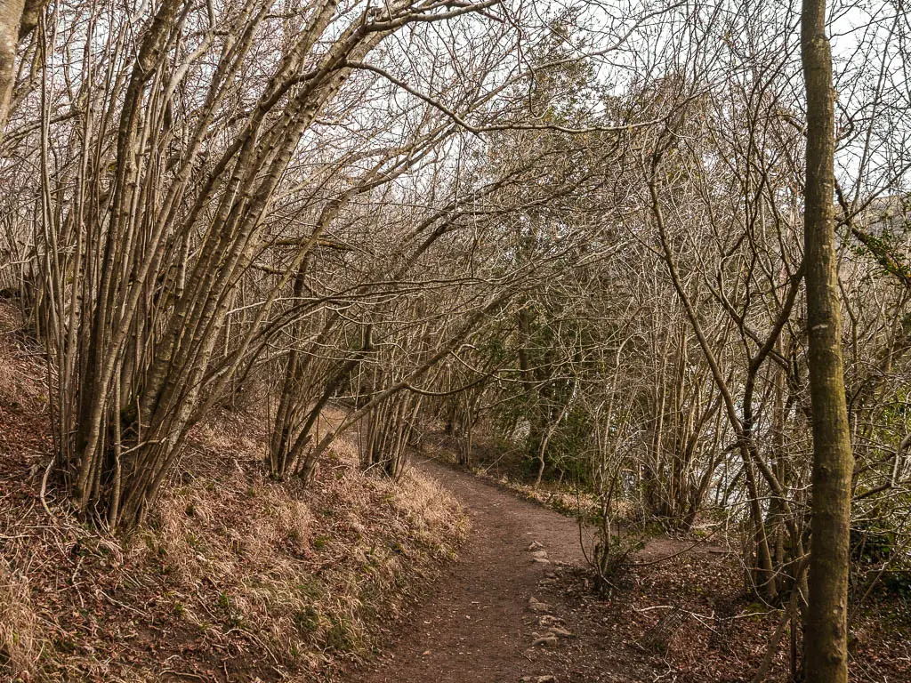
There is a little bit more woodland walking next to the river, to reach a wooden gate. Through the gate, turn left up the grass (and potentially muddy) path, then up the top, turn right.
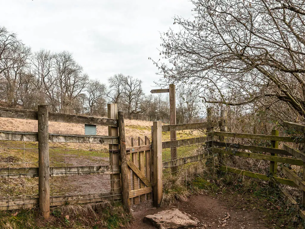
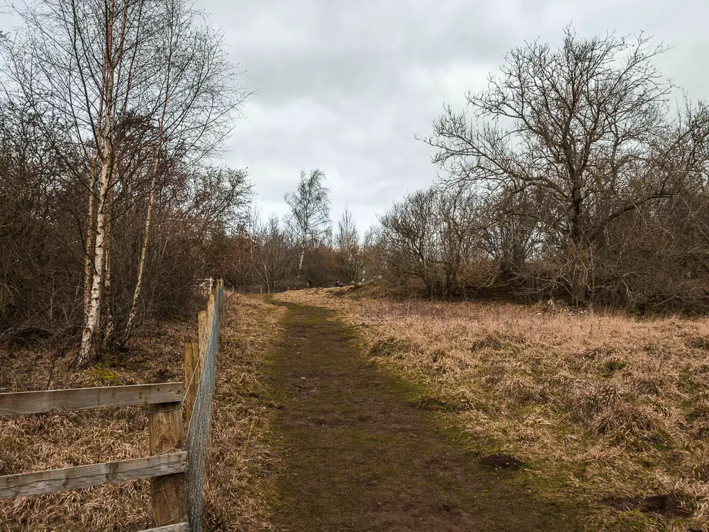
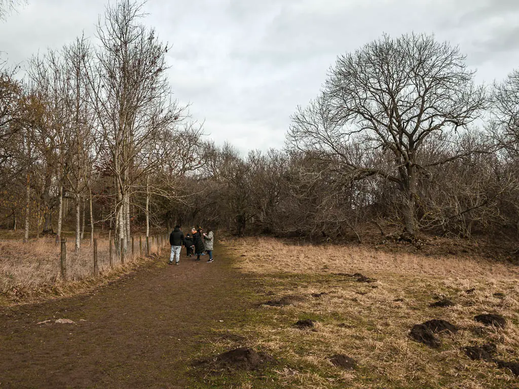
Follow the wide path some more, and you will reach a large open field.

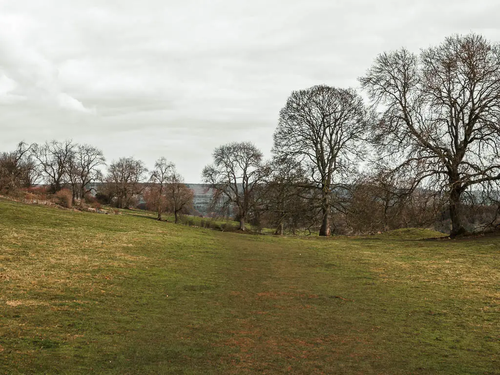
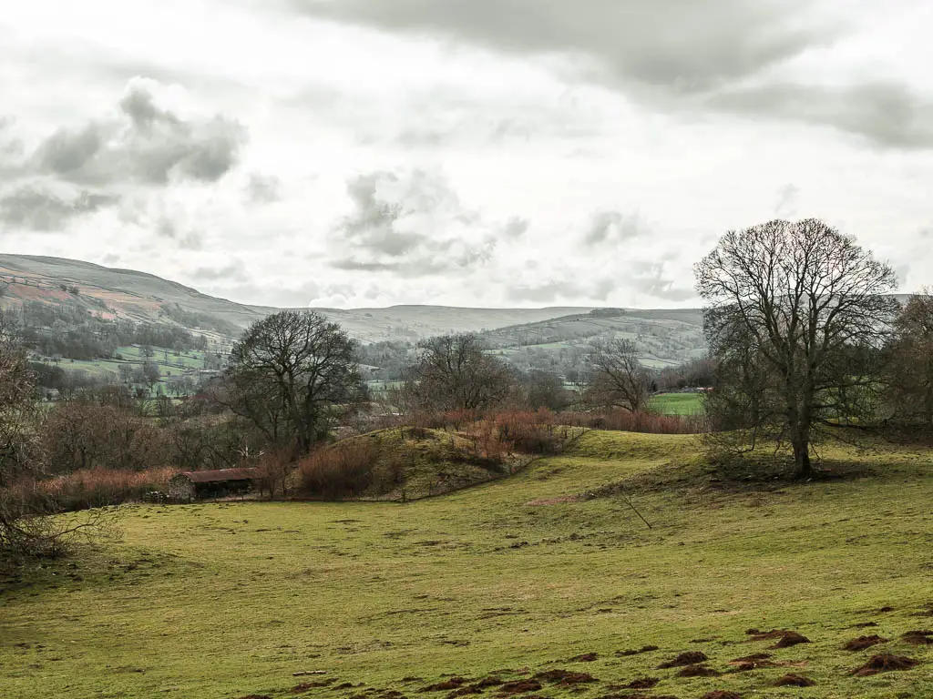
You need to now walk straight across this field, with some lovely views to your right, to reach the gate on the other end.
There is actually a series of gates now, which will lead you to a road and past a house, and through another gate on the other side.
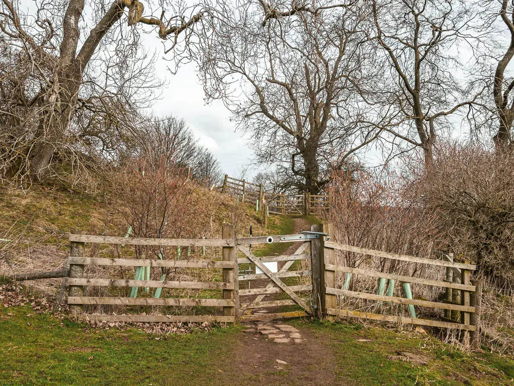
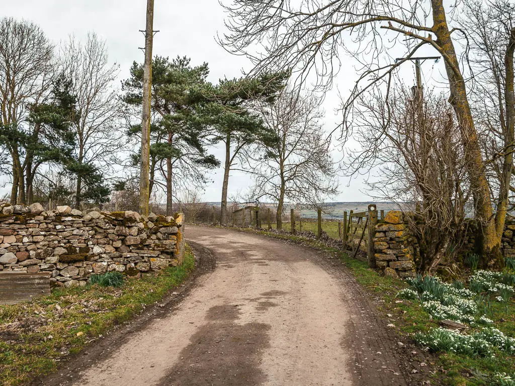
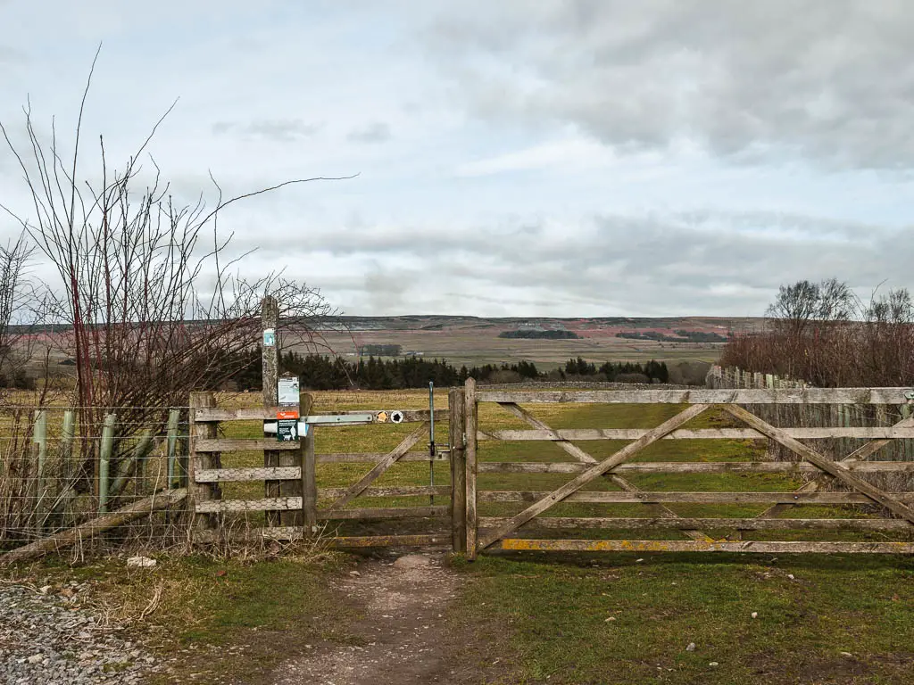
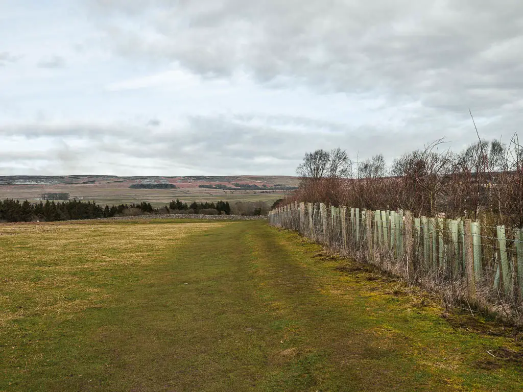
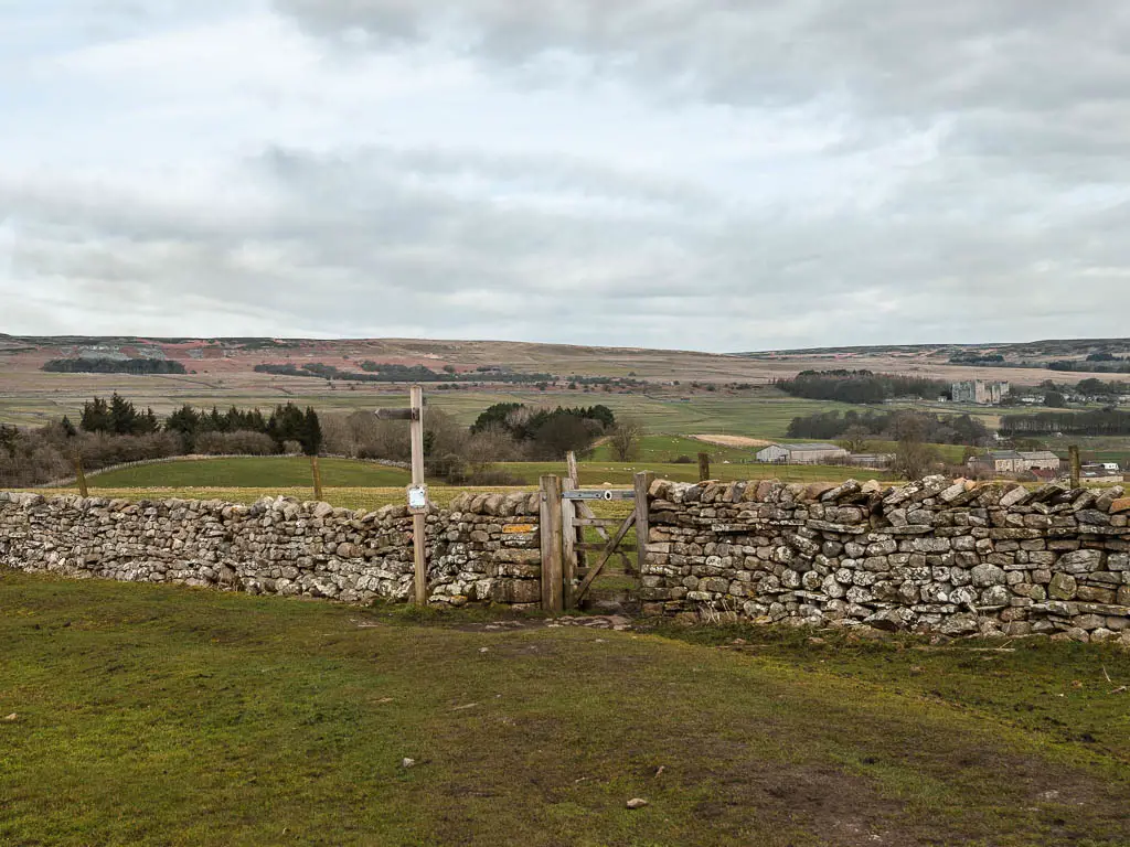
Follow the arrows directing you to another wooden gate and into a big field. Keep following the arrows, down this field to reach the stone wall and gate.
Castle Bolton
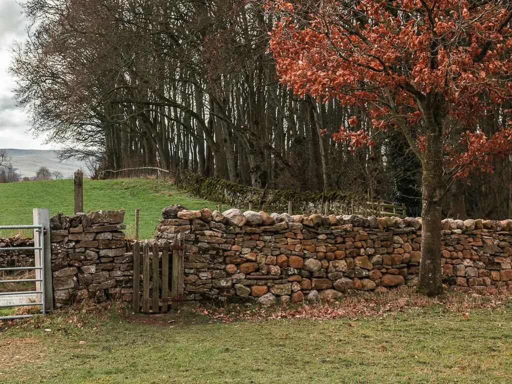
Through this gate in the stone wall, you will be in an even bigger field, with a wonderful view in the distance to Castle Bolton.
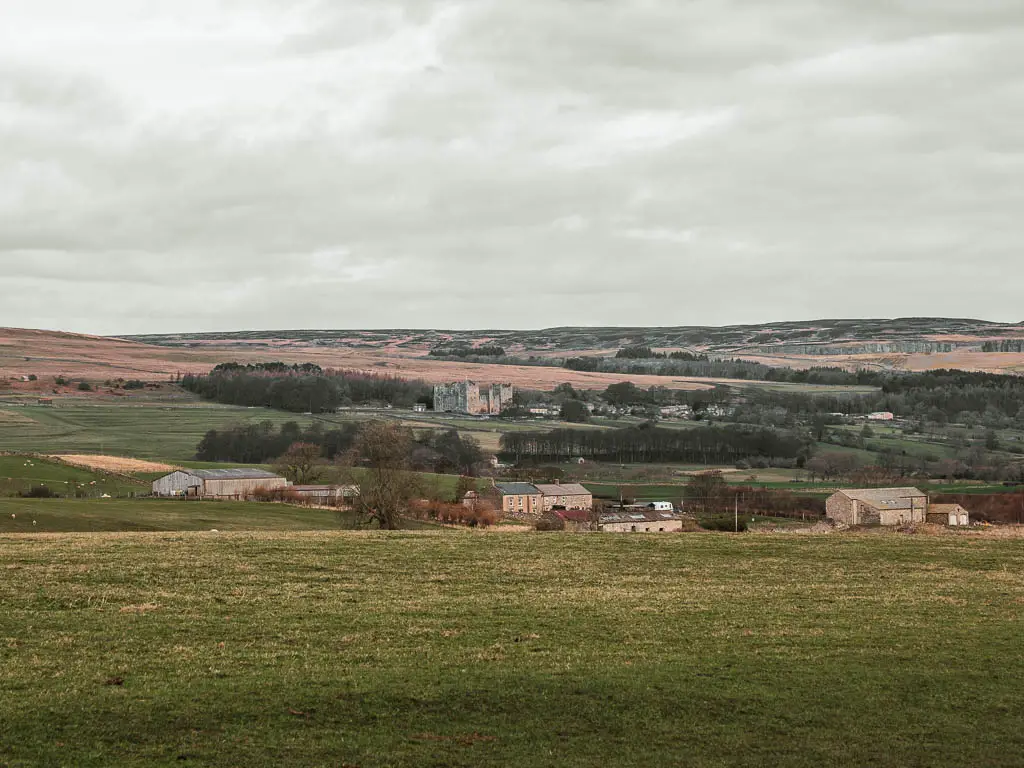
This looked like a field that would house lots of animals. Today it was sheep. As long as it’s not cows, I’m happy.
For the next while, you need to follow the signs directing you to Castle Bolton. First straight across this field, then at the next stone wall with a wooden signpost, turn right, keeping the wall to your left.
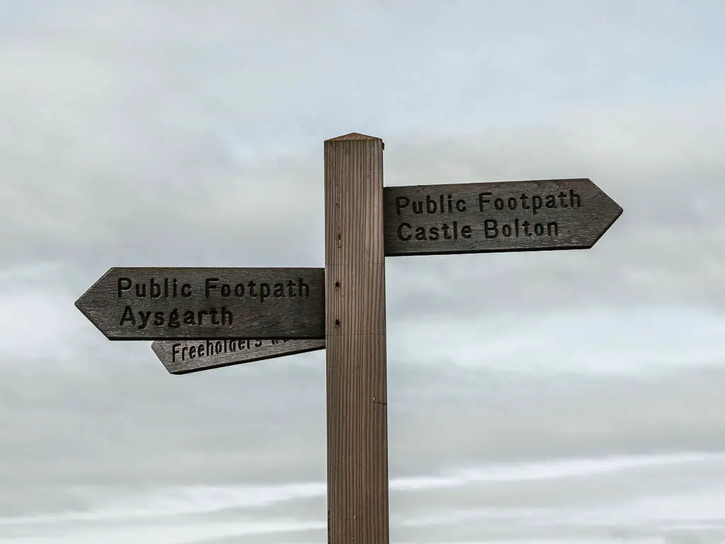
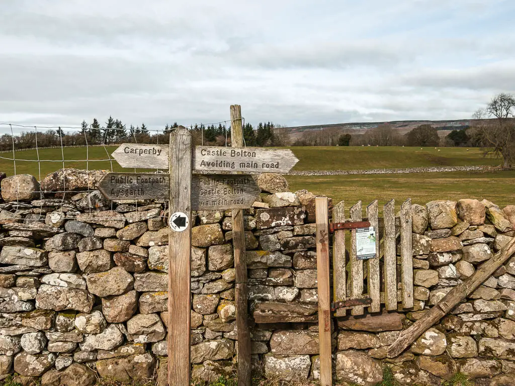
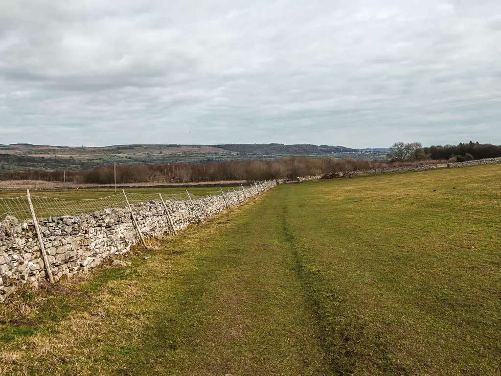
After a bit more grassy trail walking, and through a metal gate, you will now be on more of a dirt trail.
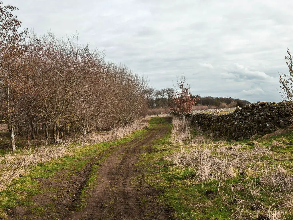
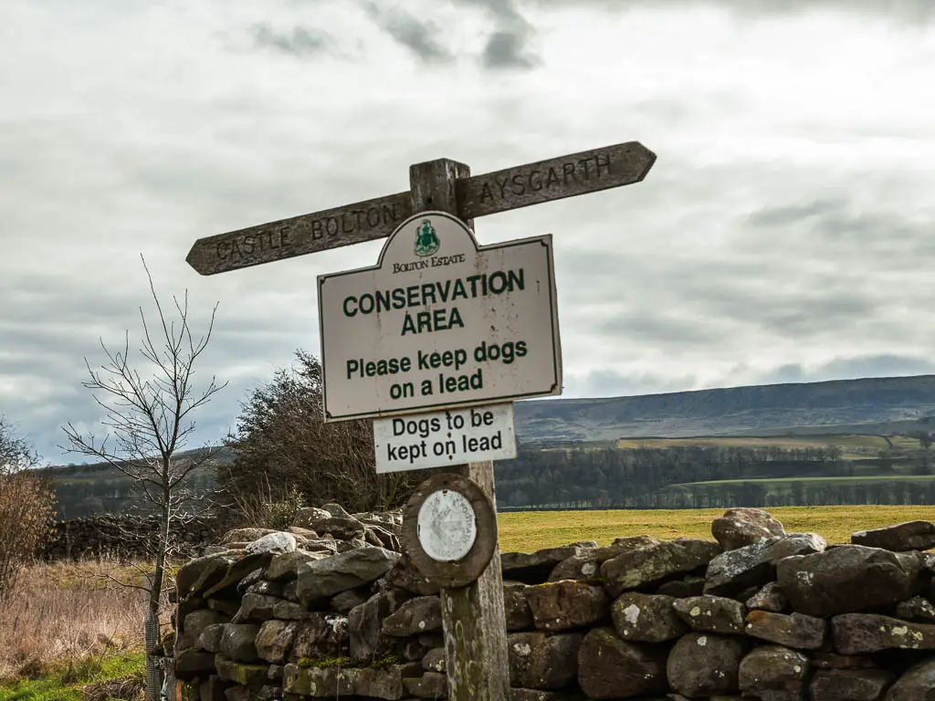
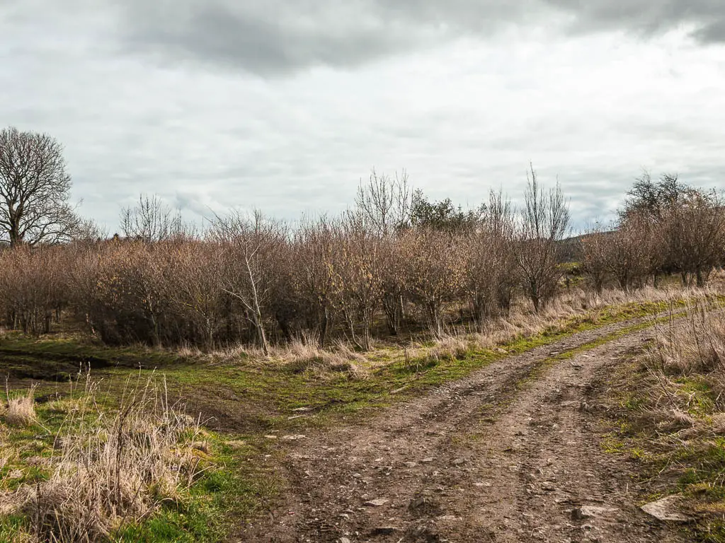
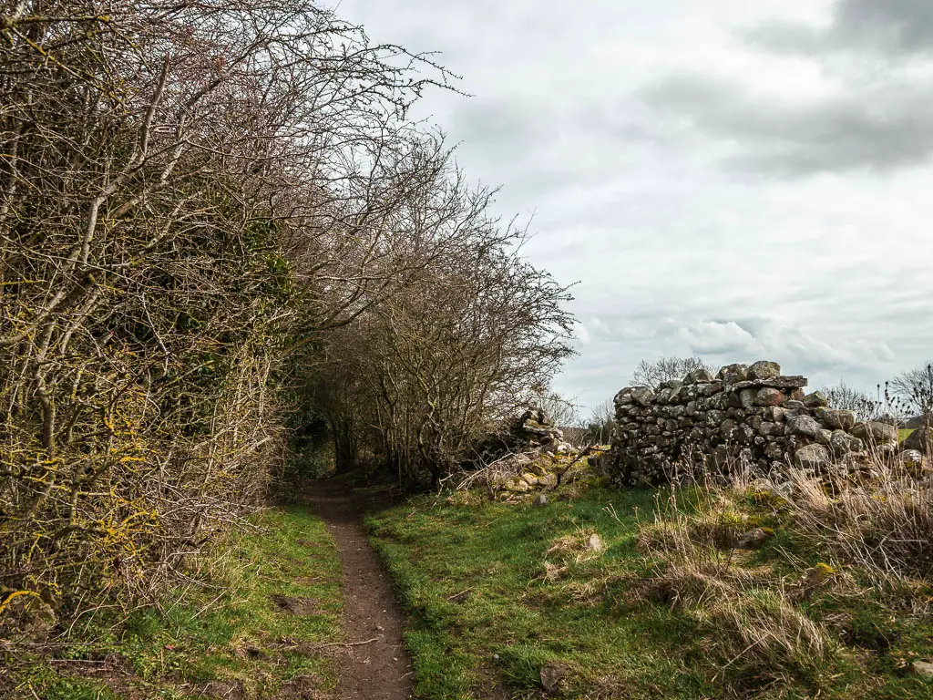
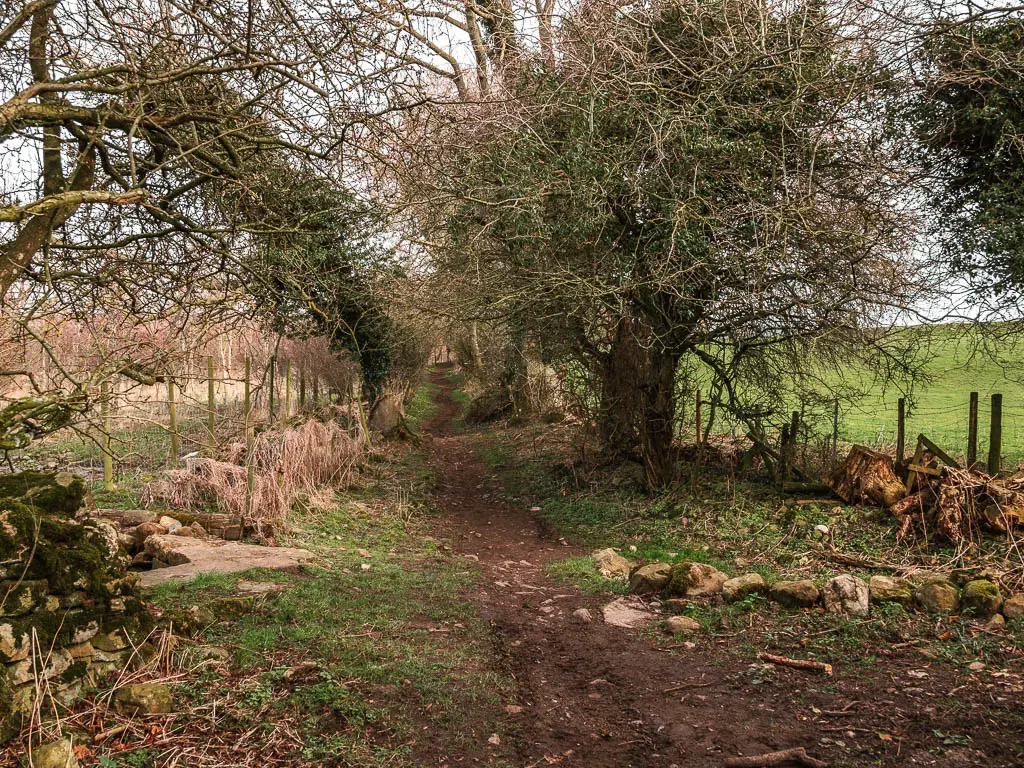
Keep going, then when you reach the junction in the photo below, take the left.
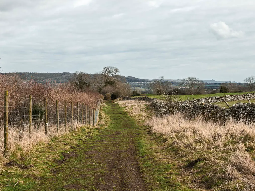
After a bit more grass and mud trail, some woods, and a metal gate, you will reach another junction, where you turn right.
Walk to the stepping stones
Up until this point, I didn’t know what the river crossing would be. I had assumed a bridge. It had also crossed my mind that there was no crossing, seeing as I had found nothing online about this route. Was there a reason for that? Was it non existent?
Well, at this junction, there is a trail signpost which said I was heading to stepping stones. I initially felt excitement, then I suddenly realised, this might be the reason. Were the stepping stones not passable? Maybe they had gone. Maybe the river is too high.
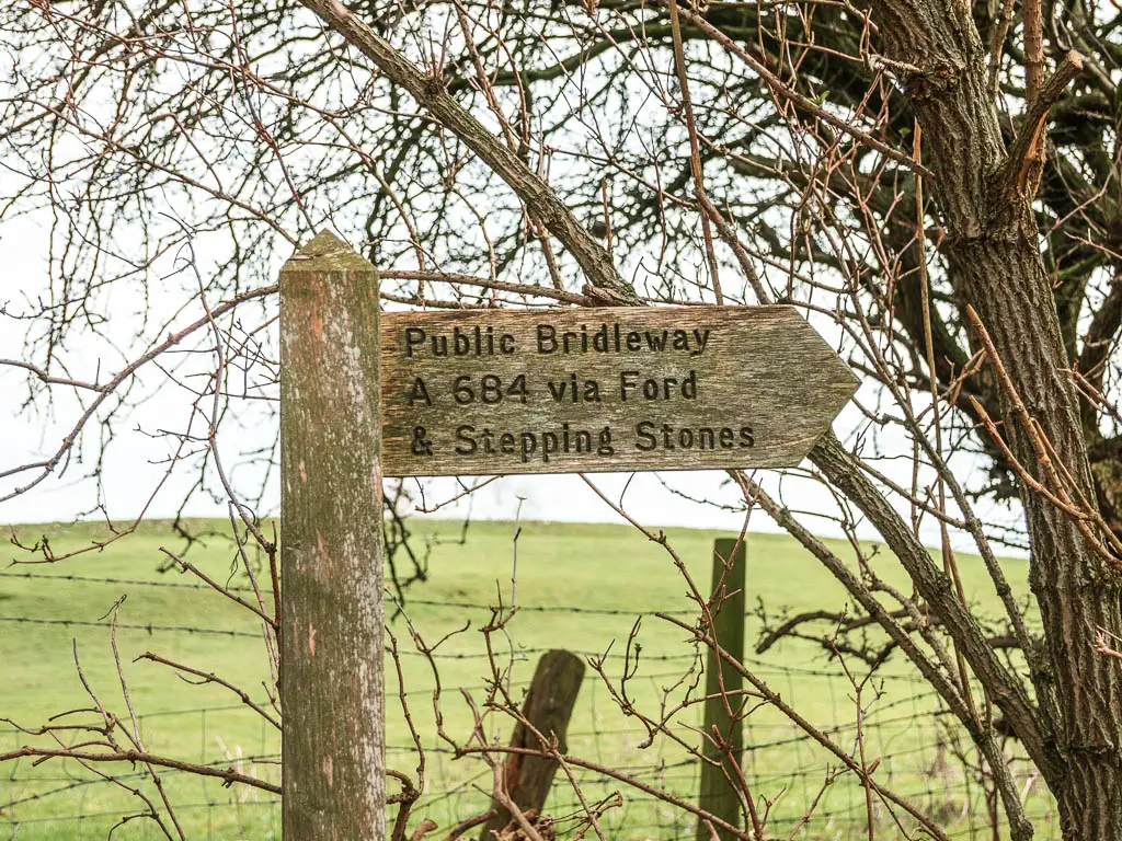
There was only one way to find out. So I kept on going.
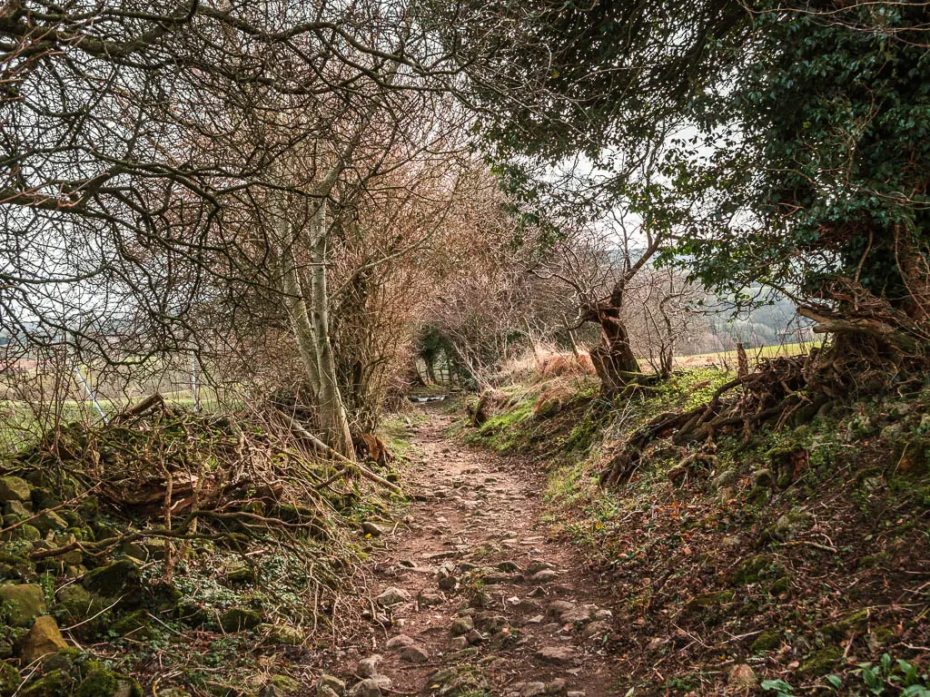
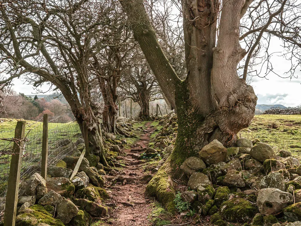
The next section of trail is more dirt, with some rocks, and the occasional tree root. I quite enjoyed it. Surrounded by trees, the occasional views, and larger rocks later on.
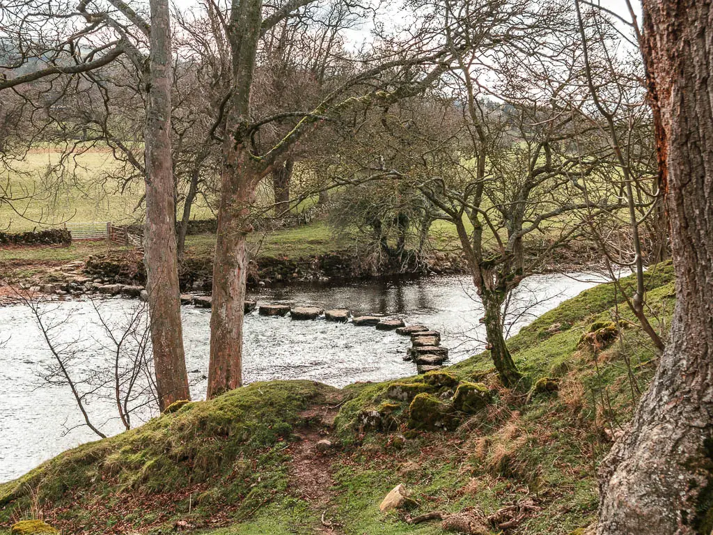
The stepping stones
On my way to them, I thought about what I would do if they weren’t passable. I hate walking back on myself. So one way or another, I was crossing that river. Even if my feet got wet.
Once the stepping stones appeared I let a out a laugh. Not only were these passable, they were giant. Probably the biggest stepping stones I have come across.
The next day I walked to Bolton Abbey, which also features stepping stones. Those are the kinds of stones I was expecting. Small, and impassable.
Would I have really walked through the river if they weren’t passable? We will never know….
I might add, to get to the stepping stones, don’t go through the gate, instead, turn right just before them, and navigate across the big tree roots.
Walk back along the river towards the Aysgarth falls
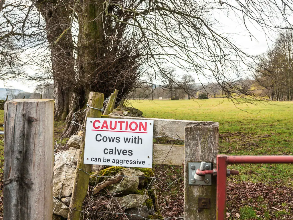
Once over the stepping stones, go right, through the big red gate with a cows with calfs sign. Usually I would panic at a sign like this, but it was the wrong time of year for them. It must be left over from last year.
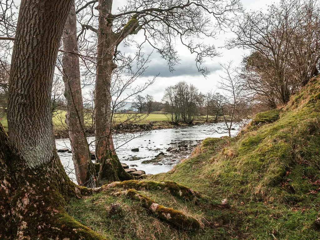
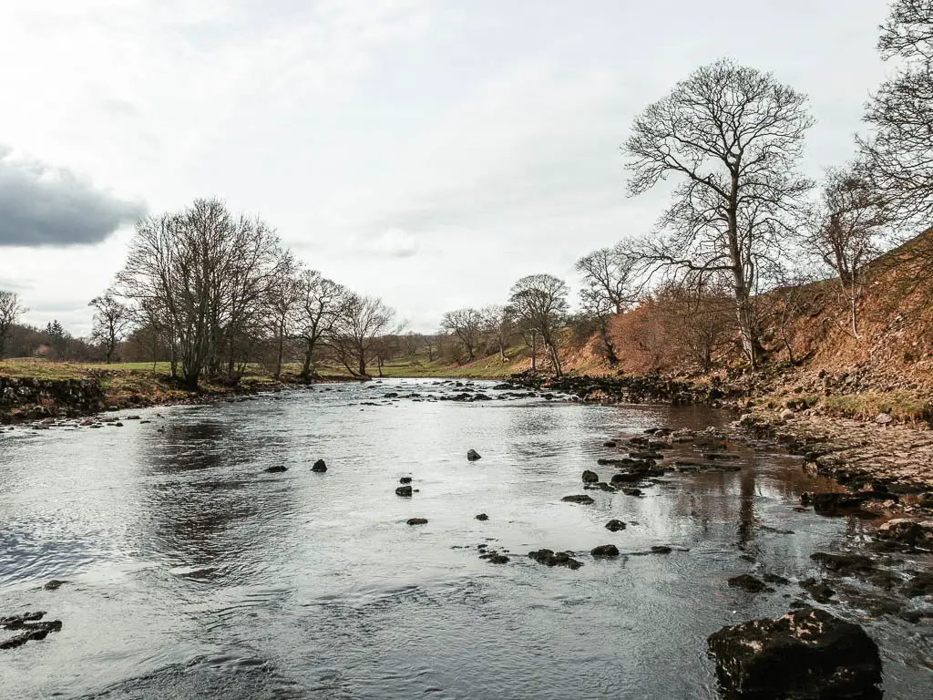
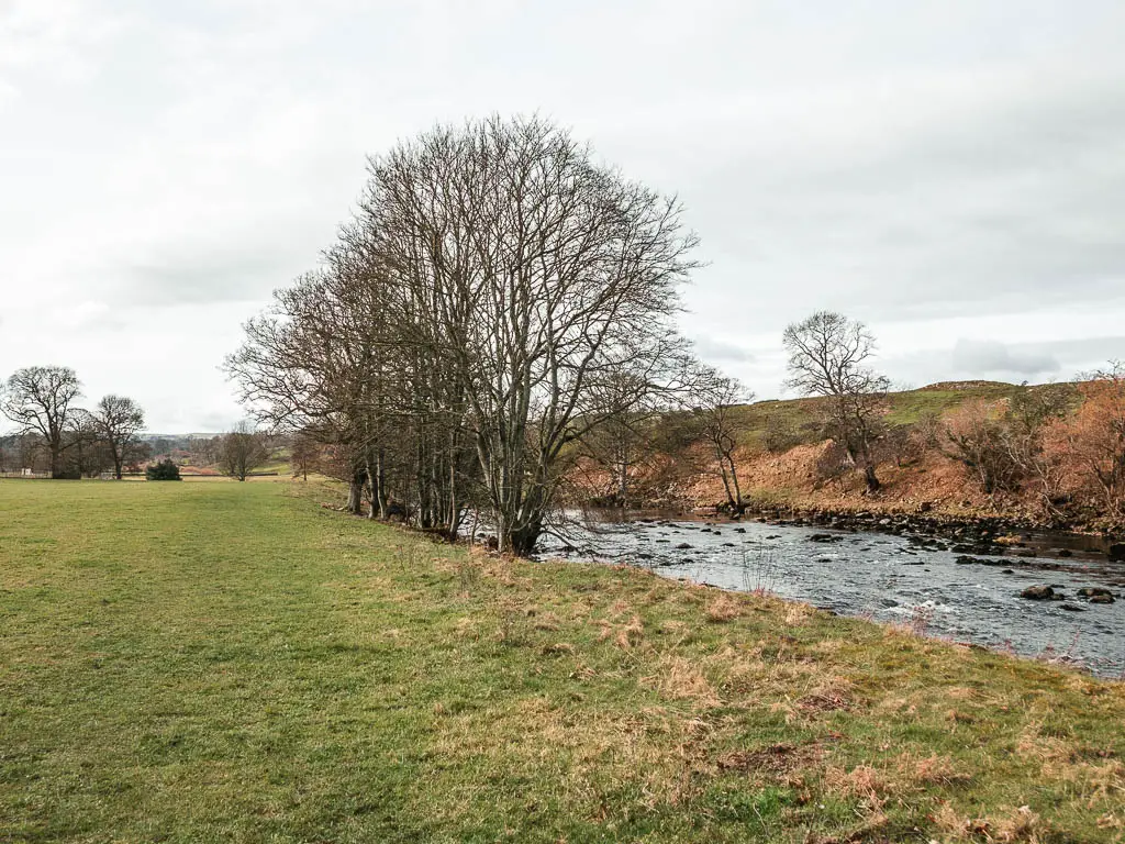
For the next while, it’s now as simple as just following the river….
I still kept my eyes out just incase I was wrong and there were cows with calfs.
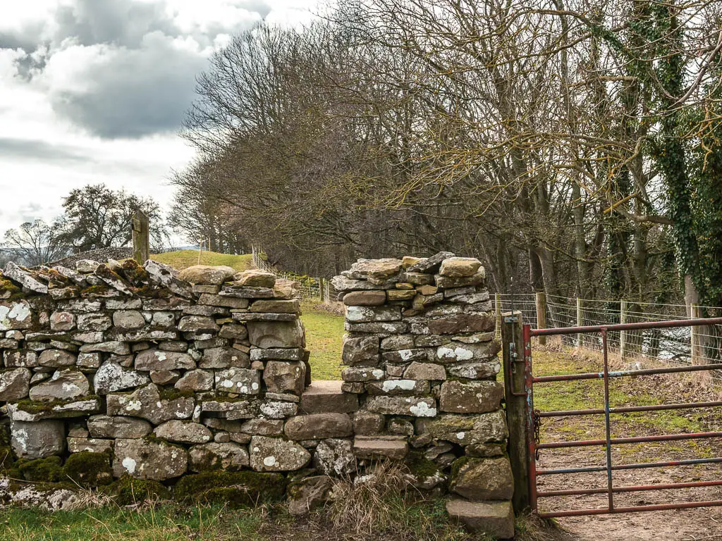
You will now walk through a series of field, some gates, and a hole in a stone walls.
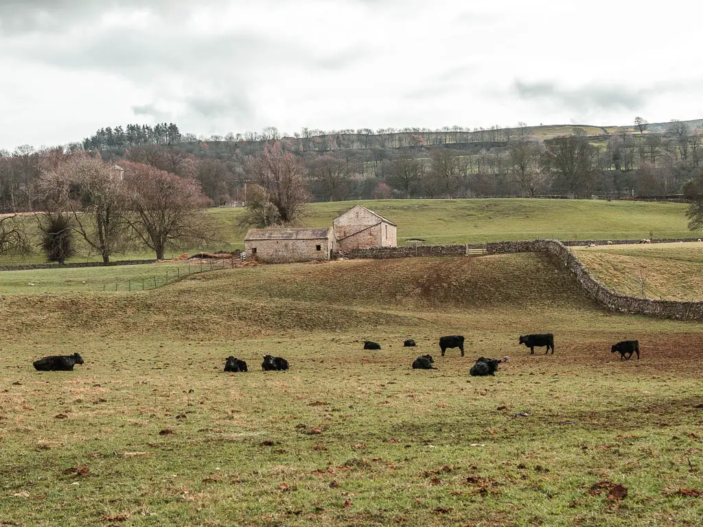
Somewhere along here I found the cows with calfs, except the calfs were a bit more grown up. There was however a bull thrown into the mix. I was ok though, as we were separated by a string of what I assumed is electric…or so I hoped.
The impossible gate
The trail will lead you into some woods, then on the other end and, an impossible gate. It just won’t go, so I had to climb over it.
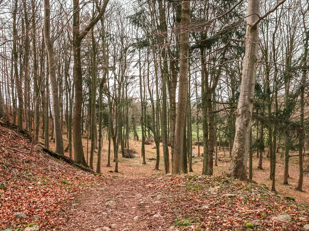
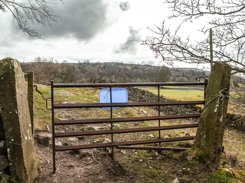
Through (or over) the impossible gate, walk up and through a gate on the right, and continue through the field, keeping the river to your right.
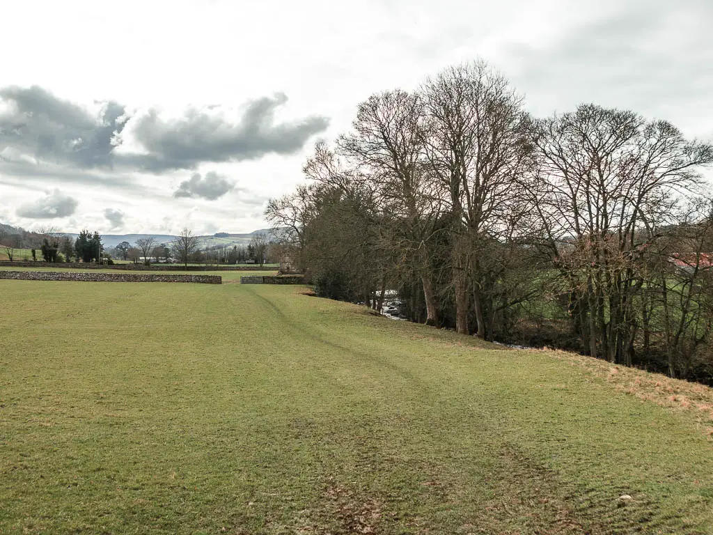
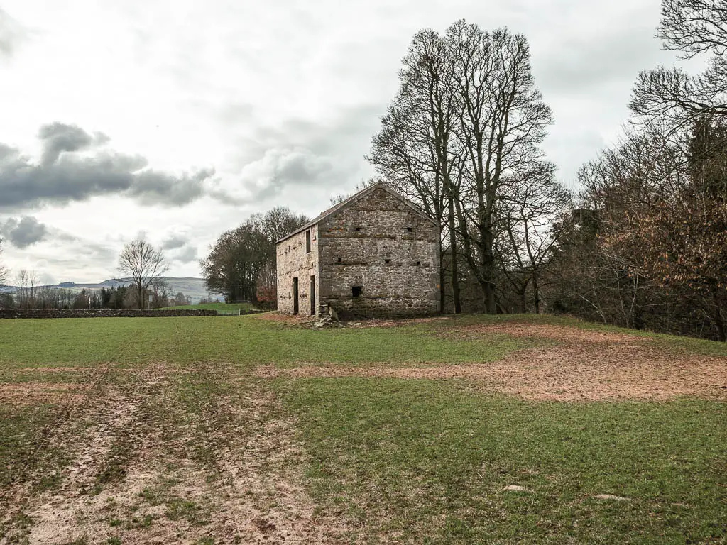
Keep going, past a stone shed that looks like a mini house, to reach the road. As I walked past the shed house, I wondered if I could claim it. It comes with land and a river view. High enough up from the river, that flooding won’t be an issue. I could do it up quite nicely.
The road and more field
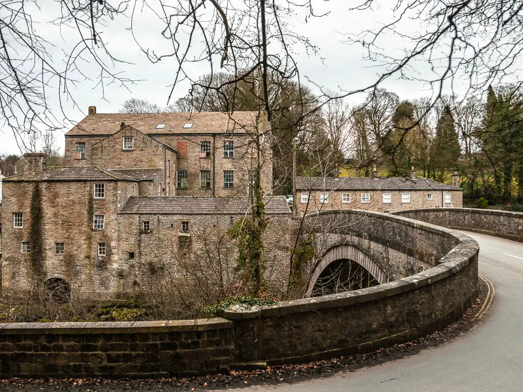
At the road, turn right to go over the bridge. There is no walkway here, but it’s a short bit on the road, and not a busy one either.
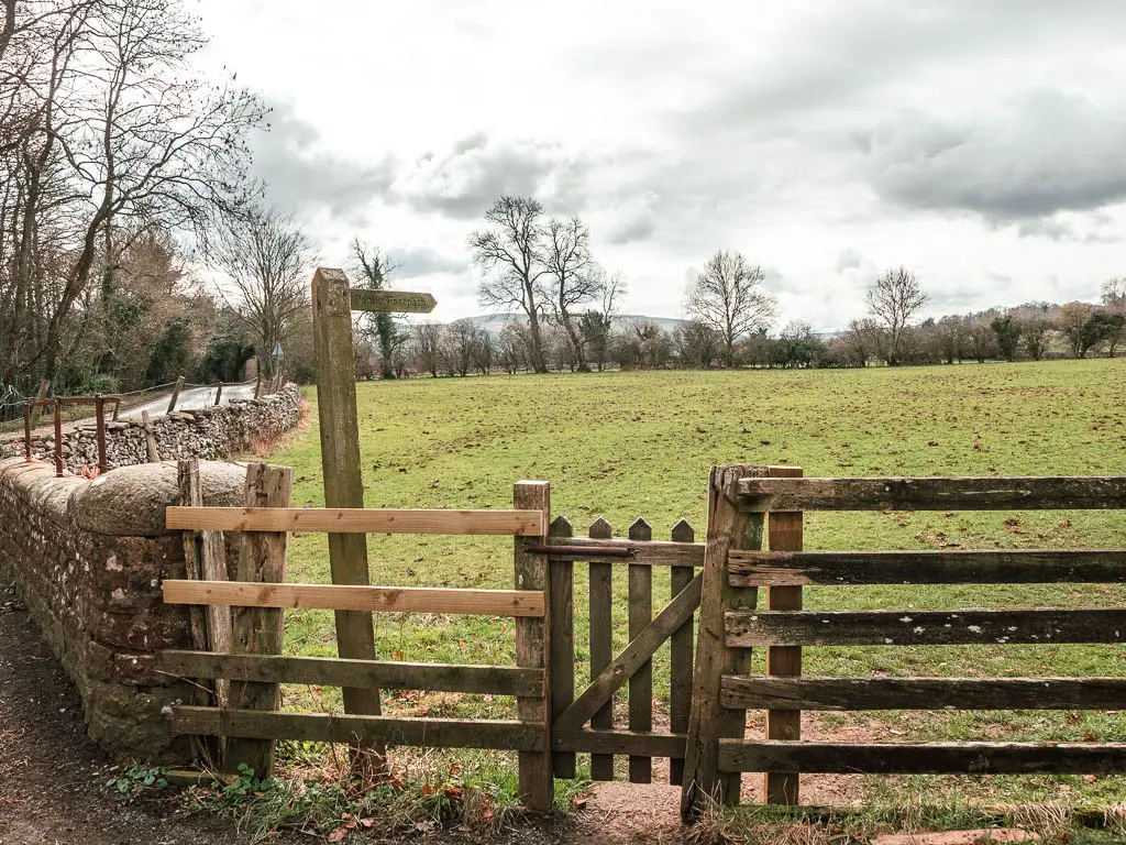
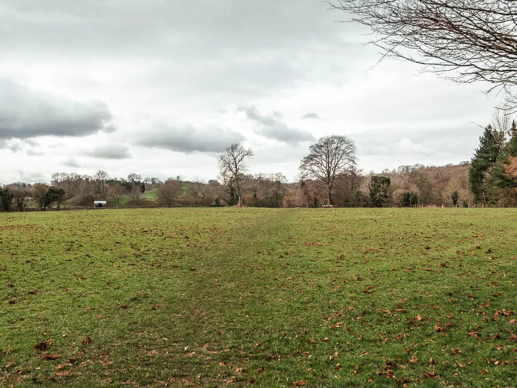
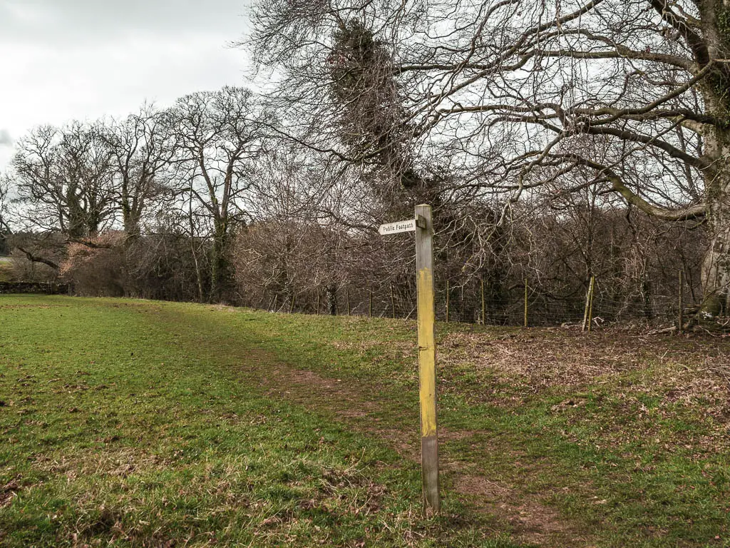
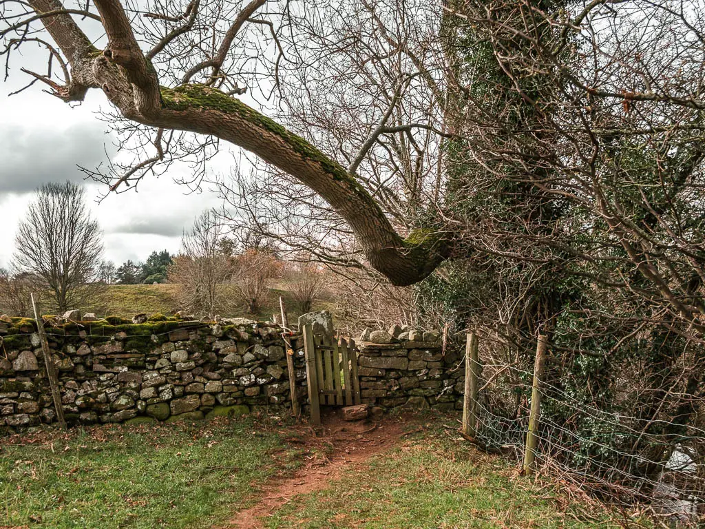
Just around the corner, look out for a gate and trail sign on the right. Go through it and walk straight across the field diagonally, then follow the trail sign on the other end.
Walk to the lower Aysgarth falls
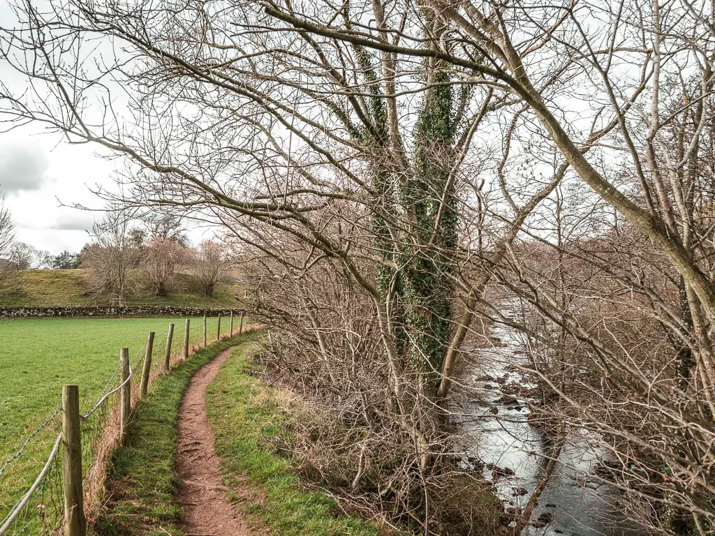
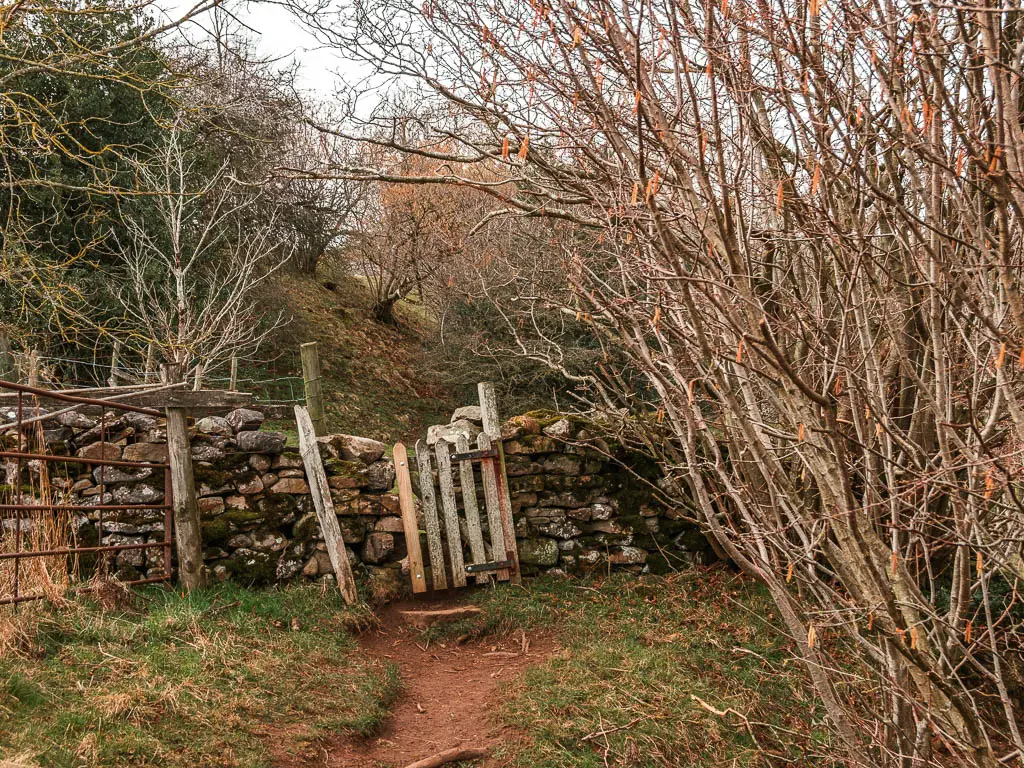
Through the mini wooden gate, you will be back onto the riverside trail. It will first lead you to a bit of the river which you don’t see from the other side, with some mini falls.
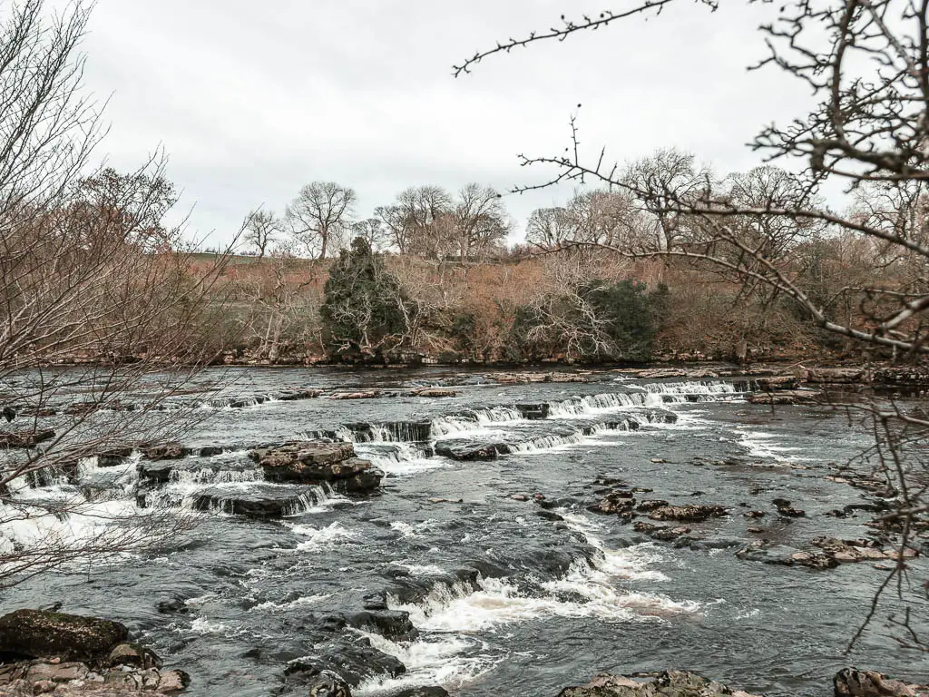
Then further along the trail, when you reach a junction in the woods, take the right dirt trail down, and you will reach the lower falls.
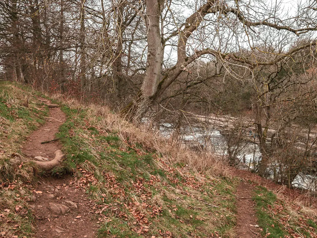

It made me happy seeing everyone on the other side.
Walk past the middle falls to reach the church
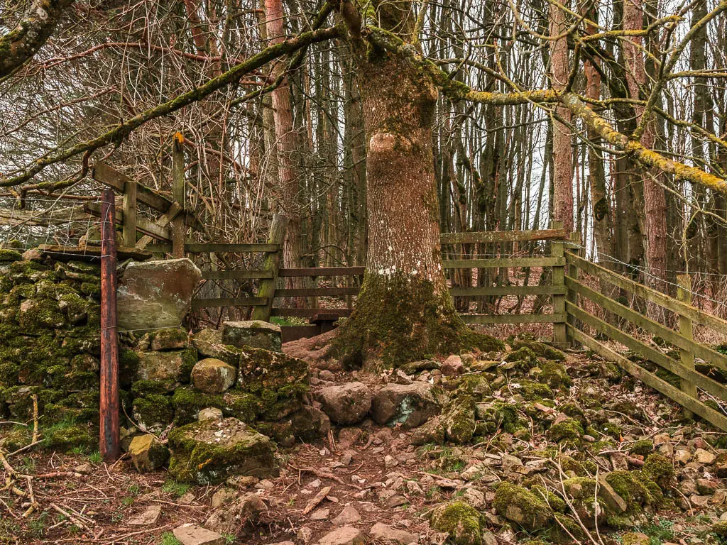
Back up the hill, onto the trail, it will start to take you gradually uphill (and one slightly steeper, but short bit further along). You won’t get a good view of the middle falls from here, but you will catch a glimpse of them through the trees below.
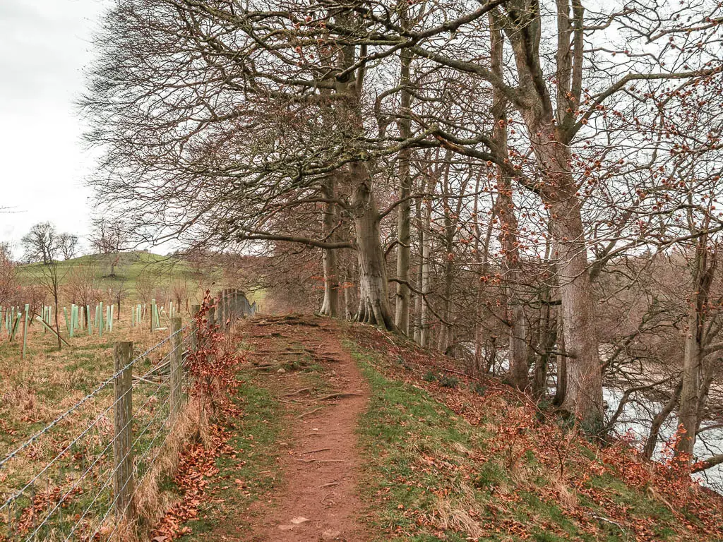
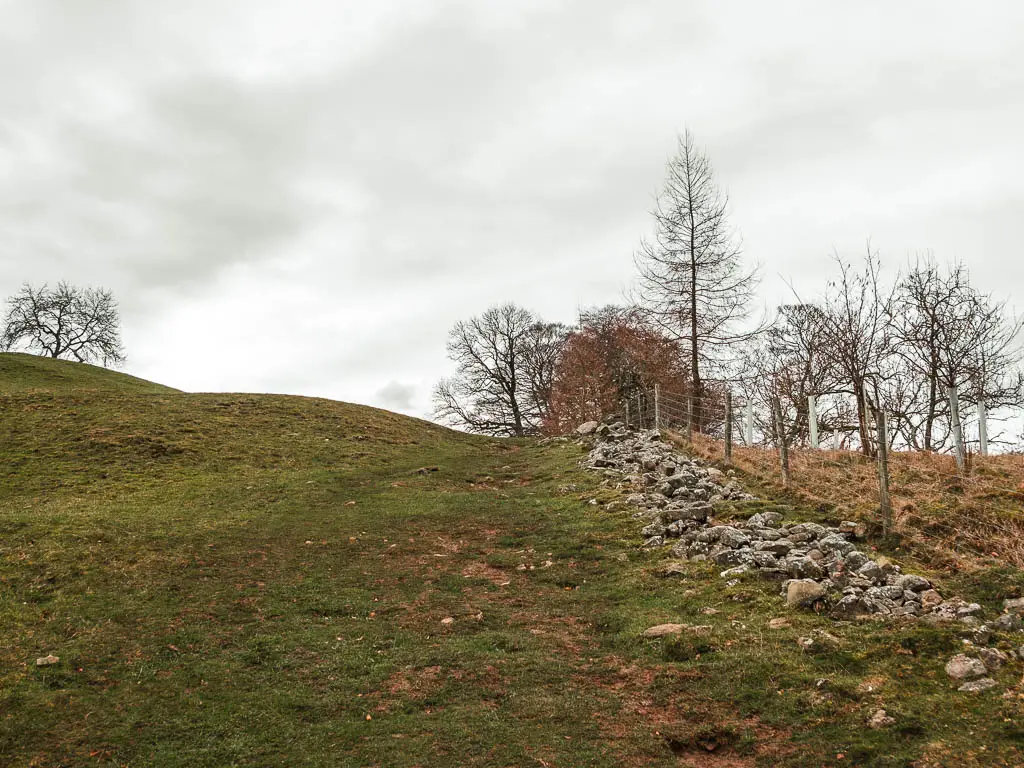
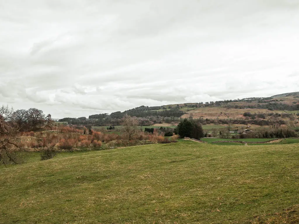
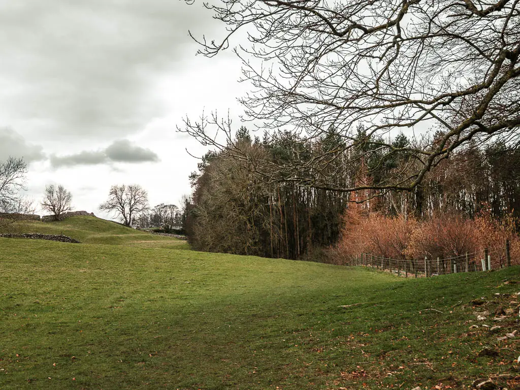
What you do get is some wonderful views to all the fields and hills in the distance.
The trail is quite self explanatory and obvious. Keep following it to reach the woods.
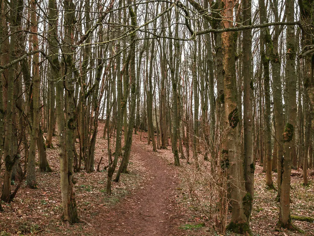
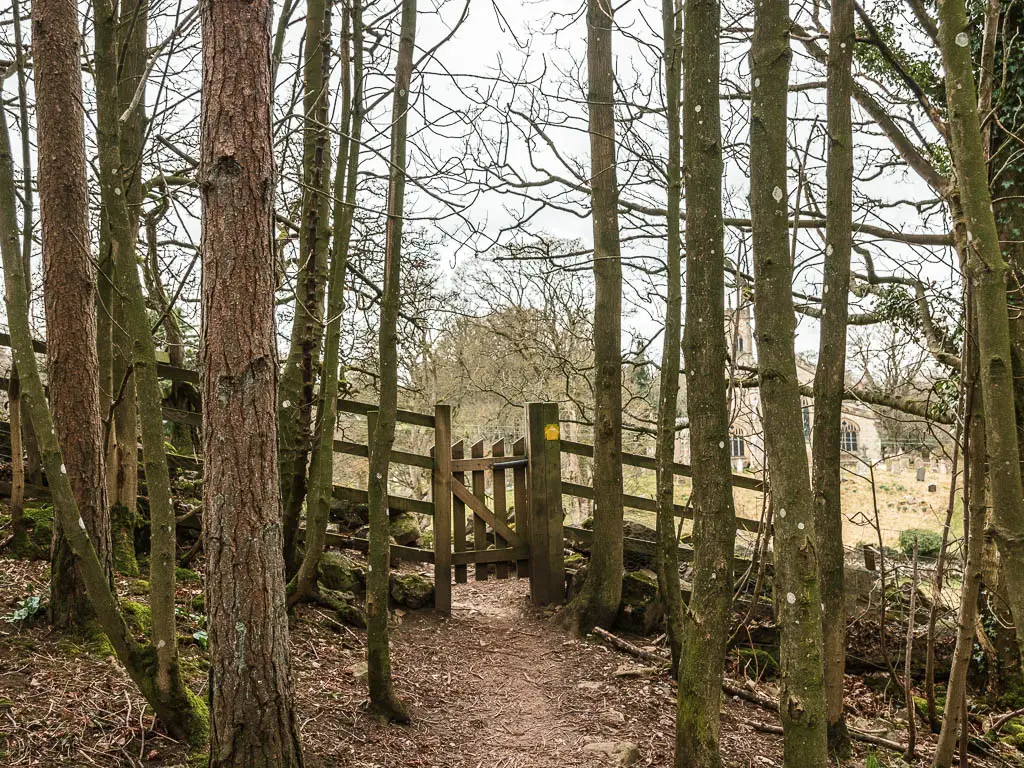
After a short walk through the woods, you will reach a mini wooden gate, with the church on the other side. Now walk over to it.
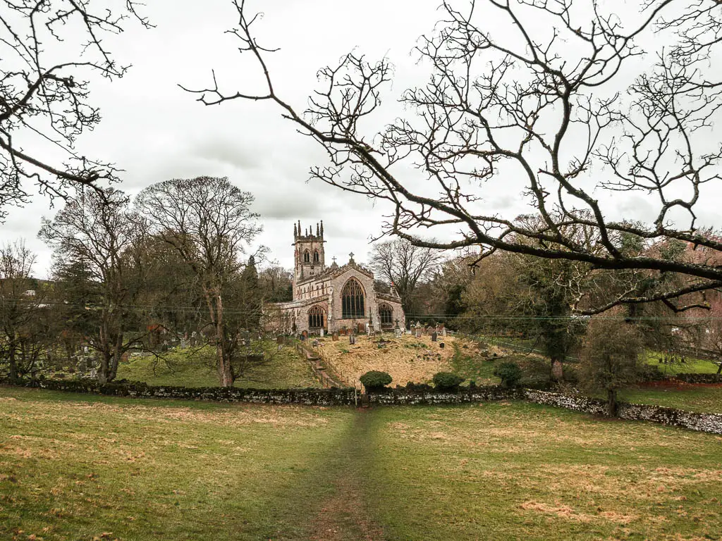
Walk to the upper falls
In the church ground, if you turn to the right, you should reach a path that takes you right again, to reach the Mill Race Teashop.
I didn’t take this route, as I though there would be another trail, which turned out not to materialise.
I instead, went straight across the the church grounds to reach the road, then turned right to walk down it to reach the Mill Race Teashop. It’s from here that you will get your first view of the impressive upper Aysgarth falls.


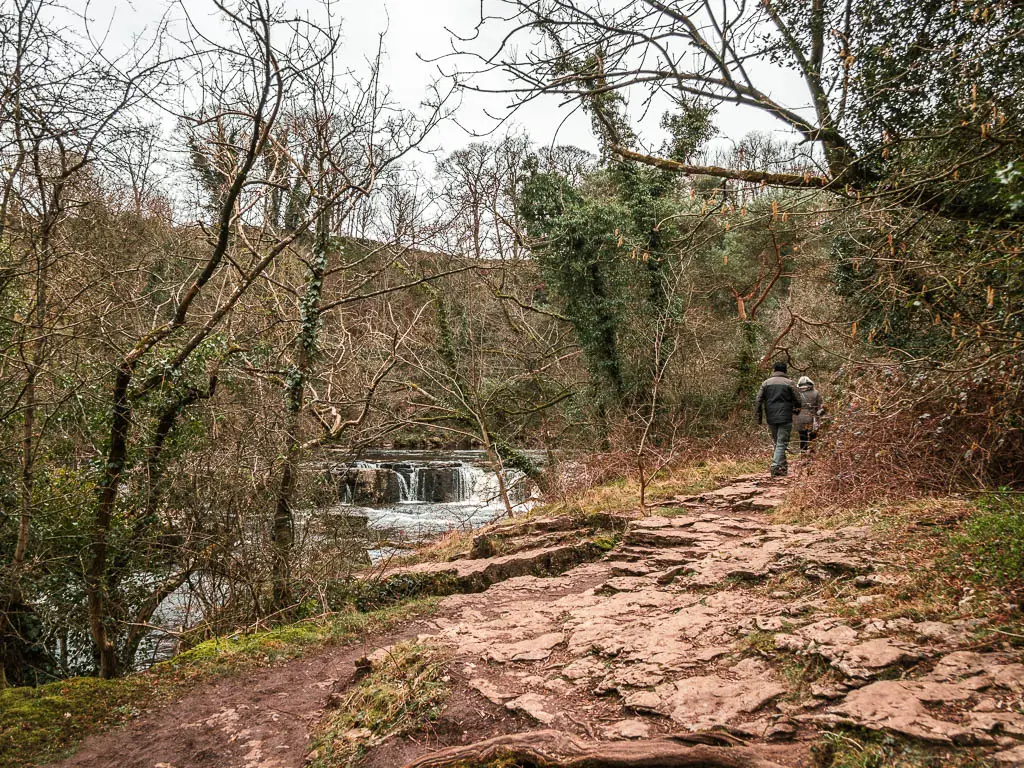
To get closer, continue over the bridge, then take a left through the gate. Then follow the dirt path, past the honesty box, through the gate, and you will reach the upper falls and picnic area
Return to the car park
Go back to the road, and you will see a path taking you up the left side of it, and this will lead you straight back to the car park.
More waterfall walks
20 min down the road from Aysgarth, you have the Hardraw Force waterfall. I have mixed feelings about this one. You can read about it on that guide.
A favourite of mine is The Valley of Desolation, as part of the Simon’s Seat circular. It’s a tough walk, but the waterfall on that one is gorgeous.
Linton Falls are pretty cool, and a similar style of falls to these ones (but much smaller). You can see them on the route from Burnsall to Grassington.
The Malham Cove circular walk features two cool waterfalls. First Janet’s Foss, and then at Gordale Scar. It’s quite a popular and busy route, especially as it’s not too challenging, and you see some really cool stuff.
Slightly further north, you could try this walk from Muker, which takes you first high above the valley, then down by the river, passing by a few waterfalls. It’s a really gorgeous walk. You also have the option of making it easier, by skipping the hilltop, and following the trail out and back along the river.
Local to Muker, you will find my favourite walk. Gunnerside Gill. This one takes you through the most gorgeous valley with undulating hills, and a river flowing through the bottom. It takes you past lots of mining ruins, and a number of waterfalls with dipping pools.
Not a waterfall walk, but an easy river walk with a deadly story, is this one to Bolton Abbey. It’s such a pretty walk, family friendly walk, and I highly recommend it.
Pin it for later: Aysgarth falls walk via the stepping stones
