Wow. What a walk this was. When I was in London, someone told me to walk to Simon’s seat when I got to Yorkshire. So I did.
I had looked it up, and worked out a route to take. But I hadn’t actually looked at any photos, or even read about what it was, other than a big hill.
I didn’t know what I was heading to on the walk up to Simon’s Seat, but when I saw it, I stopped breathing for a moment. Maybe because I had assumed I was walking to the top of a big hill where there would be some sort of small stone seat like this:
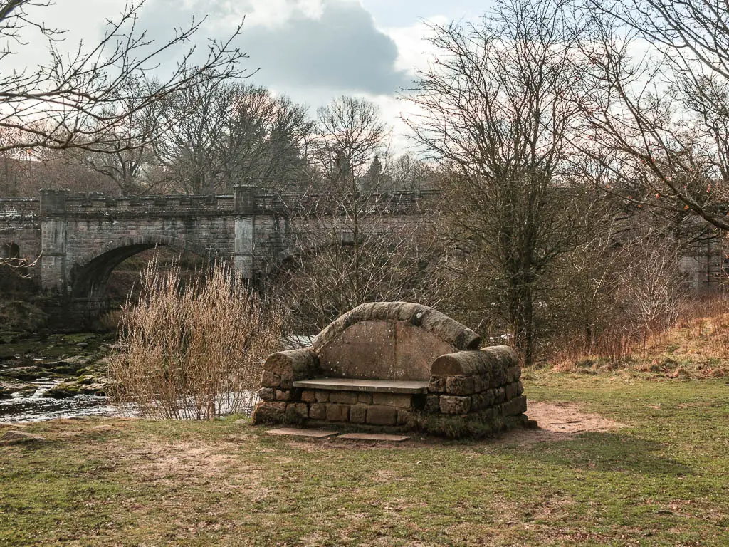
But what I actually saw was this:
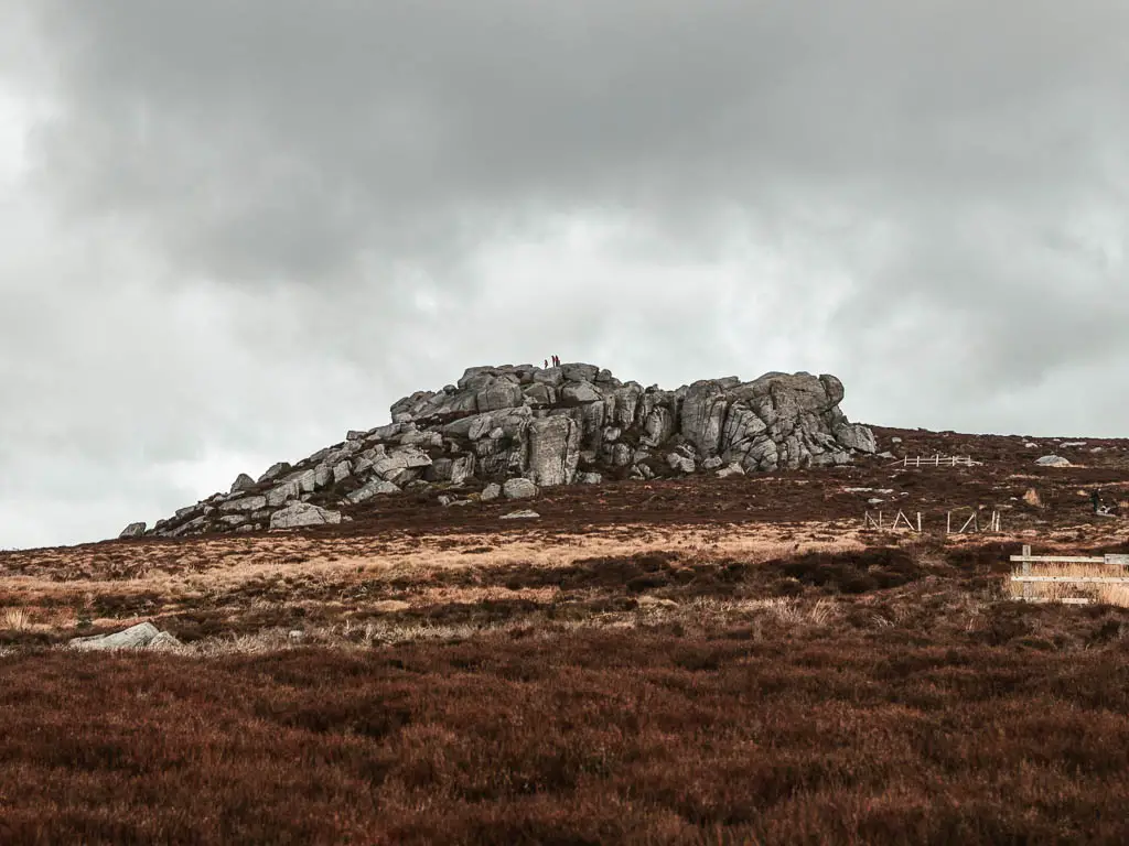
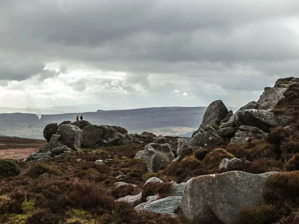
The views up there are the best I have seen so far since moving to Yorkshire
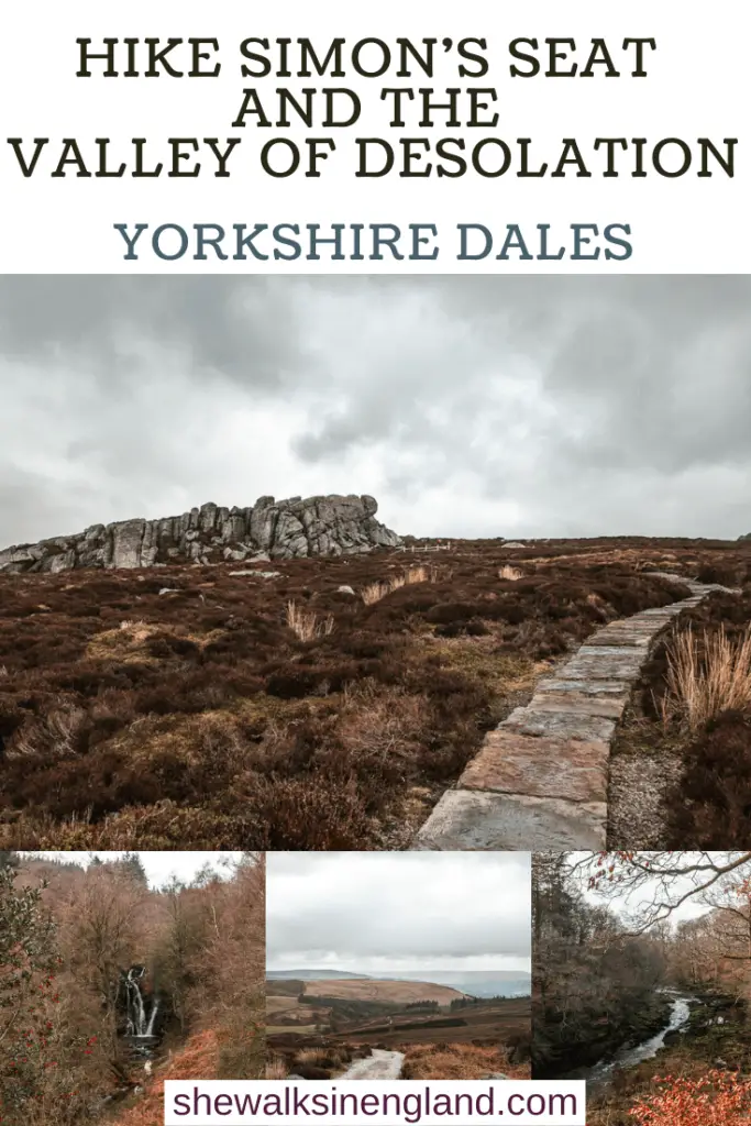
Then after Simon’s Seat, the remainder of the walk is across the moorland, through the Valley of Desolation with a surprise waterfall, then along the River Wharfe.
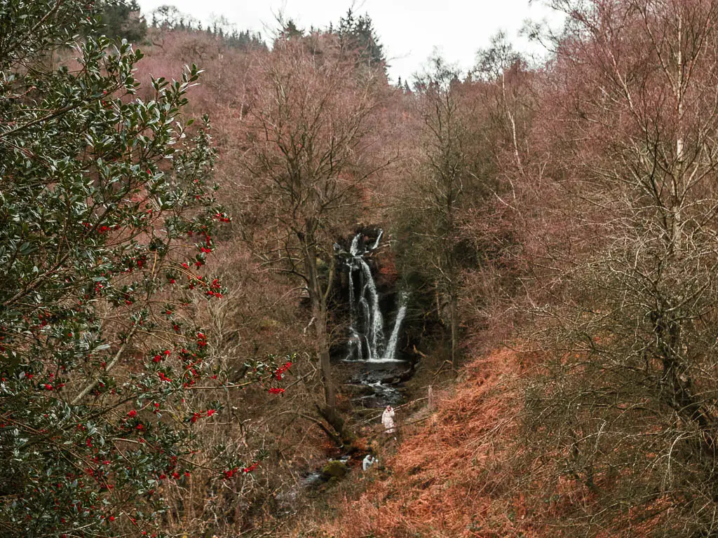
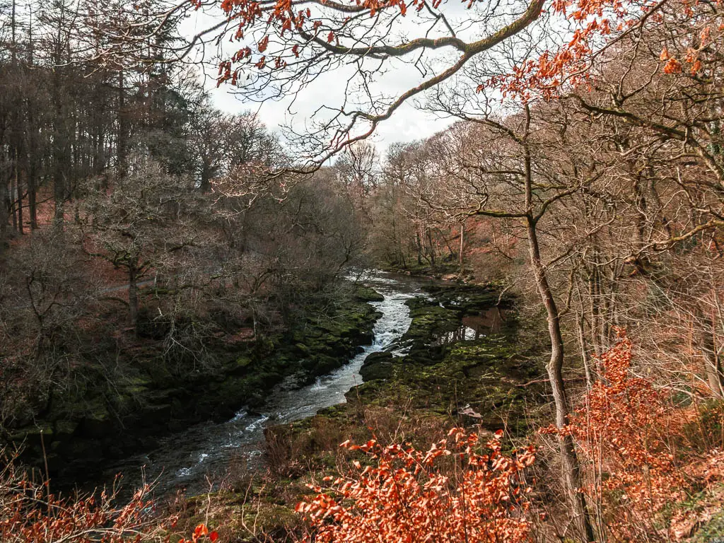
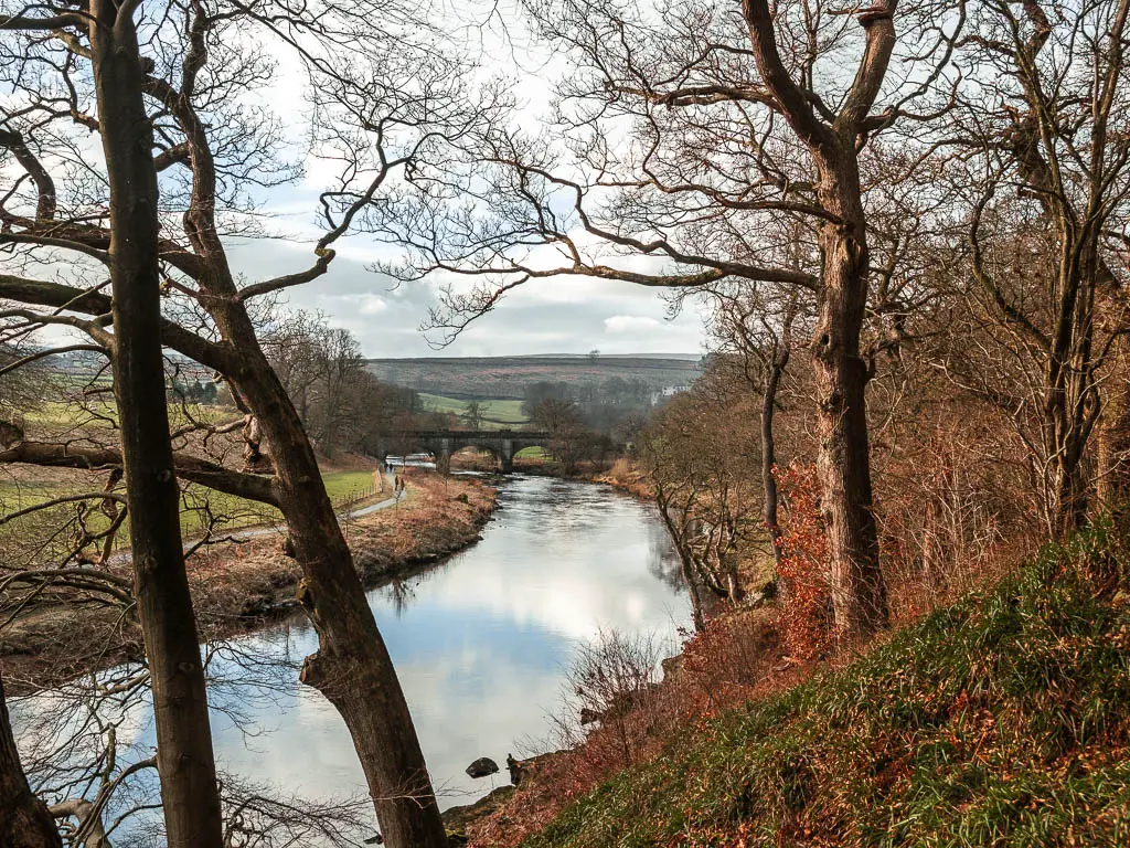
Fun Fact: The Valley of Desolation was named so after a big storm in 1836, involving flash floods and lightening, causing great damage with uprooted oak trees.
What I’m going to do in this guide, is first give you a bit of an overview of the walk, with full logistics, a map, and some useful tips. Then I will provide a step my step guide with photos for the walk up to Simon’s Seat and around through the Valley of Desolation. I will also show you how to do the alternate (normal) route to take up.
Is the Simon’s seat walk hard?
I would rate the Simon’s Seat walk as moderate. It’s a bit of an uphill slog to walk up to Simon’s Seat, on a lot of rocky ground, then on a rugged stone paved trail. However, after that, it’s downhill then level, for the rest of the circular route.
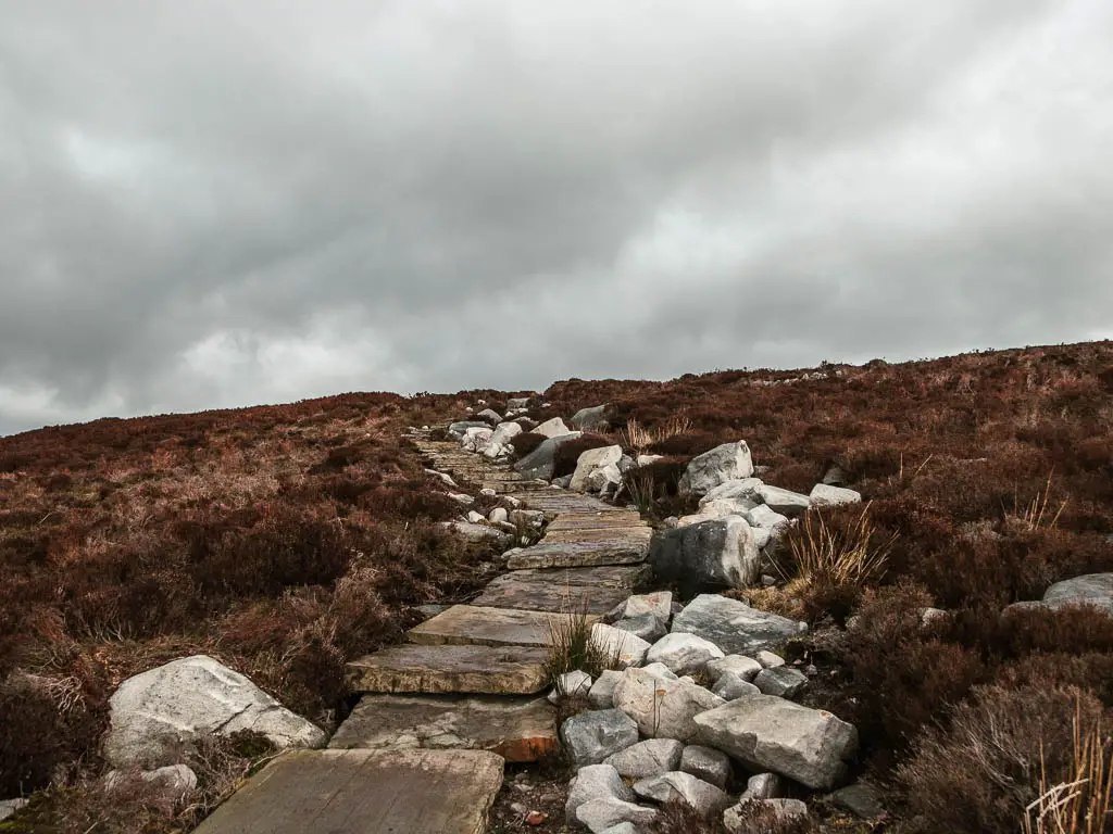
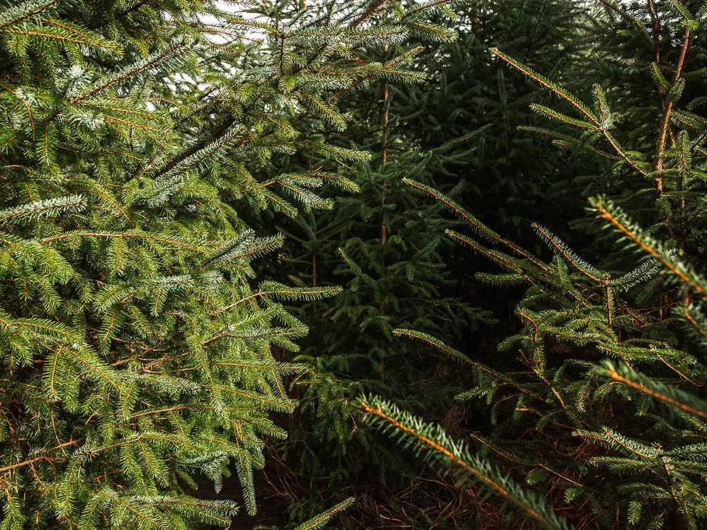
The trail I took to walk up, isn’t then main trail that most people take. I decided to try something different…which I regretted. It involved being attacked by Christmas trees, scratched by bushes, and walking through a tree branch tunnel that went on a little too long with creepy vibes.
How long is the Simon’s Seat walk?
The full circular walk to Simon’s Seat and through the Valley of Desolation, is about 9 miles.
Why is it called Simon’s Seat?
We aren’t sure. There are a few theories as to why it’s called Simon’s Seat.
- Some say it was named after a baby found here by a shepherd.
- Others say it was named after one of the owners of the estate.
- Another theory is that the area was a place of Druid Worship and named after Simon Magus.
Can dogs walk up Simon’s Seat?
No. Dogs are not allowed on open access land of Barden Moor, Barden Fell, Simon’s Seat, and the Valley of Desolation. I looked it up, and it specifically states these areas on the Bolton Abbey website, who own the estate. It’s do do with the grouse. They are however allowed on a lead on public rights of way which run across Barden Moor.
There are also ‘no dog’ signs letting you know…..I did see people with dogs up there though.
Where to park to walk up to Simon’s Seat
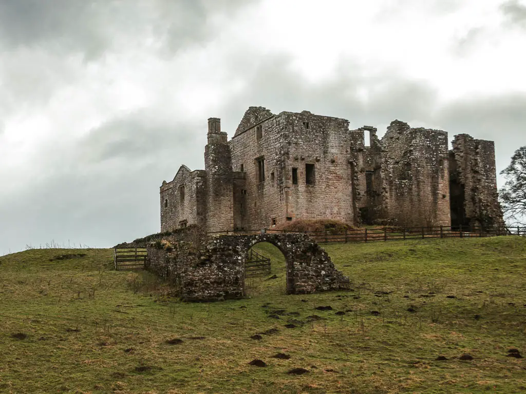
Before heading out there, I had learnt that the car parks to start the walk up to Simon’s Seat cost £15 for the day. Like hell I was going to pay £15 for parking. I did find out that there are a few places you can roadside park for free next to Barden Bridge.
There aren’t many spaces, so to nab one, you should get there early. There weren’t any left when I arrived, but I found some more free roadside parking up next to Barden Tower, which is a short walk from the bridge. These are also limited, and I got the last space.
Logistics
- Start/Finish: For this route, Barden Bridge (or the tower a short walk up the road)
- How to get there: Located on the southern end of the Yorkshire Dales, in the Bolton Abbey Estate. Nearest big road is the A59.
- Public Transport: Yes but infrequent. Bus 874 runs from Leeds. Twice on Sunday. That’s it. Get off at Barden Tower. Bus number 74 runs on summer Saturdays. You can see the full timetables on the Dales Bus website.
- Distance: 9 miles
- Time: Just over 3h walking (add more for stops)
- Difficulty: Some parts challenging, some parts easy. So let’s say moderate to even it out.
- Terrain: Dirt, mud, grass, rocks, path.
- Amenities: None along the walk (apart from some benches alongside the river)
- Time of year: I did this in winter
- Dog friendly: No.
Tips for walking up Simon’s Seat and to the Valley of Desolation
- Wear hiking boots. It’s muddy in places, and quite rocky at the top.
- From August 12th to December 14th, grouse shooting takes place on the moor. You are still permitted to walk through though.
- During extended dry periods, the Valley of Desolation might be closed due to fire risk.
- Take windproof jacket, and layers in general. It can be quite cold up the top, and very windy. When I went, at lower ground level, the temperature was 6c, but up at the top it was -3c.
- Walk it clockwise like I did. That way you get the hill out of the way quicker. If you walk up to Simon’s Seat in the other direction, you will have a long long drawn out uphill.
- If you don’t mind a bit of overgrowth, then you will be fine walking up along the same trail I did. Just make sure to wear trousers.
- To see the heather on the moor in full bloom, come in Autumn.
Map for the circular walk to Simon’s Seat and the Valley of Desolation
You can find my more detailed route map for the Simon’s Seat walk on AllTrails
More walks I recommend near Simon’s Seat and in the Dales will be listed at the end
Simon’s Seat and the Valley of Desolation walk guide
I will describe the route as if starting from Barden Bridge/Tower
If you are up by the tower, walk down the road to reach the bridge, then cross over it.
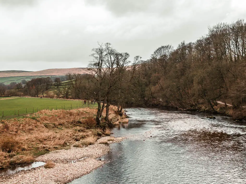
To take the same route up to Simon’s Seat as me, turn right, or….
Alternate way to walk up to Simon’s Seat
For the other route, turn left and follow the river side trail all the way to reach the main road. Go straight across it and continue walking along what I think is a track. I have not been that way, but this is what I see on the map.
At the next road, continue straight across it and keep going uphill until you reach this point:
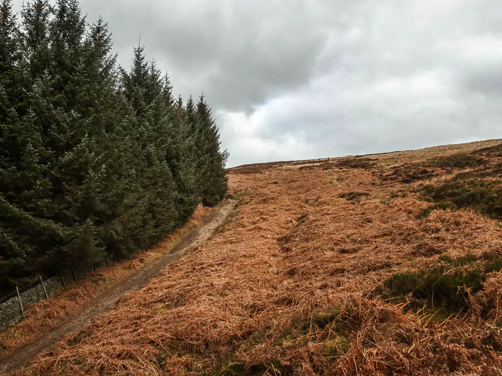
This is where I arrived taking the other trail. To continue on with the route description, scroll down to the heading ‘Reaching the nice normal trail’.
Walk the same way as me up towards Simon’s Seat
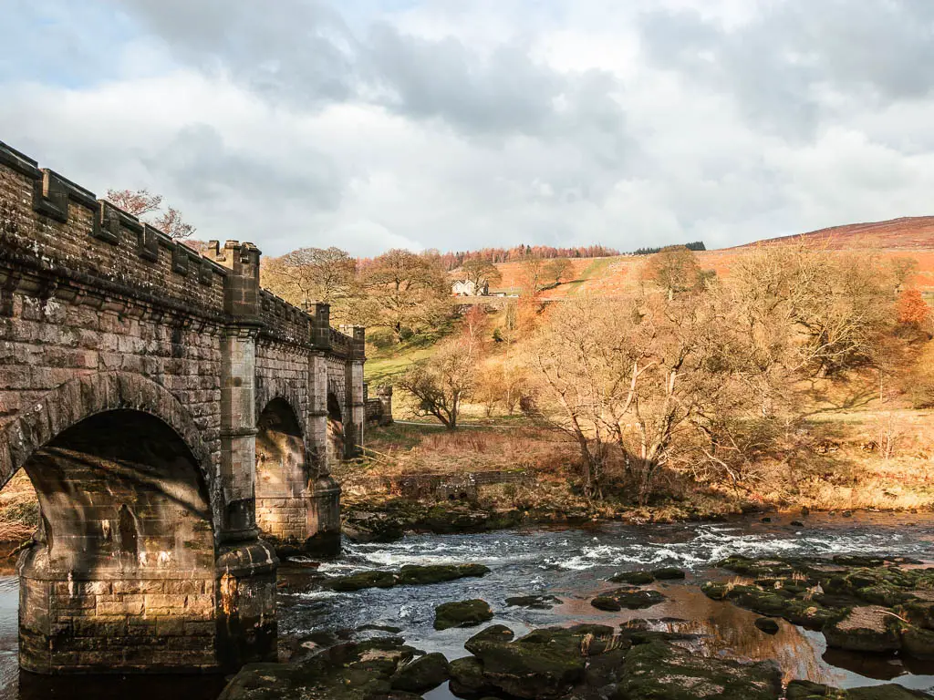
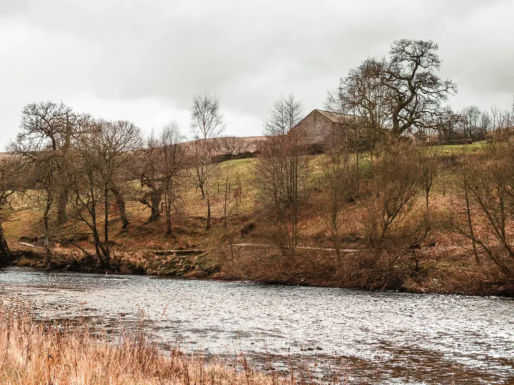
Once over the bridge (if you came from Barden Tower), continue walking along the river (river to your right), until you reach the impressive bridge.
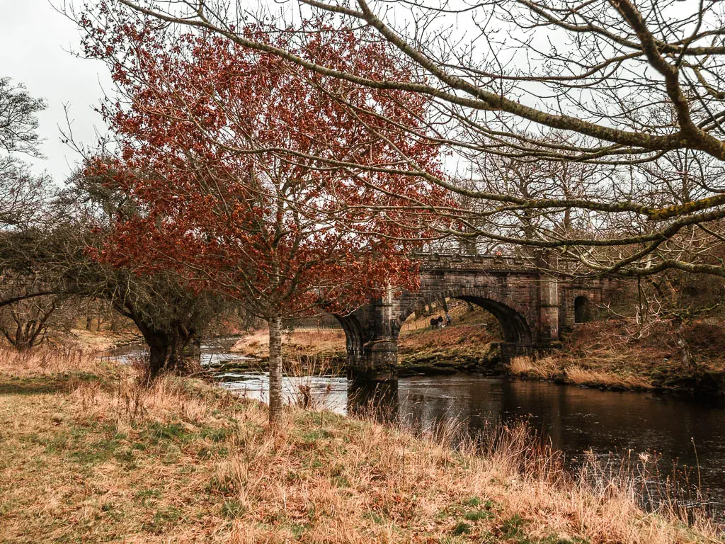
From here, take the trail uphill to the left.
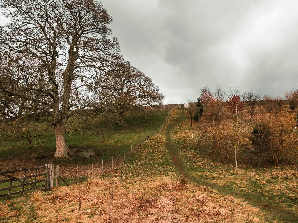
At this point I hadn’t yet decided if I was going to walk to Simon’s Seat, or just continue along this trail to reach Bolton Abbey. The forecast had said snow and rain up at Simon’s Seat. I wasn’t sure I was ready for snow.
I stood there for a few minutes deciding my next move. Looking up the hill I could see dark cloud. The rain. Did I really want to head up into rain of doom? I could just stay down here where the weather was mild. On the other side of things, it was the weekend, and this trail to Bolton abbey is quite a popular one. I was already amongst more people than I would like.
My head was telling me to stay here. My heart was saying to go up….
So I went up.
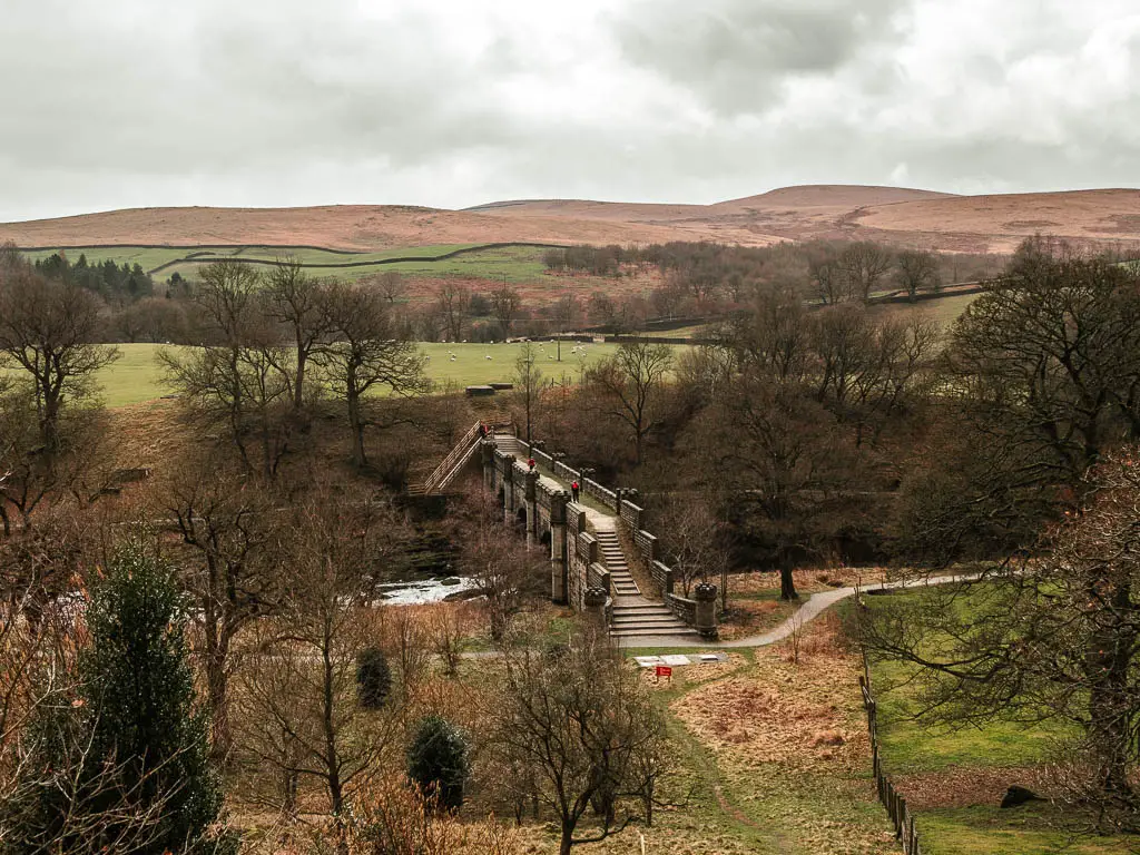
Read more: A week later I came back and walked to Bolton Abbey. It’s a really lovely walk…and much easier.
Start the walk up to Simon’s Seat
At the top of this first bit of hill, there is a gate. As I tried very hard to open it without success, I peaked over and noticed it was locked. I figured that decided it for me. Today I wouldn’t be walking up. The wind had already picked up. I was secretly happy….then I saw the stones steps to get over the wall. I had no excuse, so continued on up.
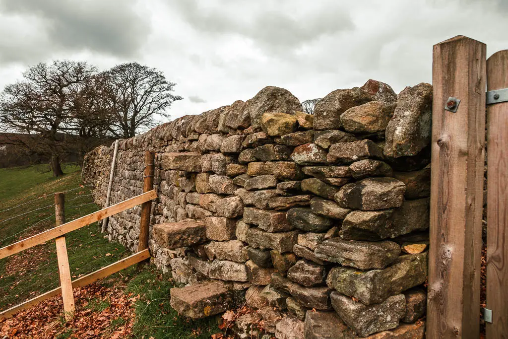
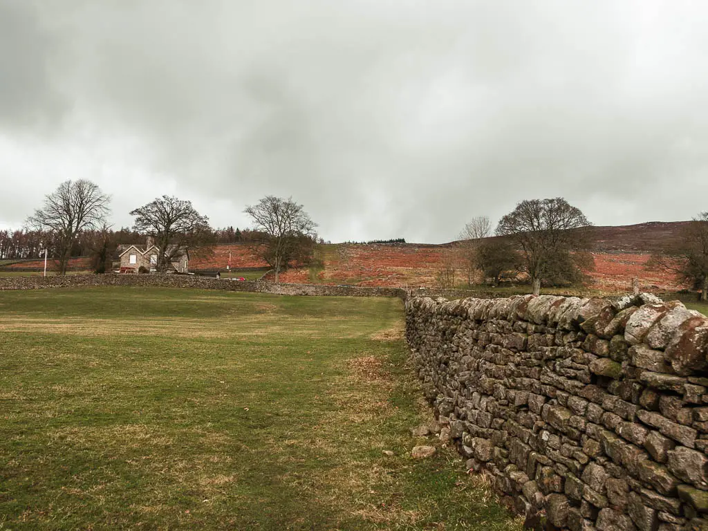
You will then reach a road, which you go straight across to reach the next bit of grass trail. It’s a really chunky bit of uphill here. I took a couple of short breaks, telling myself it was to look at the view, but really it was for a break.
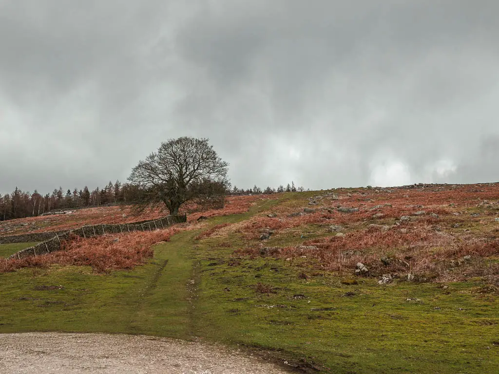
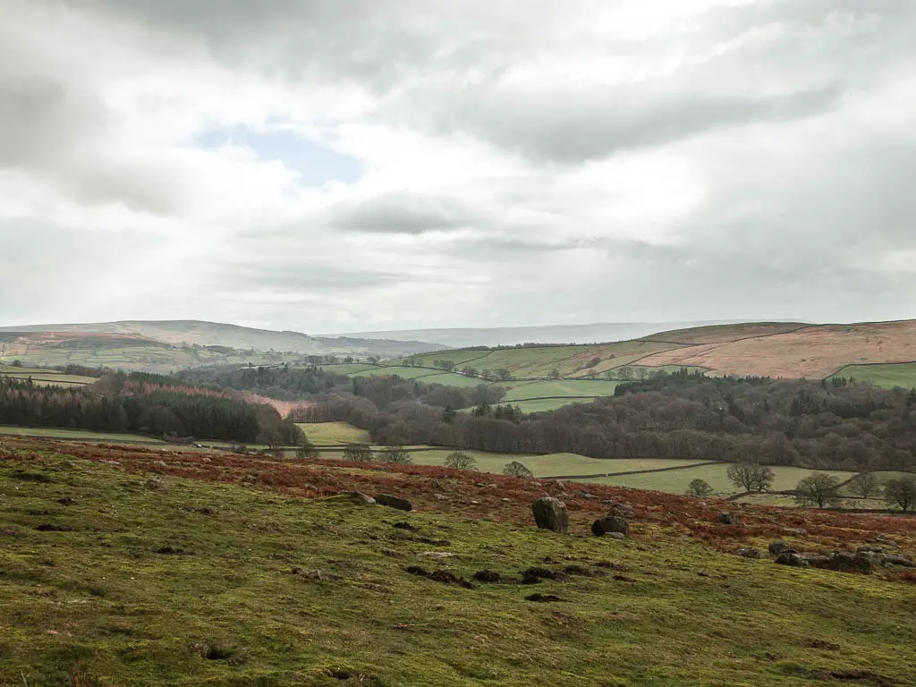
Further up, there is a little ladder to get over the wall. This is also where it started raining. Did I make a mistake coming up here? Well, it was too late now.
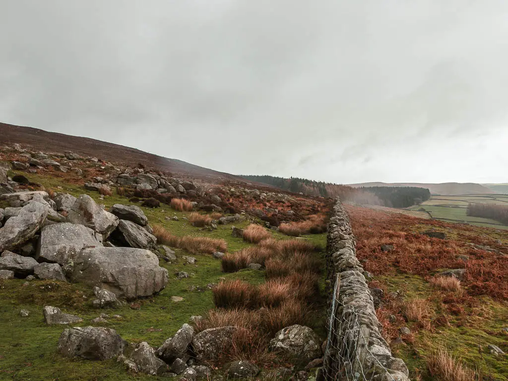
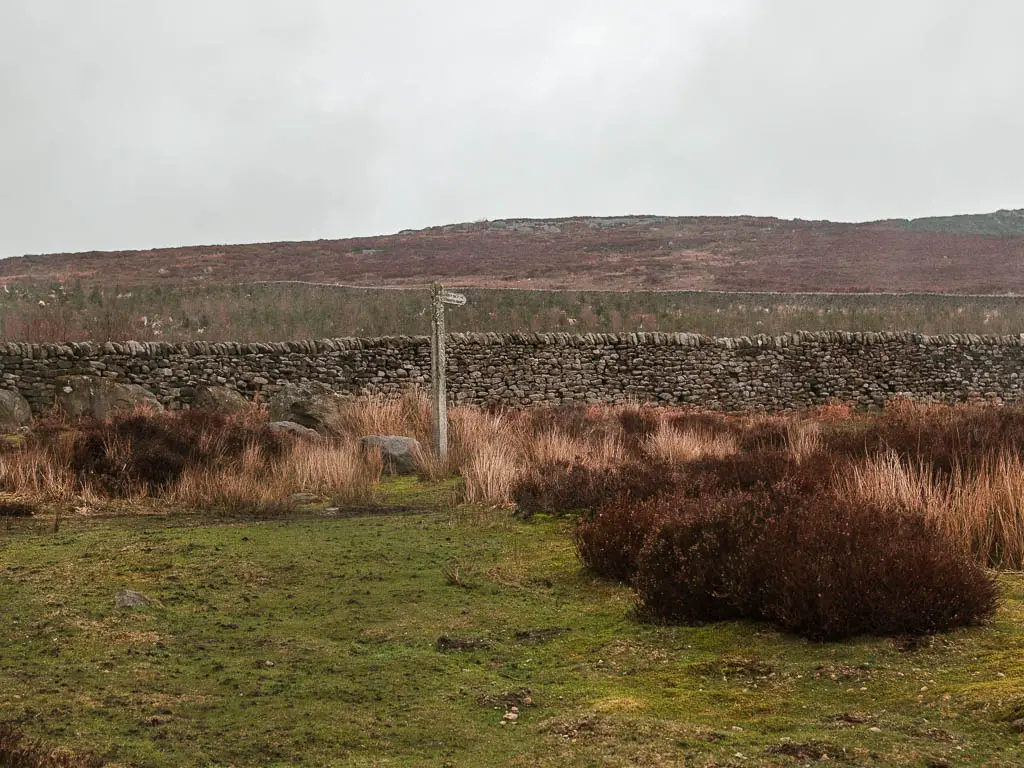
I could see some woodland up ahead and hurried up, thinking I could find shelter under there, only to realise once I got closer, that the trail doesn’t go through the trees. It turns to the right at the trail signpost.
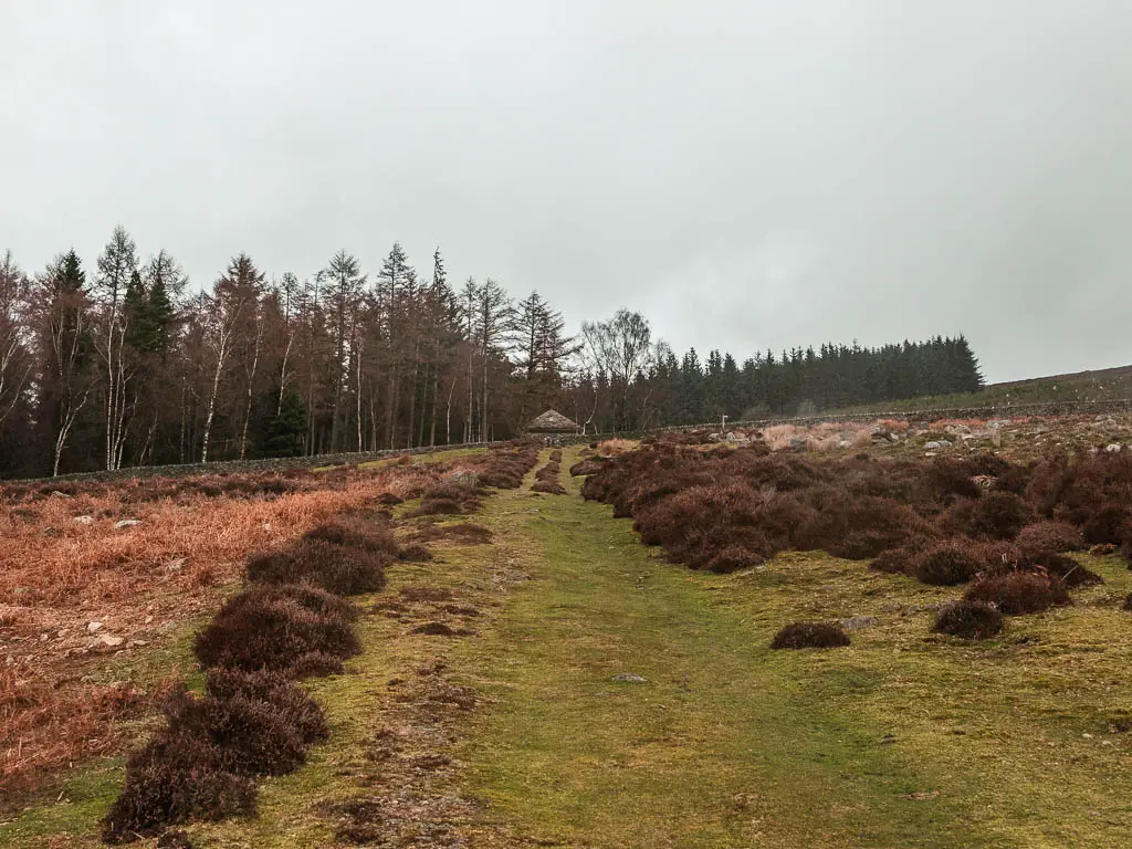
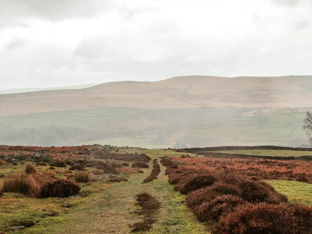
Walk into the overgrowth
You need to now continue along this trail which hugs the side of the stone wall. First uphill, and then it levels off a little.
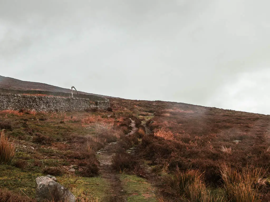
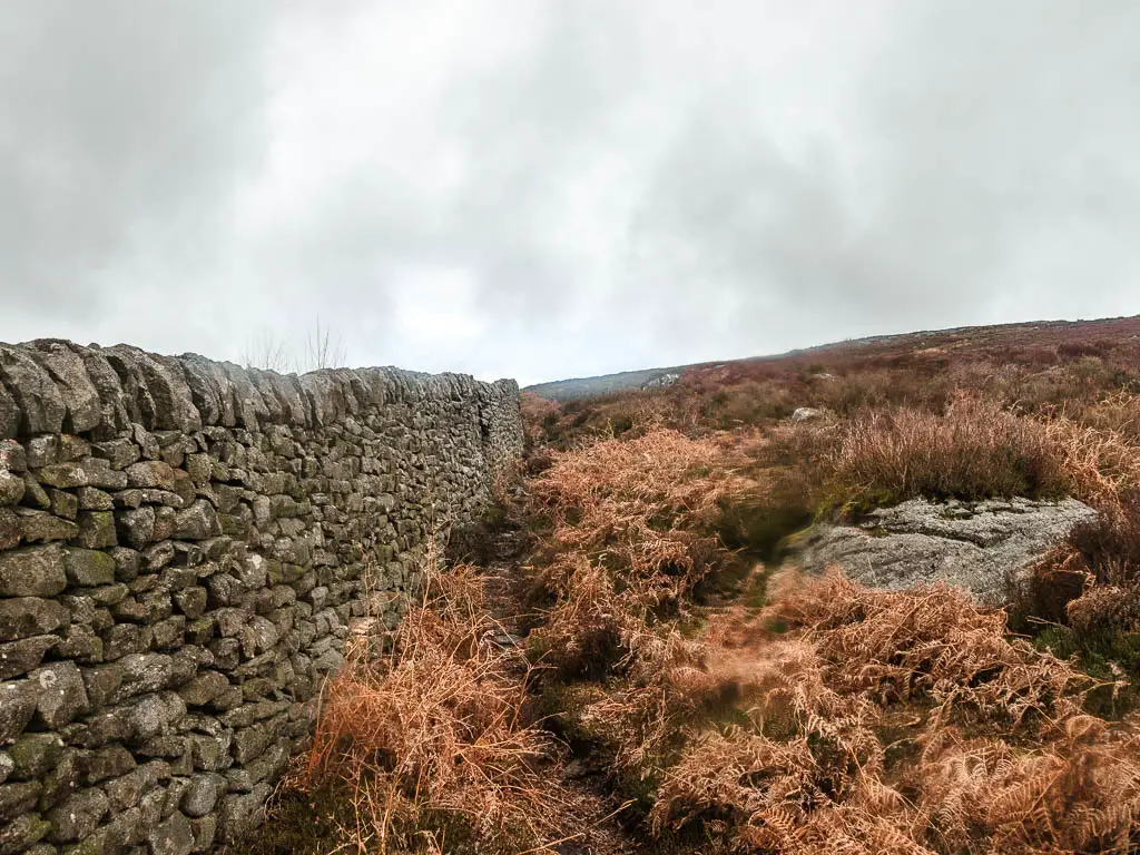
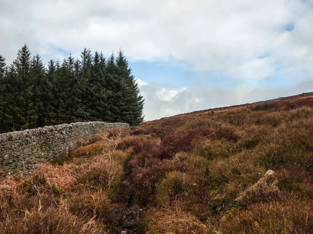
The further up I got, the more overgrown things became. As it was winter, and things were dead, it wasn’t too bad. However, I suspect that when everything is more alive it will be a bit tough. If you are wearing trousers, you should be fine.
Once I reached the Christmas trees, I initially felt joy. Christmas trees are always nice. Or so I thought, until I became engulfed in them.
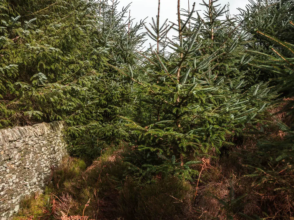
At some point, the trail leads under overhanging tree branches. It was now dark, and things were starting to feel a little creepy. I hadn’t seen another person for a while now. I could smell smoke in the air. Something was burning. Was I heading to a fiery death? It felt a bit like it.
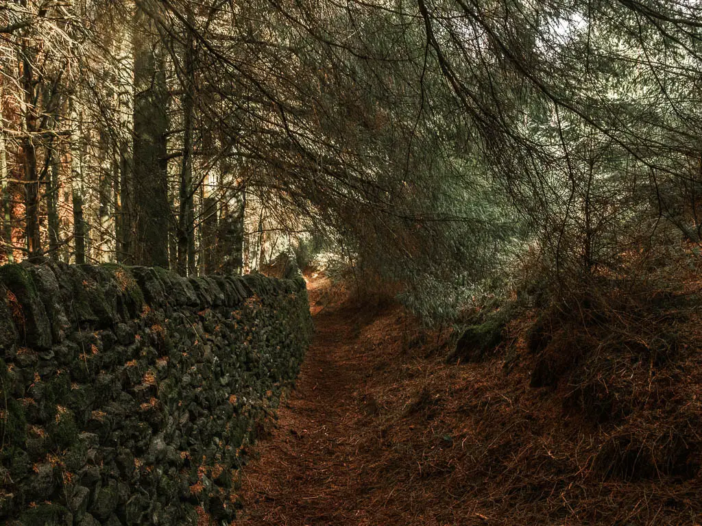
I thought about how if I was attacked here, no one would hear me scream. I hadn’t told anyone where I had gone.
Looking at the ground I could see footprints in the mud. Probably from other hikers, but in my mind, more likely the person who would attack me.
At this point, I was now convinced I might die. Either from being burnt alive, or being attacked.
Reaching the nice normal trail
Once I excited the tree branch tunnel, I saw a nice trail ahead of me. The one I should have been on. I felt such a sense of relief, finding a well trodden trail. When I got there, and could now relax, I noticed my heart was beating really fast, and I felt a little sick.

Walk up the hill towards Simon’s Seat
On this wonderful trail, you need to continue walking up, then take the little trail next to the woods in the photo below:
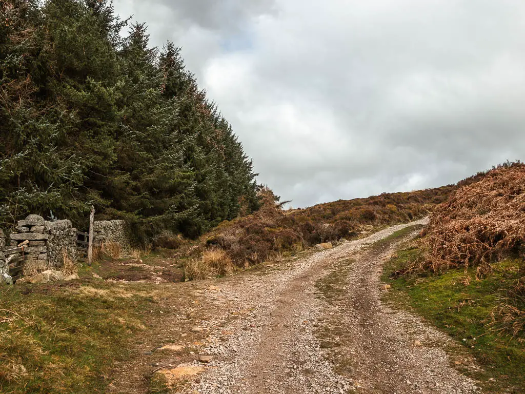
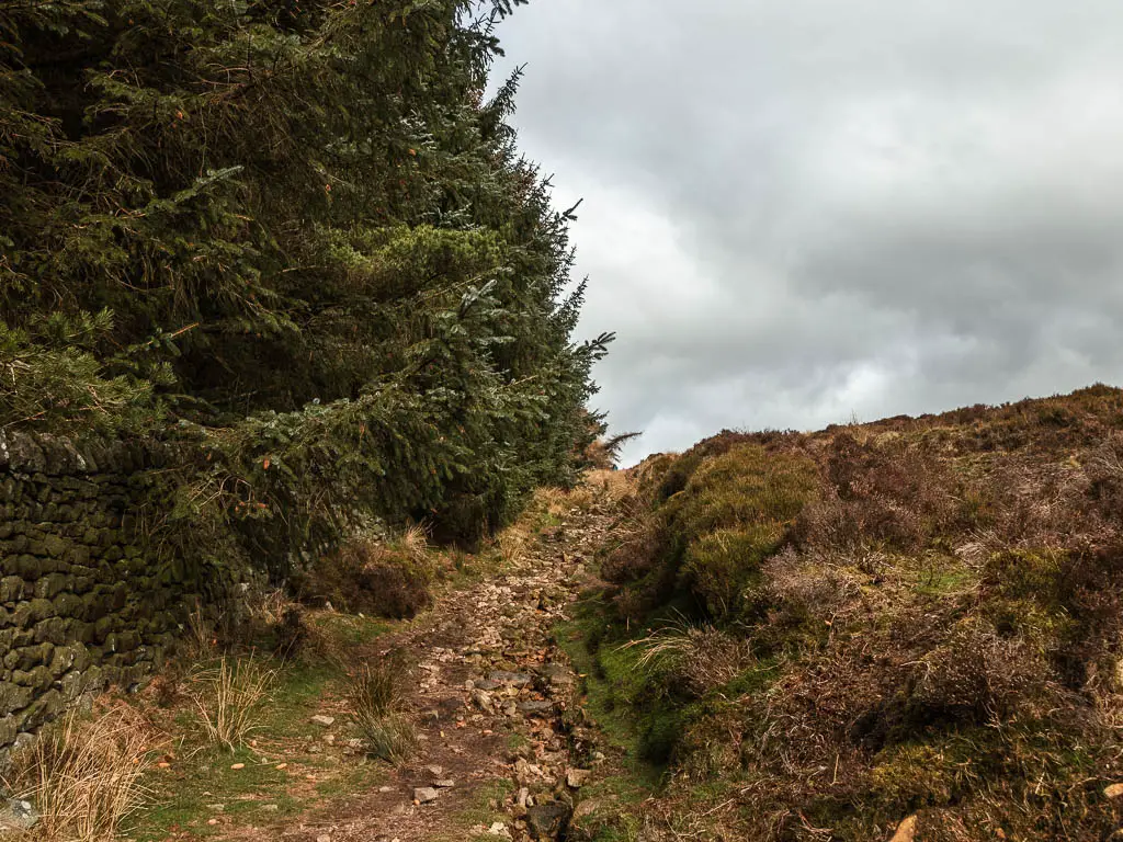
Now it’s up some more. On a very rocky rugged trail.
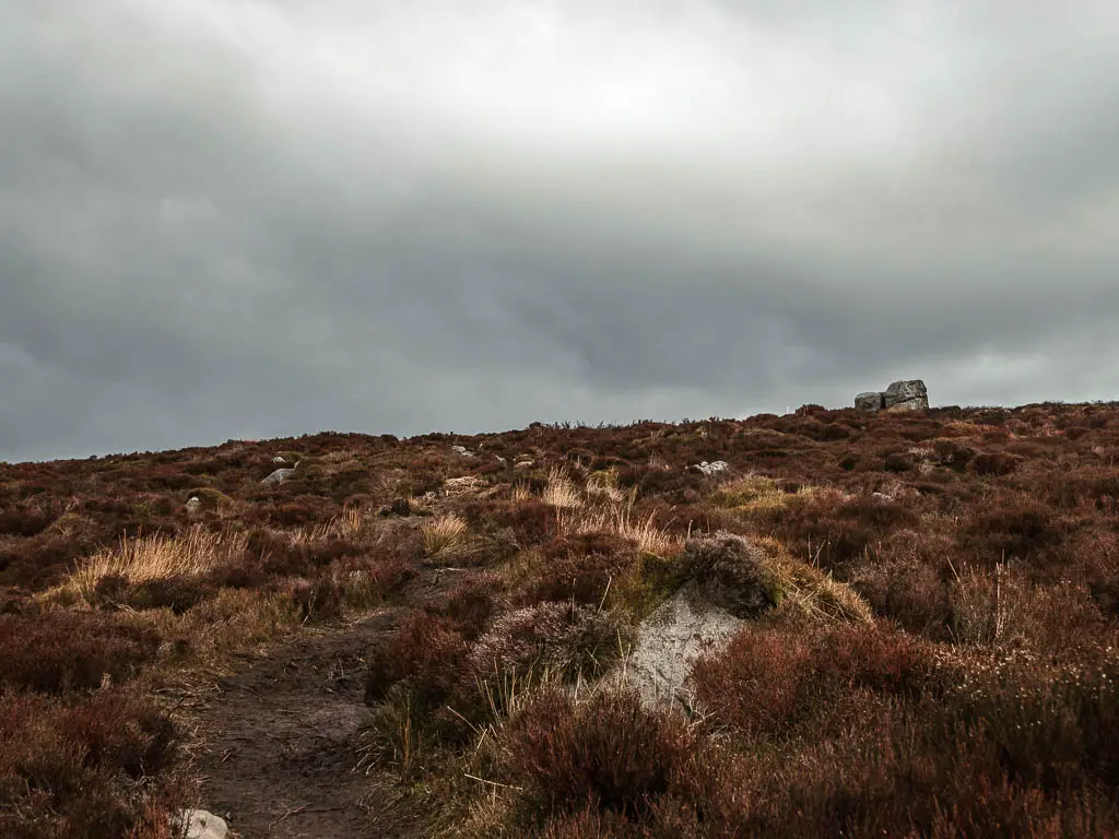
I walked a fair way up before stopping to look back, and literally gasped. I didn’t realise I had walked up so high. The views are just insane. I almost don’t want to show you the photos because they don’t do it justice.
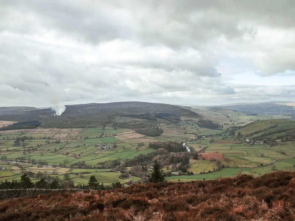
I could also see some areas of smoke from up here. That must be the smoke I could smell earlier.
Continuing up, the trail turns from rocks, to paved stone.
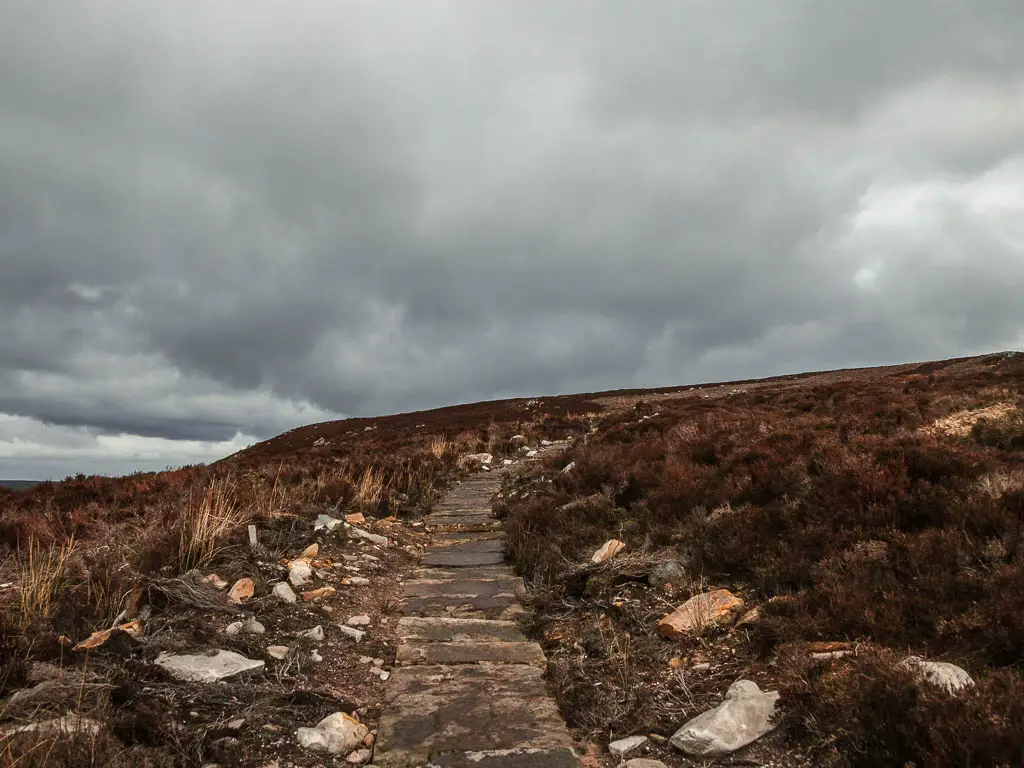
As I mentioned earlier, I didn’t know what I was walking up to at Simon’s Seat. Every so often I would look at my map, wondering if I had reached it yet.
Then I saw it. My breath stopped. Then I laughed at myself. That was definitely not what I was expecting.
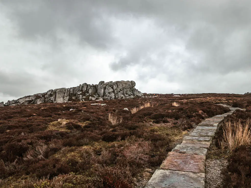
I was super excited and quickened my pace. This was all worth the questionable trail I took up.
Walk around Simon’s Seat
As you walk past the big mass of rocks, you will see there are more, with a trig point on top. At this point you should have a wander around.
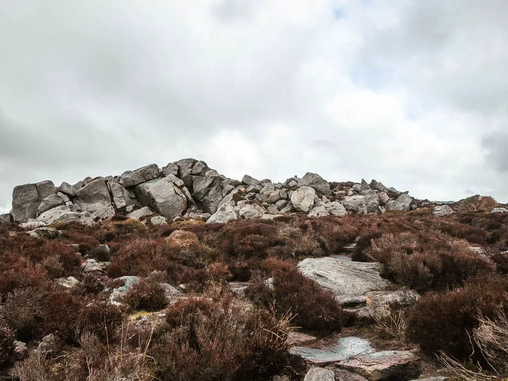
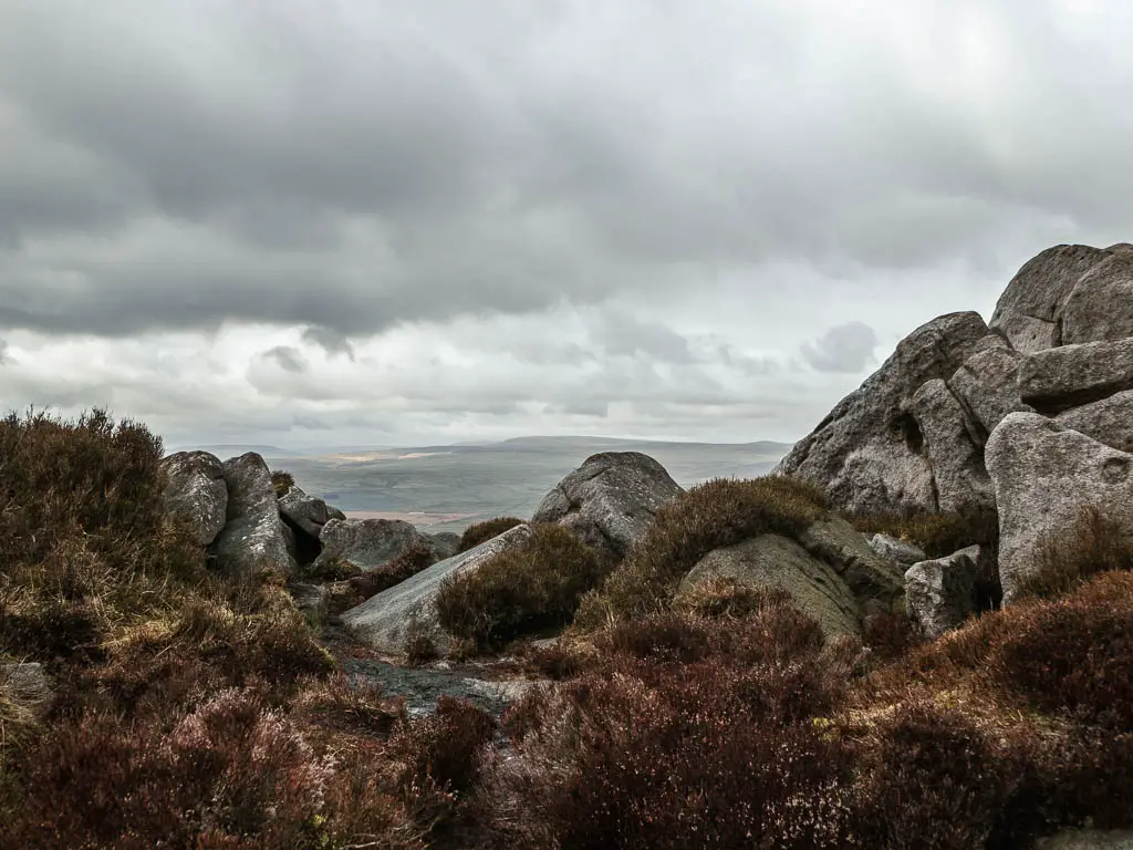
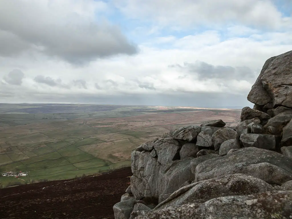
It would make a nice place to stop for a snack, but it was cold and a bit rainy, so I instead walked around a bit, then started to make my way down.
Read more: Tips for hiking in the rain
If you like big rocks, then you might like this route to the Wainstones. I did it a month or so later, and it is now one of my favourites in North Yorkshire. You climb up the rocks for this one, and have a good old stomp across the moors.
Leave Simon’s Seat to walk downhill
You will be pleased to know, it’s downhill the rest of the way.
If you turn to look back at the way you walked up, the trail you want to take down is to the left of it. Sort of like the left line in a V.
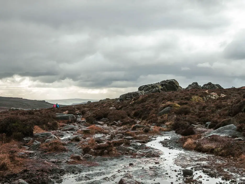
For landmarks, you will be walking in the direction of a big line of rocks (maybe not very helpful as there are quite a few rocks dotted around the landscape). It’s the ones with a view down to the valley:
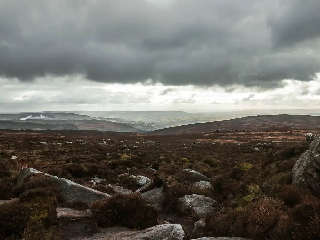
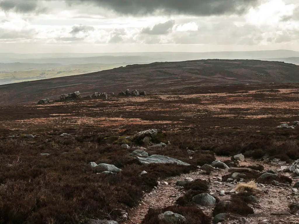
For the first part, the trail is a mix of dirt and rocks. Then when you reach the junction, turn left and onto a gravel trail.
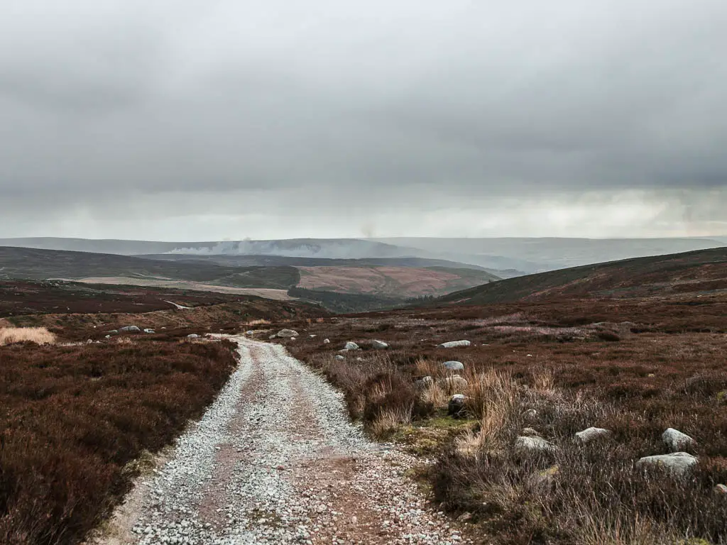
You now follow this all the way down to reach the Valley of Desolation.
It’s quite a pleasant walk down, with a wonderful view down into the valley. Some bits level out, some bits are very steep. The trail goes on for quite some time, and I was very glad that I was walking down it and not up.
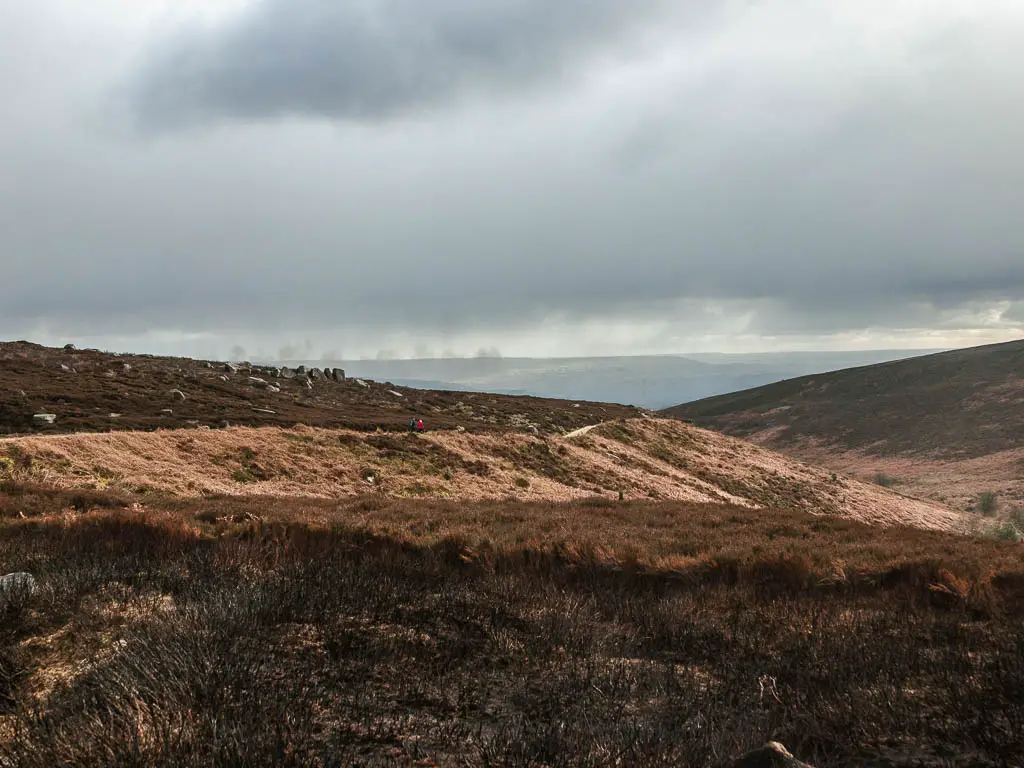
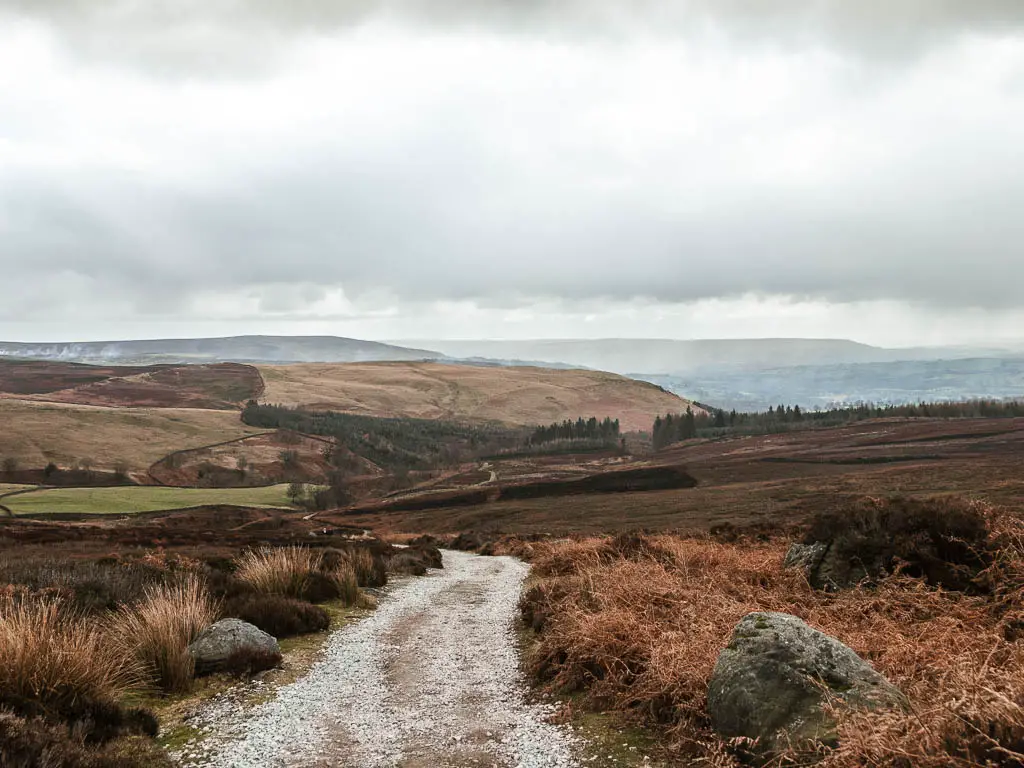
Part way down you will pass a little stone table/sitting area. This seemed like a good place to stop for my snack.
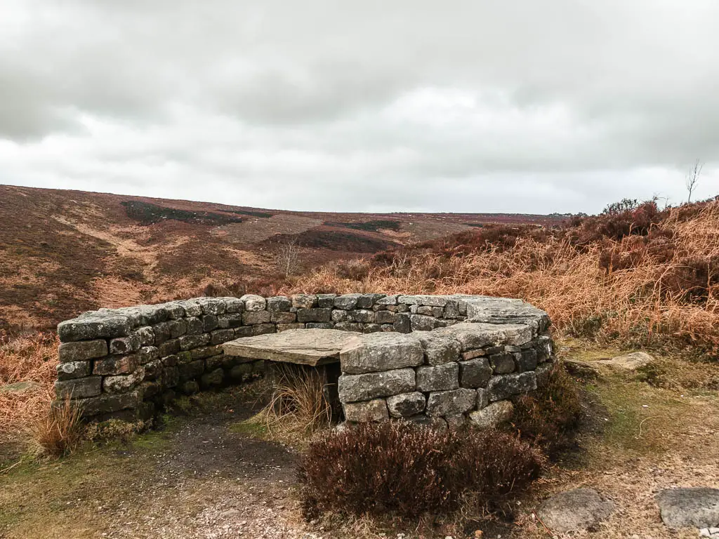
Walk through the Valley of Desolation
Keep going down, and you will soon get a view down into the valley on the left.
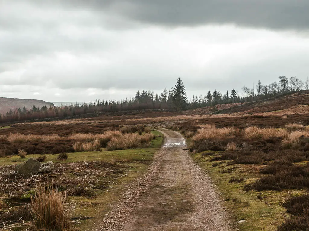
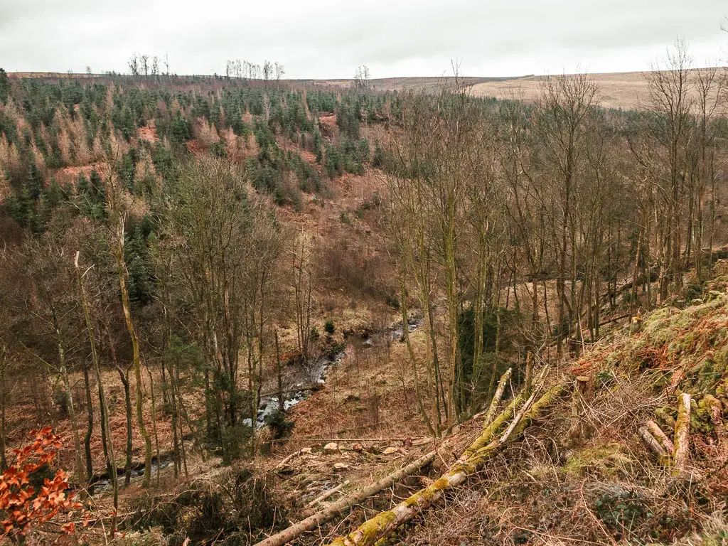
When you reach a big junction, follow the sign that says ‘Valley of Desolation’. This will lead you onto a narrow dirt trail, a little rugged in parts, through all the trees, with a view to the river down to the left.
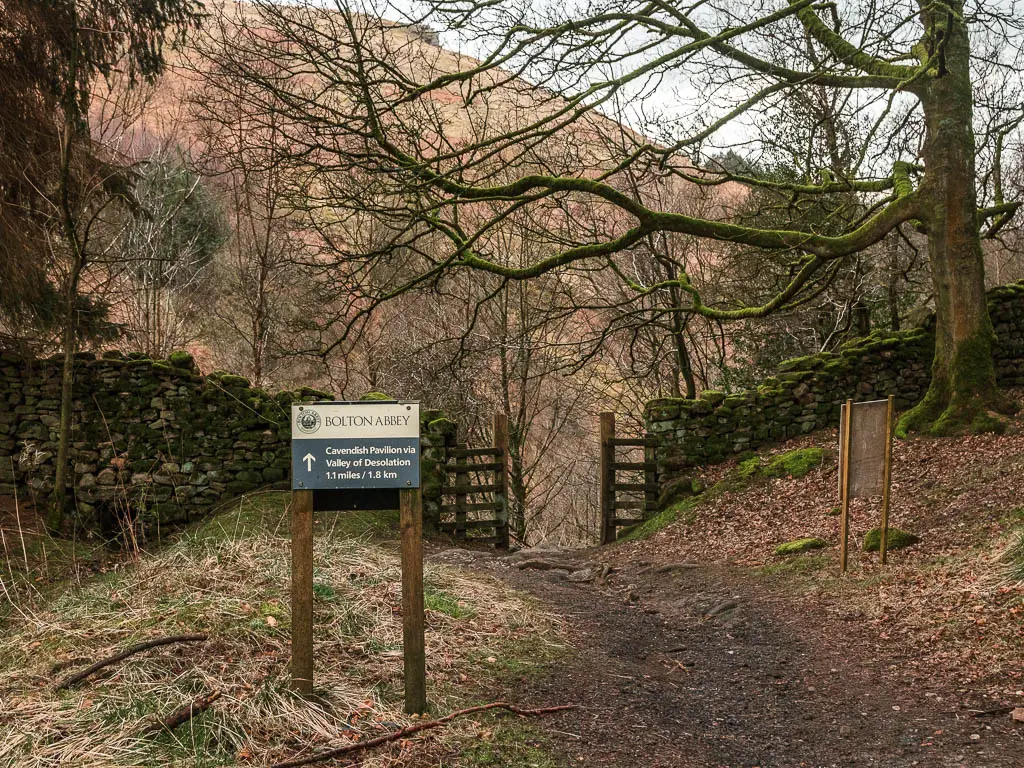
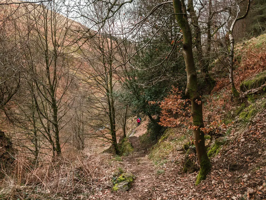
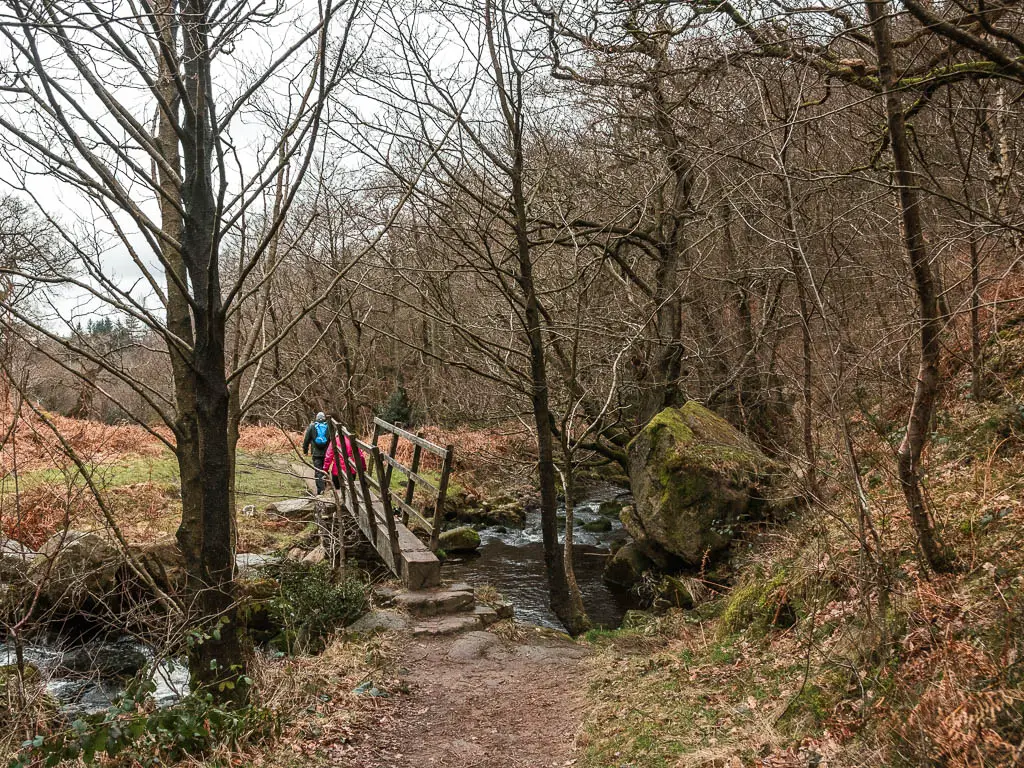
After you go over the wooden bridge, the trail will take you up a steep but short hill. The river will now be below to your right.
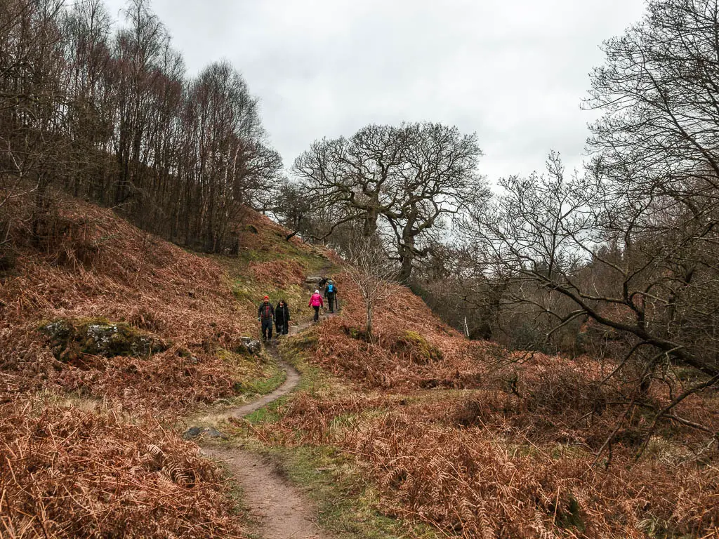
The river looked pretty cool, and seemed to drop off ahead. I wondered if there was a way down to it. That’s when I remembered there is a waterfall. I had completely forgotten about it, what with all the drama and wow-ness of earlier.
Valley of Desolation waterfall
To reach the waterfall, a little further along on the trail, follow it alongside the fence to the right, where you will arrive at the waterfall viewpoint.
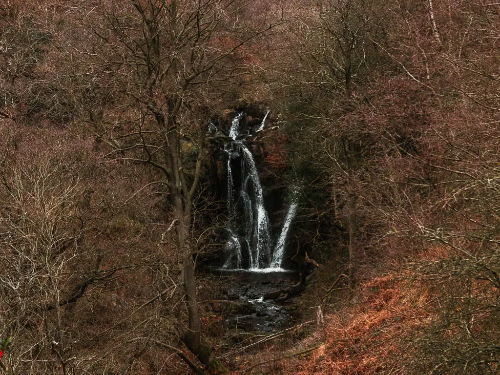
It’s a good waterfall. I thought back to the waterfall on my first walk in the Yorkshire Dales last week, and how disappointed I was with it. This one is how I expect waterfalls to be. It’s just framed so perfectly within the trees when standing at this viewpoint.
You can walk down to it, except I chose not to. I could see people and their children down there.
If you don’t know, I have not had a good experience with children the past few days. I explain more in my Burnsall to Grassington guide.
It looked like a great place for a wild swim dip. I made a mental note to come back here with Ollie in summer…on a weekday.
I have since walked to Janet’s Foss and Gordale Scar which I found to be very impressive waterfalls as well. They are let down a little though, by how busy they are.
Walk to the River Wharfe
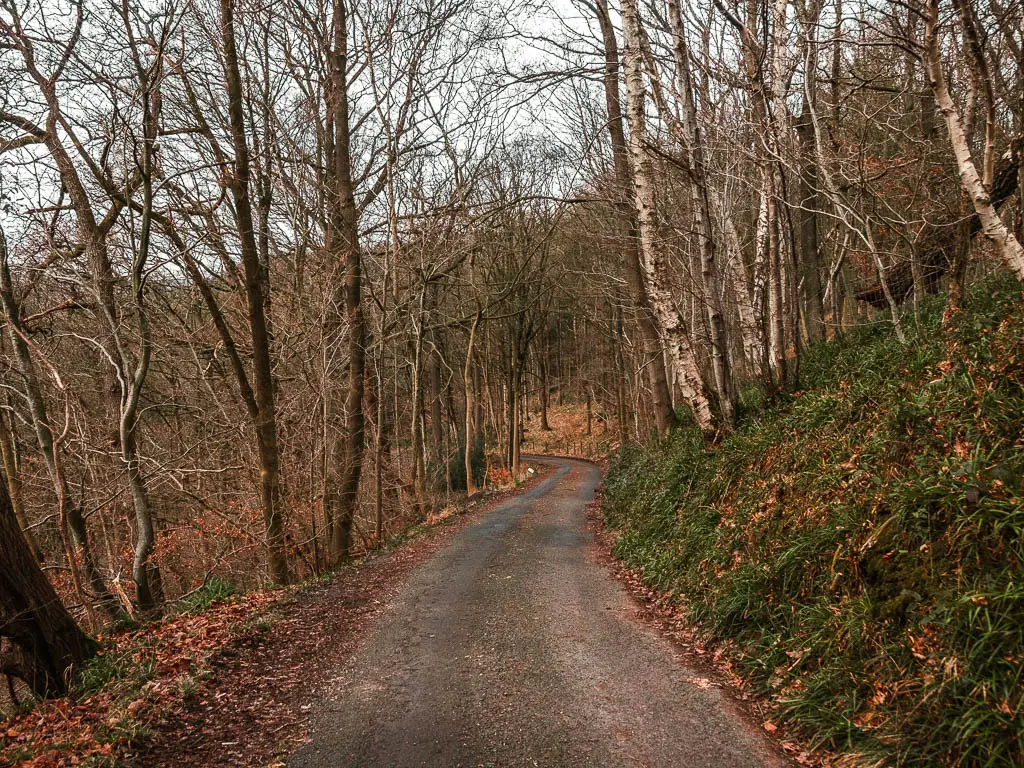
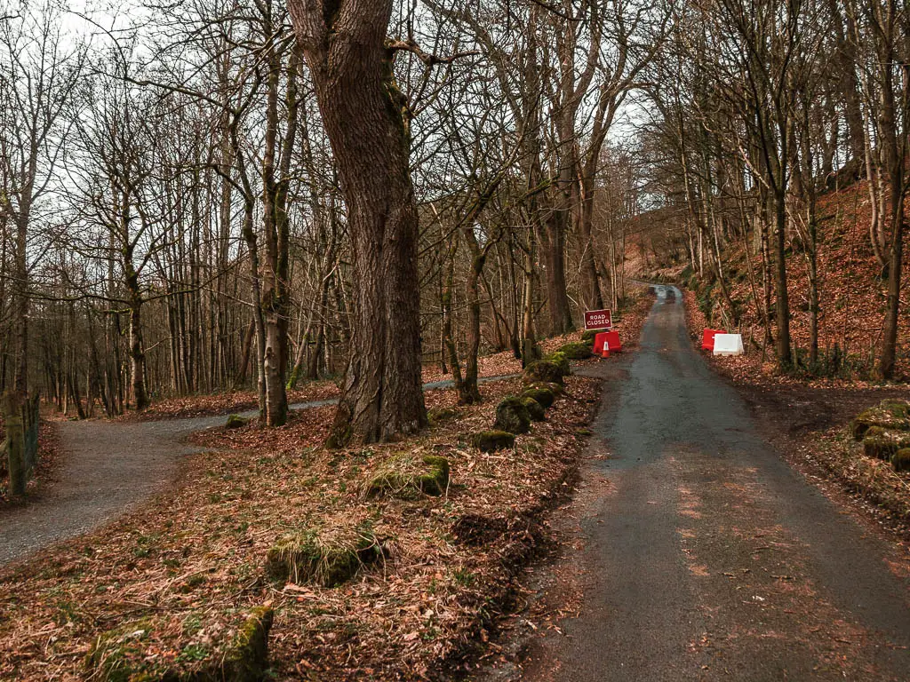
After the waterfall, follow the main obvious path all the way to reach the road.
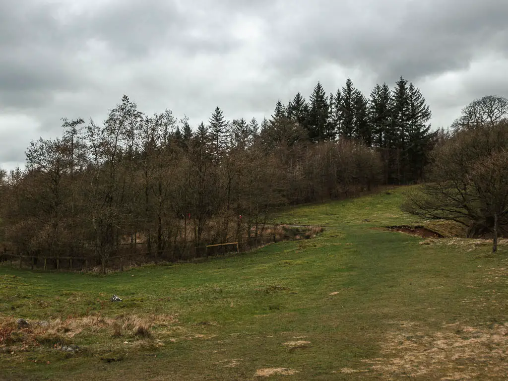
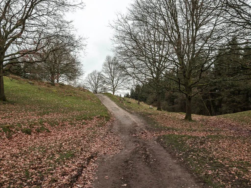
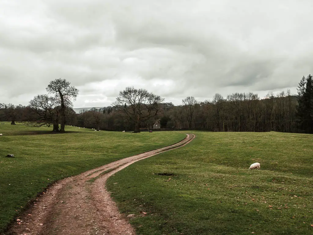
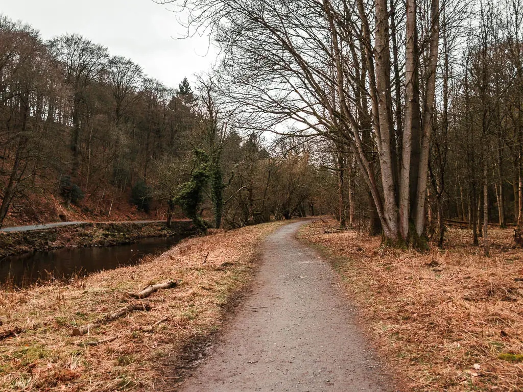
At the road, turn right, and keep going, over the little bridge, then onto the trail leading left. This will take you to the trail alongside the river (river to your left).
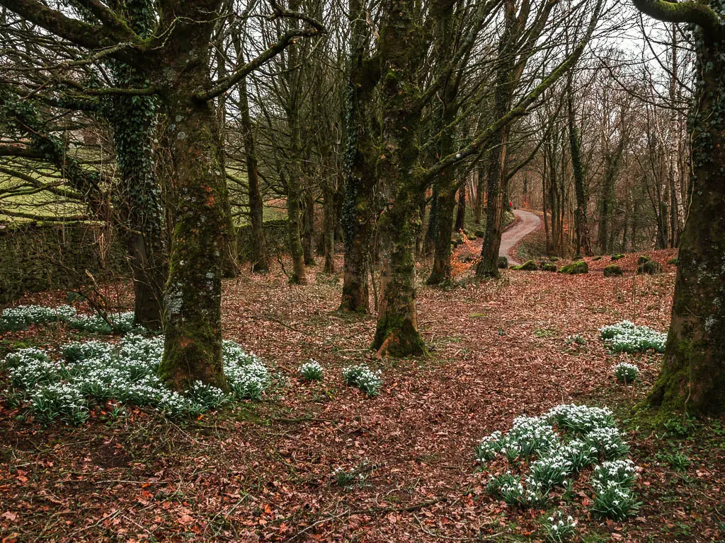
Follow the river
As I walked along the riverside path, two things came to mind.
First, how this all felt a bit bland compared to what I had just experienced on the walk up and down from Simon’s Seat, then the waterfall.
Second, how I should be on the other side of the river. The path on the other side was level. This one decided to take me uphill. I was not expecting more uphill.
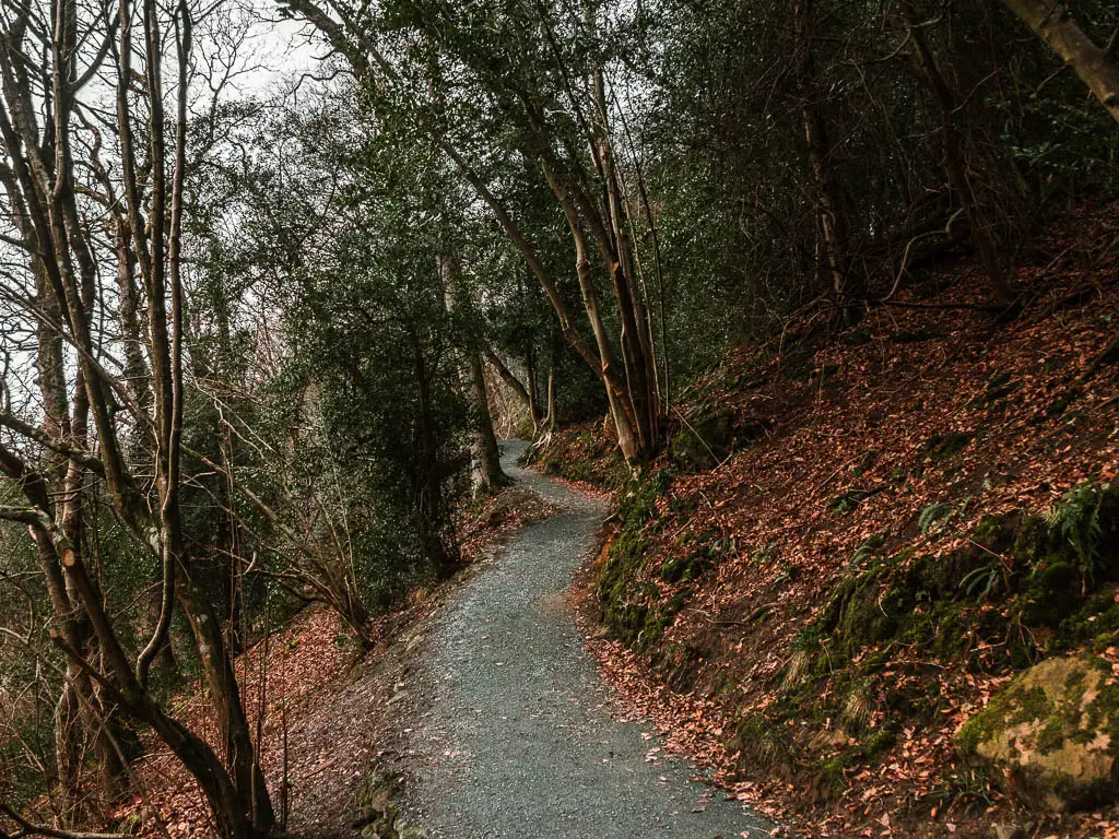
However, my mind changed a little on both fronts as I got further along and got some really lovely views down to the river and rocks.
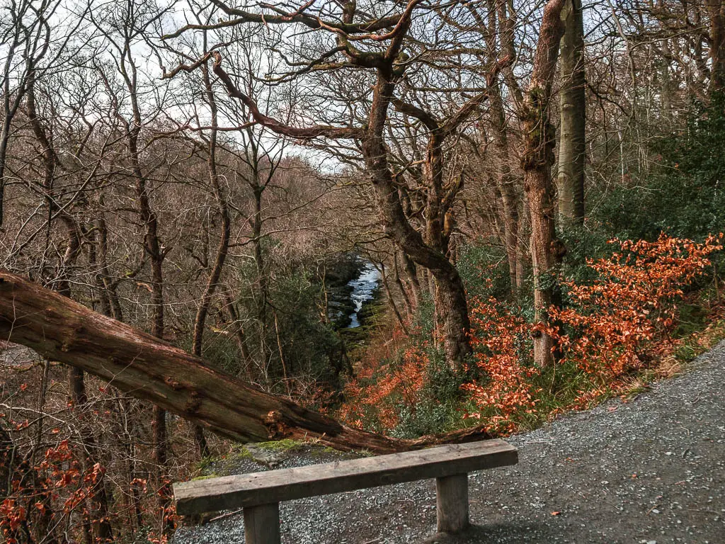
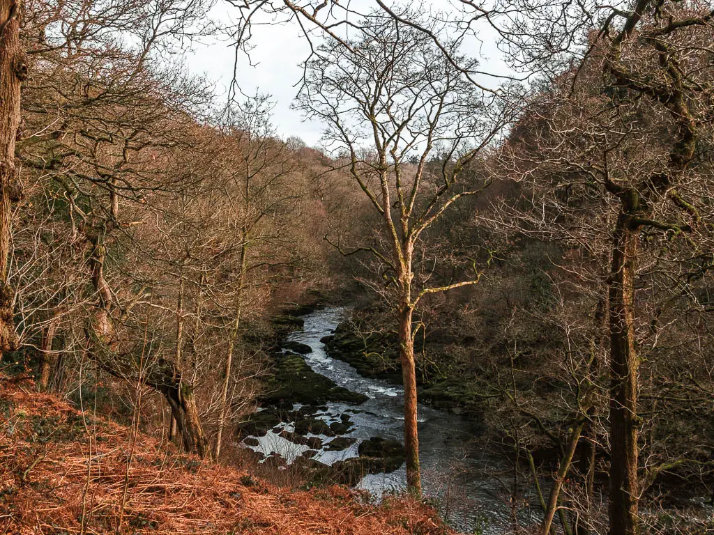
There is a little sitting hut along here, which at first I though was an odd location, as the view seemed to be just trees. I took a photo of it, then proceeded to walk past. As I walked past the opening, I took a glance to my left and stopped dead in my tracks.
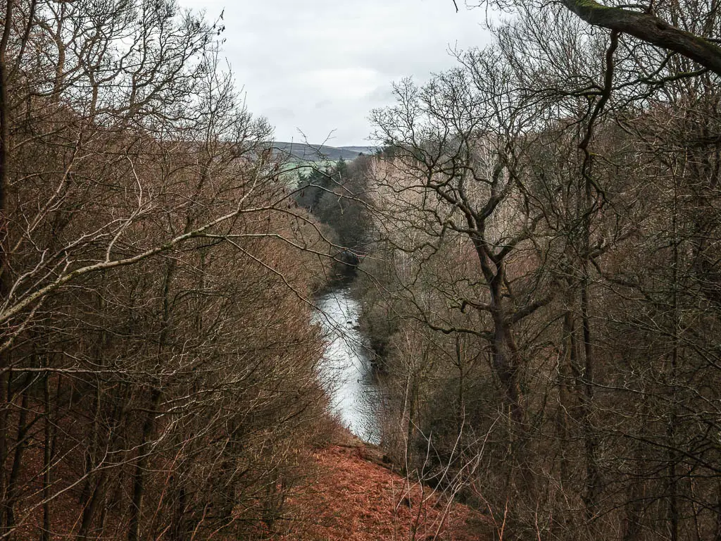
I could see exactly why it was placed in this spot. It must look wonderful with all the leaves. Especially in Autumn.
The final stretch
To finish the walk, the trail continues to undulate, then after one final view and viewpoint bench, it will take you downhill and back to the river side.
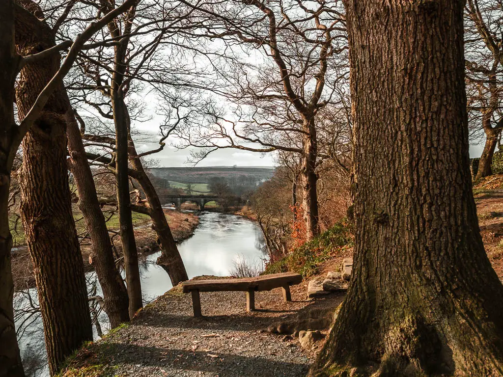
At this point you can stay on this side of the river to walk back to Barden Bridge, or you can cross over the impressive bridge to walk back on the other side.
I chose the other side, to mix things up.
As I stood by the bridge about to cross it, I thought back to the start of the walk. This was the point I turned to walk up to Simon’s Seat. The point where I debated whether or not to go up to it. I thought about how I was so close to not doing it, and so so glad that I did.
More walks near Simon’s Seat and the Valley of Desolation
If you stick to the river, you can walk all the way to Bolton Abbey. I came back and did it a week later, and was not disappointed.
Slightly further north, there is a lovely walk from Burnsall to Grassington, which also features a type of waterfall. Not quite the same as the one from this walk. But still pretty cool.
If you like views, then you should try Pen-y-Ghent. One of the peaks of the Yorkshire Three Peaks Challenge. I came and did it after this one, and it’s also a contender for the best views. Different views though. Very desolate.
I have to mention Malham Cove. It is by far the busiest route I have done out here, so it’s not a good one if you want some peace. However, if you don’t mind that, then you will be treated to two spectacular waterfalls, and a filming location for Harry Potter.
Further north in Yorkshire
If you go very north, you will reach the area of Swaledale, which is my favourite. The Muker circular walk gives you wonderful valley views with a bit of river walking, and waterfalls. In the same area, you have this route through Gunnerside Gill, which is one of my favourite walks in England. It’s so breathtakingly beautiful, and features a lovely rocky river and waterfalls with dipping pools.
For waterfalls without the hard work, then you might like Hardraw Force or the Aysgarth Falls. Hardraw has claim to being the largest single drop waterfall in England…but you have to pay for it. Aysgarth is free, but also a little touristy. The route I took did take me away from the crowds though, to some really cool stepping stones. These ones are further north in the Dales.
I have many more walks to choose from, which you can find on my best of the Yorkshire Dales guide here.
Pin it for later: Simon’s seat via the Valley of Desolation walk guide
For more things to do in the area, you can check out the National Parks website.
