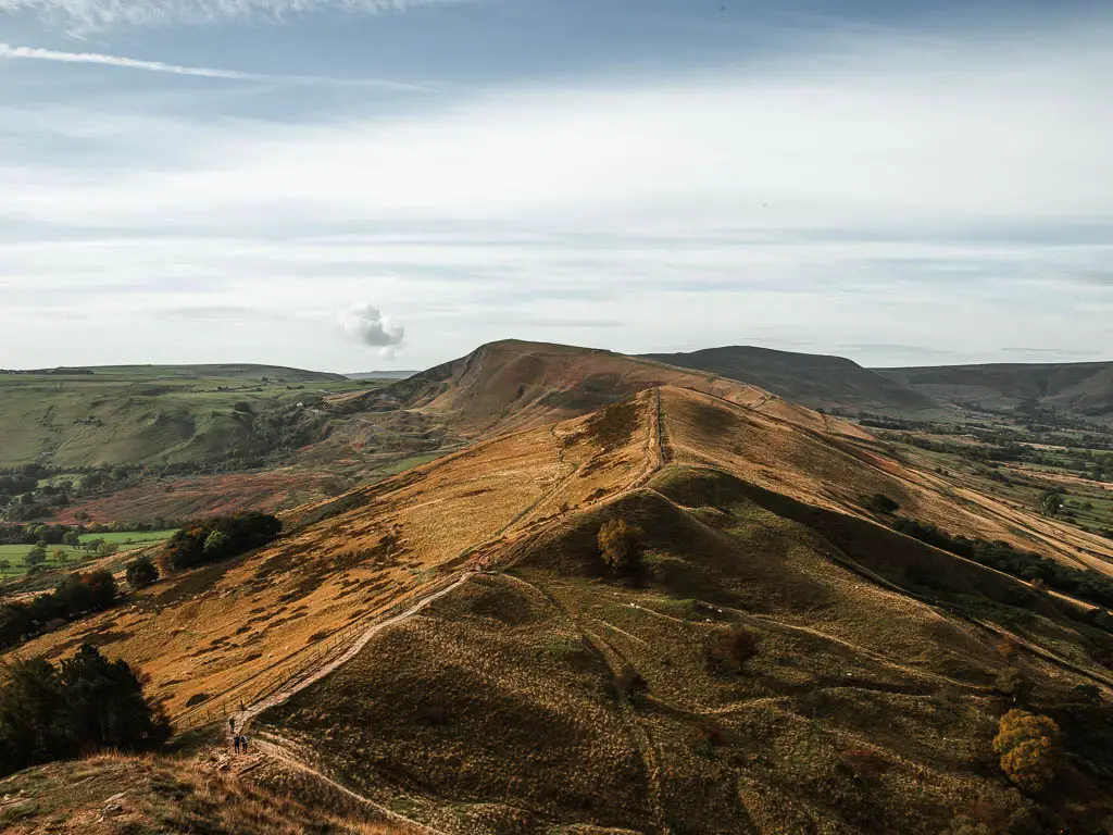
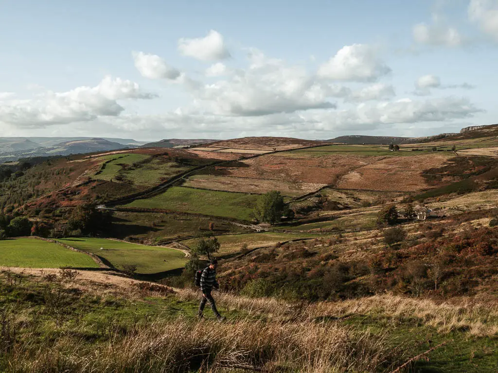
The Peak District is a National Park in the midlands, and is definitely up there as one of my favourite places for walks in England. Maybe even my favourite (after the South West Coast Path that is).
Known for its hills with vast far reaching views, heather covered moorland, deep valleys and gorges, striking rock edges, and cute villages. It’s no surprise the Peak District is a wonderful place for walking.
This post uses affiliate links. You can read the privacy policy or disclaimer for more info.

You could divide the Peak District into the Dark Peak and the White Peak. The Dark Peak is the more rugged and wild region, defined by gritstone. It covers the north, and some east and west. The White Peak is the softer side, with limestone, green valleys, and most farmland. It covers the central and south regions.
Did you know, that the Peak District is part of the southern end of the Pennine Range of hills, which runs up to the North of England? It’s commonly known as the backbone of England. You can find out more about the area here.
I have divided this guide up into four sections, based on the type of walk it is. You can click on each one to take you to that section:
The most mystical walks with caves and gorges
- Luds Church walk – 3 miles
- Chee Dale and the Stepping stones walk – 4.8 miles
- Padley Gorge circular walk- 3 miles
- Thor’s Cave two ways – 1.5 miles or 5 miles
- Winnats Pass walk – 3.5 miles
Big walks with big views in the Peak District
- Mam Tor via Cave Dale circular walk – 8 miles
- The Trinnacle Trail – 6 miles
- Chrome Hill ‘Dragons Back’ hike – 4.5 miles
Best Edge walks in the Peak District
- Stanage Edge walk – 7.3 miles
- Bamford Edge walk – 6.5 miles
- The Roaches via Lud’s Church walk – 6.5 miles
- Derwent Edge walk – 10.5 miles
Reservoir walks in the Peak District
- Ladybower Reservoir walk – 5 miles
- Dovestone and Yeoman Hay Reservoir walk – 4 miles
- Wessenden Reservoir walk – 5 miles
- Dale Dike Reservoir walk – 2.5 miles
- Agden Reservoir walk – 2.5 miles
- Langsette Reservoir walk – 3.7 miles
Planning your walk in the Peak District
For everyone of the walks on this list, I have written a full detailed guide. Which includes logistics, an interactive map, tips, and a detailed description of the walking route with photos. I link to each one below.
These are all day walks and hikes (as opposed to multi-day). Most of them can be shortened, if you don’t fancy anything too long, which I describe in more detail in the guide for each one.
One thing that is great about the Peak District, is you can see so much beauty and reach some incredible places, without having to do a massive hike.
Read more: What to take on a day hike and packing checklist
If you want more tips on how to get there, and getting around in the Peak District, I have detailed that at the end of the guide.
Best walks and hikes in the Peak District National Park
We will start with the most mystical (and fairly easy) walks, then move onto some bigger more challenging ones. After this, we finish with all the reservoir walks which are also quite easy. At the end, I give you my recommendations of which of the walks to do if you don’t have a lot of time in the Peak District.
The most mystical walks with caves and gorges
These ones all feature either a cave, gorge, or enchanting woodland. They are all the shorter walks on the list, making them quite family friendly.
1) Lud’s Church and woodland walk
Start/Finish: The Roaches Gradbach car park. Distance: 3 miles. Time: 1h20min. Difficulty: Easy (there is a hill, but it’s not too tough). Type: There and back. Without a car: The best way would be via the Roaches (see the Roaches further down).
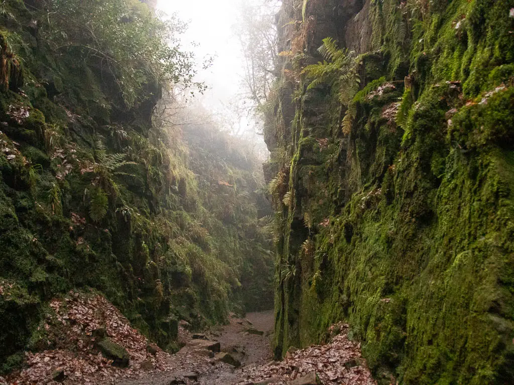
This is the most mystical of the walks in the Peak District on the list. It’s a relatively short and easy walk through woodland, to reach an enchanting moss covered chasm. It was historically used as a place of worship for Lollards, who were persecuted for their beliefs.
A place like this you would expect to have a few legends and myths. And that it does. One story goes, that it was a hiding place for Robin Hood. Another says it was created by the Devil, scraping back the earth with his finger nail.
If you do one thing in the Peak District, make it Lud’s Church…and Cave Dale. Ok that’s two. There is the option to make this walk longer, by including the Roaches (we will get to that in a minute).
Read more: Lud’s Church walk route guide
2) Chee Dale and the Stepping Stones
Start/Finish: Chee Dale layby. Distance: 4.8miles. Time: 2h. Difficulty: Easy/Moderate. Type: Circular route. Without a car: Bus number 65 will get you there from Buxton. Buxton is on a train line.
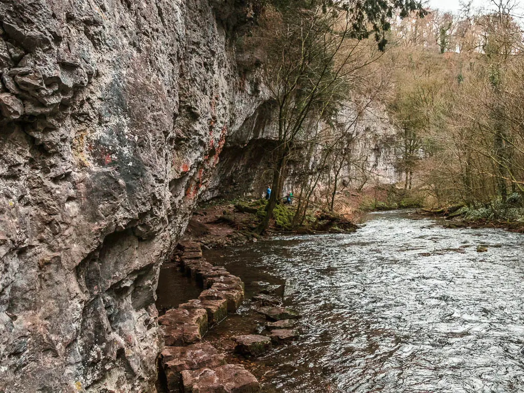
This walk takes you along the river Wye, through a 200ft deep limestone gorge. What makes it unique (apart from the gorge) is the stepping stones you have to cross, as they wind their way along the bottom of the cliffs. Not once, but twice.
After that, you will head up a steep hill where you will be rewarded with a grand view down into the valley and across the hills.
Although I would class the walk as easy, some bits of the trail could be difficult to navigate, as there are a lot of slippy rocks.
It’s one of the more famous walks in the Peak District. So it’s not the one to do if you want to be away from everyone. That’s not to deter you though, as I think it’s definitely worth a visit.
I think this is a perfect walk for families, as there were a lot of them doing it. The kids must like the stepping stones or something.
Read more: Chee Dale and the Stepping Stones guide
3) Padley Gorge circular route
Start/Finish: Free lay-by parking near Grindleford. Distance: 3 miles. Time: 1.5h. Difficulty: Easy. Type: Circular route. Without a car: Grindleford Station is right next to the trail.
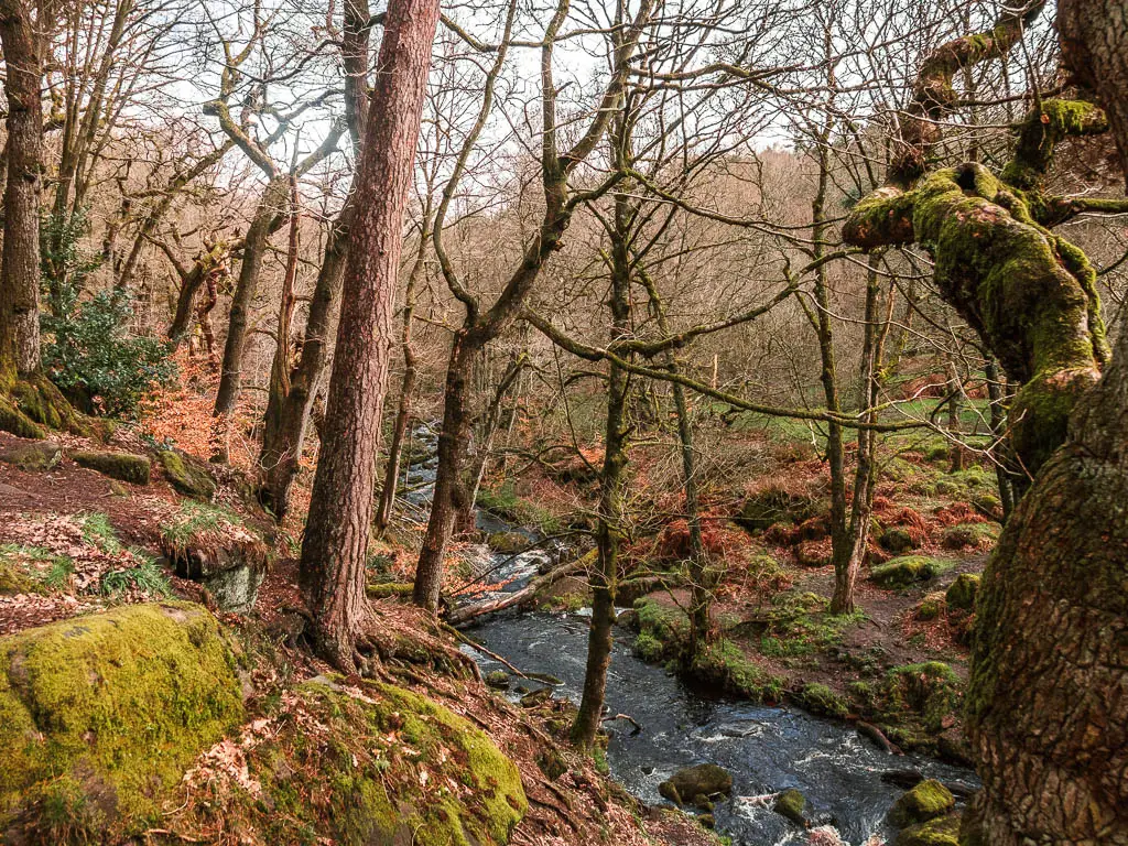
If you want mystical woodland and moss covered boulders, then go to Padley Gorge. This route takes you right through it, alongside the river, with a surprise waterfall. The route through the gorge is really easy, making it a perfect place for families.
After Padley Gorge, you will walk up through a mass of silver birch trees. Then under a sheer drop cliff, before heading up to ‘Surprise View’. You then continue walking up to the tors, where you get an even better view across the hills and valleys of the Peak District.
With all that uphill, it sounds challenging, but it’s not at all. At only 3 miles, you get a lot of goodness packed in.
Read more: Padley Gorge circular
4) Thor’s Cave two ways
Start/Finish: Wetton. Distance: 5 miles for the longer route, 1.5 miles for the shorter route. Time: 2h for the longer route. Difficulty: Easy/Moderate. Type: Circular route.
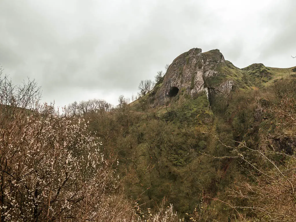
This one is the best cave walk in the Peak District…where bears lived once upon a time.
A great thing about this walk, is that you can tailor it to your fitness level, and preference. There is an easy trail that will take you there and back. Or for a bit more adventure, you can follow a short circular which involves the steps.
If you want to stretch your legs and get a mighty view of the black hole of Thor’s Cave high up in the cliff, then you can follow a fantastic route which takes you through the Manifold Valley. I explain how to do each of these routes in my guide.
Read more: Thor’s Cave route guide
5) Winnats Pass via Mam Tor
Start/Finish: Old Mam Tor road. Distance: 3.5miles. Time: 1h30min. Difficulty: A challenge at the start, then easy the rest of the way. Type: Circular route. Without a car: Buses go through Castleton, and this walk is near enough that you could start from there.
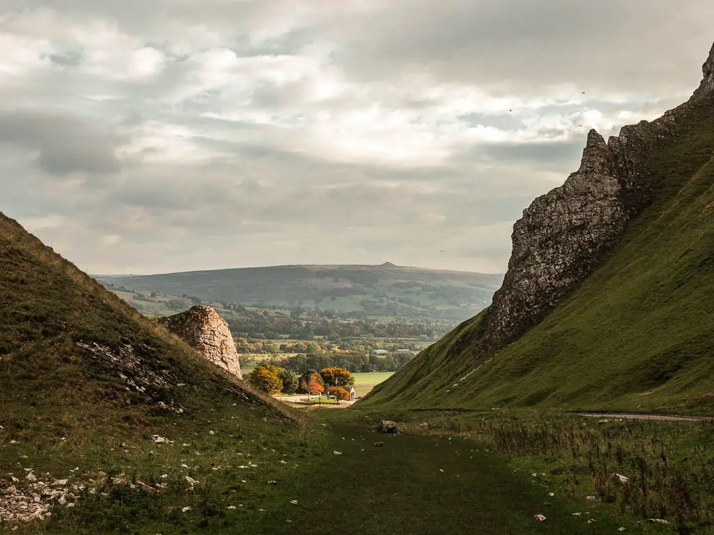
The gateway to the Hope Valley, this walk takes you along one of the most well known and impressive roads in the Peak District. Winnats Pass. It is essentially a limestone gorge, with a road running through it.
I wasn’t sure I would enjoy this walk. Having driven through Winnats Pass a few times, would walking it be any better? Especially as the trail is alongside the road.
Well, I can tell you I enjoyed it a lot. You definitely get more of a feel of the grandeur of it, when walking as opposed to driving.
Another great thing about this walk, is you get to see two impressive places in the Peak District. As it also includes a bit of the Great Ridge and Mam Tor. I must warn you, it’s a bit of a steep climb to the top of Mam Tor on this one.
With its proximity to the village of Castleton, it would even make a great little walk before a pub lunch. It’s one of the shorter walks on the list, so it’s perfect if you want to tie it in with other exploring in the Peak District.
Read more: Winnats Pass walking route guide
Big Walks with big views in the Peak District
These walks in the Peak District are amongst the most challenging. Featuring hills, maybe a bit of scrambling, and some wonderful view rewards.
6) Mam Tor via Cave Dale – My Favourite of these walks in the Peak District
Start/Finish: Mam Tor. Distance: 8 miles. Time: 3h 23min. Difficulty: Moderate (mostly easy, with one challenging bit). Type: Circular route. Without a car: You can come from Edale (train), but it will add a bit to the walk to get to the start. You can start the walk from Castleton which has buses.
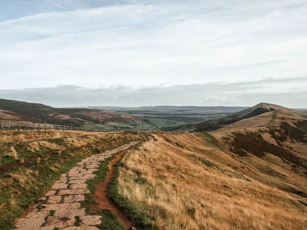
This is one of my favourite hikes in the Peak District….
From the starting point, it’s a short distance to get to the top of Mam Tor. From there you will walk along the Great Ridge, passing by Hollins Cross, Back Tor, and Lose Hill.
Sitting on the edge of the Dark Peak, and overlooking the White Peak, the Great Ridge is fantastic, with some of the best views. Views of the Edale Valley to Kinder Scout on one side, and the Hope Valley down the other.
It sounds challenging, but it’s not. The Great Ridge itself is a (mostly) stone paved path along the top of a ridge. You can keep the walk short and easy, by staying up there, enjoying the views all around of the Peak District.
However, for this route, you will descend off the ridge, through the fields, to reach the village of Castleton. From there you will venture up Cave Dale.
Cave Dale is one of the most wonderful places I have walked in the Peak District. It’s a dry limestone valley, tucked away, like a hidden secret. This part of the walk is a little more challenging, but not a crazy amount. More so because it’s uphill, and on some loose rocks.
Read more: Mam Tor circular walk via Cave Dale
7) The Trinnacle Trail
Start/Finish: Dovestone Reservoir car park. Distance: 6 miles. Time: 2h 15min. Difficulty: Moderate. Type: Circular route. Without a car: Greenfield is the nearest train station.
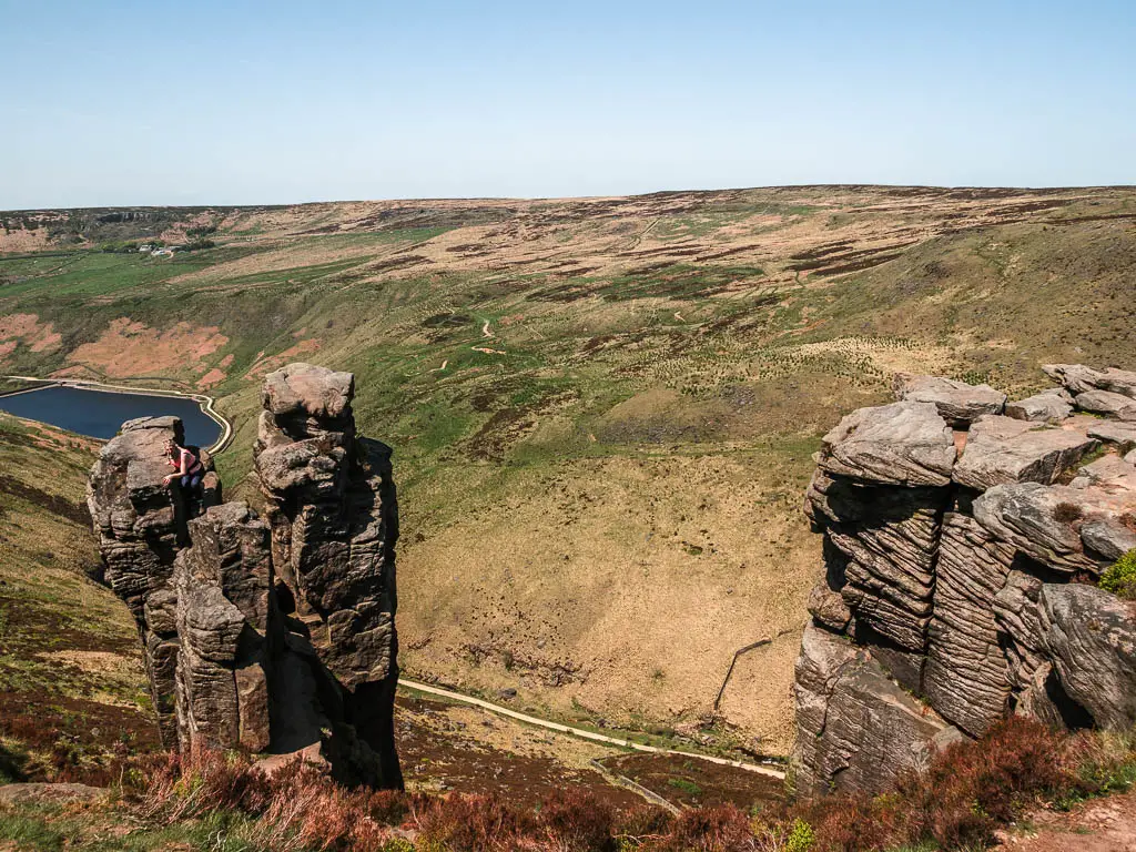
The Trinnacle is a very unique gritstone rock outcrop, looming high above the Dovestone Reservoir. It’s one of the more popular walks in the Peak District. So expect there to be lots of other people around. That’s not to deter you though, as it’s still a fantastic trail.
The walk starts off gentle along the reservoir edge. Before taking you on an adventurous scramble up the rocky river, with waterfalls and dipping pools along the way. At the Trinnacle, you have the option to climb up it if you are brave. It looked too dangerous for me, so I admired from afar.
The trail then takes you along the rocky edge with more reservoir views, before making your way back down.
Read more: The Trinnacle Trail
8) Chrome Hill ‘Dragons Back’ hike
Start/Finish: Hollinsclough. Distance: 4.5 miles. Time: 2h. Difficulty: Moderate/Challenging. Type: Circular route. Without a car: The 442 bus from Buxton, gets you to the other side, so you would start from a different location.
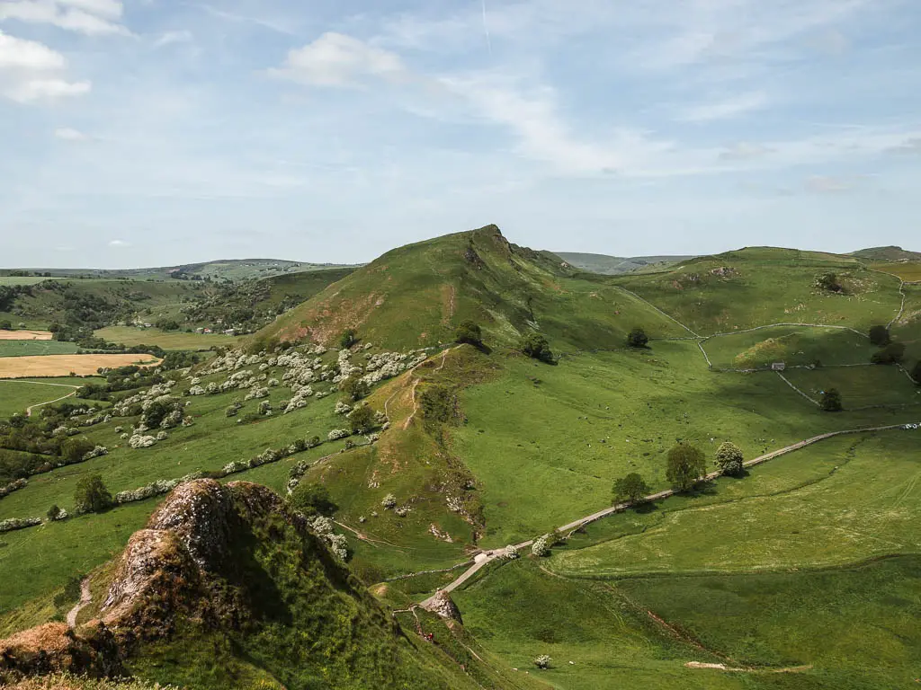
This is a truly unique walk in the Peak District, taking you along the top of two hills, which from the right angle, looks like the back of a dragon.
It’s not for the fainthearted, as you need to scramble some of the way up a steep incline, with loose rocks, flat limestone, and narrow trails with steep drops. In fact, the first time I attempted it, I though I was going to die. I made the mistake of doing it in the rain, and in the reverse direction. Both of which I highly recommended you don’t do.
The second time I came back (this time in the right conditions), I found it to be fantastic and really exhilarating, following the precarious trail in and out of the humps, with dramatic views ahead and back. This walking trail in the Peak District is not to be missed…as long as your aren’t afraid of heights.
Just make sure you don’t do it in wet weather.
Read more: Chrome Hill walk guide
Best Edge walks in the Peak District
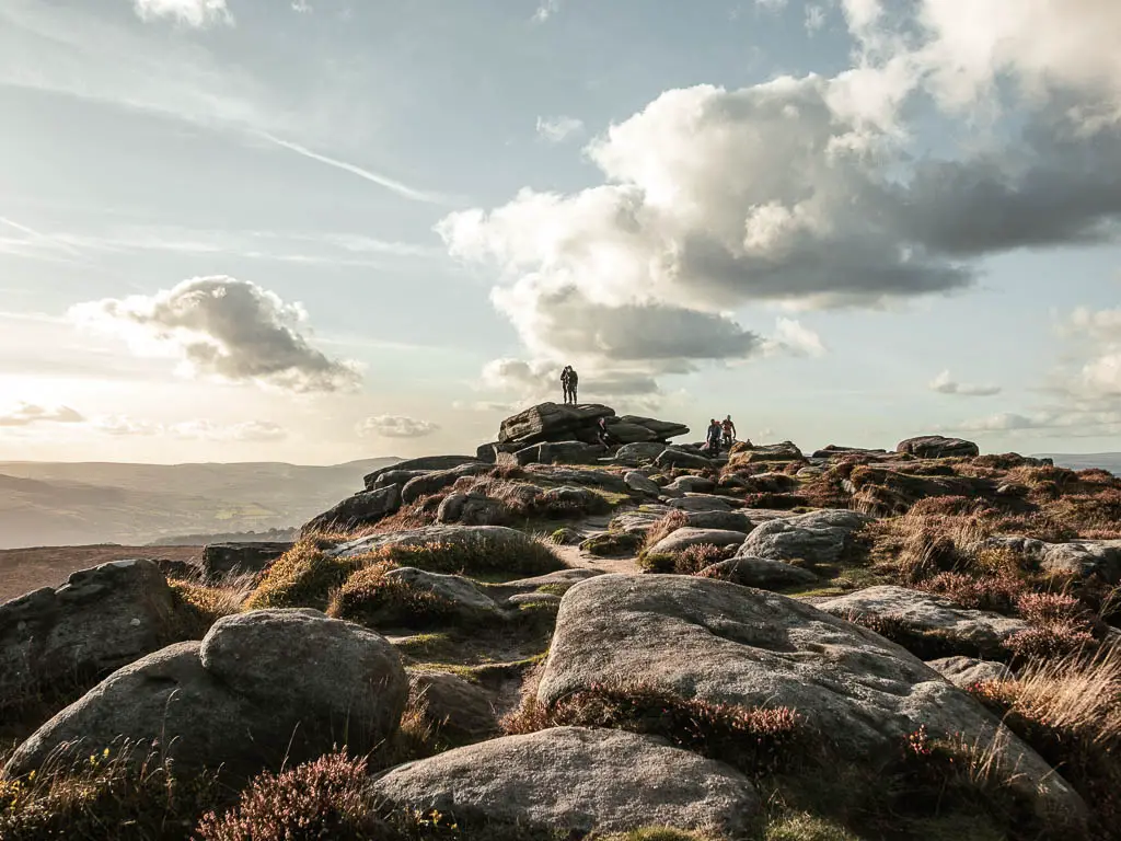
The Peak District has a lot of rock edges (gritstone escarpments), which you can walk along the top of. For all of them, you can simply walk along the top and stay there. Some of the best views in the Peak District are along the top of the escarpments. I chose to make the routes a bit more interesting by doing bigger circulars. Here are some of the best:
9) Stanage Edge and Higger Tor walk
Start/Finish: Hooks Carr car park. Distance: 7.3 miles. Time: 3h23min. Difficulty: Mostly easy, with a challenging end. Type: Circular route. Without a car: This hike takes you near Hathersage which has a train station. Then it’s a short walk from there to get to the walk route.
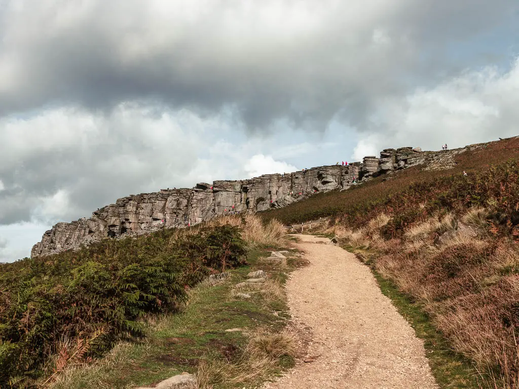
Stanage Edge is long gritstone escarpment (basically a long stone wall). It’s a popular place not just for walkers, but rock climbers as well.
Walking along the top of it I found to be really unique, with flat rocks, grass patches and heather. You can choose just to walk along the top (as opposed to the full hike), with stunning views across the Peak District National Park. That would be a lovely walk in itself.
However, in this walk guide, you will then come down off the edge and circle around through the valley and open fields, where you will get a really impressive view of Stanage Edge looming above.
Read more: Stanage Edge circular walk
10) Bamford Edge via Stanage Edge circular
Start/Finish: Dennis Knoll car park. Distance: 6.5miles. Time: 2h 45min. Difficulty: Mostly easy. Type: Circular route. Without a car: You can get a bus to the bottom of Bamford Edge (see the guide for more details).
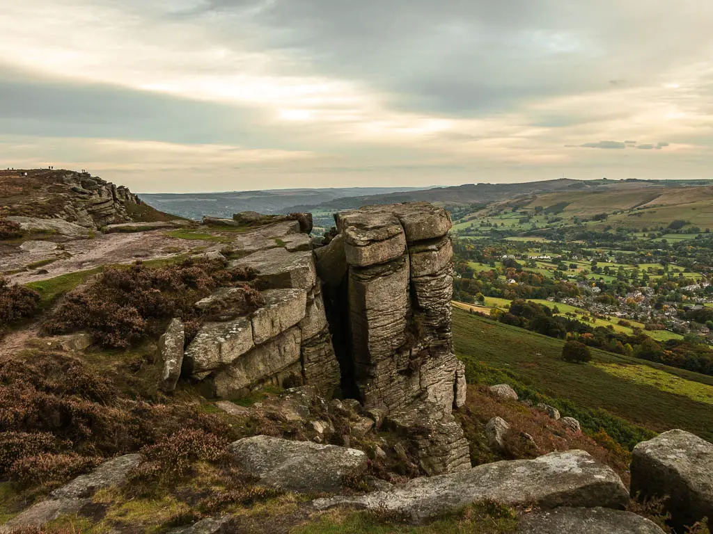
Two for the price of one, as this walk takes you along not just Bamford Edge, but Stanage Edge as well.
Stanage Edge is quite popular, and can get quite busy. However, the section you will do on this walk is the quieter bit. Then to get between the two, you will walk through open moorland, which can be a little boggy in parts.
Along both edges you will have some impressive views. Over to the pointy peaks in the distance, and down to the Ladybower Reservoir.
Read more: Bamford Edge circular walk guide
11) The Roaches via Lud’s Church
Start/Finish: Roaches road. Distance: 6.5miles. Time: 2h 30min. Difficulty: Moderate. Type: There and back. Without a car: You can get a bus to the southern end of Roaches road and start from there.
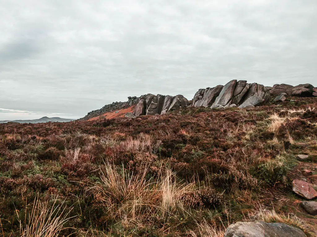
This walk starts off taking you below the Roaches (another rocky edge), before hiking up it, where you will have fantastic far reaching views across the Peak District. Apparently you can see as far as Snowden on a clear day.
You will then descend down into the woods, to reach the enchanting Lud’s Church, before doing a small loop, then heading back.
If you want, you can do a little bit of scrambling on this one. You can skip this though, if it’s not your thing. Also, if you don’t want to do the full route, you can do the Roaches on its own, then go over to Lud’s Church, and see that separately.
Read more: The Roaches walking guide
12) Derwent Edge walk via Laybower reservoir
Start/Finish: Cutthroat Bridge Car Park (near the Ladybower Reservoir). Distance: 10.5miles. Time: 3h40min. Difficulty: Moderate. Type: Circular route. Without a car: Bus number 257 from Sheffield. Get off at Cutthroat Bridge.
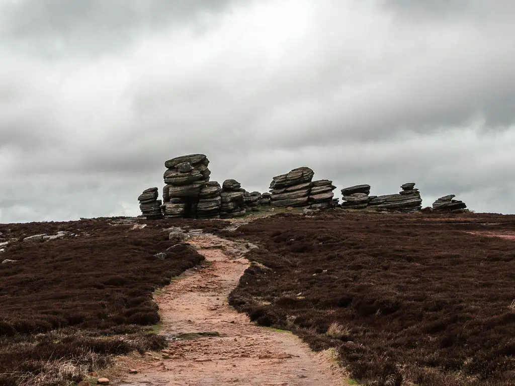
This rocky edge I found unique to the others, with all the unusual shaped tors.
The route takes you uphill, then levels out as you make your way along the edge. It’s on a mostly paved walkway, with a few stone steps thrown in, as you go from tor to tor.
You will have a lovely view down to the Ladybower Reservoir, and across the valley the whole way along. Once you reach the trig point at Back Tor, which is the highest point at 538m above sea level, you will descend all the way down and along the reservoir.
Read more: Derwent Edge circular route guide
Reservoir walks in the peak district
The Peak District has quite a lot of reservoirs with walking trails. I was never really into reservoir walks until I moved up to Yorkshire, and started walking around some of the ones up here. These are all amongst the shortest walks on the list, and some have well maintained paths all around, making them pram and wheelchair friendly.
Just a note, only the Dovestone reservoir has a well maintained path all the way around. The Ladybower and Langsett reservoirs are partially paved, so you would need to just stick to those sections if you have comes with a pram.
13) Ladybower Reservoir circular
Start/Finish: Ashopton Viaduct. Distance: 5miles. Time: Under 2h. Difficulty: Easy. Type: Circular route. Without a car: Bus number 257 from Sheffield gets you to the reservoir.
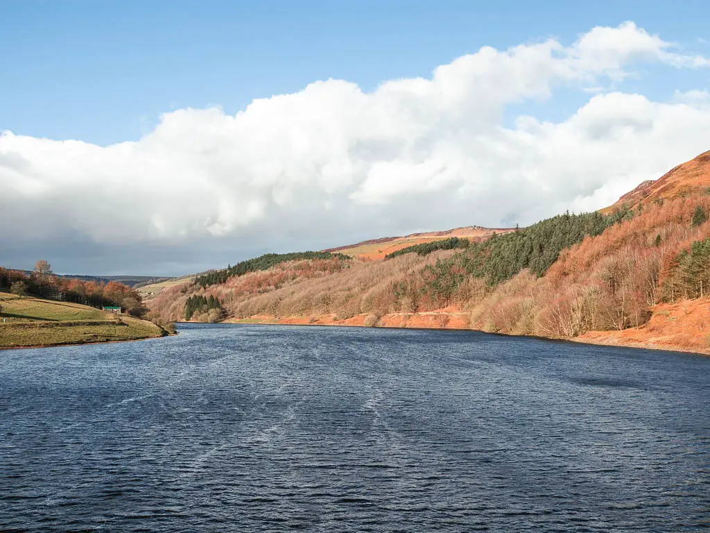
This is a very easy, mostly level walk, taking you around the reservoir. Easy doesn’t mean boring though. You will have a lovely view to the surrounding hills, with Derwent Edge and Bamford Edge rising high above.
You will walk along a mixture of open grassy sections, woodland trails, and pretty country roads, with a surprise red telephone box.
It’s one of those walks you can easily tailor to your needs, as there are lots of places to park around it, if you only want to walk a smaller section.
It’s quite a family friendly walk, with some parts being suitable for pushchairs. There are also toilet facilities, a refreshment kiosk, and visitor centre.
Read more: Ladybower Reservoir circular
14) Dovestone and Yeoman Hay Reservoir walk
Start/Finish: Dovestone Reservoir car park. Distance: 4 miles. Time: 1h 15min. Difficulty: Easy. Type: Circular route. Without a car: Greenfield is the nearest train station.
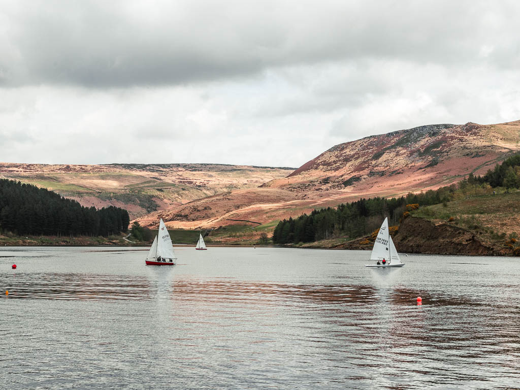
This walk actually takes you around two reservoirs, Dovestone and Yeoman Hay. It is one of the easier walks in the Peak District, and you can easily shorten it to just walk around Dovestone*
*At the time of writing, the path between the two reservoir is closed for construction. It’s supposed to be open by now, but it’s not. You can see updates on if it’s open yet here.
The reservoirs sit below some impressive hills, including the Trinnacle. The Trinnacle hike is further back in the list, if you are feeling more adventurous.
Of all the walks on the list, I would say this is the best walk for young families, as the path around Dovestone is accessible, and very pram friendly. Yeoman Hay is a bit more rugged, so you won’t be able to go all the way around with a pram. However, it’s super lovely to just walk out and back on.
Read more: Dovestone Reservoir walk guide
15) Wessenden via the waterfalls – My favourite reservoir walk in the Peak District
Start/Finish: Wessenden Head Road car park. Distance: 5 miles. Time: 1h 45min. Difficulty: Easy/moderate. Type: Circular route. Without a car: Not sure. There is a bus stop, but there seems to be no buses when I look.
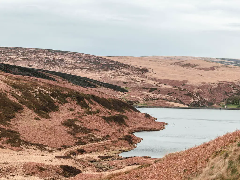
This is my favourite reservoir to walk around in the Peak District. It’s actually my favourite reservoir walk full stop. Just 10min down the road from the more popular Dovestone, it’s like a hidden secret, that the masses haven’t discovered.
It’s very different from your typical reservoir walk, in that there isn’t an easy trail all the way around it, but rather, a rugged narrow trail along the hillside, curving in and out with the undulations. The route then takes you deeper into the valley. Passing by lots of waterfalls, and then one really cool hidden waterfall with a dipping pool.
Read more: Wessenden Reservoir guide
16) Dale Dike Reservoir circular route
Start/Finish: Dale road. Distance: 2.5 miles. Time: 1h Difficulty: Easy. Type: Circular route. Without a car: No.
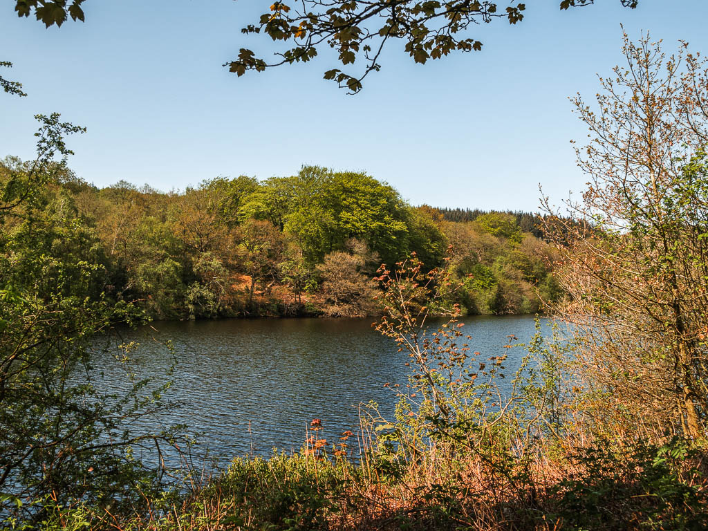
I found this to be one of the most peaceful, tranquil walks in the Peak District. Having walked it on a sunny weekend, I passed by less than a handful of people. The only noise was the sounds of birds, geese, and water trickles. Although it’s a very short route, it’s very rugged, with mud and tree roots, and is certainly not suitable for prams.
I feel like this would make a good date walk. The ruggedness provides the adventure, you would have your privacy, and it’s short enough that you have an escape if you don’t like the date, but also very pretty, so could meander and draw it out if things are going well.
Read more: Dale Dike Reservoir walk
17) Agden Reservoir circular walk
Start/Finish: Windy Bank road or Low Bradfield. Distance: 2.5miles. Time: 1h. Difficulty: Easy. Type: Circular route. Without a car: Low Bradfield has buses which come from Hillsborough.
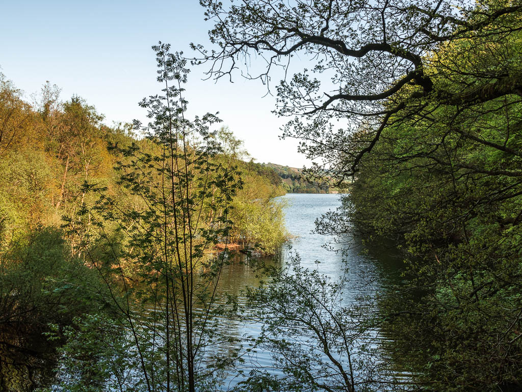
Less than 10 min down the road from Dale Dike, you will find the Agden Reservoir. Just as short as Dale Dike, but maybe even a little bit more rugged. They are quite similar, although between the two, I preferred Dale Dike. Mostly because Agden Reservoir does require a little bit of road walking.
There were slightly more people on this one, but nothing compared to some of the bigger more well known reservoirs.
I parked up right next to the reservoir, but if you choose to park at Low Bradfield, you could finish off at the pub. That would make a lovely afternoon.
Read more: Agden Reservoir walk guide
18) Langsett Reservoir circular walk
Start/Finish: Langsett Barn car park. Distance: 3.7 miles. Time: 1h 20min. Difficulty: Easy. Type: Circular route. Without a car: Buses 26a and 407 take you out side the pub near the car park.
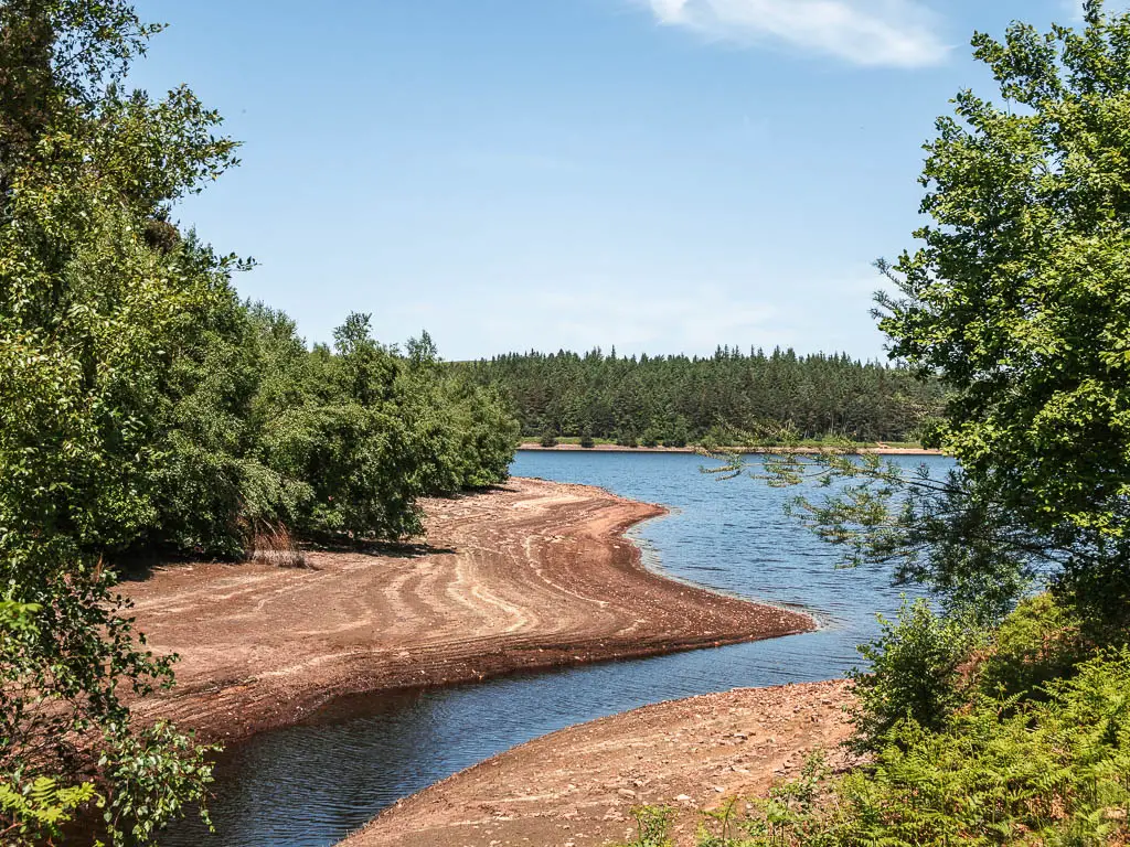
This reservoir in the Peak District is quite mixed, with a few different trail options to walk along.
It starts off along a well maintained dirt path. Then there is a big hill to take you up and across the moor, where you will be rewarded with views down to the reservoir, and pass by some old farm ruins. After this, you have choice between main path and off-piste very rugged almost non existent path. I chose the latter.
I enjoyed the variety, and found that by going off-piste, I had the place to myself.
This reservoir is right on the edge of the Peak District, with easy access from the main roads. Although, that’s not an issue, as I didn’t notice much noise from them.
Read more: Langsett Reservoir circular
Final thoughts
I hope you found something that will work for you on this list. If you only have a short time in the Peak District, and can’t decide which of the walks to do, then this is what I recommend:
For the biggest bang for your buck, I would do Mam Tor via Cave Dale. If you can fit it in, I would then pop over to see Lud’s Church. Maybe on a different day though, as Mam Tor via Cave Dale is fairly long and you might be tired after it.
If you like big rocks, then one of the best hikes for this is Stanage Edge. I found it to be the most impressive of the gritstone escapements. Again, if you don’t have much time in the Peak District (or you just don’t like big walks), you don’t need to do the full hike I did to experience it.
For something exhilarating, with uniquely shaped hills, then you must do the Chrome Hill Dragon’s Back route. Just make sure it’s not been raining recently, and you walk it the ‘correct way’ around.
If you fancy a reservoir walk, then definitely do Wessenden, up in the very north of the Peak District. It’s not crowded like some of the more popular reservoirs. The landscape is super unique, plus there are some really cool waterfalls.
How to get to the Peak District National Park
It is located in the middle of England, mostly in the county of Derbyshire, and spreading a little into Yorkshire, Staffordshire, Greater Manchester, and Cheshire.
By car: If coming to the Peak District from London, it will take you a good 3-4hs by car. The most direct route is along the M1. If coming from the south west, the M5, then M6 will get you there (or near there).
By train:There are train networks that run into the Peak District from Derby, Manchester, and Sheffield. So if coming from another part of England, you will need to get to one of these first. From London St Pancras to Derby it’s about 1.5 hours, and to Sheffield it’s around 2h. From London Euston to Manchester Piccadilly, it’s a bit over 2h. Just be aware though, that Derby is the furthest away from the Peak District. So it will take longer to get in from there.
Getting around in the Peak District
If you plan on getting to the Peak District by train, I would recommend renting a car when you are there. All these walking routes in the Peak District do start at a car park, or roadside parking.
It’s also pretty easy finding free parking. From memory, I think I only had to pay for parking for two of the walks (both started from the same place).
Some of the locations also have a National Trust car park, which is free for members.
Want cheap car rental? Check out Discover Cars who compare prices from different car rental companies, so you can find the best deal.
It’s not essential though, as there is a way you can get to some of the walking trails by bus or train. Just be aware that public transport isn’t always that frequent. So it will be a lot easier if you have a car.
Pin it for later:
For more ideas of things to do in the Peak District National Park, other than walks and hikes, you can find out more on the Visit Peak District Website.

4 comments
Great Post, we’ve been lucky enough to do a few of these, have to agree that Cavedale is the one, simply beautiful.
Have you done Jacobs ladder to Kinder Downfall? I’m taking the children tomorrow, we’ve done the edale route to kinder low but I hoped to change it up a bit and take in the reservoir and downfall. Have a lovely new year
Hi Gary, yes its wonderful isn’t it! Funny enough, I have done a jaccobs ladder in Somerset, but no I haven’t done it there!….yet 🙂 happy new year to you too!
lThank you so much for this entire website. I have used it multiple times without commenting, but you are my go to walking website. The level of detail is both illuminating and incredibly reassuring. Thank you!
Claire, oh my gosh this makes me so happy to hear :). thank you for your wonderful comment. Im really glad you find my website useful.