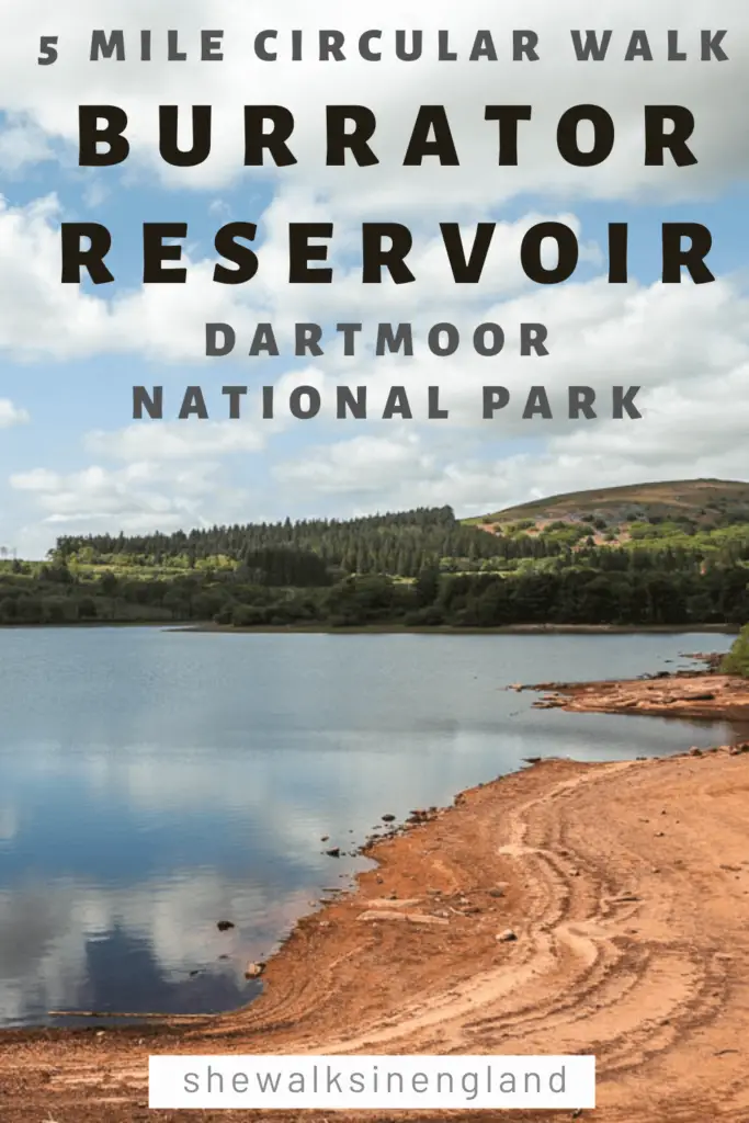
I had already done a bit of a walk around Burrator Reservoir 2 days ago. But only bits of it. I was curious what the whole circular trail around it would be like, so I came back today to try it. I must say, I was pleasantly surprised. Now let me explain:
I knew that the reservoir was nice, as I had seen it already. However, I had been reluctant to follow the whole circular trail around the Burrator Reservoir, as there is a lot of road. Not any road. The big yellow road. That means it’s a main road which usually equates to busy. Now, from my walk 2 days ago, I discovered that the roads here aren’t that bad, I would even say quite nice. So that’s why I came back today to give it a proper chance…..
What to expect on the Burrator Reservoir walk
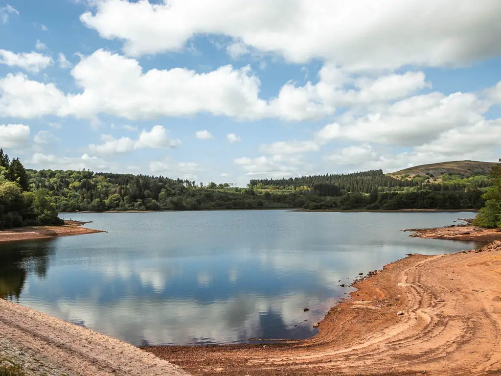
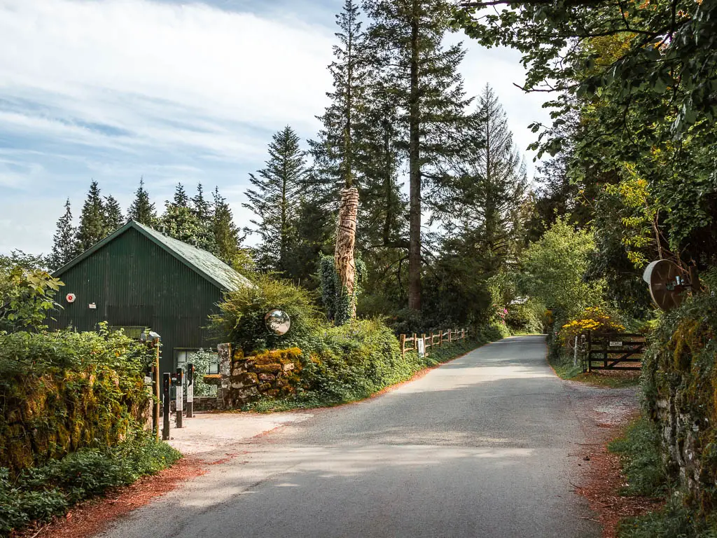
You really have nothing to worry about with the roads. There turned out to be only three short sections of road walking, and as I said, it’s nice road. There is a long stretch where the trail runs parallel to the road, but you barely notice it. Very few cars actually drive along there (from my experience having been there on both a weekday and a sunny weekend.
The trail itself is mostly dirt with some very rocky bits and sections with lots of tree roots. It is a lot of woodland walking, with a few open sections, with grand views across the reservoir. When walking on the woodland trail, there will also be opportunities to walk through openings in the trees to get right next to the Burrator Reservoir.


You will pass by ruins, rocks pools and have a backdrop of the mighty Sheepstor.
The whole route is pretty level, so no hills to worry about, however, I added a little detour at the end of the walk which is uphill. I highly recommend it through, because up there you will get a fantastic view back down to the reservoir and the bridge. It’s not a steep or long uphill at all, so don’t worry.

Oh, and if the time of year is right, there will be an abundance of bluebells.
Logistics for the circular Burrator Reservoir walk
- Start/Finish: South side of the reservoir or Meavy (I started from Meavy).
- How to get there: If you don’t have a car, you can get a bus to Meavy from Yelverton (number 56). You can get a bus from Plymouth to Yelverton (number 1). I know, it sounds long winded, but it’s actually not that bad. Alternatively, you can walk here from Yelverton. That’s what I did last time, so you can read about the Sheepstor walk to get directions. If you have a car, there is street side parking and a car park near the bridge on the south side of the reservoir.
- Alternate start/finish: If coming by car, there are also a couple of car parks on the north side of the reservoir. I do recommend starting from the south side though – see tips.
- Distance: 5 miles
- Time: 1h 45min
- Difficulty: Easy
- Terrain: Dirt, gravel, tree roots, rocks, some road. Potential mud.
- Amenities: Yelverton has a co-op, petrol station, pub, cafe. Meavy has the Royal Oak Pub. There are numerous benches around the reservoir. I also saw two ice cream trucks – on the south side and north side of the reservoir. These will be day specific. They weren’t here when I walked around here on a weekday, but they were today on a weekend.
- Dog Friendly: Some stiles. On the north side of the reservoir, there is a bit of trail which is a dog exercise area. You could park on the north side and walk along that bit. There are no stiles around there.
- Time of year: Spring
Tips for the circular Burrator Reservoir walk
- The reason I recommend starting from the south side (and also walking anticlockwise) is because of that detour ending I mentioned. That little hill takes you up for a grand view finish.
- If you want to try to find some Dartmoor Ponies, then you might have some luck up the hill at the end. So instead of turning left to walk back down to the Burrator Reservoir, you should turn right to walk across the hill top.
- For bluebells, do this in spring. You will have a bluebell feast.
- I would recommend hiking shoes/boots because of the rocks and tree roots. They could be quite uncomfortable under foot. Don’t worry too much if you don’t have any though.
- It looks like it could get muddy in places if it has been raining.
- If you are coming by public transport, and want to get a bus between Meavy and Yelverton, they only run every two hours or so, up until around 4:30. When you return to Meavy after the walk, you could hang out at the Royal Oak pub while you wait for the bus.
- The buses between Plymouth and Yelterton are very regularly, maybe every 20min or so…except Sunday. Then they are hourly. Journey time is about 35min.
Map for the circular Burrator Reservoir walk
More walk ideas, with a link to the full guide, in Dartmoor and near the Burrator Reservoir will be at the end. Or you can take a look now at all the walking routes I recommend here.
A Guide To The Circular Burrator Reservoir Walk
I started the walk from Meavy to head to the south side of the Burrator Reservoir and bridge. If you are also starting from here, go into the field next to the white building (in the photo below).
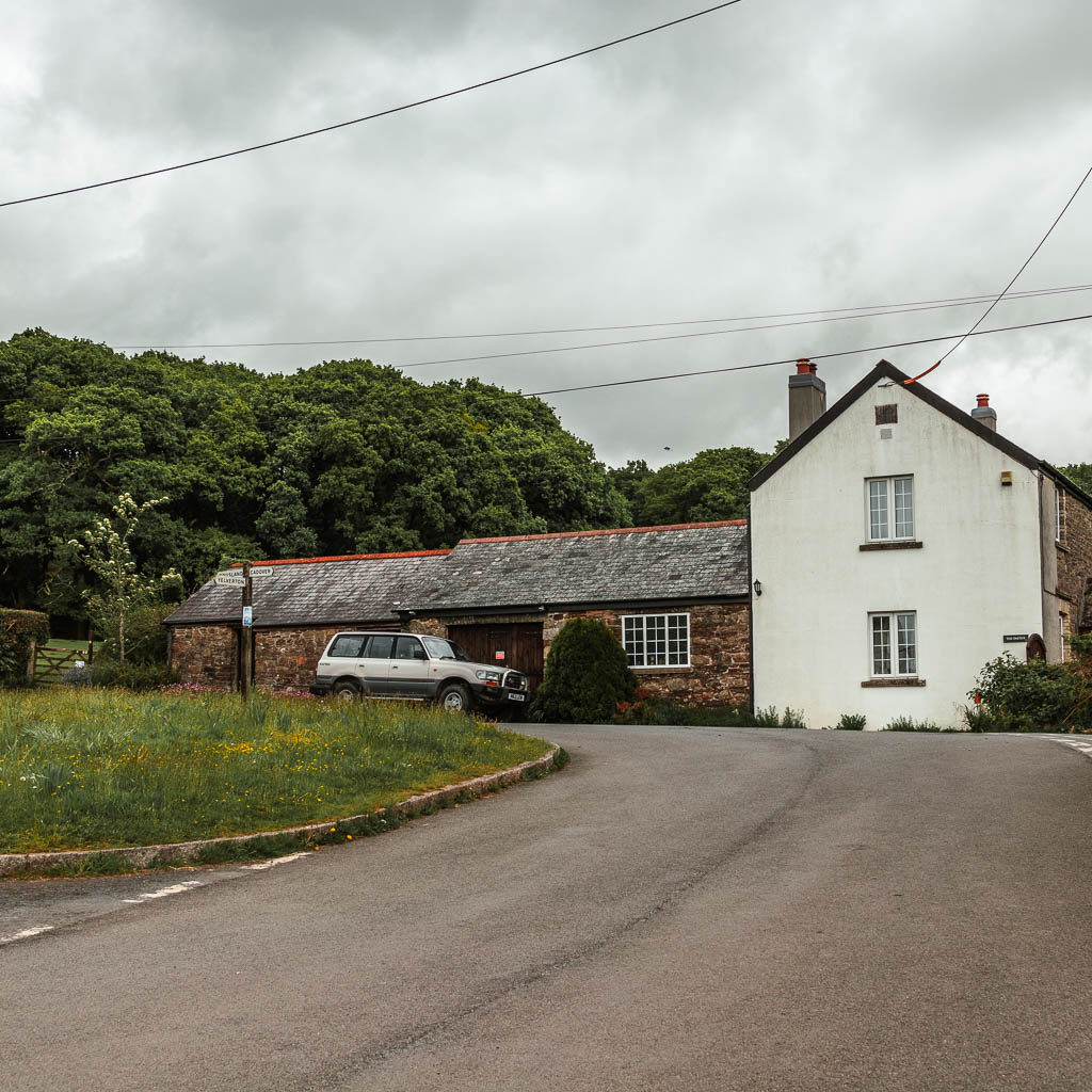
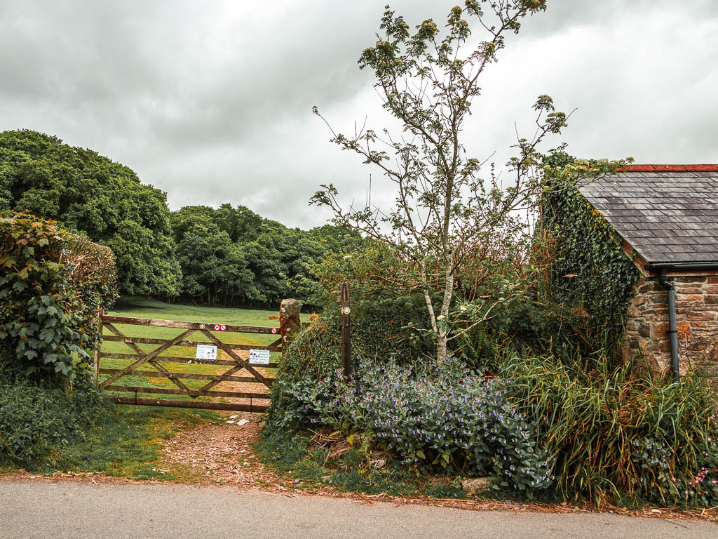
When I was here a couple of days ago, there were cows with calfs in this field. I almost didn’t make it through. Today, I was fully prepared to take a detour today to avoid them, however, they weren’t there.
I tentatively made my way across the field, on high alert in case they were there but were hiding. I took no photos yet as I needed to stay sharp and focused.
You basically need to walk straight across to pick up the trail through the woodland and then through two gates on the other side.
Through the second gate, you will be met with a fork junction. Last time when I walked to Sheepstor, I went right. Today I took the left. It’s a bit of an uphill through the woods and then things level out for the rest of the way.


At the big opening, with a U bend path, take the left one which will lead you up to a gate and then the road.
Nb. If you have come by car, this is where you can park. I think there is also a car park a little further back on the road.

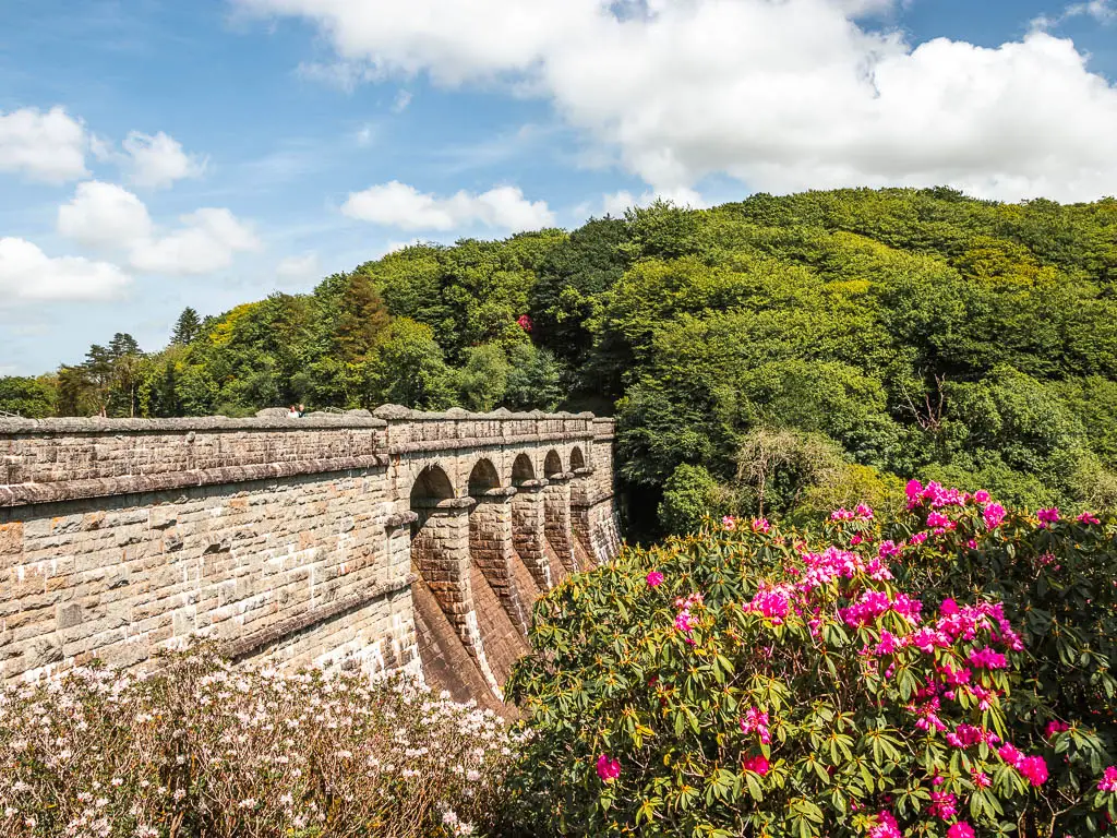
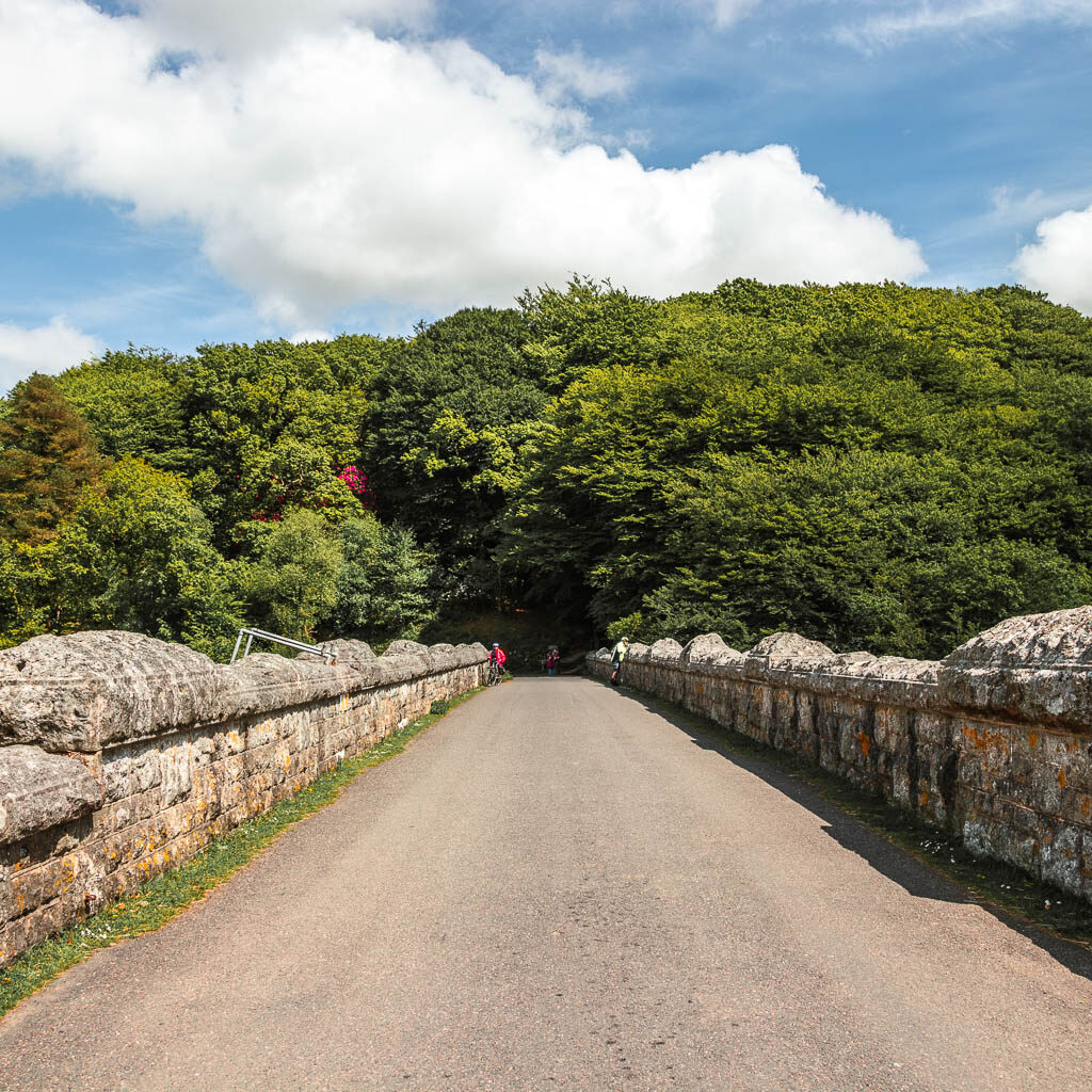
Walk over the Burrator Reservoir Bridge
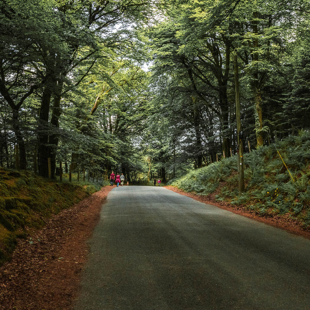
Just ahead to the right is the reservoir bridge. Go over there and walk across it, and keep following the road around the reservoir to the left.

Walk on the Burrator Reservoir trail
Just ahead you should come across a gate on the left. Go through that to get onto the reservoir trail. Now turn right and away you go. Now it’s as simple as following the trail around. There will be a couple of times you need to go back onto the road, and one section where you also might have to take a detour (I will explain soon).
The trail along this section is pretty easy and under woodland, with the occasional small opening to the reservoir on the left.


A little further along, you will exit the woods to walk alongside the Burrator Reservoir wide in the open. There is an impressive backdrop of Sheepstor from here
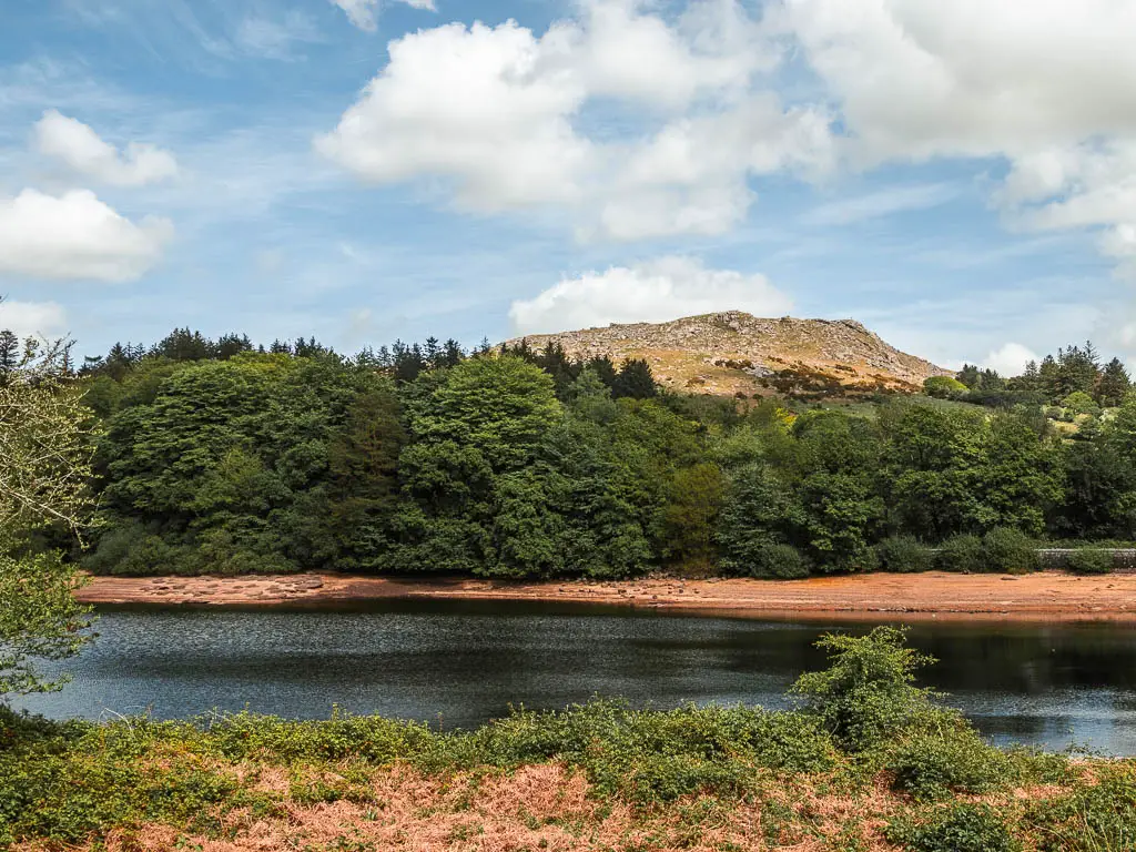

– Read about the Sheepstor walk here –
This little section is the most civilised area of the walk, with some nice sitting benches.
Walk back into the woods and to Longstone Manor
Follow the trail around, and it will take you back under the trees, which will now make up the majority of the rest of the walk.


Along here you will get a taste of the tree roots, and will cross a wooden bridge thing. There is a short section where things open up and you may get to see lots of bluebells (the best ones comes later though).


Keep going, and you will reach the ruins of Longstone Manor.
Fun Fact: Once a manor home for the Lords of Sheepstor, then a farm, then abandoned as a farm once the reservoir was built. There are thoughts that the present building has been around since the 1600’s.

Small loop detour
You can continue on the main trail, or if you go left behind the ruins, there is a detour which lakes you on a small loop. I checked it out. There isn’t lots to see on the first part, but on the other side you get a lovely view onto the reservoir.

Apparently there is stone platform somewhere here, which is called a windstrew. It’s where corn used to be thrashed by hand. I missed it though.
If you took the loop detour, when back at the ruins, turn back to the left to pick up the trail.
Back into the woods and potential detour
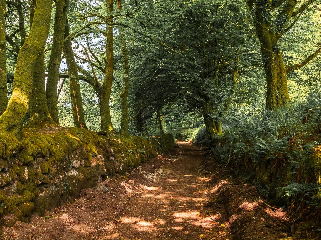
At the fork, take the right trail where you will be walking next to a moss covered rock wall, and then lots of fern and potentially more bluebells. All giving that fairytale vibe.


You will reach a point where there is a stile onto the road on the right, and a wooden barrier type of thing ahead on the trail. You can stay on the trail and go past the barrier, however I don’t think this will always be the case. It looked like the reservoir was part empty, thus, low water levels. The next little bit looks like it will sometimes be underwater, you know, when the reservoir is more full.
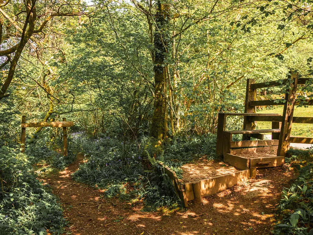
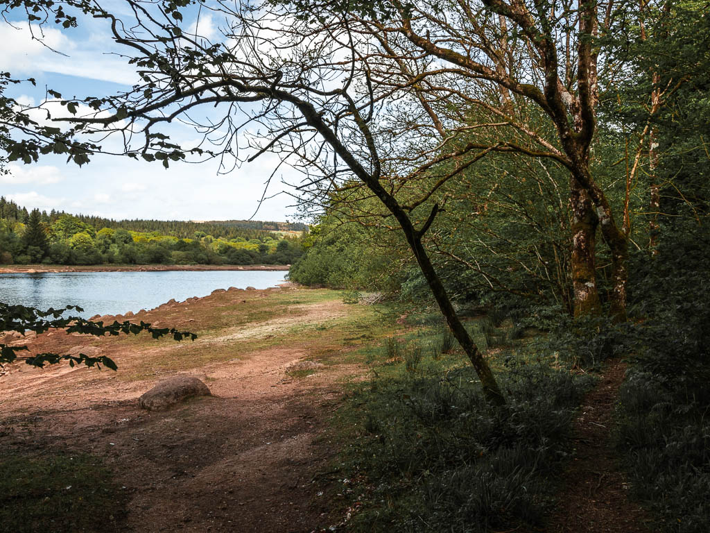
You can asses the situation when there.
If it’s not passable, then go onto the road, and you will be able to come back onto the trail a short way along.
If you can pass, then go past the barrier, and walk across the open area out from the trees, and then on the other side, go right and back under the trees to pick up the trail again.

The tree roots and bluebells
The next section is one of two most tree root heavy bits. The ground is very uneven and quite narrow in parts, with the occasional rocks and boulders. The trail is also quite snaky here.


When the tree roots start to calm down, the bluebells may make an appearance, and then you will walk amongst an abundance of bluebells. So many bluebells.


It was around here I hit some people traffic. The bluebells are always going to be a big draw. Note: A few days ago when I was here, there was no one about.
Walk along the road
Past the bluebell goodness, there will be a t-junction. Left does look lovely with a grassy trail through the woodland. This is a dead end through. You will need to go right and over the stile to walk along the road for a little.
I still had my people traffic. There are a couple of car park ahead which is why.

Past the second car park and over the little bridge, you can pick up the trail again on the left and through a wooden gate.

Walk along the stream and towards the dog exercise area
Through the gate, turn right and you will be walking alongside a stream of water. The next little bit is the other tree root heavy bit. What’s interesting, is that just past the tree roots is another mass of bluebells. It seems the bluebells are most prevalent near exposed tree roots.


The trail will then take you away from the stream, and the second gate on the left will be the entrance to the dog exercise area (it will be signposted). The main trail also continues through there, so go through the gate.
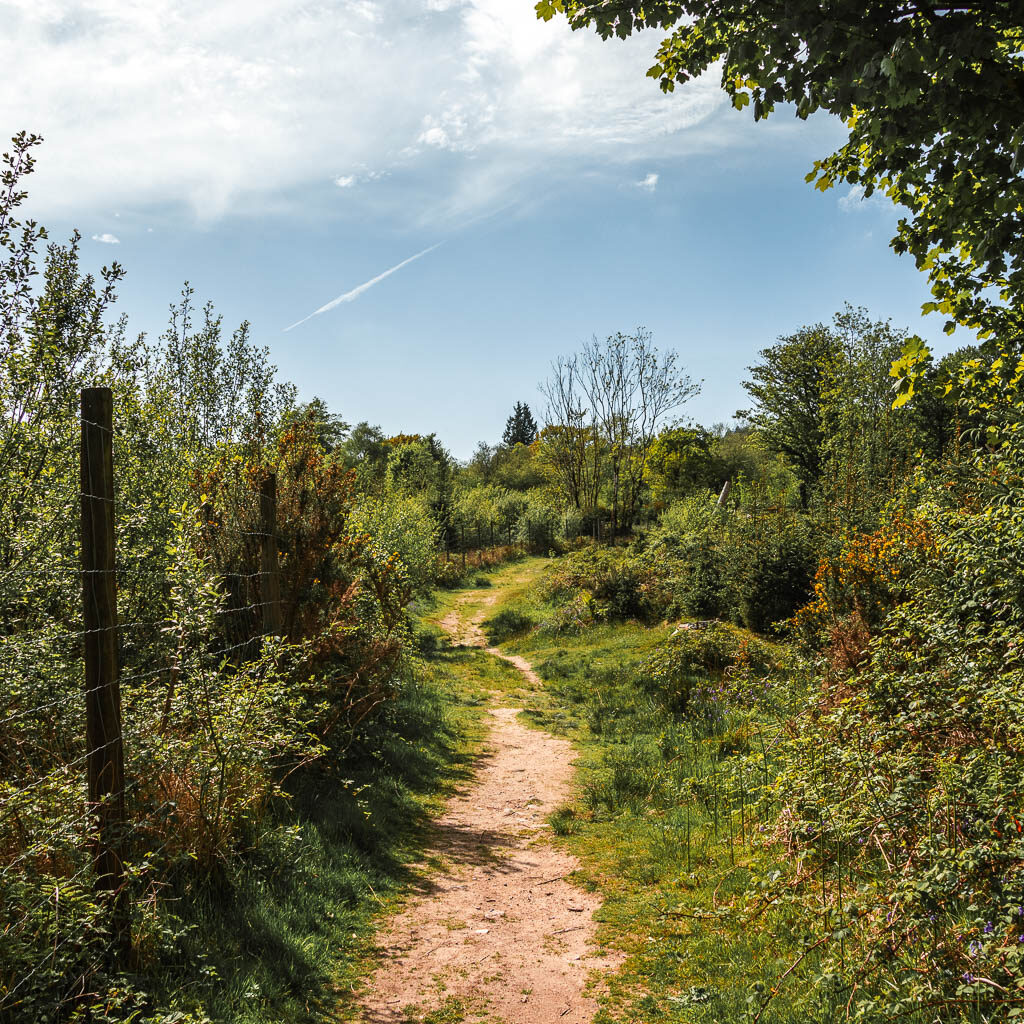


Walk back alongside the Burrator Reservoir
This trail will lead you back to walk alongside the Burrito Reservoir, although, for a while you don’t get a good view of it. You will be able to see Sheepstor looming above to the left though.
There will be an opportunity to go through a gate on the left to get onto the reservoir. This would be a lovely area to have a little picnic or snack break. It’s not the only one though, so you can keep going if it’s too busy for your liking. I could hear children, so I gave it a miss. I would take the next one.

The trail continues mostly under tree cover. There will be the occasional right turning trail, but ignore those and keep to this main one next to the reservoir.
Someway further along, things will start to open up, where you will be able to sit by the reservoir again, and will have a lovely view across it and to the bridge.

I had been holding out for this bit, but I heard it again. The children. I knew there was a nice viewpoint bench coming up, so I decided to try my luck there and kept going.


When I reached the bench, it was nice and empty, so I set myself on it for some nice views with my snack. From this bench you can a great view to Sheepstor ahead, and the reservoir bridge to the right (I don’t have a useable bridge photo as the sun was directly facing, so it looks sh*t)

Walk to the road and ‘waterfall’
A short way past this bench, the trail will take you up a short hill and onto the road. At this road turn left. It’s a nice bit of road, quiet with flowers.
You know what I saw this time which I didn’t see the last time…a totem pole.

This is the visitors centre.
Keep going, and you will reach the ‘waterfall’. I say it like that because it’s not real. If you look closely, you will see a pipe with water shooting out of it. It’s still kind of cool though.
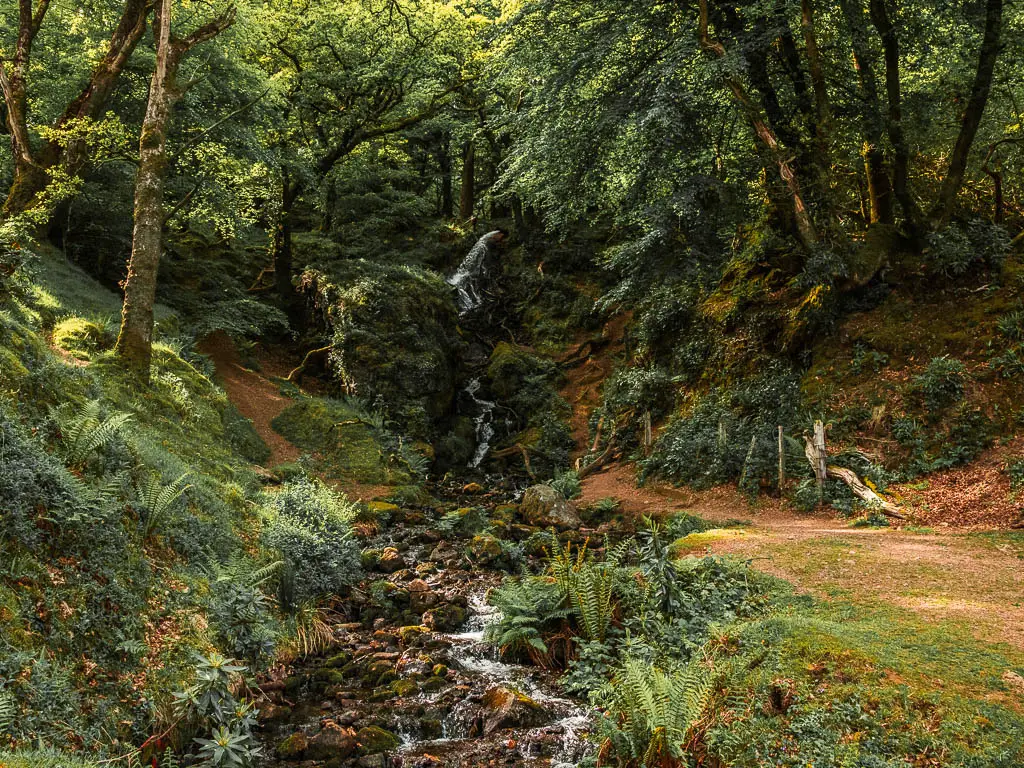

The landscape next to it is also pretty cool, the grassy hilly bumpy bit.
The best viewpoint and the end of the walk
Next to the waterfall, there is a trail running uphill parallel to the road. This is that last uphill I mentioned you should try. If you want to skip it, then stay on the road, and it will lead you back to the bridge and car parking area.
Following this trail, it’s a gentle uphill walk, and partway up you will get a fantastic view down to the Burrator Reservoir and bridge.
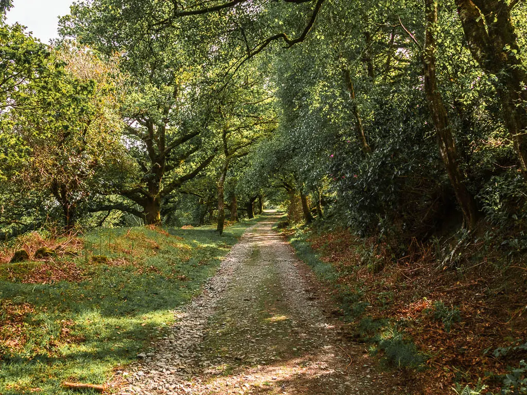

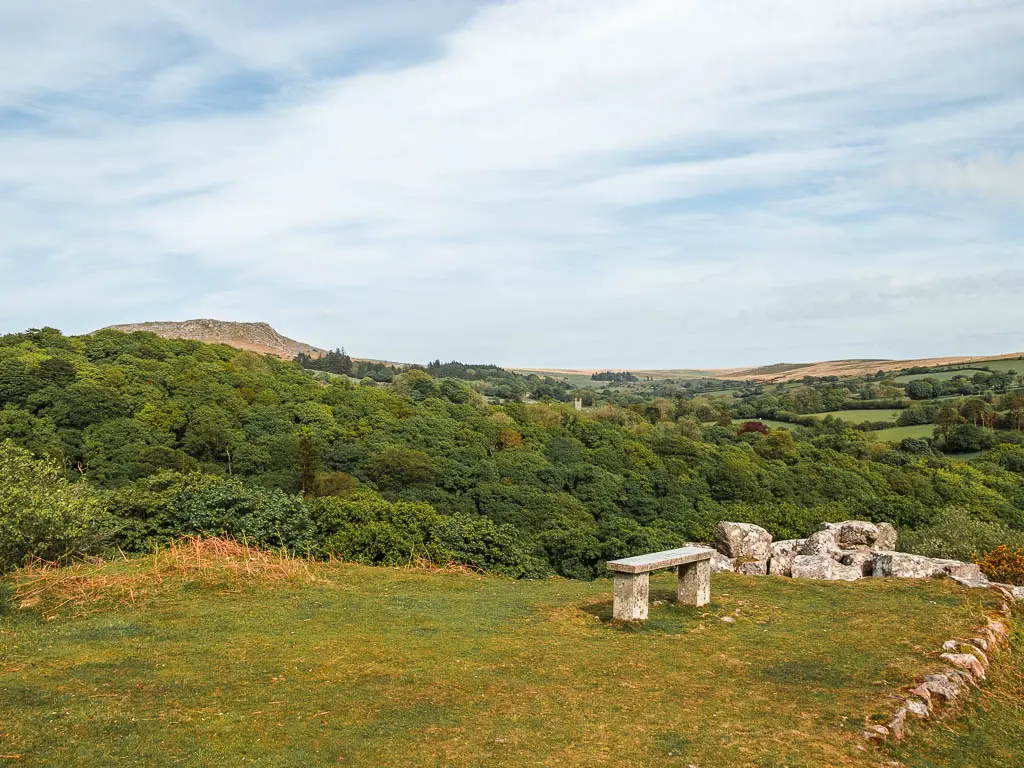
If you then keep going up, you will reach the open area with a viewpoint bench for a view to Sheepstor and across Dartmoor.
Options to end the walk
If you want to end here, just past the bench, take the downhill trail on the left, and this will lead you back to the road. From there you can turn left to find the car parking area, or go back to the trail to go back the way you came to get to Meavy.
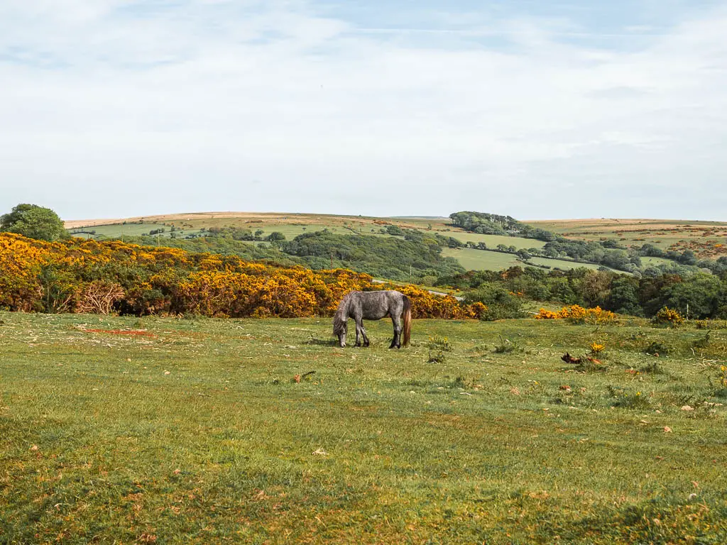
If you want to try and find some Dartmoor ponies, then take the far right and back, to walk further up the hill. There are various trails you can take up here. You can pick your preference.
I stopped my tracker here, as I went up the hill and walked back to Yelverton from there. If you also want to walk back to Yelverton, you can read about the directions on my Sheepstor post.
More walking route ideas near the Burrator Reservoir
You can read about the best walks in Dartmoor National Park, for a detailed side by side. Alternatively, see below for a quick look:
Sheepstor walk – I have mentioned this one quite a bit. It is a little more of a challenge because you walk up Sheepstor, but I wouldn’t label it as a challenging walk. It’s a medium one. You will get to see the Burrator Reservoir from high up, as well as a little bit of it down below.
Foggintor Quarry – One of the most beautiful quarries I have seen. This is a super short and easy walk, and one I tell everyone to come and see.
Wistmans Wood – A high altitude mystical fairytale like woodland. A must see if you are in Dartmoor.
Princetown Railway King’s Tor walk – This one not only takes you to a big tor, but is also takes you via Foggintor Quarry. It’s a really easy walk and follows the old railway track.
Ivybridge walk – This is a super simple walk to follow, and is very exposed with grand far reaching views across Dartmoor. Bonus, you don’t need a car.
Drakes Trail – Also a super easy walk, as it follows a bike trail. It’s just on the outskirts of Dartmoor and connect Yelverton and Tavistock.
For more walk ideas in Dartmoor, you could check out the Visit Dartmoor Website.
Pin the Burrator Reservoir circular walk guide for later:
