I decided to walk around the Ladybower Reservoir very last minute. I had actually just finished another walk, and was on my way home. As I was passing by the reservoir, I pulled in…
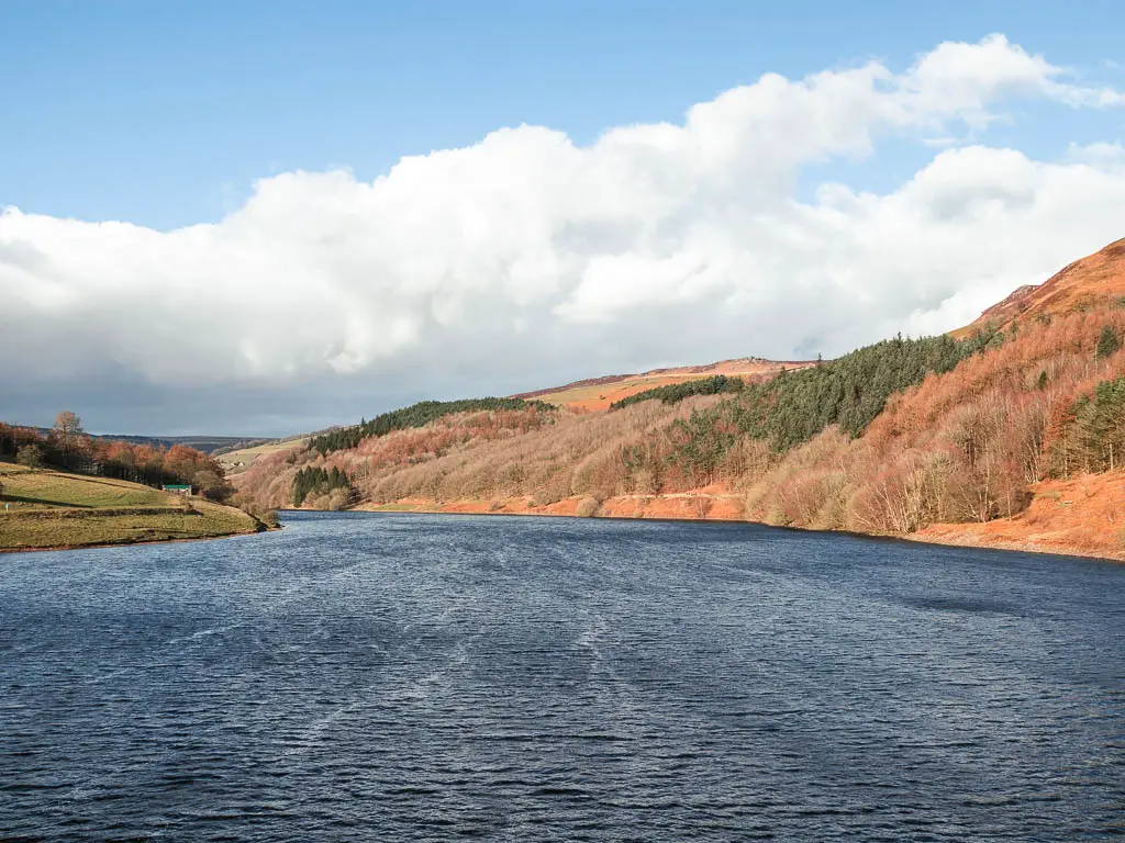
The walk I had just come from, was Chee Dale. It had taken me 1h30min to get there from home. The sun was shining. I figured, whilst I was here, I might as well get as much out of the long drive as possible. Take advantage of the good weather, before the beast from the east arrived, which at this point was a constant imminent threat in the news.
Read more: Chee Dale and the stepping stones walk guide
What I’m going to do in this guide, is first give you an overview of what to expect on the walk around the Ladybower Reservoir. With full logistics, a map, and useful tips. Then I will go on to describe the route step by step, with lots of photos. At the end, I will provide suggestions for walks nearby.
What to expect on the walk around Ladybower Reservoir
I must say, I was pleasantly surprised by the Ladybower Reservoir Walk. Undulating grassy fields, woodland trails, spectacular views up to Derwent Edge and Bamford Edge.
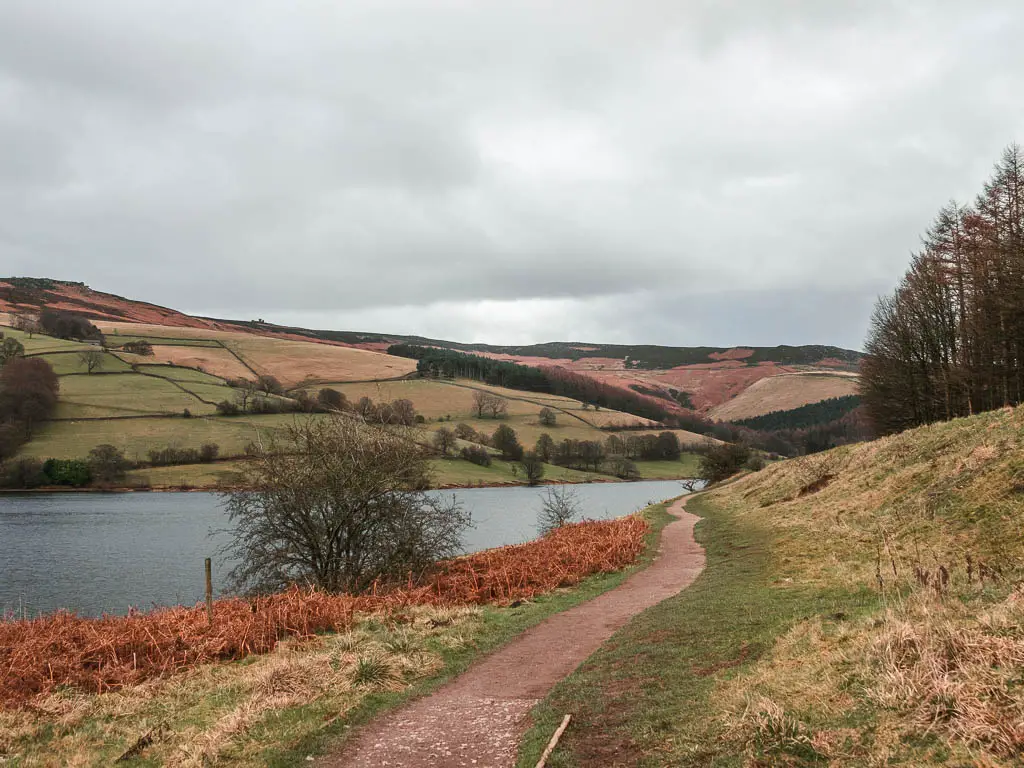
You will walk across the Ashopton Viaduct, which has some interesting history, and alongside the impressive Derwent Dam. It’s a very easy walk, with well placed benches along the route, to sit and admire the reservoir views.
It is one of three linked reservoirs in the Upper Derwent Valley. The other two being Derwent Reservoir, and Howden Reservoir.
Fun Fact: The Ladybower Reservoir was built between 1935, and 1943. It was officially opened by King George VI.
I found the Ladybower Reservoir walk, to be quite similar to the Dovestone Reservoir. That one is a bit shorter, but had a very similar backdrop, and scenery.
All in all, it was a great walk along well made tracks, with good views, and not too challenging.
How long is the walk around Ladybower Reservoir?
The walk around the Ladybower Reservoir is 6 miles. There is a trail and public footpath that takes you most of the way around, with a small bit of country road walking.
If you would like to try something a bit different, you could hire a bike. There is a bike hire and repair shop at the Fairholmes car park. You can find out more details about bike hire here.
Parking for Ladybower Reservoir
You have multiple options for parking around the Ladybower Reservoir, some free, some paid for. On the southern end, on the A6013, there is the Heatherdene car park which has some public toilets.
On the northern end next to the Derwent Dam, you have the Fairholmes car park, located at the Upper Derwent Visitor Centre (also known as the Fairholmes Visitor Centre). This one has public toilets, and information centre, and a little food place.
Both have plenty of parking spaces and are pay and display. You can pay with cash or card.
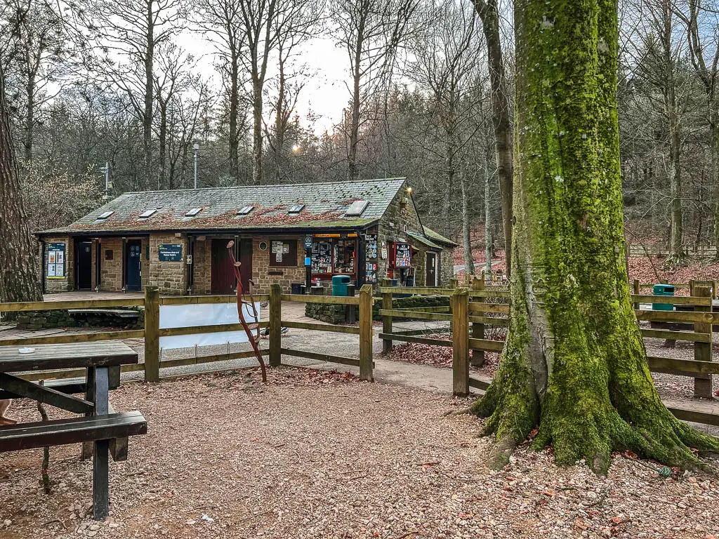
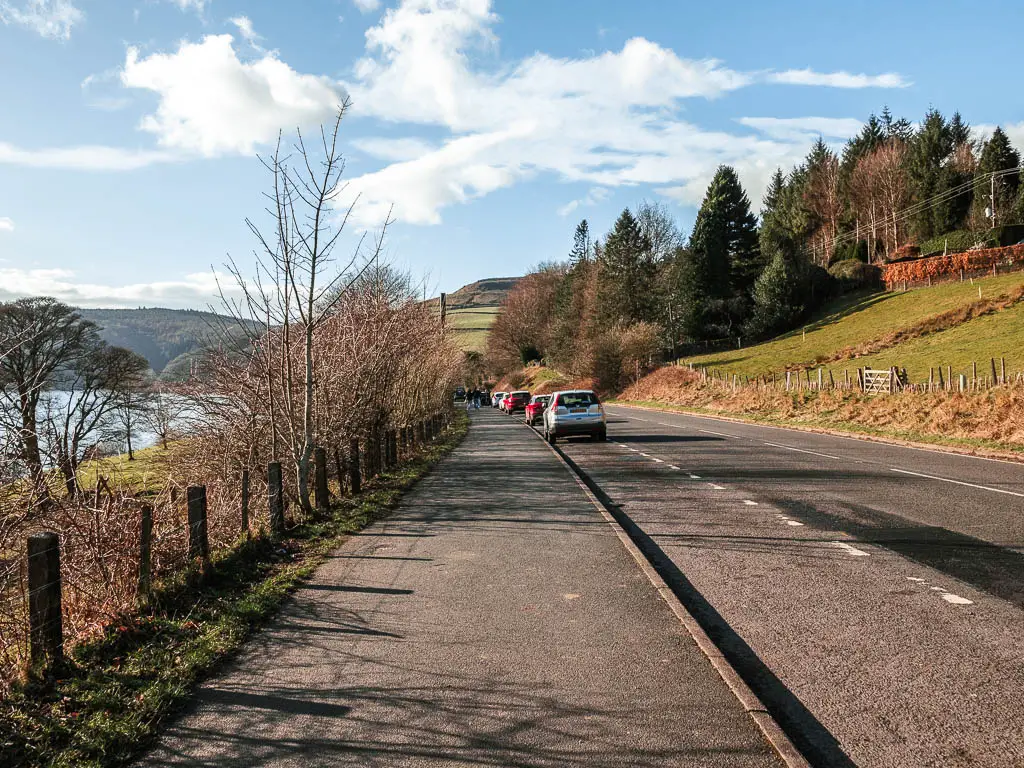
For free parking, there is a small section of roadside parking next to the Ladybower Reservoir just outside Heatherdene car park. Then again, some more roadside parking just next to Ashopton Viaduct (this is where I parked). On the northern end, there is the Derwent Overlook car park, just before you reach Fairholmes car park.
Logistics
- Start/Finish: I started from the road side parking just east of Ashopton Viaduct. Post code for Heatherdene car park, which is near the starting point, is S33 0BY. As this is a circular walk around the Ladybower Reservoir, you can park in any of the options I mentioned above.
- Where is it: Located in the Upper Derwent Valley, in the Derbyshire part of the Peak District.
- Public transport: Yes. The 257 bus runs past the southern end of the reservoir. It runs between Sheffield and Hope. Get off at Heatherdene, which is in front of the Heatherdene car park.
- Distance: 5 miles circular route.
- Time: Just under 2h
- Difficulty: Easy
- Terrain: Grass, dirt trail, quiet country road, viaduct bridge, a few steps.
- Options to lengthen the walk: At the northern end, past the Fairholmes Visitors Centre, you can continue north to go along the Upper Derwent and then Howden Reservoir. The public footpath is along the east side of both of them.
- Amenities: On the northern end of the reservoir, there is the Upper Derwent/Fairholmes Visitor Centre, a refreshment kiosk and public toilets. Numerous benches around the reservoir. Heatherden car park has toilets, but it’s a bit off trail, so only useful if that’s where you have parked. After the walk, you could pop over to the Yorkshire Bridge Inn, which is just south of Heatherdene, for some pub grub.
- Time of year: I did the walk in winter.
- Dog Friendly: No stiles, livestock is separated from the trail, by fence.
Tips for the Ladybower Reservoir walk
- If you don’t want to walk the whole way around the Ladybower Reservoir, I would say the west side is the better side. The best views are from this side.
- If you have come with wheels, the east side is more pram friendly.
- If you have come with young children in general, the Fairholmes car park on the northern end is the better choice. It seemed like the perfect place for families. There are more facilities, and there is an area here which looks like it would be fun for children, with log train seats, and mini log mushroom stools.
- I’m always an advocate for hiking boots, but you could wear trainers for this walk. Just note, that the woodland path section looks like it could be a little muddy after rain.
- One of the draws of the Ladybower Reservoir, are the plughole’s. This walk doesn’t take you to them, but if you want to go and look, you will find them on the southern end of the reservoir, at the Ladybower Dam, just south of Heatherdene car park. They are there to drain any excess water when the water level is high. So to see them in action, go after a period of heavy rain.
- The best times to visit the Ladybower Reservoir would be weekdays or early morning. I did the walk on a weekday, and there weren’t many people about. But I hear it’s a very popular reservoir, so can get quite busy.
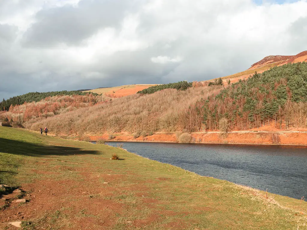
- Take a picnic. You will find lots of nice places to sit when walking around the reservoir. The south west side would be the perfect place, as it’s nice and grassy with great views.
Map for the Ladybower Reservoir walk
You will find my more detailed walking route map for the Ladybower Reservoir circular on AllTrails.
Read more: Best Walking trails in the Peak District National Park
Route description for the Ladybower Reservoir walk
I will be describing the start of the walk from the south side. If you are starting from the north, you can scroll down to the northern end section.
Starting from the road side parking before the Ashopton viaduct, walk along the main road towards and over the viaduct. If starting from Heatherdene car park, walk onto the road and make a right turn, then follow it around the Ladybower Reservoir to reach the viaduct.
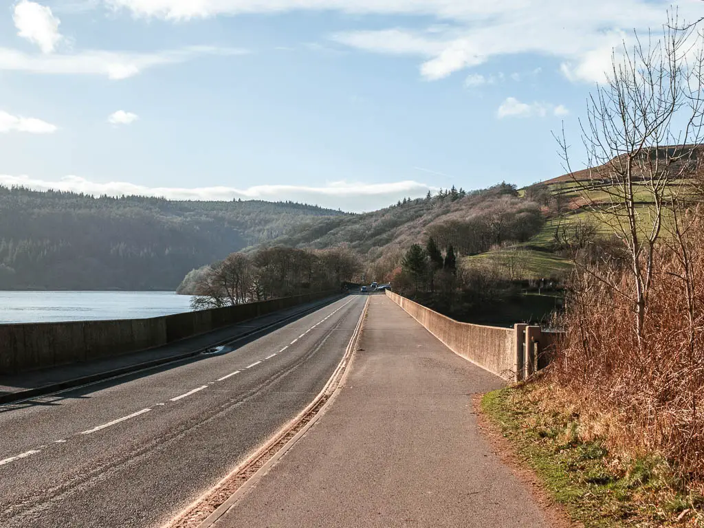
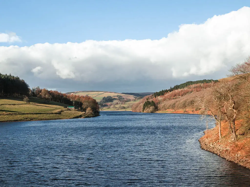
Fun Fact: The village of Ashopton sits below the viaduct. Well, it used to anyway. Right up until the 1940’s when it was demolished to create the reservoir. Apparently you can see some of the remains of it when the water levels are low.
Walk along the west side of the Ladybower Reservoir
A short distance over the viaduct, take the next road on the right, then just on the corner, you will see the gate leading you onto the trail.
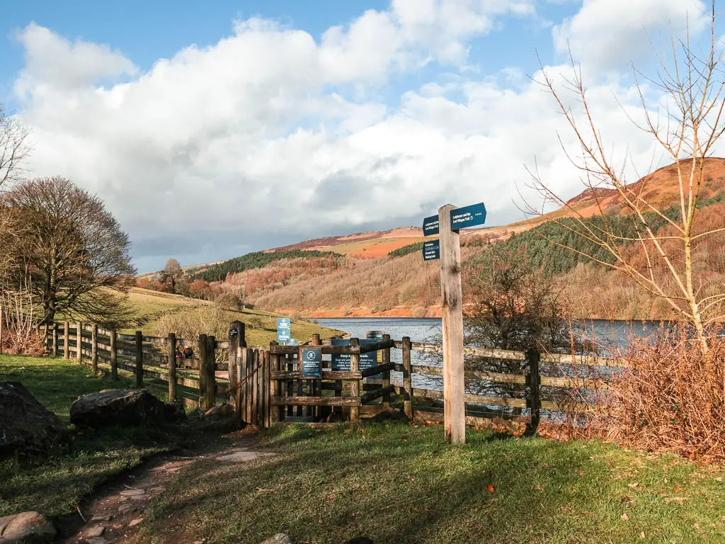
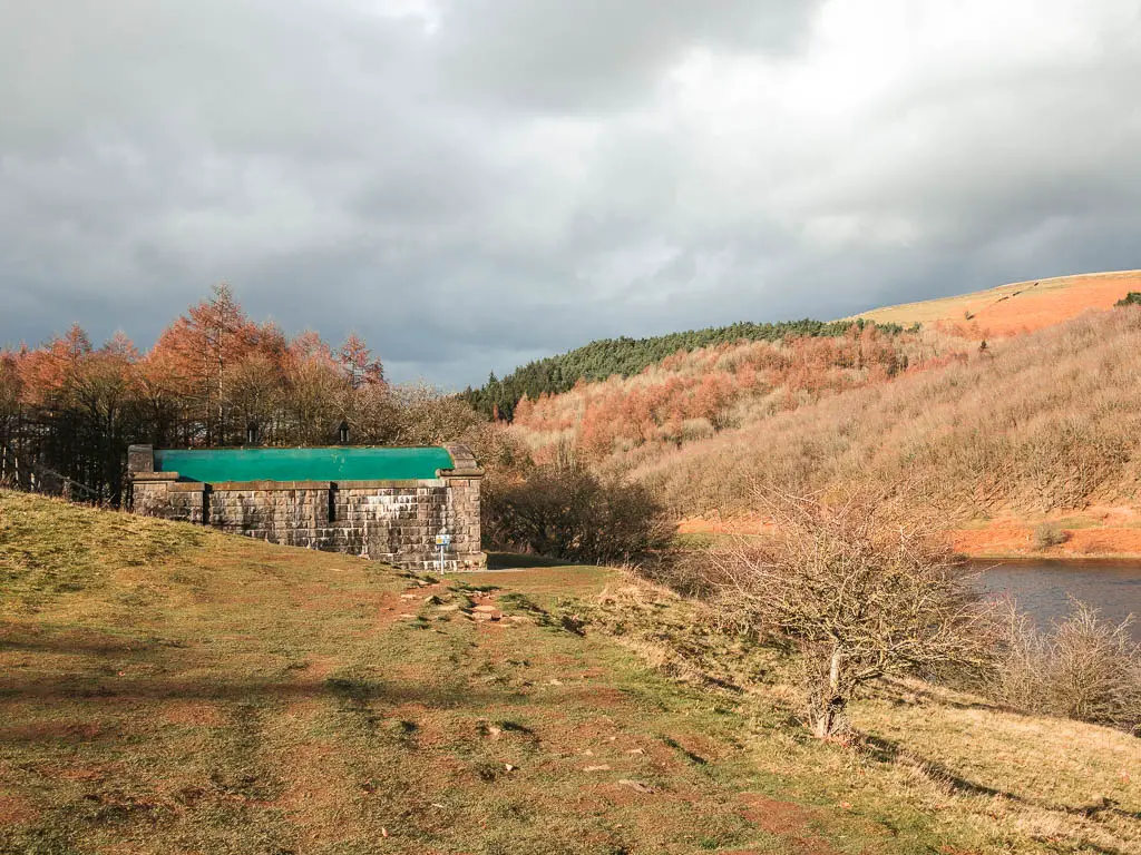
This is probably my favourite section of the Ladybower Reservoir walk. A great big grassy section, with an unobstructed view to the reservoir, and the hills rising up on the other side. Just one week ago, I was up there walking along Derwent Edge.
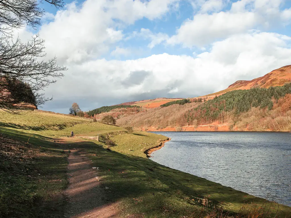
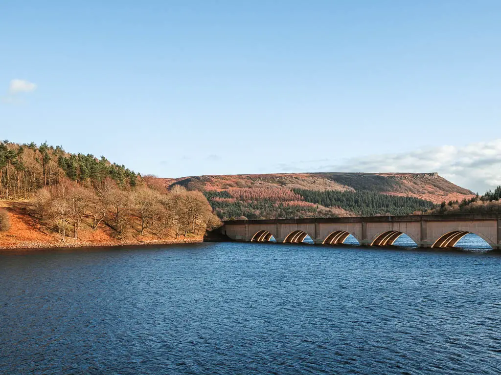
Fun Fact: The Ladybower Reservoir has a few purposes. One is to control the flow of the River Derwent. The other is to supply drinking water to Nottingham, Derby, and Leicester.
Walk through the woods
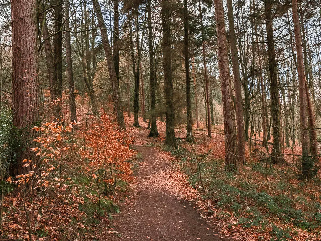
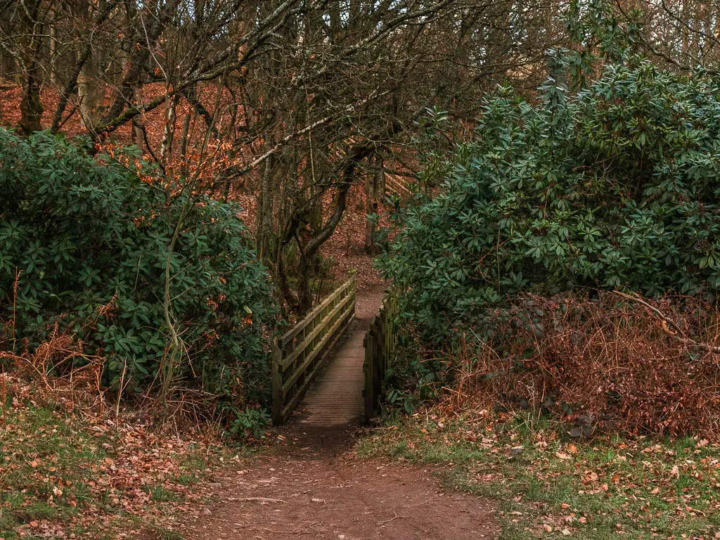
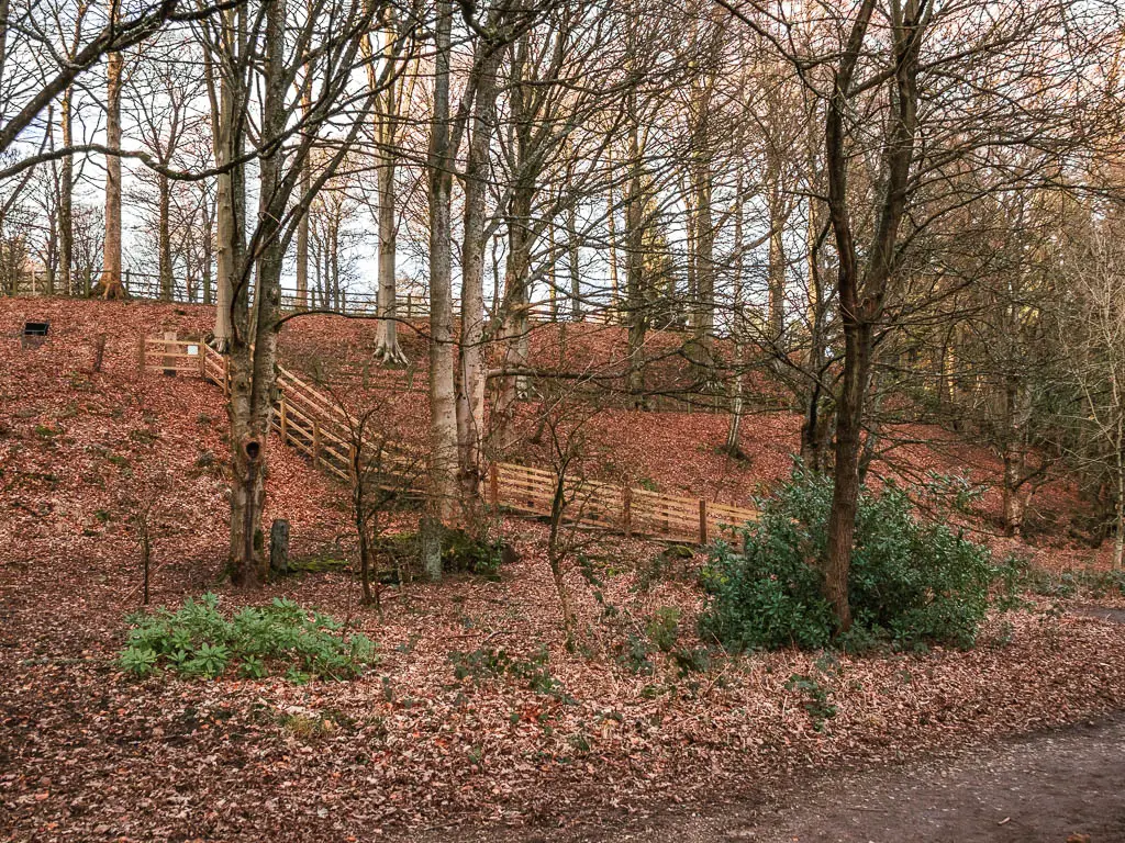
Someway further along, the trail switches up and takes you on a dirt path through the woods. The woodland path is mostly level, with the occasional up and down, and one lot of steps.
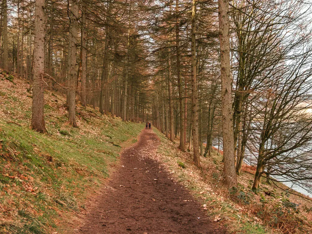
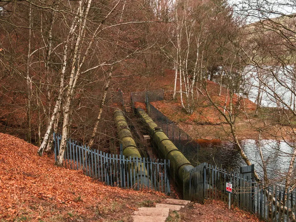
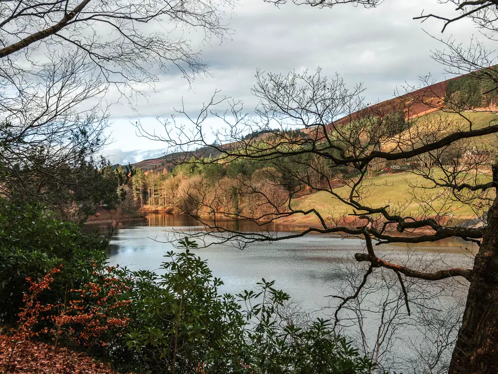
This woodland bit of the walk goes on for some time, with peaks through the trees to the reservoir and Derwent Edge on the other side, before opening up again for a magnificent view of the surrounding valley.
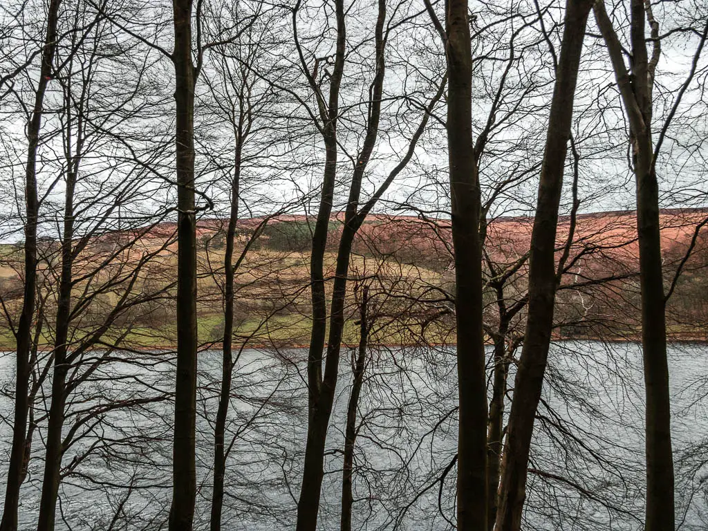
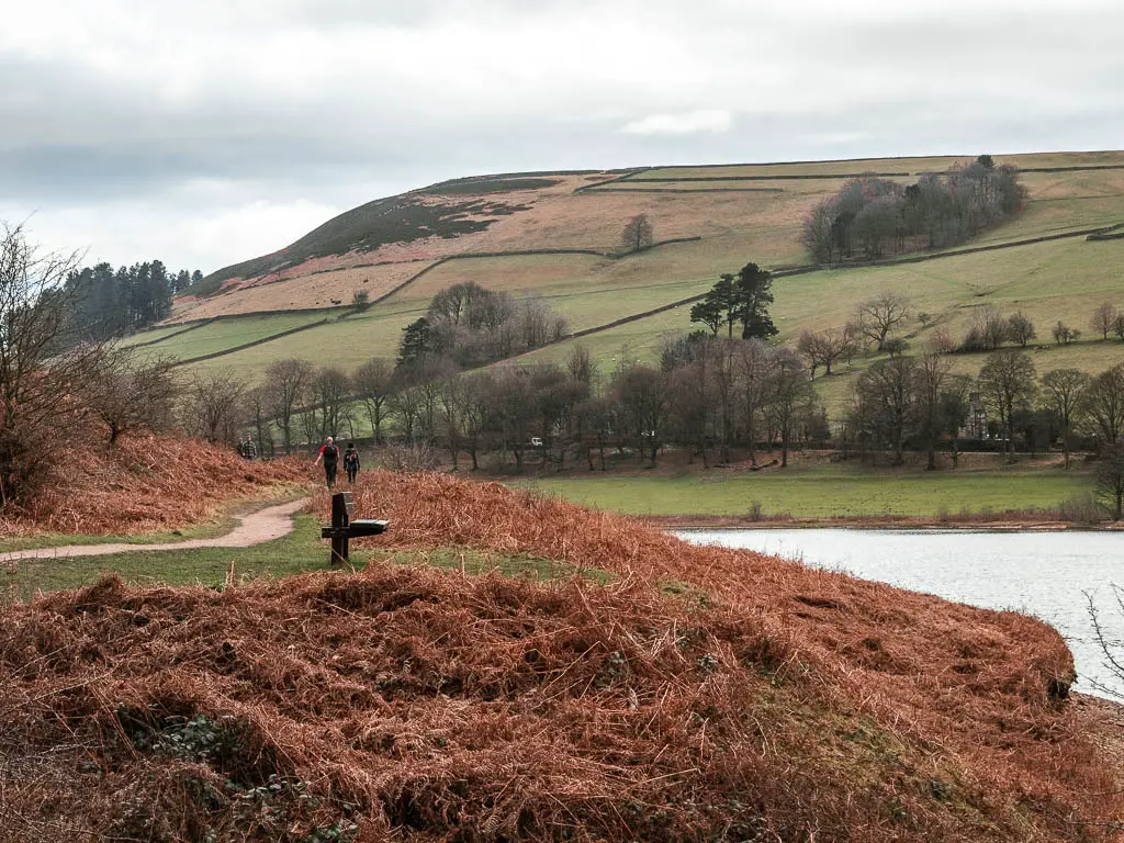
The trail stays open for a bit, allowing you to take it all in, before leading you back into the woods.
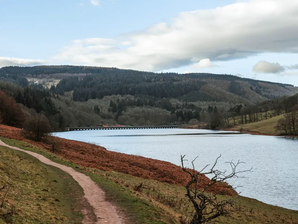
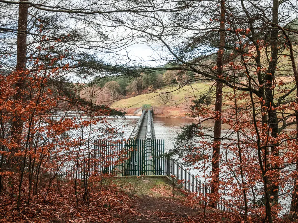
When you reach the road, walk along it, keeping the Ladybower Reservoir to your right. You will walk past one of the free car parking areas. Then just past the wooden fence, take the trail on the right which will lead you back along the edge of the reservoir.
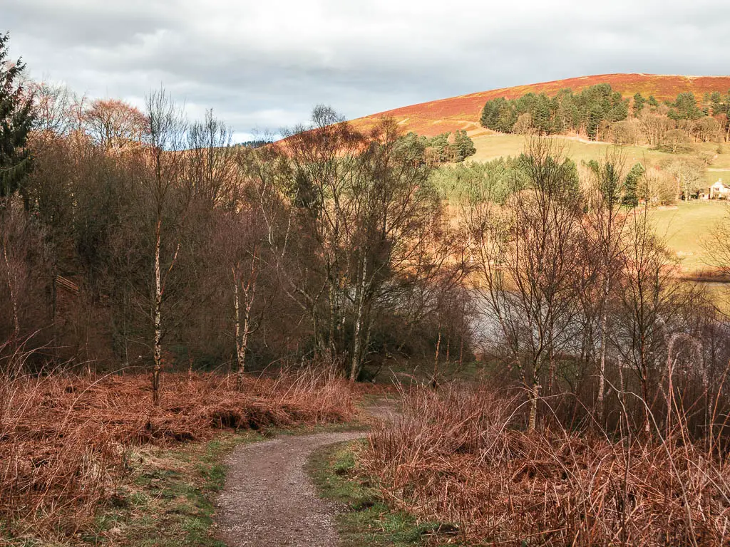
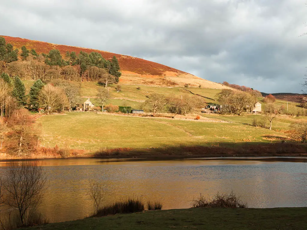
The northern end of the reservoir and Derwent Dam
When you reach a cute wooden bridge, go over it, then up the steps ahead of you to the right. At the top, turn right, then follow the path which takes you around the Fairholmes car park.
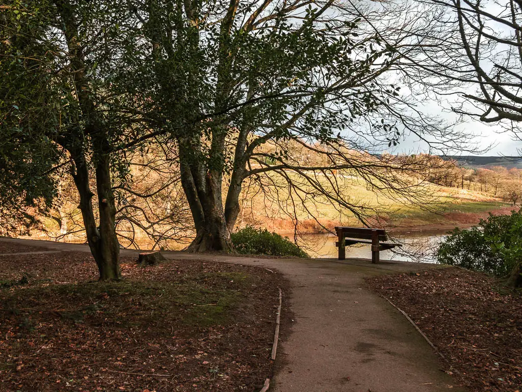
This is where you will find the Fairholmes Visitor Centre, some public toilets, and refreshment kiosk.
If you keep to the path along the edge, this will lead you towards the impressive Derwent Dam. In the photo below, you can see that before reaching the dam, there is a trail to the right.
At this point my camera battery ran out, and to my horror, my spare was also empty. So I switched to my phone camera, which is why the rest of the photos will look a little different.
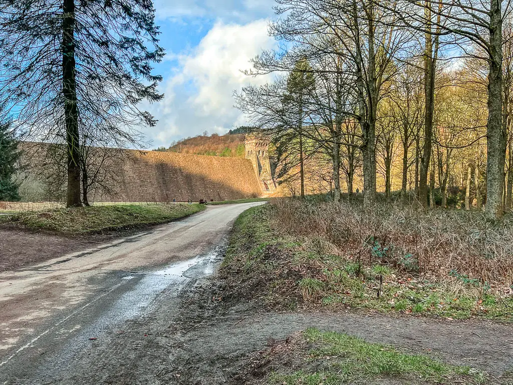
I chose to take this right trail because I could see what looked like bear statues (they aren’t). You can stay walking on the road though, as this will lead you around to the other side of the Ladybower Reservoir. If you want to keep things simple, you might want to do that, as there is a steep path up a dirt hill this way.
If you want, you can also walk up to the top of Derwent Dam, to see the Upper Derwent Reservoir. I imagine there will be a great view up there.
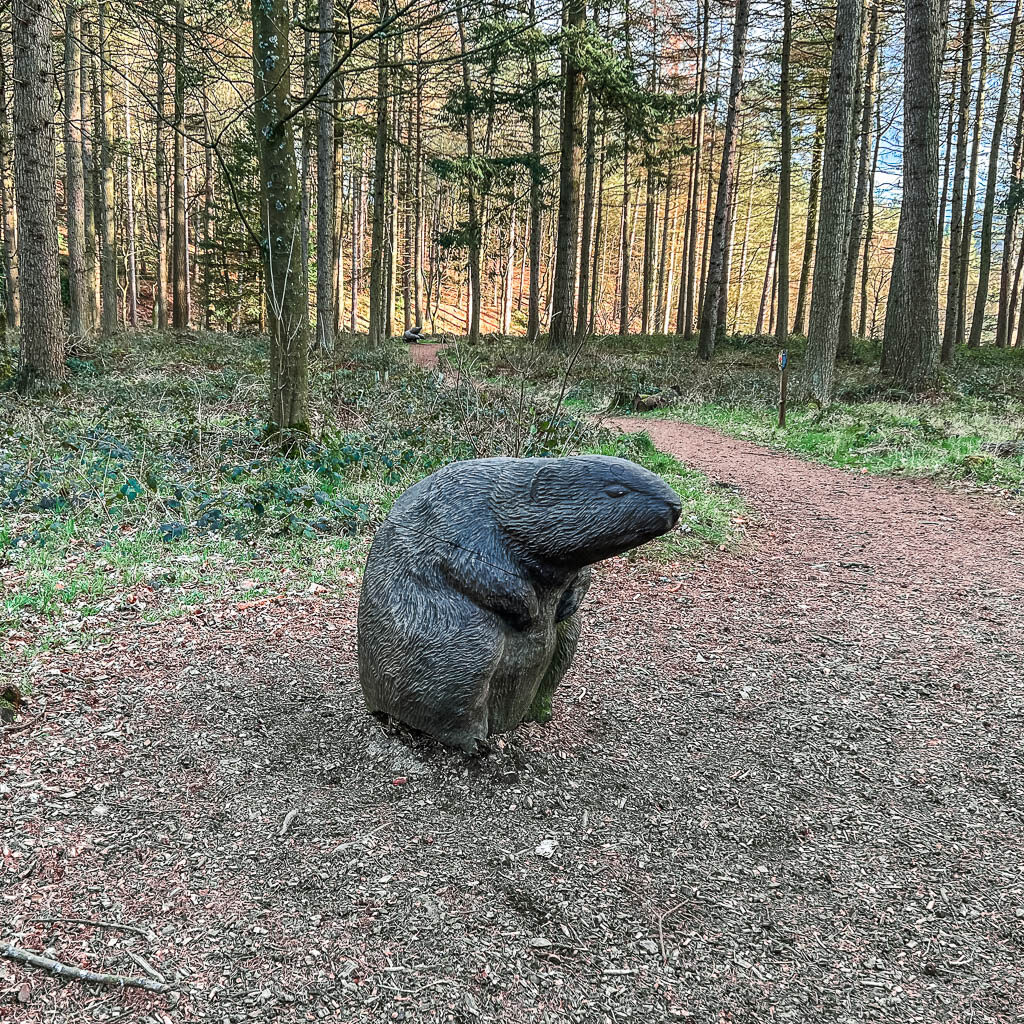
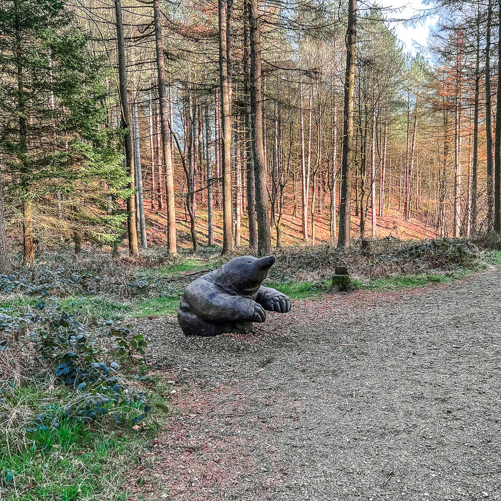
I followed the statues (there are two), and then found myself walking in what seemed to be a kiddie area with tree trunk stools. Then over the other side, to get out, there is a steep but short uphill in the dirt to get back onto the road.
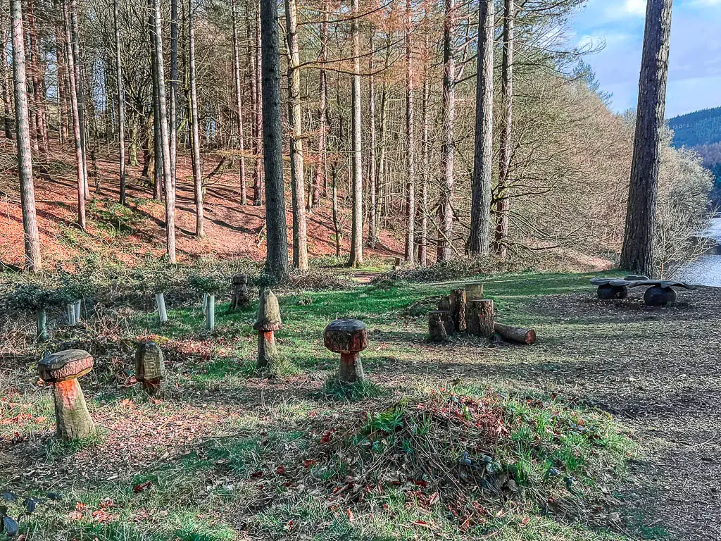
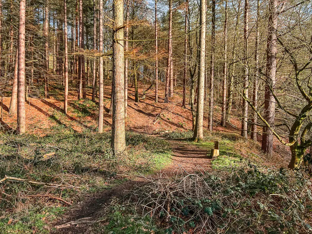
Walk along the east side of the Ladybower Reservoir
On the road turn right. At this point, there is a solid amount of road walking, with the Ladybower Reservoir to your right. It’s a nice quiet road though. In fact, not a single car passed by me.
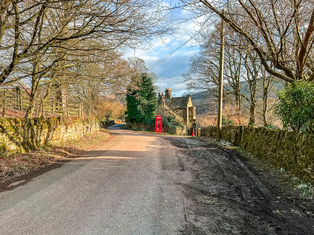
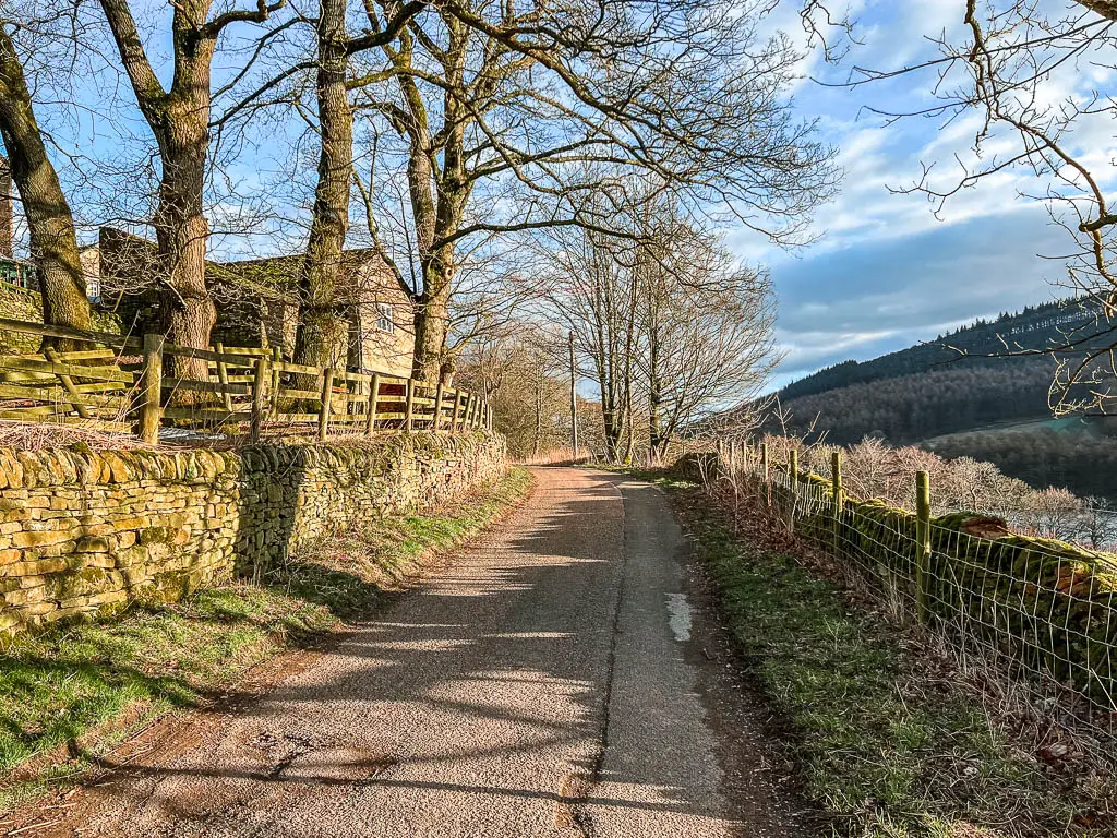
As I walked passed a couple of stone houses, I imagined they were my houses. What life would be like, waking up with a view across the reservoir. I then thought about how they looked cold inside, and I wondered how much it would cost to keep them warm in winter, and changed my mind.
Once you walk over a bridge of sorts, the trail will go to the right and uphill slightly, as it turns to gravel.
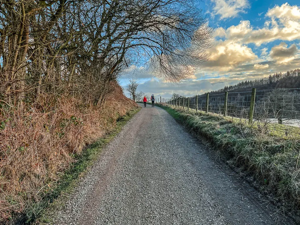
Walk back along the public footpath
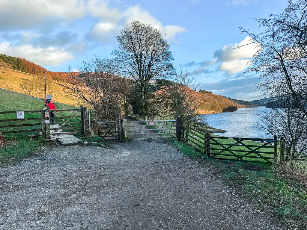
When you reach a junction with three gates, take the middle one, and this will take you back onto a public footpath.
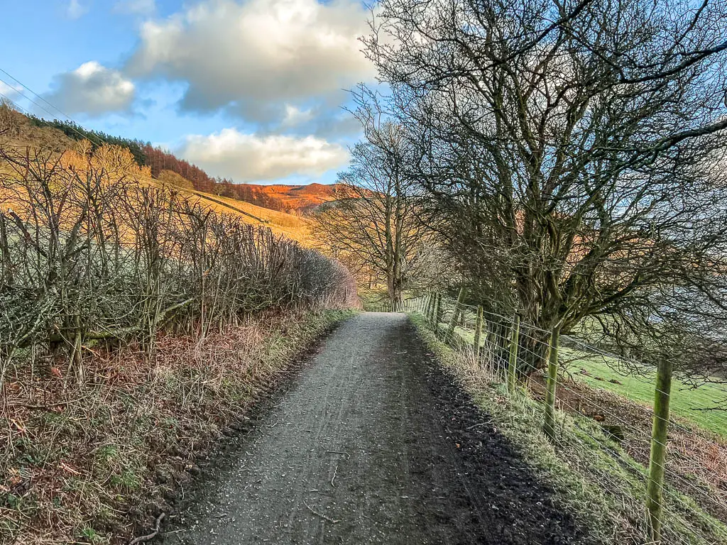
The rest of the walk alongside the Ladybower Reservoir, is on a fairly wide, easy dirt path. Mostly level, with a small amount of gentle hill.
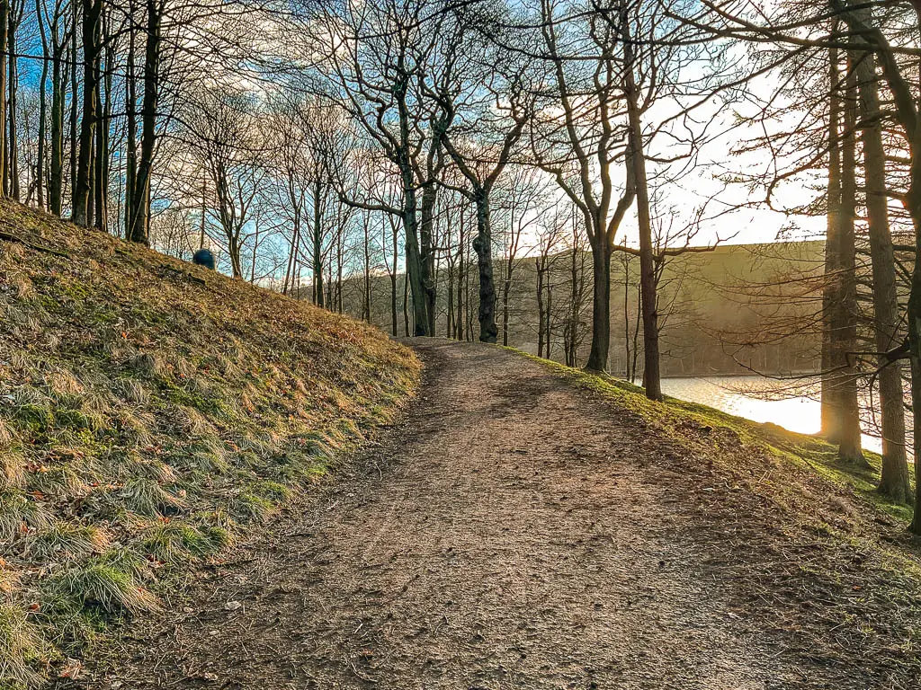
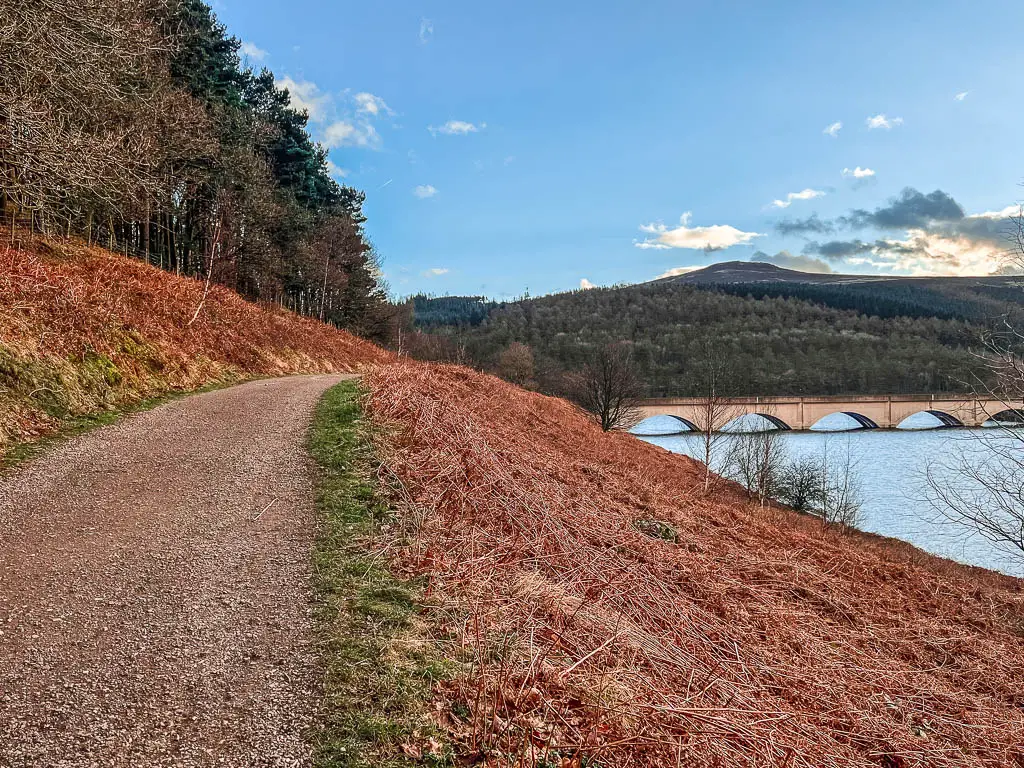
The first part is a bit more open, then you will head into a section of woodland. Then as you reach an open area again, you will get a view to the Ashopton Viaduct, and Bamford Edge up the hill ahead.
Read more: All you need to know about walking along Bamford Edge
Keep going, then when you reach the metal gate and road junction, take the right one, which will lead you back to the roadside parking from the start.
More walks near the Ladybower Reservoir
A great place to get a different persecutive of the Ladybower Reservoir, would be up walking along one of the surrounding hills. Overlooking the Ladybower Reservoir, you have Derwent Edge and Bamford Edge, both of which have great walking trails with beautiful views.
A very short drive away, you could try Stanage Edge. It’s probably my favourite of the Edges, as it has the most unique landscape.
More from the Peak District
My favourites are Lud’s Church and Mam Tor. Lud’s Church is easy (you can read more about it here), and Mam Tor alone is easy, although, I made it into a longer more challenging route. My Mam Tor guide here will show you how to do both the gentle walk, and longer more challenging walk.
Another must see in the Peak District is Winnats Pass. You can simply drive through it, or try out this short walk, which I feel gives you a better sense of the grandeur of it compared with driving through.
If you want to try out more reservoirs, then my favourite one is Wessenden. It’s super moody, a bit more remote, and lesser known. It also features some surprise waterfalls which you can take a dip under.
A really peaceful and tranquil reservoir is Dale Dike. It’s only a few miles around, but is super rugged. I did it on a sunny weekend, and only passed less than a handful of people. Then just down the road from Dale Dike, is the Agden Reservoir. It’s just as short and rugged, with only slightly more people walking it.
I have many more walks for the area, which you can read about side by side on my Peak District walking guide here.
For more ideas of things to do in the area, you could check out the Visit Peak District website.
