This walk takes you from the small but beautiful village of Burnsall, along the river Wharfe to Linton Falls, up to the quaint market town of Grassington, before circling back on top of the hills, with fantastic views across the dales.
How far is the river walk from Burnsall to Grassington?
The walk along the River Wharf from Burnsall to Grassington is 3.5 miles. The full circular route is 7 miles.
Read more: If you would like to see another part of the River Whafe, then check out this walk to Bolton Abbey.
What to expect on the river walk from Burnsall to Grassington
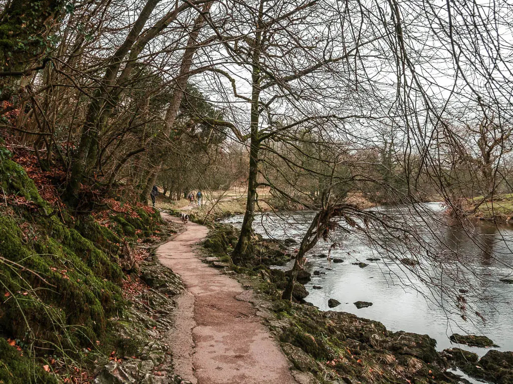
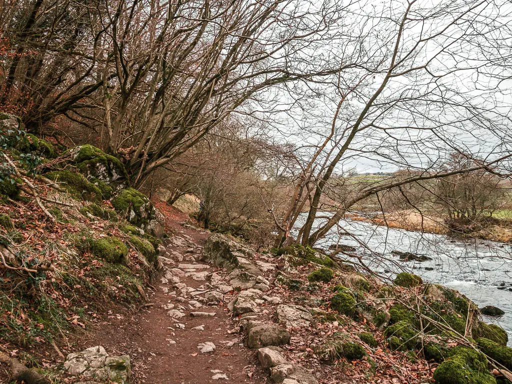
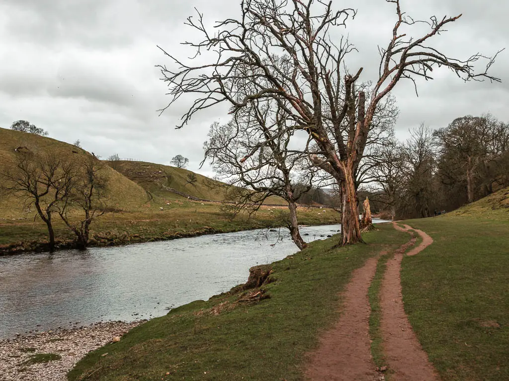
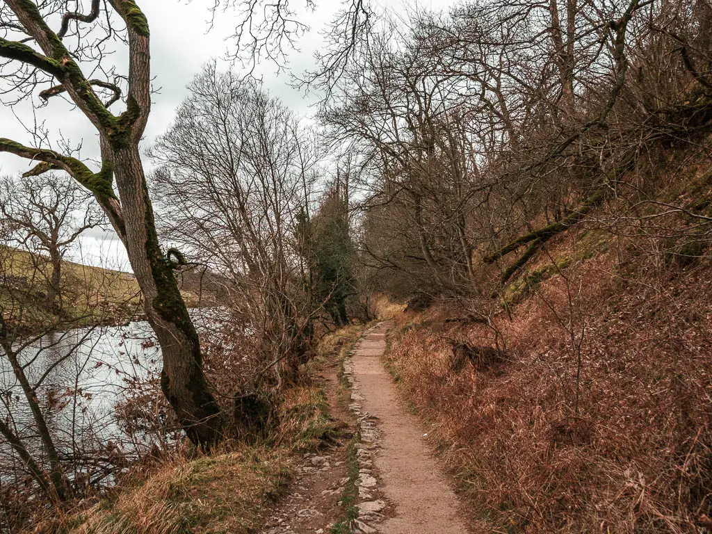
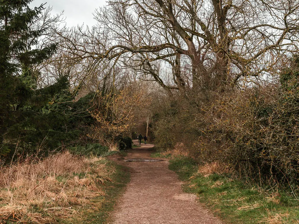
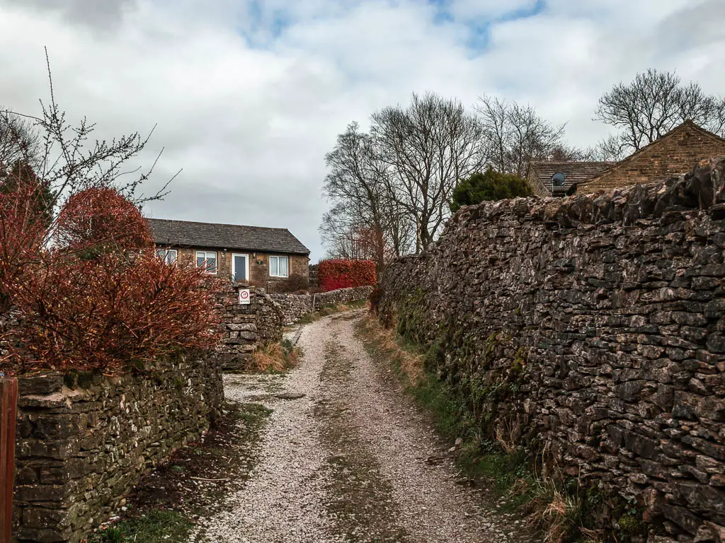
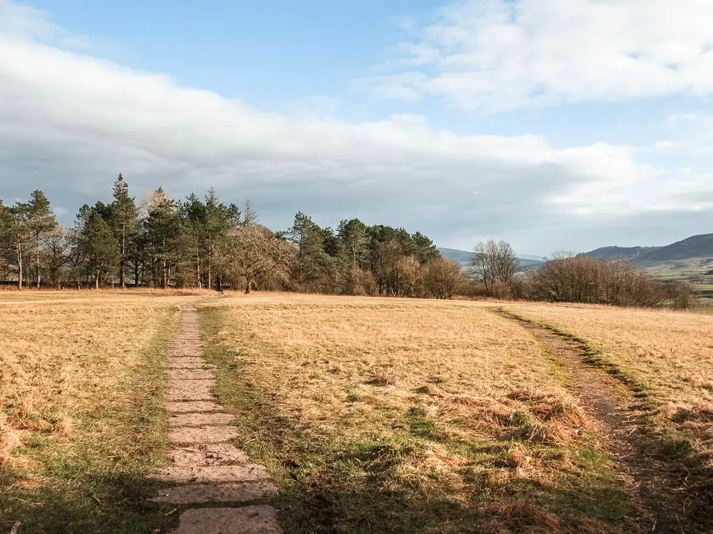
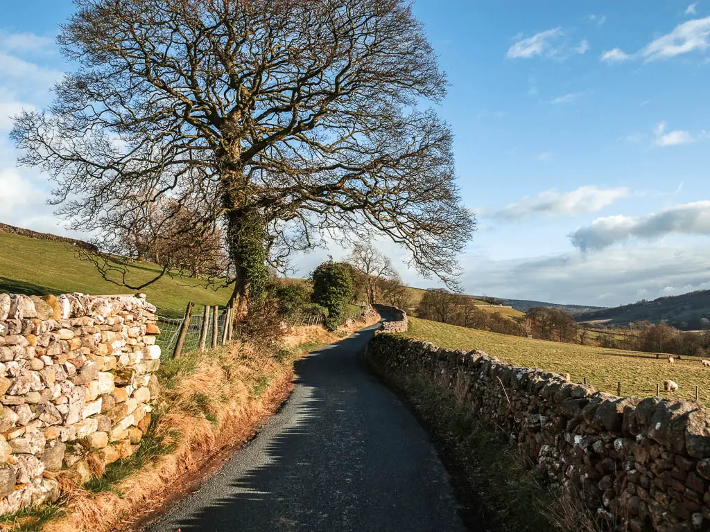
The first half of the walk takes you from Burnsall to Grassington along the River Wharfe. It’s an easy walk, on mostly level ground. The terrain is a mix of path, dirt, grass, some tree roots, and rocks.
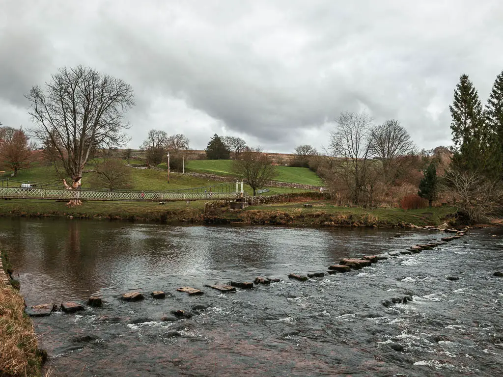
There is a river crossing where you have the the choice between stepping stones or a wobbly suspension bridge. Then further along there are more stepping stones, which you can bypass if the water level is too high (I bypassed them).
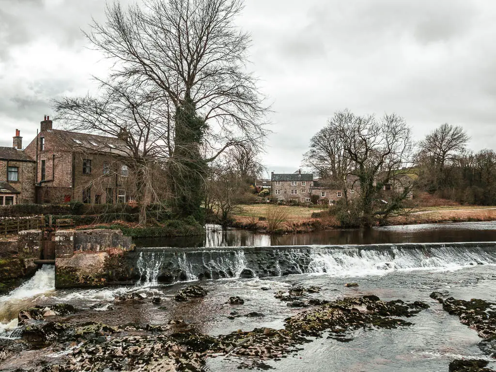
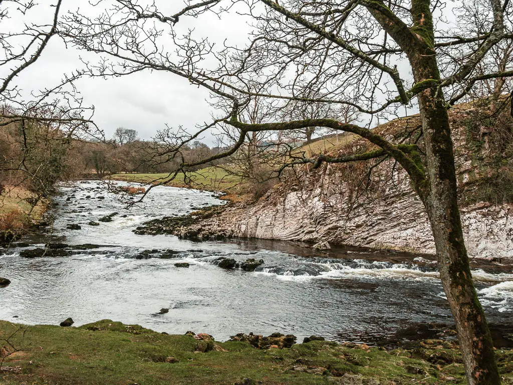
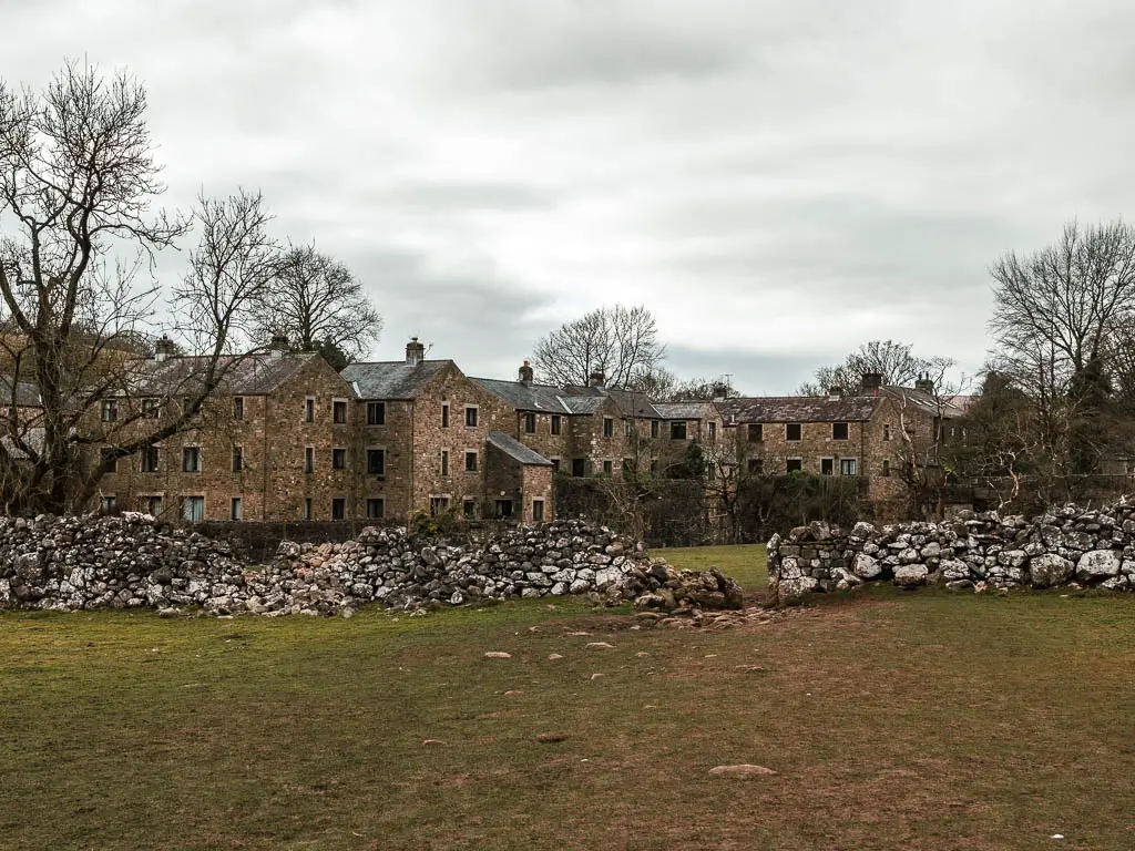
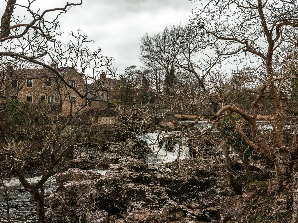
Then you will reach Linton Falls, which I was pleasantly impressed with. They were nice and powerful, with a backdrop of the stone houses of the village of Linton.
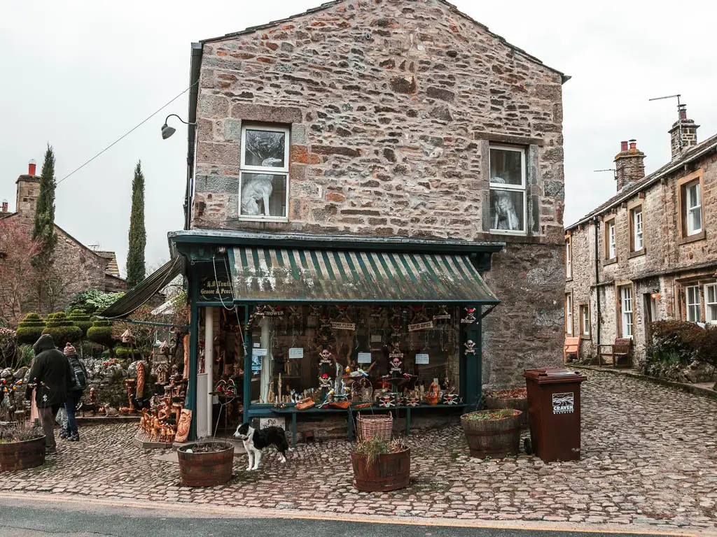
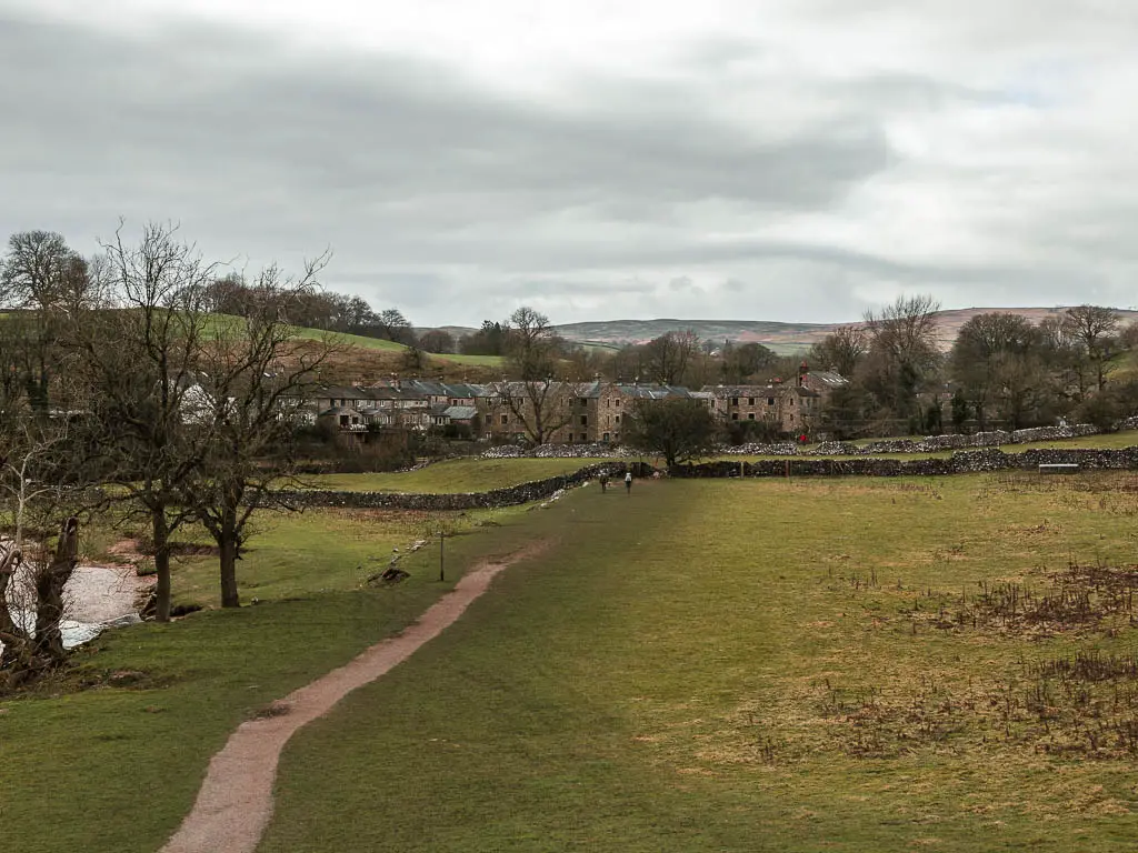
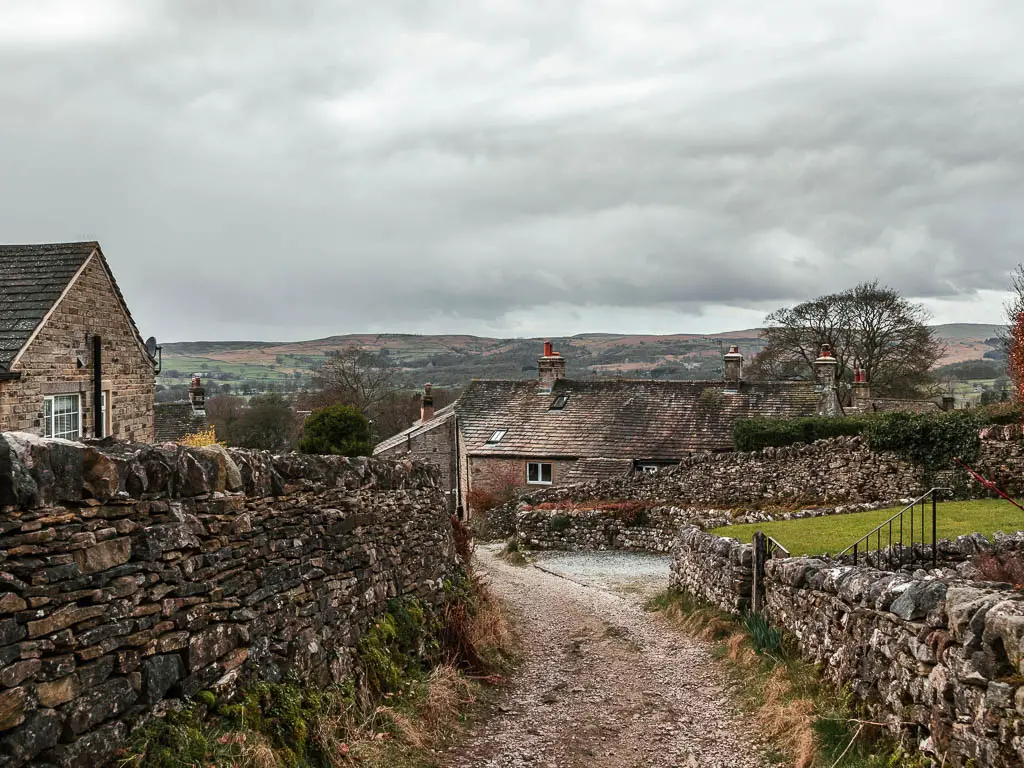
You will then walk uphill to reach the lovely market town of Grassington, where you can shop for trinkets, and stop in one of the little cafes for some cake.

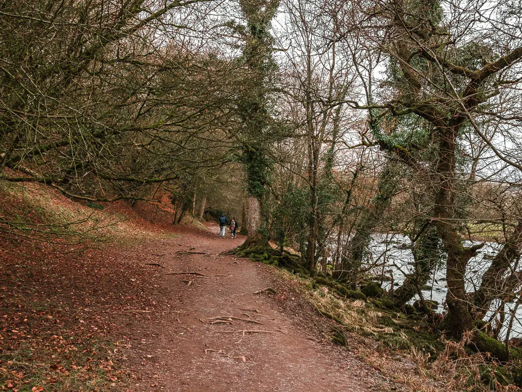
This route along the river was quite busy with other walkers. It’s quite a popular one, and I was there on a weekend, so I wasn’t surprised.
What to expect on the walk back from Grassington to Burnsall
At this point you can choose to walk back to Burnsall along the river, or continue further uphill to walk through the fields.
I highly recommend going up through the fields. I think I actually preferred this section of the walk. There were much less people, and the views were stunning.
It is a bit more rugged, and less pram friendly. It’s also quite muddy in places. There are also lots and lots of mini gates.
Parking at Burnsall
Burnsall has two main car parks, both pay and display. It’s a very small village, so you will see them when you arrive. At the time of writing, one of them is closed. For free parking, you can park just before Burnsall Bridge.
I was quite pleased with myself for discovering the free parking spaces. As I was on my way into Burnsall, heading towards Burnsall car park, and saw some cars parked before going over the bridge, so nabbed a space.
Logistics
- Start/Finish: Burnsall, Yorkshire
- How to get there: Burnsall is located on the southern end of the Yorkshire Dales. By public transport you can get the number 74A, 874 to Burnsall and Grassington. See the route timetable here. Or the 875, and 876 buses go to Grassington from York and Leeds. You can find that timetable here.
- Distance: 7 miles
- Time: 2h 30min
- Difficulty: Easy
- Terrain: Grass, dirt, path, mud, some tree roots, rocks, stepping stones/suspension bridge, stone wall steps.
- Dog friendly: One stile with a doggy door on the walk back to Burnsall from Grassington. A few stone steps over the walls. Any livestock I saw was separated by fence or across the river. There were a bunch of dog walkers about.
- Time of year: I walked this in winter
- Amenities: A couple of tearooms and one pub in Burnsall. In Grassington there is slightly more. Tea rooms/cafes/a toffee shop/farm shop/pubs and the National Trust Visitors Centre. Both Burnsall and Grassington have car parks.
Tips for the walk from Burnsall to Grassington
- If you are planning to do the full circular, wear hiking boots. It’s quite muddy up the top.
- If you just want to walk between Burnsall and Grassington along the river Wharfe, trainers will be fine.
- Stop for some cake at the Corner House Cafe in Grassington, then after the walk back to Burnsall, stop for some pub grub at the Red Lion Inn, which dates back to the 16th century.
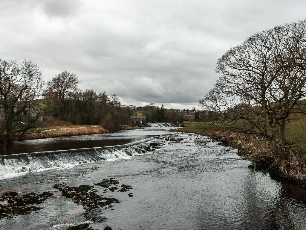
- Linton Falls will be in full force in the rainier seasons, however, this also means the stepping stones might not be passable (not an issue for the walk as you can bypass them).
Map for the circular walk from Burnsall to Grassington
You can find my more detailed Burnsall to Grassington route map on AllTrails
More walks near Burnsall and Grassington will be listed at the end
A guide to the circular walk from Burnsall to Grassington
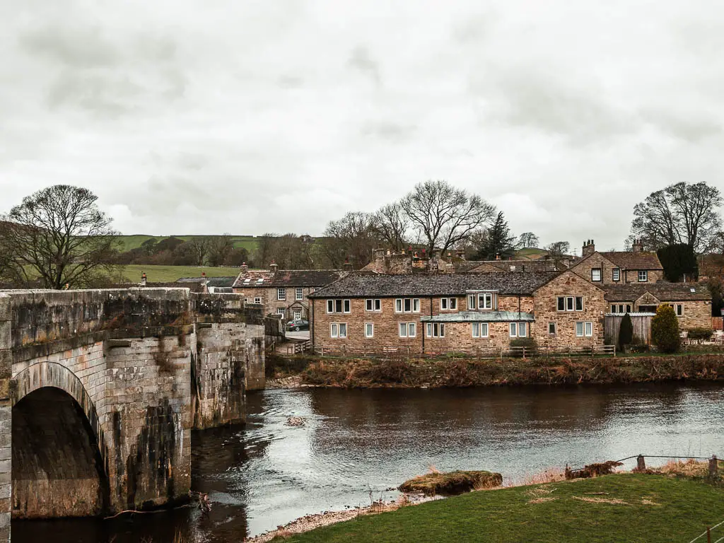
If you have parked on the other side of Burnsall Bridge, then walk across it to the Red Lion on the other side. If you are in the main car park, then just head towards the Red Lion. You will see it.
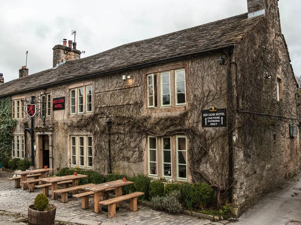
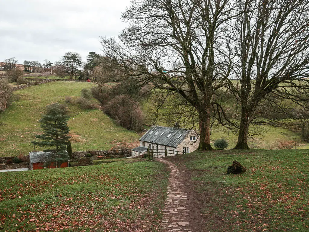
Now walk onto the path next to the river, past the Red Lion and away you go.
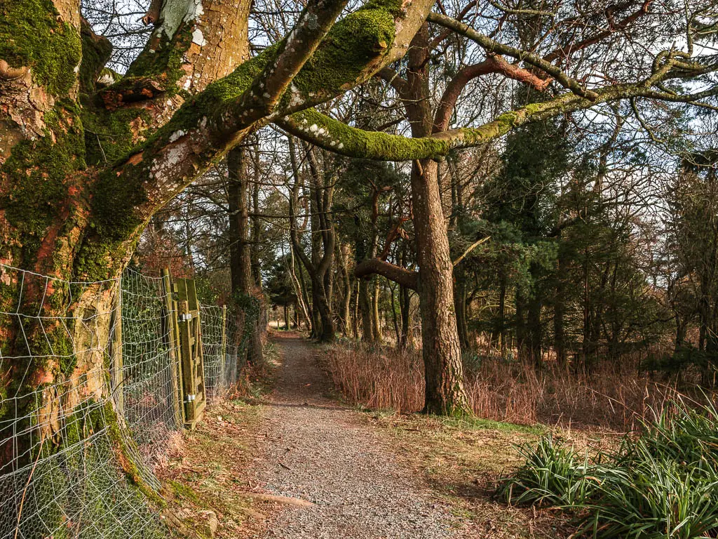
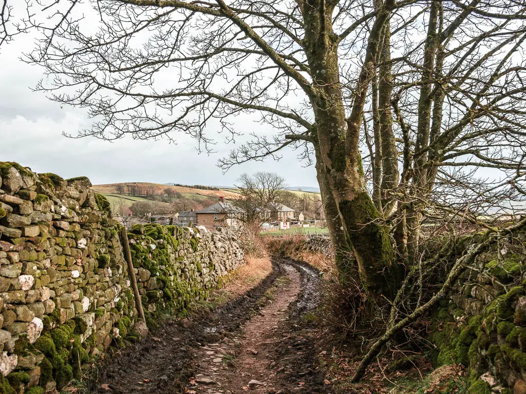
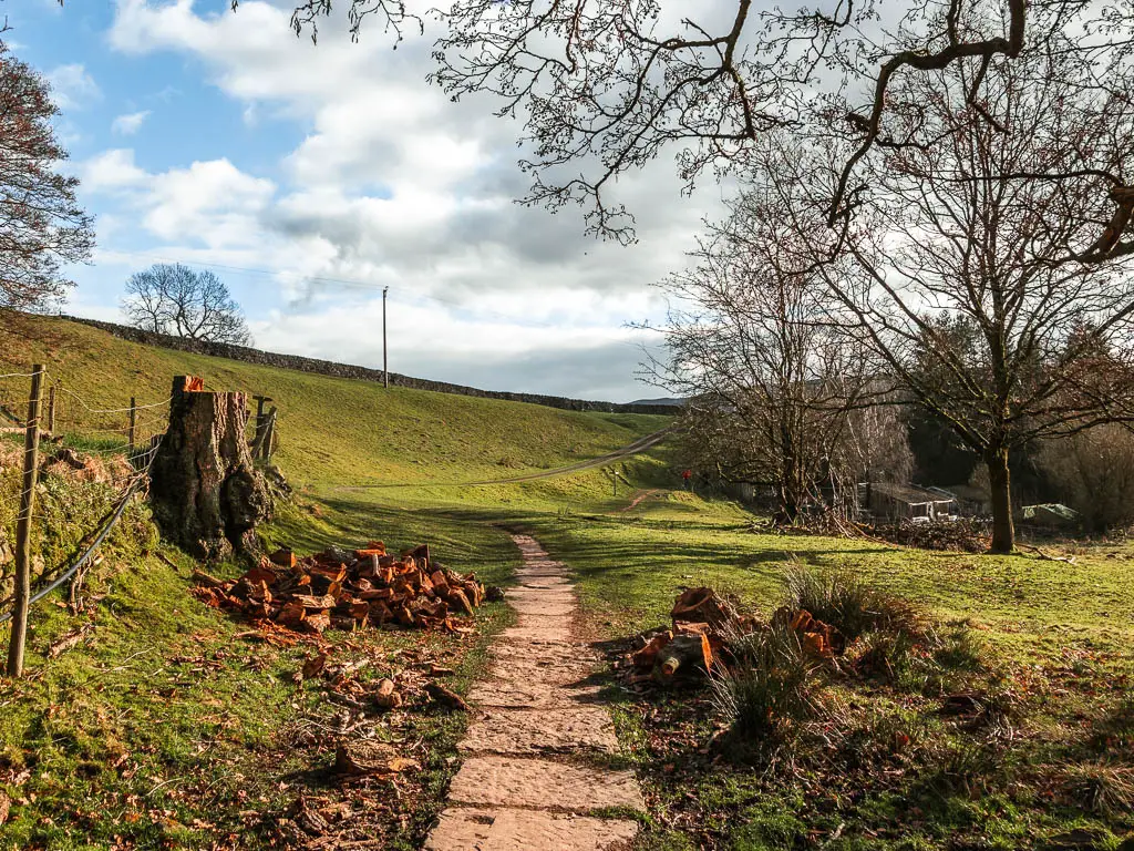
For this first part of the walk out of Burnsall towards Grassington, the trail mixes up between path, grass, some dirt, and rocks. Sometimes under the trees, sometimes out in the open.
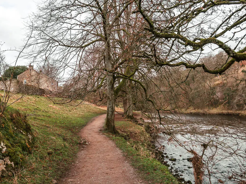
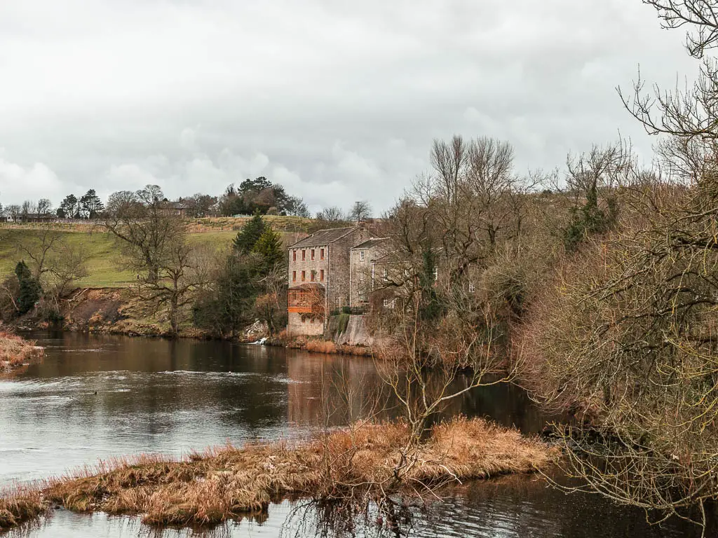
The view across the other side of the river is quite pretty with some little cliffs, and grassy hills. You will also find a well placed bench with a river history information board.
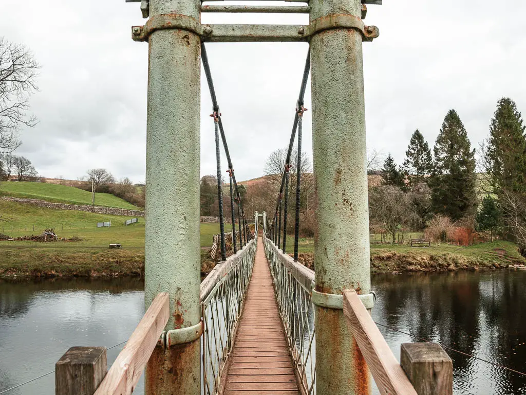
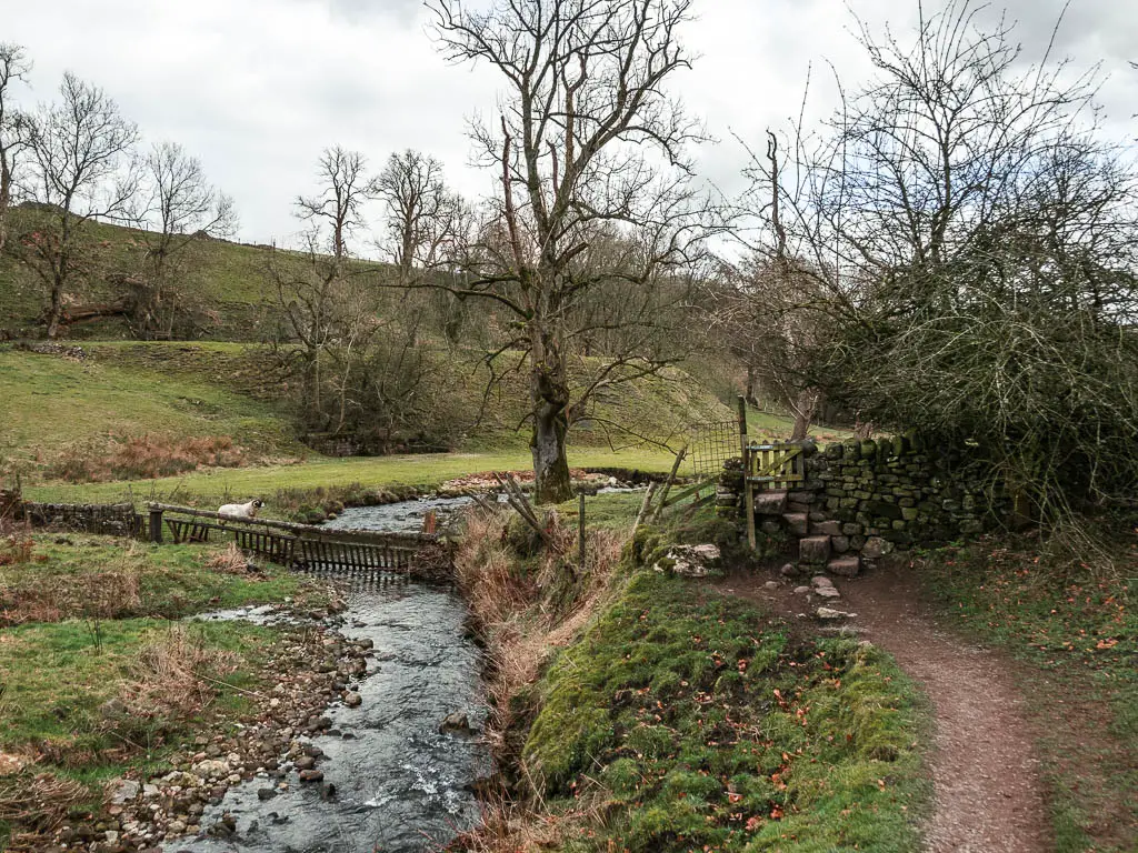
Hebden suspension bridge and the stepping stones
About a third of the way along the walk between Burnsall and Grassington, you will reach the Hebden Bridge and stepping stones.
I do like a good set of stepping stones, however, I was feeling quite tired* and wasn’t feeling as nimble, so opted for the bridge…..
*You see, I had been woken up at 2:30am by a crying toddler, and couldn’t get back to sleep.
Where there are stepping stones and fun bridges, there are usually children. I had to wait for some kids to stop running up and down the bridge. Complicated by the fact that one of them had fallen over and was screaming.
After yesterdays walk (also involving stepping stones), and the crying toddler last night, my tolerance for children was now at critical level.
Once it was my turn, the bridge was fun to cross. It’s quite small, and a bit wobbly.
Like stepping stones and waterfalls? This route at the Aysgarth Falls has some powerful waterfalls, and takes you over some really cool, big stepping stones.
Walk to the next stepping stones
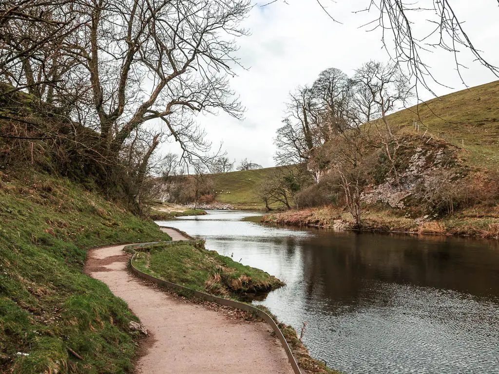
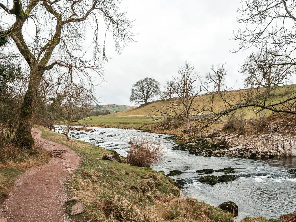
Once over the bridge (or stepping stones), turn left and keep walking along the river. This section of the walk is on even ground, much more level than the previous section, with some nice small bumpy hills on the other side of the river.
You will then walk away from the river briefly, on a path through the fields, to reach another set of stepping stones. The path actually leads you to a gate in a stone wall, but if you walk slightly left, you will see the stepping stones.
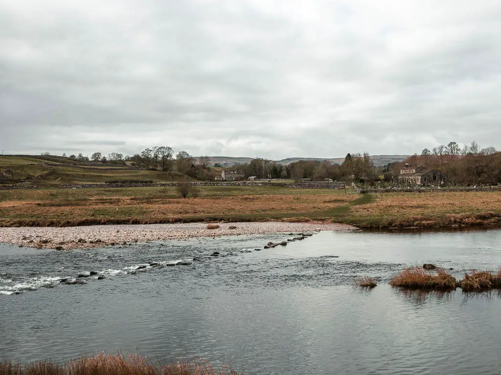
These ones were definitely not passable. I knew this meant the Linton Falls might be good today. So I was pleased.
If bypassing the stepping stones, go through the gate and turn left.
Walk to Linton falls
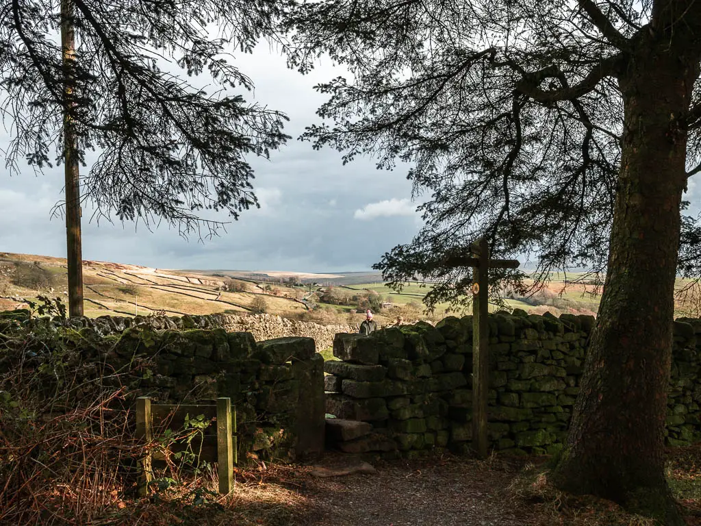
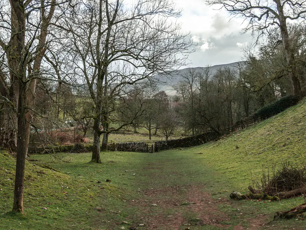
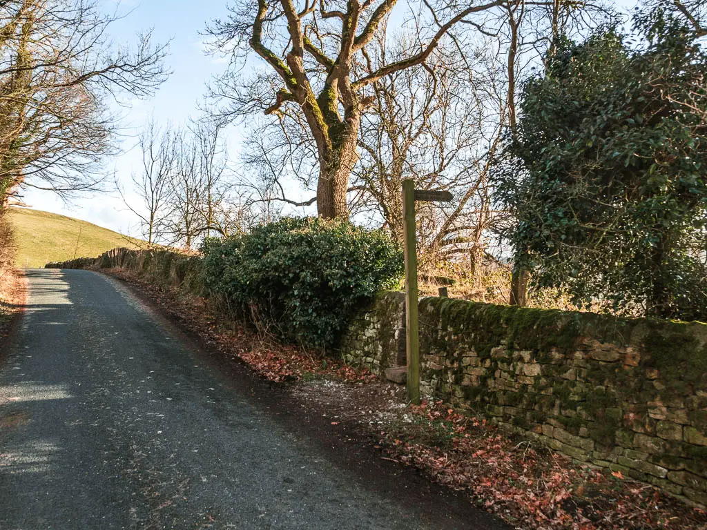
Follow this path, under some trees, then alongside the stones walls, and at a bend on the path you should see the trail signpost, pointing left into the field. Follow it.
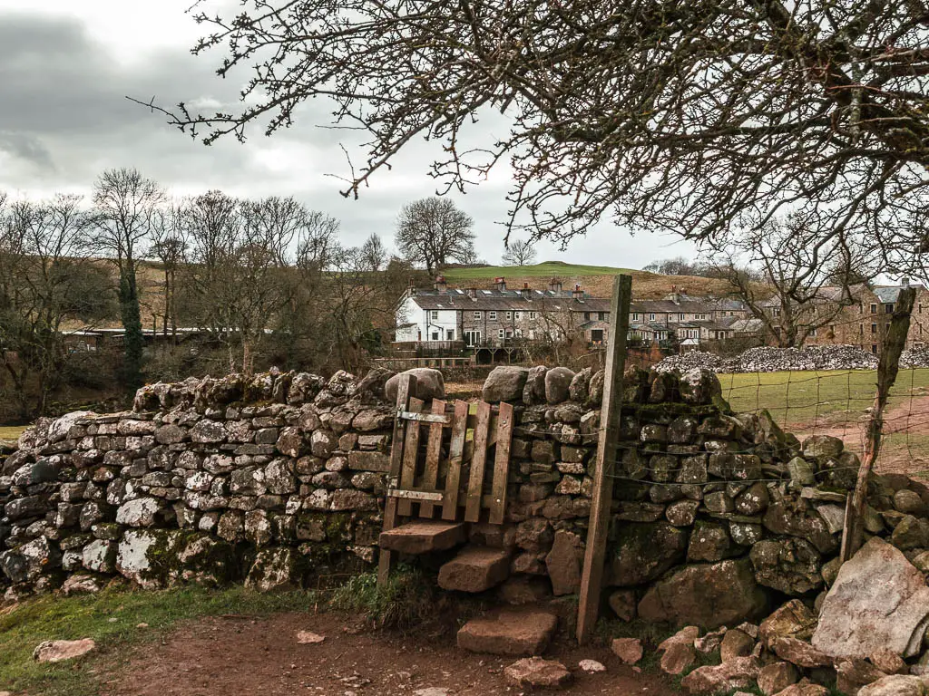
This path will now take you through a series of fields, and through a mini gate in the stone wall to reach Linton.
If the Linton falls are on display, then you will hear them before you see them….
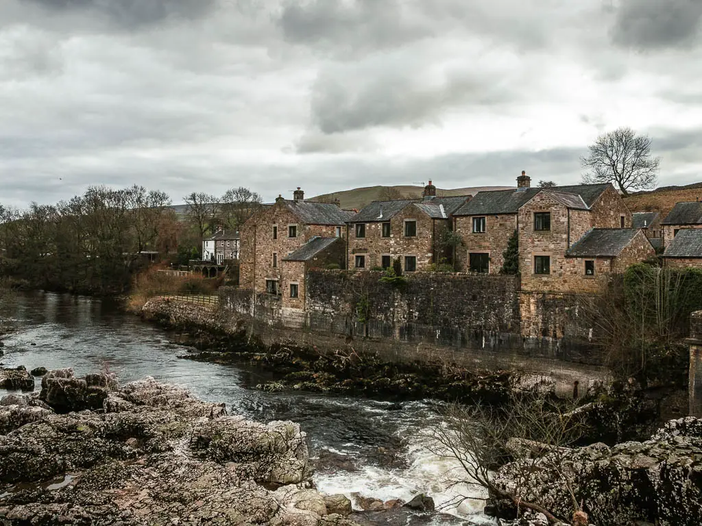
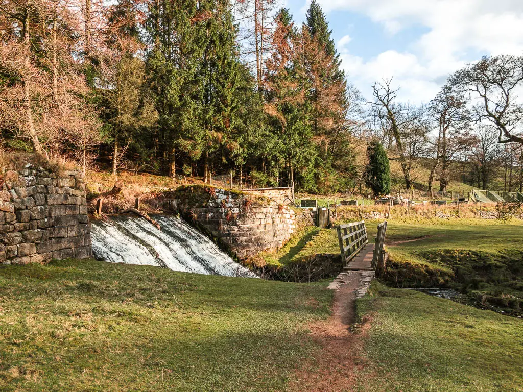
Linton Falls
Once you squeeze through a gap in the stone wall, you can get a great view of them from the bridge.
Walk to Grassington
From here, there are two ways to walk to Grassington. One follows the river for a little longer, the other goes up the path. The path looked interesting, so I decided to try that way.
I quite enjoyed this bit, uphill on a narrow rugged stone paved path, lined with stone walls.
Keep going all the way up, then when you reach the road, turn left. Keep going along the road to reach the junction, where you turn right onto Main Street.
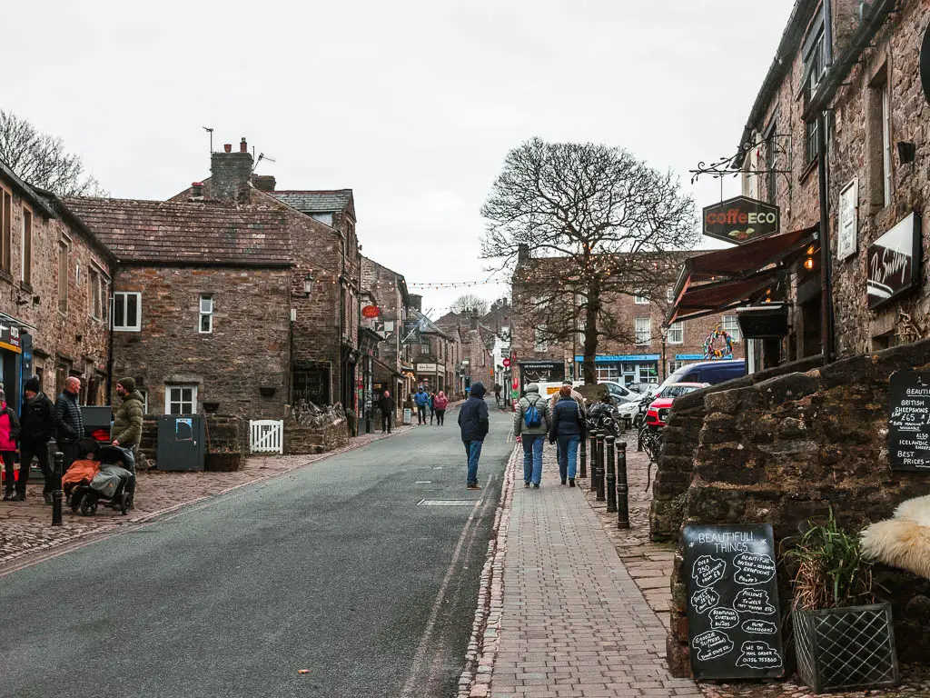
I didn’t know anything about Grassington before I got here, so was delighted when I saw this street.
It’s a very picturesque quintessentially British town, with cobbled road, independent shops, hanging fairy lights, and little tea rooms.
Walk back to Burnsall from Grassington
If you decide to do the circular walk back to Burnsall from Grassington, then you need to head to the top of Main Street. At the other end you should see a building with a clock. Turn right here, then take the left road uphill onto Low Lane.
(If when walking up Main Street, you took the right fork up the Square, you won’t reach the clock, but instead, at the end take a left, and a short way along, Low Lane will be on a hairpin bend to the right).
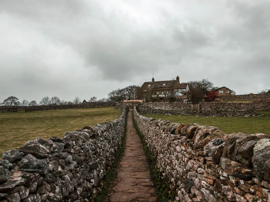
Walk uphill a bit more, past the houses, then take the left onto High Lane, alongside the stone wall.
Keep going up, up, and up some more.
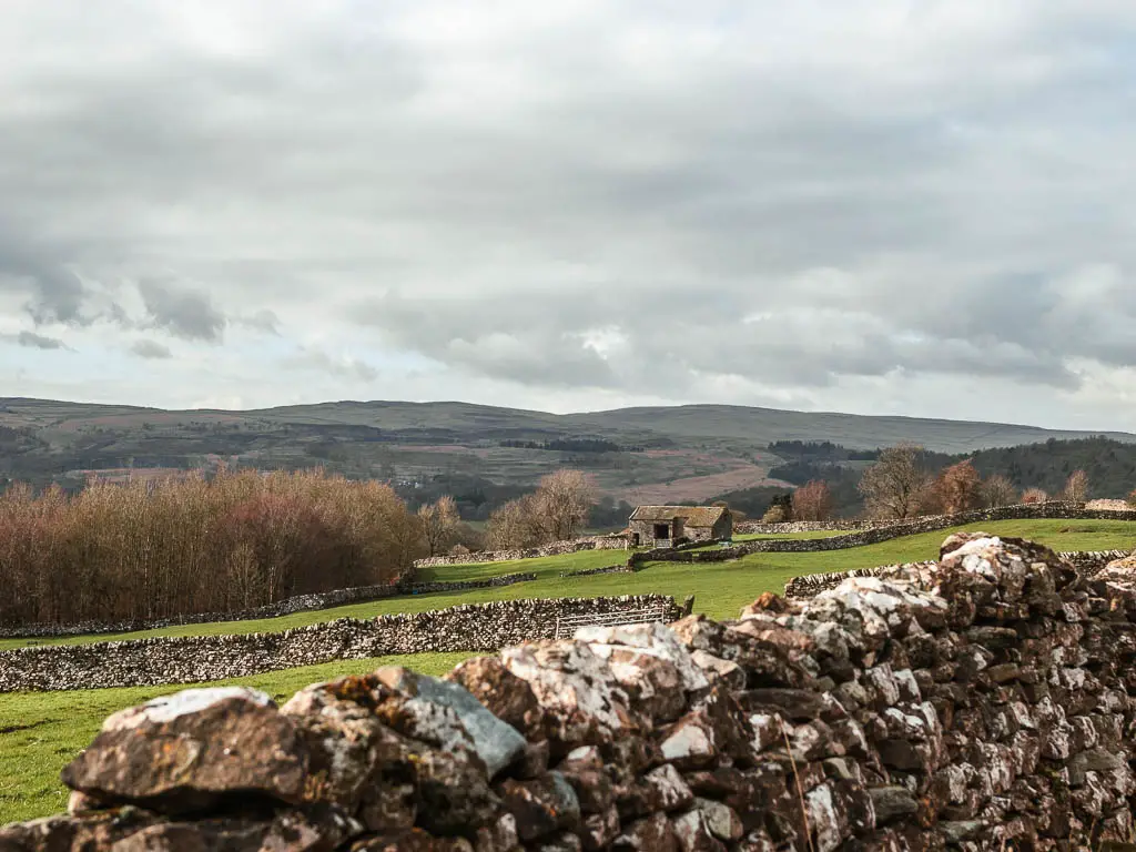
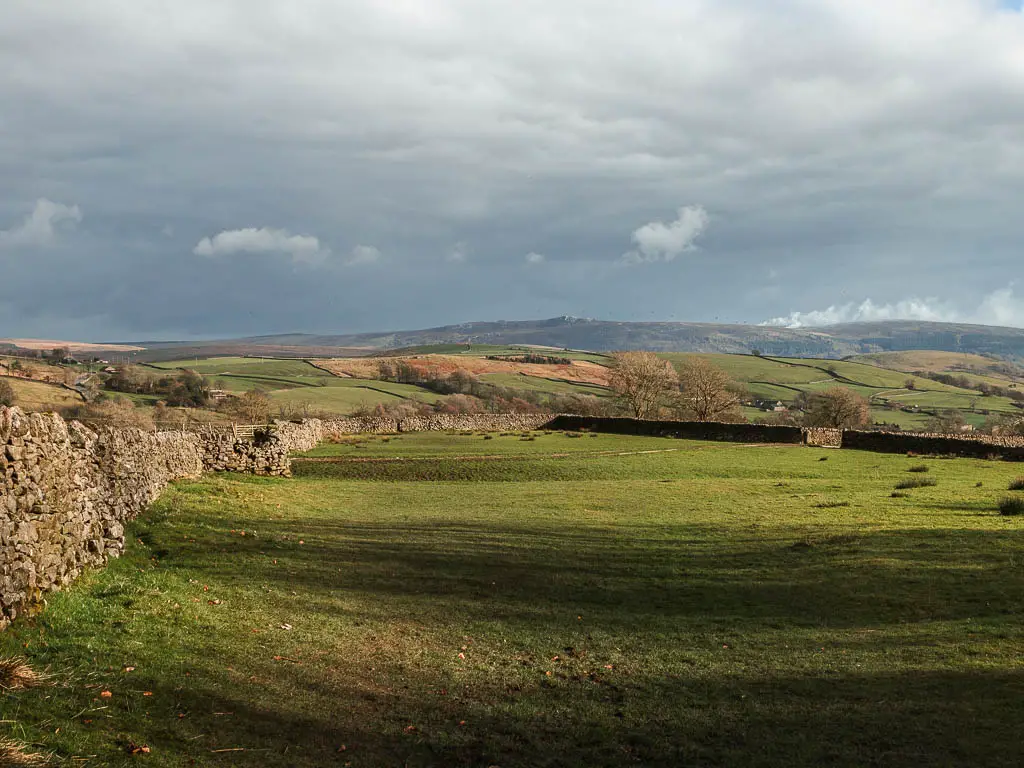
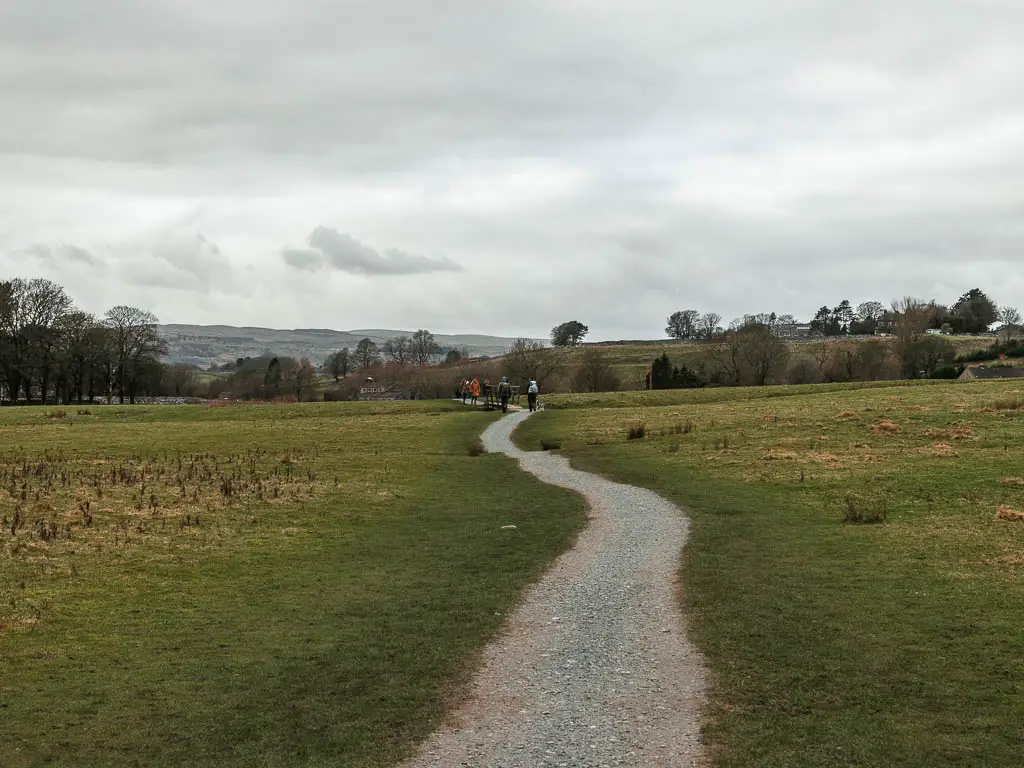
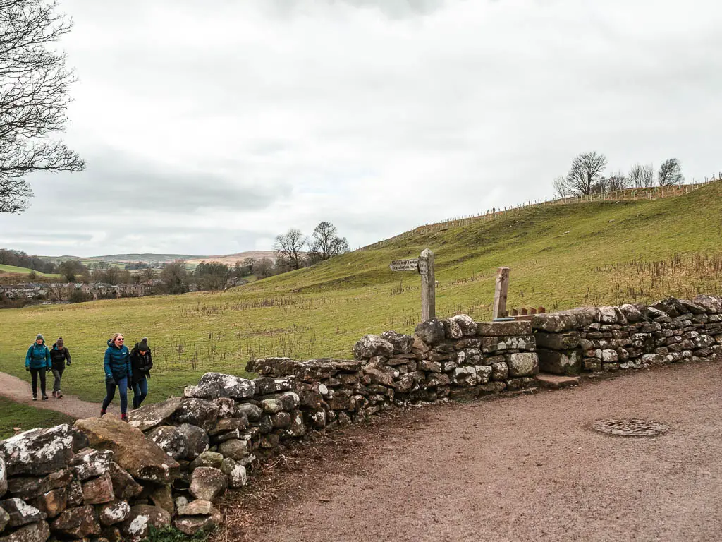
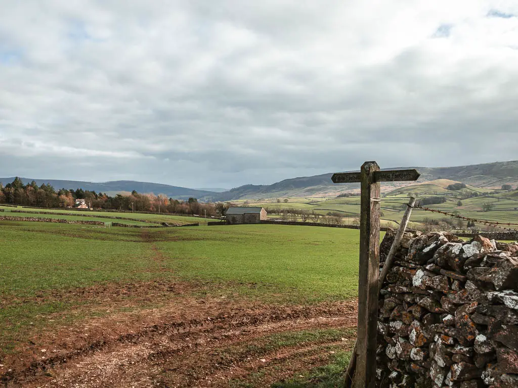
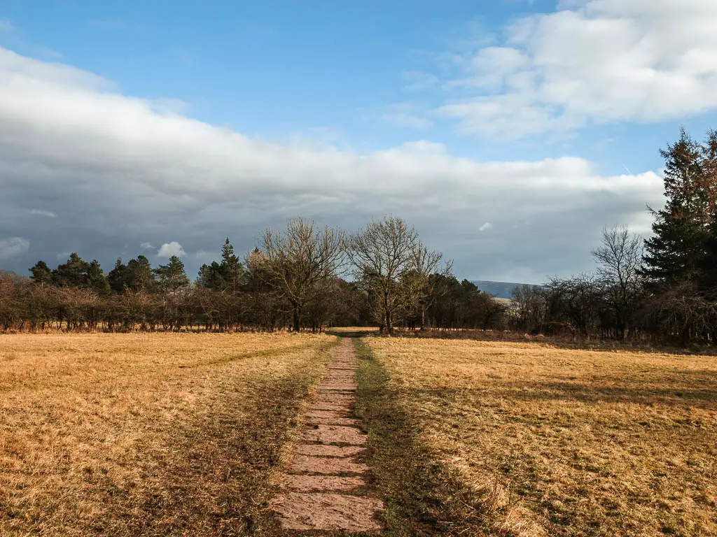
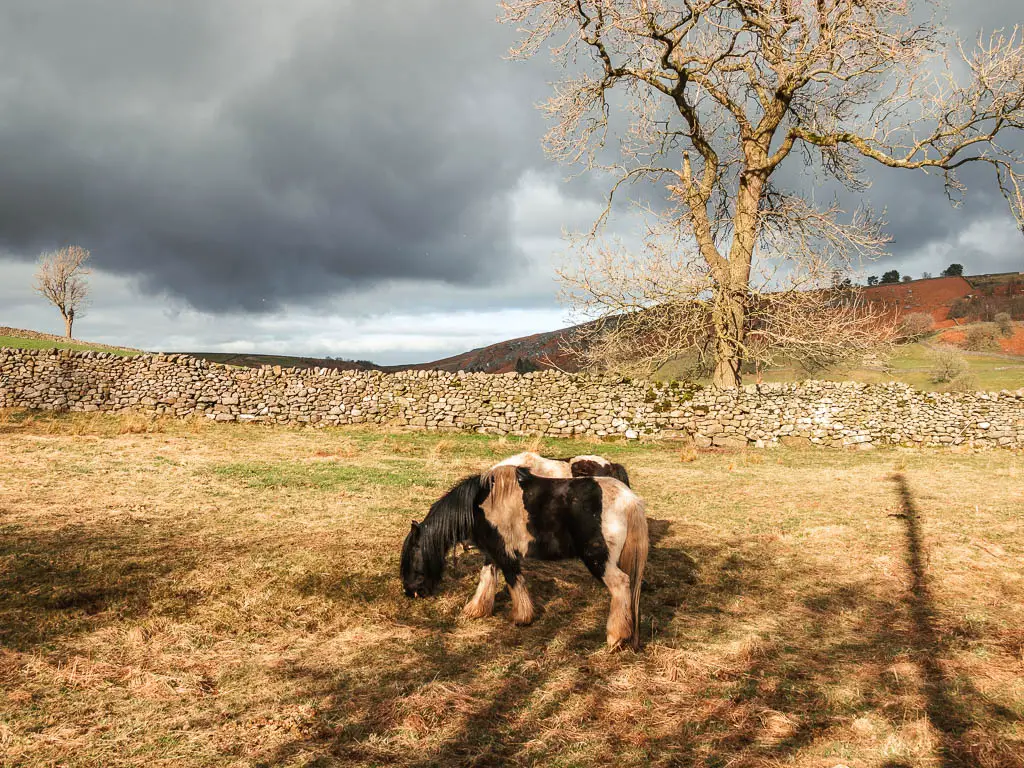
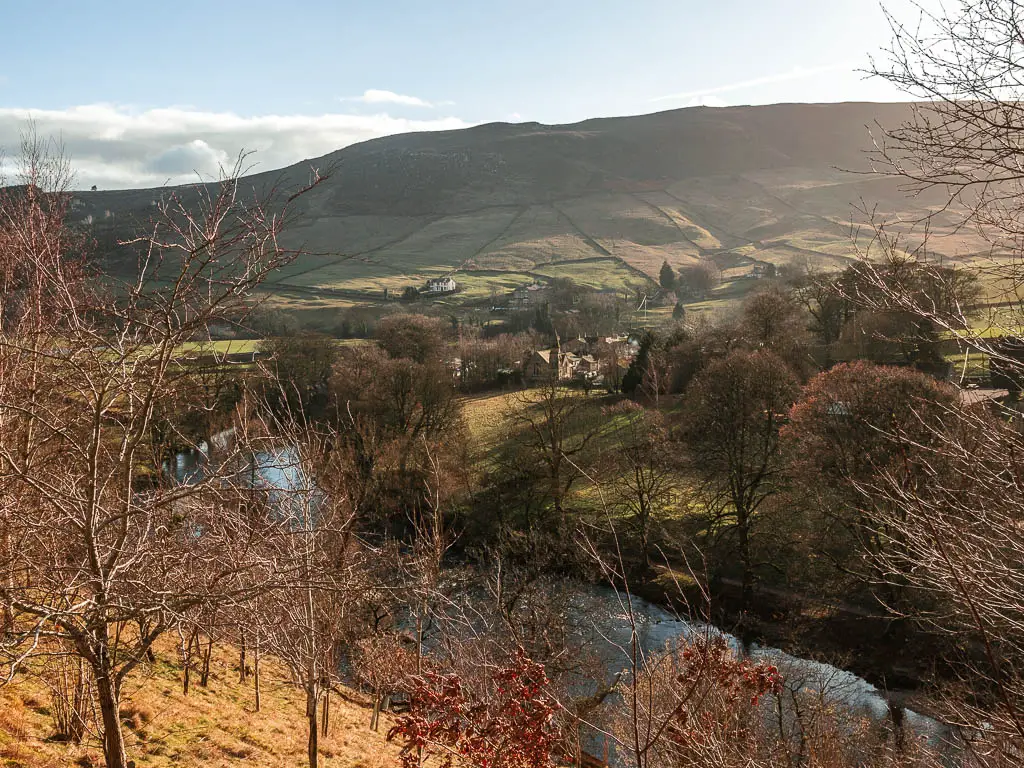
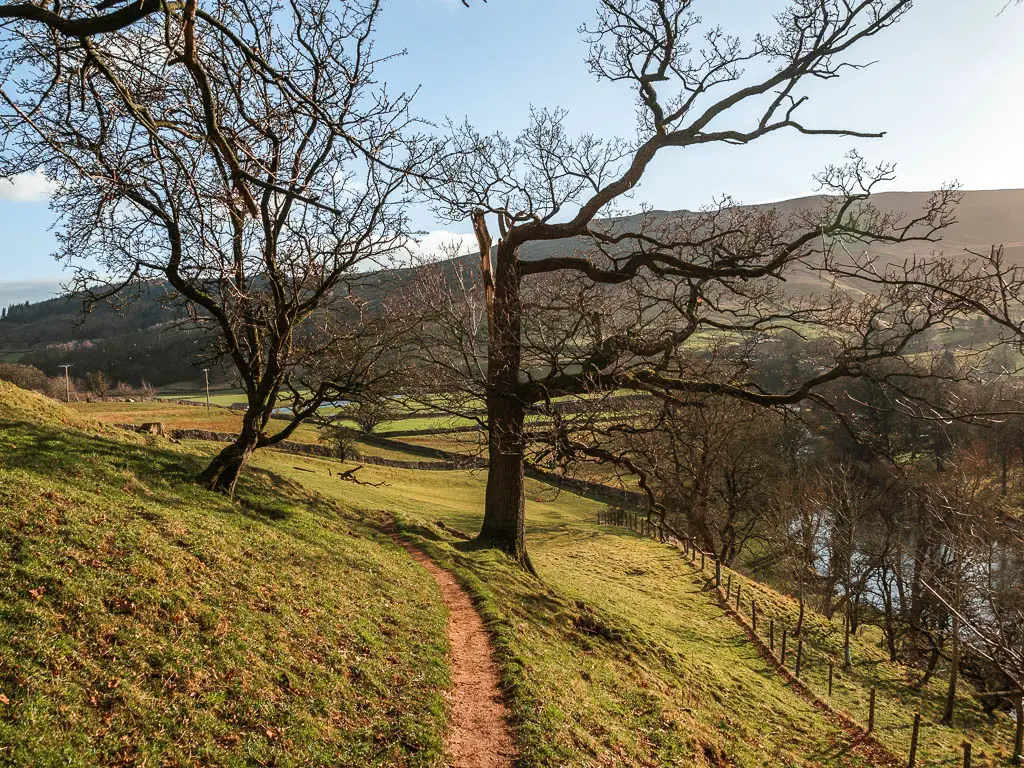
The fields and the views
As you get to the top, the views are really something. My photos don’t do it justice at all.
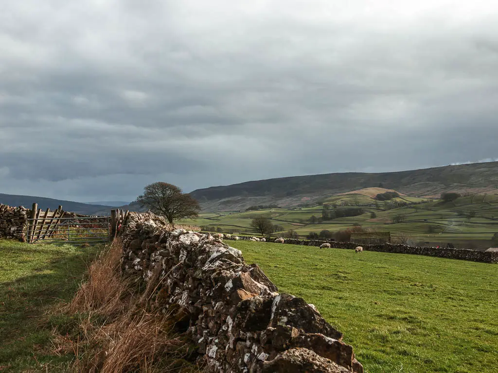
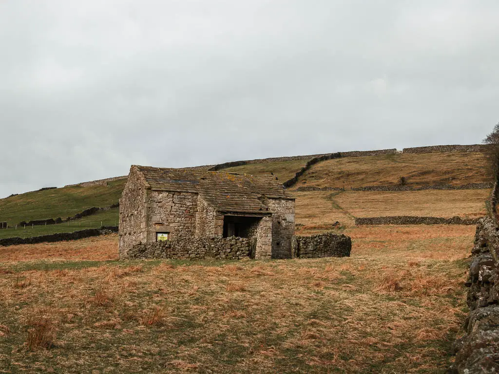
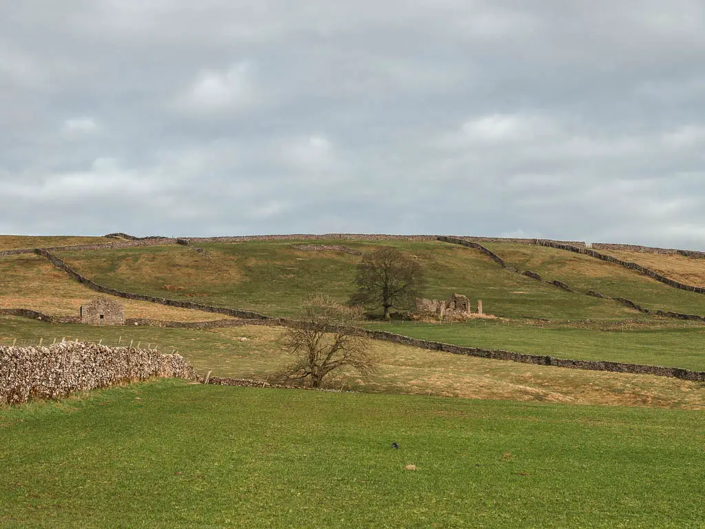
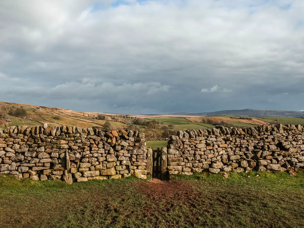
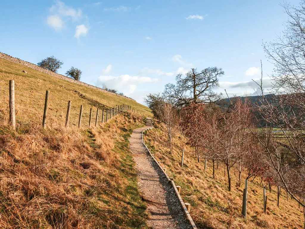
From here, it’s mostly straight line walking for some time. A bit along the stone walls then through some fields, with ruins dotted about in the distance.
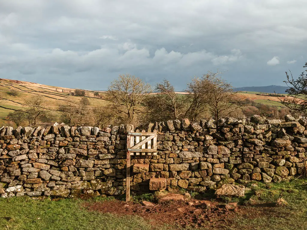
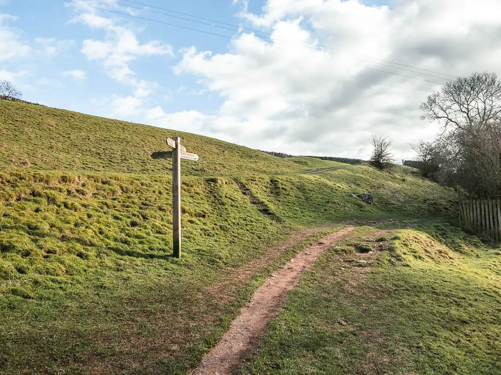
When you reach the signpost (photo below), follow it straight, off the big track. Then further down the hill, look out for the next signpost pointing you a bit more to the left.
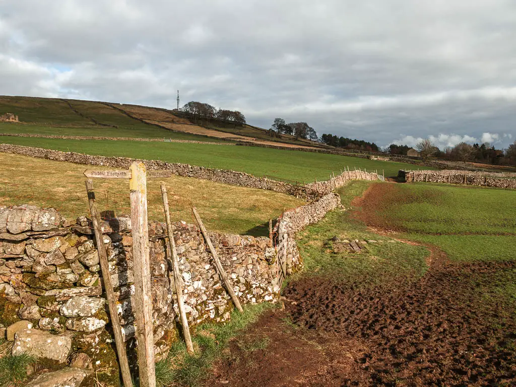
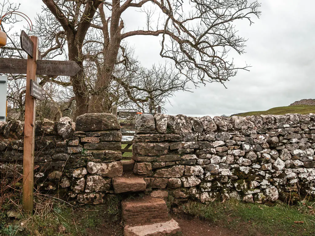
Keep following this trail, then the next signpost is the one that could be confusing. It seems to point towards a metal gate. But what you want is actually the stone wall steps a little to the left of the gate.
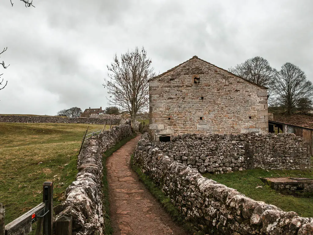
You will then walk through a series of fields with mini gates in stones walls to reach the Grassington Park Estate Meadows.
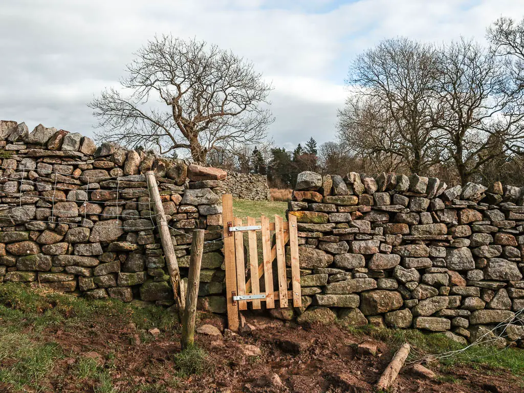
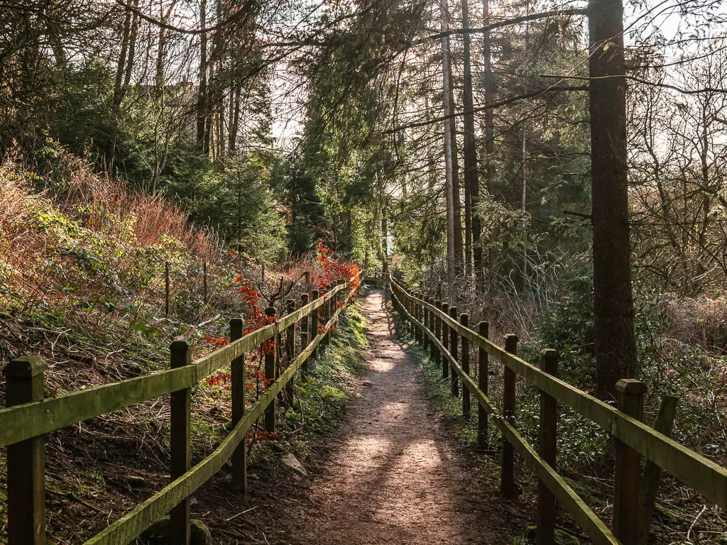
Here it’s a little bit of woodland, then across the road into an open field. A little further along, where the trail splits, take the stone paved one to reach the next woods and a mini gap in the stone wall.
Walk down the hill to Hebden
At this point I noticed the sky was looking quite dark. I monitored the cloud movement and realised they were heading towards me. Rain was imminent. So I hurried along.
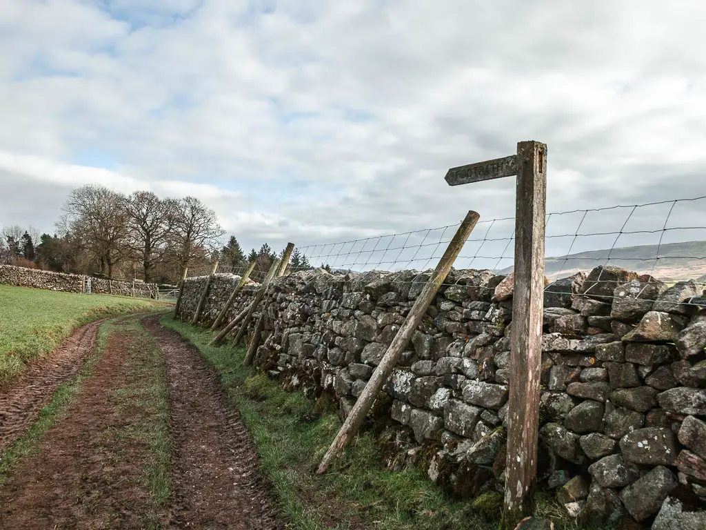
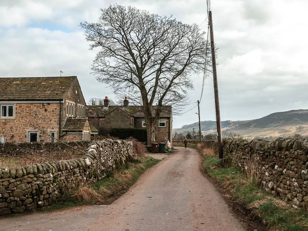
Again, it’s pretty much straight line walking through the fields and more stone walls with mini gates, then one final bit of dirt track to reach Hebden.
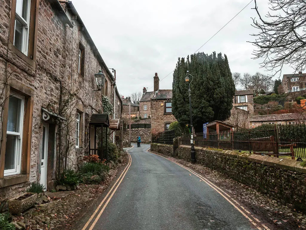
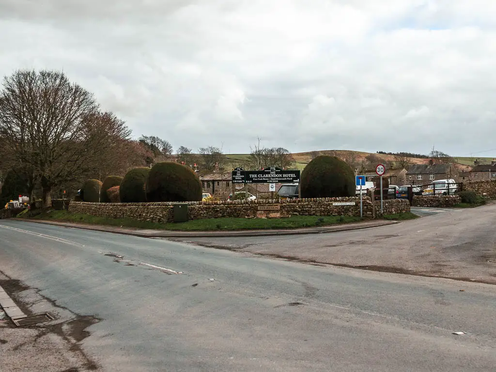
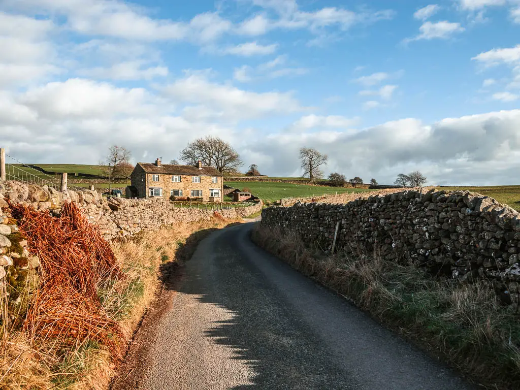
Once you reach the main road, turn right where it says ‘The Clarenden Hotel’ and follow the road past some more houses, then take a left at the church.
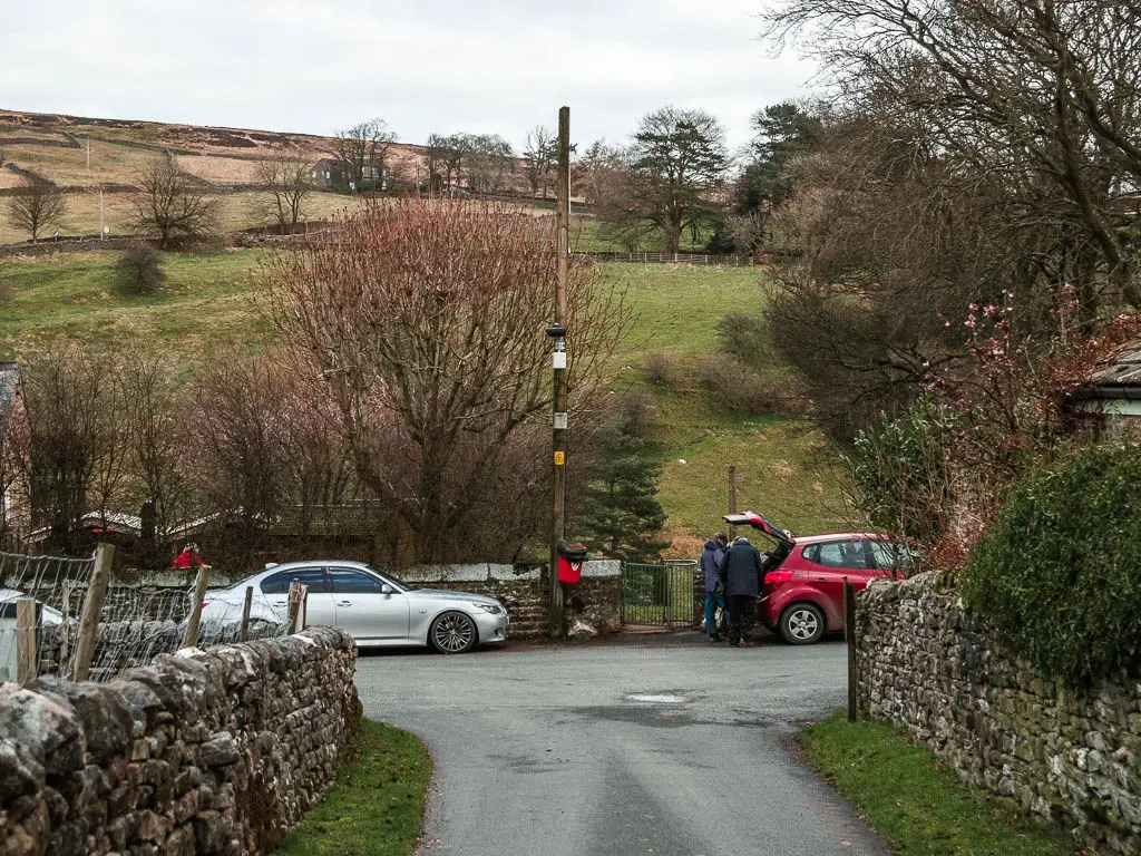
At the end of the road past the church, you will see a green metal type of gate. Go through this to reach the little river stream below.
Walk along the river stream
I knew the end of the Burnsall Grassington walk was near, and usually at this point when out hiking, I find the trail becomes less exciting. But not this time.
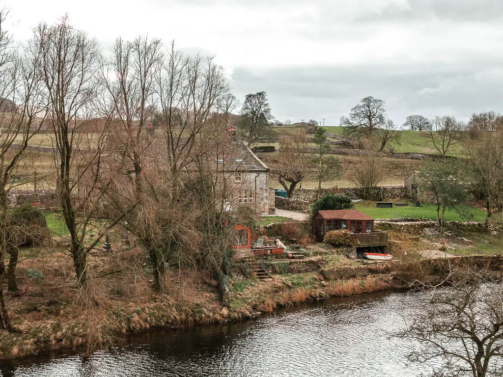
This bit of the walk is very pretty, alongside the stream, past a few stone houses, and across a wooden bridge with a water feature.
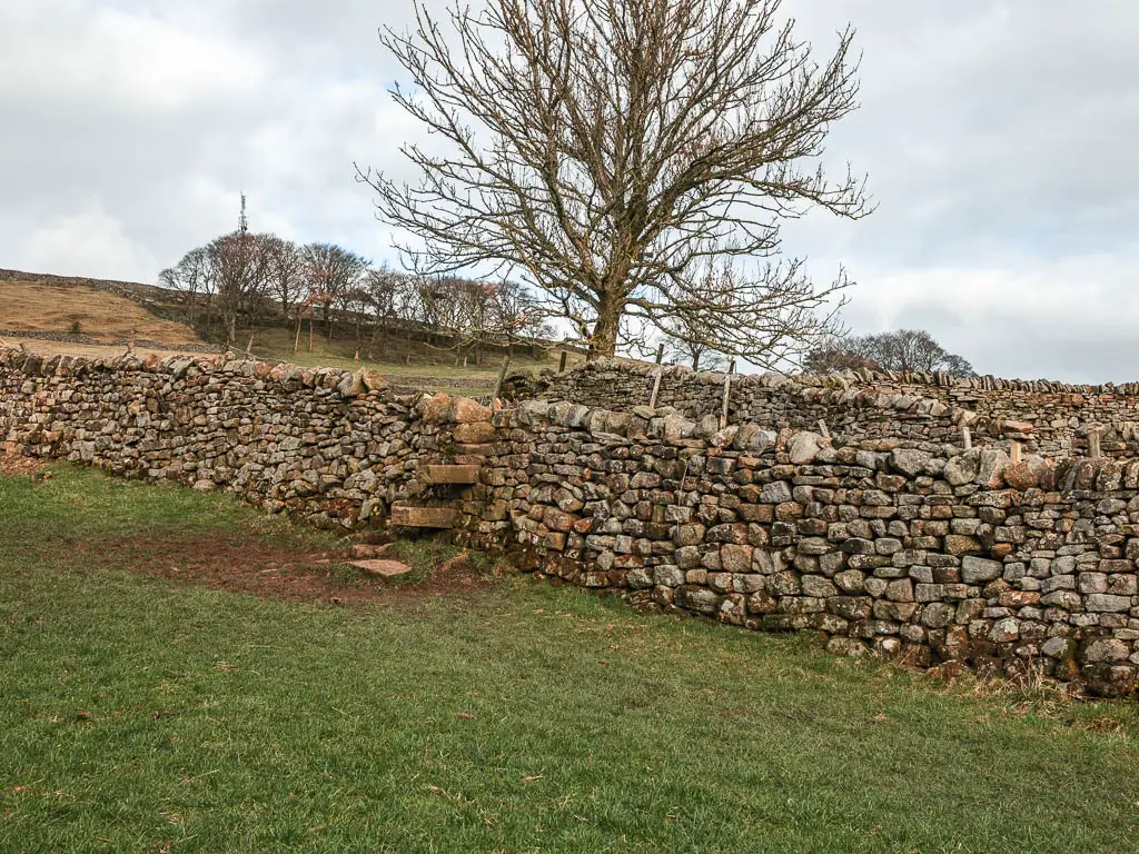
Choose your way back to Burnsall
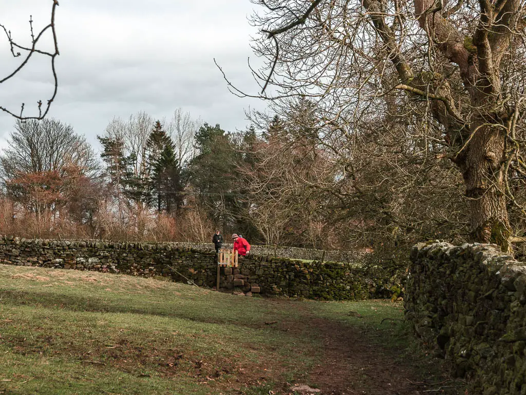
When you reach the signpost (photo below), you have one of three options to get back to Burnsall.
The longer route that goes uphill a bit more, the medium length route back down along the River Whye, or the most direct route along the road.
I was now feeling very tired and a little grumpy. The walk wasn’t difficult. It was the lack of sleep. The 1h30min drive to get here. Those children. Also the fact that I could feel the rain coming. So I chose the road.
Only, the road turned out to not be as easy as I’d hoped. There was more uphill than I had anticipated, plus, wearing hiking boots made it a bit tougher under foot.
If I was to go back, I would instead head down to the river. If I wasn’t so tired, I would take the longer uphill route.
But as I took the road, I will show you what it’s like. It was a nice road at least, with only one car passing by. If however, you would like to try one of the other options:
To take the longer scenic route: Take the trail up on the left at the signpost, there are some more junctions coming up, but if you look on my AllTrails route for Burnsell to Grassington, you will see the trail you need to walk along.
To take the river route back to Burnsall: Follow this same trail as me, then when you reach the road, turn right, then a short way along, you should find a trail on the left, which will lead you down to the Hebden Suspension Bridge and stepping stones.
Walk back to Burnsall along the road
From this signpost, continue straight, through some pretty woodland, and when you reach the main road, turn left.
It’s about 1/2 a mile of road walking, largely uphill to start. As I said, it is a very nice road, so it’s not a bad route to take. I just suspect the other options are a bit nicer.
Further along, you will start to get a view down to Burnsall below on the right, and a short way after, keep an eye out for the trail signpost on the right through the stone wall.
The final stretch of the Burnsall to Grassington circular walk
From here you will be walking down along the side of a hill. Some bits easy, but in parts the trail is on a full slant and I suspect if the mud is wet, you will have to try really hard not to slip down the hill.
Now just keep on going down. At the bottom there is a ladder, but if you have come with a dog, I feel like there might be other ways out of here. I saw some other trails about, so have a little look around. You will soon end up back at the Burnsall Bridge and parking.
A few minutes after I got back to the car, it started raining. I guess taking the road back wasn’t such a bad idea.
More walks near Burnsall and Grassington
If you like views, then a bit further south, you have Simon’s Seat. These are some of the best views I have seen since moving out here. The kind that made me stop breathing for a moment. It does involve a solid uphill climb, but then it’s all downhill after that.
Now, for the absolute best views, you should go to Swaledale. It’s in the very north of the Yorkshire Dales. The first walk I tried up there was along the river from Muker. This is the route that made me fall in love with the place…as well as the drive in. The drive to get there is stunning. There next walk I did was through Gunnerside Gill. That one was even better. I will be getting a guide up for that soon.
Not too far away, you have the very well known Malham Cove. This route has two waterfalls, a massive cliff, and impressive deep gorge. Notice I said ‘very well known’. It’s by far the busiest walk I have been on out here…and I did it on a weekday.
For a real tough one with very very impressive views, you might like Pen-y-Ghent. It’s one of the peaks of the Yorkshire Three Peaks Challenge.
The Bolton Abbey walk is another wonderful one along the river Wharfe. On this one you will see the impressive Strid.
For more waterfalls, you could try the walk to Hardraw Force, or Aysgath Falls. These are both very easy walks, and quite family friendly.
If you head west, you could try this caves and waterfall walk from Settle. I didn’t enjoy the waterfall as much on this one, but the rest of the walk was nice.
For walking routes all over the Yorkshire Dales, you can see all the ones I recommend here.
Pin it for later: A circular walk from Burnsall to Grassington