The walk from Salcombe to Hope Cove in South Devon has been on my list for a while. Actually, someone mentioned it to me on TikTok. Well, here I am. I made it.
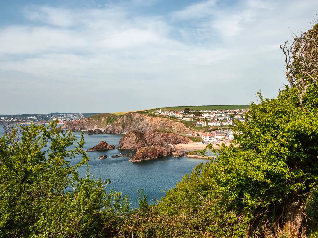
What was the walk from Salcombe to Hope Cove like?
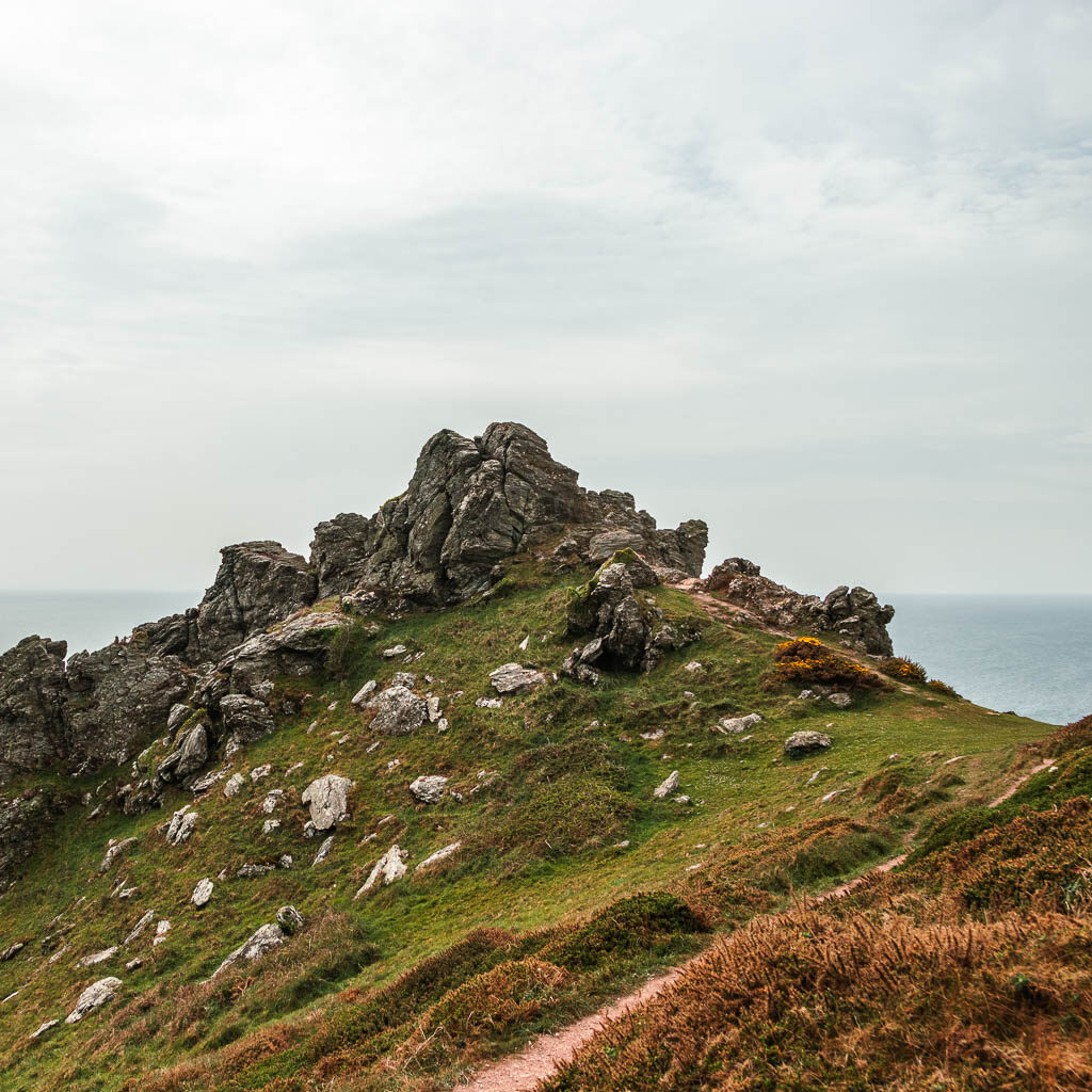
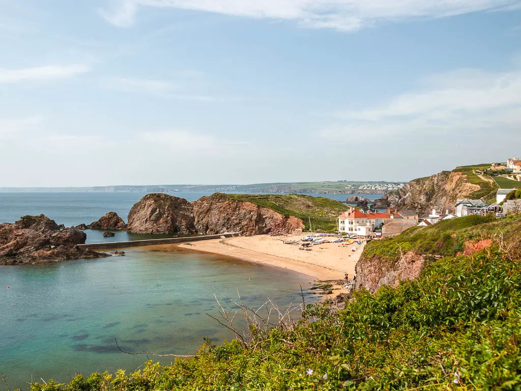
Wow. The walk from Salcombe to Hope Cove is definitely up there with my top ones. Jagged pointy rocks, tor outcrops, secluded beach coves, turquoise water, highland cattle, and the most stunning presentation of Hope Cove at the end. Rows of pretty flowers and bluebells, rugged terrain. As I walked along, things just kept getting better and better.
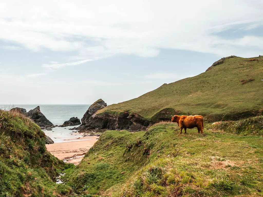
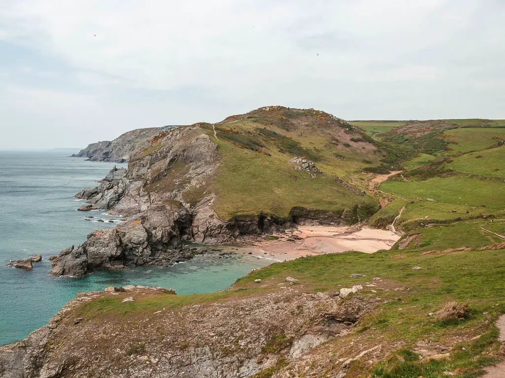
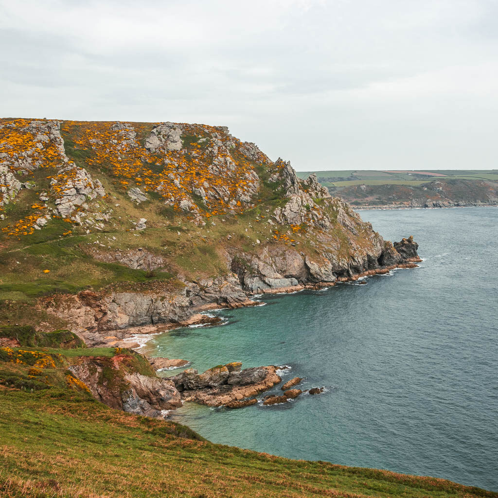
The walk itself is a mix of hills and flats. The first part to and around Bolts Head, is a little more challenging with the hills and rocky ground. Then it’s flat for a while along the clifftop. Around Soar Cove it gets steep and hilly again, before levelling off and taking you downhill for the remainder of the walk to Hope Cove.
For a moment there, I was nervous of the cows, what with my recent encounter of getting cornered and trapped by them. But I reminded myself that the highland ones are the friendly ones, and soldiered on through them.
Logistics for the coastal walk from Salcombe to Hope Cove
- Start: Salcombe
- Finish: Hope Cove
- How to get there: If you don’t have a car, you can catch the number 164 bus from Totnes and through Kingsbridge to Salcombe. Totnes has a train station on the Great Western Railway line. Hope Cove is a bit more tricky – see tips.
- Distance: 8.5 miles
- Time: 3h 15min
- Terrain: Road, dirt trail, rocks, grass.
- Elevation: Highest point is about 129m. With the ups and downs, elevation gain is about 482m
- Difficulty: Medium with easy bits
- Dog friendly: There are no styles, but there is livestock around.
- Amenities: Everything in Salcombe. A restaurant a bit past Soar Mill Cove. Viewpoint benches along the route. Hope Cove is very small, but they have a couple of pubs with fantastic reviews (The Cove, Hope and Anchor). There is also a lobster place with pods, which also has great reviews.
- Time of year: Spring
Tips for the walk from Salcombe to Hope Cove
- Hiking boots. Now, this isn’t a deal breaker, but it’s super rocky in places, so you would be more comfortable this way.
- Check the bus times. Hope Cove only has 3 buses to get you out per day. Morning, midday and early evening/late afternoon (depending on what kind of person you are).
- To get back from Hope Cove to Salcombe after the walk, you can catch a bus to either Marlborough or Kingsbridge, where you change for another bus to Salcombe or wherever else you want to go…..
- Or you could walk. It’s only 2.5 miles to Marlborough, mostly through fields, and then you can catch a bus from there. There are regular buses running through Marlborough.
- Take swimwear for a dip in the sea, in one of the secluded beach coves.
Map or the coastal walk from Salcombe to Hope Cove
More walk ideas near Salcombe and Hope Cove will be at the end, with a link to the full guides.
A Guide To The Walk From Salcombe To Hope Cove
If you are starting the walk to Hope Cove from the harbour in Salcombe, then the first 2 miles will be on the road. There isn’t really a way around this. Well, not that I could see anyway. It’s not too bad, it’s actually quite pretty. Saying that, I did this walk on a weekday out of season, when there were barely any people or cars. It might be a different story during the summer months on a weekend.
Walk to North Sands and South Sands
Starting from Salcombe, you can walk a bit along the harbour, but you will eventually be pushed onto the high street. First past all the shops, and then some lovely pastel coloured houses, with a fantastic view across the water.
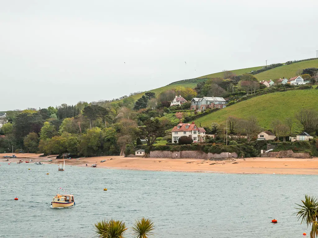
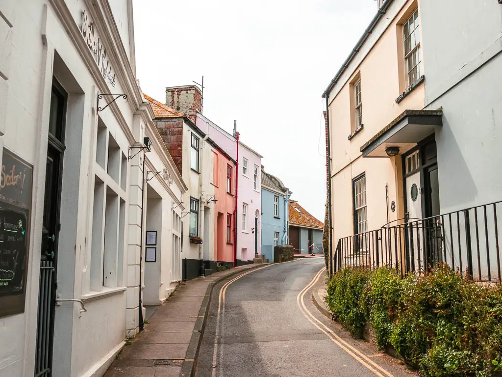
When you reach the road fork, take the left. You should see a coast path sticker on the lamppost. There isn’t much pavement, and the road becomes quite narrow. But as I said, it’s quite pretty and (for me anyway) there weren’t many cars. Actually, I cant recall any on this bit.
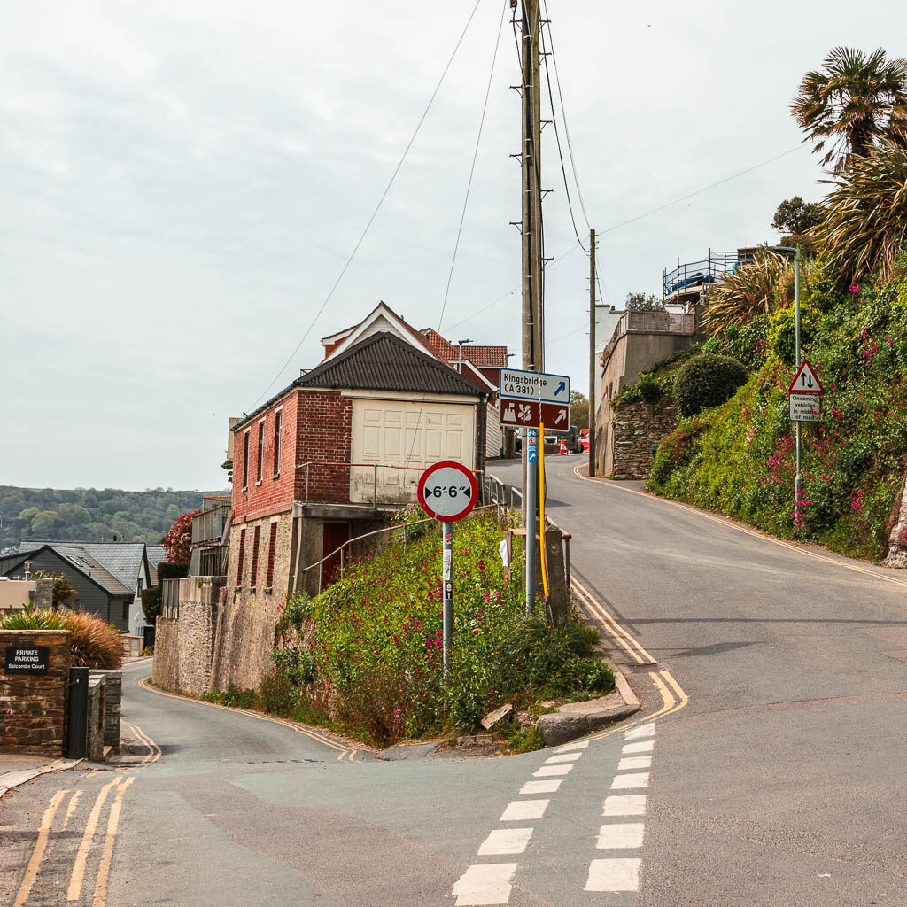
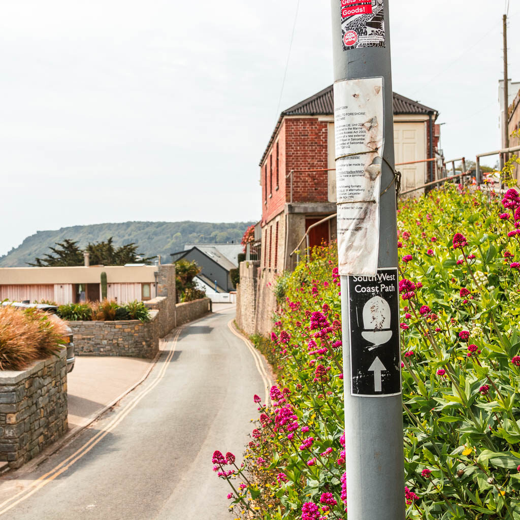
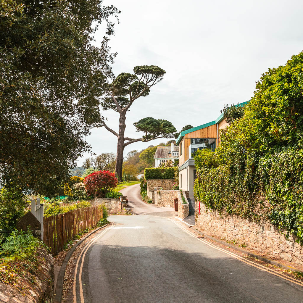
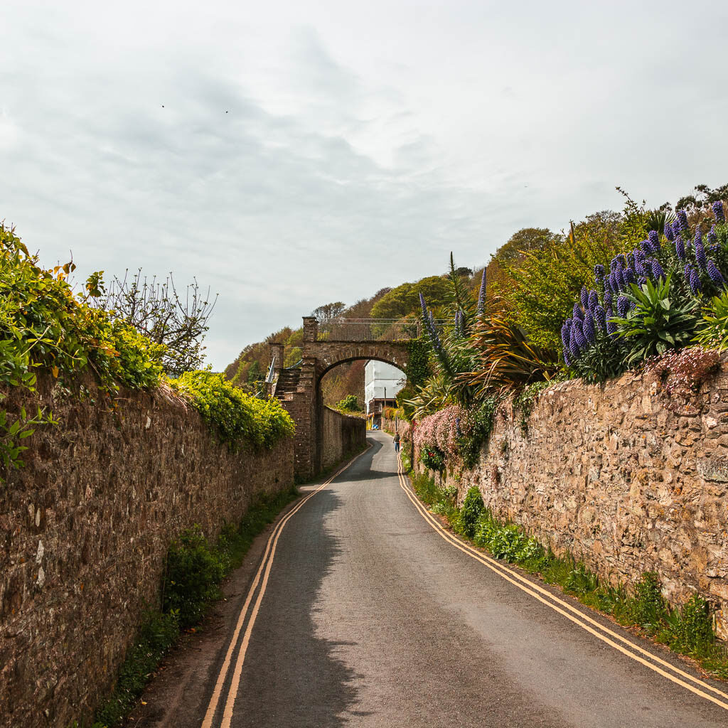
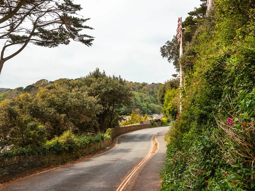
You will pass by some footpath signs directing you off the road, however, from what I could see on my map, these won’t work. They take you complete the wrong way.
This road will soon lead you down to North Sands.
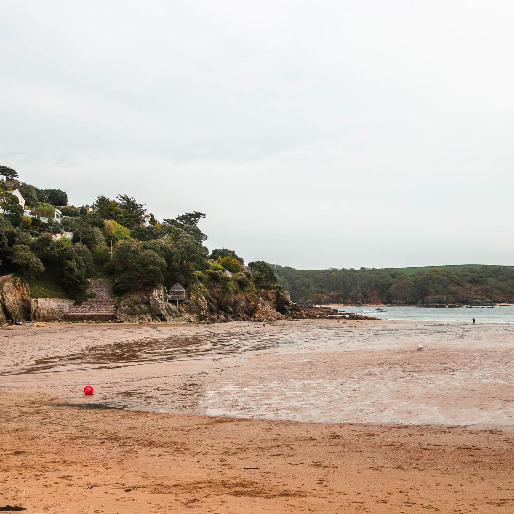
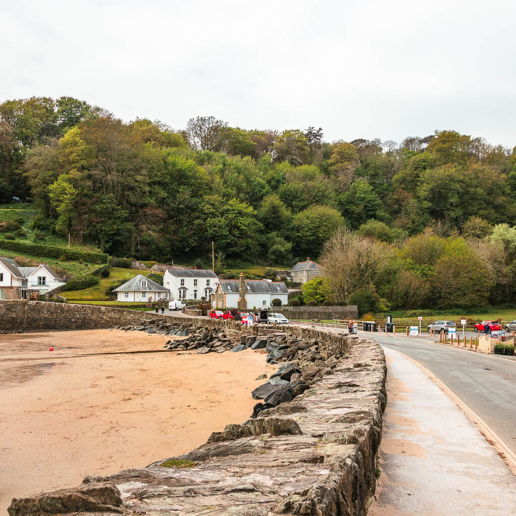
From North Sands, continue following the road as it curves you uphill to the right and then left. Still no pavement. Still pretty.
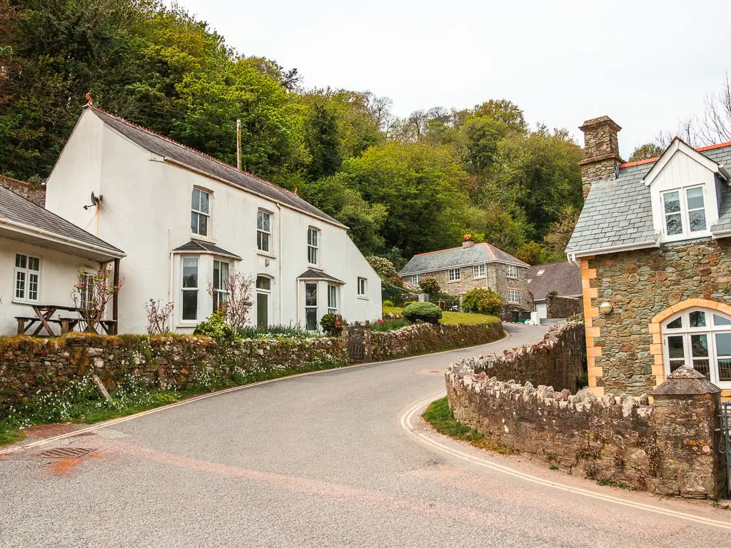
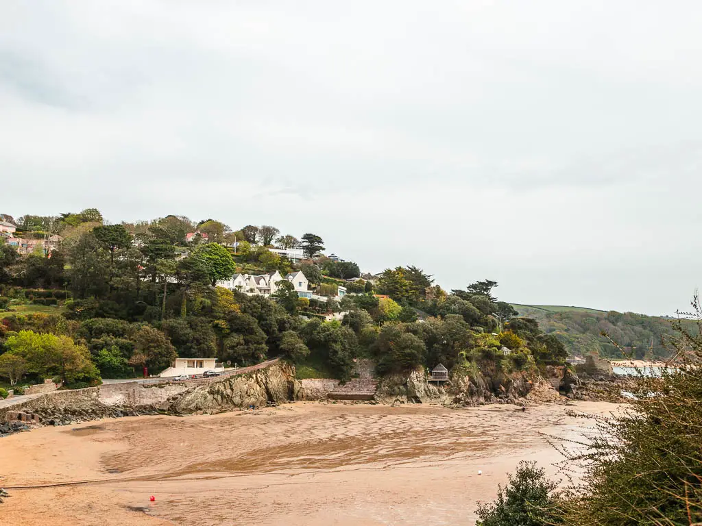
When you reach the junction with a red post box, go left, following the sign for South Sands.
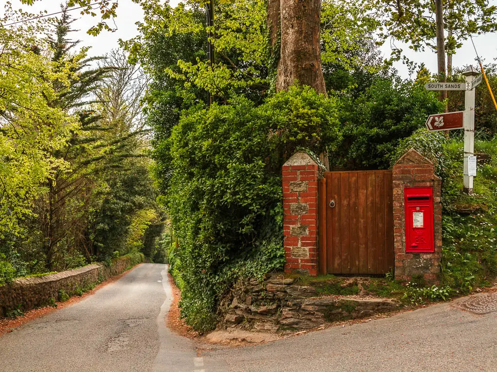
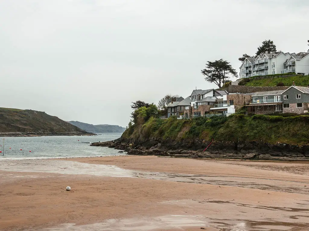
At South Sand, continue following the road up, and at the junction, take the left towards Overbecks.
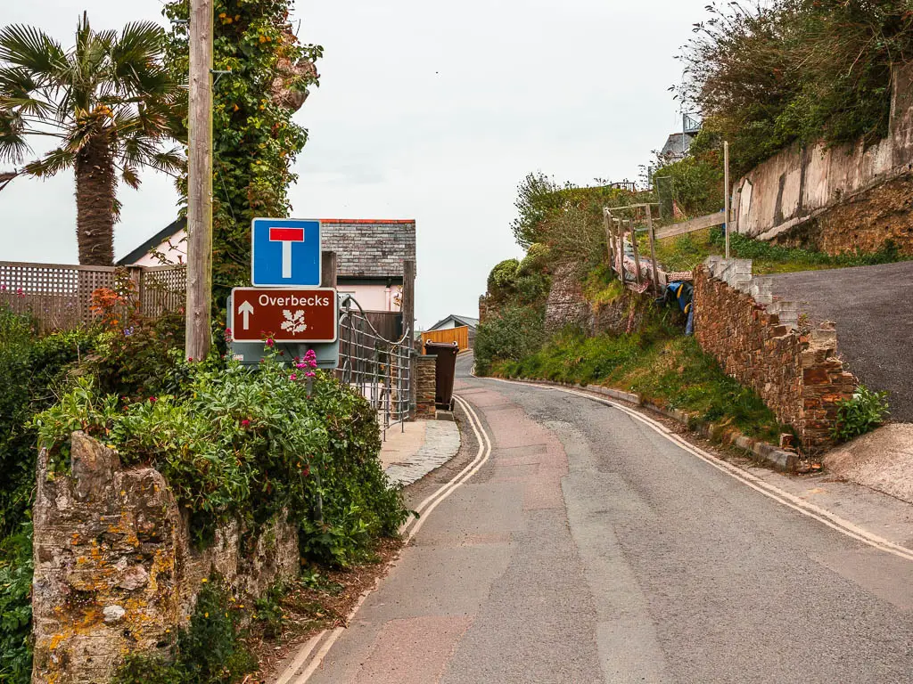
Fun Fact: Overbeck’s has a subtropical garden with plants from all over the world. It’s a National Trust area incase you are wondering. I didn’t go on this occasion. I have been meaning to get a National Trust Membership, so I will wait until then.
Walk to Bolts Head
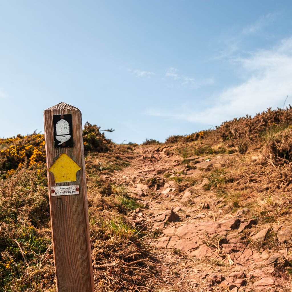
Follow the road, still ignoring any footpath signs, until you reach the fork with the yellow arrow signpost. This is the sign you want. The yellow arrows. They point you both ways here. A little confusing, but take the left. You will approach an area that says ‘Private, residents only’. Ignore that and keep going. This will lead you to the start of Bolts Head and all the good stuff.
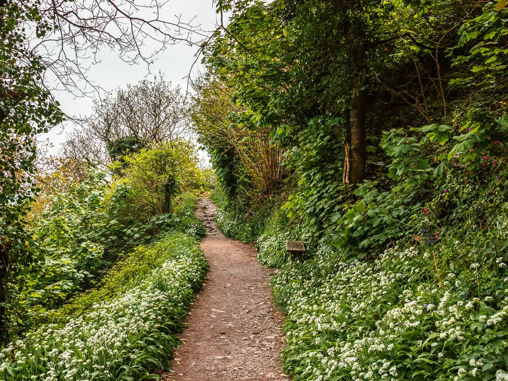
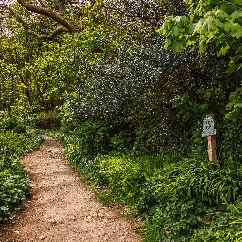
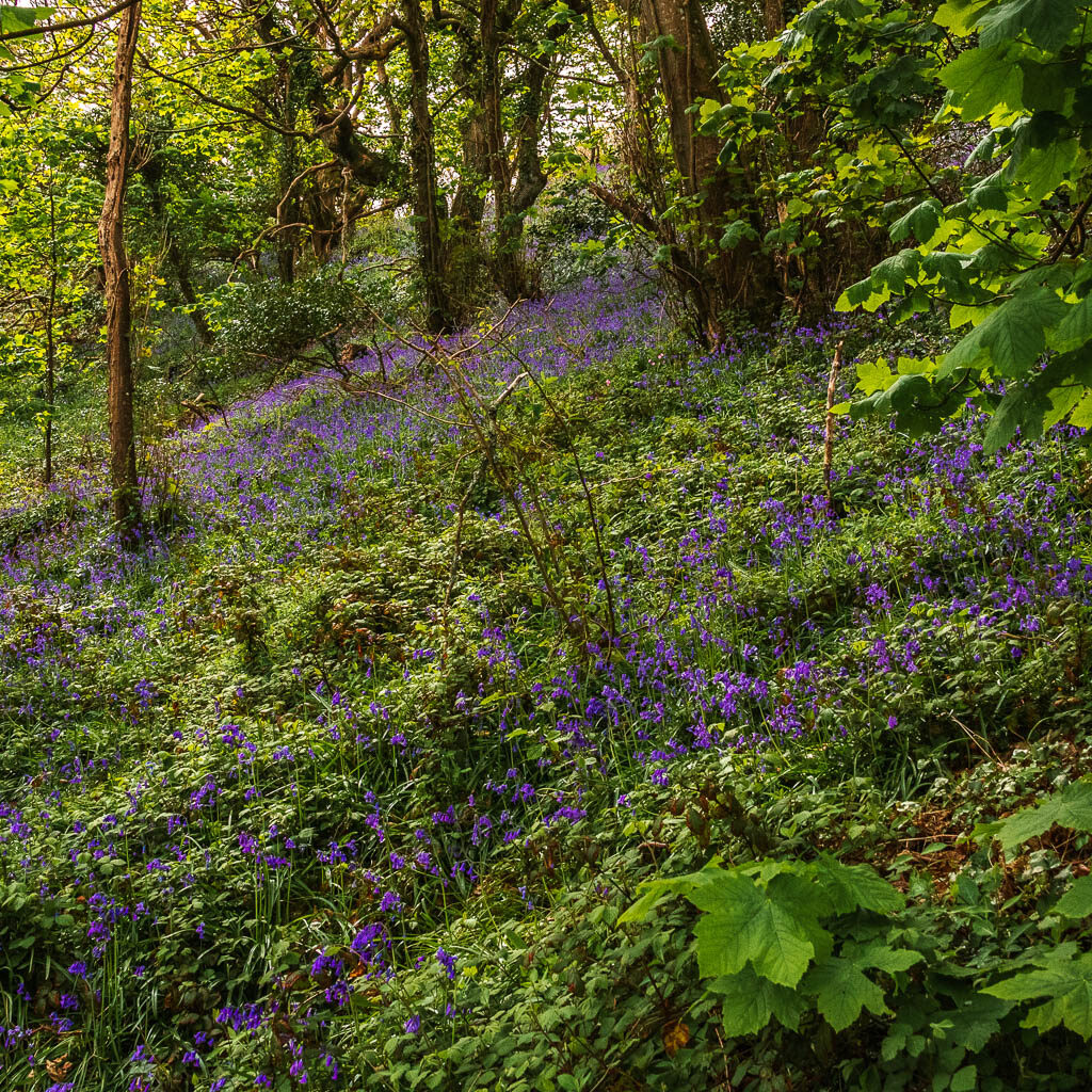
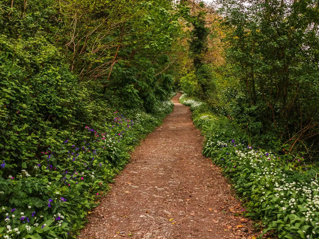
As I reached this area, another man was leaving, and he told me he has just seen the best view he has ever seen in his whole life. I wasn’t sure what he was referring to until I saw it. The pictures don’t do it justice really, but it’s a long trail lined with pretty flowers and bluebells. It really was quite magical and fairytale like.

Walk to the tors
Near the end of the woods, is where the trail starts to become quite rocky.
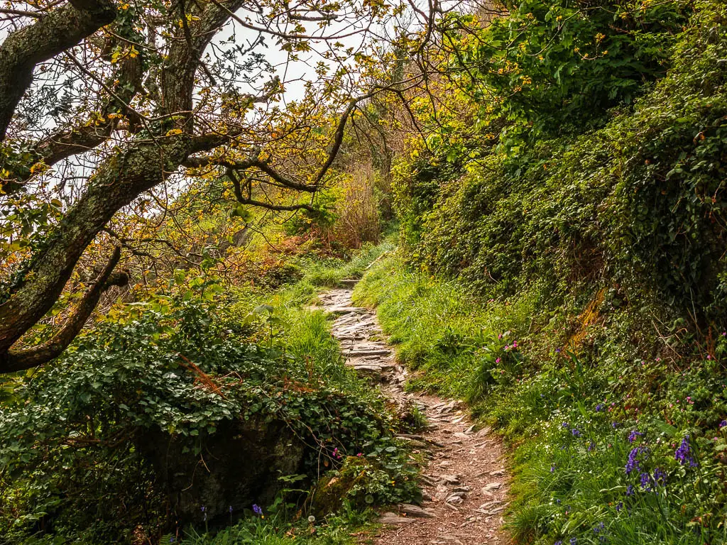
I wasn’t completely paying attention to what was ahead of me, as I was looking back at the Salcombe view. Then I turned back to look ahead, and was stopped dead in my tracks at what I saw.
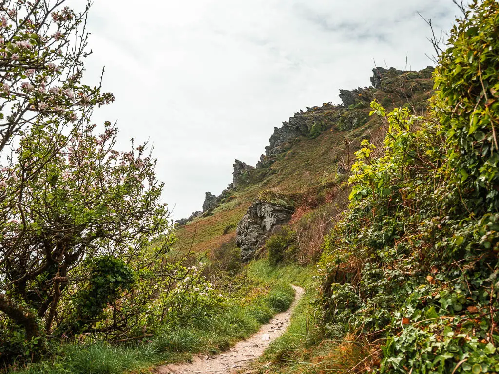
Everything so far had been quite soft and pretty, and I was suddenly presented with jagged, pointy tor outcrops. I wasn’t expecting this at all. It was stunning, and I didn’t yet realise it was about to get a lot better. This was the taster.
As I made my way towards the tors, I looked back a few times to the Salcombe view, and what would usually have impressed me, was now quite bland. Bland in comparison to what was ahead.
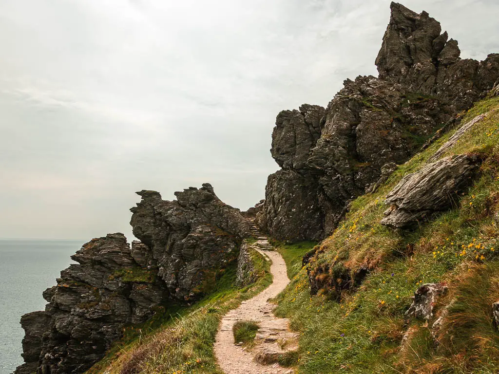
The trail then leads up some steps through the tors, and over the other side is an insane view down to some little beach coves.
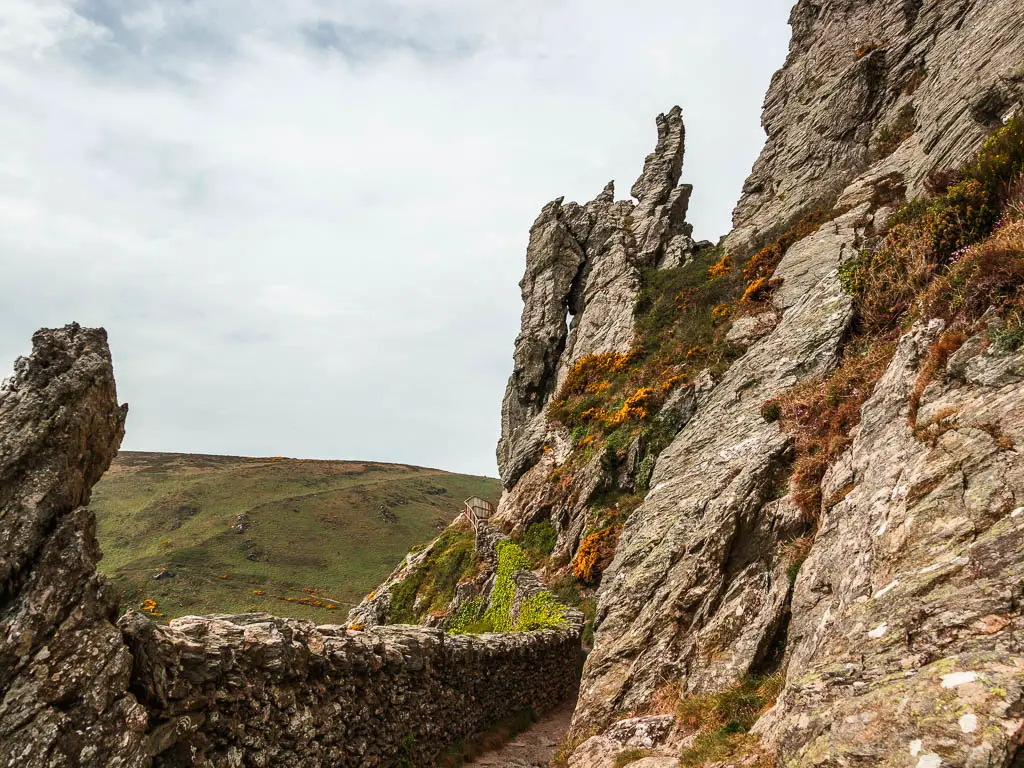
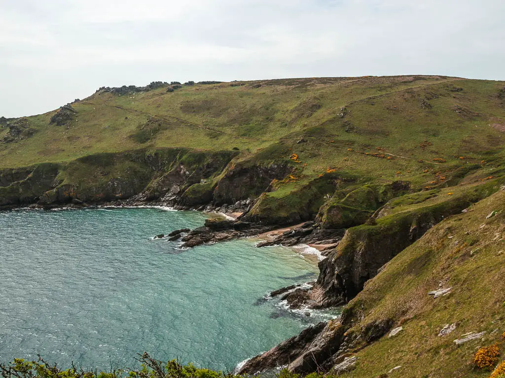
Walk around Bolts Head
From up here, if you look across, you can see the trail running across and over the hill. Actually, see the photo below, see the trail. This is one of the reasons I recommend hiking boots. The trail is quite narrow at times with a steep drop down the side. Although, this photo makes it look a bit more dramatic than it is when you are there.
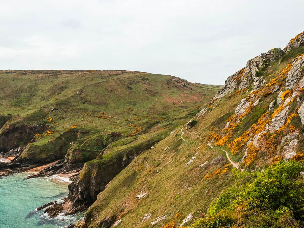
The trail now goes along the side with some downs and ups, and a lovely view back as you walk around the cove.
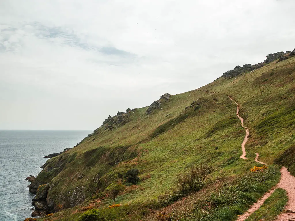
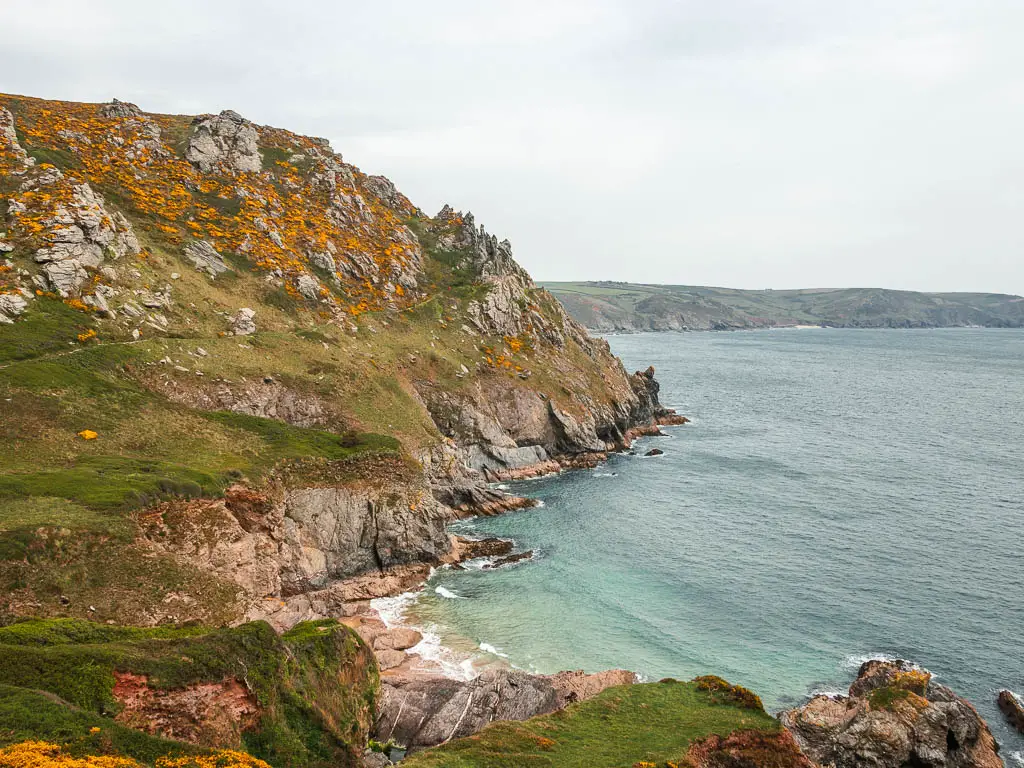
Once around the cove, over the hill, and past some more tors, there is a steep bit coming which was made so much harder because of the headwind. It felt like I had entered some sort of vortex. I had to fight my way up, as the wind tried to push me back down.
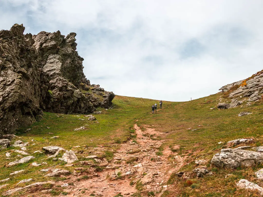
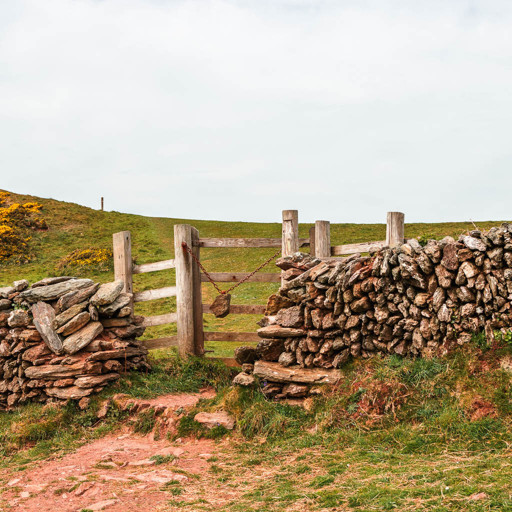
Once at the top and through the gate, the wind died down a little (just a little), and the trail levelled out.
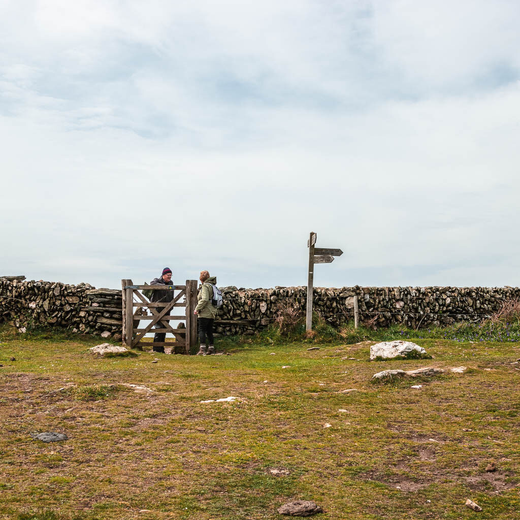
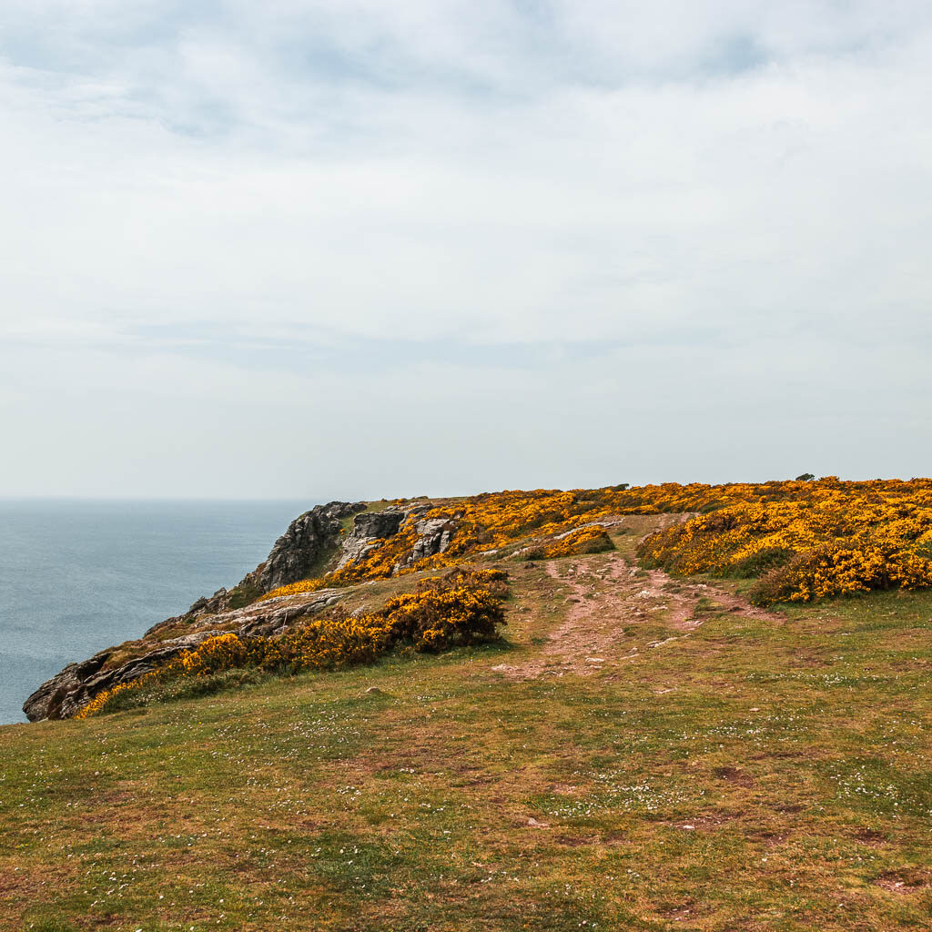
I had seen signs for cattle grazing, which made me wary. I hadn’t seen any yet, but their poos were dotted around. So I knew they were somewhere not far. I stayed alert
Walk to Soar Mill Cove
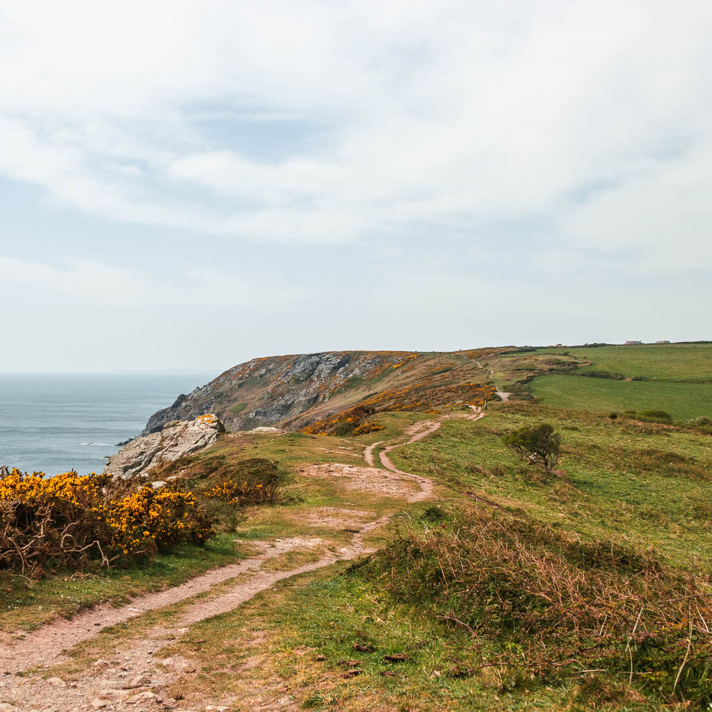
For the next while, the trail is on relatively level ground. I savoured the flatness. I wasn’t sure what was to come, and the level of hills that were waiting for me.
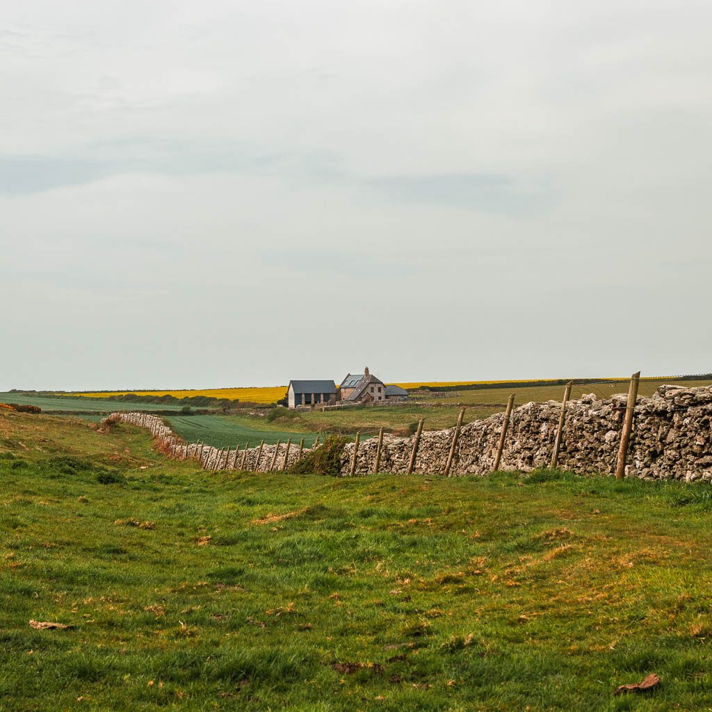
When up on this section, there are a number of trails around, so if you get confused, just head towards this house in the photo, and keep following the coastline.
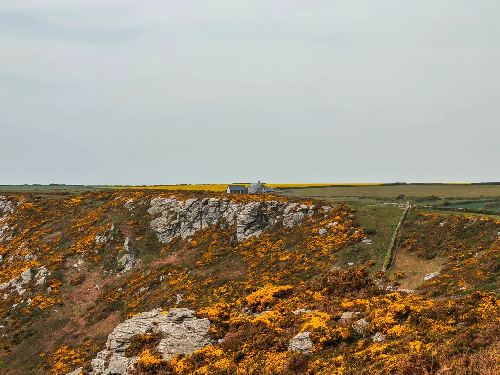
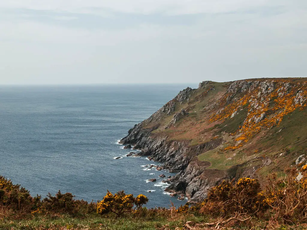
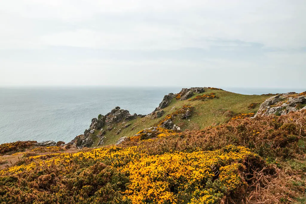
After mostly level walking with a few undulations, the trail then heads down past a cluster of tors. These tors became my snack break spot. It was nice and sheltered from the wind here, and had a stunning view down and along the rugged coastline.
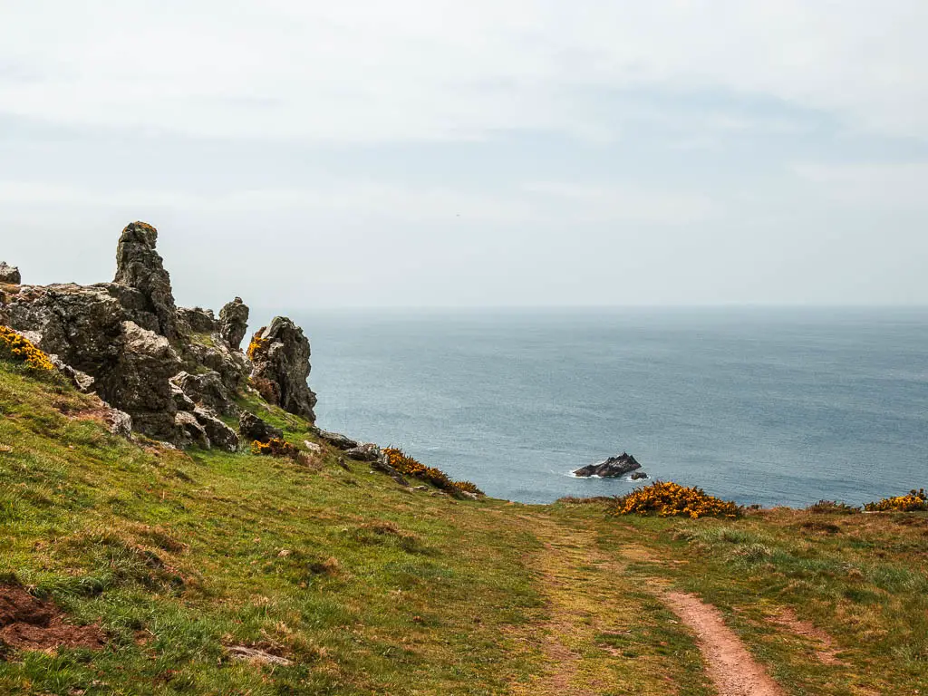
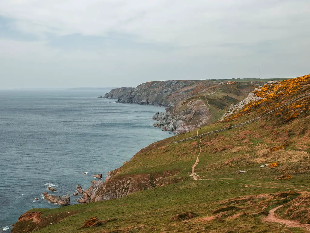
I could see what was coming now. It looked like there would be a few hills, and then a flat section later on. Yes, this was a good time for my snack. I would need some energy soon.
From the snack break tor, it’s straight downhill and then some up, with some very rocky bits of trail along the way. And then, just like magic, Soar Mill Cove comes into view.
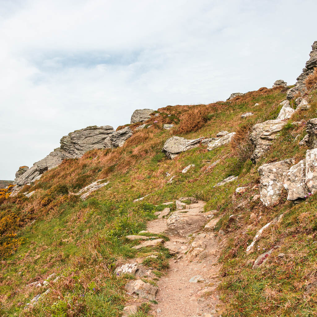
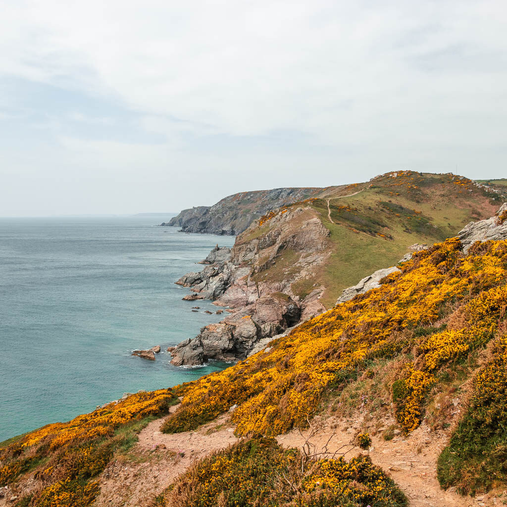

Sore Mill Cove – Just over halfway in the walk from Salcombe to Hope Cove
I made my way down to Soar Mill Cove, and as I got near the bottom, I saw them. The cows. Normal cows in one field, and then the highland ones in the other. I looked down to the beach and wondered if I could somehow get down onto it and across the other side, avoiding the cow fields.
I could not.
So I slowly made my way through the first cow field. Keeping to the edge by the barbed wire fence, not taking my eyes of them. My escape would be to jump over the fence, probably getting severely scratched up in the process. Although, that was a risk I was willing to take. I was also aware though, that the highland cows with horns were in that field. I would be escaping from one cow field to another. I tried not to think about that.
After I made it safely through the first cow field, I stopped and stared at the cows in the next one. I wasn’t ready to proceed yet.
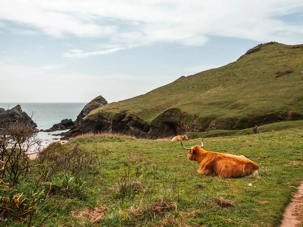
I then saw a couple of people coming up from the beach and walking past the cows. This was it, my time to move. Safety in numbers.
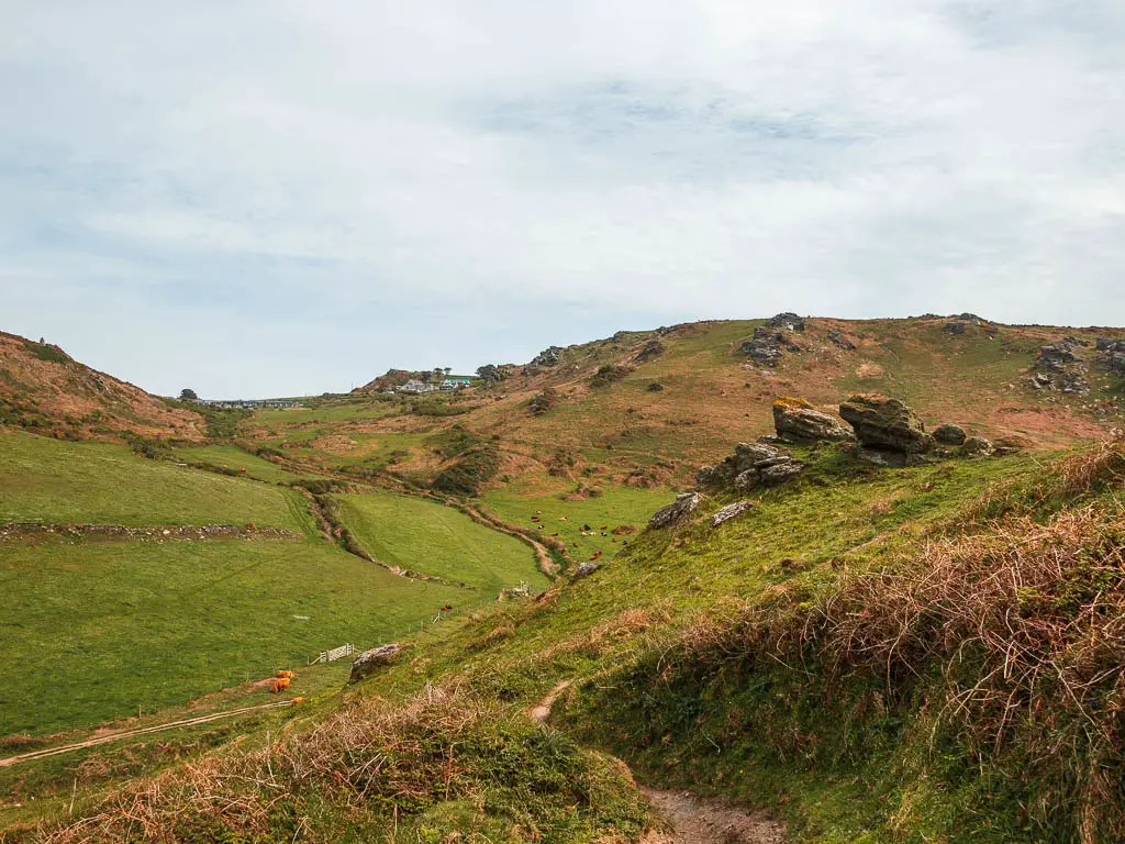
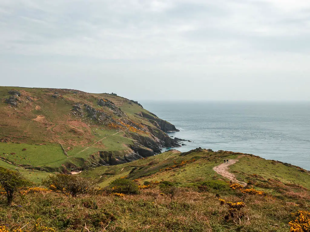
Once safely past the cows, it was a steep uphill climb, a bit rocky in places, with a fantastic view looking back down into the valley and along the rugged coastline.
Walk to Bolt Tail and the Hope Cove viewpoint
Once up from the hilly bit, it’s relatively level walking across Bolberry Down, for the rest of the walk to reach Bolt Tail.
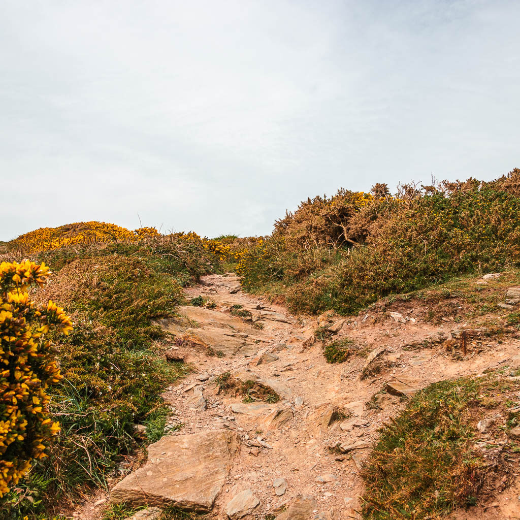
There is, I think a restaurant coming up. Google Maps tells me it’s a restaurant. Basically, there is some human activity and a car park. Past here, the trail turns into a neat well kept path, lined with gorse.
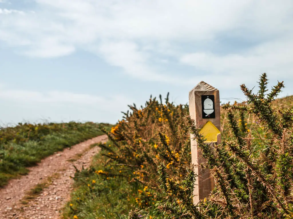
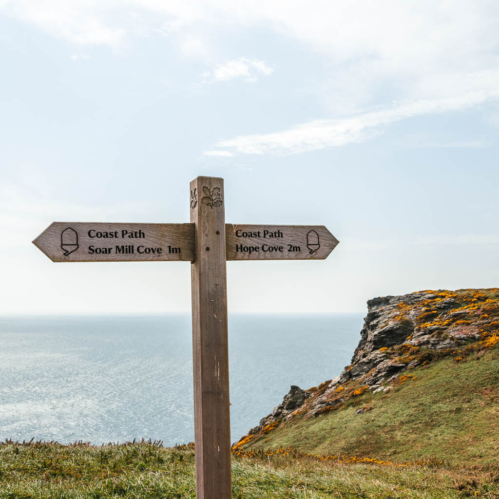
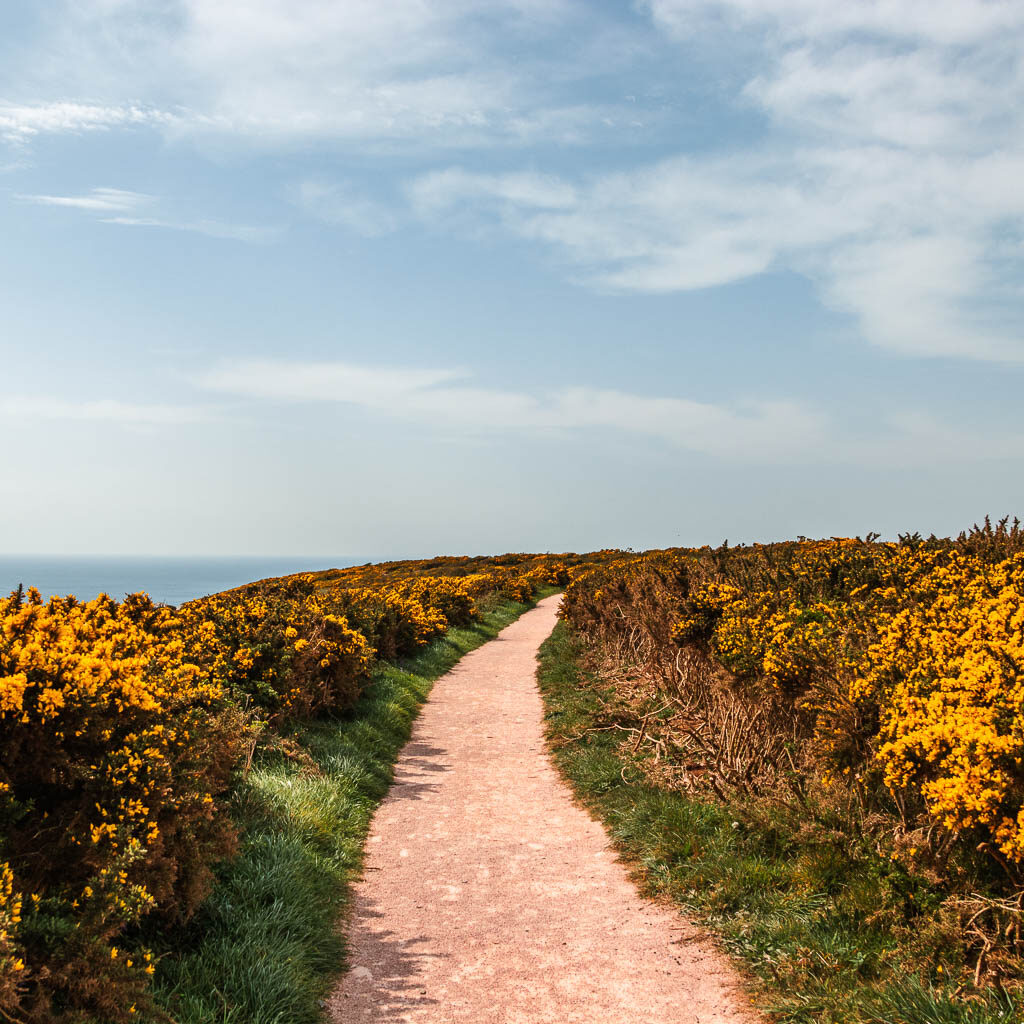
I’m so happy I know what these are called now. I don’t have to say yellow plants anymore. It’s something I had wondered for years, and I found out recently via TikTok. See, social media isn’t so bad is it.
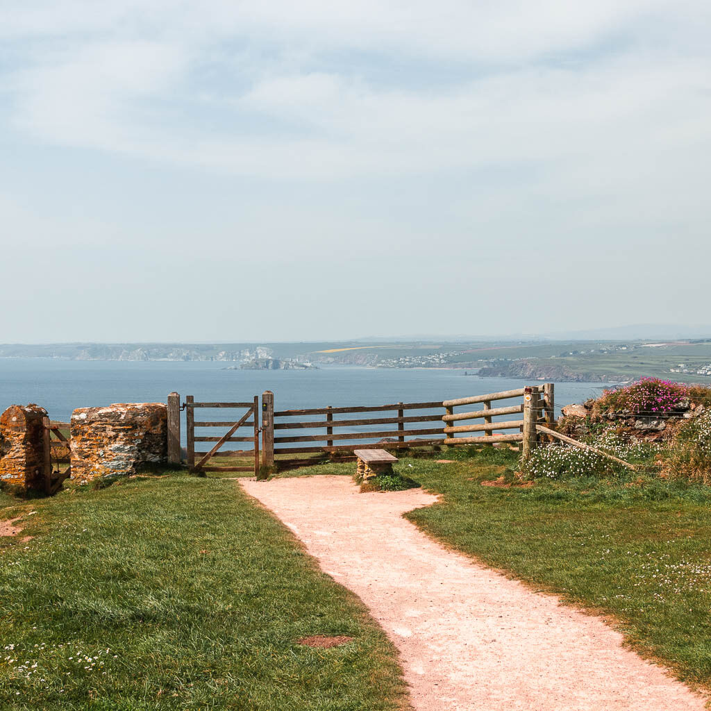
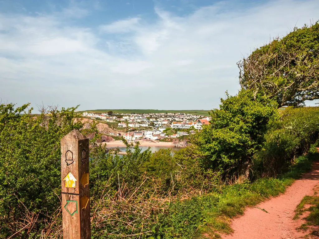
Through the gate further along, you get a lovely view to some villages along the coastline on the other side. I wasn’t sure which bit was Hope Cove yet. I figured I would find out soon.
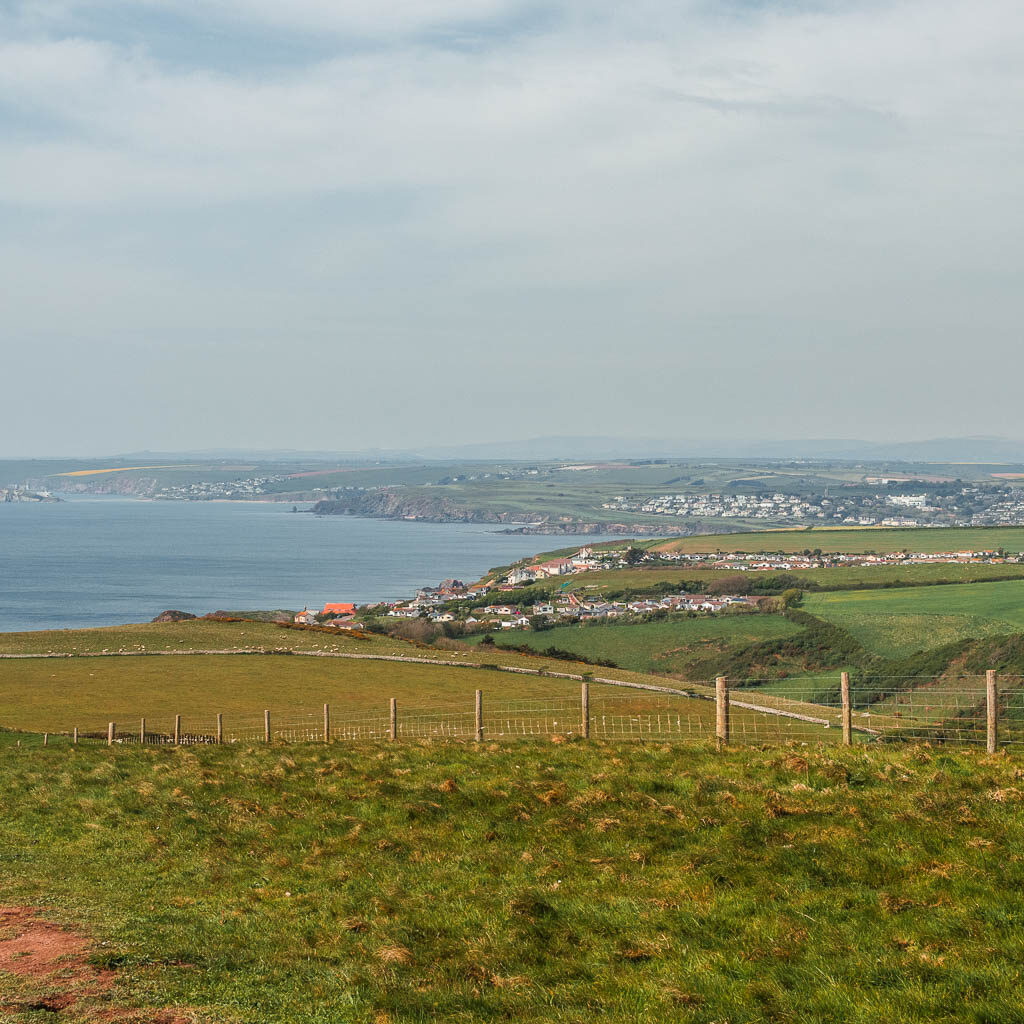
When I first saw the view, I thought it was cute. Then when I walked a bit further down, the cove opened up and I was blown away. It reminded me a little of when I walked to Polperro. When the little cove suddenly opened up out of nowhere.
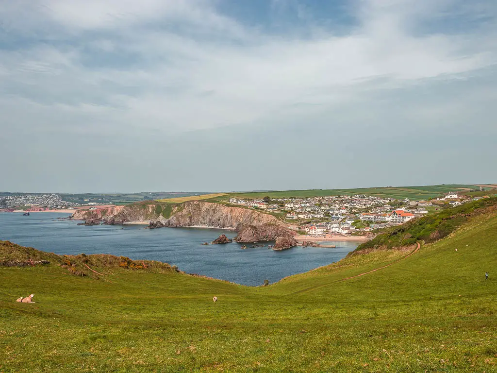
Well, now I knew which bit was Hope Cove, and seeing it there across the fields, I had this urge to walk straight to it.
But no. I had to walk the coast path. No shortcuts. Hope Cove would have to wait a little longer. So I continued walking along the edge towards Bolt Tail.
Walk around Bolt Tail
Now, you don’t need to walk to Bolt Tail, but I do actually recommend it. The terrain is quite different from the walk so far between Salcombe and Hope Cove, and there are more nice cliffy views.
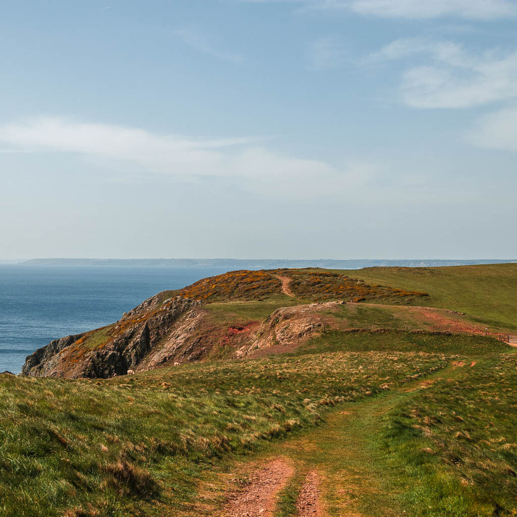
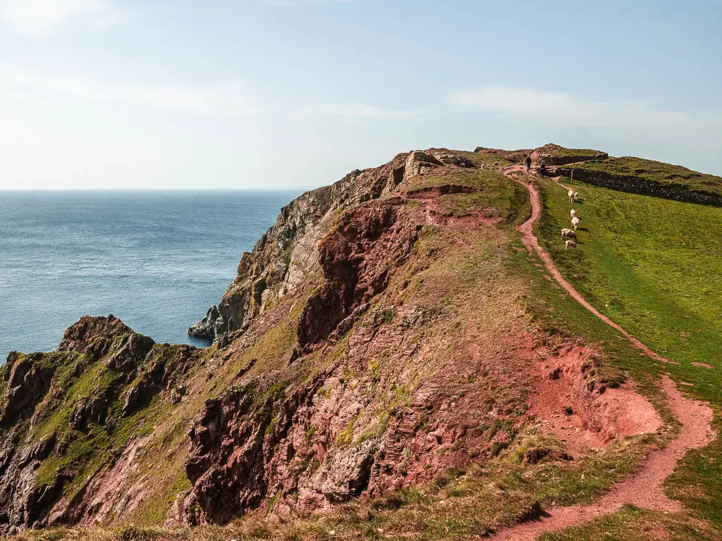
First, the walk towards it is along grass trail, mostly downhill, and then it’s uphill along this red rocky ground. I wondered if this is what it’s like on Mars. All the sheep were hanging out around here with clusters of wool dotted about. This must be the sheeps favourite bit.
The final stretch of the walk from Salcombe to Hope Cove
After wandering around Bolt Tail, there are a few grassy trails you can take. Doesn’t matter which one really. Just walk in the direction of Hope Cove. You should see some woodland on the other side of the valley. This is what you need to head towards.
Through the woods, with the occasional framed view of Hope Cove to the left, you will reach a gate and then the road. Voila, you have made it.
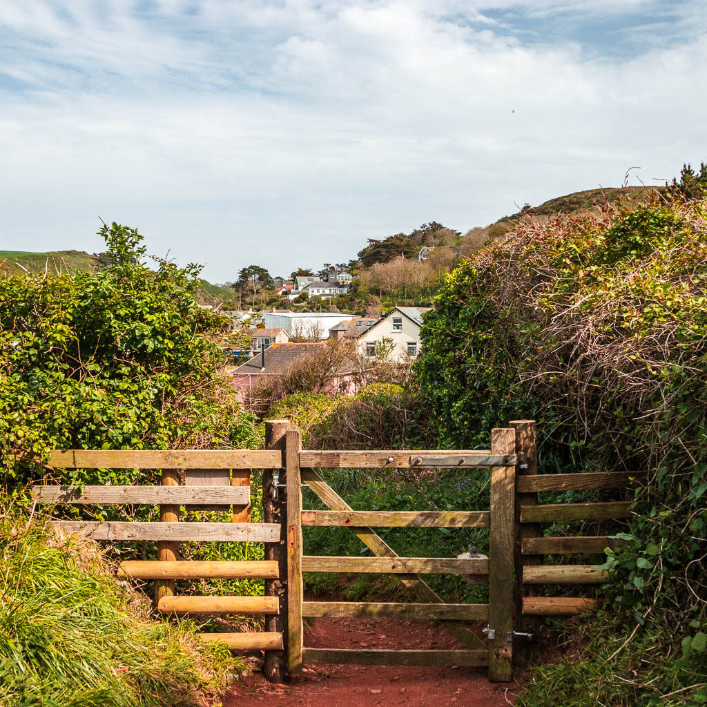
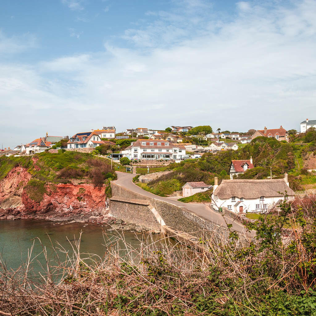
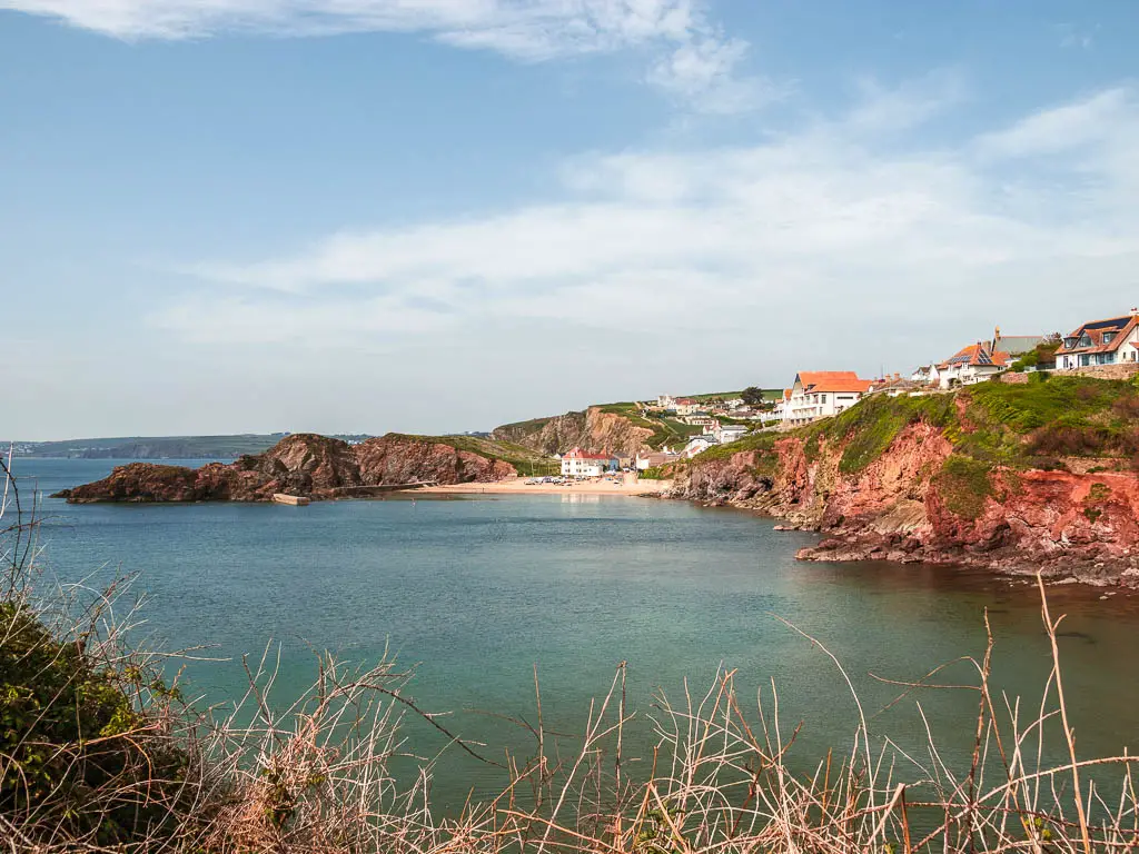
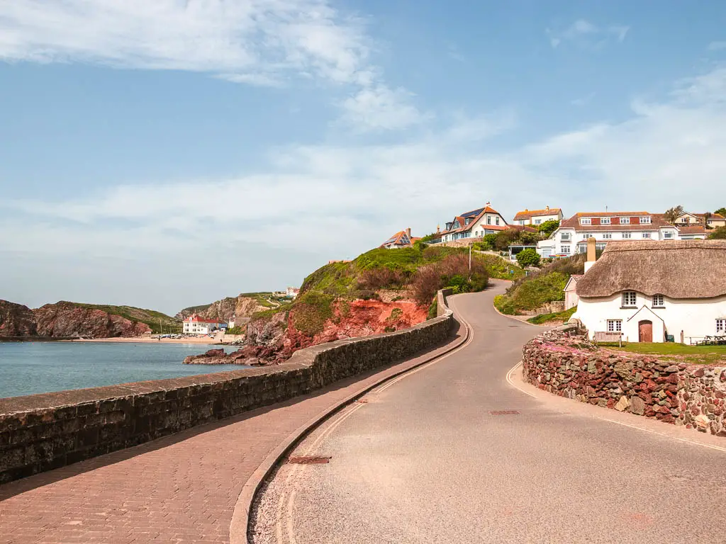
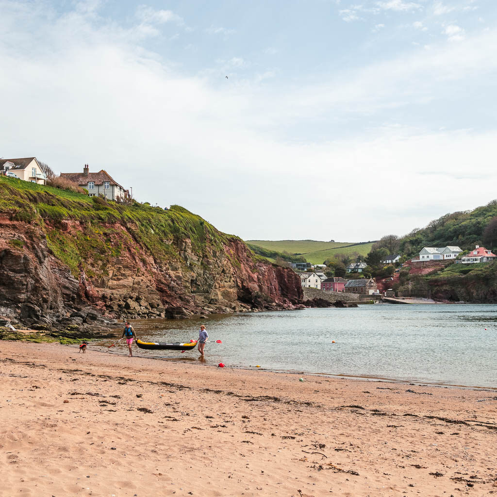
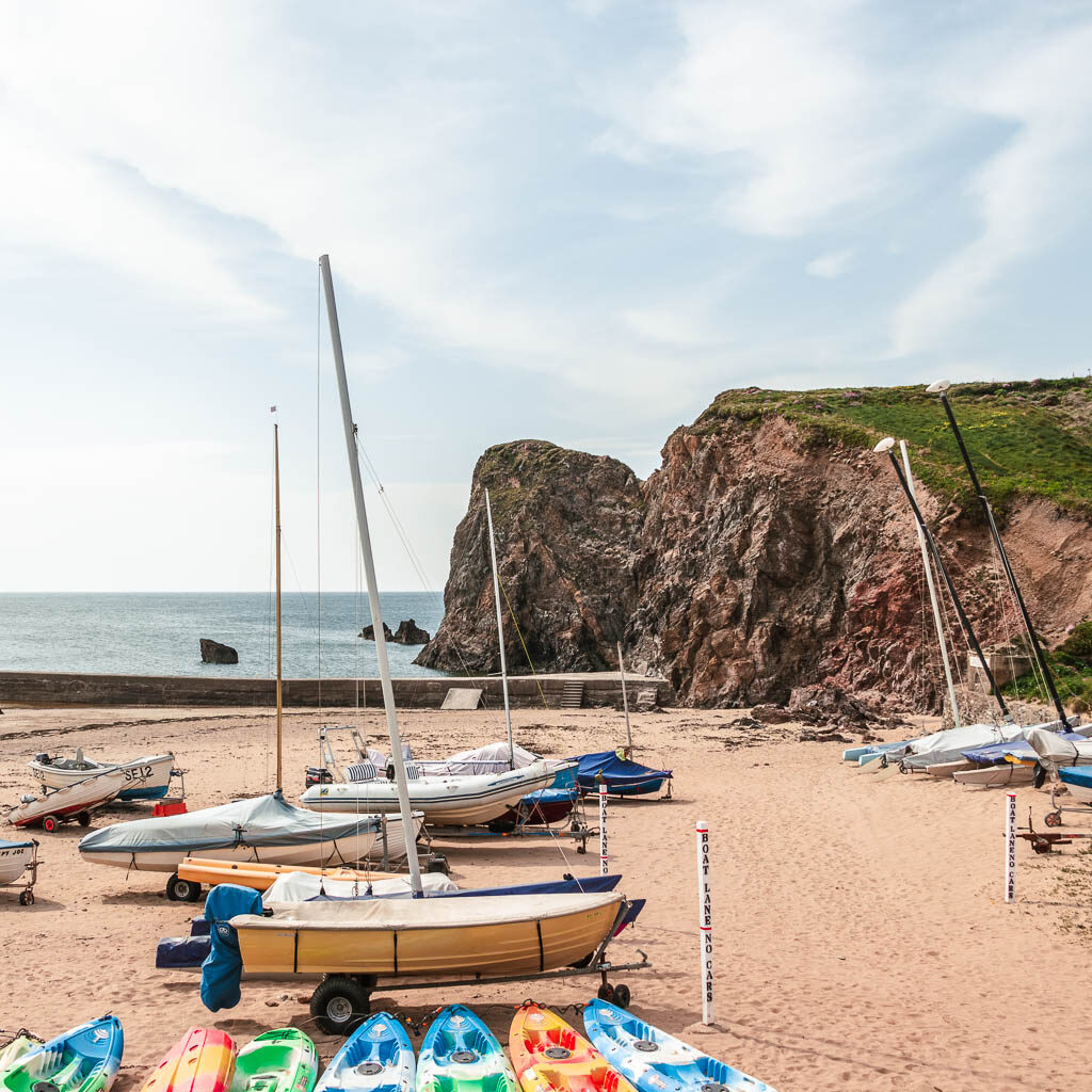
There is a beach here on the left, or, you can walk up the road (it’s the last but also very steep uphill), and you will see a little trail on the left to take you down, past the pods and to the other beach.
Walk back to Salcombe from Hope Cove
Now, if you decide to walk back to Salcombe or Marlborough, I will give you a quick guide. It’s quite easy really.
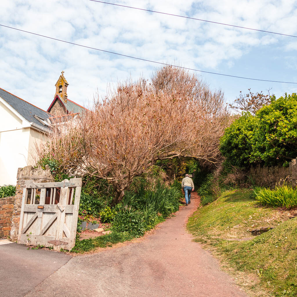
From the beach, head back the way you came, past the pods, to reach the road. At the road turn left and take the little trail to the right of the church. Now go straight, and keep going straight. You will pass over another road at first, then the trail will lead you to the field. It’s field after field walking for a bit.
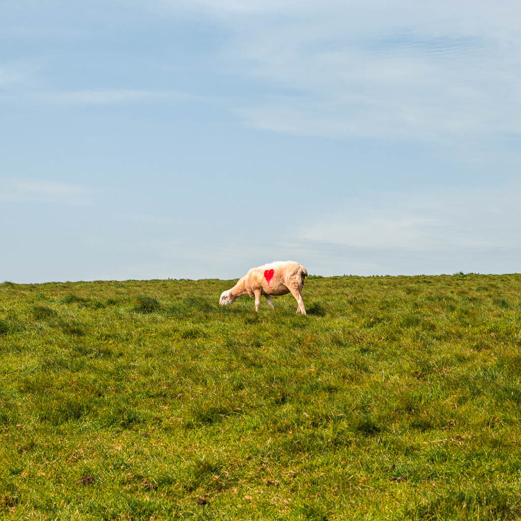
When I walked it, one of the entrances to a field was covered in sheep. There was a bit of a sheep commotion as I entered. They all jumped up and started following me, then stood still and stared.
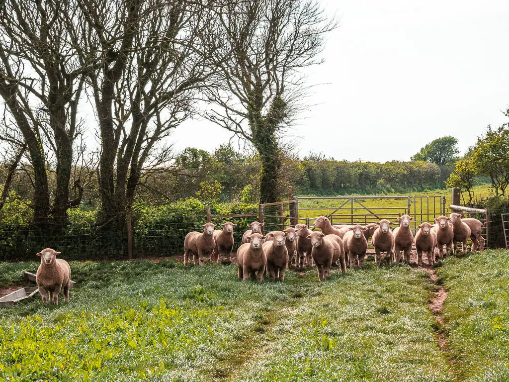
I felt a little uneasy when I looked back at them. All standing there, looking kind of evil. I didn’t know what they were thinking, but I didn’t want to find out, so I picked up the pace to get out of the field on the other side.
Keep going in the direction of straight, past the wind turbine things, then at the end of one of the fields, the trail will turn right and then left into another field. Keep going, and the trail will lead you to the road. At the road, turn right, and then it’s a short walk to reach Marlborough.
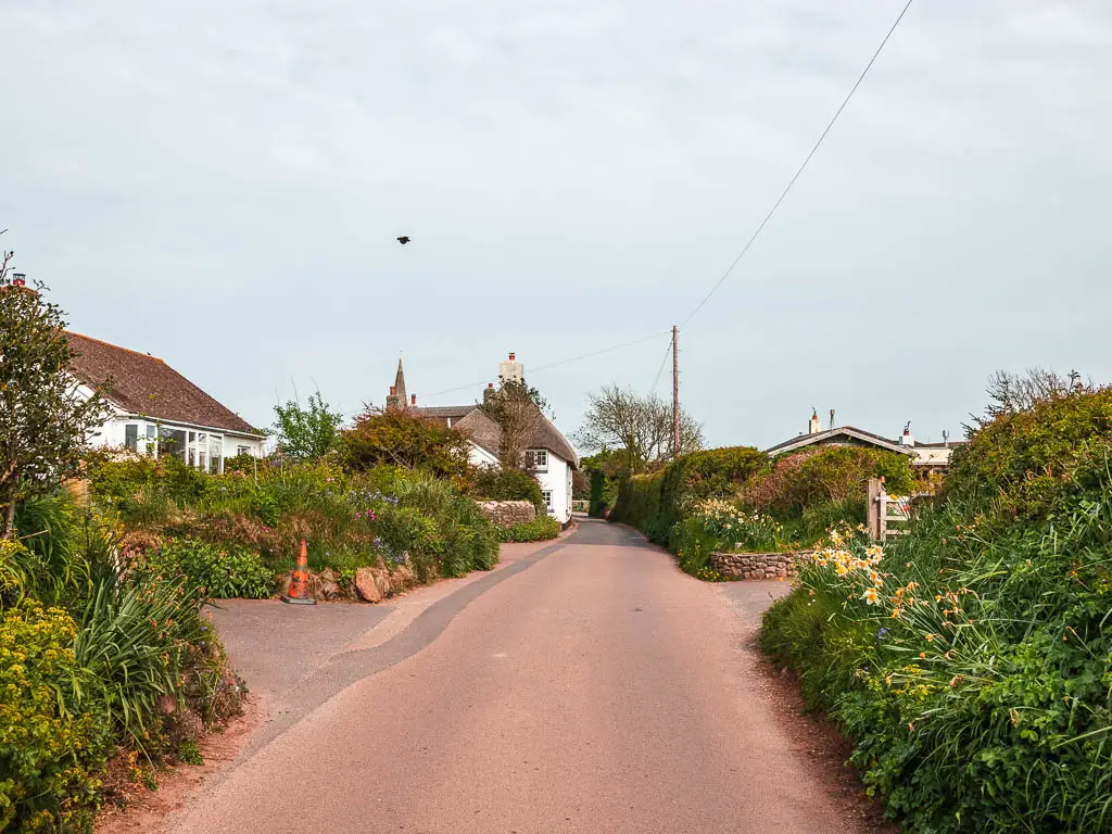
The bus stop is located next to the co-op petrol station.
More walk ideas near Salcombe and Hope Cove
Salcombe to Prawle Point takes you from Salcombe and along the coast path in the other direction, passing by even more gorgeous beach coves than the walk to Hope Cove. It’s also nice and rugged.
Gara Rock walk is much shorter and takes you on a circular route. It’s perfect if you want to experience some South West Coast Path goodness and hidden beach coves, but don’t fancy a massive hike.
Salcombe to Snapes Point is also a short circular route, but does offer some fantastic views across the harbour.
Noss Mayo circular is one which is actually a little further away, but I wanted to mention it because you can actually see Hope Cove from it. Way in the distance. If you want to get there from Salcombe, then realistically, you need a car. Public transport would take a long time and involve changes.
For a more detailed side by side comparison, you can read my guide on the best walks from Salcombe.
For more walk ideas in Devon, you could check out the Visit Devon Website.
Pin it for later: Salcombe to Hope Cove Walk Guide

4 comments
Hi Zoe, you’ve done a lot of work getting this together. Great photo’s and a light, fun and very informative narrative. Planning to do it when the weather perks up ….. my ‘any weather’ and ‘tougher the better’ days are long gone thank goodness!
Hi Steve, thanks for your message :). Ha, yes I dont judge at all. I definitely prefer a bit of fair weather hiking. Its a good hike! One of my favourites down there.
Hi Zoe – I love this walk, and discovered it for the first time last year. Feeling a bit “energetic”, I walked on to Bantham Sands – an excellent lunch spot that overlooks Burgh Island and a fair few excellent food vans to choose from in the carpark during the season. It does make for an extremely long day if doing an “out and back” from Salcombe, but totally worth it. Top tip; if mad enough to try this, go for a weekday in June – you need plenty of daylight hours, and it’s not too busy. Your excellent photos brought the memories flooding back!
Hi Brian, ooh that sounds great! Good tip. Yeah, lots of daylight hours is a good idea…maybe lots of sunscreen haha. Glad you liked my photos 🙂