Of all the walks I have done so far in the New Forest, the Lyndhurst Parish circular walk is the only one (except the tall trees trail, and the Brockenhurst village walk) which was a specific route. Everything else I have sort of made up my own route. So before heading off, I studied the map and tried to memorise it. It seemed fairly simple to follow. A circular walk around Lyndhurst, sticking to the trails that are on the boundary.
But not so simple
I will tell you now, I made quite a few wrong turns. However, I did backstep to make sure I did the correct trail for the whole route. In normal situations, I wouldn’t do that, but rather I would look for trails to join where I should be.
As I wanted to track the route and be able to describe it for the purpose of this blog post, I made sure to cover it correctly (apart from one small section, but I’m not counting that as it’s very small).
My advice to you if you are on a walk is to not worry if you take some wrong turns. Just take a look at a map, figure out where you want to head to and follow new trails to get there.
Why is it called the Lyndhurst parish circular walk?
What struck me as odd when I studied the route, was that sometimes it would take me off the walking trail and onto the roads. It was odd because the walking trails could easily make a circular walk around Lyndhurst.
I’m going to be honest, I didn’t read into the history of the walk before doing it, but rather I heard about it, looked up the route online, then went and did it.
Once I did the walk though, I saw exactly why the route was the way it was. I mean it was all in the name of the walk really. The Lyndhurst Parish walk. This particular route sometimes takes you off the walking trail to follow the parish boundary and walk through and around some of the hamlets of Lyndhurst.
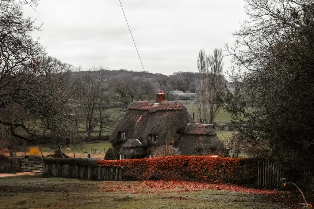
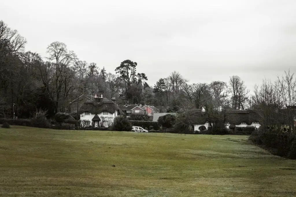
My favourite part of the walk was just this, walking through the cute villages. It was a nice change from all the forest and fields I have so far experienced on all the walks I have done in the New Forest.
Logistics for the Lyndhurst Parish Circular walk
- Start/Finish: Lyndhurst – Boltons Bench
- How to get there: Lyndhurst doesn’t have a train station, however, it is very easy to get to from the surrounding villages. Bus number 6 runs through Lyndhurst which you can get from Southampton, Ashurst, Brockenhurst and Lymington. Southampton, Ashurst, Brockenhurst and Lymington all have direct trains from London Waterloo.
- Distance: 9ish miles (I tracked my whole walk, however, this is what I think it is if I take out the wrong turns I did).
- Time: 3h 40min (but remember I walked wrong a lot).
- Terrain: Gravel/dirt/grassy trails. Mud. Roads.
- Elevation: Highest point – 108m
Map for the Lyndhurst Parish Circular walk
Click on the box in the corner of Google Maps to open in your maps, or click on the trail name on the AllTrails map. You will need to download AllTrails to follow that one.
If you are following my map, then you will see some lines sticking out from the main circle. These are where I went the wrong way, so just ignore them and stick to the circle.
More walking ideas for the New Forest will be at the end
The start of the Lyndhurst Parish Circular walk
I had just walked to Lyndhurst from Ashurst, and after a quick lunch stop, it was time to head off on my next walk. The Lyndhurst Parish circular walk. I had about 3 hours left of daylight so knew I needed to try to keep a fast pace, and not take too many photos if I was going to make it back before dark.
I will tell you now, I didn’t make it back before dark. It got very very dark out there.
From Lyndhurst town centre, it’s a short walk east to the start of the trail which is Boltons Bench. When in the moor (the big green area), Boltons Bench is unmissable. The first hill ahead with the big tree on top. That’s it.
So if you want to be official, head up onto it.


Starting from Boltons bench, the walk takes you in the direction of east and back down onto the road you were on a moment ago. That’s why I said if you want to be official.
You could just stick to the road.
I wanted to be official.
Poundhead inclosure
The trail then takes a right turn and across the main road and into the first bit of woodland. Poundhead enclosure. Everything so far is quite civilised. The path has been nicely laid out, gravel and dirt trail. Dry.


I thought about how this walk will probably be civilised the whole way. As it’s a specific planned out route, something for visitors to the area, and most likely devised so it’s accessible to most people.
I later found out I was wrong.
The trail I was on, the very civilised trail, soon turns to lots of mud. My boots which I had gotten clean from walking through the puddles earlier were now full on muddy again. The way things seem to go out here in the New Forest, I knew I would inevitably find some more puddles to walk through to clean them off.
The busy road
As you follow the road around, you will reach the main road. This is a very busy road, so be careful when you try to cross it.

Directly across, you will see a little gate. Go through it.
The next bit confused me a little. It’s a section through a small wooded area, without an obvious trail, however, it also runs next to a side road. So just walk keeping the road to your left.

You will then cross over this road to continue on the walking trail, and up ahead there will be a right turn taking you out of the woods.


Don’t go into the woods
The key thing to remember for this next bit is, not to turn into the woods. I made this mistake and took a wrong turn twice. If you are following my map, you will see the two lines poking off the main circular trail.
So for starters, you will be following a trail with the woods just on your right. The trail keeps pretty straight, but there is a point where you need to take a left turning to cut out a corner. The left turning will be by a gate on your right.

You will be cutting away from the boundary for a very short distance before the trail leads you with the woods directly on your right again.
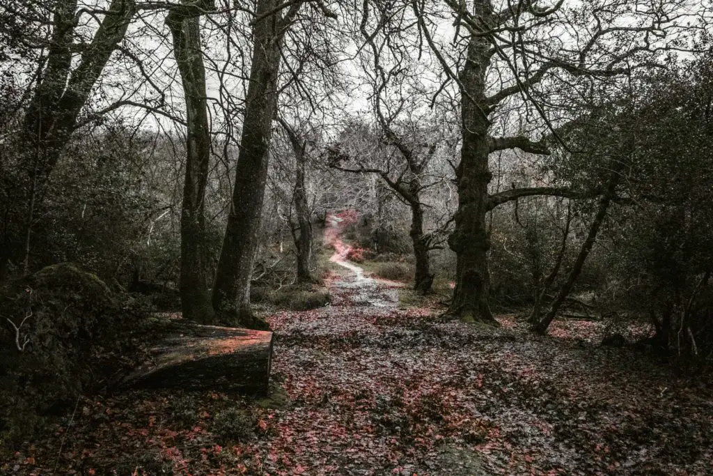
Here is a picture from when I went the wrong way. If you see this on your walk, then you have gone the wrong way too.

Taking the correct trail, it will lead you to a gate on the other side of the moor. You should see this big group of trees just before you reach the gate.

Brick Kiln inclosure
Through the gate, you will be in the Brick Kiln inclosure. Start off by following the grassy trail with the woodland on either side, then when you reach the gravel trail, make a right turn.


I found myself walking behind a couple of people, they had actually appeared back when I made those wrong turns. So I had now been walking with them just ahead of me since then.
I don’t know whether it’s my competitive side, or that I just didn’t want to look at them anymore, but I decided to pick up the pace to get ahead. Once I had reached a safe distance past them, I chilled my pace down to normal levels.
Bank
The trail then leads onto the road, Pickney Lane. This is where you turn left to follow the road into Bank. This is also where I started to see some seriously cute homes. I might have also got a bit of home envy.


And then the horse happened….
The horse/pony…..I don’t know the difference.
As I made my way past some homes, I saw a horse/pony standing by a cute post box. I whipped my camera out to take some photos and next thing I know the horse/pony is charging towards me…..And then he wouldn’t leave me alone.

I tried to walk away but he insisted on having direct contact.
I experimented and suddenly switched backwards, and the horse followed suit. He was being super playful.
However, once those other walkers who were now behind me had arrived, the horse lost interest in me and went to them.
Was I offended that the horse chose them? Maybe a little.
The pub
Once at the cute pub, the road curves around the left. This would be a lovely place to take a drinks break if you aren’t on a time constraint.
I was.

Darkness was closing in so I needed to keep going.
Following along the road, which didn’t have too many cars at all, it then makes a loop at the end around some more cute houses. As you come around the loop, come off it onto the green.


The mini tunnel
Through a bit more woodland and shrubbery, you will start to hear the sound of the main road up ahead. This road is easier to cross, as you don’t actually need to go onto it.

Instead, just before the gate, the trail will turn left. Following the (unobvious) trail, parallel to the main road, you will find a little tunnel ahead and to the right.
This tunnel takes you under the road.

Although it’s a very very short tunnel, that short moment of walking through it was a little spooky. The sound of the road suddenly drowned out and was replaced by the echo of my squelching footsteps. This little tunnel section was very very muddy.
Out of the tunnel, the trail takes you up a mini hill and to the right.
Zebra house
At the end of the trail, there will be a short walk on road with the zebra house up ahead.

Following the road left, it will turn back into walking trail and lead you with a wall to your right. I think this wall is to enclose someone’s land.
Quite fancy.

Like a mini version of the wall surrounding the grounds of Buckingham Palace. They even have a mini ornate gate.
As usual, there is a lot of muddiness, however, it was civilised muddiness. Mini crossings have been laid out to get you over the wetter bits.

Going the wrong way
This trail continues straight for a while, which is also why I didn’t pay attention to my map and where I was.

It wasn’t until I reached this opening, with a house across the other side, that I took my map out to see where I had to turn next.

I had missed my turn. By quite a bit actually.
I was very tempted to continue and rejoin where I should be, but it was really bothering me that I wouldn’t be official anymore. So begrudgingly I turned back to find the trail turning I should have taken.
It was on my walk back that I realised I had walked quite a bit downhill to get to this field. Which also meant I had a big uphill to get myself back. I had been so far in my own world that I hadn’t realised I had been walking downhill.
So not only did I have to walk back on myself uphill. I had to do it on very muddy terrain with wet leaves. I can tell you now that it is very tricky. The combination of mud and slippy leaves.
Once I reached the top I saw the trail I should have turned onto. It was very obvious.
So, if you do this trail, the turning you should take (on the left) is very obvious. It’s also just before the downhill.
Don’t go downhill.
Emery Down
After making the left turn there will be a short walk through woods before another left turn.
I also missed this turn.
I didn’t realise I had missed it until I reached Emery down by the church.


Looking at the map, I thought about how I would need to turn back again if I wanted to stay official.
After some deep thought, I decided it was only a small section I had done wrong, so it shouldn’t affect my officialness too much.
The long road
Just opposite the church, you will take a road which seems to have no name. I’m pretty sure I saw a road name when I was there, but now that I am looking on Google maps to get the name of it, I can’t see a name. All the roads around it have names. But this one (according to google maps) is nameless.
Basically, it is a long road, and you will see this thatched roof house when walking along it.


Getting annoyed with the Lyndhurst parish circular walk
You will follow this road as it curves around to the right. I knew I would be turning right at some point, so when I reached a right turn I took it.
I got the complete wrong right turn.
The correct right turn is sticking on the road as it curves to the right. I instead took a right turn just before this signpost.

I walked for a long long way before I realised that not only had I made the wrong turn, I was literally walking back in the opposite direction I should be going.
I’m not gonna lie. I was a bit fed up. This was now my 5th wrong turn. And it was the worst wrong turn of all of them. It was getting dark. I was so tempted to head back to Lyndhurst from here. But so close to the end I knew I needed to finish it.
So, I walked back to where I should be. That little detour cost me a mile.
Stick to the road
Now, let’s take a step back so that I can explain this correctly to you. From the moment you leave the church at Emery Down, you should actually stick to the road for a long way. All the way until you reach the main road.
You then cross over the road to enter the field on the left. The entrance to the field is by the mini car park which you should easily see.
The golf course
The trail takes you across the field and over a little bridge, then once you reach the golf course, turn right to walk along the trail beside it.
There is a stream of water here. Make sure to keep to the right of it.
I made the mistake of crossing over and once I realise my mistake, I didn’t have the will to walk back on myself yet again, so I looked for a spot I could jump across.
At this point, it was now fully dark and the photos from my camera came out like this.

My camera is capable of taking night photos but it’s a skill I haven’t explored much yet and it would require me to start using the tripod. I wasn’t in the mood to get the tripod out so I switched to my iPhone camera instead.
Wow.
The iPhone literally makes it look like its daytime. I’m not sure how I feel about this. Whilst it’s pretty cool that it can do that, I also would kind of like the photos to show that it is night time.
When I tried to edit it to look like the night, the colours came out funny.

Reaching the end of the Lyndhurst parish circular walk
Once at the end and over another main road, you will be back onto the moor that you started on. As I walked along here in the darkness, with not another soul around, I started to think about the animals that might come and hunt me.

So I picked up my pace until I reached the safety of the main trail again and following it right to take me back into Lyndhurst.
More local walks
If you are staying in Lyndhurst you could try a circular walk to Brockenhurst and back. I did that walk mostly on bike trail, so you could actually do it on a bike if you like.
You can see a little summary of the walks I did around Lyndhurst here.
If you would like something mega long, then you could do a circular walk to Beaulieu and back. There are trails that take you between the two. I haven’t actually done that one, but I have done a circular walk from Brockenhurst to Beaulieau. It’s 17miles and I have mapped out the route on that blog post if you would like to follow it.
If you would like to see a little summary of everything, you can read about the 9 best walks in the New Forest here.
For more walking ideas you could check out the New Forest website.
Pin it for later: A guide to the Lyndhurst parish circular walk


8 comments
Lovely
🙂
Thanks Zoe! Very detailed and helpful, looking forward to completing this soon 🙂
Oh I’m so glad you find it helpful!
Loved your walk!!! Thank you so much for all the tips and photos!
Thank you so much Susi, this means so much to me!
I live in Ashurst and have never done this walk!
haha, well that’s always the way lol